A few days ago, the forecast for Peterborough today, was for 10 to 15 mm of rain, but last night it only showed a millimetre of rain in the morning and a millimetre in the afternoon. So we agreed to get up at seven to potentially do a full day of riding. When we got up it was very overcast and the radar was showing heavy rain on the way. We had breakfast, but decided to delay leaving. I decided to take advantage of the rest time to regularly ice my ankle and keep it elevated. It was much less painful to walk on this morning, and I wanted to give it the best chance to continue to heal.
It wasn’t long before it started to rain and thunder. The rain became quite heavy and lasted through to the mid-afternoon.
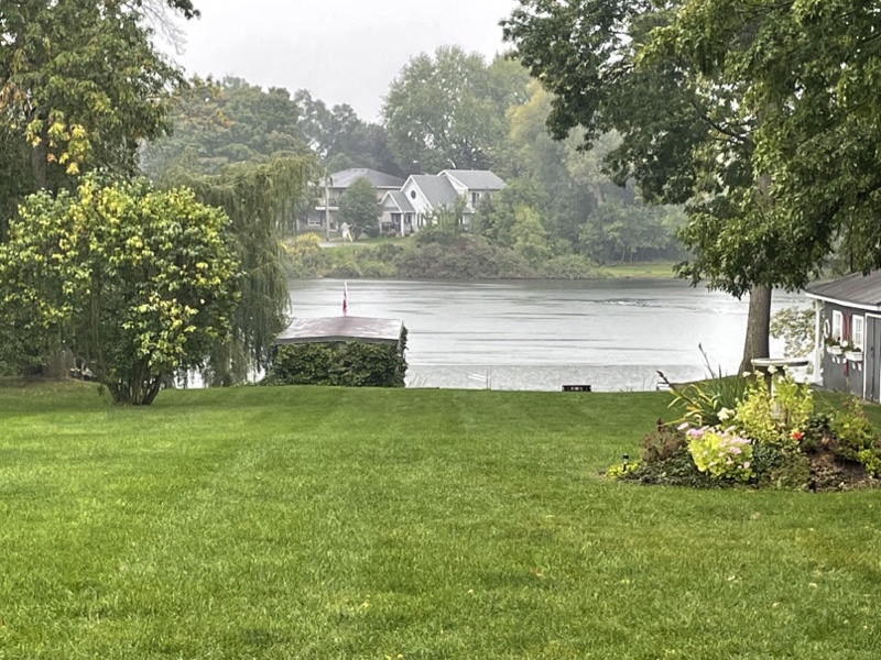
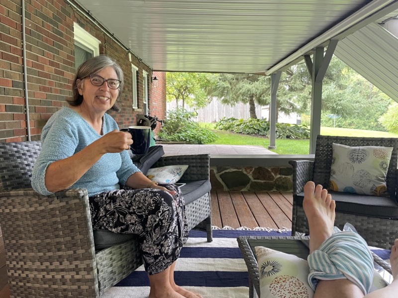
Cindy found the perfect place to sit, enjoy the outdoors, and the view of the Otonabee River while perfectly protected from the rain.
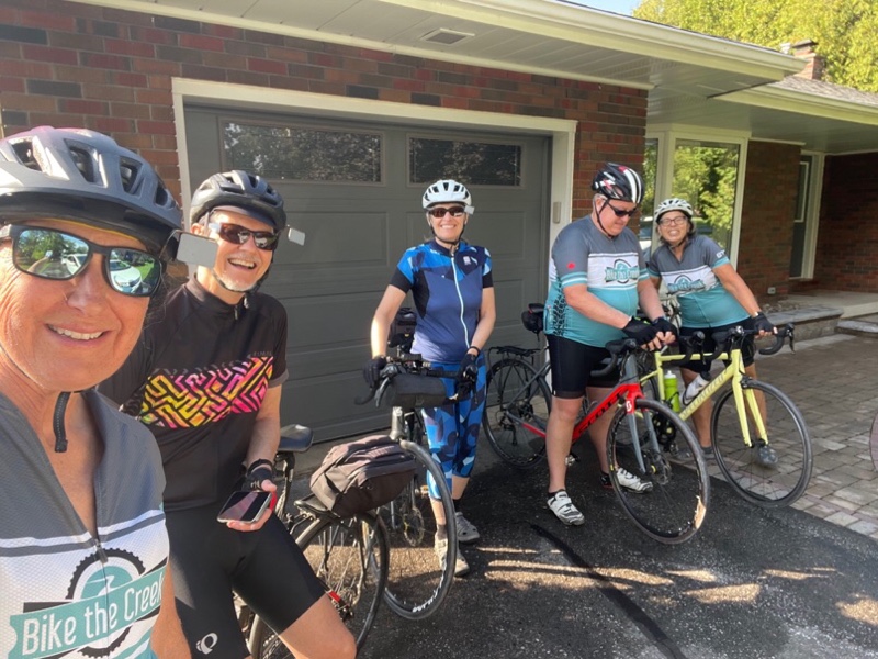
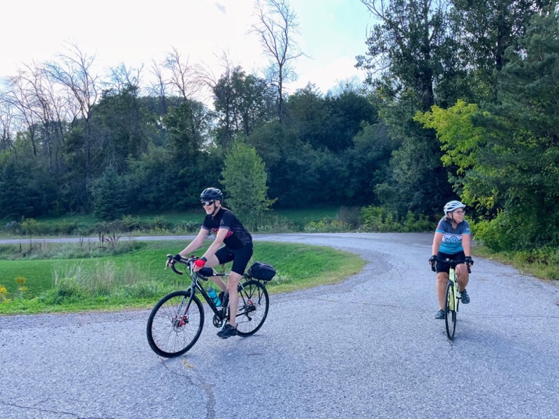
By mid afternoon we were commenting that this is the first time ever, on one of our bike trips, that we haven’t been able to ride. The rain had tailed off to a mist, and everyone except me headed out for a walk. When they returned the walk the rain had stopped and the road was beginning to dry up. So we decided to take a small ride around the area where we are staying.
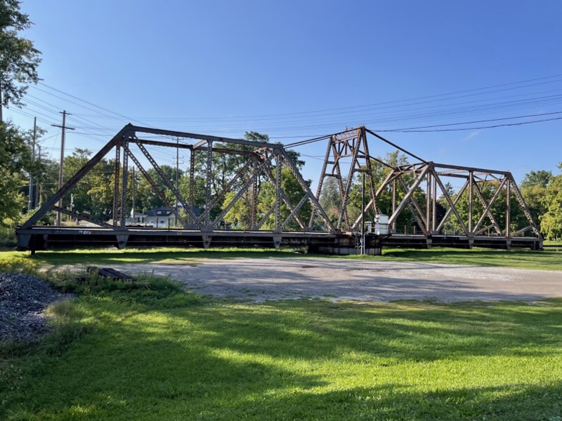
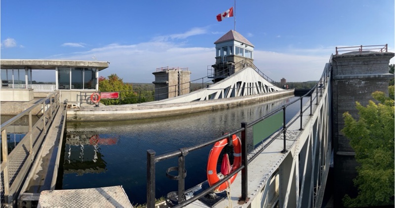
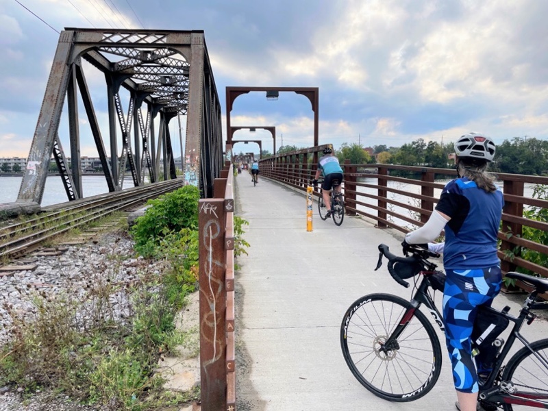
We are only about 3 km from the world’s highest hydraulic lift lock. On the way we saw this swing railway bridge.
At the lift lock, which took eight years to build and opened in 1904 , we cycled up an access road, rather than climbing the stairs, because I thought that would be easier on my ankle. I was last here with Megan, Alun, and Trystan, on our way to go rafting on the Ottawa river. I think Megan was about nine and had no interest in getting out of the car to go look at the lift lock.
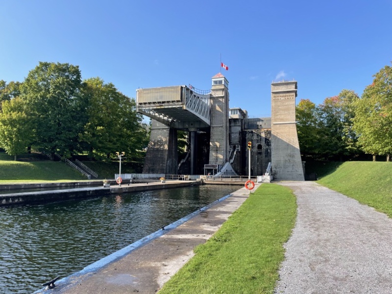
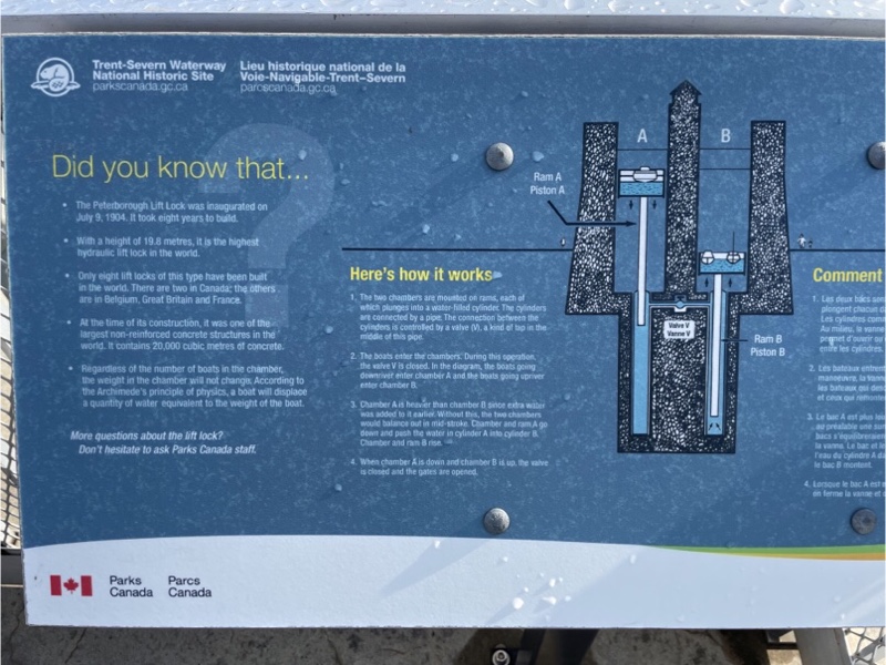
There were no boats using the lock when we were there today, but when I was last there we did get to see it operating. I’m including a picture of the board which explains how the lock works.
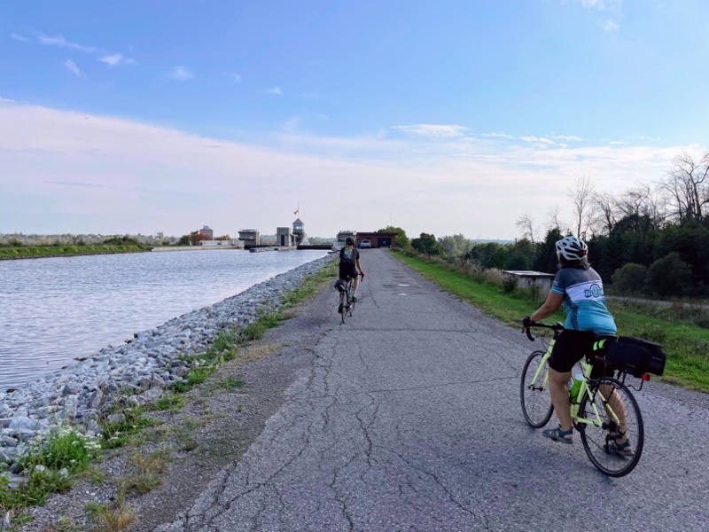
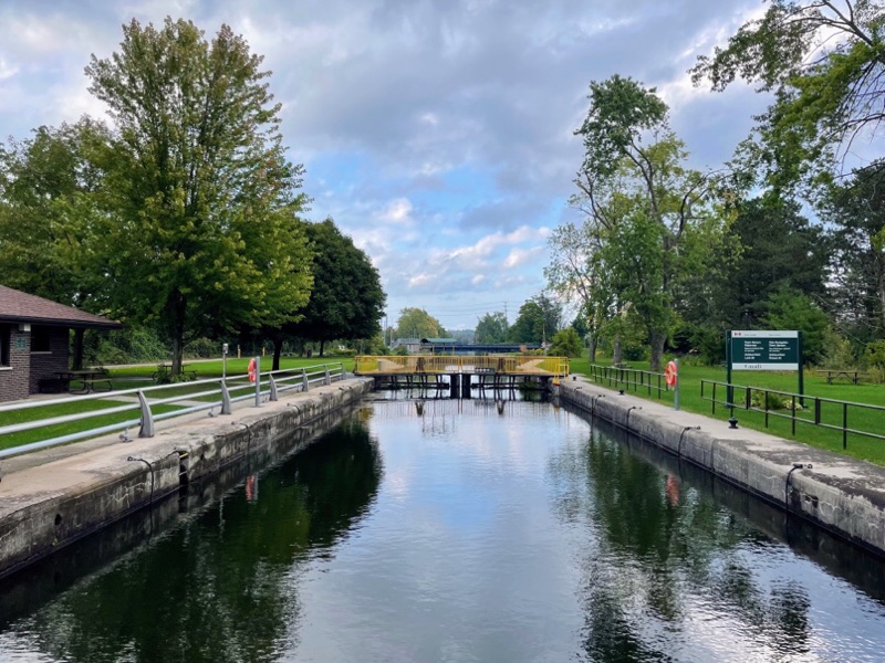
We rode down the hill and continued along the canal to the next lock.
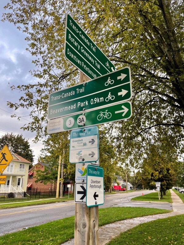
The Peterborough and the Kawarthas website has a page with cycling routes. You can download GPX files to your phone or bike computer to get cues to ride the route. Today we discovered they have also put up permanent signs with the routes numbers. I look forward to trying one out tomorrow and seeing how well signed the route turns out to be.
Just before we came to a rail bridge over the Otonabee River we saw this warning sign for cyclists. It’s important when riding over tracks, or other small bumps to have your wheel as perpendicular as possible, but no less than a 30° angle, to the track.
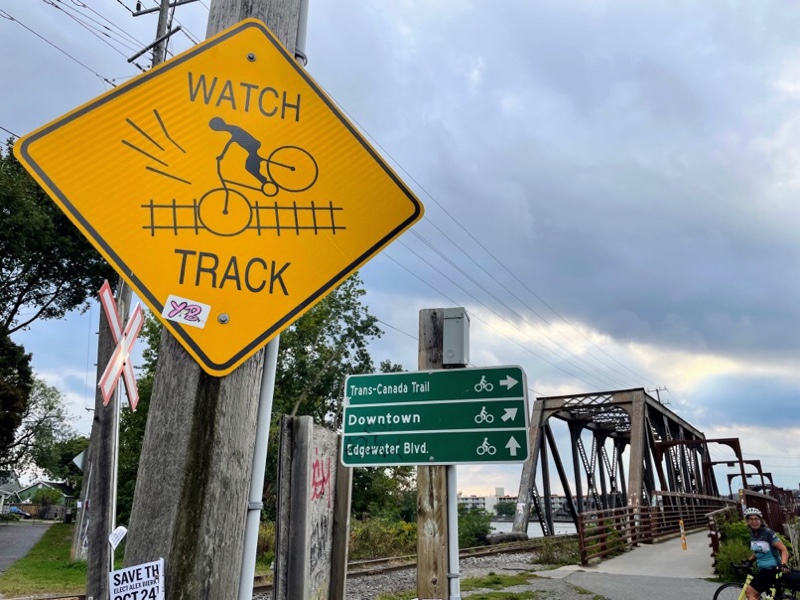
The rail bridge had a cycling and pedestrian bridge attached to the side of it.
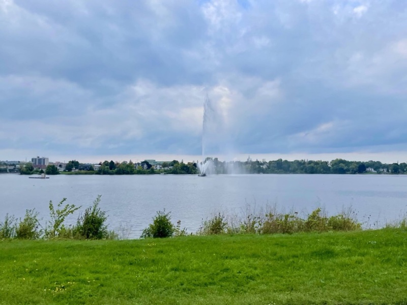
We looped around this wide part of the river and saw this fountain from several angles.
After only 10 km we arrive back at the home where we’re staying.
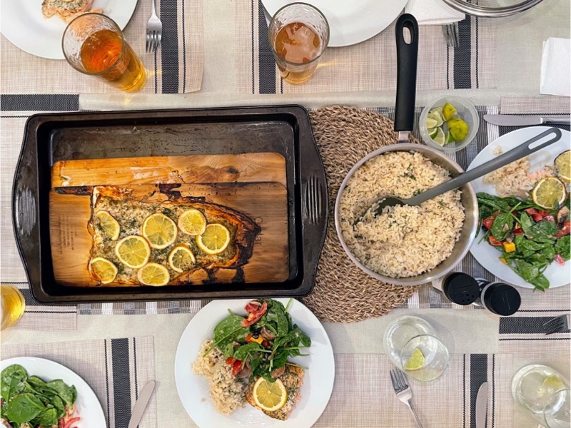
Wayne is making us barbecued salmon on a cedar planks for dinner. So far we are eating very well.
Discover more from Lisa Stokes
Subscribe to get the latest posts sent to your email.