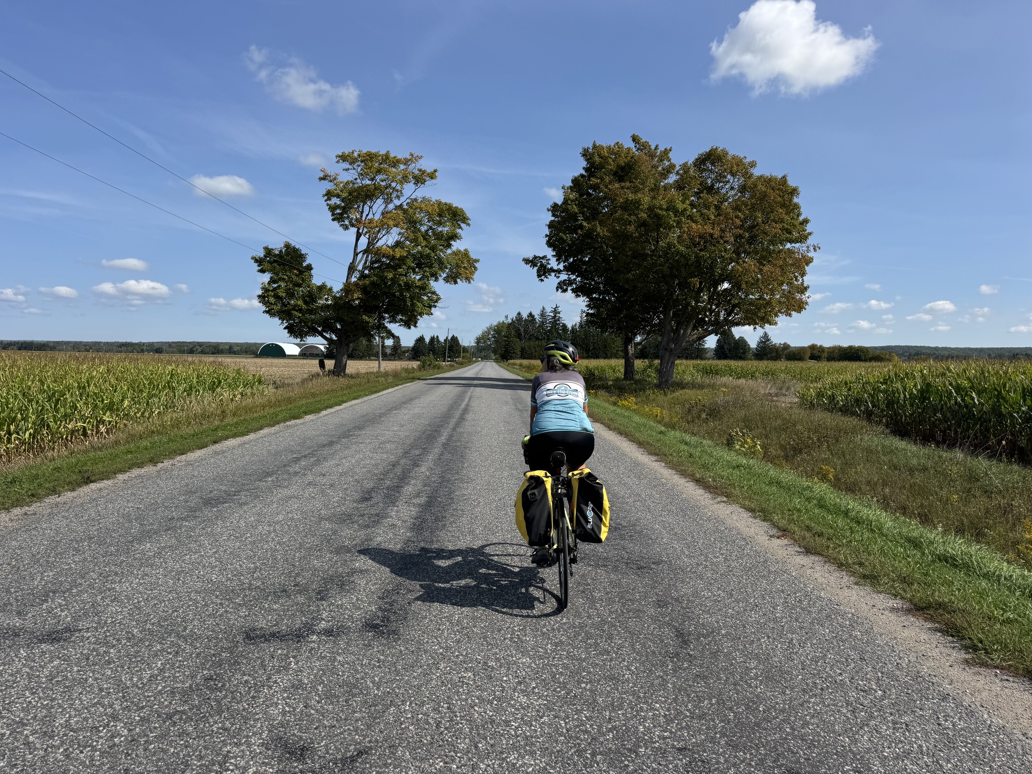
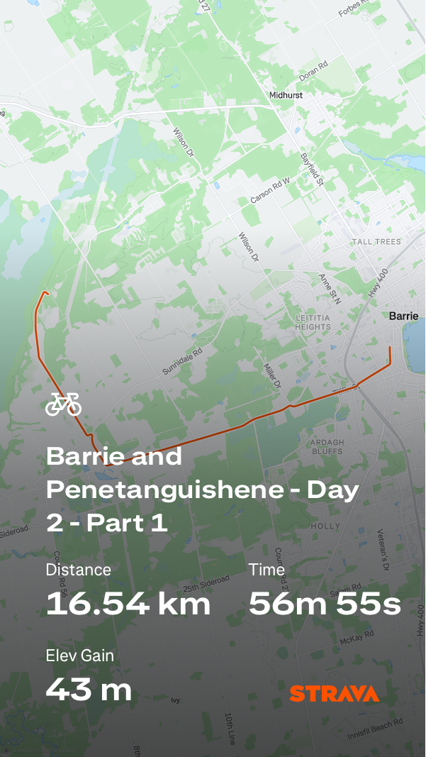
We woke at 7:30 and stripped the bed. We packed the bedding and towels into the bundle buggy Gail had provided us. We took that up to her condo, where she had a delicious breakfast waiting for us. Gail even provided us with hard boiled eggs for a snack on the road. The route was about 70 km.
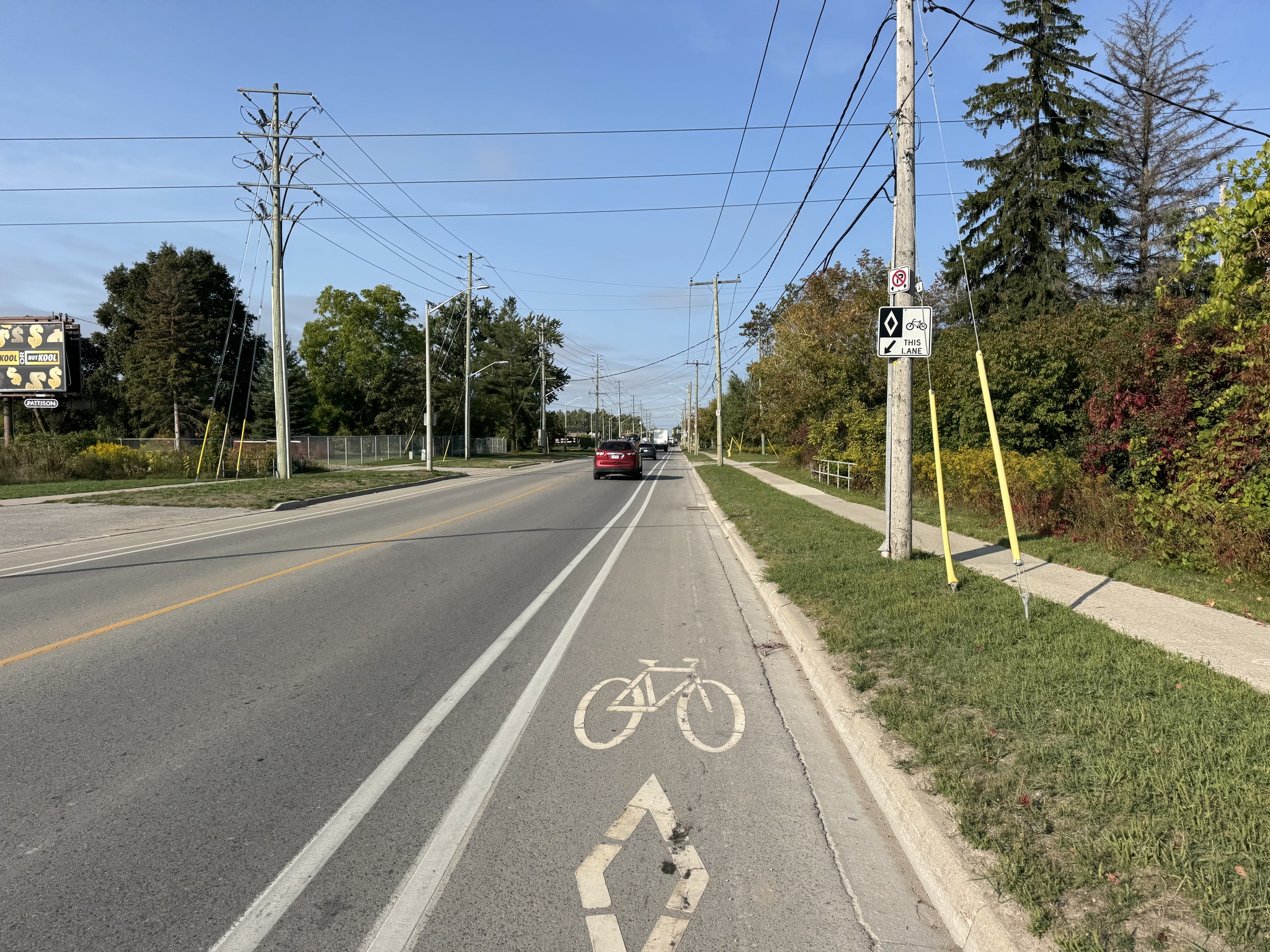
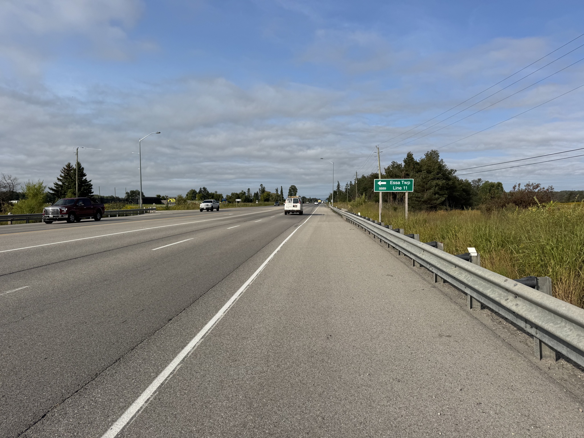
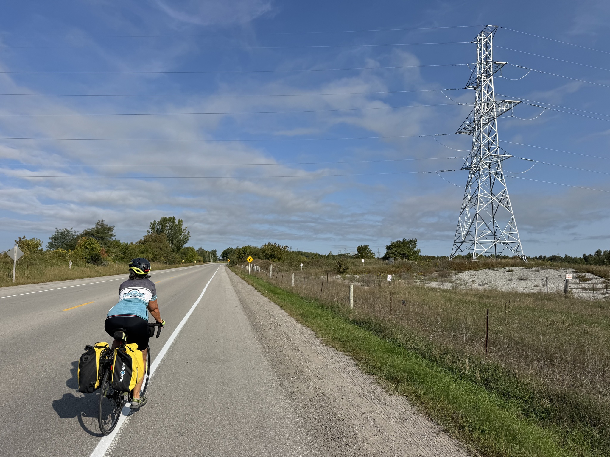
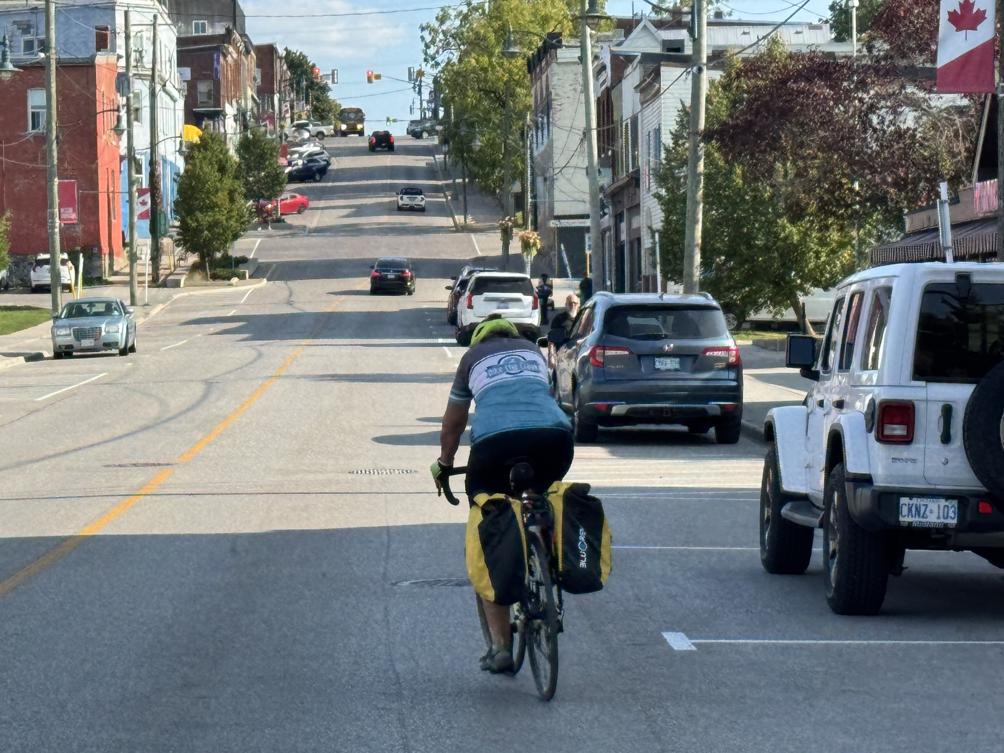
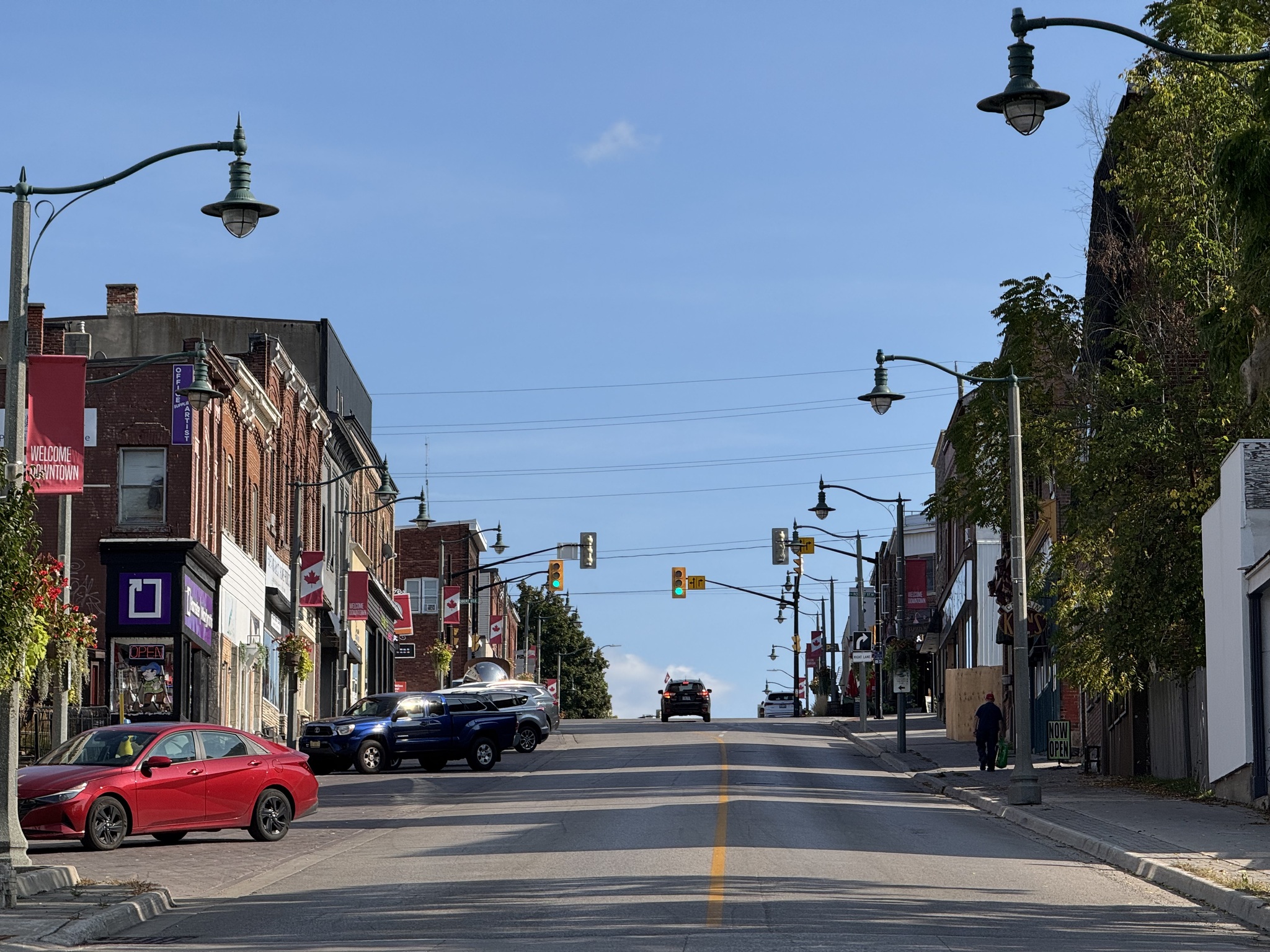
We rode west across Barrie to the North Simcoe Rail Trail. The route followed quiet streets downtown, and went under Highway 400 at Tiffin Street, which had a short stretch of bike lane then paved shoulders. Dunlop Street turned into Highway 90, a busy road with fast traffic. However, it had very wide paved shoulders.
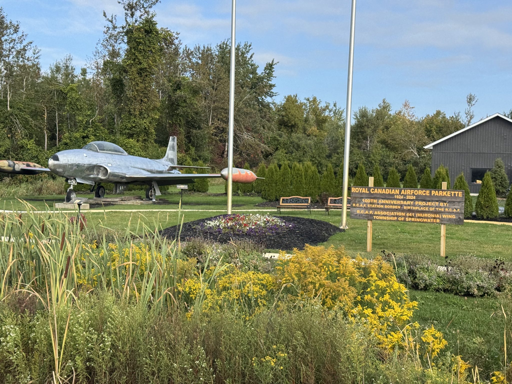
We passed the Royal Canadian Air Force Parkette on Highway 90. It has a CT – 133443 Silver Star jet on display.
We turned off Highway 90 onto Pinegrove Road, which has a nice smooth surface, and very little traffic.
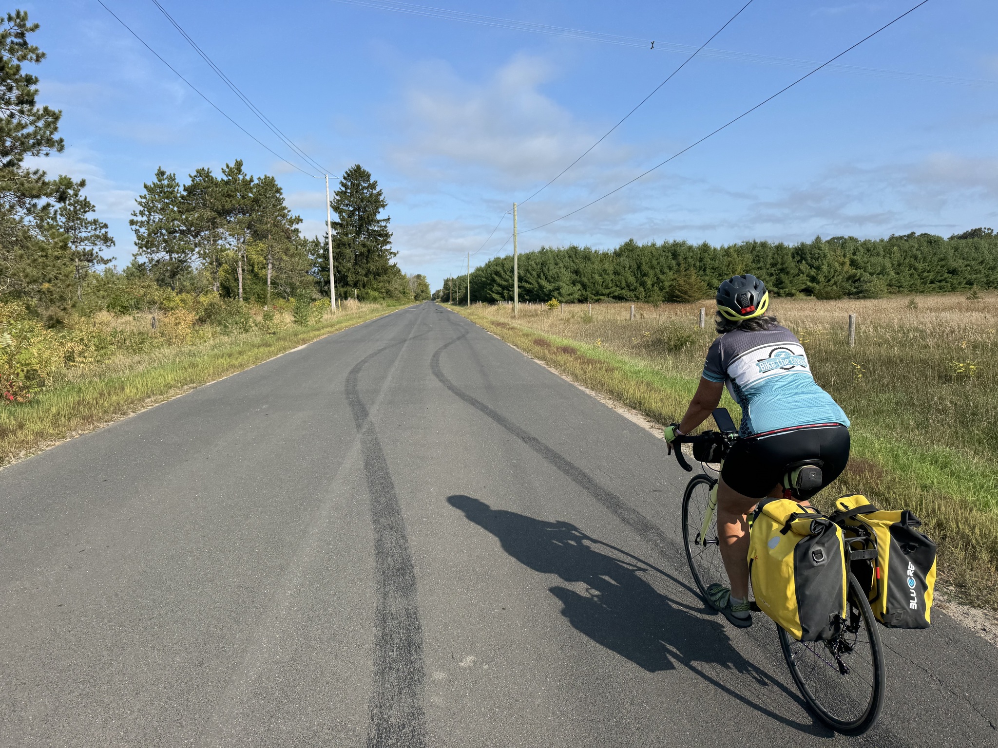
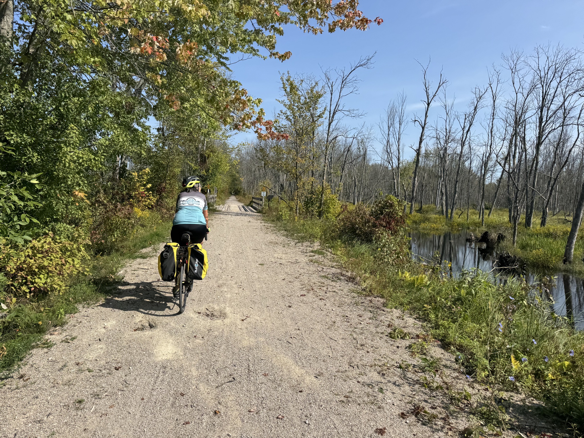
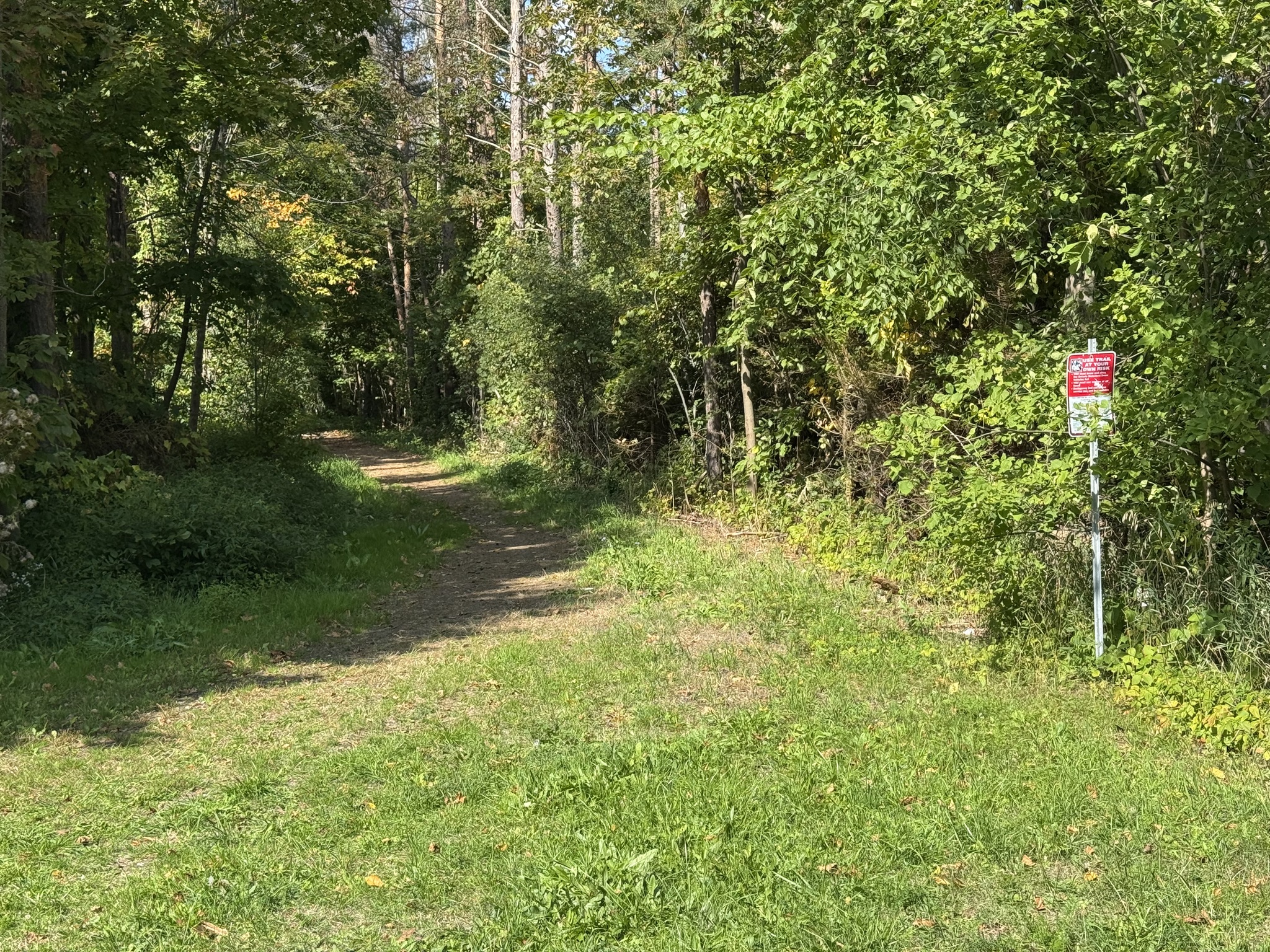
Before long, we arrived at the south end of the North Simcoe Rail Trail. The North Simcoe Railway was a railway line built in 1878, connecting the town of Colwell (near Barrie) to Penetanguishene, primarily to serve the lumber industry. It was later acquired by the Grand Trunk Railway and then Canadian National Railway. The line was ultimately decommissioned. Today, its former route is a popular recreational path known as the North Simcoe Rail Trail. It runs through the communities of Minesing and Springwater in Simcoe County. The trail is part of the Trans Canada Trail.
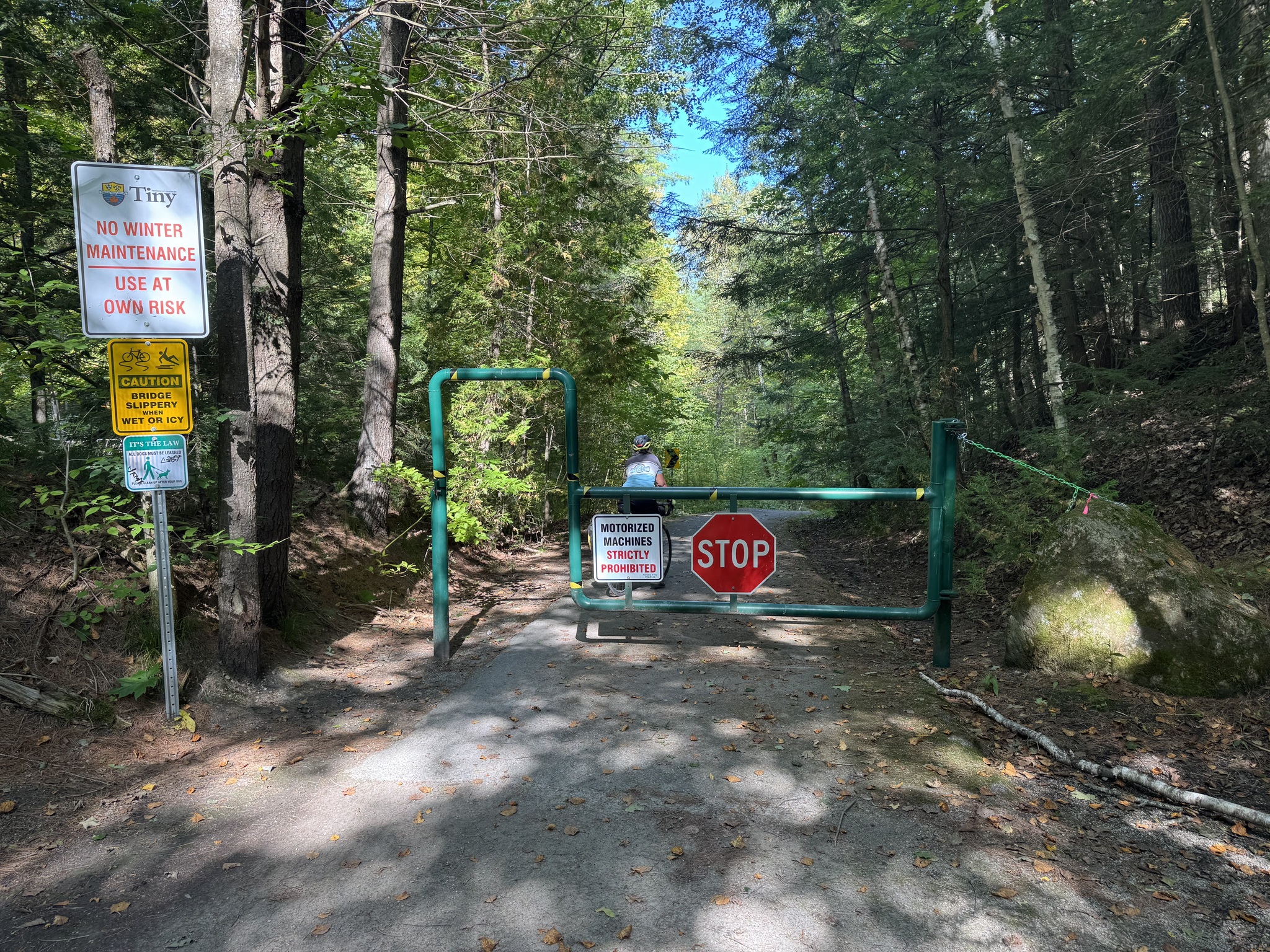
The section of the trail between Highway 90 and Pinegrove Road is closed, which is why we used Pine Grove Road to access the trail which runs for 32 km.
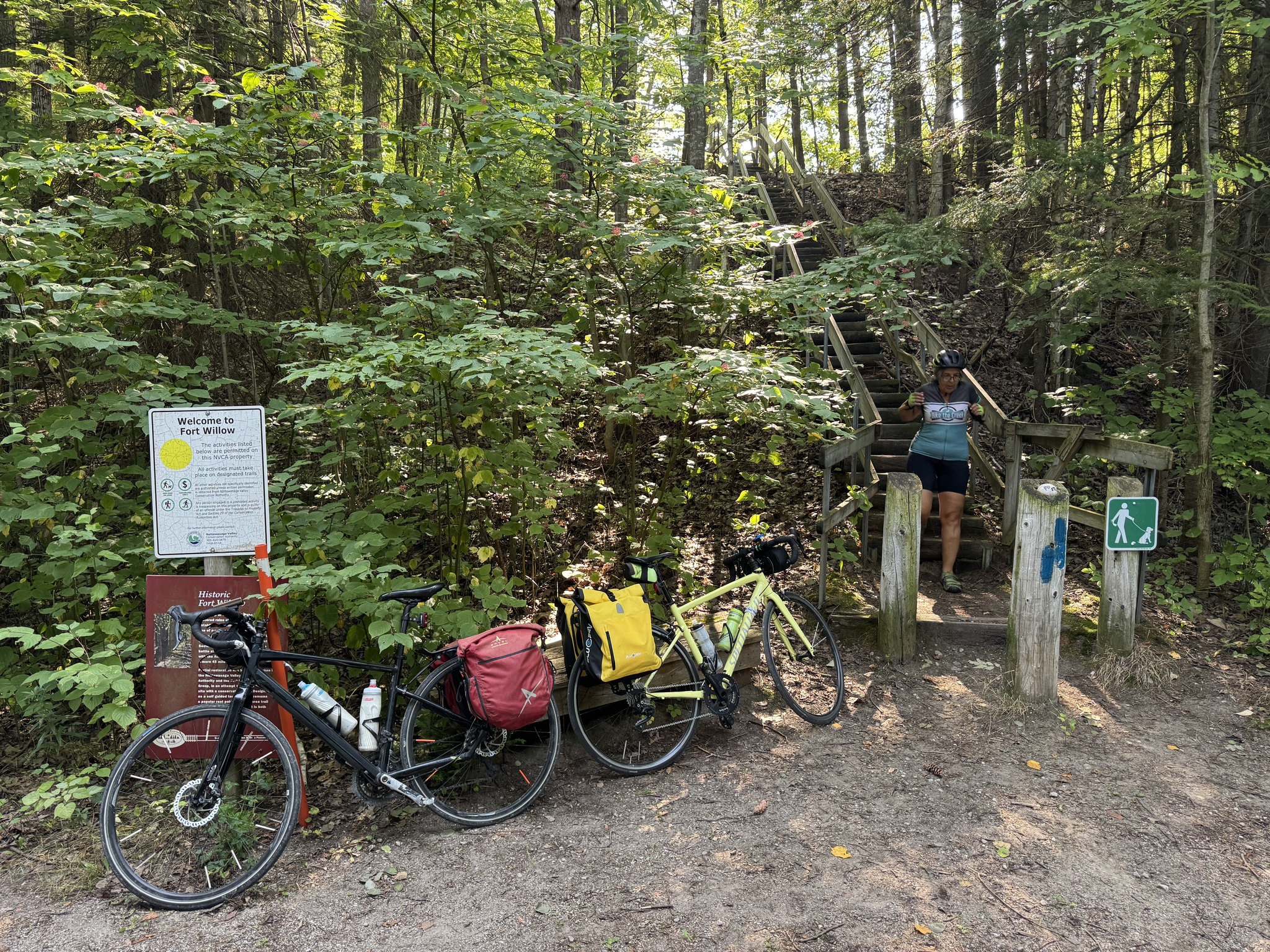
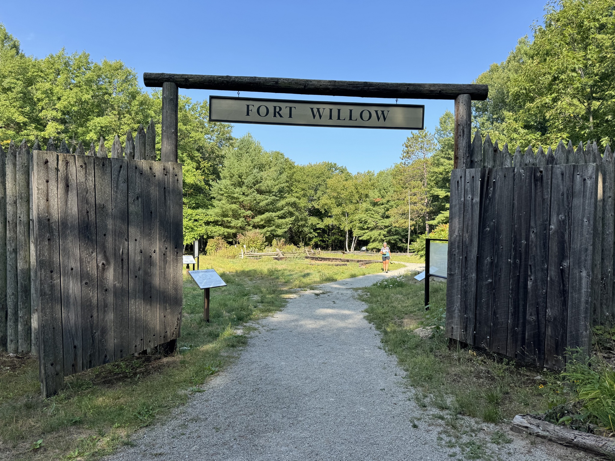
When we saw these stairs, we decided to explore what was above. It was Fort Willow Conservation Area. Fort Willow was strategically located as a supply depot during the war of 1812. It was also “used for centuries by first nations, for trade and French explorers as part of a major transportation route known as the Nine Mile Portage”.
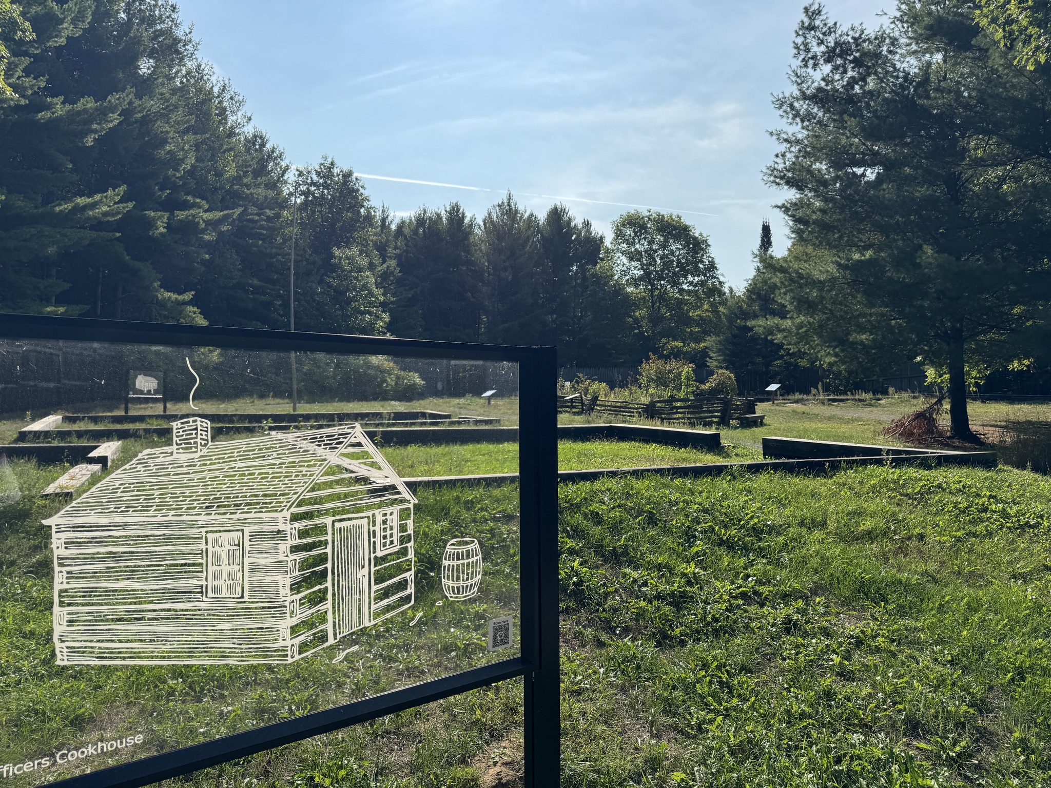
Artwork allows visitors to envision the buildings that once stood inside the timber outlines on the ground. They are based on archeological studies that identified “brick kiln, a commandant’s house, an officer’s kitchen, stable and yard, a blacksmith’s shop, a cookhouse, and barracks”.
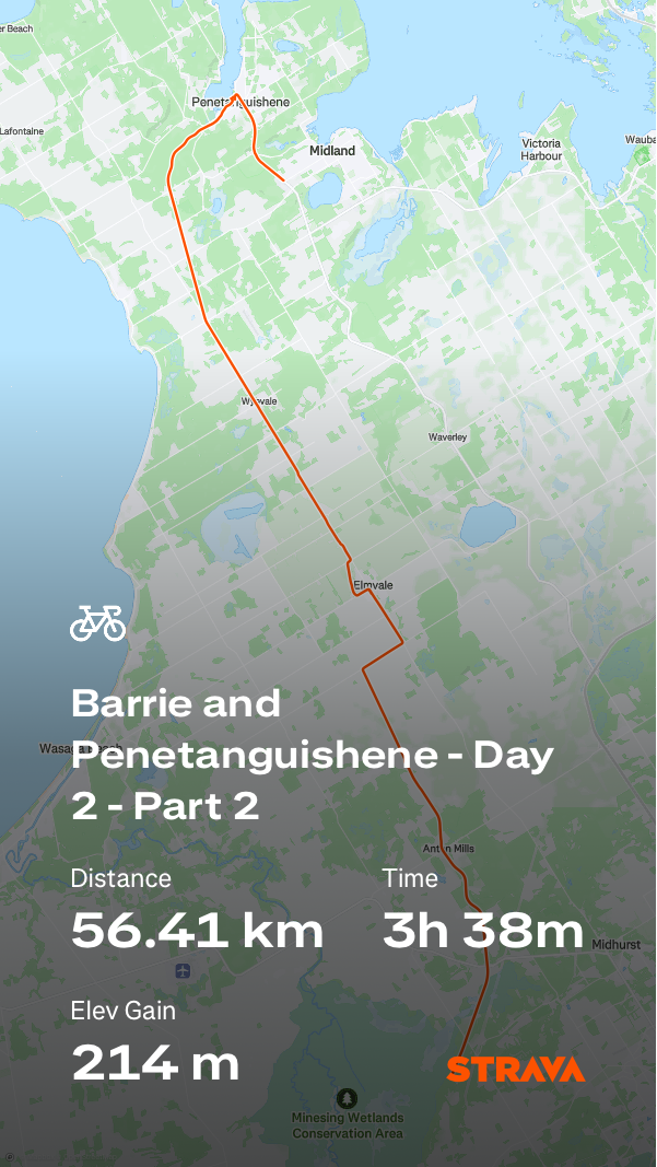
As we set off, I reached into my jersey pocket where I had put my sunglasses with my rearview mirror attached and realized I had lost the mirror. We retraced our steps, but sadly did not find the mirror. Fortunately, most of the day was on the trail, making the mirror less necessary than usual. I checked on Amazon to see if I could have one delivered to Gail, but the shipping time was too long to make it useful for this trip, and I have another one at home. Somehow, I also managed to save my ride, so there are two screen caps at the end of this post to show our route and stats for the day.
This is the Minesing swamp. It is one of Ontario‘s largest remaining wetlands.
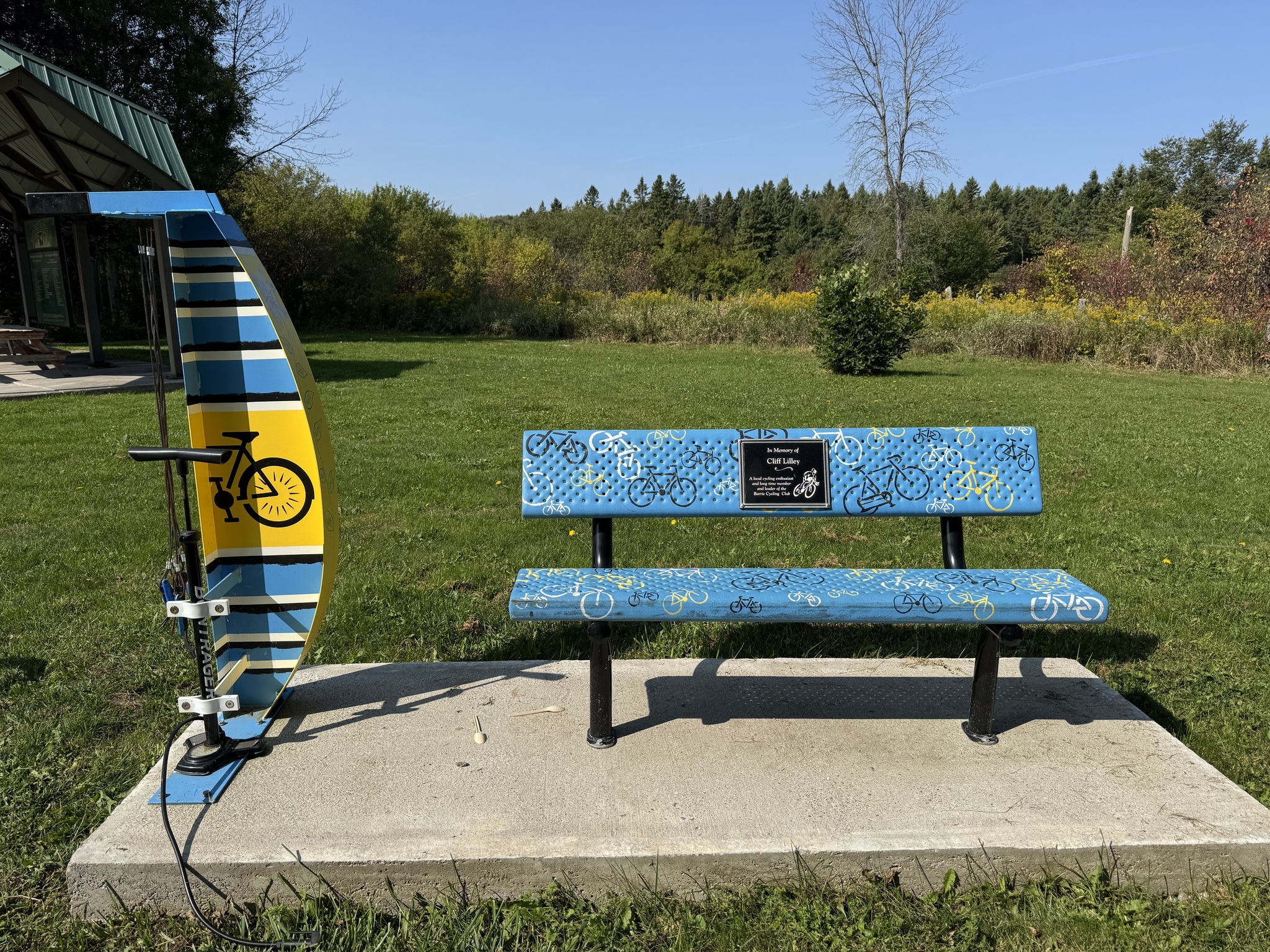
At Minesing Station there was a parking lot, shade shelter, seating, and a painted bike repair station.
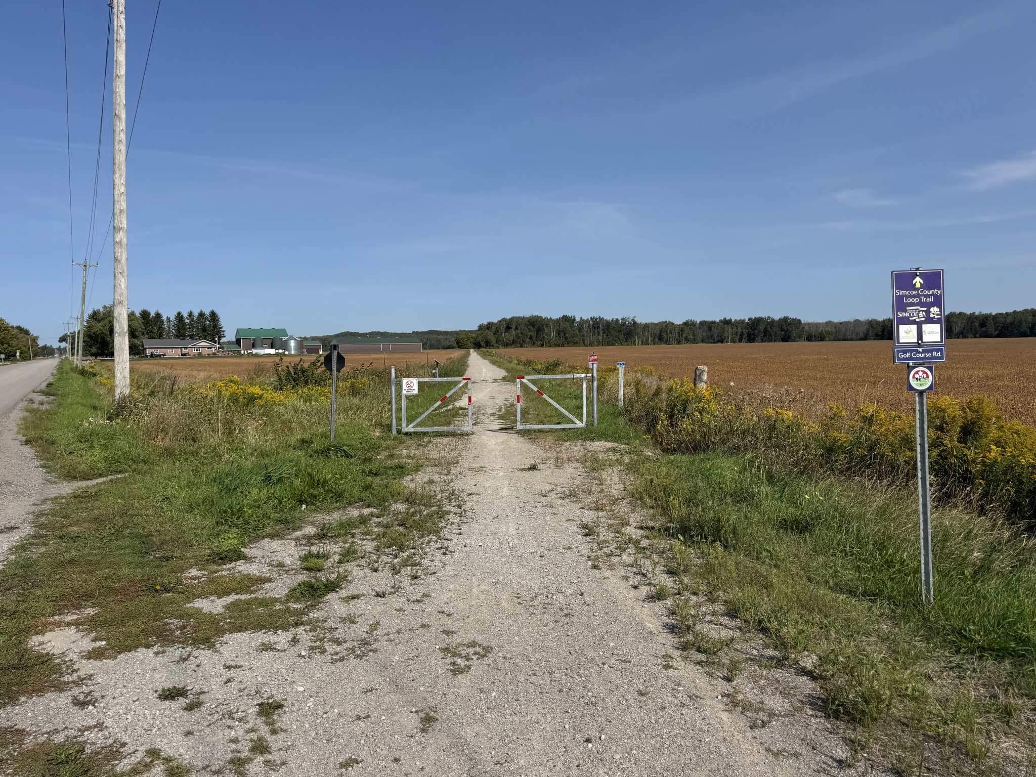
The trail was substantially shaded, but this section was in the middle of a field. Fortunately, it wasn’t hot.
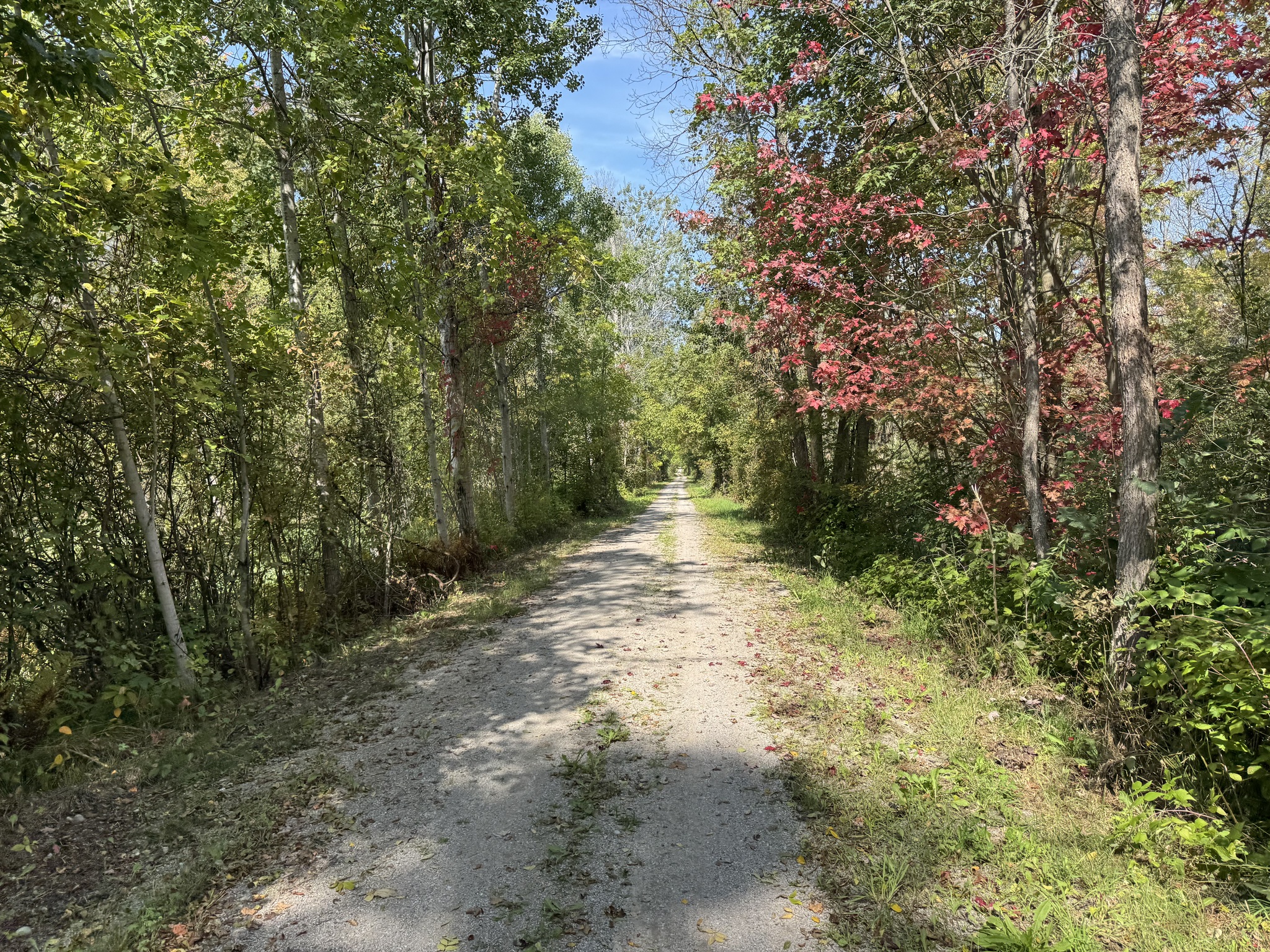
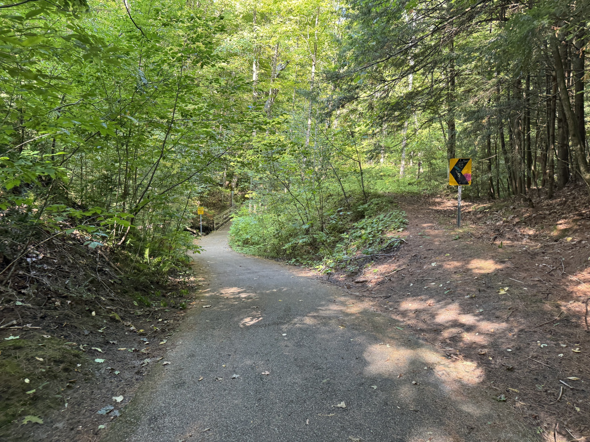
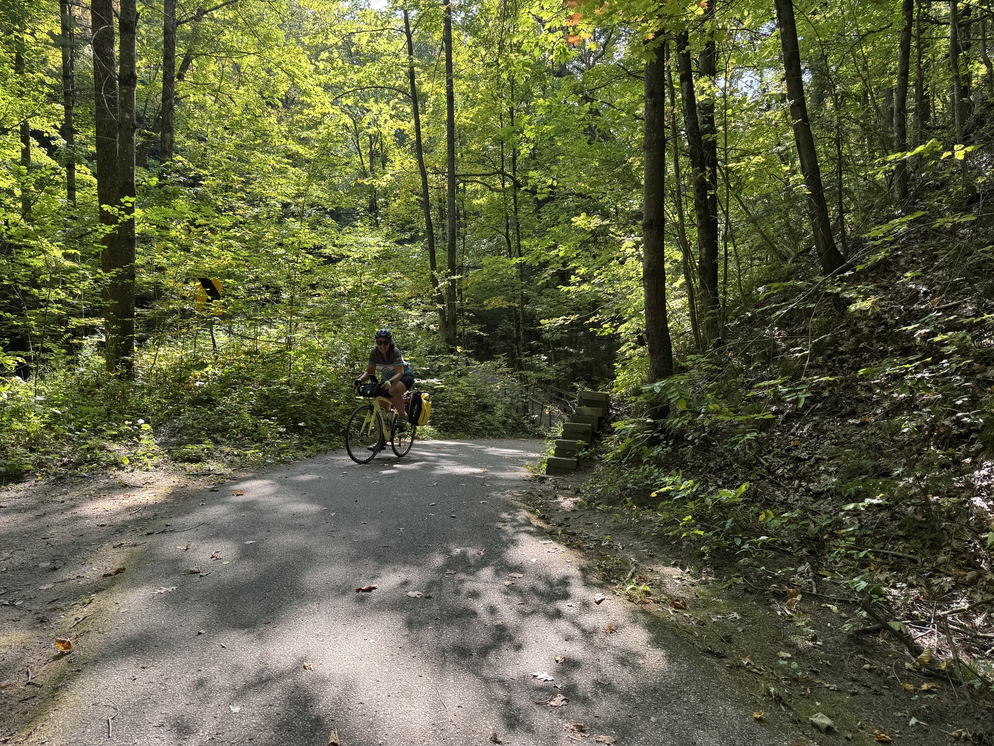
The trail surface was reasonably good. There were occasional examples of fall colors.
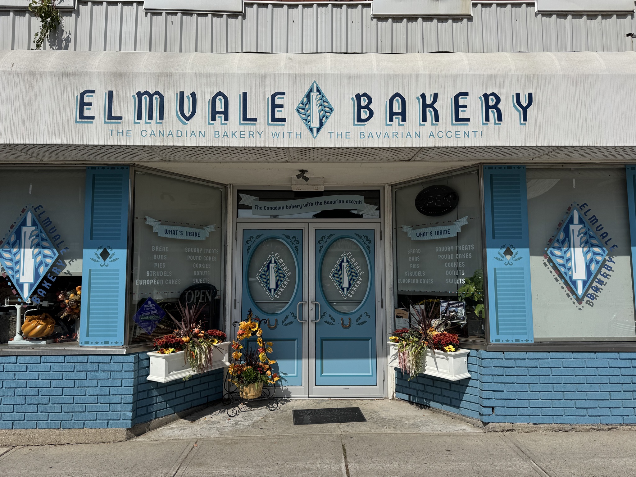
We left the trail south of Elmvale where we planned to go to the Elmvale bakery for lunch. Unfortunately, they are closed on Mondays, so we ended up at McDonald’s.
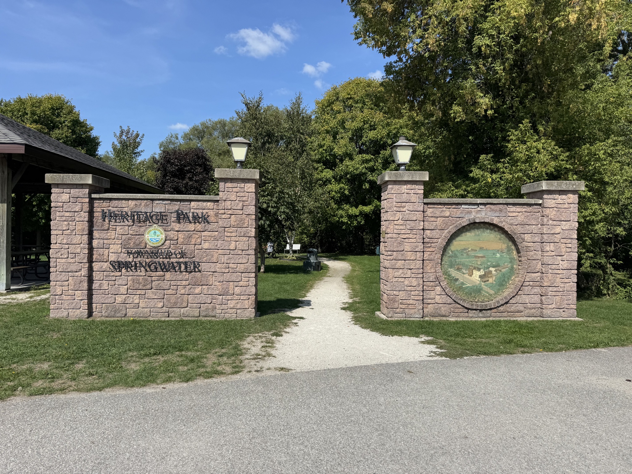
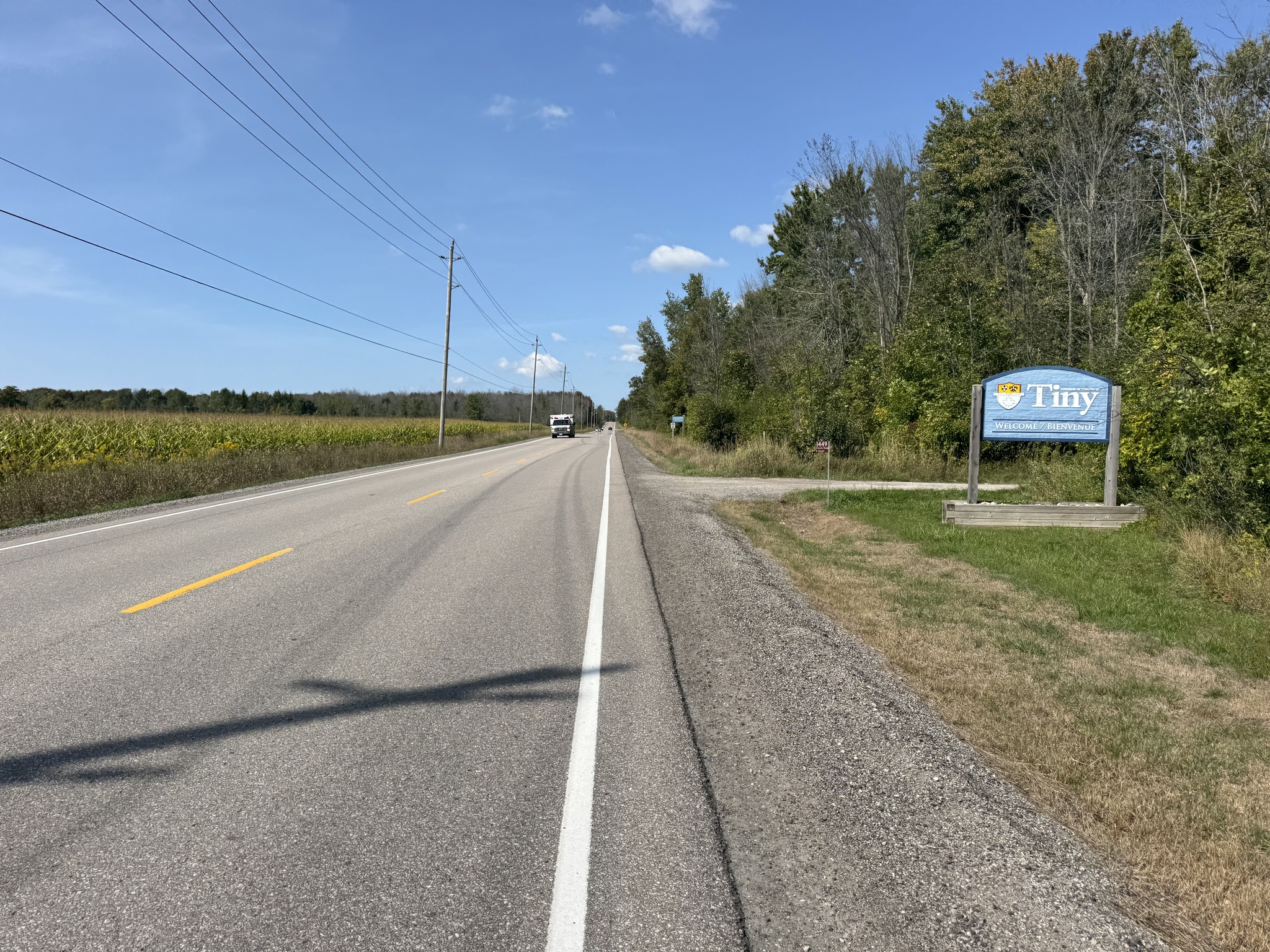
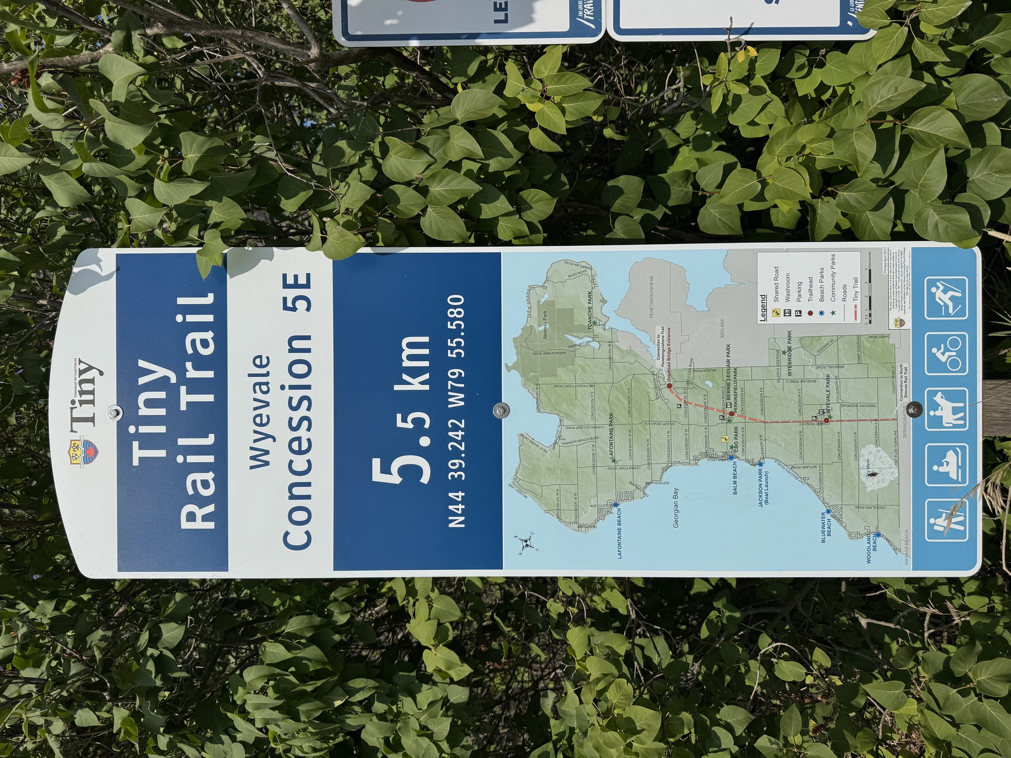
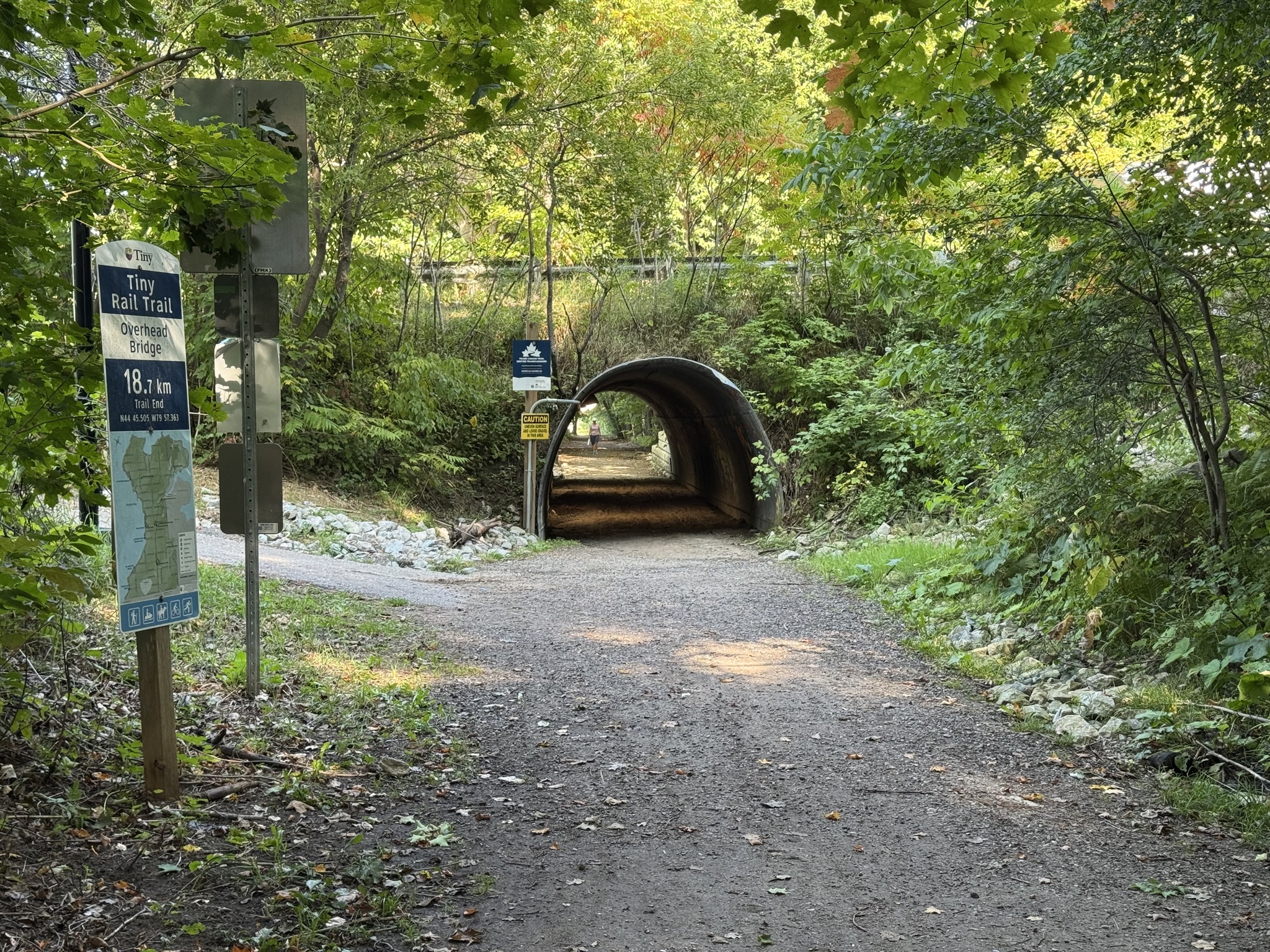
Just north of Elmvale, we headed for the Tiny Trail via Heritage Park. It is a 23 km trail that is partially paved, and partially crushed gravel, that links the North Simcoe Rail Trail to the Town of Penetanguishene’s Waterfront Trail. It was a former CN railway that was abandoned in 1969. In 1978 Tiny Township purchased 22.5 km of the old railway right of way for $10,000. The purchase agreement stipulated that the long strip of property was to be used as a linear park.
Prior to the construction of the railway, stage coaches used to run between Barrie and Penetanguishene, with a tavern every 2 km for passengers to rest. The North Simcoe Railway Line Was Built in 1878 to Replace the stagecoach service, much to the annoyance of the 37 tavern owners.
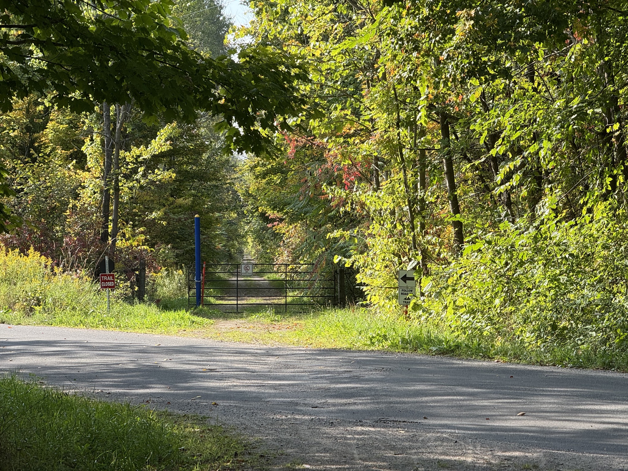
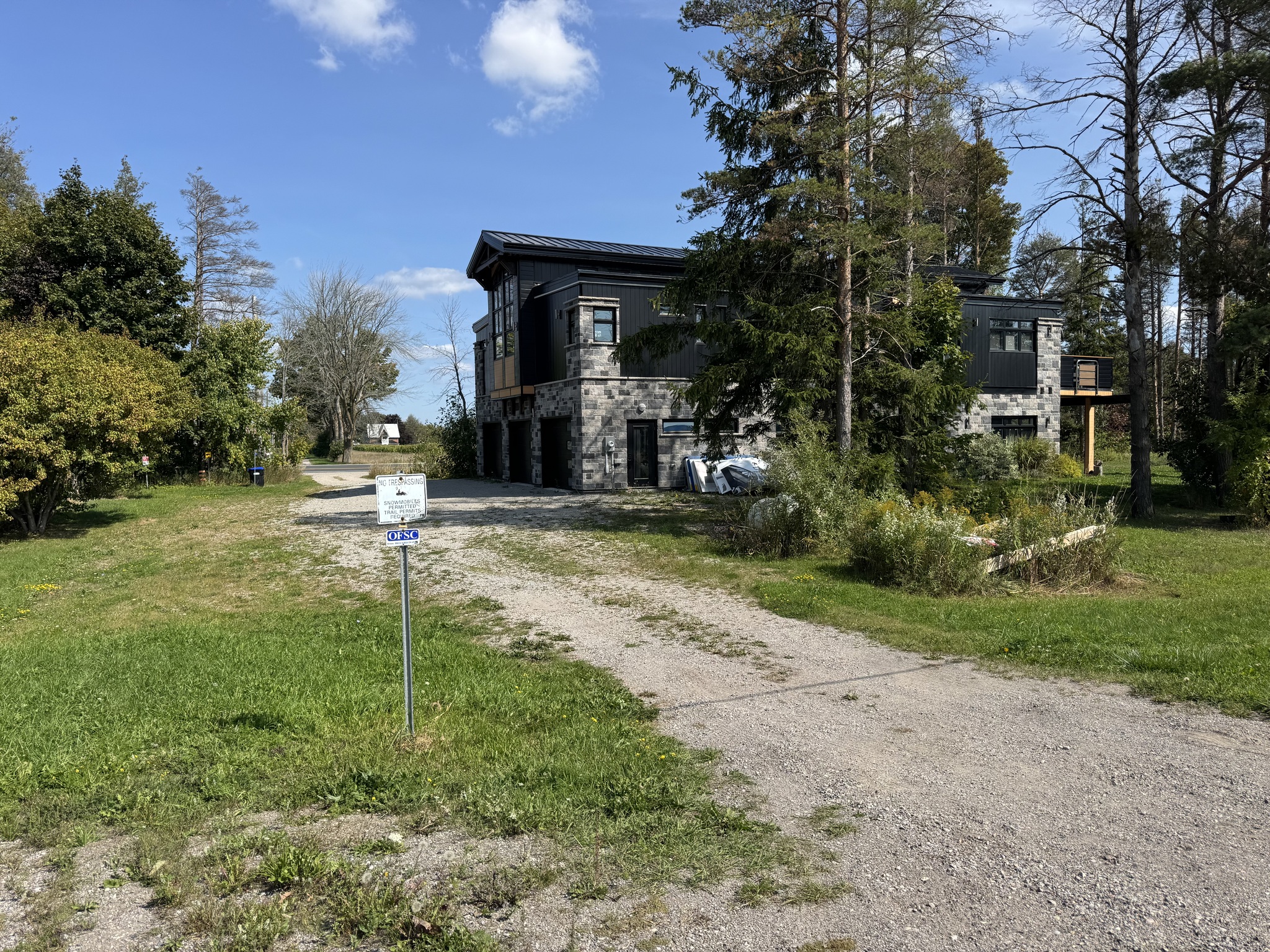
The trail on the north side of Flos Road 10 requires a detour to the east, then north on County Road 27, and a left turn onto County Road 6 to pick it up again. When we got to the the trail, which was accessed right beside someone’s house, it was grassy and there was a smooth empty road adjacent to it, so we took the road for a few kilometers.
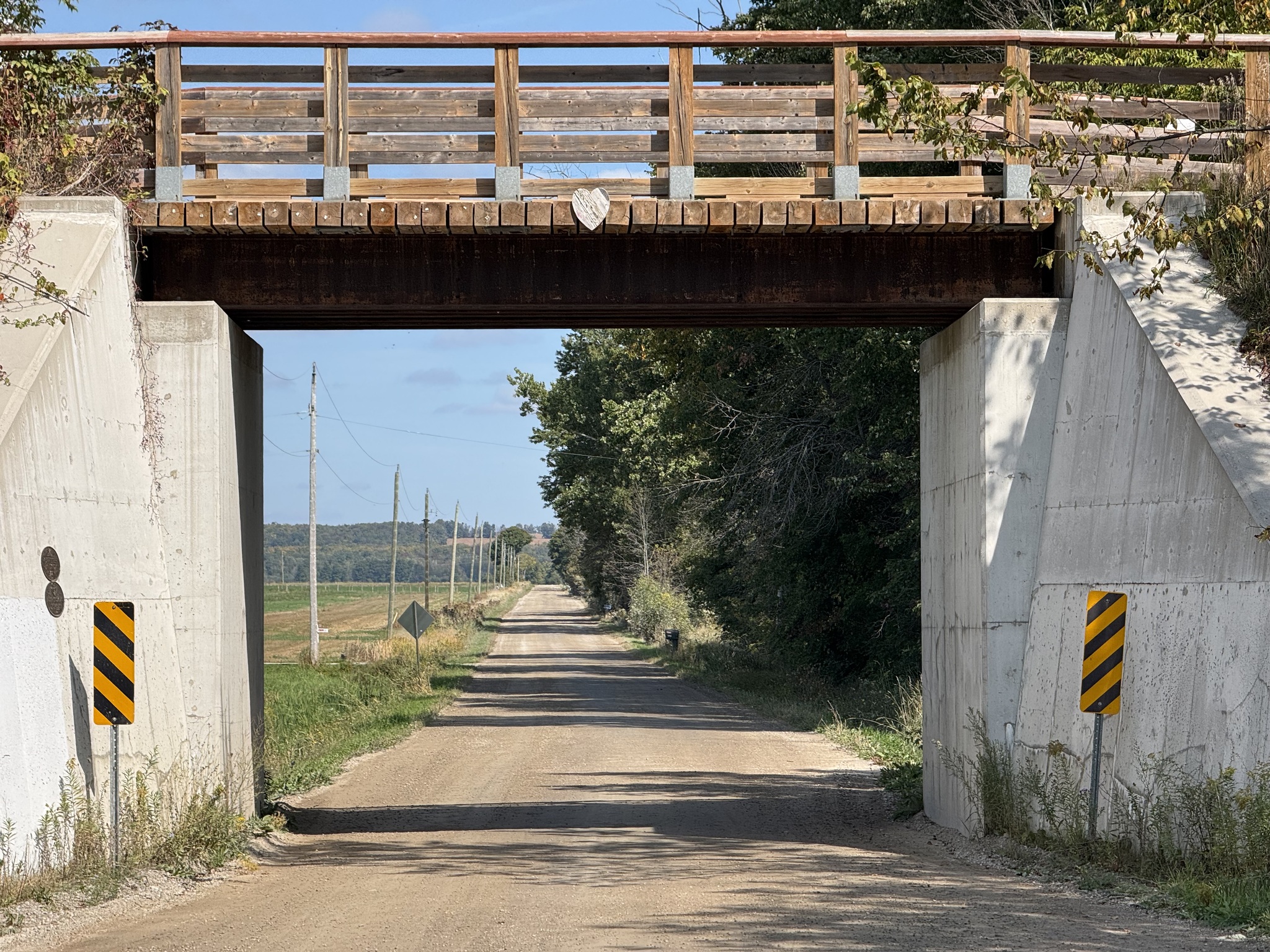
After seeing the trail on these abutments from the road, we joined it at the next opportunity.
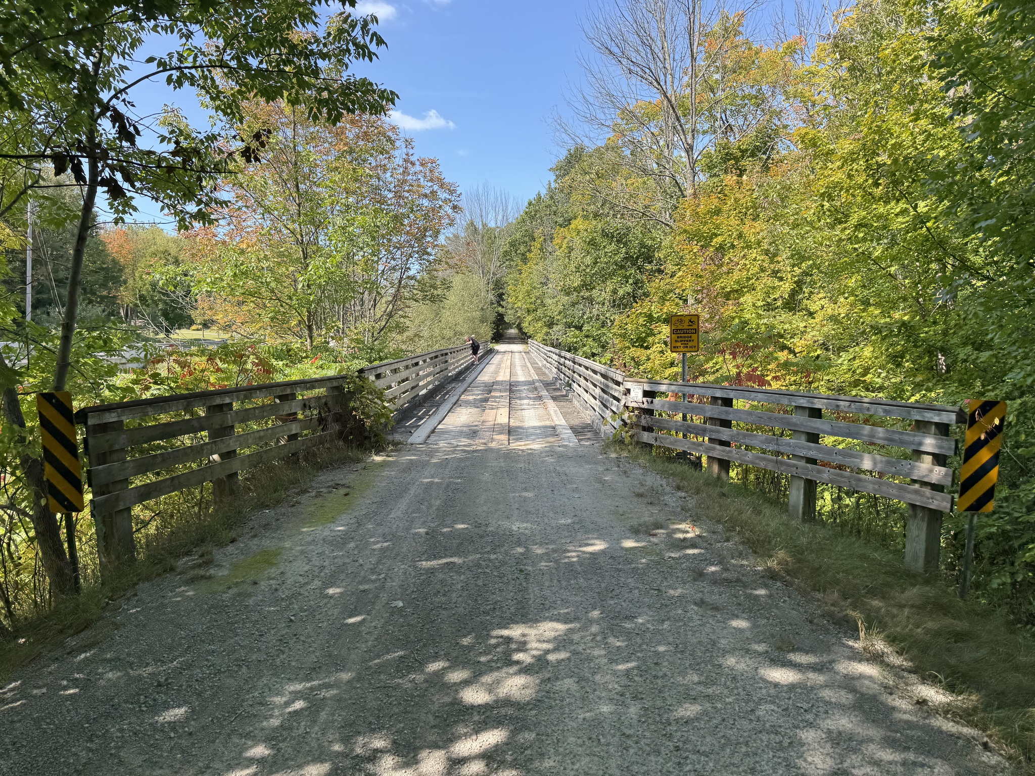
The trail was very wide and very smooth. This is one of the 14 bridges along the trail.
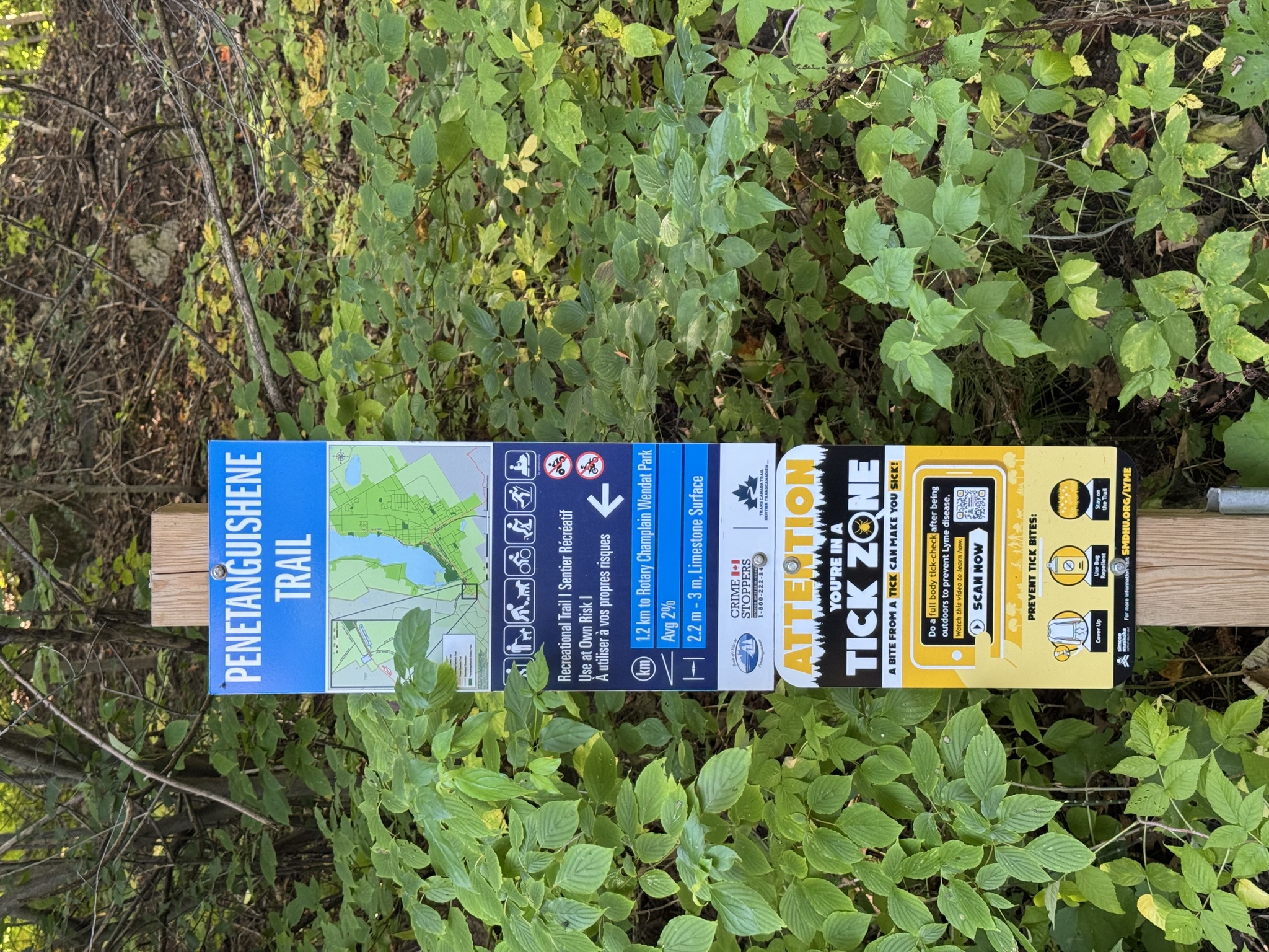
They had excellent way finding with the trail name, road crossing name, distance from the beginning of the trail, GPS coordinates, a map, and permitted uses.
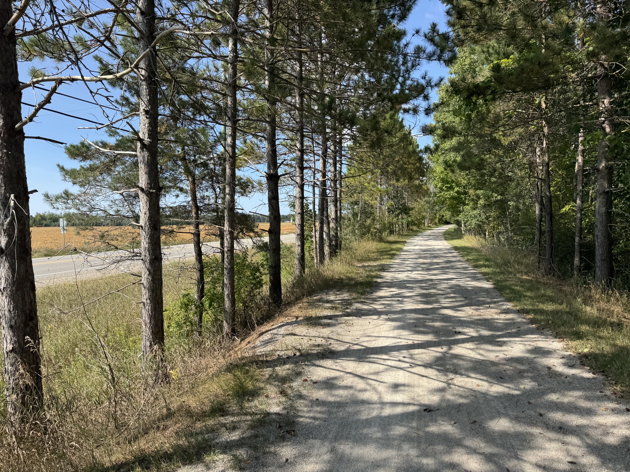
The trail continued to closely parallel the road, but the surface was good and shaded, so we stayed on it.
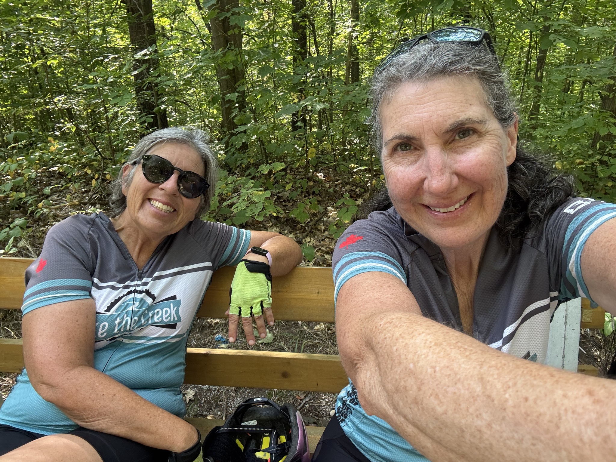
There were quite a few benches along the trail and we took advantage of one.
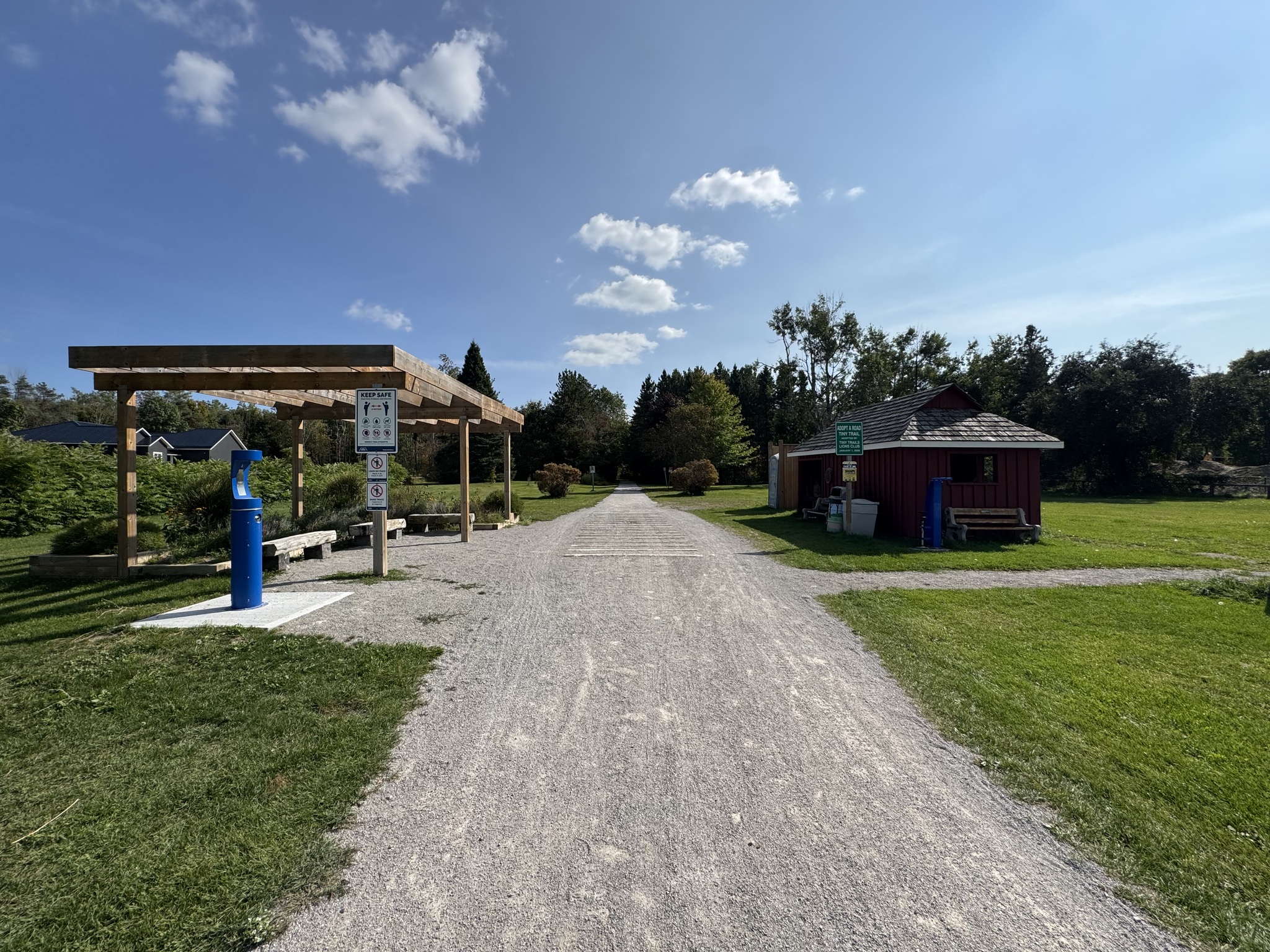
There were amenities and a parking lot where the trail crossed Balm Beach Road East.
It was challenging running the railway into Penetanguishene. Steep grades posed considerable challenge to railway planners. Penetanguishene is protected by high ground to the south and to the west of town. To minimize the grade, the best approach was to enter from the southwest along the creek bed of Copeland Creek. The drawback to this was the meandering nature of Copeland Creek, which cut back-and-forth within the ravine it had carved out. Since the railway could not follow this zigzag route, the solution was to build 11 bridges over the creek.
Those bridges deteriorated and had to be replaced. The replacements have been installed closer to the creek, leading to a steep descent and ascent after each bridge. The trail is also curvy. It was like riding a roller coaster. It’s not a section that an inexperienced cyclist would want to ride. Fortunately, they paved this section of the trail.
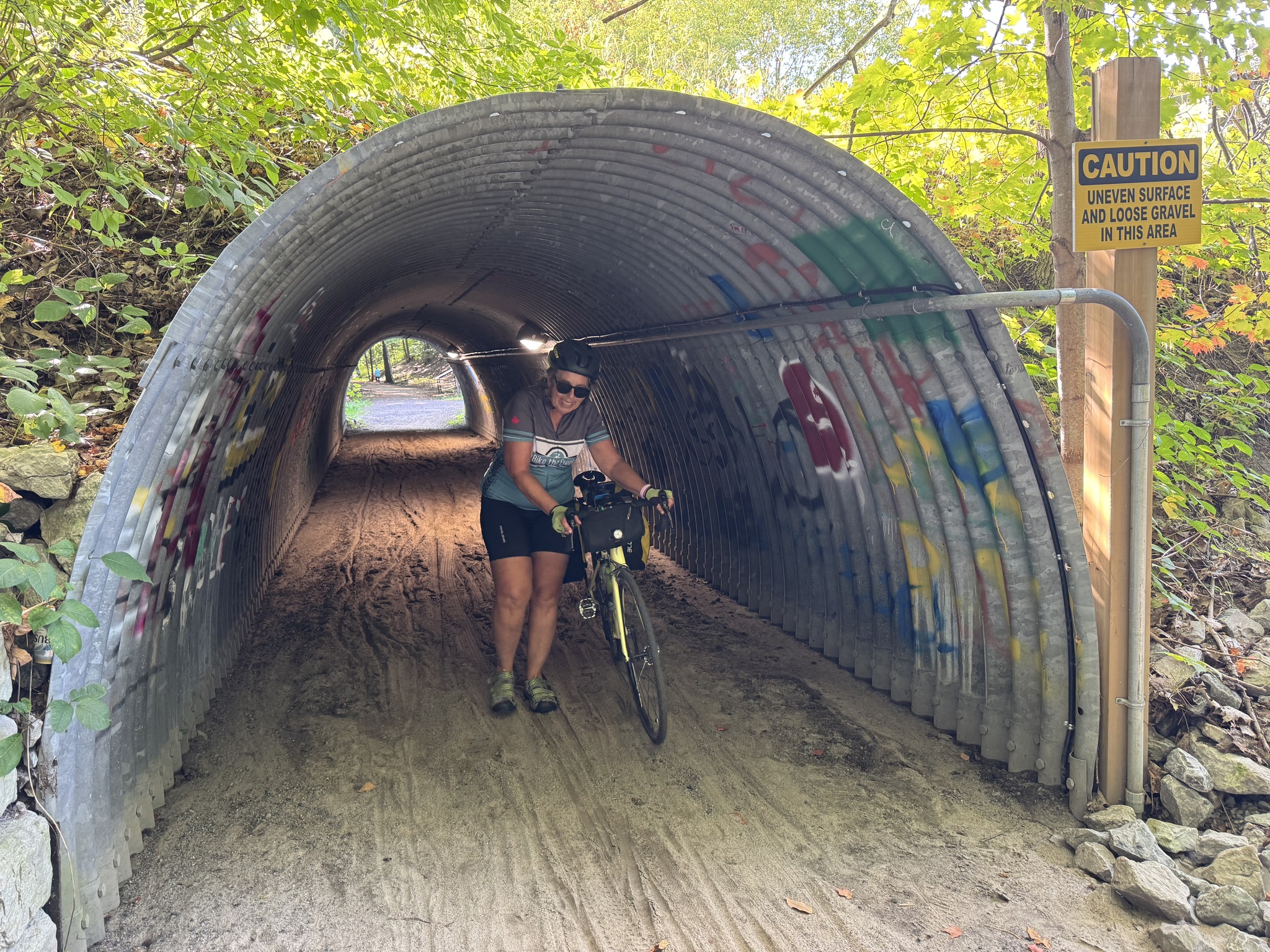
Just after the 11 bridges, there was a large culvert to take the trail under the road. Unfortunately, it was surfaced with sand and our bikes started fishtailing as we entered it, so we dismounted and walked them through. It always irritates me to see the government install a sign advising caution, rather than fixing the problem.
This was the beginning of the Penetanguishene Trail.
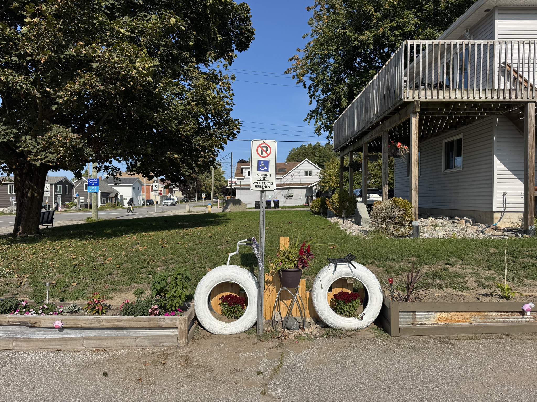
Just before the trail crosses the road I spotted this cute “bike”.
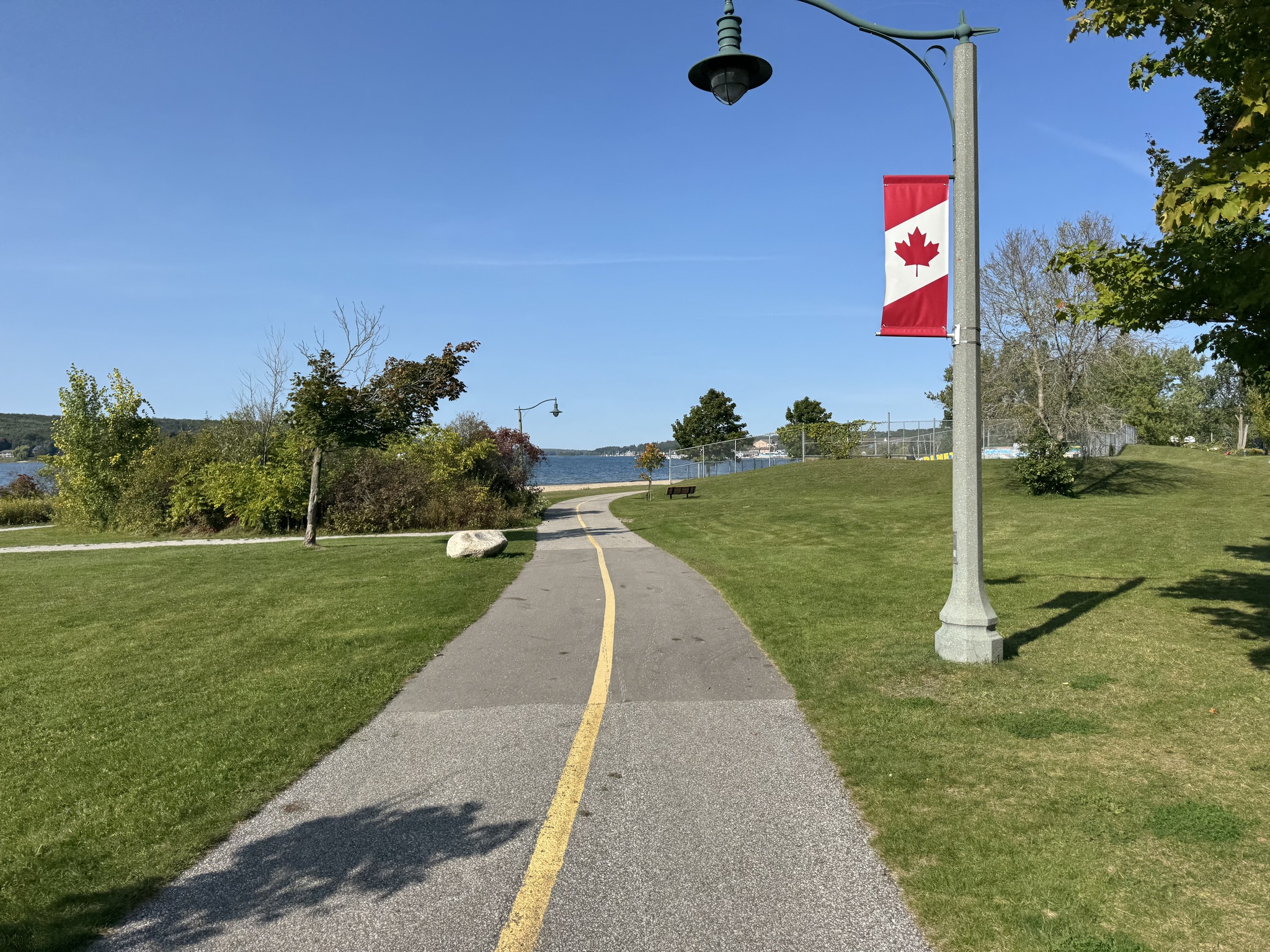
The Penetanguishene Trail is paved and runs along the waterfront.
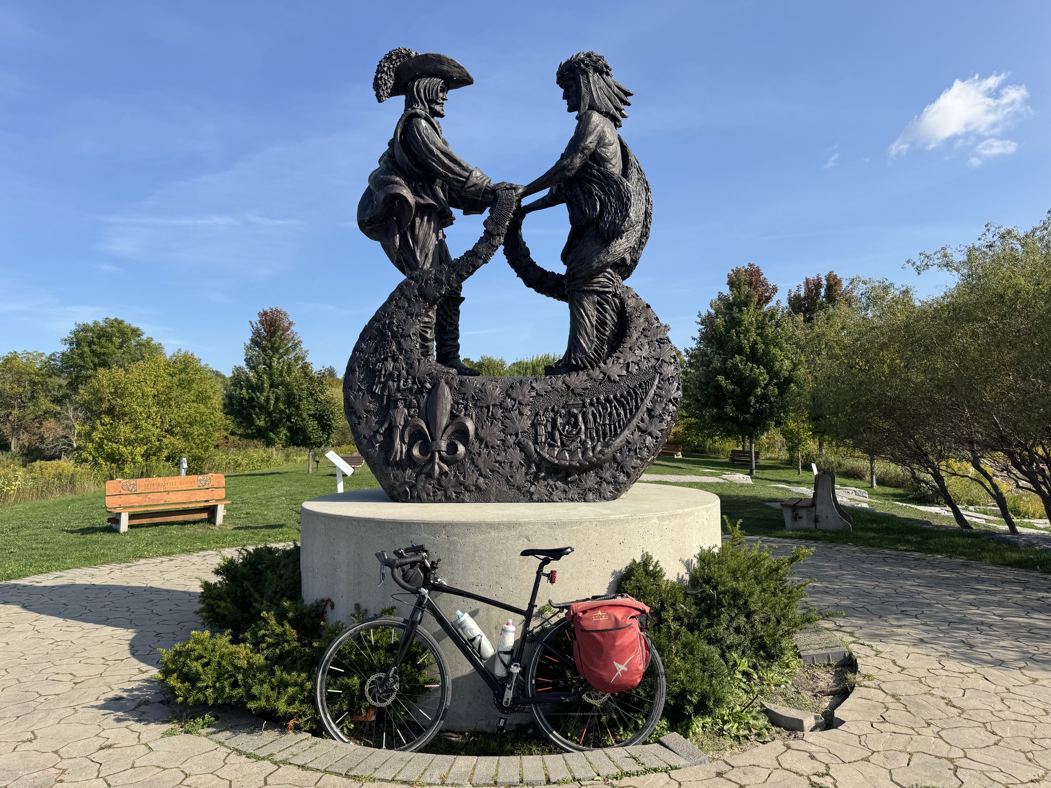
There is a sculpture park that include this sculpture, entitled The Meeting. It is a celebration of two people, two faces, and two distinct cultures coming together 400 years ago.
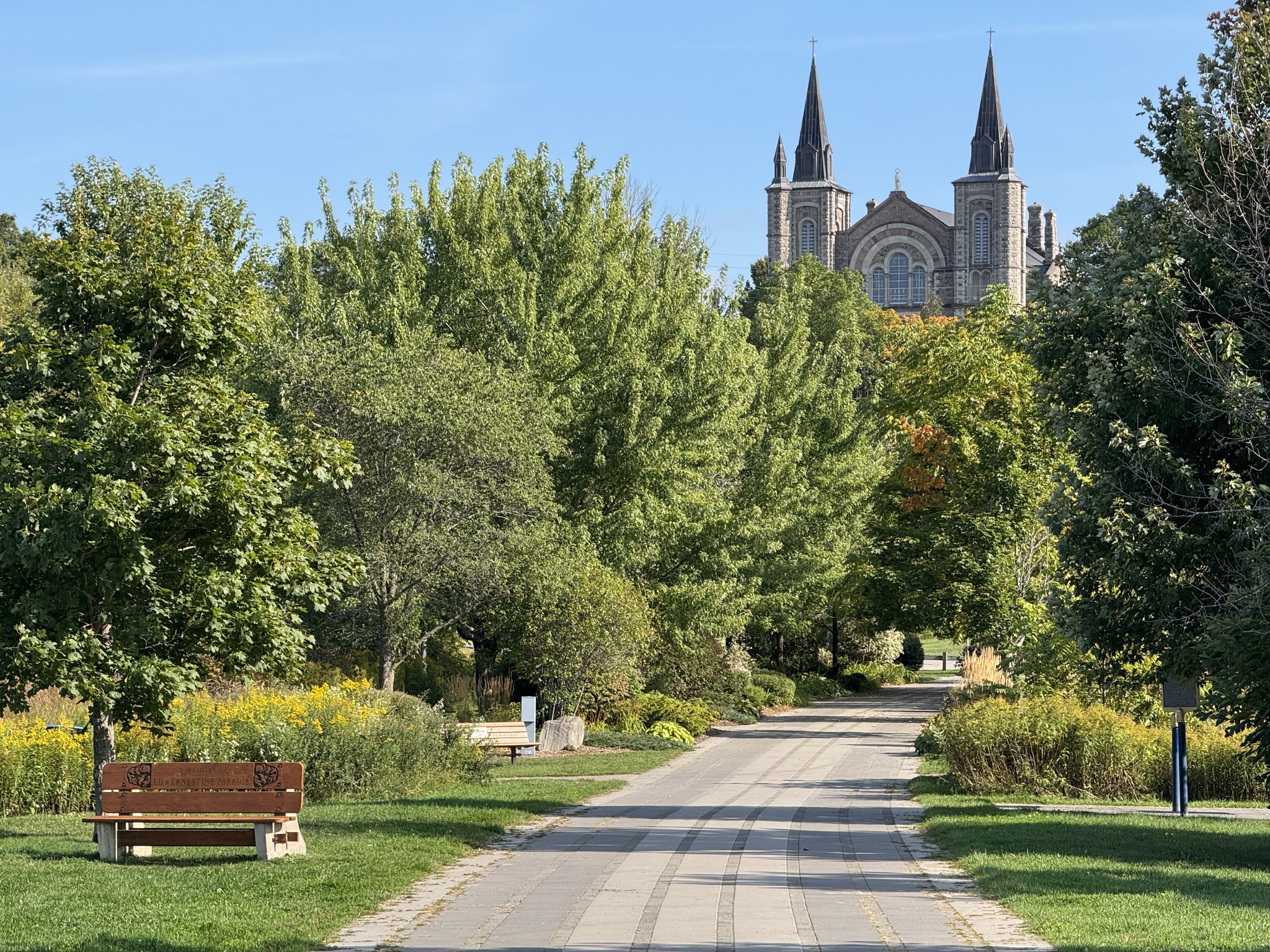
Facing away from the water and looking south along the sculpture walk, one could see the spires of Saint Anne Catholic Church. It is often called the ‘The Cathedral of the North’. Construction began in 1886 and finished in 1902.
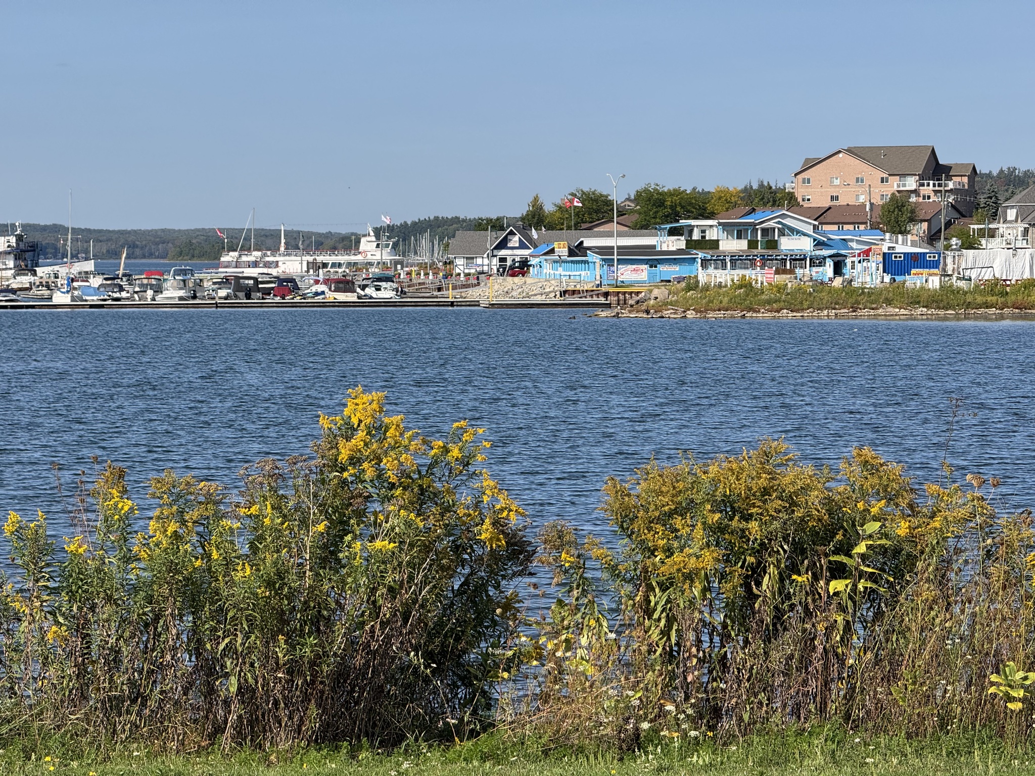
The marina was visible from the trail.
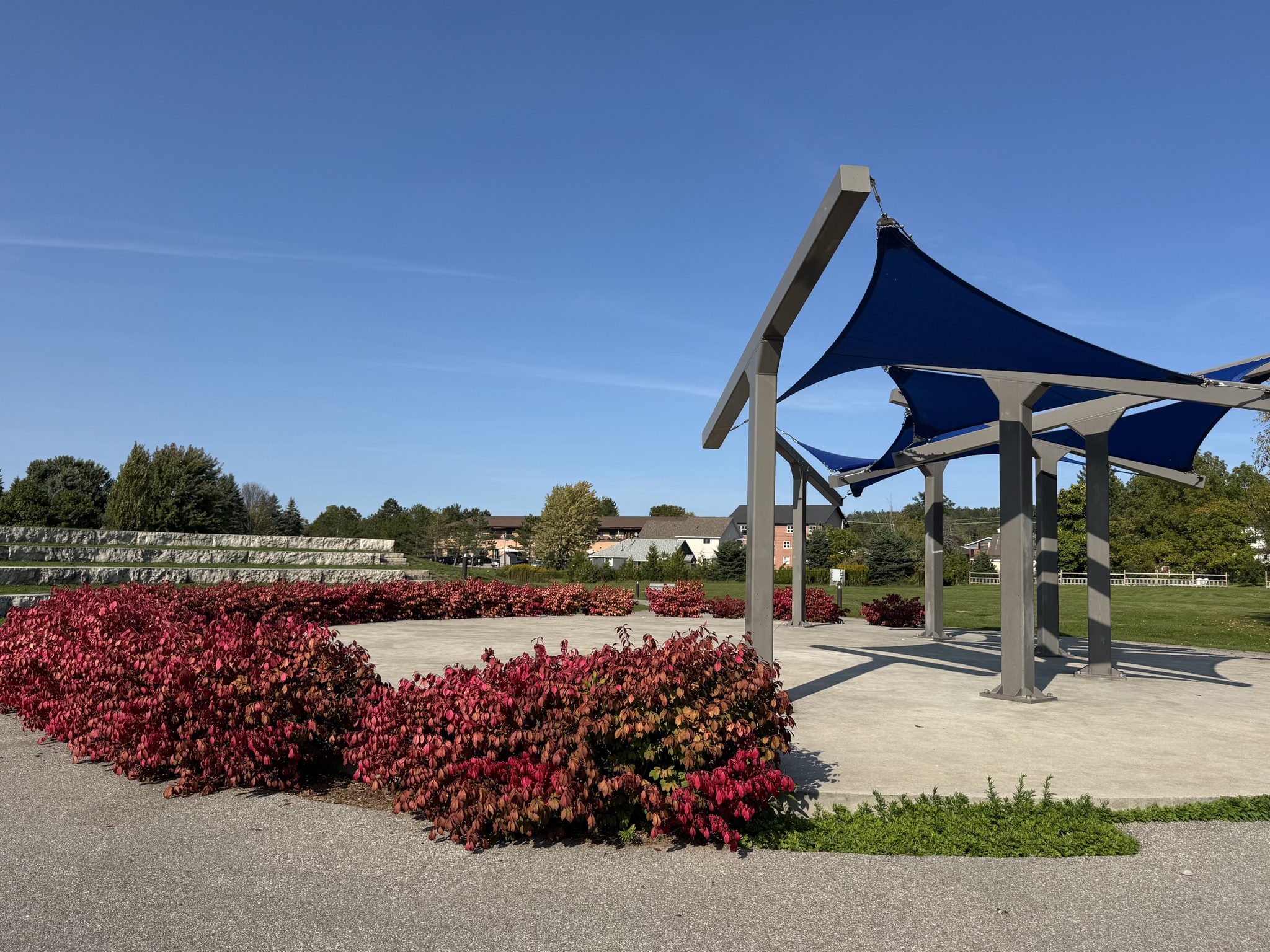
Near the waterfront, along the trail, was this amphitheater.
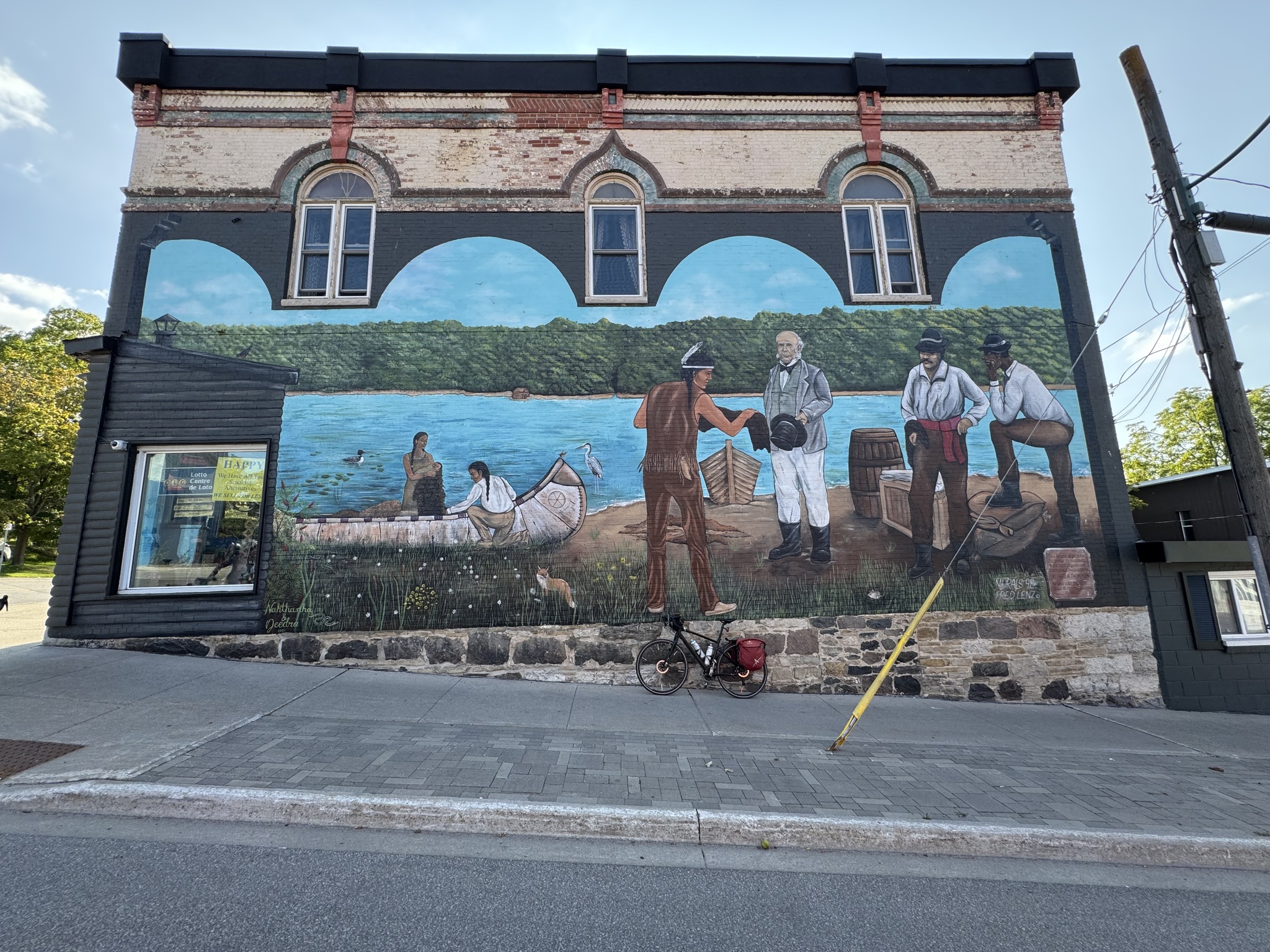
Our hotel for the night was the Super 8 in Midland, which necessitated two significant climbs from the waterfront. We gave up about a third of the way up the first hill on Main Street, with the excuse of stopping to photograph this mural. Then we walked our bikes to the top.
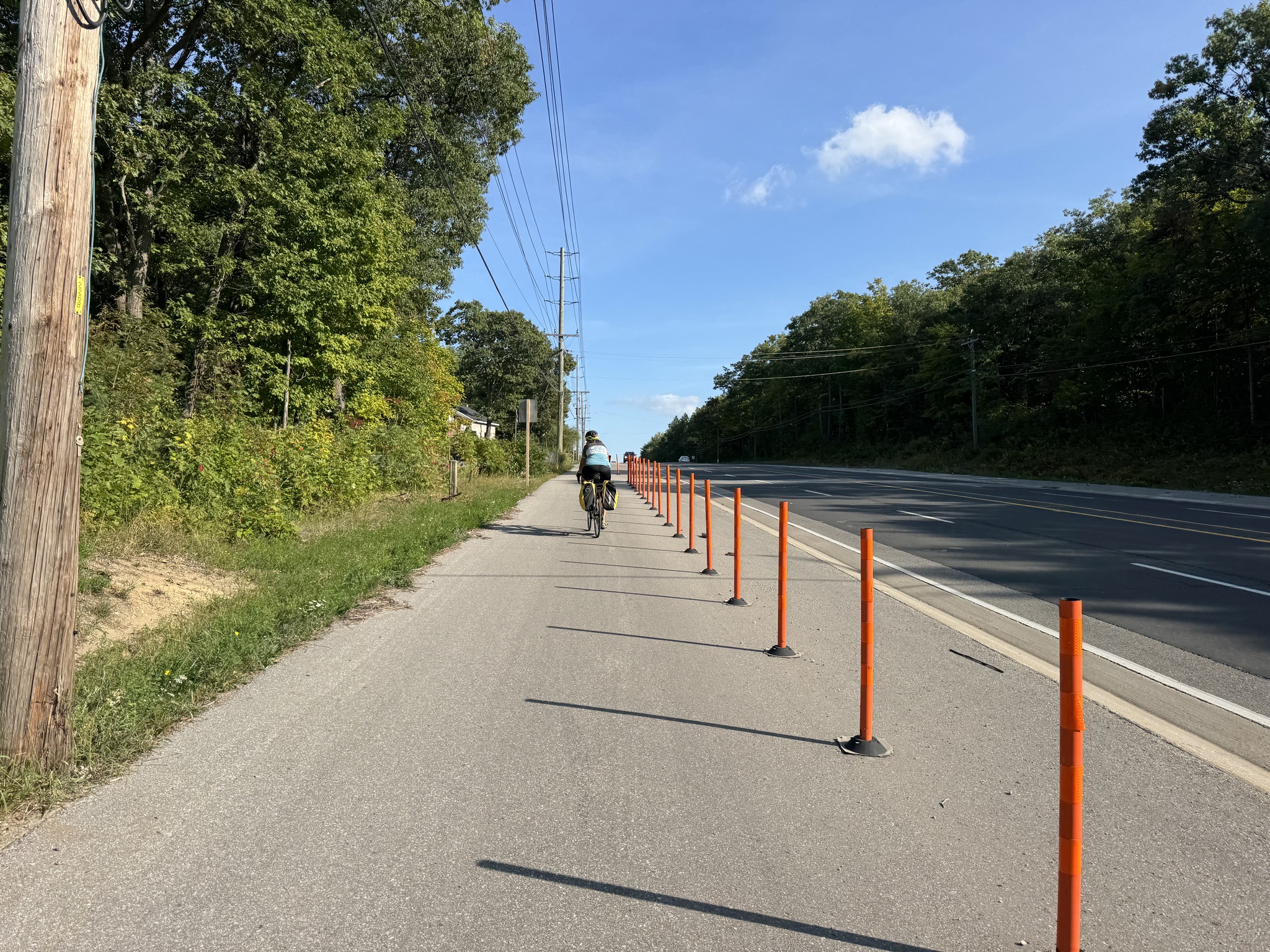
The second hill was between Penetanguishene and Midland. Fortunately, there was multi-use path so we didn’t have to be concerned about being close passed by fast moving motor vehicles. We did manage to ride up the second hill.
When we got to the hotel, they couldn’t find our reservation. Cindy had reserved it on booking.com. They couldn’t find it by her name or the reservation number she had. At one point the clerk asked Cindy if she was sure she hadn’t accidentally booked the Midland, Texas location? I wandered away while they were trying to work it out and when I returned a few minutes later and looked at Cindy‘s phone I noticed that she had booked it for October 15 instead of September 15! Cindy has a very busy September and October with a number of trips, although she couldn’t figure out how she made such a mistake. Fortunately, it was a Monday night and the hotel was able to accommodate us.
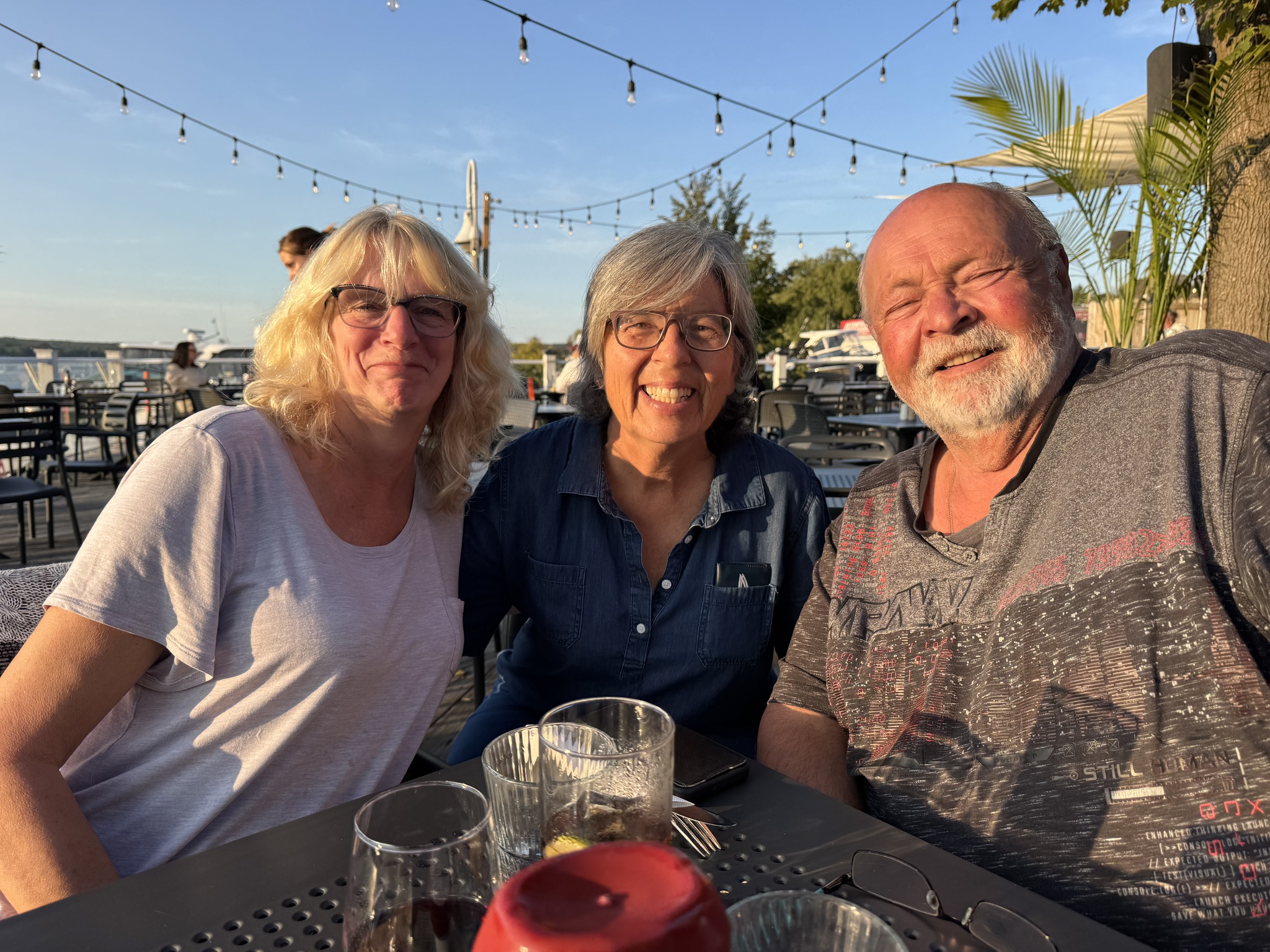
The place we selected for dinner was back down on the waterfront. Neither of us wanted to have to ride uphill again after a refreshing swim and shower, so we agreed that we would use Uber. Cindy called Ron and Sharry before swimming to tell them we were in town. They suggested that they could join us for dinner, and we agreed. They offered to pick us up, which saved us having to use Uber.
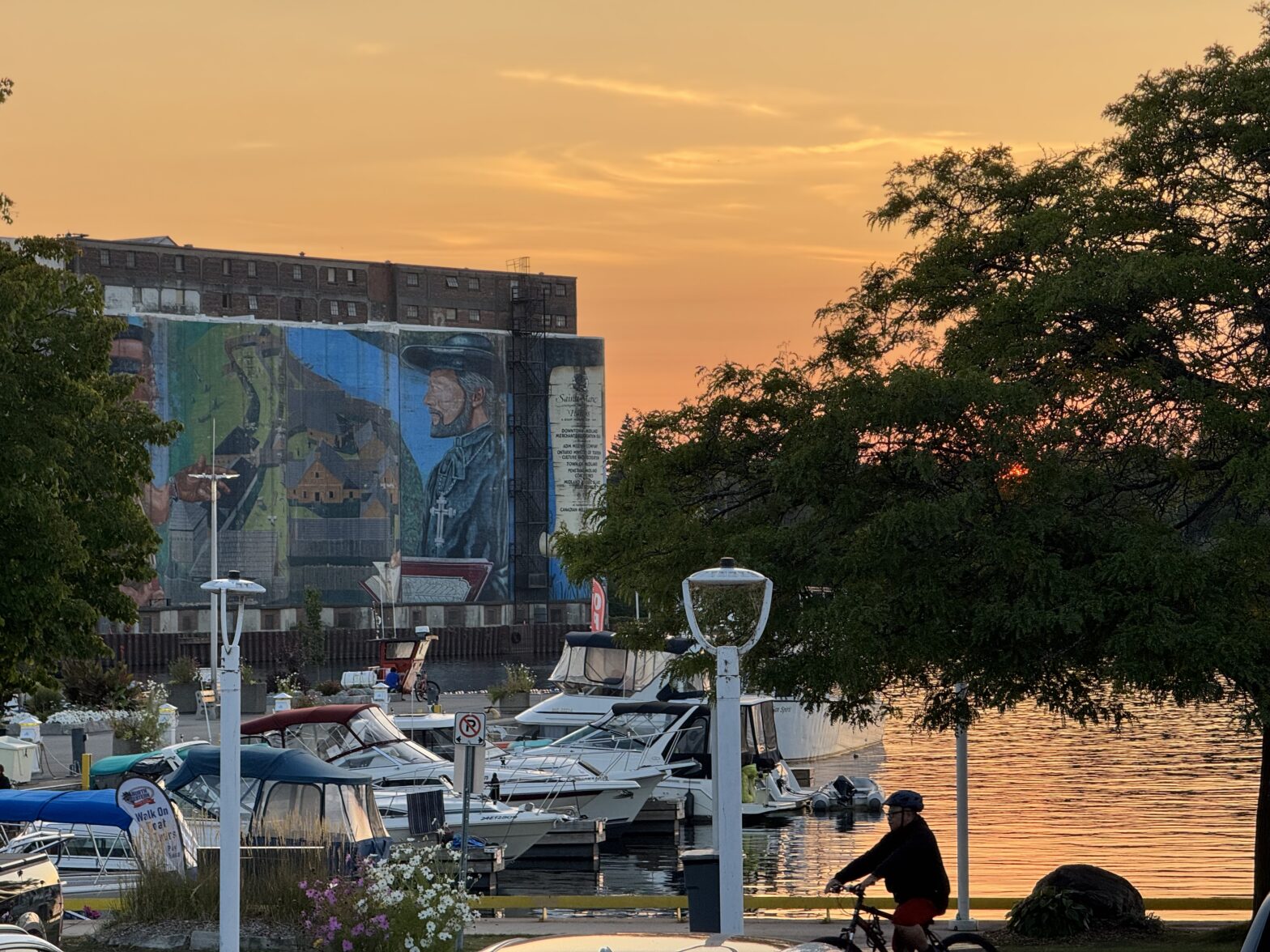
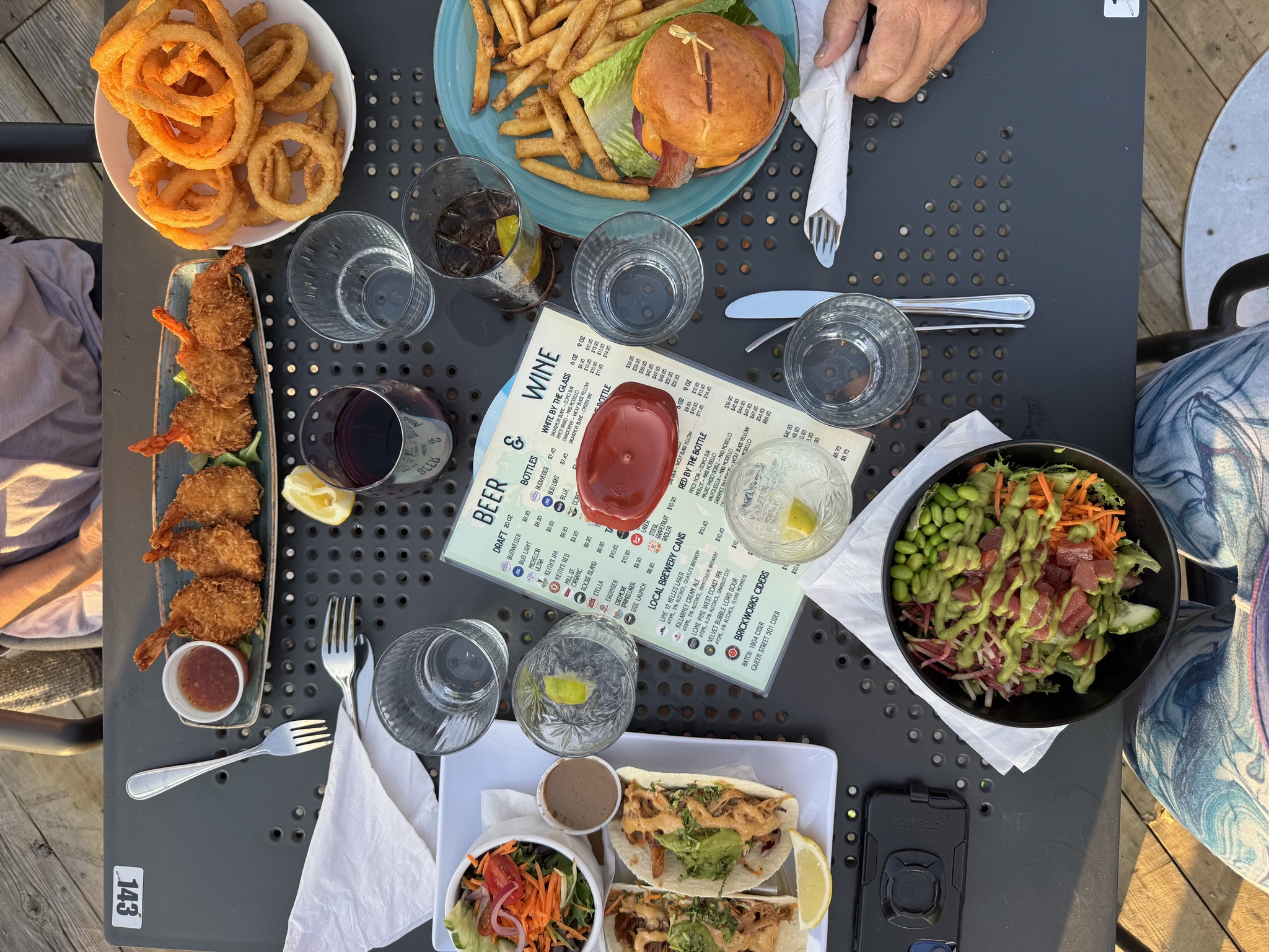
We went to The Boathouse for dinner, which has a lovely patio right by the marina.
It has a view of the “Huron Native and Jesuit Priest at Sainte-Marie” mural, which measures 80 feet by 250 feet, making it the largest outdoor historic mural in North America. The mural depicts a Jesuit Priest and a Huron Native gazing from a hilltop over the Wye Valley and into the nearby village of Saint-Marie, as it would have appeared in 1640.

After dinner, Ron drove us around town pointing out the many murals. The Midland Mural Festival is September 27, 2025, and features over 30 outdoor murals.
Discover more from Lisa Stokes
Subscribe to get the latest posts sent to your email.
Thanks for the great recap, Lisa! I have been meaning to bike from Barrie to Penetanguishene for a while now. May add this to my bucket list for next year along with the Stayner to Angus trail which should be opened by next spring if things go well.
They were good trails.
Stayner to Angus sounds interesting. Will that connect with the trail to Collingwood?
That’s right. The Stayner to New Lowell stretch is practically done – which someone confirmed on Strava – while it’s possible New Lowell to Angus may be completed as early as November. It’s the public opening that may not happen until the spring.
https://simcoe.ca/projects/road-projects/barrie-collingwood-railway-bcry-active-transportation-trail/
I think I’ll be heading back that way next year especially since I have two friends in Barrie that can host me. Good to know there’s new trails coming
I just recently read about the K&P trail and all its connections. Looks like it might be worth riding if ViaRail ever starts taking bikes again
https://www.frontenaccounty.ca/en/things-to-do/kp-trail.aspx
Once VIA allows bikes on trains, I’ll be looking to add a bunch of trails to my bucket list with the K&P and maybe the Millennium Trail in Prince Edward County deserving serious consideration. I saw a clip on “Cardiac Cyclist” about the K&P Trail which seemed to be interesting. It’s a very good resource for rail trails in Ontario.
I’ll check out the Cardiac Cyclist
I wrote about parts of the Millennium Trail
https://lisastokes.ca/tag/millennium-trail/?order=asc
Hey Lisa-really love your sunset mural pic. I think the trail was not great around Elmvale-very loose and sandy. Am I miss remembering?
There was the grassy section that we avoided and then sand in the culvert coming into Penetanguishene, but otherwise I recall the trail being pretty good