Today I decided to ride to the most visited sightseeing venue in all of Slovakia – Hrad (Castle) Devin. I decided to do a loop so that most of the route would be new to me, and I chose to do the climbing part at the beginning when my legs were fresh. Today was the first morning I woke feeling rested since I arrived here. It was a 45 km ride. I started out in the same direction as yesterday, but altered the route to pass the main rail station on the south side, rather than the north.
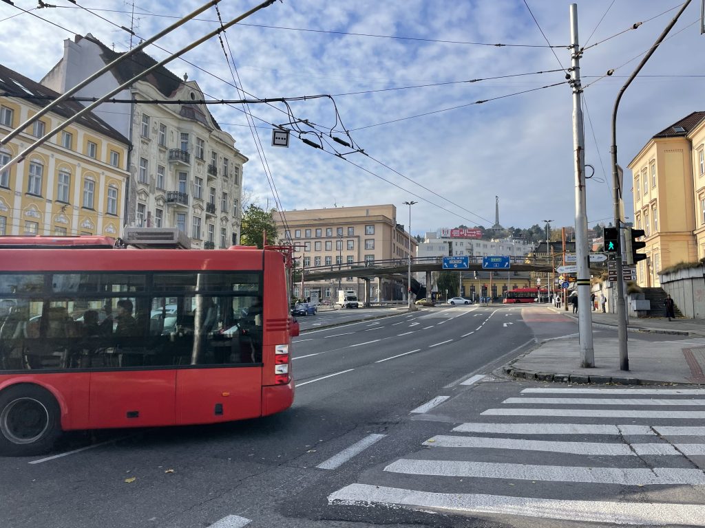
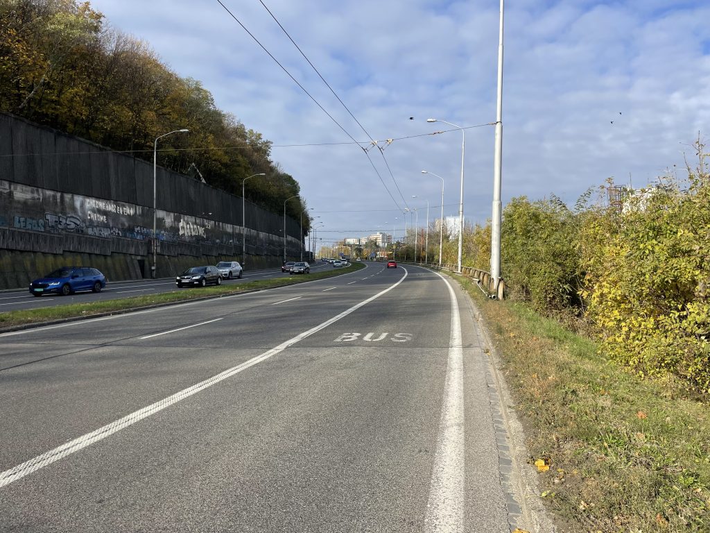
This meant I was travelling along busier roads, but it was slightly shorter, and the hills were longer, but less steep. There was no bike lane here but it felt comfortable riding in the bus lane and I was only passed by one bus.
The high today was forecast to be 8° and the sun was strong when I left.
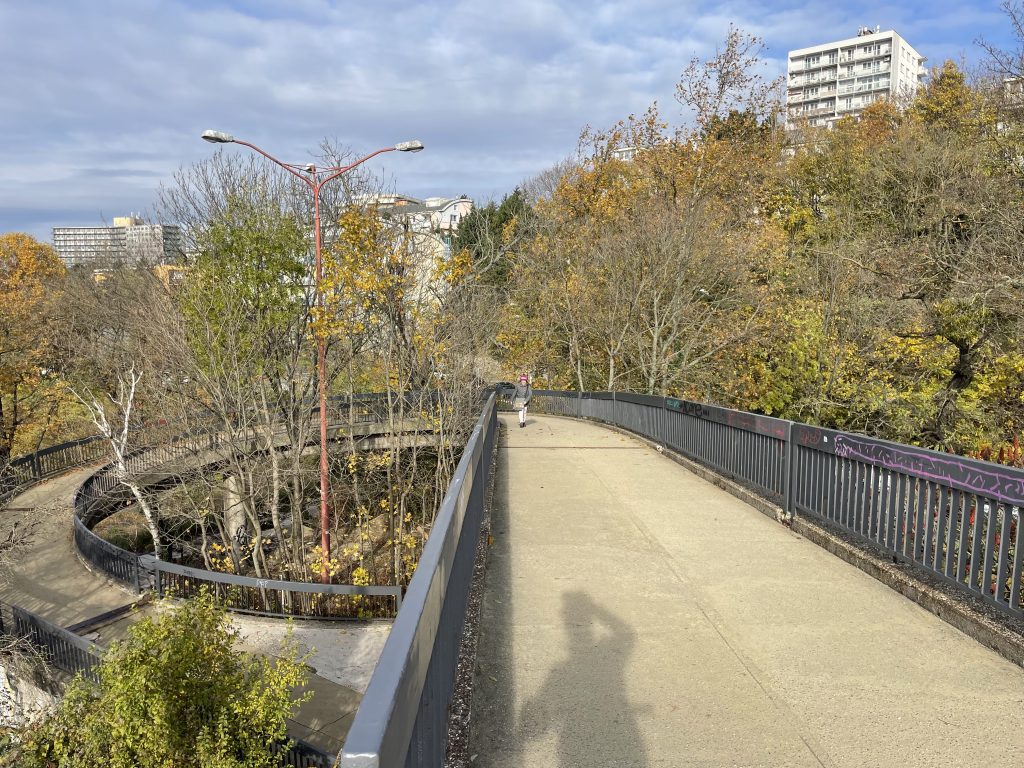
After turning off the bus lane, I had to get to the road via the desire line where I got lost yesterday, but I did it flawlessly, today.I decided to ride up the spiral bridge which I saw yesterday, over the highway, just for the experience, and back down again, because I didn’t actually need to cross.
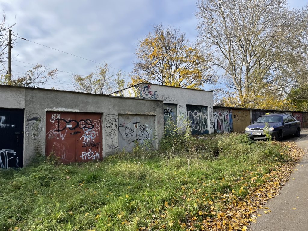
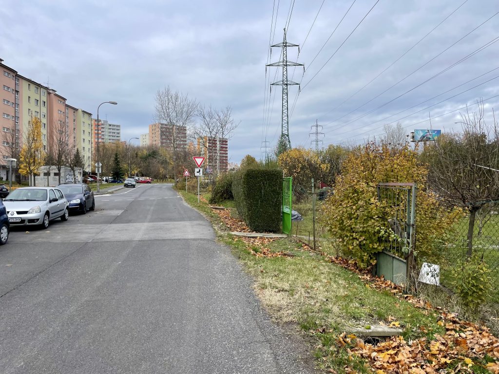
Most people in the older areas seem to park their cars outdoors here, but I do sometimes see these garages along laneways, but these ones don’t look like they’ve been used for quite a while.
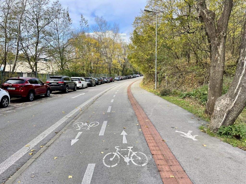
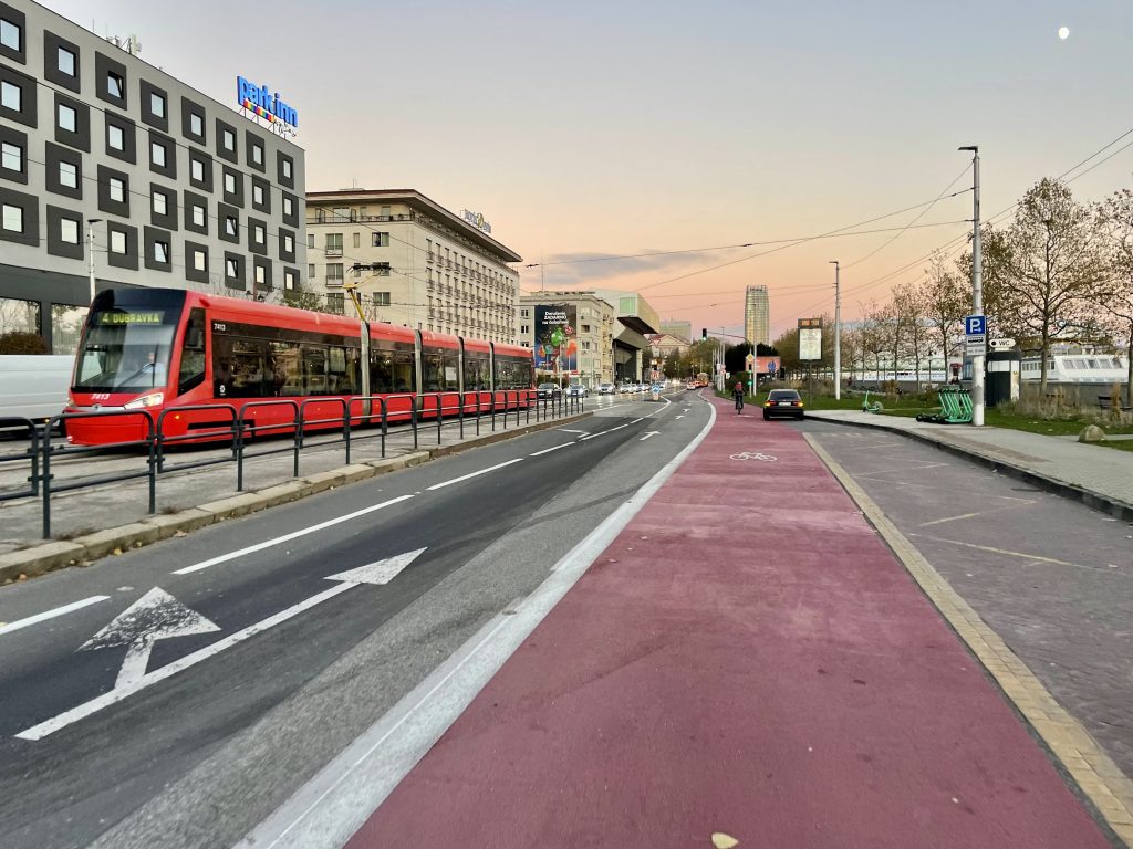
As I continued to climb, there was a nice raised bi-directional cycle track for a short distance, which turned into a bike lane.
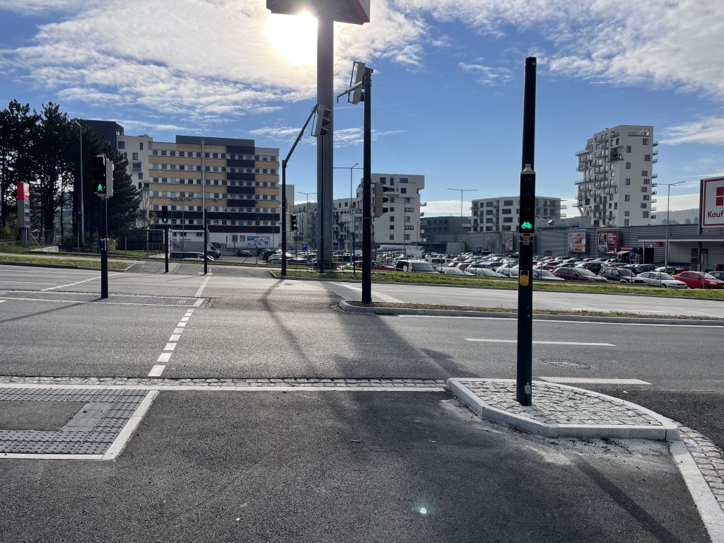
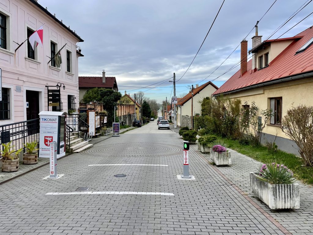
When there are islands here, rarely for right turn channels, but often to minimize the crossing distance for pedestrians, most of the island is at grade with only the edges raised. It seems to me if we use something like this at home they might not be such a disaster when we have large snowfalls.
Sometimes I’m surprised at where the routes, planned using heat maps of where people ride, take me. I end up in places that feel like they would be private property at home, but here they’re very small roads.
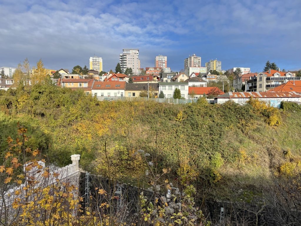
At this point I’m getting well out into the suburbs of Bratislava, but most of the housing is still quite dense. Here there are garden allotments under the hydro corridor, across the street from the apartment buildings. I see a lot of allotments here.
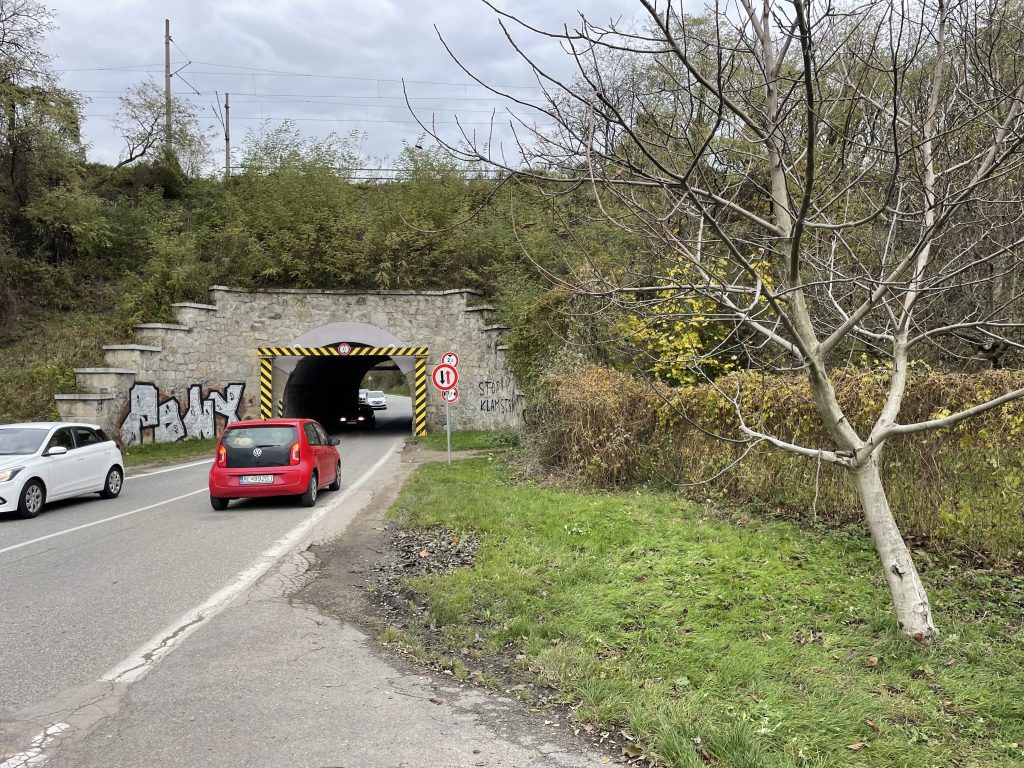
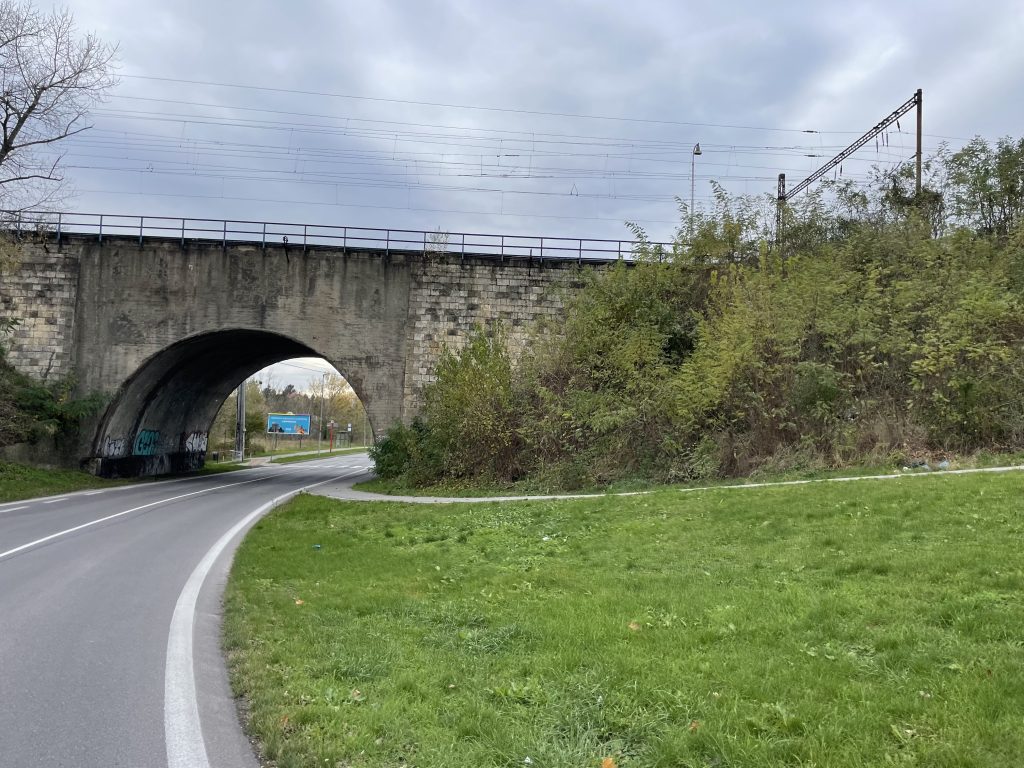
This single lane bridge under the rail line doesn’t have a traffic light but people managed to take turns without incident.
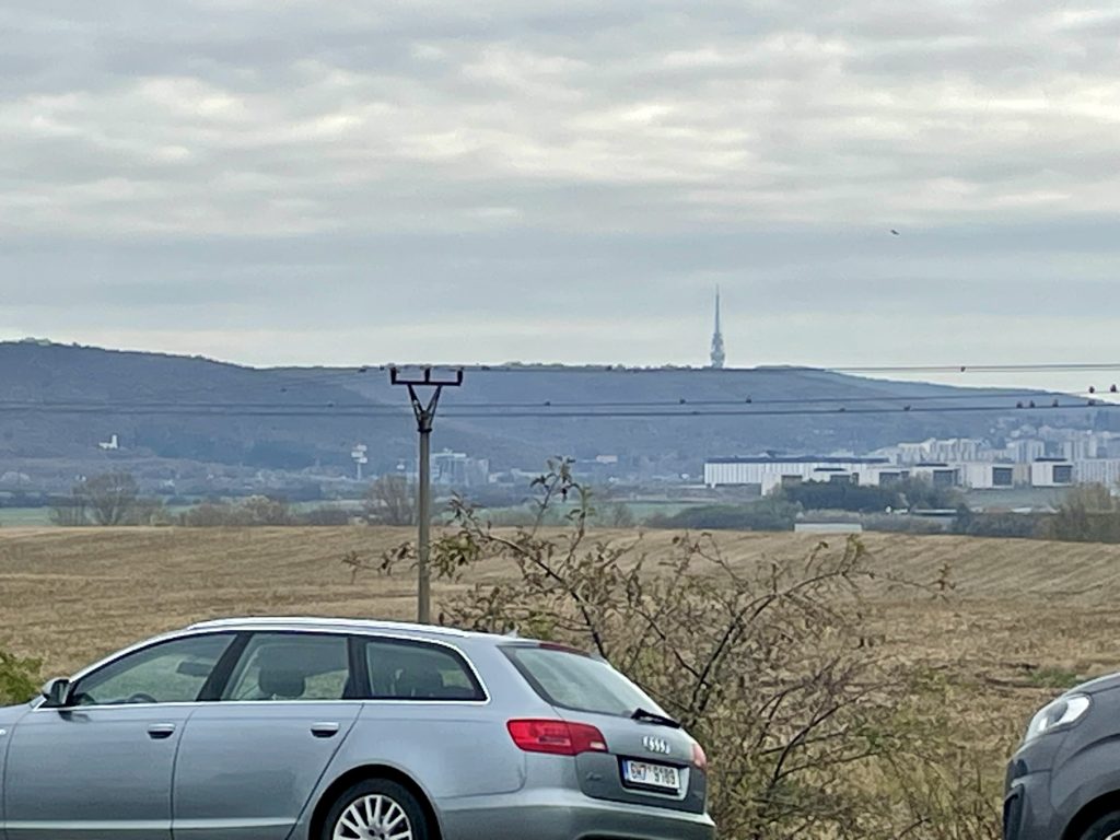
I’m still in Bratislava here, but it’s mostly rural with some built-up areas, and there is still bus service. There wasn’t a bike lane here, but there was a wide shoulder.
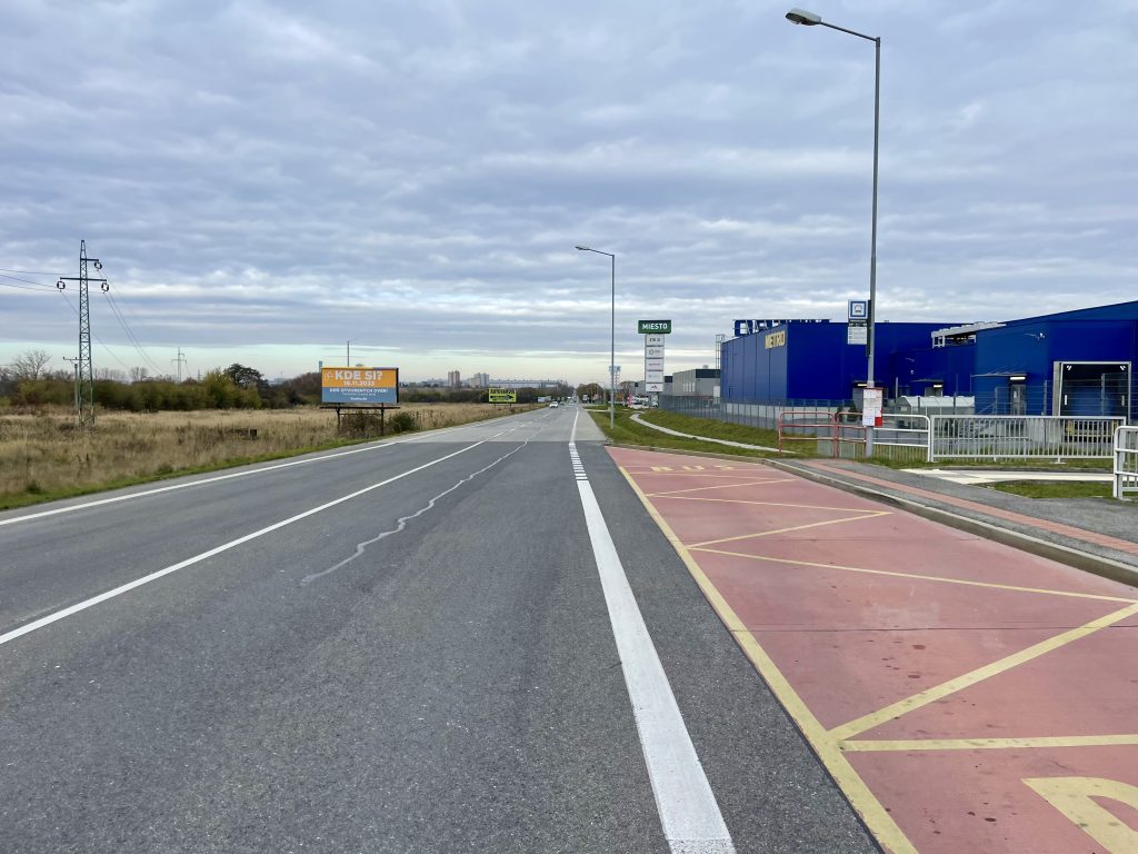
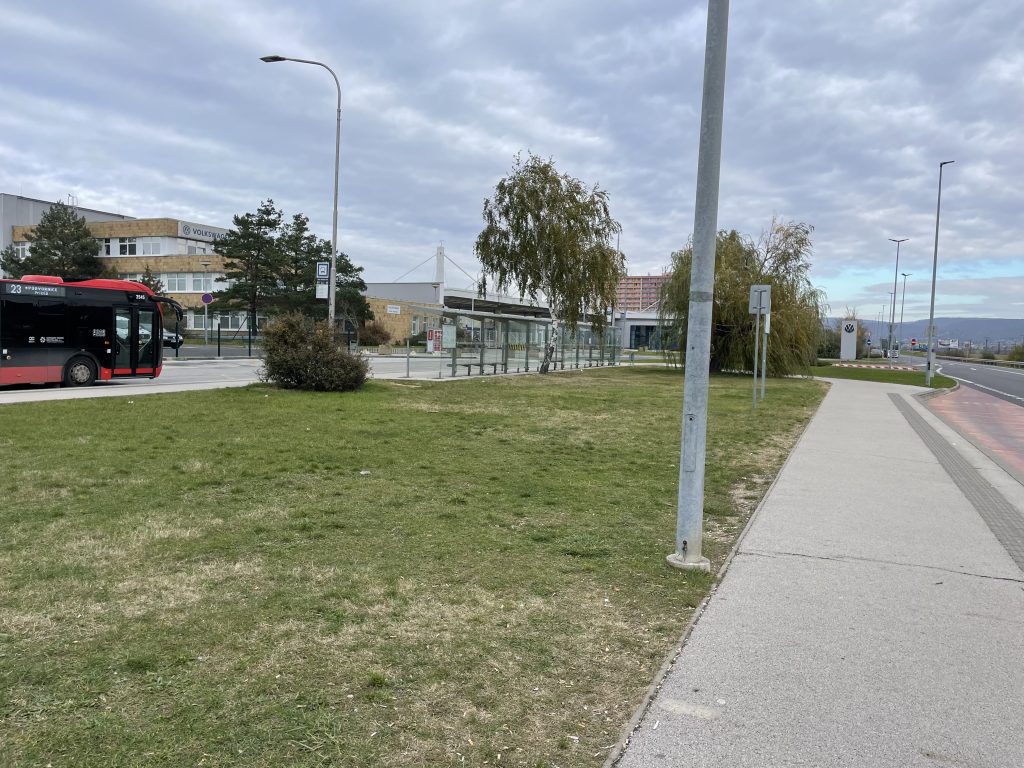
Volkswagen have a massive facility here and it is a bus terminus with what seems to be frequent service based on the number of buses I saw in the few minutes I was there.Across the street was a view of the other side of Kamzík from what I see from the hotel. It’s 13 km as the crow flies, and i rode 16km to get there. I’m thinking next week that I could take my bike on the bus to some of the outlying places that I have cycled to and start further out. I haven’t been getting going very early in the morning and sunset is just after four. Even moderate distance rides take me a long time here, between the hills, and the sightseeing.
The long distance rail here is electrified, as well as the streetcar network, and many of the bus lines. Society here is arranged in a much more energy efficient way than in Canada.
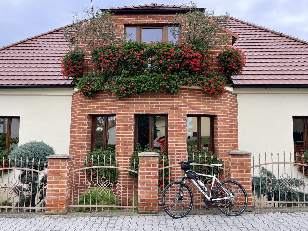
I’ve been seeing a lot of ivy geraniums still in bloom, but this is the best example I’ve seen.
This is the small town of Devínska Nová Ves. It is a borough of Bratislava. It lies on the banks of the Morava River, which forms the national border between Slovakia and Austria.I stopped here because I was curious about the bollards in the road. There was a sign off to the side, explaining in Slovak, which I used Google translate, and my camera to read in English, that cars are to stopped before the bollards so that the license plate can be read. Only license plates of registered residents will get a green light to proceed. No one else is allowed to drive down the road.
As I stood there, I noticed green paint in the distance and wondered what I was looking at so I continued down the road even though it wasn’t on my route. What I found was The Sobodný Cyklomosť, or The Freedom Biking Bridge, spanning the Slovak and Austrian banks of the Morava river and floodplain. It is 525 m long.
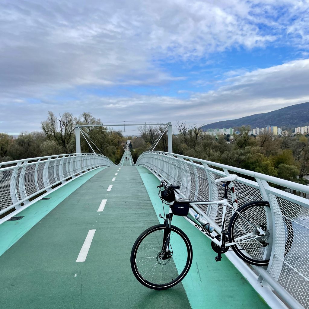
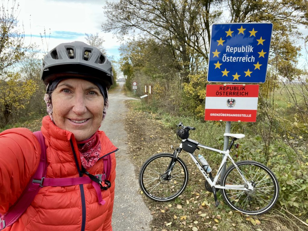
I didn’t know that as I rode across it, and was pleasantly surprised to find myself in Austria. So not only did I pick up an extra tile for the day, I also crossed an international frontier.
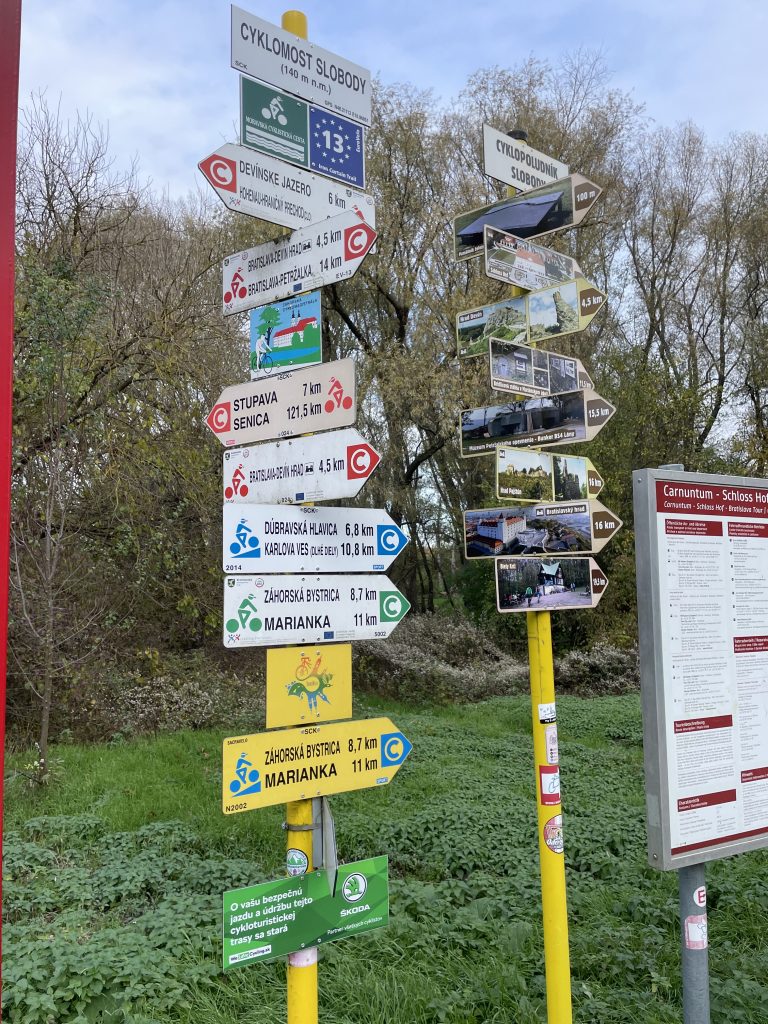
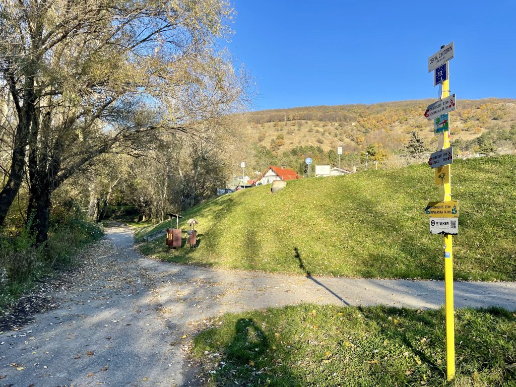
Here’s another overwhelming amount of wayfinding and places one can go on cycling infrastructure.
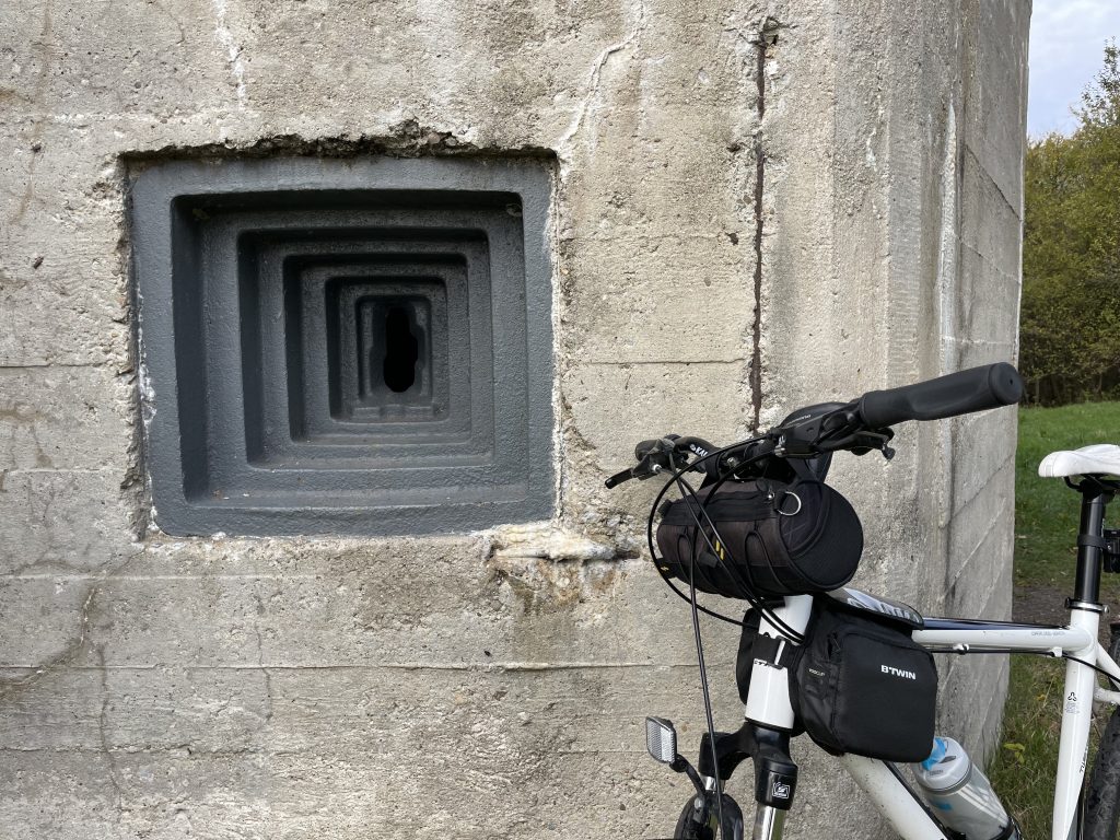
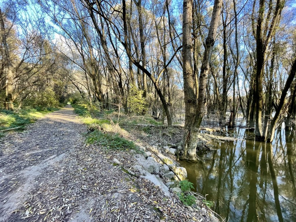
There Slovak side of the river was the former site of the Iron Curtain. There is still a bunker to show where the border was.
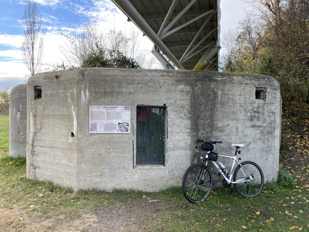
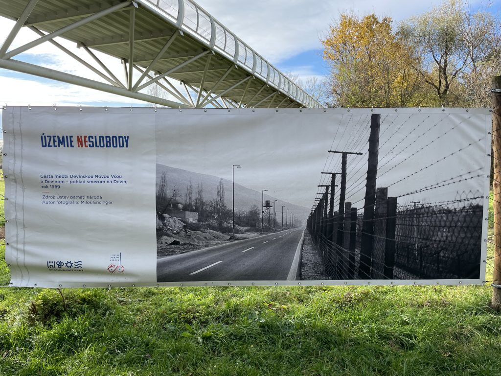
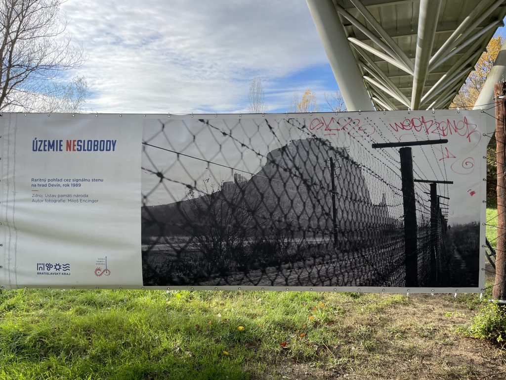
There are pictures showing what it looked like when the fence was up.The current cyclepath is the former military patrol route from which soldiers guarded the iron curtain. It was an exclusion zone for decades so the area along the river has retained much of its original habitat.
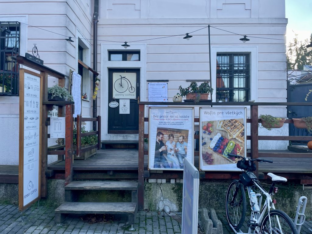
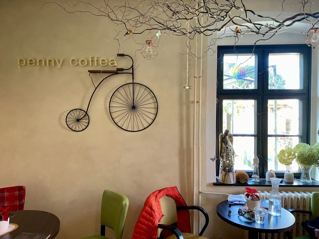
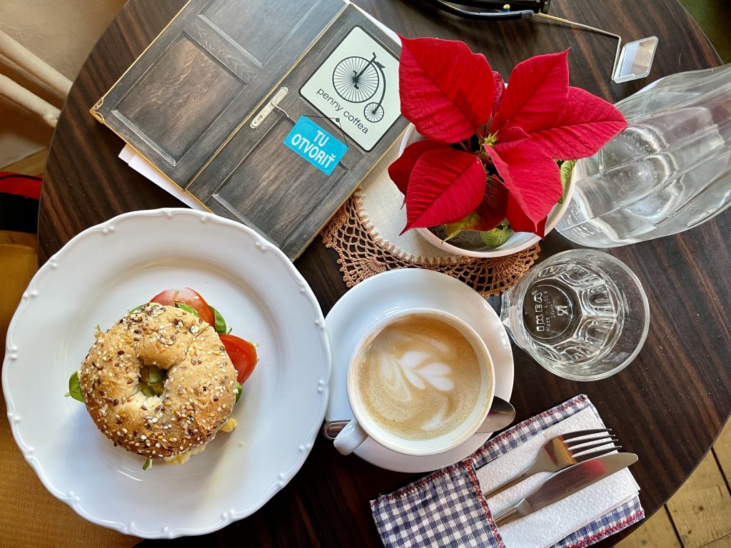
As I returned to my planned route, I passed Penny Coffee, and even though I had food with me, I decided to stop for a meal. I was the only patron, and it was a pleasant meal. Other than being too warm when I was riding uphill at the beginning of the ride, I found that I dressed appropriately and was comfortable all day. So I didn’t really need to go in somewhere to warm up, but it was pleasant nonetheless.
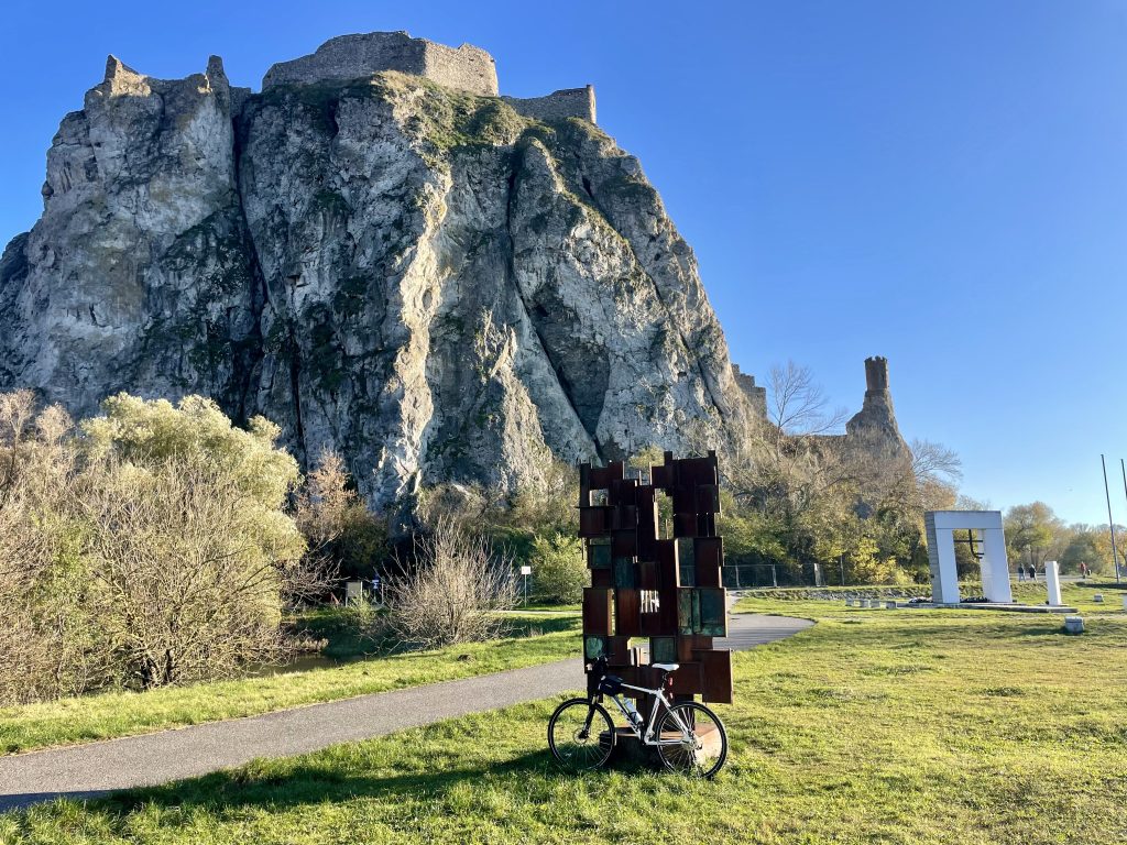
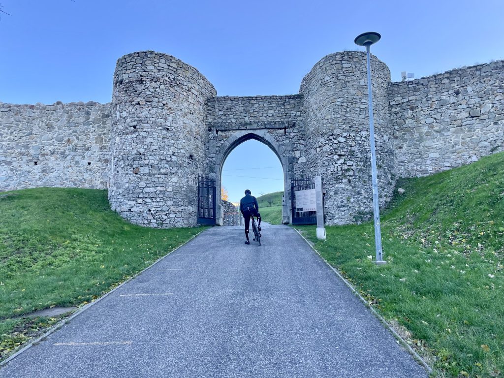
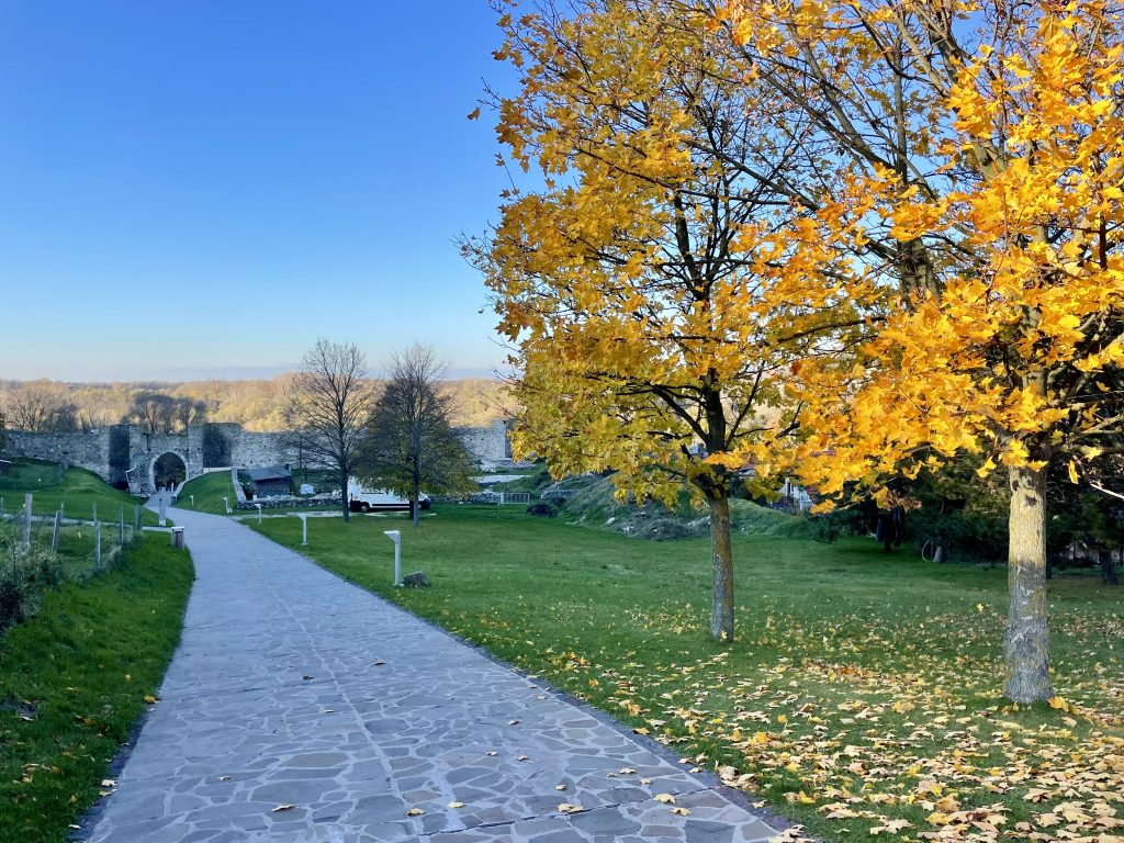
As I left town, I cycled along a cyclepath and it wasn’t long before I came to Castle Devin.
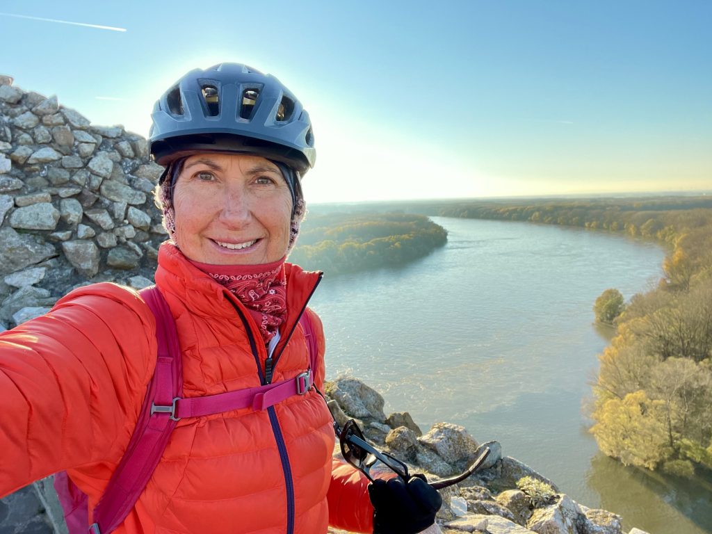
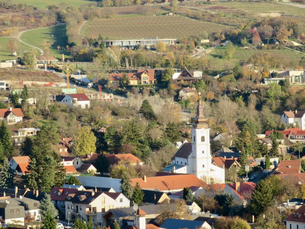
It is quite a remarkable sight to see it rising above the surrounding flat terrain. Local mountains Malé Karpaty and Hundsheimer Berge were created by a geological process called Orogenesis, which followed the collision of the African and Eurasian plates. Where the Morava and Danube rivers meet, there is an upwelling, crowned by the ruins of Devon Castle, along the fault, and water flowed through the resulting depressions, creating the rivers.
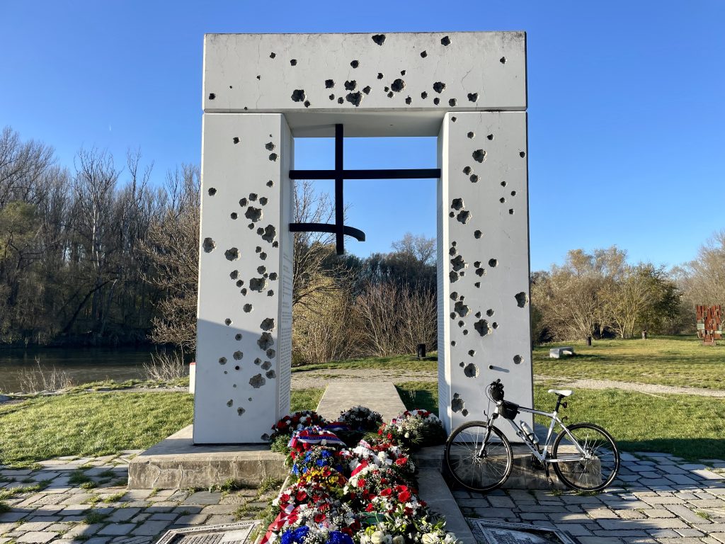
This monument is for all those who lost their lives under communism.
I stopped at the bottom of this hill to get my bearings, and wasn’t sure whether I was allowed to ride up so I walked my bike. This cyclist rode past me. He then tried to ride past the admission booth, while I stopped to leave my bike in the stand just inside the gate. The security guard came out, and I think he thought we were together, until he saw me locking my bike, and I went to the booth to pay. He said something to the other cyclist, who stopped, and then left.
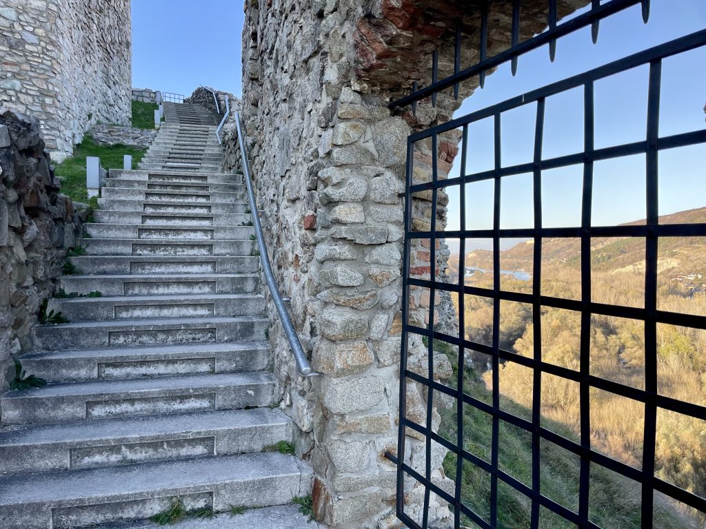
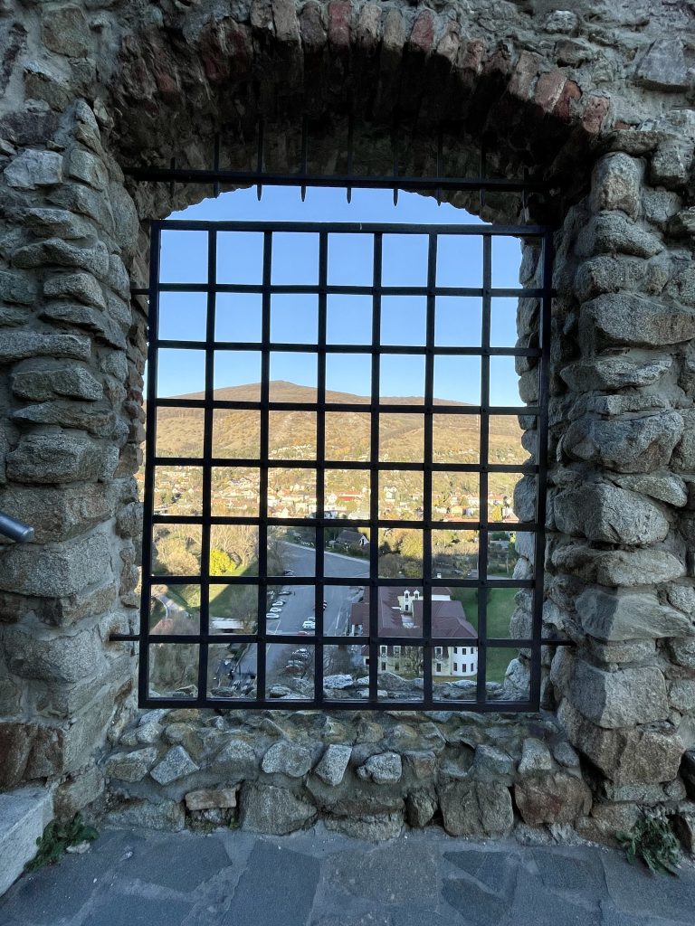
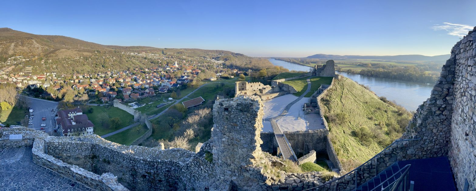
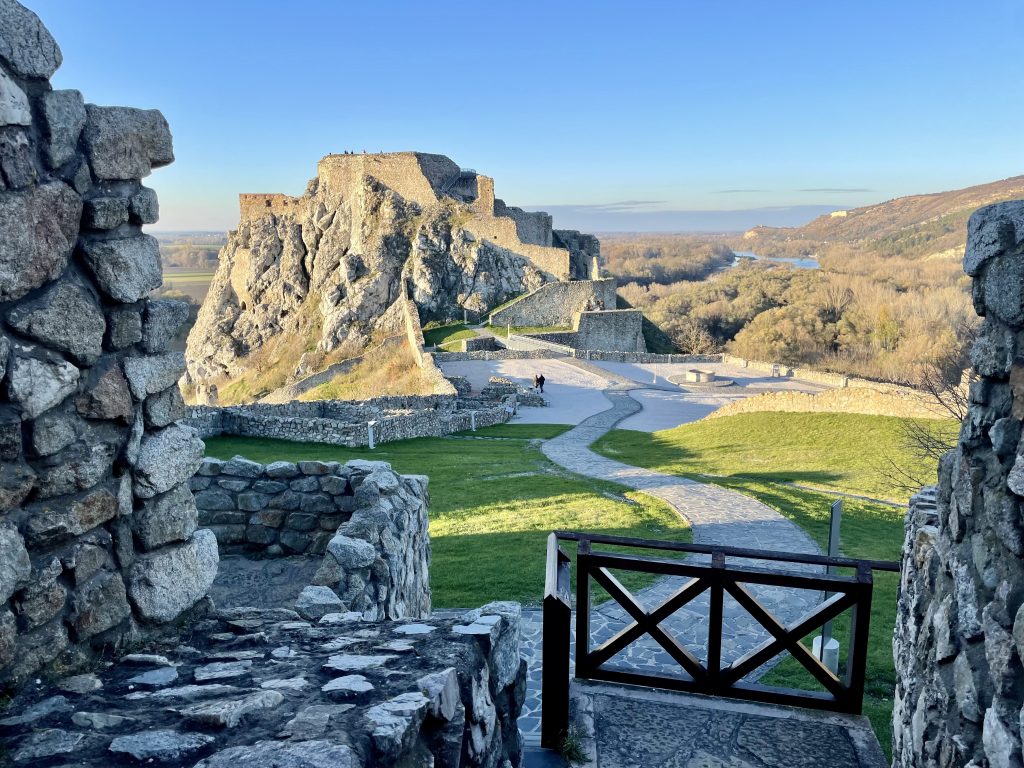
It was 230pm when I arrived, and I could see the shadows lengthening. So I decided to quickly walk to the top and take in the views and then be on my way since I had 15 km to go back to the hotel. There was a basic route, and an extended one. I chose the basic. I didn’t go I side to see the exhibits.The views of the surrounding area were spectacular.
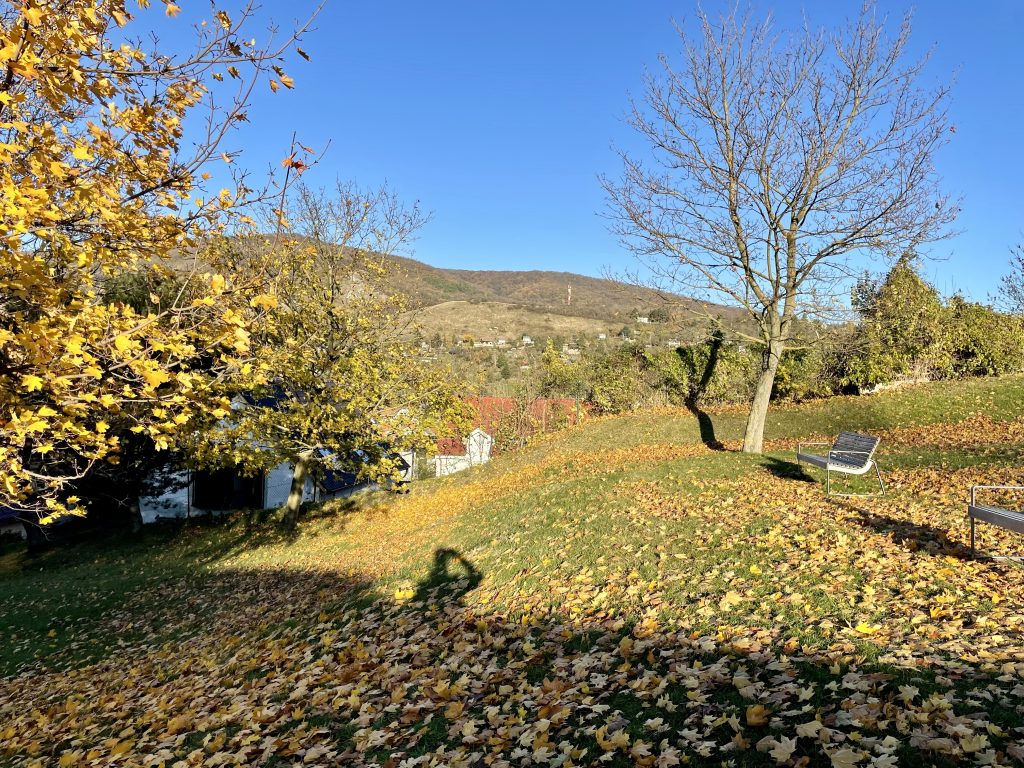
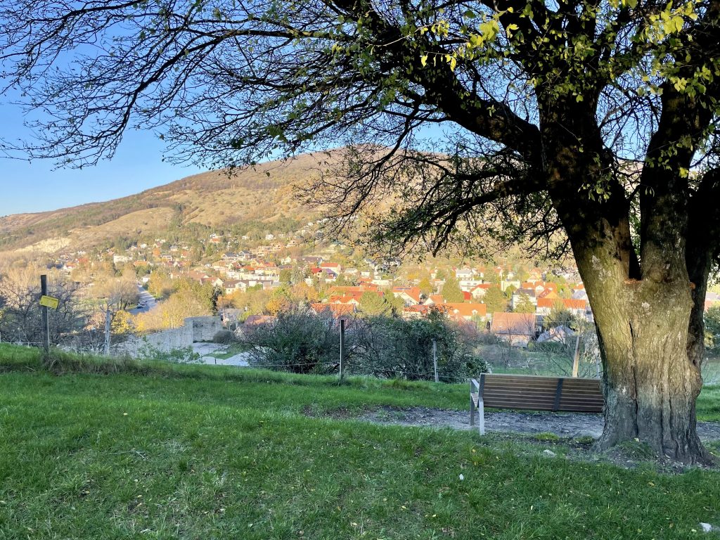
I couldn’t really visualize what this looked like when it wasn’t a ruin, but even as it stands now, 70 m above the surrounding land, it’s very impressive.
Here I am with the Morava River in the background.
Here is a panorama from the top.
Here I am climbing up the south side looking back at the north.
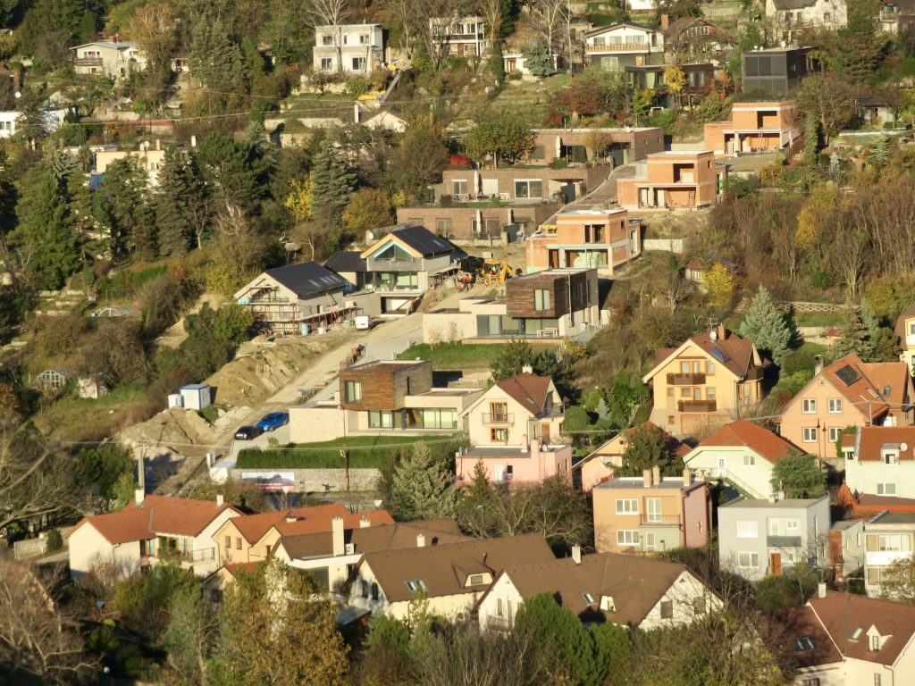
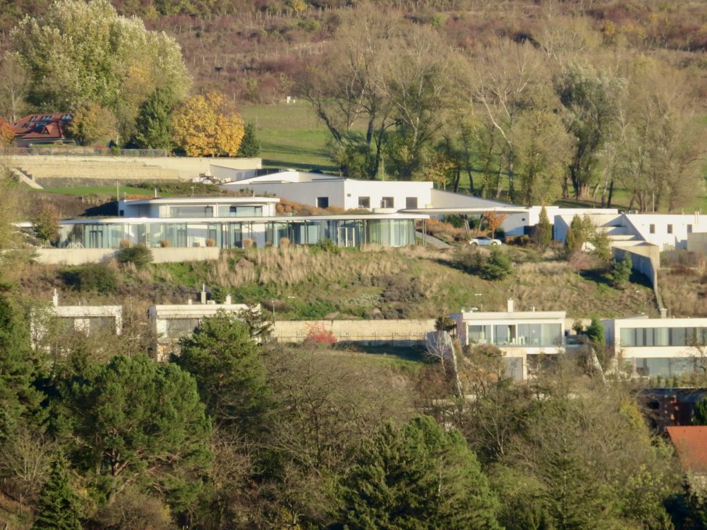
Here are some pictures that I took with our point, and shoot camera which has a long zoom lens. There were six tiles in the middle of the loop that I didn’t get, if I were at home, I would have tried to include on the route, but they were all mountainous, and would have involved riding up steep streets, or even using hiking trails.
The castle was built starting in the 13th century. In 1809 it was destroyed by Napoleon’s troops. It was declared a national historic landmark in 1961.
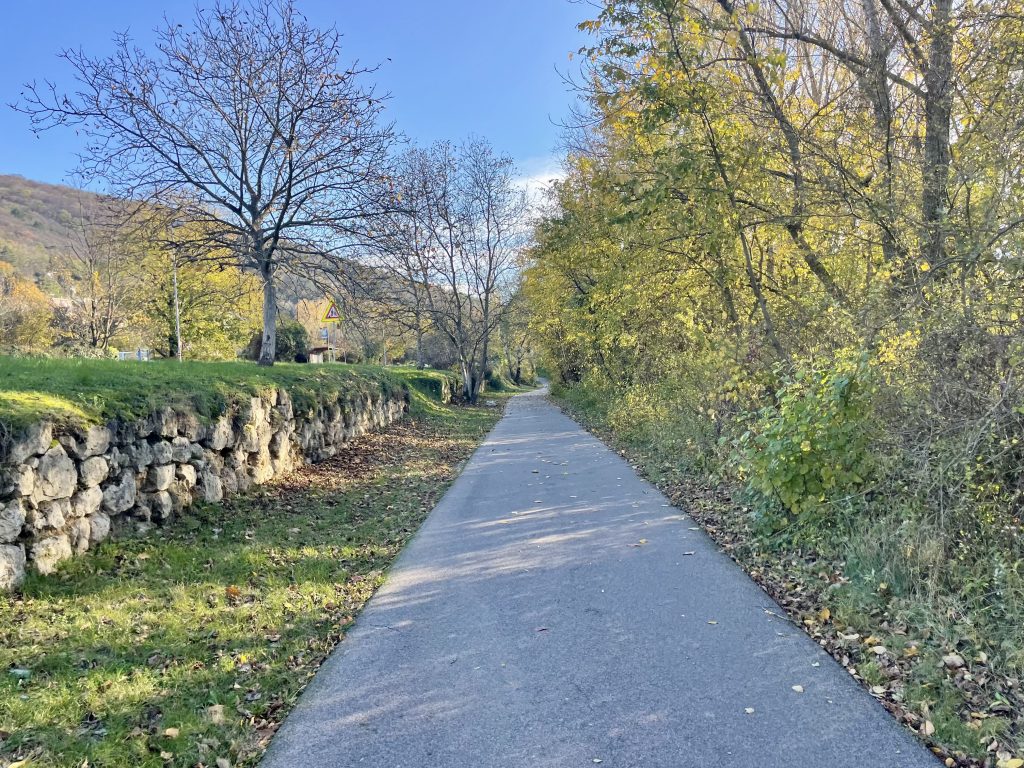
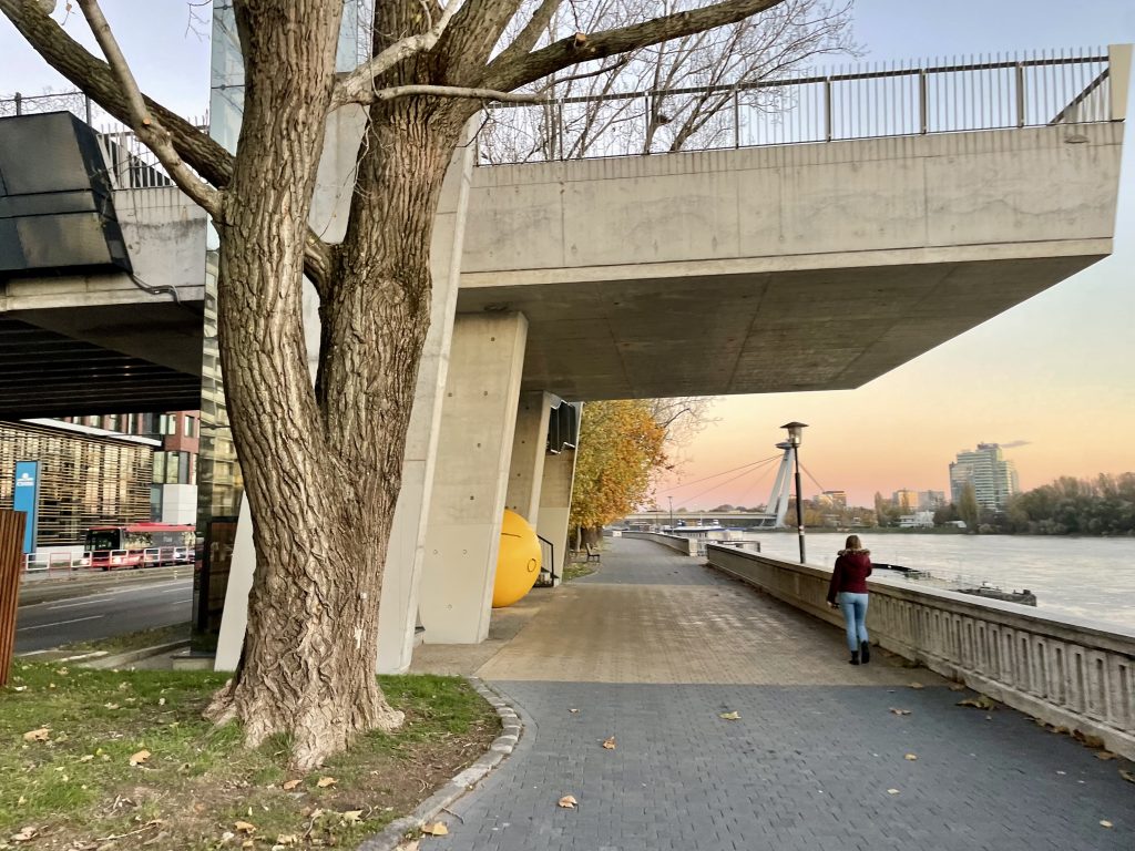
The light was beautiful as I continued along the river pathway.
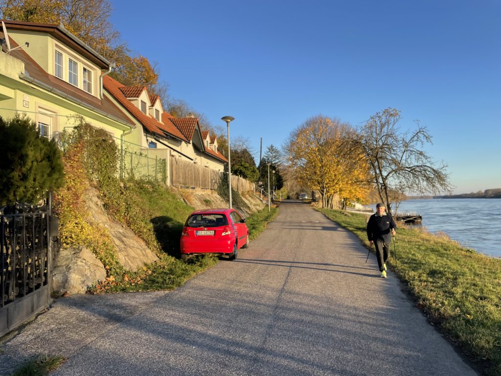
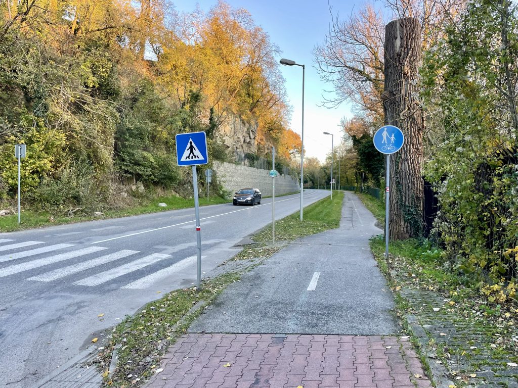
The pathway turned into a bike lane. The traffic was steady, but not overly fast, but with the failing light, I was glad to have my flashing rear red light.
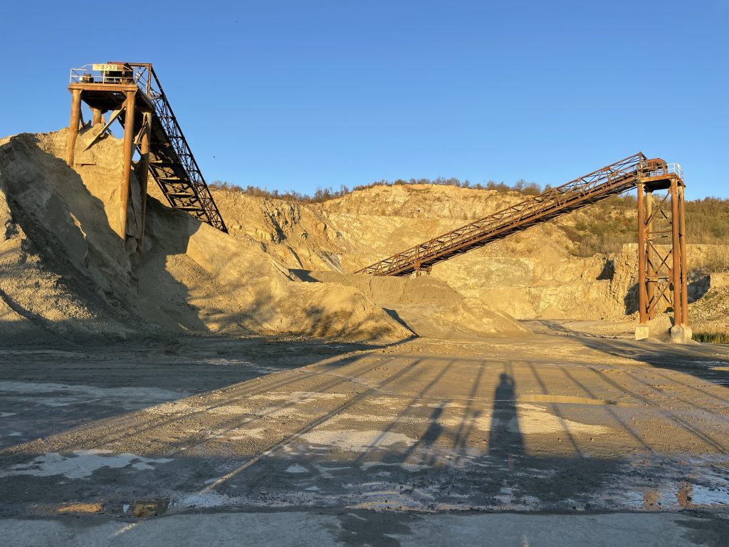
The warm light of the setting sun caught my eye at this quarry.
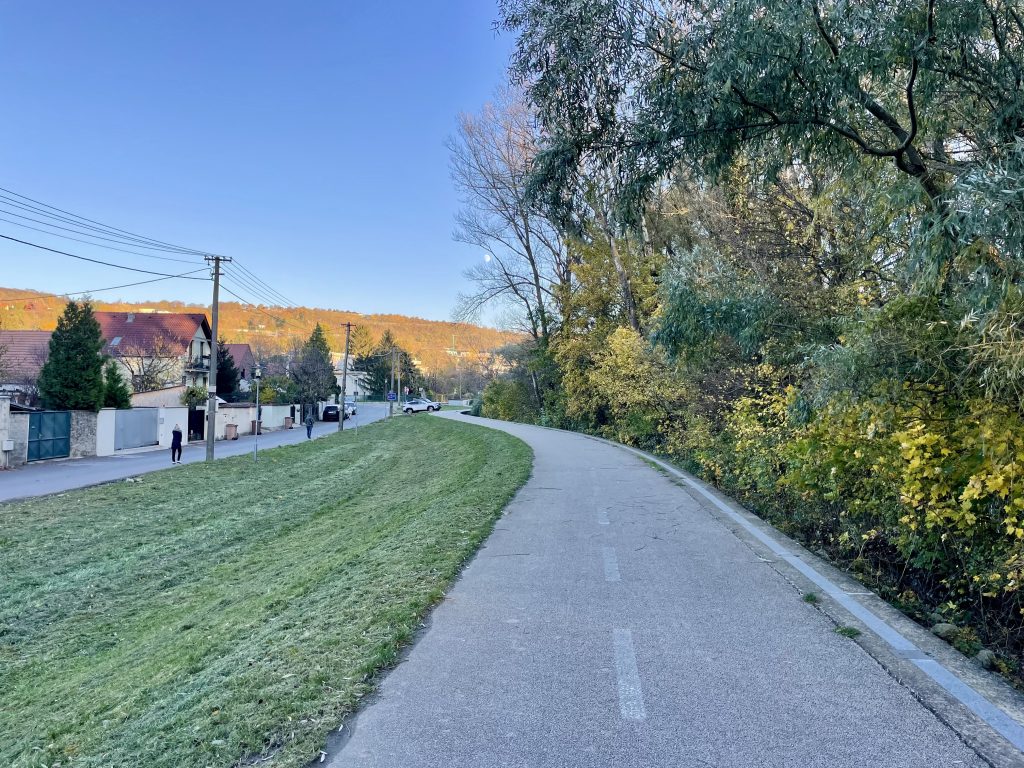
As I got closer to the center, the bike lane gave way to a multiuse path.
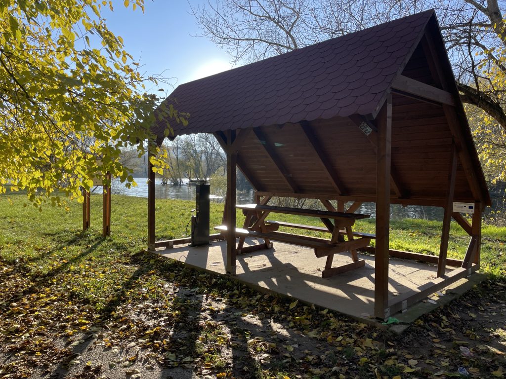
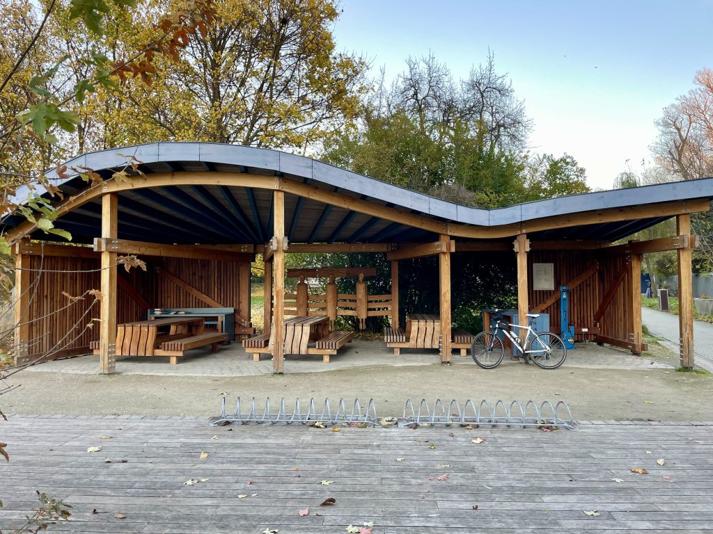
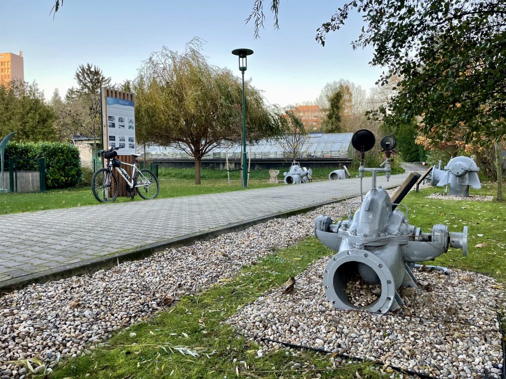
There was a park adjacent to the path with a nice covered sitting area and bike repair area. It is called the Waterpark, and there is a waterworks museum, there, and various sewer pipes placed around the garden. I’ll keep it in mind for a rainy day.
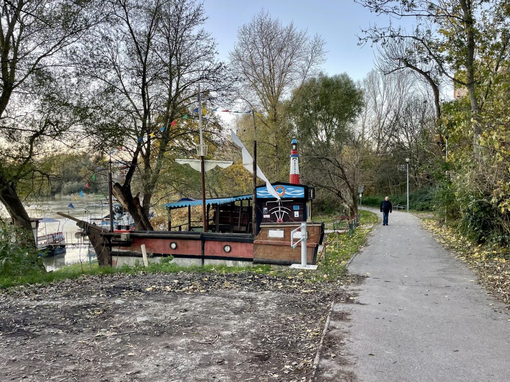
This was near a recreational boating centre on the river.
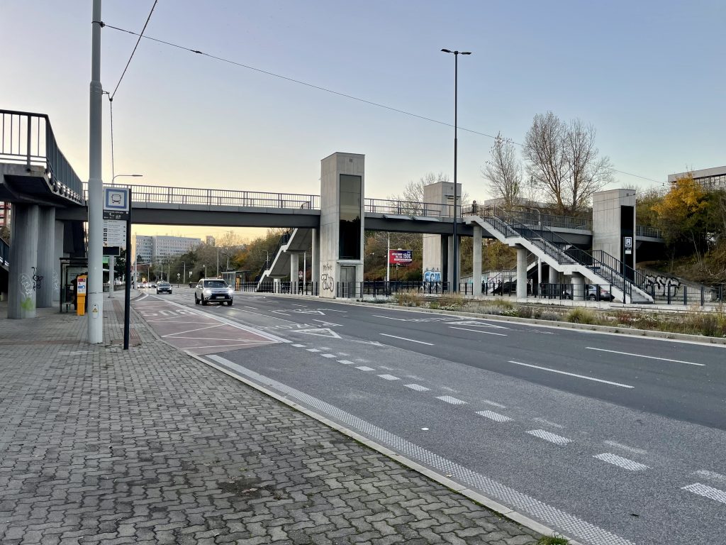
They really don’t fool around with pedestrian infrastructure over busy roads here. This one even has an elevator.
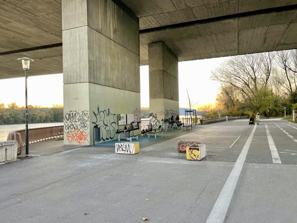
Now I’m cycling along the Danube river path. It’s a beautiful wide path with plenty of room for cycling and walking and working out.
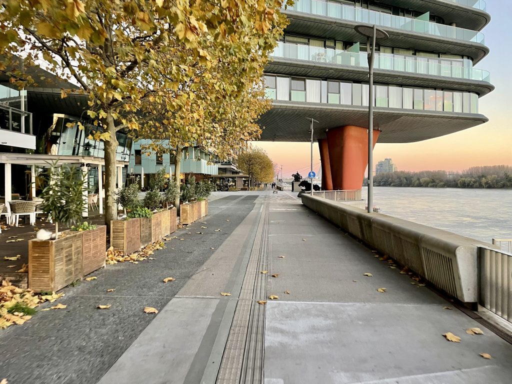
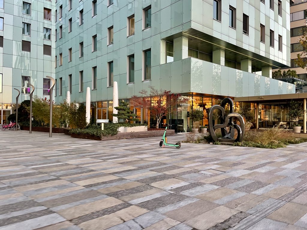
A lot of modern new buildings are being built along the path, and this one is quite interesting in the way that it juts out over the water.
The sculpture is entitled Mythical Ship by Czech, Jaroslav Rona, “which pays homage to our magnificent river and the city that grew under the influence of diverse cultures. The statue depicts a rudder man navigating dangerous currents, while the woman represents precious cargo – a noble and beautiful queen/mother figure who embodies new life, hope and future. The dog symbolises mans’ eternal companion and protector”.
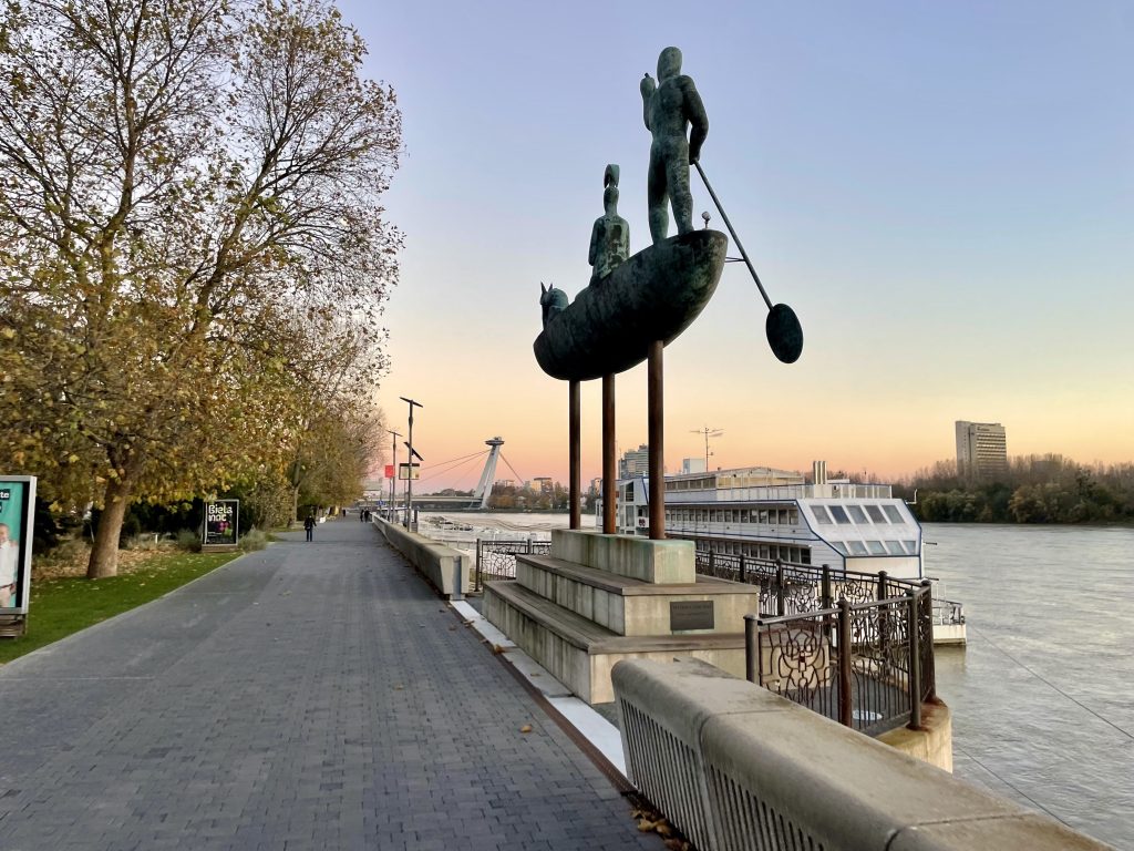
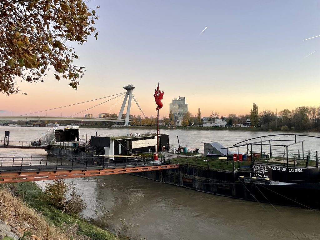
There are many ships used for entertainment, moored along the riverbanks, as well as riverboat cruises that stop in Bratislava. The UFO bridge is in the background here.
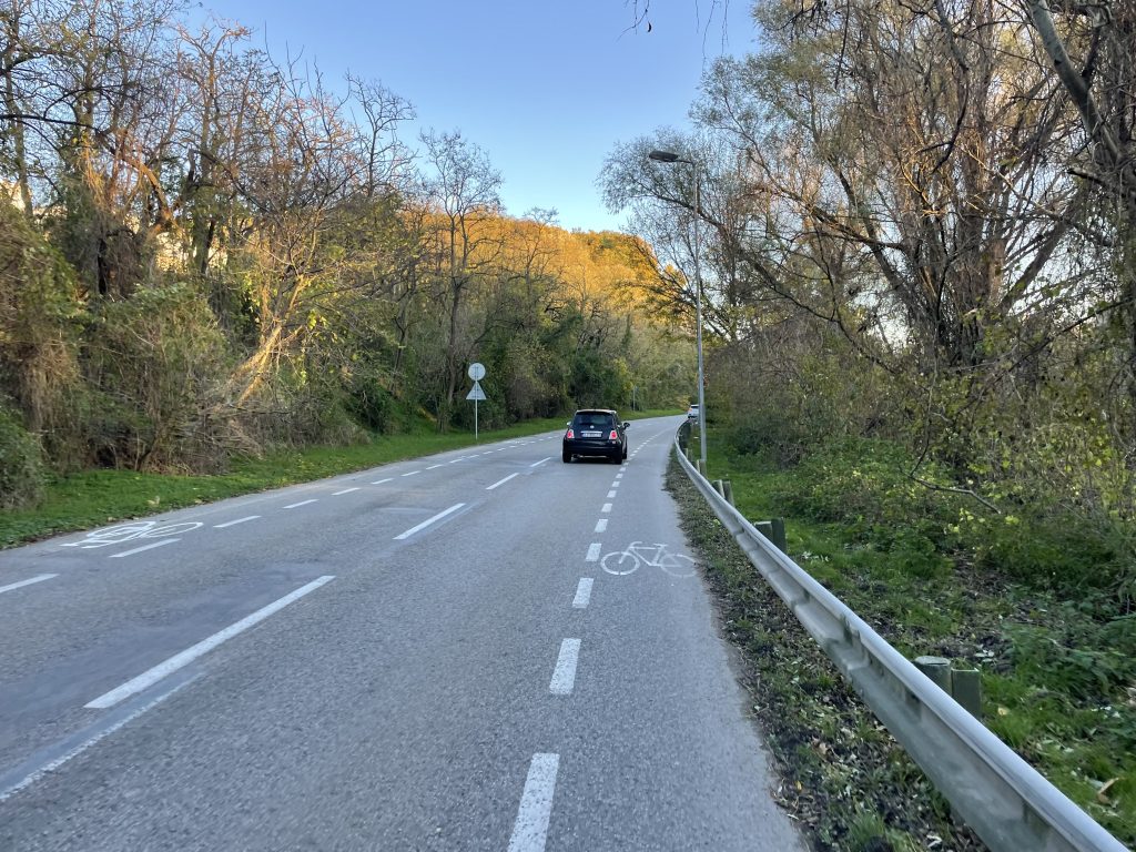
At this point rather than share the path with pedestrians, I got out on this beautifully wide bike lane.
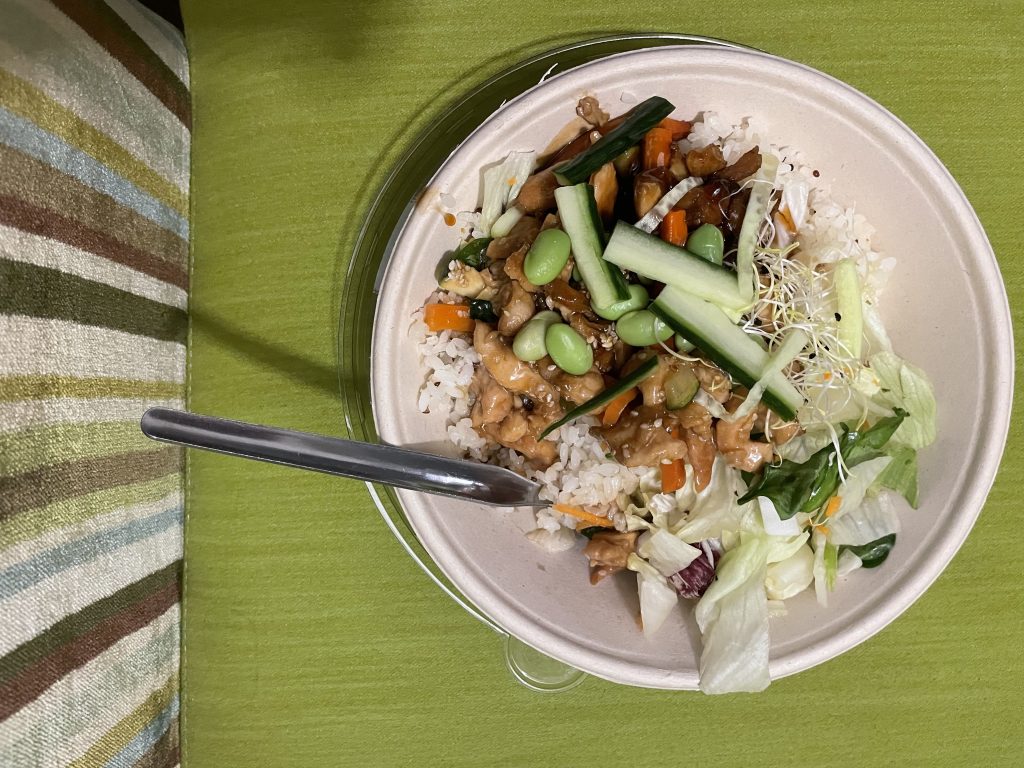
Michael had a work event this evening so I just came back to the room to relax, look at pictures, write the blog, and figure out what to do tomorrow. I went to the food fair in the attached mall and brought back a rice bowl for dinner.
Discover more from Lisa Stokes
Subscribe to get the latest posts sent to your email.
One thought on “Bratislava 2 – Day 8”