
The day dawned drier than expected. The choices at the so-called breakfast offered at the Days Inn this morning were quite dire, so we decided we would go across the street to McDonald’s. Unfortunately, most of their staff hadn’t shown up for work, so all they could serve us was coffee. The employee that was there felt bad, and gave Dayle a complementary coffee.
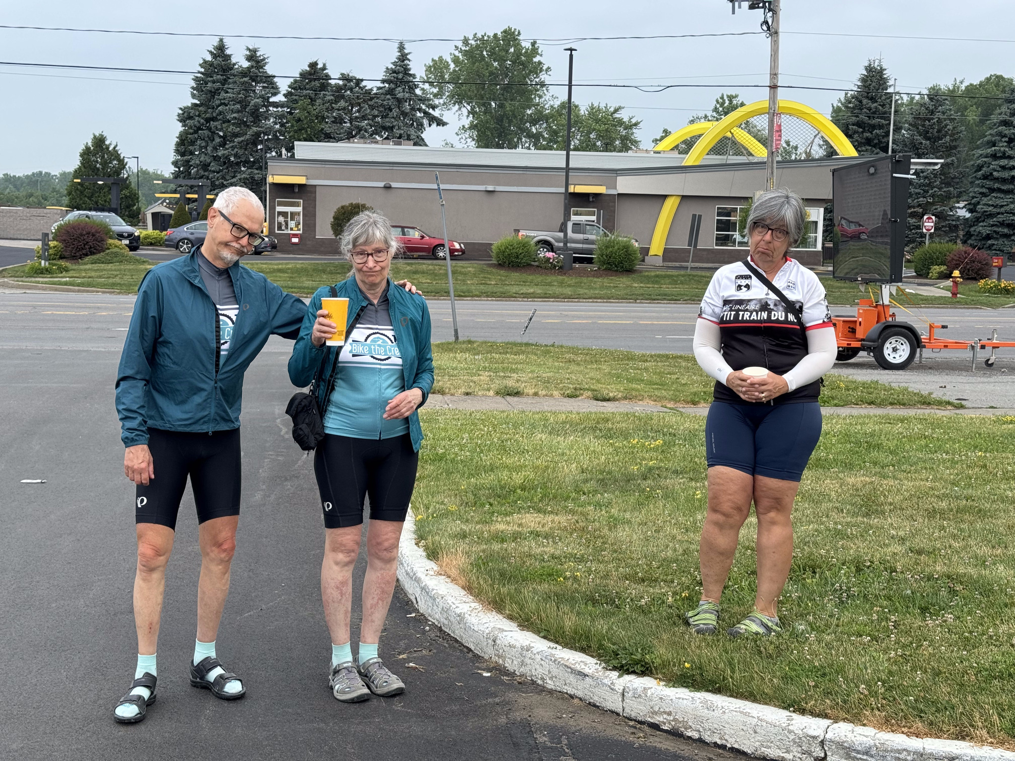
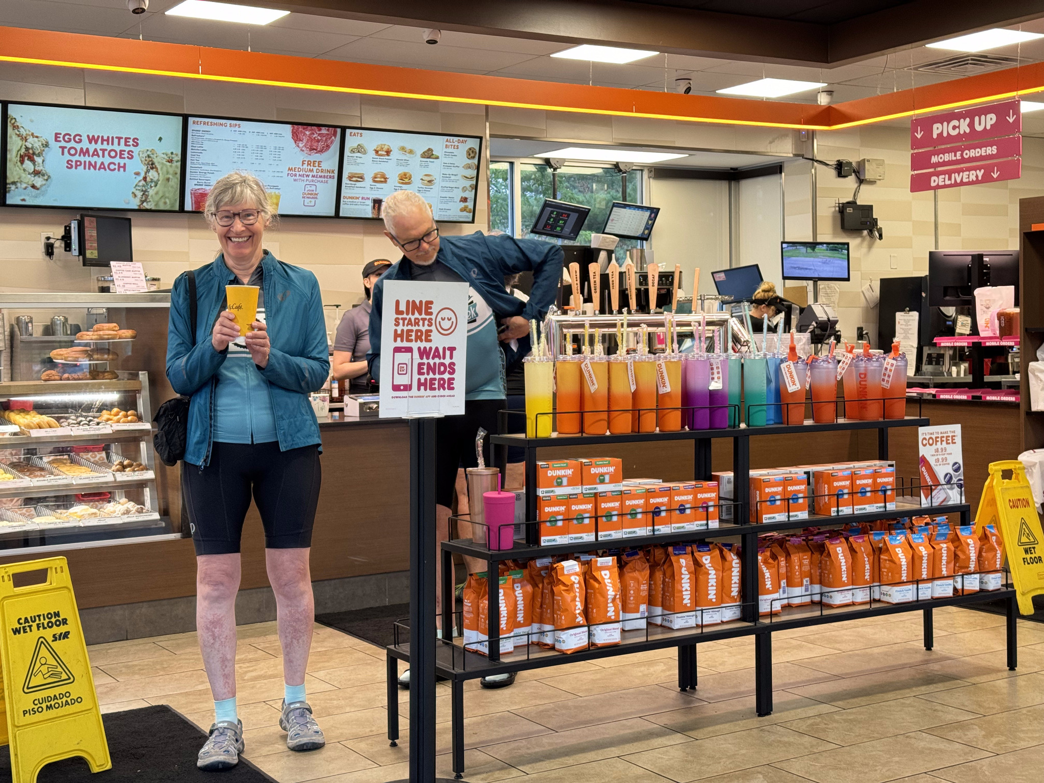
We glanced around and noticed there was a Denny’s next to us. Google and its sign showed that it was open, but the staff hadn’t shown up there, either, so they weren’t letting us in. We googled and found a Dunkin’ Donuts about five minutes walk away. The coffee was mediocre, but the breakfast sandwiches were quite good.
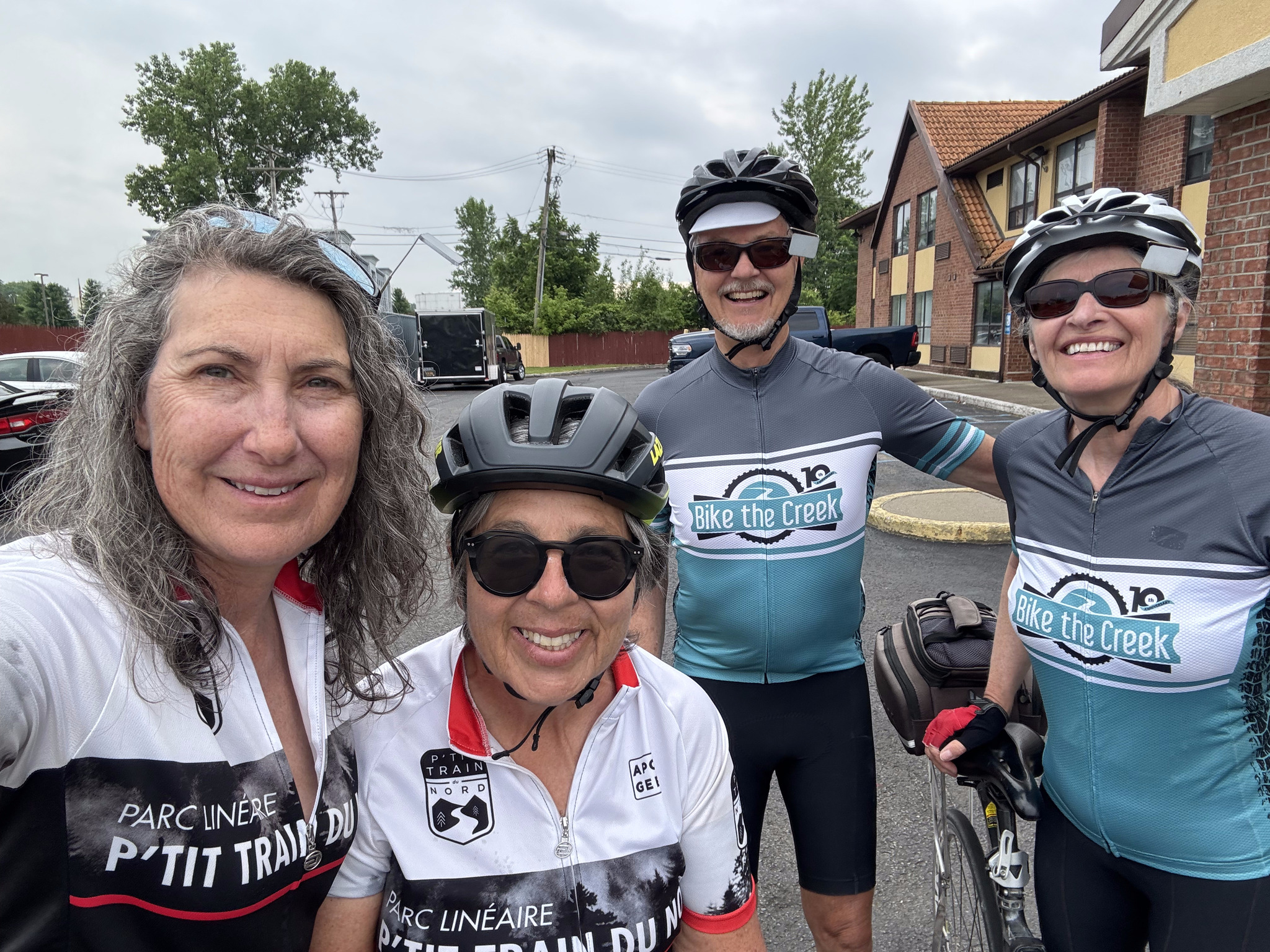
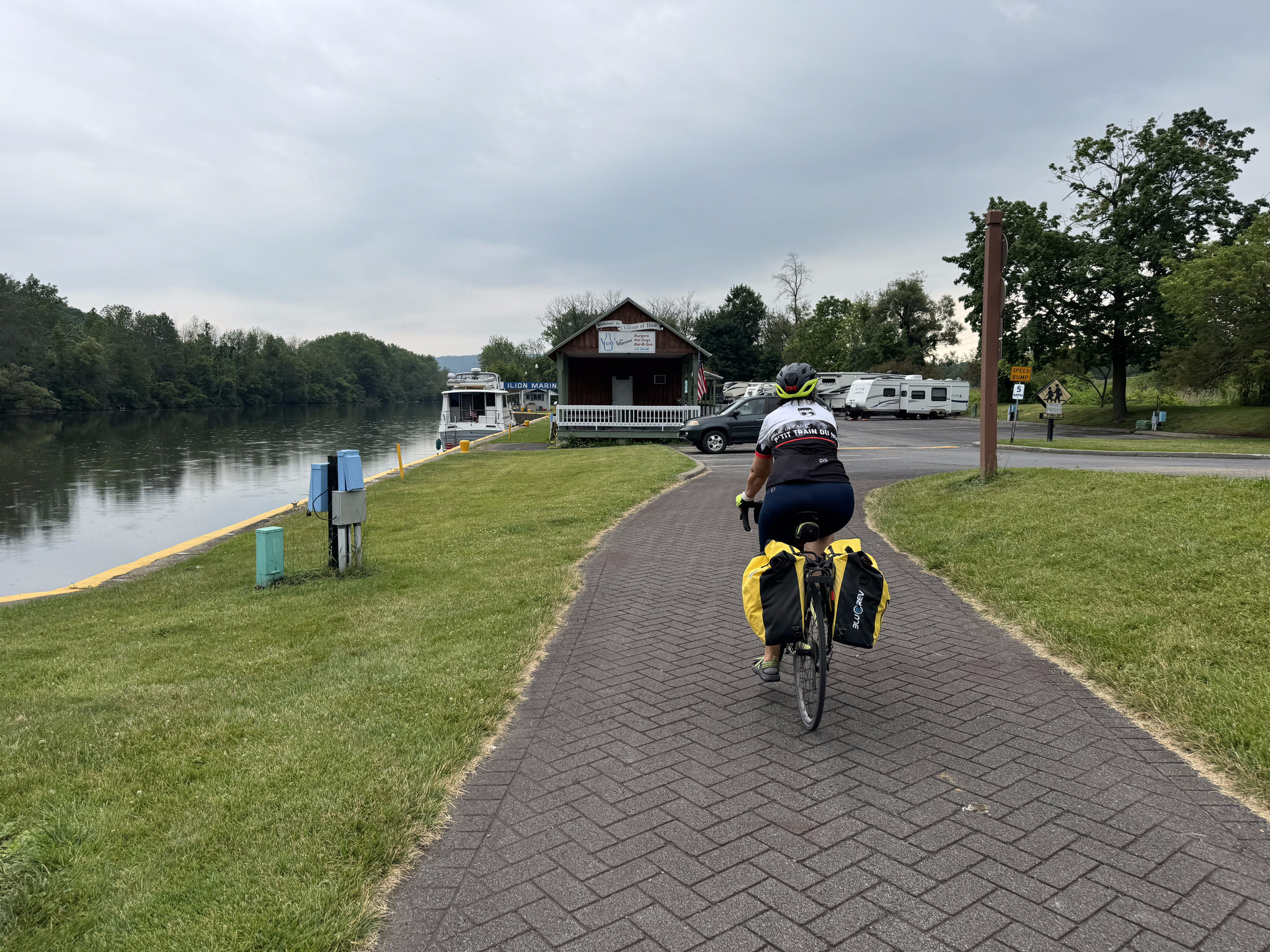
Here we are packed up and ready to go and it’s still dry.
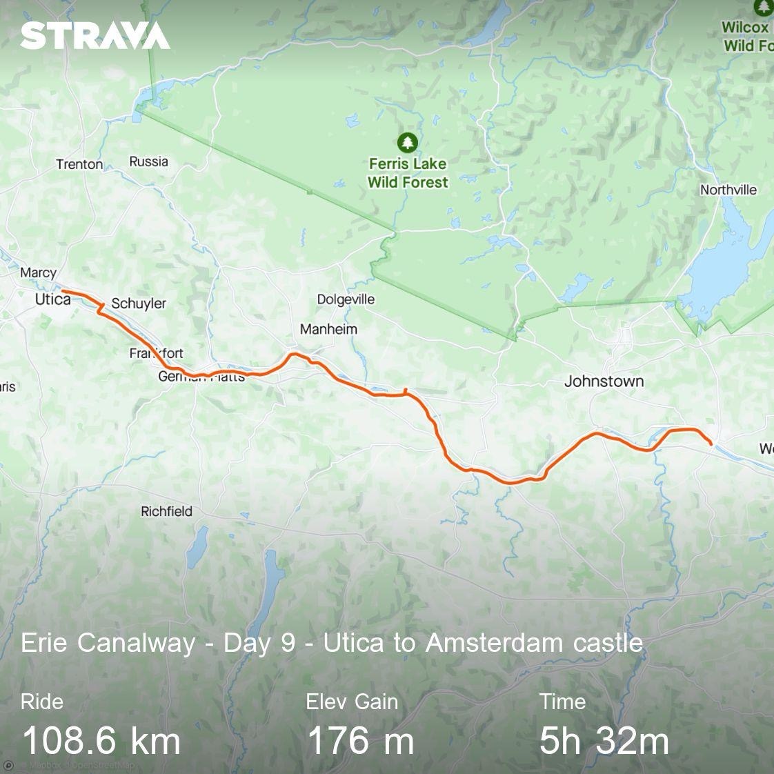
80% of the route today was showing as being paved, which is much more than on any other day this trip. Due to the enormous amount of rain forecast, I created an alternate route on the road, for the sections that showed as gravel, in case they became challenging because of heavy rain.
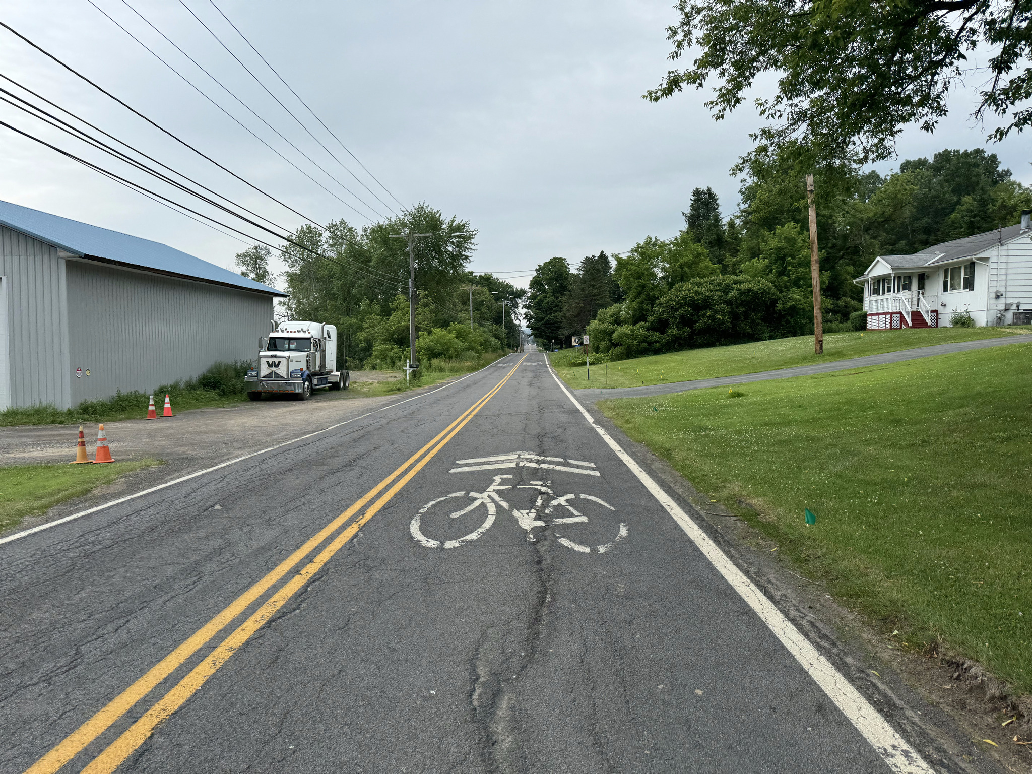
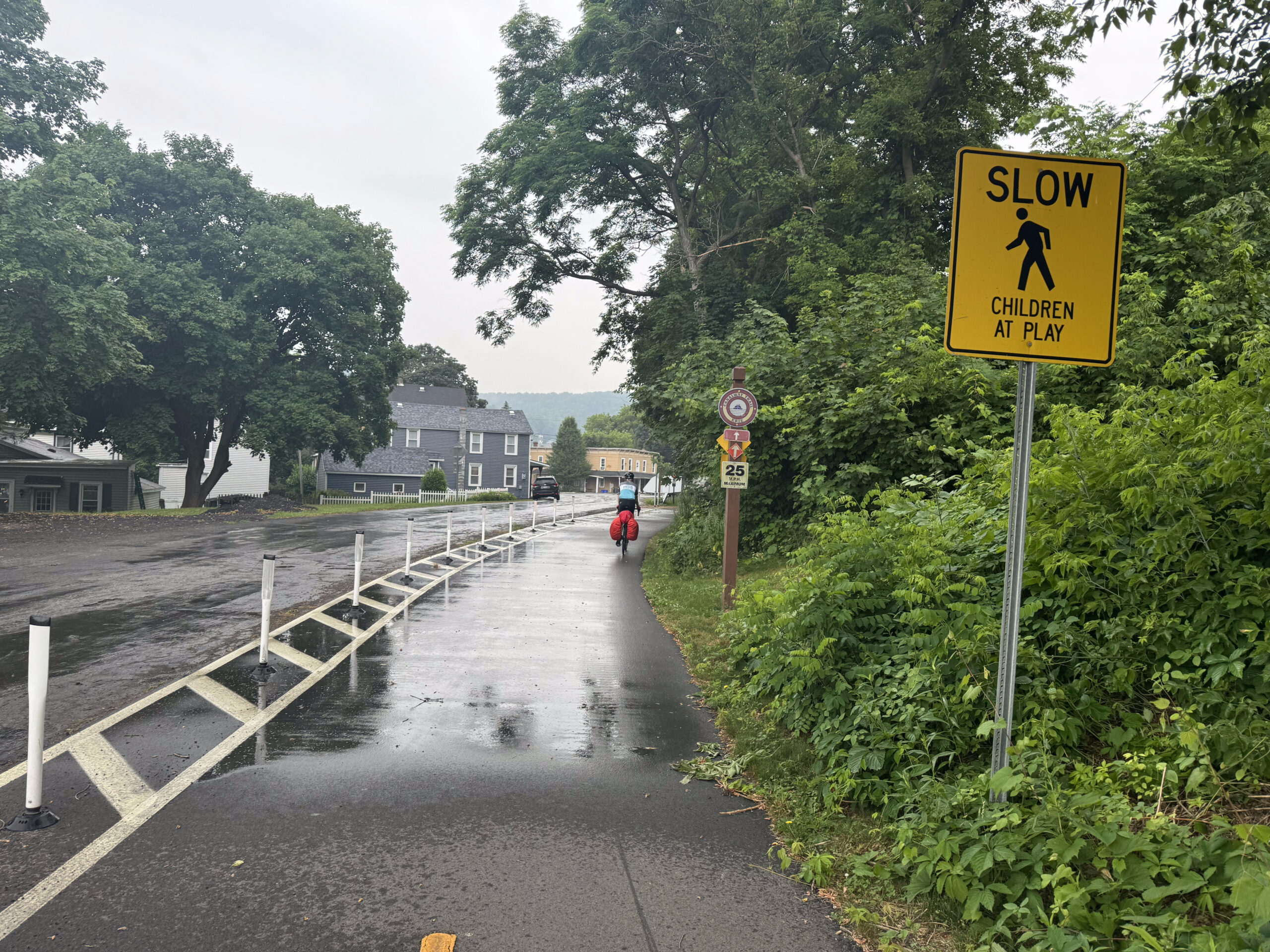
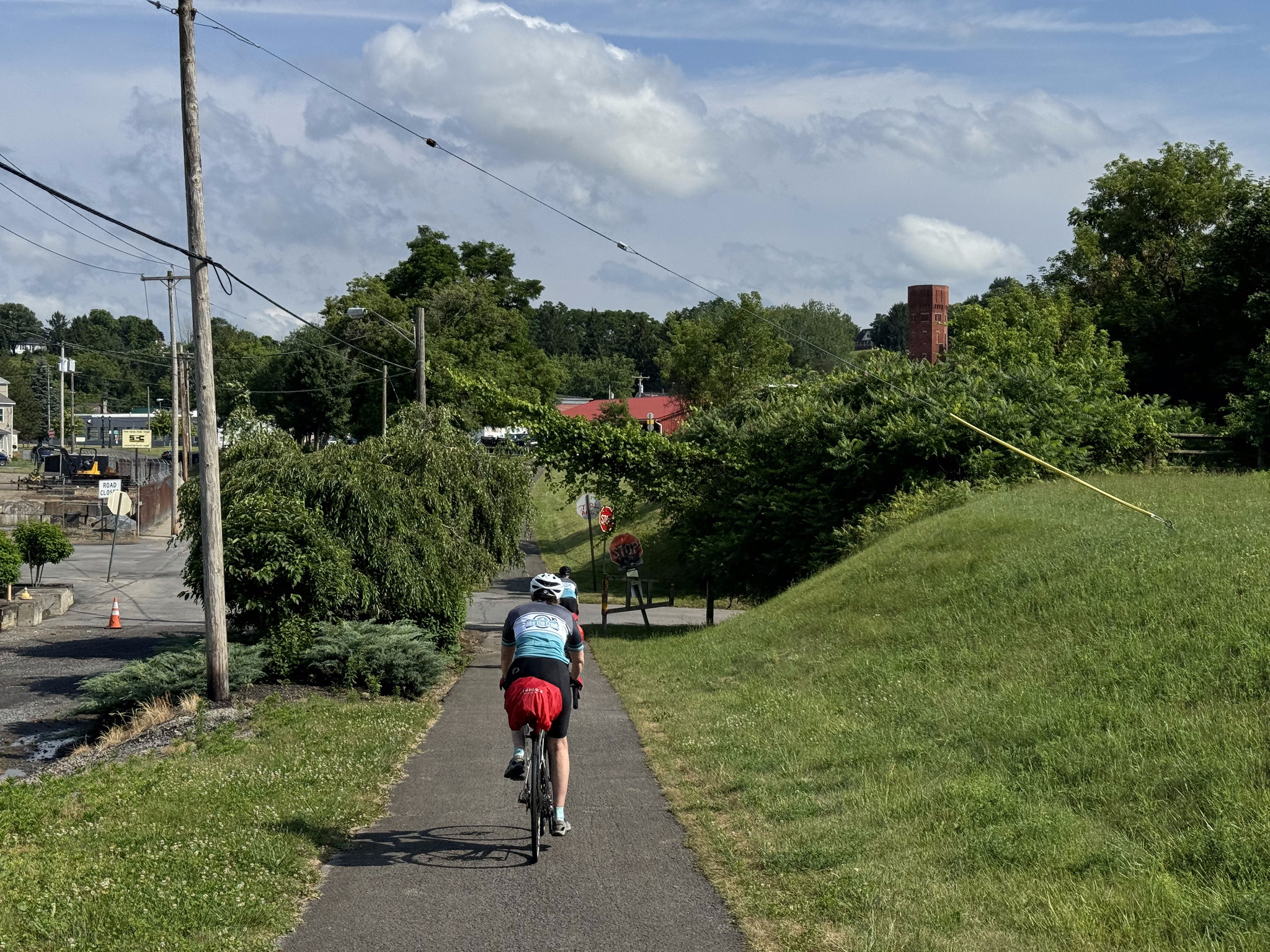
The first 11 km the trail is on a road which was smooth and easy compared to the screenings on the trail, and only 10 cars passed us in the entire time we were riding there. The biggest sharrows I’ve ever seen were painted on the road.
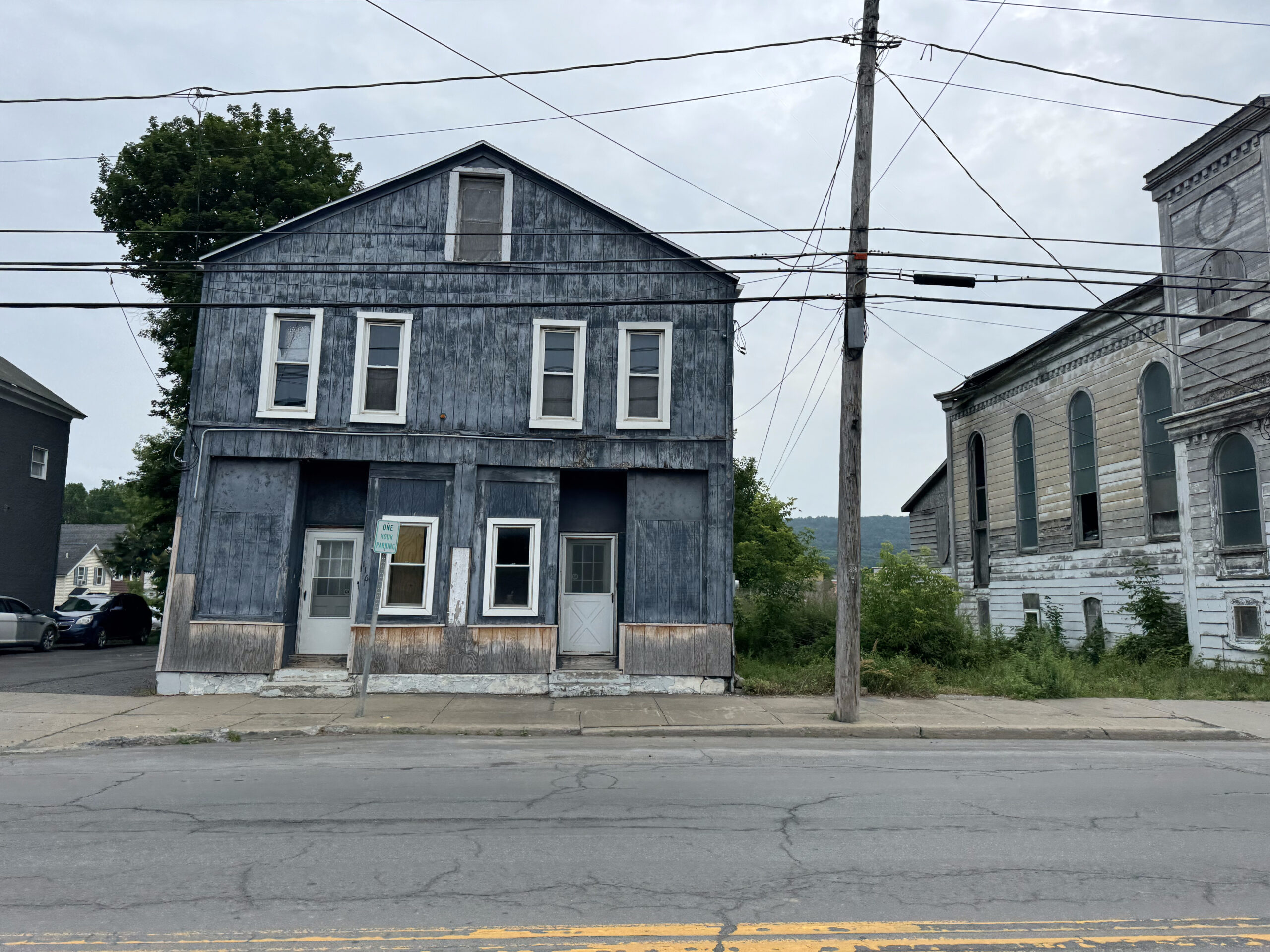
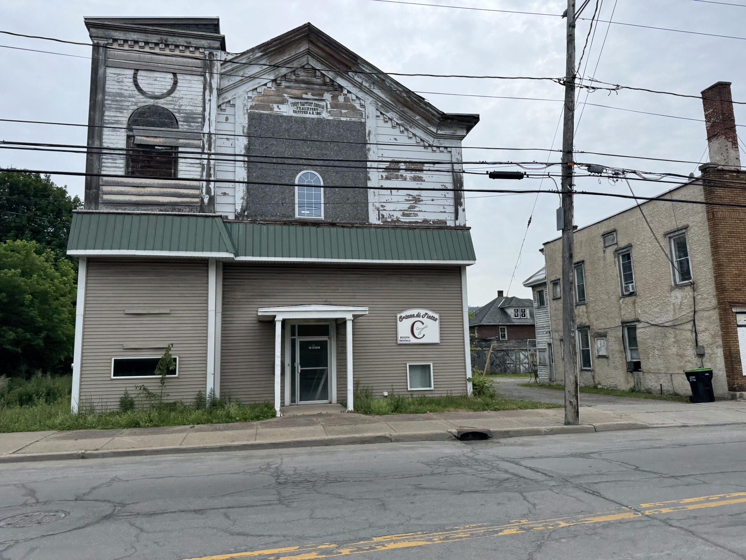
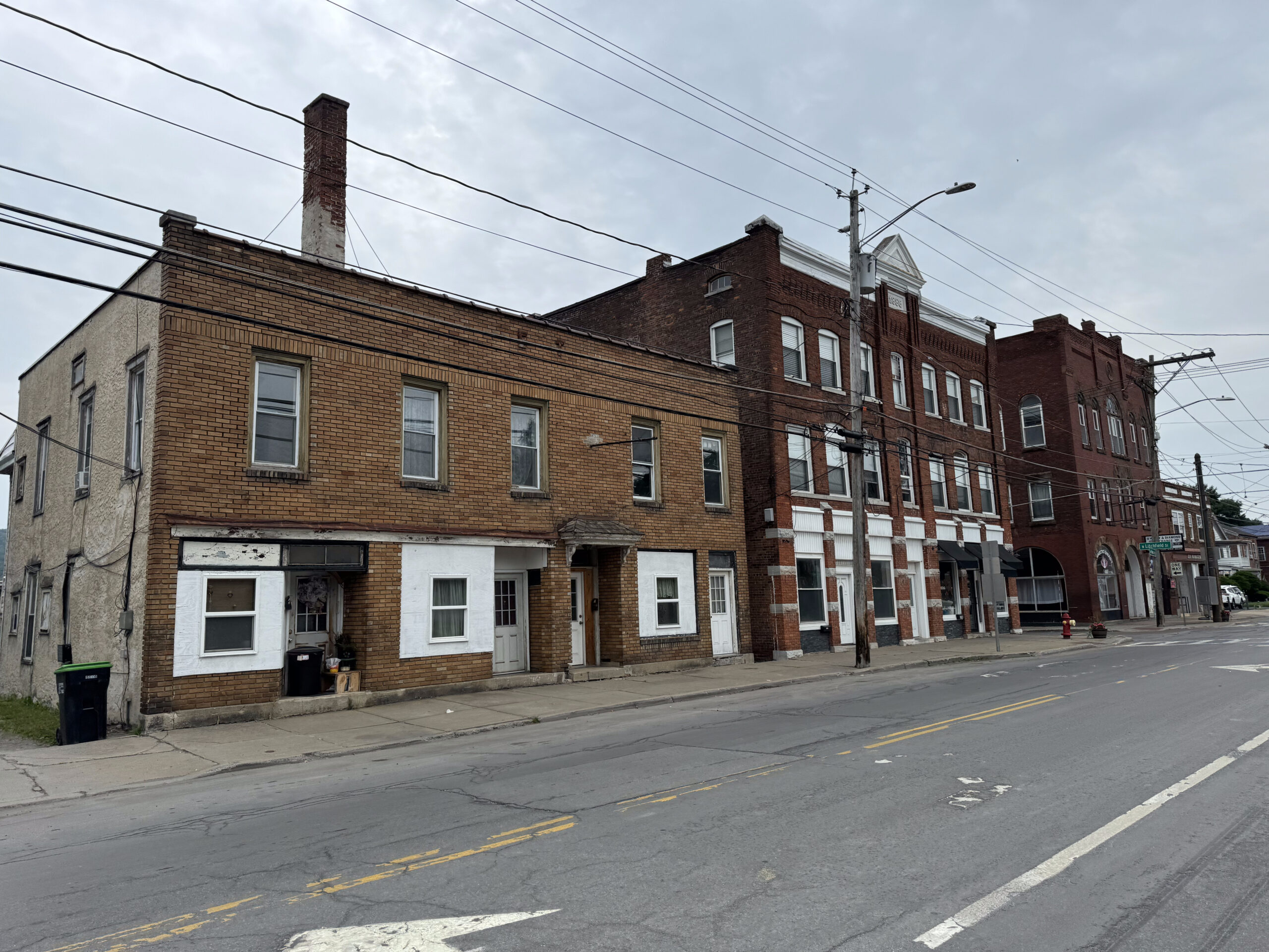
We came to the small town of Frankfurt, which was very rundown. There was a bake shop there, but it was too early in the day to stop.
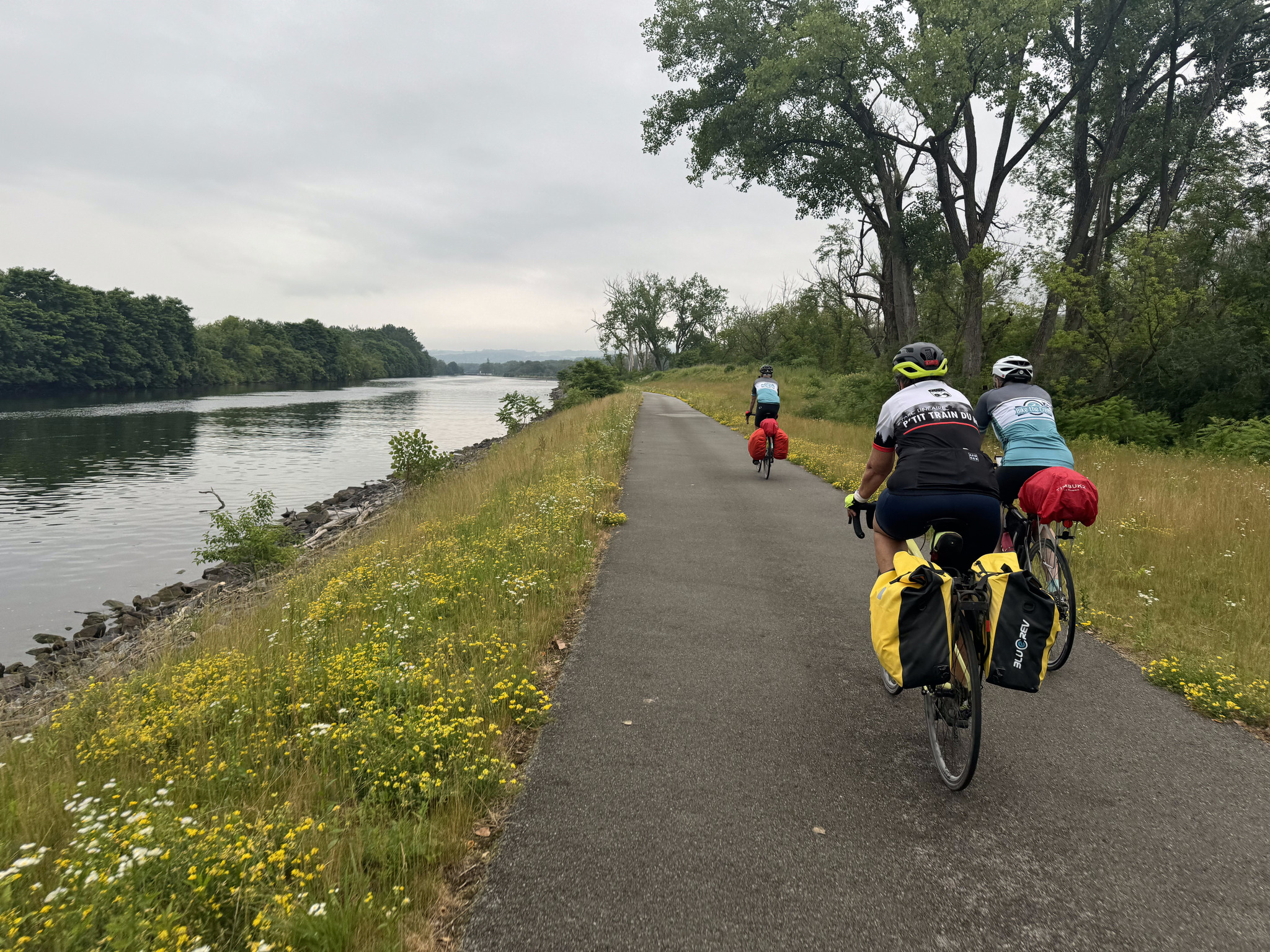
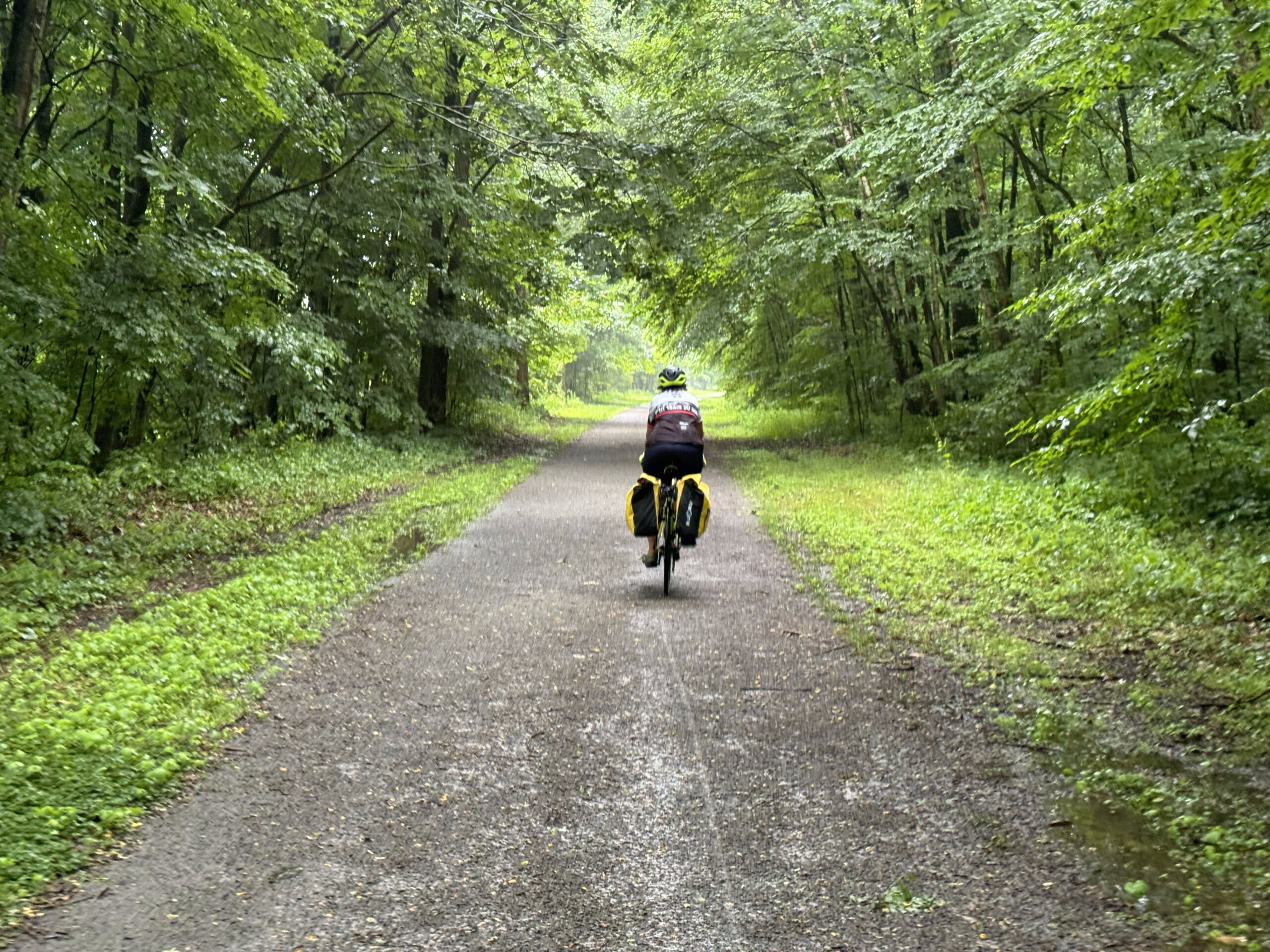
After a couple turns off the road we were riding along the canal. The rain had started, but it was already very warm and very humid, and the rain was quite light, so it wasn’t bothersome at all.
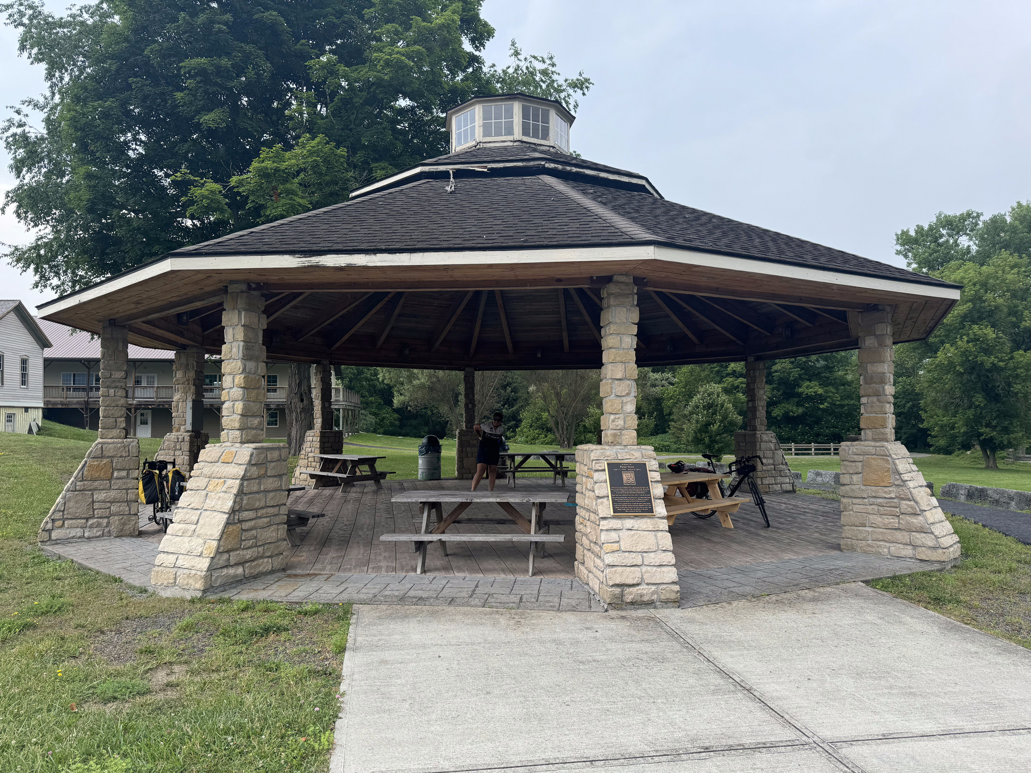
The radar was showing that we were skirting the edge of a very large storm. After riding 25 km we decided to stop for a snack at some picnic tables. I spoke to a local who was just putting his bike on his car and asked him if there was shelter in the next couple miles. He replied that there was a gazebo half a mile down to the trail, and shelter at the next lock. We decided to carry on to the gazebo rather than staying at the unprotected picnic tables.

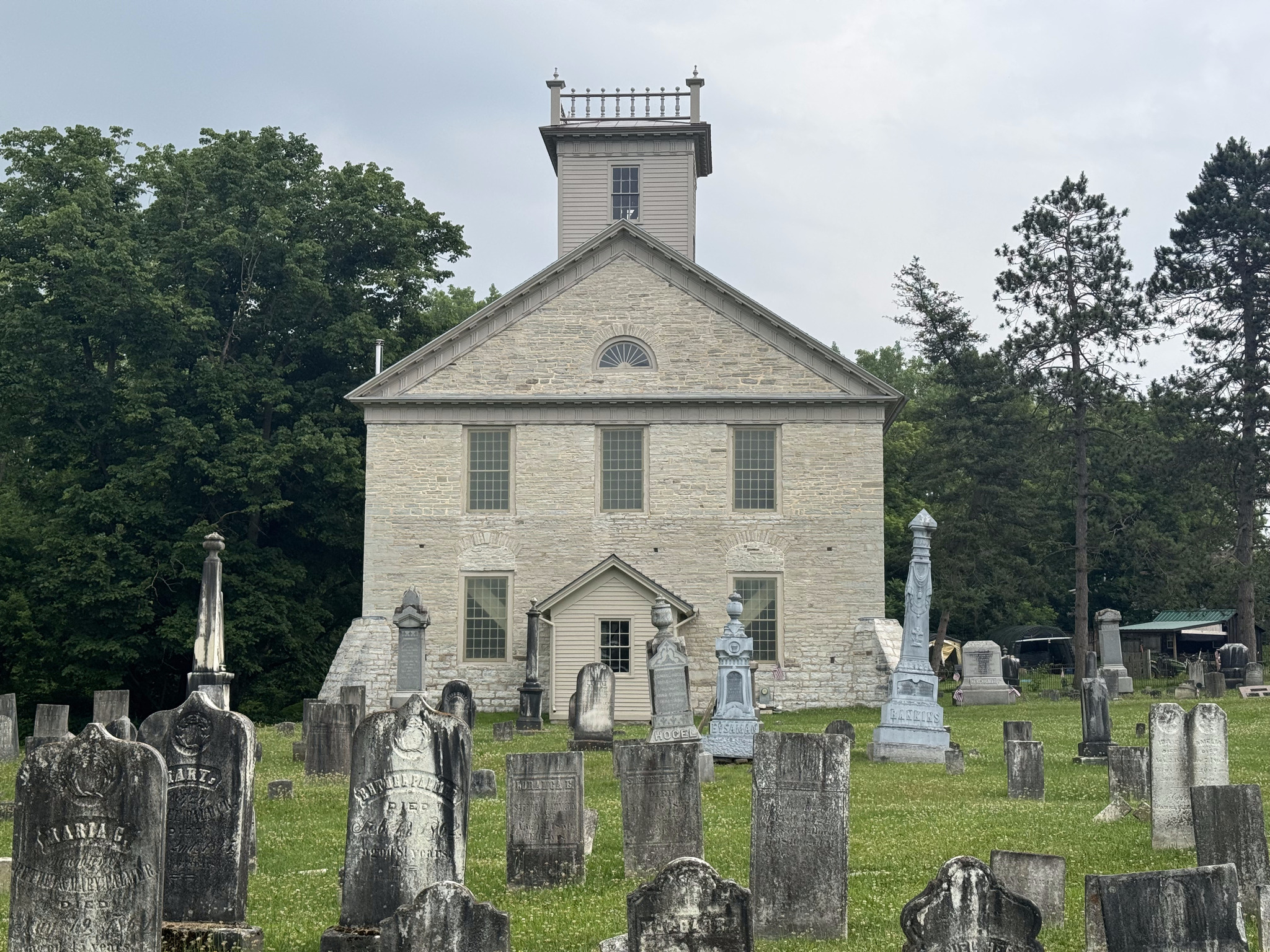
The gazebo provided good cover and we had a snack there facing this church and graveyard which looked to me like it would be a perfect set for a horror movie. This was one of the best spots we encountered for a picnic. I have found the trail lacking in way-finding signage to local amenities that aren’t visible from the trail, and shelters, benches, and bathrooms along the trail.
The sky was dark and there were a few drops of rain falling, but we were finished our snacks so we continued. We could hear thunder and see an occasional flash of lightning, but there were only a few drops of rain.
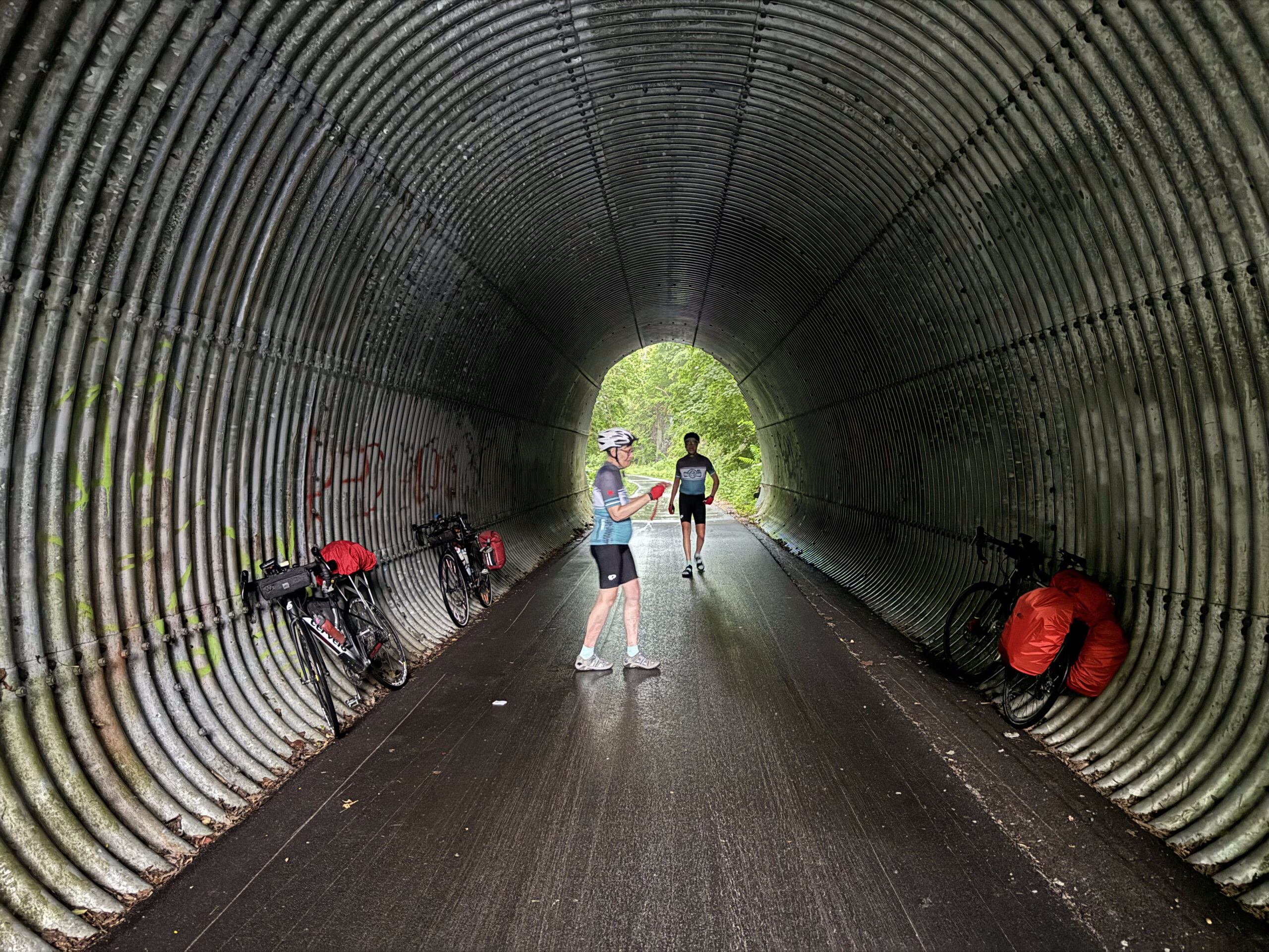
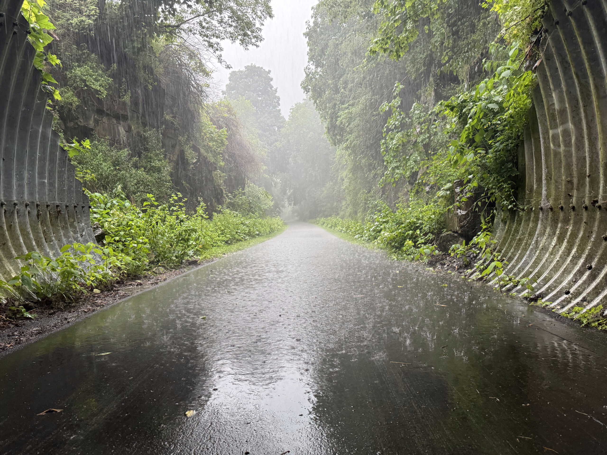
At Little Falls, the rain started to fall more heavily, and the thunder got worse, so when we got to this tunnel under a road we stopped. We were just in time as the sky opened up. We stayed there for half an hour and then continued on our way in light rain, which soon tapered to nothing.
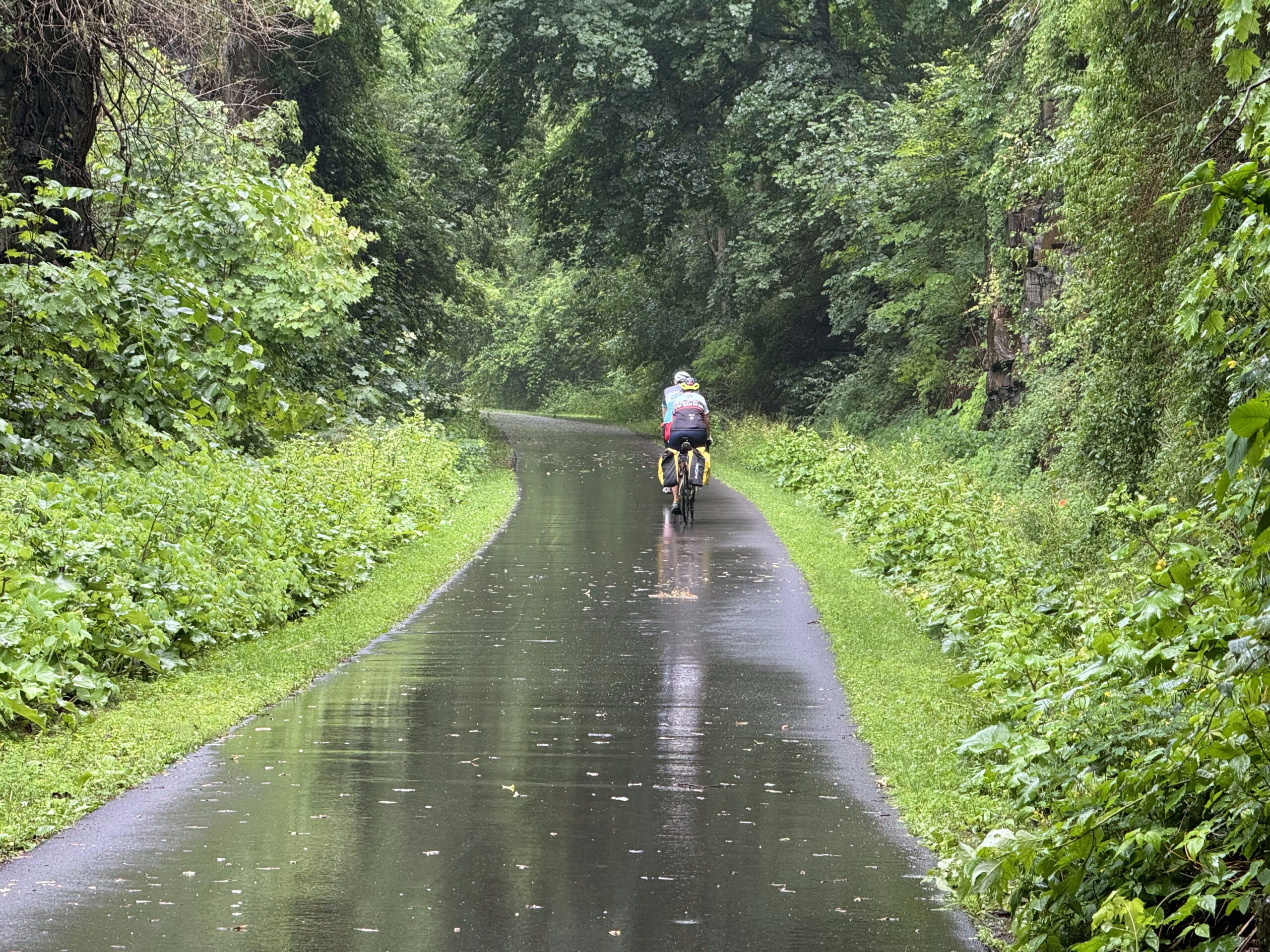
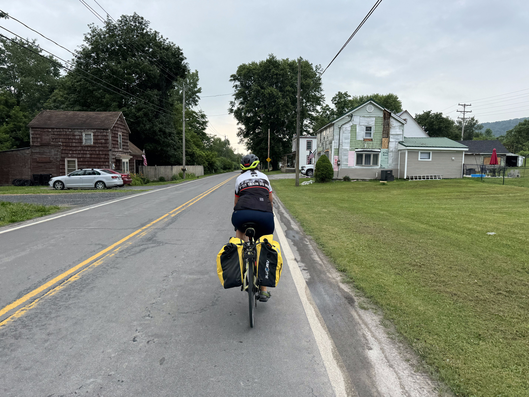
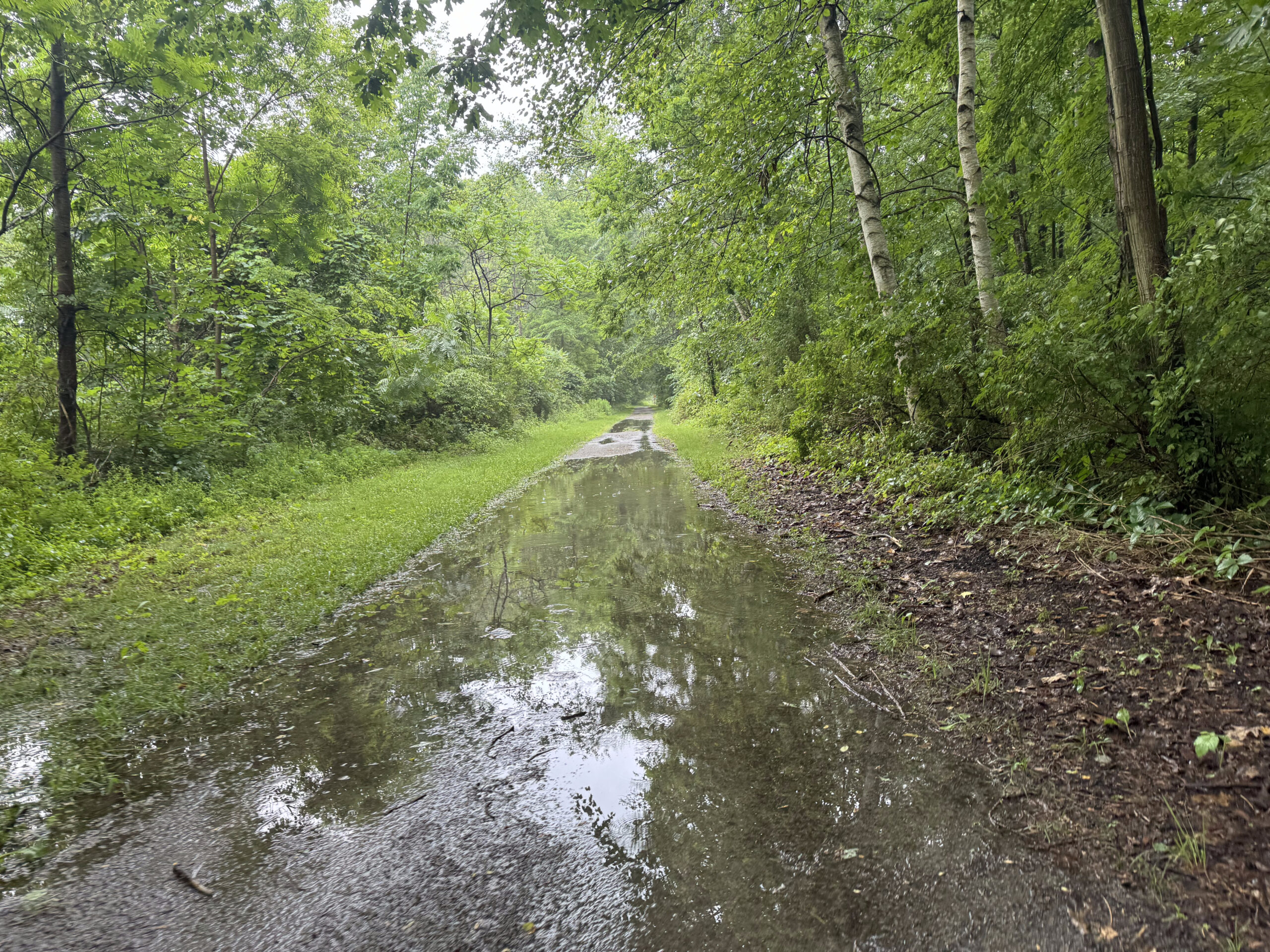
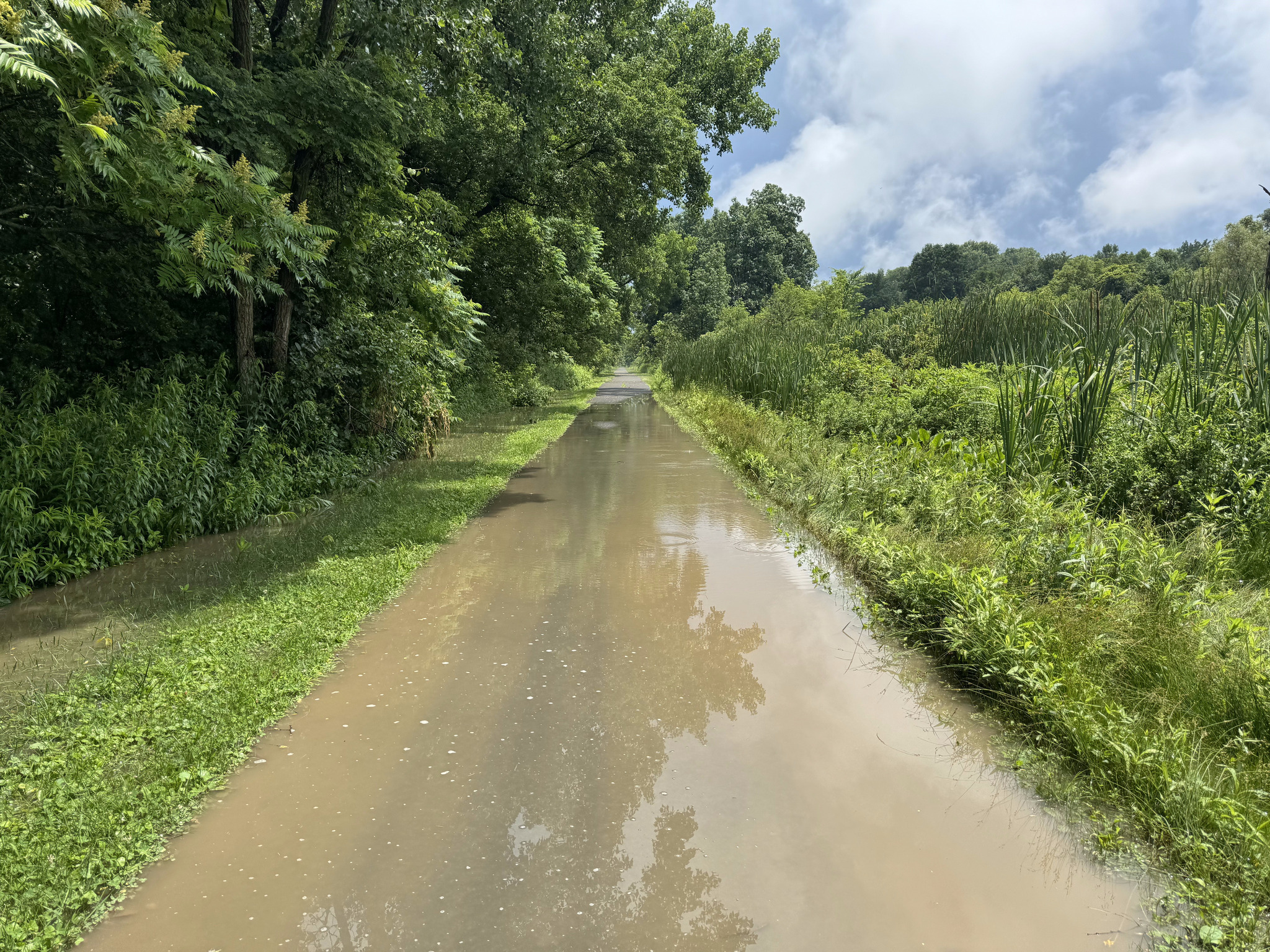
We then hit a 5 km section of the trail with limestone screenings. It was less dusty after the rain, but had a fair number of puddles which slowed us down considerably.
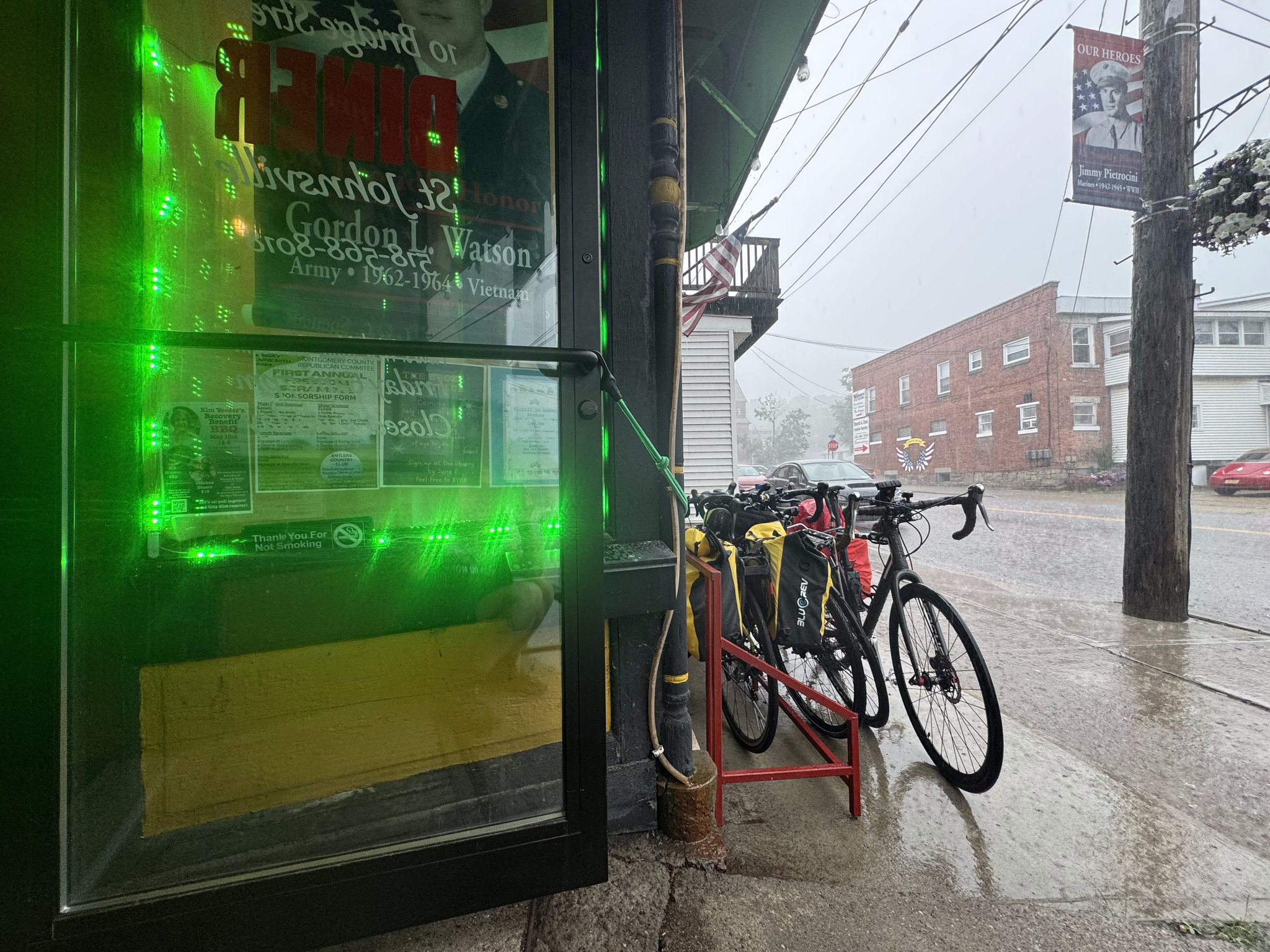
We had planned for lunch at the Bridge Street Diner in St. Johnsville. They had a bike rack outside, but it didn’t work with our bikes so we just put them parallel to the rack and locked them all together. I’m constantly astonished by how bad bike racks are. It makes me wonder if the designer has ever seen a bike.
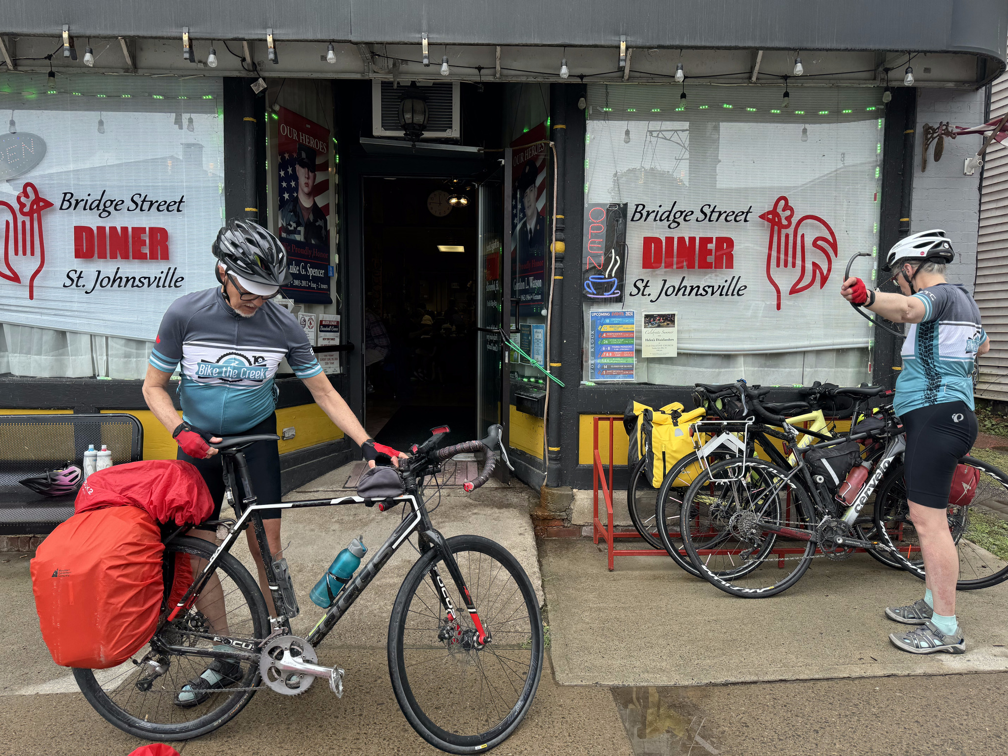
It was a busy independent restaurant with all day breakfast and the food and service were good. Partway through our meal the rain started again so we lingered until it stopped. At noon, we heard an air raid siren. We heard one a couple of days ago, as well. We asked someone at the next table and they said it just goes off every day at noon- it’s nothing to worry about. I did do a Google search about it and found people suggesting that it was how the local volunteer fire force was notified, and that it was used for severe weather, such as tornadoes.
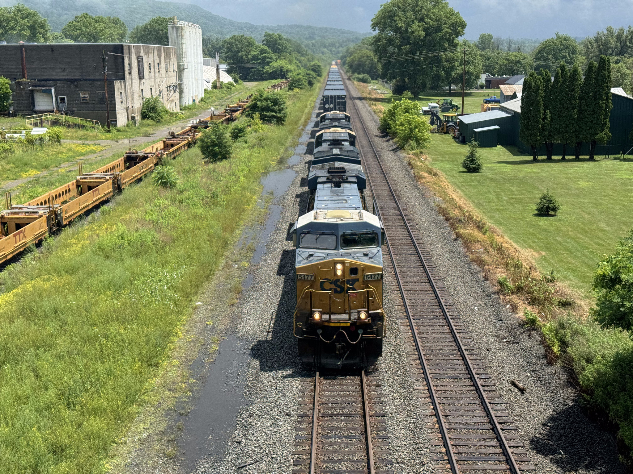
Just as we were leaving the sun came out and I was able to capture a train going under the bridge as we cycled back to the trail.
The trail was paved at this point and had lots of big puddles on it, which again slowed us down.
The ground soon dried up, though the humidity in the air did not.
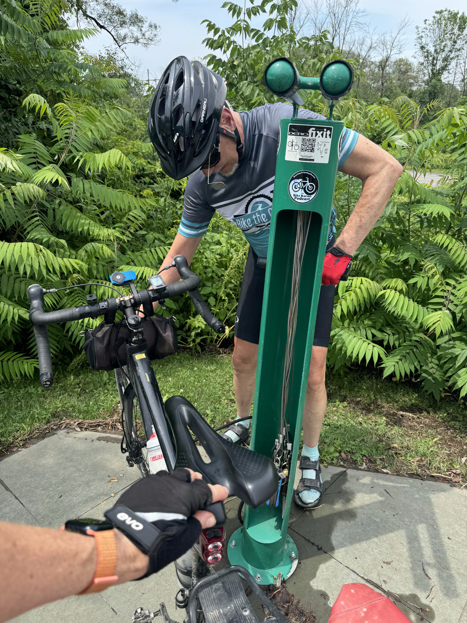
When we came across a bike pump and repair stand, we filled up all our tires. It was the first time for all of us, other than Dayle who filled up back in Buffalo.
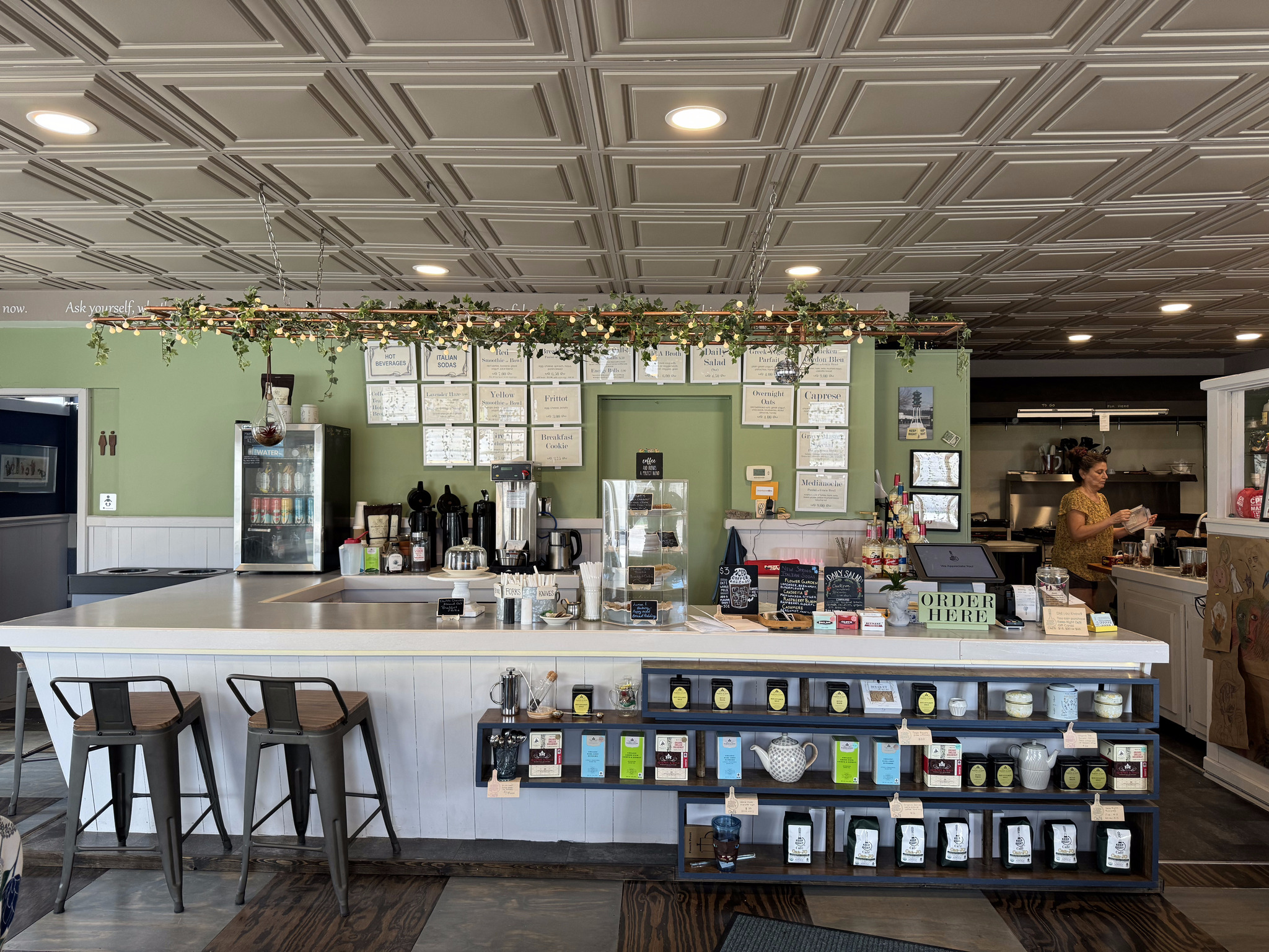
We stopped at the Keep Right Cafe in Palatine Bridge. It had a great atmosphere and a friendly owner.
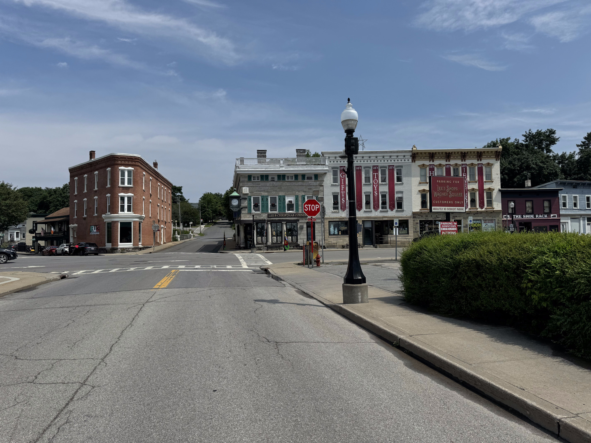
Palatine bridge looked quite rundown by the café, but seems to have a more well kept Main Street, however, we were tired, and hot, and didn’t take time to explore.
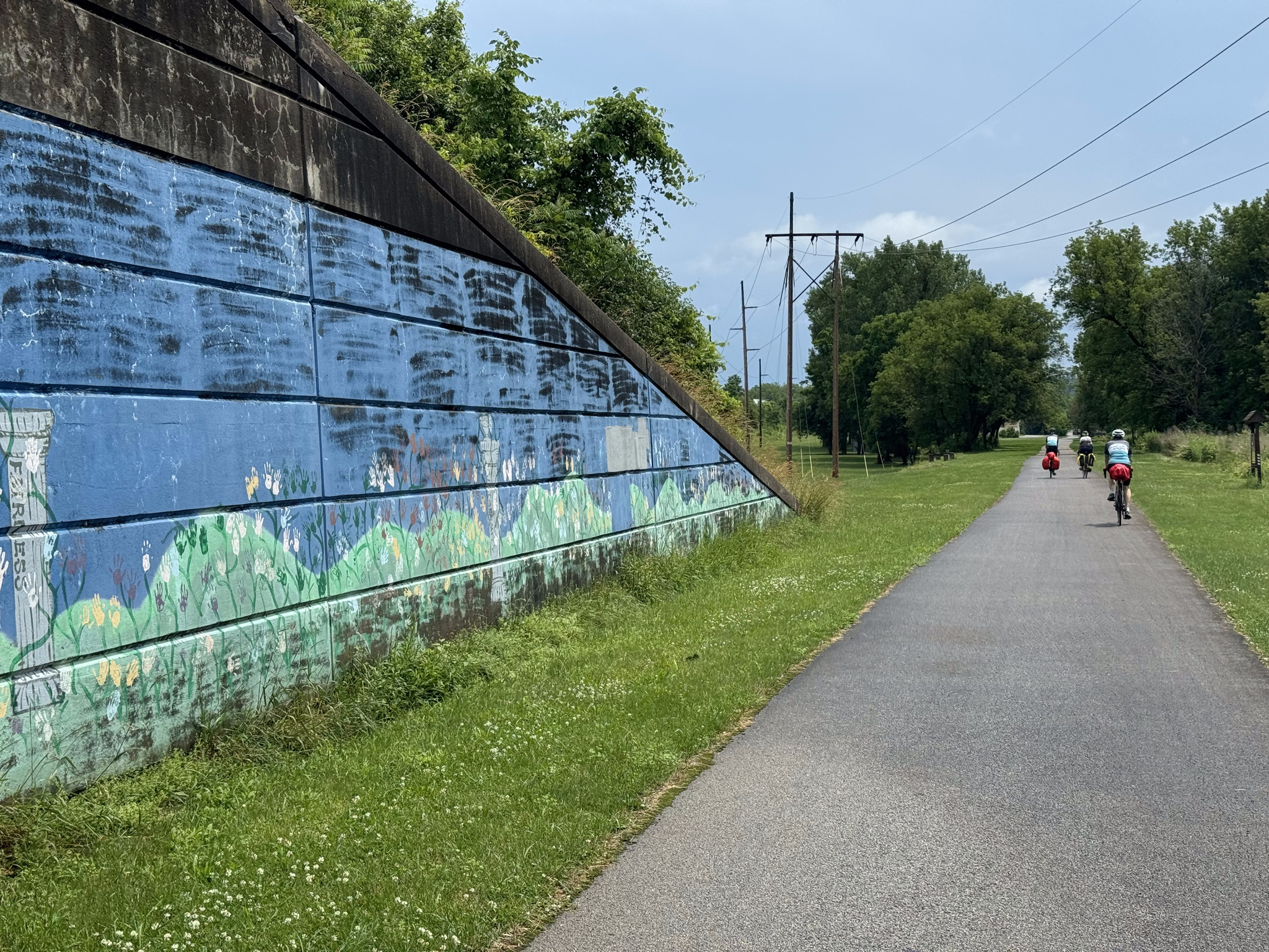
After leaving Palatine bridge the next Ride with GPS navigation instruction was 30 km away. We had pavement all the way, and the path was very straight with only a few road crossings.

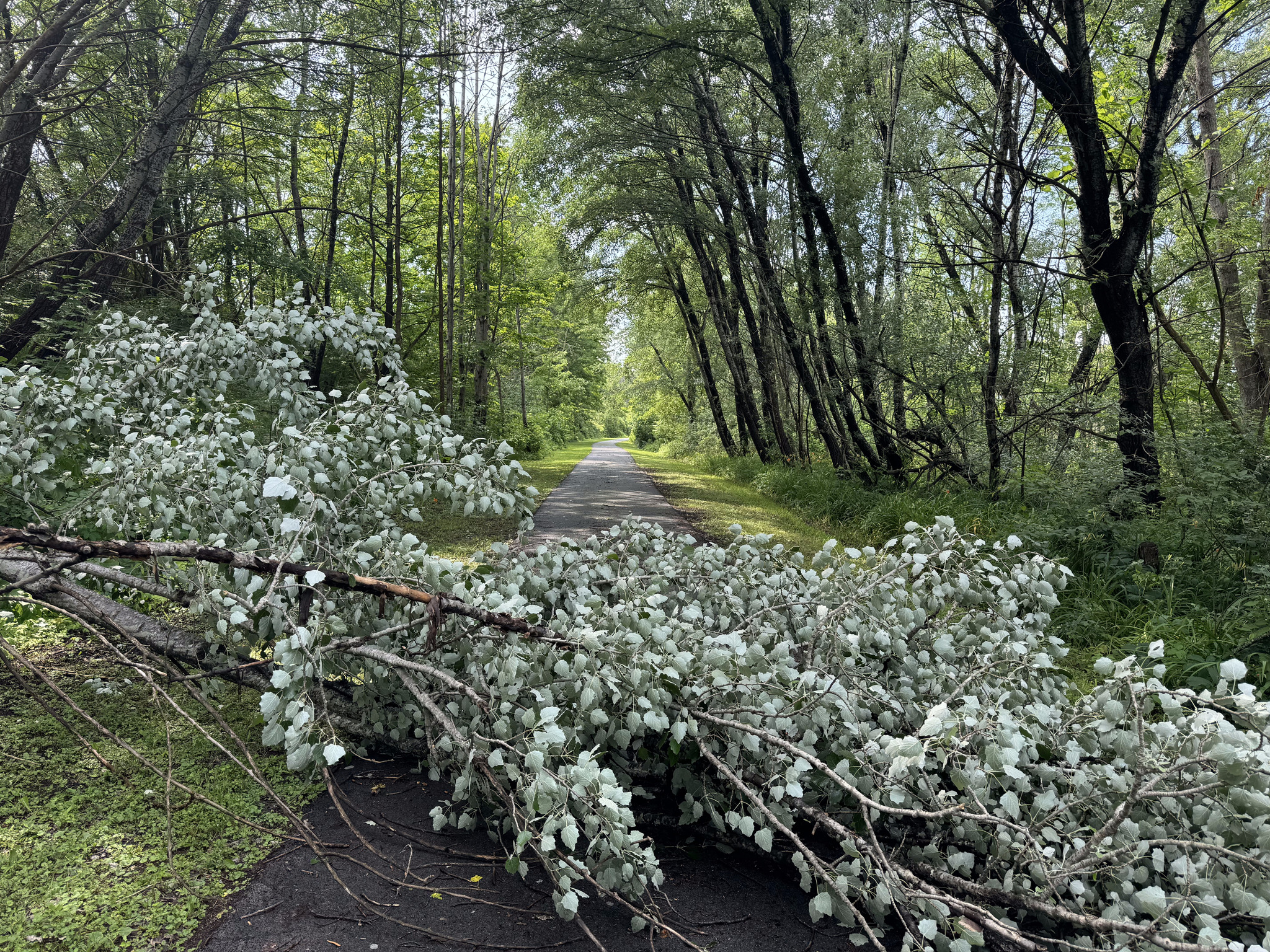
There was a tree down across the path at one point, but we were able to get around.
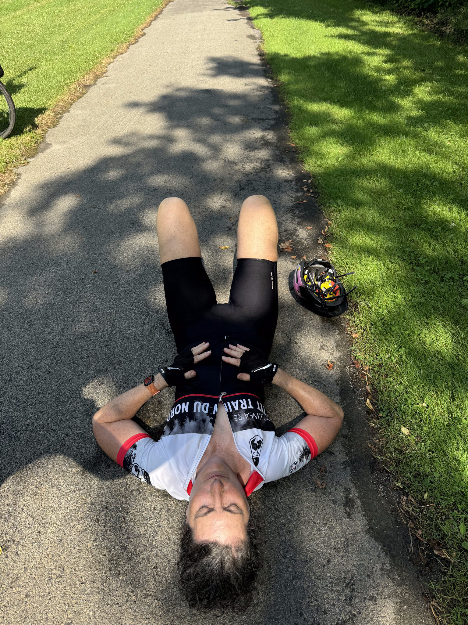
About 5 km before Amsterdam, Cindy and I were ahead of David and Dayle, and I was just so hot and tired that I said, let’s wait for them, and laid down on the path.
About 10 or 15 minutes later they caught up and we stayed together for the last leg to Amsterdam Castle, which we were able to catch a glimpse of from the trail, and which is within a couple hundred metres of the path. We followed the original route all day and didn’t detour, but only 5 km was unpaved. The breakdown between paved and unpaved on Ride with GPS is out of date.
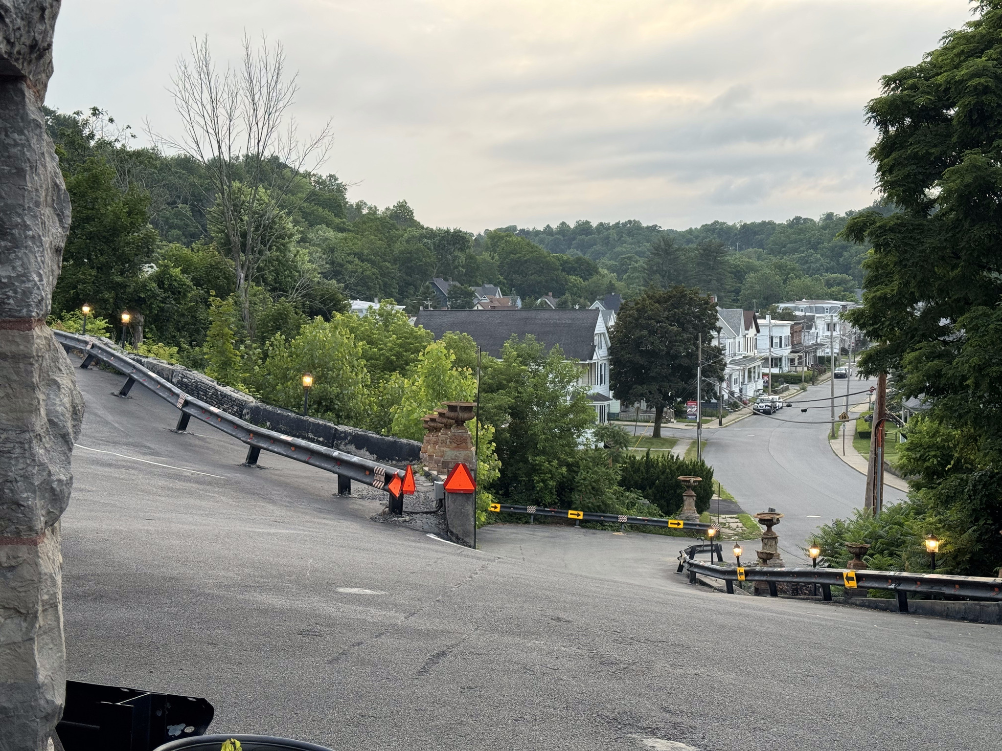
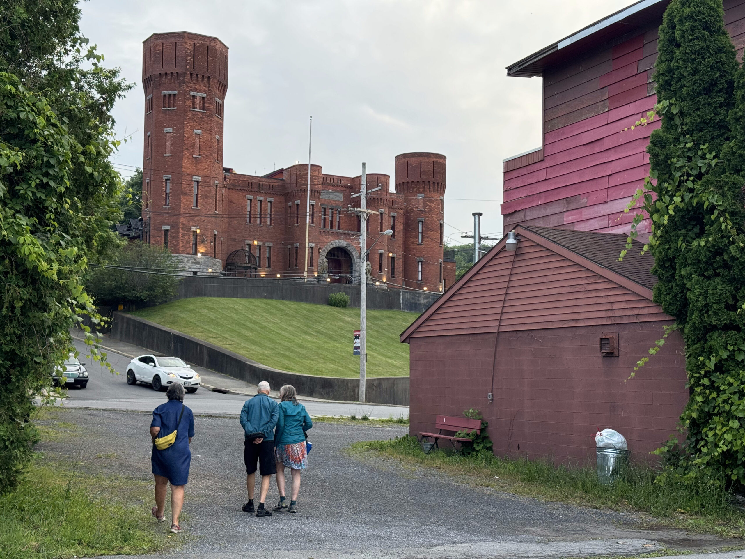
The hotel is on a hill, one of the biggest of our trip, and Cindy and I walked our bikes up, but David and Dayle persevered and made it to the top!
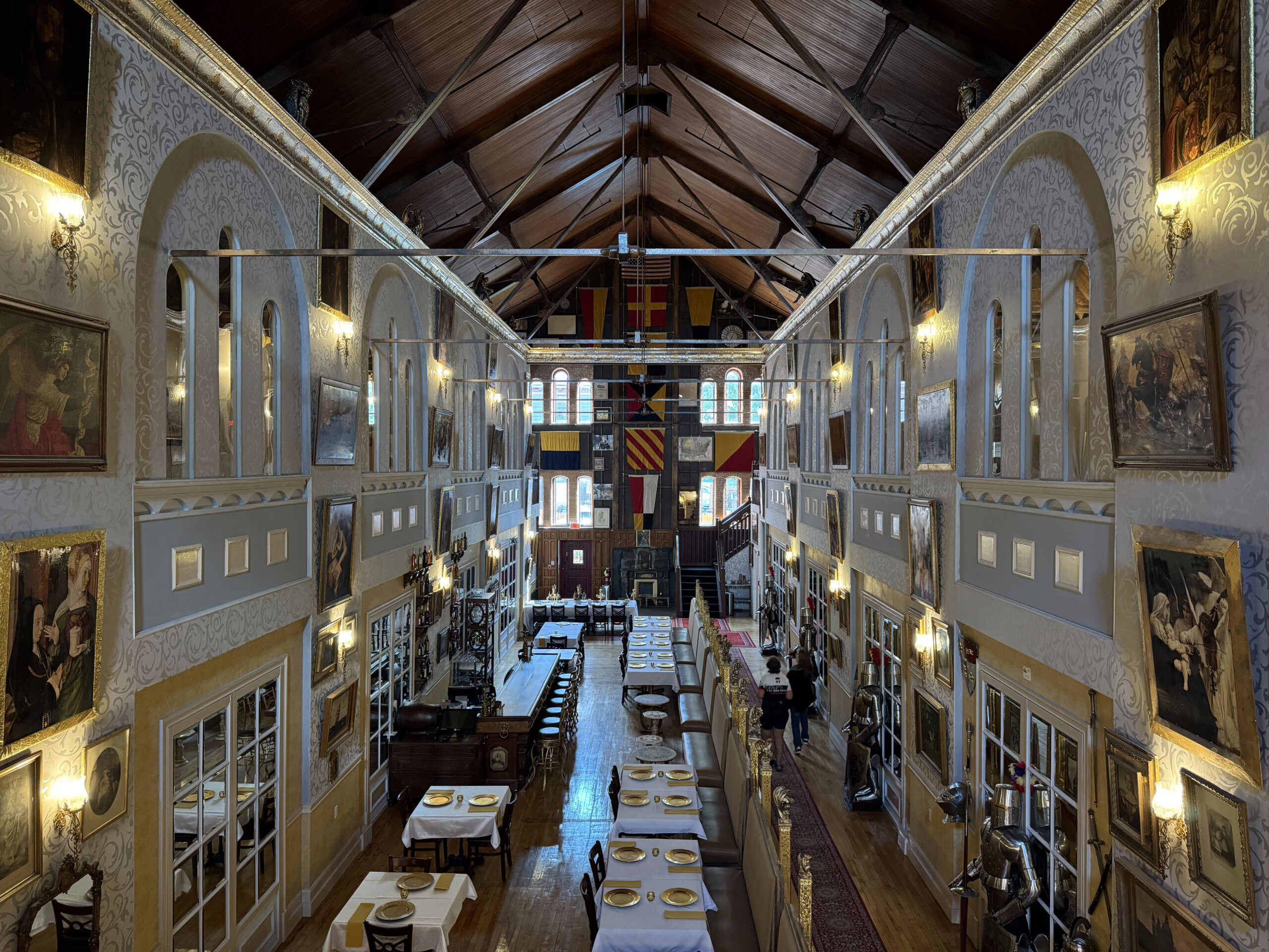
Amsterdam Castle was constructed in 1895, in the castellated late Victorian style as a National Guard armory, by architect and builder Isaac Perry, who also designed the capitol building in Albany. It was extensively, renovated into a private residence, and hotel after being decommissioned in 1994.
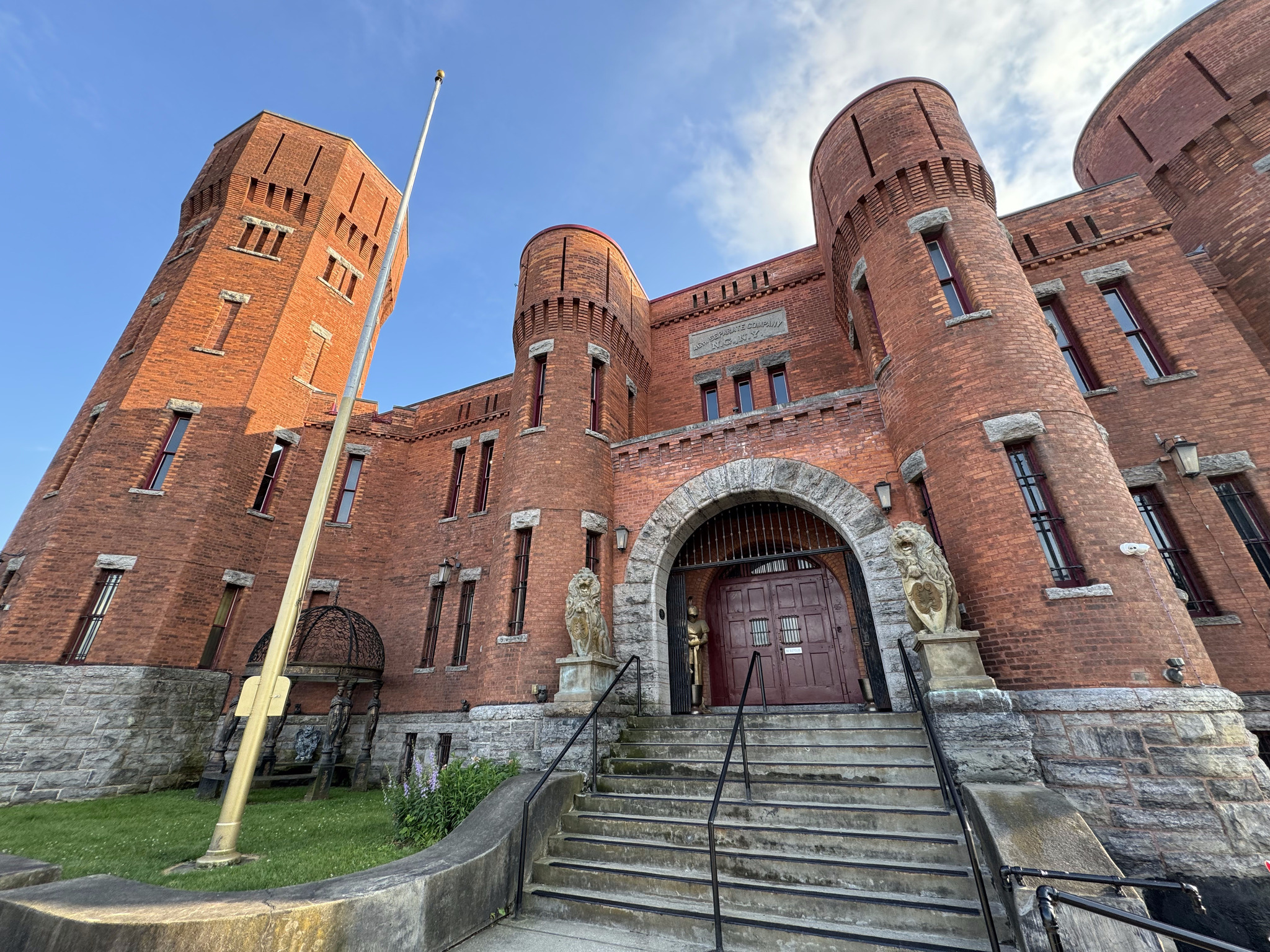
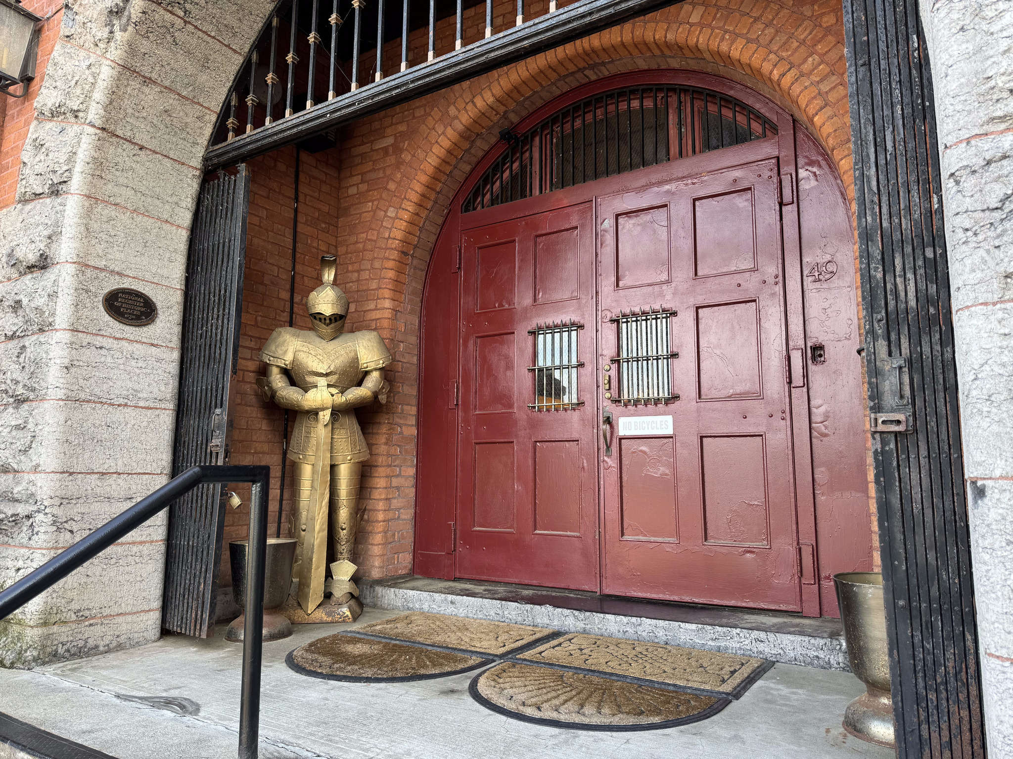
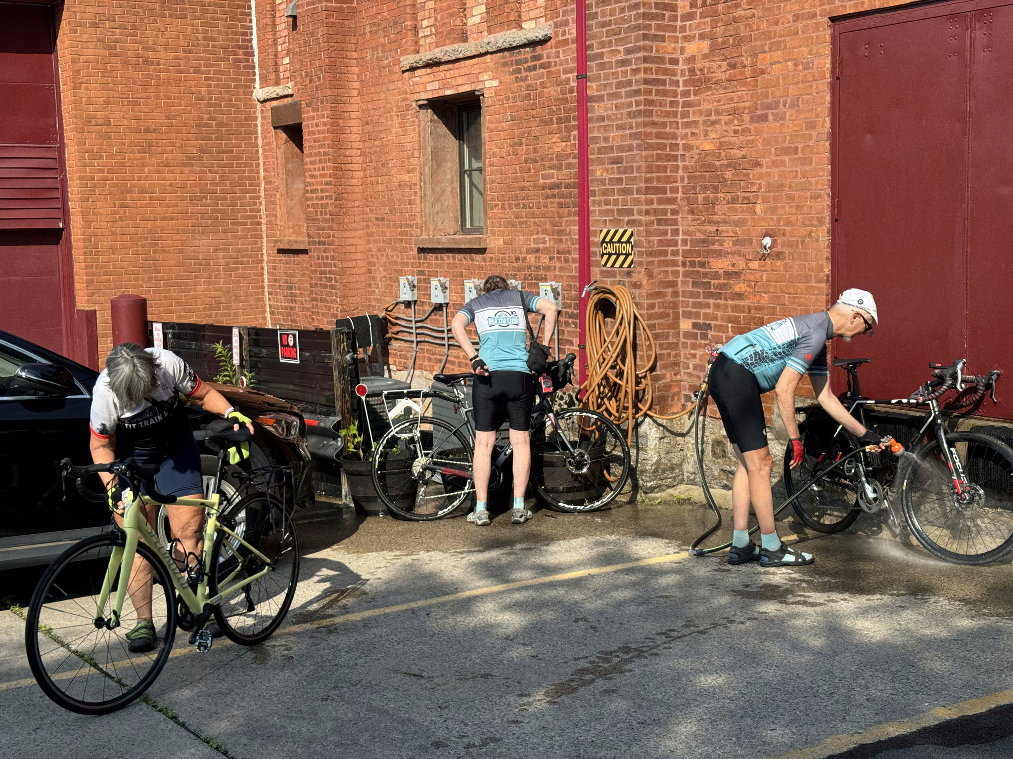
There is a sign on the door reading, no bicycles, so David stayed outside with the bicycles, while we entered and checked in. They told us there was a hose we could use to wash off our bikes, and a locked garage for us to put them in.
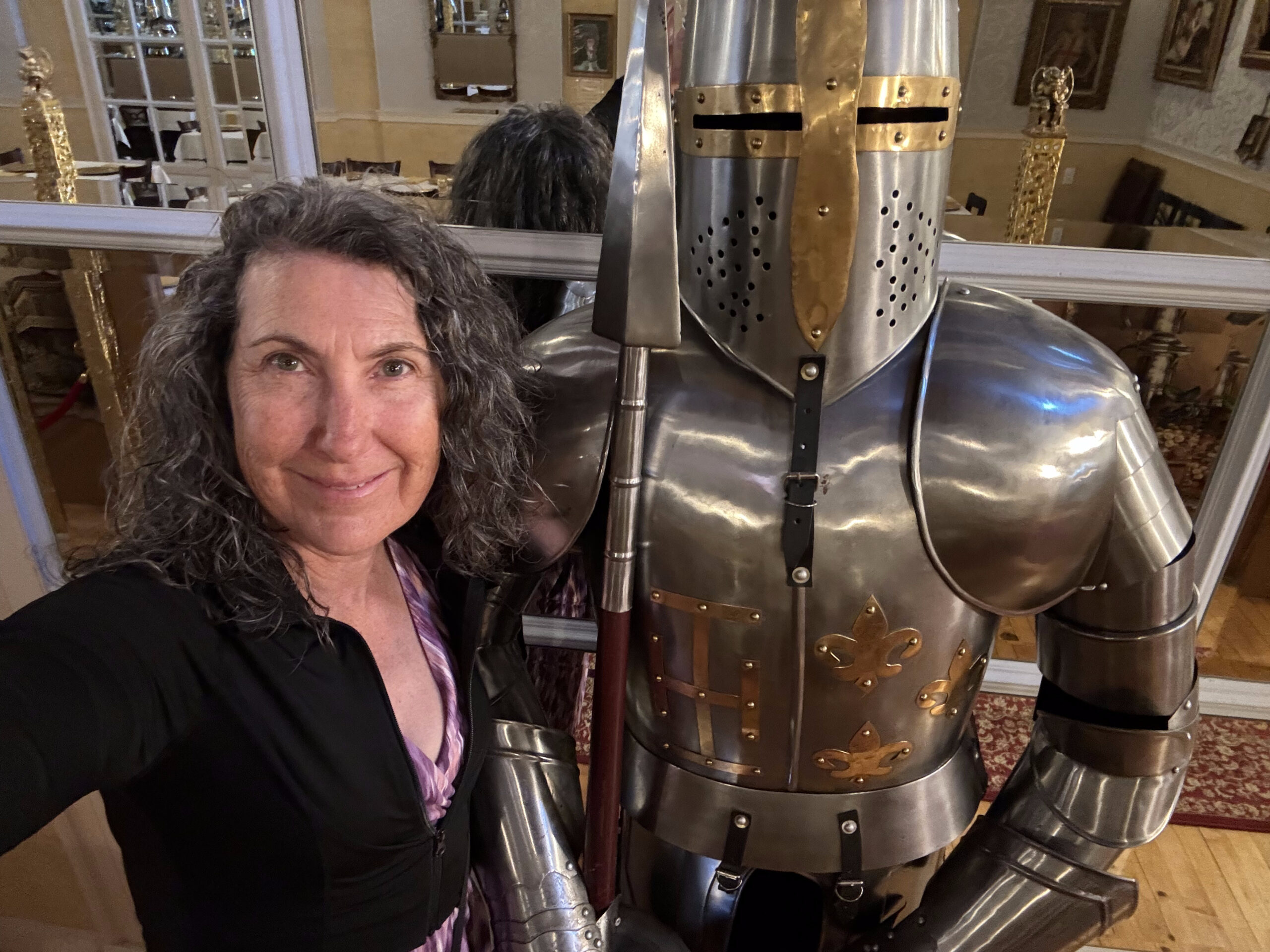
What an incredible place it is inside. We are on the second floor in a nice room just past the view of the great hall.
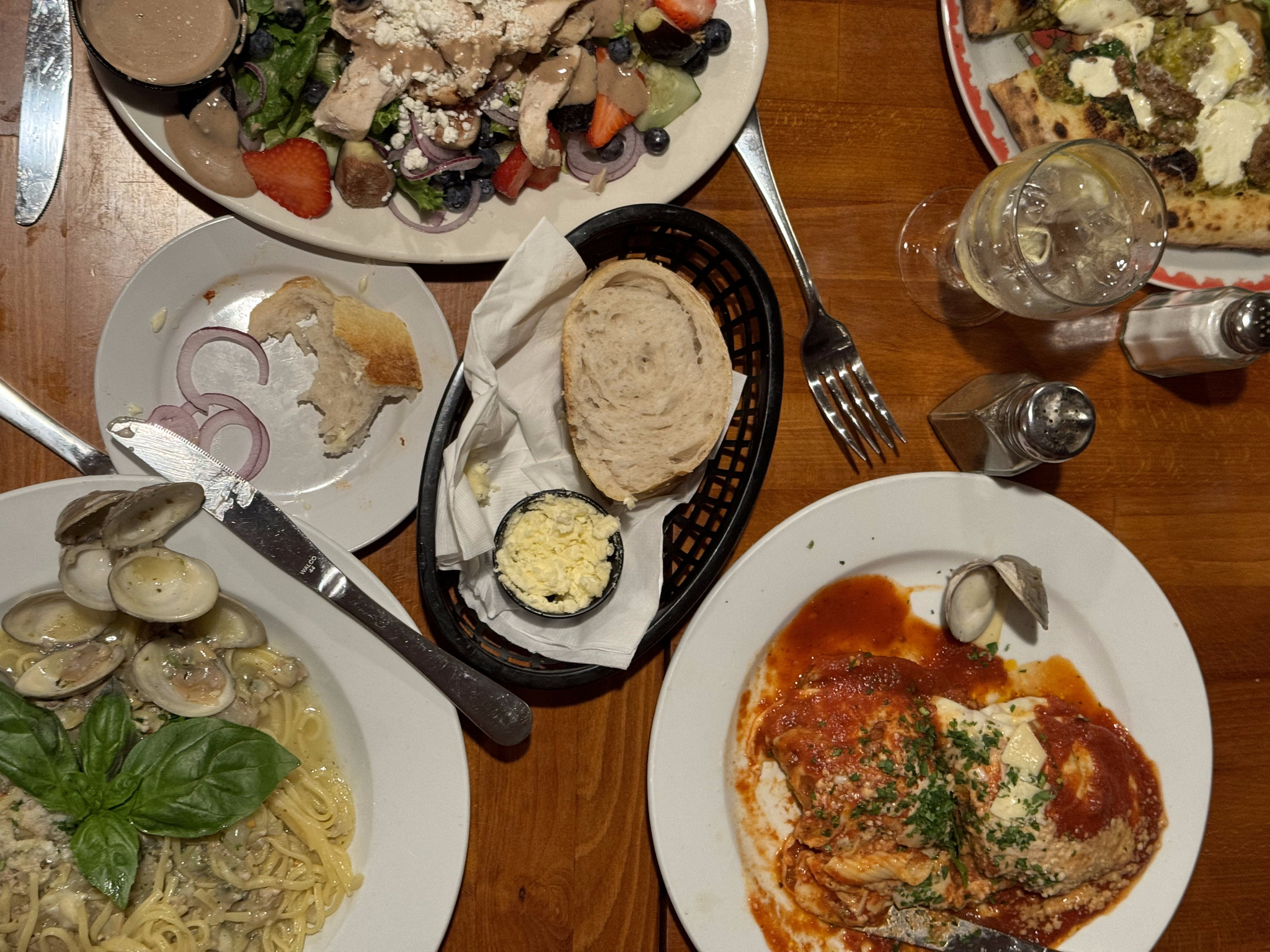
We asked the front desk clerk for a recommendation for dinner, since the hotel doesn’t serve meals, and she sent us to Lorenzo‘s Southside Pasta and Pizza. We would’ve liked to be on the patio, but it was full. Inside was busy and noisy. The food was average, but on the pricey side, with my salad costing $22 US, plus tax and tip. It is very popular, though, and nearby, which was ideal for us.
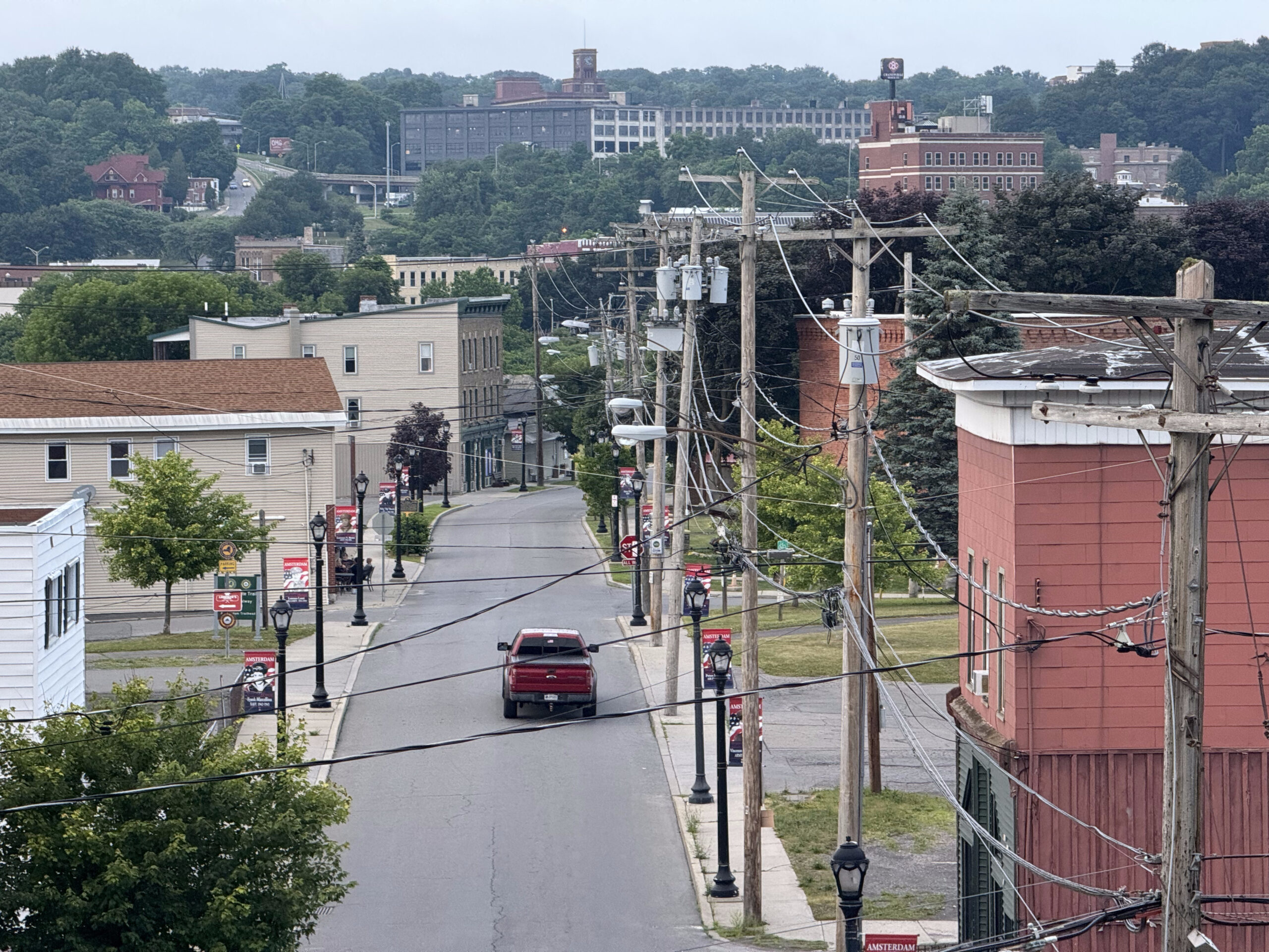
The whole area around the castle is very rundown. The Mohawk River runs through Amsterdam and the bulk of the city seems to be on the other side, but we won’t have time to explore. It’s a beautiful building, but not a nice place to walk around, and quite expensive, so if we were coming here again, we would probably look for places on the other side of the river, even though it would be a longer distance from the trail.
Cindy and I spent a lot of time tonight trying to figure out where to eat breakfast in the morning – there’s not a lot of choice, and none closer than a 12-20 minute walk – and for places to stop for coffee and lunch tomorrow. We didn’t have a lot of success. We’re hoping for more restaurant options in Albany. We will be staying two days in Albany, since it’s the state capital, and then taking the train back to Niagara Falls on the 25th.
More rain forecast for tomorrow. Hopefully our luck with the forecast being wrong, or having shelter when it does pour, will continue. The whole route to Albany is paved. We were all quite tired after completing our second day in a row with more than 100 km, with the awareness that we have 80km to cover tomorrow.
Discover more from Lisa Stokes
Subscribe to get the latest posts sent to your email.