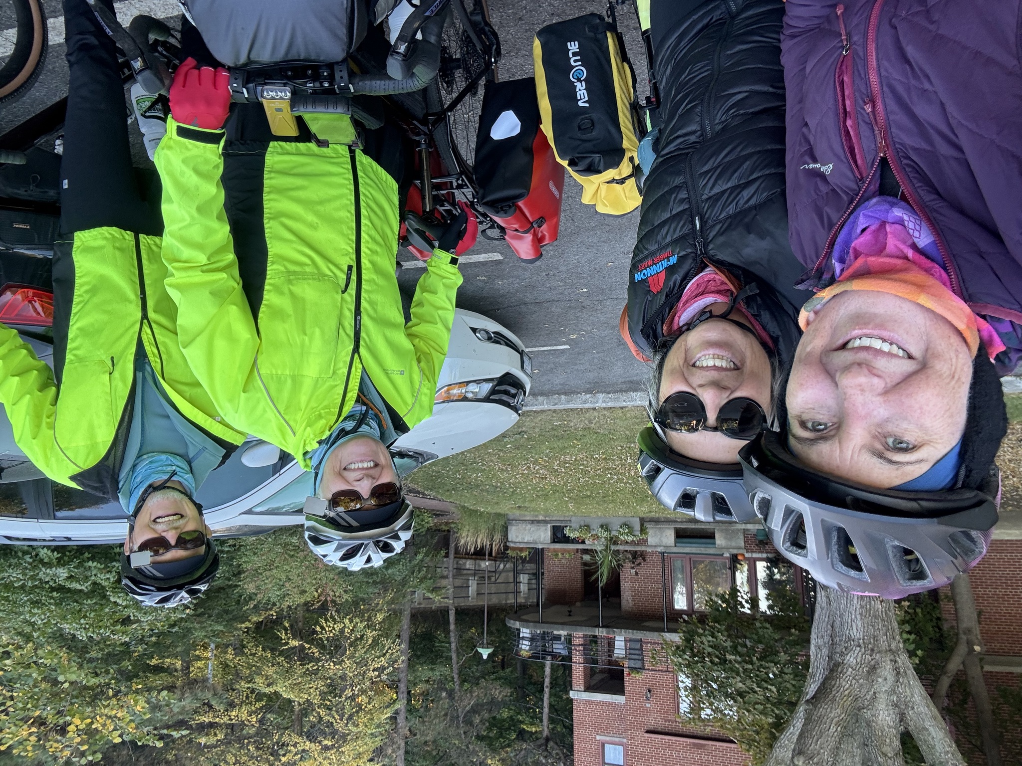
We were up at 7 AM, again, and met for breakfast just before 7:30. Once we went back to the room, I had to decide what to take with me for the seven day, self supportive part of this trip, and what to leave in the van. I brought my two panniers fully packed, plus a box I have to hold my bike gear. I brought more than I needed so that I had a couple more days of weather reports to decide what to take. It was less difficult than I expected because some of the things in the bike box are things that I will wear, like my cycling boots and helmet. Decisions were made, things were put in the van, and we were ready to go.
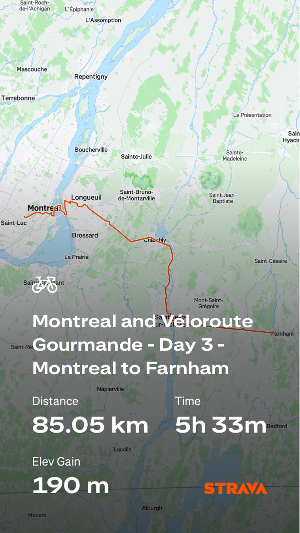
The route we were following between Montreal and Sherbrooke is called the Véloroute Gourmande. The map on the Véloroute Gourmande website has a link to the route on Ride with GPS. I started with this map, and broke it up for where we were stopping, and included the route from the trail to our accommodation and back for each day.
We encountered quite a few places along the route where the signage and the GPX file we’re not aligned. It caused us some confusion. In some spots, the signed route was better than the GPX file. When we finished for the day, I checked the file and it hasn’t been updated since 2021. It seems that some infrastructure has been upgraded in the last four years, and signs installed, but no one thought to update the GPX file.
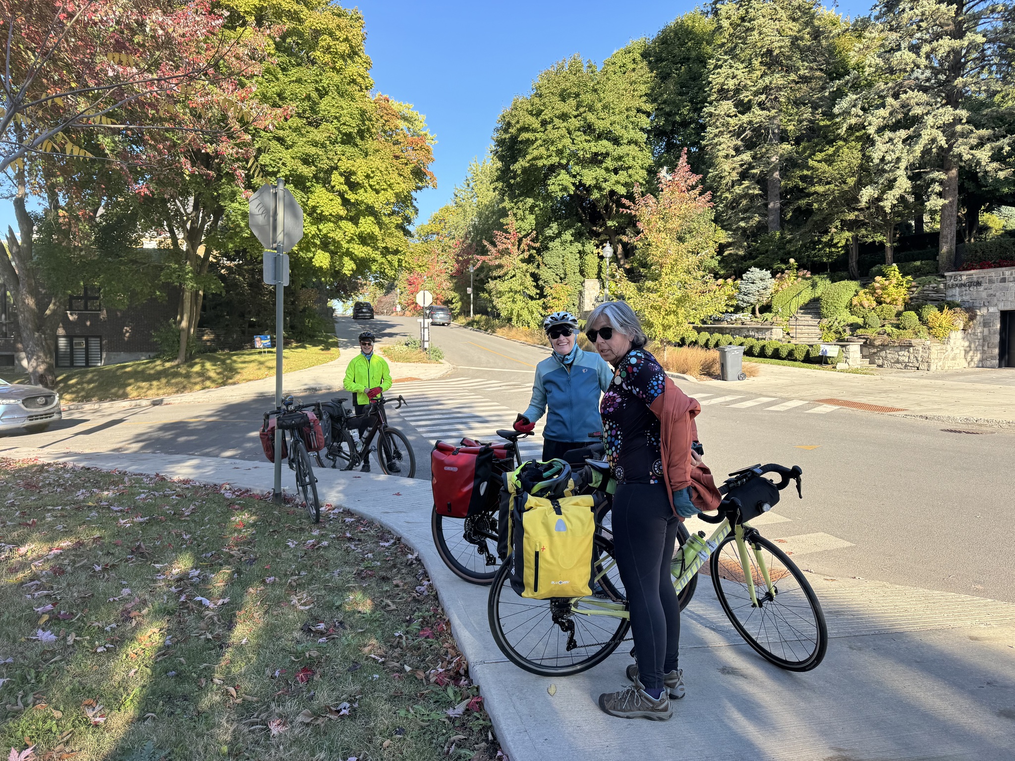
For today, I also had Ride with GPS create a route from our accommodation to the beginning of the Véloroute Gourmande. I didn’t check the elevation profile, and like yesterday, we found ourselves climbing a steep hill up to the Westmount Summit. After only a kilometre we had to stop and take layers off as it didn’t feel as cold as yesterday morning and the climb warmed us up quickly.
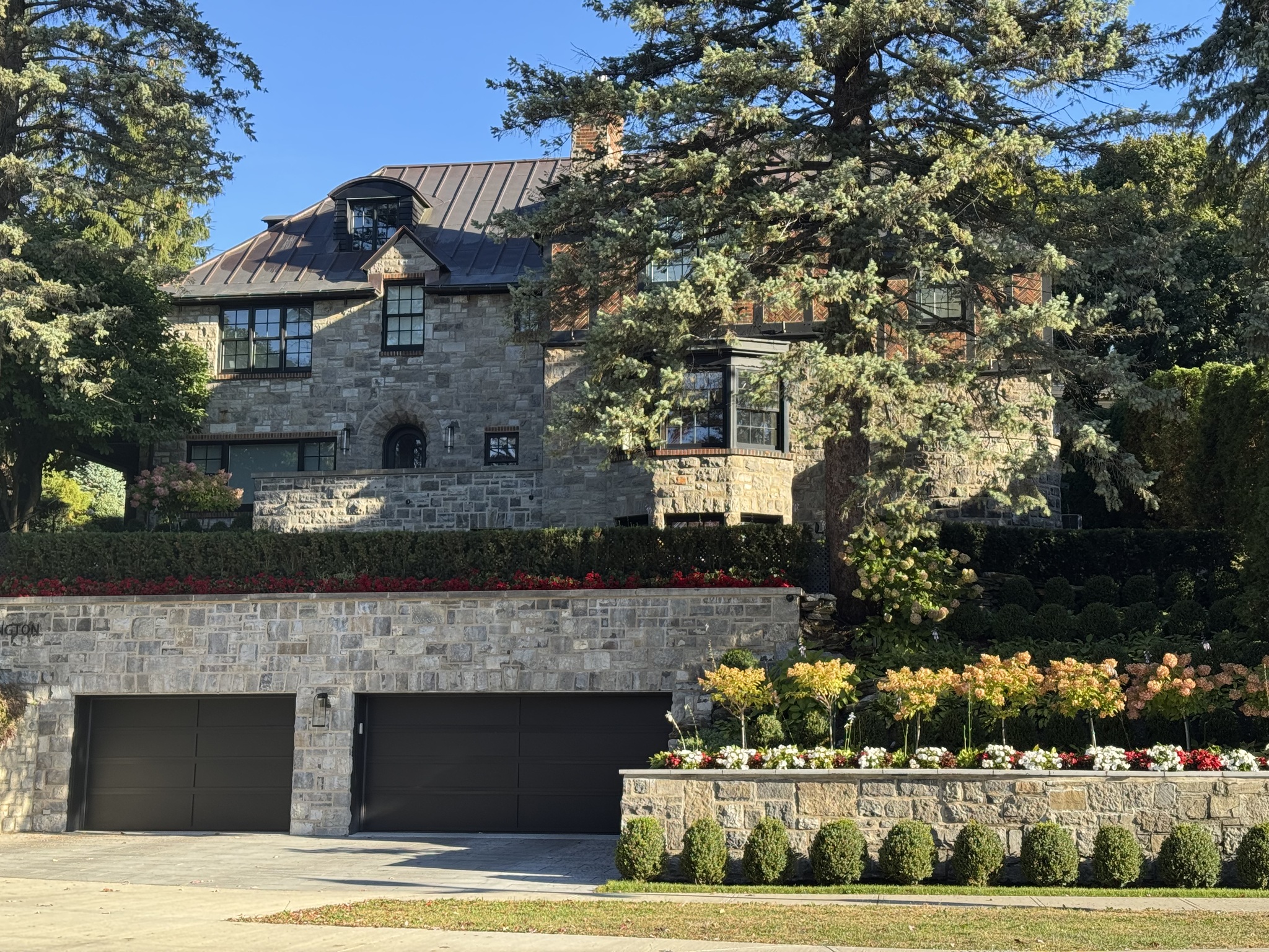
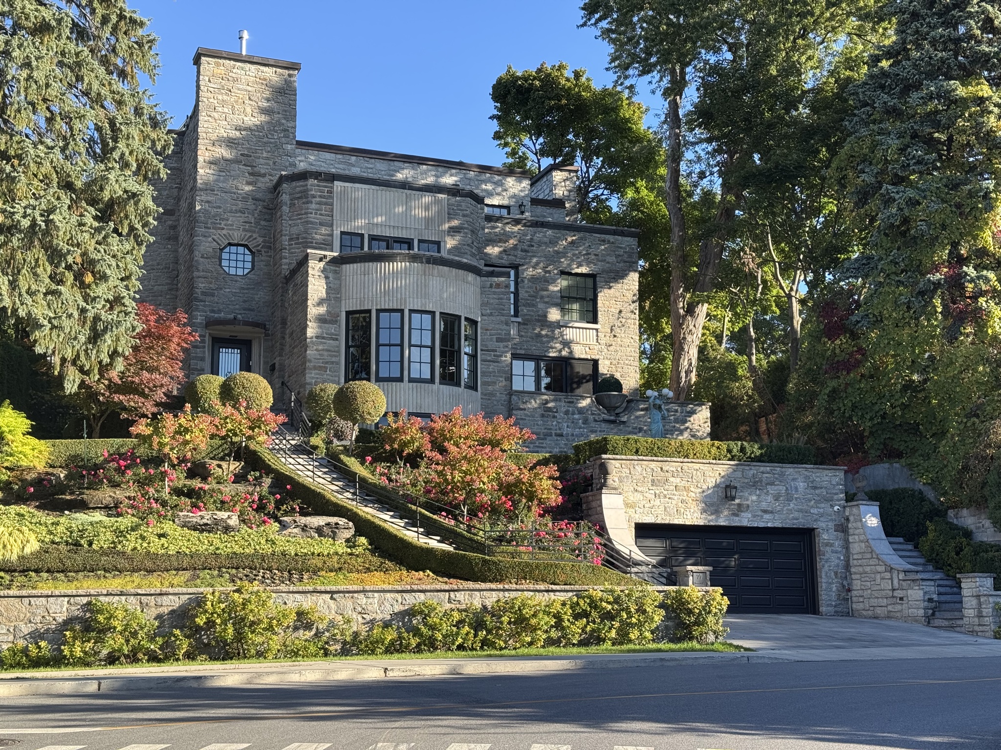
It was a neighbourhood of beautiful homes which we enjoyed seeing making the climb worthwhile.
The descent was exhilarating and seemed to go on for much longer than the climb. I think that was because we were not only descending from Westmount Summit, but continued to descend down to the port of Montreal.
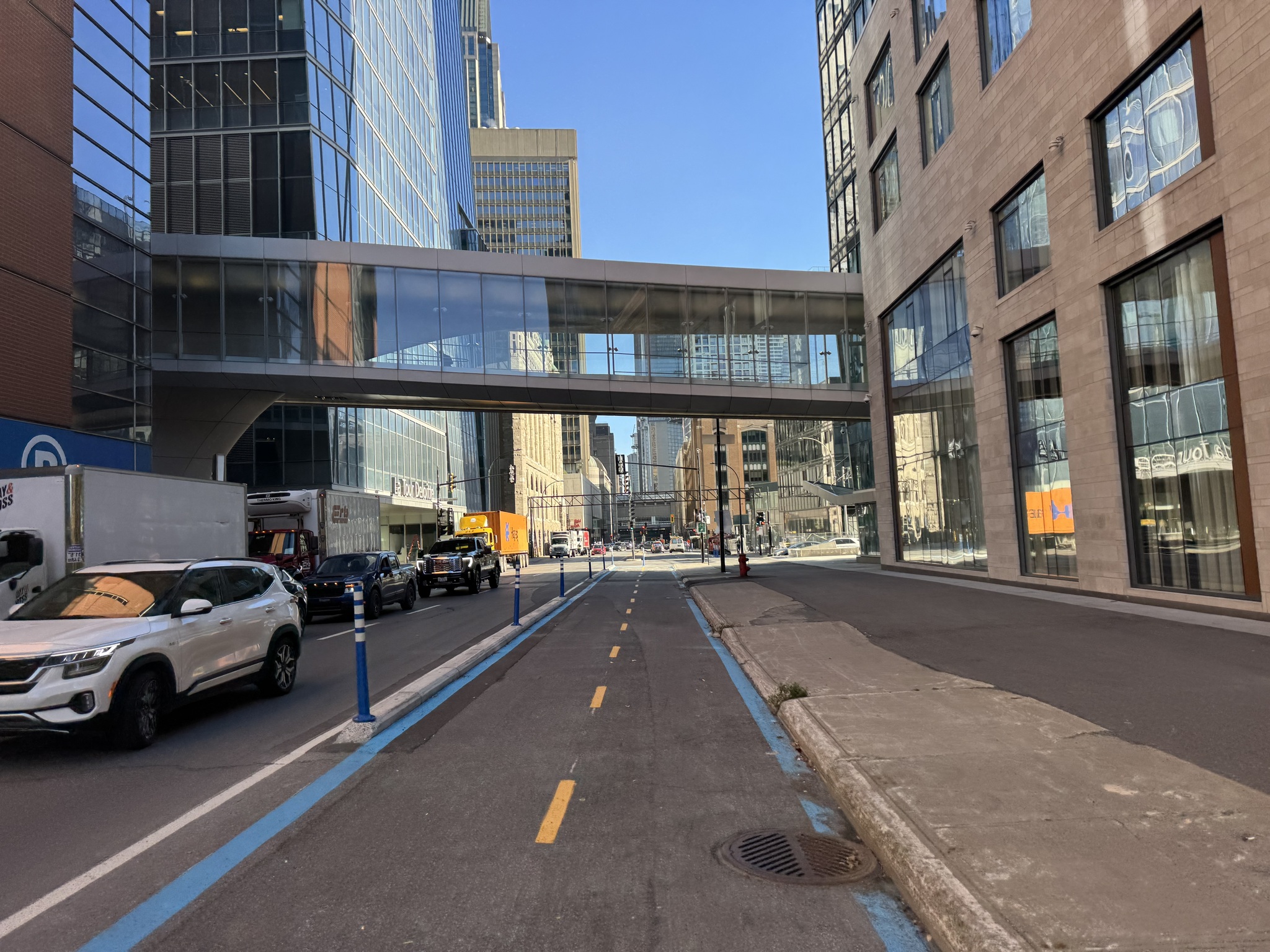
Once we were out of the residential area, we had cycling infrastructure for most of the rest of the day. This is a typical Montreal bi-directional cycle track.
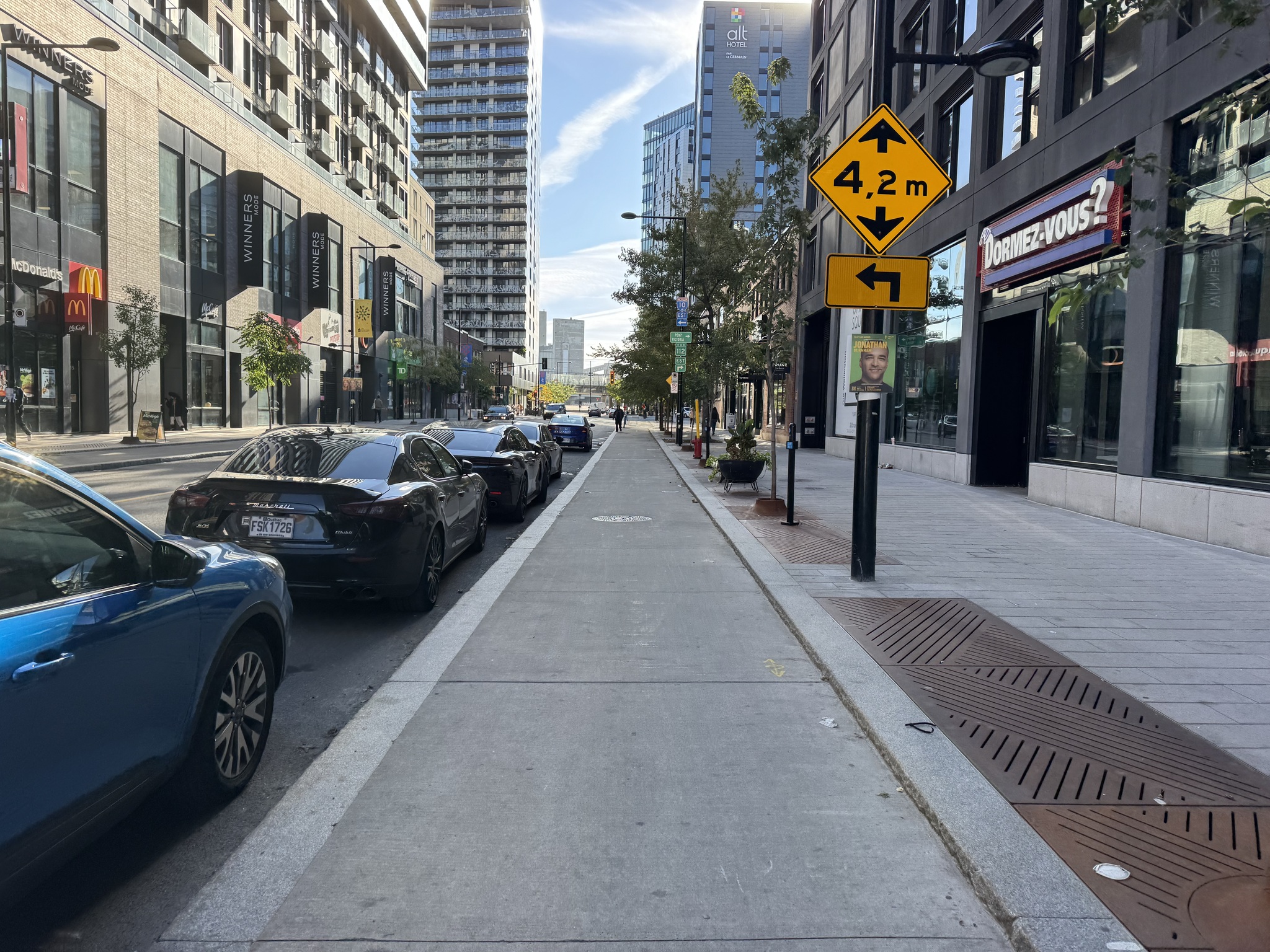
I think this is the first time I have encountered a raised One Direction cycle track.
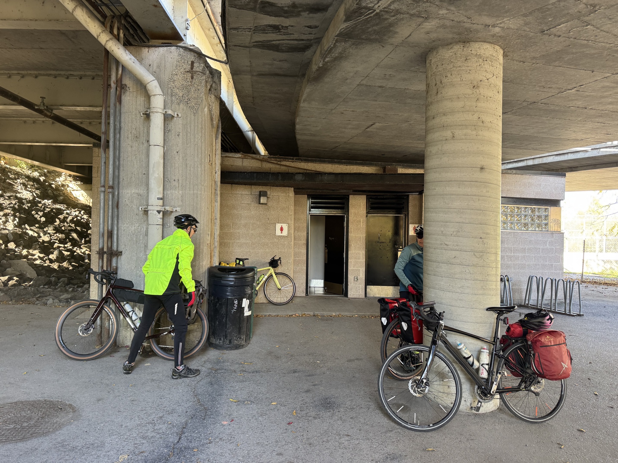
When we got to the Lachine Channel we repeated a short part of the route we did yesterday. At the beginning of the Véloroute Gourmande route there public bathrooms, which we used.
The port of Montreal is a busy port.
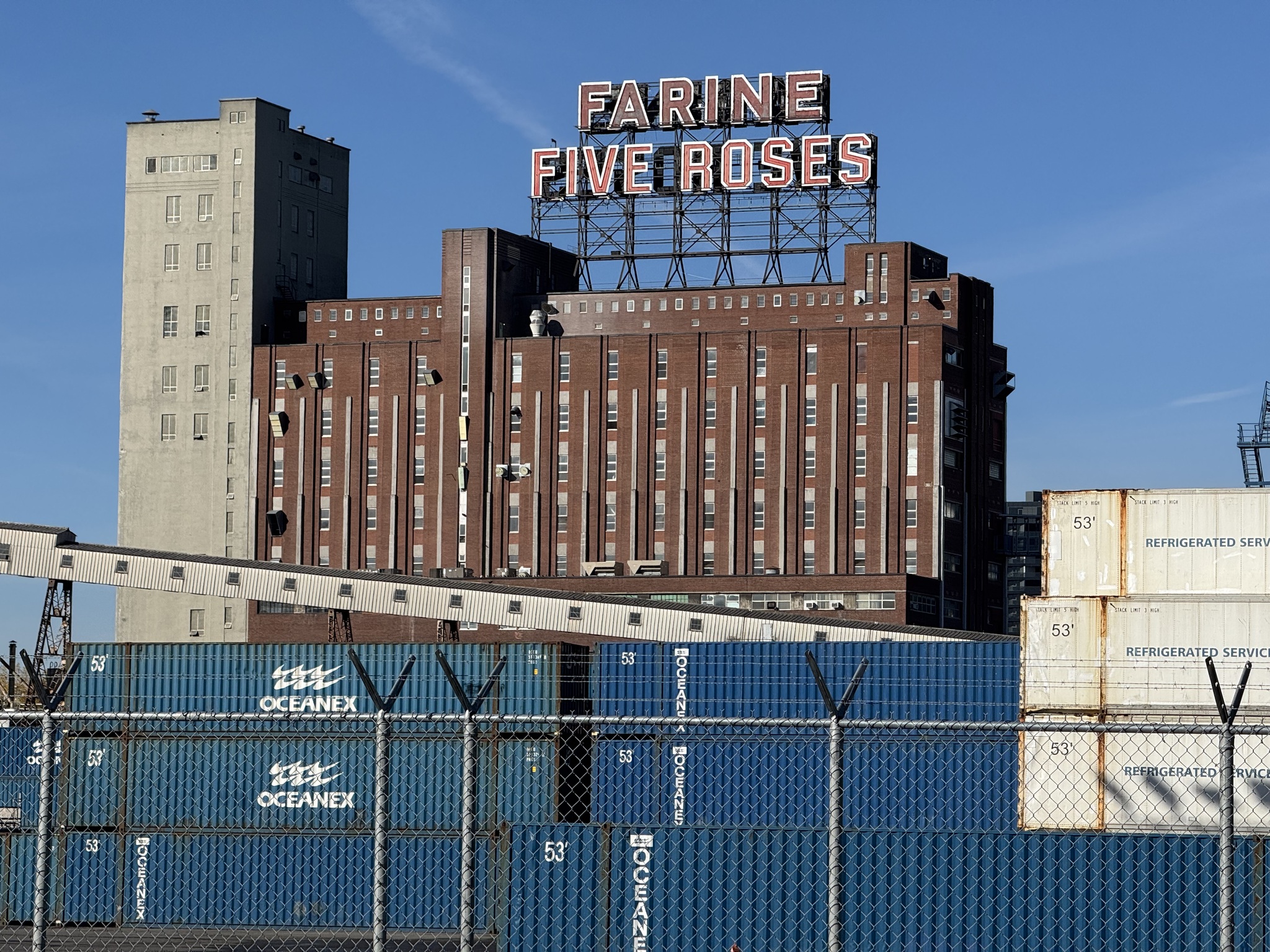
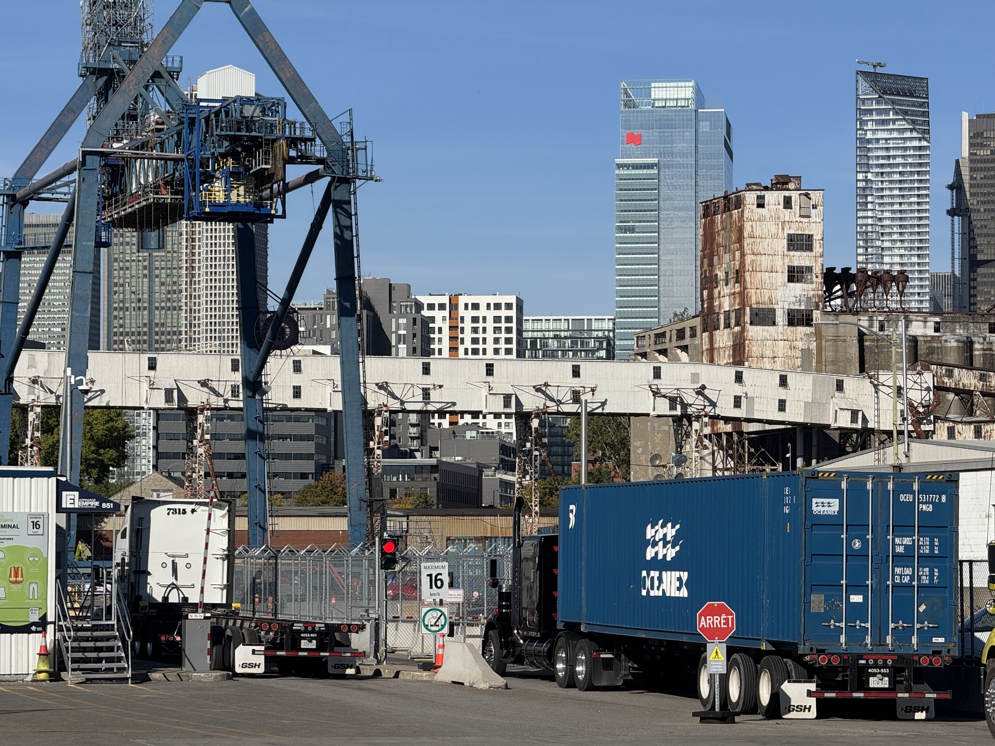
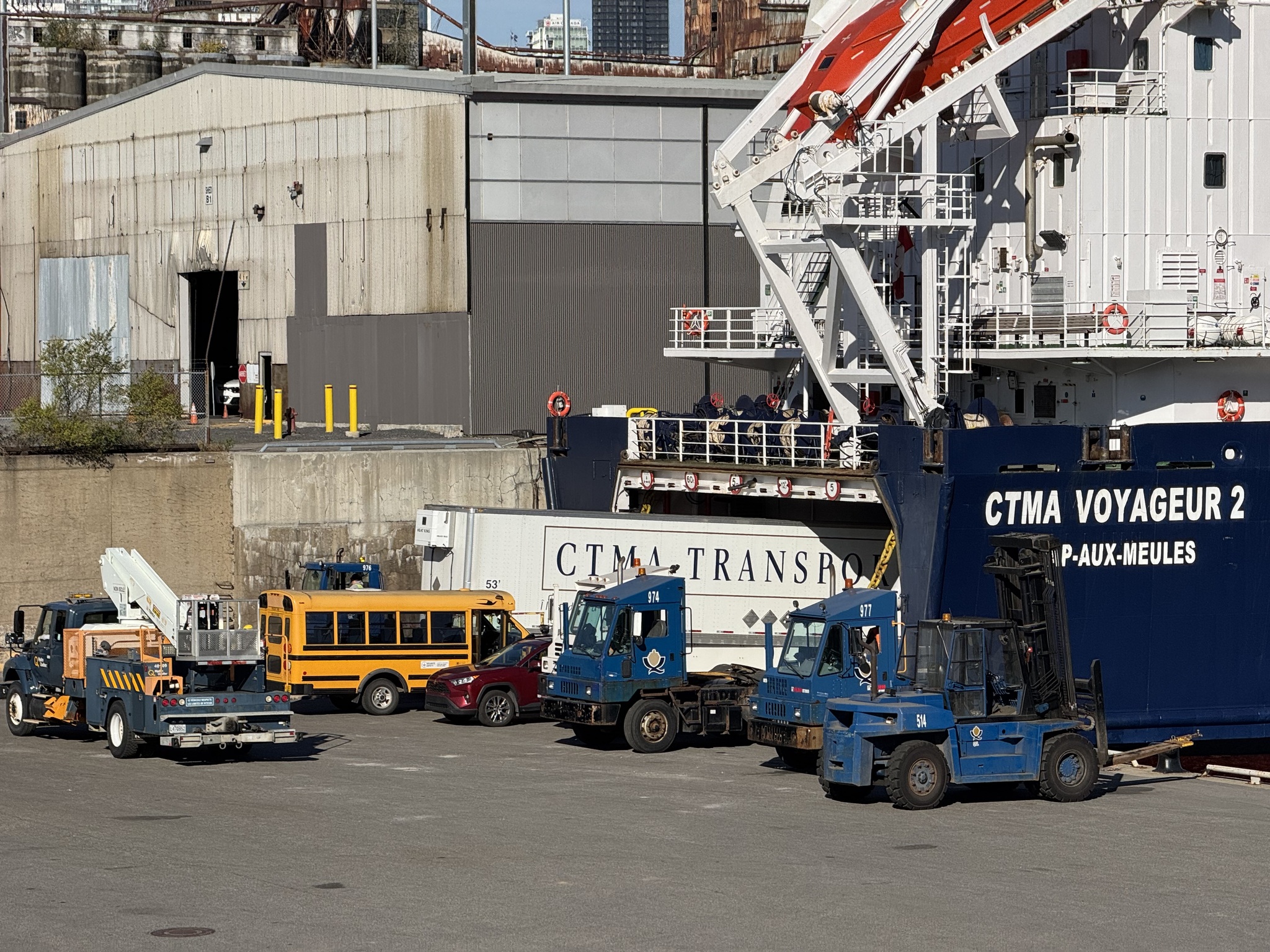
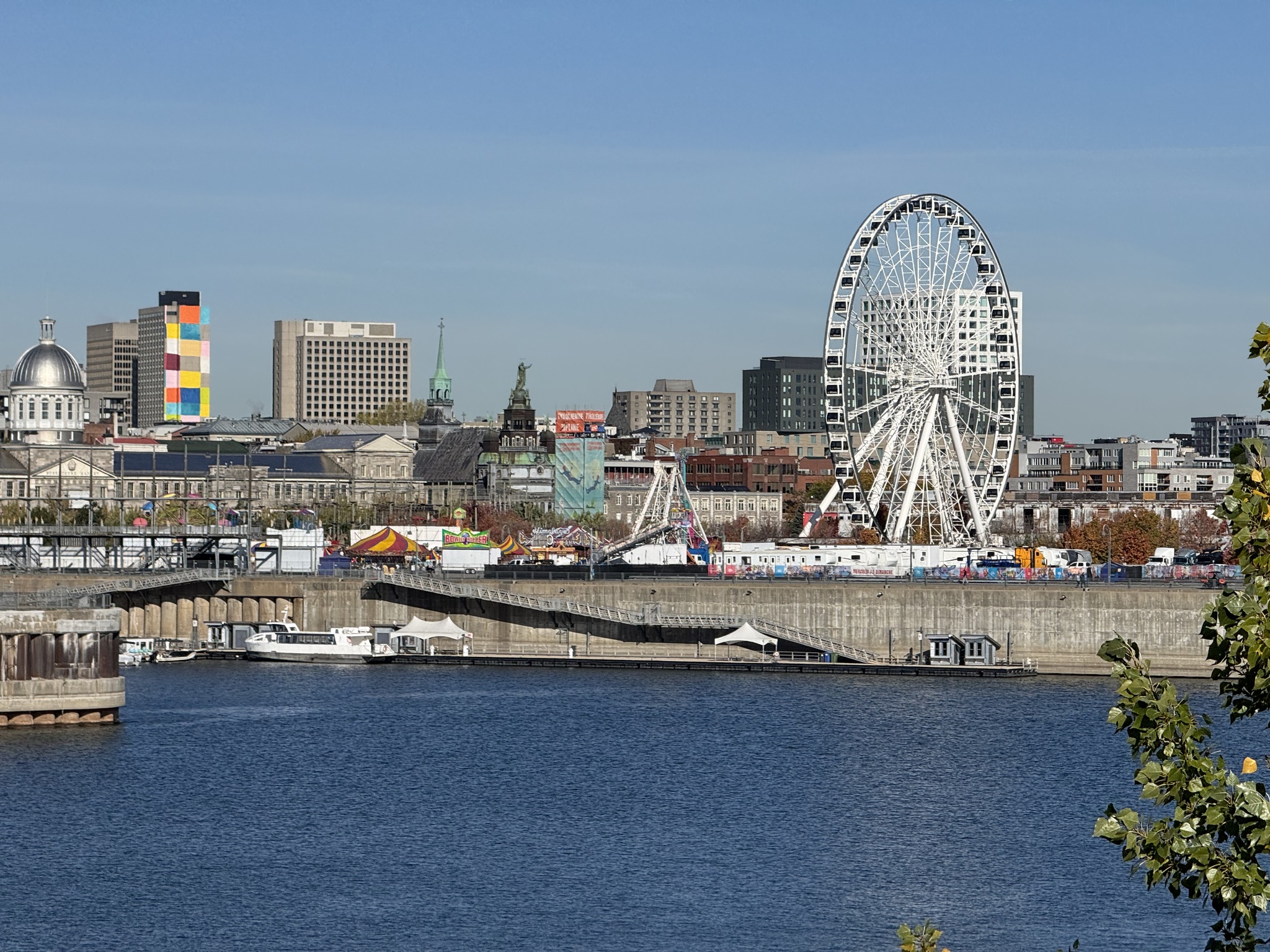
They are good views to old Montreal on the other side of the St. Lawrence River.
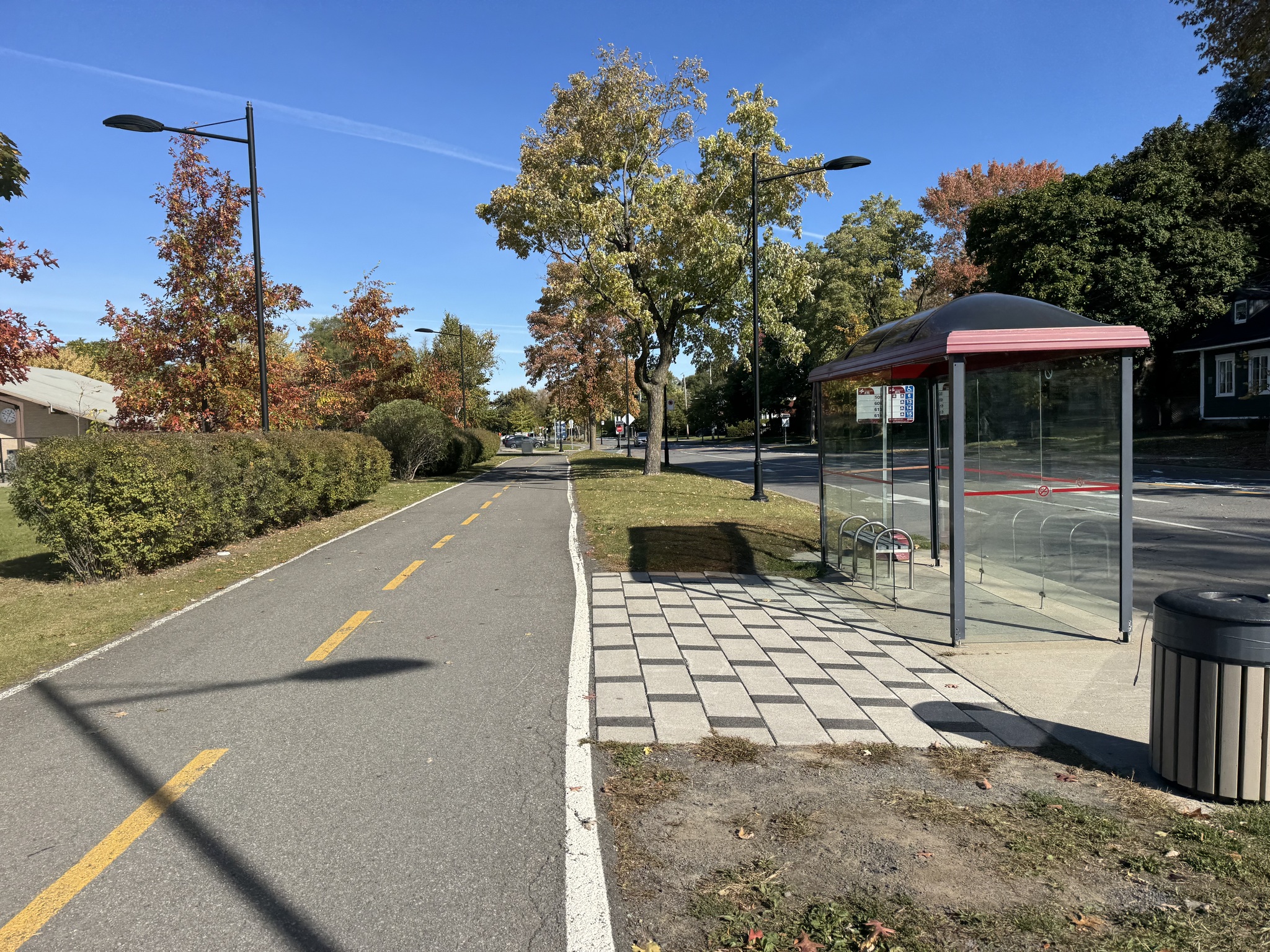
We were on infrastructure separated from motor vehicle traffic most of the day. The type of infrastructure varied depend, depending on where we were. In Saint-Lambert it was a bidirectional multi-use path. The path was built behind the bus stops. And the bus stops did not have advertising in them, preventing people from being able to see bikes passing by.
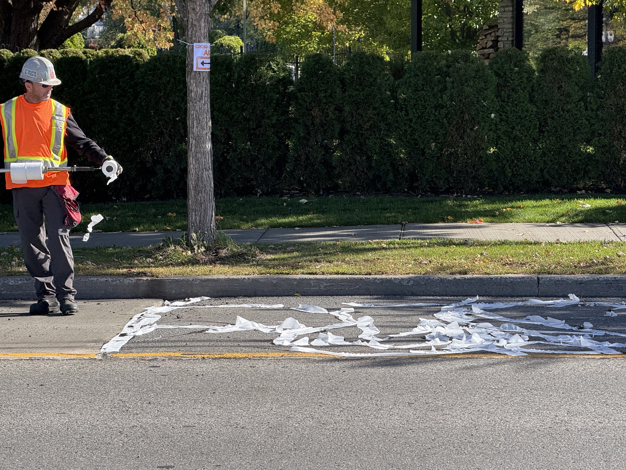
We passed what looked like a bunch of toilet paper on the road, then shortly thereafter came upon a construction crew that were filling cracks in the road with tar. After the tar was put in this worker rolled toilet paper onto the tar, and cars were allowed to drive over it as soon as he finished.
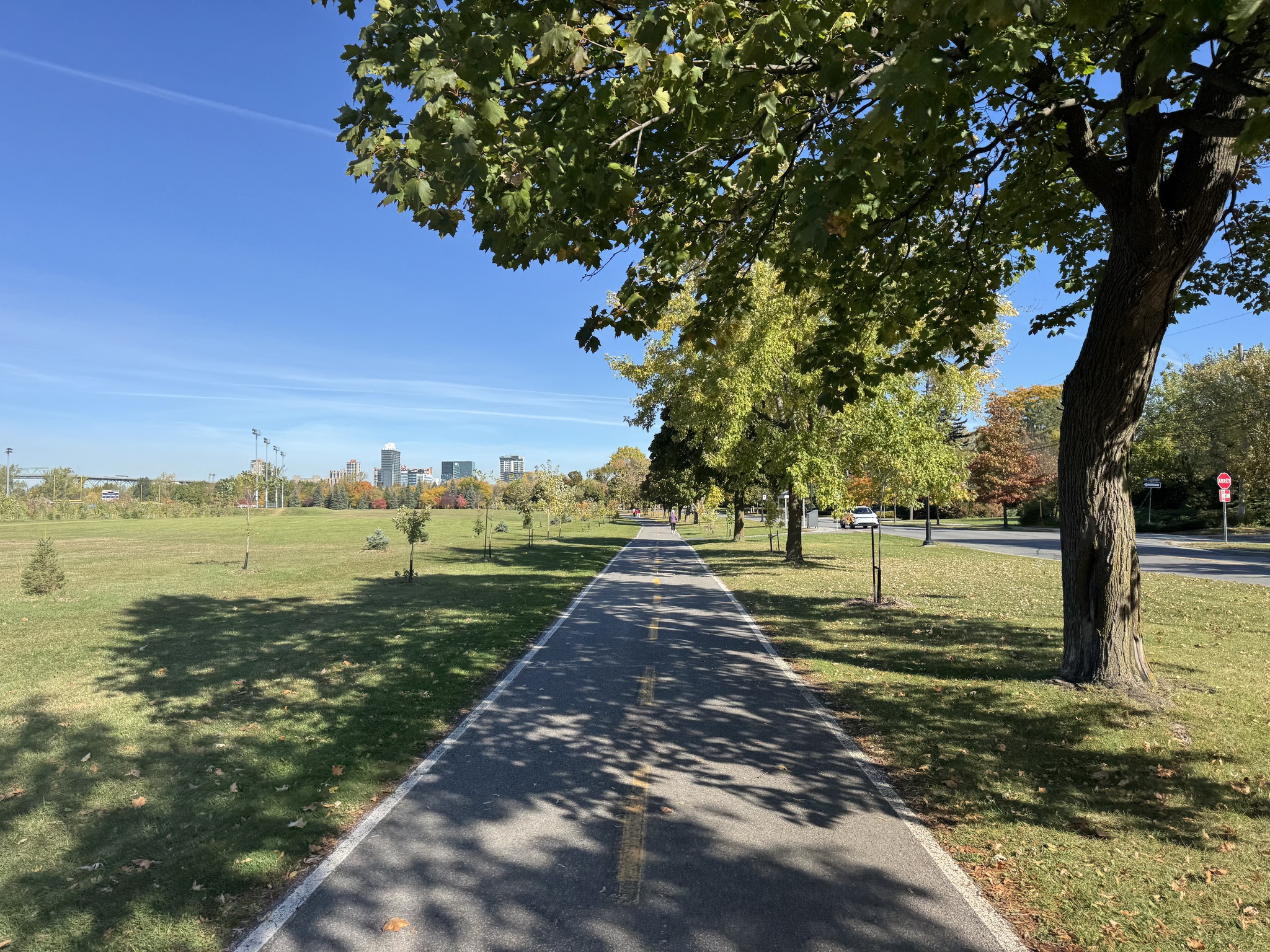
Many of the streets that we cycled adjacent to where streets that we would’ve been comfortable riding on, but it was wonderful to have separated, infrastructure setback from the road in many cases.
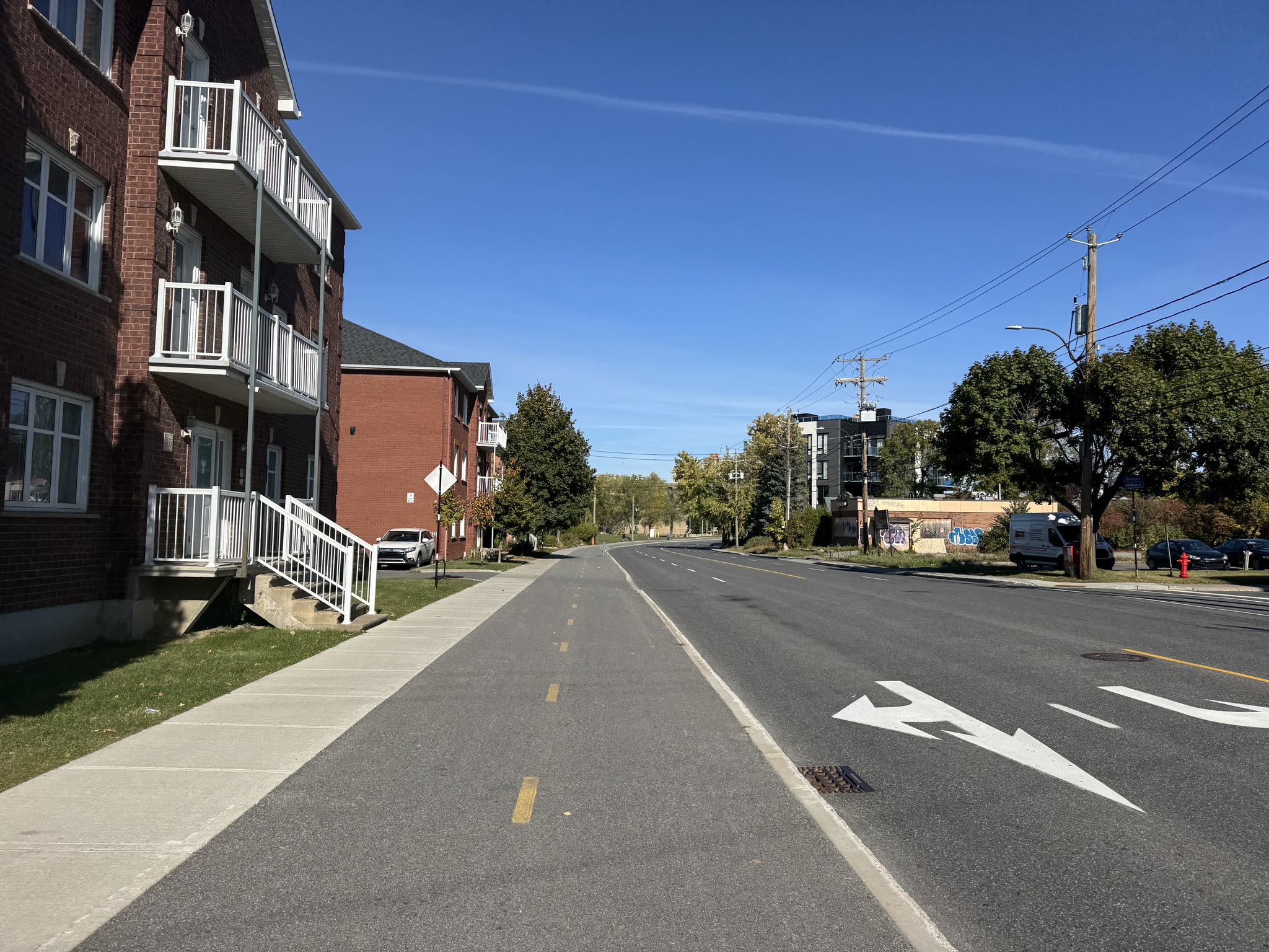
In Longueuil there was a bi-directional cycle track adjacent to a sidewalk.
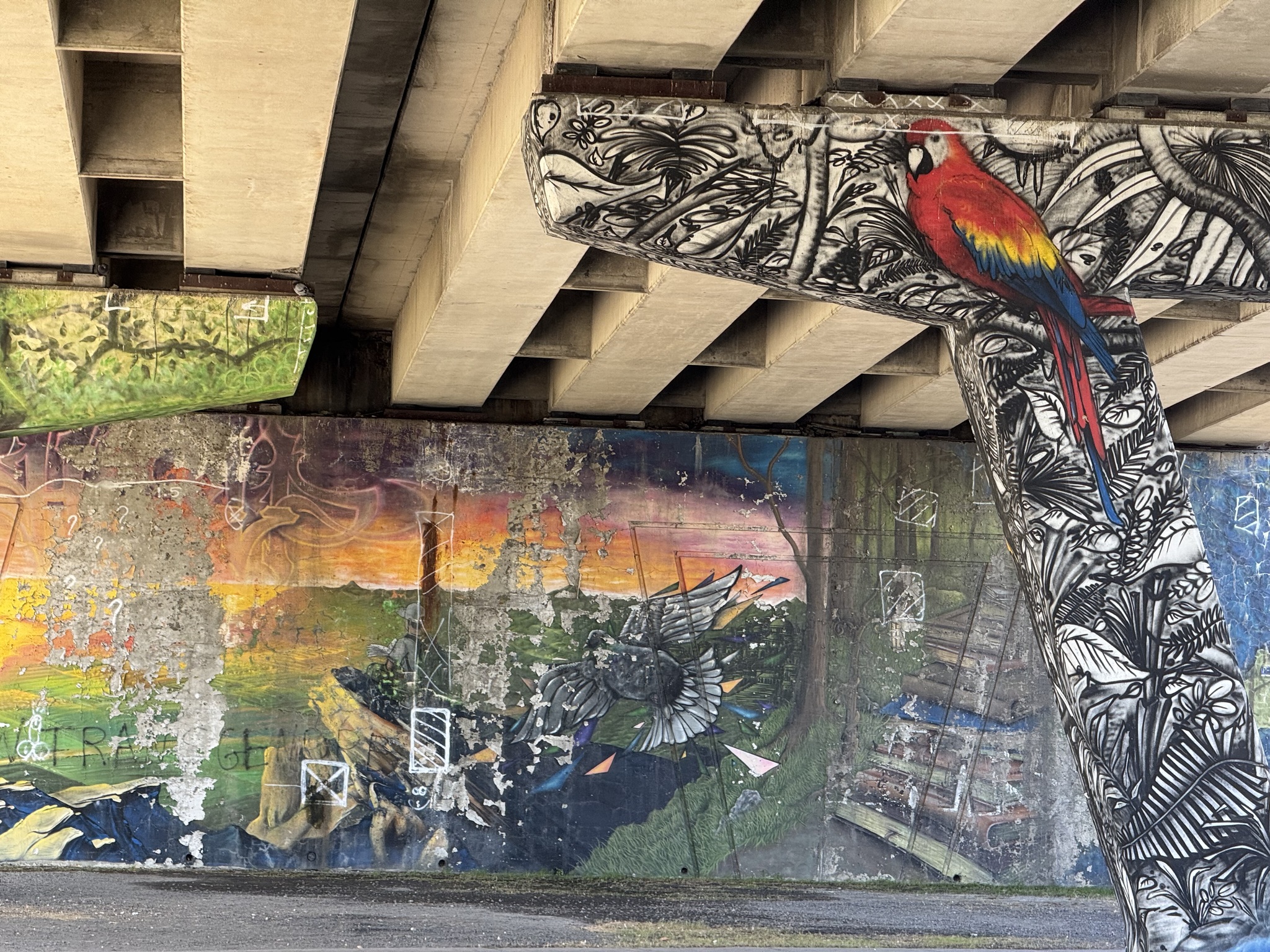
Under route 134 The supports were colourfully decorated with murals.
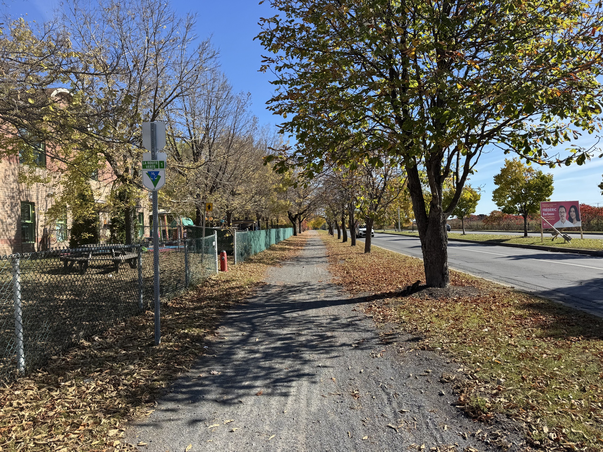
We encountered a very short stretch of granular surface, but the quality was pretty good. The route was reasonably well signed, but was missing some signs where we could have used them.
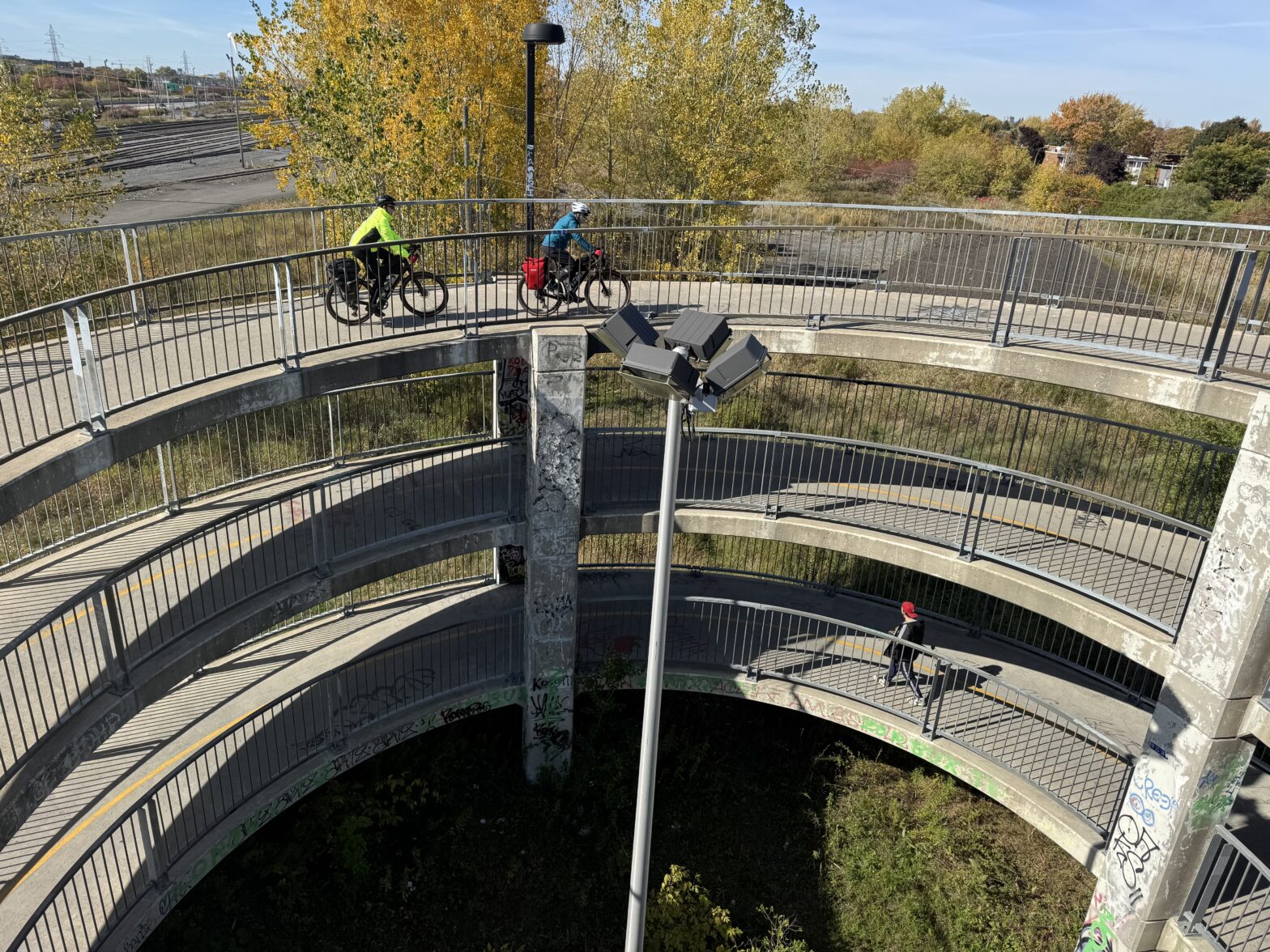
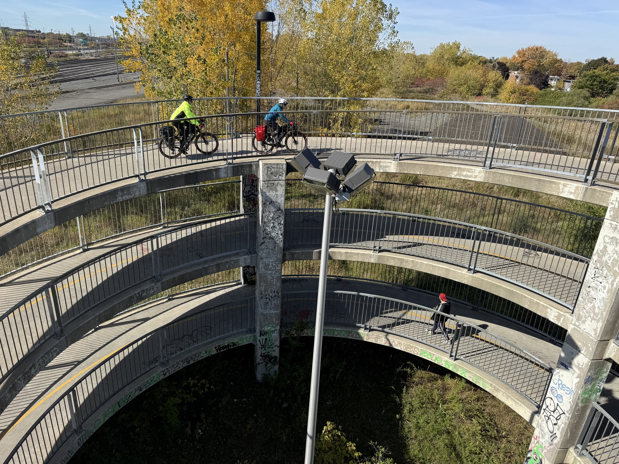
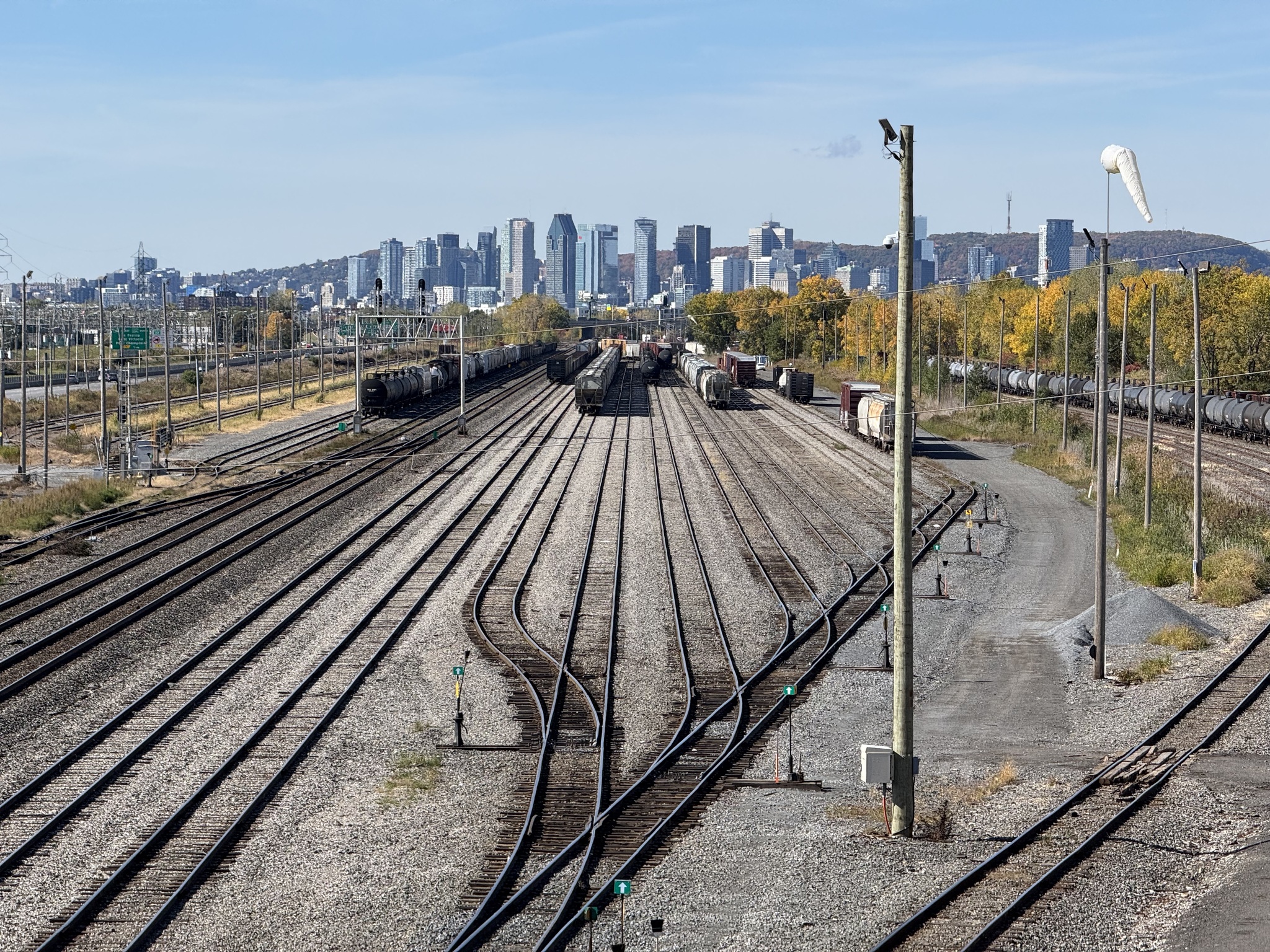
This excellent spiral ramp took us over rail yards and Route 116.
There was a newly paved path through a hydro corridor.
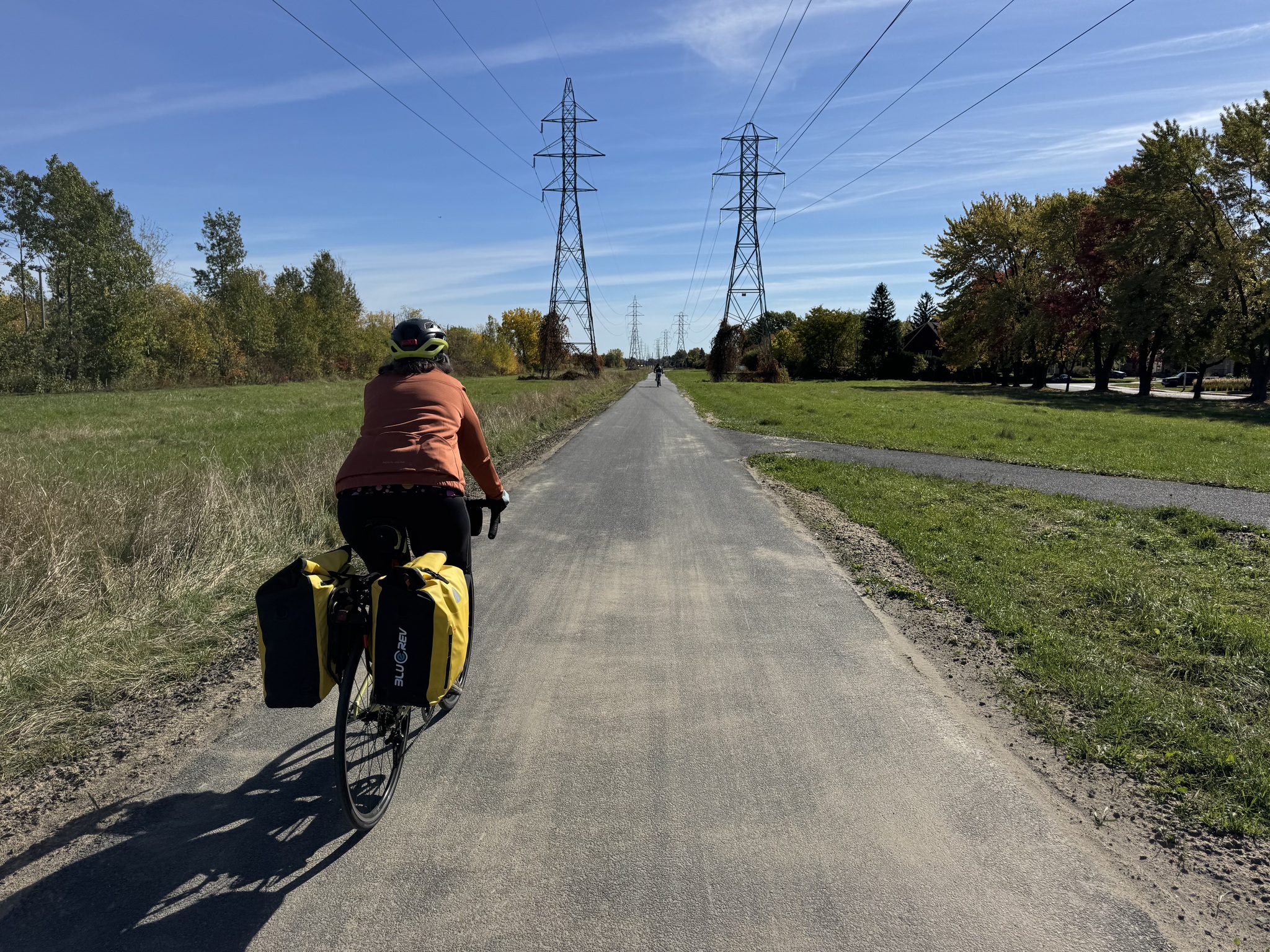
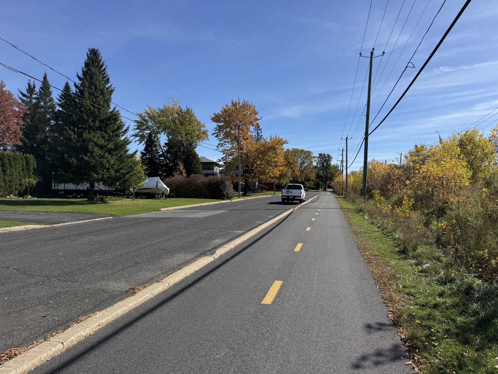
Here there was a low curb between the bidirectional multi-use path and motor vehicle traffic.
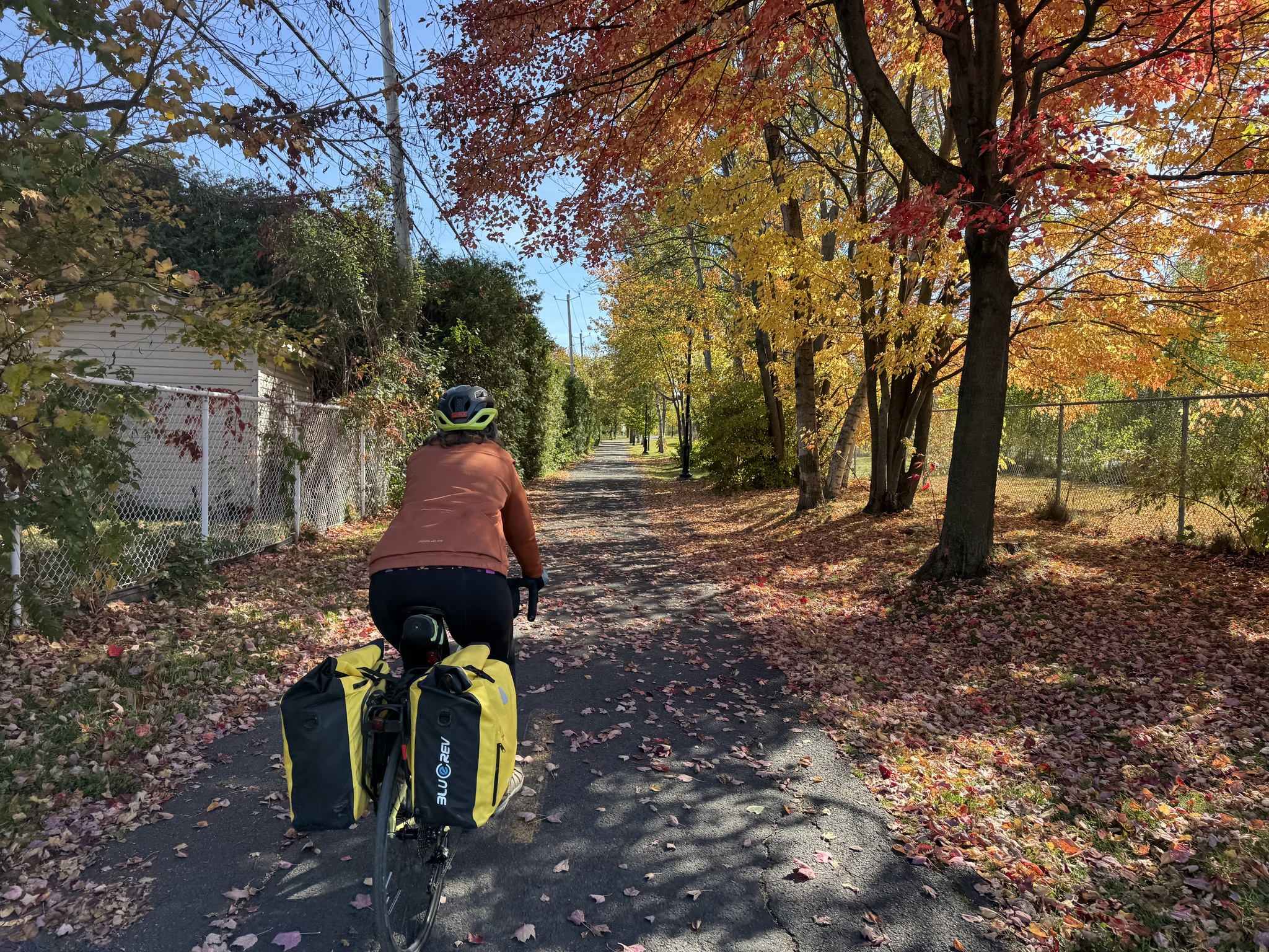
The foliage is still mostly green but there are some lovely areas of color.
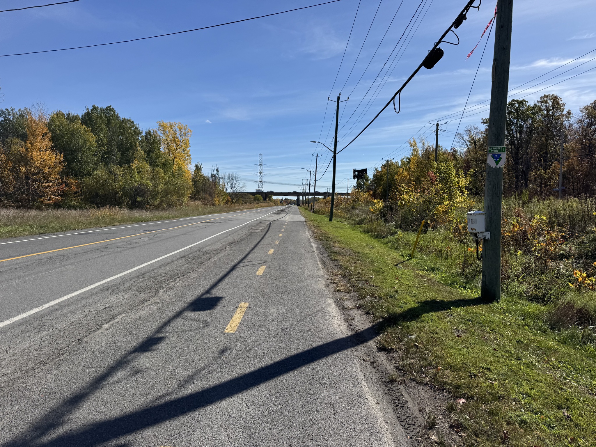
This bidirectional multi-use path just had a painted line between it and the road.
Here there was a grassy Boulevard between the path and the road.
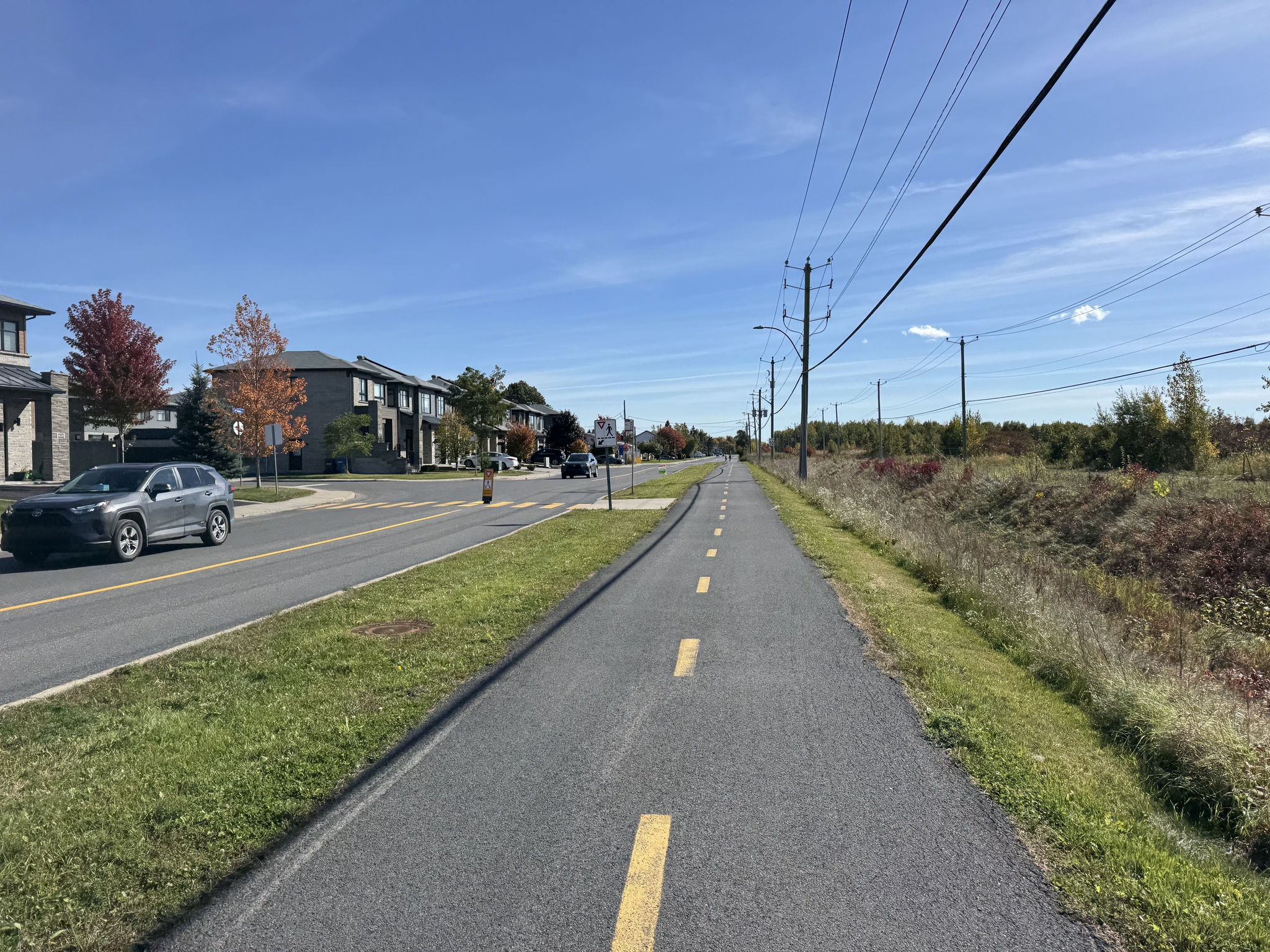
In a few places, there were information signs about things off the trail.
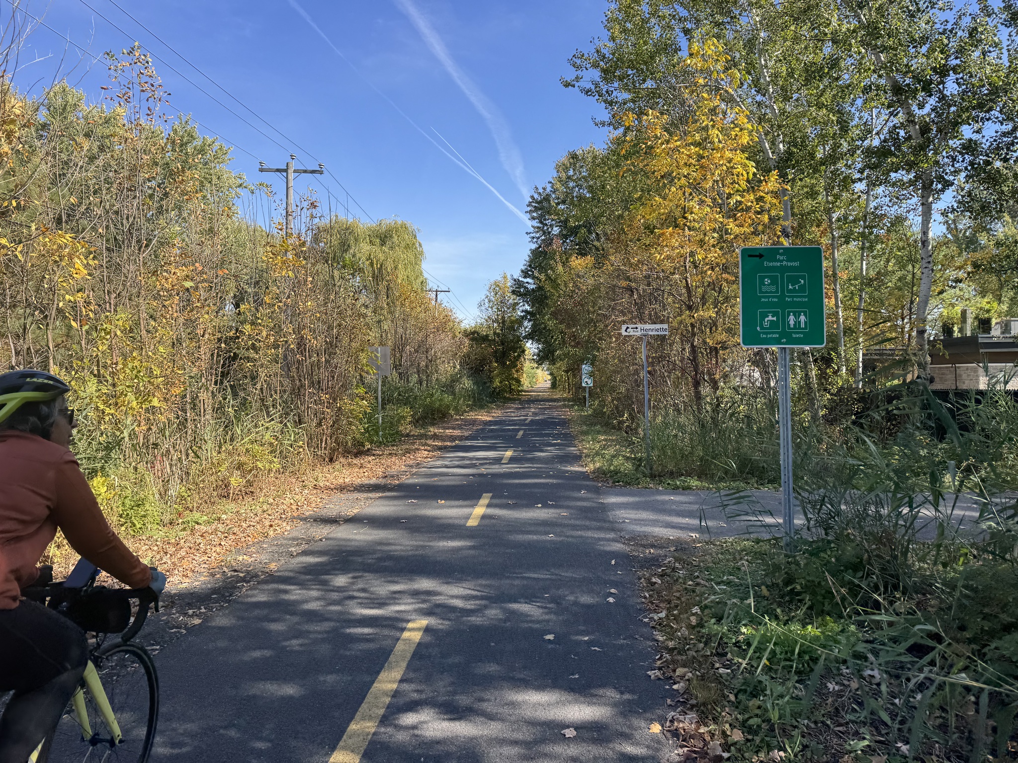
In Carignan the gpx routed us to a closed trestle bridge. The signs were not good either. We figured out we had to deviate to a new Active Transportation Bridge in a park to get across the river.

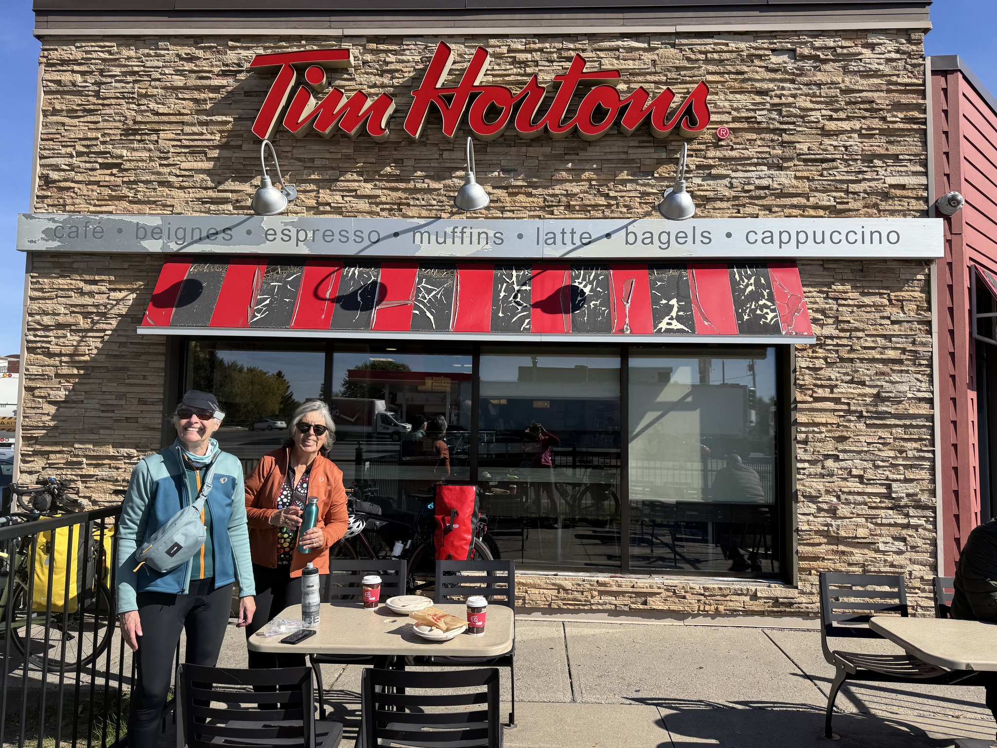
We were surprised, since the route has called Véloroute Gourmande not to encounter any independent restaurants and cafés yet. So we had lunch at Tim’s in Chambly.
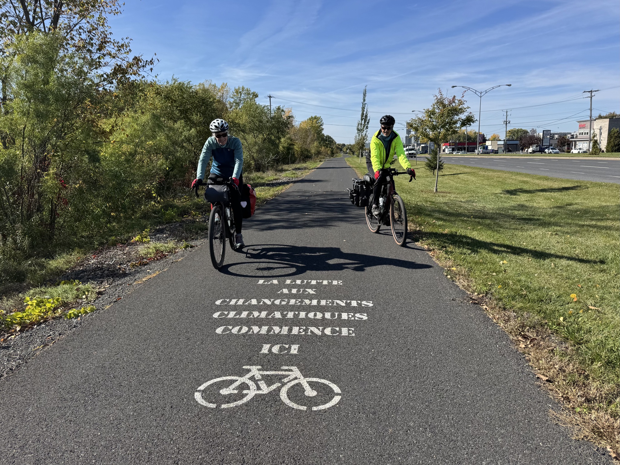
This is a great message. “The fight against climate change begins here.”
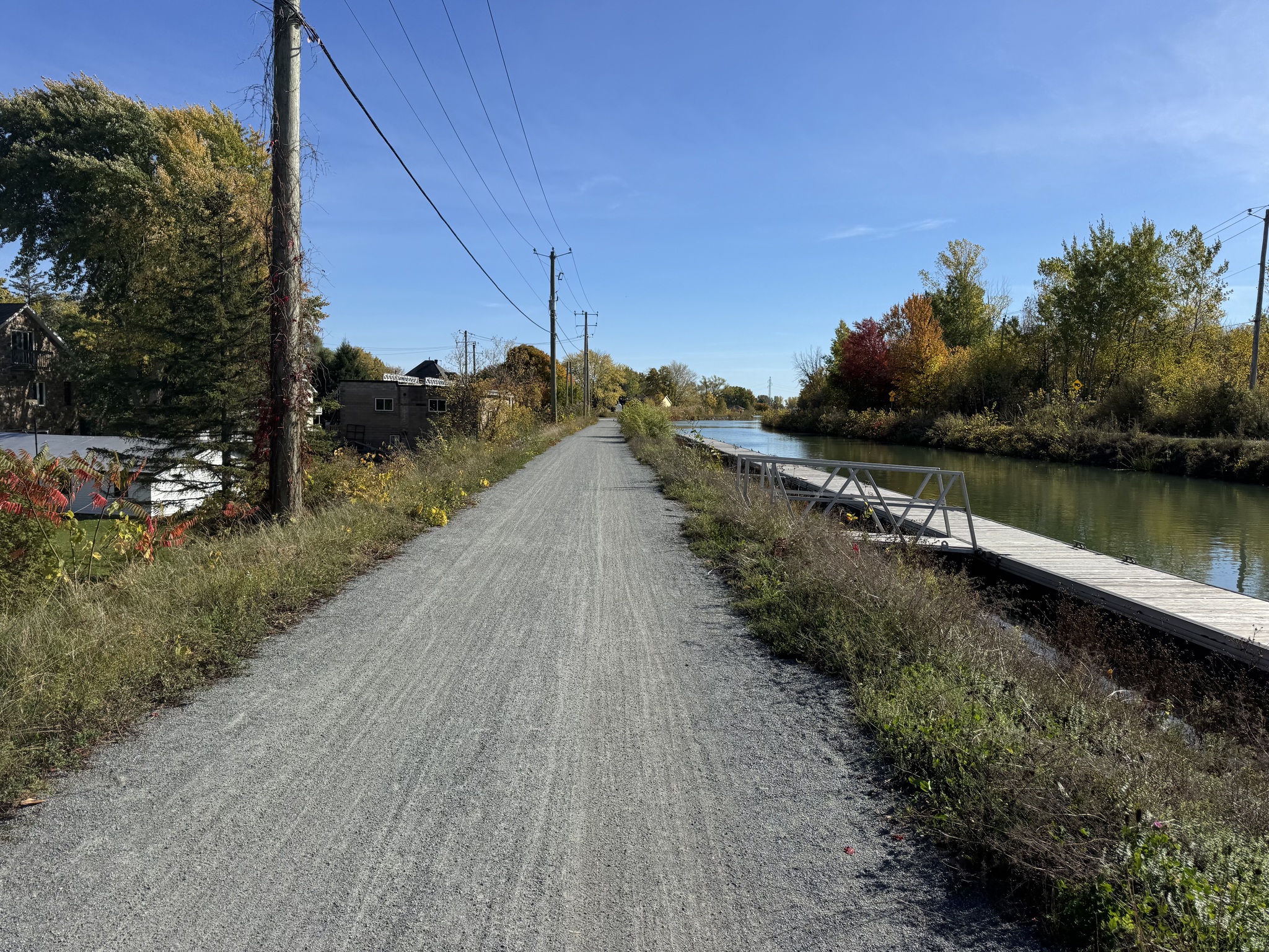
The route used the towpath of the Chambly Canal which was good quality granular surface.
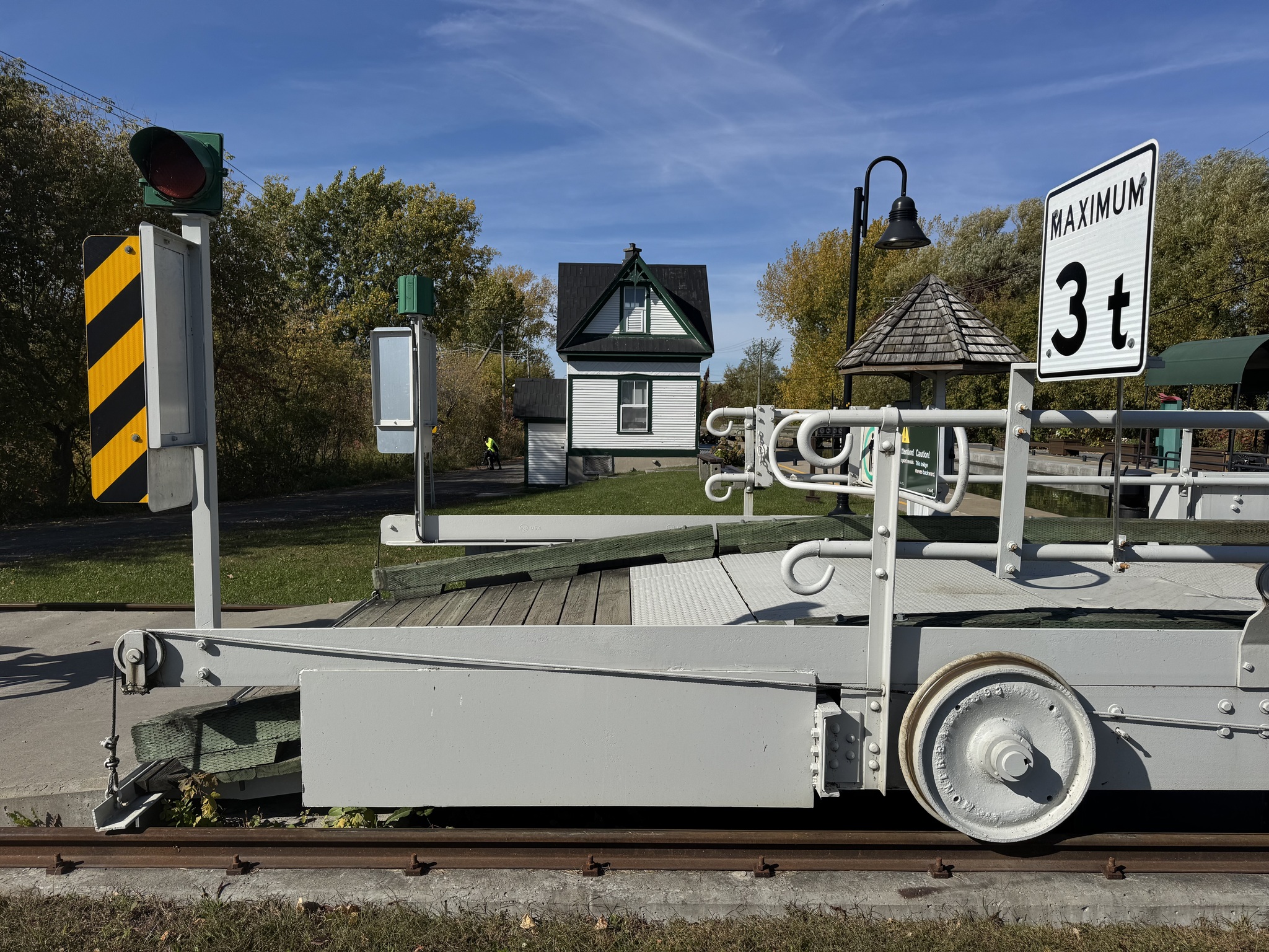
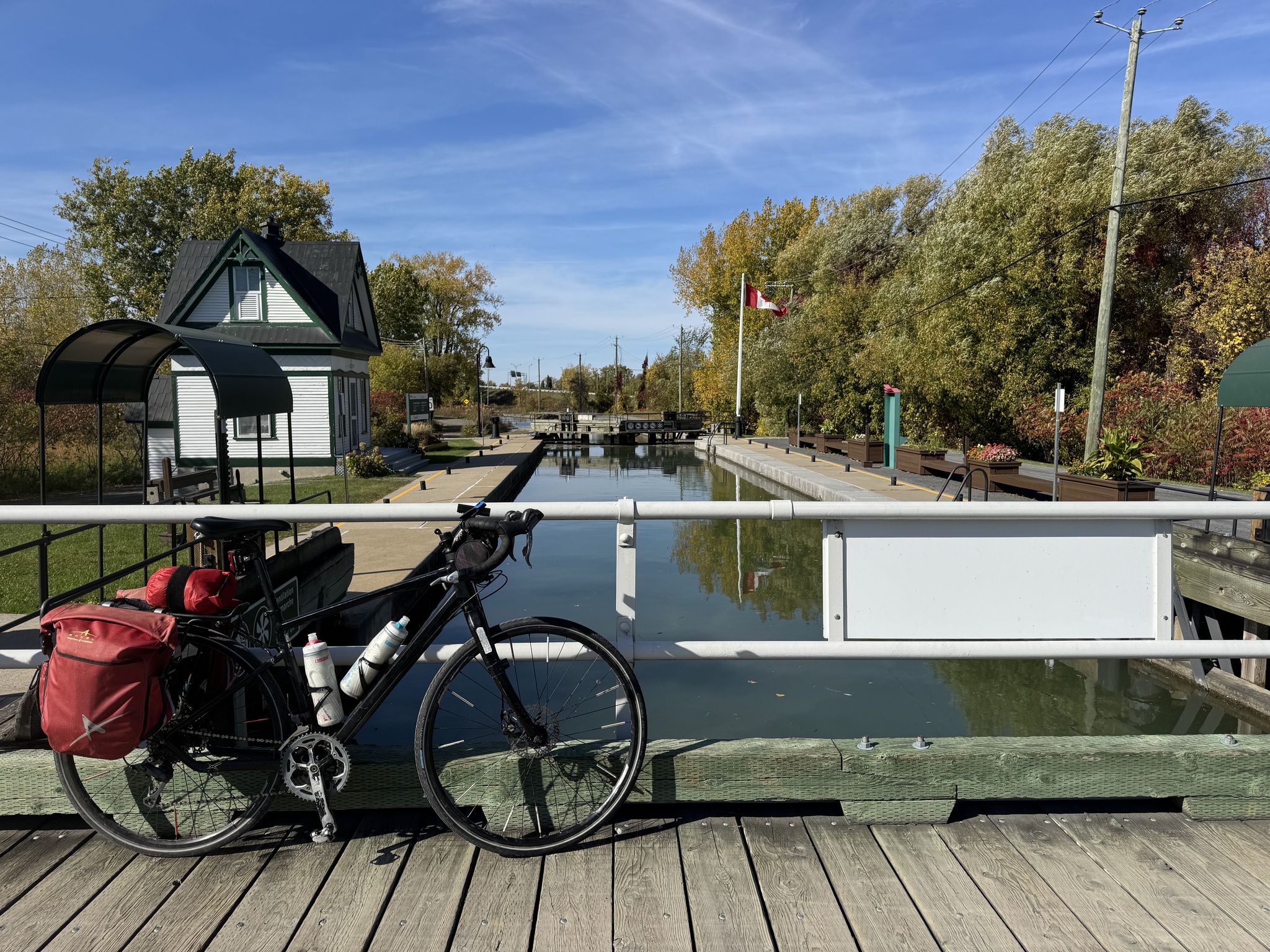
This lock operates by pulling the bridge back on rails.
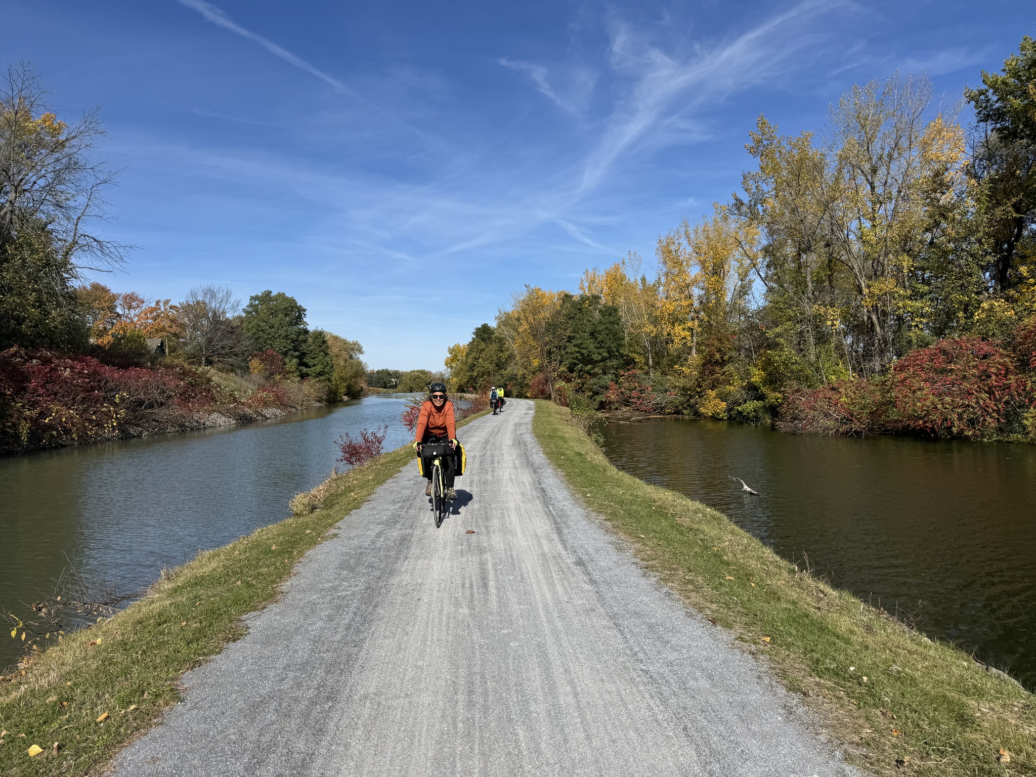
There is a lovely section where we had water on both sides.
In Sainte-Thérèse this residential street facing the canal had one direction for motor vehicles, and a wider section, which was a bidirectional multi-use path.
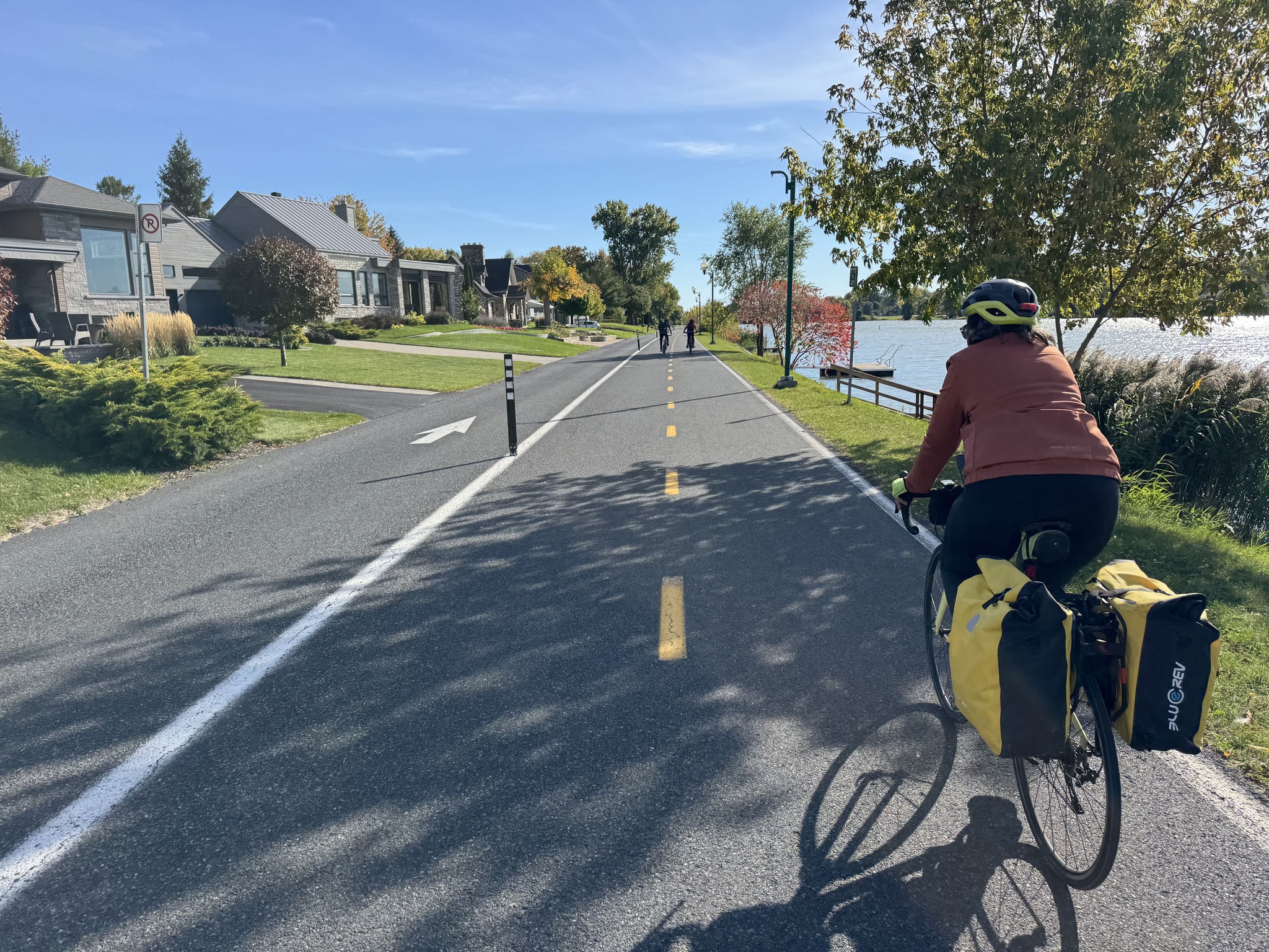
Cyclists did not have to to stop at the T intersections.
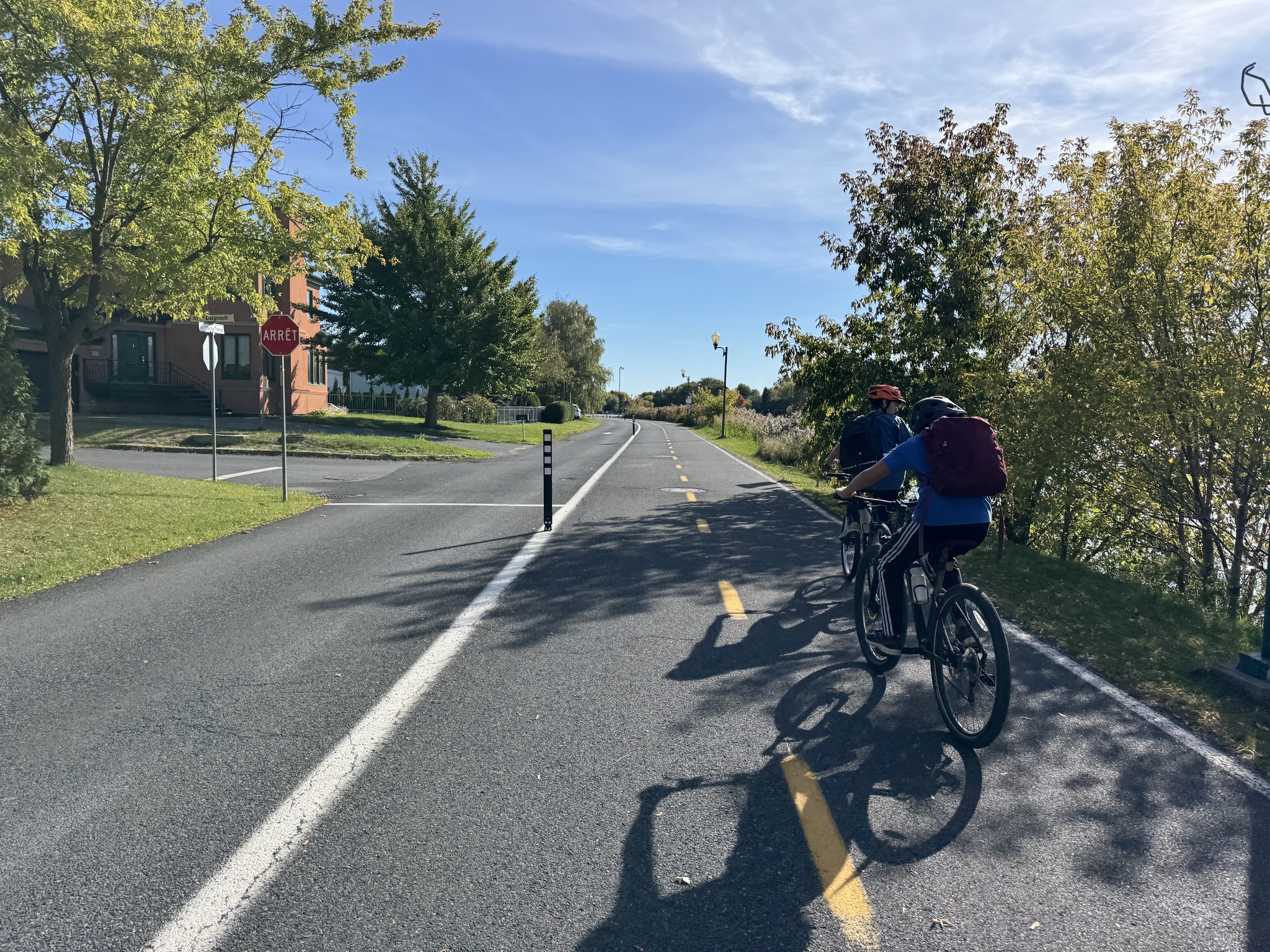
As we came into Saint-Jean-sur-Richelieu, the signs showed the route following the causeway, and the Ride with GPS route directed us onto this bi-directional cycle track. We decided to follow the cycle track, but in retrospect would have stayed on the causeway. The traffic was quite noisy, and there was a short section with no cycling infrastructure as we came into downtown.
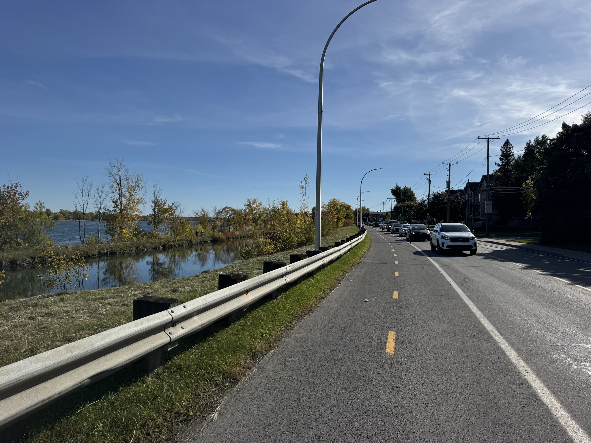
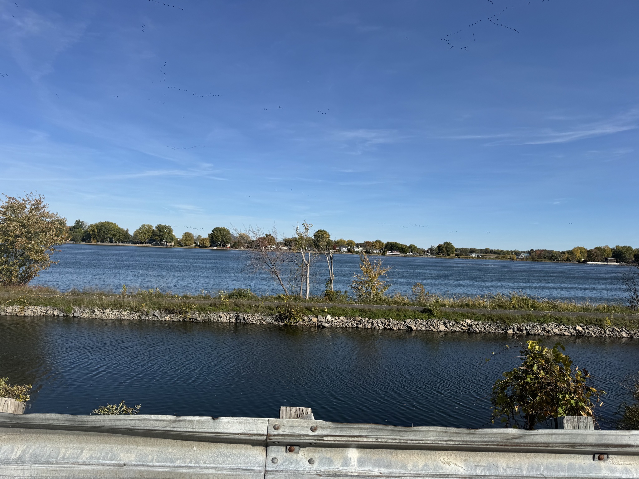
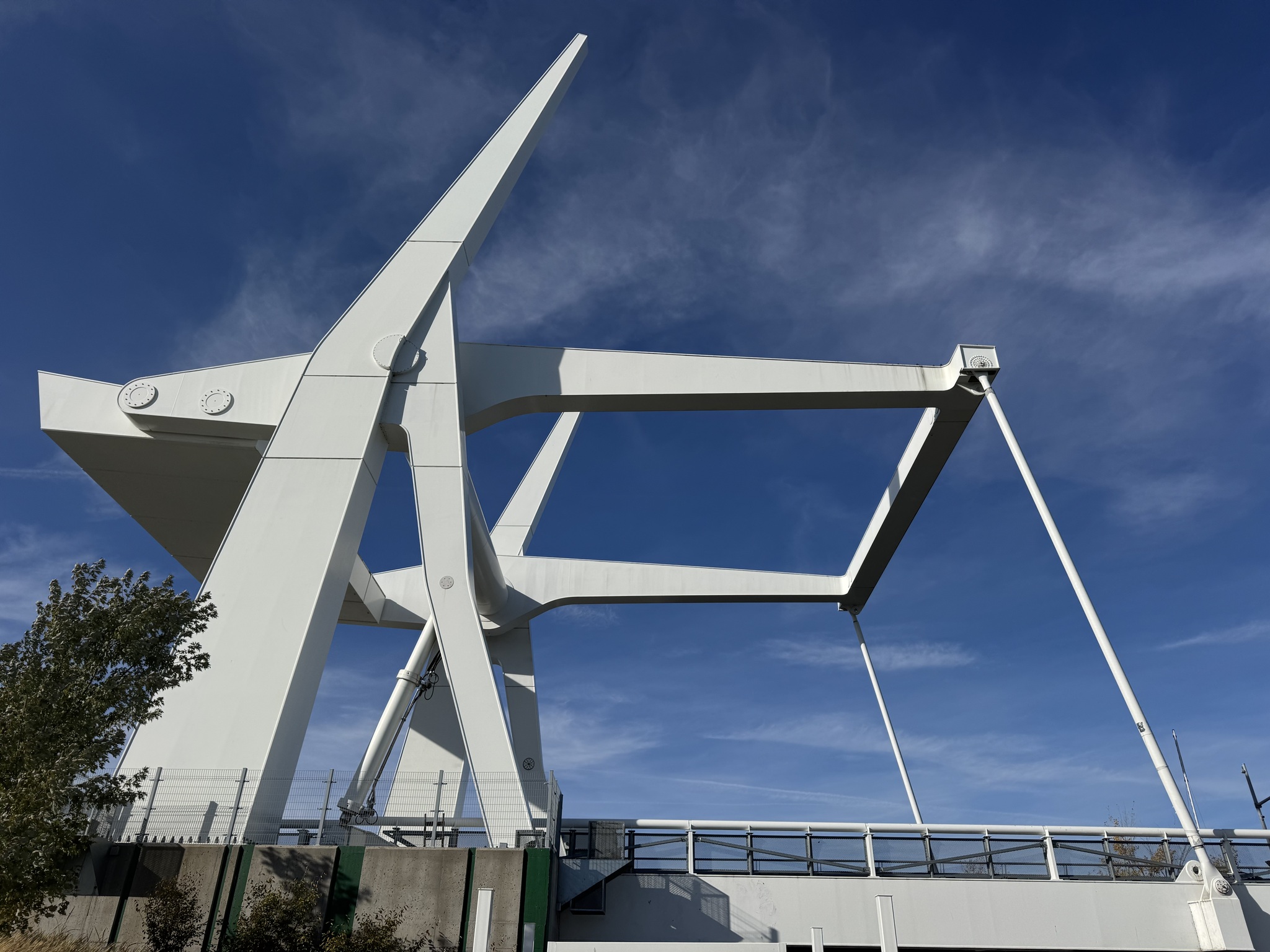
There was a very interesting lift bridge where we crossed the Richelieu River.
After crossing the river on separated, Active transportation infrastructure the route had us going south to then have to go quite far back north to get under a highway. Dayle suggested we stay on the street to our left in this picture. The street became one way in the wrong direction at the next intersection so we went one to the north and were able to cut off a little bit of distance.
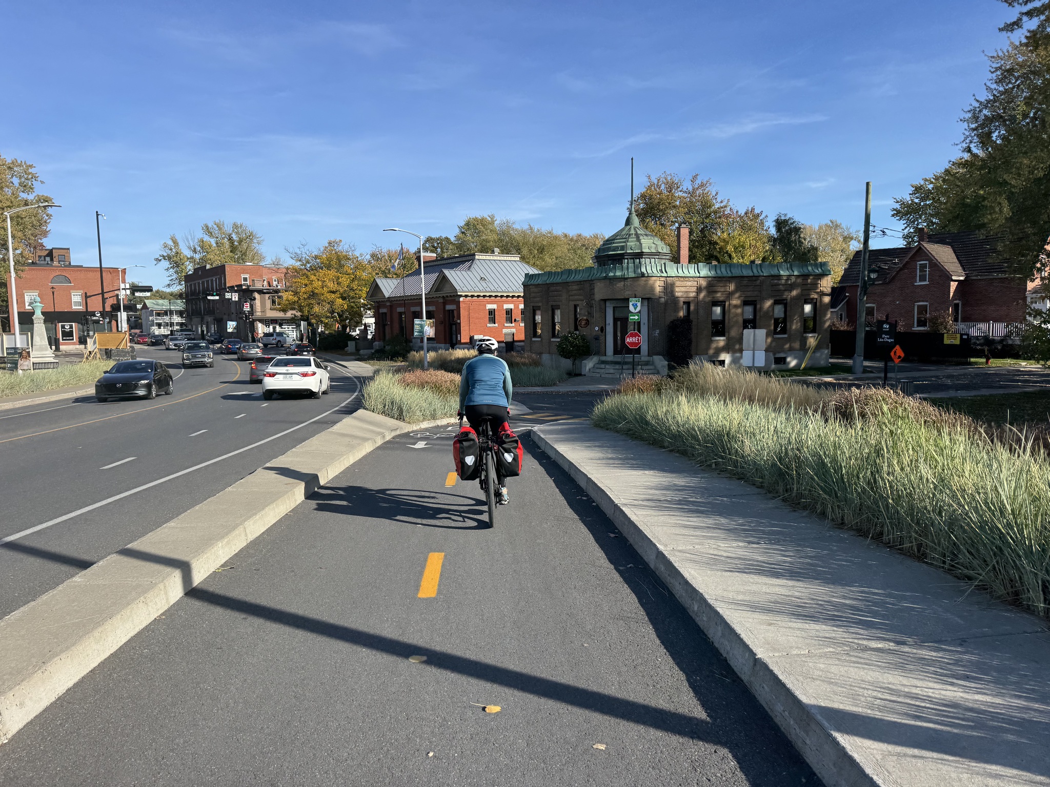
The trail from Saint-Jean-sur-Richelieu, to Granby, via Farnham where we are staying tonight, is called La Montérégiade. It is 48km long and follows an old rail line.
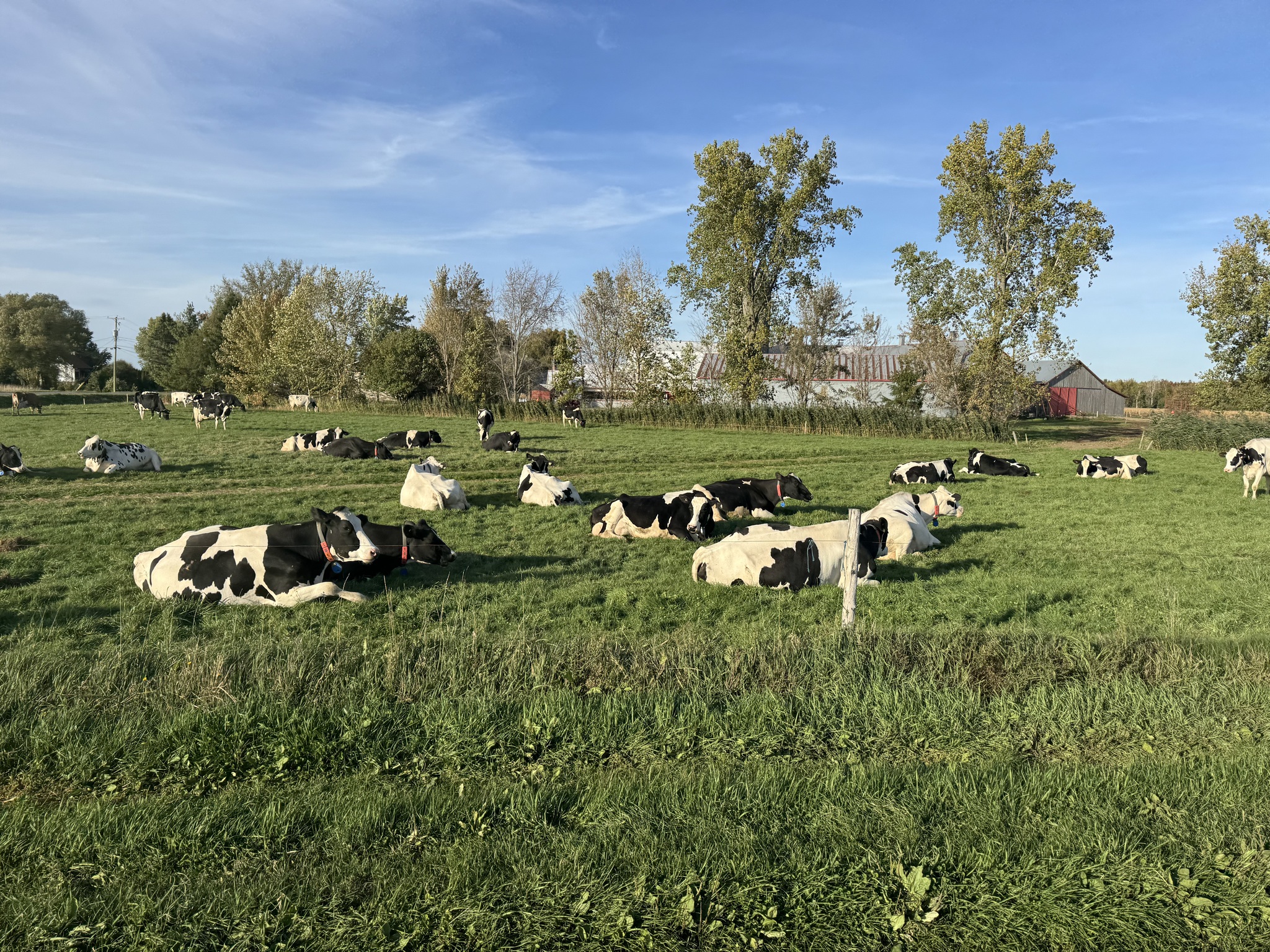
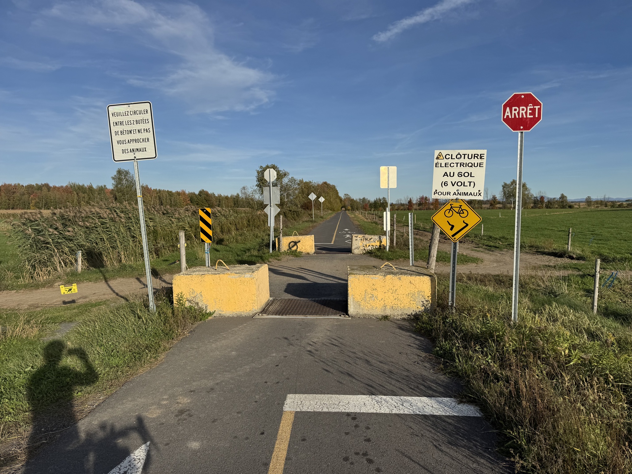
Once back in the country, we encountered this field of cattle with an electric fence between them and the path. A little bit further on was a place where they could cross into another field and little electric mats to stop them from wandering onto the path.
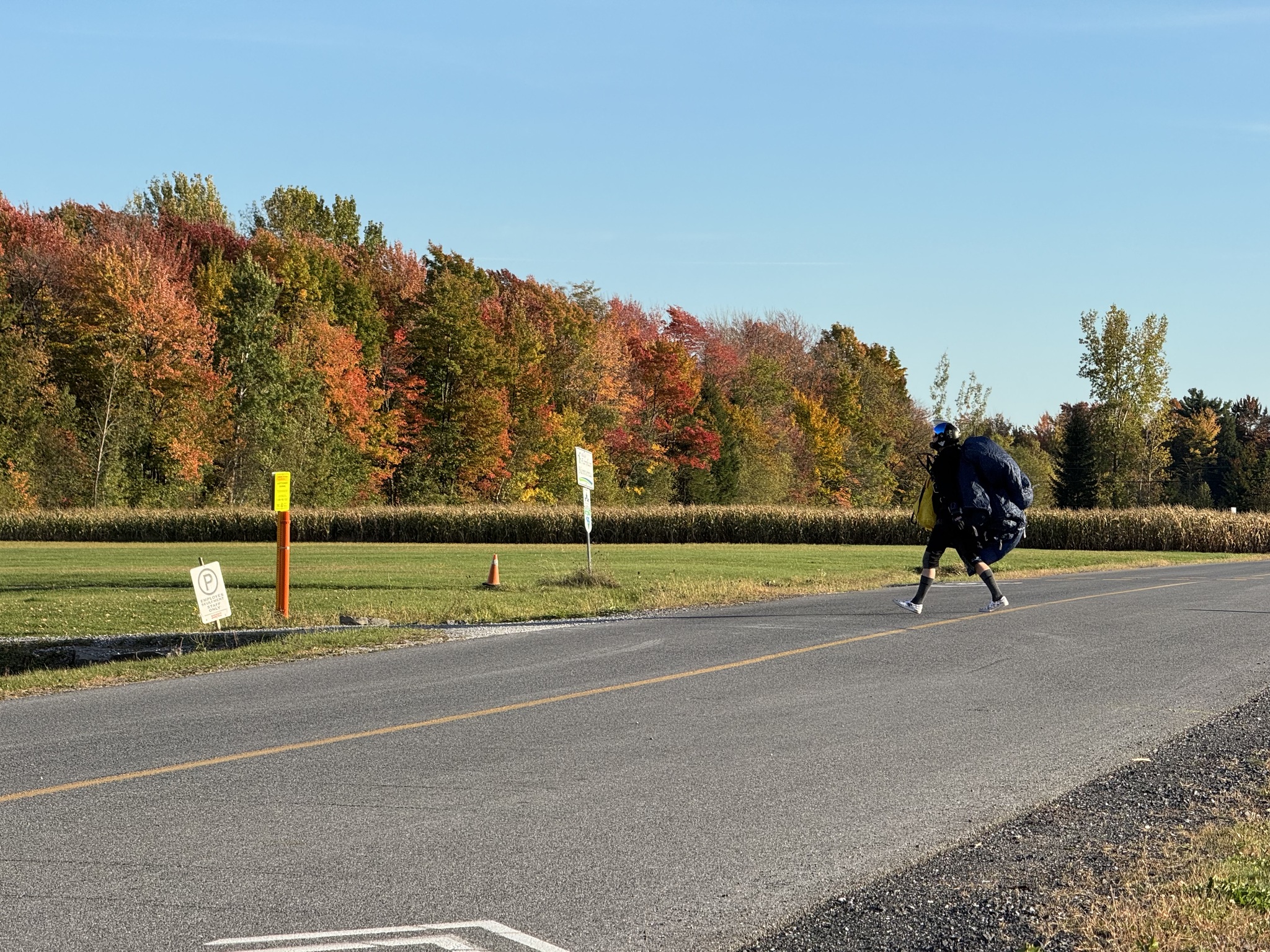
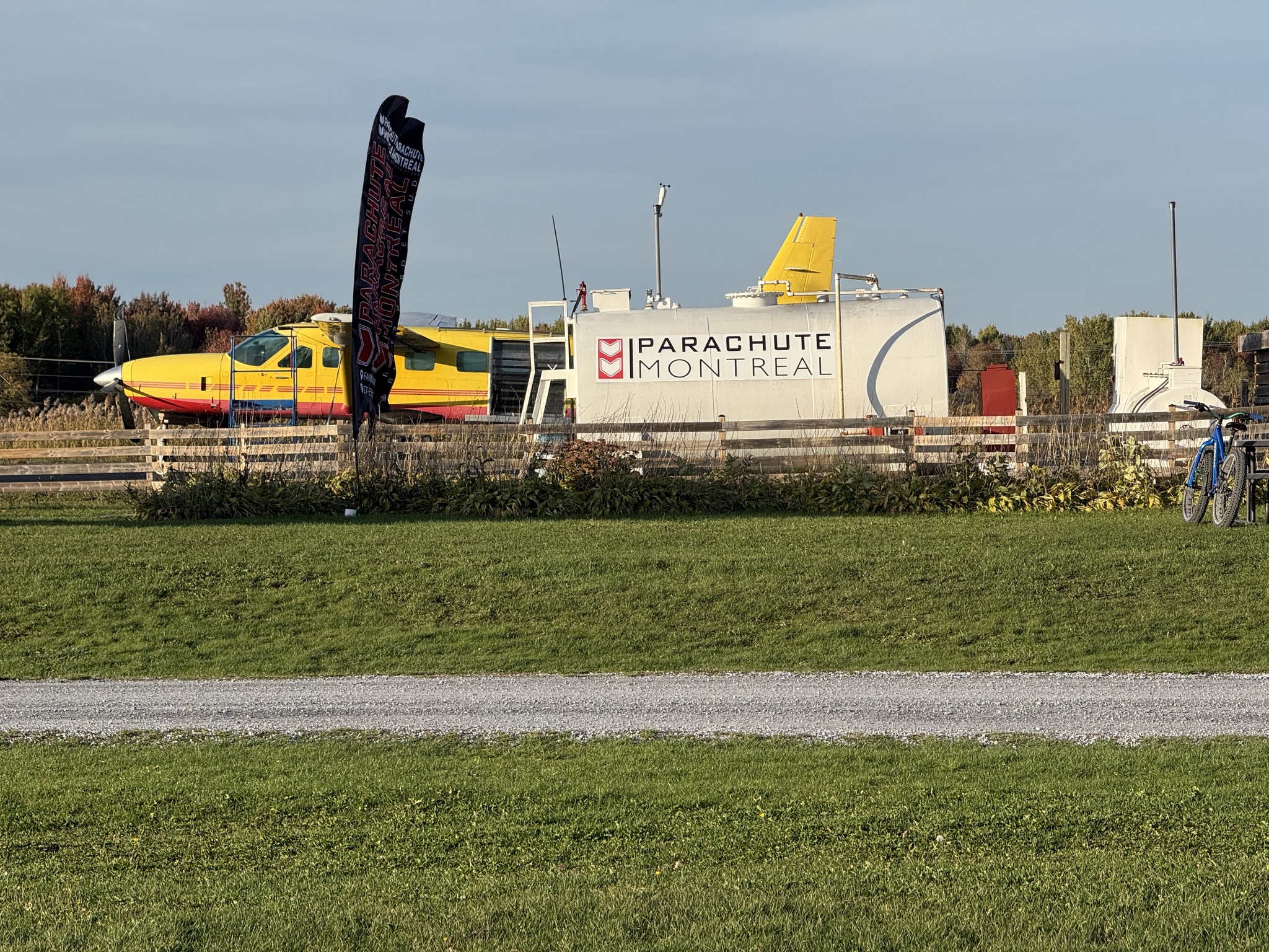
As we came into Farnham we saw people coming down in parachutes. Just after that we encountered. Parachute Montreal.
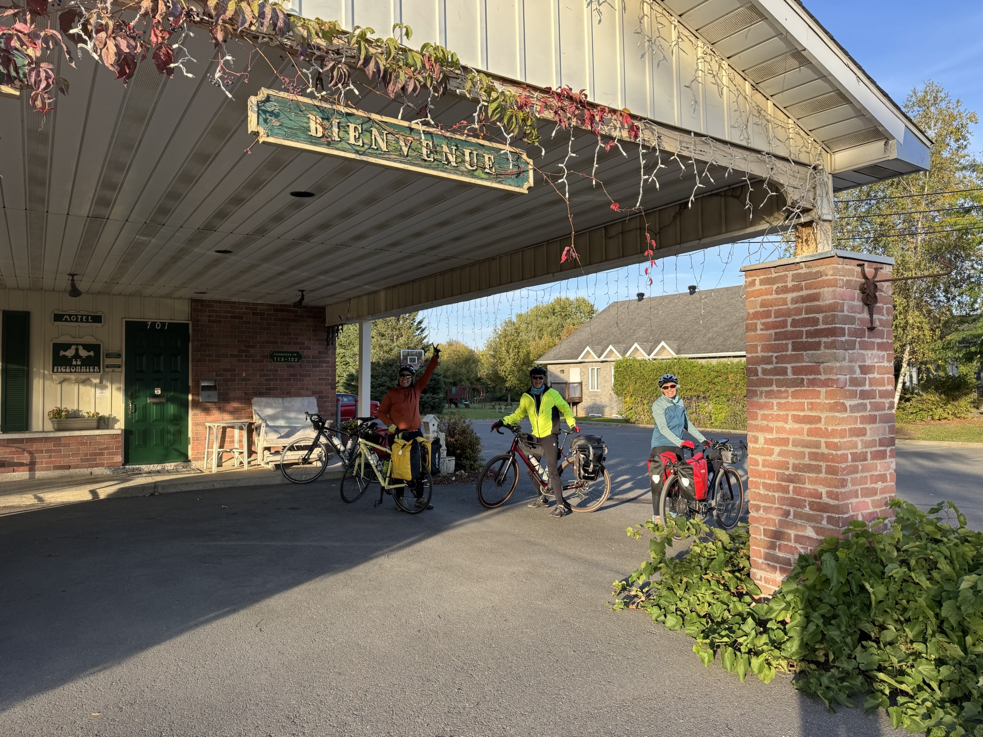
A couple kilometres later, and after 85km we arrived at our motel.
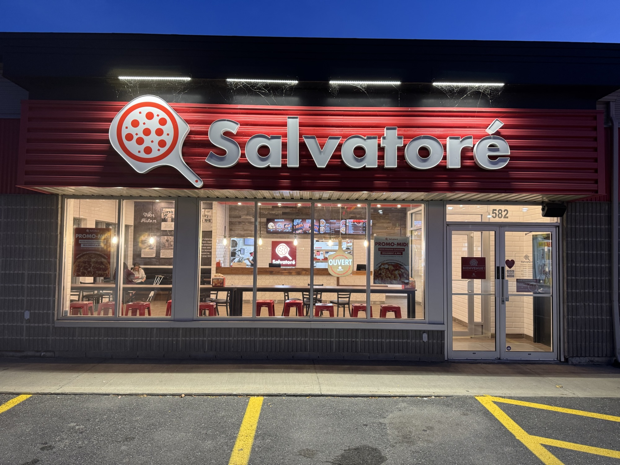
We settled in and then walked 400 m to a pizza place for dinner.
It was so wonderful to have spent a day in a province that prioritizes active transportation.
Discover more from Lisa Stokes
Subscribe to get the latest posts sent to your email.