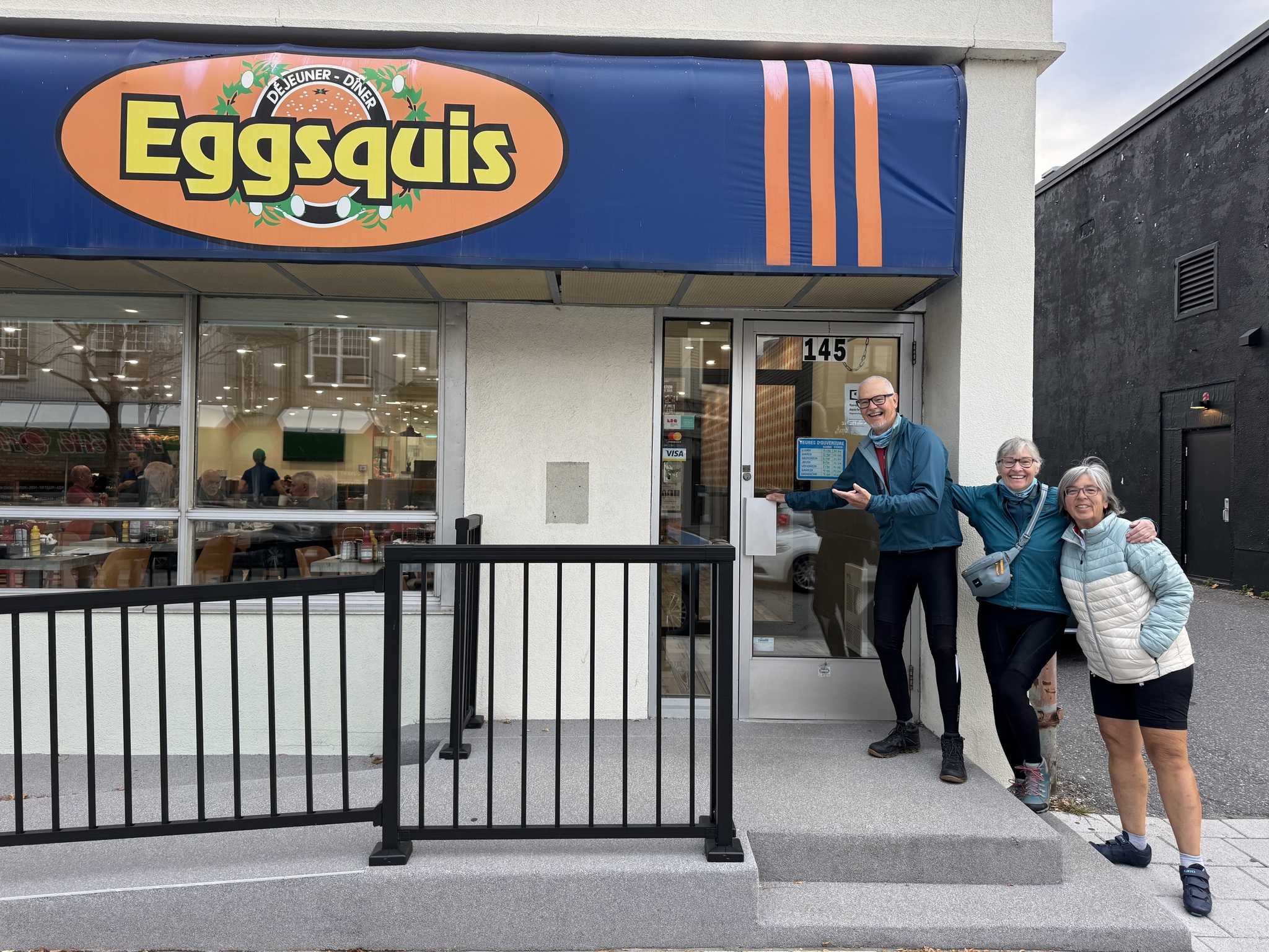
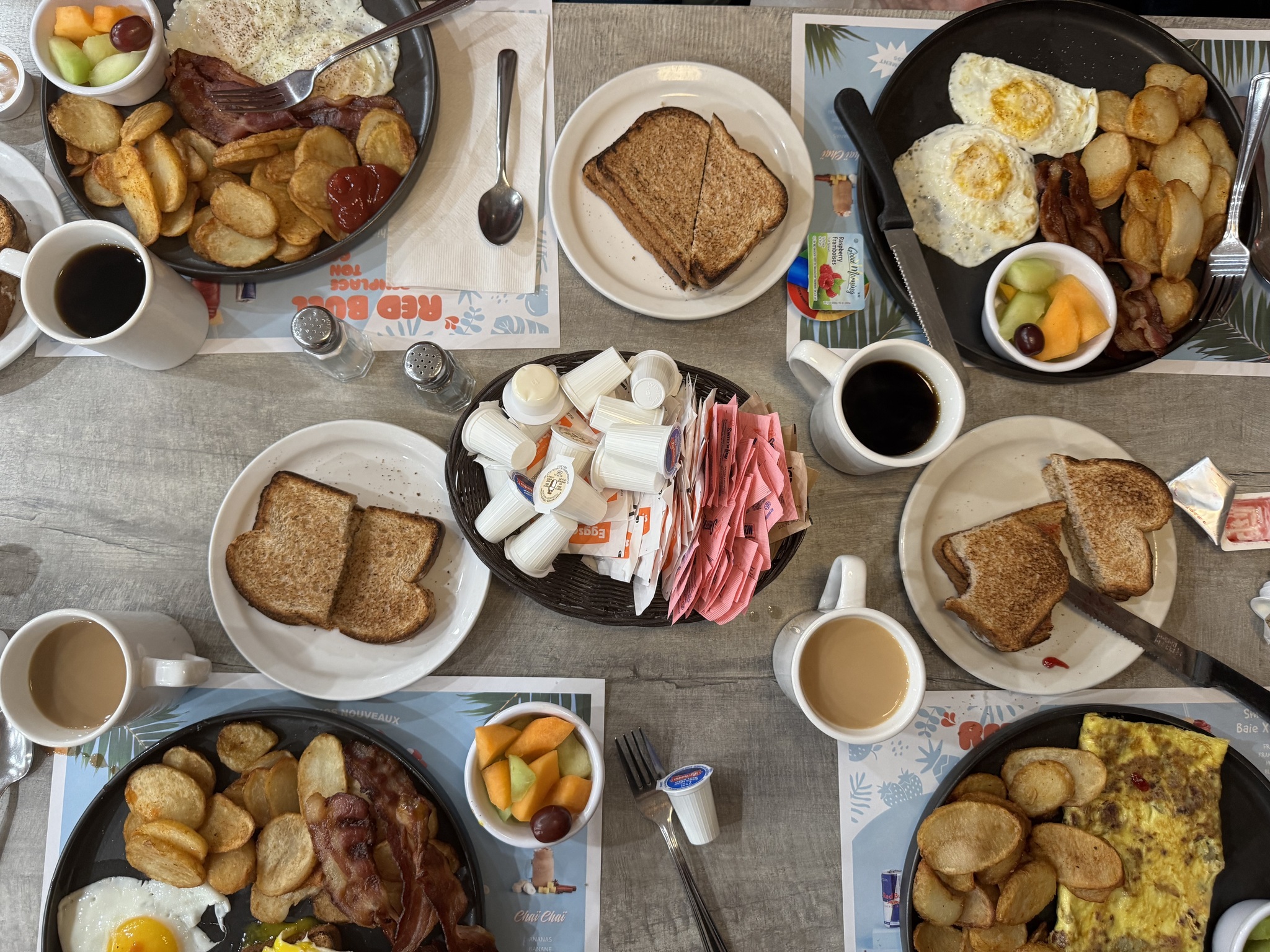
Our friend George used to do a bike trip in the Eastern Townships with friends every year. When he read in my blog where we are he recommended Eggsquis Diner for breakfast. It was just across the street from our accommodation so we gave it a try. The portions were large and the food and service good.
We went back to the apartment to pack up. I used the auto-trace function in Ride with GPS on the remaining Véloroute Gourmande routes after I discovered Monday that they had no cues. Unfortunately we still had the issue of the seemingly significant changes to the route since the gps file was created in 2021. Note to self, check date on files created by others and check with them if they are still correct is they are older files.
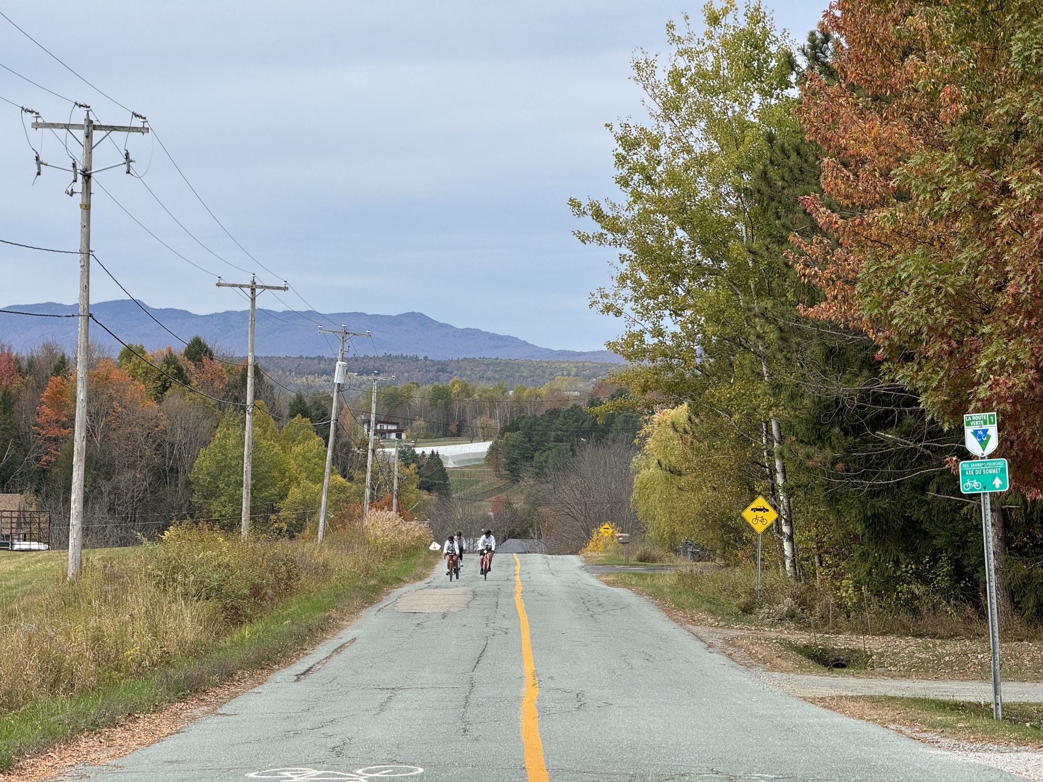
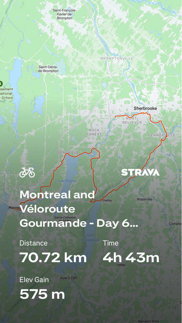
The distance sign for Sherbrooke right outside our accommodation showed 25 km to Sherbrooke, presumably the shortest road route. Our route for the day was 70km.
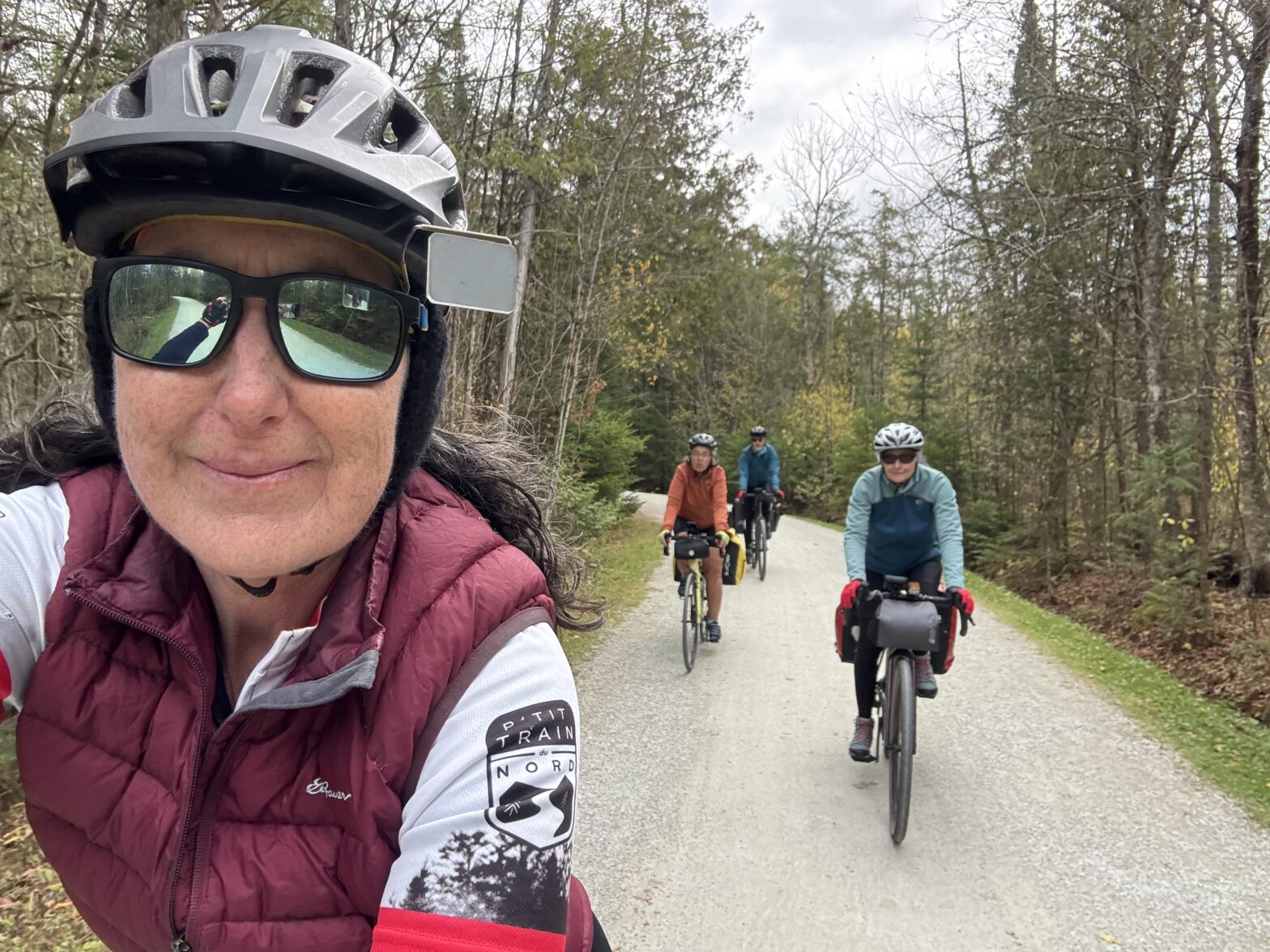
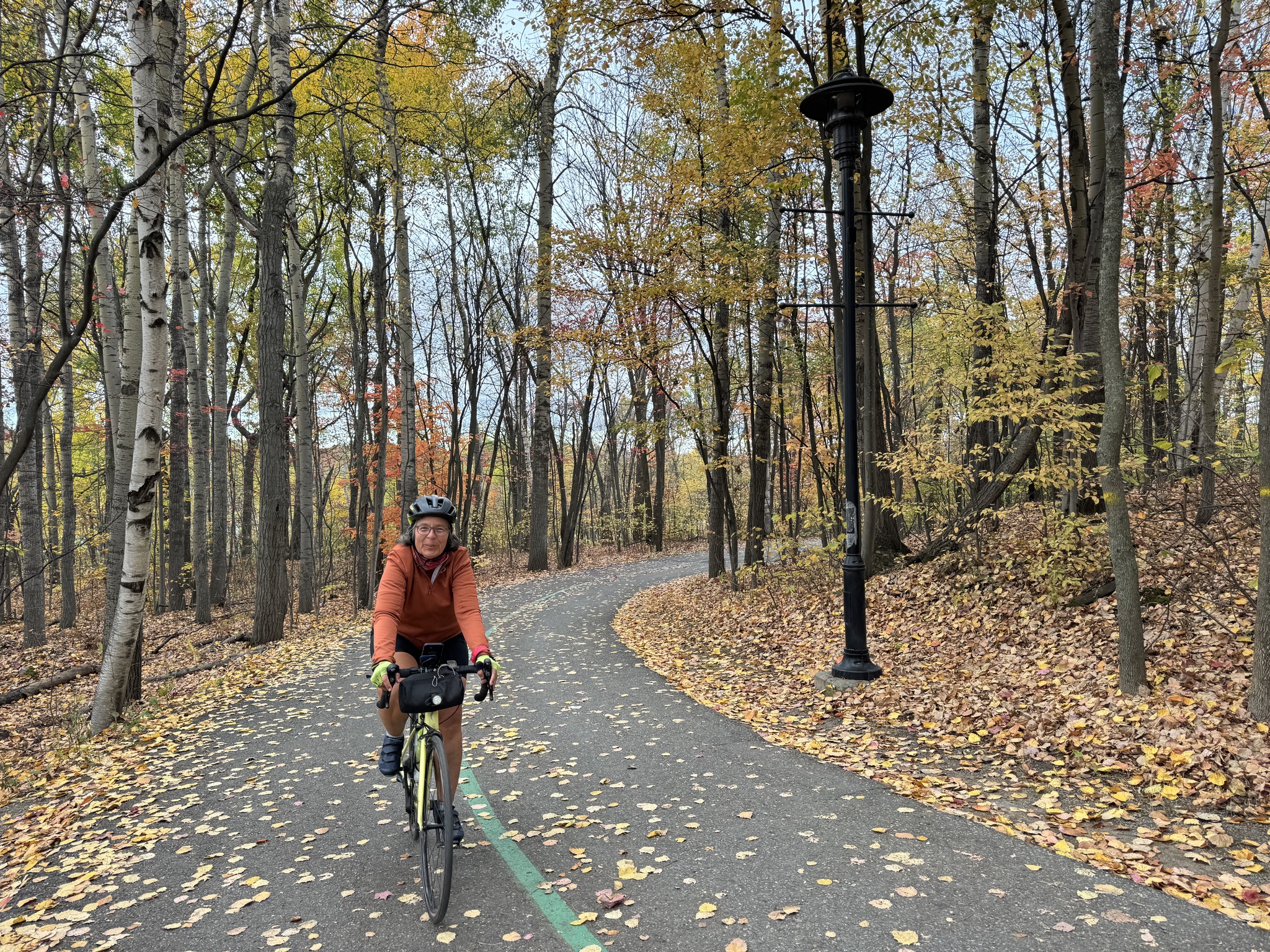
Within a kilometre or so we were on the trail. There was less climbing today, but most of it was in the first half so it challenged us. It was about 40% unpaved, but the surface quality was excellent.
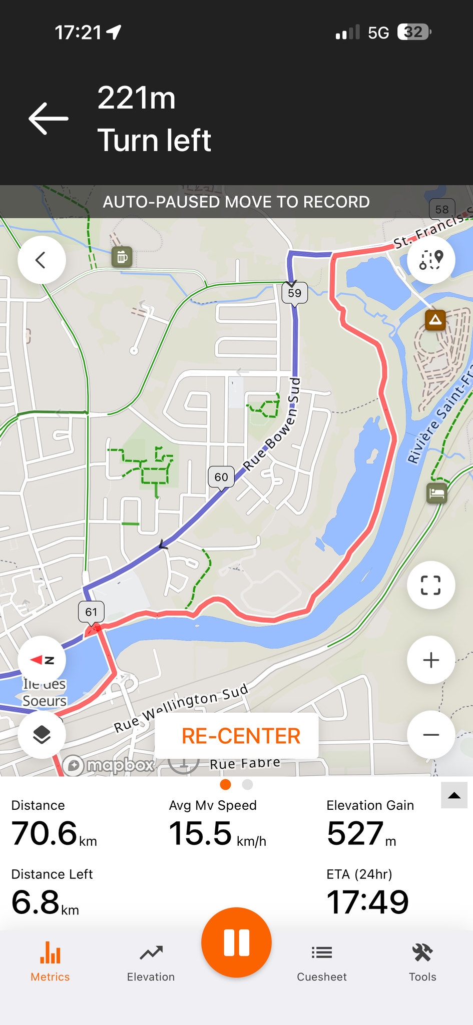
This is one of the places where the GPX file differ from the signed route. We had come from the left side of the picture and had to make a left turn back onto the trail.
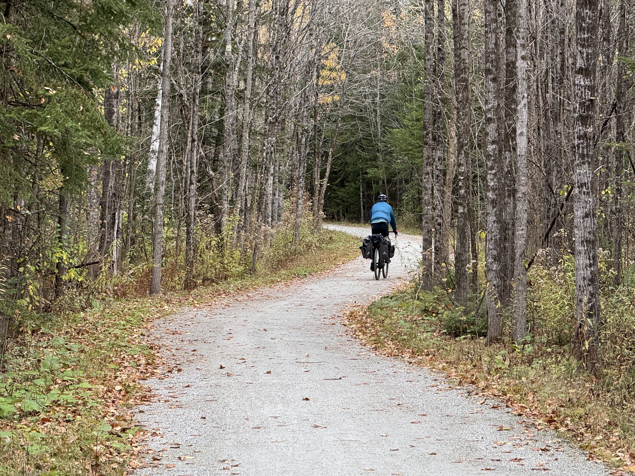
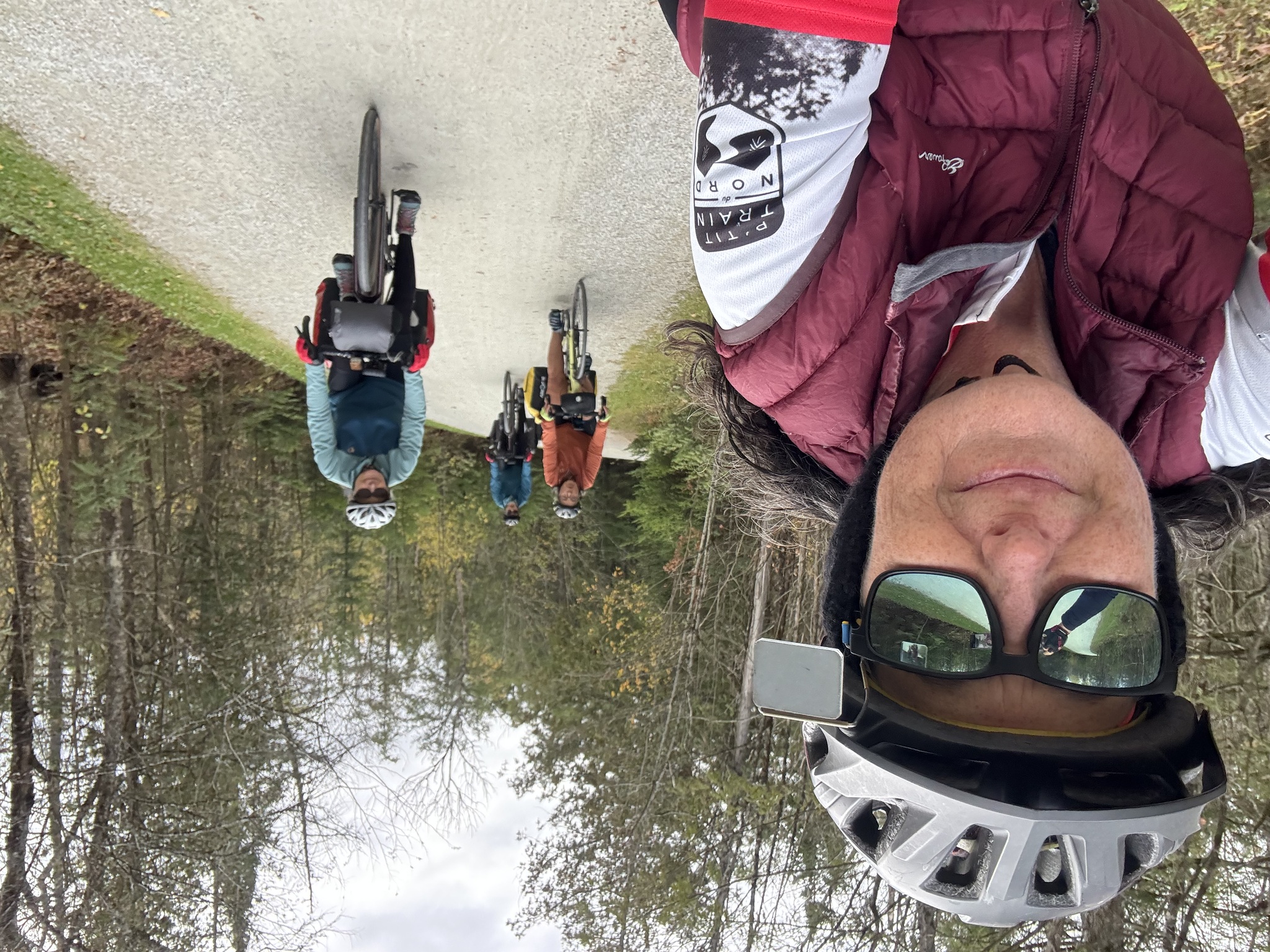
Here we are climbing again.
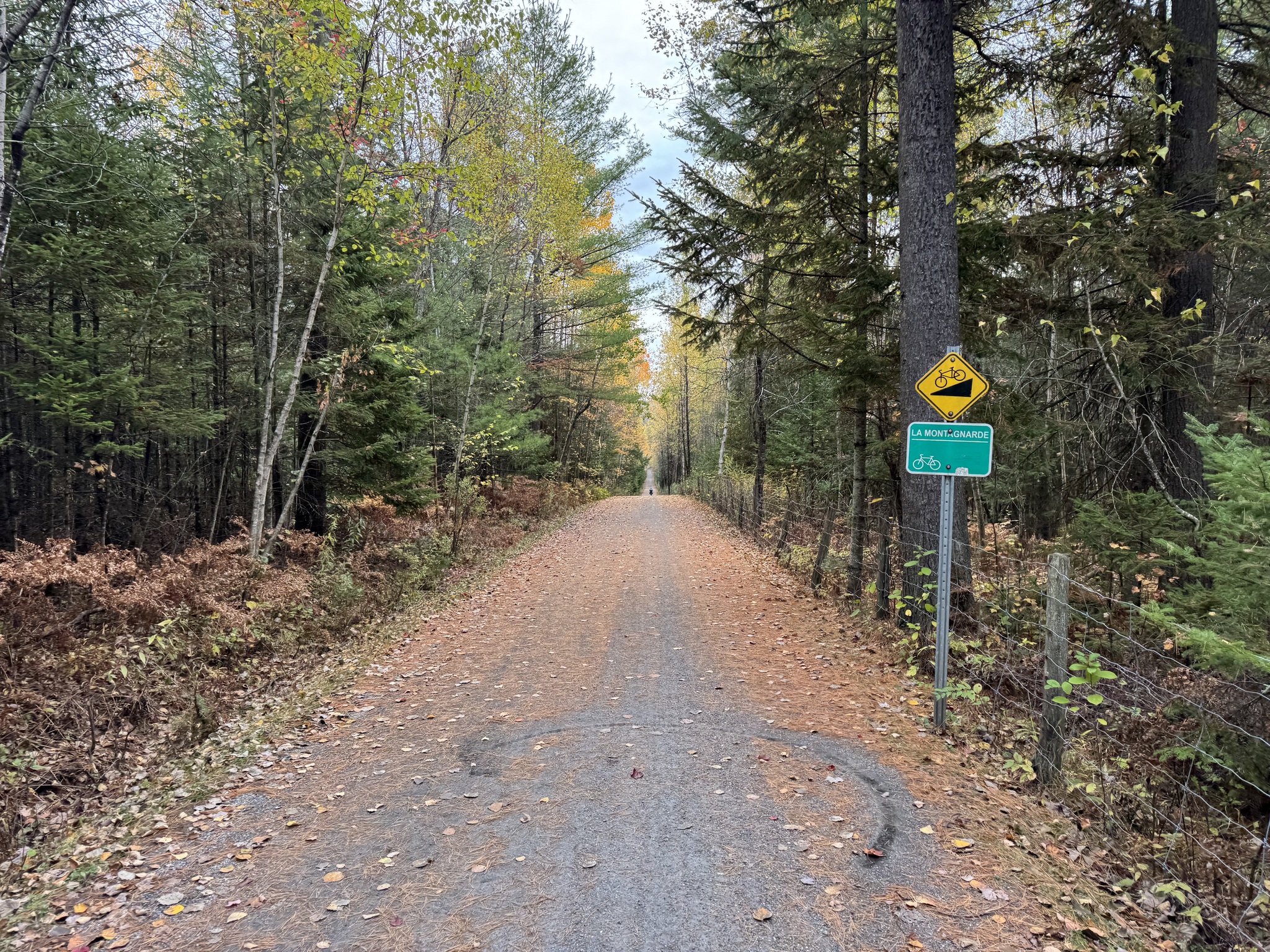
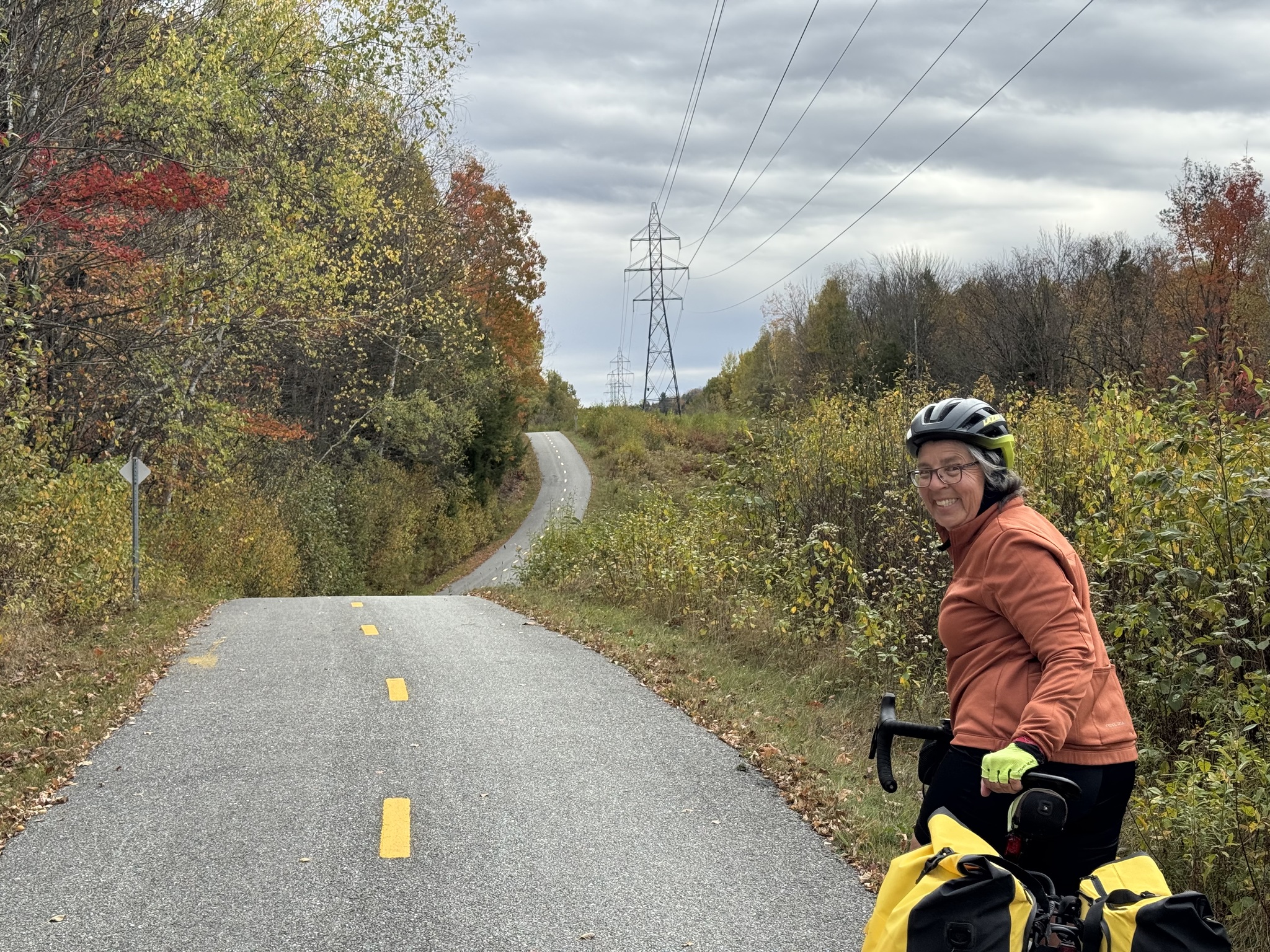
And Cindy is still smiling, despite the climb in front of us. Some of the steeper climbs were surfaced with asphalt even when the trail on either side was grit.
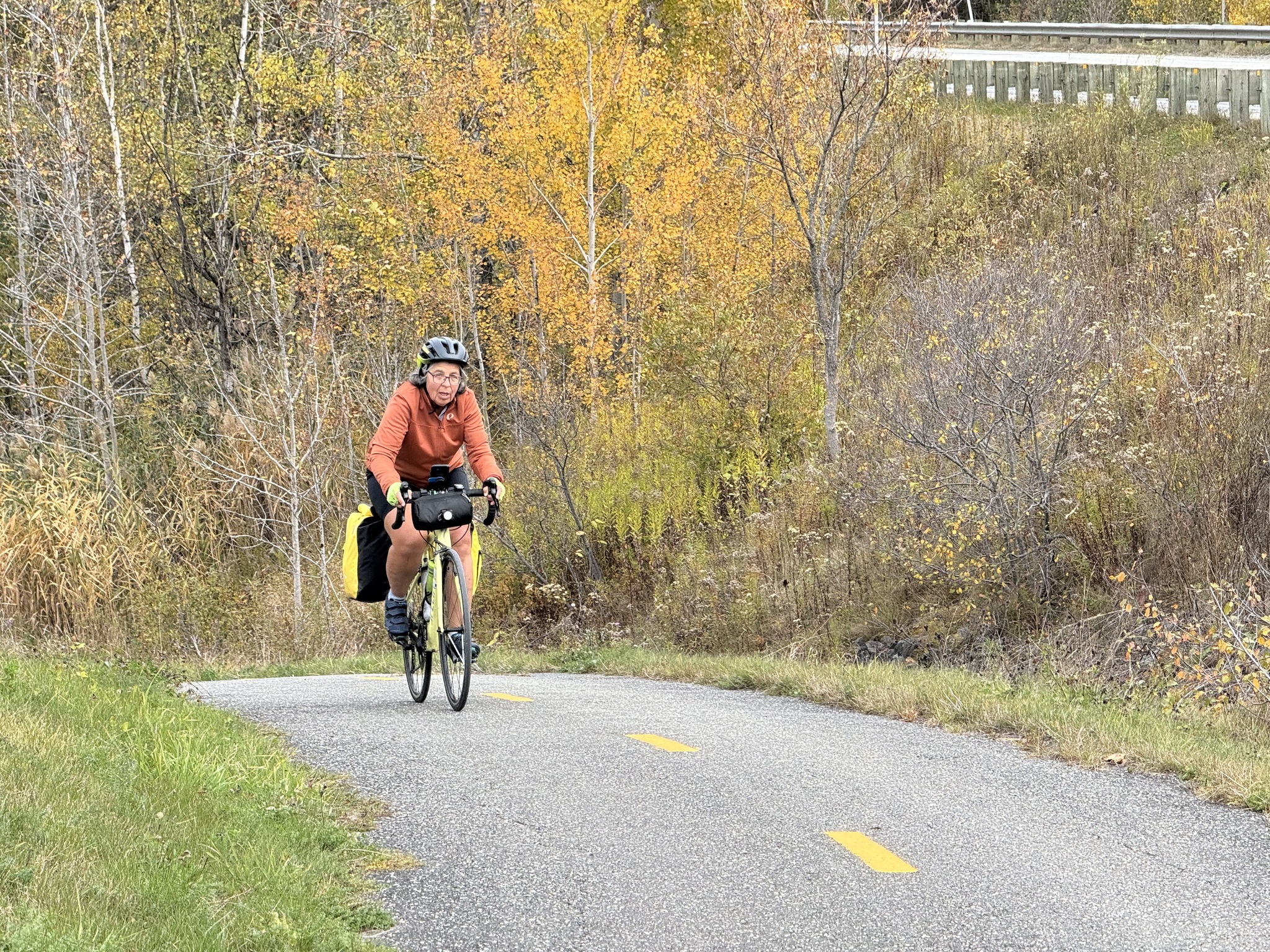
This was one of the worst climbs of the day.
Lunch was in North Hatley. It is “famous for its scenic beauty, including views of Lake Massawippi and the surrounding mountains, and its charming, historic architecture. It is also known for its vibrant arts and literary scene, its high-quality tourism facilities like the internationally renowned Manoir Hovey, and its status as one of Quebec’s most beautiful small towns.”
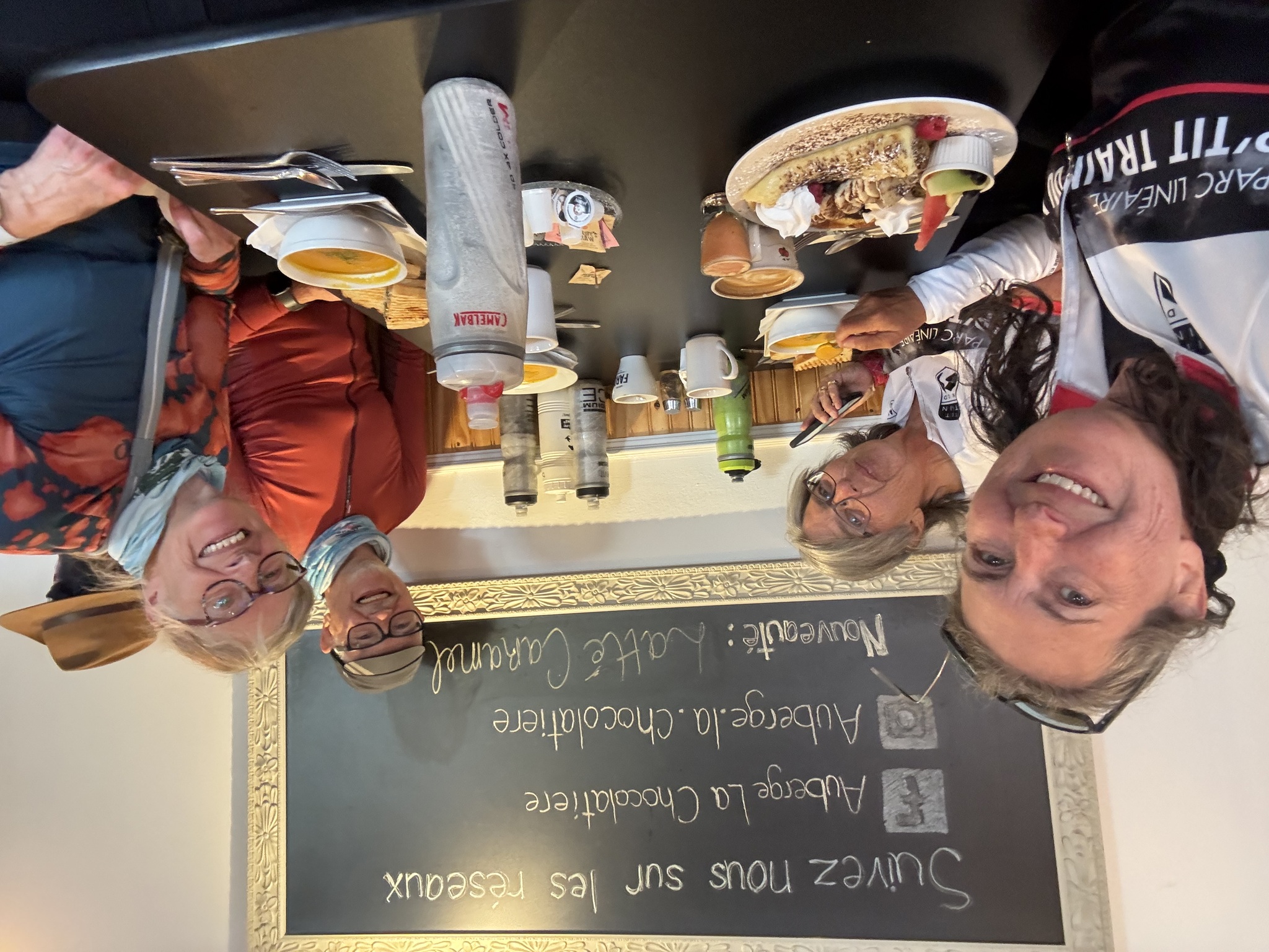
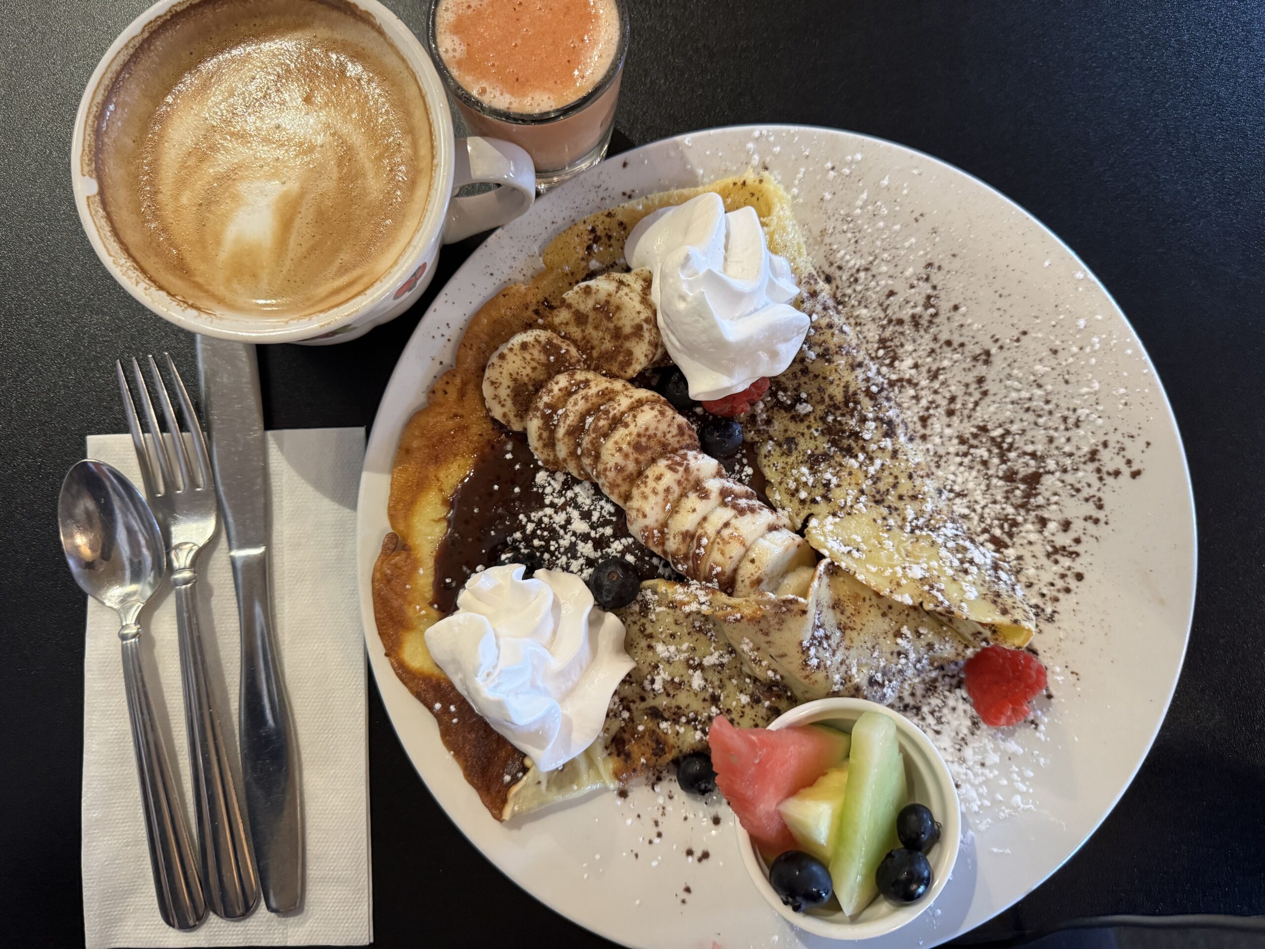
We met a local earlier who recommended Pilsen for lunch. We locked our bikes up and went up to the second floor, where they were serving, to have a look at the menu. It was quite expensive so we decided to try a café in La Chocolatière Auberge, across the street. It was a little less expensive, and the food was very good.
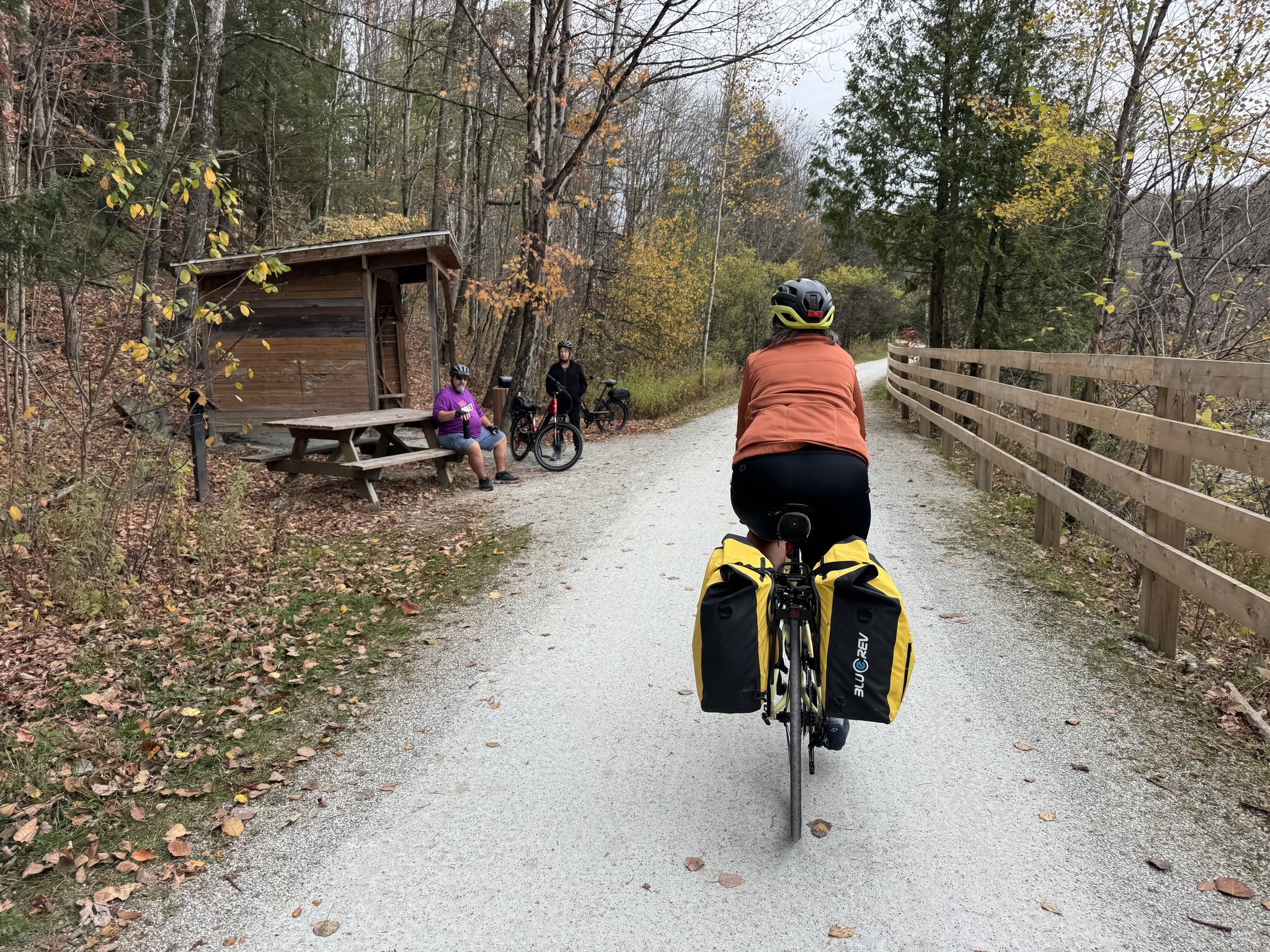
This was one of the many rest stops we saw today.
Cindy was in search of ice cream after lunch, but the store was closed.
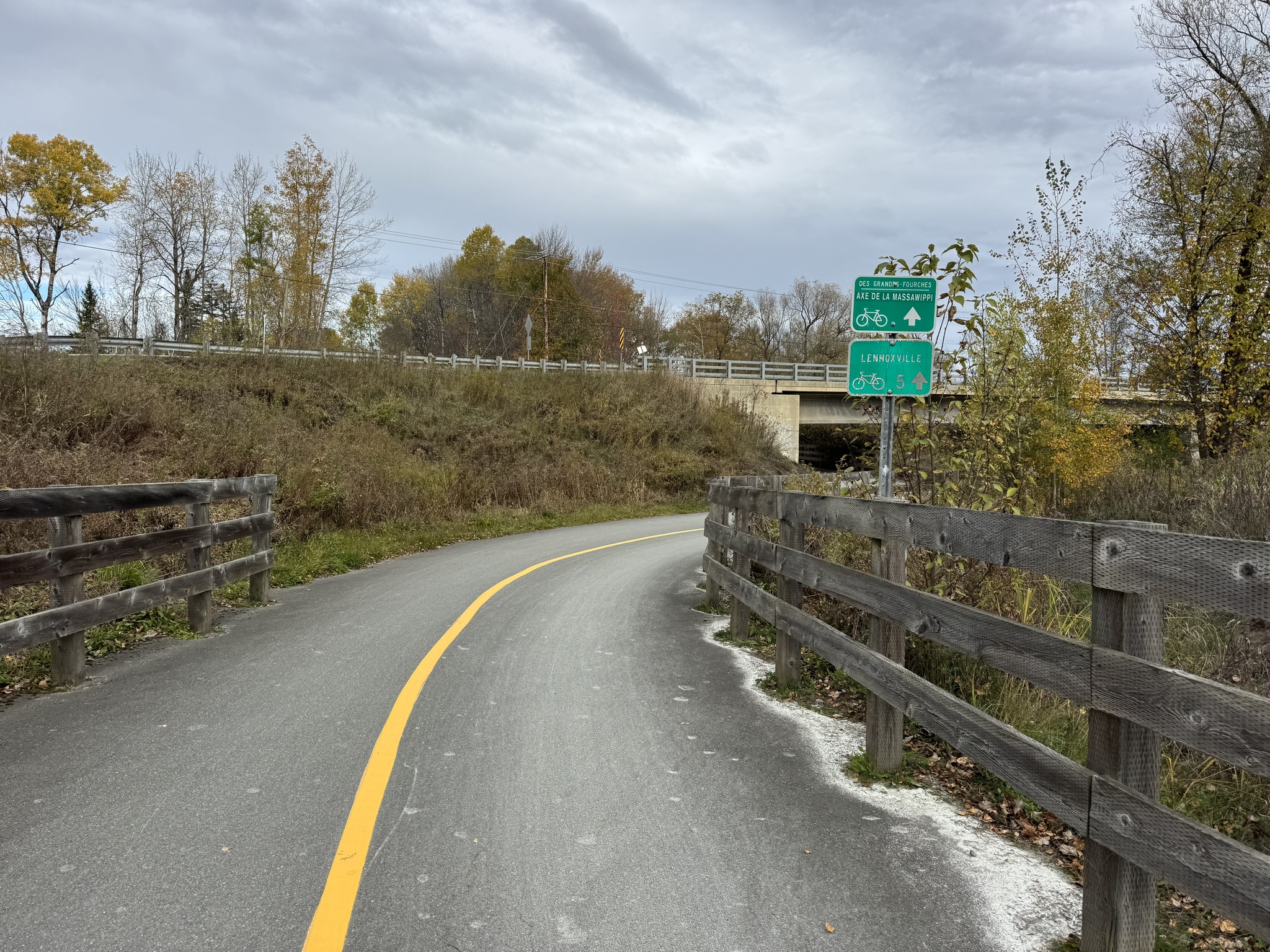
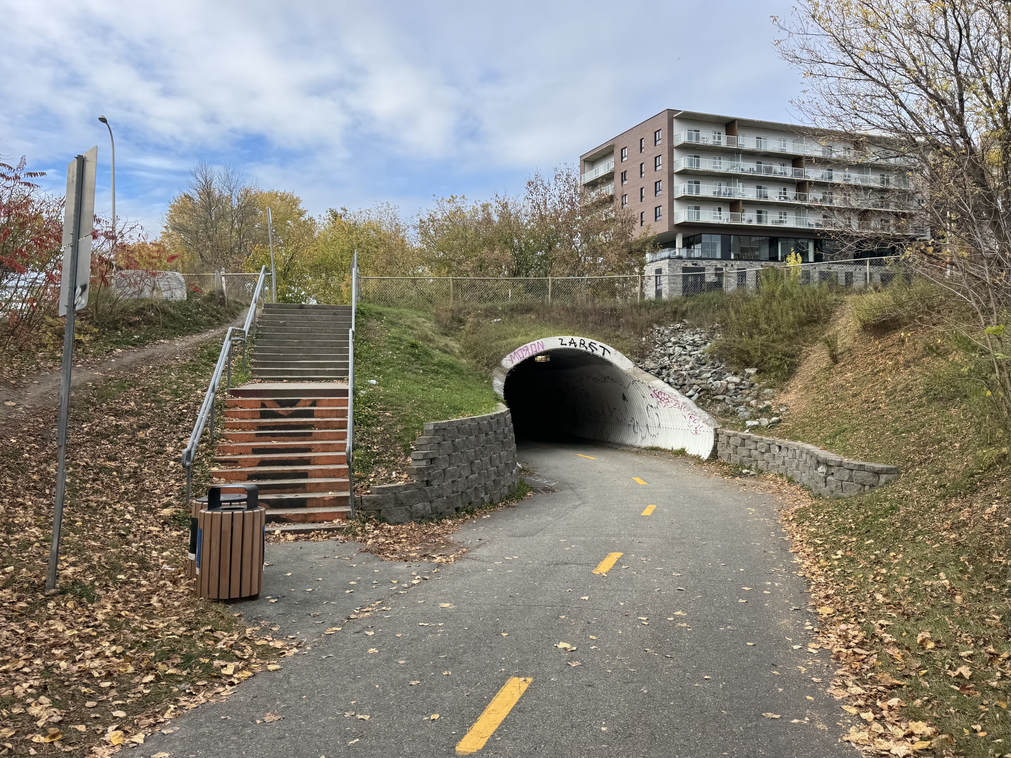
The trail was new here and went under the highway. We decided to follow the signs rather than the Ride with GPS route. It put us on a very pleasant, very level trail, and kept us off the roads.
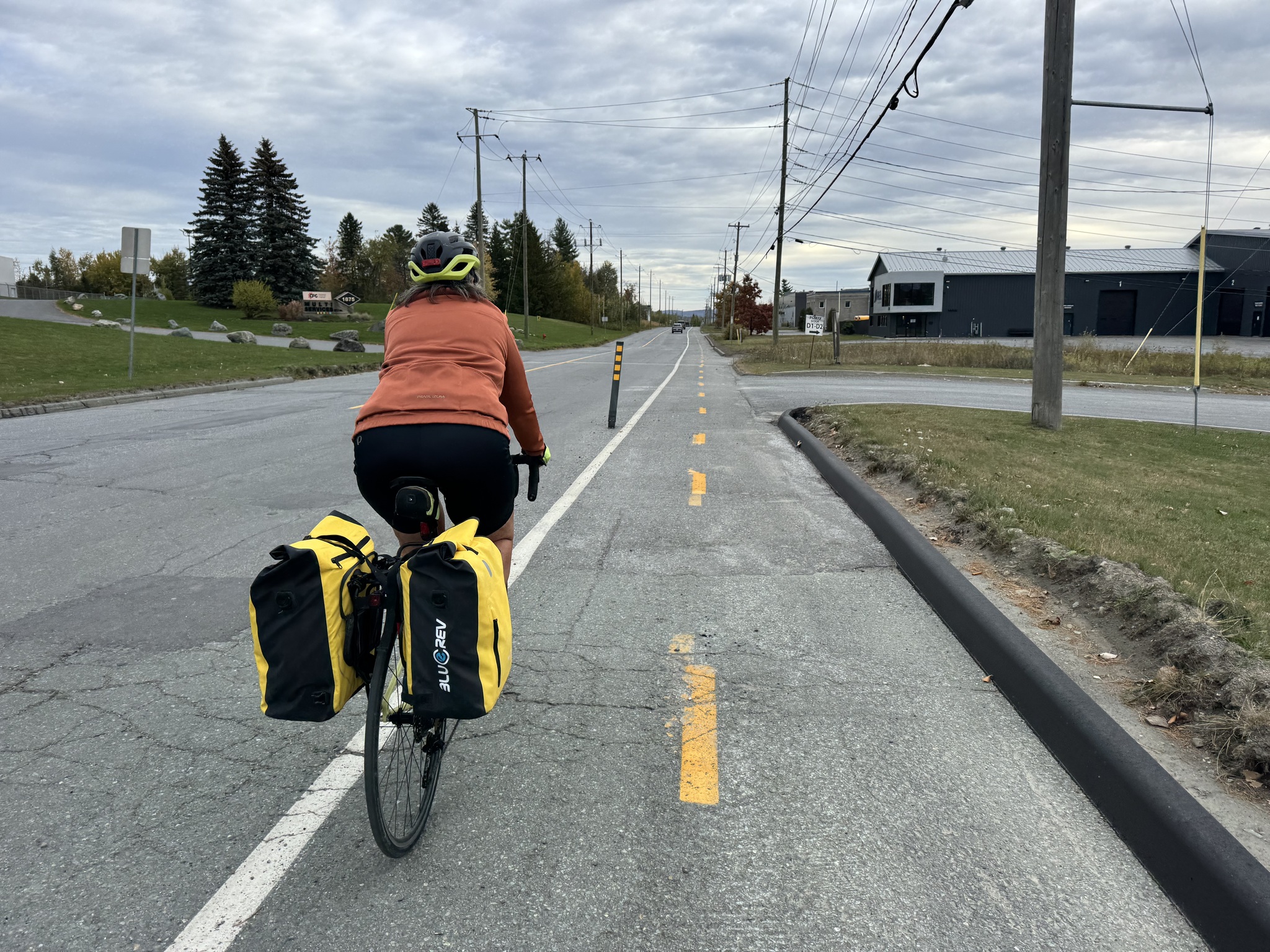
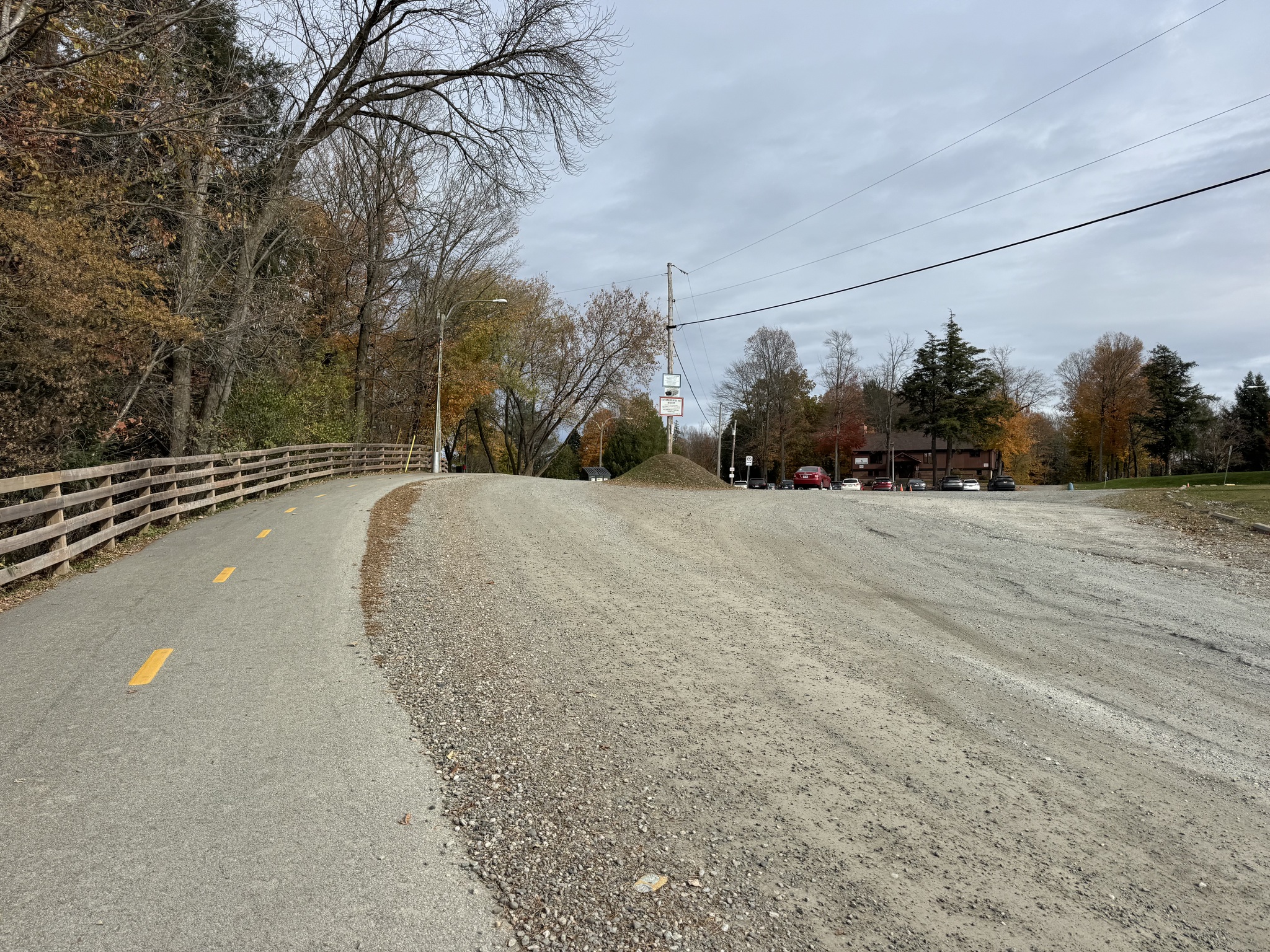
I love it when I see paved, active transportation infrastructure, and gravel roads for cars.
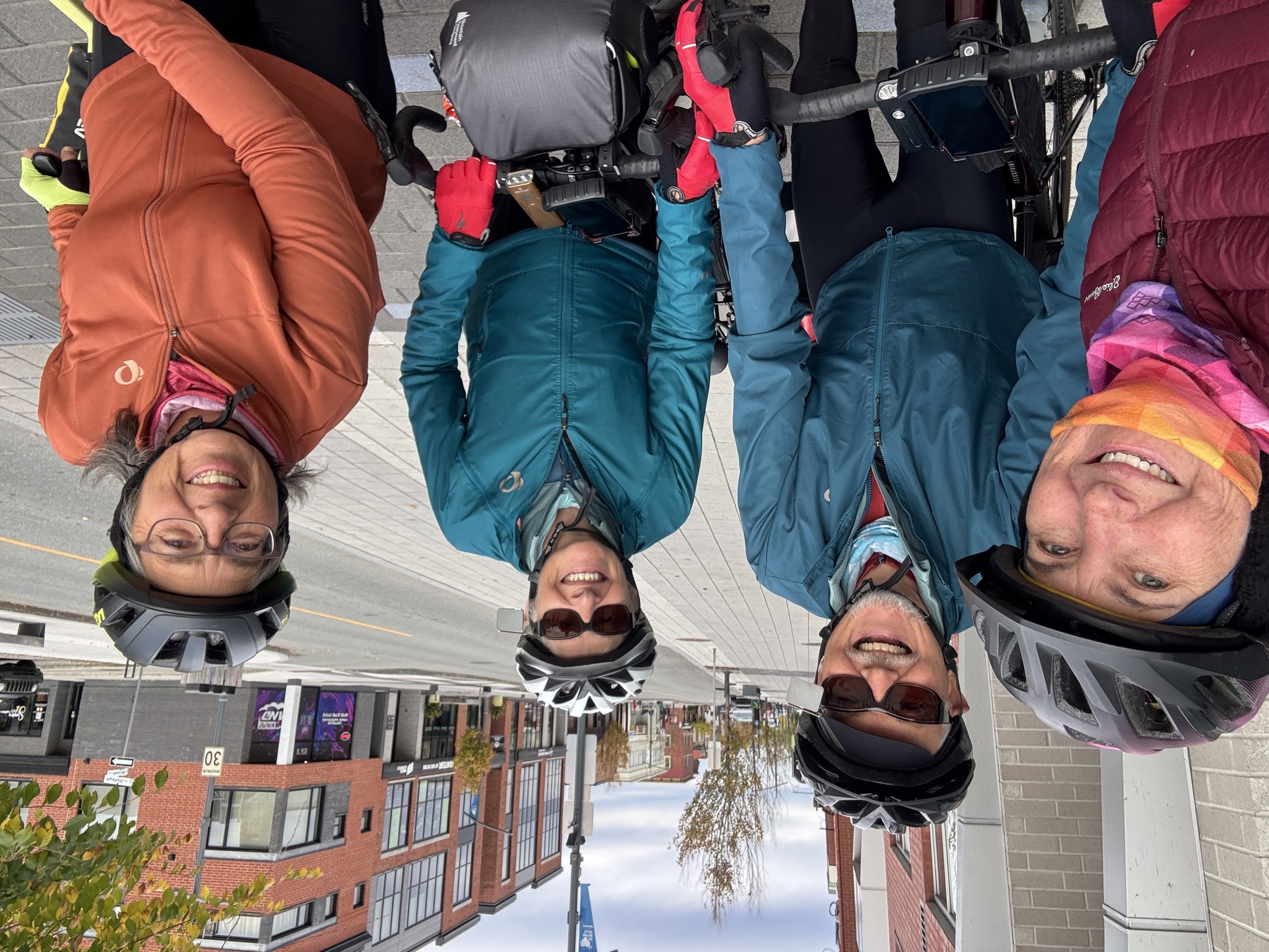
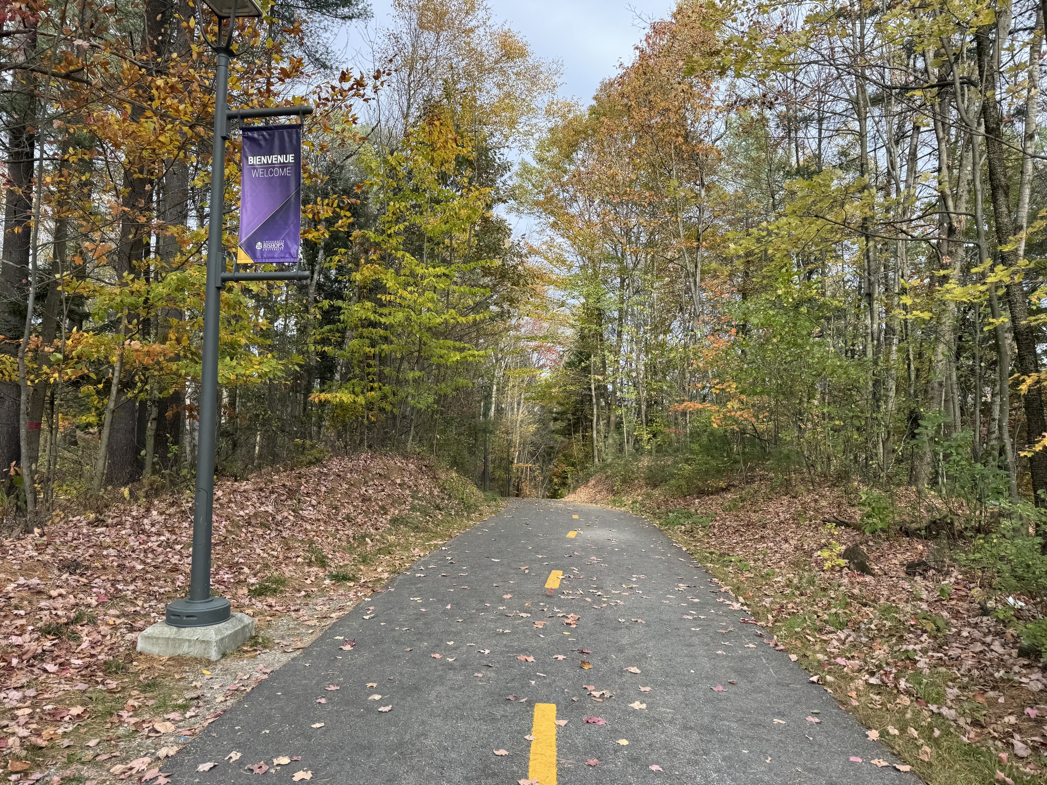
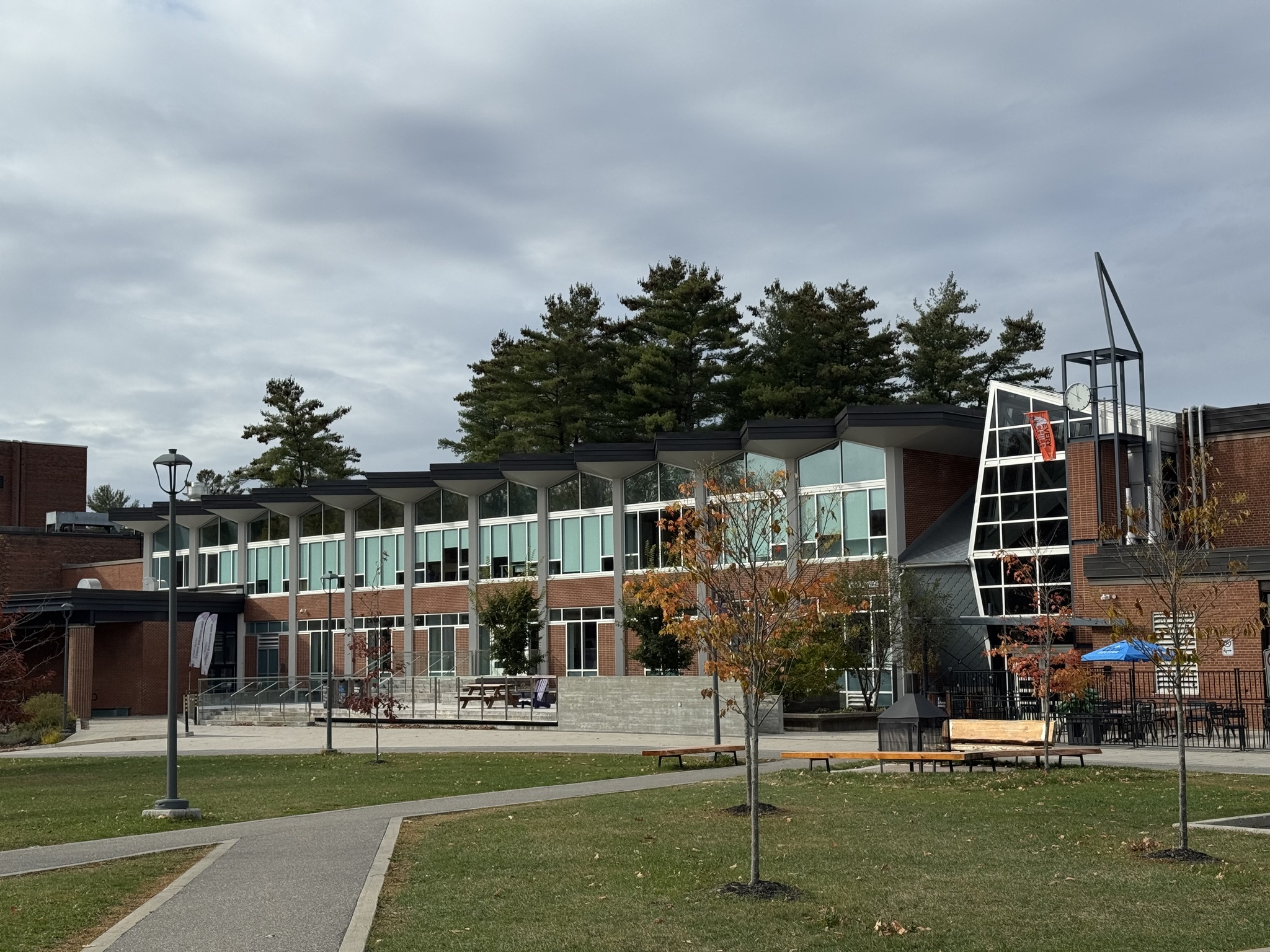
A couple of people who read my blog, who attended Bishops University, recommended that we visit the campus. It is a small English language university located in Lennoxville, a part of Sherbrooke. Fortunately, Route Vert 1 goes right through the campus.
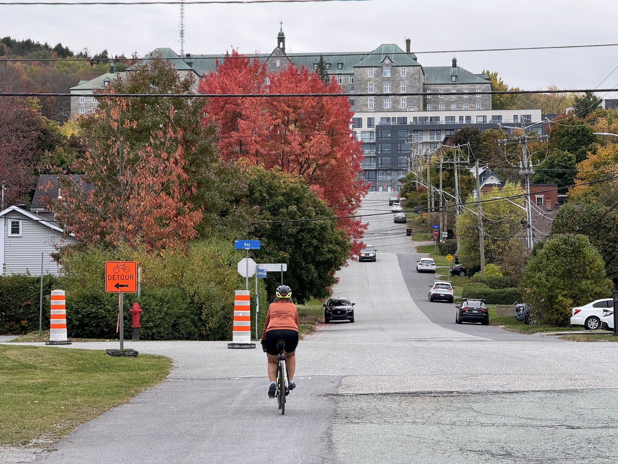
This was also a new section of trail coming into Sherbrooke that we only we knew about by observing the signs, and it differed from the Ride with GPS file. There was trail access to the road via two staircases and a ramp. The active transportation infrastructure here is so impressive. 
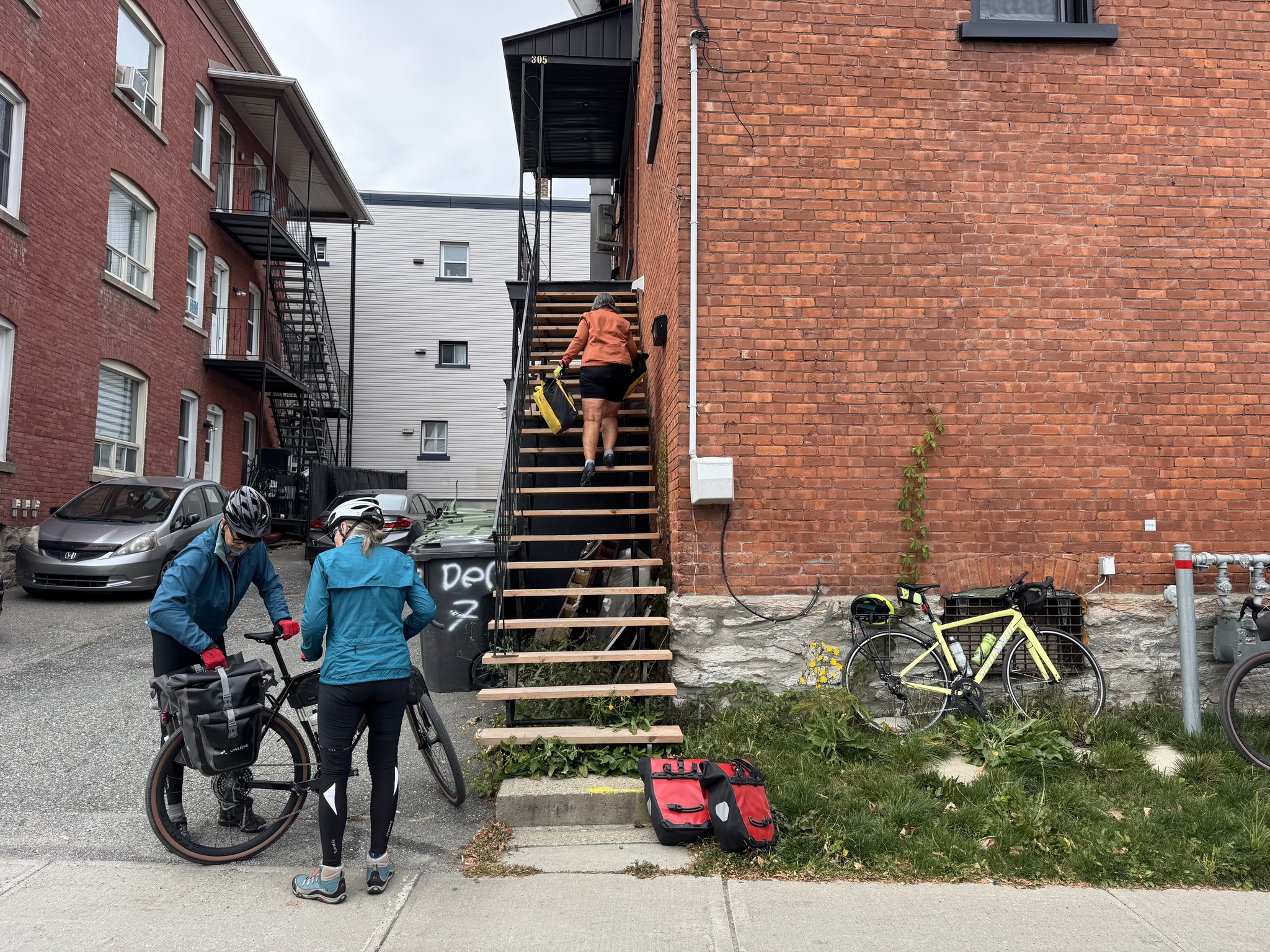
Our accommodation was about 6 km from the end of Véloroute Gourmande so we stopped to drop off panniers. David and Dayle decided to stay in the apartment Cindy and I decided to finish the route. There were 24 steps up to the apartment and no elevator.
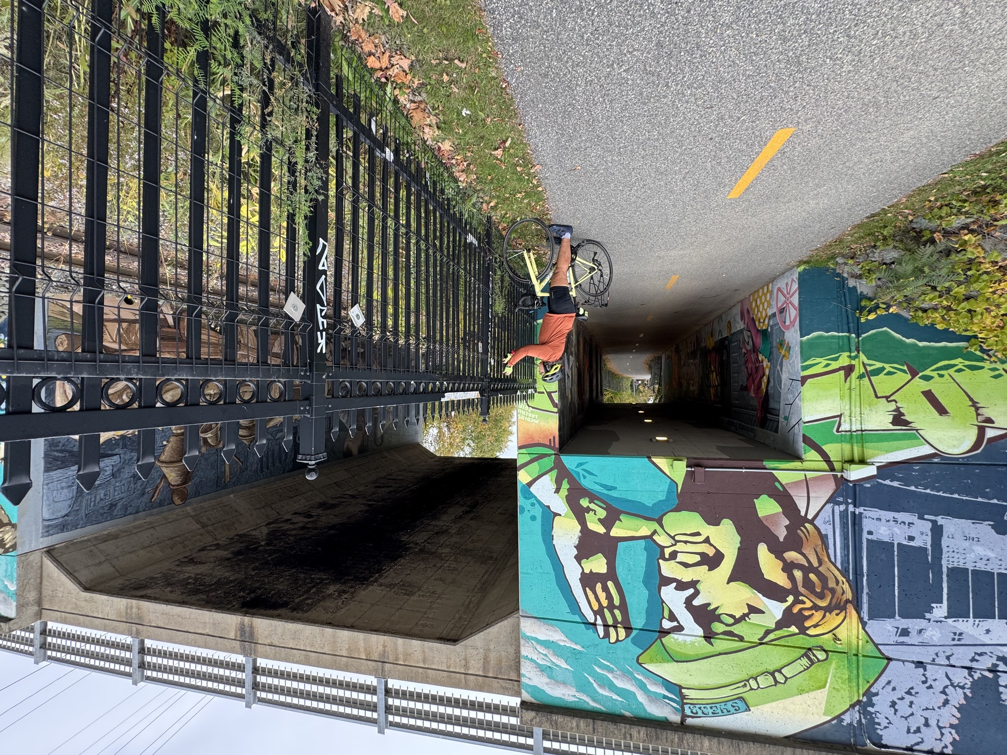
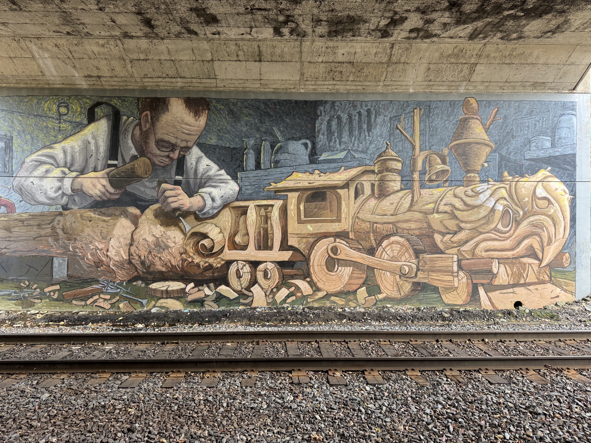
There was some interesting street art in the underpass near the old train station.
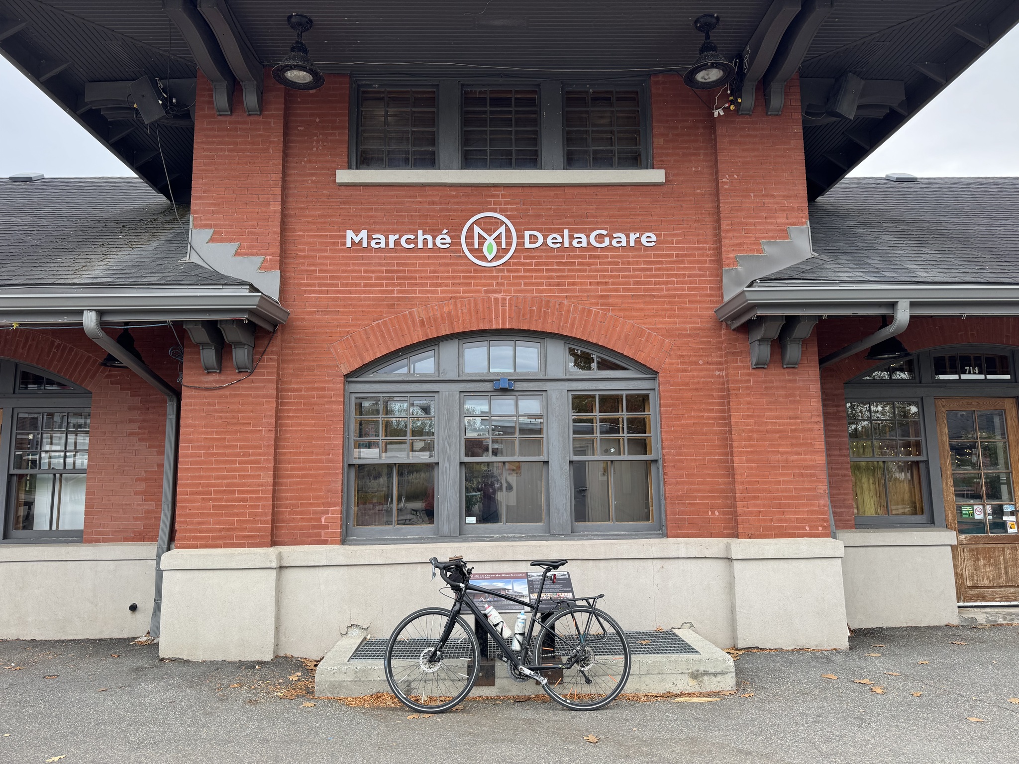
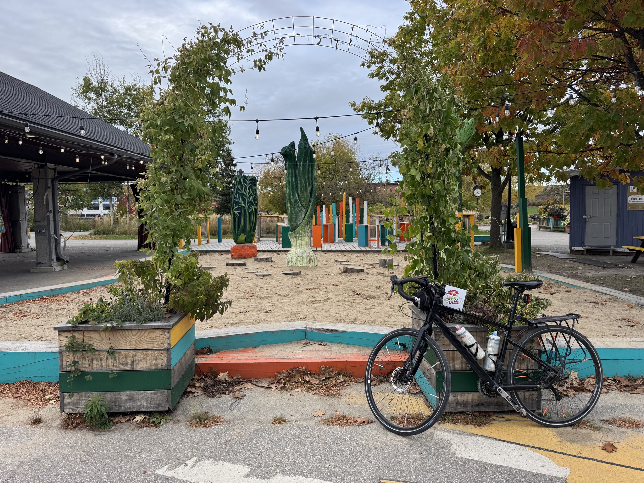
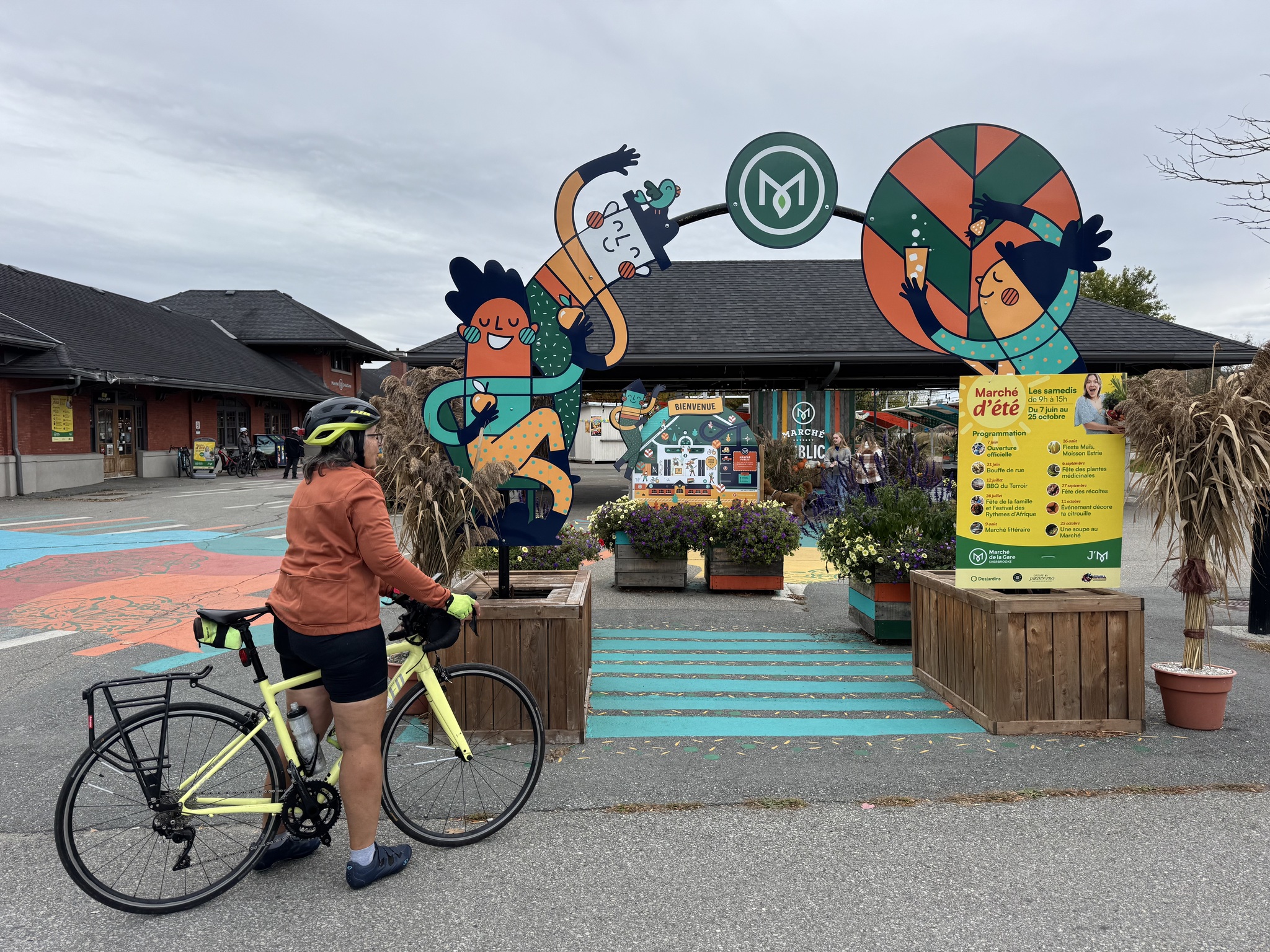
The train station has been repurposed into Marché DelaGare. It has several restaurants, a butcher, and a cheese shop. Outdoors, there are play areas and a summer market.
Sherbrooke is on the Magog River. There is a multi use path along both sides. Cindy and I explored the one on the south side.
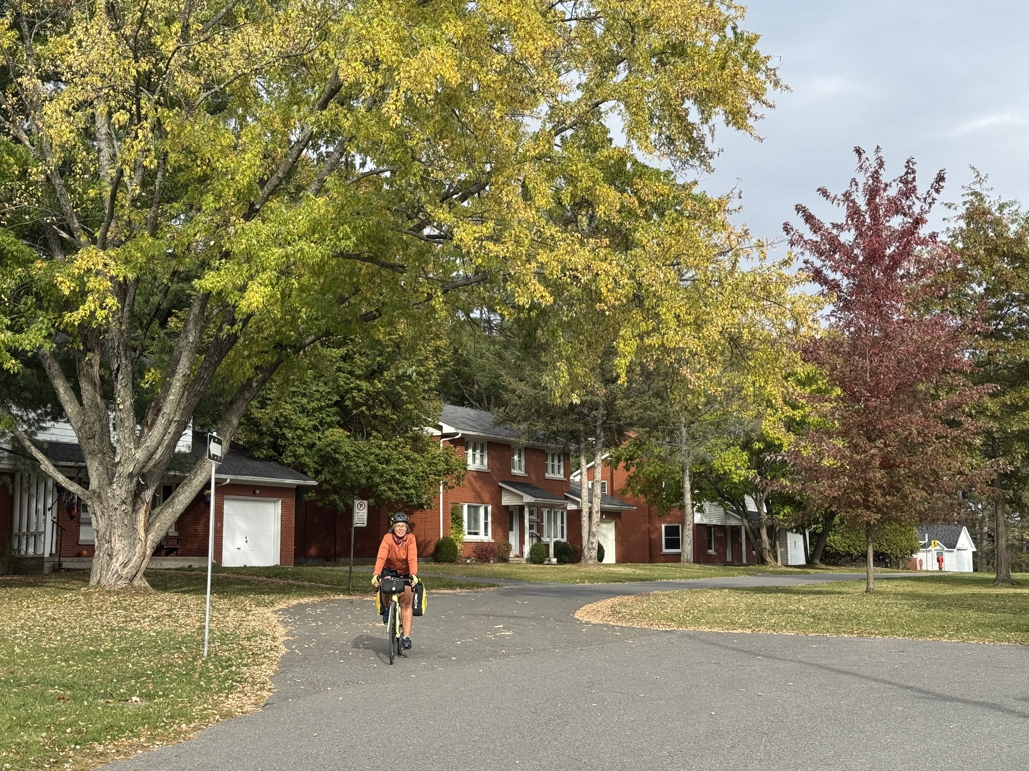
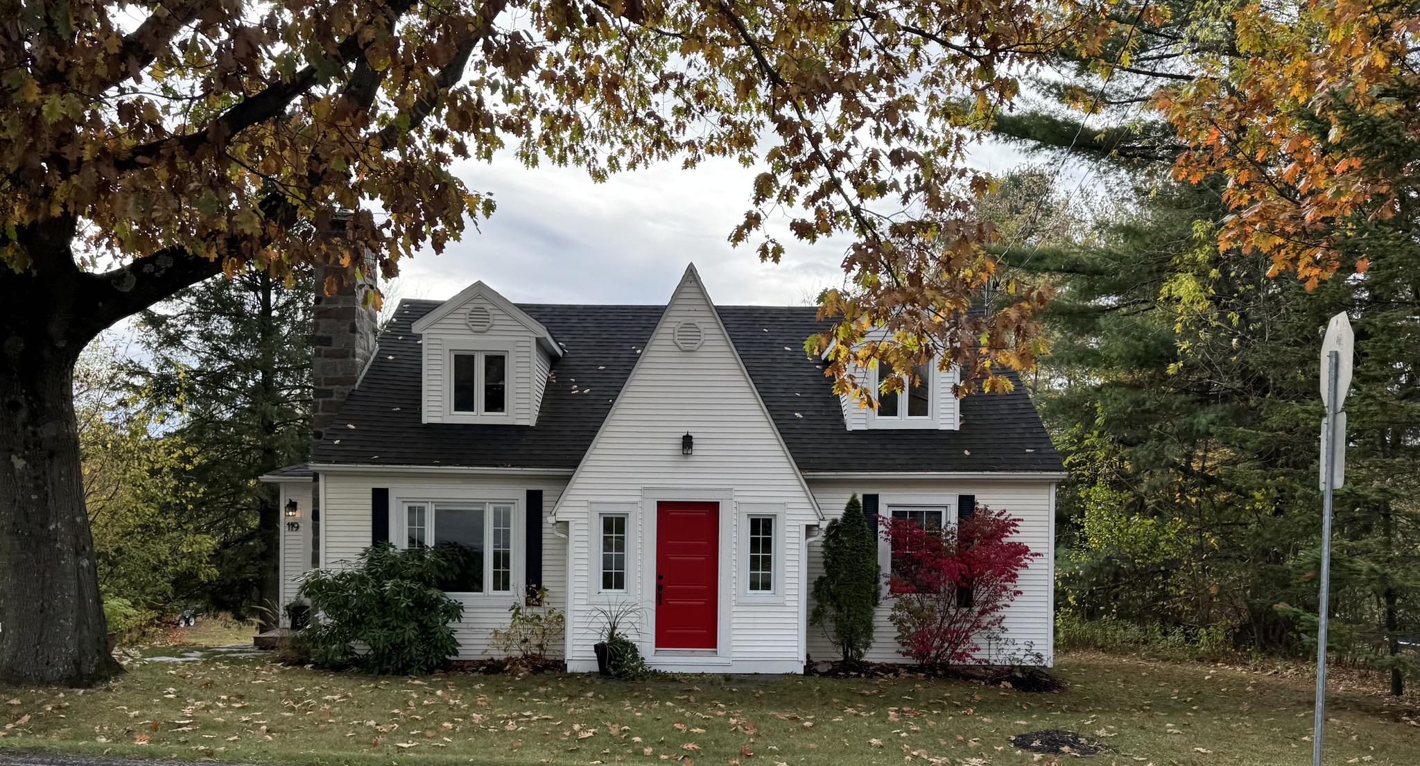
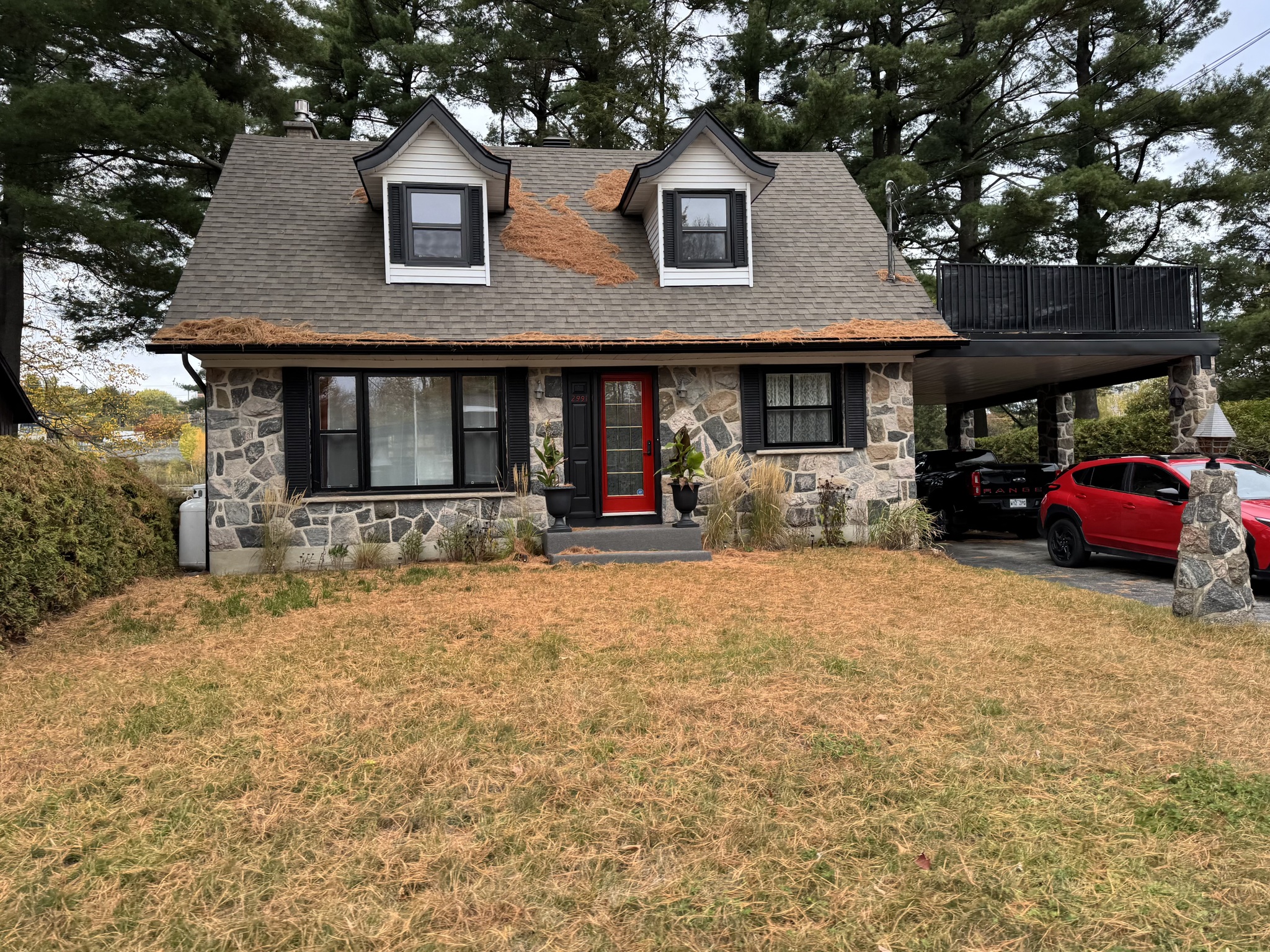
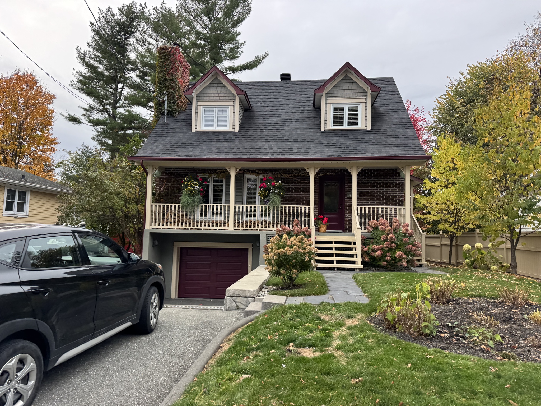
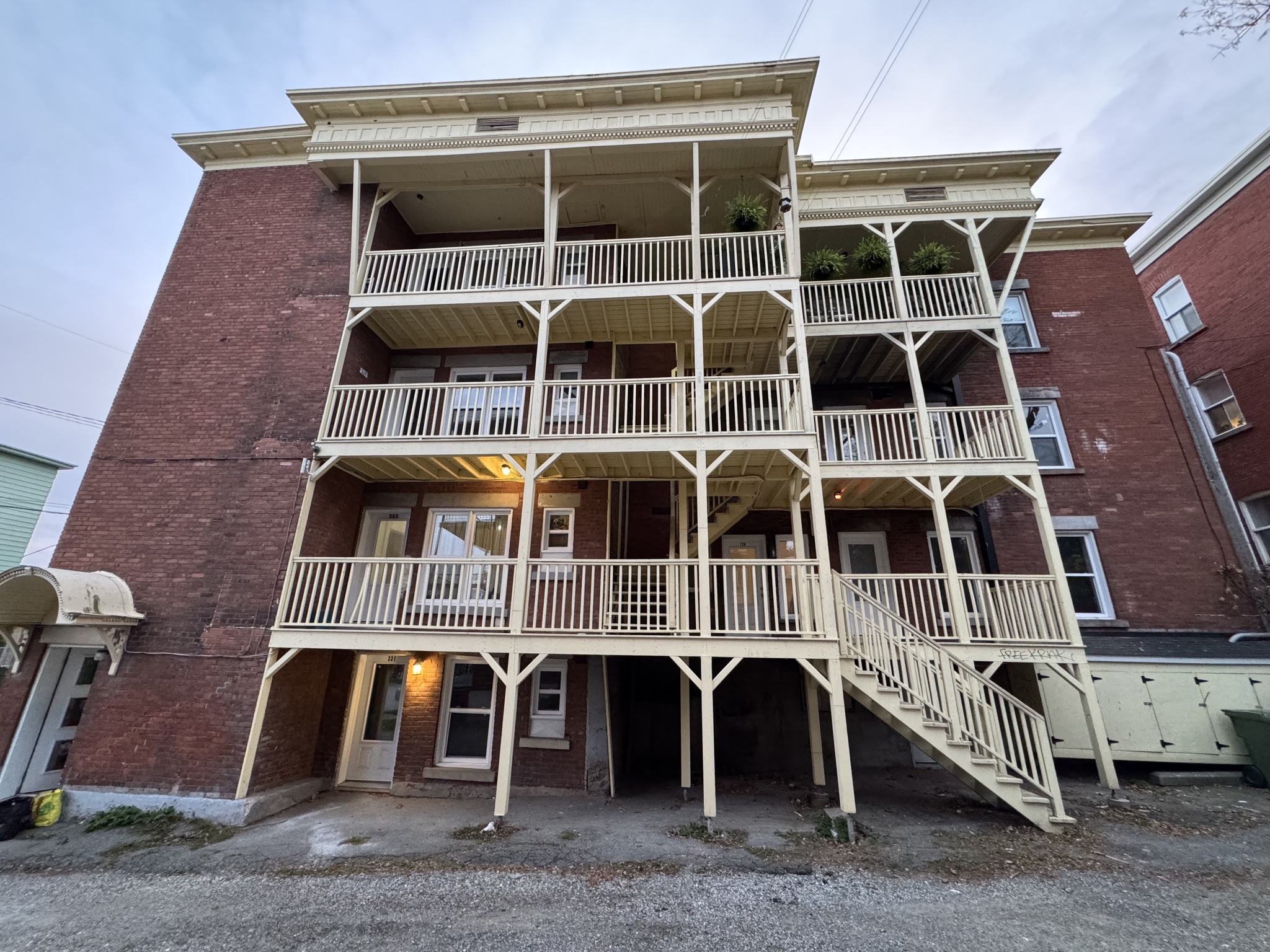
These are some of the interesting houses we saw today in Sherbrooke.
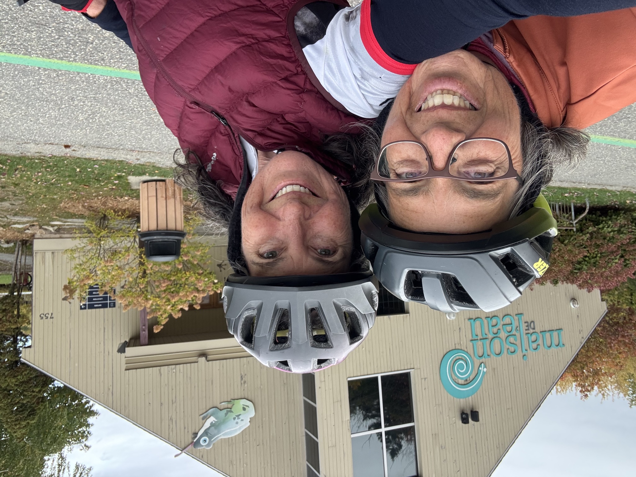
We were keeping our eyes out for a sign, indicating that we were at the end of the Véloroute Gourmande , but we didn’t find one. This was the end spot in the file and online maps so we took a picture there.
Part of the trail next to the river was under construction, and as we saw in a few places in Montreal, when the cycling infrastructure was unavailable, space was taken from motor vehicles to create a temporary detour for cyclists.
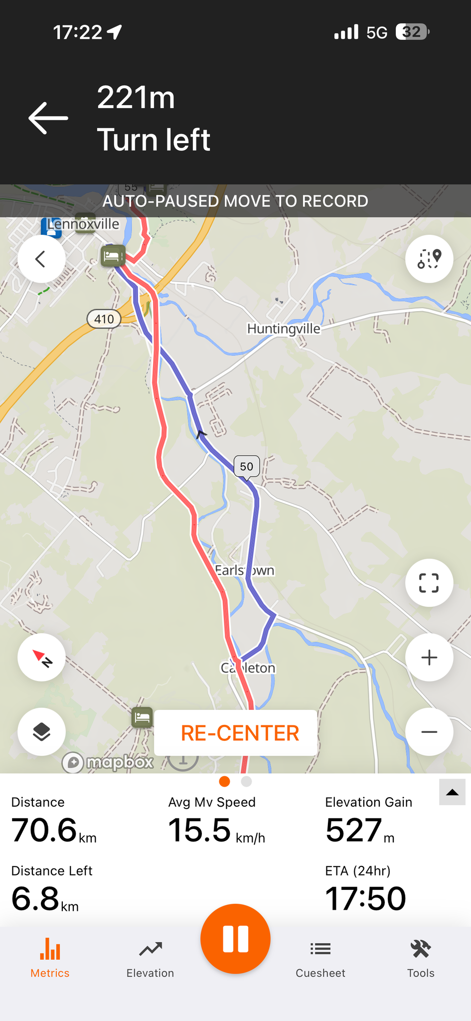
These are a couple screen captures of how the signed route and the GPX file from the Véloroute Gourmande website differed. The blue line was old route, and the red line was how the route was signed, and what we chose to ride. The signed route seemed relatively new and improved over the old one.
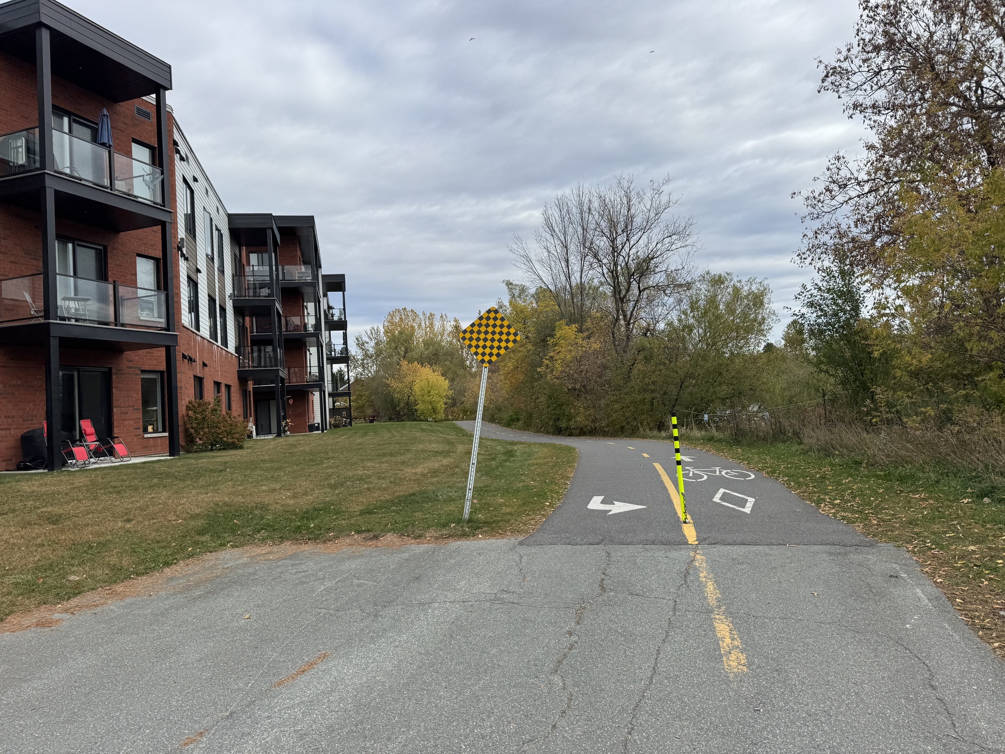
There’s a lot of gentle density in Sherbrooke. We saw many of these types of apartment buildings.
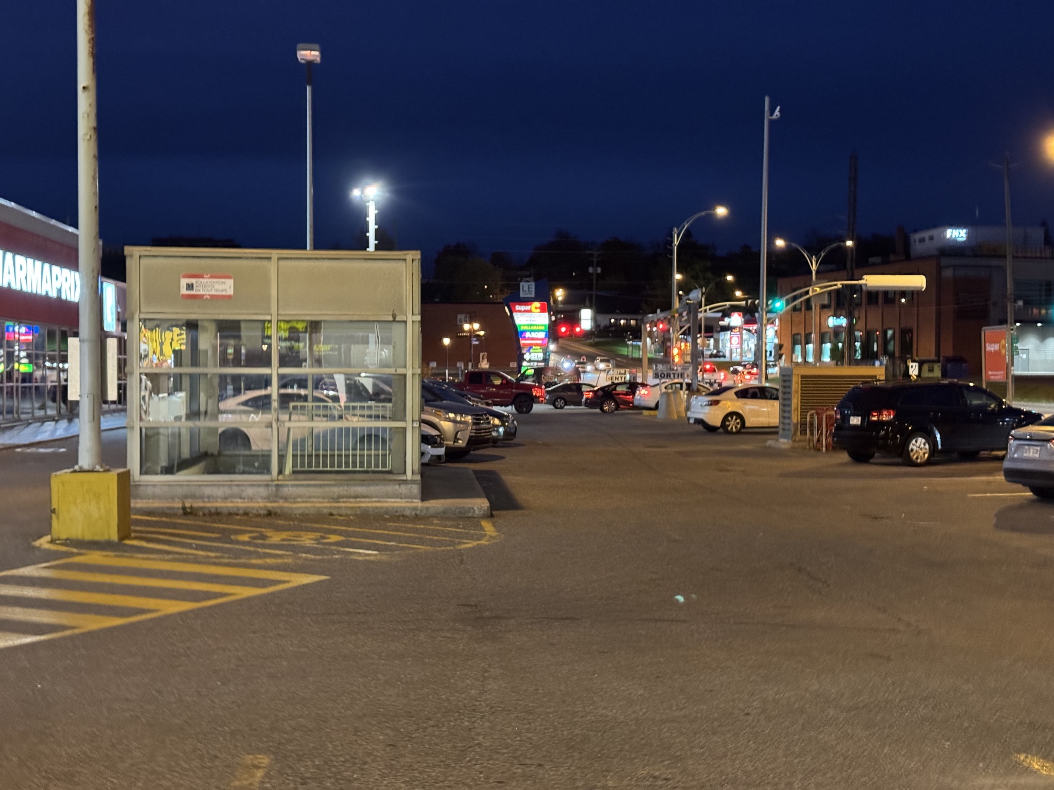
Since food has been so expensive, and we have an apartment today, we decided to get food at the grocery store for breakfast, and picked up subs for dinner from Subway. The plaza had indoor bike parking.
Riding Véloroute Gourmande was an excellent experience which I highly recommend.
Tomorrow, we head north to Drummondville.
Discover more from Lisa Stokes
Subscribe to get the latest posts sent to your email.