Bratislava 2 – Day 7

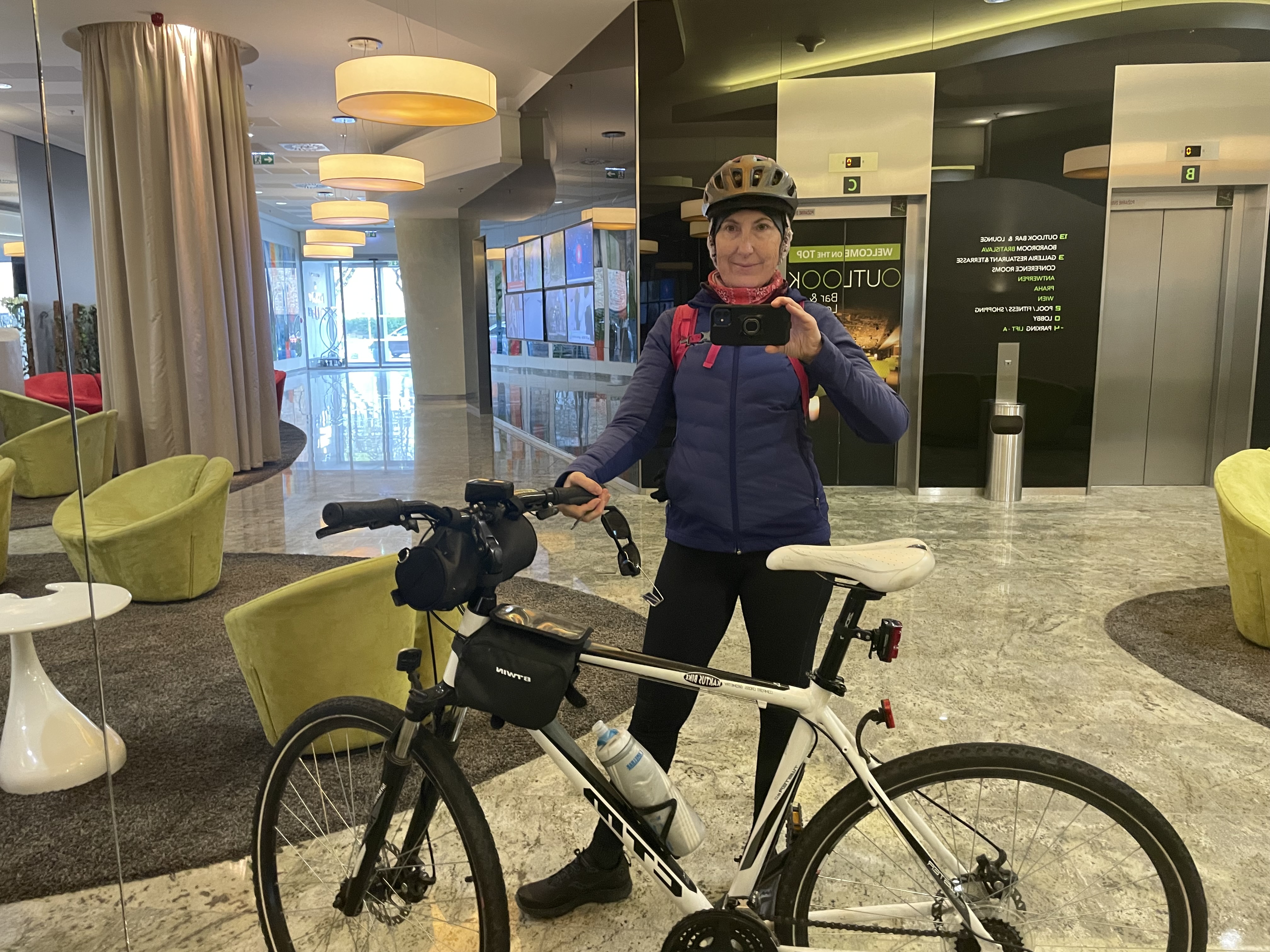
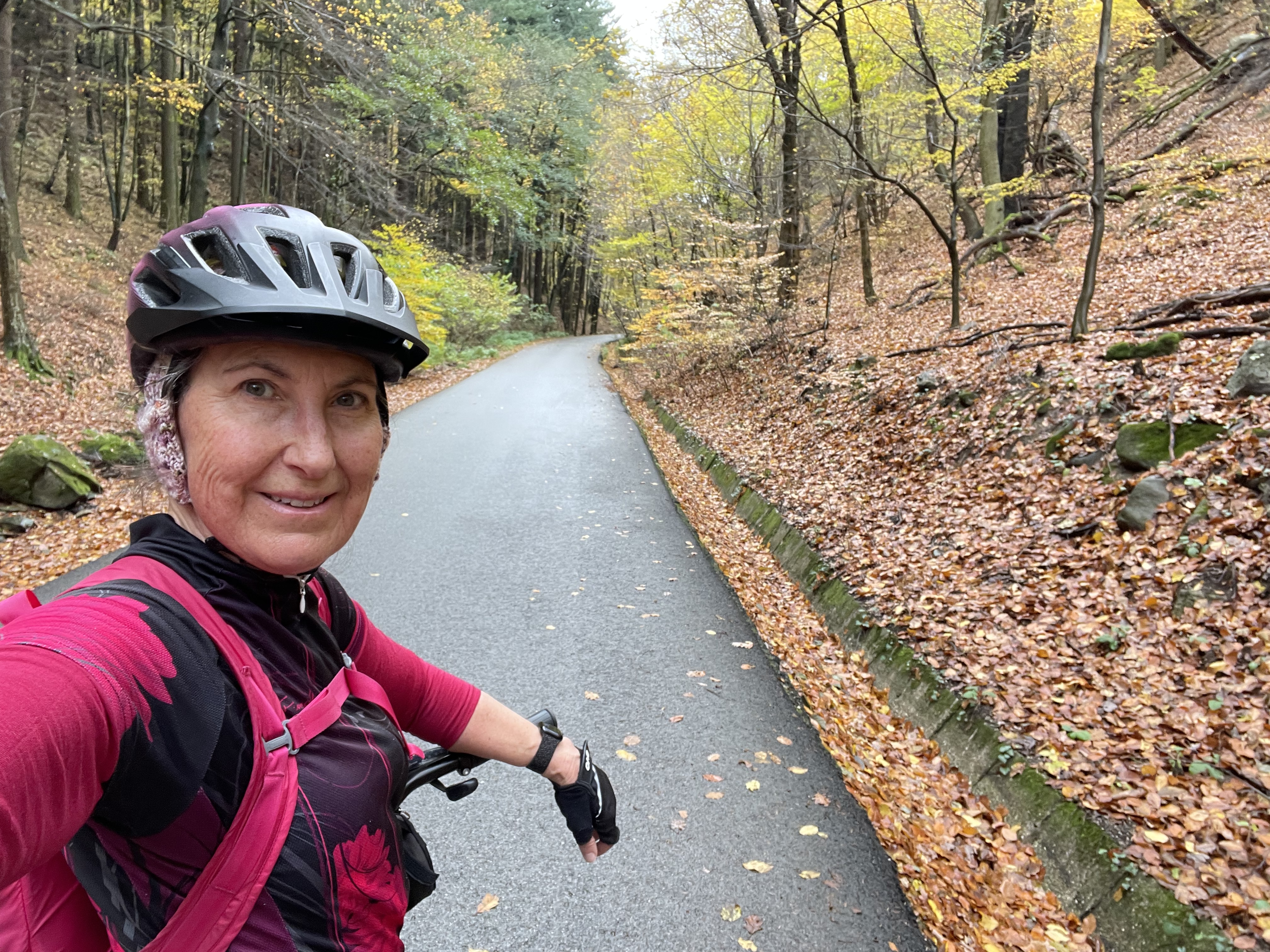
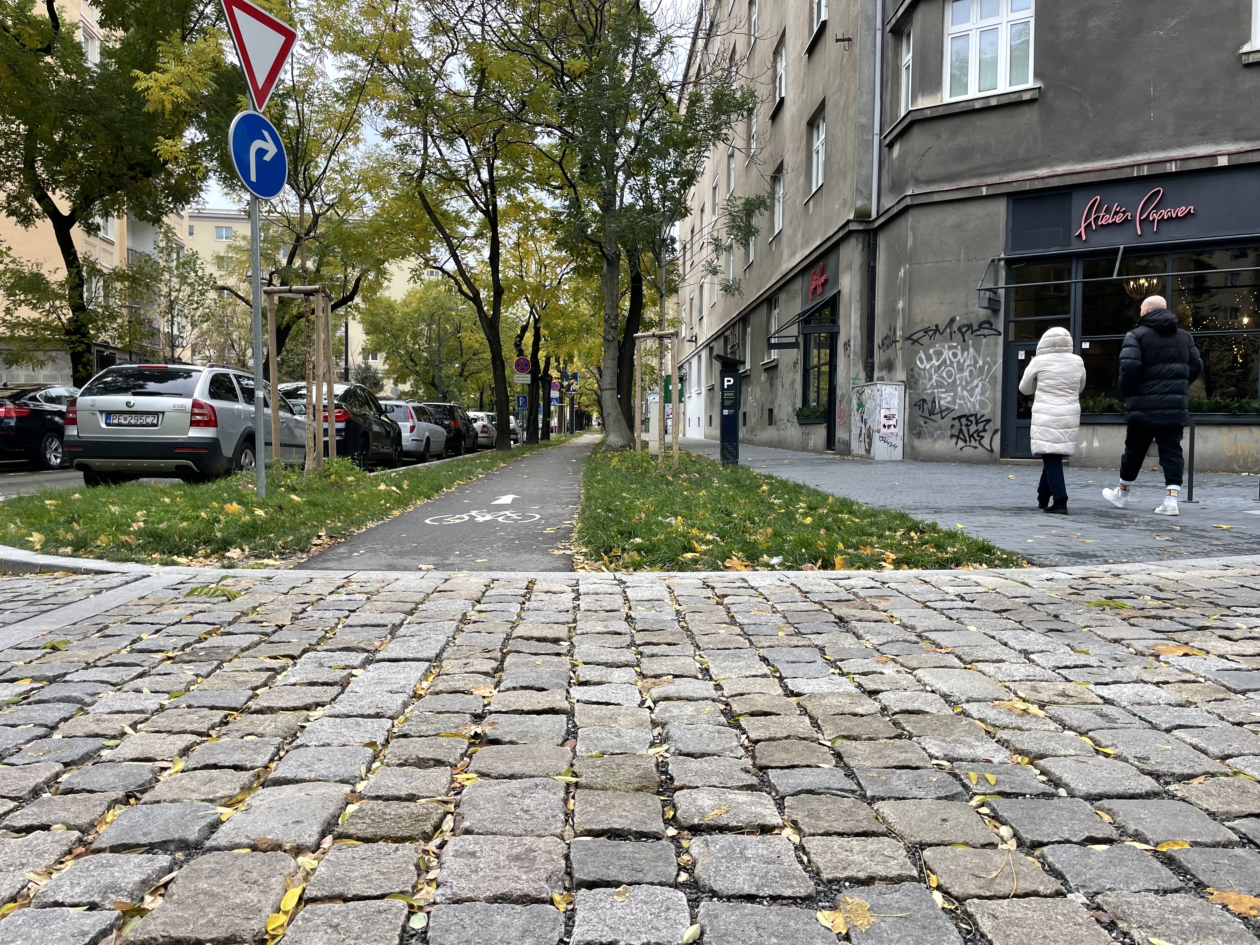
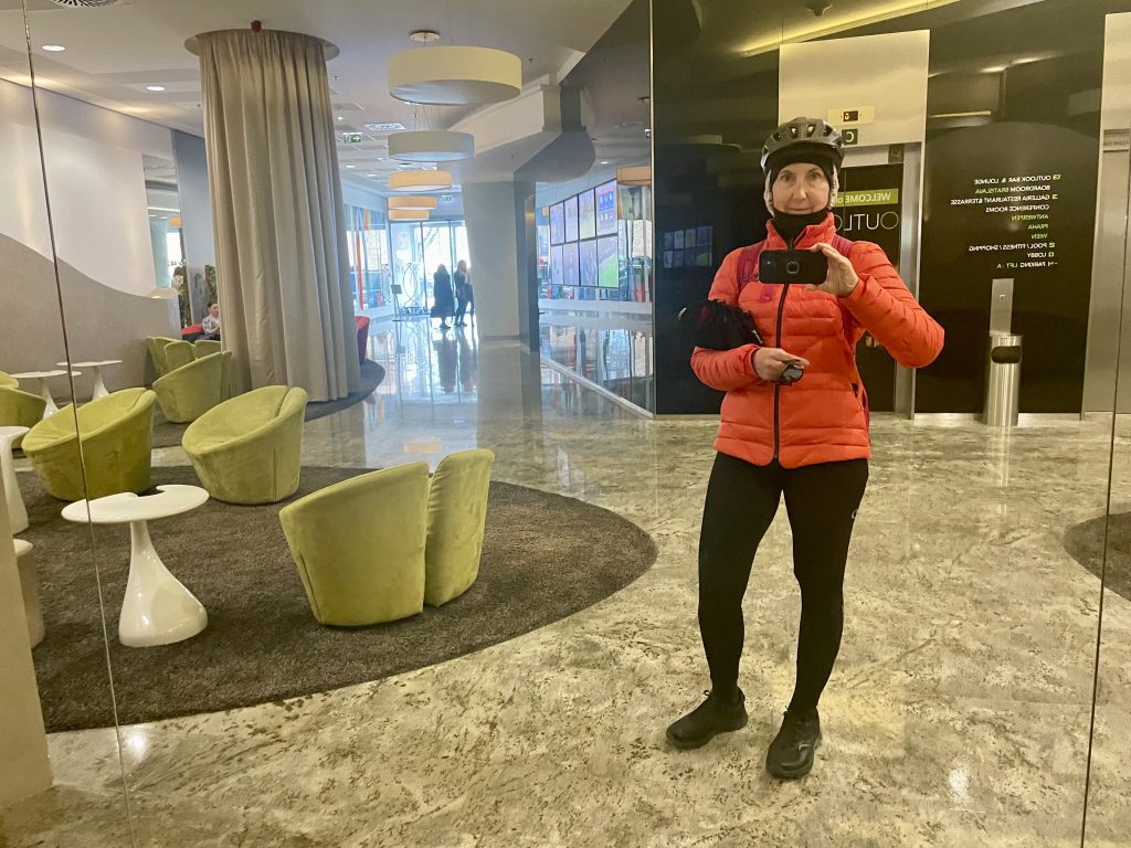
It was quite a bit cooler today with a high of 4° feeling like minus one. I waited until midday to head out and bundled up with a down jacket, ski mitts, and balaclava under my helmet.

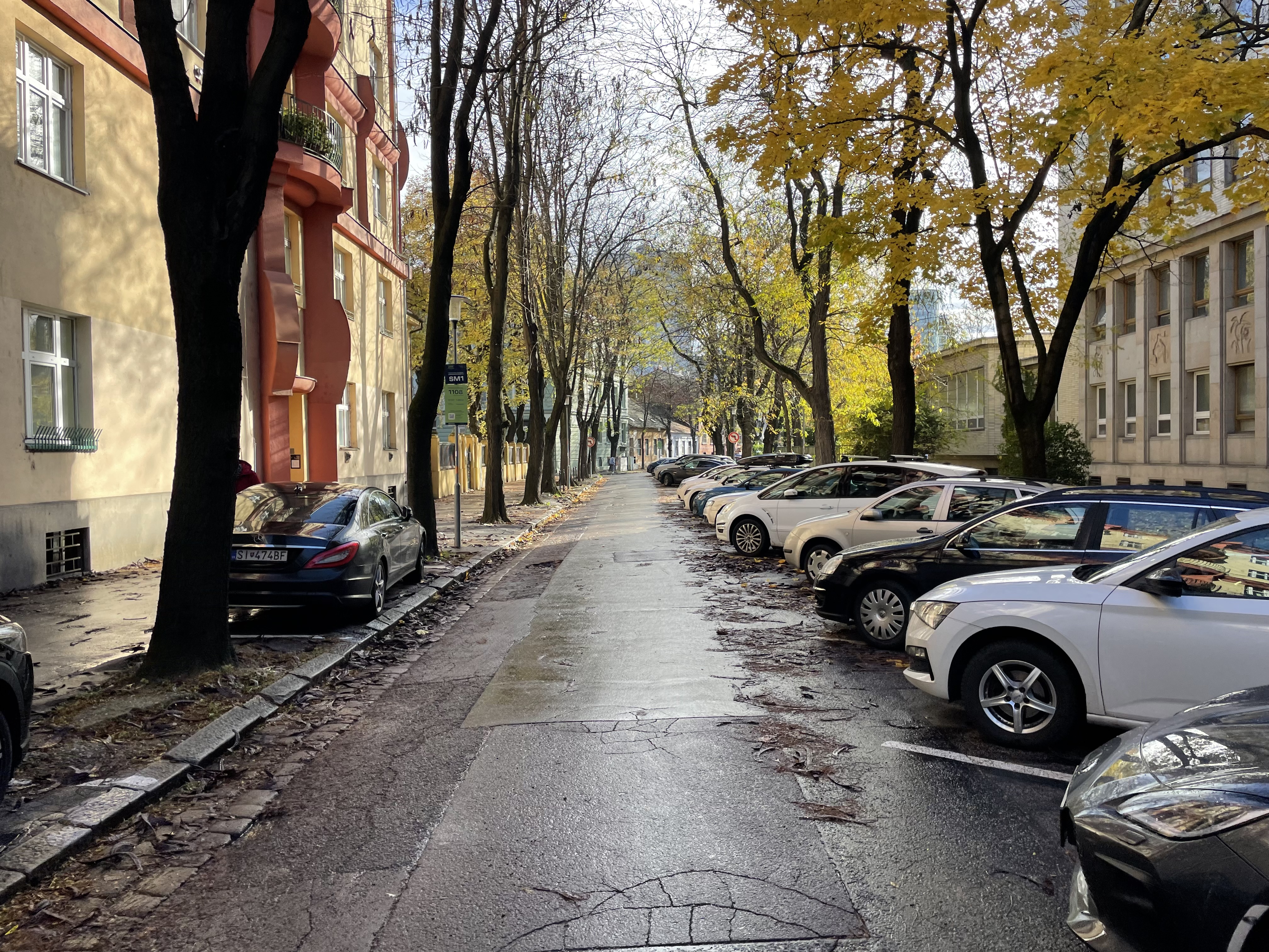
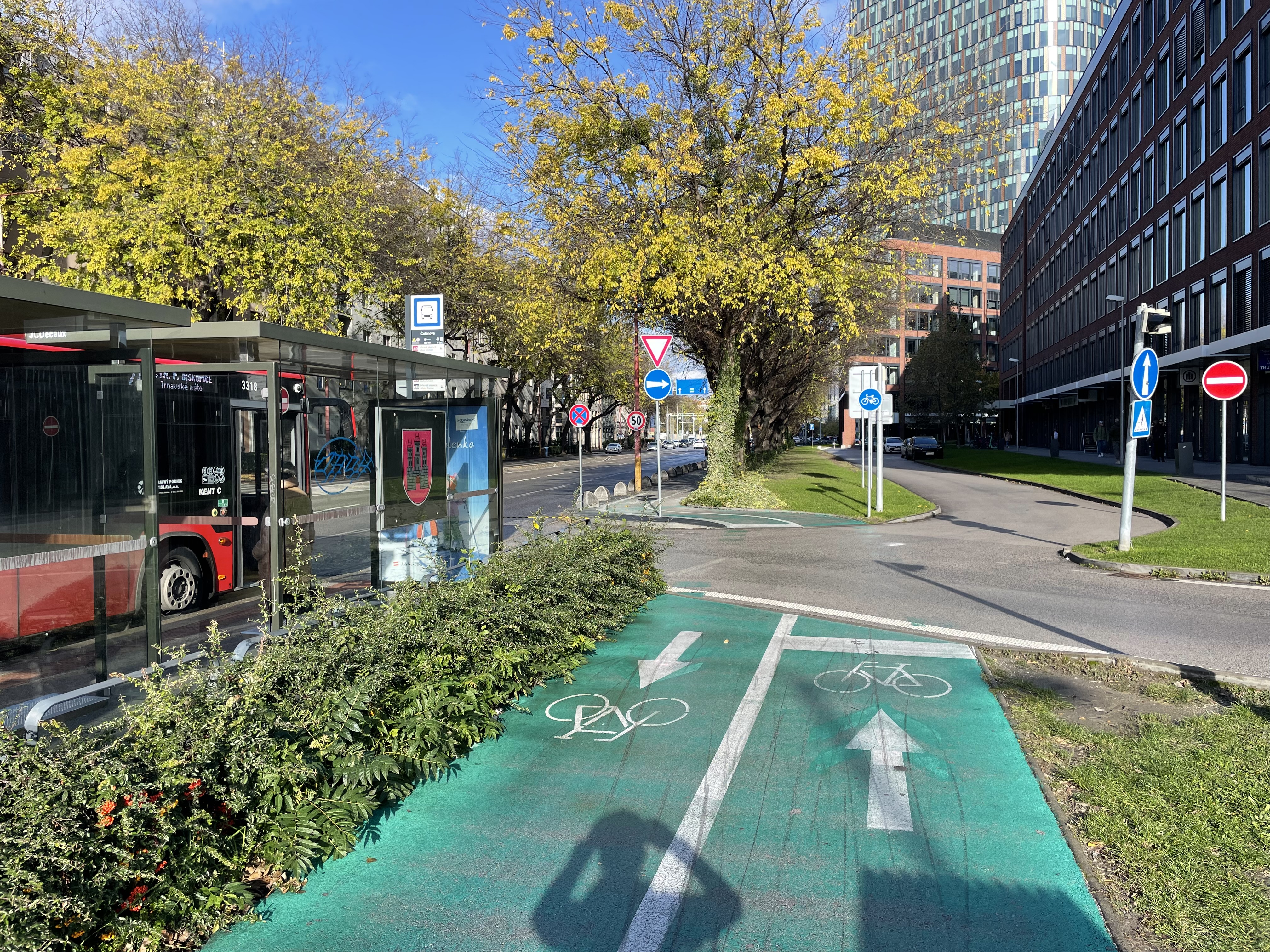
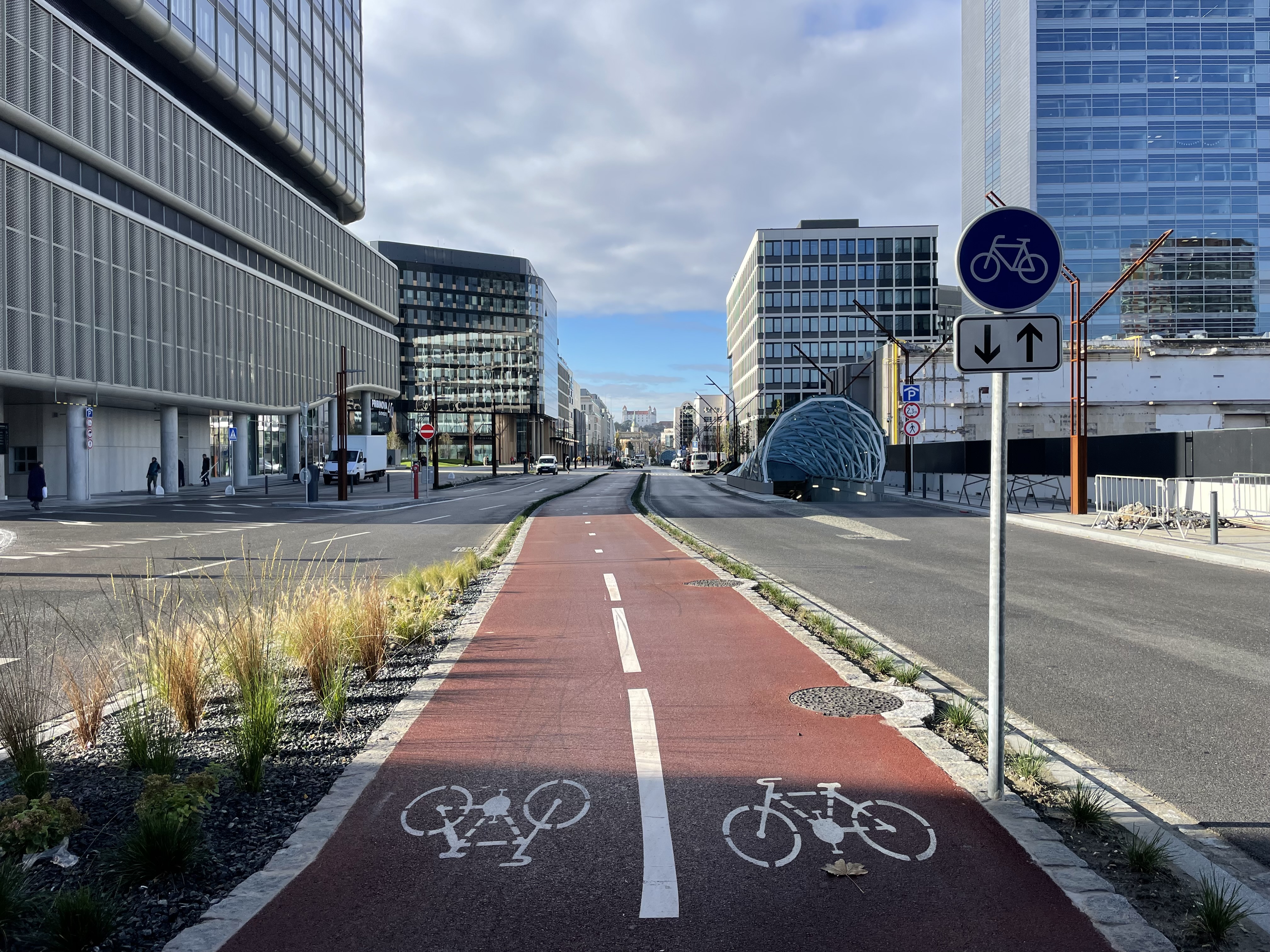
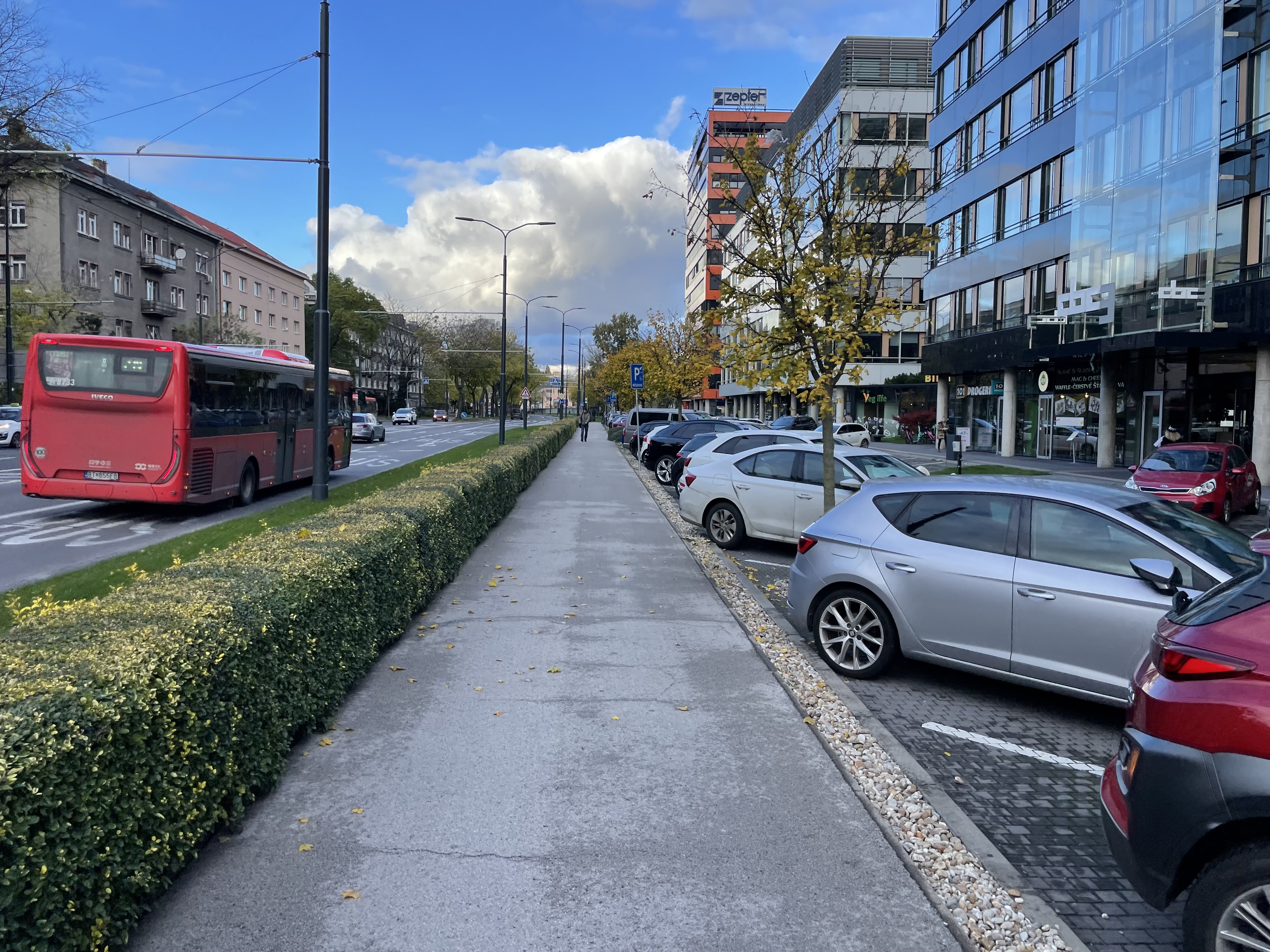
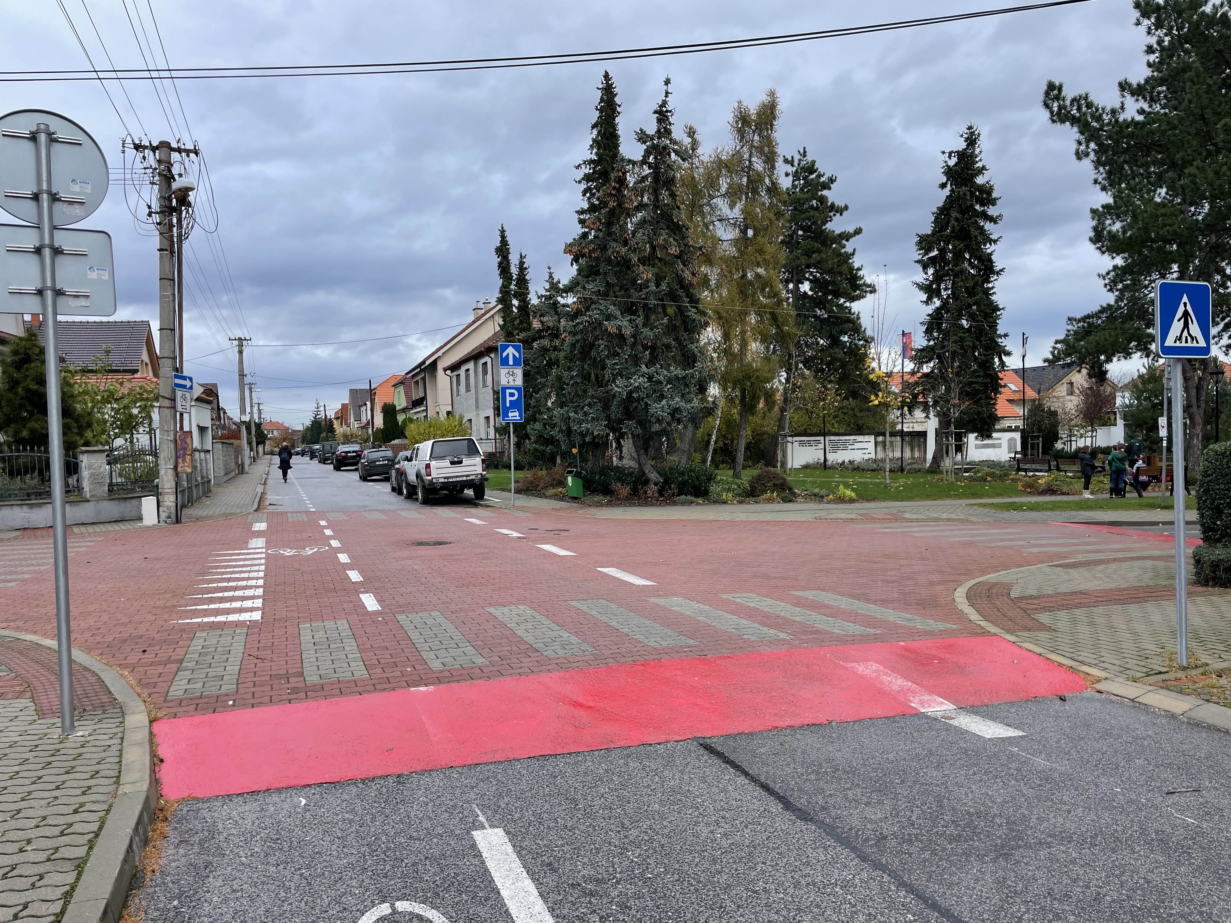
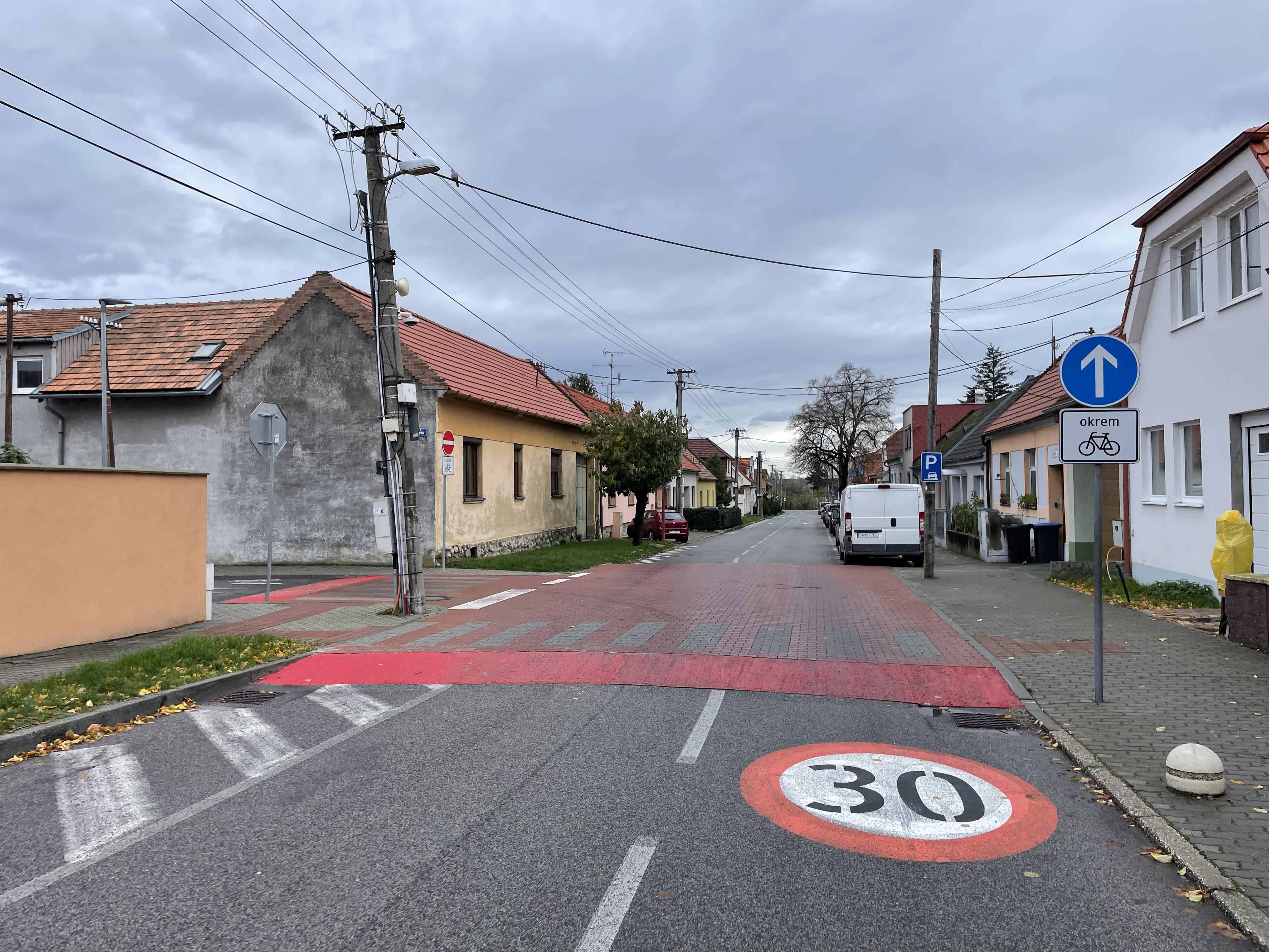
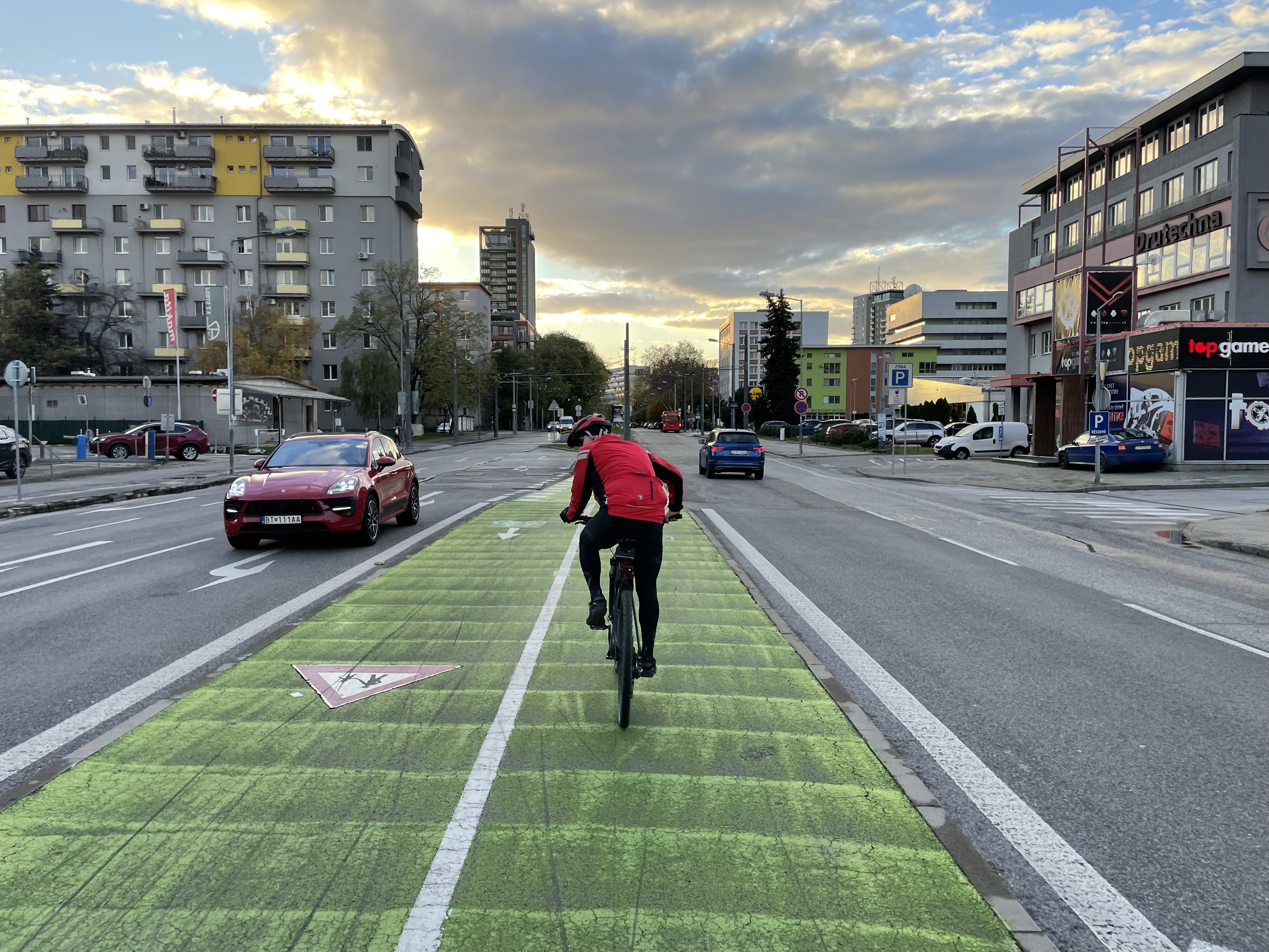
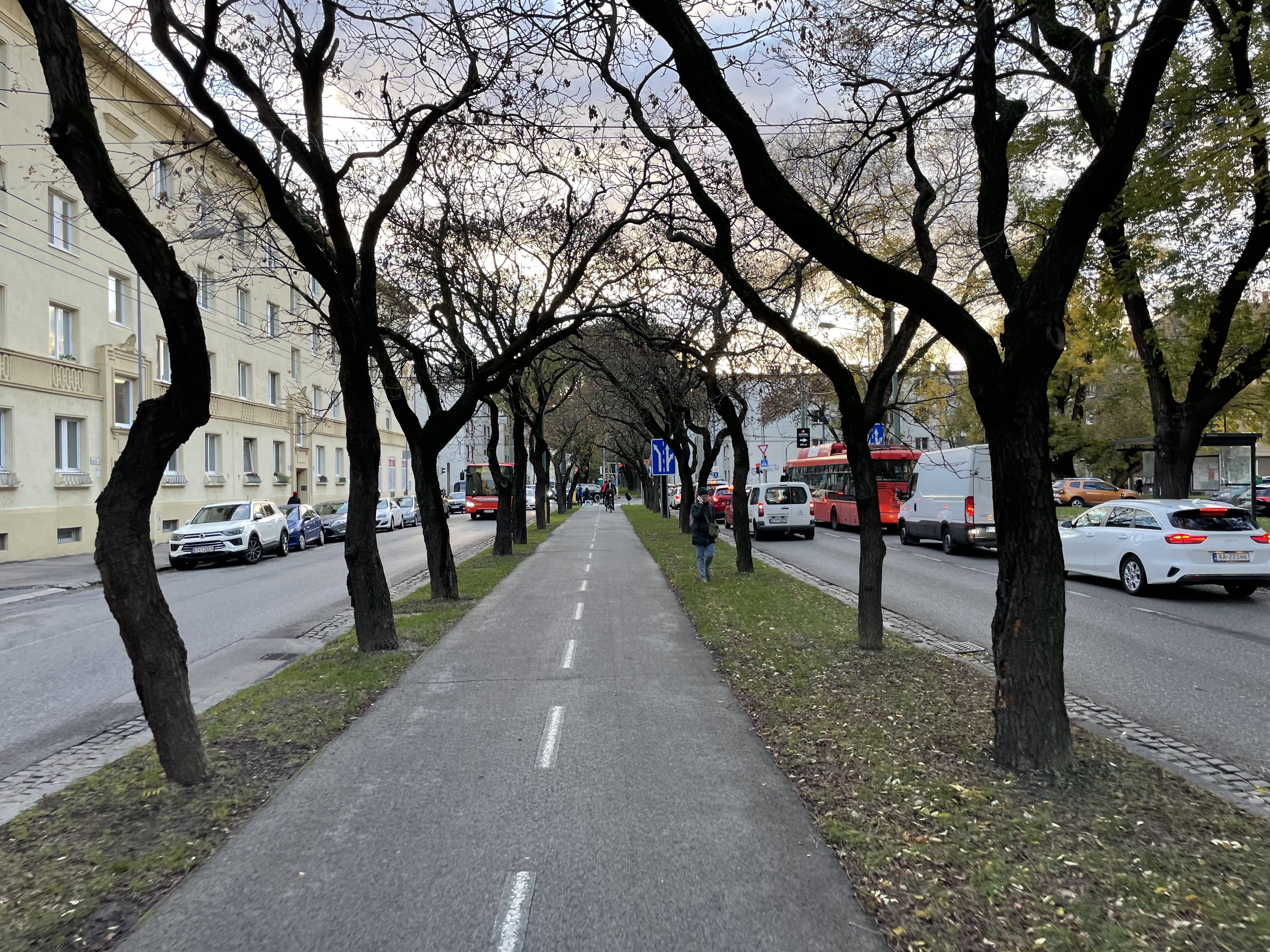
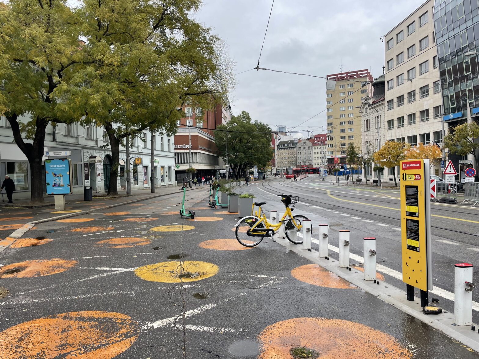
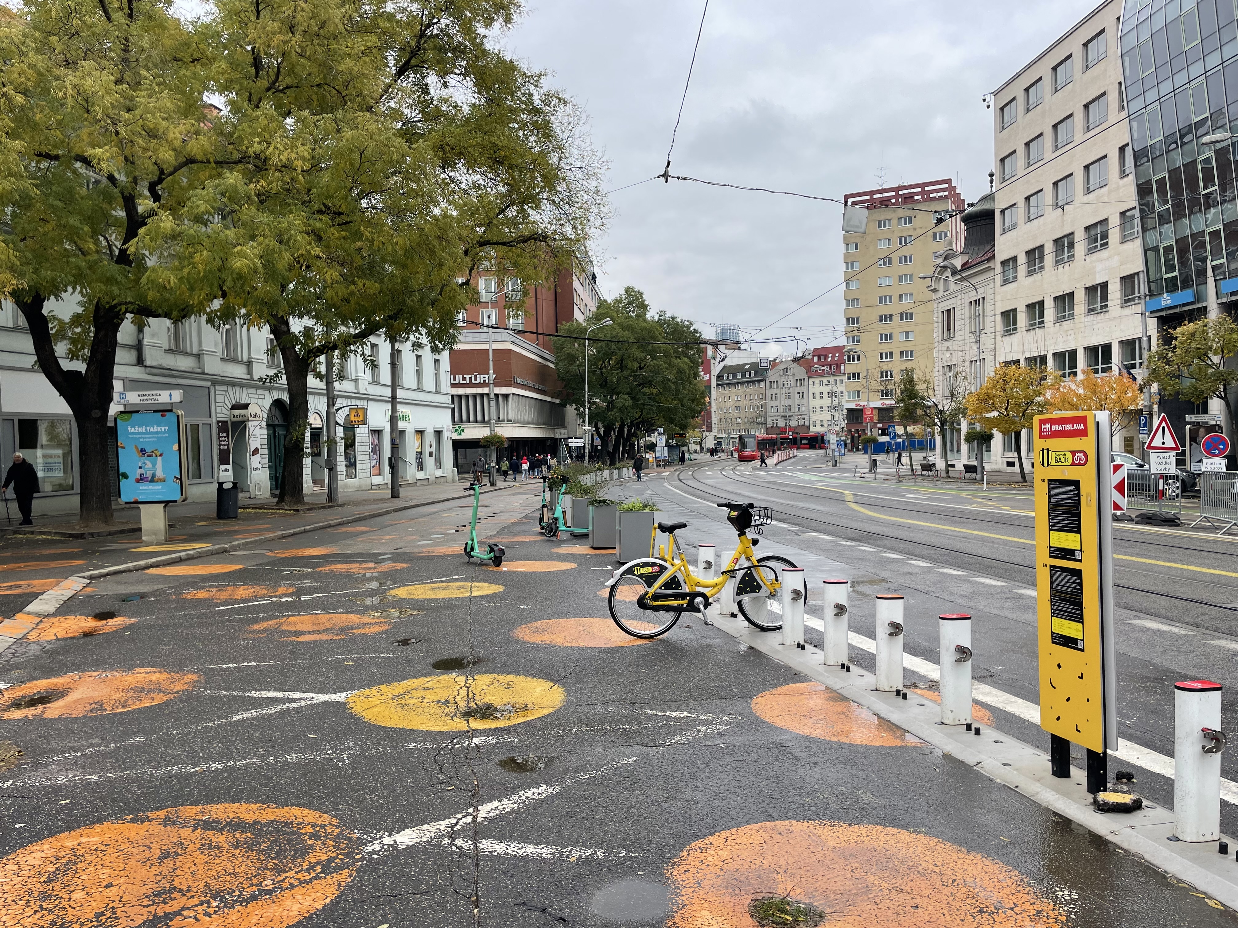
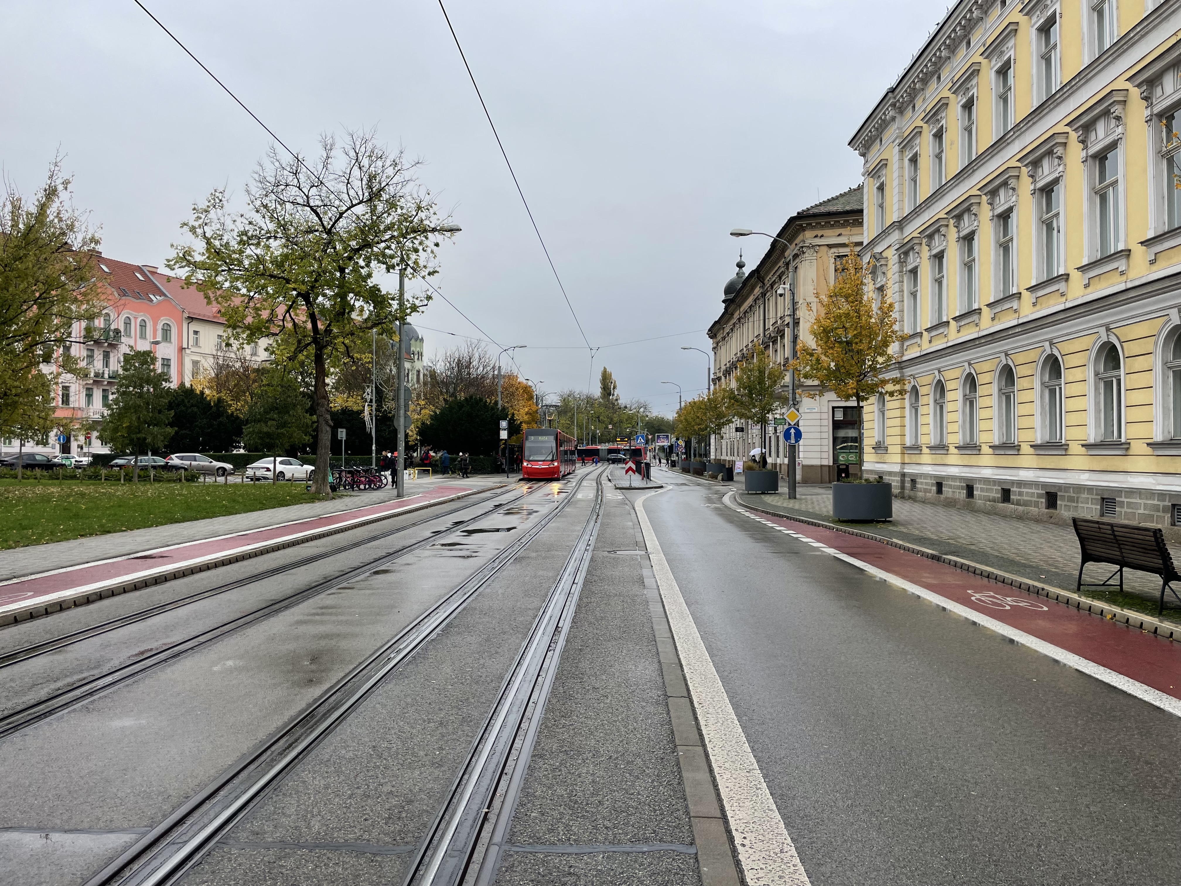
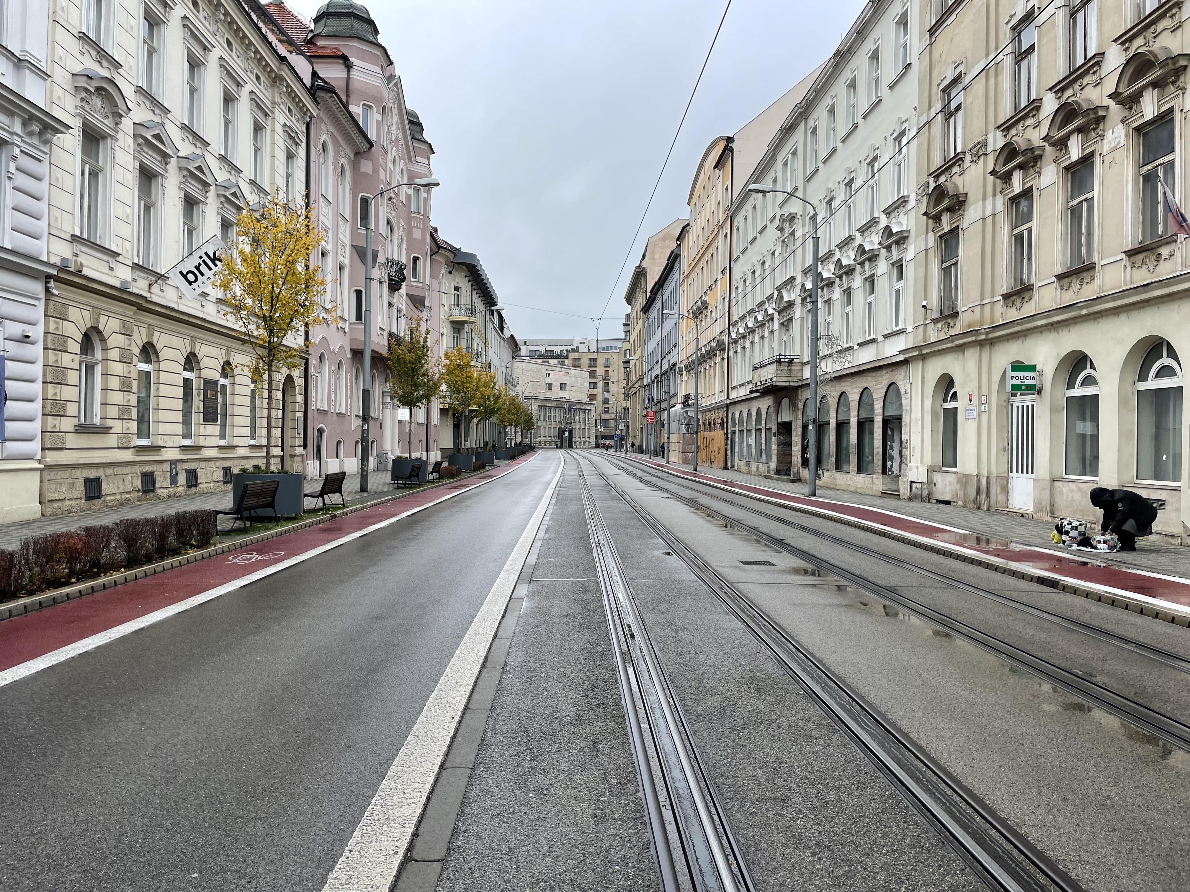
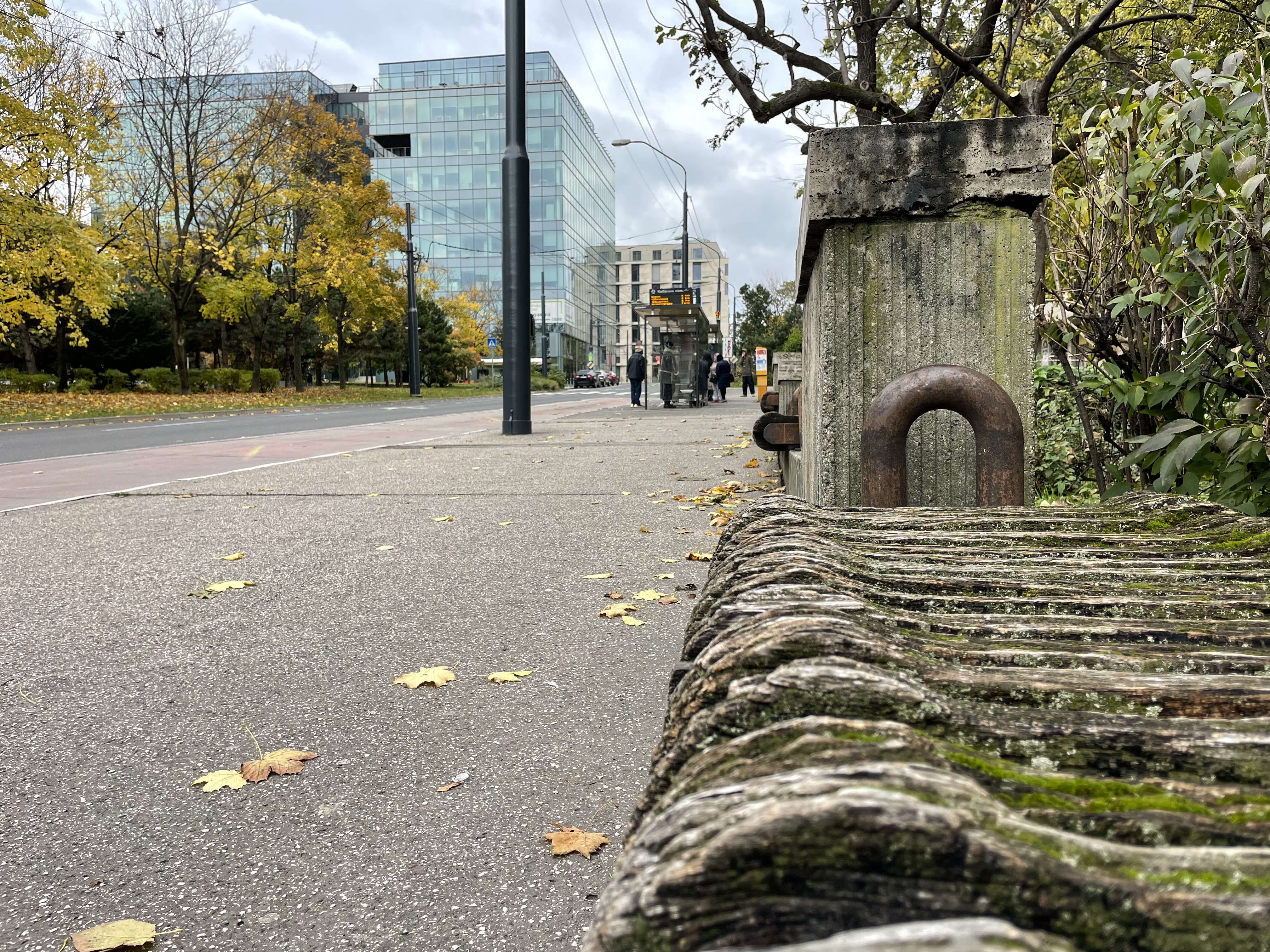
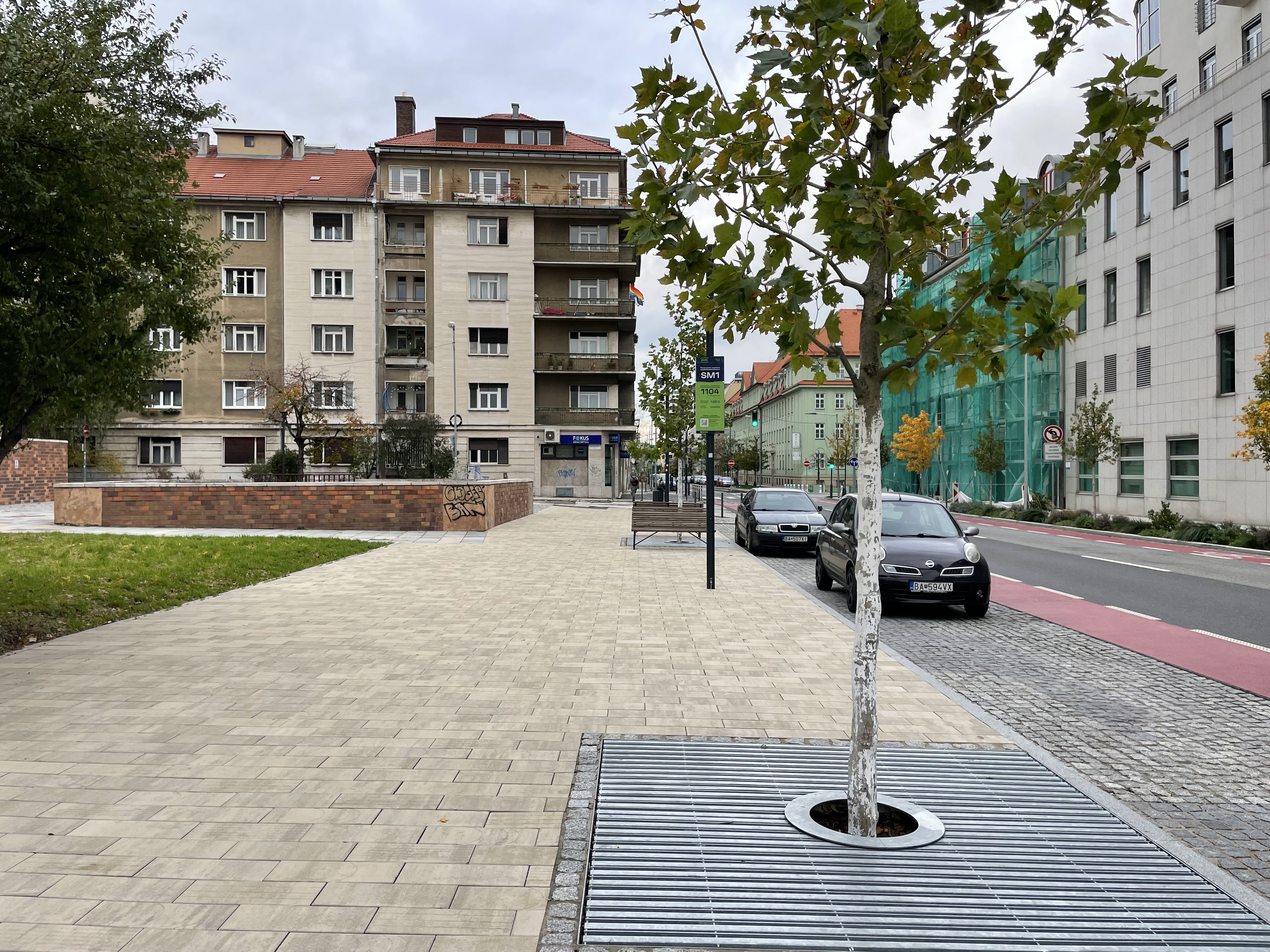
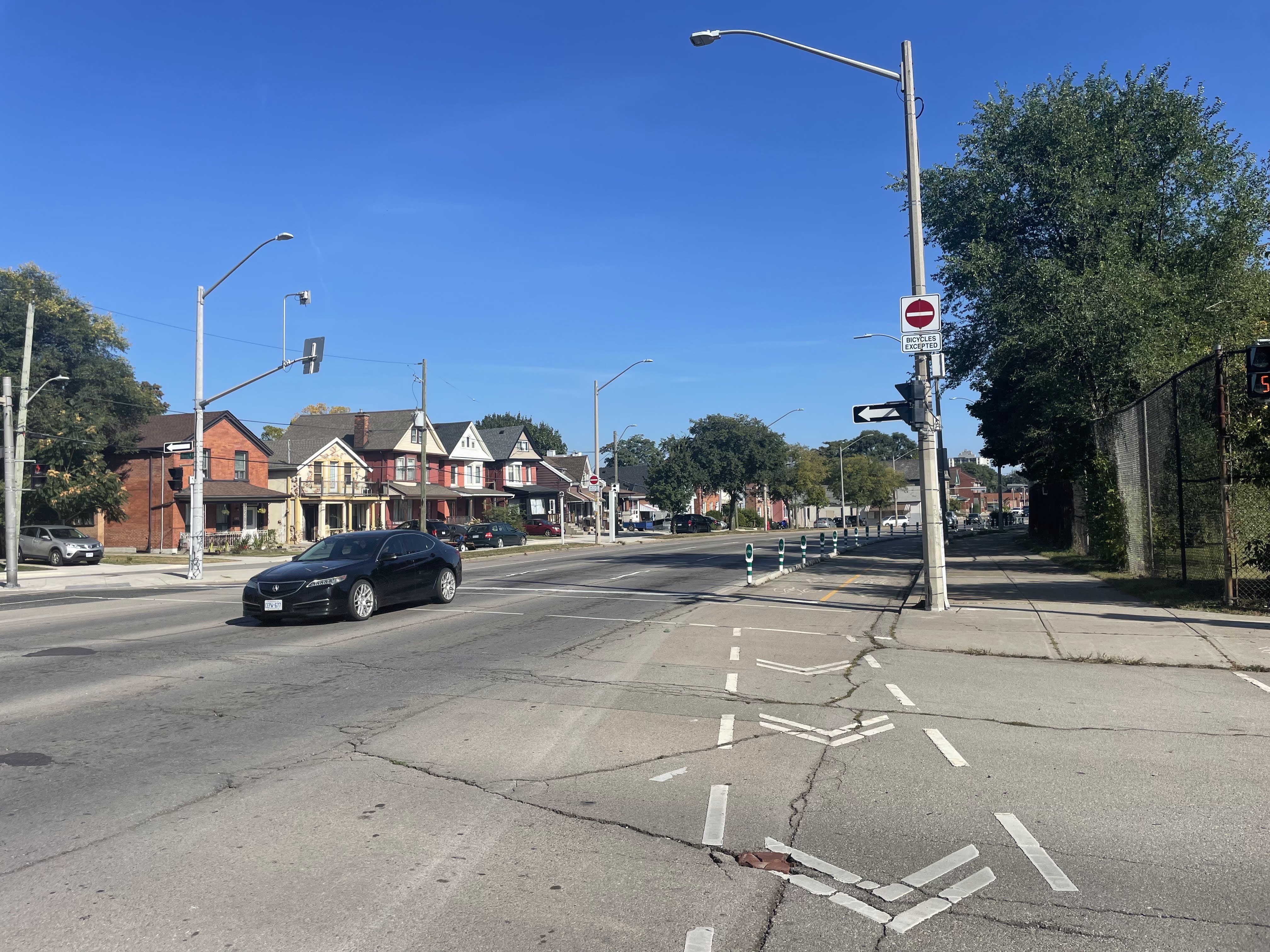
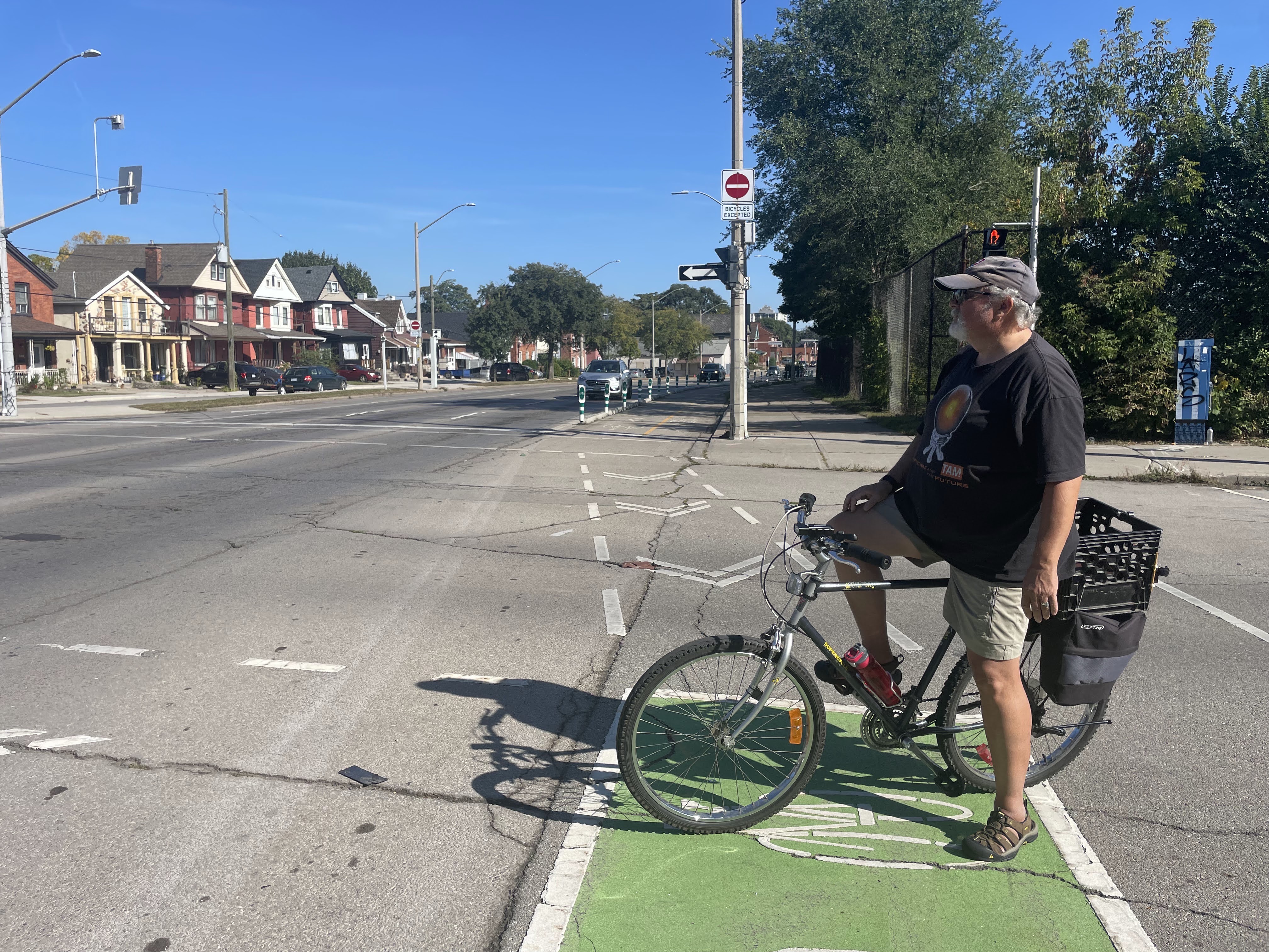
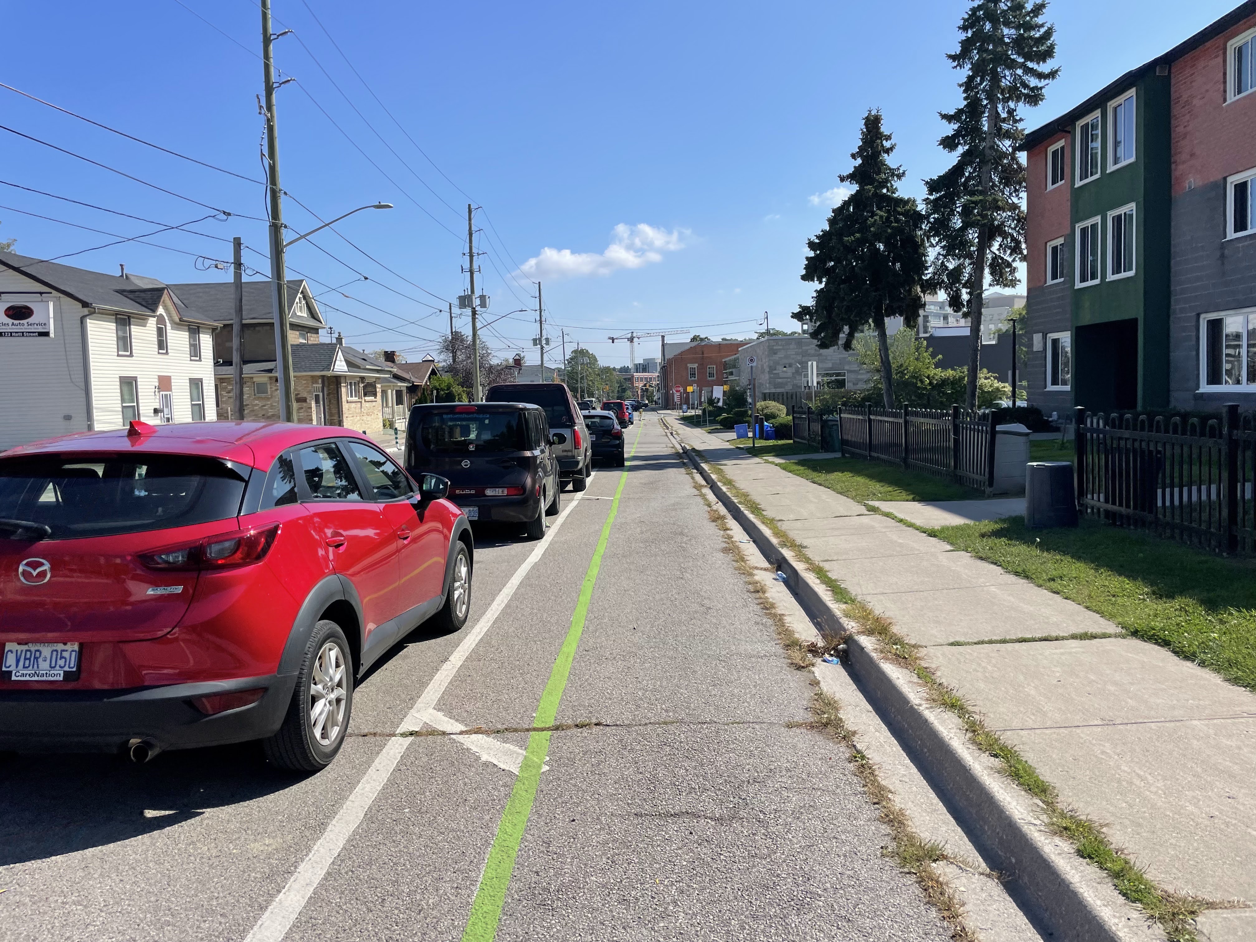
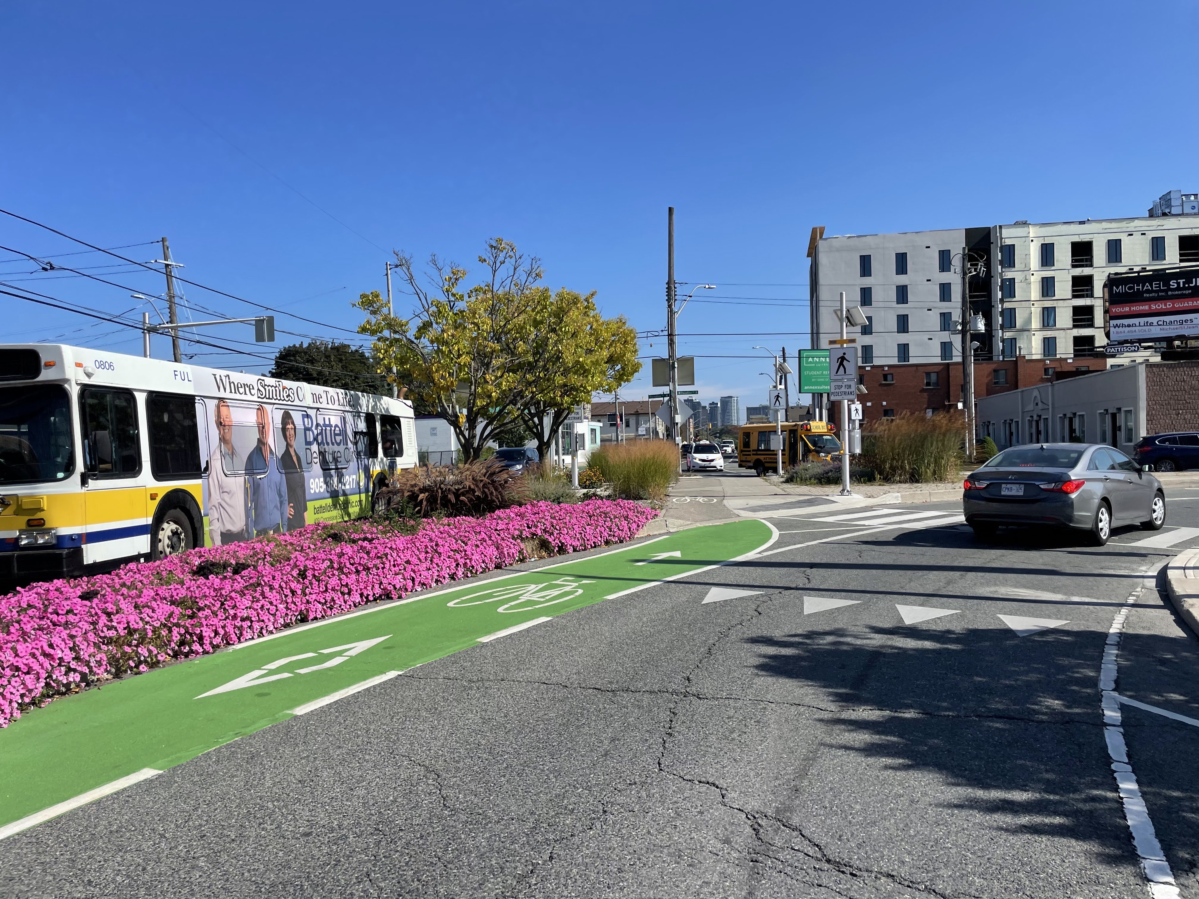
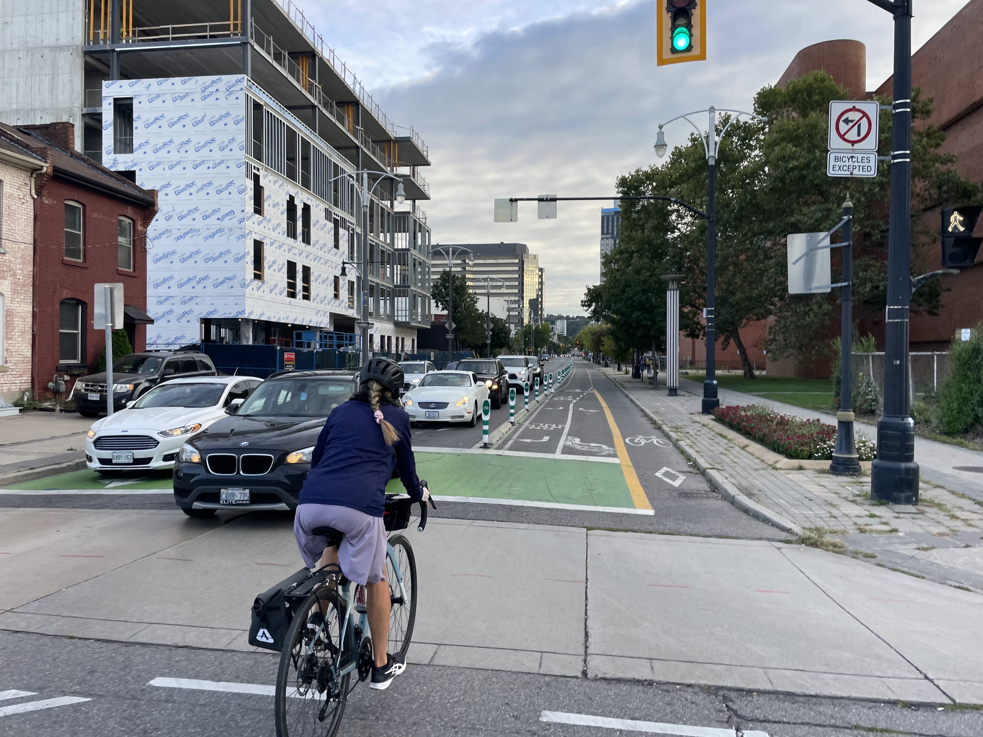
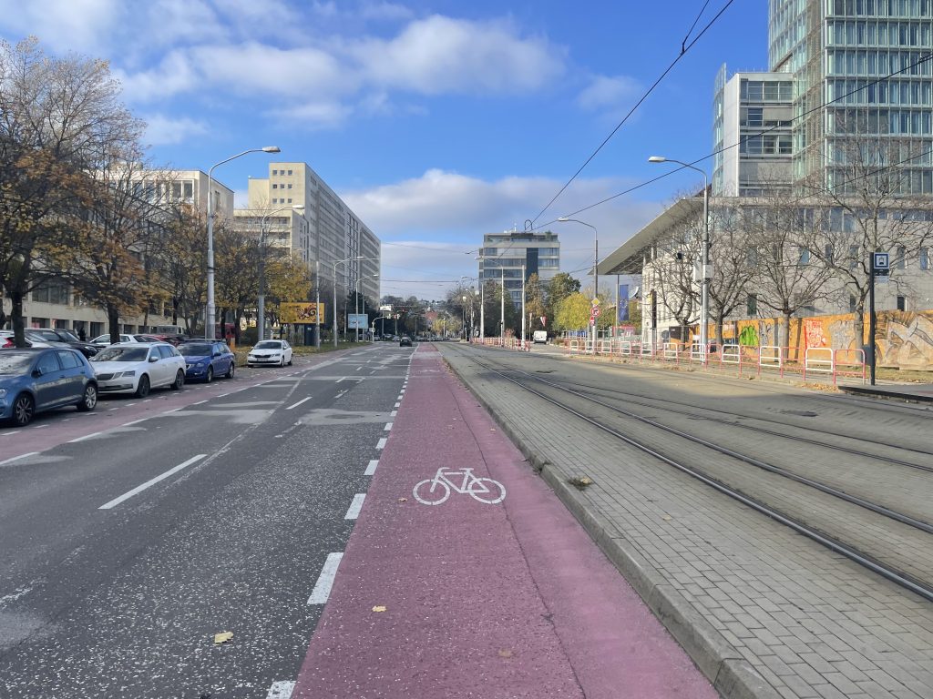
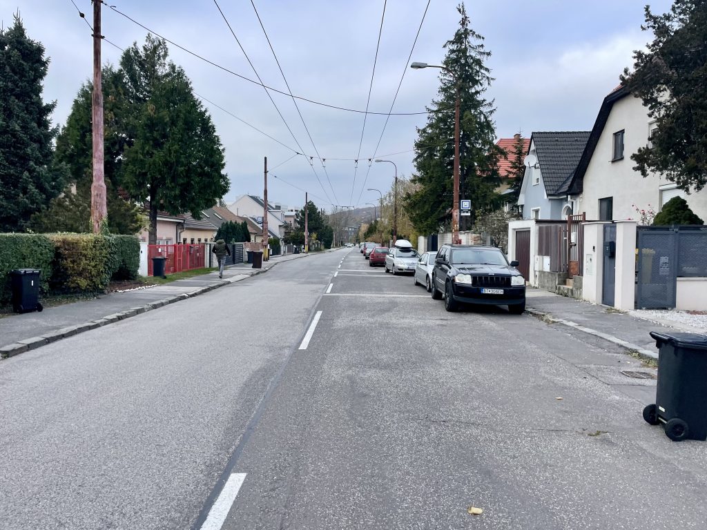
This street has streetcar tracks, bike lanes in both direction, parking, and one-way only lanes for motor vehicle traffic. 

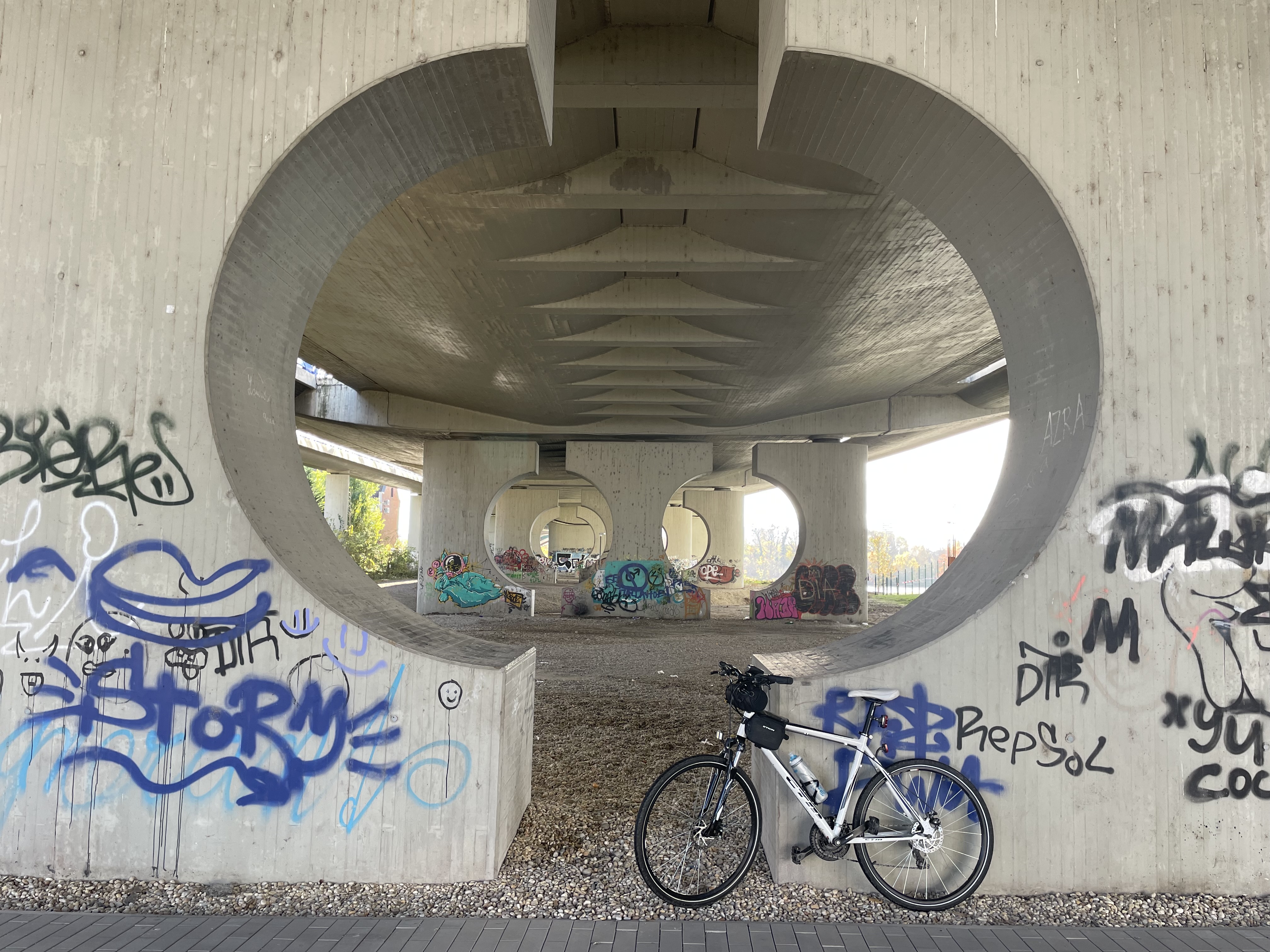
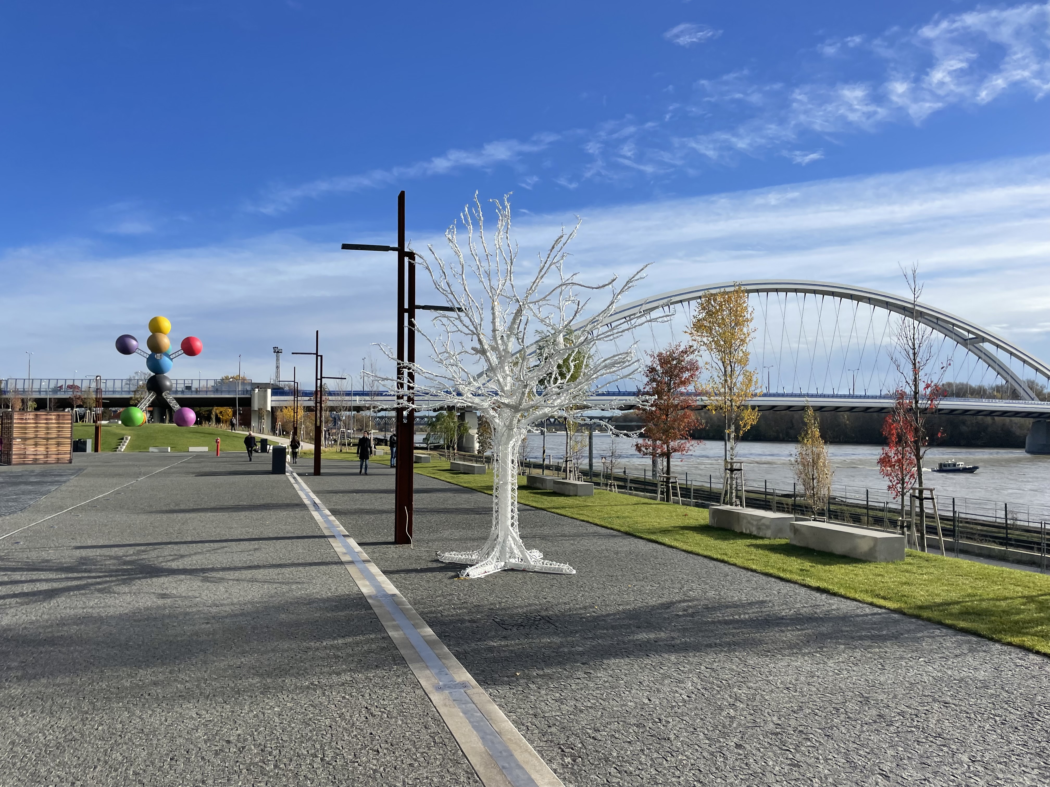
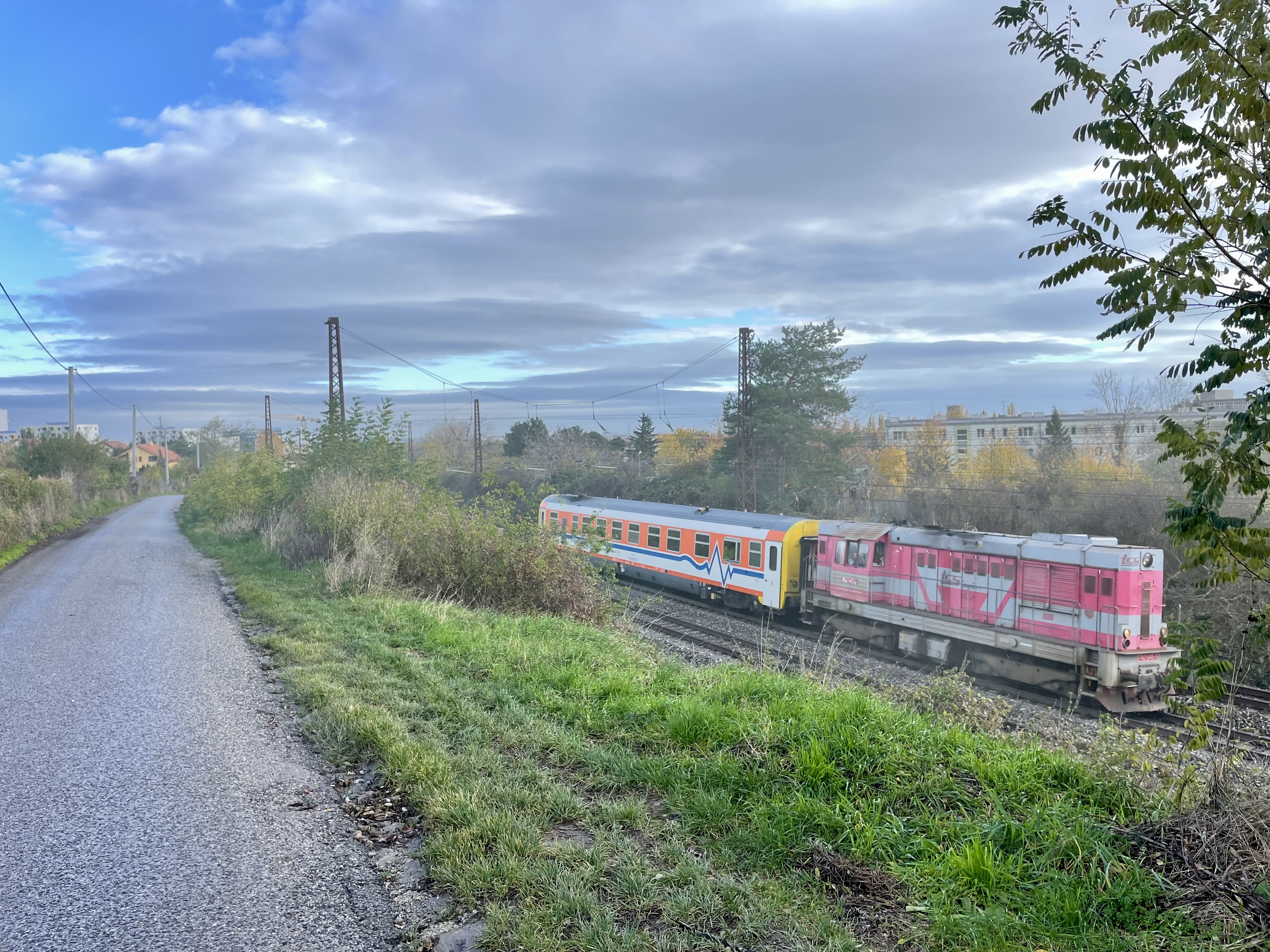
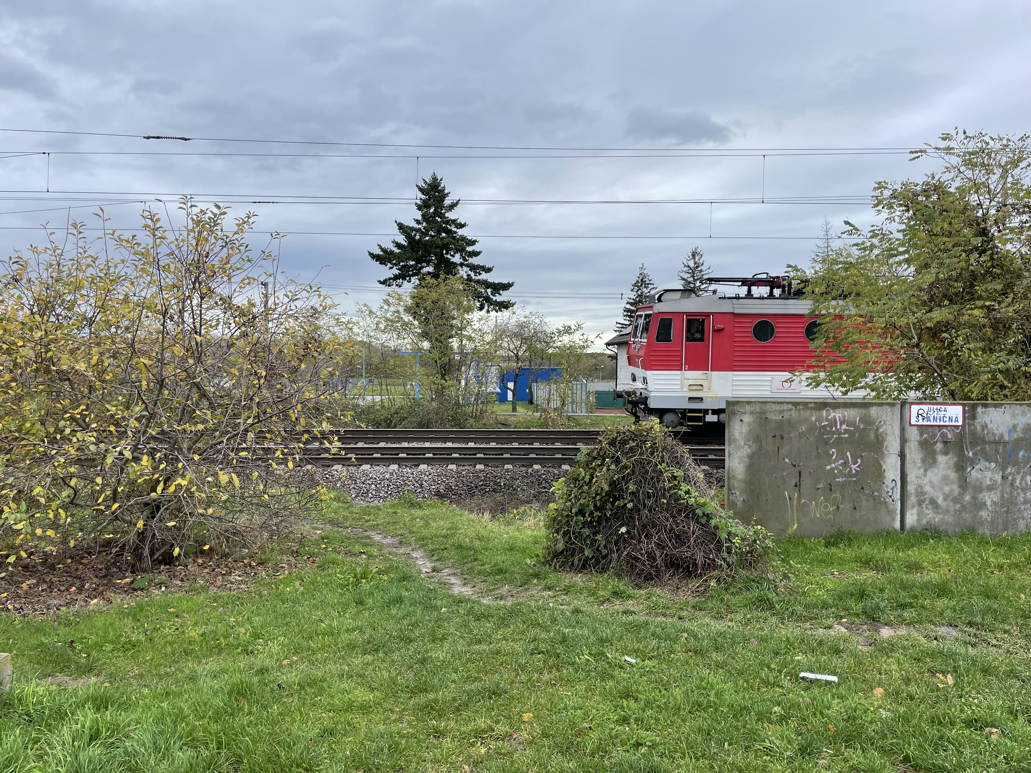
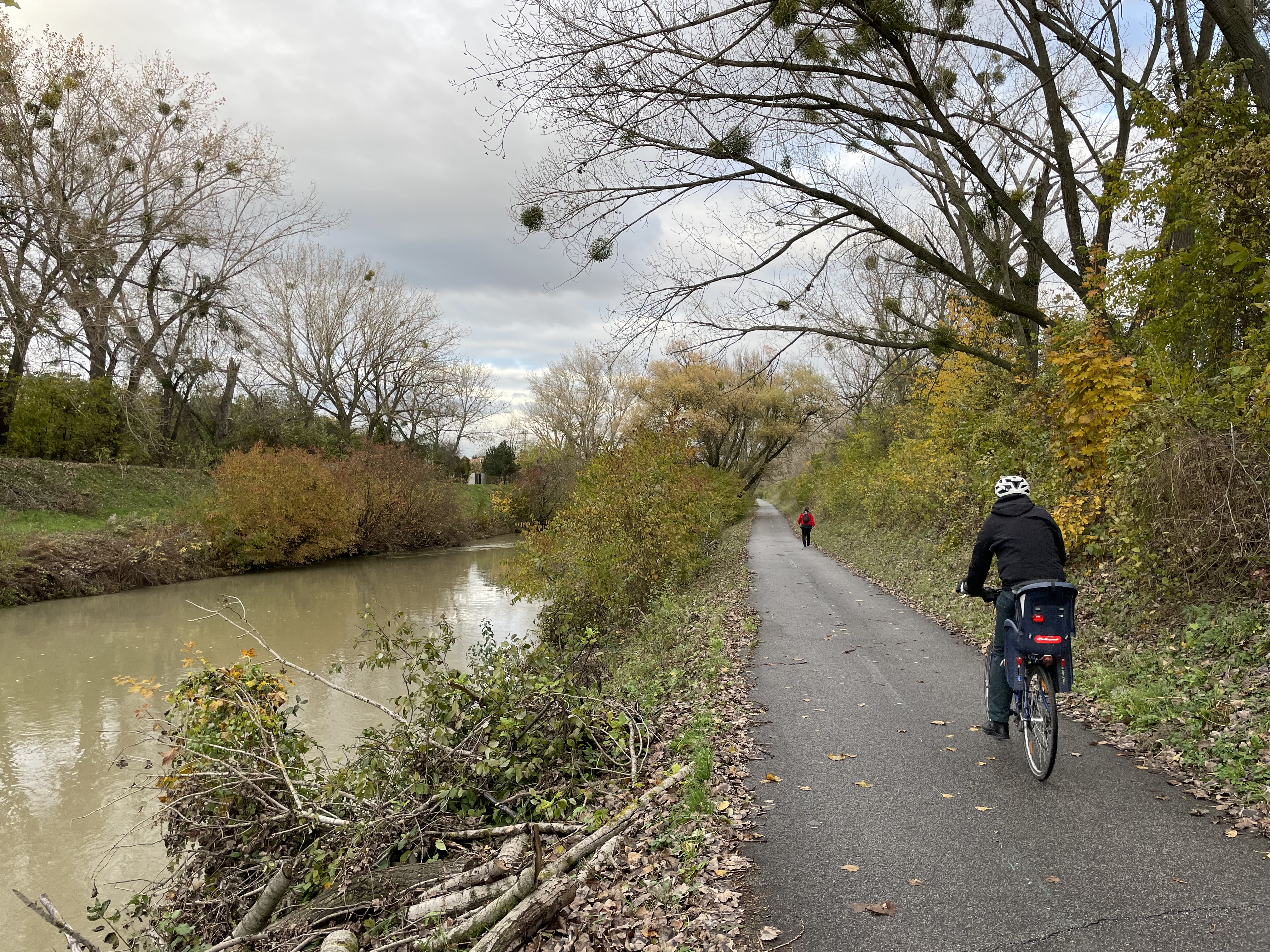
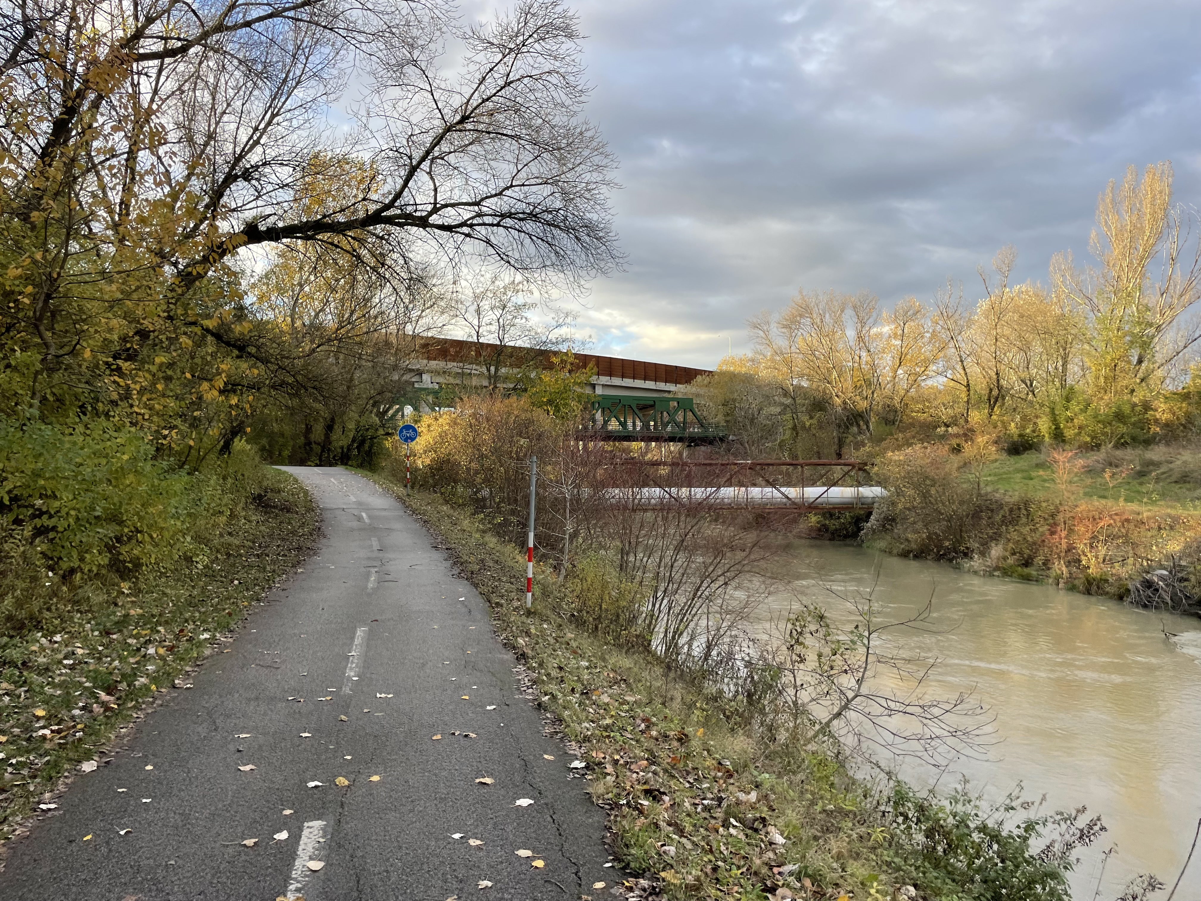
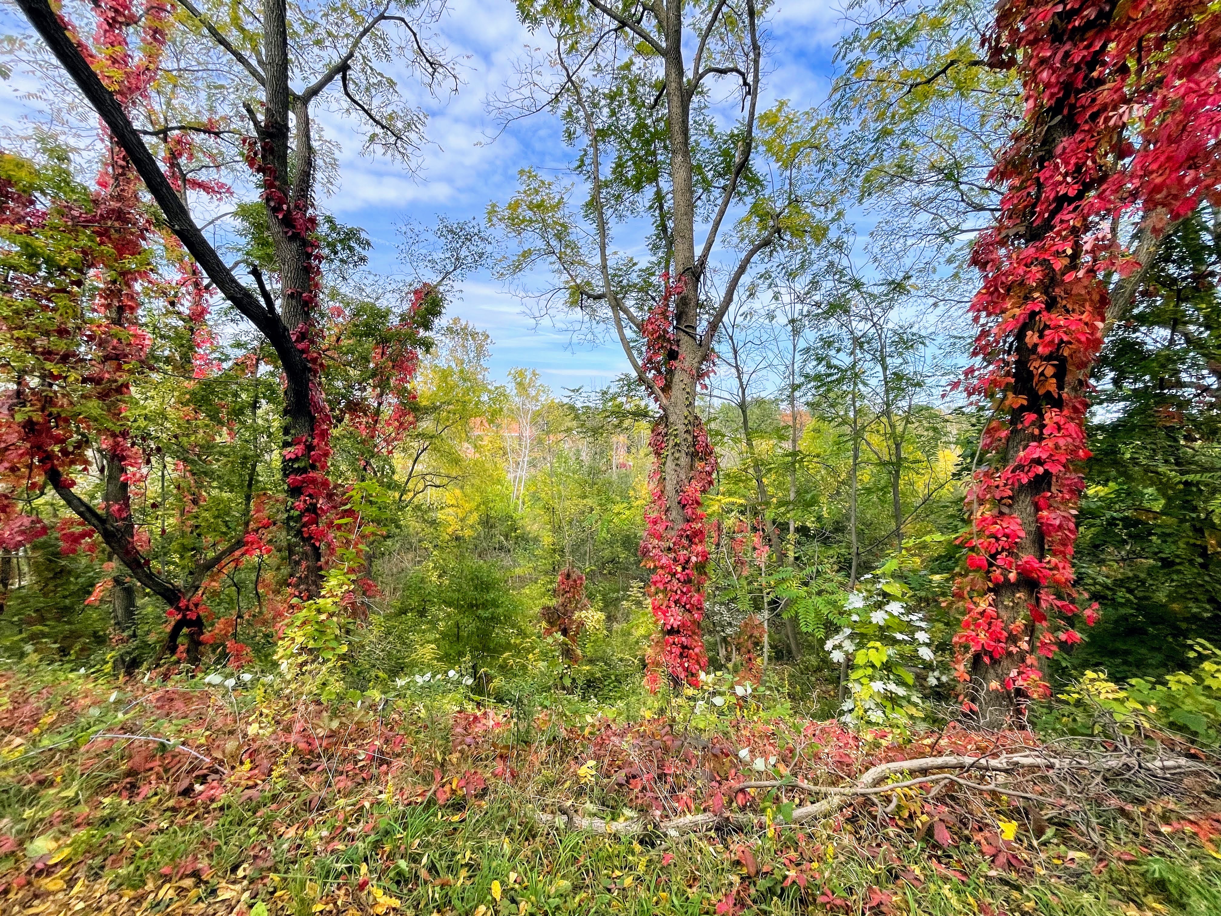
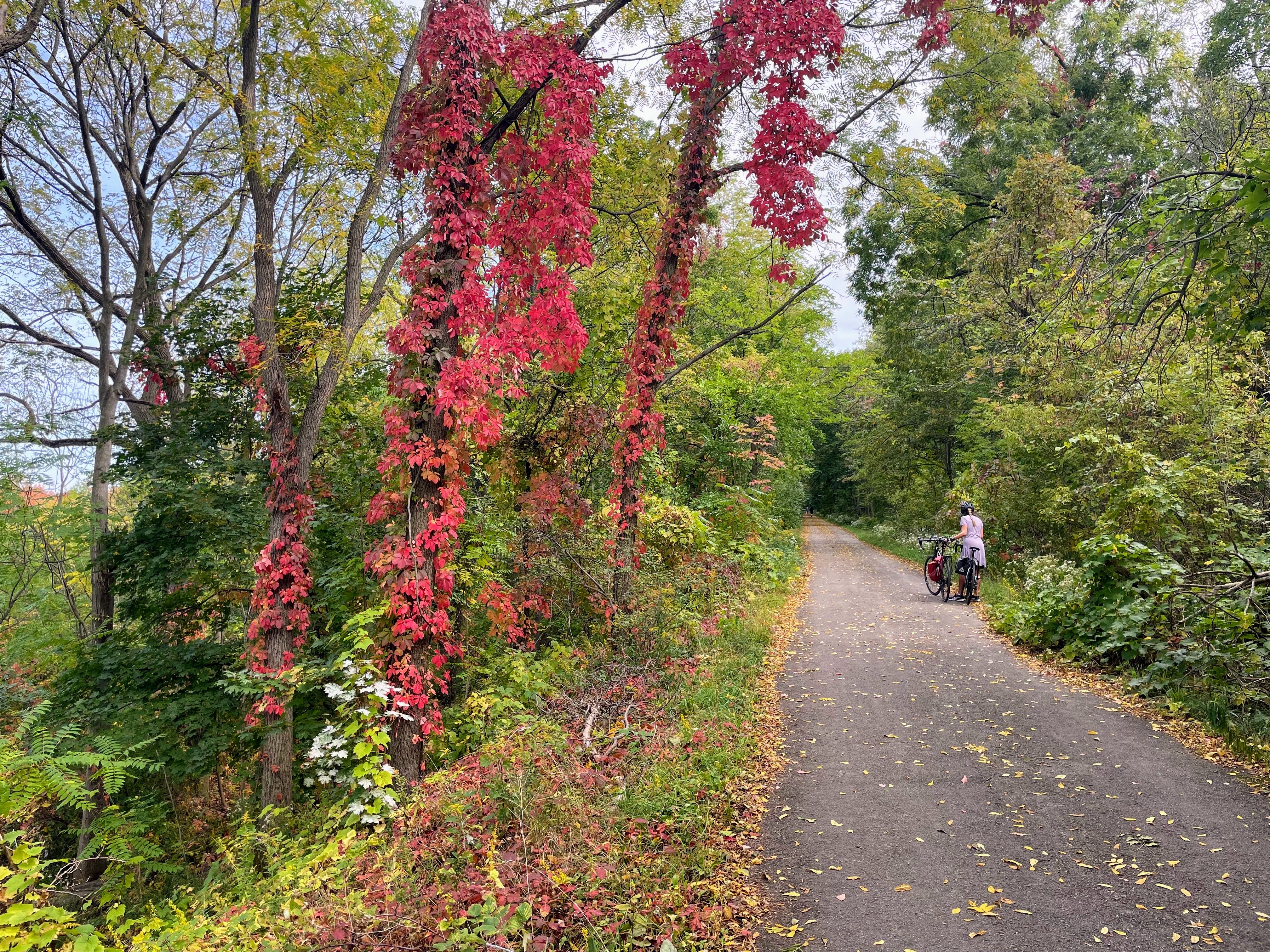
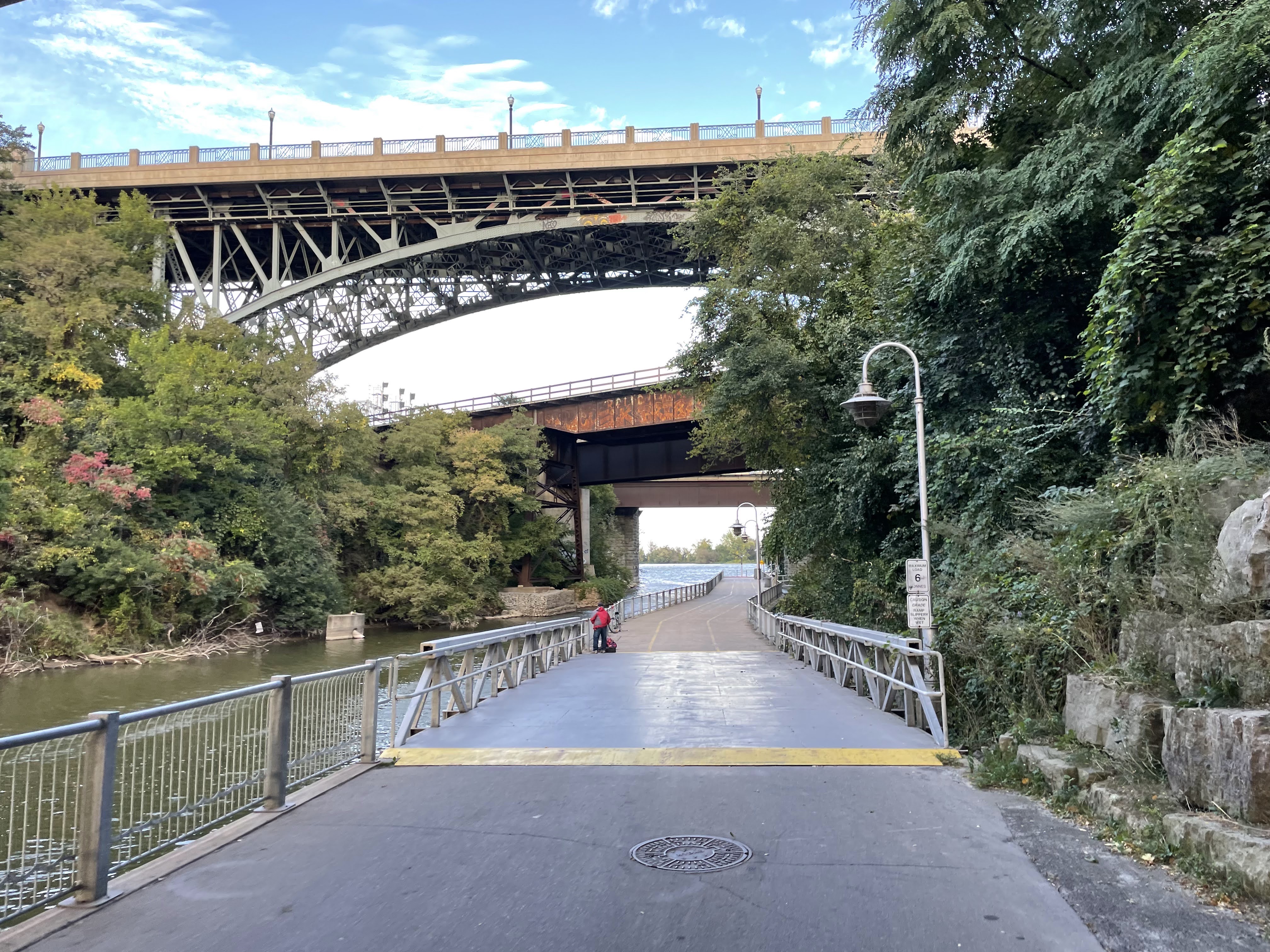
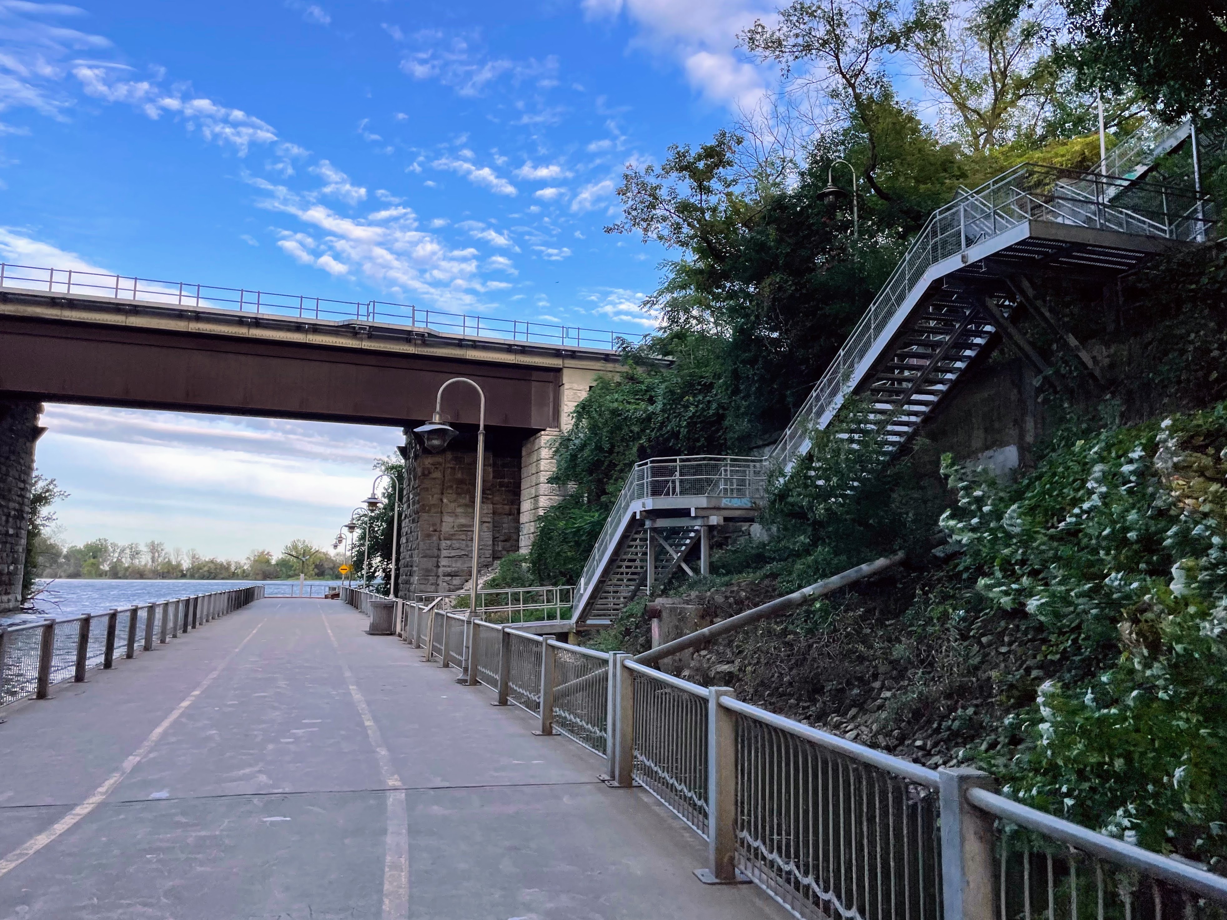
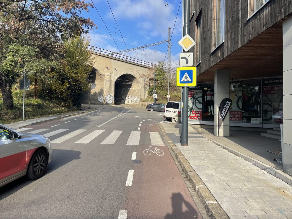
My route took me under the main rail line past and pass the main station.

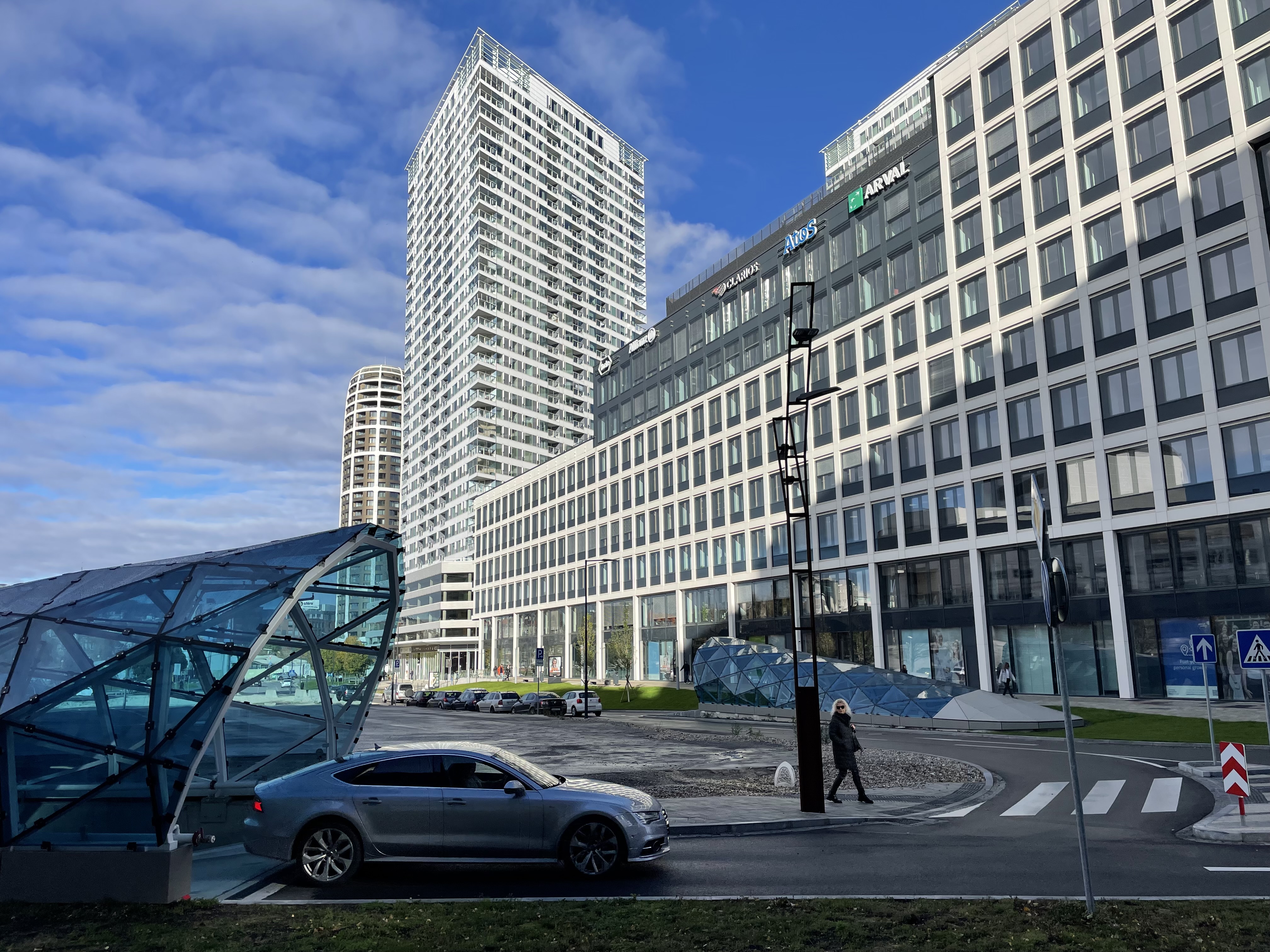
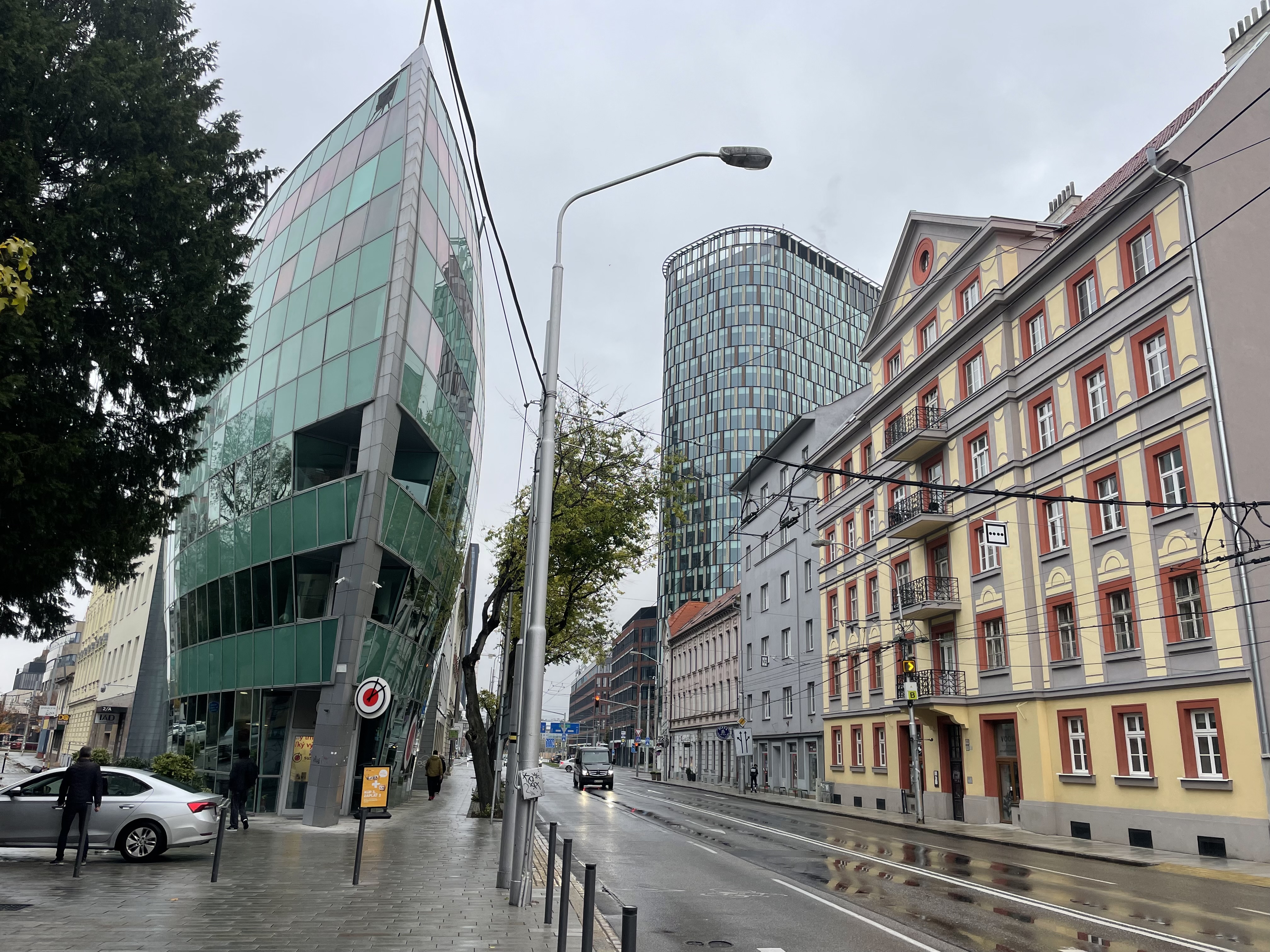
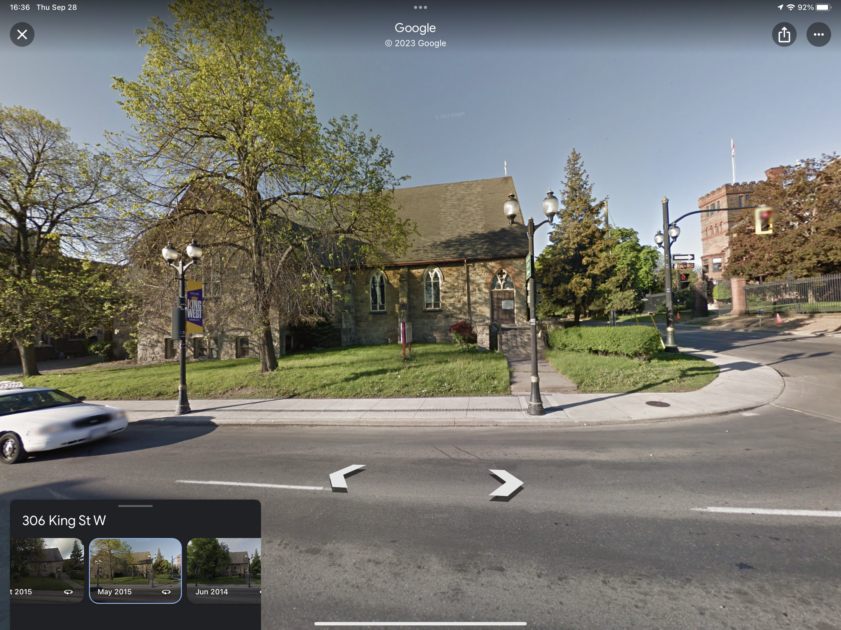
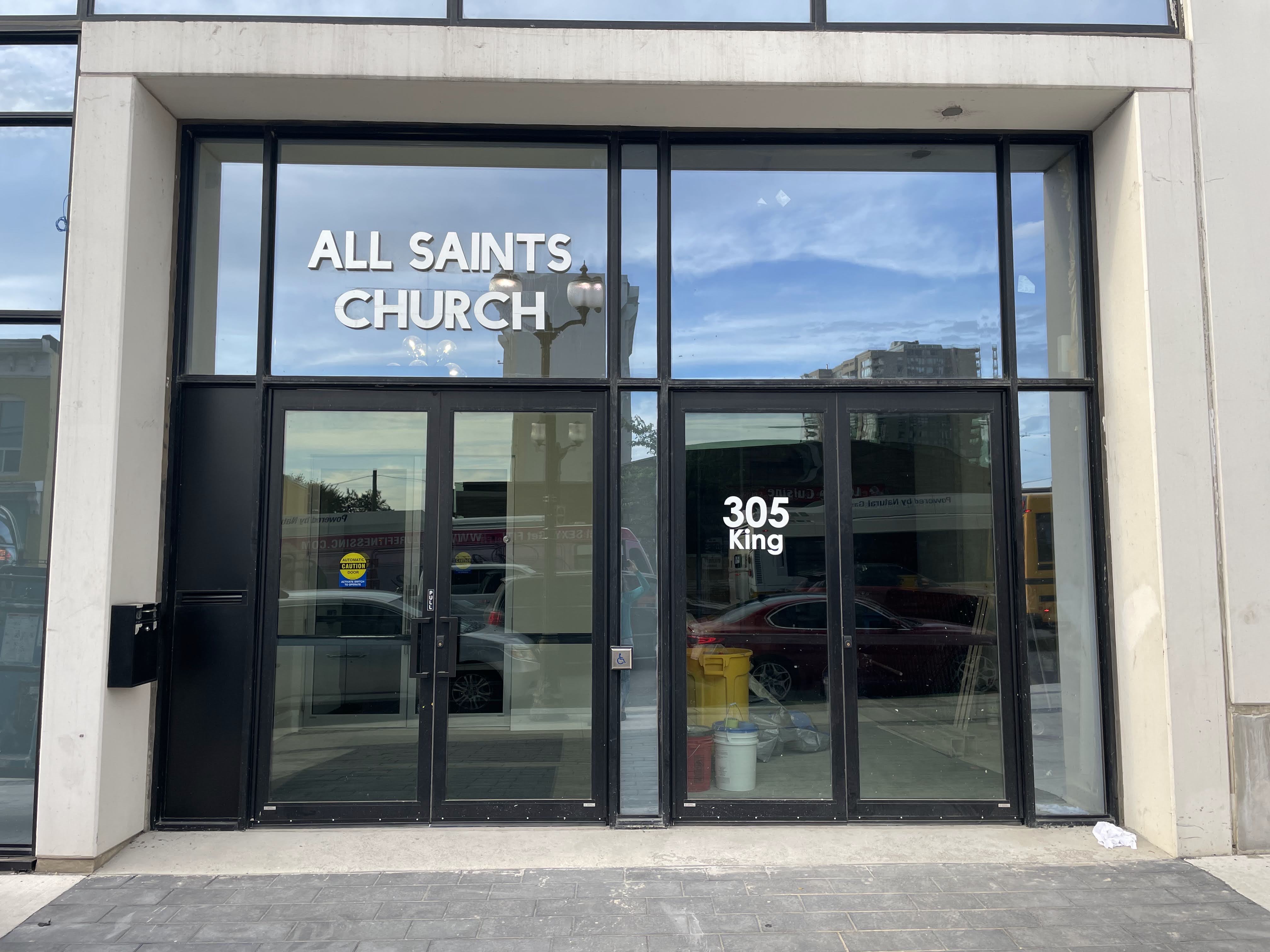
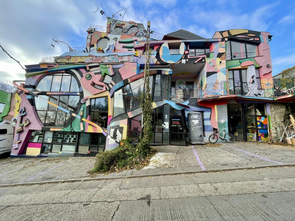
I spotted this crazy hotel the last time I was here, but didn’t go round the corner to take a picture of it from the front. While I was taking a picture someone came out and asked me if I wanted to come in for a coffee, but I had just started my ride. Perhaps I’ll go there for a coffee on another day and see what it’s like on the inside.

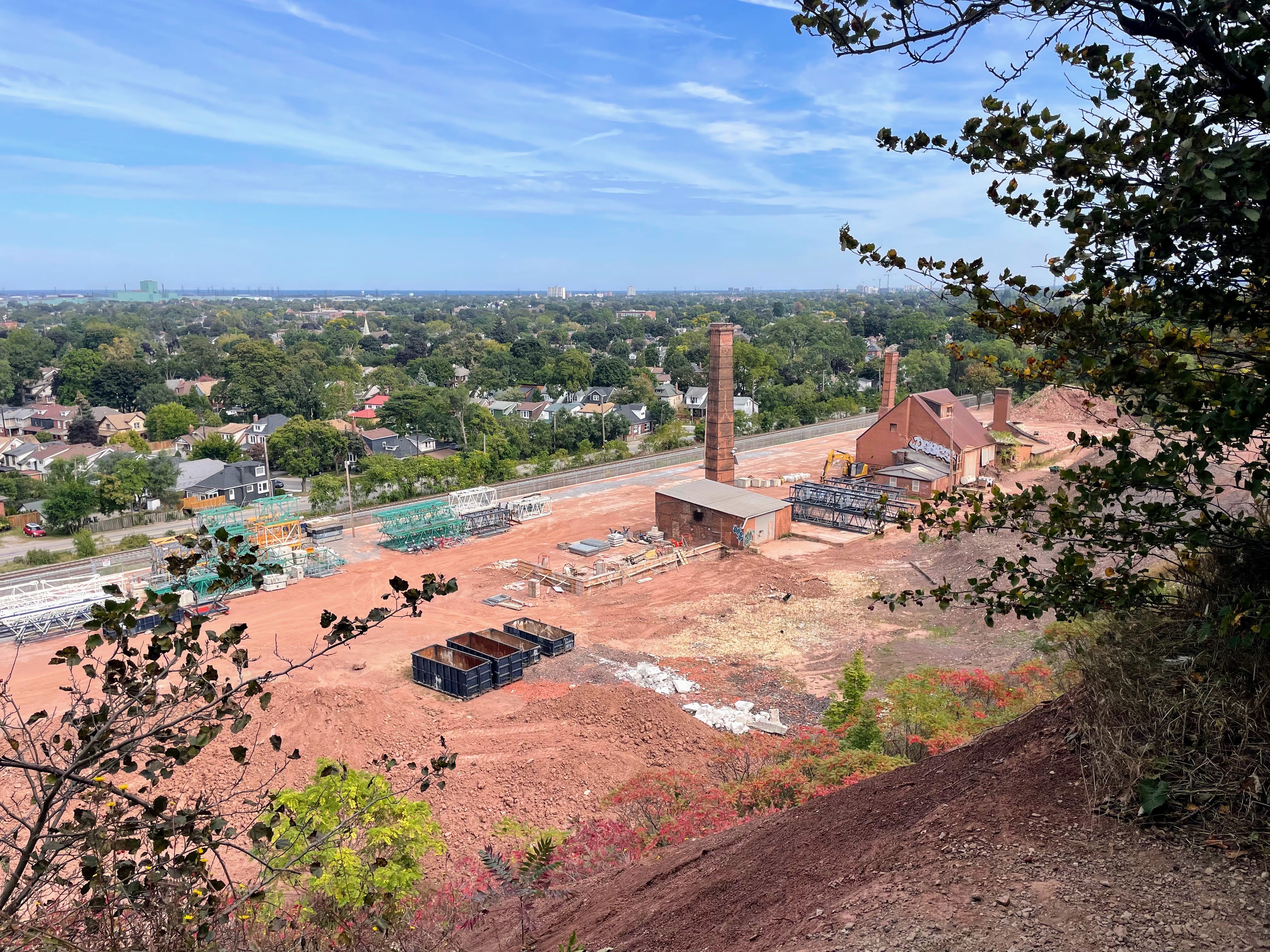
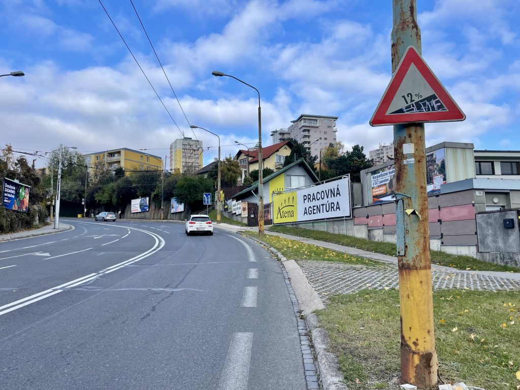
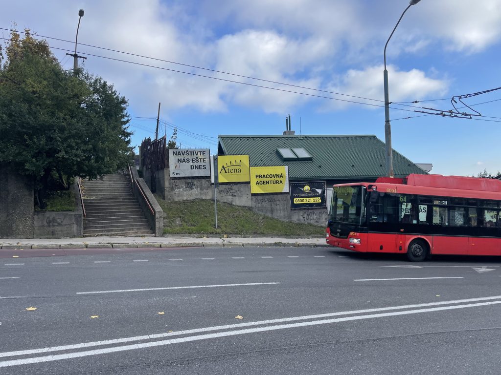
Sometimes when I’m using voice navigation when Ride with GPS it stops giving me the queues for some reason. This intersection was complicated and I didn’t get a  cue so headed up this hill which was a 12% grade, since there was a centre median preventing a left,. When I got to the top I pulled out the phone to take a picture and saw that I was off course. I didn’t actually have to ride up such a steep hill!

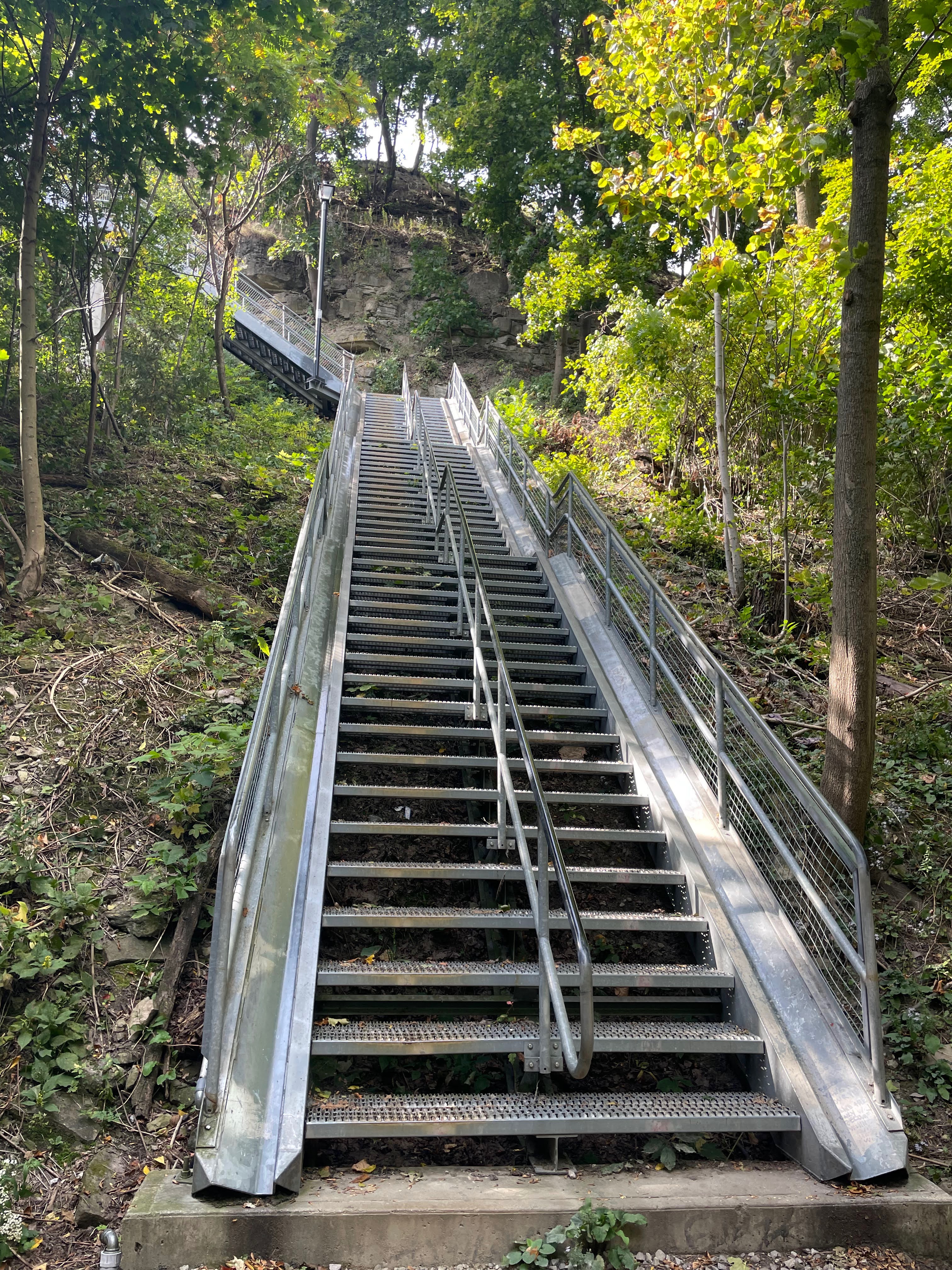
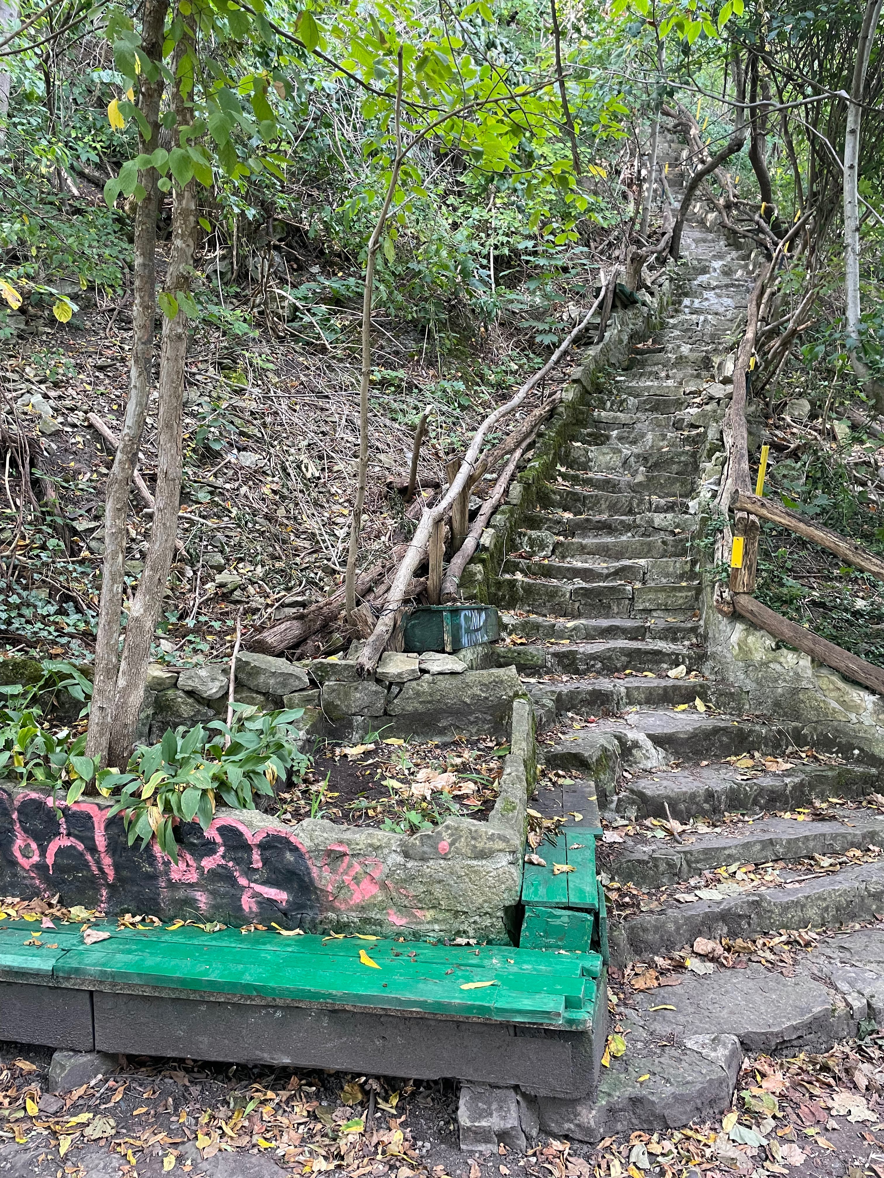
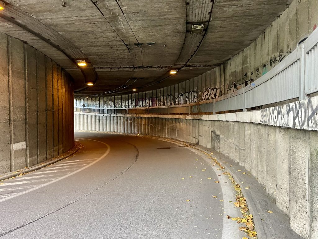
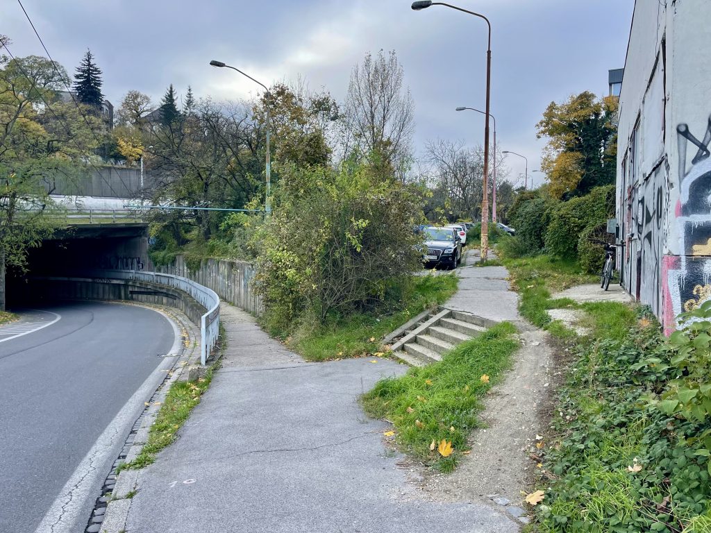
I cycled back down the hill and thought perhaps it was these stairs that I was supposed to use so I carried my bike up, but that was wrong, as well. So I crossed the road and  started heading downhill looking for a right turn. I didn’t realize that it was this desire line and small set of stairs, so descended under the rail line down a steep hill on a one-way section of road. I realized my mistake at the bottom and walked the bike back up, keeping close to the wall. Then I tried going up the desire line and along the street at the top, and that turned out to be where I was supposed to be. All part of the adventure!

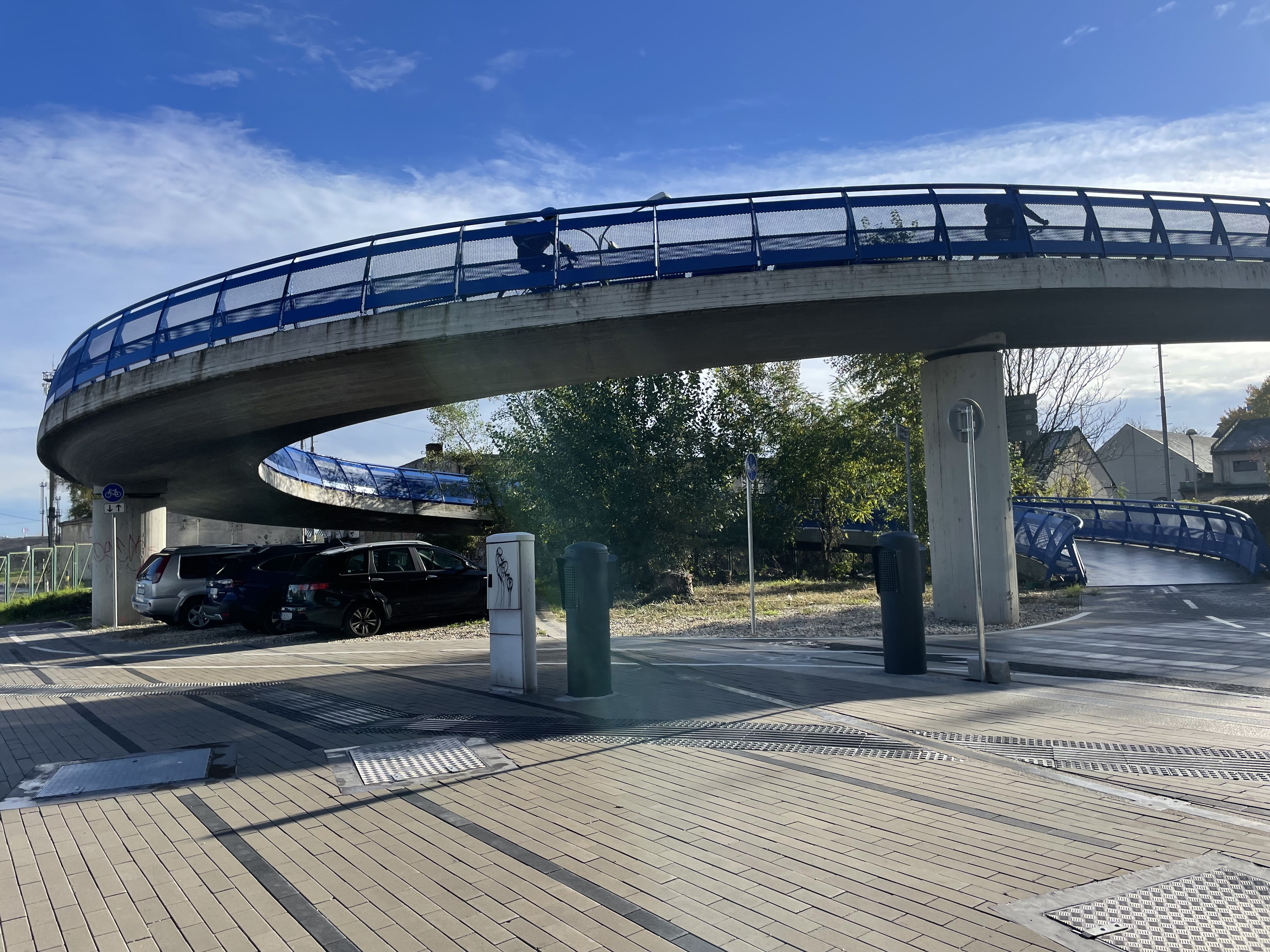
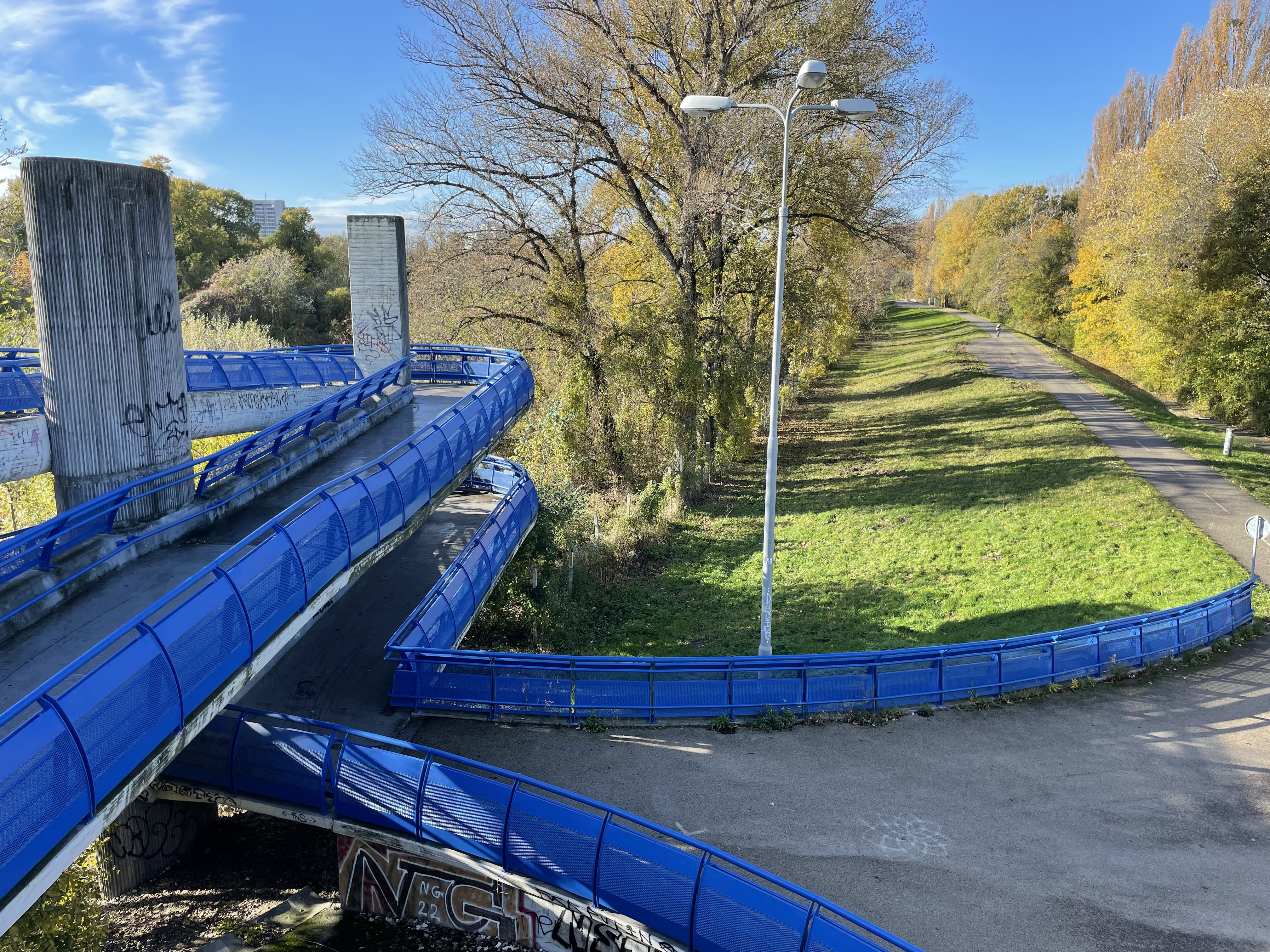
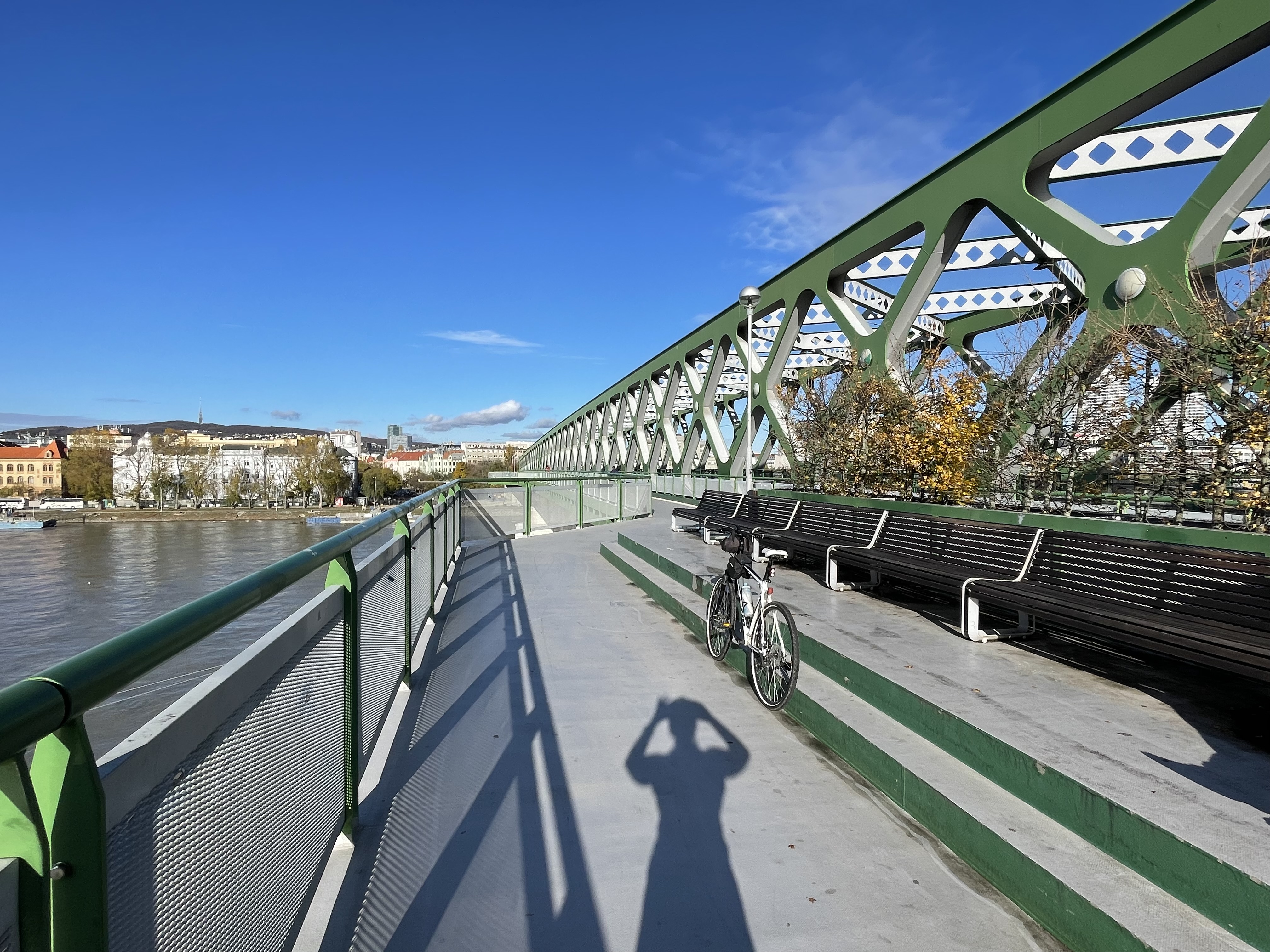
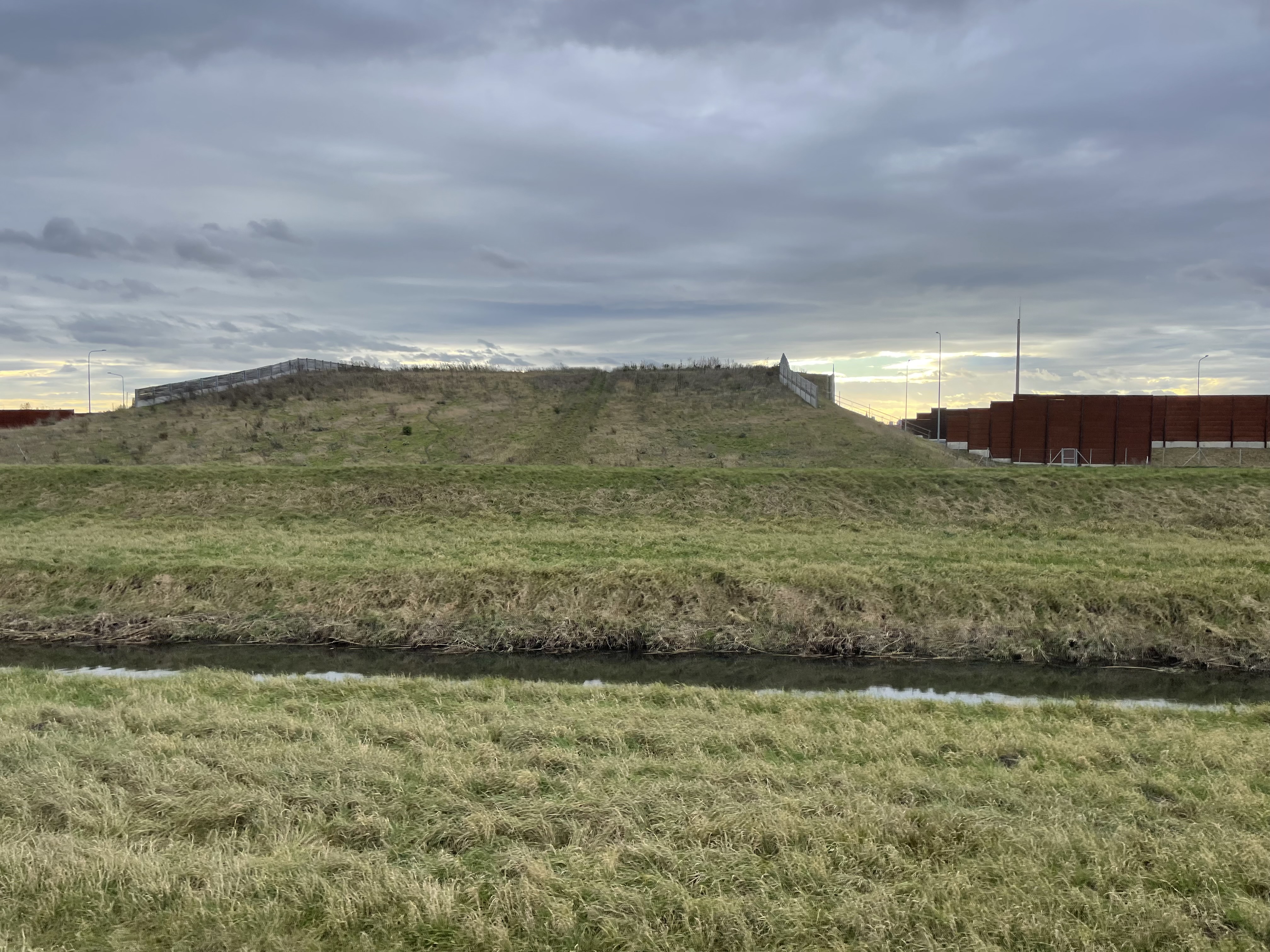
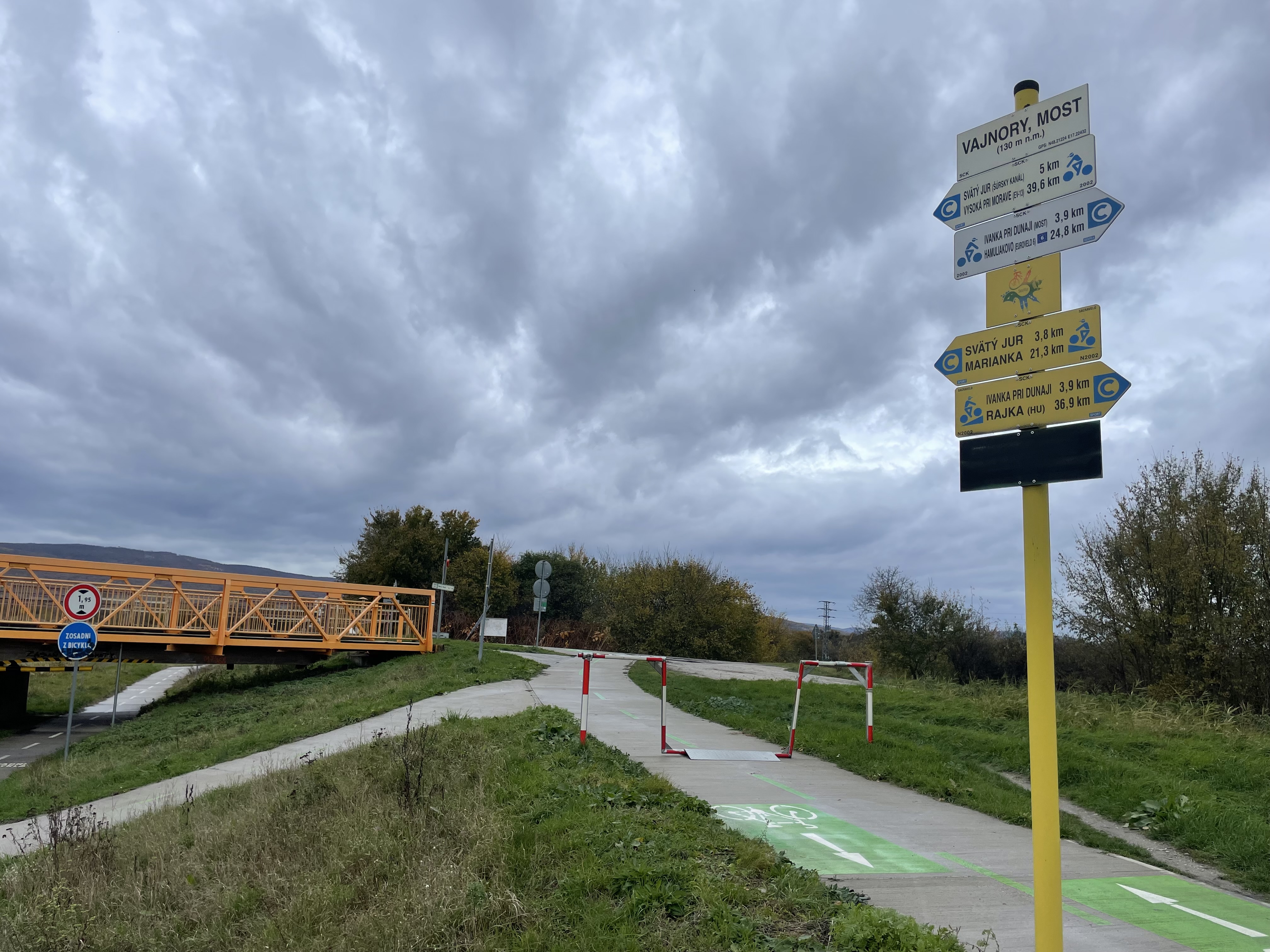
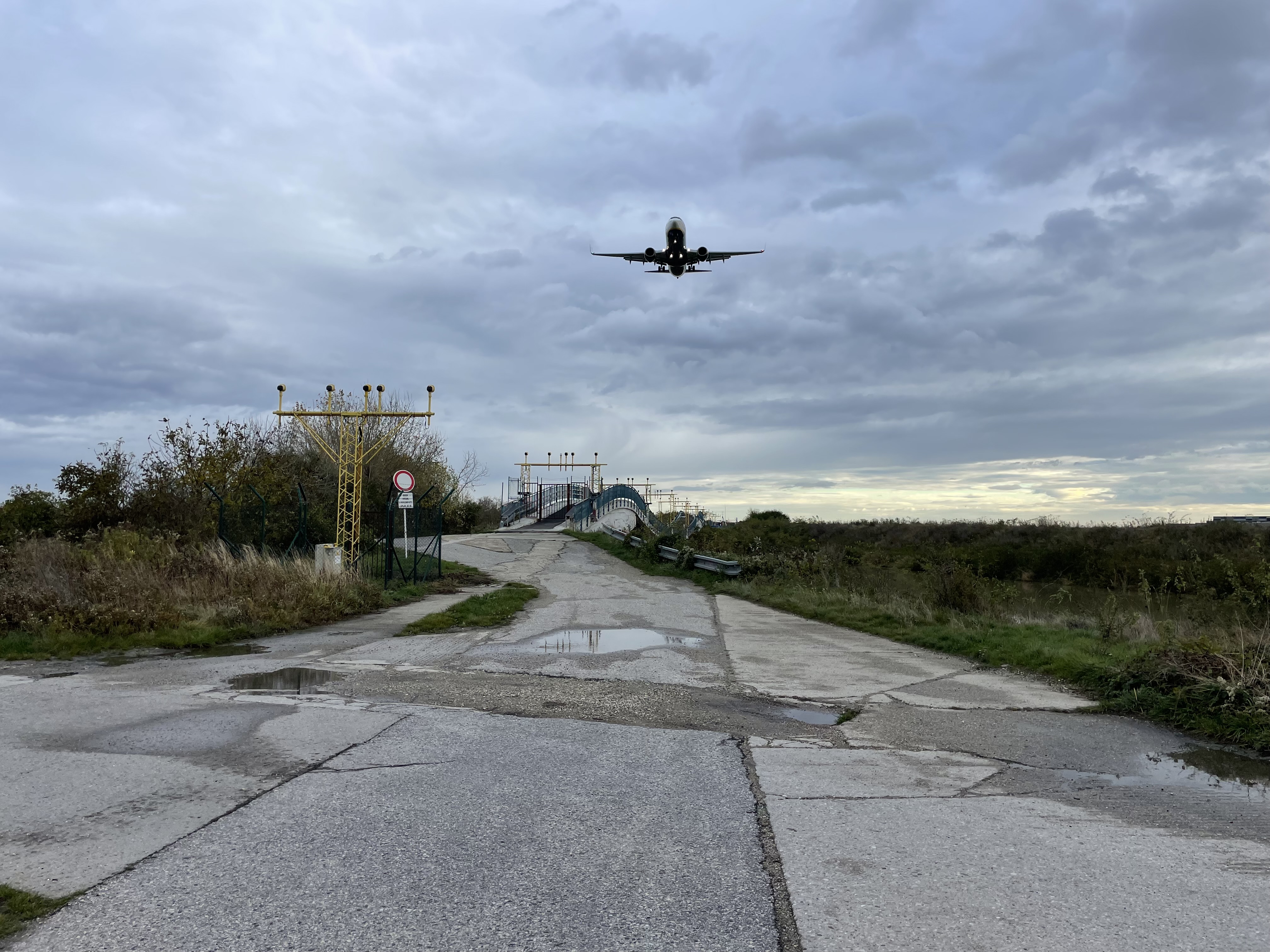
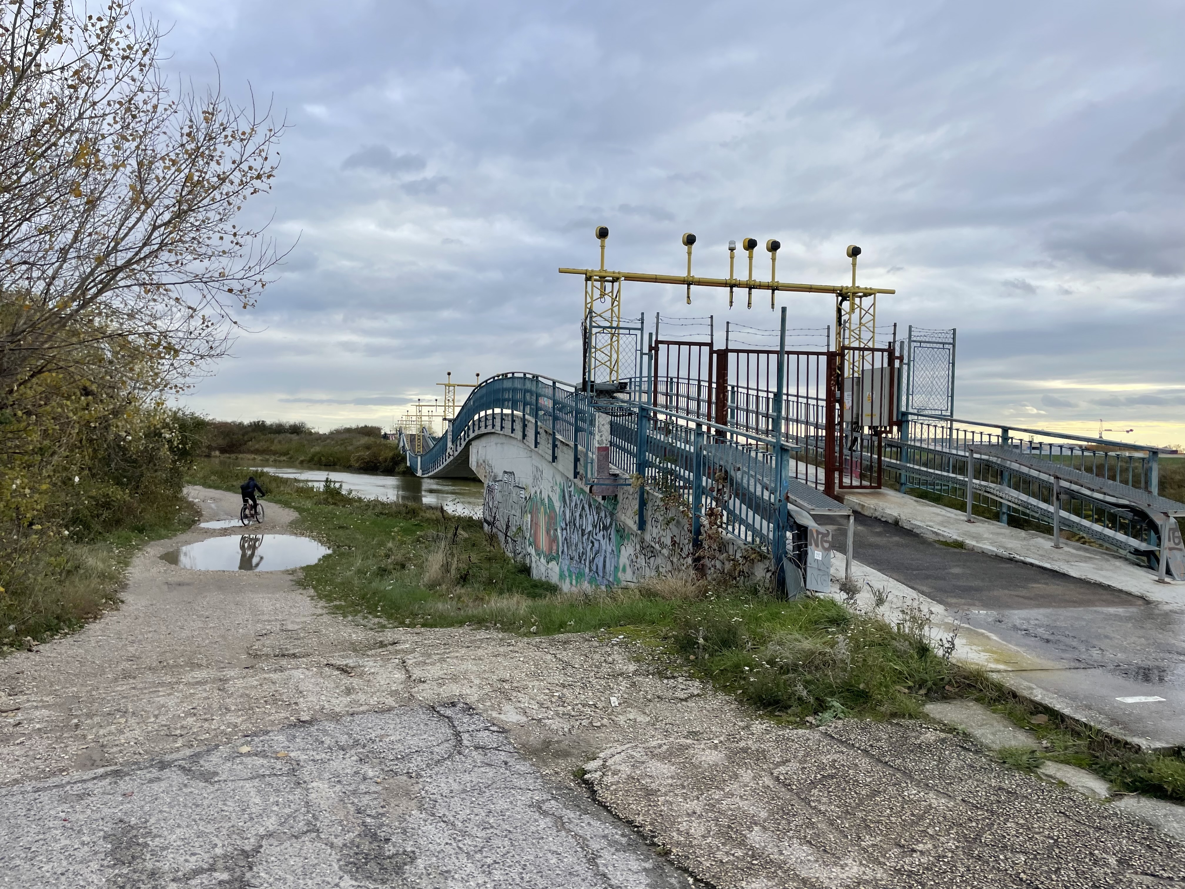
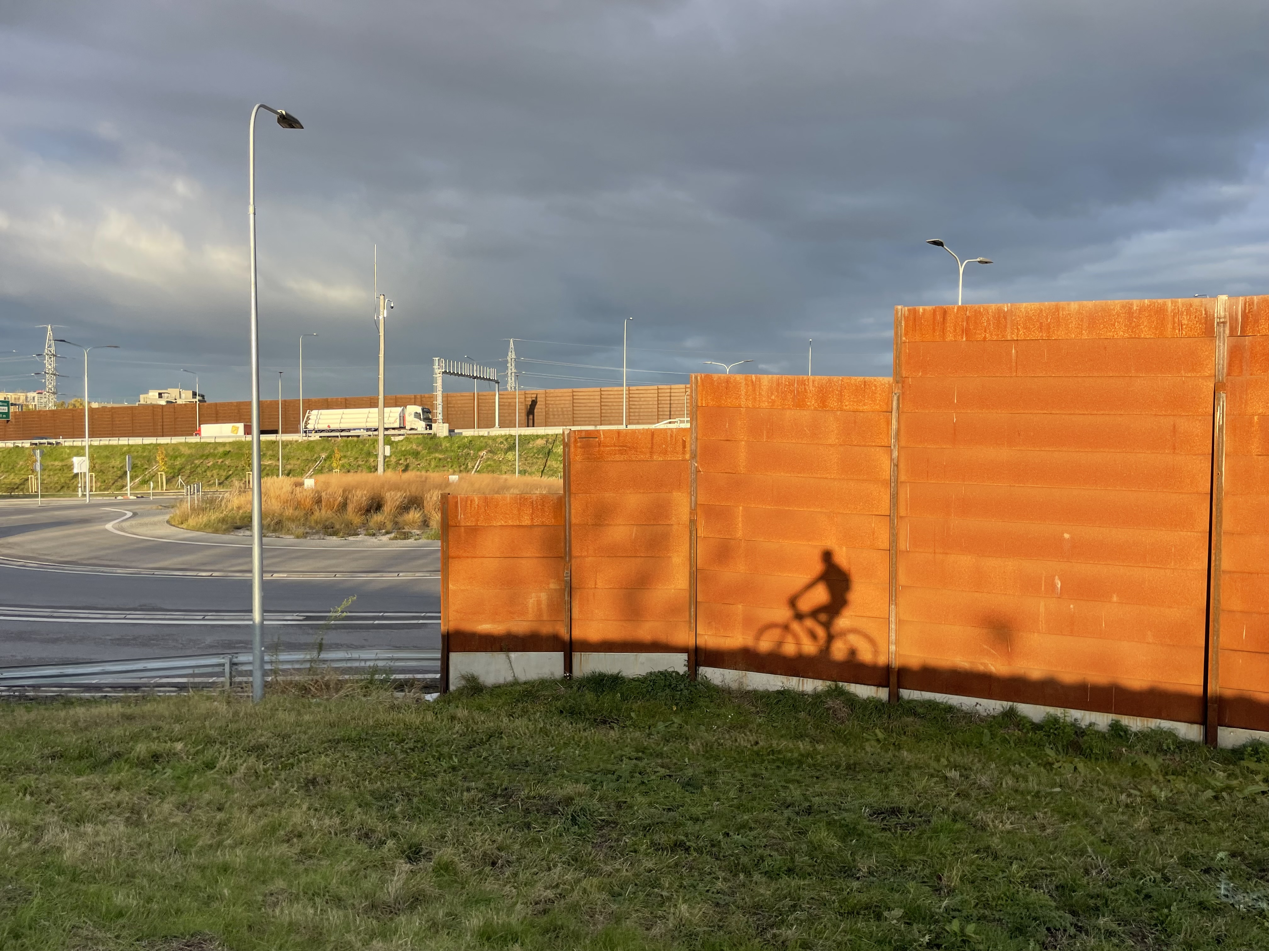
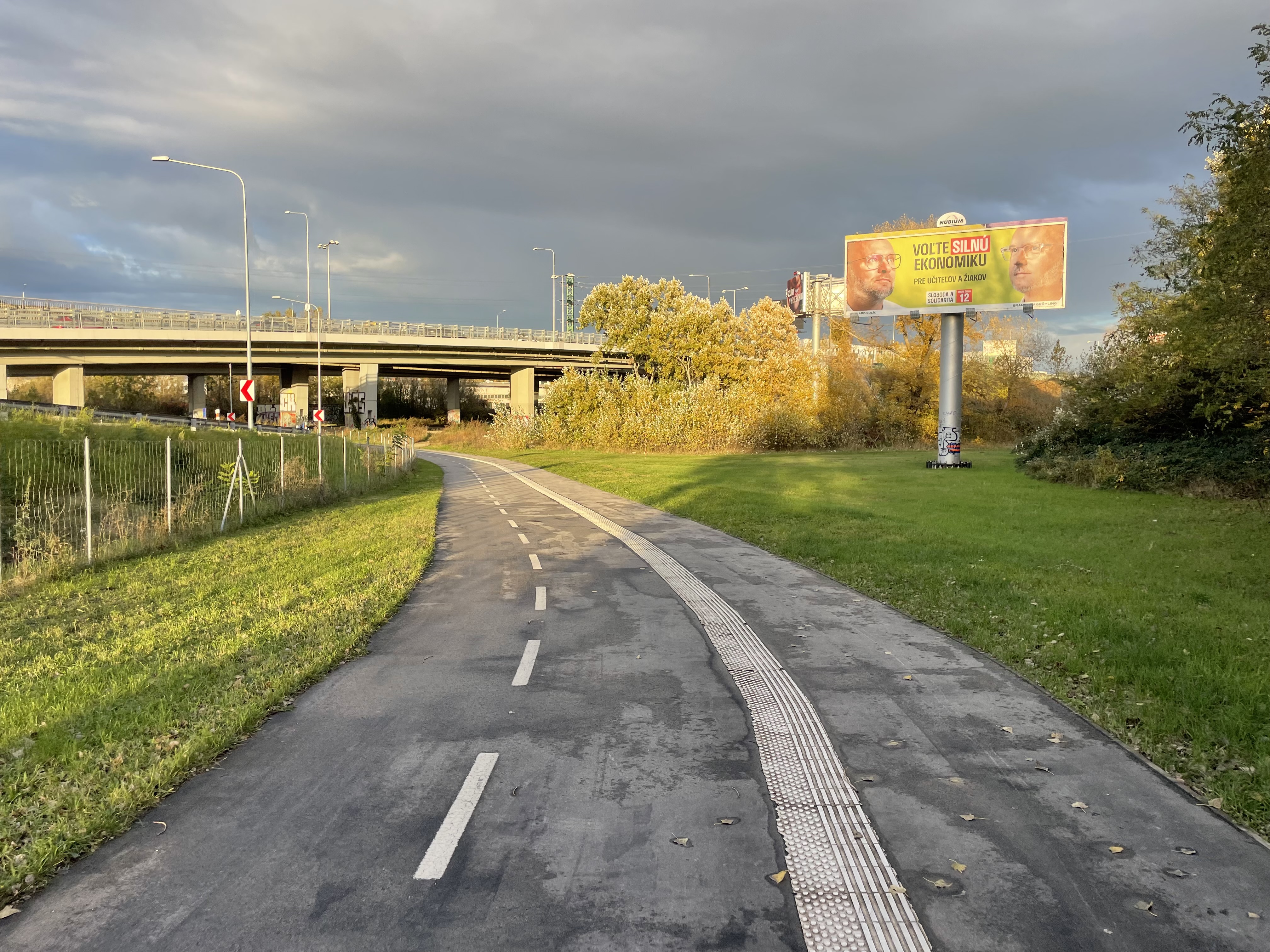
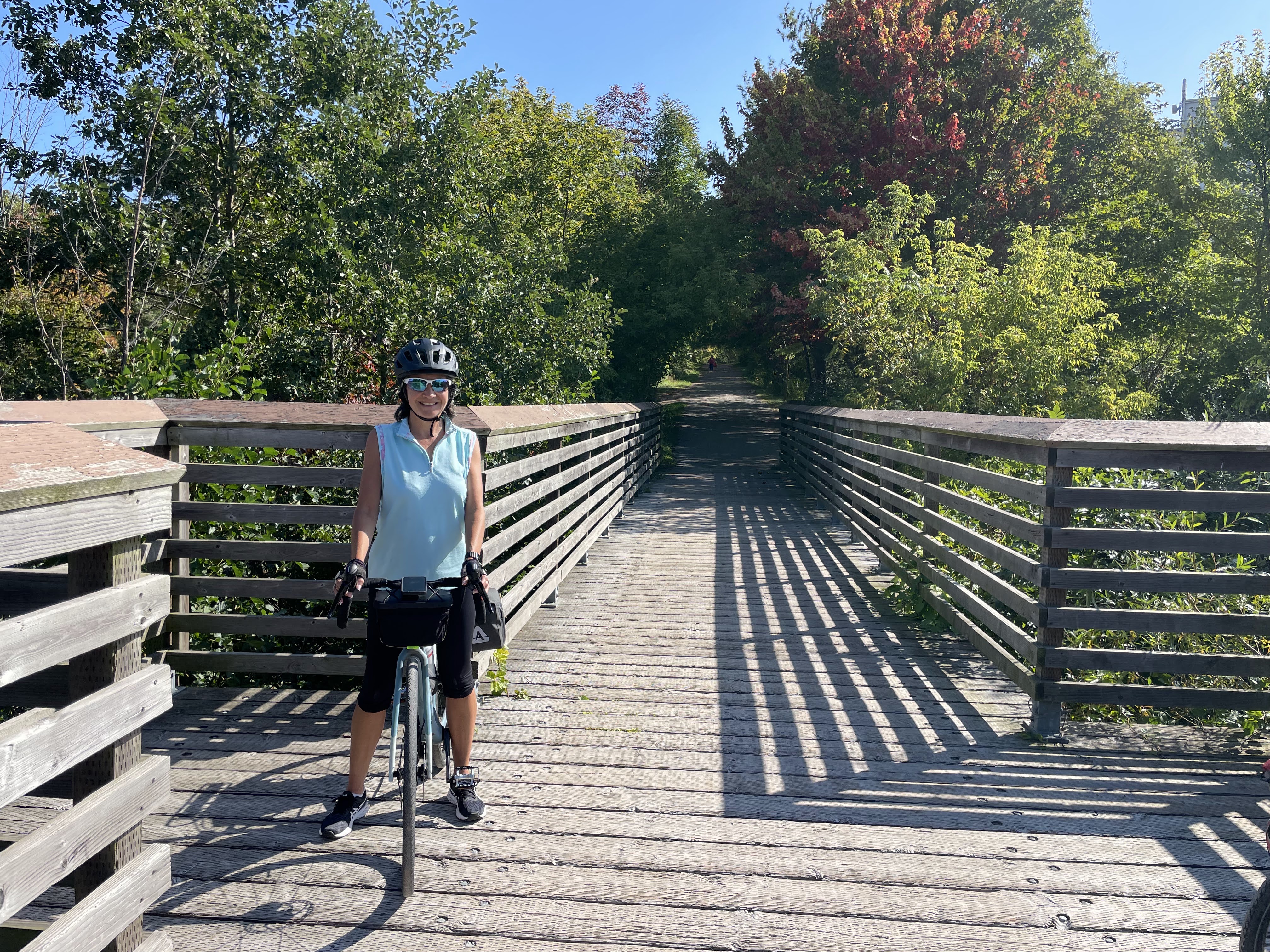
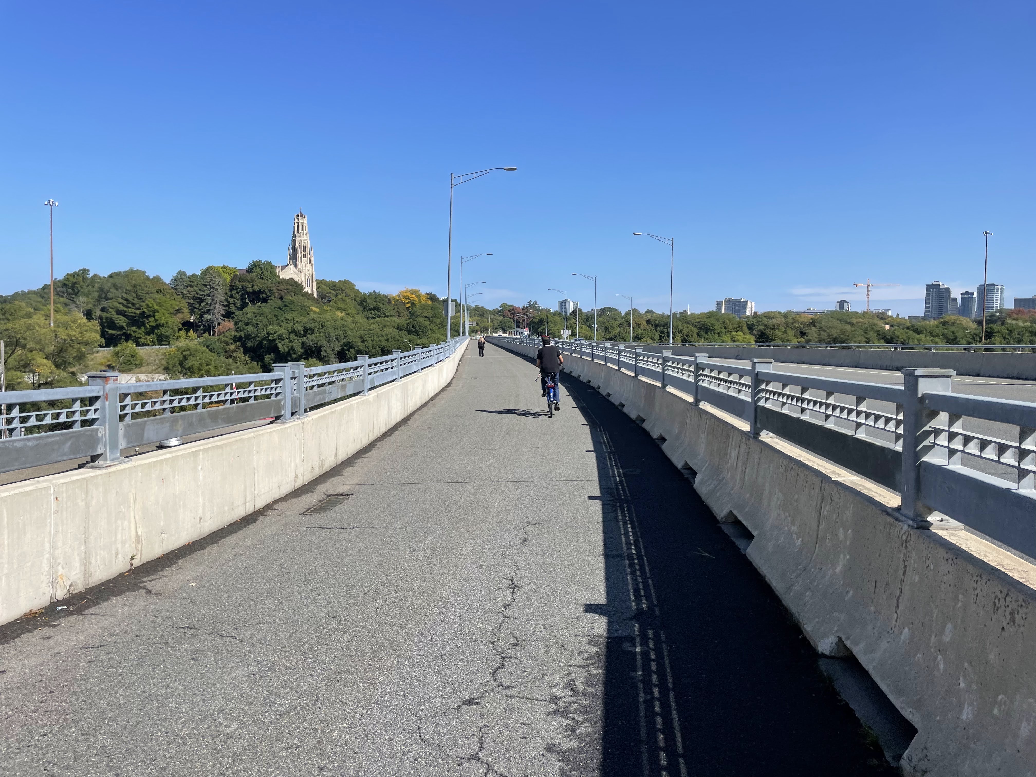
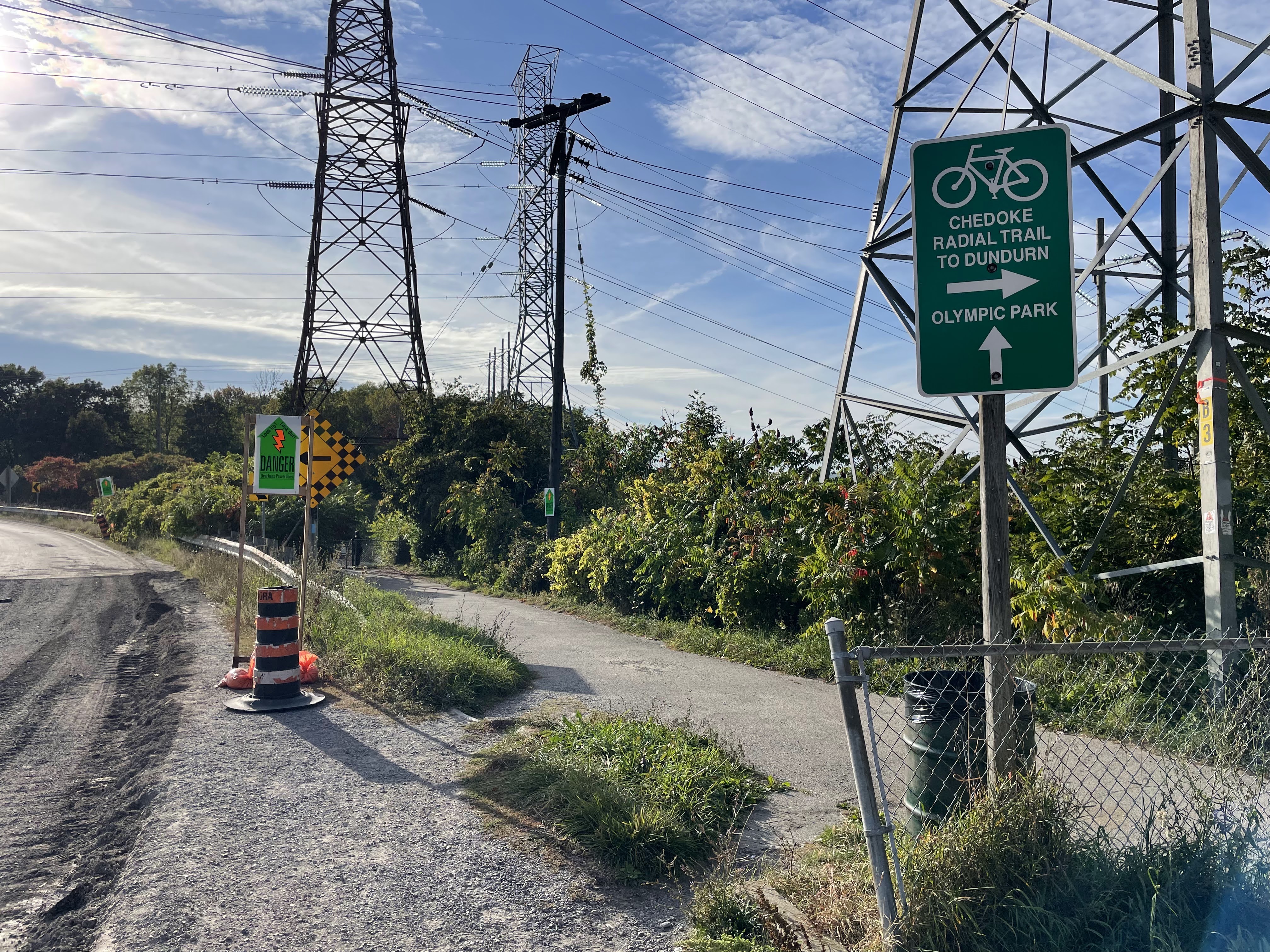
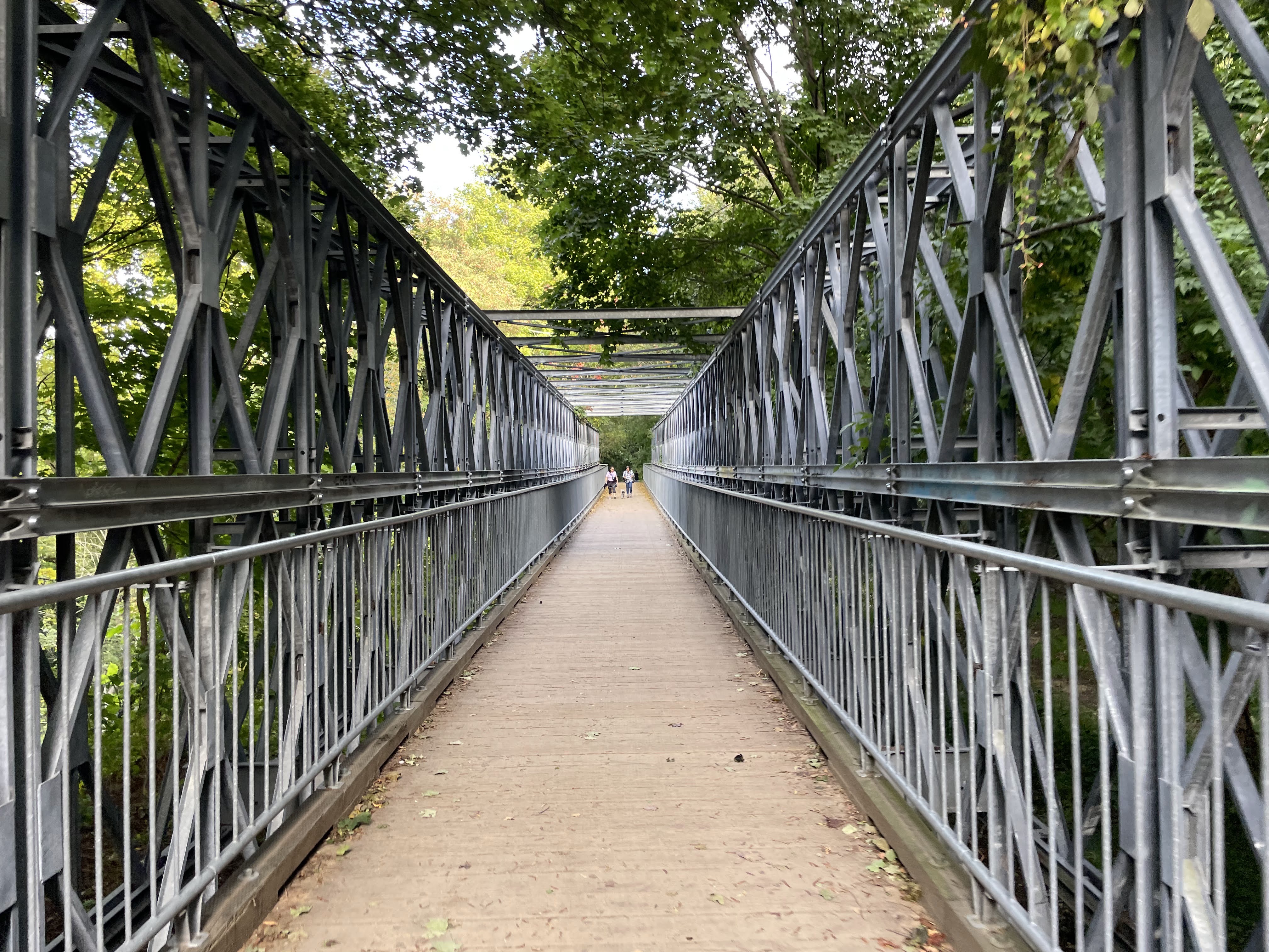
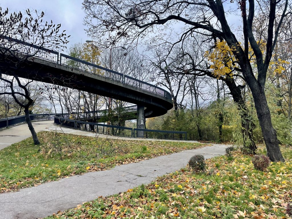
This Active transportation bridge crosses the highway, but I did not need to use it.

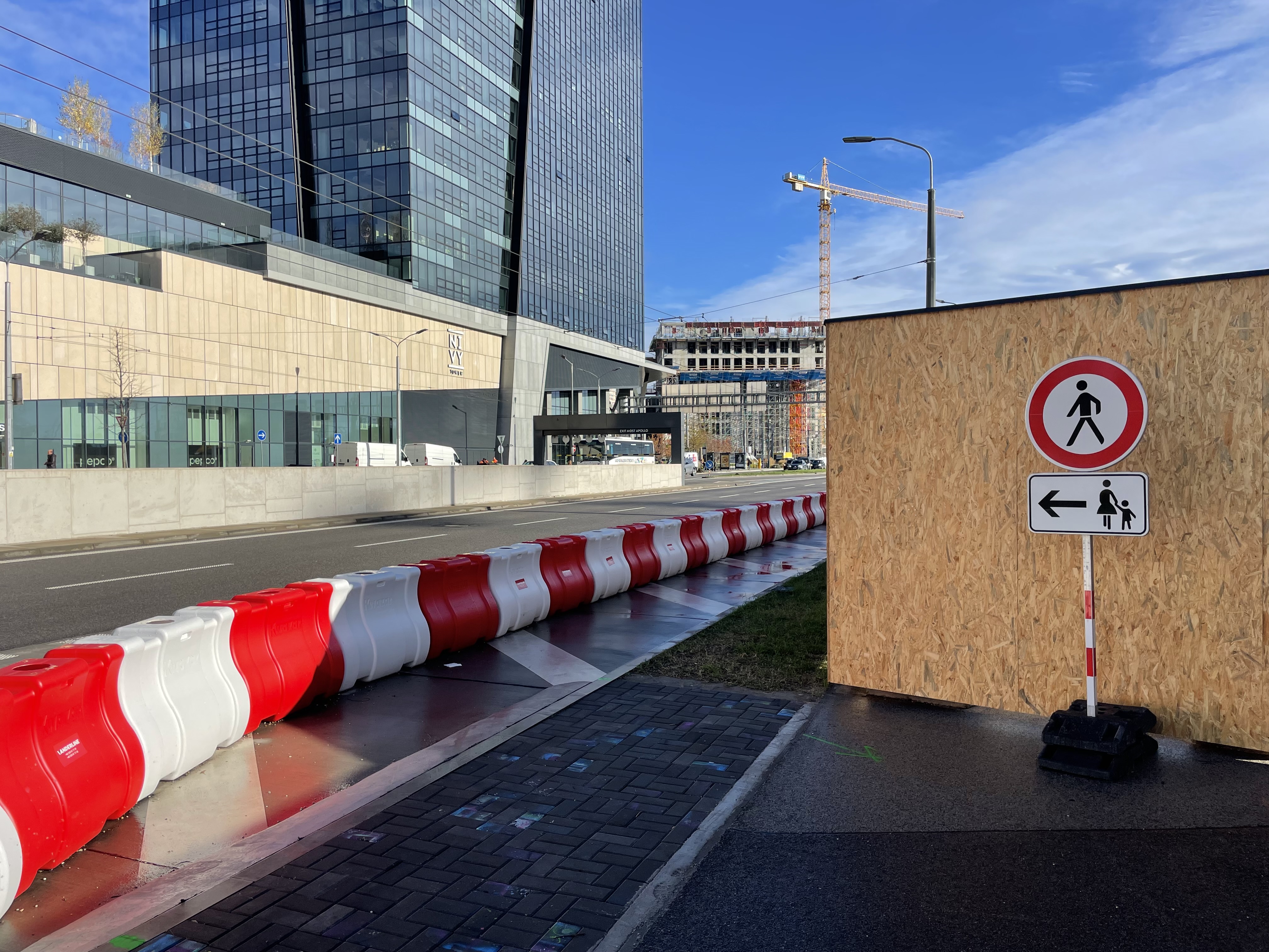
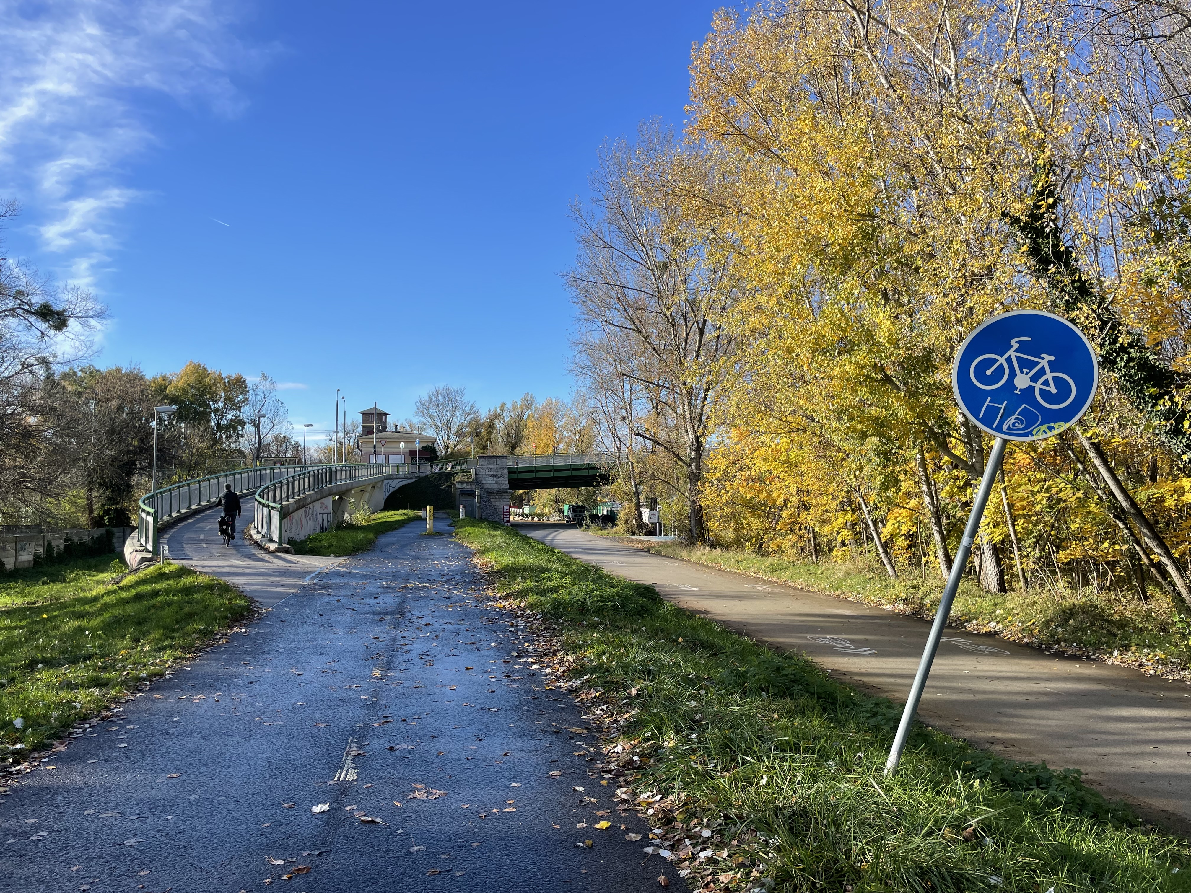
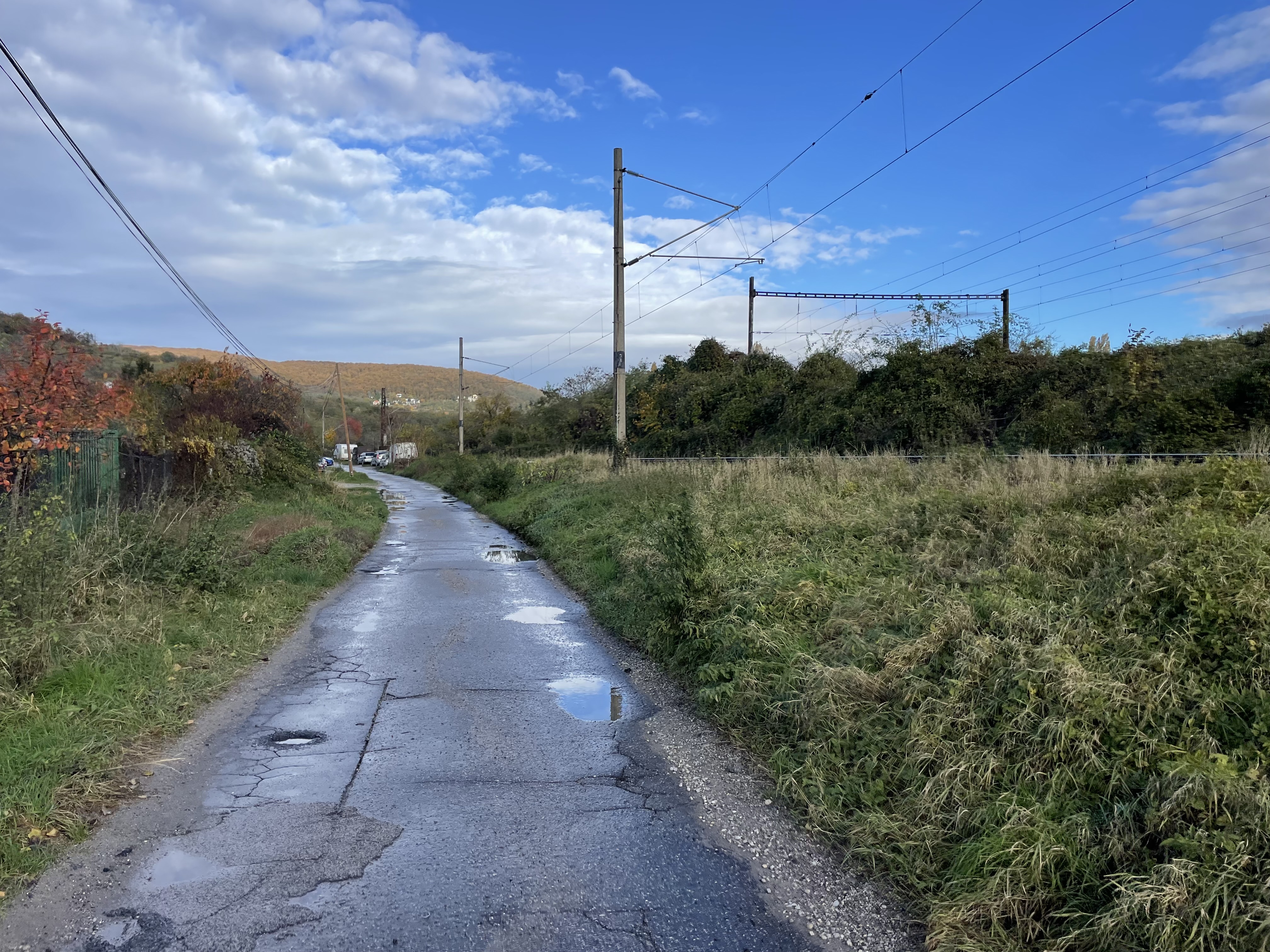
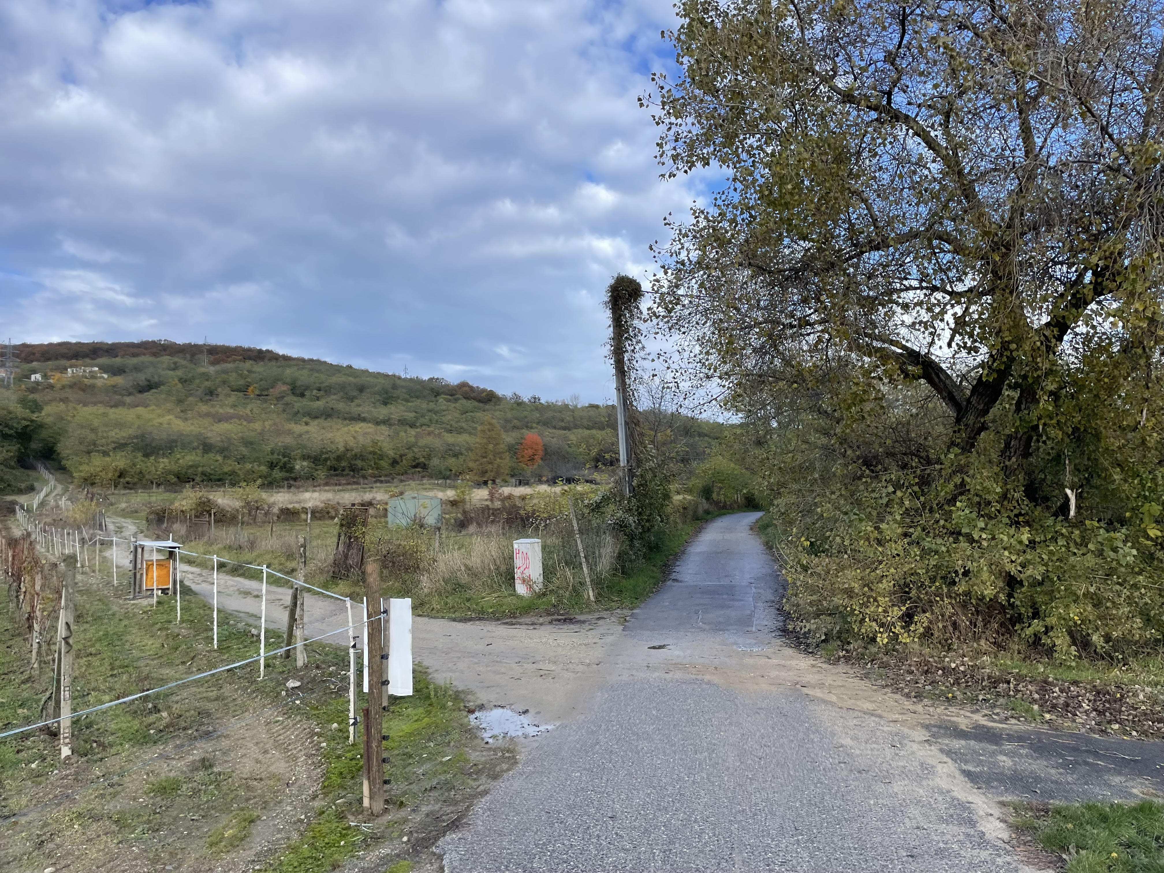
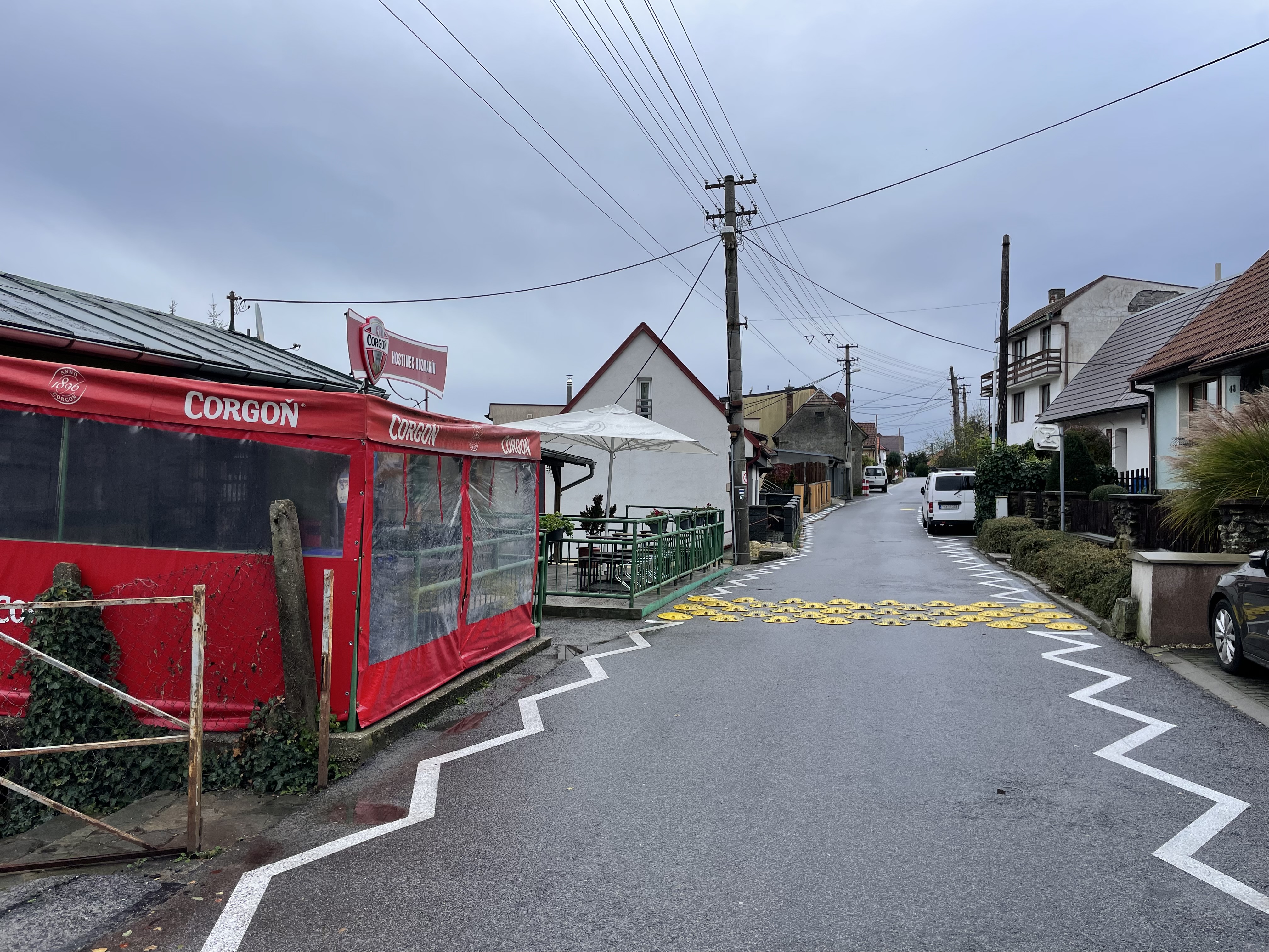
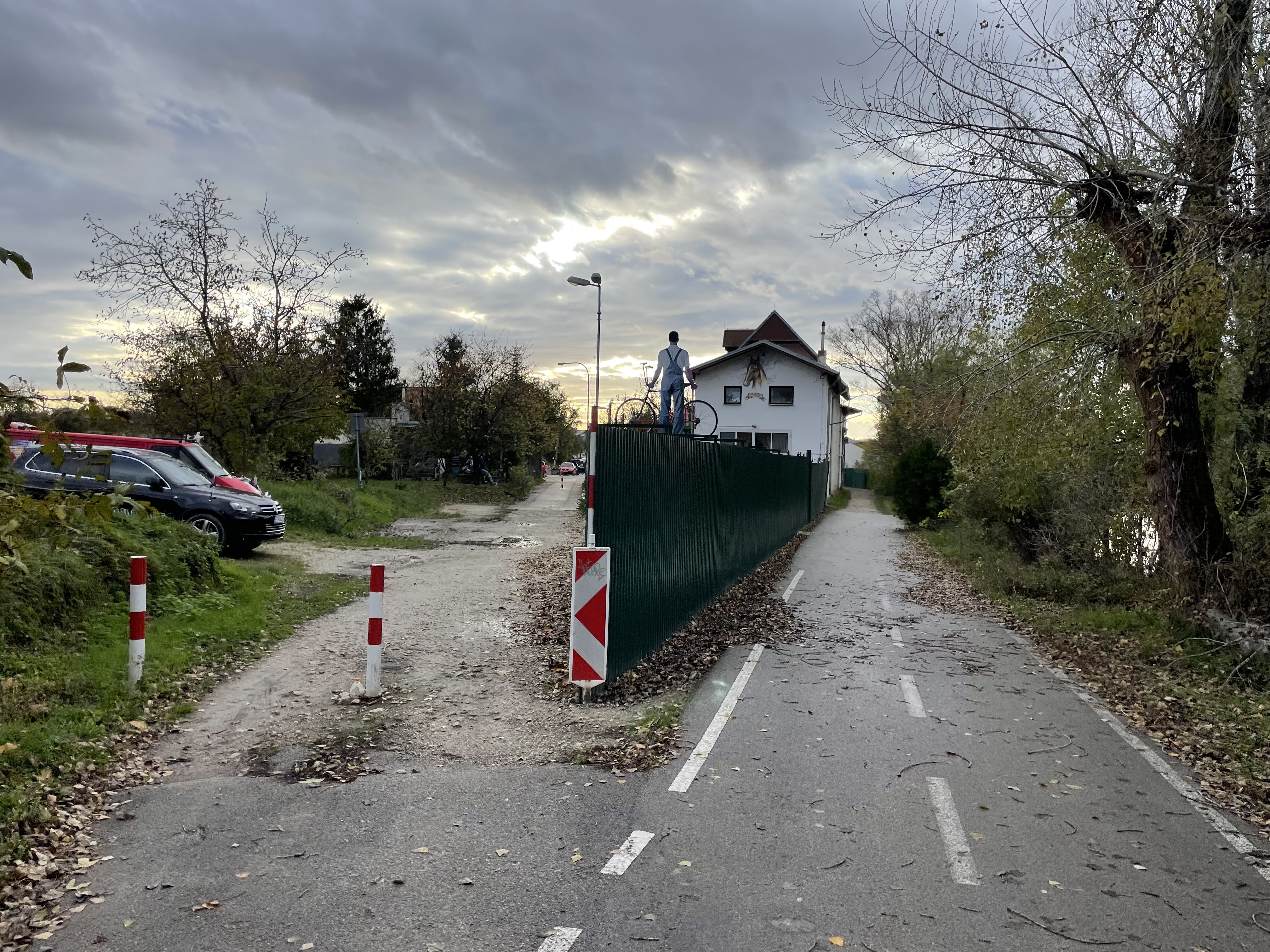
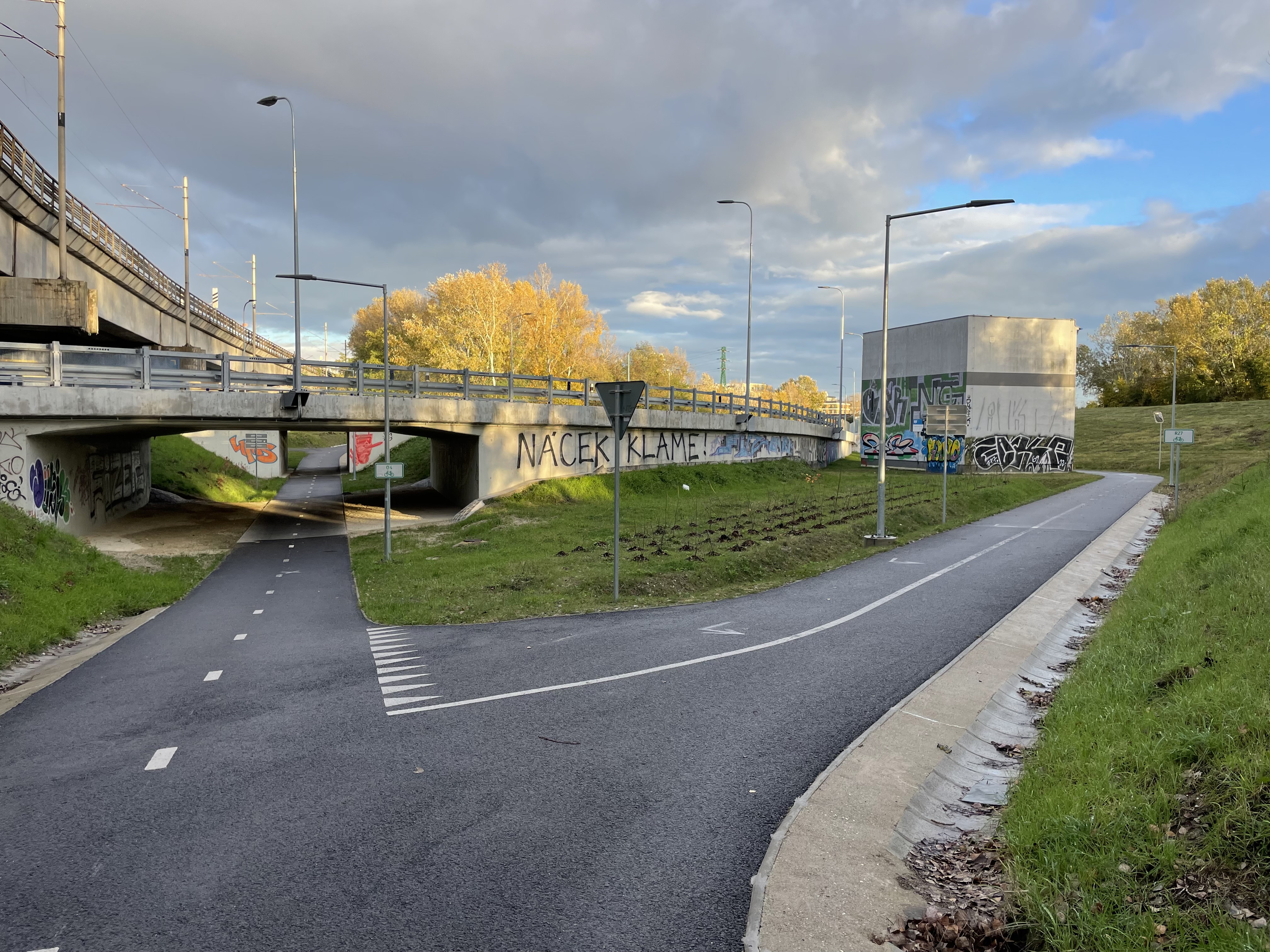
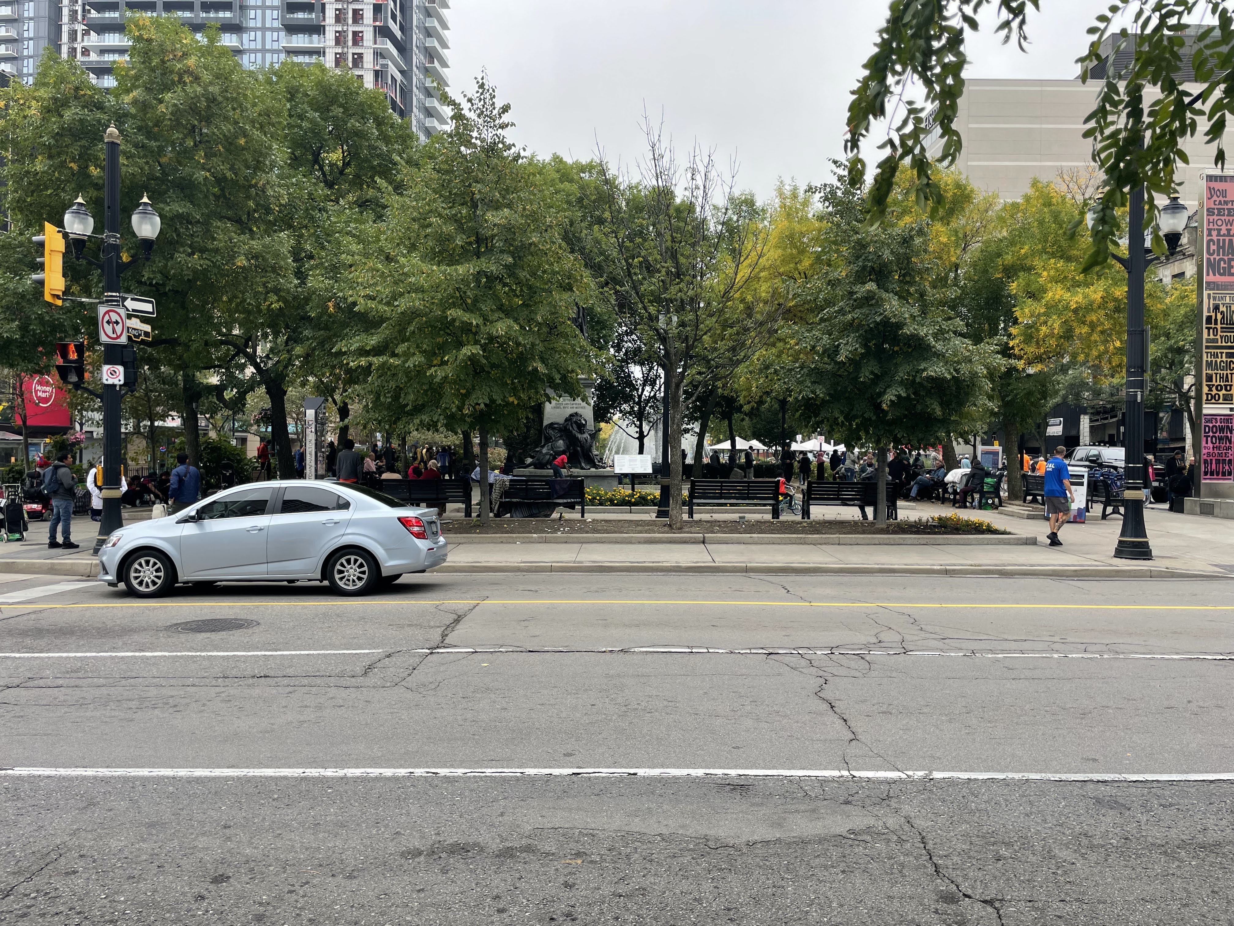
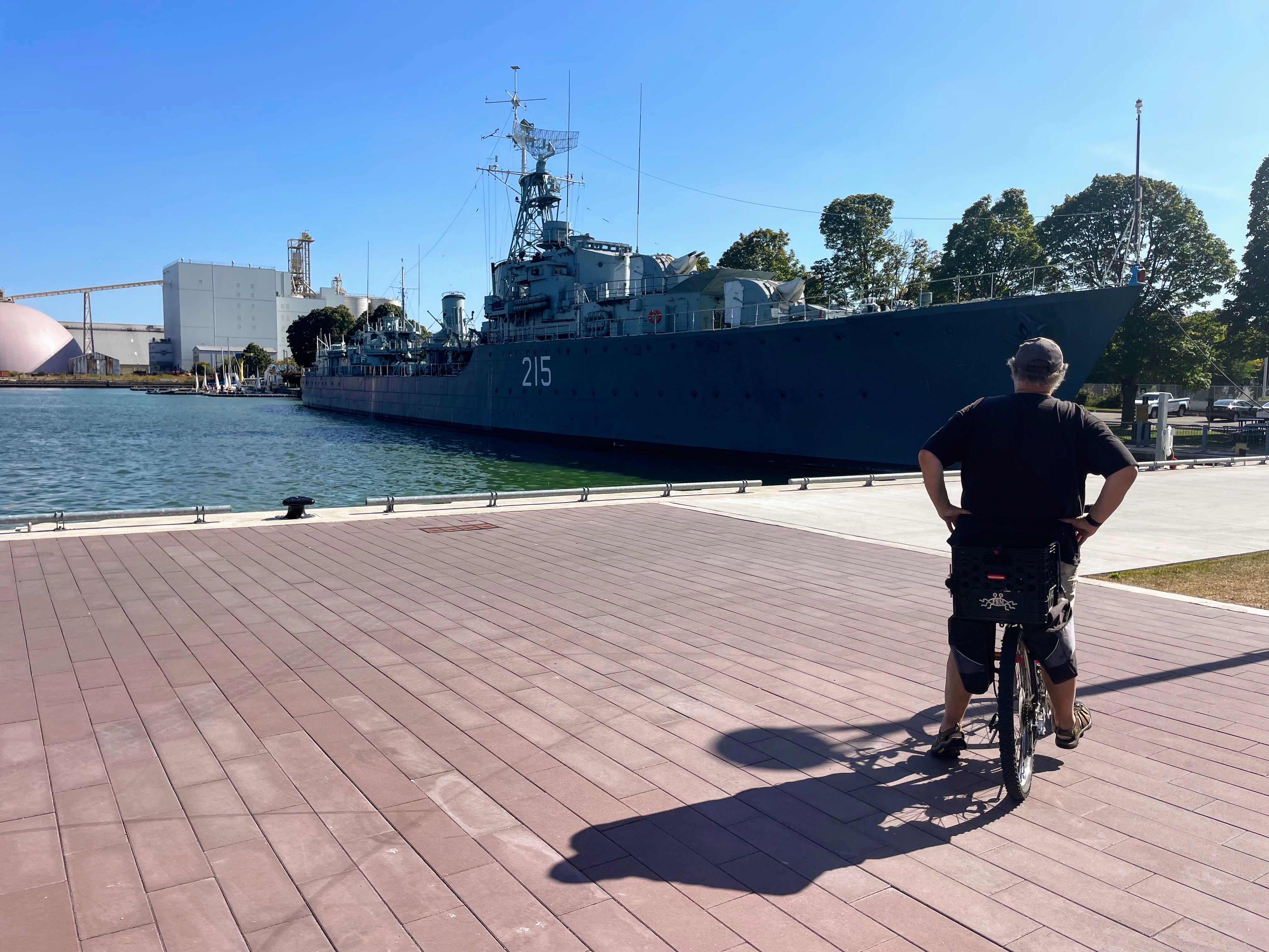
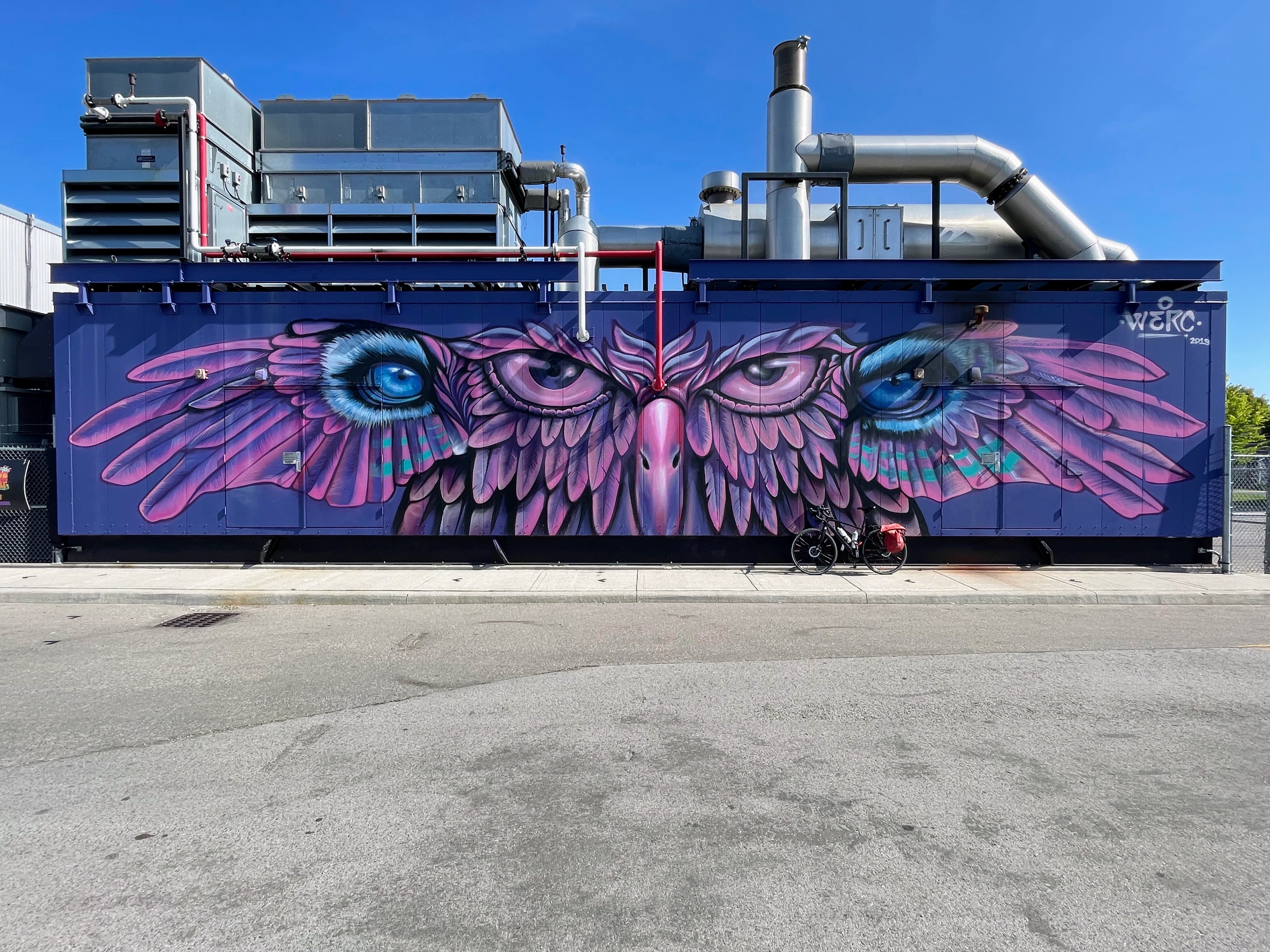
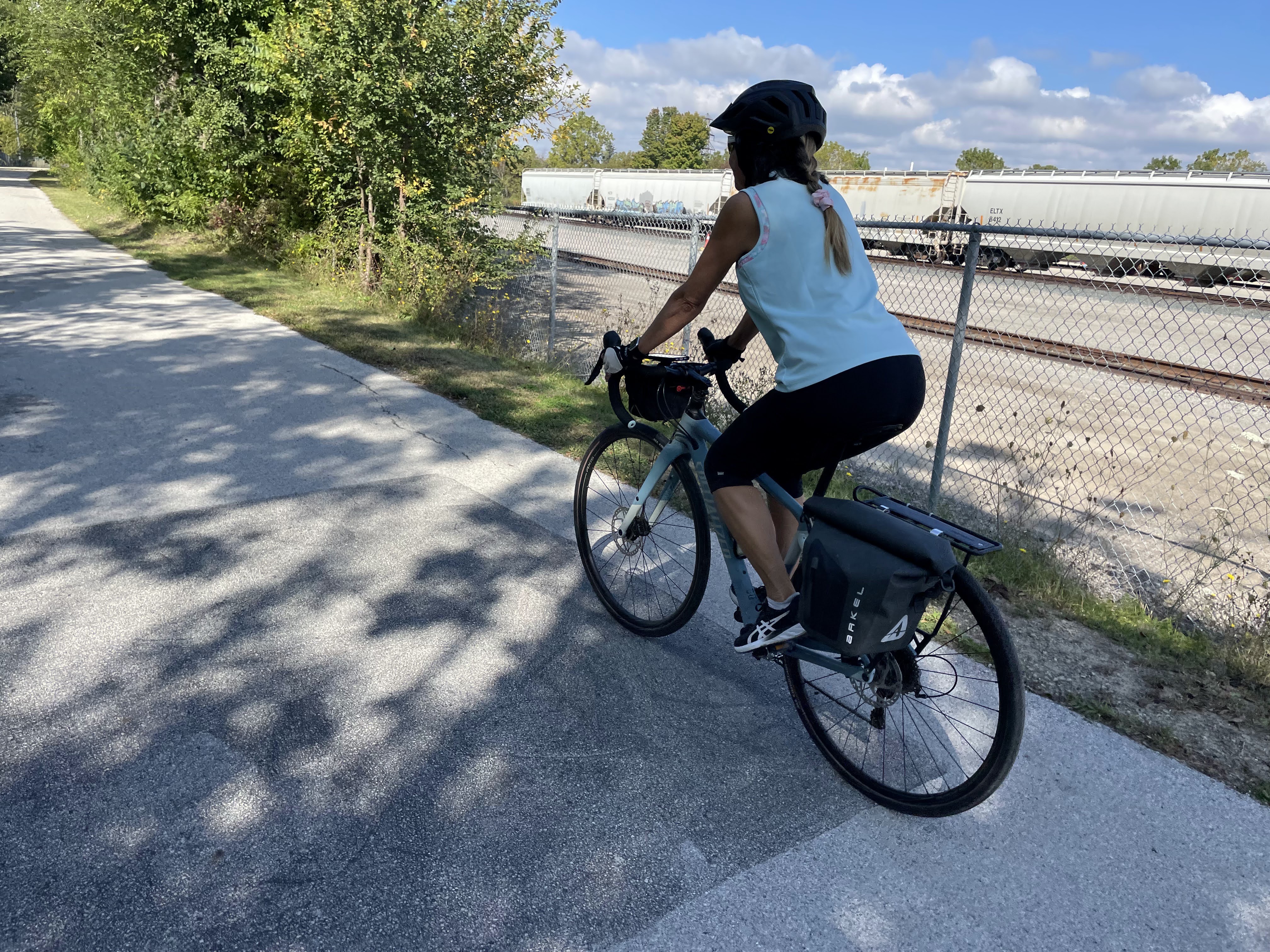
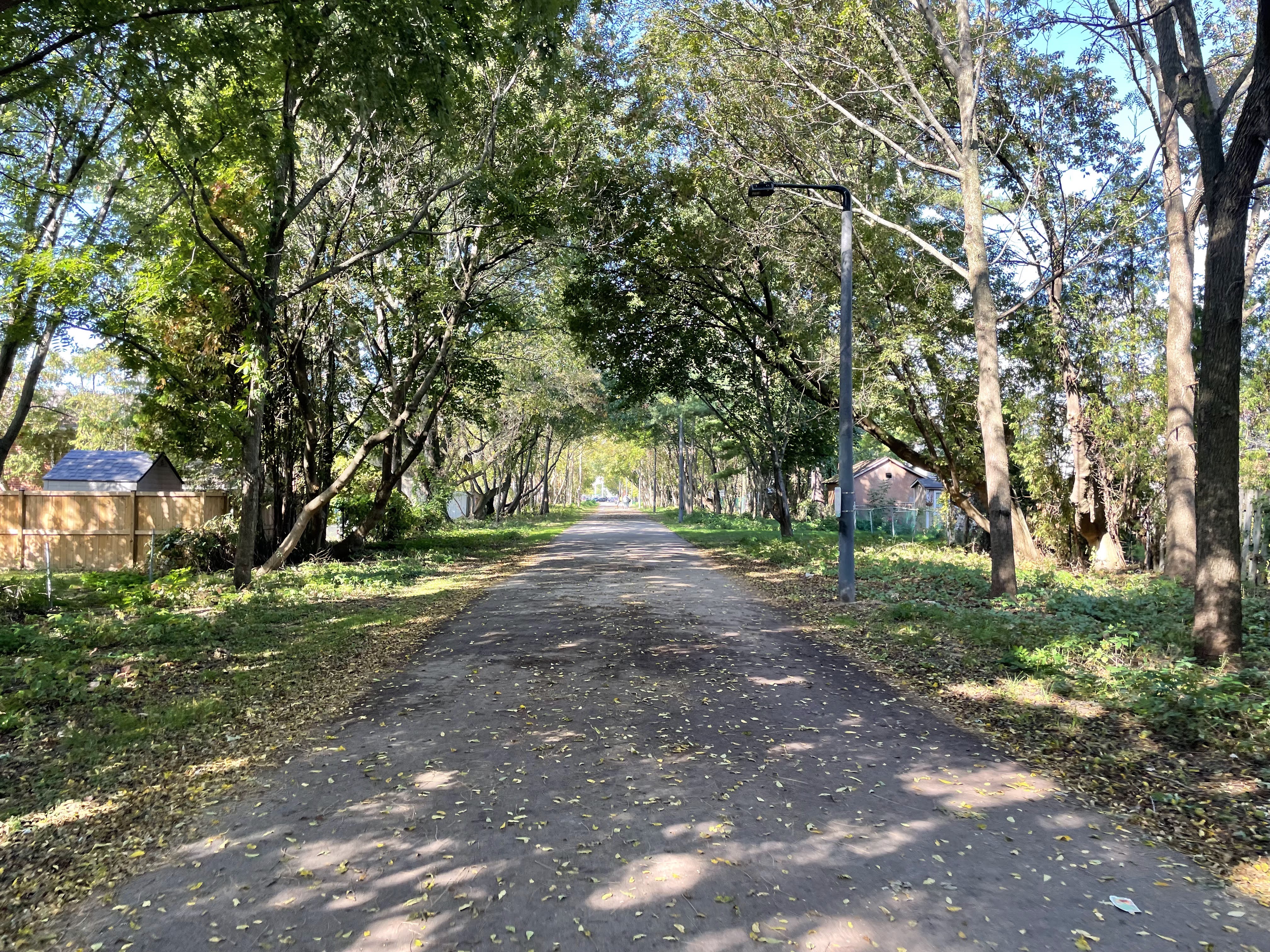
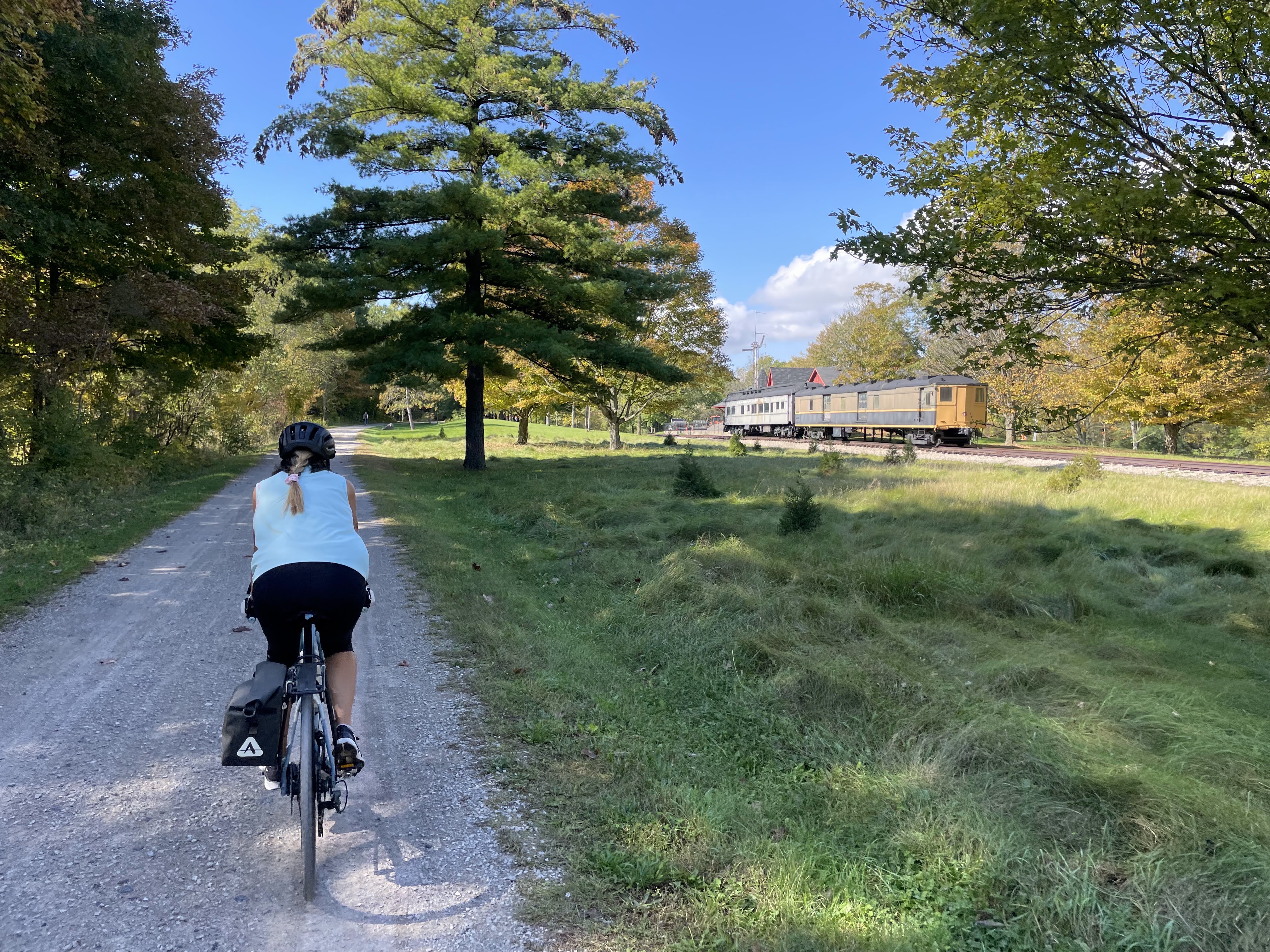
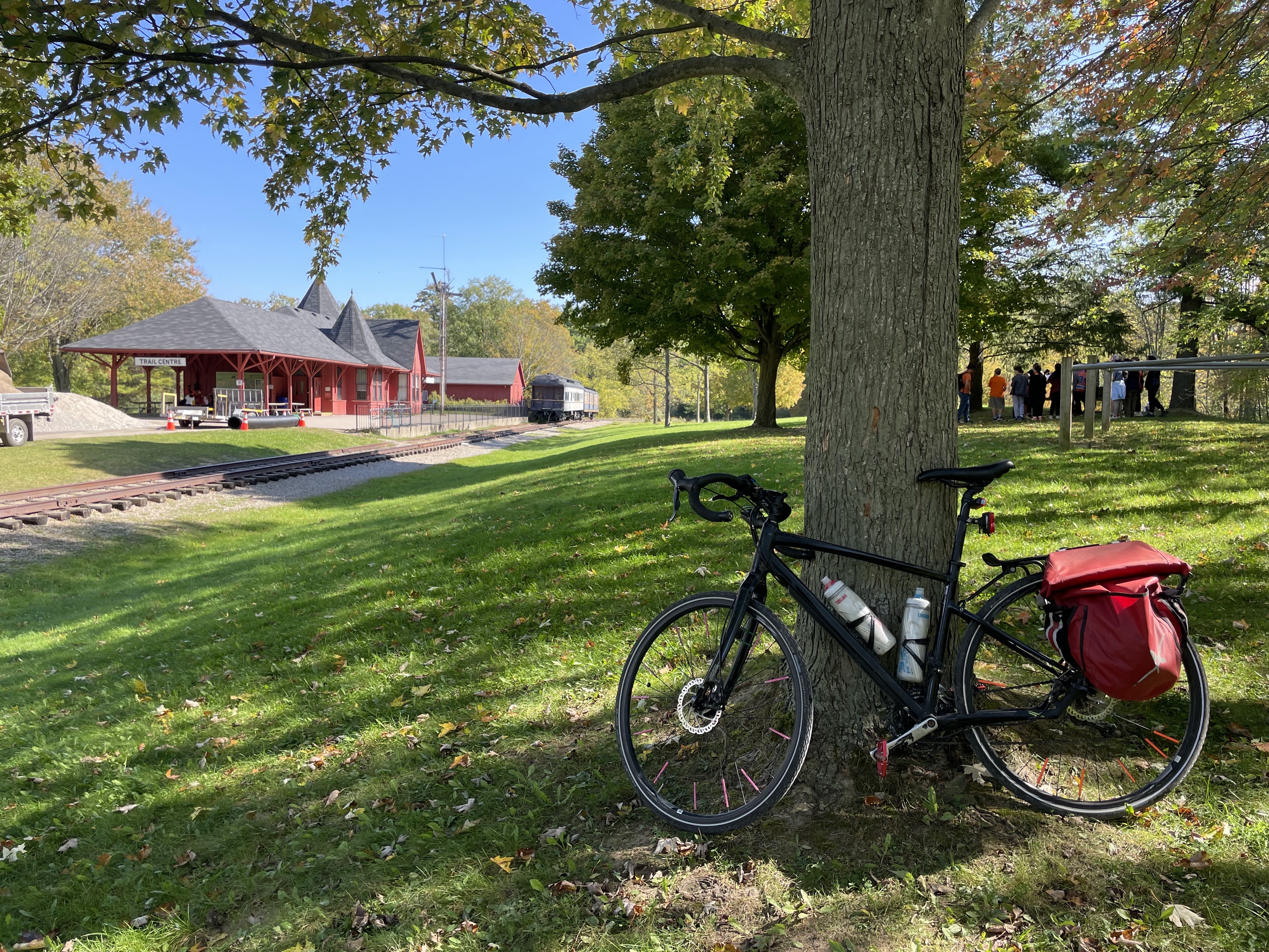
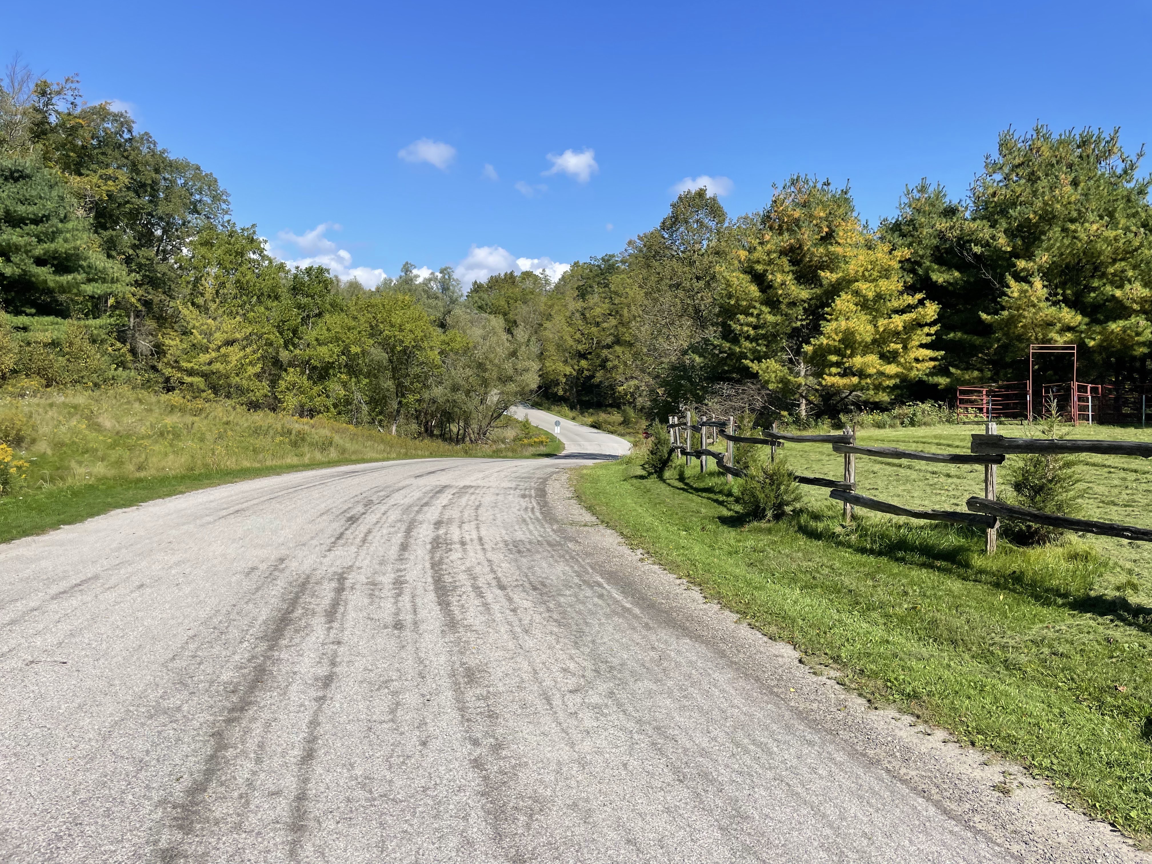
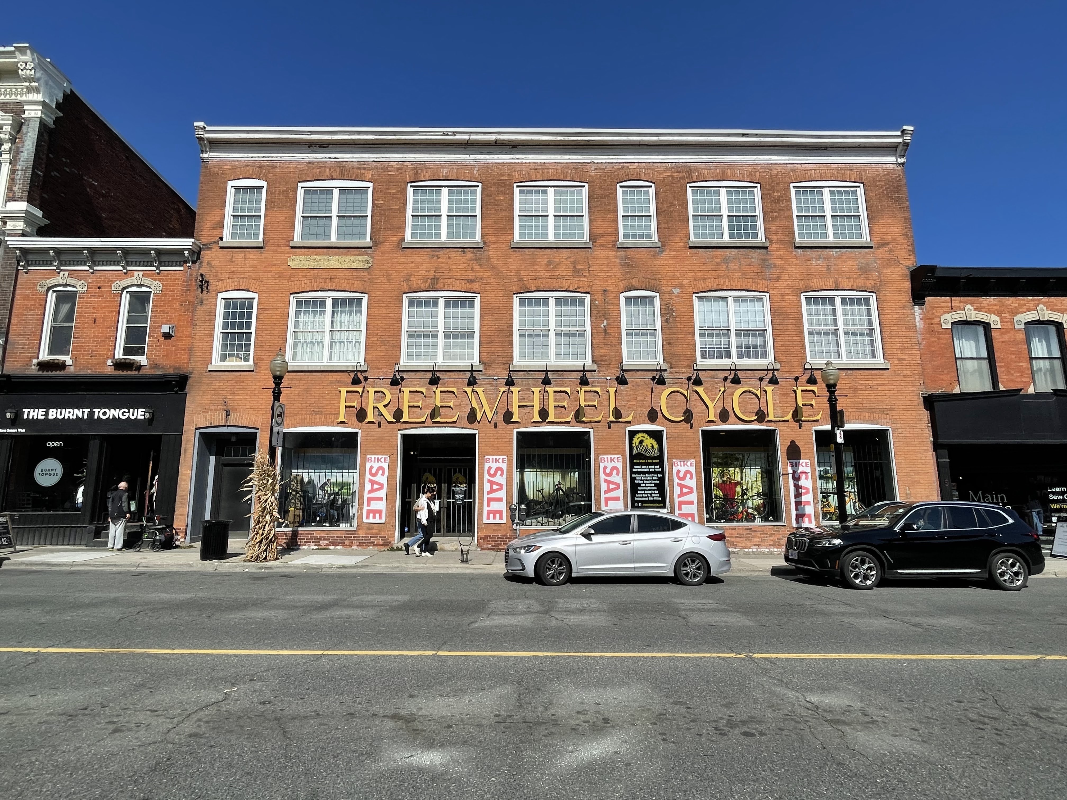
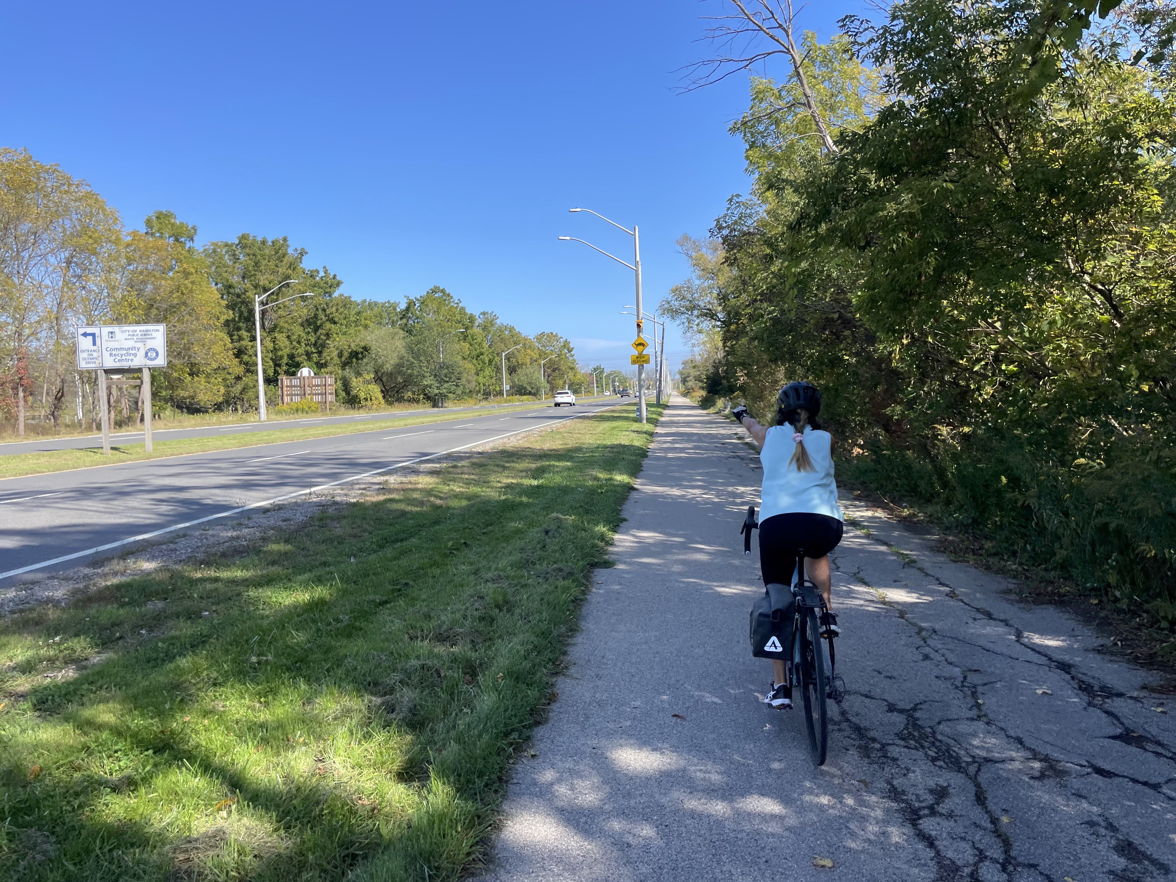
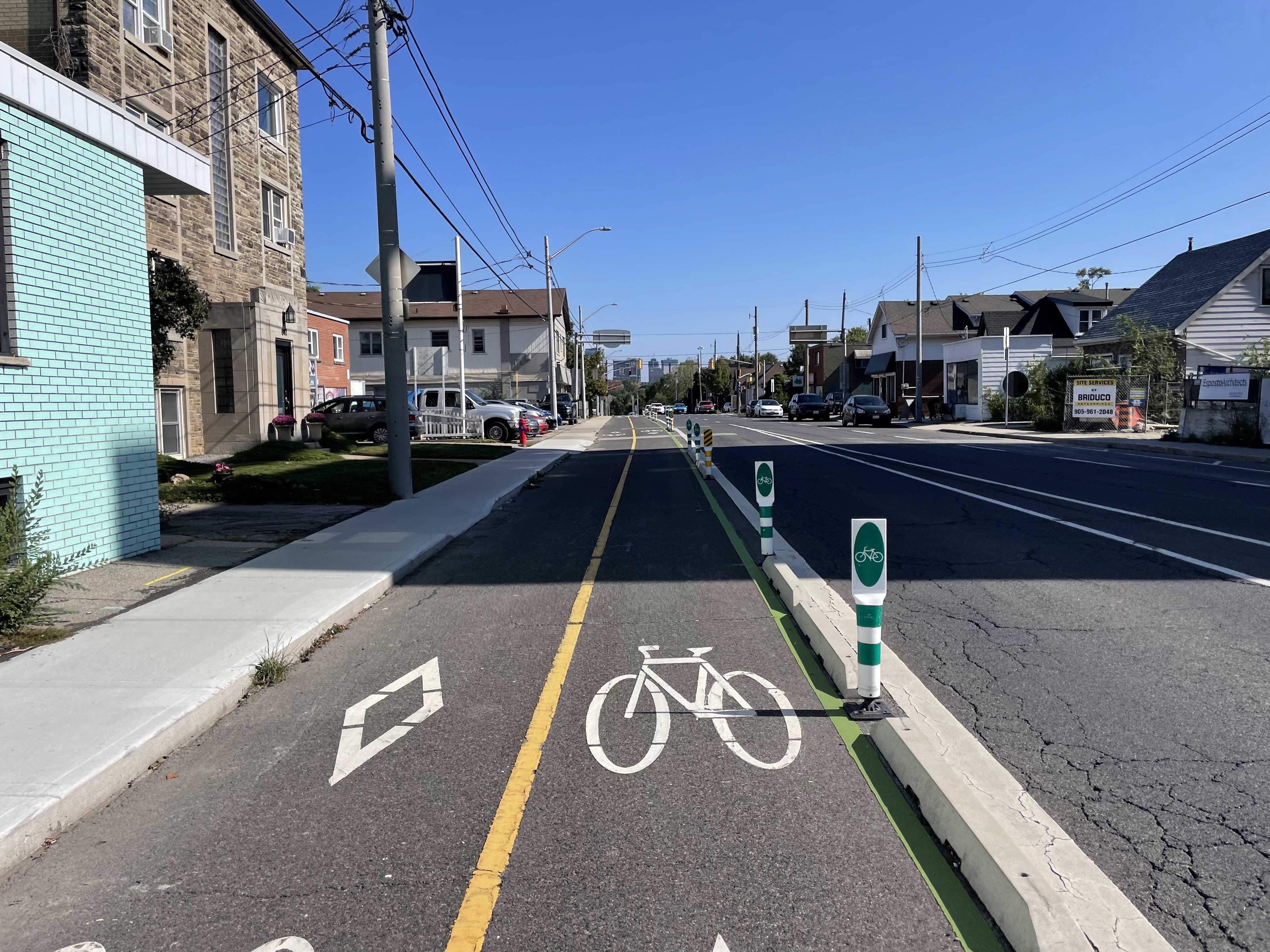
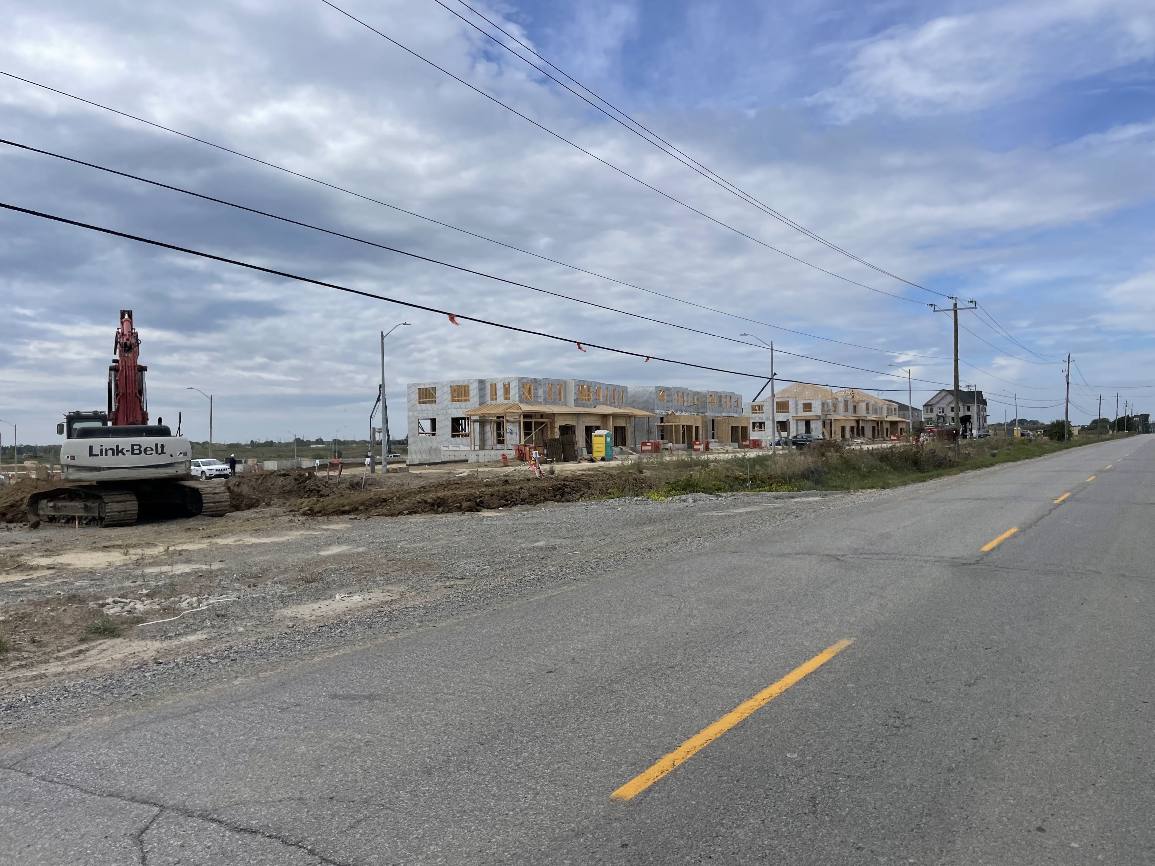
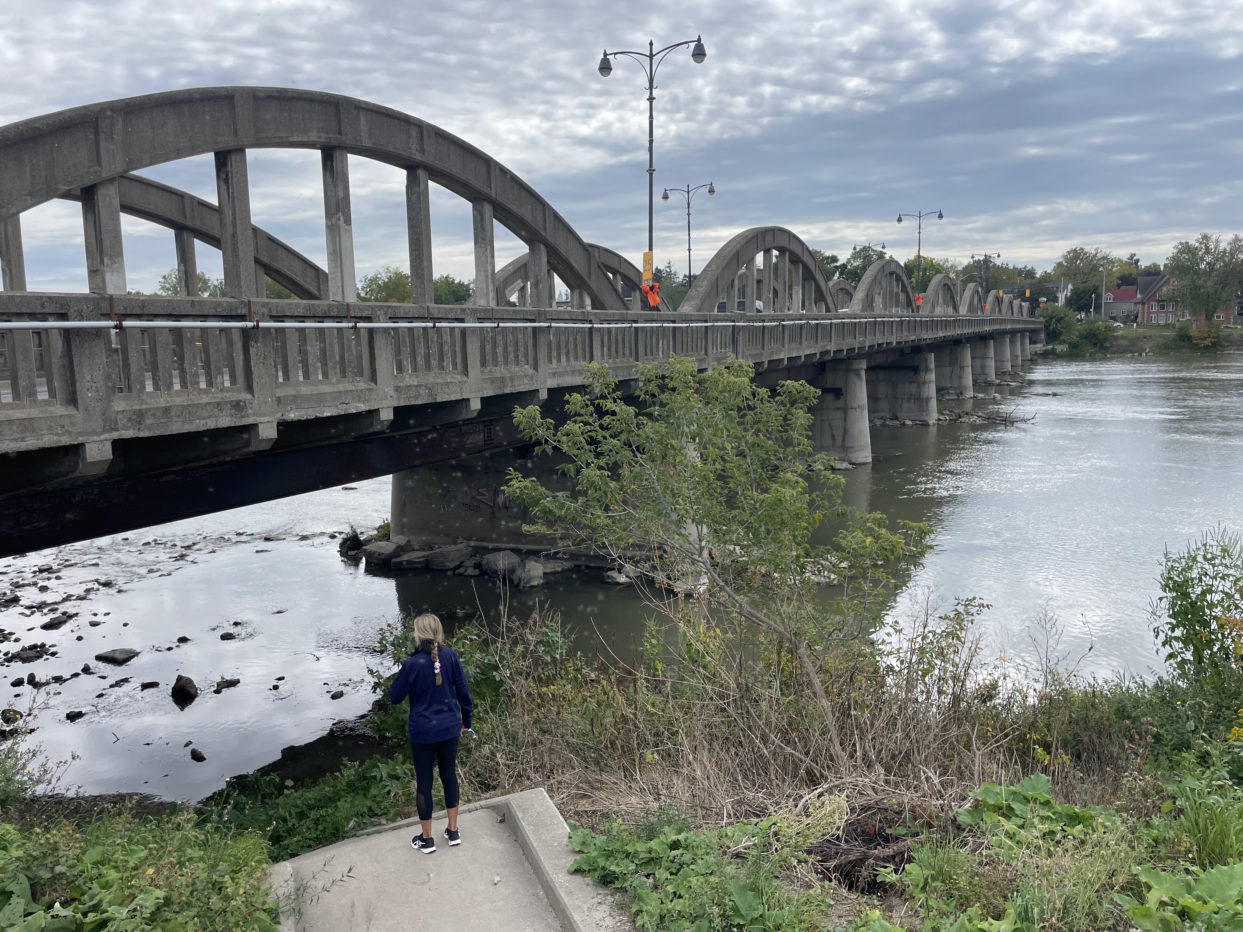
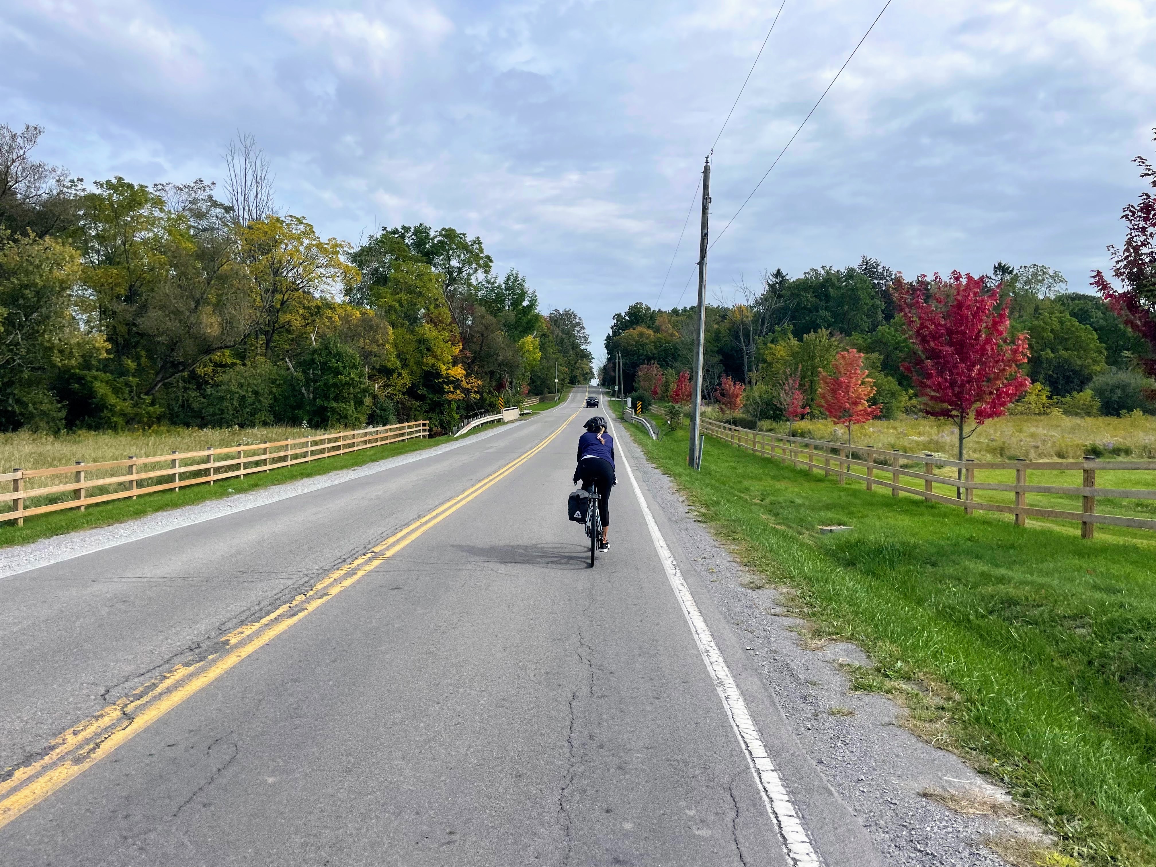
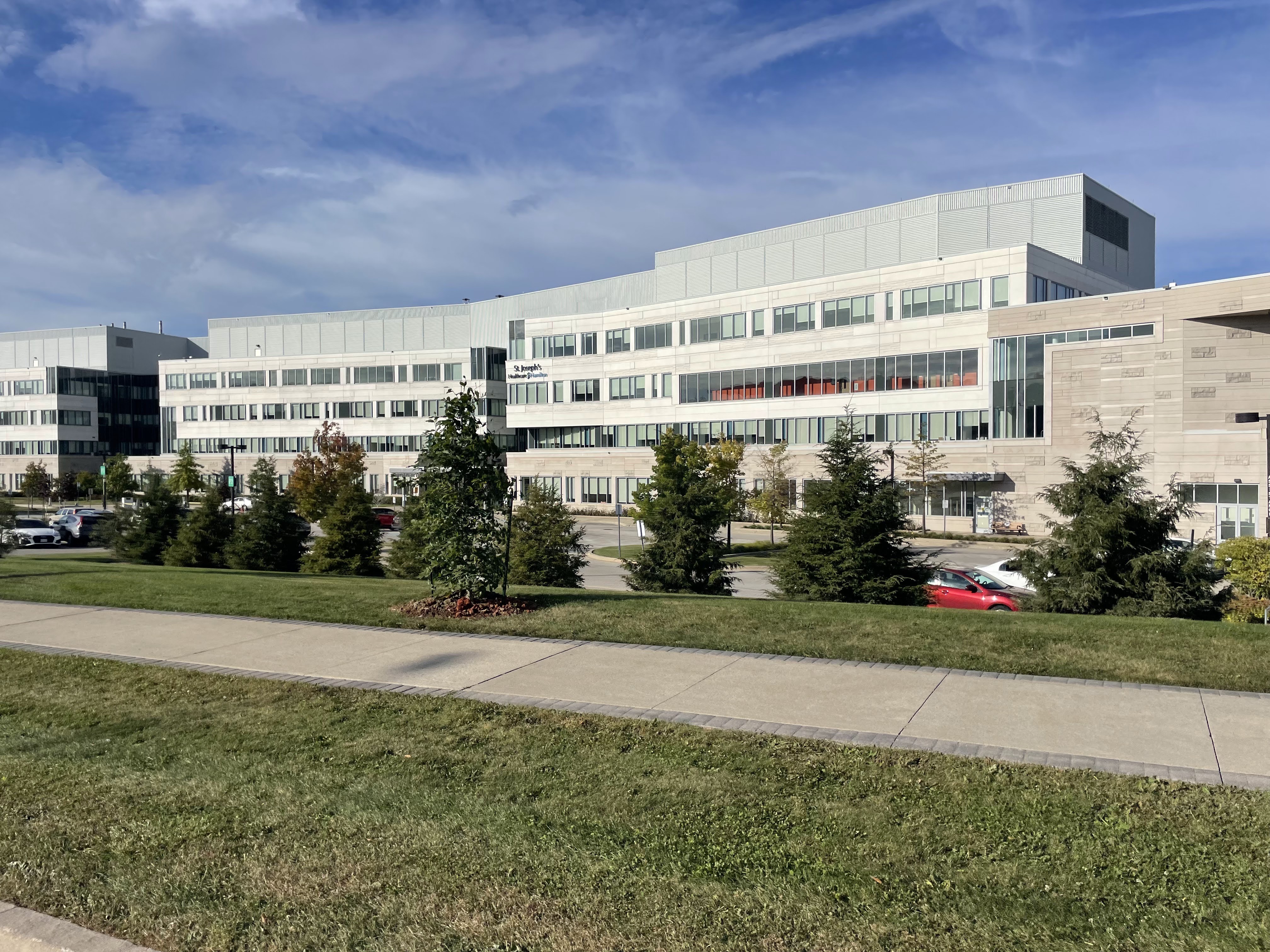
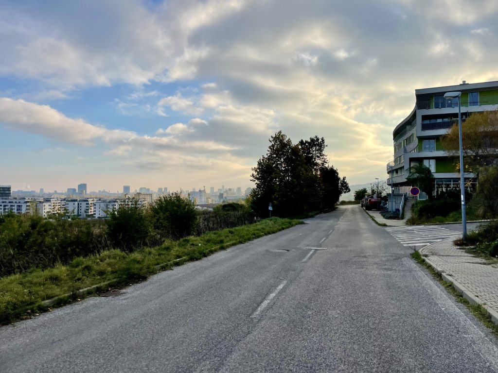
This is a road, but I didn’t meet anyone on it.

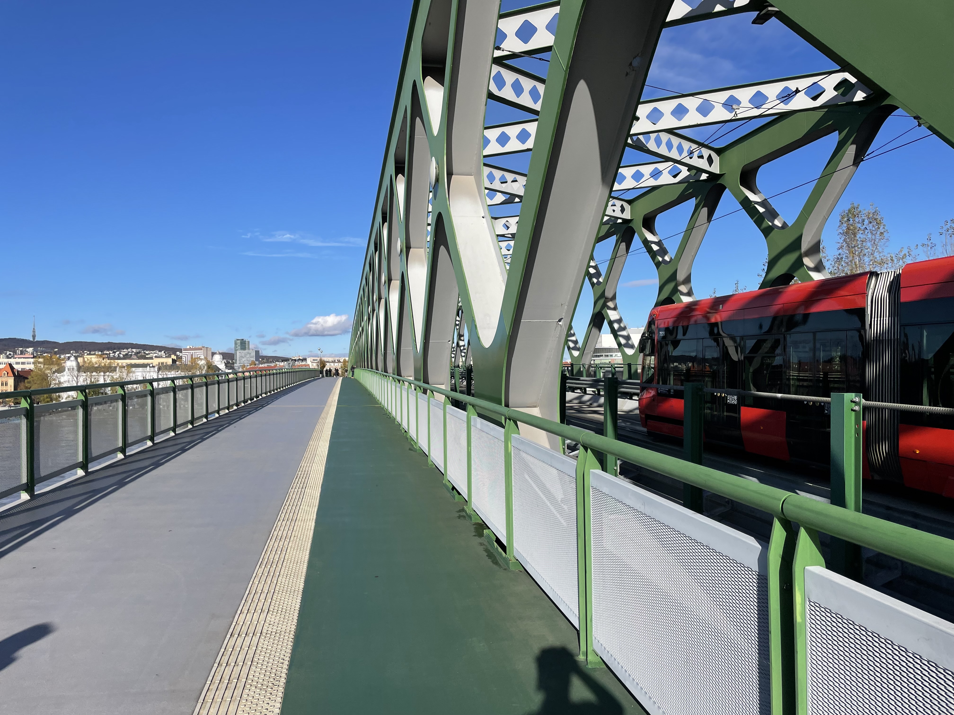
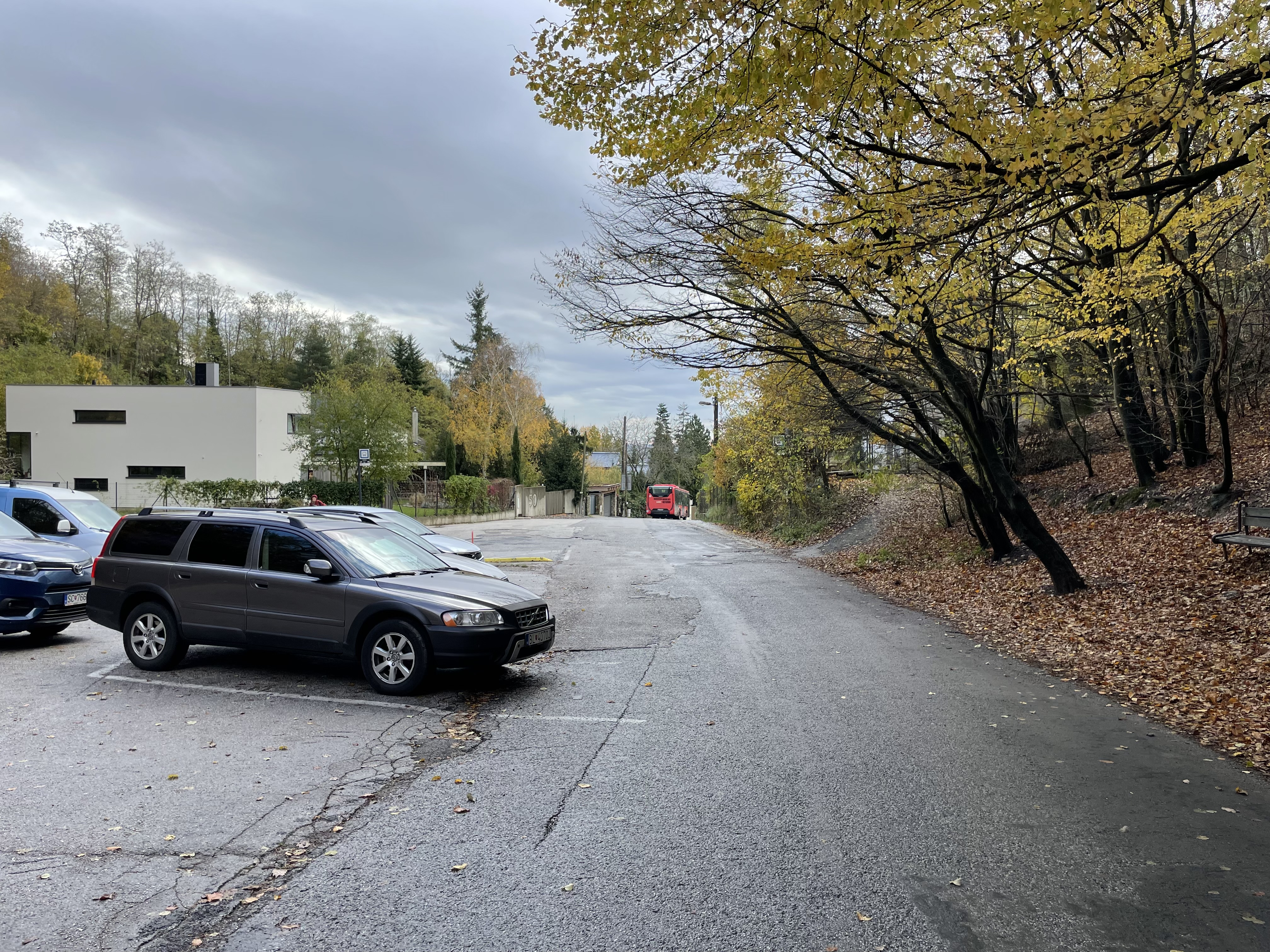
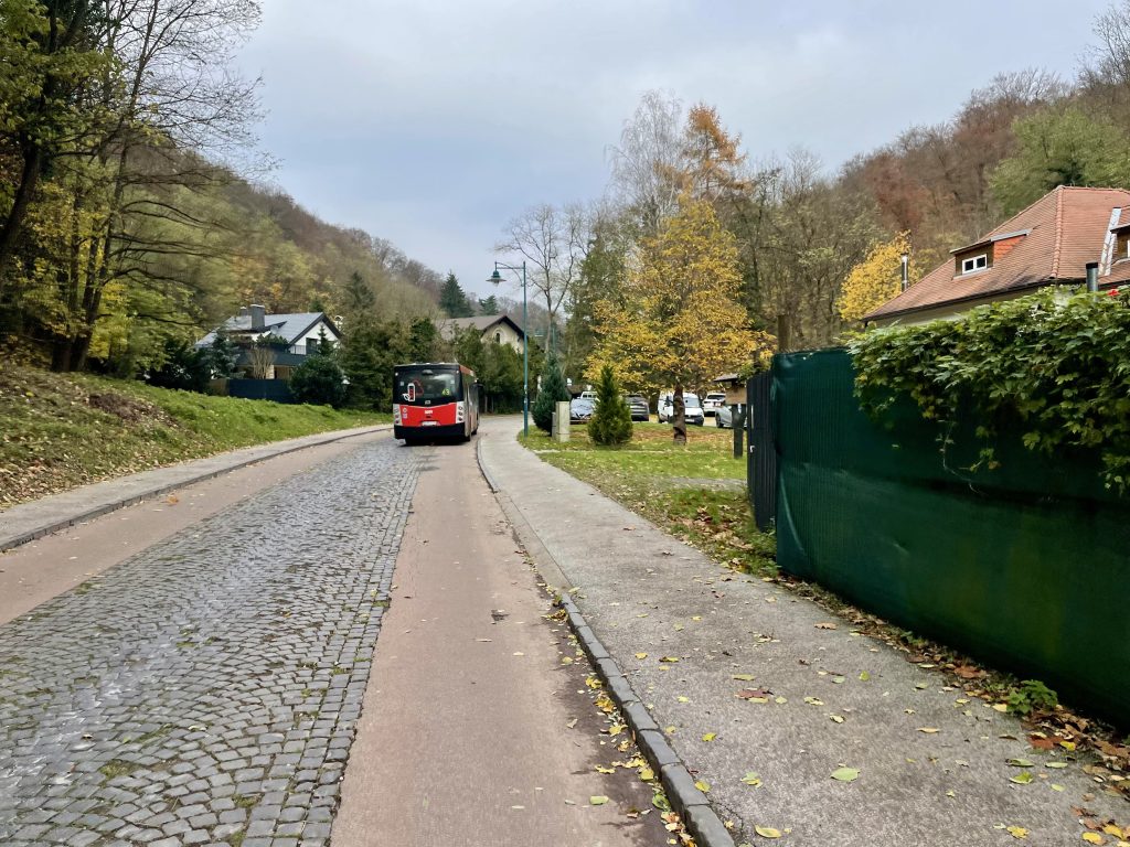
This residential road has an electric bus that uses wires.

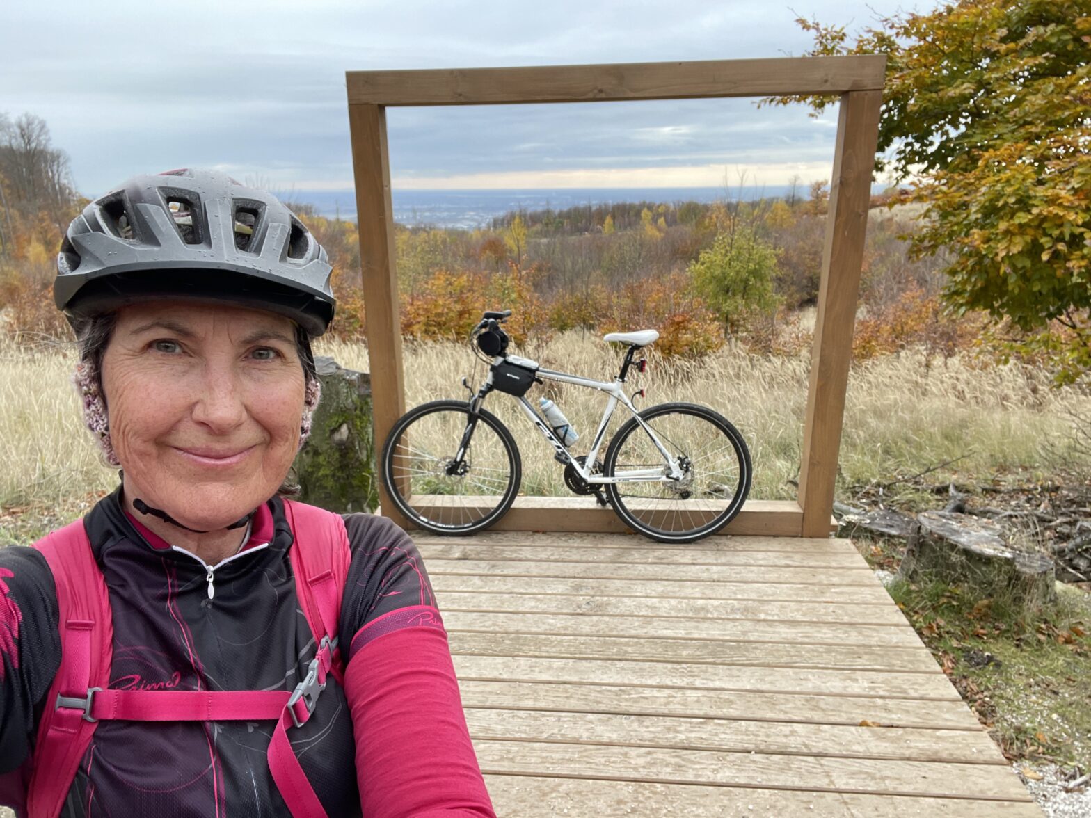
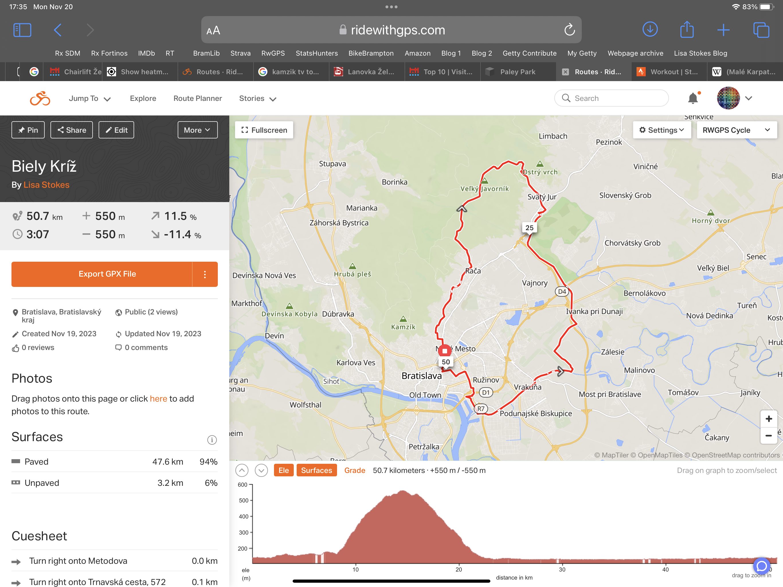
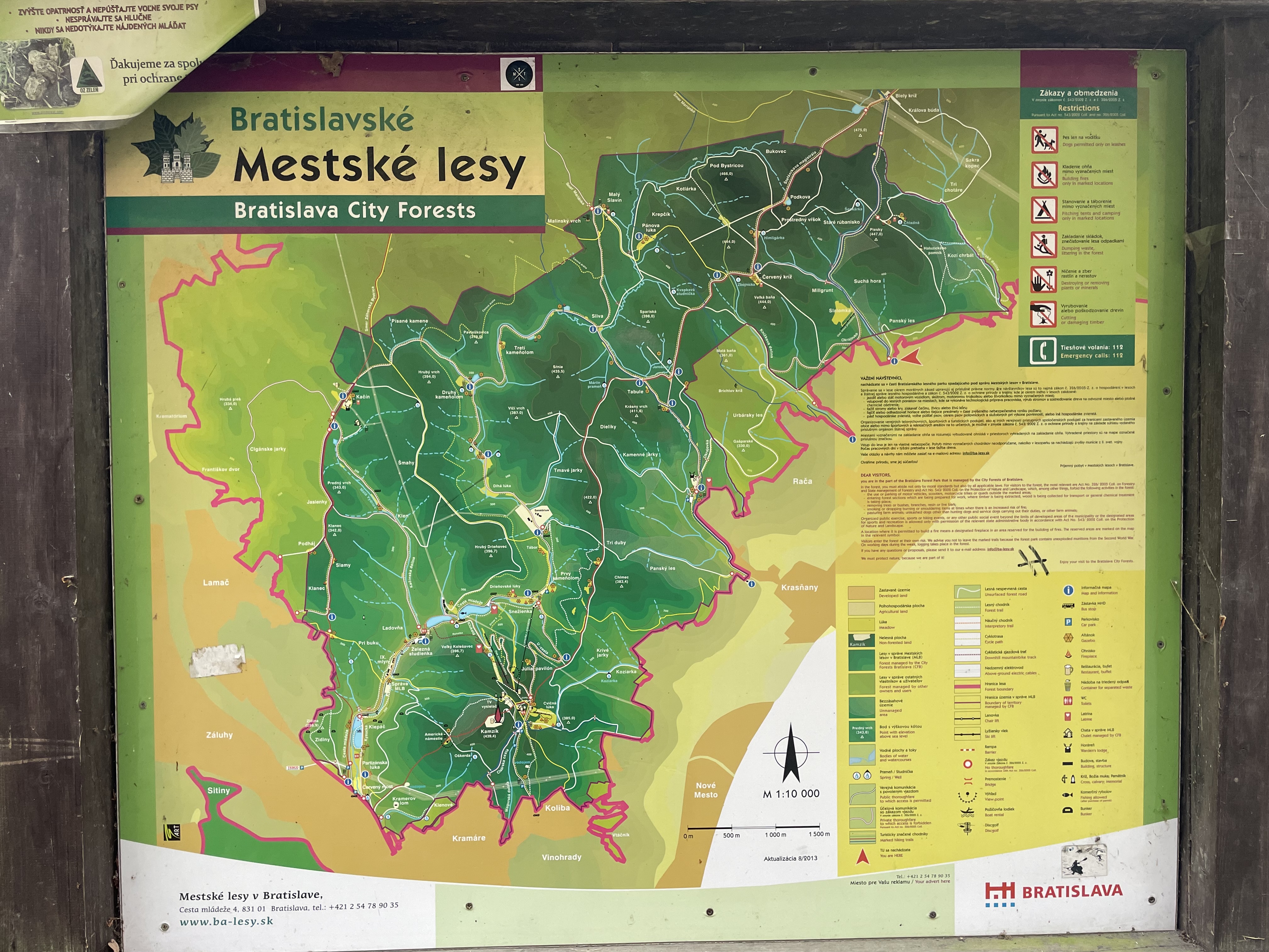
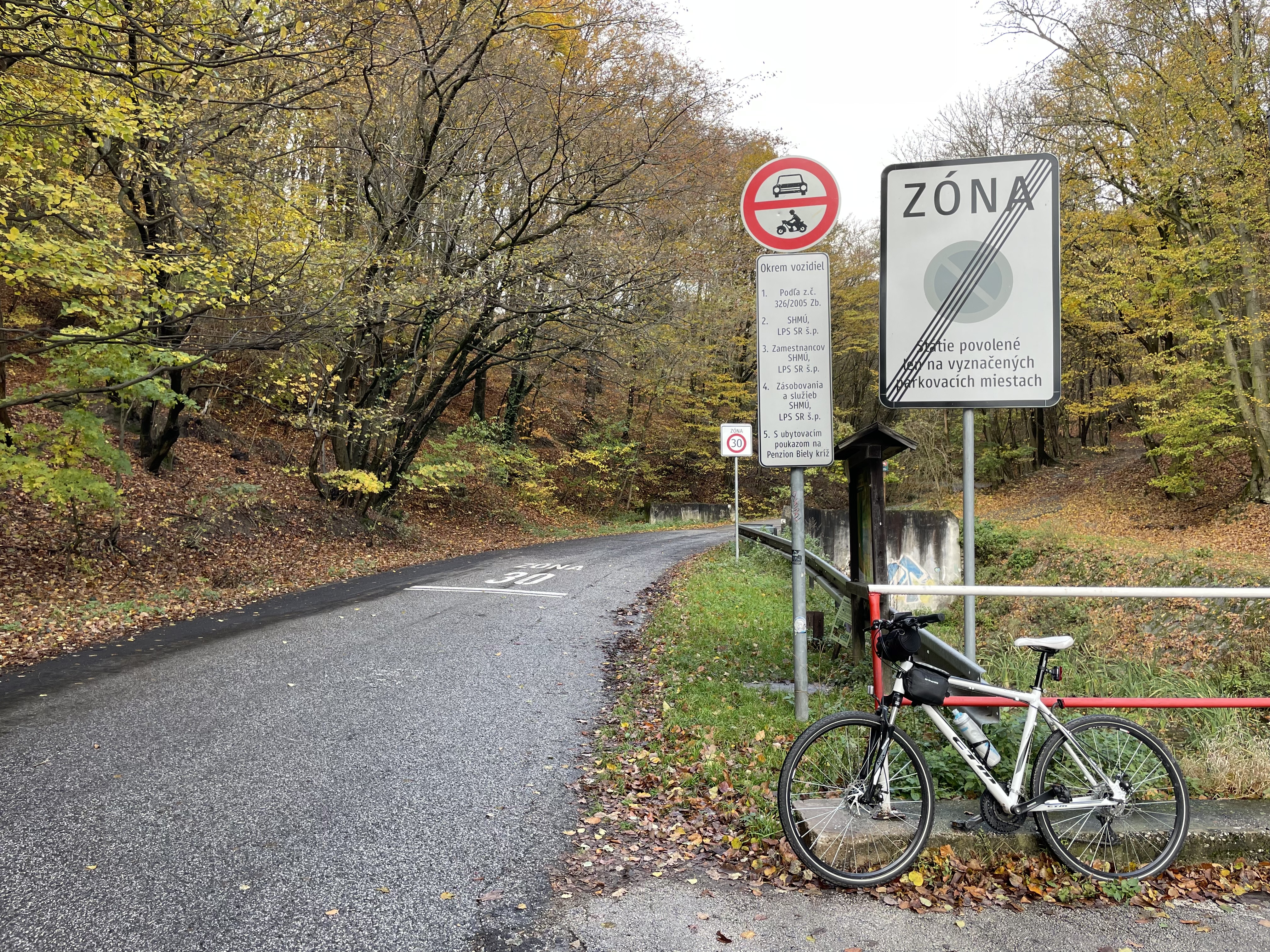
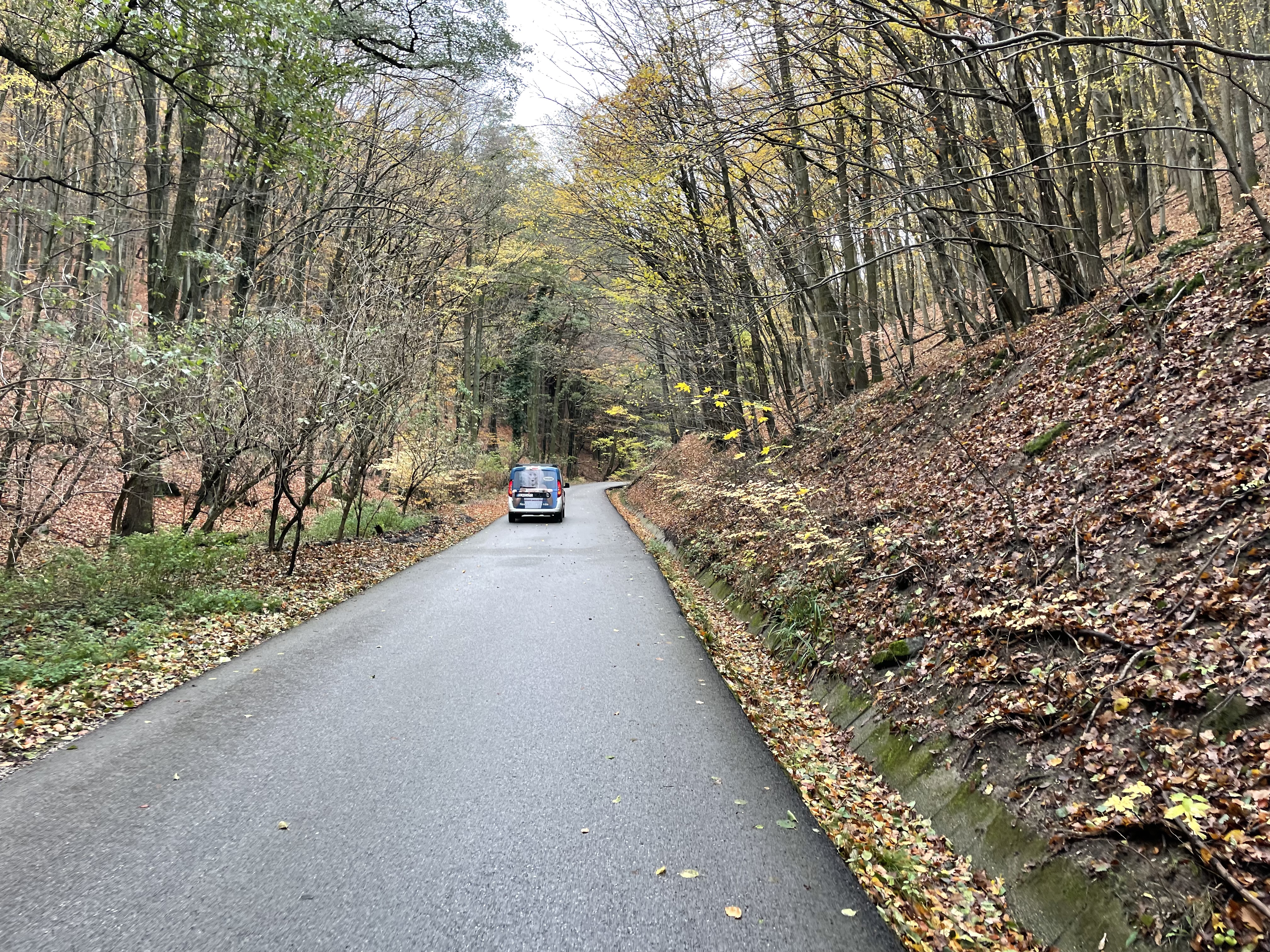
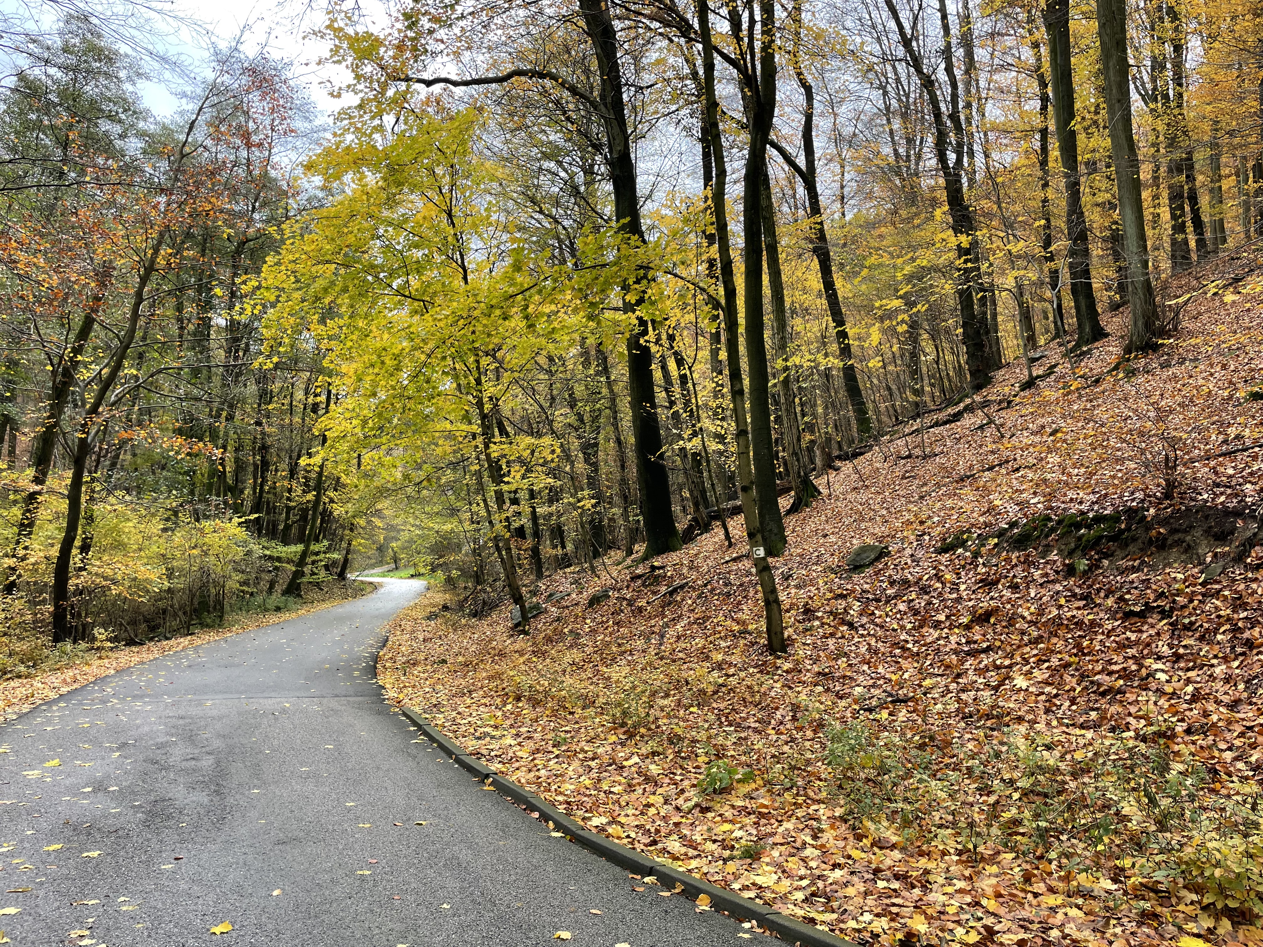
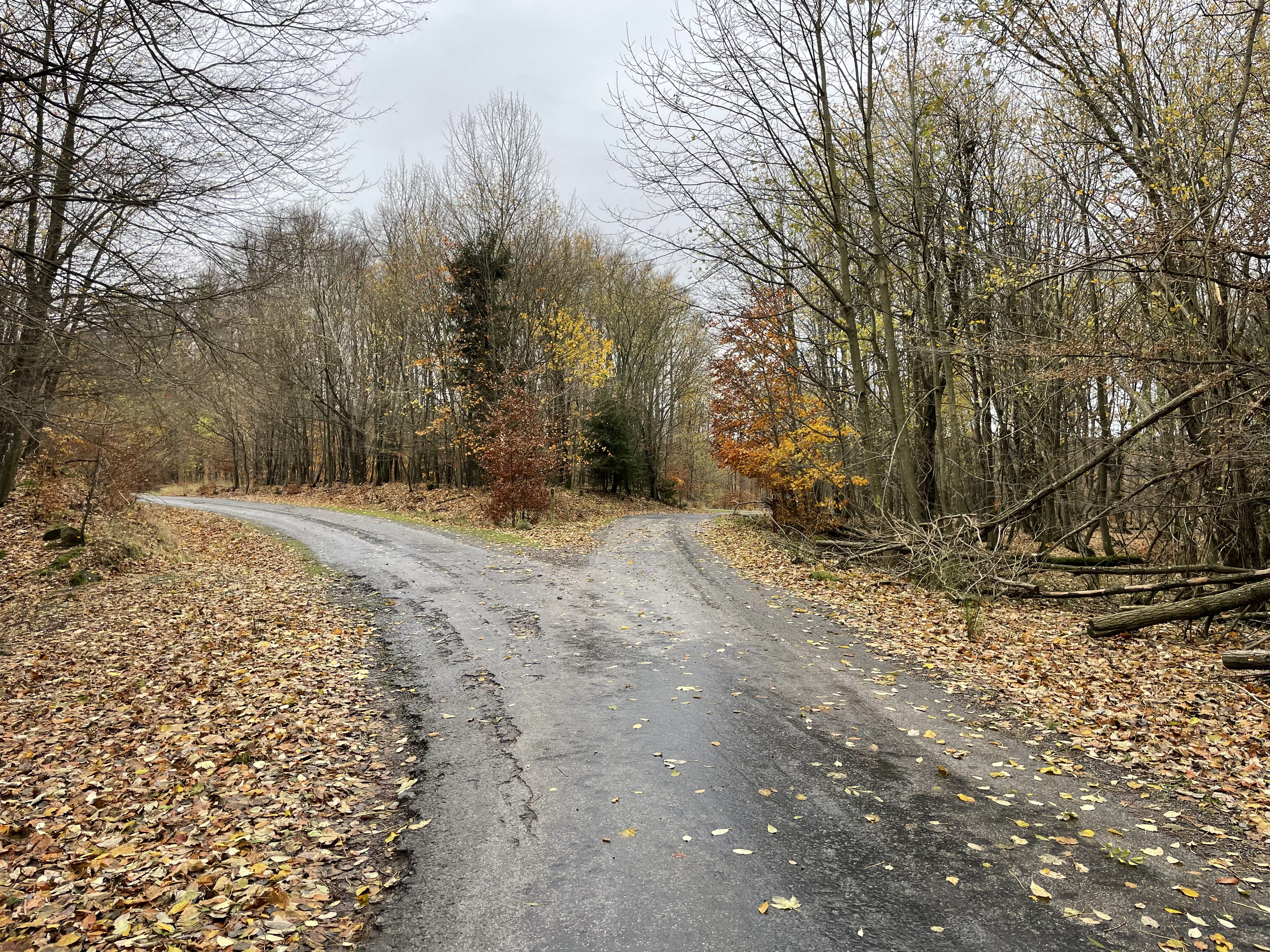
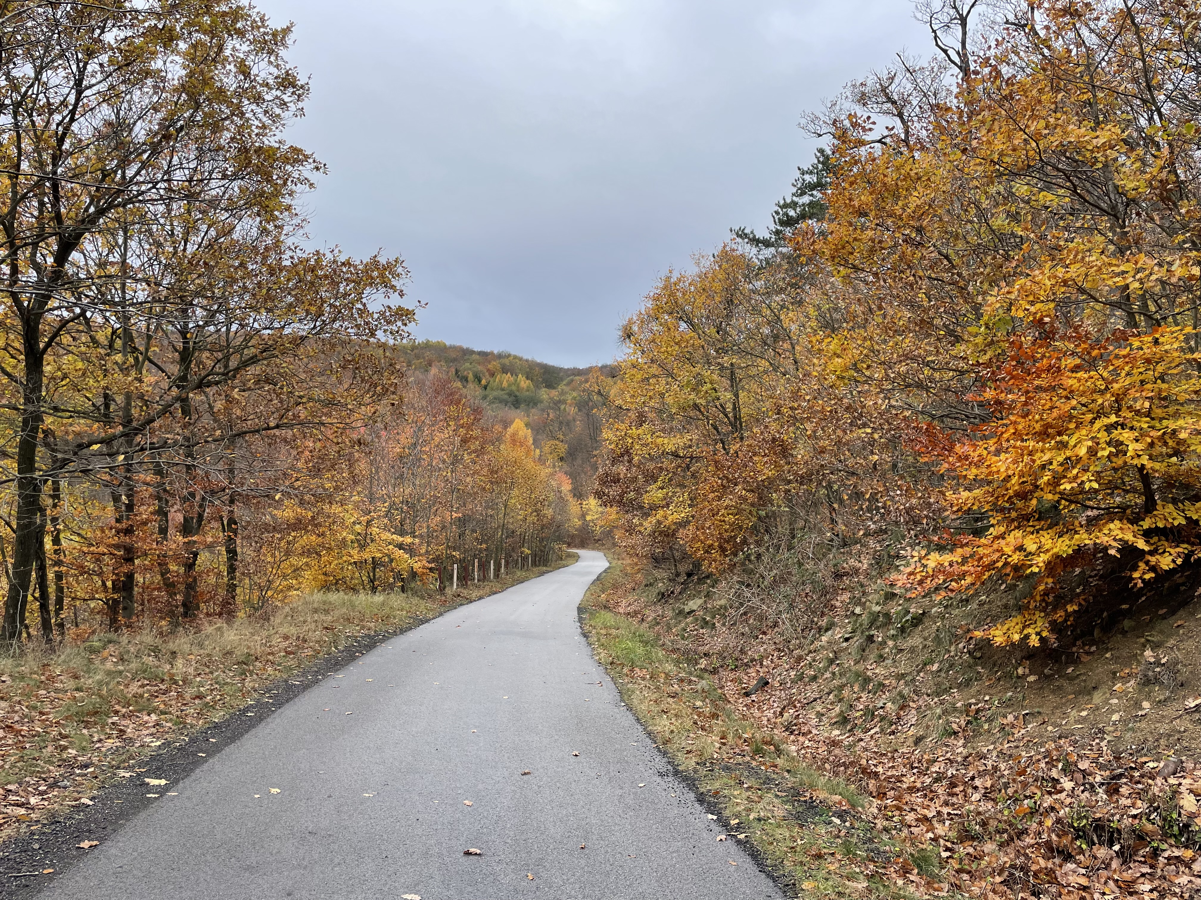
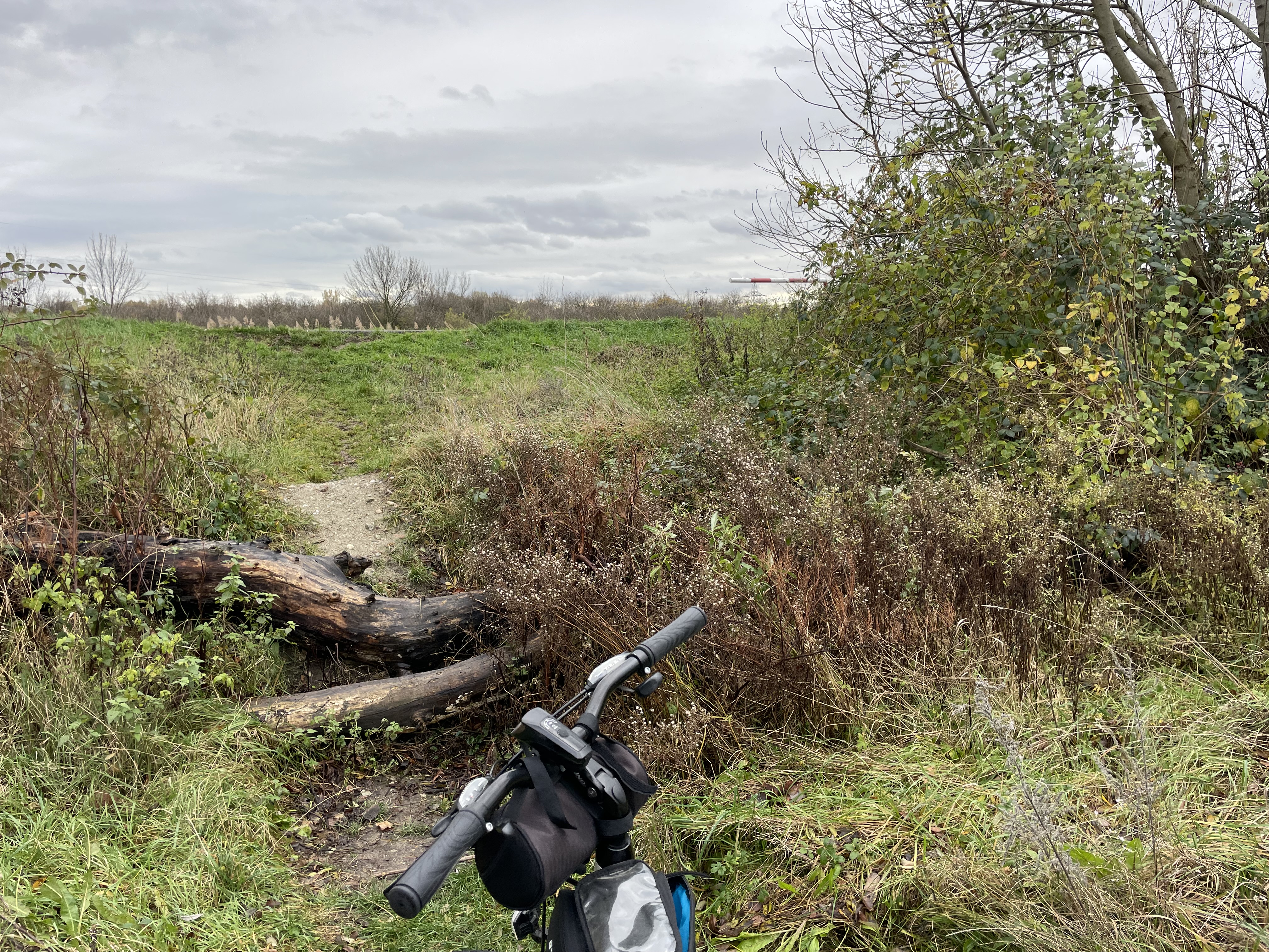
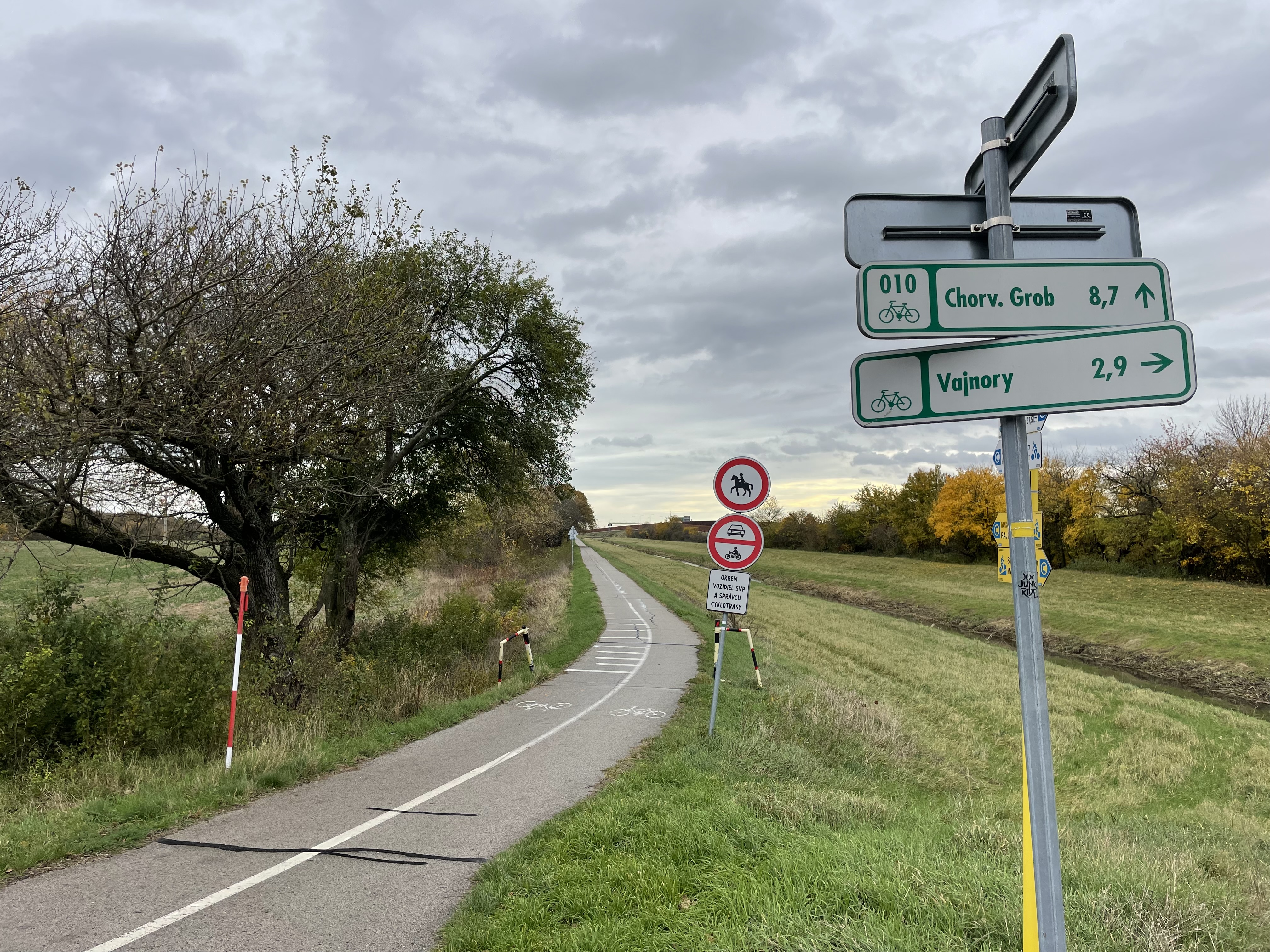
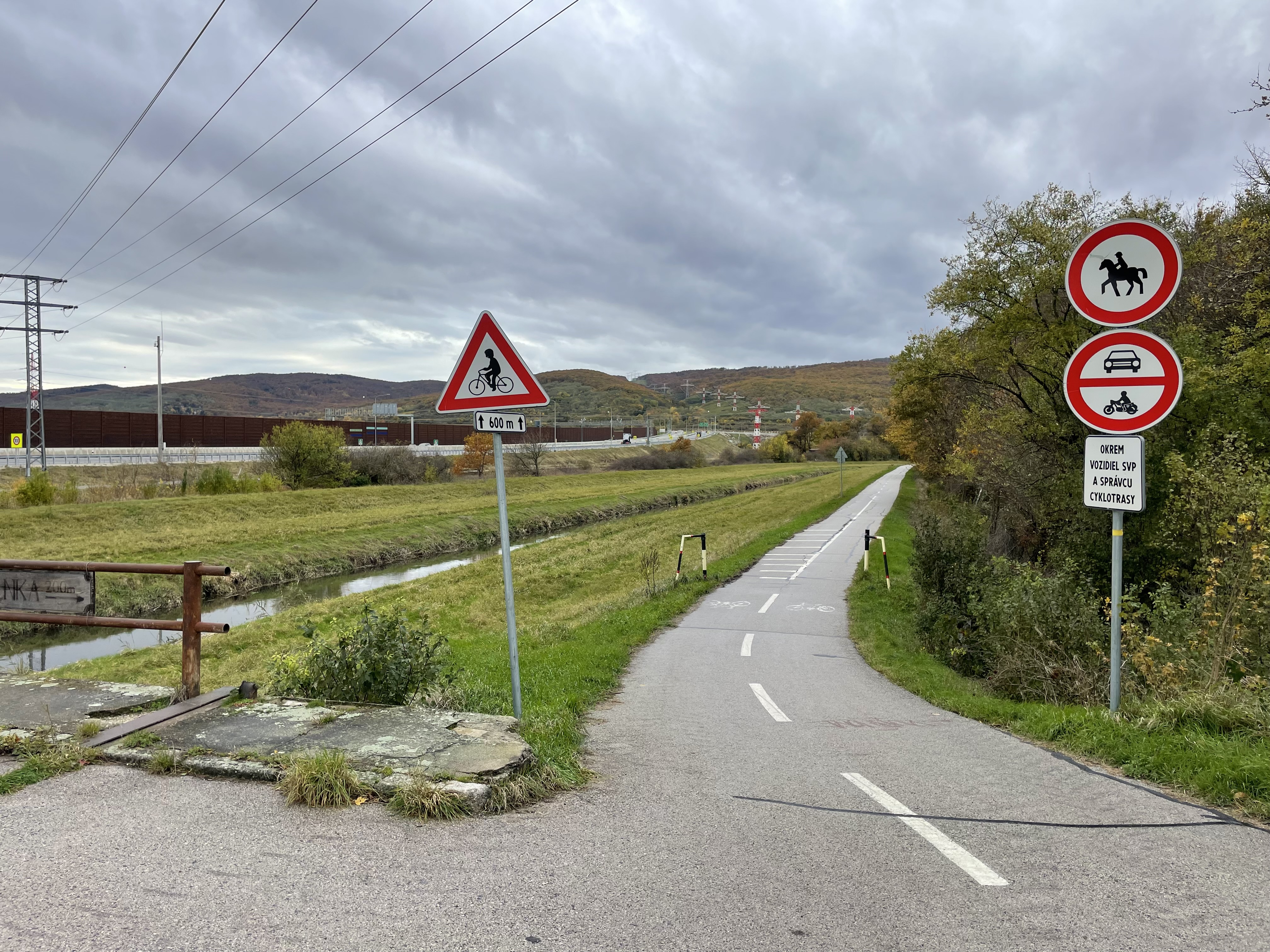
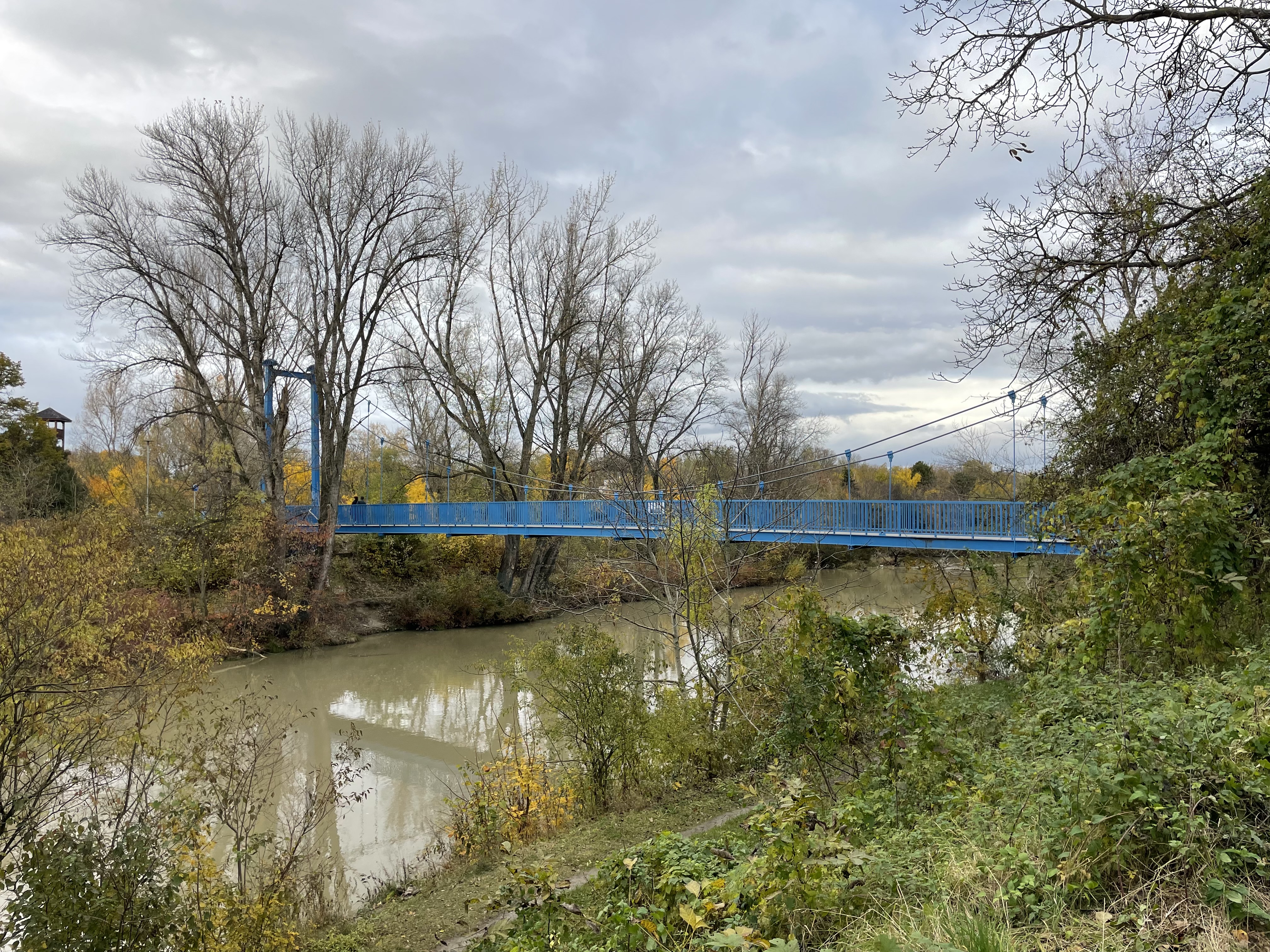
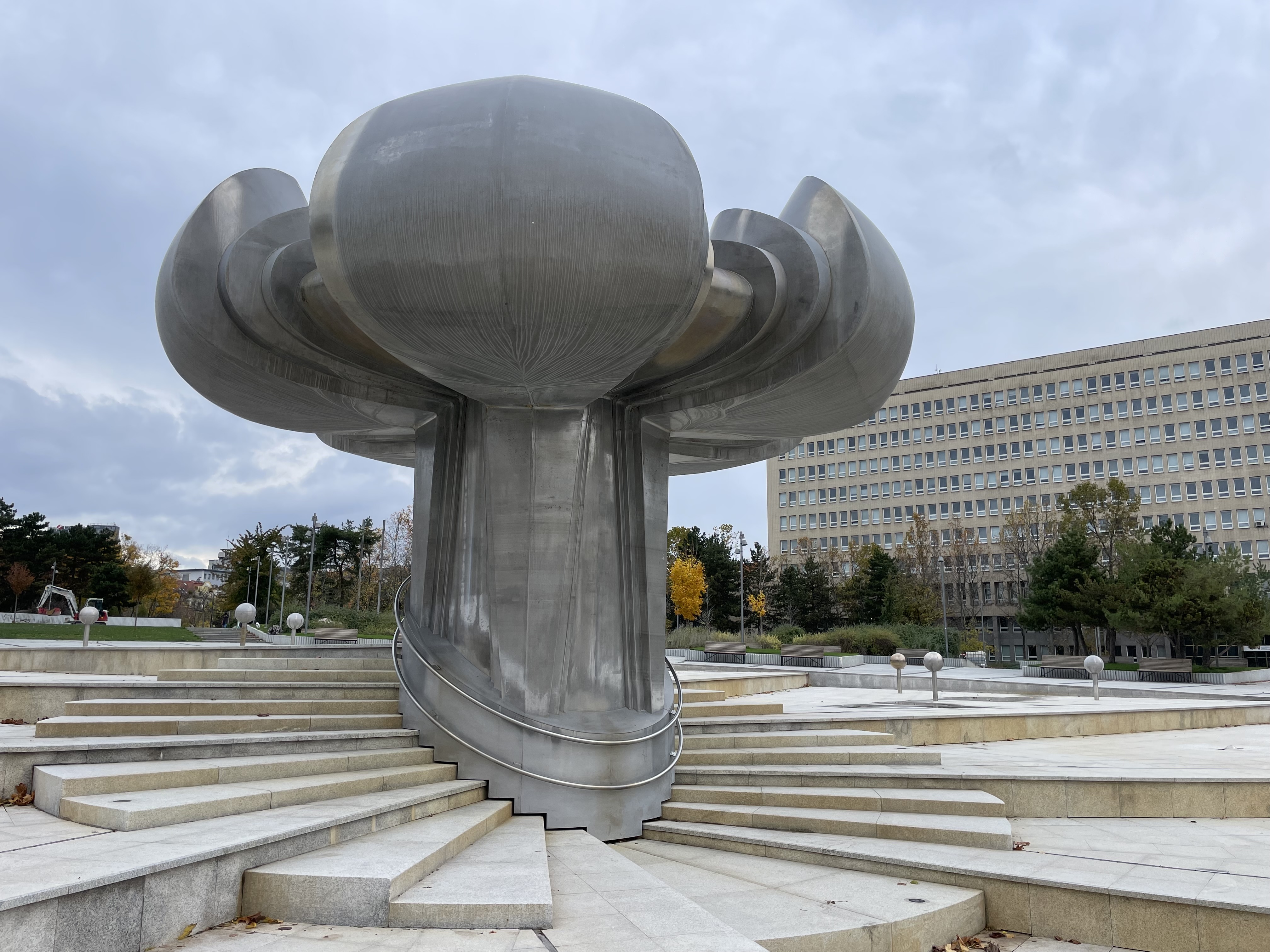
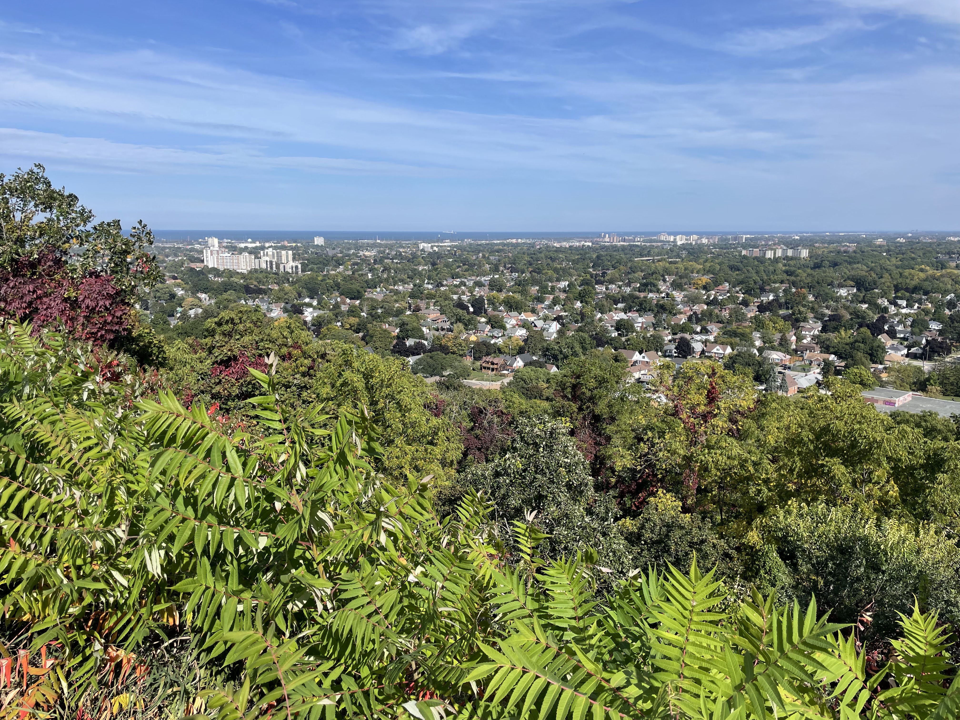
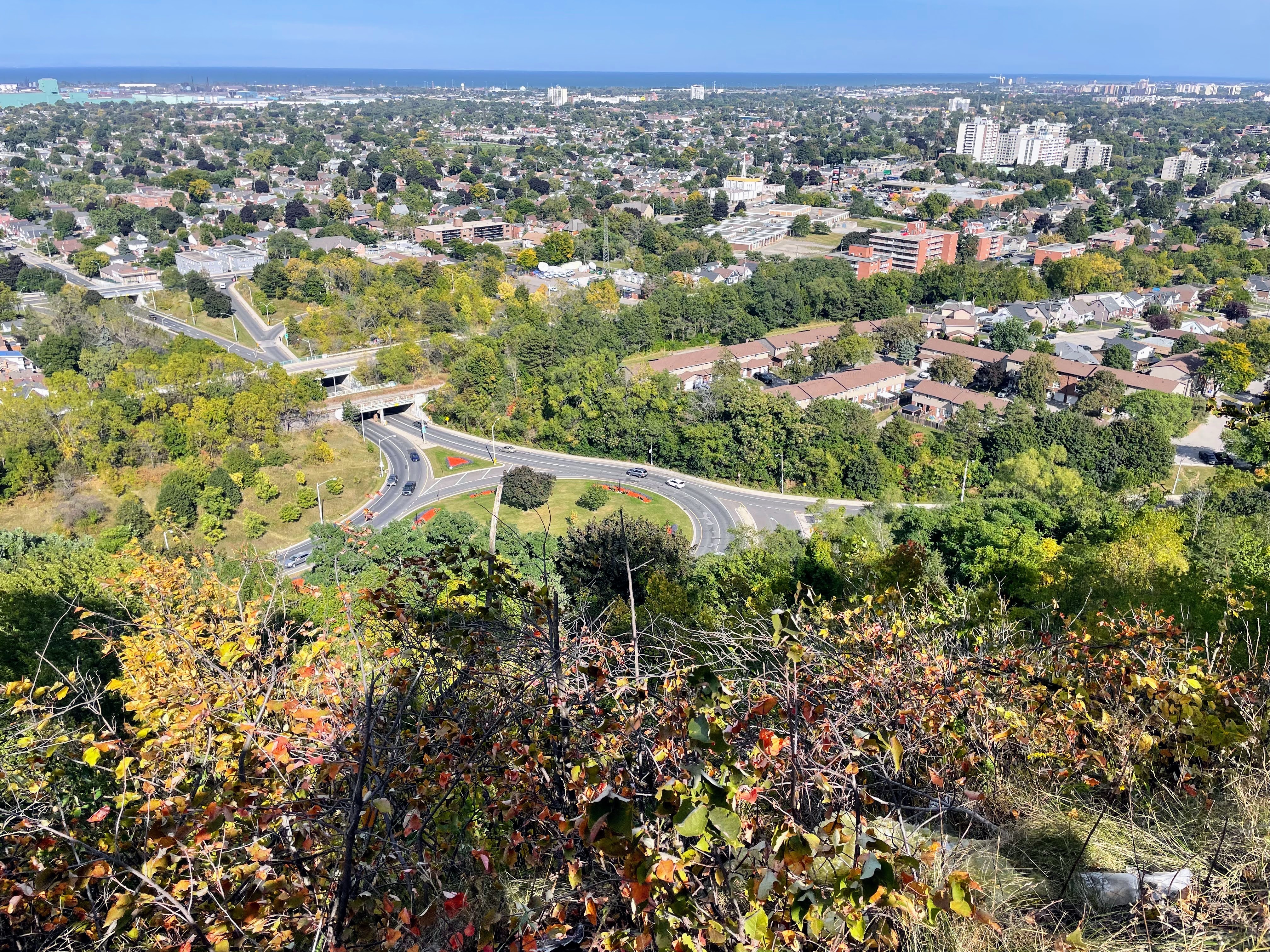
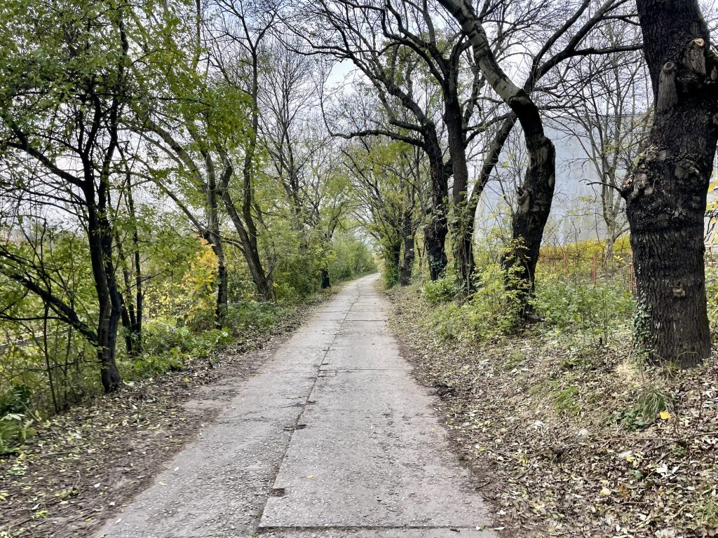
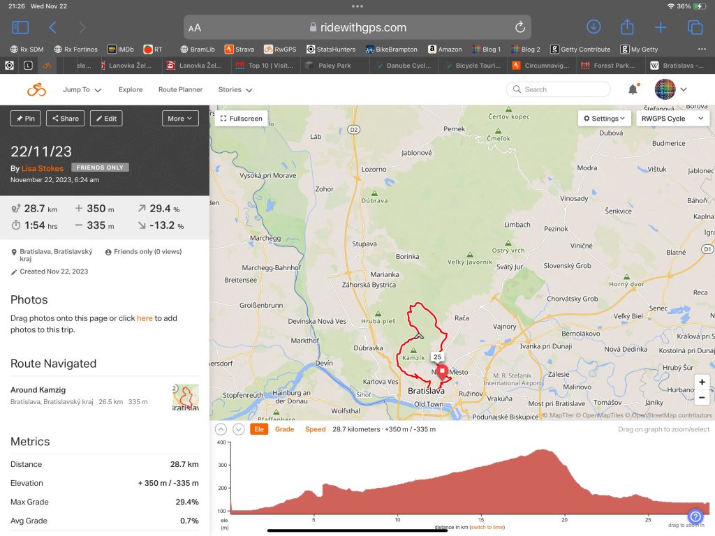
My destination was the city forest, and to circumnavigate Kamzík, which is a TV tower at the top of a mountain. There is a cable lift, which can take people and bikes to the top, but I decided not to go up today given my late start,  and the fact that it was clouding over. I still had a long shallow grade to climb. I planned the route, so the climb was long and not too steep, and the descent was steep and exhilarating.

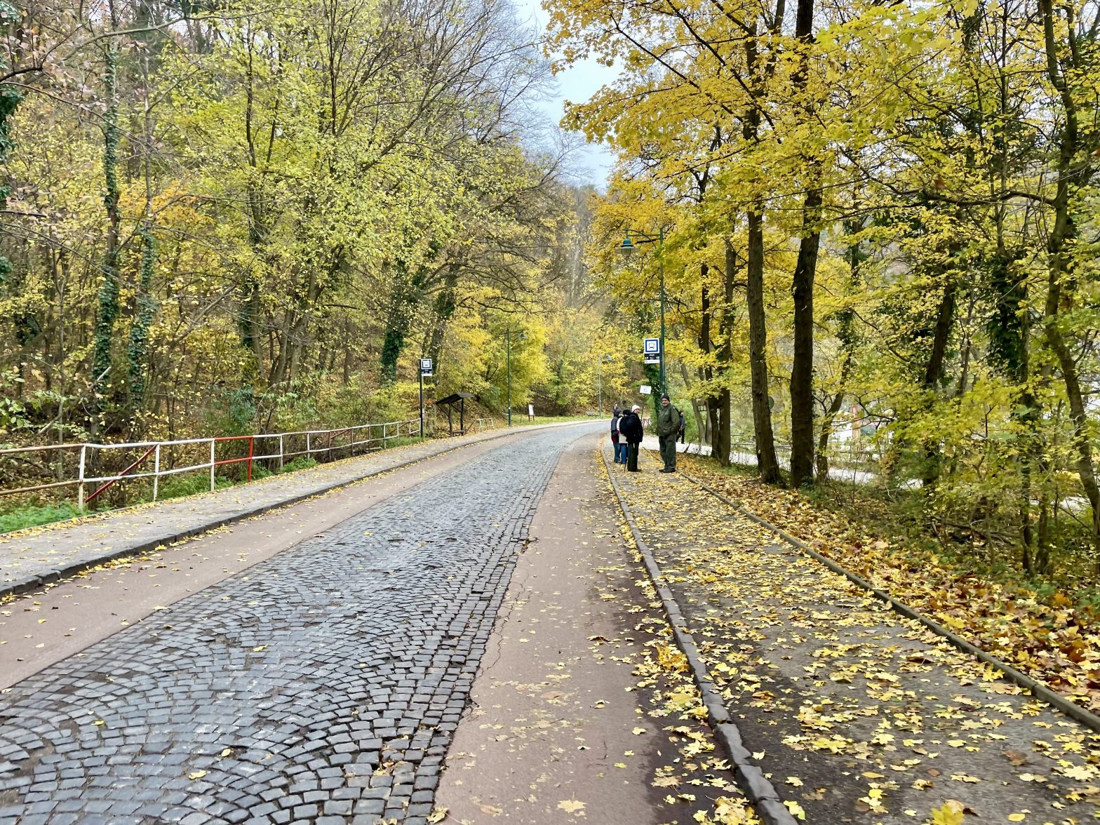
Only buses and service vehicles were allowed to use the road through the park. There was plain pavement on both sides for pedestrians, red pavement on both sides for cyclists, and cobbles in the middle for motor vehicles. I was passed by one bus, and one car, the whole time I was riding, and they both travelled past me very slowly. 

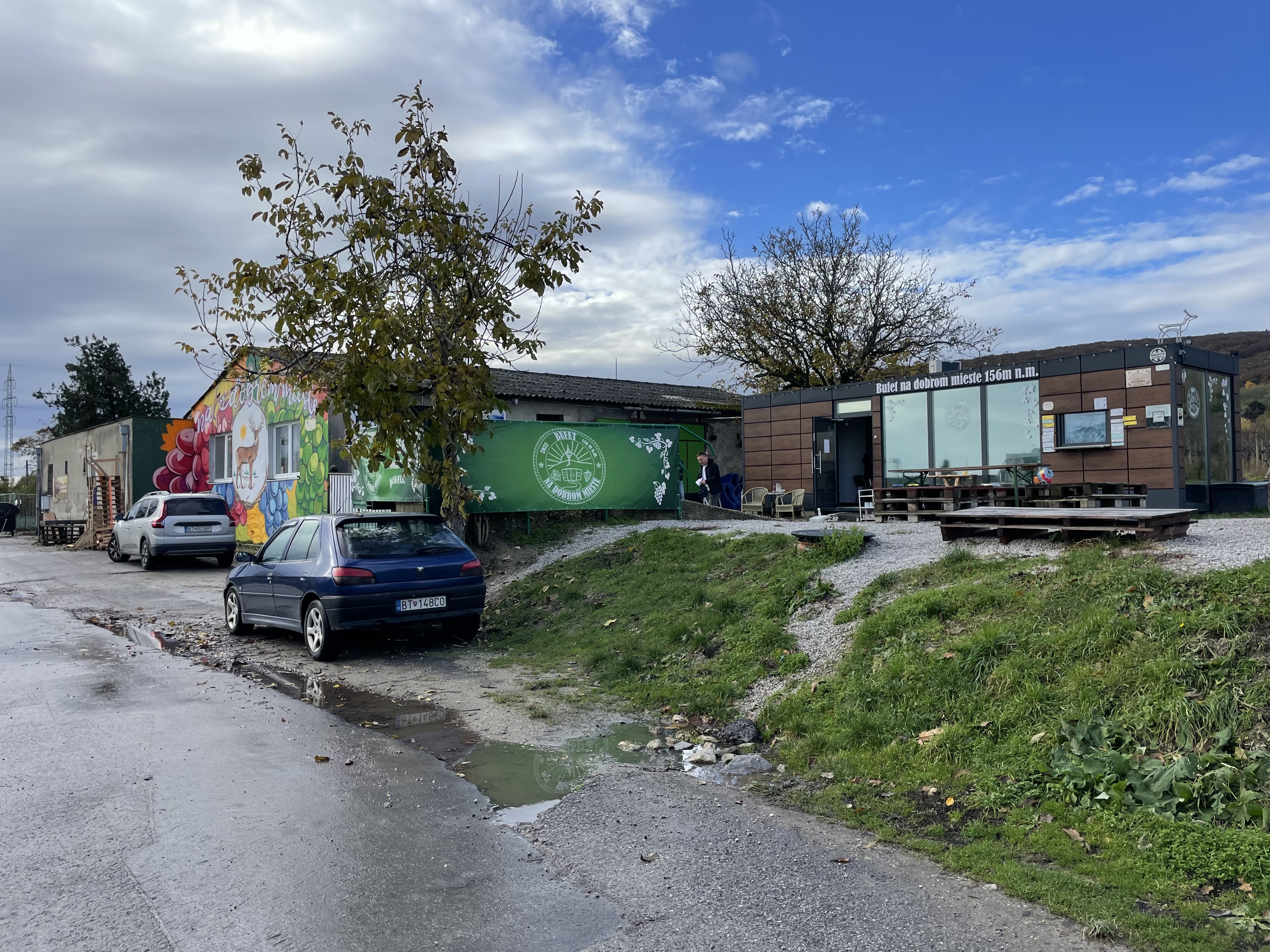
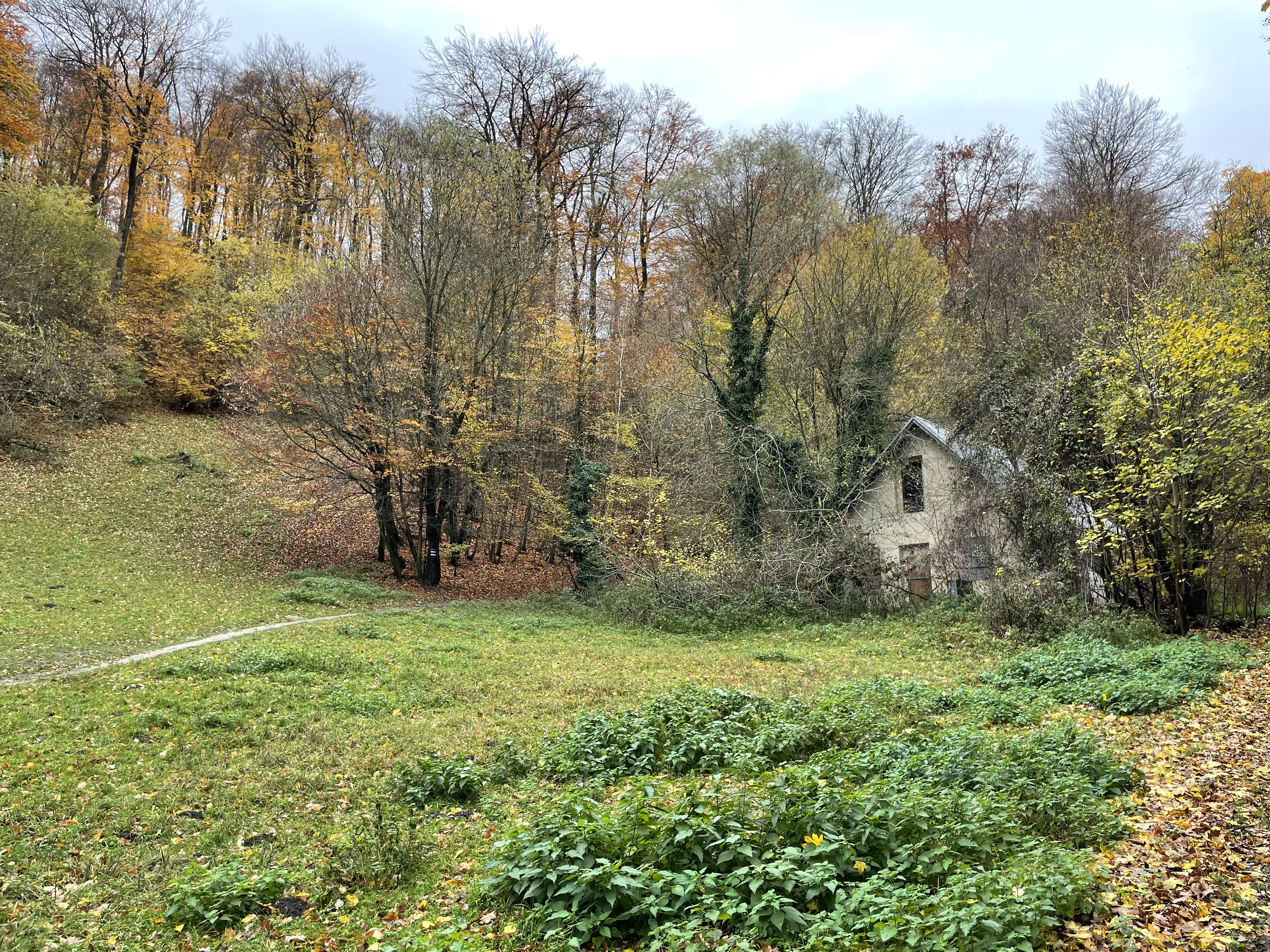
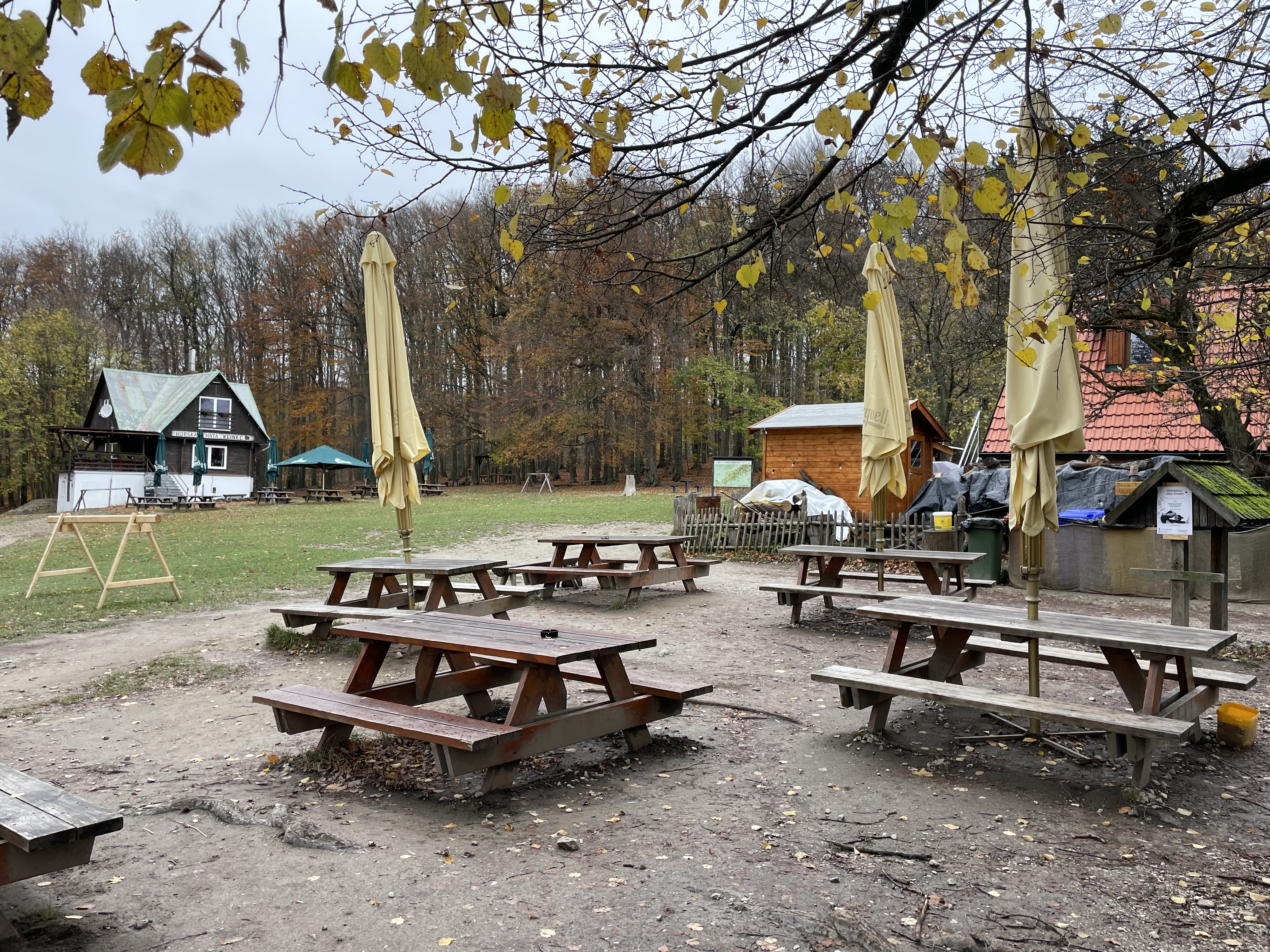
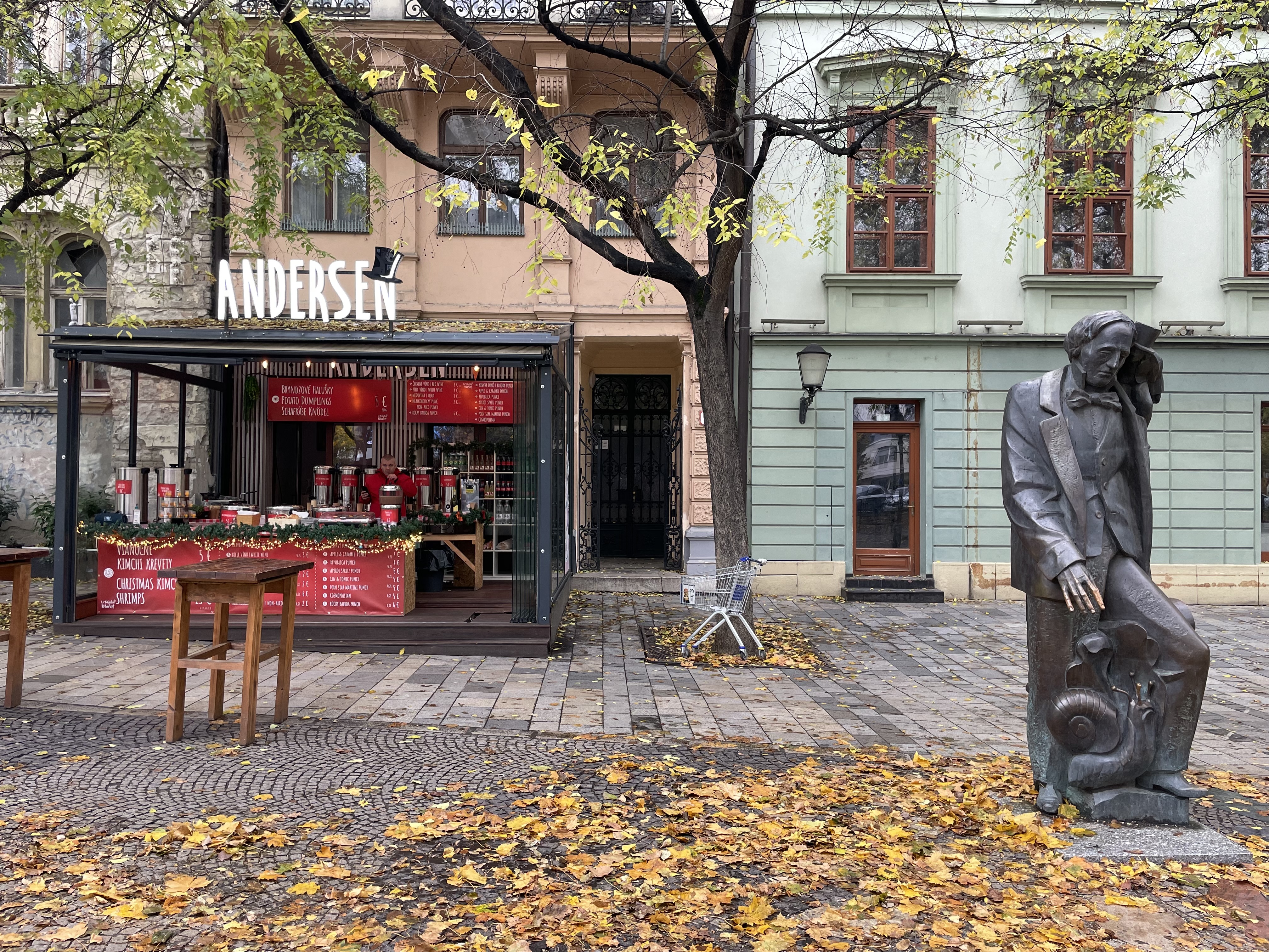
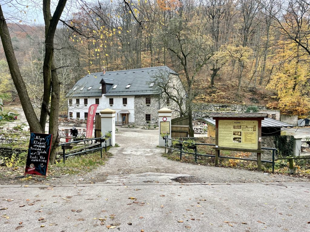
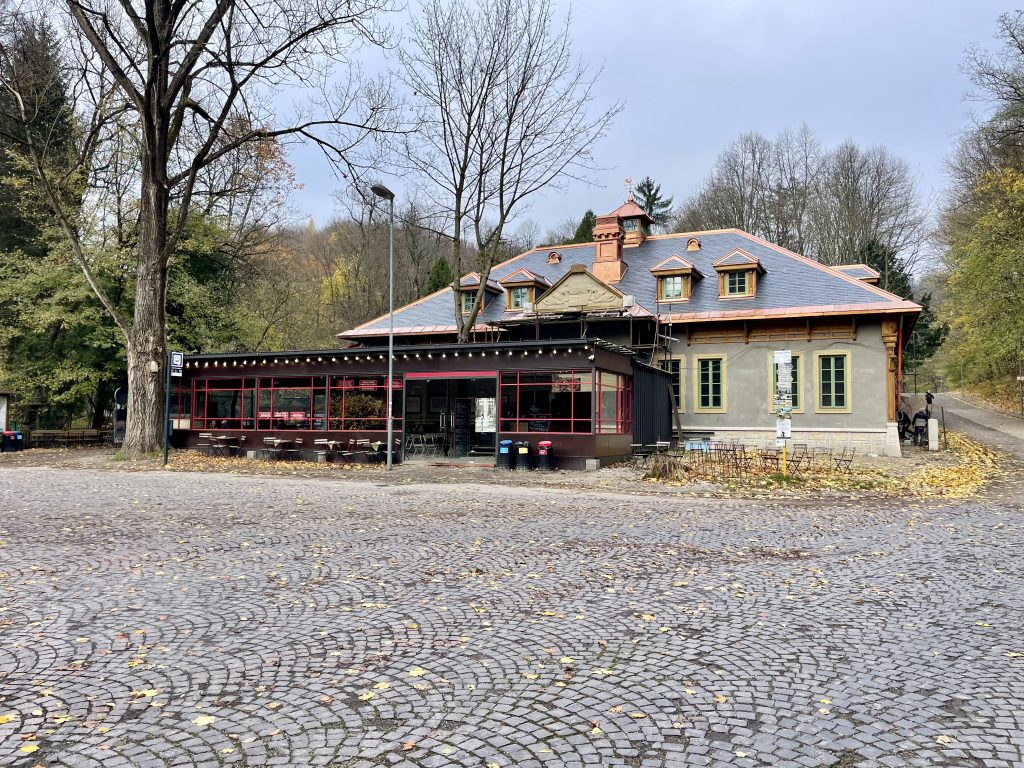
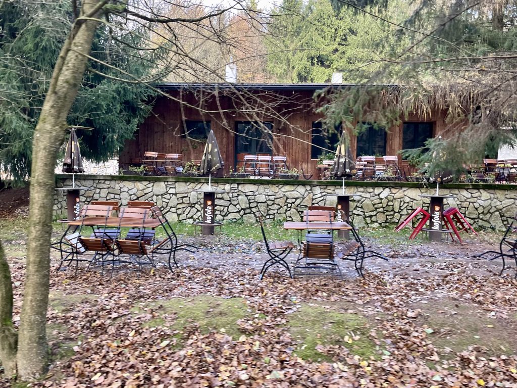
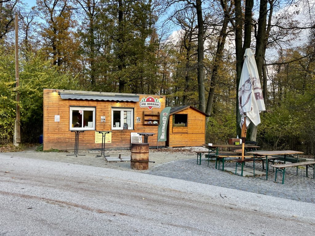
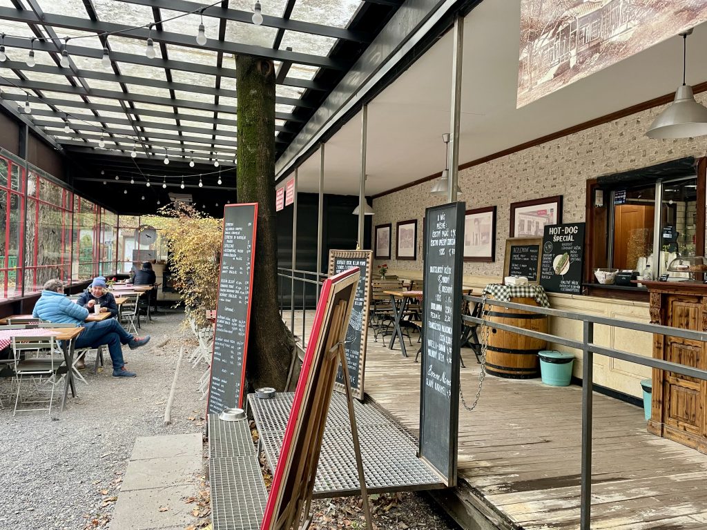
There were three restaurants which I passed in the park, two of which were open, despite the time of 2023 and weather. And as I left the park on the descent, which continued on city roads, I saw this little restaurant, which was also open.

 Bratislava’s Forest Park covers an area of 27.3 km² of which 96% is forested. For comparison Central Park in New York City is 3.4 km², and the entire area of Brampton is 267 km². Imagine if we had a recreation area within the city that covered more than 10% of the total area of the city. Heart Lake Conservation Area is 1.7 km².

The city bus took people deep into the park with many bus stops.

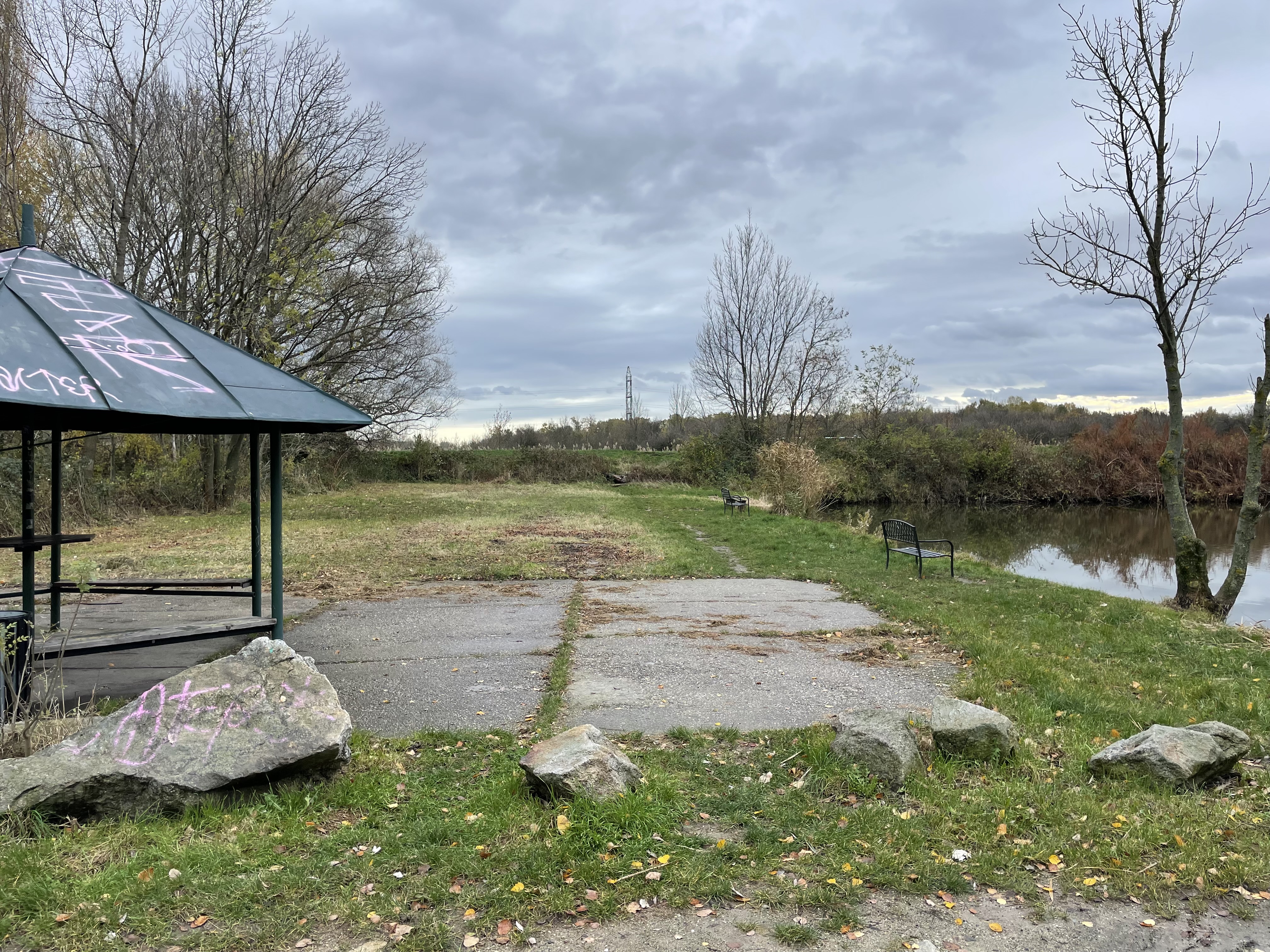
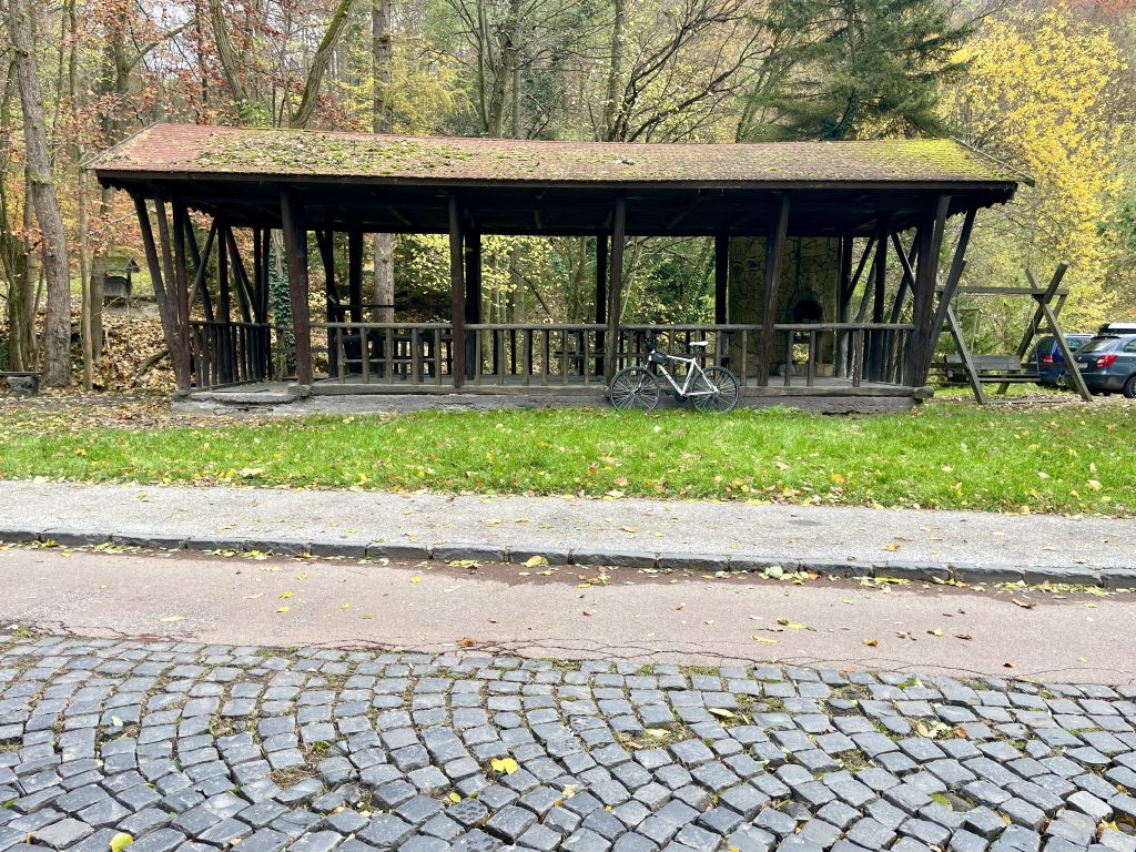
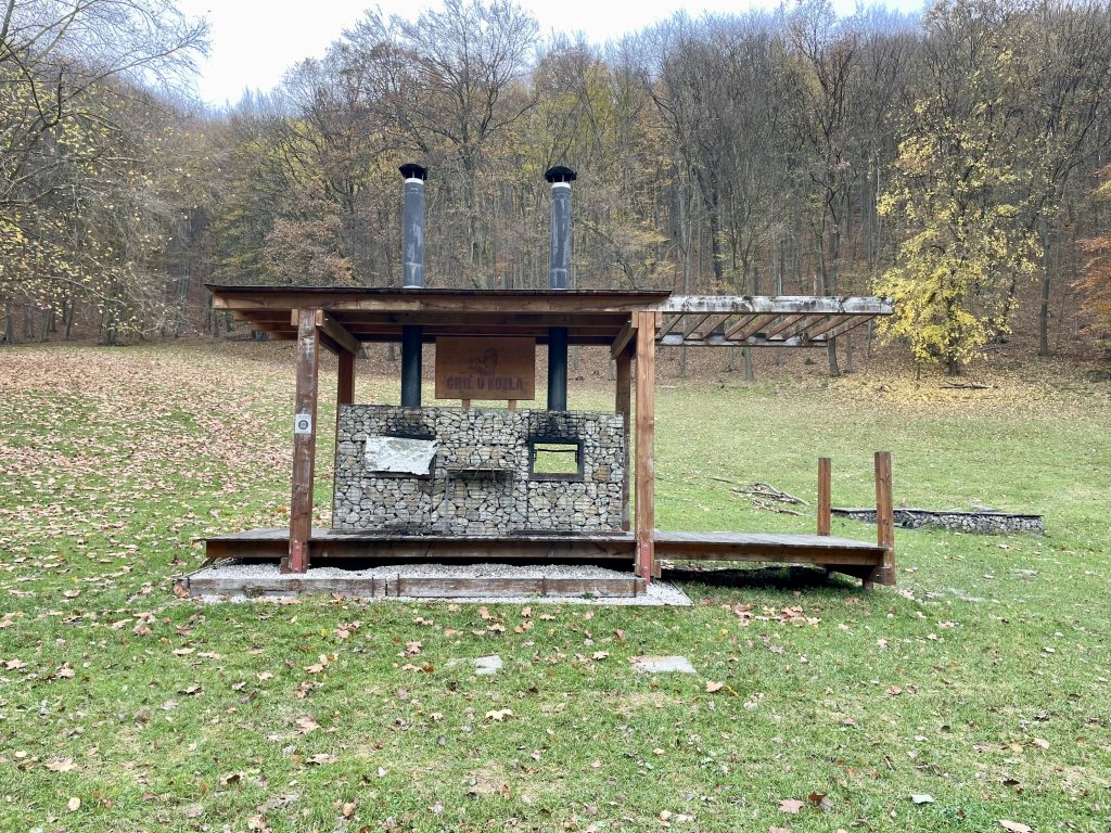
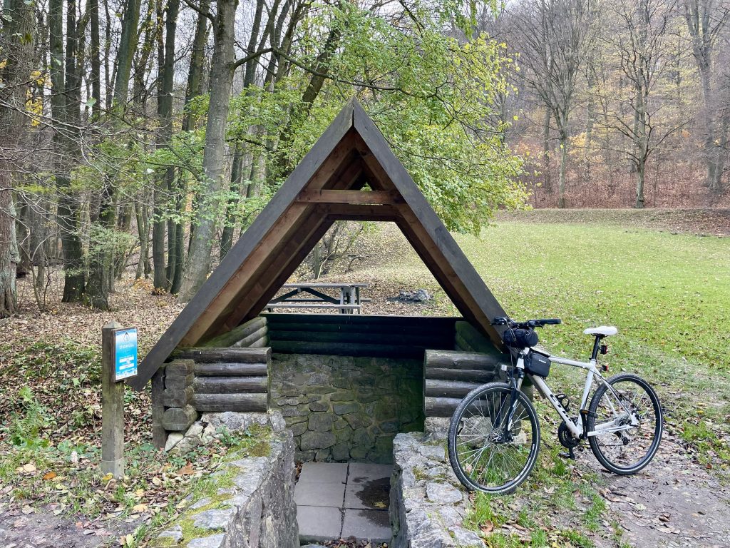
There were many covered places to sit, and even to have fires, or cook.

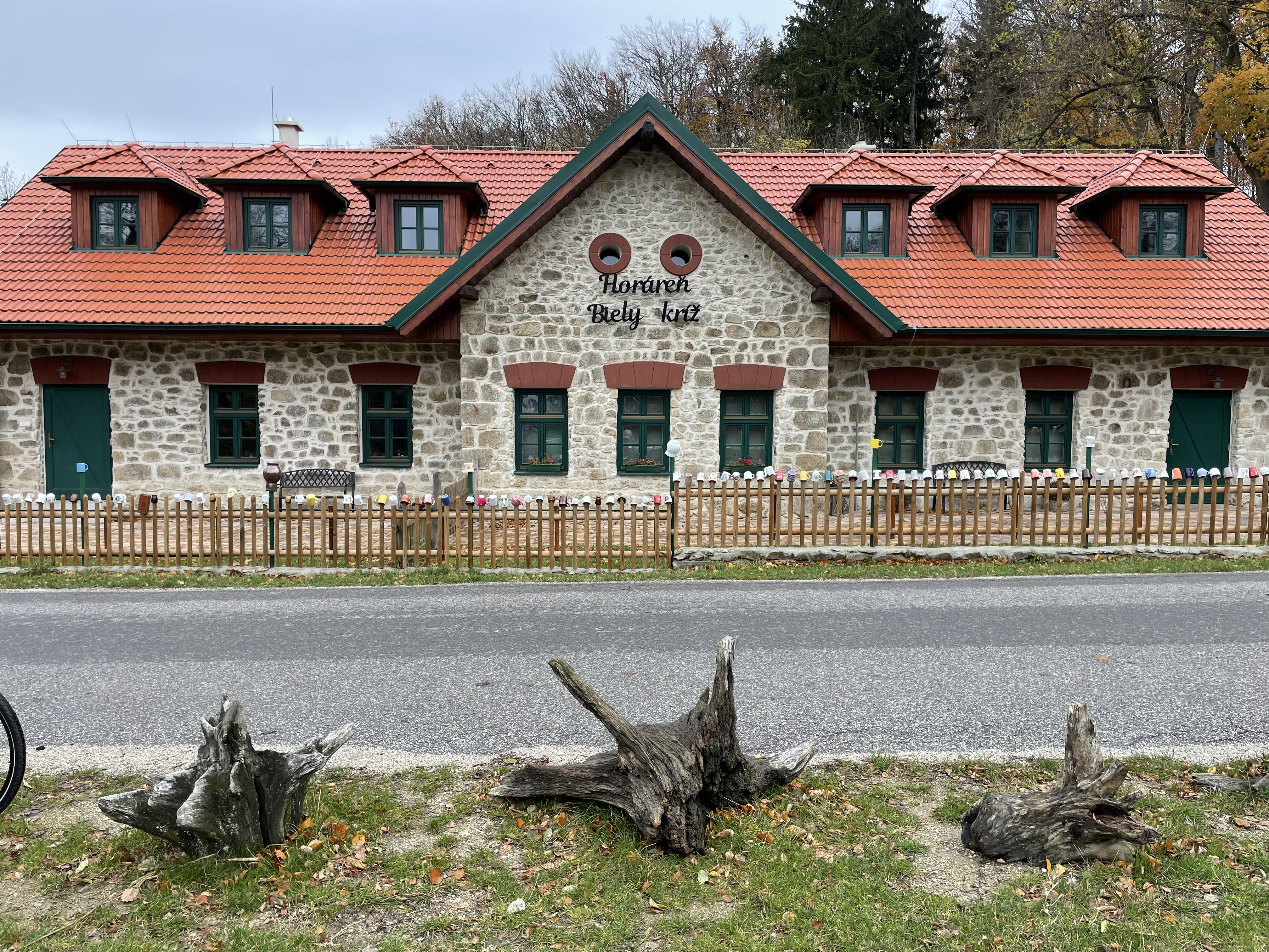
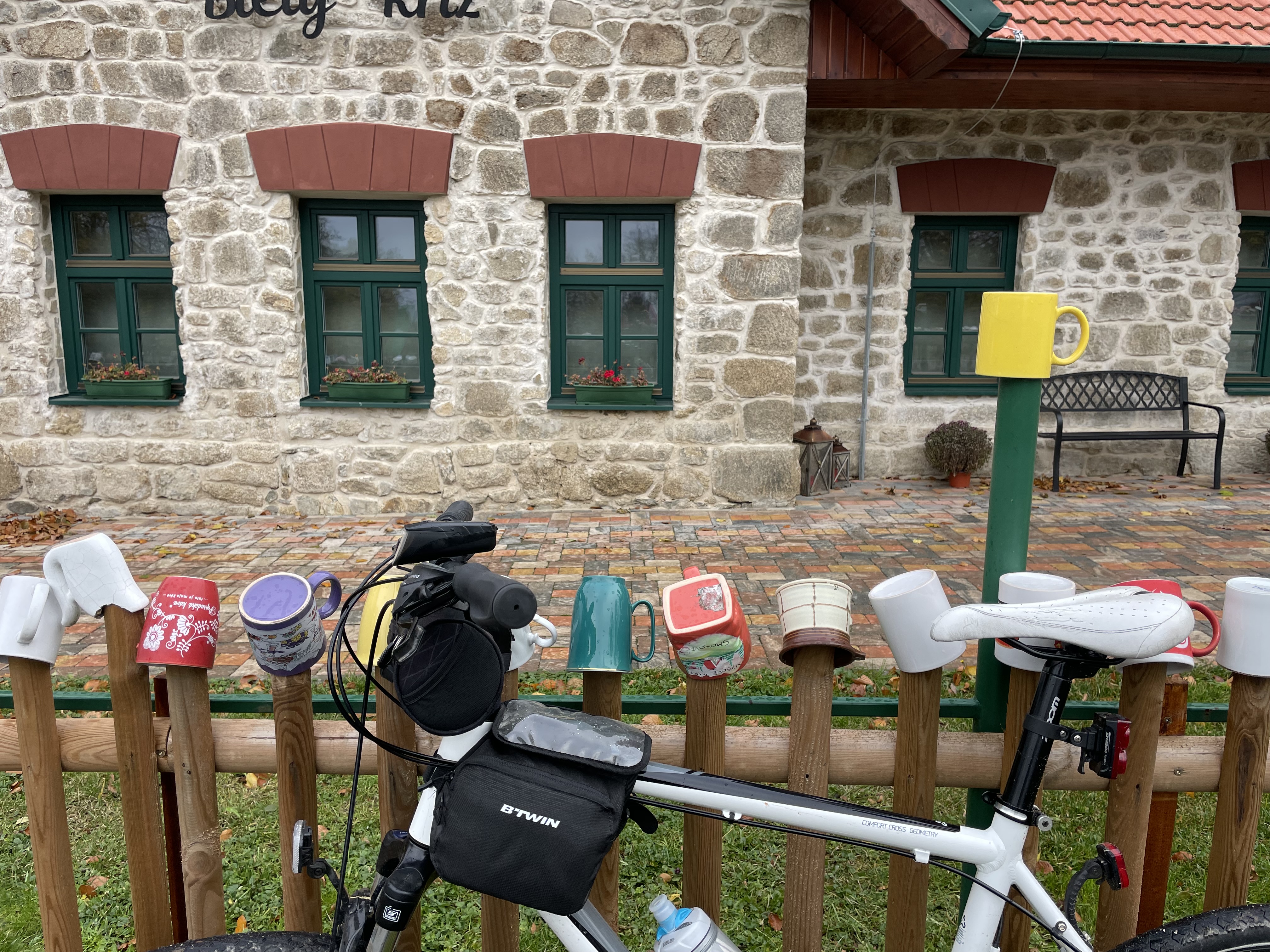
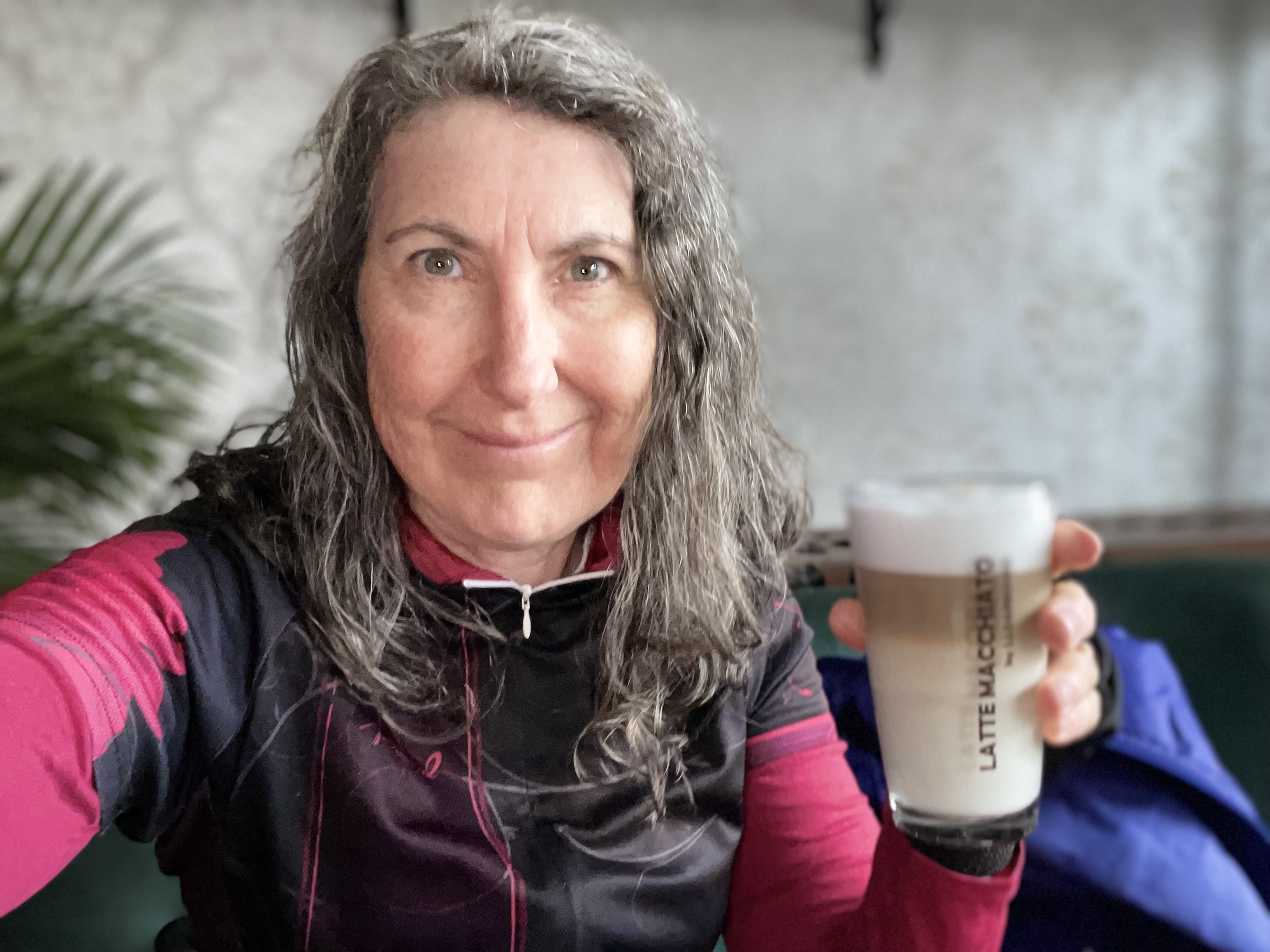
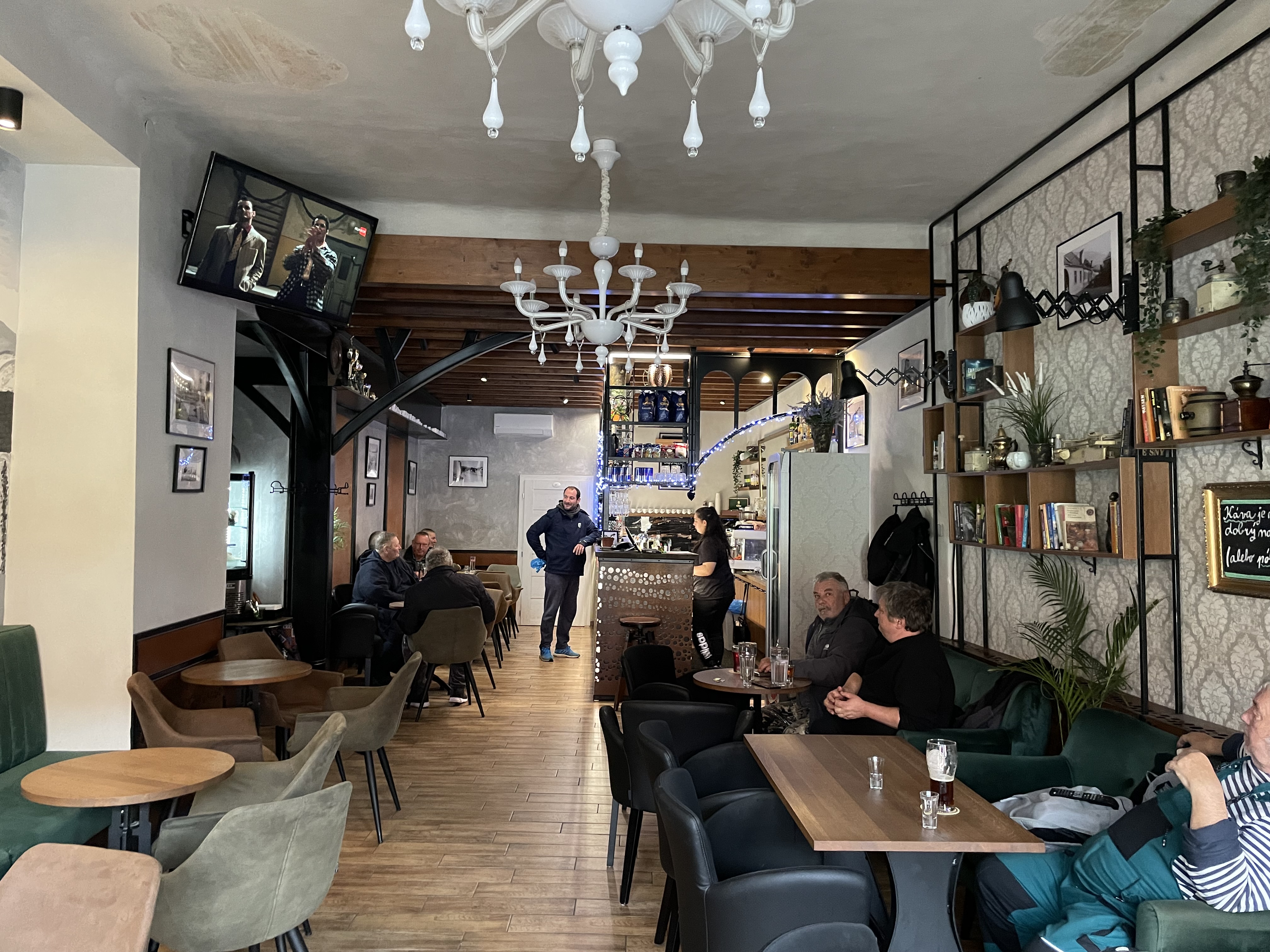
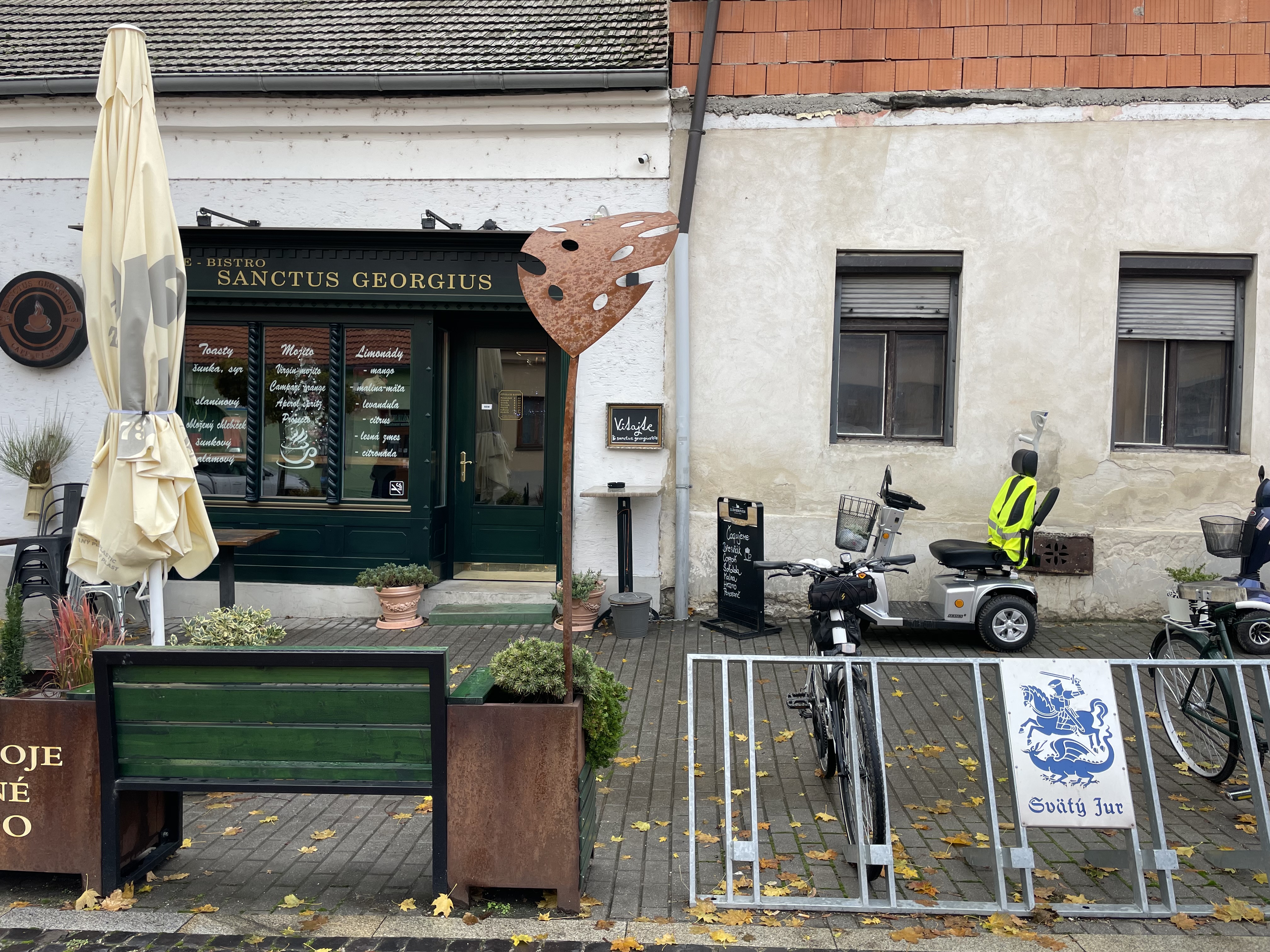
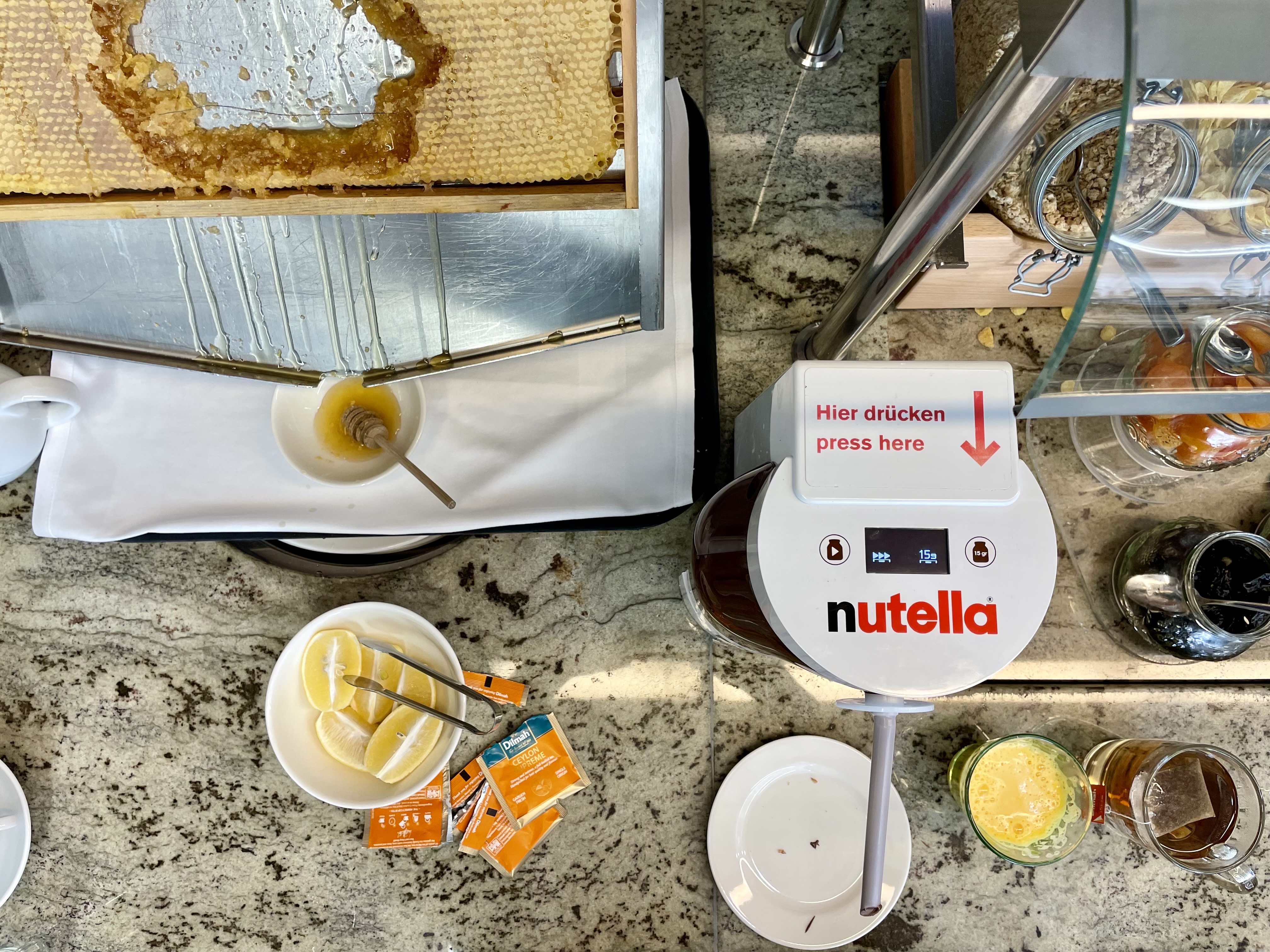
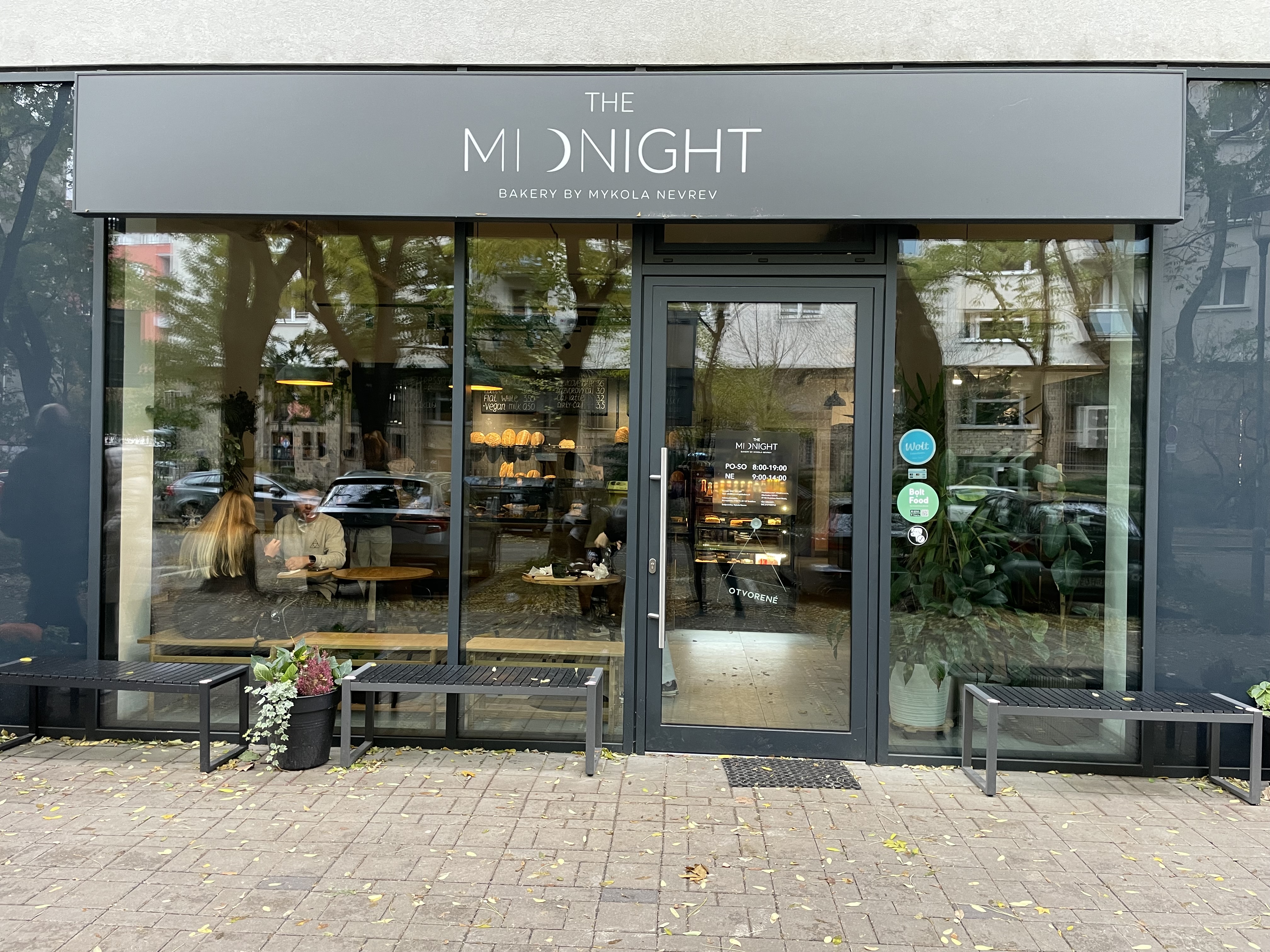
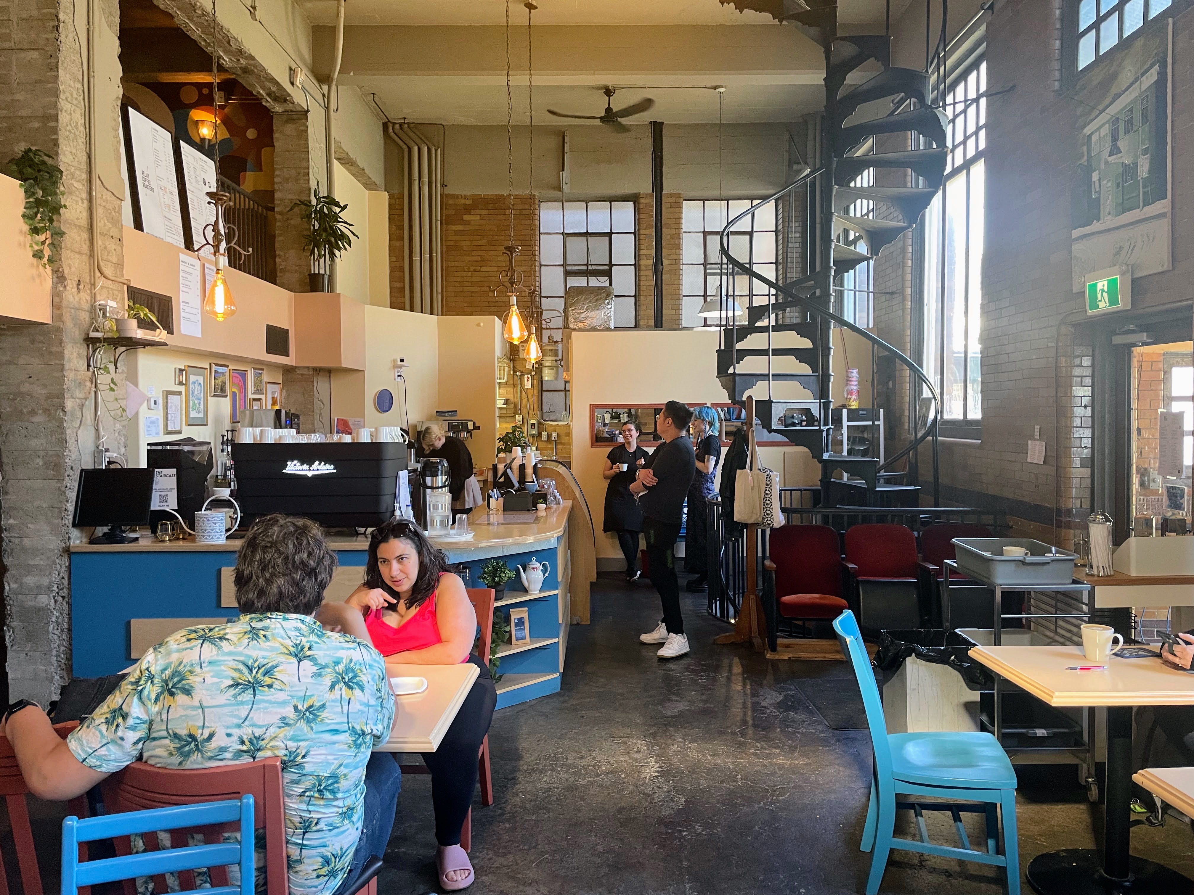
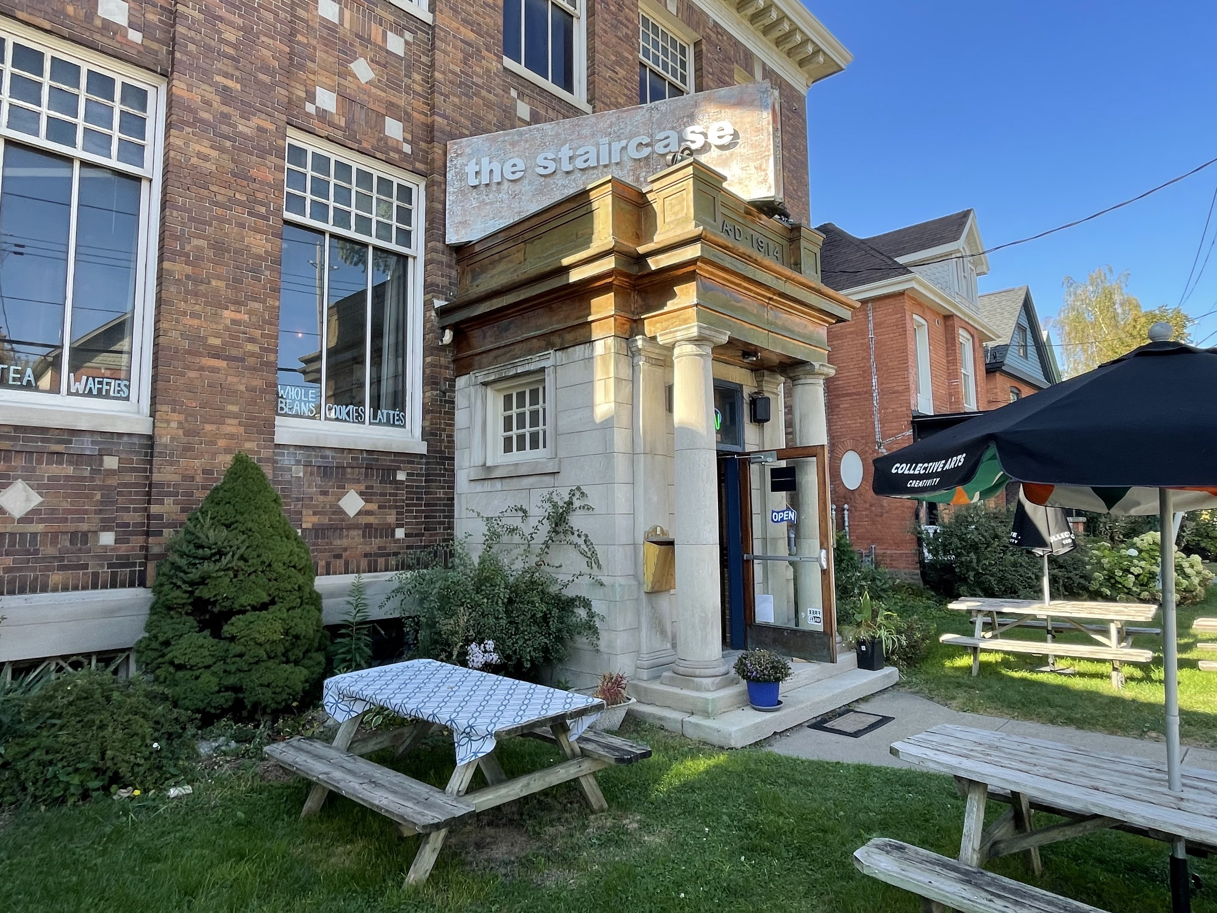
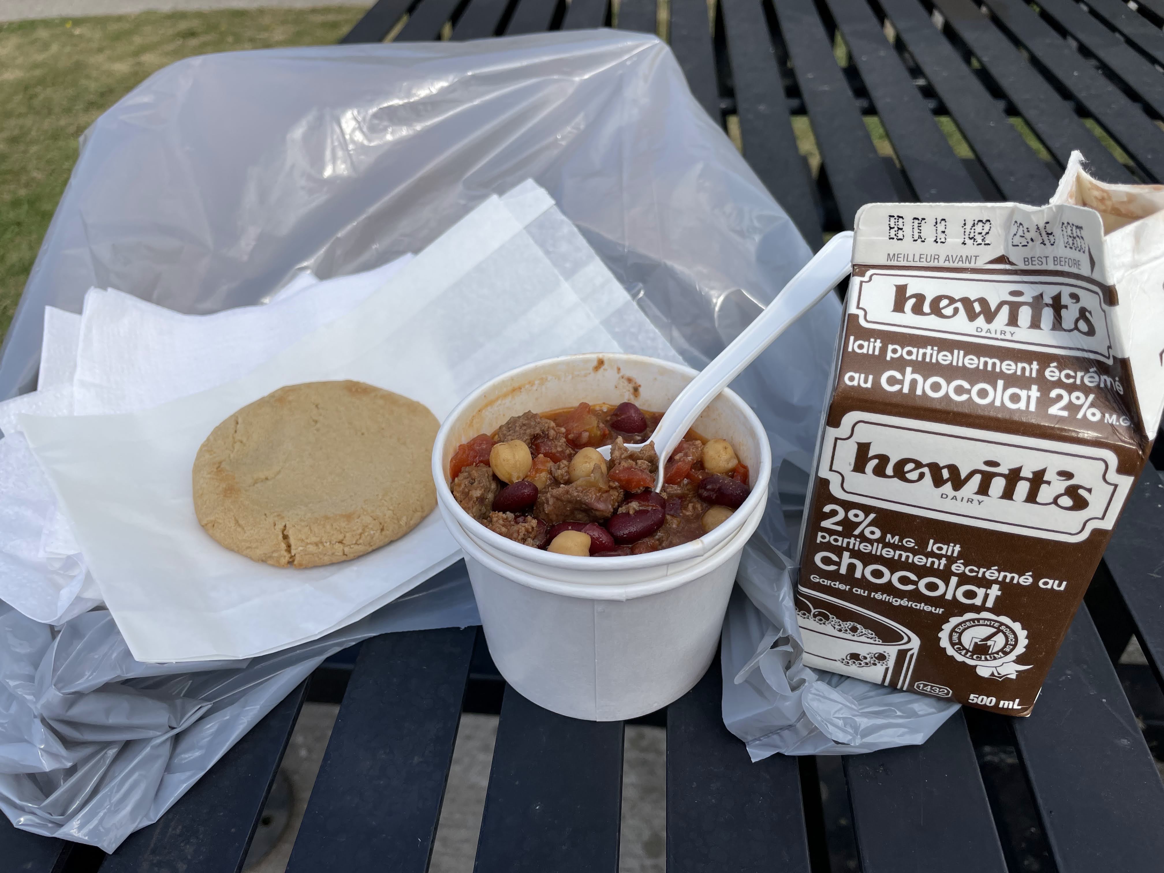
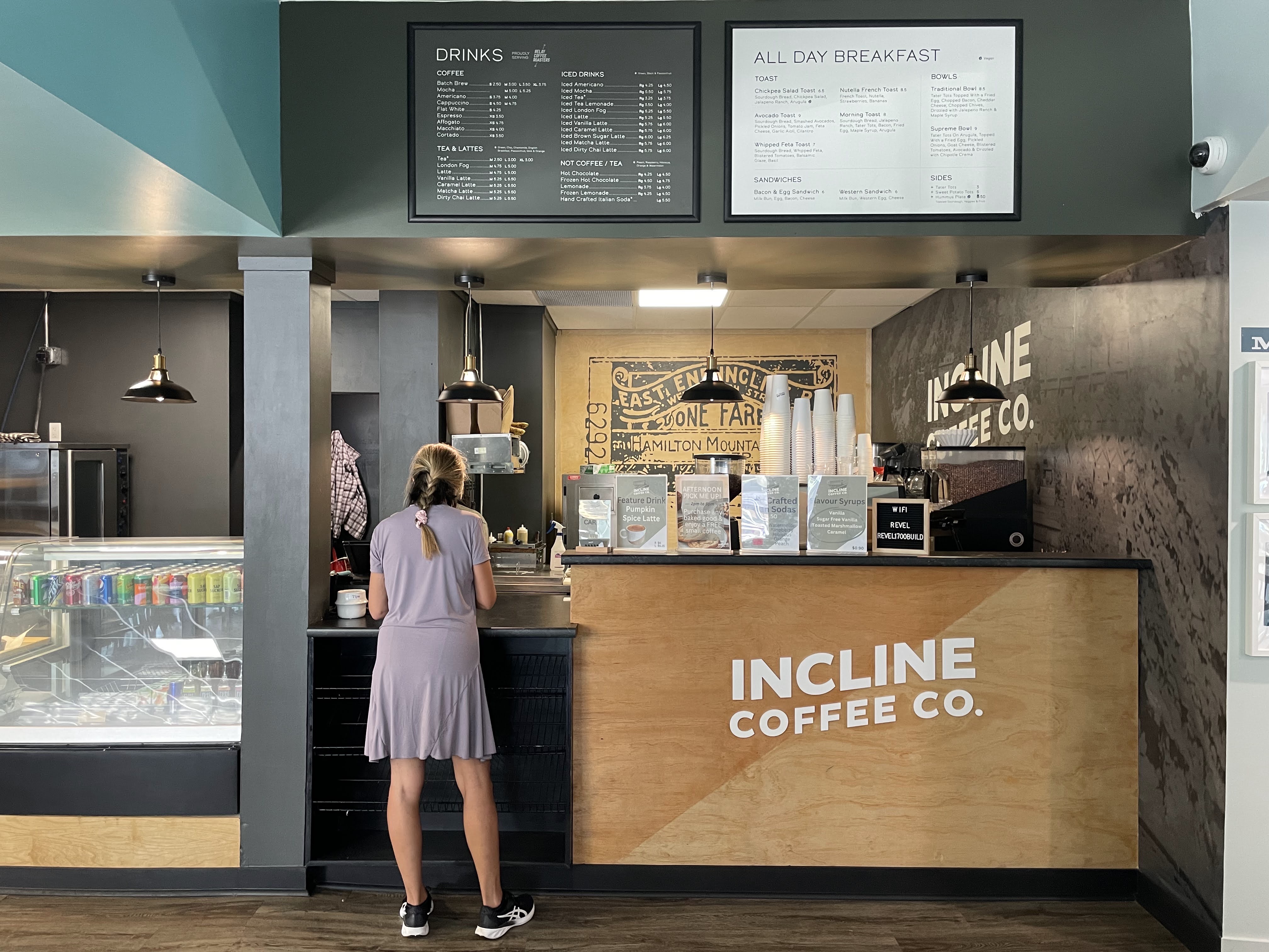
I decided to have a coffee before I started climbing.

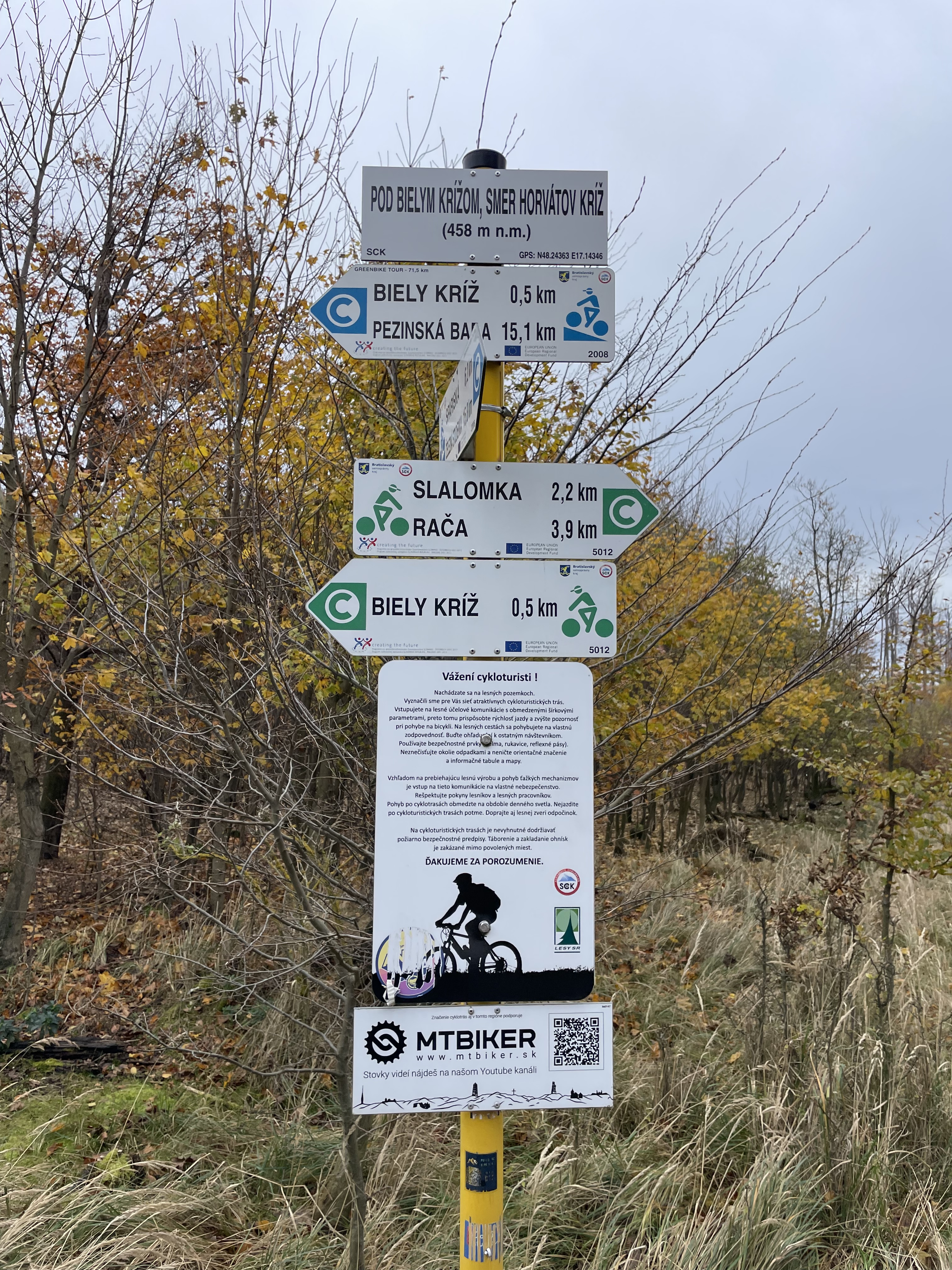
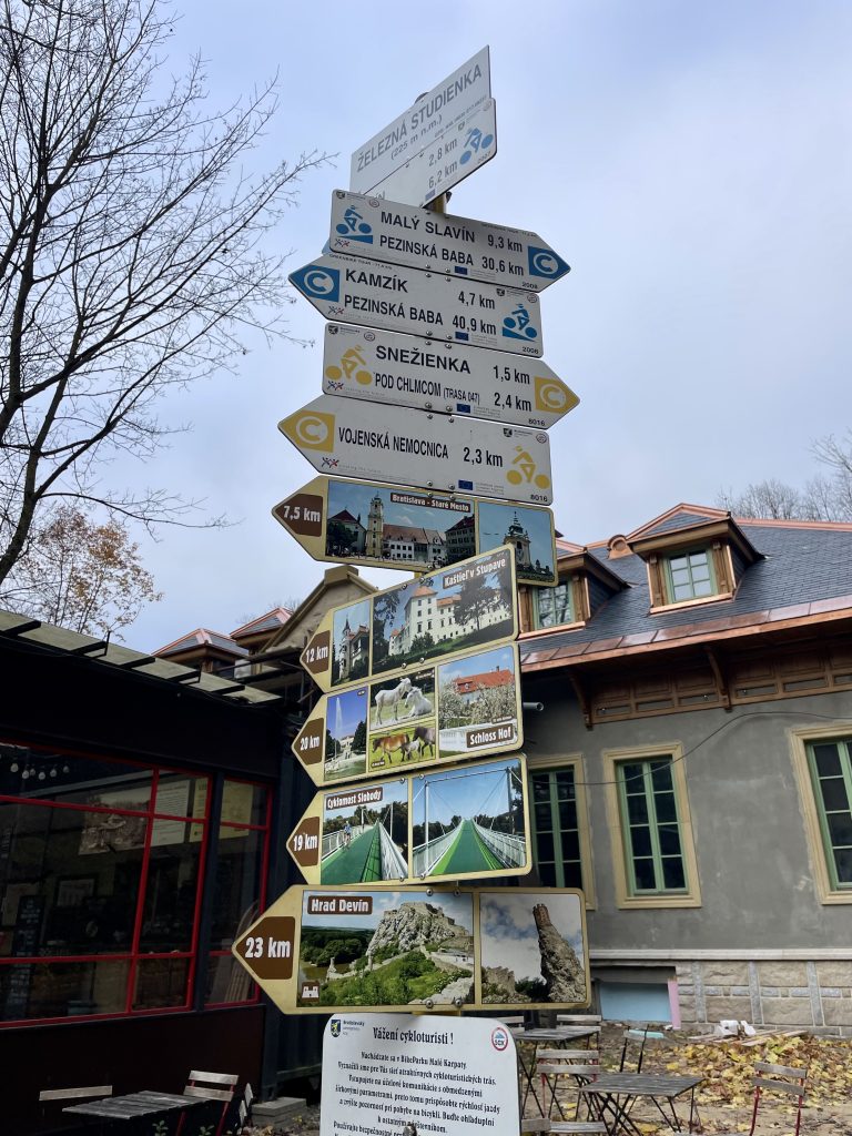
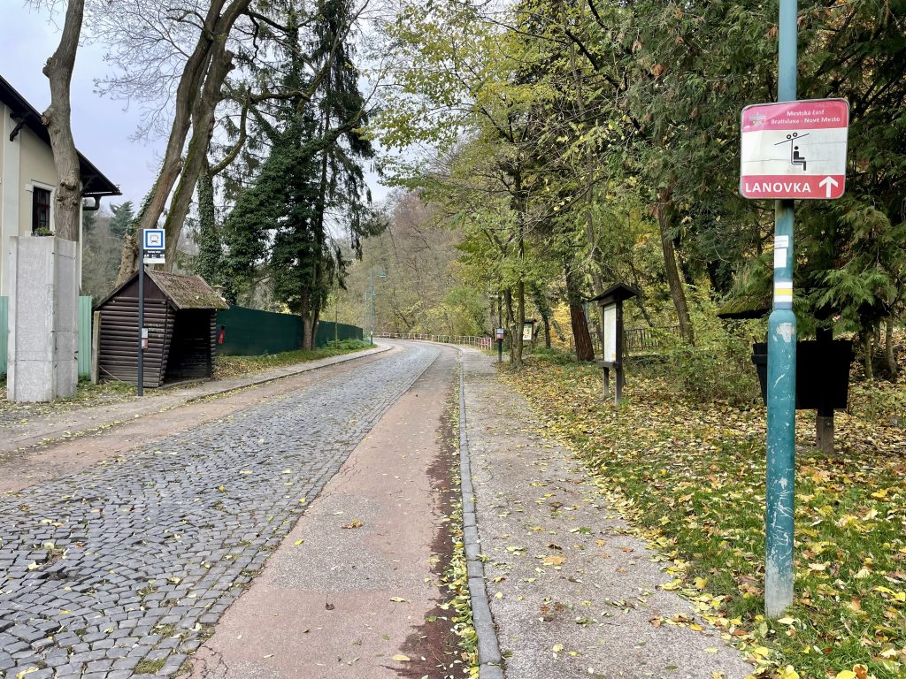
There was an overwhelming amount of wayfaring signs outside the café.

Let the climb begin.

Some of bus stops had wood structures like this.

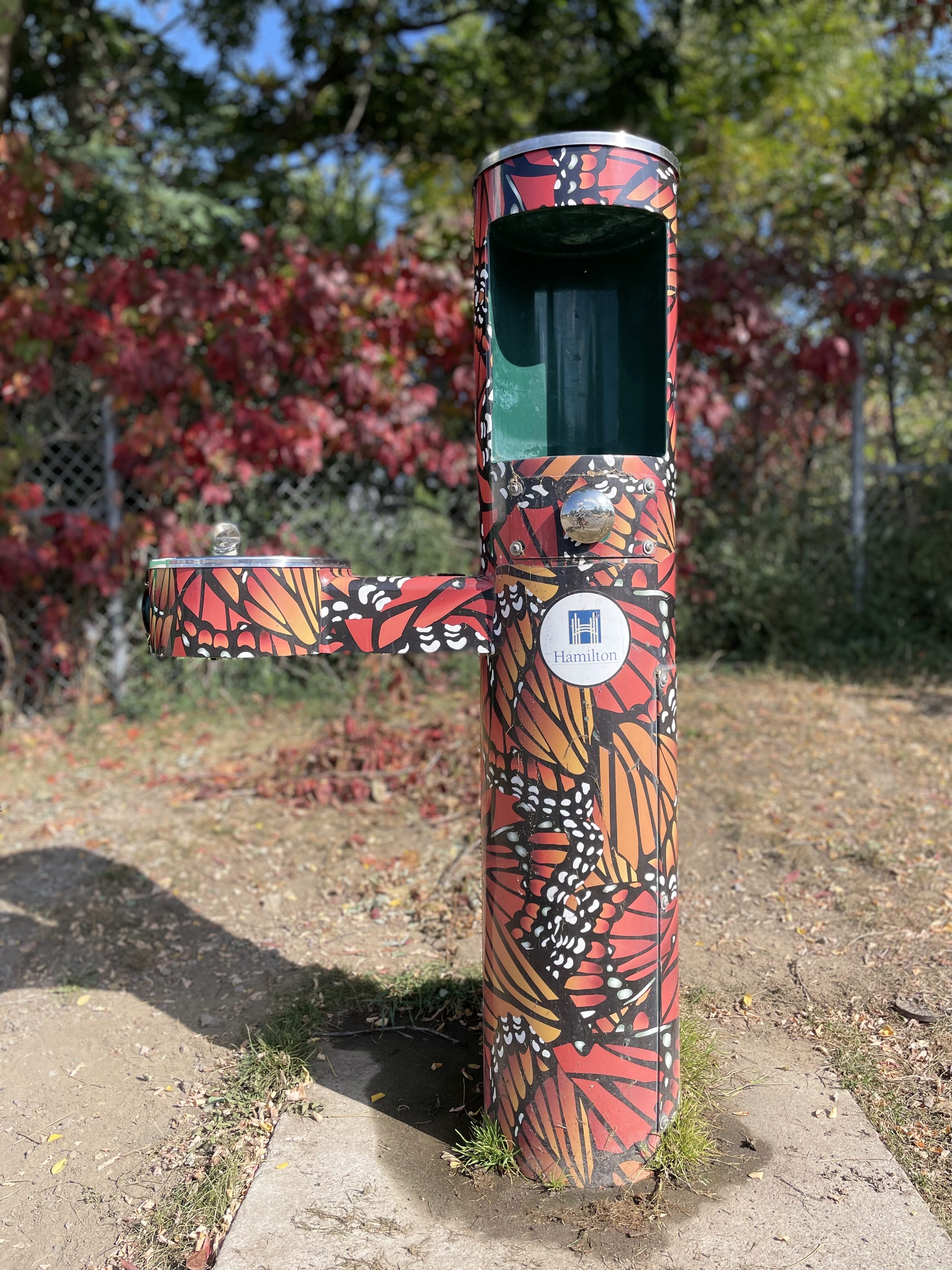
This is a well and the water has been tested for drinking.

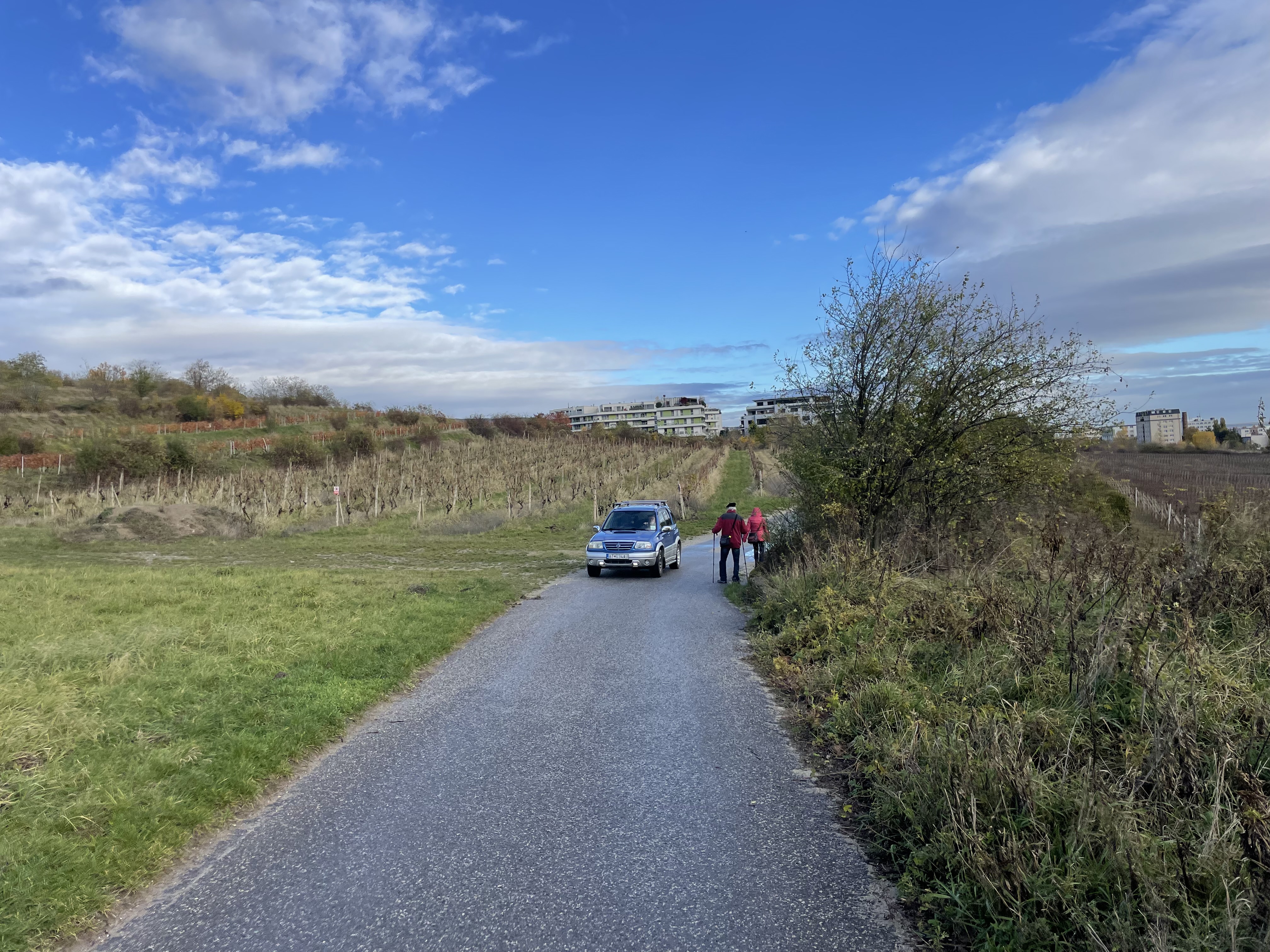
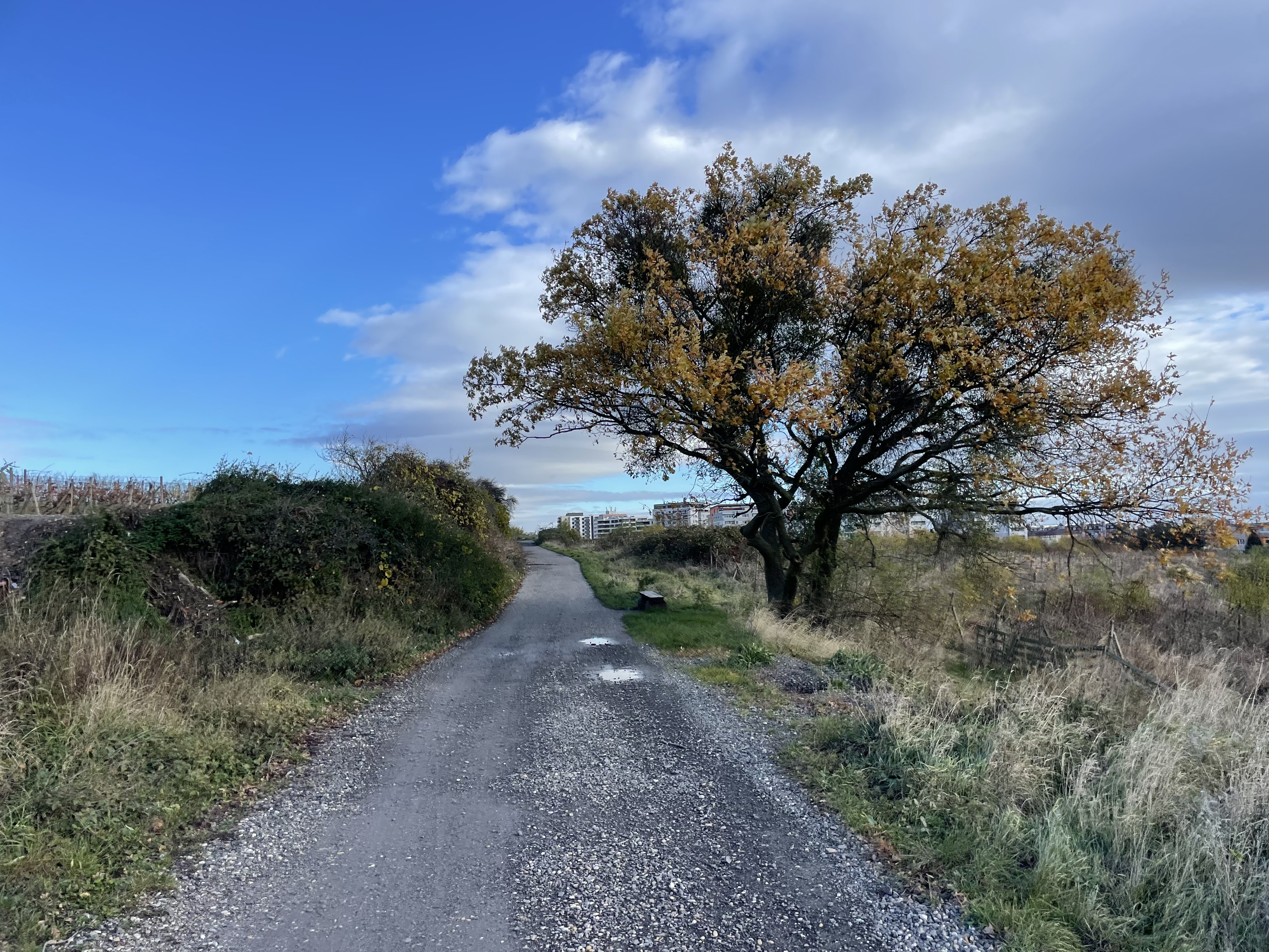
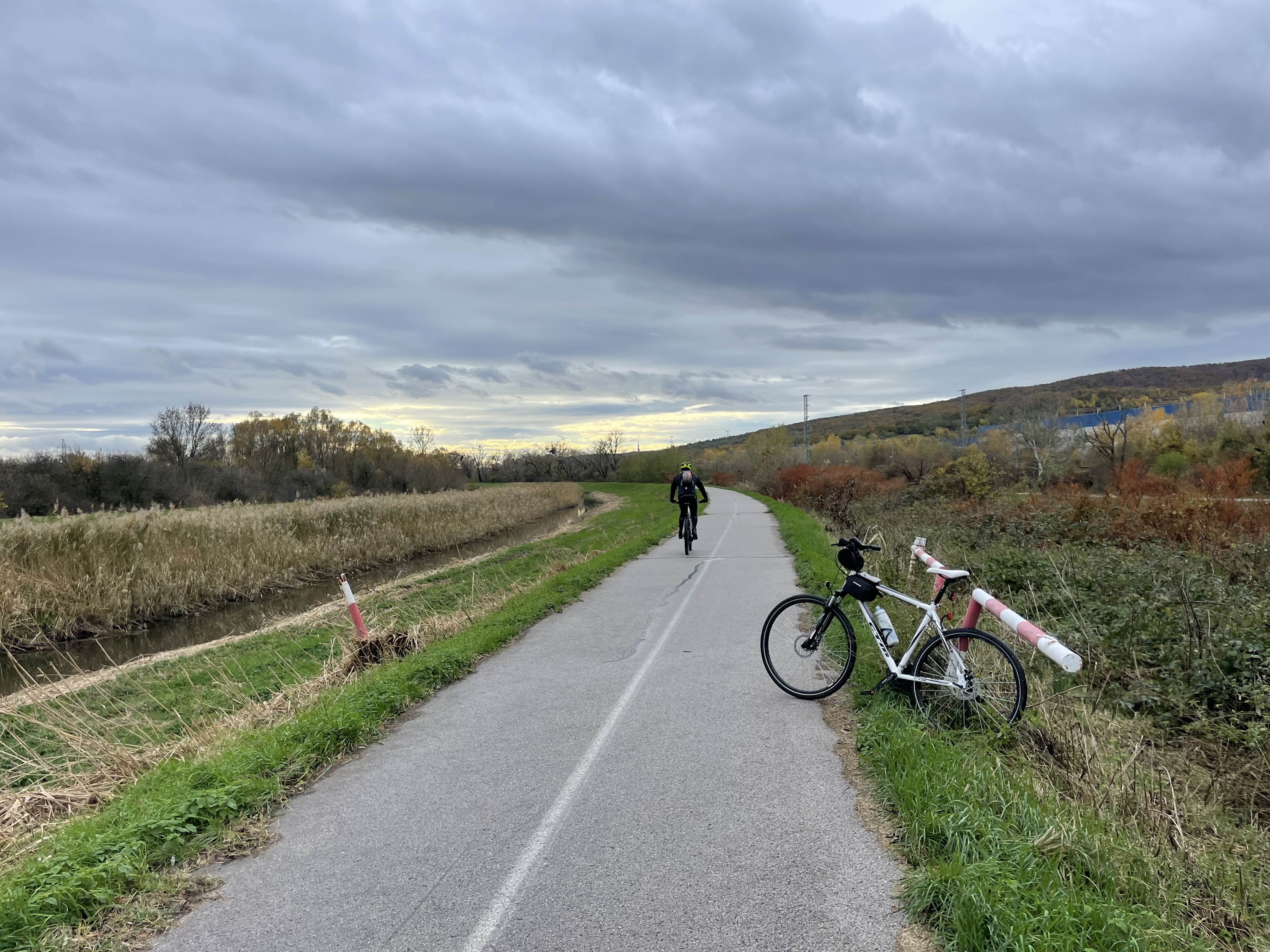
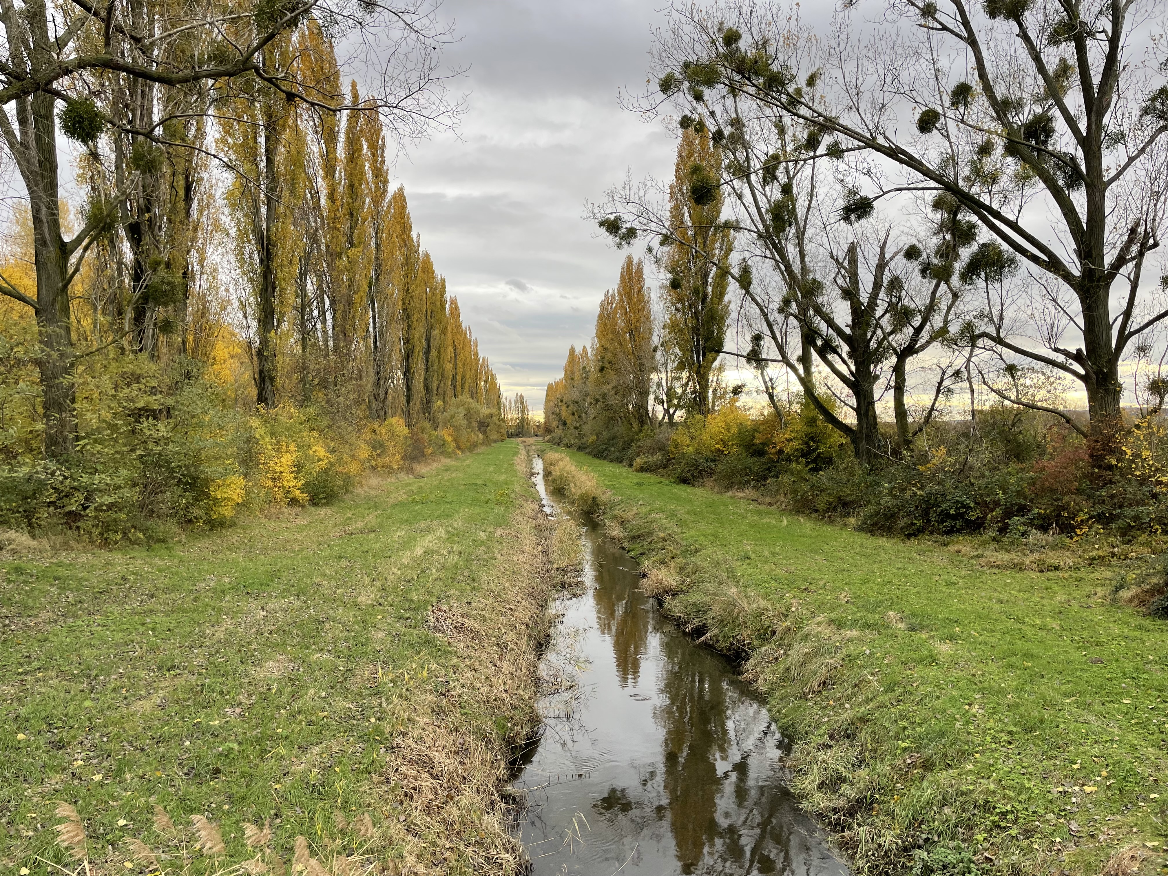
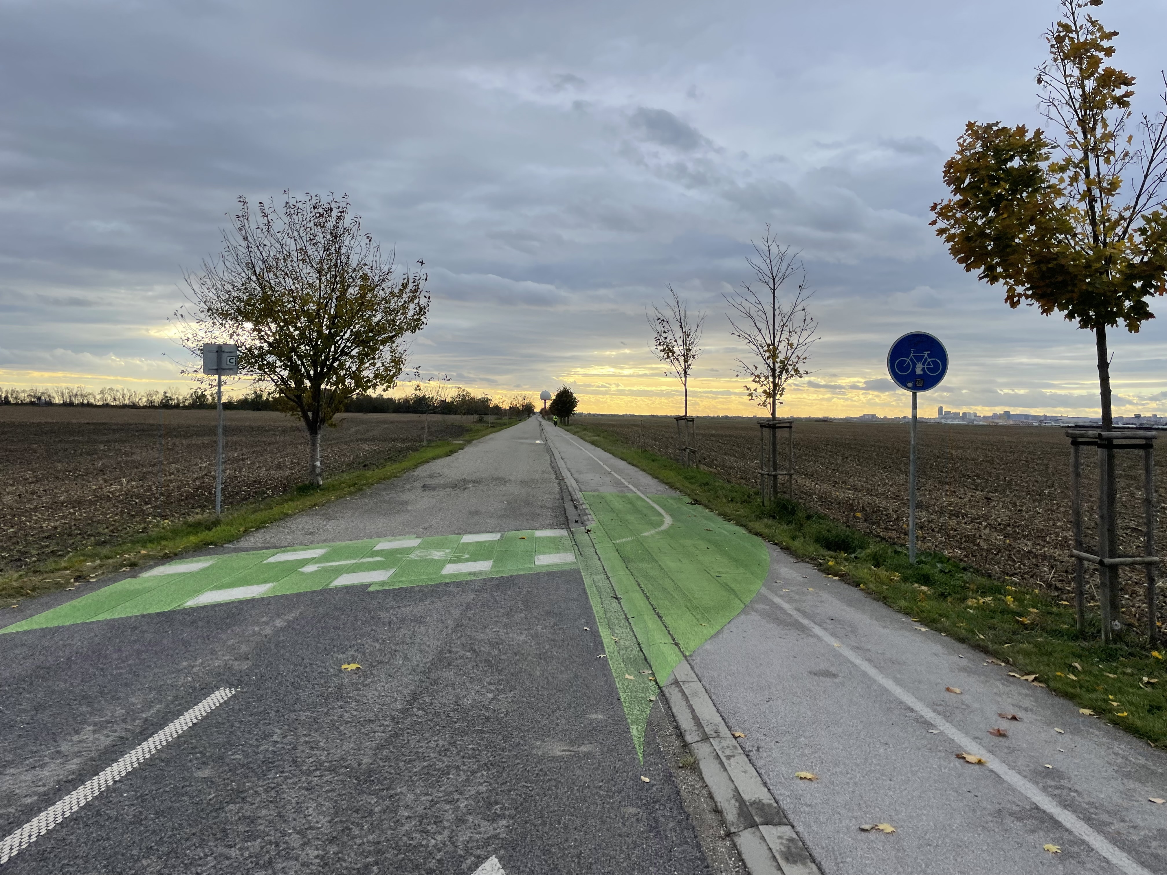
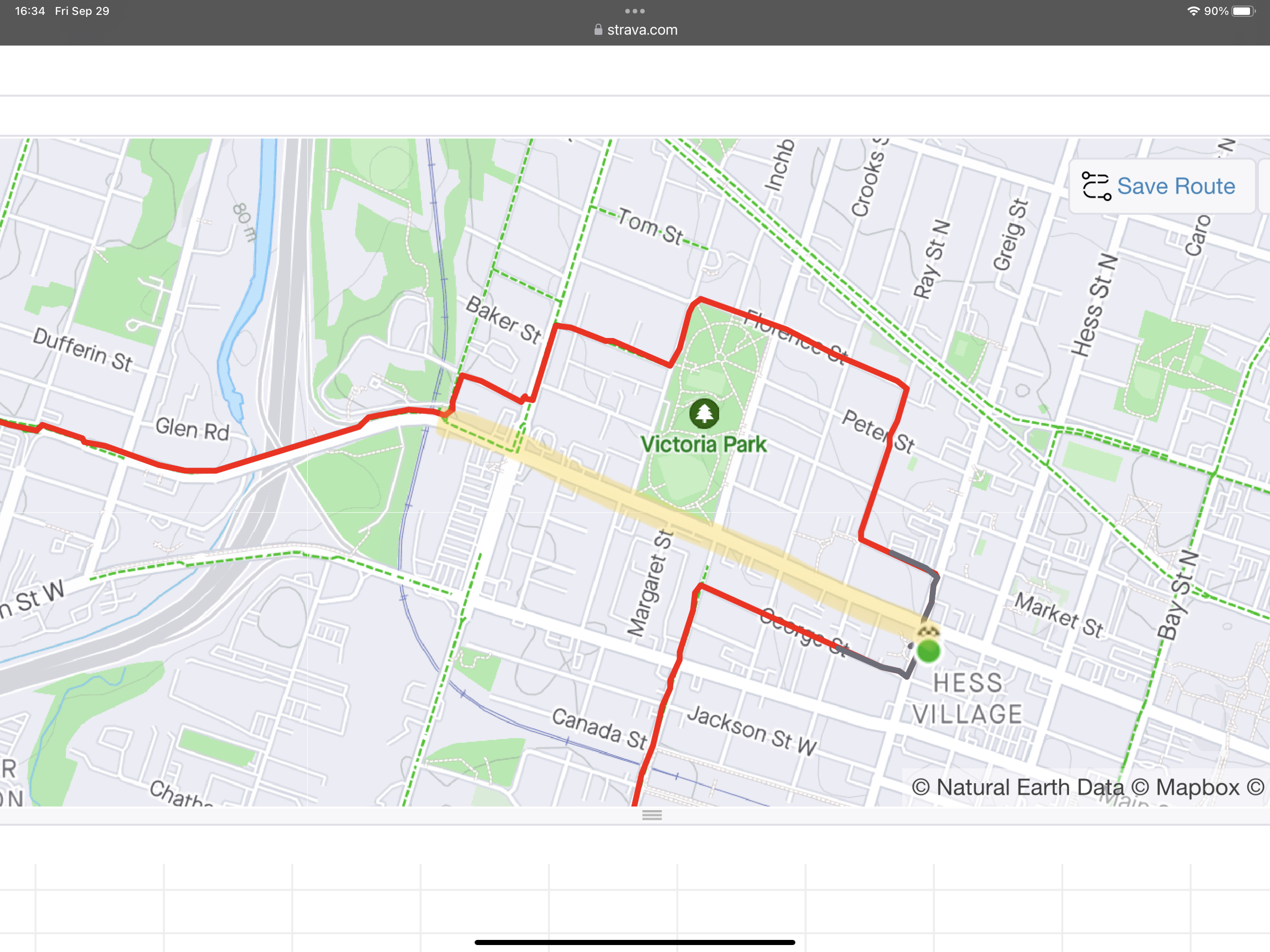
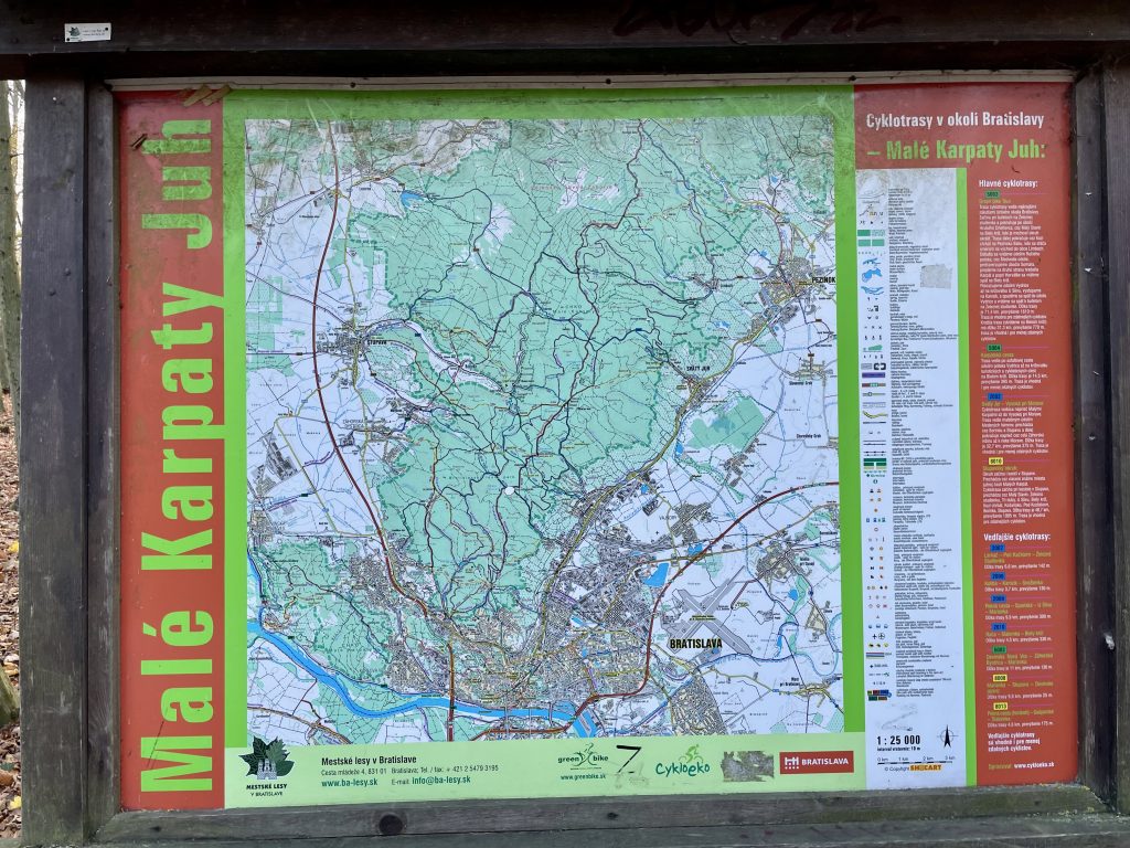
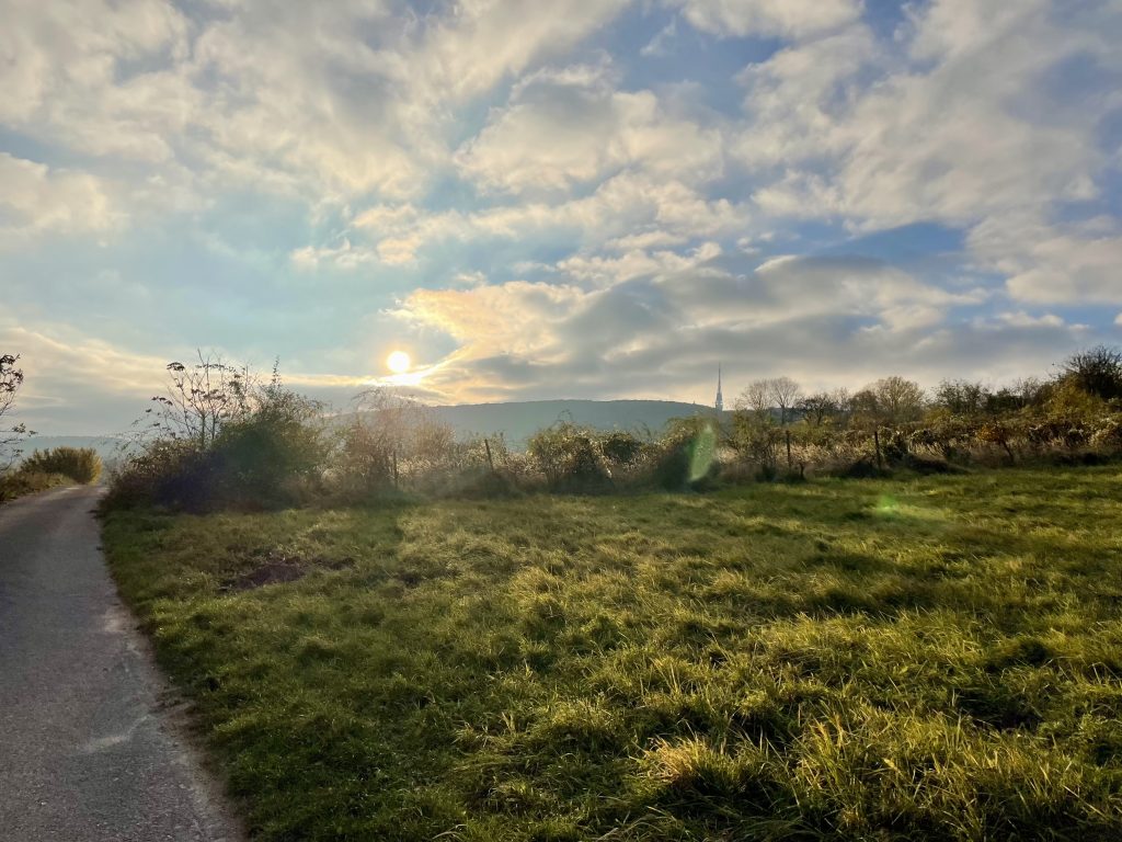
I was mostly riding through forest, but there were some meadow areas, as well. Here is a map of the area. And the route I did today, with the elevation profile at the bottom.

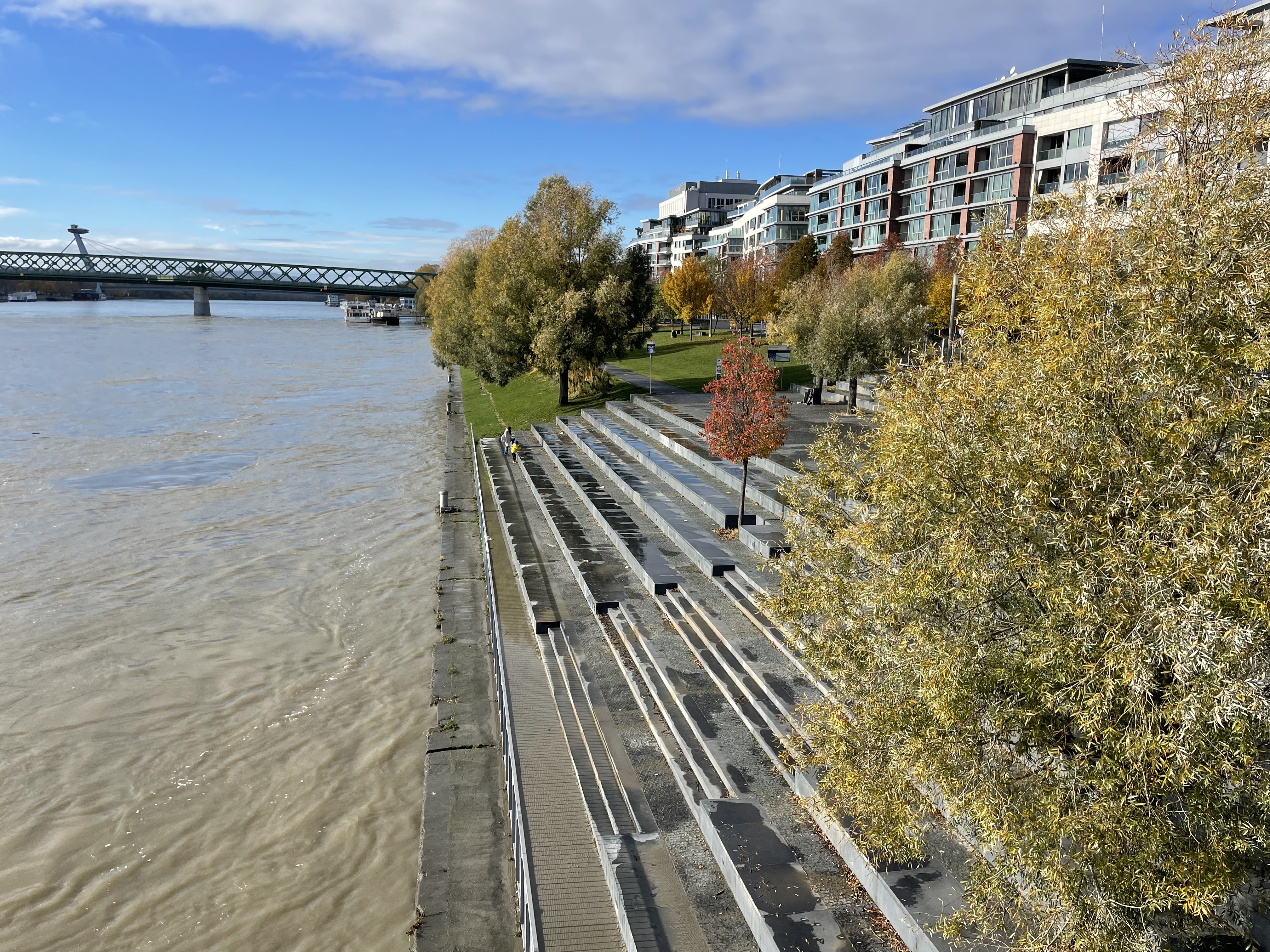
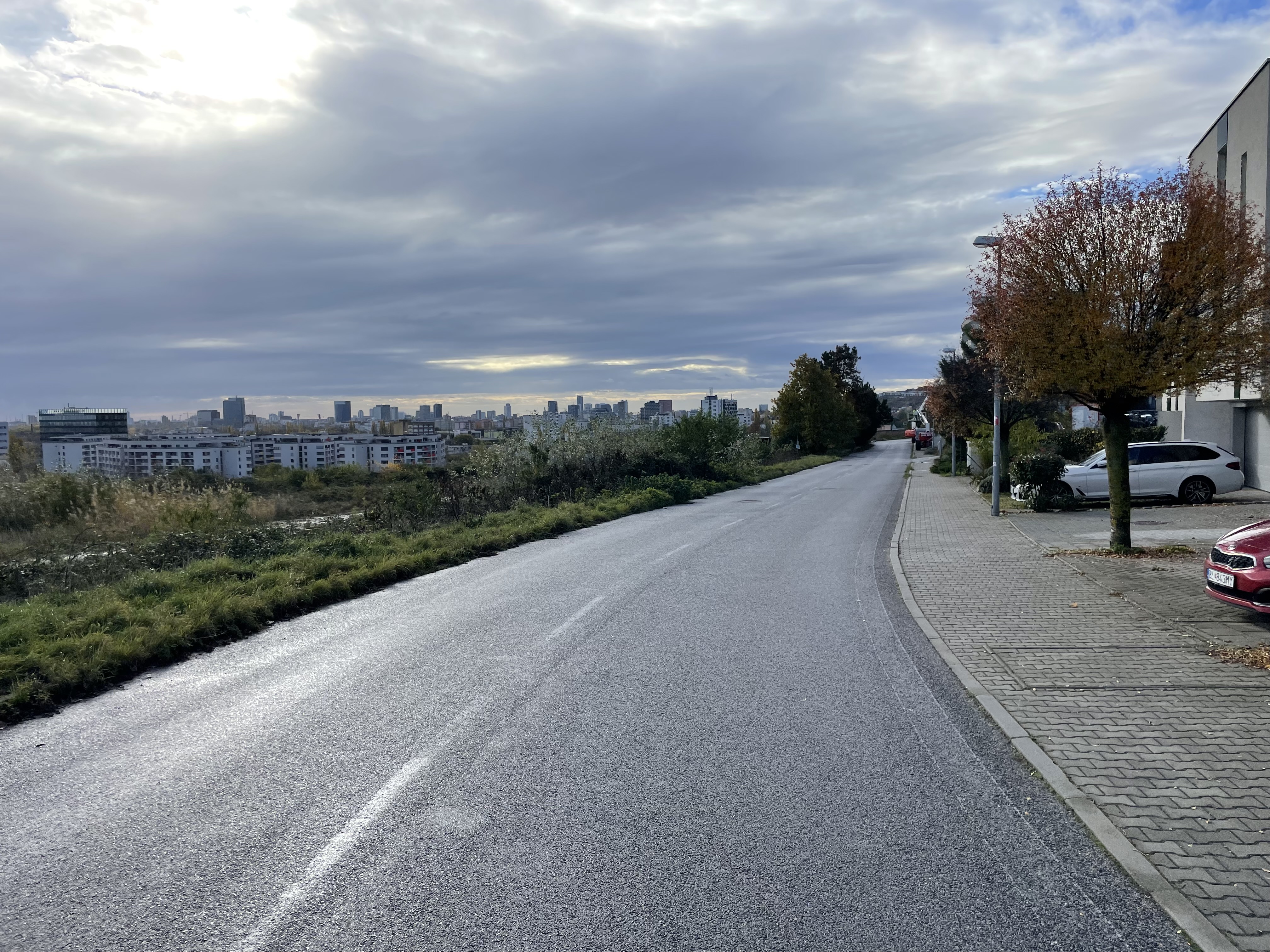
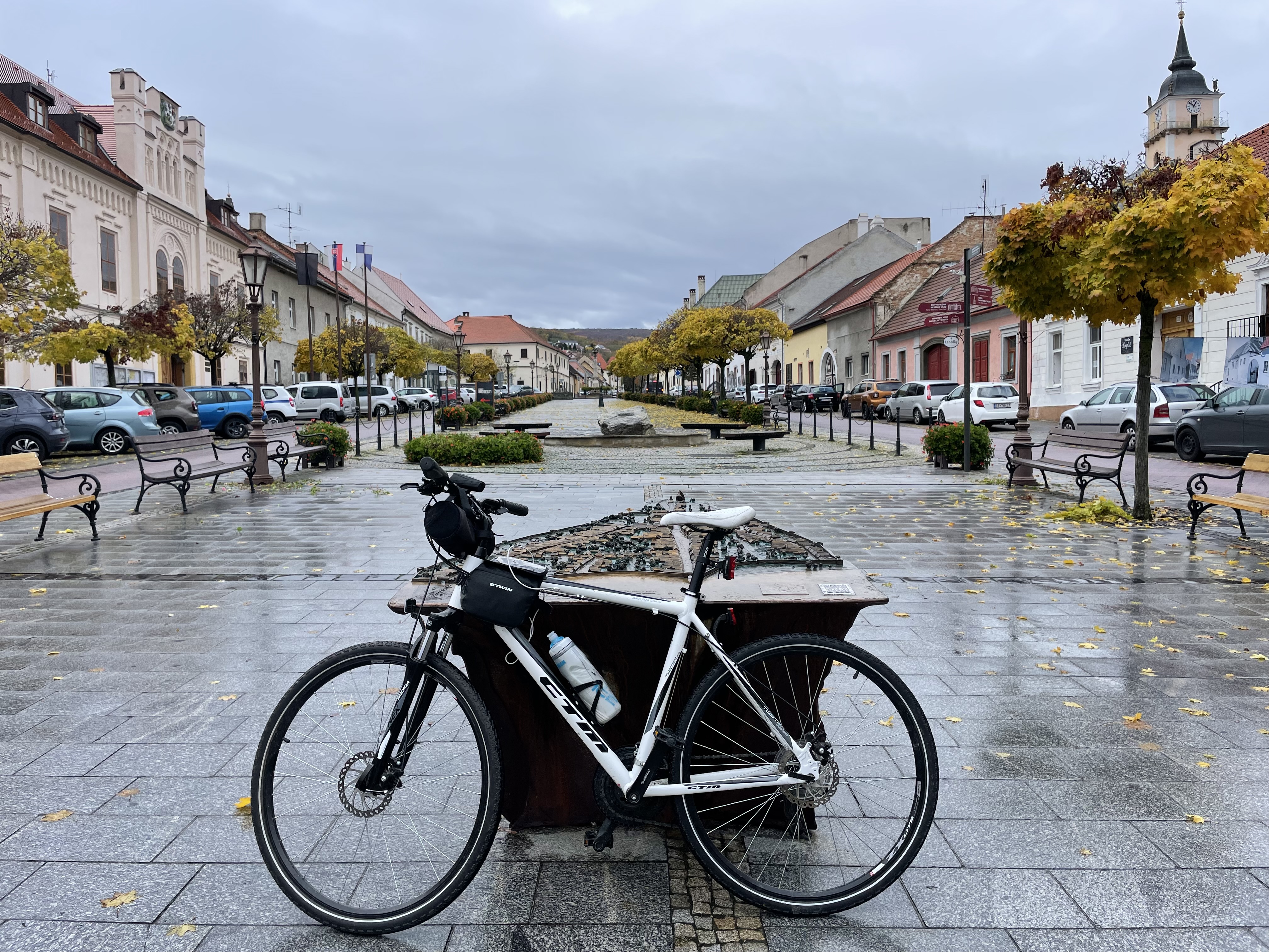
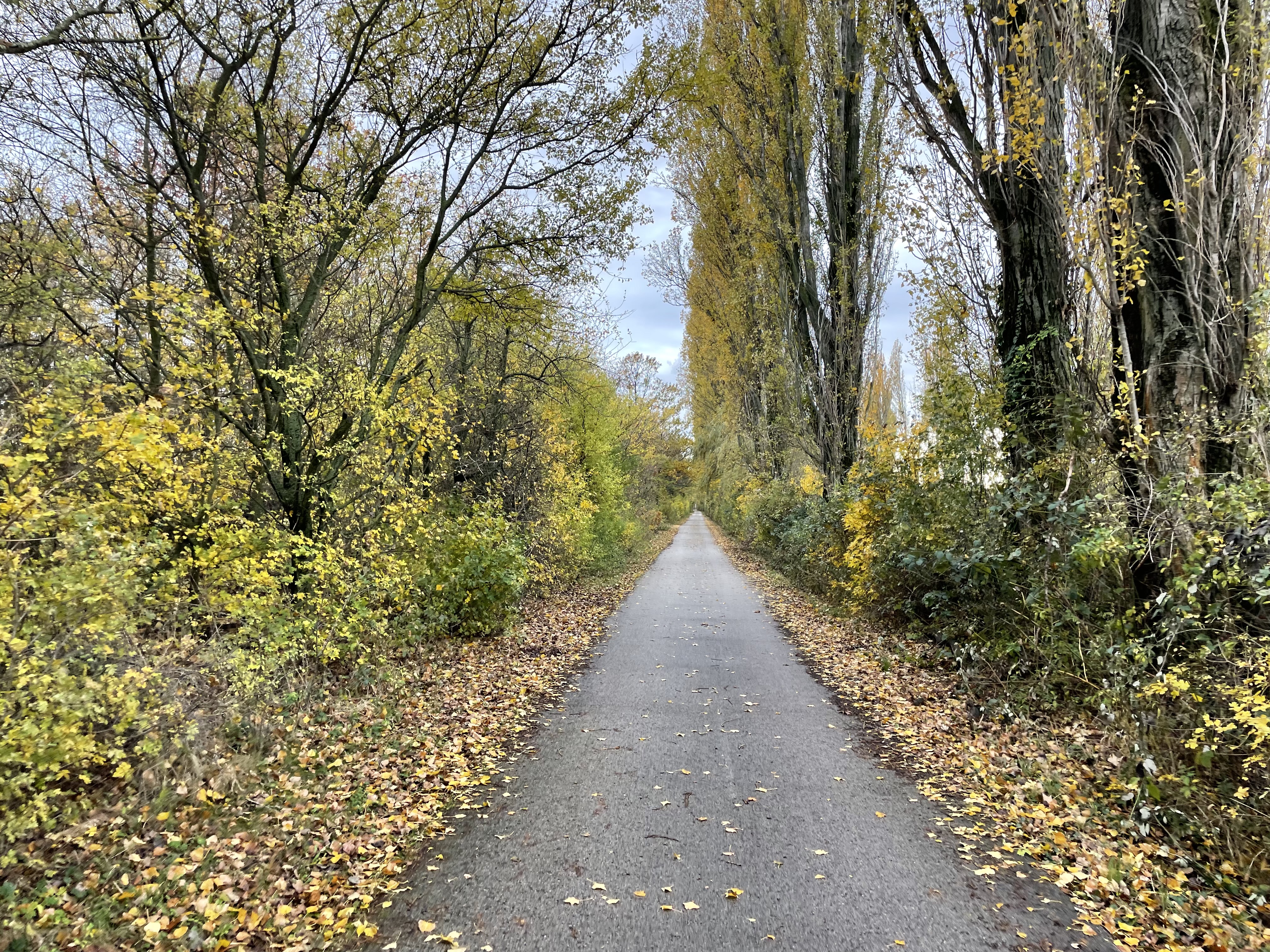
As I finished the descent, I realize that I was returning on the way I had headed out on Monday morning.

The sun was beginning to set. In this photo on the top of the hill, you can see a pointy black TV tower which is Kamzík. I might ride straight up the road to it, on another day, or, I might take the bus or the chairlift. I haven’t decided yet. It would be a challenging ride to the top. It’s another 65m higher than I went today. Today I collected 9 new tiles, and 26 new ones Monday.

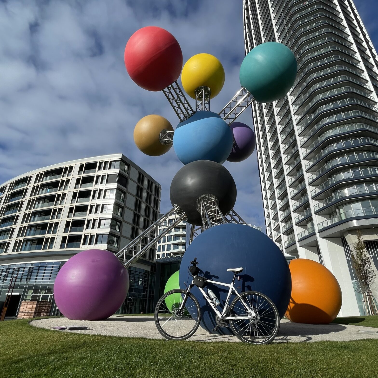
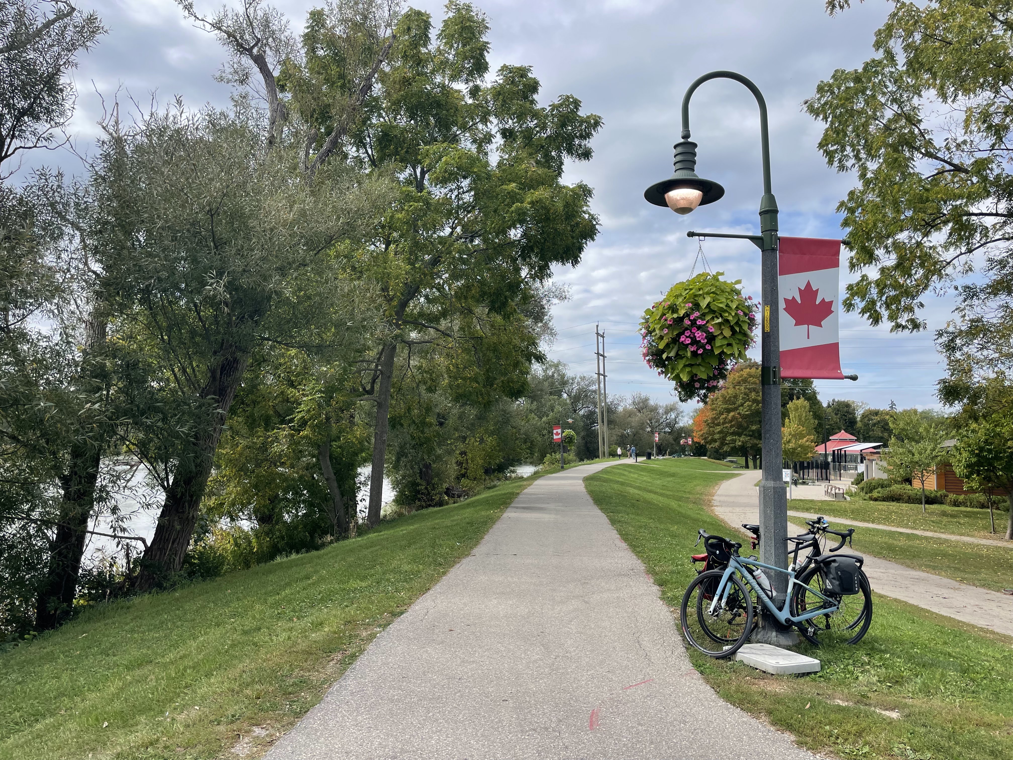
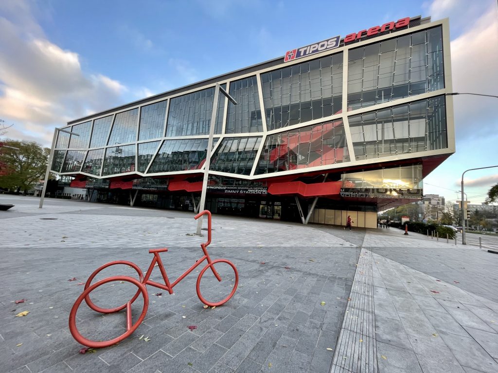
I saw a cute bike rack near the arena.

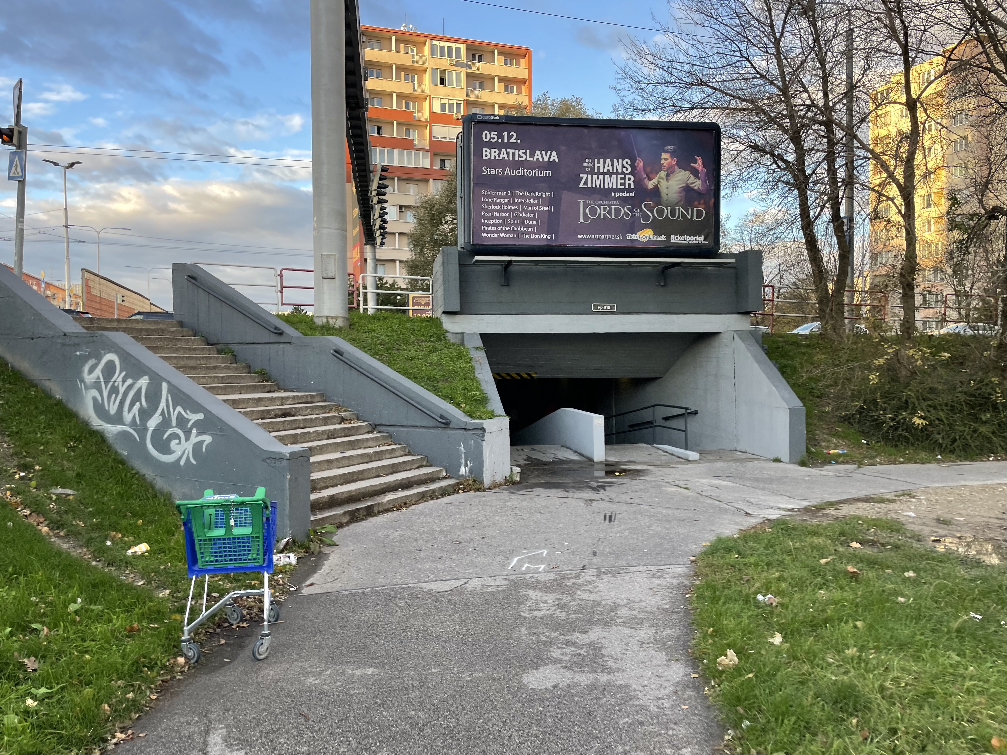
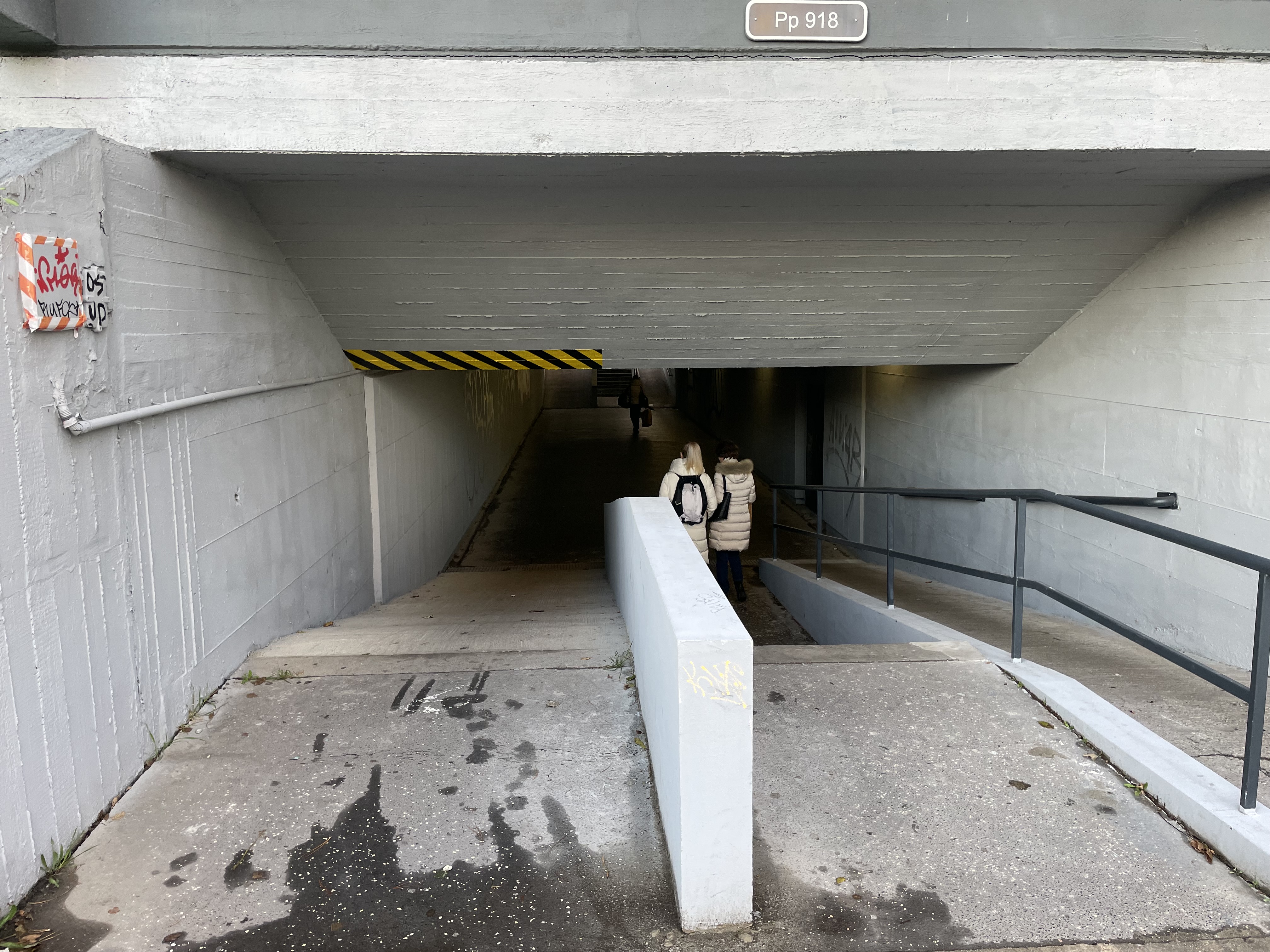
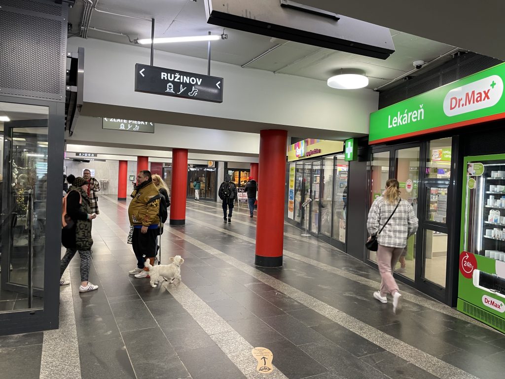
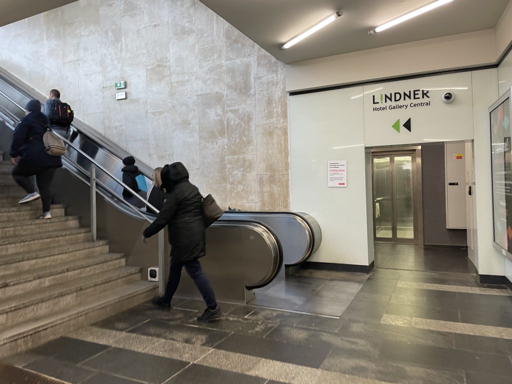
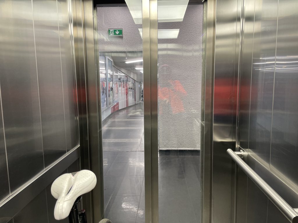
I ended up on the wrong side of the intersection where the hotel is and there’s no way to legally cross at grade so I took the elevator down into the pedestrian subway, which is lined with shops.

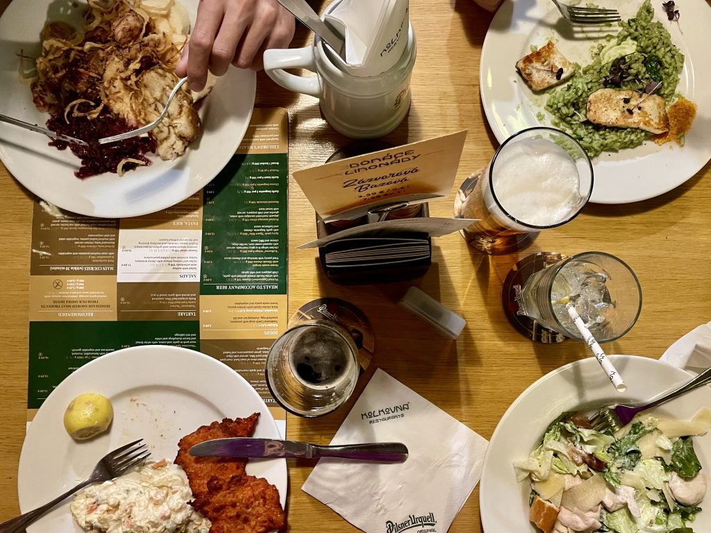
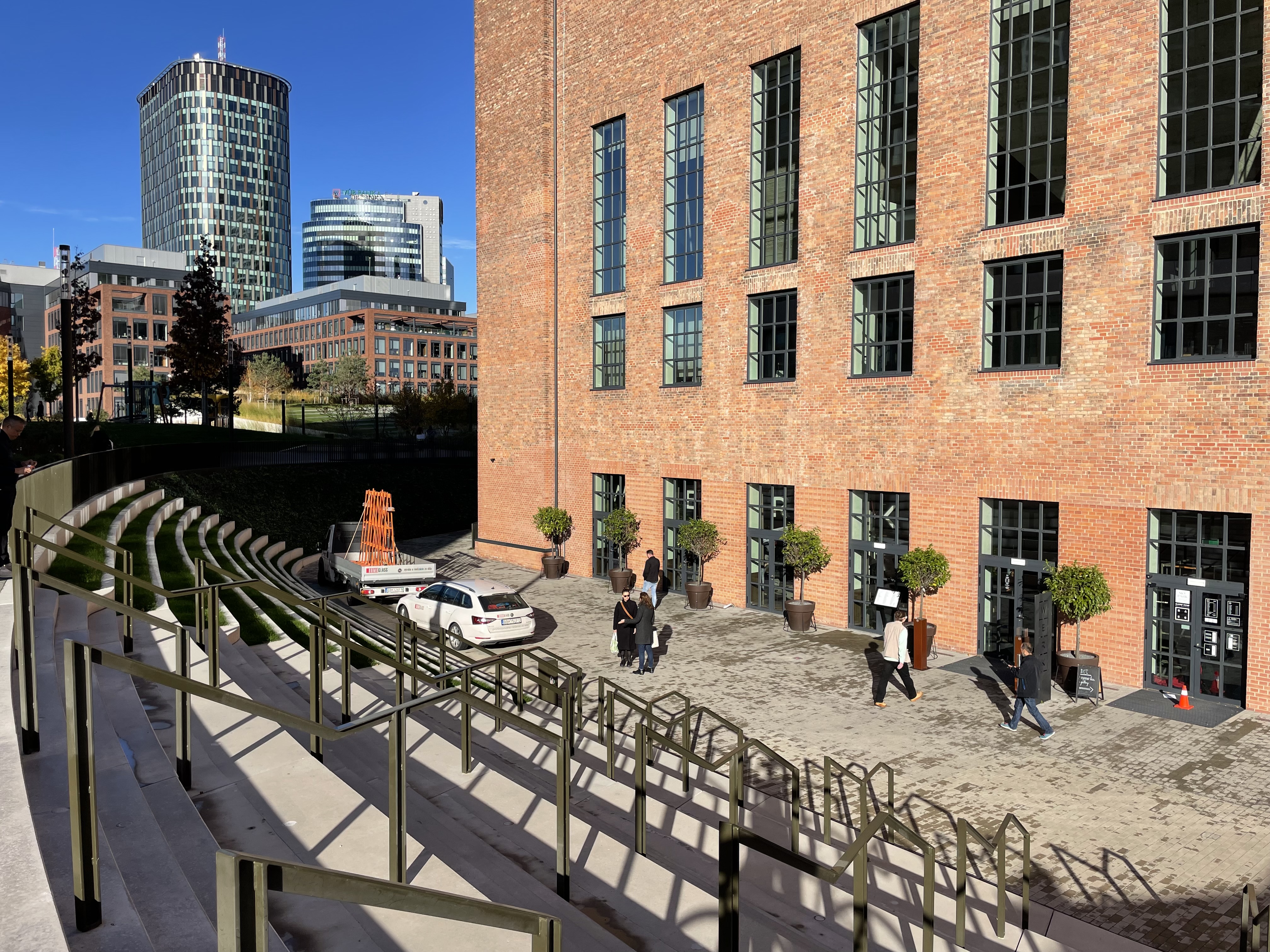
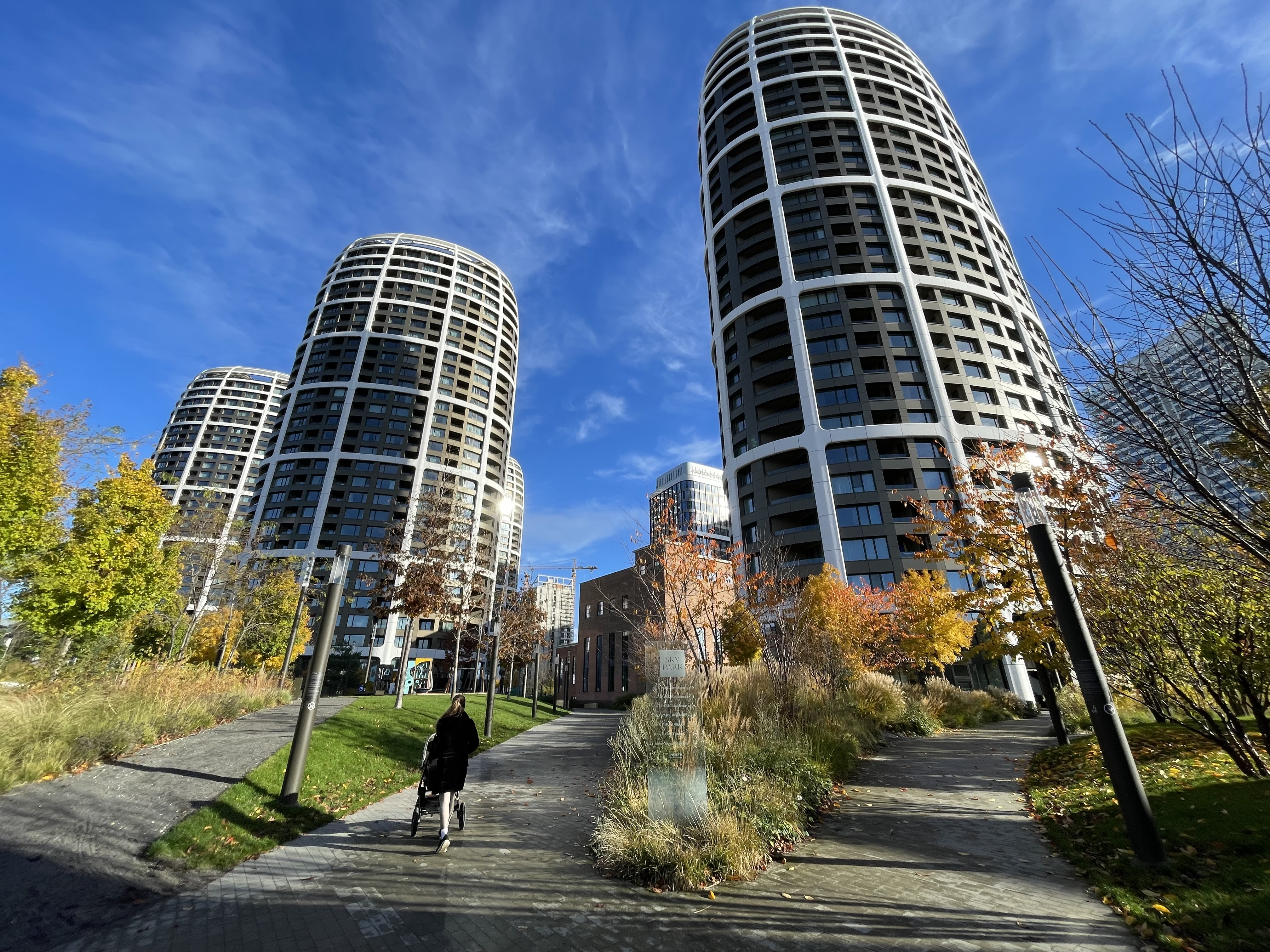
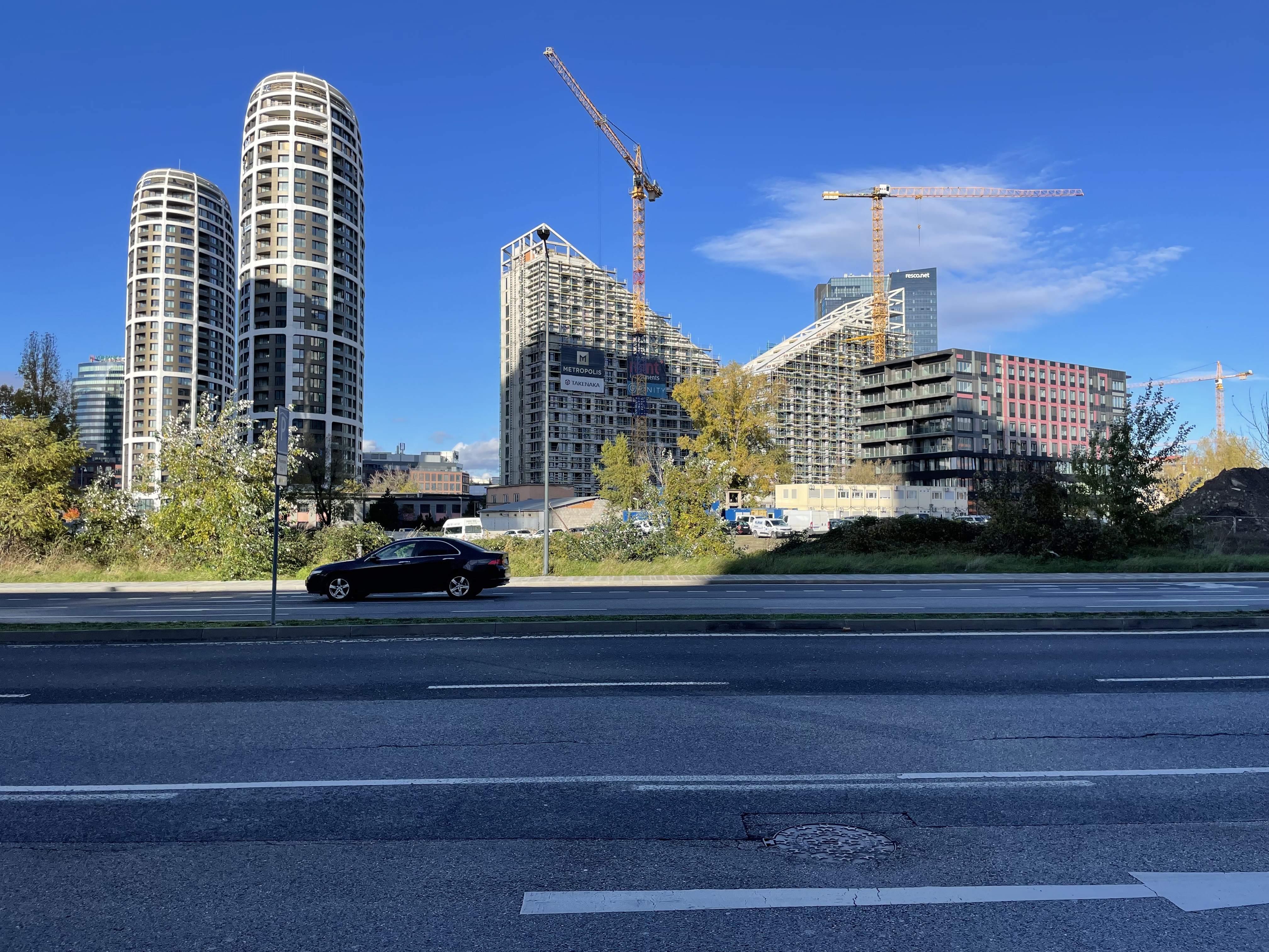
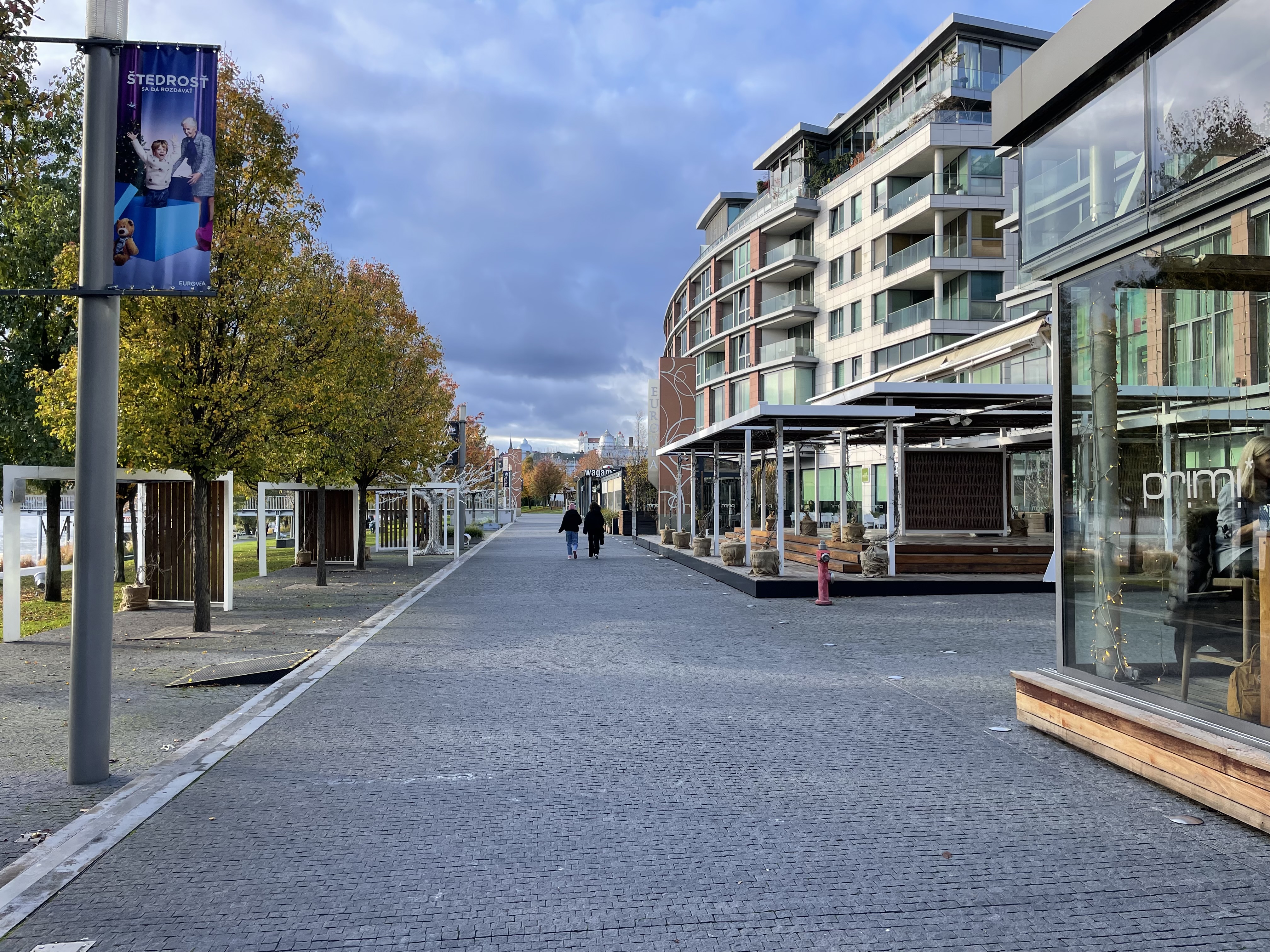
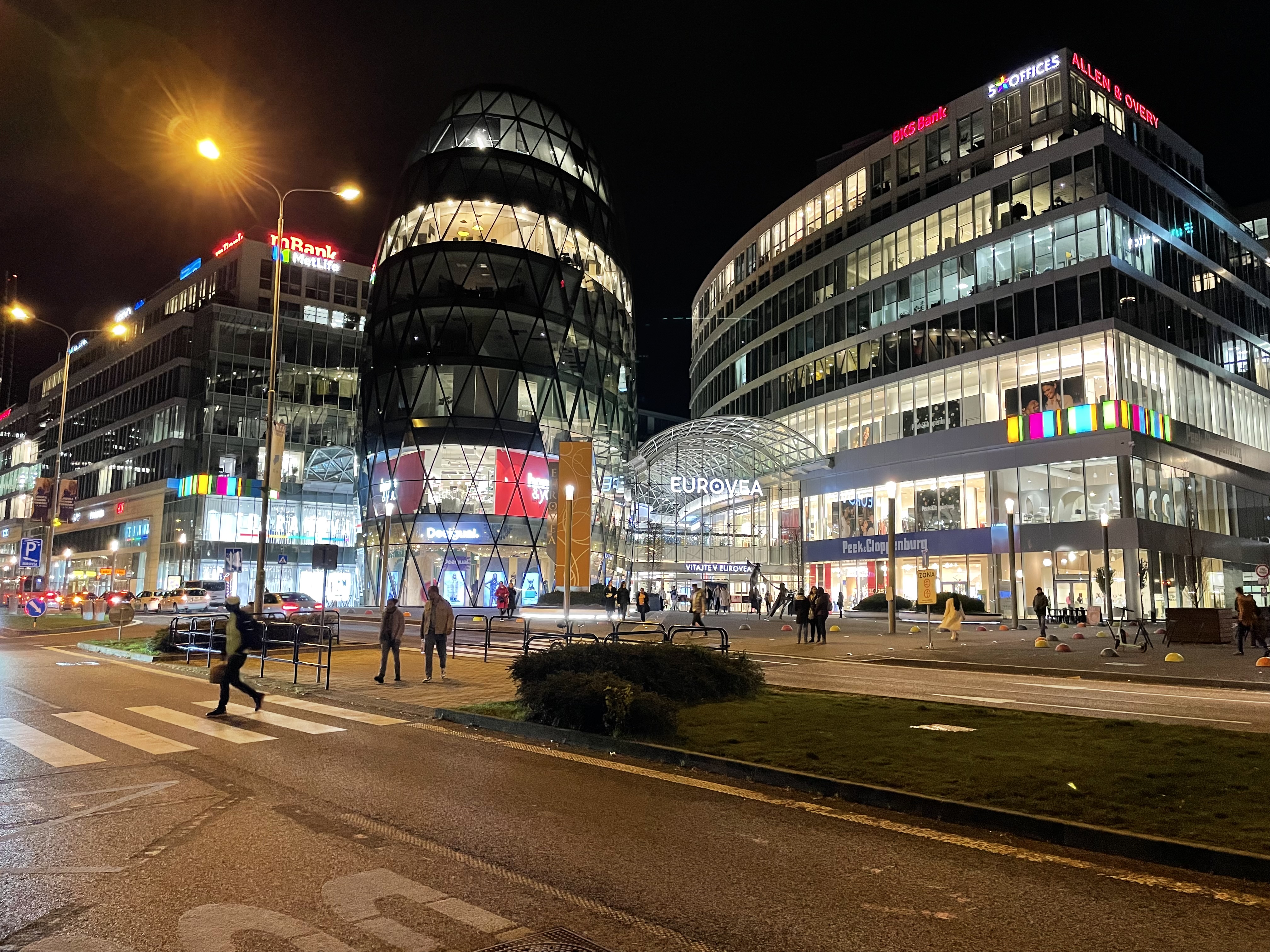
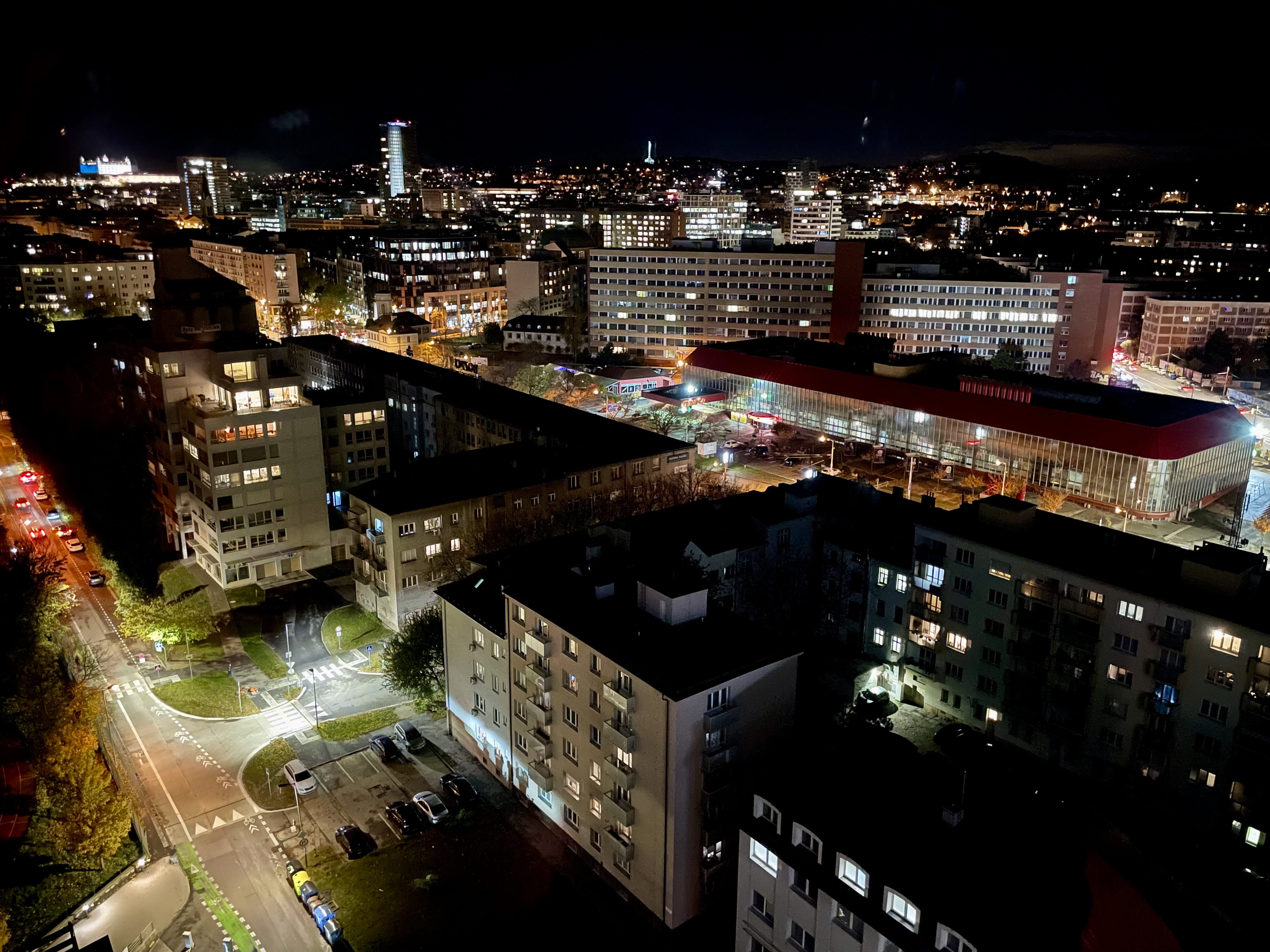
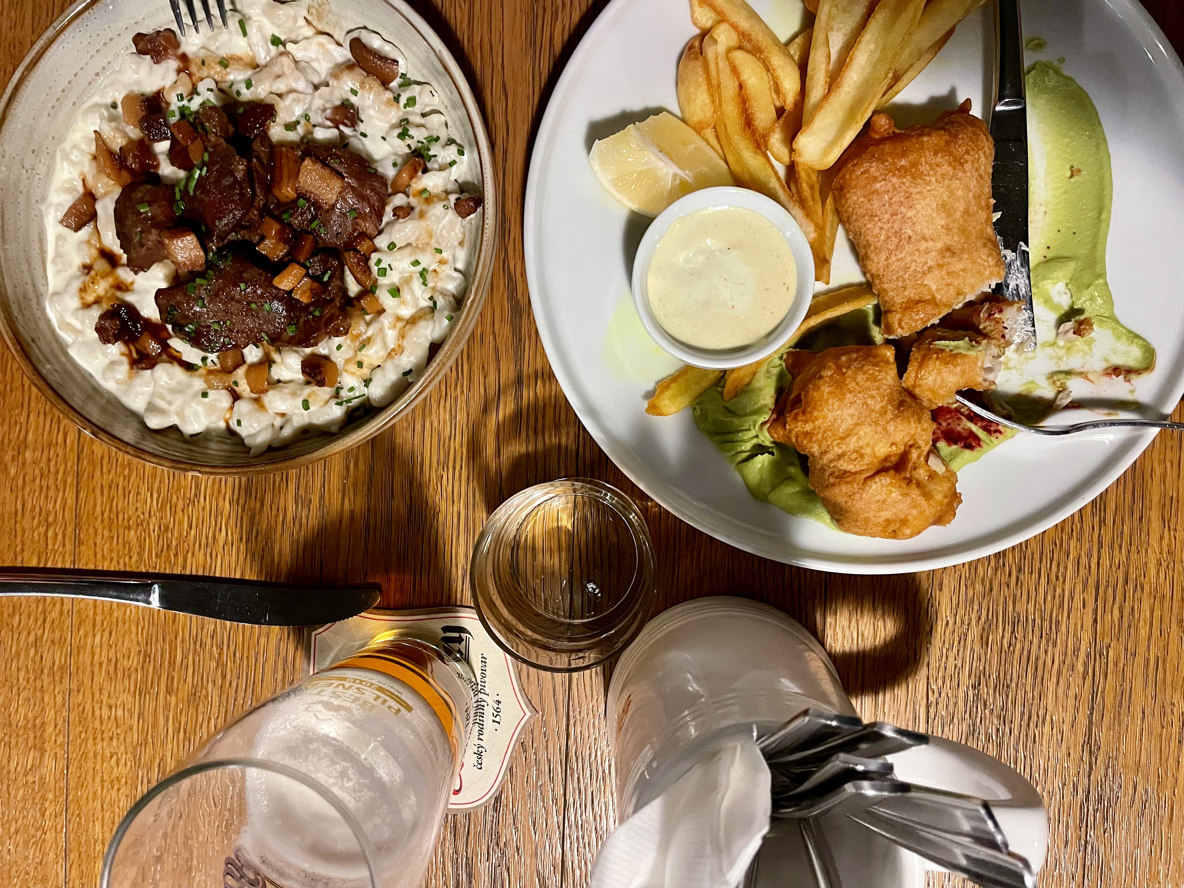
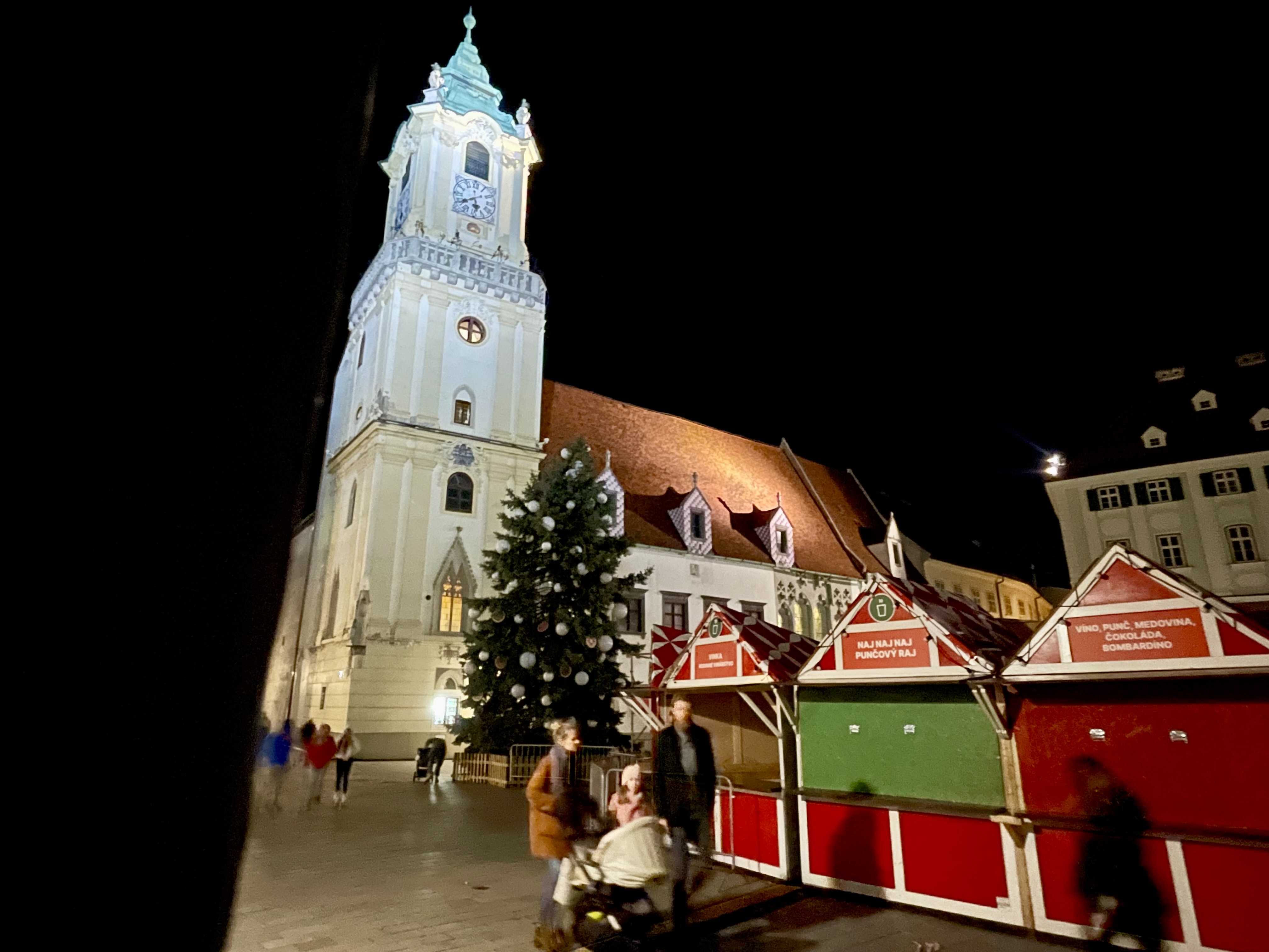
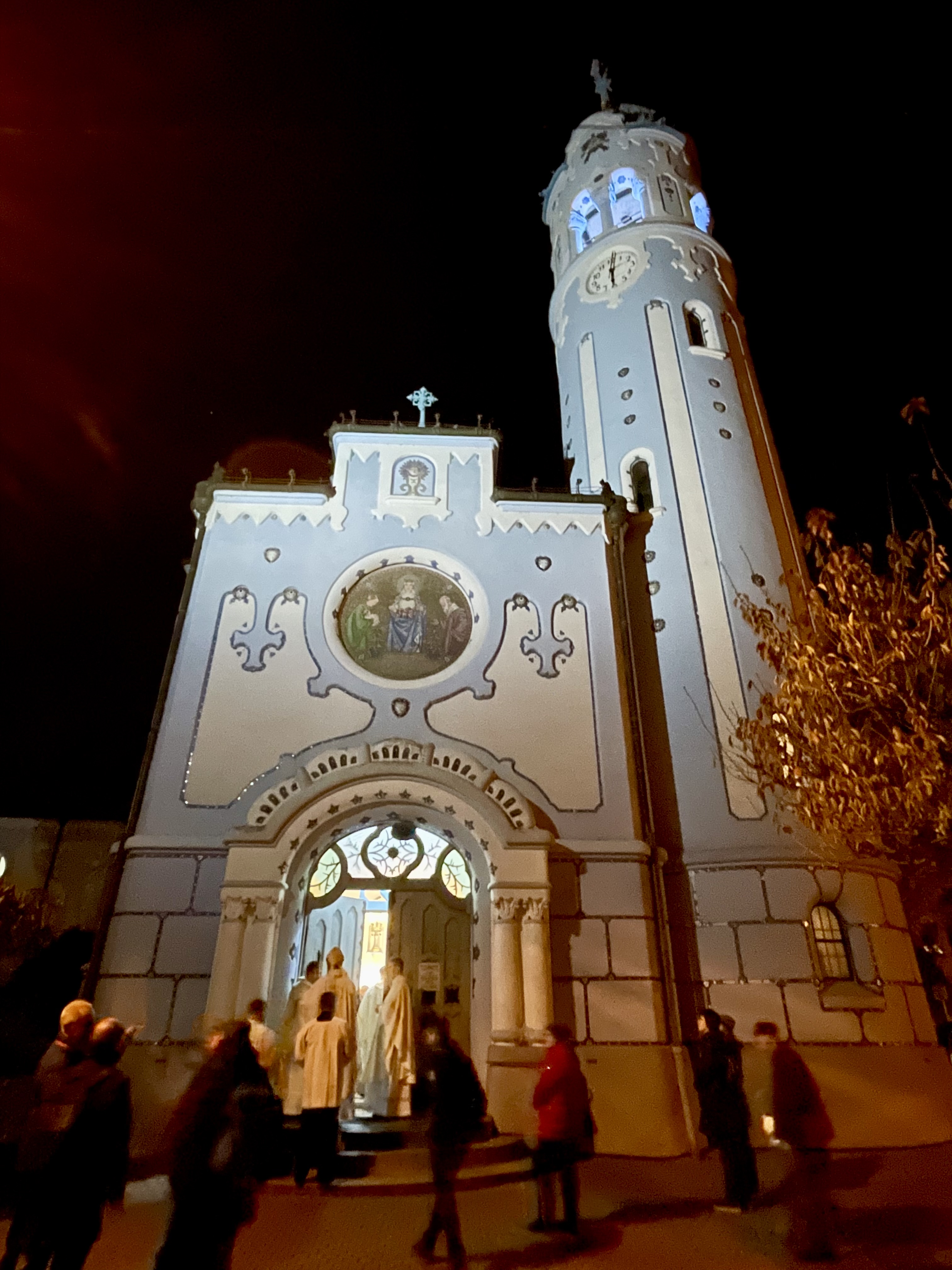
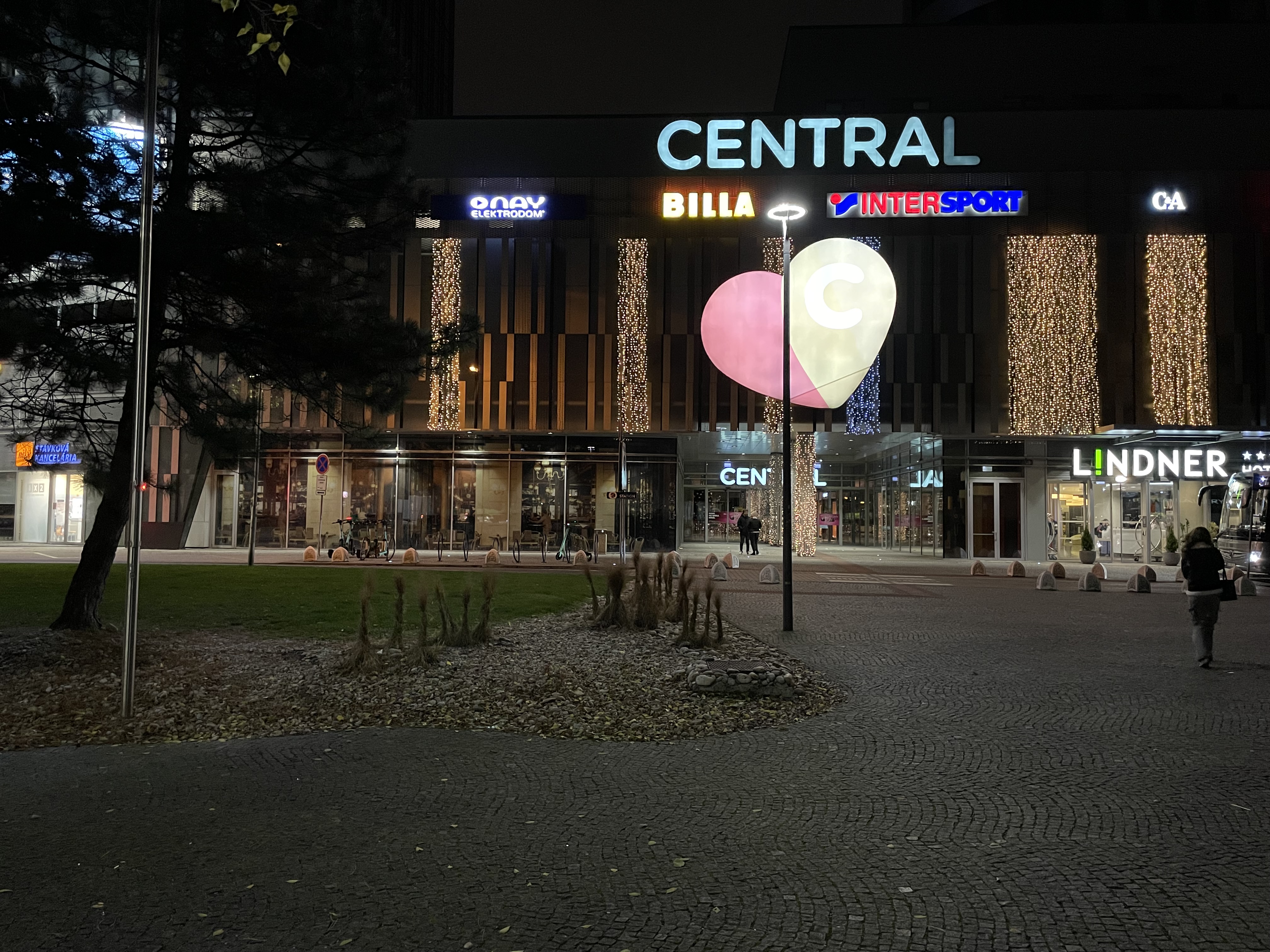
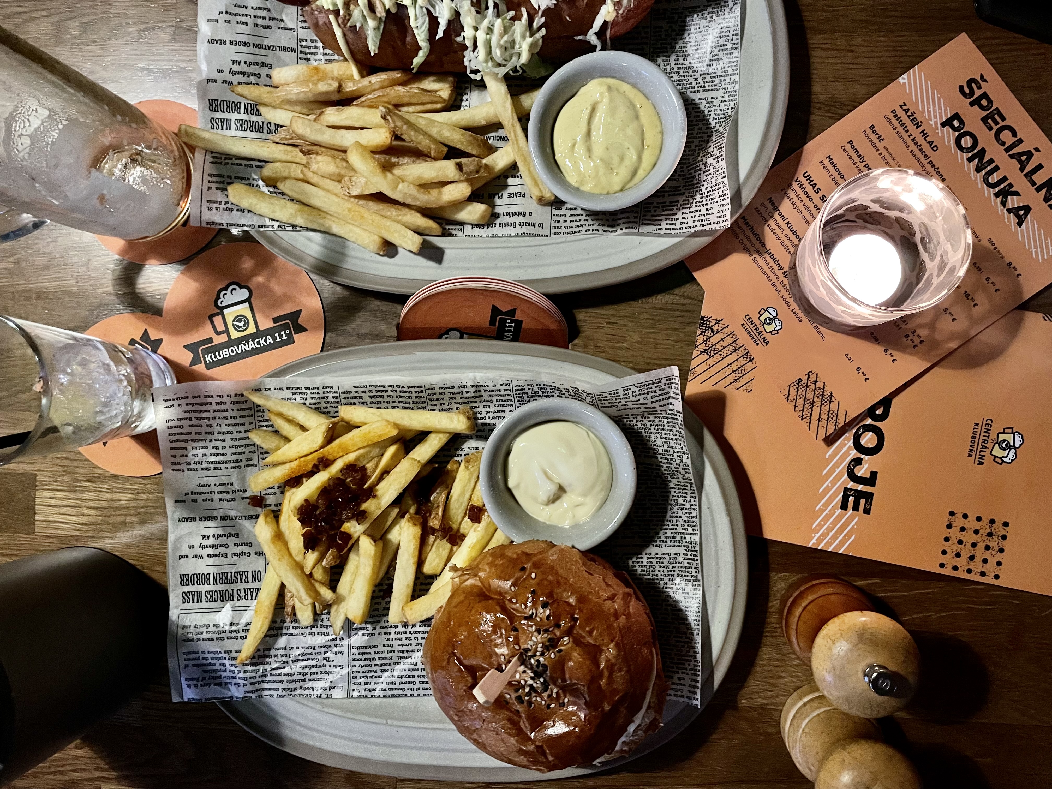
I was quite cold, especially my toes, when I got back to the room so I had a hot shower, then reviewed my pictures, and started writing the blog, before heading out to a restaurant near Eurovea, which is near Michael’s work, and where we ate last night, for dinner.

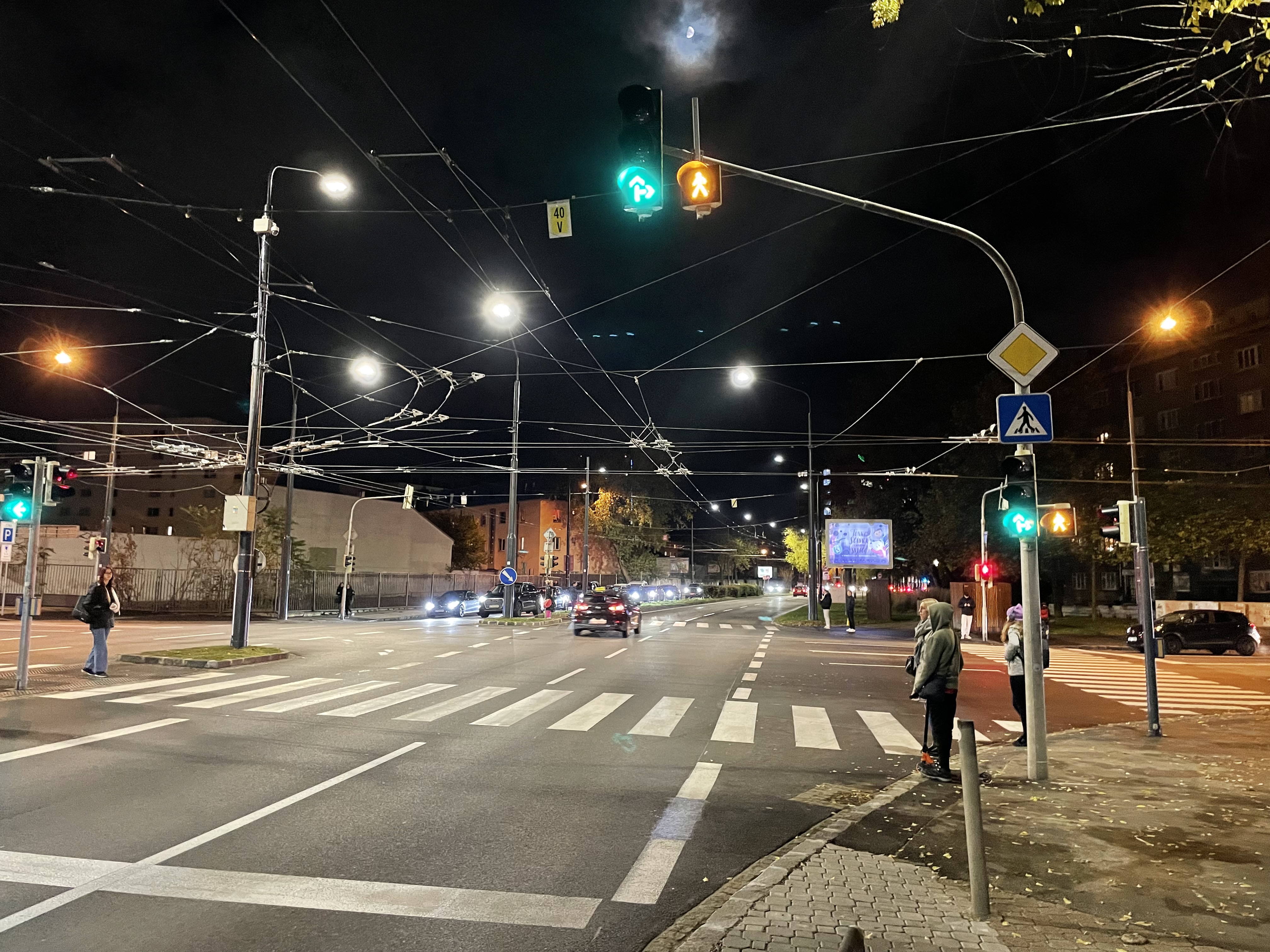
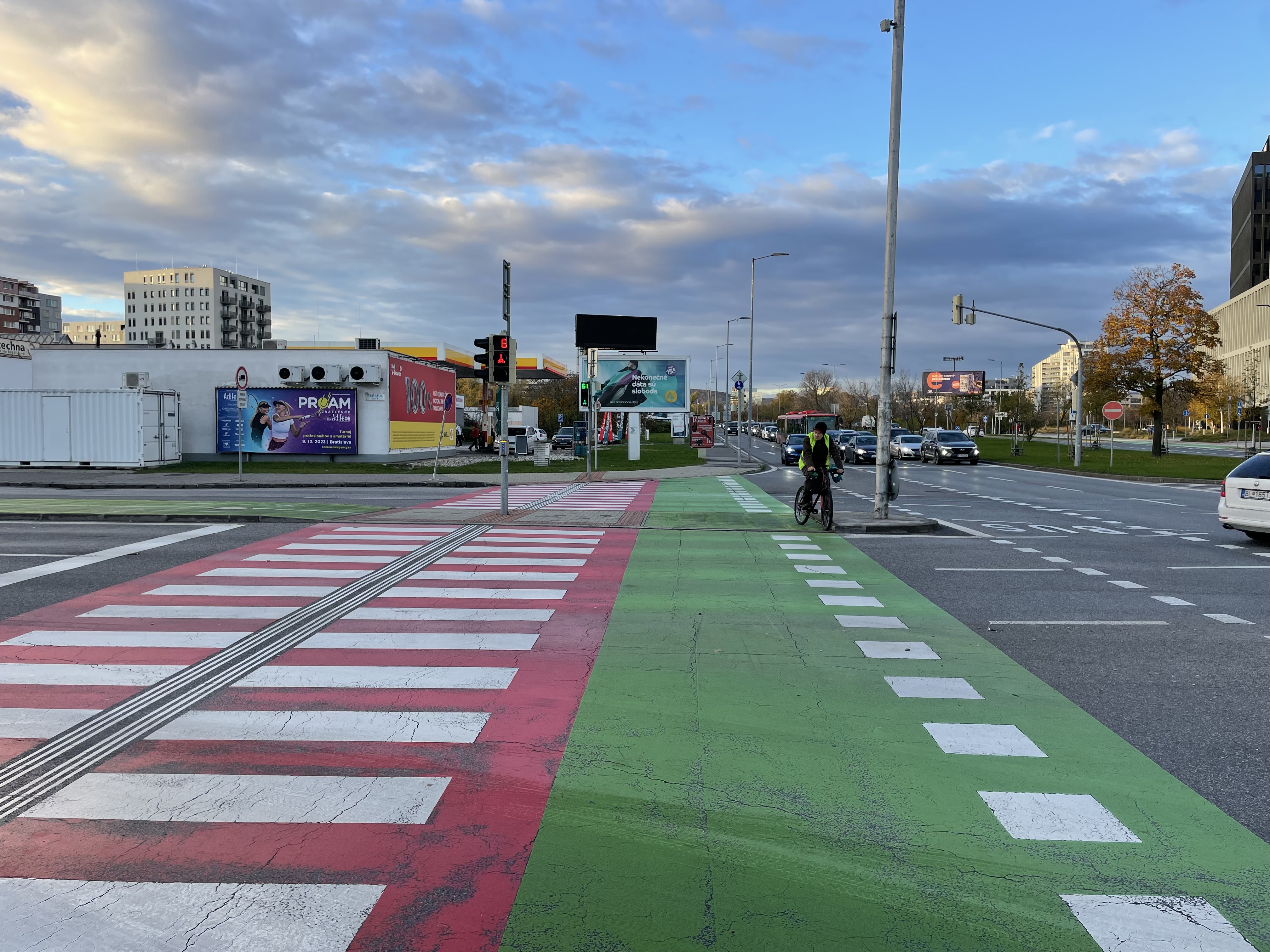
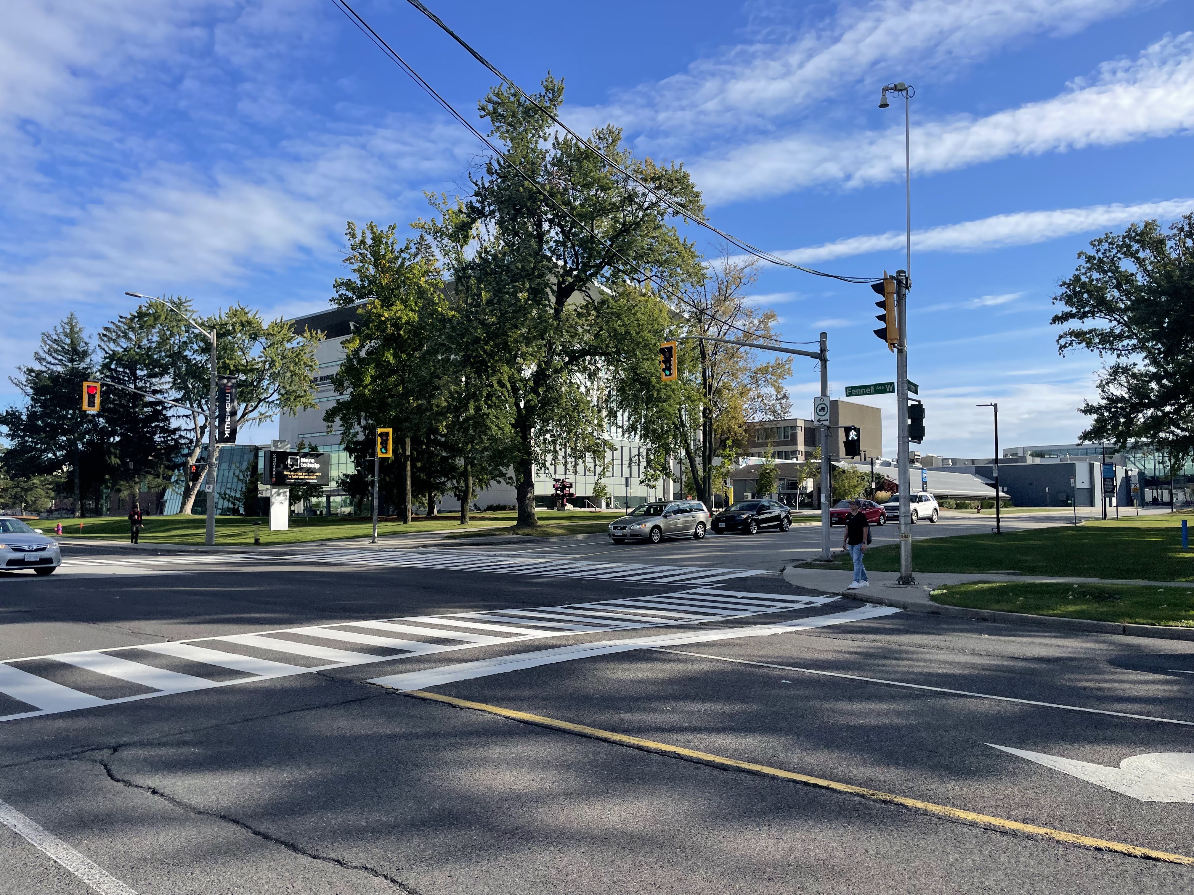
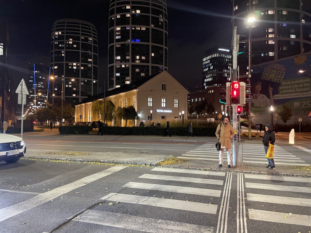
Some of the intersections here have countdowns to when you will be able to walk which I find useful.

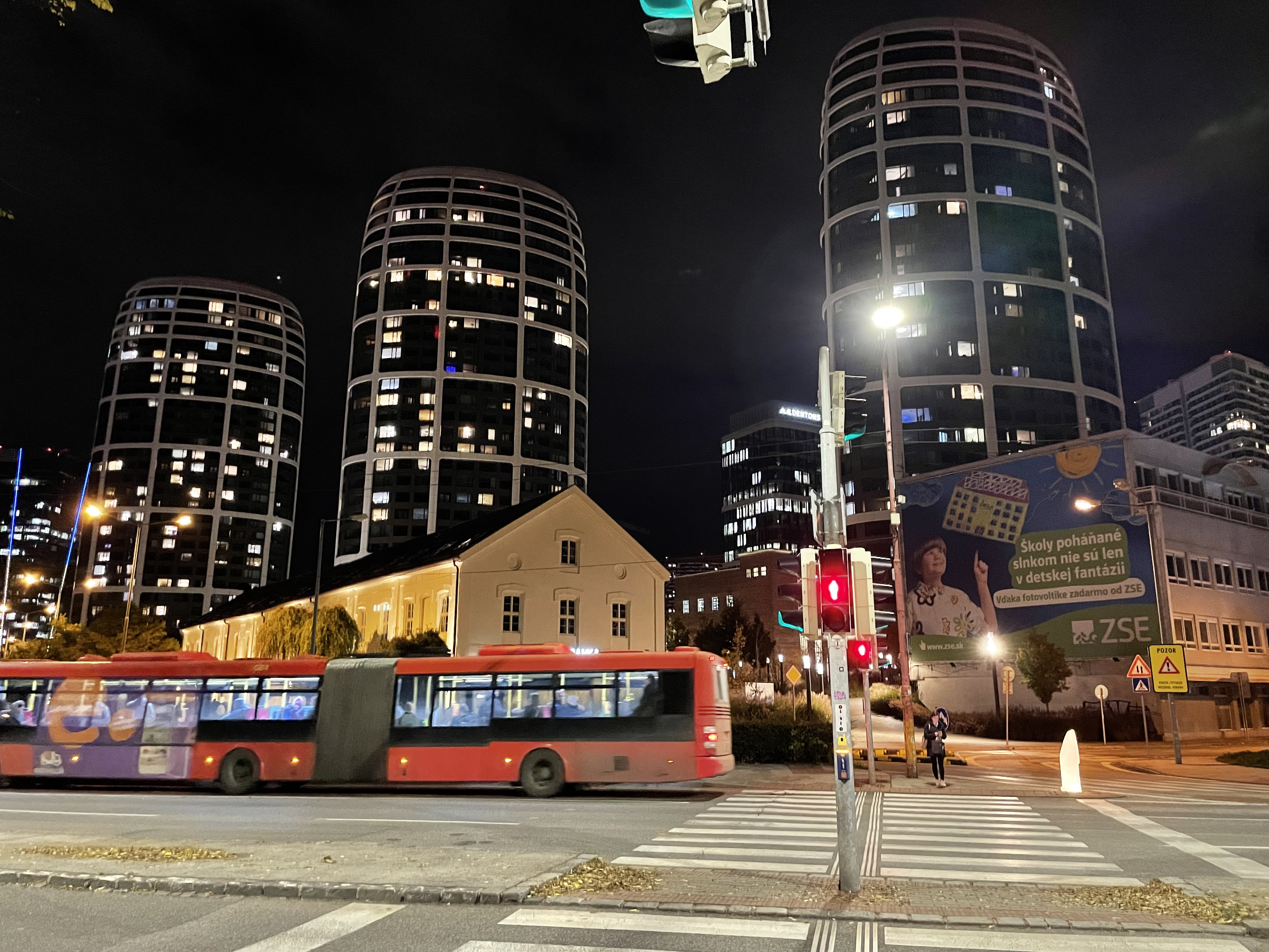
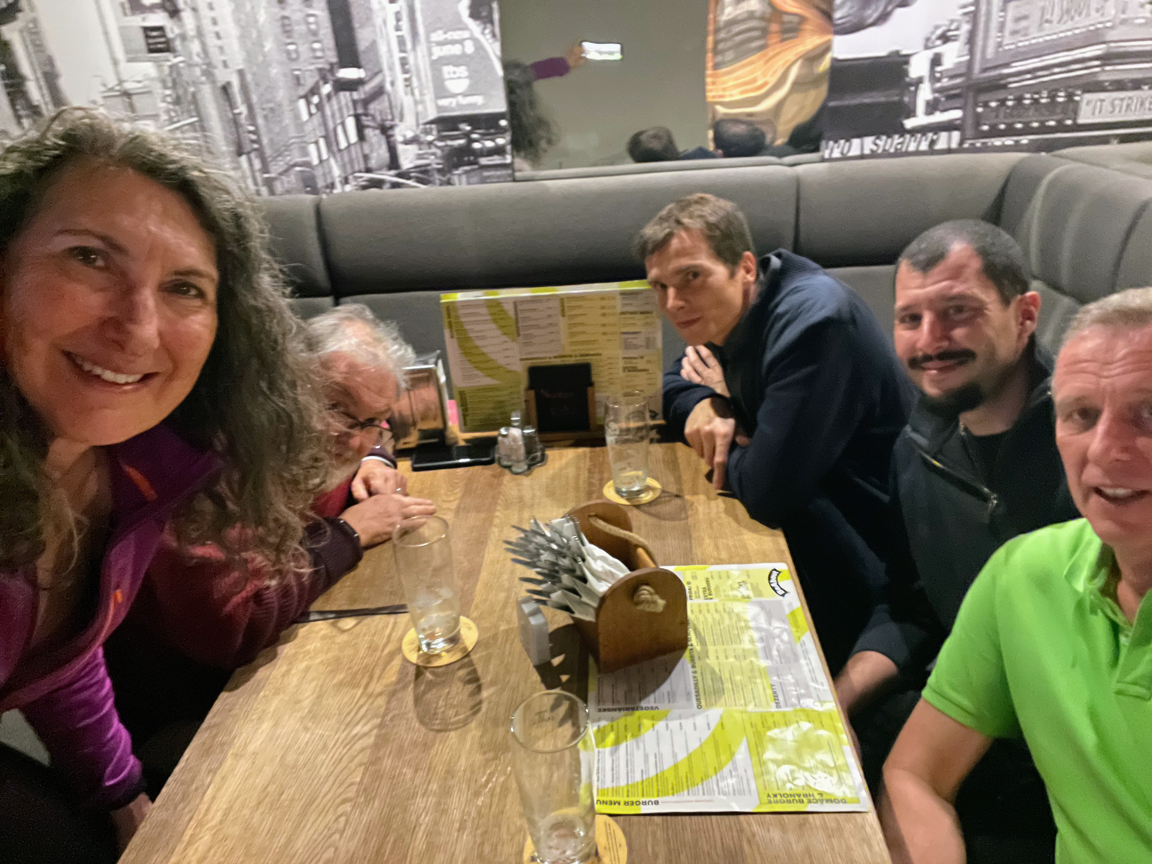
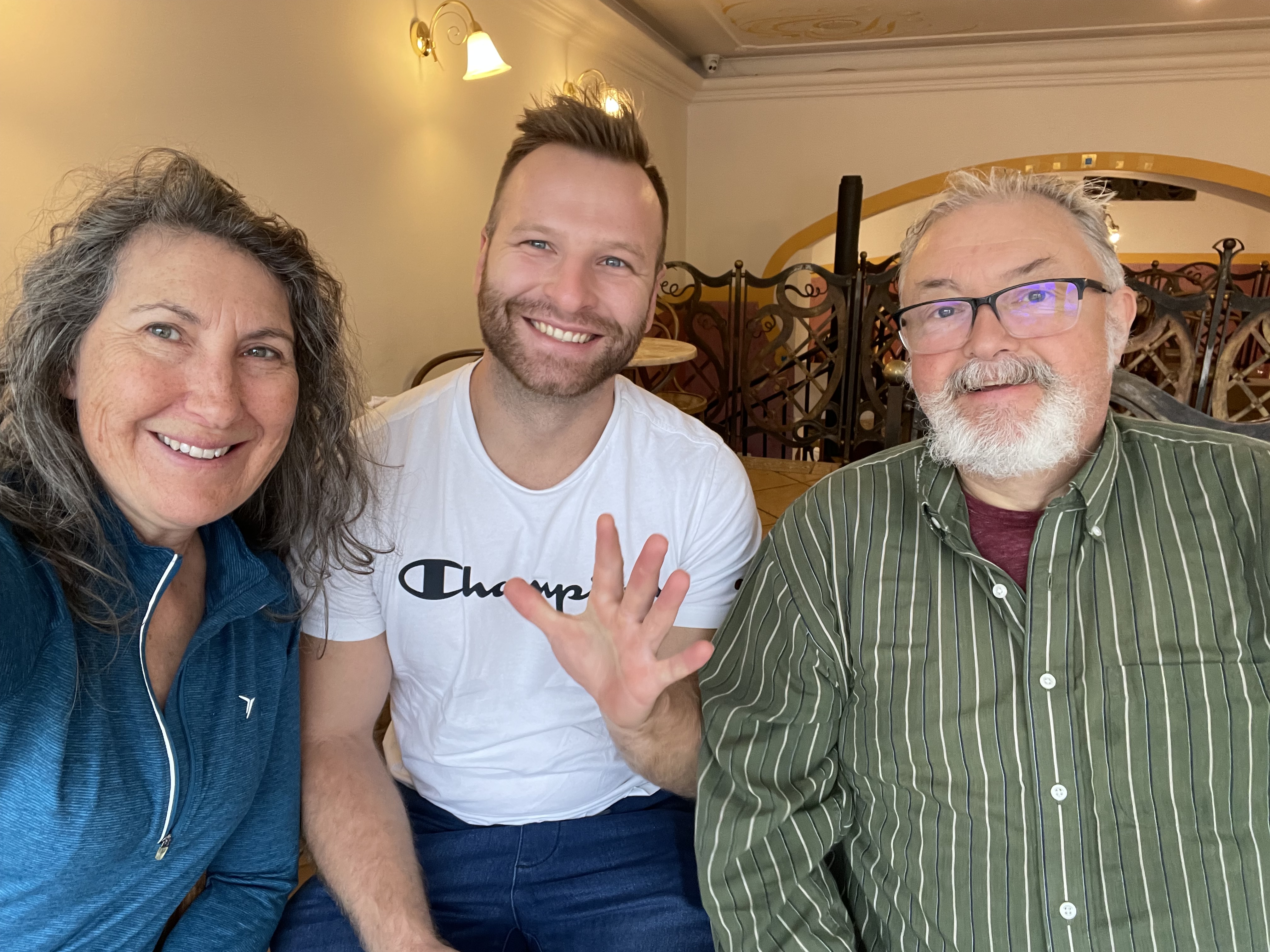
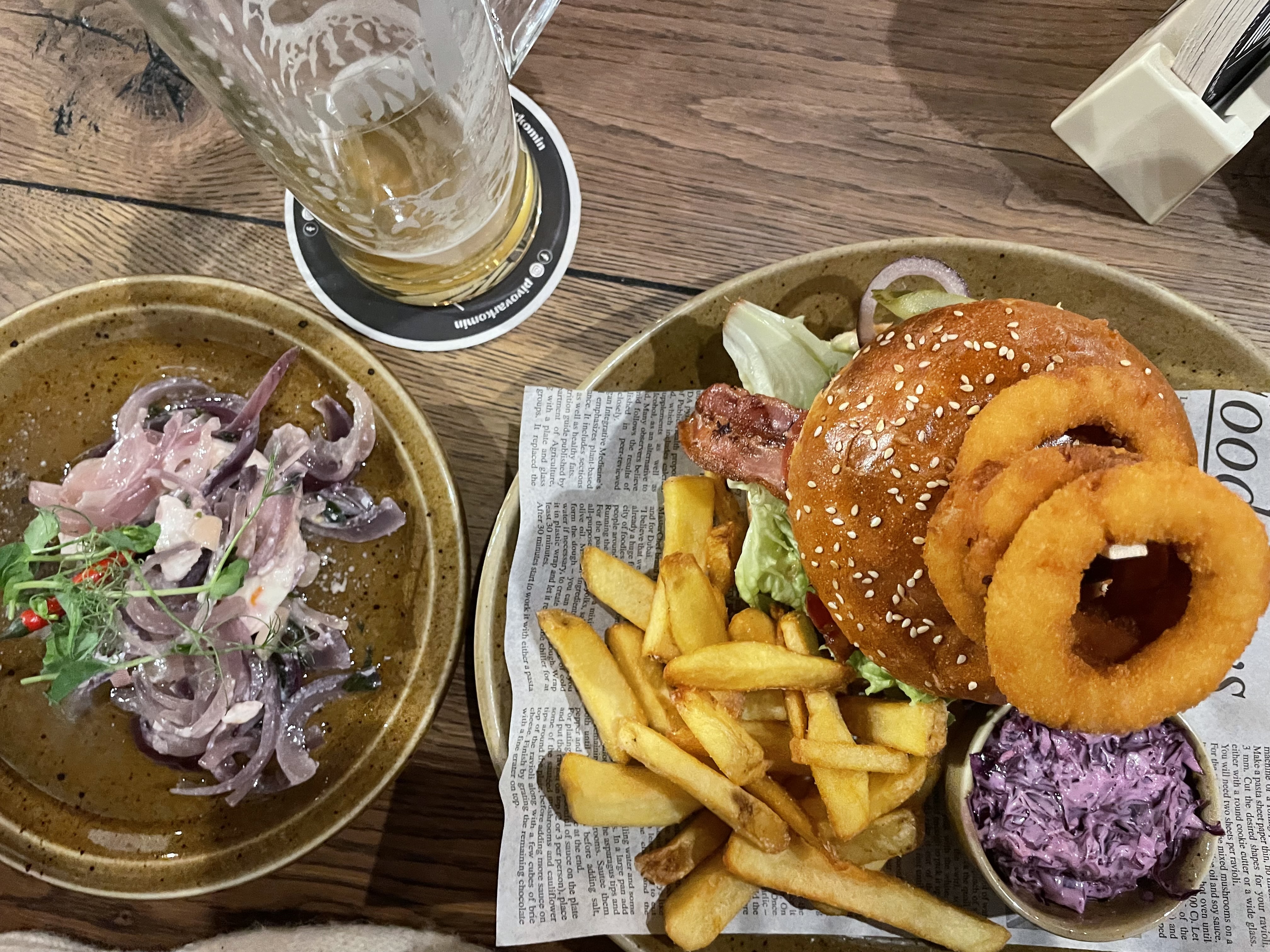
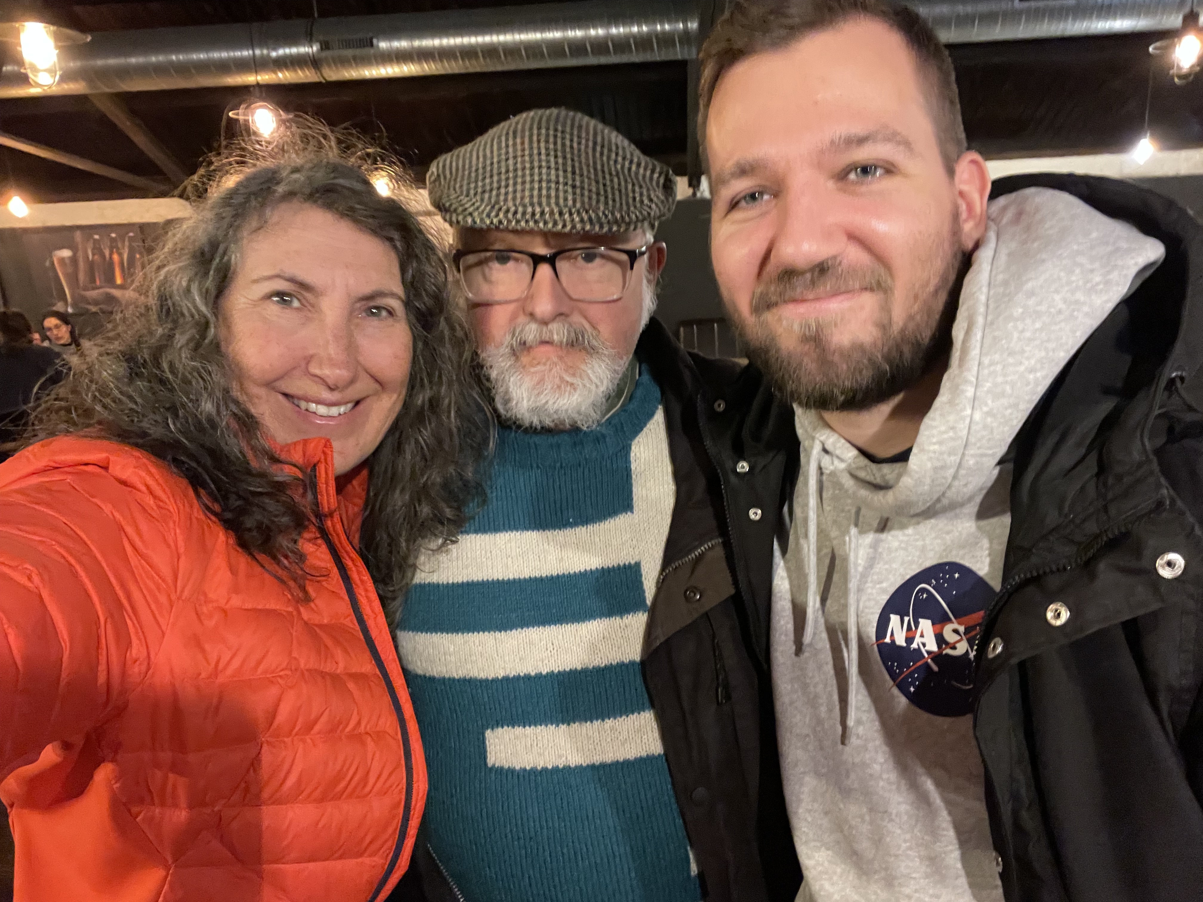
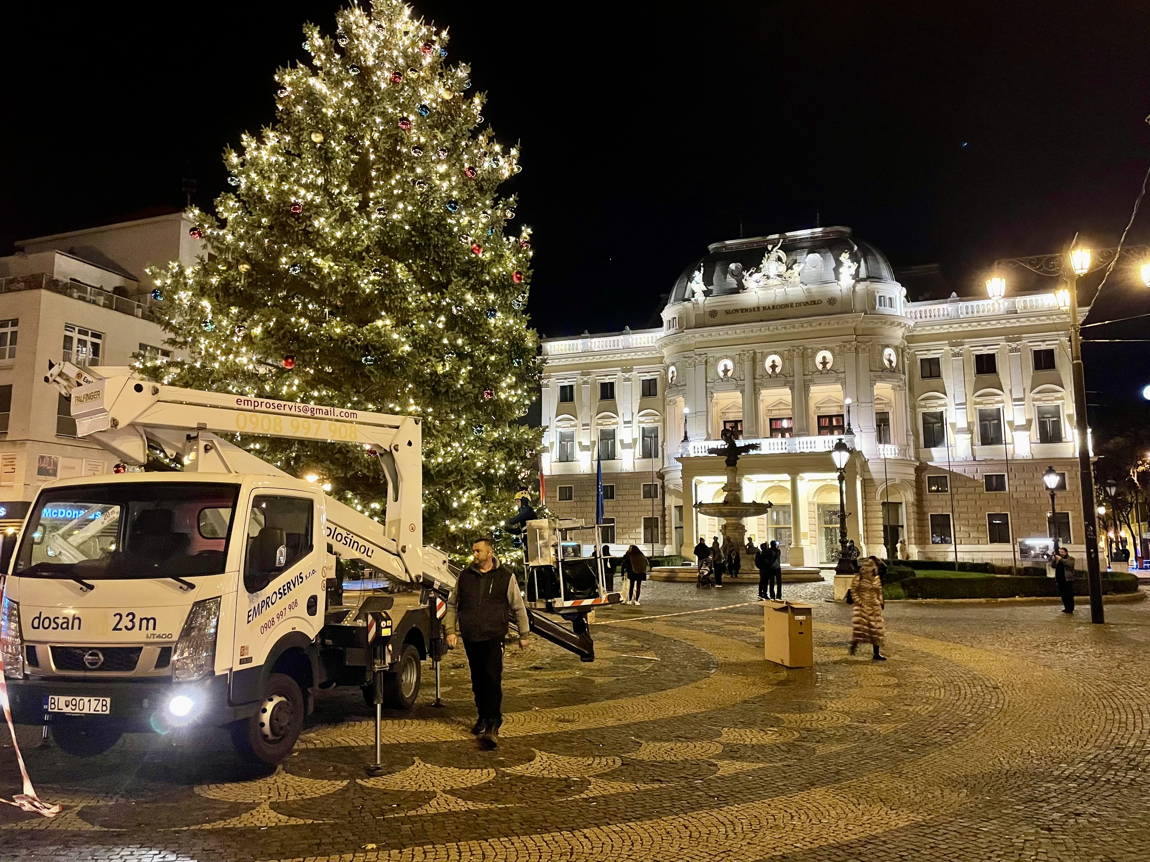
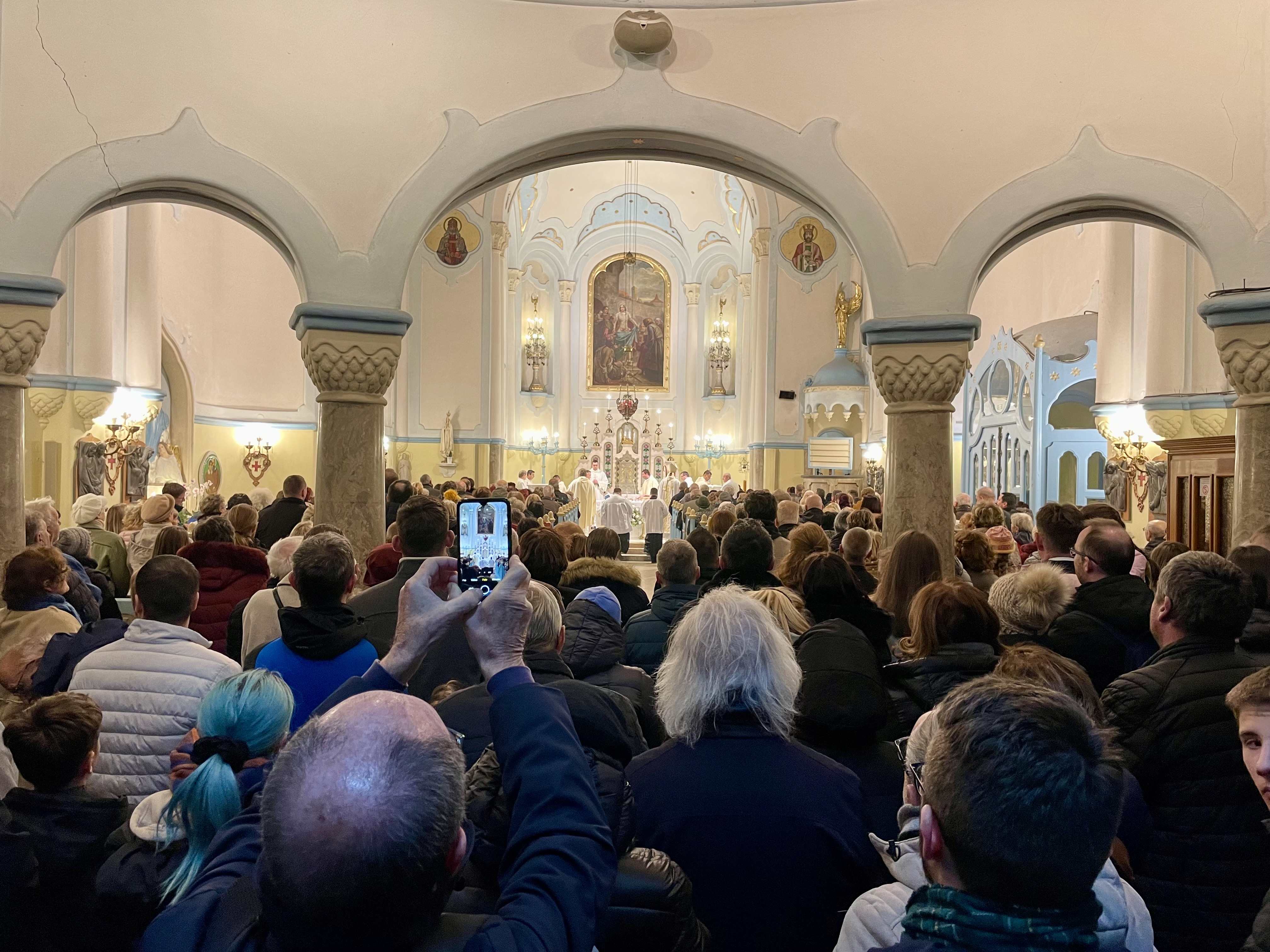
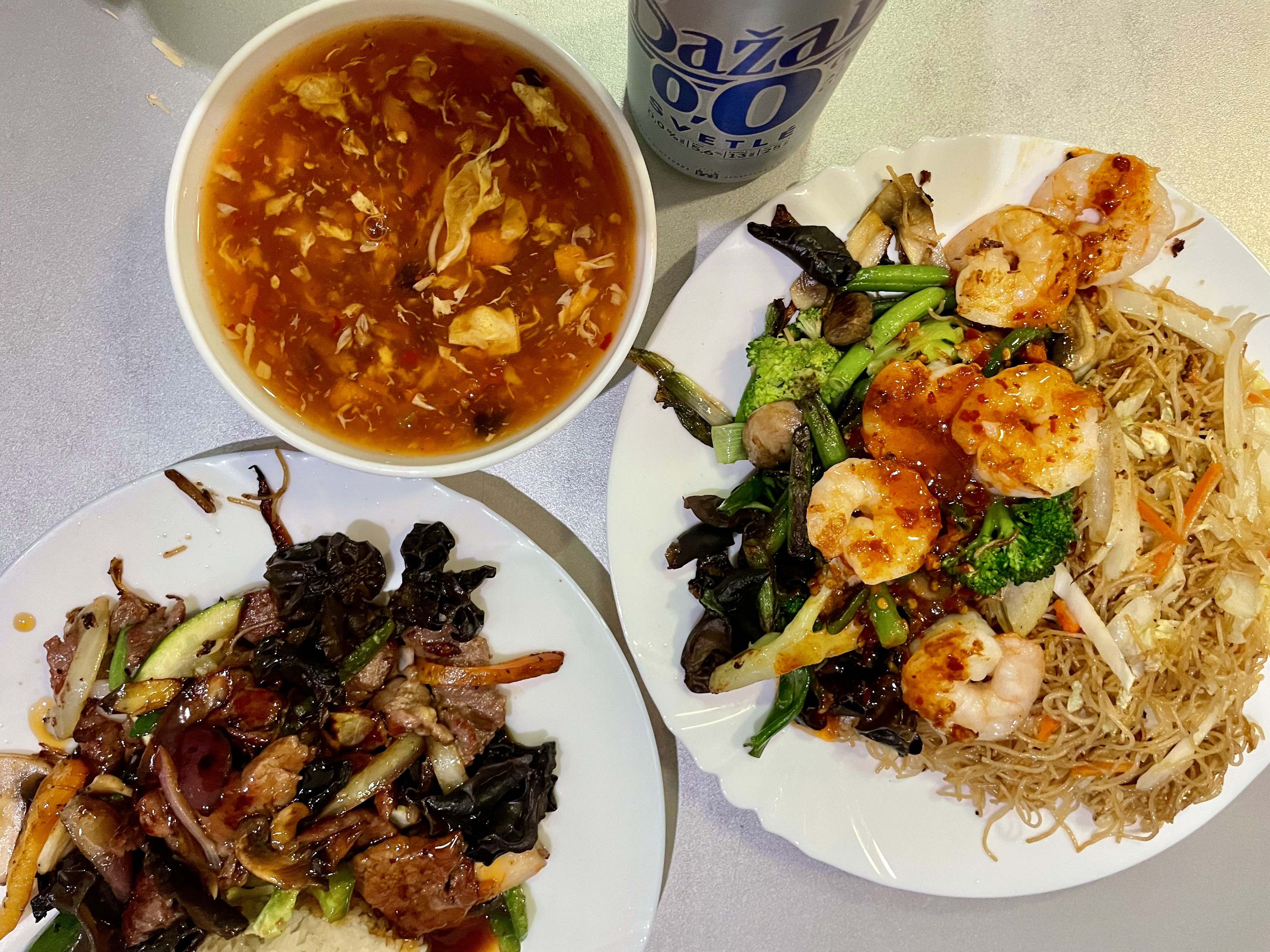
Dinner was good, and the air quality better, but it was very noisy. Marián and Tomáš joined us. We returned to the hotel on the tram.

Bratislava 2 – Day 6

I decided to have a less active day today and didn’t set an alarm, but woke shortly after 8 AM, anyway. I brought a latte up to the room after breakfast, relaxed in the room, and didn’t head out until nearly 11:30.

My goal was to explore a modern part of the city near the Danube River that included Sky Park, by the Architect Zaha Hadid, and Eurovea, a large retail mall, residential and office, mixed use space.

Rather than riding down the main street I followed the smaller streets trying to visualize a different way to get there than I have gone in the past. It’s much harder to navigate here because the city is not on a grid, so I was pleased to get there, without getting lost, and to see some new things along the way, and also some things that I recognized from previous walks or rides, which helps to build my mental map of the city.

There’s lots of lovely side streets like this where the trees meet overhead, and there is parking and a very empty single lane of traffic, which feels very comfortable to ride on.

This is the street adjacent to the Medical Gardens. The last time I was here there was just a florist. It’s very popular to buy flowers to put on the graves here. Today there were food trucks as well, with a surprising number of people using them on a weekday.

The new area has very high-quality cycling infrastructure. The roads are being built as complete streets right from the beginning.

Here’s another example of construction using the multi-use path  so a protected path is created on the road.

Bratislava is divided by the Danube river and has seven bridgescrossing it. They all have pedestrian and cycling infrastructure. Many of them have spiral ramps like this which are at a very comfortable grade for climbing up onto the bridge. I’ve uploaded videos of me riding up and down the bridge. When watching the video, you might need to choose the gear icon for settings and choose a higher picture quality if the video doesn’t look very good when you begin viewing it.

The bridges are generally quite high, and feel light and airy underneath.

This median bike lane wasn’t open when I was here in the spring. Unfortunately it is rather short and when passing the mall, there is a cyclists dismount sign. I didn’t.

There is no surface parking in this whole area, and the entrances and exits to the underground parking all have the same design.

The sun was beautifully lighting up the Slovak National Theatre this morning.

In this picture, there is inviting seating along the Danube, with the Eurovea shopping mall and residential buildings to the south. You can also see the Old Bridge, a transit and Active Transportation only bridge, and behind that the UFO bridge.

The reason I wanted to come to this area was to see a new piece of public art that was installed since I was last here.

It is called Octrahedral Body by the artist Viktor Freso. He often uses spheres in his work. There’s an interesting video about it on Instagram.

The high  today was forecast to be 10° and it felt much warmer than that sitting by the sculpture, so much so that I had to remove my coat. I decided to ride up onto the Apollo bridge to view the sculpture from there. Once I was there, I decided to continue across the bridge to the Danube Cyclepath. This oval spiral took me down to the path. The path runs 3000 km from the Black Forest to the Black Sea. I rode from Vienna to Bratislava on it in the spring, and also into Hungary.

I cycled along to the Old Bridge and up the ramp.

Here you can see how they have separated lanes for street cars, bikes, and pedestrians. There is also a seating area for looking west toward the UFO bridge.

I decided it was time for another coffee and headed over to Zaha Hadid‘s Sky Park. The buildings are quite recognizably her architectural style. The area is mixed residential, office, and retail. There are plenty of gathering spots and the  landscaping is beautifully done.

Here’s another view of her buildings on the left with some new ones being built in a different, but also interesting design, on the right. There wasn’t a lot of sunny spots to sit there so I decided to head back to the Octahedral Body. I got takeout coffee from a shop in this building.

An hour and 20 minutes had passed since I had left, but the wind had picked up and it was now quite cool. I put my coat back on while I drank the coffee and ate my hard boiled eggs from breakfast.

Here are a few more pictures of the park between the Danube and Eurovea.

I stuck to the back streets again on the way back to the hotel, and came across some interesting apartments covered in ivy, turning red with the cold weather.

I ended up on this main street, but it had a multiuse path, but even riding on the road on a street like this is quite comfortable, because the traffic is not nearly as heavy, or as fast, as it is in Brampton on similar streets. Many of the buses here are electric, in addition to the extensive electric streetcar network.

When I got back to the hotel, I stowed the bike in the luggage room, and then went up to the room, to find that it was being cleaned. So I dropped my things off and went down to the mall connected to the hotel.

I bought myself a takeout latte and a piece of cake, and went back up to the room to rest, look at my pictures, and write the blog.

I have never noticed this before, here or elsewhere. There is a pedestrian light beside the motor vehicle traffic light, presumably so drivers can more easily determine if pedestrians have the right of way.

I walked back, almost to the Old Bridge, to BeAbout, a burger restaurant, to meet Michael and three of his colleagues.  It gets dark 40 minutes earlier here than at home, so it was fully dark for the walk. 

BeAbout was a large space in a basement, which unfortunately did not have great air quality. I hope no one in there had COVID. The food was good, though, and the conversation enjoyable. Two of the group are cyclists, and gave me some suggestions for places to ride. 

We took the tram back to the hotel and hope to have an earlier night. I haven’t decided what to do tomorrow yet. 

Bratislava 2 – Day 5

What an absolutely exceptional day I had today. I set my alarm for 8 AM, dressed in my cycling gear, and went down to the luggage room to bring the bike up to the room. I installed a bike seat that I know is comfortable that I brought from home, my lights and a bar bag. Then I went to the dining room for breakfast and took a hard boiled egg, and some yoghurt drinks to take with me on the bike in case the small places where I was going had no food on offer. The weather was forecast to range from 9 to 13°, and sunny. Here I am ready to go.

Only the first 2 kilometers, and the final kilometer, of the 53 km that I rode, were on roads that had any significant amount of traffic. There was perhaps an additional 5 km at the most that was on the road, but with very few cars. The rest of the distance was on excellent cycling infrastructure that allows no, or very restricted, motor vehicle traffic. The long distance cycling network here is like nothing I have seen in Canada, with only the P’Tit Train du Nord and connecting trails in the Laurentian’s coming close.

My route today took me up and down a mountain. The change in elevation was double what I am used to compared to riding up the escarpment at home, which I find quite challenging. Almost the entire ride was relatively flat other than 6 km of climbing, and 6 km of descending. 

The surfaces were quite wet from a lot of rain that fell overnight. It was a mix of sun and cloud as I started out. It wasn’t long before I had to remove my vest. The route ran parallel to the rail line for a while.

The path I was riding on was paved, but crisscrossed with other paths, down to the city, and up into the mountains, some of them paved, and some of them dirt.

Several trains passed me as I rode.

I passed through a couple kilometres of vineyards, and there was a small restaurantat at one of them.

A restricted number of vehicles were allowed on the path, such as service vehicles, but only one car very slowly passed me.

The path briefly went through a built-up area on a regular road, but there was no traffic.

Then there was about a kilometre on a gravel road.

I then reached a small village called Rača which had a bust of Andrej Hlinka, a Slovak, Catholic priest, journalist, banker, politician, and one of the most important Slovak public activists in Czechoslovakia before World War Two.

I had already been climbing a bit to get to Rača as can be seen when I looked back at this point.

However, the challenging 6 km of climbing with over 400 m of elevation change, was just beginning. 

In addition to the paved pathway that I rode up, there were numerous mountain biking and hiking  trails. 

The municipal bus service came right up to the beginning of the bike path at the City  Forest. 

The path is a very generous width, as you can see from this service vehicle that carefully passed me. Only two other motor vehicles passed me in the 6 km of the climb. I didn’t see any other cyclists riding up, but three were riding down, two of them were young women about my children’s age, on e-bikes.

It wasn’t long before I had to take off my vest, and roll up my sleeves, given the exertion of the climb, even though the sky had clouded over and light rain had started.

It’s always difficult to understand how steep something is in pictures, but if you look at the slope beside me in these pictures, you can get an idea of what I was climbing.

I stopped to let my heart rate fall and give my legs a break every 400 to 800 m, but I managed to ride the entire thing. 

The wayfaring signage and abundance of cycling infrastructure is so impressive, given what I’m used to at home.

Just before I reached the top, there was a restaurant and a bicycle rental business. There was also a large white cross, which gives the place its name – Biely Križ.

The bicycle repair station had outlets for people to plug in their e-bikes.

This is a hostel which caters to cyclists and hikers. All the fence posts were capped with mugs.

When I saw this platform and frame, I figured I had reached the top about 1.5 km before I expected.

However, once I got around the curve, I saw that the road continued up, but not quite as steeply.

The descent was absolutely amazing. There was still a fair bit of fall colour. I descended fairly quickly for the first couple kilometers, probably getting up to 35 or 40 km/h, but then on one of the curves, I hit some debris on the path while breaking and fishtailed, but fortunately stayed upright. I was also getting quite cold at that point, so I put my jacket back on, and descended more cautiously after that.

The park ended at a village called Svätý Jur, and the descent continued through the outskirts of the village to the main square. Outside of the downtown area of Bratislava, I have been seeing these metal discs bolted into the road to slow down drivers.

The main square was lovely and lined with shops and residences.

I stopped at the Café-Bistro Sanctus Georgius for a latte. A man standing outside to smoke called out “Welcome” as I arrived, but that was the extent of his English. I’m not sure how he identified me as being an English speaker, but obviously he was correct.No one in the café spoken English, but I muddled through.Many cafés here provide cushions and blankets to allow one to sit outside comfortably in cold weather.

A daycare in the village had an adorable coloured pencil fence.

It was a very appealing, walkable village, and this park next to the grocery store, caught my eye. Just down the road from the grocery store was a school.The intersection closest to both was completely raised in all directions, an excellent safety measure.Around the corner by the high school, there was another raised intersection.

The village had a small train station.Then I was on another bike path running parallel to the train tracks.

At a high level I planned the route based on the places suggested by Dominik on Sunday. I decided the details  based on heat maps of where cyclists ride.  Overall the entire route was excellent. There was one oddity which was that I needed to ride across this field and climb up this embankment.

This beautiful bike path is what I found at the top of the embankment.

I passed quite a few small canals along the way. The globes in the trees are mistletoe.

There were many beautifully forested sections to ride through. But not so many as with rail trails at home, that I got bored. Often the path went through open fields with beautiful vistas.

At this point, the bike path started parallelling the highway, but there was a very little traffic noise. The highways here have COR-TEN steel noise walls that seem to be very effective.

When we were driving into Bratislava from the Vienna airport, I noticed bridges that seem to have vegetation on them and be quite wide. I speculated that they were wildlife crossings, and today I saw one of them from the side.

Here is a mark of excellent infrastructure. You have the option to go under the road or over the road and also the wayfaring signs show you all the other routes you can connect to.

Another sign of a society that considers the welfare of those using active transportation is that they sign and build high-quality detours when they have to close infrastructure for construction.

My route took me around Bratislava airport. There are no flights direct from Canada to this airport.The airport covered a lot of land, but the cyclepath continued all around it.

I stopped at the south end of the airport for a snack and a plane came in over top of me.These lights are  for guiding aircraft in. I don’t understand why they would be on this wave shaped bridge, as opposed to just a regular convex one. Perhaps to keep the lights all at the same height?

This restaurant had the figure of a man holding a real, but aged rode bike.

At this point, I recognized that I was travelling along the Little Danube and retracing part of a ride I did last spring.A lot of commuters seem to use this path.

In this picture, you can see a pipeline crossing the river, then a pedestrian bridge, then a highway bridge.

That’s my shadow on the COR-TEN steel noise wall.

This picture show two high quality bike paths crossing  and significant investment in cycling infrastructure in a chalking place where there is a river and highways and ramps, but it is still an inviting area to ride.On this section, the bike path is separated from the walking path by an accessibility strip.

As I approached here, I thought I might have to use the stairs, but was pleasantly surprised to see that there was a ramp.

At this intersection, it’s painted green for bikes and red for pedestrians.

The bike lane is in the centre of the road and painted green where it’s at grade.It then continues in Boulevard between trees.

And here I am back at the hotel 53 km later. I was quite tired towards the end of the ride, but in a different way, from when I was climbing the hill, where my heart rate was very high. At this point my legs just felt like they didn’t have much left. I think I am still not completely over the jet lag.

I was able to shower and relax in the room and review my pictures before Michael got back from work. We went up to the 13th floor to the hotel bar called Outlook for a drink and beautiful views over the city.

Then we walked to Spilka for dinner. I chose fish and chips, something I choose from time to time after a day of biking, but unfortunately it were disappointing. They definitely filled me up, though.

I haven’t decided what I’ll do tomorrow, but it’ll be something less taxing.

Bratislava 2 – Day 4

We had another late breakfast, and then walked to the Schokocafe Maximilian for hot chocolate that is more like fondue than what we call hot chocolate in Canada. It was delicious.

This will be my motto for the next couple weeks.

I’ve only been seeing one or two bike, share bikes per docking station, so it seems like many of them have been put away for the winter, because I haven’t seen very many in use, either.

Michael’s Slovak tutor joined us shortly after we ordered and after visiting with Filip for a bit I left the two of them to converse in Slovak while I explored on my own.

Bratislava is famous for its statues. This one is Schöne Náci, a famous figure in Bratislava. He was a regular, walking the streets of Bratislava in the early part of the 20th century, “dressed up in elegant evening dress and top hat,  walking stick and a pack of his favourite desserts in his hand. He smiled at the people and greeted ladies reverently, saying “I kiss your hands” in Slovak, Hungarian and also German since Bratislava was trilingual at that time. He spent the last years of his life forgotten in a tuberculosis treatment facility in the village of Lehnice, where he died. Only in September 2007 were his remains transported from the local cemetery to the historic Ondrejský cemetery in the Bratislava centre near the graves of several prominent personalities of Slovakia.”

I walked down and back through Hviezdoslavovo námestie with beautiful trees shading a wide pedestrianized area, restaurants and cafés, embassies, and shortly, the Christmas market. Only the American embassy is obviously fortified.

This is a statue of Hans Christian Anderson.

This street has angle parking on both sides and just one lane of traffic. Many streets in this area are set up this way and there were very few cars driving. It was very peaceful. I watched a parking enforcement officer scanning each of the license plates with her phone, stopping only for a couple seconds at each car, to verify that they had paid for the parking, and presumably to issue a fine , if not.

I found another sign by the same artist. My reality was pretty good today.

Július Satinský was a beloved Slovak comedian. He was also an actor, singer, and radio personality.  This statue is located on Dunajska Street, the street where he lived. Svetozár Ilavský spent two years creating the sculpture. A huge silver ear mounted above him on the building is part of the sculpture, and represents the listeners of his radio programs

I enjoy the mix of old and modern buildings in Bratislava.

I also enjoy how empty the streets are of cars, particularly on the weekend. It makes for very peaceful, walks and bike rides. Transit is very frequent, even on the weekends. And no, I didn’t have to wait for traffic to clear to stand in the road to take these pictures. It was like this for many minutes as I walked along the sidewalk, with almost as many trams as cars passing.

I met Michael after his class and we took the tram back to the hotel. Shortly thereafter Milan arrived with his bike to loan to me for the next couple weeks. I stored it in the luggage room, and we walked to Komín for an early dinner, and enjoyable conversation. We only needed the two meals today since breakfast was late and dinner early, and both were large, not the mention the hot chocolate which was almost a meal in itself.

I started getting quite sleepy after the large meal, around the time that I normally go to sleep at home, but perked up after a walk back to the hotel in the cool, damp evening air to enjoy a tea and write the blog. Tomorrow Michael will go to work, and I will be exploring on the bike.

Bratislava 2 – Day 3

I was in bed for 11 hours, but unfortunately didn’t sleep for all that, as I had a migraine that woke me and persisted despite medication for a few hours, but then I slept well, and woke refreshed.

We had an excellent breakfast in the hotel, which is included in the room rate. They have a wide variety of items, including this time, a giant jar of Nutella, that dispenses with the push of the button. I managed to resist, but will probably have some on one of the days that I’m biking.

It was a much brighter day today, but very windy. 

The hotel we’re staying in is triangular, and we are in the middle of the and opposite the point.

Michael’s friend Marián, his wife Martina, and their three lovely children hosted us for a delicious lunch, and an afternoon visiting with them in their beautiful home. Another friend Dominik, who took us to dinner with his wife in May, dropped in for coffee.  He is also a cyclist, and gave me some ideas for destinations, and helped me prepare a route.

Marián picked us up at the hotel, and Michael suggestion, dropped us off downtown, which shortened his drive, and allowed us a night walk through the old town. I realize that I hadn’t been to some of the places we passed at night last time.

Workers were setting up the Christmas tree in front of the National Theatre.

The huts for the Christmas market have been set up near the theatre, and in the Main Square, ready for the Christmas market to begin on November 23.

St. George fighting the dragon in the courtyard of the the Primate’s Palace was beautifully lit, and beckoning.

The Old Market was also very inviting with its lights and seating outside. There were many people around, enjoying walking outdoors, and visiting the many restaurants, bars, and cafés in the old town. Out hotel is across the street from the new market which some have compared to the Pompidou Centre in Paris, but it’s quite rundown.

This hanging portcullis represents one of the gates of the old citywhich no longer exists. Only one is still standing.

We then walked  the church of Saint Elisabeth, popularly known as of the Blue Church. It is consecrated to Elizabeth of Hungary, who was a princess in the kingdom of Hungary. She was married at the age of 14 and widowed at 20. After being widowed she regained her dowry and used the money to build a hospital where she worked. She became a symbol of Christian charity after her death at the age of 24. It is usually closed, but there was a service beginning as we arrived there. I thought I might be able to get a better look at the interior than when we visited last time, and the gates were closed, but I couldn’t get past the crowds of people.

We then finish walking back to the hotel, and went to the food fair in the attached mall for stirfry for dinner, then back to the room, to write the blog, and have another early night, as we’re still both a bit tired from jet lag.

Bratislava 2 – Day 1&2

This is Michael’s 11th, and my second, trip to Bratislava. My first trip was in April of this year. It started poorly with the limo not arriving, and Cindy coming to the rescue to drive us to the airport in our car. This time we ordered a taxi and it was in the driveway a few minutes before the scheduled time. The drive to airport was uneventful.

There were many open self check in machines available, and my check-in went flawlessly, but Michael’s machine failed to print his luggage tag, so he had to go to the counter. We chose different lines at security, and I got through very quickly. One of his bags was chosen for manual inspection, and then they forgot to do so. However, despite these two little bumps in the road we were sitting at the gate hours before our flight was scheduled to take off.

The air quality in the terminal was pretty good, but the flight was fully booked, and very few people were wearing masks, so we wore ours, except when we were eating. We also had the XBB variant vaccine a few weeks ago.

The flight left 20 minutes late and it was fully dark. 

Michael was in premium economy, because this is a business trip for him, but I saved $1200 by sitting a dozen or so rows back in basic economy. I closed my eyes for about three hours, but didn’t really sleep.

Austrian painter Gustav Klimpt’s The Kiss  is used in many places in the Vienna airport to advertise the Belvedere Art Gallery in Vienna. Oddly, the same work is on all sorts of touristy items in Bratislava, as well.

We checked in, unpacked, and then I had a 45 minute nap. Then we went out in search of lunch and a walk for fresh air, and to energize ourselves.  It took a while to find somewhere to buy lunch because it is a national holiday here today, and most things are closed.

Bratislava  is a city of about 440,000 people, but is very walkable, and has excellent public transportation. The current mayor has been focussing on improving the walkability of the city and reducing the need for cars and the space that cars take up. Where roads cross the bike path on this street they are very roughly cobbled and cars are very careful crossing the sidewalk and the bike path.

The street is quite lovely right now with the fallen leaves.

There are two bike share systems here. One, which I used last time, must be docked. The other can be left anywhere within a geo-fenced area. Those ones have been replaced with new bikes since the spring, and a lot of new bike racks have been installed, as well.

There’s a row of benches along here that are quite uncomfortable to sit on, but fascinating to look at.

The Družba fountain on Námestie Slobody (Freedom Square) was recently renovated. When Michael was here in the summer, and it was filled with water, there were many children playing in it. The fountain represents the Linden flower, the national symbol of Slovakia.

Biatec is the name of  the first coin minted in the 1st century B.C. named for a person, probably a king.  It was on the territory of present-day Bratislava in the Celtic part of the territory of Europe.

The building in the background is the Slovak Radio Building which was under construction from 1971-83 and is made of brown COR-TEN steel. It has been listed on the Daily Telegraph’s list of the 30 ugliest buildings in the world.

We went into the building, and the interior appears unchanged from when it was built.

There is a small art gallery in the building, which was closed today, but we were able to peer into this small room, filled with mirrors, which made for fascinating reflections.

This street has recently been reconstructed as the complete street with wide sidewalks and large water catchment areas around the street trees.

This sculpture caught my eye. I didn’t find any signage on it.

When we returned to the room I used Google lens to see if I could find out anything about it. It linked me to an article in a Slovak newspaper written in Slovak. So I used the Google Translate app on my phone and the camera. I pointed the camera at the article, and the translation appeared. It’s an incredibly handy tool when you don’t speak the language.

We went back to the room to relax, struggling to stay awake. The hotel we are staying in is attached to a mall which has a fitness center. The hotel has an agreement with the fitness center, which allows guests to use it. I didn’t use it last time, but planned to do so this time. However, I hadn’t realized that while there is an agreement, there is also an additional charge of €14 per three hour visit, so I think I’ll be foregoing the gym.

We walked across the small pedestrianized area from the hotel to Centrálna Klubovňa for dinner.


Then we took a short walk around the block and returned to the room to write the blog, shower, and have an early night.

Hamilton- Day 7

We decided to walk to Steve’s Open Kitchen for breakfast. It took us past Hamilton City Hall, where there is a topiary Tiger-Cats mascot, mini football field, and football. There is also the now ubiquitous large public art sculpture of the name of the city.

Adjacent to City Hall is Whitehern, a well preserved, stately stone mansion, built no later than 1850, for the city clerk. It was bequeathed to the city in 1968 for use as a public museum.

St. James Baptist Church was a designated property that a developer was allowed to demolish two thirds of because the city process allowed the demolition to be considered a minor alteration. That developer planned to build a 30 storey building, but went bankrupt. The site was then sold to a group of developers, who came forward with a new plan for developing the site that included maintaining the facade. Those developers have now sold the site again. So almost a decade after two thirds of the building was demolished, the site still remains undeveloped.

Steve’s Open Kitchen has been an institution in Hamilton for almost 50 years. The staff is friendly and the portions are generous. The waitress told us that two of her regulars are going to be married there.

This building, the oldest remaining bank building in Hamilton, was finished in 1908. It was inspired by one in New York City.

Gore Park is a wedge of land that did not fit into the square survey grid. Land like this is referred to as a gore, thus the park name. The ornamental fountain was erected in 1860 and in 1873 the land was laid out as a park. The current fountain is a replica installed in 1970. The park also has a monument commemorating those who served in the First World War.

We planned a short bike ride to the waterfront for the afternoon, but returned to the apartment to relax for a few hours first.

We rode towards Bayfront Park. These homes on Bay Street North have a beautiful view of the bay. They are a kilometre as the crow flies from the planned development on Pier 8, which proposes a 45 storey building which would be the tallest in Hamilton. Their distance hasn’t stopped them from opposing the new development despite the fact that housing is so desperately needed right now.

These 40 foot high panels of glass beads created by a local indigenous artist, and Hamilton‘s largest public art piece, were unveiled at the West Harbour for the National Truth and Reconciliation day.

This is known as filtered permeability. It is an urban planning concept that filters out through car traffic but allows walking and cycling.

The new park at Pier 8 has three raised areas that look like ships. One has tables and chairs, another a playground.

Across the bay, you can see the QEW bridge in the distance.

Two years ago I went on a bike tour given by Jason Thorne, who leads the Department of Planning & Economic Development in Hamilton. The parks on Pier 8 we’re still under construction then. It was good to see them open and I look forward to seeing it developed further with residential, commercial, and institutional spaces.

This imposing structure is part of a new amphitheater.

Lafarge Canada operates on Pier 11. There was a ship in today.

This is the HMCS Haida, a national historic site. It served in the navy from 1943 to 1963.

Collective Arts Brewery has some amazing street art. It also has a patio and a bar. We stopped for a drink.

This is another spot on Cannon Street where they bi-directional cycle track becomes uni- directional on the other side of the street. The transition feels a bit odd when one isn’t used to it.

We stopped at Relay Coffee in a building, called The Staircase, which is also a performance space.

We made dinner back at the apartment, and then tidied up, and loaded our van with the two bikes and all the stuff I had brought down with me. It was not a surprise to me, how much more we were able to fit in our van than in Patti’s SUV. What perplexes me is the popularity of SUVs given many owners claim they’re doing it for the interior space that provides.

It was a fun week exploring Hamilton, and I look forward to looking after Ralph and doing more exploring sometime in the future.

Hamilton- Day 6 – Dundas

We planned a short ride today, riding along the Hamilton Brantford Rail Trail to Dundas Valley Conservation Area, then leaving the trail and descending into Dundas for lunch and coffee, before riding back up, Cootes Drive, and through McMaster, and back to the apartment, for a ride of about 25 km.

We started the morning, the same way as the previous two, picking up coffee across the street, and then cooking our breakfast. I stripped the bed and put the sheets into the washer, then the dryer before we left.

We took a few residential streets and then onto Locke Street, a nice neighbourhood.

Brampton has started putting speed cushions on some of our collector roads. They’re putting four separate cushions across the width of the road. On roads where they previously put only two in the centre drivers were swerving onto the urban shoulder, or into the bike lane to avoid the speed cushion. I suggested using flex posts to prevent this, which I saw being done here in Hamilton this morning.

Here’s another one of Hamilton‘s water fountains, decorated in a monarch butterfly pattern.

We’re riding along the rail corridor here just before crossing above the 403.

This lovely section was beautifully shaded with trees meeting in the middle. My kids lived on the street backing onto the trail on the right hand side for a few years while at McMaster.

The trail continues through the parking lot at the Fortinos grocery store running for a short while through an industrial area, and then into a residential area.

The trail climbs steadily from just west of McMaster to the Dundas Valley Conservation Area.

This is a reproduction, Victorian railway station, and is a combination railway museum, natural history site, and visitors centre for the conservation area.

We relaxed for a while from our climb, then left the conservation area through that the main driveway onto Governors Road. The weather was perfect.

There was a very steep climb on the driveway that defeated us, and we walked our bikes.

We had a nice descent into Dundas. I like the way Hamilton has started putting bike lanes next to the curb with parking on the left when they want to maintain street parking.

I thought this was a cute slogan for a cheese store.

We had lunch at the Burnt Tongue. It was good.

There are some lovely buildings on the main street in Dundas.

We had lunch at Detour Coffee, which has a nice patio with quite a lot of bike parking where you hang your bike up, which we didn’t notice on our way in which is why our bikes, or just leave it against the wall.

There is a very wide multi path beside Cootes Drive on the climb from Dundas, up to McMaster, which is fairly gentle.

McMaster was once again a very busy place while cycled through.

The city, built a nice transition on King Street at Paradise where the bike lanes through Westdale transition from one on each side of the road, to a bi-directional cycle track on one side.

There is a nice protected crossing over the 403.

It’s a bit challenging to cross the traffic going onto the 403 at this point, but there is a protected place to wait to cross.

Unfortunately, the bi- directional cycle track ends at Breadalbane Street and the route for the eastbound bike traffic is convoluted, and longer than continuing along King Street, but King Street is only one way westbound here. It’s five lanes wide, though, so I’m not really sure why they didn’t continue with the bi directional bike lane. Westbound bikes can follow the yellow line I’ve drawn. Our route is the red one.

We did see this colourful mural which we otherwise would not have. And a sign for Relay Coffee, which we will try tomorrow.

When we got back to the apartment, I went up to get Patti‘s car keys and we took the bikes over to the car to load them before bringing down the rest of our things. I had forgotten that she didn’t have a bike rack for her car, and it quickly became obvious that we wouldn’t be able to fit everything in , with the two bikes on the inside, and I was also concerned that the two bikes might get damaged if they were on top of each other. So we just loaded her bike and took mine back up to the apartment. I phoned Michael and asked him if he wanted to come back down to spend the night again, and bring his bike, and we could continue exploring Hamilton tomorrow. He thought it was a good idea, finished up his work, packed and message that he was on his way down.

Shortly thereafter, I realized that I had forgotten to collect the parking pass from Patti, so I messaged her, and she was also home, so I phoned him, and he hadn’t gone past her home yet, so he went to her house to pick up the parking pass.

It worked out well because Megan and John are not back until Sunday and John’s brother was going to have to come and feed Ralph after we left.

Ralph has warmed up enough that I got kisses when I went back up after seeing Patti off and started writing the blog. He has not gone back into hiding with Michael’s reappearance.

We went to Amigos for dinner where we ate on the patio, then back to the apartment to watch an episode of Slow Horses, which we just discovered last week, but love it enough we are already in Season 2 (there are only 6 episodes per season).

Tomorrow we will ride to the waterfront after breakfast at Steve’s Kitchen which was closed on Monday and Tuesday, to Michael’s disappointment. So staying an extra day has worked out well.

Hamilton – Day 5

We started the day by walking across the street to the Ark and Anchor for lattés which we took back to the apartment to drink while I made breakfast.

Ralph came out this morning and ate his breakfast, and then settled down for a rest in his litter box. I’ve never observed such behaviour in a cat before. The litter box had been recently cleaned.

The corner where this condo is used to have an All Saints Church built in 1872, but damaged by an earthquake in 1998, which forced the removal of the stone spire. In 2009 the building was declared unsafe and closed. It was demolished in 2016 to make way for this condominium, however, the church has taken over space on the main floor.

I planned a 60 km ride to Caledonia today. It began by climbing the Escarpment Rail Trail that we rode up yesterday.

Then we crossed the Red Hill Expressway on the same bridge I used two days ago.

Two days ago, I turned left at this intersection, but today we crossed and cycled down a multiuse path to the right, which connected the Escarpment Trail and the Chippewa Trail.

The Chippewa Trail follows an abandoned rail line most of the way to Caledonia. The northern section is managed by the Hamilton Conservation Authority, and the southern section is in Haldemand County. It is 15 km long. It is part of of Greenbelt Route and the Trans Canada Trail.

The surface was limestone screenings, and it was very smooth. There were a few spots like this one that were a bit narrow for side-by-side riding, but overall it was a good experience.

When we left the trail just north of Caledonia we saw this new subdivision being built essentially in the middle of nowhere.

Across the road was this unique mailbox stand.

There was a nice gateway sign as we rode in on Highway 6, which was busy with high-speed traffic for the first kilometre or so, but then slowed down to 50 kph as it entered town.

Caledonia has an old station that has been bouses the Chamber of Commerce and a small museum. It was built in 1923 and operated until 1957 when passenger service was cancelled. Parcel and freight service continued until 1977.

We passed by the Tim Hortons on the way into town looking for an independent restaurant and found Jones Bakery. It was a nice little store with friendly staff, and the prices were astonishing.

My lunch of a large chocolate milk, a cup of homemade chili, and a peanut butter cookie was just over six dollars.I questioned whether she had charged me for everything when she told me the amount. She assured me that she had.

The Caledonia bridge on which Argyle Street crosses the Grand River is recognized as the longest bowstring arch bridge in Ontario. It might be the longest of its type in all of Canada. It has nine spans and was built in 1927. The next closest bridge of this type in length is the Freeport bridge on King Street East in Kitchener which has seven.

There was a short recreational trail on the north side of the Grand River.

It had a mini bow string bridge.

It then passed under a train trestle and dam over the Grand River then a multi-use path continued along the side of the road until we turned north to head back to Hamilton.

We had a headwind going south, but were protected much of the way by the trails we were on. We were expecting a nice tailwind on the roads heading back, but the wind shifted and we had a strong crosswind.

The community of Mount Hope had an ice cream shop, but for the second time in three days my potential to have an ice cream was foiled by the shop being closed.

We had 5 km on Upper James Street which was quite unpleasant and felt like a highway. I put Patti in front and turned on my extremely bright rear flashing red light. All the cars gave us lots of room – having a very strong flashing red light that can be seen hundreds of metres away gives drivers time to plan to give cyclists plenty of room , but the traffic noise was tremendous. Patti was a good sport and took the brunt of the headwind being in front.

This little innovation gives people waiting for the bus, a place to sit when there isn’t room for a bench or shelter.

The City has built a wonderful protected bi-directional multiuse path on the Claremont access named for kindergarten teacher, Jay Keddy, who was killed biking on the access in 2015. It’s super fun to ride down, and I have cycled up it three times, and while it is more challenging than the trail we used this morning in terms of the steepness, it’s about a quarter of the distance.

There is street art under Arkledun Road.

The right hand lane on the down bound side has been closed due to a landslide from the escarpment. Since I was there a year ago, a major construction project has started to remove the failing steel wall, and shore up the escarpment face.

I took the picture below last year from the same spot under Arkledun Avenue. The street art has changed and the trees and failing retaining wall removed.

We stopped for coffee at Andiamo, which I thought was a coffee shop, but actually turned out to be a barbershop with a small coffee shop in the corner. They made a decent latte, though.

We returned to the condo for dinner, then walked to meet, a colleague of mine from IBM from 1990, who became a colleague of Patti’s at Reynolds, in the 90s, with whom she has stayed in touch. It was fun to catch up.

It was raining a bit on the walk over, but stopped for the walk back.

Once I finish the blog tonight we will figure out where to ride tomorrow before heading home.

Hamilton – Day 4

I didn’t see Ralph overnight, but when I came out of the bedroom this morning, he was sitting in the office and let me come in to pet him. He seem to enjoy the company, and ate when I put down his food.

I cooked myself breakfast, and then walked one minute to an independent coffee shop, called the Ark and Anchor to get a latté to take back to the apartment. It was good and it’s a cute shop. I love just being able to walk out of the apartment and be so close to so many amenities.

Patti arrived just after lunch and we headed to First Ontario Place so she could visit a colleague of hers.

I created a 40km loop route back in 2017, and have done it on my own a couple times, and with three other friends, in the past. Patti and I rode that today. It’s an excellent route that shows many different aspects of Hamilton.

It was a couple kilometres from the apartment to the start of the route. Bayfront Park is on the Waterfront Trail. These masts and the bullring housing bathrooms at the bottom of the hill give the aspect of a ship.

We rode around Pier 4, which has a Williams Fresh Café on it, but that was too early in our ride to stop.

This sail sculpture on Pier 4 called Rafaga – Unleashed is by a couple that called themselves Dam de Nogales.

We made use of this fun selfie station. The wood at the top had cuts in it so that you could orient your phone in any of four different directions and use the self timer to do a selfie.

Pier 8 has recently had a beautiful new public park built on it. There will be mixed use residential, office and commercial space built on the pair in the future.

There are still steelwork operating in Hamilton owned by ArcelorMittal Dofasco. They are the single biggest industrial CO2 polluter in Ontario. They have received the $900 million grant from federal and provincial governments to to end the use of coal in their steelmaking. Stelco just sold all its Hamilton property – 800 bayfront acres — to a developer that will now lease back 75 acres to the steelmaker for ongoing operations.

This is the HMCS Haida, a national historic site. It served in the navy from 1943 to 1963.

This is a new performance space at Pier 8.

Here’s some more colourful street art we encountered today.

Lester Coloma was still fixing up his mural and we stopped to chat.

Photo credit: Patti

We then use the Escarpment Rail Trail to climb the mountain. It’s about 8 km from Corktown to Albion Falls. It’s a very gentle climb. This crosswalk/crossride has been put in on the escarpment rail trail at Wentworth, which makes this intersection much safer.

Someone had dumped a couch on the other side of the intersection. Perhaps to rest while waiting for the light?

There isn’t a lot of autumn colour yet, but these ivy were a blazing red exception.

This is Hamilton’s last brickyard, which has closed down after 113 years.

There are six sets of city built stairs up the escarpment, and a privately built set. I wrote about meeting Uli, the builder of the private set, here.

This is Albion Falls. The first time I was here we were able to climb down and put our feet in the water, but it’s not allowed anymore.

We then rode along Mountain Brow Road, which used to be four lanes, but is now two lanes with a nice wide multiuse path.

They were excellent views from scenic lookouts along the path.

We stopped at Incline Coffee again.

After my cousin read the blog on Monday, she told me about this mural by the son of a friend of hers, which is very close to where I got coffee yesterday and today. The Spectator wrote about Kyle Joedicke here and the mural here.

Just down the street this whole building has a mural on it.

We passed St. Joseph’s Hospital and Mohawk College.

Then we rode along Scenic Drive, which is very scenic with lovely homes and lots of trees.

We then used the Chedoke Radial Trail to descend the mountain.

At one point there’s an enormous Bailey bridge bridging the gap of a waterfall.

The Hamilton Brantford Rail Trail now has raised crossings, near McMaster which makes it much safer for cyclist and pedestrians.

We rode through McMaster. This is the Life Sciences building, which is getting a new greenhouse complex.

This was a very busy intersection as we left the campus.

This art deco home on Longwood Road had a very interesting addition put on a few years ago.

At Princess Point there is a canal between the highway and the park. People skate on it in the winter. It is currently being dredged because the city of Hamilton was served a Ministry the Environment Order as a result of sewer overflow discharge that occurred from 2014 to 2018. The city was fined, and it was quite a scandal because they delayed sharing their findings with the public until the Hamilton Spectator published a report on the event. It was dubbed Sewergate.

This fishway is has been built to protect native species and prevent invasive species from travelling into the marsh.

The trail runs under the 403, the train tracks, and York Boulevard here. There is also a set of stairs up to York Boulevard. There was a scene in The Handmaid’s Tale filmed here.

We had a nice tailwind as we rode across the top of the mountain. We were anticipating a headwind as we returned across the waterfront, but despite the waves on the bay, the wind wasn’t too bad with the trees often blocking it.

This is the West Harbour GO station.

Hamilton is building a lot of bi-directional cycle tracks. This is the one on Bay Street. In some places it has a separate light cycle for cyclists to go straight, while drivers have a red light, and vice versa. This makes it much safer. This is common in Montreal.

The presence of a new stranger didn’t seem to set Ralph back and he’s been interacting with us this evening.

We cooked fish and had some prepared salads for dinner.

Patti had been knitting while I wrote the blog. Tomorrow we will ride to Caledonia.