Hamilton- Day 3

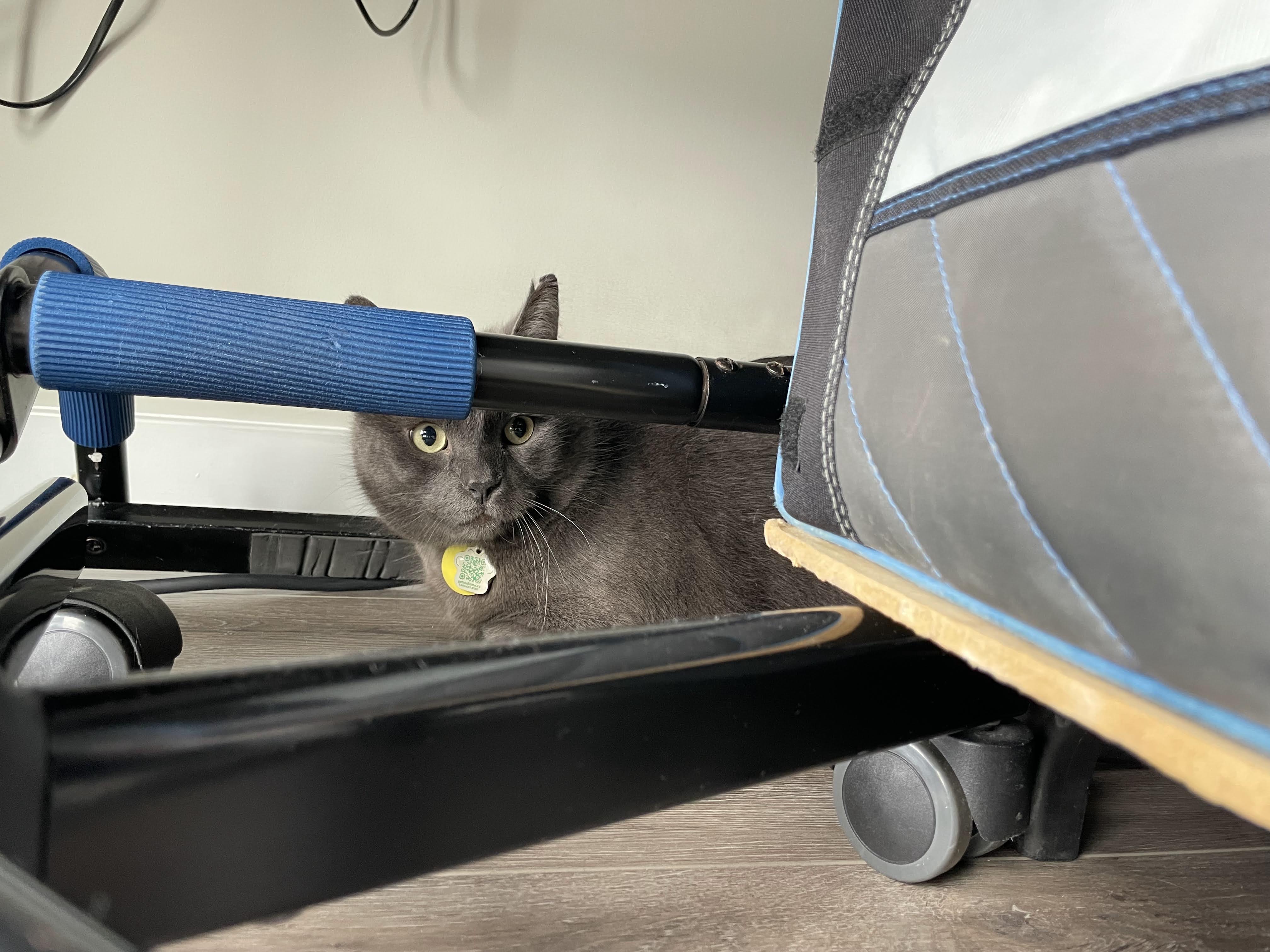
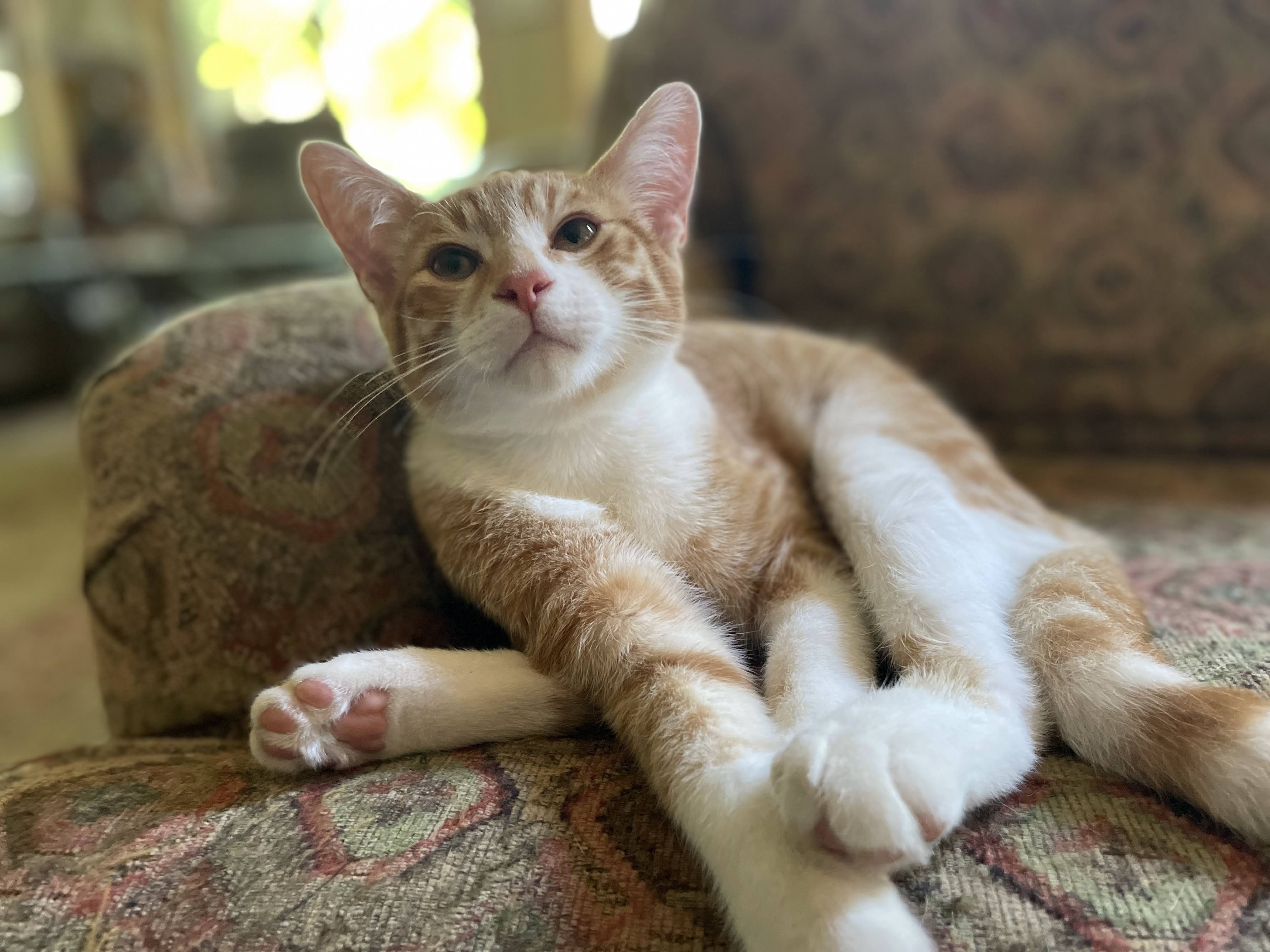
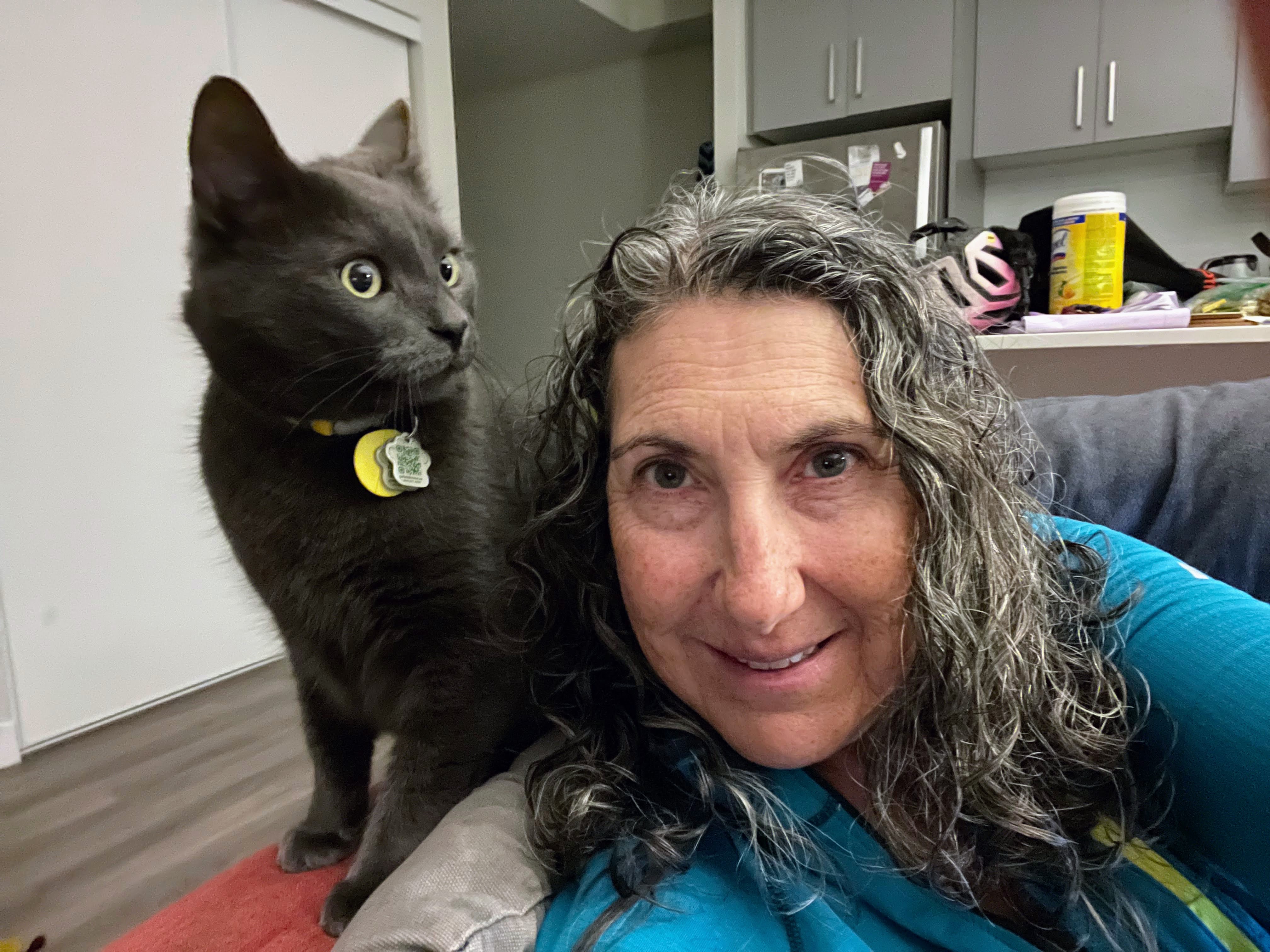
Shortly after I finished writing the blog last night, Ralph came out for a little visit, and let me pet him again, but then disappeared into one of his hiding spots. Michael said that Ralph was chatty and stomping about the place overnight, but I didn’t hear it.

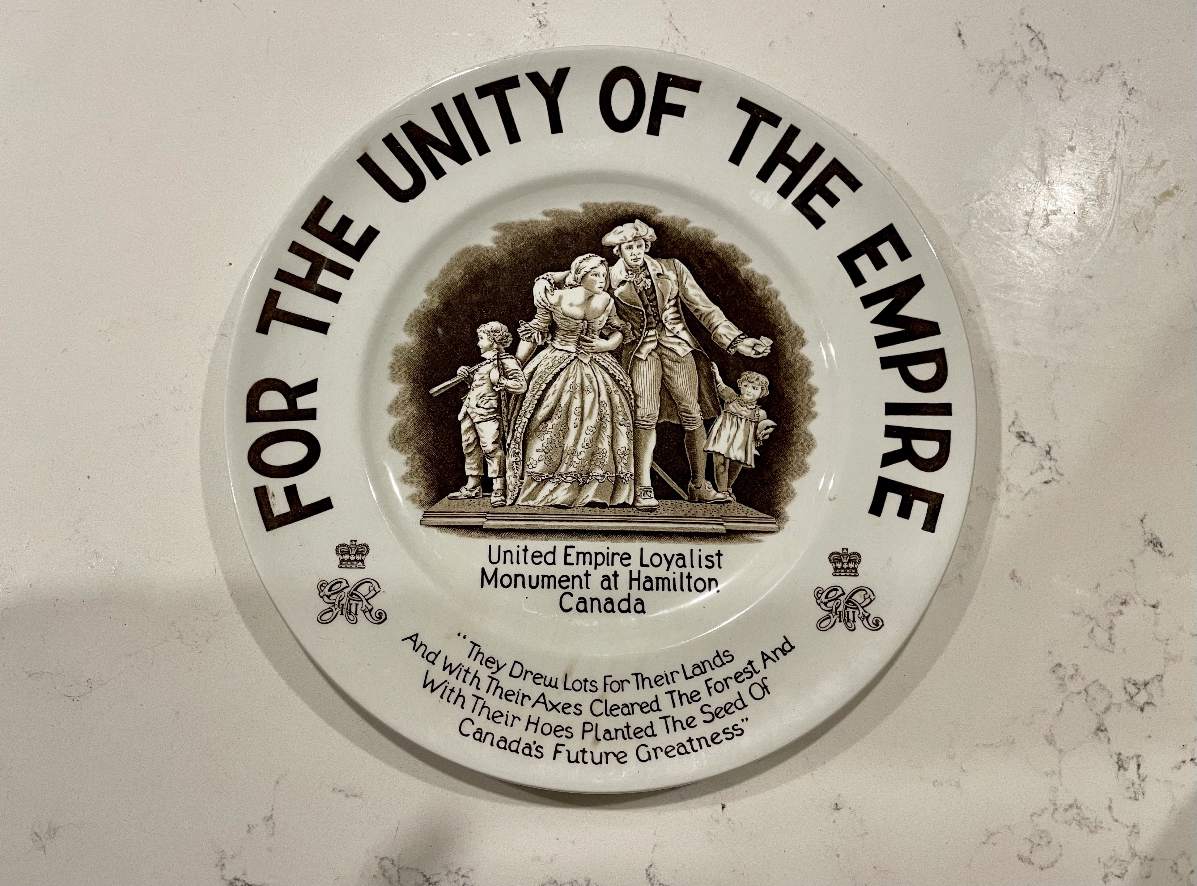
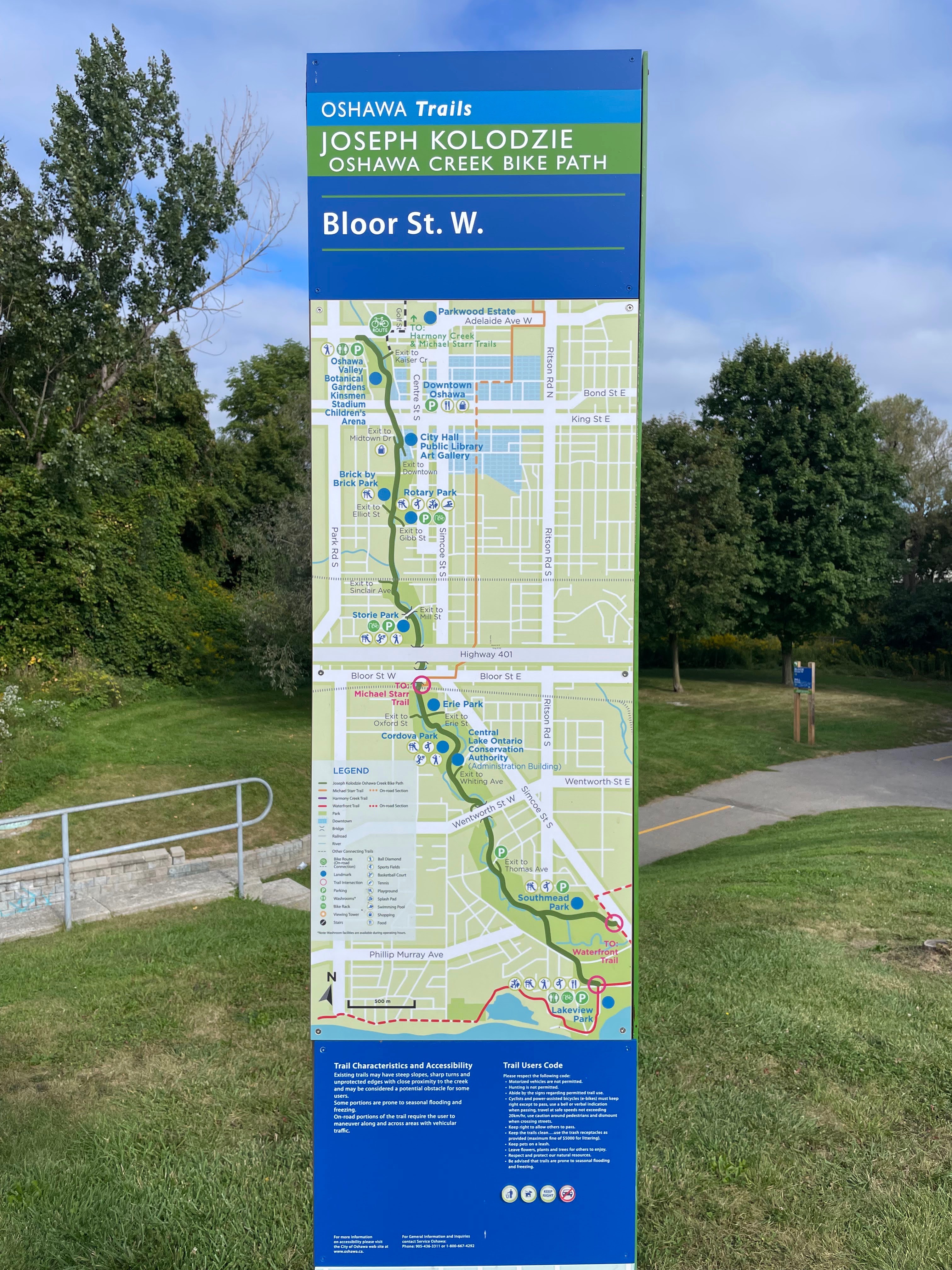
My planned ride for today was on the mountain to collect tiles. I decided to drive to the start of the ride since Patti and I will be taking the same route up the mountain tomorrow.

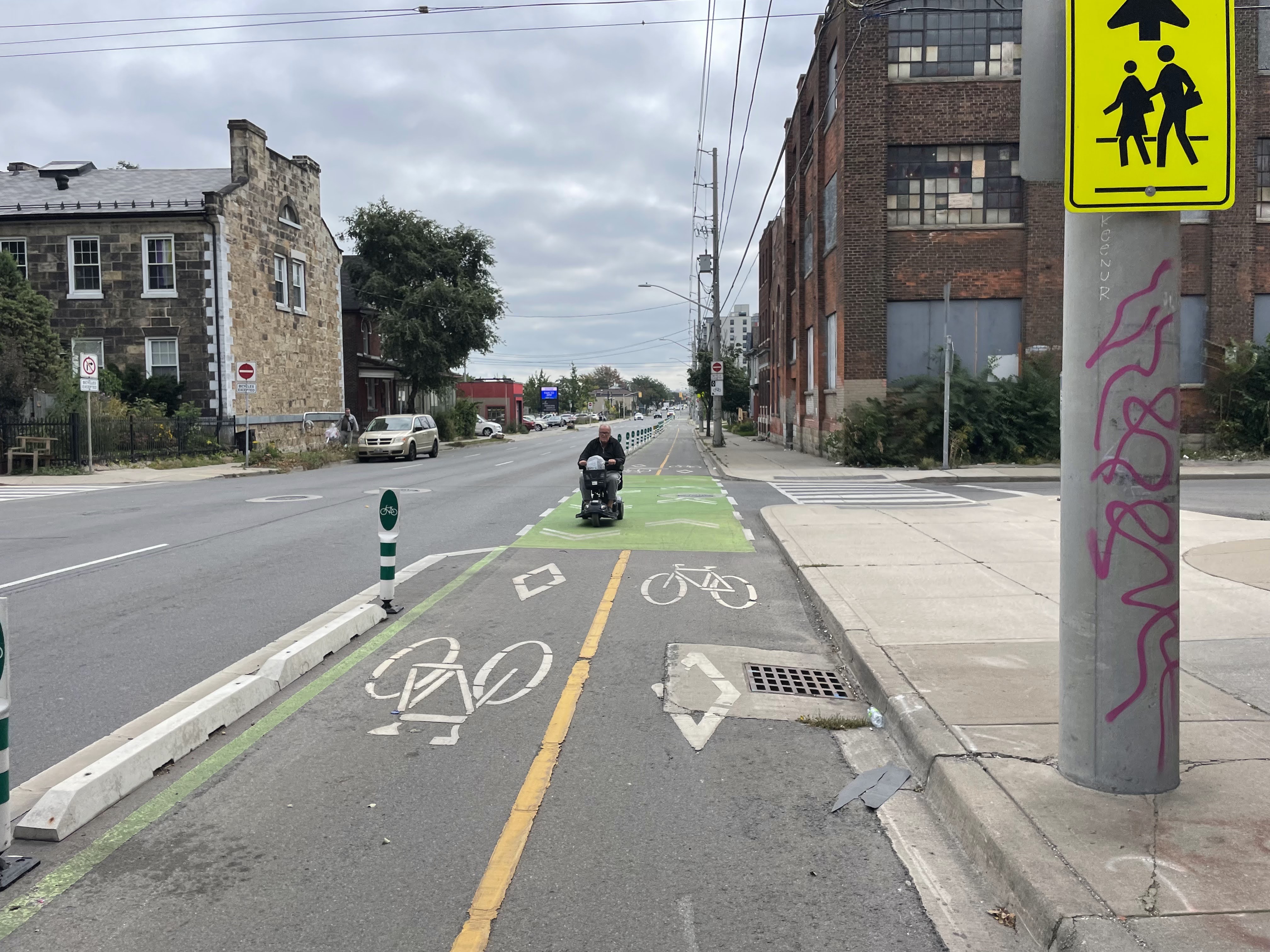
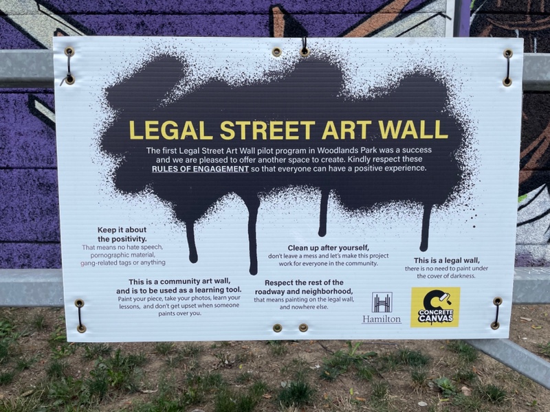
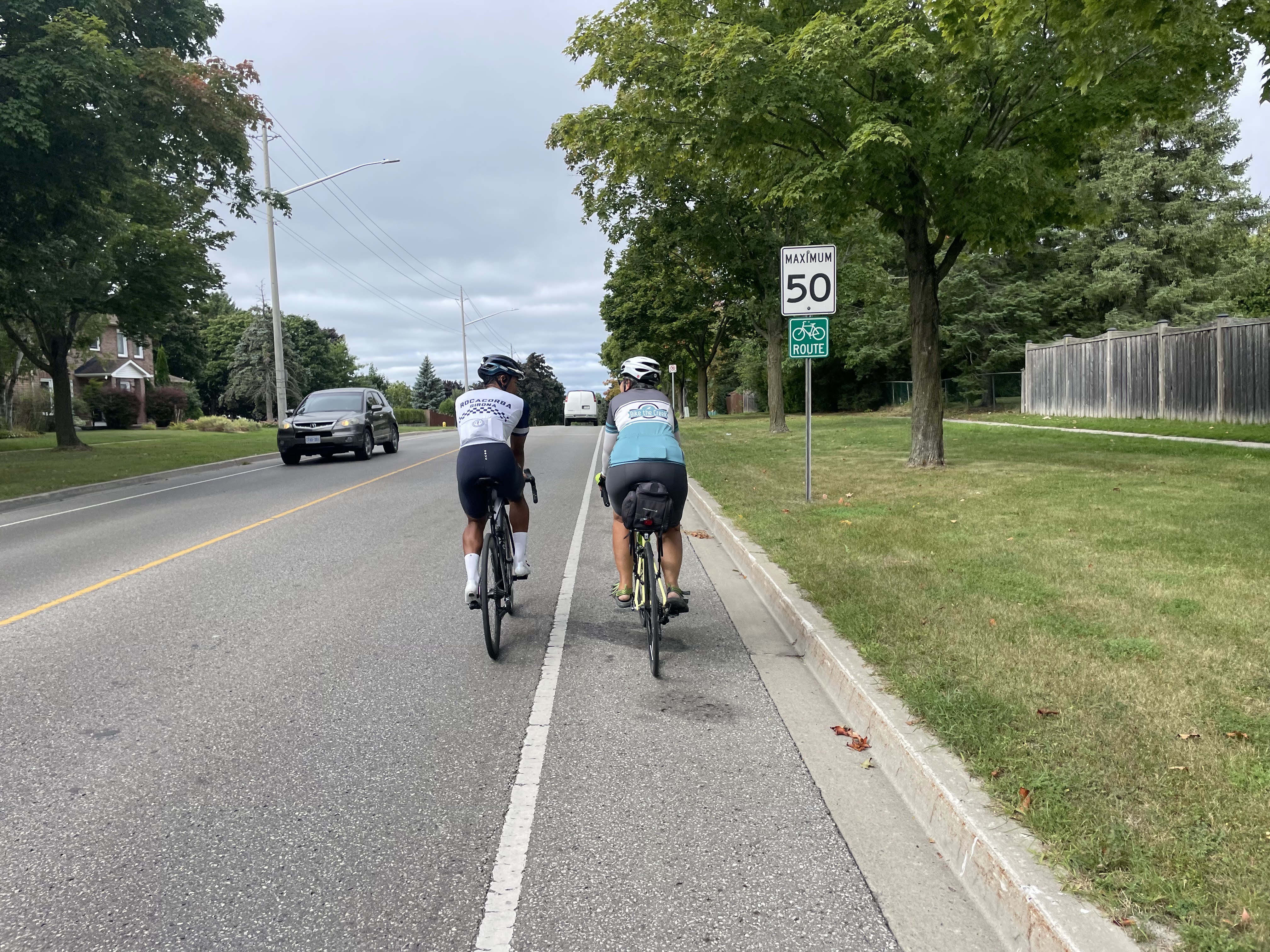
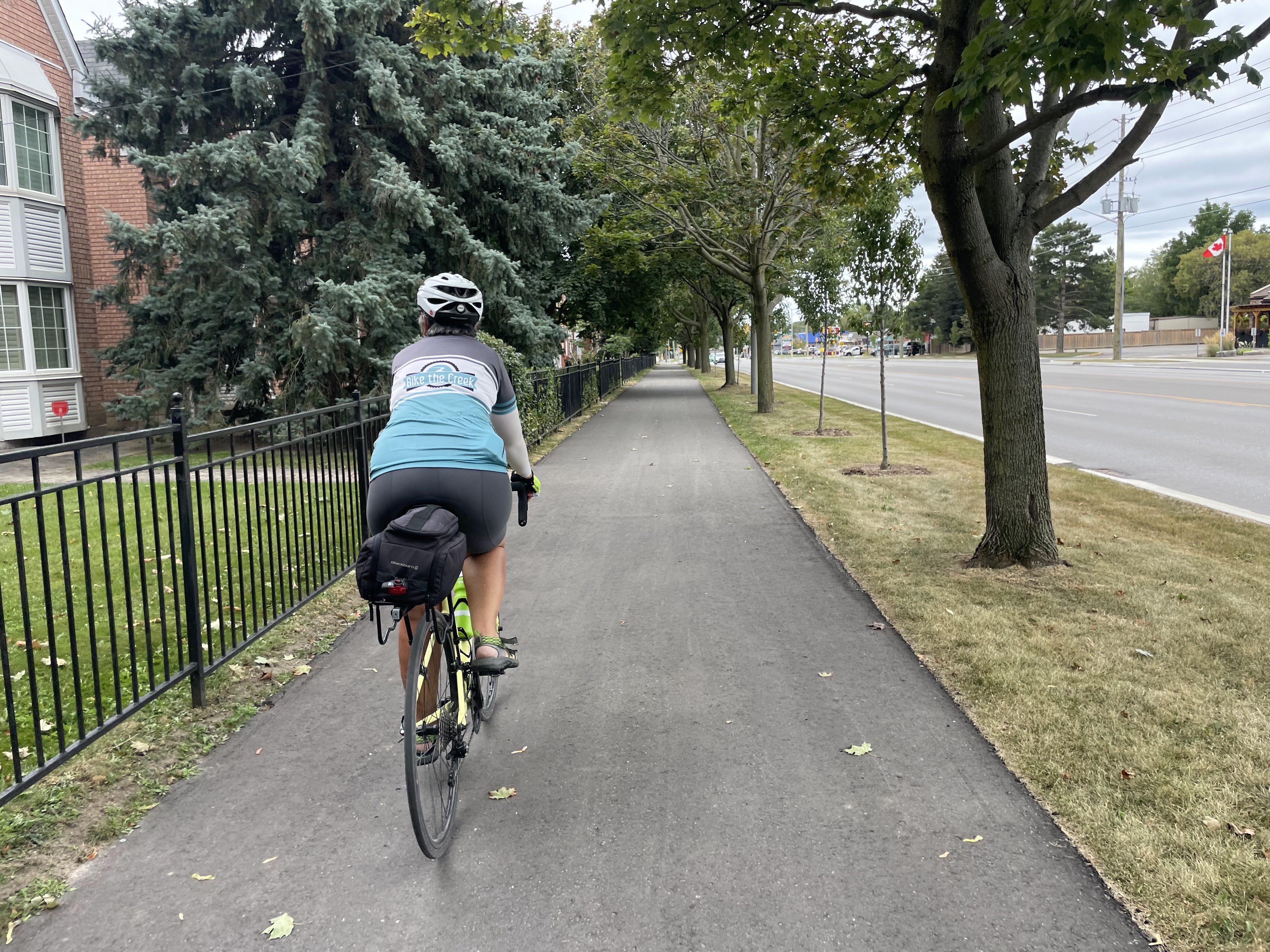
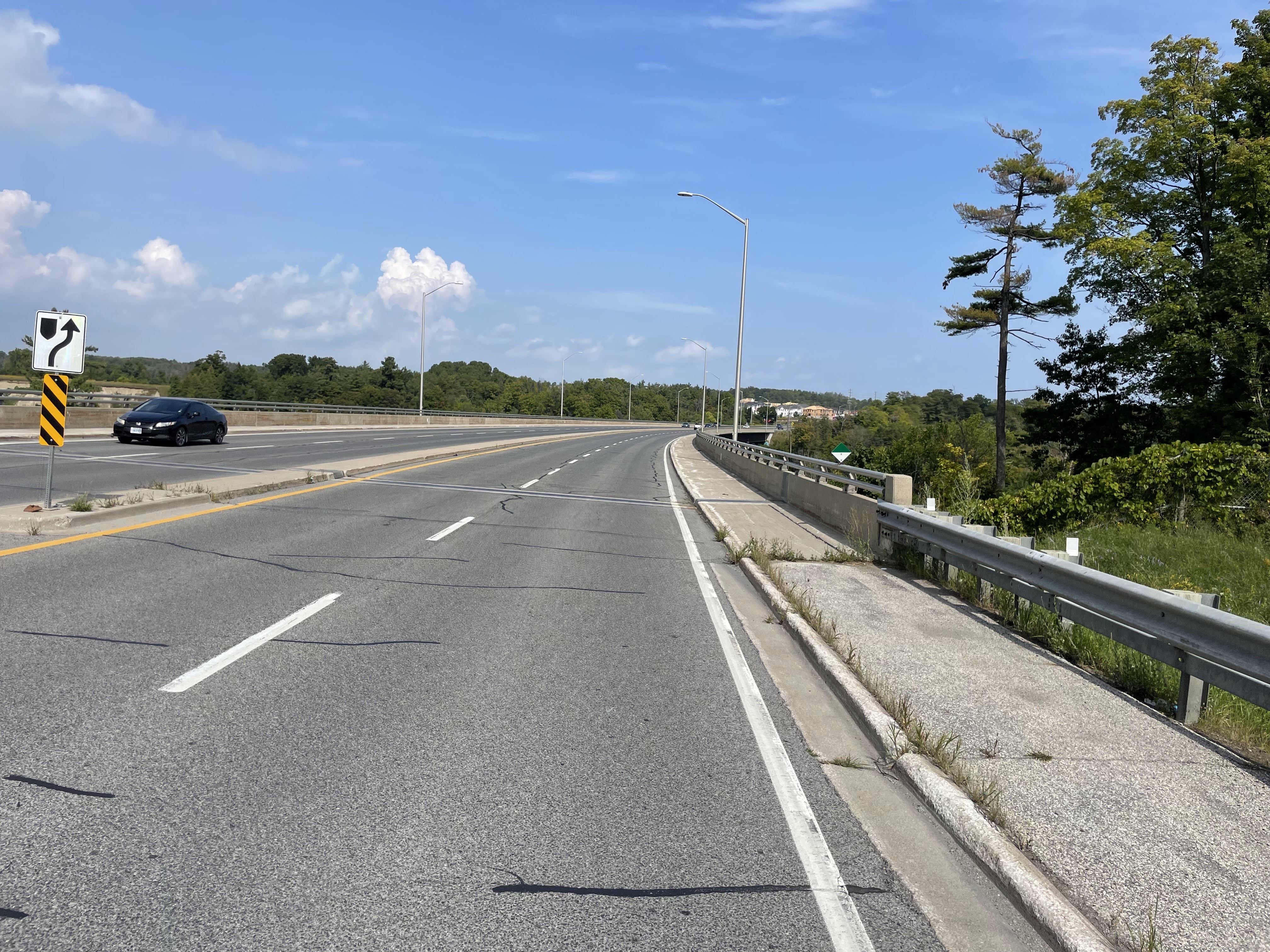
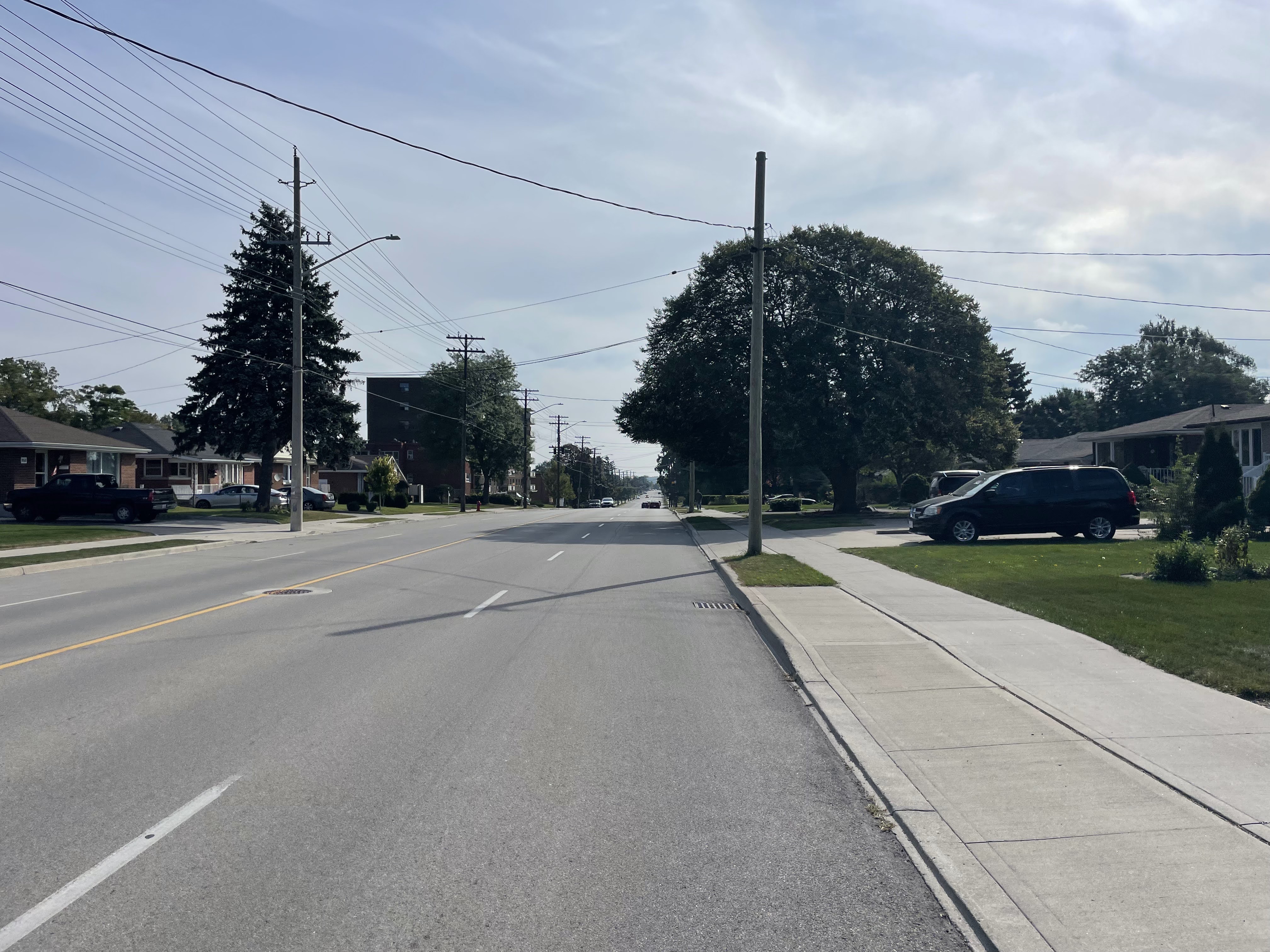
The streets on the mountain are over built with even residential streets like this one having four lanes of traffic and no cycling infrastructure. There’s a stark difference between the lower city and the mountain in terms of cycling infrastructure, independent businesses, and art. It feels like a suburb, not an urban area like downtown.

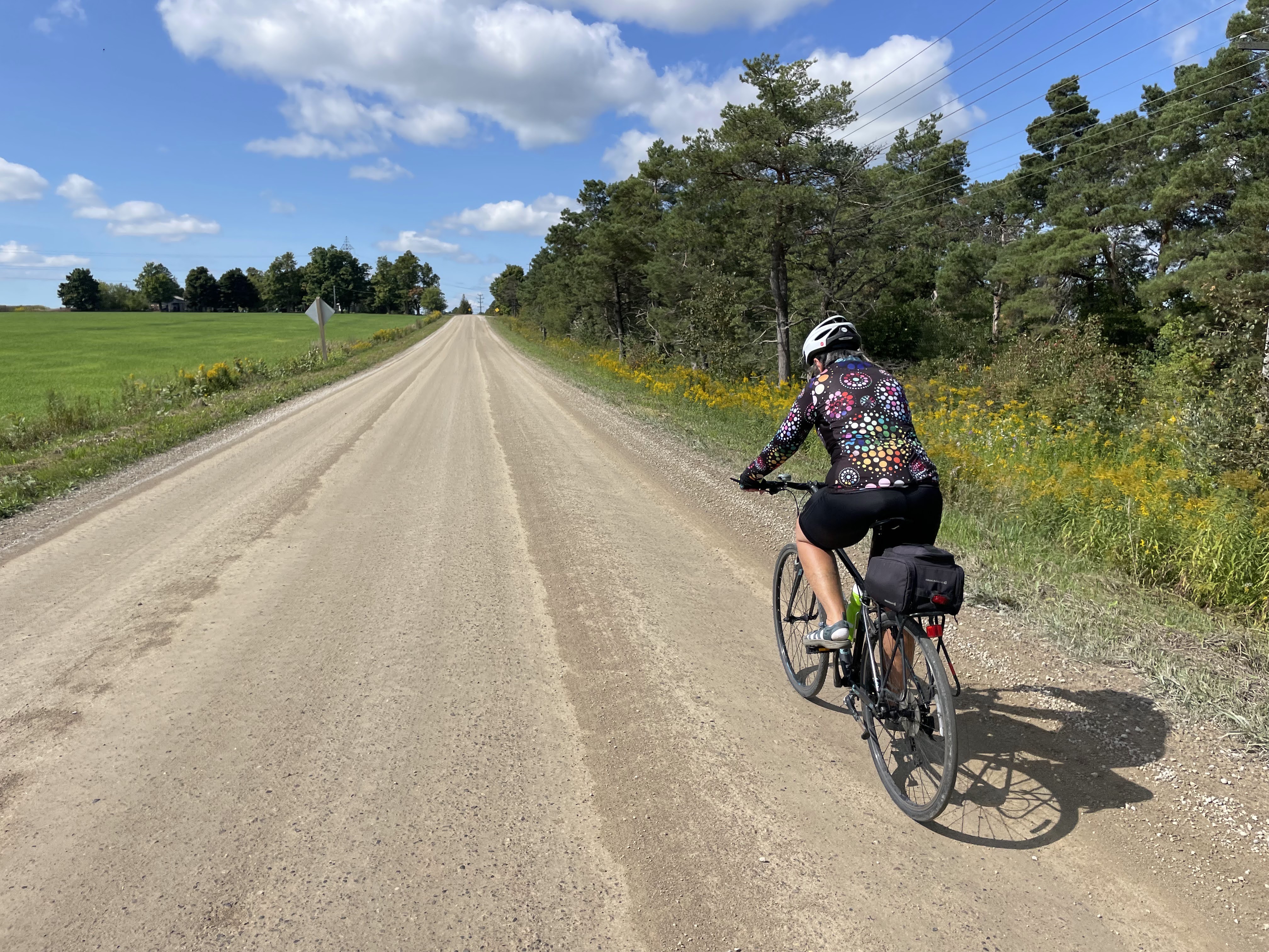
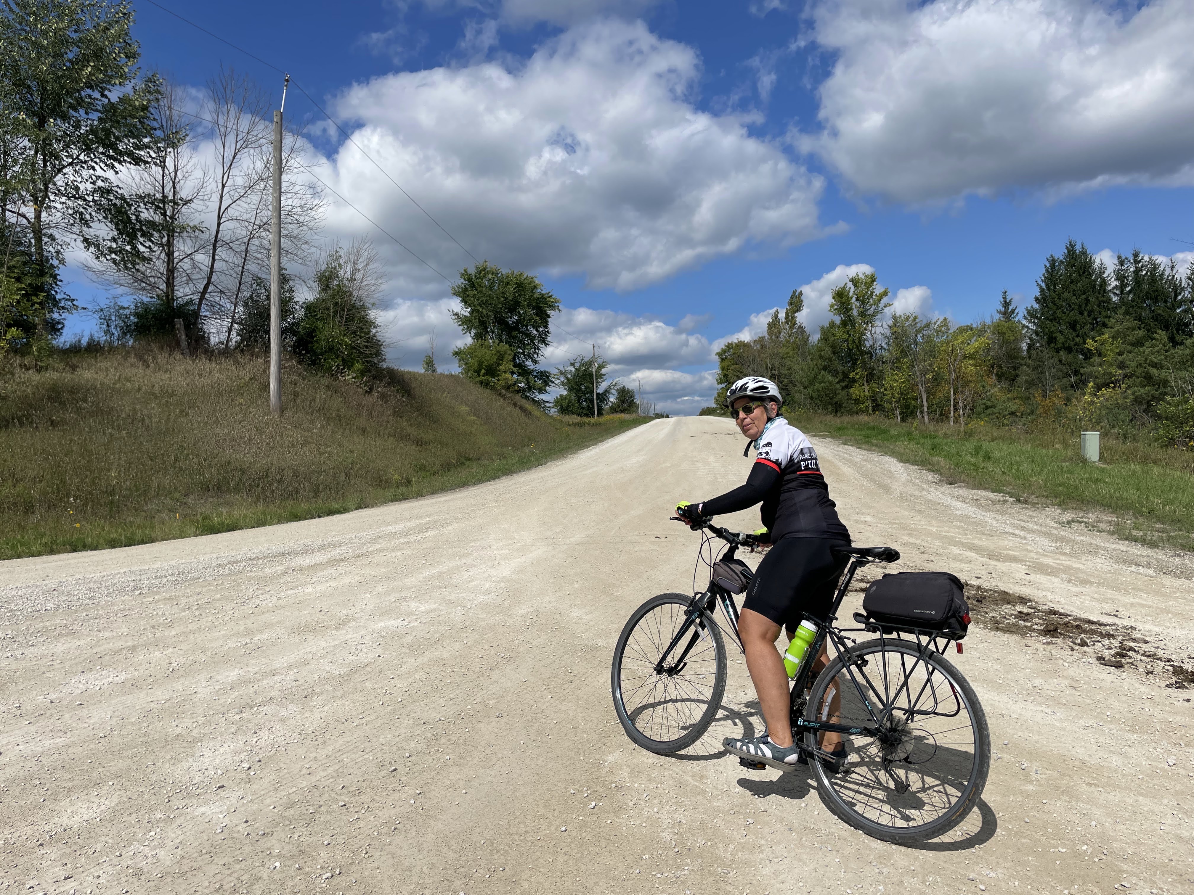
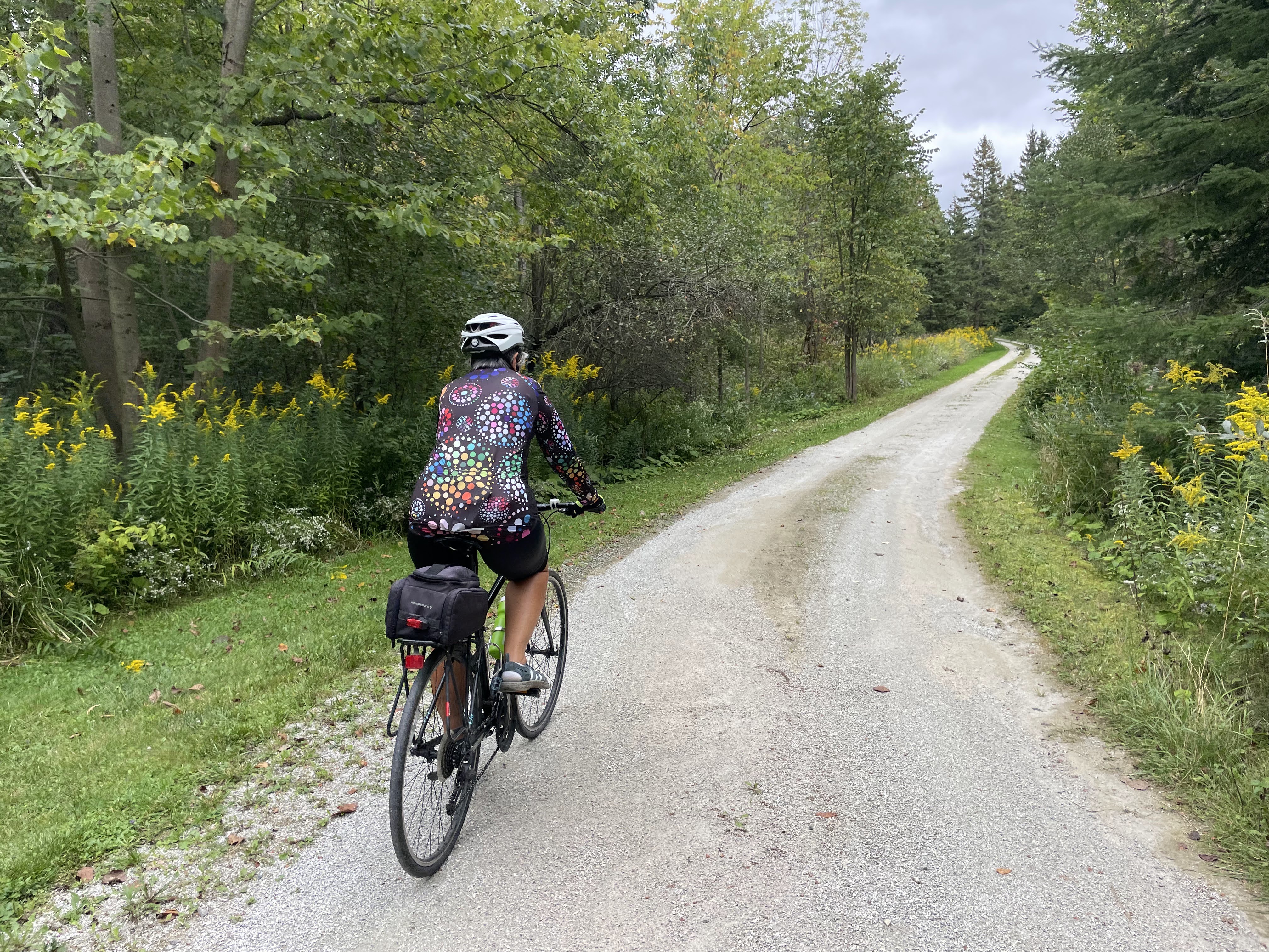
It was another cool and sunny day, but windy. The first half of my ride I struggled against the headwind, but looked forward to a tailwind on my return.

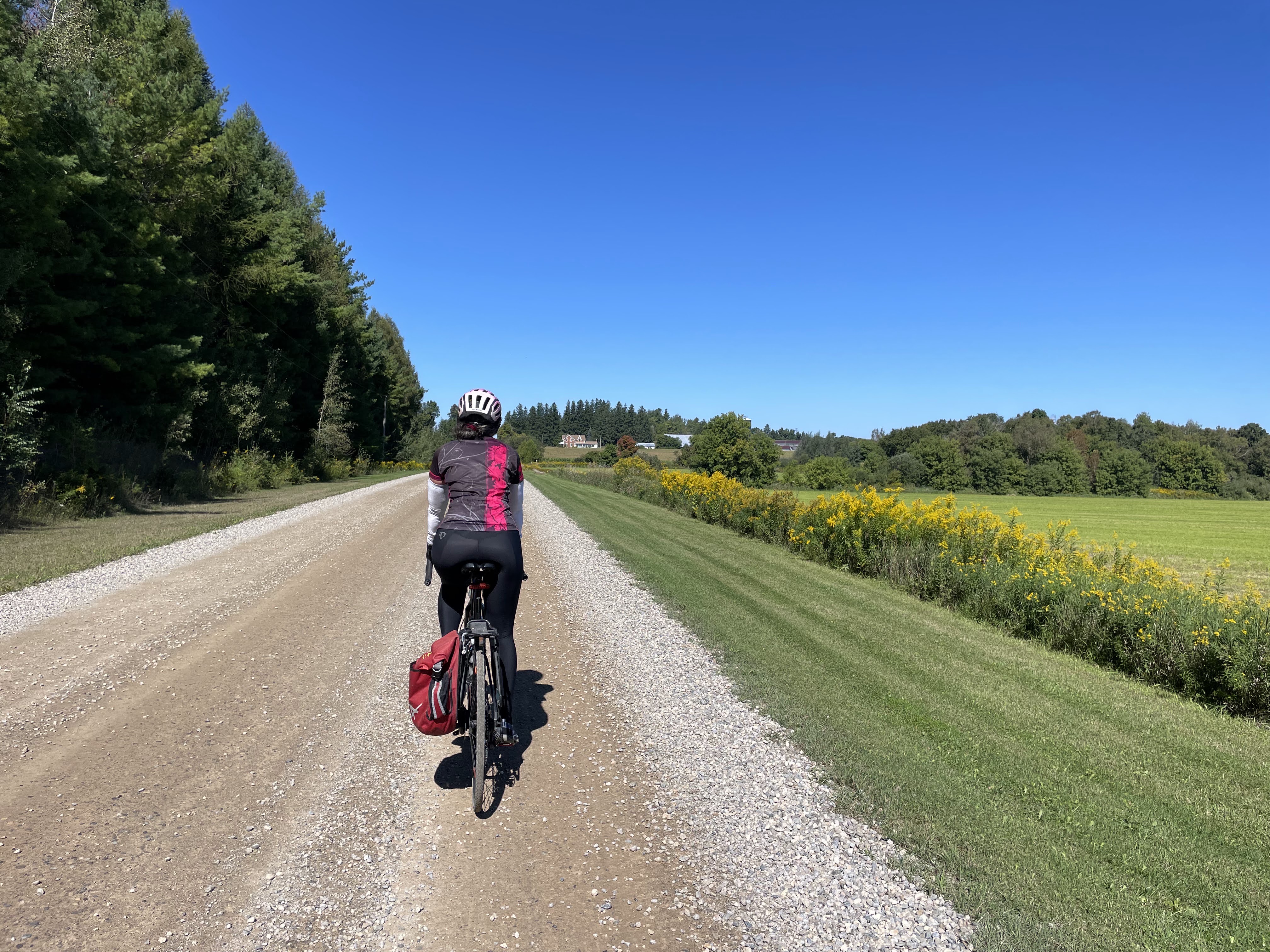
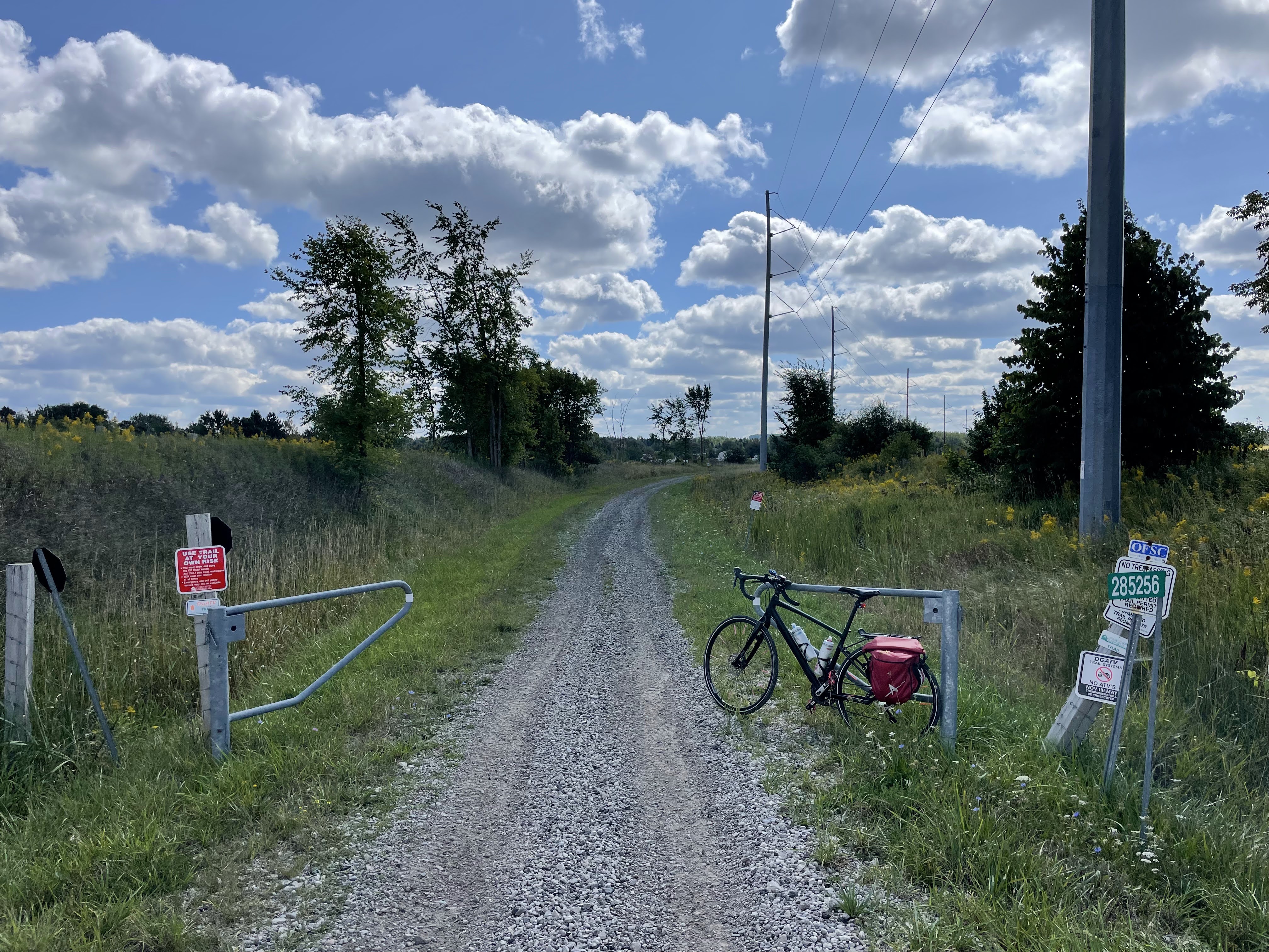
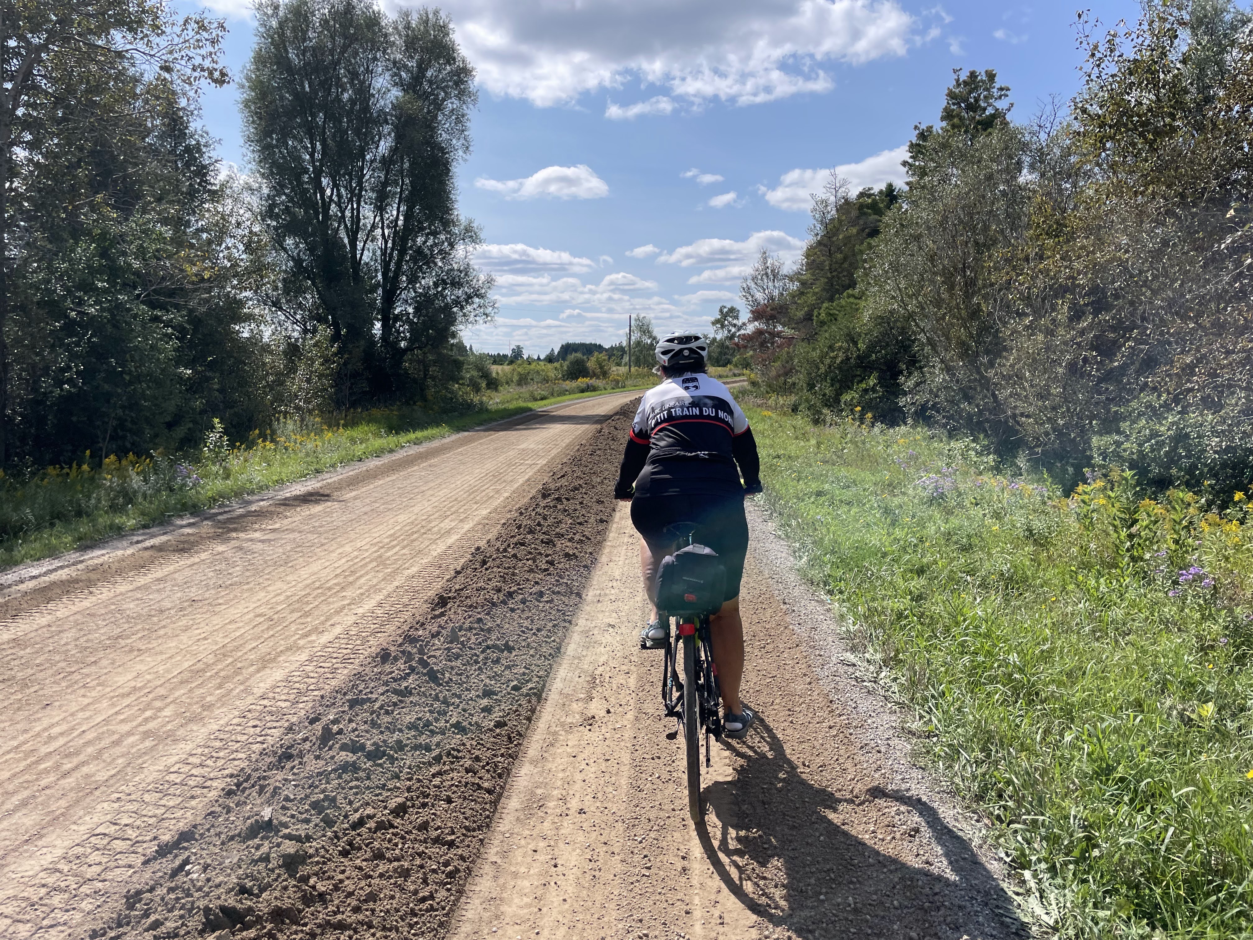
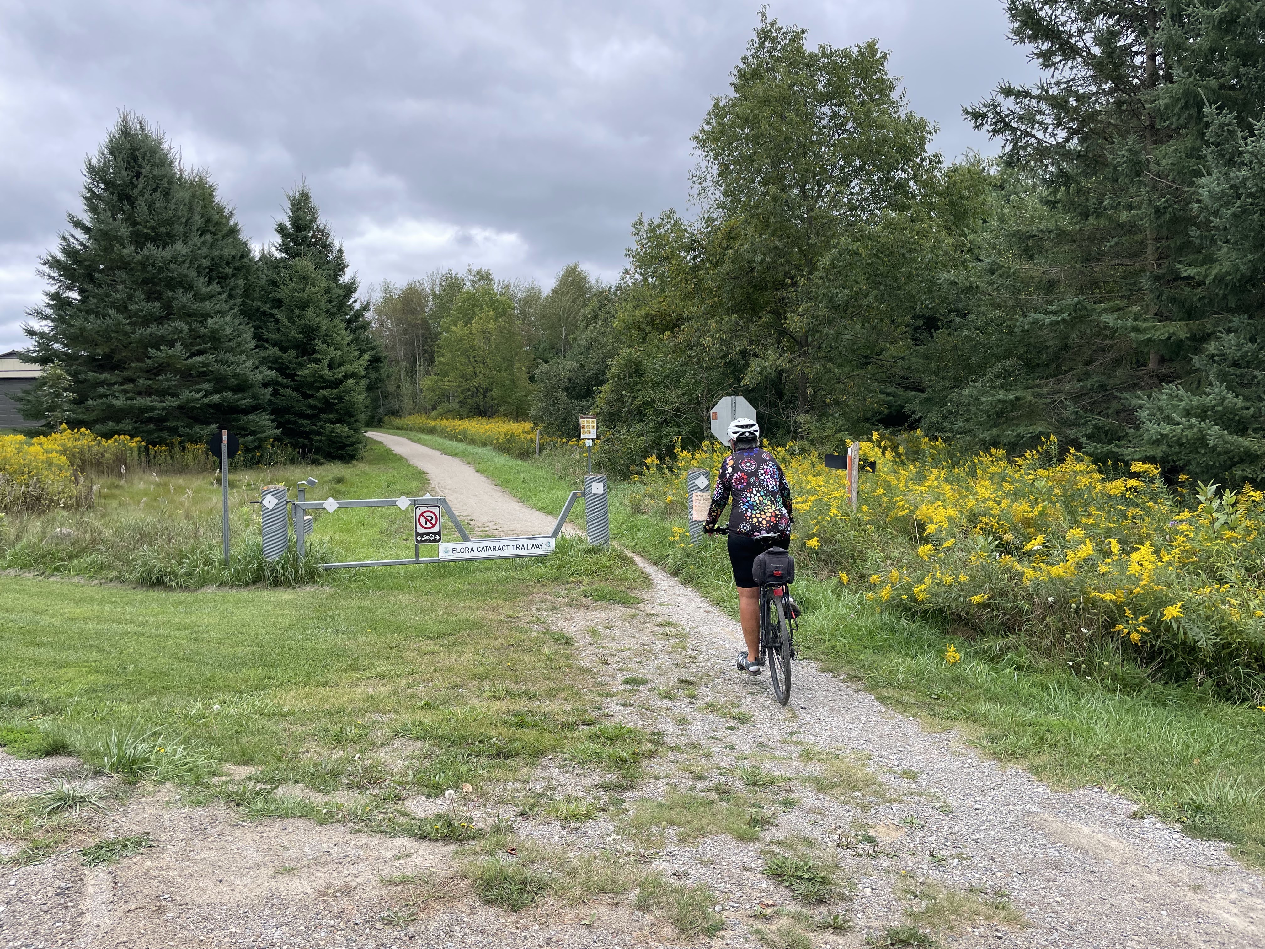
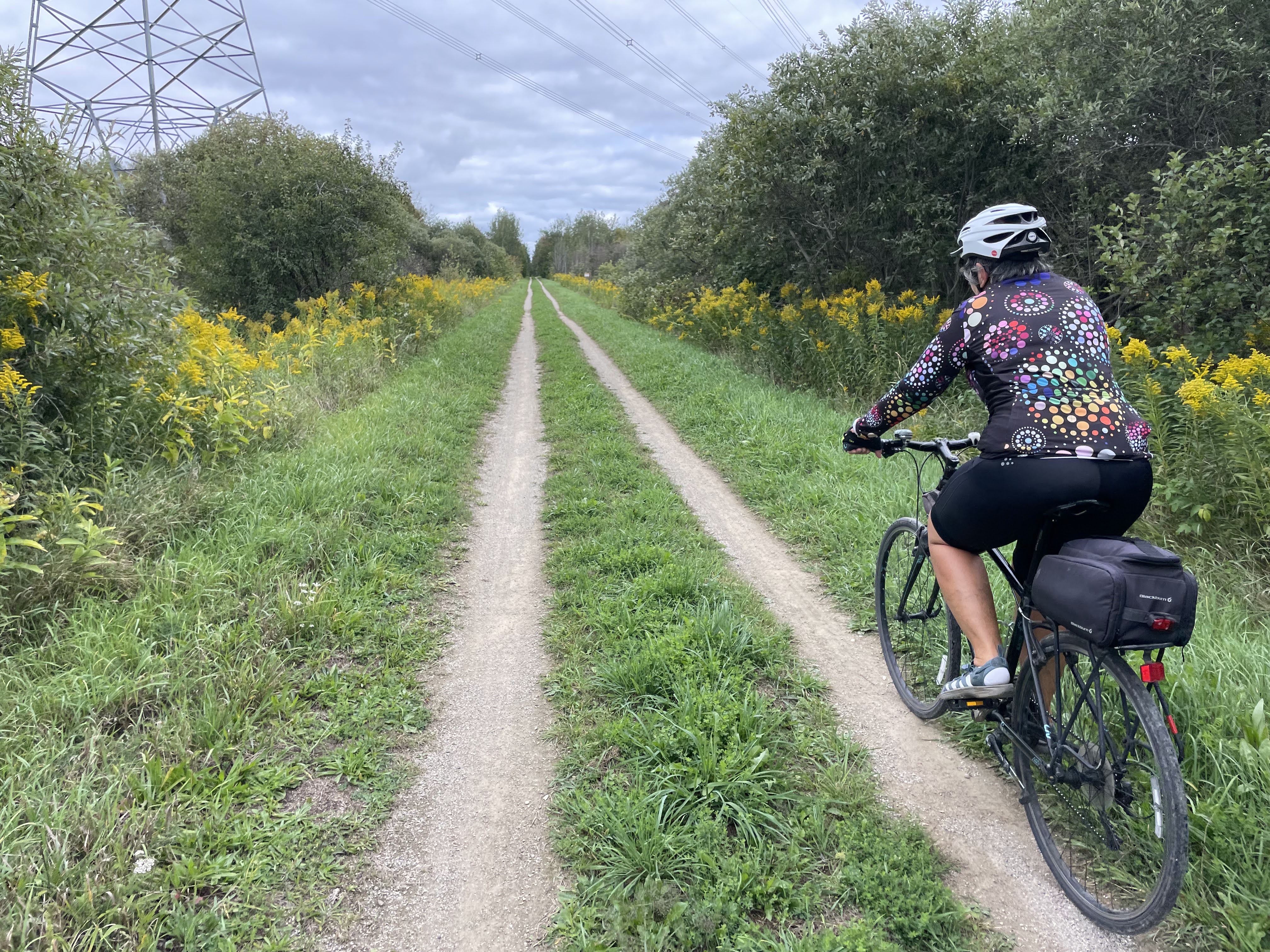
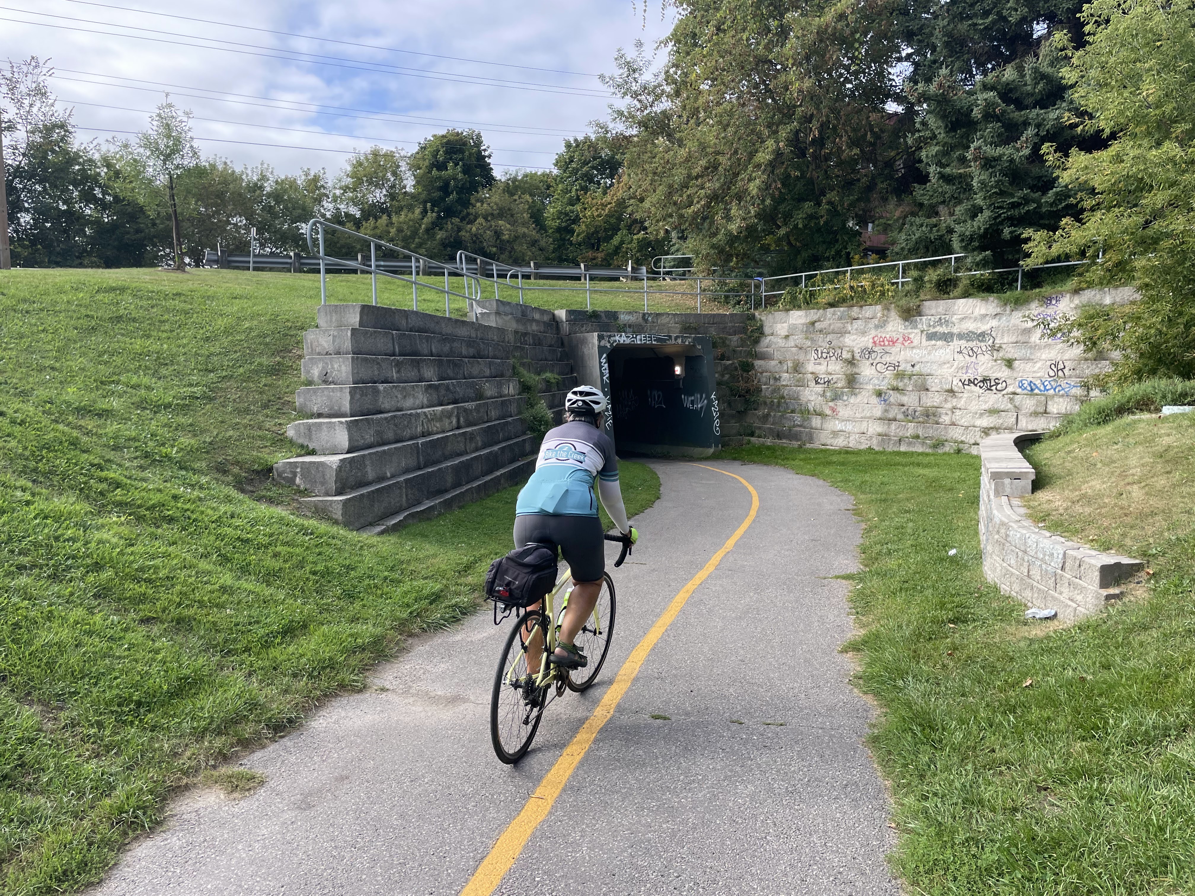
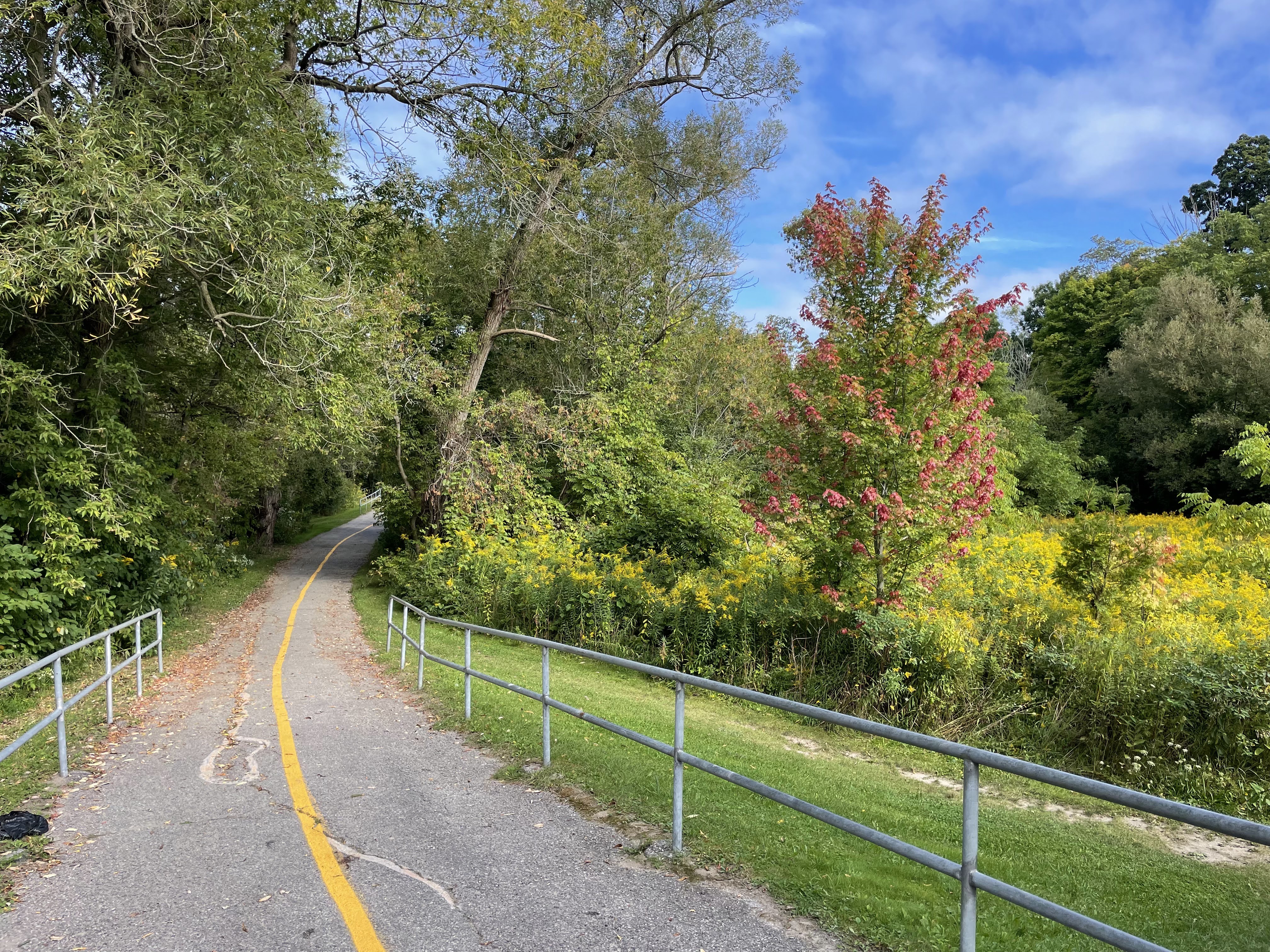
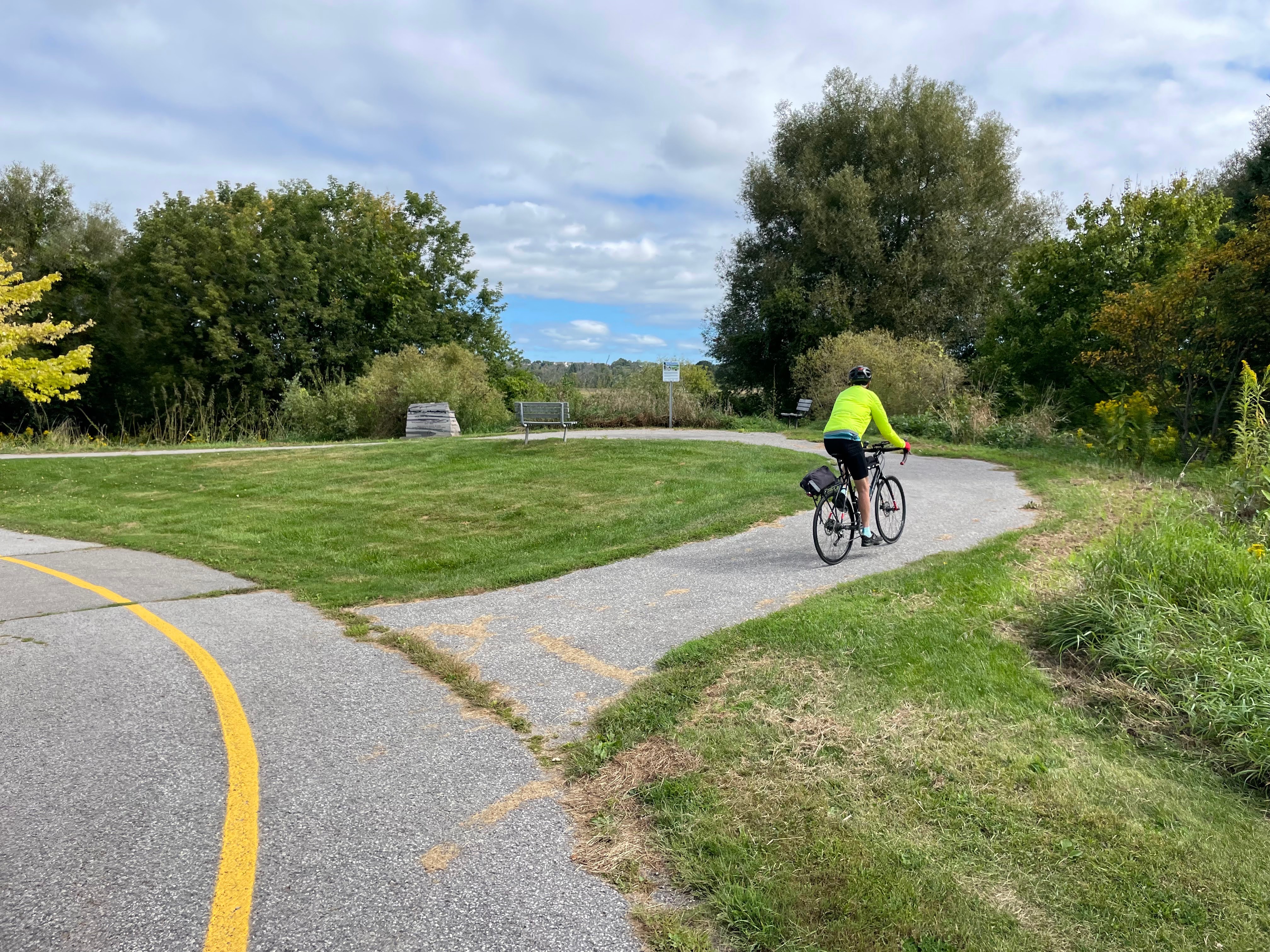
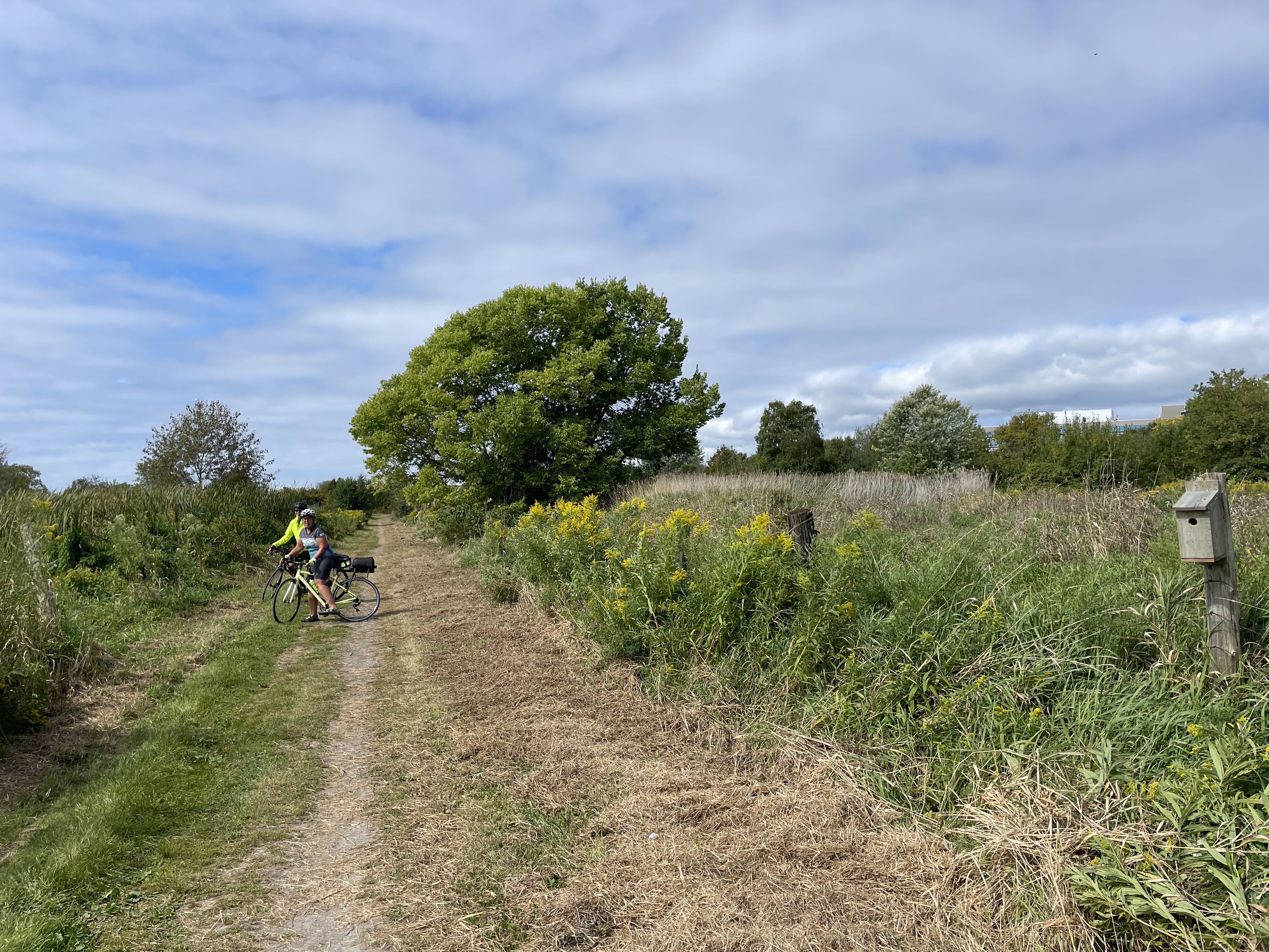
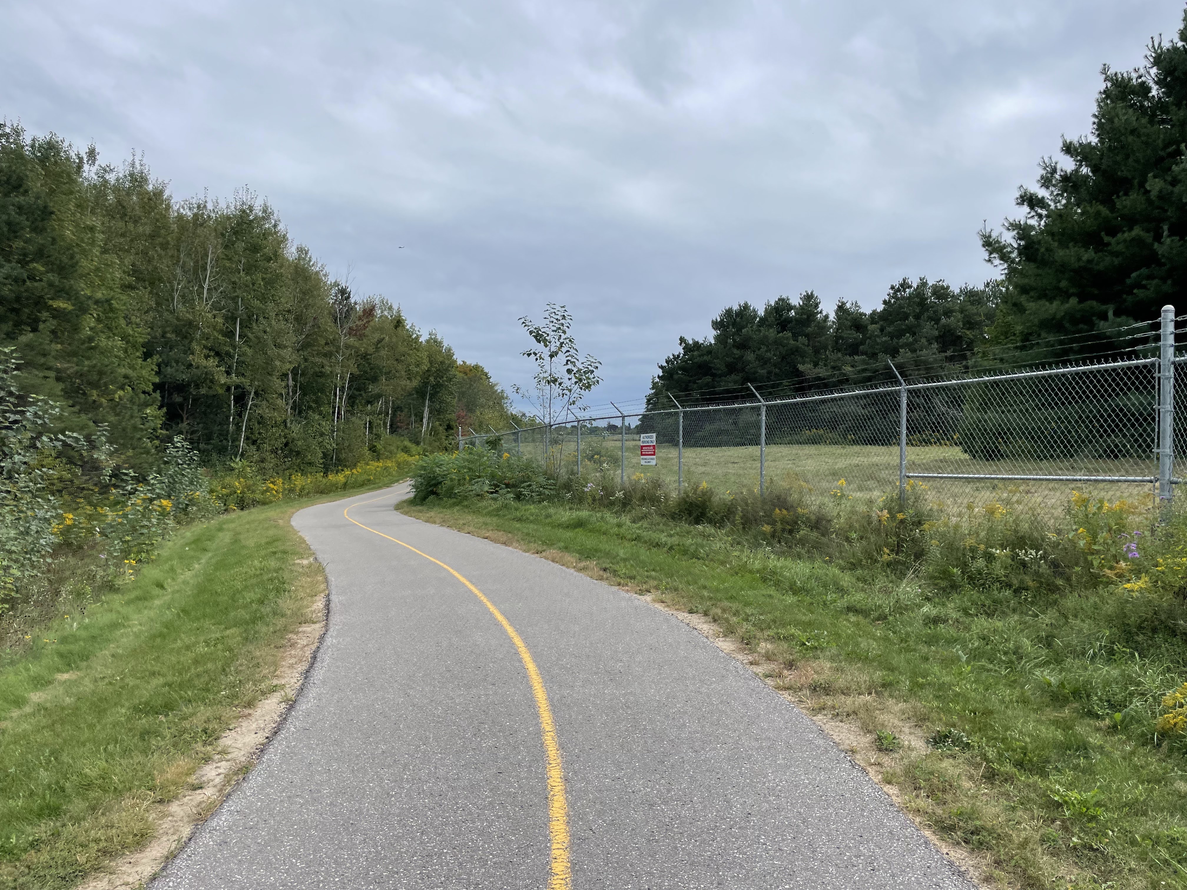
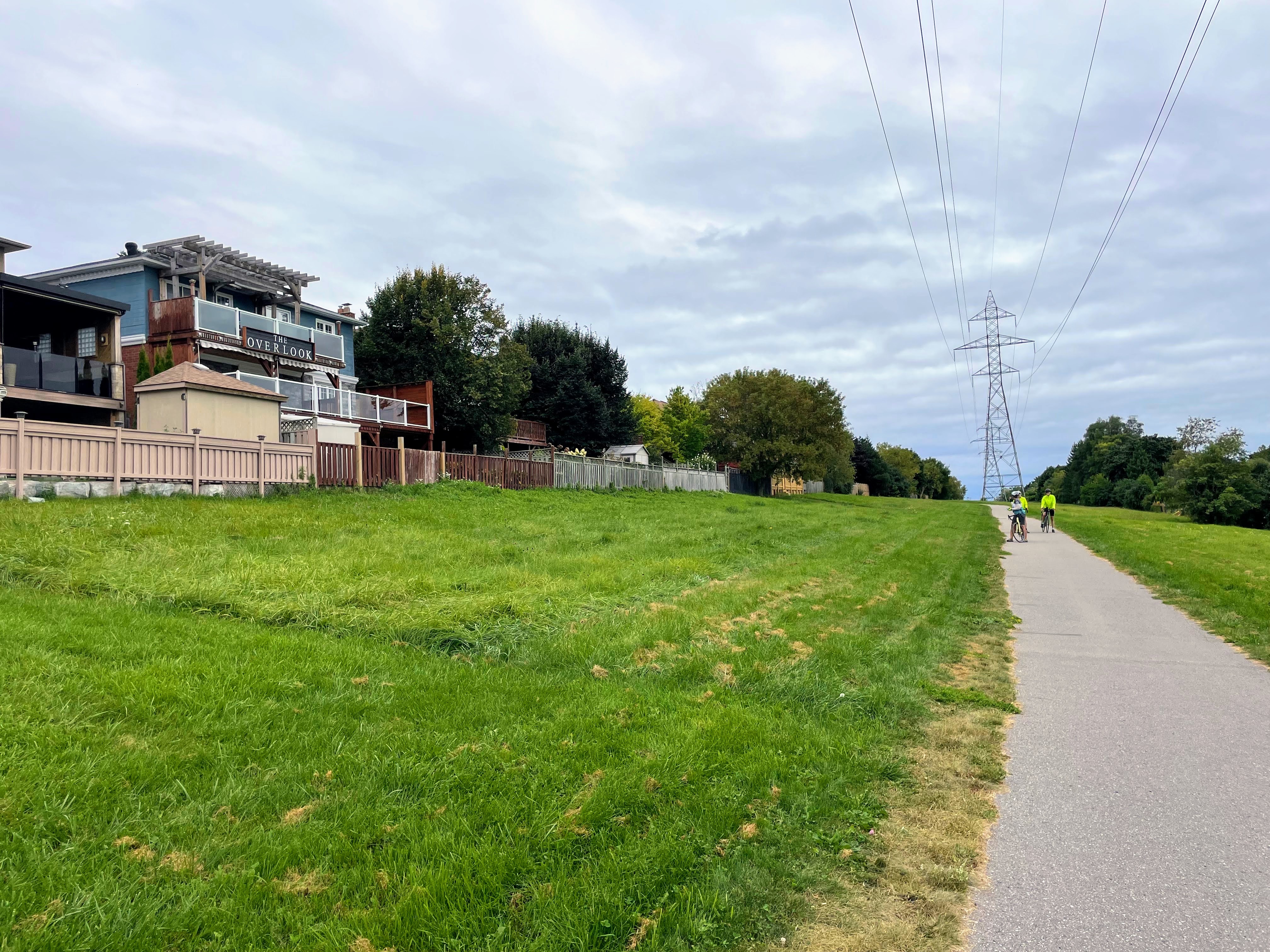
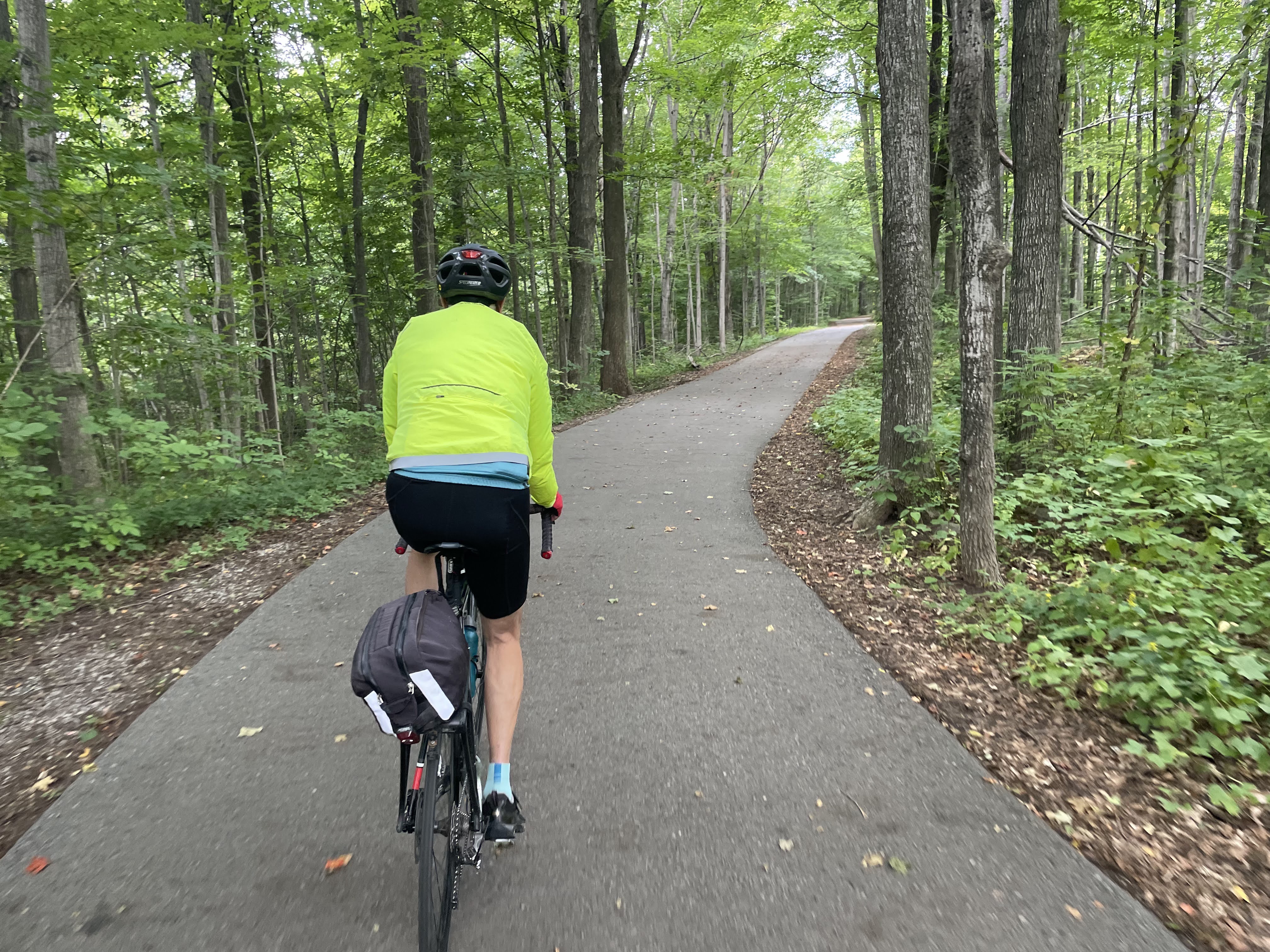
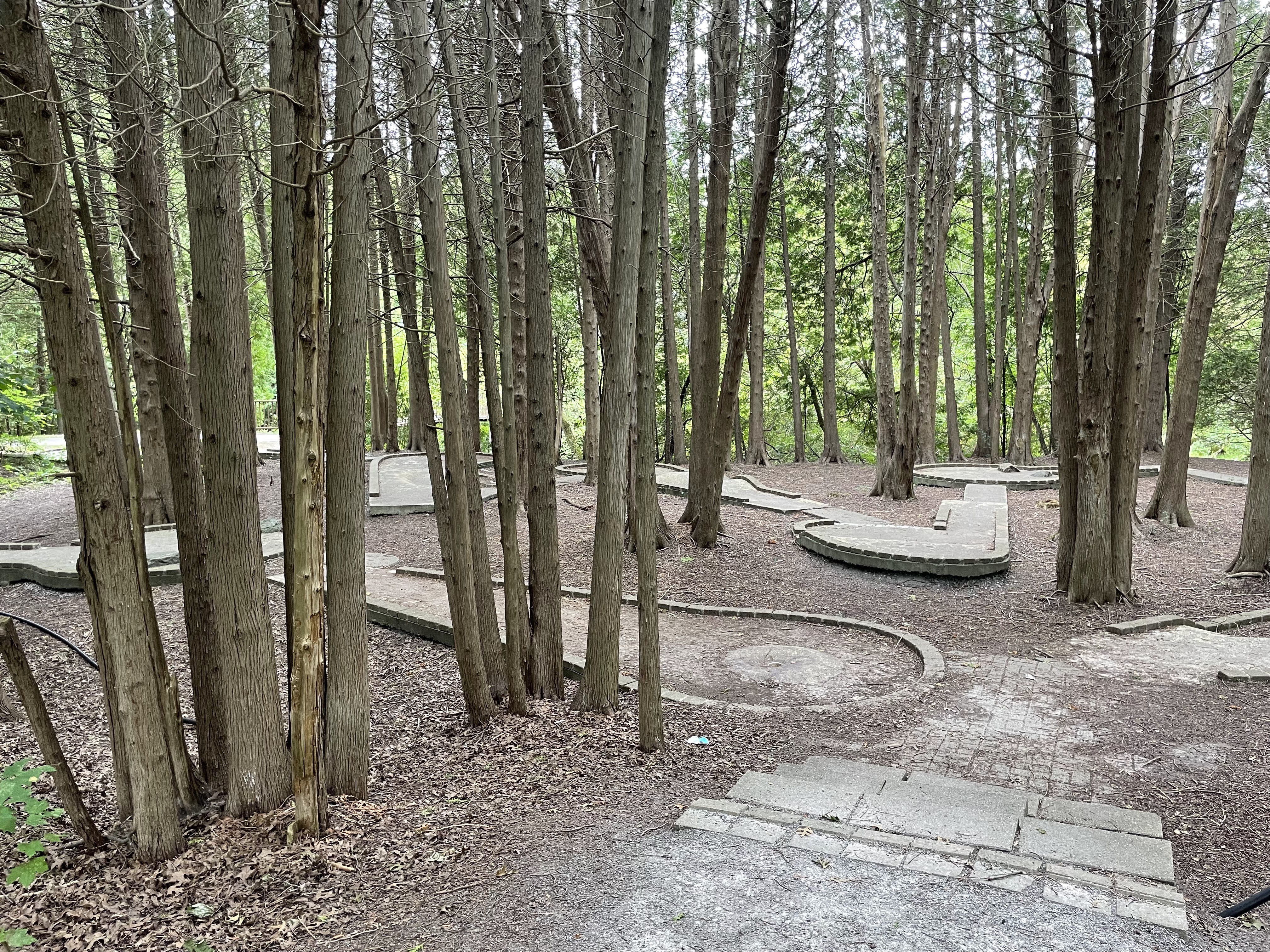
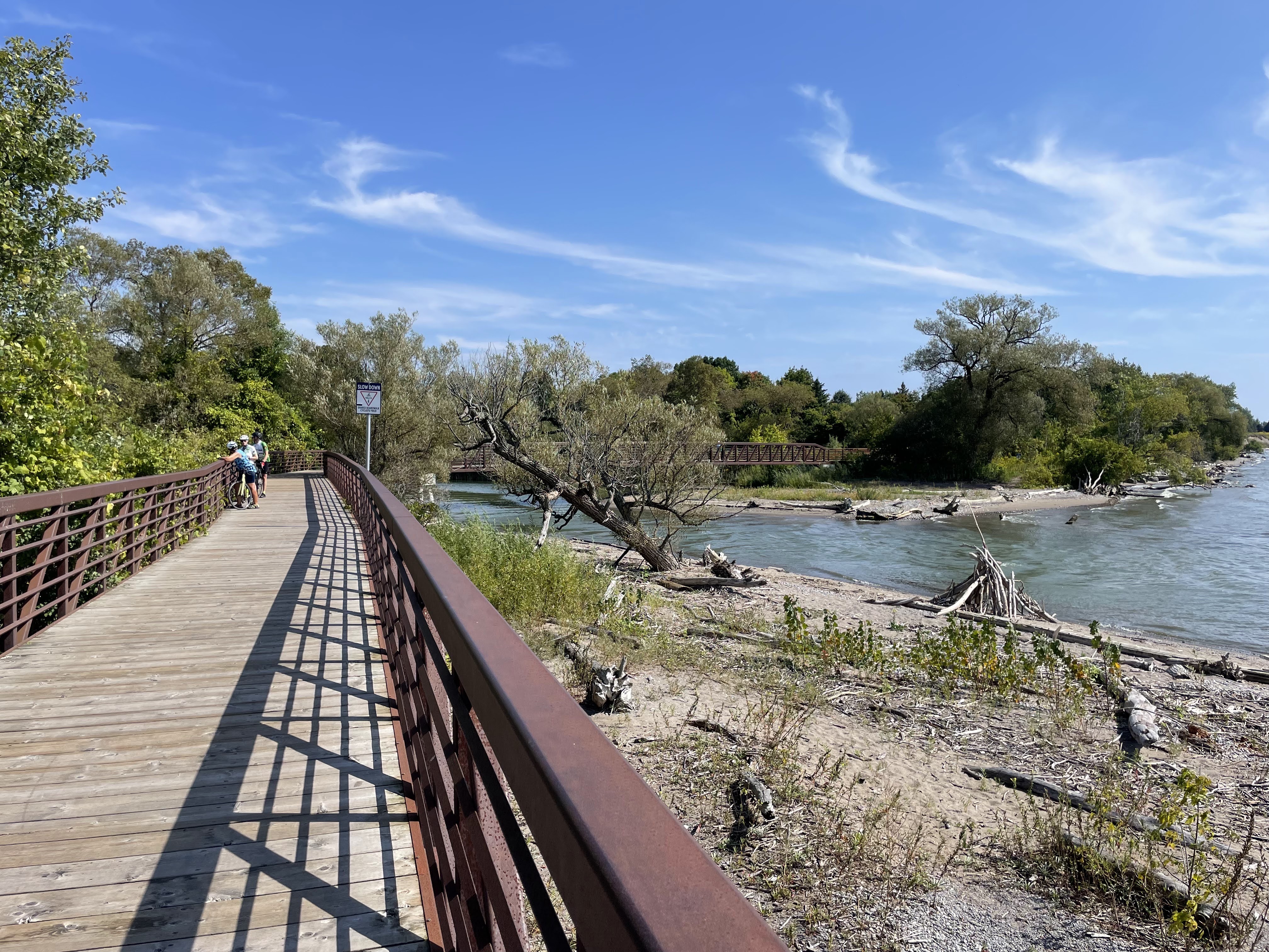
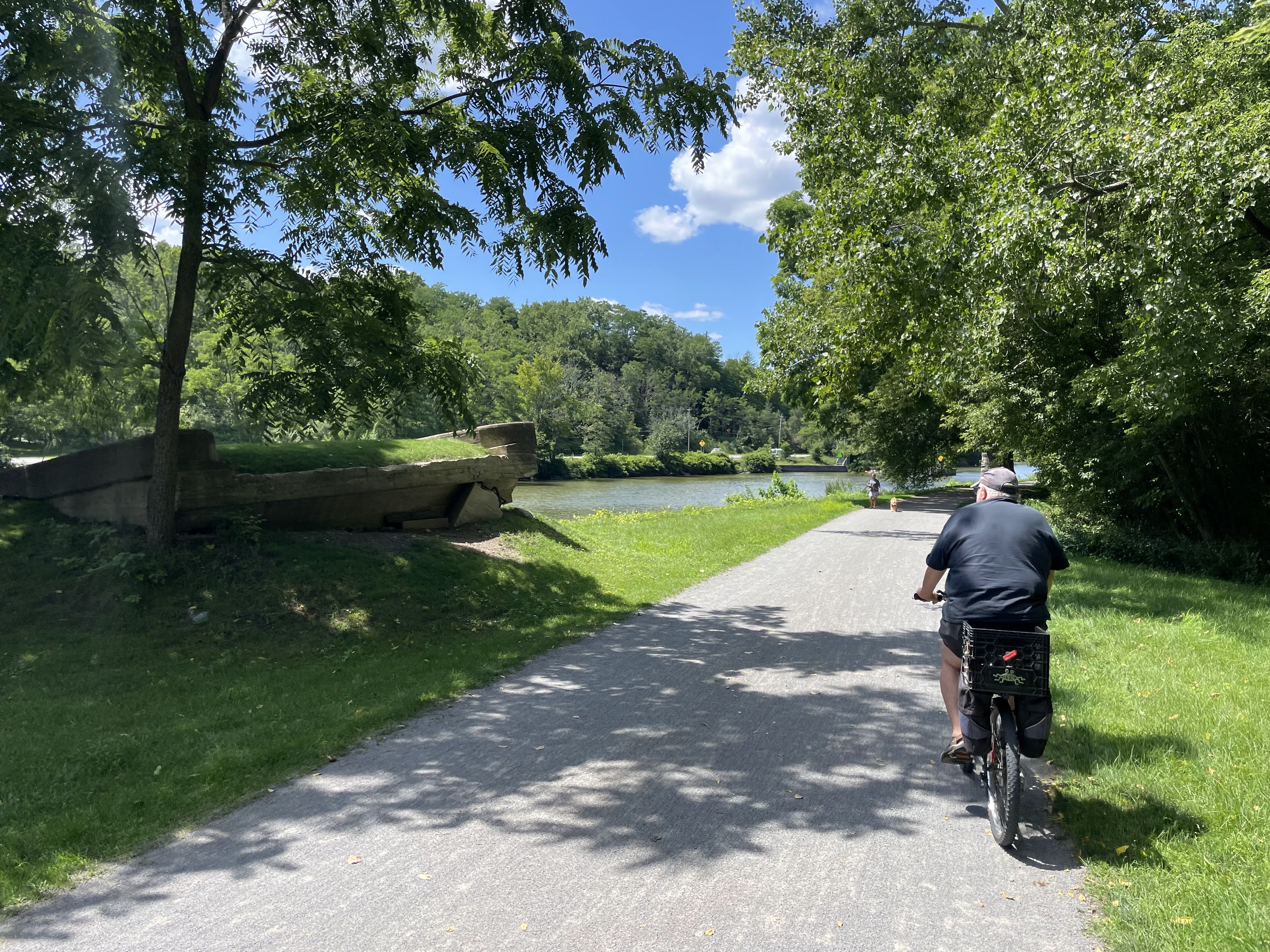
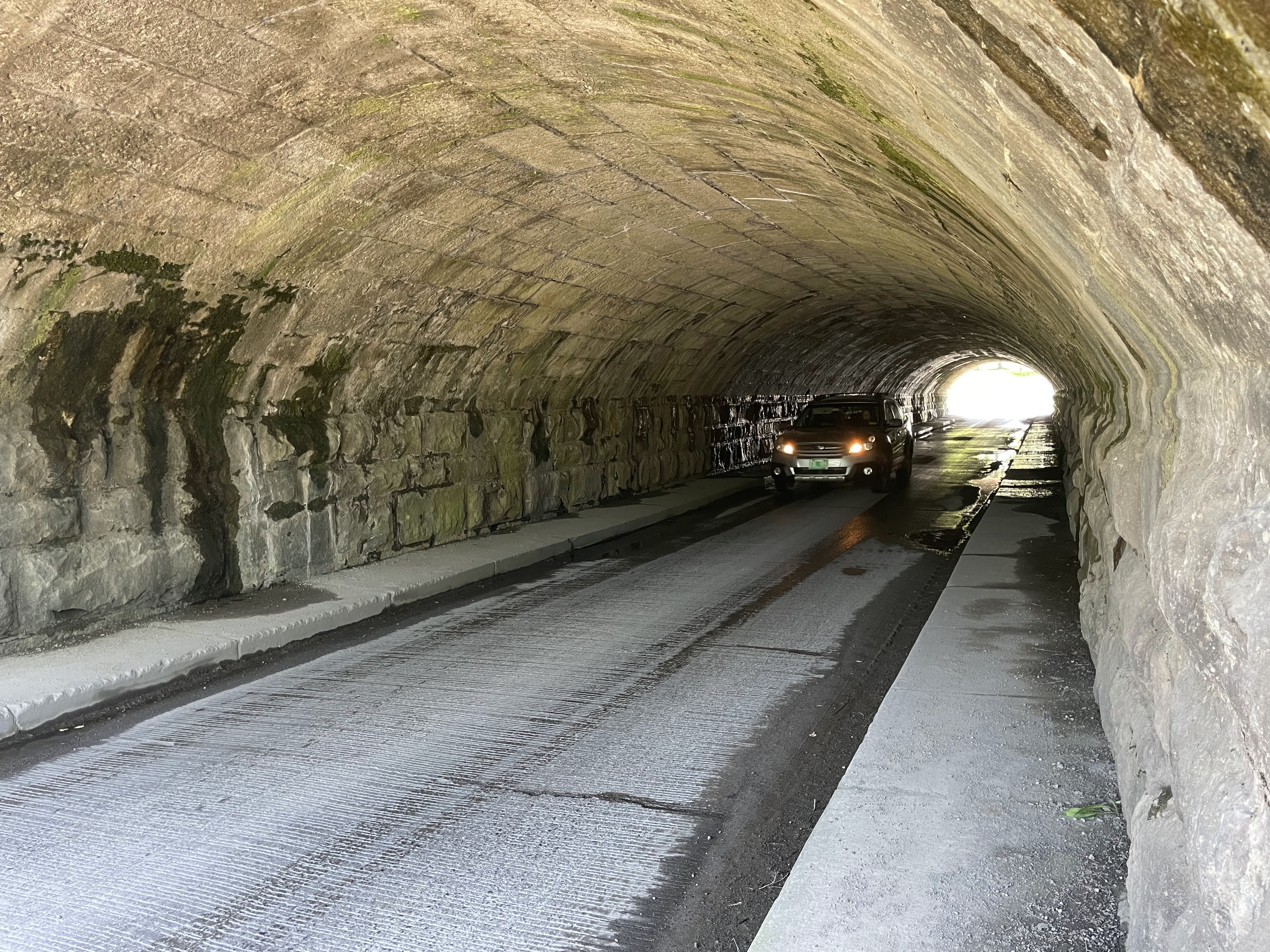
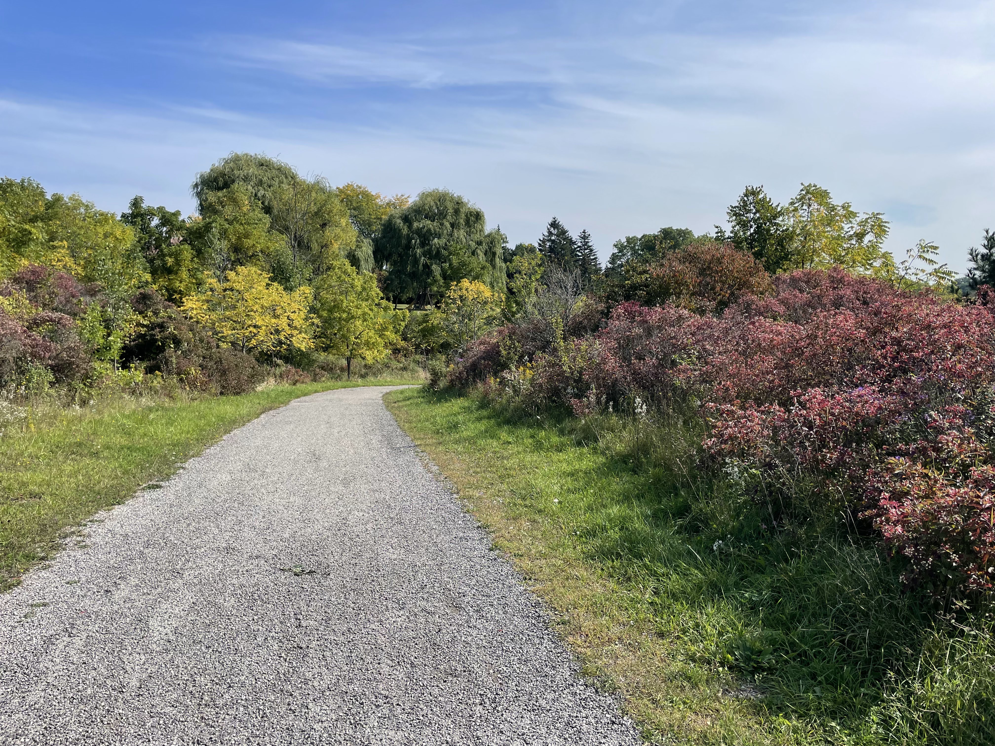
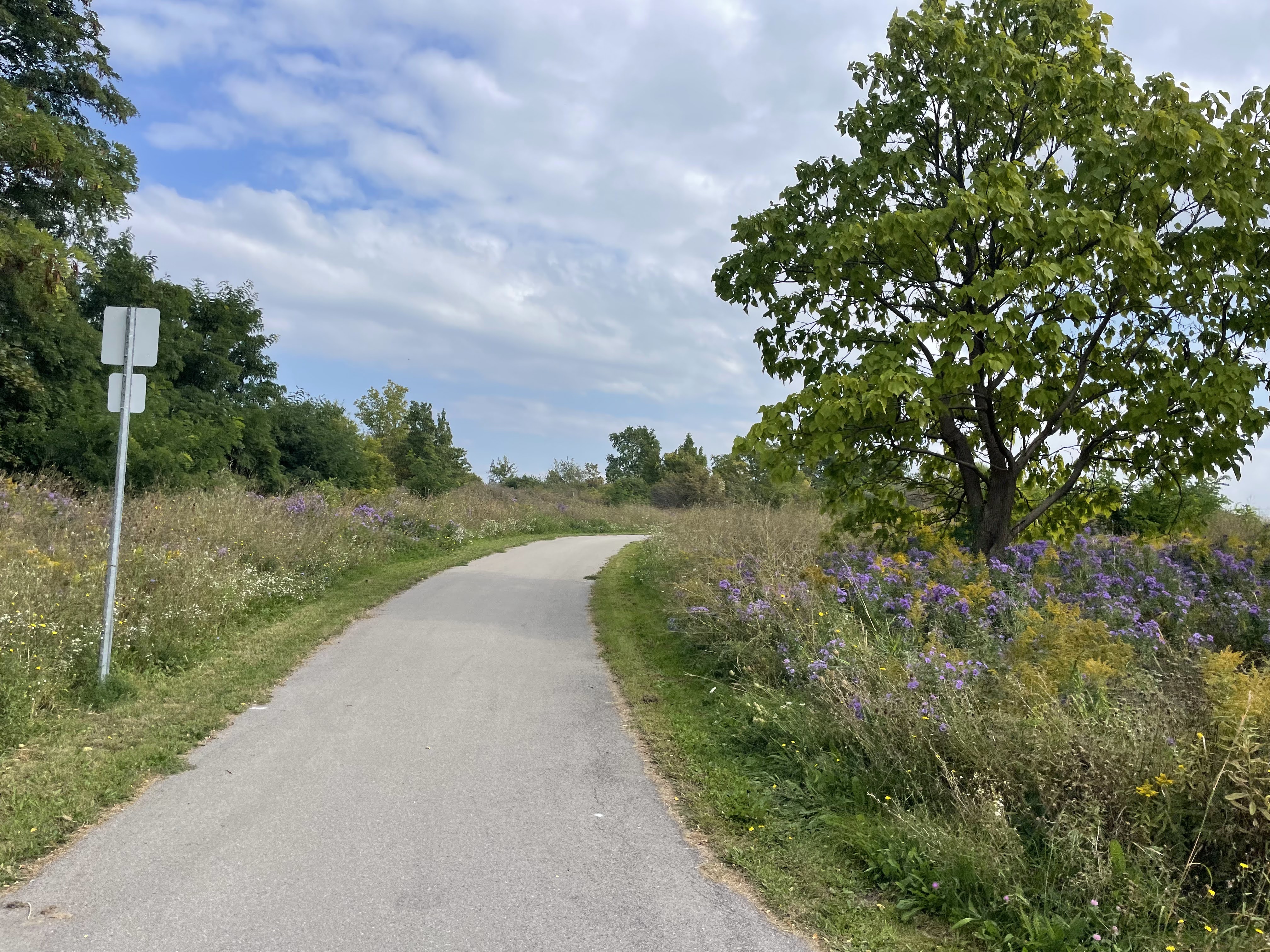
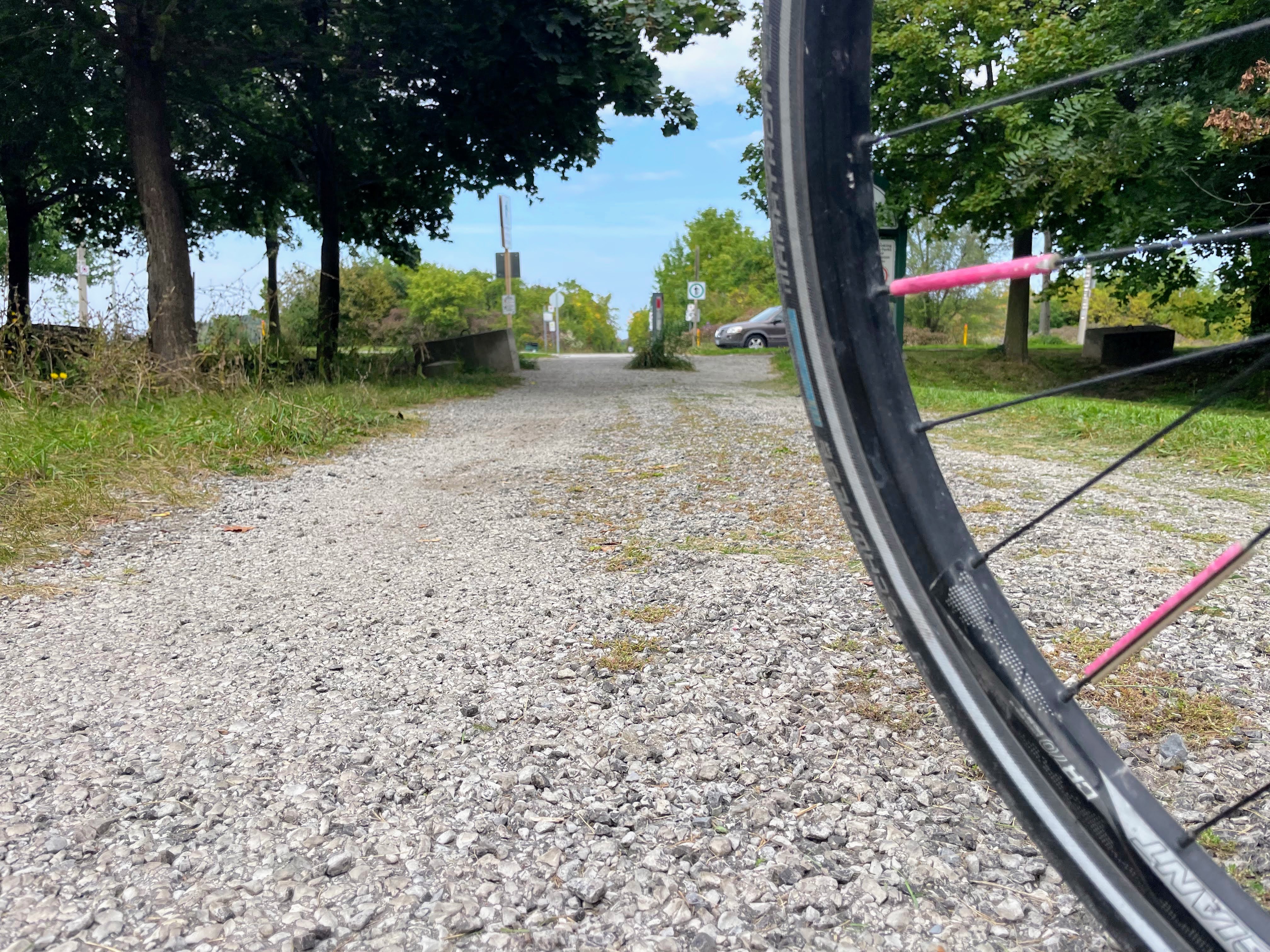
I was on the Escarpment Rail Trail for a couple kilometres. The surface in some places is screenings, and in other places very old pavement. The parts that are old pavement are extremely jarring.

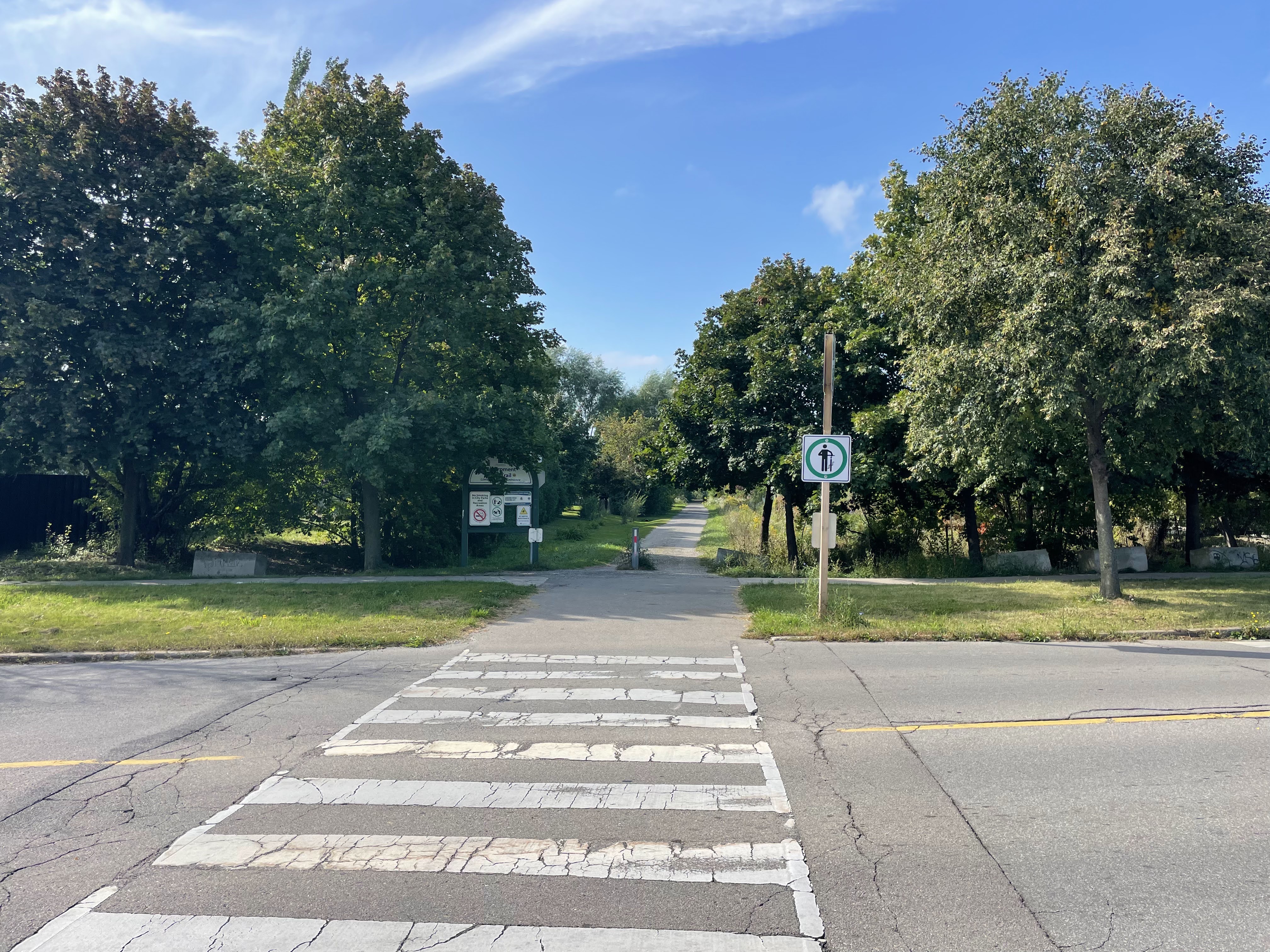
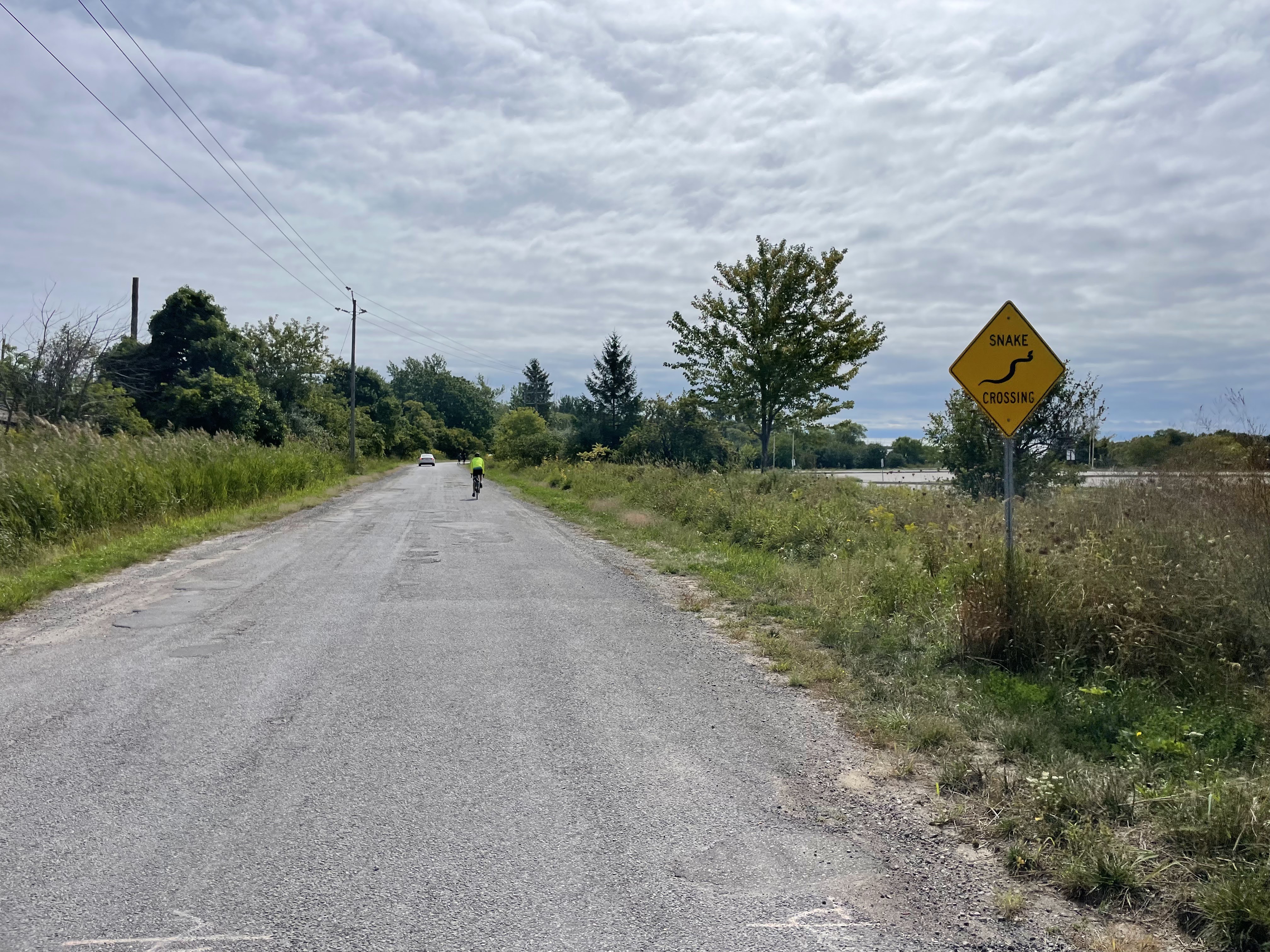
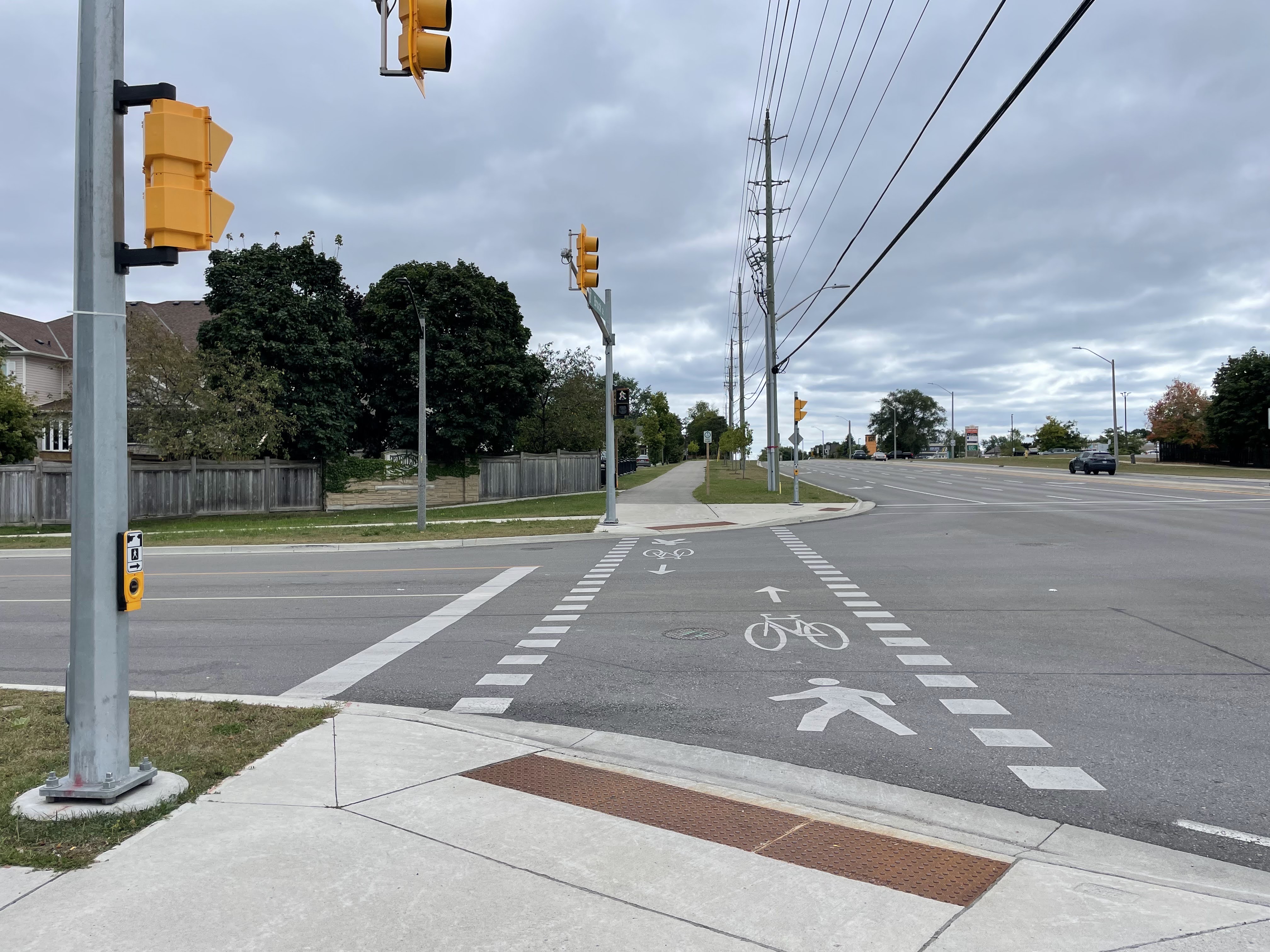
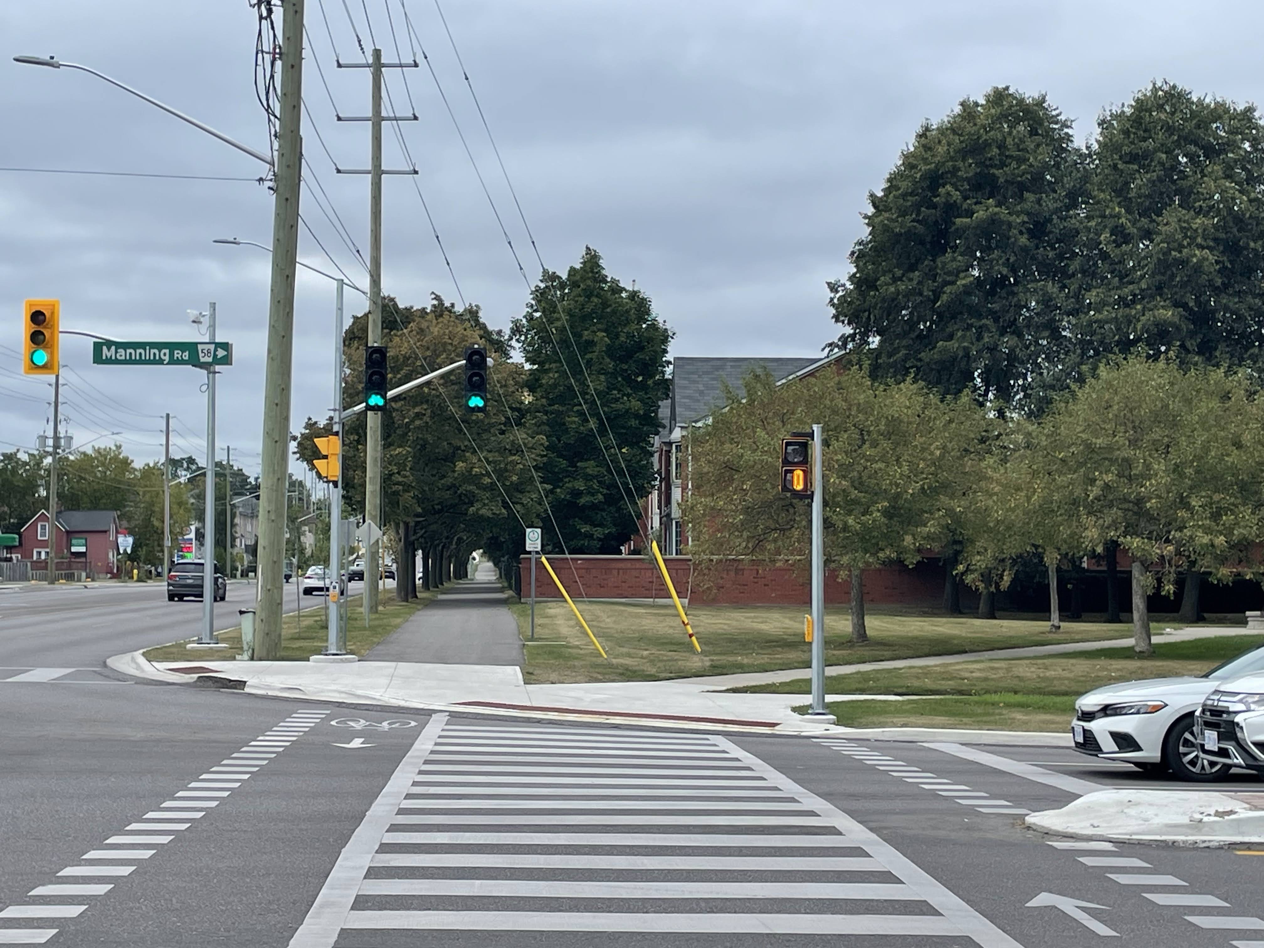
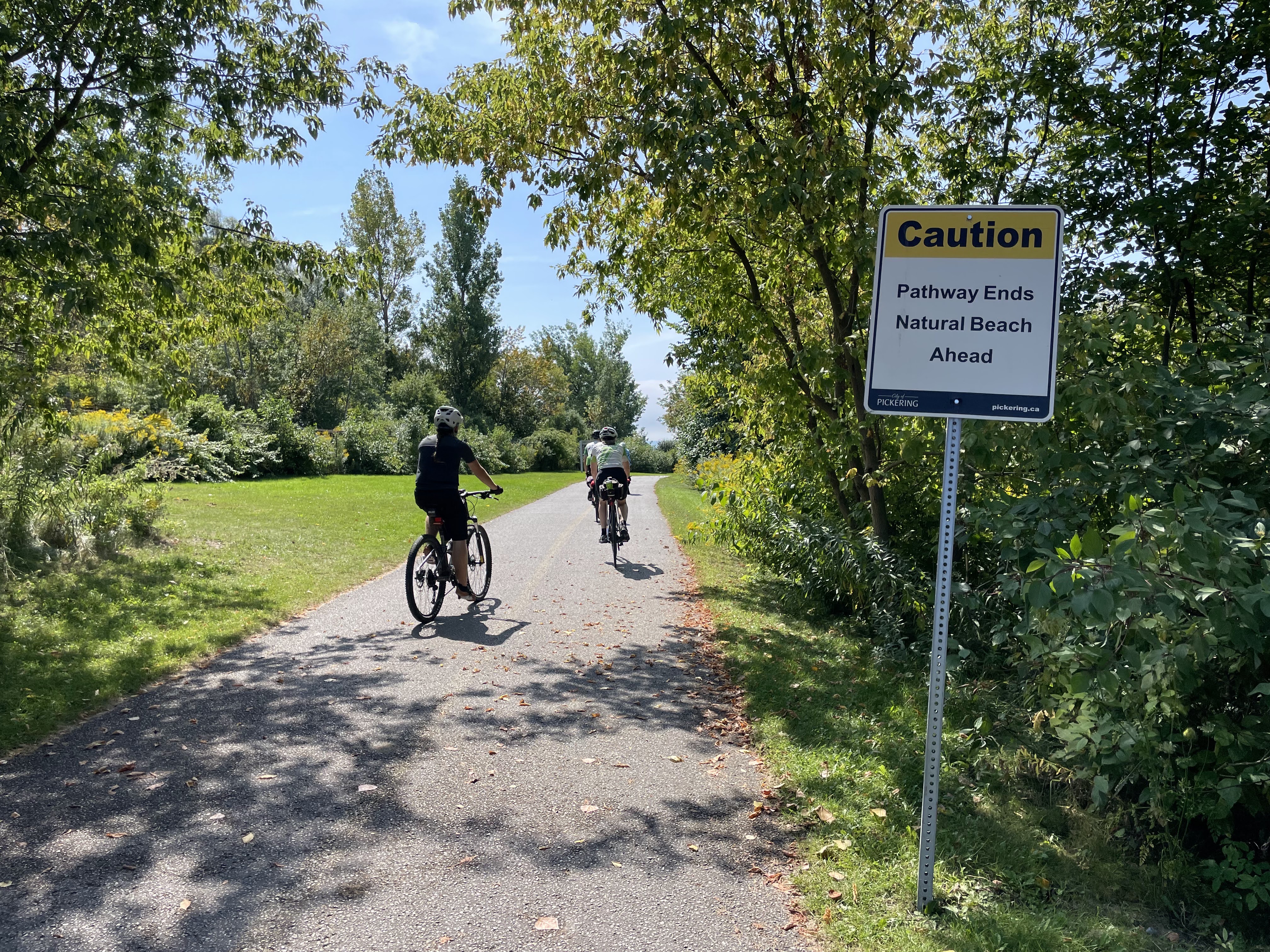
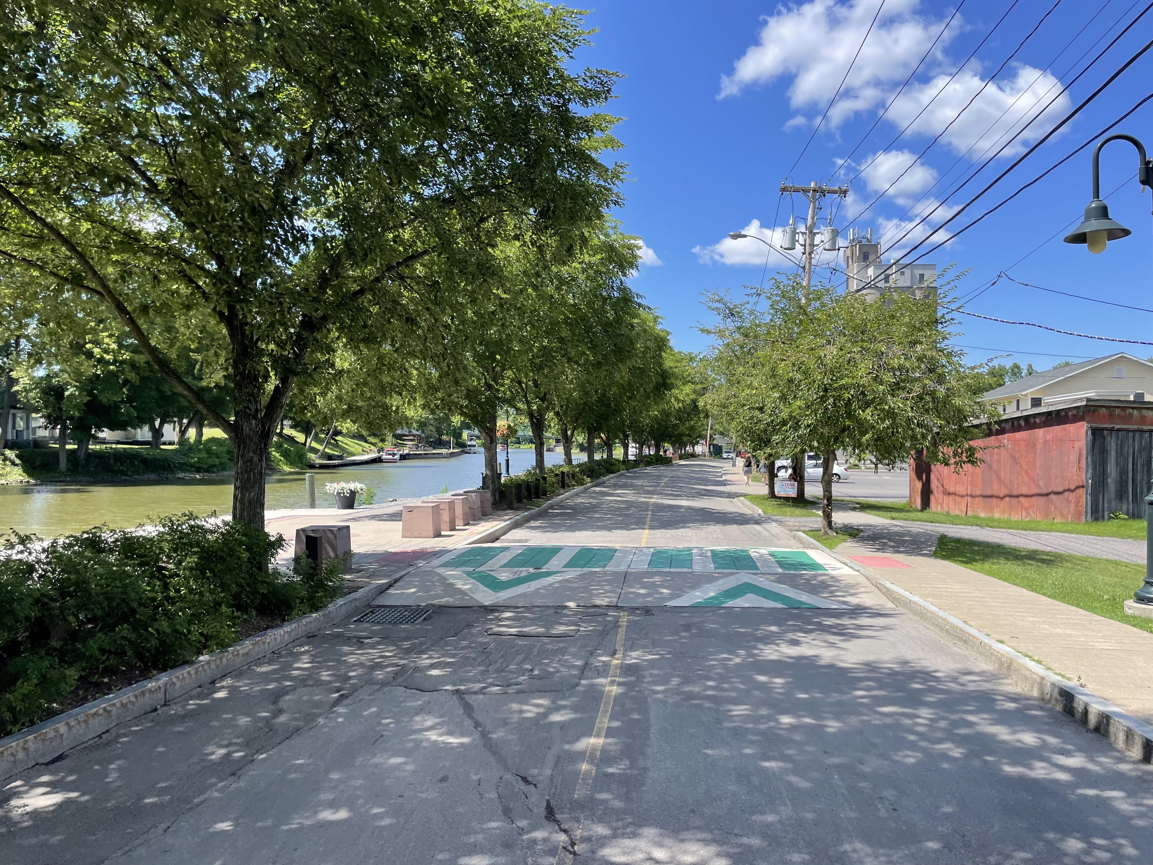
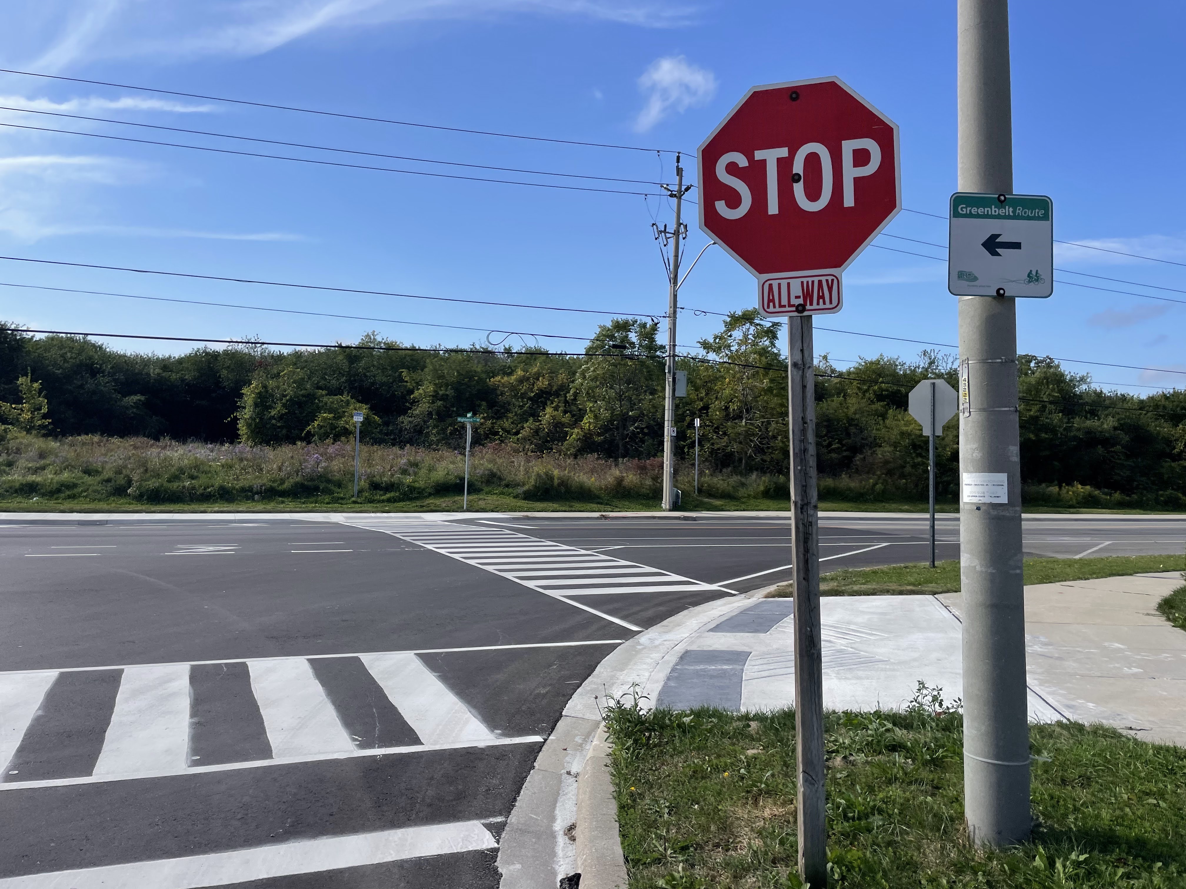
The trail does not have gates at the road crossings. In some places they have put in crossrides, but not at this particular crossing.

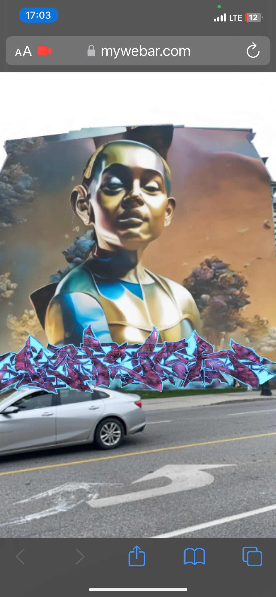
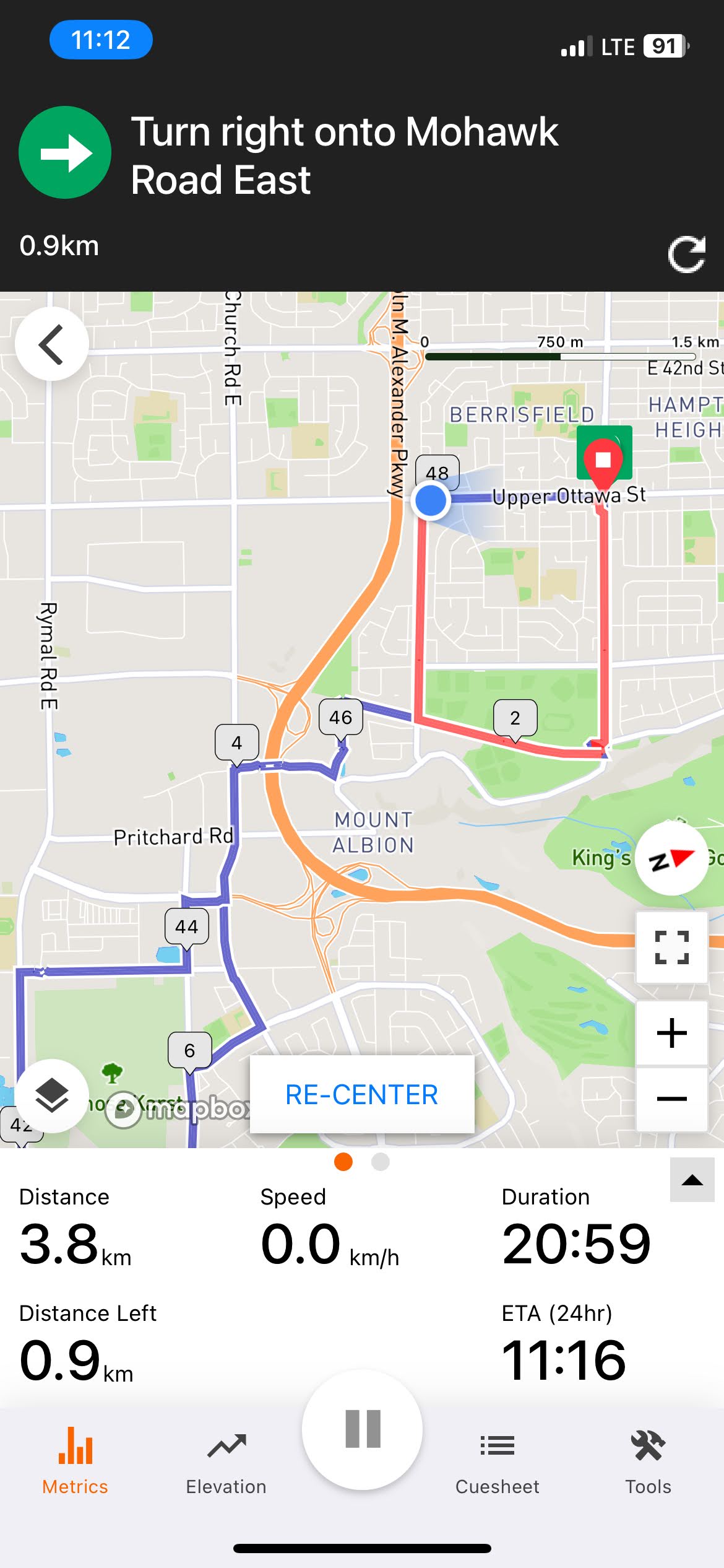
There’s a problem with the navigation cues on Ride with GPS when the route crosses itself. It always seems to choose the later cue and I don’t always catch it. In this case, I was actually taking a phone call and ended up following the wrong cue for a kilometer. I need to put in a support ticket to see if they can fix it. They’ve been quite responsive to other requests I’ve made.

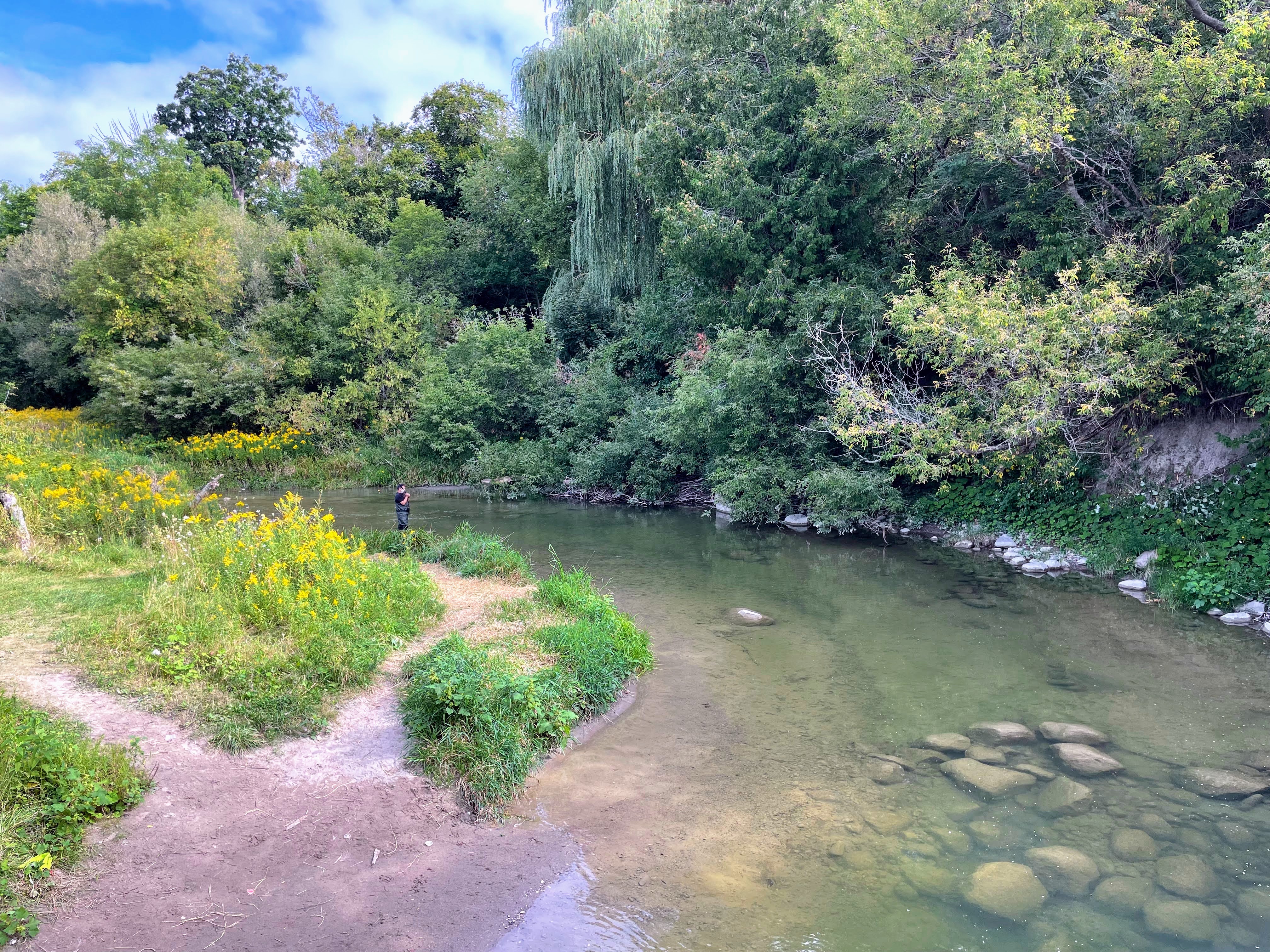
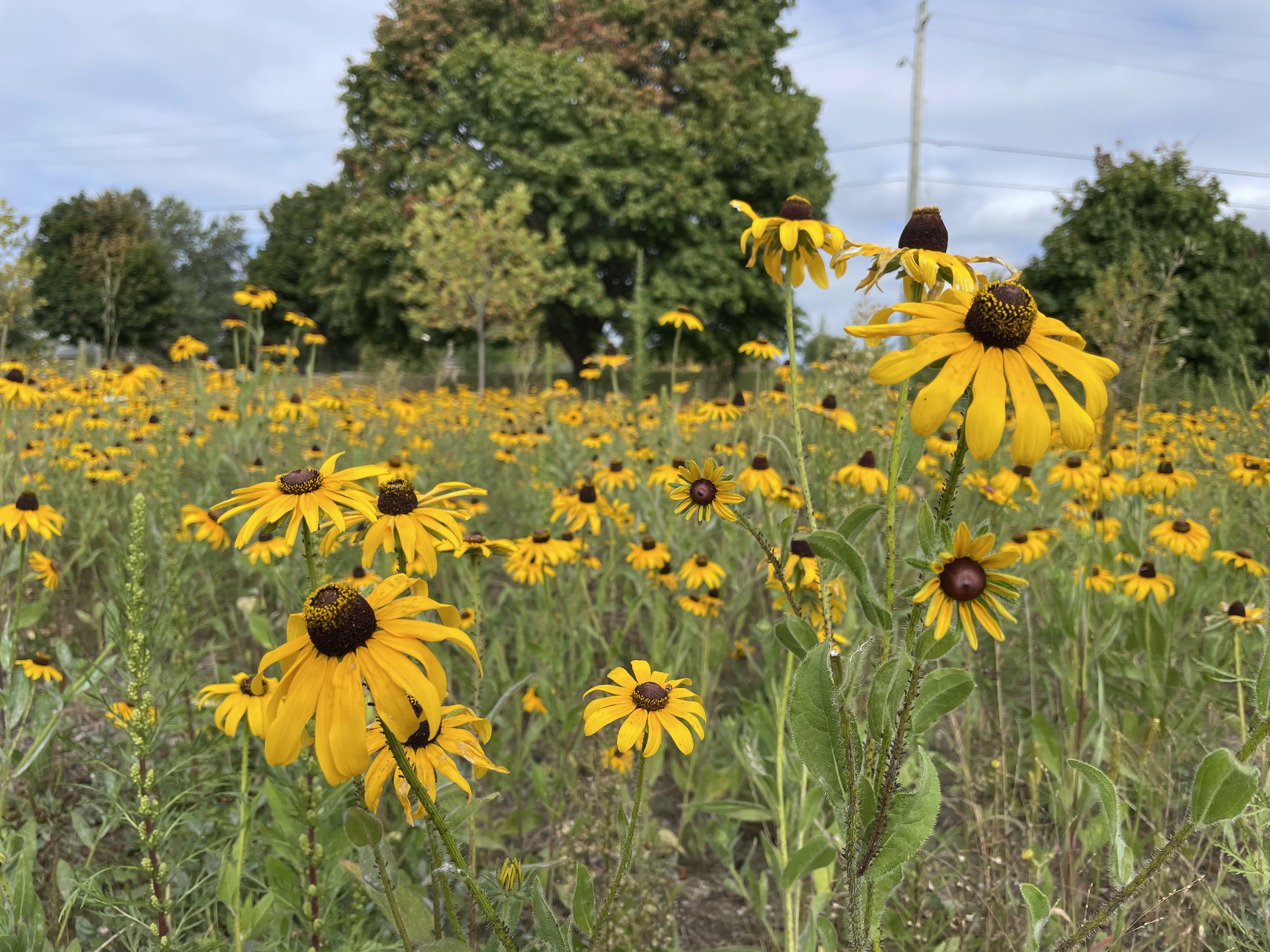
There is starting to be a bit of autumn color, but it is still mostly green.

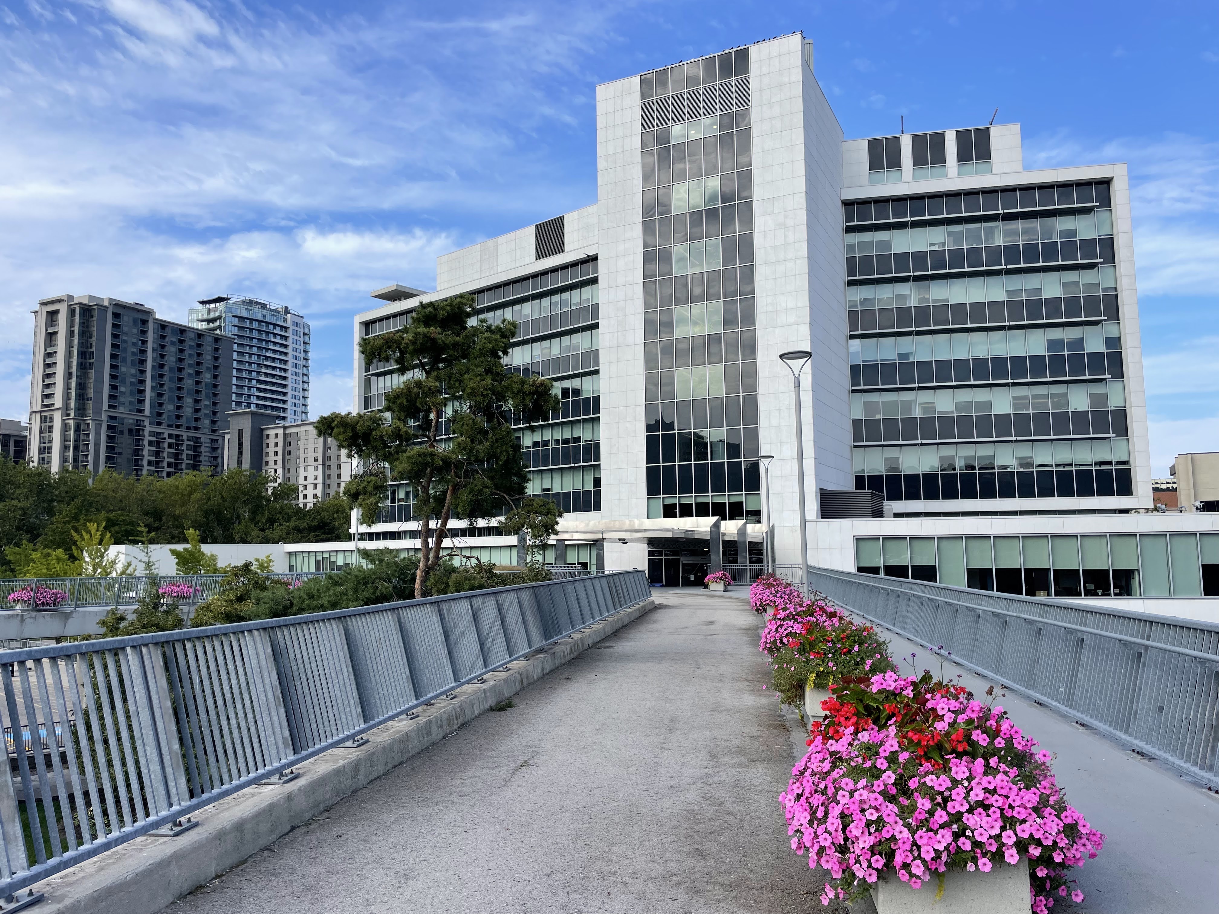
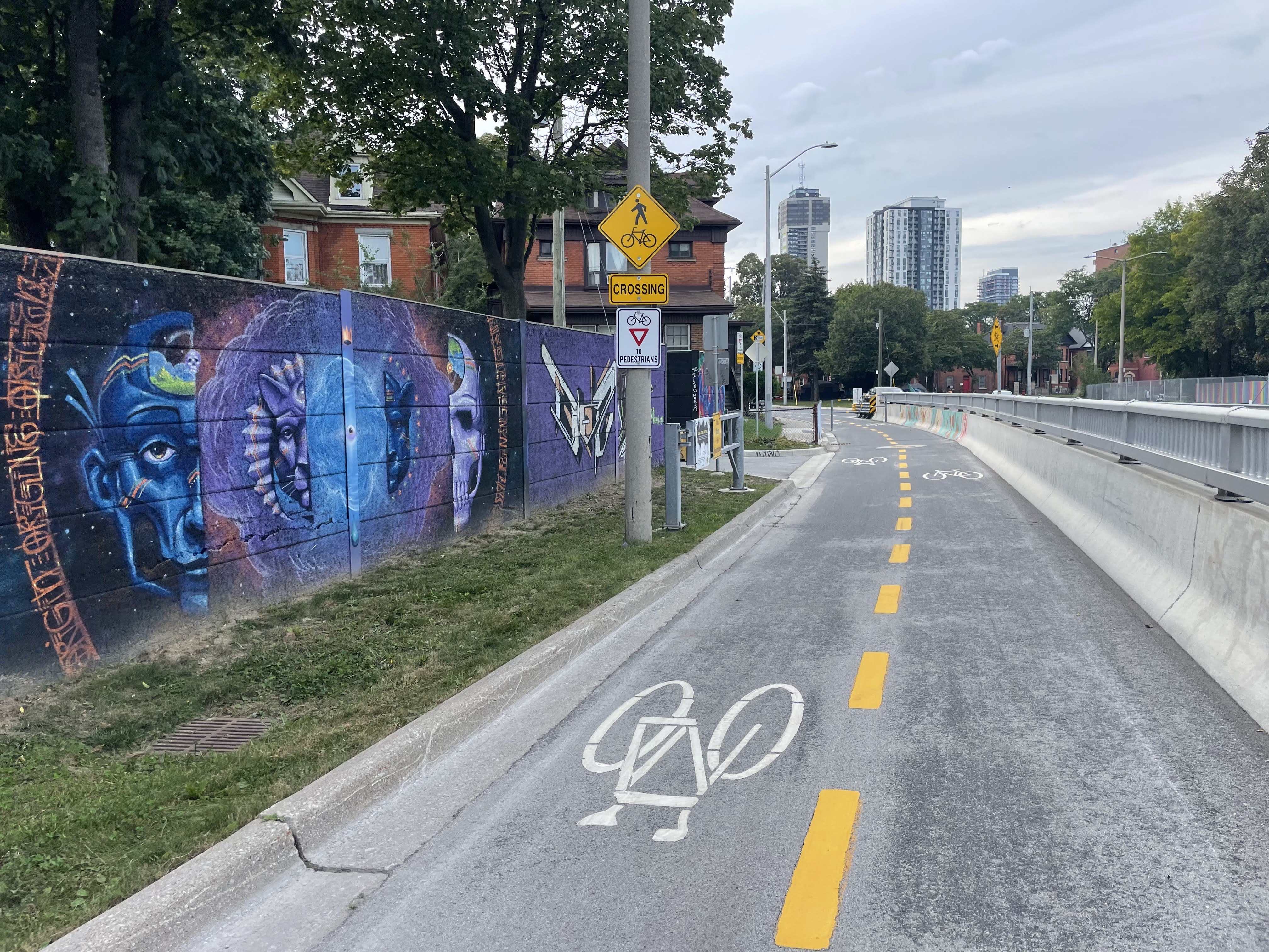
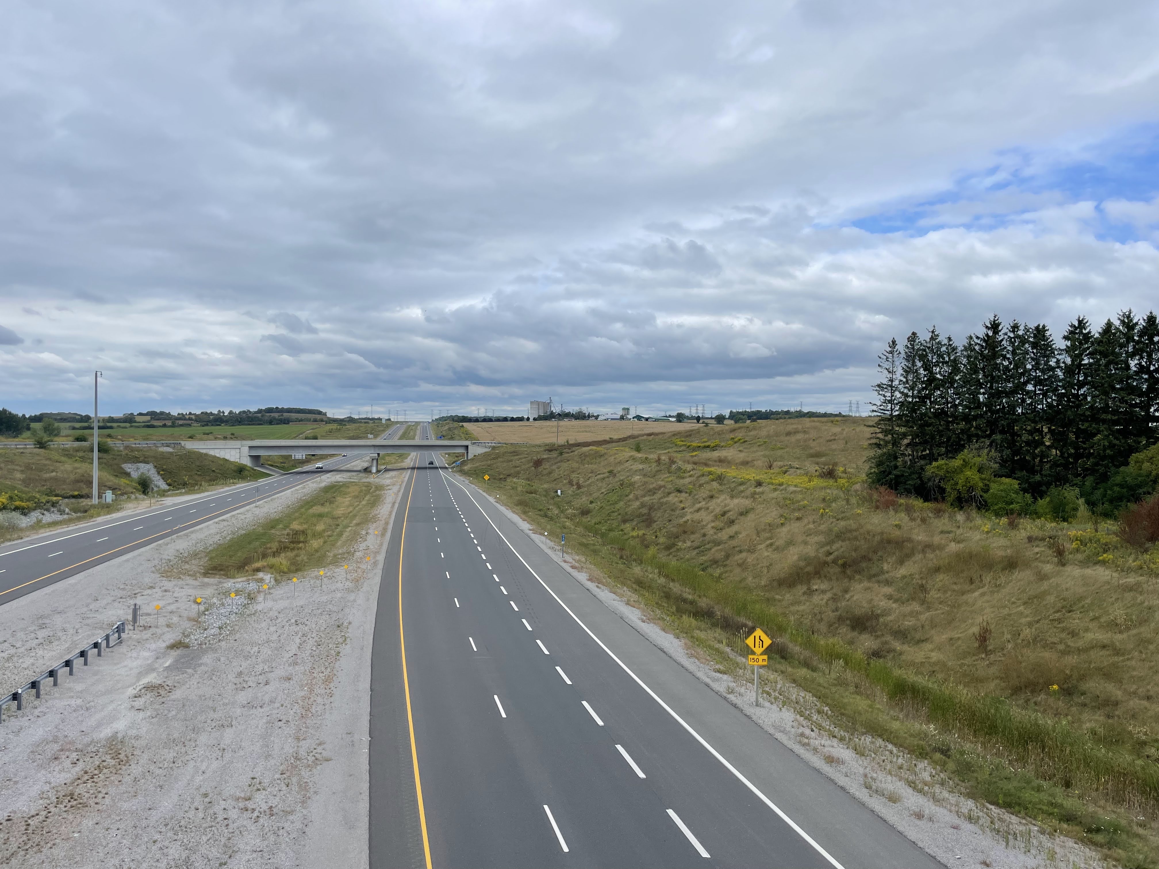
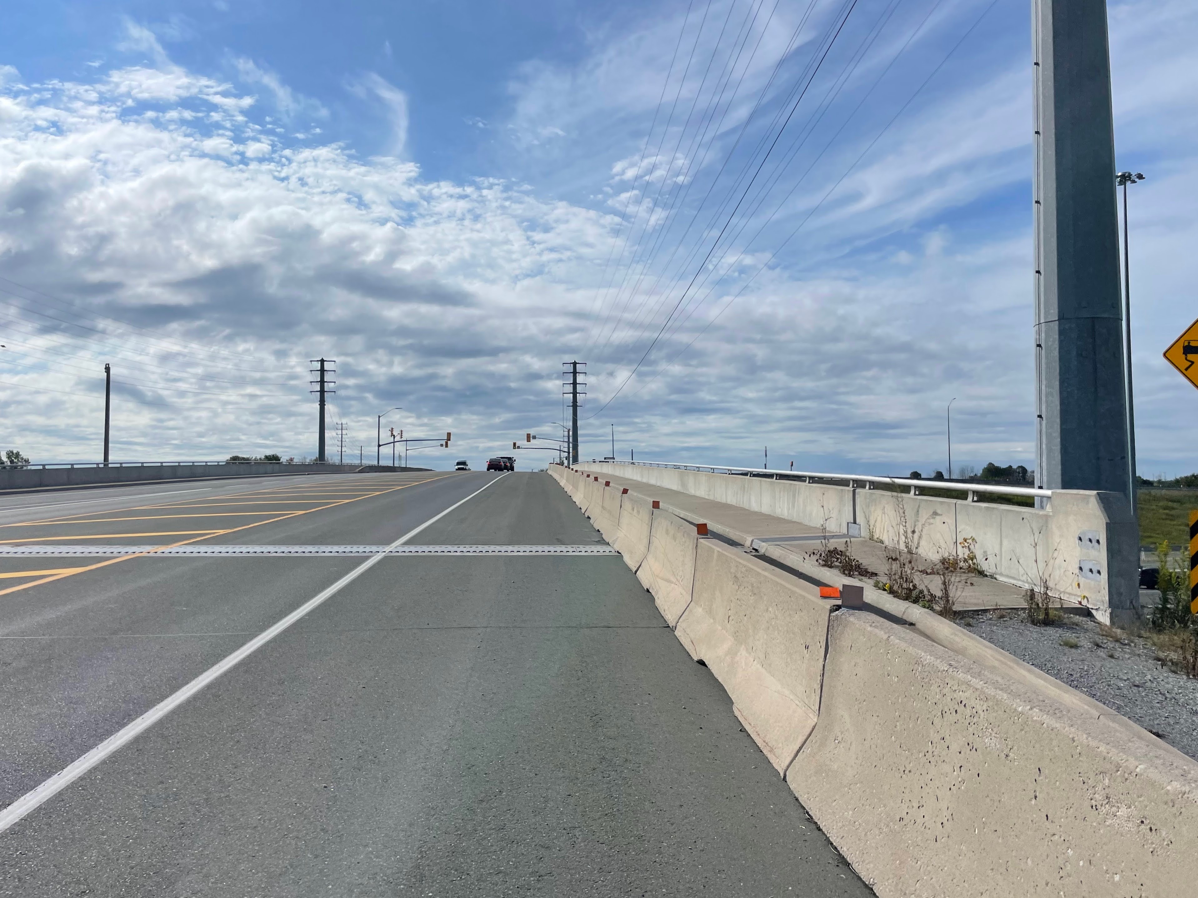
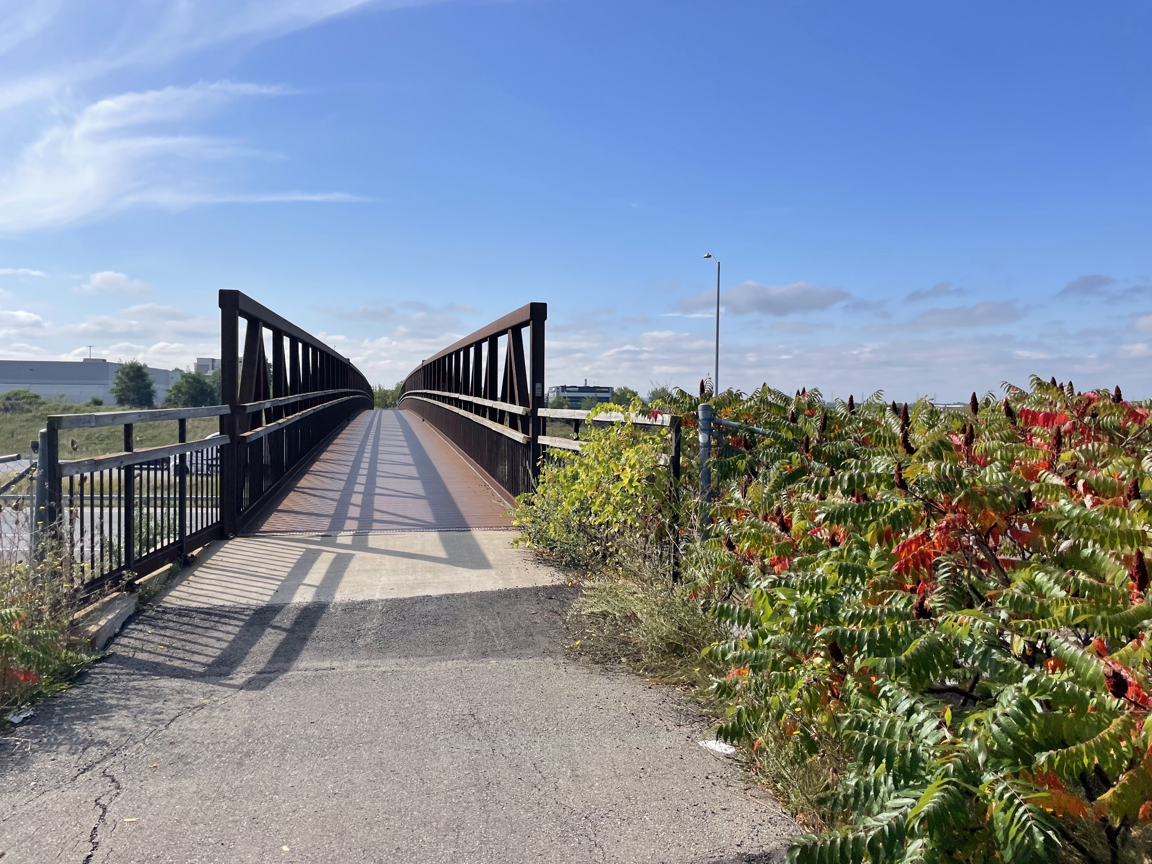
This lengthy Active Transportation bridge crosses Lincoln Alexander Expressway.

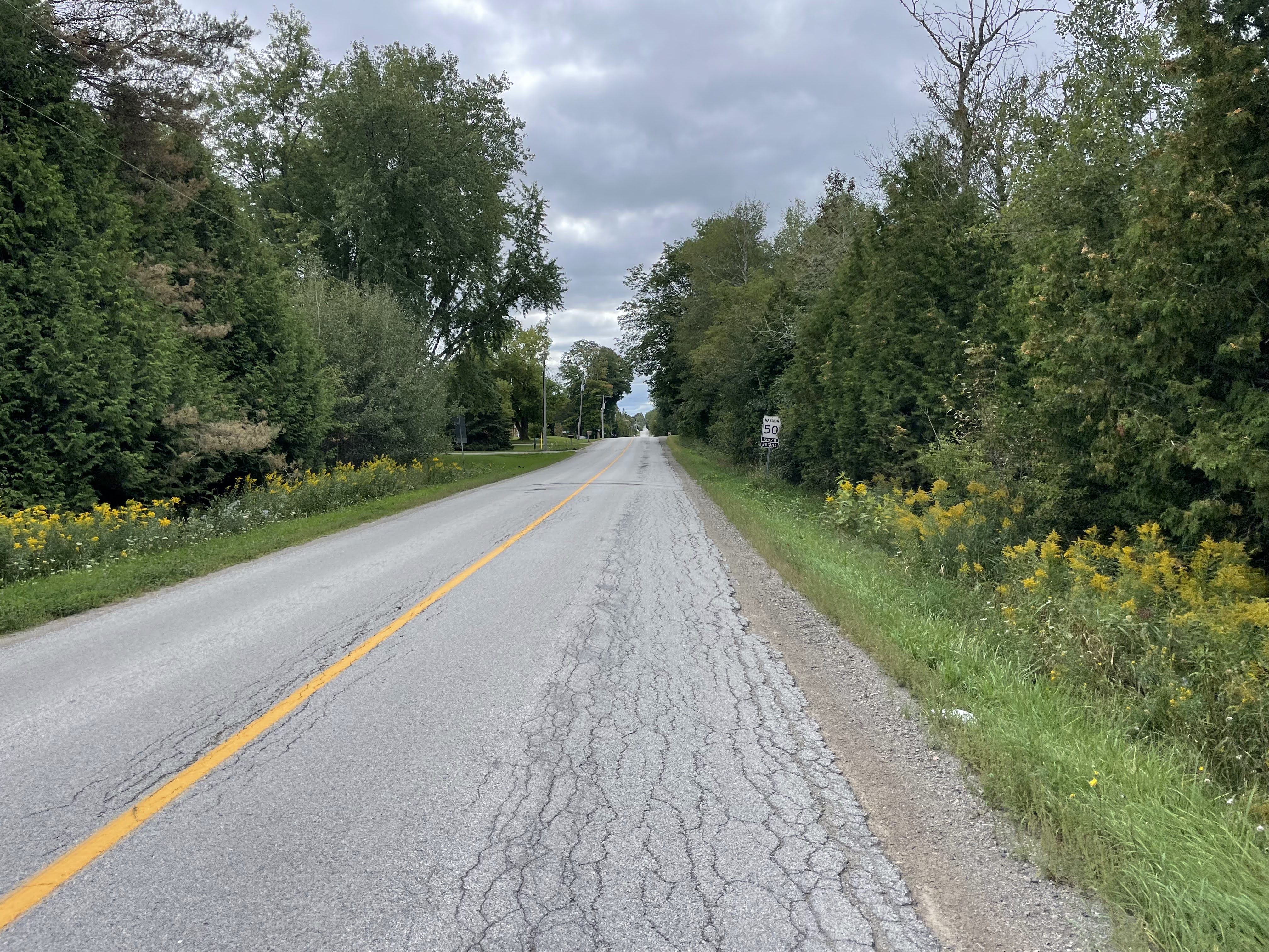
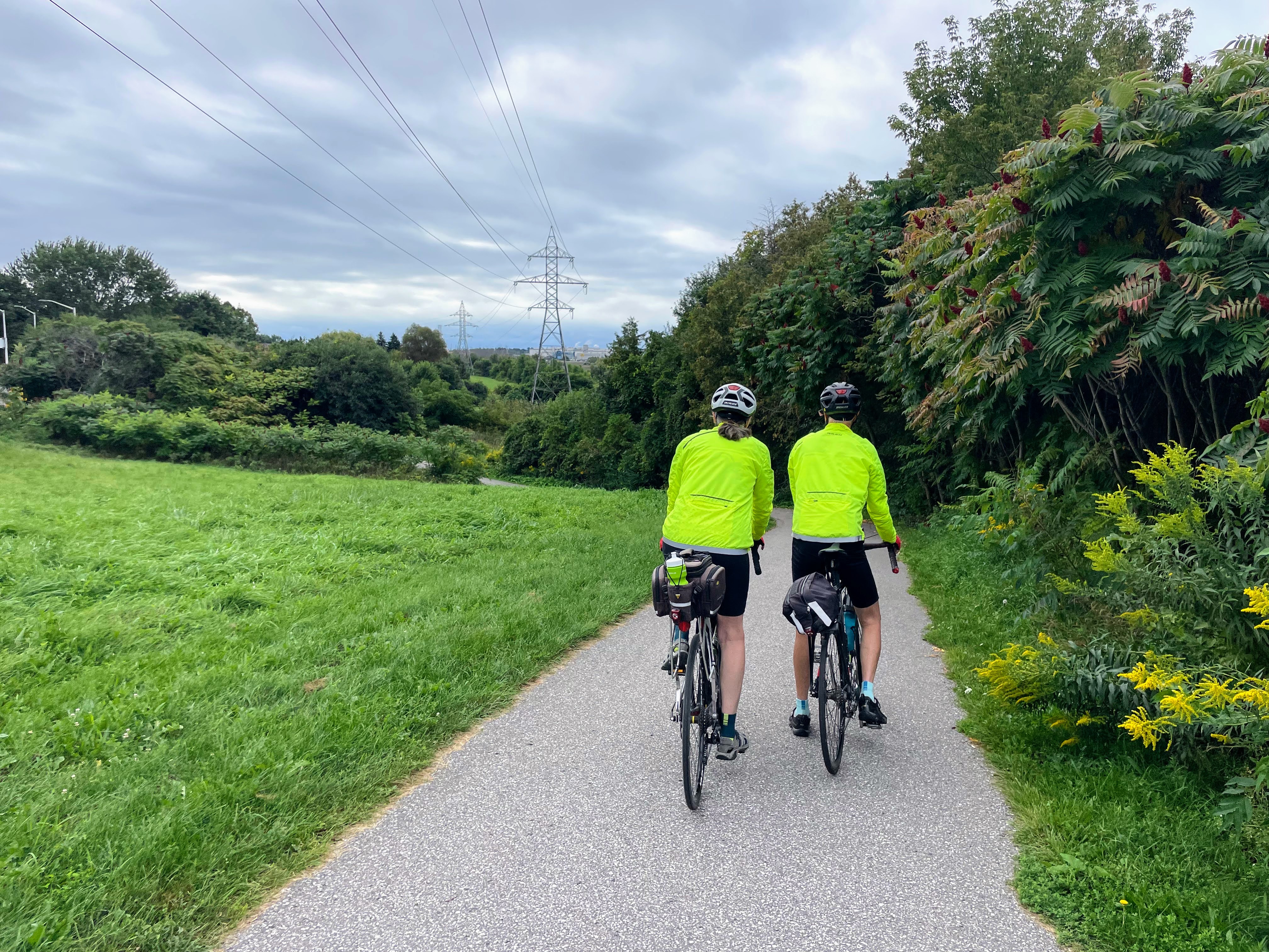
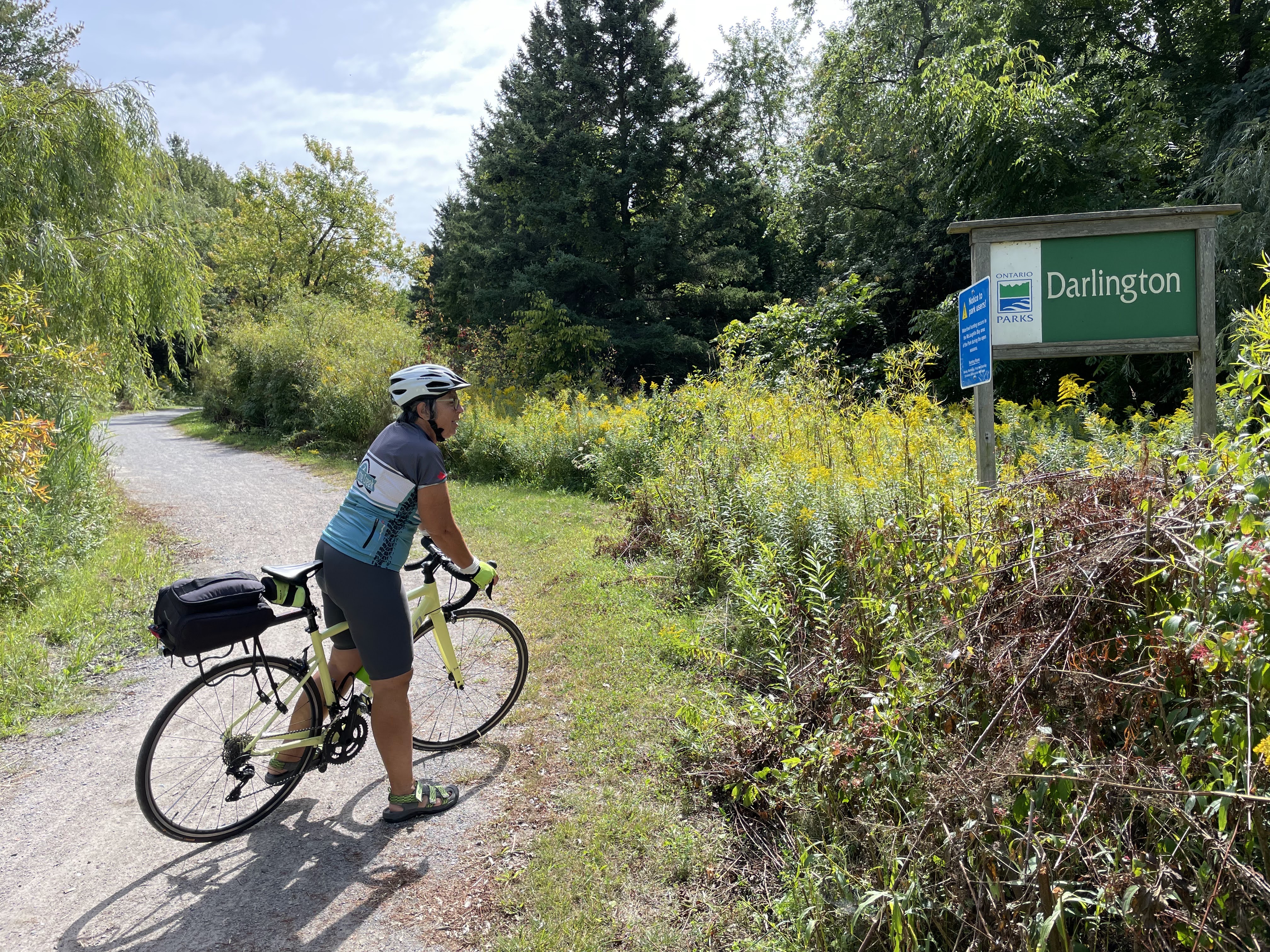
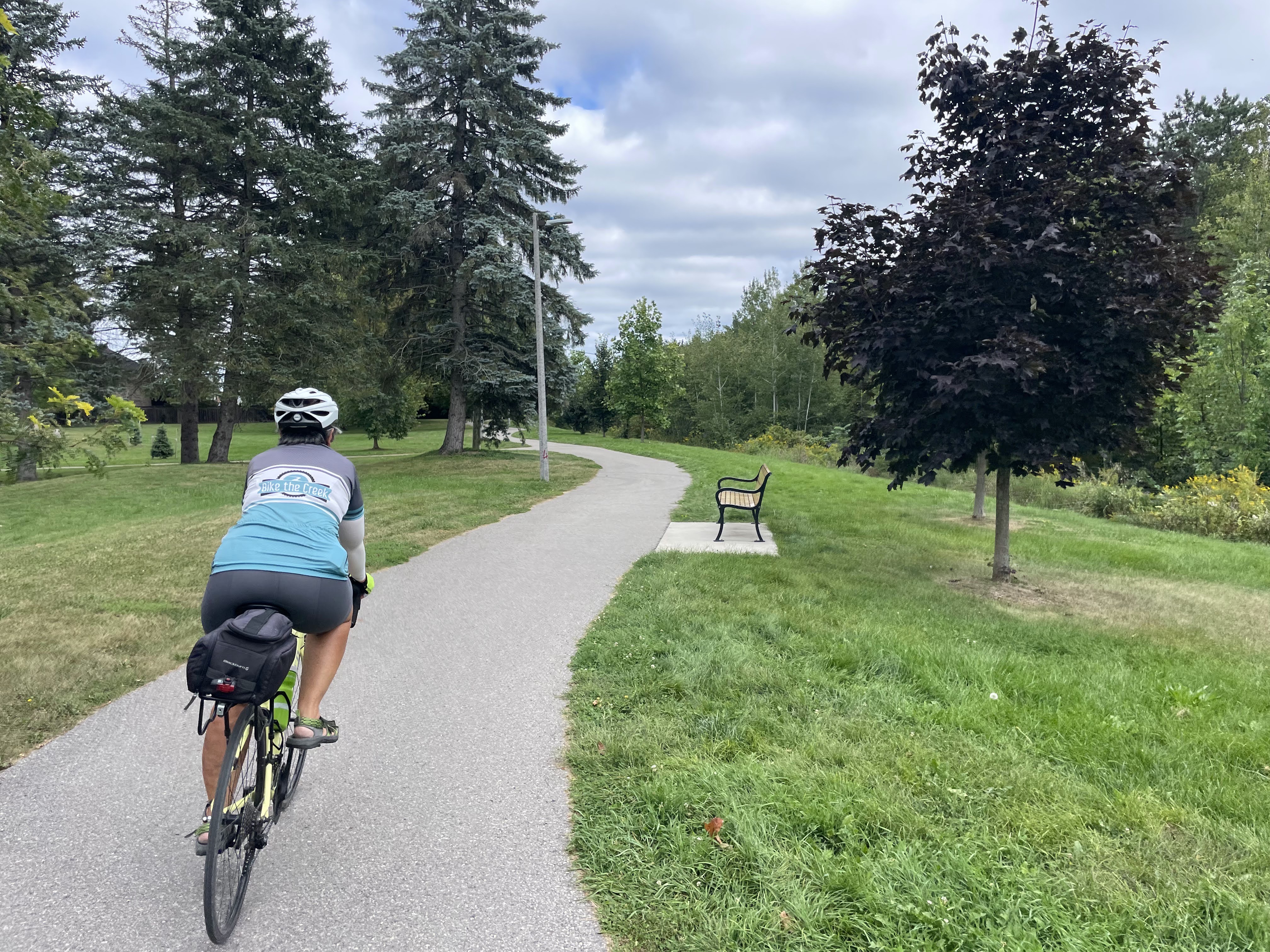
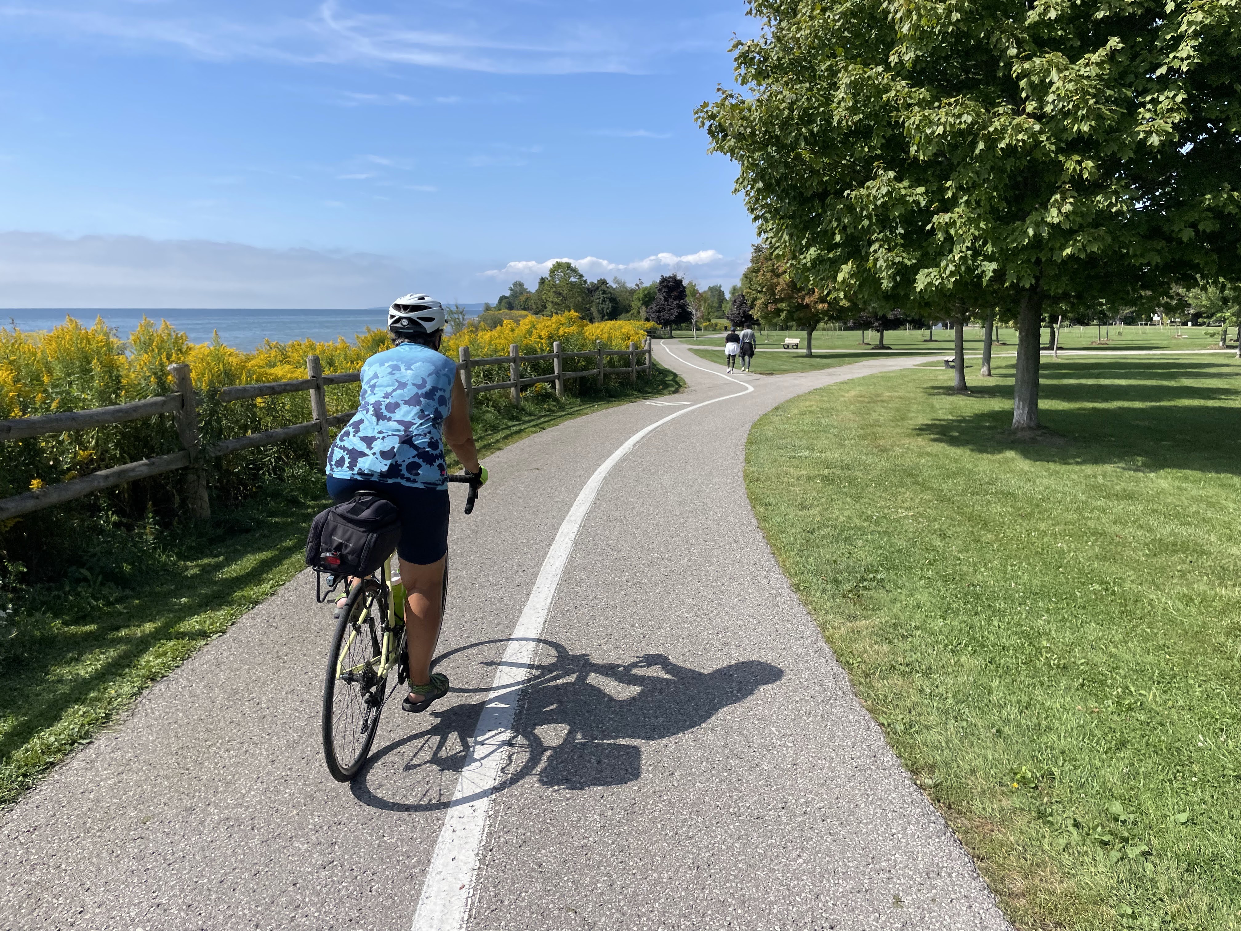
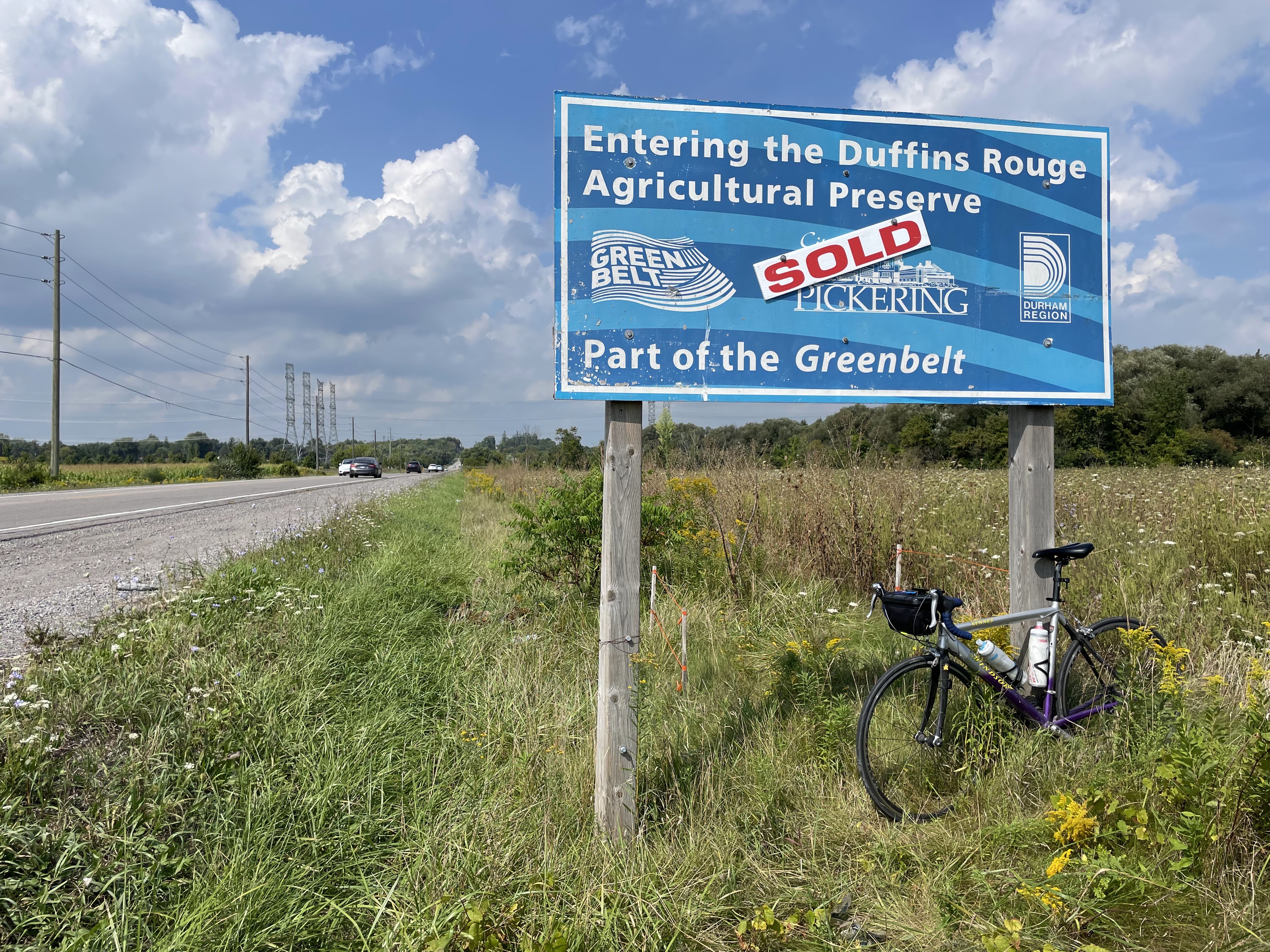
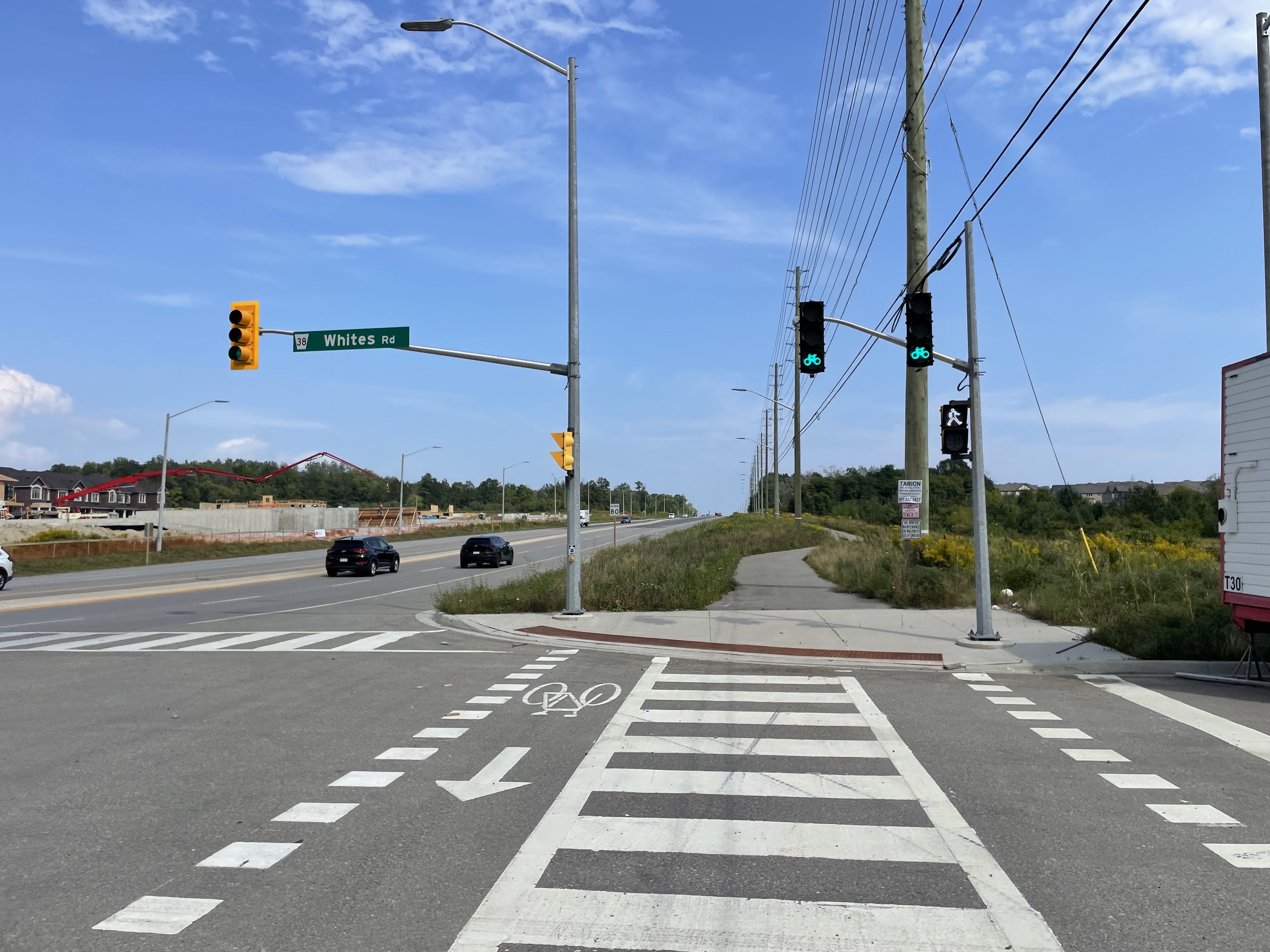
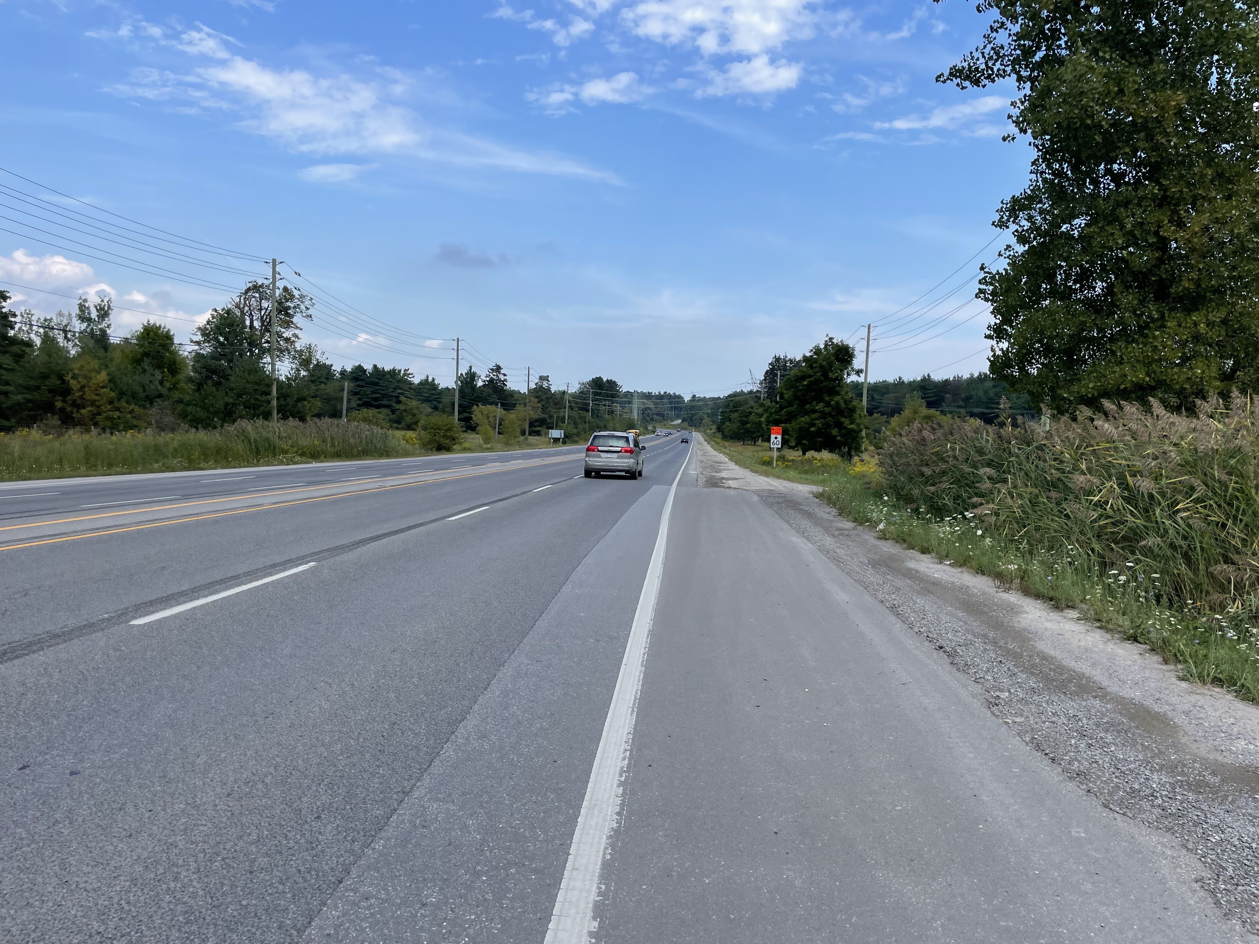
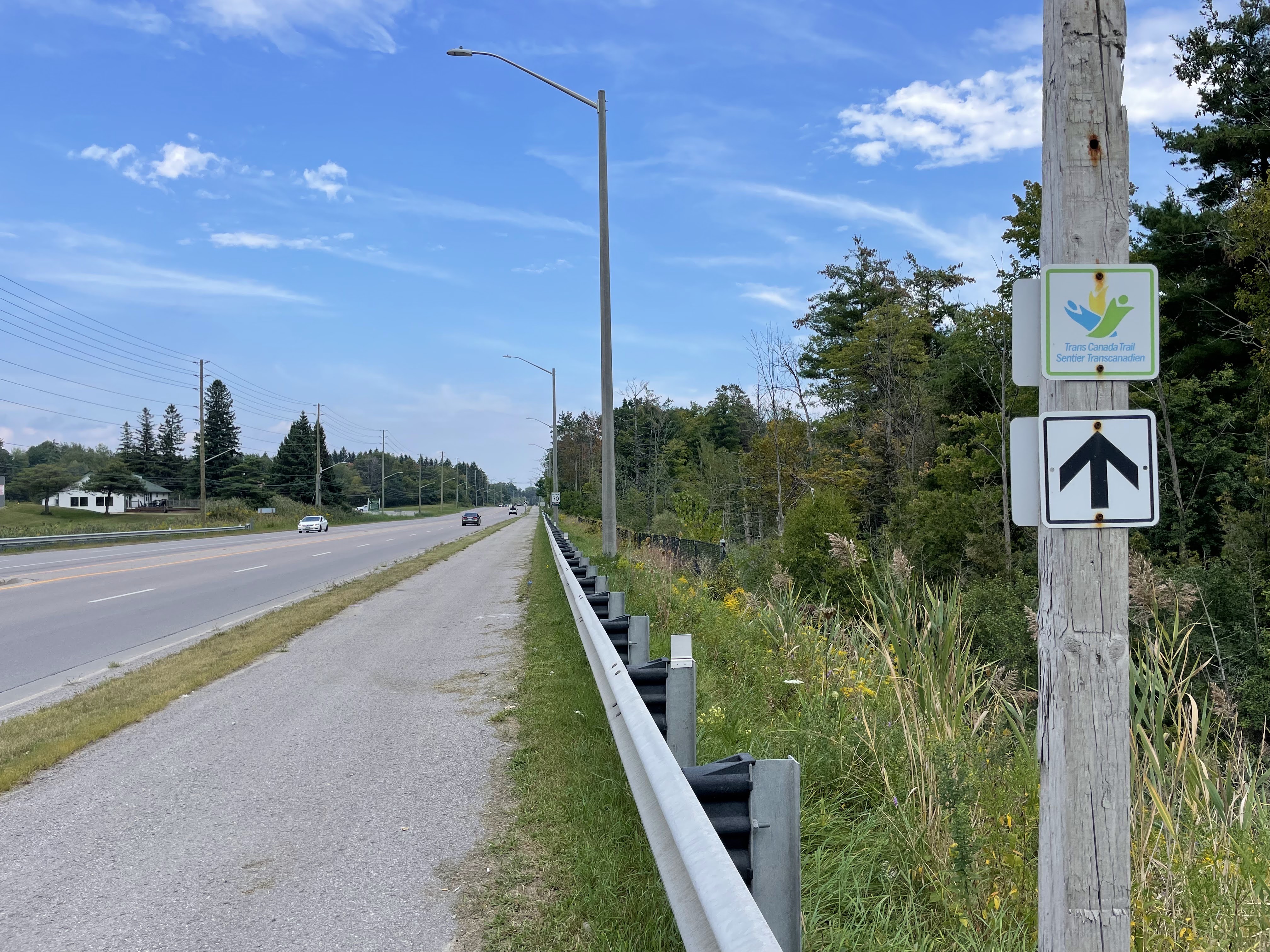
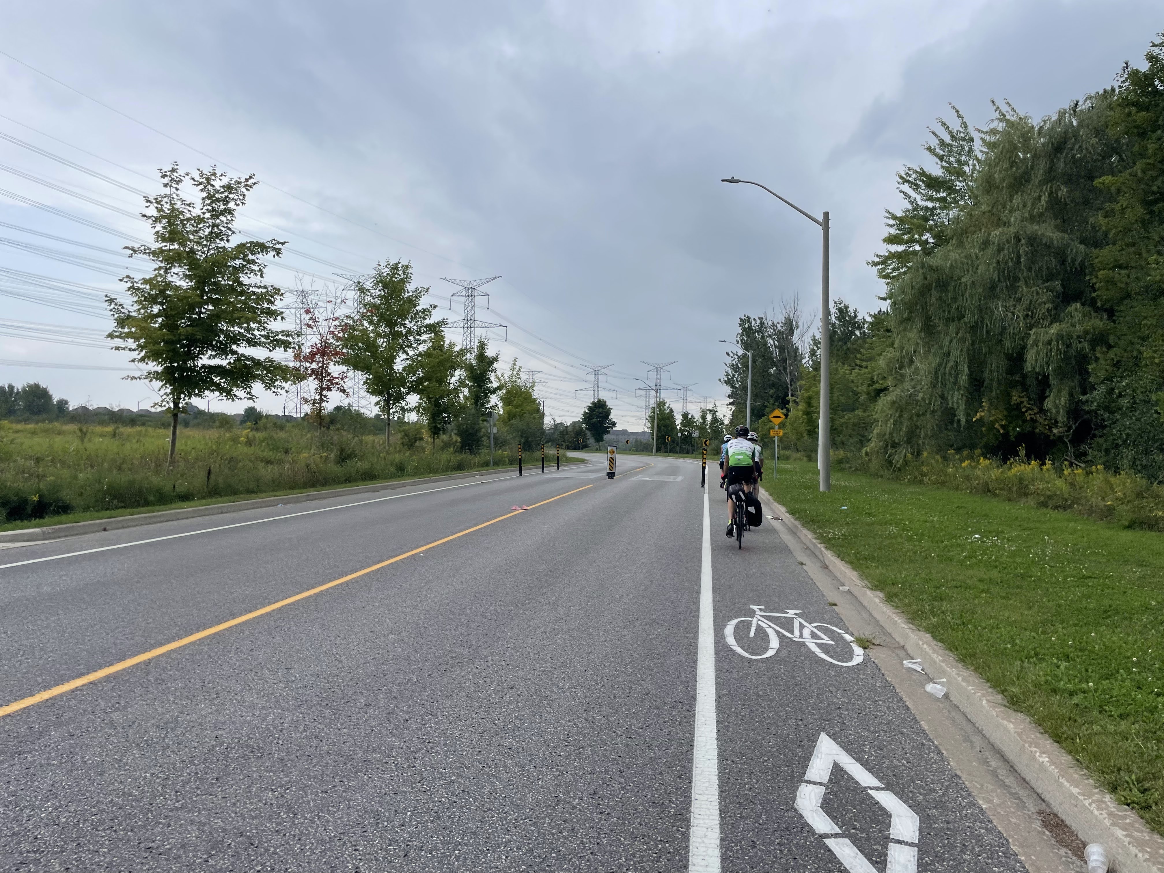
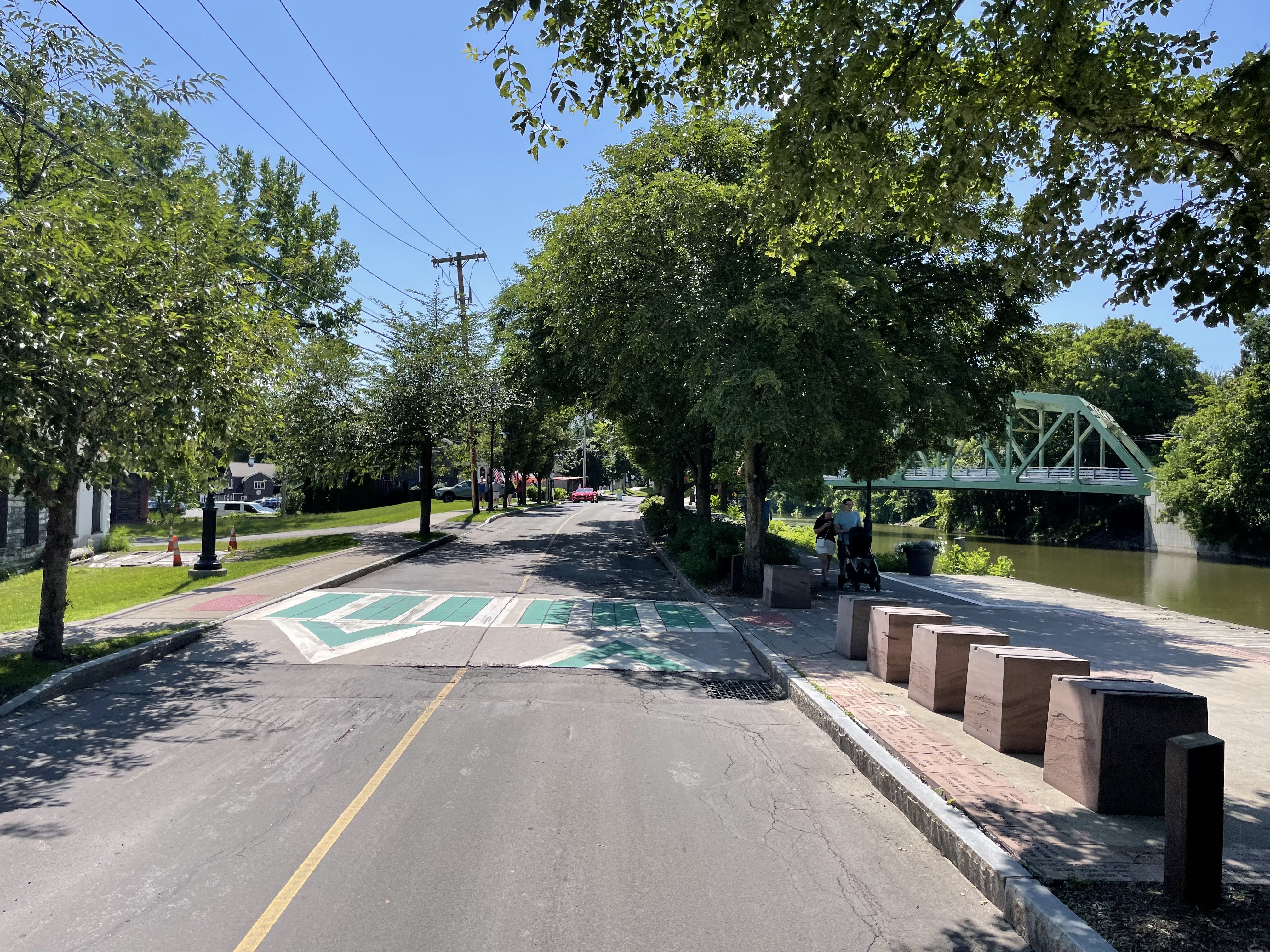
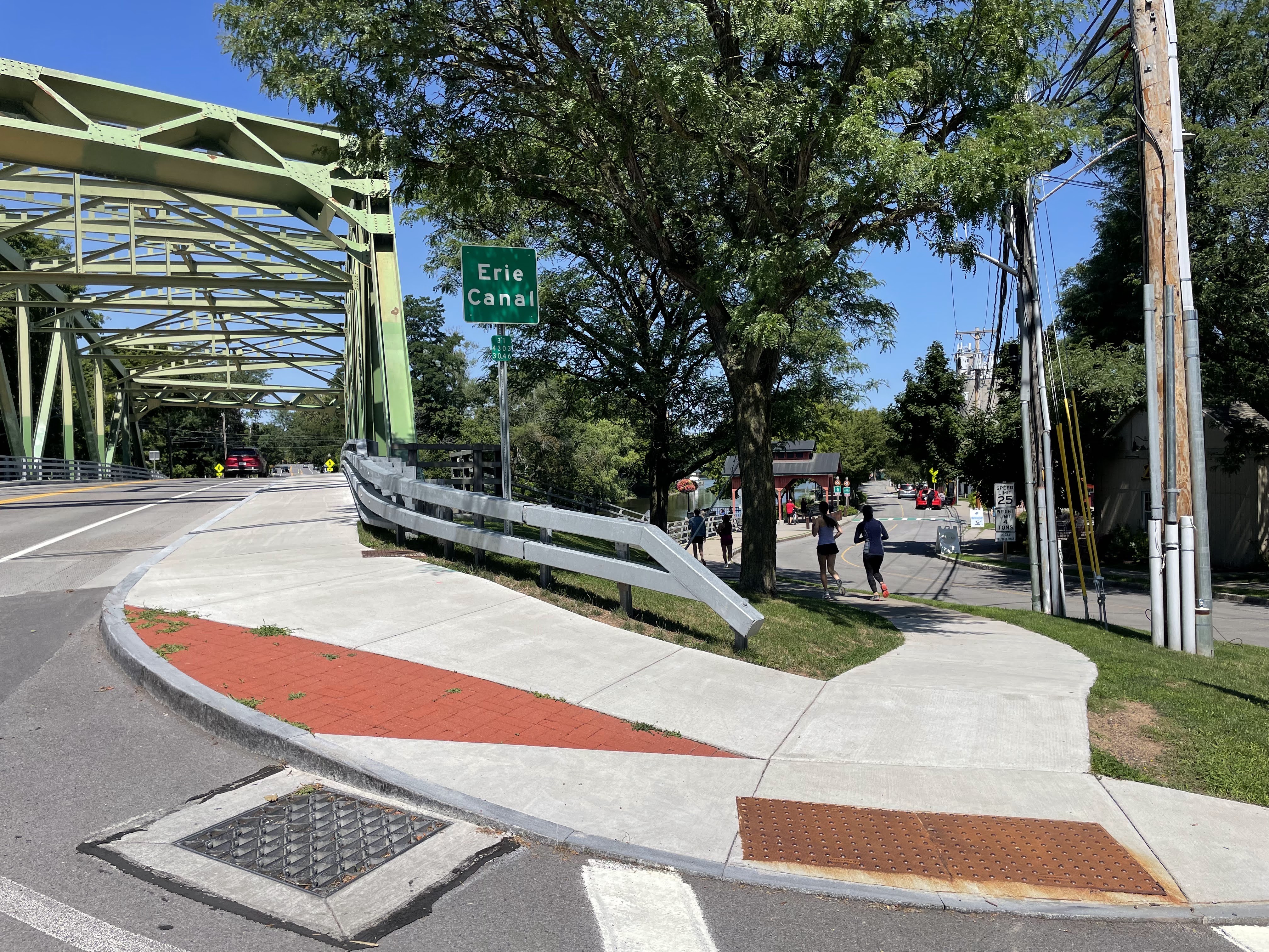
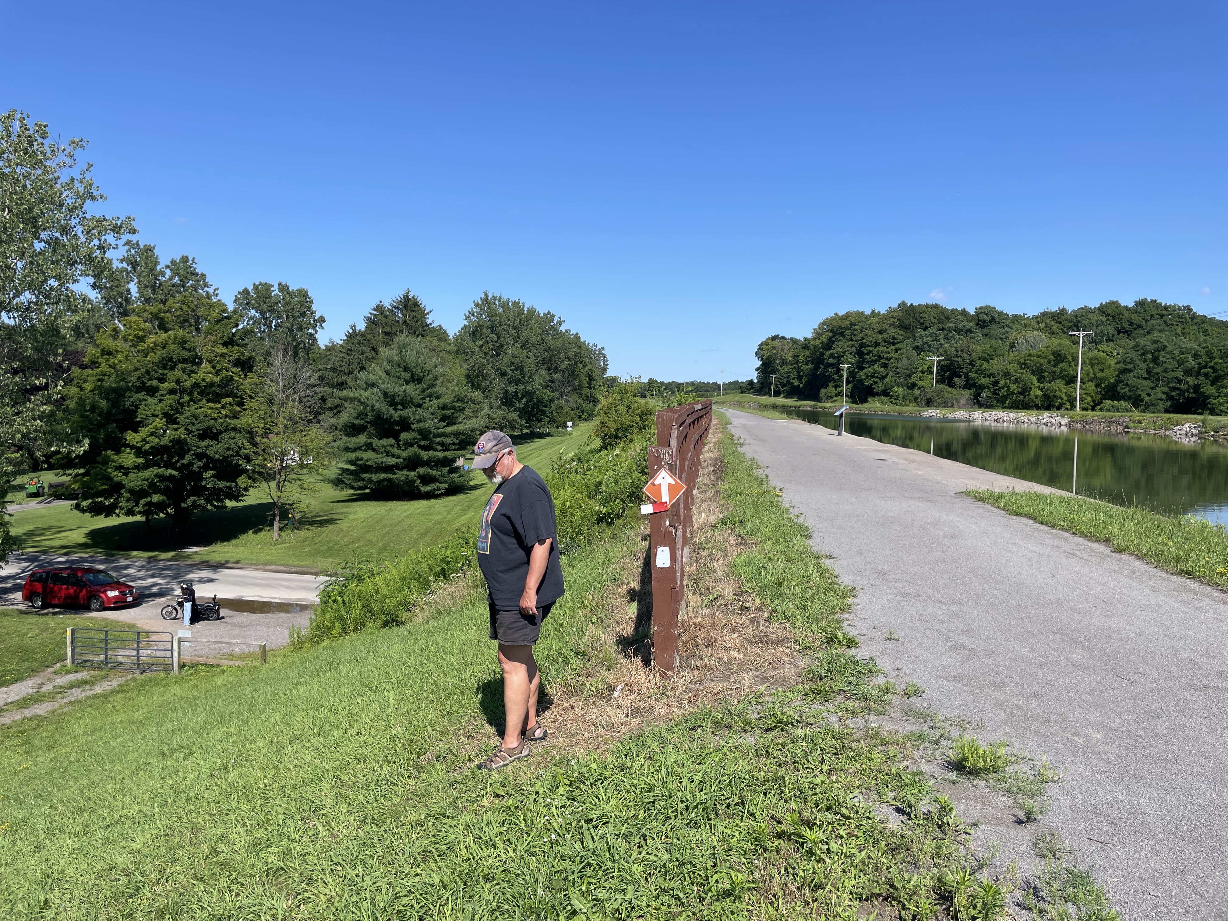
Part of my ride today was following the Greenbelt route.

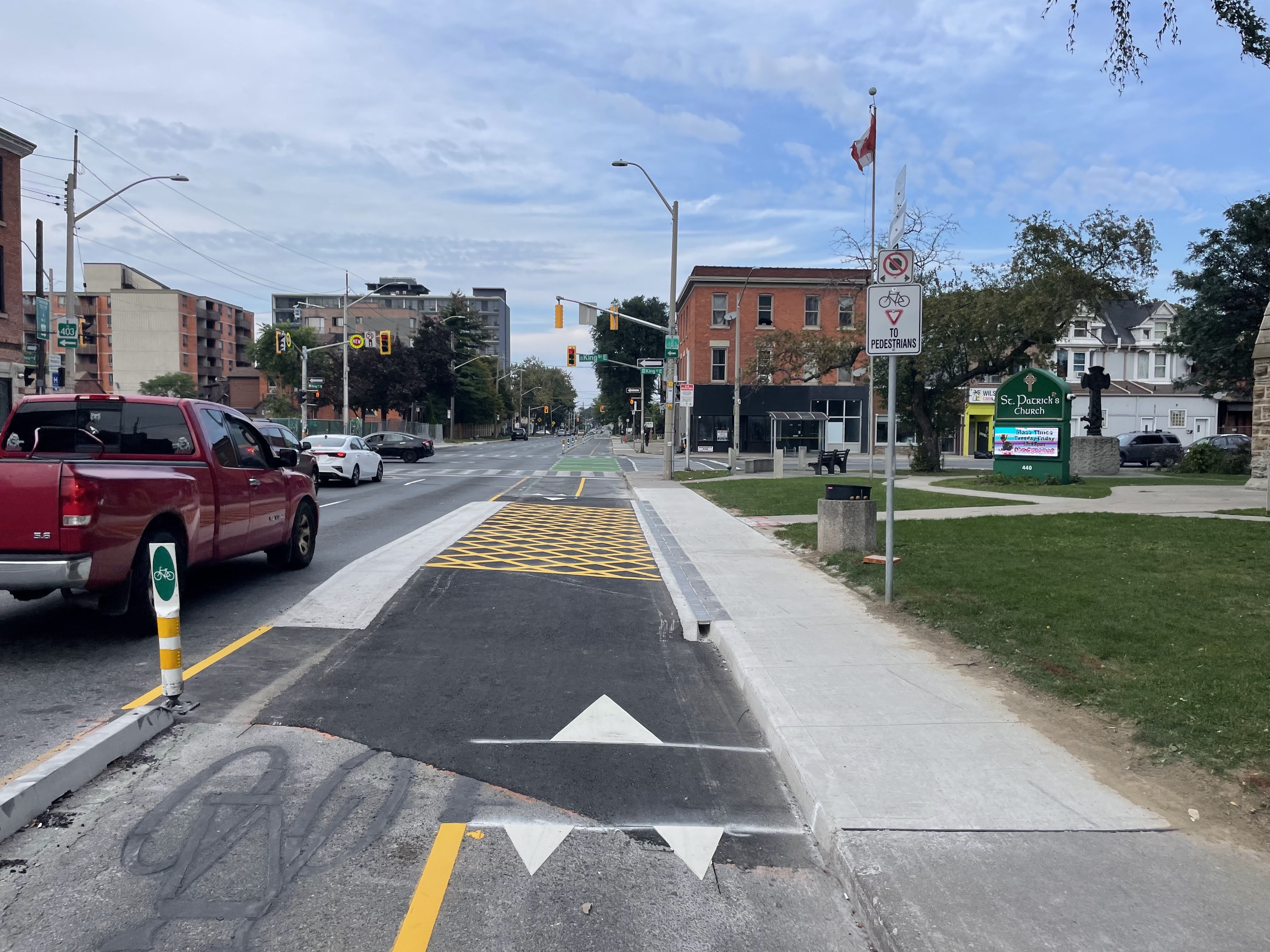
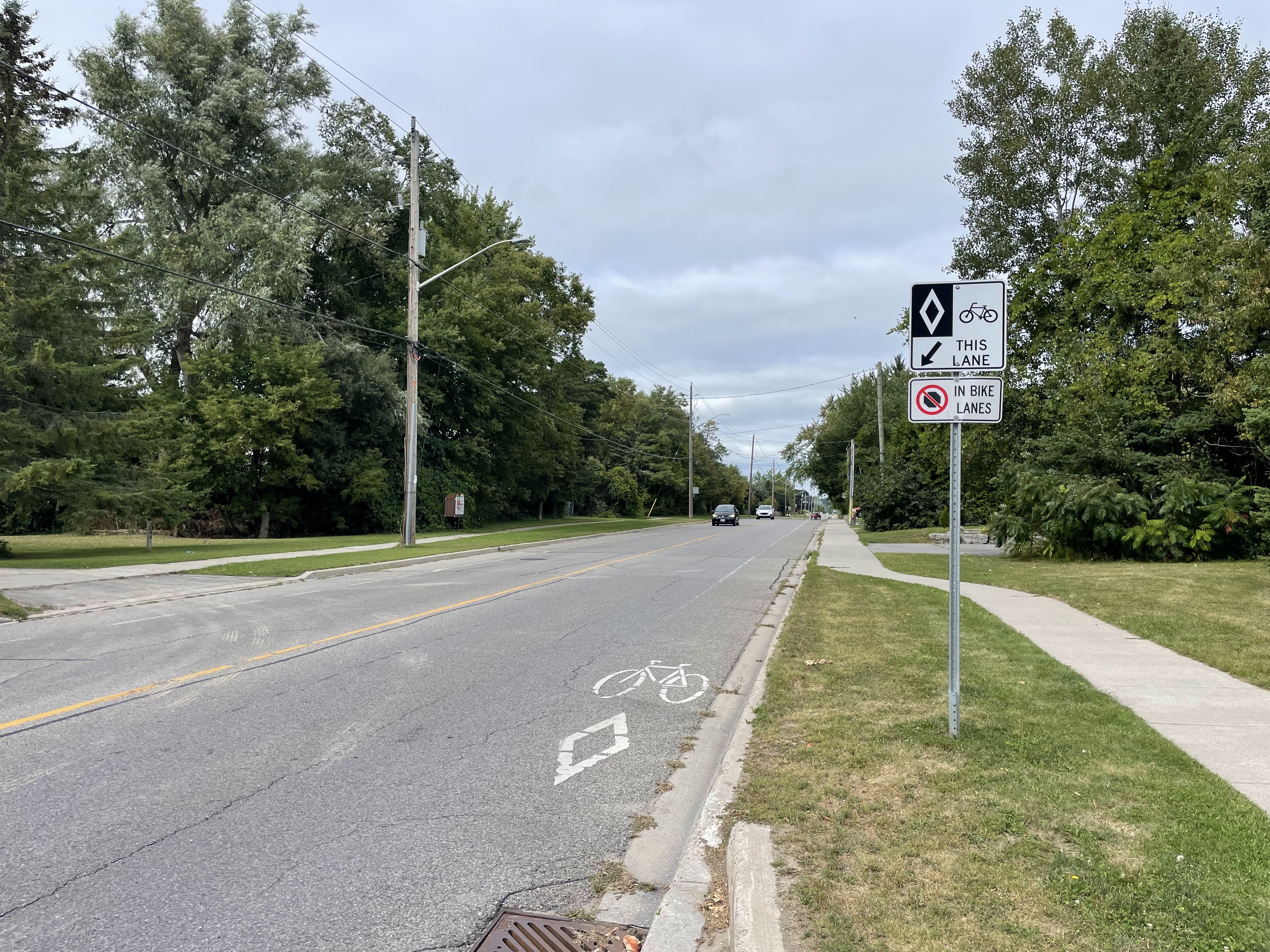
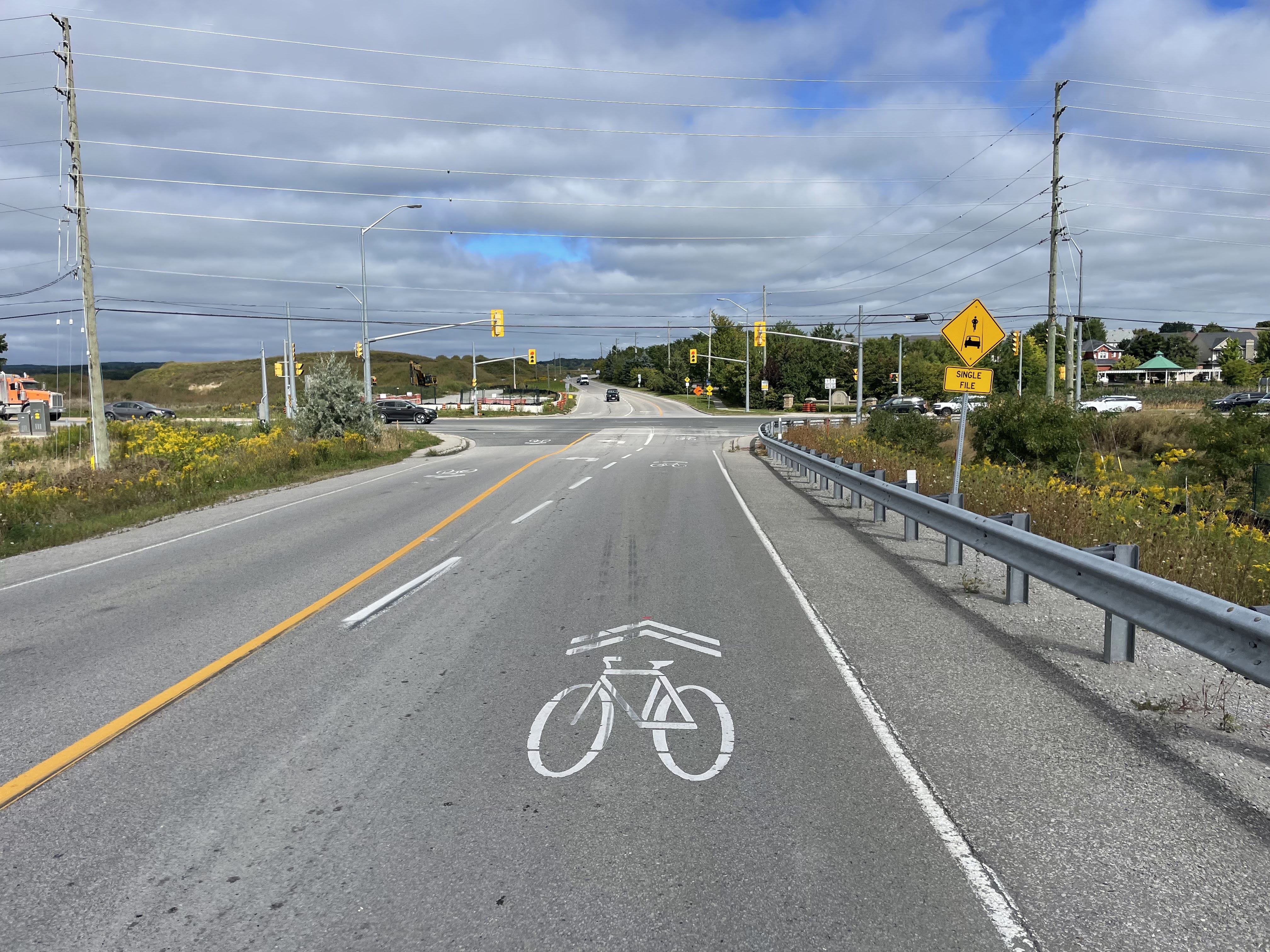
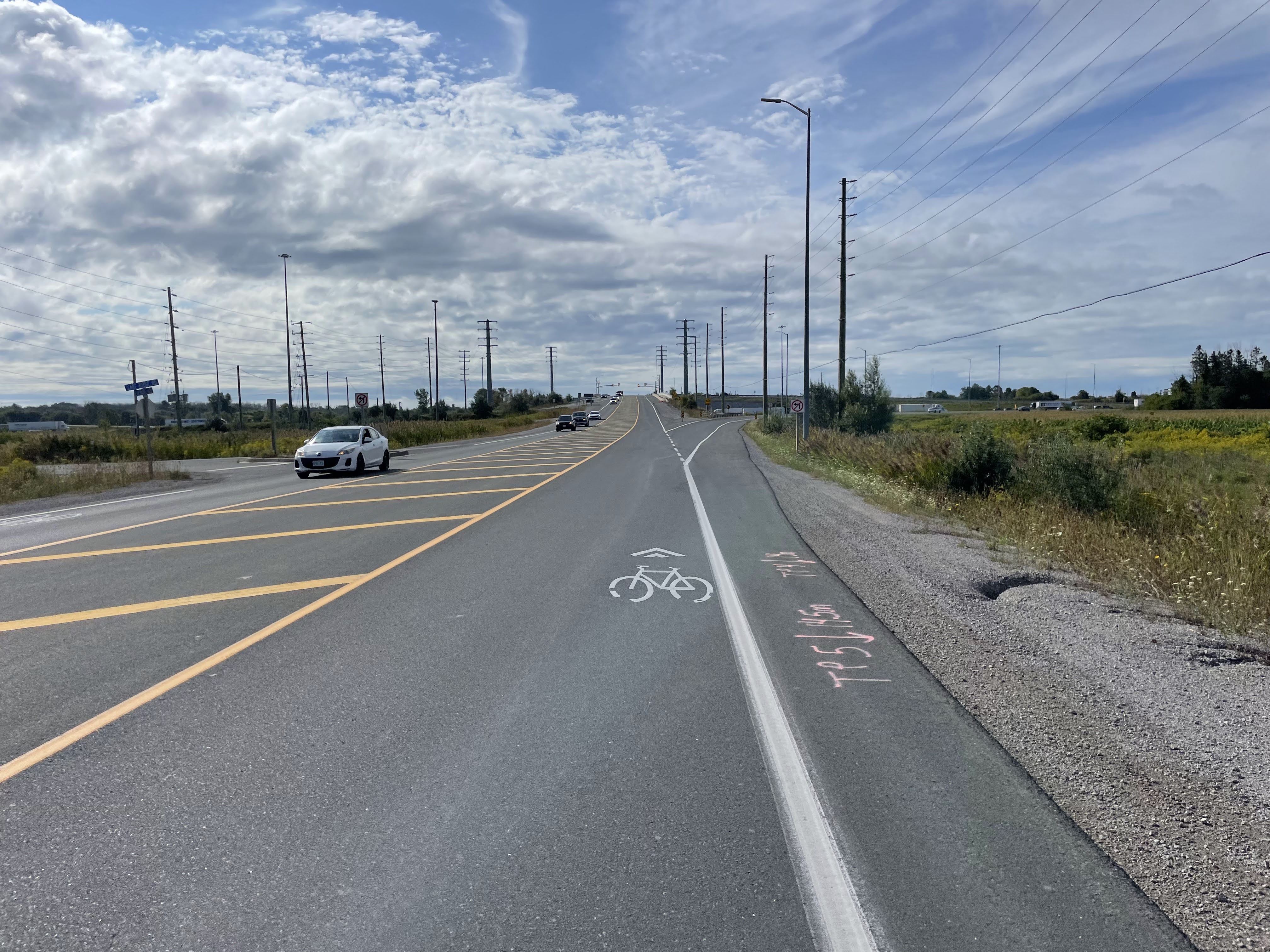
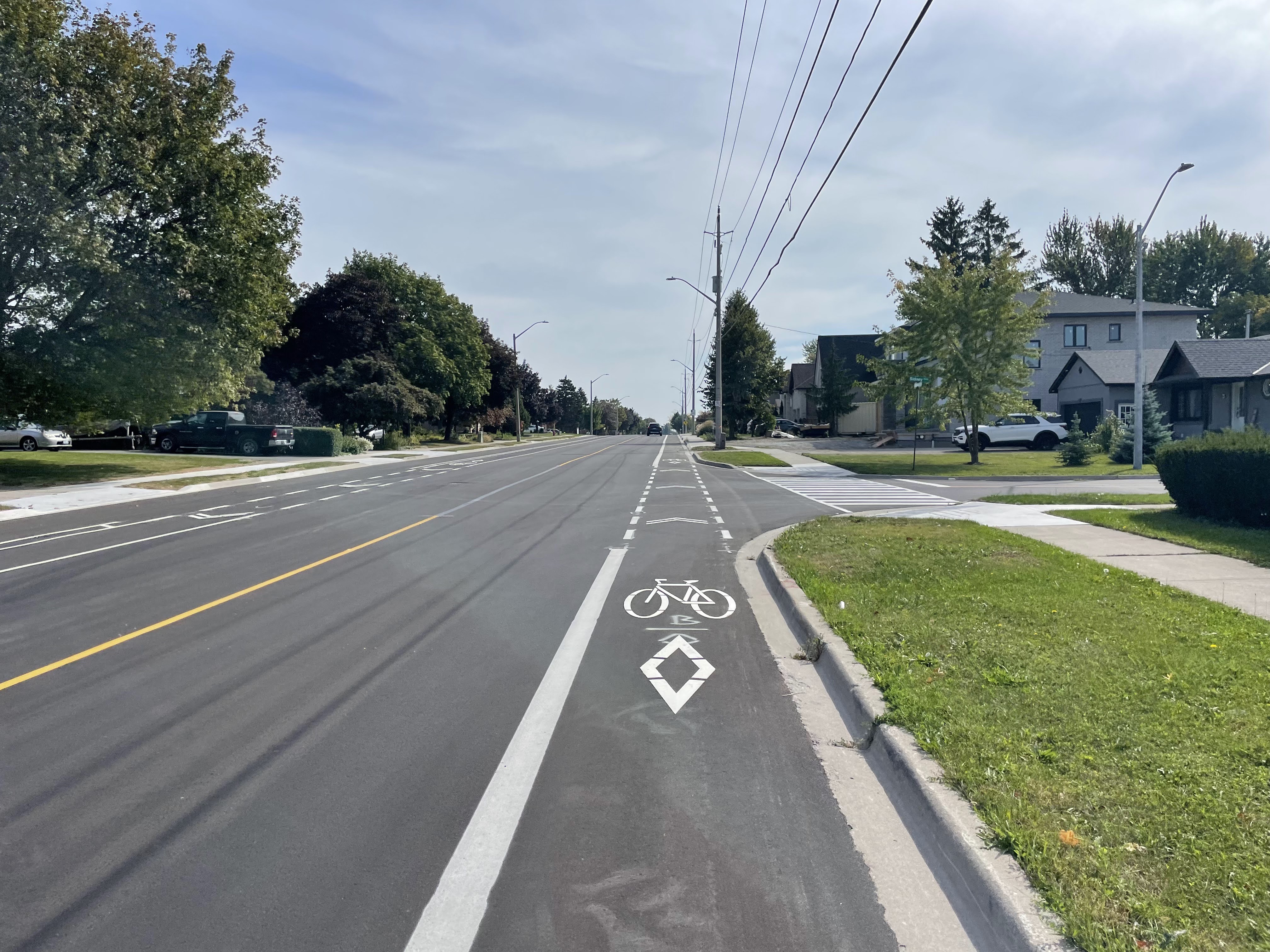
Highland Road West has recently been repaved, and, I think, narrowed from two lanes in each direction, to one lane in each direction with bike lanes

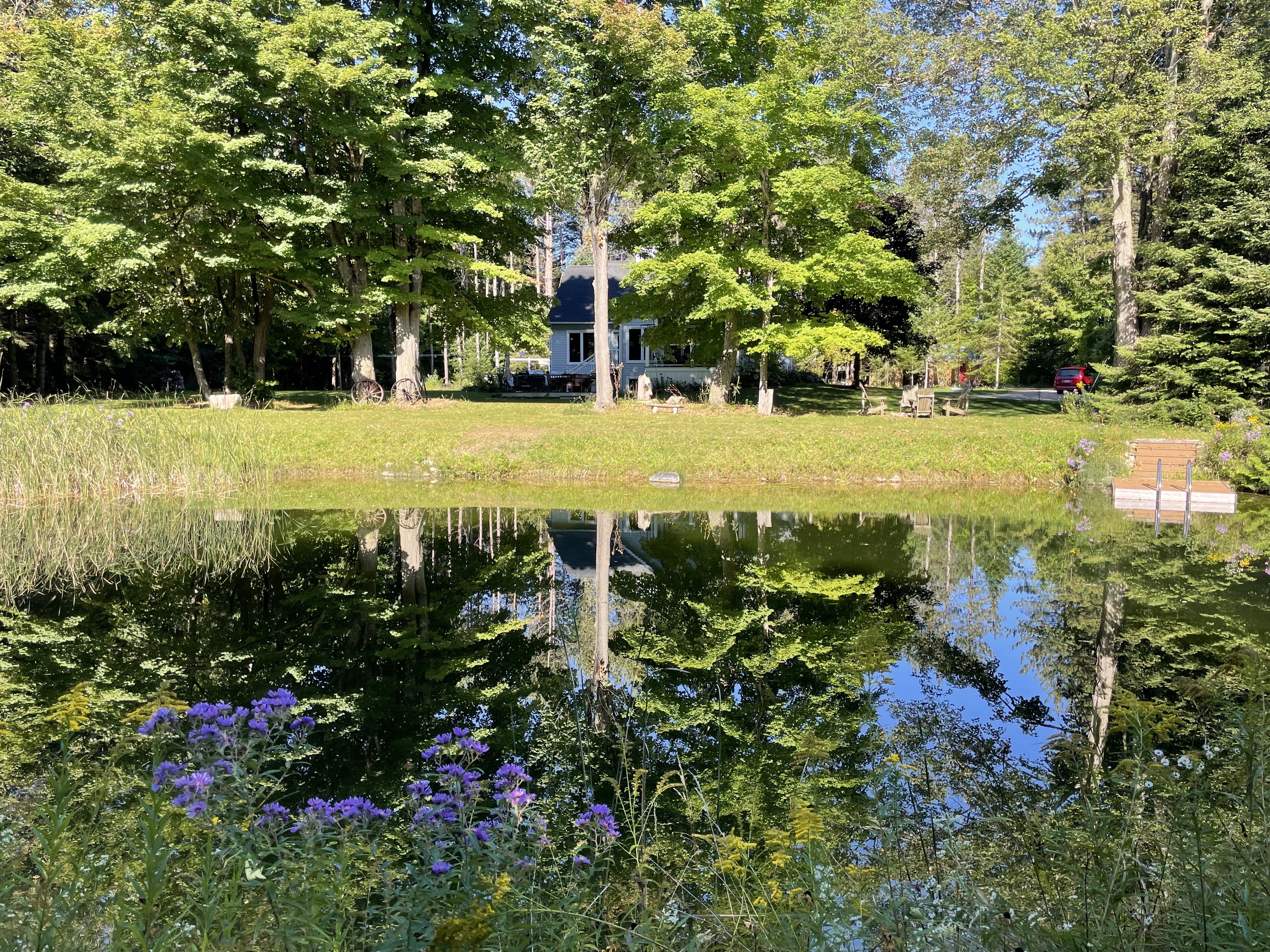
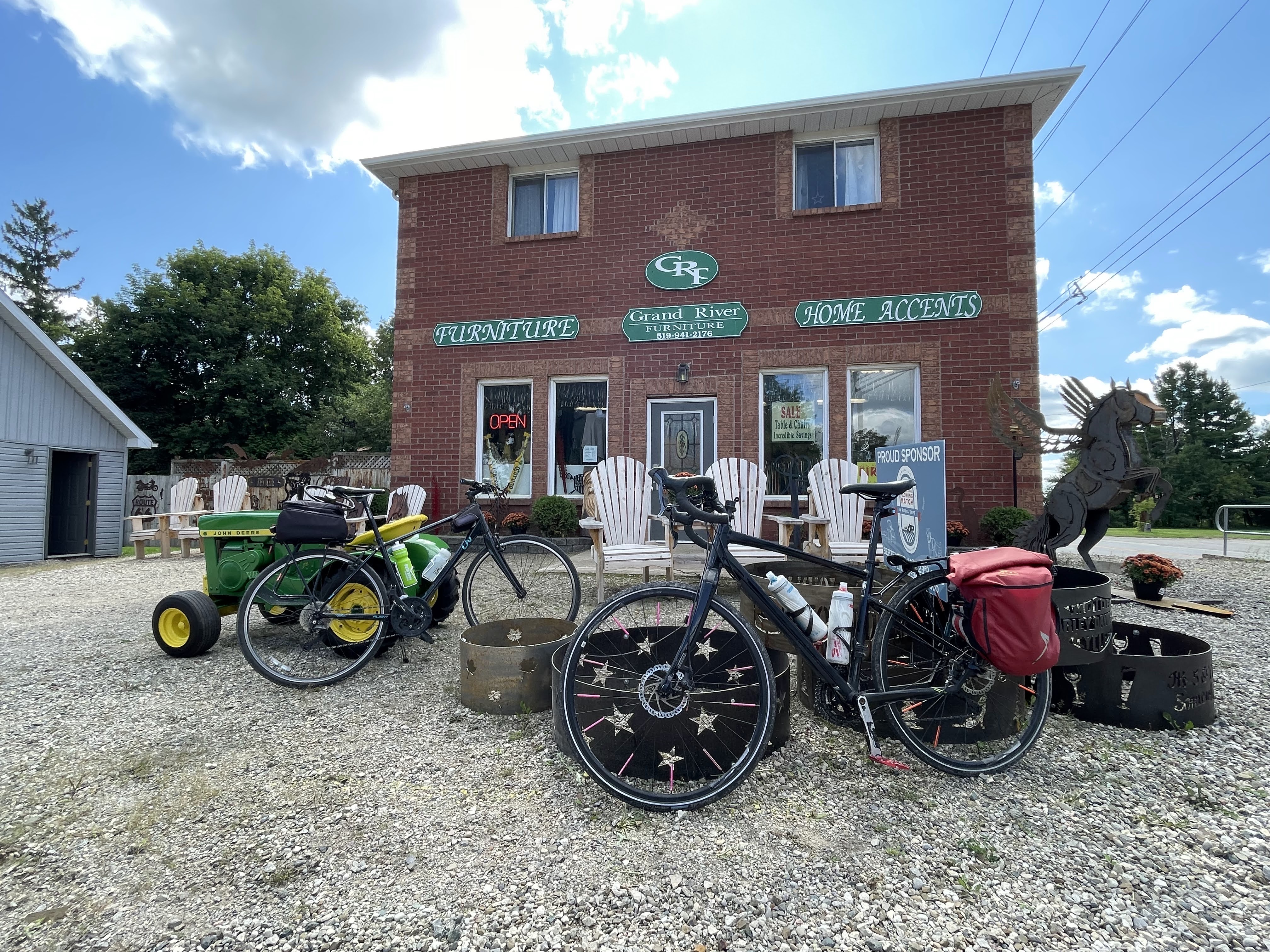
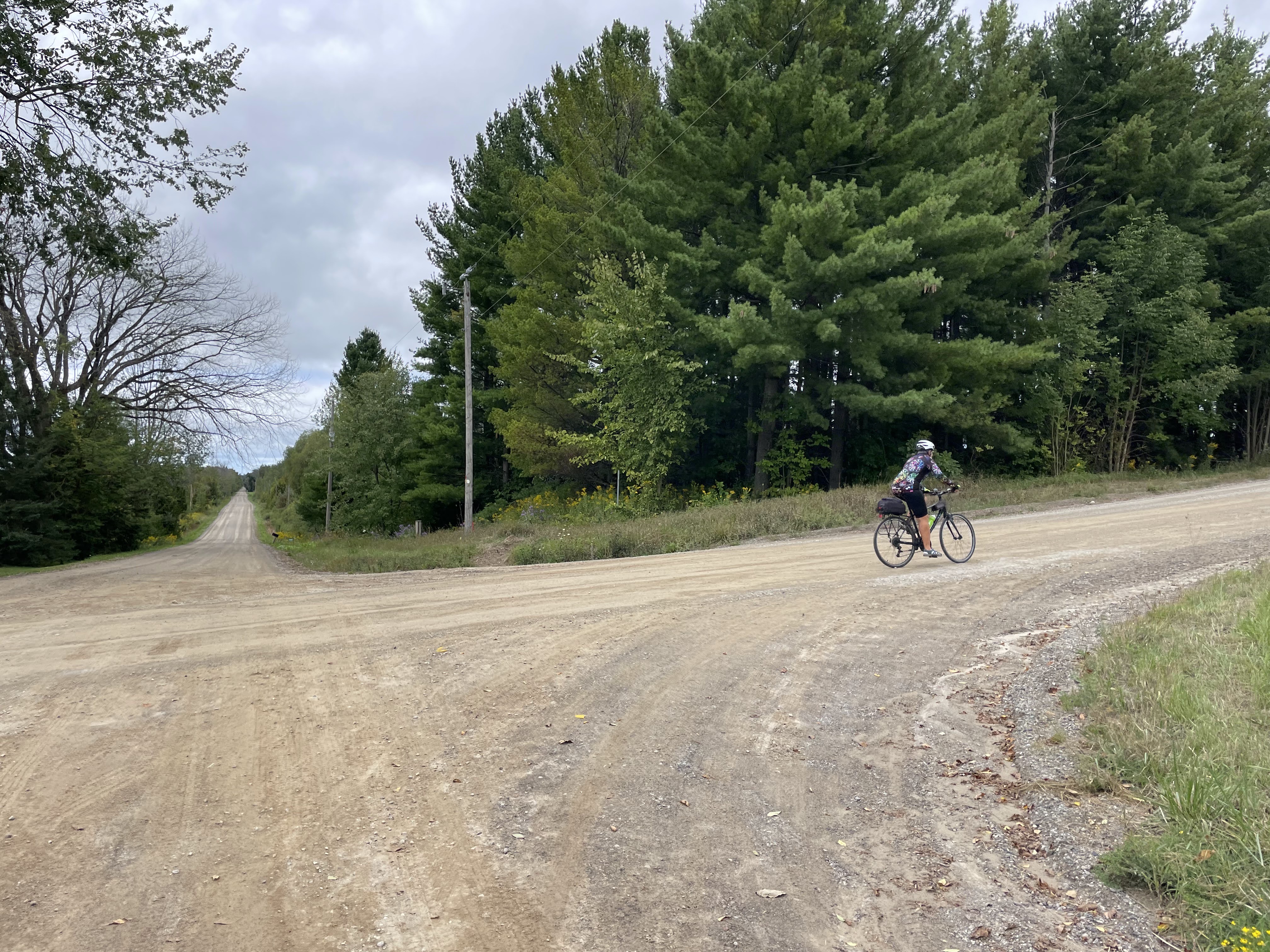
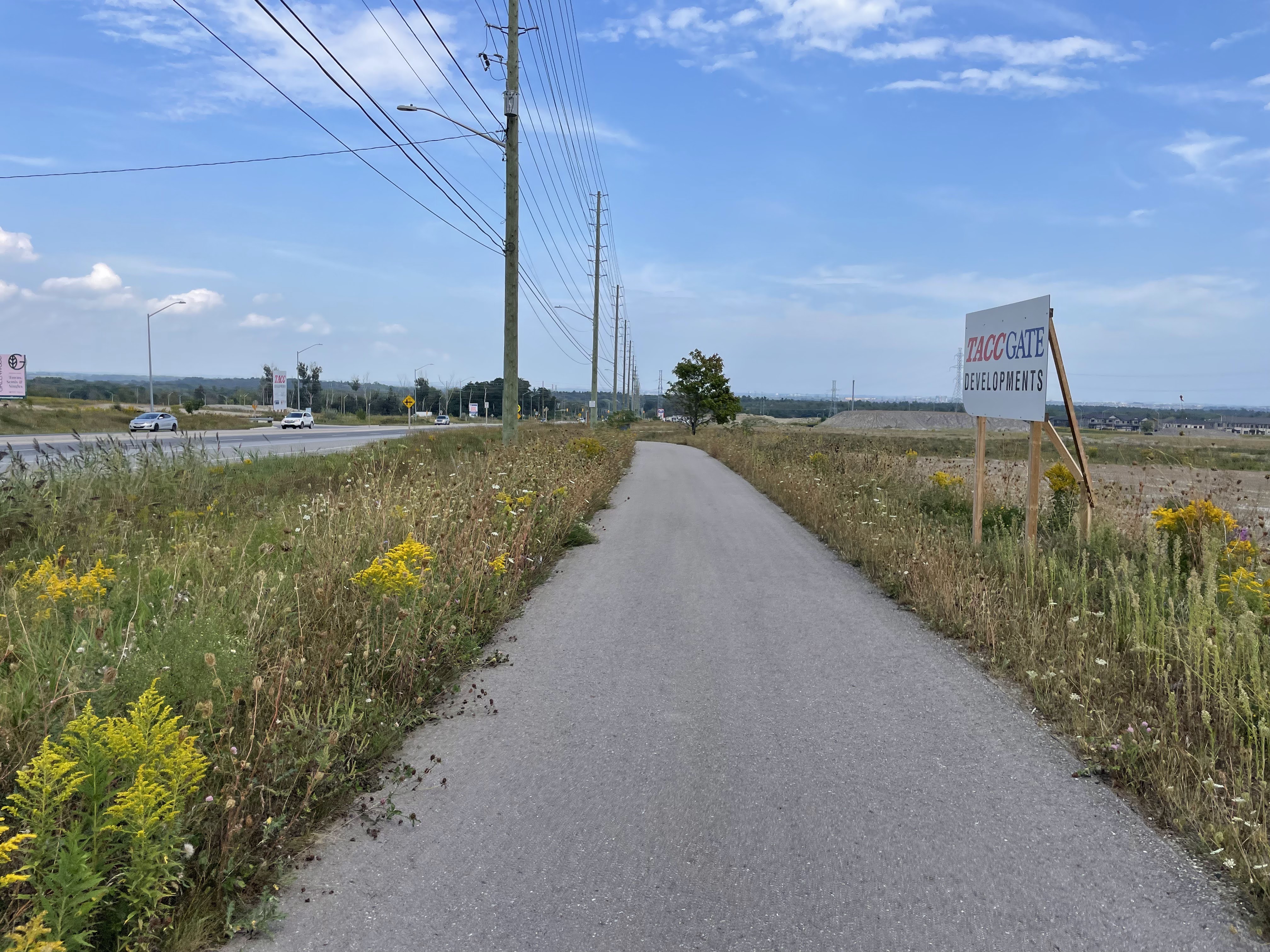
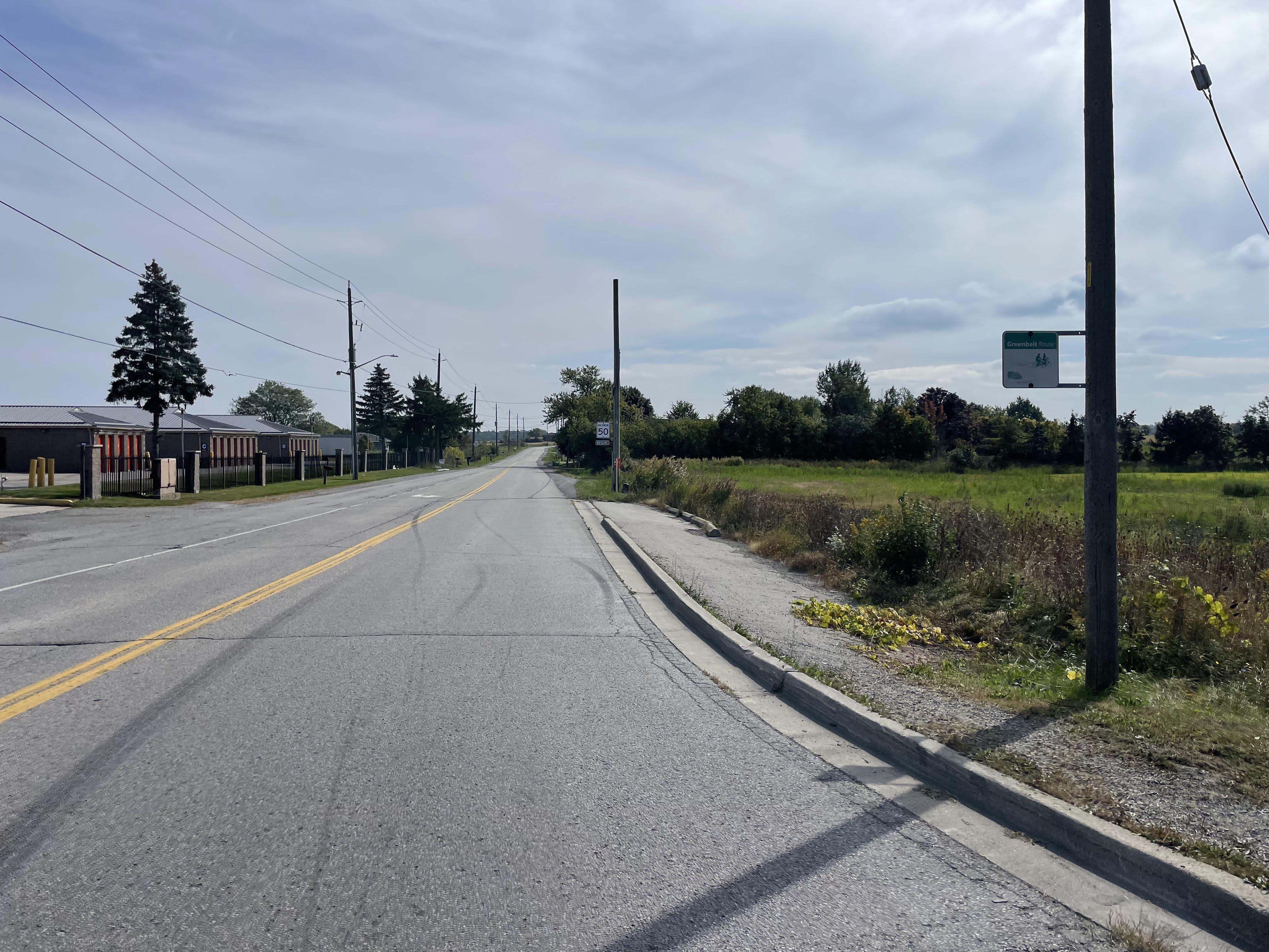
Finally, I’ve made it to the country.

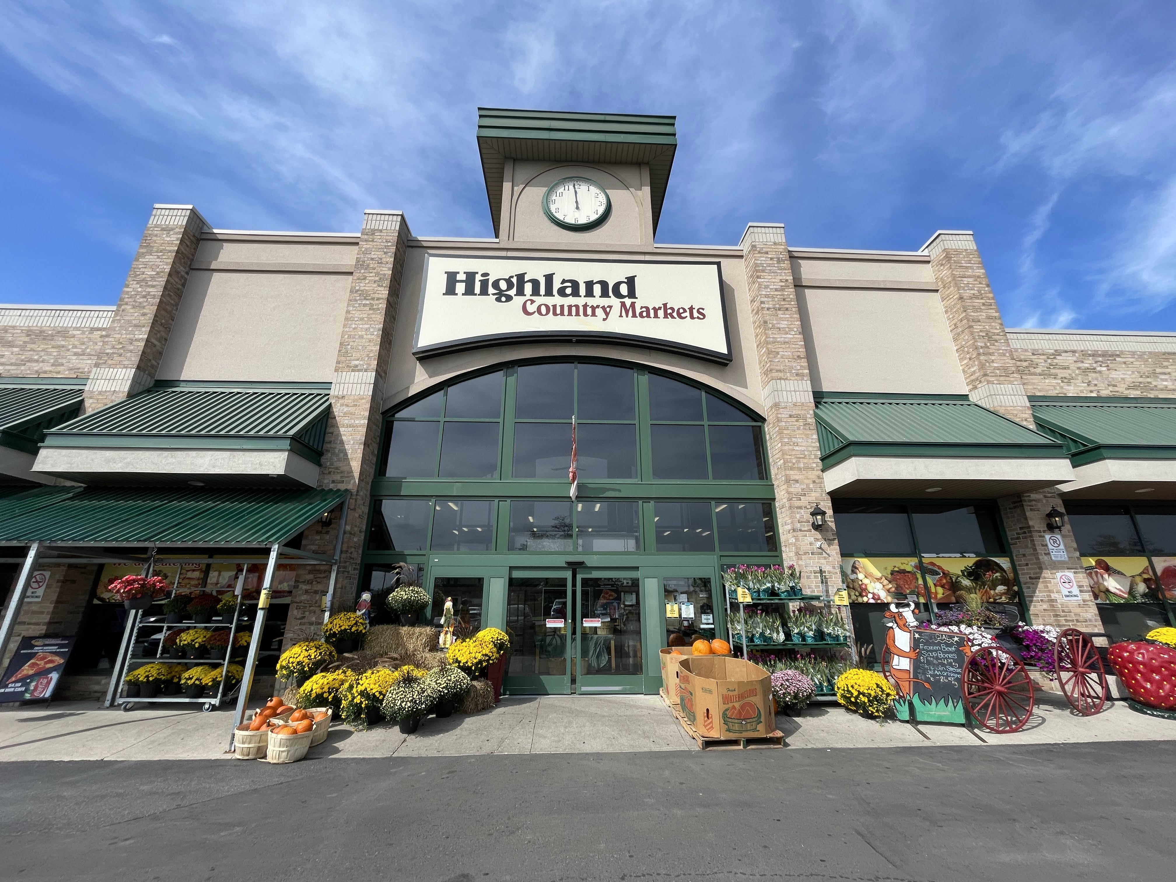
I wasn’t expecting to find anywhere to buy food so I brought a chocolate milk and a bag of pistachios with me. But when I spotted this country market, I pulled in and bought a prepared salad. They had picnic tables outside, so it was a good place to stop.

Just as I was leaving I received call with no caller ID. I never answer calls like this. But there is a new very useful feature in iOS 17. When somebody leaves a message you get a real time transcription on your screen, and if it’s someone you want to talk to, you are able to pick up the call, just like screening on old-fashioned answering machines. In this case, it was the furnace technician who was at my house, and I was glad I picked up the call, because I was able to approve doing some work that he was recommending he do today, rather than wait until a potential failure this winter.

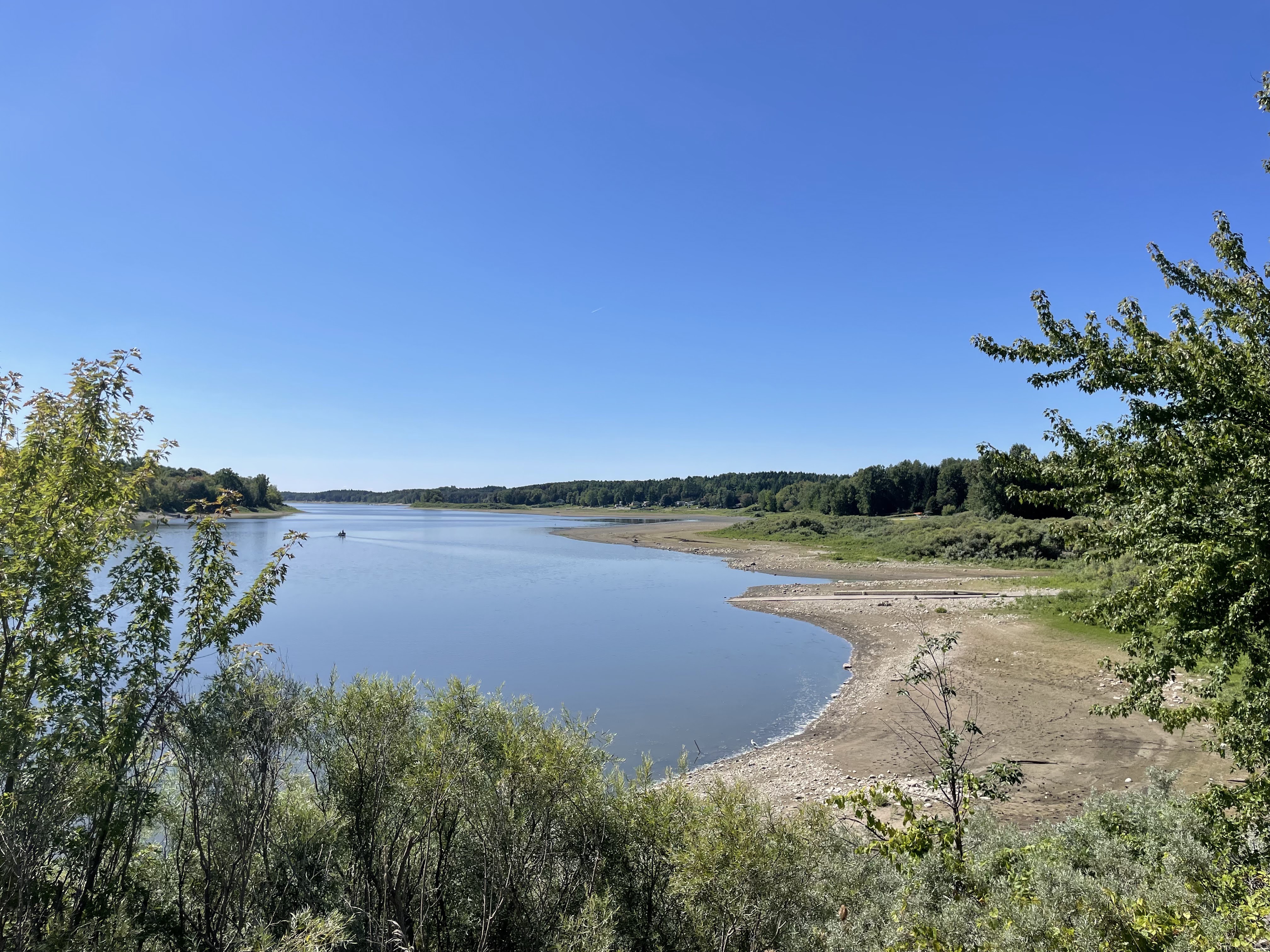
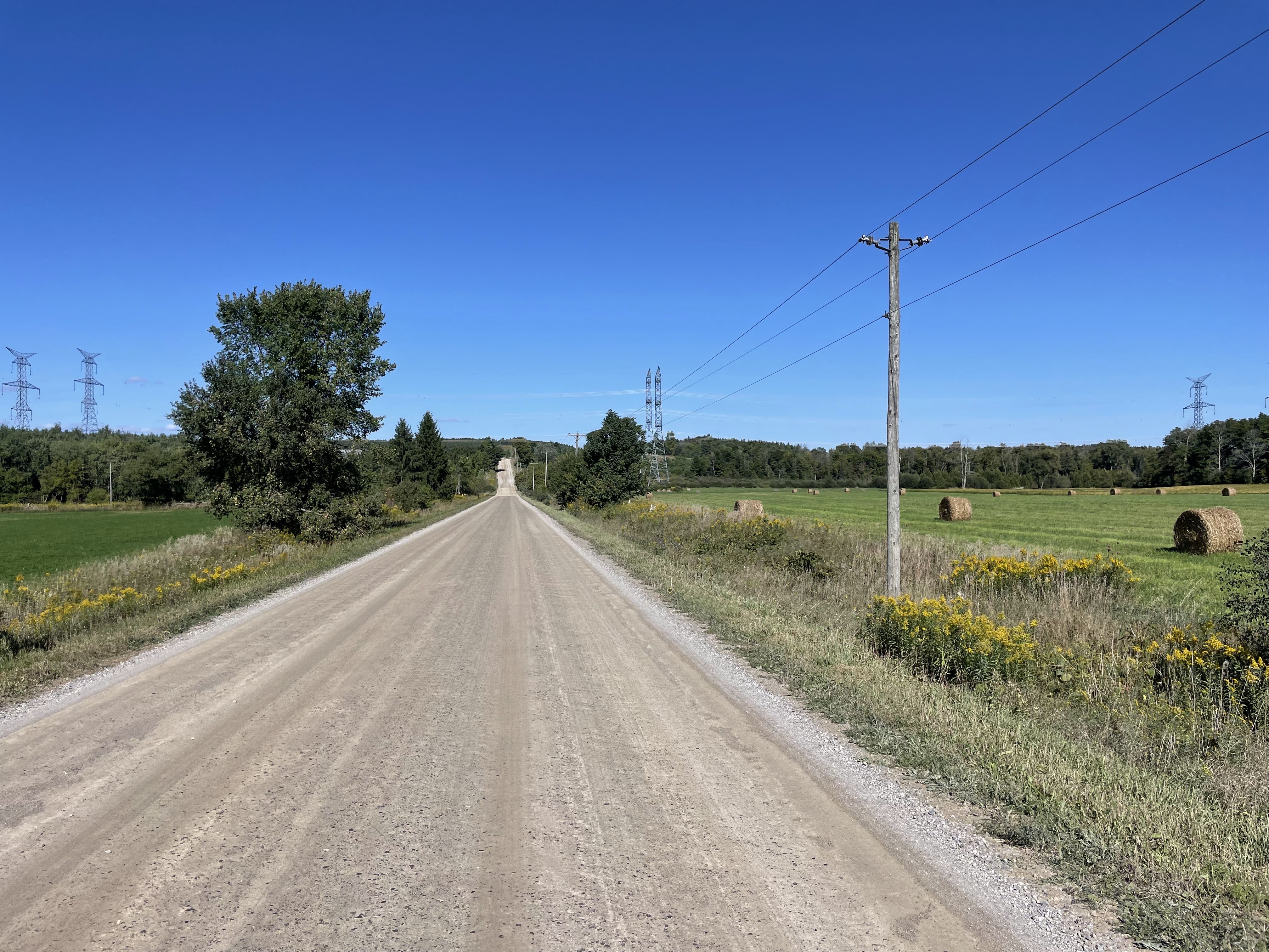
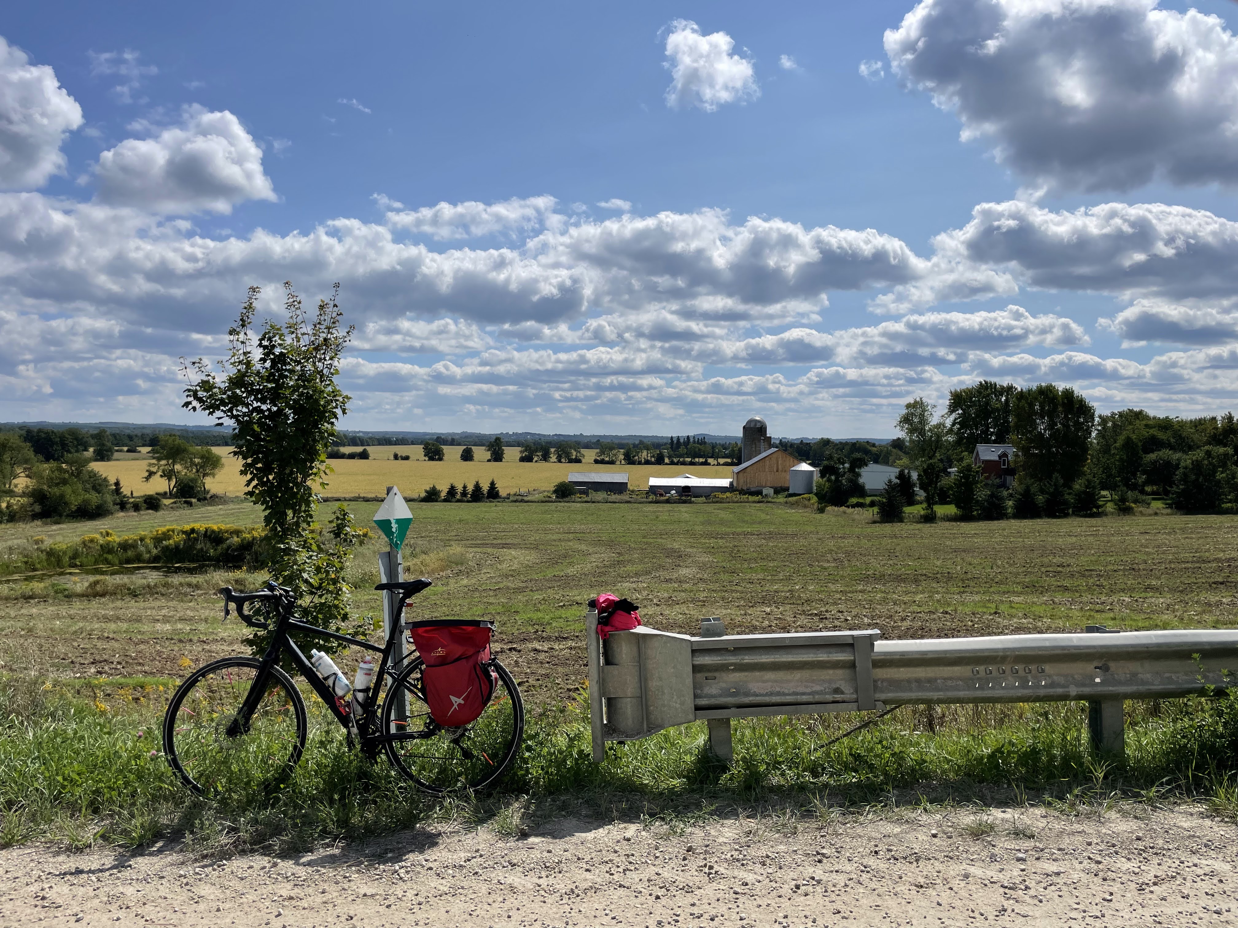
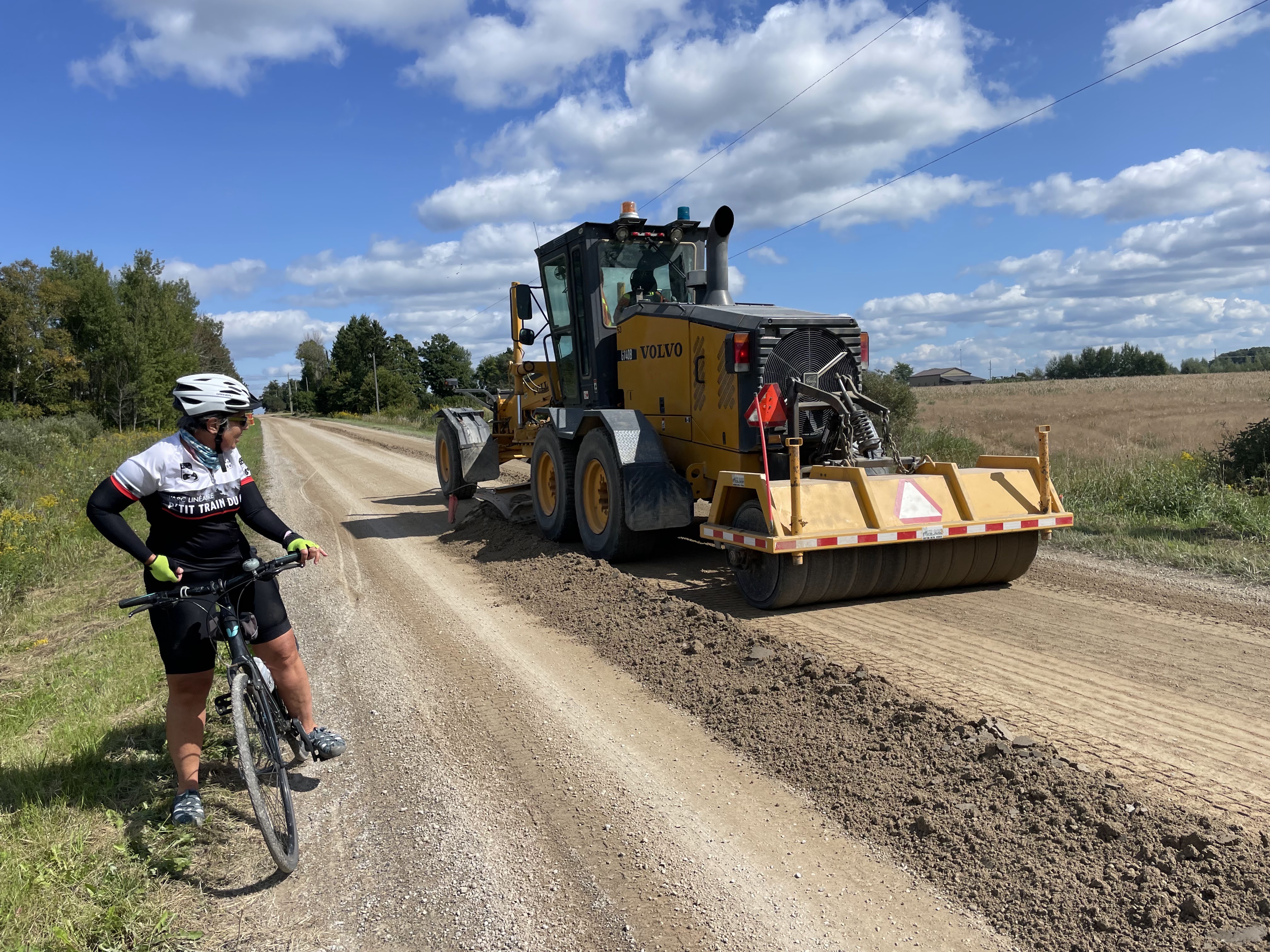
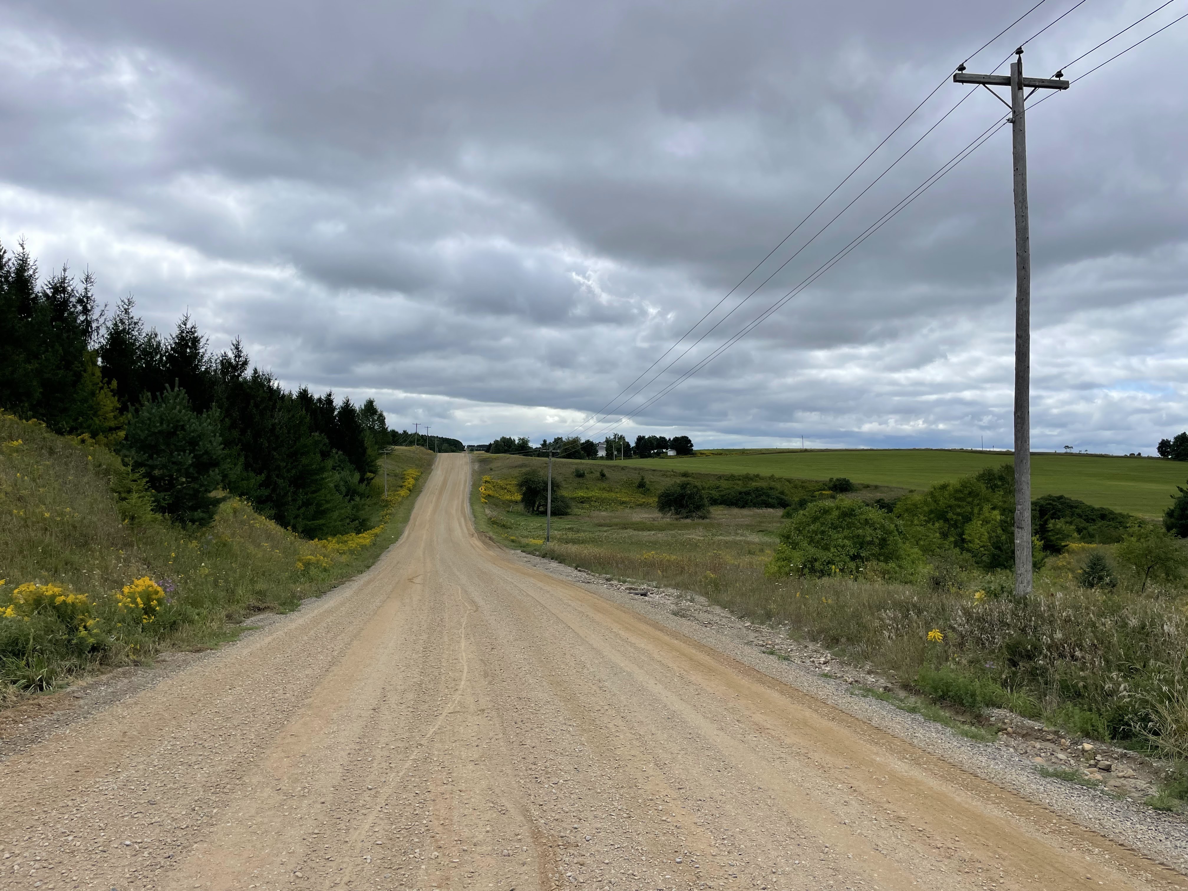
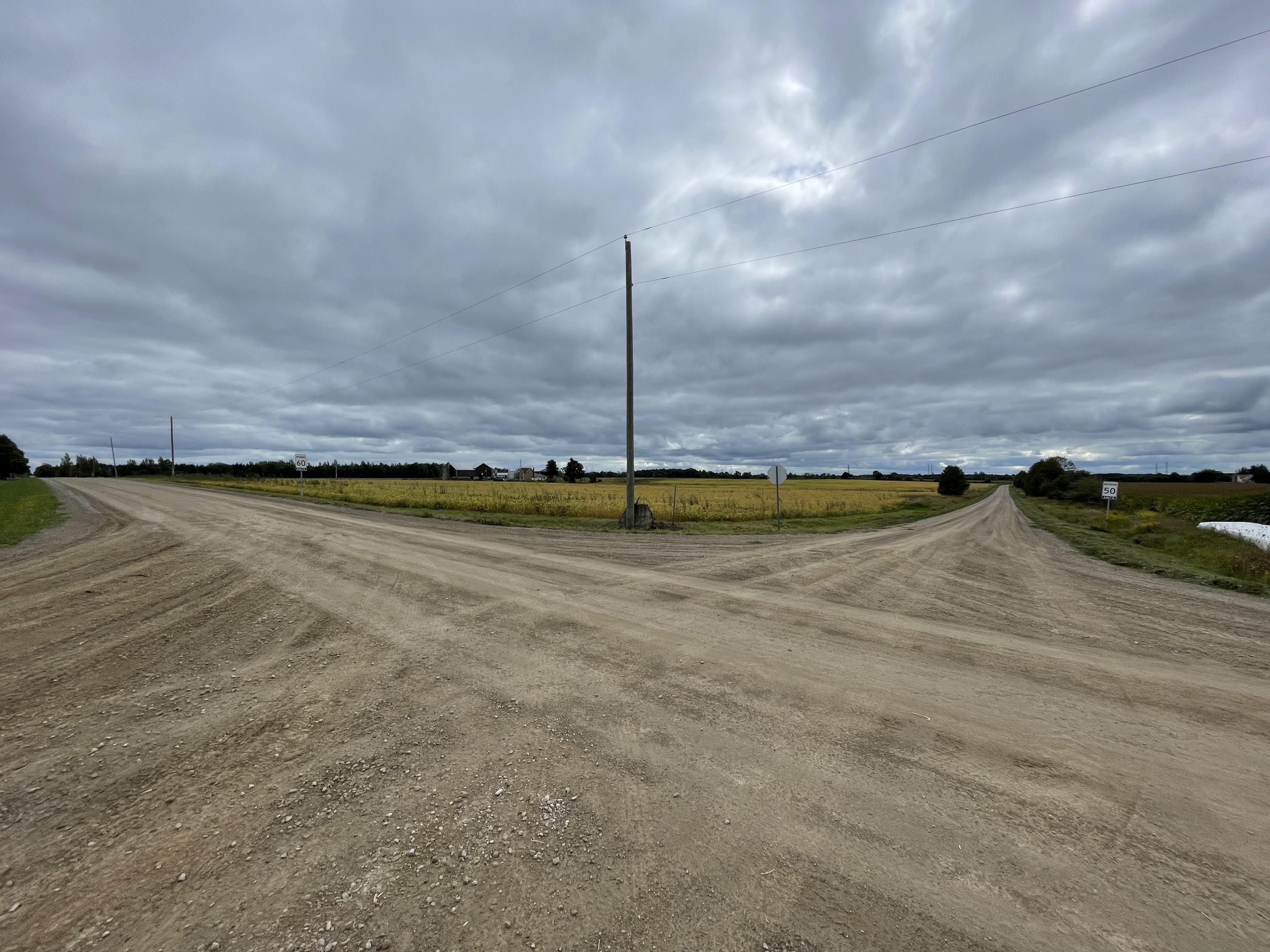
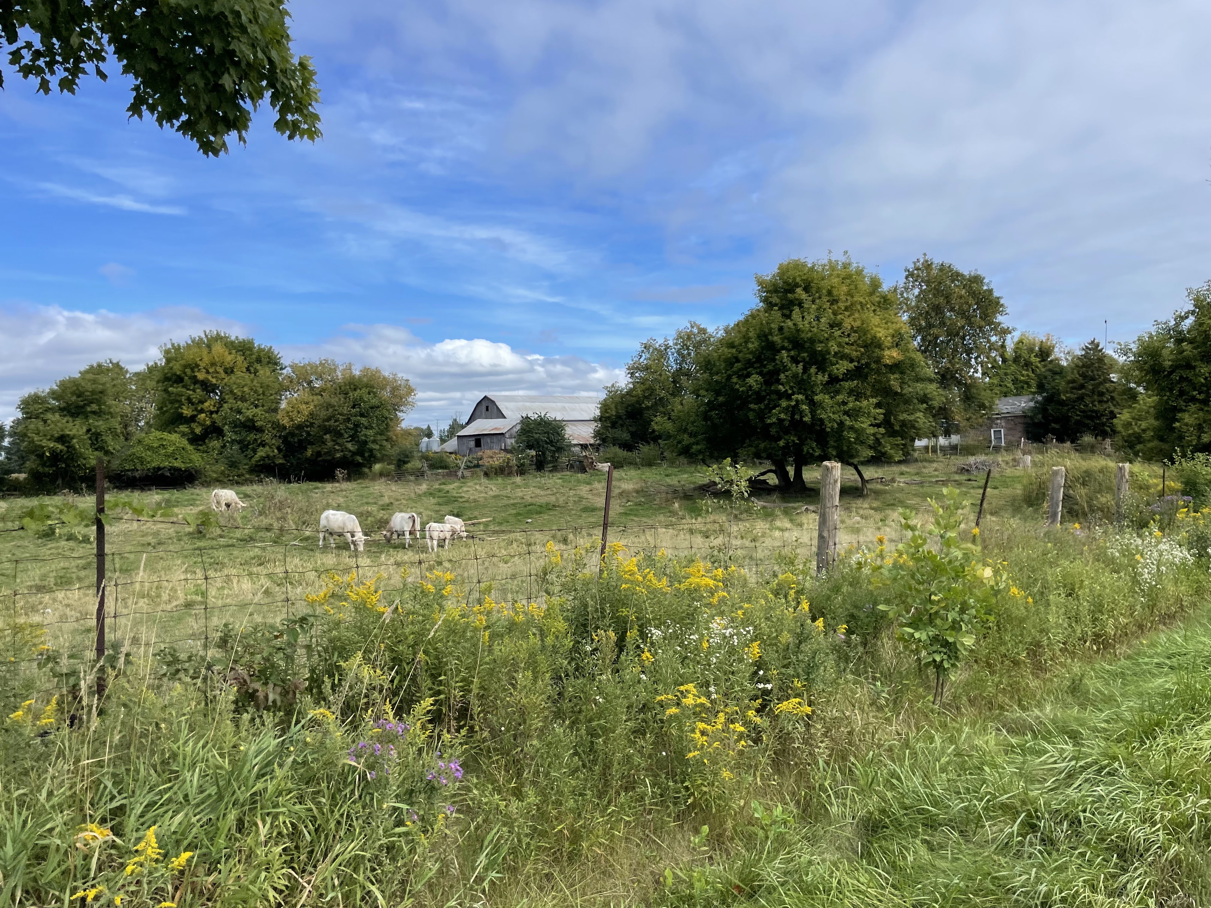
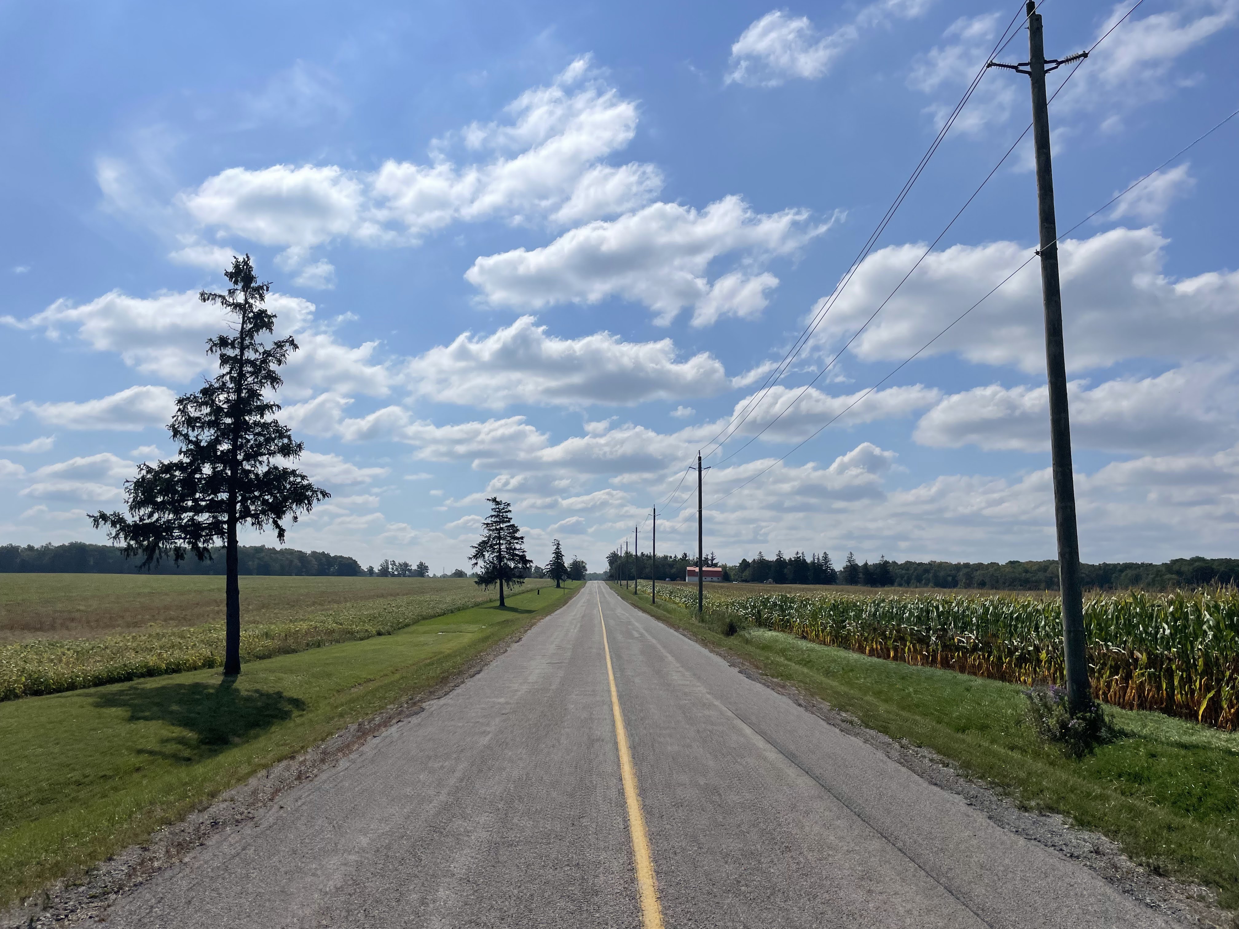
The landscape was as flat as a table once I got off the rail trail.

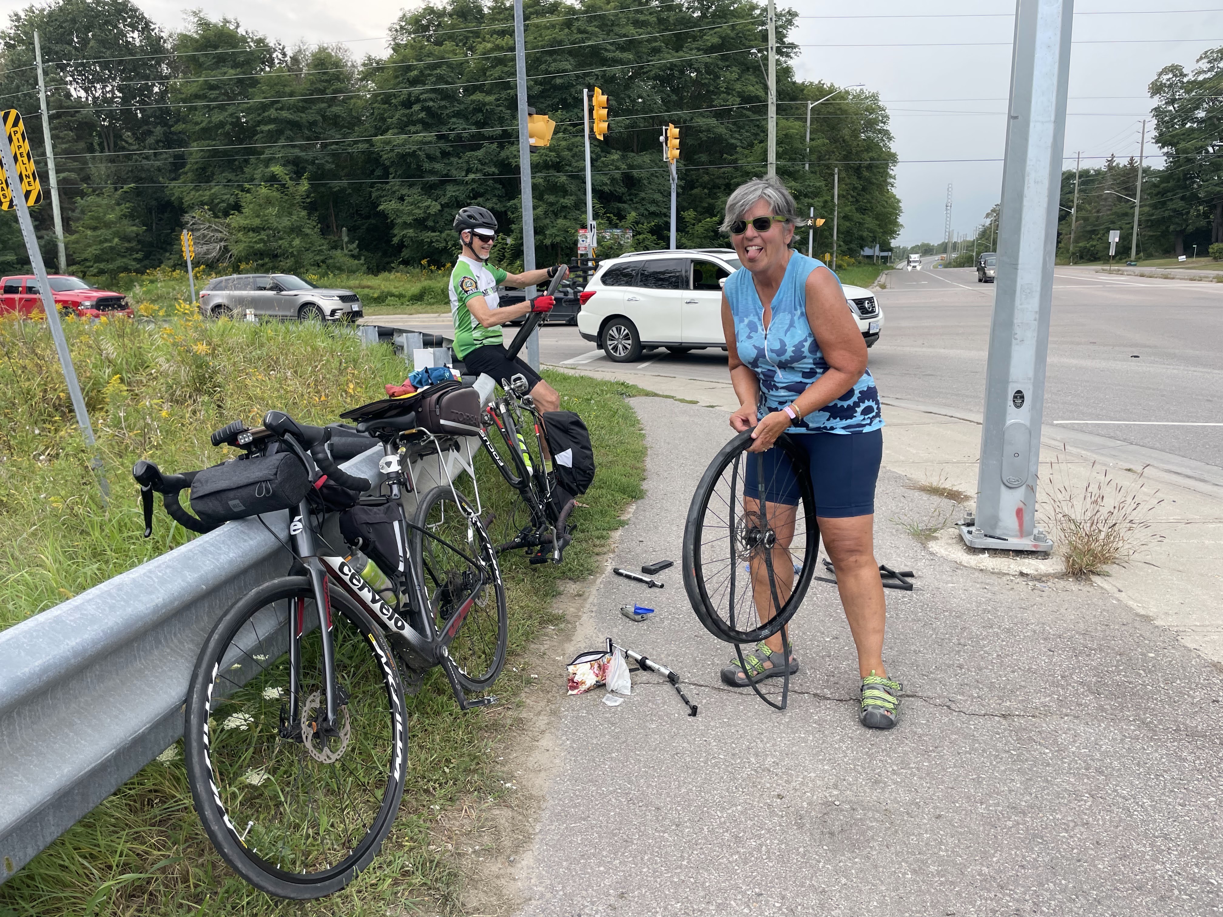
I missed the cue for a road I was going to turn down for a few hundred metres before doing a U-turn to pick up a tile, and when I realized it I had gone 2 km too far. I had finally gotten a tailwind after more than 20 km of headwind, but turned and headed back into the wind to pick up the tile as I don’t know when I’ll be back in this area. Unfortunately, when I got to the point where I was expecting to have a nice tailwind, the wind had shifted and I had a crosswind all the way back. It was one of those rides that was a struggle most of the way, and I was glad to have it done when I finished.

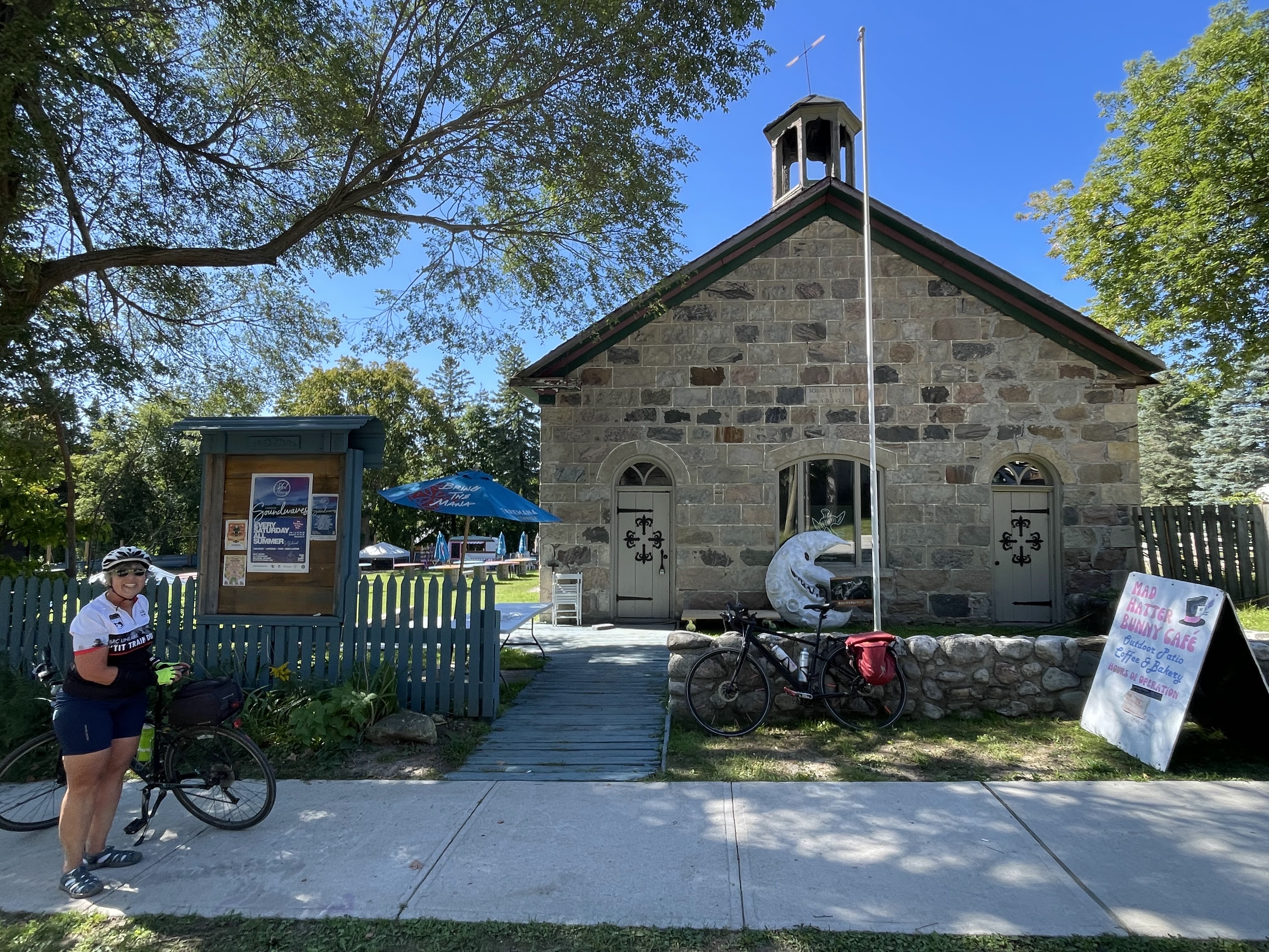
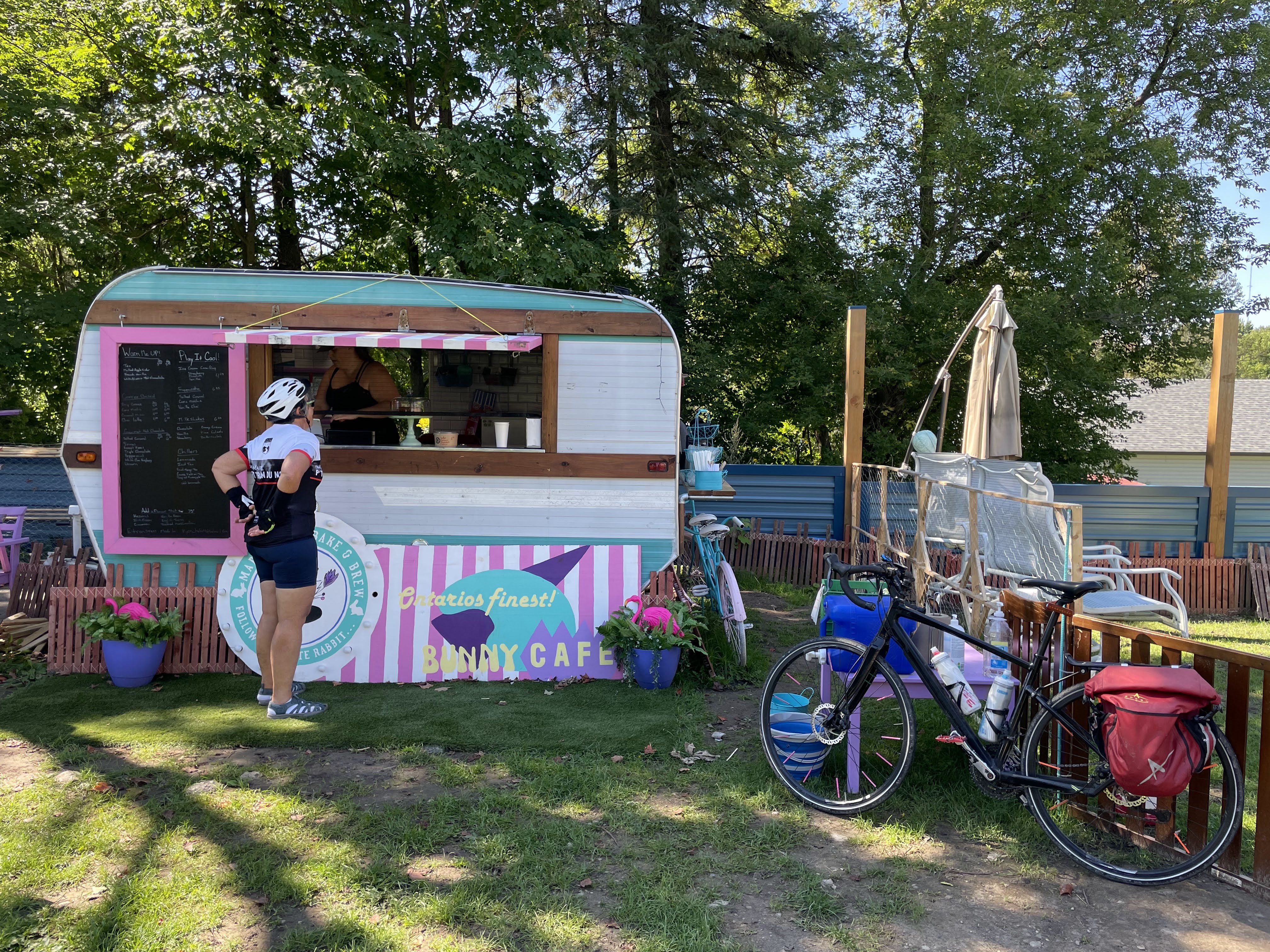
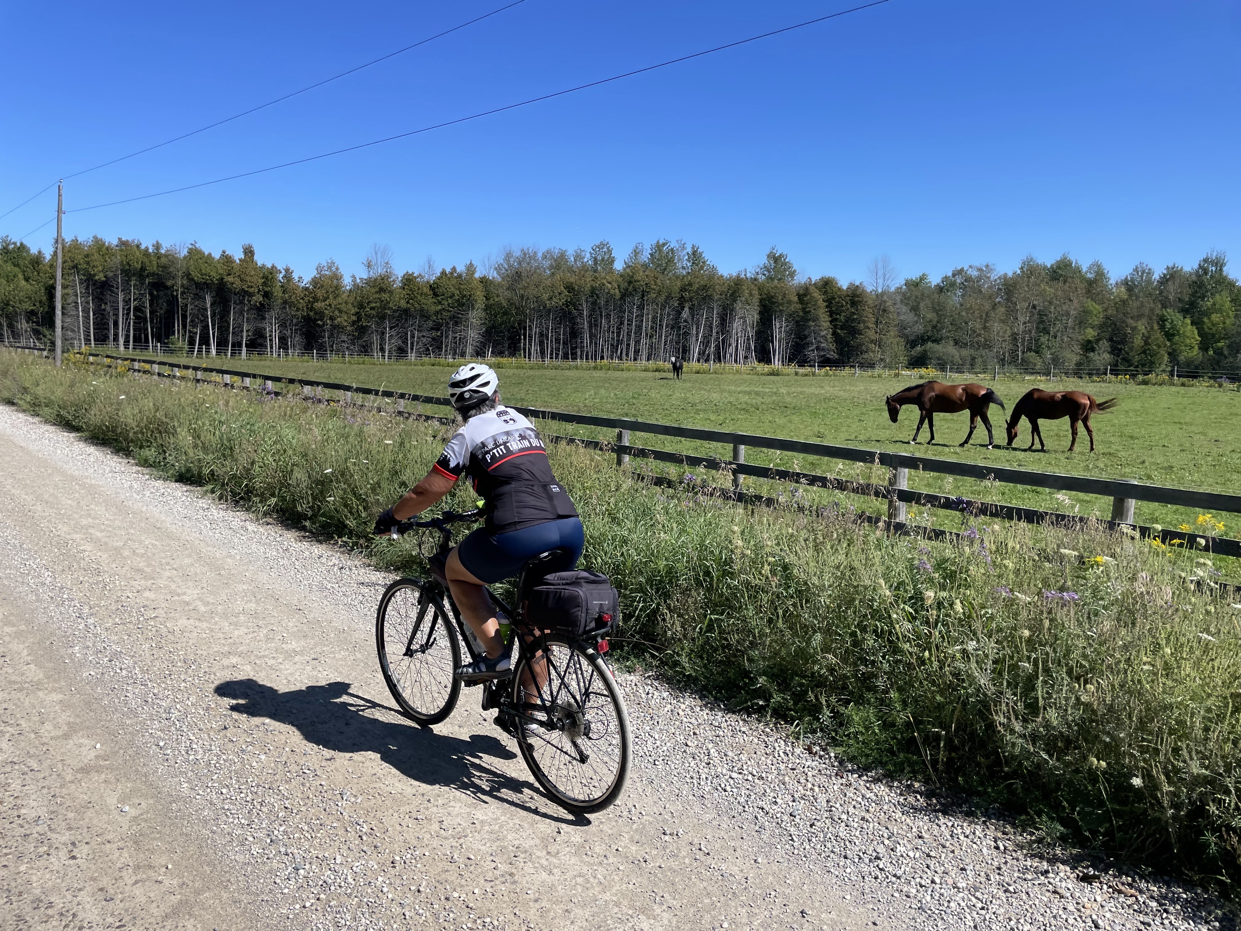
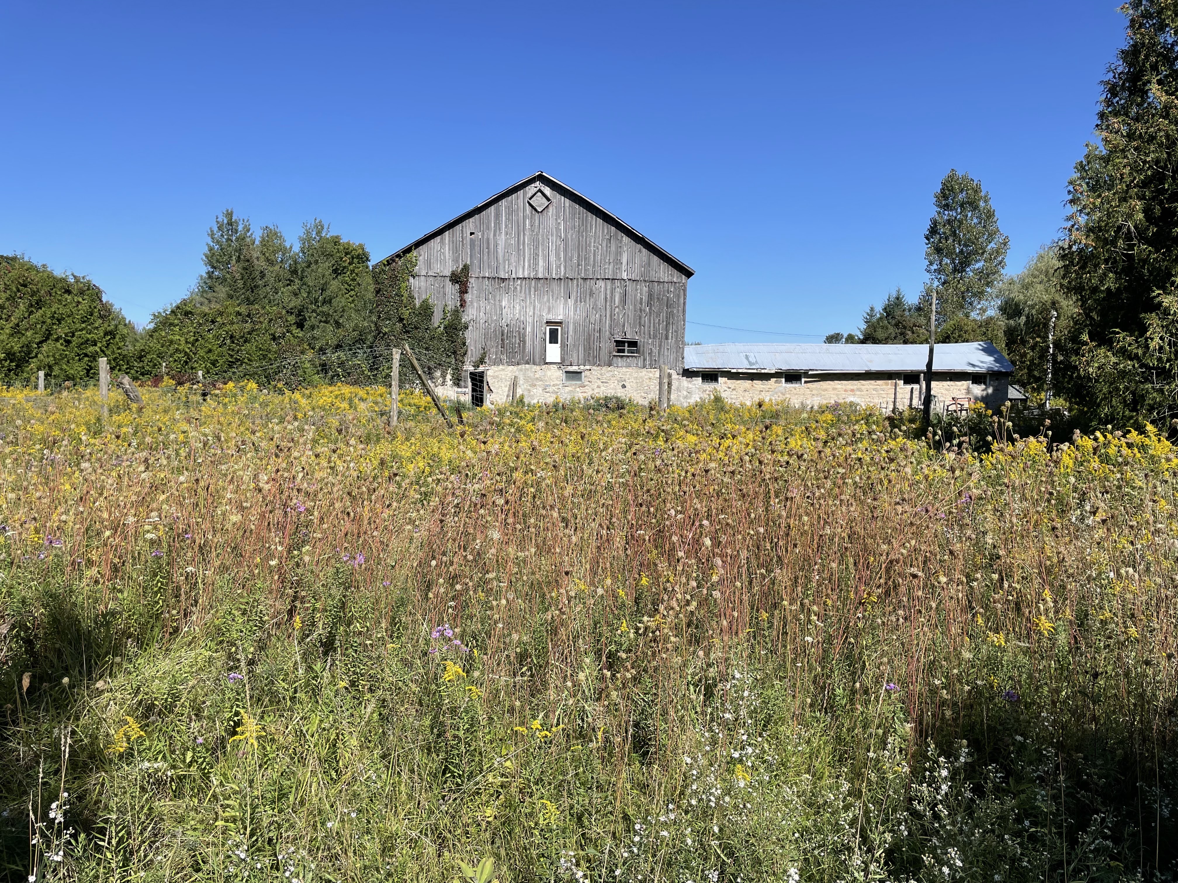
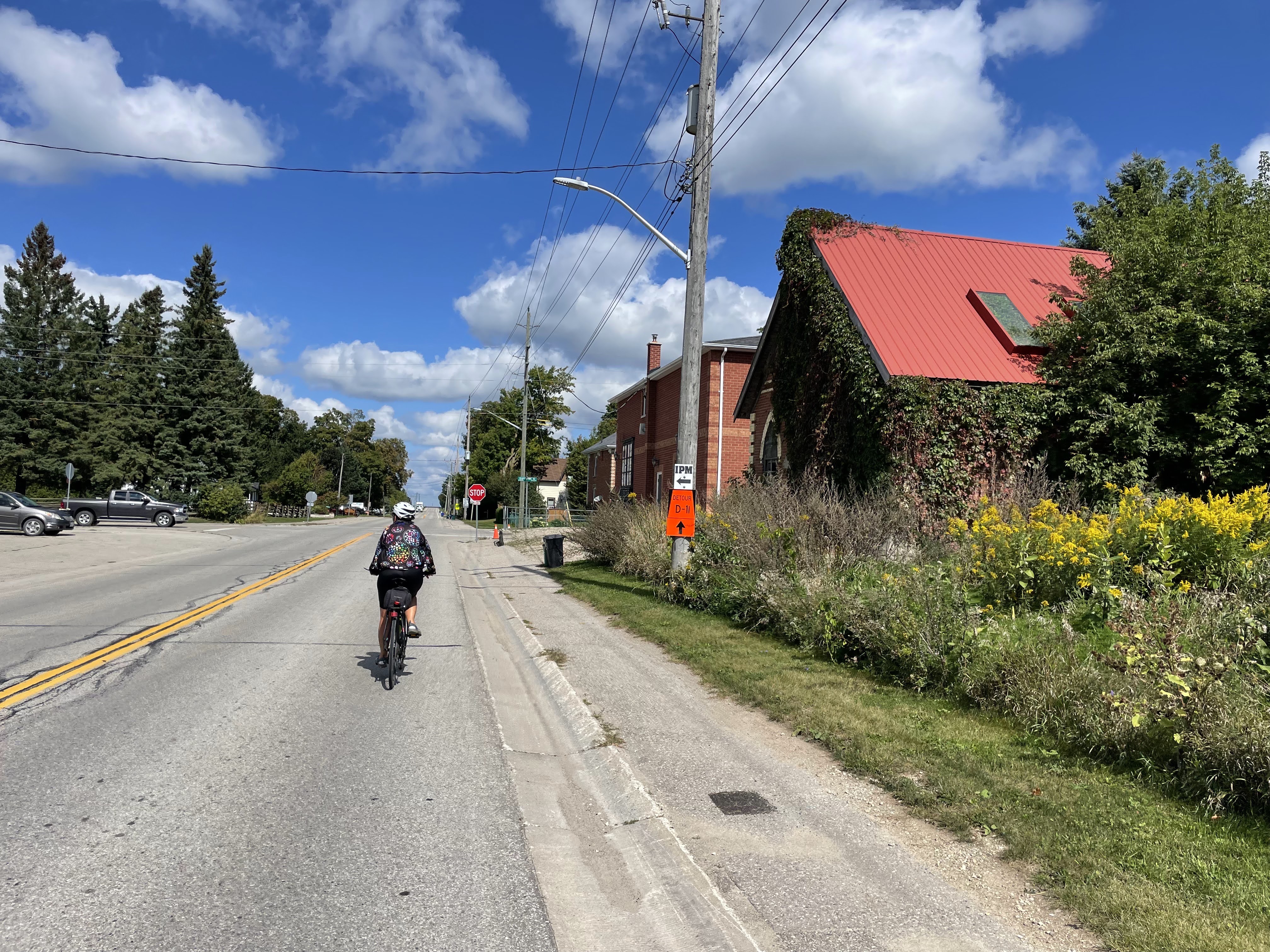
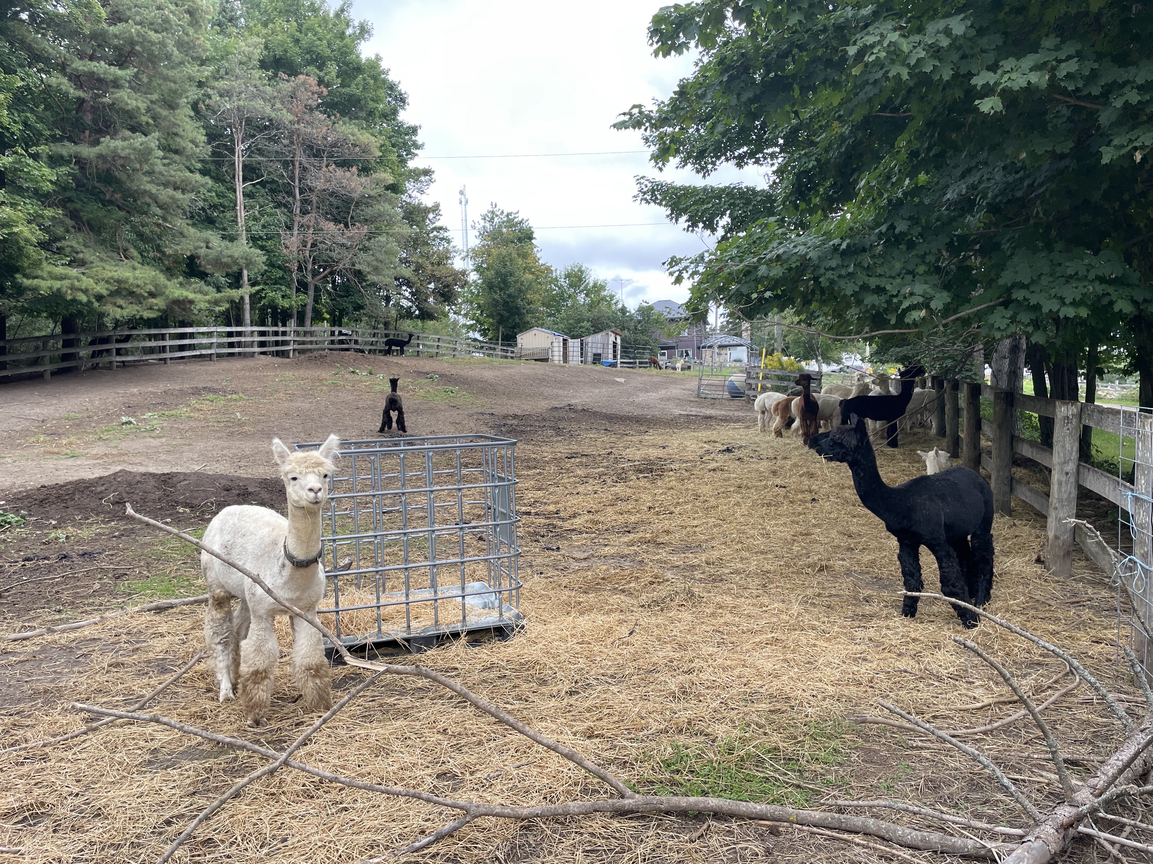
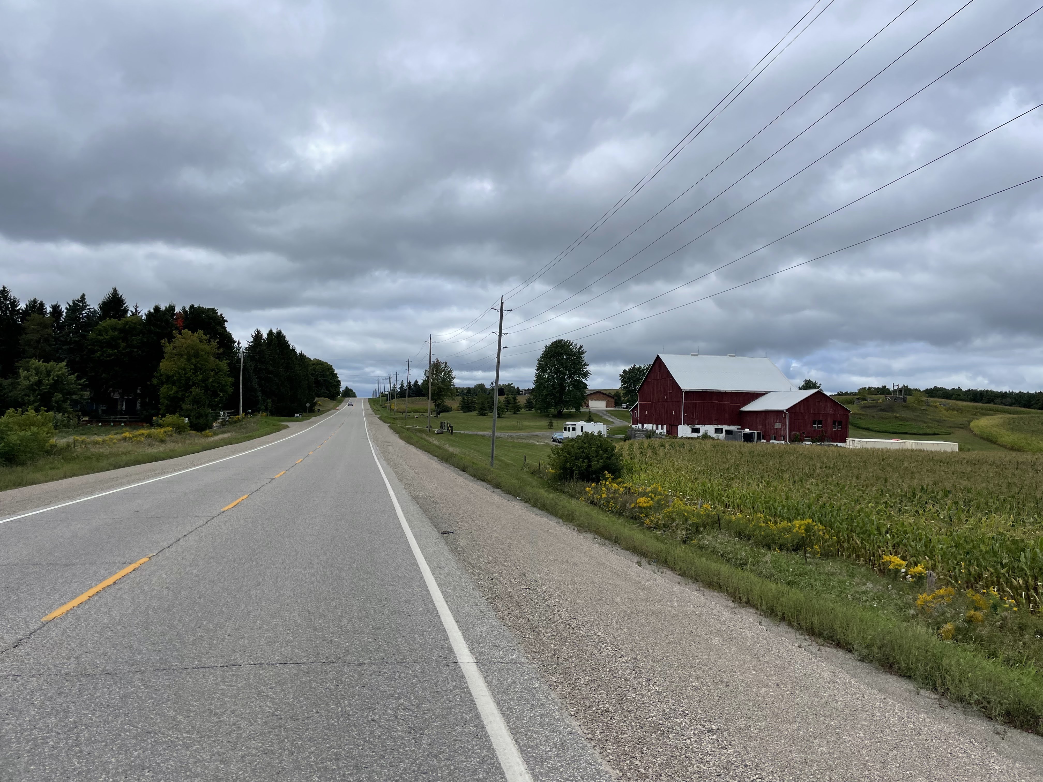
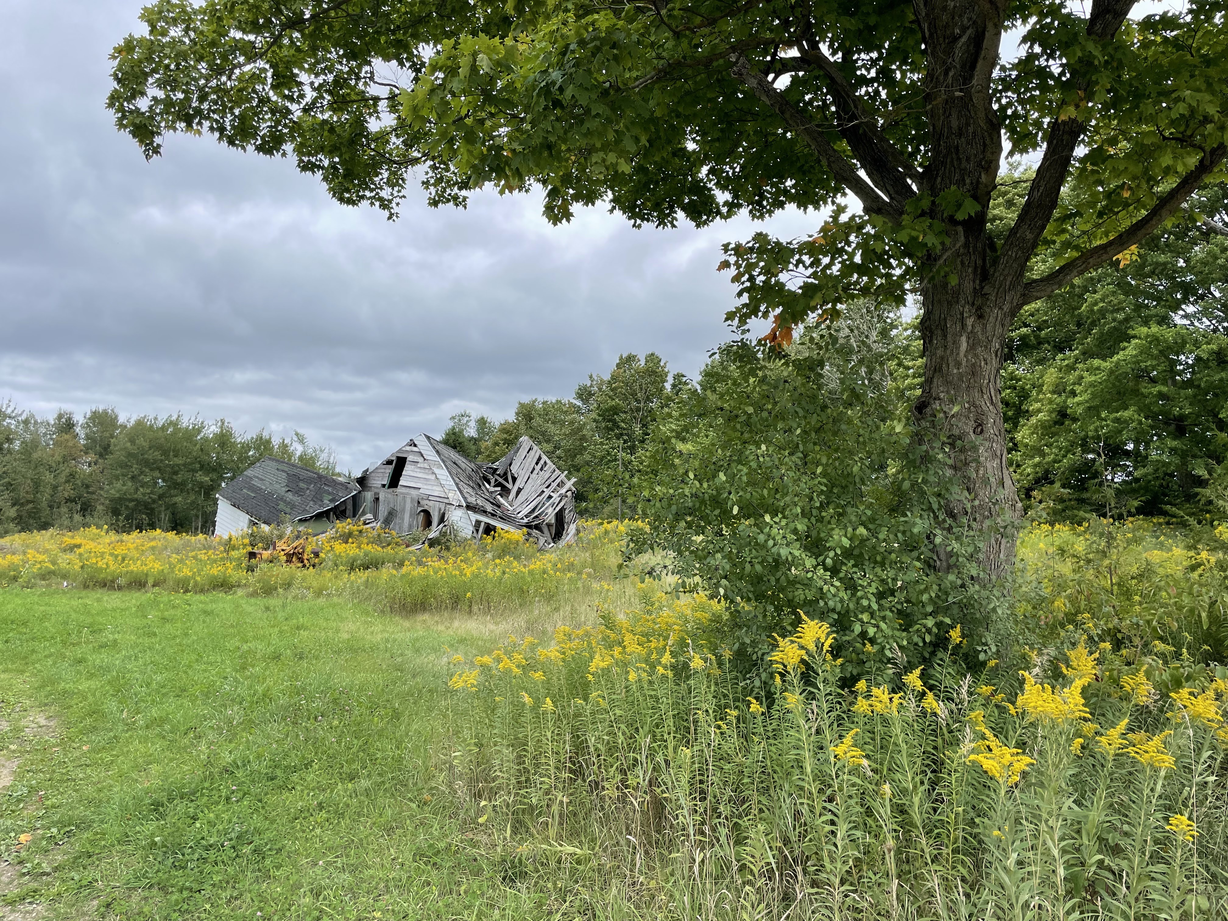
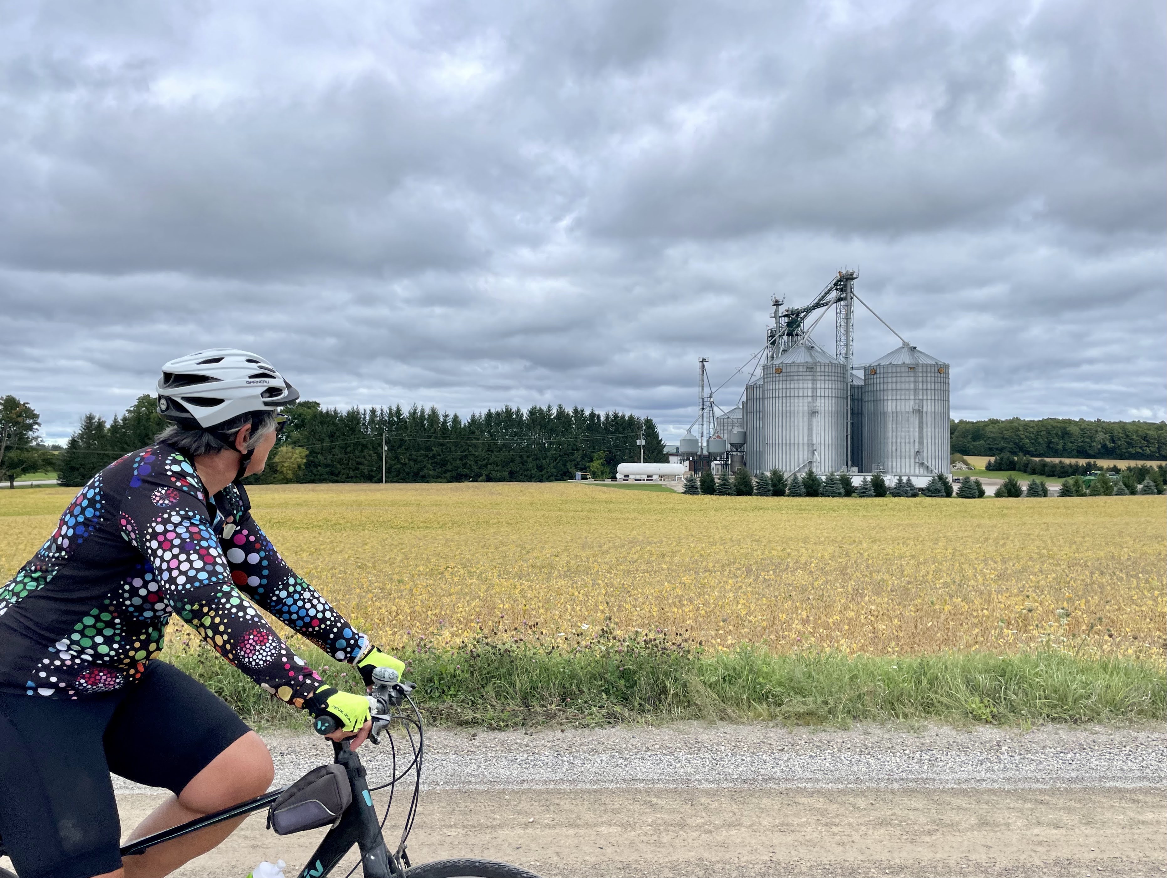
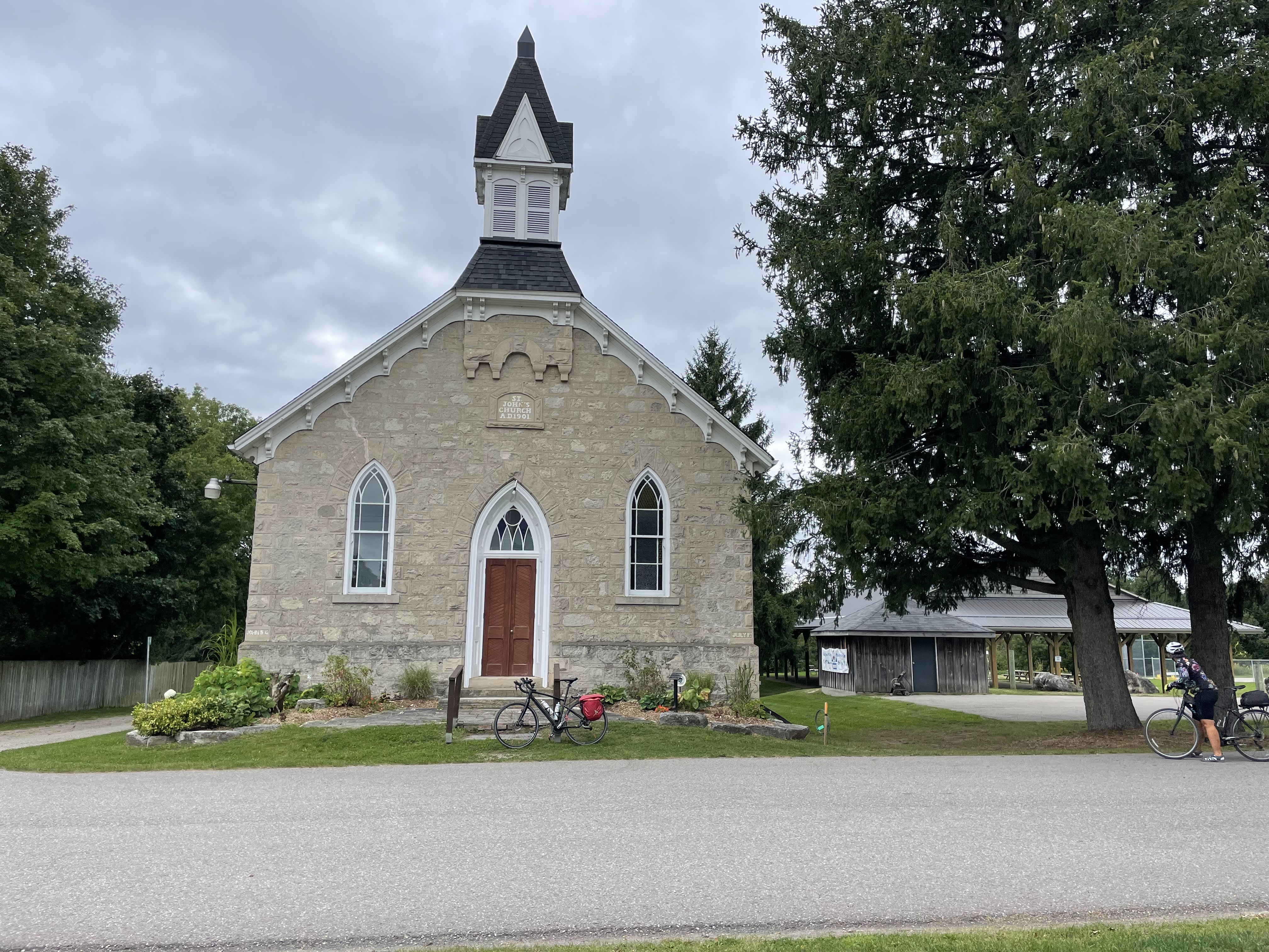
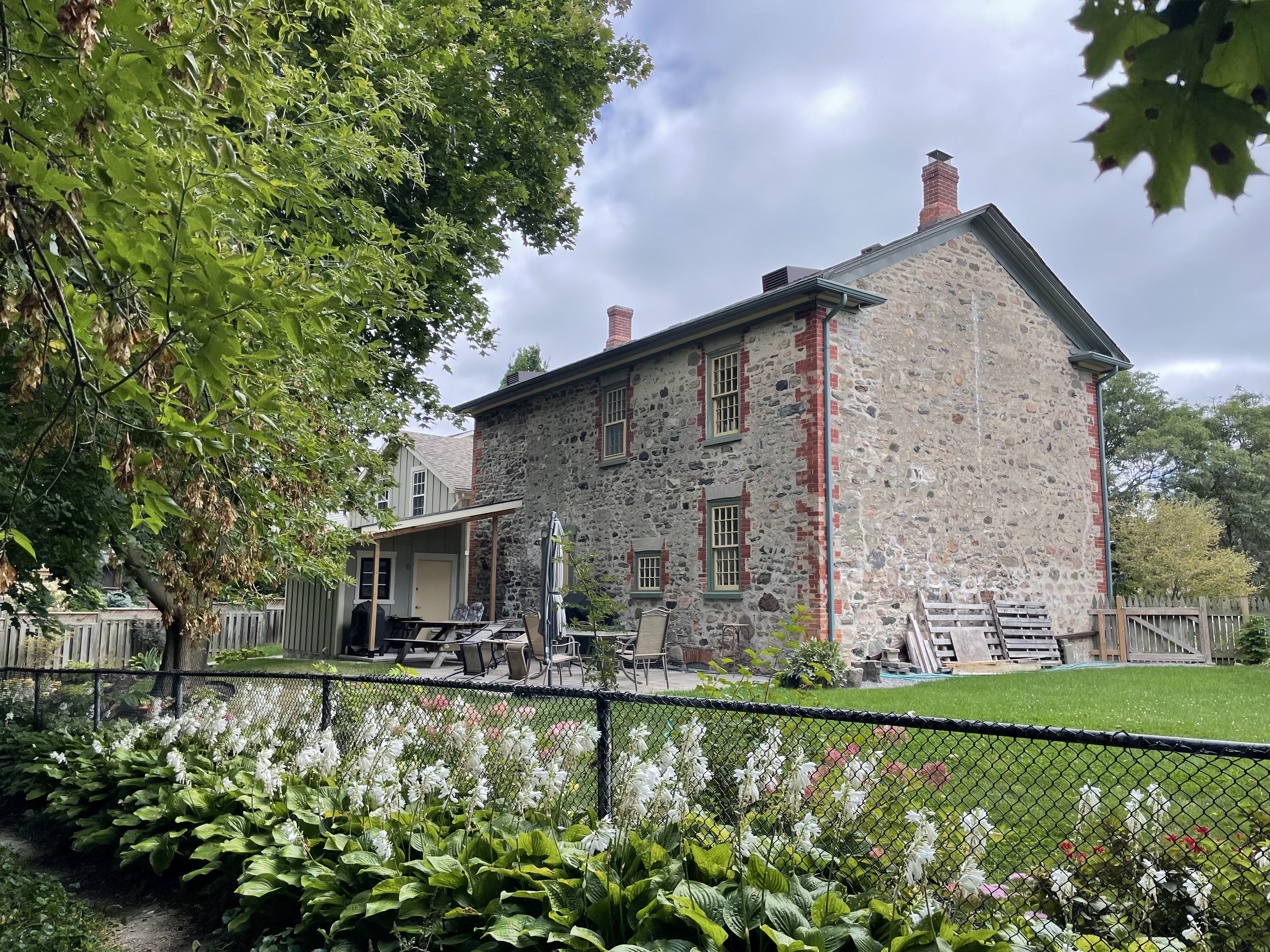
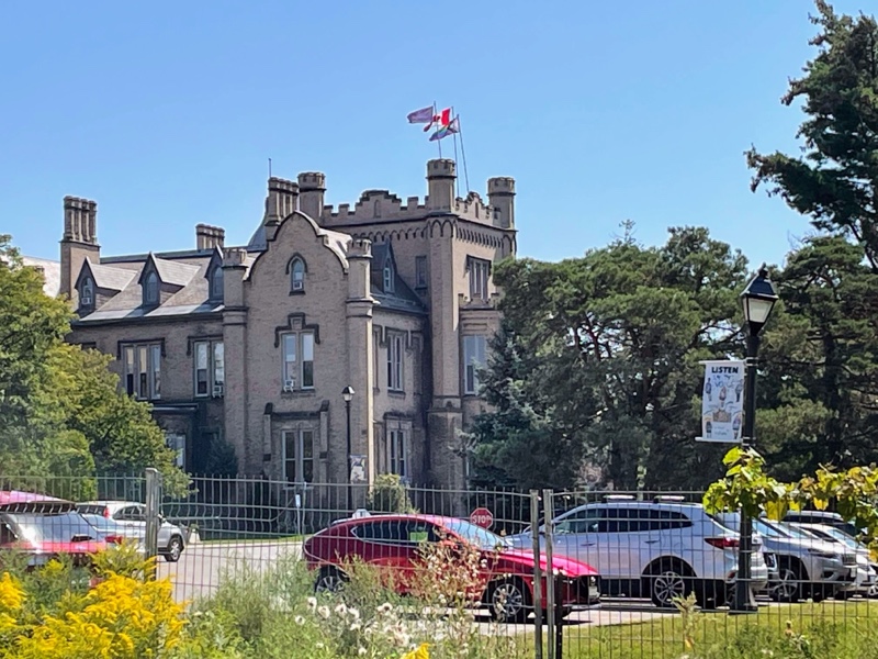
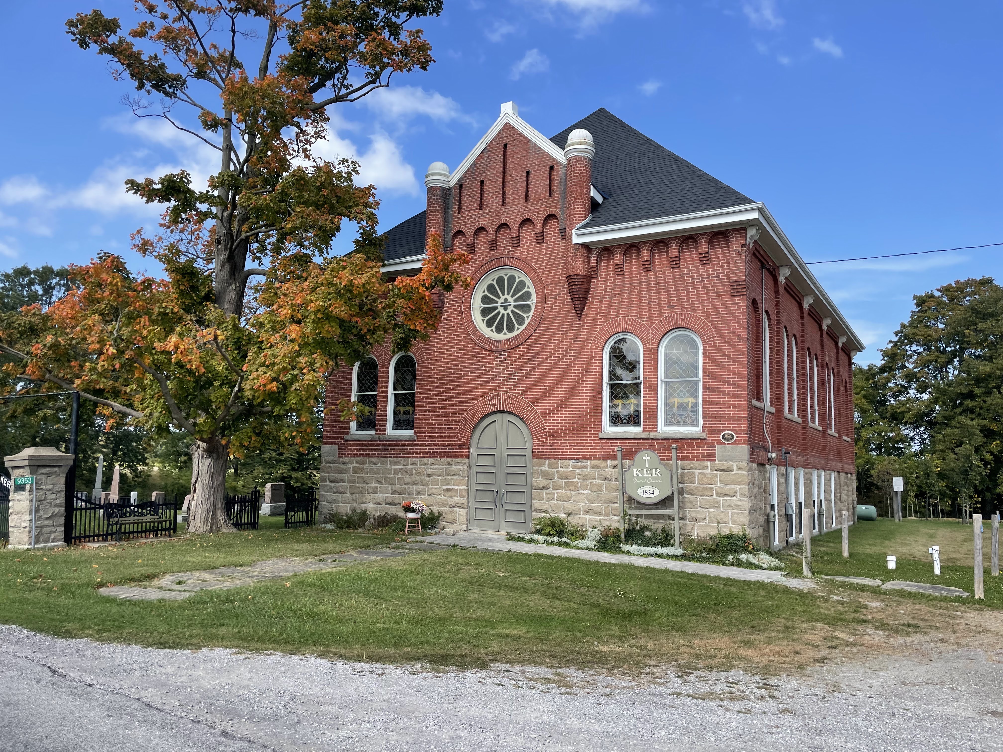
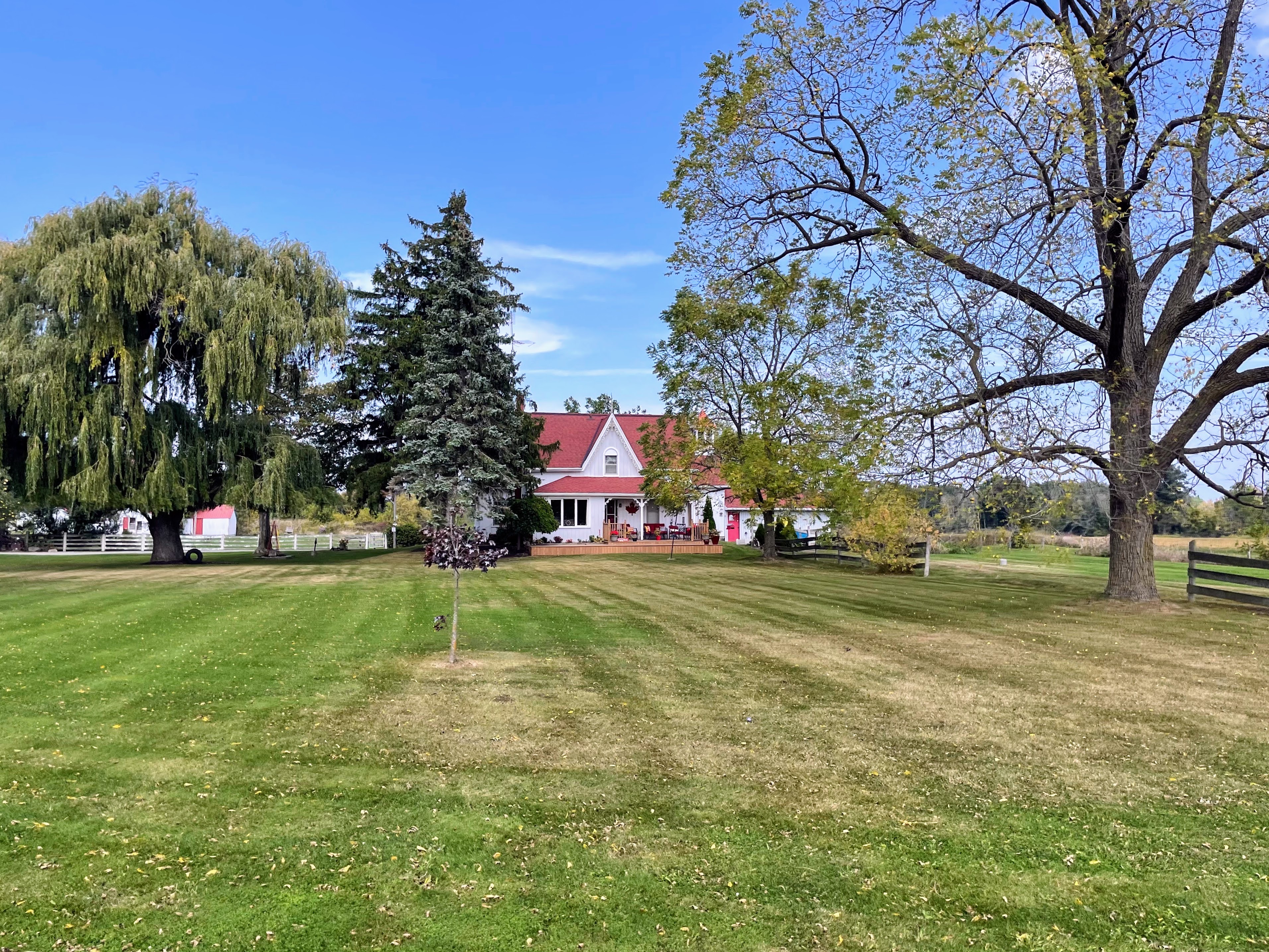
It isn’t one of the prettier rural rides I’ve done, and there weren’t a lot of interesting things to look at. I did see this interesting church, and nice farmhouse.

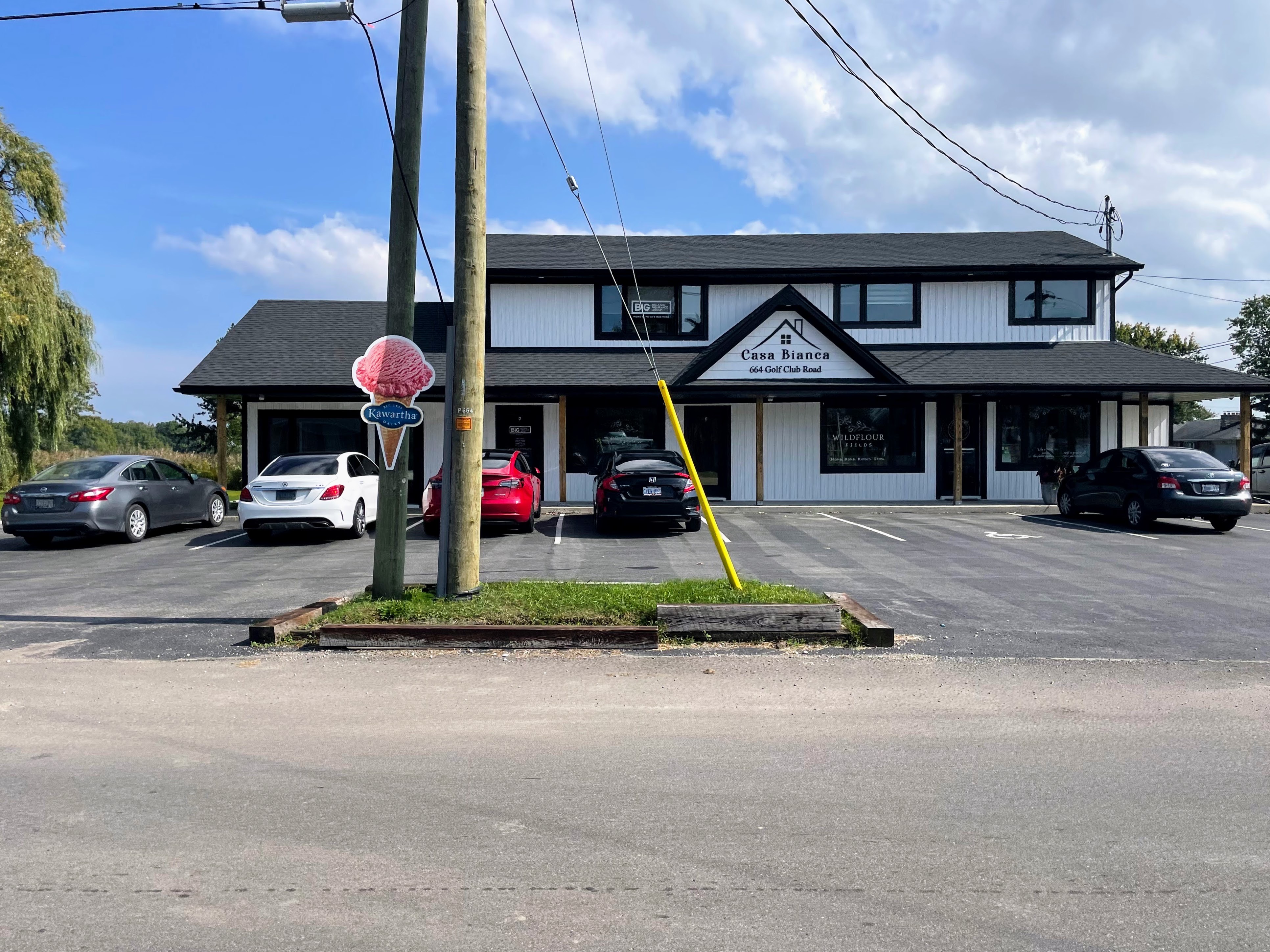
When I saw this ice cream cone sign, I got excited and pulled in, but the business is only open at the end of the week.

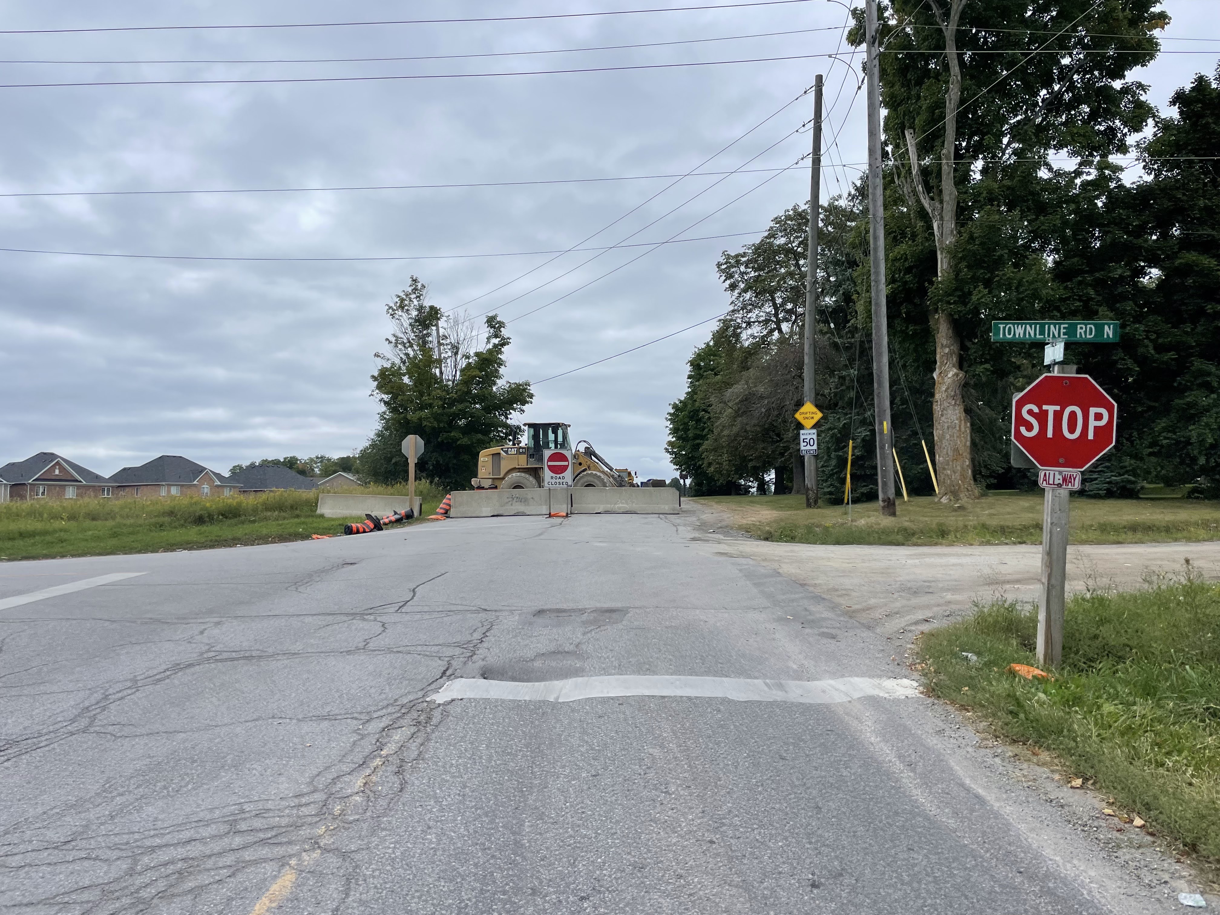
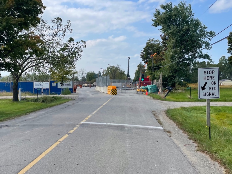
My route took me past this Road Closed sign. I stopped briefly to consider if I should follow the detour, but I was very tired, wanted the tile ahead, and didn’t want to add extra distance, so I decided to take a chance. One side of the road was open here and controlled by a light, alternating the traffic direction using the lane.

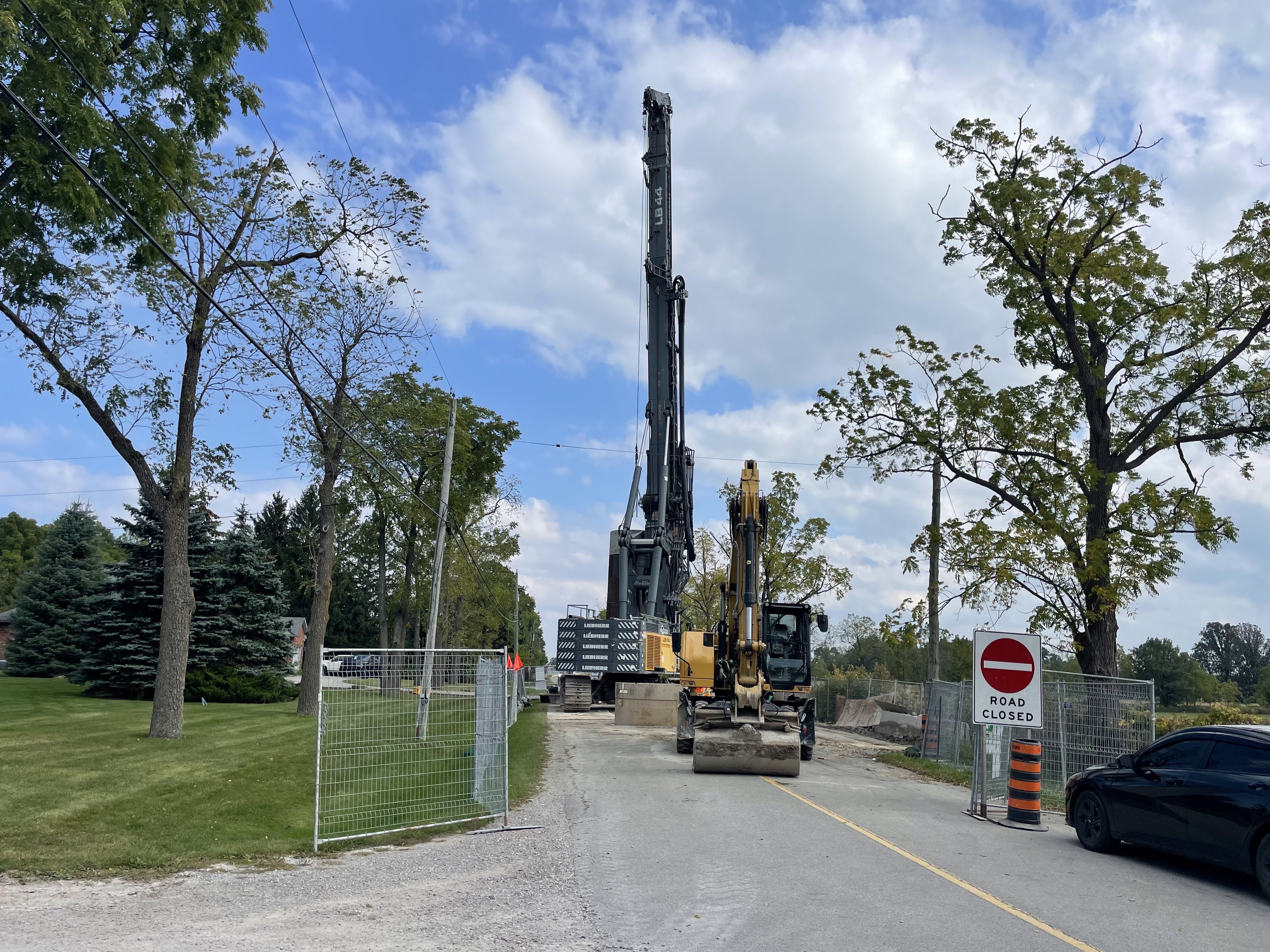
However, 100 m after that the road really was closed if you were a motor vehicle, and there was no getting around it. However, being on my bike, I just dismounted, and walked across the lawn on the left-hand side of this picture.

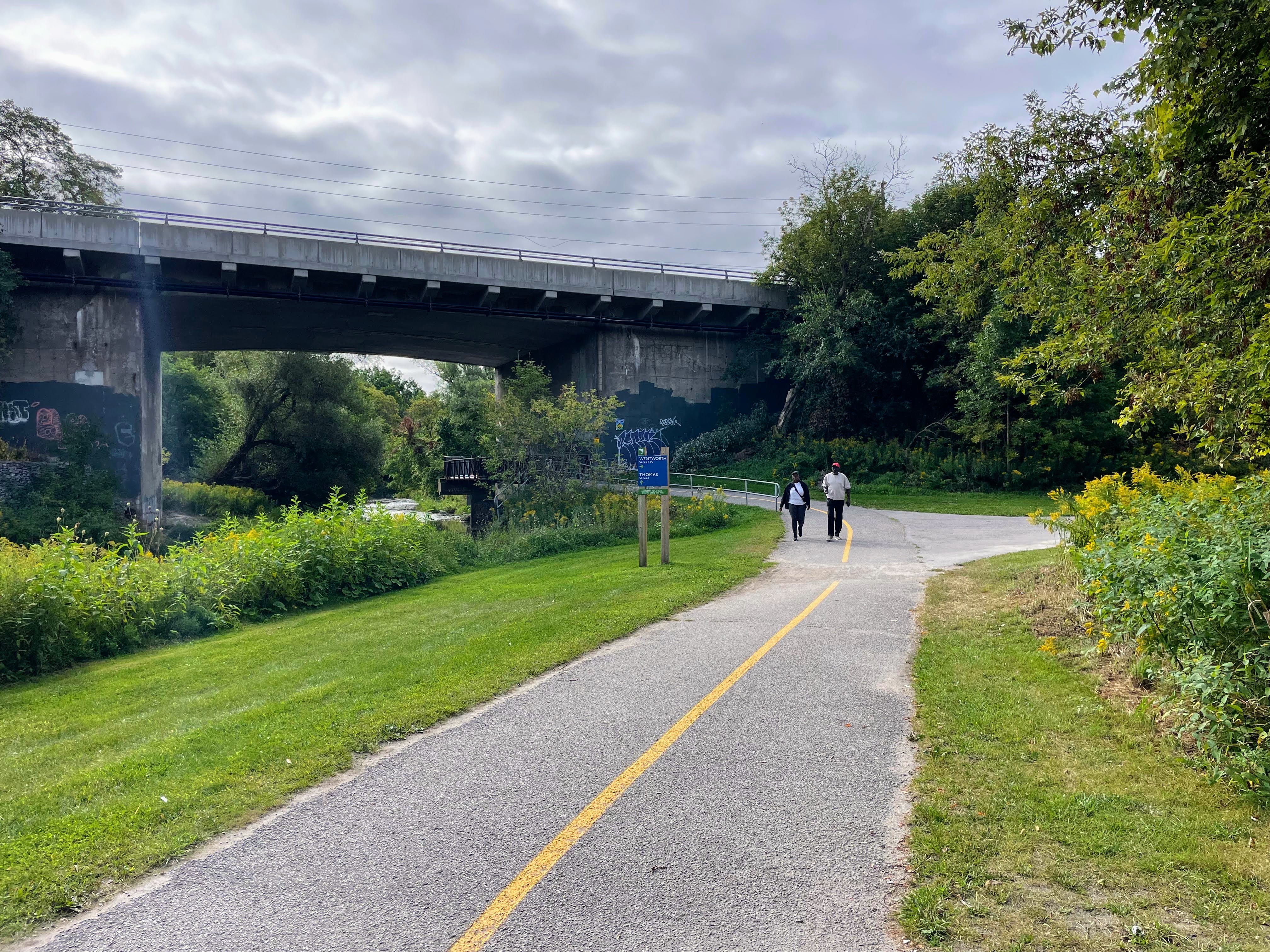
This is the view from the Active Transportation bridge over Lincoln Alexander Expressway on my way back. The bridge goes over both directions of the highway plus the ramp. It’s one of the longest highway bridges for Active Transportation I have encountered, I think.

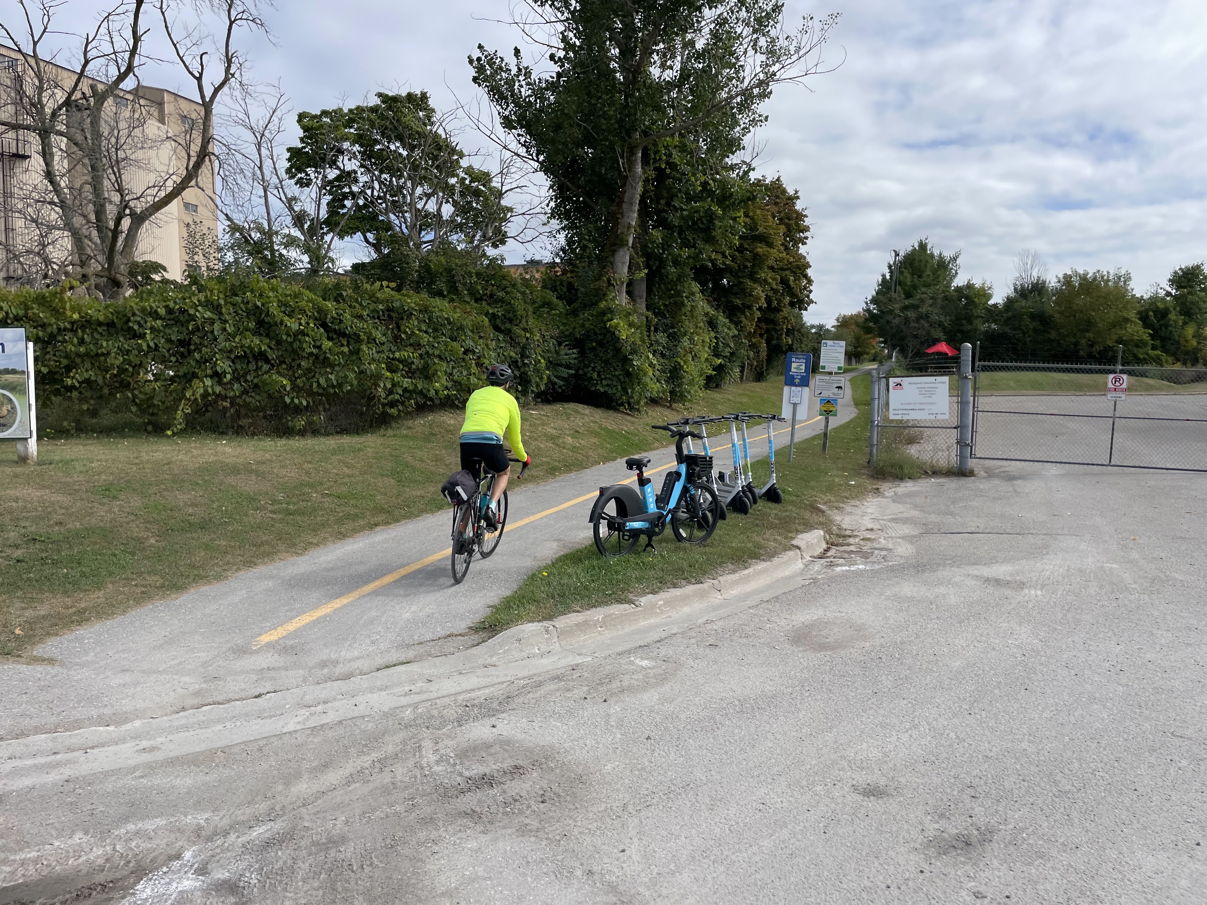
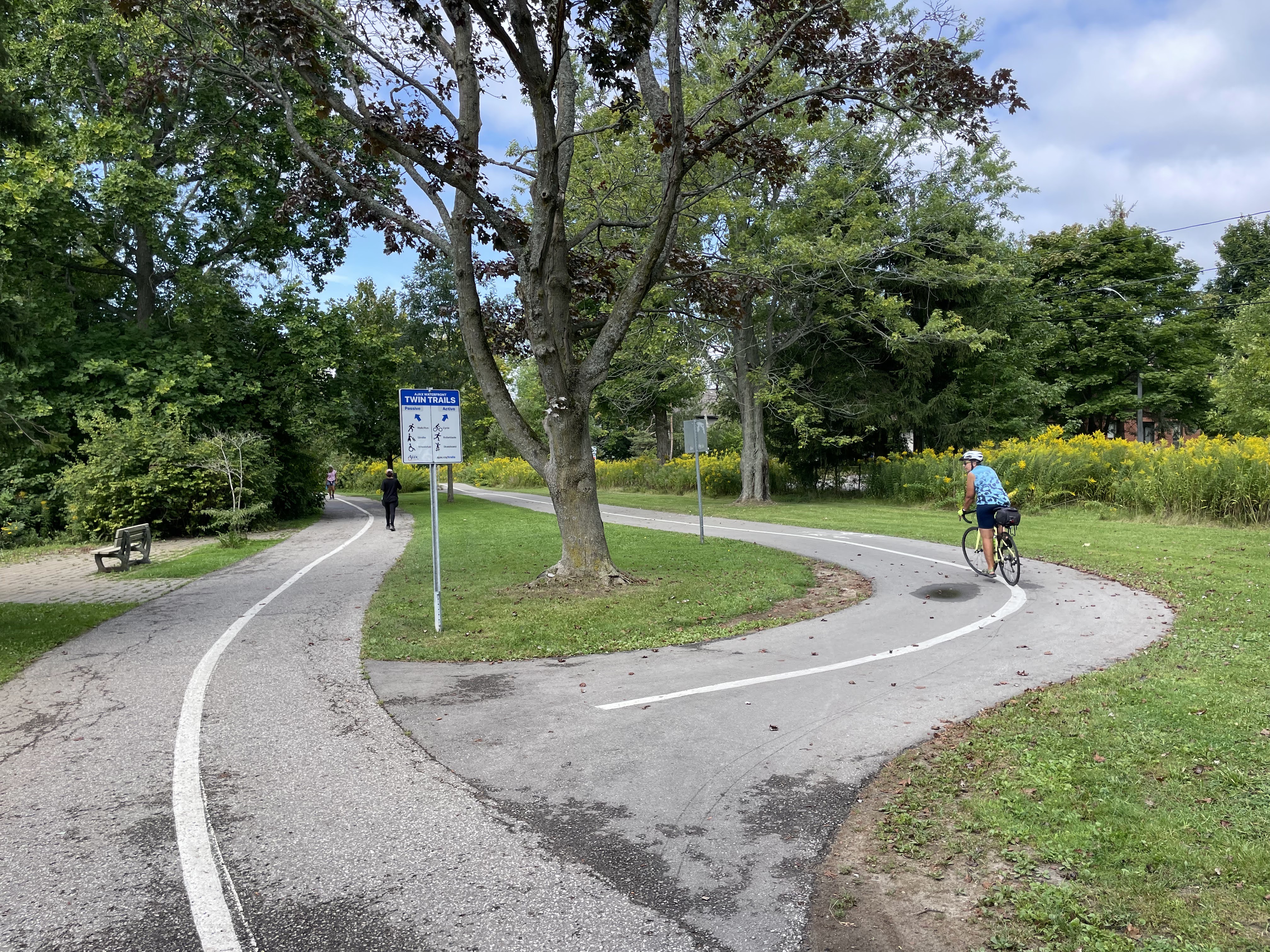
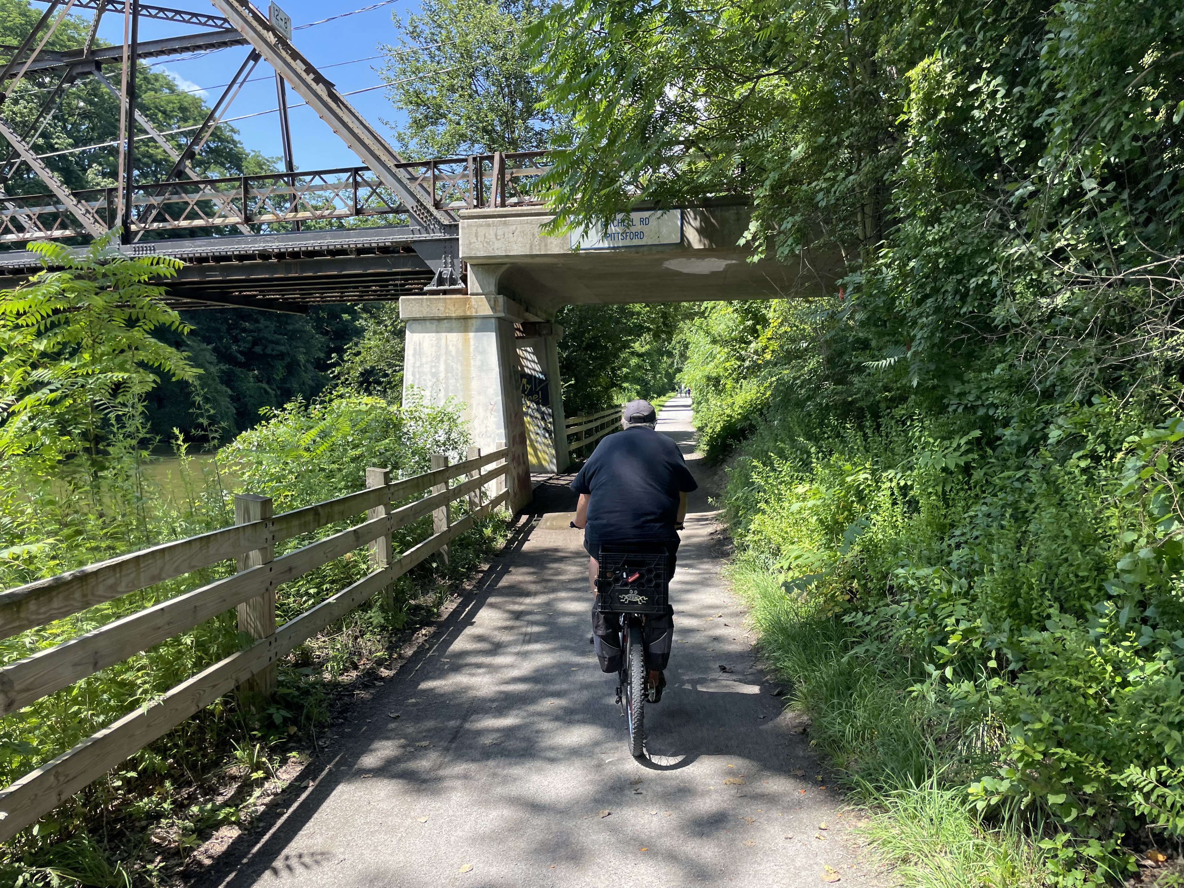
I’m back on Escarpment Rail Trail.

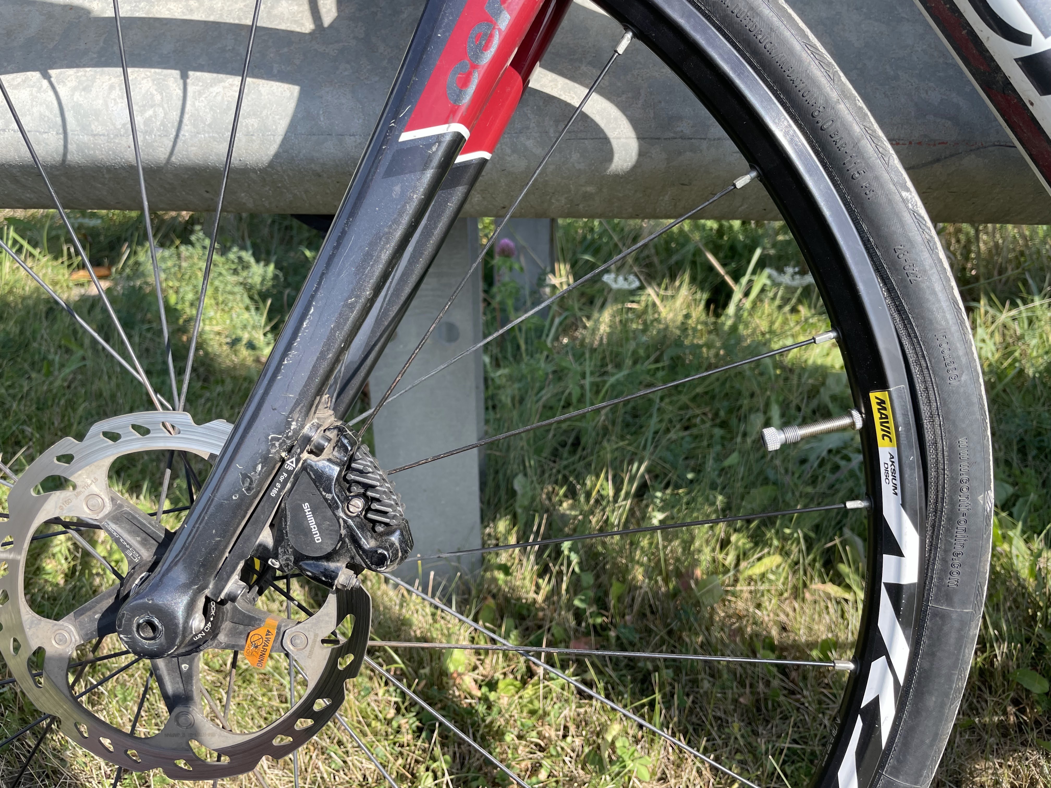
Here’s a close-up of how bad the surfaces are on one section of the trail.

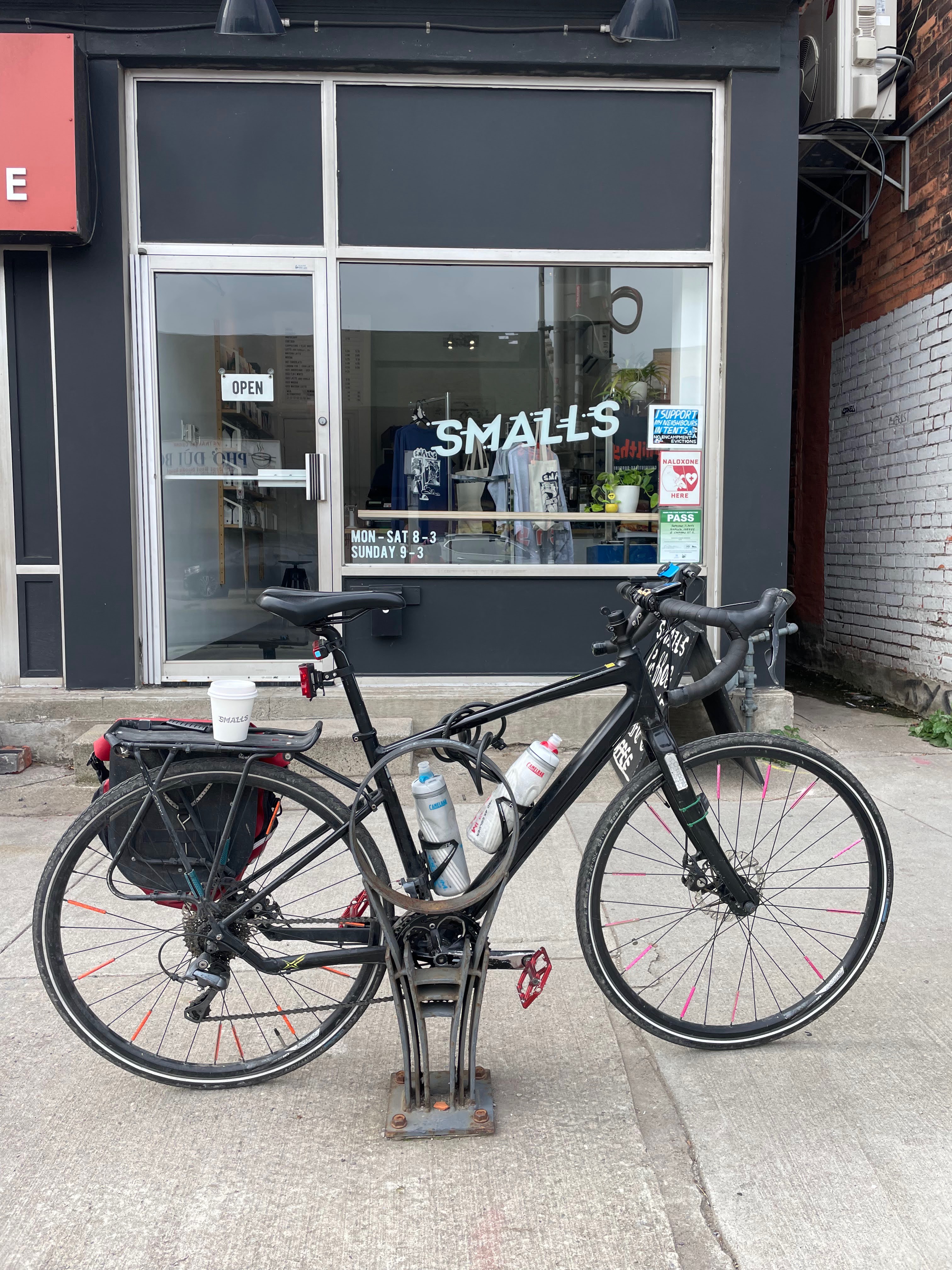
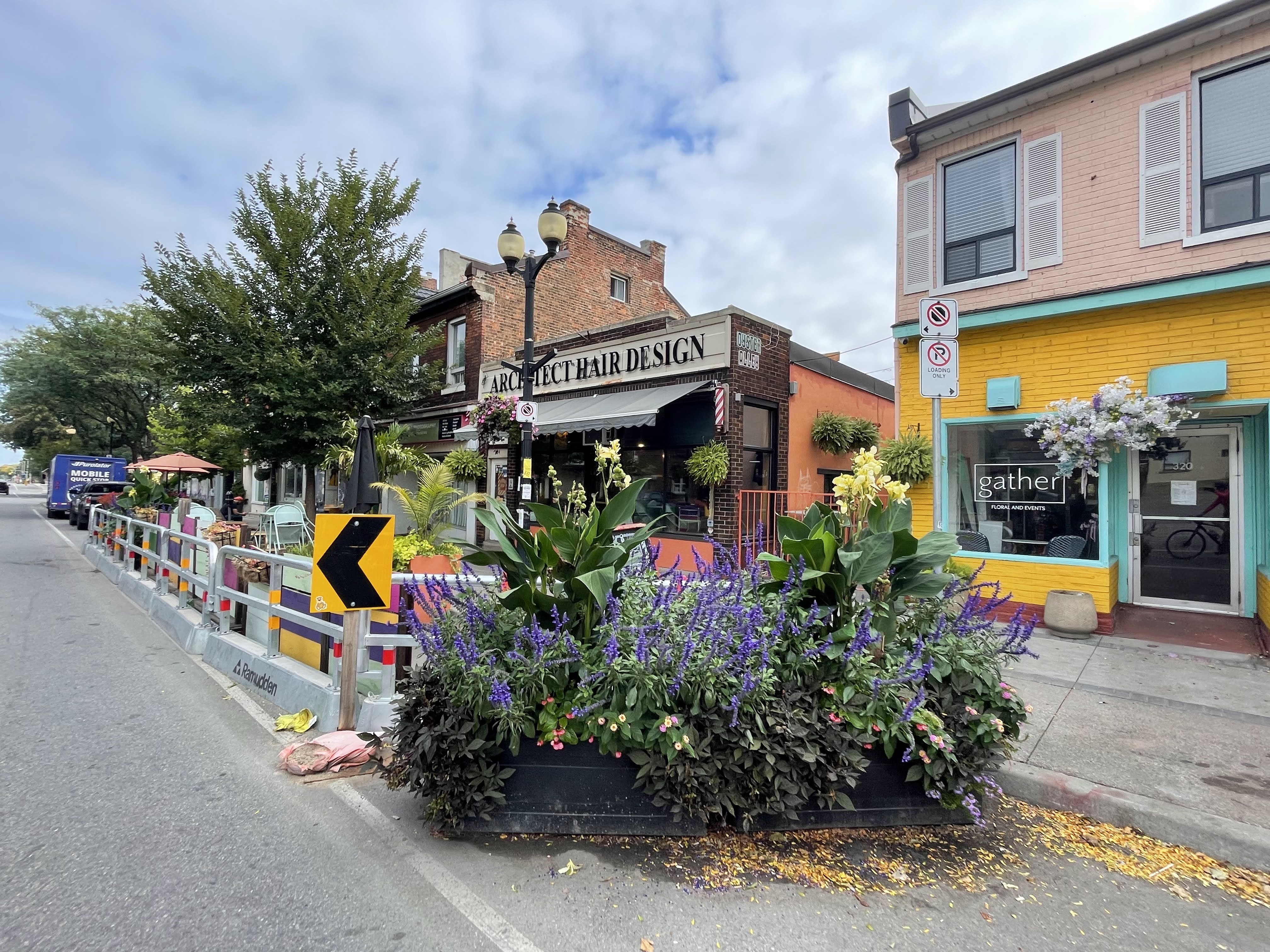
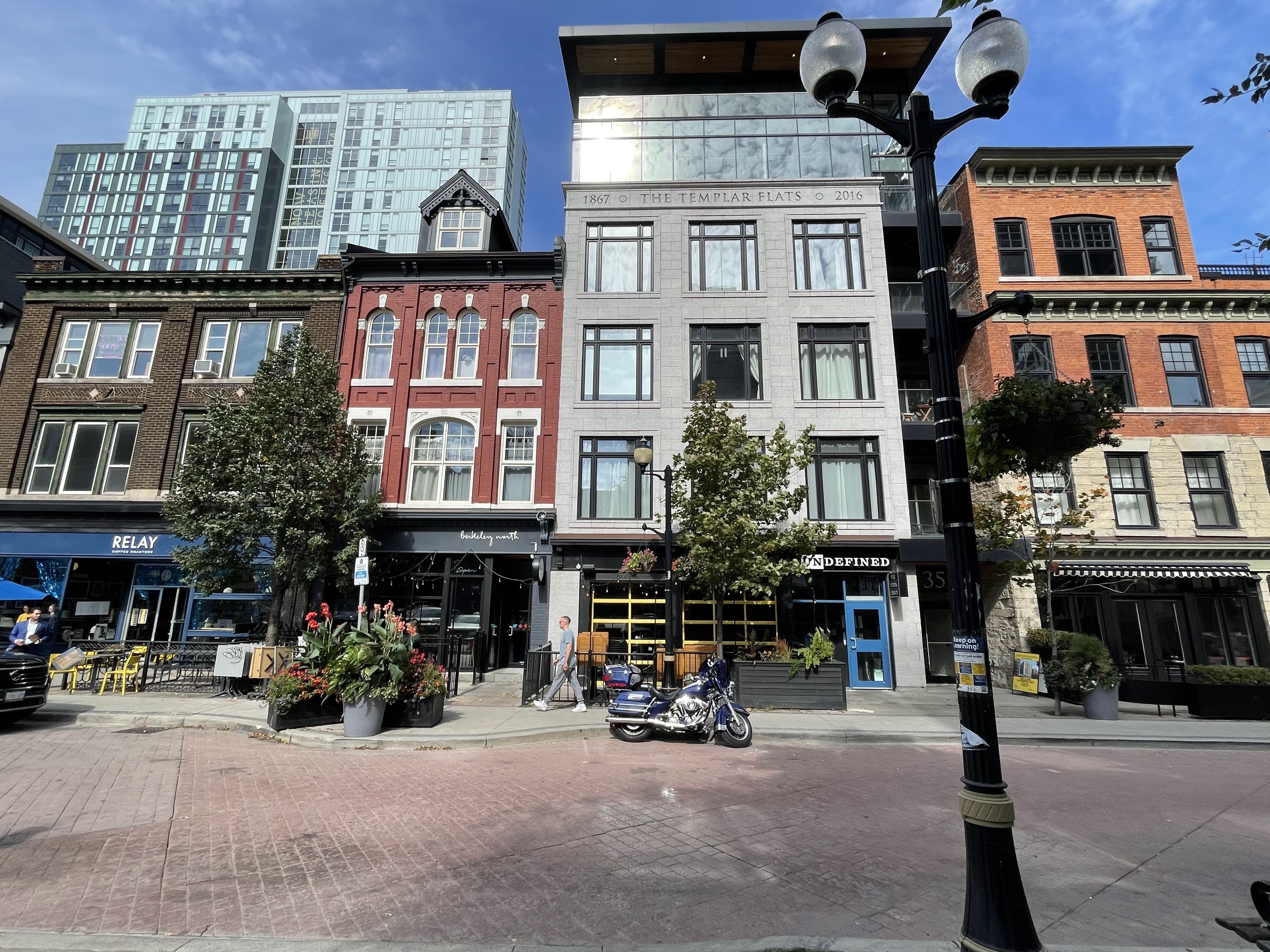
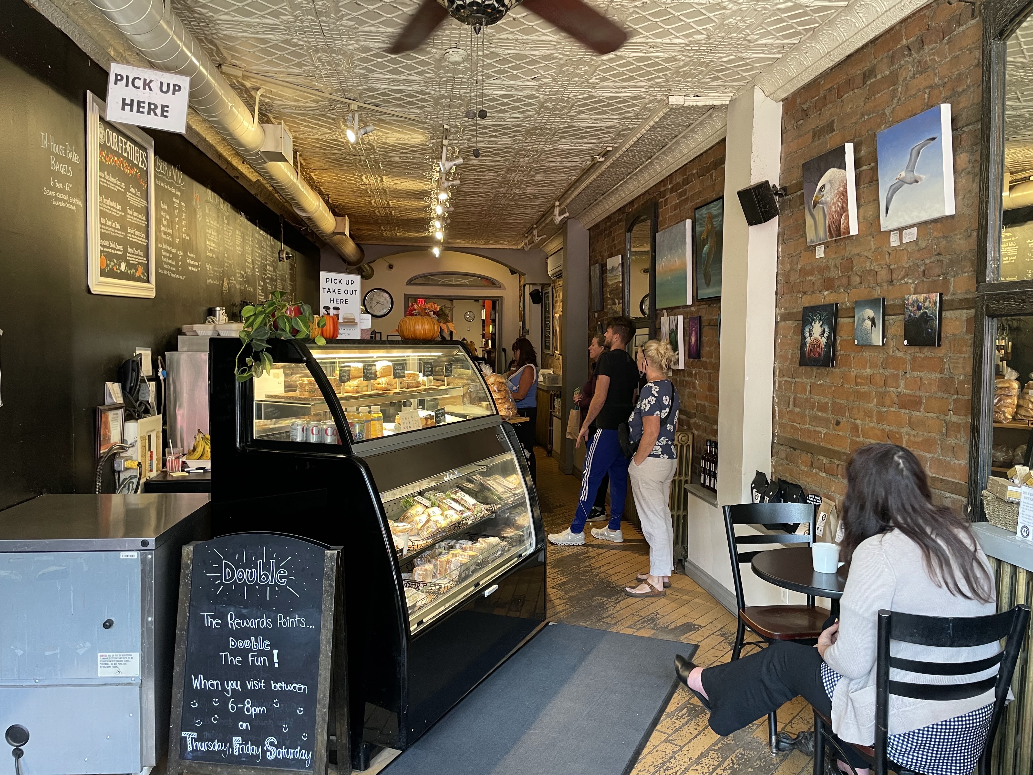
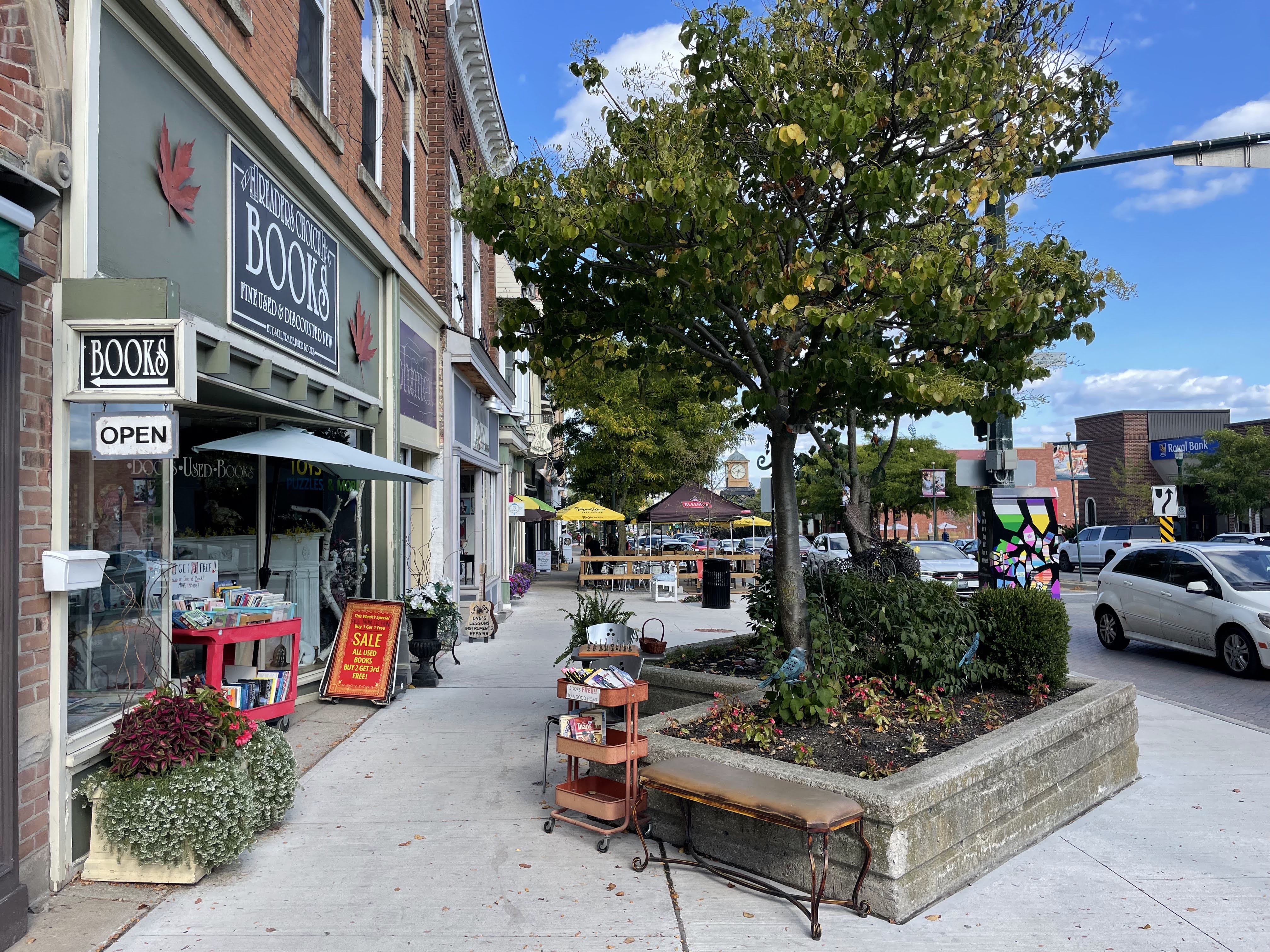
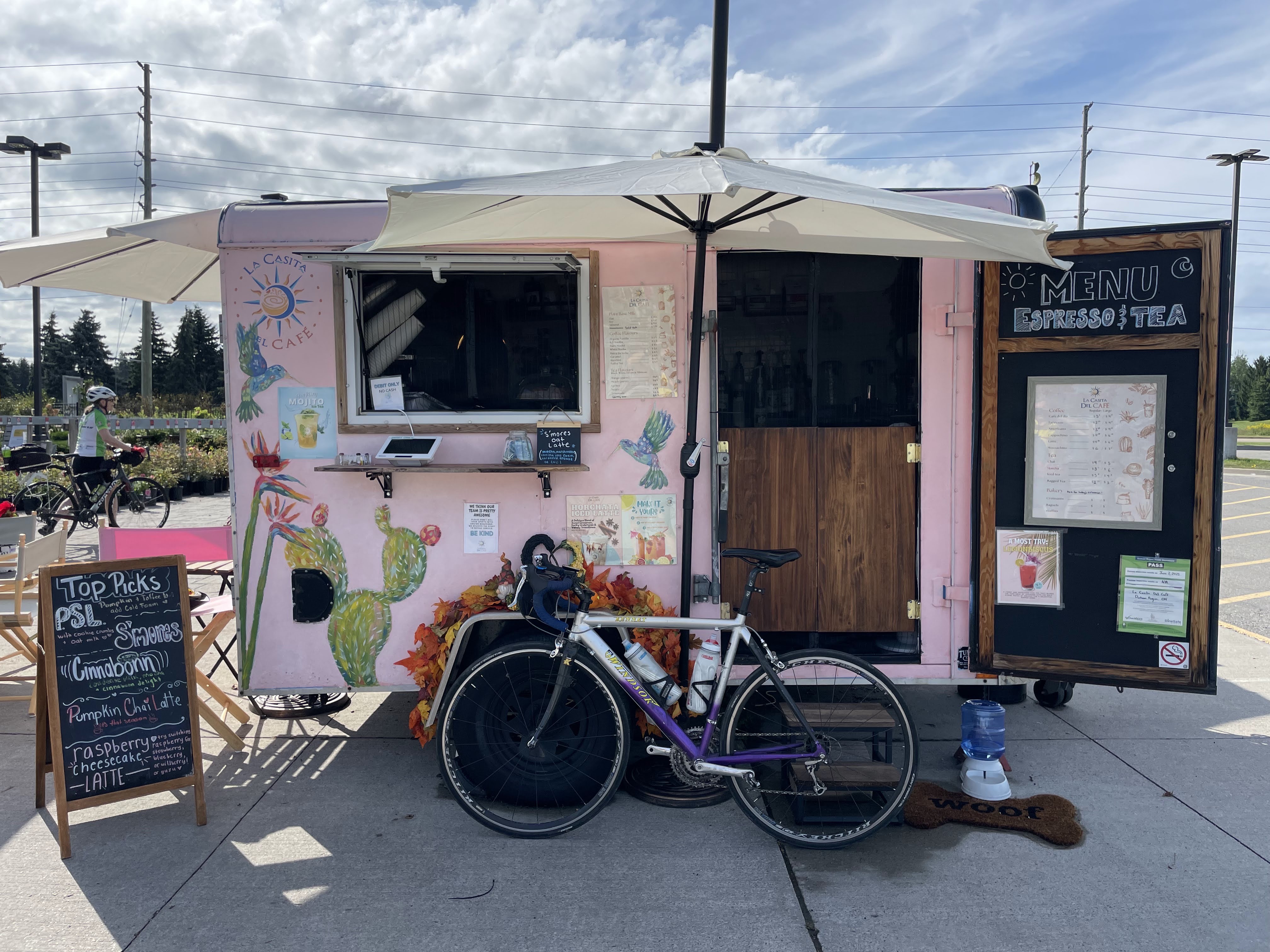
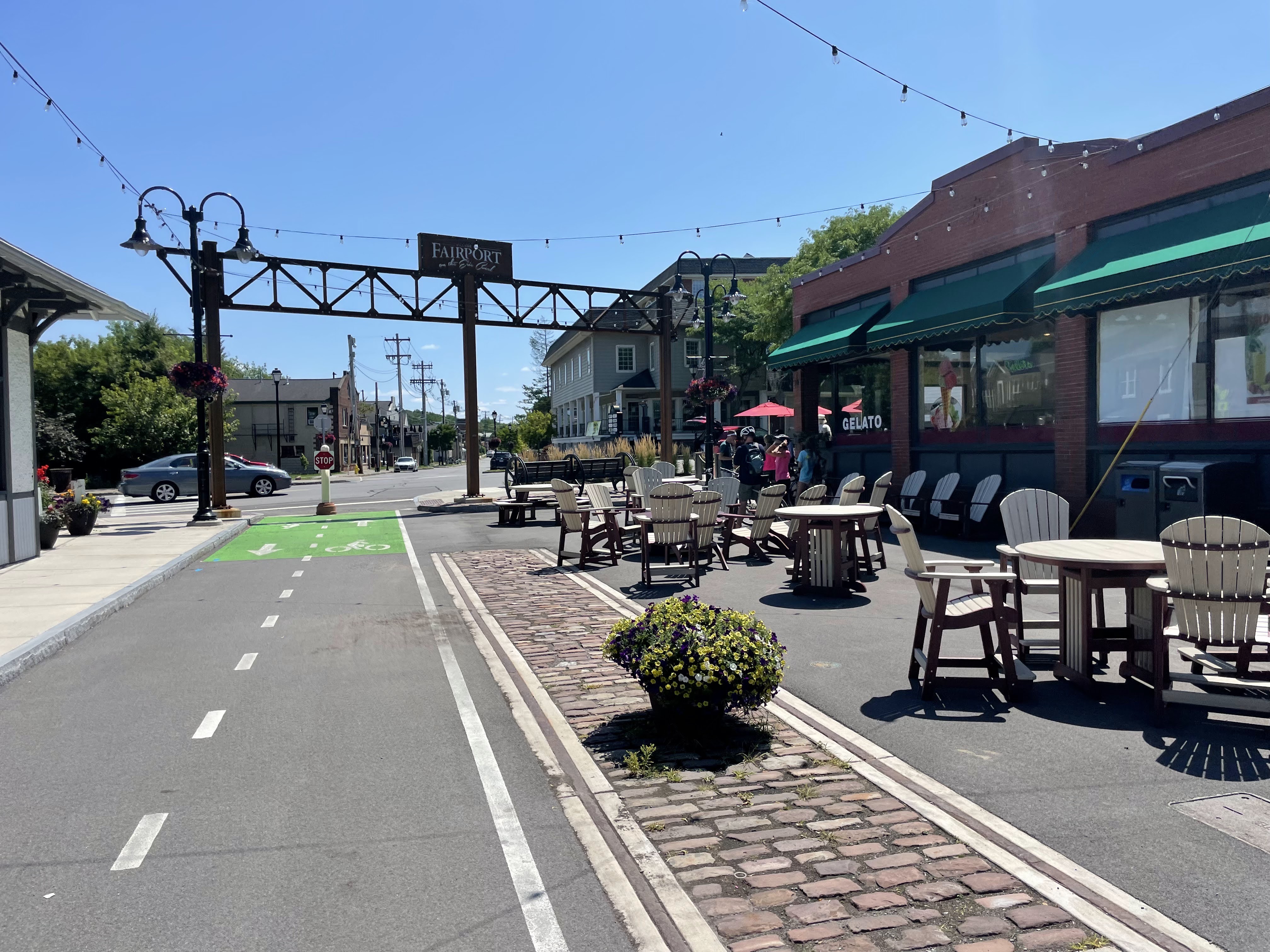
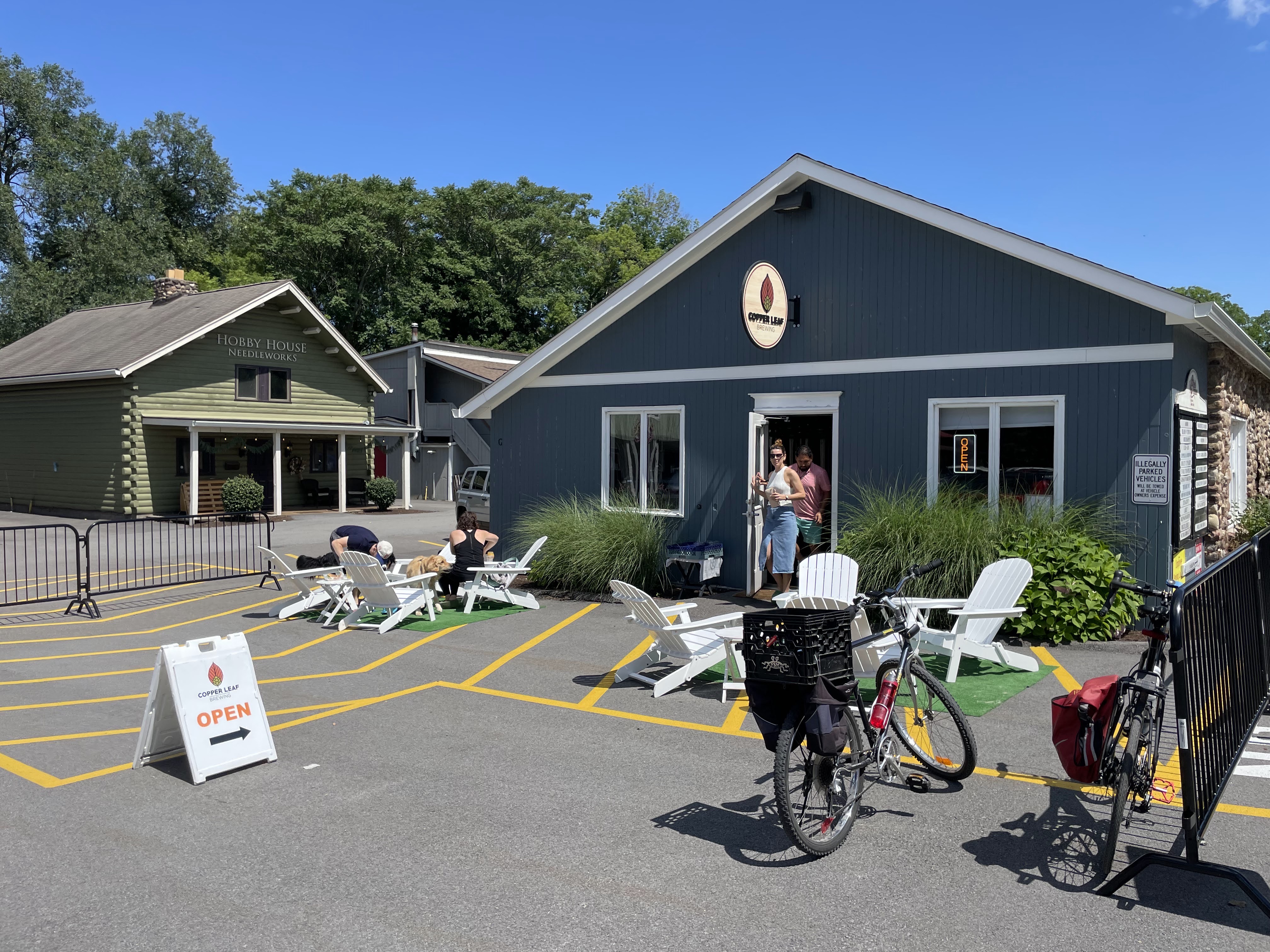
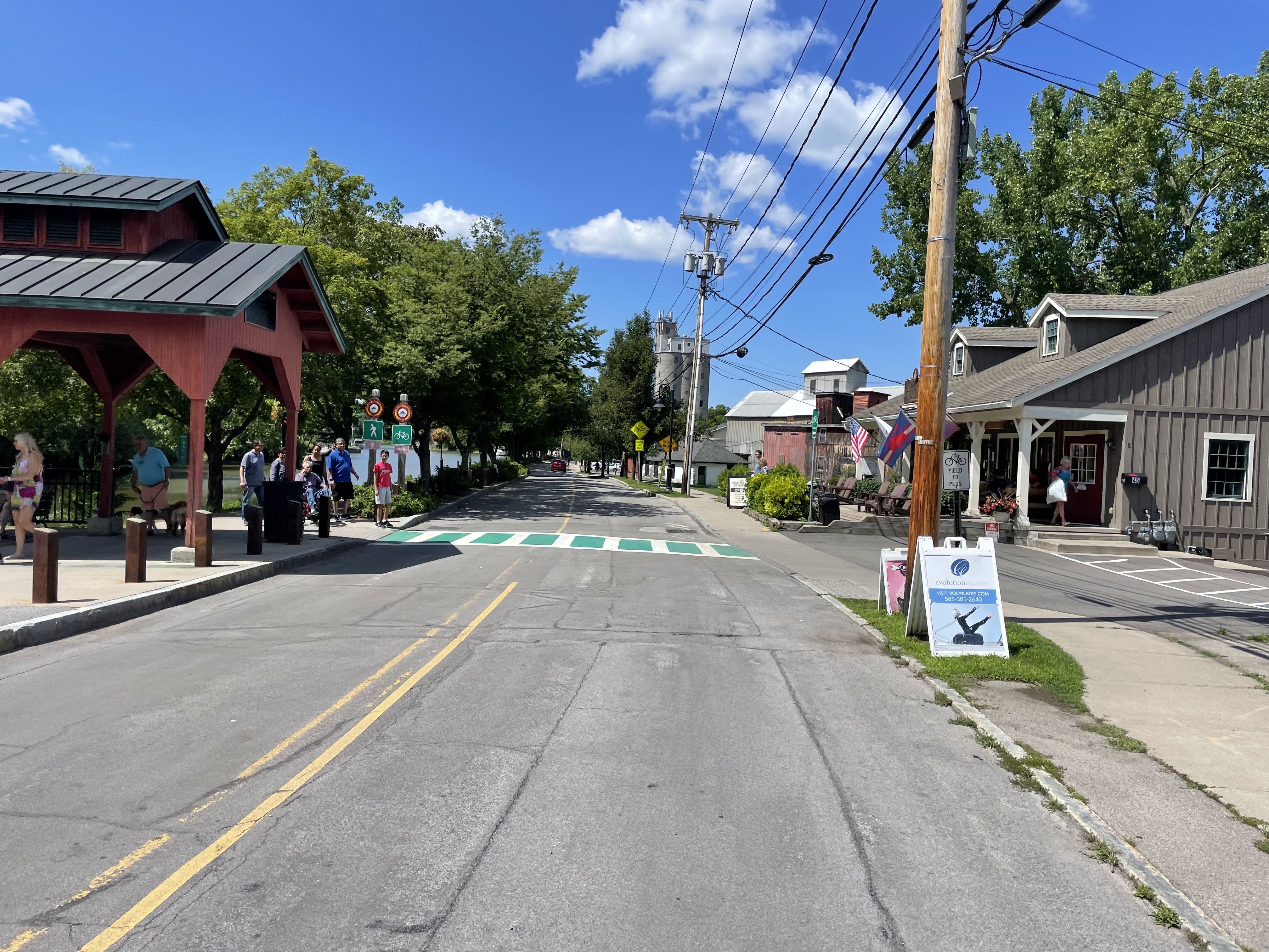
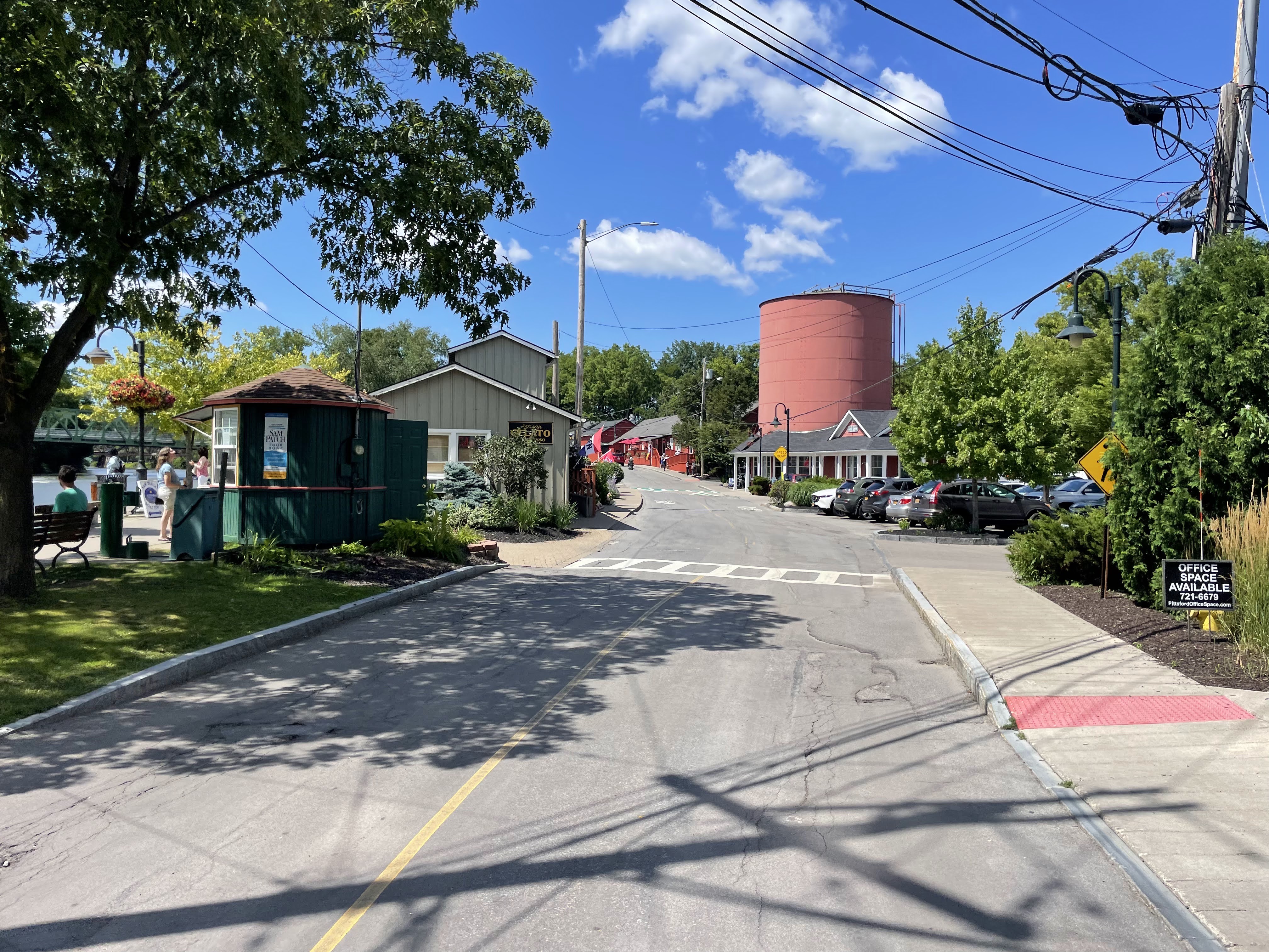
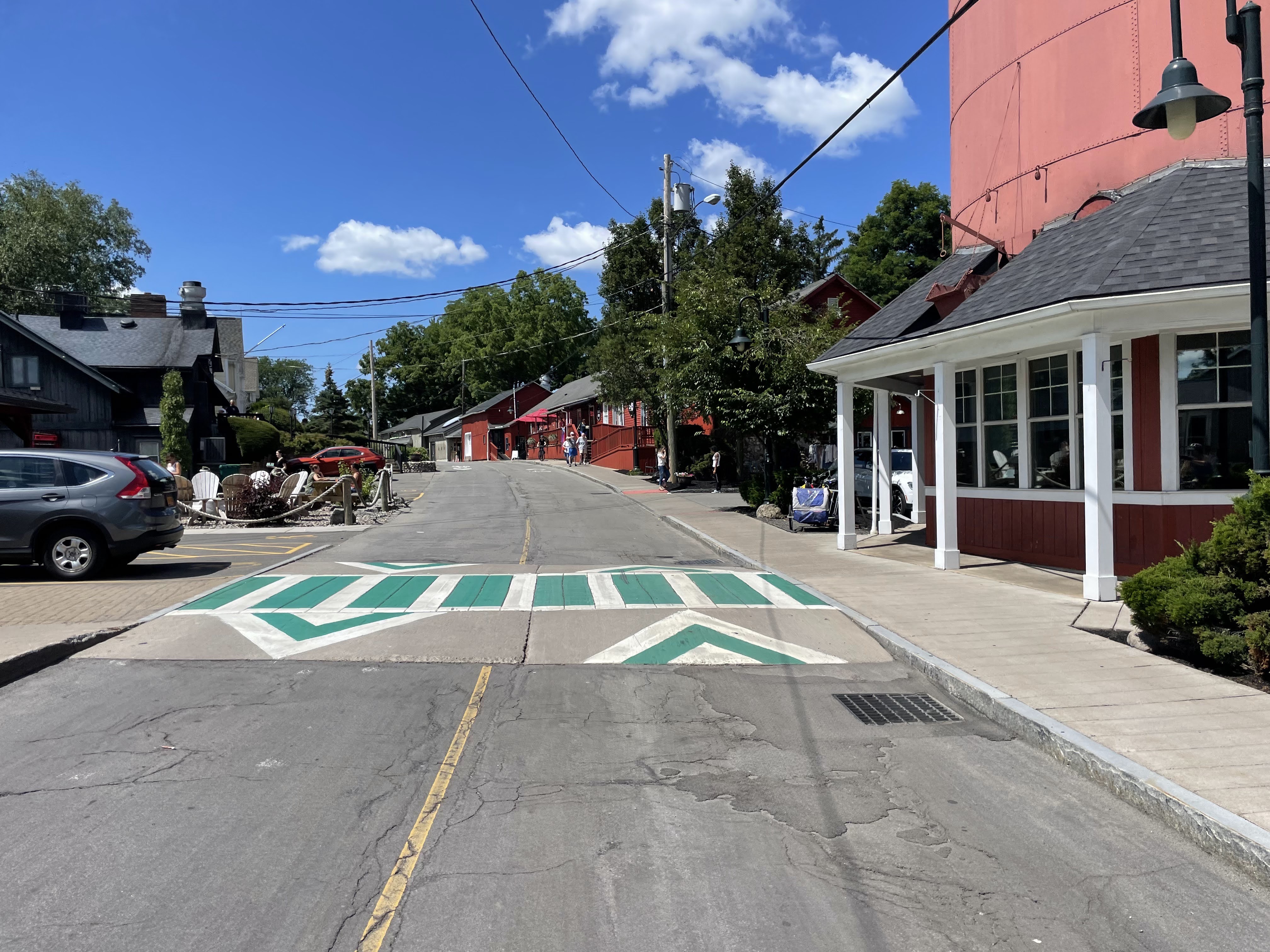
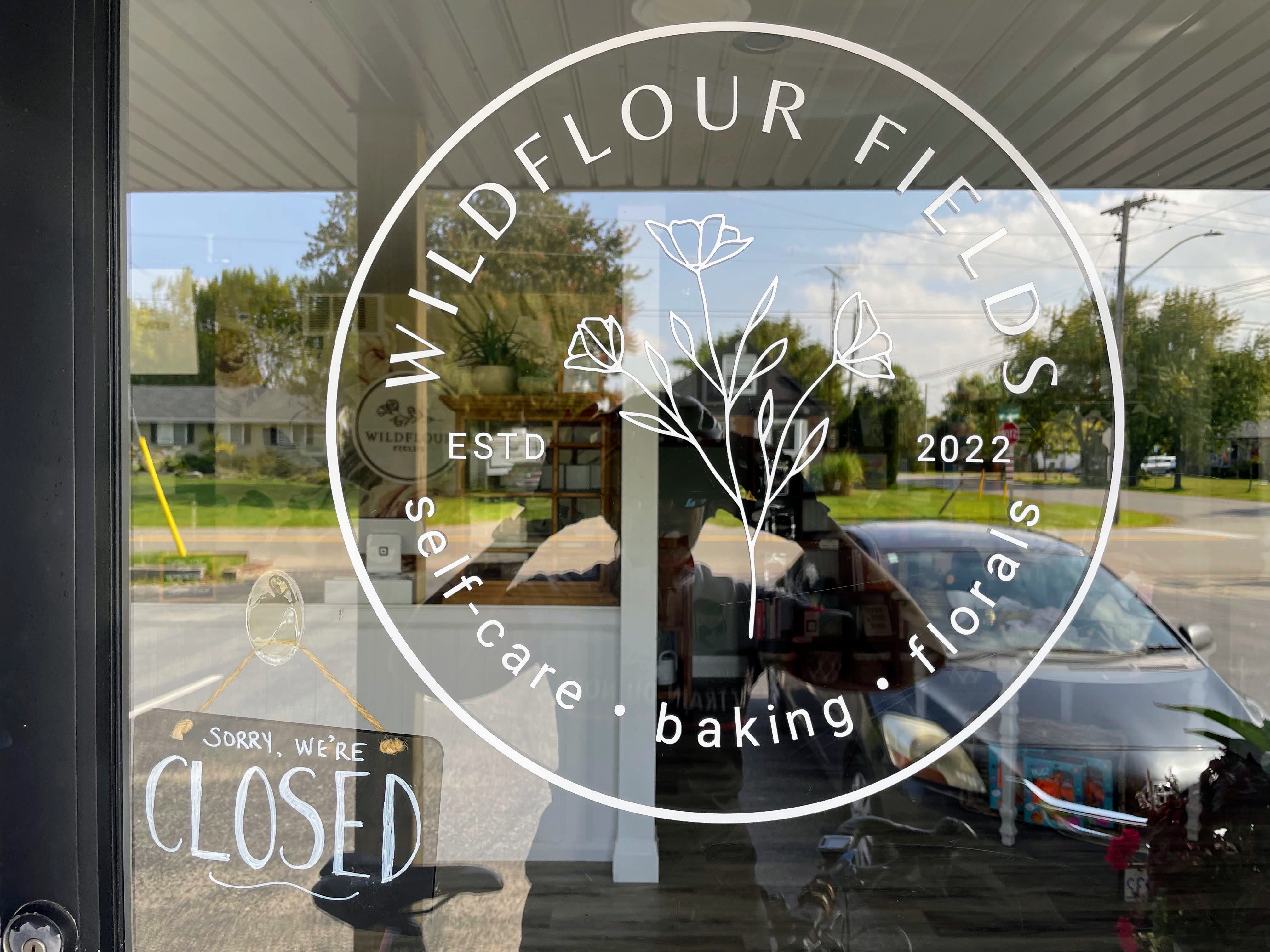
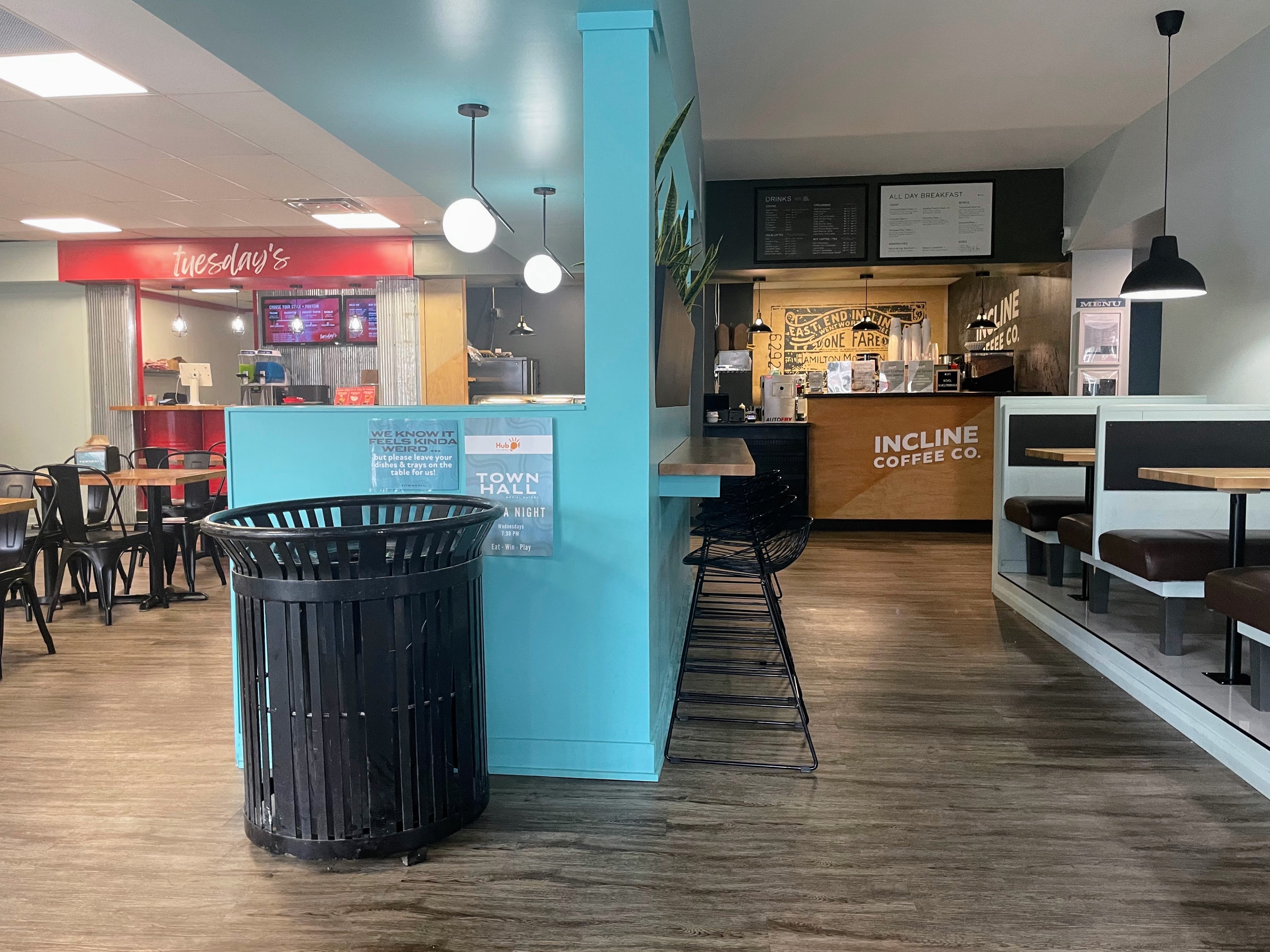
55 km, and 26 new tiles later, I loaded the bike into the car and drove to Incline Coffee company on Concession Street. I speculate that it is so named because at this spot there used to be an incline railway from the lower city to the top of the mountain. The barista was very friendly, made an excellent latte, and explained a deal they have that a latte purchased with a baked good after 2 PM, was $2.50 off. So I ordered a giant chocolate chip cookies, which turned out to be two giant chocolate chip cookies , and a latte for $6.22. Quite the bargain these days. Concession Street is quite a thriving neighborhood.

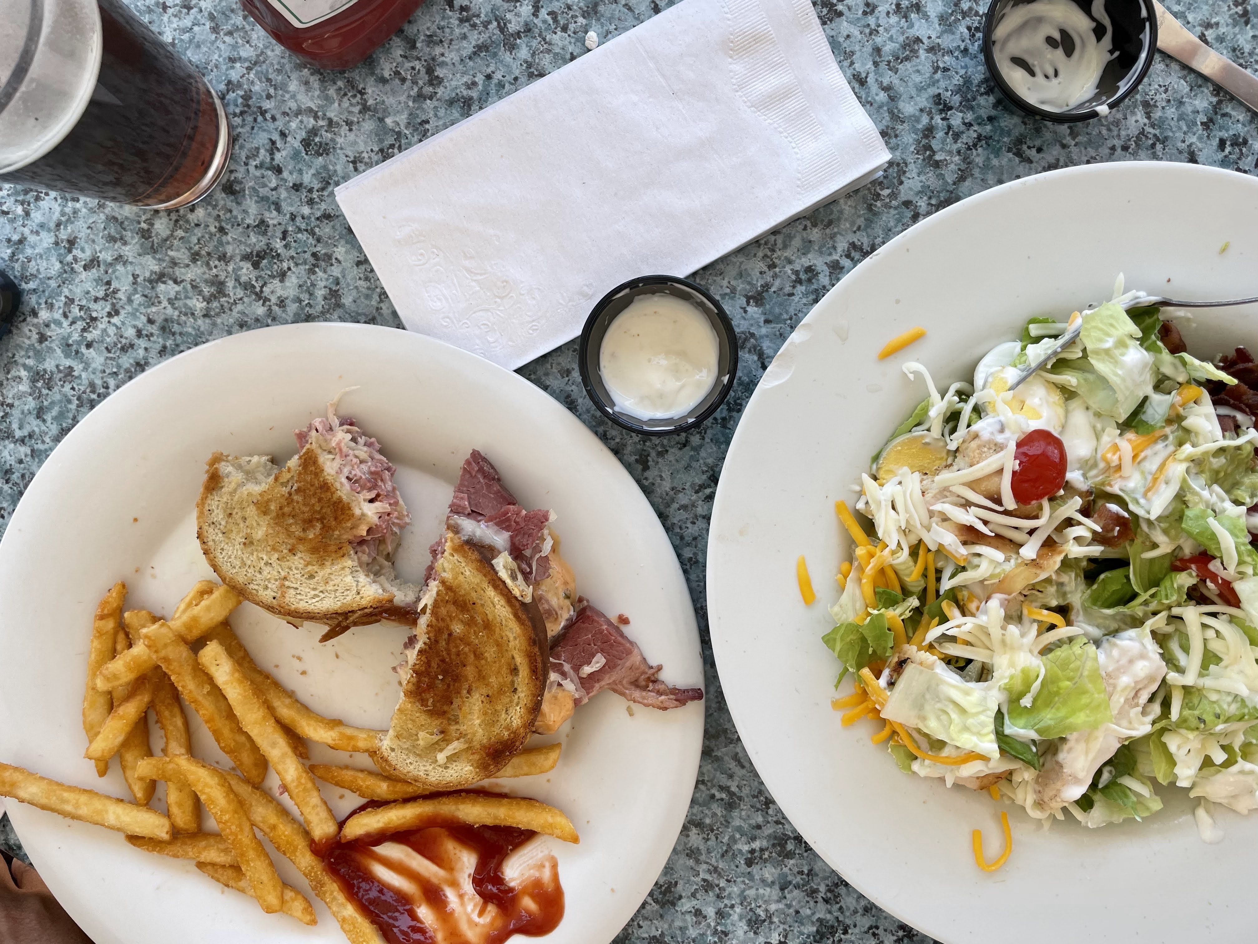
I then went to Fortinos’s to pick up a steak and some prepared salads, which cost a lot less than going out for dinner, and was just as good, if not better.

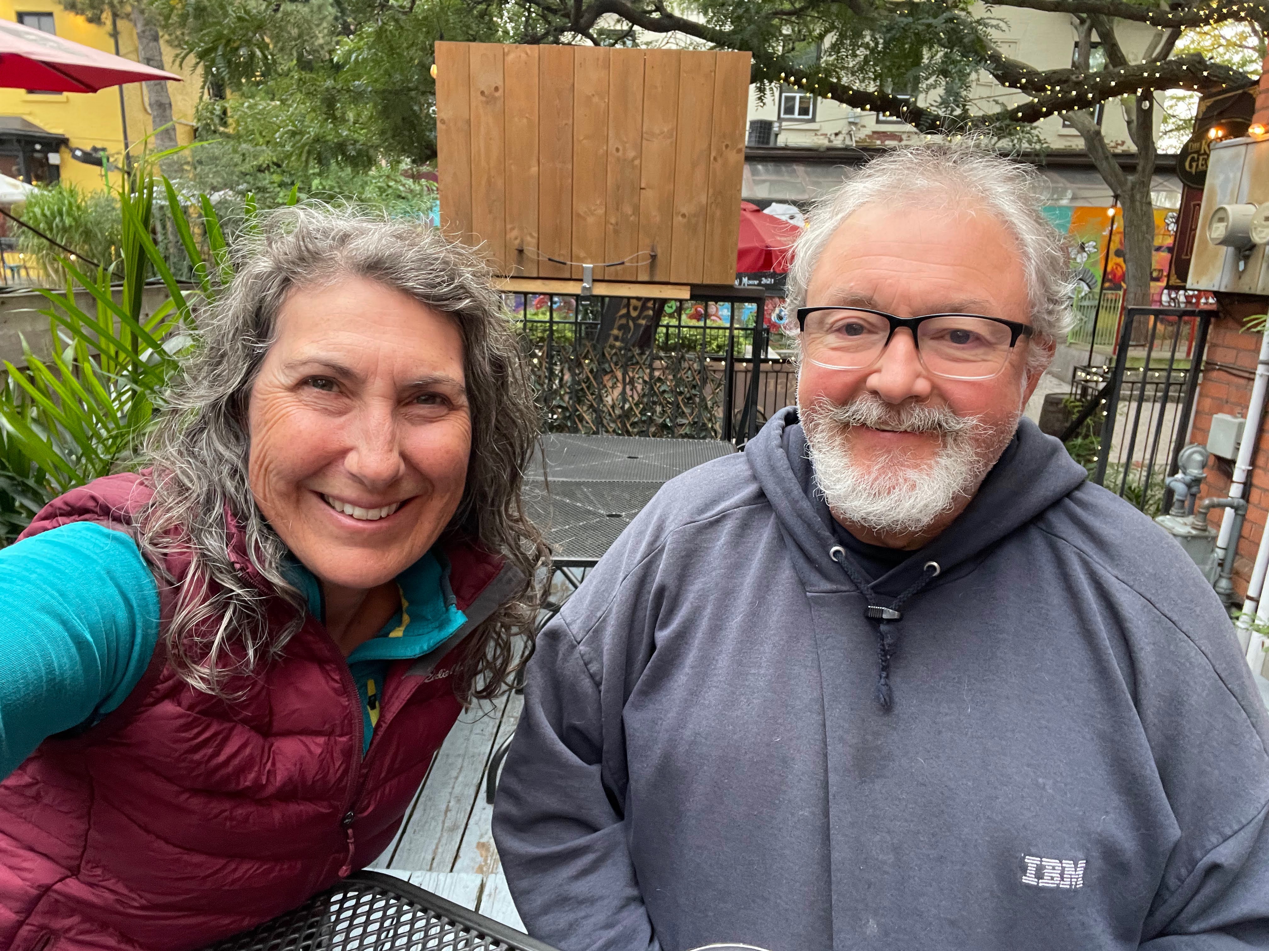
Then I walked Michael to the car so that I could get the parking pass for Patti and came back to write the blog.

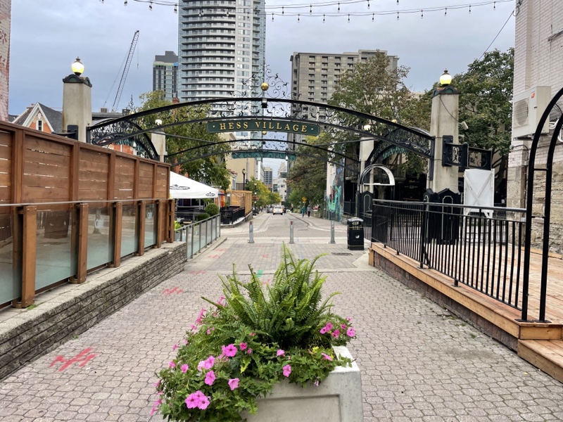
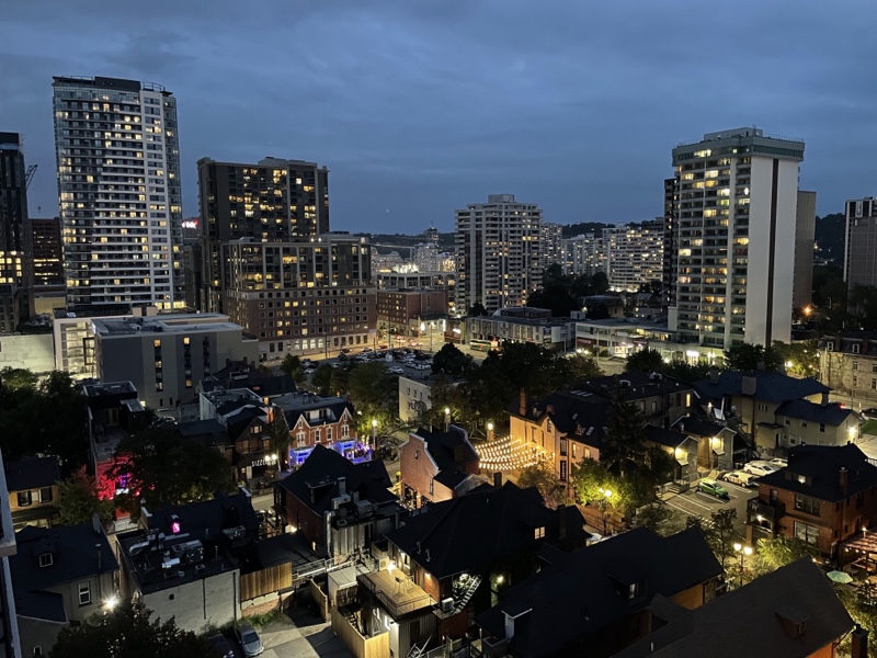
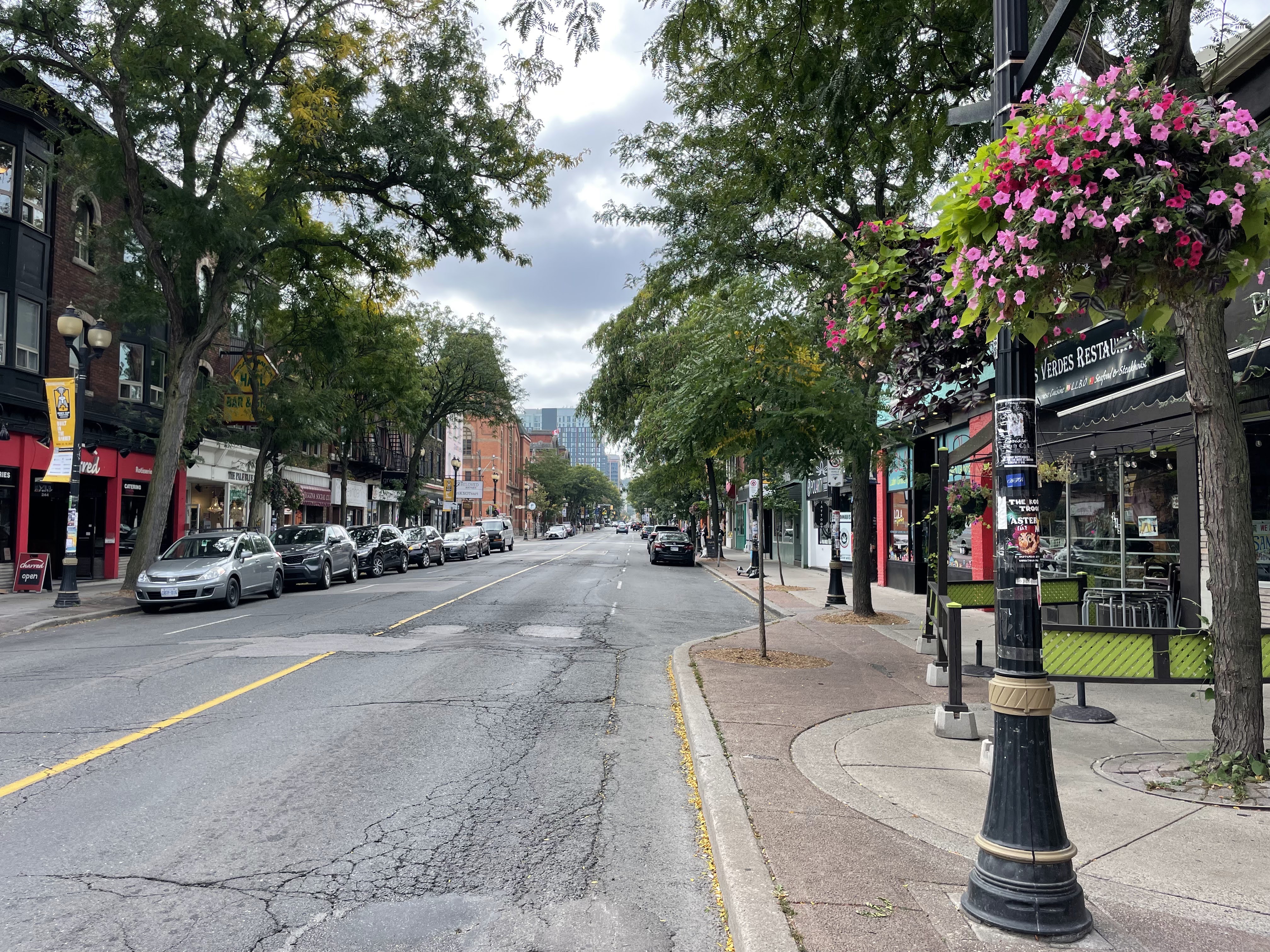
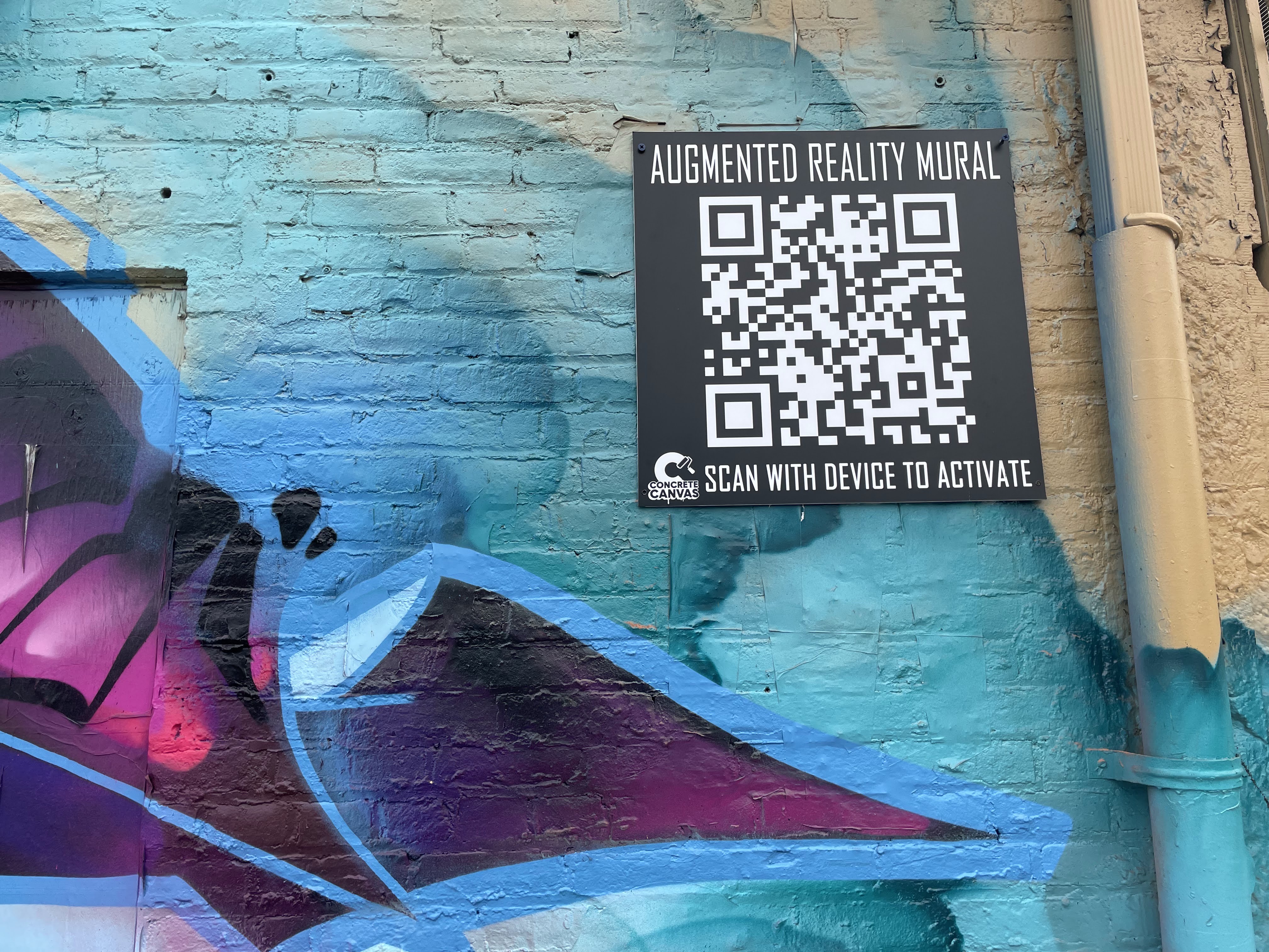
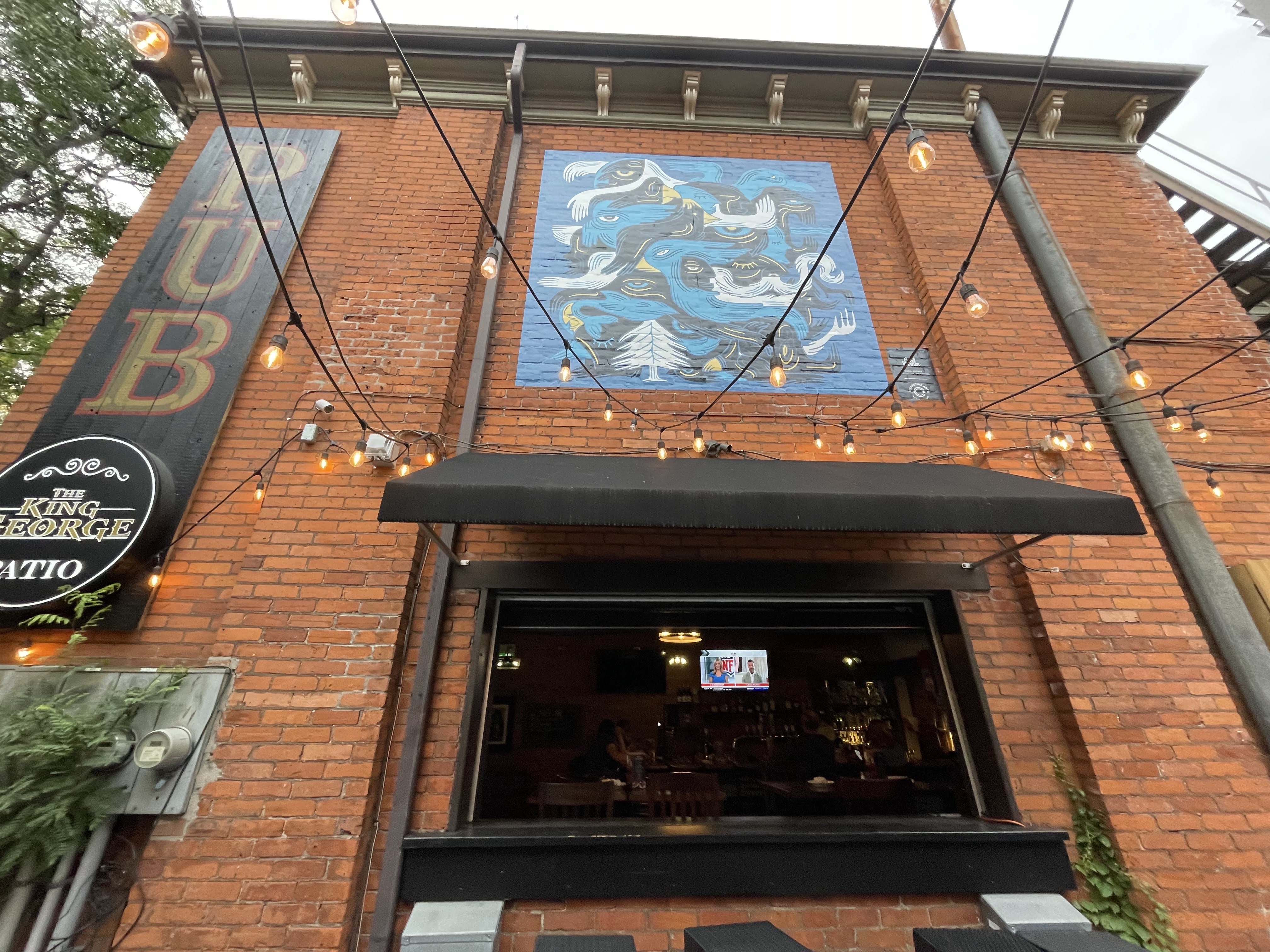
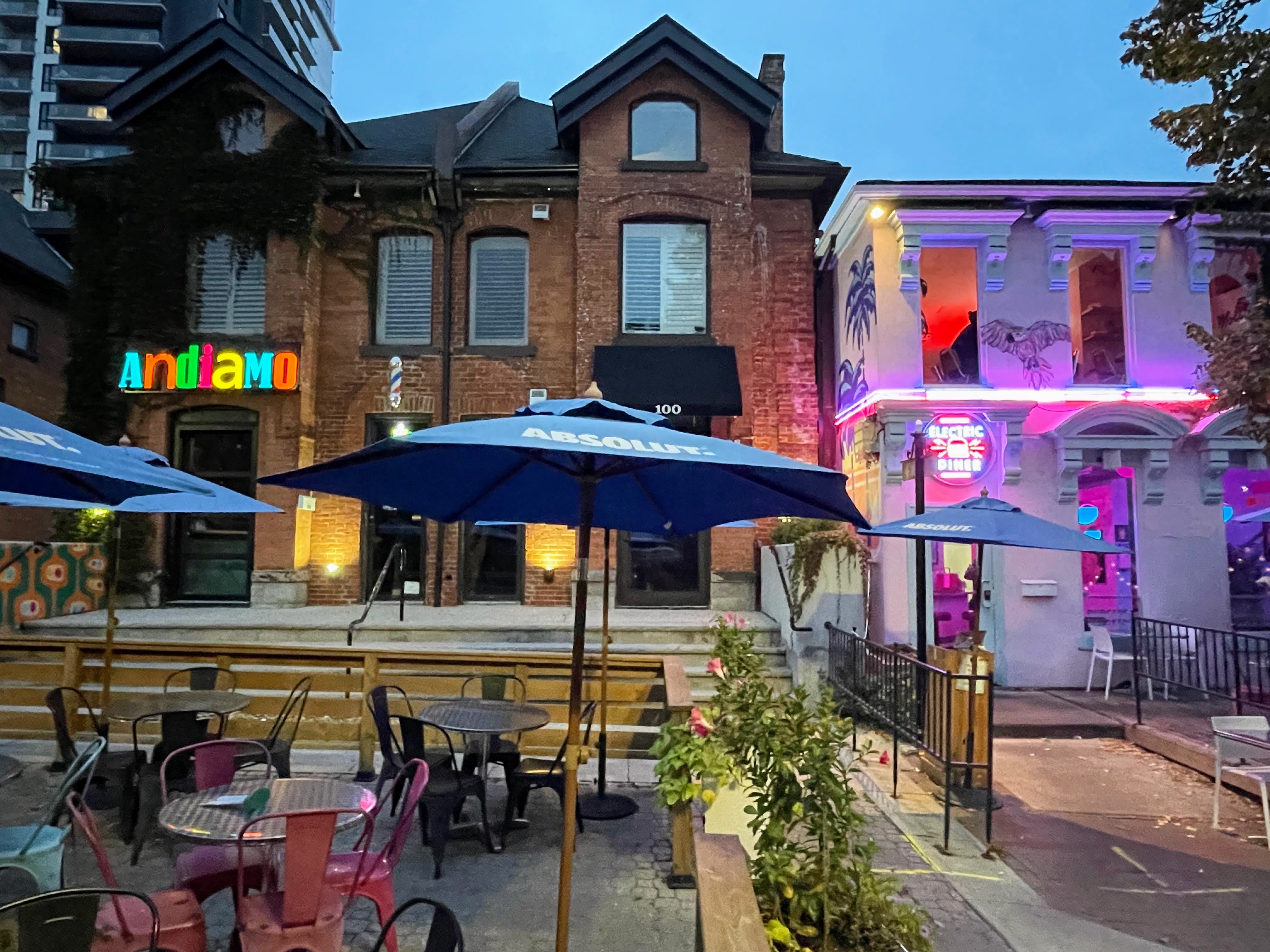
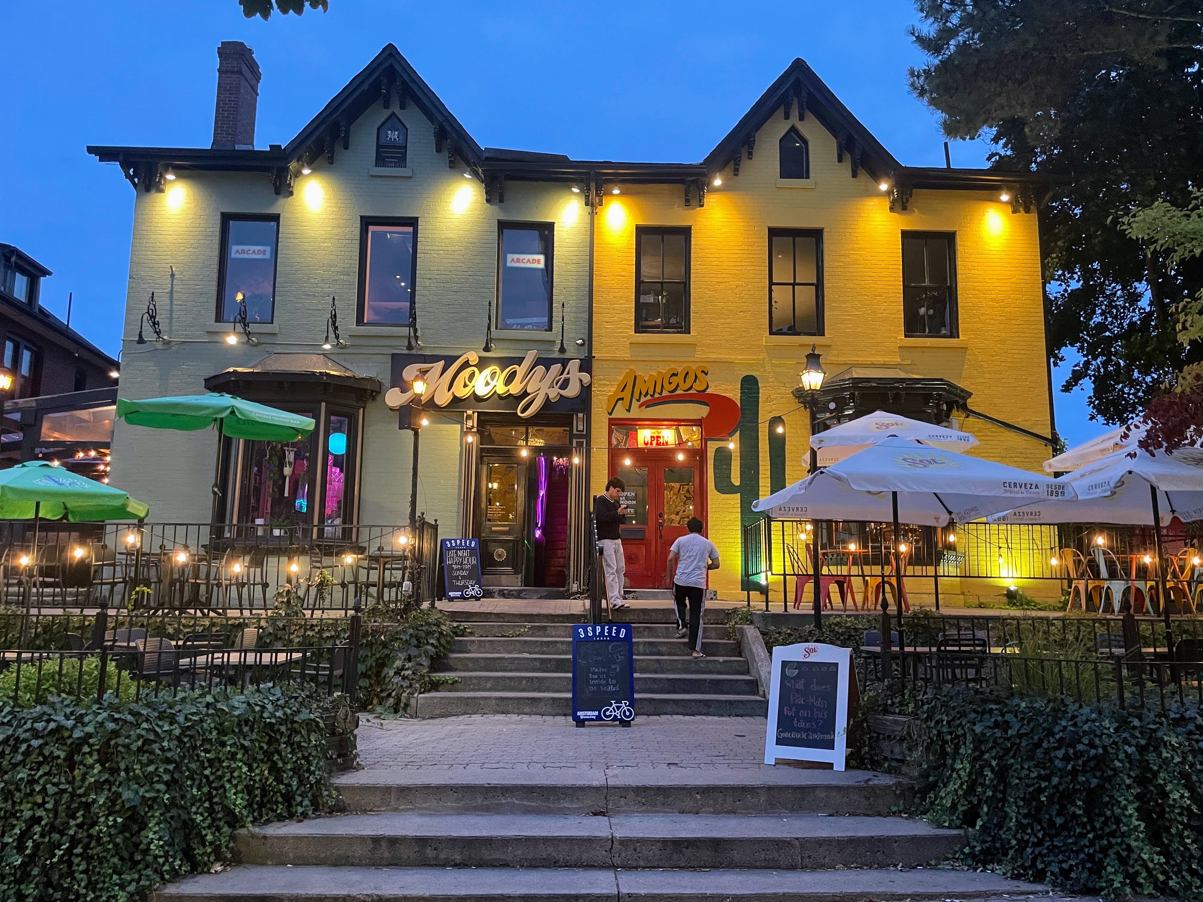
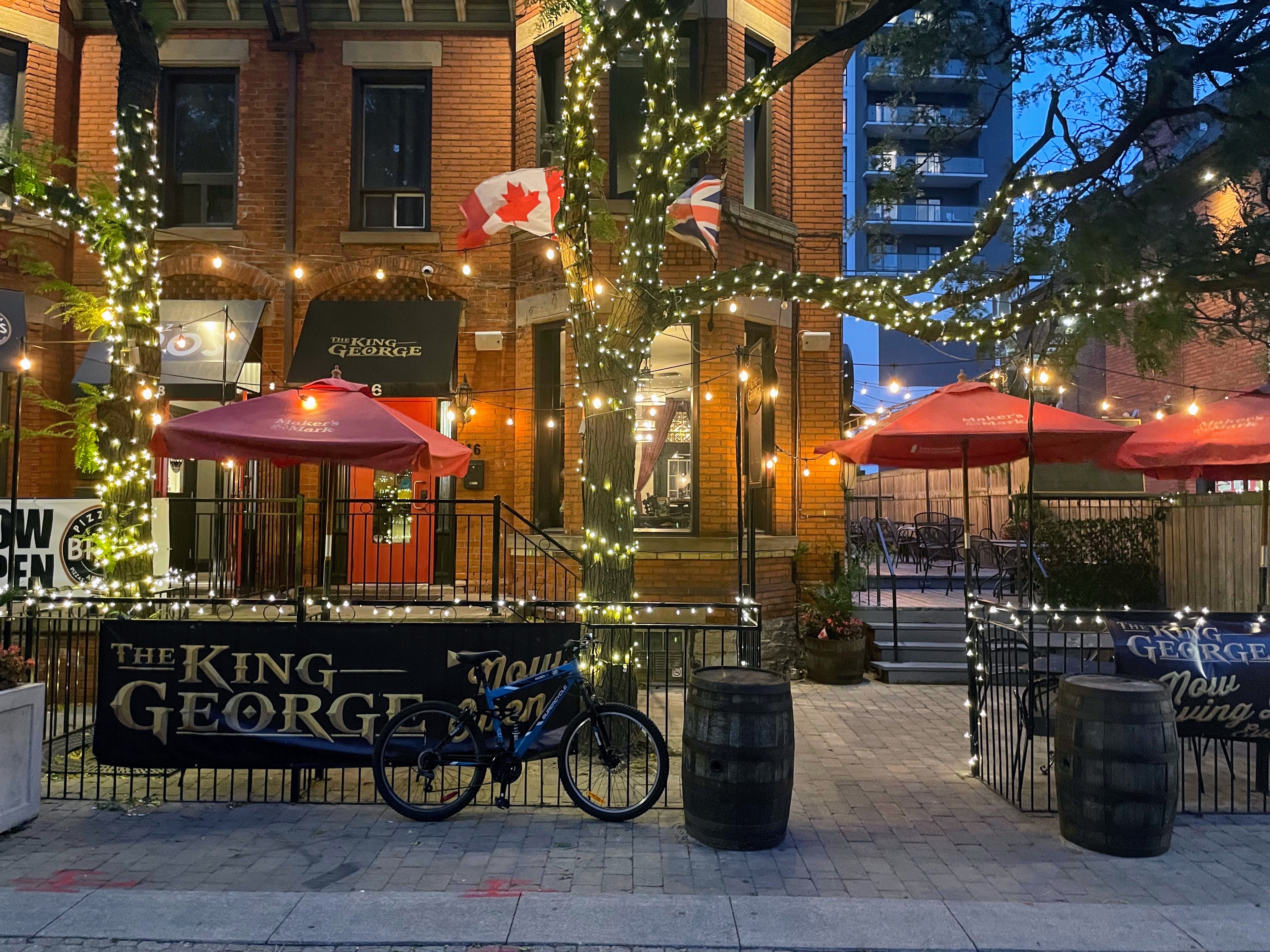
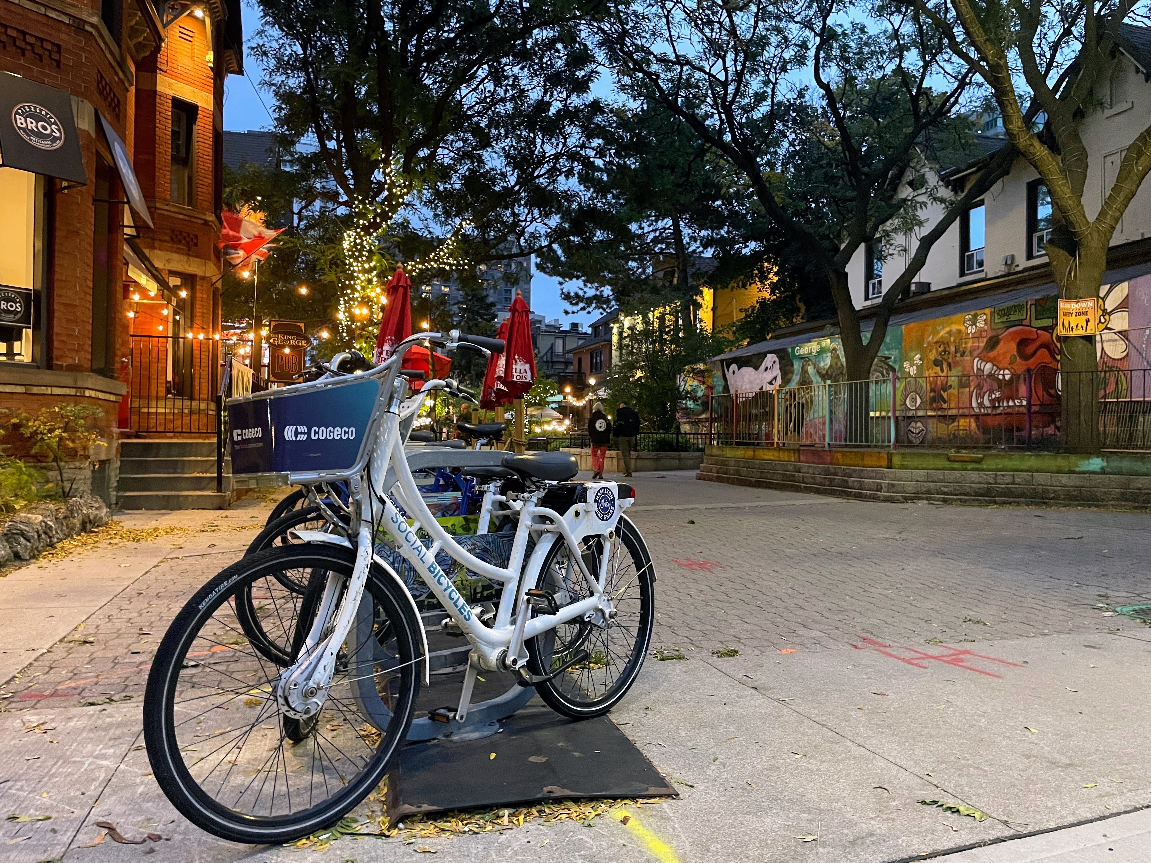
I walked back through Hess Village, which was very pretty at twilight.

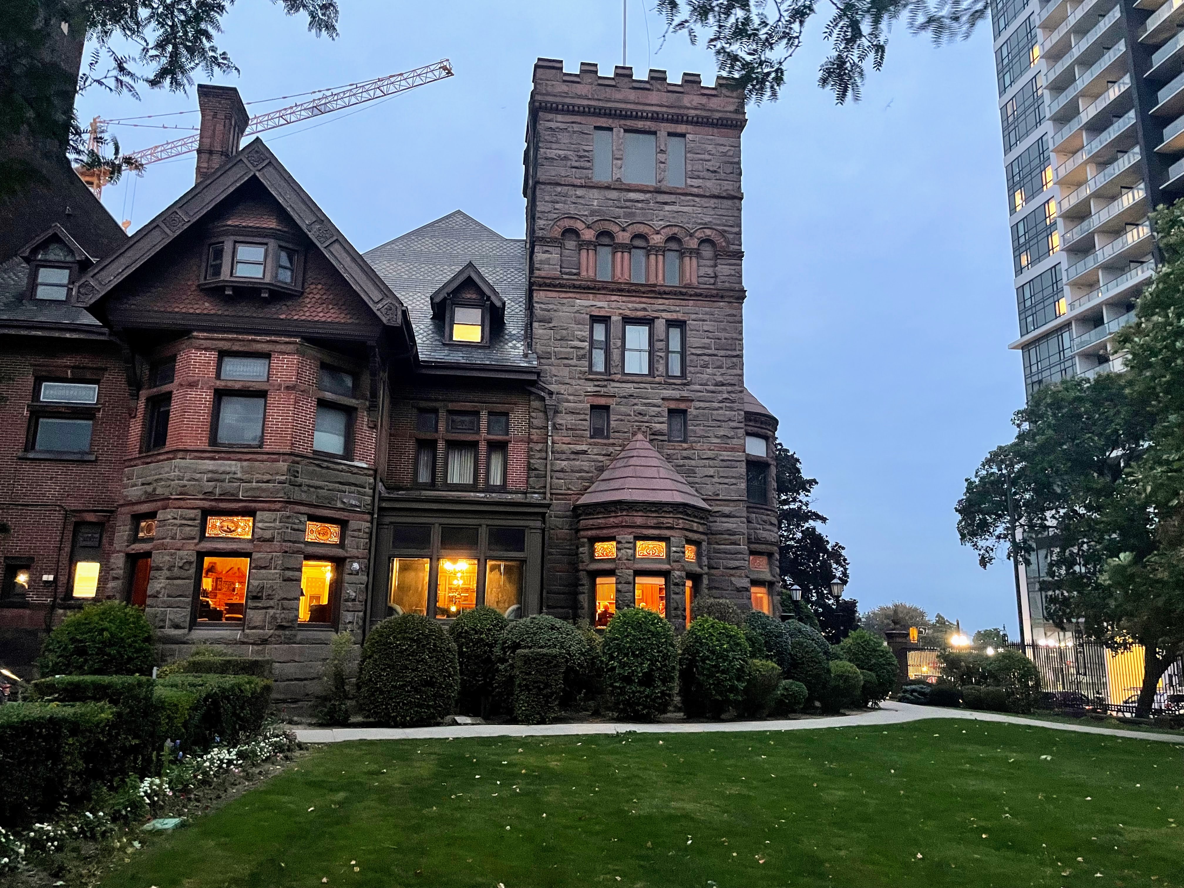
And then I passed the Scottish Rite. It was completed in 1896 for George, Elias Tuckett, founder of Tuckett Tobacco, and the 27th mayor of Hamilton. It is now the meeting place of the Scottish Rite of Freemasonry. It is also often used for movie and television shoots, and weddings and other gatherings.

Ralph came out while I was out walking, and ate a bit of his food. As I’ve been writing the blog, he came over and rolled around on the floor near me, and then climbed up on the couch and started rubbing his head on mine. Then he nipped me on the cheek. According to Megan, this is a good sign and he was telling me to stay still so he could continue grooming me. I didn’t stay still after the nip and he left. But he’s clearly warming up to me.

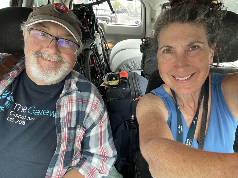
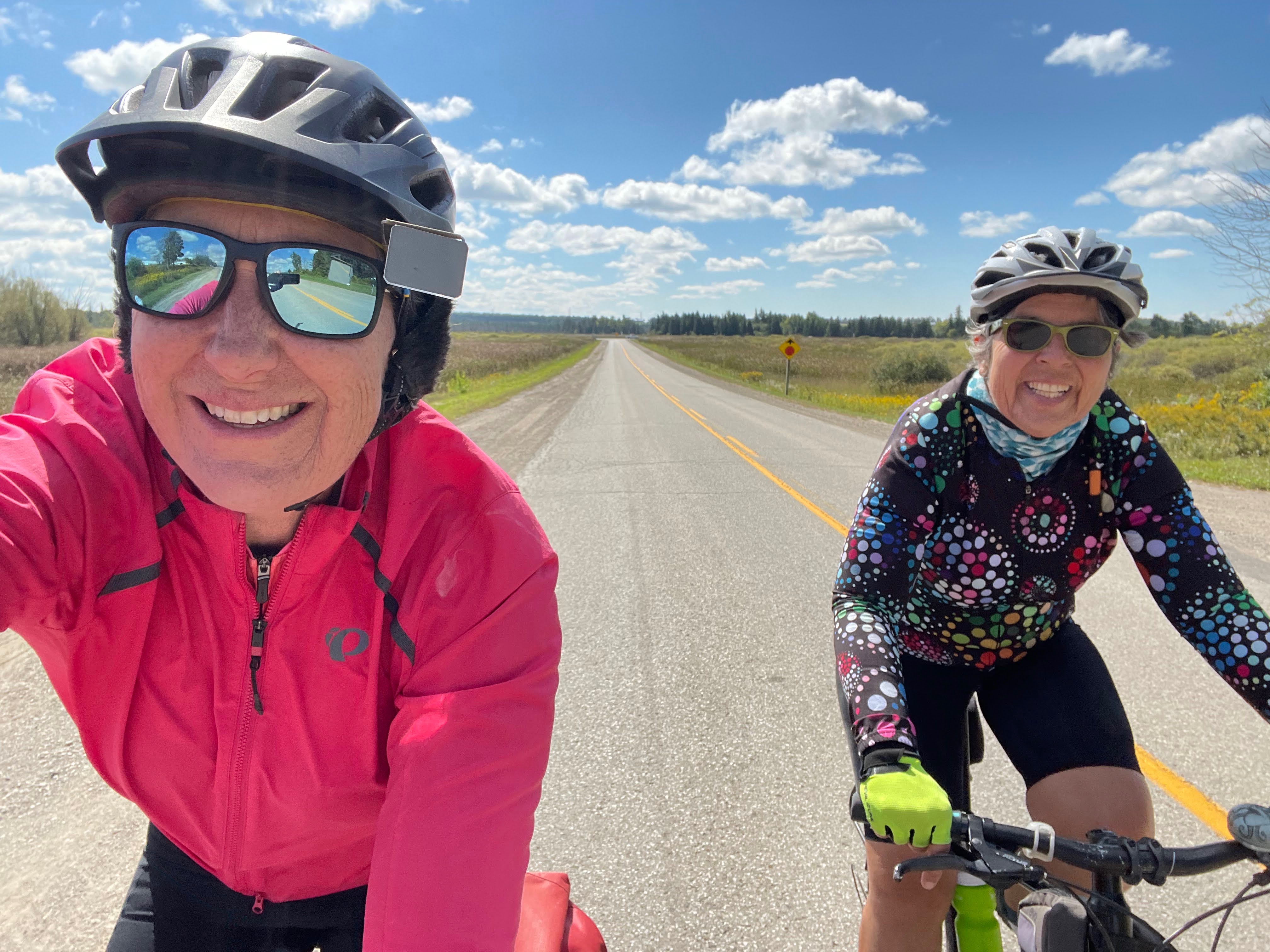
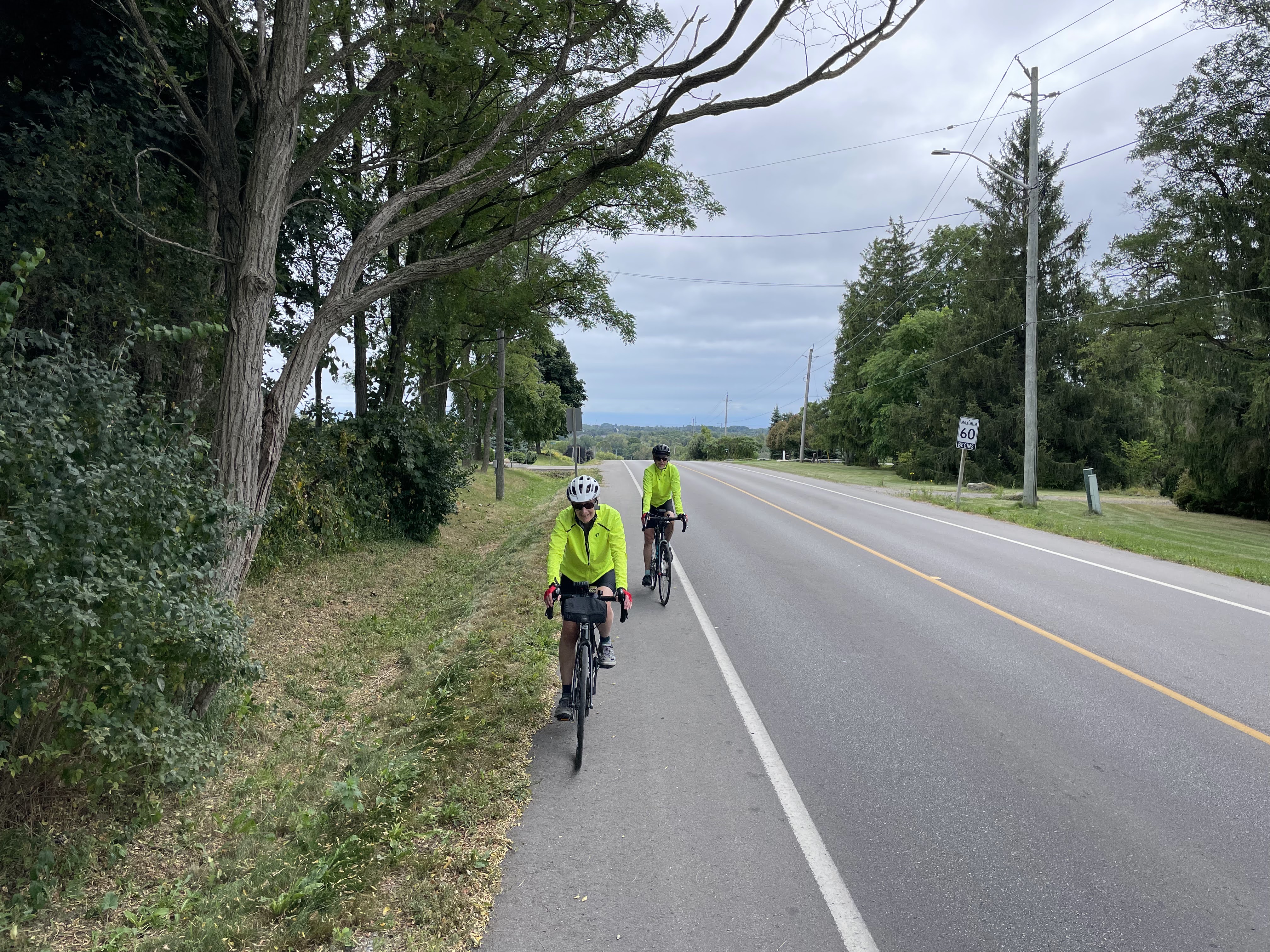
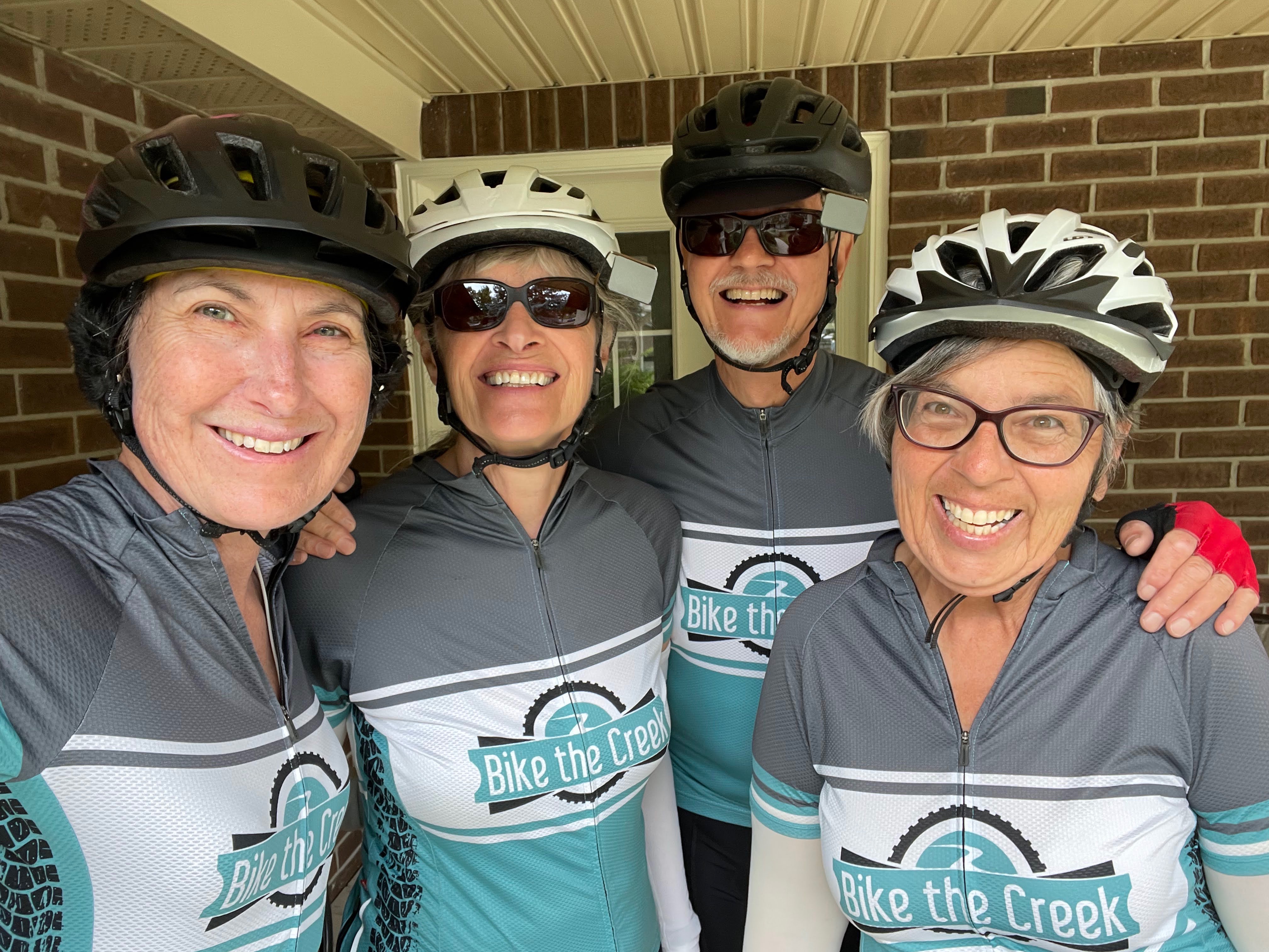
Patti comes tomorrow morning and we are going to do a 40 km route to explore Hamilton, as she has never biked here before, but it’s a route I have done, and taken other people on who have enjoyed it greatly.

Hamilton – Day 1&2

Yesterday, Michael and I came down to Hamilton because I am cat sitting for my daughter this week. Michael will stay with me for a couple days, but he uses four screens when working at home, so it’s a bit challenging working just on his laptop. Patti will come down and join me for Wednesday to Friday.

We each brought a suitcase, and I brought a cooler with some food for the week, my bike bag, bike, foam rollers, bike pump, single bed mattress for Patti, and I bought an Apple Watch in Burlington on the way here. I’m tired of Fitbits failing in a year or less. I figure why worry about travelling light when driving.

Michael and I went for a walk, and picked up dinner at Meltwich, which I can’t recommend. It was heavy and not very tasty.

There’s a nice view from the balcony of Hess Street and George Street where there are a lot of restaurants and bars.

Ralph started life on the street and took a long time to relax after being adopted, but has clearly been thrown by having someone new looking after him. We only found him last night by looking under things. And only knew that he came out in the night while we were sleeping because I had cleaned the litter boxes before going to bed, and they were both dirty again this morning. Unfortunately, he was too nervous to eat, and his food remained untouched this morning.

He was hiding under the office desk this morning, and when I discovered him and cleared a few things away from him, he did allow me to pet him, but wouldn’t come out.

A few weeks ago, Patti, Cindy, and I were going to drive down to Hamilton to do a group ride, led by Everyone Rides, of street murals of Hamilton, however, thunderstorms were threatening in the morning, and we decided not to go. Fortunately, the group shared their rides on Ride with GPS, and I was able to follow two of them today.

I decided to do the 6km

Mural Map: Beasley, Downtown, Hess Village ride this morning, and then return for lunch with Michael, followed by the 12 km

Concrete Canvas 2023 Route ride this afternoon. There was a lot of overlap between the two rides, but it was too complicated to try to put them together on my iPad, and being a total of only 18 km for the day it was unnecessary.

The first mural I encountered was less than a kilometre from where we are staying.

This one caught my attention. Doug’s head got served up last week over the Greenbelt scandal.

Hamilton has many independent coffee shops. I had an excellent latte at this one.

This quirky business sign caught my eye.

Hamilton is building a lot of protected bi-directional cycle tracks. Montreal has similar infrastructure. Cycling infrastructure can be useful for people with mobility challenges as well as cyclists, because it provides a much more comfortable ride than rolling over a concrete sidewalk with a bump every 1.5 metres.

Beasley Park had a skateboard park, playground, splash pad, murals, and, something I’m seeing much more frequently as I travel around Ontario, a homeless encampment.

Murals provides so much colour and character to a city.

James Street North has quite a few patios on the road and lots of interesting independent businesses.

This is the Hamilton West Harbour GO station.

This is LIUNA Station. From the plaque outside the station: “Hamilton CN station. This building recalls the importance of the railway to the development of Canada’s industrial cities. Completed in 1931, it combines a strong classical design with a fluid circulation plan, making it one of the best urban stations of the interwar years. Its temple facade and the spacious plaza are manifestations of the City Beautiful movement which marked this period. Strategically located, the station served a community whose fortunes relied heavily on the business and service of the railway. After the Second World War, it became an important gateway for immigrants to Canada.” It is now a banquet hall.

In front of the station is Immigration Square. The sculpture is entitled, Courage, Hope and Dreams.

I was running late for getting back to the apartment for the agreed-upon time of noon so I cut the ride short, but it turned out that Michael had a meeting he hadn’t anticipated. So I went out to pick up my lunch over on Locke Street. Hamilton is a city of many neighborhoods. Locke Street has many restaurants and bars on it and has recently had a new residential high-rise built near Main Street.

I used this pedestrian bridge over the railway corridor to get there. Connections like this are really important for Active transportation and can actually make trips much shorter than when a car is used that must use bridges on main streets to get around rail corridors, or other obstructions.

The bike lane is protected in one direction, but not the other here, and as you can see, the one that isn’t protected is blocked.

Hamilton has quite a few public water fountains, that also have water bottle filling stations and bowls for dogs.

King William Street also has quite a few restaurants and beautifully renovated buildings. It also has cobbles and is only one way, which makes cars feel very much like guests, and it felt comfortable riding here, even without any cycling infrastructure.

Gore park reminds me of the centre of University Avenue in Toronto.

In front of this courthouse is a statue dedicated to the Defenders of Upper Canada during the war of 1812. The United Empire Loyalists came to Canada after the American Declaration of Independence. I have ancestors who were Loyalists. My grandmother gave me a plate with this statue depicted on it, and I have given it to my daughter, who has recently become quite interested in genealogy.

The Hamilton GO Centre bus and commuter rail station is Streamline Moderne, a type of Art Deco Architecture that emerged in the 1930s. It opened in 1933 as the head office of the Toronto, Hamilton, and Buffalo Rail. (TH&B).

Hamilton City Hall was designed in the modernist international style by Stanley M Roscoe. It was officially opened in 1960.

When I was taking a picture of this mural entitled Procession, someone walked up to me and asked me if I had any questions about it. It turned out that it was the artist Lester Coloma. He painted the mural on the side of the Salvation Army store for its opening on September 25, 2019. The clock in the image reflects the date. He told me he designed it to “reflect the community’s , rich, historical and cultural importance.” You can read more about it on his website. We had a great conversation about the arts, my bike, and my travels, as well as some of his other work. It was a wonderful encounter, and the first one I’ve had with the artist in all the years that I have been photographing street art.

Nearby were these colourful pieces.

This area has been upgraded with a bike path, separated from the sidewalk since I first went through here.

This is a legal street art wall. And these are the instructions posted on it.

These raised sections of the Victoria Street cycle track means that the bus is not pulling into the cycle track, but that the track rises to the level of the sidewalk and is well marked as a potential conflict area.

This colourful mural is an augmented reality mural. When you scan the QR code, it opens a website on your phone and animates the mural as you watch on your phone screen. It was fascinating. I wish I could have figured out how to make a video of it but I couldn’t, so I did a couple screen caps of what I was seeing on my phone.

With my phone almost out of battery I headed back to the apartment. Ralph hadn’t come out all day long so we put down some fresh food and went out for drinks, hoping that he would come out while we were gone. He did come out and use the litter box, but didn’t touch the dinner we left out. I hope he relaxes soon.

We return to the apartment and cooked ourselves some frozen fish I had brought with me and ate some leftovers that were in the fridge.

I’ll finish with a couple more murals of the huge number I saw today. I highly recommend exploring downtown Hamilton if you enjoy frequenting independent businesses, good cycling infrastructure, and plentiful street art.

Hillsburgh- Day 3

The day dawned, bright and sunny again, but cool, with the promise of a beautiful day for riding. Cindy’s sister arrived back before we left the house and I was able to meet her, and we visited for a while. She took the dogs to work, so we didn’t need to walk them this morning. She invited us to go out for dinner, and have our husbands drive up together from Brampton to meet us in Erin for dinner, which we accepted.

The ride I planned for the day was about 50 km long with more than 30 km of it on gravel roads.

As we passed the farm on the right, the dog came running down the driveway barking at us, but I wasn’t overly concerned as he looked quite gray and elderly. He didn’t leave the property initially, but when we stopped briefly, so I could give Cindy my phone to take a picture of me riding, for a change of scene from the usual pictures I take of her, he came out onto the road to continue to bark at us, and tell us to move on. Fortunately, he didn’t approach us closely, and was all bark, and no bite.

It’s always great to tap local knowledge, and Cindy’s sister had recommended a place we could stop in Belwood Lake for lunch. It was a bit early when we got to Bellwood and we weren’t very hungry yet, so when we saw this cute coffee shop in a trailer, we decided to stop for coffee and cookies instead of lunch.

The owner of the Bunny Café was lovely, and we chatted with her for quite a while while we had our coffee and cookies. The cookies were sold by the half dozen, so what would could we do but buy half a dozen of them? We each ate one with our coffee, and took the rest to sustain us on the rest of the ride. We also had some nuts and fruit with us. I would recommend to anybody travelling on the trailway that it would be worth leaving the trail and riding a couple hundred metres north to the café on the west side. The owner indicated that she will continue to operate through the fall and winter.

Apparently, these rabbits are juvenile, and will become significantly larger. I was surprised how big they already are compared to the rabbits that I see in the valley near my house.

My bike has over 30,000 km on it and has been due for the whole drive train – shifters, crank gears, cassette, chain, front and rear, derailleurs – and clicking head tube, all need to be replaced. The cost of the parts alone is more than many people spend on a bike, so I’ve been continuing to ride it, and try to keep it as well tuned up as possible, while I consider a new bike. Being more careful, when I’m shifting, by slightly hesitating, on the pedals, as I shift, has also helped to prolong the parts that are wearing out.

I have been having more trouble than usual with my gears when I’m in the small chain rings, for the last couple days. The chain keeps threatening to come off to the inside where it can get jammed between the crank gears and the frame. I unwisely rode across the bumpy grass to get to the café, and the chain came off, quite catastrophically, not only jamming in between the frame and the gears, but also rotating 90°, making it extra challenging to extricate it.

It seemed like it was completely jammed, and we might have to use my CAA Bike Assist, when Cindy struck the pedal forcefully, and the chain rotated bike 90° to the correct orientation. With a few minutes more fiddling, we were able to get it back on the chainrings. Unfortunately, after that, none of the gears would work when I was in the small chainring. I discovered that on the hill to climb up from Bellwood Lake, and had to walk most of the hill.

We decided to continue our ride anyway, knowing that I could always walk, if the hills were too steep.

The Cataract to Elora Trailway crossed the road we were on, just south of the lake. We rode the entire trailway end to end a couple years ago.

It was a beautifully calm day with perfect temperatures. We passed many beautiful farms, and most of the roads weren’t overly challenging with respect to the amount of gravel.

We stopped here to eat more of the cookies, and some of the fruit and nuts

As we approached this final large hill in the distance, I thought, “I’m going to have to walk”. The gravel was loose on it, as well as it being steep. However, I rode in one of the tire tracks and put everything into it, and managed to make it to the top. About halfway up Cindy called out “Car back “, and I said, “They’ll have to wait “. Because I kept going in the car track I was able to make it to the top, however, Cindy pulled to the side where there was more gravel, to let the cars go, lost her traction and had to walk. So we each walked one hill today.

Once again, we finished the day in the hot tub, which was very soothing for our gravel shaken bodies.

We had a good dinner at The Busholme Pub in Erin.

We transferred Cindy’s bike and bags, and headed back for Brampton, another wonderful adventure coming to an end.

Hillsburgh- Day 2

After Cindy got up briefly to go to the bathroom about six, both dogs and both cats got onto the bed and hassled her until she got up. When I got up the dogs were outside waiting for us to come out and take them for a walk.

Here is Rusty being extra cute.

There were beautiful reflections on the pond this morning. Both dogs swam in the stream yesterday when we took them for a walk, and Olin swam in the pond, this morning.

It was another beautiful day for riding, with more sun than yesterday, almost no wind, and a perfect temperature for riding.

We decided to drive to just north of Highway 9 to do a ride to the northwest of Orangeville. With all the gravel that we would be riding, we felt it would be too challenging to do the 91 km round-trip that it would have been had we ridden right from the house.

Most of the roads were mostly packed dirt with only light gravel, and often a line in the tire tracks where we could avoid the gravel.

The fall fair and the ploughing match are coming up and there were many cute displays.

This old vine covered church building, has a metal roof with eight skylights in it, but renovations haven’t continued past the roof replacement. We peeked in the windows, and it is gutted, and the vines that are all over the building are also growing inside.

Next to the abandoned church was a furniture store with a cute display out front, and this interesting Pegasus sculpture.

We passed the Dufferin Gray ATV Trail. It is a private trail that runs along the old railway right of way from Orangeville to Chatsworth. It can be followed into Owen sound, and west to the South Bruce Peninsula ATV club trails. Permits are required from the clubs for ATV use the trail. Apparently, bicycles are permitted on the trail without paying a membership fee. However, the sections that I have seen from the road, look like they would require mountain bikes, or fat tire bikes. I would not have been happy riding it even compared to the gravel roads. The alignment of this trail runs north of the Orangeville-Brampton Railway (OBRY), which has recently been purchased by the Region of Peel to be turned into an Active Transportation Trailway. The corridor is 54 km long and runs from Streetsville to Orangeville.

There was nowhere to purchase food on our route today, so we brought lunch with us, and sat on this railing while we ate. We had a beautiful view.

This is Hurontario Street. I always thought of Hurontario Street and Highway 10 as synonymous, but at this point north of Orangeville they are different roads.

We were hoping not to encounter freshly graded roads, and for the most part, we did not. However, we ended up passing this grader going in the opposite direction to us. Fortunately, he hadn’t done our side of the road, yet. The grader left a pile of sand which created a temporary protected by bike lane!

We finished our ride and loaded the bikes into the car, then drove into Orangeville for coffee and cookies.

Orangeville has a very lively main street lined with many interesting stores, restaurants, and cafés.

This is a partial view of what my tile map looked like in March 2020 when I discovered the site, with my recorded rides dating back to late 2013.

Today I expanded my max square to 28×28 and this is my current map.

When we got back, we took the dogs for another walk. I saw this log beautifully covered by fungi.

Cindy made a simple, but delicious and filling dinner.

We finished the evening in the hot tub again. This was the beautiful view outside my bedroom window when I turned out the lights to go to sleep.

Hillsburgh- Day 1

Fresh from dog sitting for Cindy‘s sister in Whitby last week, and after only a few days at home, Cindy and I headed to Hillsburgh to watch her other sister’s two dogs and two cats for three days. We decided to drive so that we could maximize our time riding in a new area, northwest of Hillsburgh, rather than riding to, and from, as we have cycled between Brampton and Hillsburgh for day trips multiple times.

We were staying on a beautiful country property with a pond and woods.

We had lunch, and then took the two dogs, Maple, and Olin, for a walk. The two cats, Willy and Rusty, chose to come along. The dogs were quite funny as they could have taken themselves for a walk, but in the three days that we were there, they stayed close to the house, other than when we took them for a walk around the property.

Once we returned from the walk, we put the dogs in their kennel, left the cats to roam, and headed out to explore the rural and mostly gravel roads of the area.

We rode down the tree lined, driveway to the road, and straight across to visit the alpacas on the farm on the other side of the road.

Knowing that we would have a lot of gravel roads, we took bikes more suited to them than the road bikes we took on our trip last week. Despite that, the sand and gravel on Sideroad 27 was so loose and deep on the slope up this hill that we ended up having to walk the bikes. It was an inauspicious start.

We rode along the Cataract to Elora Trailway, for a short distance, before returning to the road. We did the full trailway, in spring 2020, so we were riding in other places, to pick up other tiles, with the intention of filling out my square.

The world is divided into a grid of 16,384 by 16,384 squares; each one is about 2 km wide. It’s a fun pursuit to try to visit as many tiles as you can using only human power. Statshunters shows you all the tiles you have visited, and also the largest square of tiles you have, and the largest cluster of tiles. A tile is in the cluster if you have all the tiles that connect to it.

When I first started looking at my map I had a 9 x 9 square, a cluster of 256, and 1721 total tiles. Last fall I got my max square up to 27 x 27. This morning it was still 27 x 27, with 1779 in my cluster, and 4374 total tiles visited. The tiles that I need to expand it are in the area where we were staying. So I carefully planned three rides for picking up tiles that are challenging to get out distance-wise if I’m riding from home. Some of the rides that I have done to collect tiles have been in places where I wouldn’t bother riding again, but much more often than not, the rides in the pursuit of tiles have takien me to new, interesting, and beautiful places.

It was perfect riding weather – cool, but not cold, not too much wind, and slightly overcast, but no rain. Fortunately, most of the roads had not been graded lately, so were mostly packed dirt, which wasn’t too difficult to ride on, although obviously harder than asphalt. Some, like this one with more gravel, were definitely jarring.

We were relieved to get on a paved road for a while, even one without a good shoulder, and with more traffic.

This farm had donkeys which we pulled over to visit.

This property has definitely seen better days.

There were many intersections like this where were gravel as far as the eye could see.

We saw lots of farms, and rarely had cars passing us. We also saw many “Keep your hands off the Greenbelt, Doug “ signs.

Some of the packed dirt roads were actually easier to ride then the cracked asphalt along this road. But this road had few cars so we rode on the smoother section in the middle.

This is a Orton, a small village, that the trailway runs through, which apparently was a much larger place 100 years ago.

We got back on the trail here, which you can see is not as well kept as the Caledon Trailway, but, surprisingly, after such a wet summer, was less overgrown than when we were on it three years ago. Perhaps it has been cut recently.

We only rode 35 km, and got 15 new tiles, but it felt like more given the higher effort it takes to ride on rough surfaces. We had a BikeBrampton meeting on Zoom which we joined while cooking and eating dinner.

Cindy took the dogs for another walk, and then we finished the day with a soak in the hot tub, which was an absolutely perfect activity for our gravel road-shaken bodies before bed.

Whitby 2023 – Day 4

The weather today was similar to yesterday, mostly overcast, and a very comfortable temperature for riding, not much wind, and very little chance of rain. I downloaded today’s ride, from the Durham Region Cycling page and it is a loop of Oshawa and Courtice. I altered the route to turn it into a loop starting where we were staying in Whitby, and to pick up a few tiles in Whitby that I was missing. I also identified a place to stop for lunch, before we left in the morning, which was at the halfway point.

The first few kilometres were through residential areas, and then onto the hydro corridor. We did have a busy section getting over the 401 and riding on the service road just south of the 401 until we got to the Joseph Kolodzie Oshawa Creek bike path. It is a well designed and signed route, that goes under roads and leads to the Waterfront Trail.

Immediately, after getting on the trail, we saw a couple salmon in the creek, and then started spotting many fishermen as we so cycled along. At one point we stopped and Cindy spoke to one, and we learned that the salmon are currently running.

This was one of the moments when the sun came out fully and lit up this beautiful scene with the tree starting to change to autumn colors.

There is an excellent bike repair station, which looks like it would be difficult to vandalize, at Lakeview Park.

Last year when Cindy and I rode through this park it was pouring rain and we took refuge in this bus shelter to have a snack.

There were many beautiful large trees shading the paths at Lakeview.

Last year there was a new park being built just east of Lakeview named for Ed Broadbent, who represented Oshawa from 1968 to 1989. It’s completed now and has a Garden of Human Rights to recognize Mr Broadbent’s “Dedication and extensive work as a champion and advocate for human rights”. The park has an amphitheater, stage and seating, green spaces, and formal gardens. Apparently the Waterfront Trail now it runs through the park and connects to the Oshawa creek bike path, and Lakeview Park, but we are following the old route, and didn’t investigate it. We will have to go back again.

There is a beautiful field of rudbeckia on the eastern side of the park.

We saw a few Bird e-bikes, as well as the scooters, in Oshawa.

There is a very large marsh, south of the Waterfront Trail between the trail and Lake Ontario at this point. Second Marsh is the largest marsh between the Niagara Peninsula and Presqu’ile.

The Waterfront Trail followed a lightly travelled road for a while, and then turned down this road in poor repair which soon turned to gravel.

The route we were following sent us down this overgrown path which we thought could not be correct.

So we tried going through this trellis but soon realized it wasn’t correct either.

We retraced our route a couple hundred metres and found the sign for Darlington Provincial Park, and a path in better repair.

We cycled along an asphalt road within the park for a while, and then were pointed up this poor quality path to continue following the Waterfront Trail. It was challenging, and came out several hundred metres later at the road we had just left. I suppose some people enjoy the challenge, but I find it stressful when I’m riding clipped in and my road bike tires are spinning, and fishtailing in loose sand, or too deep limestone screenings.

We left the Waterfront Trail and started heading north through Courtice. Another cyclist joined us for a few kilometers, but then carried on when we stopped for a quick snack. It was a rural road, but the traffic was very heavy. We were happy to turn off it onto a quieter, more pastoral road.

A few kilometres later, we reached the lunch spot, a restaurant, with a large menu, and a patio, at exactly the half way point. There were lots of interesting things to choose from on the menu. Dayle chose the California burger and was shocked at the height of it when it arrived.

We were travelling on Trulls Road which wasn’t overly busy and had bike lanes in the urban areas, and paved shoulders otherwise. I like that Durham Region is adding this “ No Stopping in Bike Lanes“ sign on their “Reserved for Bikes” sign post.

We had a few big climbs after lunch, this was the top of the worst one.

Here we are riding over the 407. There’s still a lot of farmland around the 407 in Durham region. Every time I look at how empty the 407 is, it reinforces for me, that we know how to reduce congestion: by charging by the kilometre to use the road, and that it’s unnecessary to build new roads, like Highway 413, rich, if it is free to use, will induce more people to drive, and cause more urban sprawl.

Fortunately, the route was planned to turn left here, and we weren’t impacted by the road closure, as we were a couple days ago.

We crossed the Oshawa Creek again, much further north, on an Active Transportation bridge parallel to a Taunton Road West. Someone has thrown a bike down there.

There was a nice path along the eastern side of the Oshawa Executive Airport. It reminded me of the Etobicoke Creek Trail adjacent to Pearson International.

We rode another section of the hydro corridor in Whitby today, passing this house, with balconies decked out like a bar.

When we got back to the house, we had tea and cookies, and then packed, loaded the van, and tidied up.

Oakley generally chose to be near Cindy except when Oakley had no option, but when it came time to drive, she jumped into the driver’s seat with David.

She wasn’t thrilled about being relegated to the middle row with Cindy. The traffic was bad again on the 401 so we took the 407 home.

I took three versions of the group as we finished the trip. Two were not sharp, and in the sharp one my eyes are closed. So I’m posting a rare picture of me with my eyes closed.

It was a lovely little break and we are very grateful to Cindy’s sister for providing us with the opportunity to ride in the east end.

Whitby 2023 – Day 3

The weather completely changed last night, and we needed cycling sleeves, and some of us, wind jackets, this morning.

David and Dayle had to attend a memorial in Bronte this evening, so we planned a short day today, so they didn’t end up feeling rushed. The sun came out just after we left, but was intermittent over the day.

Whitby seems to have art program to paint utility boxes.

We took David and Dayle to see the sculpture of Sir William Stevenson, whose nickname was Intrepid. Whitby was home to Camp X, a top-secret World War II spy training school. I wrote about it last year here.

The sculpture is in front of the Central Library on Dundas St., East.

We then headed north towards Brooklin, a Heritage Conservation District in North Whitby. The route I planned was north on Cochrane Street, however, when we got to the rail crossing, we found the road was closed for construction. As we start looking at maps, trying to decide which way to detour, a cyclist came up behind us and offered to guide us past the detour.

He took up cycling during the pandemic, and absolutely loves it, and now has flown more than 10 times with his bike. He was very friendly and patient, and confidently led us to Cochrane Street north of the detour before heading on his way.

We cycled past the Thermëa Spa which opened last fall, and through Heber Down Conservation Area. It has a beautiful tree line, paved multiuse path.

It led to a rural road, a designated bike route, with a good paved shoulder, which likely won’t remain a nice road to ride for long, as a massive industrial facility for Mazda Canada is being built. This, despite the fact that this road does not have ramps to the 407 and is 10 km north of the 401. It’s not going to be long before there is no rural area between the north and south part of Whitby which is divided by the 401 and the 407. We crossed Highway 7 and shortly thereafter arrived at the Brooklin Community Centre and library.

Since this was the designated by bike route up to this point with an excellent paved shoulder, the sharrow centred in the lane, combined with the single file sign, seems slightly more appropriate, and potentially helpful, then the implementation we saw a couple days ago.

The Brooklin Community Centre and library had four good bike racks out front with this message on them, which I thought was a great idea.

Inside they had Emily Batty’s jersey framed. She was born in Brooklin, and is a cross country mountain biker who won the bronze medal at the 2016 and 2018 World Championships.

We had an excellent lunch at Upshot Coffee.

Then headed downhill with a wonderful tailwind all the way back to the house. We could almost have coasted the whole way. There were more nice quiet rural roads with good shoulders and an excellent trail through a hydro corridor.

We passed by the William Anderson house, built in 1834. In 1984 a subdivision was built around the house, but it was purchased and restored, and is the oldest remaining brick house in Whitby.

When we were looking at the sculpture in front of the library this morning, Cindy noticed that there was a QR code for an art trail. So we returned David and Dayle to the house, and I sat down and looked up the locations on the art trail, chose a few to visit, and planned a route.

Our first stop, was at the Region of Durham offices. This piece by Geordie Lishman illustrates with pictures the four directions of the Region: north, hiking and skiing; south, the lake; east, suburban areas and parks; and west, downtown shopping areas.

They also have this great bike rack.

I was interested to see that the Region of Durham has crossrides at signalized intersections, but without bike heads. So cyclists are legally allowed to ride across, but do not have to wait for a specific bike signal, but use the motor vehicle traffic light.

Next, we went to the Wounded Warriors Park of Reflection on the old Cullin Gardens and Miniature Village site. It operated from 1980 to 2005. As we were crossing Taunton Road, Cindy said, “We were here this morning. It’s the spa.” She was correct, but we hadn’t realized this was the Cullin Garden site, and the Park of Reflection wasn’t within sight of the multiuse path. It was behind the spa.

“The park is a tribute to all of Canada’s uniformed service, and their families, who served domestically or internationally, and as a result of service, became ill or injured in the line of duty”.

Down the hill from the park, is the old covered bridge, and the area where the miniature village was, as well as a mini golf course.

The sculpture of Len Cullin is also on the art tour.

I realized that if we continued around the loop that I had planned, we would run into the road closure on Cochrane Road from the north side, so we retraced our route south down Brock Road, where there was an excellent multiuse path with crossrides, which make it makes it legal for cyclists, to ride their bikes across the road, rather than dismount, when, using multiuse paths, rather than the roadway.

We turned off Brock and along a nice little linear park to get back to where we are staying. We got in the front door and realized that we needed milk, so we took Oakley for a walk to the convenience store.

On the way there, I closely observed the timing of another intersection to determine when the bike head light turned yellow. It was when the pedestrian count reached zero. Another thing that is annoying about the programming in Brampton is that the bike head light turns yellow, and then red, long before the pedestrian light gets to zero.

Dinner was chicken curry and rice with cabbage and cilantro, followed by Kawartha Dairy is ice cream.

Tomorrow we will ride a loop east of Whitby.

Whitby 2023 – Day 2

I awoke just before my alarm, momentarily confused as to where I was, then got up and looked out the window, to discover it was a dark rainy morning in Whitby.

The rain was tapering off. We got into our cycling gear, picked a place to meet David, 8 km away, at the garden centre along the route, which had a cute little coffee shop. We ate breakfast, applied sunscreen – it was forecast to be a sunny day with a high of 27°, feeling like 36° – walked Oakley, got the bikes out of the garage, and discovered Dayle had a completely flat tire.

We brought the bike up on the porch, found a piece of glass in the tire, got the tube changed and pumped up. We let David know we wouldn’t be there until about 10, and set off. It was intensely humid, but felt slightly better when we started riding.

Four kilometres into the ride, on Dundas Street where it crosses the 412, Dayle started to feel a bump from the front wheel which was the one we had changed. It turned out that the tire hadn’t seated properly. We had to release all the air and roll the bike to seat the tire properly after we inflated it partway, then rolled it, then continued inflating. It’s seated properly, and we continued without further incident.

Lakeridge Road South crosses the 401. It’s absolutely ridiculous on a road like this to put sharrows. Studies show that sharrows do not increase cyclist safety, and might make it worse, by making cyclists think the sharrow indicates a safe place to ride. Traffic was very fast moving here with drivers intent on getting onto the highway.

I was pleased to see that this recently constructed bridge was constructed wide enough for a protected cycling lane and sidewalk, even though there is no cycling infrastructure on either side. Bridges are the most expensive parts of building roads, and are rarely rebuilt, so it’s important that whenever they are, active transportation infrastructure is included. Bike lanes leading up to, and away from the bridges can be added later.

We had coffee at La Casita Del Café in the nursery parking lot. The coffee was excellent and it was such a cute little business in the trailer.

Shortly thereafter we were on the Waterfront Trail. Apparently, Ajax is the only Waterfront Trail Community that has the trail entirely off road near the lake. In some busy areas cycling and pedestrian traffic is separated.

It felt a little cooler by the lake and the views were beautiful.

We stopped at Veterans’ Point Garden in Ajax. The memorial there is shaped like the prow of a ship.

There was also a cenotaph and beautiful floral displays near Lake Driveway West and Harwood Avenue South. These interesting looking condos have beautiful views over the gardens and lake.

This part of the Waterfront Trail is very picturesque with the wooden fence, goldenrod, and well marked trail.

There is a very long boardwalk across the opening of Duffins Creek.

This is the Pickering nuclear generating station.

As we rode through this area, we encountered another cyclist, Charles, a young man, who was riding from Oshawa, and has been interested, but unsuccessful, in finding people to ride with. We made some suggestions and invited him to ride with us, which he did, for the rest of our day, parting, when we were within a few kilometres of where we’re staying in Whitby, to continue on to Oshawa where he lives.

Just west of the nuclear station the Waterfront Trail crosses Pickering beach. When we rode across here in 2017, there was a boardwalk. The boardwalk has been removed and now there is a challenging slog across the sand. High water in 2021 damage the boardwalk beyond repair. It was removed by staff. When Cindy and I slogged through here last year, we thought it was just temporary. Apparently it is, with Pickering currently reviewing designs for replacement, with hopes that it could be constructed in the 2024 season.

Other than the challenging beach crossing it’s quite a nice area.

Liverpool Road has a lovely little village on it as you head north from the beach.

We stopped at the Open Studio Art Café and Espresso Bar for lunch. It was delicious.

The Waterfront Trail route has been improved from Liverpool Road to the west side of Frenchman’s Bay with a well signed route through the neighbourhood and a wide concrete multi-use path on the south side of Bayly Street.

The route we were following today is one that I got from the Durham Region Cycling page and amended for where we are staying. I downloaded it last year – the first time Cindy and I came to Whitby. The route led us slightly astray when we arrived at the end of this court which had a brand new fence, which used to have an exit onto the multiuse path on the road behind the fence, however, we were able to re-trace our route a few hundred metres and get out another way. When I returned to the house this evening I looked up the route on the webpage and it has been amended, so I’ve learned a lesson: make sure you download the files again if it’s been a while, because things might change.

As we entered the Greenbelt, we saw this sign on which someone has put a sold sign, indicating their displeasure with the current scandal regarding removing land from the Greenbelt in which the Ontario government is mired, and for which the minister responsible has recently resigned. Unfortunately, Doug Ford hasn’t resigned, nor has the government committed to put the land back in the Greenbelt.

The rest of the ride was on very busy roads, some of which had multi use paths, but they often ended abruptly or changed sides of the road.

Once we left the lake, it was a long climb for the next 10 km, or so. These are the grins at the top.

There’s a lot of development taking place and it was nice to see that a multiuse path is being built ahead of the development in some places.

However, as I stated earlier, it often just disappeared.

Here, we are on the Trans Canada Trail.

David hit a large piece of gravel on the shoulder, and was steering his bike in such a straight line, that he hit it with both the front and back tires, and blew out the tubes of both.

We all got to work and changed both tubes and continued.

We encountered a small bit of bike lane along a lower traffic volume road between too busy roads. It provided a short relief.

On Rossland, another busy road, Dave’s back tire went flat again. We had 6 km to go at this point, and he encouraged us to continue while he fixed it on his own this time. It was a brand new experience for him to have three flats in a day. He couldn’t find a cause for the third flat. Hopefully it will still be inflated in the morning. It is probably the most flats the group has ever had in one day, with Dayle’s two incidents, this morning, and Dave’s this afternoon. Pro tip: ensure you know how to change your tubes, and carry a repair kit with you, if you plan to tour by bike.

David and Dayle cooked a delicious meal, then walked Oakley, while I worked on the blog. We then worked on the Community Ride we are running on Sunday.

Tomorrow we ride to Brooklin.

Whitby 2023 – Day 1

Dayle, Cindy and I set off for an adventure in Whitby today. It’s the second annual Whitby adventure for Cindy and me. I wrote about it last year here. David couldn’t get away today, but will be joining us tomorrow. I have downsized from the giant pink suitcase I took to Ottawa 6 years ago, to a medium one on the last few trips, to a cabin sized one for this trip. Along with my bike, bike box, and coolers of food, though, so it still looks like a lot.

Cindy’s sister is away in England and we will be dog sitting once again. Cindy has had Oakley at her house for the last few days, but today, Dayle drove the four of us to Whitby, so we could look after Oakley here, and ride our bikes somewhere we don’t often get to.

We are in a September heat wave and the forecast high for the day was 31°, feeling like 39°. None of us were particularly looking forward to riding in the heat, so we didn’t worry about heading out from Brampton too early. Dayle picked me up, and then Cindy and Oakley. The 401 was stop and go traffic all the way from the 409 to the 404.

As we slowly travelled behind this Saputo truck, I noticed that they had a bicycle stencilled on the back. I wondered why I looked it up and found that the company started in 1954 in Montreal and a bicycle was used for deliveries in the early years of the company.

Cindy and I were last here in May in 2022 and we were having an extremely cold spring as you can see from how we are bundled up here on our first day of riding. Today was quite the contrast weather wise.

We took our time unpacking, and Cindy took Oakley for a walk. We ate our lunch and then somewhat unenthusiastically headed out into the heat. It is a 5 km ride from here to the waterfront. The winds were relatively calm and it was somewhat downhill, so the heat wasn’t as bad as we were expecting.

We stopped briefly to show Dayle Trafalgar Castle School which I wrote about last year. It’s a private school for girls with tuition starting at $26,000. As we rode up to it, Dayle realized that her aunt went to the school in the 1930s and promised to share photos with us this evening. We rode to it on a street that didn’t exist last year that is still a building site we couldn’t get close to the school due to a construction fence, so we turned around and continued south to the Waterfront Trail, which we were hoping would provide a more comfortable ride in the heat.

Photo credit: Dayle

We weren’t disappointed. There was a slight breeze off the water and a fair bit of shade along the trail.

We rode out to the end of a pier with a lighthouse, at Whitby Harbour, and sat chatting for quite a while in the shade, enjoying the breeze.

There is a lovely gazebo just east of the pier framing the view.

As we continued east, there was construction blocking the Waterfront Trail. I was very impressed to see that a trail detour has been paved just to the north along Water Street connecting the two bits of Waterfront Trail, rather than the usual type of detour which puts cyclists onto the road.

While on this replacement section, we ran into this man who was driving the small electric vehicle to promote a local company called Victory Electric. Dayle stopped to chat with Wesley, and he gave her a gift bag with a company mug. When we got back to the house, I was curious about the vehicle, and used Google lens on my photo to find that it can be purchased from Alibaba according to this blog post.

Photo credit: Dayle

We continued along the Waterfront Trail for a few kilometres and then turned back, hoping to find a coffee or ice cream somewhere.

There’s a large building at the marina which we thought might have snacks, but looked like it’s only available for catered events. We sat in the shade on the outdoor patio, anyway, while I used Google Maps to find a coffee shop about 3 km north in downtown Whitby.

When we arrived at the coffee shop we discovered it was on the sunny side of the street, so I looked at Google Maps again, and found, on the other side of the street and a few shops north, the Eight Bit Beans Café and Gaming Arcade.

We bought drinks, but didn’t play the games, and sat on the shaded patio outside. It would been a pleasant spot, except for the constant roar of motor vehicle traffic. Brock Road has a highway entrance and exit so it’s quite a busy street. The retail area at Brock and Dundas is a similar size to downtown Brampton‘s, but with much higher quality retail and restaurants than we have in downtown Brampton.

A few kilometres later, for a total of just 20 km for the day, we were back at the house and relaxing on the inviting porch.

We agreed to each prepare a meal while we were here, and Cindy made us fish tacos tonight. I made a bean salad to accompany the tacos.

Cindy and Dayle took Oakley for a walk while I worked on the blog. We’re looking forward to a slightly cooler, and longer ride, and meeting up with David, tomorrow.

Rochester – Day 4

The day dawned beautifully sunny with a forecast high of 24°. We packed, checked out, and drove to Pittsford New York, a small town, which is part of the greater Rochester area, on the Erie Canal. The Eastman museum was on the way, and we stopped briefly to take a picture in the sun.

The Erie canal was built between 1817 and 1825 and was 580 km long from Albany to Buffalo. It was the longest artificial waterway in North America.

The cycling route along the Erie Canal is 87% off road, as of this writing, and is part of the Empire Trail, which runs North to the Canadian border, and south to New York City. I rode the section of the Empire Trail on Manhattan last year.

There was plentiful parking available near the canal in Pittsford. We unloaded the bikes, rode across the canal, and came to a cute area with restaurants and cafés. We stopped at Artisan Gelato and Espresso, and I ordered a latte and a gelato. Unfortunately, they were both mediocre, and I couldn’t recommend the business. Next time I would try one of several other coffee or ice cream shops in the area.

Our destination for the day was Fairport, another small town on the canal, about 12 km away. The ride would be new for both of us, as Patti and I had a cycled the path from Rochester to Pittsford, but not beyond. The first part of the path along the canal excluded cyclists, but the road was not busy, and had raised crosswalks, which slow down motor vehicles travelling along there with the bikes. A few hundred metres later we crossed Highway 31 and continued along the tow path which was shared between pedestrians and cyclists.

The surface was limestone screenings, but it was in quite good shape, similar to the Caledon Trailway.

We saw several of these canal guard gates, which, in the event of a break in the canal wall, can be lowered to prevent water from long stretches of the canal being released.

As we arrived in Fairport we saw cute swinging benches, and a canal cruise boat which runs between Pittsford and Fairport.

Fairport welcomed cyclists with a paved and well marked cycle track coming into town. There were places to eat right there, but we carried on into town to Donnelly’s pub.

One of the lingering positive aspects of the pandemic seems to be more availability of outdoor dining. The pub was empty indoors, but had a few people outdoors on the patio. After lunch, we retraced our ride out of Fairport.

We had considered going back along the road, which would have picked me up new tiles, but the canal was so pleasant, and one often sees different things while retracing the ride in the opposite direction, that we decided to go back along the canal, even though it was a little longer.

The small town of Bushnell‘s Basin was at about the halfway point between Pittsford and Fairport, and had some seating at the turn into town, but we didn’t explore it as we had a drive ahead of us and had already eaten in Fairport.

We continued along the path, dappled in shade, passing a remnant of a break in the canal. This part of the canal was rebuilt three times to enlarge it, and suffered two devastating collapses.

We stopped at a local brewery to buy some beer to take to dinner at Megan‘s in Hamilton on our way home. A section of the parking lot in front of the store was used for seating and bike parking. Unfortunately, it transpired that she wasn’t feeling well, and we weren’t able to stop.

Pittsford has well marked and raised crosswalks, which slow down drivers and make it safer for pedestrians.

We planned to finish our ride with ice cream at the Pittsford Farms Dairy, but the lineup was so long that we decided to forgo it, and be on our way.

I checked AtlasObscura to see if there was anything we should see in the area and there was an entry for the culvert at Medina. This is the only place where the road goes under the canal. it was on our drive back home so we stopped briefly to have a look.

The border crossing was a bit faster than on the way down, but there was a stop and go lineup that enabled me to take this picture of the international boundary line as Michael drove across it.

Rochester made a great weekend getaway, and I would recommend it to anyone who hasn’t been before, or hasn’t been for a while. And I think we’ll plan a trip back after they complete the removal of the next section of the inner loop.