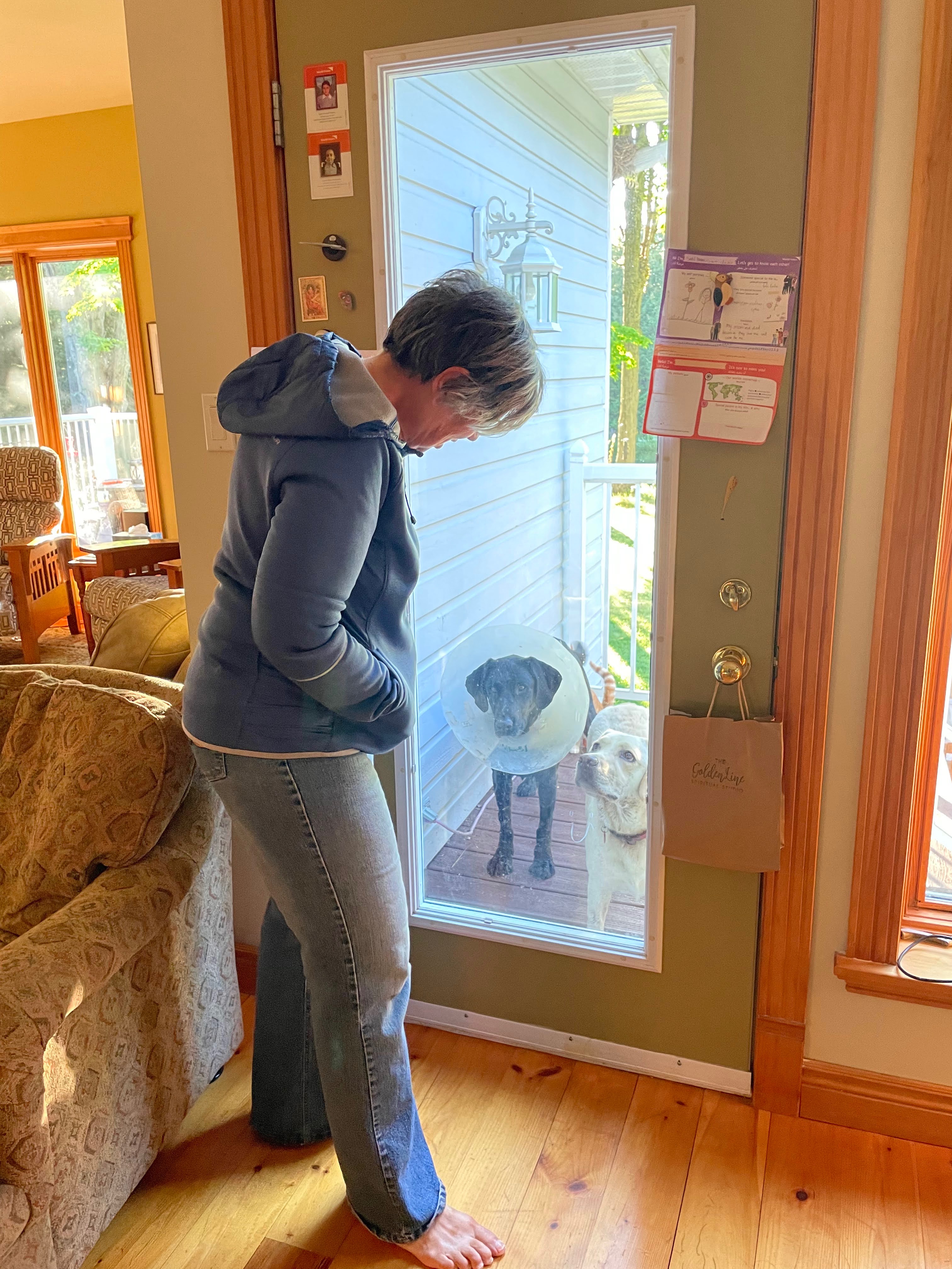
After Cindy got up briefly to go to the bathroom about six, both dogs and both cats got onto the bed and hassled her until she got up. When I got up the dogs were outside waiting for us to come out and take them for a walk.
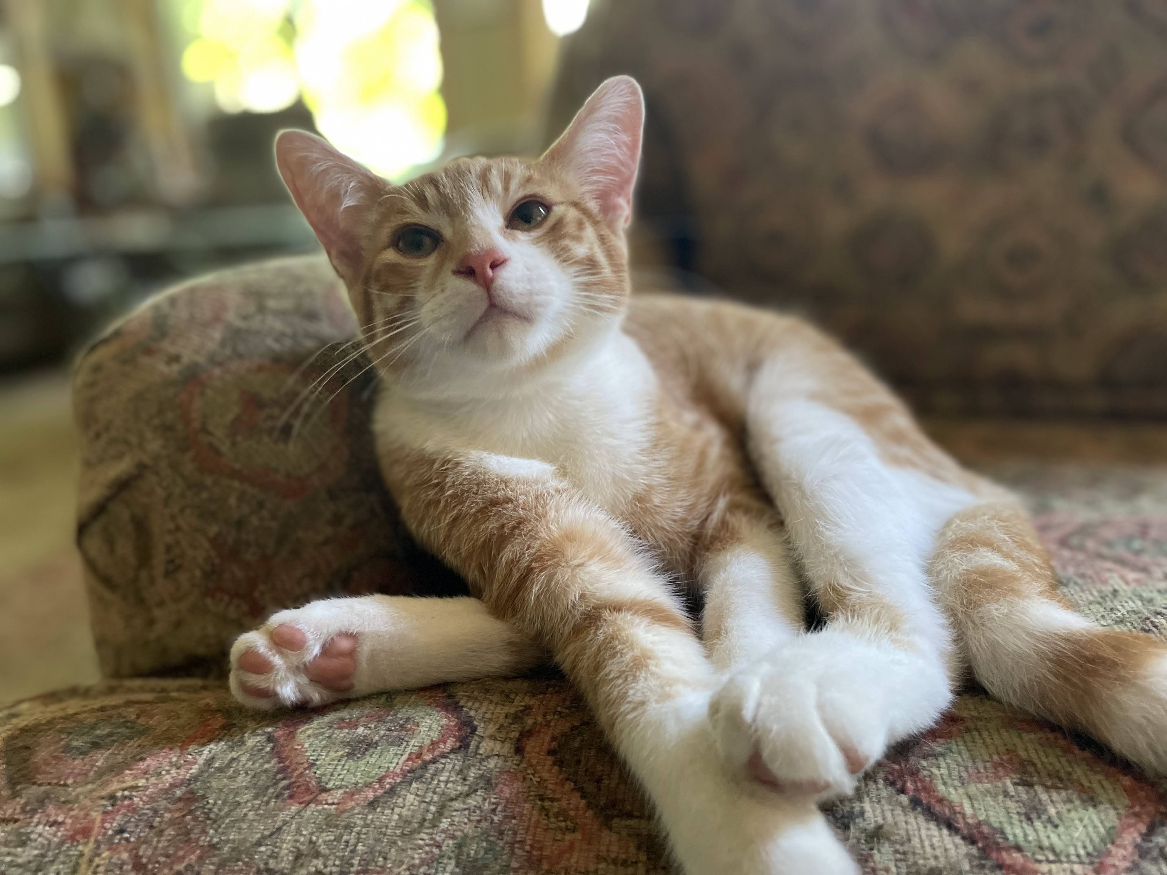
Here is Rusty being extra cute.
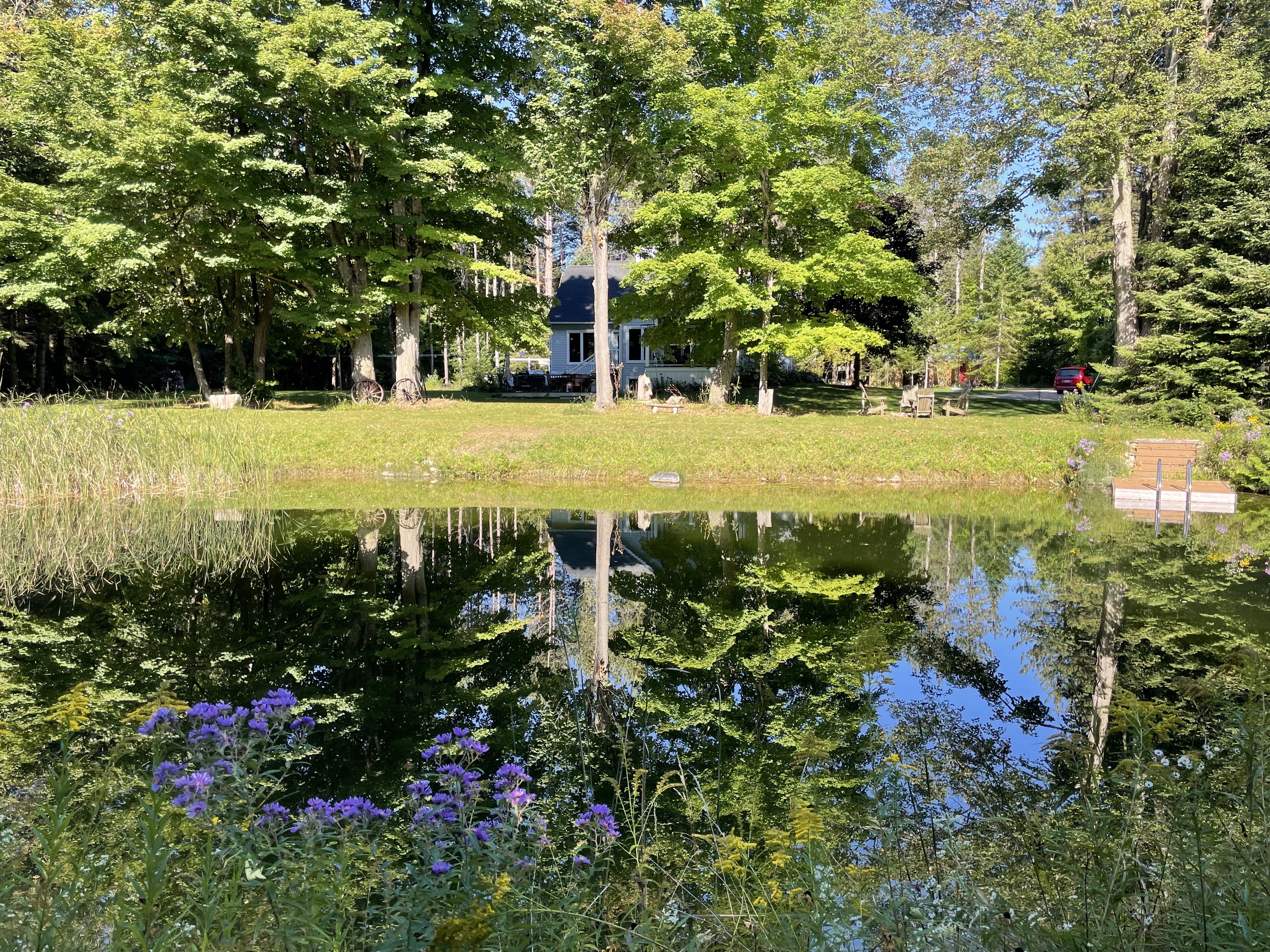
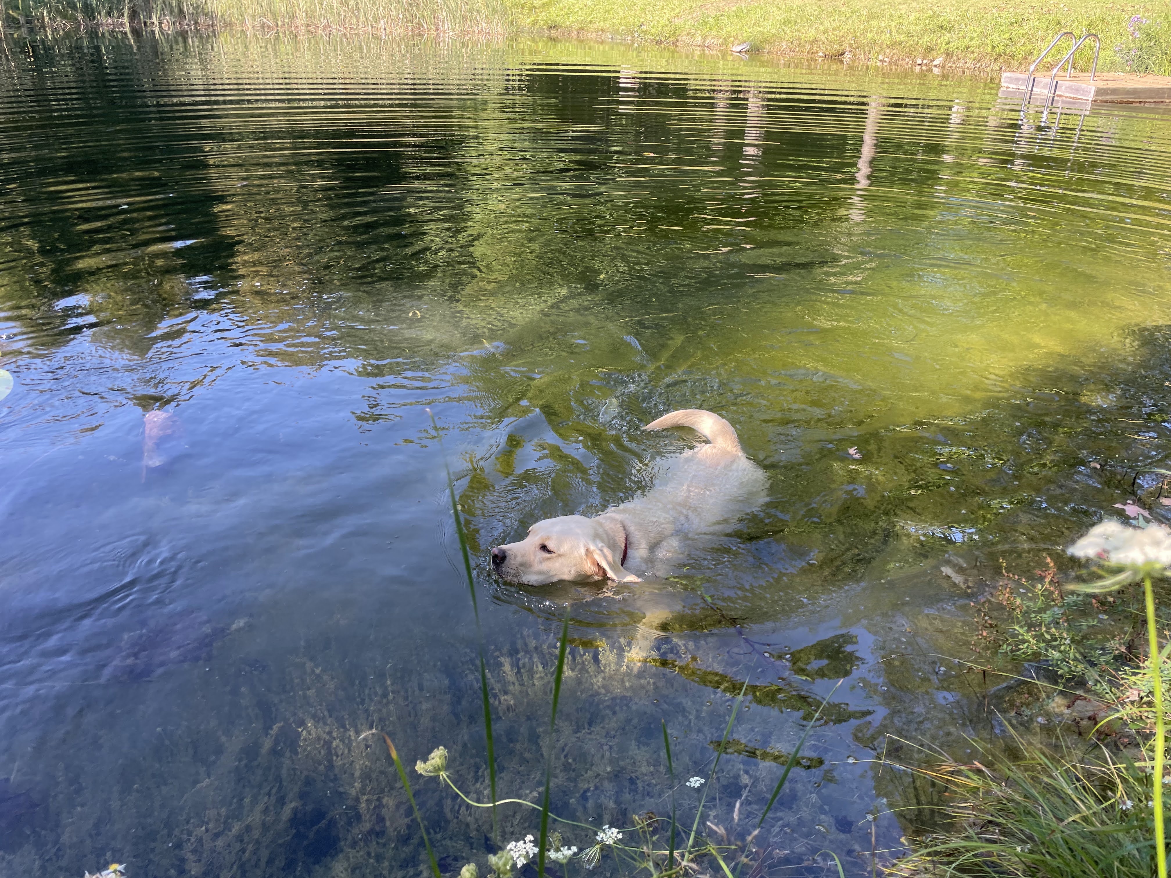
There were beautiful reflections on the pond this morning. Both dogs swam in the stream yesterday when we took them for a walk, and Olin swam in the pond, this morning.
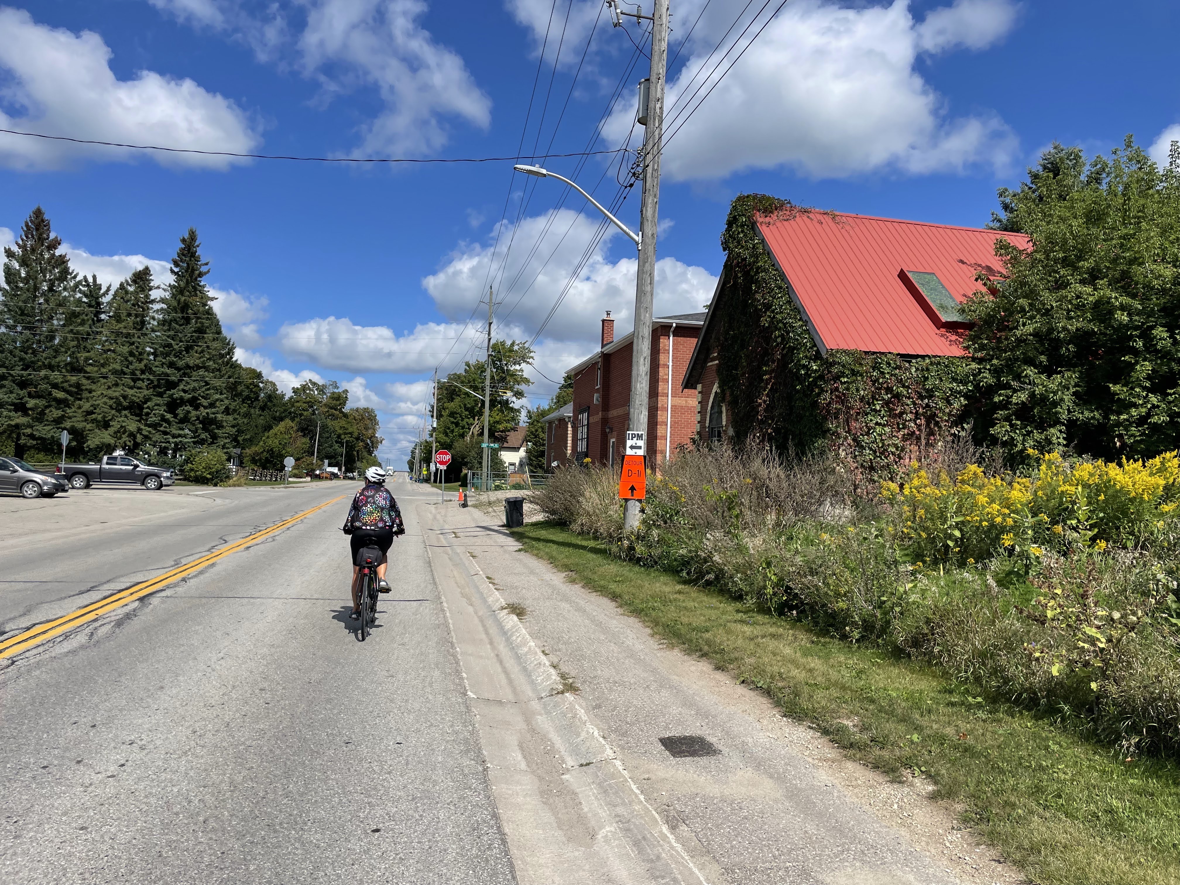
It was another beautiful day for riding, with more sun than yesterday, almost no wind, and a perfect temperature for riding.
We decided to drive to just north of Highway 9 to do a ride to the northwest of Orangeville. With all the gravel that we would be riding, we felt it would be too challenging to do the 91 km round-trip that it would have been had we ridden right from the house.
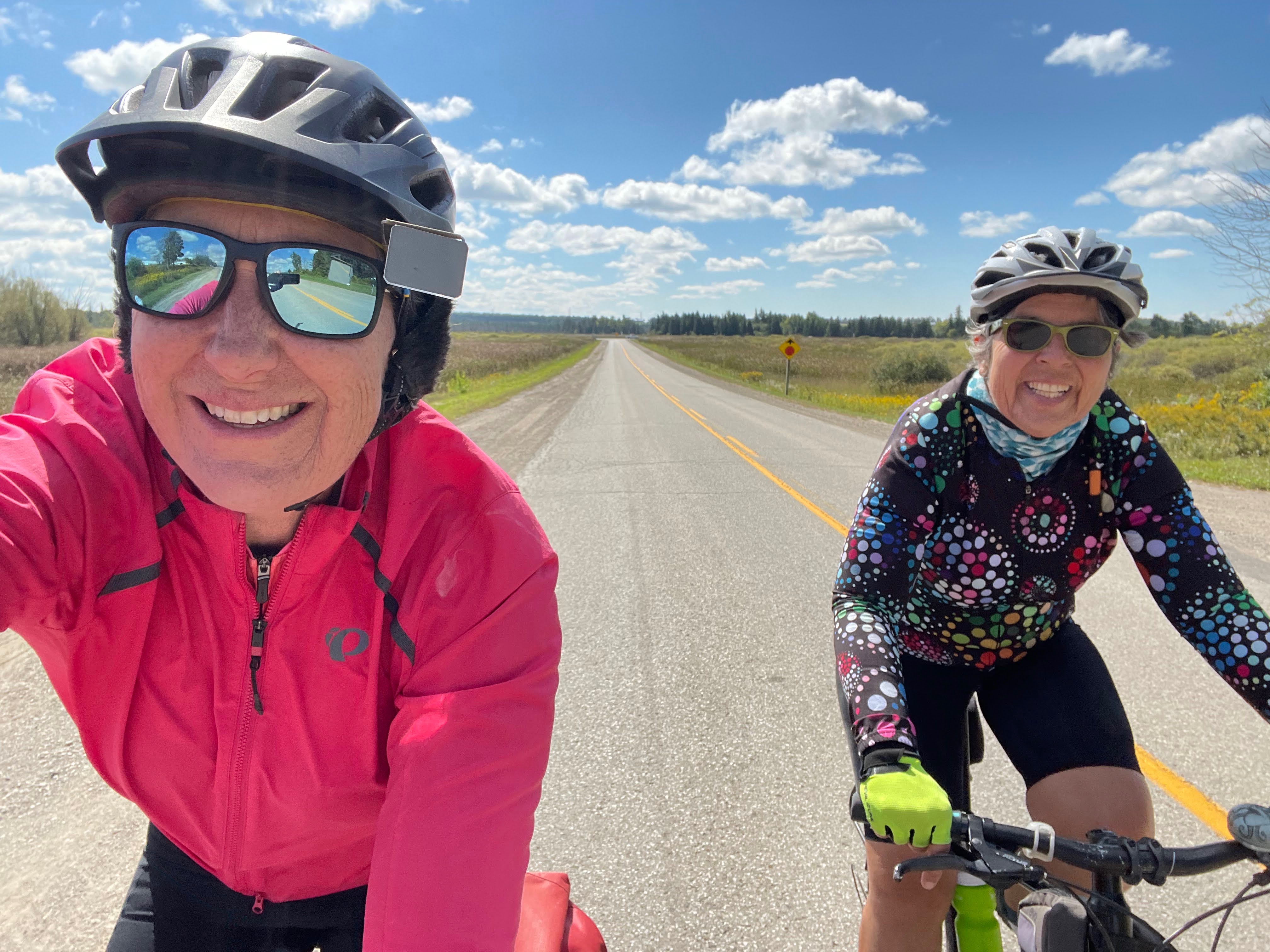
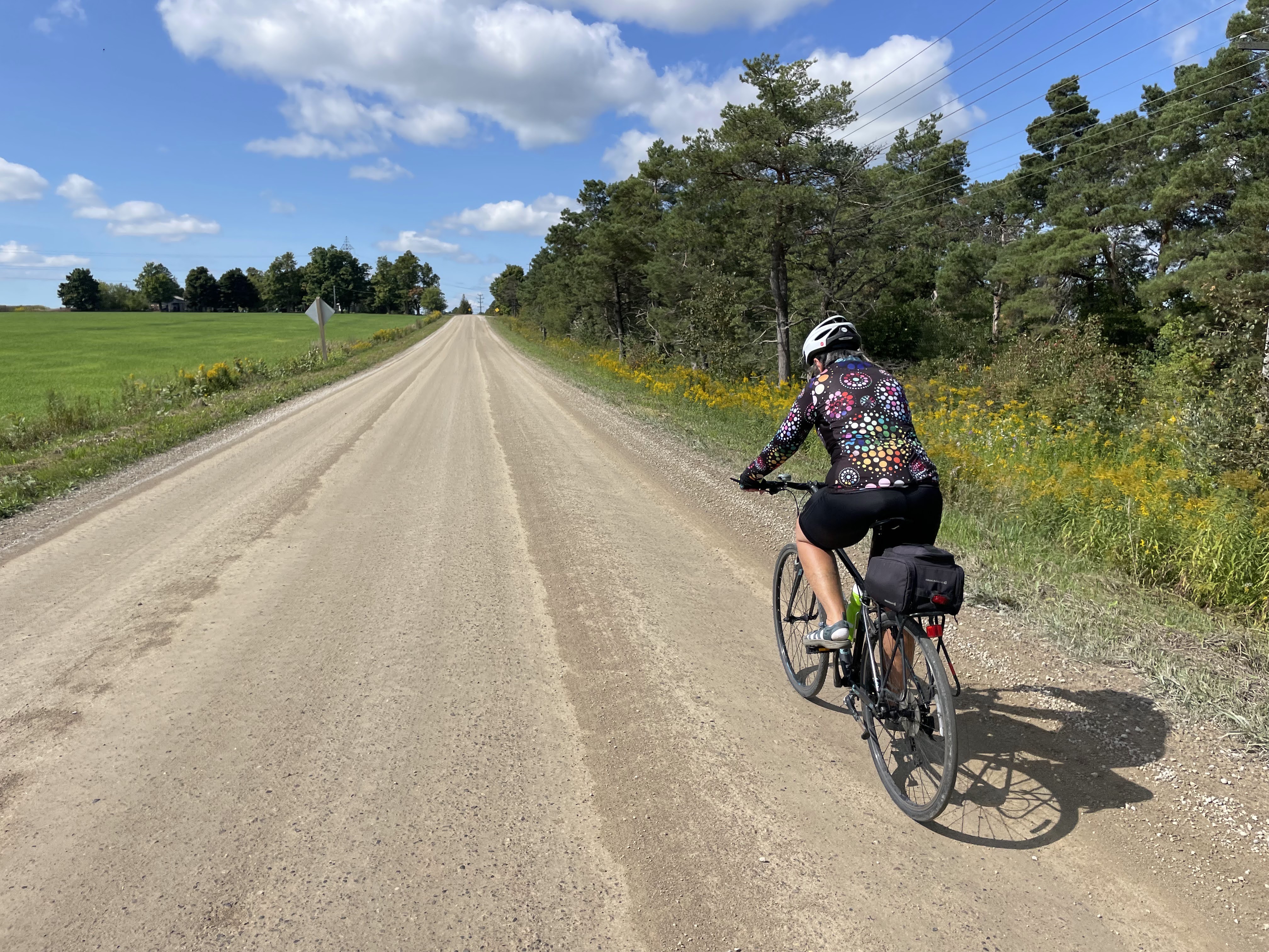
Most of the roads were mostly packed dirt with only light gravel, and often a line in the tire tracks where we could avoid the gravel.
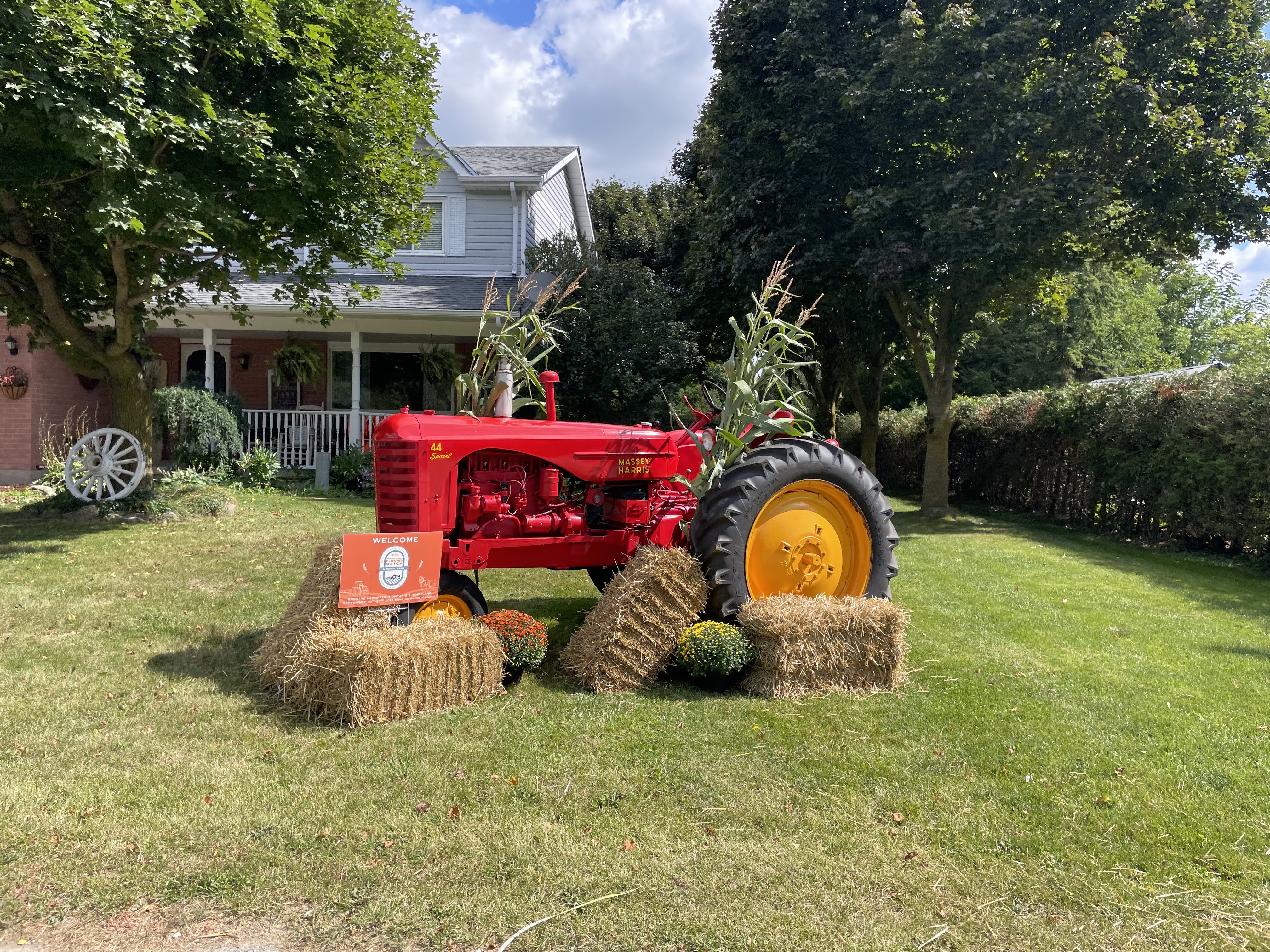
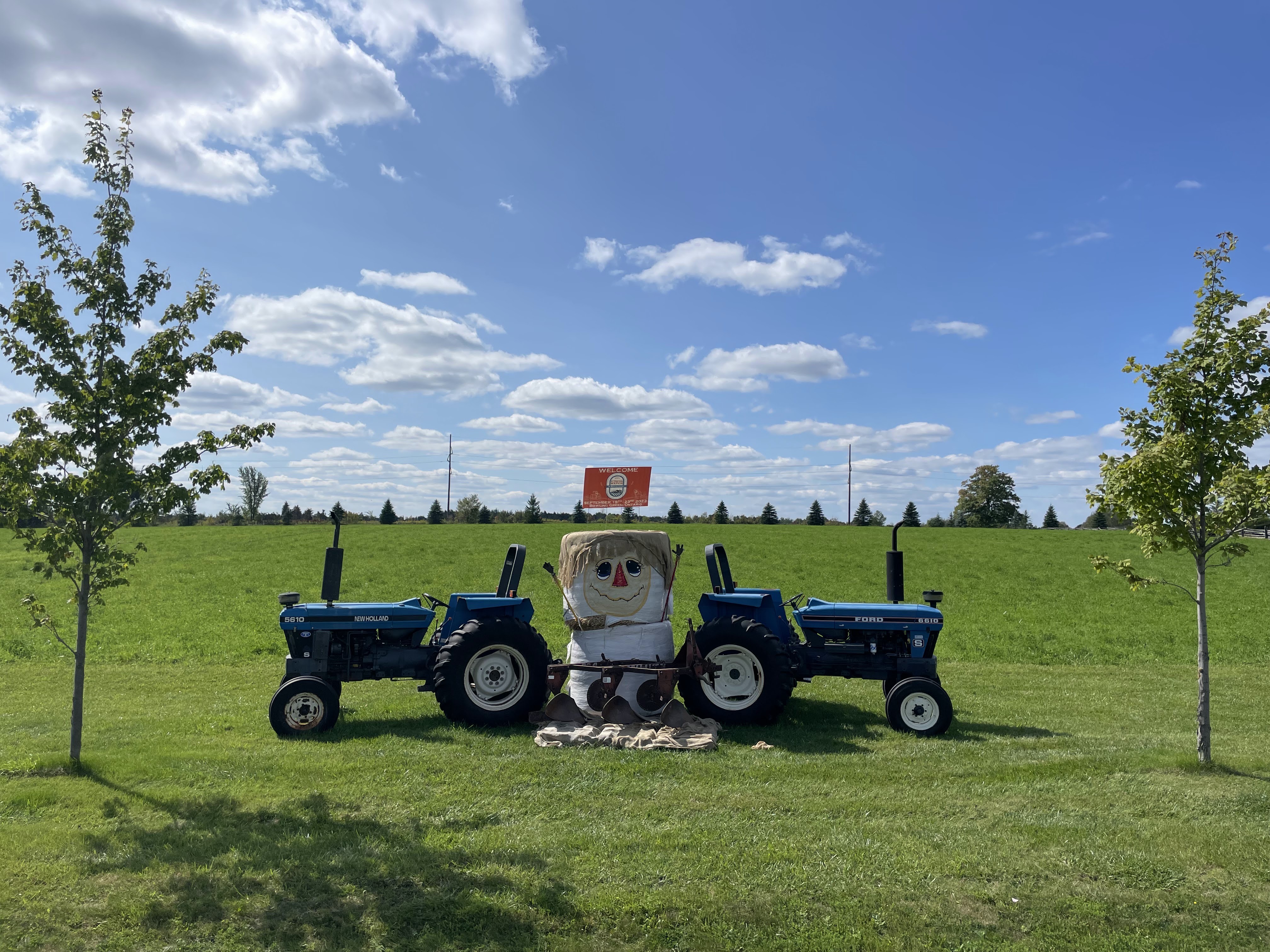
The fall fair and the ploughing match are coming up and there were many cute displays.
This old vine covered church building, has a metal roof with eight skylights in it, but renovations haven’t continued past the roof replacement. We peeked in the windows, and it is gutted, and the vines that are all over the building are also growing inside.
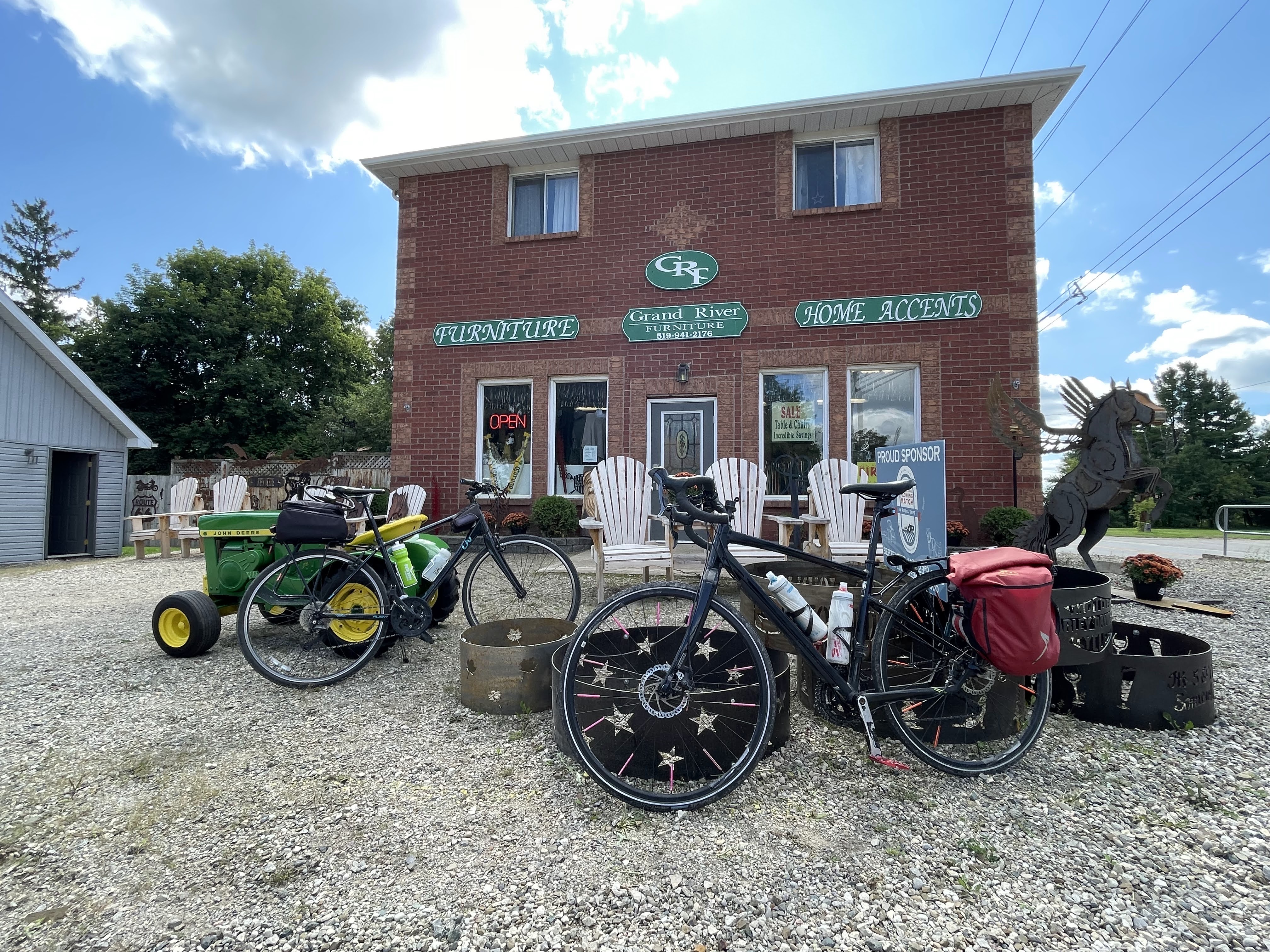
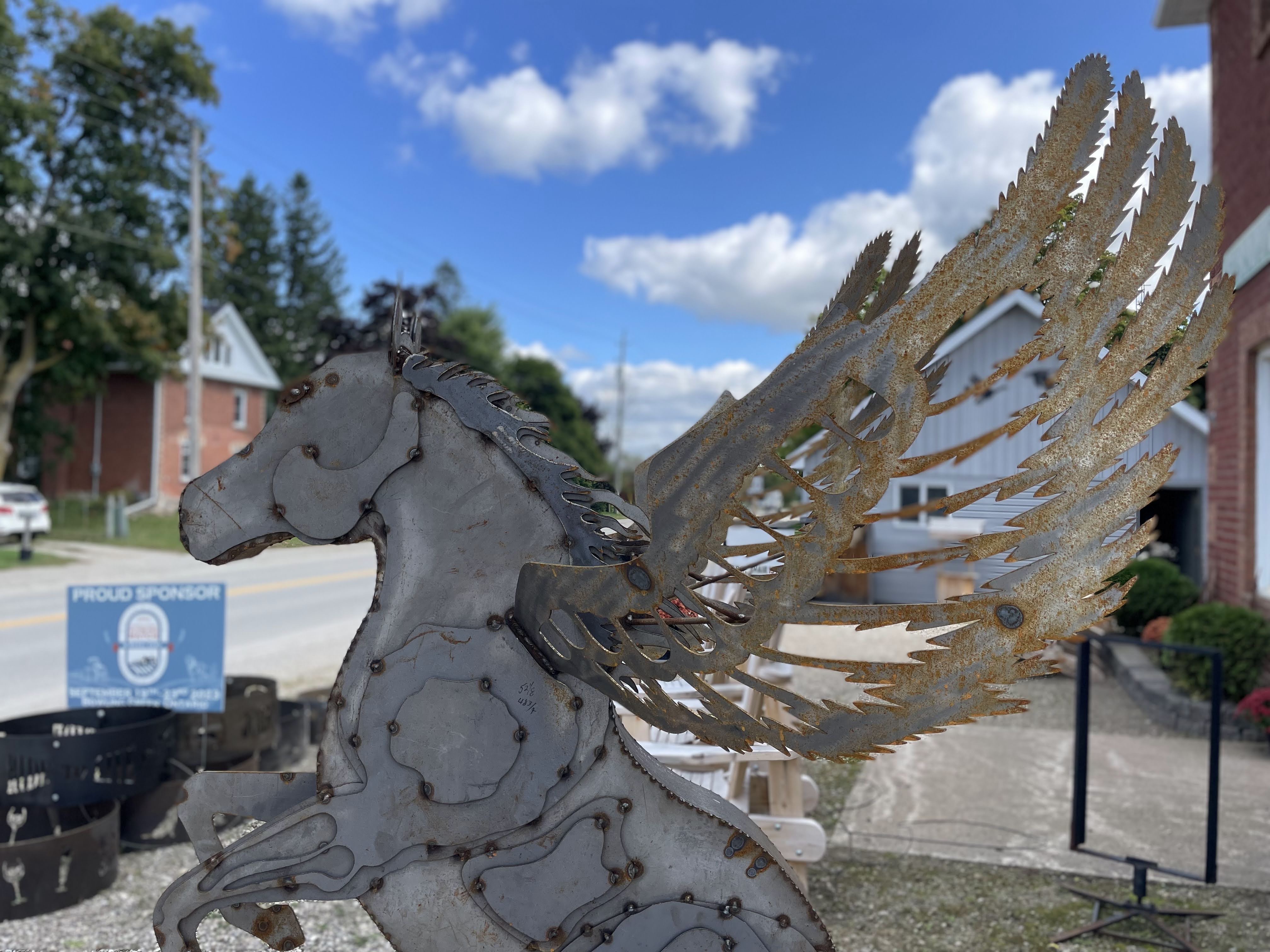
Next to the abandoned church was a furniture store with a cute display out front, and this interesting Pegasus sculpture.
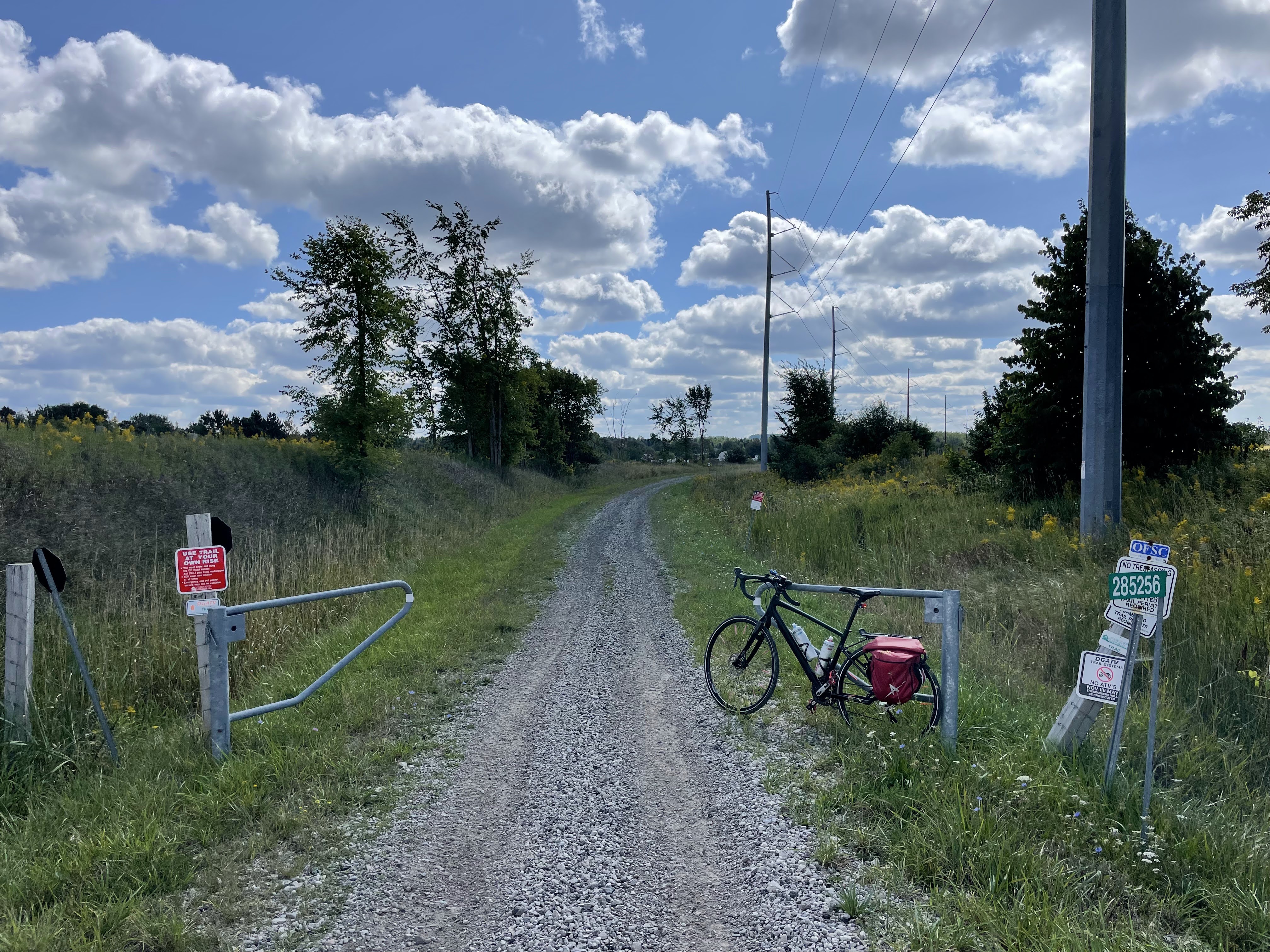
We passed the Dufferin Gray ATV Trail. It is a private trail that runs along the old railway right of way from Orangeville to Chatsworth. It can be followed into Owen sound, and west to the South Bruce Peninsula ATV club trails. Permits are required from the clubs for ATV use the trail. Apparently, bicycles are permitted on the trail without paying a membership fee. However, the sections that I have seen from the road, look like they would require mountain bikes, or fat tire bikes. I would not have been happy riding it even compared to the gravel roads. The alignment of this trail runs north of the Orangeville-Brampton Railway (OBRY), which has recently been purchased by the Region of Peel to be turned into an Active Transportation Trailway. The corridor is 54 km long and runs from Streetsville to Orangeville.
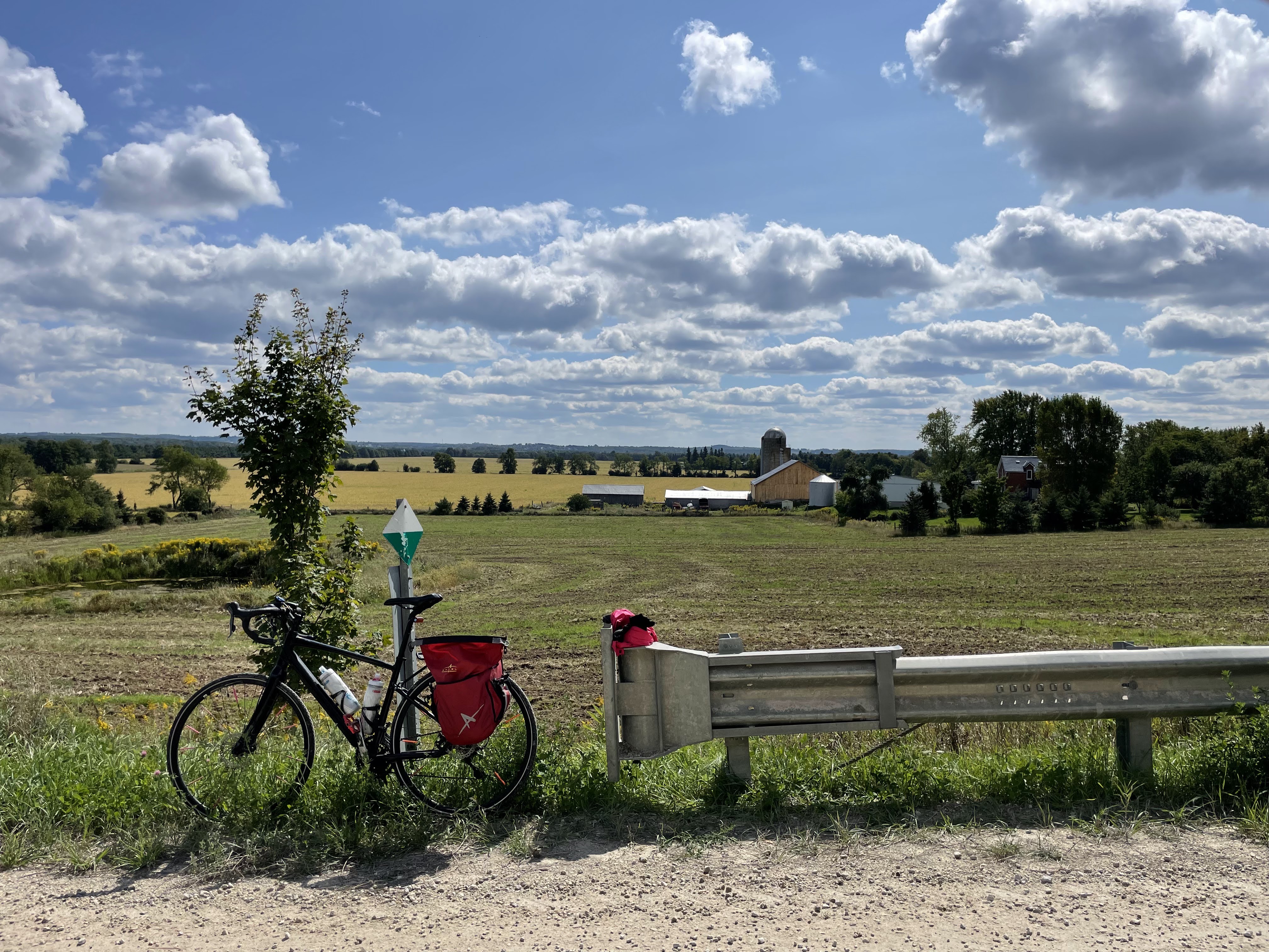
There was nowhere to purchase food on our route today, so we brought lunch with us, and sat on this railing while we ate. We had a beautiful view.
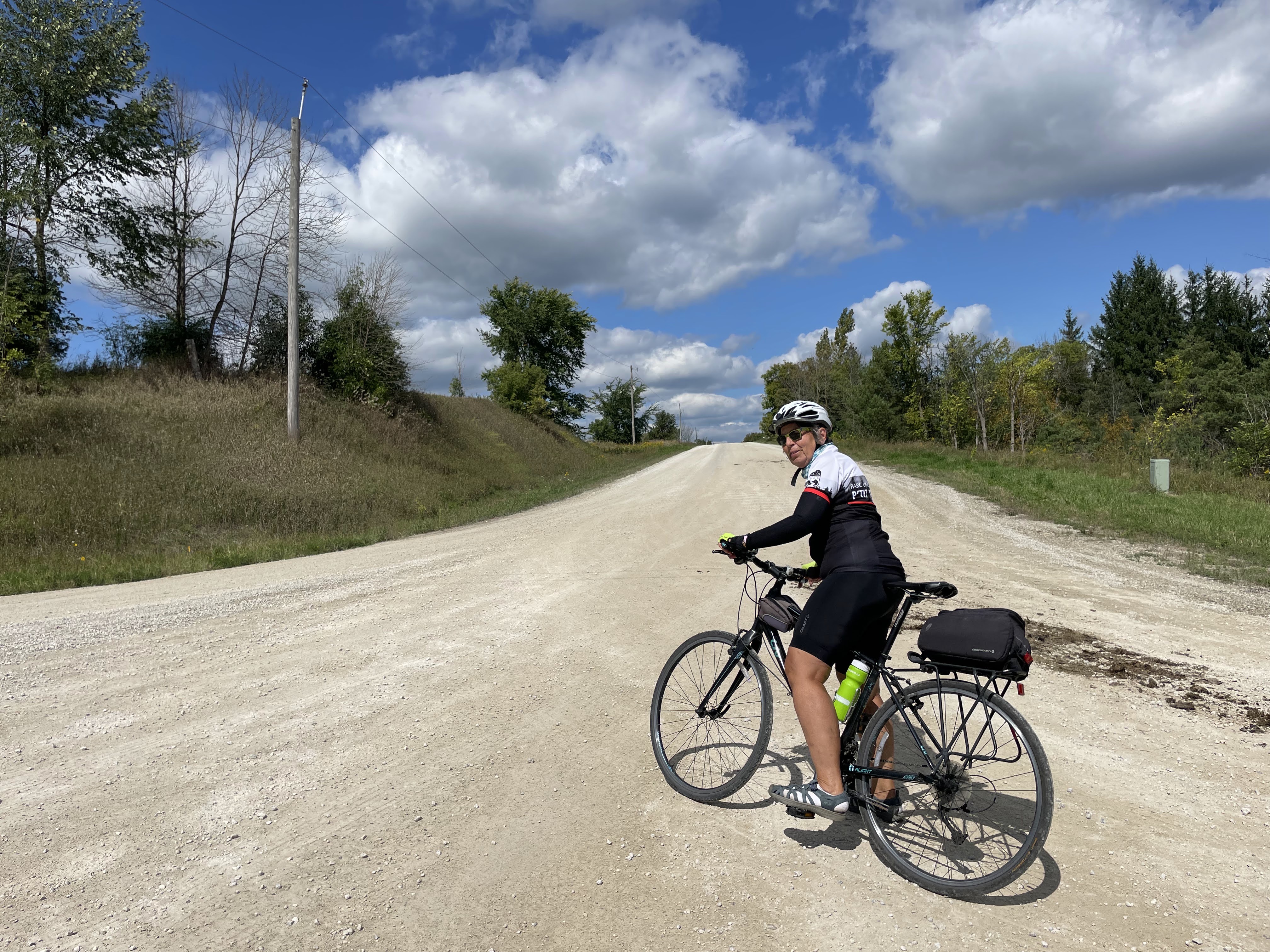
This is Hurontario Street. I always thought of Hurontario Street and Highway 10 as synonymous, but at this point north of Orangeville they are different roads.
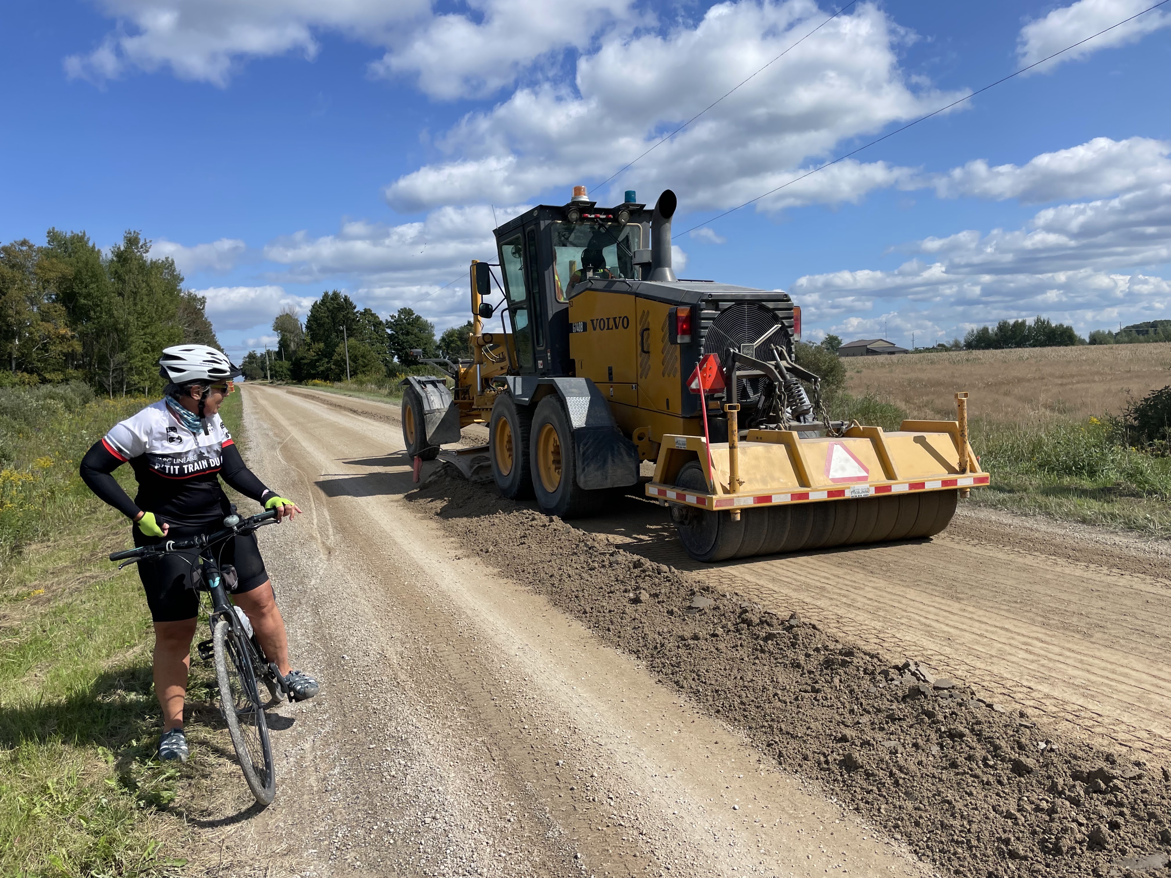
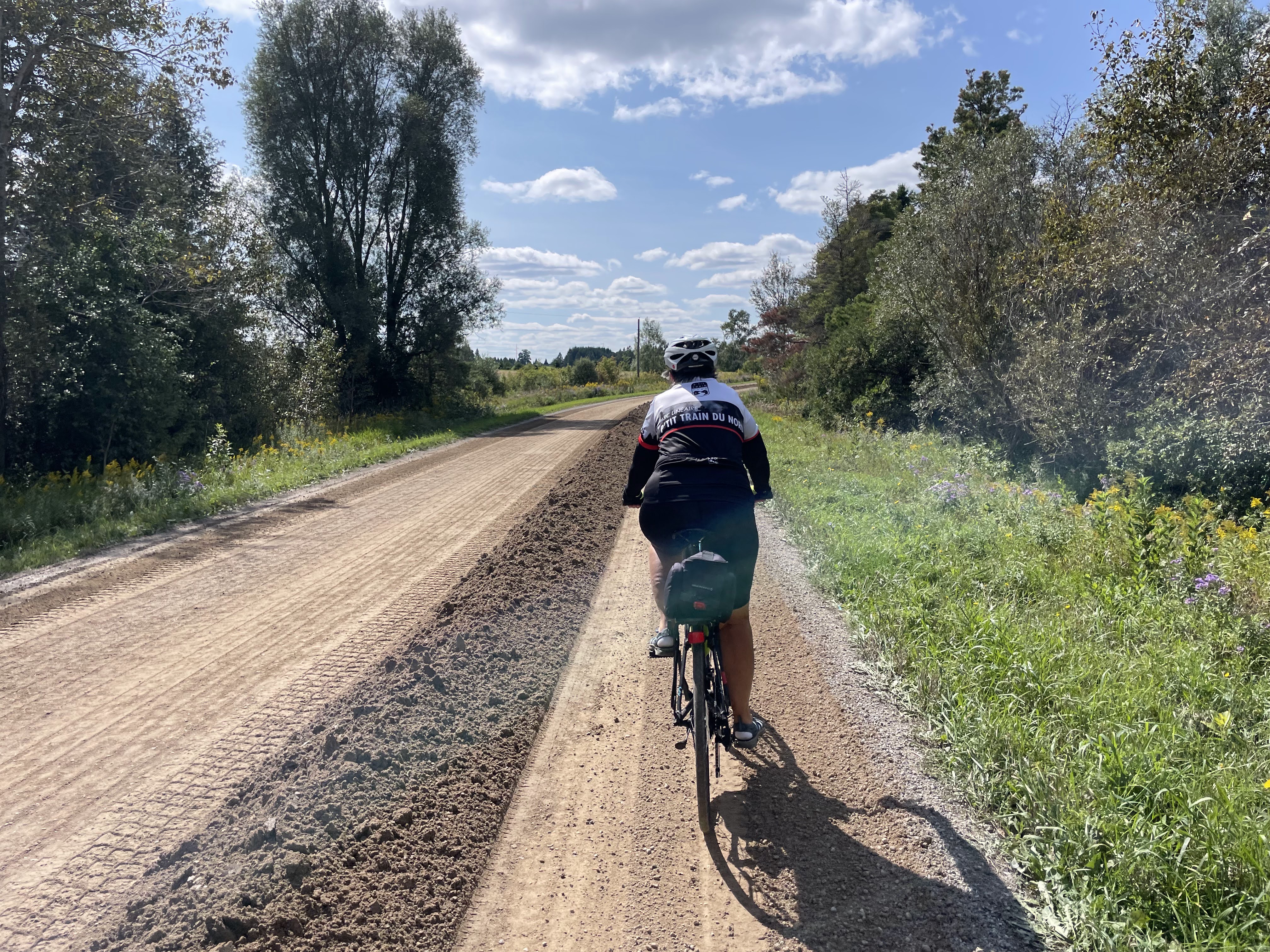
We were hoping not to encounter freshly graded roads, and for the most part, we did not. However, we ended up passing this grader going in the opposite direction to us. Fortunately, he hadn’t done our side of the road, yet. The grader left a pile of sand which created a temporary protected by bike lane!
We finished our ride and loaded the bikes into the car, then drove into Orangeville for coffee and cookies.
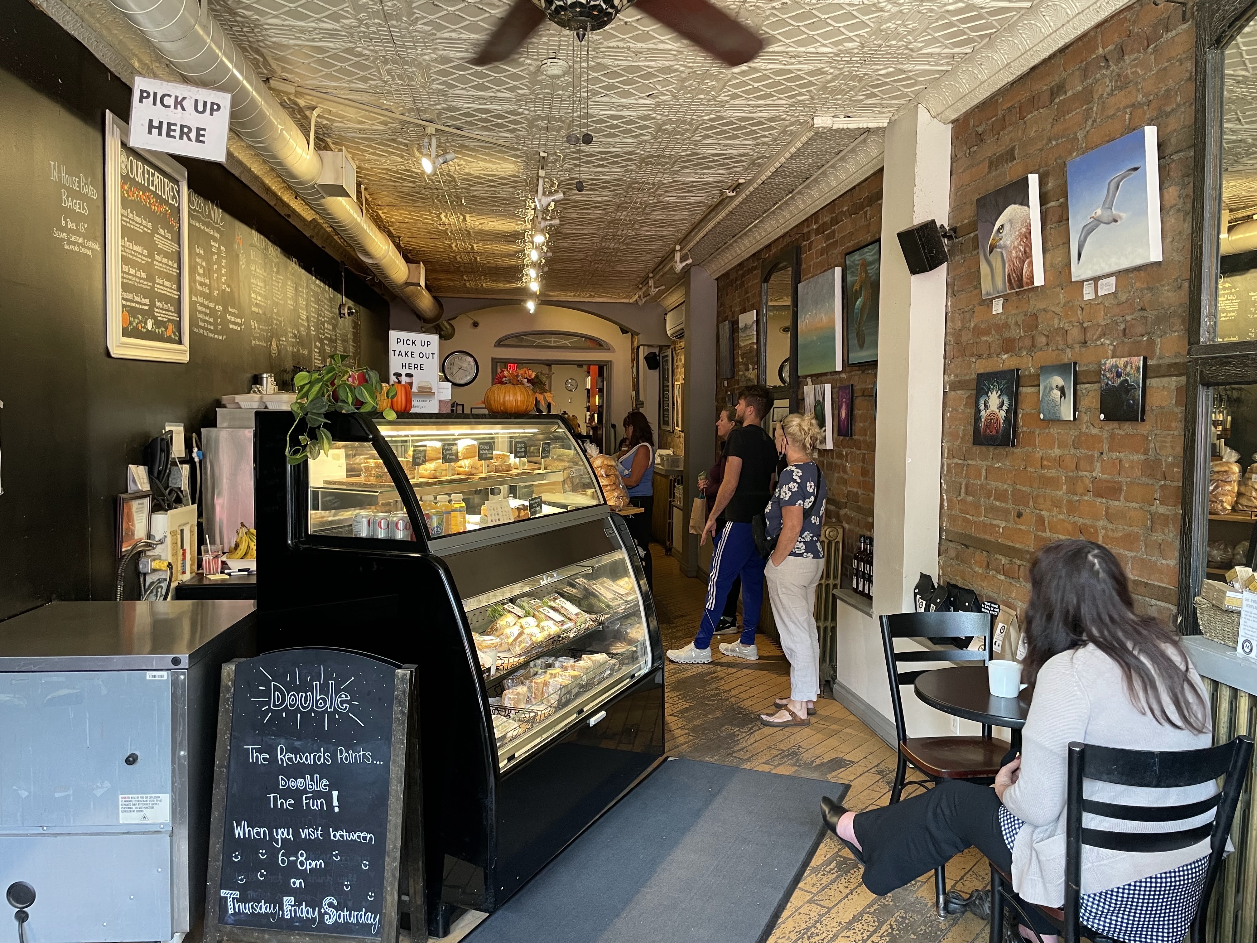
Orangeville has a very lively main street lined with many interesting stores, restaurants, and cafés.
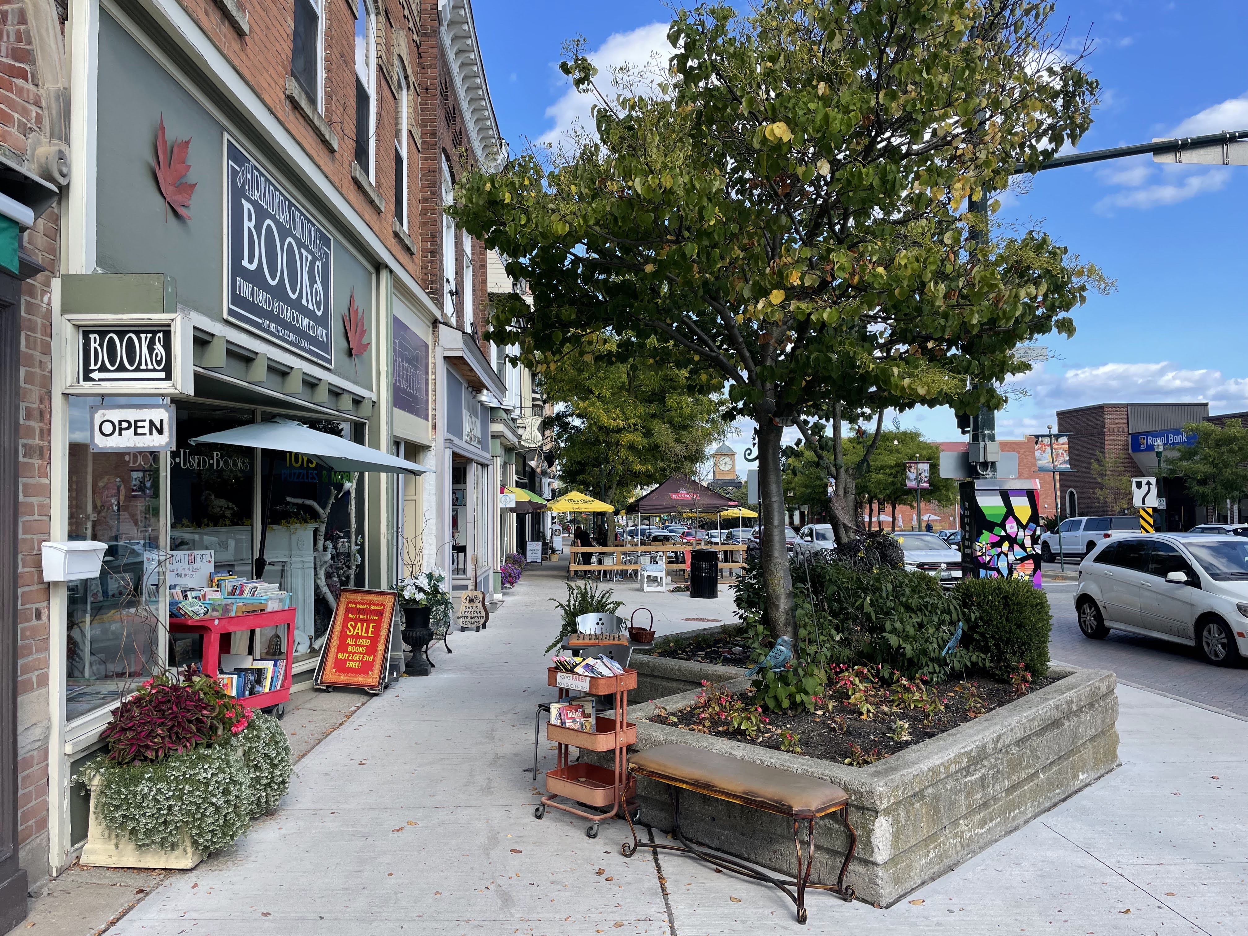
This is a partial view of what my tile map looked like in March 2020 when I discovered the site, with my recorded rides dating back to late 2013.
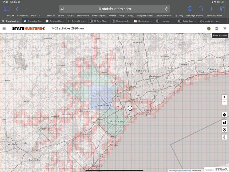
Today I expanded my max square to 28×28 and this is my current map.
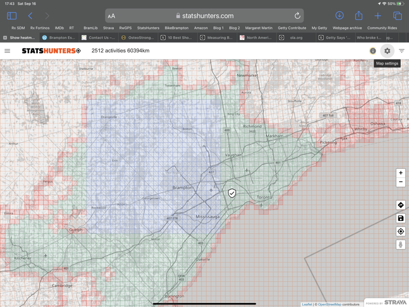
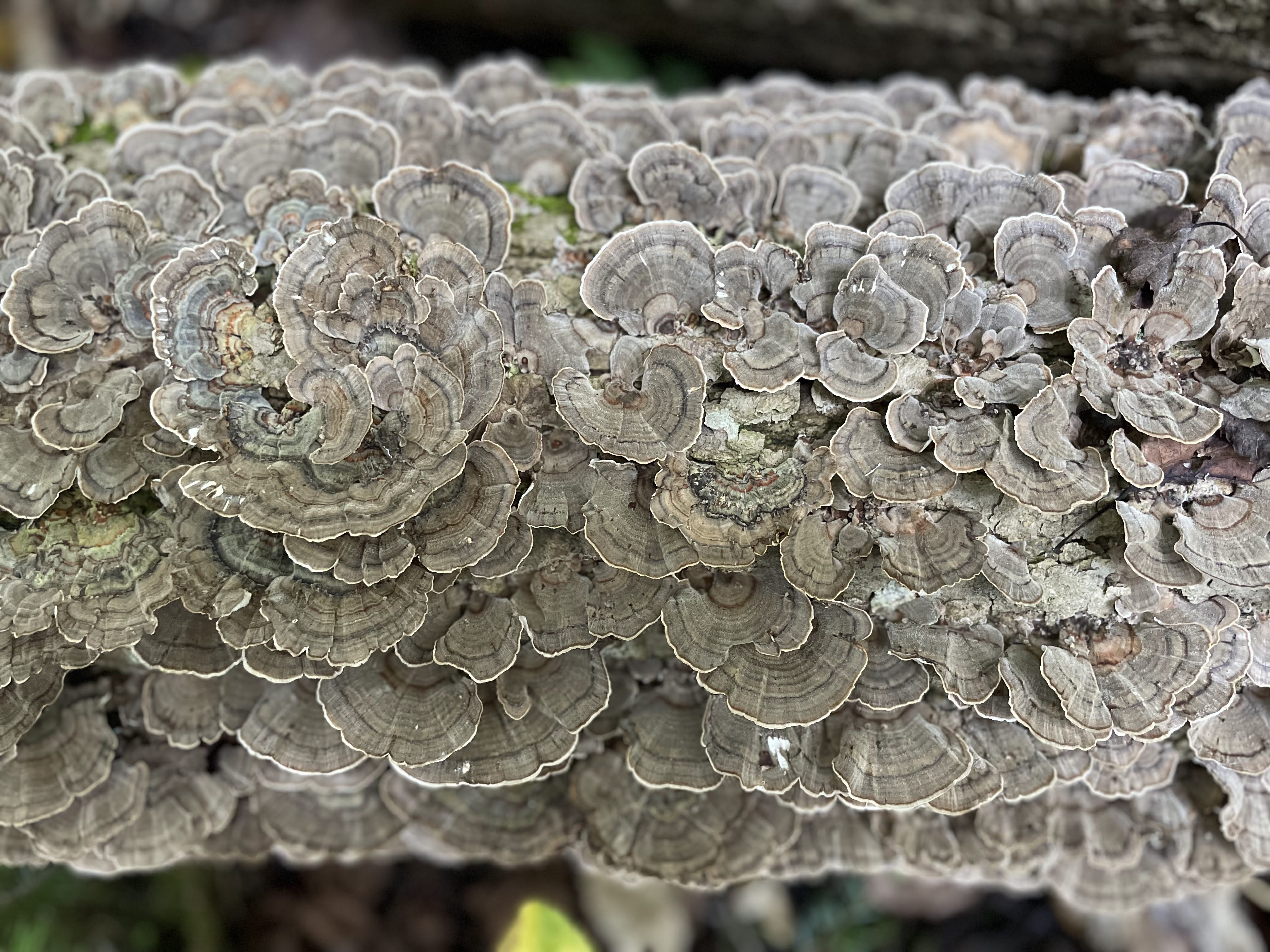
When we got back, we took the dogs for another walk. I saw this log beautifully covered by fungi.
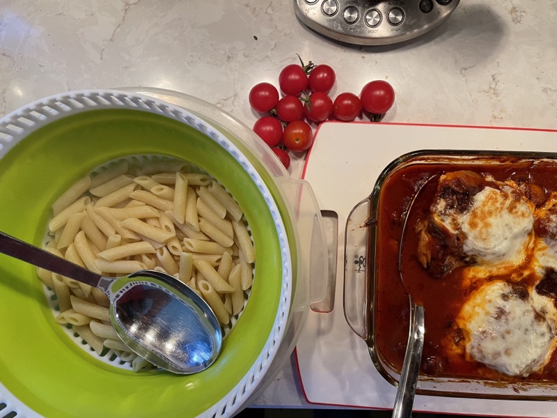
Cindy made a simple, but delicious and filling dinner.
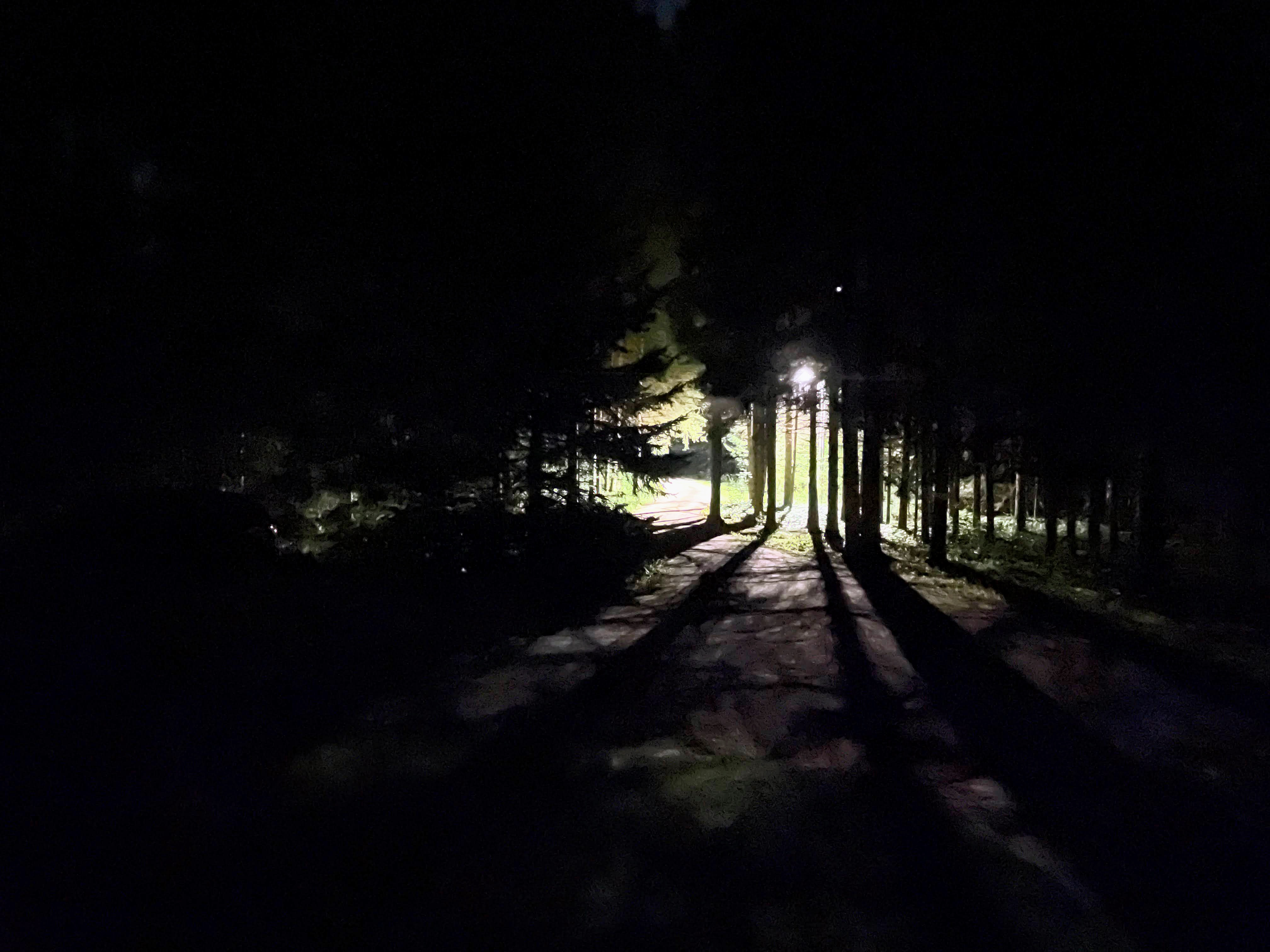
We finished the evening in the hot tub again. This was the beautiful view outside my bedroom window when I turned out the lights to go to sleep.
Discover more from Lisa Stokes
Subscribe to get the latest posts sent to your email.