Erie Canalway – Day 11 – Exploring Albany

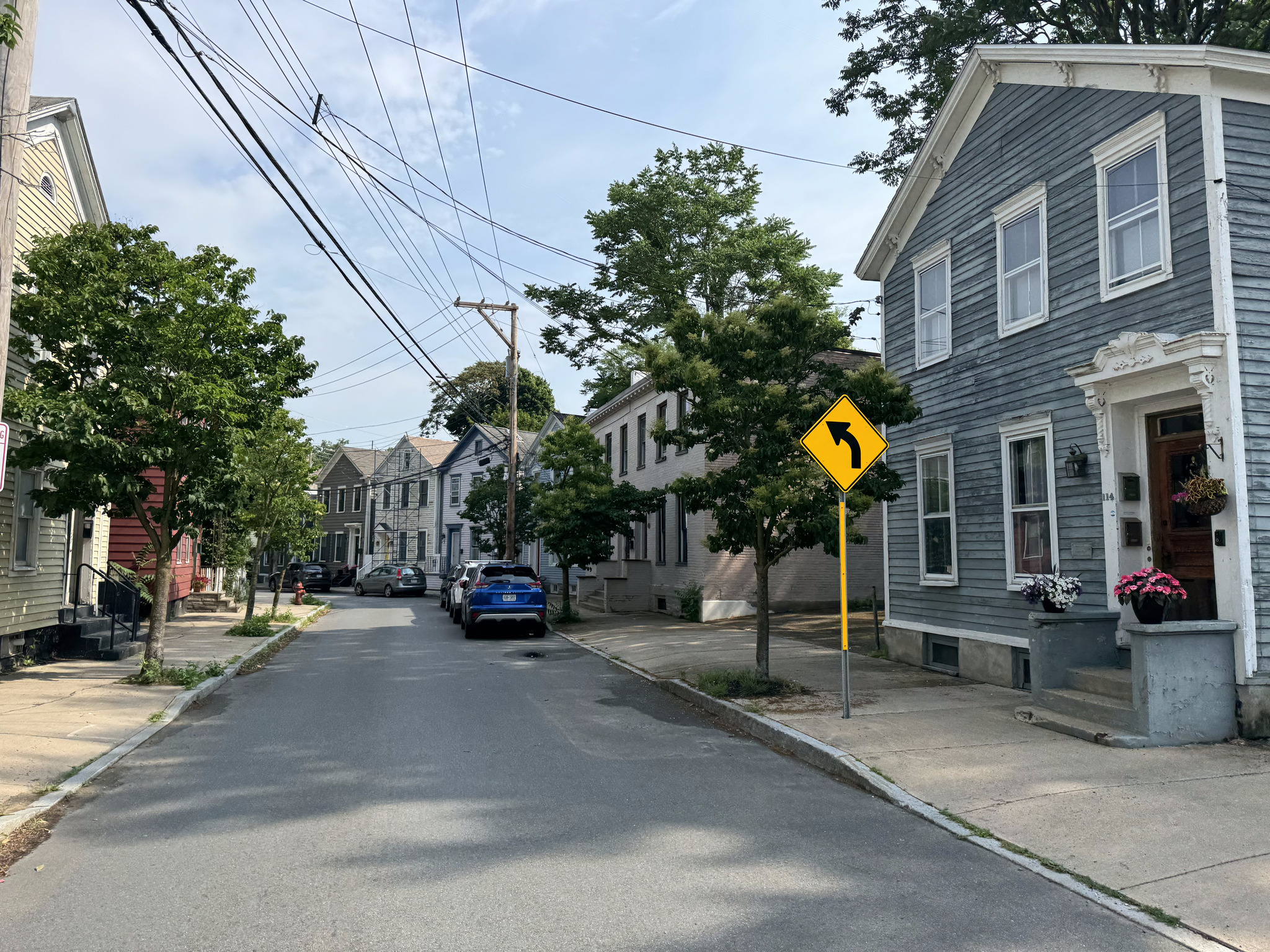
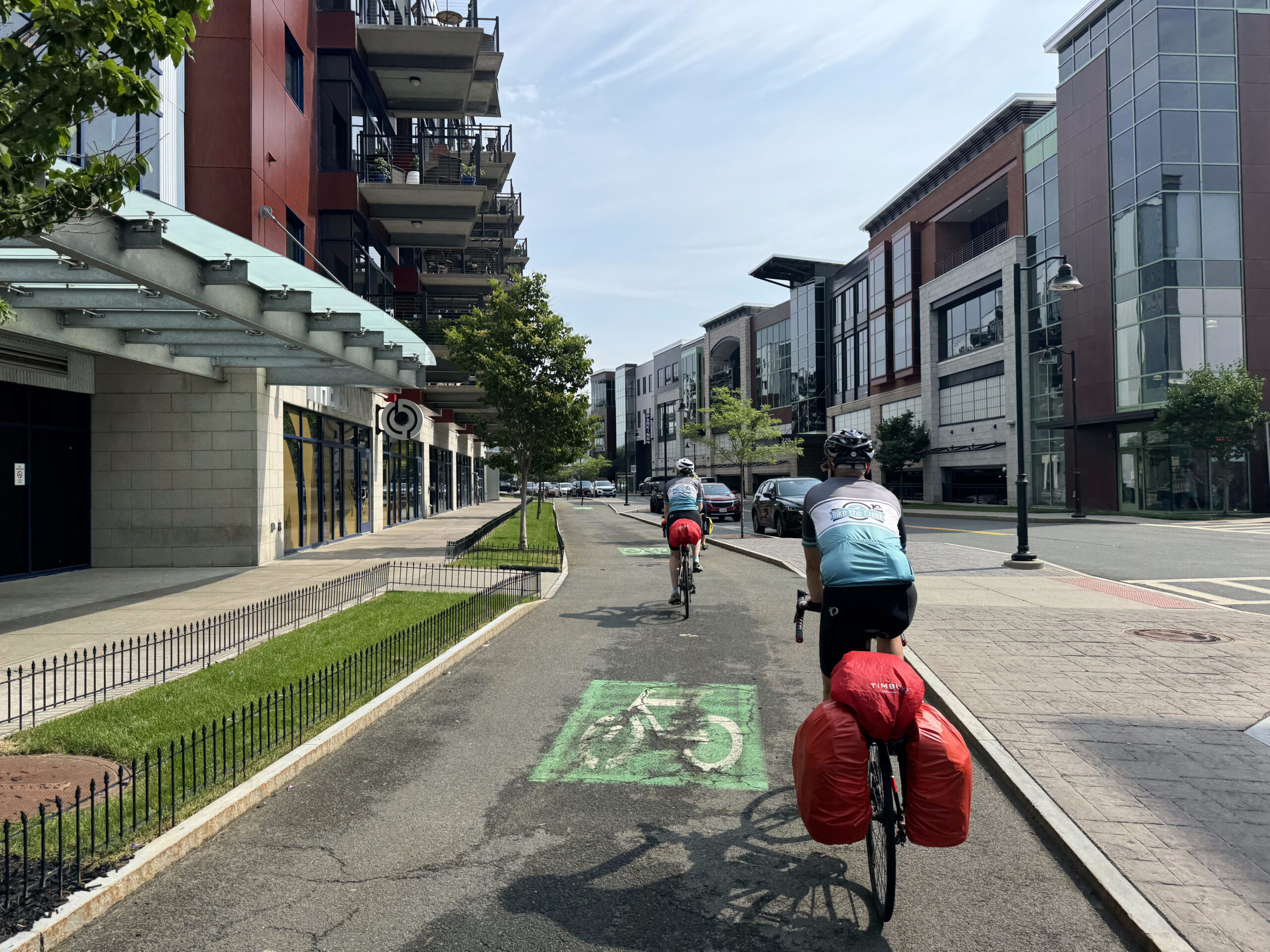
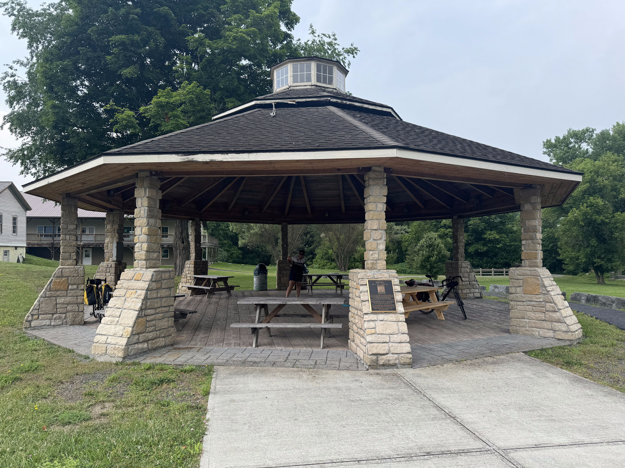
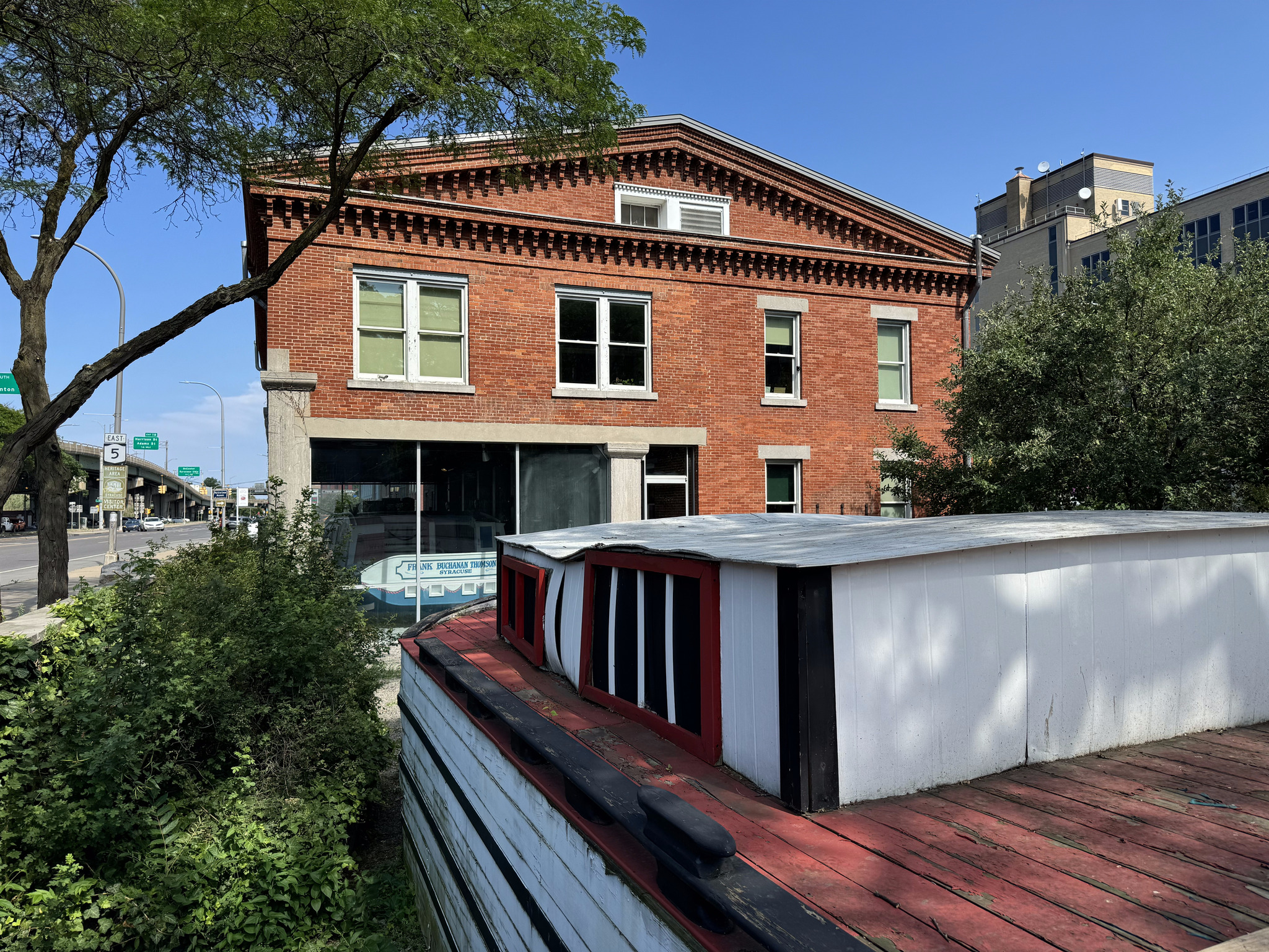
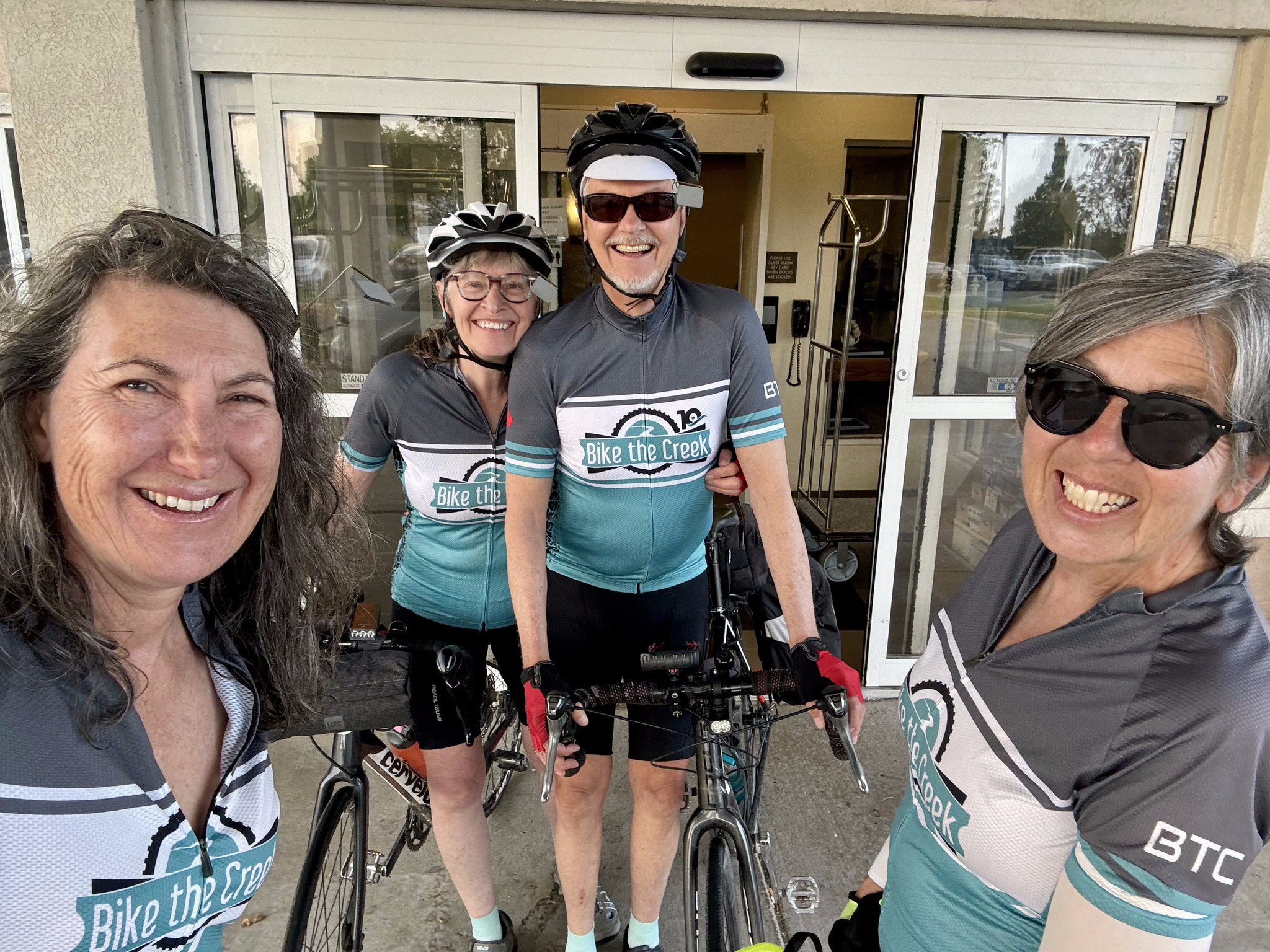
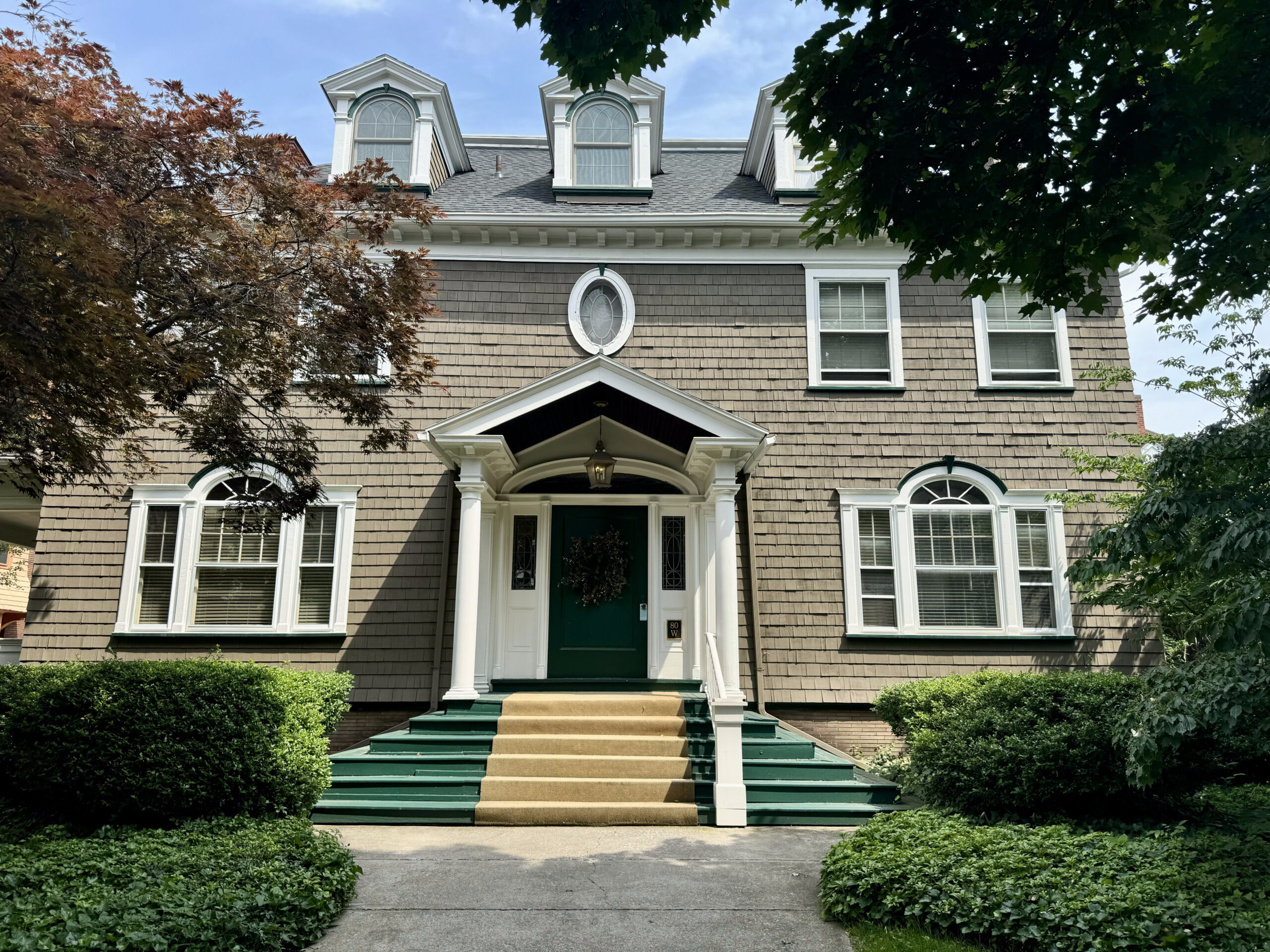
We slept in a little, had a later breakfast at the hotel, which was one of the better hotel breakfasts we have had on this trip, and left for a walking tour just after nine. There was a lot to see packed into just 4 km. Our first stop was a giant Dutch clog.

Albany was founded when the Dutch ship the Half Moon, captained by Englishman Henry Hudson, dropped anchor nearby in 1609. The world was in the midst of a Little Ice Age, and the Dutch staked claim to the beaver who thrived here. They forged alliances with indigenous people and established a trade centre on the bank of the Hudson River. Albany was chartered as a city in 1686, making it the second oldest chartered city in the country. We saw representions of The Half Moon all over the city.

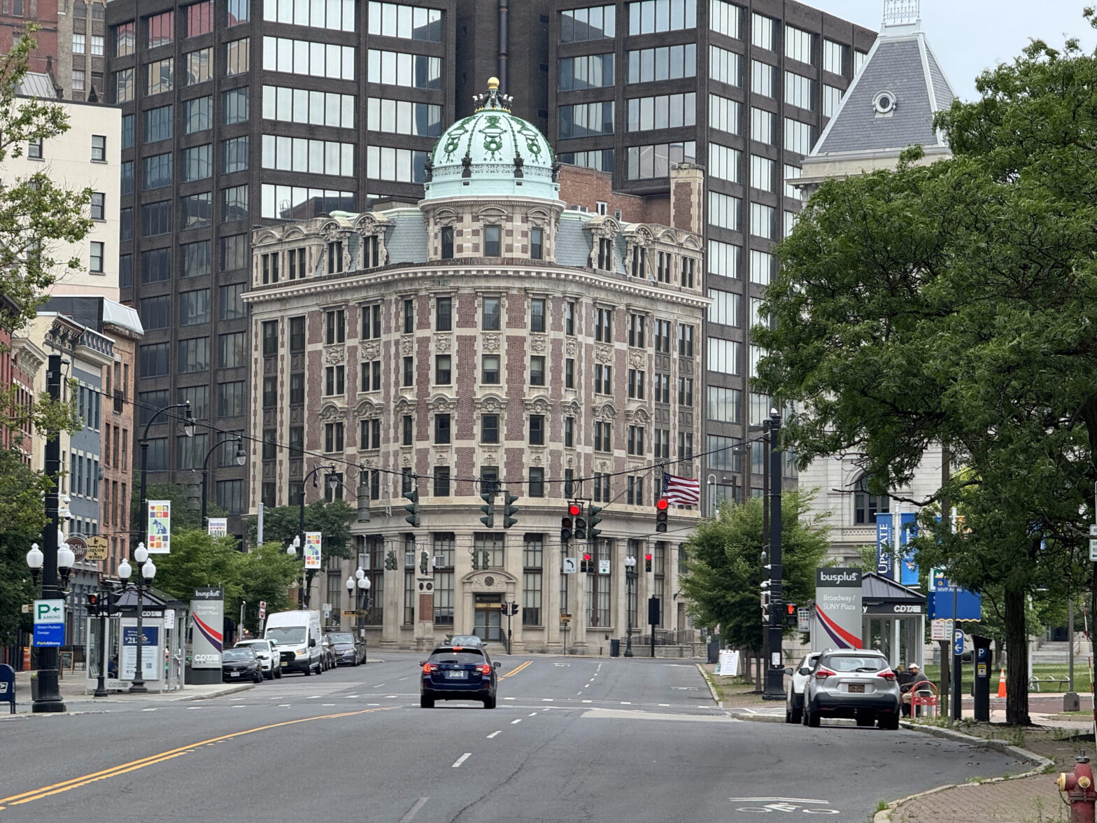
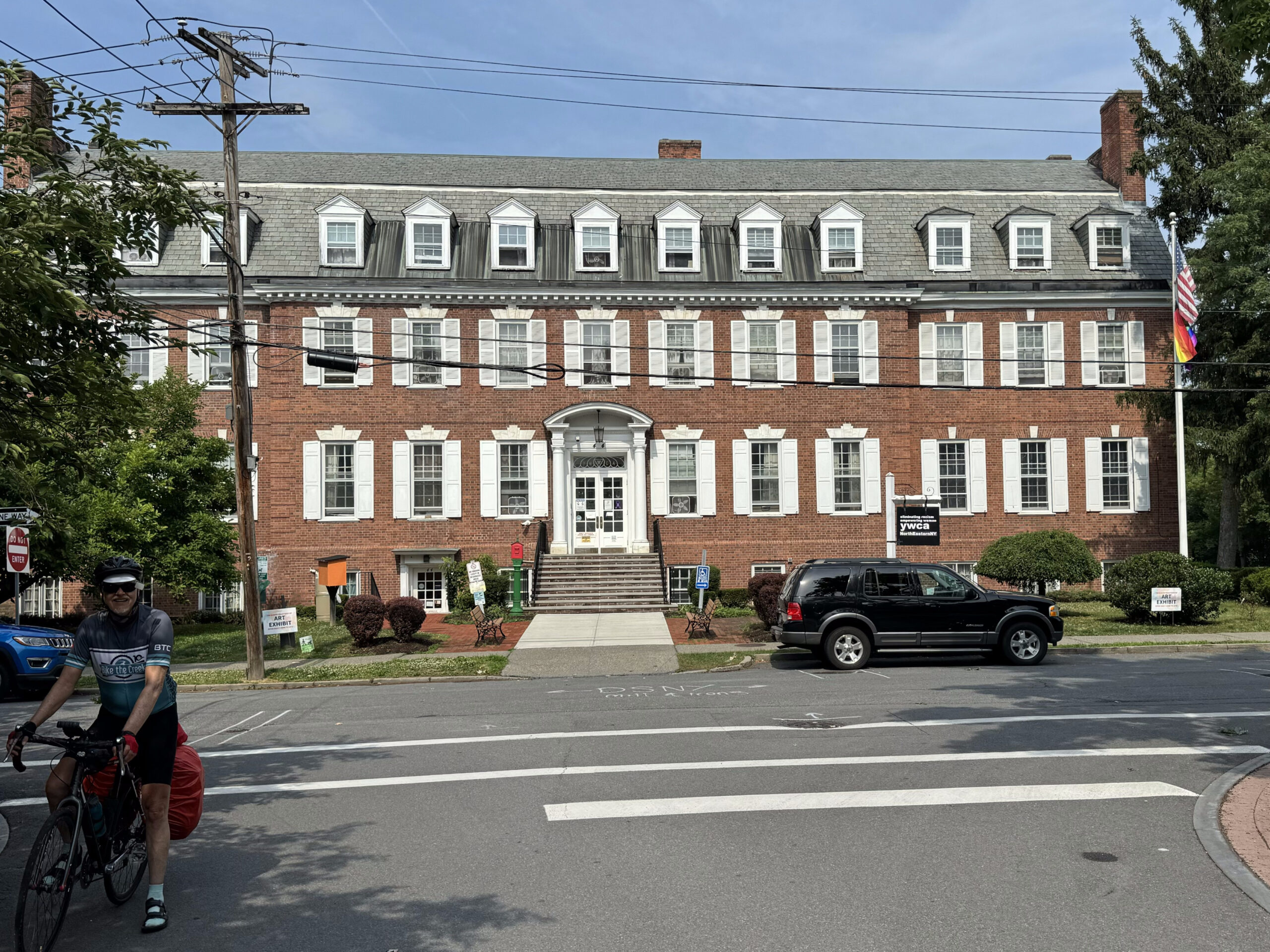
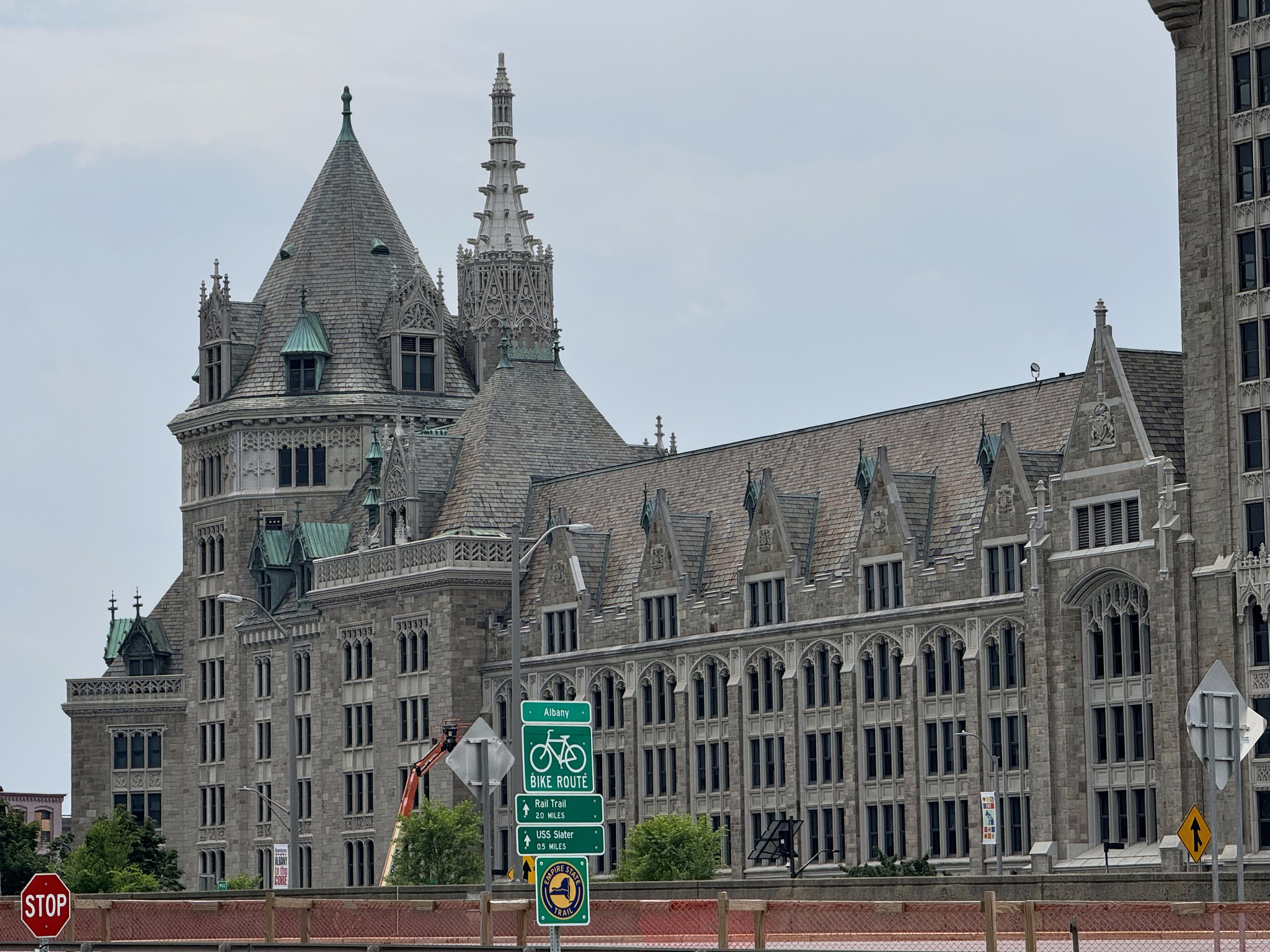
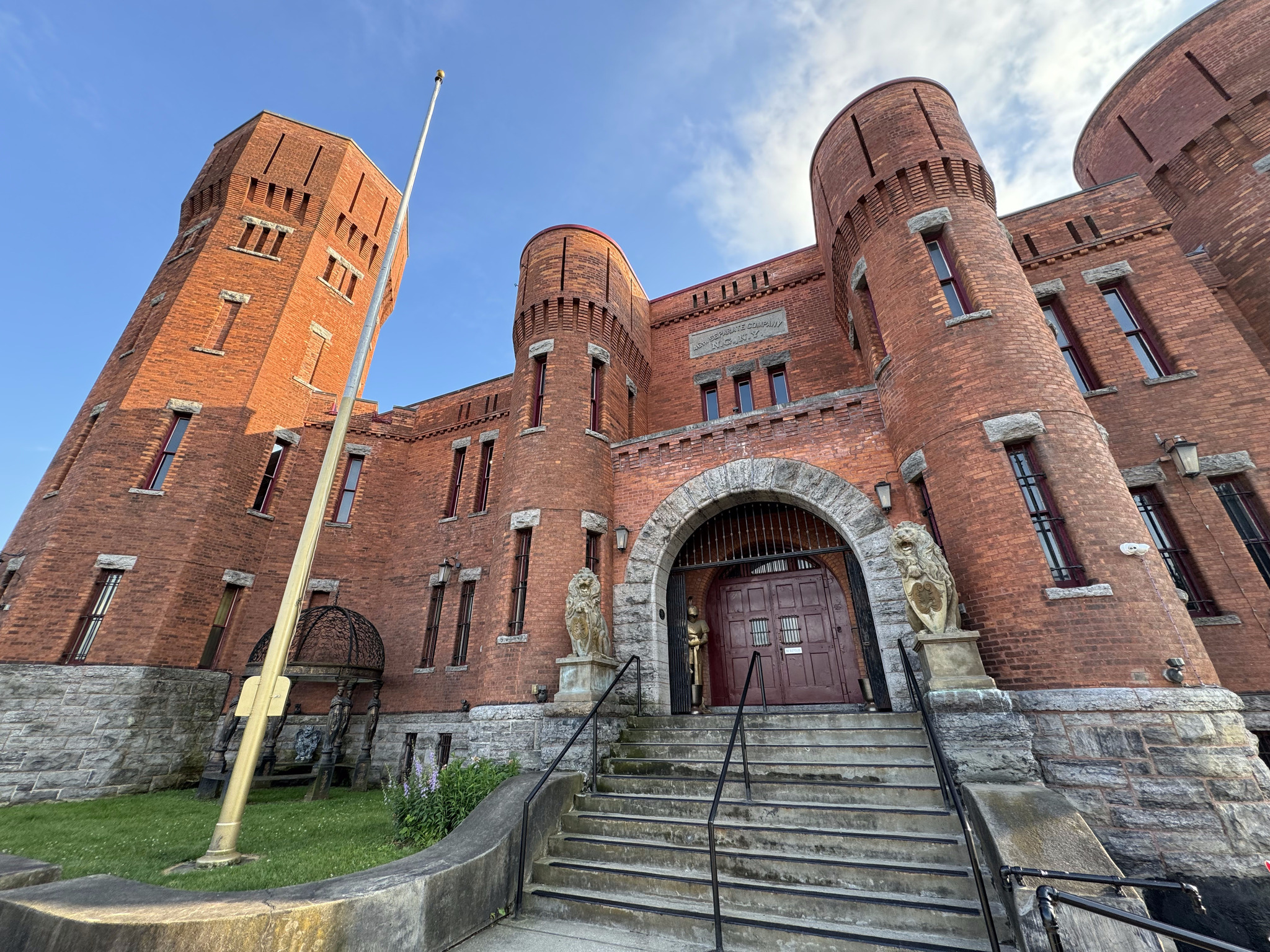
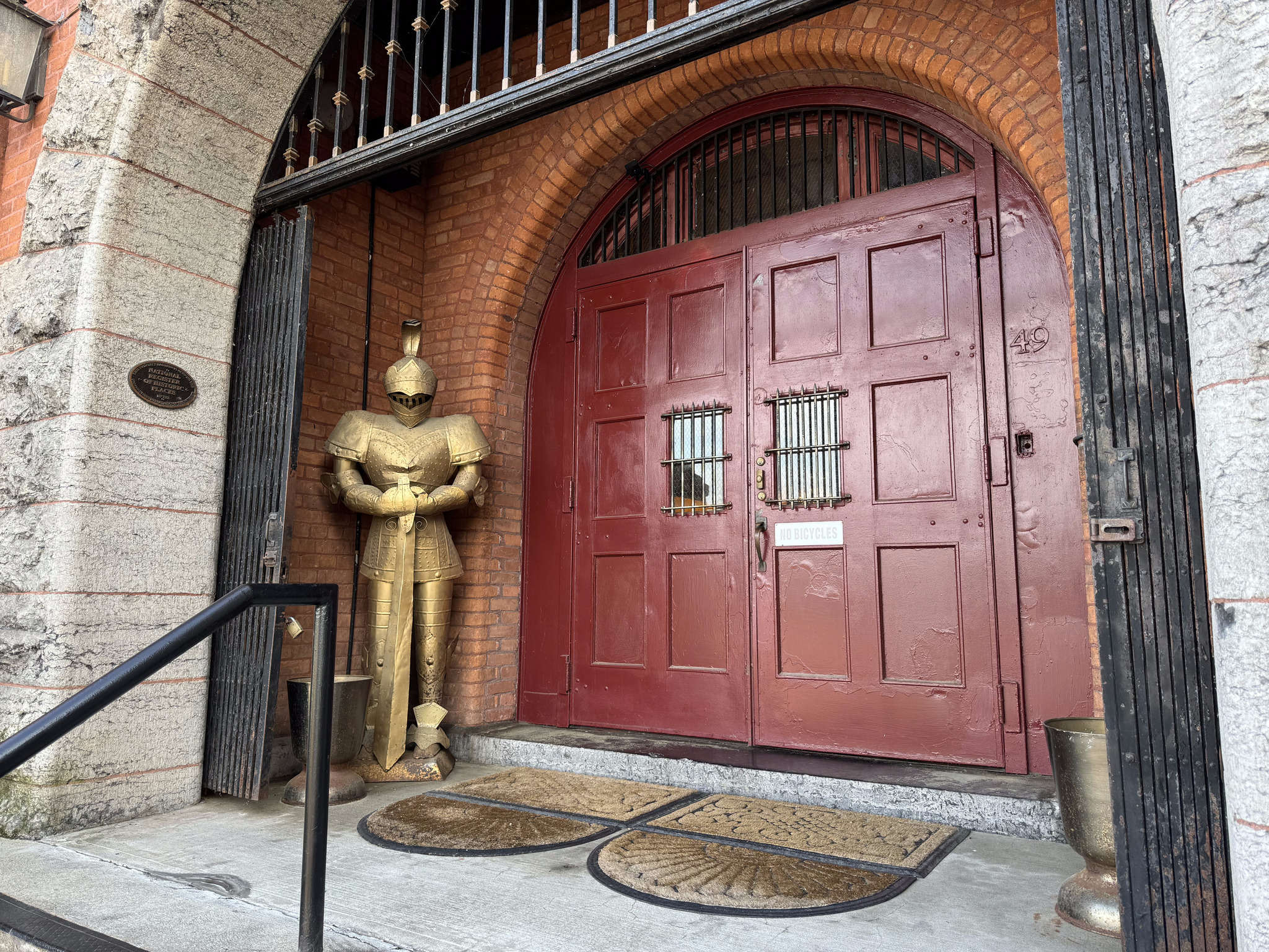
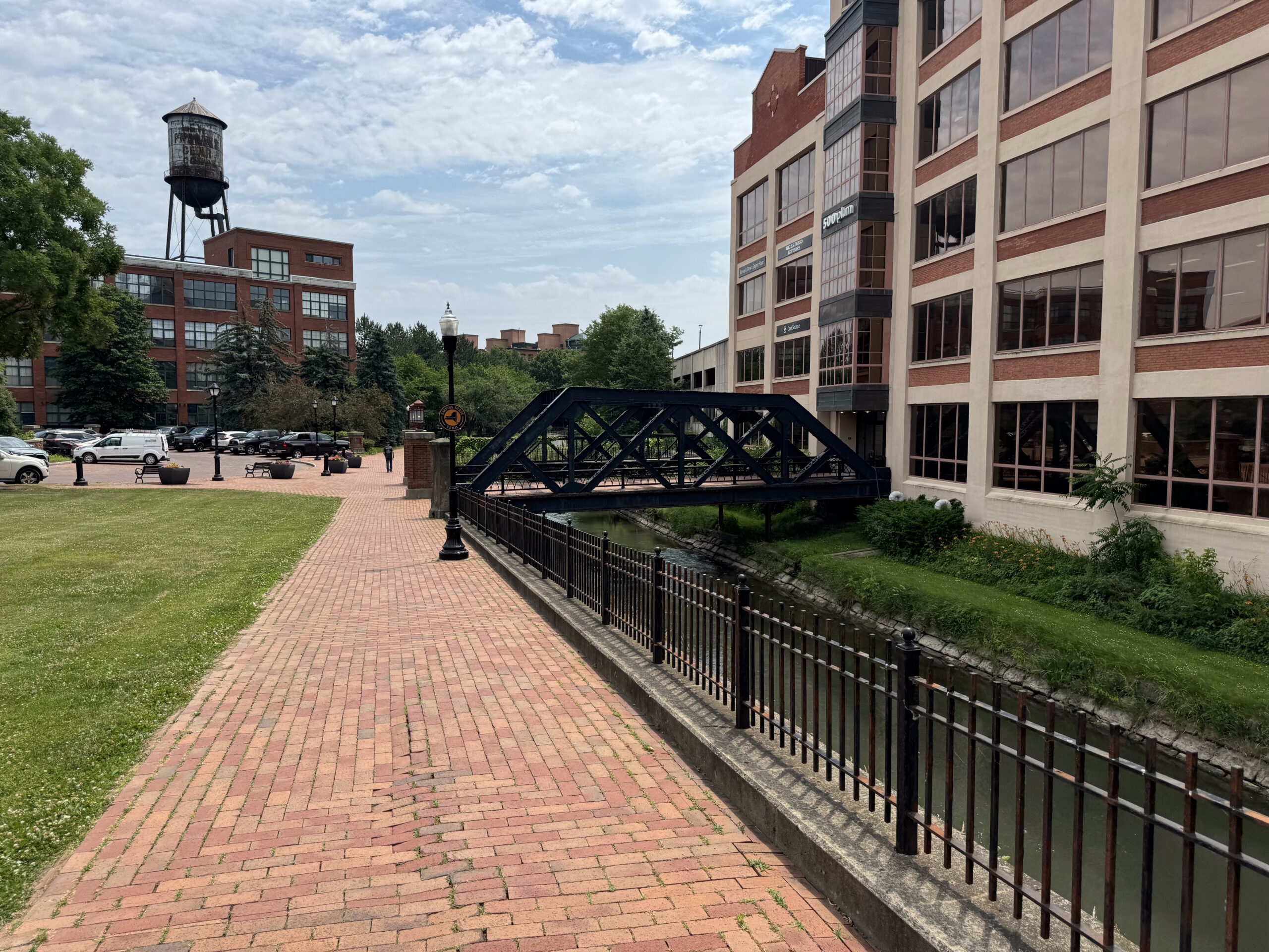
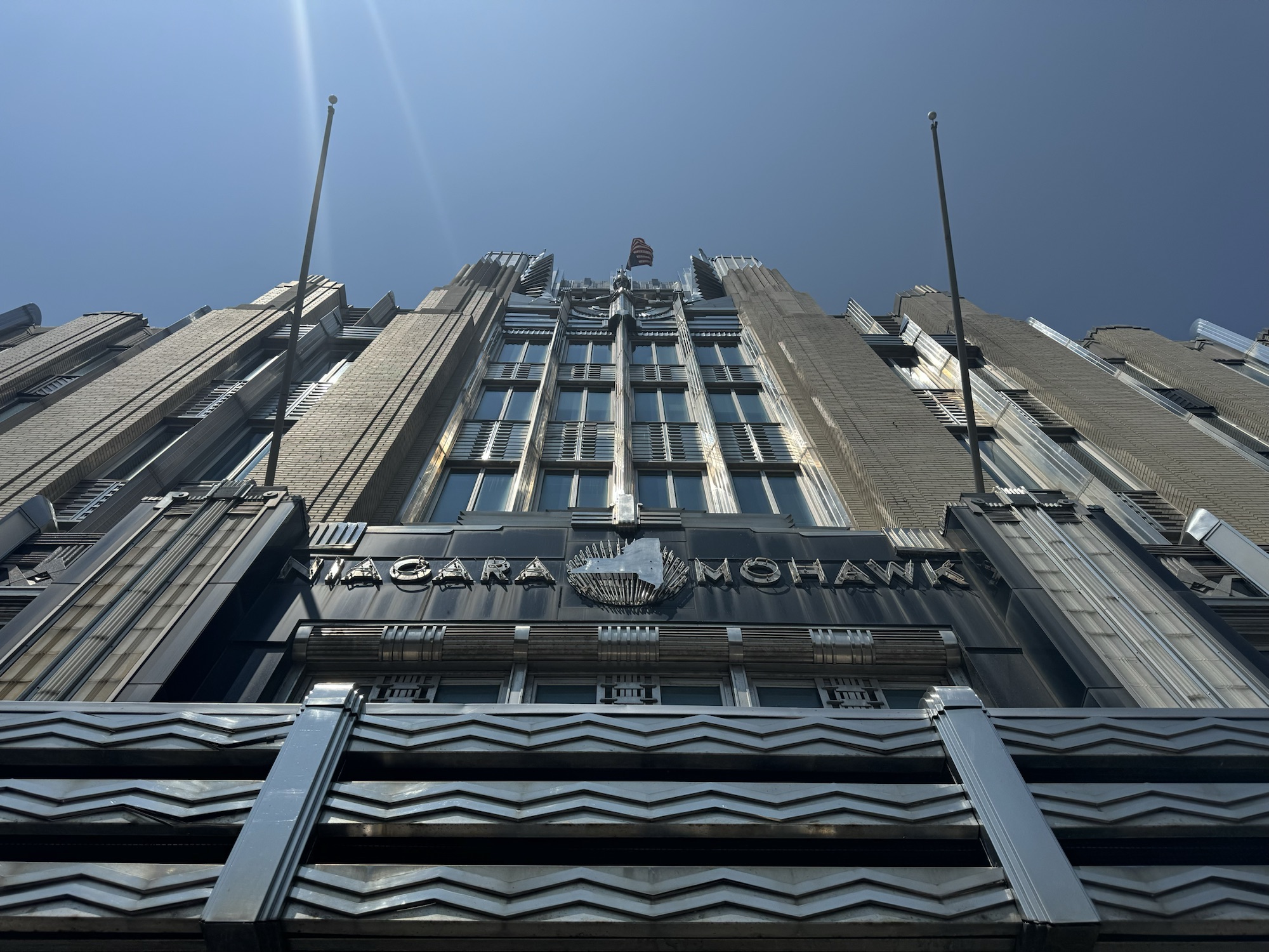
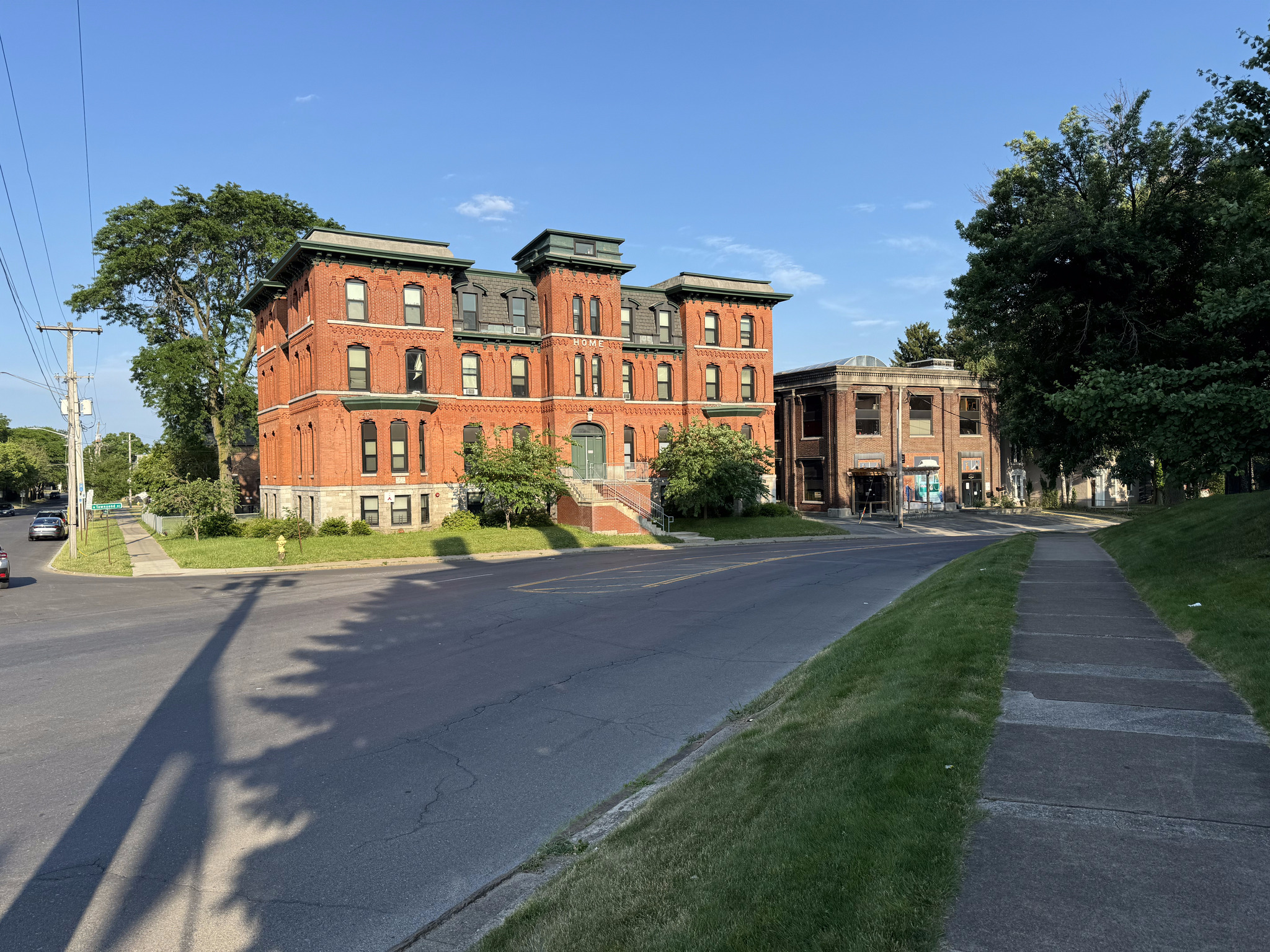
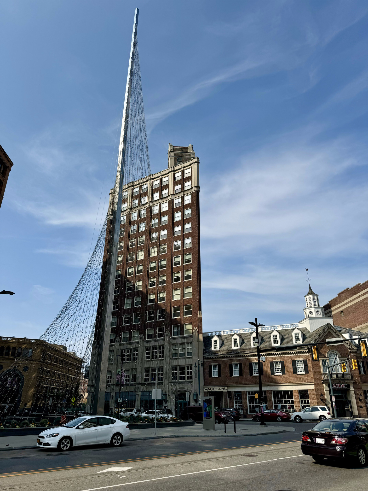
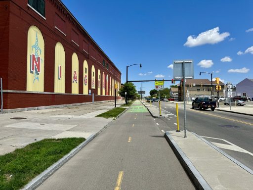
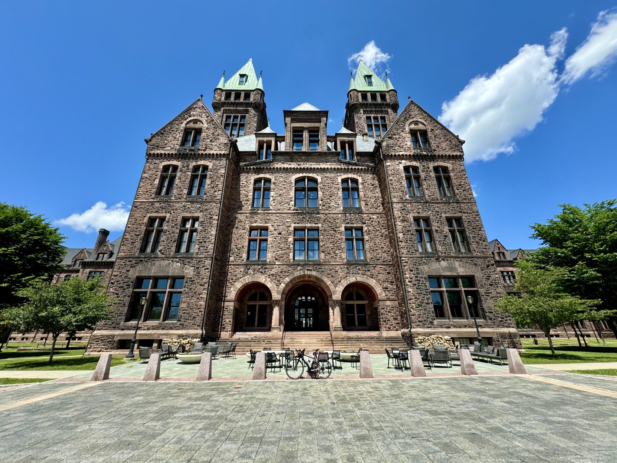
In addition to being a canal city, Albany was also a railway city, and the Delaware and Hudson Railway was headquartered in the building in this picture. It is now the State University of of New York (SUNY) System Administration building.

Albany is the capital of New York State. It’s population has been fairly stable at around 100,000 for several decades, but it did suffer some population loss from its high in the mid 50s, although not nearly as much as Buffalo and Rochester did, likely due to the high number of government jobs because of it being the state capital.

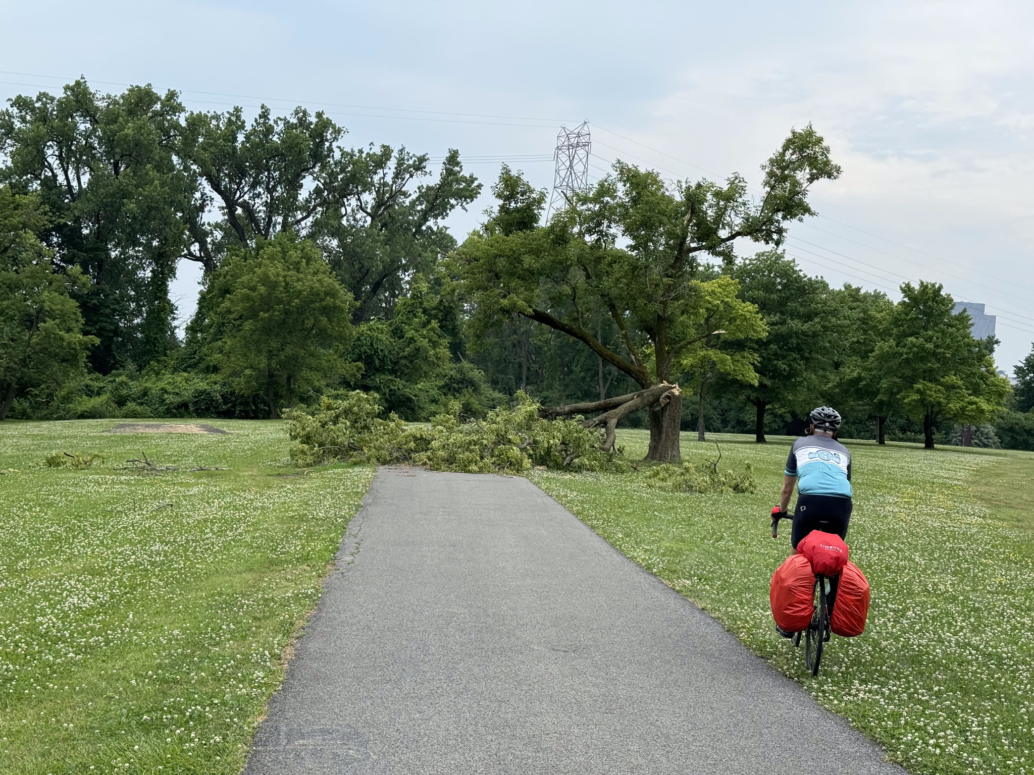
That was our main destination for sightseeing for today, but we stopped at a few things along the way.

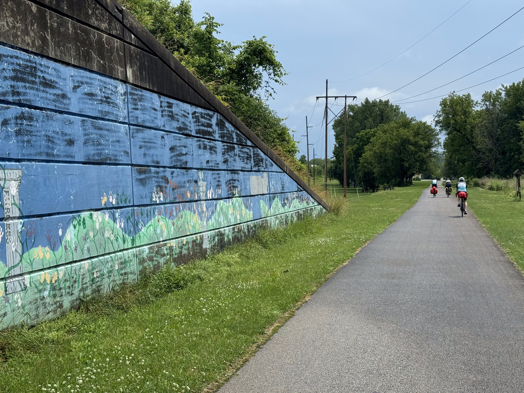
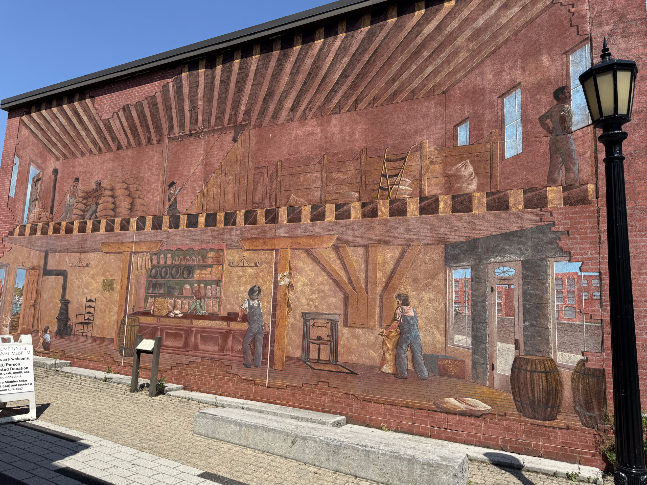
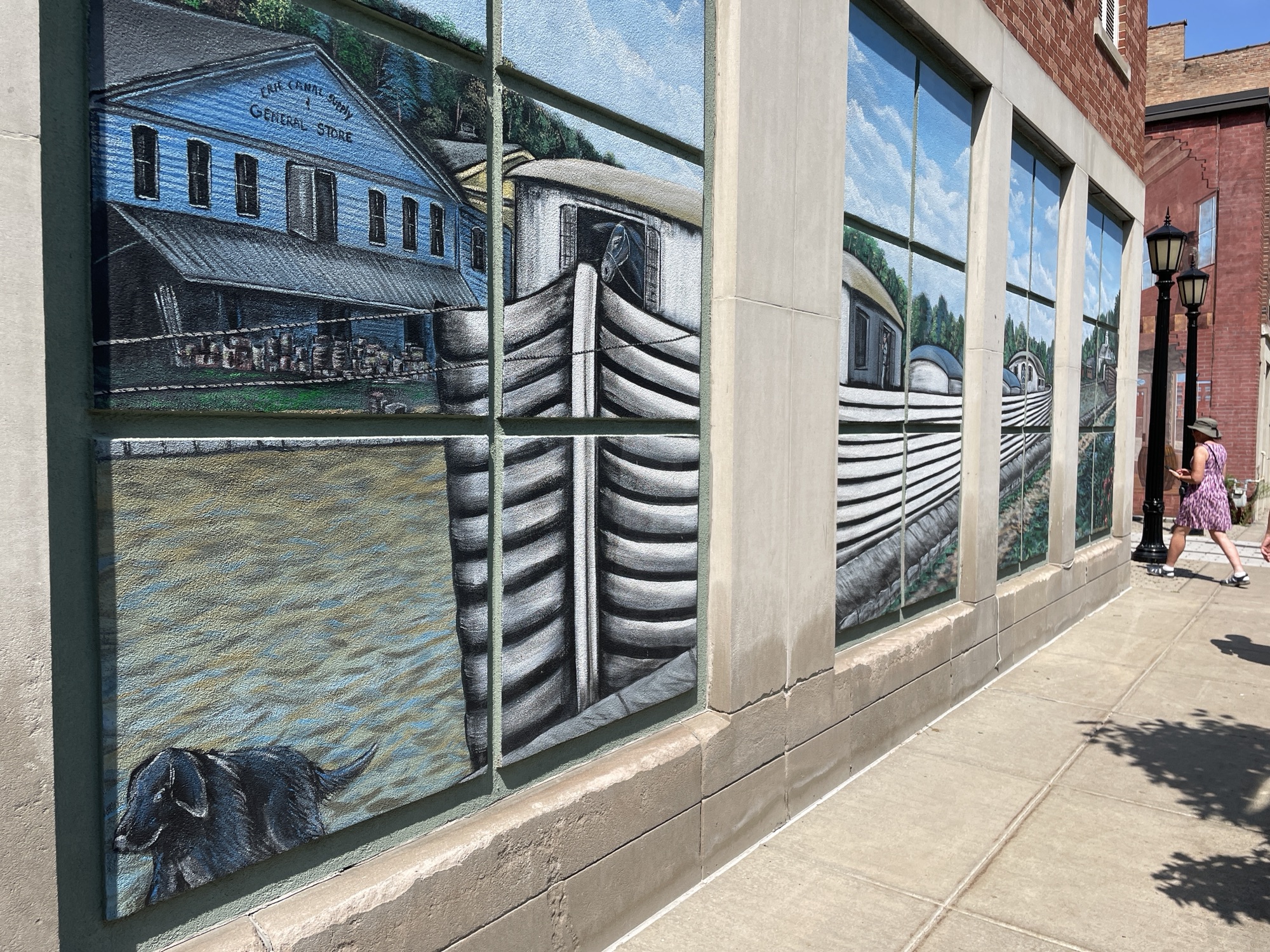
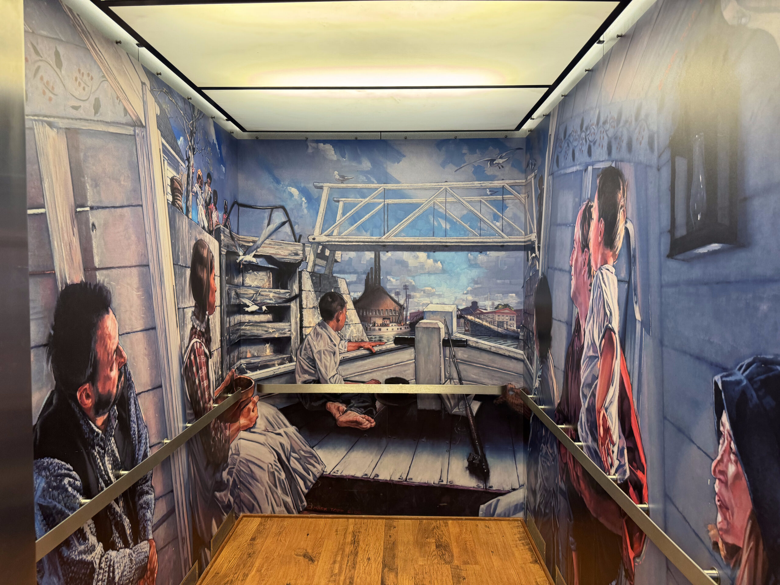
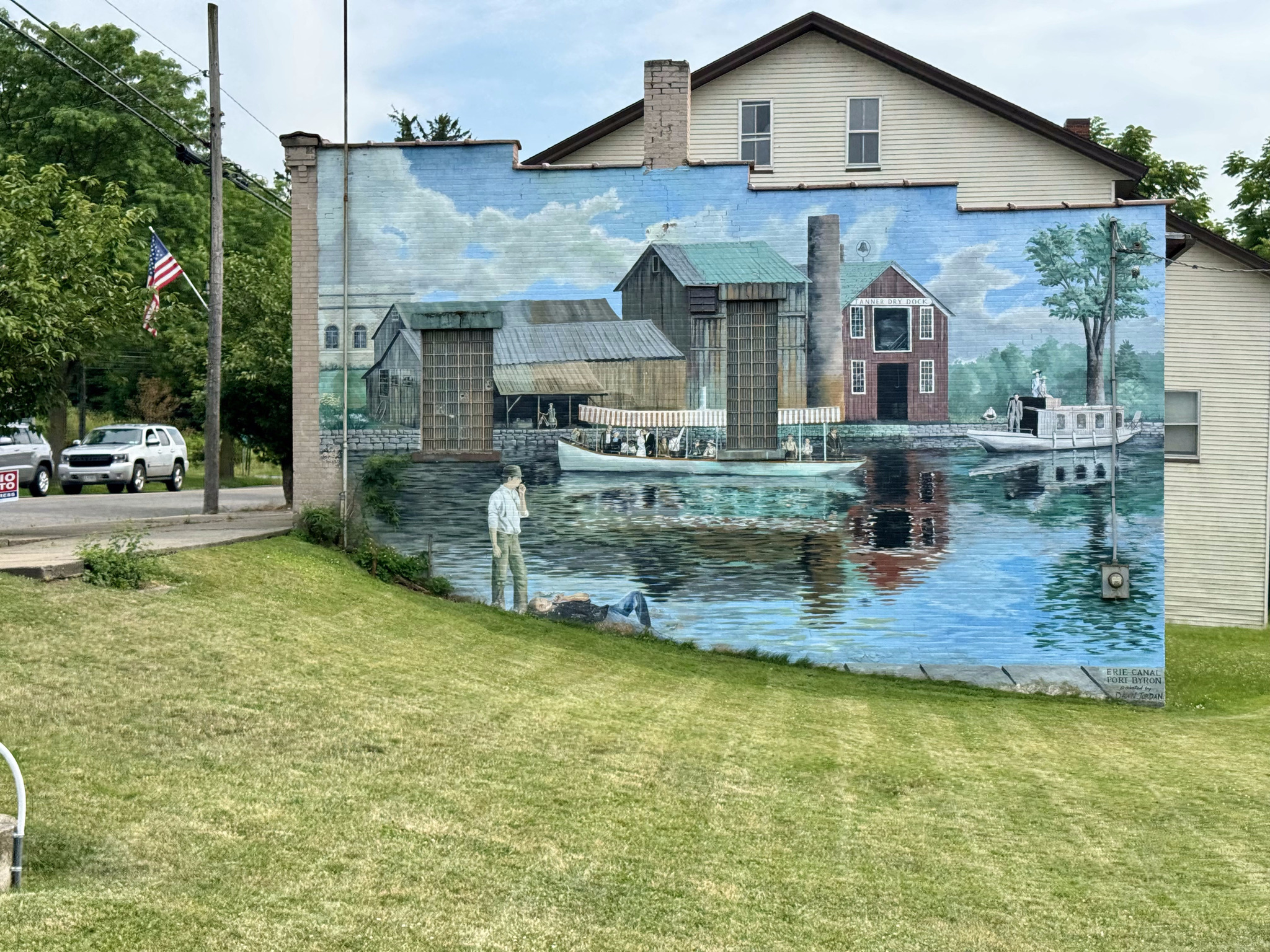
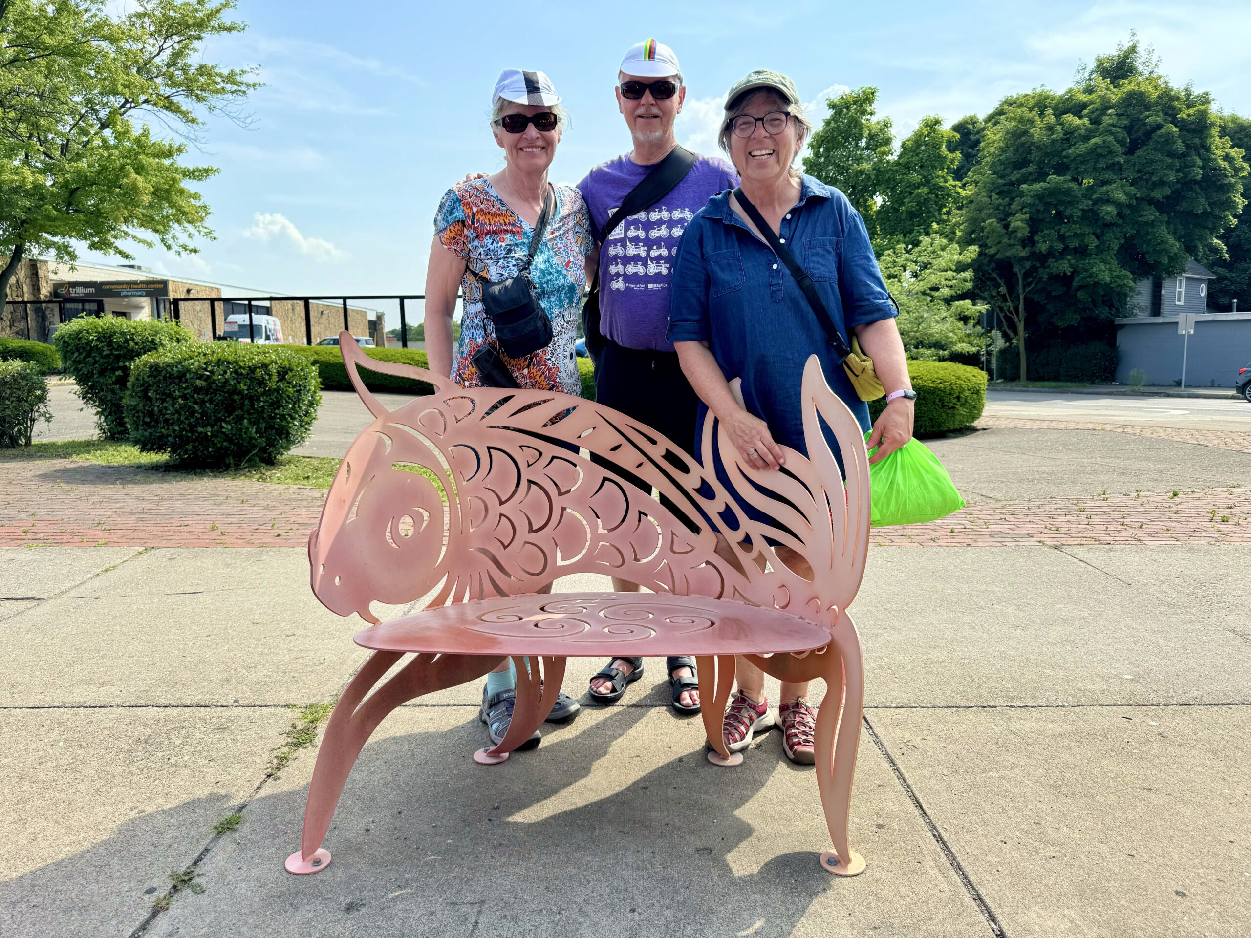
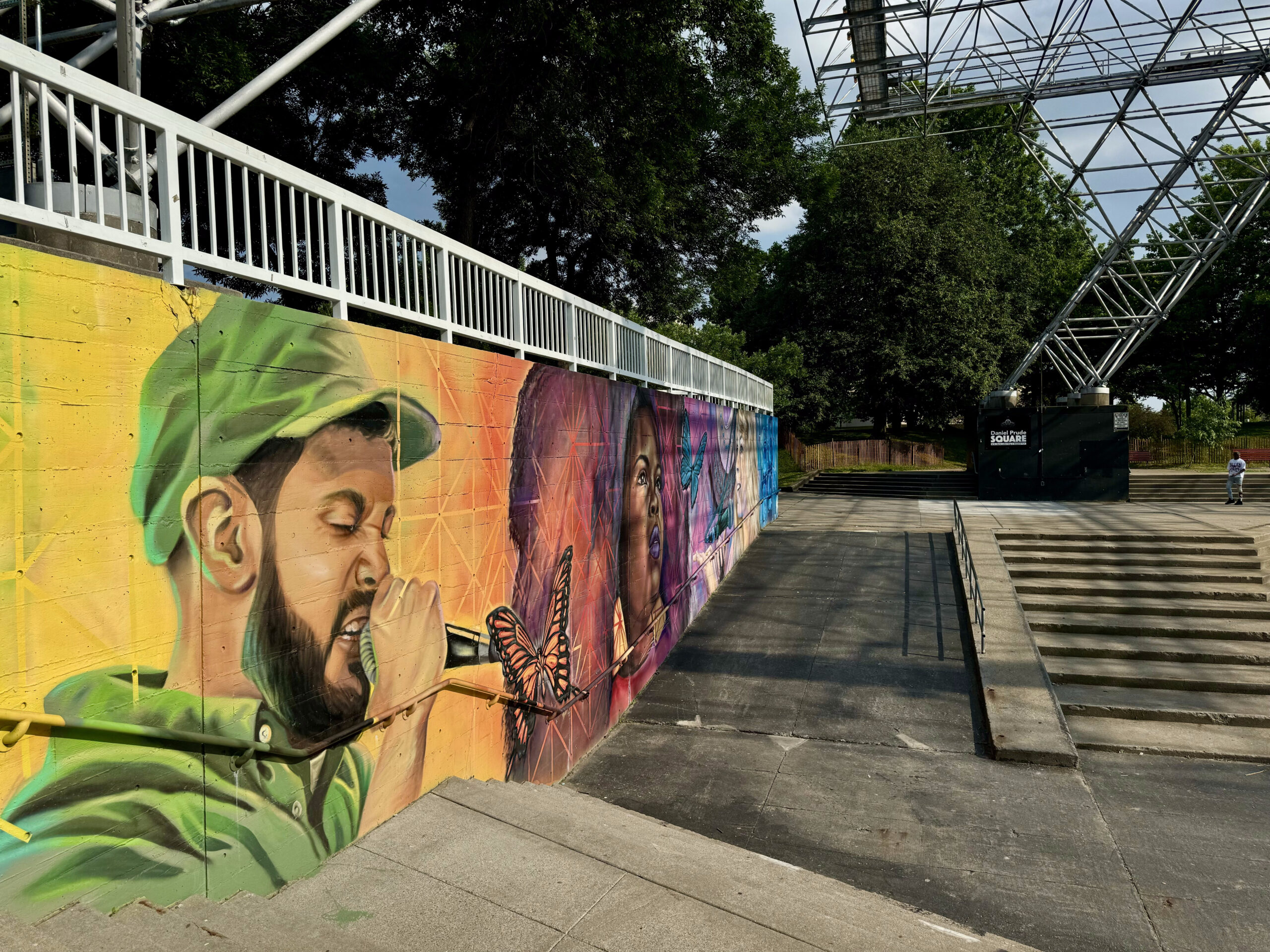
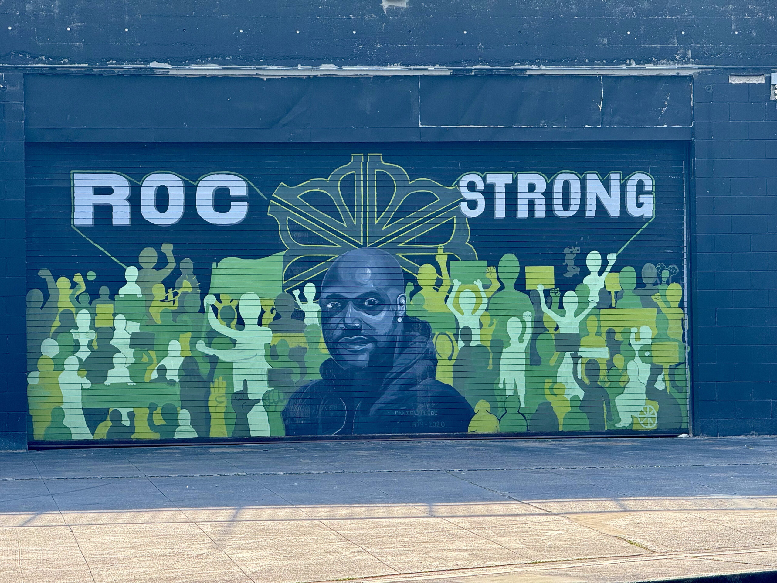
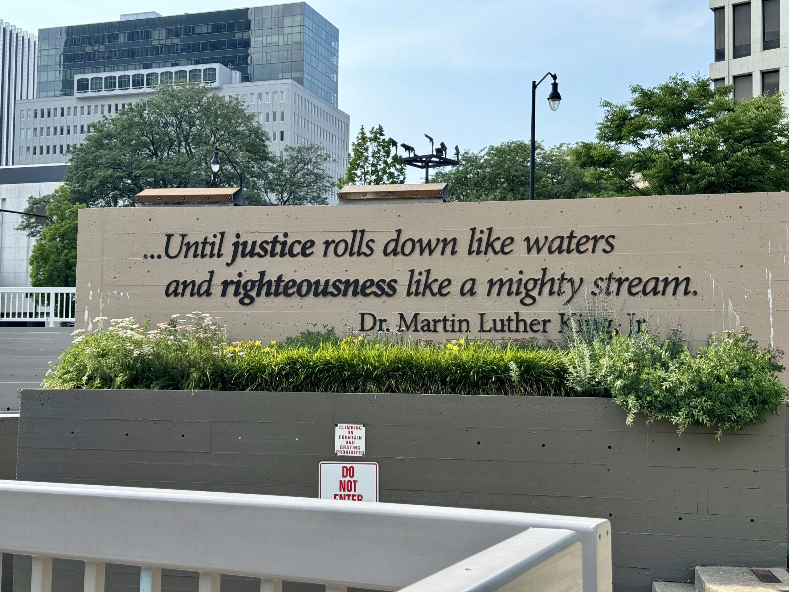
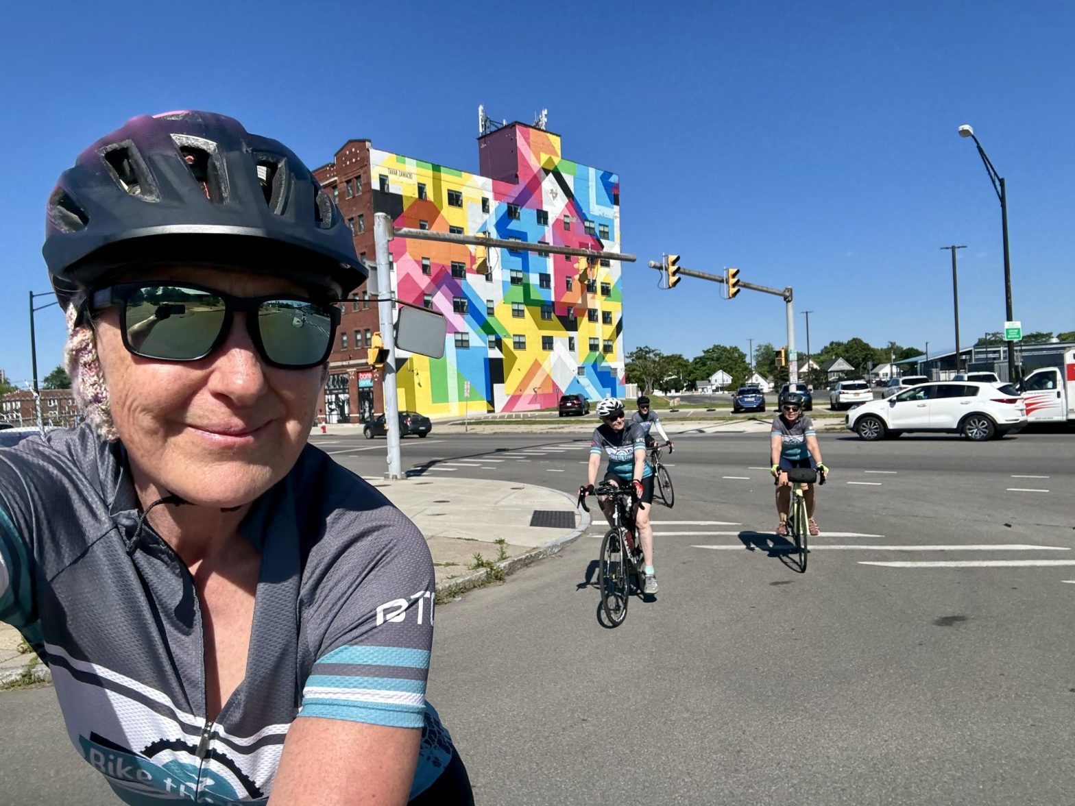
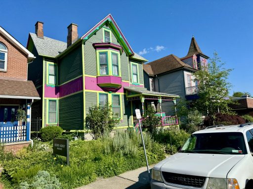
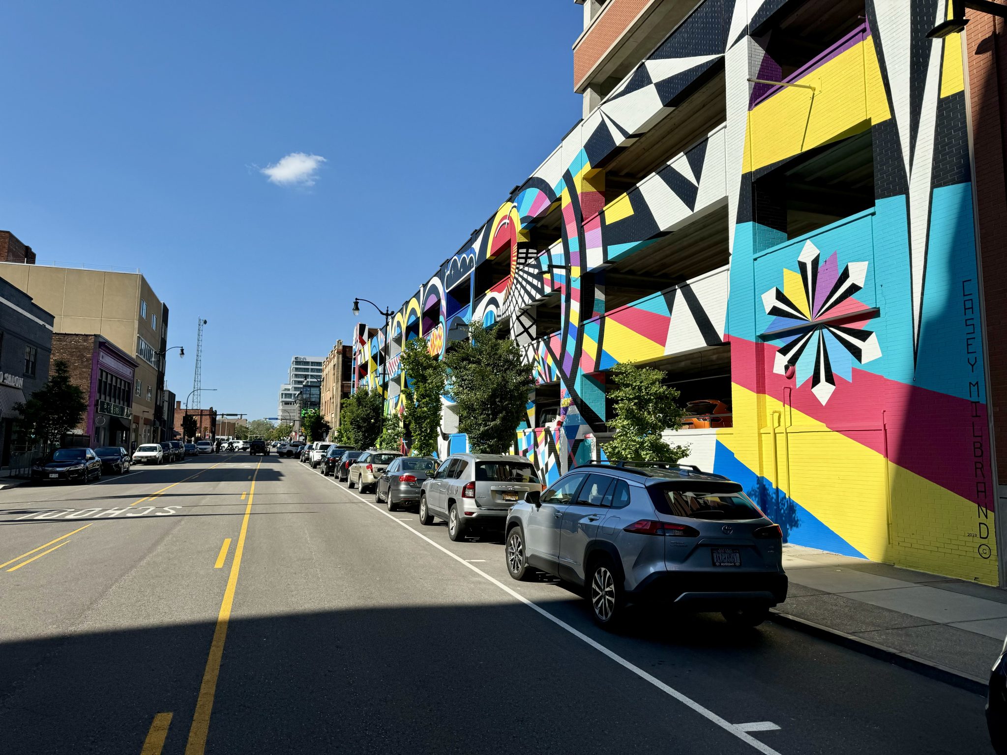
I’ve noticed in my travel over the last few years that many cities have webpages about their public art, which is something I enjoy visiting, so this is a very useful resource. Albany has a page which we were able to use it to locate some public art to look at on our way to the capital district. There are quite a few murals because of the capital walls project, and we saw many of them enlivening the city as we walked around.

William Street was on the way – the downtown Albany Business Improvement District added lights and colours to create a connective corridor. It’s called “Meet Me in the Middle” by local artist, Eugene O’Neill.

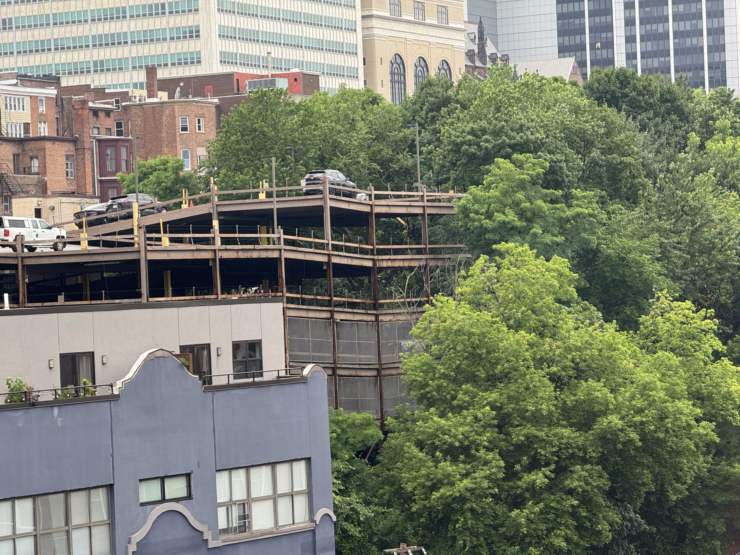
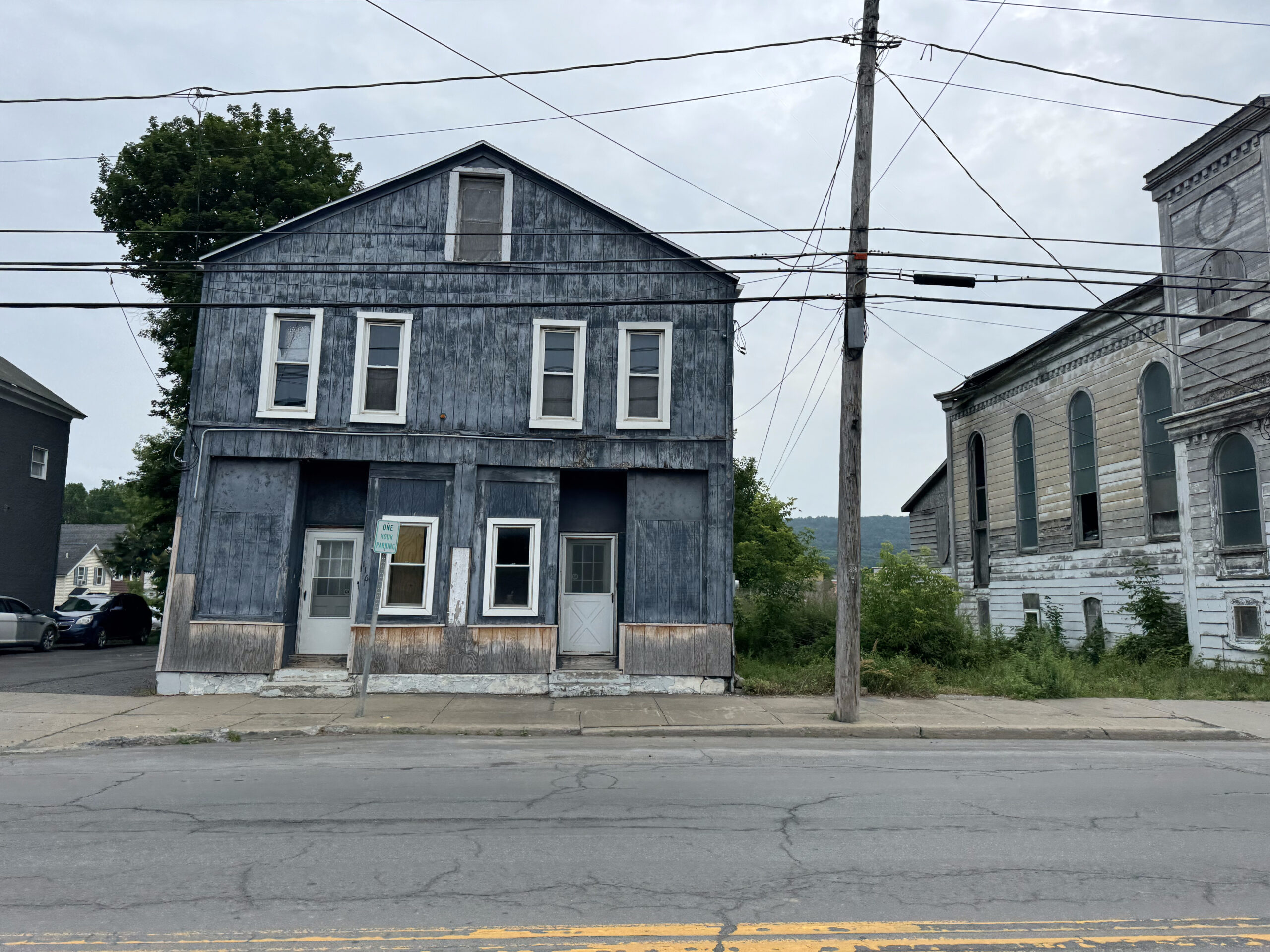
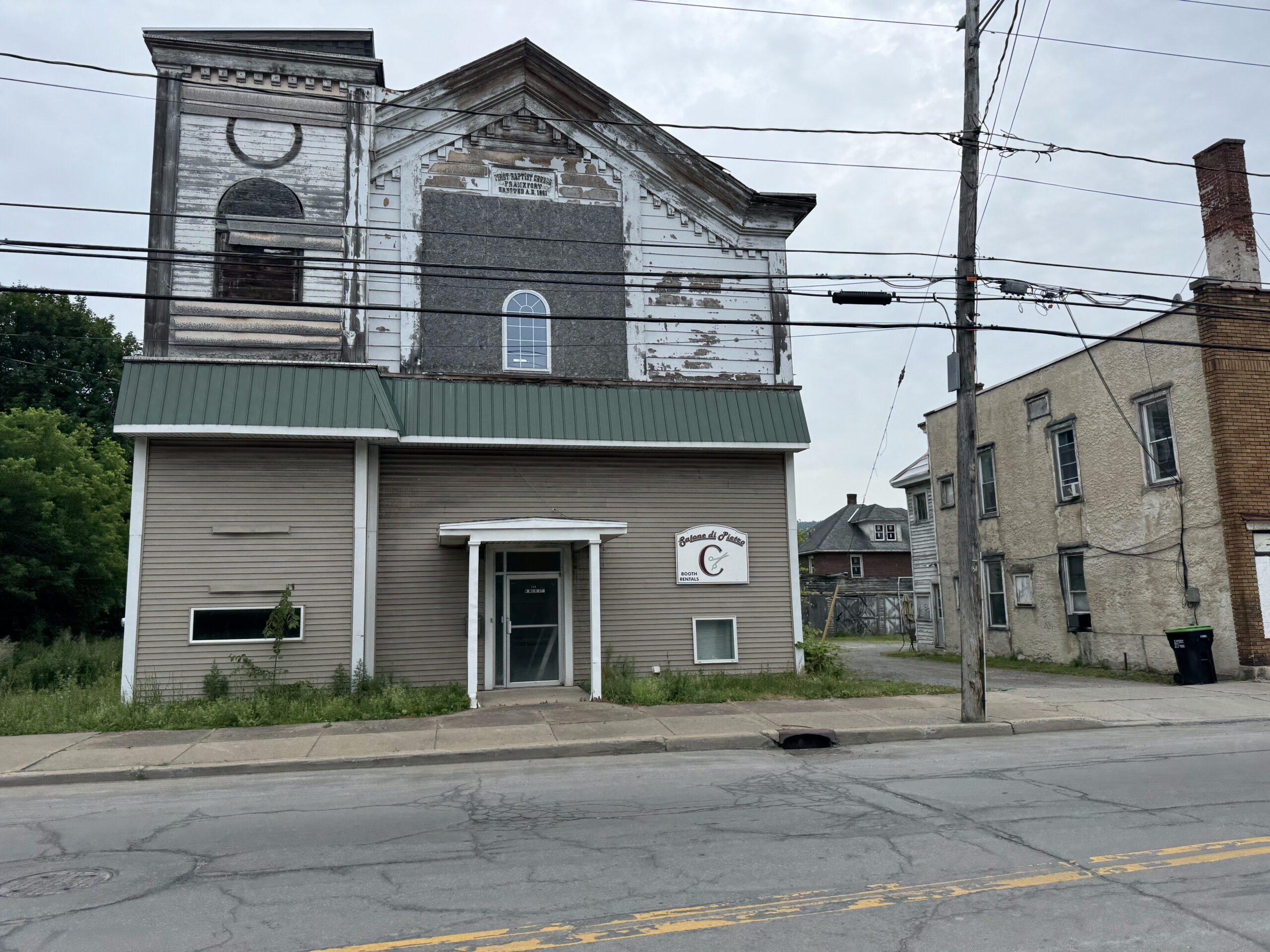
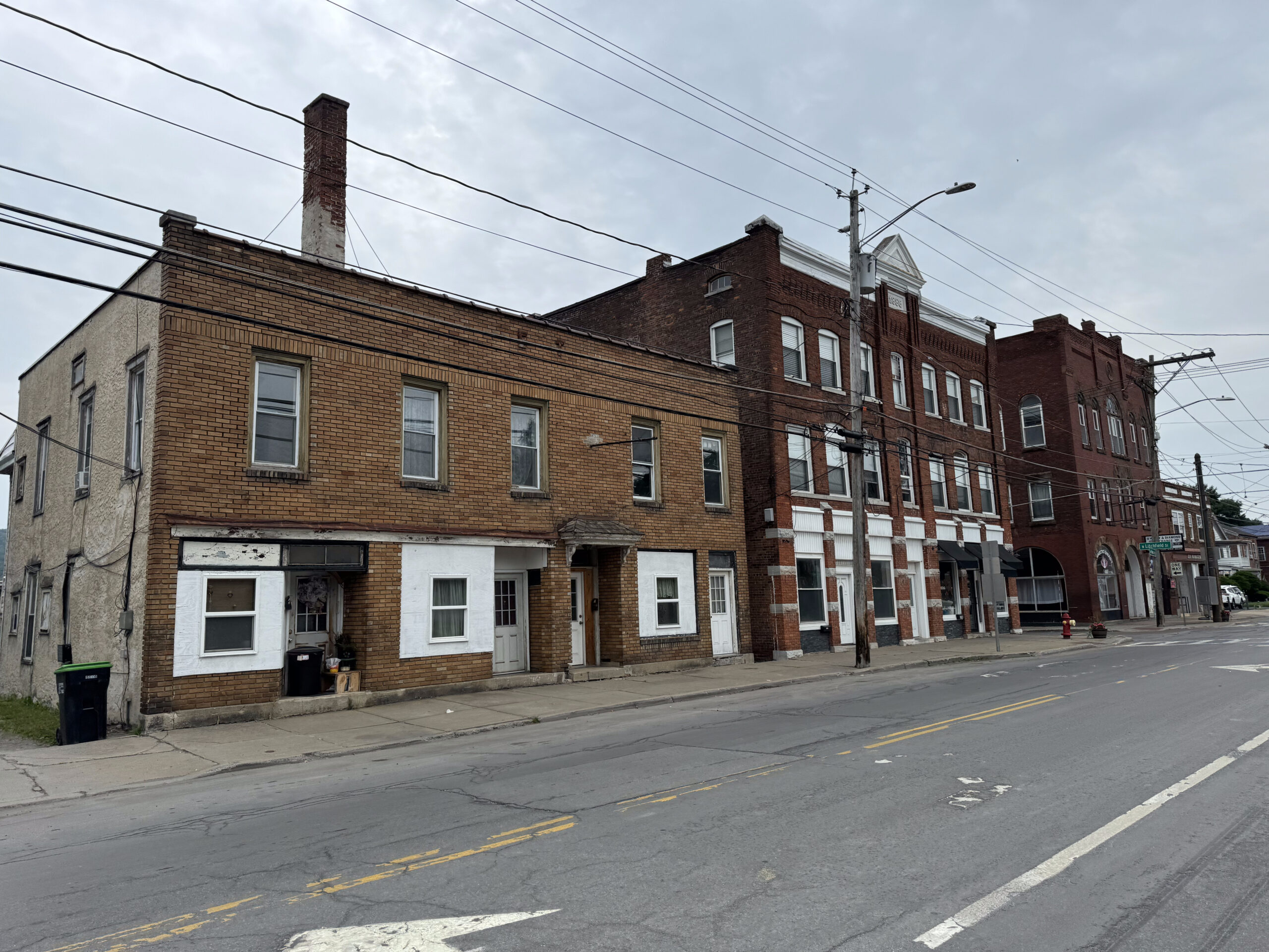
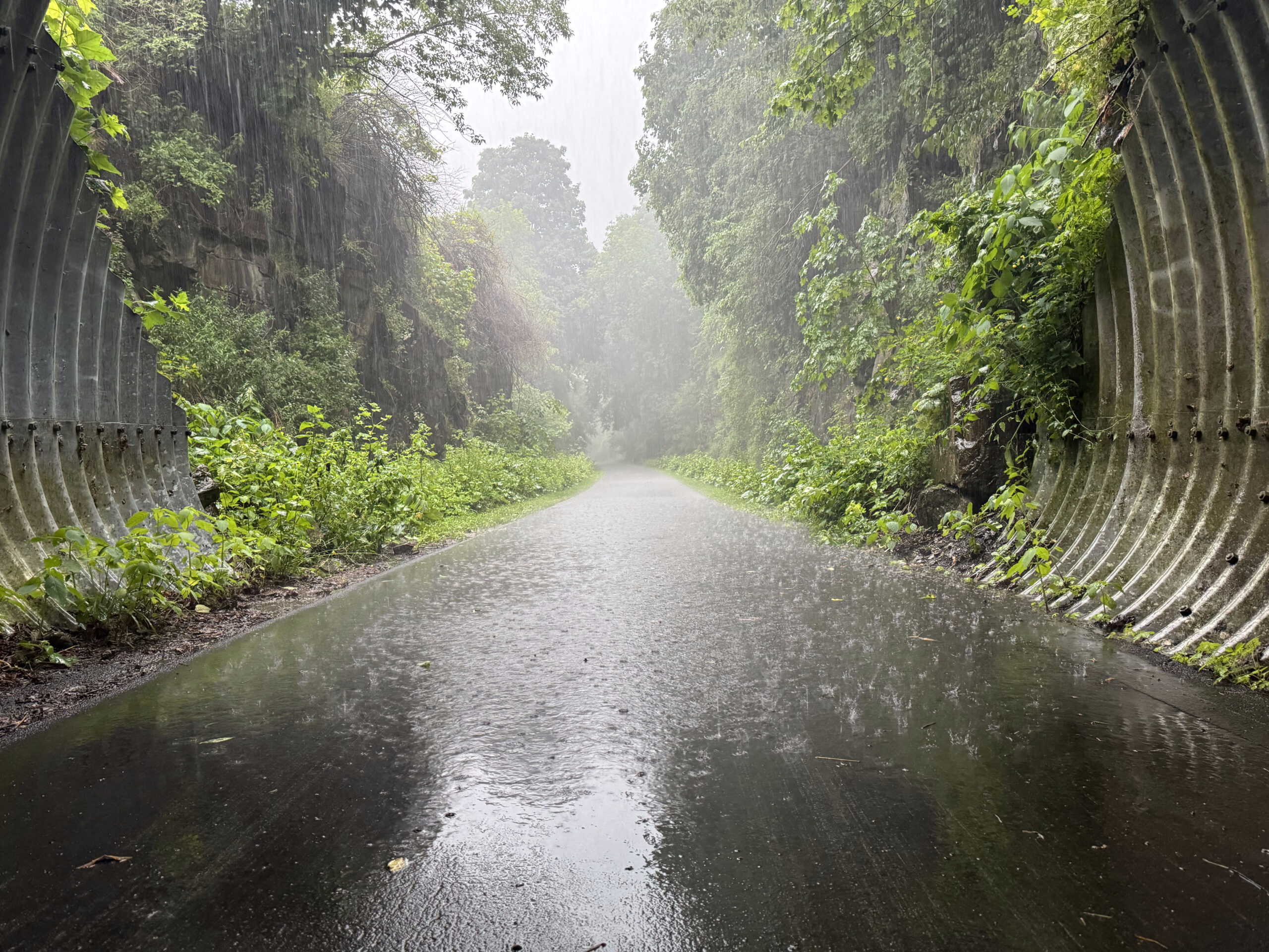
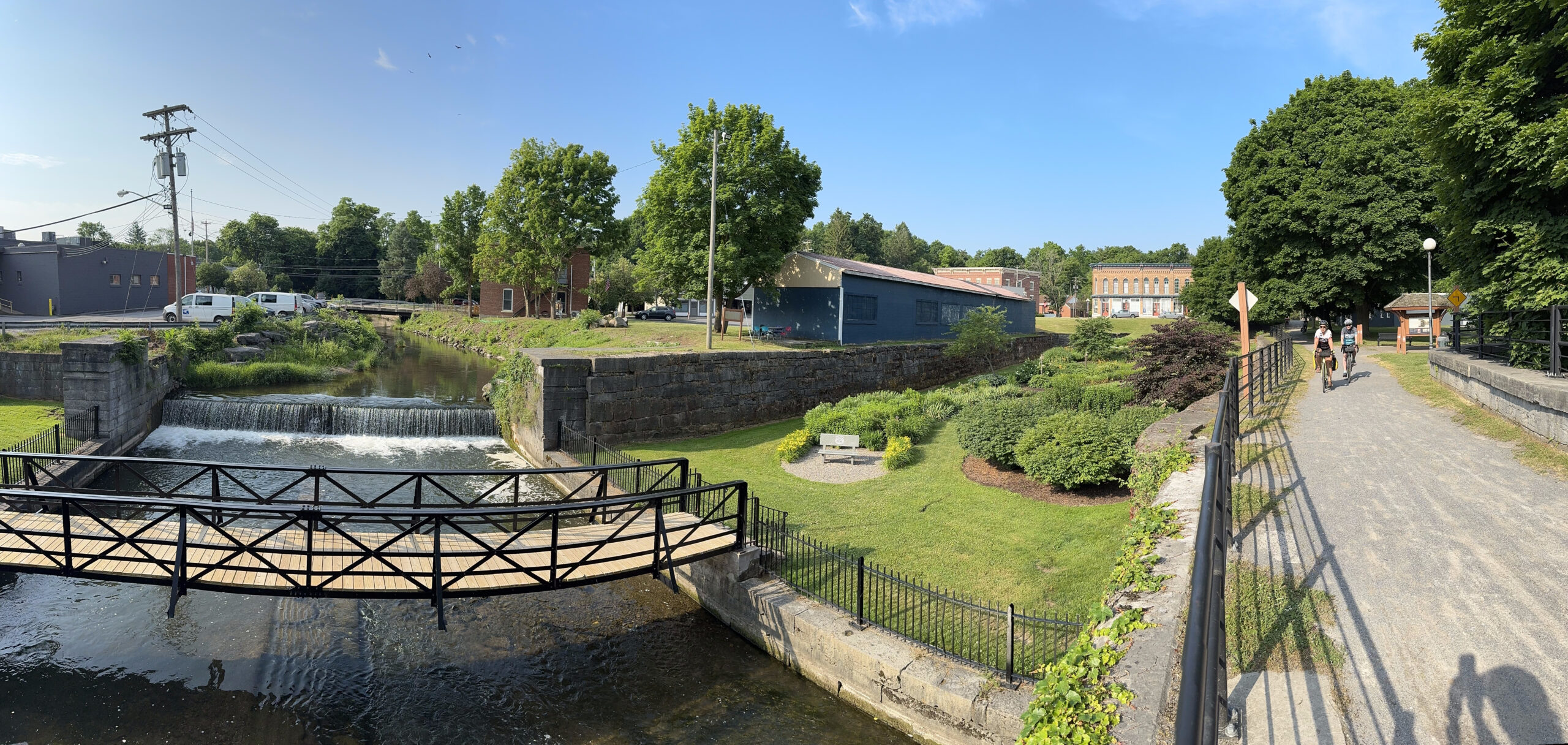
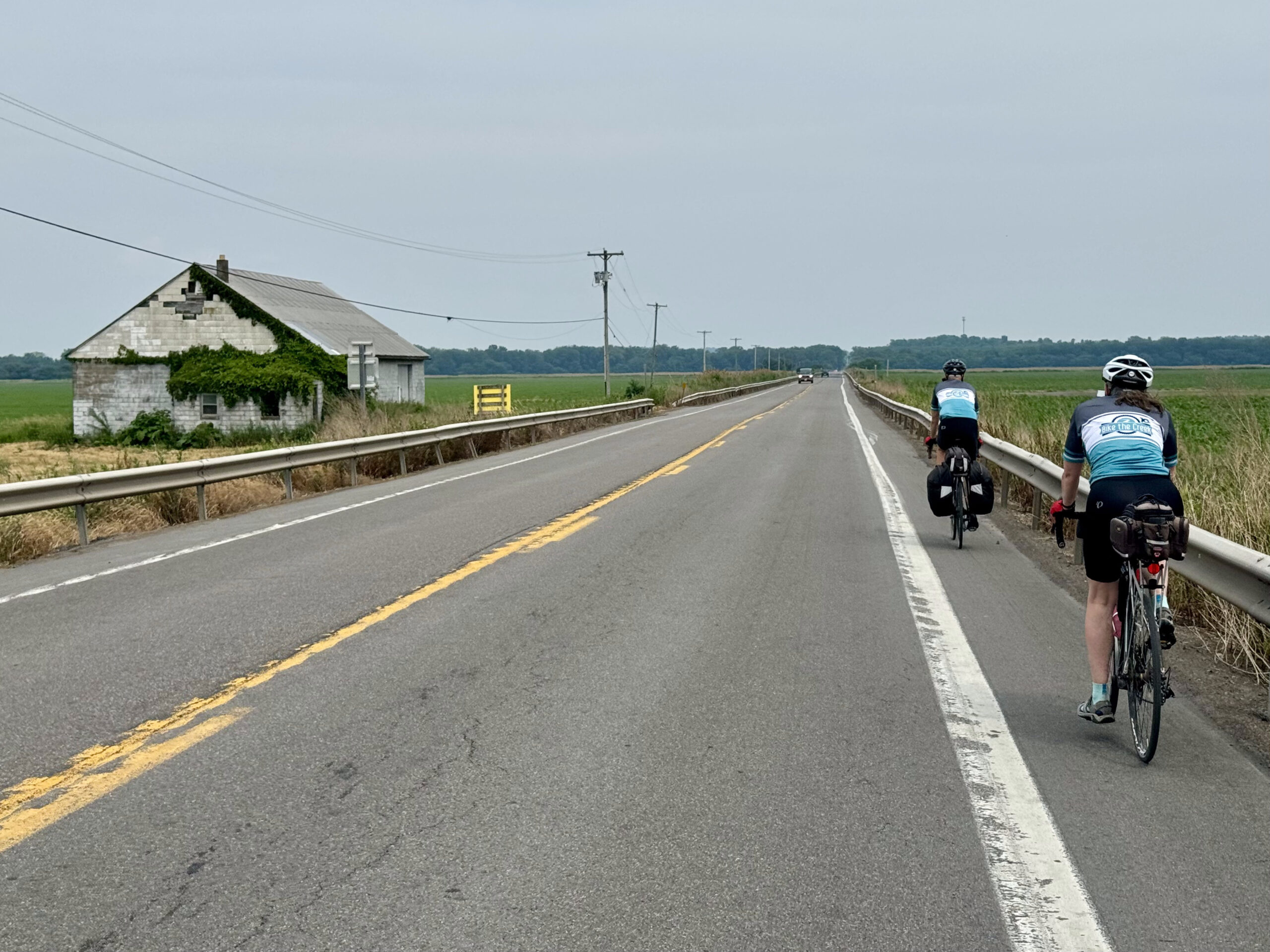
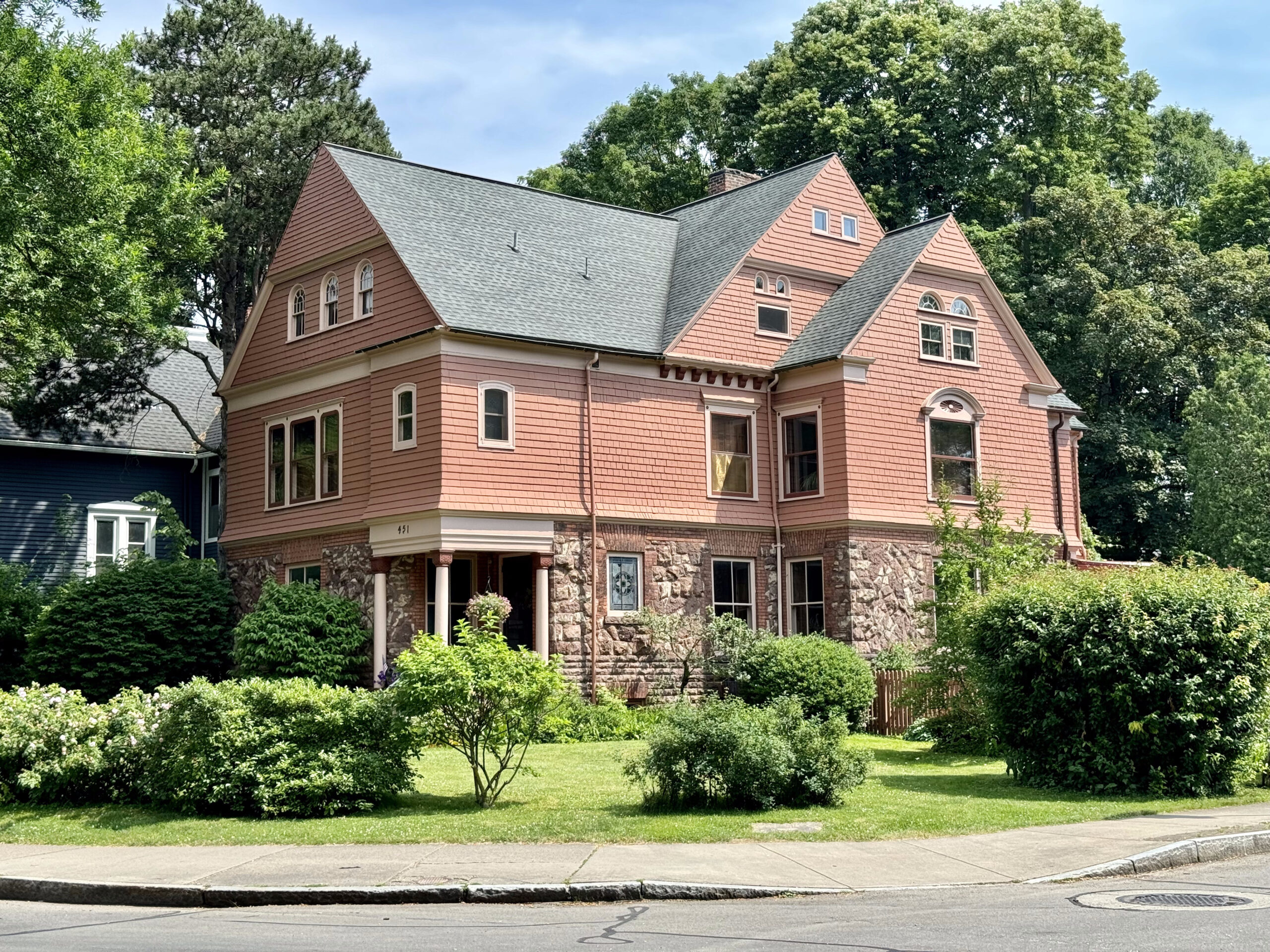
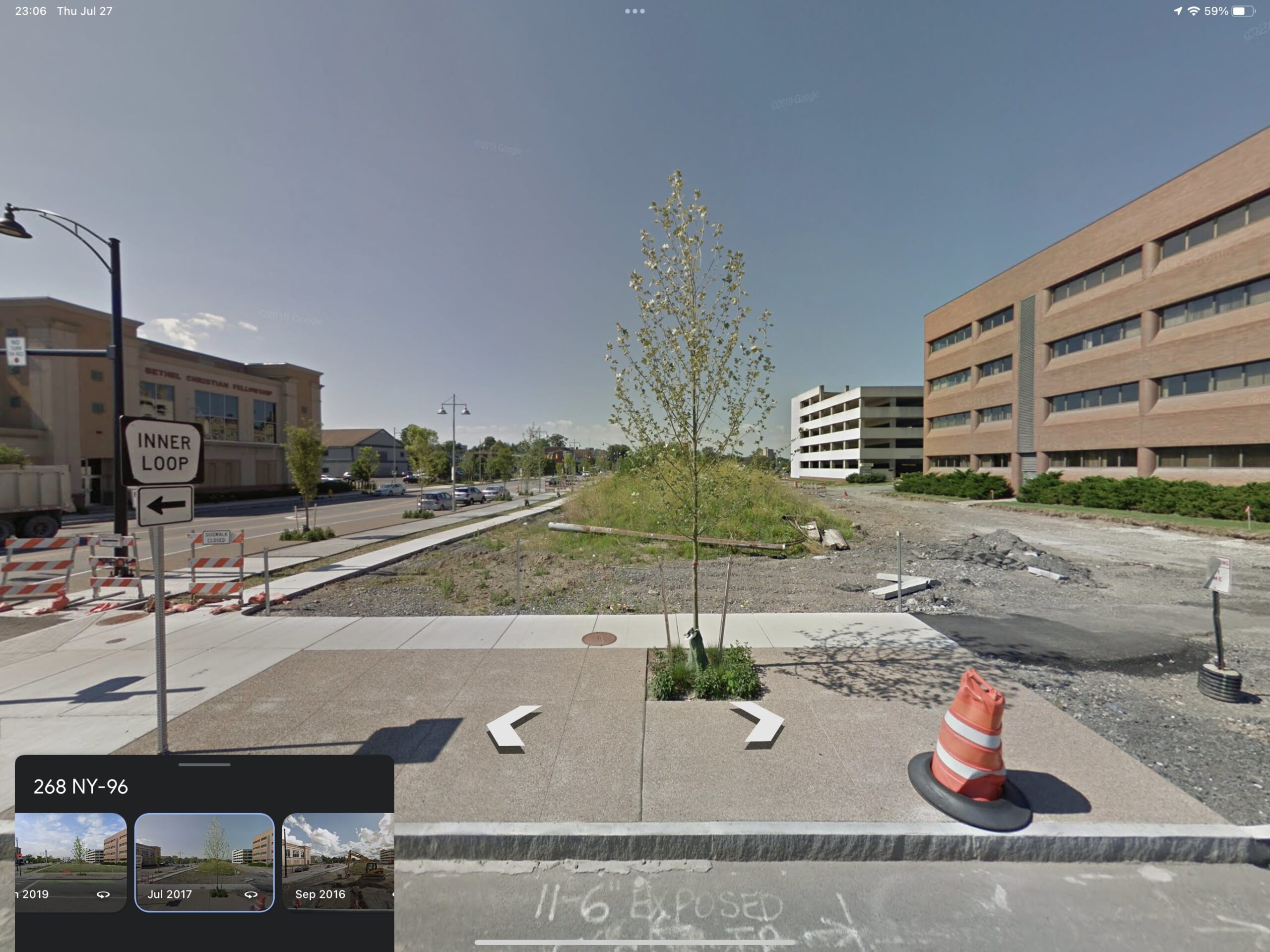
Between William Street and the very impressive capital district was this abandoned property. Like so many rustbelt cities Albany feels very empty and has empty lots and abandoned buildings, with over built roads, and not much traffic. Although, Albany might feel particularly empty right now in the summer with the legislature not operating.

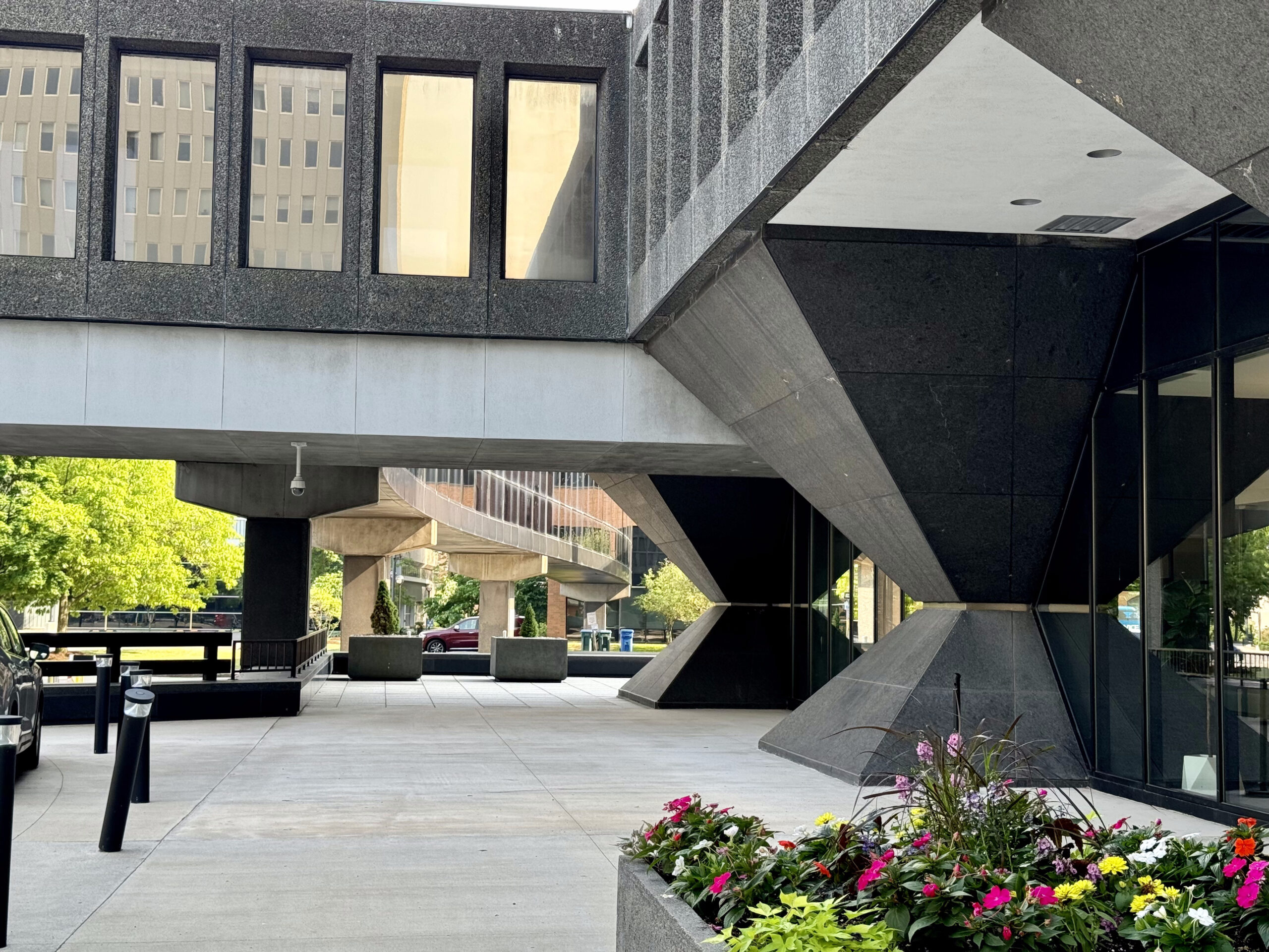
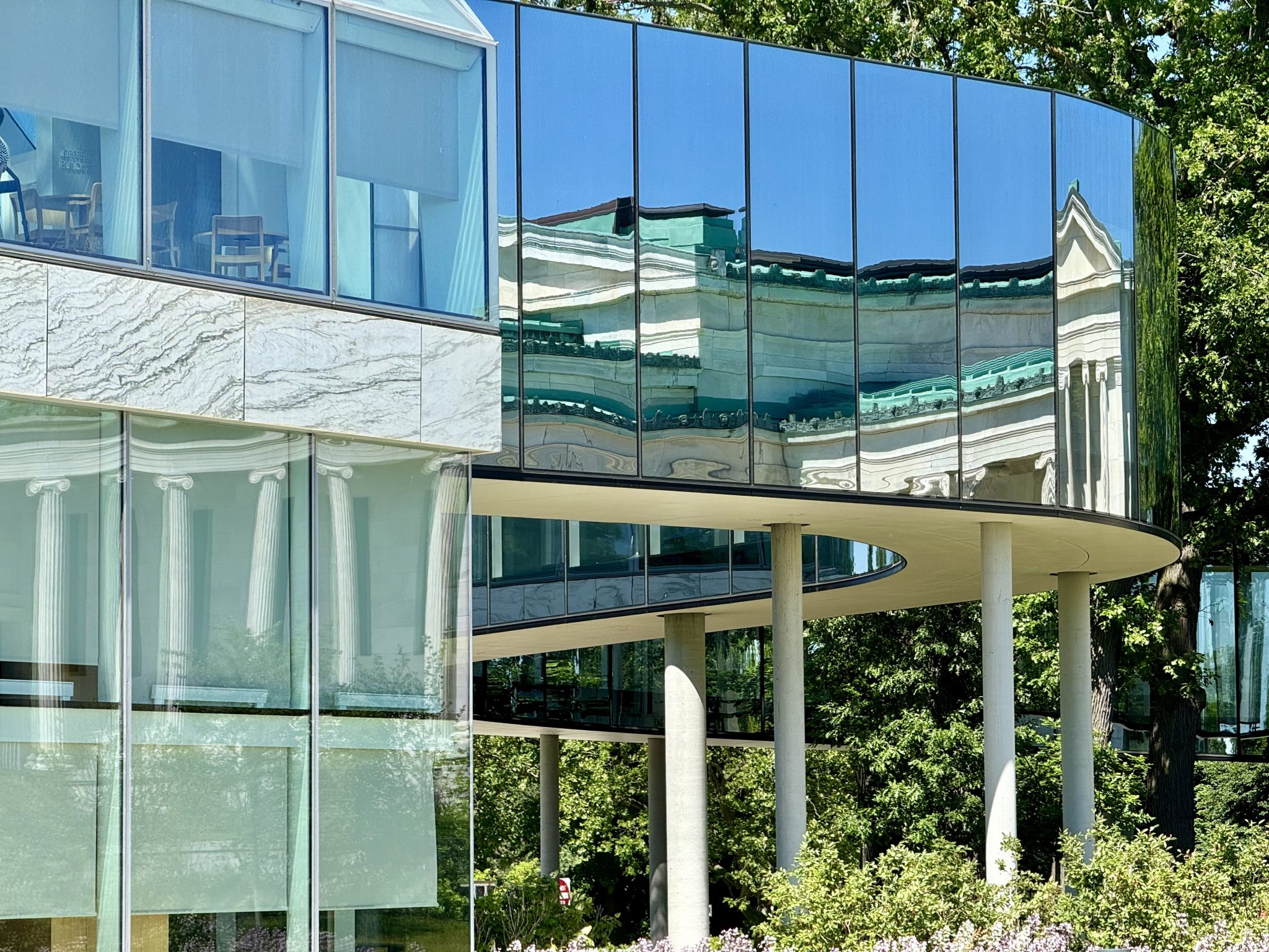
As one approaches the New York State Empire Plaza it has the appearance of a walled or fortified city.

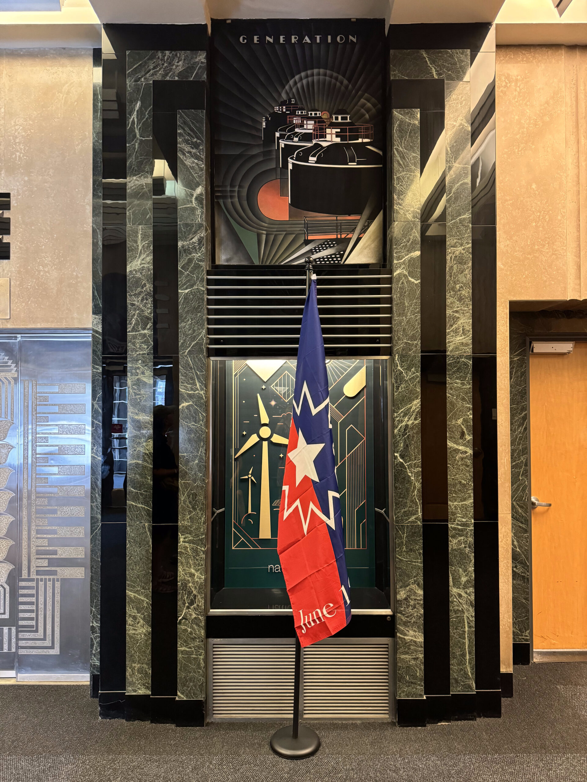
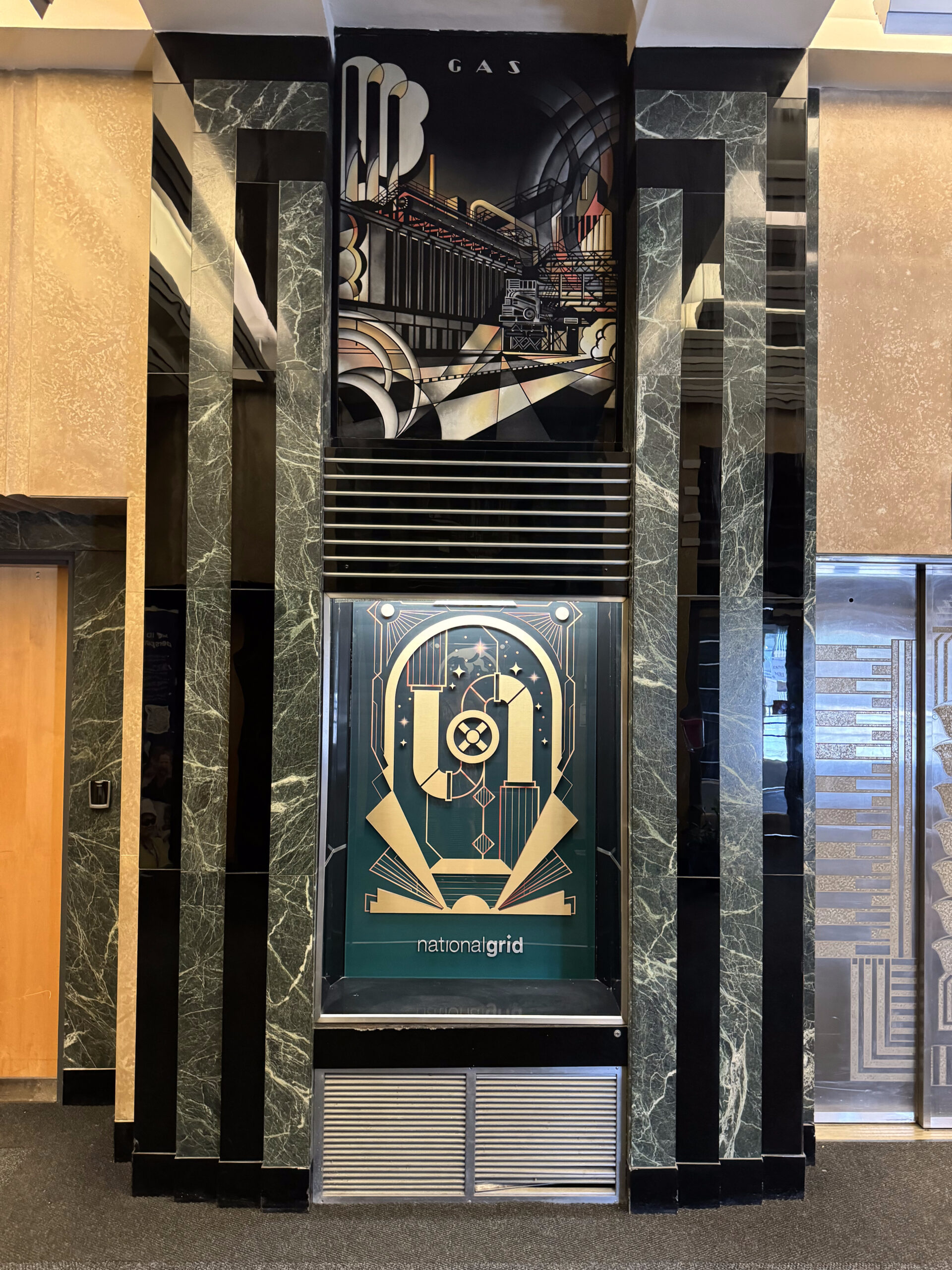
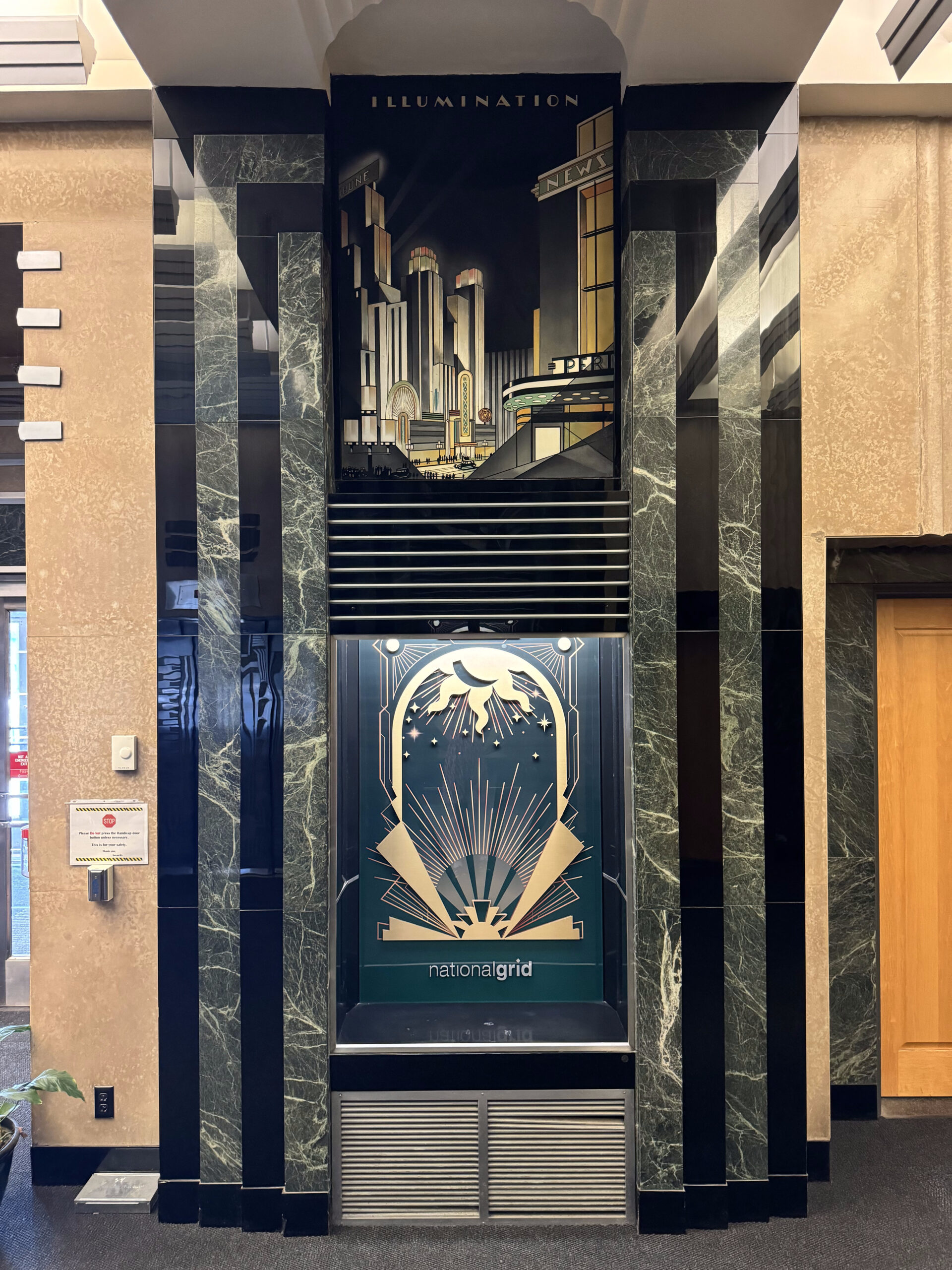
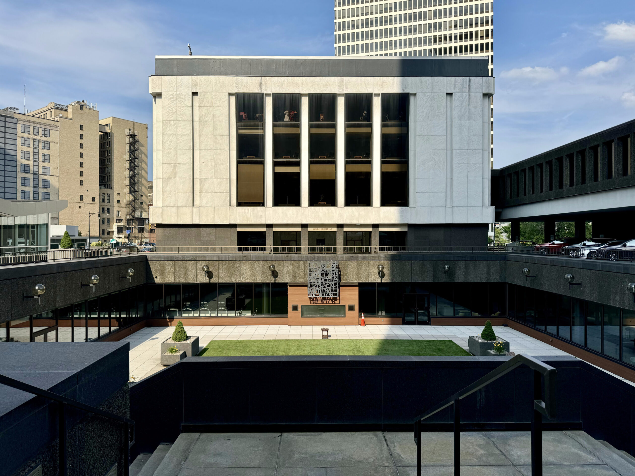
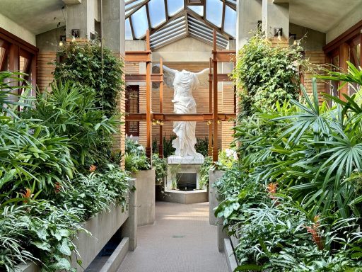
The New York State Empire Plaza concourse connects all the buildings of the state plaza and is known as Albany’s “Underground City” and has food courts, banks, a post office and public art and sculptures.

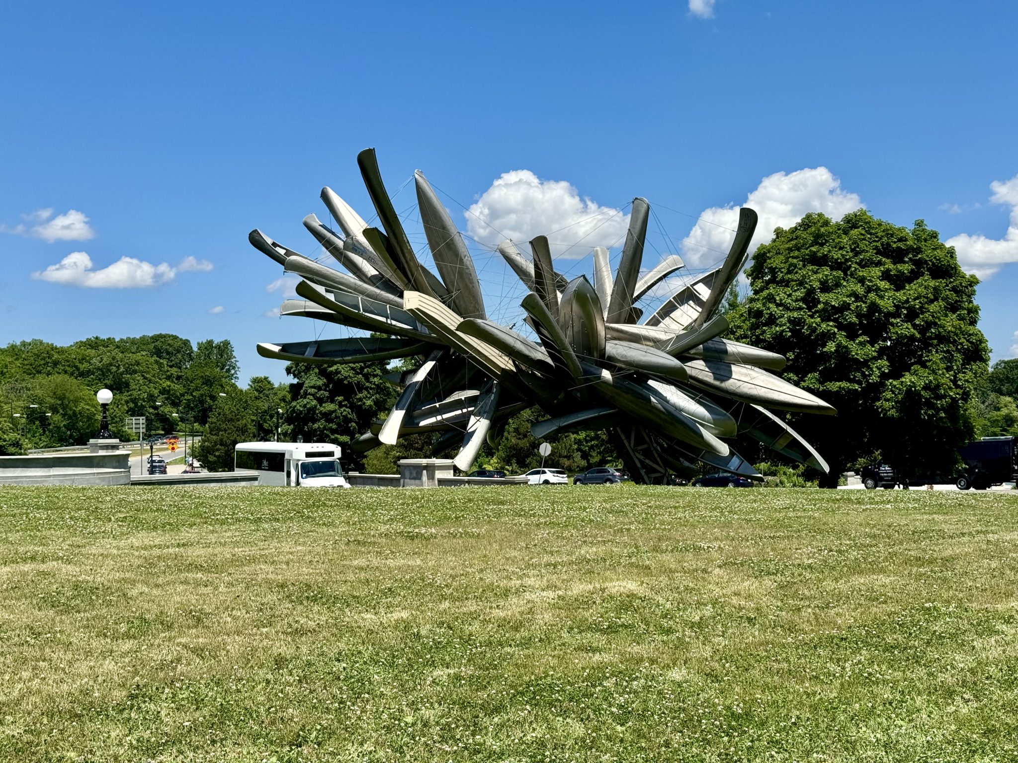
The art collection located throughout the complex includes 92 large scale, paintings, sculptures, and tapestries. It is called the “most important state collection of modern art in the country”, and “the largest collection of modern American art in any single public site that is not a museum”. We enjoyed looking at the various pieces.

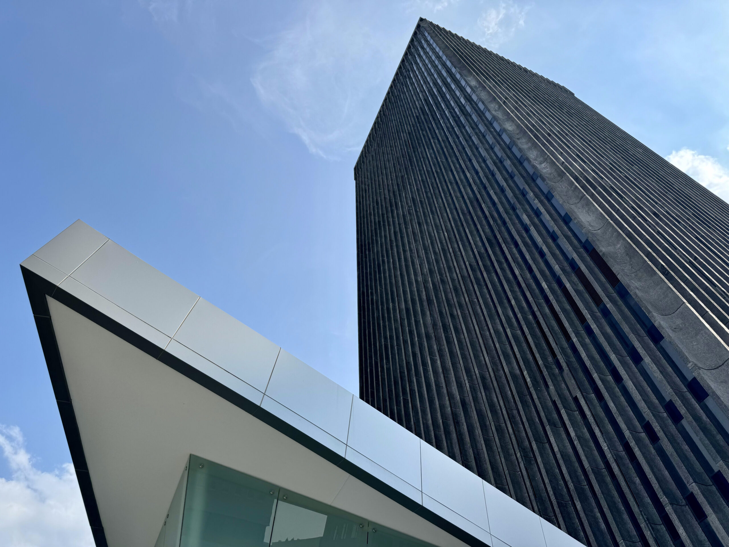
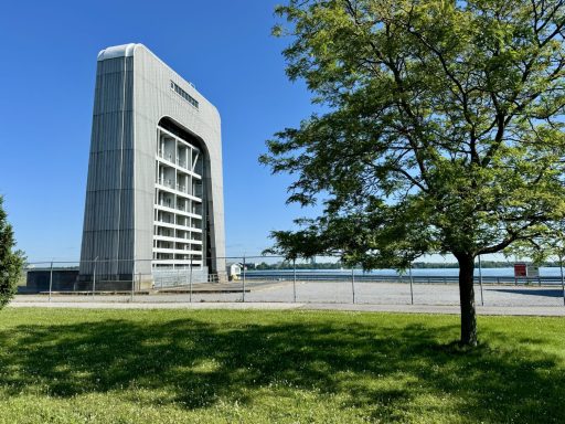
I always enjoy getting a bird’s eye view of a city when I visit, and I discovered that Albany has the tallest building in New York State outside of New York City. The Corning Tower is 42 storeys and it is free to visit the observation level. The Hudson River Valley, the Port of Albany, large portions of the city and its government, the foothills of the Adirondacks, the Catskills, and the Berkshires of western Massachusetts are all visible from the tower.

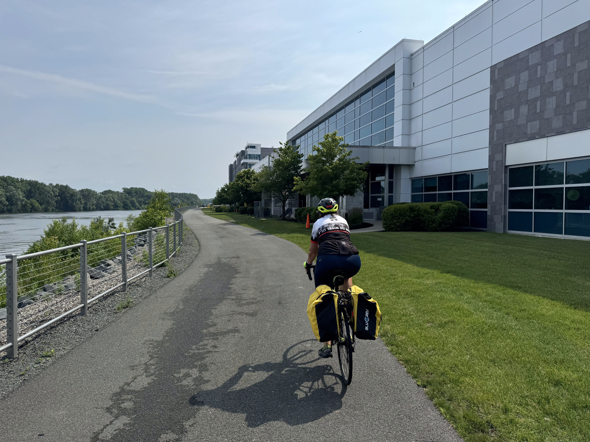
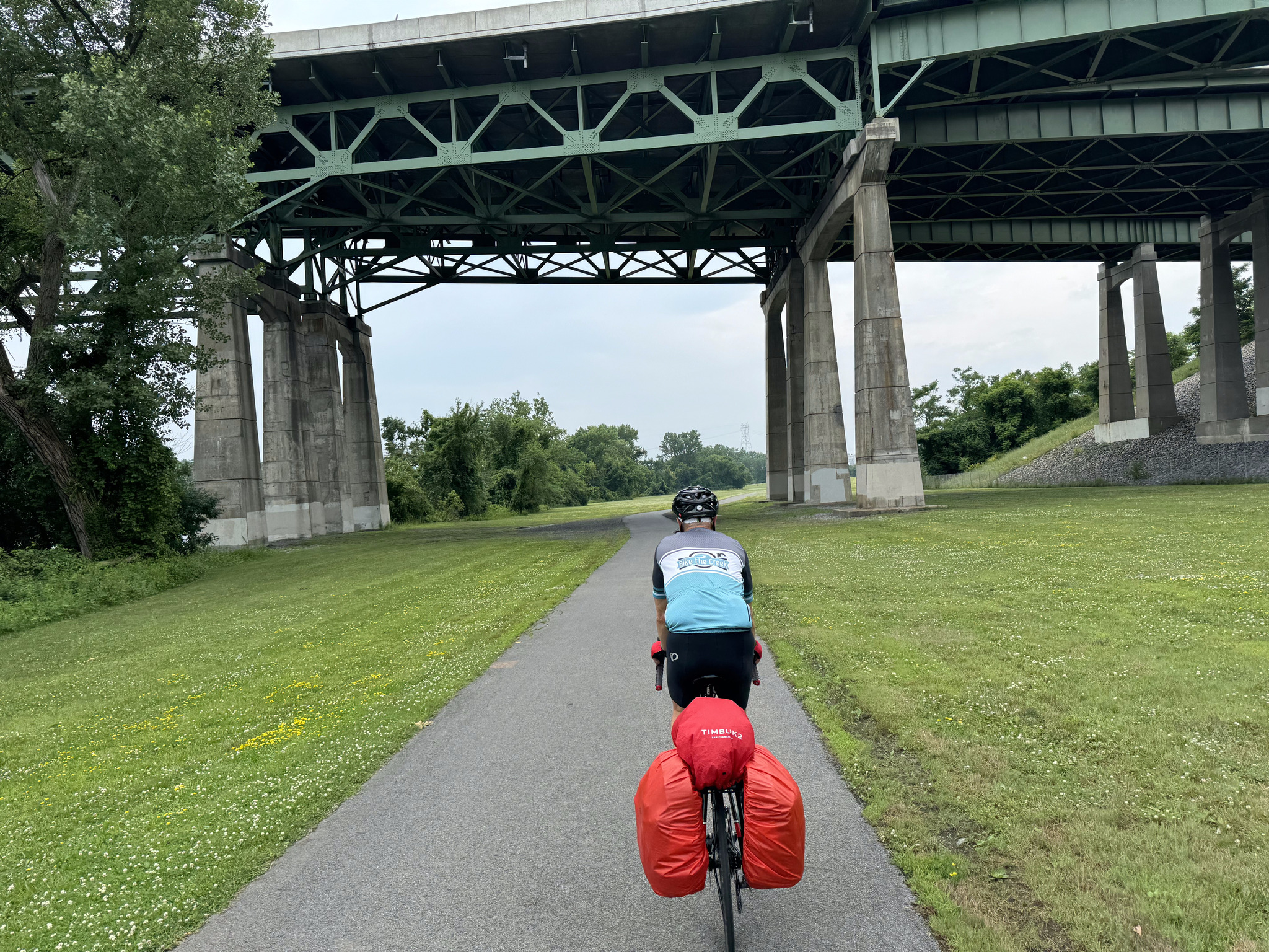
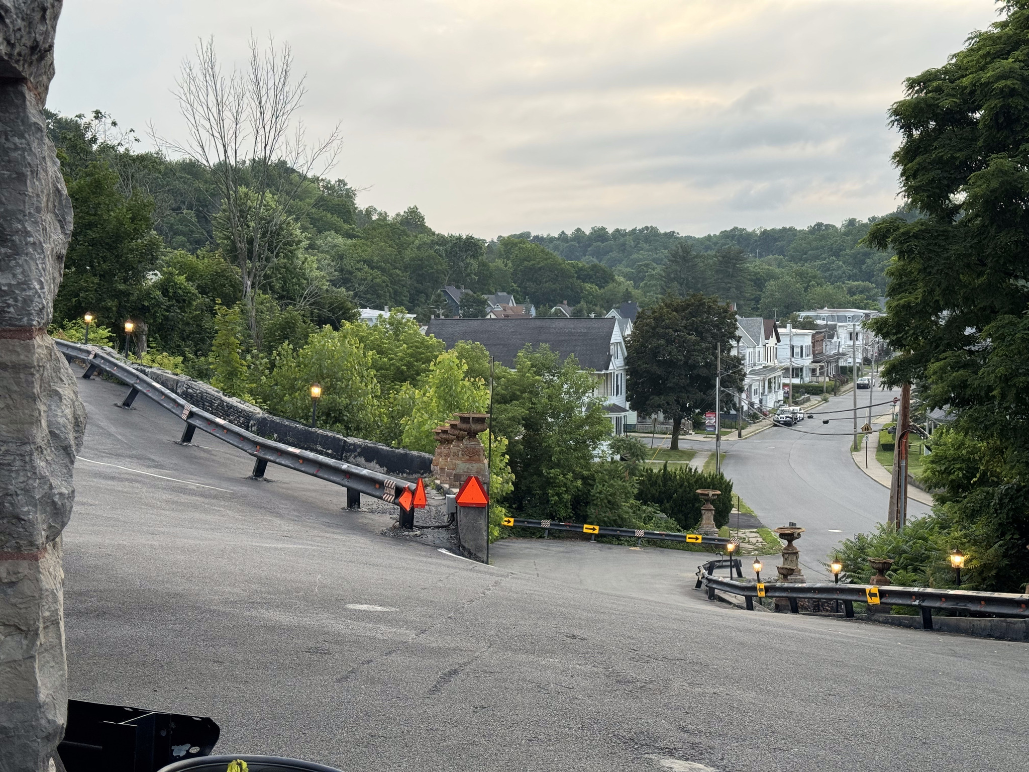
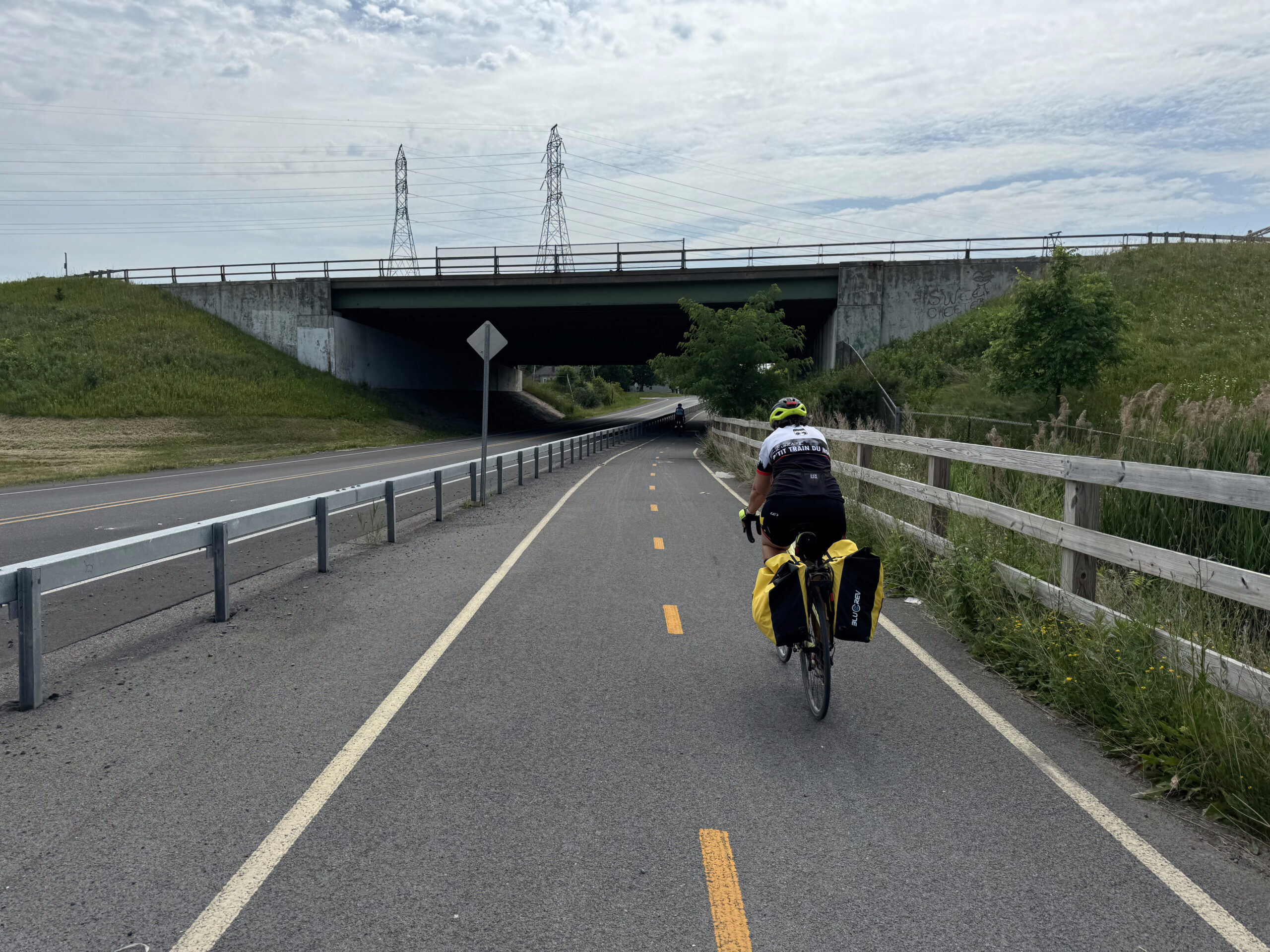
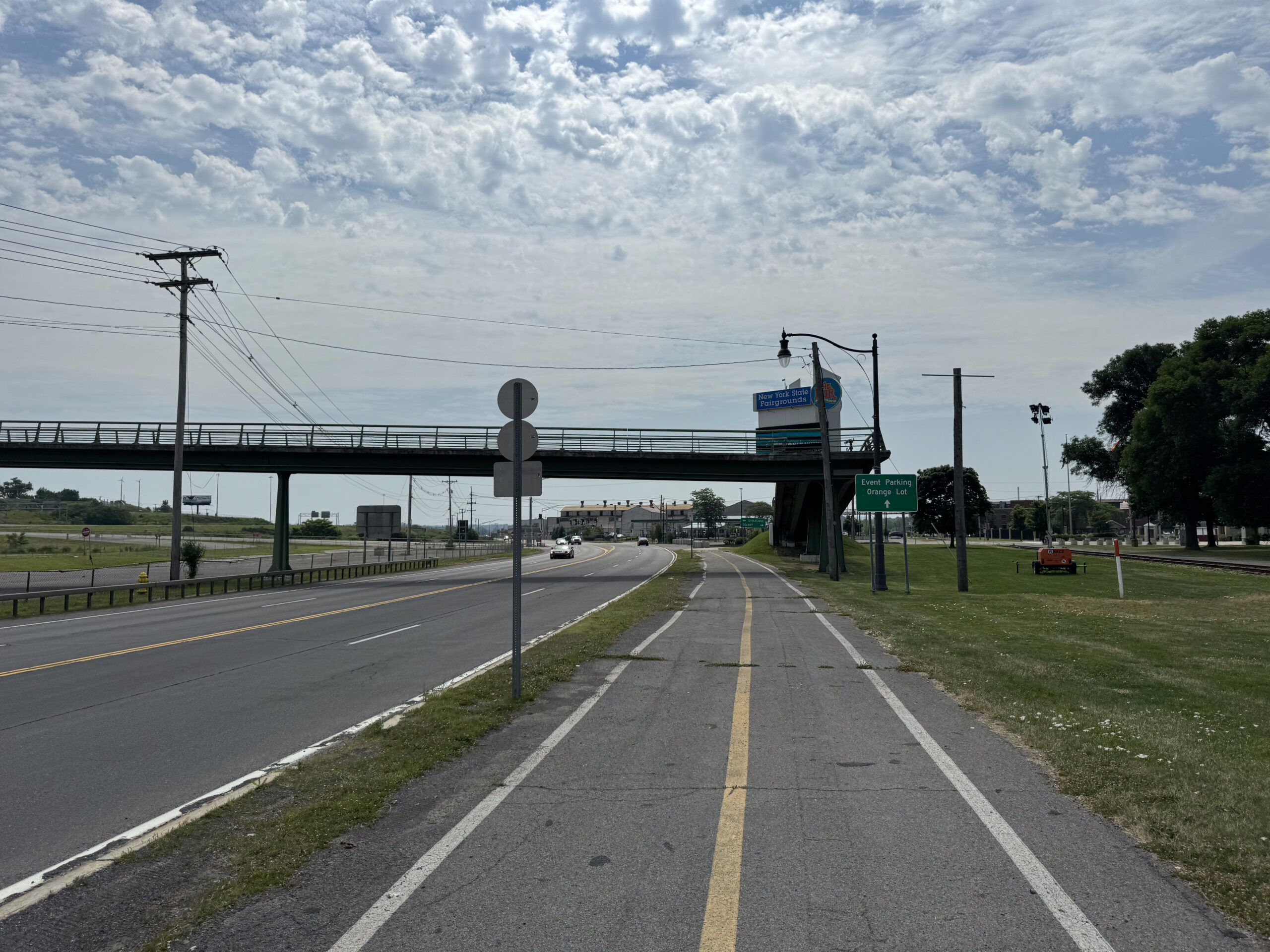
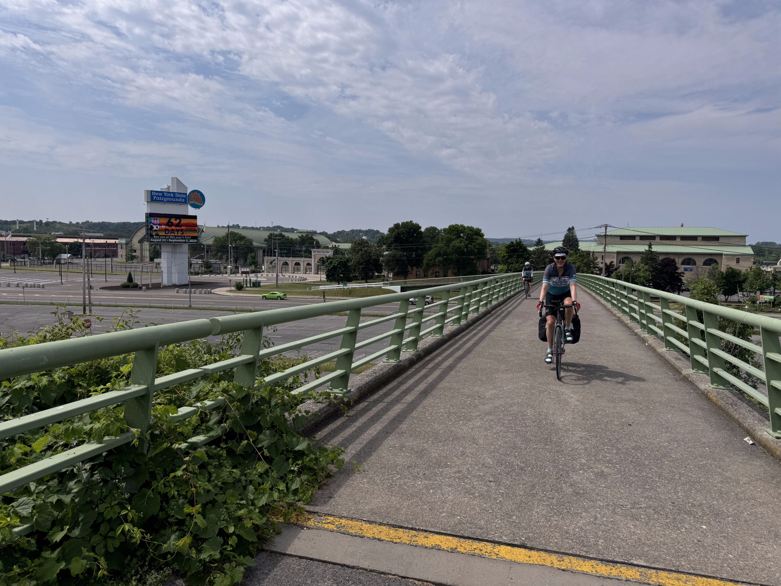
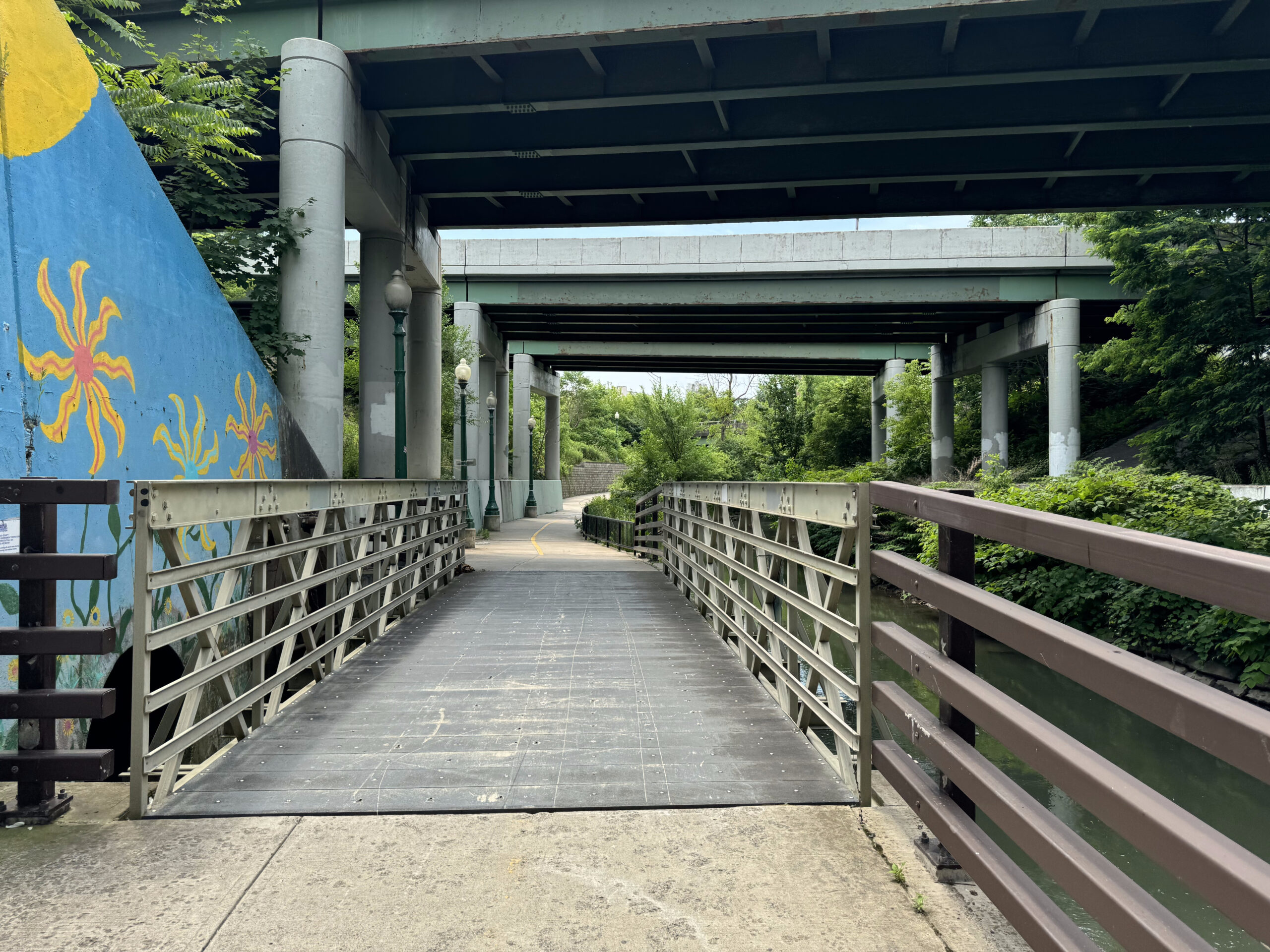
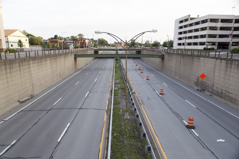
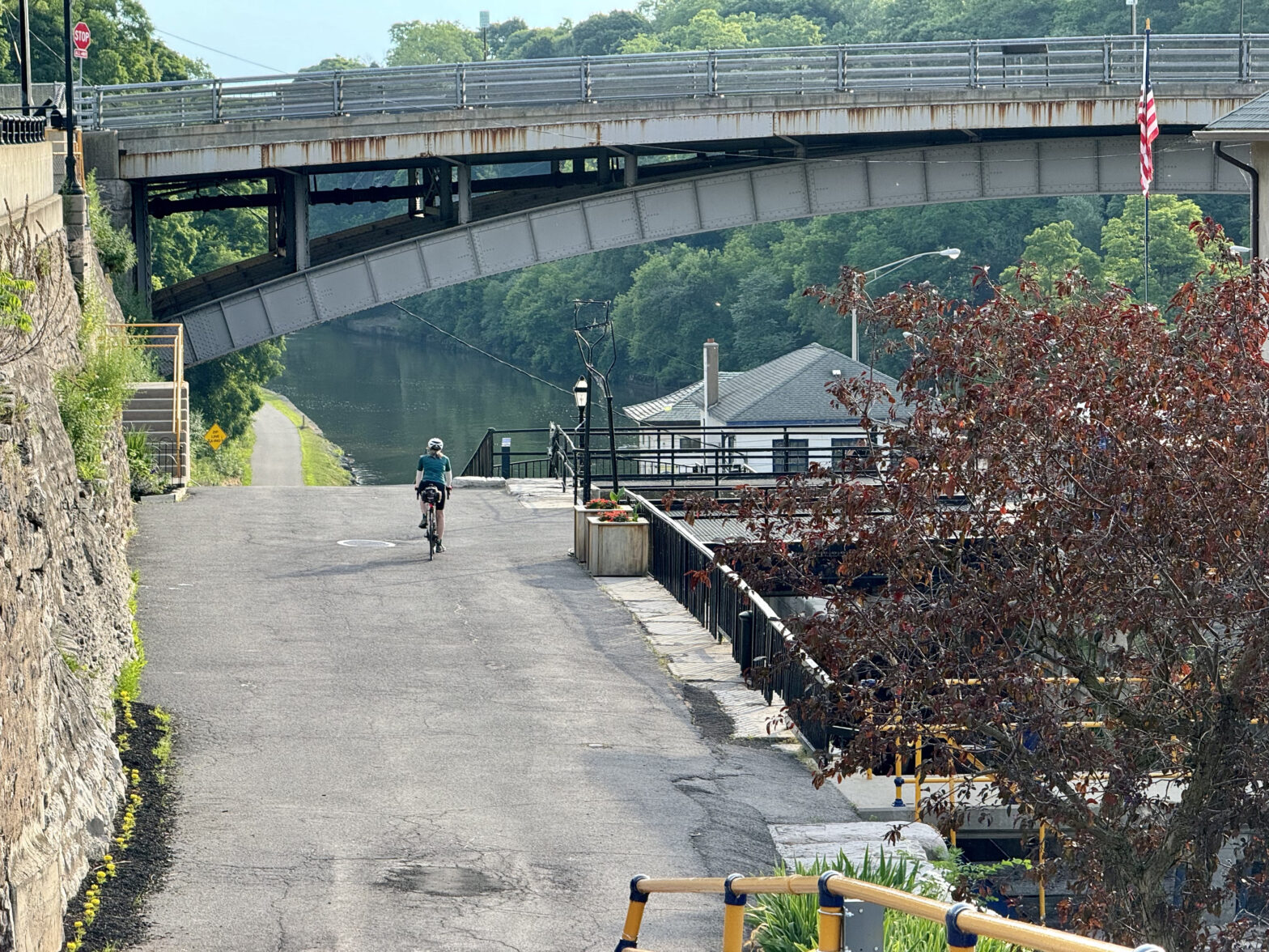
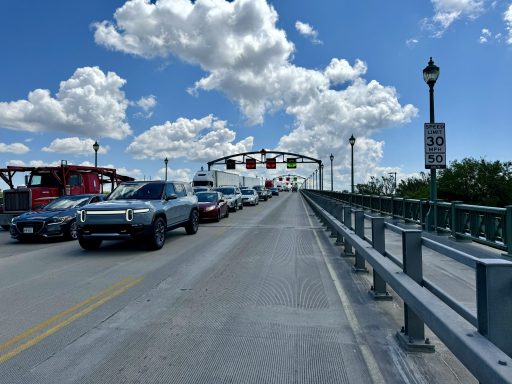
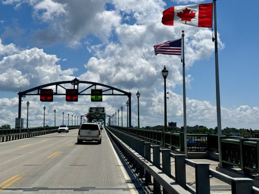
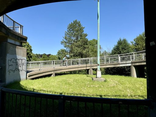
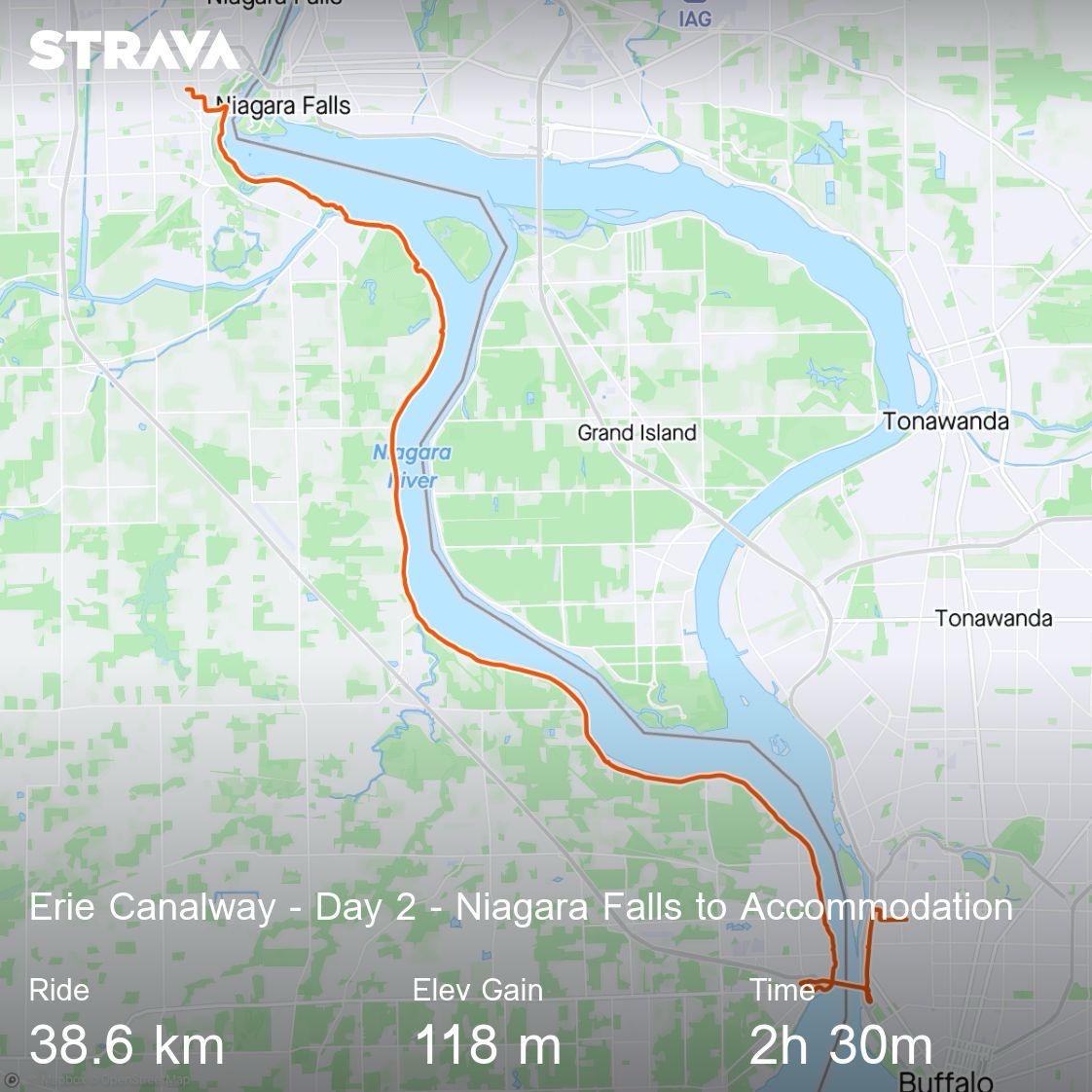
This is the bridge we will have to ride across tomorrow to get to the train station.

This is the Delaware and Hudson Railway building which I mentioned earlier.

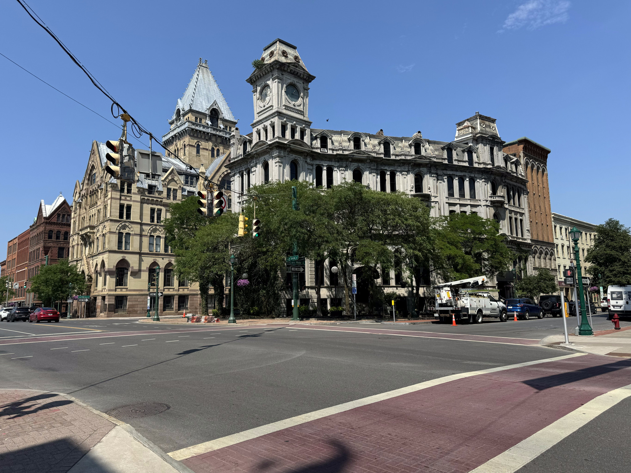
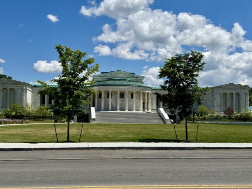
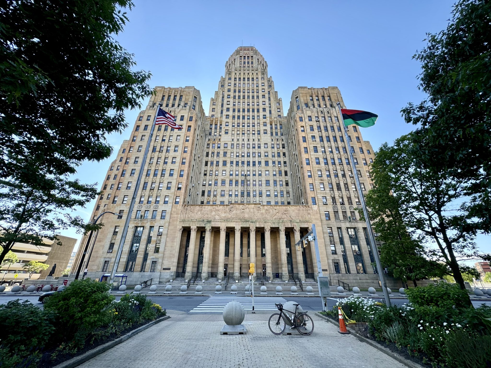
The New York State capital building is part of the Empire State Plaza complex and was completed in 1899 at a cost of US$25 million making it the most expensive government building of its time. There were three teams of architects working on its construction, including Isaac Perry, the architect of Amsterdam castle, and Thomas Fuller, who also designed the Canadian parliament buildings.

Due to the extended construction time of 30 years and the different architects involved, it is a mishmash of styles, including classical/Romanesque, Renaissance classical, and Victorian modified Romanesque.

The building was intended to have a large dome and tower, but they were never completed due to the inability of the lower structure to support the weight. The grand staircase is very impressive and it becomes brighter as one climbs the five storeys towards the skylight.

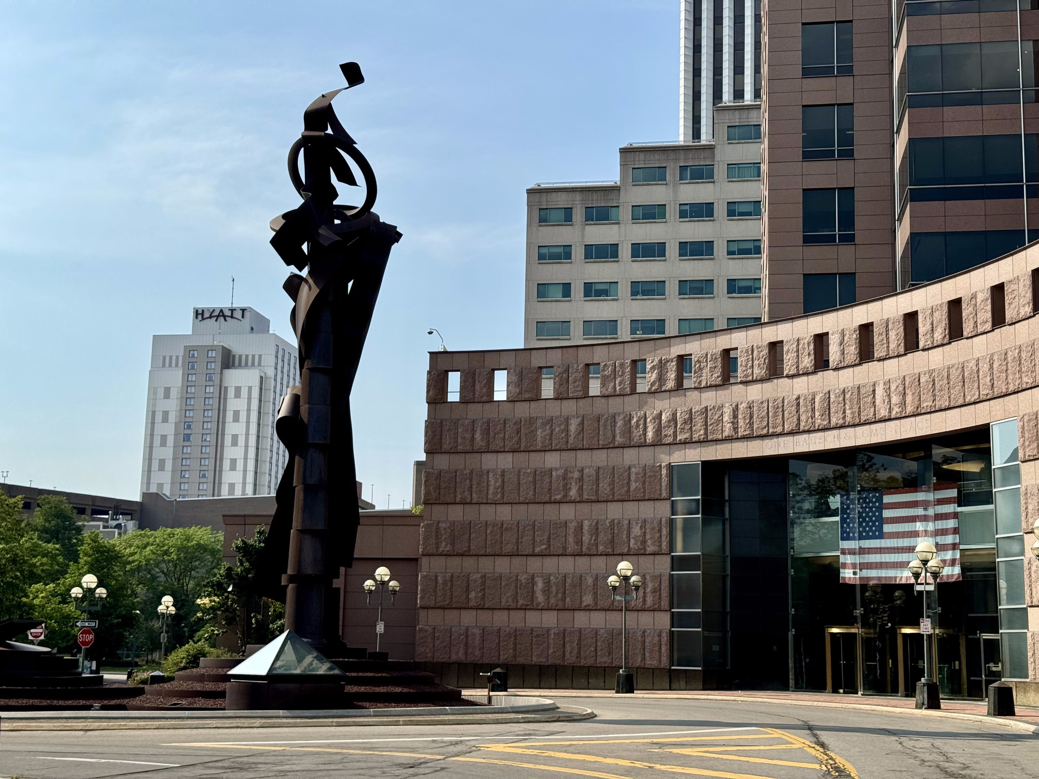
The Empire State Plaza was the idea of governor Nelson Rockefeller. He was inspired to create the complex after Queen Julianna of the Netherlands visited Albany for a celebration of the area’s Dutch history. The area around the capital building was known as “The Gut“, an area of cheap hotels, flop houses, and dive bars. Rockefeller was embarrassed and conceived the basic design of a complex with the architect Wallace Harris. Rockefeller doodled his ideas on the back of a postcard and Harrison revised them. When I saw pictures of the plaza, I said it reminded me of Brasilia. As I did research for the blog, I found out that Brasilia, Versailles, and Chandigarh were used as inspiration for the plaza.

7000 residents were evicted in order to build the 98 acre site. It was constructed between 1965 and 1976 in the modernist, brutalist and international styles of architecture. The total cost was $1.7 billion, and more than 11,000 state employees work at the complex.

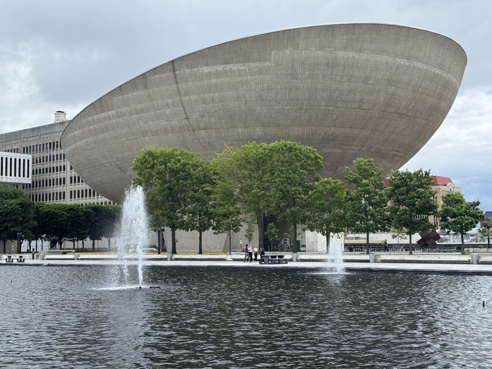
The Plaza consists of various steel and reinforced concrete buildings, all clad in imported stone, except for the egg, which exposes its concrete exterior, and is a performance arts center. The building sits on a six storey stone clad platform.

This is City Hall.

The Albany Home Savings Bank building was built in 1927 in the art deco style and features images of Native Americans and colonial settlers near the roof line.

This Hudson River Way pedestrian bridge, which has a bike trough, connects the downtown area to the waterfront.

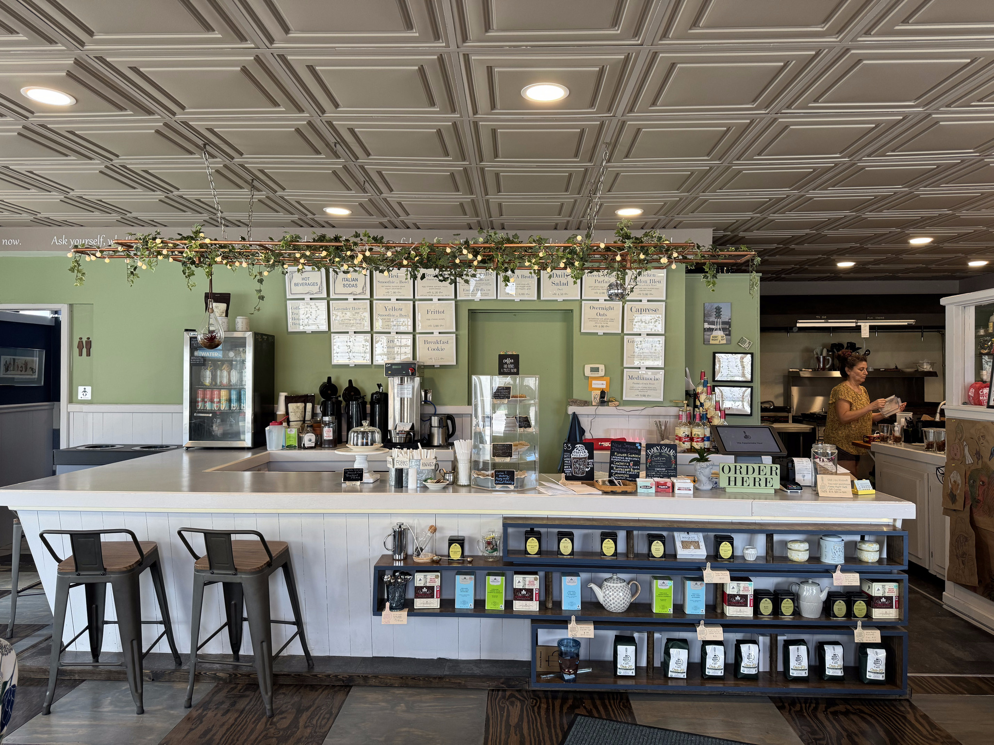
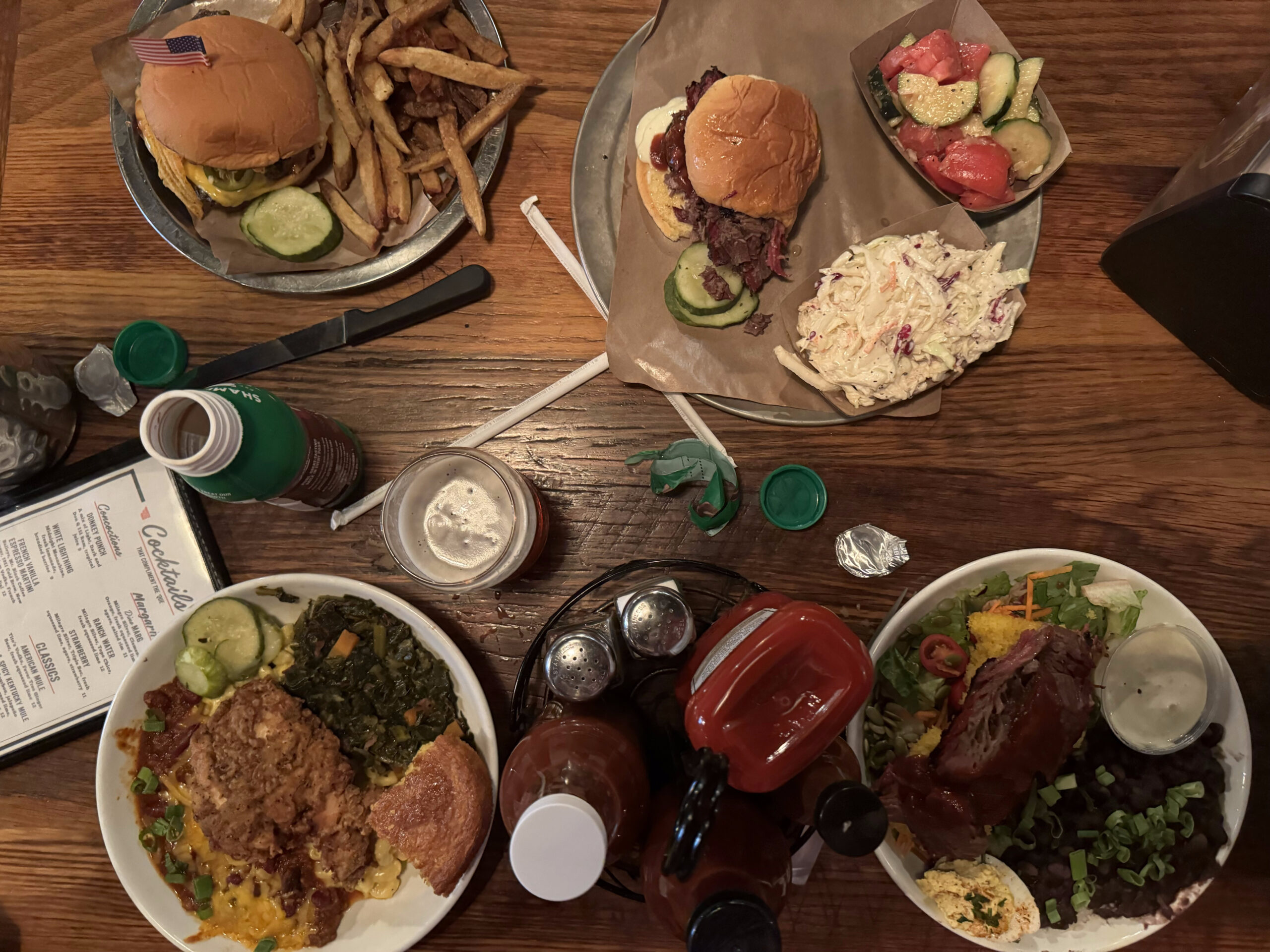
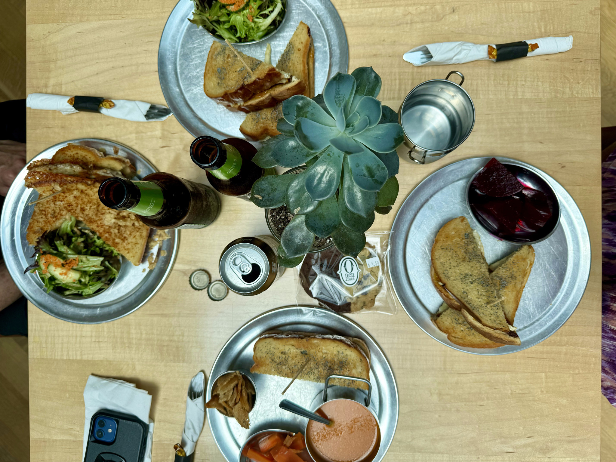
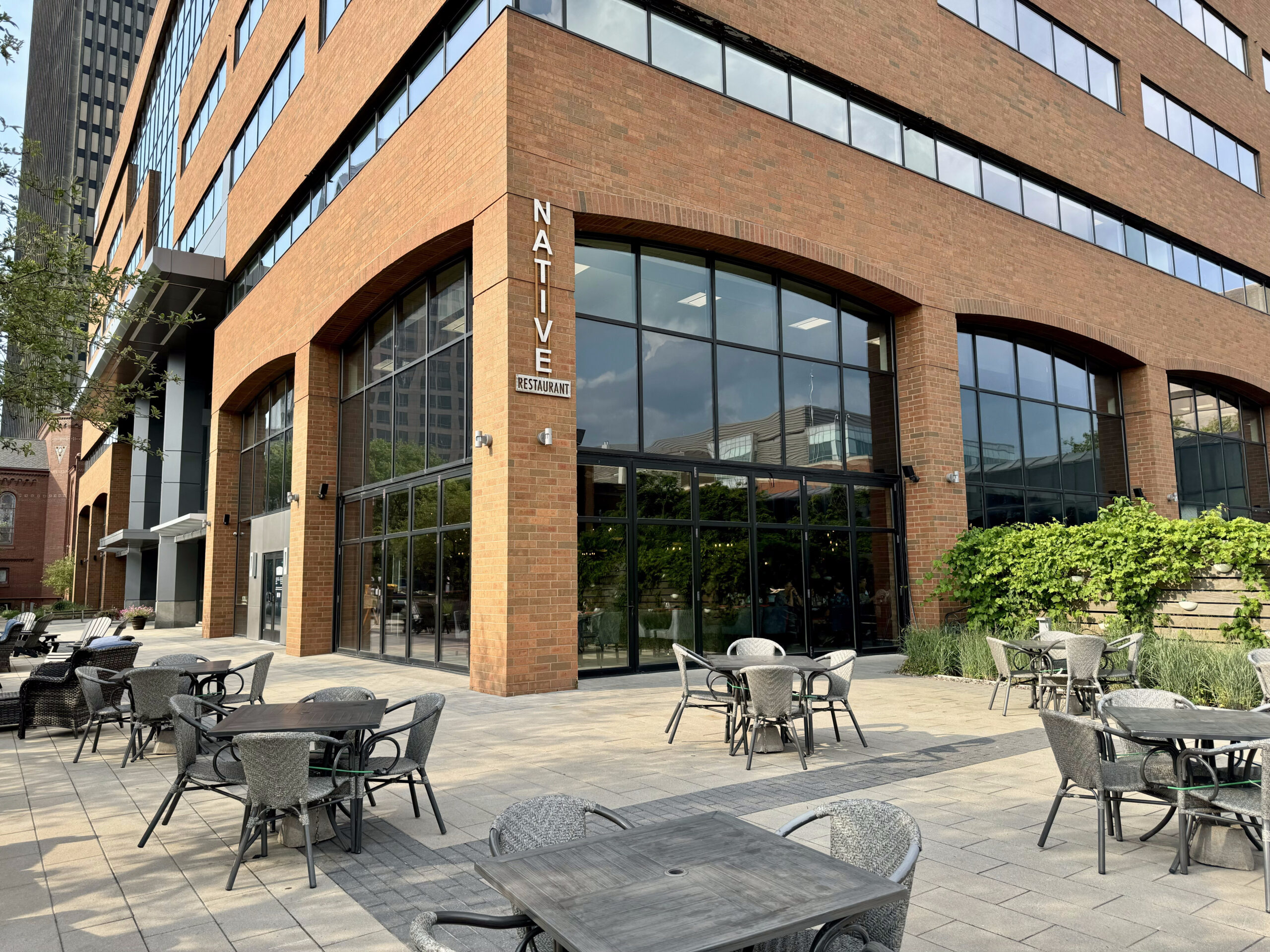
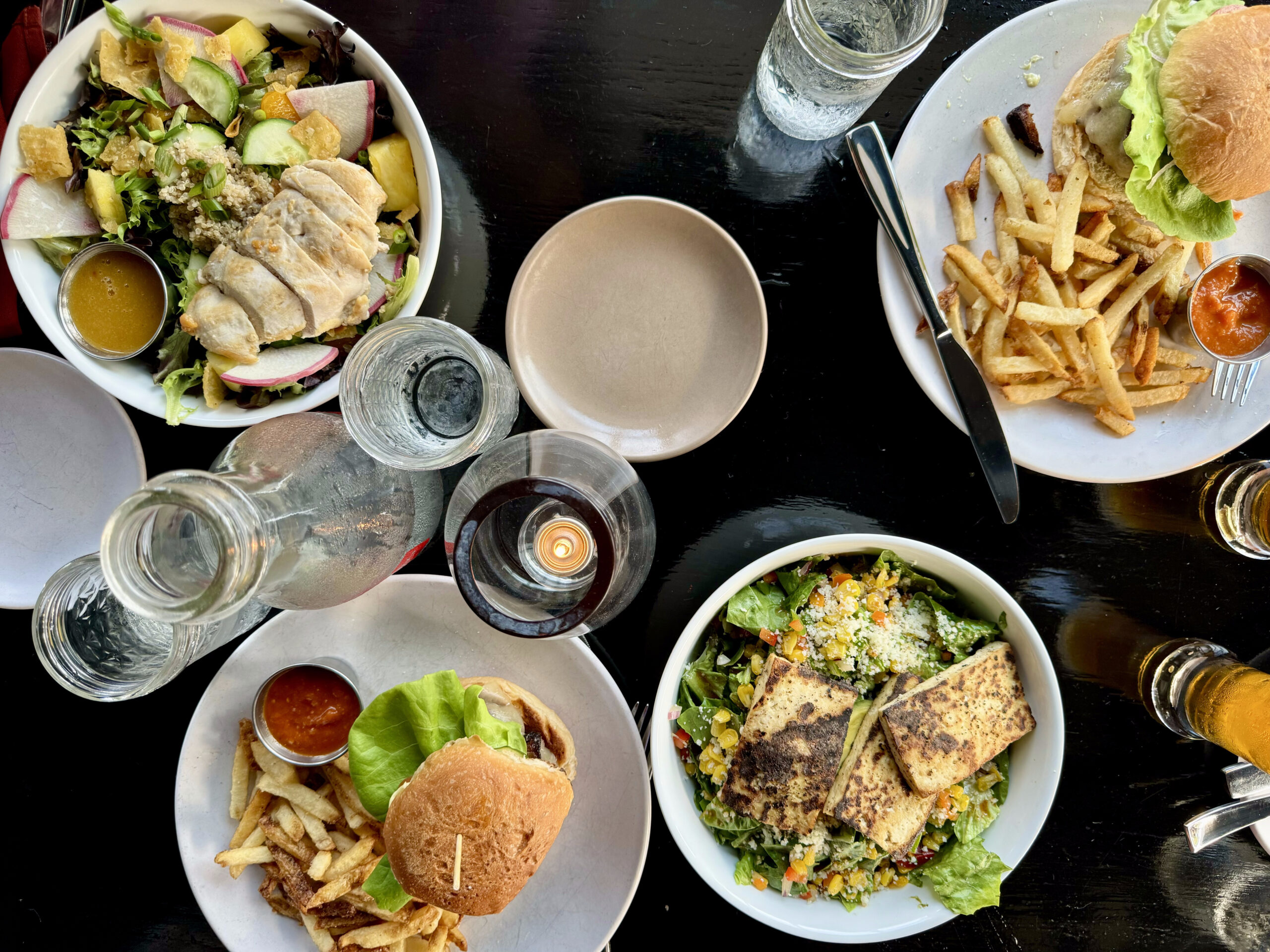
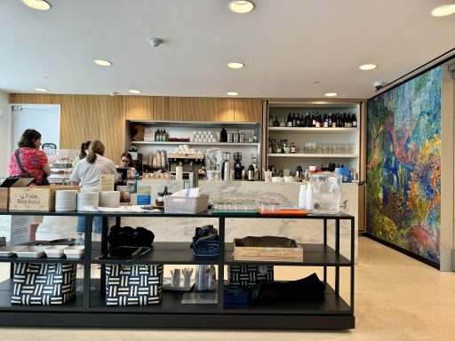
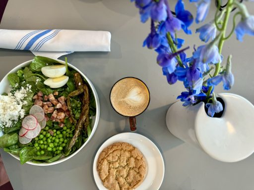
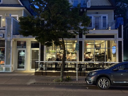
We had a great lunch at the Stacks Espresso Bar.

Nipper was a fox terrier, so named because he loved to nip at peoples ankles. He was found as a stray in Britain. One day, his owner noticed him listening to a phonograph and painted a picture of him. One thing led to another, and he ended up as the RCA company mascot. We encountered a number of small versions of him around the city, and plan to go to look at a giant version tomorrow before we catch the train Niagara Falls.

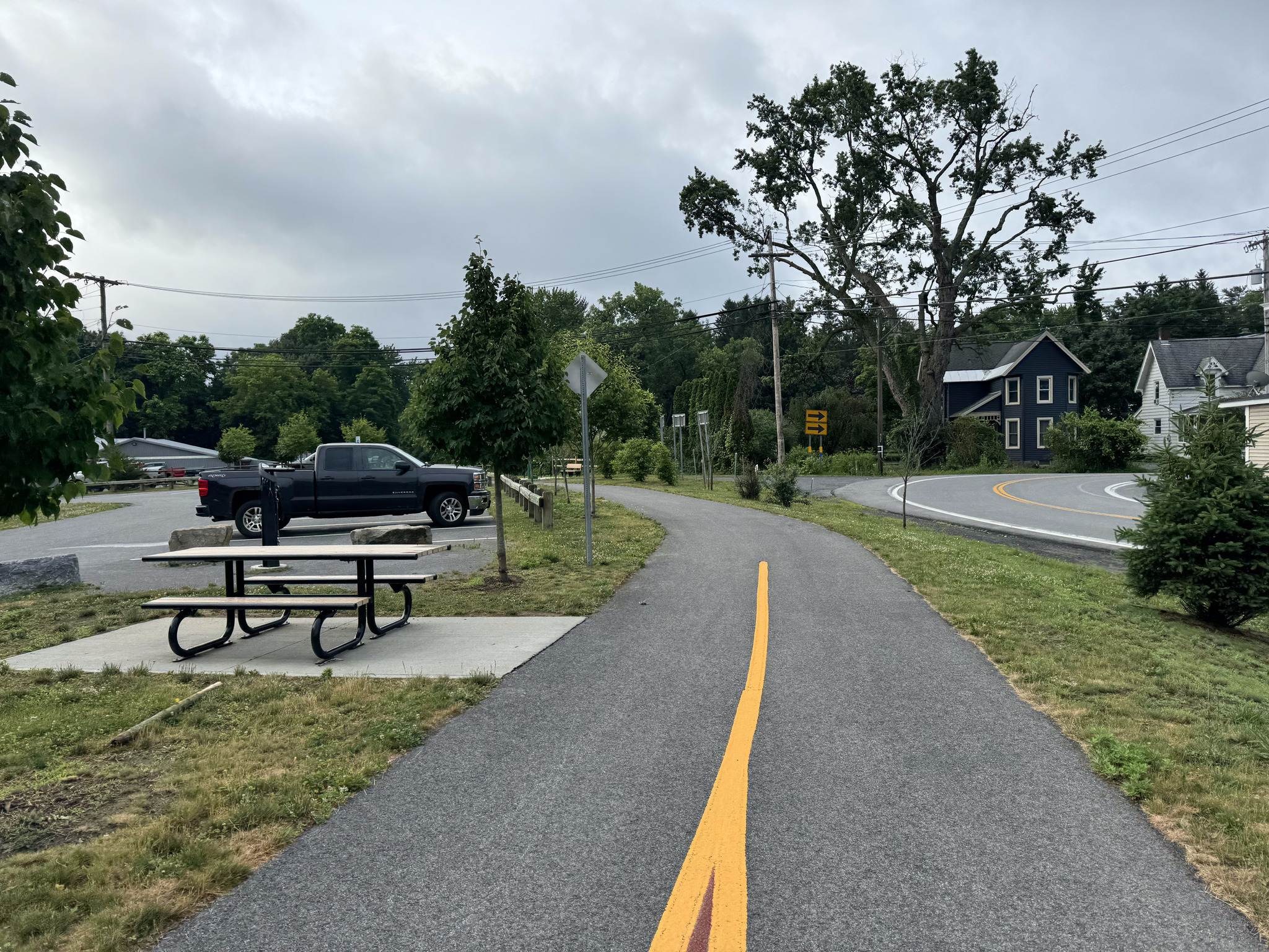
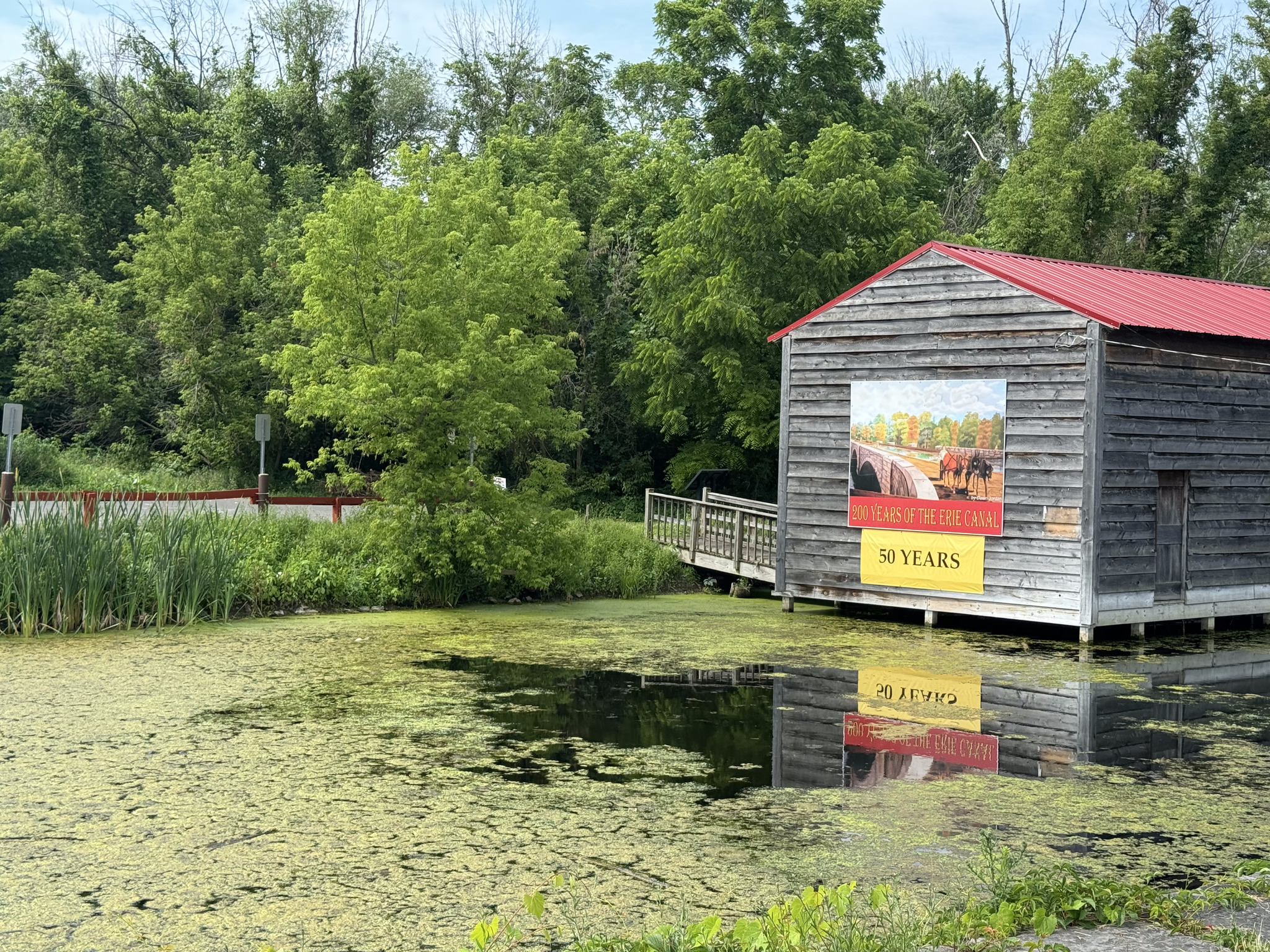
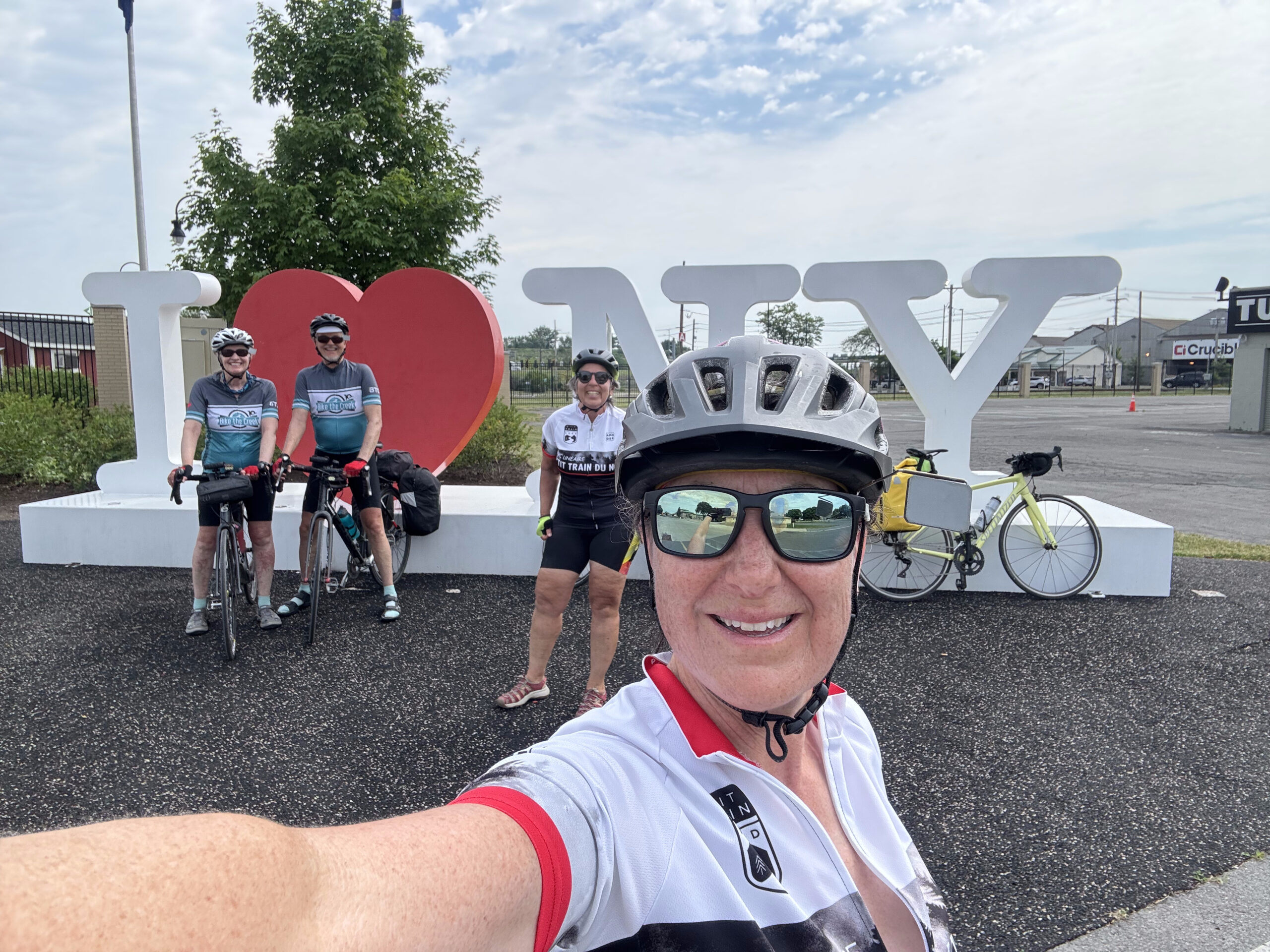
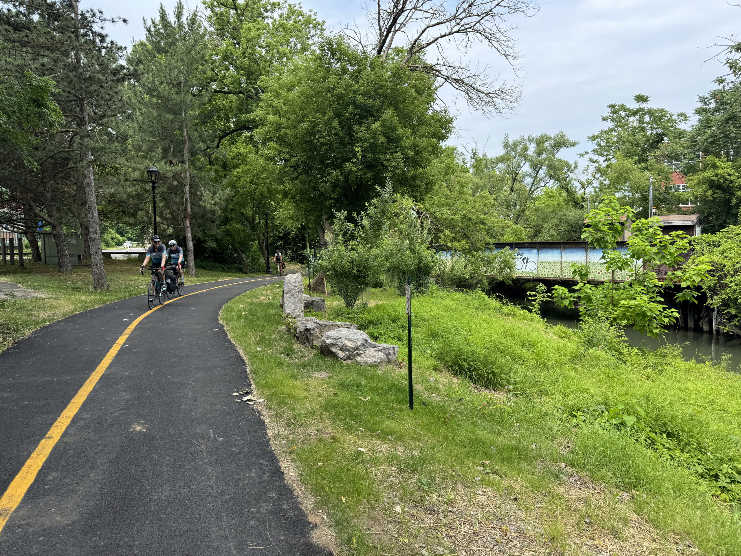
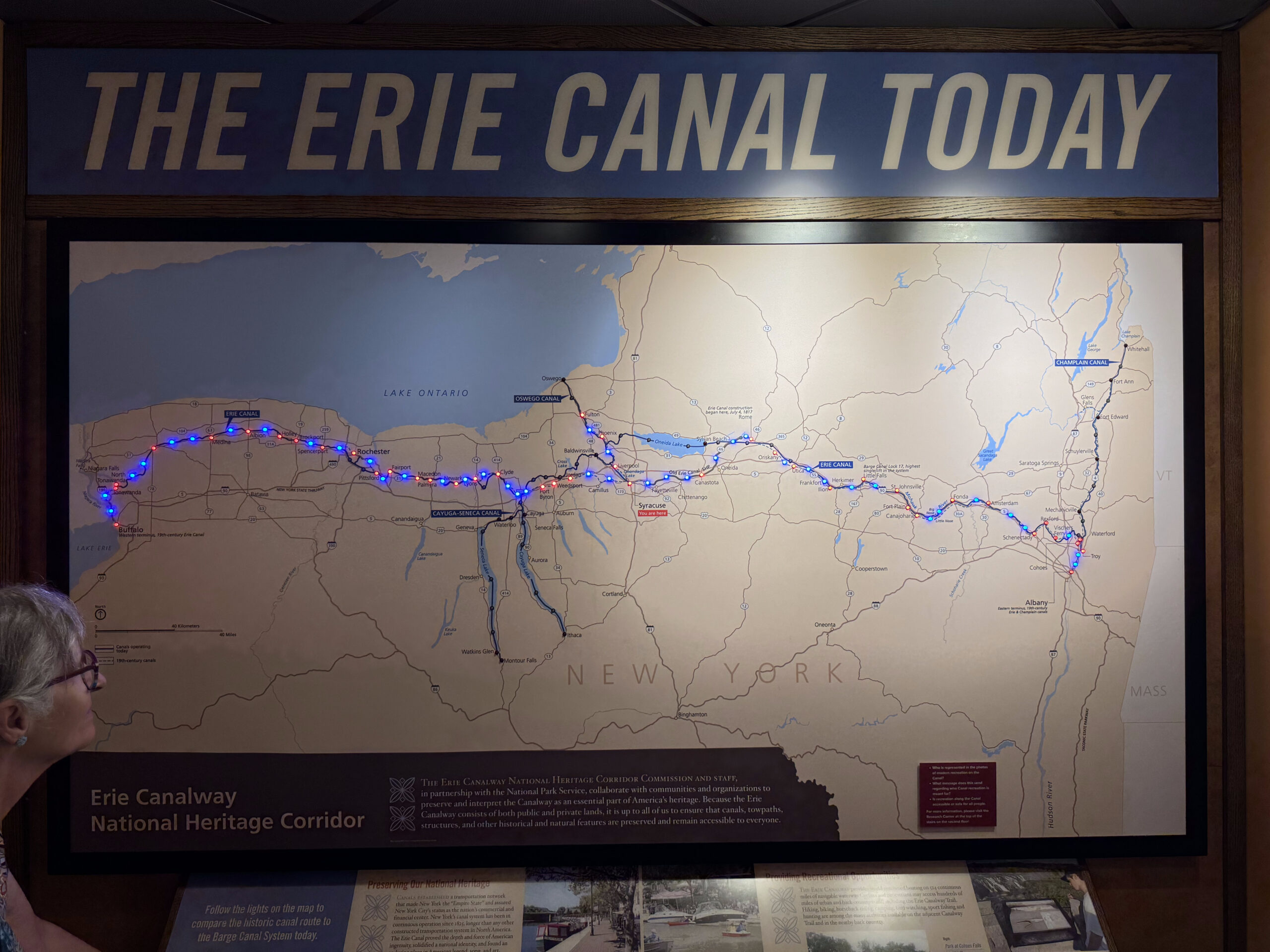
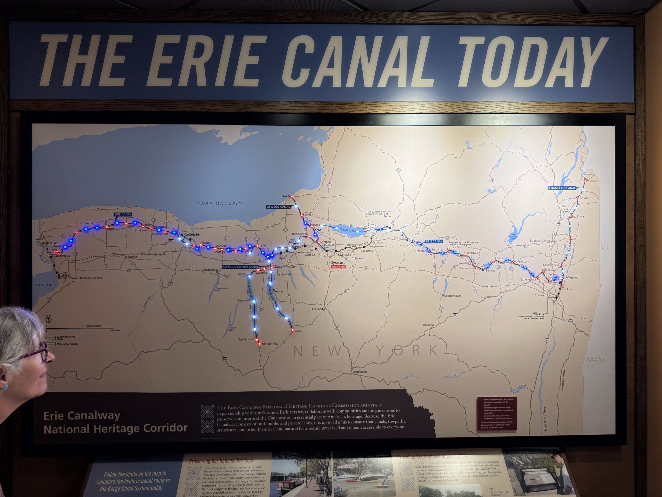
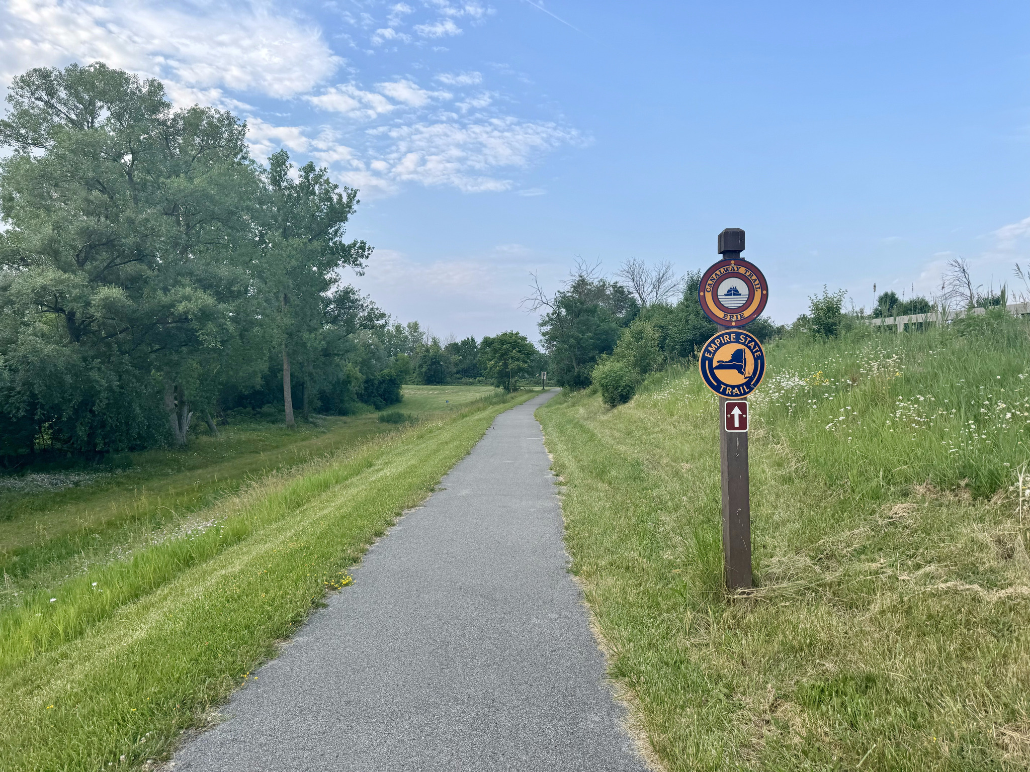
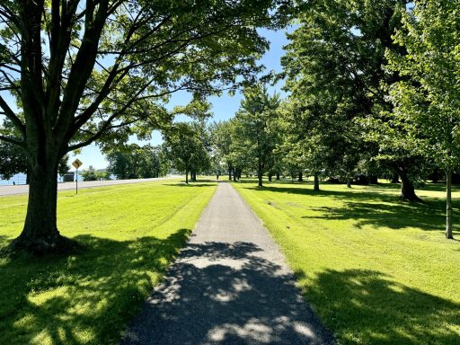
We walked across the pedestrian bridge to the end of the Erie Canalway Trail for a picture with the sign.

On our way back, we noticed a highway ramp that had a fence along the edge and appeared to have plants on it. I googled it and found out that the Albany Skyway is an elevated park and pedestrian bridge that provides an active transportation crossing of the highway from downtown to the Hudson Riverfront. It is a converted from an underutilized Interstate 787 exit ramp. It opened in 2022. It reminds me of a scaled down version of New York City’s Highline which I visited a couple years ago. There is also an elevated park in St Thomas on an old train trestle.

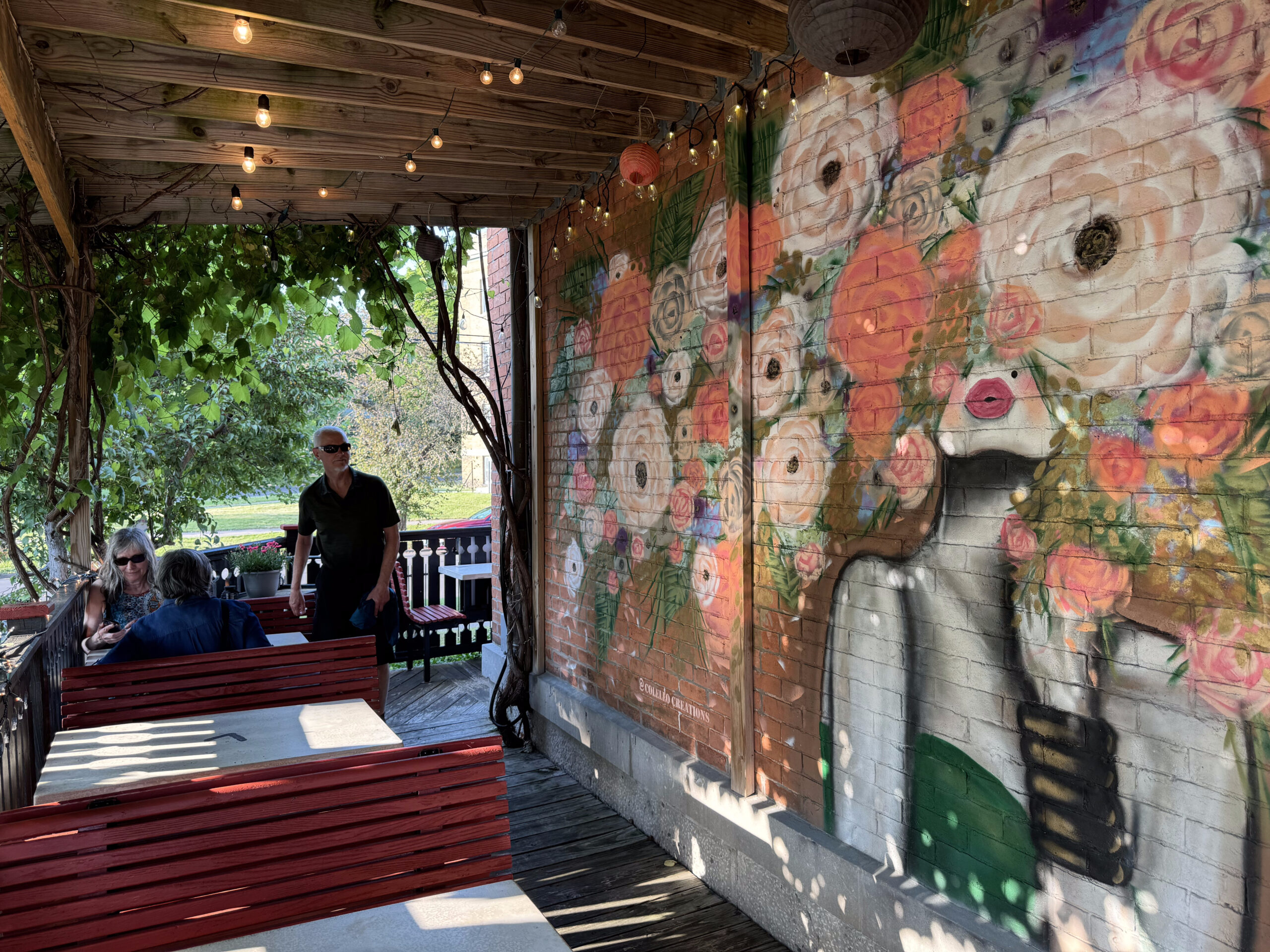
We decided to eat dinner at the Common Routes Brewing Company, which we spotted from the Skyway, and went back to the room for a rest before dinner.

When we got back to the restaurant at dinner time, we realized that the Google listing for the hours was incorrect, and that it was on closed on Mondays.

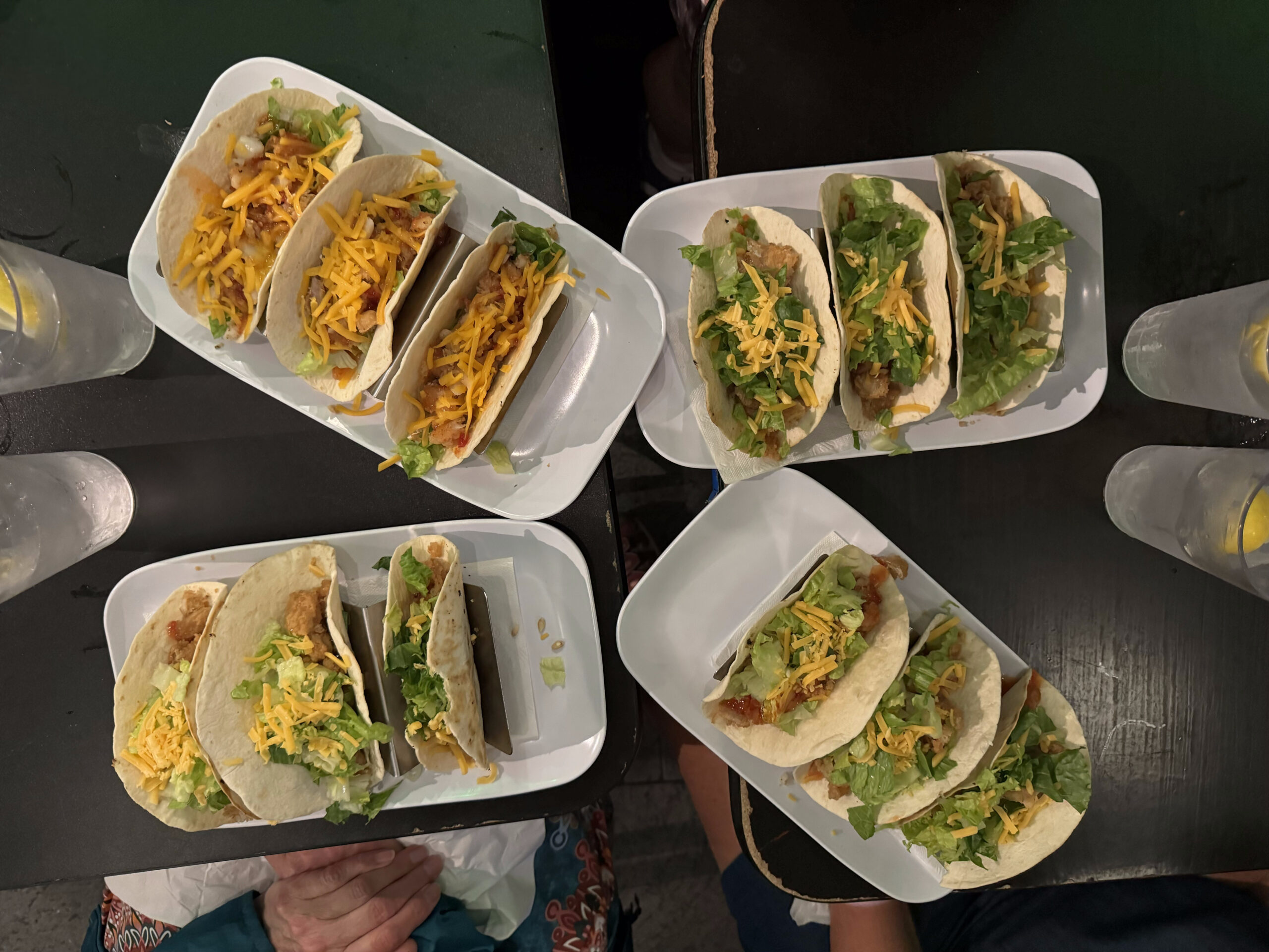
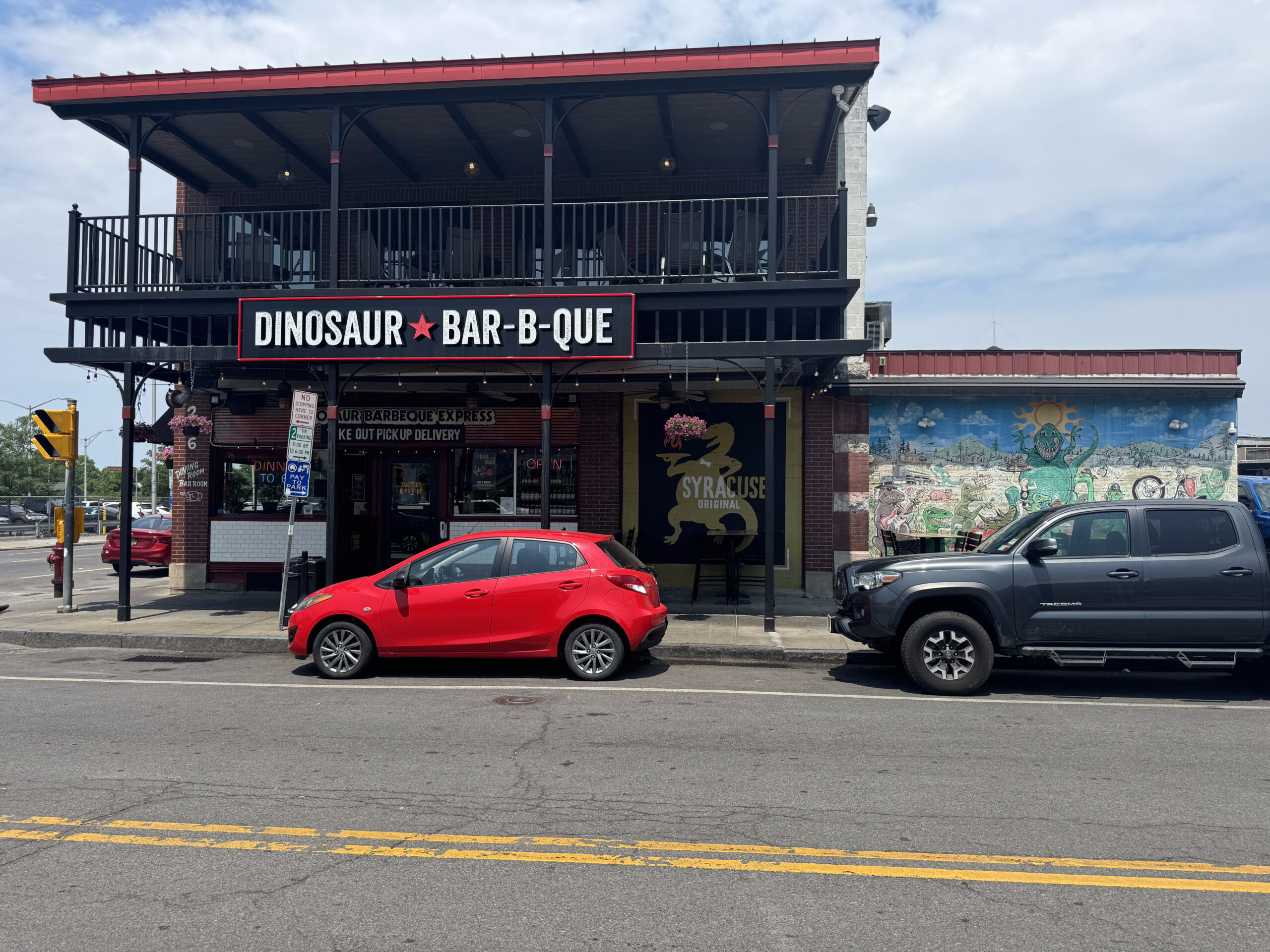
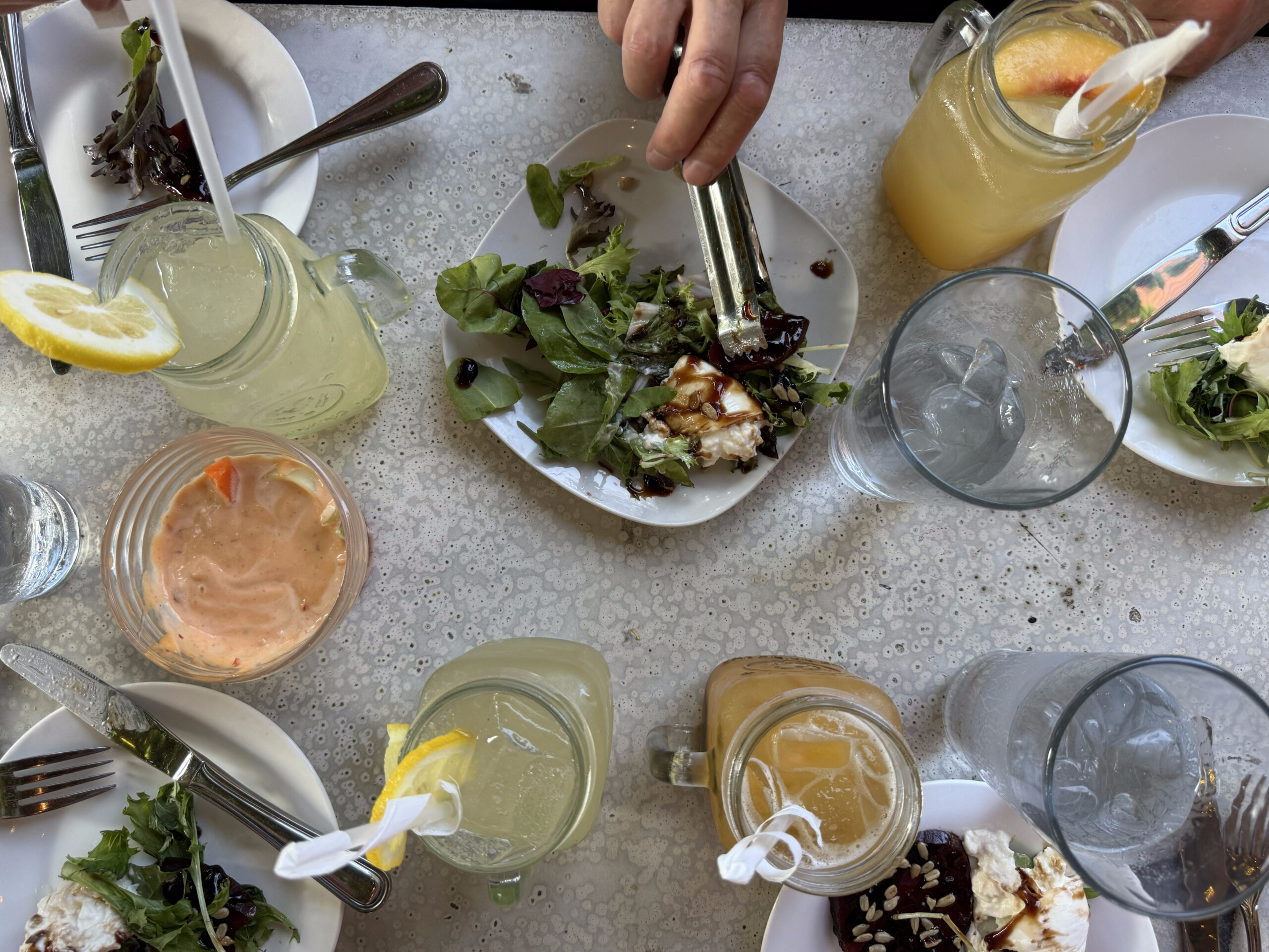
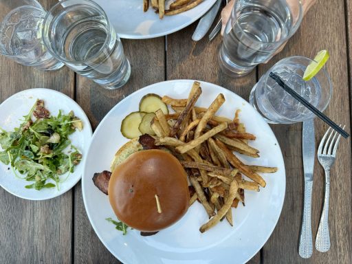
So we wandered back over to the area where we had lunch, and found a Thai restaurant. It was good, and one of the less expensive meals that we had during on our trip.

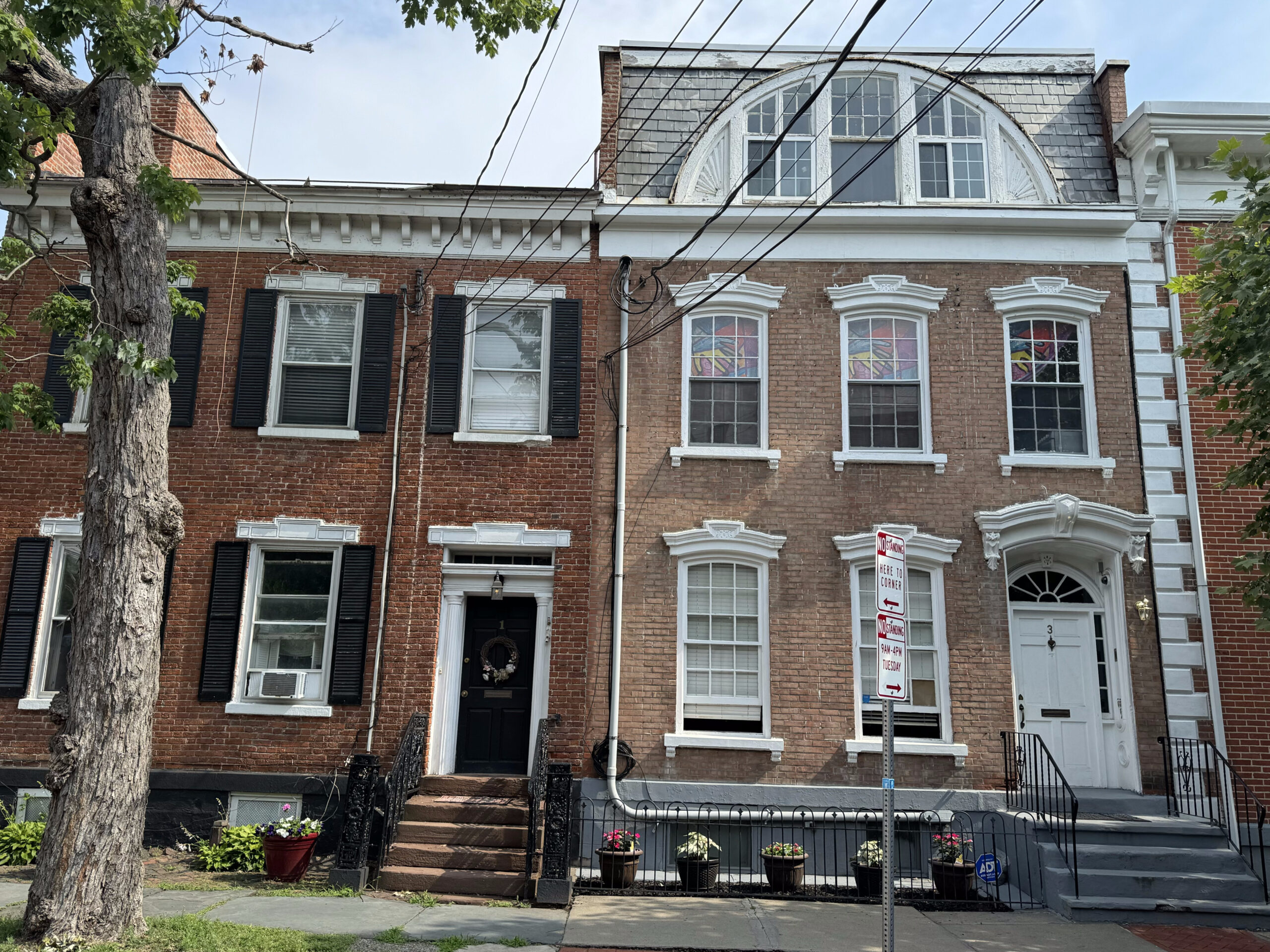
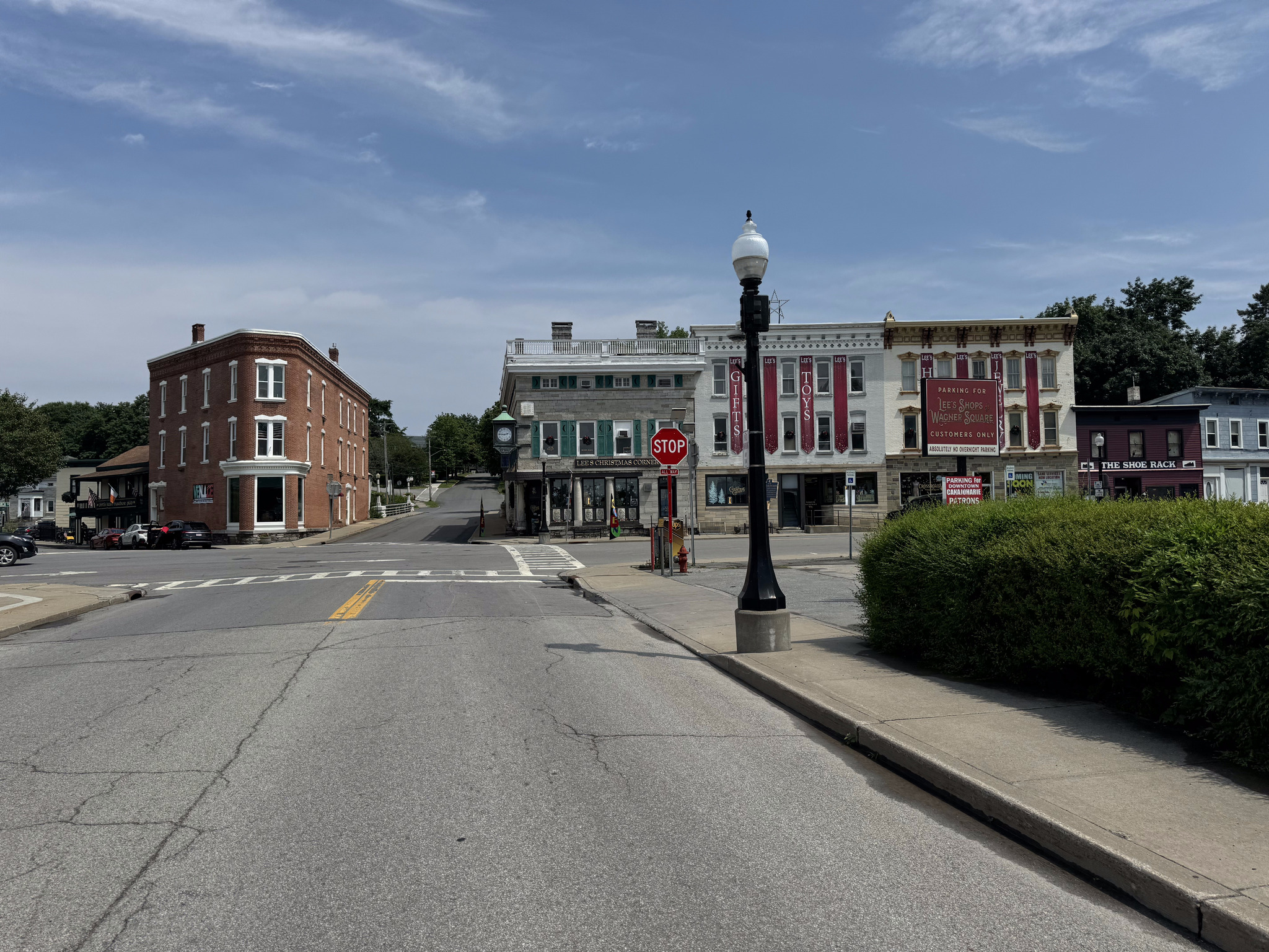
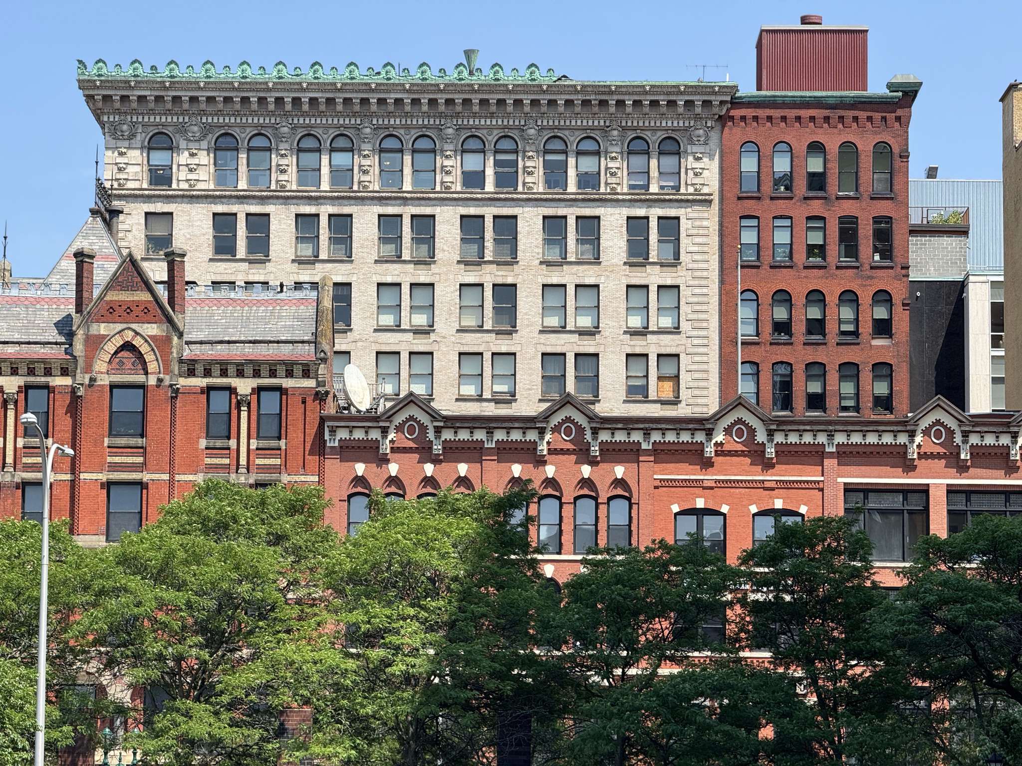
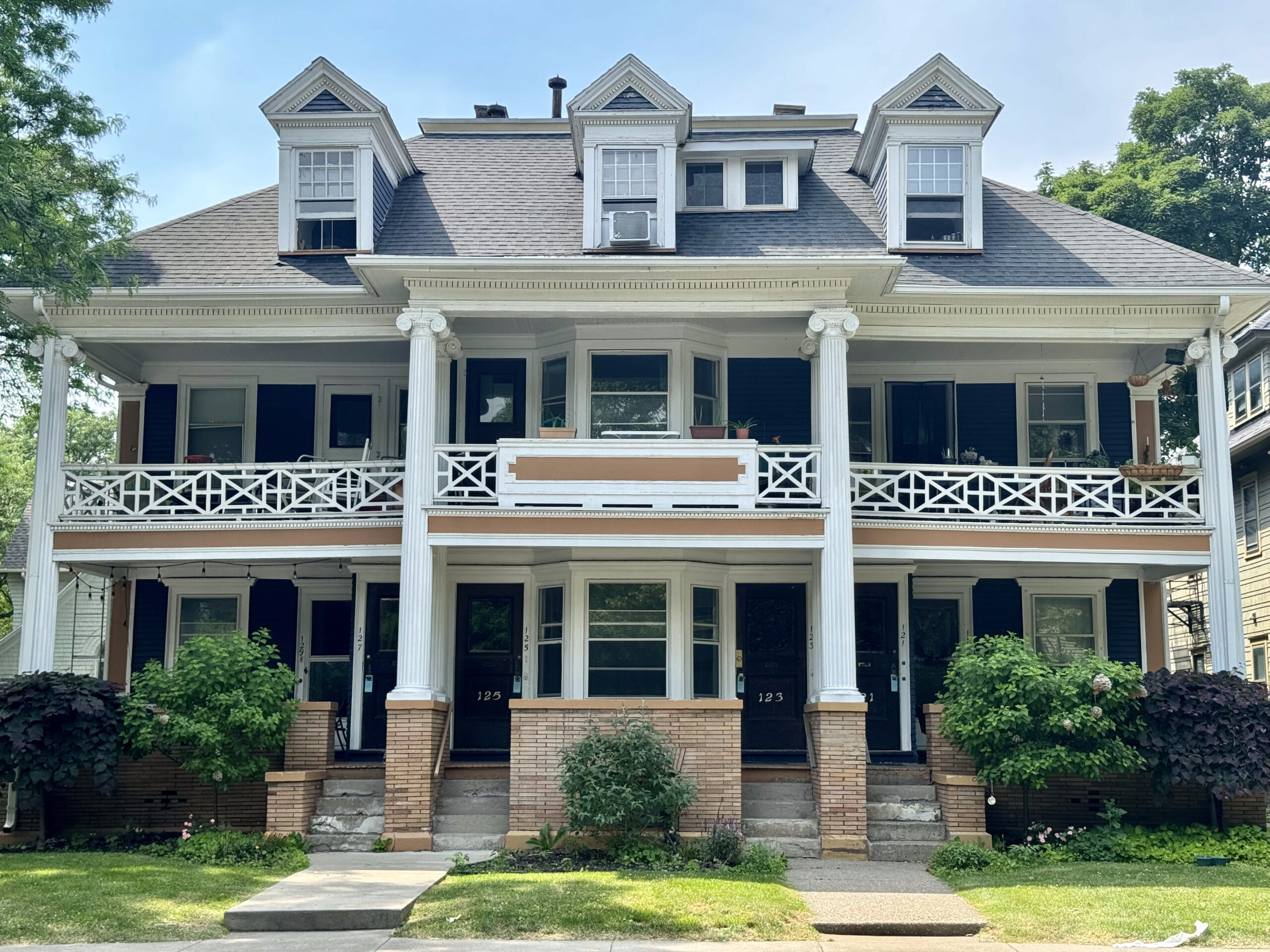
There are some beautiful blocks of old buildings along N. Pearl St.

The Palace Theatre was originally built as a movie theatre and completed in October 1931. It has been renovated and is used as a live entertainment venue, now.

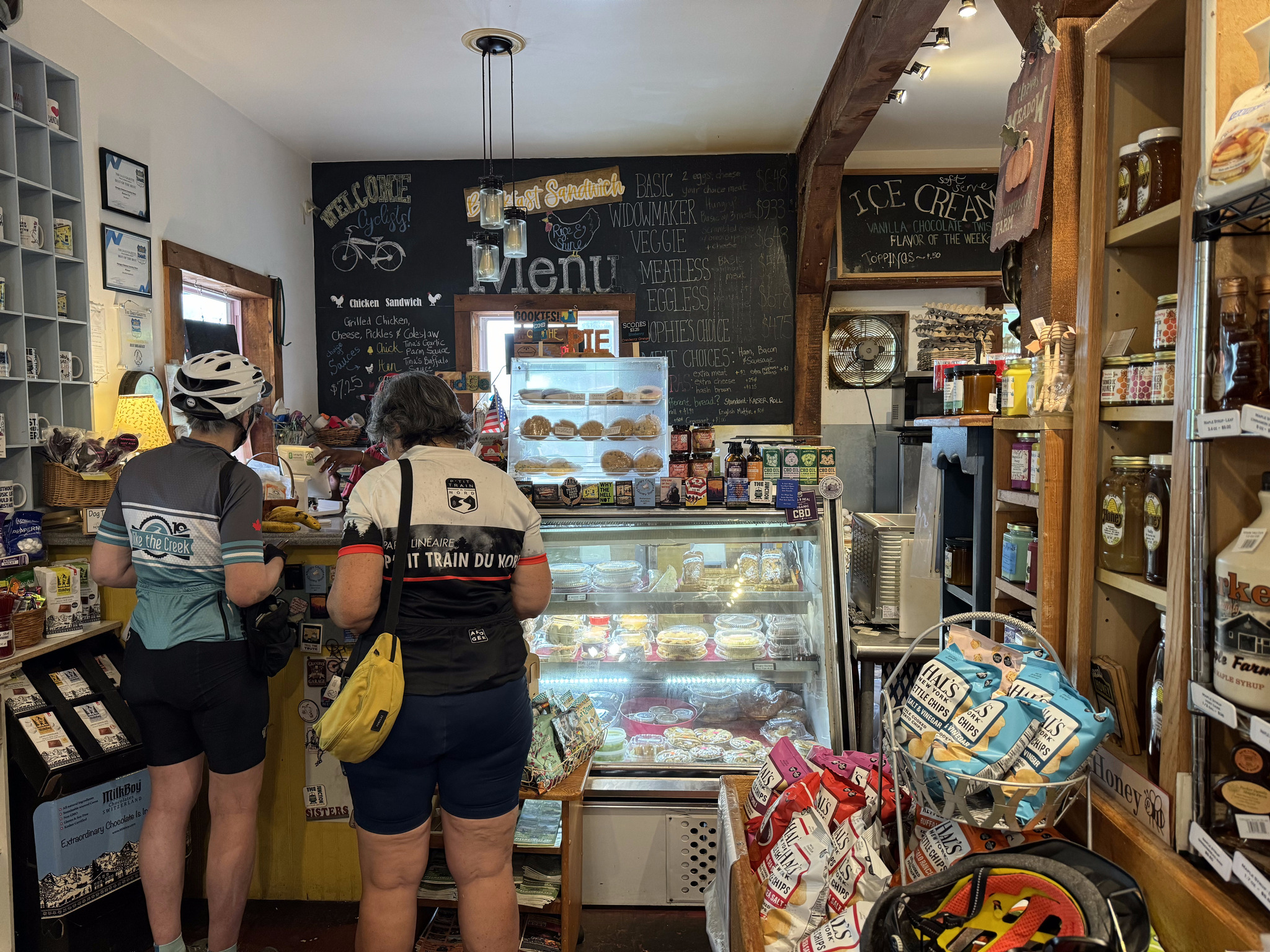
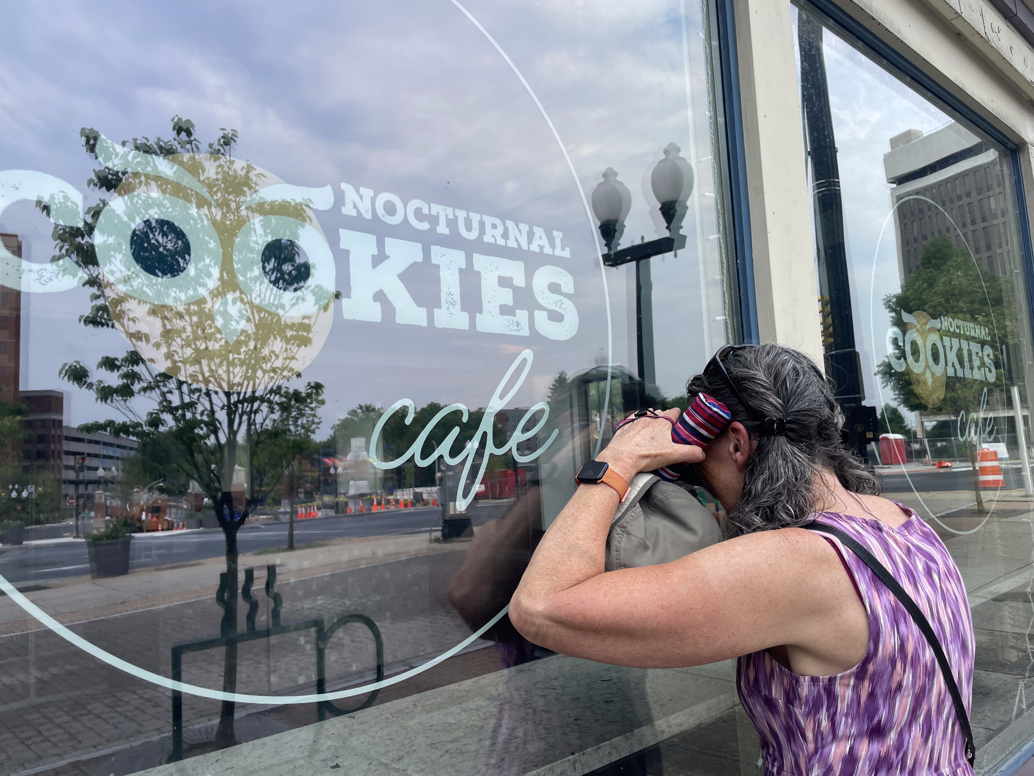
After dinner, we headed over to the cookie store that I peaked into yesterday. They had a cute bike rack out front. Unfortunately, it was a 45 minute wait to get a batch of fresh baked cookies so we headed back to the hotel for bed.

Erie Canalway – Day 10 – Amsterdam to Albany

We were thinking we would have breakfast at the restaurant in the Knights’ Inn in Amsterdam, since we couldn’t find anything else on our side of the river, and we didn’t want to take the time to ride across the river and then back, to continue on to Albany, but when we went downstairs to ask the desk clerk for ice, he told us about a restaurant, 12 miles along the trail towards Albany, called the Hungry Chicken Country Store, so we decided to leave without breakfast and stop there. Over the last few days as we searched for places to eat, we observed that restaurants were shown on Google Maps with an orange pin, with either a knife and fork, cocktail glass, or coffee cup on them, so last night we were just looking for orange pins. This one had a blue pin because it was a store, that just happened to serve food, I guess.

I must’ve gotten water where I shouldn’t have, when I was washing my bike last night, because my bar brakes weren’t working, although my brakes on the hoods were. This was fortunate that at least one set was working,because we had a steep descent down the hill from the hotel. By the end of the day, my bar breaks were working a bit better.

We had pavement the entire way today, but the first 3.5 km were almost intolerable. The quality was so poor that we were about to go out onto the nearby road when it improved.

It was incredibly hot and humid all day – possibly not the hottest day we’ve had, but somehow it felt that way, perhaps because we rode 214 km in the last two days, and today is 79. They were quite a few sections with trees on both sides, with some areas completely shaded, but other sections out in the sun, with views that showed we were riding through the rust belt. We kept ourselves cool by wetting our jerseys, whenever we had access to water, or just dribbling water from our water bottles on our jerseys as we rode, and wet our hair, as well. We had to stop and refill our bottles several times, including when we were just 11 km from the hotel, because we were almost out of water. I discovered last night when I went to bed that, it had been so hot in my pannier yesterday that my night guard had deformed!

This section of the Erie Canalway had the most amenities in terms of picnic tables, benches, and wayfinding signs of any day on our trip.

We were never rained on, but there were often threatening clouds.

The breakfast recommendation was an excellent one. Because we hadn’t identified anywhere else to purchase food before Albany, we also bought food to take with us. It was also one of the less expensive places we stopped. There was nowhere inside to eat, but they had picnic tables outside.

We passed a couple dams along the way.

In Schenectady, I saw a mini Statue of Liberty. This is the second one I’ve seen. I was going too fast to catch a picture of the first one and can no longer recall where it was.

Schenectady has a lot of beautiful old homes, including this one which was built in 1725 which is probably the oldest home in the city.

Here are a couple of others in the same neighbourhood.

A little further on there were a lot of wooden homes, some in better shape than others.

Just east of Schenectady was a casino. They had private balconies overlooking the path and the river with slot machines on them. There was a nice little neighbourhood just past the casino.

When we were eating breakfast this morning, a couple warned us that there were some hills on our route, including one particularly bad one that they predicted we would not be able to ride up. They were correct. All four of us walked – although Dayle got back on her bike, and rode up the last section. There was a covered seating area where we were able to rest, out of the sun, for a few minutes before continuing.

Despite the fact that we saw a few more tables and benches today, there were still long stretches with nowhere to sit, so we stopped in a shaded area to eat some of what we brought from the breakfast restaurant this morning, standing over or leaning on our bikes.

There were several of these tunnels under roads. They reminded me of the P’Tit Train du Nord in Quebec, which had quite a few spots like this.

We can always tell when we’re approaching a larger city because we start going under highways.

We saw several large trees down, but this was the biggest of them all.

This building belongs to SUNY now, but was originally a railroad road company building.

There are a lot of beautiful old buildings in Albany, which is the New York State capital.

Dave and I paused briefly about 1.5km from the hotel, and I said, I’m not sure exactly where the trail ends – because of course we want to get a picture there. I thought I spotted a sign, but didn’t stop in time, and we were too tired to figure it out, so continued to the hotel. I looked it up in the lobby. Apparently, it ended very near where we were standing when I posed the question, so we’ll have to go back there tomorrow while we are doing our sightseeing.

Celebrating 580km of the Erie Canalway done

We weren’t in the hotel long before the skies opened up and it absolutely poured, but it didn’t last too long, and the sun came back out, along with the heat and the humidity.

I enjoyed eating my breakfast sandwich in bed and not on the road.

There are interesting looking parking lots prominently visible from the front and the back of our hotel.

Apparently there isn’t a lot open here on a Sunday, but the desk clerk suggested we go to McGarry‘s Irish pub. We spent a relaxing three hours there having a few drinks, congratulating ourselves on finishing the 580 km of Erie Canalway, and we lingered long enough to get dinner before heading back to the room for an early night.

Next-door to the pub was a store called Nocturnal Cookies Cafe, but they weren’t open. We vowed to return tomorrow.

Cindy and I scoured websites to find things that would be of interest to us on a walking tour tomorrow and created a route.

Then I chose my pictures, dictated the blog, and headed to bed.

Erie Canalway – Day 9 – Utica to Amsterdam

The day dawned drier than expected. The choices at the so-called breakfast offered at the Days Inn this morning were quite dire, so we decided we would go across the street to McDonald’s. Unfortunately, most of their staff hadn’t shown up for work, so all they could serve us was coffee. The employee that was there felt bad, and gave Dayle a complementary coffee.

We glanced around and noticed there was a Denny’s next to us. Google and its sign showed that it was open, but the staff hadn’t shown up there, either, so they weren’t letting us in. We googled and found a Dunkin’ Donuts about five minutes walk away. The coffee was mediocre, but the breakfast sandwiches were quite good.

Here we are packed up and ready to go and it’s still dry.

80% of the route today was showing as being paved, which is much more than on any other day this trip. Due to the enormous amount of rain forecast, I created an alternate route on the road, for the sections that showed as gravel, in case they became challenging because of heavy rain.

The first 11 km the trail is on a road which was smooth and easy compared to the screenings on the trail, and only 10 cars passed us in the entire time we were riding there. The biggest sharrows I’ve ever seen were painted on the road.

We came to the small town of Frankfurt, which was very rundown. There was a bake shop there, but it was too early in the day to stop.

After a couple turns off the road we were riding along the canal. The rain had started, but it was already very warm and very humid, and the rain was quite light, so it wasn’t bothersome at all.

The radar was showing that we were skirting the edge of a very large storm. After riding 25 km we decided to stop for a snack at some picnic tables. I spoke to a local who was just putting his bike on his car and asked him if there was shelter in the next couple miles. He replied that there was a gazebo half a mile down to the trail, and shelter at the next lock. We decided to carry on to the gazebo rather than staying at the unprotected picnic tables.

The gazebo provided good cover and we had a snack there facing this church and graveyard which looked to me like it would be a perfect set for a horror movie. This was one of the best spots we encountered for a picnic. I have found the trail lacking in way-finding signage to local amenities that aren’t visible from the trail, and shelters, benches, and bathrooms along the trail.

The sky was dark and there were a few drops of rain falling, but we were finished our snacks so we continued. We could hear thunder and see an occasional flash of lightning, but there were only a few drops of rain.

At Little Falls, the rain started to fall more heavily, and the thunder got worse, so when we got to this tunnel under a road we stopped. We were just in time as the sky opened up. We stayed there for half an hour and then continued on our way in light rain, which soon tapered to nothing.

We then hit a 5 km section of the trail with limestone screenings. It was less dusty after the rain, but had a fair number of puddles which slowed us down considerably.

We had planned for lunch at the Bridge Street Diner in St. Johnsville. They had a bike rack outside, but it didn’t work with our bikes so we just put them parallel to the rack and locked them all together. I’m constantly astonished by how bad bike racks are. It makes me wonder if the designer has ever seen a bike.

It was a busy independent restaurant with all day breakfast and the food and service were good. Partway through our meal the rain started again so we lingered until it stopped. At noon, we heard an air raid siren. We heard one a couple of days ago, as well. We asked someone at the next table and they said it just goes off every day at noon- it’s nothing to worry about. I did do a Google search about it and found people suggesting that it was how the local volunteer fire force was notified, and that it was used for severe weather, such as tornadoes.

Just as we were leaving the sun came out and I was able to capture a train going under the bridge as we cycled back to the trail.

The trail was paved at this point and had lots of big puddles on it, which again slowed us down.

The ground soon dried up, though the humidity in the air did not.

When we came across a bike pump and repair stand, we filled up all our tires. It was the first time for all of us, other than Dayle who filled up back in Buffalo.

We stopped at the Keep Right Cafe in Palatine Bridge. It had a great atmosphere and a friendly owner.

Palatine bridge looked quite rundown by the café, but seems to have a more well kept Main Street, however, we were tired, and hot, and didn’t take time to explore.

After leaving Palatine bridge the next Ride with GPS navigation instruction was 30 km away. We had pavement all the way, and the path was very straight with only a few road crossings.

There was a tree down across the path at one point, but we were able to get around.

About 5 km before Amsterdam, Cindy and I were ahead of David and Dayle, and I was just so hot and tired that I said, let’s wait for them, and laid down on the path.

About 10 or 15 minutes later they caught up and we stayed together for the last leg to Amsterdam Castle, which we were able to catch a glimpse of from the trail, and which is within a couple hundred metres of the path. We followed the original route all day and didn’t detour, but only 5 km was unpaved. The breakdown between paved and unpaved on Ride with GPS is out of date.

The hotel is on a hill, one of the biggest of our trip, and Cindy and I walked our bikes up, but David and Dayle persevered and made it to the top!

Amsterdam Castle was constructed in 1895, in the castellated late Victorian style as a National Guard armory, by architect and builder Isaac Perry, who also designed the capitol building in Albany. It was extensively, renovated into a private residence, and hotel after being decommissioned in 1994.

There is a sign on the door reading, no bicycles, so David stayed outside with the bicycles, while we entered and checked in. They told us there was a hose we could use to wash off our bikes, and a locked garage for us to put them in.

What an incredible place it is inside. We are on the second floor in a nice room just past the view of the great hall.

We asked the front desk clerk for a recommendation for dinner, since the hotel doesn’t serve meals, and she sent us to Lorenzo‘s Southside Pasta and Pizza. We would’ve liked to be on the patio, but it was full. Inside was busy and noisy. The food was average, but on the pricey side, with my salad costing $22 US, plus tax and tip. It is very popular, though, and nearby, which was ideal for us.

The whole area around the castle is very rundown. The Mohawk River runs through Amsterdam and the bulk of the city seems to be on the other side, but we won’t have time to explore. It’s a beautiful building, but not a nice place to walk around, and quite expensive, so if we were coming here again, we would probably look for places on the other side of the river, even though it would be a longer distance from the trail.

Cindy and I spent a lot of time tonight trying to figure out where to eat breakfast in the morning – there’s not a lot of choice, and none closer than a 12-20 minute walk – and for places to stop for coffee and lunch tomorrow. We didn’t have a lot of success. We’re hoping for more restaurant options in Albany. We will be staying two days in Albany, since it’s the state capital, and then taking the train back to Niagara Falls on the 25th.

More rain forecast for tomorrow. Hopefully our luck with the forecast being wrong, or having shelter when it does pour, will continue. The whole route to Albany is paved. We were all quite tired after completing our second day in a row with more than 100 km, with the awareness that we have 80km to cover tomorrow.

Erie Canalway – Day 8 – Syracuse to Utica

We left the hotel just before 730AM. I can’t say I really liked Syracuse, although I didn’t have a lot of time to explore it. I prefer Rochester and Buffalo.

This was the view as we headed to the trail. It was pretty unappealing, although we did pass the New York Central Station. It was built in the art deco style, opened in 1936, and closed in 1962. It now houses Spectrum, a mass media company.

The trail running through this part of Syracuse is in the boulevard and has excellent crossings.

It then transitions to a smaller road with flexi posts, and then onto the trail that we’ve been used to next to the canal with lots of shade.

We stopped after 25 km in Chittenango. I liked the sign in the ice cream shop next to the coffee shop where we got coffee. We’ve definitely felt like we’ve been melting the last few days.

Just as we were going into the coffee shop I got this notification on my phone. No kidding.

We bought breakfast sandwiches with our coffee and took them with us because there wasn’t a convenient spot to buy something at lunchtime. As we got ready to leave David, Dayle and Cindy did a little routine to loosen up their shoulders.

This section of the trail has markers every mile. We also saw some basic way-finding signage. The odd thing is that I’m not sure what we are 14 and 22 miles from. It’s more than 14 miles back to Syracuse and more than 22 miles to Utica. Update: we were in 36 Mile Park, also known as Old Erie Canal State Historic Park, which runs from Dewitt to Rome.

We saw this nice mural in Canastota.

We’ve been running into this group, riding the trail, supported by the Pocono Biking. It’s an organized tour with their hotels included, and they don’t need to carry their stuff with them during the day.

By 11 it was getting pretty hot and we stopped here to squirt some water on ourselves and have a bite to eat.

We saw this lovely mural in Durhamville.

We had a fair bit of shade today, again. Thunderstorms and hail were forecast for the afternoon, but never materialized. It seems like there was a storm here recently, though, because we did see a lot of small tree branches down.

We had planned to stop at a convenience store for cold drinks just past this lock, but there was a boat going through the lock which we watched, and we discovered a beautifully shaded picnic table, so we ate our breakfast sandwiches there, and skipped the convenience store since we had a coffee stop planned at about 75 km into the day.

In Rome, they had the outline of the rivers and canals in the pavement in front of this statue which commemorates the Oneida Carrying Place.

We stopped at a café in Rome called superofficial. The woman in front of me was ordering a Matcha super bomb and it looked refreshing. She highly recommended it so we each ordered one, and it was indeed very good.

I would recommend this café. They had cute artwork on the picnic tables outside and humourous elements in the bathroom. It’s been challenging in this heat and humidity to match the left end of the scale. The people were also very friendly.

It was tucked in the corner just passed the Capitol Theatre

.

Fort Stanwix is in Rome, but we didn’t have time to linger. The aerial view which I saw on Wikipedia looks quite interesting. I wish we had had time to explore it.

I think this is the first wayfinding sign I have ever seen on the trail, showing the distance to the next town.

The trail between Rome and Utica was highly disappointing for the first part. There was quite a lengthy, single track piece and then a section with large gravel that was very jarring.

Mostly the canal goes under roads, but occasionally we have to cross the canal on the roads. There’s always a decent shoulder.

The trail improved again. At the next lock, we saw a cute boat and had to cross the canal on the lock. This is only the second time we have had to do this.

We stayed at the Days Inn, not far off the trail.

Two days ago, we wiped our panniers and bikes down because they were so dusty, but within minutes of hitting the trail again, the effort was for naught.

We thought maybe we might have to resort to McDonald’s for dinner, but the front desk clerk suggested, Babe’s, and it turned out to be an excellent suggestion. We sat on the patio, which was far enough from the road that the traffic noise wasn’t too bad, and there was live blues music. The food was reasonably good.

There was a sunset as we walked back to the hotel. The forecast for the next several days is very rainy. I spent some time creating a route on roads near the Erie Canalway for the unpaved sections in case they become too difficult to ride with the rain. We also spent some time figuring out where our food stops will be tomorrow, because we found that very helpful today.

Tomorrow we have just over 100 km to ride to Amsterdam

.

Erie Canalway – Day 7 – Weedsport to Syracuse

We headed out at 7:45 this morning after breakfast in the motel.

Right off the bat I turned the wrong way, and then when I corrected myself, ran a red light. We were all still tired from yesterday’s long ride in the heat and humidity. It didn’t bode well for another very hot day, but at least the distance was only 43 km.

We weren’t far from the trail – it was only single track for a while, but quite smooth and beautifully shady.

The trail runs along in abandoned section of the canal through this area.

In Jordan, they had a mural and had created a garden in the old canal bed.

We happened upon the two ladies in their 70s that we had met a couple days ago, but with their pedal assisted e-bikes they soon left us behind.

Cindy spotted a turtle laying eggs at the side of the trail. Her shell was covered in algae.

Much of the abandoned canal is dry, but there’s a section 5 miles in length near Camillus that has been refilled. It’s called the Camillus Canal Park, and has a museum, but it wasn’t open today. We did meet one of the volunteers who told us that the organization maintains the 5 miles that has been refilled, and raised $3 million to rebuild an aqueduct.

This is the end of the section that they maintain.

We then encountered one of the longest hills on the trip so far which seemed to last for quite a while. The heat and the humidity were terrible today with the high of 32°, which apparently felt like 35° with the humidity, but felt like more to me.

The trail goes through the New York State fairgrounds and then over two large active transportation bridges over highways. Then it descends to the edge of Lake Onondaga. The trail lighting and the trail look quite new.

It led to an area of old industrial buildings that had been beautifully refurbished, and then under more highways.

We were all completely exhausted when we got to the hotel even though it wasn’t a long day.

The clerk at reception recommended Dinosaur Bar-B-Que for lunch. It’s a small Upper New York state chain. It was delicious.

Cindy and I both like to use Atlas Obscura to find quirky things to visit when we go to new places. One of the places was the Niagara Mohawk building, a beautiful art deco building, built in 1932.

We went into the lobby and asked the security guard if we were able to look around, and he indicated that we could just look around the lobby. They had four beautiful decorative areas.

Just as we finished looking around the security guard received a phone call, and then asked us how we had gotten in. We indicated that the door was unlocked. He said it wasn’t supposed to be, and we needed to leave. He said we shouldn’t have been in there in the first place and shouldn’t have been taking pictures. But at that point, we had seen the lobby and had our pictures so we left.

The old Erie Canal route went right through the centre of Syracuse. There’s now a park called Clinton Square where the canal used to be. There are some beautiful buildings around the square, but the square itself is just a wide open expanse with no shade, which was mostly empty of people or things to do on this hot afternoon.

There was a beautiful fountain and reflecting pool here as an homage to the old canal route. It is still advertised on the official city website, but people were wading in it, which apparently city officials and police didn’t like, and now it’s dry. It was also used as a skating rink in the winter. I don’t know if it still serves that function.

Here’s a picture of what it looked like when the canal was there from the Erie Canal museum.

As we walked to see another item from Atlas Obscura we passed this beautiful building.

This is the 24-second shot clock monument. According to Atlas Obscura: “The 24-second shot clock, used to speed up low-scoring professional basketball games, and was invented in Syracuse, New York, by Syracuse Nationals owner Danny Biasone and general manager Leo Ferris. This monument of a continually running shot clock pays tribute to the city’s contribution to basketball.”

While Syracuse has some beautiful buildings, it also has quite a few abandoned buildings and empty lots.

We then visited the Erie Canal Museum. There were some lovely murals leading to the museum and in the elevator.

The museum is housed in the historic weightlock building. It was used for “collecting tolls on cargo in order to pay for the construction and maintenance of the canal. In order to assess a toll, the boats were weighed.  Boats entered the lock chamber, water was drained through a culvert under the city into Onondaga Creek, and the boat settled onto a wooden cradle attached by rods to a scale. The unloaded boat weight (from its empty weight certificate) was subtracted from the measured loaded weight to determine the weight of the cargo. The weighmaster then charged a toll based on that weight, what the boat was carrying, and how far it was going.”

There was a full size canal boat in the space which one could go in and see how it was set up.

There was also a map that showed the route of the old canal versus the current one. The new one is still quite well-used, but almost entirely for recreational purposes.

We were all quite tired, and the museum closed at four, so we went back to the rooms to rest for a couple of hours.

There was a highway between our hotel and downtown Syracuse. For the most part, we seem to be on the wrong side of the highway, but we passed a few well-kept historic buildings on our walk to dinner along with a lot of very run down ones.

We decided to go out to a restaurant called Laci’s for tapas for dinner. Upon arrival, we realized we should have made a reservation, as when we walked in, it was completely full. However, they offered us a place on the porch as a consolation prize, and we were happy to sit in the fresh air, out of the noisy chatter indoors, with the air slightly cooler than during the day, surrounded by greenery and this beautiful mural.

The manager, and former executive chef, took our order, apparently his first time ever doing so. He has worked for the restaurant for 10 years and worked his way up from busboy to his current position.

The food was good, and the service was even better. Because of a small delay taking our order for more food after our first four dishes, the manager comped the plate of sliders which we finished up with. We would all absolutely recommend this restaurant if you’re in Syracuse.

We headed back to the hotel, so I could write the blog, and we could have an early night. Our ride is 100 km tomorrow. We’re going to try to set off by 7am, again – the high will be a few degrees cooler, but we might have to contend with rain.

Erie Canalway – Day 6 – Rochester to Weedsport

We met outside the hotel at 6:45 to get an early start before the day got too hot, but it was already 26° and humid. We had about a 6 km ride back to where we left the trail yesterday and fortunately the roads weren’t as busy as when we arrived two days ago.

Here we are at the trail.

The sky was somewhat overcast most of the day which was a relief.

The trail is here is on a little spit of land.

We stopped very briefly in Pittsford, 10 km into the ride, where they have a little shelter, canal boat tours, and also several places to get coffee, ice cream, meals, and groceries. Pittsford has a bike store, but it has been closed the last couple times I’ve been there. There is also ample free parking, so if one wanted to do a day trip, along the very pleasant section of the Erie Canalway, from Pittsford to Fairport or Spencerport, it’s easy to do. Last year Michael and I rode from Pittsford to Fairport.

I’ve seen a number of canal boats with bicycles on them.

This is another one of the guard gates, which are used for flood prevention.

We made much better time today finishing our first 25 km in Fairport before 830. The coffee shop right on the trail wasn’t open yet so we went one block up the street to Clementine Coffee. The population of Fairport is only 5500 but they have quite a few businesses.

This section of the trail was somewhat rough, but was often shaded, as we were often shaded over the entire day while we were on the trail. Some areas were shadier than others.

We stopped for lunch just after 11 in Newark. The restaurant is run by The Arc, an “organization that supports people with and without intellectual and other developmental disabilities and their families”. There were people being supported by the organization working in the kitchen. The food was good. We met a couple cyclists who started in Buffalo yesterday morning and will be finishing the entire 360 mile trail in 3 1/2 days. I would love to be able to ride that much, but I would miss out on all the sightseeing we do.

I love this colourful mosaic named “They called me Sal“ of a mule that used to pull the canal boats.

The trail passes very close to this very unwelcoming message and flashing lights and an alarm went off when I came to a stop to take a picture.

Riding into Clyde, the trail just turned into a bumpy grassy track, which we left a bit early to find this very deserted street. We ended up at the gas station for ice cream, cold drinks, and water bottle refills.

After enjoying the trail with lots of shade, we had to travel 22 km along Highway 31. The temperature climbed to 33° with humidity that made it feel like 38°. We also encountered some of the hardest hills of the trip so far. They weren’t very bad, except for the fact that they came at nearly 100km, during the hottest part of the day. Here we are taking a break partway up one of those hills.

We mostly had a very wide shoulder that allowed us to ride two abreast, somewhat protected from motor vehicle traffic by a rumble strip, but it did narrow in places.

Port Byron had a lovely mural at their main intersection.

Shortly thereafter, we were able to get back on the trail for the last few kilometres and passed this pastoral scene.

As we cycled into Weedsport, where we are are staying at the Red Roof Inn, I noticed a craft brewing company called Lunkenheimer.

We were all very happy to end the ride and check in. Unfortunately, our rooms are on the second floor, and there is no elevator. But there is a room we could lock the bikes in behind the laundry area. Our bikes are incredibly dusty from the trail in a way we’ve never encountered on limestone screening trails at home. It was all I could do to carry my panniers up the stairs, and I left one at the bottom and carried one partway up. An employee came and took one from me and when I came up with a second, tried to take that one as well. It was very much appreciated.

Our friend Yvon, formerly of Brampton, is in Auburn on business, which is only a short distance south of Weedsport, so he drove up to join us for dinner. He said he would drive us anywhere in his car, but I suggested we just go to the craft brewery because it was close by. The menu was limited to pizza and craft beer. We had a fun dinner with Yvon, but didn’t linger.

Tomorrow will be another hot day, but we only have to ride 43 km to Syracuse. We hope to get out early to beat the forecasted thunderstorms, and do a little touring by foot when we get there.

Erie Canalway – Day 5 – Rochester Rest Day

David and Dayle are very early risers so David got to work on Dayle‘s bike, and discovered that the derailleur hanger wasn’t broken so he was able to repair the issues himself.

Cindy and I had a swim and then breakfast and there was still plenty of time before we had agreed to meet in the lobby at 9:45 so I asked David if he could take a look at my bike, which had an annoying squeak which we thought he had a addressed a couple days ago, but was back in earnest yesterday. We thought it was the brakes, which he adjusted, but he had trouble getting the cable re-secured, and after many attempts, over about half an hour, we decided it needed to go into the bike shop. We needed to go to the bike shop anyway because David’s cleats were not playing nicely with his clipless pedals and he wanted to replace them.

Yesterday we identified a bike shop only 2.3 km from the hotel so we headed there.

Bert’s Bikes and Fitness were absolutely amazing. The mechanic put my bike up on the rack right away and got to work while others on staff visited with us, asking us about our trip, and telling us about their experiences in Canada. New front brake pads and cable were installed, with no labour charge, only a parts charge, because we are touring. I was flabbergasted and so appreciative. If you’re ever in South Rochester I highly recommend this shop.

We hadn’t yet decided whether we were going to ride a 40 km sightseeing loop that I had planned for Rochester, or take an Uber and do a walking tour. Some of us had dressed for biking for the day and some not, so when we were done at the bike shop, we rode back to the hotel. We decided to give ourselves the rest of the day off the bikes, and ordered an Uber to take us to the George Eastman Museum.

I visited Rochester and the museum in 2014 with Patti. We brought our bikes and did some short rides in the city and out to Pittsford. It was a few months before I started blogging so I only have my Strava and photos to look back on.

Last year I visited with Michael and there was a nice reception area and café addition to the museum since I had last been here. The café serves absolutely delicious food, and since this is such an active trip, we decided to start with lunch. It didn’t disappoint.

Because I was here just last year, and I didn’t mind just sitting and resting and catching up with online stuff, I took a little walk around the gardens looking for a place to sit. But it’s already so hot and humid here that I came back inside to the café and got a coffee and an early start on the blog.

When they were finished, we took a walk through some of the leafy neighbourhoods of beautiful old homes around the Eastman Museum. It was very hot and humid so we were happy to have the shade and took our time.

I saw this on the ground at the children’s Museum.

This could be the slogan for our trip.

We didn’t see a lot of murals in the parts of Rochester we walked, but this one caught my eye.

We hadn’t walked far before we needed a cold drink, and we popped into Burger King. They had no ice in their self-serve drink machine, nor lemonade nor sweetened iced tea. We still found something to drink, and they replenished the ice while we were there, so we were able to take some with us when we continued walking. I was amused by the sign on the bathroom door.

This area of town has a few cute benches around.

Then I showed the group the Strong Museum of Play and Union Avenue – a complete street – where a highway in a ditch, called the Inner Loop, used to be, before the city decided to remove it. The inner loop east transformation project filled in a 1.1 km long section of highway creating 6 acres for redevelopment. The Strong was able to expand the museum, and a mixed use rental neighbourhood, with some affordable housing, and complete streets with cycling and pedestrian infrastructure at grade, was created on the reclaimed land.

When I was here 11 years ago with Patti I took this picture standing on a bridge over the inner loop.

Standing there today it was very hard to imagine what it used to look like. I used Google Streetview to look at how the streetscape changed since I was last there. Pay attention to the white parking garage on the right to orient yourself as the scene changes.

We walked past this lovely old church, and these buildings connected over the road, which reminded Dayle of Venice and me of New York City, and this lovely old apartment building.

This is Rochester’s liberty pole. There was a long-standing American tradition of political protest and celebration at liberty poles. The first one on this spot was built in 1846. The current one was completed in 1965 and is 190 feet tall and made of stainless steel. Previous ones had been destroyed by storms.

Parcel 5 used to have a department store on it, which went out of business, and was demolished, leaving the land, unused and unattractive for years, but now it is a park.

These pictures are from the old Xerox campus, which, when Xerox no longer needed the space, was turned into residences for tertiary education students and an innovation center.

I turned the wrong direction when looking for Martin Luther King Memorial Park, and we came across this sculpture, which was an homage to the world‘s first photographic film, which was manufactured on this site. It was patented by George Eastman and introduced in August 1889 for Kodak cameras. The top of the building also makes me think of a film strip. I’m not sure if that’s deliberate.

This is Martin Luther King Memorial Park. I love this quotation.

We had been planning to walk across the part of the Inner Loop that hasn’t been removed yet, and over to high Falls to the Genesee Brewhouse for dinner, but David got a blister from his new cycling sandals, so we went to a nearby restaurant which I had also tried last year, and had very good food. Unfortunately, today with the heat and humidity, they had the doors closed.

We ordered Uber to get back to the hotel and had an early night.

Tomorrow is another 30+ degree day with, unfortunately, winds from the east. It will be a 112 km ride. We will be heading off early to try to get some distance in before the day gets too hot.

Click here if you would like to read more about Rochester when Michael and I visited for four days last July.

Erie Canalway – Day 4 – Lockport to Rochester

The forecast high today was predicted to reach 31 so we decided to be on the road by 7 AM.

We were staying just outside of Lockport with only a short ride from the hotel on roads to get to the trail.

We passed the lovely county office building, and shortly thereafter came to the Flight of Five Locks, located in Lockport. It’s a staircase lock constructed to lift or lower a canal boat over the Niagara escarpment in five stages.

This monument called the Lock Tenders Tribute Monument is a statue of Ira McCoy, a tender, who lived in Lockport from 1859 to 1943. The statues are based on a photo of tenders in 1897. The artist is Susan Geissler, from Youngstown.

The canal has 36 locks. It also has many road bridges that can be lifted and lowered to allow canal boats to move underneath. They are all in very good shape. The paint scheme on some of them is quite interesting.

This bridge is in the raised position.

Most of the day was spent on limestone screening paths, most of which in good shape, but some sections had been repaired with larger gravel and were a bit jarring.

We encounted another closure today, which was not documented on the map or gpx file, and which did not have very good signage, but we did manage to figure it out and it added a little distance.

This is a guard gate and is used to control the flow of water into the canal and to prevent flooding.

There was an extremely rough section of the path in Medina which caused a small piece of Dayle‘s derailler hanger to break off. She can now only use the middle three gears on her cassette so we will be going to a bike store tomorrow morning.

Near Medina, the canal actually goes over the road. I wrote about it here when I was in Rochester last summer. David walked down to look in the tunnel.

There isn’t a lot of agriculture visible from the canal so this field was notable.

We had lunch in Albion at the Village House restaurant as recommended by someone we met on Bank Street, who also gave us bottles of cold water. It was quick and the food was reasonably good.

There wasn’t a lot of shade on the path this morning or afternoon, and the heat continued to increase. At one point, we stopped and put our feet in the water, but it was so warm that it was only moderately cooling.

We met a couple of women from California, who started a ride in Wisconsin and are heading for the Atlantic. They have ridden 900 miles in the last four weeks and are in their early seventies. They are on pedal assist e-bikes.

We were in search of ice cream for quite a while, but there aren’t a lot of amenities visible from the canal path in this area, and there are few to no wayfinding signs. They also don’t post signs telling you the distance you’ve travelled or how far it is to the next place. It’s a bit frustrating. The signage was much better on the P’Tit Train du Nord that Cindy and I rode over two trips to Quebec in 2022 and 2023. I did find VICS (Village Ice Cream Shop in Spencerport) on google maps just a couple hundred metres off the trail. They serve the most generous amount of ice cream for the most reasonable price. It might have been the cheapest food we purchased the whole trip, and was delicious. A local, Don, invited us to sit with him, and told us about riding the trail in years past, and working at Kodak.

I made a couple errors reading the route as we came into Rochester because I was so hot and so tired, but one of them allowed us to see something we otherwise probably would’ve missed which is the Genesee State Park, with a series of matching bridges, which was designed by Richard Olmstead, whose parks and Parkways we saw in Buffalo.

With 6 km remaining, we had to get out onto the roads. Fortunately, on the busiest one, there was a wide urban shoulder. It was very hot and noisy riding at rush-hour through a tangle of wide city streets and interstate highways, but we eventually made it to the Comfort Inn and suites. It was a 118 km day. We were all quite wrecked and were very appreciative that the hotel has a pool which we availed ourselves of almost immediately.

There was only one restaurant within a walk of the hotel, the Cracker Barrel. Cindy was reluctant to go, but given that there were no other options other than ordering Uber eats we did. It turned out we all found something reasonably good on the menu. And David and Dayle and Cindy were carded when they ordered alcohol!

It was Cindy’s birthday and she brought her own candle and lighter for the cake!

Tomorrow we try to find the right derailleur hanger for Dayle’s bike and have it installed, and do some sightseeing around Rochester.

Erie Canalway – Day 3 – Buffalo to Lockport

As I began to upload pictures to my website after writing the text for day three, my website crashed. My son does all the technical stuff for me so I contacted him, but it ended up taking weeks to sort out the issue and get it back online. So I continued to choose the pictures each day of the trip, and write the text to go with them, but I was unable to put the blogs together and publish them. It does take me a lot of time each evening to do the blogs as I travel, so not having to fully complete the work did save me time and reduce the rush in the evening, but it left a lot of people, who enjoy following me on my trips, in the dark as to how the trip was going. Some could follow along in Strava, but I don’t write extensive descriptions there. So, a couple weeks after the trip has finished, I’m finishing the blogs, and releasing them one a day.


I woke with a headache and was a bit frazzled getting ready this morning. It didn’t help that I dropped my left contact lens, trying to put it in, and couldn’t find it, so had to use my one left replacement. Then the right one didn’t seem correct, so I had to open the right replacement. My vision still didn’t seem quite correct, but I was tired, and rushing, and it was good enough. So, I started the day hoping that I don’t screw up with my contact lenses again for the rest of the trip, because I don’t have glasses for distance with me.

I was also too too tired to finish the blog last night, so felt under pressure to try to get it done this morning, which I was able to do before leaving the house, and during breakfast, but somehow thought it was Day 3, until Cindy and David and Dayle pointed out that it was only Day 2.

We rode down one of Olmstead‘s shady Parkways to breakfast.

We had breakfast at Tipico Café, which was recommended by the AirBnB host. The food was good and the atmosphere very relaxing. It was in Elmwood Village. The whole area is very pleasant.

After leaving there, we rode down another one of Olmstead’s Street that has a massive boulevard in the centre and beautiful homes lining both sides.

On our way to Mile 0 of the Erie Canalway, which is 360 miles (580km) in total, we stopped briefly at a 911 memorial Park and had a quick look at the LRT, which runs above ground through the downtown area, and is a free fare zone, and underground and paid fare, in the suburbs. I wrote about it here.

We also rode past the old City Hall, which probably would have remained big enough had the leaders at the time realized how depopulated the city would become.

Buffalo has been revitalizing its waterfront and has named it Canalside. It’s located at the 1825 terminus of the Erie Canal. There are public events hosted there throughout the year and many activities, including boat tours, kayak rentals, and a nice rink in the winter. There is also an old US Navy ship, the USS Little Rock, and a bike ferry, that takes you across the canal.

Once we had looked around there, we begin to follow the route which I had downloaded from the official website for the canal. Yesterday, when we were at the Darwin Martin house, a woman came up to us when she noticed our bicycles, and she told us that she was riding the Erie Canalway starting today, as well. About 500m in we met Jeanie, from the Darwin Martin House, and she pointed out that the route was detoured. So we turned and followed her. It was quite a long detour and not shown on the website where I grabbed a gpx file of the whole route last night! When I did Google it this evening, I found this page that shows all the trail closures.

The detour route was well signed.

Once we got on the actual trail, one of the first things we saw was Frank Lloyd Wright Fontana Boathouse. It was one of his unbuilt designs until 2007 when it was built for the West Side Rowing Club in Buffalo.

Yesterday when we were crossing the Peace Bridge I noticed cyclists on a smaller bridge below us. Today we crossed that bridge.

Yesterday we didn’t realize that the bi-directional protected cycle track on Niagara Parkway is part of Erie Canalway. We rode the entire length of the cycle track today rather than turning off to go to our Airbnb.

Once we left the cycle track, we were riding along the canal, but also next to a highway, which was quite noisy for several kilometers.

Finally, we left the highway and had an idyllic ride much of the rest of the day. There were occasional sections that were on the road, which generally had shoulders, or were protected by curbs or crash barriers.

We met some local cyclists travelling the other way, and asked them about where we would find food between Buffalo and Lockport. They suggested a place called Uncle G‘s just outside of Lockport, or a restaurant just a couple of kilometres away. One was too early, and the other was going to be quite late. He did mention Tonawanda in a questioning voice, and neither of the other cyclists said anything. Shortly before we got to Tonawanda we stopped for the bathroom and to eat a snack. We were surprised when we got there how many restaurants there were right at the trail. Had we known, we would’ve stopped there for lunch.

We did stop at Uncle G’s, which was right beside the trail and had good meals, as well as apparently good ice cream, judging by the large lines, but we were quite full after we ate our lunch. We are finding food quite expensive here, possibly even more than restaurant food at home when the exchange is figured in.

I’ve been having squeaking disc brakes. David was able to help me fix the front ones yesterday, but a fix of the back one today didn’t last so but it’s going to need some more tweaking tomorrow.

We regularly saw recreational watercraft on the canal.

We got into the hotel about 5 PM. The clerk visits friends regularly in Brampton, and was quite entertaining, and suggested that we could use the pool at the hotel next door when we expressed disappointment at the lack of one here. David and Dayle decided to go, but Cindy and I relaxed in the room.

When I took out my contacts to shower, I discovered that the missing right contact was in my left eye along with the left. No wonder my near vision was slightly magnified today, I realized in retrospect. I’m shocked that the double lenses didn’t irritate me all day long. The missing left one was still in the case. Oops. This morning was a reminder how hard it is to see the small clear contacts when tired, in low light – I was putting them in the bedroom rather than the bathroom – and when not wearing corrective glasses. So now I still have two sets, but unfortunately, both open.

We went to a Mexican restaurant for dinner just a few minutes walk down the road. The food was delicious and plentiful.

Tomorrow we are off to Rochester.

Erie Canalway- Day 2 – Niagara Falls to Buffalo

The hotel offered a breakfast of refined carbs which we took advantage of, but isn’t my preference, and I was hungry again by mid-morning.

Before setting off, we headed to the R. Nathaniel Dett Chapel, which, according to the historic plaque is  “an important community icon (which)… bears witness to the early black settlement of the Niagara region and marks the role of the church in assisting newly arrived Underground Railroad refugees. It was constructed on Murray Street in 1836 and was later rolled on logs to this site. In 1983, the chapel, part of the British Methodist Episcopal Church of Canada, was named for Nathaniel Dett (1882-1943), a parishioner who became an internationally renowned musician and composer of North American sacred music.” 

We then had a lovely descent down Murray Street to the Fallsview Trail.

We rode on the trail for a while after we headed to Fort Erie, but there was very little traffic on the road, other than recreational motorcycle and sports car drivers, and the road was smoother, so we left the trail. 

Dayle felt like her tire was a little soft so we stopped at a shop in Fort Erie, but they were unenthusiastic about helping, and said it would be a while, so we left.

We then saw a restaurant that we had enjoyed on our trip here two years ago, but the kitchen wasn’t open yet, so we headed for the Peace Bridge.

The route I had planned on Ride with GPS indicated we should cross here, but clearly that was not going to happen.

I scanned the QR code, and it brought up a map indicating where we should go and also a Google Maps link. I decided it would be easier to follow the Google Maps instruction and didn’t pay much attention to the map.

Unfortunately, the way it had been set up in Google Maps with three pins meant that it stopped giving us instruction after we reached the second one. We weren’t sure where to go, so we made a left turn where the cars were going and ended up riding across the bridge with the cars. Everyone gave us lots of room, but it was frustrating because we could see, just beyond the 1 m high fence with no gaps, that there was an excellent separated path.

Cindy went up to the border guard first, and I proceeded as she rode away. But she didn’t ride far enough from the booth for his liking and he barked at her to move and when she continued to try to put away her passport, he yelled, “I’m not asking”.  David and Dayle rode up to the booth together, and he wasn’t happy with that either. 

Then, as we paused to get our bearings to figure out how to leave the border plaza, another guard approached us, and asked how we were planning to leave because the only exits were highway exits. He also seemed quite frustrated with us, but in the end, let us through a couple gates so that we could get onto city streets.

Hopefully, anyone else crossing by bike reading this can avoid the mistakes we did.

We passed a large Tim Hortons but didn’t stop. Niagara Parkway has beautiful bi-directional separated bike lanes. Apparently, it’s the first such high-quality bike infrastructure in the city. There are a lot of painted bike lanes here. They have built floating bus stops, and at the pedestrian crossings the median dips down to keep them level. The Giant bike store had this great mural on the side. We stopped, and they happily filled Dayle’s tire.

Buffalo’s population peaked about 1950 at 580k. It is now about 260k. There are many lovely, large homes, but also many rundown areas and abandoned homes, as well.

We dropped our panniers off at the Airbnb and then went for a bike tour of the city.

They now have a bike share, which I didn’t notice when I was here a couple years ago.

A couple years ago, we stayed at the old psychiatric hospital, which has been partially converted into a hotel and conference centre. It’s a beautiful building.

The Airbnb host recommended the restaurant in the Albright Knox Gallery, which was one of the places we were riding past and considering visiting, so we decided to have lunch there.There were multi-use paths from the Richardson Hotel to the Galley.

We saw some bike racks by the street, but preferred something closer to the building. When we couldn’t find anything closer to the building, an employee outside told us there were some racks in the underground parking garageB, but when we got down there, we were told we weren’t allowed to use them because they were for employees. So we thoroughly locked the bikes up the street and went for an excellent lunch.

When I was here a couple years ago, the gallery was undergoing a major renovation. Both the old and new sections of the building are quite beautiful from the outside, and the new reception area is stunning.

There was a huge sculpture made of canoes outside.

We lingered a long time over lunch and decided to continue without going into the gallery. The weather was so beautiful we didn’t want to be inside.

We briefly stopped at Hoyt Lake, where they had boat rentals, including these cute flamingos.

Next, our  route took us up spiral ramps over the highway and into one of Frederick Law Olmstead’s Parks. He also designed Central Park in Manhattan. The parks are connected by parkways, some of which were destroyed by building highways mid last century, but many of which are intact and a pleasure to ride along with their large homes, and trees meeting in the middle of the street.

We rode through Delaware Park, which had very little traffic, and to the Darwin Martin house, designed by Frank Lloyd Wright. I wrote about it here.

I spotted this mural on Google Maps when I was creating our route for today, so made sure it was on our route.

After that, we rode down of one of Olmstead‘s Parkways. This one has both ways for bikes, but is one way for cars.

Then we rode downtown to see City Hall, which is the second-largest City Hall in the United States. I wrote about it here.

This parking garage was enlivened with murals.

It was after six by the time we got back to the Airbnb. We relaxed for a while and then went out for a dinner on a patio of burgers.

Tomorrow we will do a little more exploring and head to Mile 0 of the Erie Canalway before heading off to Lockport.