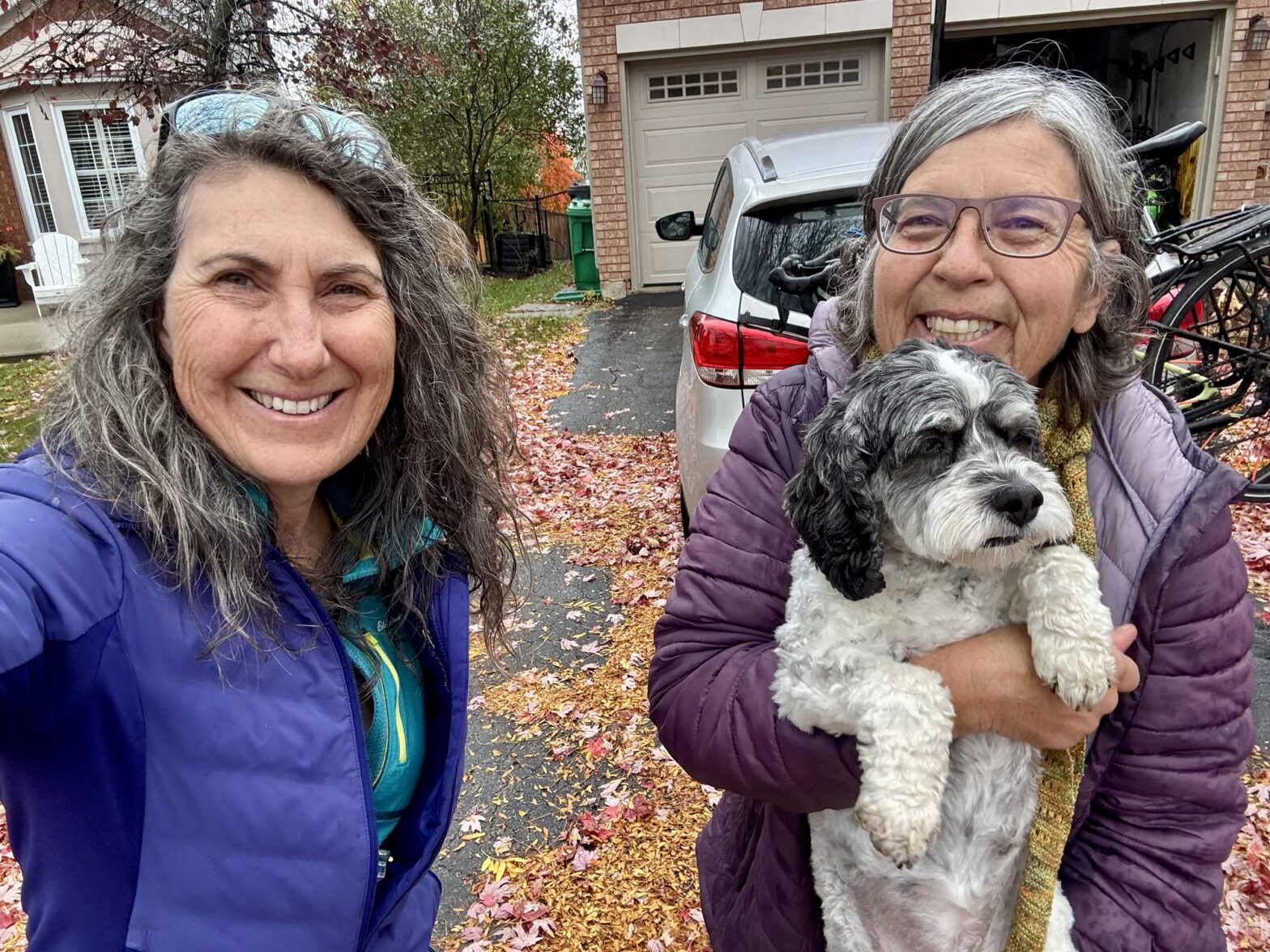
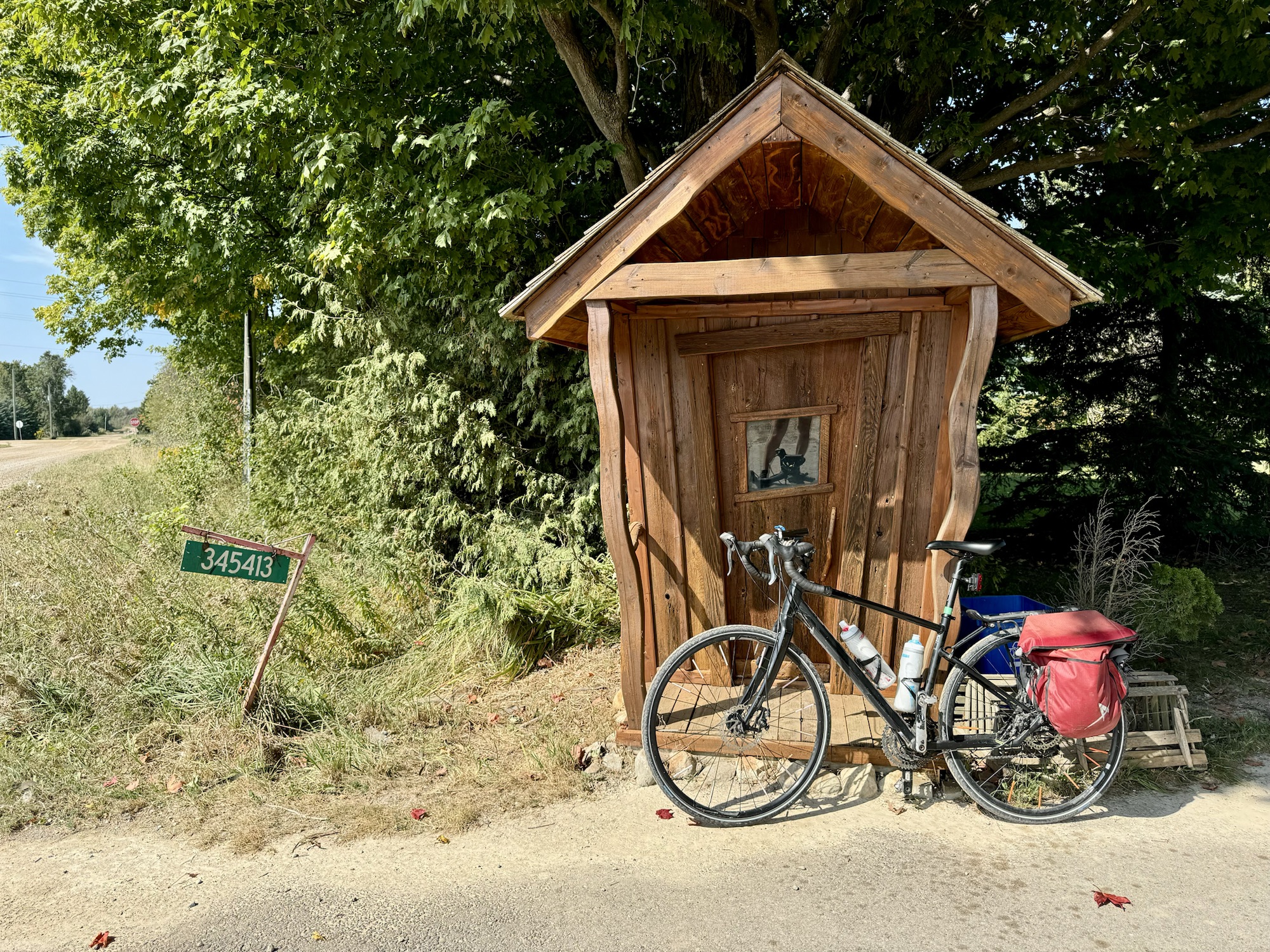
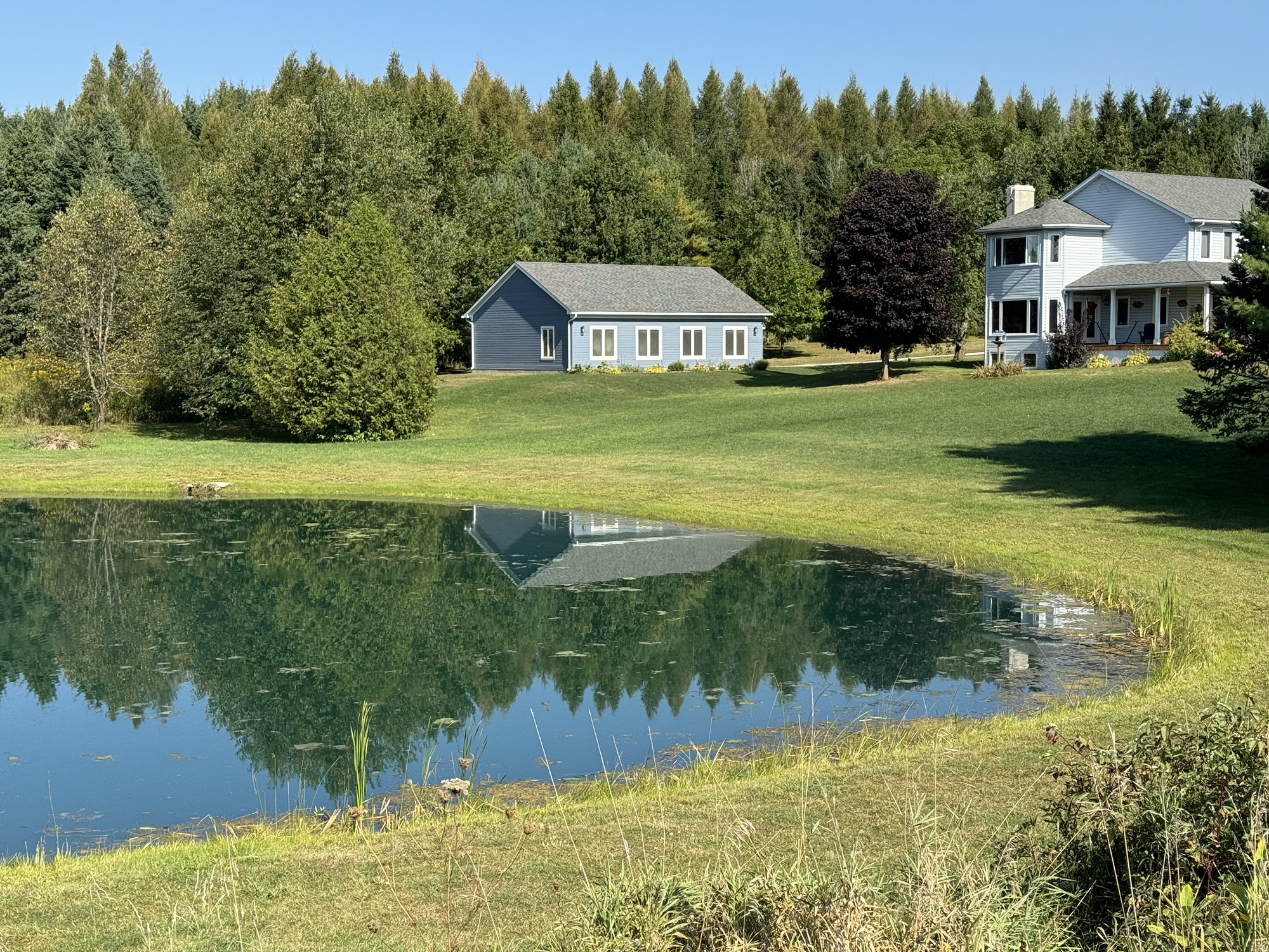
Cindy and Oakley picked me up just after 1030. It’s was a cool and rainy day, and forecast to stay that way all day, so we weren’t in a particular hurry. We have come to Cindy’s sister’s new home near Carrying Place in Prince Edward County to dog sit Oakley. Oakley stayed in Brampton with Cindy since Sunday when her sister dropped her off on the way to the airport.
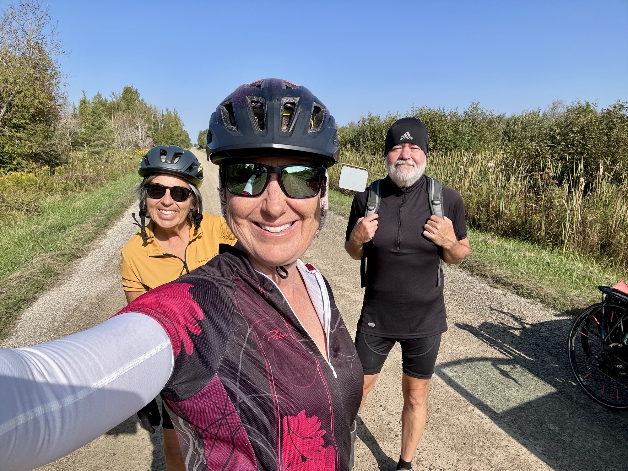
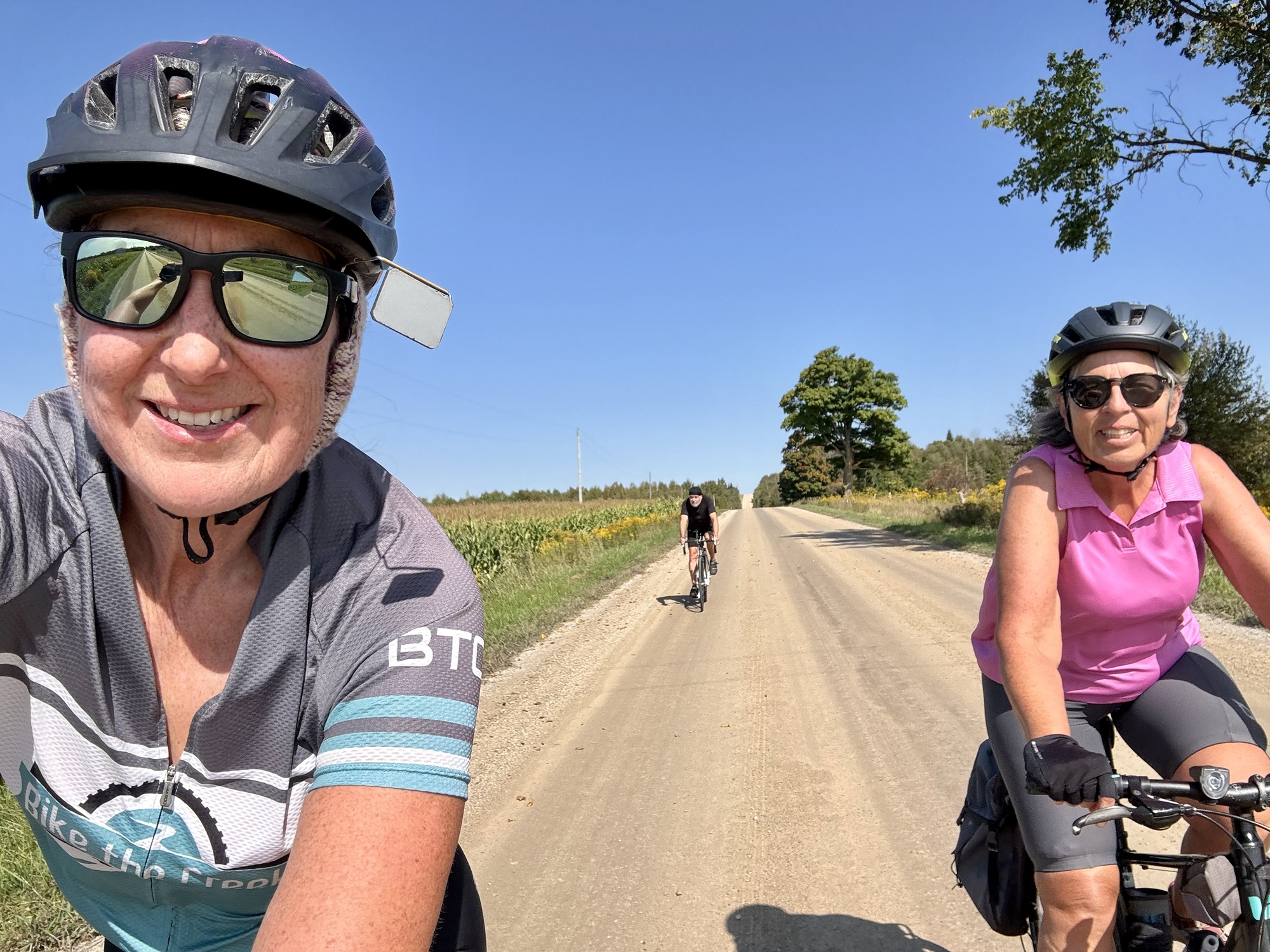
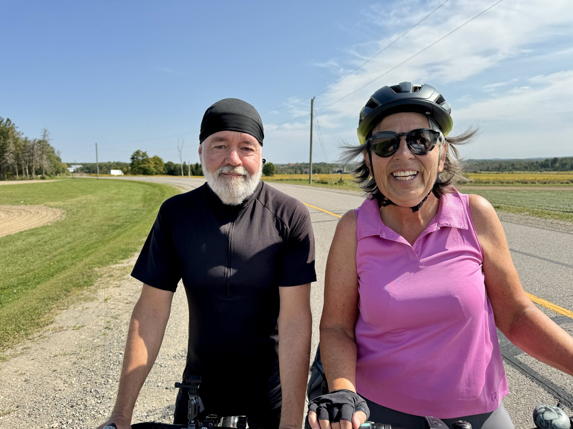
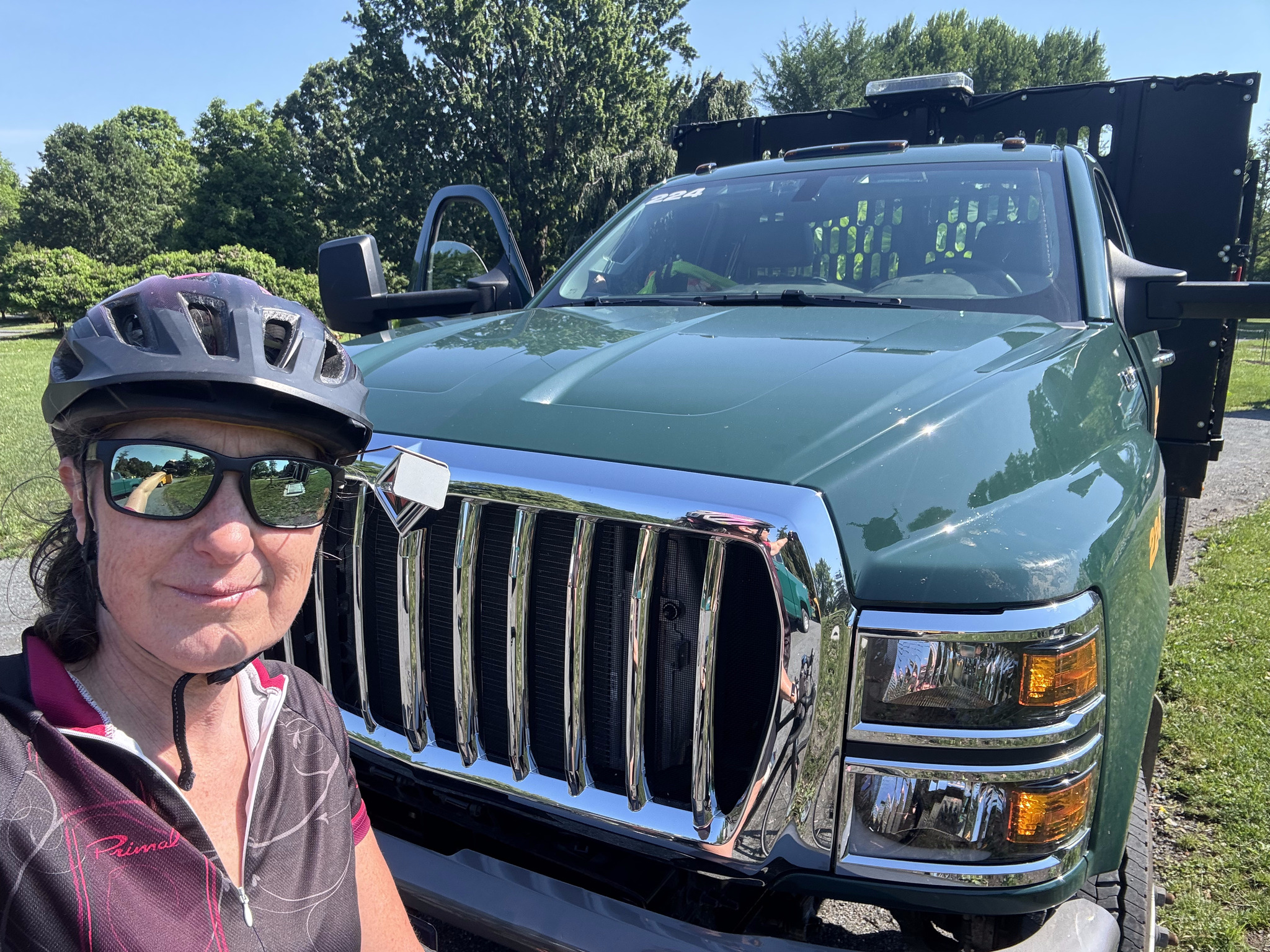
Here we are ready to start our latest adventure.
Poor Oakley was feeling rather anxious. She cuddled up on my lap for the drive, but trembled for the first hour.
It was still raining when we arrived, but they have a nice garage that was big enough for us to pull in to unload out of the rain, and close the door, even with the bikes still on the car.
We unpacked and had lunch and then took Oakley for a short walk in moderately heavy rain. Oakley didn’t like it anymore than we did.
We then decided to drive 10 km to Trenton to a coffee shop, rather than ride our bikes on the limestone screening Millenium Trail that goes right behind the house to Trenton, to the north, and Picton to the southeast, because neither of us felt like a cold rainy ride. We had coffee at The Grind and Vine. It was good.
We parked next door, where it appears they have a permanent covered farmers’ market.
This is Trenton’s Main Street.
We had dinner back at the house and a relaxing evening. The rain has stopped and the next couple of days look like great riding days, especially for the end of October.
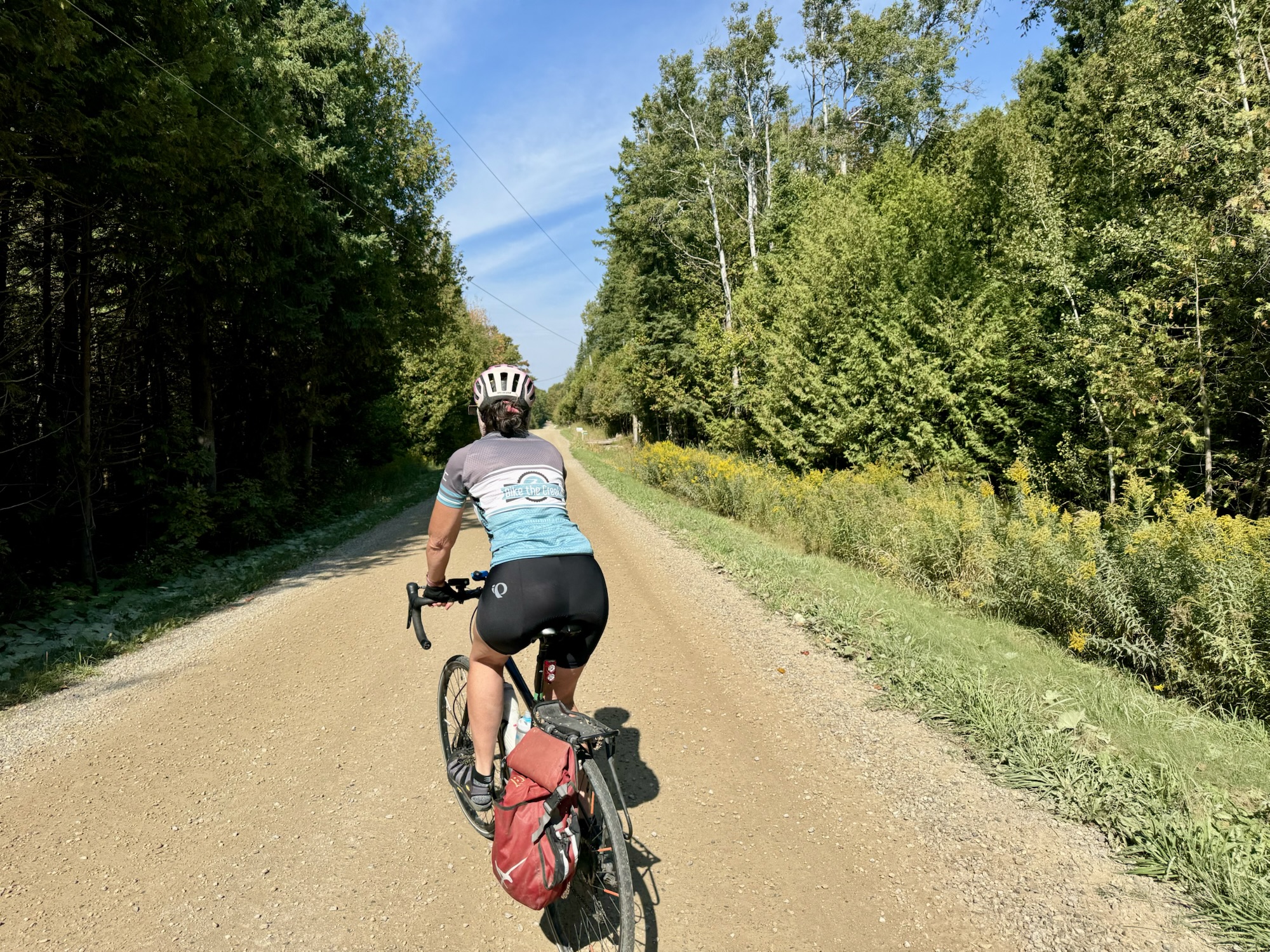
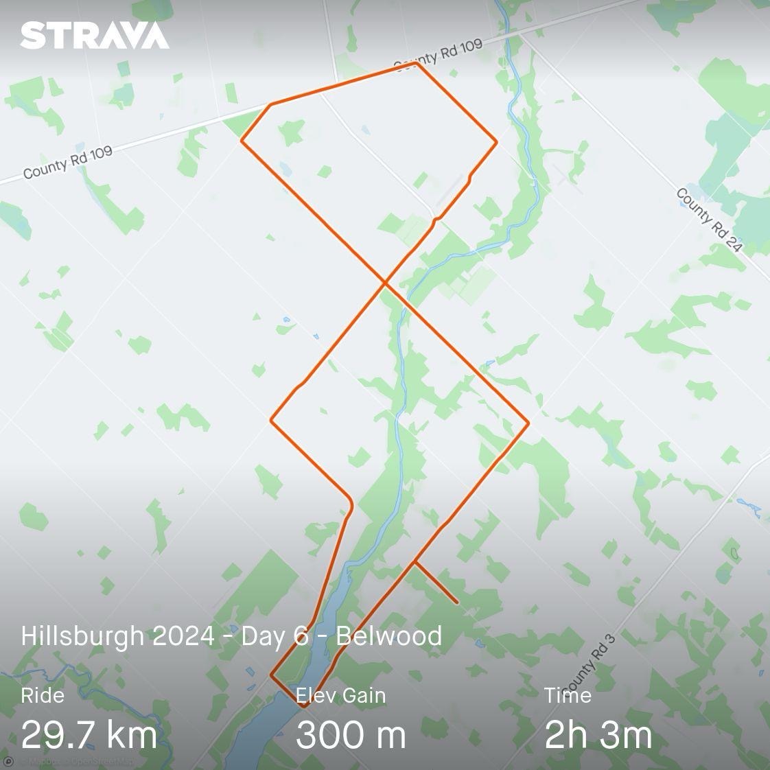
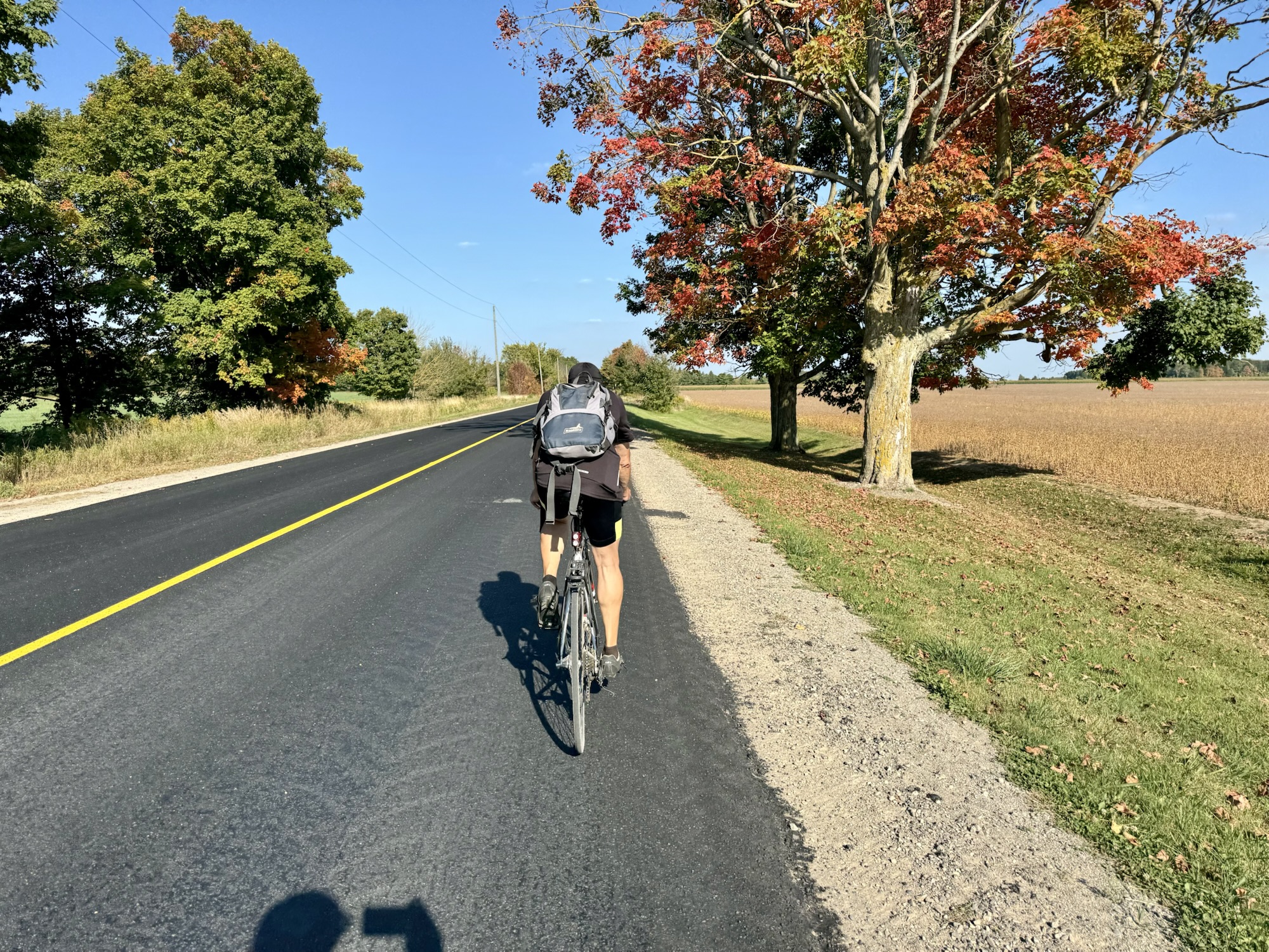
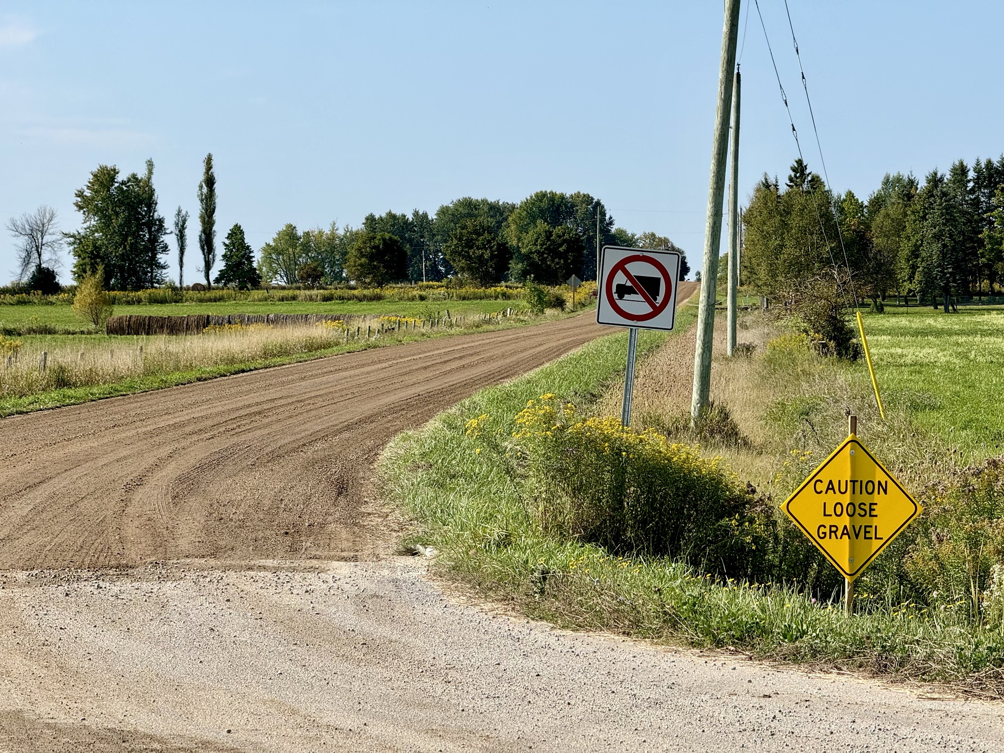
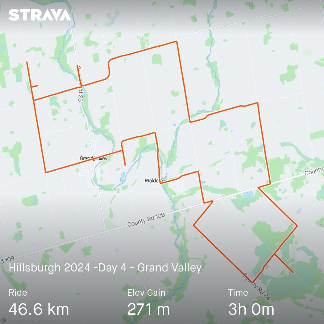
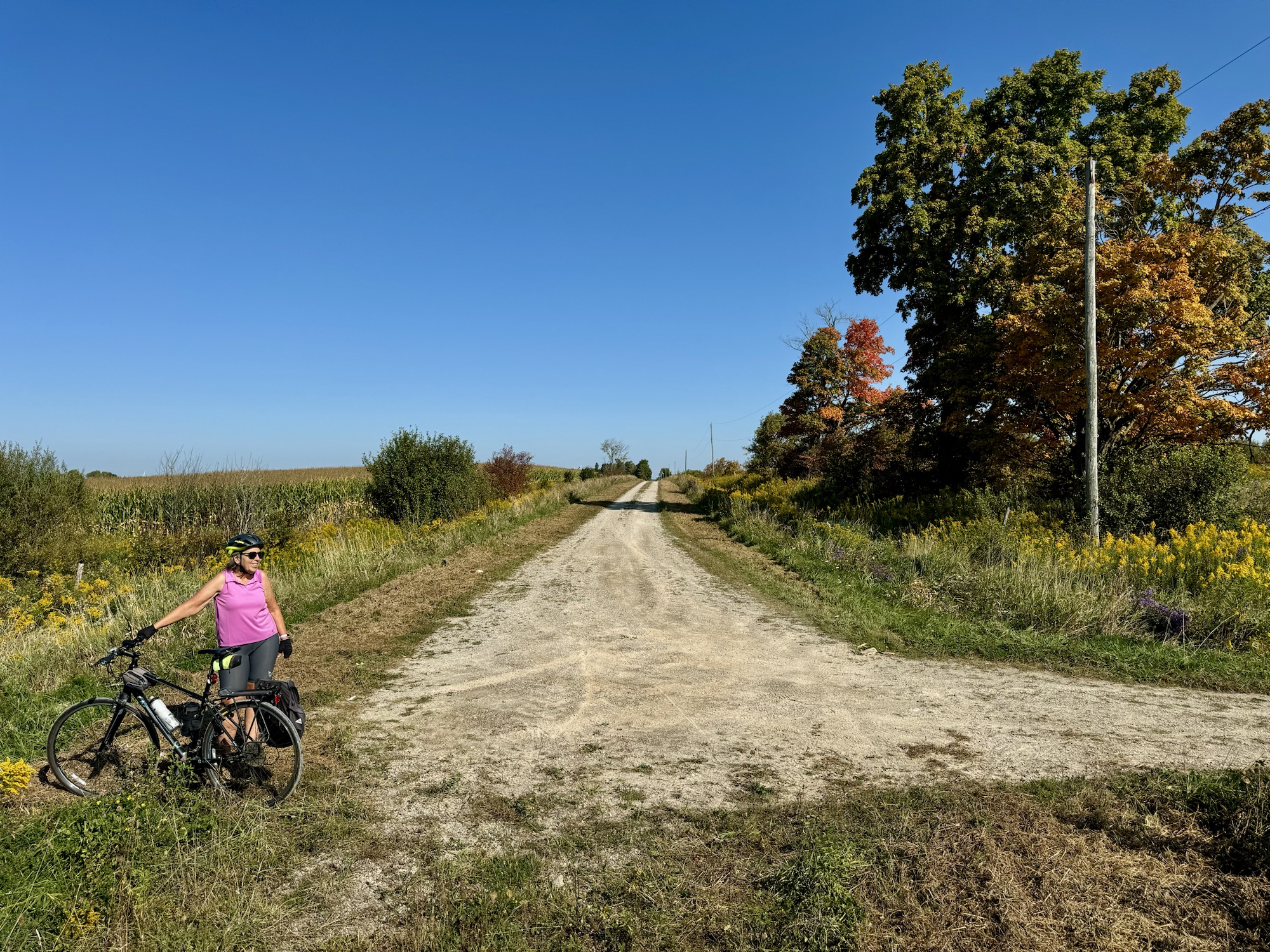
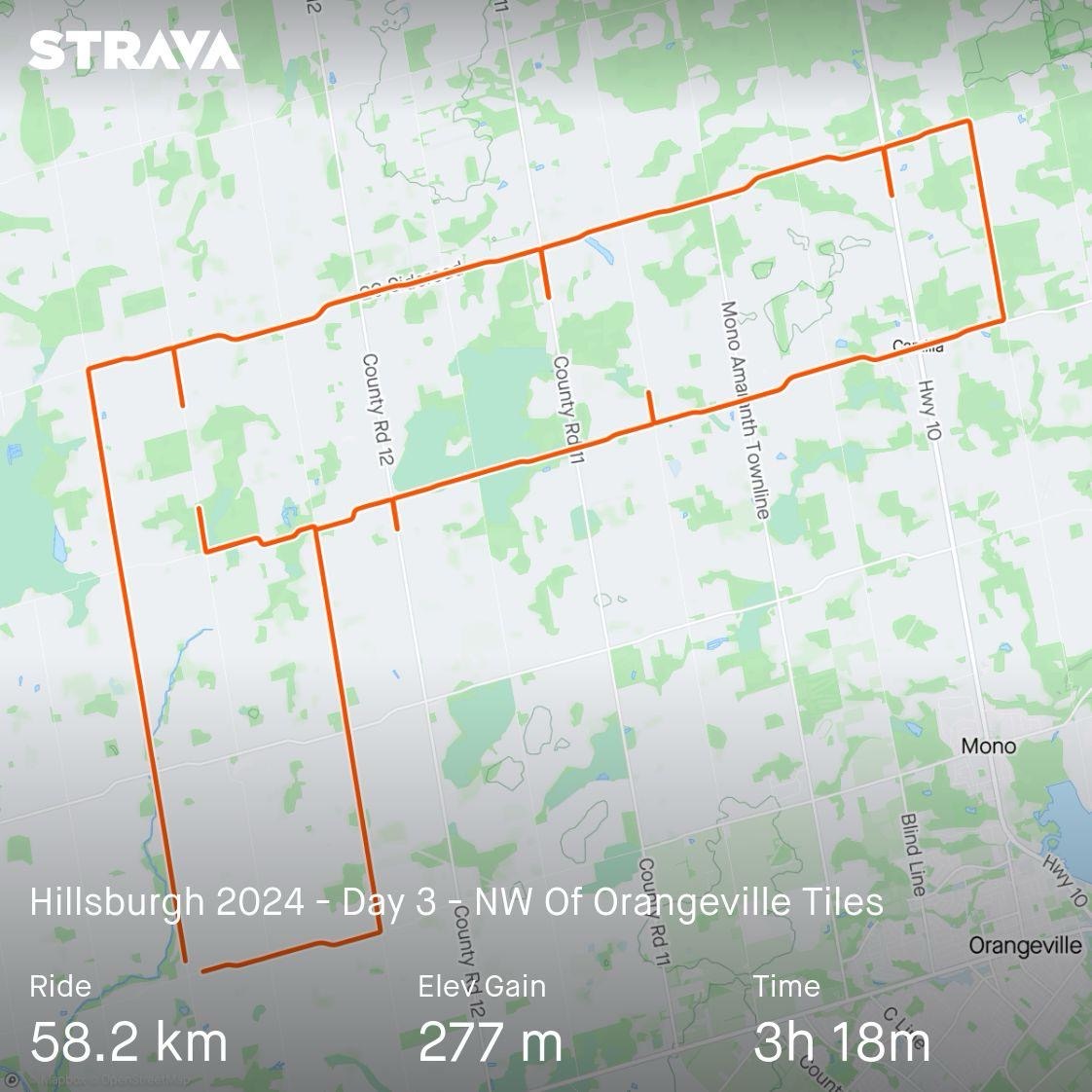
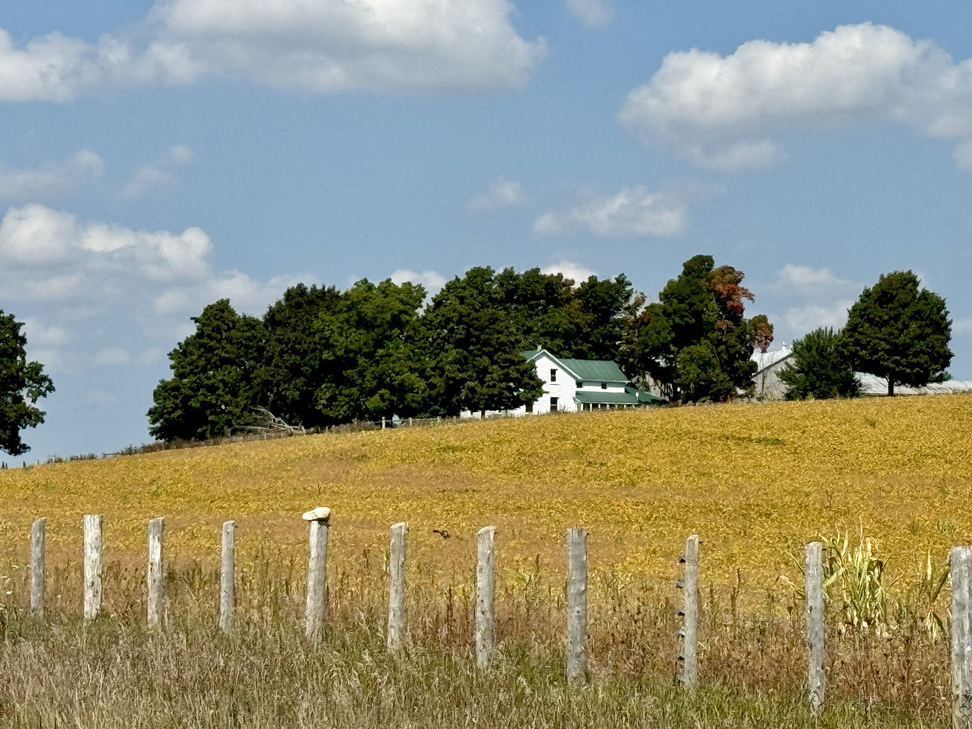
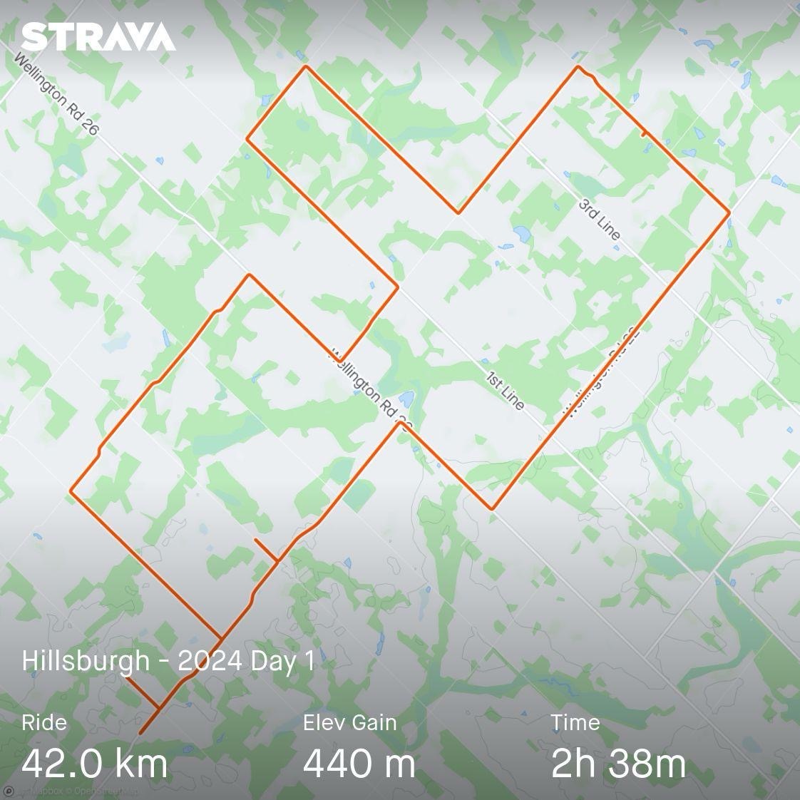
On our final day, Barry wanted to get some tiles close to where we were staying, that Cindy and I had from a previous trip. Cindy and I wanted to do a ride around Lake Belwood, so we split up for the day. Cindy and I drove part of the way to the lake because the gravel roads and hills in the area are really taxing.
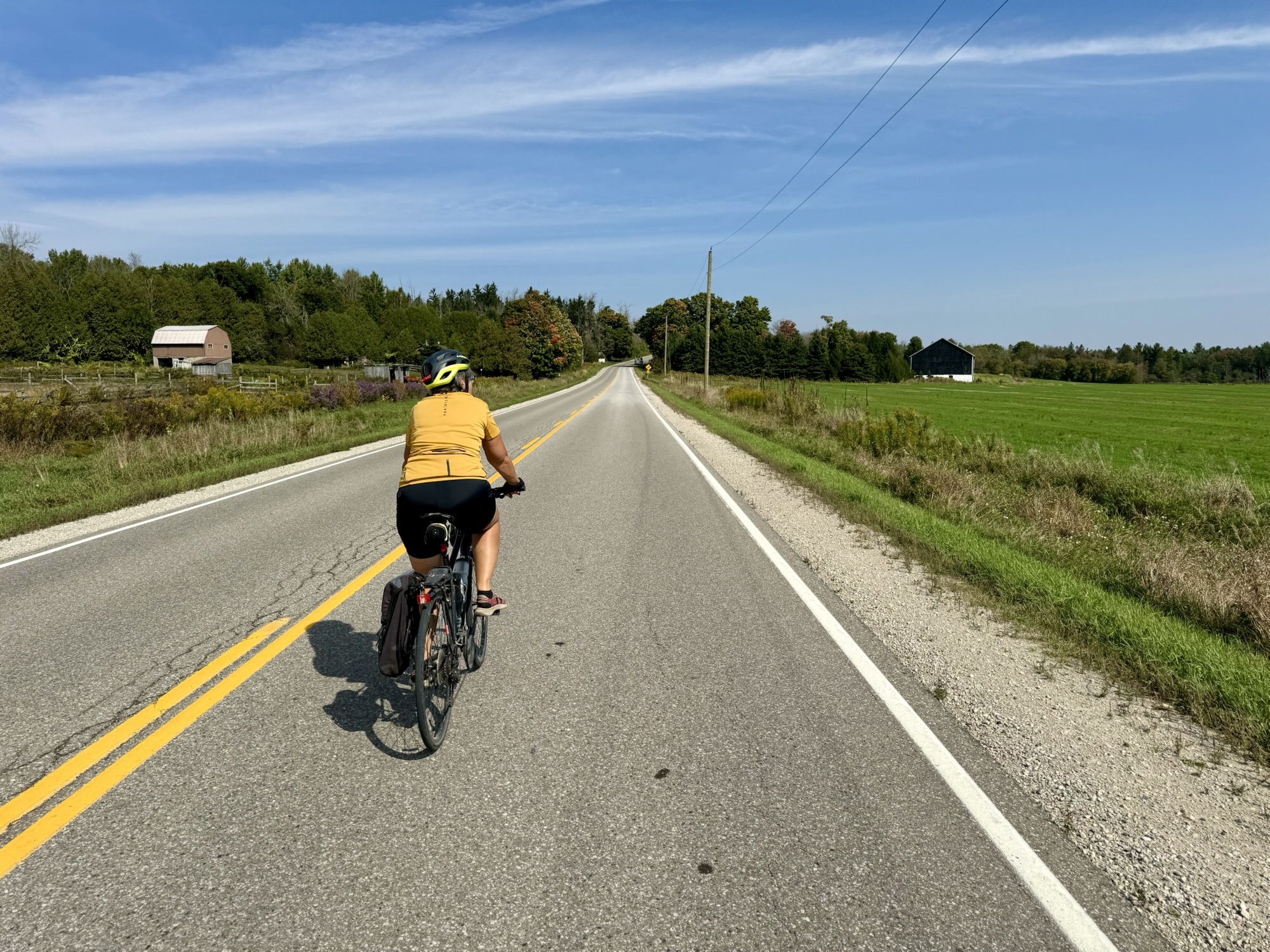
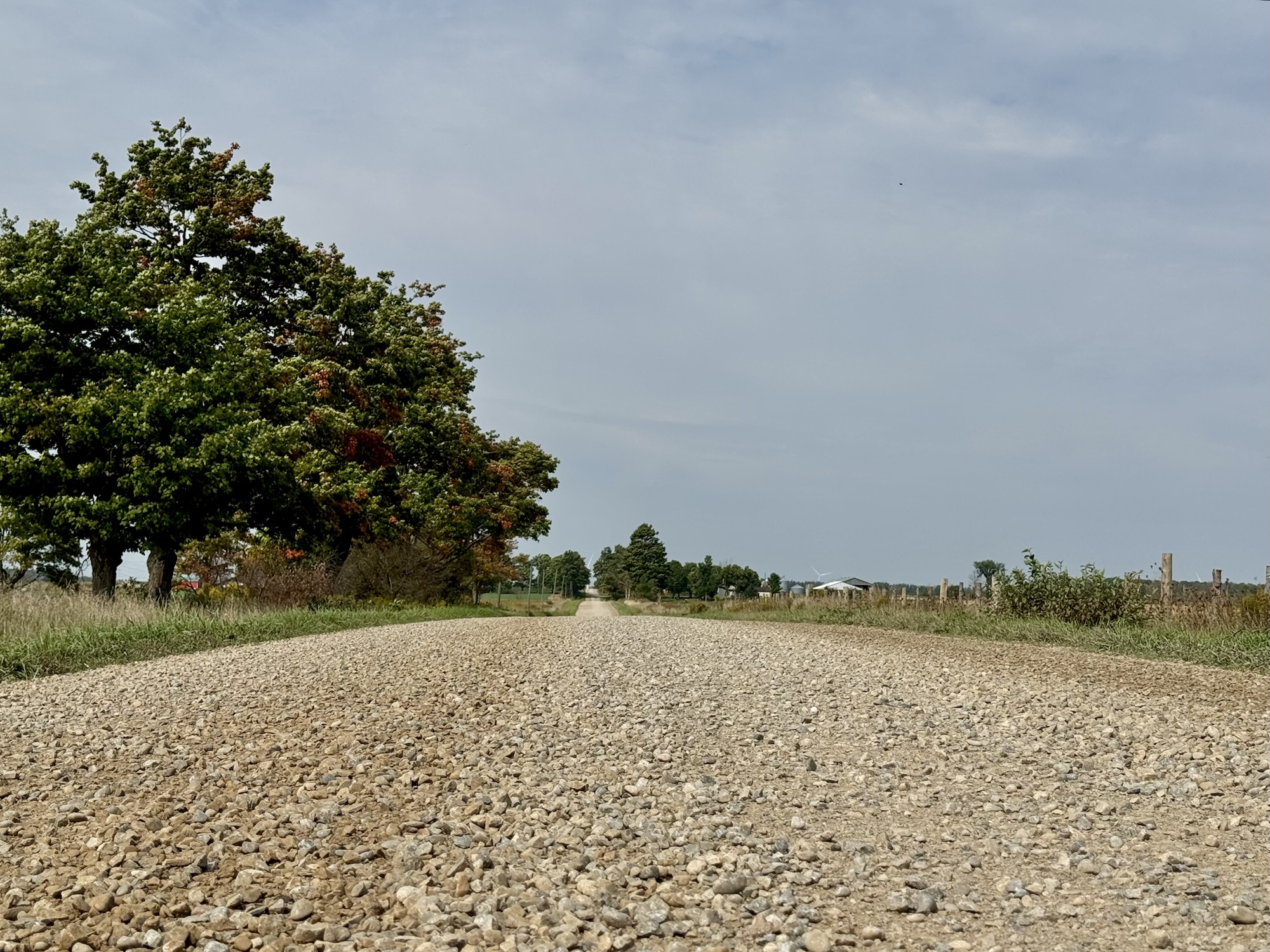
The ride I planned was 18 km of gravel, 12 km of paved roads, and 300 m of climbing.
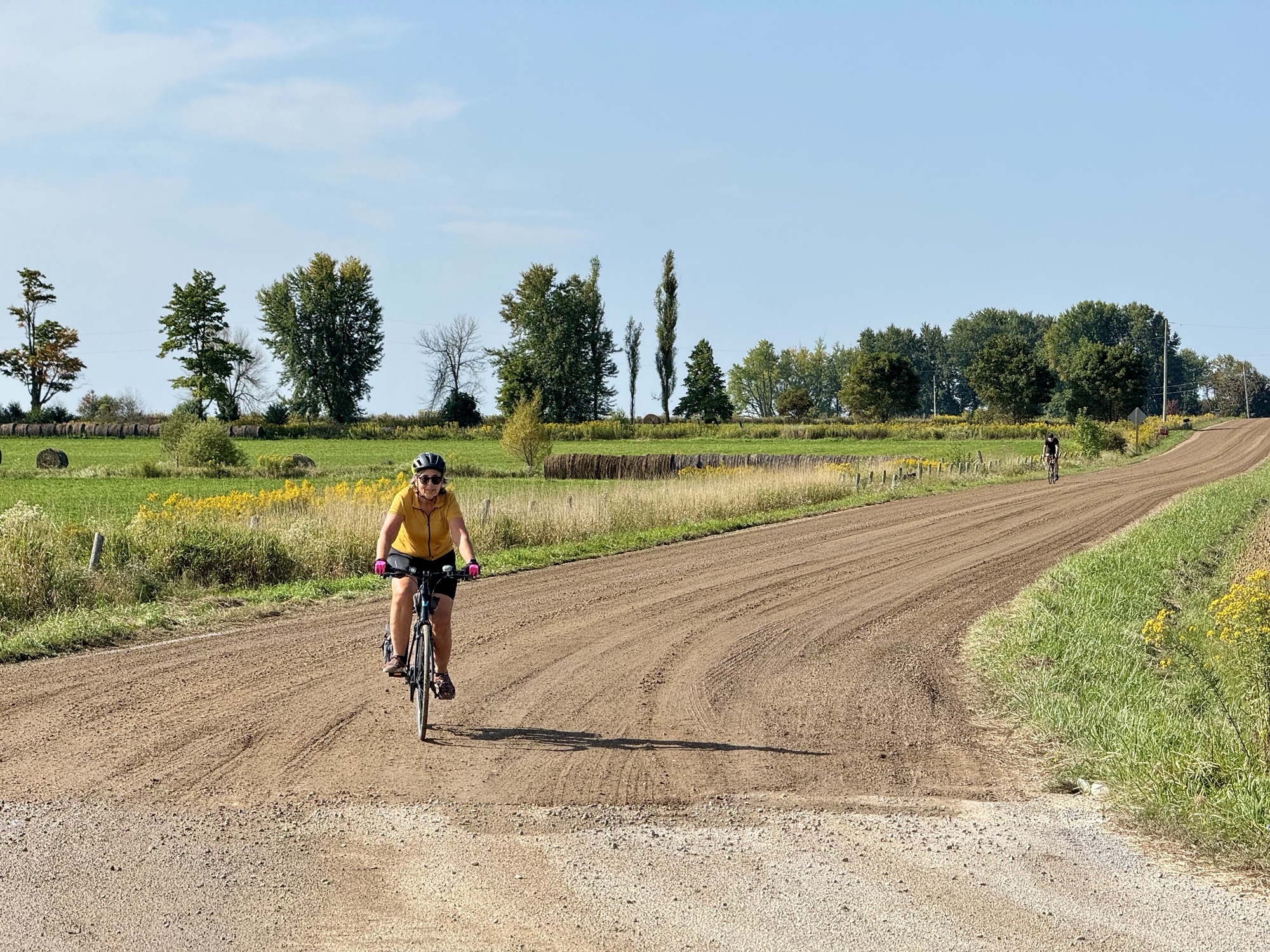
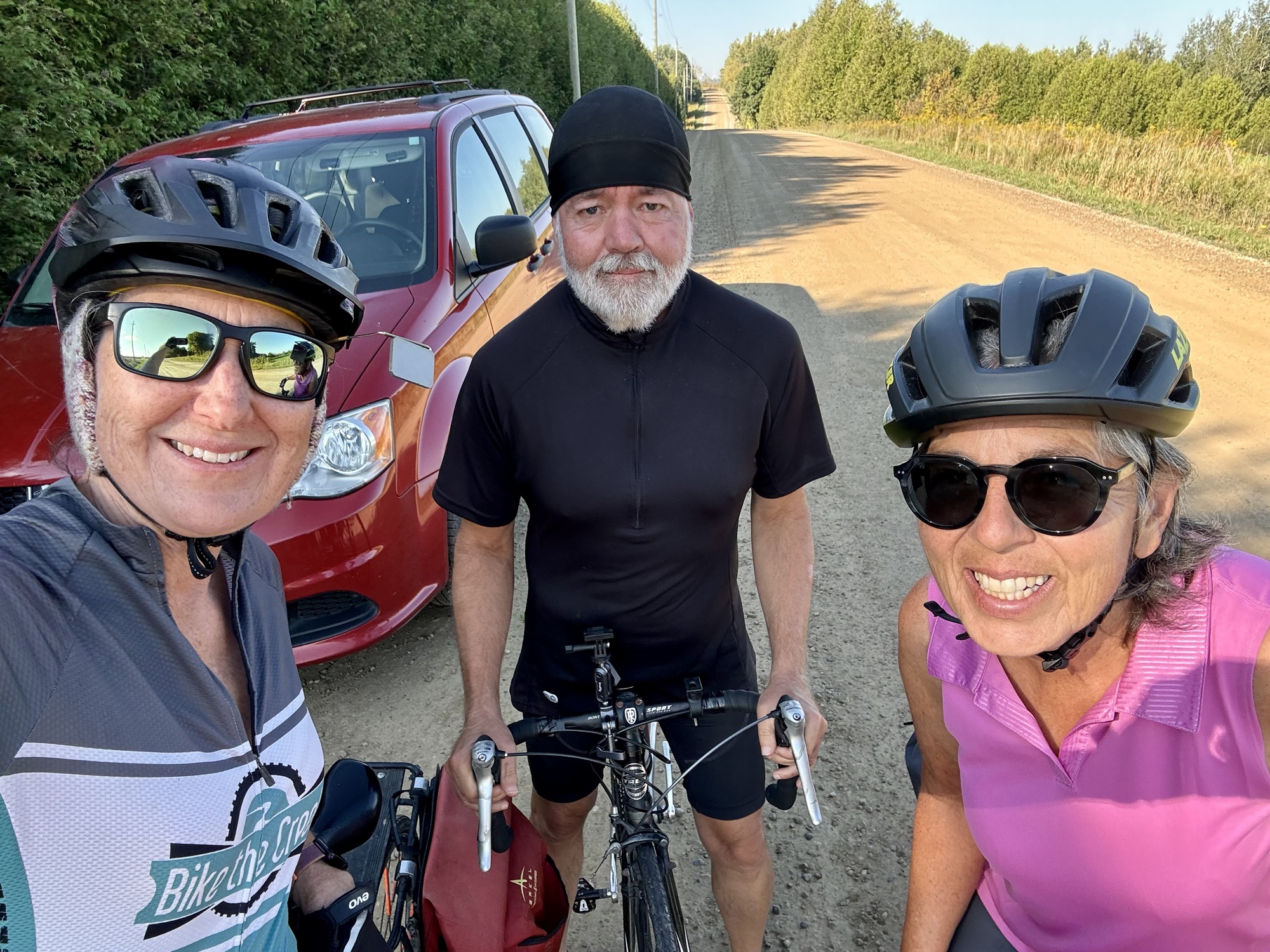
We parked on a quiet gravel road and began riding. The weather was beautiful.
Photo credit: Cindy 
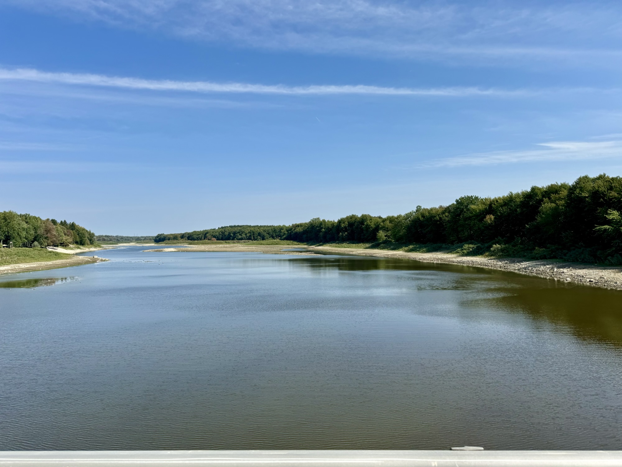
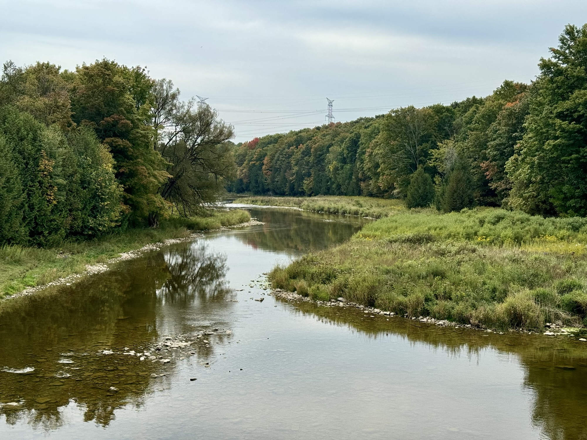
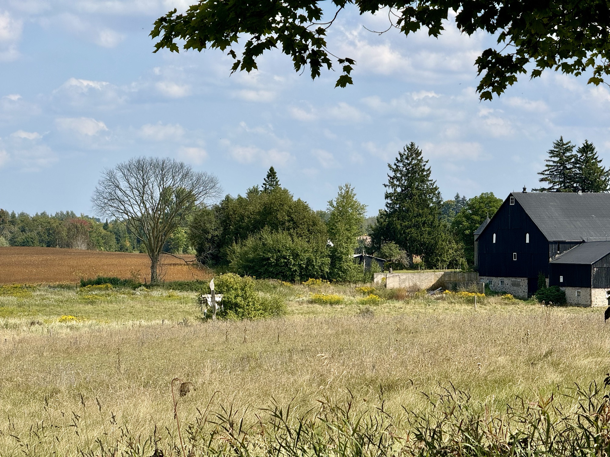
Lake Belwood is a reservoir on the Grand River. It was created by the erection of the Shand Dam in 1942, for flood control, and hydroelectricity generation. The Elora Cataract Rail Trail crosses the dam.
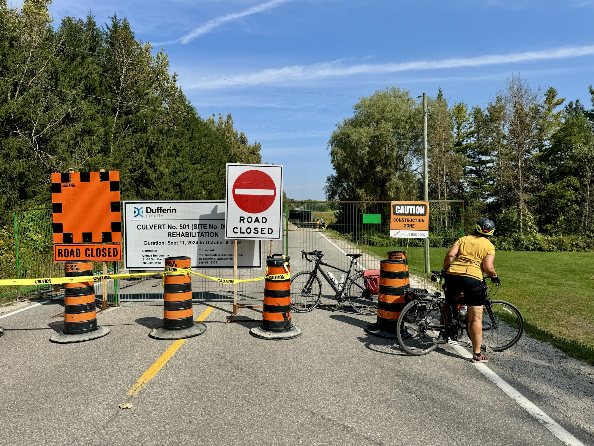
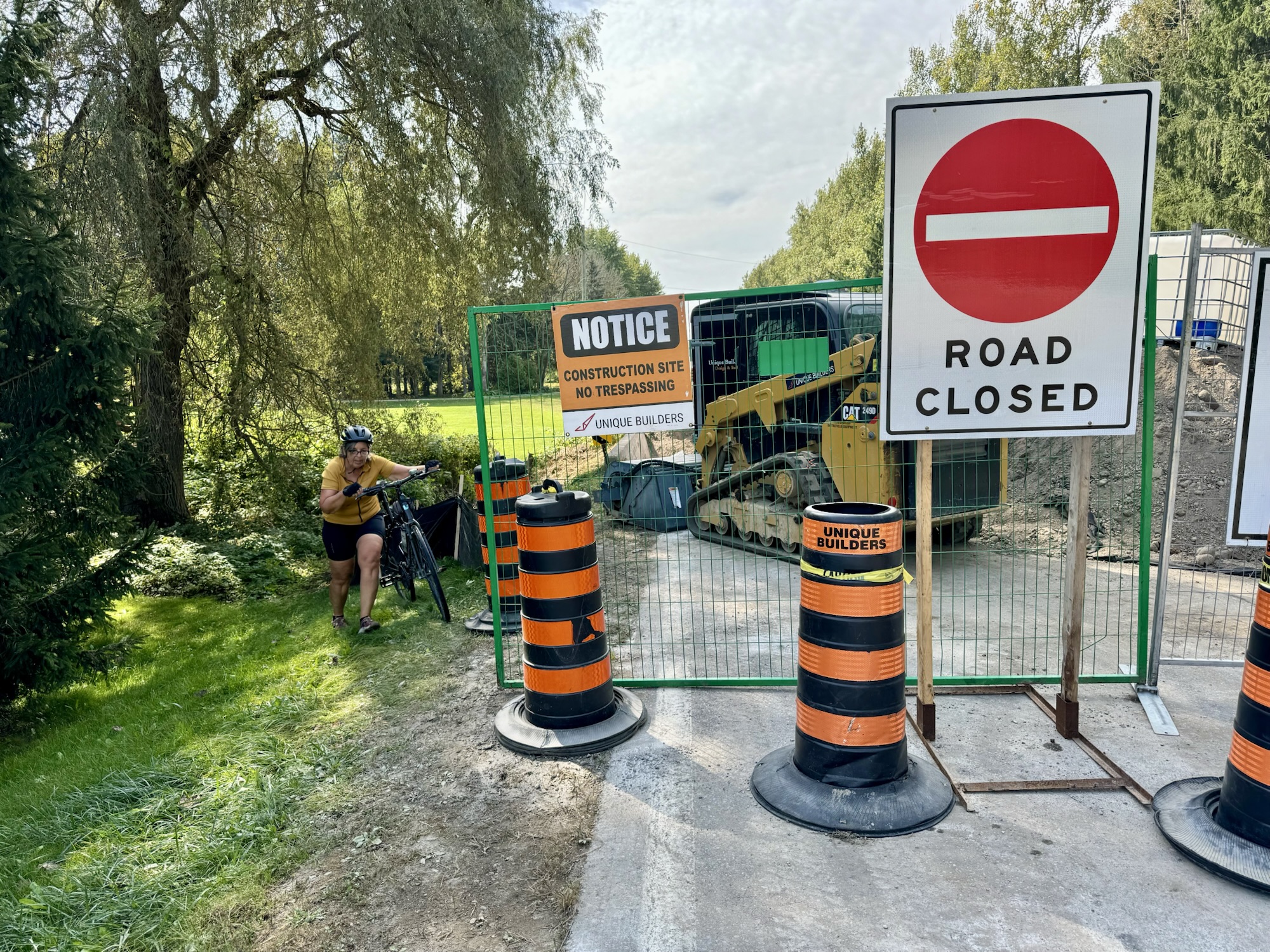
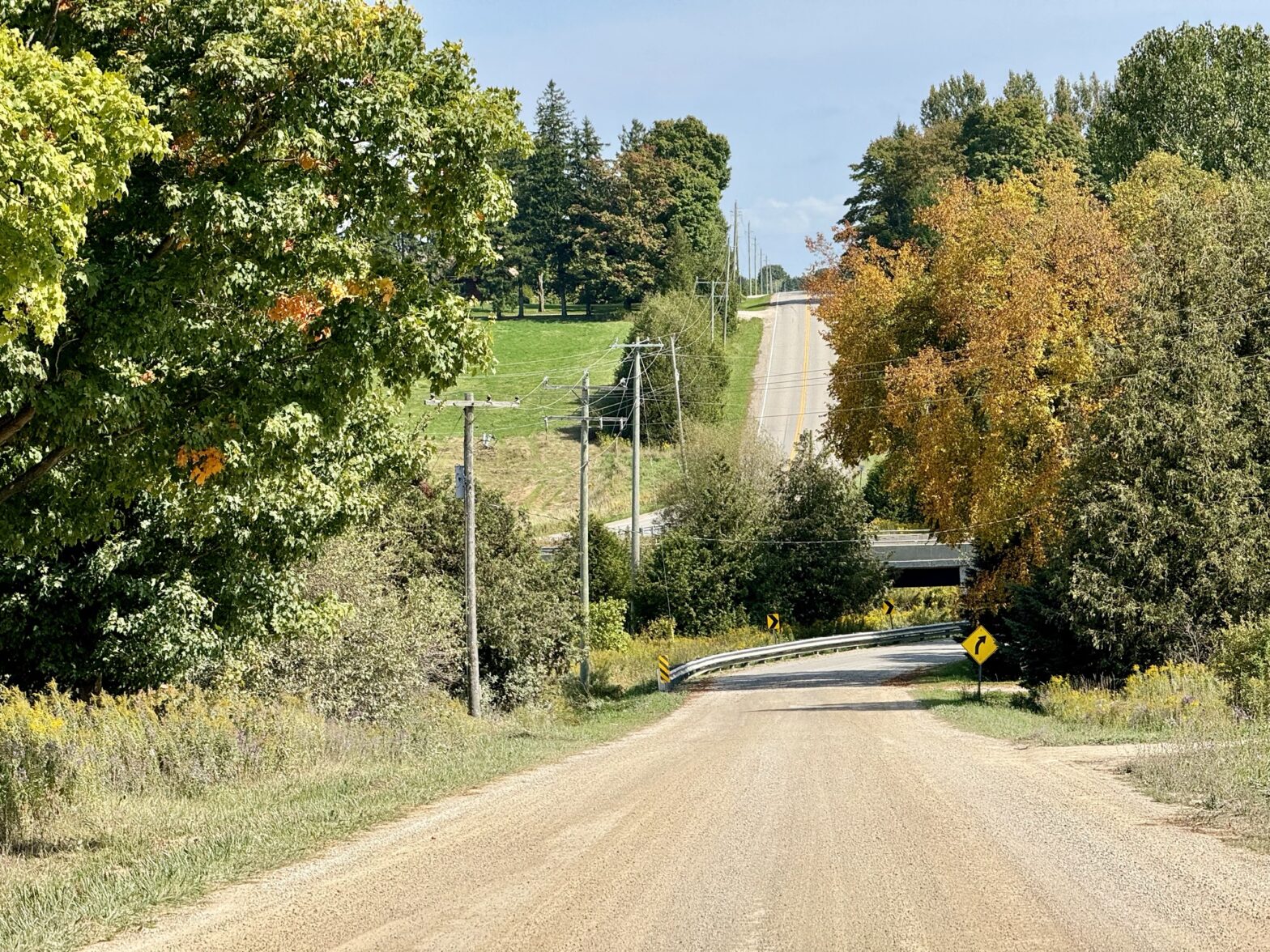
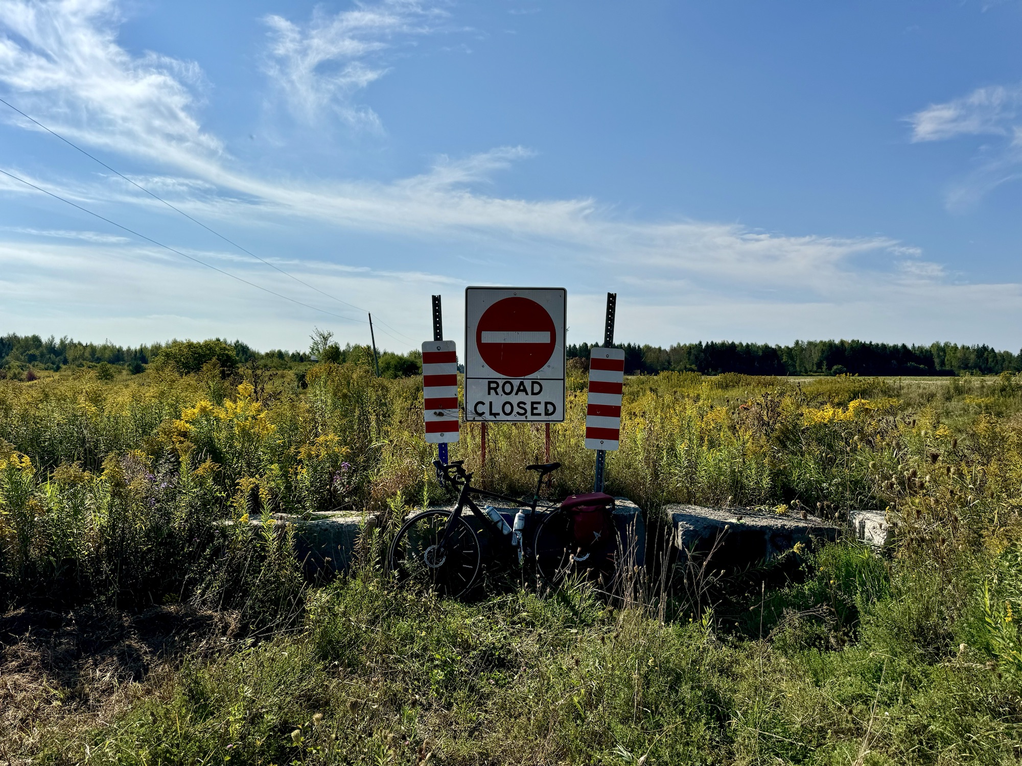
We came across a road closure, that would have increased the amount of gravel we would have to ride on, so we scouted it and determined that we could get by.
The road was nice and smooth on both sides of the closure.
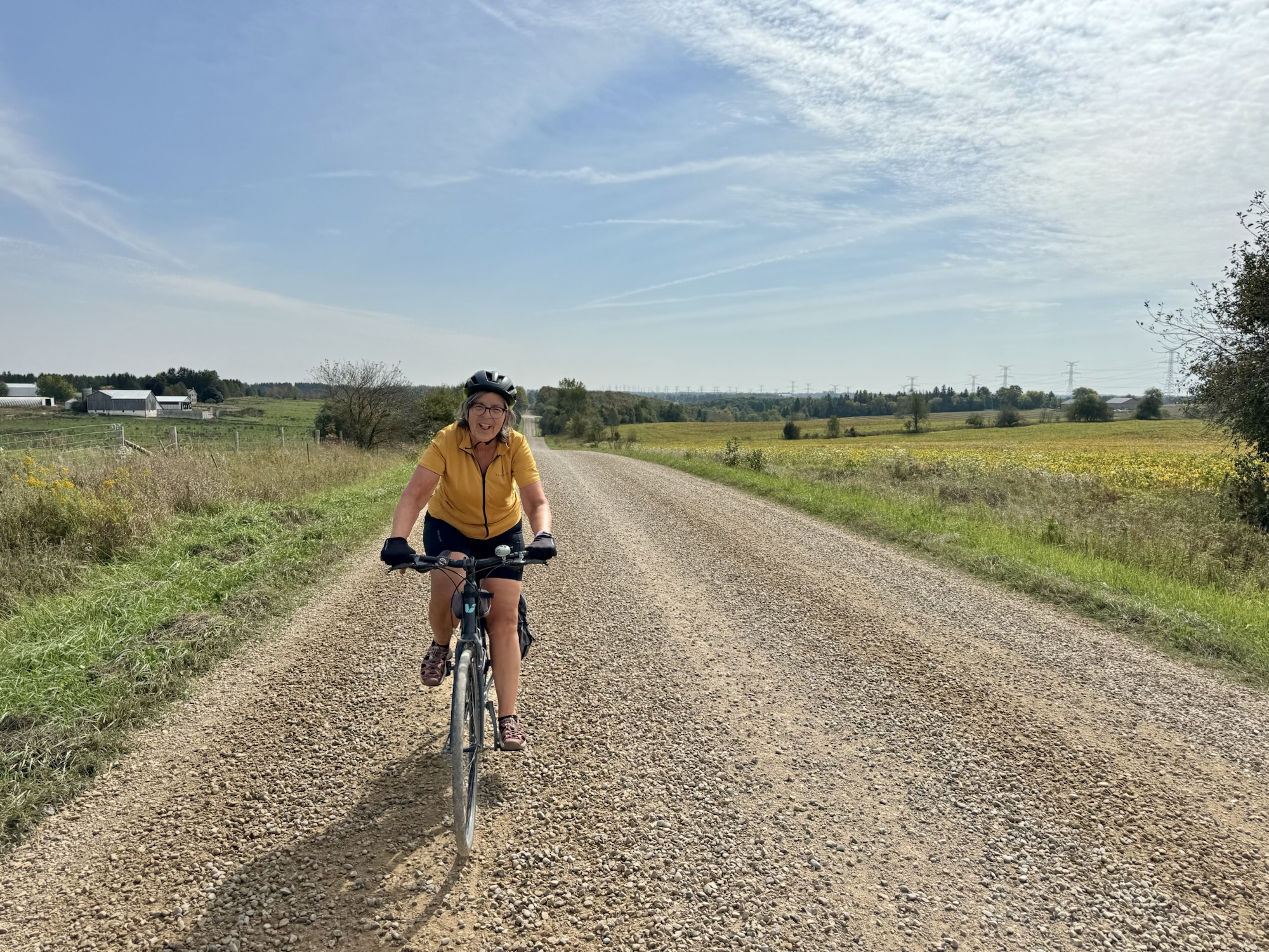
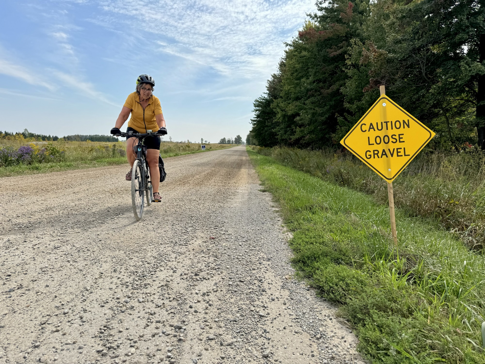
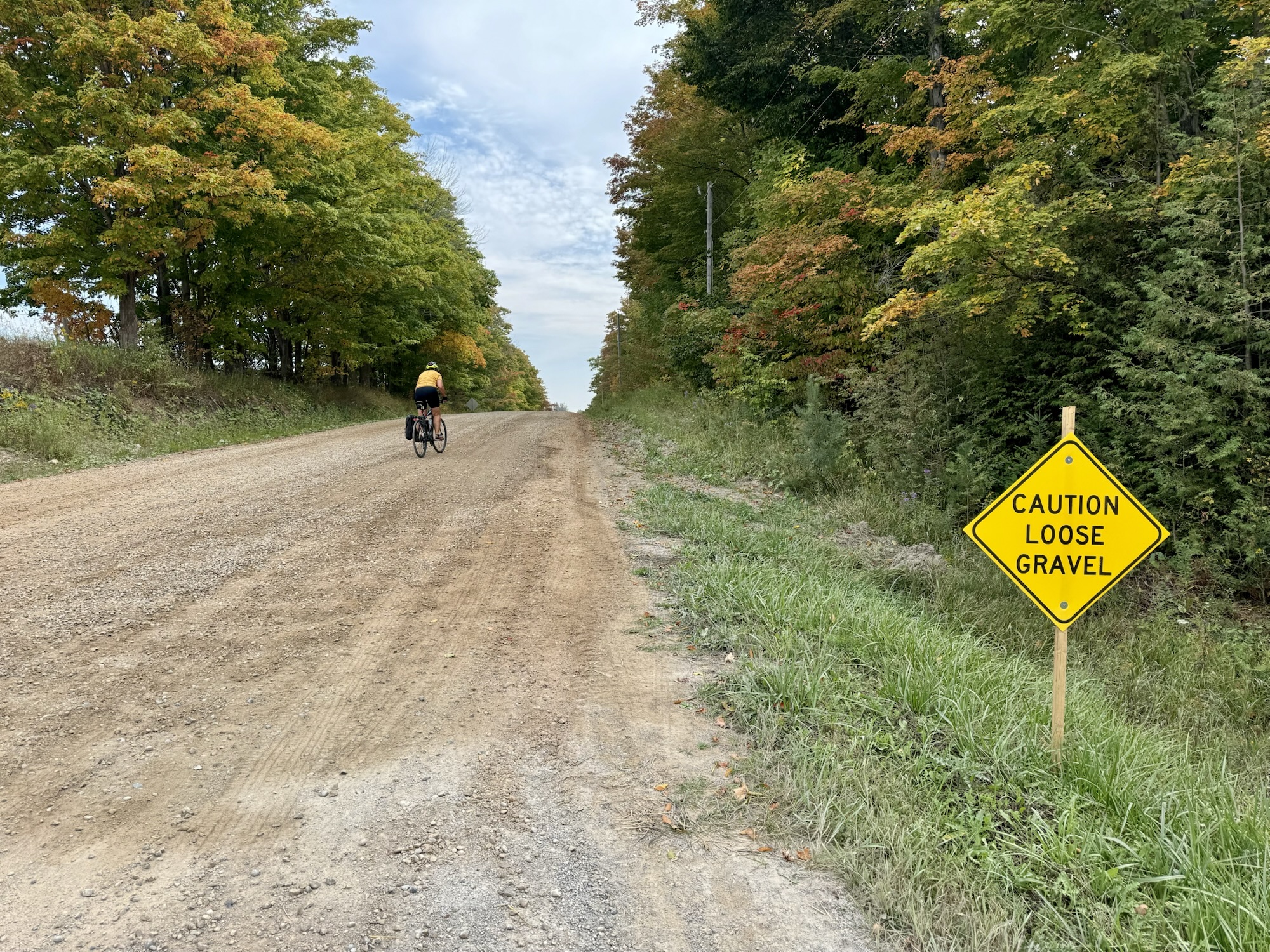
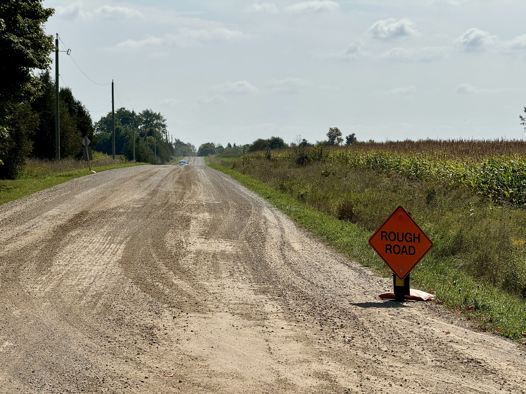
However, it wasn’t long before we ended up on many kilometres of newly gravelled roads that were the roughest roads we have been on the entire week, and we encountered the most hills that we’ve encountered the entire week, as well. Prior to today, we had generally been able to ride in a bare track in the gravel where car tires had flung the gravel out of the way, but 6 km of the route today appeared to have had gravel added within the last few days, and there was no bare track upon which we could ride to reduce the roughness.
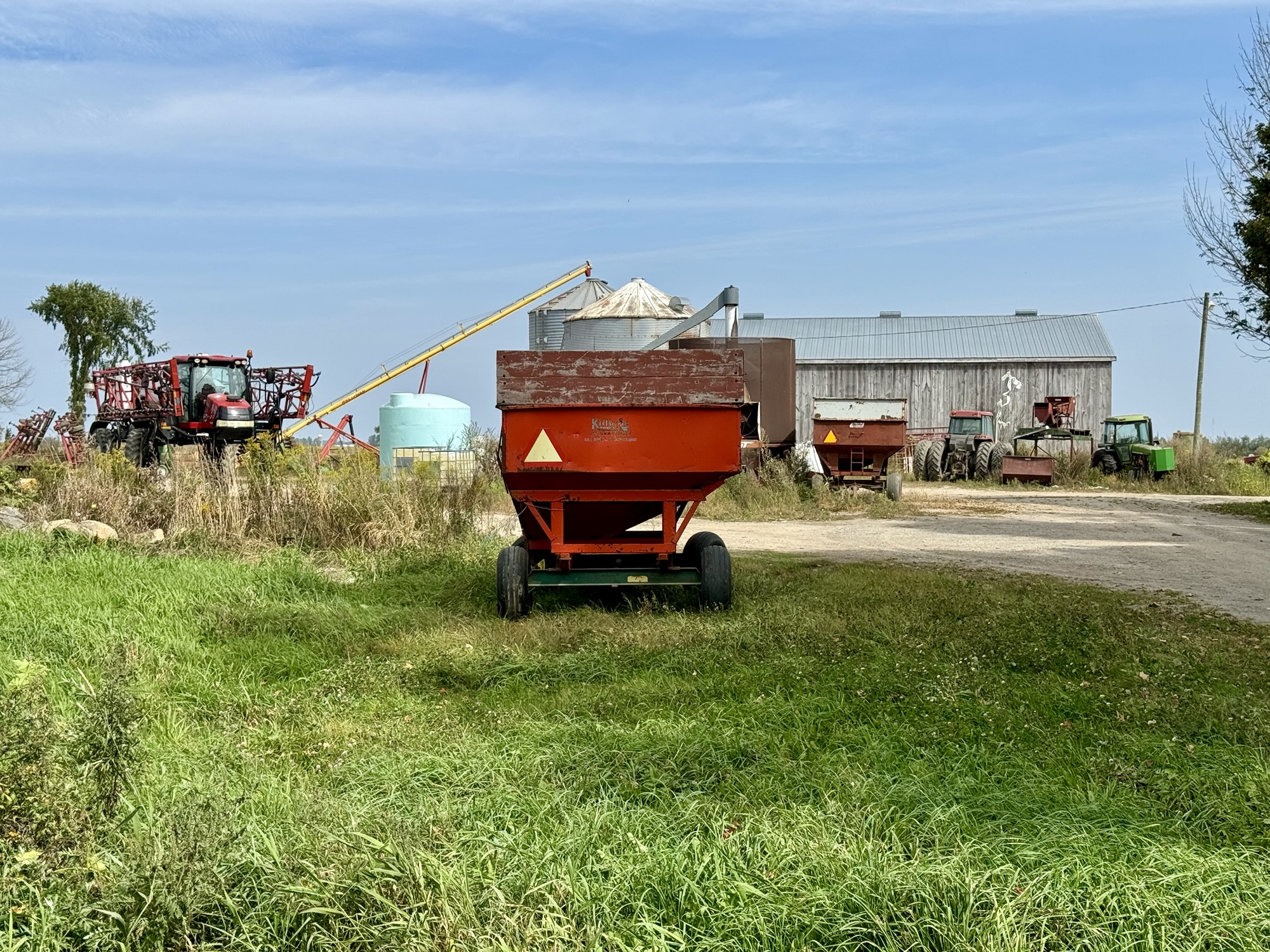
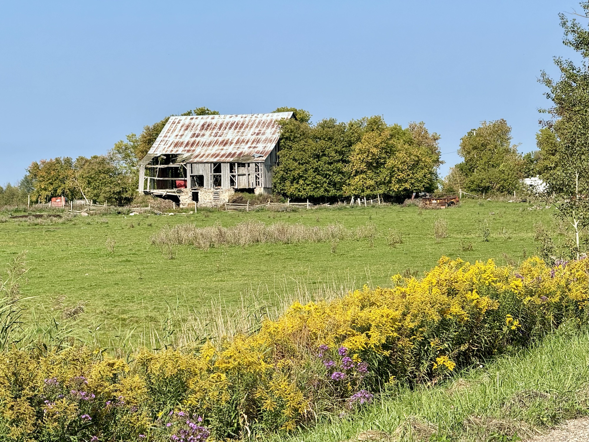
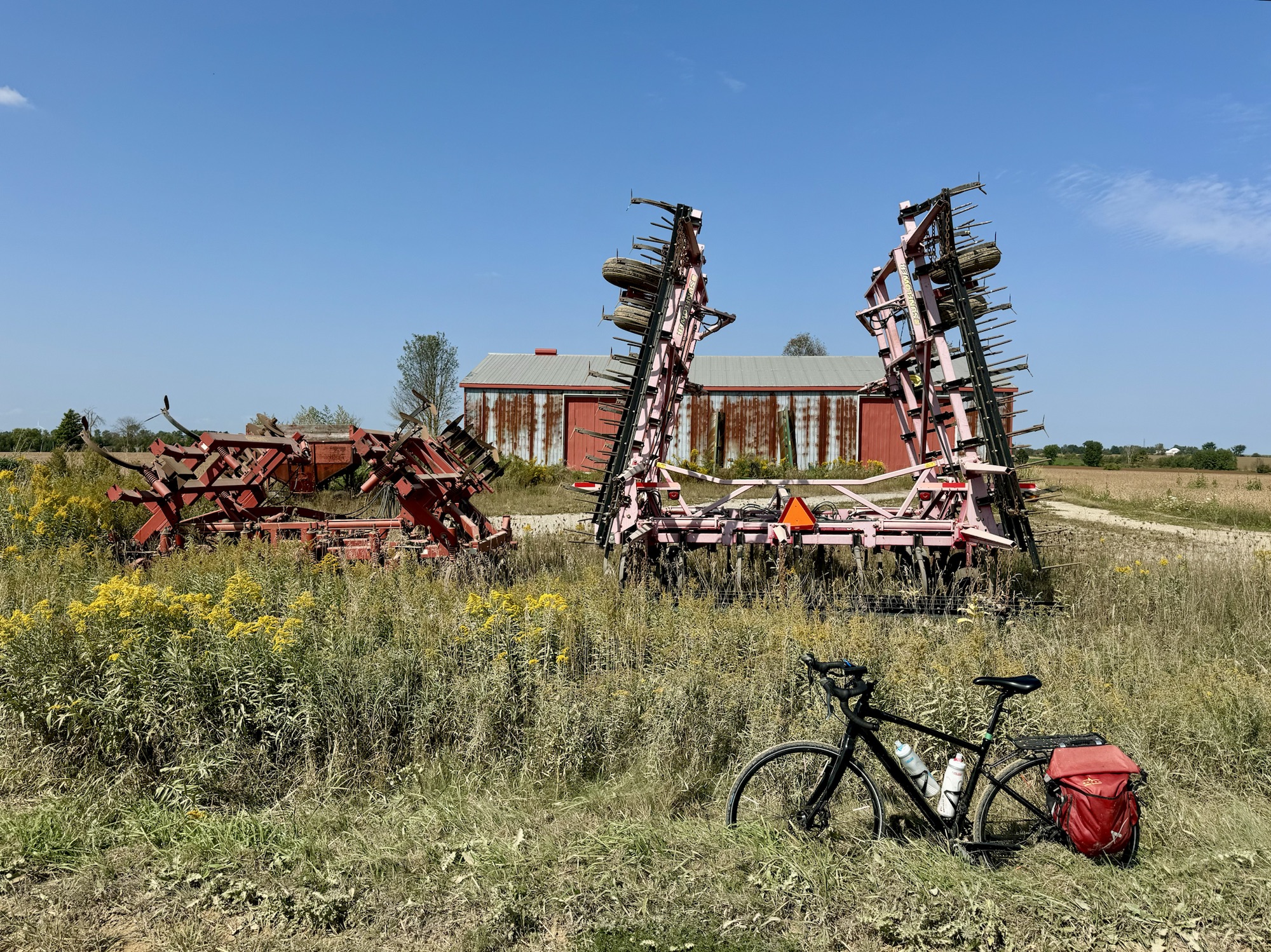
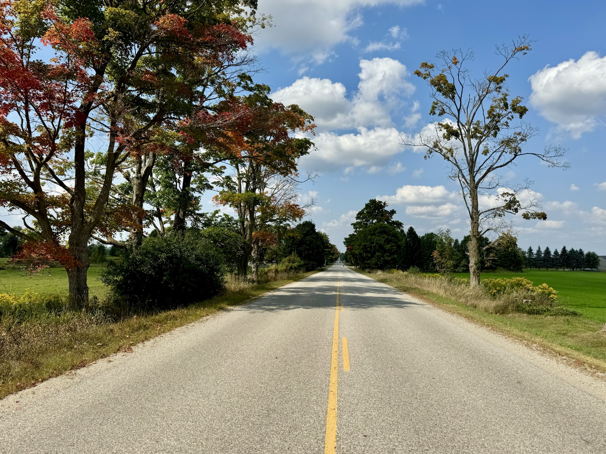
There were some lovely pastoral scenes.
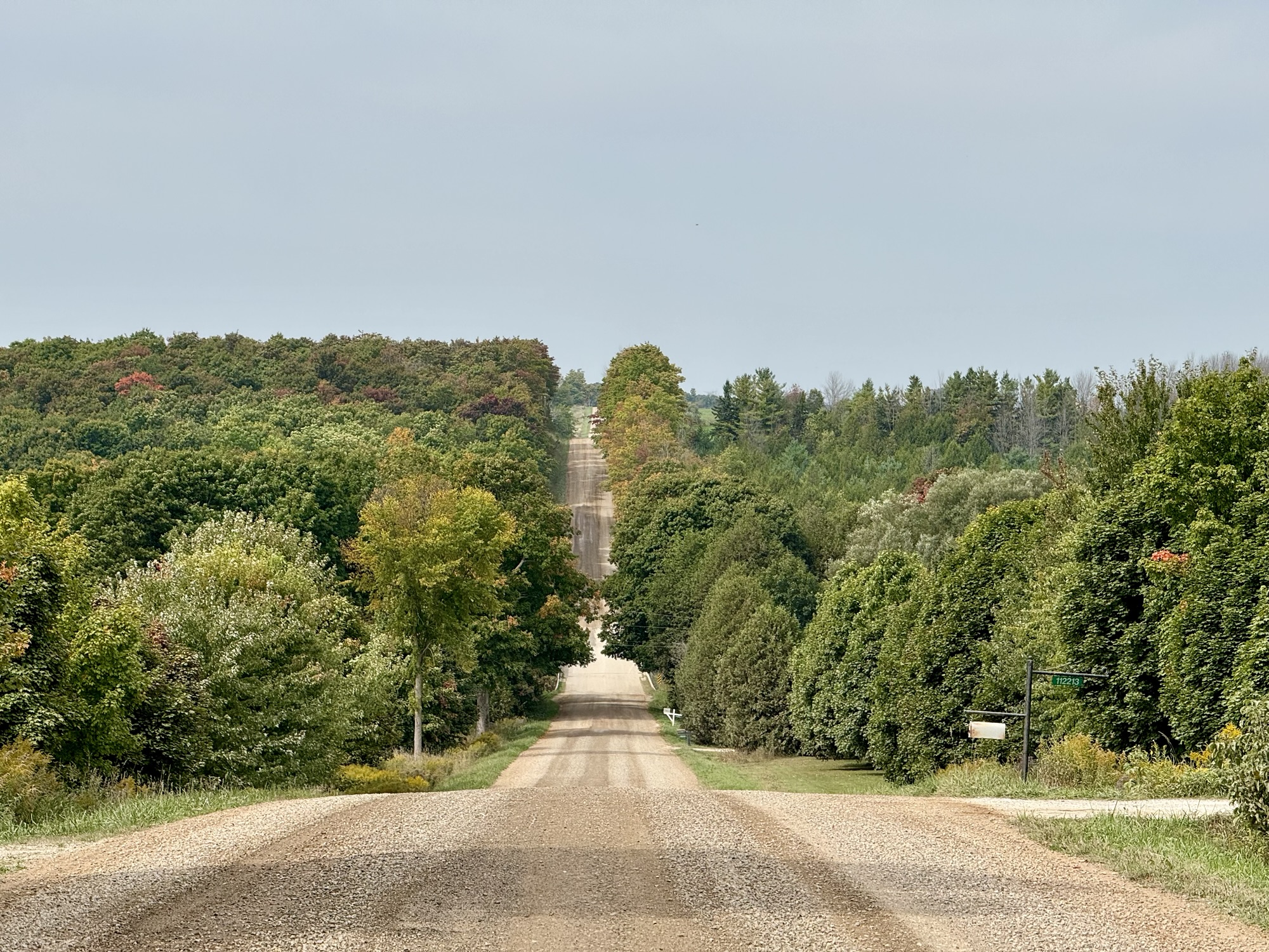
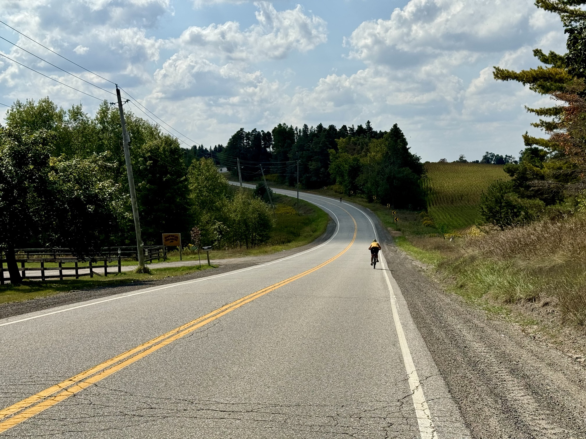
And more rough gravel roads, and more hills.
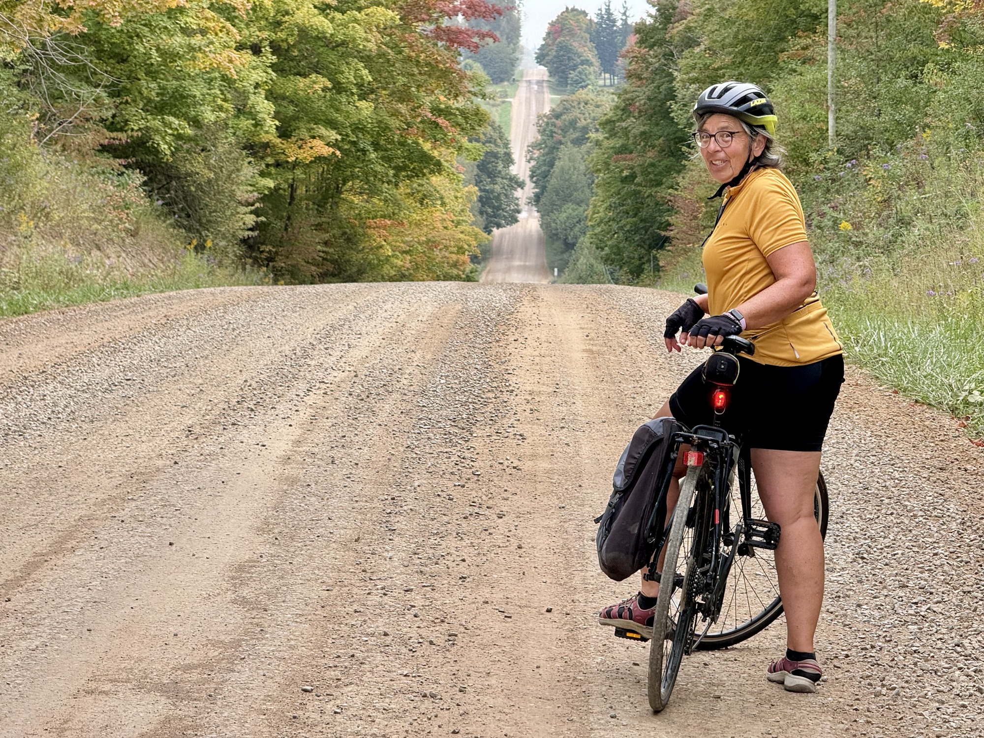
It’s often hard to convey a hill in a photograph, but it was not difficult on today’s ride.
At one point due how loose and rough the gravel was, and the steepness of the climb, we had to get off and walk.We were very happy that the ride was only 30 km.
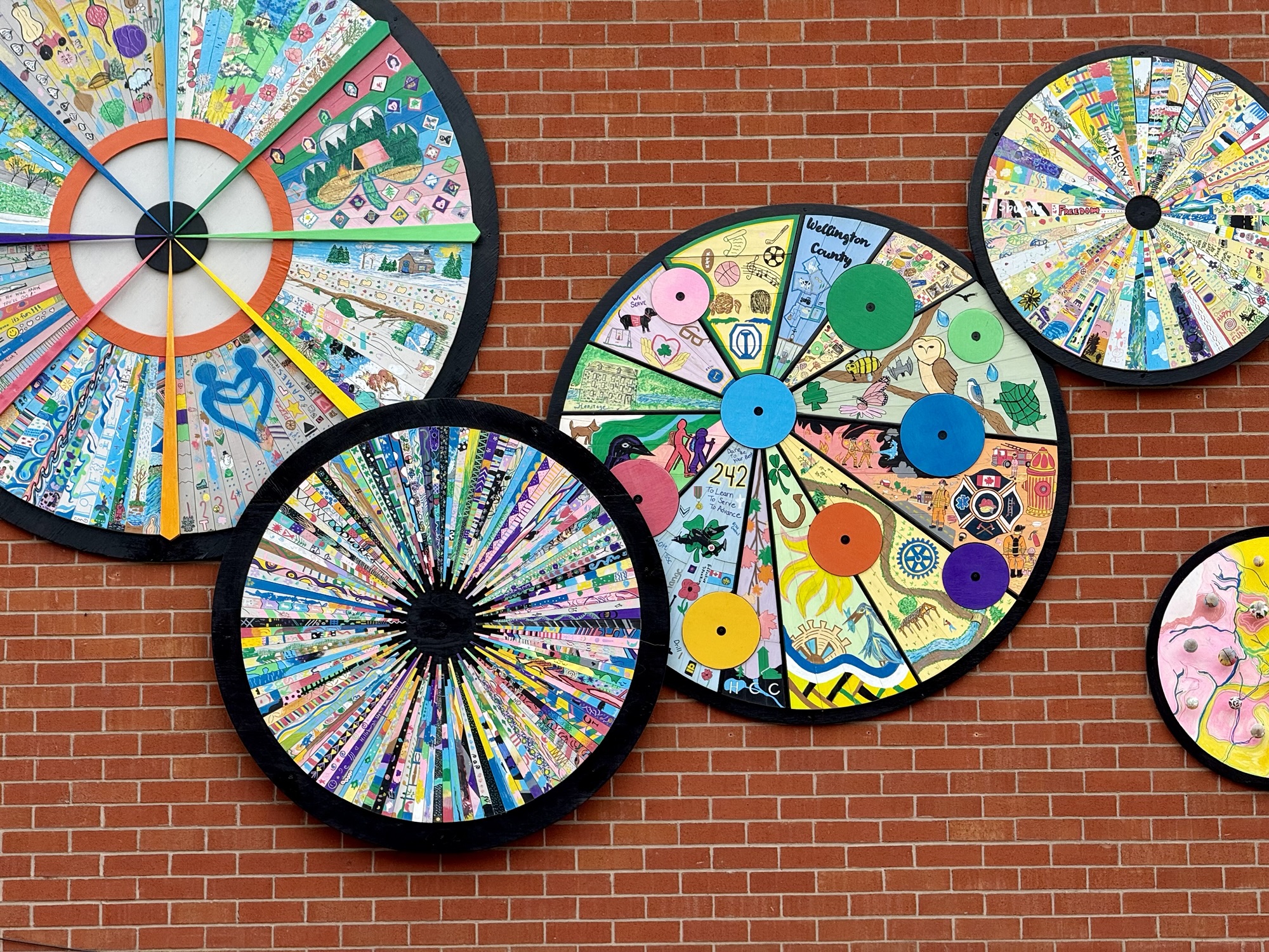
On our way back, we stopped in Hillsburgh to see Cindy‘s sister’s artwork on the side of the arena.
We had lunch when we returned and then packed the car. I dropped Barry back in Georgetown on my way to Brampton. Cindy’s husband drove up to join her for a couple more days until her sister returned.
Michael made me a lovely meal for my return home.
It was another wonderful and relaxing trip that gave us an opportunity to further explore the area and enjoy Cindy’s sister‘s beautiful home and pets. I’m so grateful for these opportunities.
After four days of driving on gravel roads, my car is absolutely filthy.
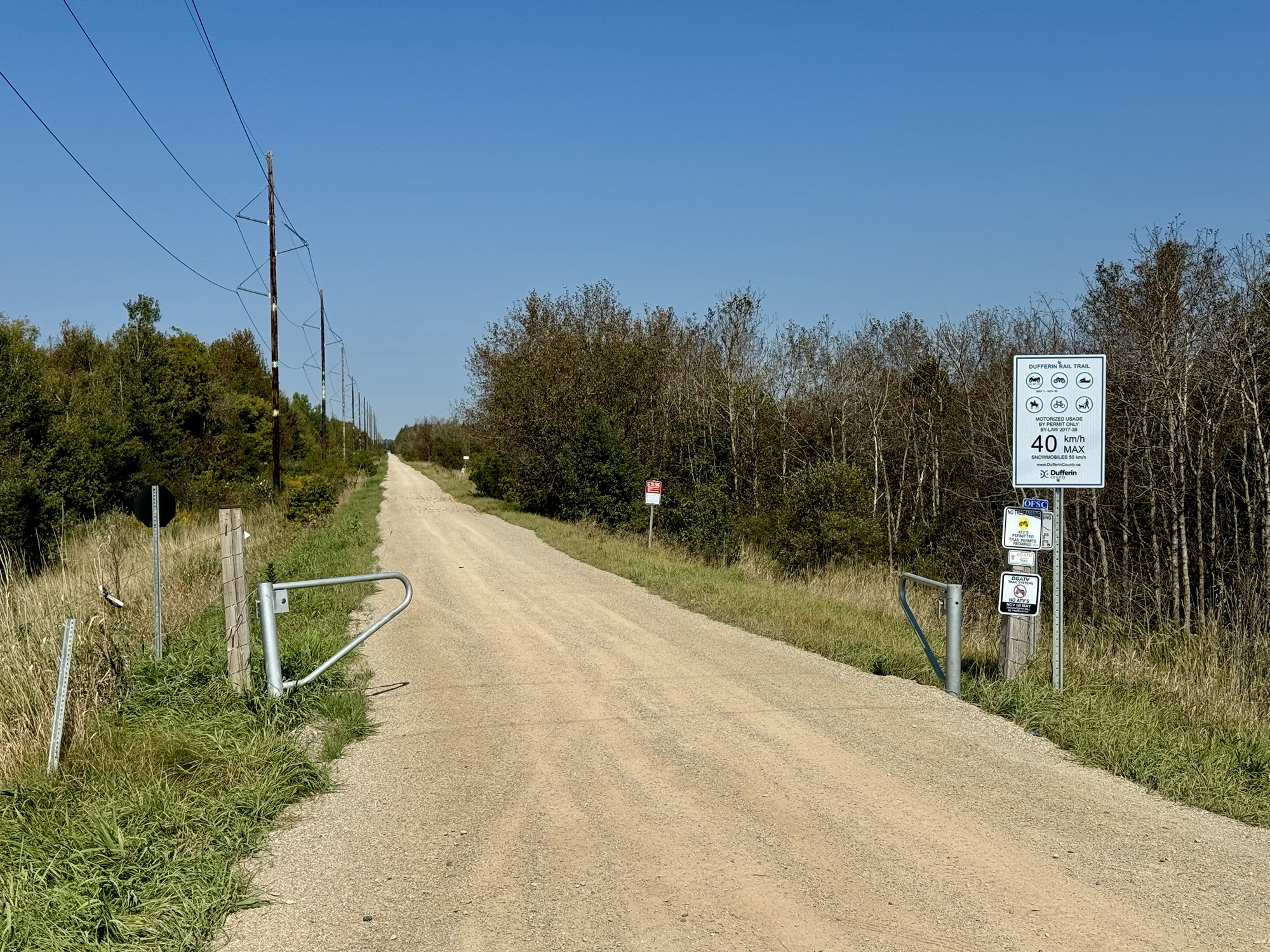
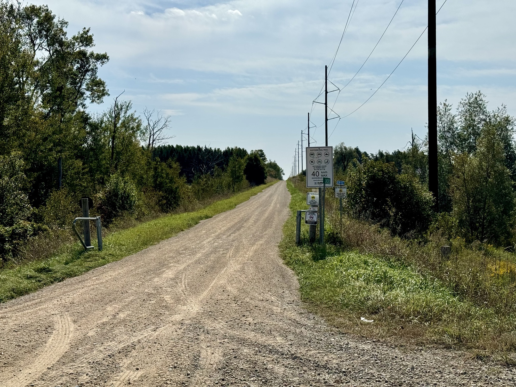
We were originally going to do a ride in Mono Township today, but yesterday when we were having coffee, we met a group of cyclists that mentioned the Upper Grand Trailway, a rail trail of approximately 10 km one way. When we returned to the house, I mapped it and determined that it connected to the West Luther Trailway which ended in Arthur. Since we had mostly done road riding up to this point, we decided to give the trail a try.
At regular intervals along the trail, we saw pop bottles being reused as containers for used plastic bags for pet waste. It was good to see these plastics getting a second life.
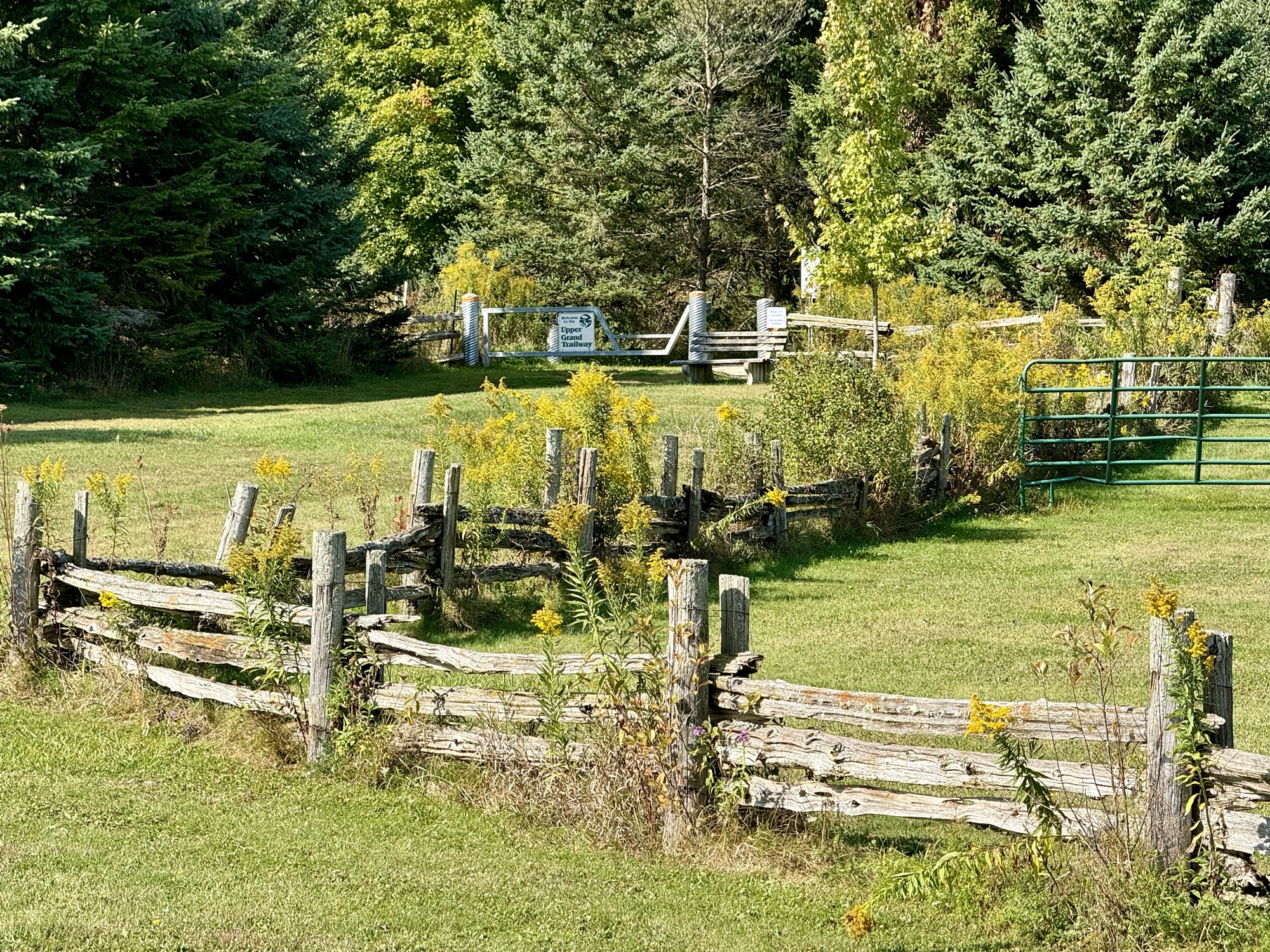
The Upper Grand Trailway surface wasn’t too bad, but the gates at the roads were quite tight.
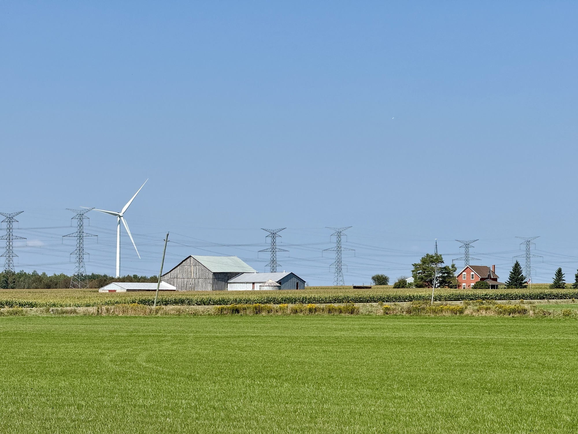
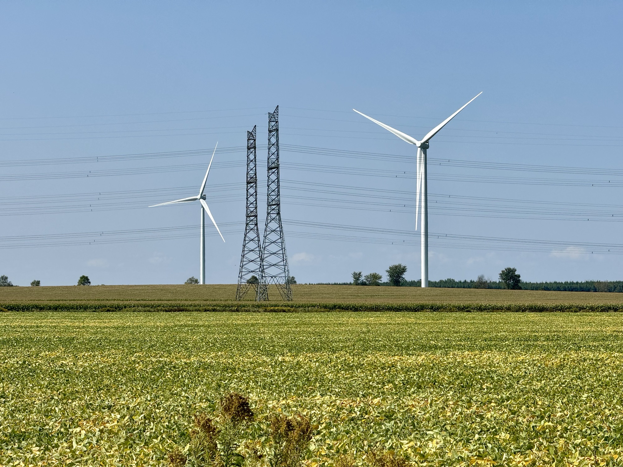
We continued to see turbines and they were often near a hydro corridor.
Here is Cindy trying to get around another very tight gate.
We were rather dismayed when we arrived at the beginning of West Luther Trailway to see that it was just a grassy track, but we decided to carry on, anyway. It was very rough and slow going.
Cindy spotted the biggest puffball I’ve ever seen in my life.
There were some sections that were worn down to dirt, which were a bit better than riding on the grass.
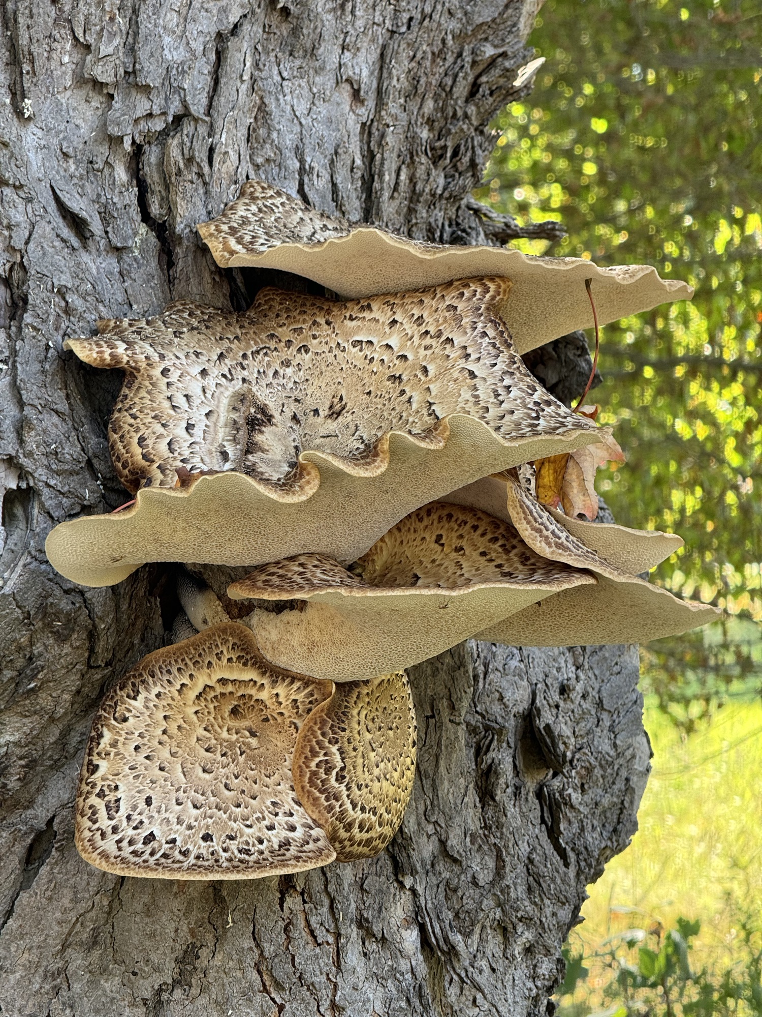
We found more interesting fungi. Cindy loves fungi and was very excited by our discovery.
This section, although not great, because of the larger gravel, was still better than the grassy sections.
A sign was posted here to indicate something interesting to see, and there was a set of stairs.
When I walked down the stairs, I discovered this old culvert.
Barry decided to put the drone up and capture some of the turbines in the area.
This turbine had a couple of workers on it.
In Arthur, we stopped at Sterre Cafe for lunch and coffee. It was very good.
Just next door, I couldn’t resist capturing my bike in front of a mural.
I had never been to Arthur before. This is the main street.
This is the local war memorial.
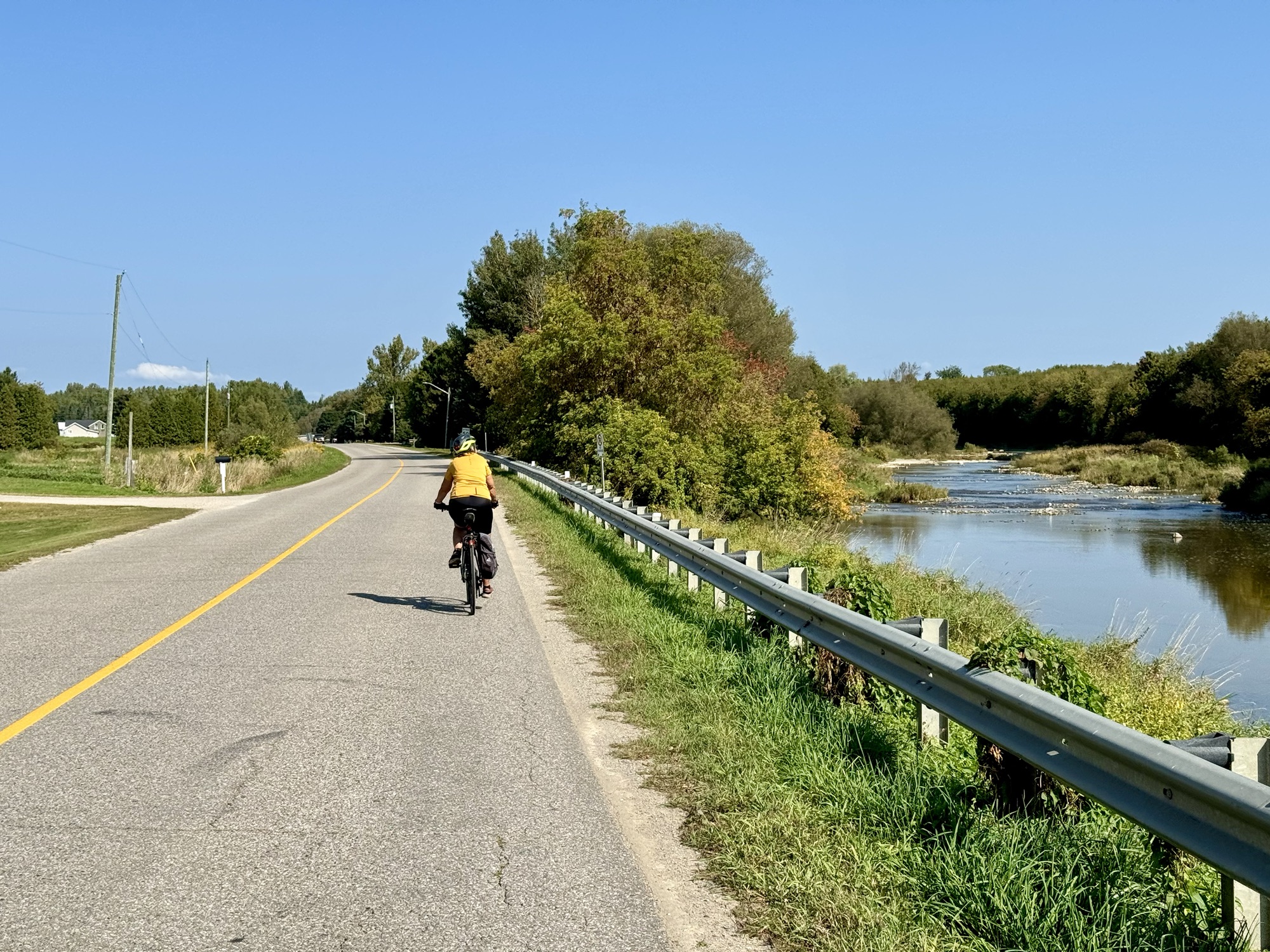
Because of the rough surface of the West Luther Trailway we went back on the road. There were very few cars and the smooth surface was very welcome.
When we saw a section of new pavement ahead, we thought it would be even better, but it was actually rougher than the old pavement.
We got back Upper Grand Trailway for the last couple of kilometers.
We stopped briefly on the drive back home to check the view here from, what Cindy’s sister told us, is the highest elevation in the area.
We had haddock for dinner, which we forget to get out of the freezer before we left, and which took longer to thaw than I expected, so I completely incinerated the onions and peppers that I roasted, but dinner was good nevertheless.
We drove about 15 minutes to save 30 km of riding for a planned 46 km ride.
The scenery continued to be rural and pastoral.
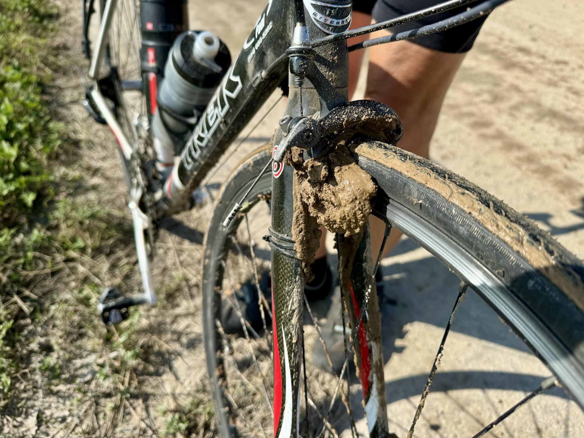
Within a kilometre or so of leaving the car, we encountered this newly surfaced road that was very wet, very uncomfortable to ride on, and made our bikes filthy.
I have disc brakes, and both Cindy and I have a fair bit of clearance between our front forks and front tire, but Barry’s clearance is very tight, and he has rim brakes, so the top of the forks, and the brakes were completely caked in mud after a kilometre on this surface.
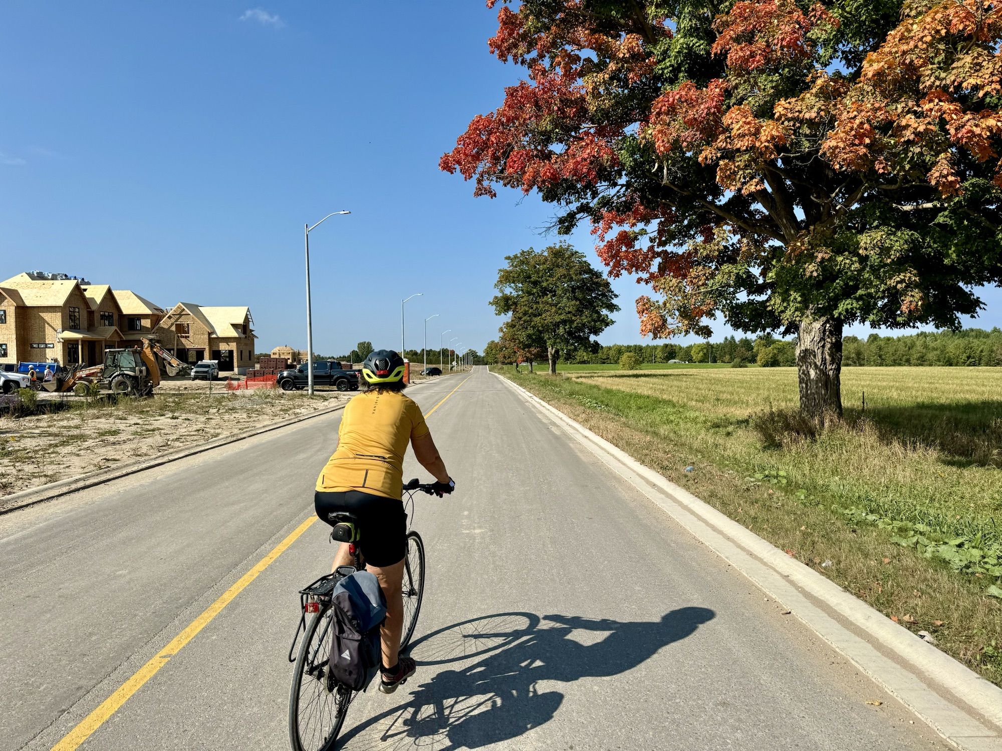
It drives me crazy when I see brand new single-family home developments going up on farm fields far from jobs, shopping, transit, and schools. Every single trip that people who live in this subdivision take will have to be by car.
Charles Marohn of strongtowns.com wrote in his book Thoughts on Building Strong Towns that “suburban growth… has been effectively a Ponzi scheme in which each round of unsustainable investment creates a long-term cash flow liability that is only prevented from tanking the city’s finances by the development fees generated by the next round of unsustainable investment”. In his book, he presents a case study for a typical suburban road. Repaving the road cost the city $354,000. That is equivalent to all the property taxes collected from residents along that road for 79 years, but the road is likely to need repaving again in 20 years”, and the city provides many other services to the residents on that road, other than paving.
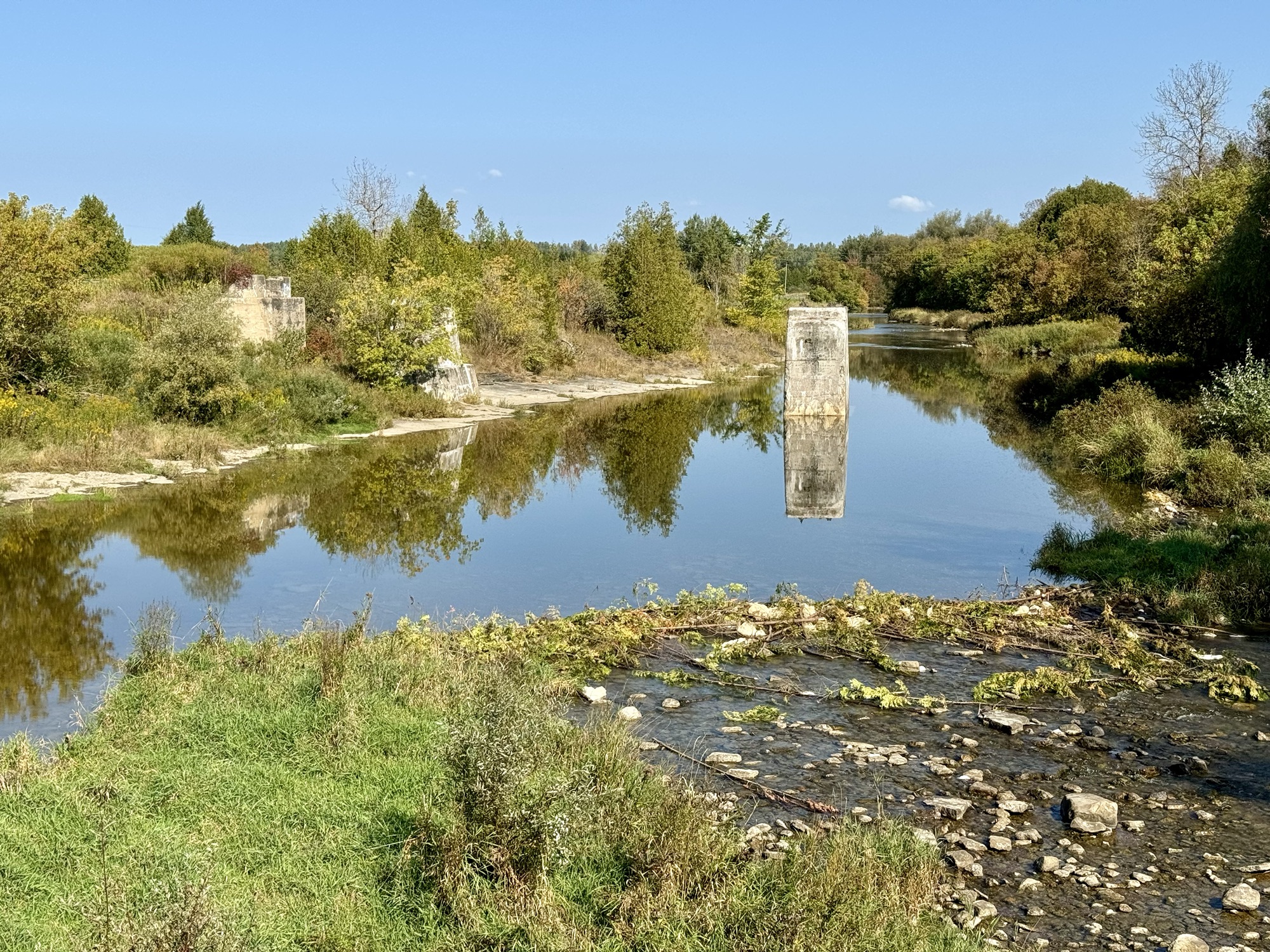
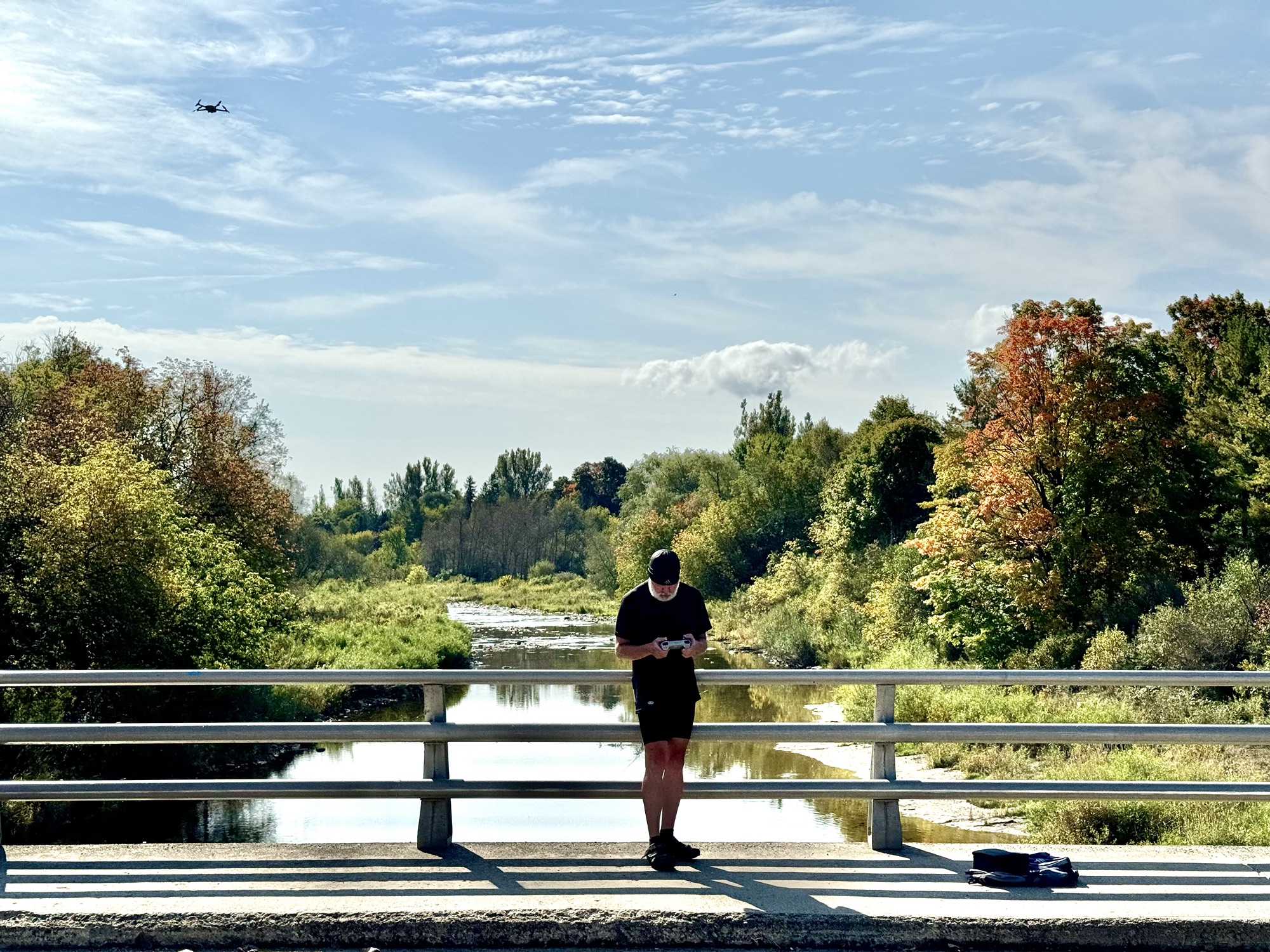
At Waldemar we crossed the Grand River. Barry decided to stop and get some drone images and video. He’ll post it in his YouTube channel when he gets home.
We also noticed the Upper Grand Trailway, which runs from Woldemar to Concession 24/25. From there, you can get to Luther Marsh, or continue on the trail to East/West Luther Townline, where it meets the West Luther Trailway that continues to Arthur.
The route was 13km paved and 33 unpaved.
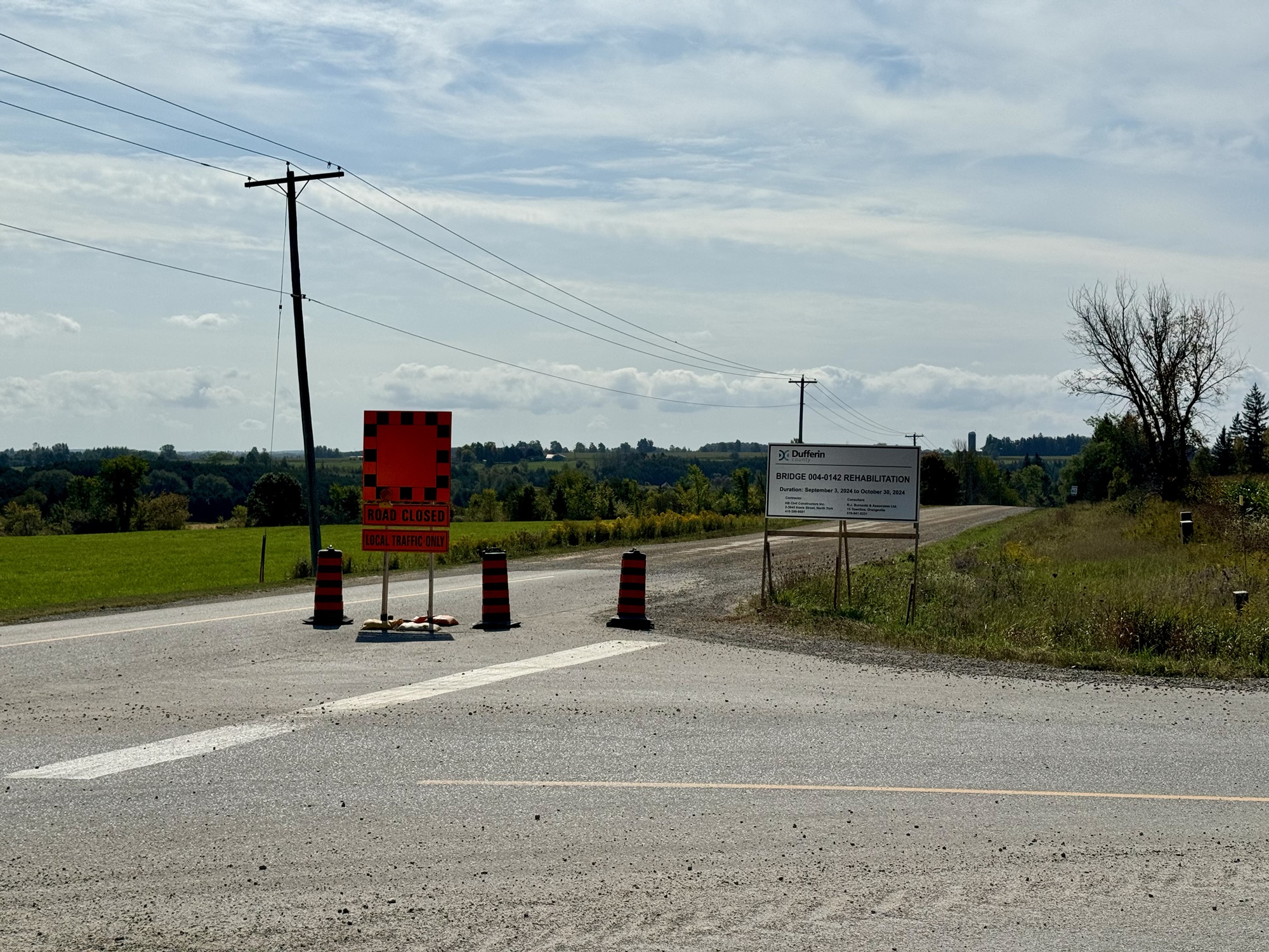
When we got to the other side of the tile where the bridge was out, we found the road under construction, but we were able to ride far enough down to snag the tile.
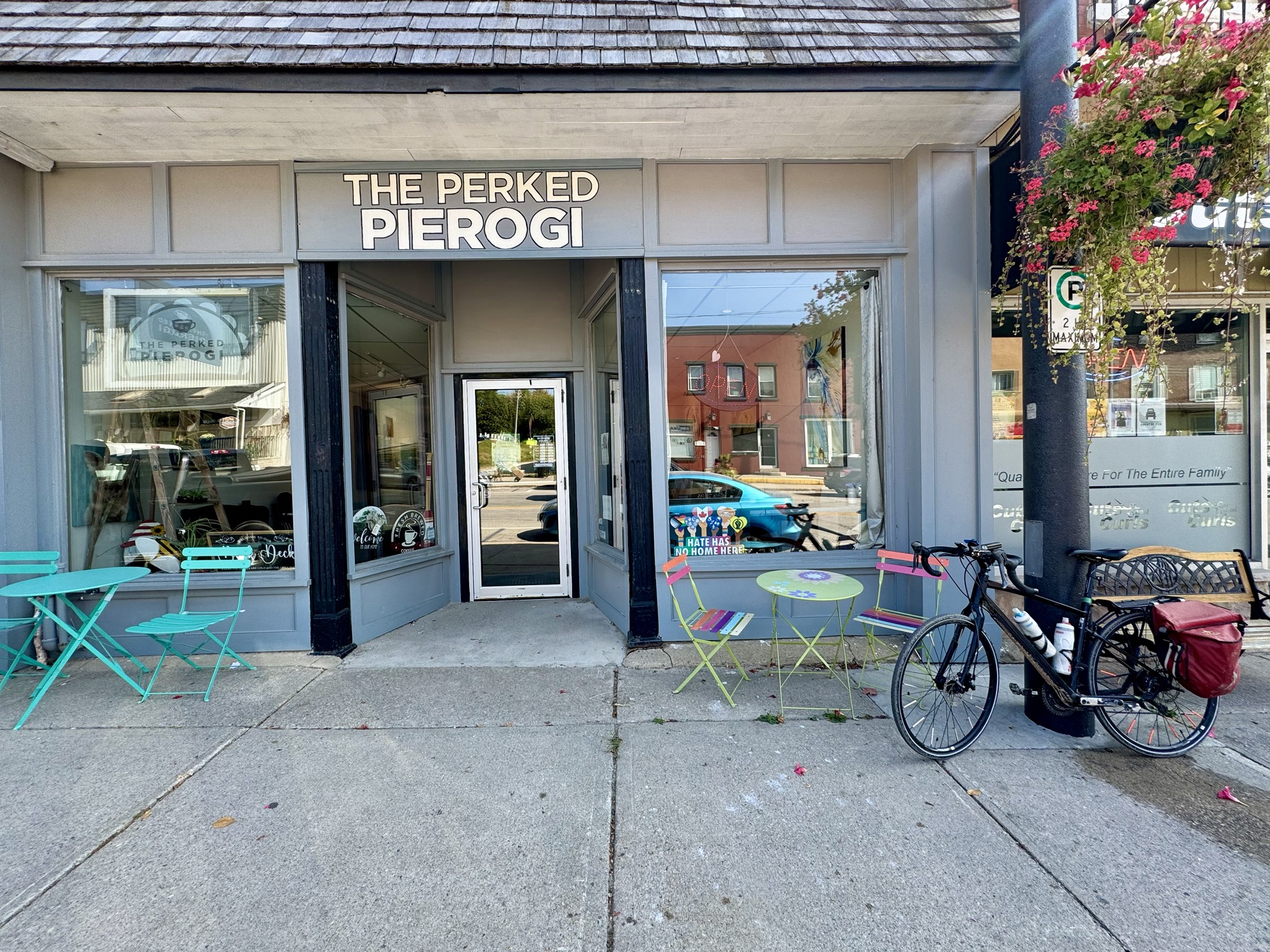
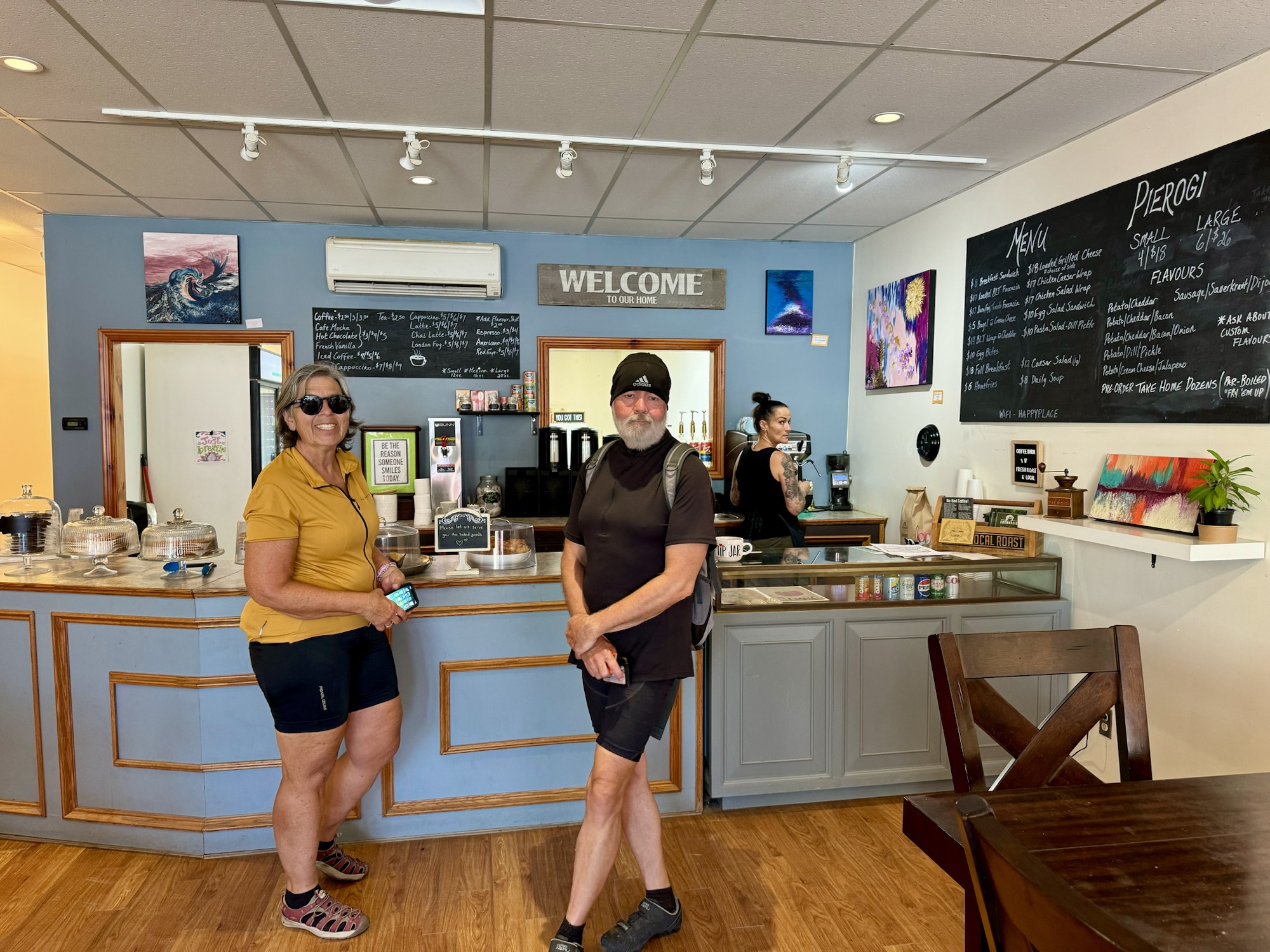
We stopped at the Perked Perogi in Grand Valley for coffee.
It has a one block Main Street which is easily accessible from the Upper Grand Trailway.
After lunch and coffee, we carried on and passed even more wind turbines than yesterday.
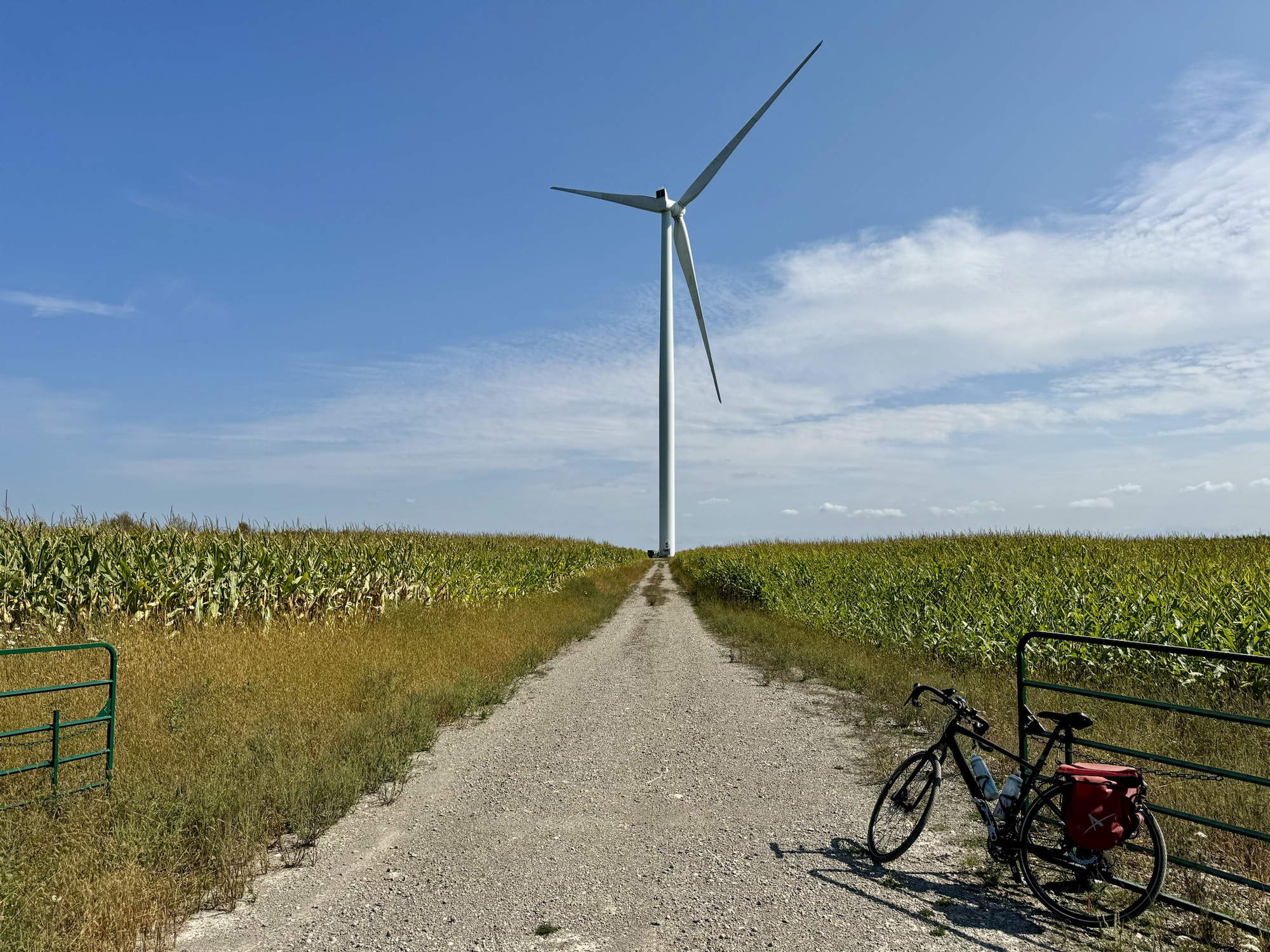
We stopped at this one, and Barry flew his drone. I rode up to the base of the turbine. It was enormous from such a close position.
As we cycled down this hill, the next direction was to make a left turn. Cindy said, “I’m glad we don’t have to go up that hill ahead”, and I said, “The left is an out and back, we will be going up the hill afterward”. It was not as bad as it looked.
We had another stretch of very rough road.
As we rode down this road, we realized that it overlapped with our route from yesterday.
I like that the adjoining fields are different colours in this picture.
This was the final very narrow road that we were on to get back to the car. It was another day that ended up being quite tiring due to the amount of riding on gravel, but was very enjoyable, nonetheless. We have had amazing weather this week.
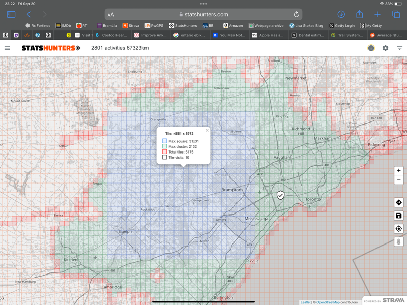
I was delighted to discover that today’s ride increased my max square of tiles to 31×31.
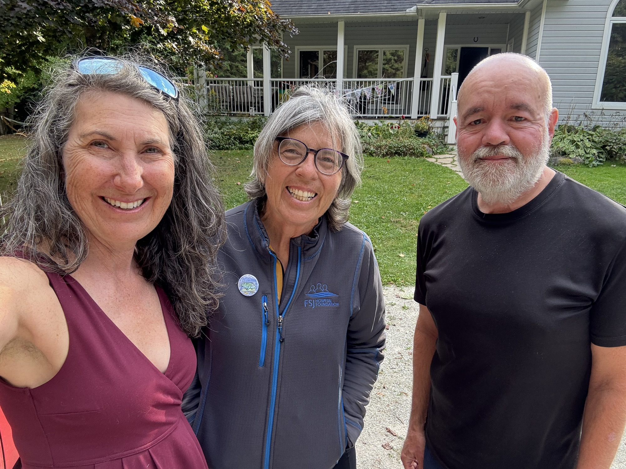
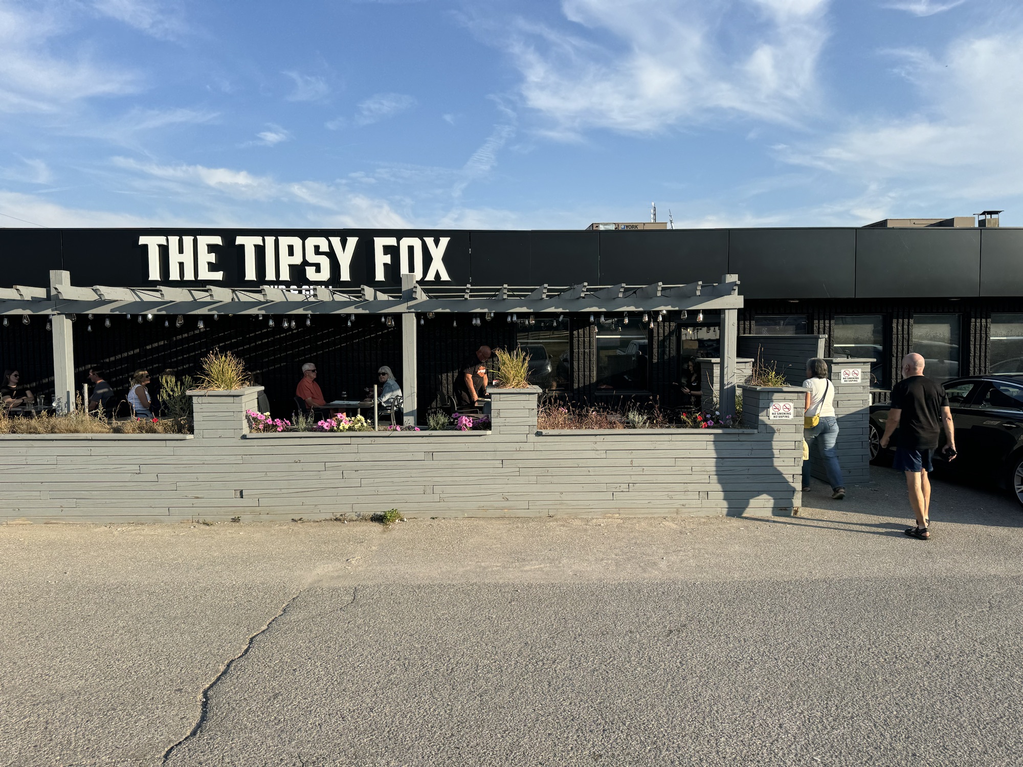
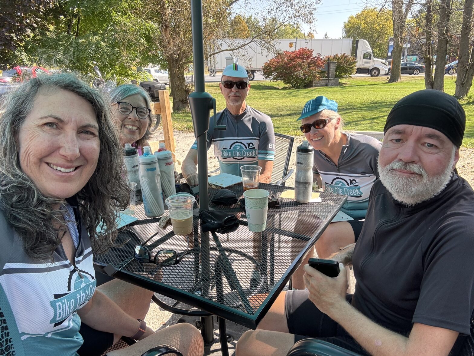
We went to The Tipsy Fox, in Erin, for dinner, with a friend of Cindy‘s, and Cindy’s husband, Mark, who drove up from Brampton for the evening.
We managed to leave the house about 9:10 this morning, and drove to an area, north of which Cindy and I had cycled last year, when we stayed in Hillsburgh.
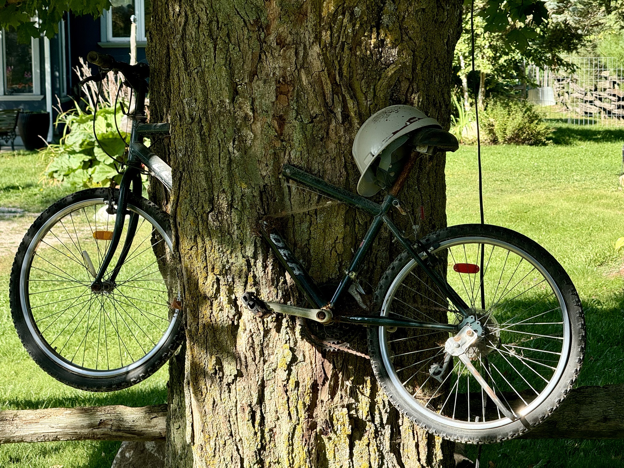
This bike was cut and mounted to make it seem like the tree had engulfed it.
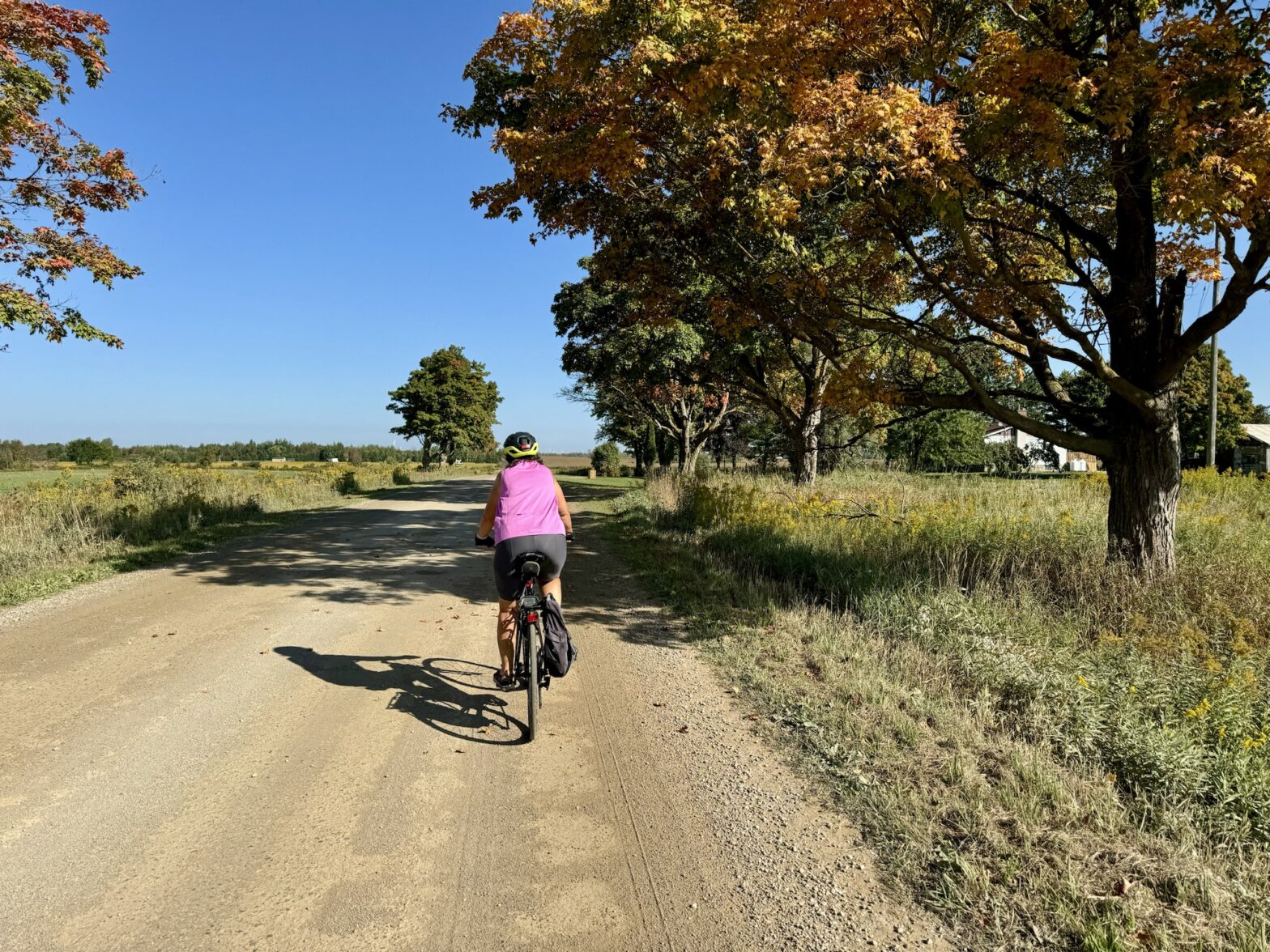
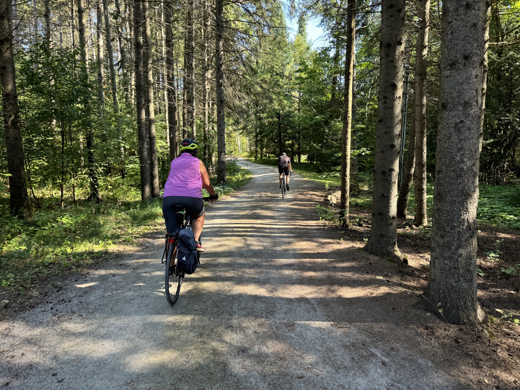
It was another ride with lots of gravel, but mostly we could find a line where the gravel was somewhat pushed to the side.
There’s a lot of golden rod around, which makes for colourful scenes.
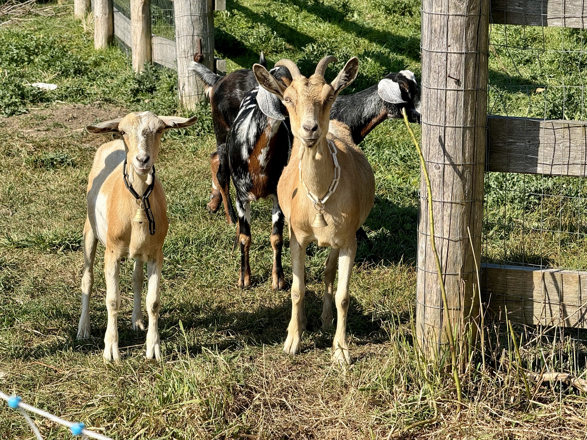
We passed these guys, wearing bells that sounded like bike bells, on a very narrow road that led to bridge abutments with no bridge deck, prior to where we had planned to turn around, so we were unable to collect the tile from this side, and needed to amend our route later on to collect it from the other side.
Cindy is ready to head out from the closed bridge. We have encountered quite a few closed bridges in the area.
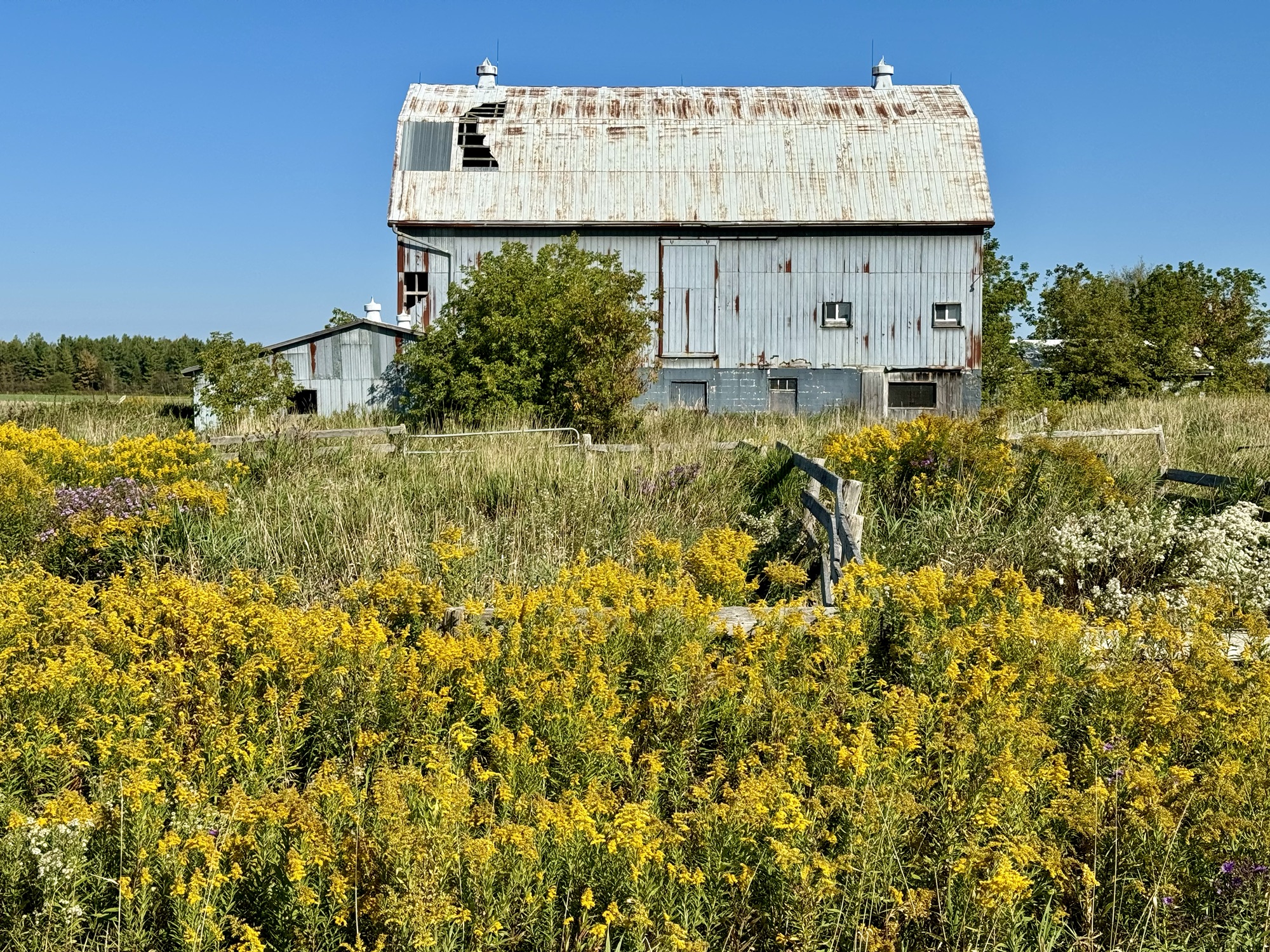
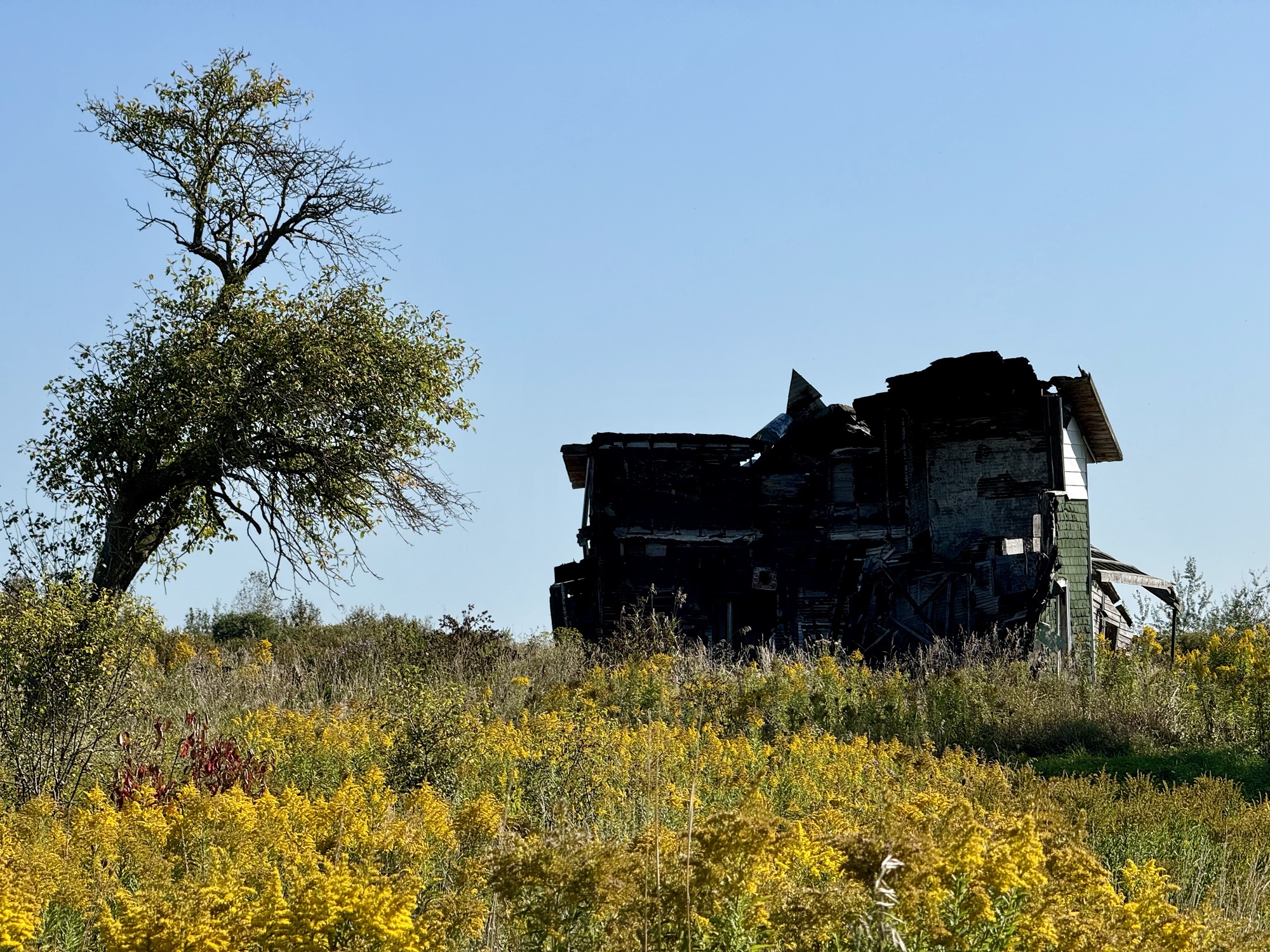
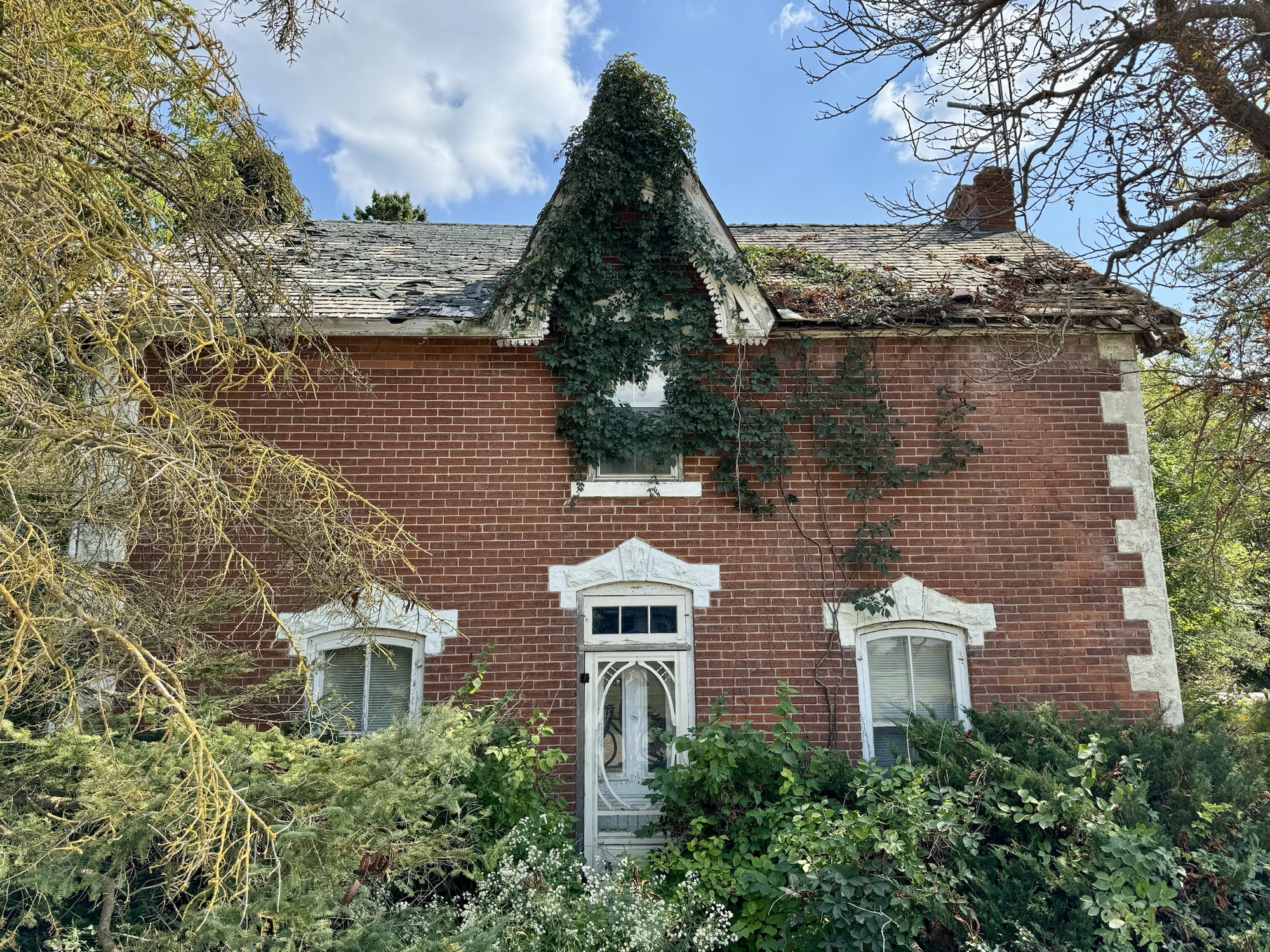
This abandoned house was nearby.
Our ride was 58 km, and with the exception of a kilometre on highway 10, we had very few cars passed us, and were able to travelling kilometres at a time with without encountering any motor vehicles.
Even on the paved road, we rarely encountered cars.
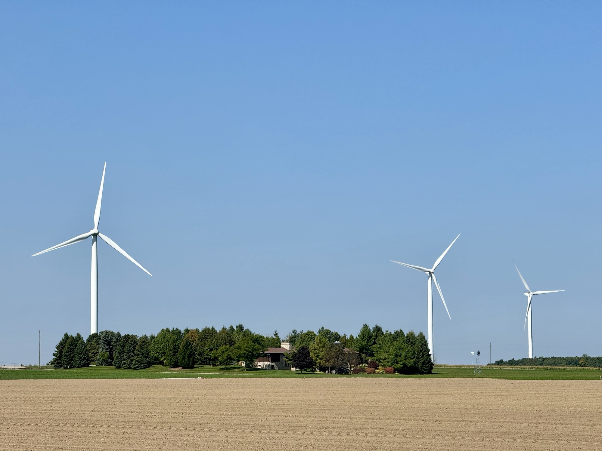
Once you get north of Highway 9 the land is quite flat, and we encountered very few hills on the ride, and quite a few wind turbines.
Cindy and Barry are waiting patiently for me to take a picture of the turbines.
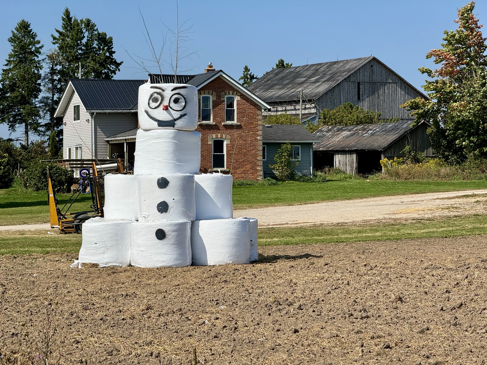
We passed a couple autumn displays. And this crooked little shed outside of woodworking business.
We passed by the Dufferin Gray ATV Trail, which runs from Orangeville to Chatsworth. Last year Cindy and I saw a section closer to Orangeville, which we absolutely would not be willing to ride, but this section looked alright.
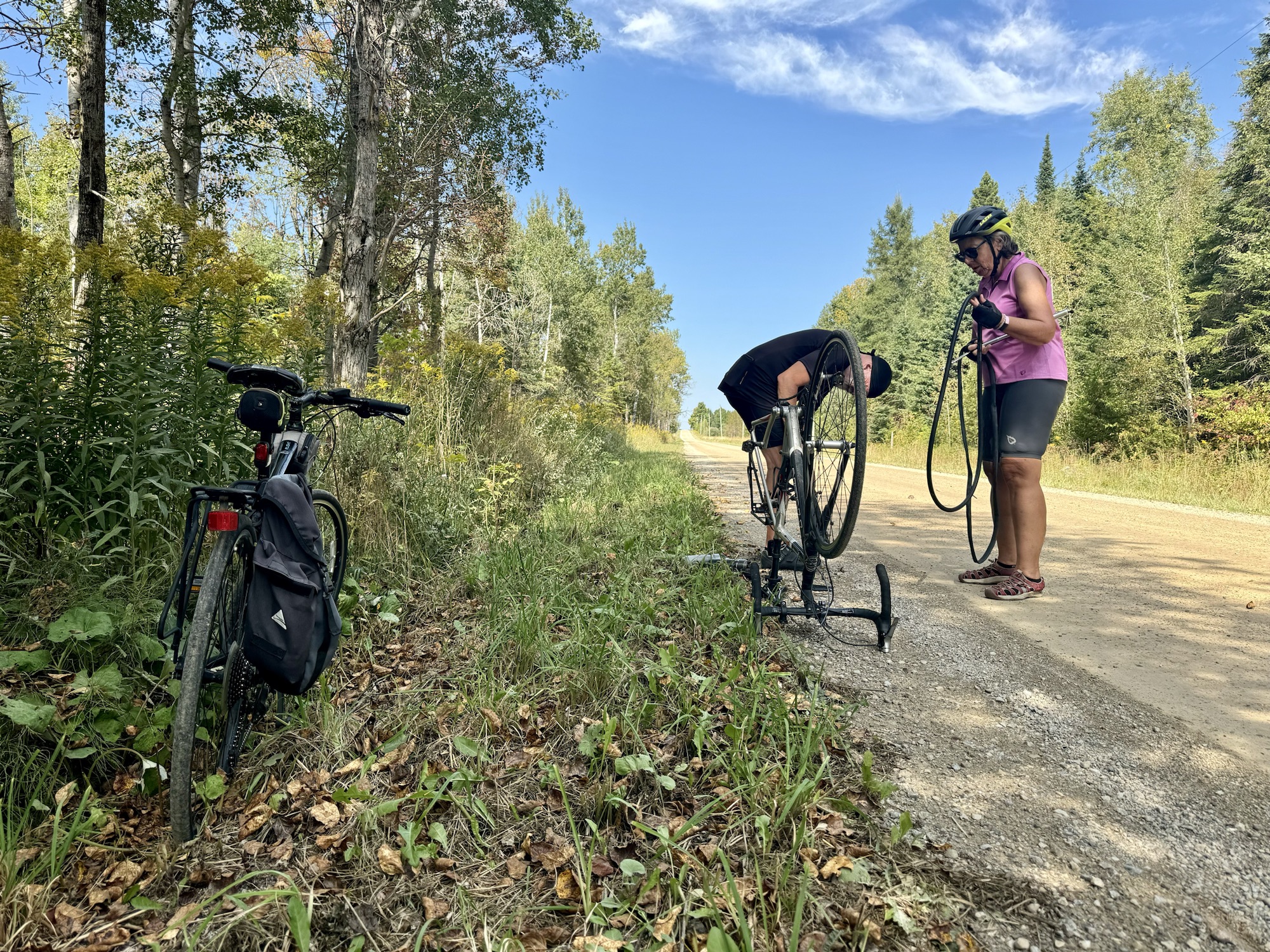
Barry got a slow flat he was able to pump up twice, but which eventually completely flattened, and he had to change the tube.
We had a moment of relief from the gravel on the concrete surface of this bridge.
Once again the route was entirely rural with nowhere to stop for food, and the scenery consisting mostly of farms and farm buildings. It’s a pleasant change from suburbia.
We were back at the house for coffee and dinner, finishing up with a relaxing soak in the hot tub.
Rusty didn’t come home last night, or all day today, but finally showed up just as we were getting ready for bed, and apparently needed some human company after his long absence.
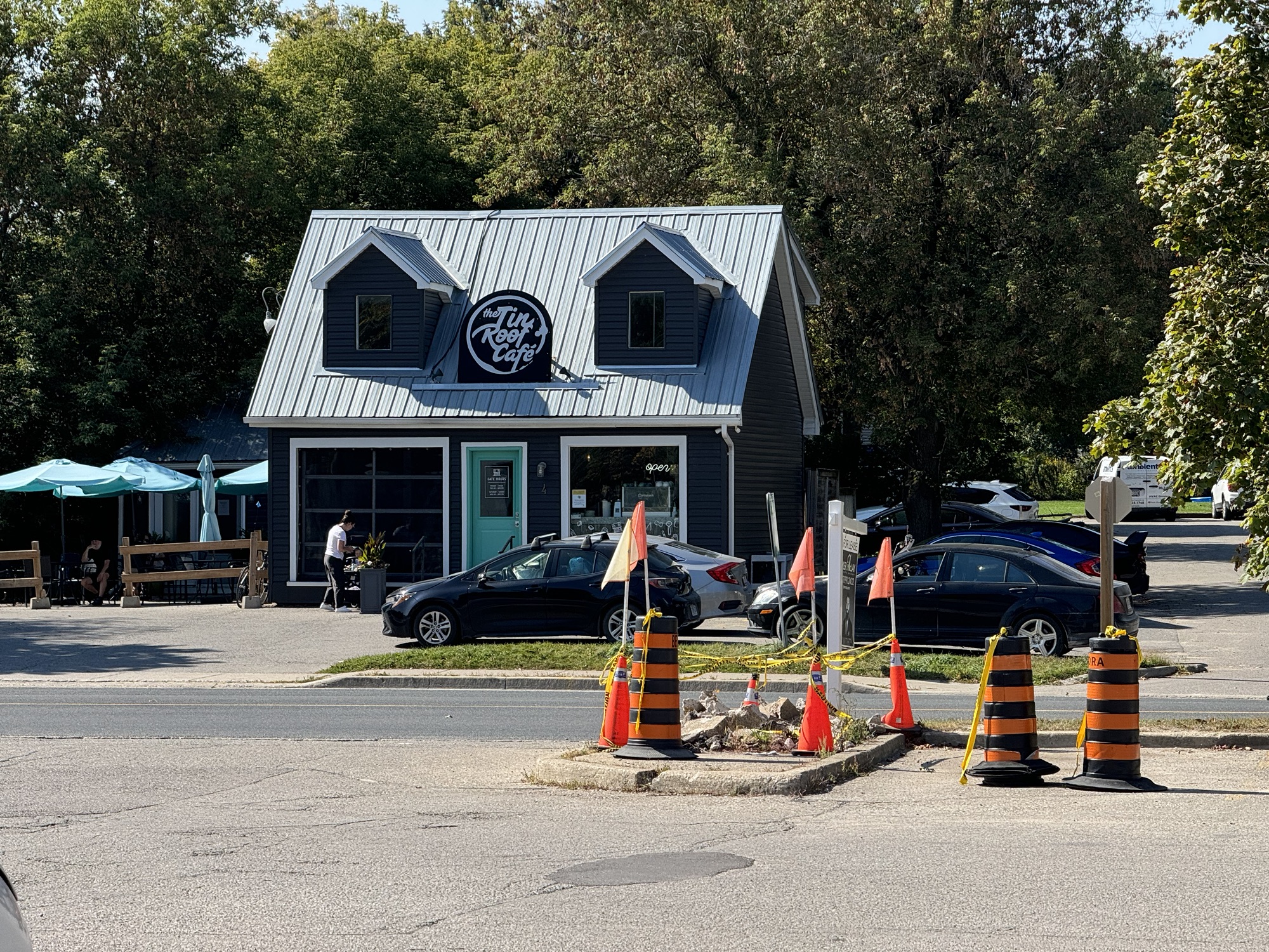
Today we planned to do Barry’s second tile collection route, which again, were new tiles for him, but not for Cindy and me. He planned a coffee break at the Tin Roof Café in Erin, where we arranged for David and Dayle to meet us for lunch and treats, to celebrate Dayle’s 71st birthday.
Cindy pointed out that there were two really steep hills on the route that Barry planned into Erin, and that she knew another route, which would avoid those hills, between the house and Hillsburgh. So after the first kilometre, we split off on the easier route, which was new to me, and planned to meet up at the café.
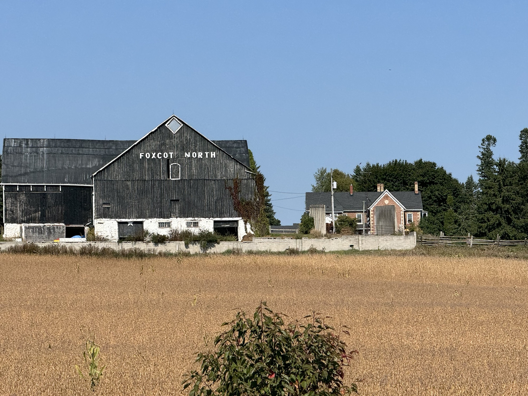
Once again we saw some lovely rural properties.
We also saw this amazing fungi.
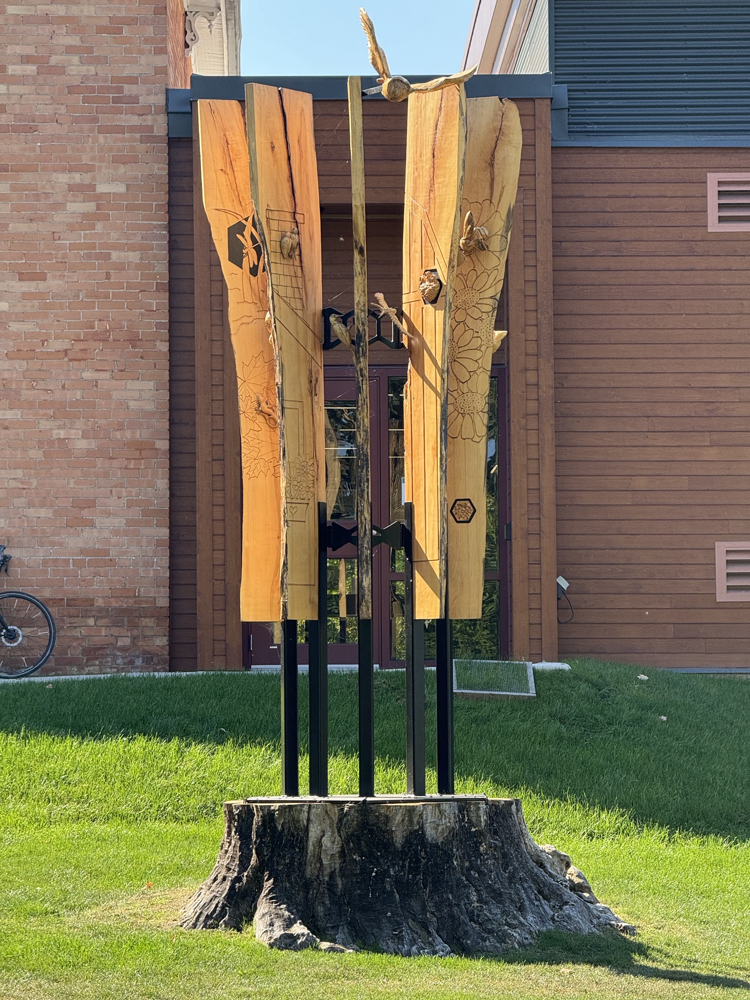
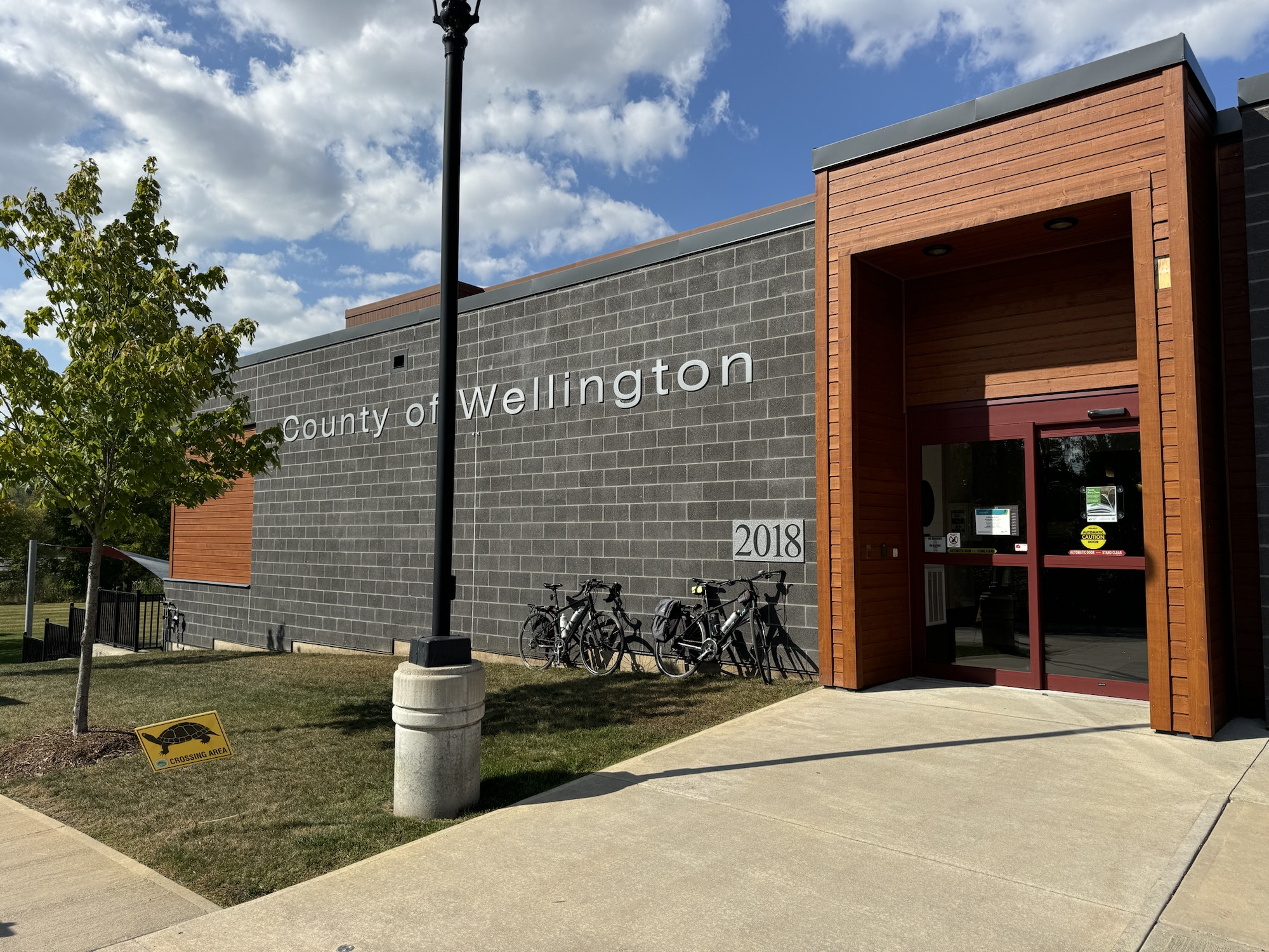
We stopped briefly to see this sculpture Cindy’s sister created for the library in Hillsburgh. The maple fell in a windstorm in 2021, but fortunately didn’t hit the building. “The sculpture is made from 9 foot slabs of the fallen maple tree and mounted on the stump that remained. The sculpture is a book with the pages dedicated to flora and fauna that are carved into the pages and coming out of the book.”
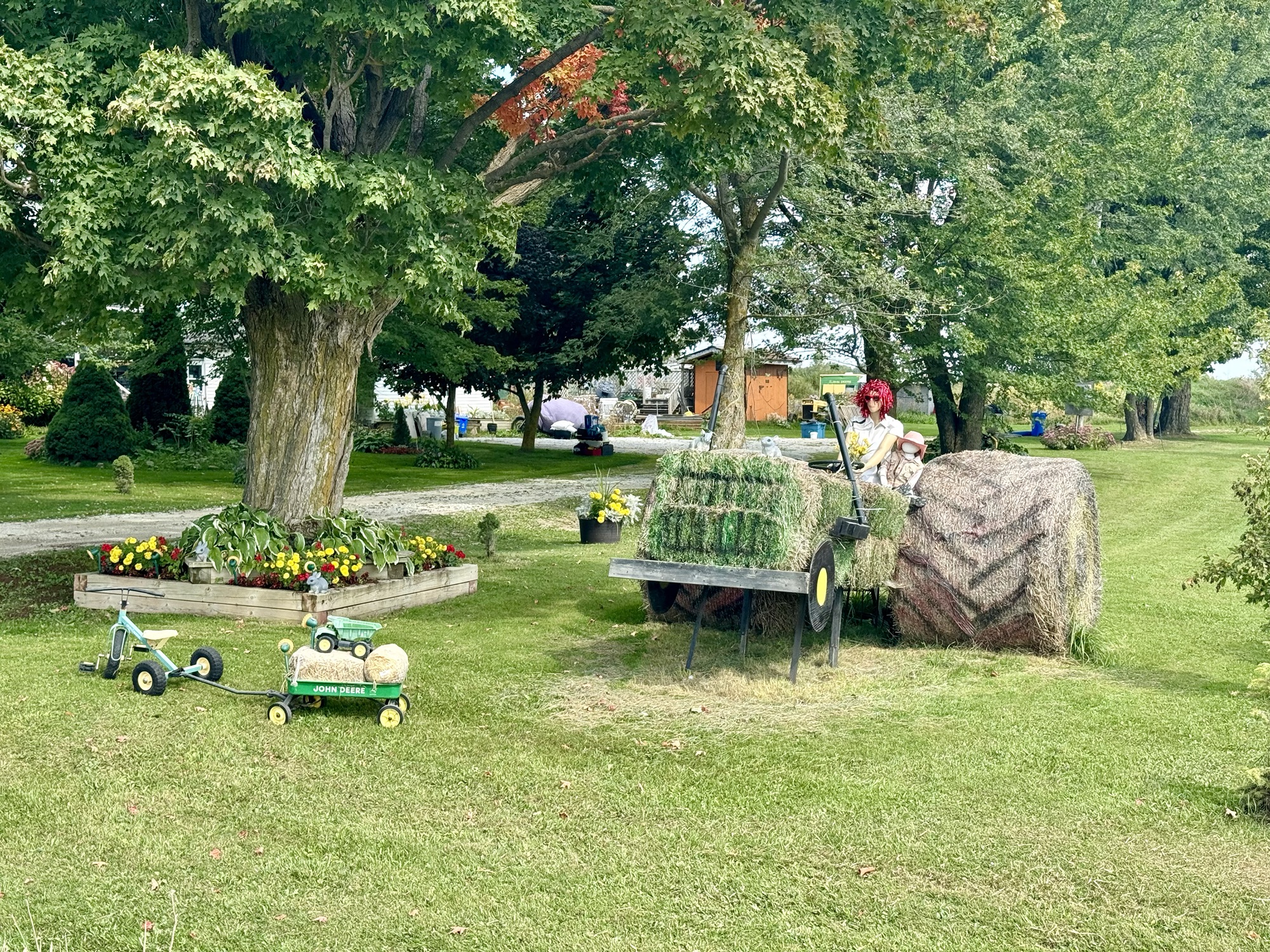
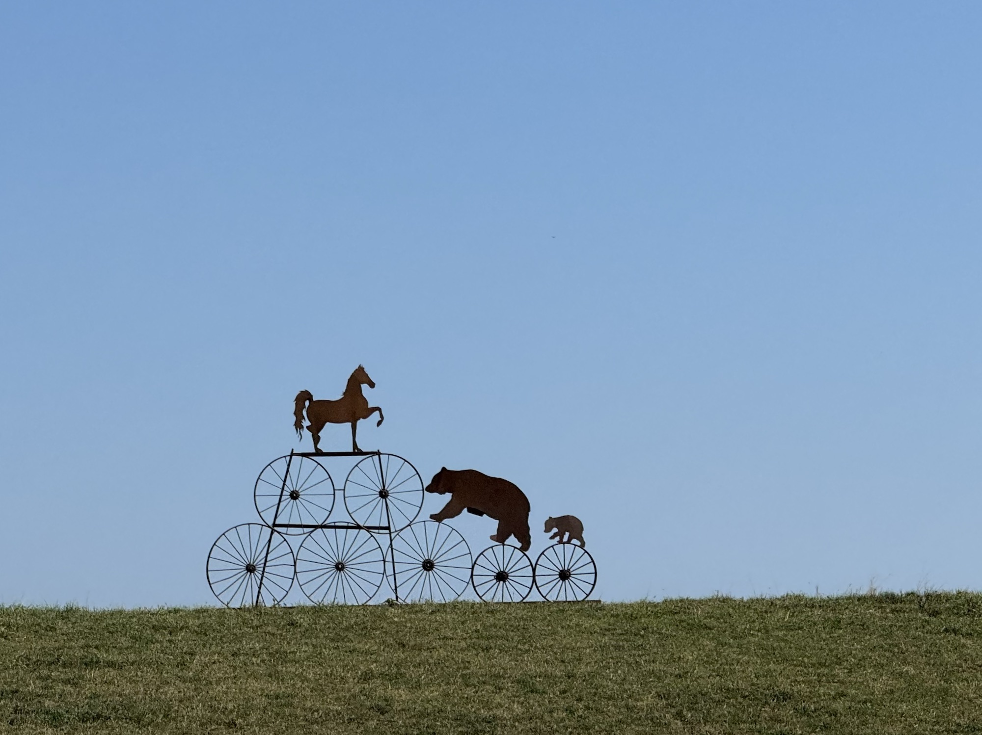
We saw this whimsical sculpture in a field shortly before we got Erin.
Barry was already waiting at the café when we got to the plaza across the street, where Cindy went into the dollar store to buy a candle for Dayle‘s treat.
David and Dayle soon arrived and we got lunch, coffee, and treats, and sang happy birthday to Dayle, to the delight of all the other people at the café, who applauded when we finished.
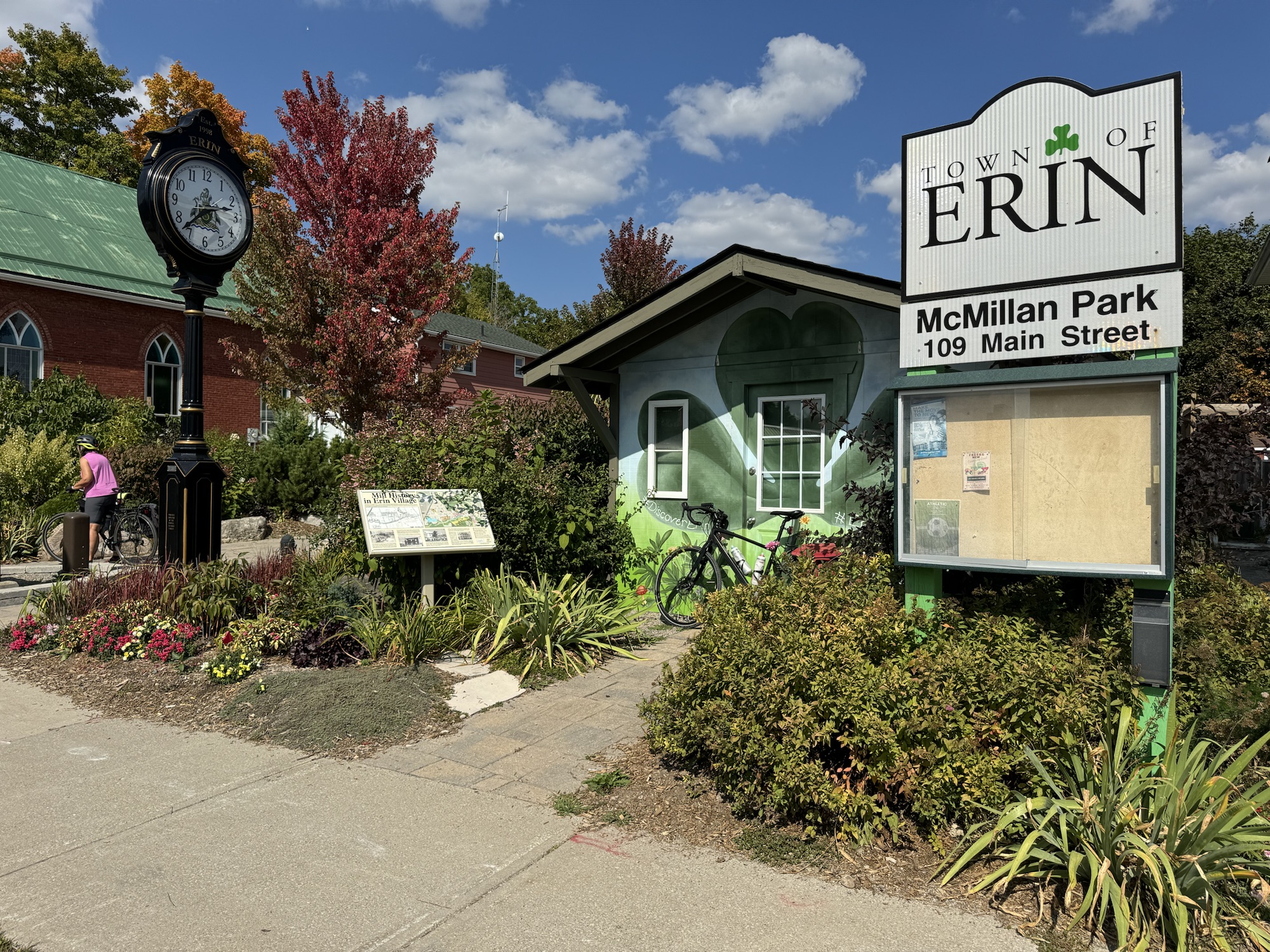
I was feeling tired, so wanted to return via the direct route that we had come by, rather than riding the rest of Barry’s route. He decided to ride most of the way with us, and get the rest of his tiles later. We passed this cute park and building as we were leaving Erin.
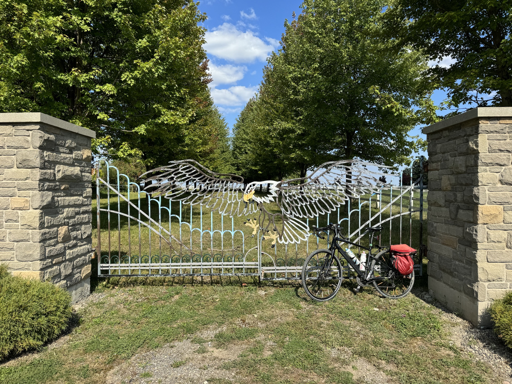
We saw really fancy gate at one farm.
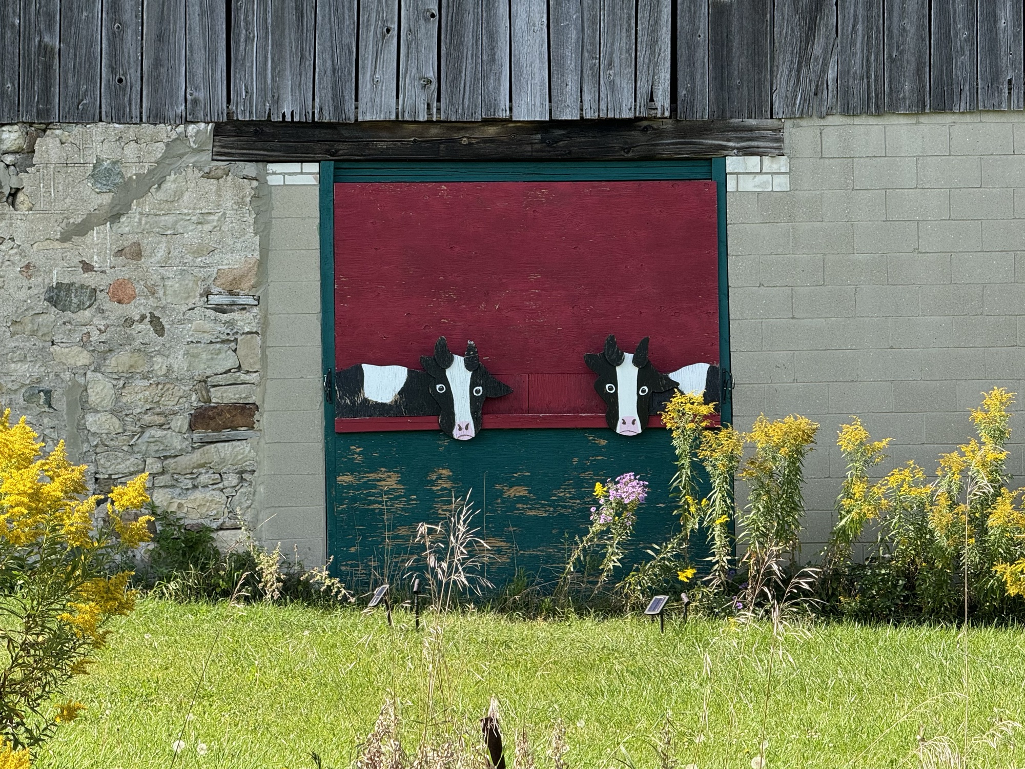
And a whimsical cut out of some cows on a nearby barn.
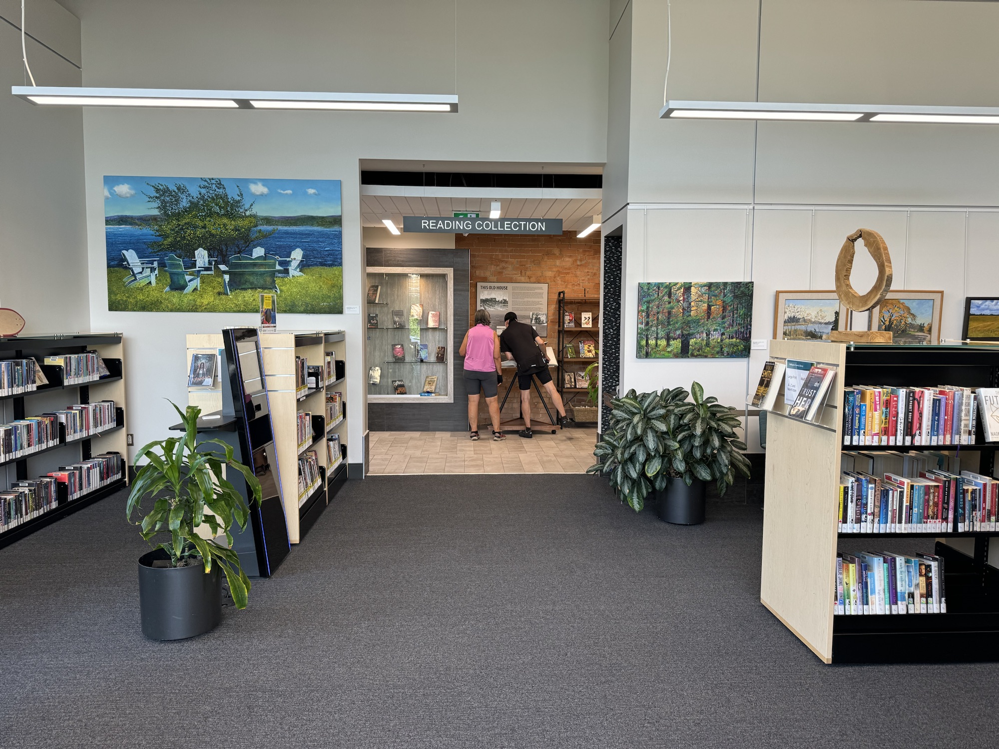
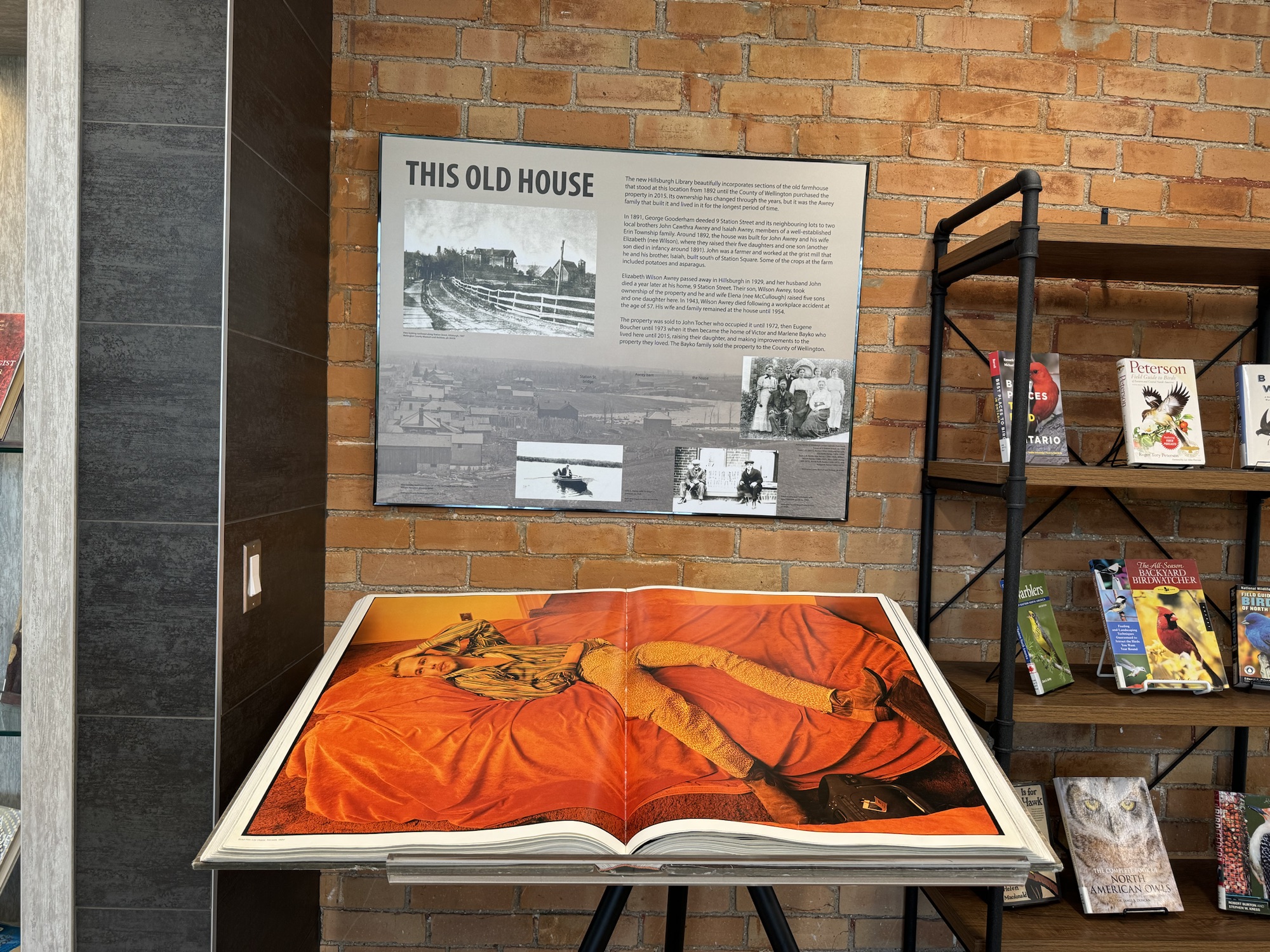
We stopped again at the library, and went in to have a look around. They have a fabulous, and huge, book of Annie Leibovitz’s photography which we spent some time pouring over.
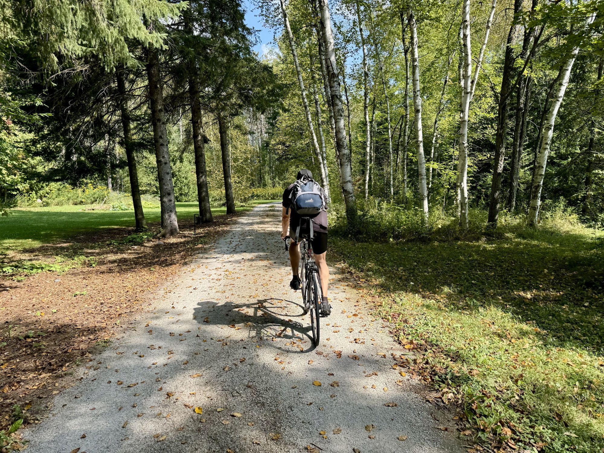
For the last few kilometres we decided to get on the Elora Cataract Rail Trail. When we got to 27th Sideroad Cindy and I headed back to the house, and Barry did a loop to pick up a couple more tiles.
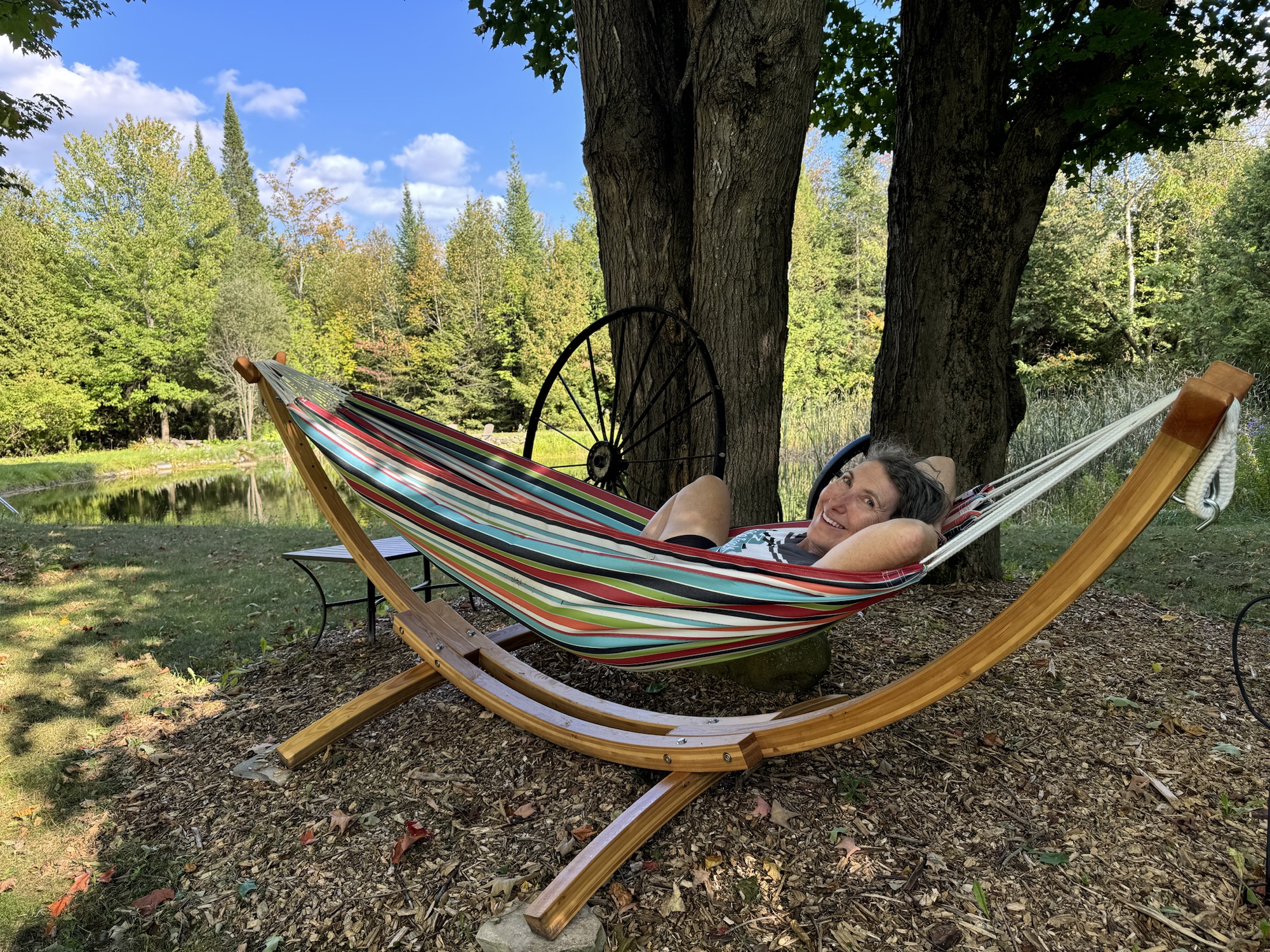
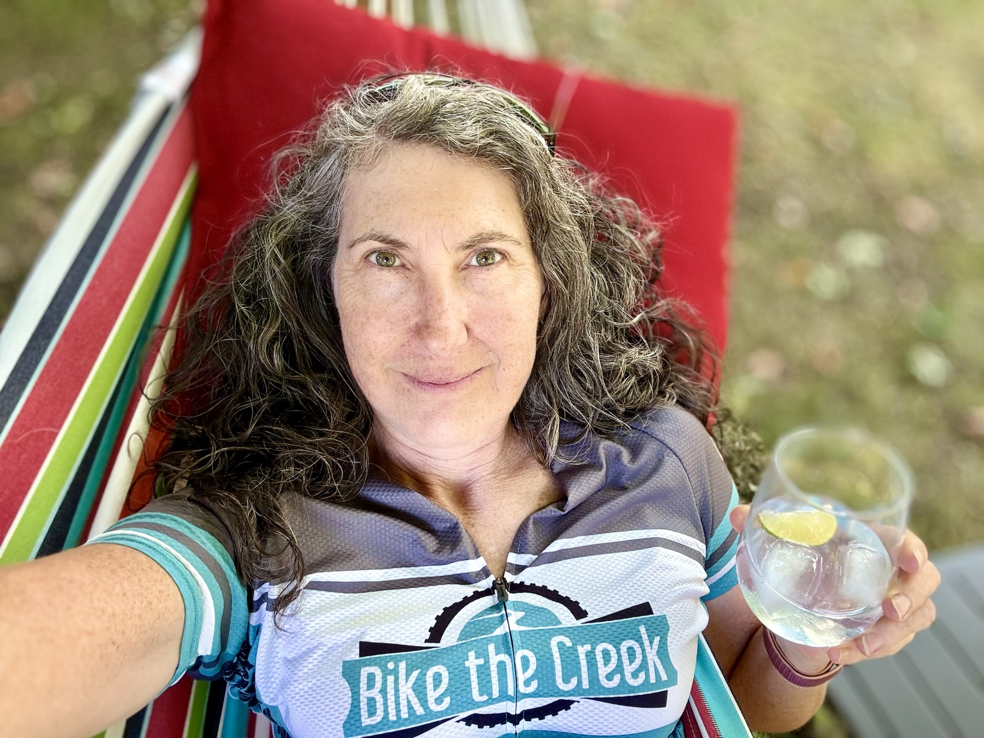
I went straight to the hammock by the pond and Cindy brought me and gin and tonic with lime, and I spent a relaxing hour or more before changing out of my cycling clothing.
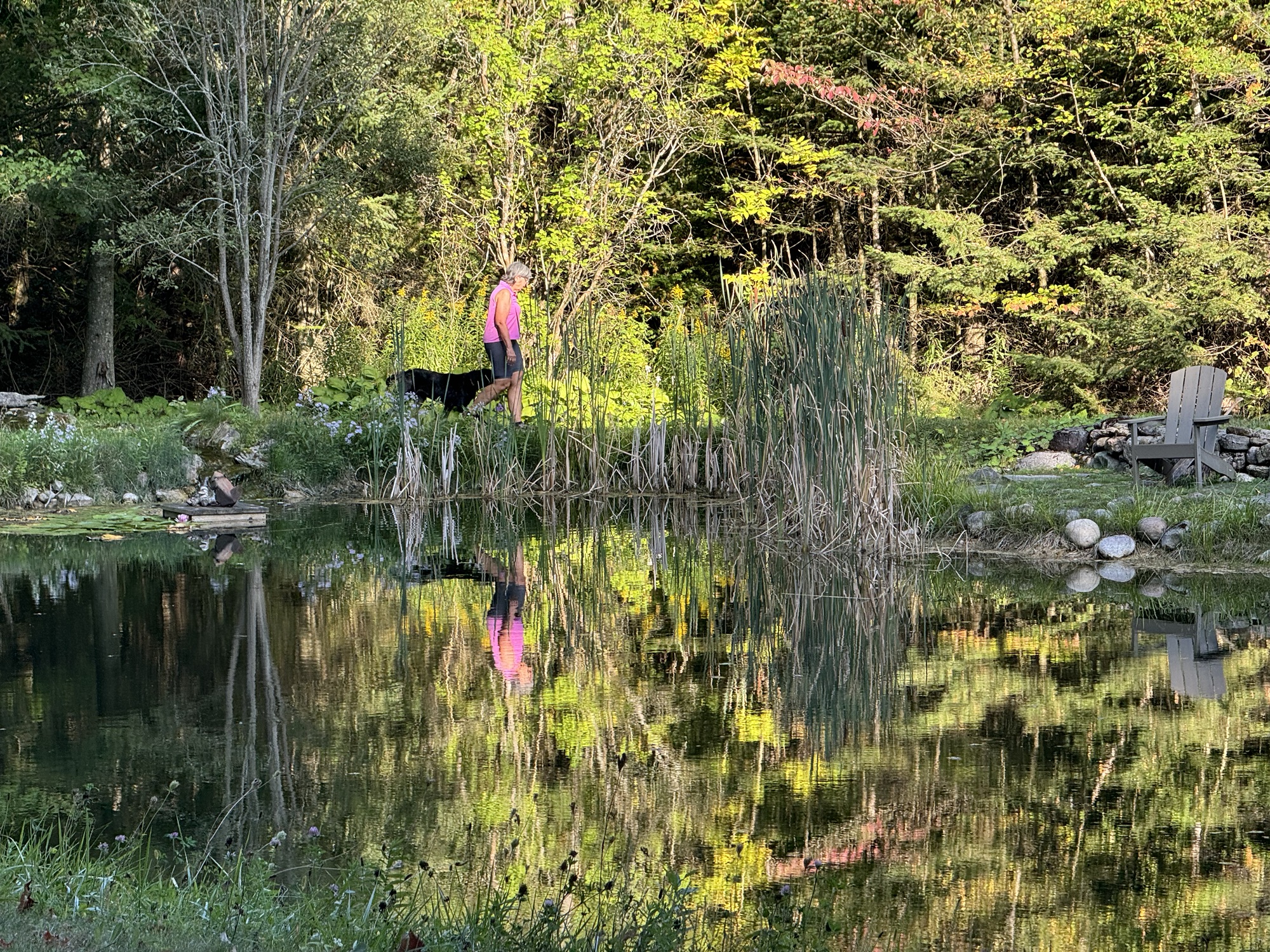
Cindy played with Maple and I caught this delightful image of them reflected in the pond.
We had another delicious homemade dinner, and ended the evening in the hot tub. Tomorrow we do one of my tile collection routes.
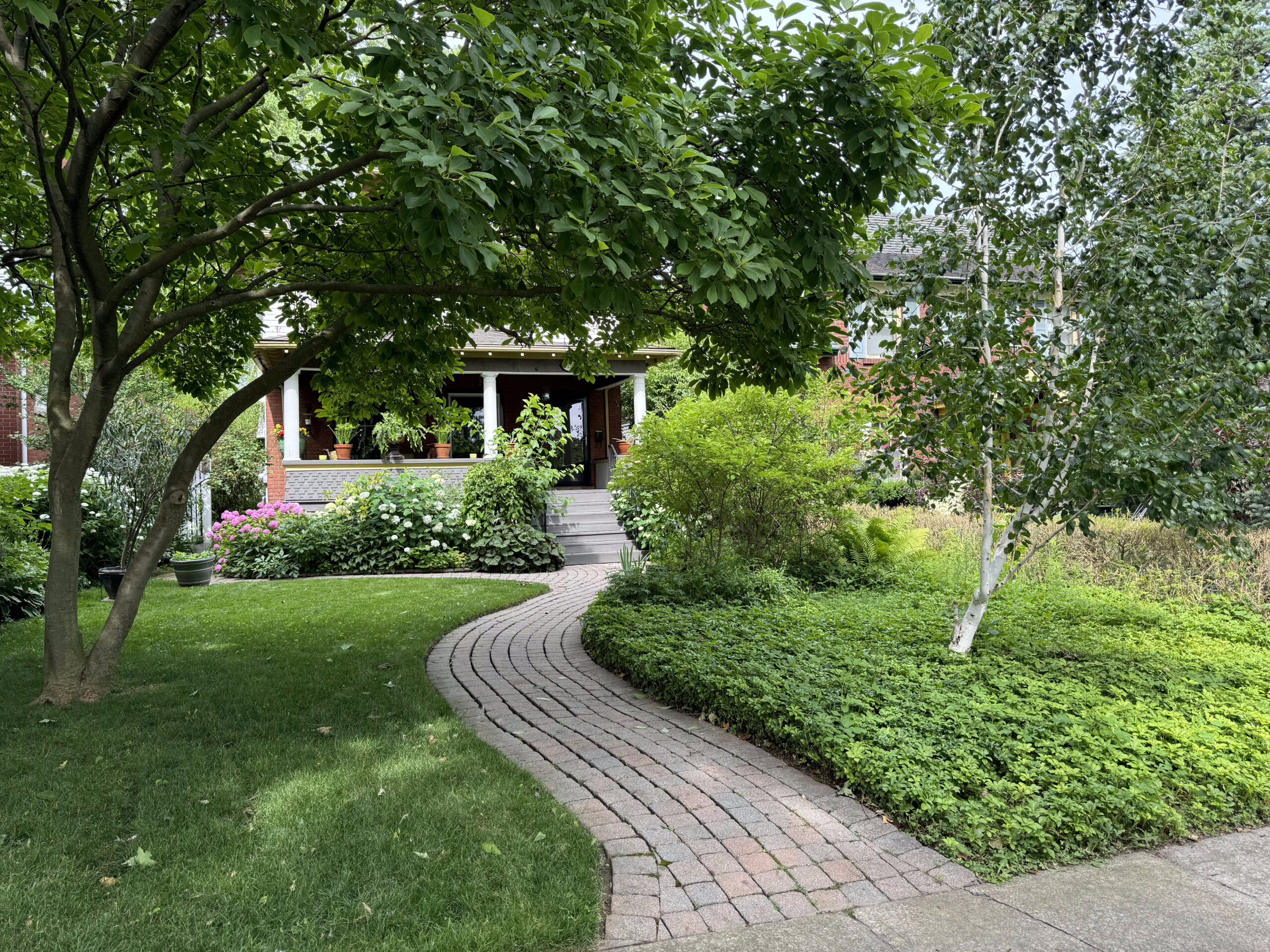
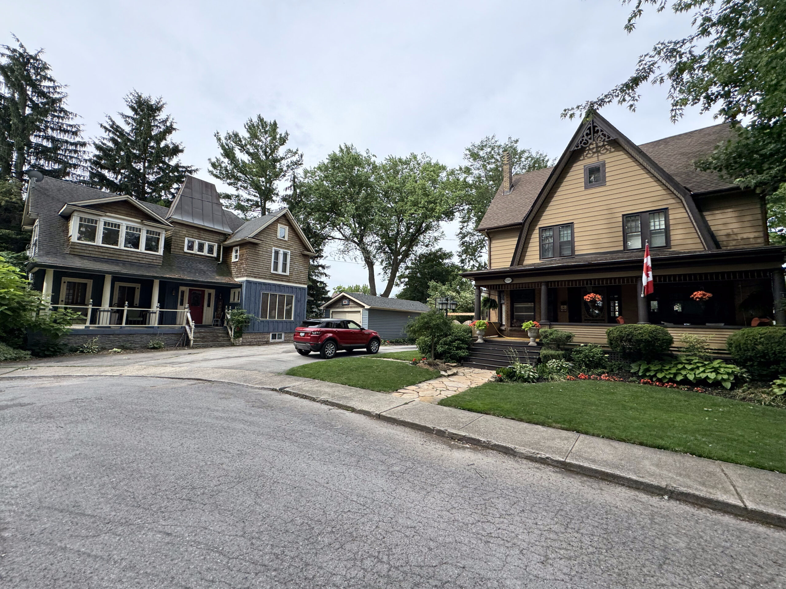
After attending Toronto Councillor Lily Cheng’s Community Ride, I drove us to Hillsburgh, where we are going to be staying for a week to look after Cindy‘s sister’s pets, while they are away. We arrived shortly before dinner, had an enjoyable meal, and enjoyed the hot tub before bed.
It’s Barry first time staying in the area so he planned our first couple of rides to cover places he hadn’t been before.
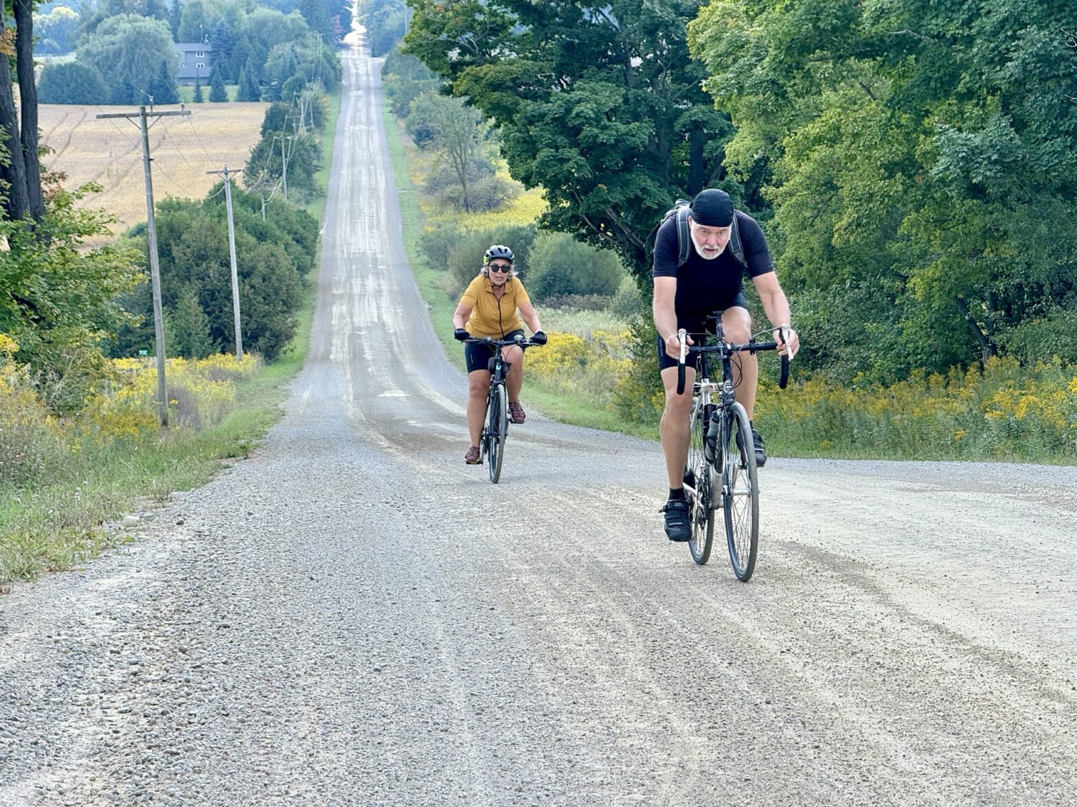
We had a lazy Sunday morning, and set off on our bikes just after noon.
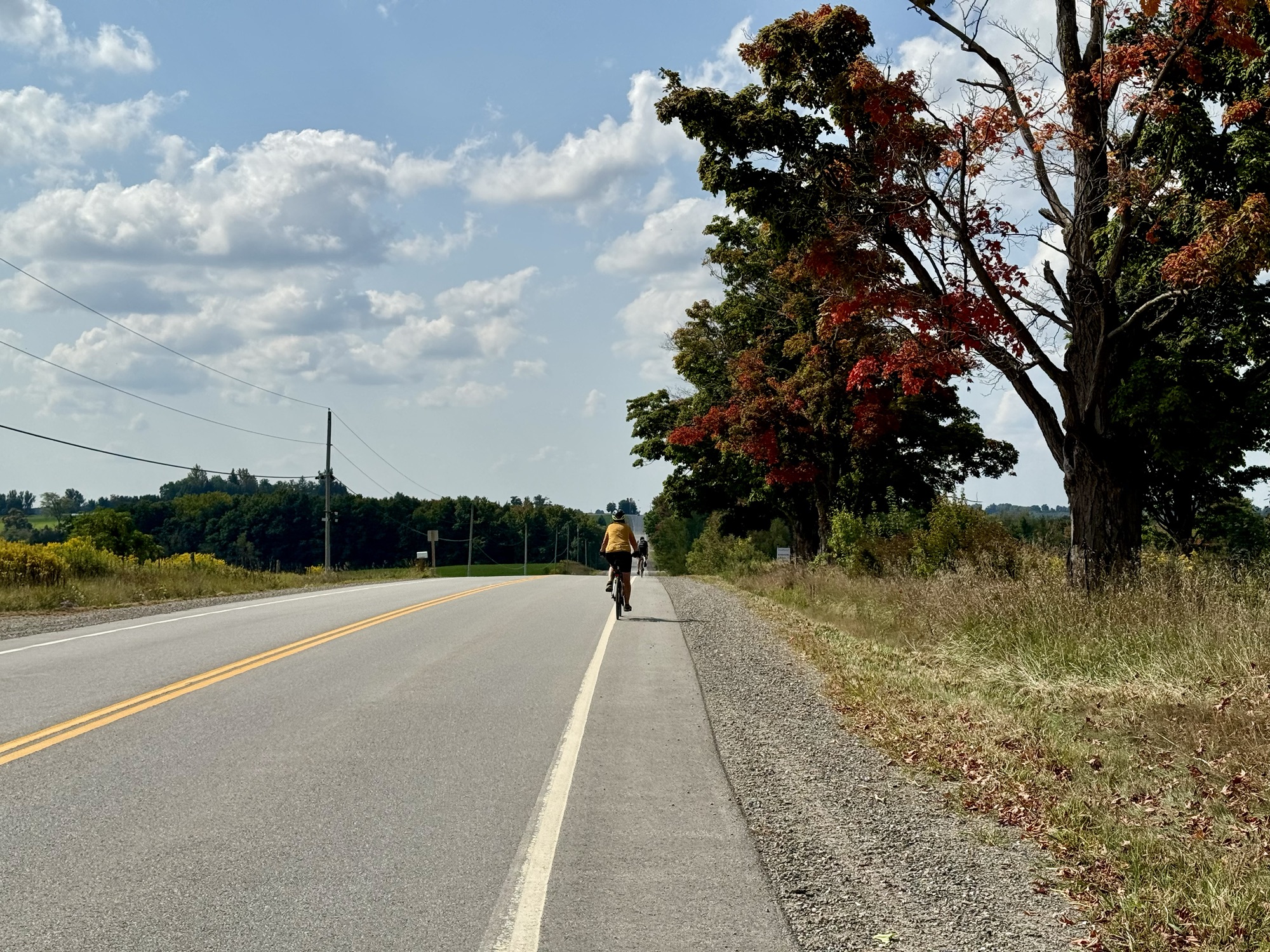
The foliage is mostly green, but there are a few trees that have begun to turn.
The ride was rolling one.
I’ve written about Statshunters.com before. I use it to create a personal heat map of all the places I have ridden my bike since 2013, when I started recording my rides, and also to see what tiles I have ridden my bike through. The tiles divide the world into a grid of 16,384 by 16,384 squares, each one is about 2 km wide. It’s a fun pursuit to try to visit as many tiles as you can using only human power.
Barry also collect tiles, so this was an opportunity for him to collect some in this area, which is quite a distance from where he lives. Cindy and I already had these tiles because we spent three days riding around this area a year ago. We didn’t have any particular stops planned, as the purpose of the ride was to collect tiles.
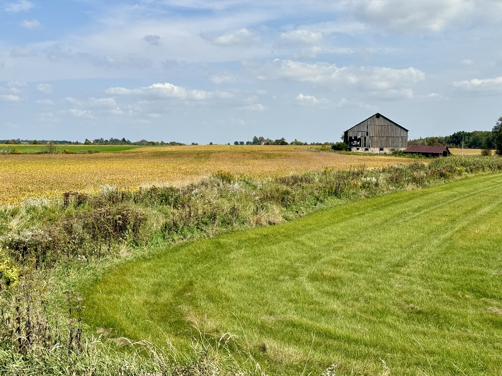
We saw some lovely pastoral scenes.
The ride was about half on paved roads, and half on gravel.
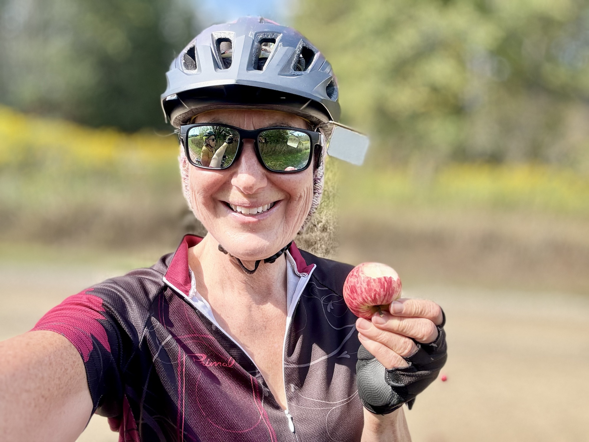
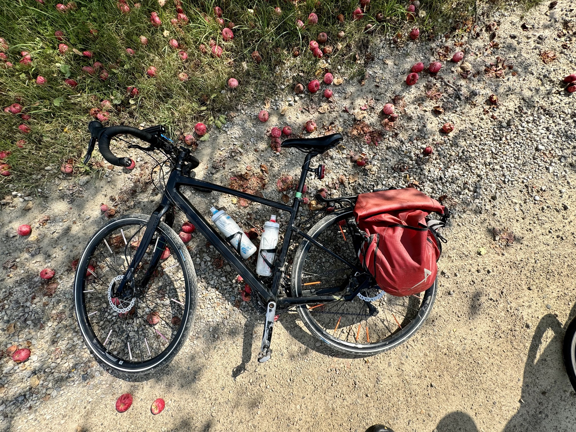
Cindy and I stopped by an apple tree that had dropped a lot of apples. Some of them had rotten spots or worms, but plenty were in good shape. We tried them and they were quite sweet.
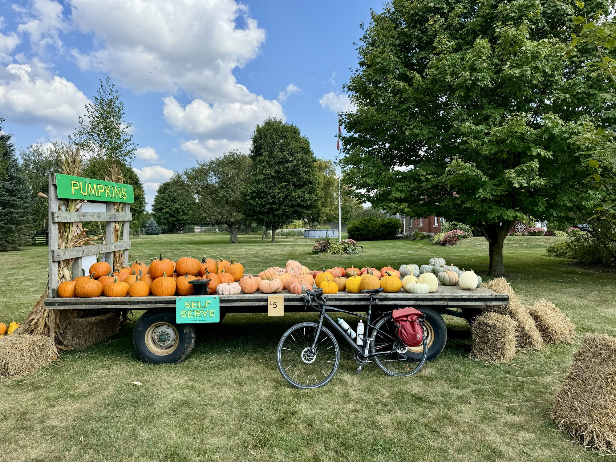
There was a self serve pumpkin store on one of the farms we passed.
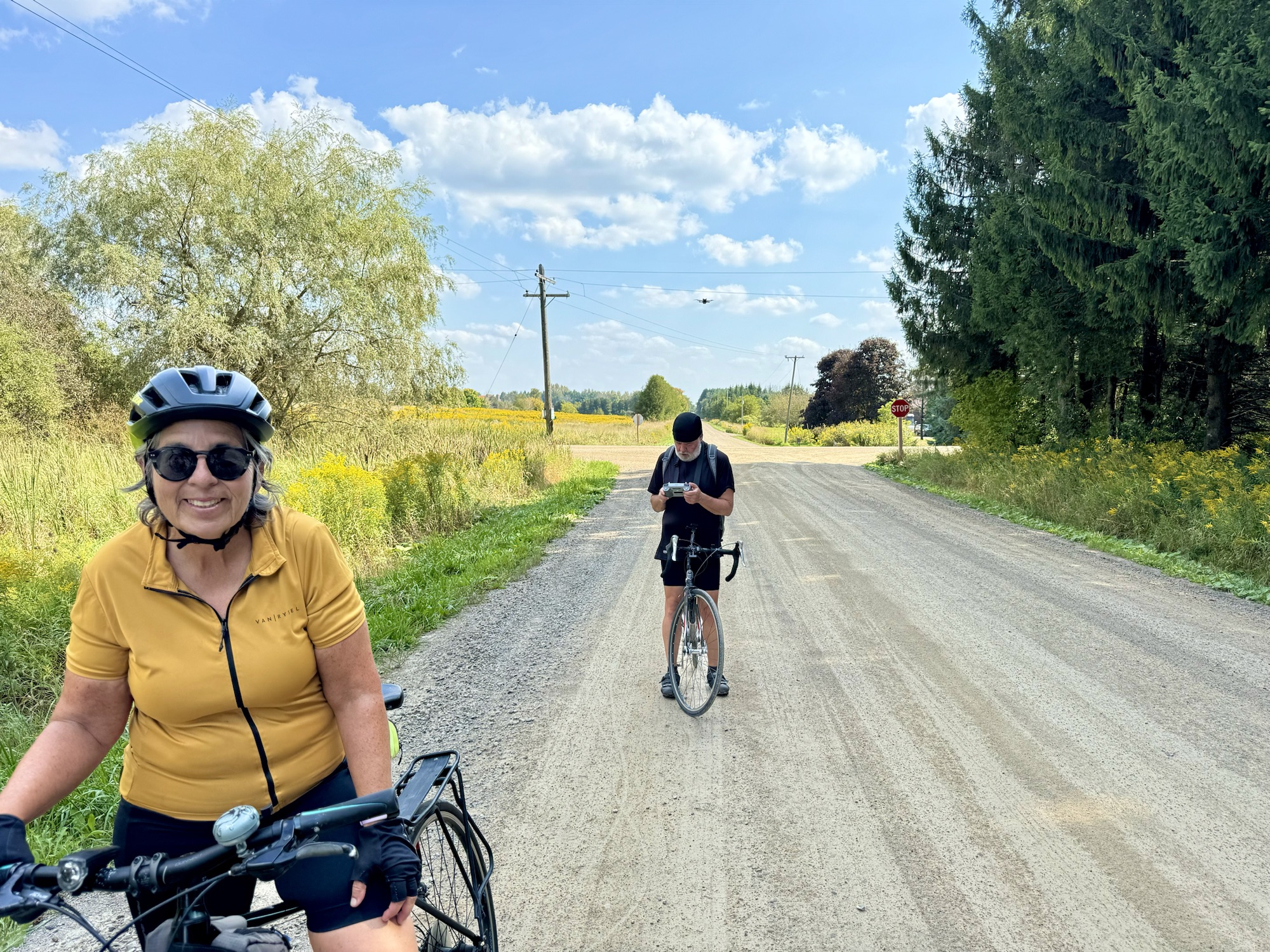
Barry tried to get his drone to follow us while we rode up one of the gravel roads, but for some reason it only hovered in place. It is visible in the picture above his head. Perhaps he’ll get a video on one of our future rides.
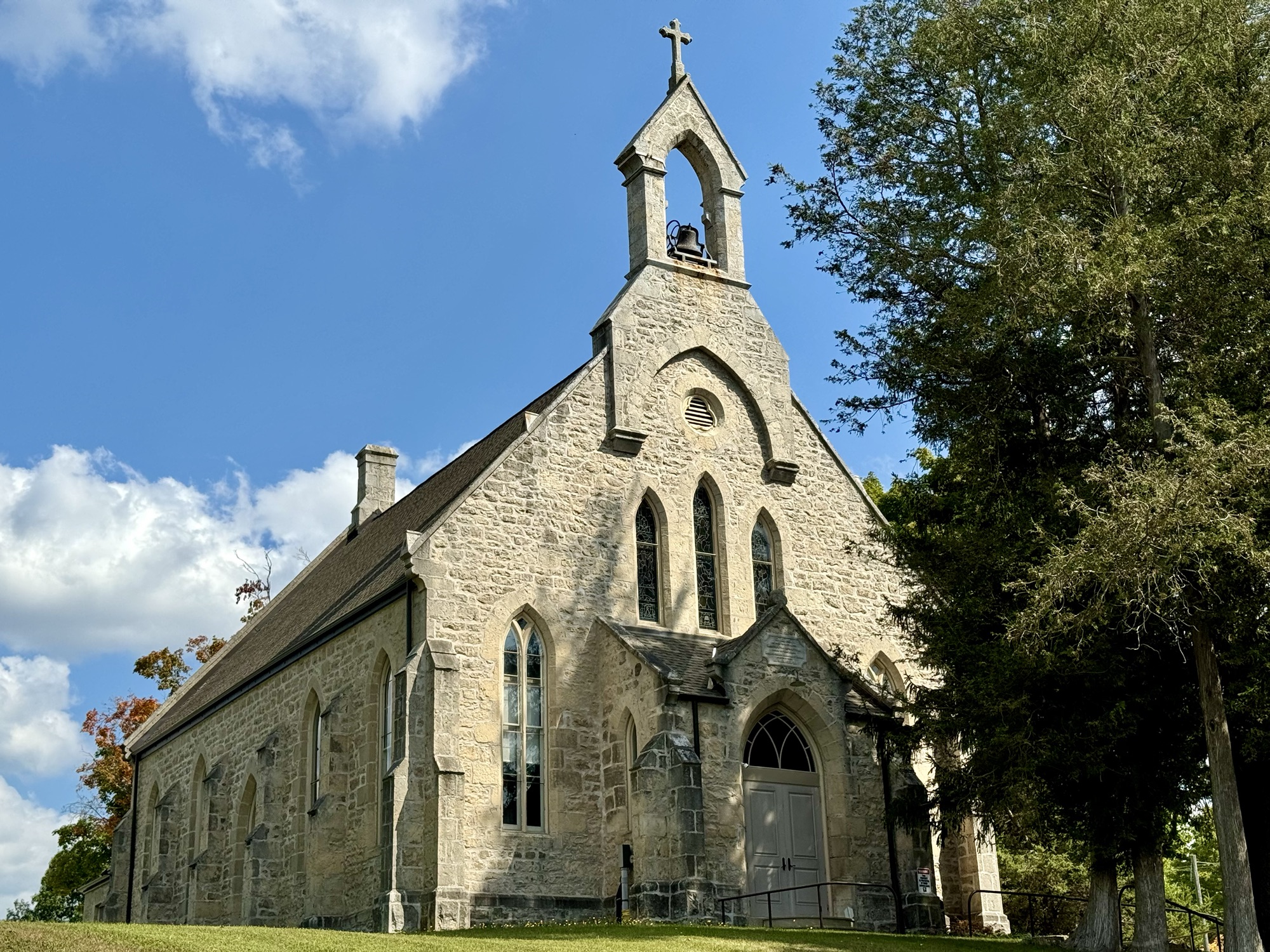
We saw a few country churches and century homes.
Most of the gravel roads were in the latter half of the route including this last one which was so steep, it was difficult not to spin our rear wheels on it, but we all made it.
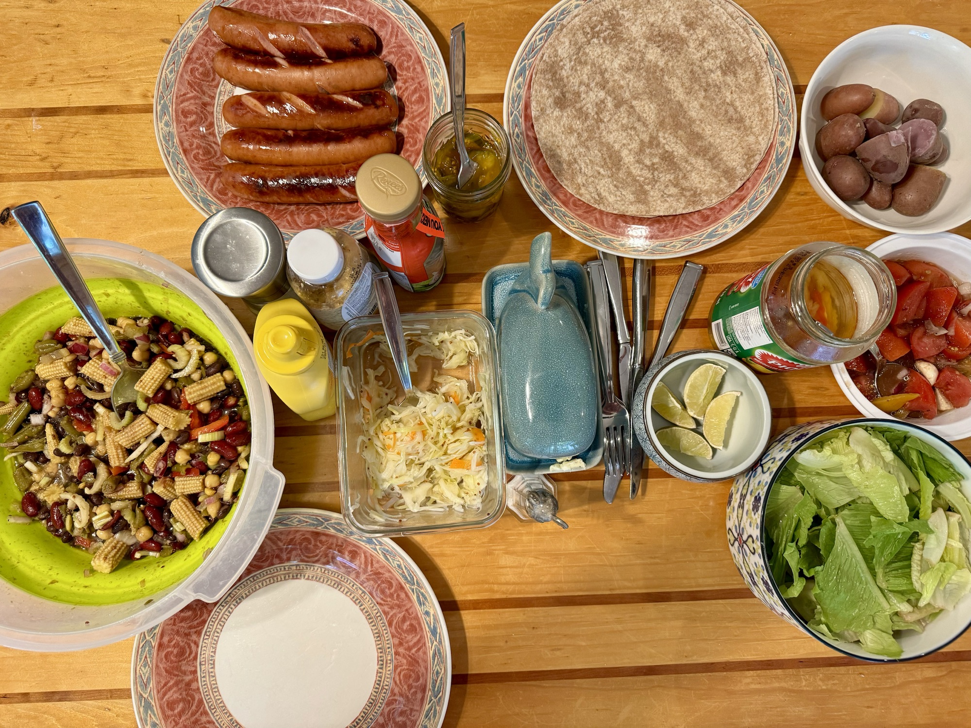
Dinner was stuffed peppers that I picked up at Costco and some salads that we made. I forgot to take a picture.
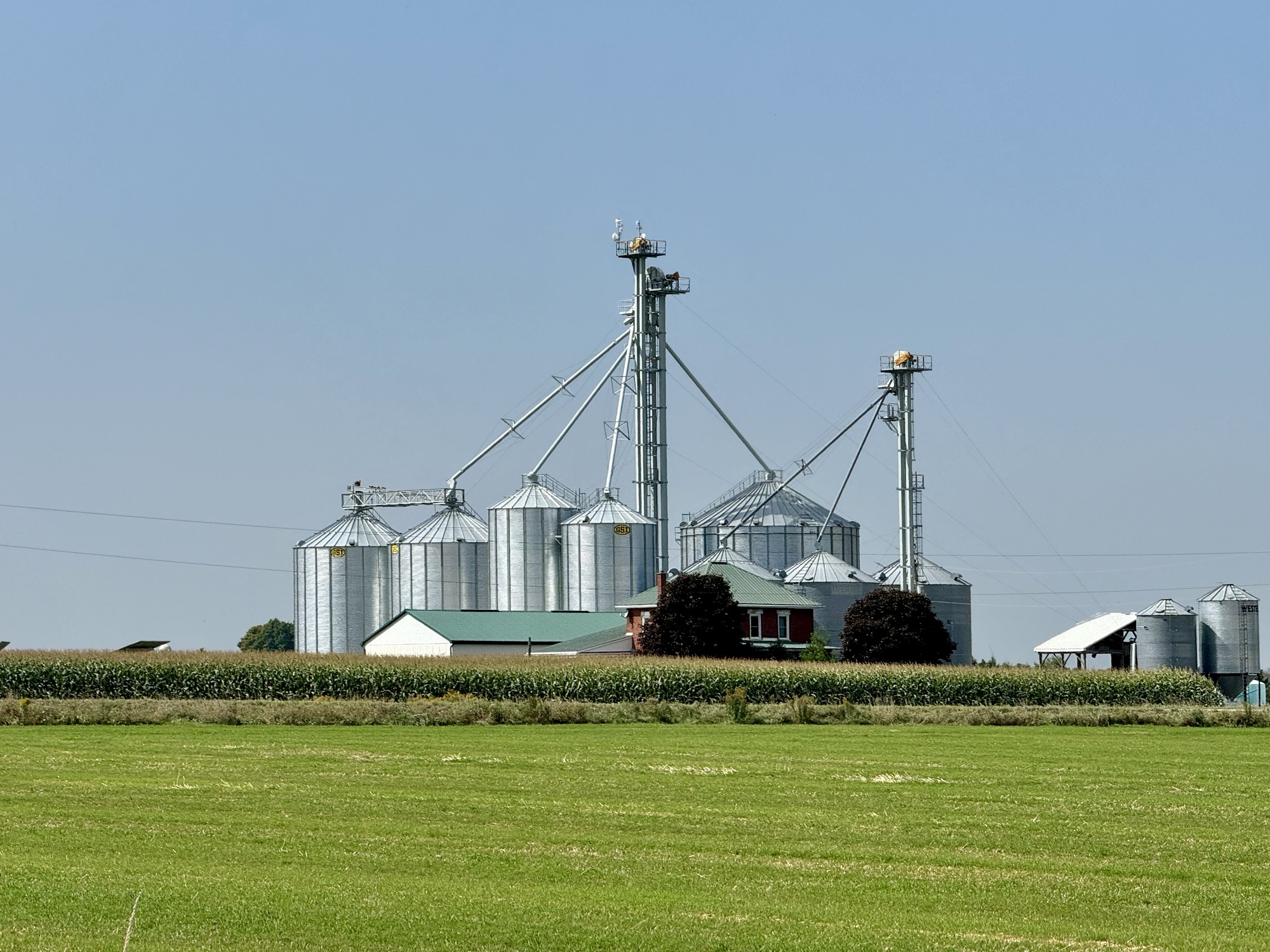
This is Rusty, one of the cats that we are looking after.
After dinner, we had a soak in the hot tub before bed. It was a relaxing way to end a relaxing day.
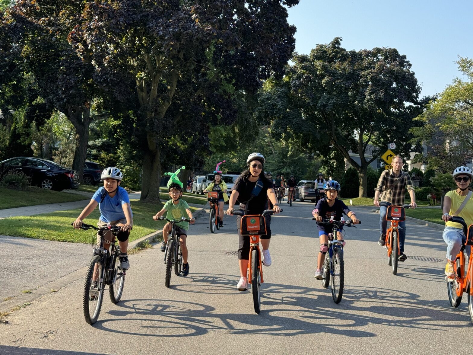
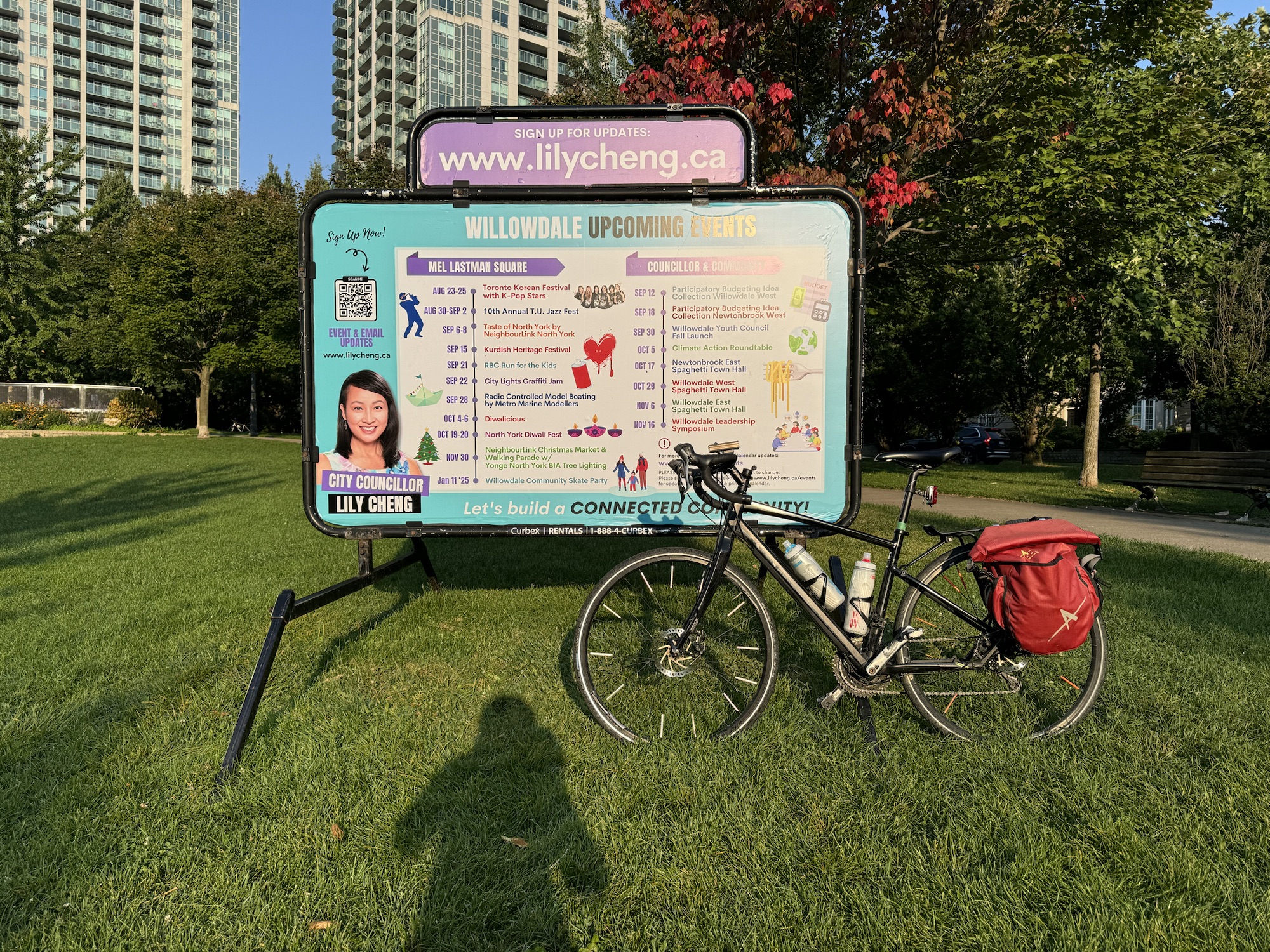
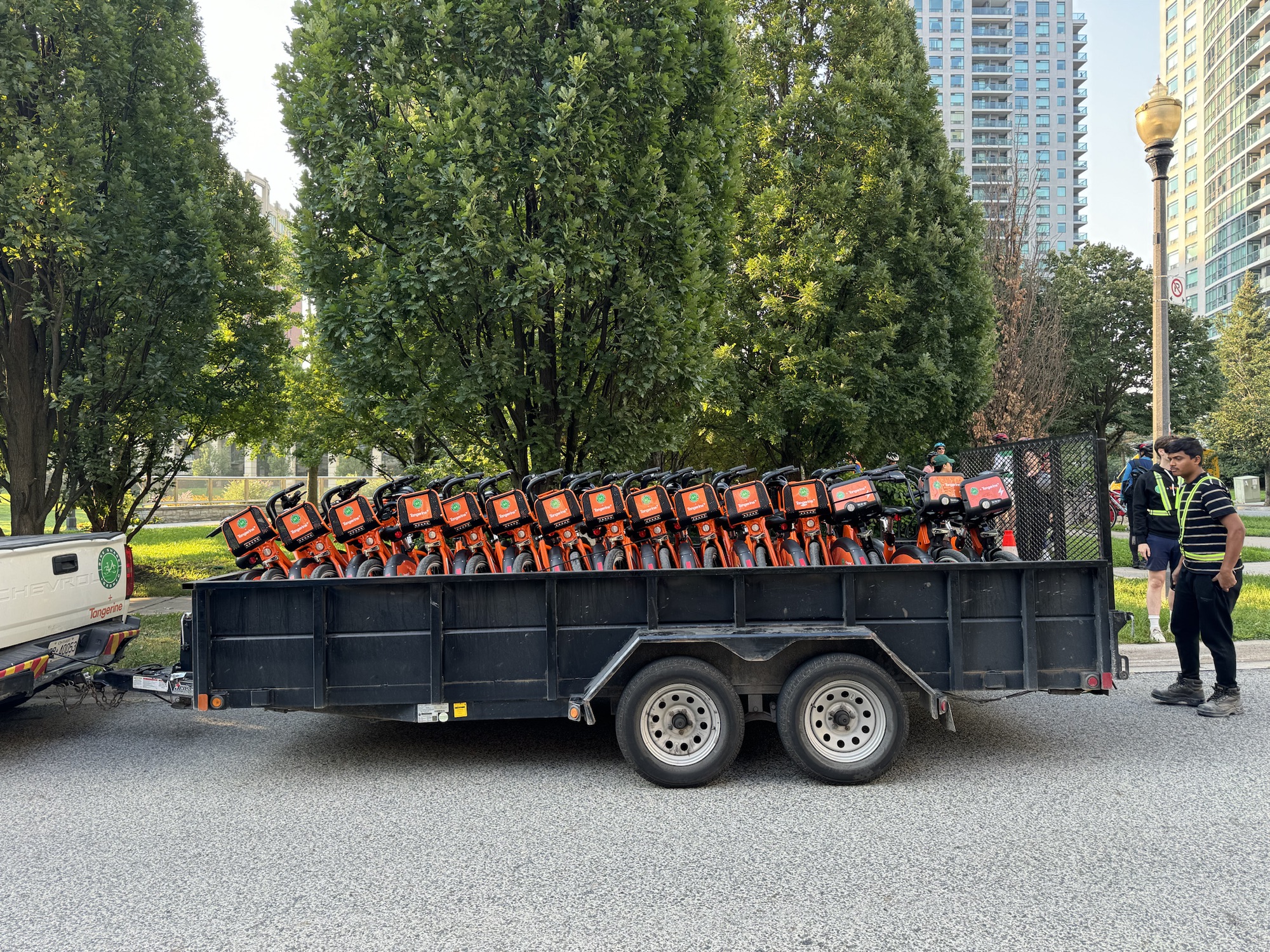
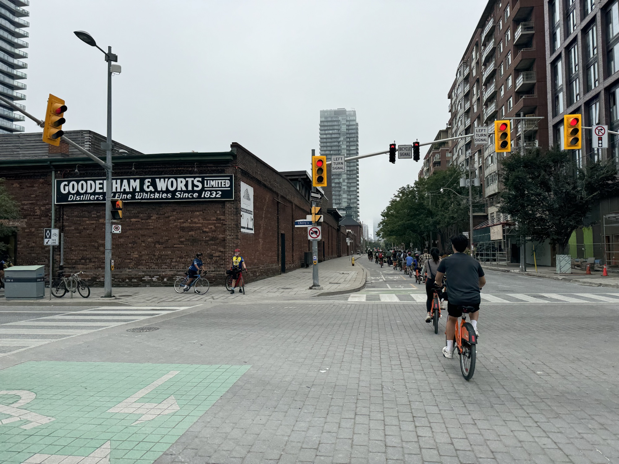
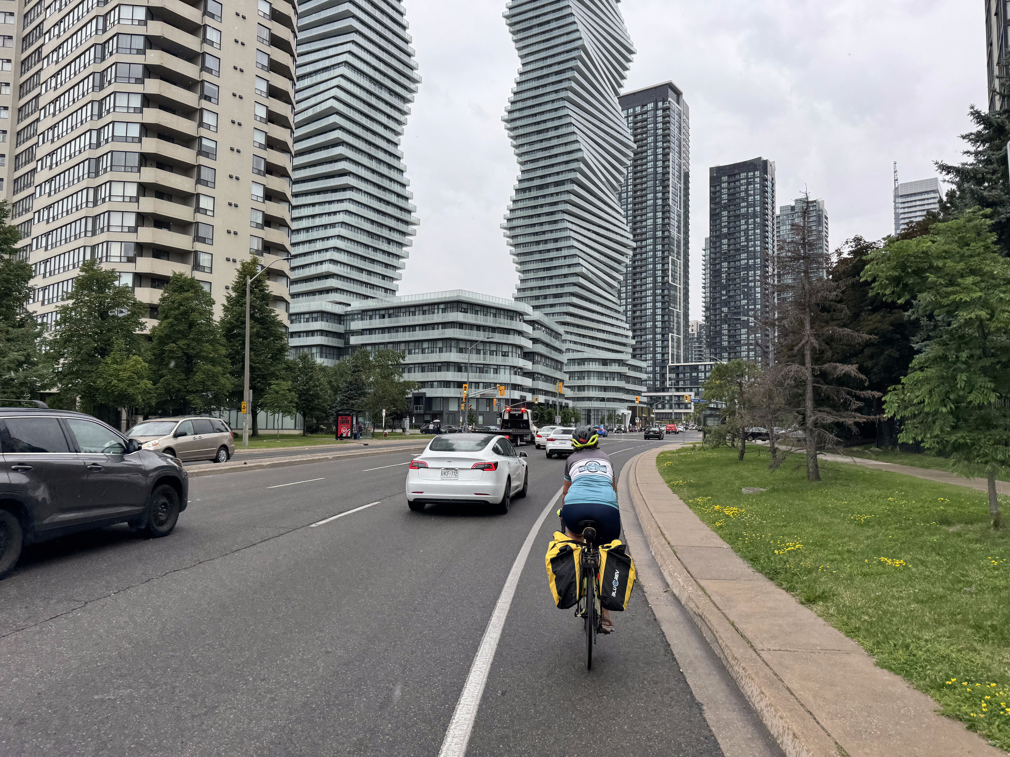
Lily Cheng is the Toronto city Councillor for Willowdale. She has been working with Toronto BikeShare to bring stations to Willowdale. The area is getting nine stations in 2024, and three more in 2025.
To encourage Willowdale residents to try biking and BikeShare, Councillor Cheng held a Community Ride on September 14, starting at Avondale Park, near Yonge and the 401, with a route that wound its way through quiet Willowdale residential neighbourhoods to the Don Mills Trail, to the Don Trail, with a brief stop at Evergreen Brickworks, finishing at The Esplanade for a ride of 25km.
Robert Zaichkowski and Jun Nogami both blog about cycling matters in Toronto, but neither was available to cover Councillor Cheng’s event, so Robert asked if I was available. I always enjoy riding in new places, and meeting other cycling advocates and community members, so I agreed. They were also looking for somebody to do video of the event, so I brought along my fellow Brampton cycling advocate Barry Lavallée.
Barry rode his bike from Georgetown to my house in Brampton, then we loaded the bikes in the car, and drove to Willowdale. It would have made for too early a morning to ride all the way there.
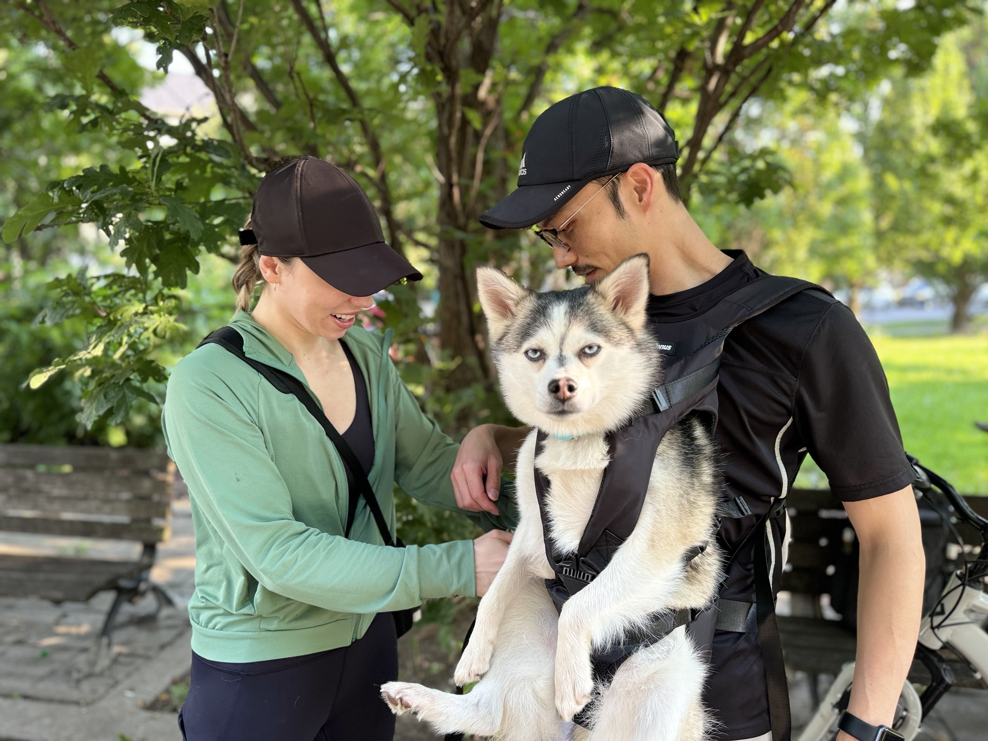
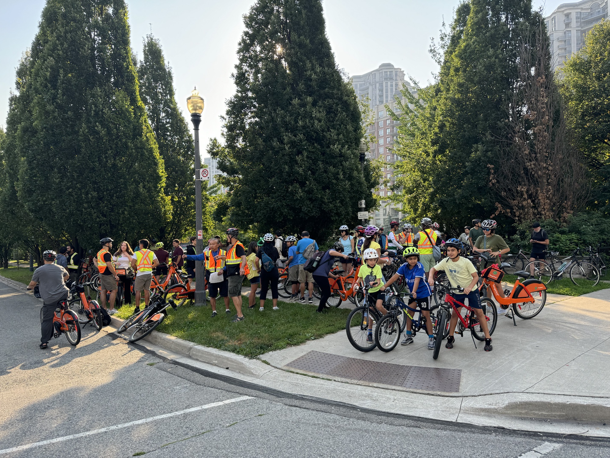
Councillor Cheng‘s office arranged with BikeShare to have 50 bikes brought to the park. I counted about 65 to 70 human participants, more than half of whom used the BikeShare bikes, and one dog.
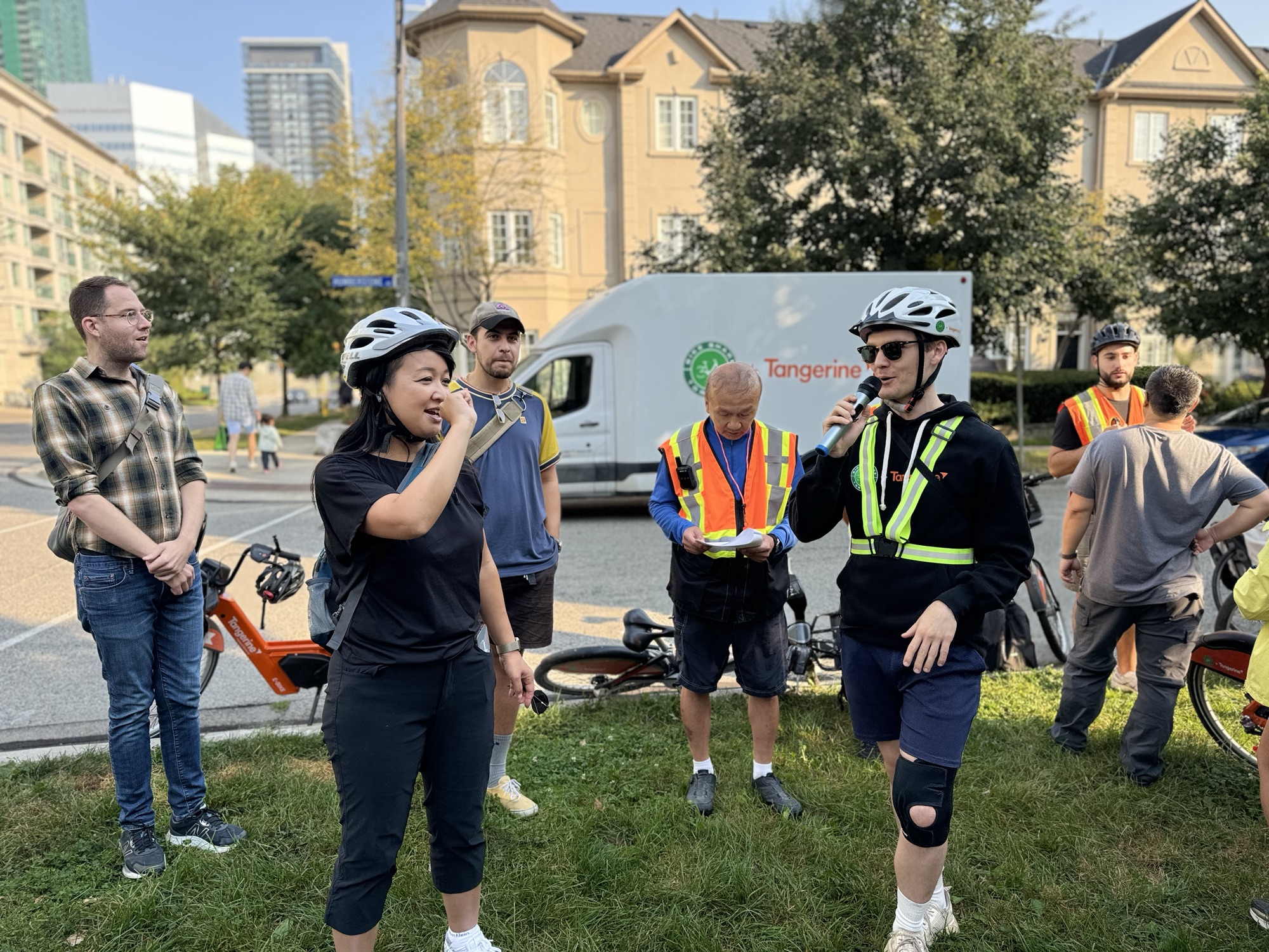
The group gathered to hear a brief address from Councillor Cheng, and Cai de Ridder from BikeShare.
I met Lanrick JR Bennett, Toronto’s first Bicycle Mayor. From the website: “Bicycle Mayors can accelerate the changes we need to see by uniting all citizens to take action. They bring creative diversity with new insights and approaches, from both inside and beyond the world of bicycle planning professionals or the political establishment. They are the human face and voice of cycling in a city. By connecting these changemakers across a global network – creating greater visibility, rapidly sharing ideas, challenges and solutions, – we can create a truly radical shift.”
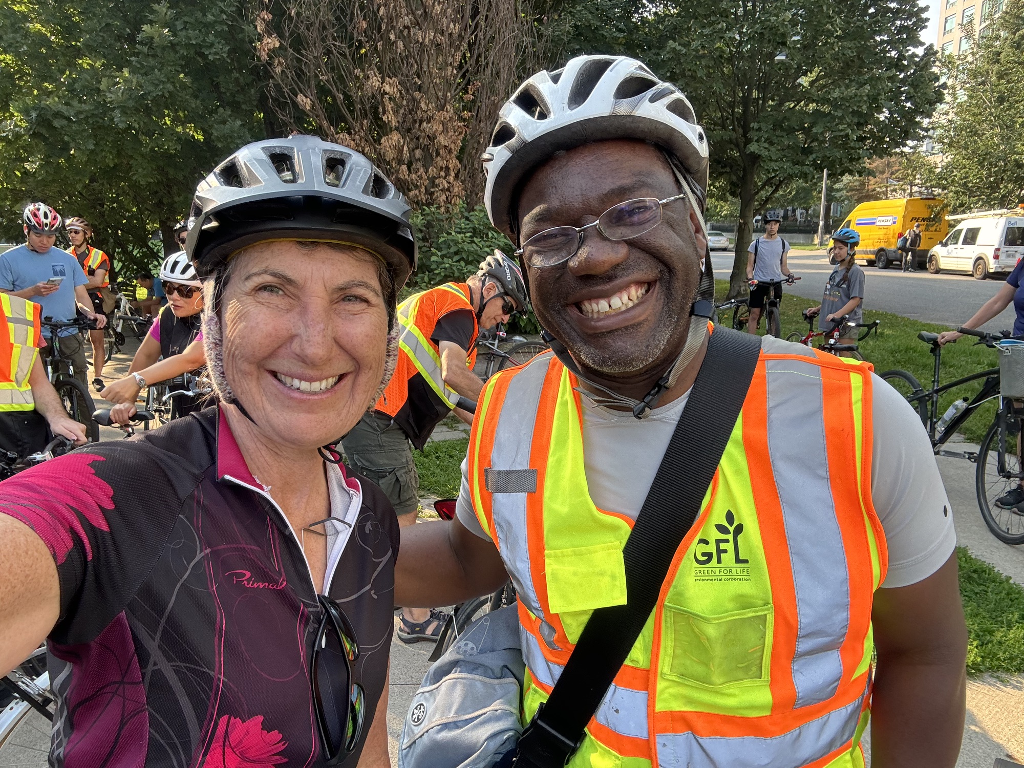
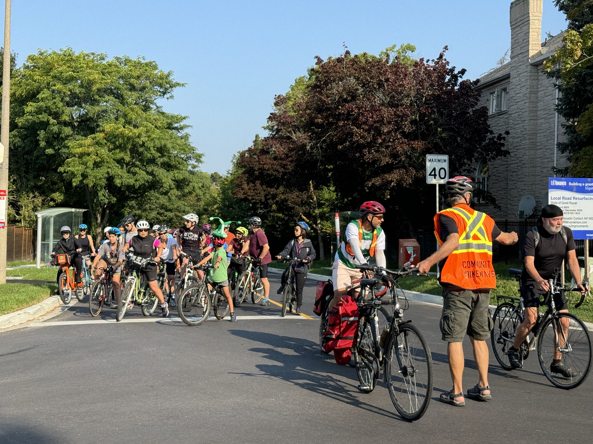
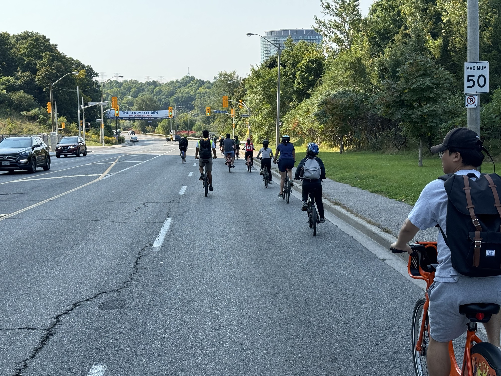
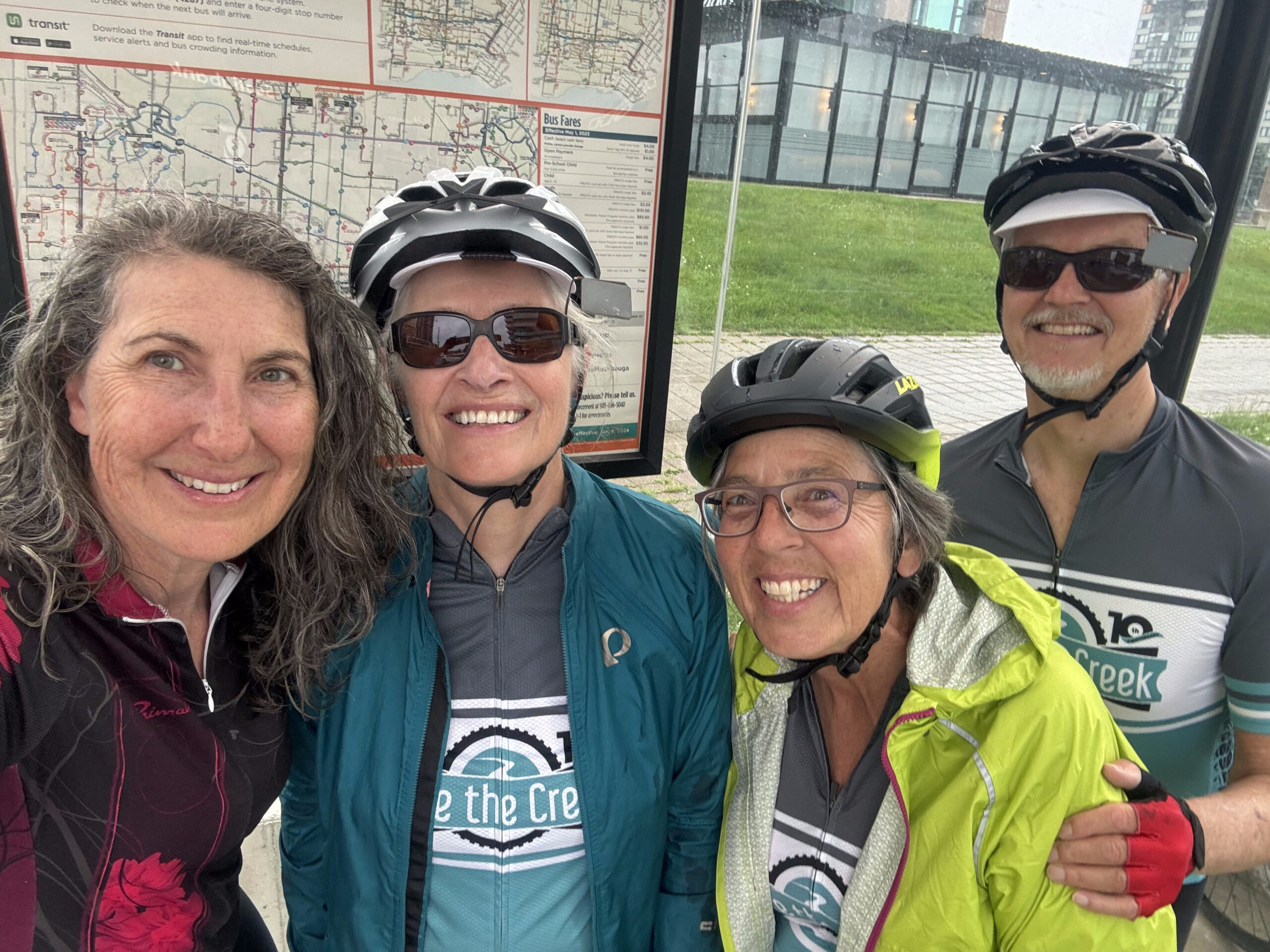
Community Bikeways, is a “volunteer advocacy group that believes municipal transportation priorities must be urgently re-ordered toward better cycling, transit, and walking facilities”. Members of Community Bikeways provided volunteers to lead, marshal, and sweep the event. Here we are ready to go right at 9:30 as scheduled.
It was a very large group to travel all together, but the volunteers did an excellent job keeping the group safe, and ensuring that other traffic wasn’t held up too much.
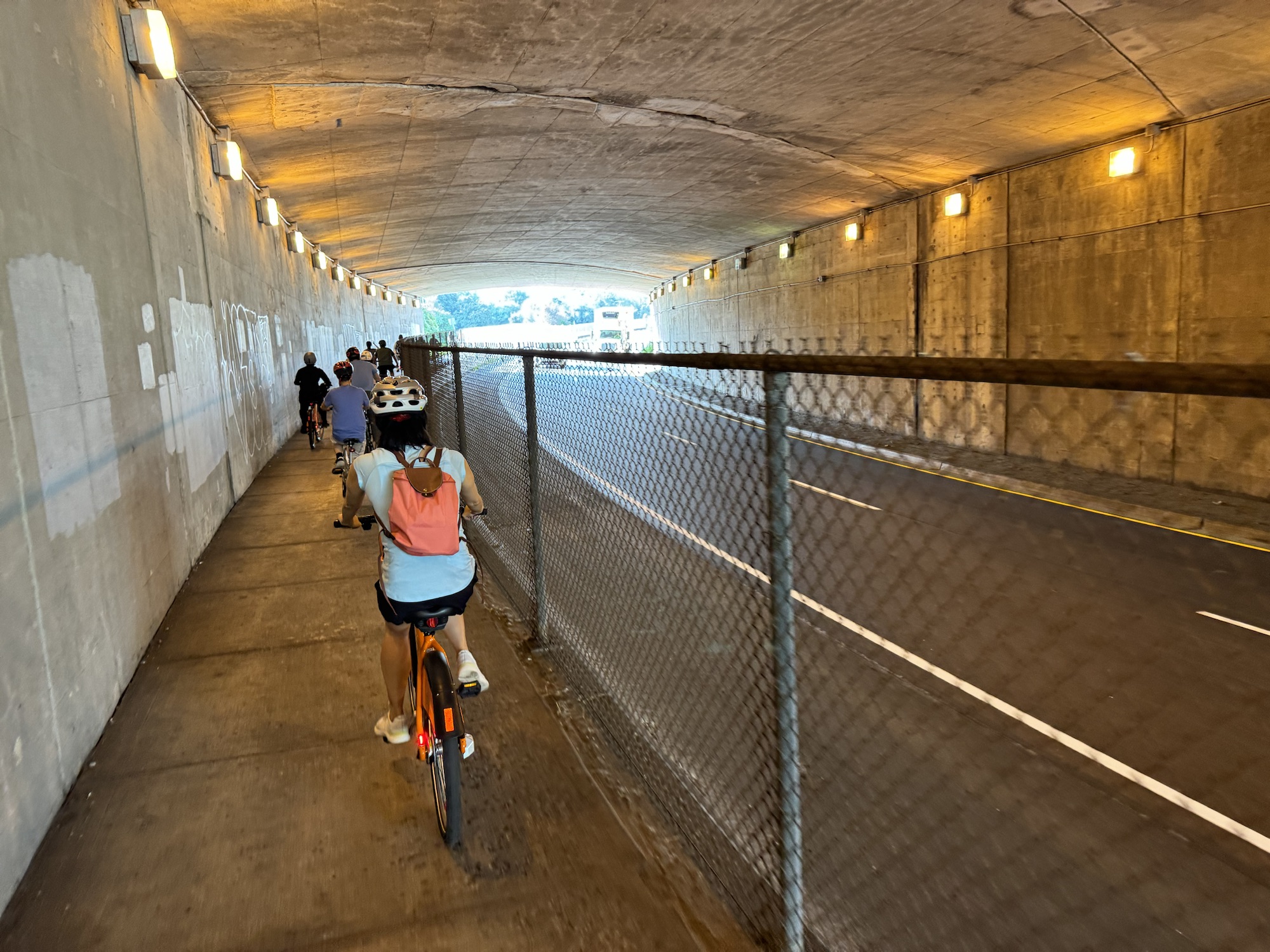
Peter Low was our leader and route planner. He got the group under the 401 In a relatively low risk way. There is no safe Active Transportation crossing of the 401 anywhere near Willowdale. The nearest would be on the Betty Sutherland Trail on the east side of Leslie, but it has been closed for construction on the 401 for a couple years, and will remain so for a while yet.
There were several children on the ride ranging from 6-10 years old, who were tremendously energetic, and happy to be along.
The marshals did a great job guiding the group through intersections.
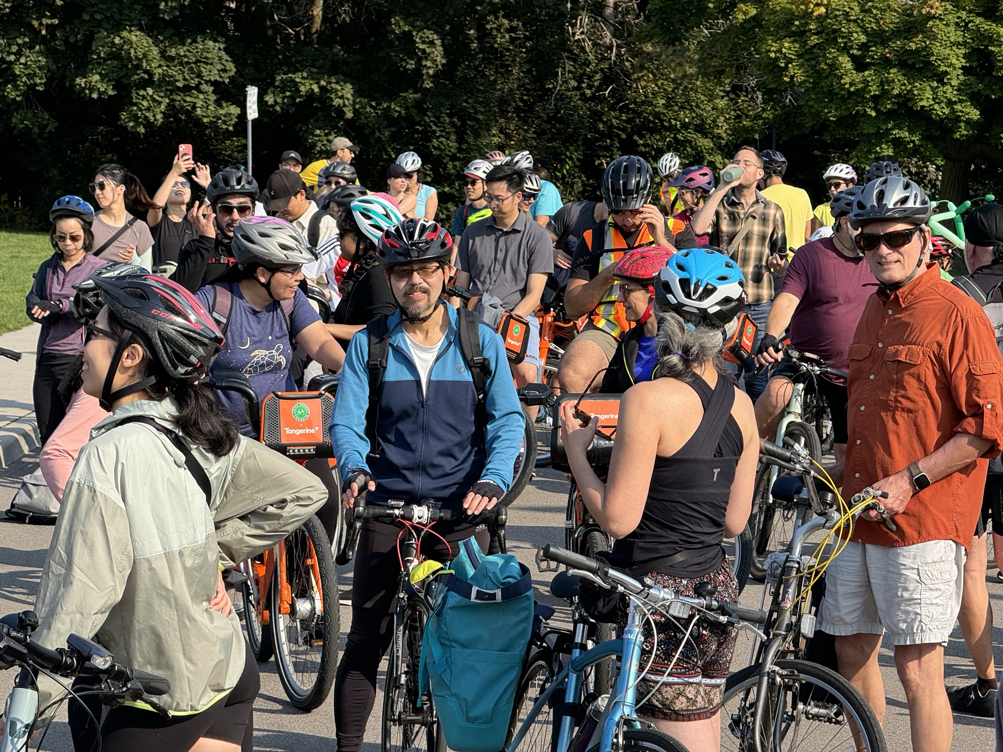
Here we are stopped for a short water break.
Toronto Councillor Cheng, Ward 18, rode one of the BikeShare bikes.
Peter routed us behind a plaza to get to the north end of the Don Mills Trail. Most of the route was flat or downhill.
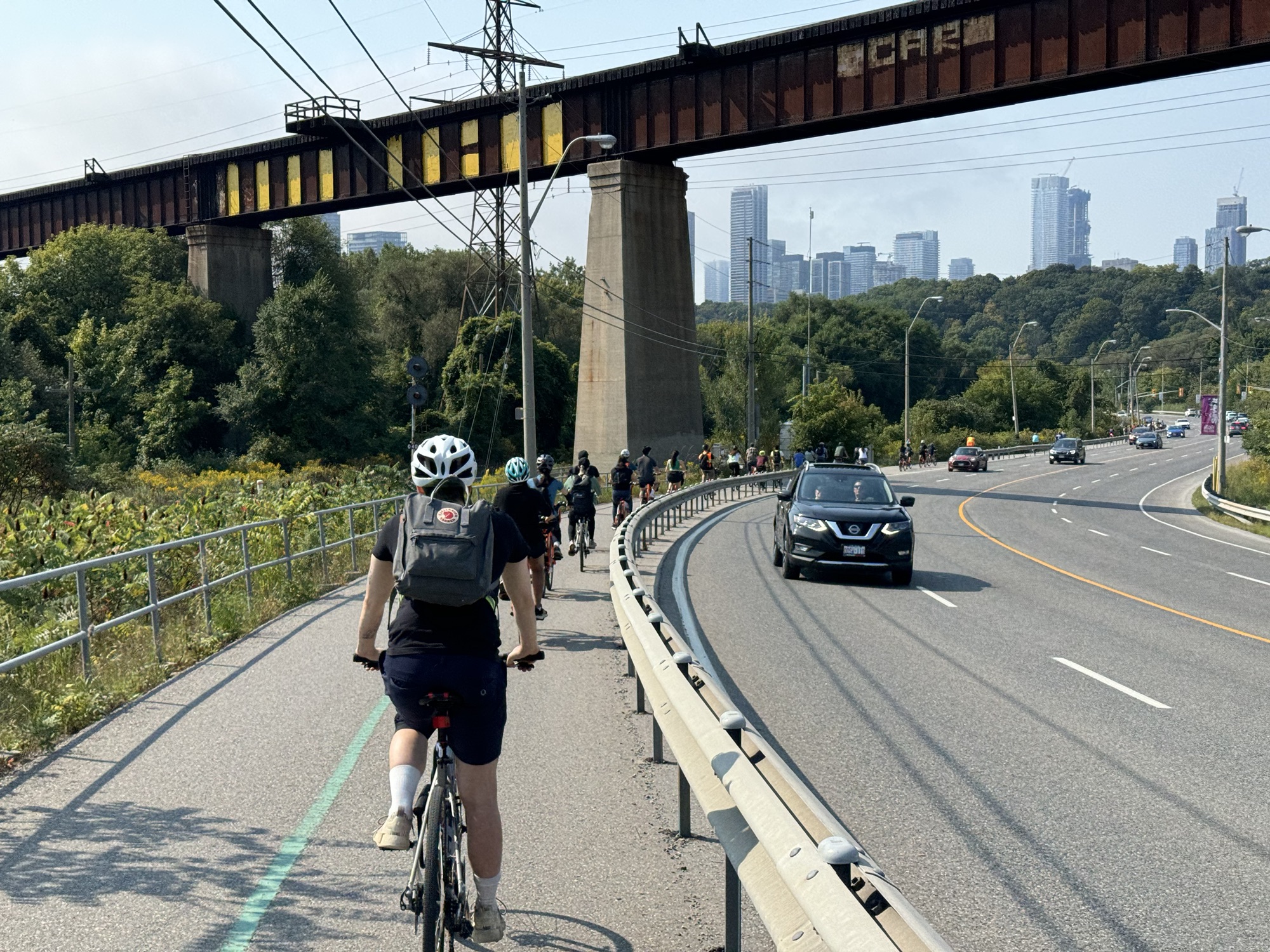
The route then turned down the side of an office building and out to Leslie, just north of a traffic light, which we used to cross Leslie, before briefly taking the lane on Leslie, a short distance from the driveway into Wilket Creek Park.
We stopped briefly to ensure the group was all together, then continued on the Don Trail across a bow string bridge, and then across Pottery Road, which is a bit tricky due to the crossing location near a blind corner, but it does have a refuge island.
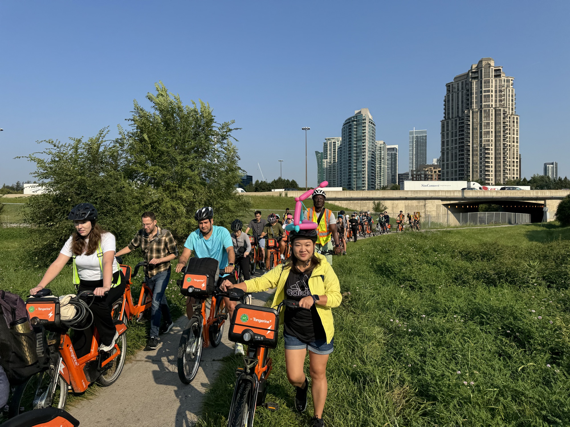
There is a bi-directional cycle track on Bayview approaching the Evergreen Brickworks, which continues to Corktown Common.
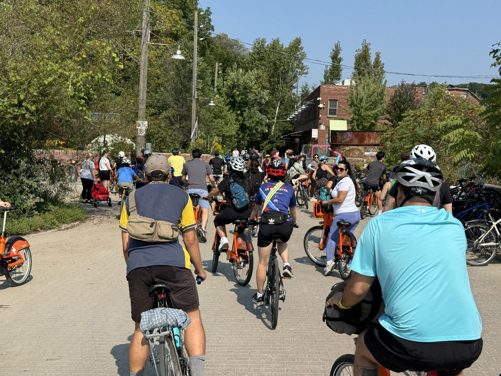
We made a brief stop at the Evergreen Brickworks where there were lots of interesting bikes in the bike racks.
There is also a bi-directional cycle track on Mill Street which passes The Distillery District.
The ride finished in a park on the south side of The Esplanade at George Street. Councillor Cheng and Cai made some brief final remarks.
These impressive children are 7&6 years old proving that, if given the opportunity, children can travel great distances on their own outside of a private motor vehicle. We should encourage them with safe infrastructure, education, and community support.
People who rode bike share bikes were provided with instructions on how to return to Willowdale by Public transit. Peter led a group on their own bikes back up along Don Trail.
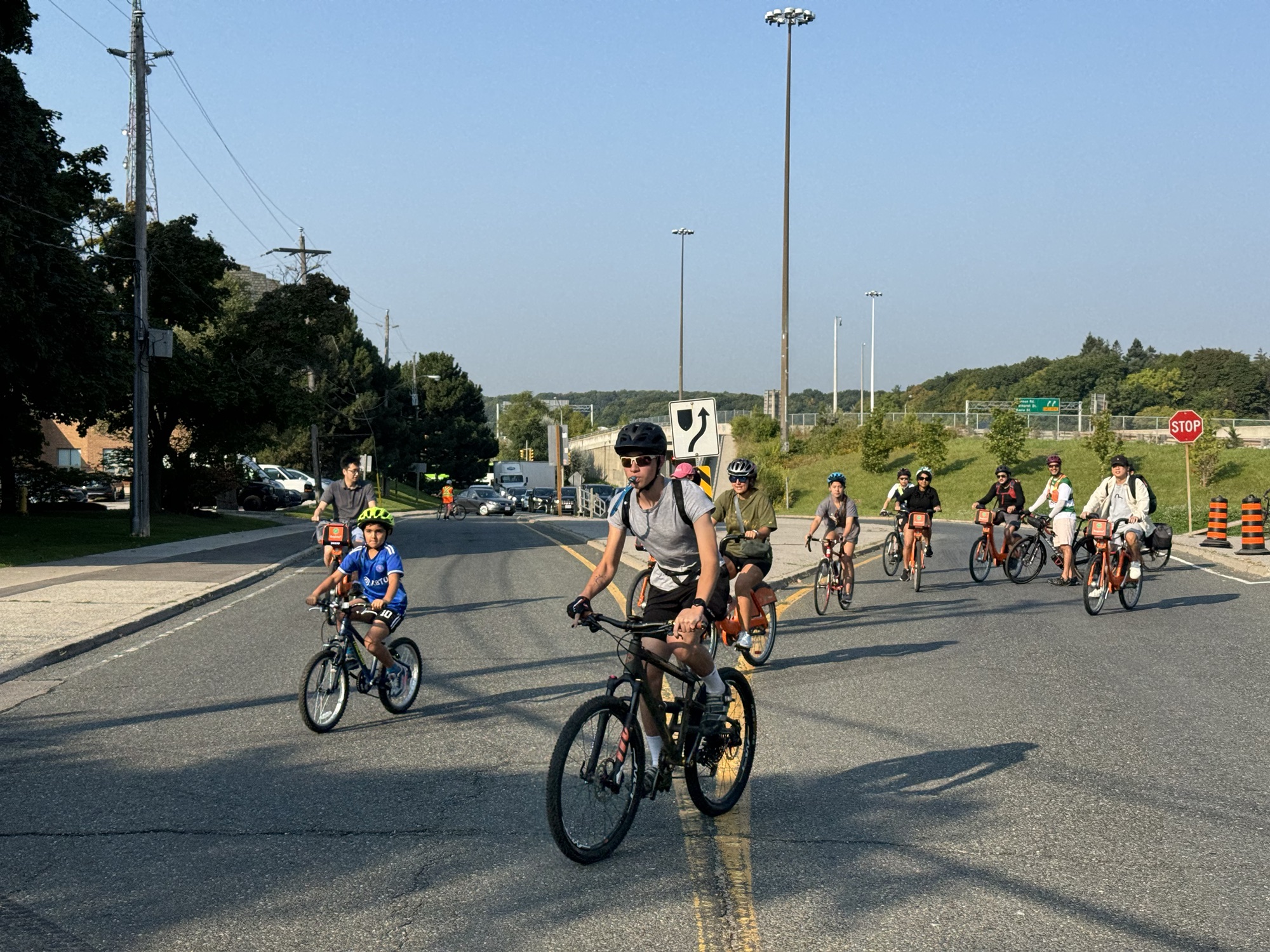
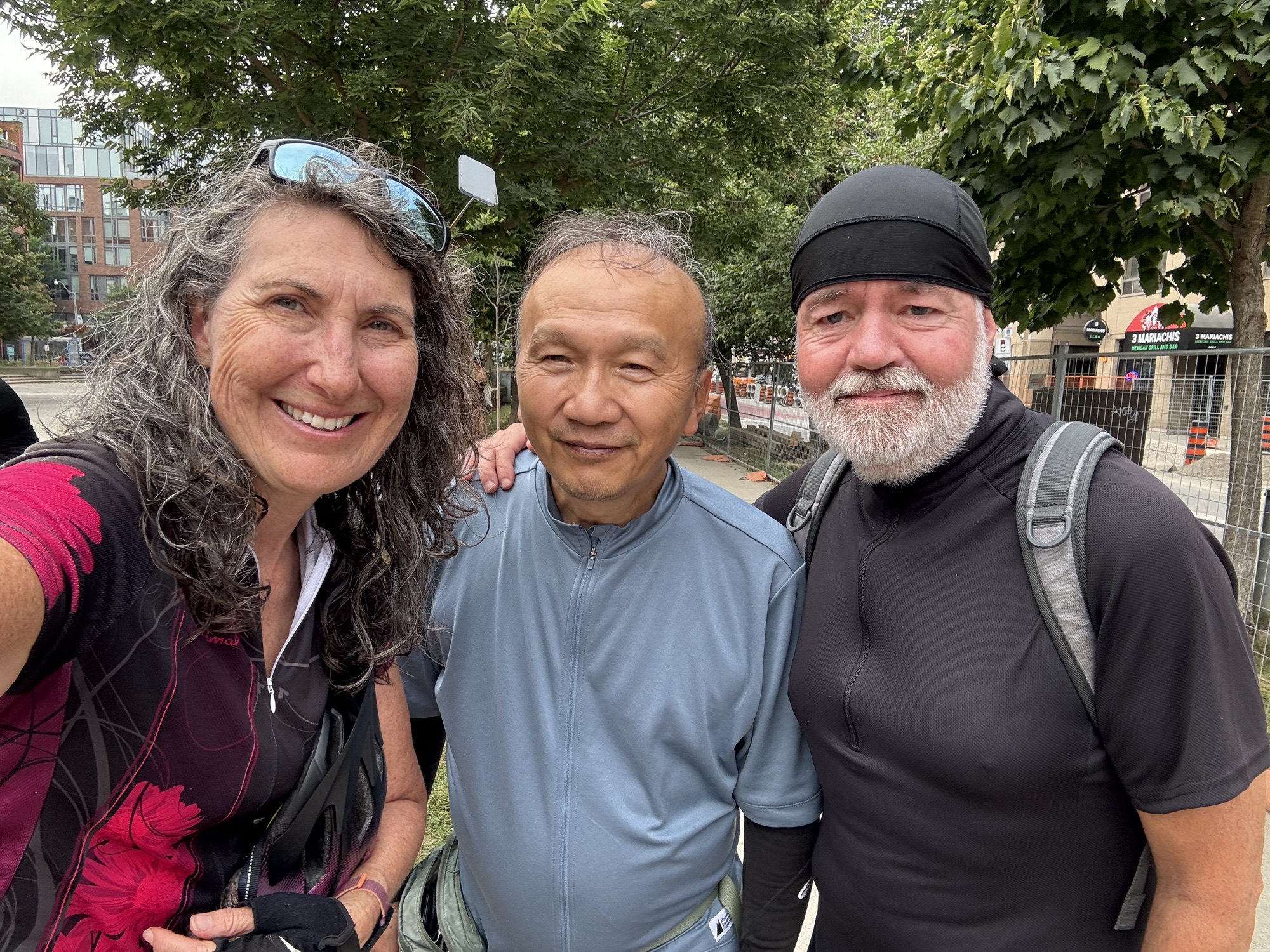
I took a couple pictures of Barry and myself with our intrepid ride leader Peter, and Councillor Cheng, before Barry and I headed back north using streets to cut the distance from 25km to 15km on the return.
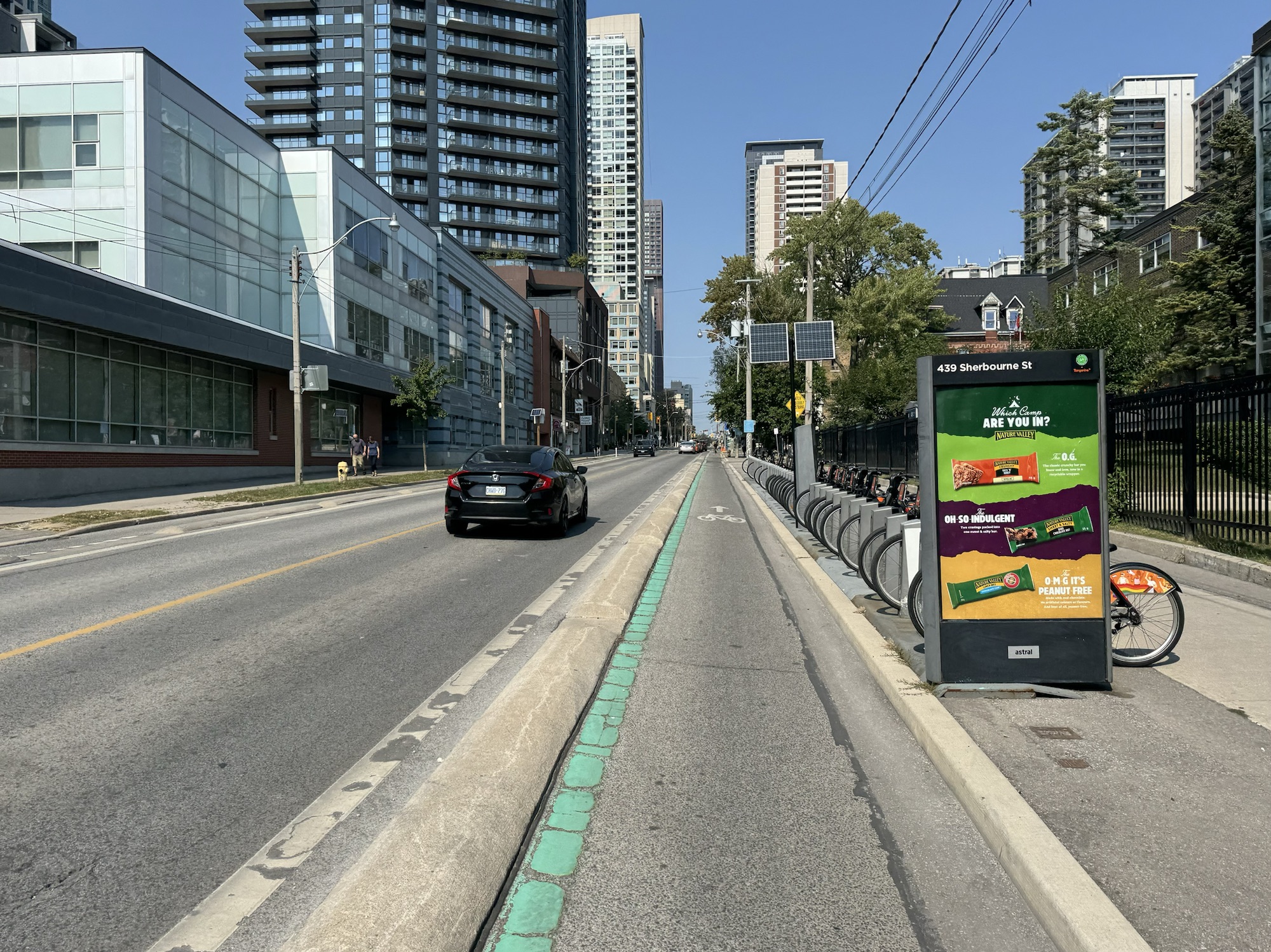
We had a raised unidirectional cycle track on Sherbourne. We were briefly on the Bloor bike lanes, then the Yonge Street bike lanes to just past Davisville.
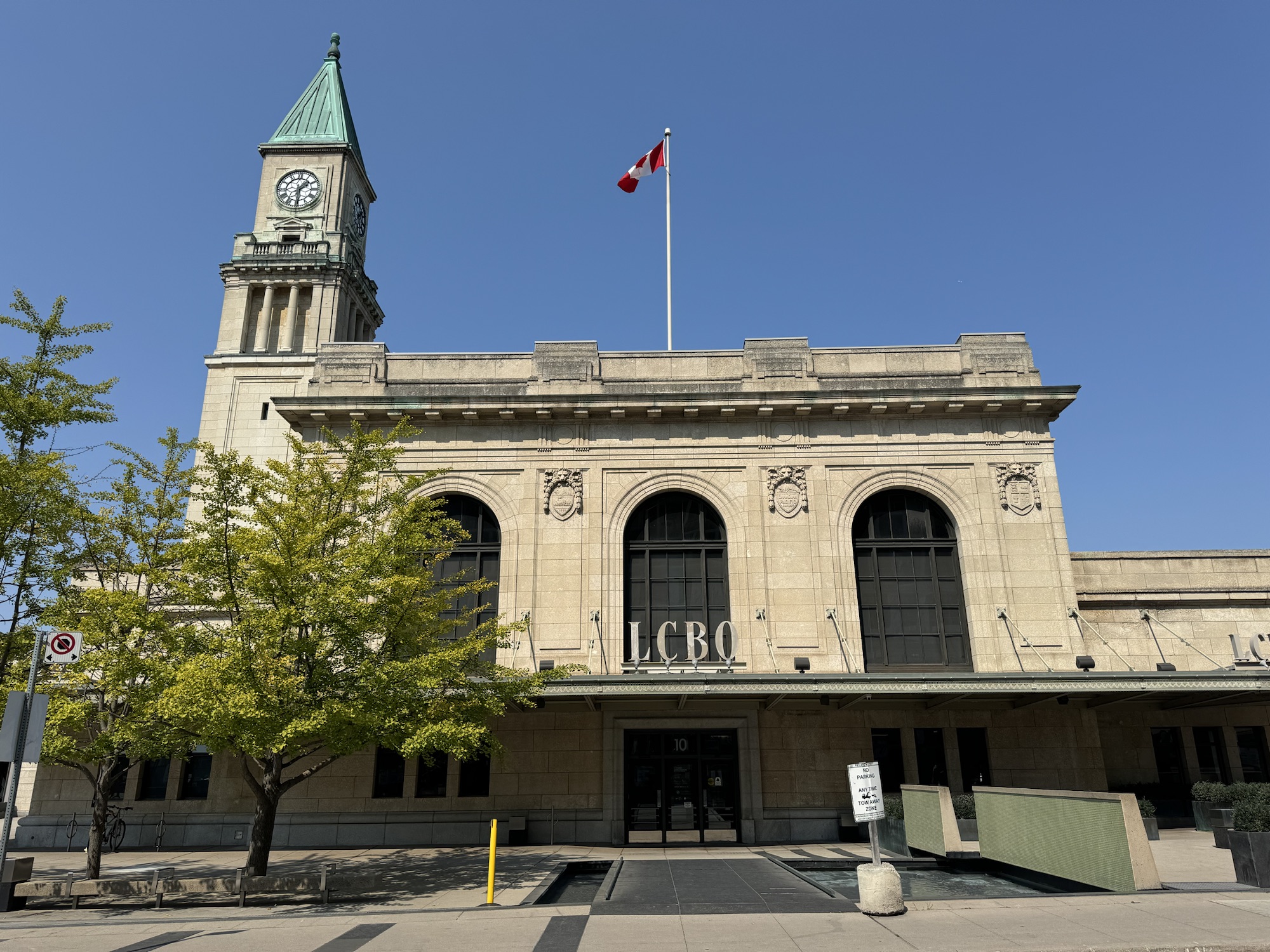
The Summerhill LCBO is in a train station that closed after Union Station opened in 1929.
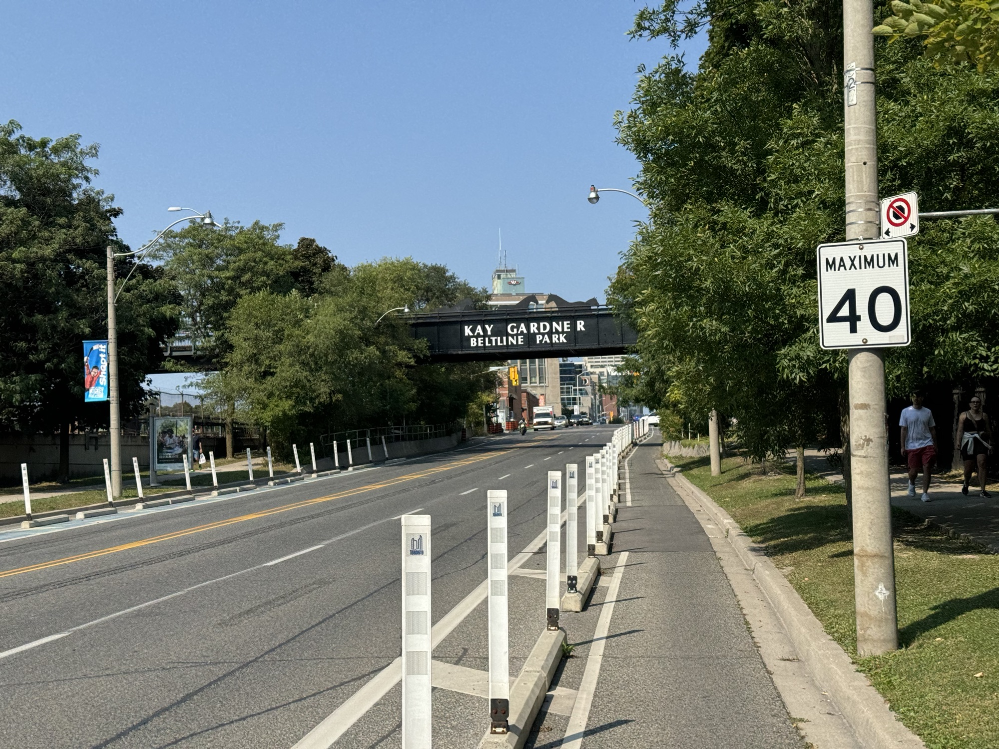
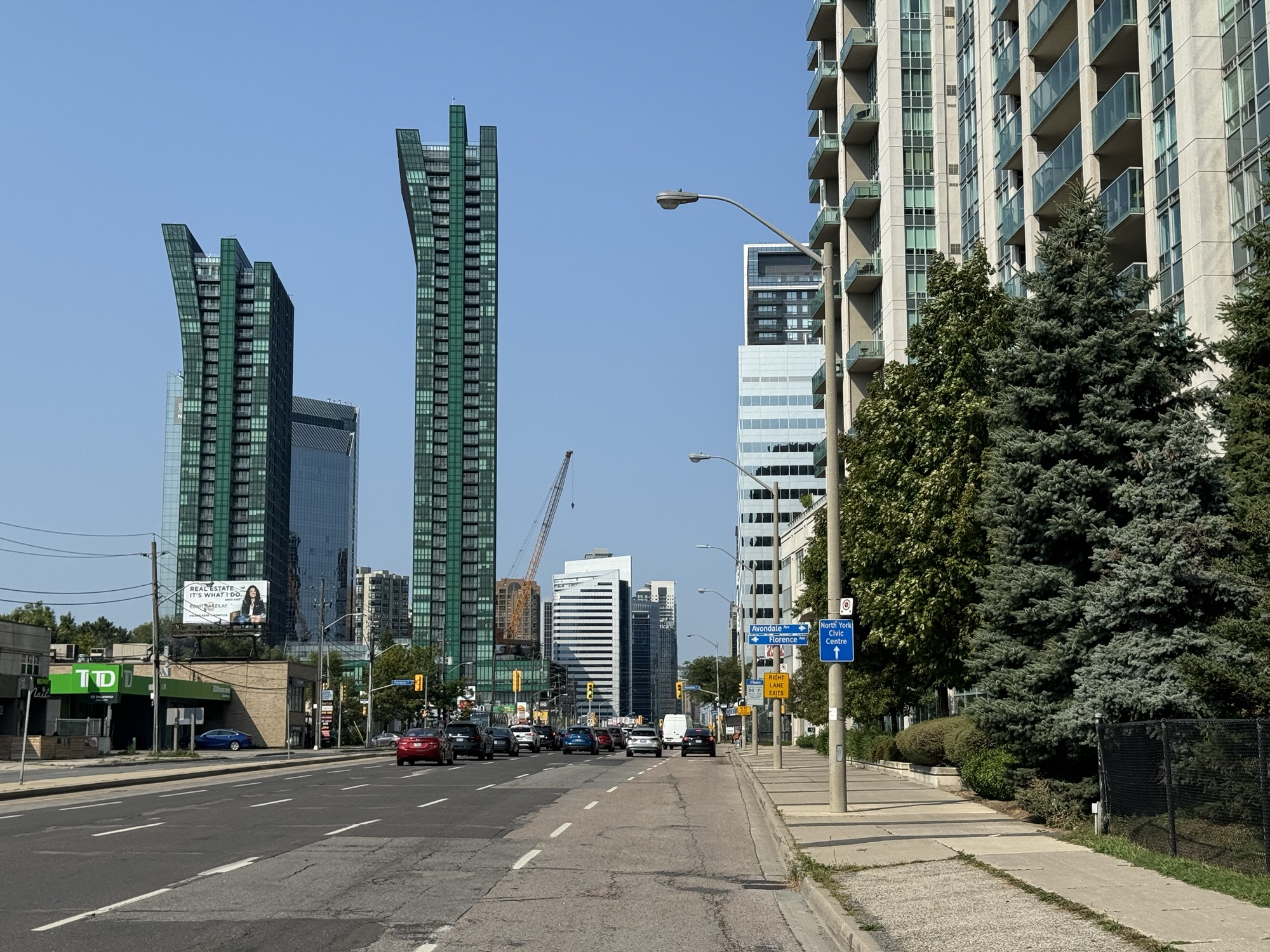
There was no cycling infrastructure for the last 8km or so, but the traffic wasn’t too heavy. The descent into Hoggs Hollow was a blast and the climb out, not too bad. We could see this pair of towers as an end-of-ride landmark from south of Lawrence.
I had fun attending and documenting this event, and met many great people. I am so appreciative of Councillor Cheng devoting her day to this ride and encouraging her constituents. I look forward to returning to Willowdale and seeing the cycling infrastructure bloom.
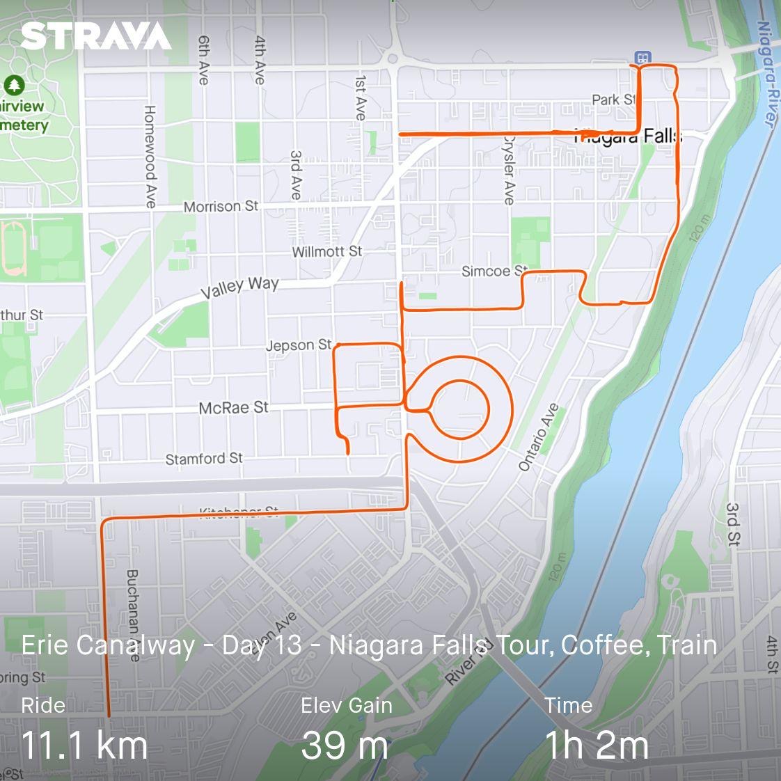
We spent our final night at the same hotel at which we stayed the first night, which had a mediocre, carb heavy breakfast. We ate enough to satisfy our initial morning hunger, and then went back to the rooms to pack up, and for me to plan a route for us to explore Niagara Falls, before taking the GO train back to Port credit just after 1 PM.
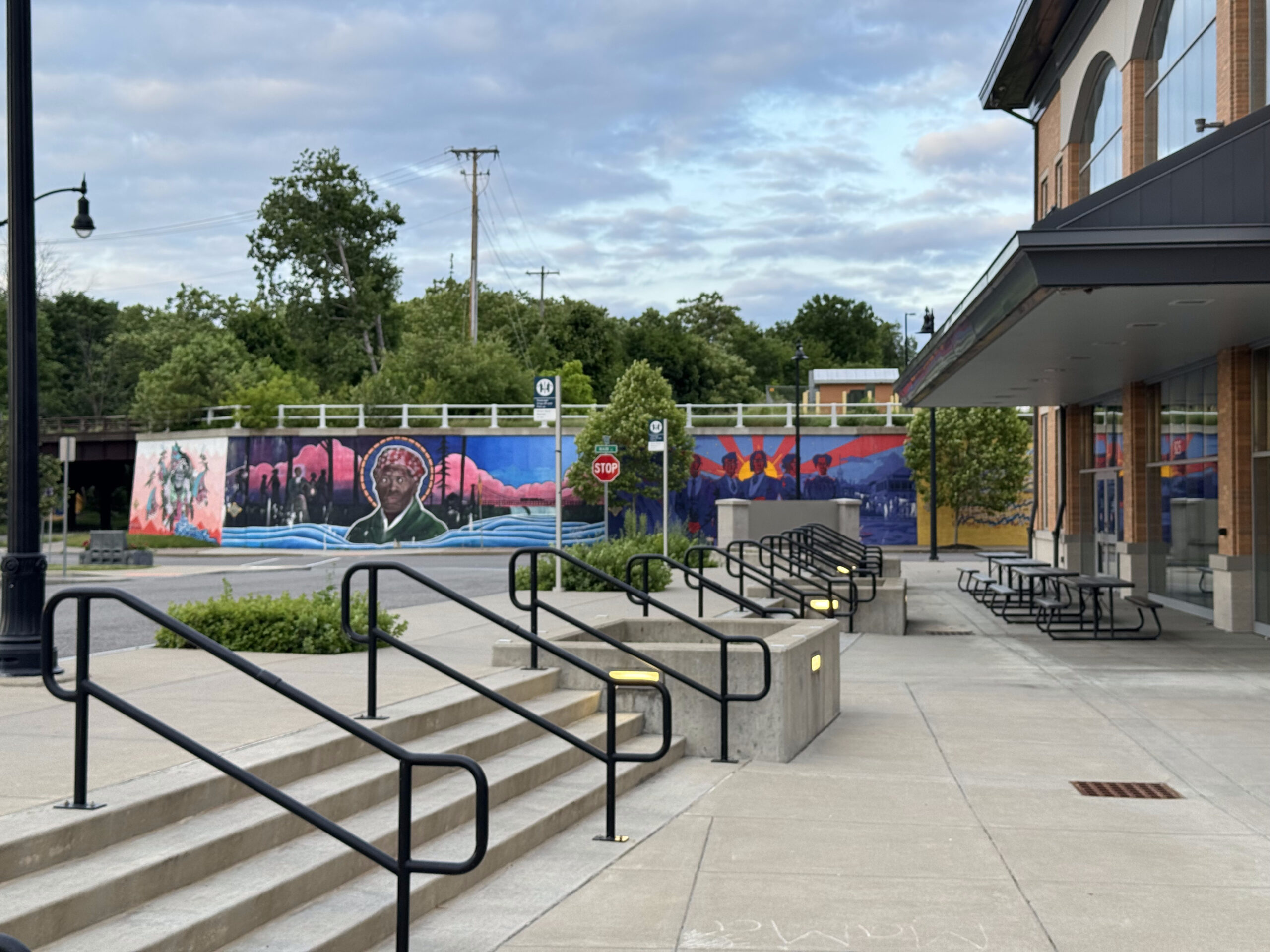
As I suspected is case with many people, my explorations of Niagara Falls, have mainly revolved around the falls themselves and related attractions, Clifton Hill, and the Niagara Parkway between Niagara Falls and Niagara on the Lake. When we arrived in Niagara Falls 12 days ago, I realized I had never seen the area around the train station, and we were pleased to find a recreational trail that took us partway to our hotel.
So I did some searches online to discover something I hadn’t seen before, and I found a website and app called GPSMYCITY. They had a walking tour of Niagara Falls. Apparently, it will guide you along the route and provide you with information about what you’re passing along the way. I didn’t want to take the time to download and learn the new app, plus I wanted to integrate the exploration with a route that started at our hotel, took us to a coffee shop for lunch, and then to the train station. So I dropped pins into the route planner on Ride with GPS for each of the featured stops, and then created a route starting at the hotel, and finishing at the train station.
It worked out quite well, and we saw a side of Niagara Falls that we had never seen before. I would definitely consider using this app when I want to do guided walks in the future.
As I was creating the route, I noticed a little neighbourhood that had concentric circle shaped streets, so I also routed us around that, just for fun. On our way there, we passed the Firehall Theatre. The Niagara Falls Music Theatre Society began in 1961 and their initial productions were in a high school auditorium. They moved to the fire hall in 1967 and have renovated it into its present condition as a theatre, which was officially opened in 1980.
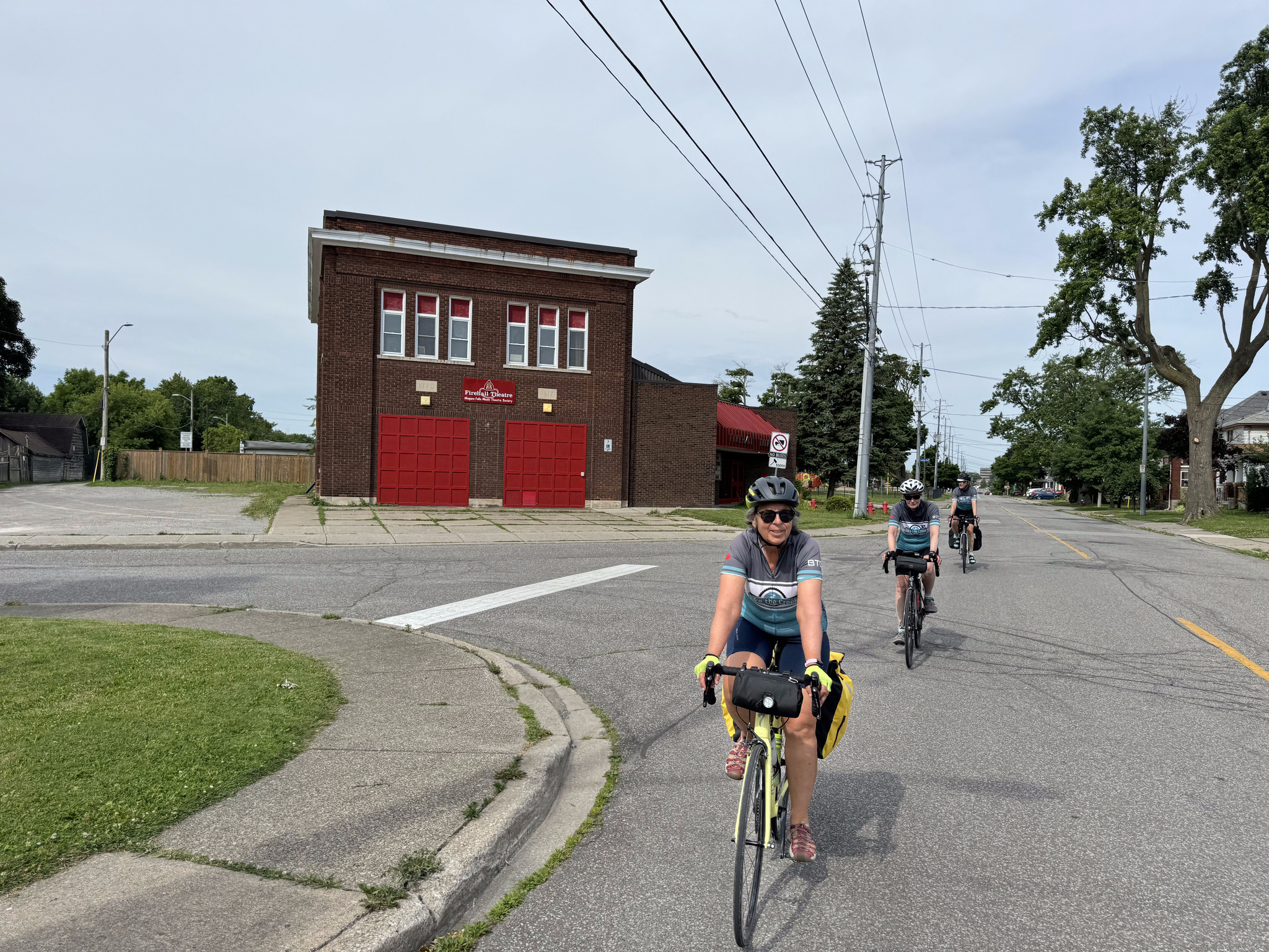
Cindy spotted a nice neighbourhood just off of our route, so we made an ad hoc left turn to tour it.
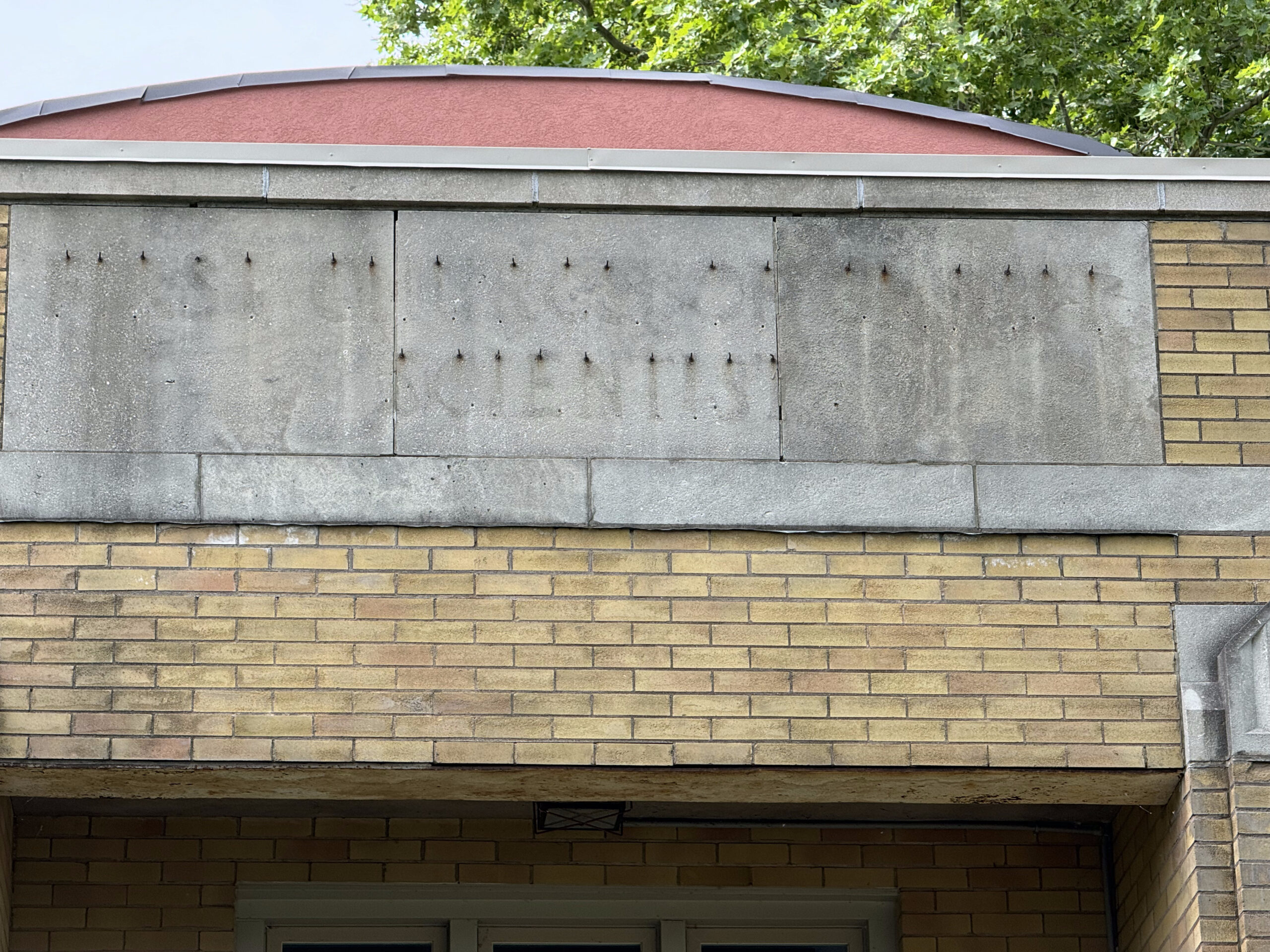
The house on the right was a Christian Scientist Church. The architecture caught my eye, and then the words left behind when the sign was removed. It’s on Niagara Falls list of historic buildings, but there isn’t any information about it.
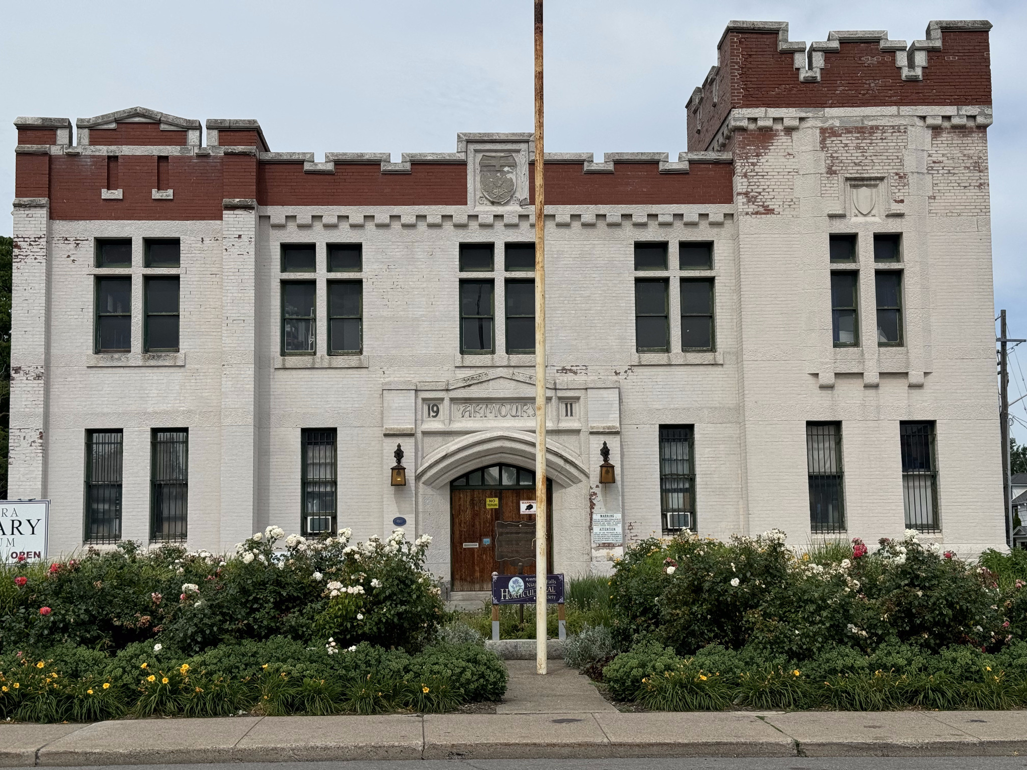
Here’s a link to the walk that I incorporated into our ride, in case you’d like to read more about some of these buildings. Our first stop was the Niagara Falls armoury, which was built in 1911 and is now used as the Niagara military museum.
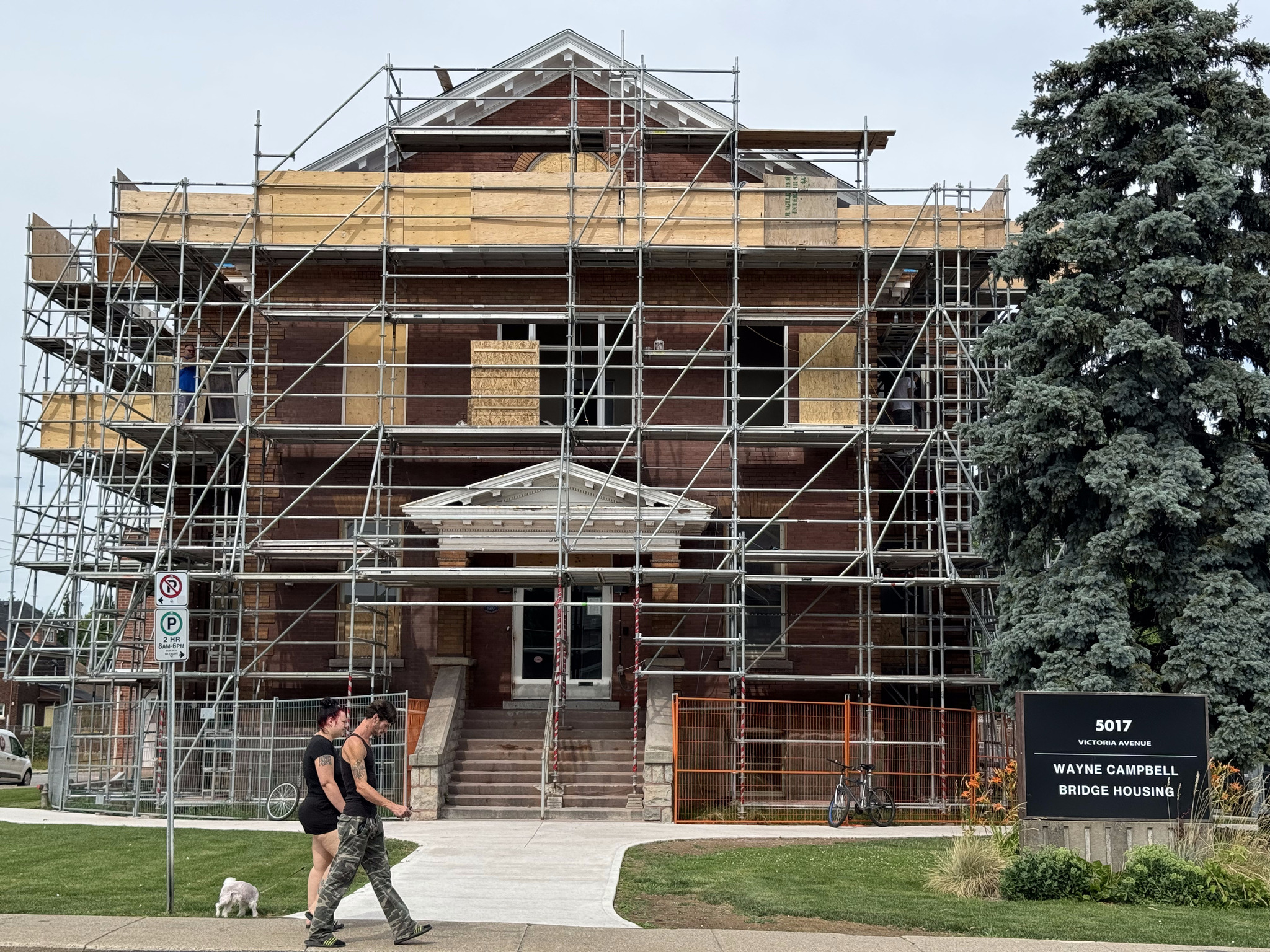
The next building began life has the Niagara Falls Carnegie Library. We found it challenging to find it because it was covered in scaffolding, as it’s being turned into supportive housing. It was built in 1910 in the Beaux-Arts architectural style.
Andrew Carnegie was a Scottish American businessman and philanthropist. A total of 2509 Carnegie libraries were built between 1883 and 1929. There were 125 built in Canada, 111 of which are in Ontario.
The next building was the first Bampfield house. It was constructed in the Regency style by James Bampfield and built in the 1880s.
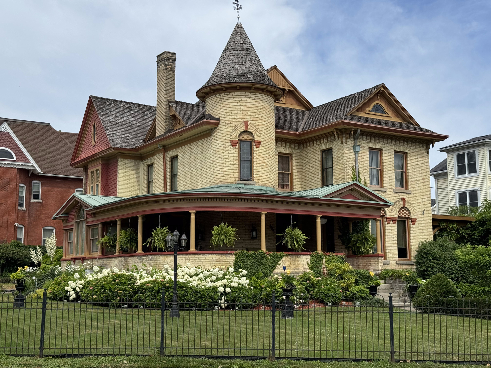
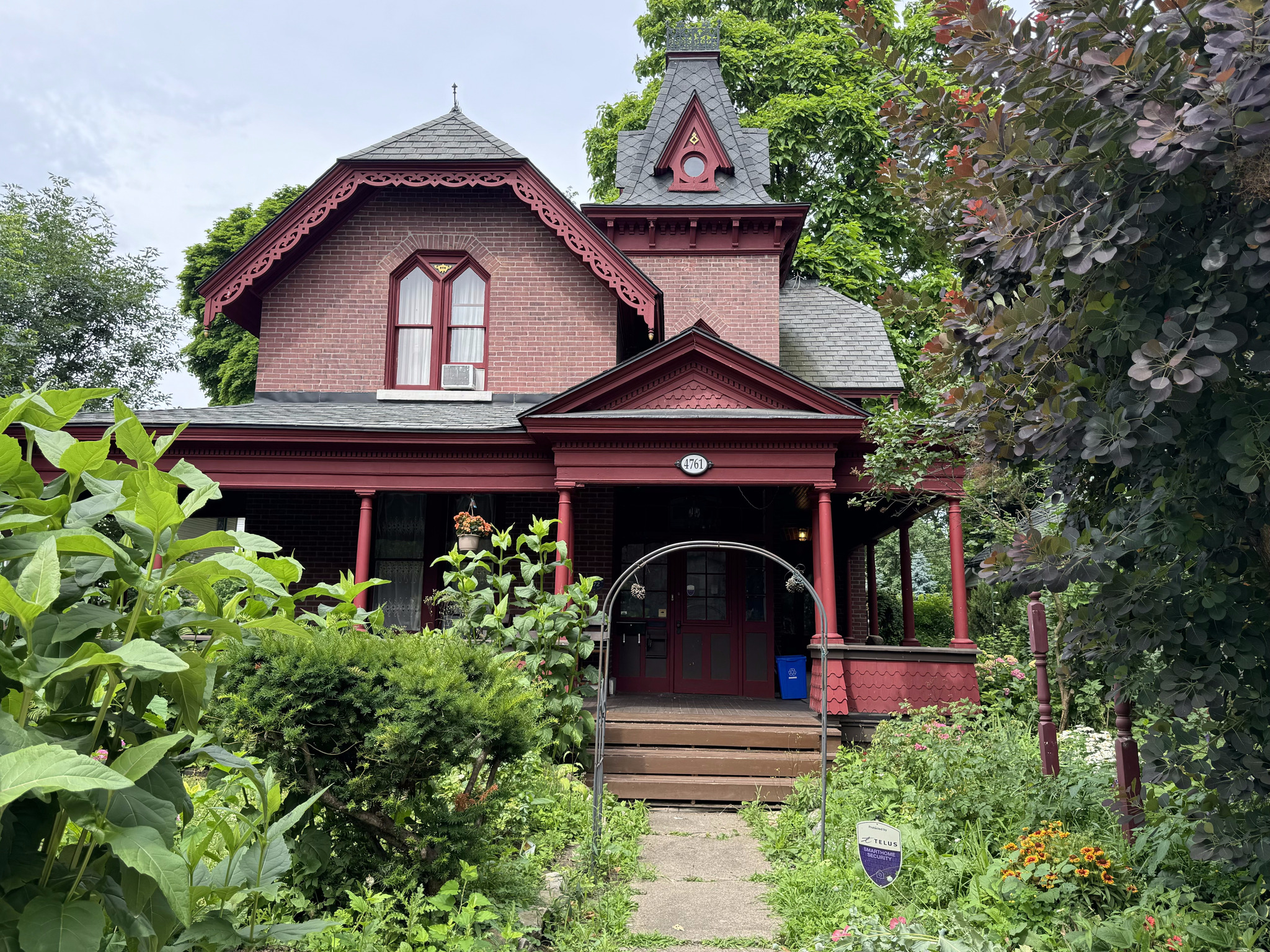
The Dorian Marchell residence was built in 1886 by prominent businessman, WL Doran, and his one that many people are probably familiar with who have driven between Niagara on the lake and Niagara Falls along the Niagara Parkway. It is an example of the Queen Anne Revival style architecture.
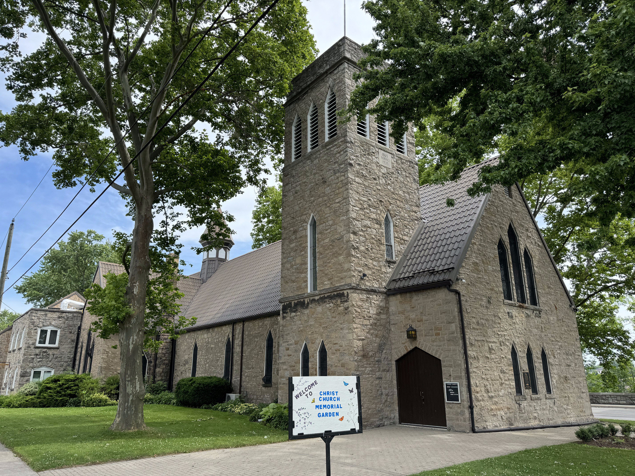
Christchurch was built in 1865, and added onto in 1879, and 1894. It had a ten bell carillon installed in 1912.
Bampfield Hall is an example of Gothic revival style and Second Empire Style. It was built in 1875 for James Bampfield’s wife, Margaret. Today, it operates as a bed-and-breakfast.
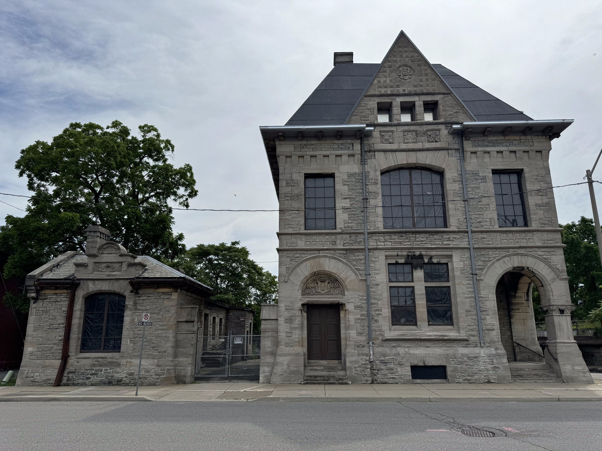
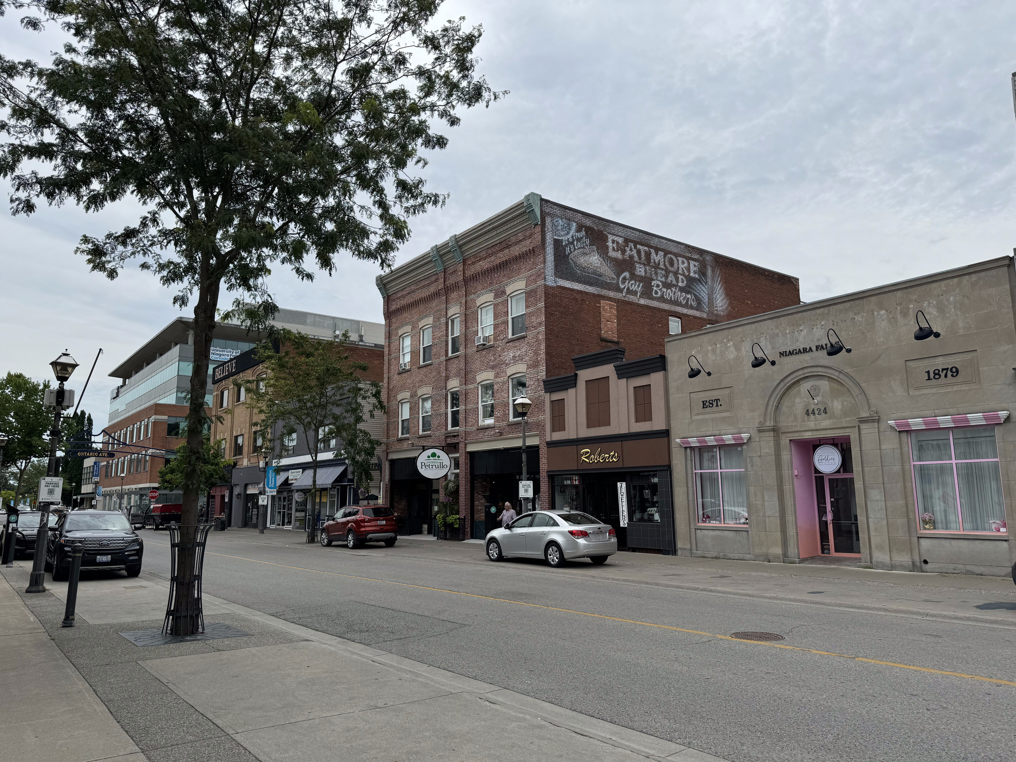
The old post office and customs house is near the train station. It’s a three-story Romanus revival building constructed by Thomas Fuller in 1885. He is the same man that was one of the architects working on the New York State capital building, which we visited in Albany. He also designed the Canadian Parliament buildings.
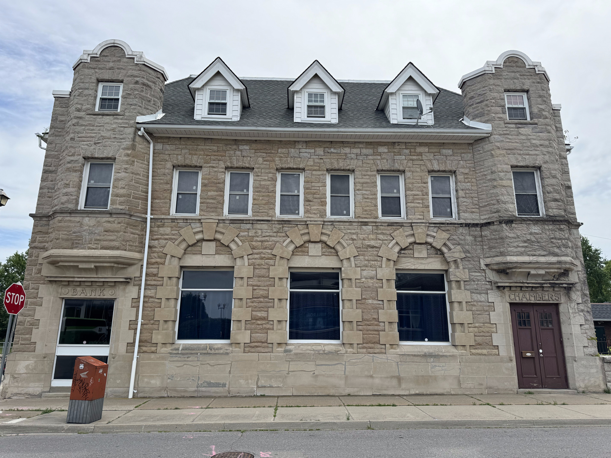
The old imperial bank is made of limestone and constructed in 1906. It is a blend of Roman revival and French renaissance styles.
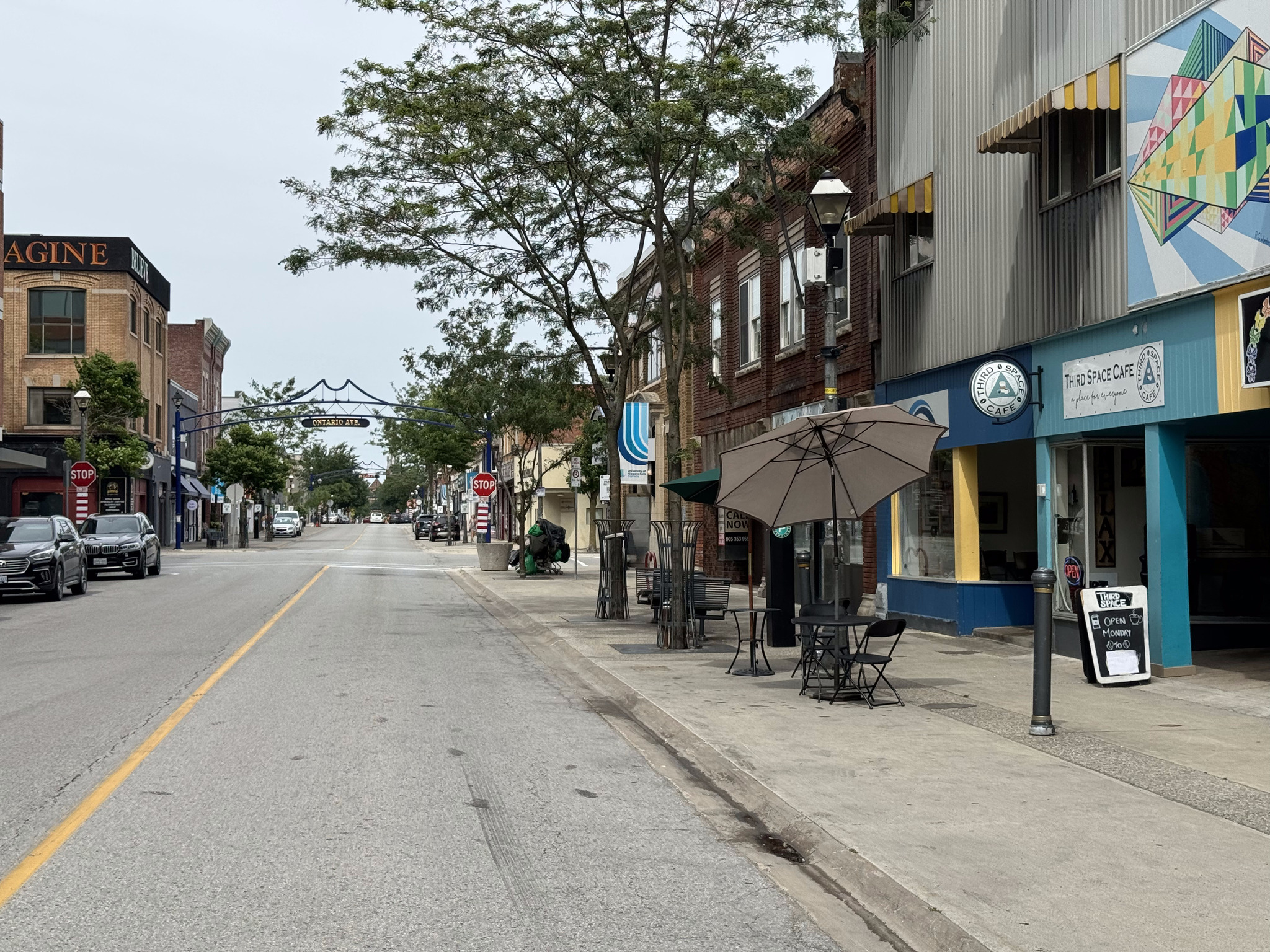
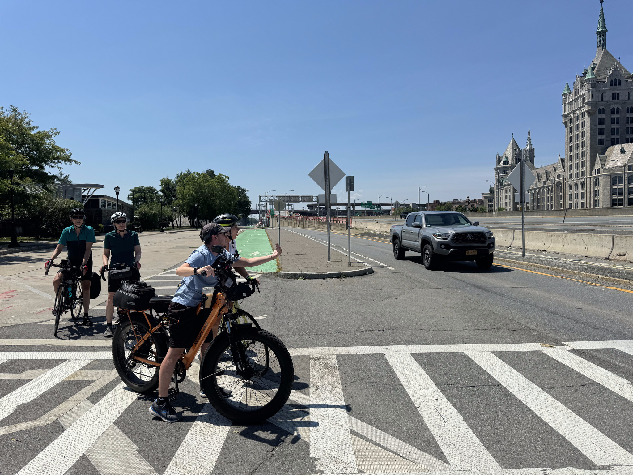
We then travelled the length of Queen Street, a typical Ontario downtown street, with two or three-story buildings, with retail on the main floor, lining the street. I had never been here before and was quite impressed.
They have nice gateways at each of the streets and outing, the cross street names.
There are lots of restaurants along the street.
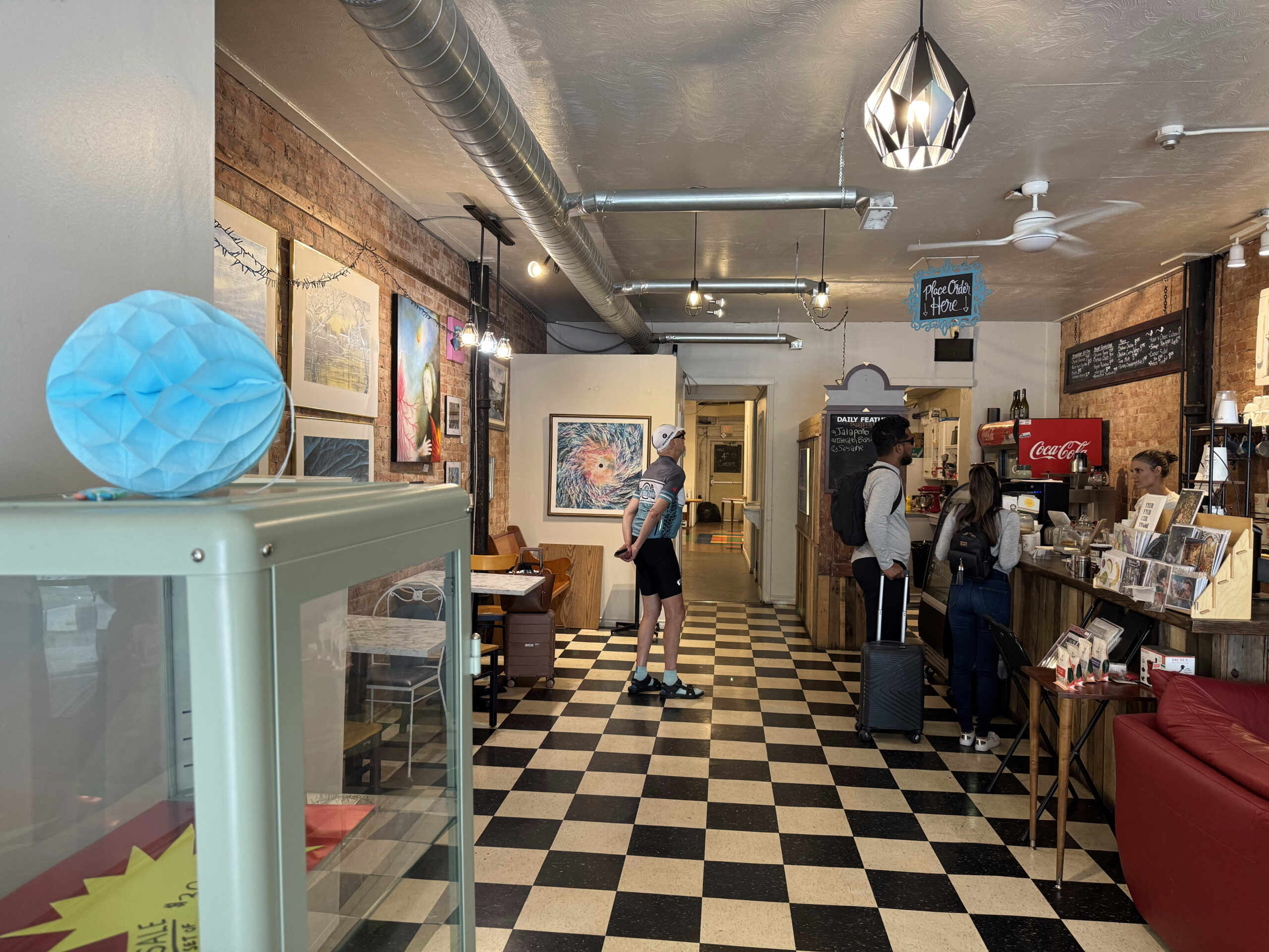
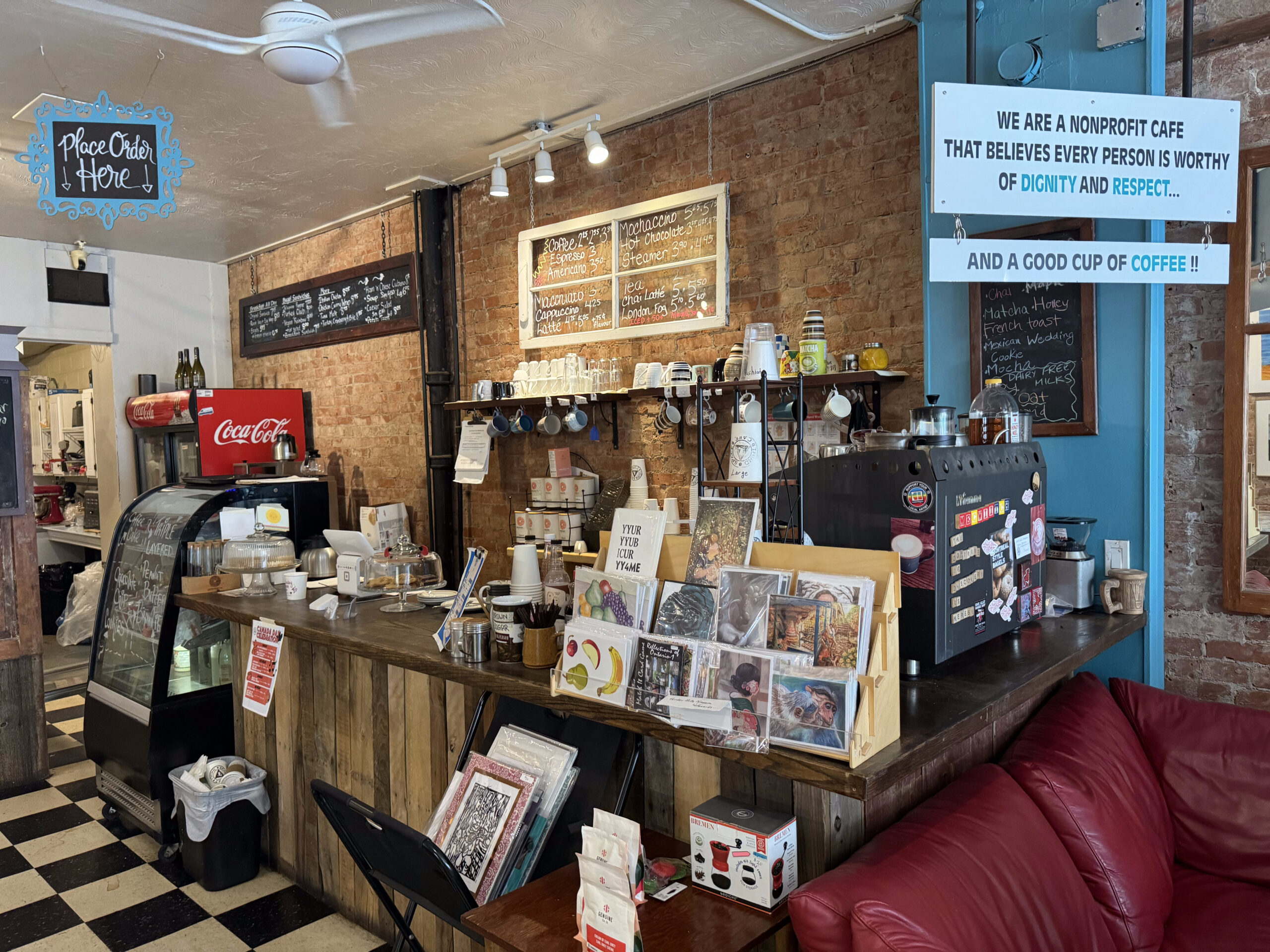
We decided to stop at the Third Space Café. It’s a nonprofit café funded by a local church. It doesn’t open until the public until 9 AM. Prior to that, it feeds people in need and provides them and allows them to use the bathroom.
I would highly recommend the café, not only for their civic oriented activity, but for the friendly staff, interesting space, and excellent food and coffee.
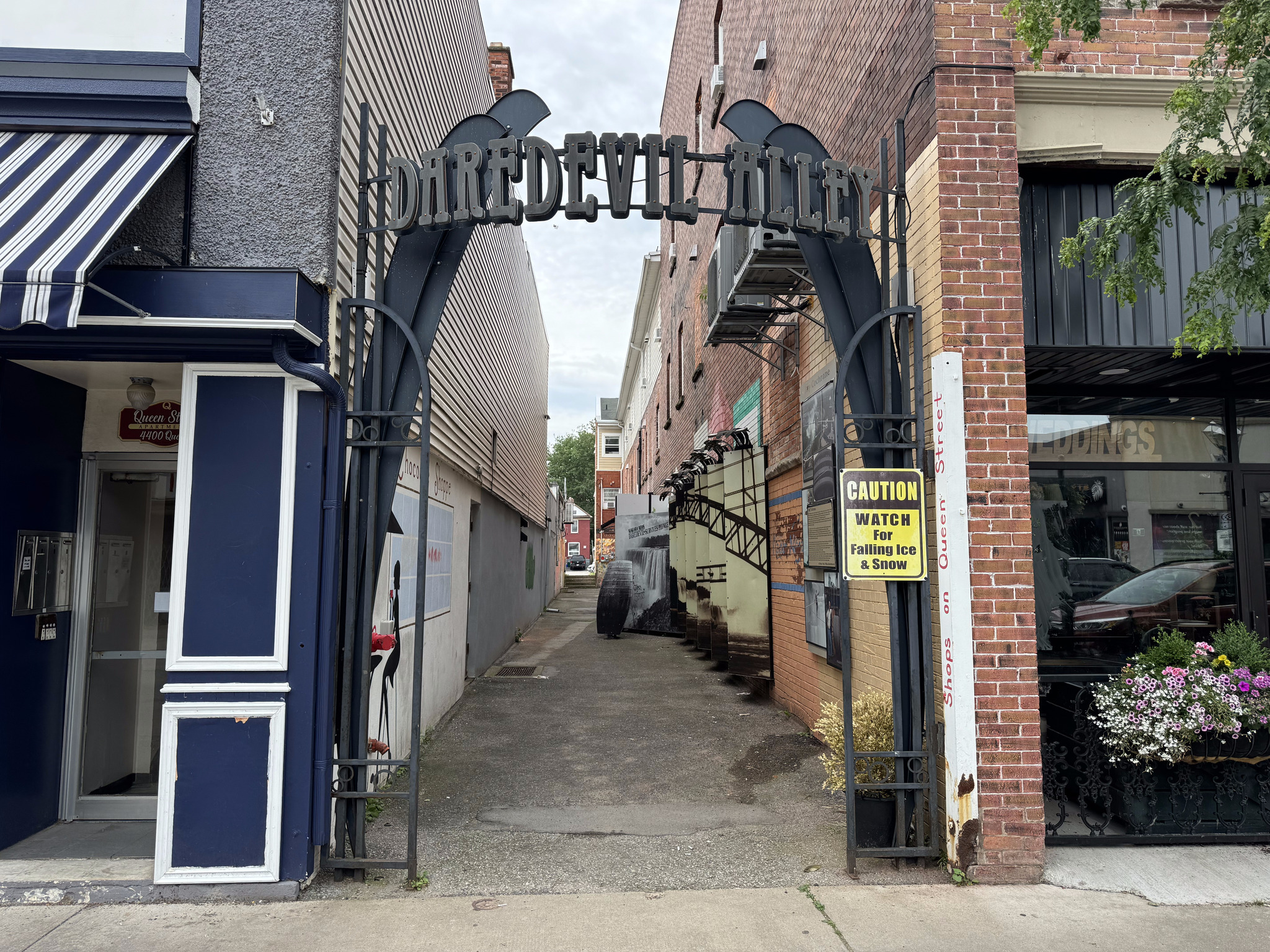
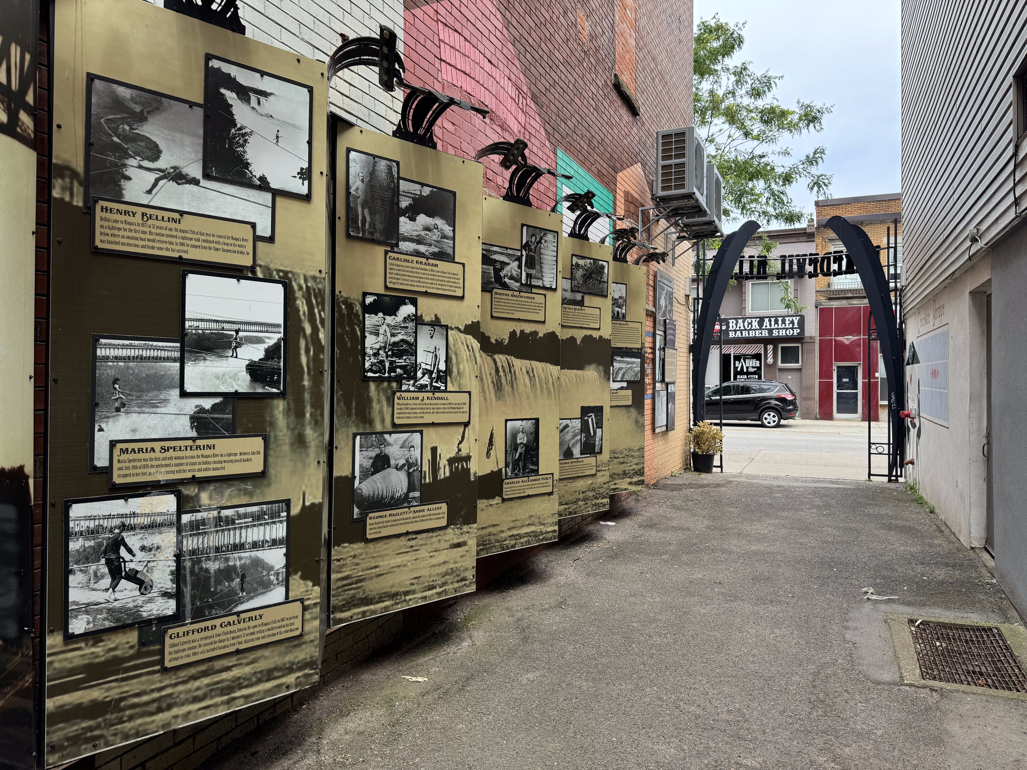
There’s a small alley called the daredevil alley, which has pictures and descriptions of various daredevils traversing the falls or going over the in barrels.
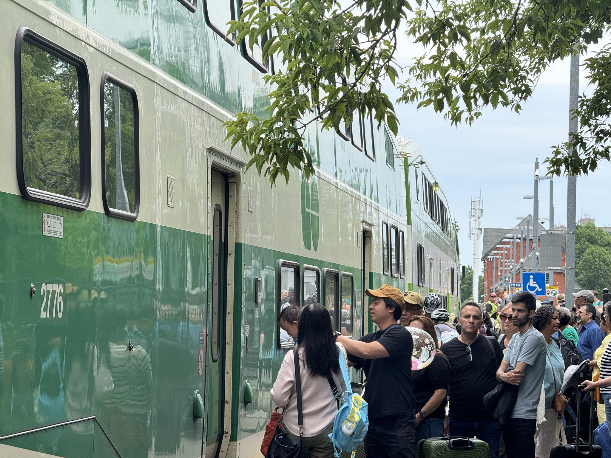
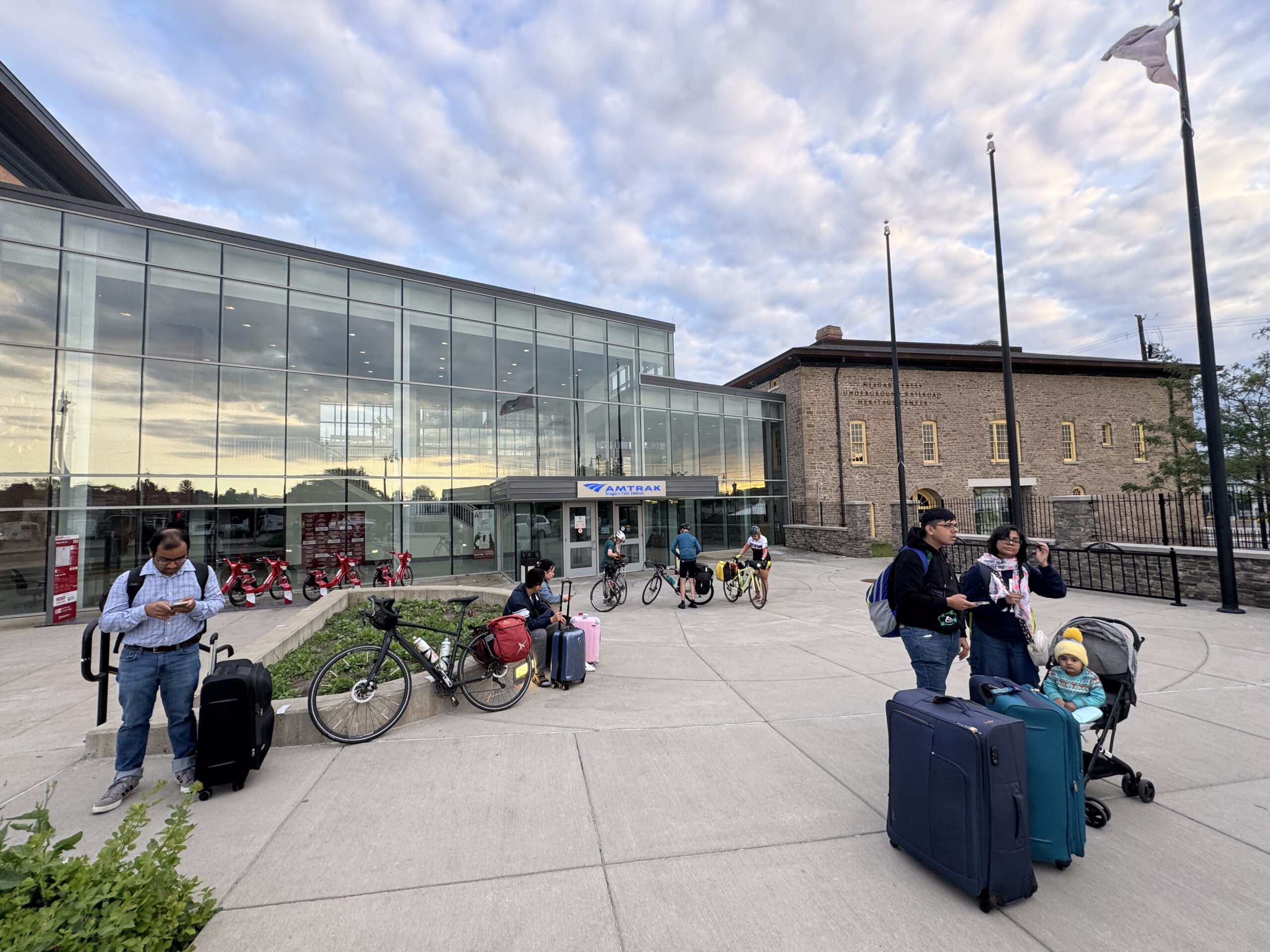
The final historic building on the tour was the Niagara Falls train station, which, I didn’t get a great picture of. It was constructed in 1879 and Gothic revival style. You can see it here in the background as we wait on the platform to board the very popular GO train to Toronto.
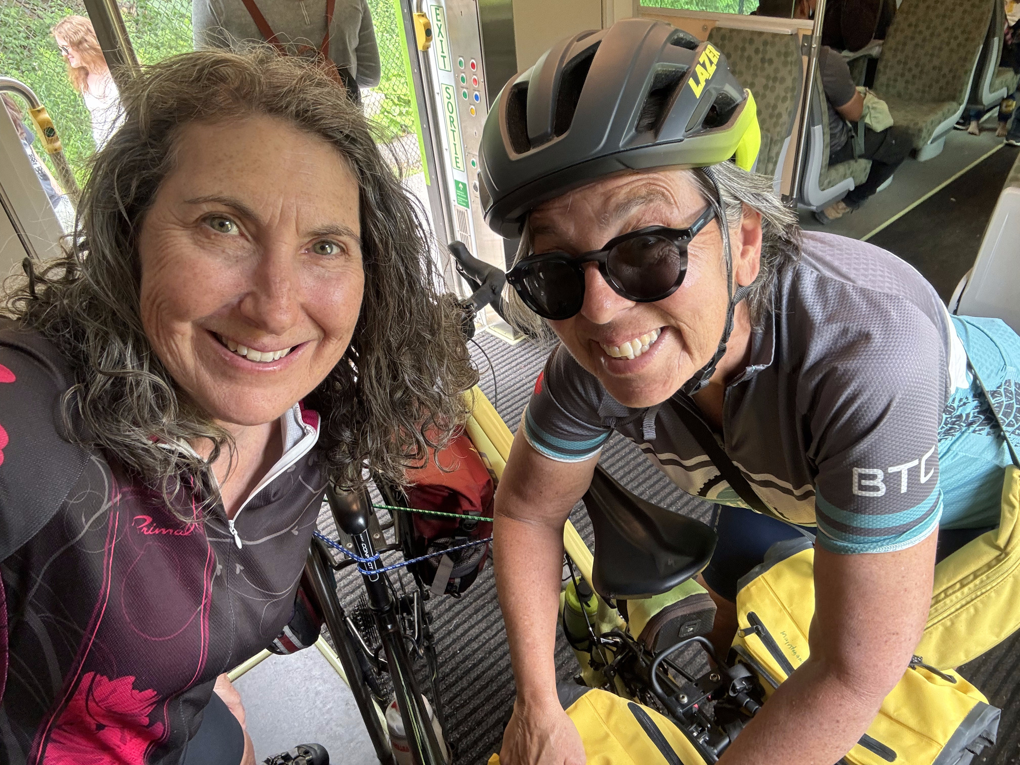
Here we are on board.
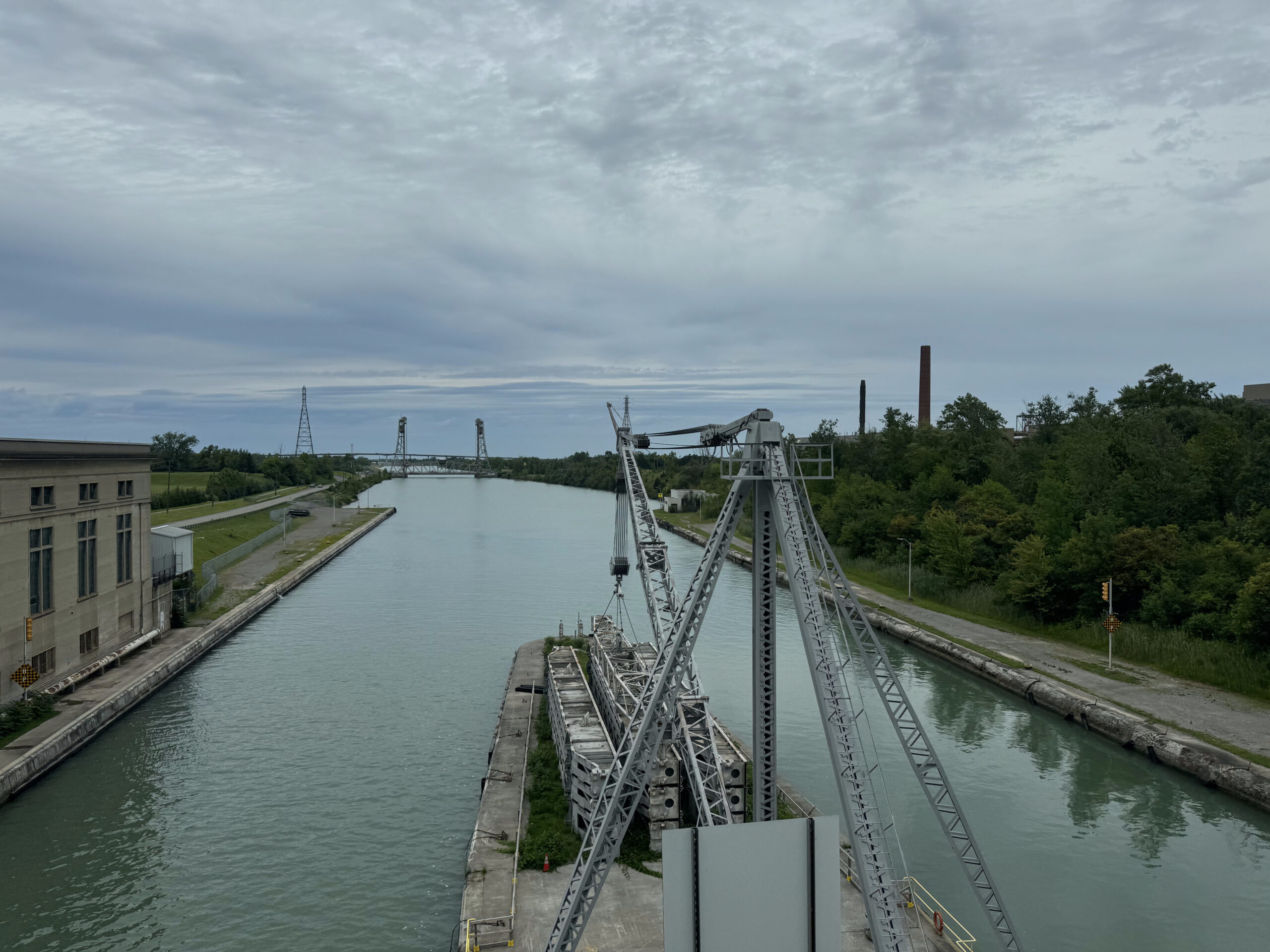
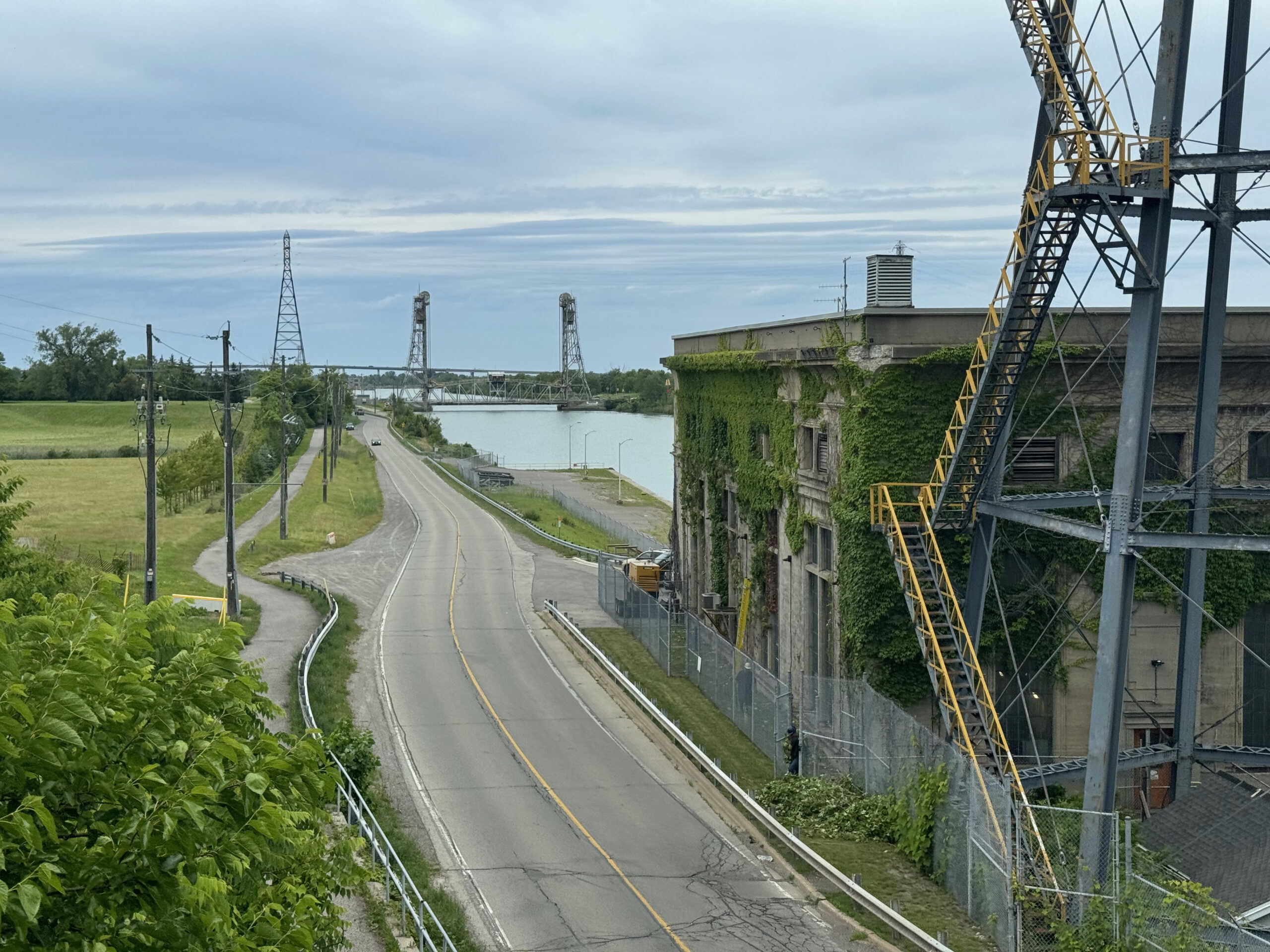
The train crosses the Welland Canal. I wrote about riding that here and here a few years ago.
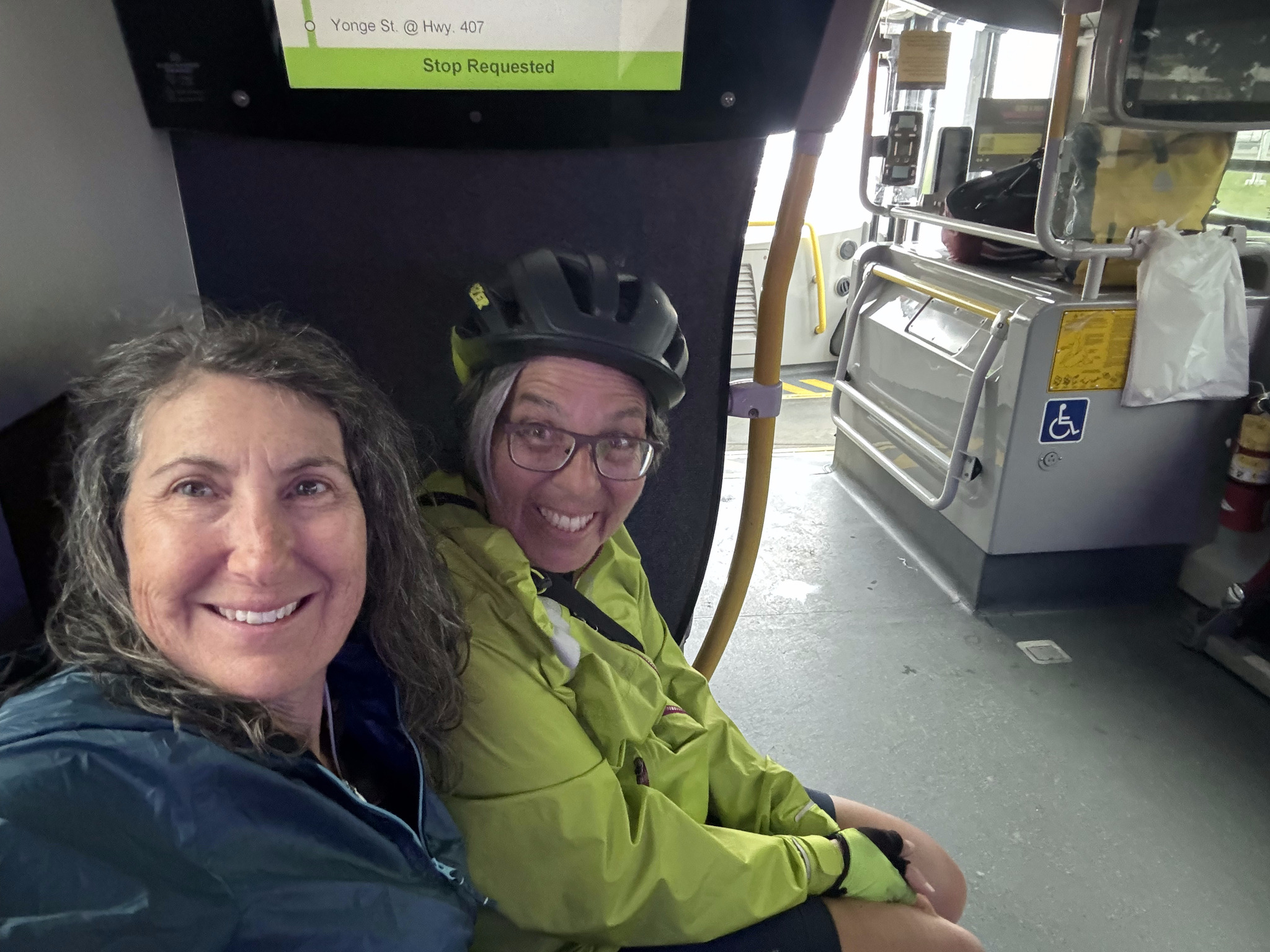
I had another short train nap. We disembarked at Park credit and kept a close eye on the weather, which was quite threatening. As we approached Square One, rain started to fall heavily.
We took shelter in a bus stop and Cindy and I decided, since we had already purchased a group pass for the GO Train for the day, to ride over to the transit area at Square One and catch the GO bus to Bramalea GO. We had a choice of three different routes going directly to Bramalea GO. There wasn’t a transit route that would have gotten David and Dayle home faster than they could ride, so they continued riding.
The rain stopped shortly after I started heading north from the station, and it was quite pleasant by the time I arrived home. It was the wettest I had gotten on the entire 13-day trip, and with the use of the go bus during the worst of the rain, it really wasn’t all that bad.
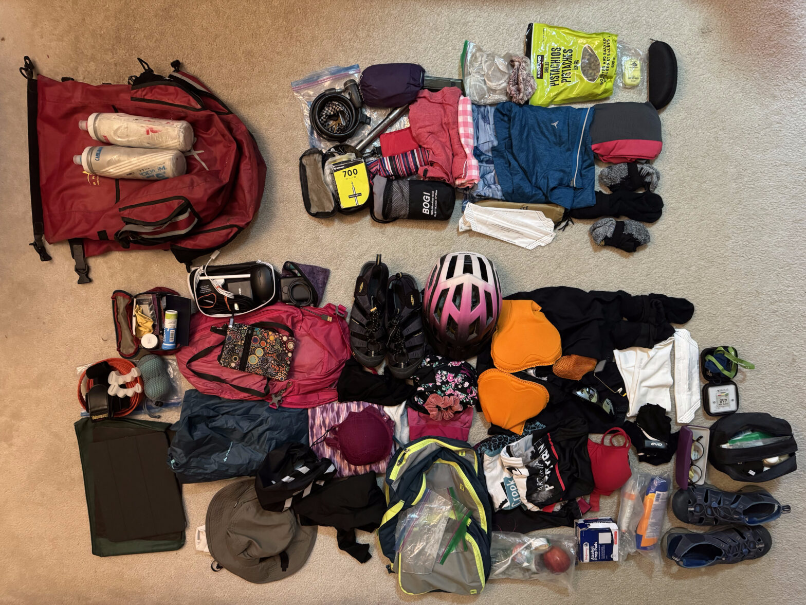
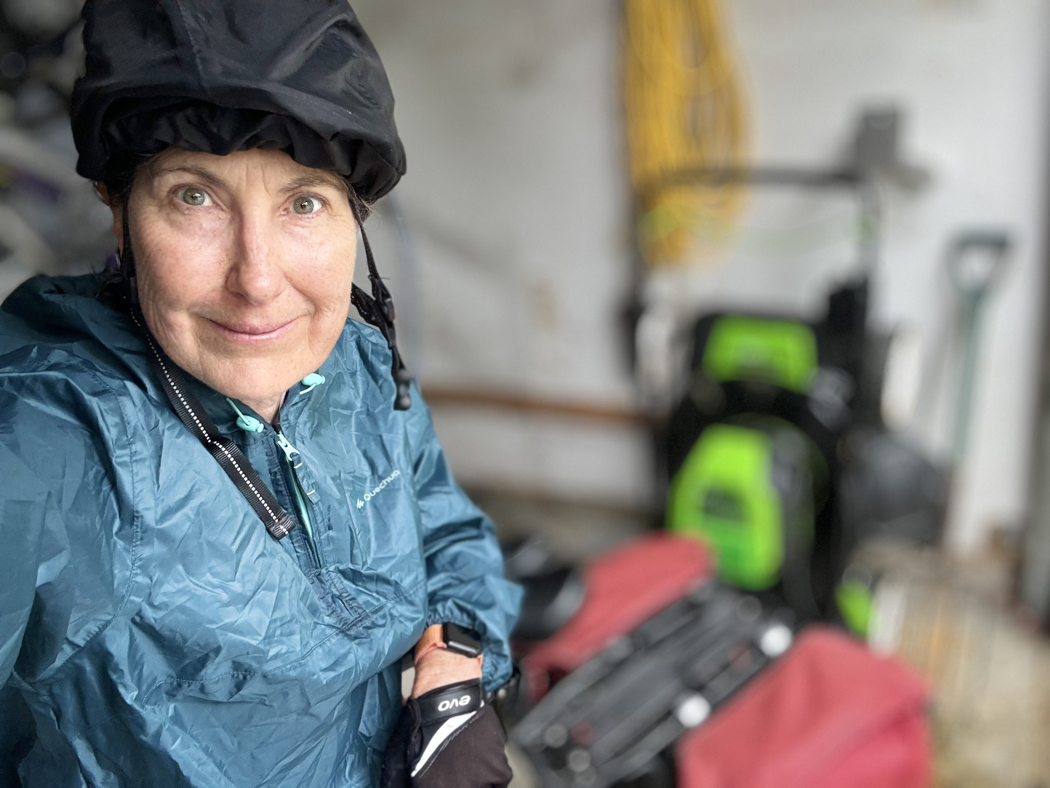
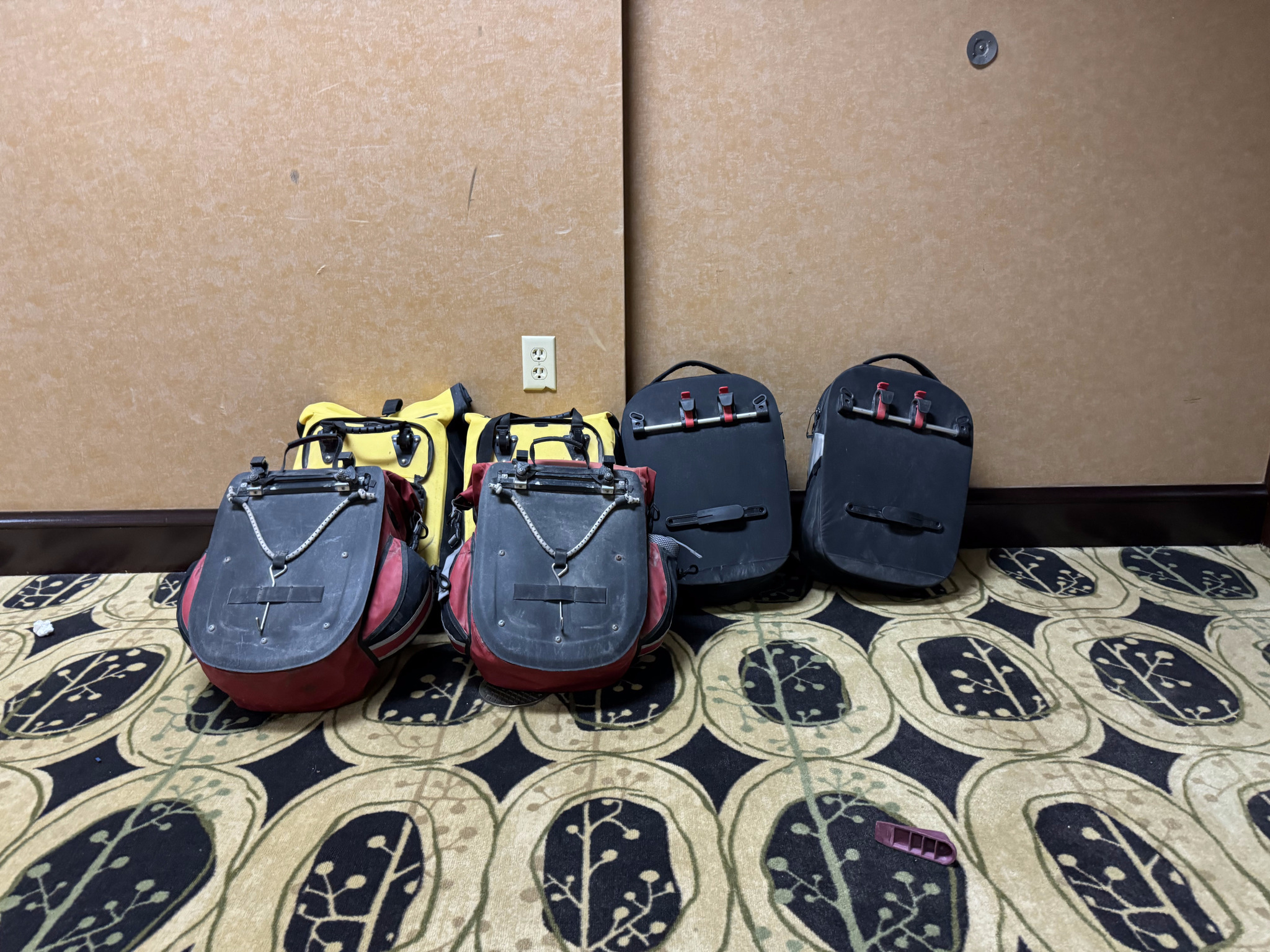
When I unpacked, I separated everything into what I used and what I didn’t, for future reference for a self supported trip. What I didn’t use is at the top right. Some of that I would have to take anyway, for example, the pump and the tire repair kit. Four bikes, 13 days, no flat tires. I think that’s a record for us. But we won’t always be so lucky. I didn’t need three cycling kits. I could’ve just done more handwashing. And, because the weather was so warm I never needed the long sleeve quarter zip top or full length tights. I also decided that the little cups of peanut butter from breakfast made for better on-the-road snacks than the bag of pistachios. And the others always locked my bike up with their locks, so I never used mine.
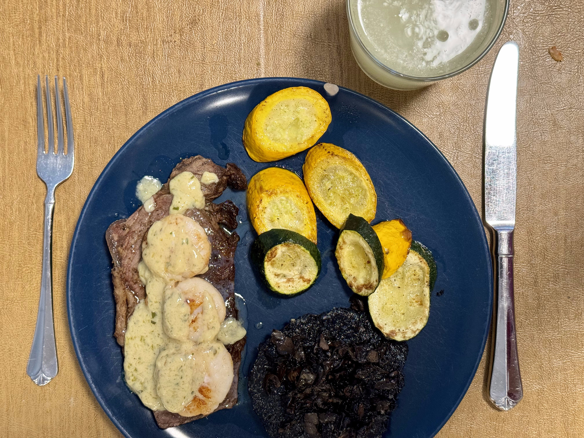
Michael made me one of the best meals of the trip to celebrate my return – sirloin steak with shrimp and hollandaise sauce.
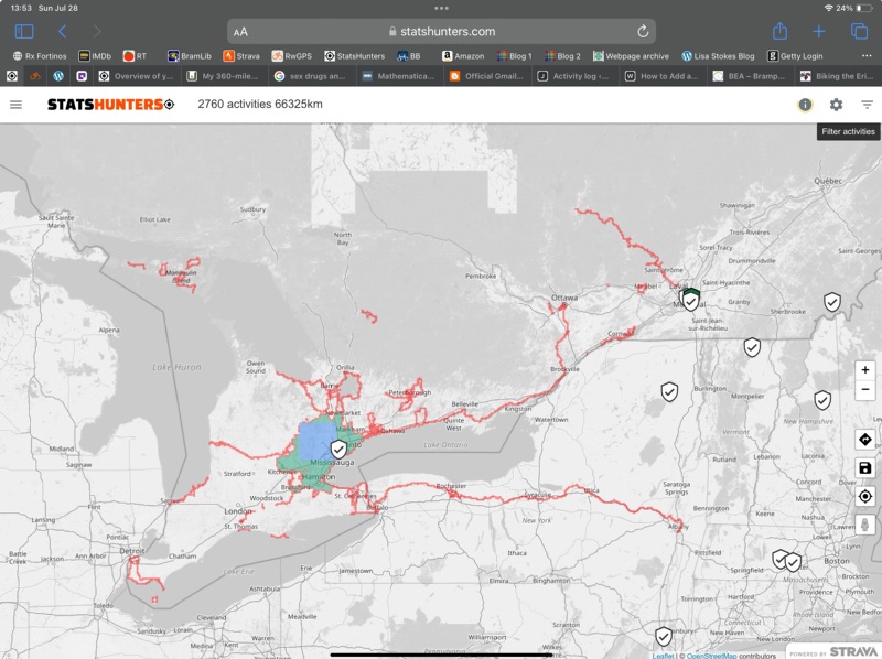
In total, I cycled just a couple kilometres short of 800 km on the trip. I got 365 new Statshunters tiles. Statshunters is a great website that lets you visualize all the places you’ve cycled, walked, etc, and has given me encouragement to ride in many new places. I have over 5000 tiles in total. I have a 29 x 29 max square, and almost 2000 tiles in my cluster. If you use Strava and enjoy digging into the statistics on your rides, I highly encourage you to try this website.
This was our longest, self supported trip, by far, at 13 days. It was a great experience with great people and, while there could definitely be improvements made to the Erie Canalway Trail, I am definitely glad to have had the experience, and would recommend it.
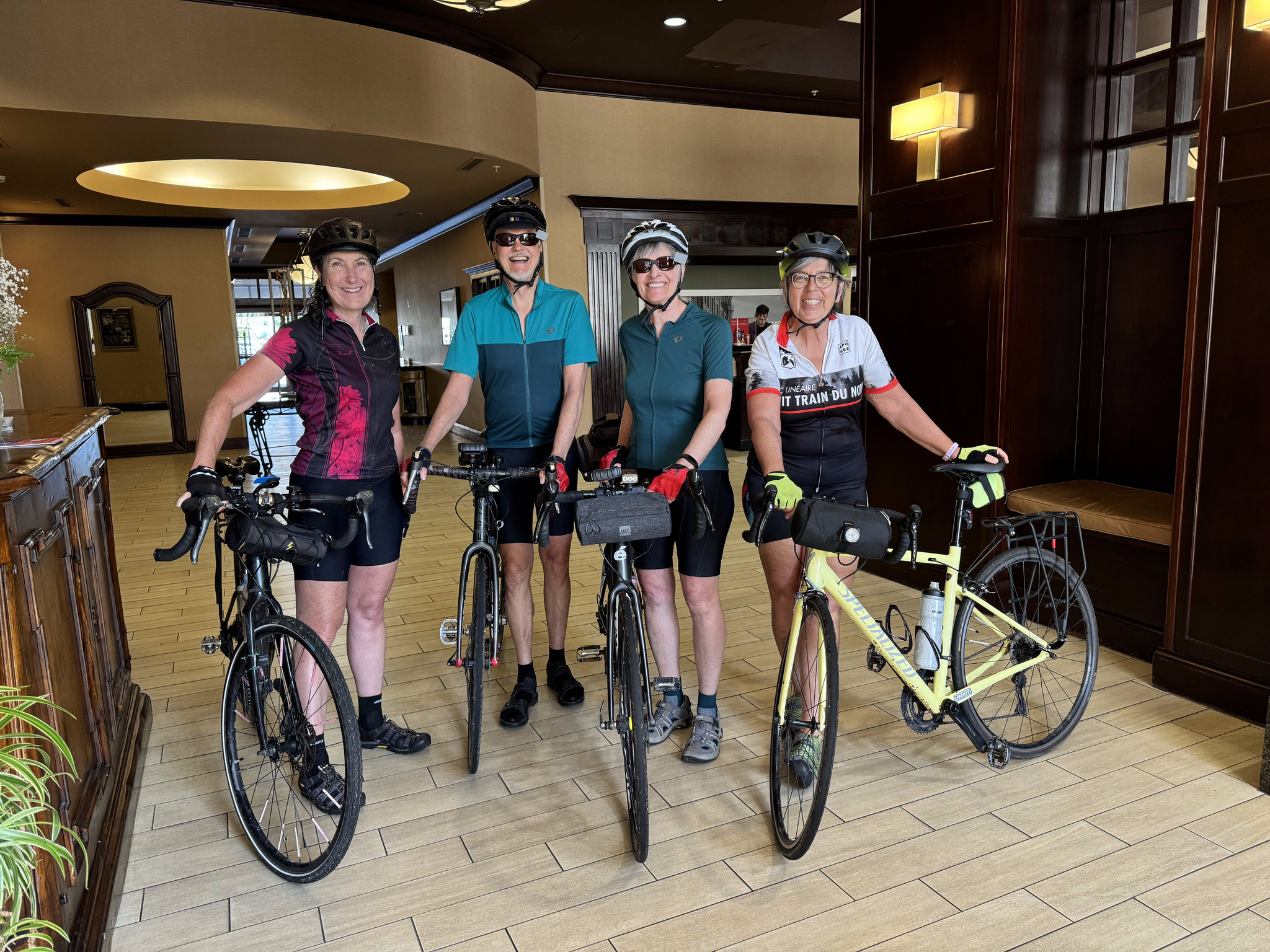
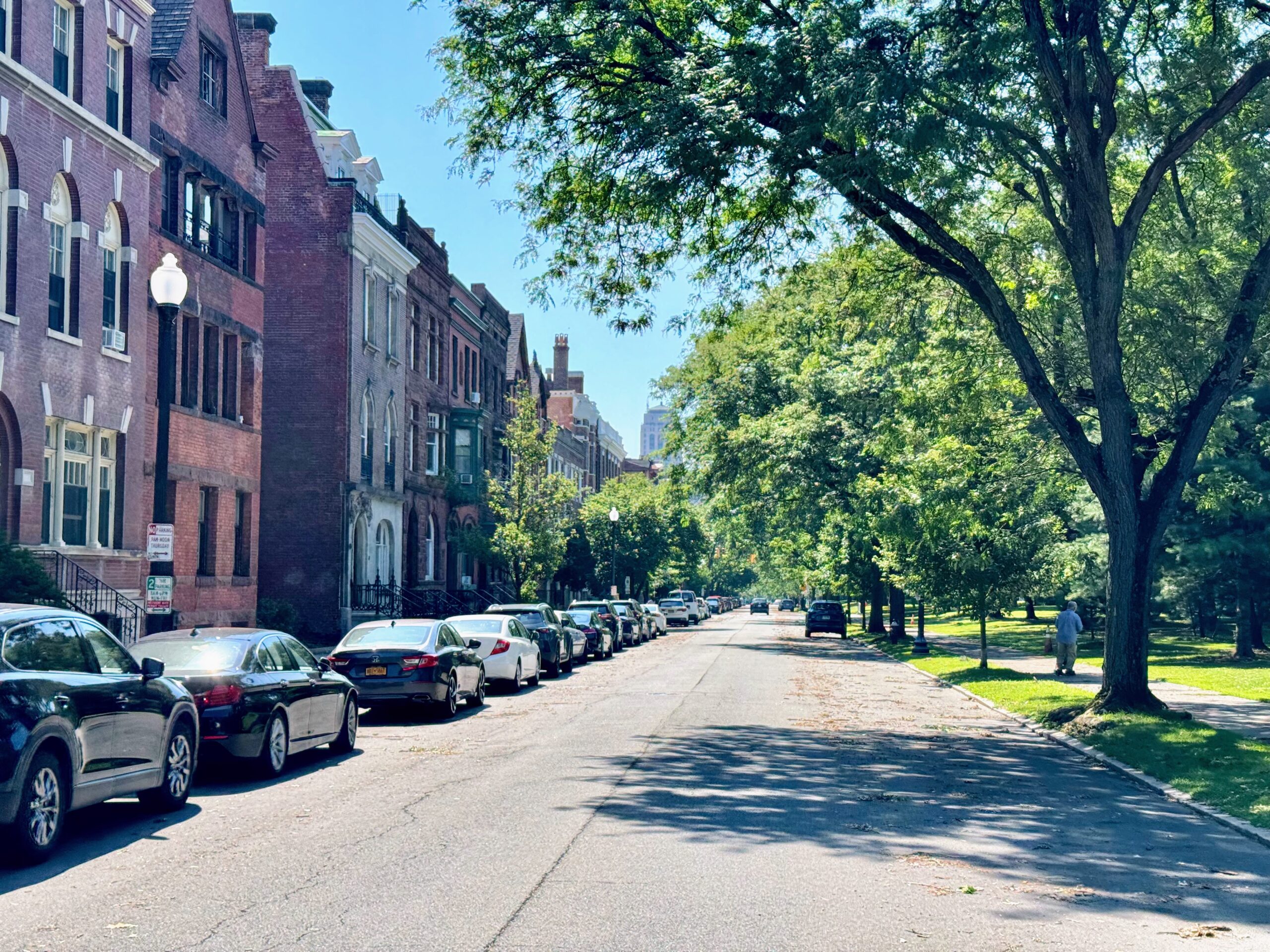
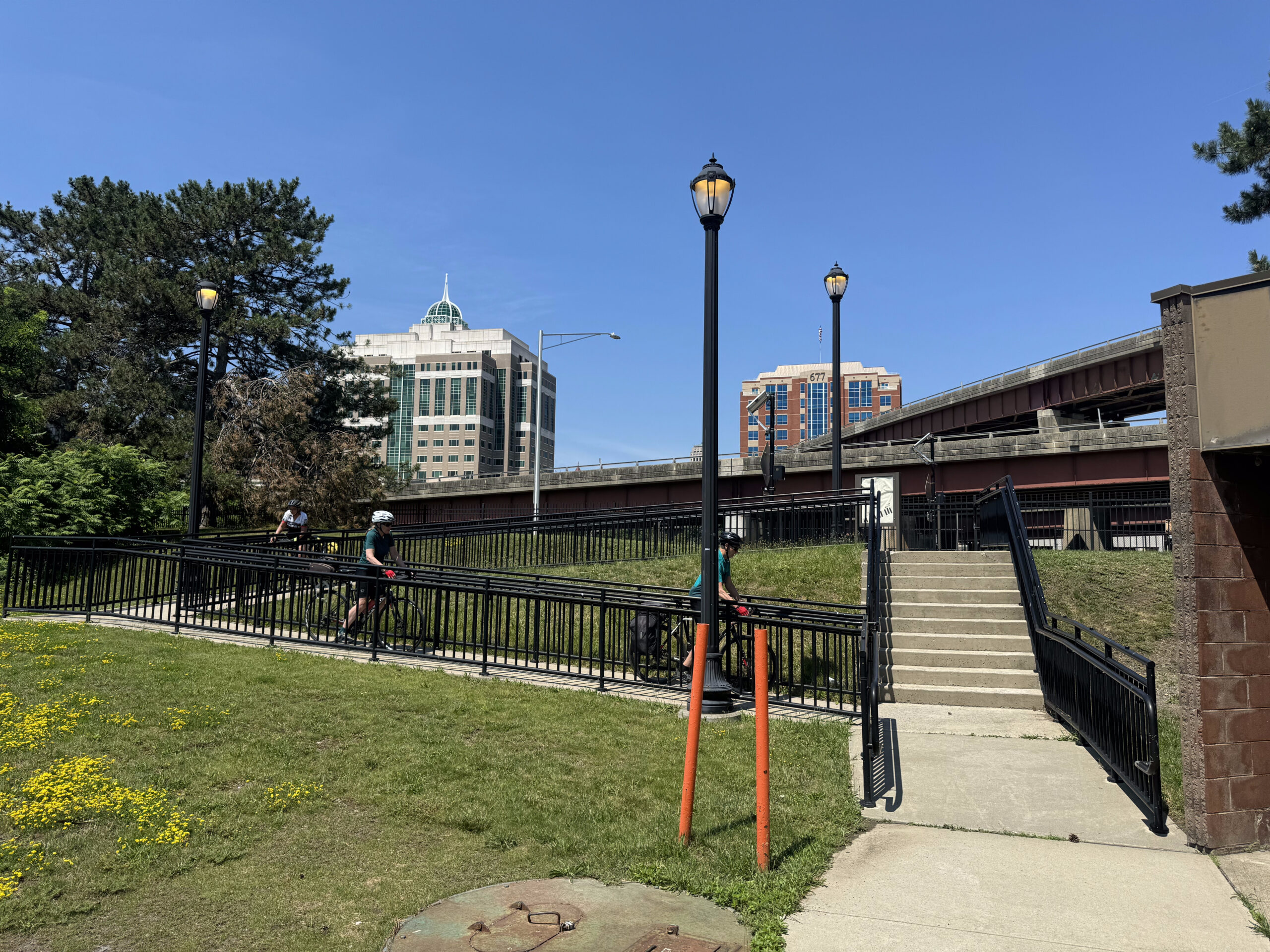
We had breakfast in the hotel then went back to the room to pack everything, and met in the lobby for a short ride around Albany to do some more sightseeing. We left our panniers in a secure room so that we didn’t have extra weight while riding, since the route came back past the hotel, and there wasn’t any extra distance to pick up the panniers. It felt delightful to ride without all that extra weight.
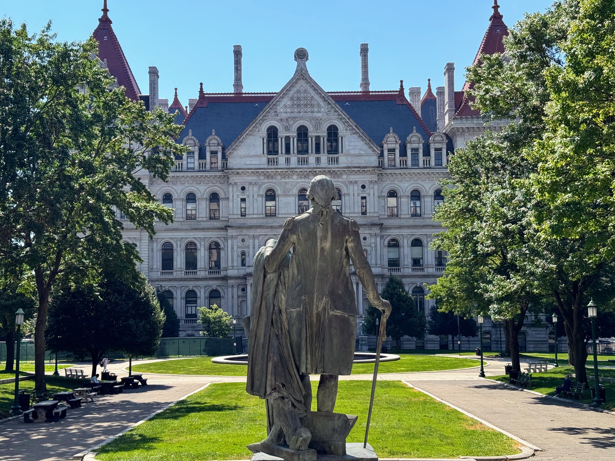
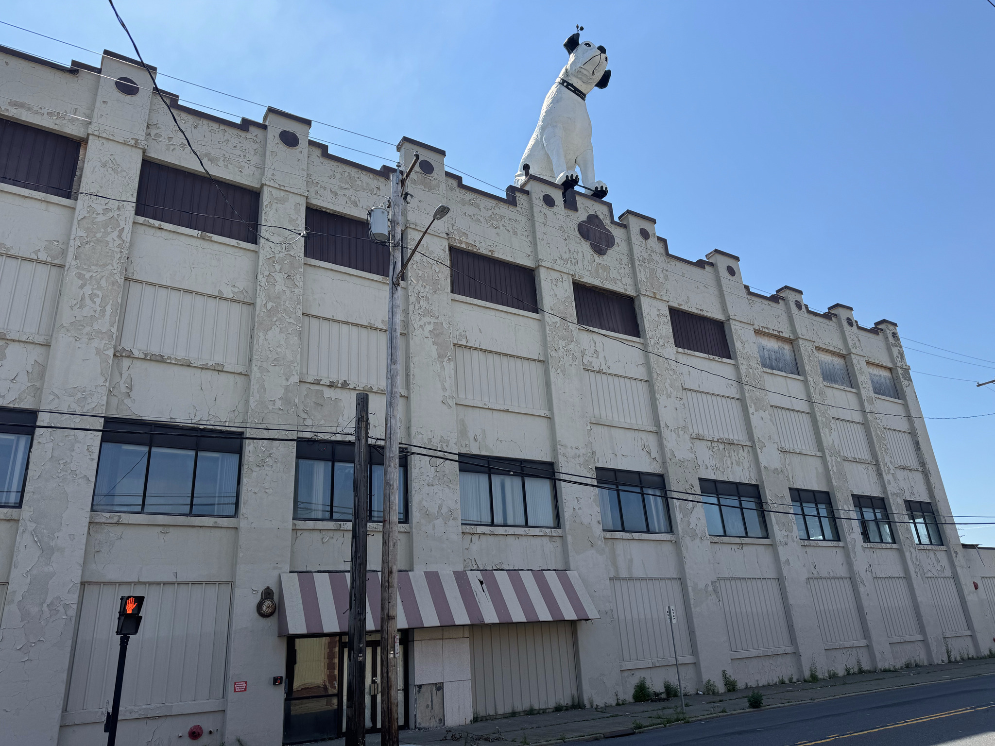
Cindy and I planned a short route that would take us back past the State Capitol Plaza and to George Washington Park and the giant Nipper statue.
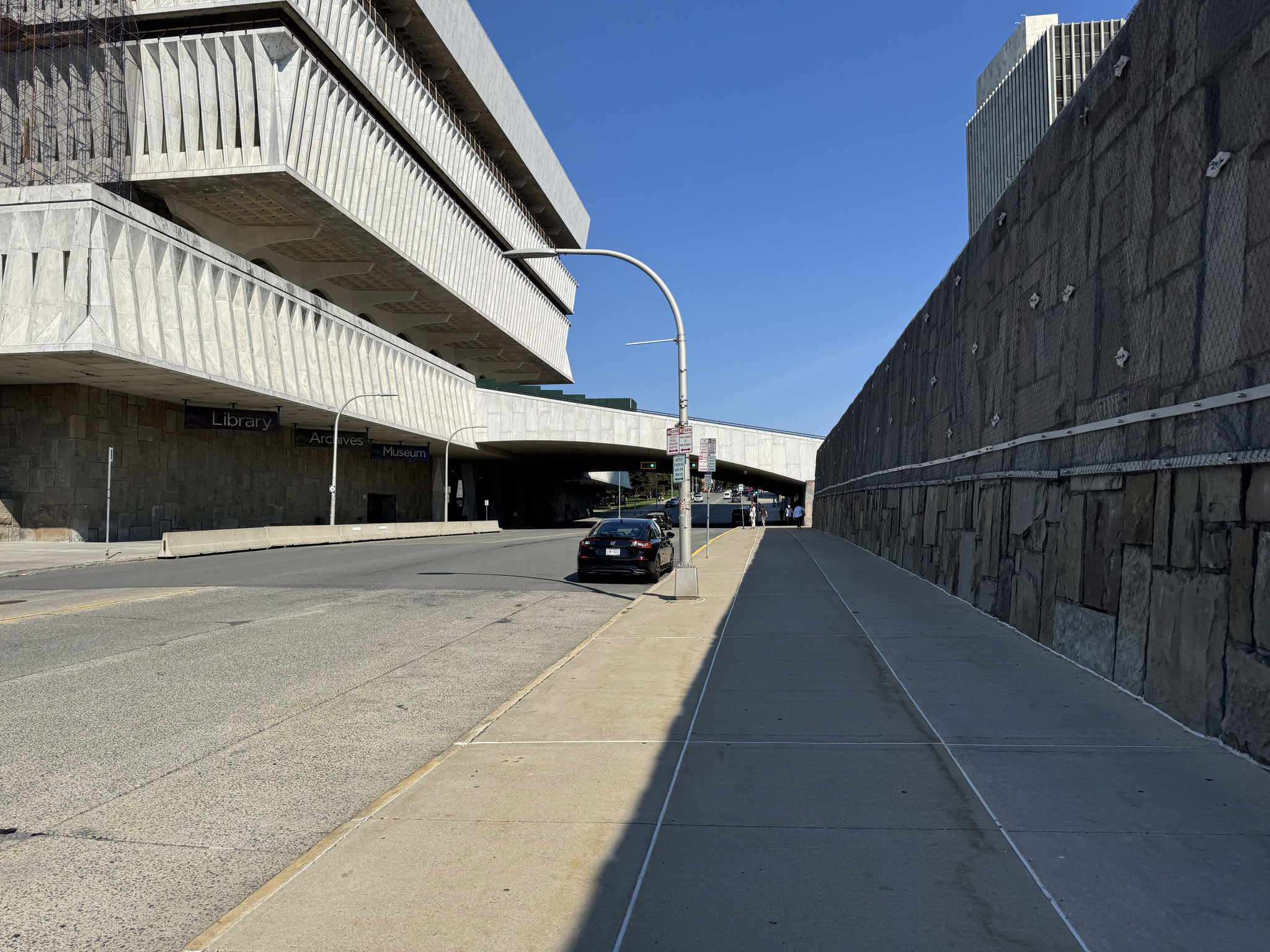
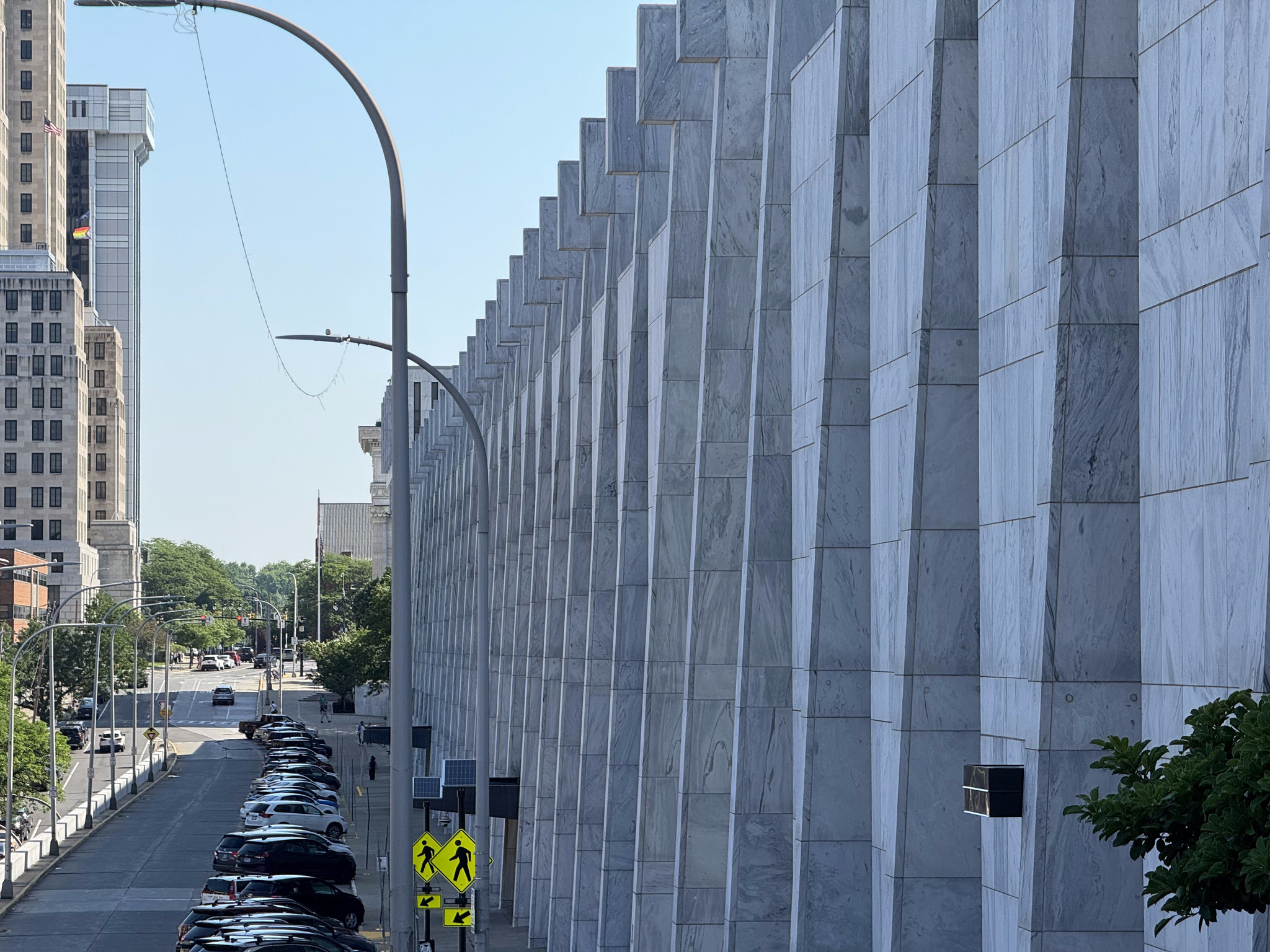
We rode around the outside the wall of the empire State Plaza. You can see the New York State Museum on the left, which is connected by a staircase over the road, to the plaza, and has free admission. We didn’t have time to visit, though.
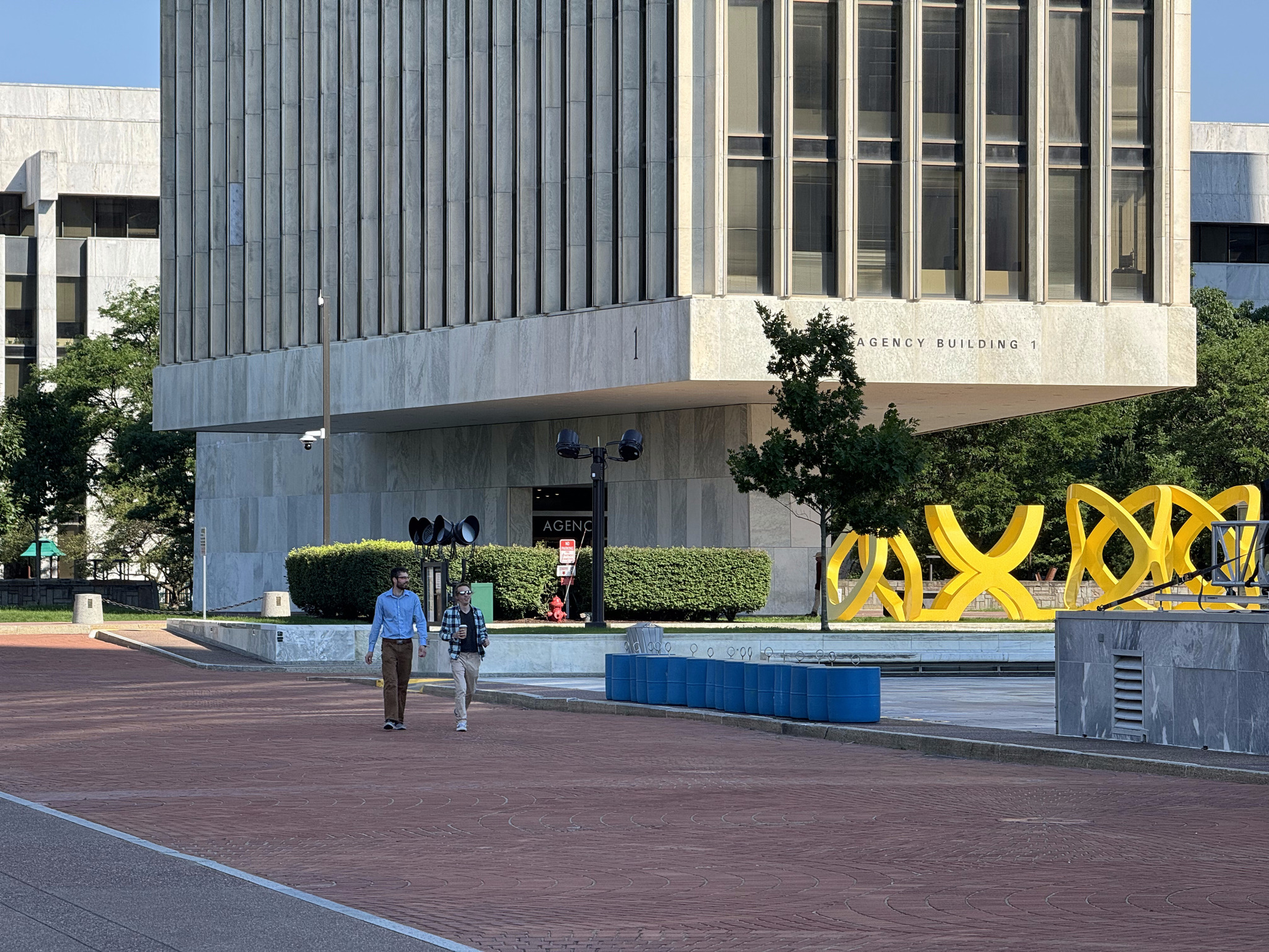
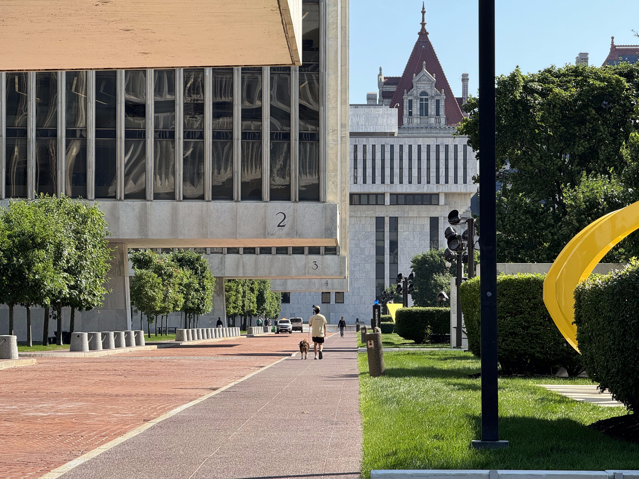
There are four identical buildings called the Agency Buildings and numbered one through four. They sit on a very small base and appear to float above the platform. The yellow sculpture is called Trio by George Sugarman.
In this picture, you can see how much the building overhangs the small platform.
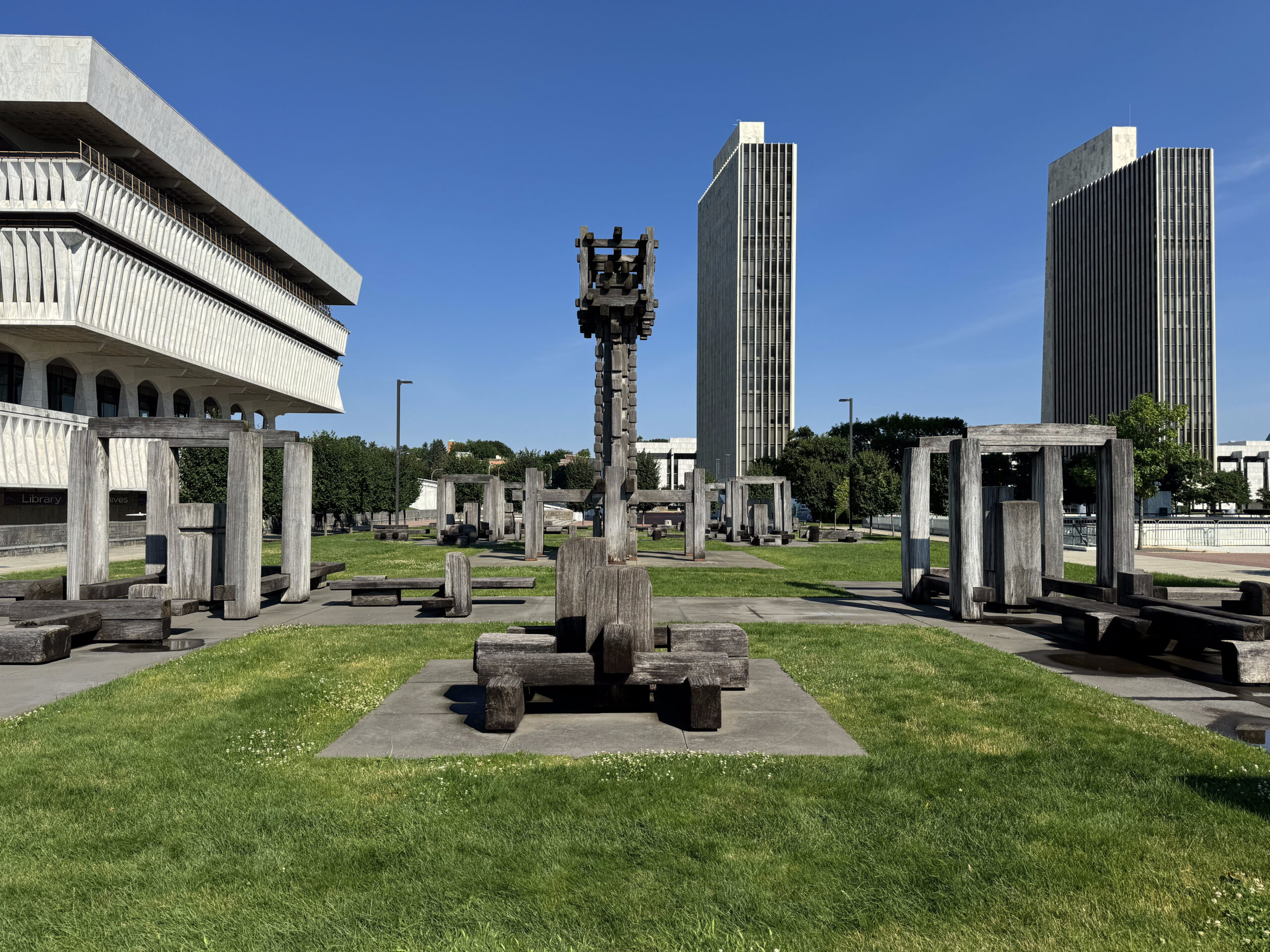
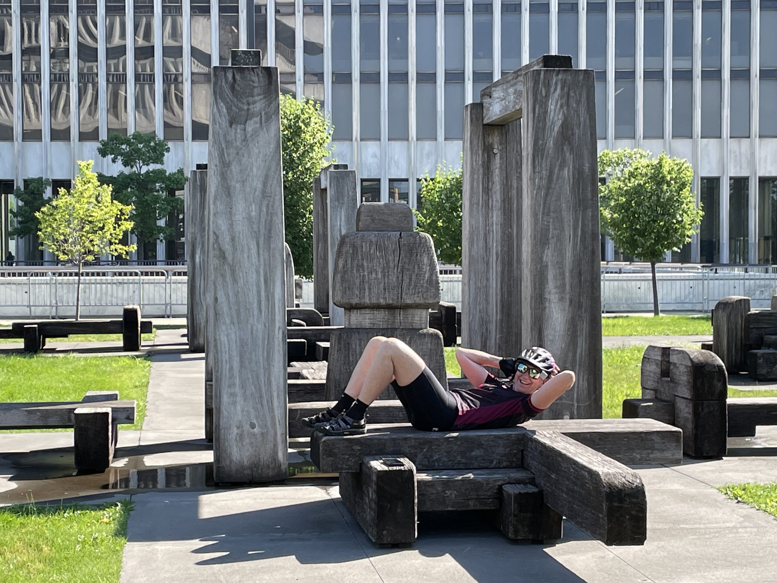
This large sculpture by François Stalhly entitled Labyrinth made me imagine a Flintstones’ gym, and David think of the Lincoln logs building toy.
Photo credit: Dayle
The Empire State Plaza architect, Wallace Harrison, also designed the Rockefeller Centre in Manhattan, the Corning Museum of Glass, the headquarters of the United Nations, and the Metropolitan Opera House at Lincoln Center.
The Swan building, which houses government offices, is over 400 m long.
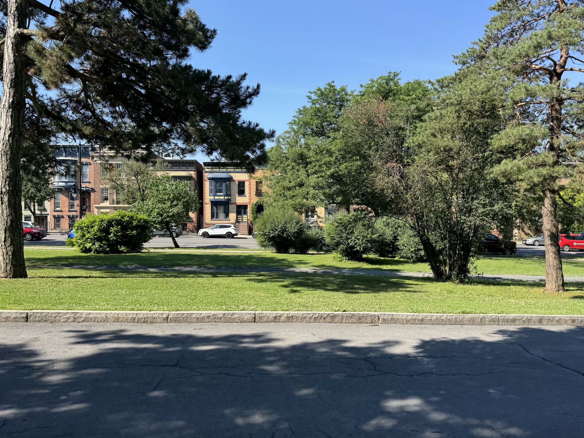
We then rode over to George Washington Park. It reminded me of the La Fontaine Park in Montreal.
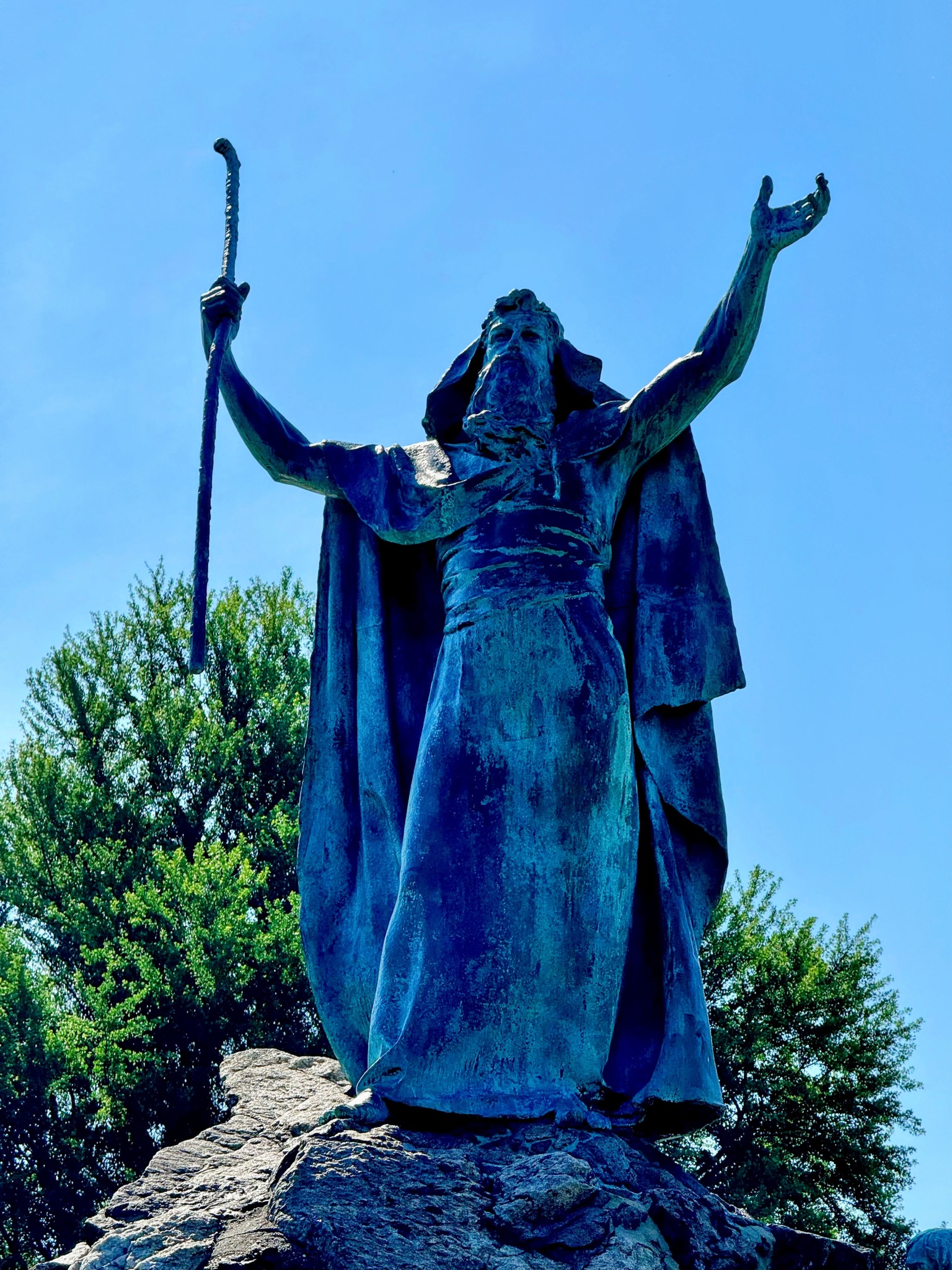
They have a statue of Moses in the middle of a fountain there.
I also encountered this park maintenance vehicle that was lifted to such an extent that the hood almost came to the top of my head. This type of vehicle is deadly when the drivers hit vulnerable road users, such as cyclists and pedestrians.
There was a small lake with a lovely bridge spanning it.
The homes surrounding the park were lovely.
This is a statue of George Washington looking towards the side of the Capitol.
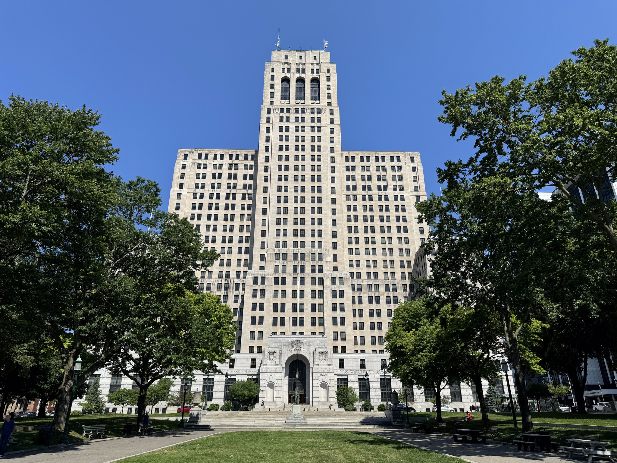
This is the Alfred E Smith building, Albany’s second-tallest building after the Corning tower. It’s built in the art deco style and was completed in 1928. Houses government offices. It had an open observation deck on the 31st floor, but that was closed after the Corning tower observation deck opened.
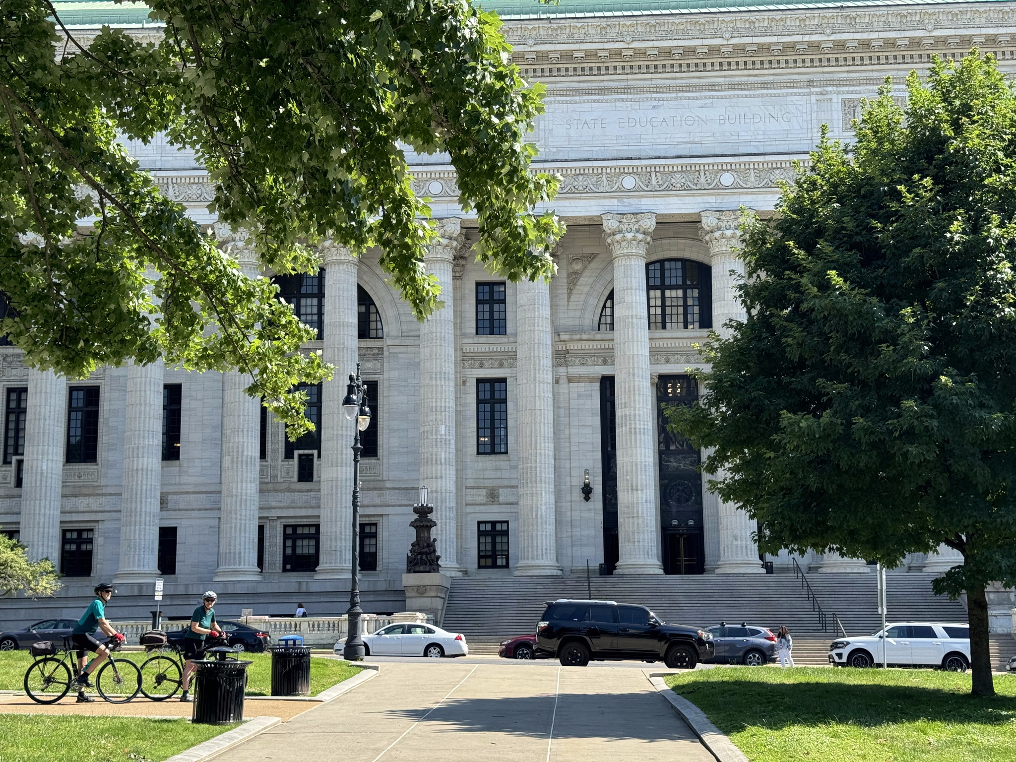
This is the New York State education building.
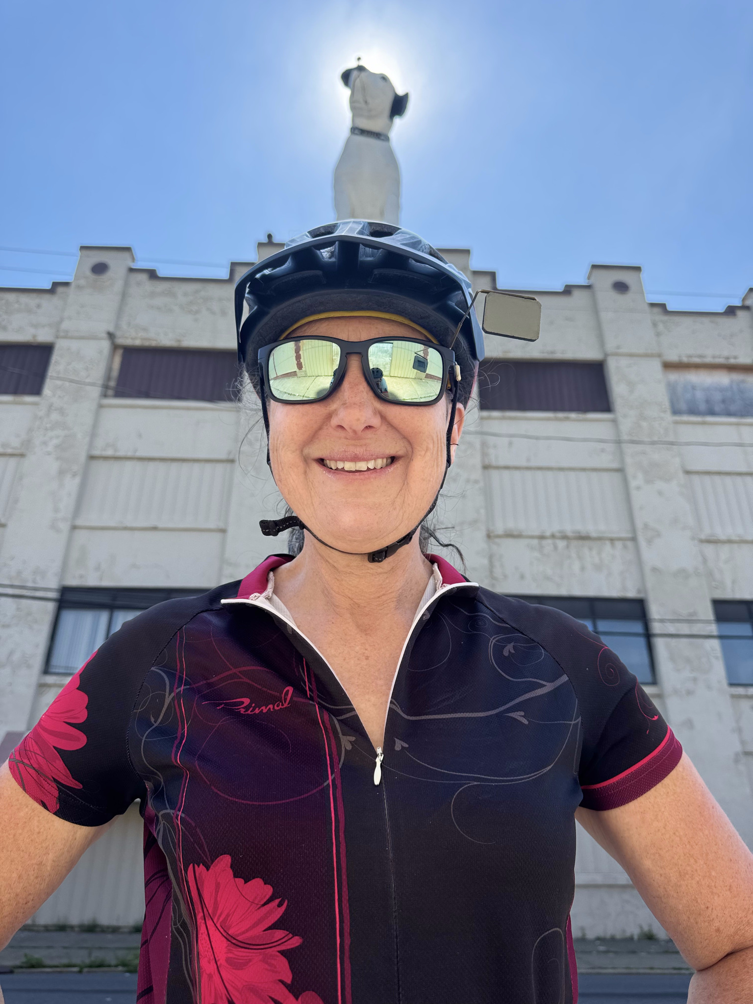
Our route took us right back to the hotel at which point we had planned to pick up our panniers, but we realized that we would be coming right back to the hotel before using the Skyway to cross the highway, so we just relaxed for a few minutes and then rode over to see Nipper.
The building was in quite a dilapidated shape and for lease. The area was a mix of rundown buildings and buildings that had been fixed up.
Image credit: Cindy, who specializes in arranging portraits so things are growing out of the subject’s head!
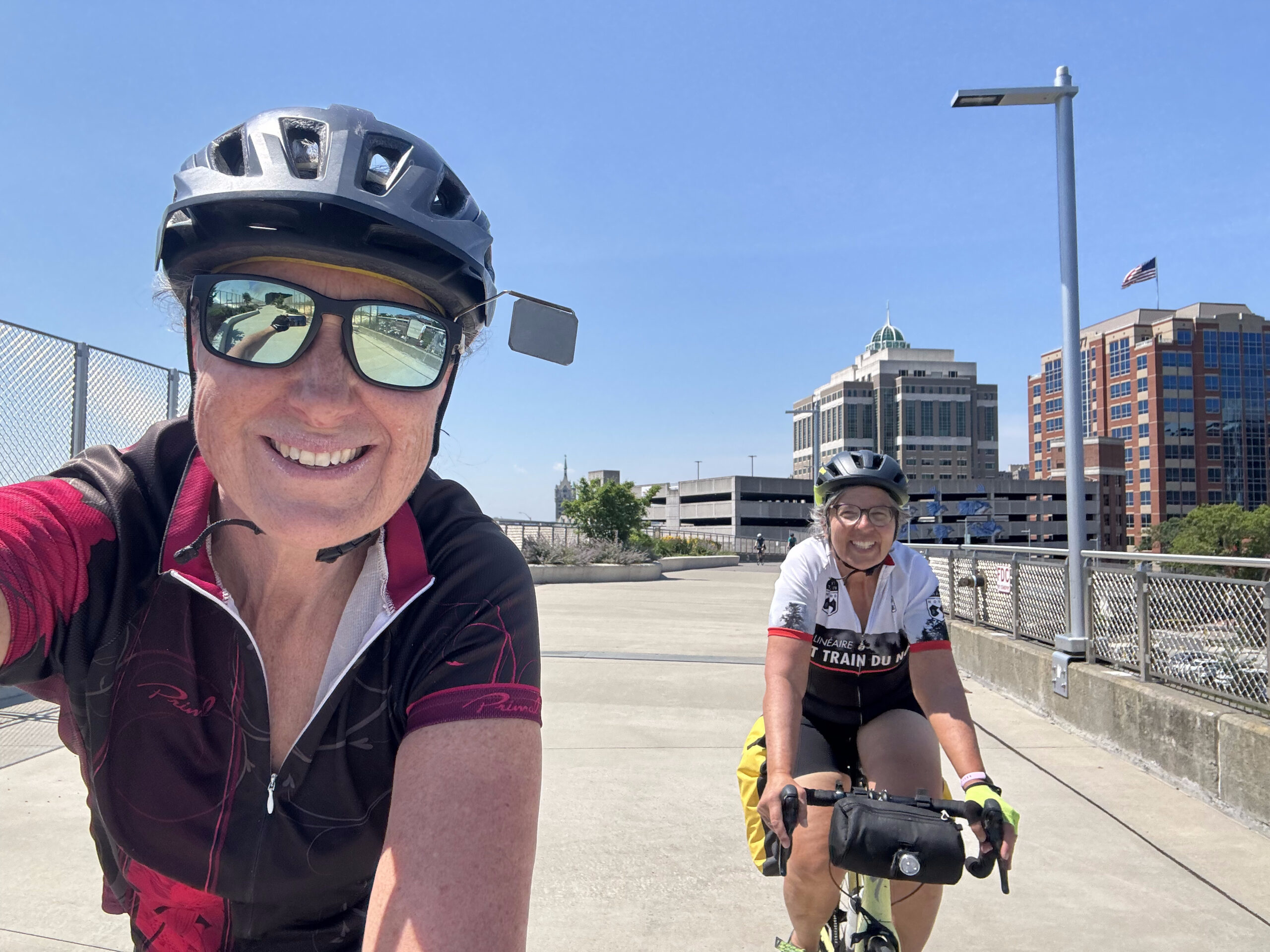
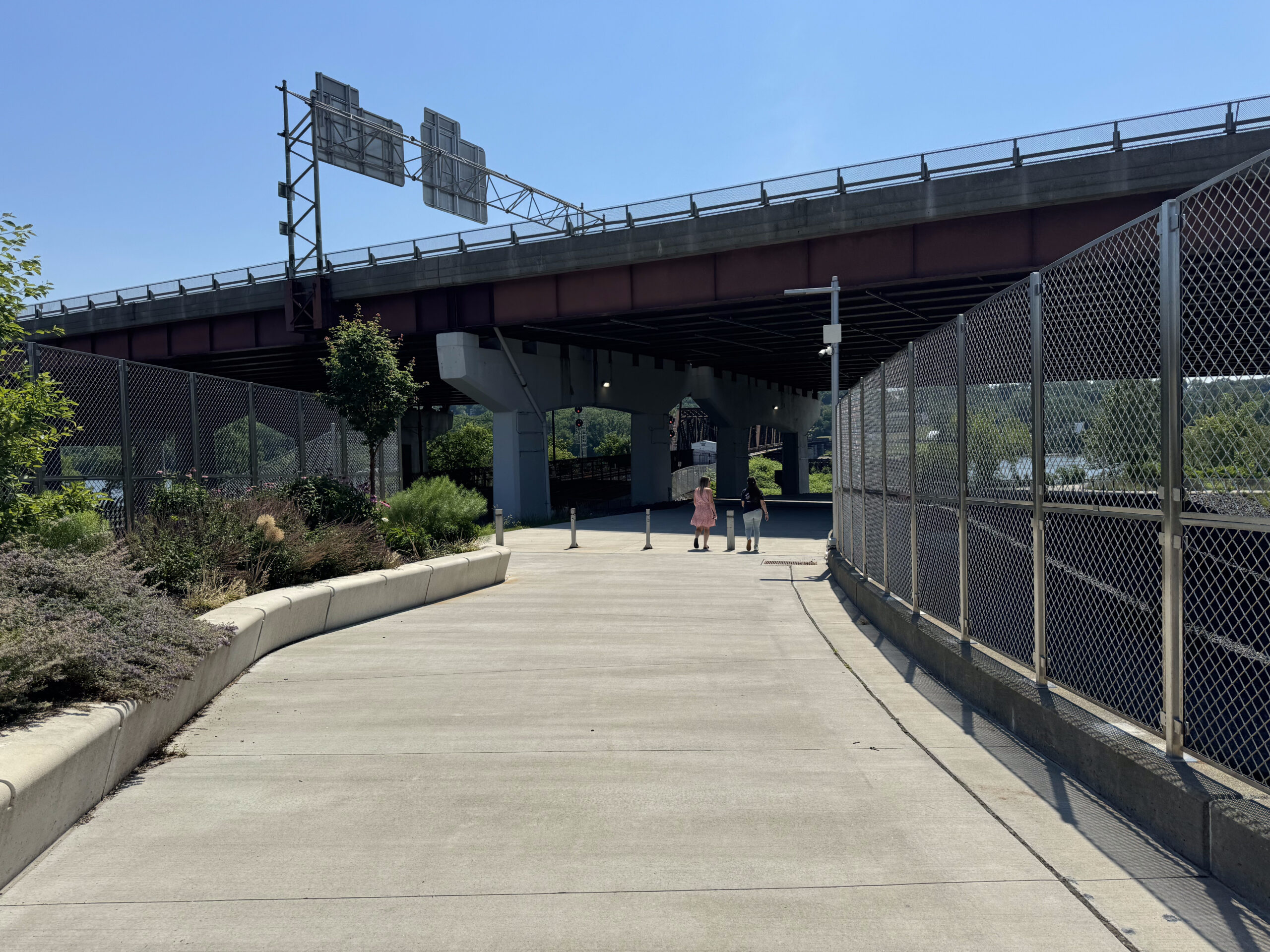
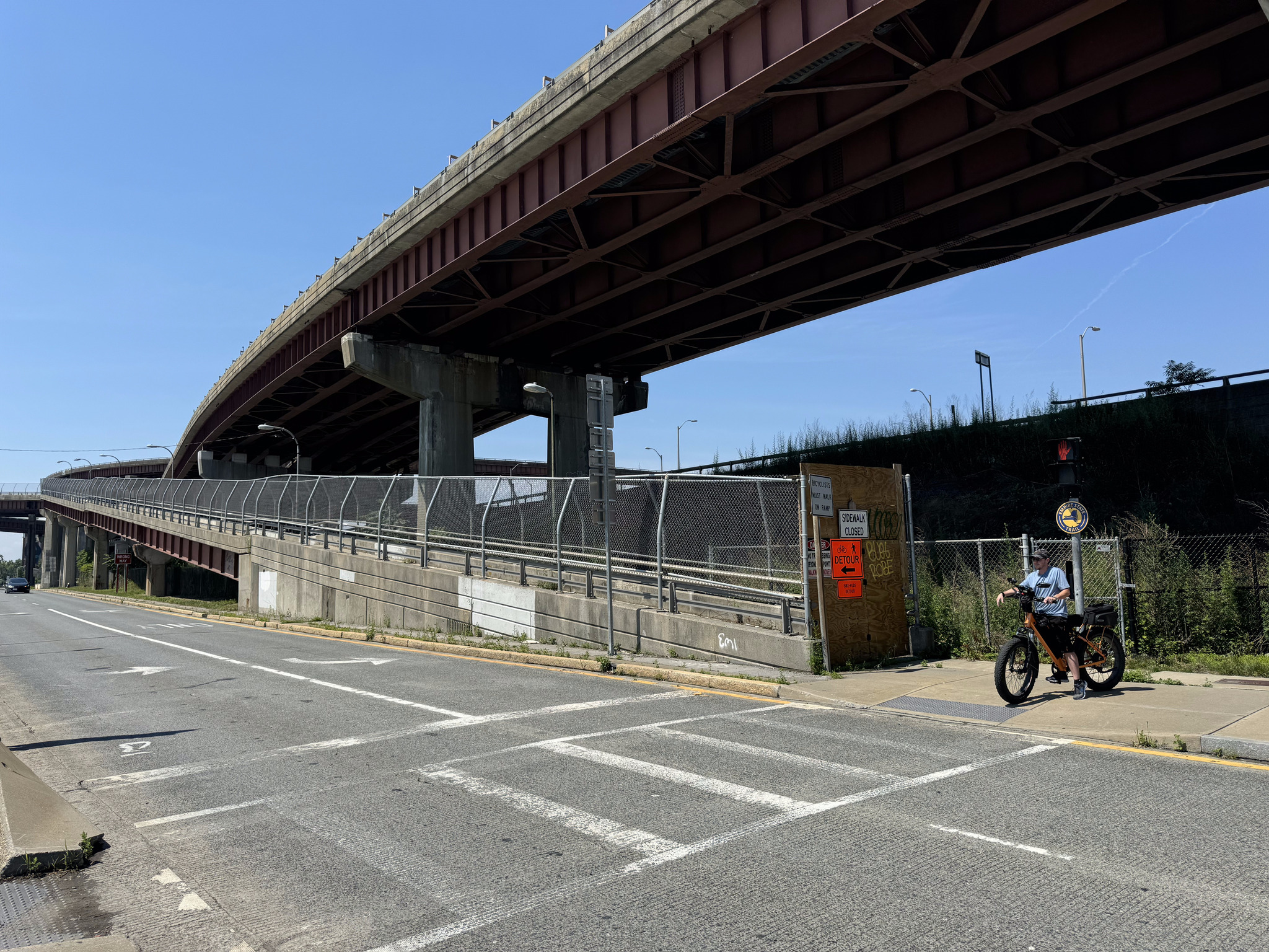
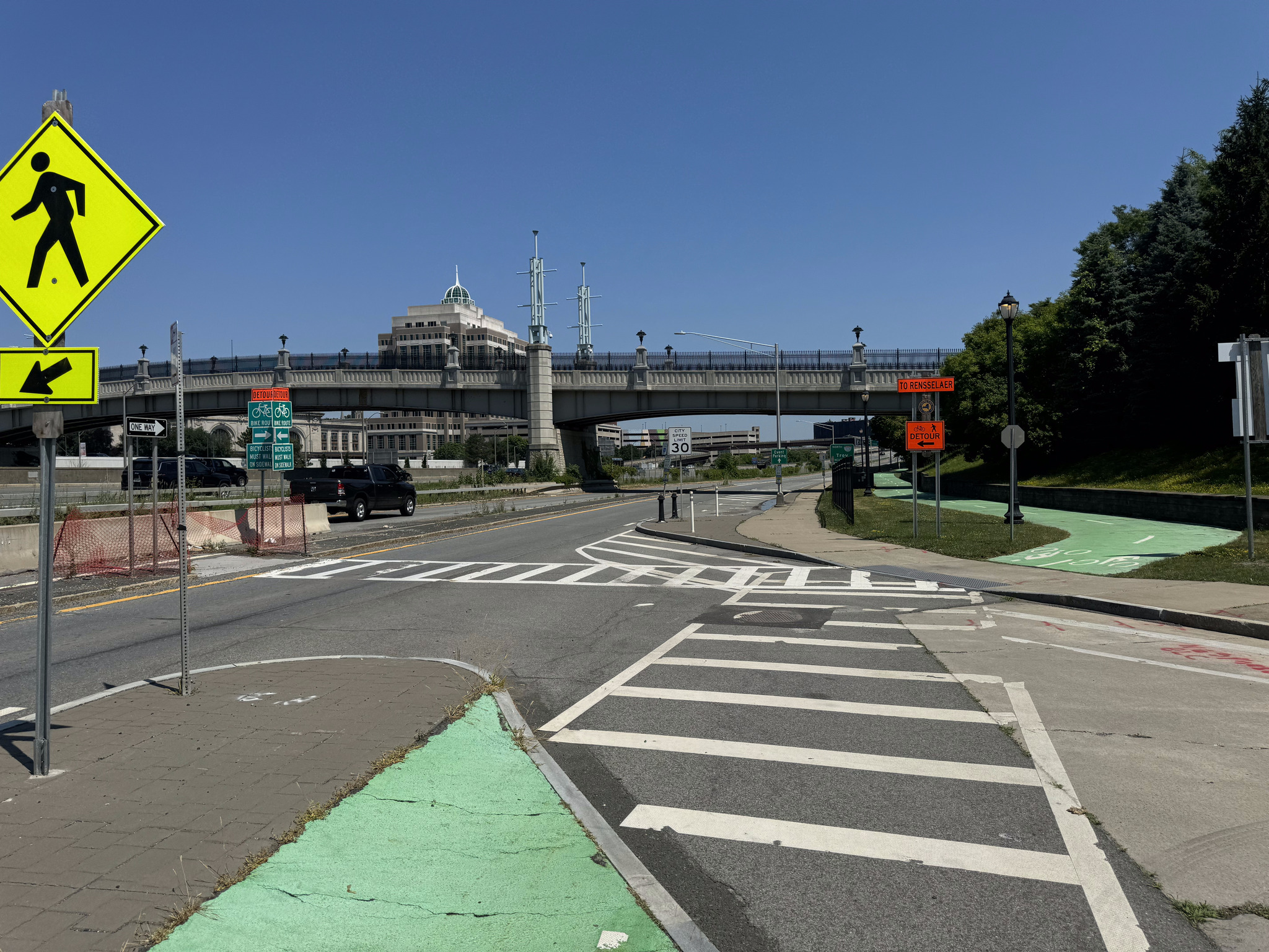
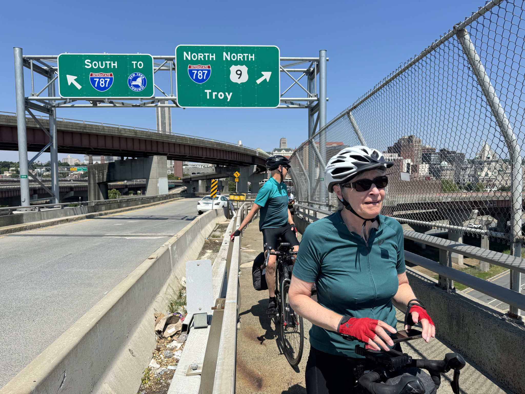
We then returned to the hotel, and picked up our panniers, the rode over the Skyway, across the highway, and down to the river. It would’ve been a more direct route on our way into town two days ago, but we live and learn as we explore. From the Skyway we used this ramp to get down to the waterfront trail, which is the Empire Trail and goes all the way to New York City.
We had expected to ride up the ramp here, but there was a detour sign.
Image credit: Dayle
The cyclist standing there in the picture came over to speak to us and led us to the right spot.
The detour route was well signed.
We had a jersey wall separating us from head on traffic on the bridge. It was a hot and noisy place to be, and we went as quickly as we could.
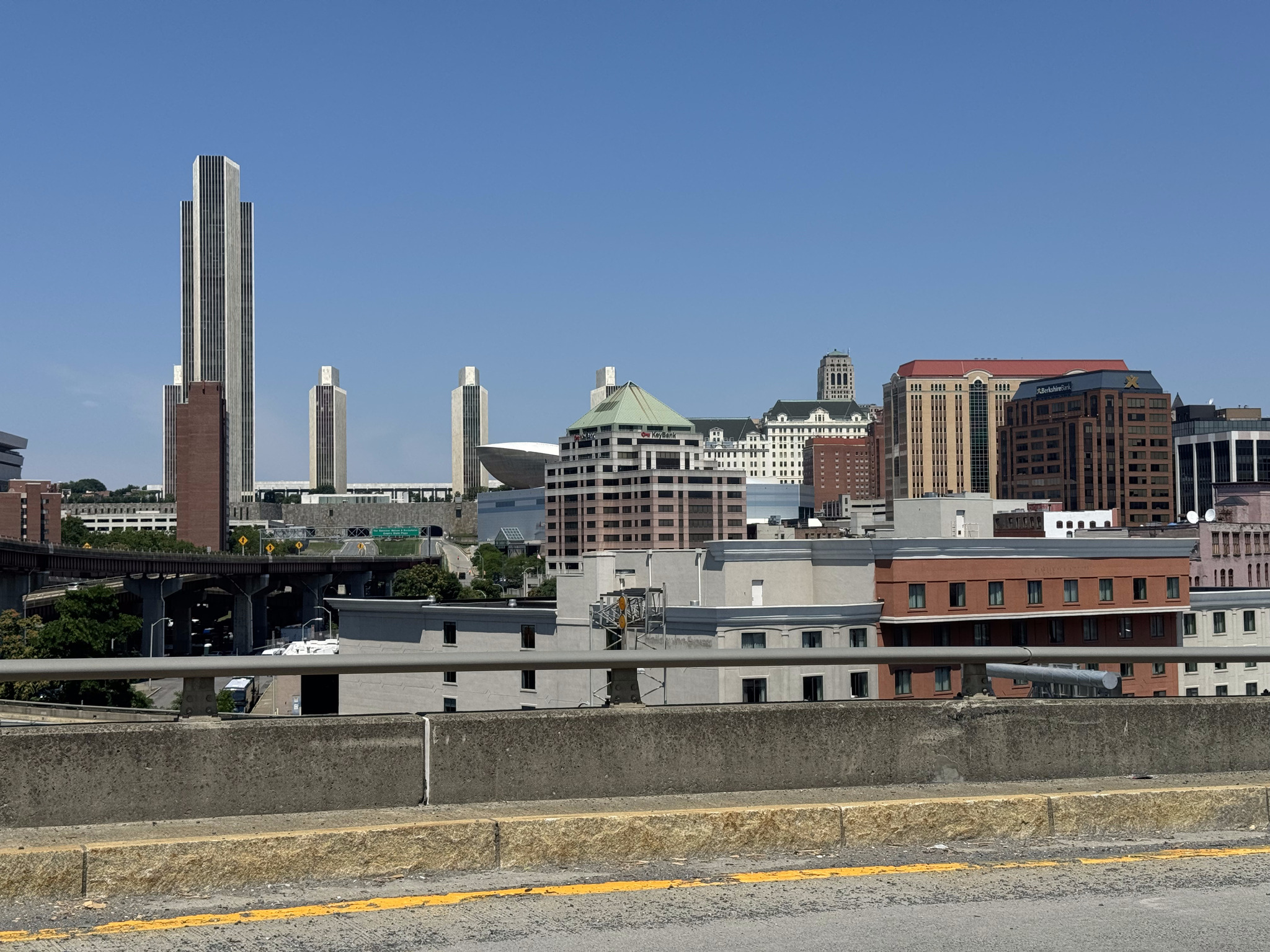
At the top I took a moment to take a picture of the corning tower, agency buildings, and egg from the ramp.
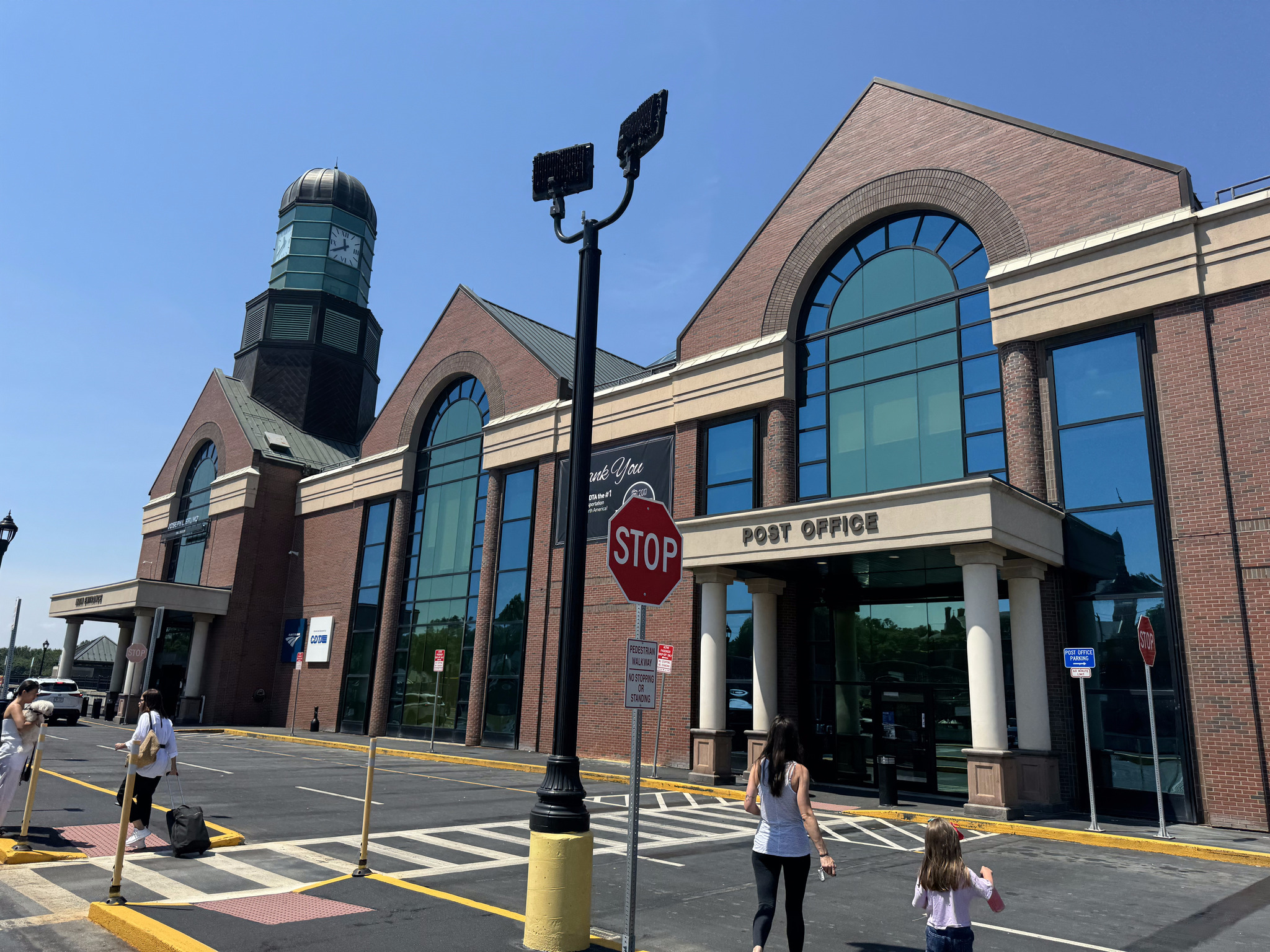
The train station is a modern one.
Shortly, after arriving, there was an announcement that the train was delayed.
We purchased food in the café and then relax until the train arrived.
A station employee directed us to an elevator, which took us down to the platform.
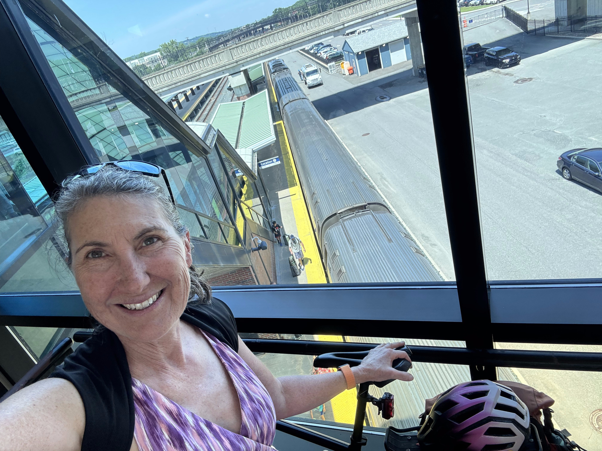
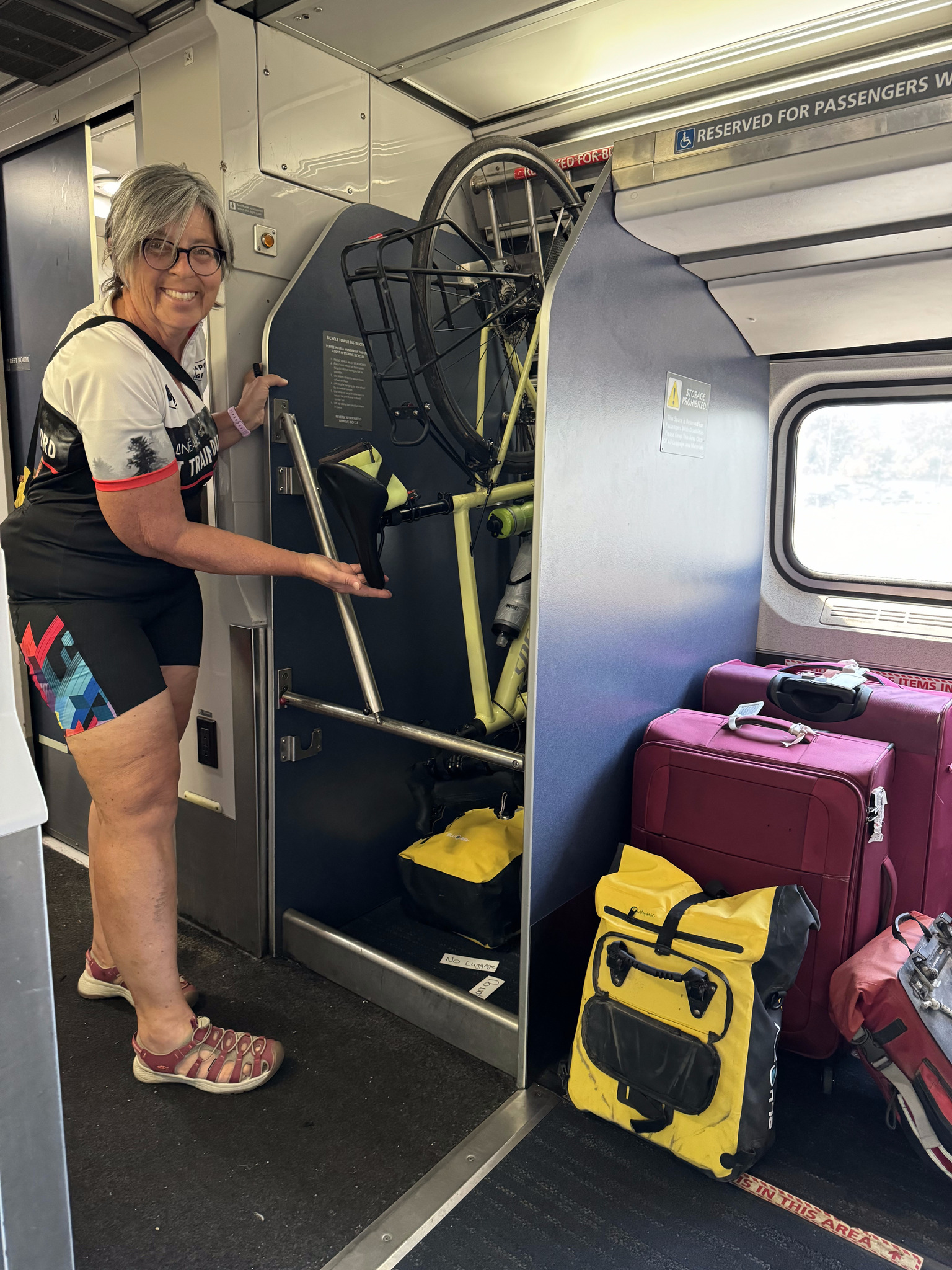
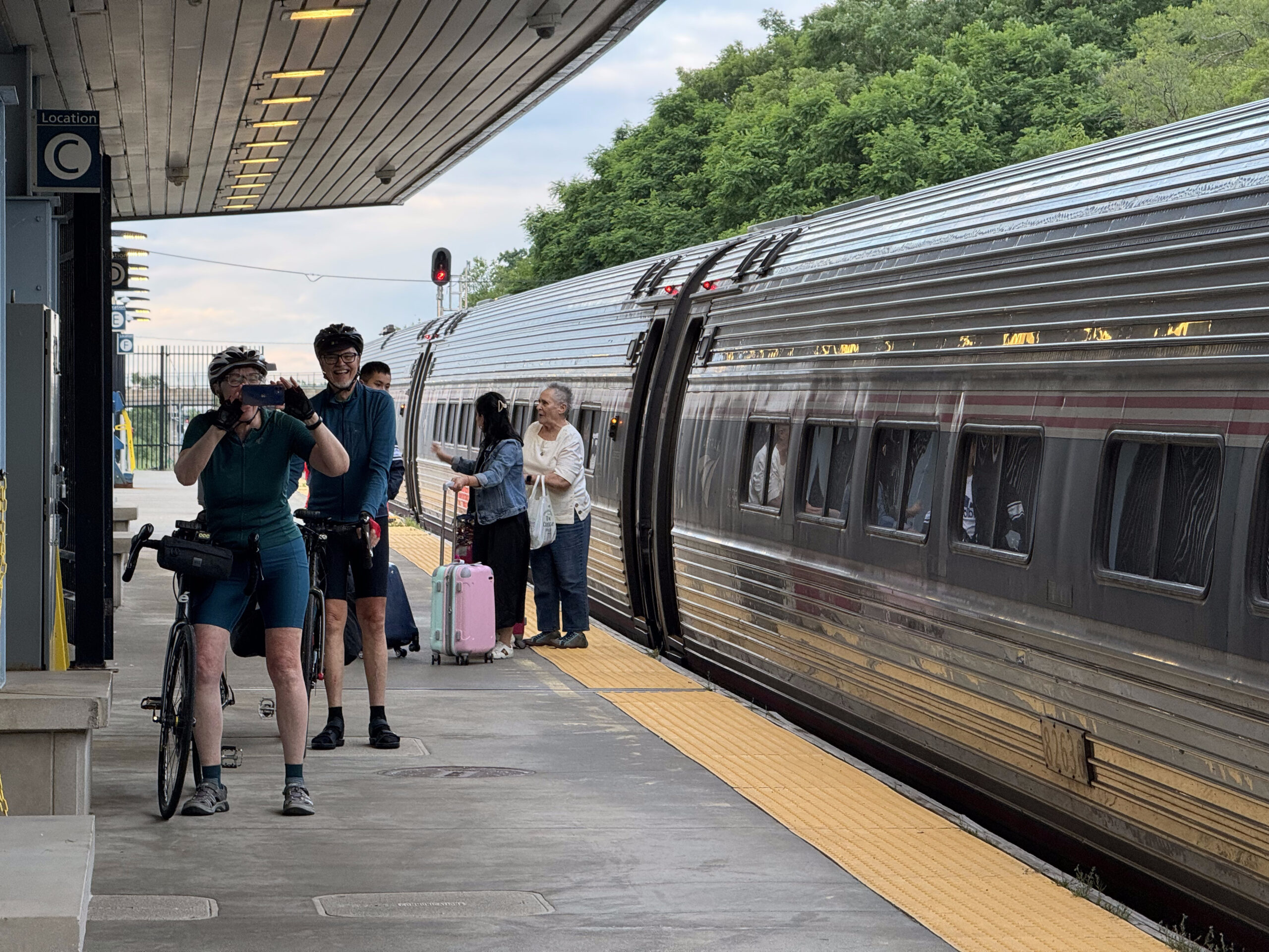
Earlier in the day, I had seen this blog post on taking bikes on Amtrak. We were actually somewhat anxious about being able to get our bikes on board quickly enough and secured. We paid for tickets for ourselves and for our bikes, so we knew there would be room for the bikes. But, the blog post indicated that we should remove the panniers, and the front wheel, on the platform, then lift everything onto the train, and secure it in the cabinet for bikes. I spoke to one of the station employees and found out that we would have only about six minutes to board. They told us we could take the front wheel off once we were on the train, if we didn’t want to do it on the platform.
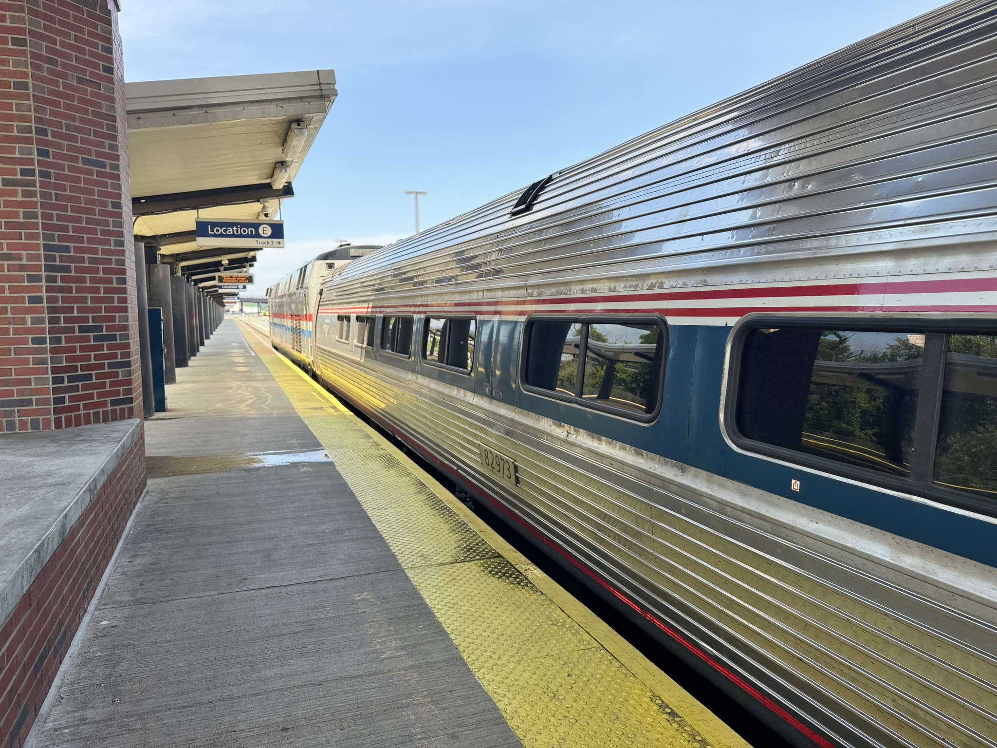
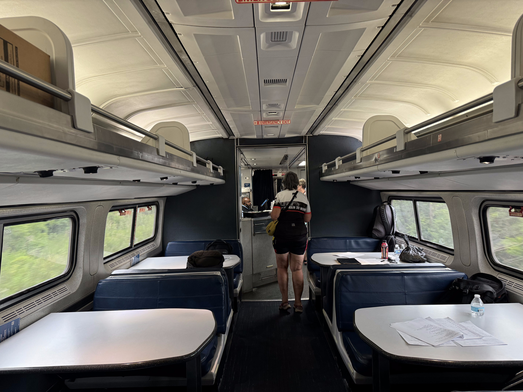
One of the reasons we were concerned is because the bikes are very heavy with the panniers, and we are used to having to liftthem onto the GO Train. However, it transpired that there was level boarding, both in Albany, where we embarked, and in Niagara Falls, New York, where we disembarked. We also discovered, only moments before boarding, that there was only one bike per train carriage so that we would have to split up.
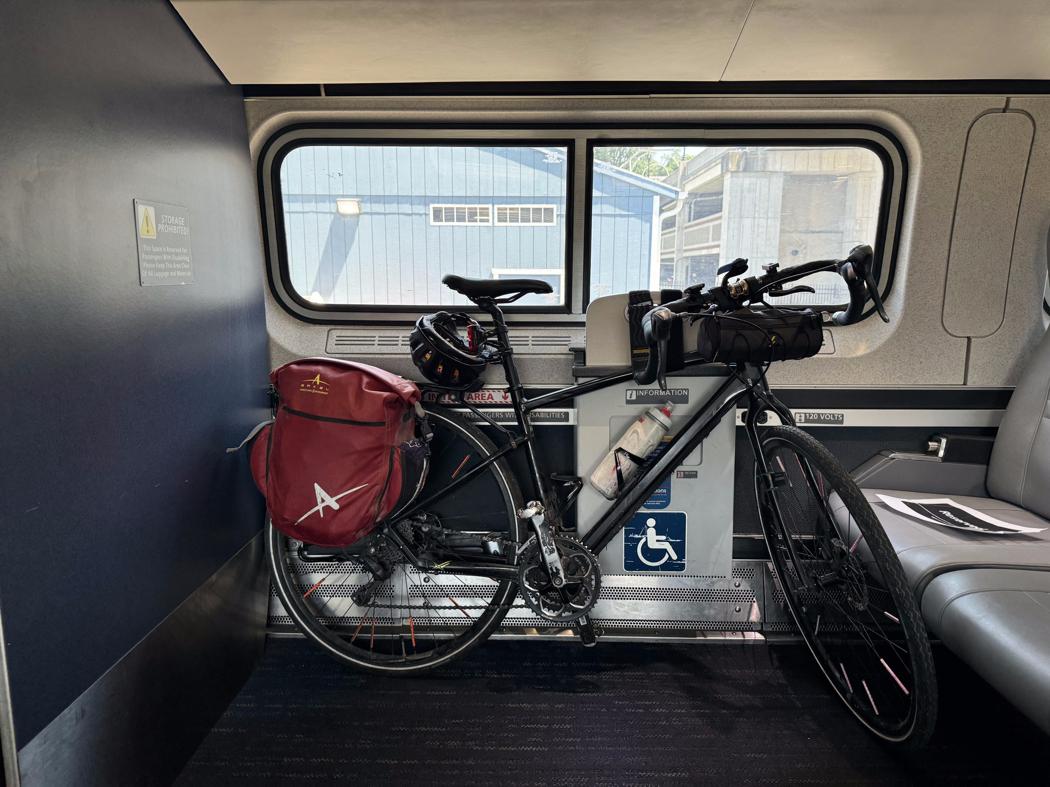
Once we were on the platform and the train pulled in, the conductor got off and directed us to different carriages. He said that the end carriage was closed, but someone could put their bike there. So I went that way, and was happy that I did, because he allowed me to secure the bike, intact, where wheelchairs would normally go.
The others had to remove their front wheels and hang their bikes.
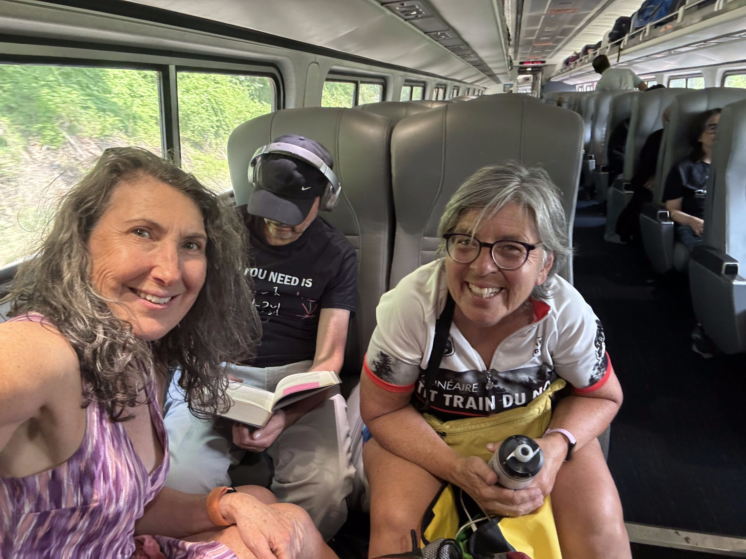
The areas for hanging the bikes were adjacent to handicap seating. The handicap seats near Cindy’s bike were empty, and she asked the conductor if we could sit there, but he said he was expecting someone to board later and use it, so declined. We watched the train looking for a pair of empty seats, or at least two and a set of four. This man was alone in a set of four with all of his stuff spread out over the seats, so we stopped and asked him to move it.
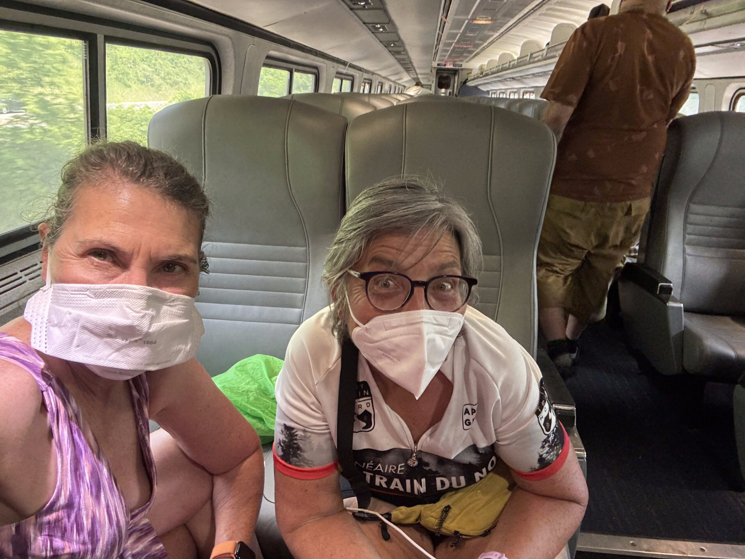
I had my carbon dioxide detector with me, and it indicated that, the carbon dioxide level was over 1300 ppm, which was the level when I caught Covid in a restaurant last November, so we put on our masks. After Amsterdam, the train wasn’t quite as busy, so we found seats in the same carriage as David and Dayle. The non-stop pace of the past 11 days started to catch up with me along with with the hypnotic sounds and movement of the train, so I had a short nap.
The train left late, and became later, as we travelled west, so Cindy and I purchased some food on the train. It wasn’t very good, and the Café Coach attendant was surly and abrupt.
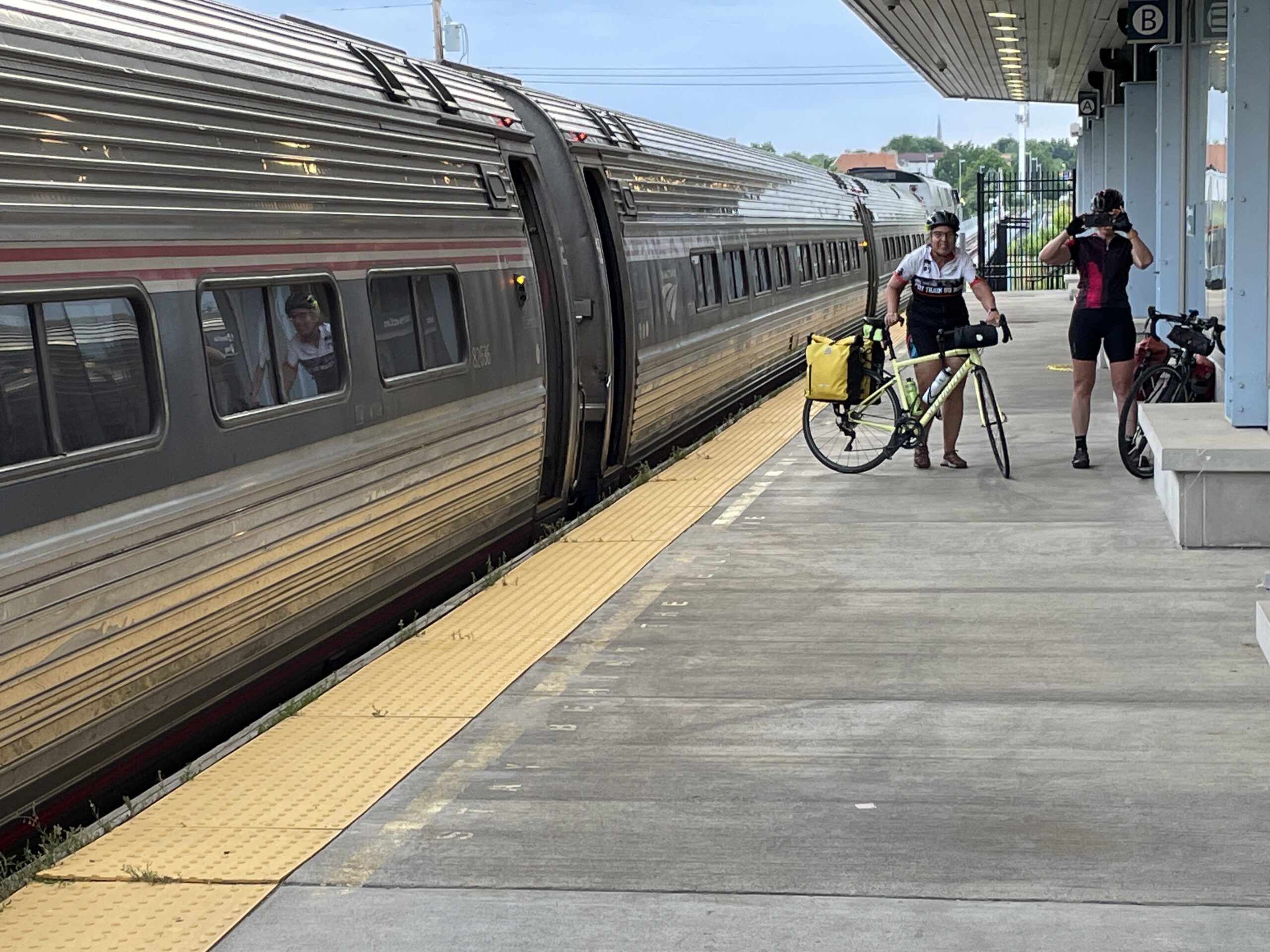
The train was fairly empty by the time we reached the first Buffalo station. The conductor indicated we could assemble our bikes after the second Buffalo station, when he would let me into the closed coach.
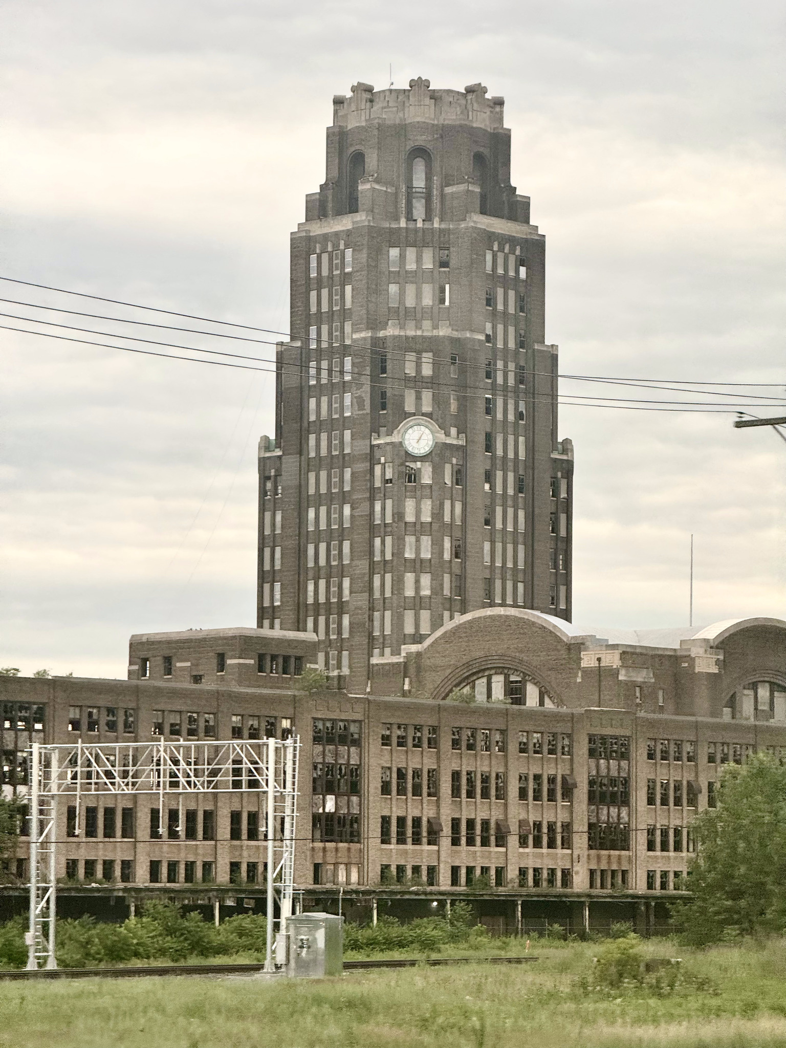
Between the two Buffalo stations, I saw Buffalo Central terminal. It’s an art deco building which was built in 1929, and used as a station until 1979. In the years since then, it has gone through many owners, and is currently owned. By the central terminal restoration corporation, which is working on restoring the property. It is on the National Register of Historic Places.
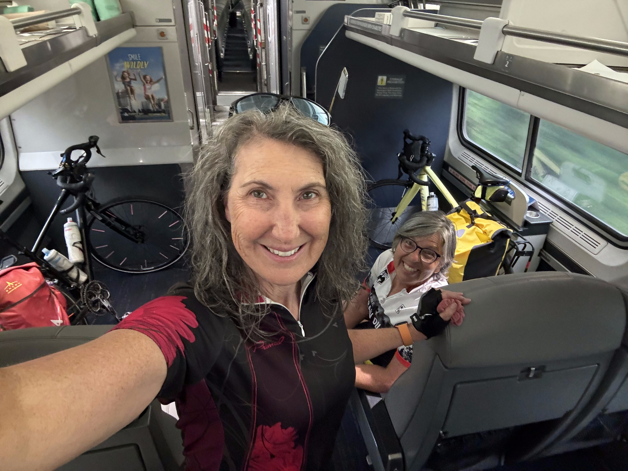
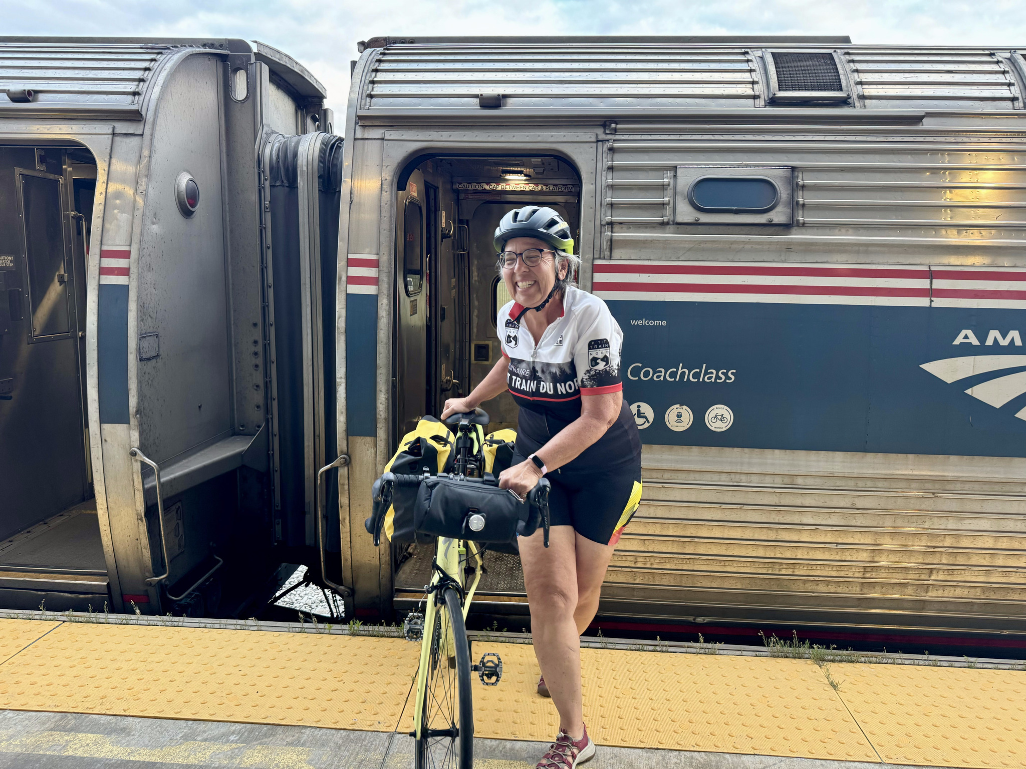
Once I was allowed to go into the closed coach, I was asked to bring my bike into the open coach, because they needed to quickly uncouple the closed one, and leave it at the Niagara Falls station, before returning to New York City. Here Cindy has her bike assembled and we are ready to disembark.
The platform was level in Niagara Falls, as well. I didn’t notice if there was level boarding at the stations in between.
And here are David and Dayle on the platform with Dayle taking our picture as I take theirs. The whole experience ended up being much easier than we thought it would be after reading the blog this morning. When we first started planning this trip, we thought we would go all the way to New York City, but decided that that would take too long. After I returned home, I read this account of Jake Laundau’s train journey from Toronto’s Union Station to New York City. Fortunately, ours was much better.
This is what the Niagara Falls, New York station looks like.
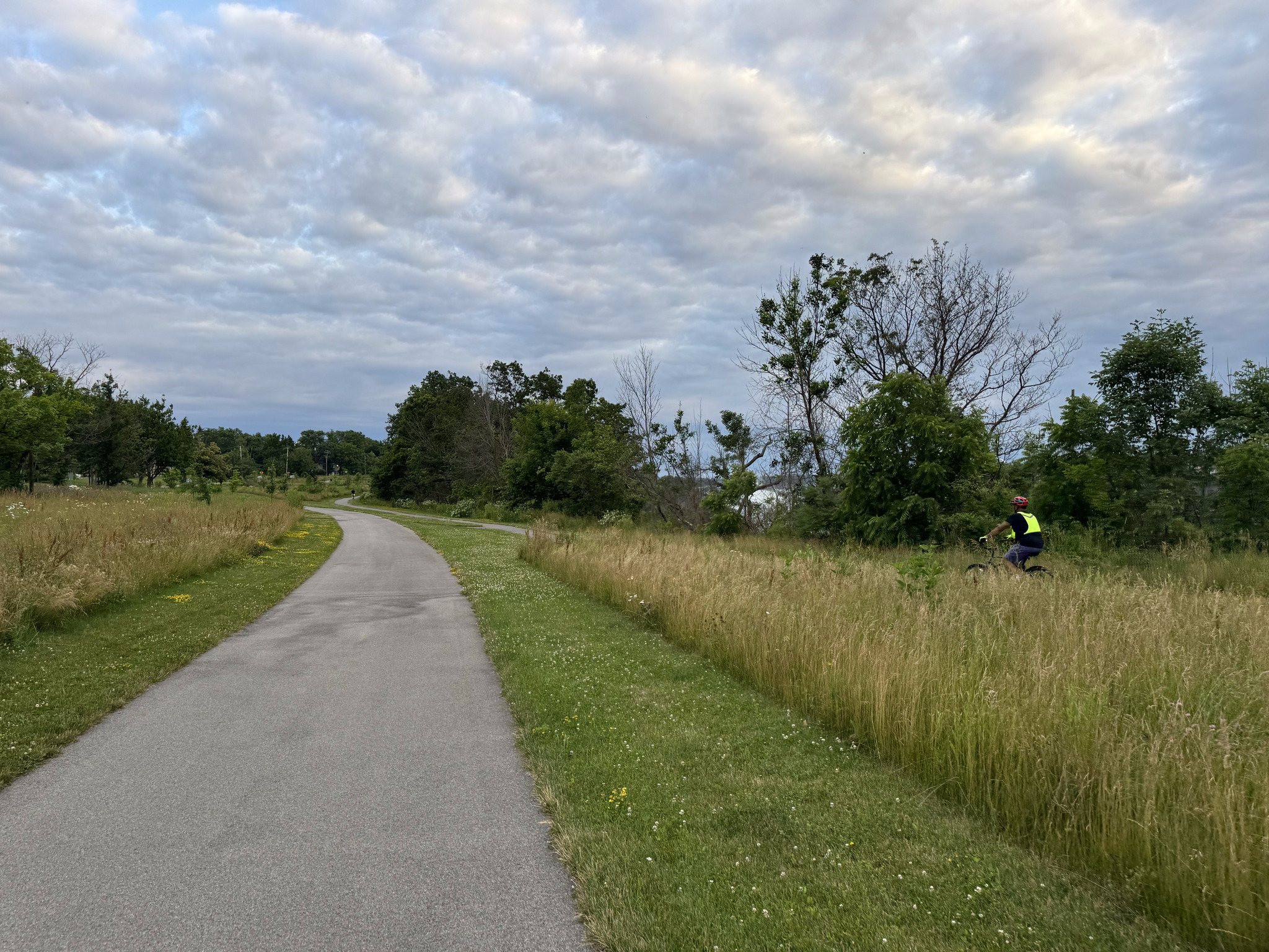
There was a multi-use path all the way from the station almost to the border area.
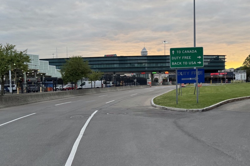
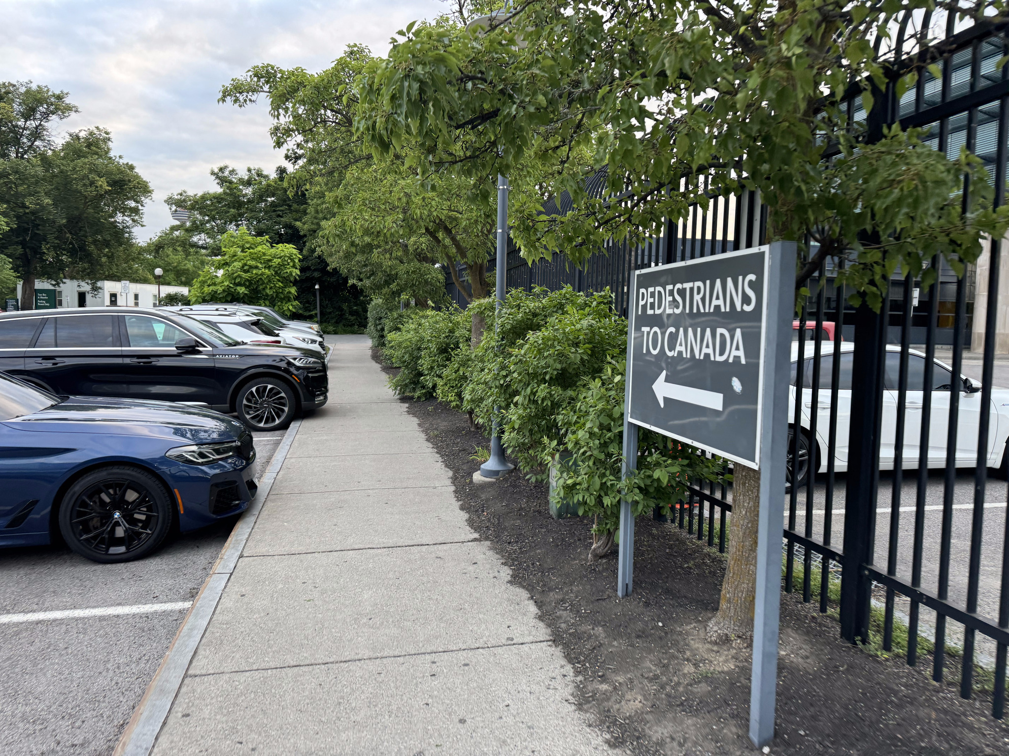
When we crossed to the US on Sunday, we mistakenly crossed with the cars, rather than the pedestrians. So when we saw this sign for crossing back to Canada, we followed it.
But it turns out at the Rainbow Bridge, bikes are meant to cross the border with the cars.
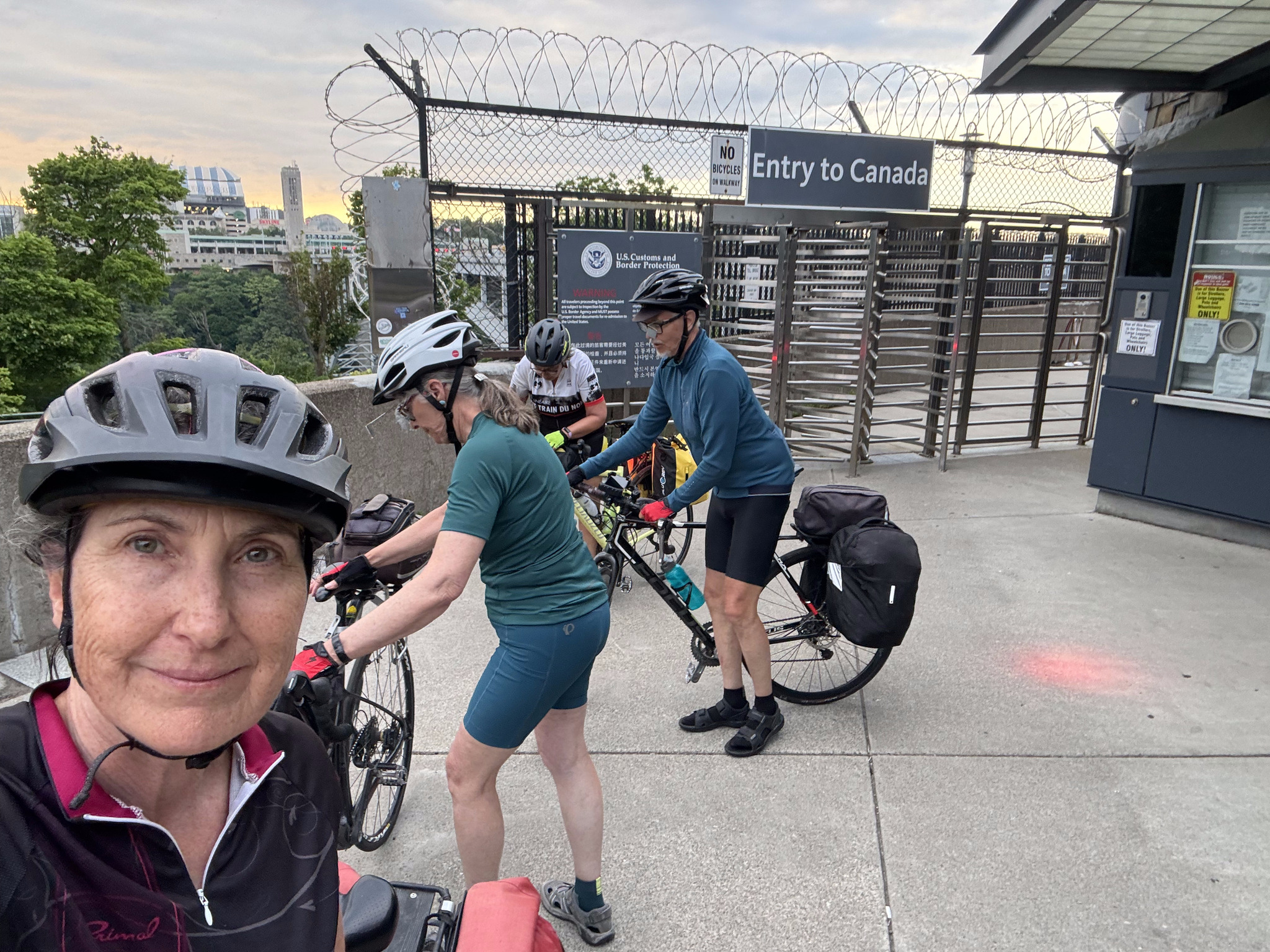
So we rode through the parking lot and followed the sign to Canada. There is a toll to use the Rainbow Bridge- six dollars for cars, but only one dollar for bikes.
Image credit: Dayle
David and Dayle and Cindy all had an easy and welcoming time at Canadian immigration. I am hard of hearing, and made the mistake of leaning slightly towards the booth, but by no means, putting my head inside, and the officer barked at me to stand back, and back himself up against the other side of the booth. I told him I have hearing loss. He did raise his voice to speak to me, after that, but asked about seven or eight questions before deciding to let me back into the country.
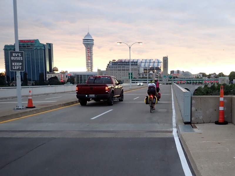
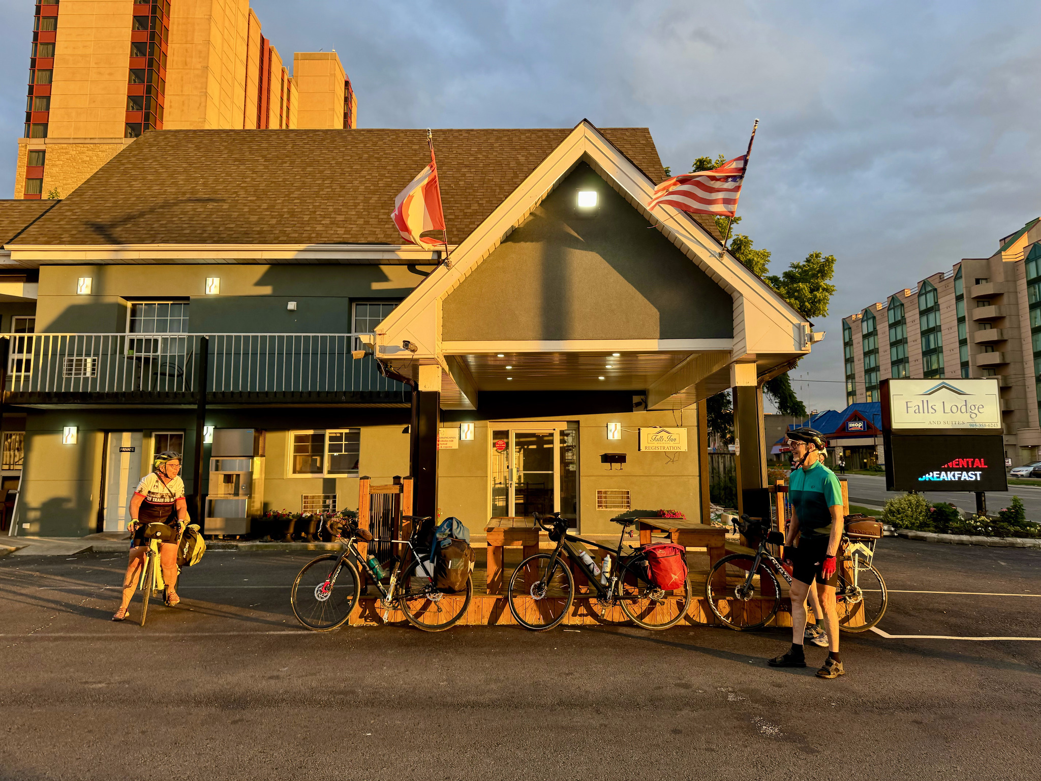
The light was beautiful. We arrived back at the fall Lodge in Niagara Falls. Canada, the same place we stayed on day one.
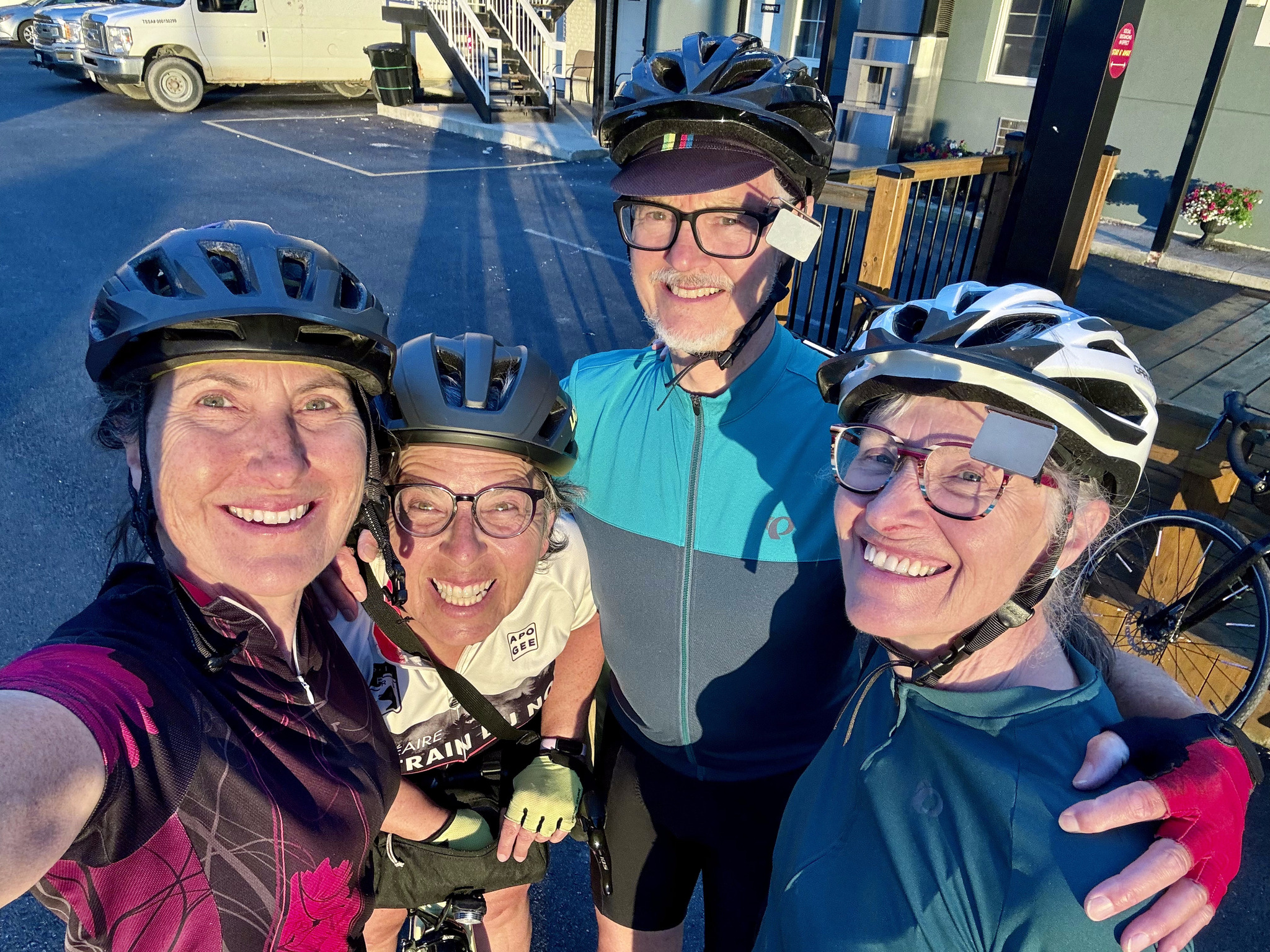
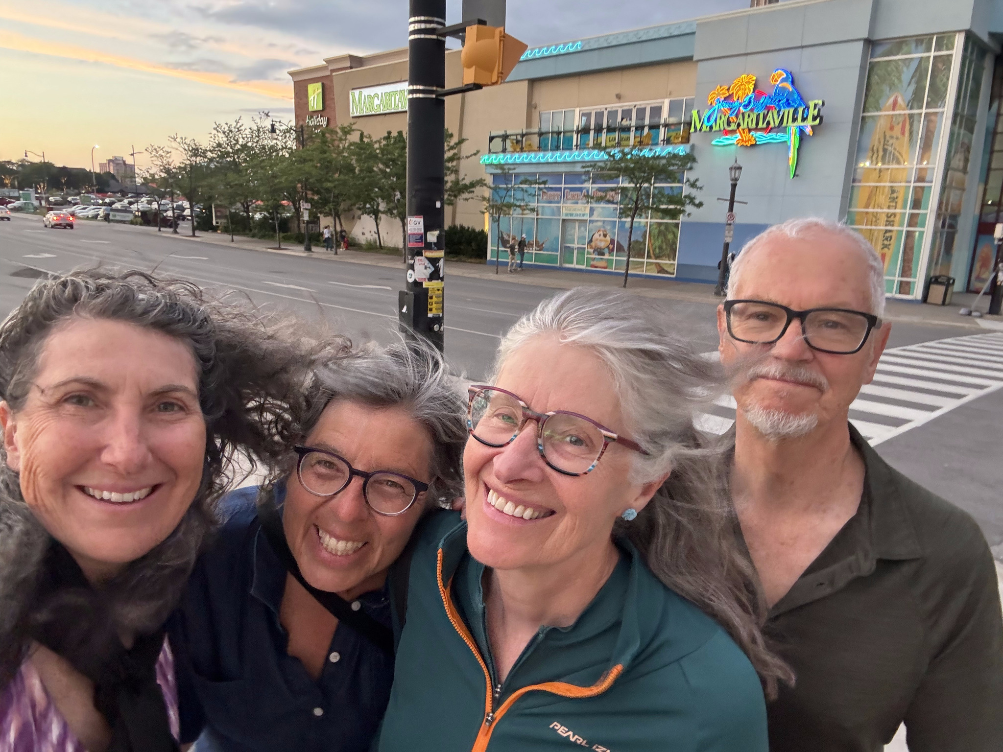
Here we are happy to be back in Canada.
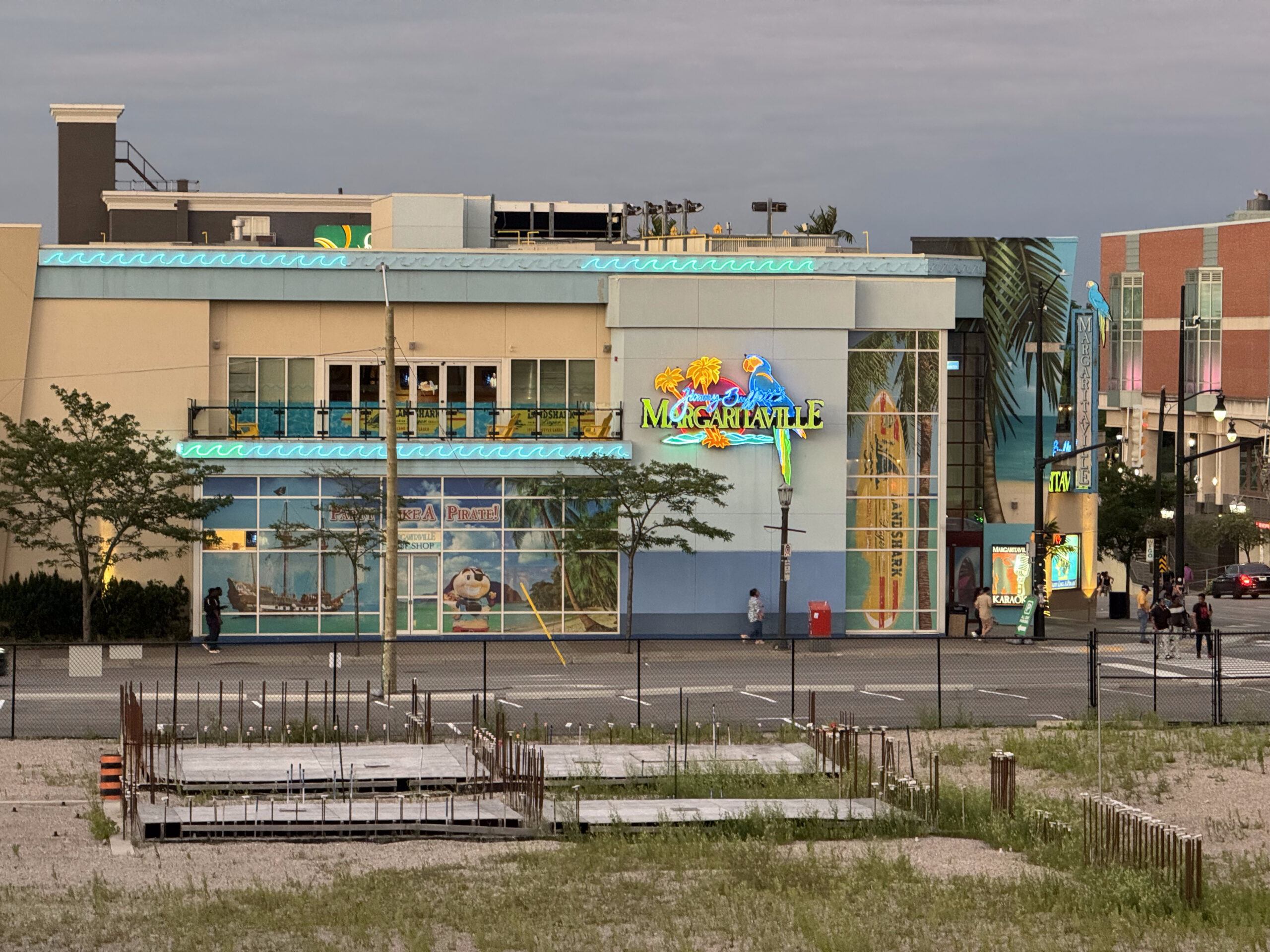
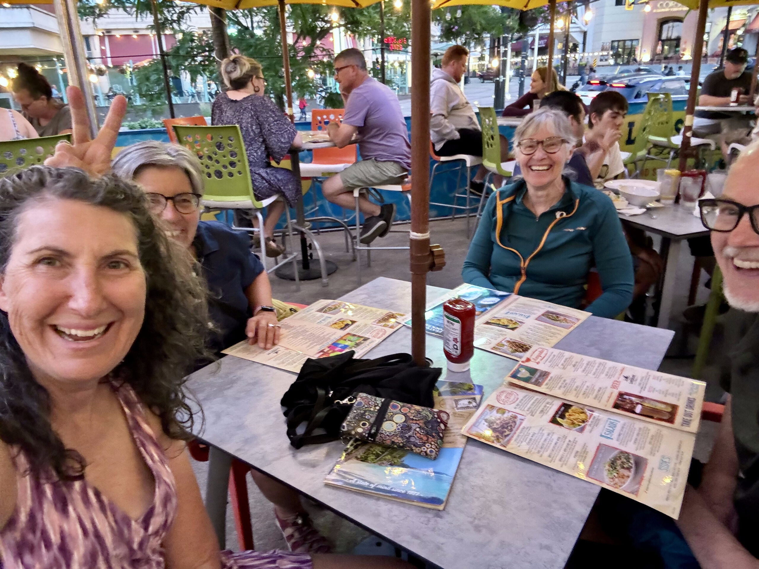
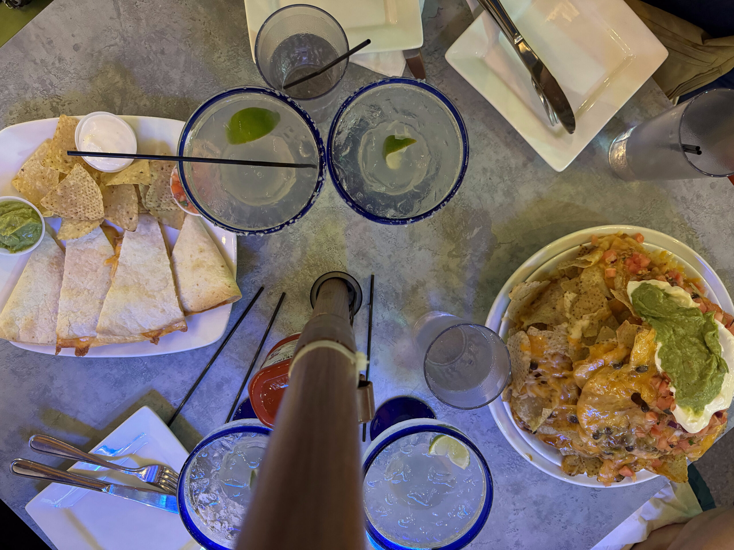
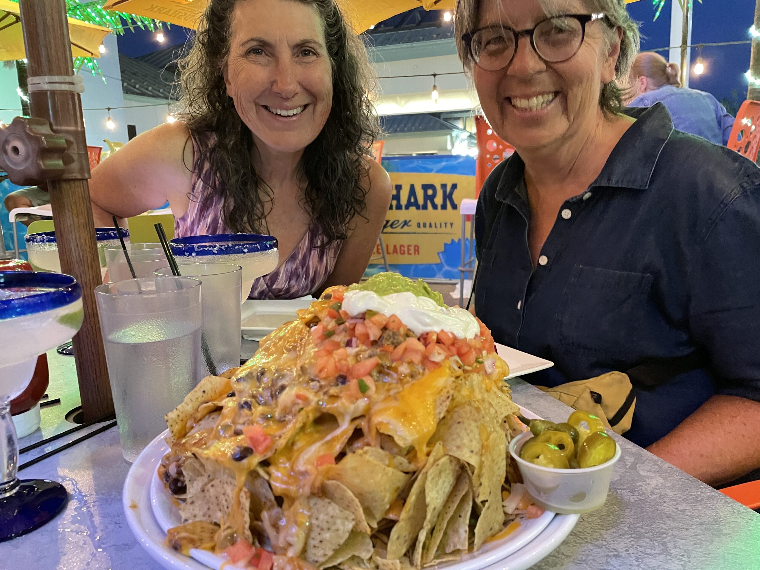
We decided to celebrate our last evening with margaritas and nachos at Margaritaville.
Image credit: Dayle
It was a very windy evening. We briefly considered riding to St Catherine’s to catch the GO Train, rather than doing so in Niagara Falls, but decided we would just do a local tour, to avoid the strong headwinds that were predicted for the morning.