We spent our final night at the same hotel at which we stayed the first night, which had a mediocre, carb heavy breakfast. We ate enough to satisfy our initial morning hunger, and then went back to the rooms to pack up, and for me to plan a route for us to explore Niagara Falls, before taking the GO train back to Port credit just after 1 PM.
As I suspected is case with many people, my explorations of Niagara Falls, have mainly revolved around the falls themselves and related attractions, Clifton Hill, and the Niagara Parkway between Niagara Falls and Niagara on the Lake. When we arrived in Niagara Falls 12 days ago, I realized I had never seen the area around the train station, and we were pleased to find a recreational trail that took us partway to our hotel.
So I did some searches online to discover something I hadn’t seen before, and I found a website and app called GPSMYCITY. They had a walking tour of Niagara Falls. Apparently, it will guide you along the route and provide you with information about what you’re passing along the way. I didn’t want to take the time to download and learn the new app, plus I wanted to integrate the exploration with a route that started at our hotel, took us to a coffee shop for lunch, and then to the train station. So I dropped pins into the route planner on Ride with GPS for each of the featured stops, and then created a route starting at the hotel, and finishing at the train station.
It worked out quite well, and we saw a side of Niagara Falls that we had never seen before. I would definitely consider using this app when I want to do guided walks in the future.
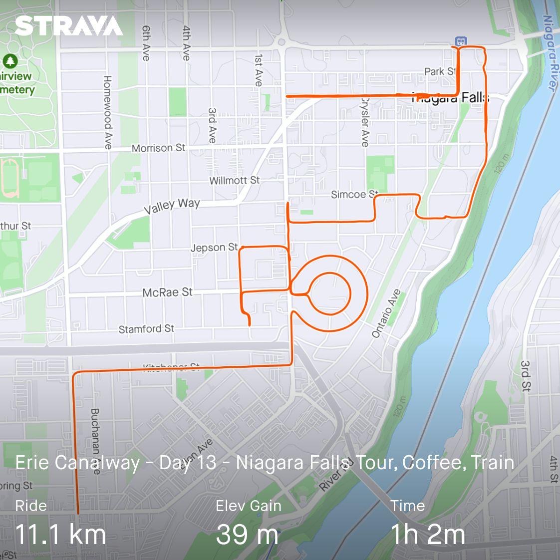
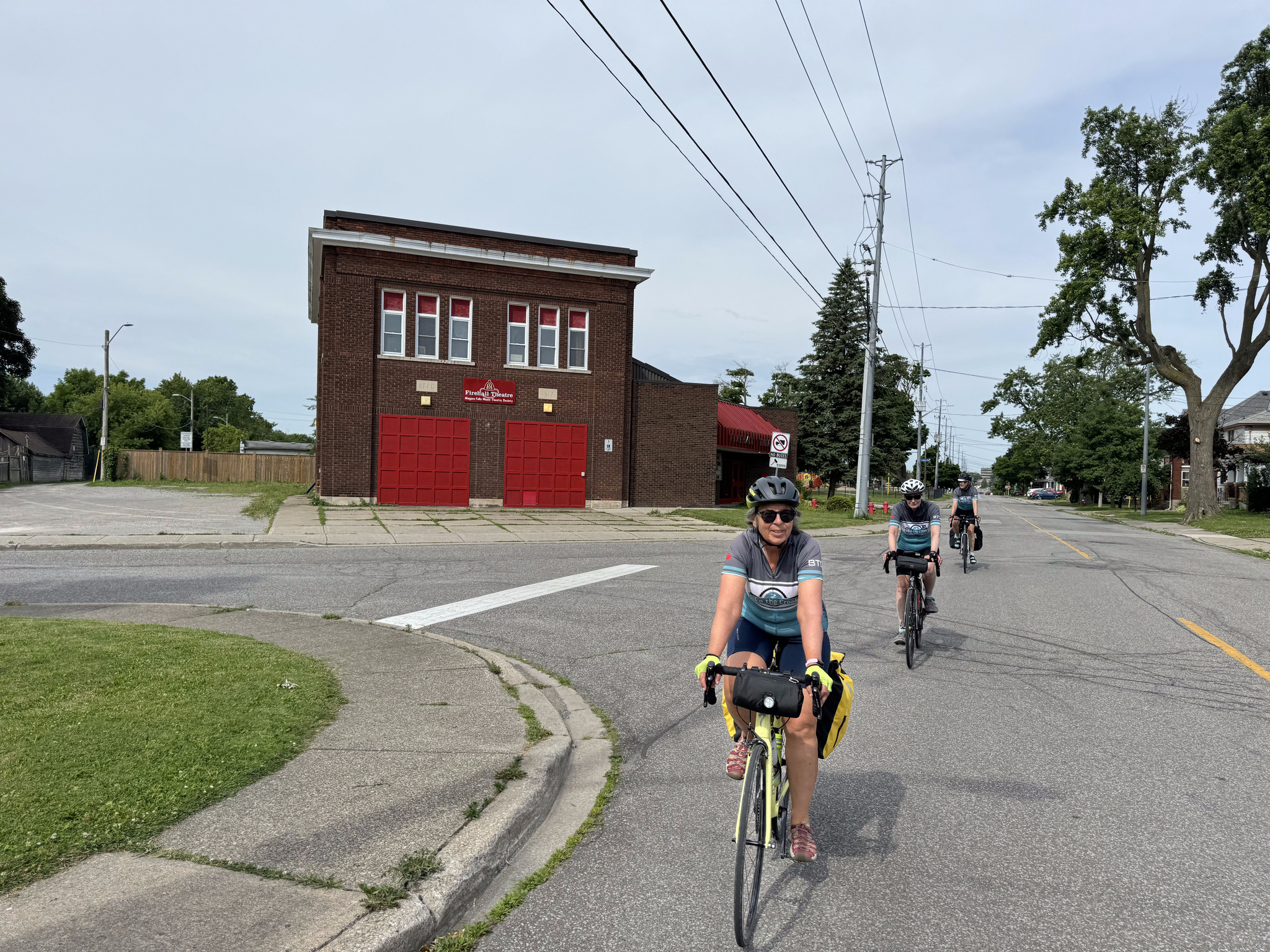
As I was creating the route, I noticed a little neighbourhood that had concentric circle shaped streets, so I also routed us around that, just for fun. On our way there, we passed the Firehall Theatre. The Niagara Falls Music Theatre Society began in 1961 and their initial productions were in a high school auditorium. They moved to the fire hall in 1967 and have renovated it into its present condition as a theatre, which was officially opened in 1980.
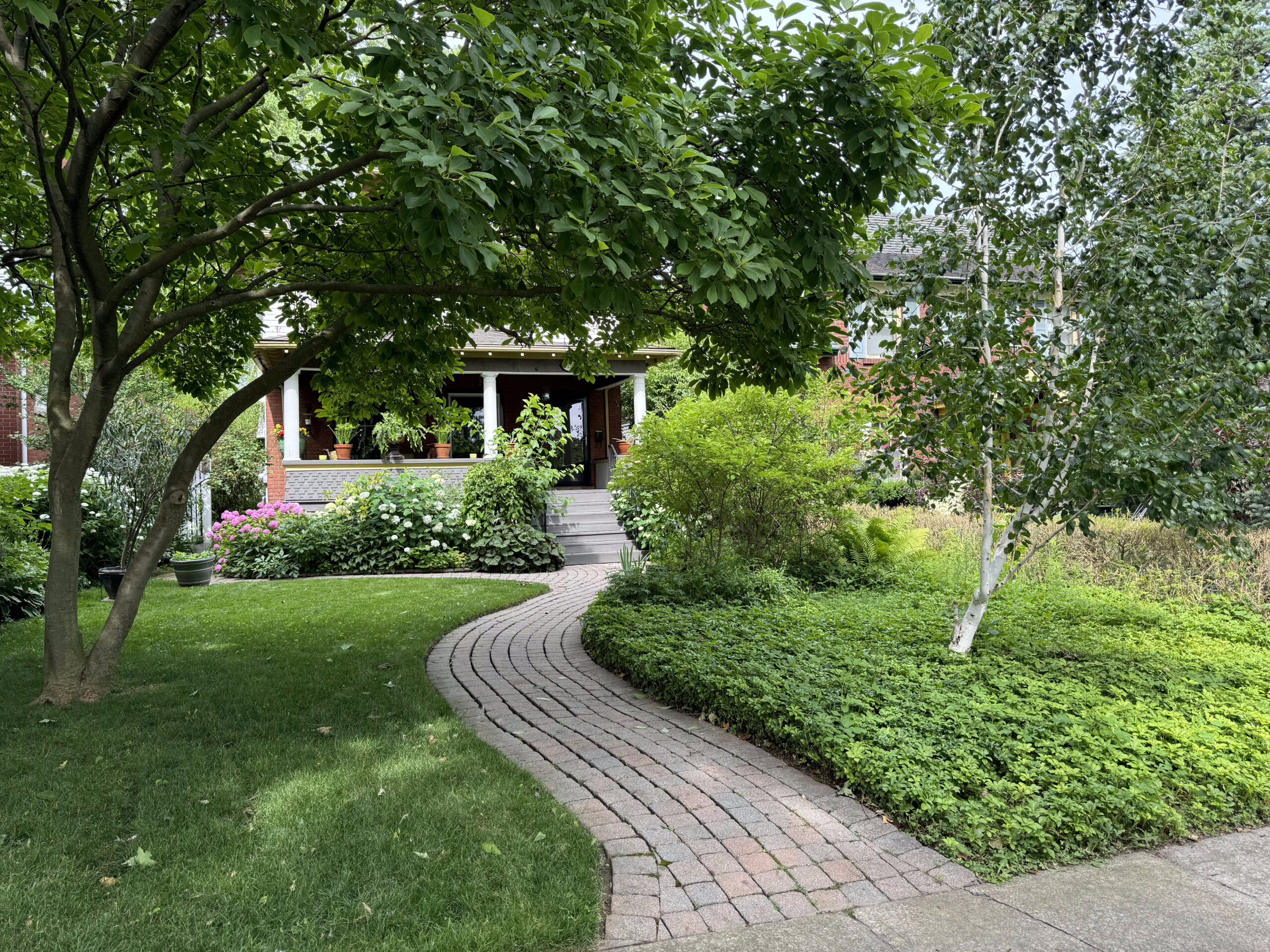
Cindy spotted a nice neighbourhood just off of our route, so we made an ad hoc left turn to tour it.
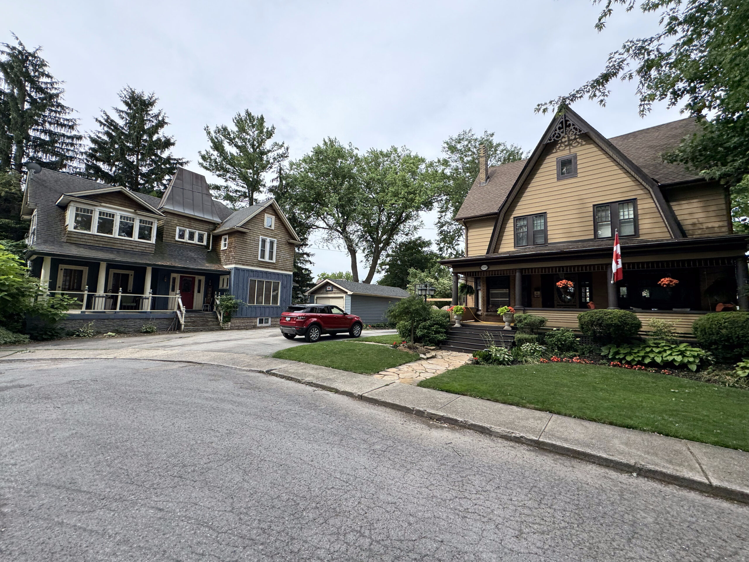
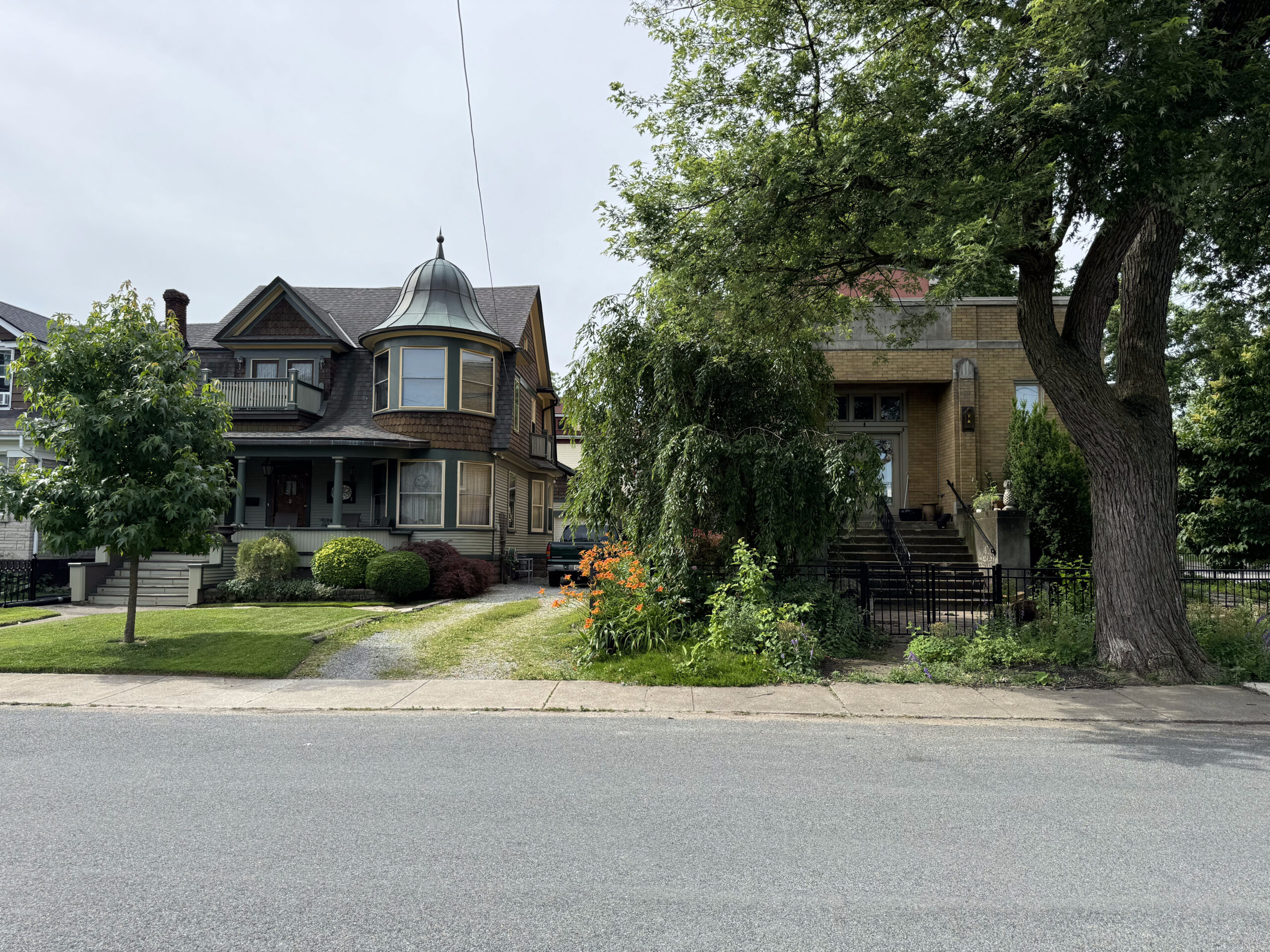
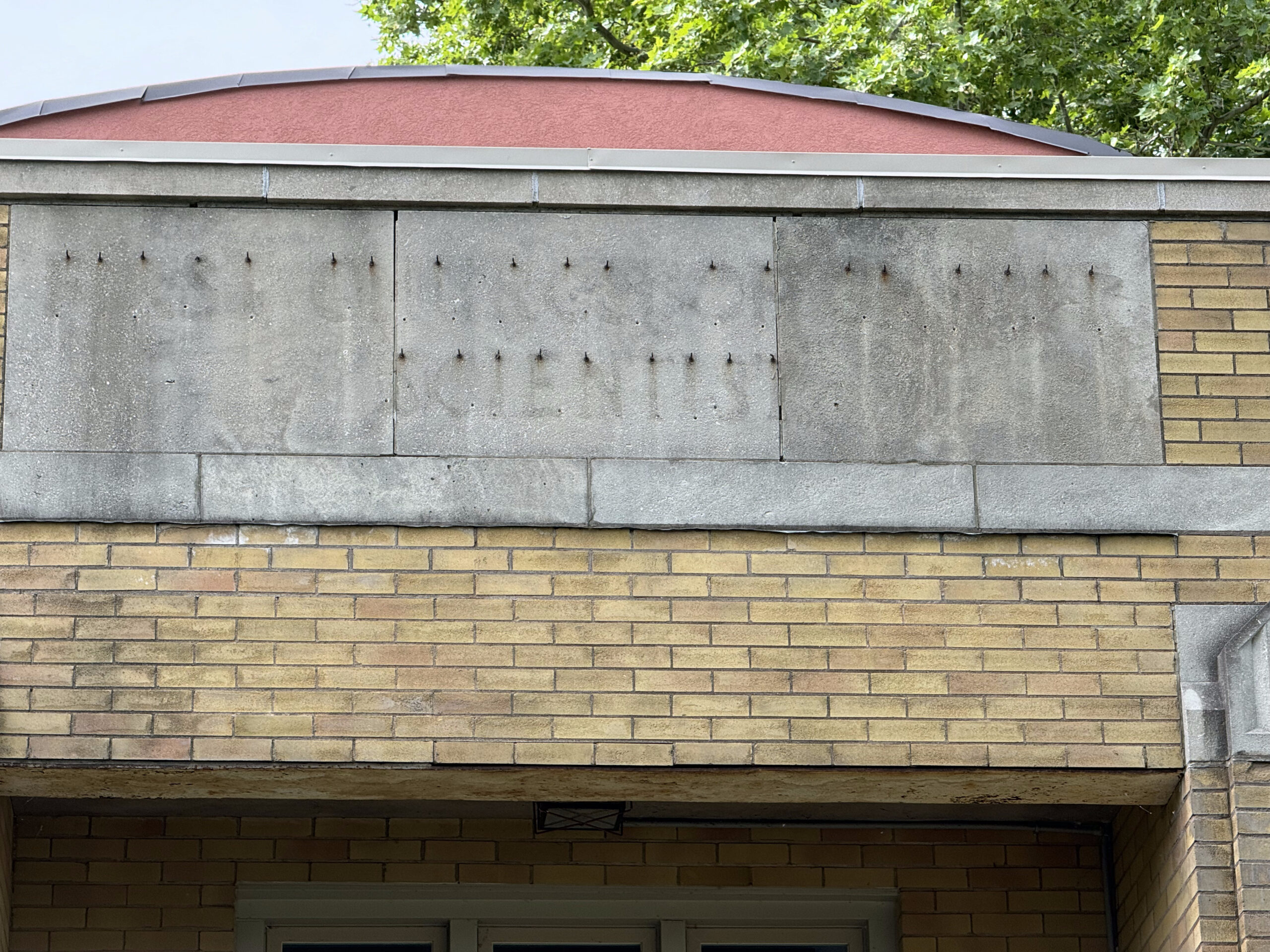
The house on the right was a Christian Scientist Church. The architecture caught my eye, and then the words left behind when the sign was removed. It’s on Niagara Falls list of historic buildings, but there isn’t any information about it.
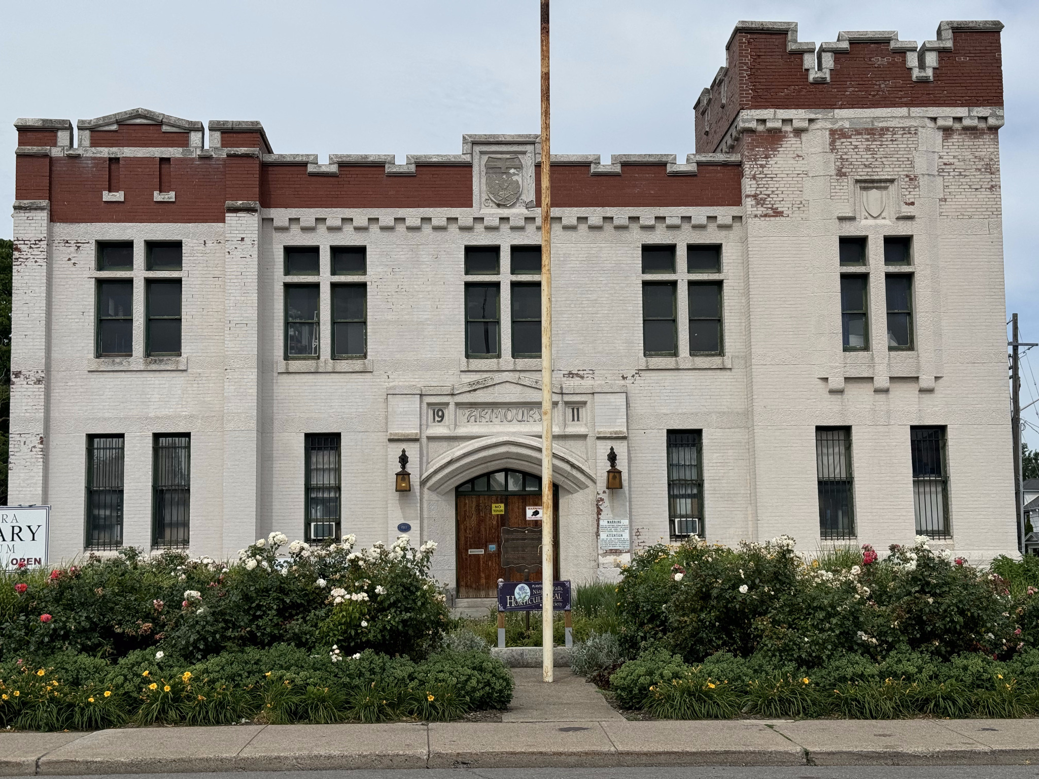
Here’s a link to the walk that I incorporated into our ride, in case you’d like to read more about some of these buildings. Our first stop was the Niagara Falls armoury, which was built in 1911 and is now used as the Niagara military museum.
The next building began life has the Niagara Falls Carnegie Library. We found it challenging to find it because it was covered in scaffolding, as it’s being turned into supportive housing. It was built in 1910 in the Beaux-Arts architectural style.
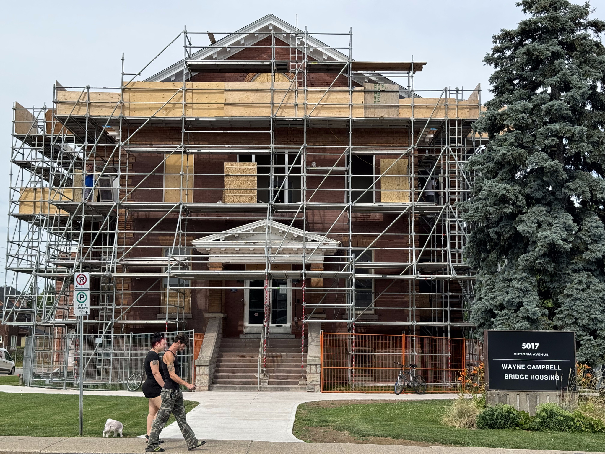
Andrew Carnegie was a Scottish American businessman and philanthropist. A total of 2509 Carnegie libraries were built between 1883 and 1929. There were 125 built in Canada, 111 of which are in Ontario.
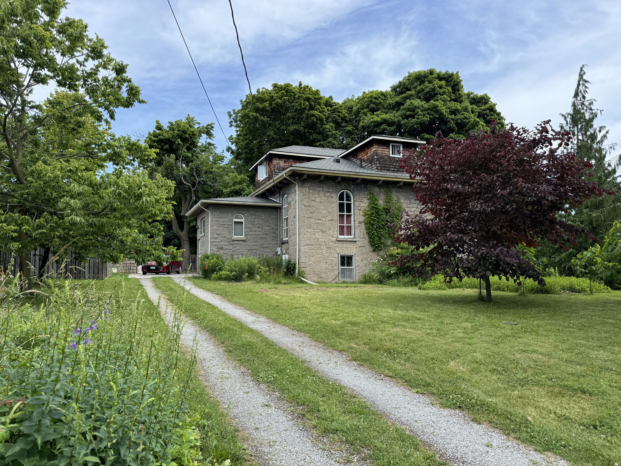
The next building was the first Bampfield house. It was constructed in the Regency style by James Bampfield and built in the 1880s.
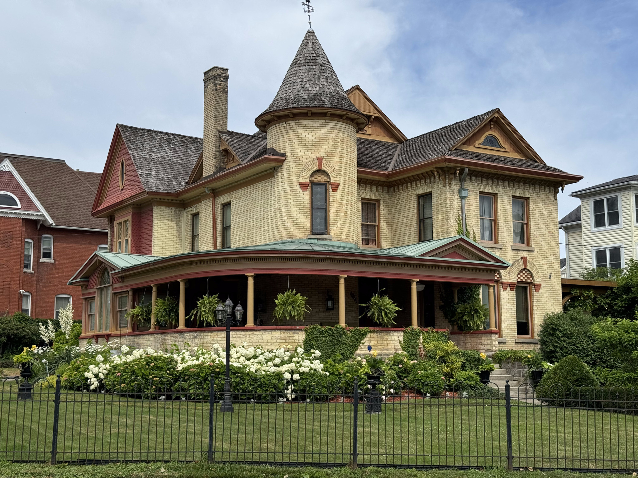
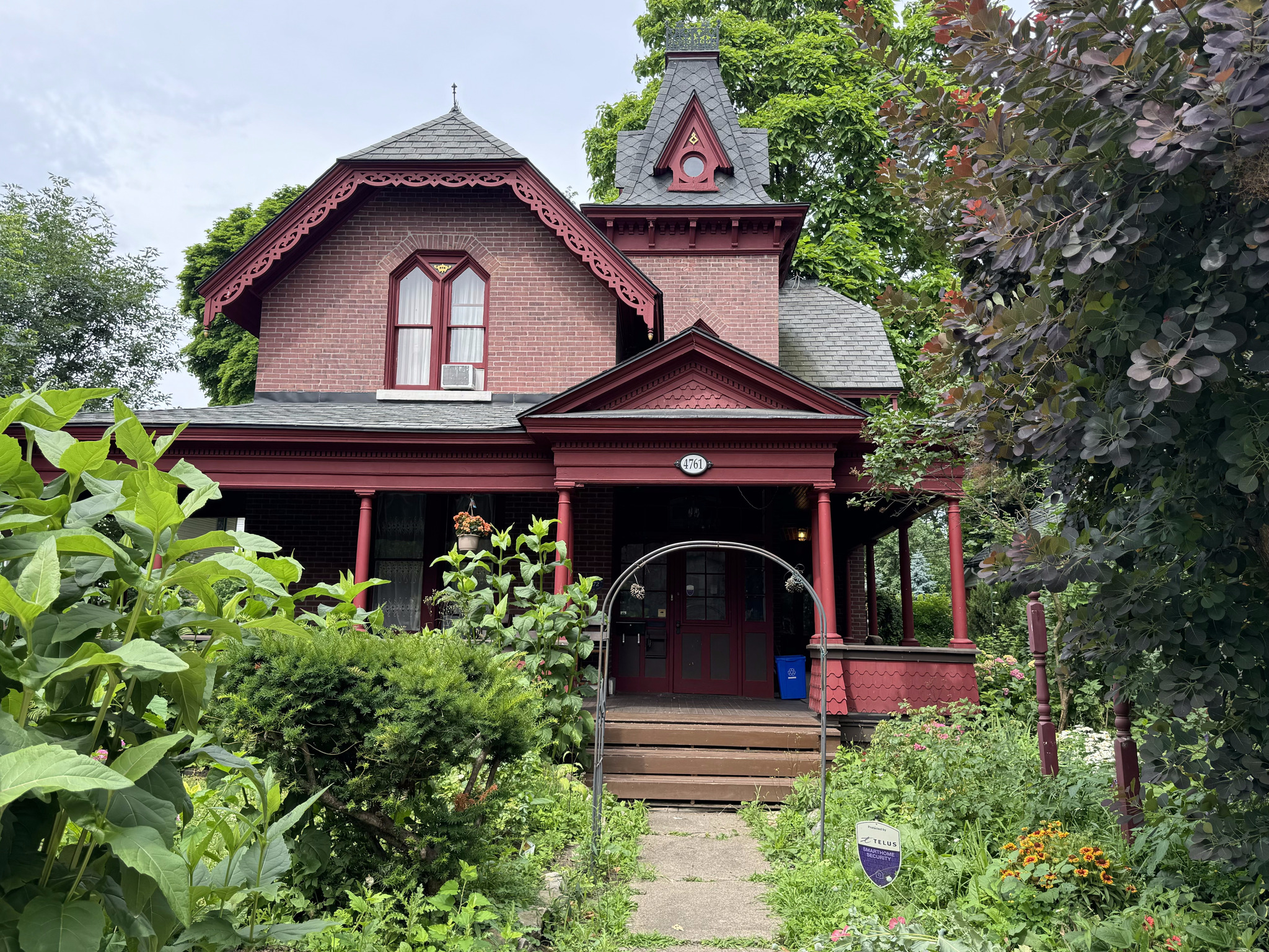
The Dorian Marchell residence was built in 1886 by prominent businessman, WL Doran, and his one that many people are probably familiar with who have driven between Niagara on the lake and Niagara Falls along the Niagara Parkway. It is an example of the Queen Anne Revival style architecture.
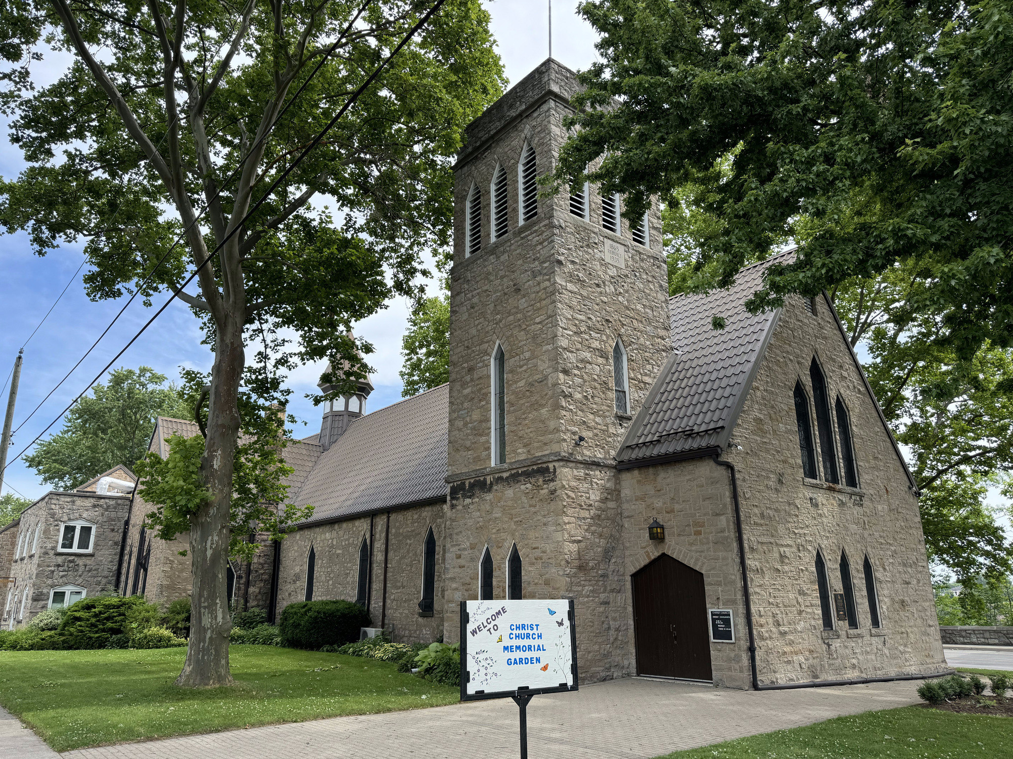
Christchurch was built in 1865, and added onto in 1879, and 1894. It had a ten bell carillon installed in 1912.
Bampfield Hall is an example of Gothic revival style and Second Empire Style. It was built in 1875 for James Bampfield’s wife, Margaret. Today, it operates as a bed-and-breakfast.
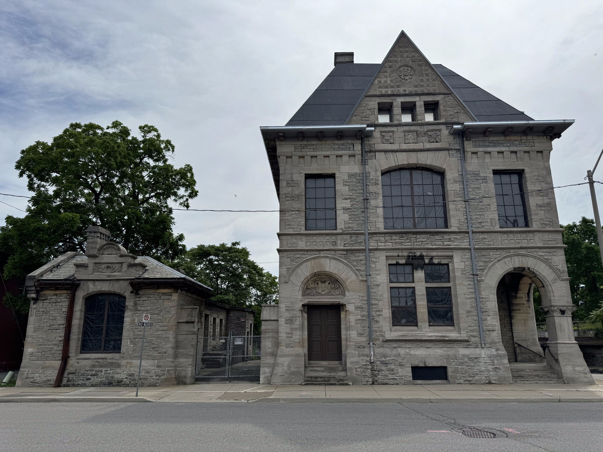
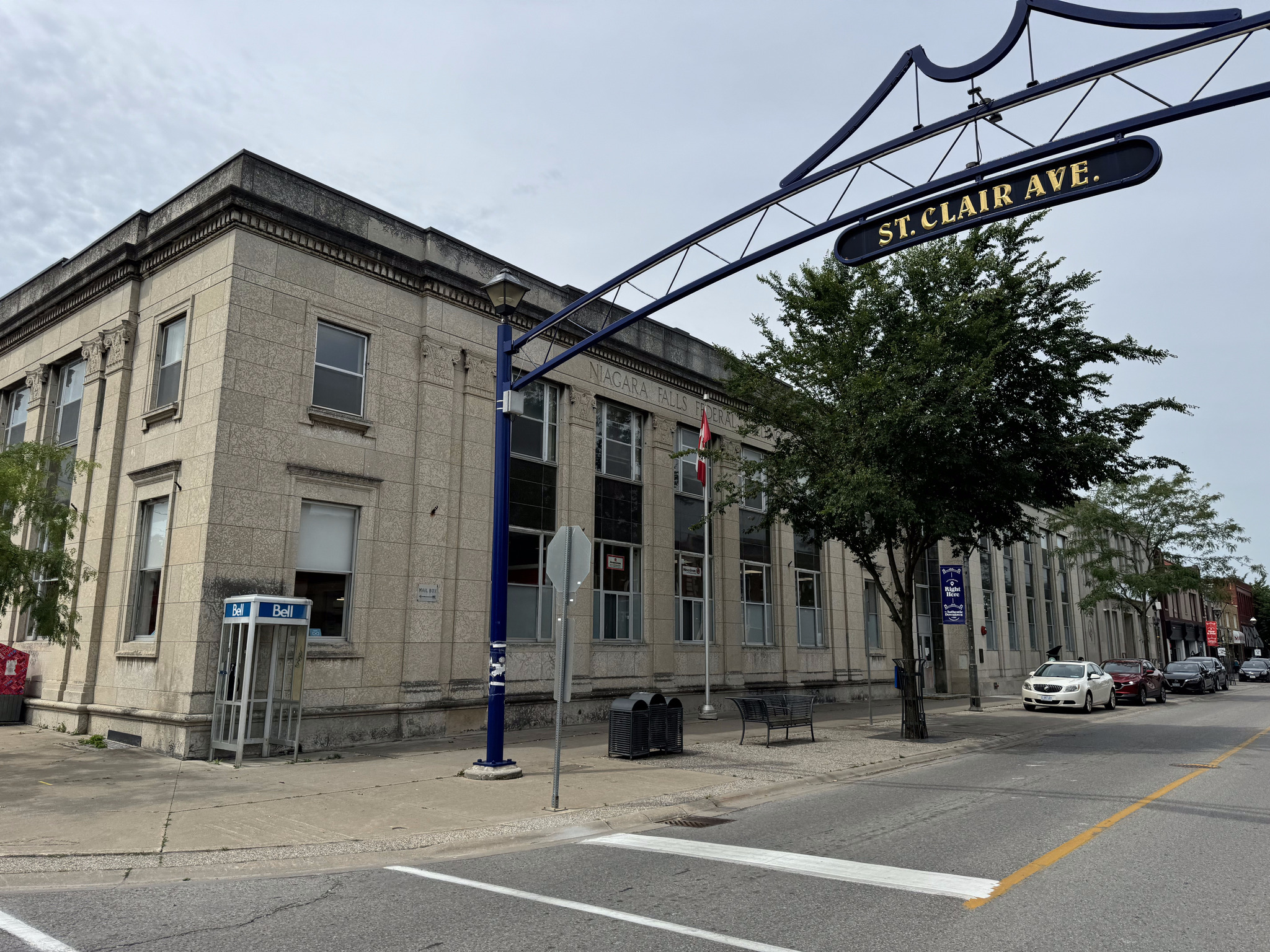
The old post office and customs house is near the train station. It’s a three-story Romanus revival building constructed by Thomas Fuller in 1885. He is the same man that was one of the architects working on the New York State capital building, which we visited in Albany. He also designed the Canadian Parliament buildings.
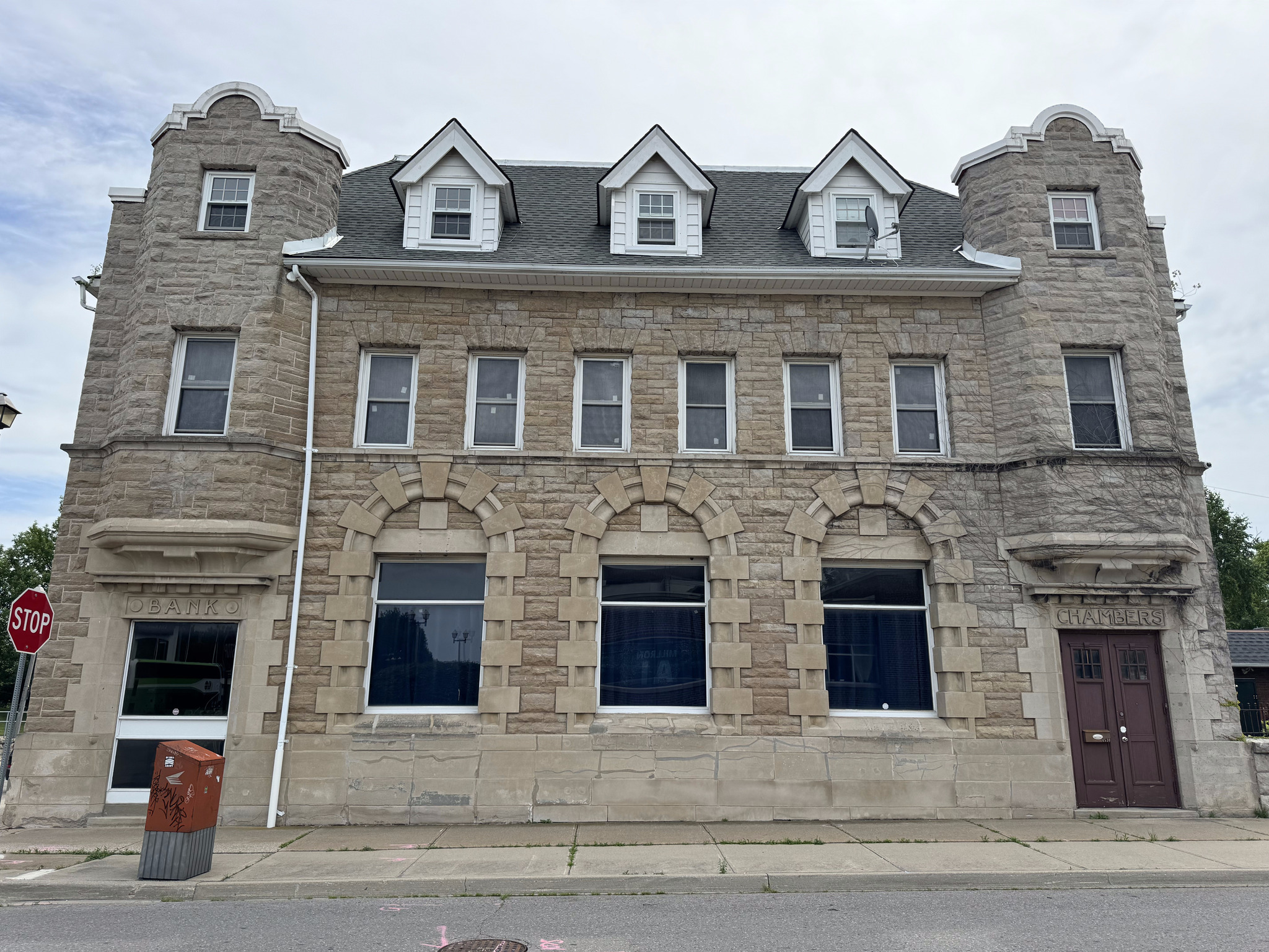
The old imperial bank is made of limestone and constructed in 1906. It is a blend of Roman revival and French renaissance styles.
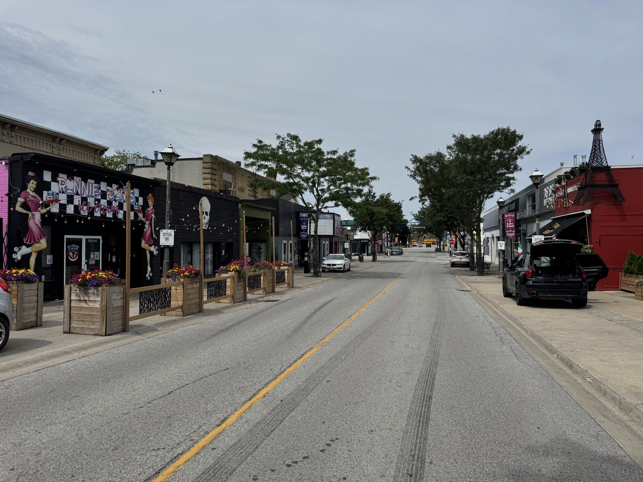
We then travelled the length of Queen Street, a typical Ontario downtown street, with two or three-story buildings, with retail on the main floor, lining the street. I had never been here before and was quite impressed.
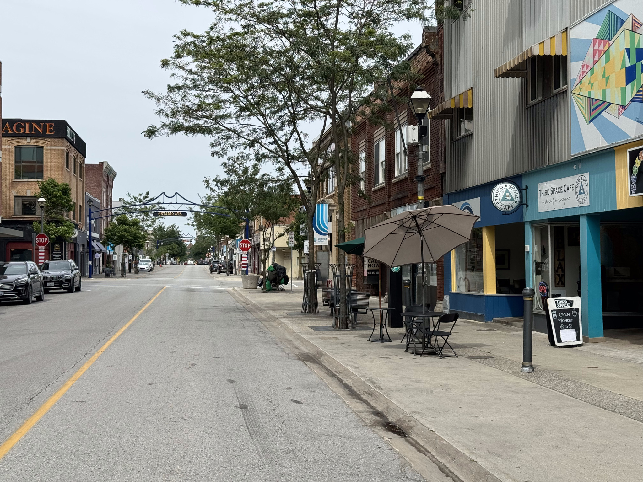
They have nice gateways at each of the streets and outing, the cross street names.
There are lots of restaurants along the street.
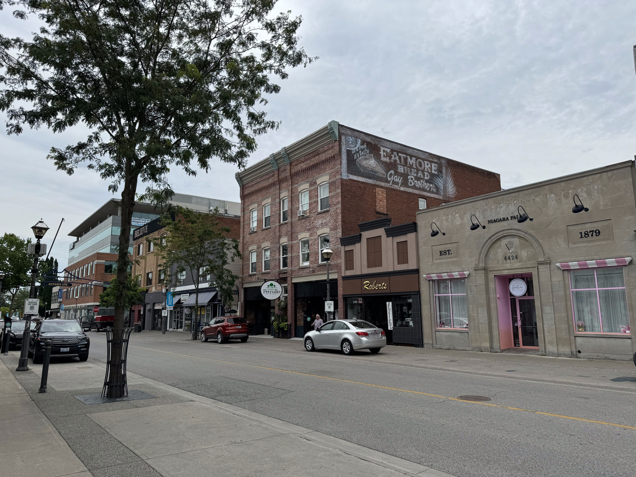
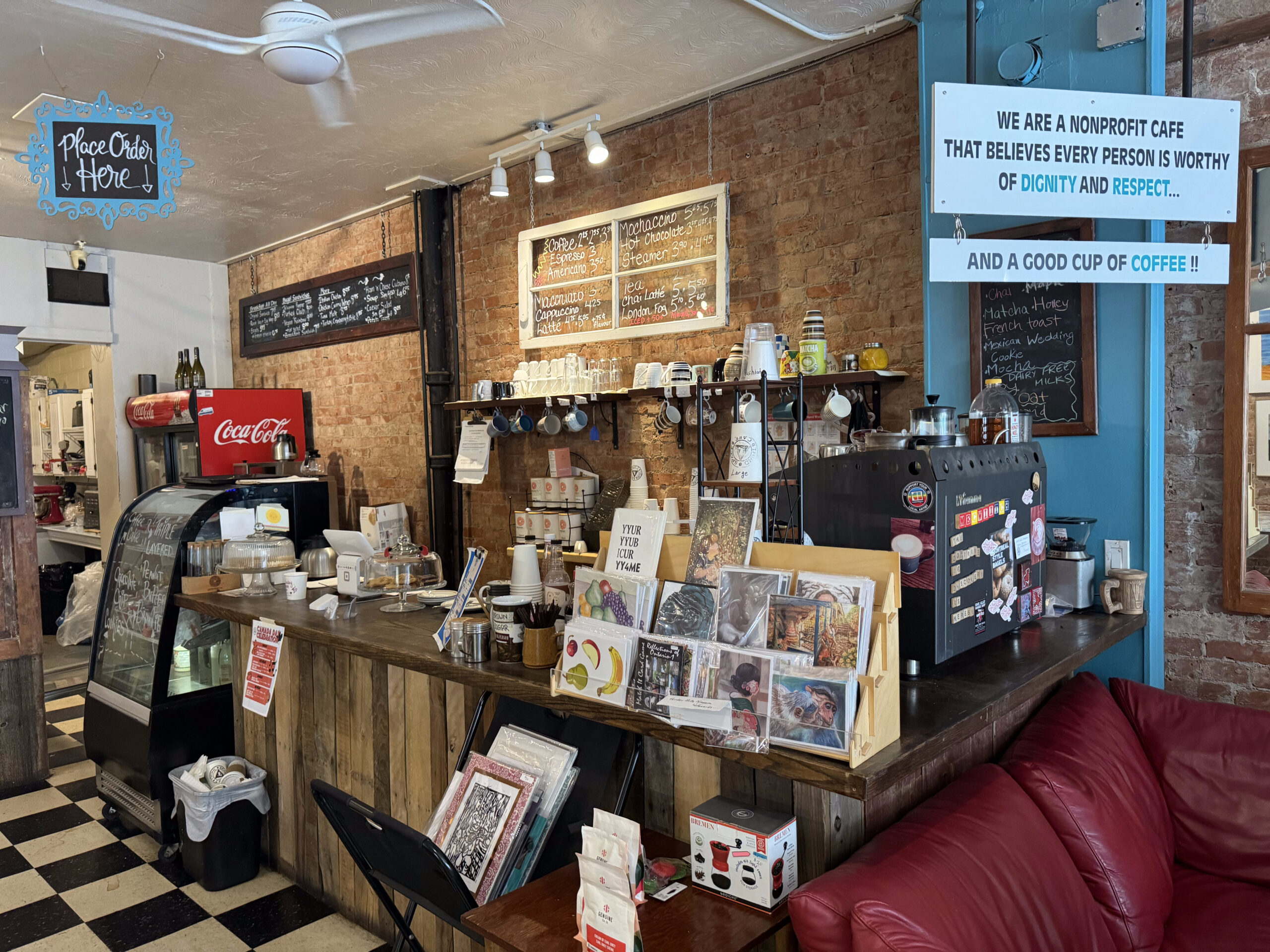
We decided to stop at the Third Space Café. It’s a nonprofit café funded by a local church. It doesn’t open until the public until 9 AM. Prior to that, it feeds people in need and provides them and allows them to use the bathroom.
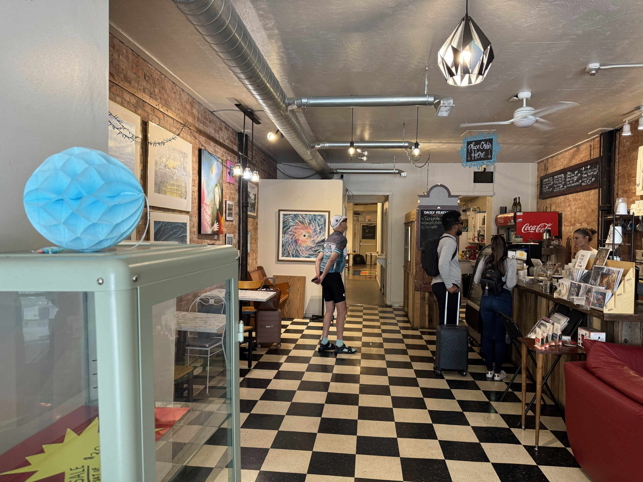
I would highly recommend the café, not only for their civic oriented activity, but for the friendly staff, interesting space, and excellent food and coffee.
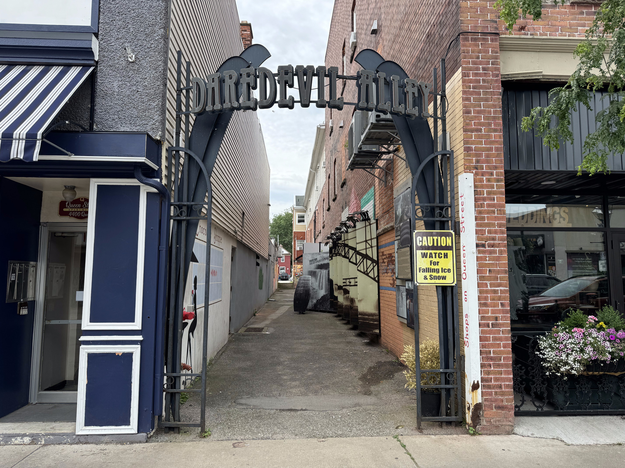
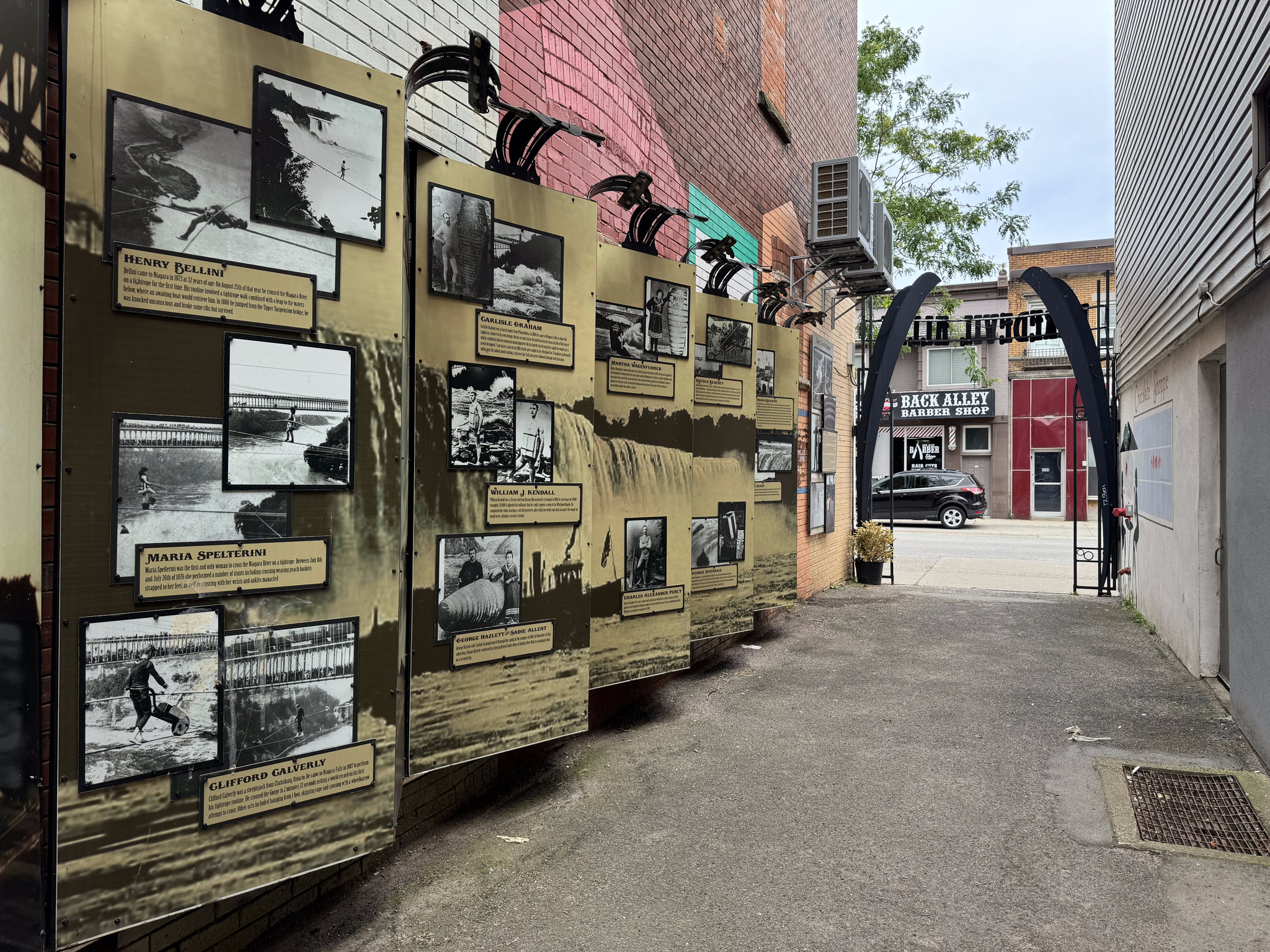
There’s a small alley called the daredevil alley, which has pictures and descriptions of various daredevils traversing the falls or going over the in barrels.
The final historic building on the tour was the Niagara Falls train station, which, I didn’t get a great picture of. It was constructed in 1879 and Gothic revival style. You can see it here in the background as we wait on the platform to board the very popular GO train to Toronto.
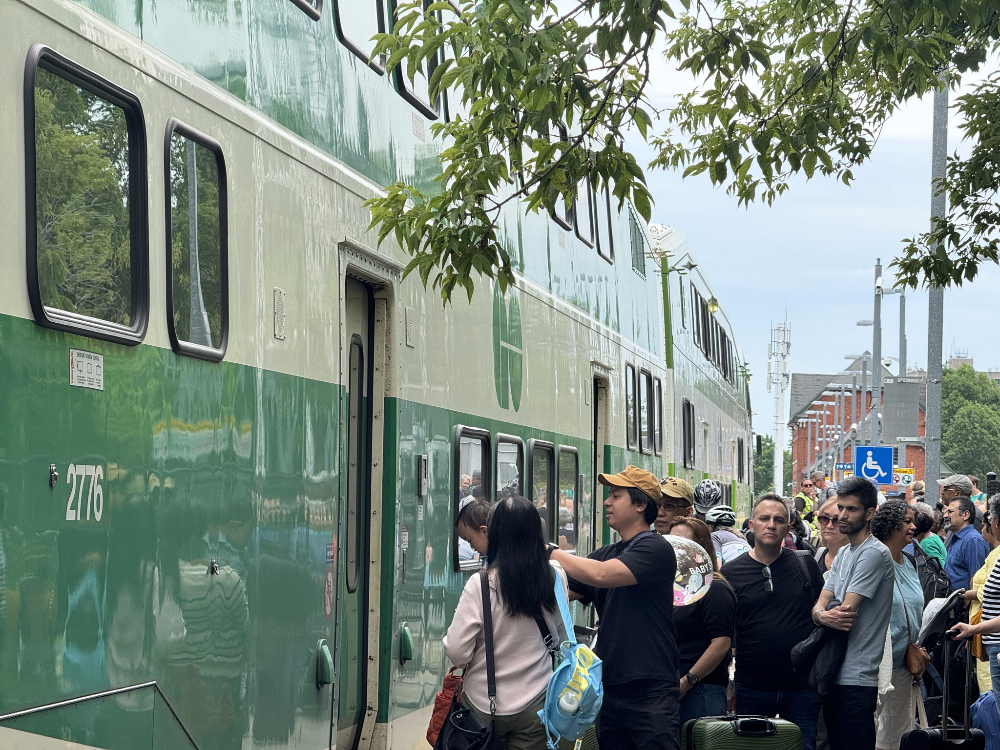
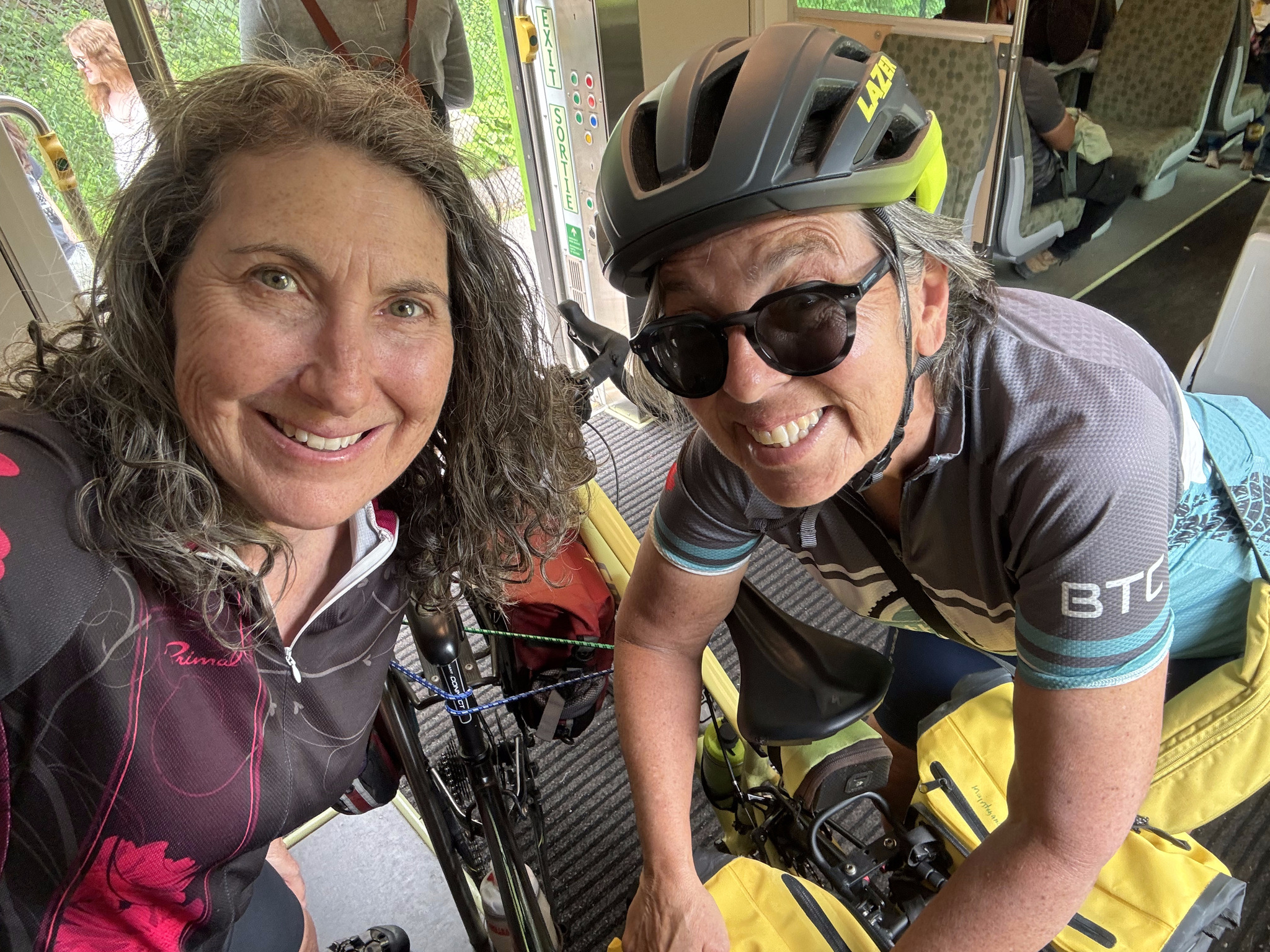
Here we are on board.
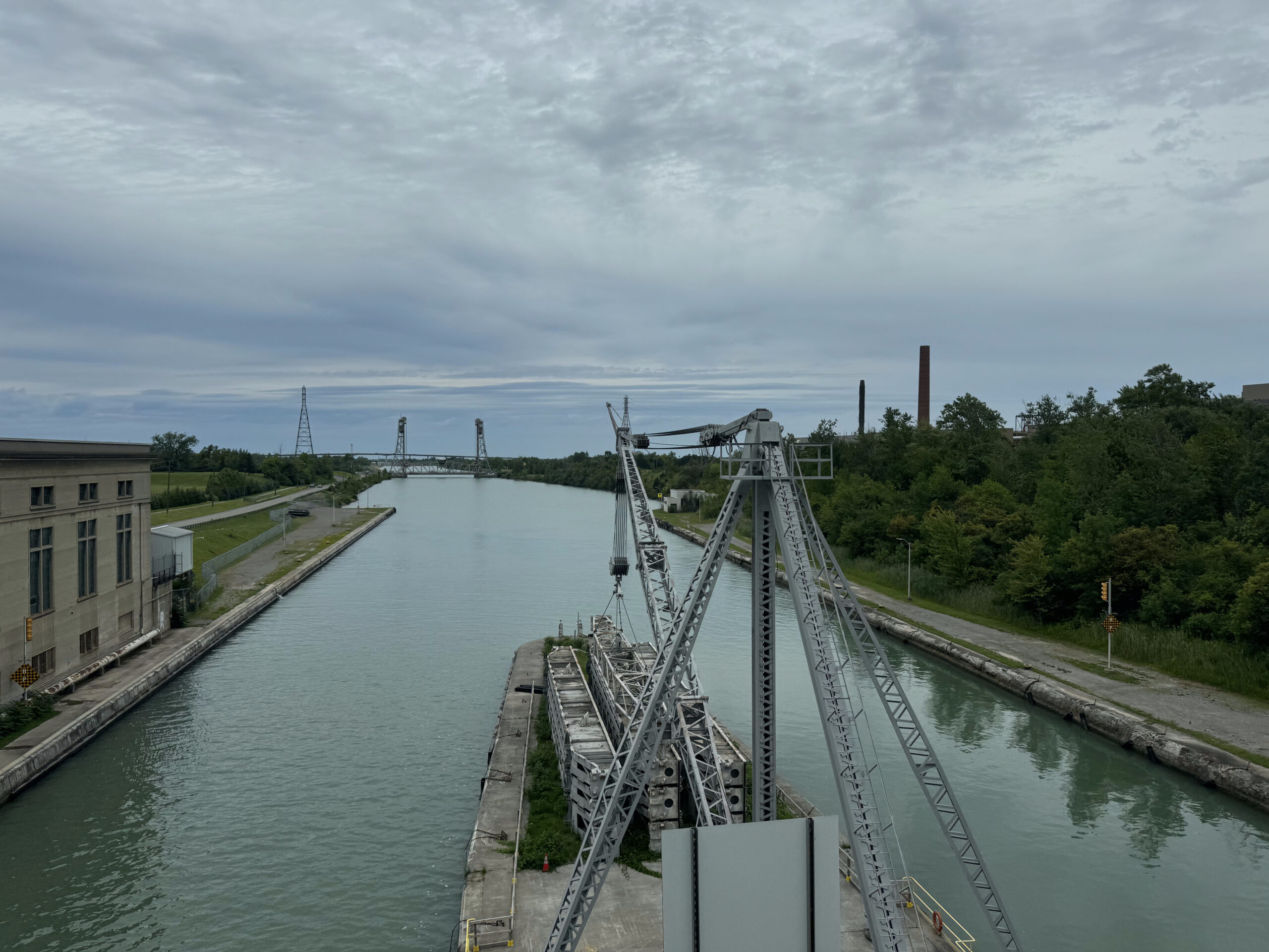
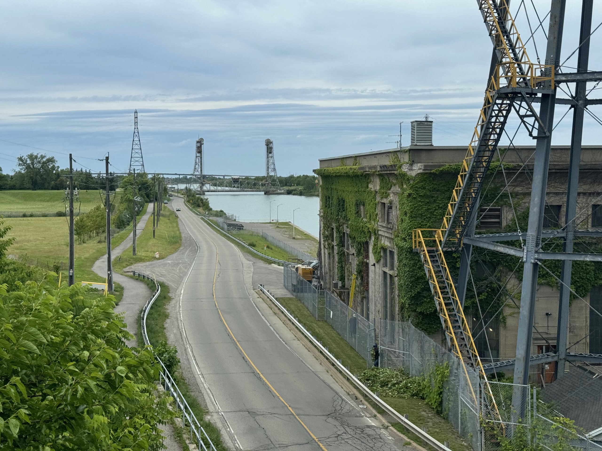
The train crosses the Welland Canal. I wrote about riding that here and here a few years ago.
I had another short train nap. We disembarked at Park credit and kept a close eye on the weather, which was quite threatening. As we approached Square One, rain started to fall heavily.
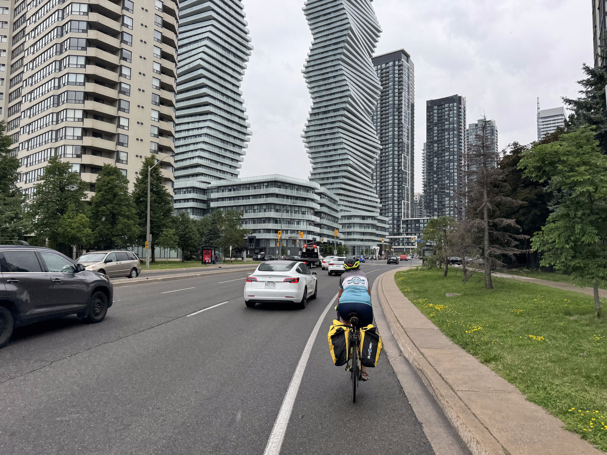
We took shelter in a bus stop and Cindy and I decided, since we had already purchased a group pass for the GO Train for the day, to ride over to the transit area at Square One and catch the GO bus to Bramalea GO. We had a choice of three different routes going directly to Bramalea GO. There wasn’t a transit route that would have gotten David and Dayle home faster than they could ride, so they continued riding.
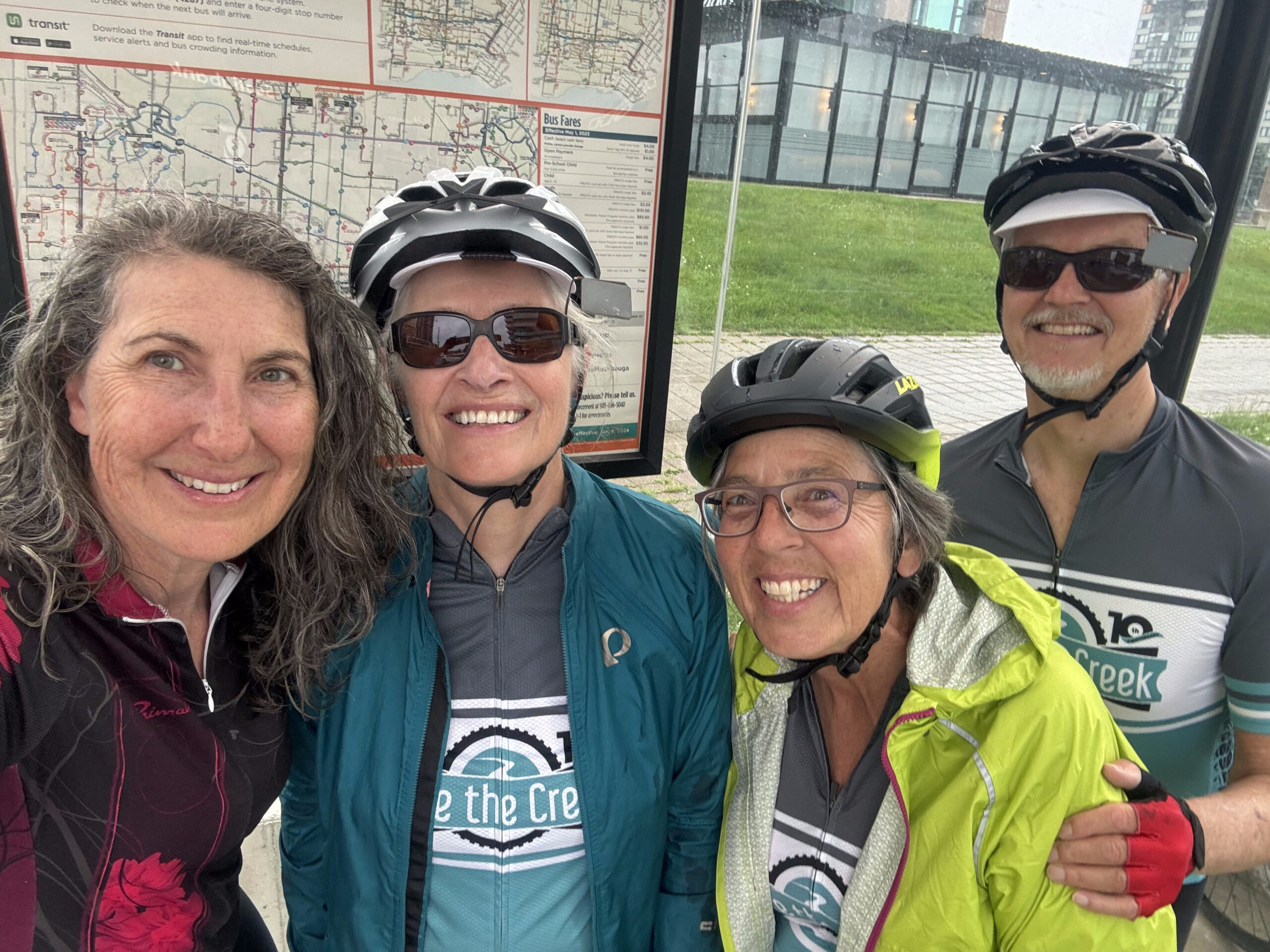
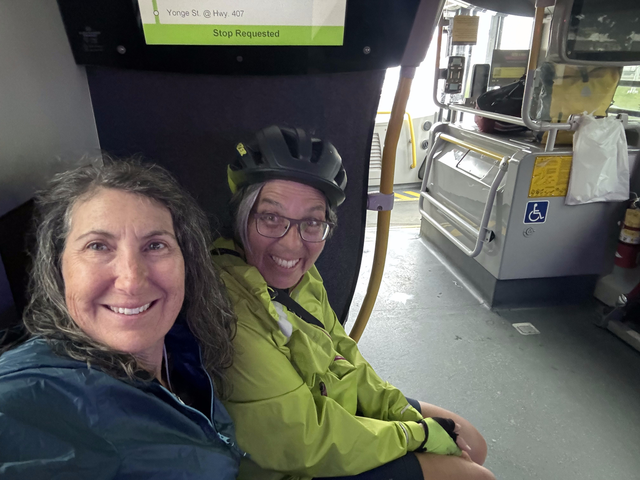
The rain stopped shortly after I started heading north from the station, and it was quite pleasant by the time I arrived home. It was the wettest I had gotten on the entire 13-day trip, and with the use of the go bus during the worst of the rain, it really wasn’t all that bad.
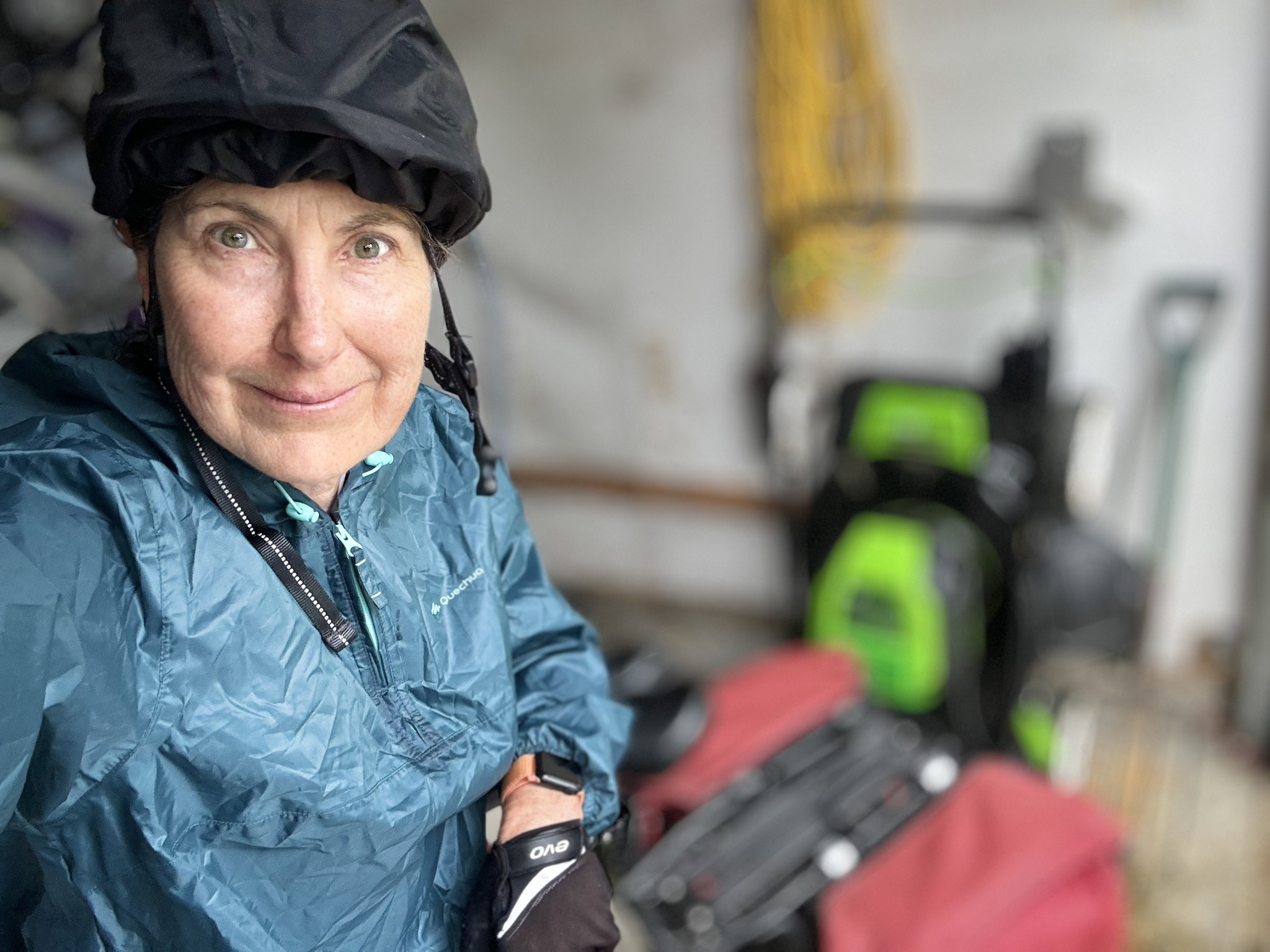
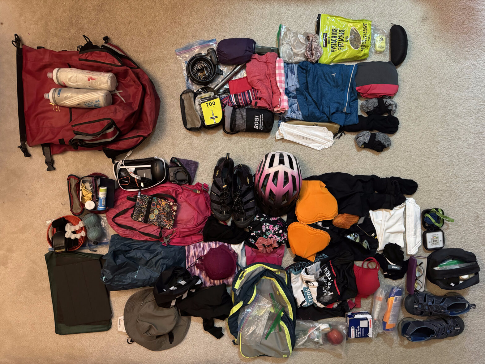
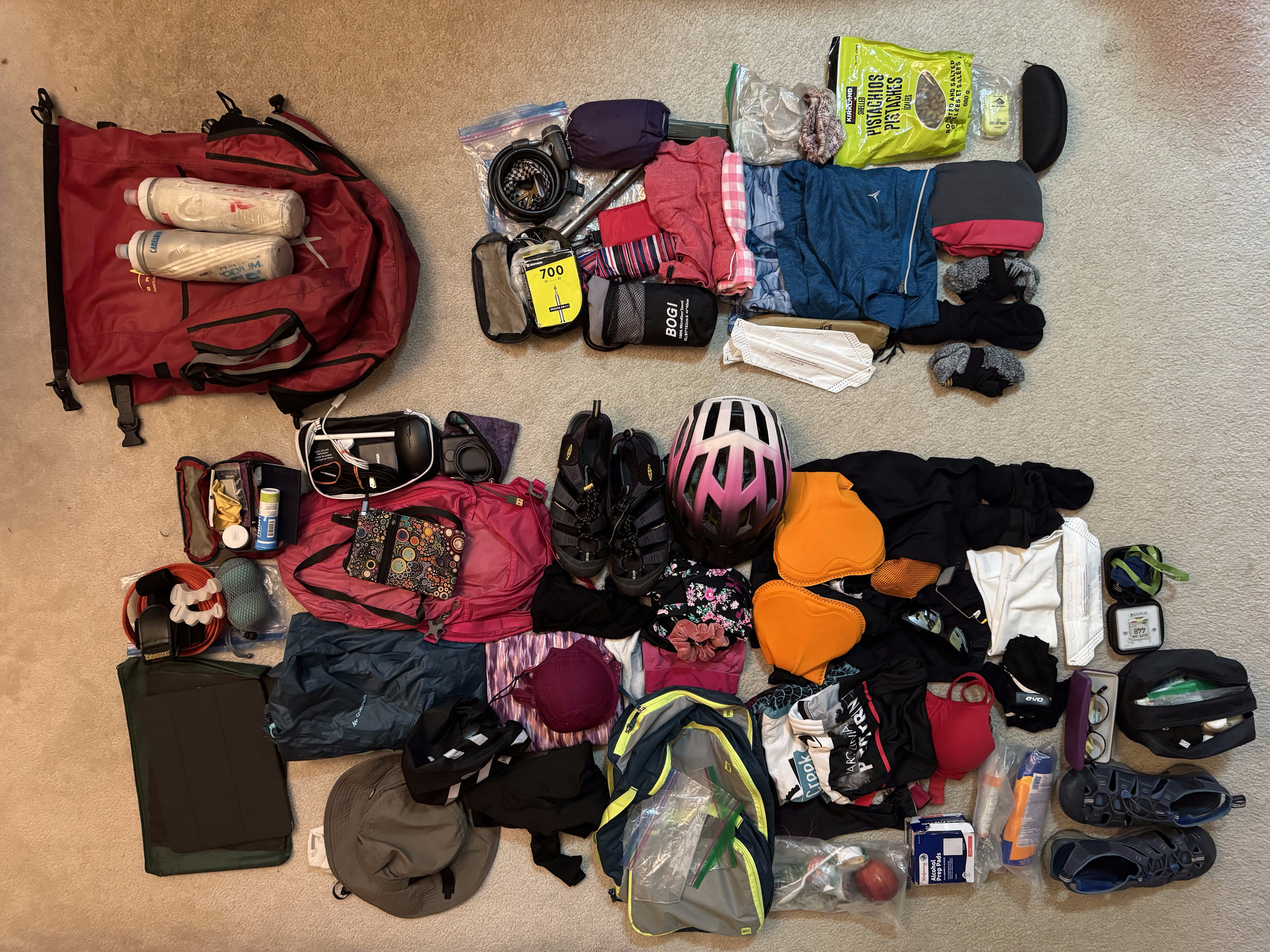
When I unpacked, I separated everything into what I used and what I didn’t, for future reference for a self supported trip. What I didn’t use is at the top right. Some of that I would have to take anyway, for example, the pump and the tire repair kit. Four bikes, 13 days, no flat tires. I think that’s a record for us. But we won’t always be so lucky. I didn’t need three cycling kits. I could’ve just done more handwashing. And, because the weather was so warm I never needed the long sleeve quarter zip top or full length tights. I also decided that the little cups of peanut butter from breakfast made for better on-the-road snacks than the bag of pistachios. And the others always locked my bike up with their locks, so I never used mine.
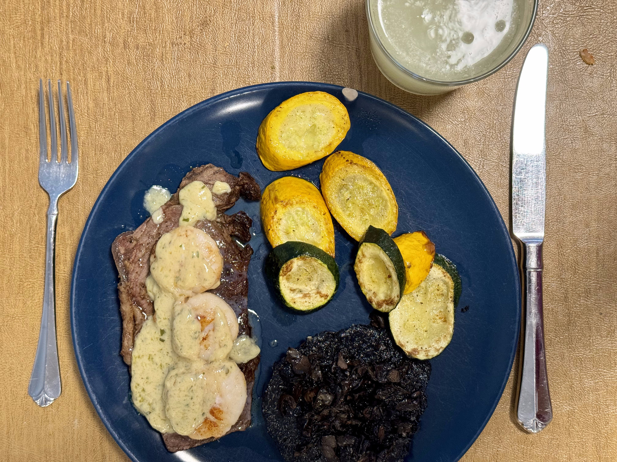
Michael made me one of the best meals of the trip to celebrate my return – sirloin steak with shrimp and hollandaise sauce.
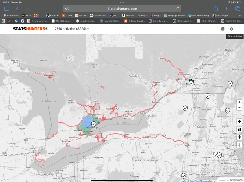
In total, I cycled just a couple kilometres short of 800 km on the trip. I got 365 new Statshunters tiles. Statshunters is a great website that lets you visualize all the places you’ve cycled, walked, etc, and has given me encouragement to ride in many new places. I have over 5000 tiles in total. I have a 29 x 29 max square, and almost 2000 tiles in my cluster. If you use Strava and enjoy digging into the statistics on your rides, I highly encourage you to try this website.
This was our longest, self supported trip, by far, at 13 days. It was a great experience with great people and, while there could definitely be improvements made to the Erie Canalway Trail, I am definitely glad to have had the experience, and would recommend it.
Discover more from Lisa Stokes
Subscribe to get the latest posts sent to your email.
