Hamilton 2025 – Day 4

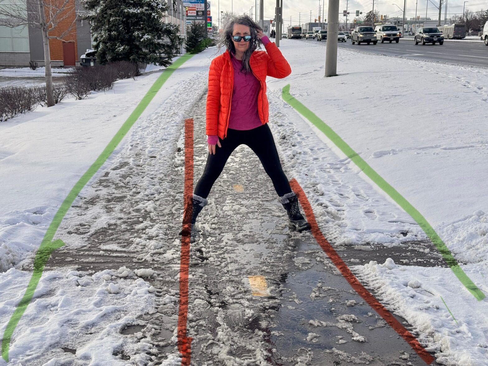
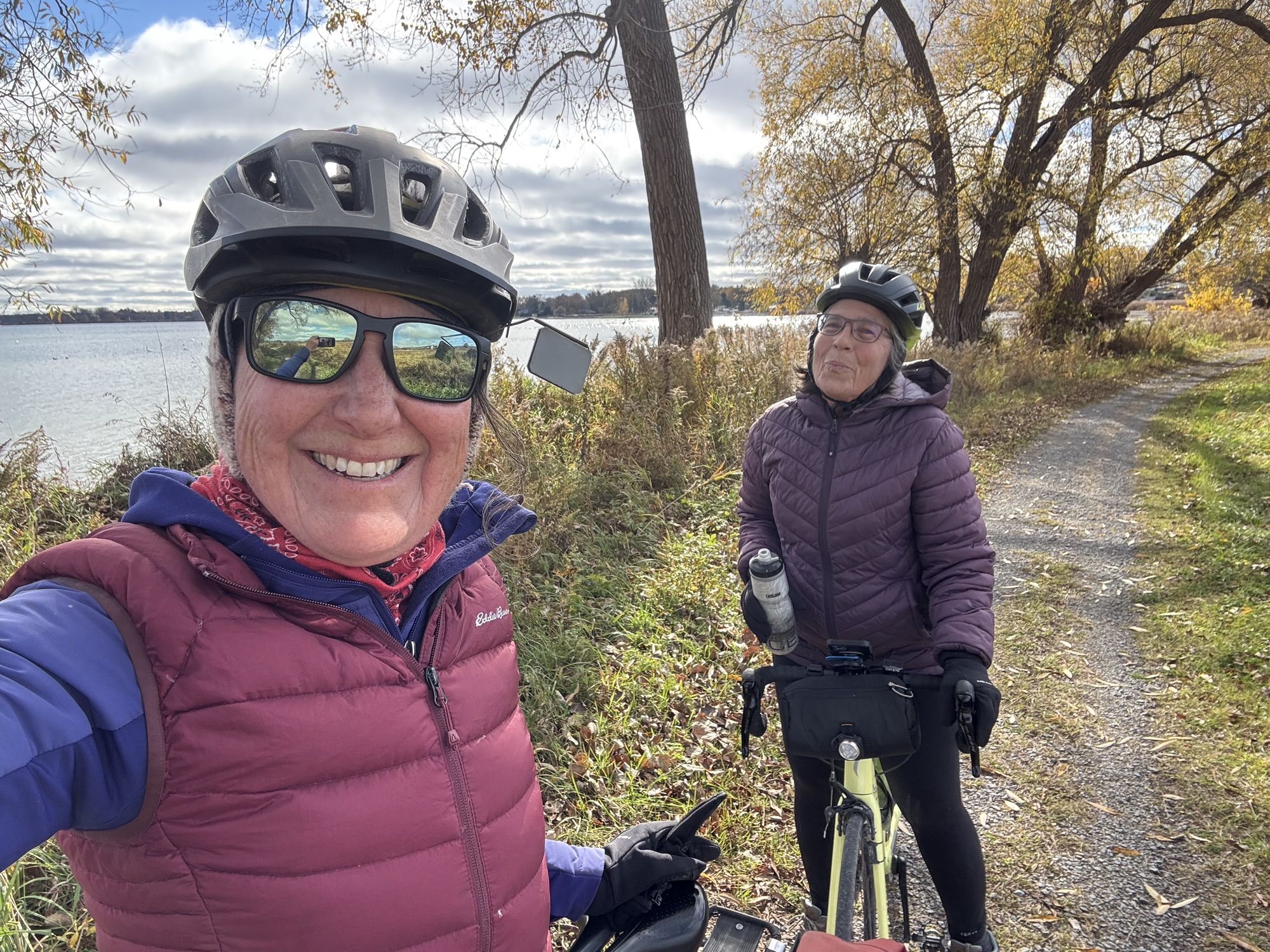
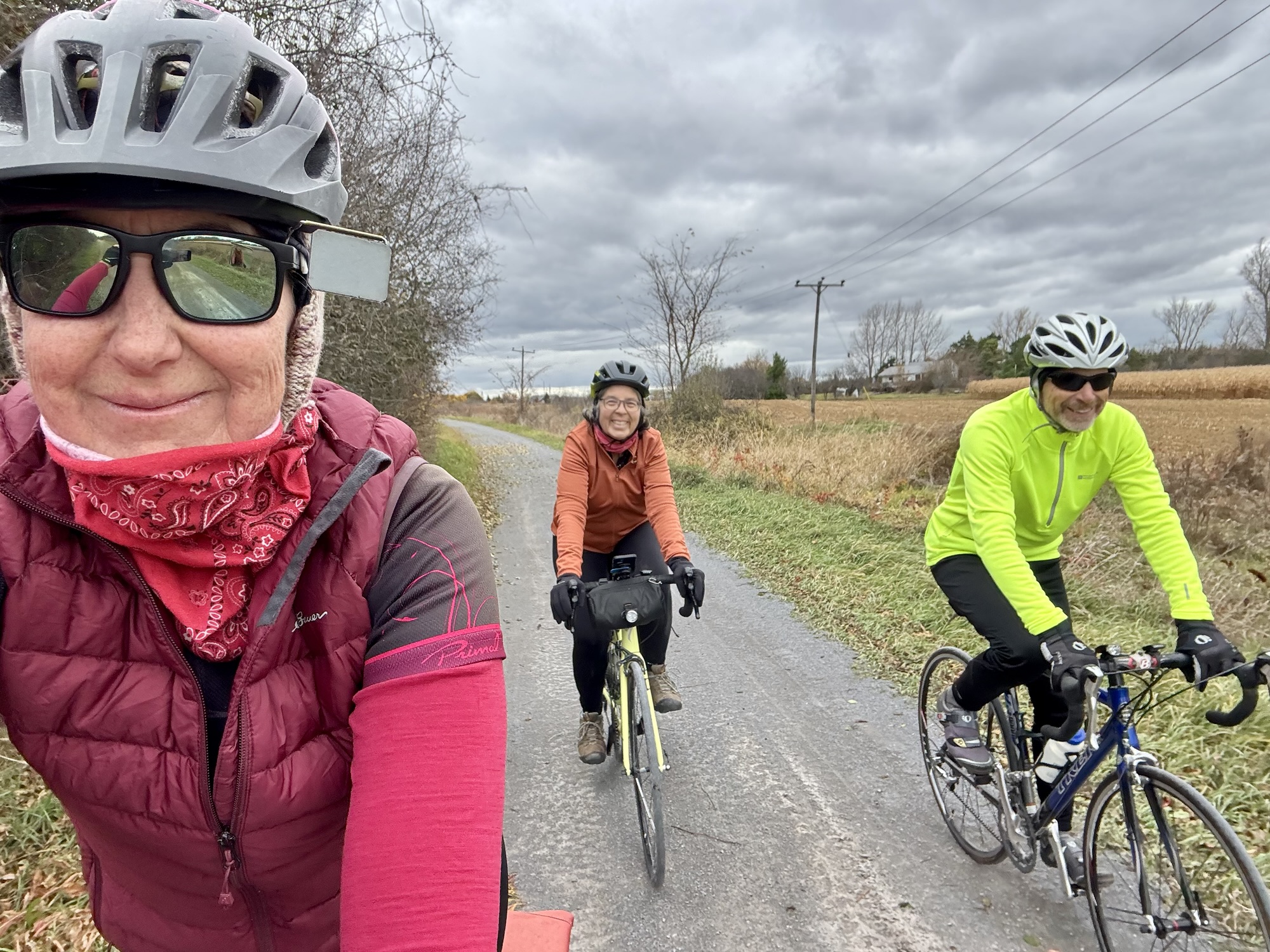
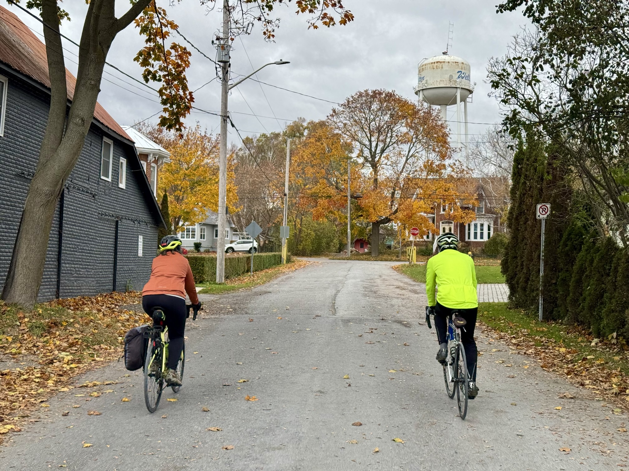
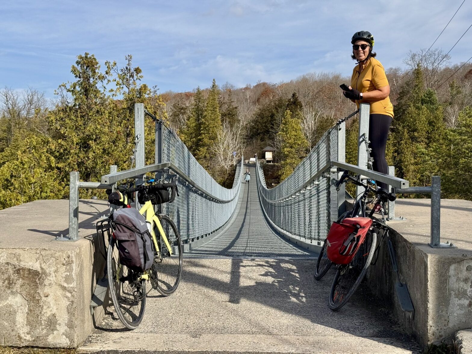
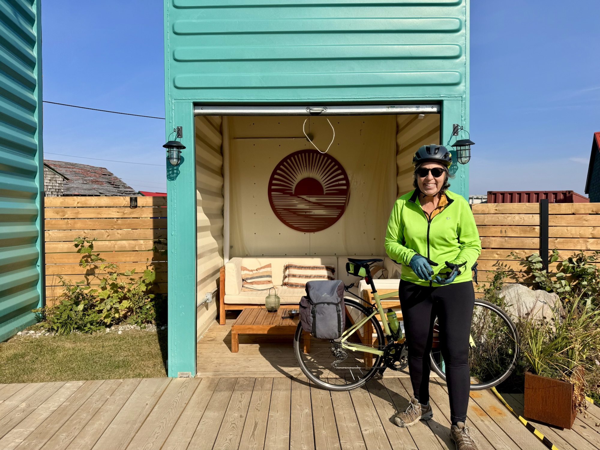
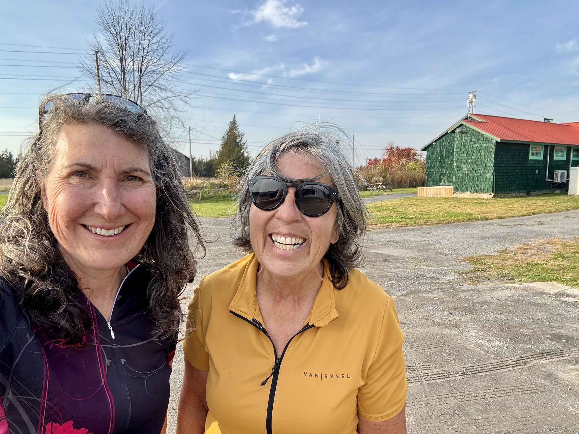
Alina got up at the crack of dawn to ride to Bramalea GO to catch the bus that arrived at Hamilton Centre GO Station at 8:55. She then rode the short distance over to where we are staying. After a bathroom and snack break we left about 9:30.

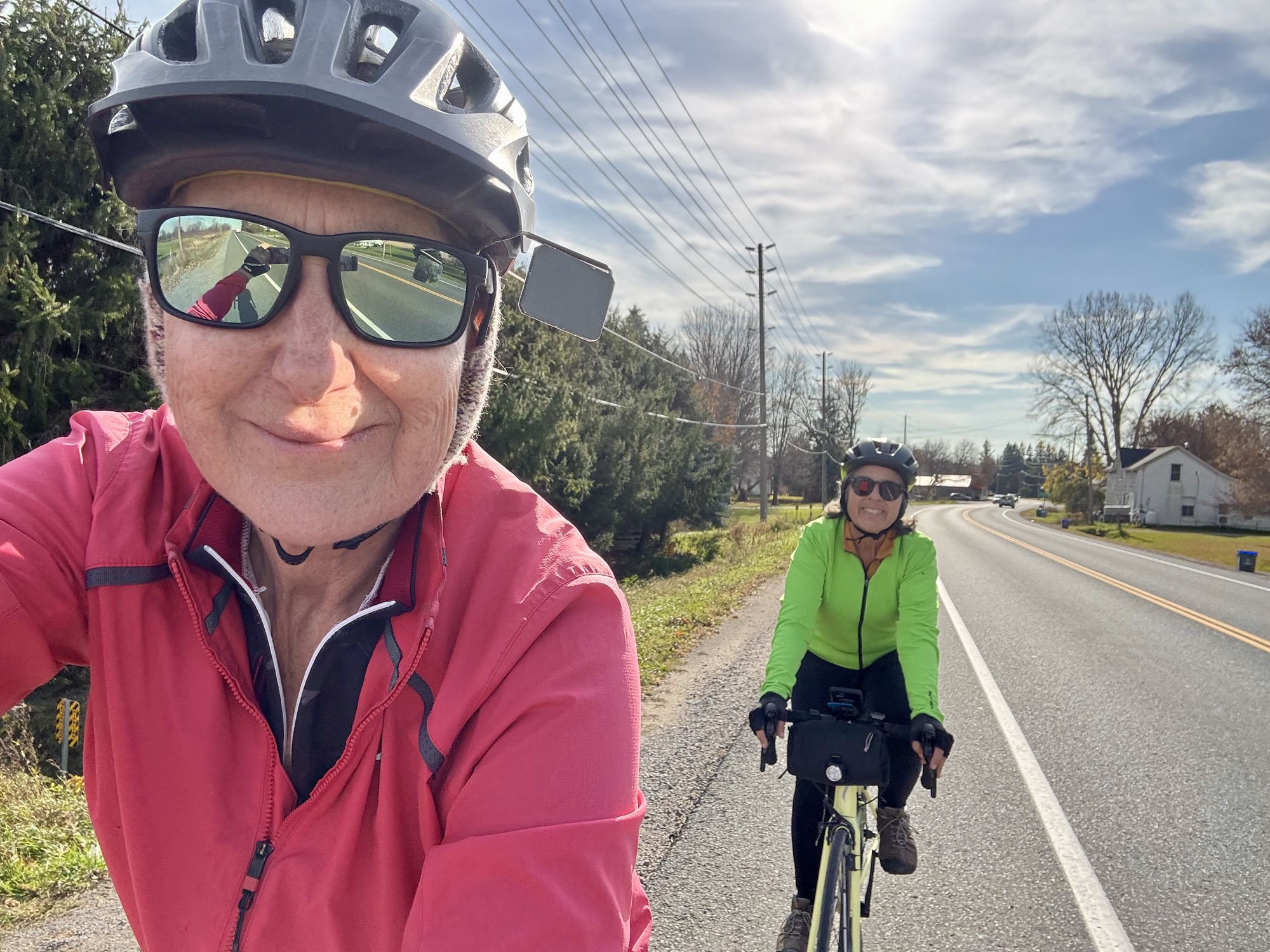
We are riding a loop that I have taken many friends on over the years since I first created the route in 2016. I wrote about it in September 2023 when I was cat sitting for my daughter, and Patti stayed with me for a few days of riding.

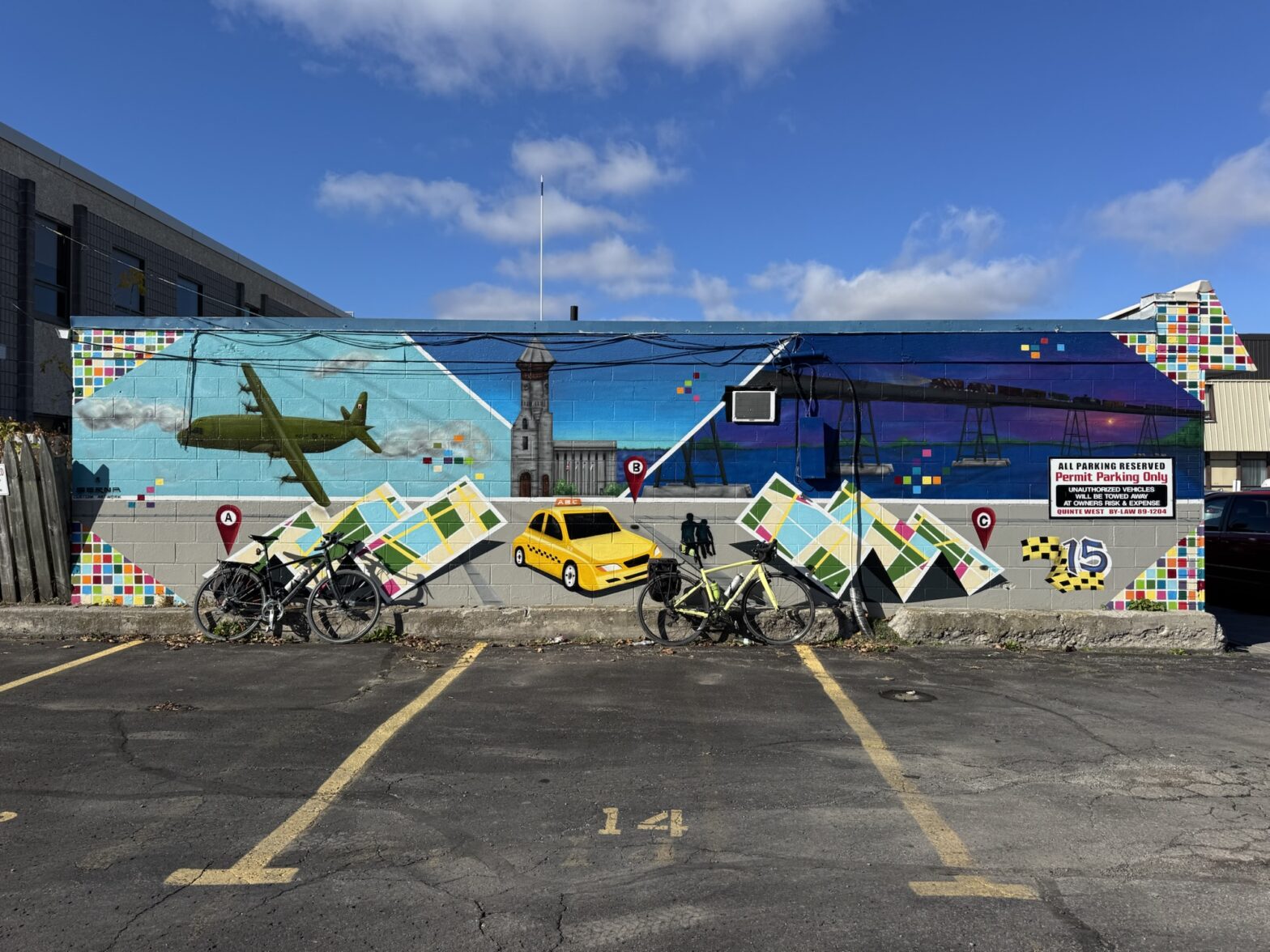
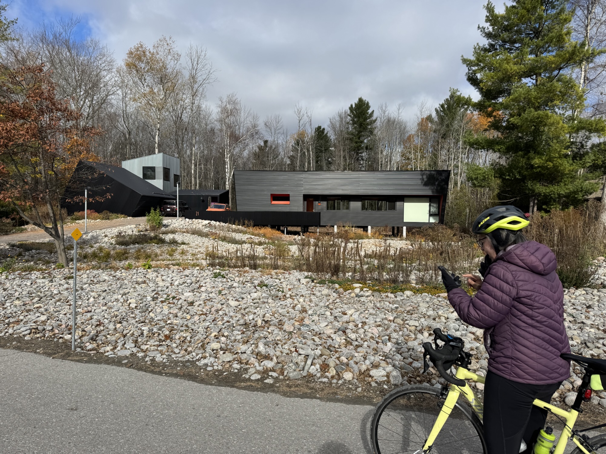
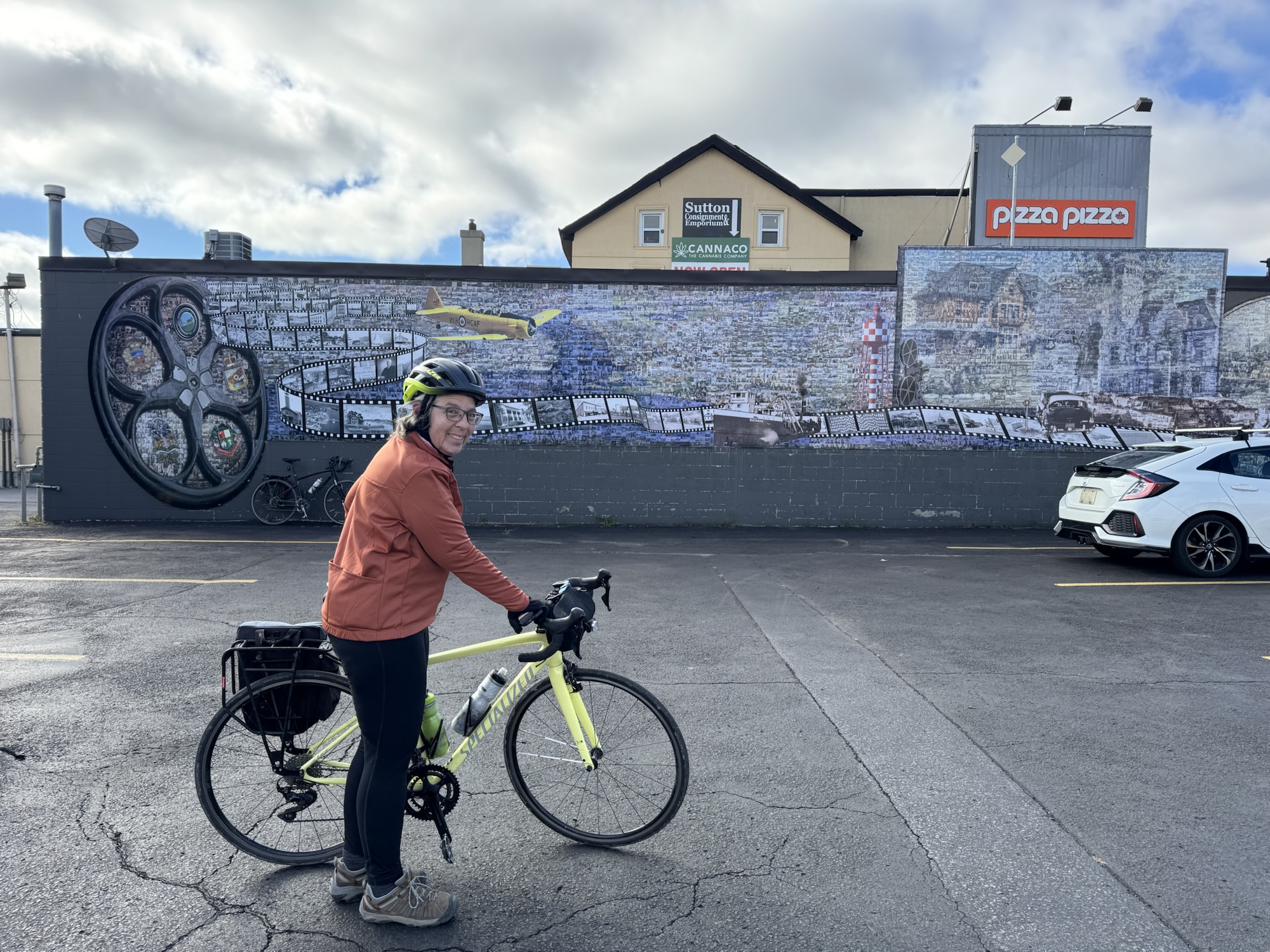
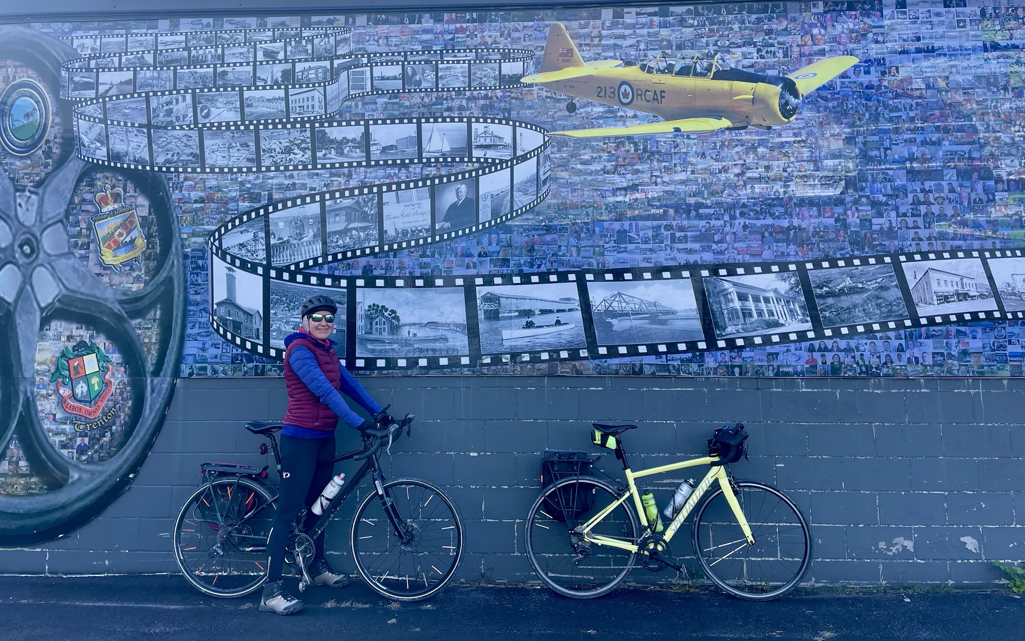
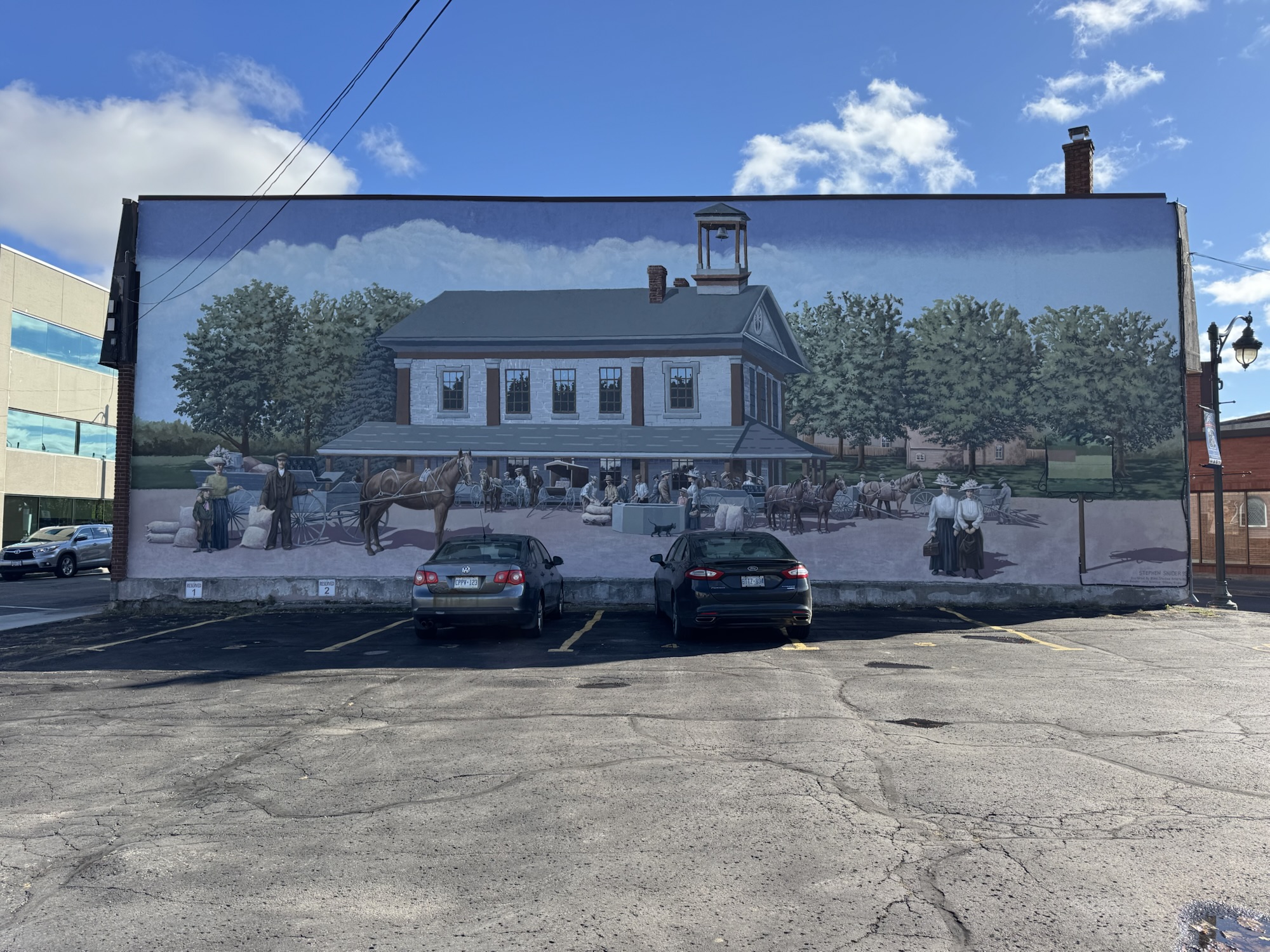
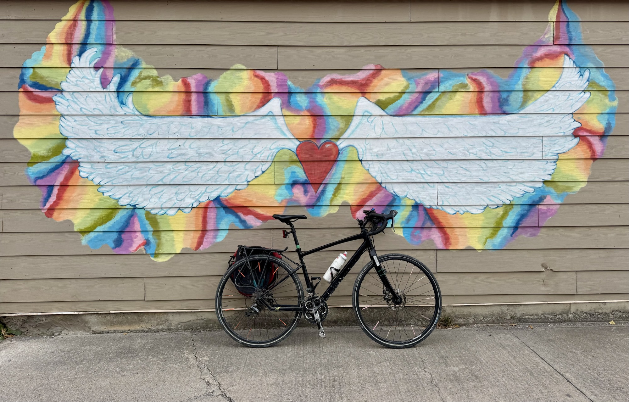
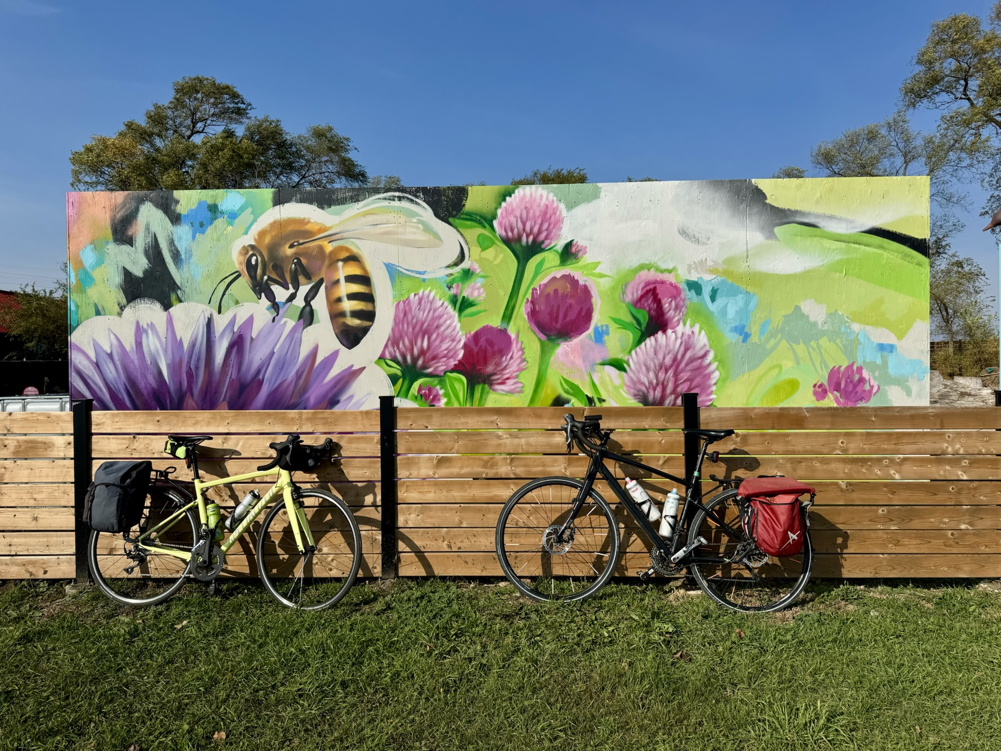
We took a starting picture in front of a Hamilton mural on Ferguson Avenue. There is a bigger picture of it in the blog post linked above and a description of my encounter with the artist who is touching it up.

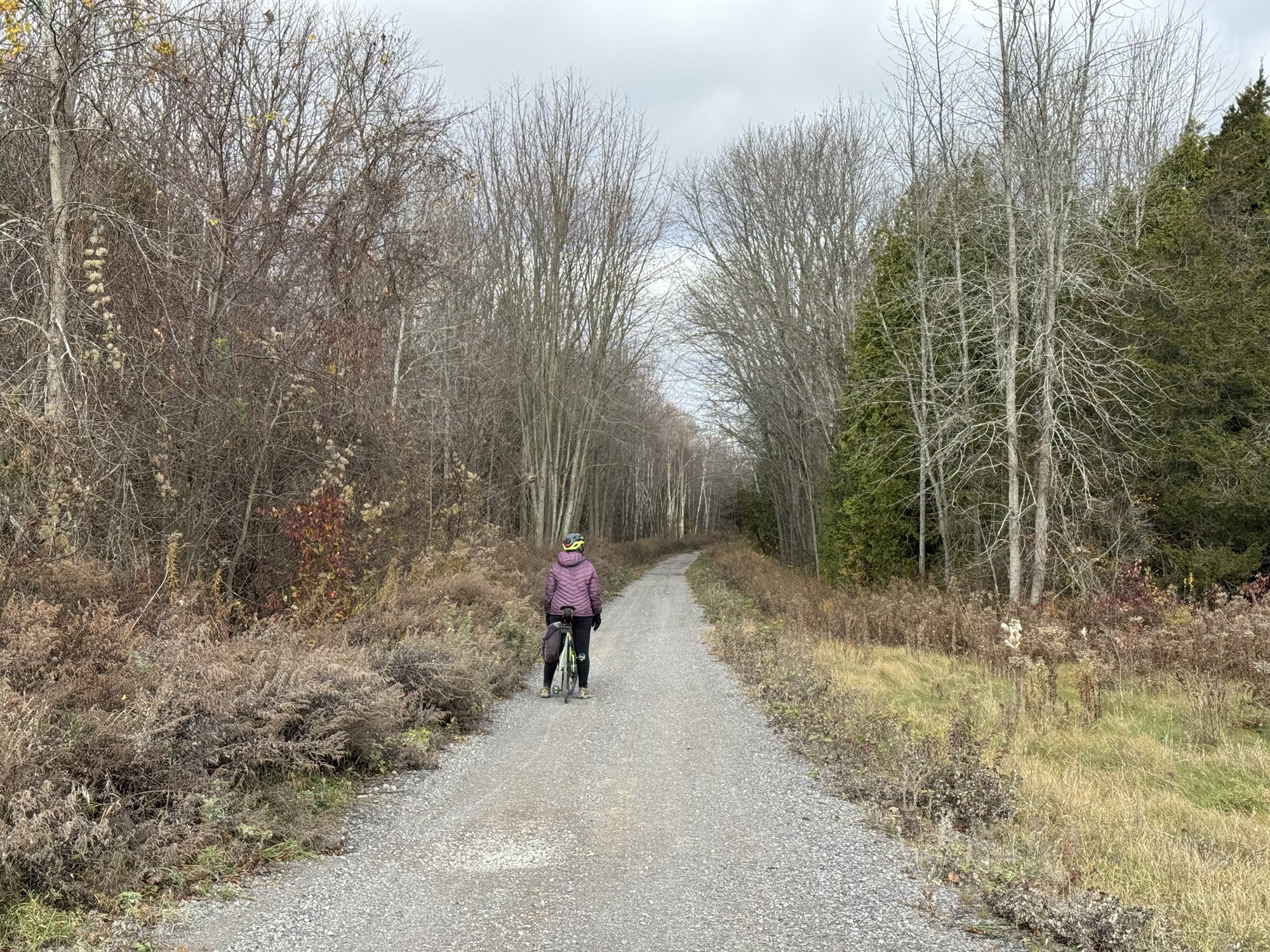
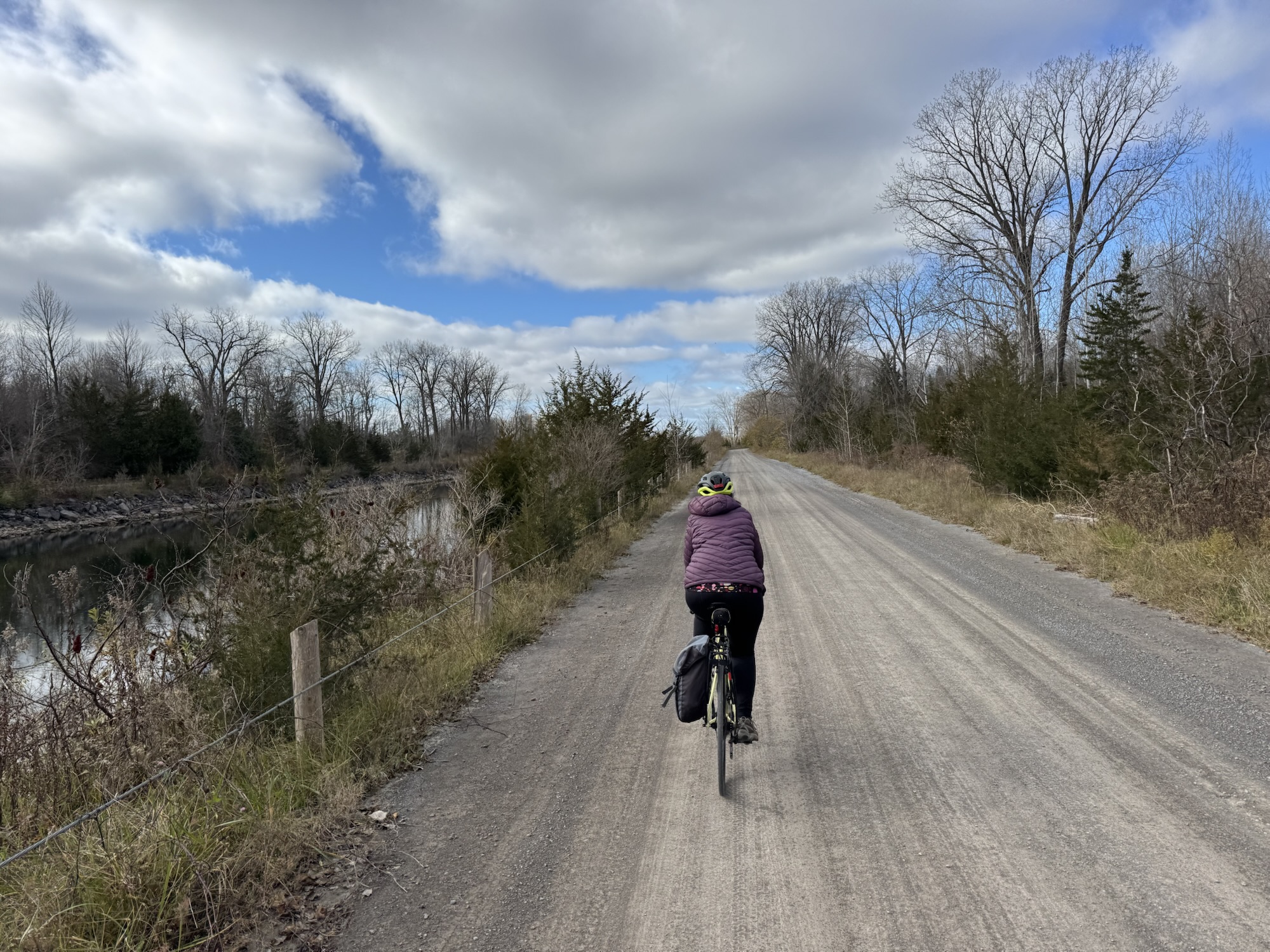
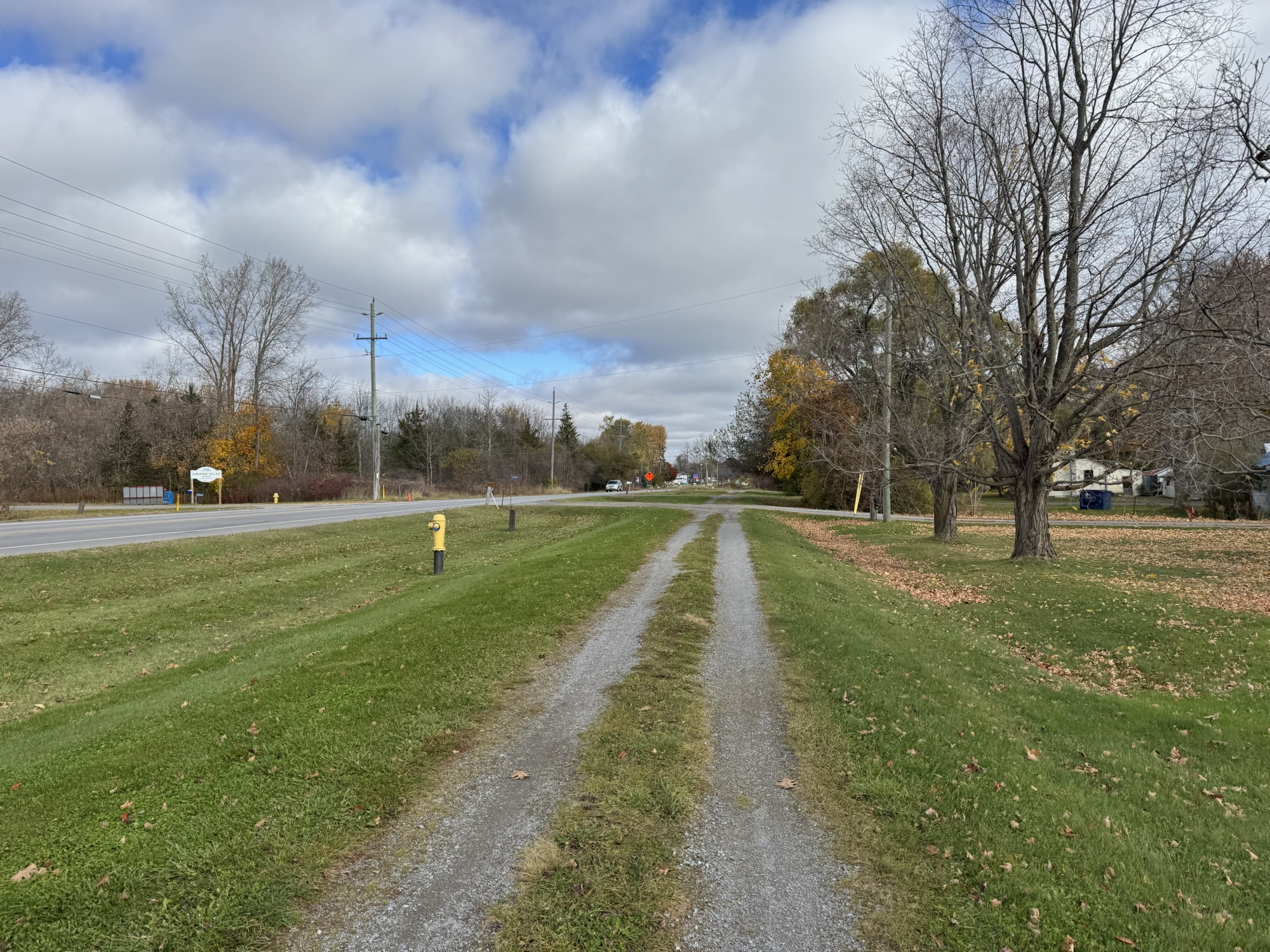
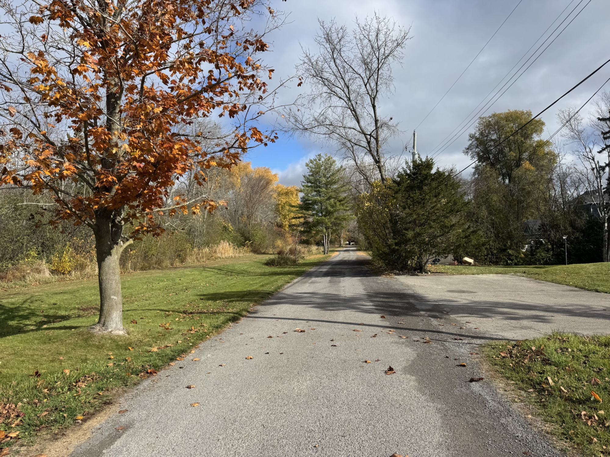
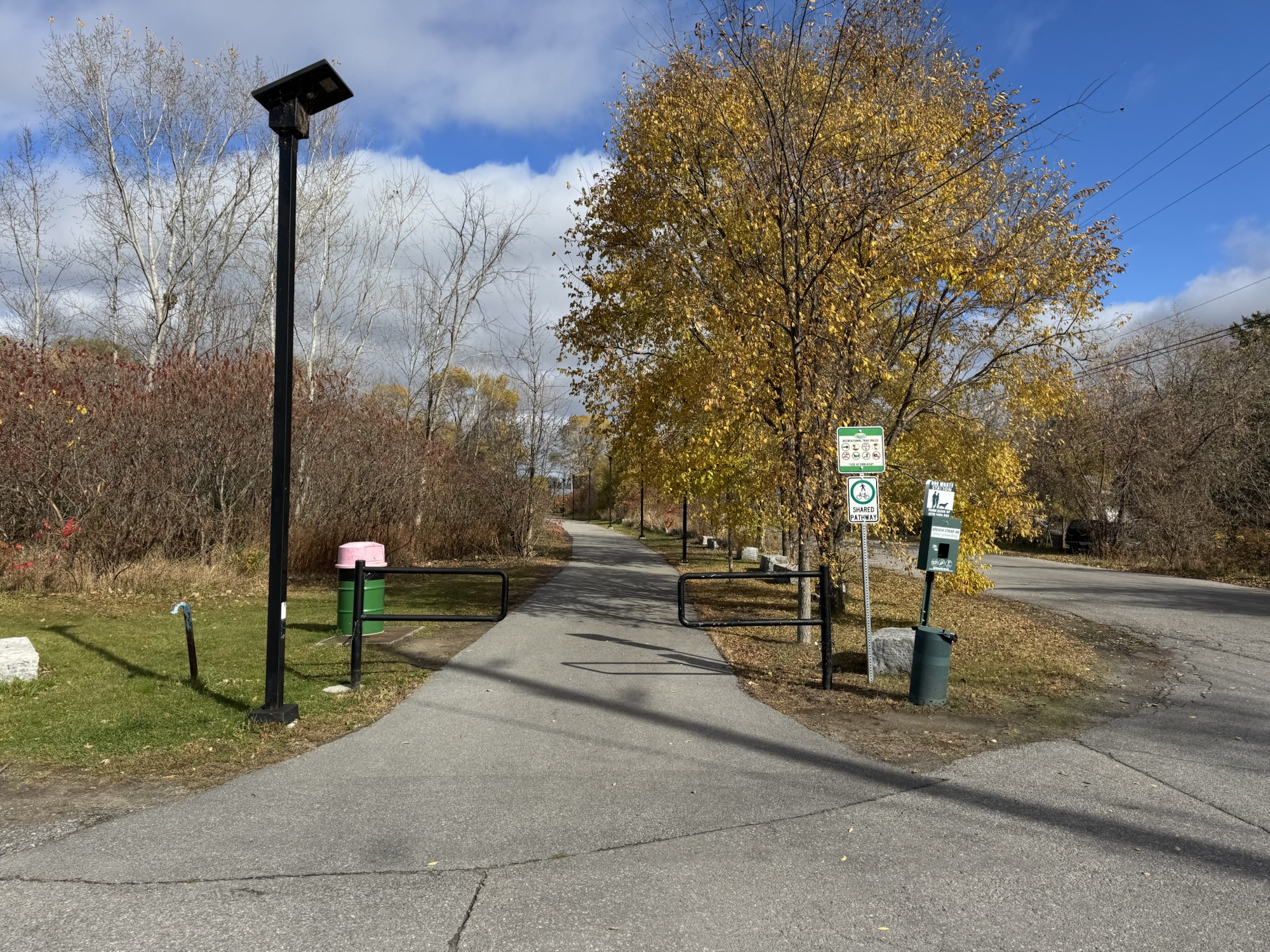
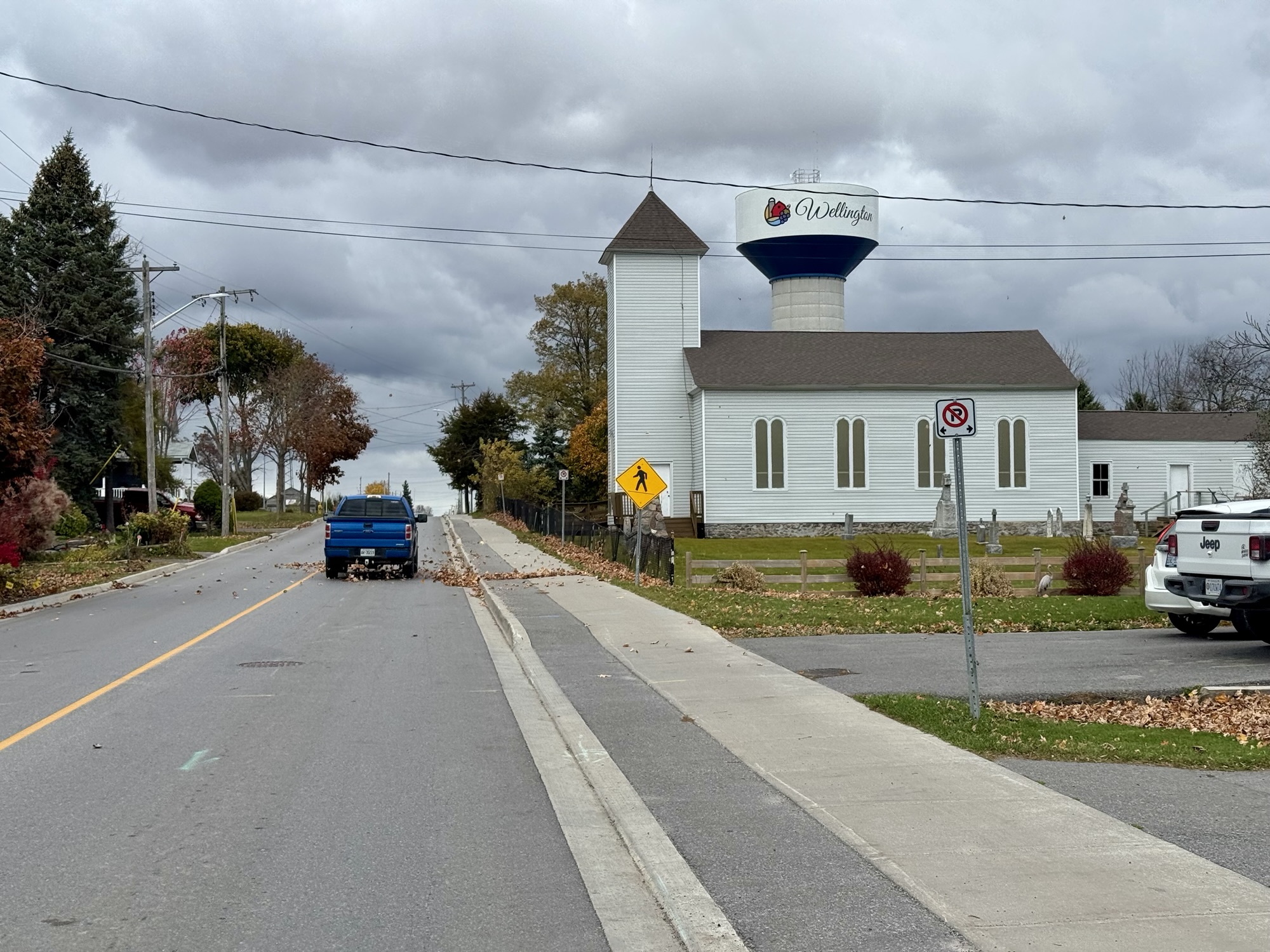
Shortly thereafter, we started ascending the escapement rail trail, developed on a former CN railway line in 1993. It starts in Corktown and runs about 8 km to Albion Falls. It offers good views of the Hamilton Brick Works. The company that currently owns it has proposed a public redevelopment of the site. The Don Valley brickworks in Toronto might be used as inspiration.

Hamilton has seven staircases ascending the escarpment. Six built by the city, and one built by a private citizen named Uli. When he built his staircase, the city hadn’t built staircases in the east end of the city. Uli was a retired builder and took matters into his own hands. I wrote about it when I met him doing some repairs in 2016 when I was riding the same route that I did today.

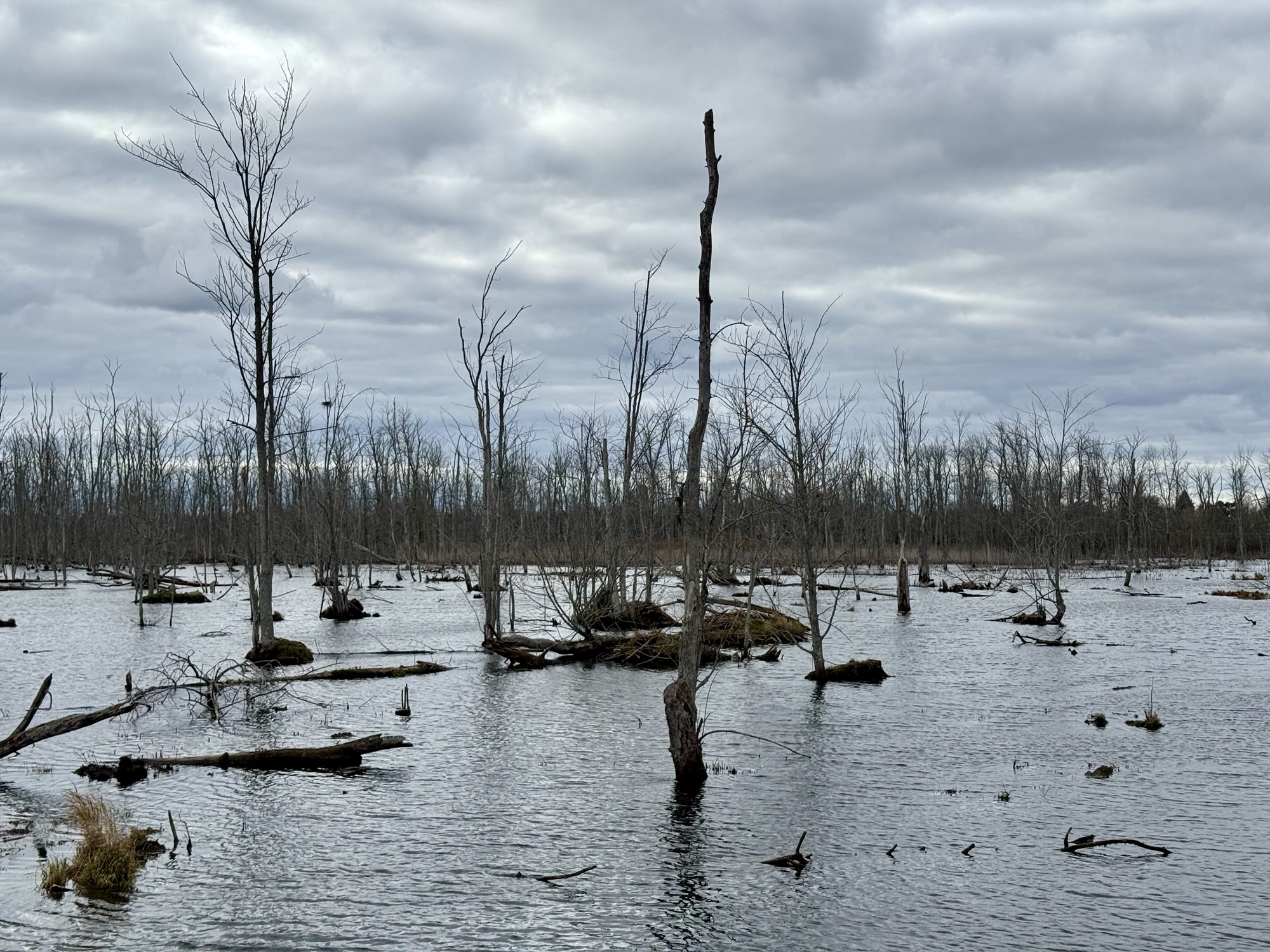
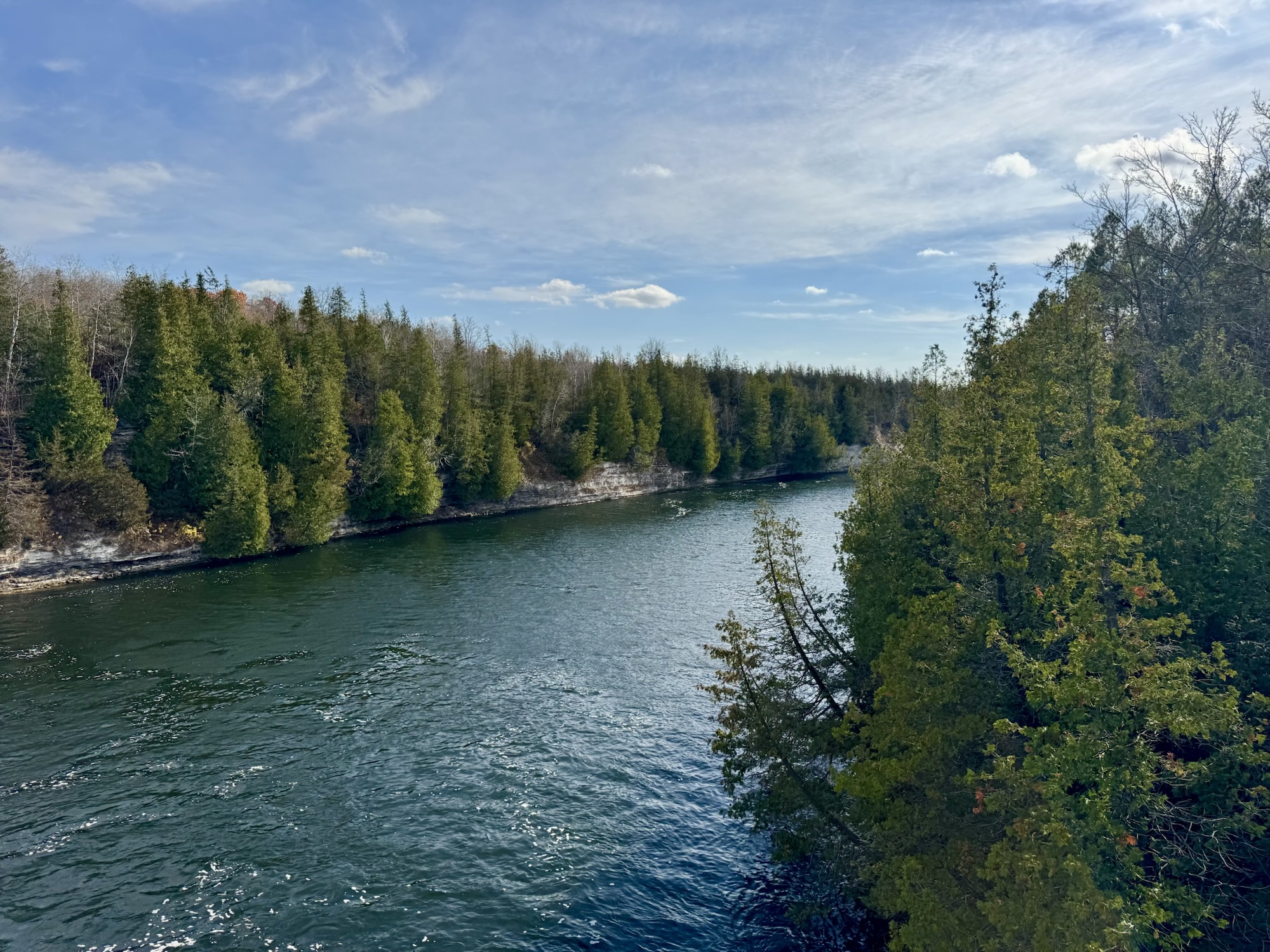
This is Albion Falls. In 2016 when I first visited here, people would hike down to the base of the fall the paddle in the pool, and many foolhardy people would climb the waterfall. After a firefighter was seriously injured, trying to rescue someone here, the city prohibited, hiking around the waterfall, and post the by law officer overlooking it to ensure people comply.

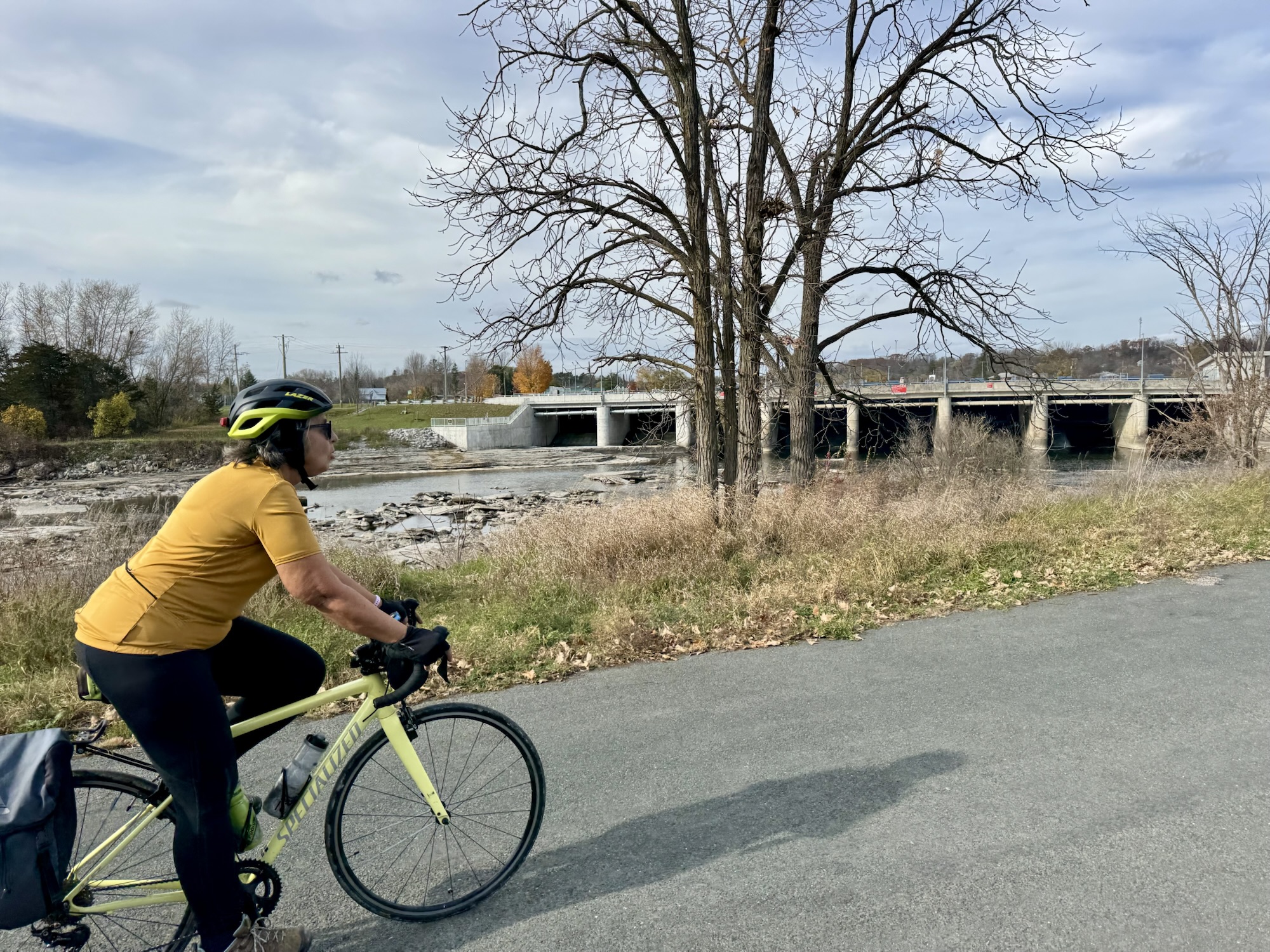
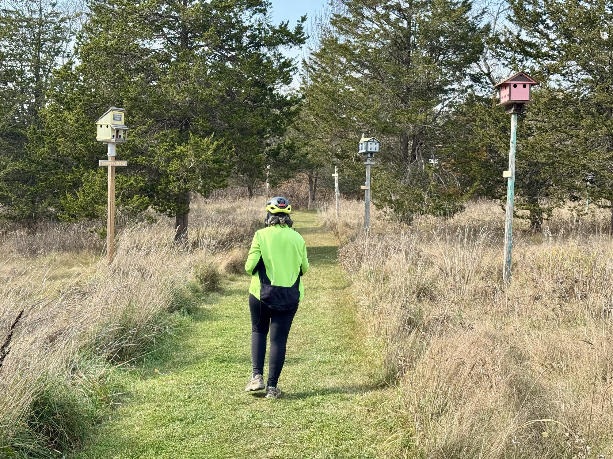
Hamilton has quite a few of these water fountains with water bottle filling station, and pet bowl along their trails. We encountered for today. Alina is looking down the stairs.

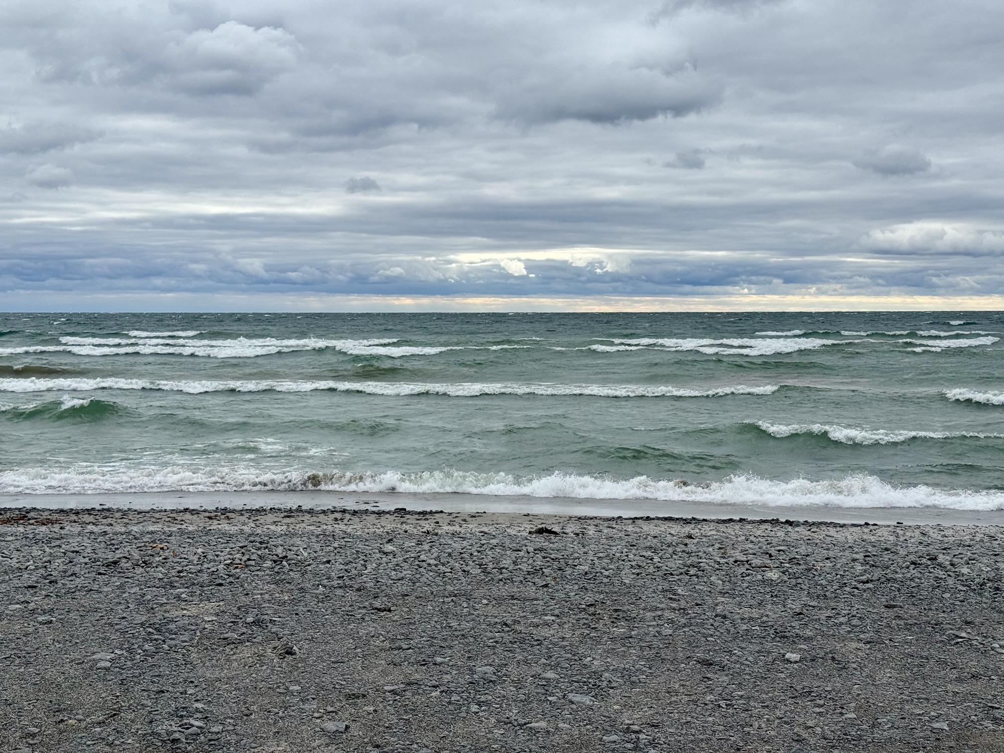
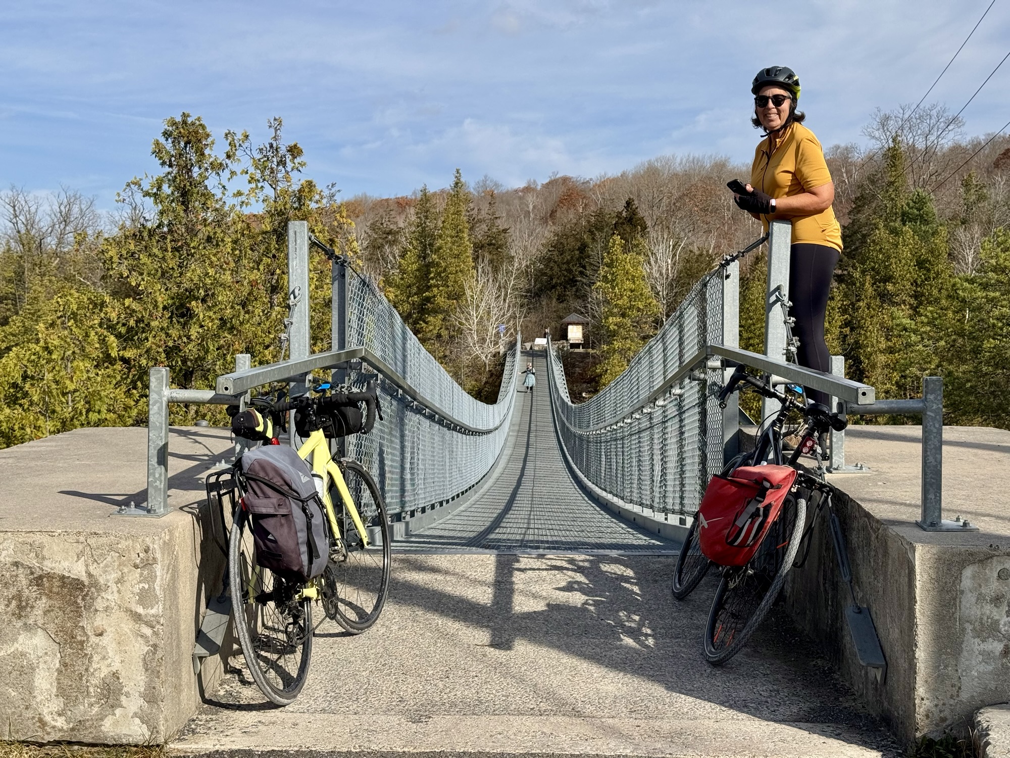
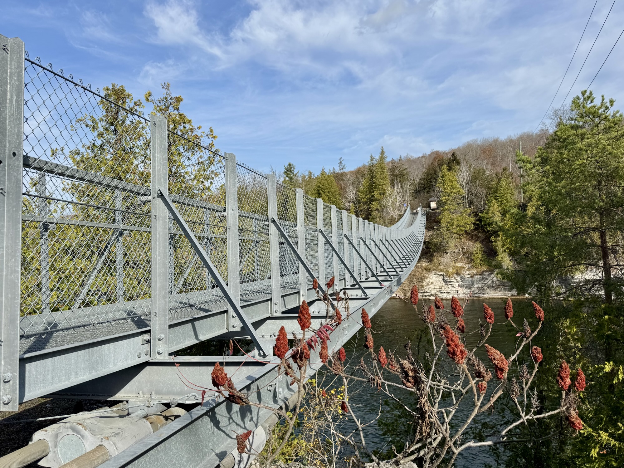
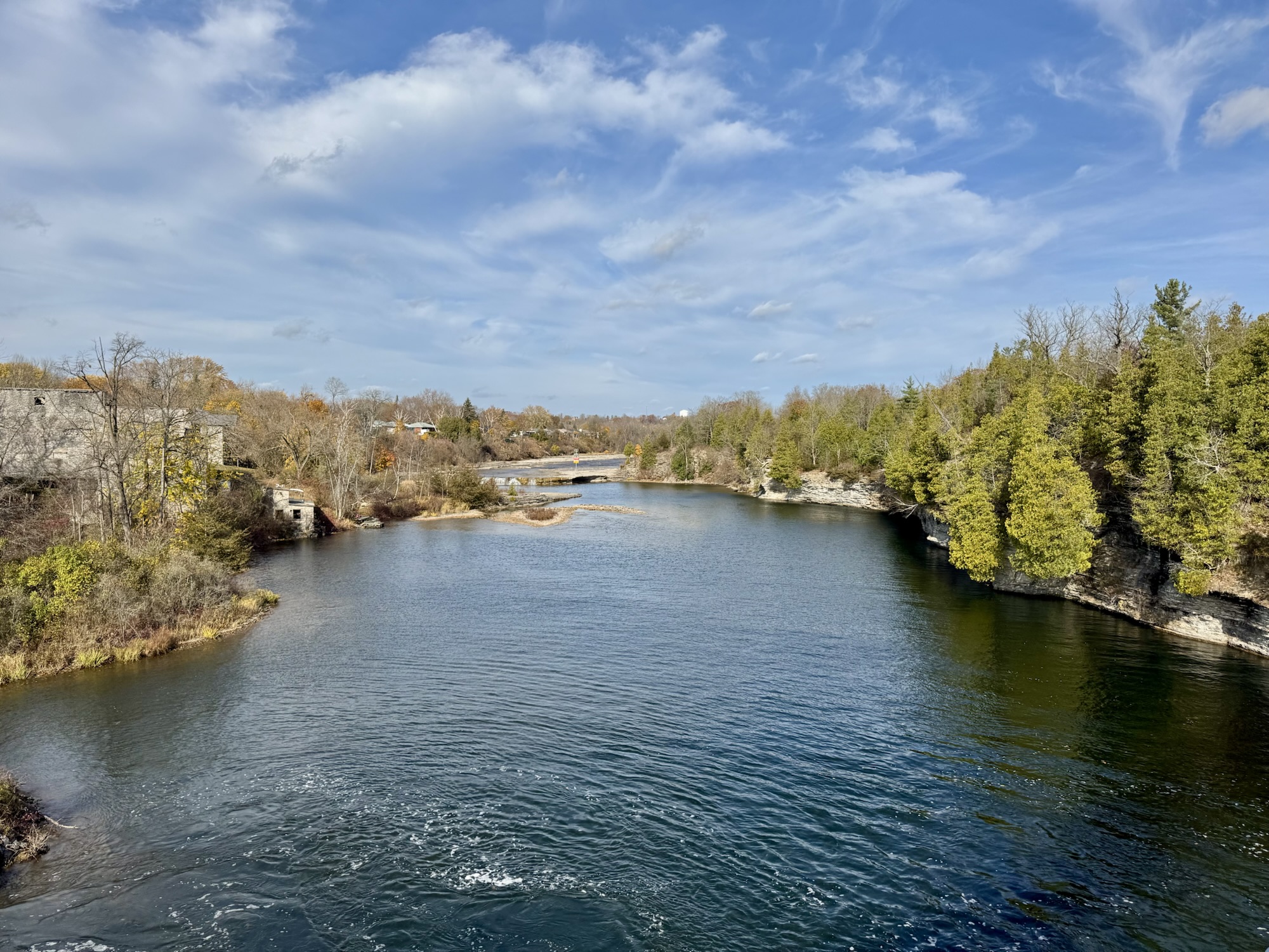
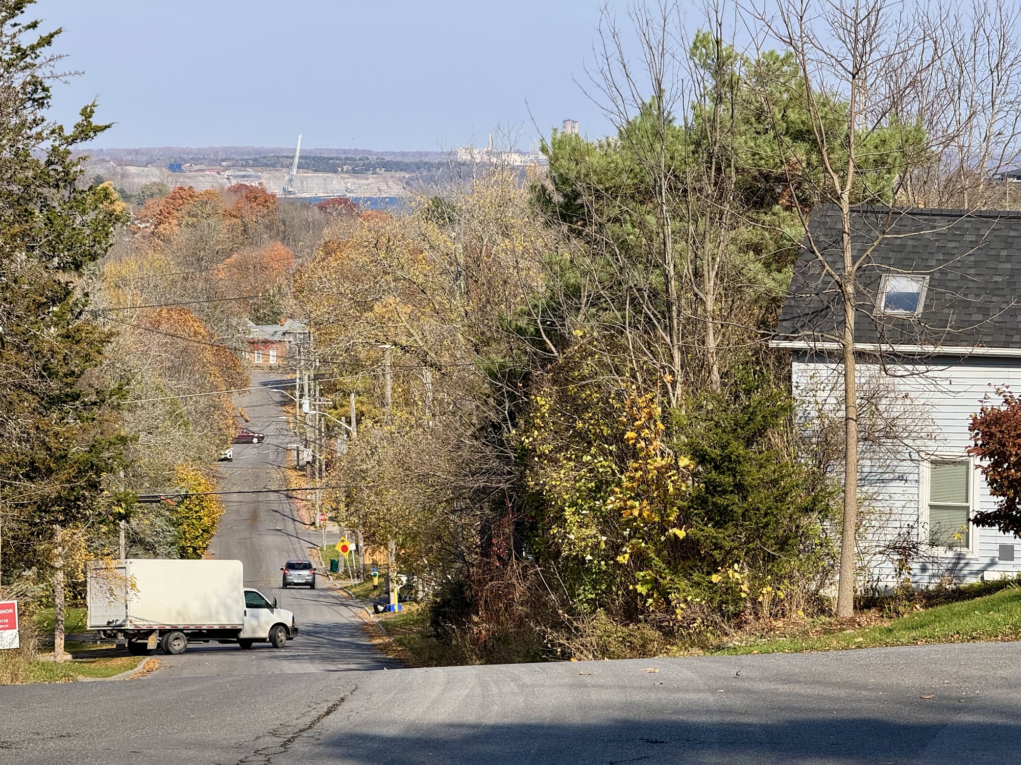
It was a bit hazy today, but the views are still impressive.

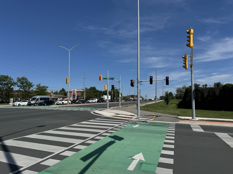
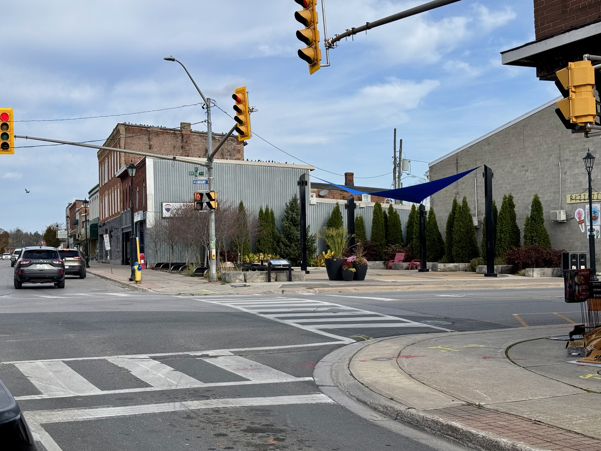
I was able to experience some high-quality new infrastructure which I had only read about before. The intersection showing in the picture had a significant number of collisions and was very difficult for pedestrians and cyclists to navigate. The city has reconfigured it with traffic, lights and a protected multi use path. The Muse path which was installed along mountain brow Boulevard several years ago has now been extended by 1.2 km and includes this new protected infrastructure. It felt very safe. Every time I come to Hamilton, I find new infrastructure.

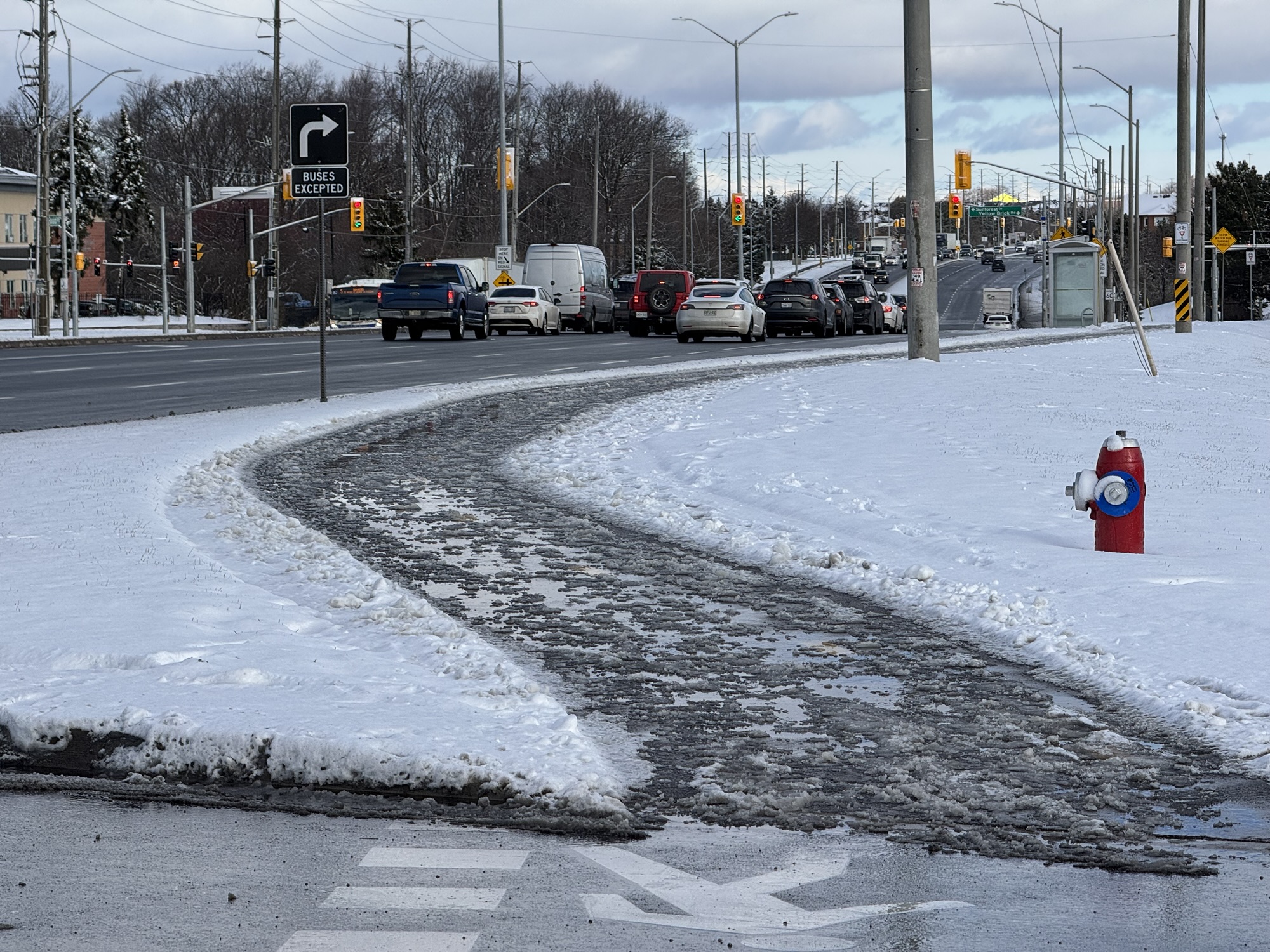
According to the project drawings, the multi-use path should have extended along the road at this point, but perhaps until the issue of soil remediation in this park, which has caused this part to be fenced off, is handled, it won’t be built. However, multi-use path did connect with a pathway on the escarpment side of the park, so it’s not really a problem that it wasn’t also built along the roadway.

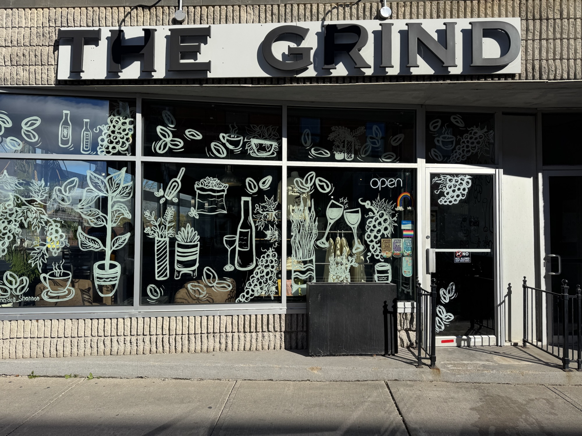
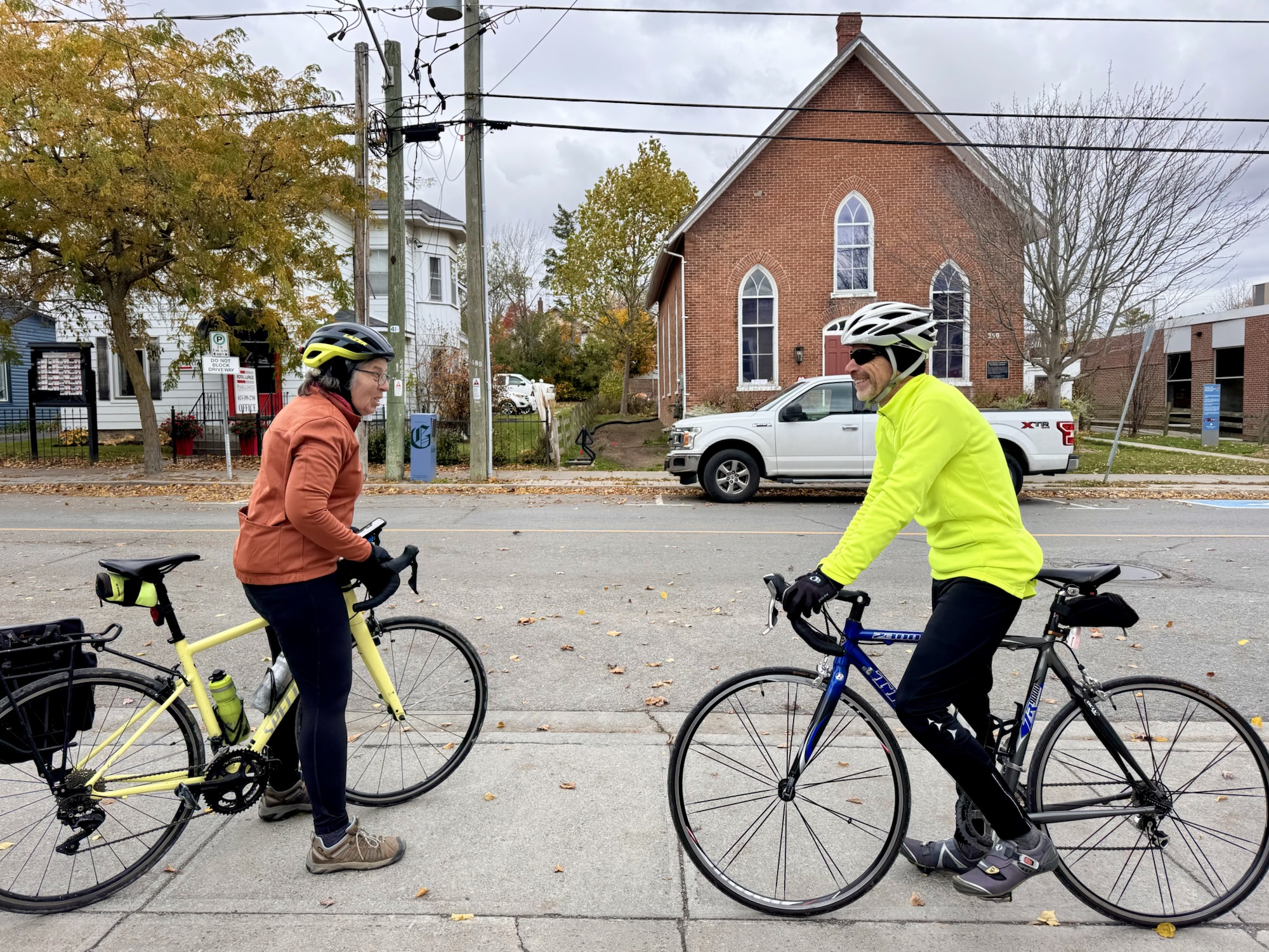
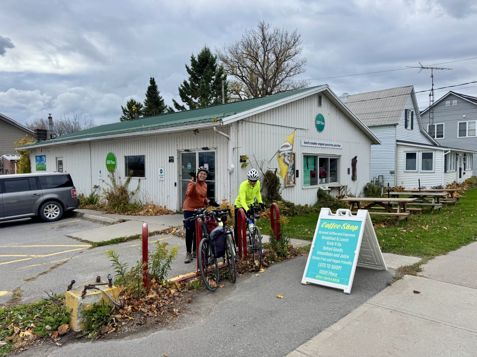
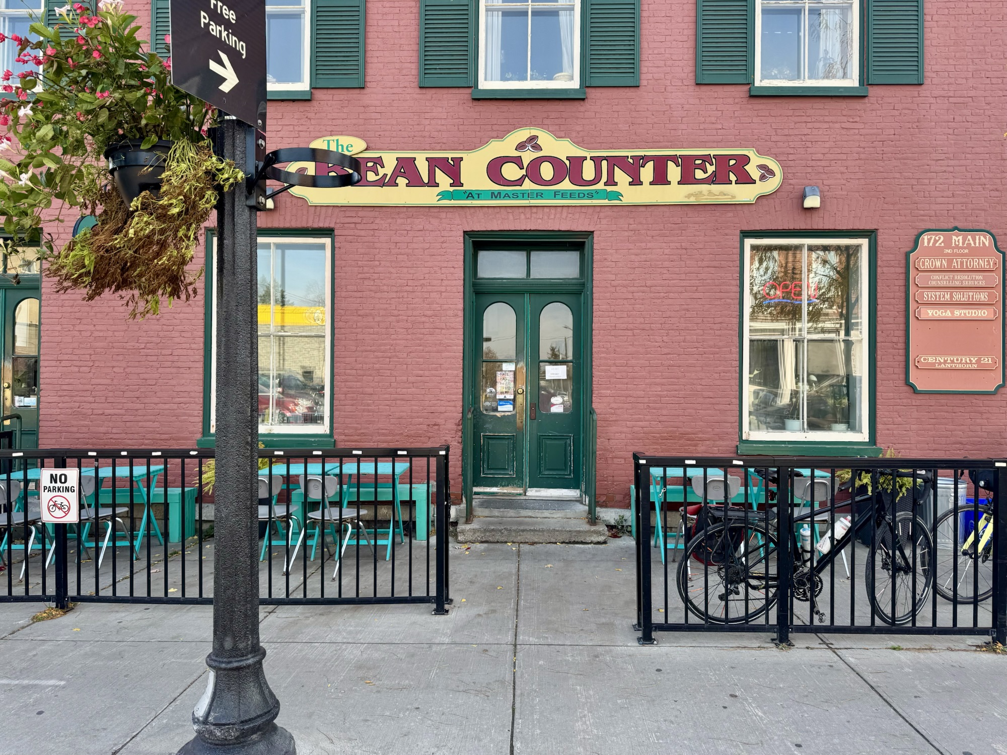
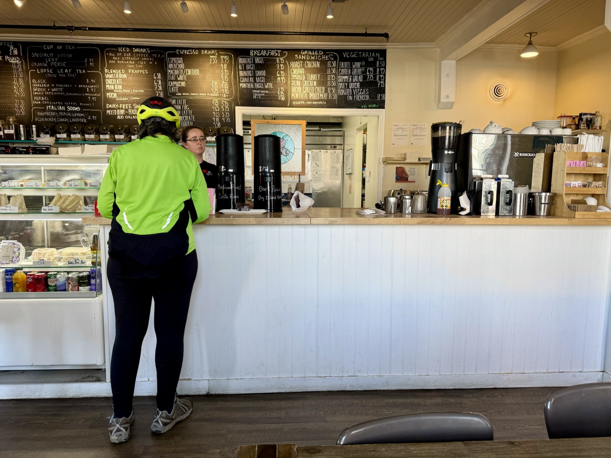
We stopped at Incline Coffee on Concession Street for a snack. They make great chocolate chip cookies.

Here’s another great view of the lower city. Sam Lawrence Park provides an excellent vantage point.

The City has built a wonderful protected bidirectional multiuse path on the Claremont access named for kindergarten teacher, Jay Keddy, who was killed biking on the access in 2015. It’s super fun to ride down, and I have cycled up it three times, and while it is more challenging than the trail we used this morning in terms of the steepness, it’s about a quarter of the distance. This is the top end.

At this point at the top of the Jay Keddy trail, it used to turn into a sidewalk, but the multi-use path is being continued along West 5th Street.

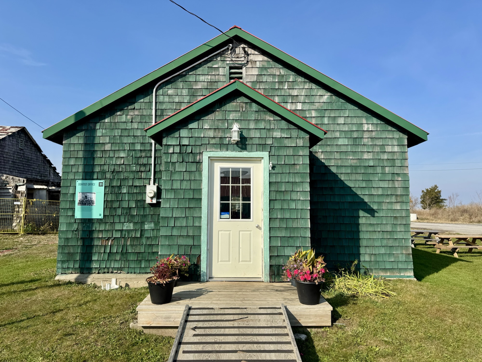
The St Joseph’s healthcare site on West fifth is dedicated to treating mental health and addiction. This building on the same site was the Hamilton insane asylum, which operated from 1884 until the 1980s.

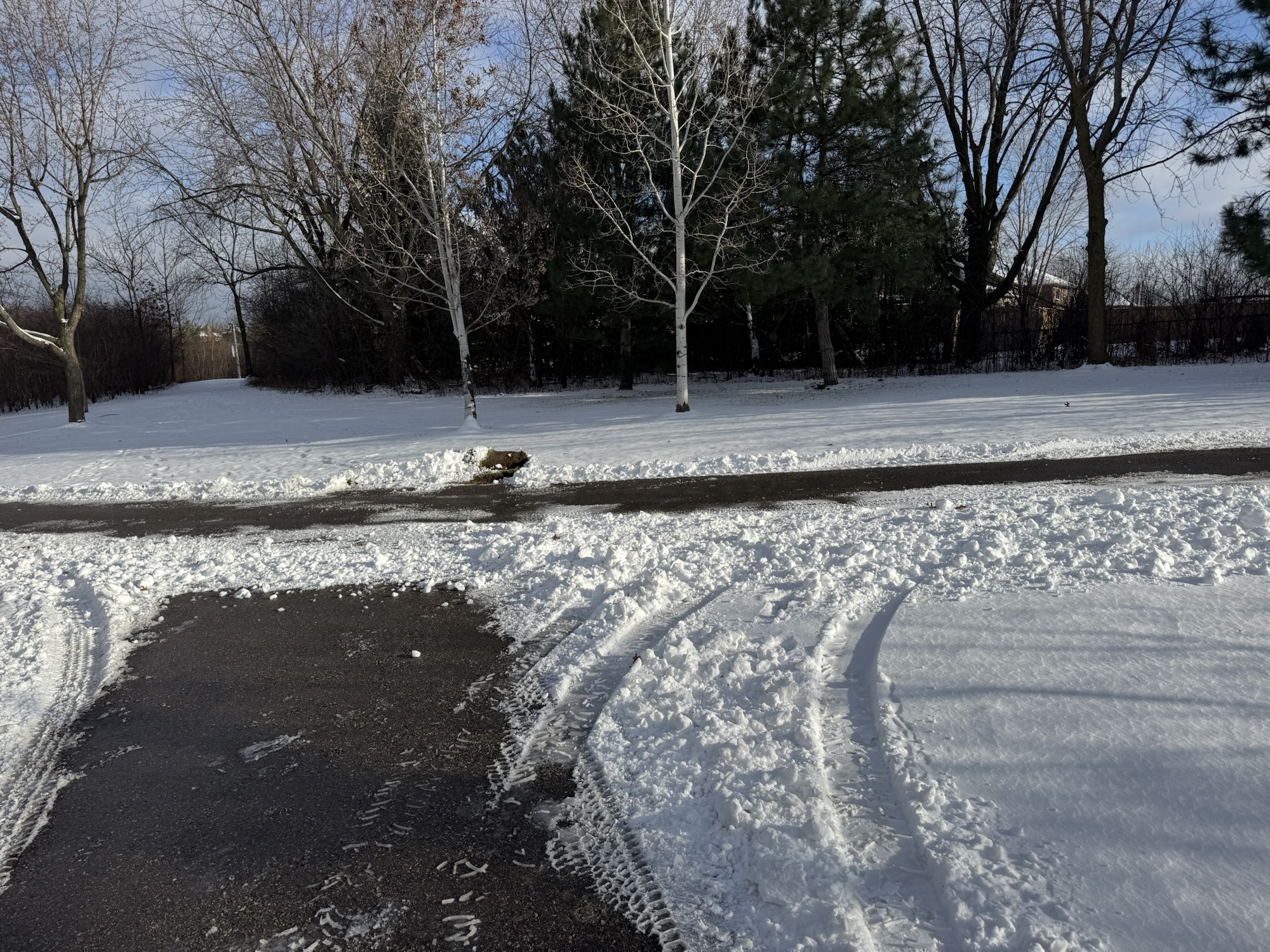
This trail was built in the last few years to allow cyclist and pedestrians to stay closer to the edge of the escarpment.

It comes out onto Sanatorium Road by the Long & Bisby Building, part of the former Chedoke Sanatorium (also known as the Mountain Sanatorium). It was originally built in 1920 as a nurses’ residence and later became a daycare center before closing in 2013.

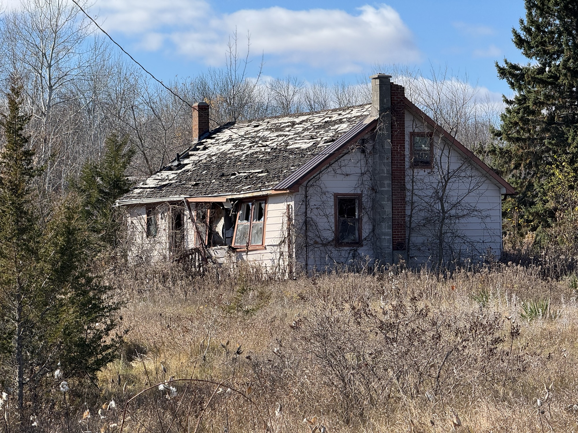
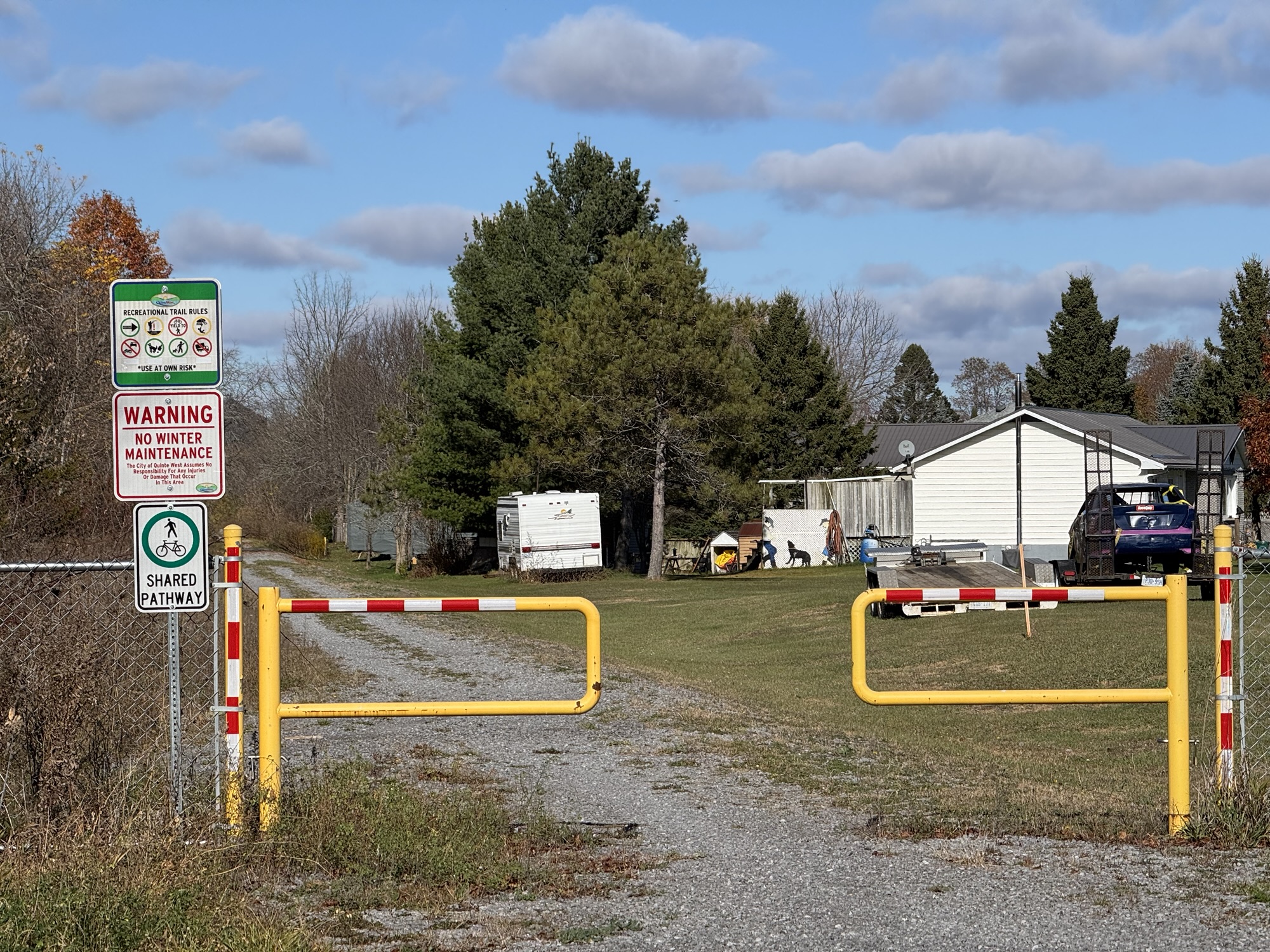
This area is slated for a large housing development, but there has been a sign up advertising it, as far back as when I first rode by here in 2016.

This two barred cross was erected in 1953 as a symbol for the fight against lung disease, and reminder of the threat of tuberculosis. It’s just down the street from the former site of Hamilton Sanatorium.

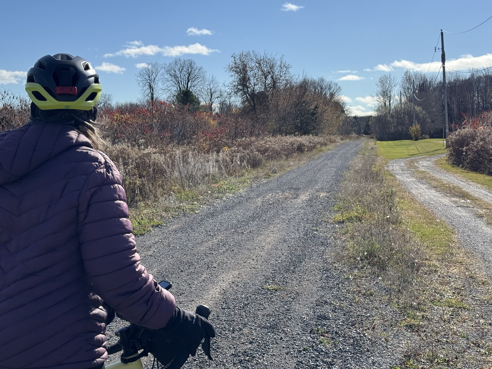
Scenic Drive has homes on one side, and the escarpment on the other. There were still quite a few nice, modest older homes, but they are slowly being replaced by larger modern ones.

This is McMaster University from an opening in the trees just before we started to descend Chedoke Radial Trail.

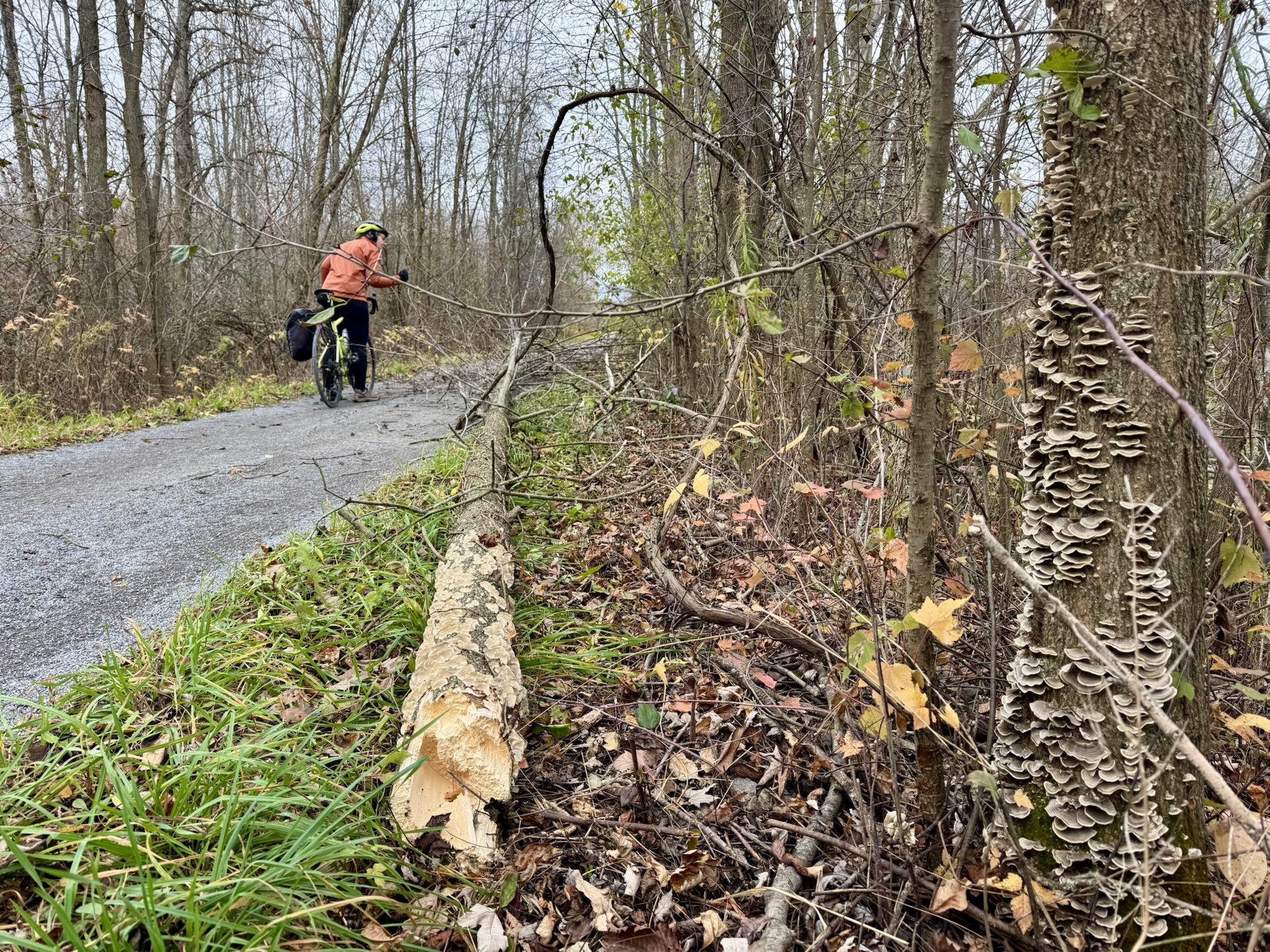
It is an unpaved, but quite smooth multi-use path that is a popular section of the Bruce Trail and follows the former route of the Brantford and Hamilton Electric Railway.

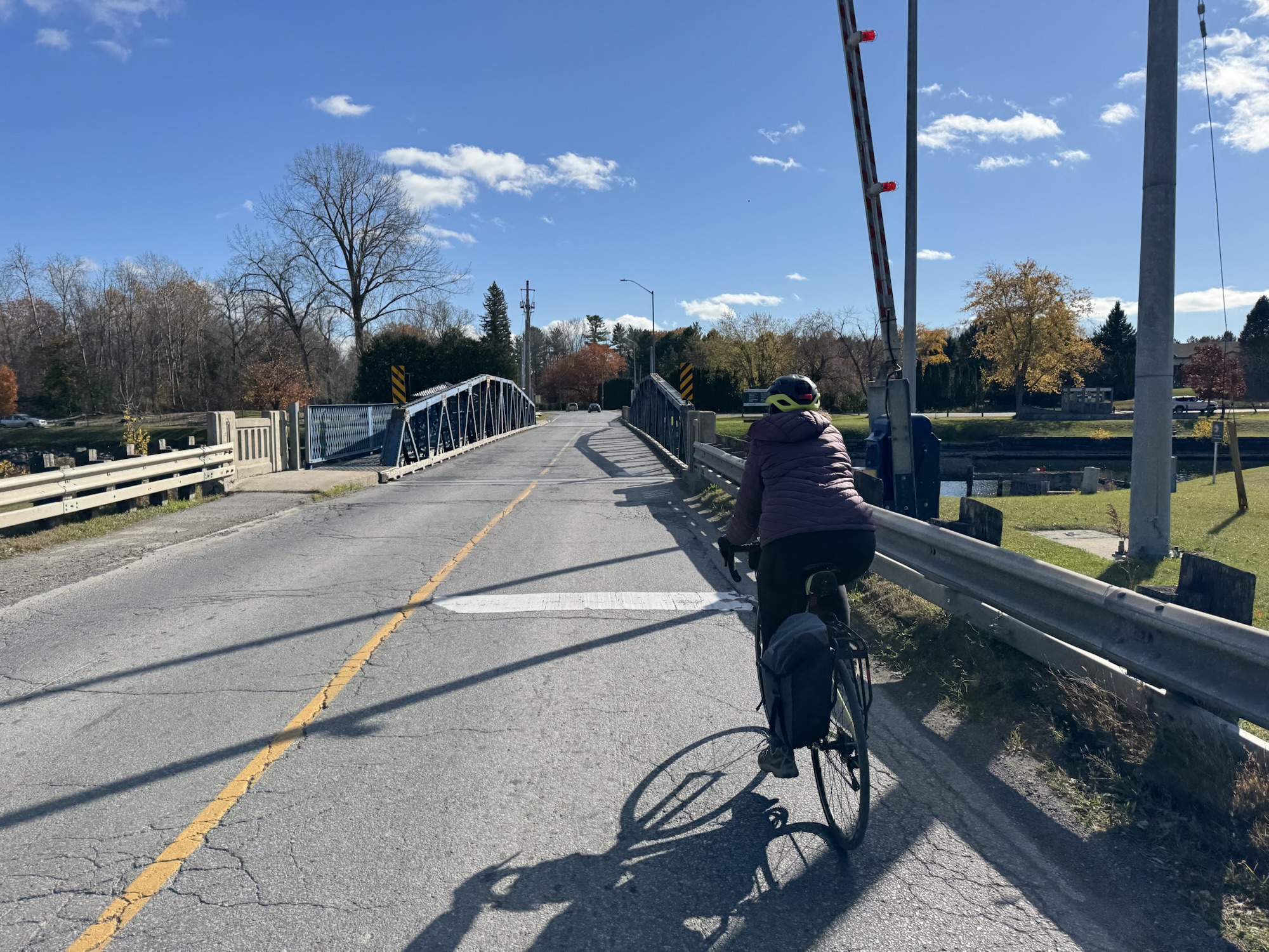
Here is Alina crossing the 403.

This is another floating bus stop on Emerson Street, which connects the Hamilton Brantford Rail Trail and McMaster with a bidirectional cycle track.

This is the McMaster Children’s Hospital up close, which could be seen from the top of the escarpment.

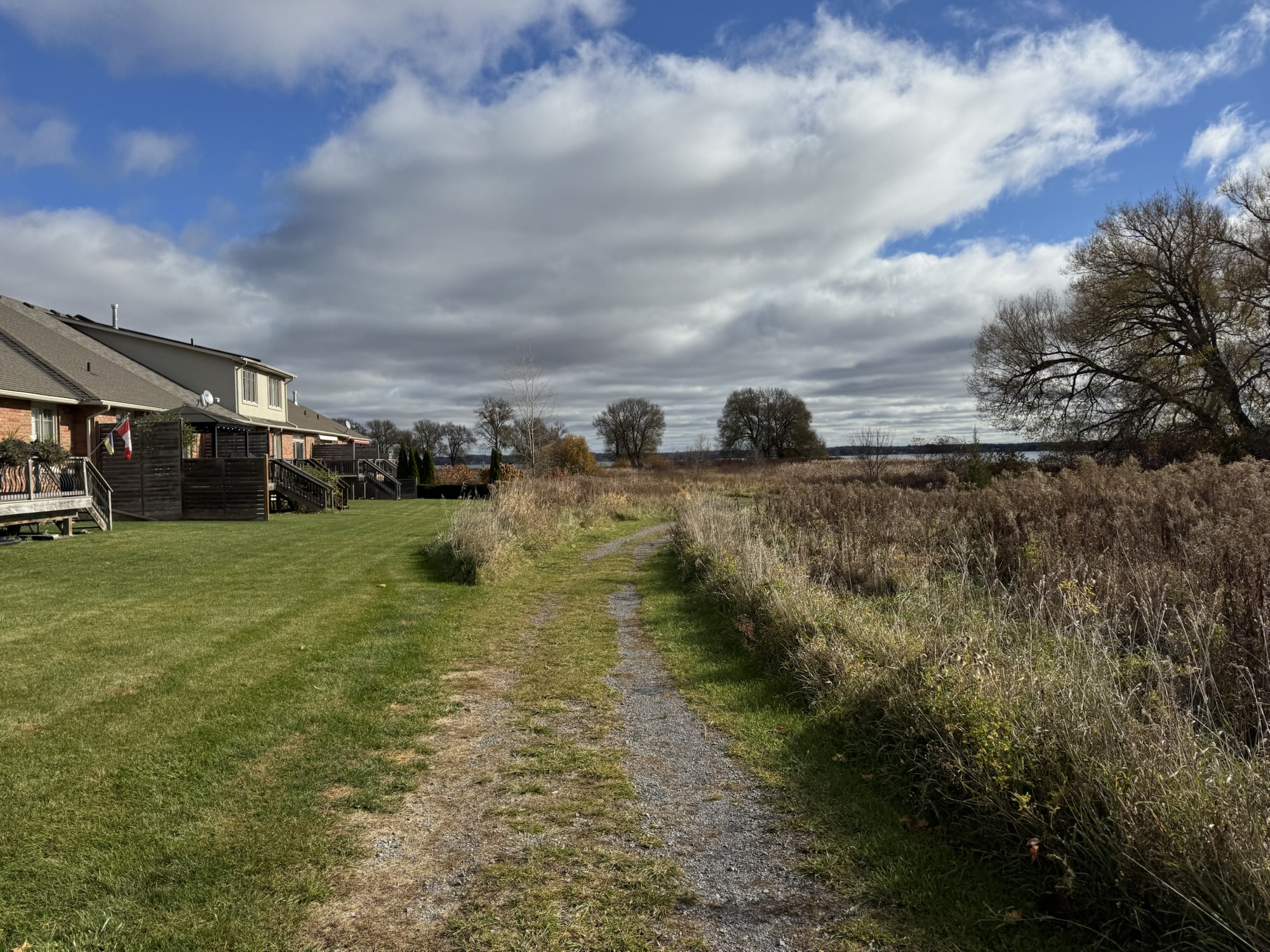
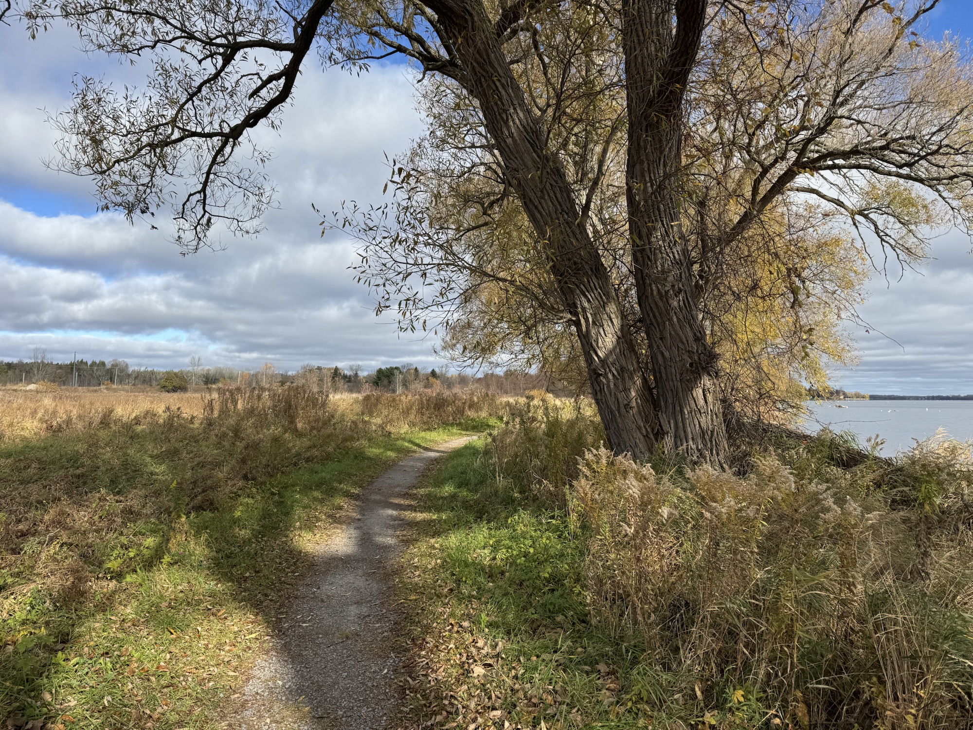
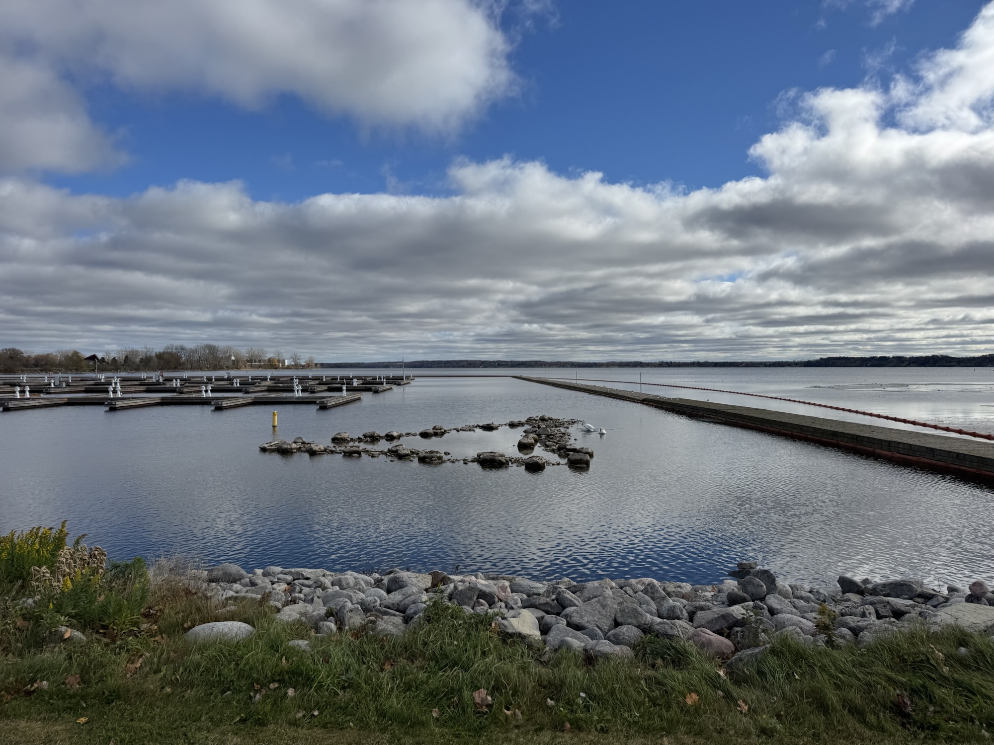
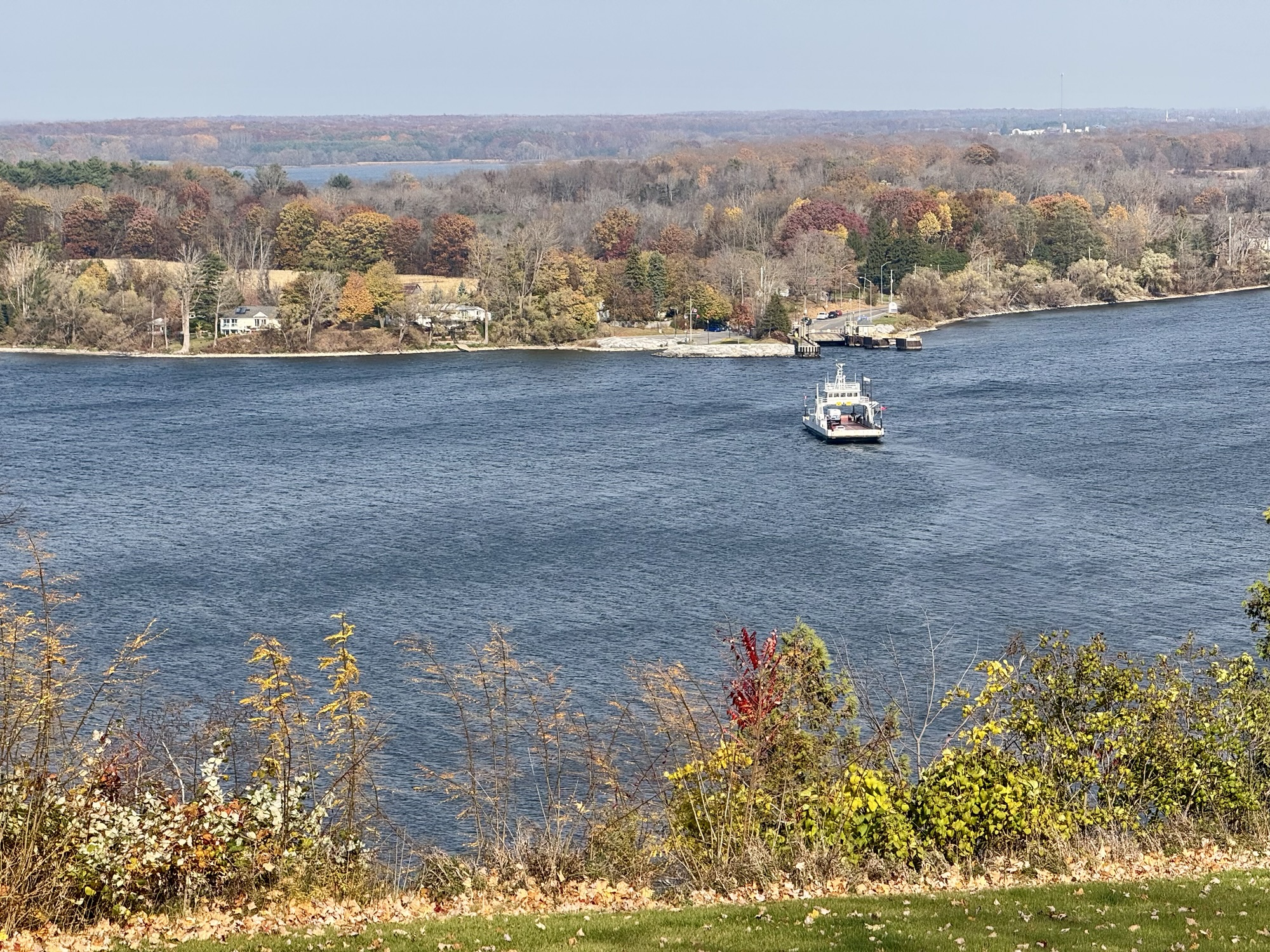
We rode through the McMaster campus, and then down to Princess Point. This little train runs between Pier 7 and Princess Point.

The trail goes under the 403 and the GO train line. The stairs lead up to Dundurn Avenue, but are currently closed due to needing repairs.

The land on Pier 7 and eight is slated for redevelopment. The city built a new park there ahead of the development. These 40 foot high panels of glass beads created by a local indigenous artist, and Hamilton’s largest public art piece, were unveiled at the West Harbour for the National Truth and Reconciliation Day in 2023. There are more pictures in this blog post from 2023.

When I was last there, it wasn’t completely open, so I didn’t get to experience this combination stairs, and ramps. It was interesting, but I think it might be easy to ride off the edge of the ramp. There are handrails for those who need them.

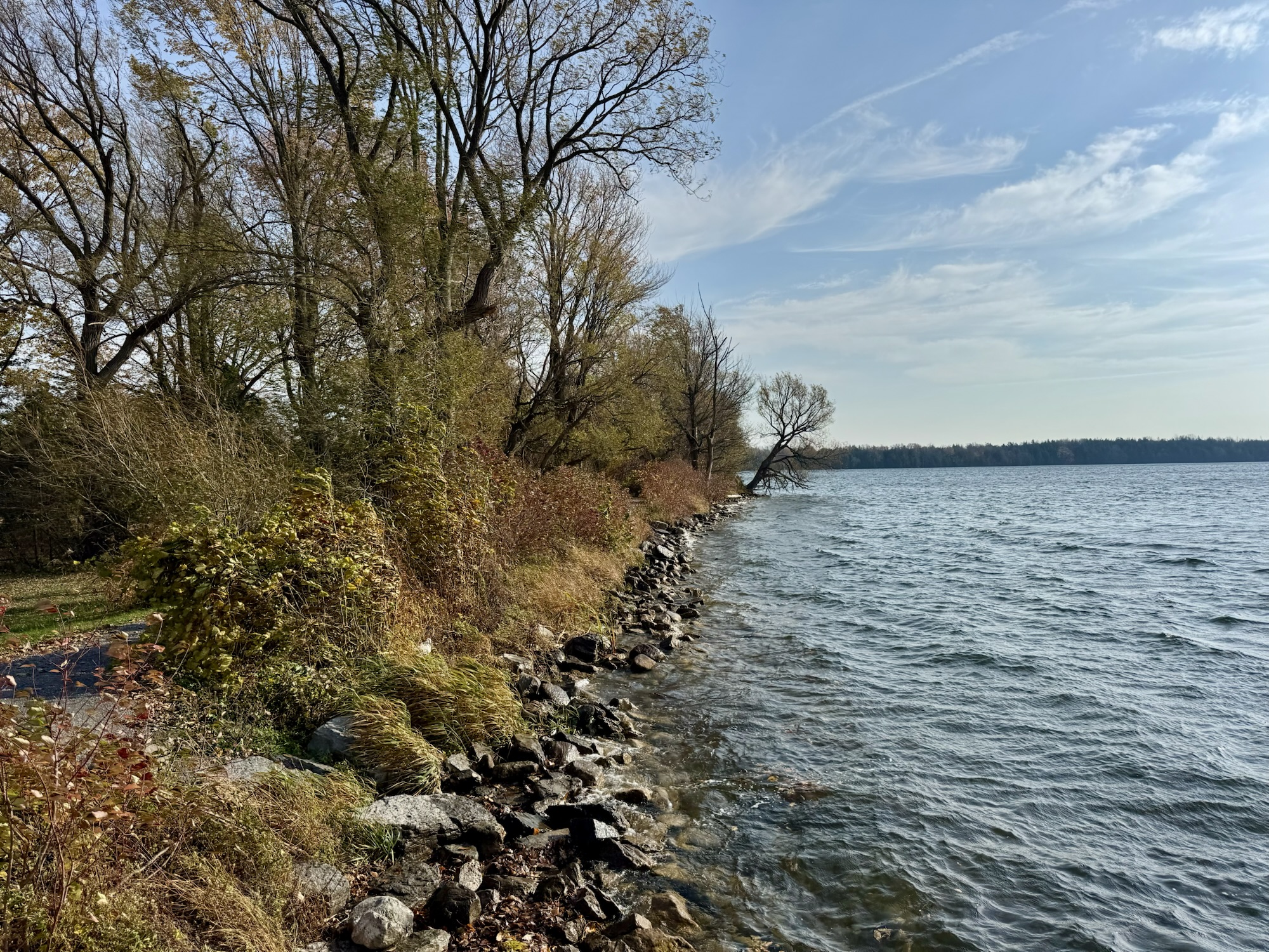
We had lunch at Williams’s fresh Café, and then continued along. Pier 8 past the newly developed park. One can still see Hamilton’s industrial past on Pier 10.

I always stop at the collective arts brewery for pictures of the amazing street art.

After that, it was only a couple kilometres back to the house for gin and tonic, before Cindy went to her granddaughter’s house to accompany her by bike to her baseball game, and Alina caught the bus back to Brampton.

Hamilton 2025 – Day 3

We decided to do a short ride on the Hamilton Brantford Rail Trail, leaving it to ride through a neighbourhood to pick up some level 17 tiles, or Squadrathinos as they are called on Squadrats.com, before descending into Dundas, for lunch, then returning through McMaster.

We stopped early in the ride at the John Rebecca Park, named after the cross streets where it’s located, which was built by the city in 2019 on a former parking lot. In 2021, I went on a bike ride with Hamilton’s then chief planner, Jason Thorne, who stopped at this park, and explained that the city was trying to put parks in areas that were lacking amenities, and were planned to become denser with high-rise housing, so the parks would exist before the housing needed to be sold or rented, thus making the area more appealing.

The park has a splash pad, ice rink, shade, structure, trees, and walkways, benches, and tables for mingling, and stormwater management features that include rain, gardens and tree groves.

Hamilton has a number of bidirectional cycle tracks which provide a generous space for cyclists, who can ride side-by-side if no one’s in the opposing lane, and feel very comfortable with the concrete barrier and flexible post separation from motor vehicle traffic. This one is on Hunter Street and passes the Hamilton Centre GO Station.

The Hamilton Centre GO Station is a bus and commuter rail station. The station building is Streamline Moderne, a type of Art Deco architecture that emerged in the 1930s. It opened in 1933 as the head office of the Toronto, Hamilton, and Buffalo Railway (TH&B).  The inside is beautifully preserved, and there is a small museum upstairs.

The cycle track continues past Hamilton City Hall, which was opened in 1960, built in the international architectural style, designed by Stanley Roscoe, and replacing an older Romanesque building from 1888, designed by James Balfour, who also designed Alma College in St. Thomas. That beautiful building burned down in 2008, but I was fortunate to be able to photograph it before it burned down. Balfour’s city hall was deemed antiquated and inadequate for the growing city. It was demolished to make way for the Jackson Square shopping mall, which has suffered the fate of many downtown malls in Ontario cities, and become rundown and lacking for tenants.

Hamilton uses quite a few different configurations for it bike lanes depending on the local needs. There seems to be much more flexibility than there is in Brampton for planning different types of bike lanes.

Here are a few examples. Sometimes there is a bidirectional cycle track on a street that is one way for cars. Sometimes the cycle track is uni-directional and protected by parking, with only one-way travel for motor vehicles. Other times parking is maintained on both sides of the street, but the street is one way and has a cycle track. There are also quite a few contra lanes in Hamilton where cyclists can travel with motor vehicles in one direction, and in a bike lane in the other, but cars can only travel in one direction.

The Hamilton Brantford Rail Trail is discontinuous through the city, but has cycling infrastructure connecting the two parts. In the section from the Chedoke golf course that passes near, McMaster it is paved. From rifle range Road through to Brentford. It is crushed limestone, but is relatively smooth, almost as good as Caledon Trailway. 

This trestle bridge across a valley has nice views, and bump out, so one can look over the valley without obstructing through cyclist and pedestrians.

In Dundas we rode around the Dundas Driving Park, which dates back to the mid 1860s. At that time, it was one of Canada’s earliest racecourses for harness racing. It was purchased by the town of Dundas in 1886. The oval track is one mile long. The park now features lawn bowling, tennis courts, public washrooms, playground, wading pool, and skating rink.

The road in this image is Sydenham Road, and climbs the escarpment. It replaced Horse Kill Road which got its name from the steep and difficult terrain that often led to horses being killed or injured while attempting to traverse it. Clara Hughes, who competed in speed skating, and cycling at the Olympics, is the only person ever to have won multiple medals in both the Summer and Winter Olympics. Clara trained extensively on Sydenham Hill. It has been renamed Clara’s climb in her honour.  

In 2019, after attending Greg’s ride, a fundraiser for Share the Road, we were riding back to Brampton City Hall to witness Brampton council approving its first Active Transportation Master Plan. There was much discussion the previous evening about how we would ride back to Brampton. We chose what seemed to be a less challenging route, Brock Road, but was nevertheless still very challenging. If I recall correctly I had to stop to catch my breath 2–3 times, and averaged only 6kph or so. 

We had lunch at Domestique, a bike themed coffee shop in Dundas. In cycling terms, a domestique is a rider who sacrifices their own ambitions to support their team leader, rather than trying to win the race themselves. They are crucial for a team’s success, often performing tasks like protecting the leader from wind, pacing them, providing food and drinks, and even giving up their own bike in case of a mechanical issue.  The food was good, but the salad I ordered was very small for the price.

I wasn’t sure which bathroom I was meant to use based on the symbols.

This is the Dundas post office, which was built in 1915. It was built in the Romanesque revival style and was the regional post office until the 1990s. It is now occupied by retail establishments.

We tried to ride from Dundas to McMaster via neighbourhoods and trails. We walked our bikes down this hill, and ended up at McMaster’s parking lots on the west side of Cootes Drive. I thought there was going to be a trail to get out, but we had to ride up Westaway Road which the cars use, but has a bridge over Cootes Road directly connection to campus, which was useful.

We did discover the McMaster University Medical Centre helipad.

Here are a few buildings we passed on campus. The first one, houses The Phoenix Craft House and Grill, in one of the original five buildings when McMaster opened in 1930, and was originally a refectory. 

We also passed the Altitude Tower, part of the facilities for The Altitude program at McMaster University, offered through the Department of Athletics & Recreation, which uses an Alpine Tower for team-building activities and adventure-based challenges. There appeared to be a summer camp there today.  Looks like fun.

We then rode around a small lovely street, Mayfair, adjacent to campus. Here are a few of the houses.

Sterling Street has recently been repaved with much wider, buffered bike lanes painted. It was comfortable to ride side-by-side, and there was almost no car traffic.

This lead us through Westdale , a residential neighbourhood, centred on a shopping district on King Street, laid out in concentric ovals. It was an early Canadian implementation of the concepts of the Garden City Movement, and is recognized as one of Canada’s first planned communities, focusing on integrating residential, commercial, and recreational spaces. 

Construction began in the early 1920s, and it was envisioned as an exclusive white Protestant neighbourhood. Specific groups such as blacks, Asians, Slavs, and Jews were unable to purchase homes; near the end of the Second World War restrictions upon Jewish home ownership were lifted whereupon many relocated from the central part of the city. However, legal loopholes allowed for discrimination to persist into the 1950s.

Its streets are lovely to ride on a hot summer day with the mature trees shading the streets.

The bidirectional cycle track on King Street is protected by Jersey walls as it crosses the 403.

Dinner was BLTs, bean salad, and chips and salsa.

Tomorrow, our friend, and fellow cycling advocate, Alina, will be joining us for a 42 km route I created to explore Hamilton when my daughter moved here to attend McMaster in 2016, that I like to share with people new to cycling in Hamilton.


Hamilton 2025 – Day 2

I woke with a headache and backache this morning, so we changed our plans from, biking to Brantford, to a lazy morning, and a ride to Hamilton Beach in the afternoon.

I’ve written about Statshunters.com before, which I use to create a personal heat map of all the places I have ridden my bike since 2013, when I started recording my rides, and also to see what tiles I have ridden my bike through. The tiles divide the world into a grid of 16,384 by 16,384 squares, each one is about 2 km wide. It’s a fun pursuit to try to visit as many tiles as you can using only human power. 

One has to go farther and farther afield to continue collecting level 14 tiles, so I started collecting level 17 tiles. There are 64 level 17 tiles, called Squadrathinos, in each level 14 tile. You can track them on a site called squadrats.com.

Because I have the level 14 tiles around here, I planned some routes to collect some of the level 17 micro tiles that I don’t have. Normally, I ride down Cannon Street, which has a bidirectional cycle track, but chose to ride down Barton Avenue today to collect the micro tiles along there. The asphalt was terrible and really shook us up, and the neighbourhood is very rundown, and ripe for redevelopment.  The province is pressuring Hamilton to expand urban boundaries, but streets like Barton can be redeveloped more densely, to provide a huge number of new homes and commercial facilities without touching the Greenbelt. Fortunately, as of last month, Hamilton council continues to resist expanding the urban boundary, with plans to grow up, rather than grow out.

This supportive housing, McQuesten Lofts, was built to look like shipping containers as an homage to Hamilton’s industrial north end. It contains 51 bedroom apartments, and has a public library branch on the main level.

The Hamilton Museum of Steam & Technology, also known as the “Steam Museum”, is a national historic site and is located on the site of the 1859 Hamilton waterworks complex. The museum preserves two steam powered beam engines which pumped water in Hamilton from 1859 to 1910, in addition to artifacts relating to Hamilton’s industrial past. There are guided tours of the facility, and I can recommend them based on visiting in the past.

The Golden Horseshoe Live Streamers, collaborate with the Hamilton Museum of Steam and Technology, to provide railway experiences with its miniature ride on/ride behind locomotives at the museum site.

Whenever I’ve been at Hamilton Beach I have wondered about this platform in the distance. I looked it up today, and discovered that it is the Canada Centre for Inland Waters Research Tower. Built in 1976, it is positioned in 12 m of water, 1.1 km off the beach at the west end of Lake Ontario near Hamilton, Ontario and is used for wave and air-water interaction research. This picture is significantly cropped, after taking it with the 5x lens on my phone. 

Once we got to the Beach Park, we rode south as far as the path went. It’s a very wide path with lots of room for people to walk, bike, push strollers, rollerblade, etc.

After riding back to Hutch’s on the Beach, we ate ice cream, and dipped our feet in the lake.

It was very clear today and we could see Burlington, and Toronto’s skyline.

We re-crossed the QEW on the Red Bridge, a pedestrian and cycling bridge, which led us to Brampton Street.

This is the location of the first Tim Horton’s at Ottawa Street North and Dunsmuir. Apparently, there is a mini museum of Tim’s history on the second floor.

We then stopped briefly at New Hope Bikes, a Community Bike hub like Different Spokes in Brampton, but they are closed Mondays. We will visit again later in the week.

Victoria Street has a bidirectional cycle track with raised bus loading platforms, so the bus doesn’t have to pull into the bike lane.

On the bidirectional cycle track on Cannon Street, they had some beautiful planters.

They also have separate signals for cars and bikes,  to avoid left turn conflict,  between bikes and motor vehicles.

Cindy barbecued us cheddar smokies, and prepared a bean salad, for our dinner. It was delicious. The dining room like rotates through the colours of the rainbow.

Hamilton 2025 – Day 1

Cindy, and her husband, Mark, and I have come to Mark’s daughter’s house to look after her cat, Joanie, in Hamilton for the week. 

Michael, and my oldest son, drove me my bike, and my stuff to Hamilton. My daughter Megan, and her fiancé John, walked over from their place in Hamilton, to join us for takeout fish and chips dinner from Hutch’s Harbour Front, a family run restaurant of long-standing in Hamilton. John’s family used to eat there when he was a child.

After dinner, Cindy and I went for a walk, through Beasley Park, which has a skateboard park, splash pad, and playground, and a large, but tidy and quiet encampment.

The Fringe Festival is playing Hamilton this week, so we might look for something to see later in the week. Beside one of the locations where it is playing, we saw this sculpture. There is a rainbow crosswalk near the theatre.

King Williams Street is closed to motor vehicle traffic until September as part of the King William summer initiative, with many independent restaurants sharing space on the road in front of their establishments. The closure is part of an art project that includes a retractable gate feature, designed to allow for temporary street closures during events. The “WoodGate” art installation, which includes the gate, is a permanent public art piece meant to celebrate the area and support local businesses by encouraging on-street dining and events. 

King William Street ends at Jackson Square, a downtown shopping mall which has seen better days. One can walk up onto the rooftop and survey King Williams Street, and the surrounding buildings downtown.

The evening light on the wood was beautiful.

There were some interesting sun reflections of glass buildings on this brick building, and of a condo on the Royal Bank building.

Tomorrow and Tuesday look like they will be nice days to explore Hamilton and beyond by bike. 

Bill 212 – Multi-use paths versus On-Road Bike Lanes

Brampton roads have been significantly overbuilt leading to speeding, aggressive driving, high building and maintenance cost due to the width of the roadway, stormwater management issues, and injuries and deaths among drivers, as well as vulnerable road users.

The key strategy of Brampton’s Active Transportation Master Plan, which was passed unanimously in 2019, was to primarily take advantage of road maintenance and reconstruction projects, to cheaply implement on-road cycling infrastructure, by taking away motor vehicle traffic lanes. This had the benefit of addressing all of the points I made in the previous paragraph. In the last five years, almost 80 km of on-road infrastructure has been implemented in this way, including about 7 km of curb and flexipost protected lanes along Vodden, Howden, and Hanover, forming a much needed east-west cycling corridor.

From 2018 to 2023 the number of Brampton cycling trips have increased 57% to 3.5 million annually. That’s a lot of trips that are not being made in cars. BikeBrampton just recently did a very informative post on this encouraging new data.

Not all of our municipal councillors are supportive of bike lanes, and Bill 212 has emboldened them to stop the construction of a third of the bike lanes planned for 2024, despite the fact that the contractor was already engaged and working on new infrastructure. These councillors, like to claim that they support active transportation while actively blocking projects and refusing to defend them to their constituents. They think bikes belong on multi use paths, in the boulevard, and in the parks. I’m not against these facility types per se, however, in Brampton they are rarely built or maintained to useful standards for anyone except recreational cyclists.

The problem with this viewpoint is that these facility types are not useful for utilitarian cyclists, and for those who need to access amenities along major streets. These facility types are also rarely built to safely, accommodate bi-directional pedestrian, and bi- directional cycling traffic to safely share the space, even at Brampton‘s current active transportation mode share.

Recently, the Region Of Peel rebuilt the multi-use path in the boulevard on Bovaird Drive, from 410-10, to a high quality. It is wide, has pavement markings, and crossrides separated from crosswalks. I have started using this facility rather than riding on the road. With current cycling and walking volumes in Brampton, this path is adequate in warm weather.

Unfortunately, the city chooses to maintain this path with a sidewalk plow, which barely accommodates one direction of walking or cycling. This is despite repeated requests for the full width to be plowed, from myself, and the Active Transportation Advisory Committee, and BikeBrampton. The city also maintains it poorly, and often in an untimely fashion.

In this picture taken at 11 AM today, you can see that the road is bare and dry, but the multi-use path, has only had less than half of it plowed, and it’s done poorly. The green line shows the actual edges of the pavement, and the red line show the ploughed area, which you can see is barely wider than I am. Yet, councillors, and MPPs, who never ride a bike, even in good weather, think they know what’s best, despite our regular attempts to educate them. 

Here’s the eastbound view.

I live 9 km east of this plaza, and generally ride, but because I did not want to risk a fall today on a poorly cleared path, I was forced to drive.

On my way home, I took a picture of this on-street painted bike lane on Peter Robertson. You can see that it has been cleared well, and is dry, like the rest of the roadway. While this facility type, because it isn’t protected, will not attract the “interested but concerned” segment of the population, it is still useful for those who are already riding because they are strong cyclists, or because they must ride for financial reasons. It also calms traffic, and stakes out a portion of the roadway that can be upgraded to higher quality cycling infrastructure in the future. The other thing to note is that it is about the same width as the cleared portion of multi-use path on Bovaird Drive, but has to only accommodate one direction of bike traffic. There is a lane on the other side of the road and sidewalks on both sides here. You can also see there is no congestion. But, because this facility removed motor vehicle traffic lanes along portions of Peter Robertson, the provincial government could force Brampton to remove it. Brampton Council has directed staff not to build on-road facilities like this next year, but to replace them with urban shoulders, which allow parking, despite the fact that most of these facility types are on streets where residents have driveways and garages.

Four years ago, I delegated to council on the danger of urban shoulders versus bike lanes, and the city agreed to stop implementing them. Unfortunately, when you’re a cycling advocate in this city, and this province, you can never be sure that your gains won’t be taken away from you.

When I got home, I took a walk Stephen Llewelyn Trail, which is representative of the type of park facility that many of councillors think cyclists should be forced to use. As you can see from the following pictures even yesterday‘s small first snowfall of the year was cleared poorly, and would be difficult to ride through even for experienced cyclists, and could lead to injuries. Later in the season when we get a buildup of snow, and freeze and thaw cycles, our recreational pathways become even more treacherous, and I personally stick to the road at that time of year.

Just at the top of the hill from this poorly cleared section, I took a picture of Mountainash Road, which you can see is clear and dry.

Winter transportation facility maintenance diverges dramatically between what is done for the roads, versus what is done for the sidewalks, multi-use paths, and recreational trails. When snow is expected, roads are pre-treated with a brine that slows the buildup of snow, and prevents the road from becoming slippery. Salt is also spread, and sometimes grit. Roadways are often plowed more than once per snowfall, depending on the size of the snowfall. In contrast, active transportation facilities receive no pre-treatment, and are only cleared once, when the snowfall has finished. The city refuses to use salt on its recreational trails, siting environmental concerns, yet has no concern about all the salt runoff from the roadways going into the stormwater system that empties into creeks in those same parks. The city also allows itself more time to clear active transportation facilities. 

To conclude, I’m not against these facility types, however, in order for them to be a useful as part of a transportation network, they need to be built to a much higher standard, and maintained to a much higher standard.

Enrico Peñalosa said, that one should look for a city’s values in its budget, not in its vision statements. Brampton makes all the right claims in its vision statement and planning documents, but absolutely fails when budgeting for active transportation.

If provincial and municipal governments, want to maintain the current roadways for motor vehicle traffic, despite the fact that they will then fail to address speeding, aggressive driving, stormwater management, and the safety of all road users, not just vulnerable ones, then they need to look at their Active Transportation budgets, and dramatically increase them, because these types of cycling facilities cost significantly more than on street cycling infrastructure, both to build, and to maintain.

Bill 212 Bike Rally and Request for Action

To my friends and family, and others who enjoy reading my blog to follow my travels by bike, I want to let you know how much I appreciate you taking the time to follow me, when there are so many things online demanding your attention. I began writing this blog to be more mindful of important events in my life, and to have my memories written down to refer to if they fade as I age. As I started travelling by bike, and people expressed an interest in reading about my travels, it provided me with extra encouragement to continue documenting them, particularly at the end of a long day riding.

If you follow my adventures regularly, you know that I am a fearless rider who will ride anywhere, whether or not there is cycling infrastructure, however, I feel much more comfortable where high-quality cycling infrastructure exists. I’ve been advocating for that for 10 years now, as a member of BikeBrampton, and a member and co-chair of Brampton’s Active Transportation Advisory Committee, a committee of council which advises city councillors on active transportation matters.

Doug Ford and his Conservative government in Ontario have decided to use bike lanes as a culture war wedge issue. Bill 212 proposes to force municipalities to get provincial approval to build bike lanes, and to remove three key protected bike lanes in Toronto on Bloor, University and Avenue Roads. He claims, against the evidence, that bike lanes are causing congestion in Toronto.

The evidence just does not support this position. You cannot build your way out of congestion. Over and over again cities that have been able to tame congestion do so by investing in public transit, and active transportation infrastructure, to encourage people to use alternatives to the private motor vehicle.

Prior to the rally, I did an 8 km ride around downtown. Where I encountered congestion it was due to construction, and drivers blocking intersections.

Jeven’s paradox is an economic theory that states that increased efficiency and resources can lead to increased resource consumption. When it comes to roads this concept is known as induced demand. Basically, the better you make something like a road, the more people will use it. The impact of creating more space for motor vehicle vehicles will reduce congestion for only a short period of time.

In the Australian sitcom Utopia, about a government planning department, they did a funny, and truthful, episode on road widening. It’s worth a couple minutes of your time to view it.

16 people from Brampton attended the rally of over 700 cyclists.

I shot some video during the ride after the speeches at Queen’s Park. Take note in this first video how hundreds of cyclists are able to travel efficiently in the same space that only a handful of drivers are able to move in stop-and-go motor vehicle traffic. Even if this bike lane was removed all it would do would be to provide another motor vehicle traffic lane of stop-and-go traffic.

This video shows the group arriving back at Queens Park. Imagine if each of these cyclists had been in a car!

It can be very difficult to spread a message outside of one’s social media echo chamber, which is why I’m asking those who read this blog, who might not otherwise feel inclined to sign a petition or provide feedback on Bill 212, to do so.

Why should you care if you don’t ride a bike?

  • Perhaps you would like to, but it feels too unsafe
  • Perhaps you have friends and loved ones who do ride bikes and you worry about them, and want them to be safer
  • Perhaps you are concerned about the climate emergency and understand that the transportation sector is very carbon intensive
  • Perhaps you are someone who will never ride a bike, but would like safer streets for all road users, including those in motor vehicles. Surveys regularly show that the world‘s happiest drivers live in Netherlands, where there is also the most active transportation infrastructure.

What can you do? You can share this blog post, and the video and blog post linked below, on your social media, which might help get it outside of the cycling social media echo chamber. You can also click one of the buttons below. If you live in Brampton write to your councillor and tell them that you support bike lanes in Brampton. This bill will affect everywhere in the province, not just Toronto.

This bill will create red tape and increased bureaucracy, preventing the implementation of essential transportation infrastructure, which will put vulnerable road users at risk, and make driving more difficult and congested. Doug Ford is lying.

Thank you in advance for your help in letting Doug Ford’s government know that this bill will not solve congestion, will make the roads more dangerous, and will not not only prevent those who would like to try riding a bike for transportation from doing so, but also cause many of those who are currently riding to start driving more again, thus contributing to increased congestion.

Dayle, who my regular readers will know from many of my cycling adventures, has created this excellent resource for fighting Bill212 with links to organizations such as the Bloor Annex BIA, Mount Sinai hospital, the Association of Municipalities of Ontario, and more, sharing their support for bike lanes.

Prince Edward County – Day 5 – Trenton via The Millenium Trail

We had a great variety of temperatures for our trip this week. I brought one pair of bike shorts, one pair of long cycling tights, and one pair of fleecy winter cycling tights. I wore all three. Today I wore the winter ones. 

Since we are returning to Brampton today we decided to just do a short ride to see Trenton, and have coffee where we drove to on day one. An extension of the Millennium Trail passes near Cindy‘s sister‘s house and ends at the marina in Trenton. The surface is not as good as the section we did two days ago, and deteriorated as we went north.

The Murray Canal is part of the Trent Severn Waterway. It cuts straight through the narrow strip of land connecting Prince Edward County with the North Shore of Lake Ontario. It’s 8 km long, and links Lake Ontario with the bay of Quinte. It was built between 1882 and 1889 to provide an alternative shipping route to the treacherous waters surrounding Prince Edward County. It has two swing road bridges at Brighton and Carrying Place. A couple hundred metres away, at the Millennium Trail extension between Carrying Place and Trenton, there is another swing bridge, but it sits perpendicular to the trail, thus necessitating trail users to detour to Highway 33, Loyalist Parkway, to cross the canal.

We stopped for a couple minutes to admire and photograph this property on the canal.

This road took us back to the trail on the north side.

At this point, the trail turned into double track and was quite rough.

The light was quite pretty this morning.

You can see how bundled up we are compared to previous days.

At this point the trail is right next to Highway 33, and is quite rough, and interrupted in places for new development, so we rode on the paved shoulder.

When the trail shifted away from the highway., we turned down this small road to get back to it.

The last couple of kilometres into Trenton were paved, and had solar powered lights placed frequently.

Trent Port Marina is a 375 slip marina located on the Bay of Quinte, at the mouth of the Trent Severn Waterway. The boating season ends on October 31, and all of the boats were out of the water.

We came across several murals in downtown Trenton.

This is the main street.

The tower is all that remains of the former post office building erected in 1888. The architect was Thomas Fuller who was the architect for the Canadian Parliament buildings, and the Albany State Capitol , which I wrote about here, along with almost 80 post offices. Only 16 of those 80 post offices still exist. I visited the one in NIagara Falls. In 1971 all but the tower was demolished to make way for City Hall and a parking garage. In 1979 the tower was designated as a heritage property.

We had coffee at The Grind, and sat in comfy seats in the sunny window.

We saw numerous abandoned buildings along the trail in Quinte West and Prince Edward County. 

We encountered a couple of sets of P gates on this section of the trail.

As you can see this section is quite rough with large gravel.

Here is Cindy about to cross the Carrying  Place swing bridge.

We dropped in at The County Emporium, which has a coffee and wine bar and an eclectic mix of items for sale.

Another one and a half kilometres and we were back at the house. We cleaned up after ourselves, packed our belongings, and headed back to Brampton with Oakley. The poor thing trembled all the way back to Cindy‘s house. I’m sure she will be very relieved when her people return home to get her tomorrow.

It was very enjoyable to be able to spend a few days in a beautiful new home and an area which I haven’t been able to explore very extensively in the past, and I look forward to being able to go back and look after Oakley, and explore further in the future.

Prince Edward County – Day 4 – Millenium Trail to Wellington

The sun came out just before 9am this morning, and looked quite lovely under the mostly cloudy sky. Over the day we had a few moments when the sun emerged again, but it was mostly overcast.

Oakley continues to be anxious, and has been chewing her leg. We found some tape and wrapped it up before heading out this morning. Poor thing.

It was 12° when we set out this morning. We were bundled up in layers. Yesterday I was riding in shorts and short sleeves.

We decided to use the Millennium Trail to ride to Wellington, the second largest settlement in the county. Prince Edward County is a single tier municipality. In 2021 it had a population just under 26,000. Picton has a population of less than 5000, and Wellington, a population of less than 2000.

Our friend Steve’s brother, Bruce, lives near Picton, and we arranged to meet him in Wellington today.  Bruce told us that there is a lot of new home development – single family homes on large lots, the type of development that is a Ponzi scheme. The County has decided to build a new water treatment plant for $200, 000, 000, only $20M of which will be paid for by developers. Recently Doug Ford visited to announce another $18M towards it from the province, which leaves local taxpayers on the hook for $162 million! They probably need to refurbish long before it’s paid for. Bruce said water and sewage charges here are already $2000-$3000 per year per household.

The Millennium Trail is a countywide recreational trail. It’s 46 km long and starts about 700 m from Cindy‘s sister’s house. The county acquired the abandoned rail line from the Canadian National Railway in 1997. As with most rail trails, it is predominantly rural, but passes through some small settlements, as well as Wellington, and Picton.

Here we are at kilometres zero. The trail surface was quite good: on a par with the Caledon Trailway. 

There are no gates at the crossings, although there are stop signs for the trail at the more significant roads, at which we rarely had to stop, because the roads aren’t very busy. 

There was very little leaf colour left, other than some oak trees, but the dogwood, and a few other plants, provided some colour.

Each small settlement has a covered seating area with information about the settlement, picnic table, bike rack, and outhouse.

We weren’t certain what this small shed was, so Cindy peaked in and determined that it is a toilet.

The trail traverses an extensive wetland. Original settlers in the area travelled mainly by water because the roads were often undeveloped and in poor repair.

Bruce met us a couple of kilometres north of Wellington.

Here we are approaching Wellington on the trail.

I stopped briefly to take a picture of a mural while Cindy and Bruce chatted.

Bruce took us down to see Lake Ontario, which had white caps on it this afternoon.

Here we are riding back away from the lake.

We stopped at the Good Place for lunch. Cindy and I had breakfast bagels and lattes. Like Steve, Bruce doesn’t drink coffee or eat lunch. The breakfast bagels were kind of odd, and not as good as what we had in Picton a couple of days ago. 

We had an enjoyable time getting to know Bruce.

Bruce rode with us back to the trail, and then we parted, and he headed back to Picton, and we headed back to Carrying Place.

The trail was mostly downhill with a tail tail wind going to Wellington, but it wasn’t too bad going back because the vegetation on either side of the trail blocked a lot of the wind which was 30 to 45 km/h from the west today. We found Waldo.

This tree which was blocking the trail was not there on our way south. I’m glad we weren’t there when it fell.

We travelled about a kilometre off the trail into Consecon, which we drove through on the way to Picton a couple days ago. When we drove through, we noticed that their library is in an old Anglican church, but it was closed when we were there. As we approached it today, we checked on Google and discovered it was open, so we detoured to see it.

In the foyer they were selling books that they know longer wanted, including a couple of Alice Munro’s books.

The building still has the stained glass windows from when it was a church, and was a very attractive reuse.

We took Oakley for a walk when we got home and had a light dinner, and then a relaxing evening.

We head home tomorrow, but we’ll figure out one more ride to do before we leave.


Prince Edward County – Day 3 – Codrington to Campbellford

Two years ago when we were in Peterborough, I planned a ride to Ranney Gorge, but we had more rides planned than we had days, and on the final day, when choosing where to ride, none of us felt like a gran fondo, a 100 km ride. When planning this trip I recalled Ranney Gorge, and the suspension bridge that spans the Trent River there, and thought we might be able to see the fall colors. The distance from where we are staying is also about 100 km return, which which would take us longer than we would want to leave Oakley on her own, so we found a community centre in Codrington, where we could leave the car, and rode our bikes from there. It was a 39 km round-trip.

It was a very simple route from the community centre to the bridge along County Road 30 which had a wide paved shoulder. The traffic wasn’t too heavy, and everyone was courteous, moving left, even though we had a wide shoulder. 

The road had an 80 km/h speed limit, but with the wide shoulder, not too much traffic, and pastoral scenes it was a pleasant ride. We also had a significant tail wind as we headed north.

The road roughly paralleled the Trent Severn Waterway, which we saw a glimpse of at this point.

A couple of turns and short sections and we crossed locks 11-12 of the canal, passed a hydroelectric generating station, and arrived at the suspension bridge.

The bridge is located in Ferris Provincial Park.  It is about 10 m above the gorge, just south of the falls. The bridge is about 90 m long and is part of the Trans Canada Trail. 

The bridge construction began in September 2002 and was completed at the end of 2003. The eighth wing CFB Trenton agreed to construct the bridge as part of a training project. Because of this, the total cost of the project was only $465,000. It is the only pedestrian bridge of its kind in Ontario.

The views from the bridge were beautiful, but unfortunately, there was very little autumn colour left.

Here, Cindy rides past the dam.

We had lunch in Campbellford. There is a small park on a corner in town.

They have a small river walk.

We had lunch at the Dockside Bistro in a building that has been repurposed from being a church to a restaurant.

The food was good, hot, and well presented.

It had been warm and sunny when we entered the restaurant, and we had enjoyed the strong wind at our back on the ride north. When we emerged, it was quite overcast and looked like it might rain. The winds had also increased, and we faced a direct headwind of 30 km/h, gusting to 45 km/h.

I had a minor headache when I woke up this morning, and I realized when we got to the bridge that it had become much worse so I took a migraine pill. It was clearing a bit, but my back was hurting as we headed back to the car, so Cindy offered to lead the way, blocking the wind for me, for the full 17 km back. I was very grateful.

We were still full from lunch well past our normal dinner time, so just had a light dinner about 8 PM.

The weather will continue to be windy tomorrow, and much cooler, with a chance of rain in the afternoon. We will ride from the house to Wellington on the south coast, hopefully on the Millennium Trail, but it will depend on how smooth we find its surface.

Prince Edward County – Day 2 – Base 31, Picton, and Lake on the Mountain

We had a slow start this morning: the weather was a lovely 18° by the time we set out.  We drove about 40 minutes east to Base31 where we parked and started our ride.

Base31 operated as a military air training base until 1969. The site was acquired by PEC Community Partners in December 2021. “The new ownership group has embarked on an ambitious revitalization program that includes the adaptive re-use of many of the heritage buildings, transformation of the landscape, and significant investment in placemaking, public art, programming, site activation and food and beverage.”  It will be the “cultural heart of a larger 750-acre site that is being developed over the coming years into a dynamic collection of neighbourhoods with a mix of uses: retail, restaurants, places to work and create, parks, trails, and recreation areas, a full complement of community amenities, and a range of housing to suit many needs.”

Today there wasn’t much activity as, at least at the moment, it is seasonal, operating primarily on weekends right now. But we were able to explore the site. Containers have been arranged around a courtyard, to create places to sell food, and consume it. It was a very pleasant place to walk around, but unfortunately, we were not able to get a coffee there this time of year.

The buildings that made up the base are mostly in very poor repair, with very interesting, very worn textures. 

Some have been renovated.

There is the sensory garden and playground. 

There are several murals scattered around the grounds. 

After exploring the site, we headed towards Picton.  It was a very long, very steep descent into Picton, and the whole time we were descending I was thinking, what goes down must come up, and that I did not want to ride back up. Fortunately, we came back to the base via a different route and climbed back up over a much longer distance.

We stopped for lunch and coffee at The Bean Counter. The coffee, breakfast sandwiches, and cookies were all very good.

We then rode down Picton’s Main Street, which has the ubiquitous small town Ontario Carnegie library. Andrew Carnegie was a Scottish American businessman and philanthropist. A total of 2509 Carnegie libraries were built between 1883 and 1929. There were 125 built in Canada, 111 of which are in Ontario.

We then headed up to Lake on the Mountain Provincial Park. Patti and I rode there there from Picton 14 years ago, when neither of us were doing much long-distance cycling, and we were both on heavy upright bikes. We found the ride challenging so I was very curious to see how I would find it today. We started climbing out of Picton but stopped to look at several interesting things along the way.

We stopped at the District courthouse and gaol, which was built in 1832. It took two years to build this in the Greek Revival style. John McDonald, Canada‘s first Prime Minister, practised law in and the courtroom  here.

Next, we stopped at Saint Mary Magdalene Church, which was built in 1825. The building houses A Path Forward, a permanent and evolving exhibit co-curated by Tsi Tyónnheht Onkwawén:na, the Gord Downie & Chanie Wenjack Fund, and The County Museums at Macaulay Heritage Park. This mural leading to the door is designed by Melissa Brant, a member of the Mohawks of the Bay of Quinte.

We continued our climb to Macaulay Mountain conservation area. There  was a collection  of dozens of whimsical birdhouses called Birdhouse City. It began with a scale model of the Massassauga Park Hotel, crafted by Doug Harnes. Once he completed that, he turned his energy and skill to creating an entire city of birdhouses, organizing and enlisting the services of students, businesses, and community groups.

We then turned off the paved road onto a couple kilometres of gravel, some parts with very large rocks which we had to walk over, and other places where we were able to ride.

It brought us to our destination, Lake on the Mountain, where we were able to see the Glenora ferry travelling from Prince Edward County to Glenora. The Glenora ferry is considered part of Highway 33, and is a free car and passenger ferry. On my first bicycle trip from Ottawa to Brampton we used the ferry. I wrote about the Glenora ferry here.

This is the lake on the mountain.

We had a strong headwind going back to the car, but it was a relatively flat ride, and because we returned to Base31 via a different route we did not have to climb the long steep hill that we descended at the beginning of the day.

On the drive back, we stopped at Oeno Gallery and Winery.  They have a lovely, bright gallery, and an outdoor sculpture park, all free of charge. 

The paintings in this image were priced at $30,000–$40,000 apiece!

This cute little guy was entitled “Dogman Grew a Pear”.

There must’ve been 40-50 large pieces outside set in gardens and fields. It was a wonderful way to view the artwork. It reminded me of Danubiana in Bratislava which I wrote about here and here. Here are a few of my favorites from today.

We had dinner back at the house, and spent the evening relaxing, and planning tomorrow’s adventure.