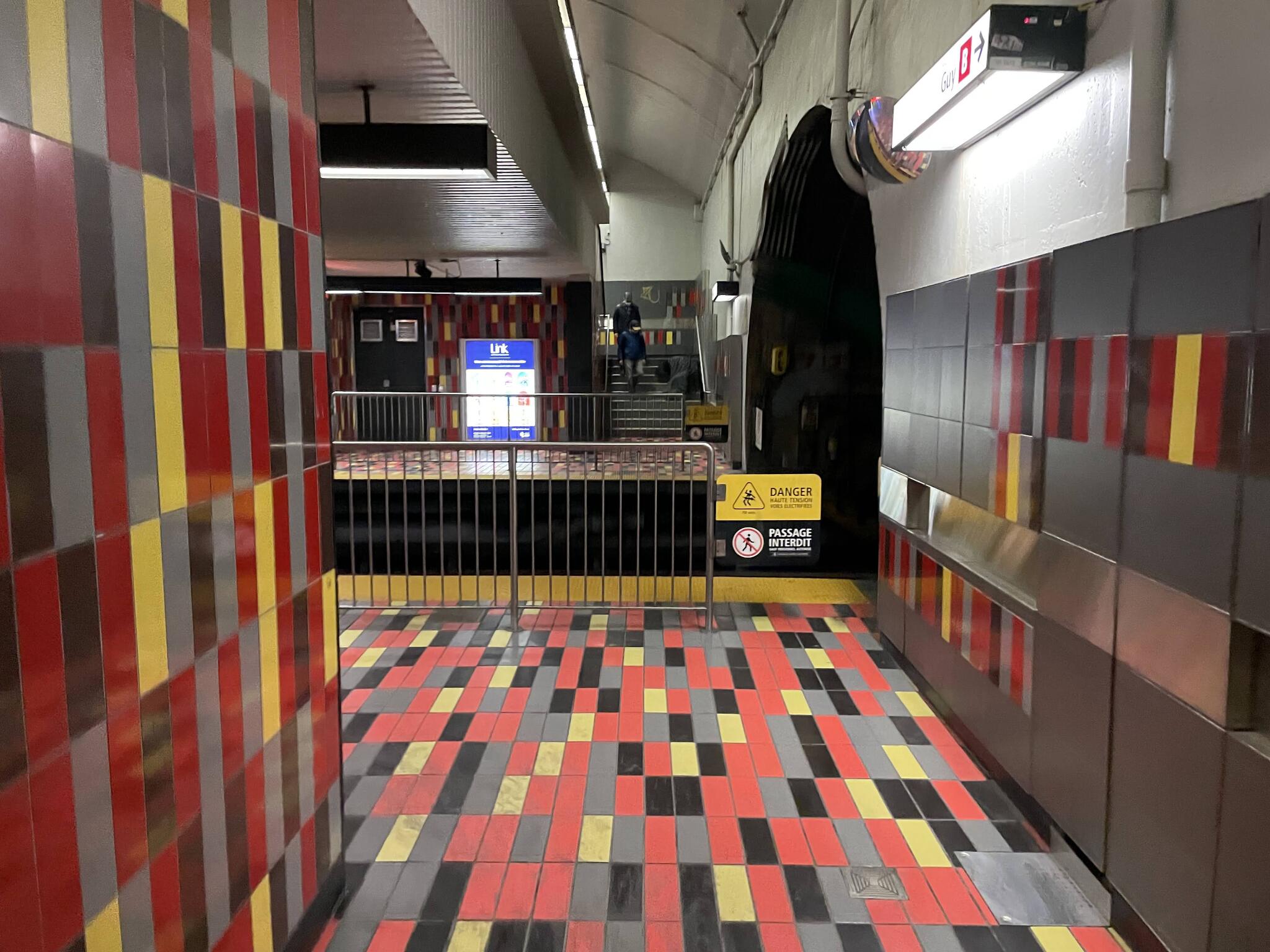
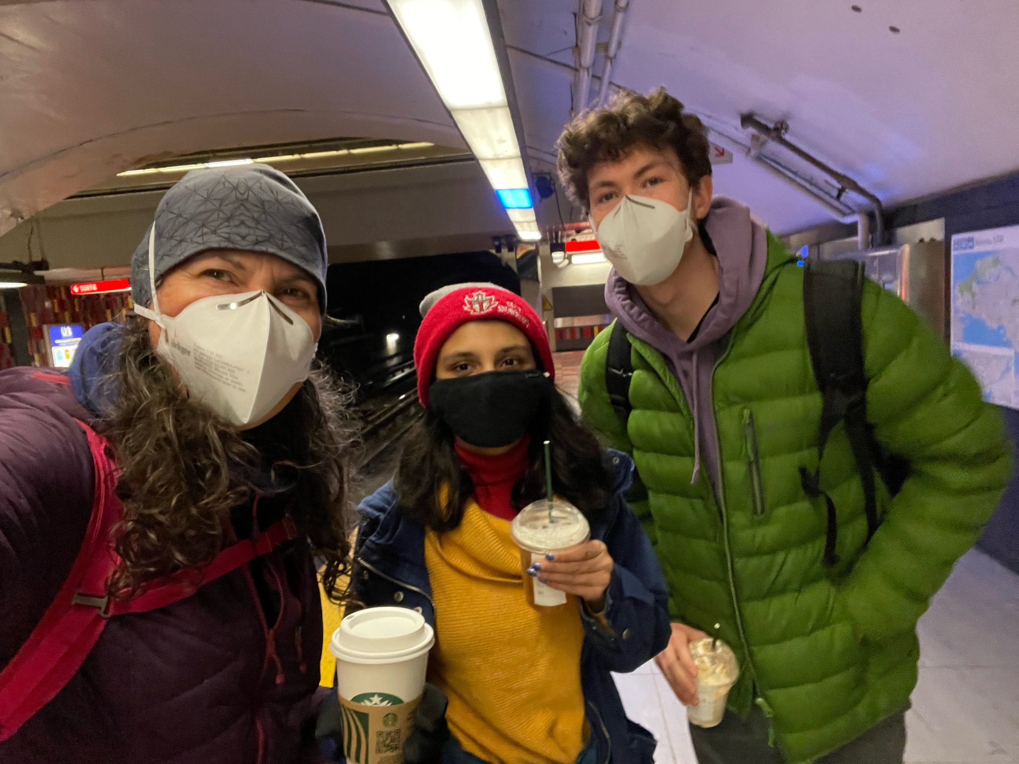
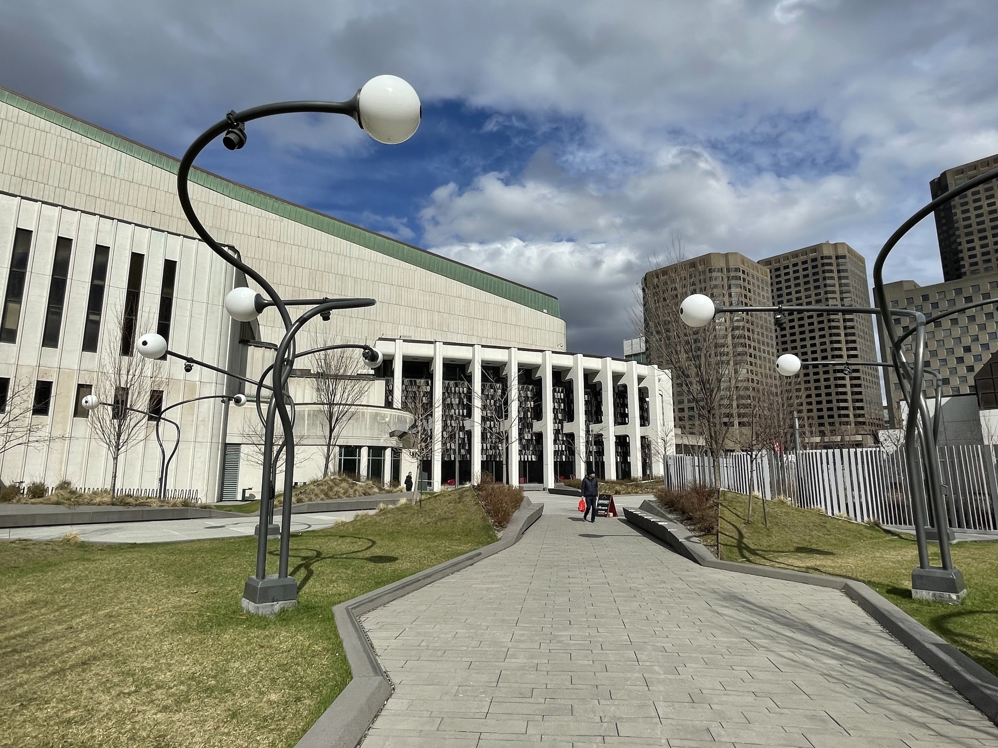
We got coffee and then walked to the Guy-Concordia Metro stop for a ride to Olympic Park.
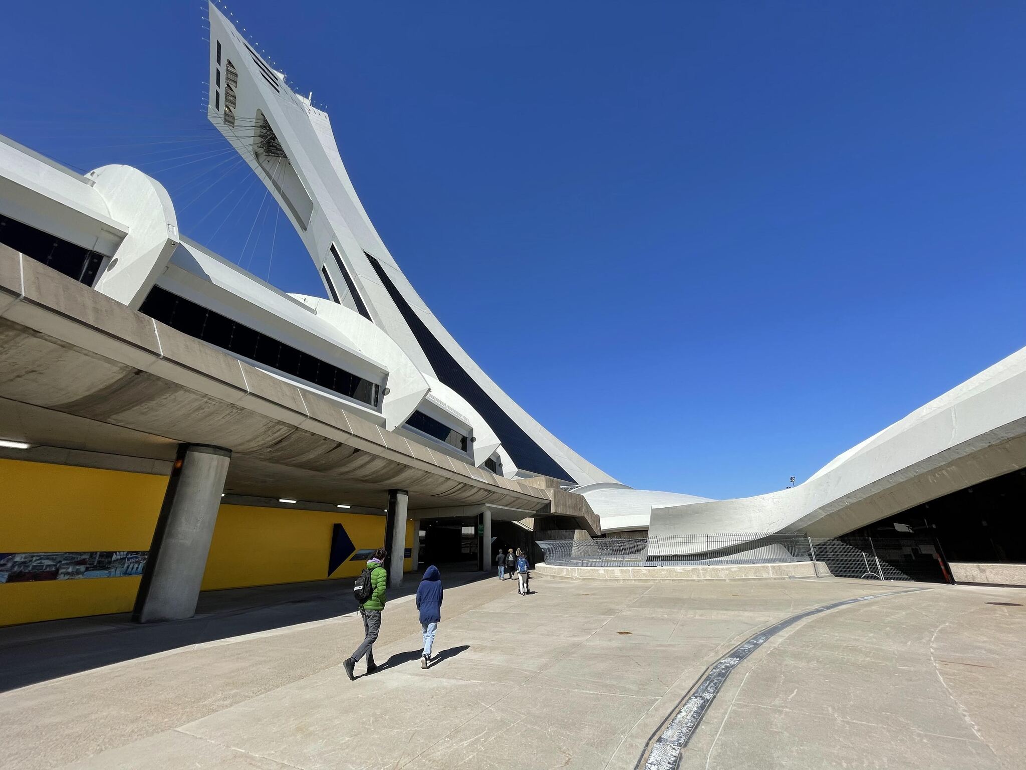
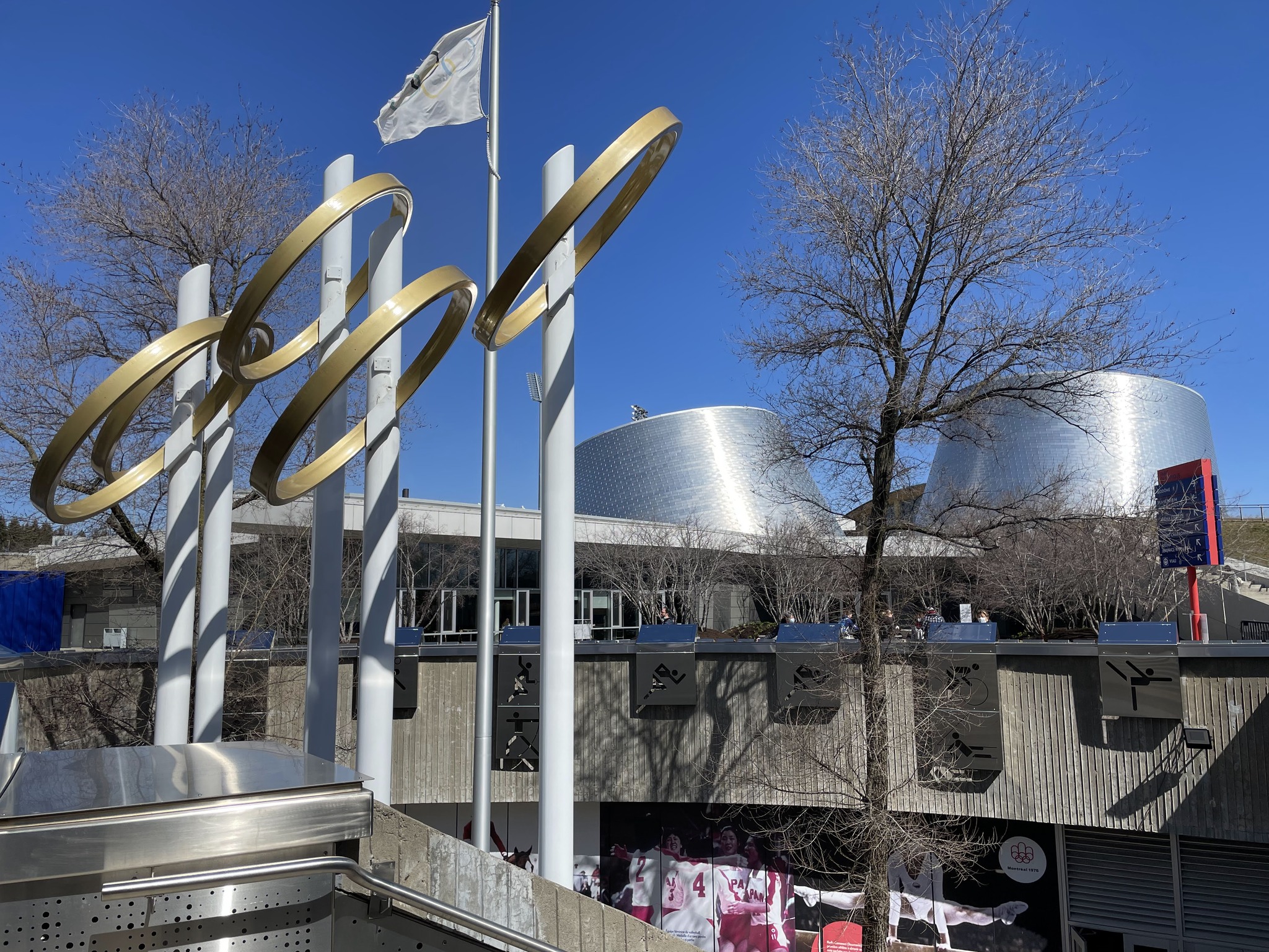
I always enjoy getting up high to see over a city. I went up the tower at Olympic Park in 2011 and 2016. Unfortunately, this time it was closed for renovations. These include replacement of the inclined elevator (cable car). They also involve enhancements to tourist areas and reconstruction of the rooftop observation deck. The original plan expected reopening in May 2023. That was delayed to January 2026, then again to fall 2026. However, the official Olympic Park site indicates the tower may remain closed until late 2027. The tower renovation will not be completed in time for the 50th anniversary of the 1976 Games in 2026.
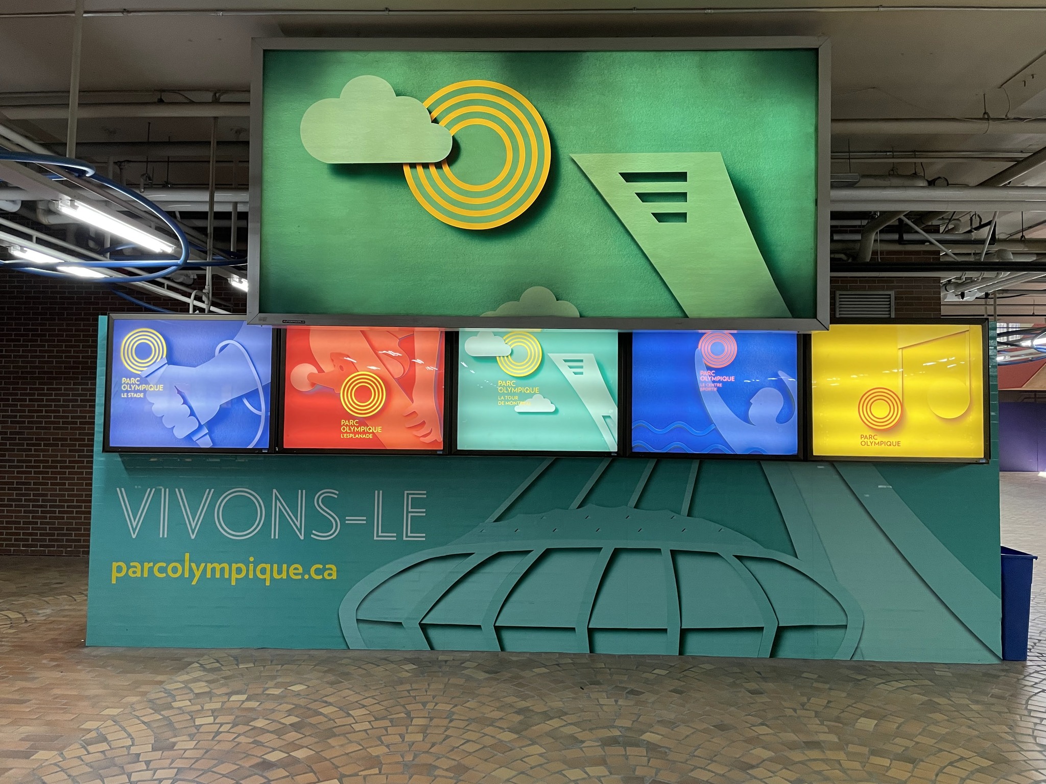
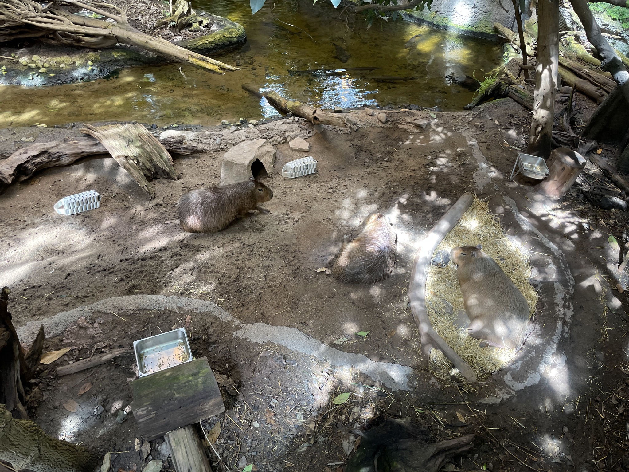
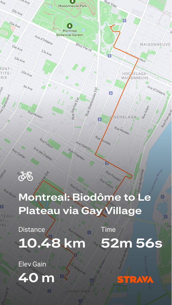
Instead, we decided to visit the Montreal Biodome. Owen loves capybaras, so when I told him that the Biodome had capybaras , he was in.
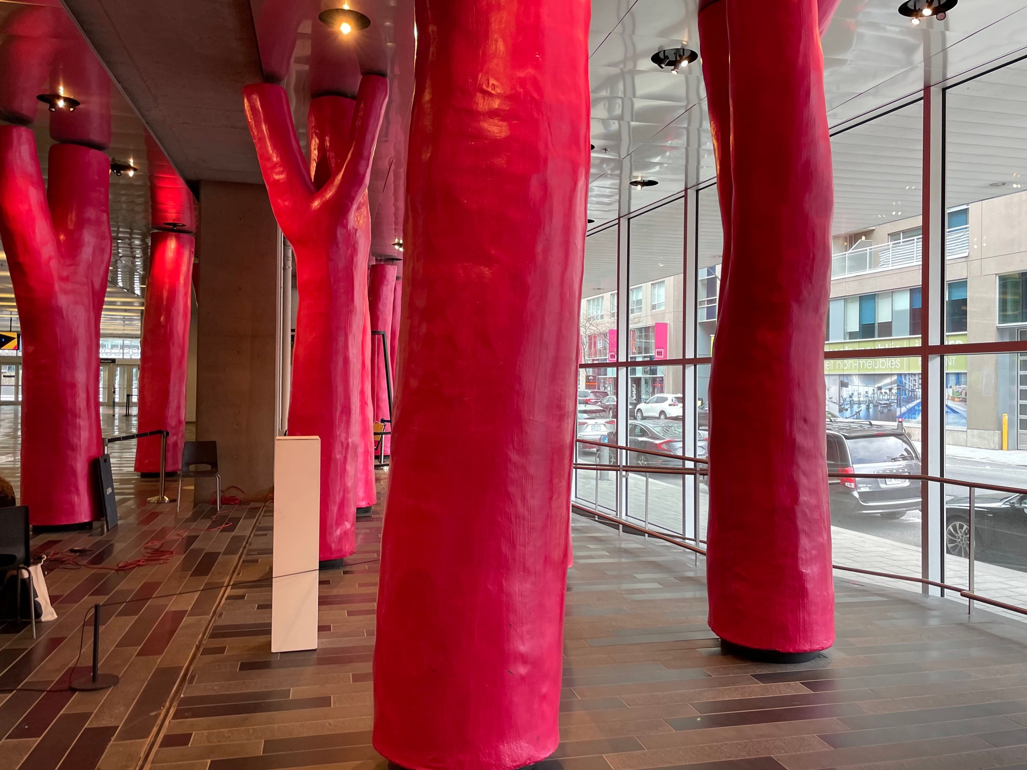
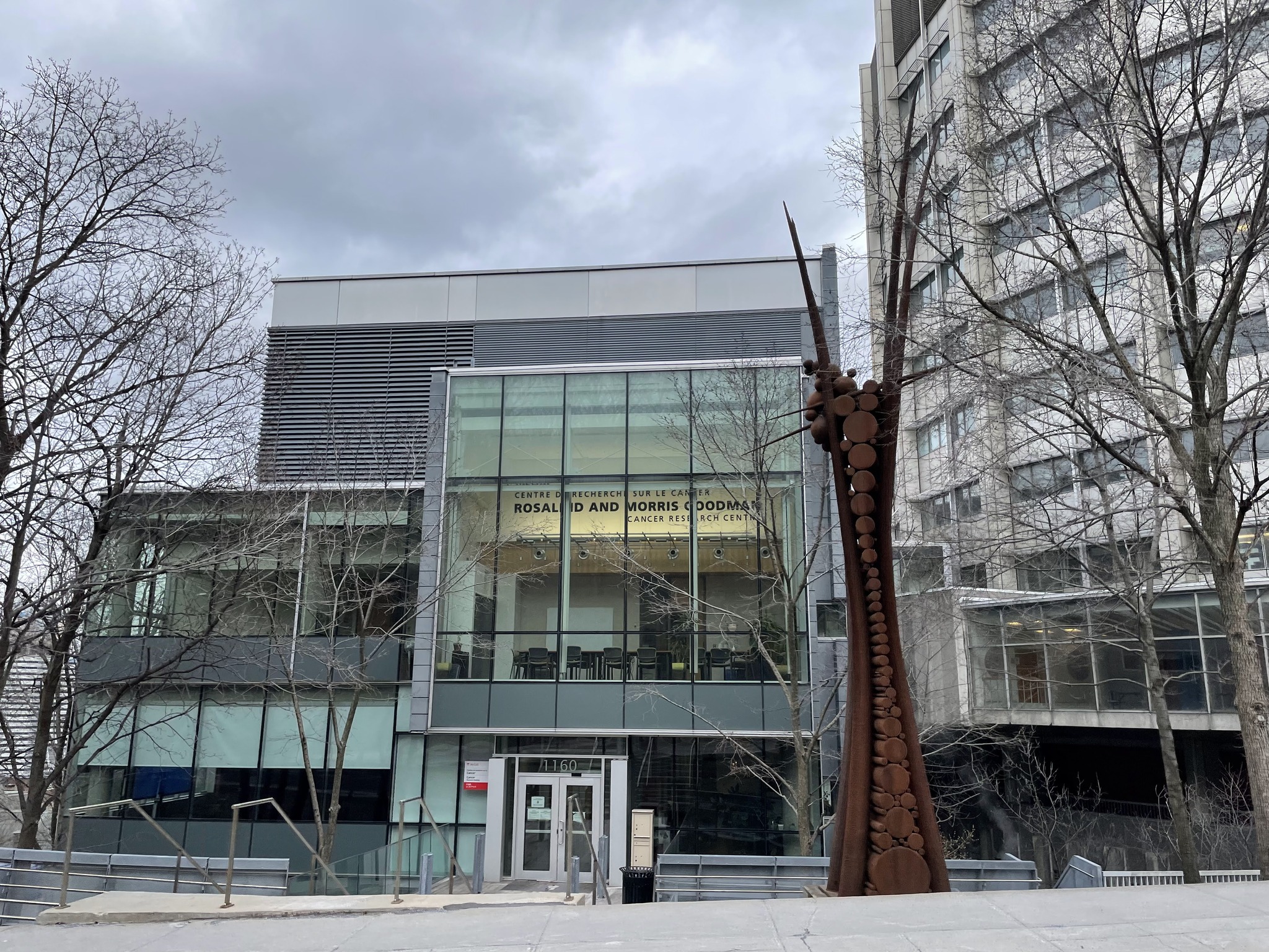
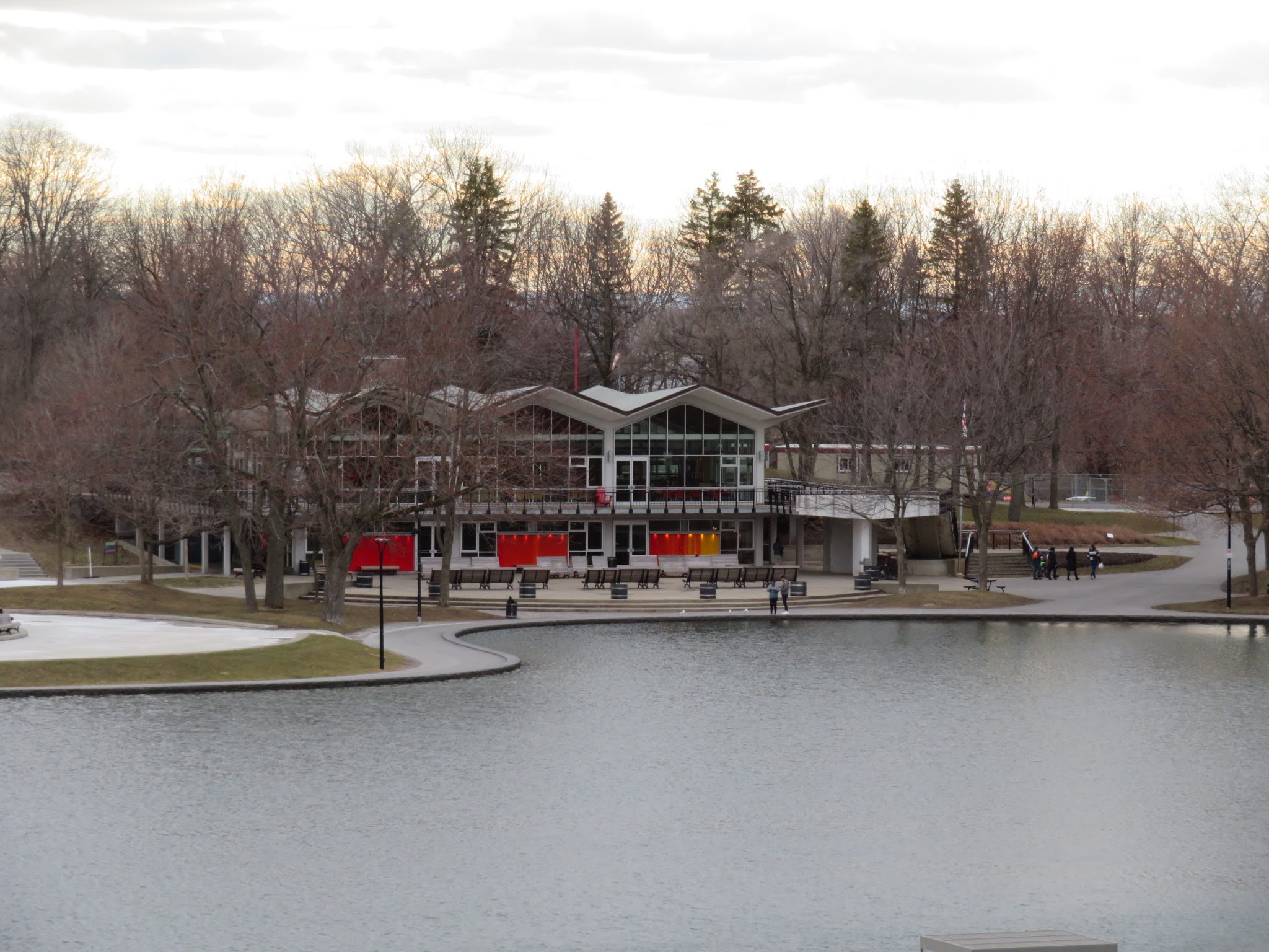
This is the entryway to the Biodome. The building was originally the Velodrome for the 1976 Olympics. It was close in 1989 and converted into the Biodome. Construction took three years and it opened in 1992.
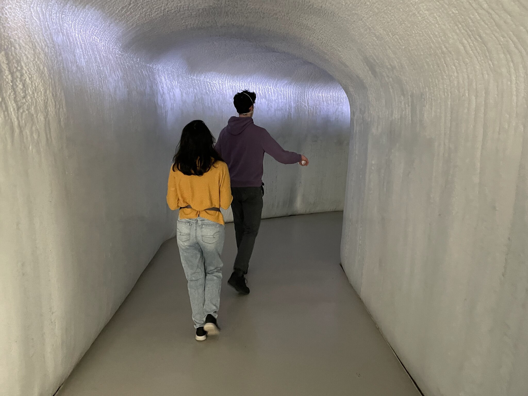
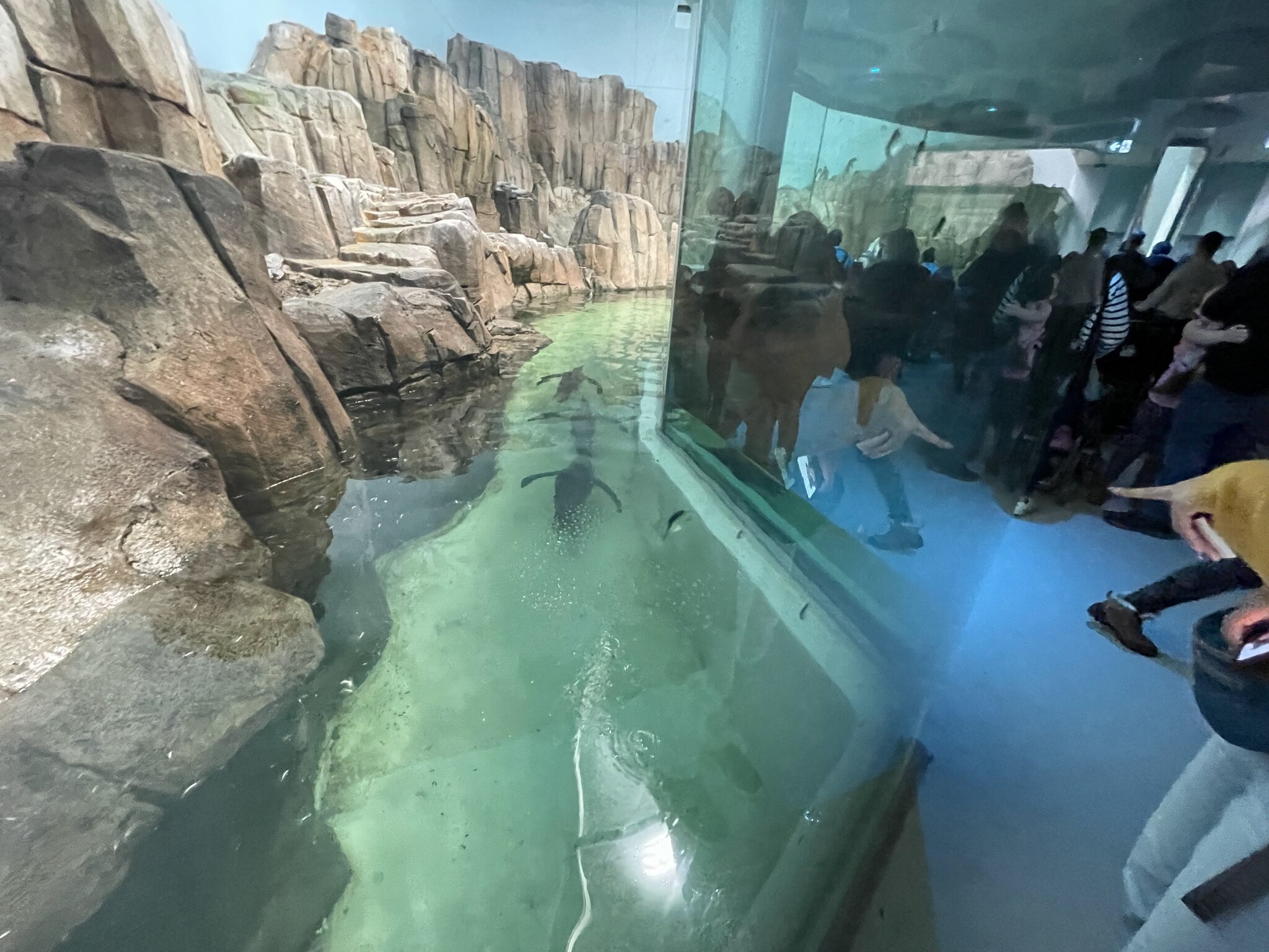
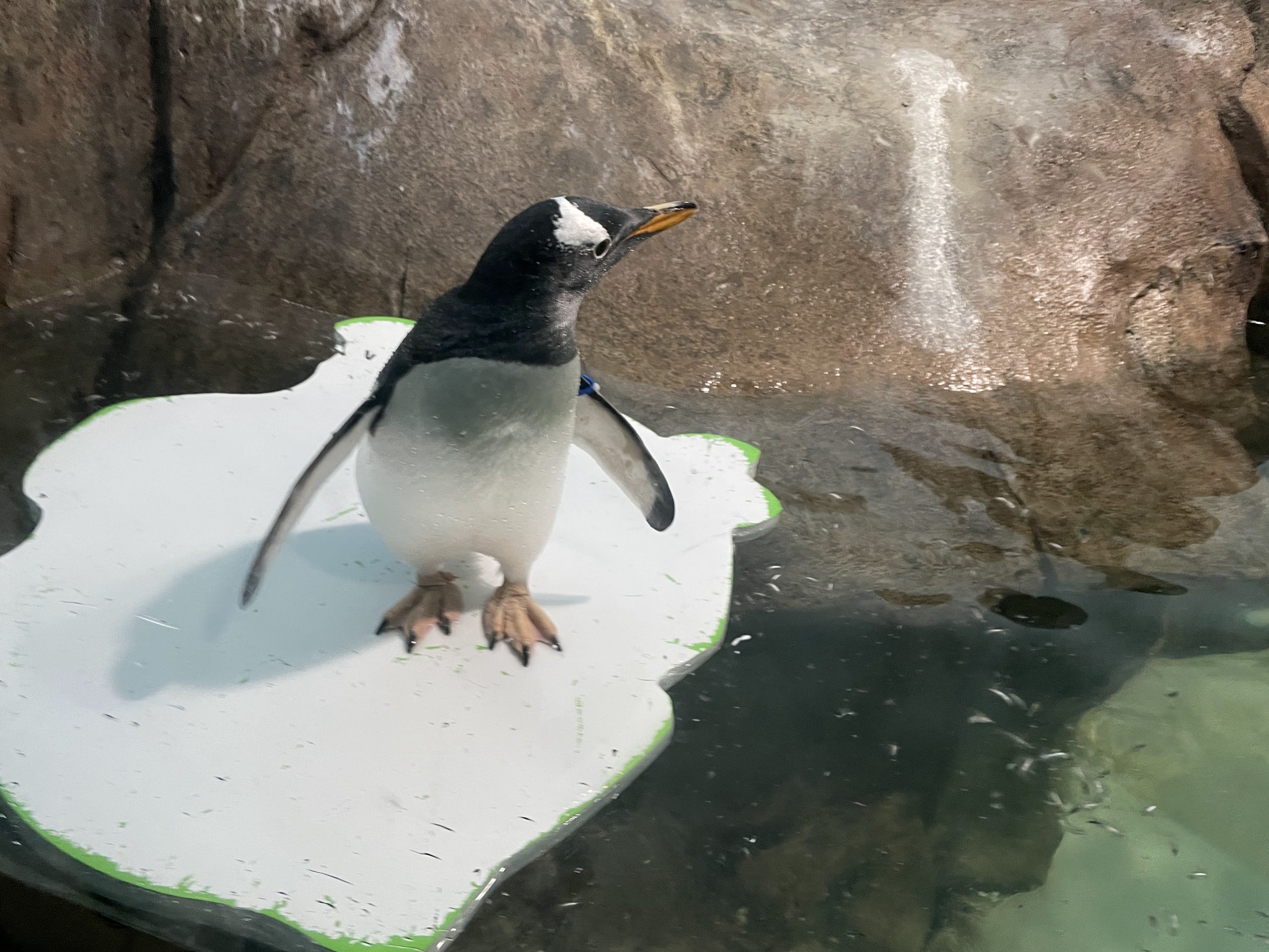
This hallway was completely covered in ice. It led to the Sub-Antarctic Islands Habitat, which was populated by penguins.
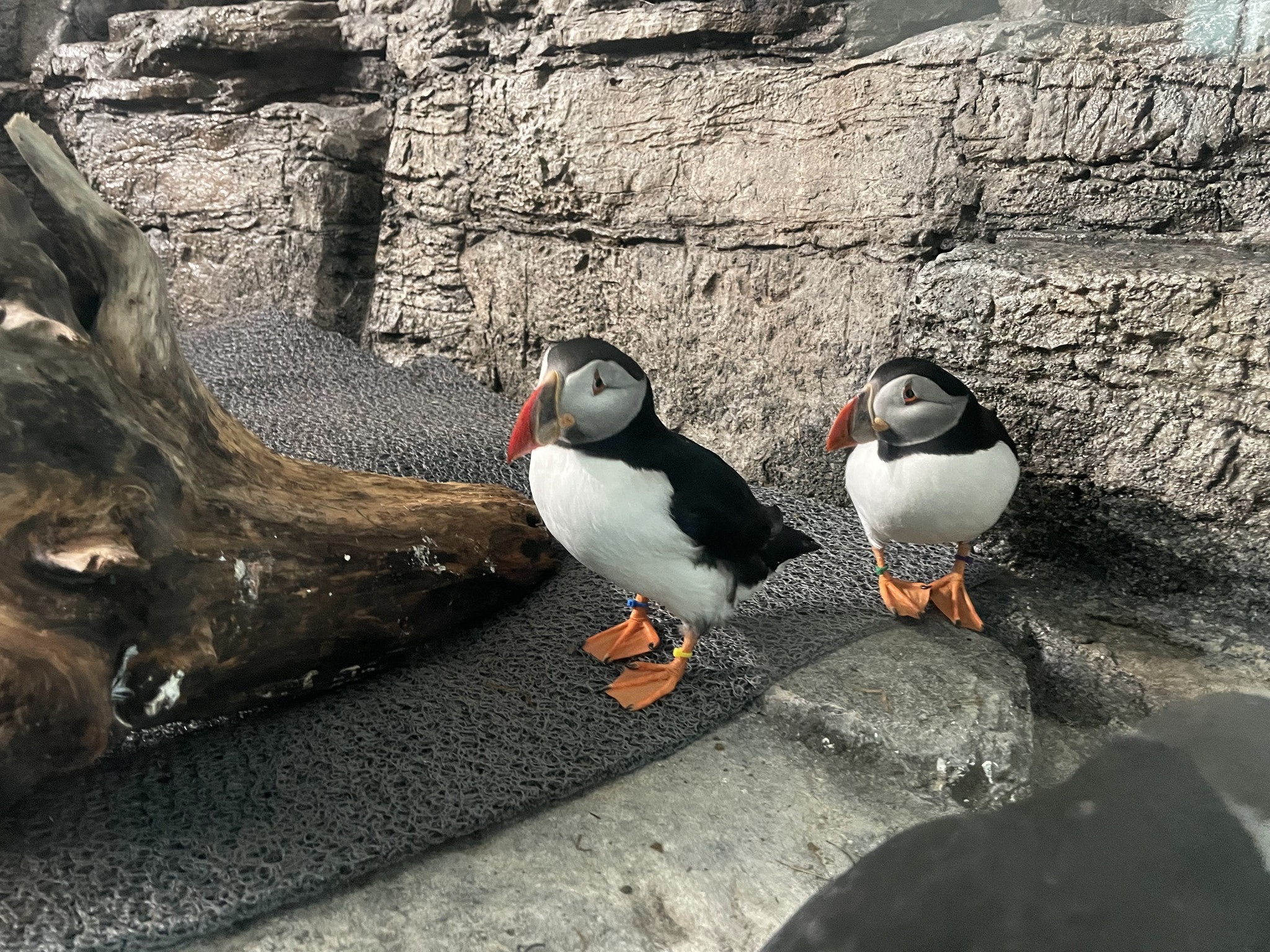
The Labrador Coast Habitat featured puffins.
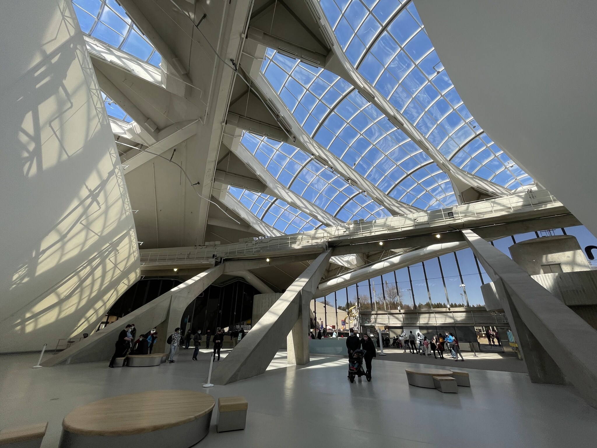
This is the Gulf of St. Lawrence habitat. There was a second level, which gave you an overview of the habitat.
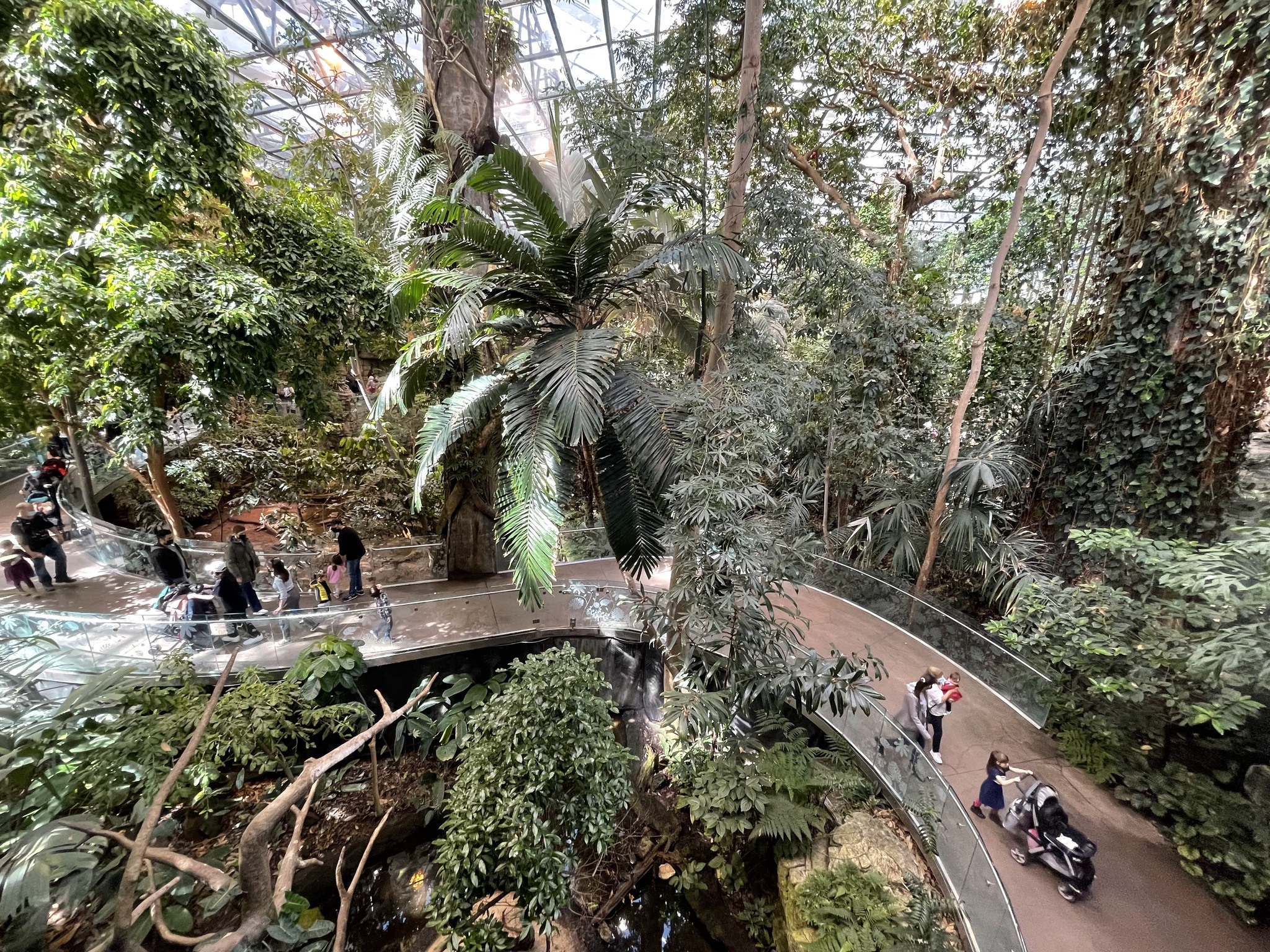
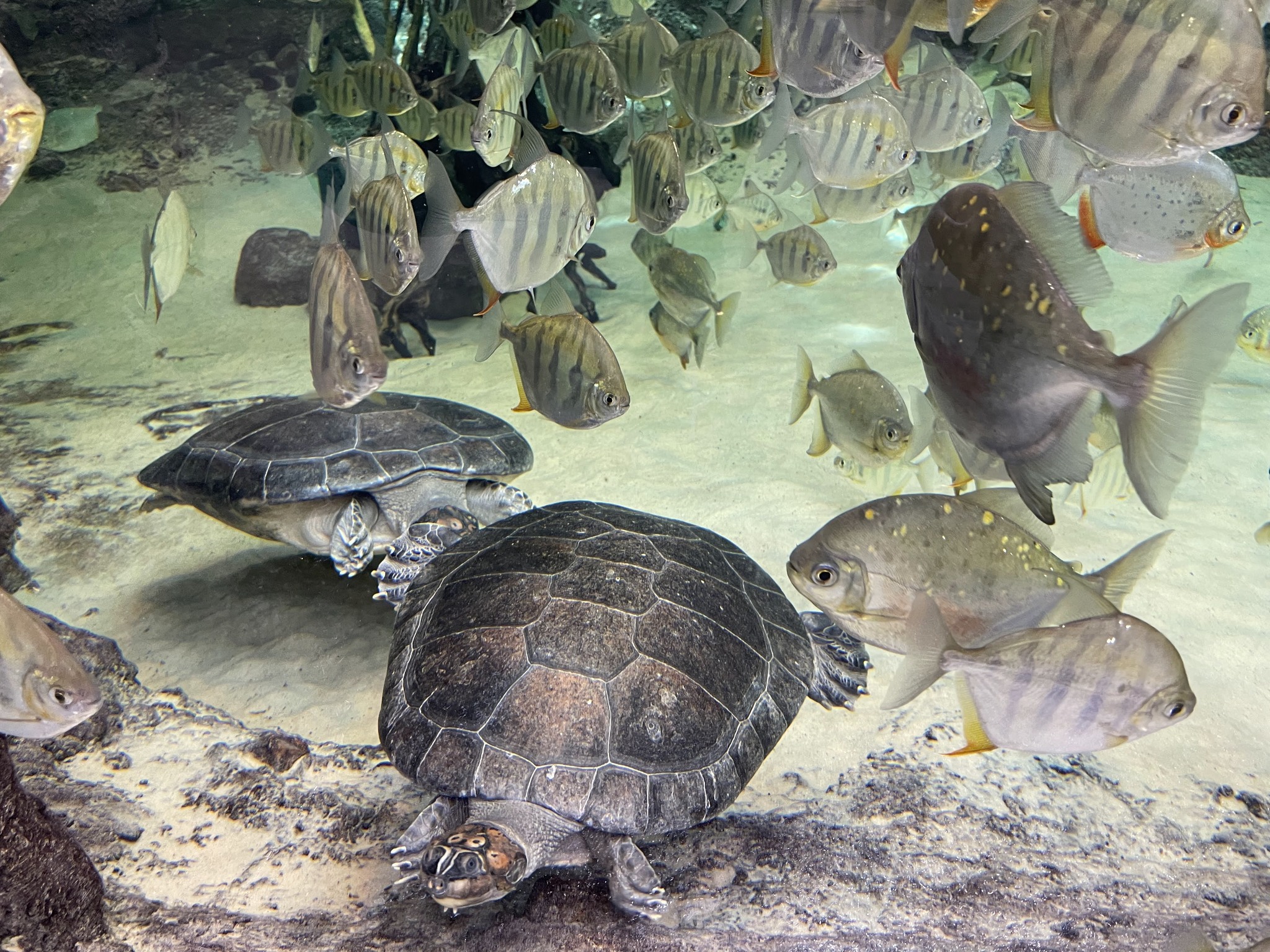
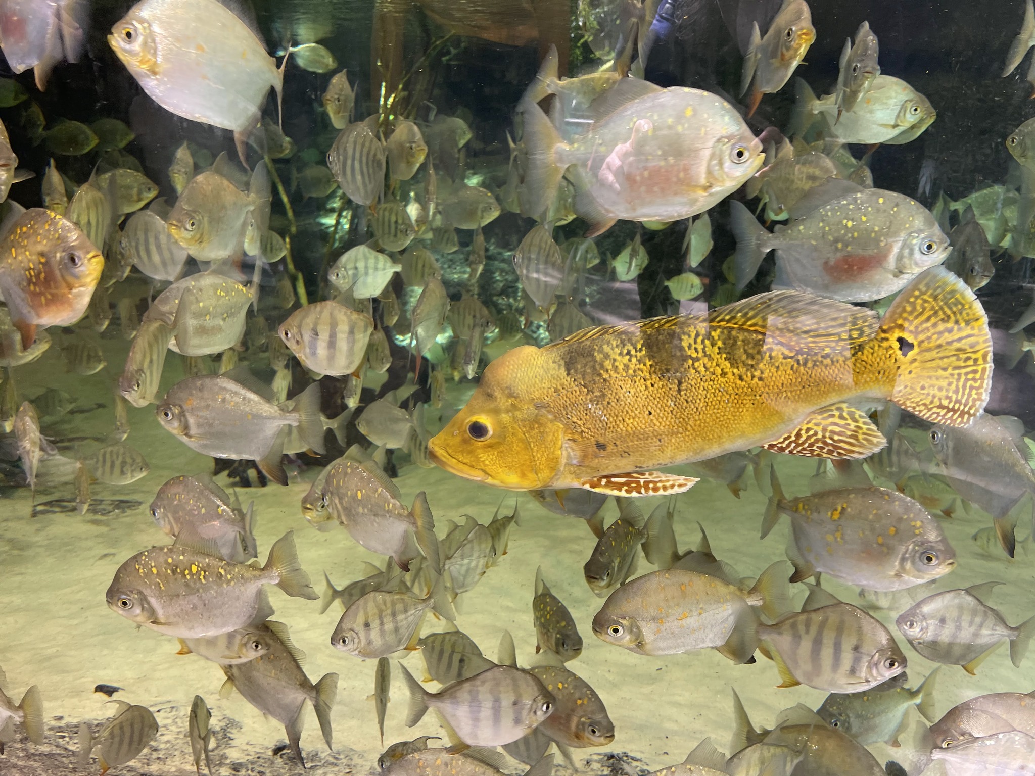
This is the Tropical Forest Habitat and is a replica of the South American rainforest.
And these are the capybaras.
There was a large aquarium in the Tropical Rainforest habitat.
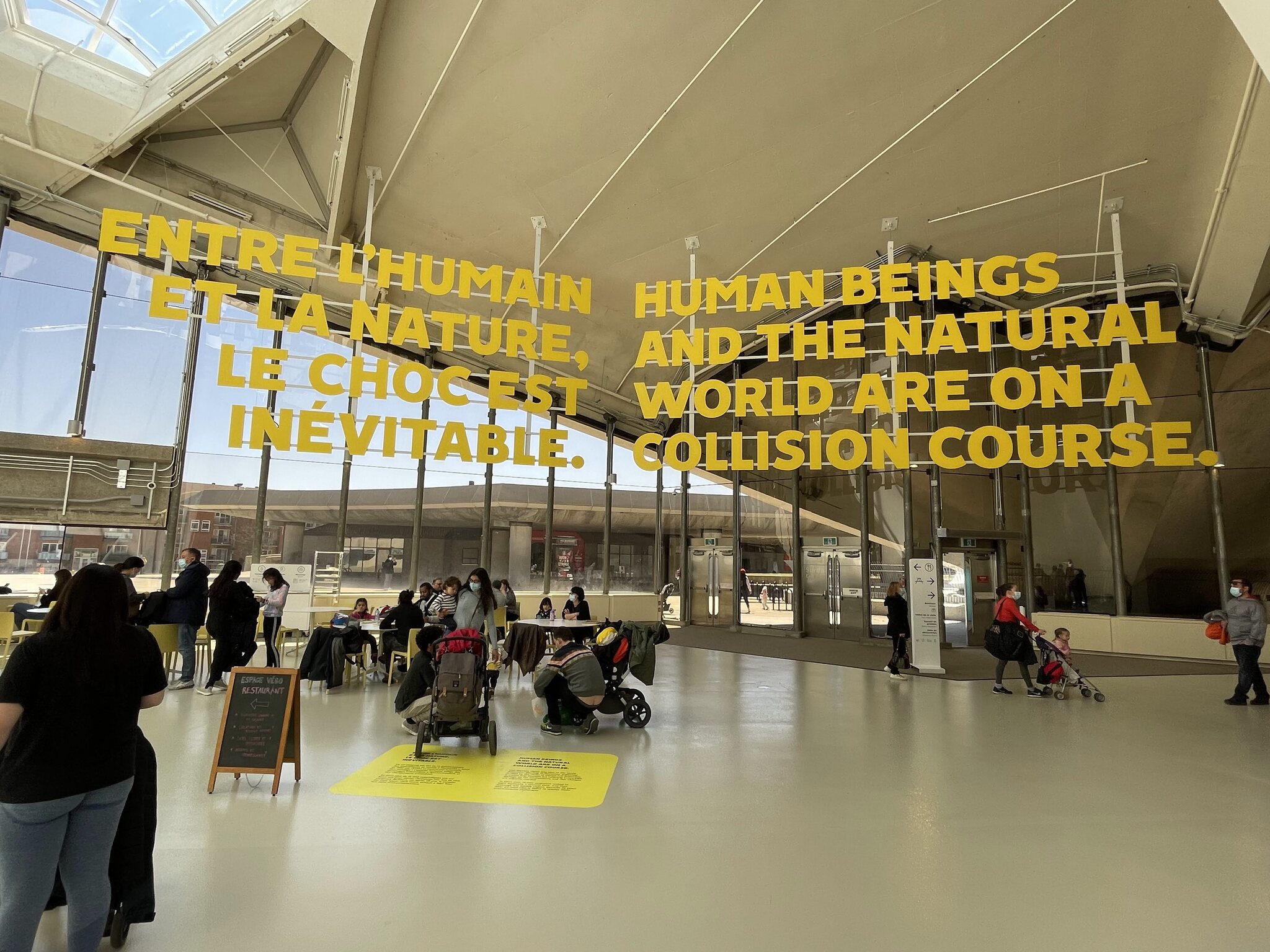
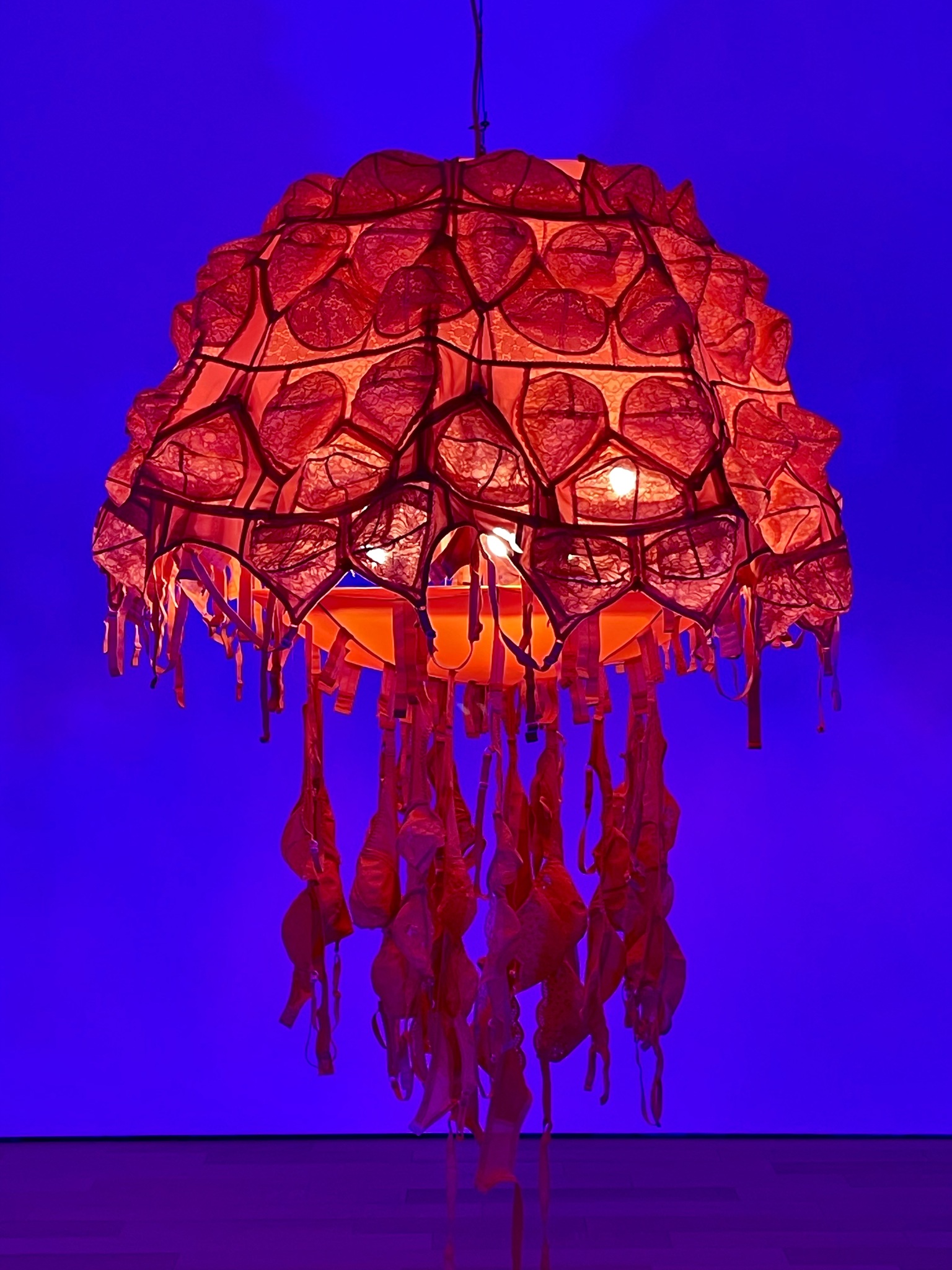
There was a poignant message in the lobby.
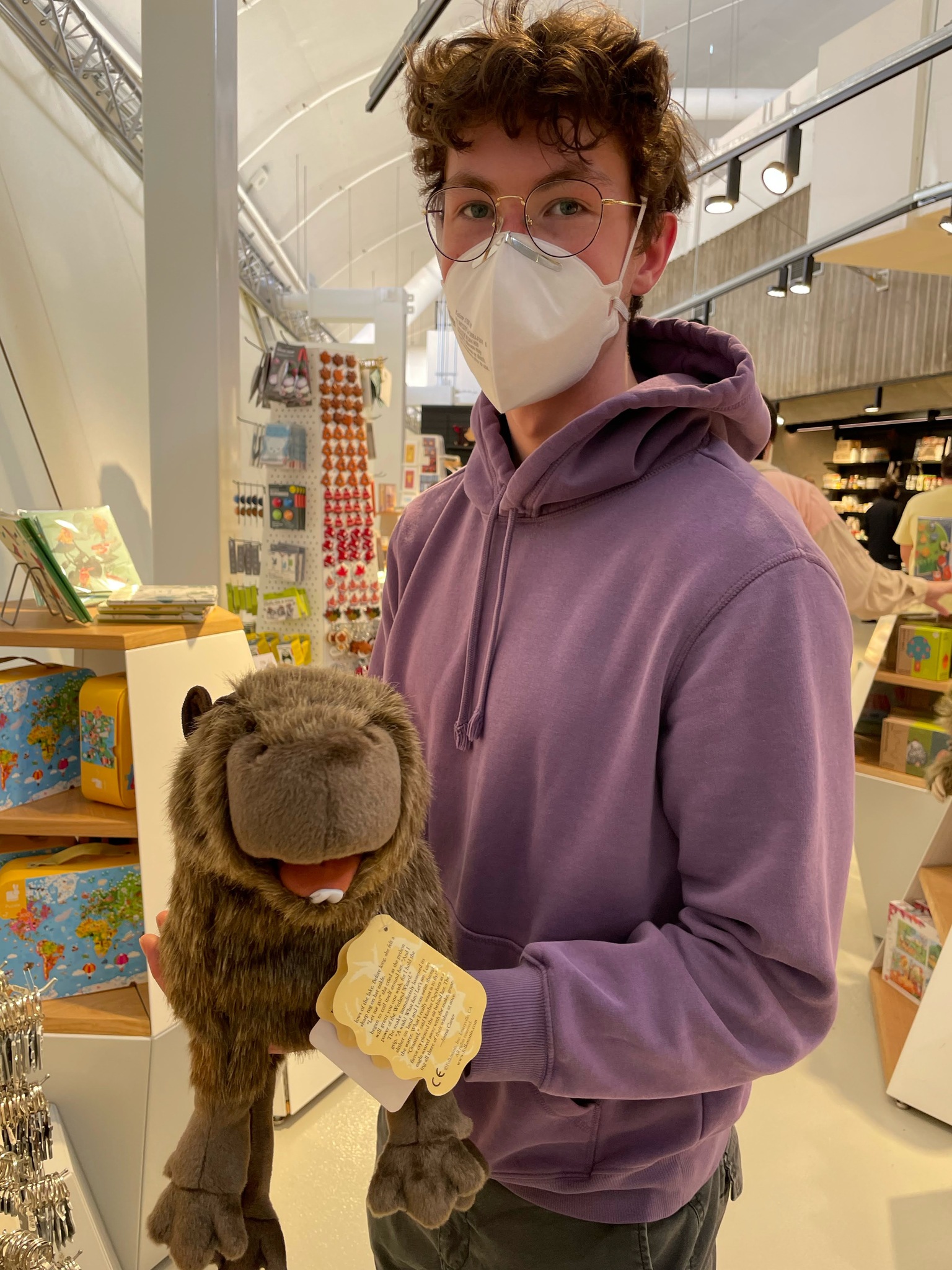
Owen really wanted this capybara puppet in the gift shop but, if I recall correctly, it was about $90, so he passed.
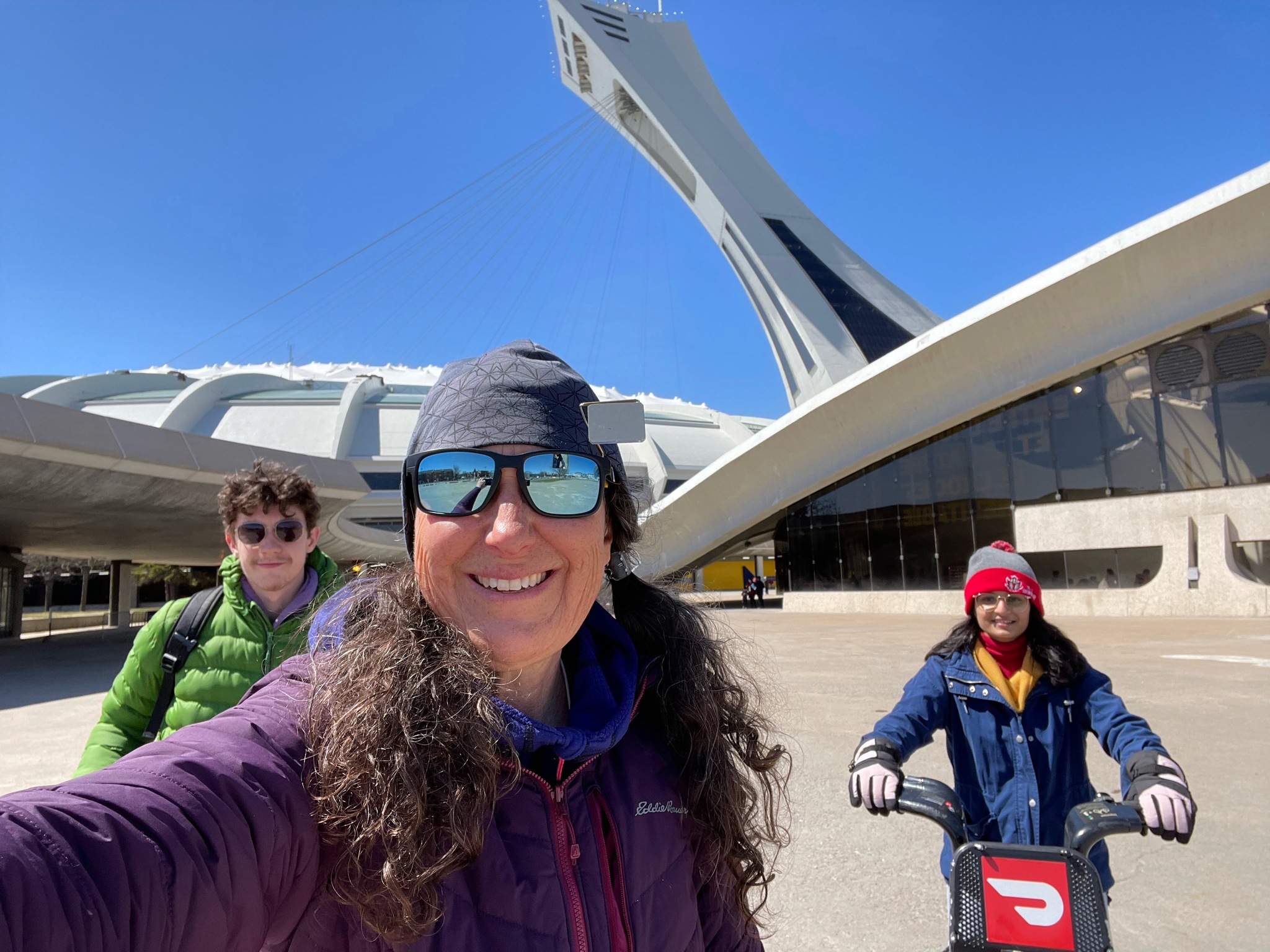
It had warmed up a little and the sun was strong, so we decided to return by bike.
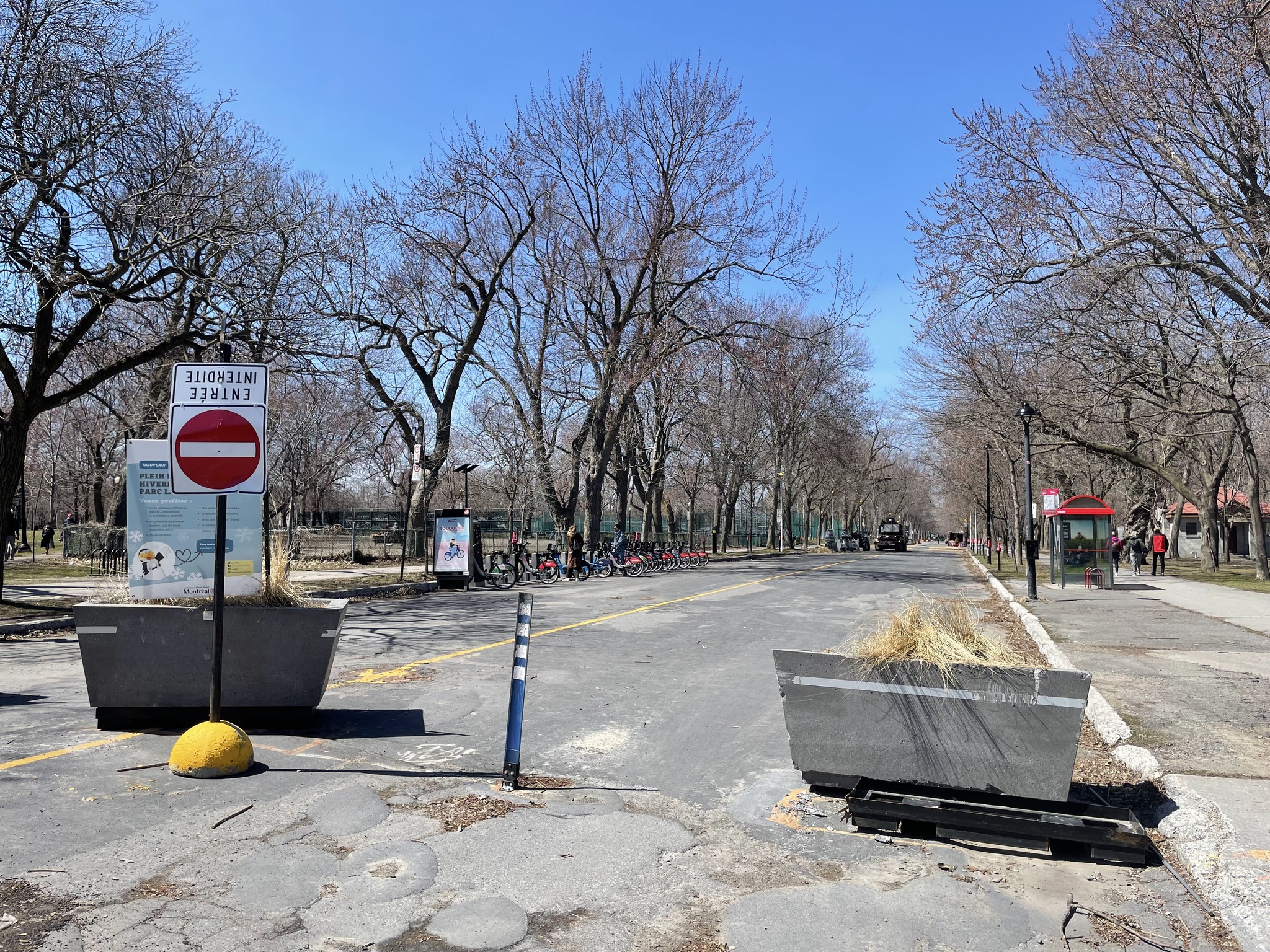
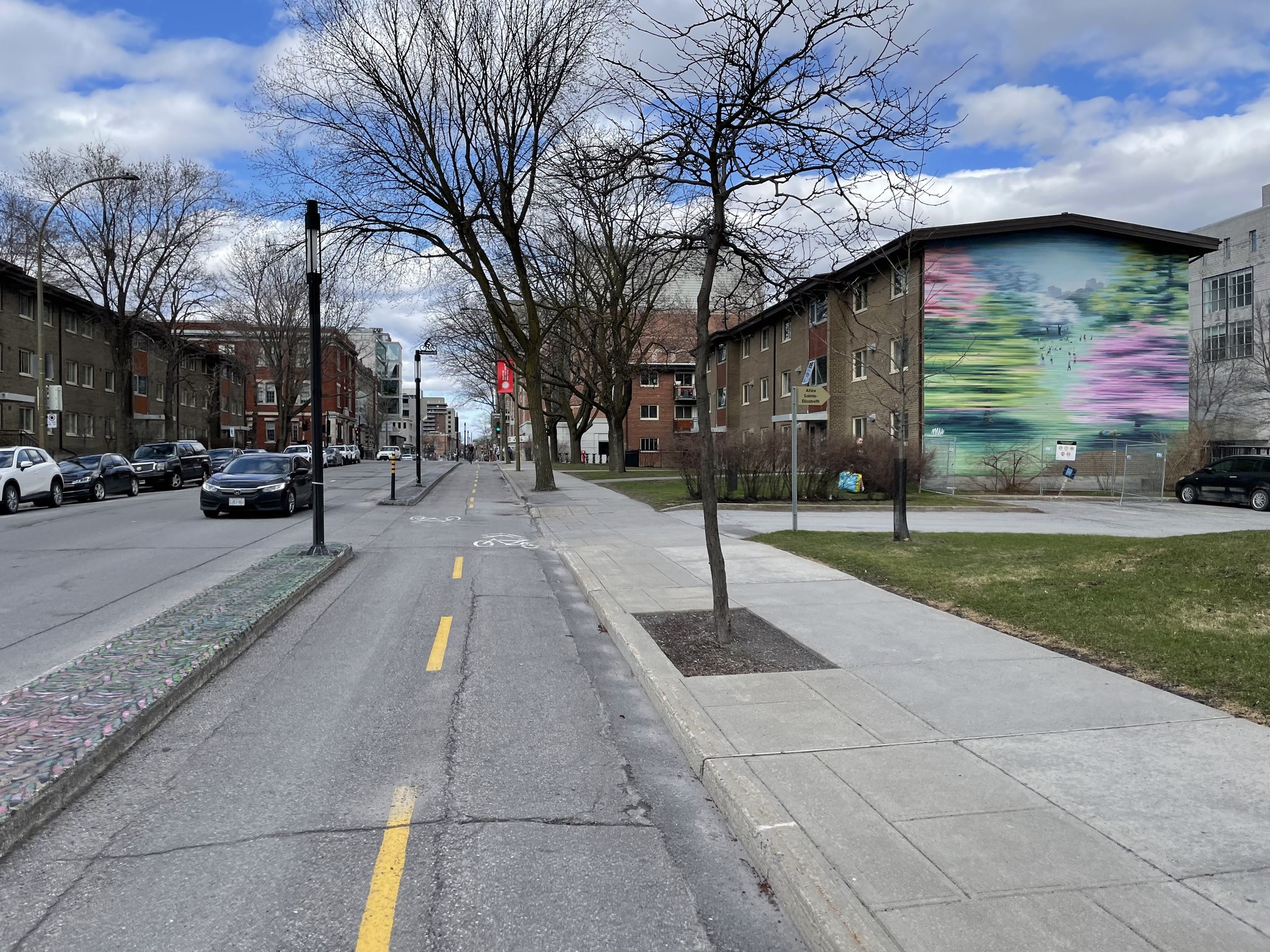
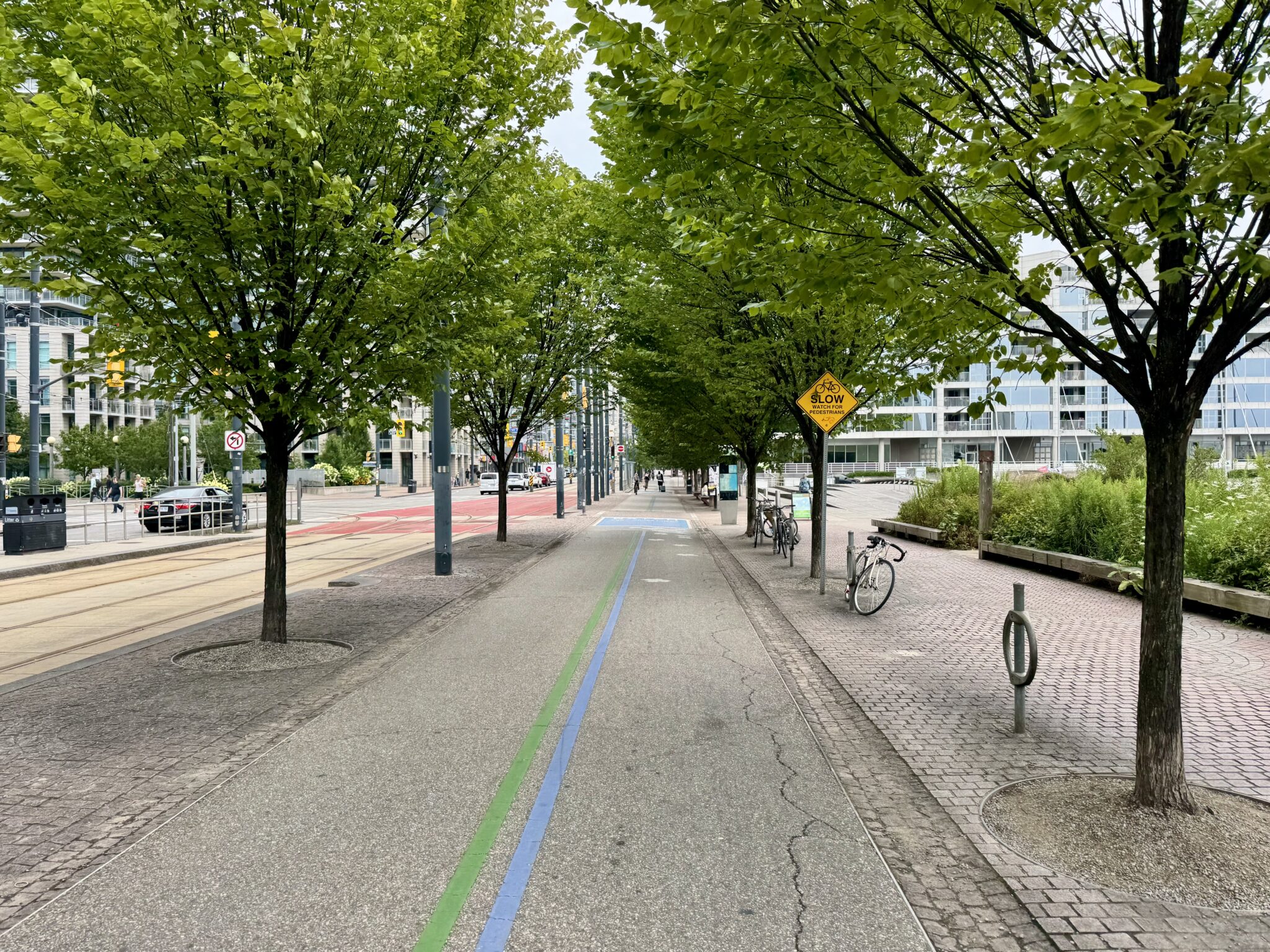
This used to be a street for motor vehicles, but has been converted into wide sidewalks, a bidirectional cycle track, and a park. This type of thing is known as filtered permeability. Active transportation modes can get through, but cars cannot.
La Fontaine Park is a very large park in the Plateau neighbourhood. The roads within the park were blocked for motor vehicle vehicles. We docked our bikes here.
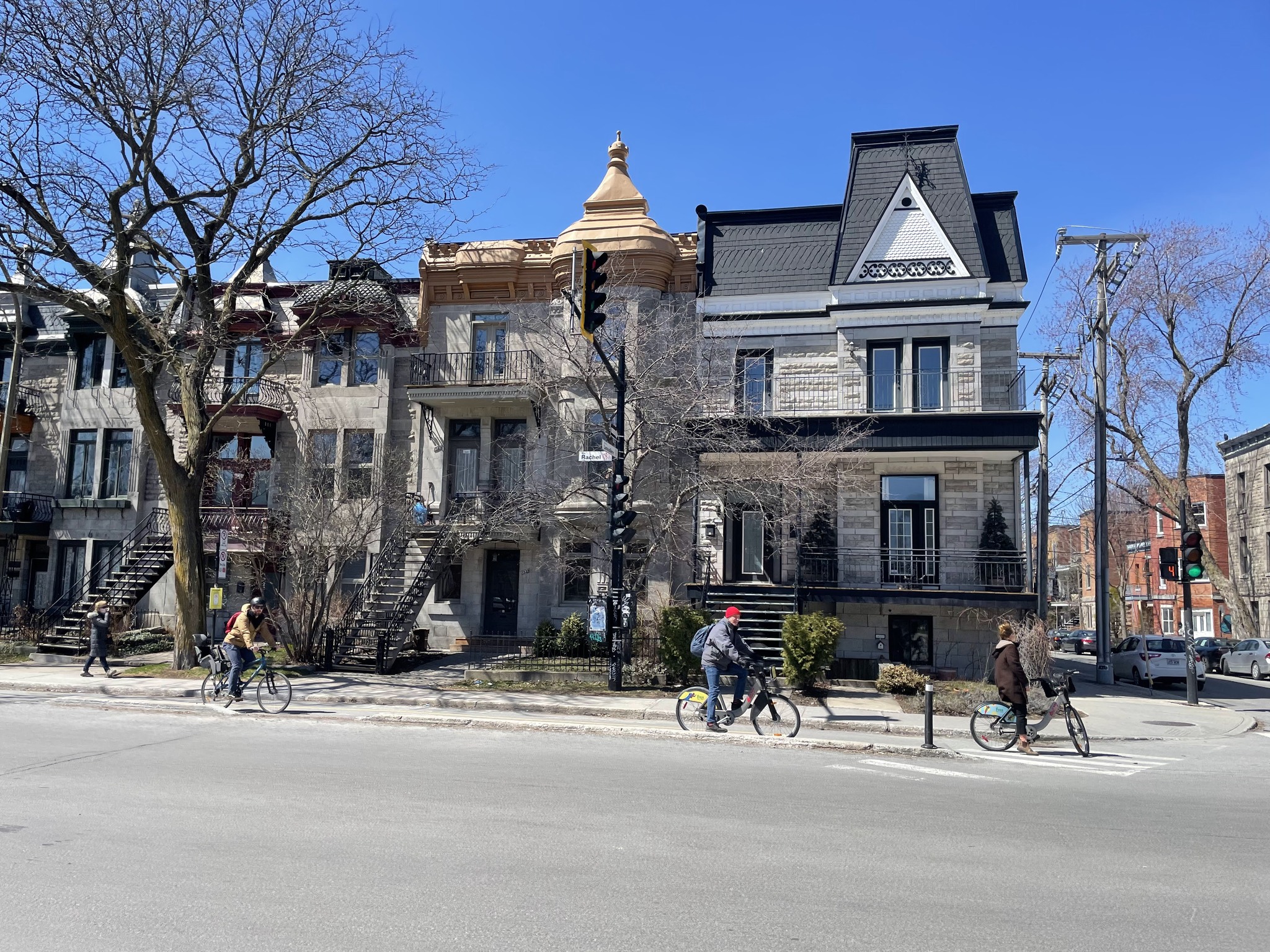
This type of architecture is very common in Montreal with outdoor staircases to upper level apartments.
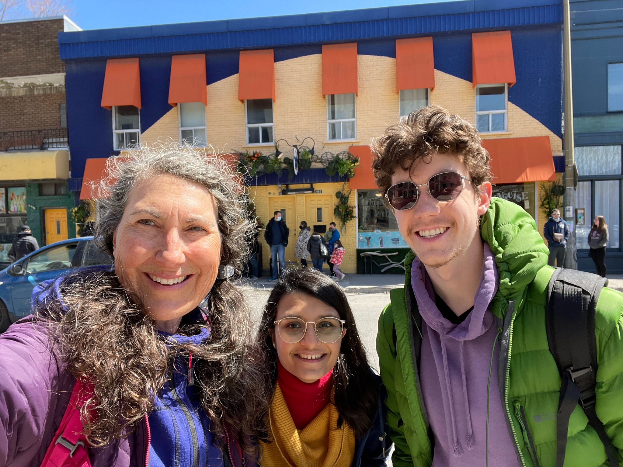
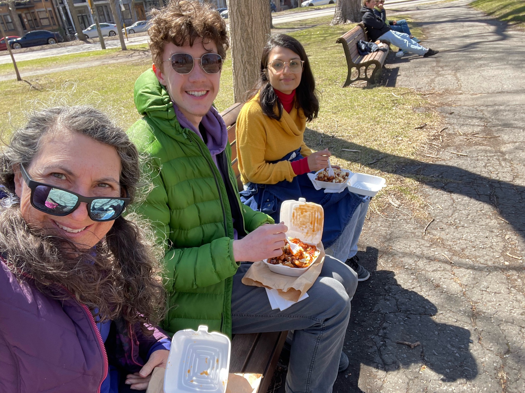
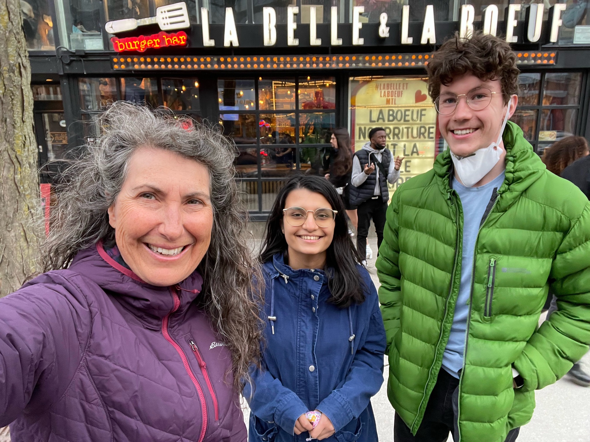
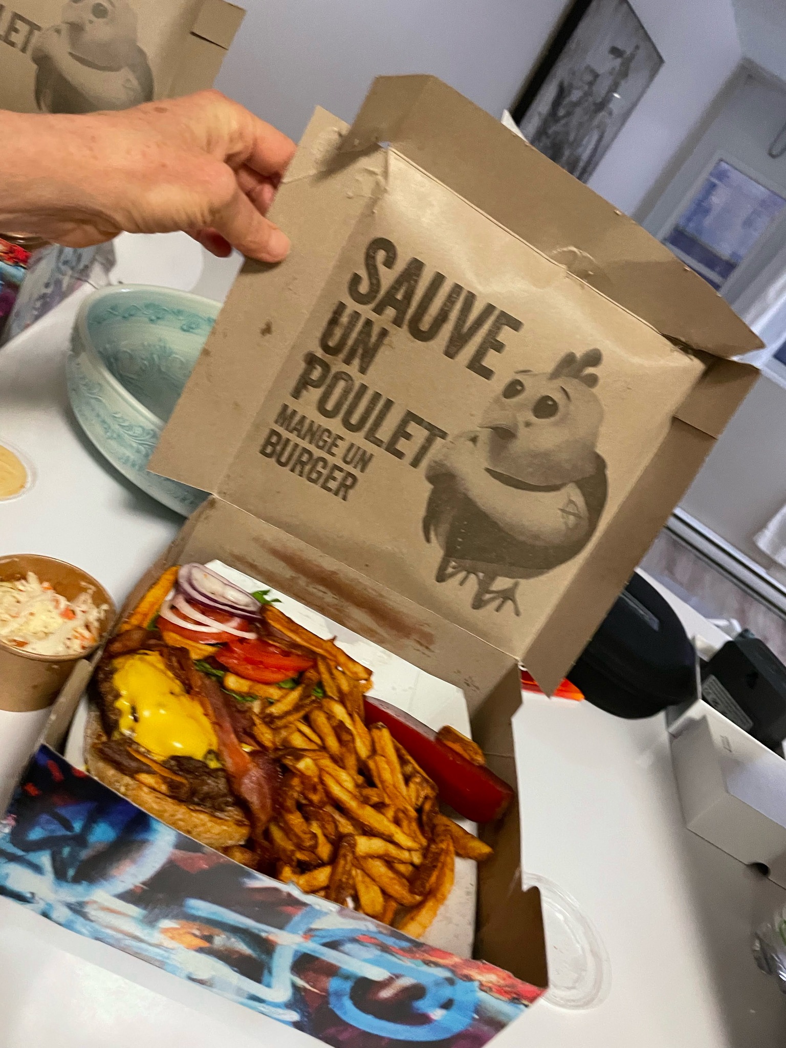
Here we are outside of the restaurant, La Banquise. There was a lineup to get in, and it was very busy inside. We decided to get takeout and eat in the park.
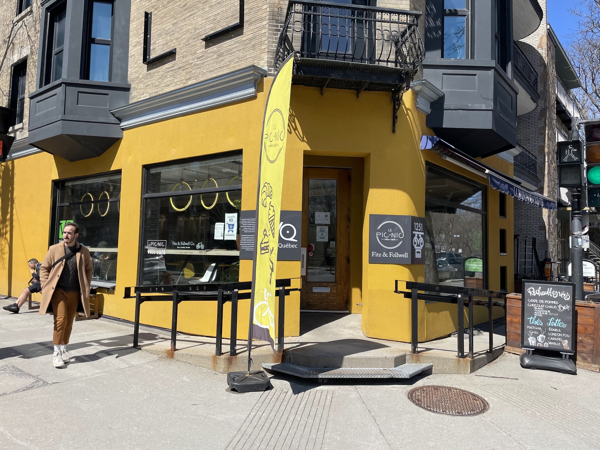
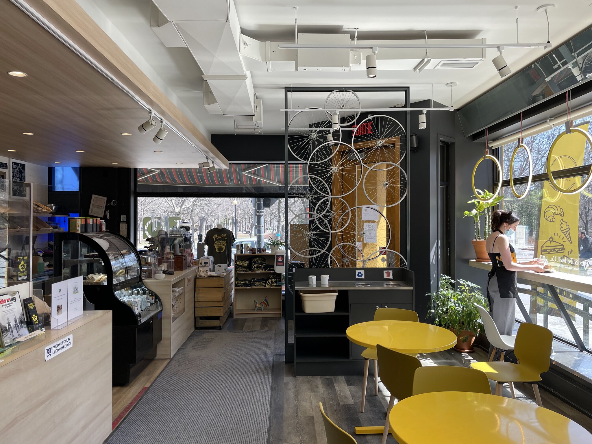
This is the Vélo Quebec storefront and Café. They can help plan bike vacations, and have pamphlets and maps.
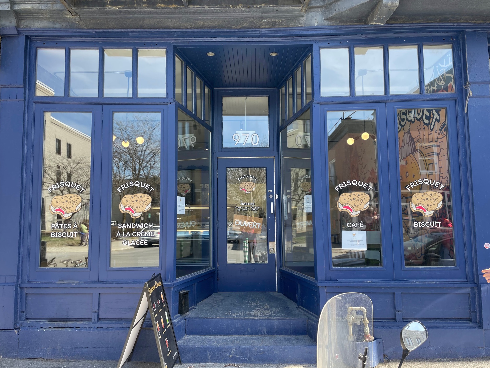
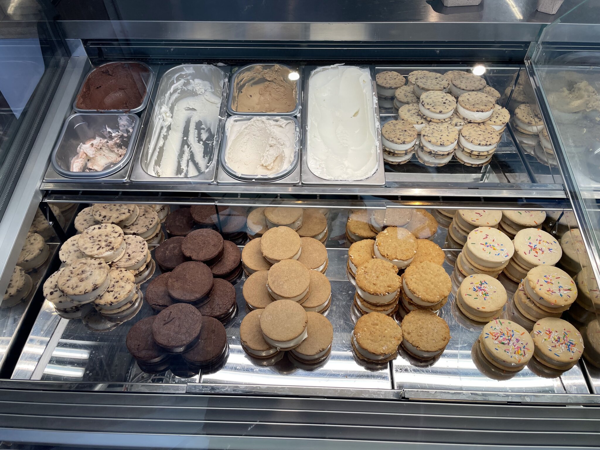
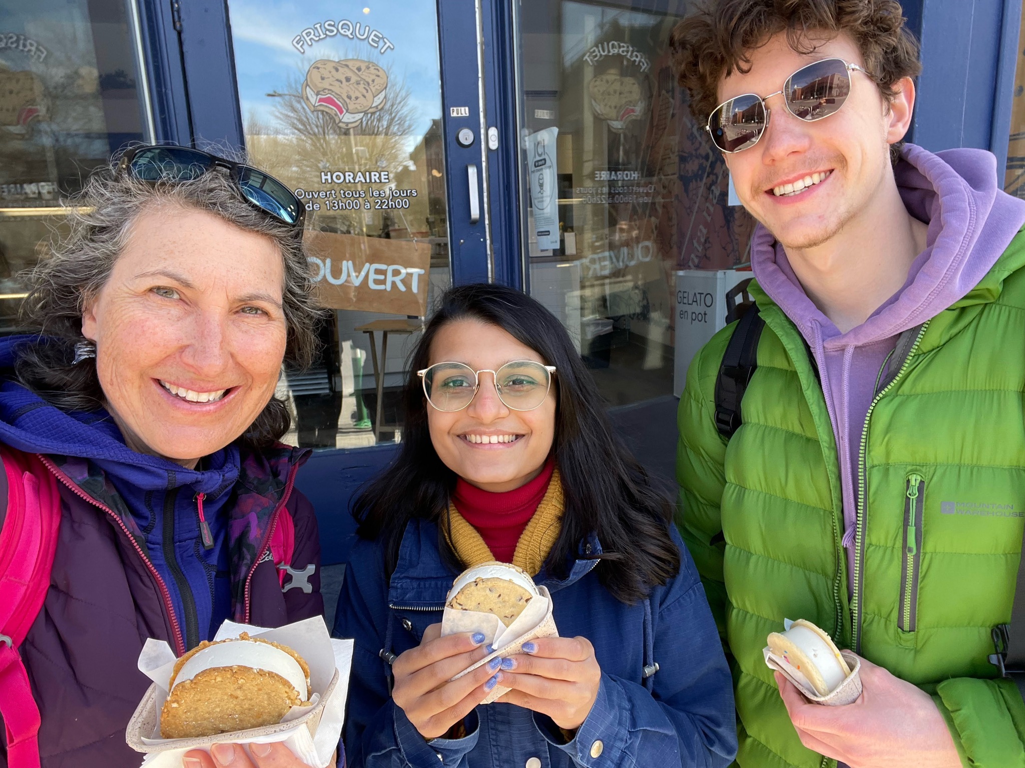
While waiting for our poutine we noticed the Frisquet ice cream sandwich shop. Despite being full of poutine, we indulged. They were delicious. Unfortunately, they’re no longer in business.
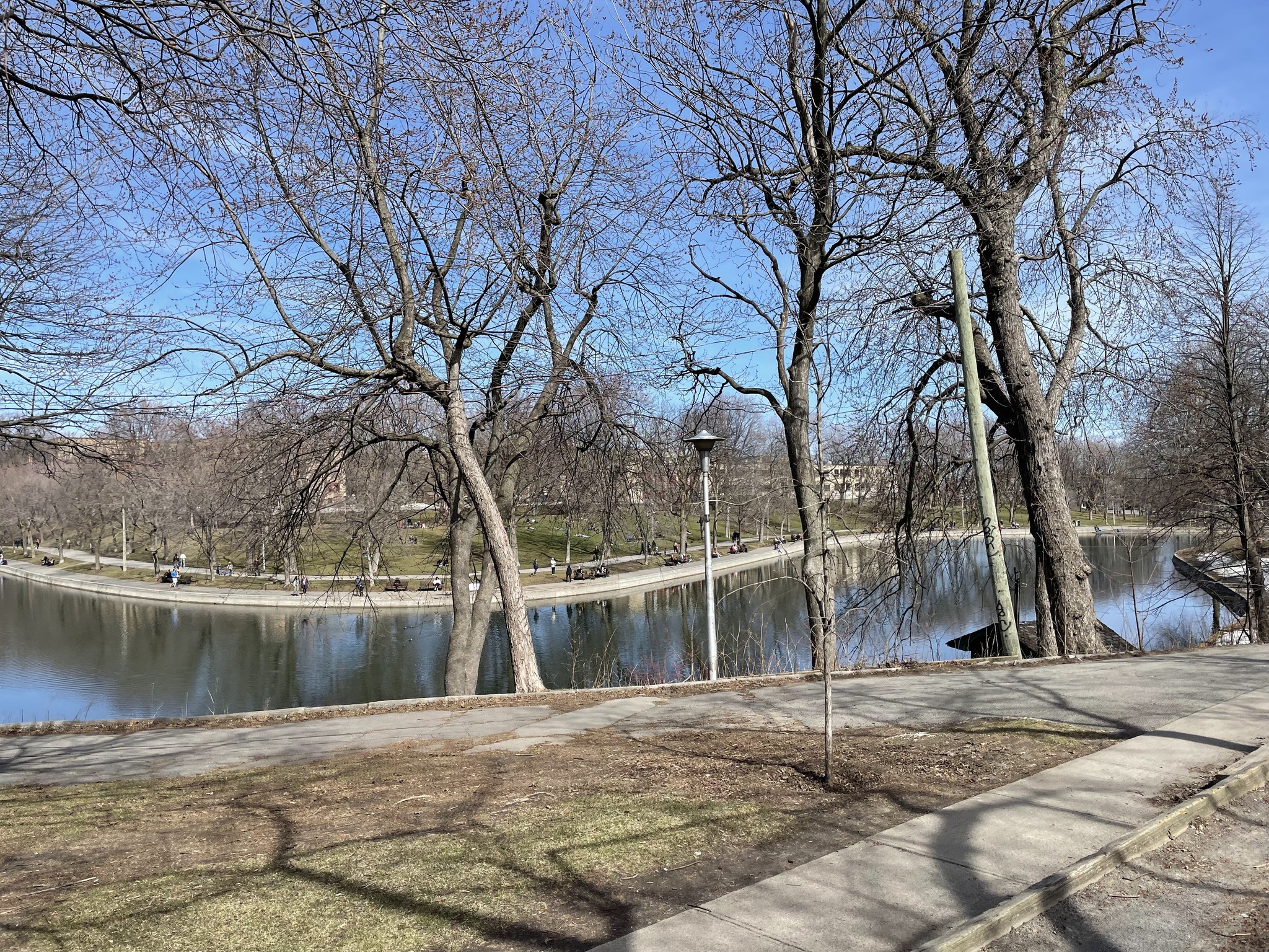
We walked back to the park to pick up the bikes, again. There were many people sitting in the park along the shore of the pond.
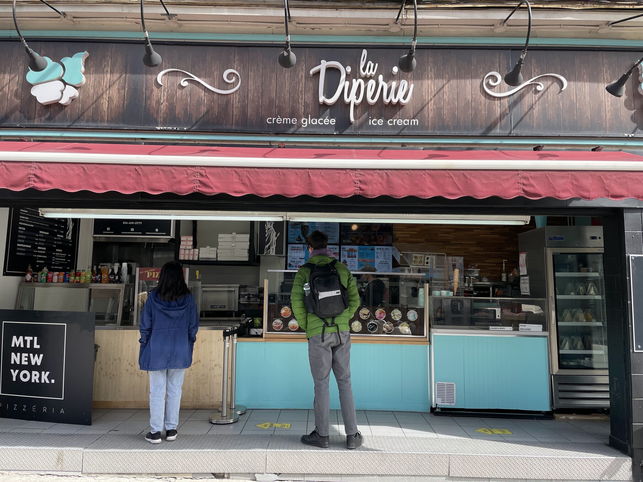
It was the day of indulging. And after a short bike ride we stopped at La Diperie for Owen to have more ice cream.
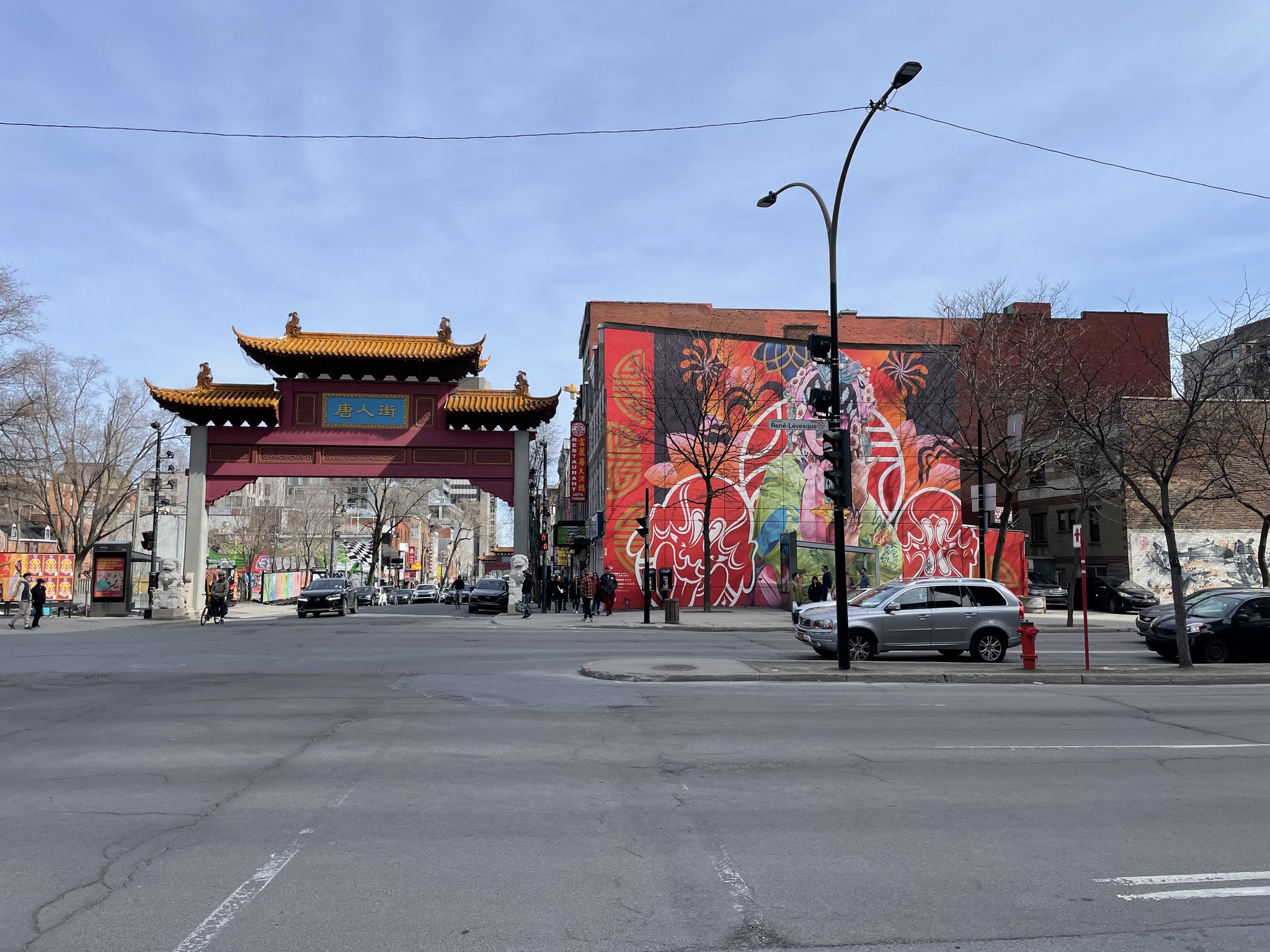
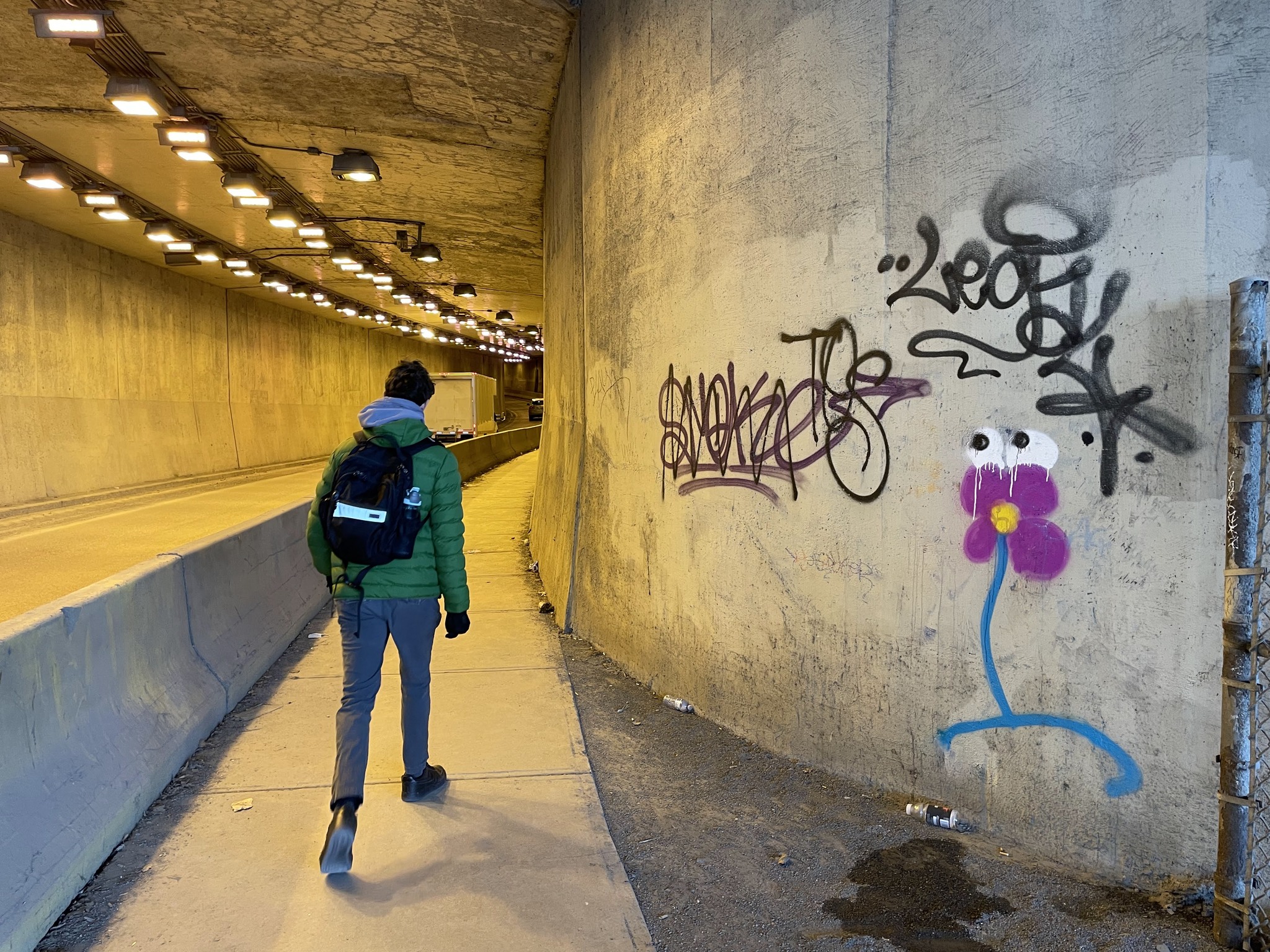
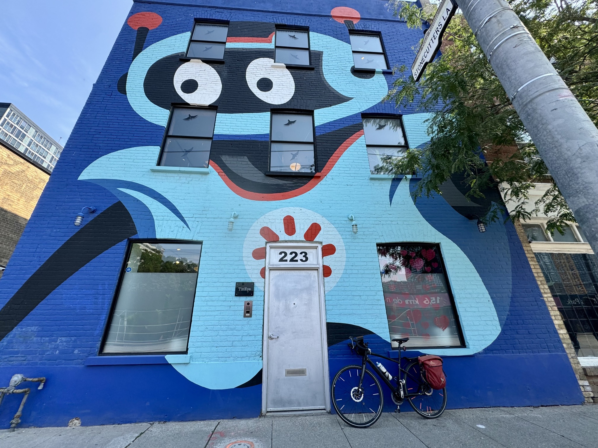
Our route, then took us through the Chinatown gates and passed this colourful mural.
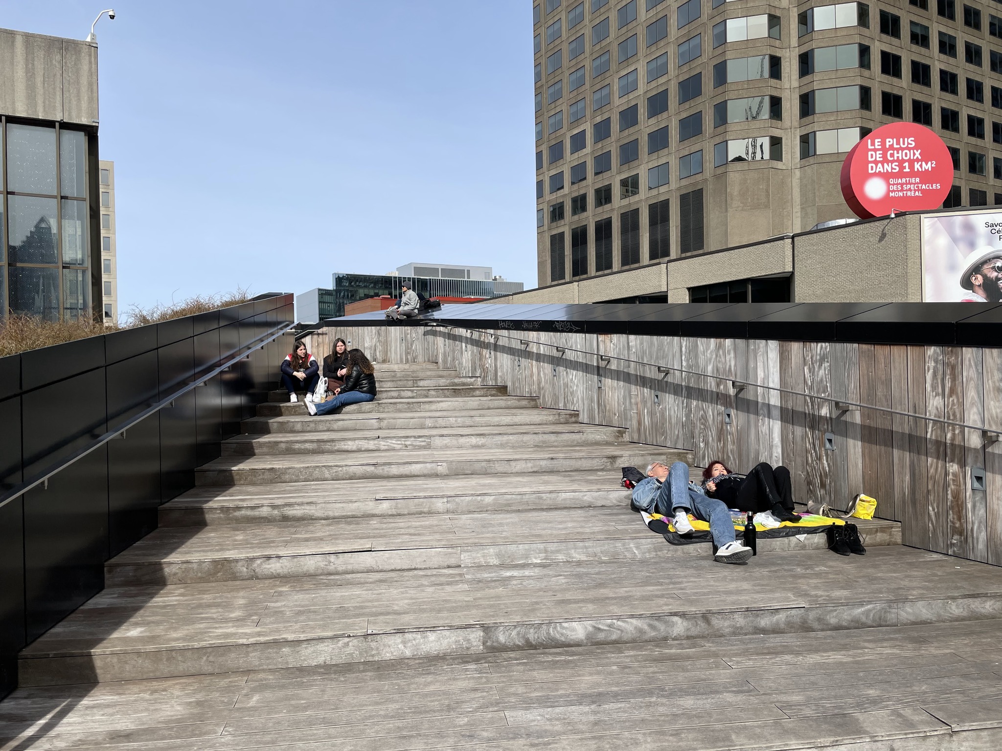
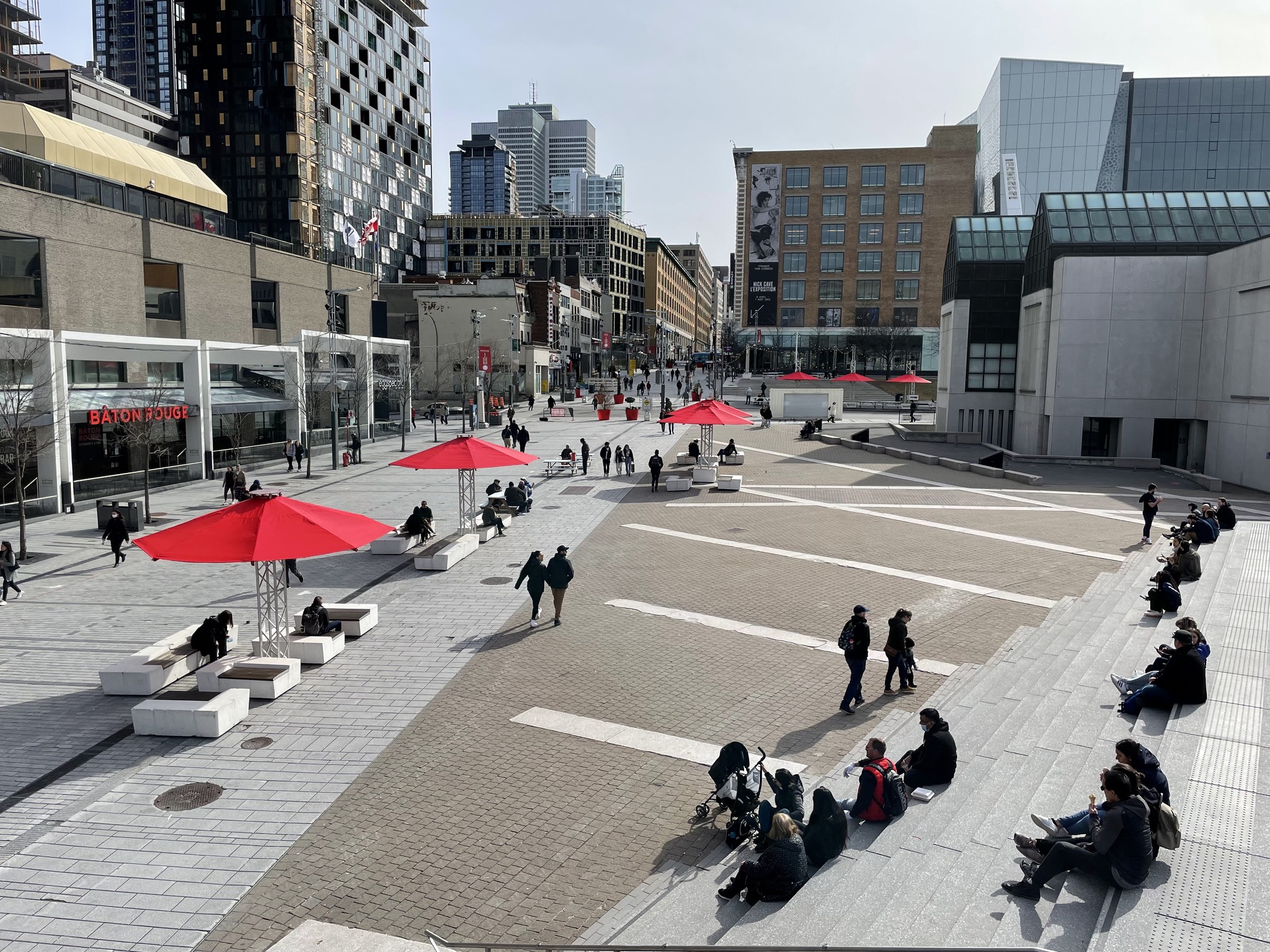
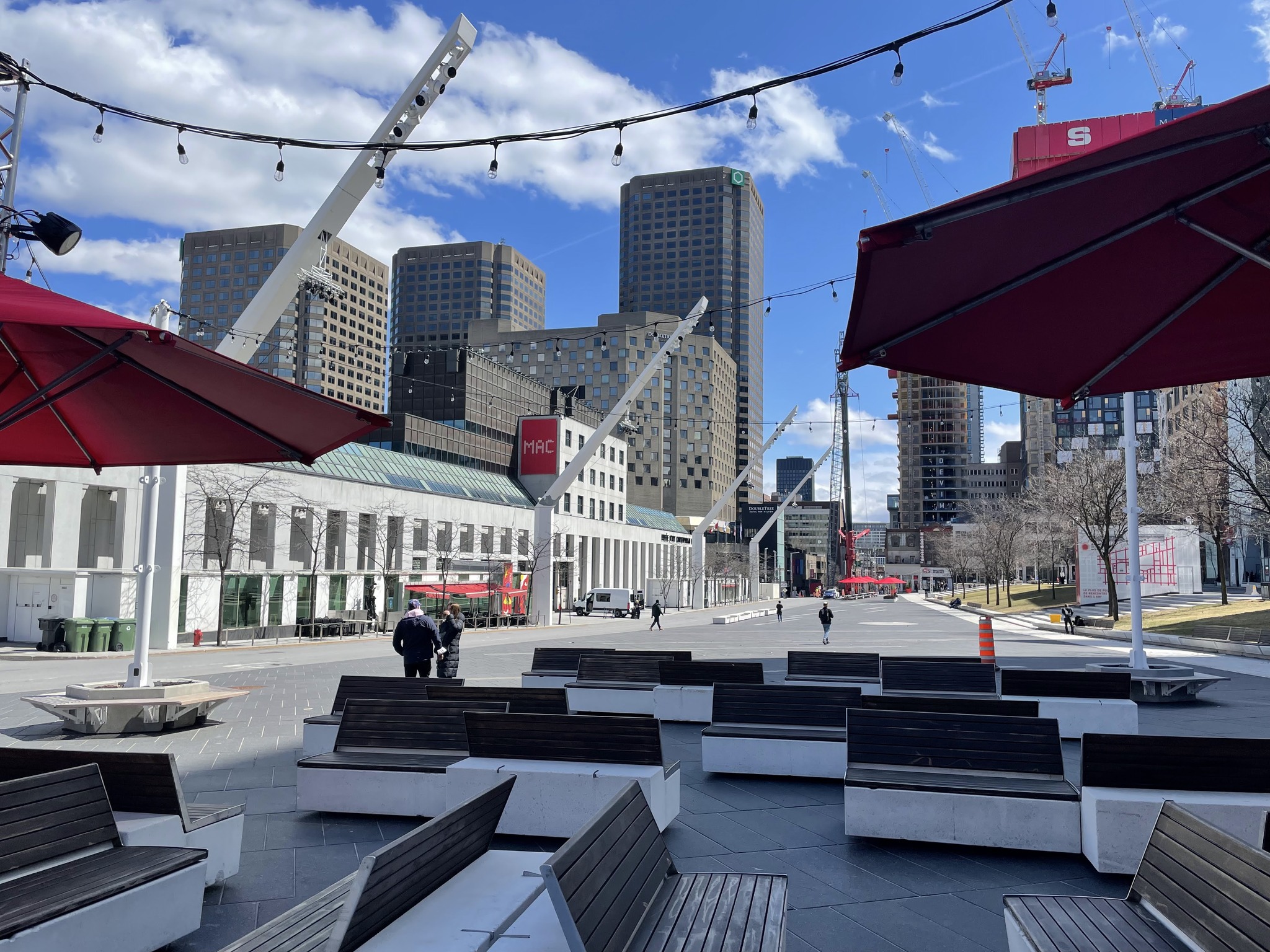
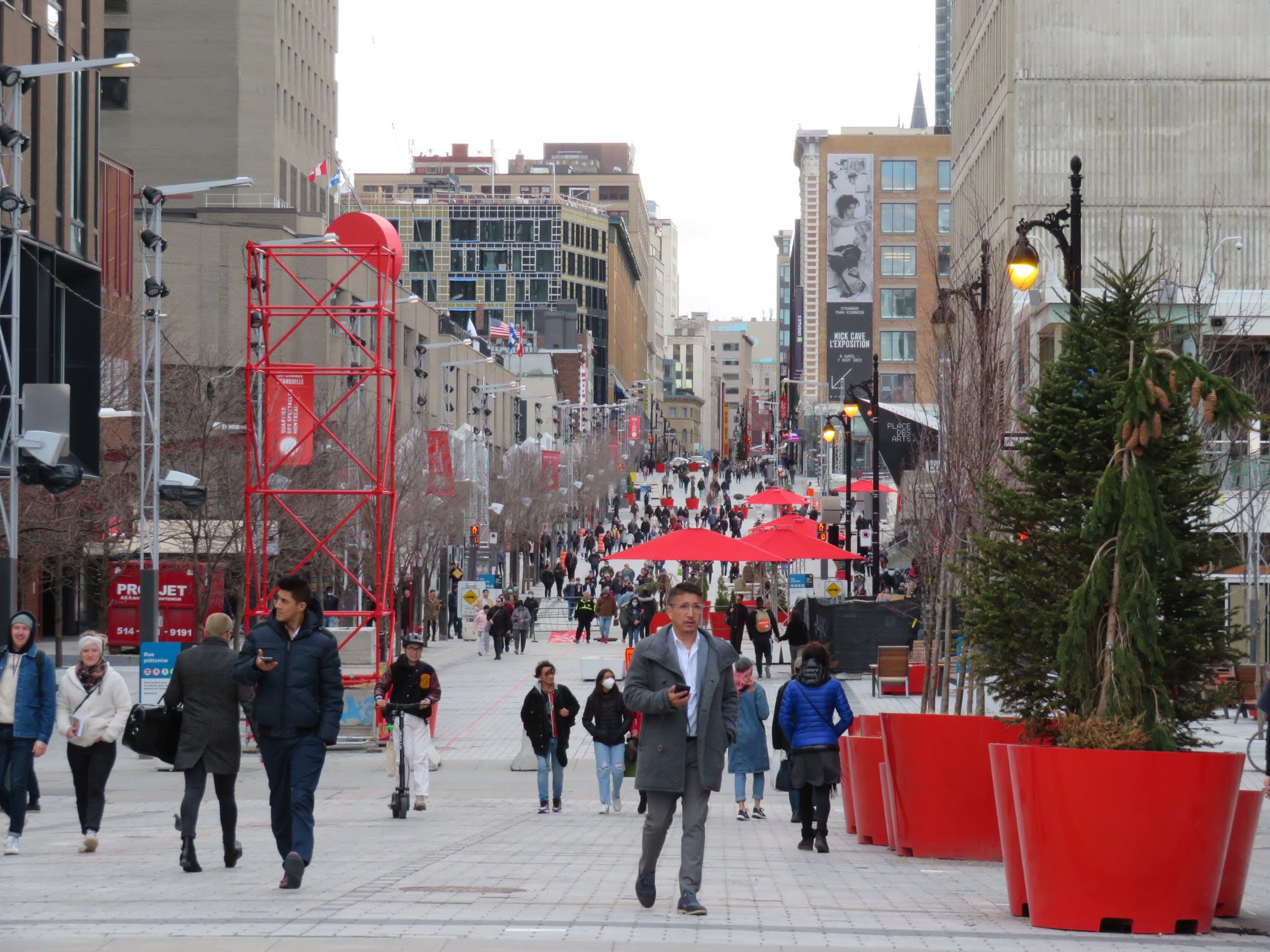
There were many people enjoying the sun in the many places around Place des Arts that invited one to linger.
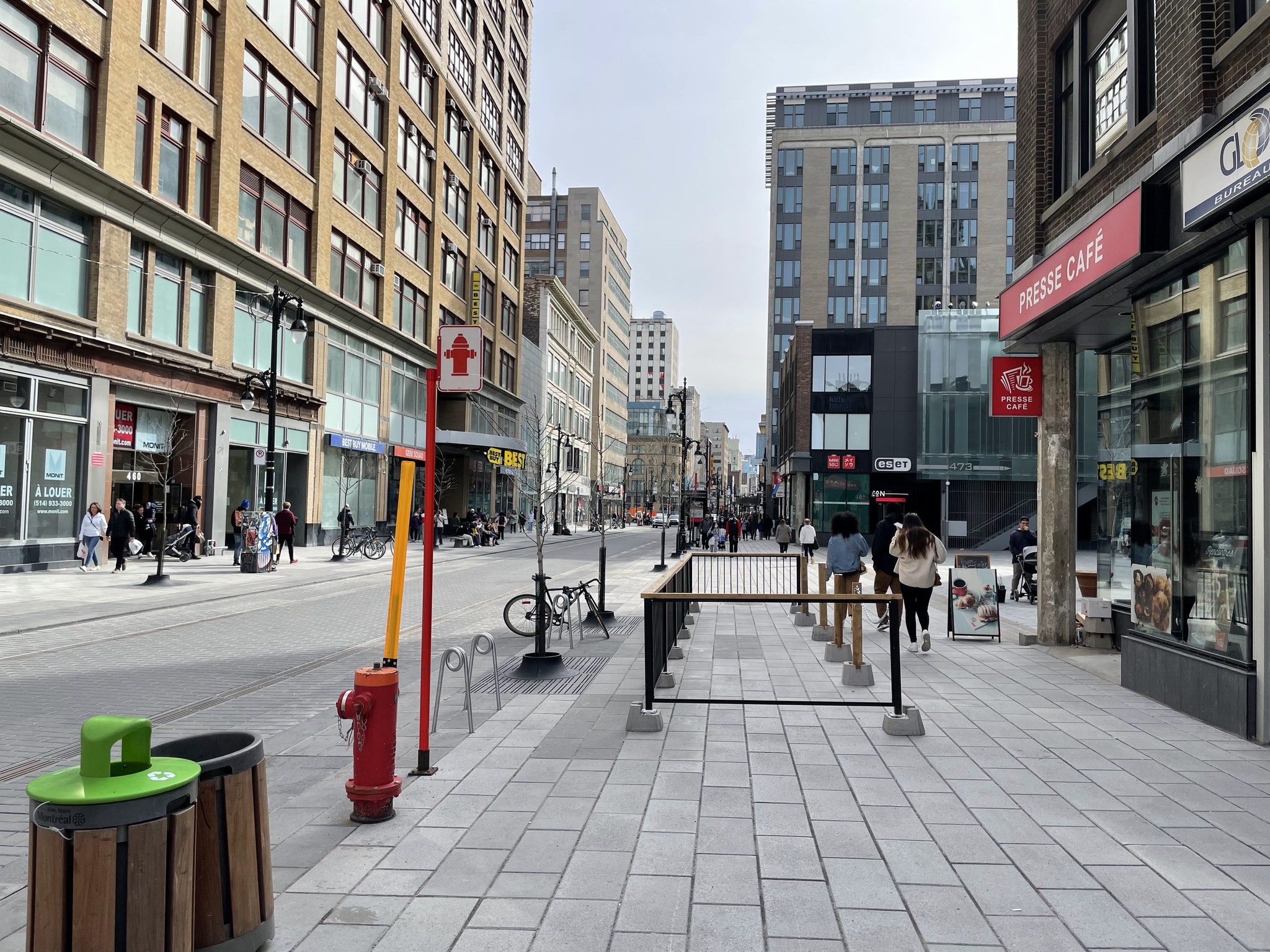
This is St. Catherine Street, at one end of the section that was closed to cars, but there were very few cars driving. It was quite comfortable to ride along.
St. James United Church was built in 1889 in the Gothic style and just one of Montreal‘s largest Protestant churches. There is a hidden concert hall, Dawson Hall, at the back of the church Le Balcon.
Here we are back near the apartment, still smiling.
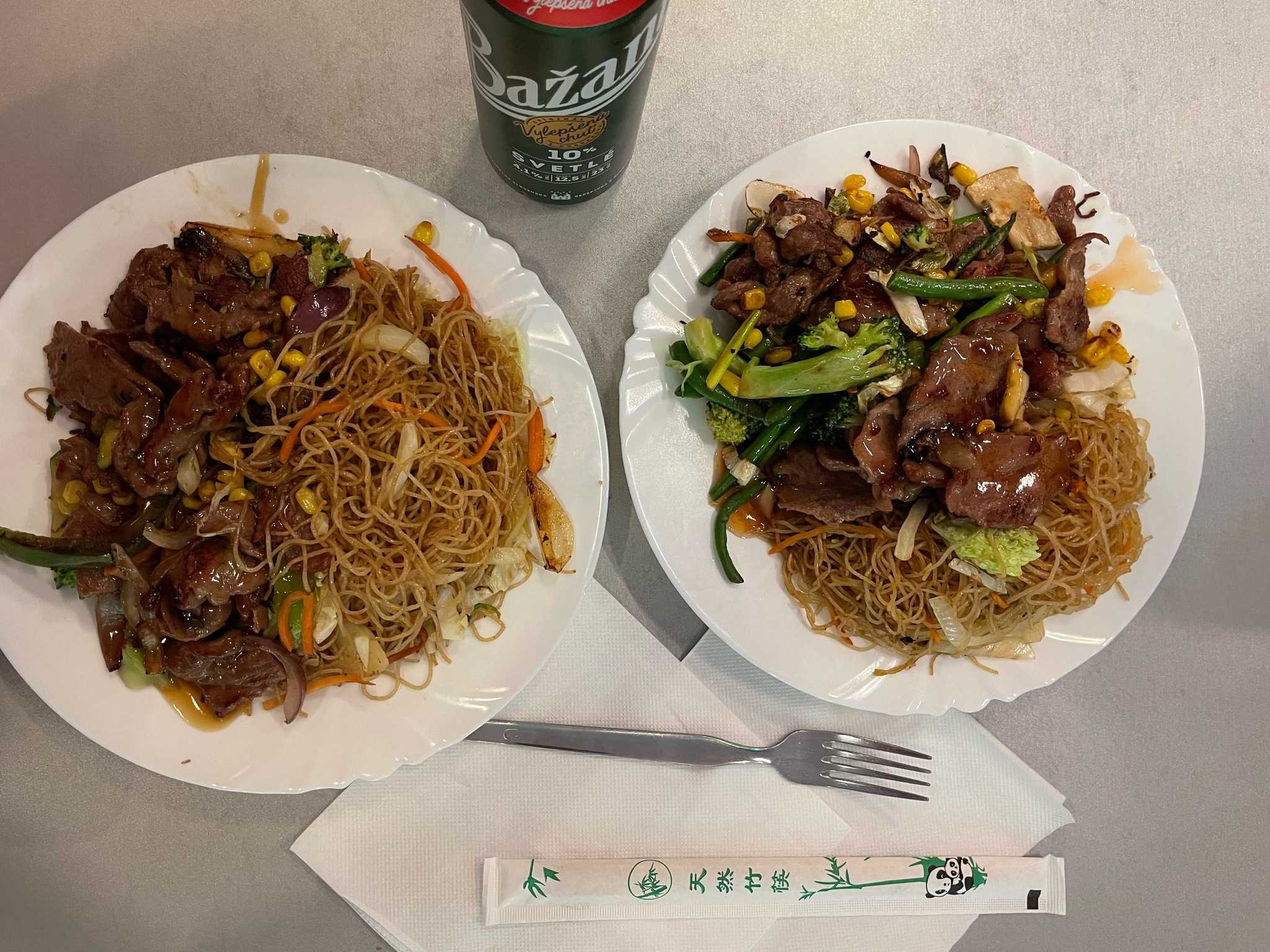
That was my last picture for the day, so I didn’t have pictures to jog my memory about what dinner and the evening entailed. I think Mehrunnisa went home to pack for her return to Ontario for the summer. Owen and I picked up a couple dishes at the Chinese restaurant. We added these to leftovers we had from prior days.
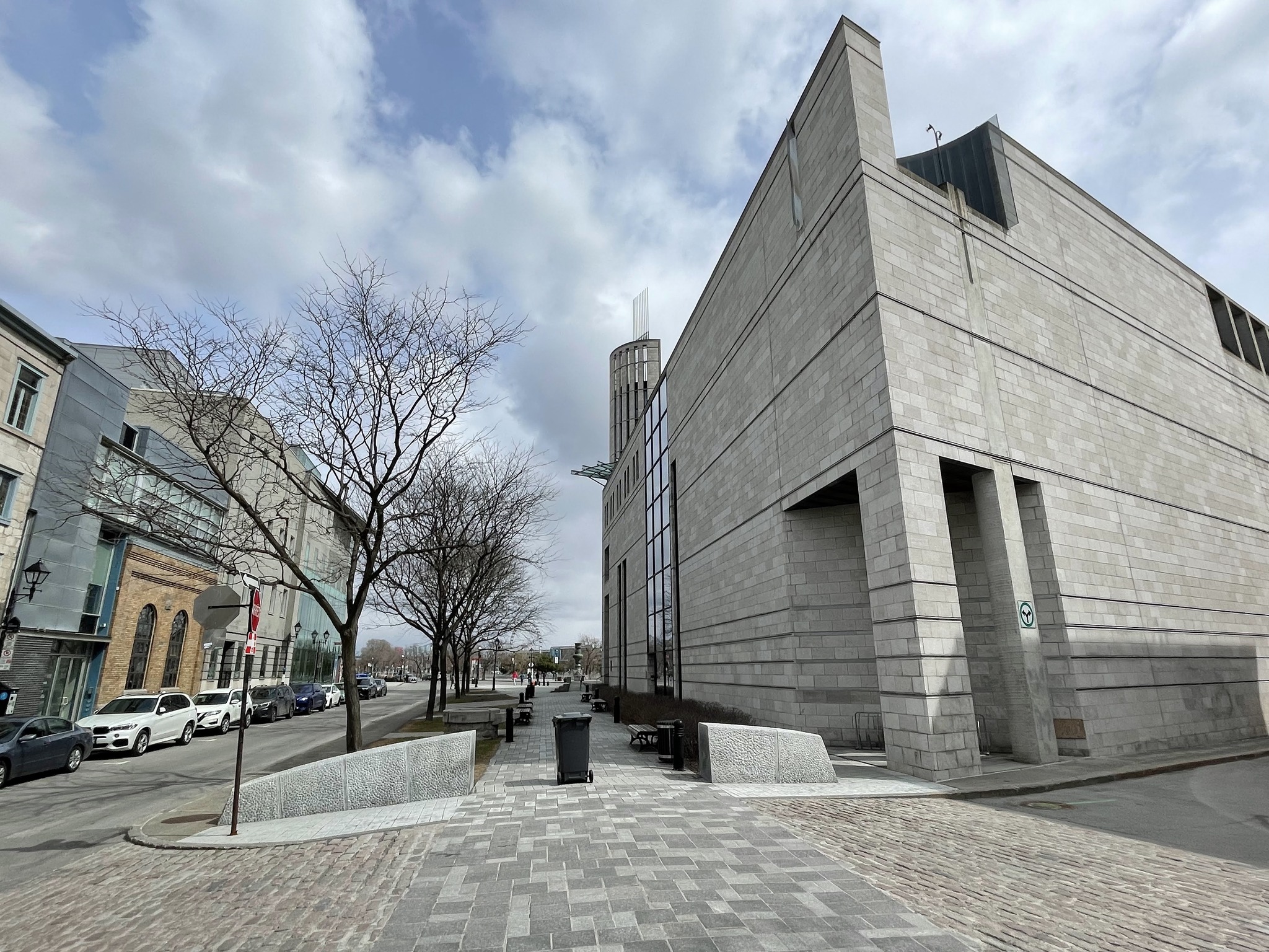
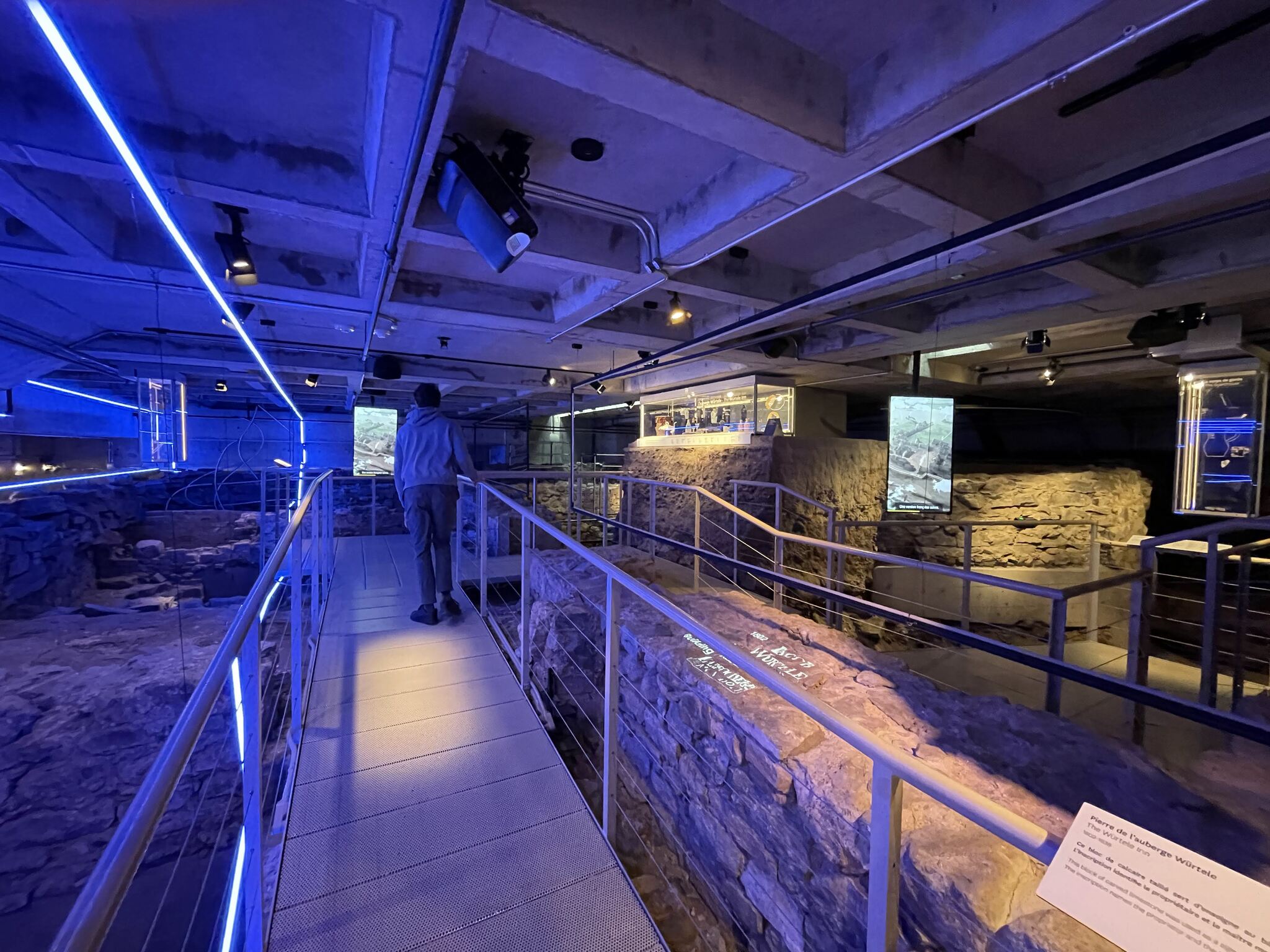
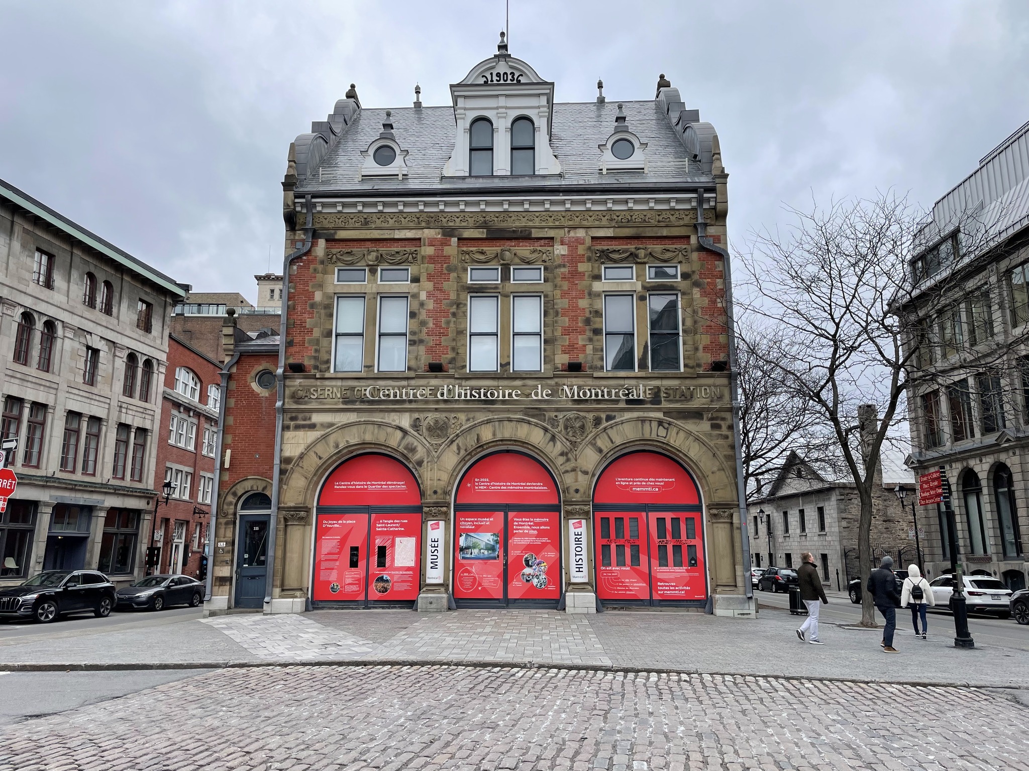
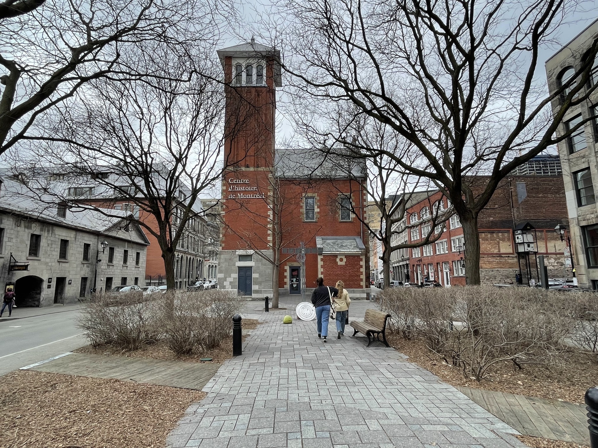
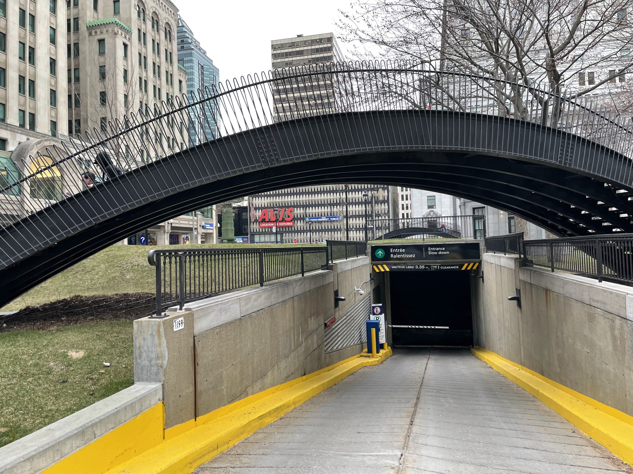
Owen and I walked to the nearest Bixi stand and rode to Pointe-à-callière, Montreal Archaeology and History Complex. It is a designated national archaeological and historic site, focusing on several centuries of history, from the time of the First Peoples to the present day.
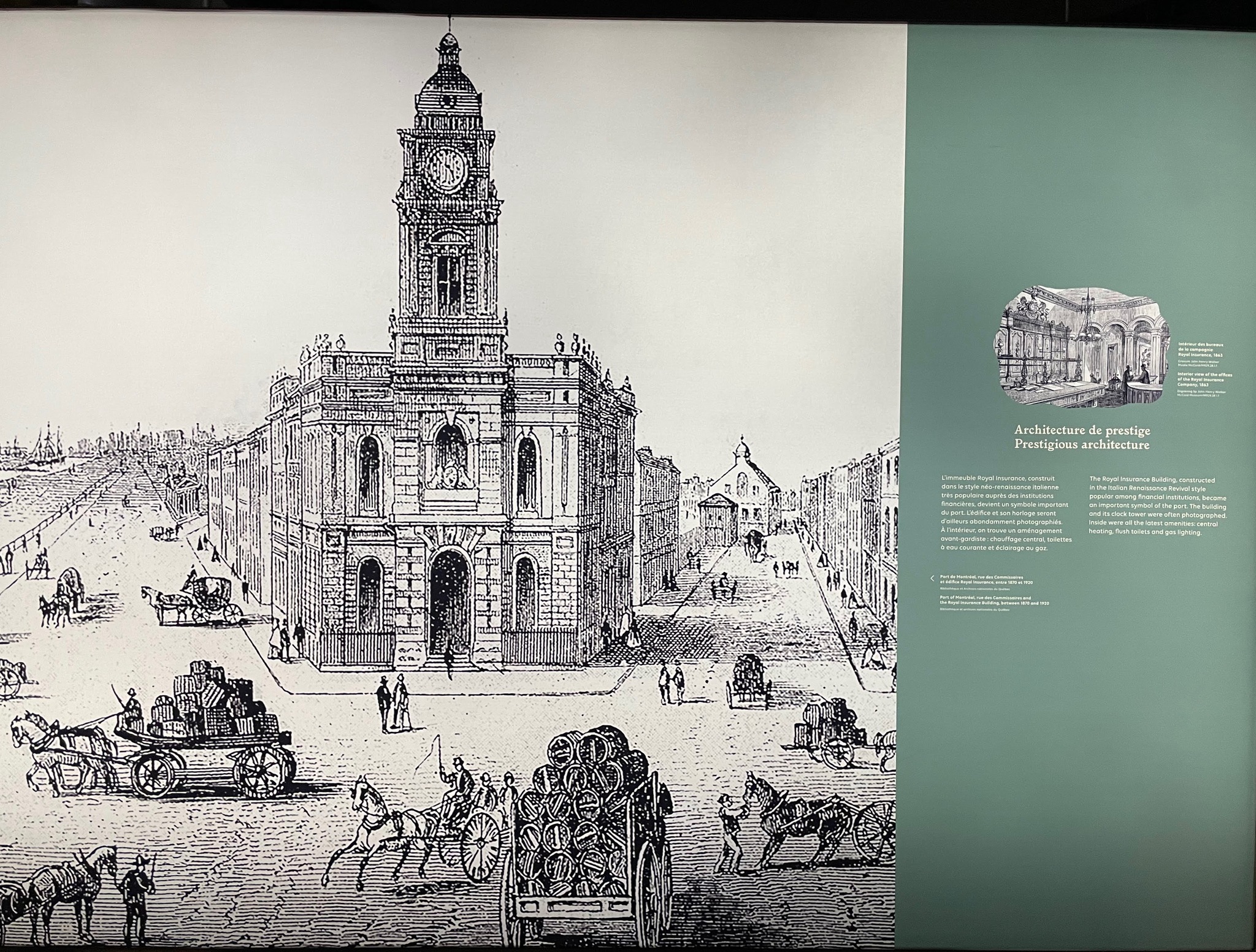
The modern building incorporates the original building’s triangular footprint into its modern design. It preserved the foundations of the Royal Insurance Building, which once stood on the site. A light show is projected onto the remains.
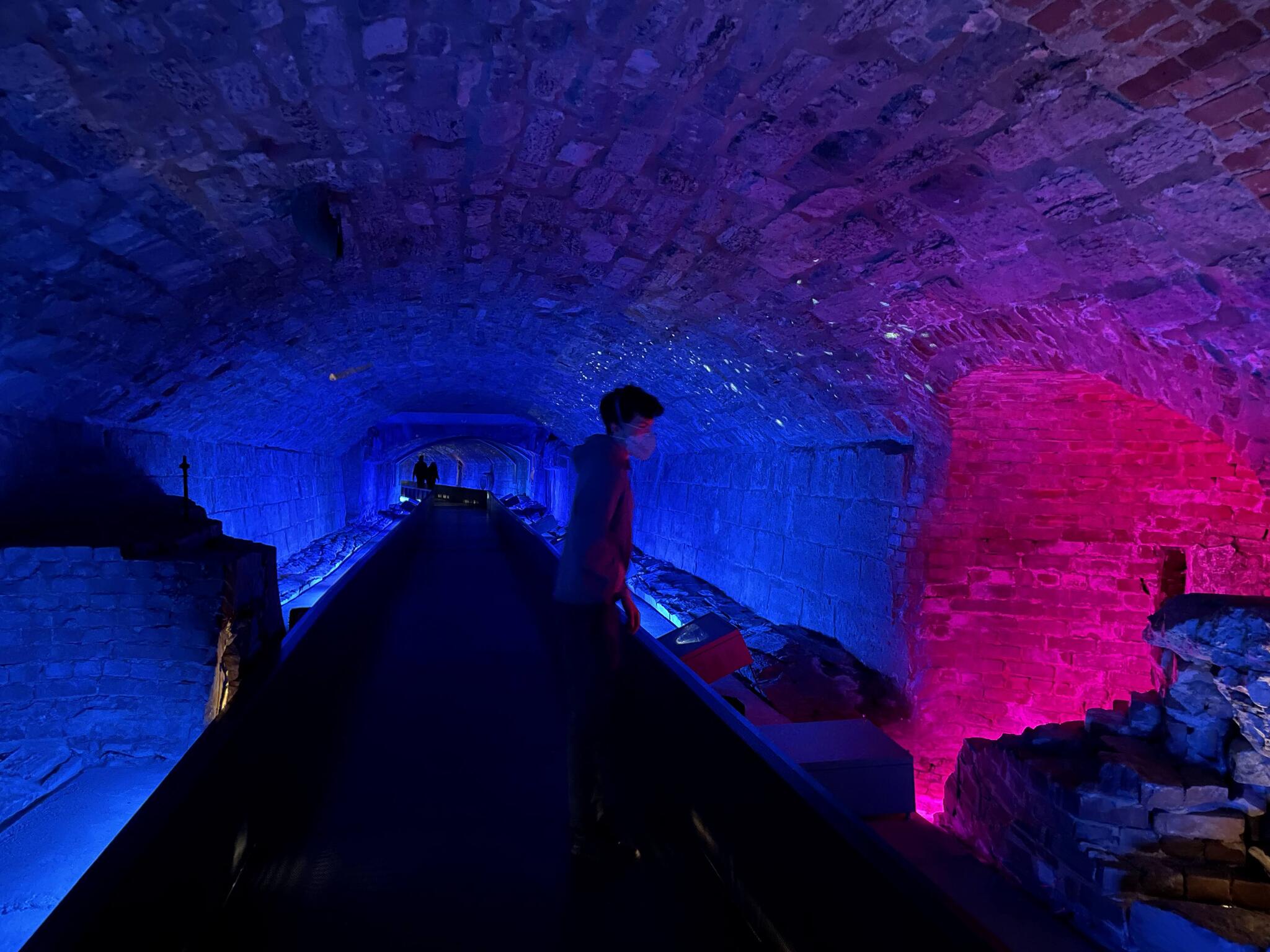
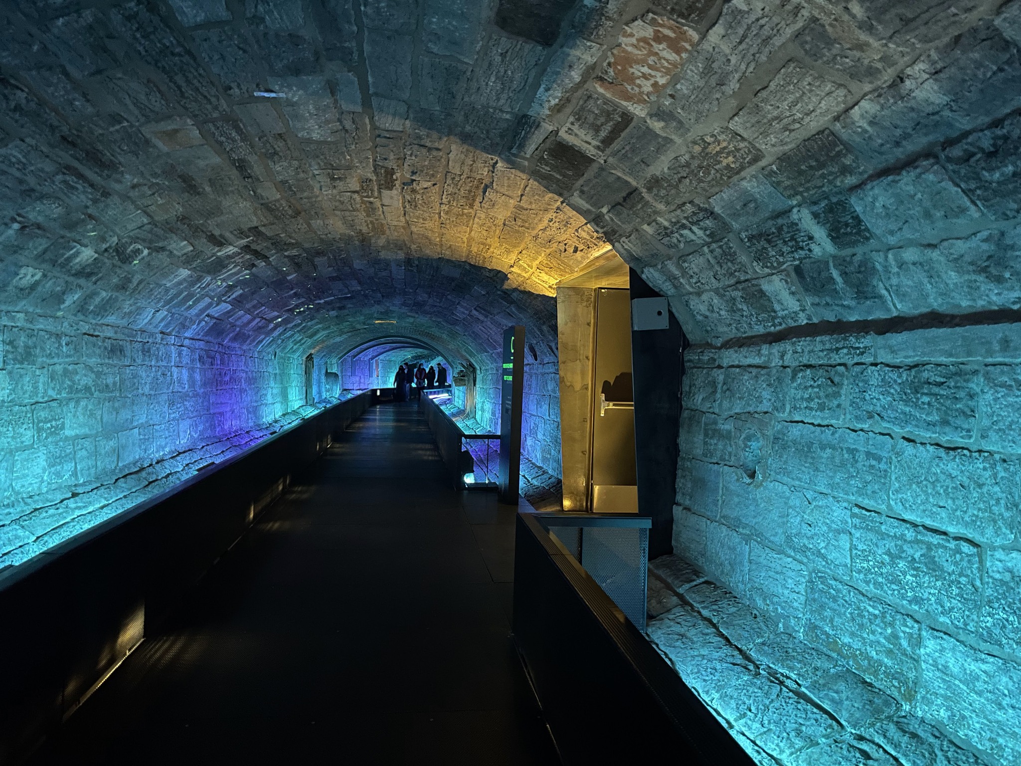
The tunnel leads to the remains of a historic sewer collector. This collector, built between 1832 and 1838, originally channeled rainwater and wastewater from the Little River until 1989, when it was decommissioned. The part of the sewer beneath the museum was incorporated into the museum in 1992.
In addition to its impressive underground archaeological remains, the museum also offers the opportunity to explore the city through permanent exhibitions and a multimedia show projected over the remains.
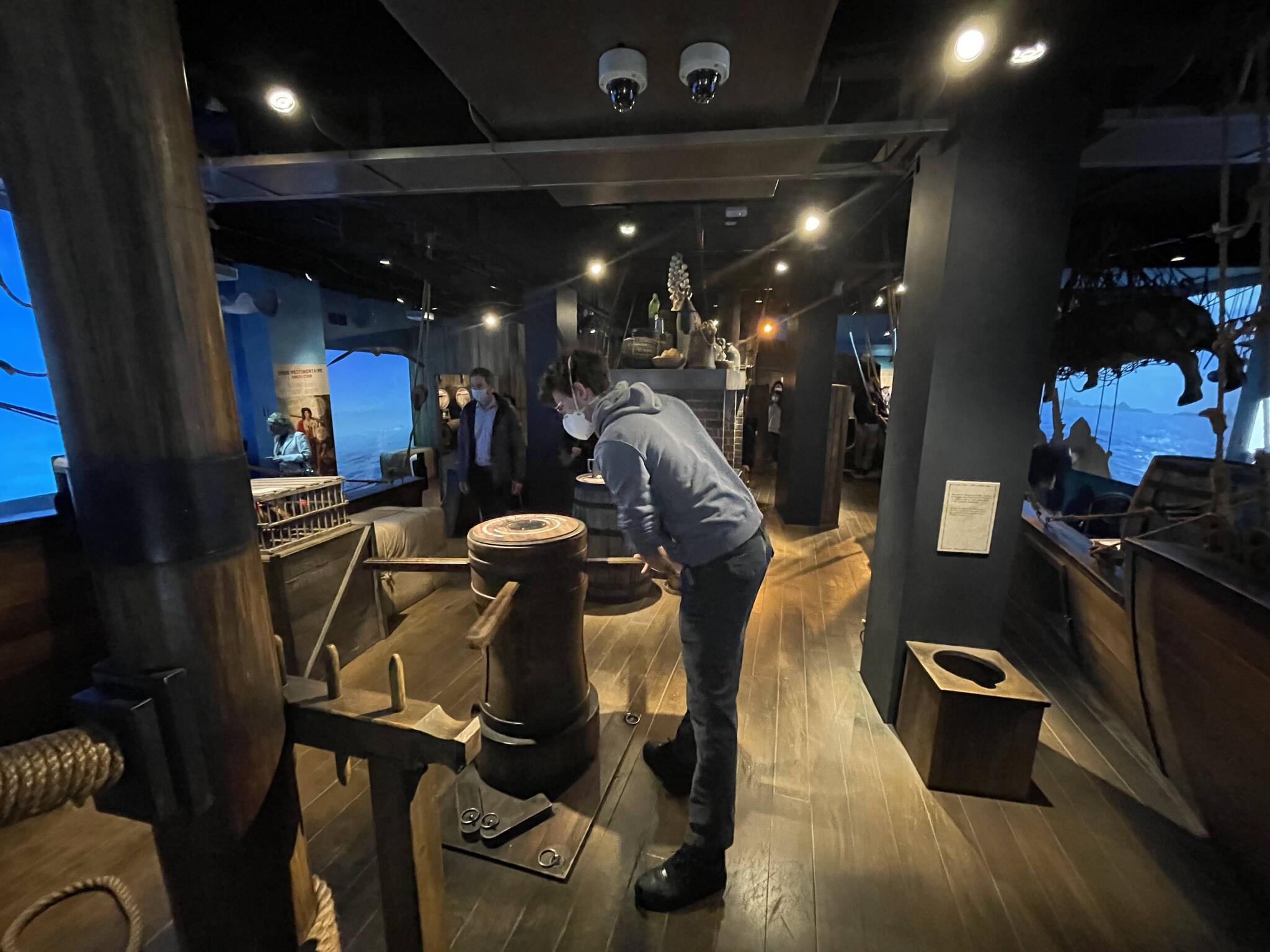
On the top floor is a permanent exhibition about a pirate ship which my teens enjoyed when they were there.
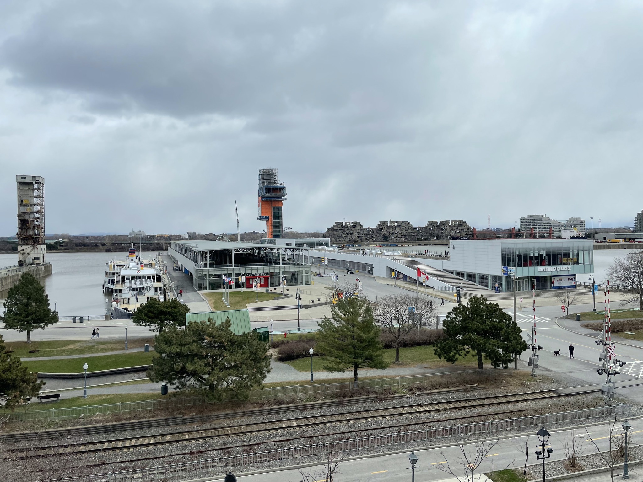
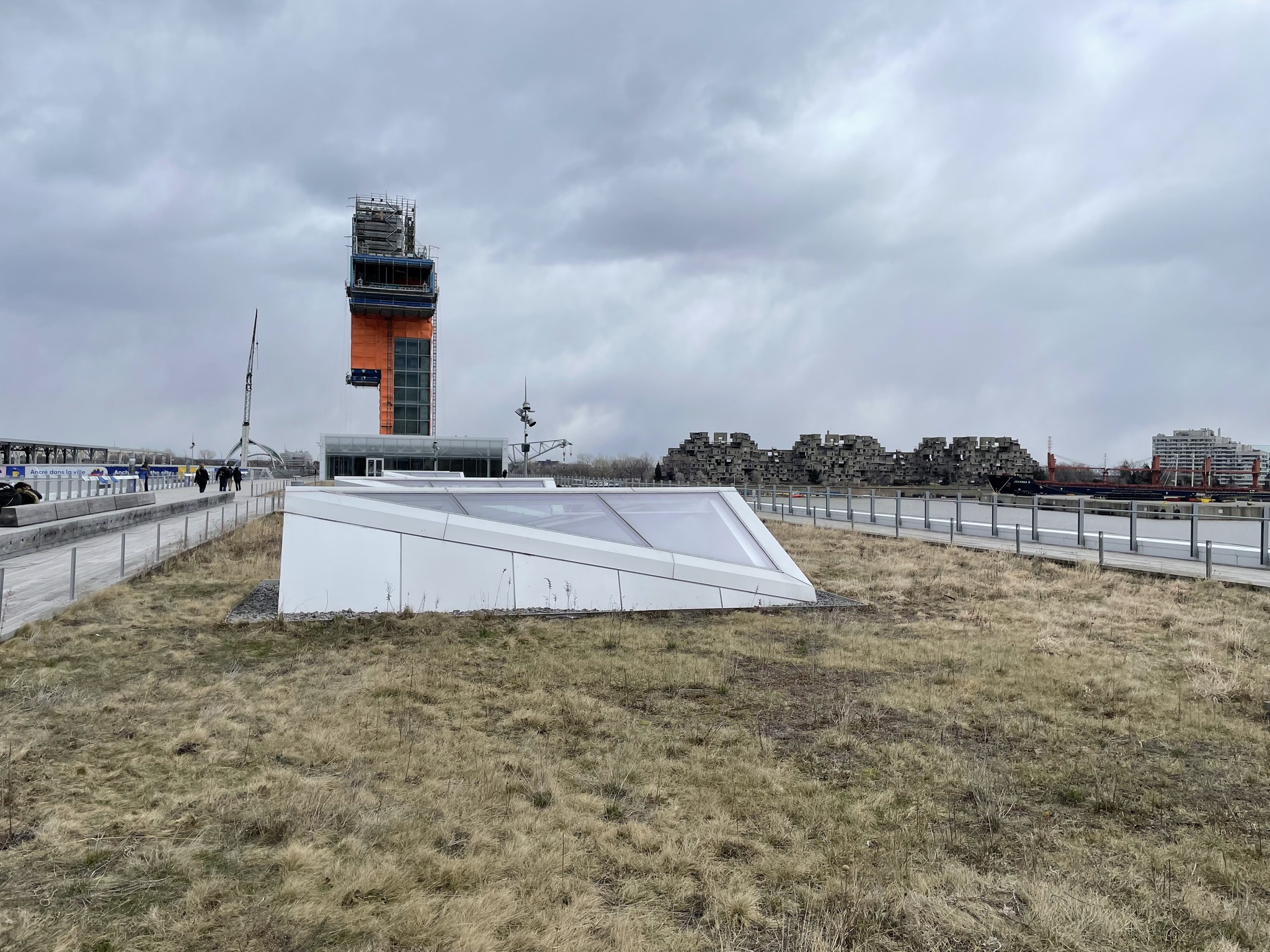
There are also good views of the Port of Montreal, with Habitat 67 in the background.
The Musée du marché Sainte-Anne et du parlement de la province du Canada is a free museum. It is located in an old fire station. Unfortunately it has never been open when I’ve been there.
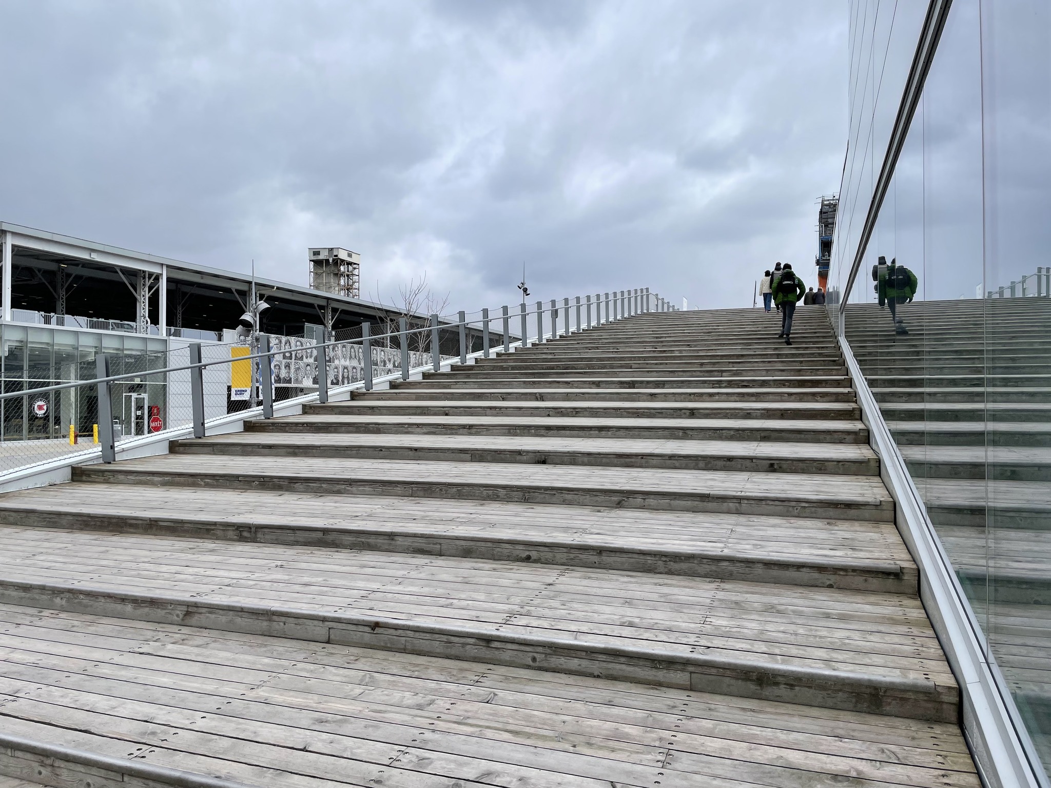
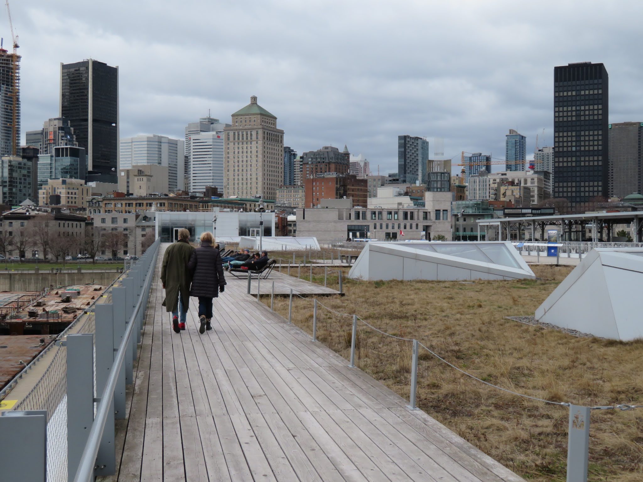
The Grand Quay is where cruise ships dock. In 2018 it was given a major makeover with a rooftop park, and observation tower. The tower was supposed to open in 2021. However, as you can see in this picture, it is not complete. This is presumably due to the pandemic.
When we finished at the museum, we went over to explore the Grand Quay. It has a green roof and skylight into facility space in the building.
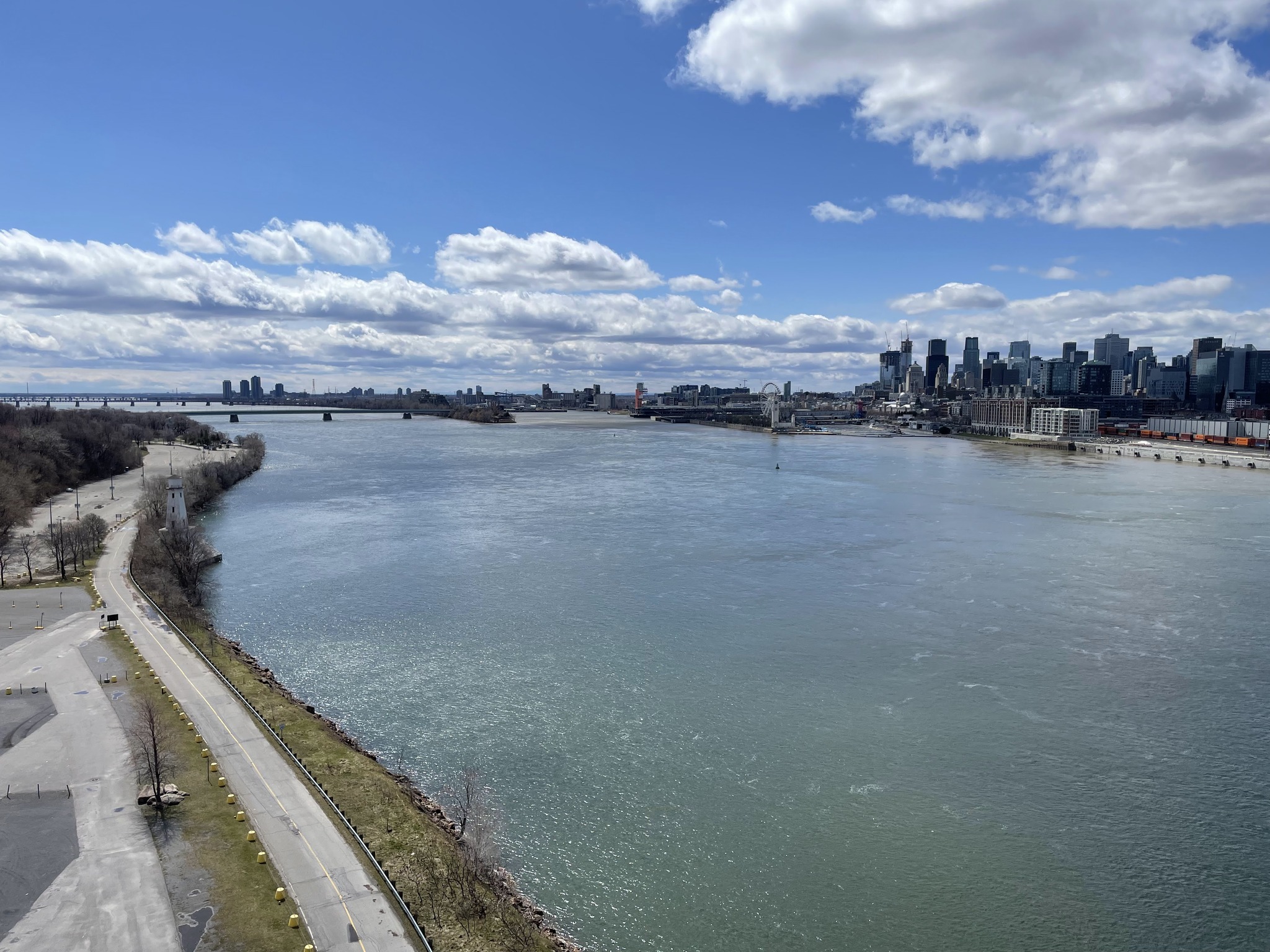
It had has great views over the St. Lawrence towards habitat 67, and looking back at the skyline of the city.
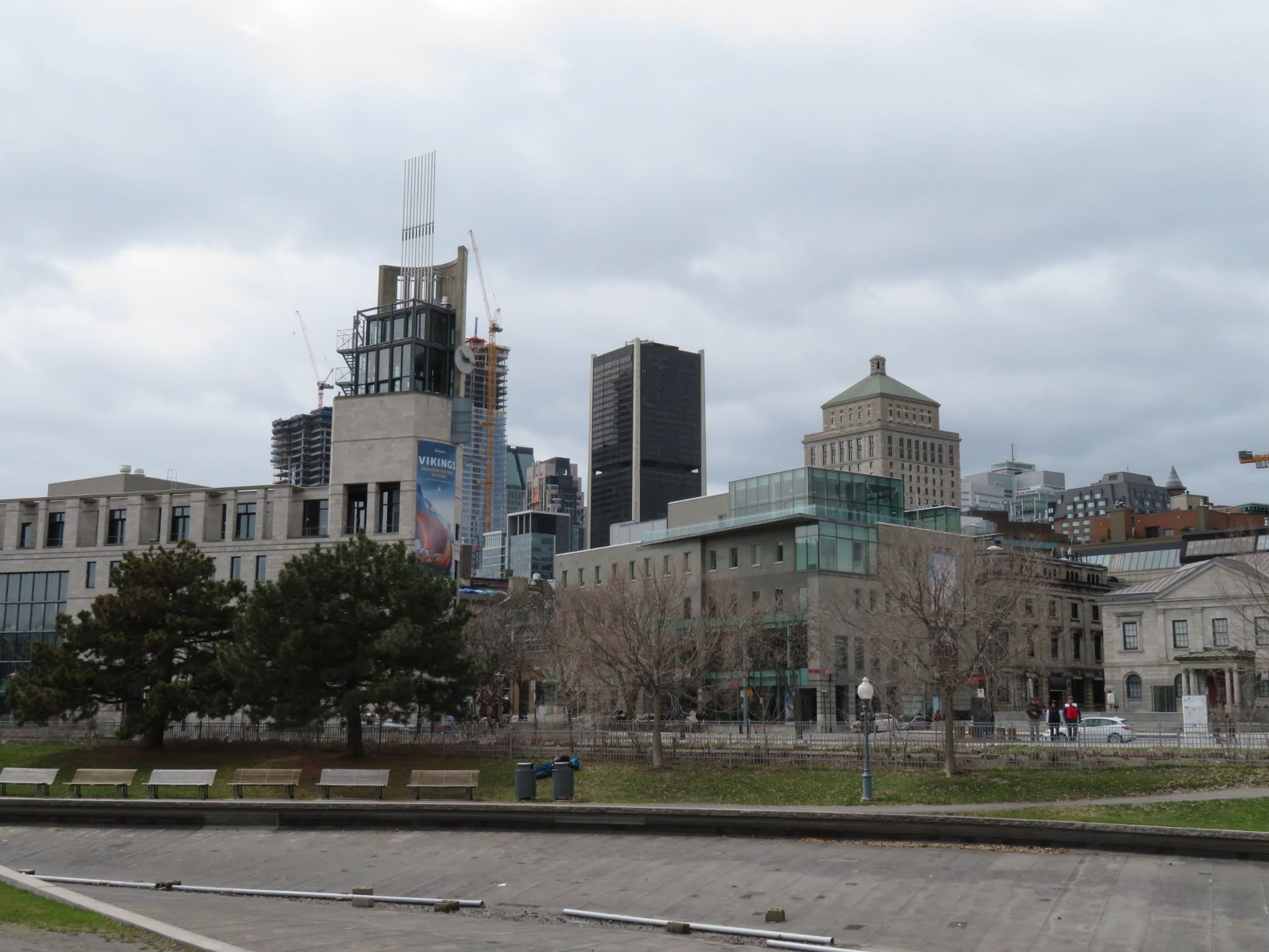
This is Pointe-à-callière on the left.
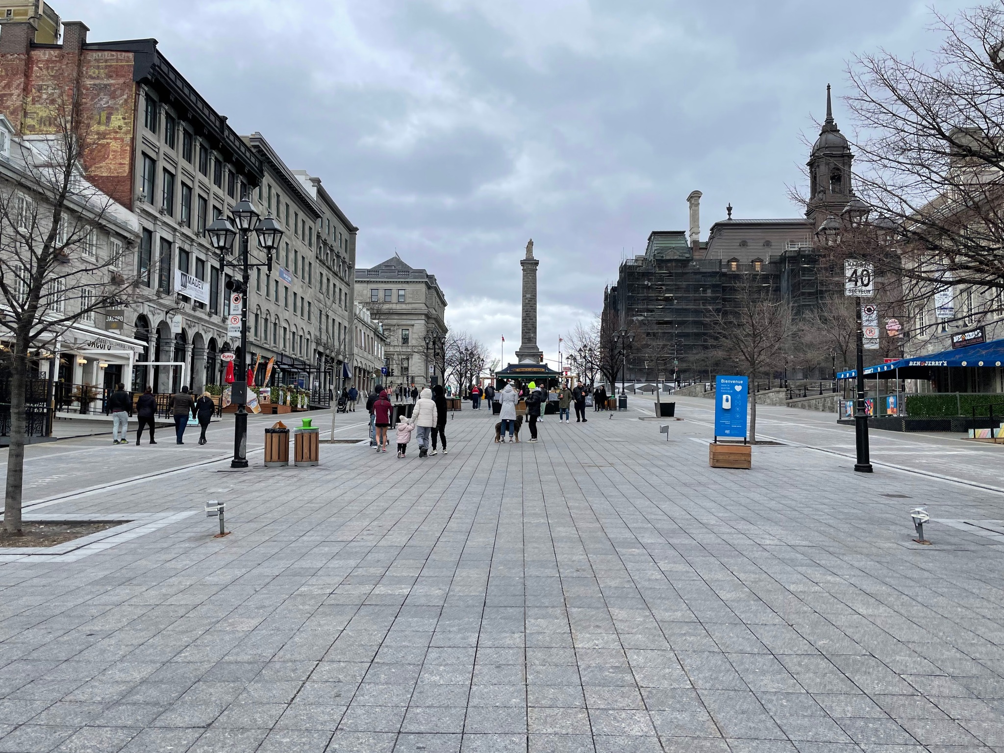
Next, we walked along Rue Commune to Place Jacques Cartier. It is a broad divided street that slopes steeply uphill from the waterfront to Montreal City Hall. The statue is of admiral, Horatio, Nelson.
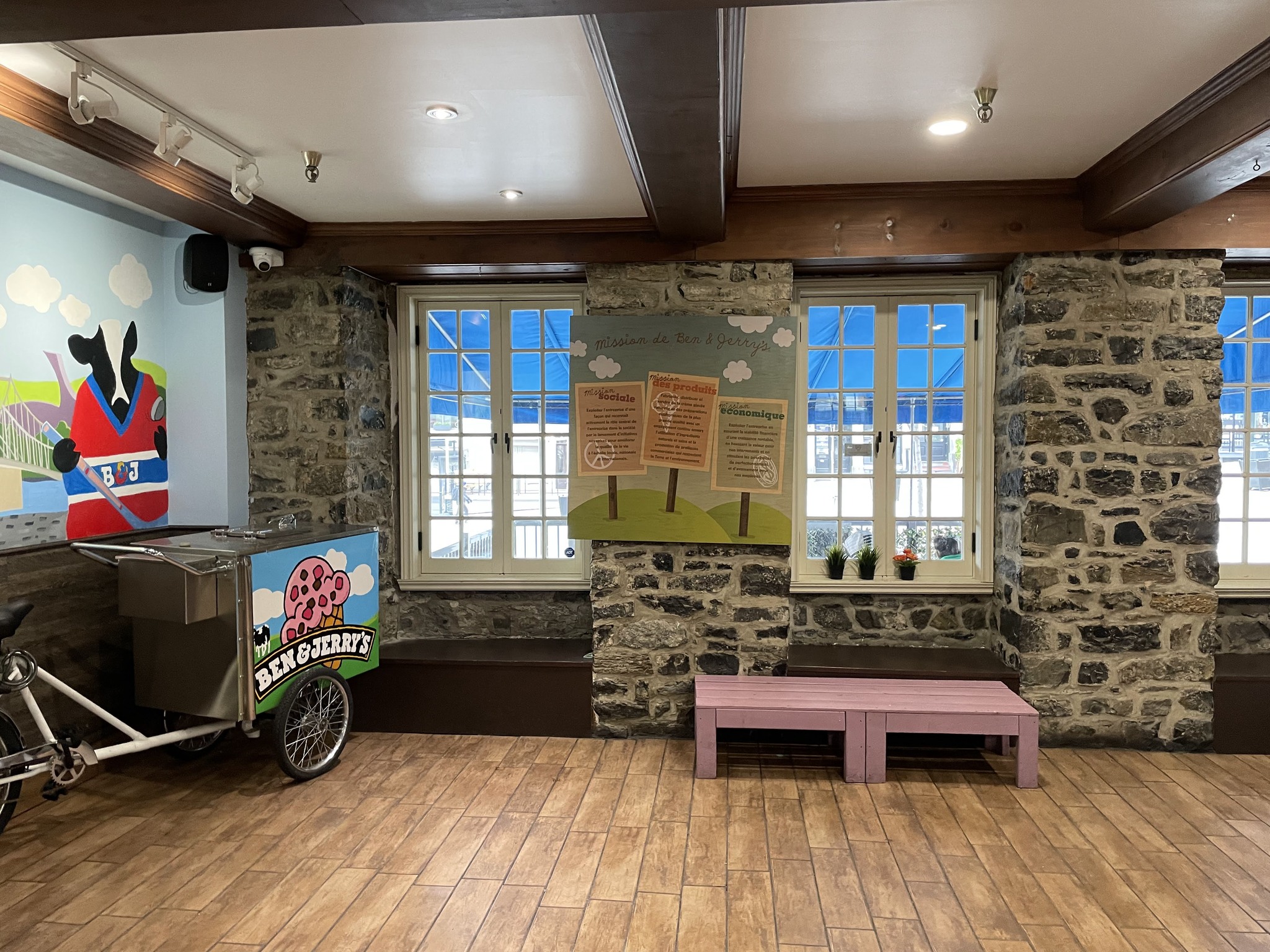
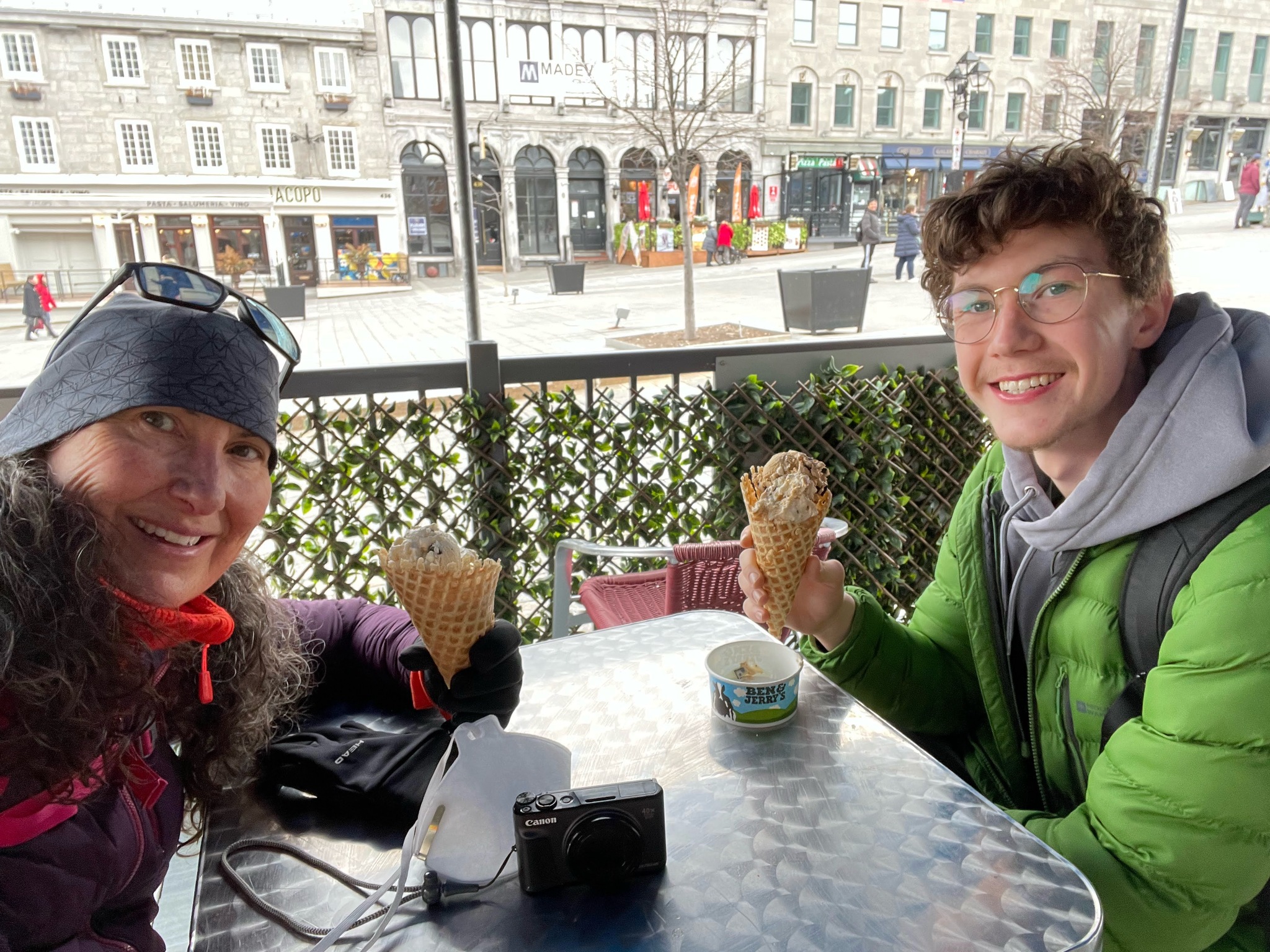
Even though it was cold, we stopped for ice cream when we saw a Ben and Jerry’s.
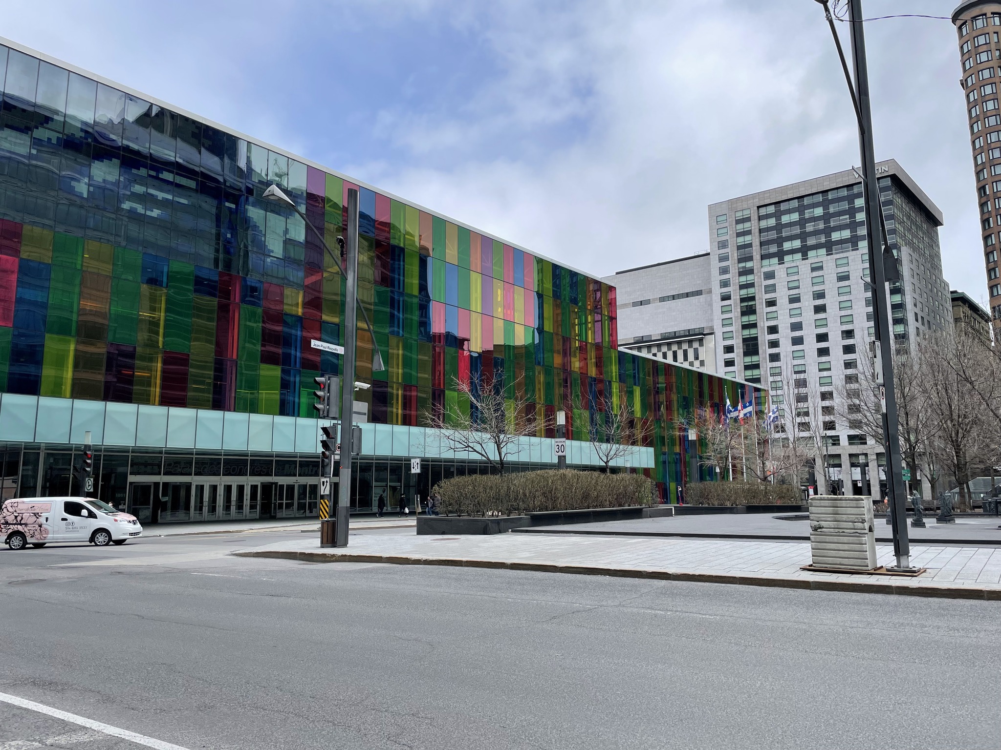
Owen didn’t feel like walking back to the apartment so we walked to a metro stop in the Palais des congrès. I always enjoy seeing the coloured glass on this building.
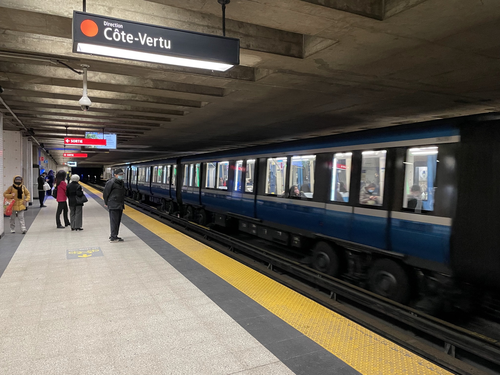
Montreal has rubber tired metro cars. There are pros and cons, but one of the things I noticed was it was quieter.
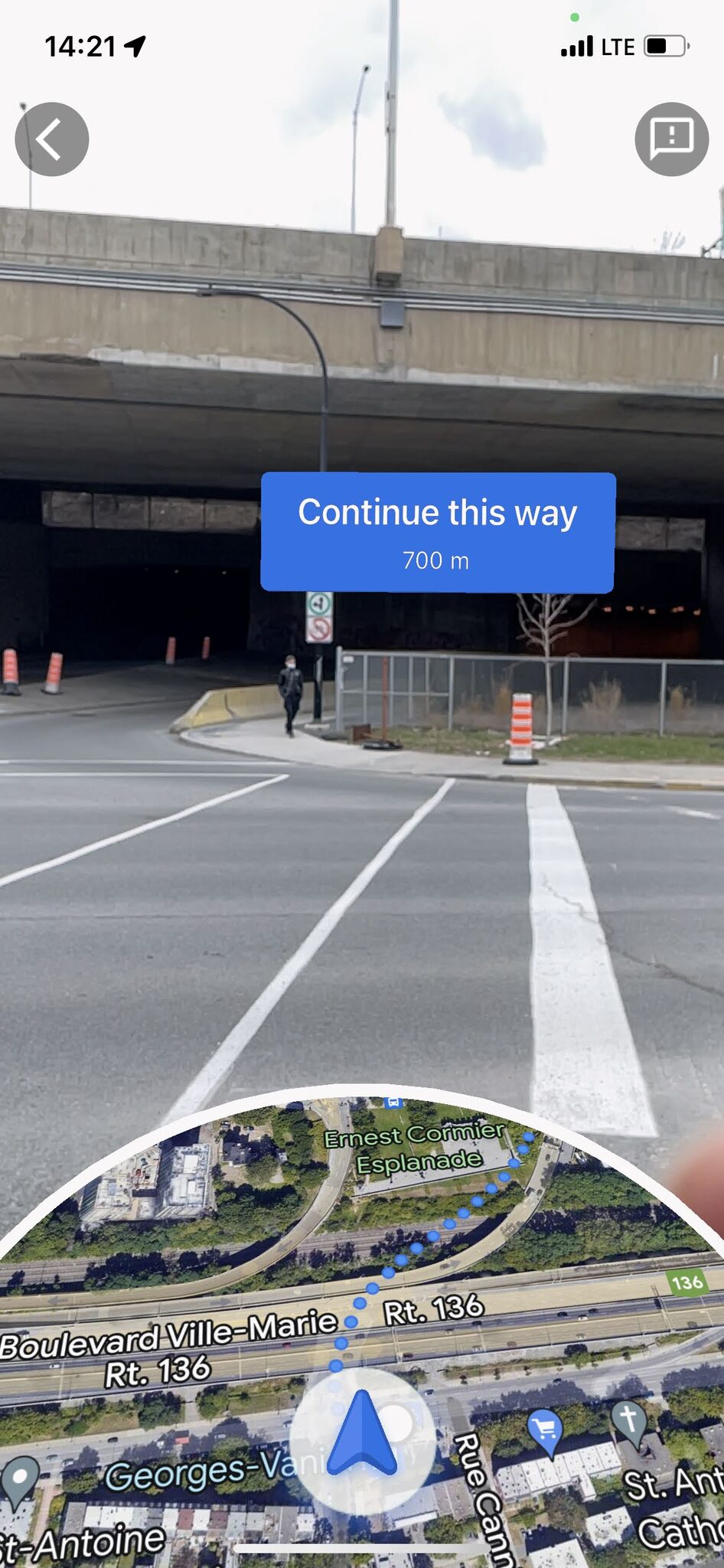
We still had a bit of a walk when we got to the metro station closest to the apartment. I wasn’t sure which way to turn when we came out of the station. I had recently used a new Google feature called Live View when I was in New York City which I found very helpful. When I was looking at my phone to figure out the route, I noticed it was available in Montreal, as well.
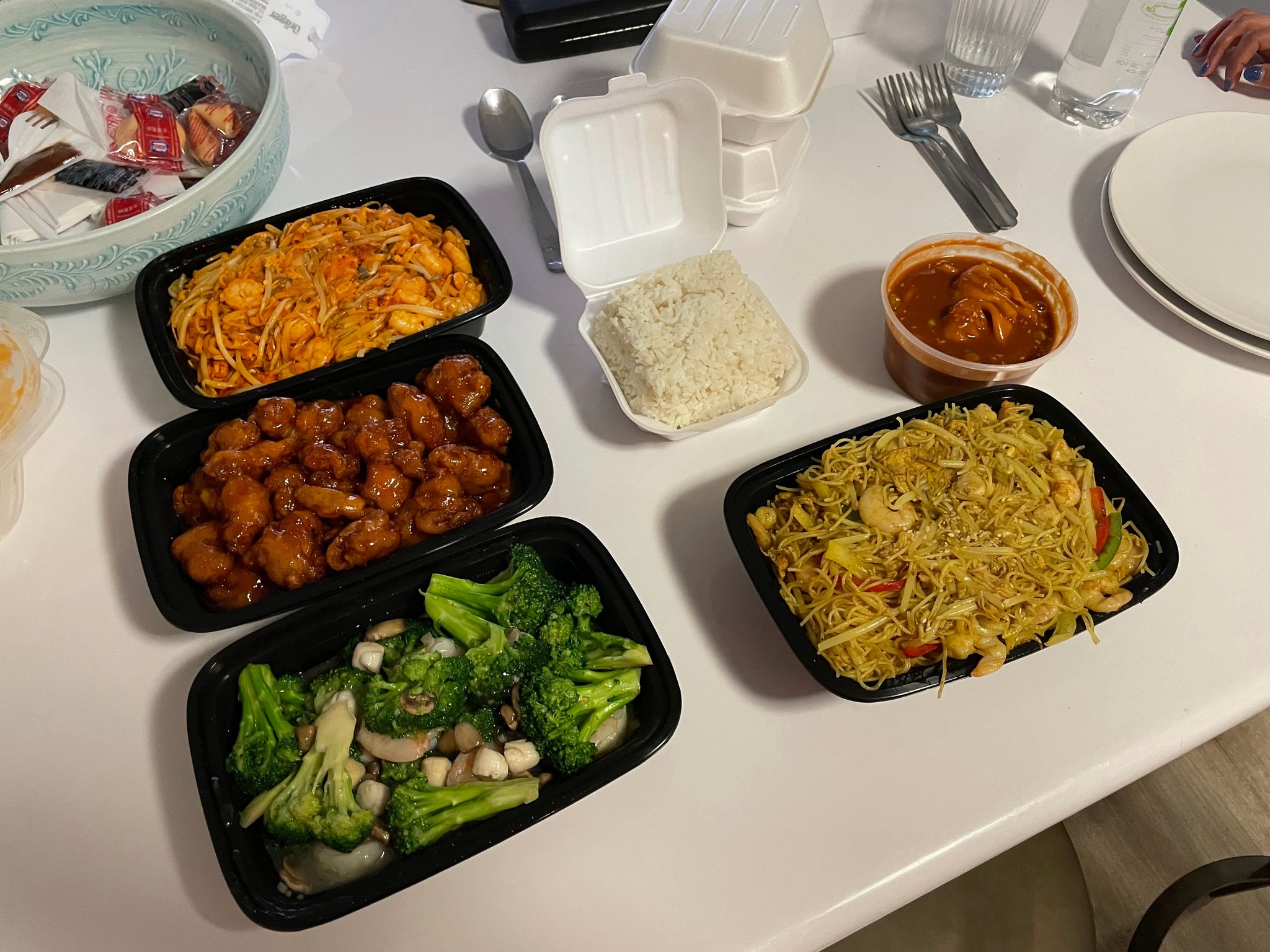
We picked up some additional Chinese food to go with our leftovers from the same restaurant as yesterday. Owen decided to stay in for the afternoon and I went off on my own to do more sightseeing.
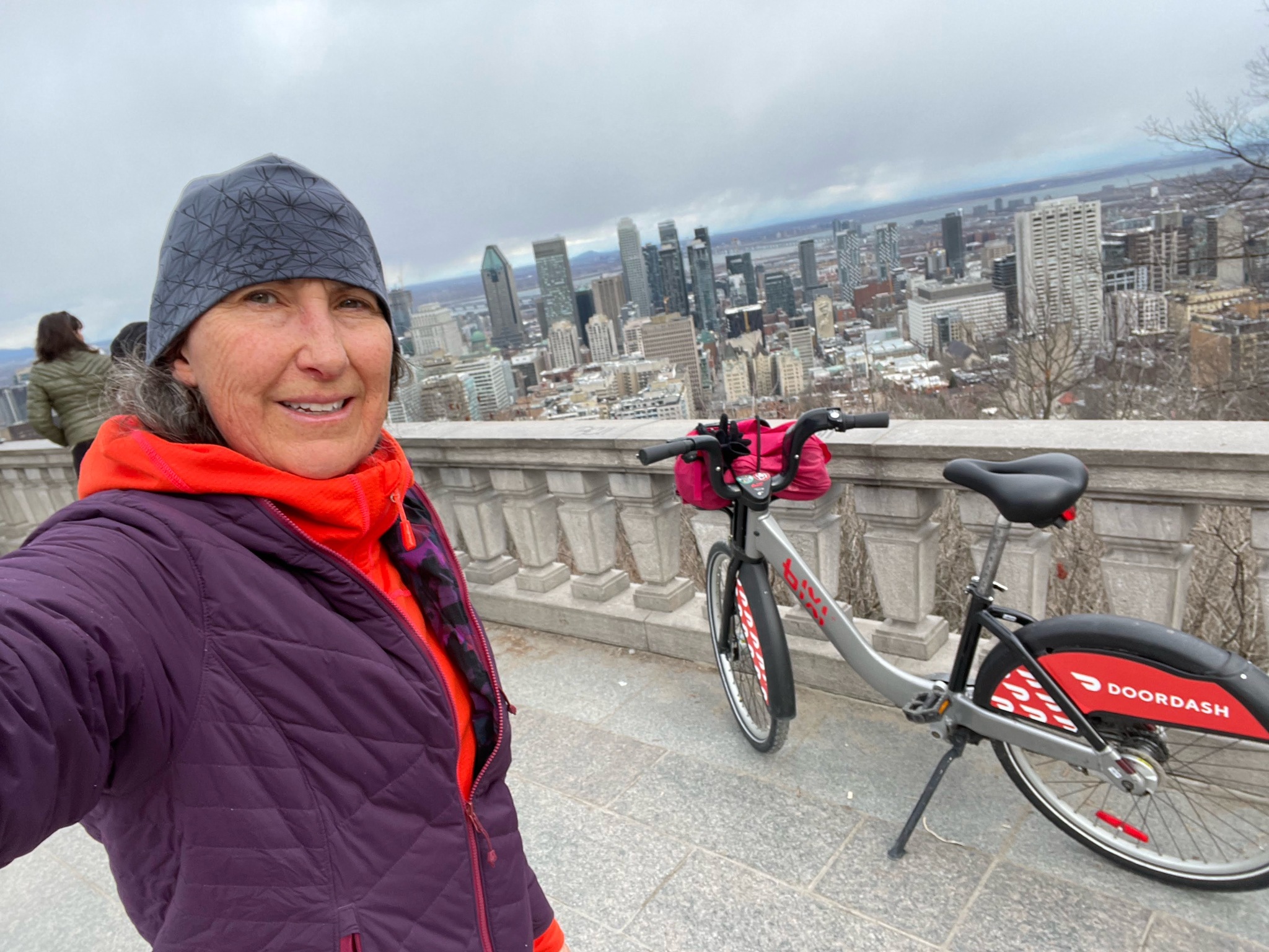
In 2011 Patti and I came to Montreal by car with our bikes. One of the things we did was ride up Mont-Royal. My recollection was that we found it very challenging and had to stop to catch our breath. I was on my upright bike, but it had many more gears, and was lighter, than the bike share bikes. I decided to ride the bike from the station nearest to the apartment, to a station on Pine Avenue.
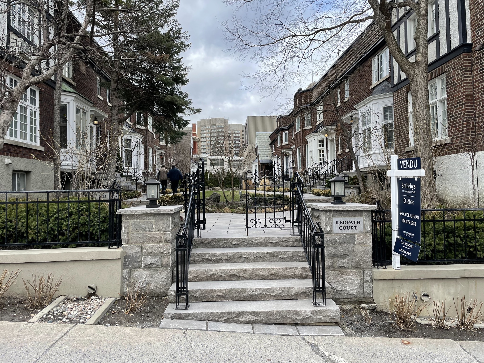
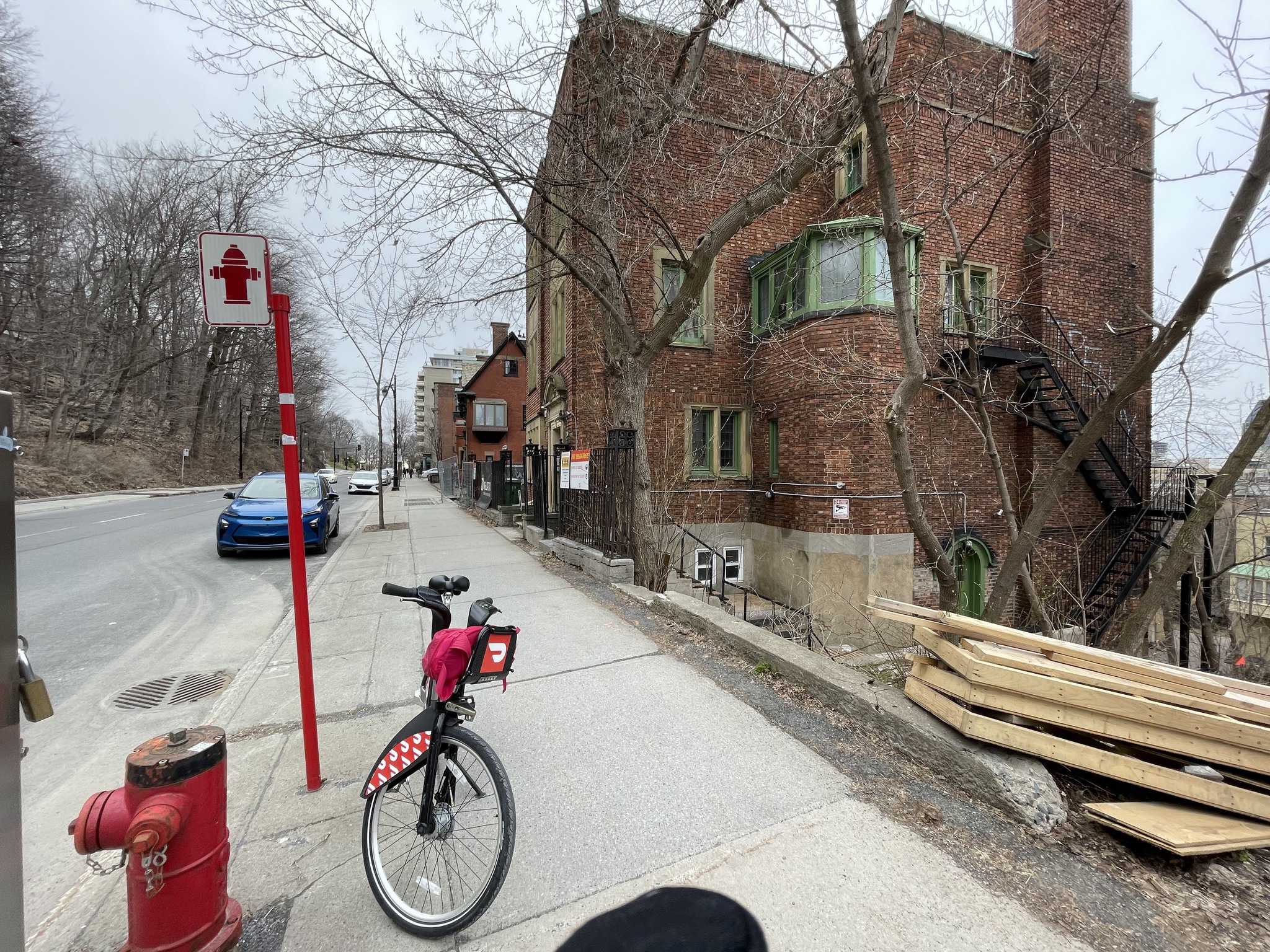
I passed these lovely townhouses on Redpath Street.
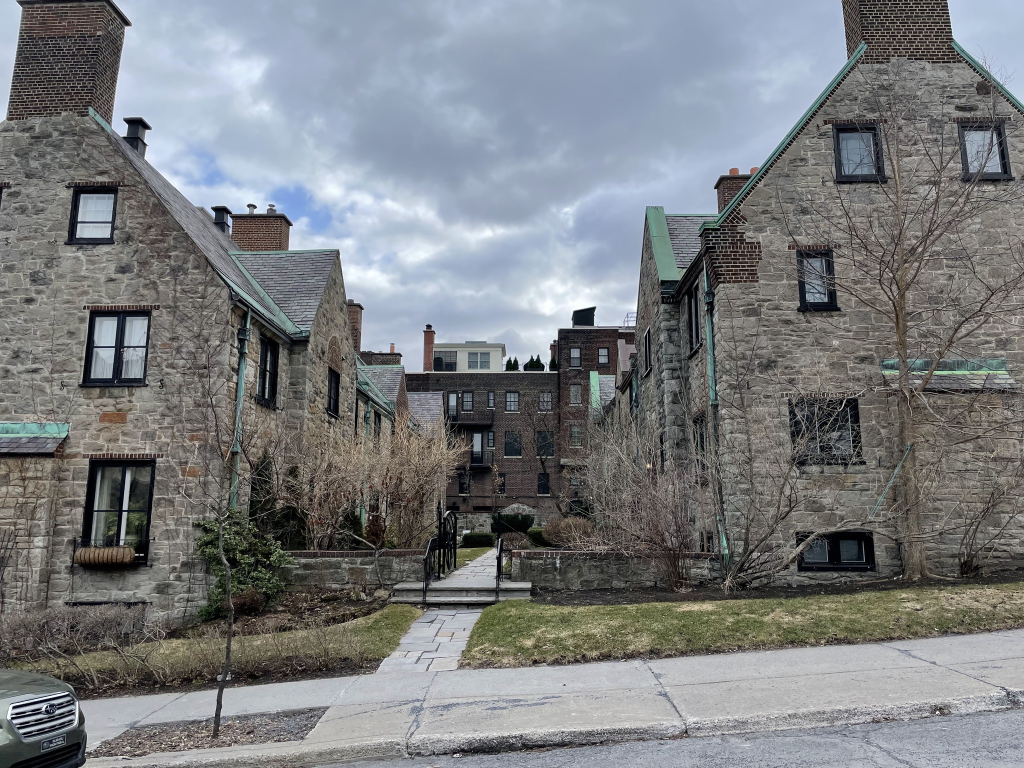
You can see by the way the apartment building on the left was built how steep the street is. The building on the right is McGill university.
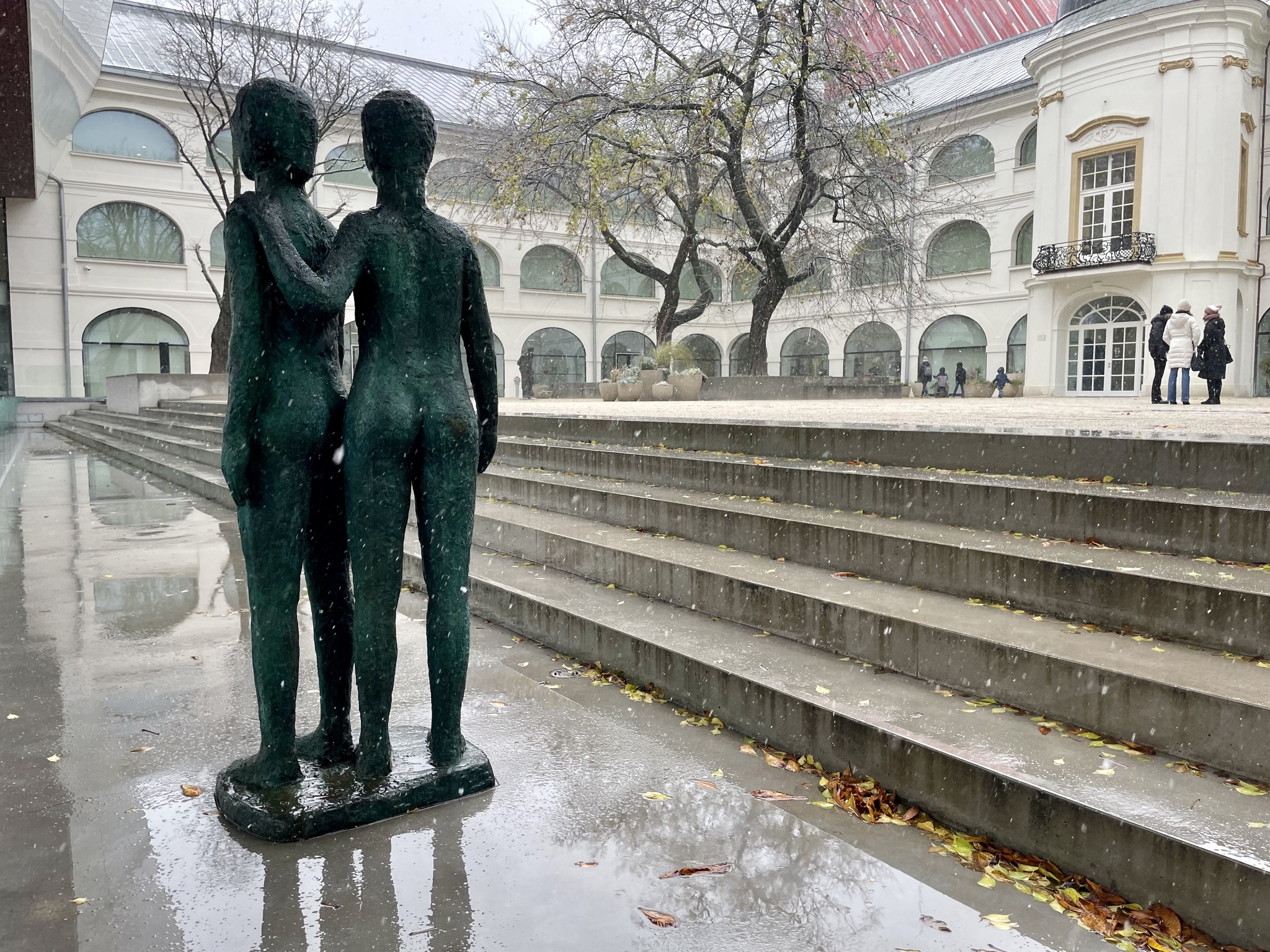
I recalled this sculpture from when I was here before with Patti. It is by Luc Boyer and entitled Le Retour.
There was a significant climb from Sherbrooke Street to Pine Avenue. And, when I got there, I couldn’t find a bike share station. I looked in the app and saw that the nearest one was back down the hill on Sherbrooke. So, rather than climbing the stairs as I had planned, I decided to see if I could ride the bike share bike up to the top.
There were many people walking. People were riding on road bikes. A few were on the electric Bixi bikes, but I was the only one I observed on one of the manual Bixi bikes.
The gravel road was available for walking, and biking. Pedestrians could also choose to use the stairs, instead. I made it up to the top, without stopping. It wasn’t nearly as hard as I remembered it being. I do so much more riding now. Despite being 11 years older, I have stronger legs.
This is Beaver Lake at the top of Mont-Royal. The park was designed by Frederick Law Olmstead. He also designed Central Park in Manhattan, and created a park and Parkway system in Buffalo.
The pavilion at the lake has changing rooms, washrooms, and a snack bar, as well as other amenities.
The views over the city are wonderful.
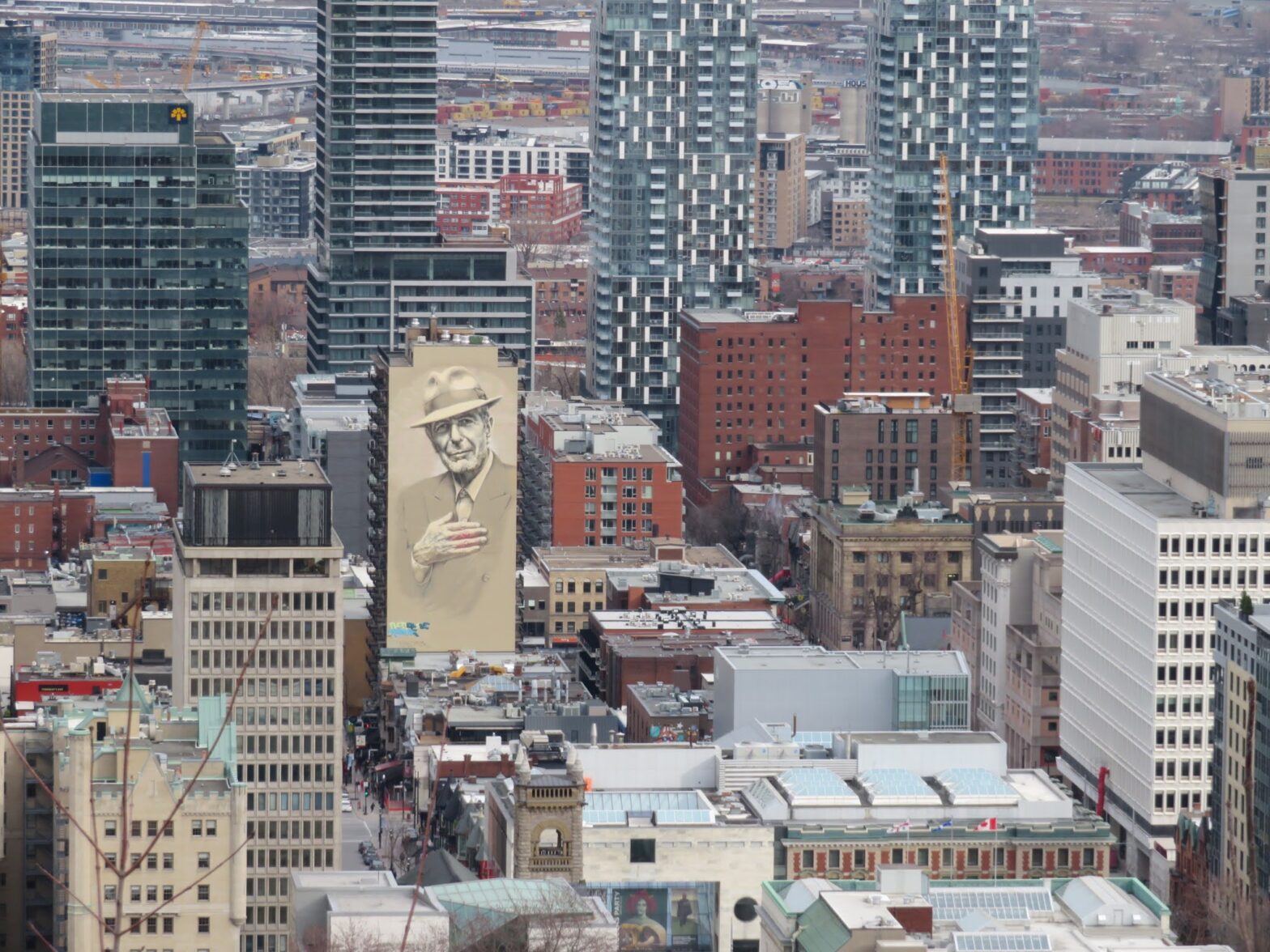
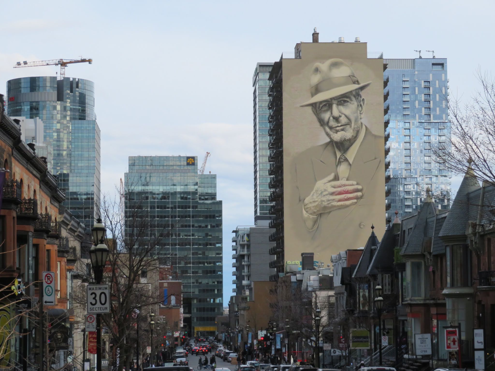
The Leonard Cohen mural caught my eye, amid the high-rise buildings.
Mehrunnisa lives on Pine Avenue and I stopped by her place on my way back down. I walked the bike until we got to the nearest bike share station. I was charged just over five dollars for the time I kept it out longer than 45 minutes.
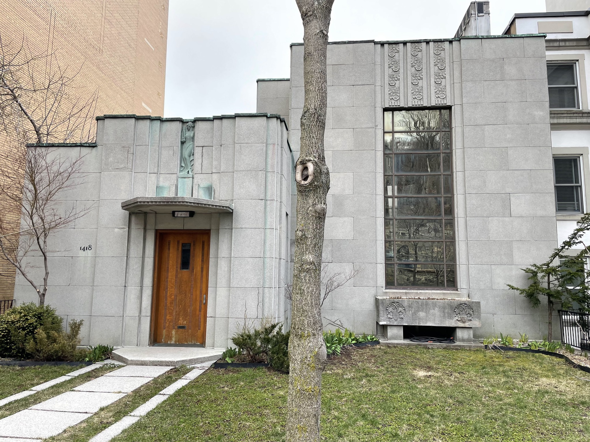
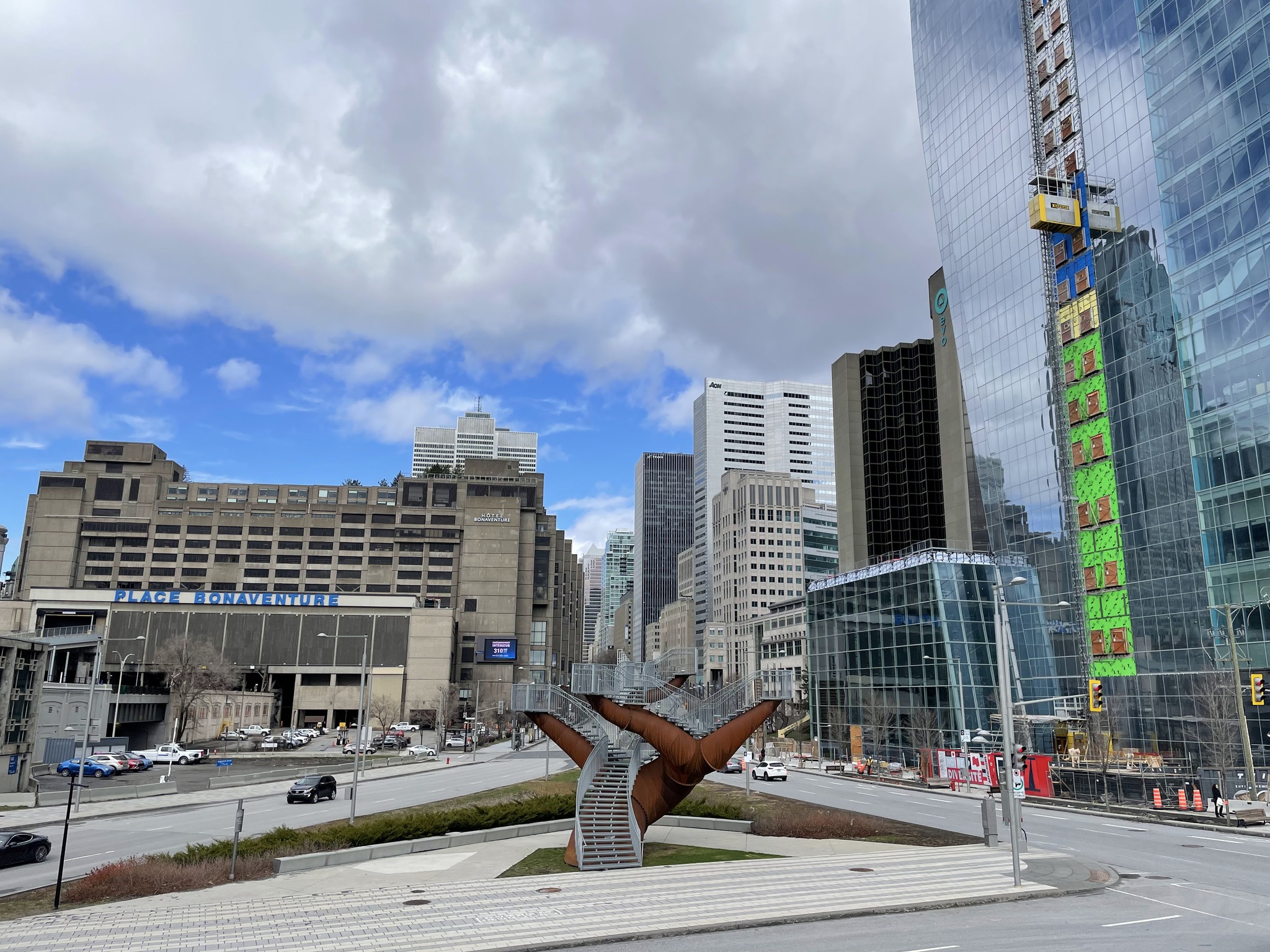
This art deco house caught my attention. I asked Mehrunnisa if she knew anything about it, but she did not. When we got back to the apartment, I googled the address. I found out that it was designed by architect and engineer Ernest Cormier. He designed it for himself in 1930 to 31 and lived there until 1975. Pierre Elliot Trudeau purchased it in 1979, after leaving politics, and lived there until his death in 2000. It is now owned by his son. Alexandre. I teased Mehrunnisa about living only a few doors down from a former Prime Minister’s son all year, and not knowing it.
We got takeout food again, and ate in the apartment.
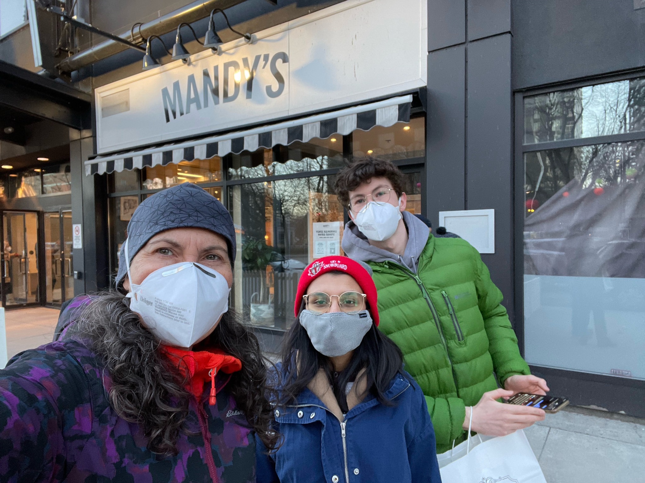
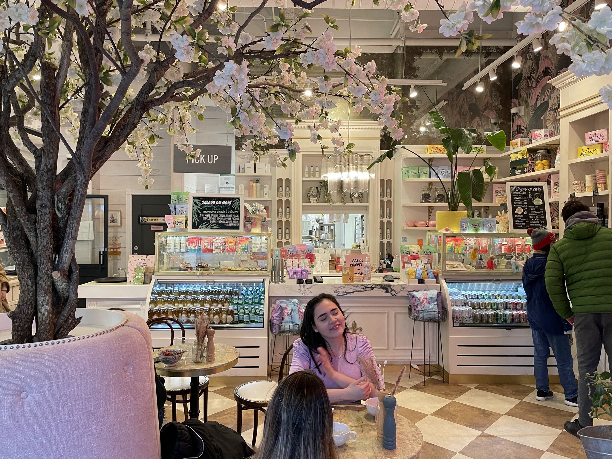
Mandy‘s was quite cute inside.
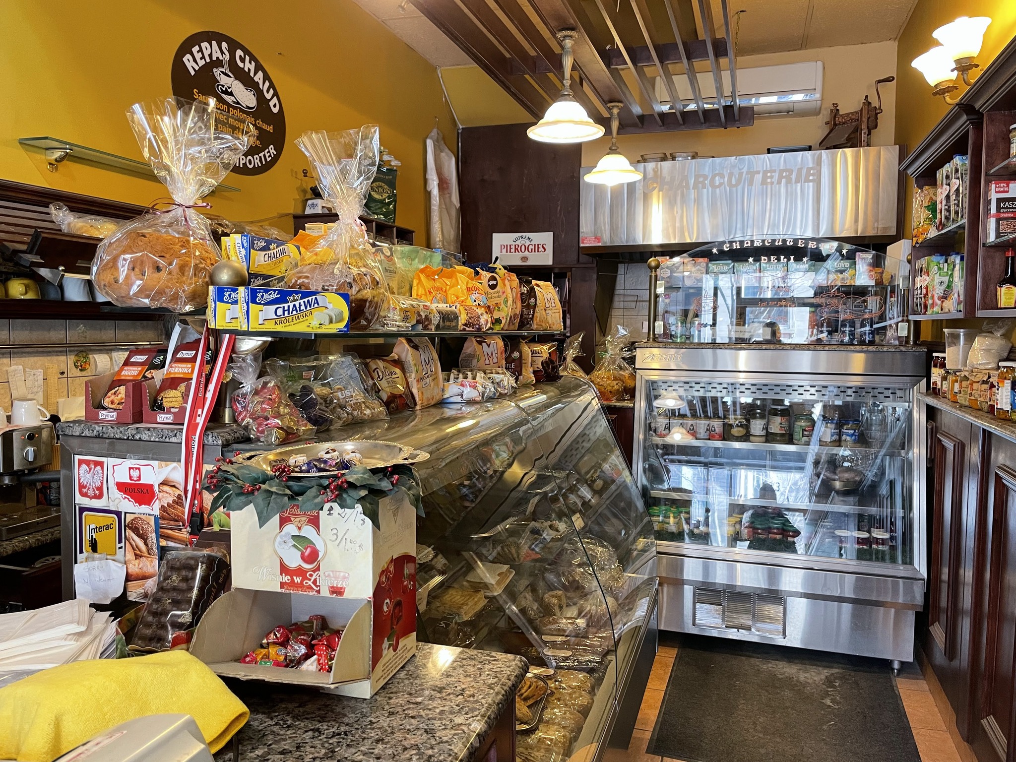
Over dinner, we decided on the places that we would visit tomorrow: Olympic Stadium, but unfortunately not the observation tower, which is closed for renovations, and the Montreal Biodome. Mehrunnisa suggested the Le Plateau neighbourhood for lunch at her favourite poutine restaurant.
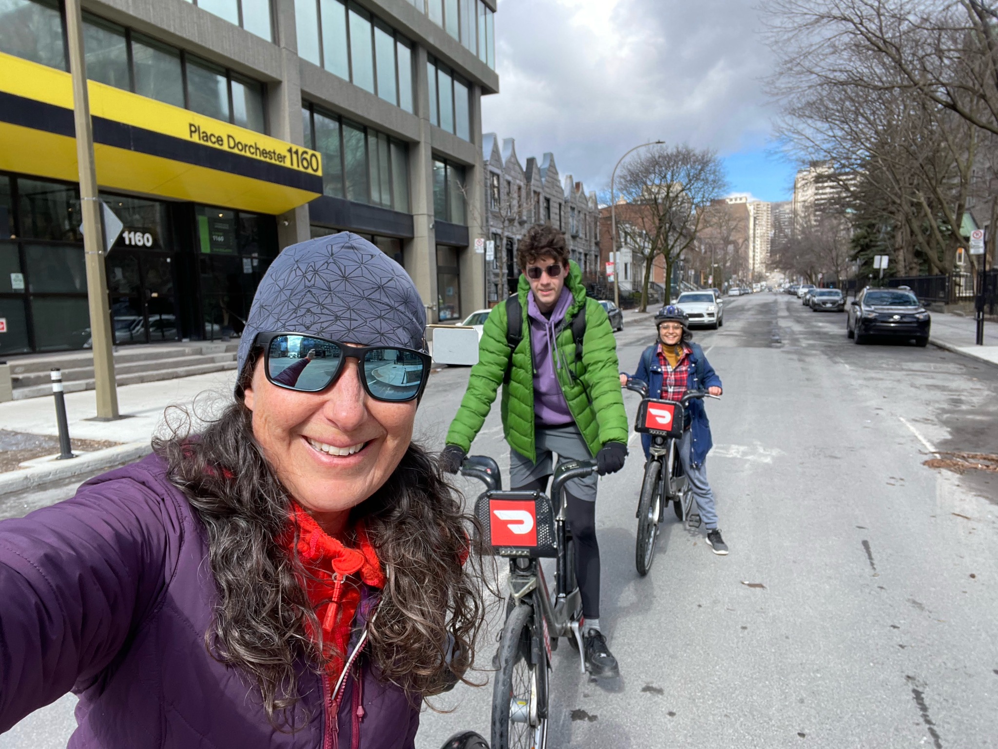
After dinner last night, we picked up a few groceries so we were able to have breakfast in the apartment. Then we stopped at a coffee shop on the way to meet Mehrunnisa at the nearest bike share station.
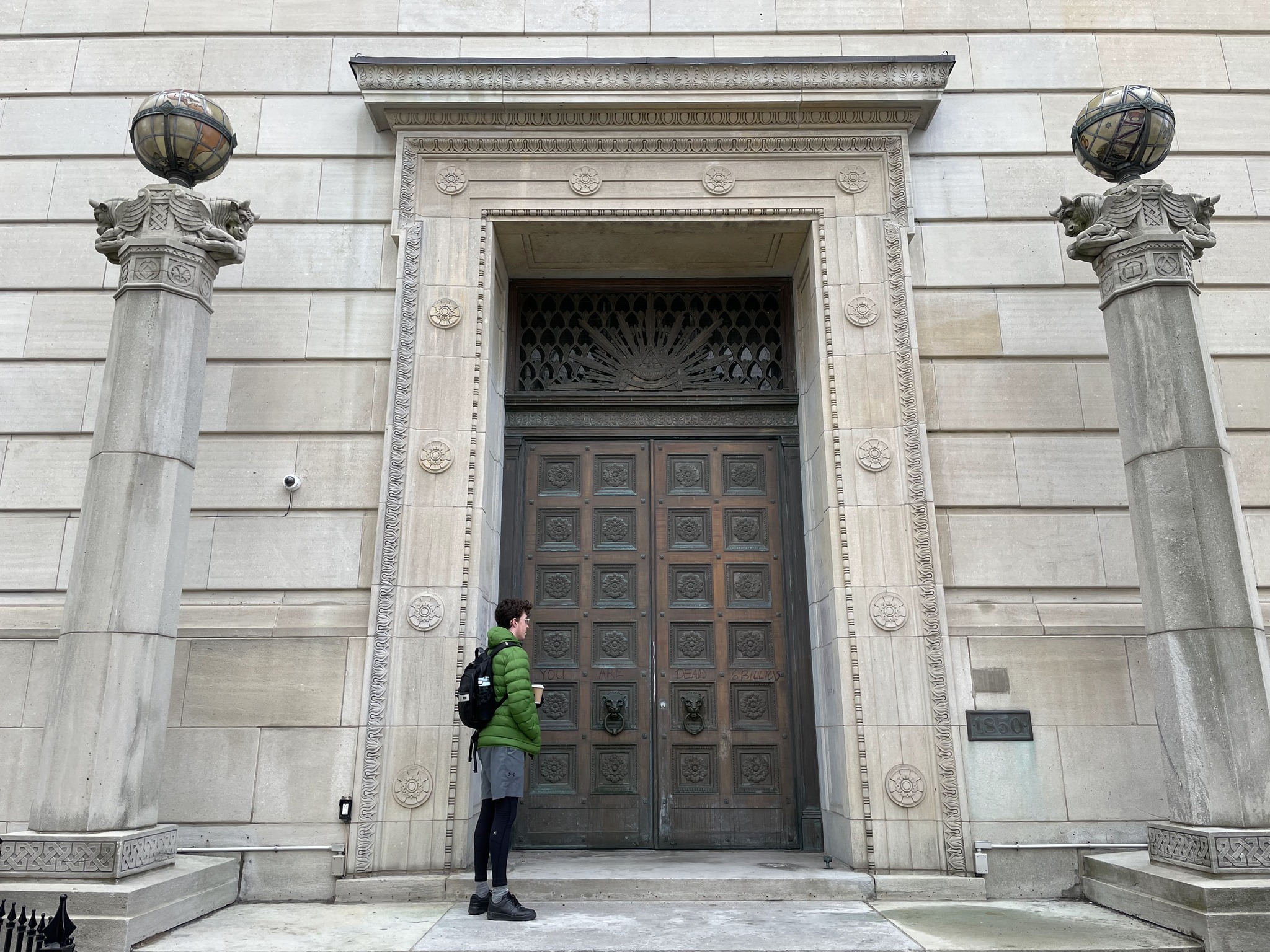
This is Owen in front of a Masonic Lodge.
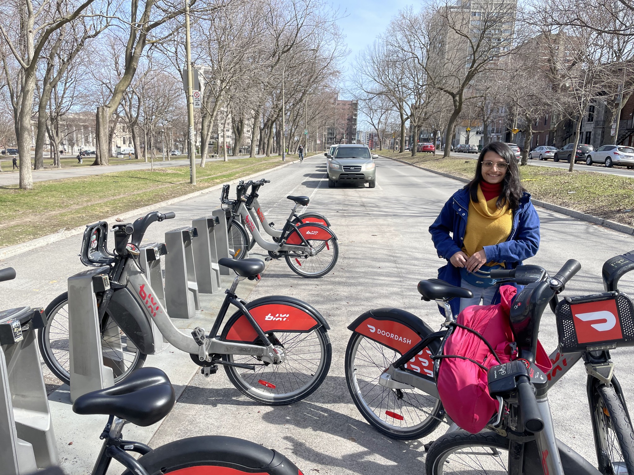
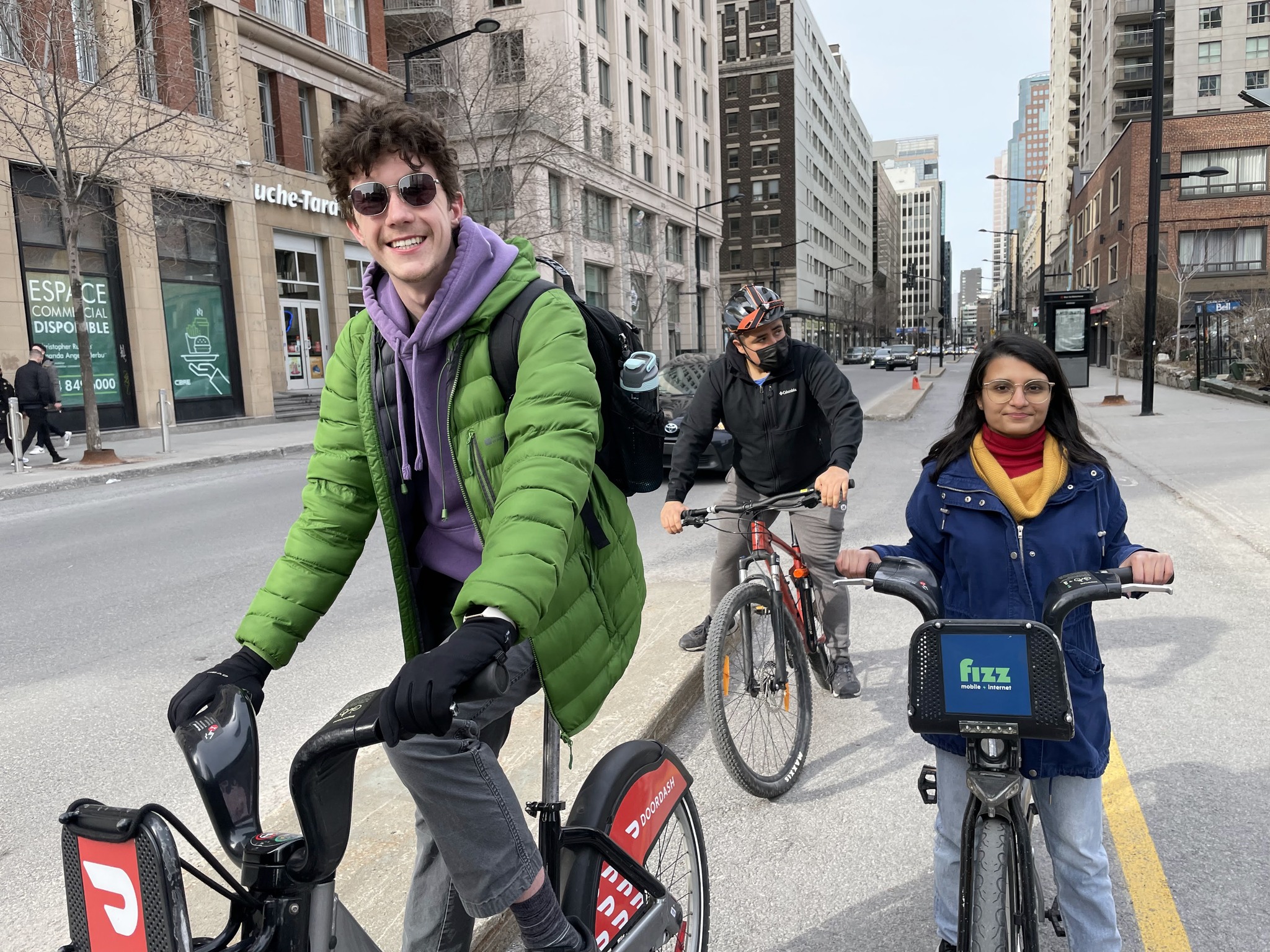
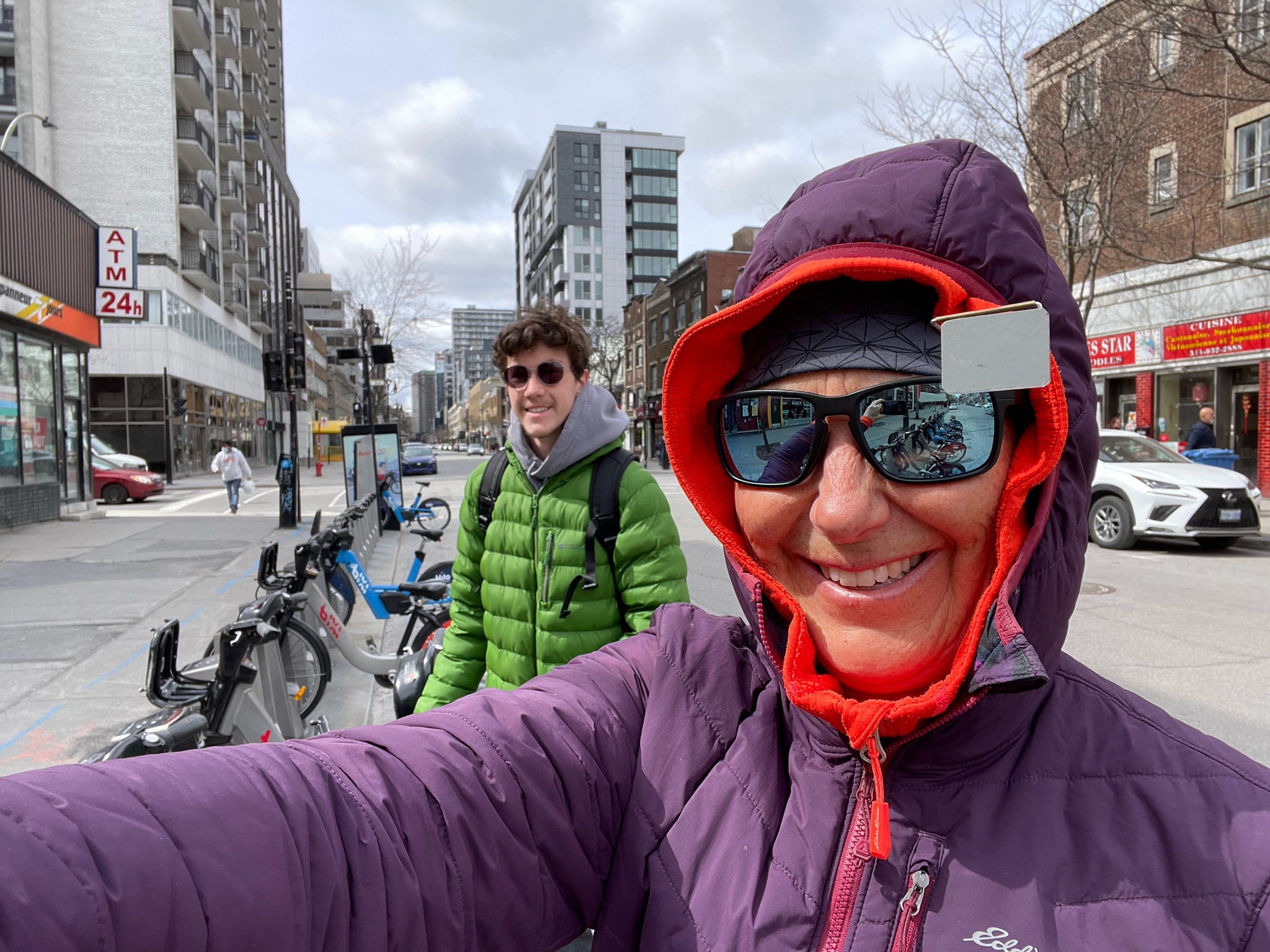
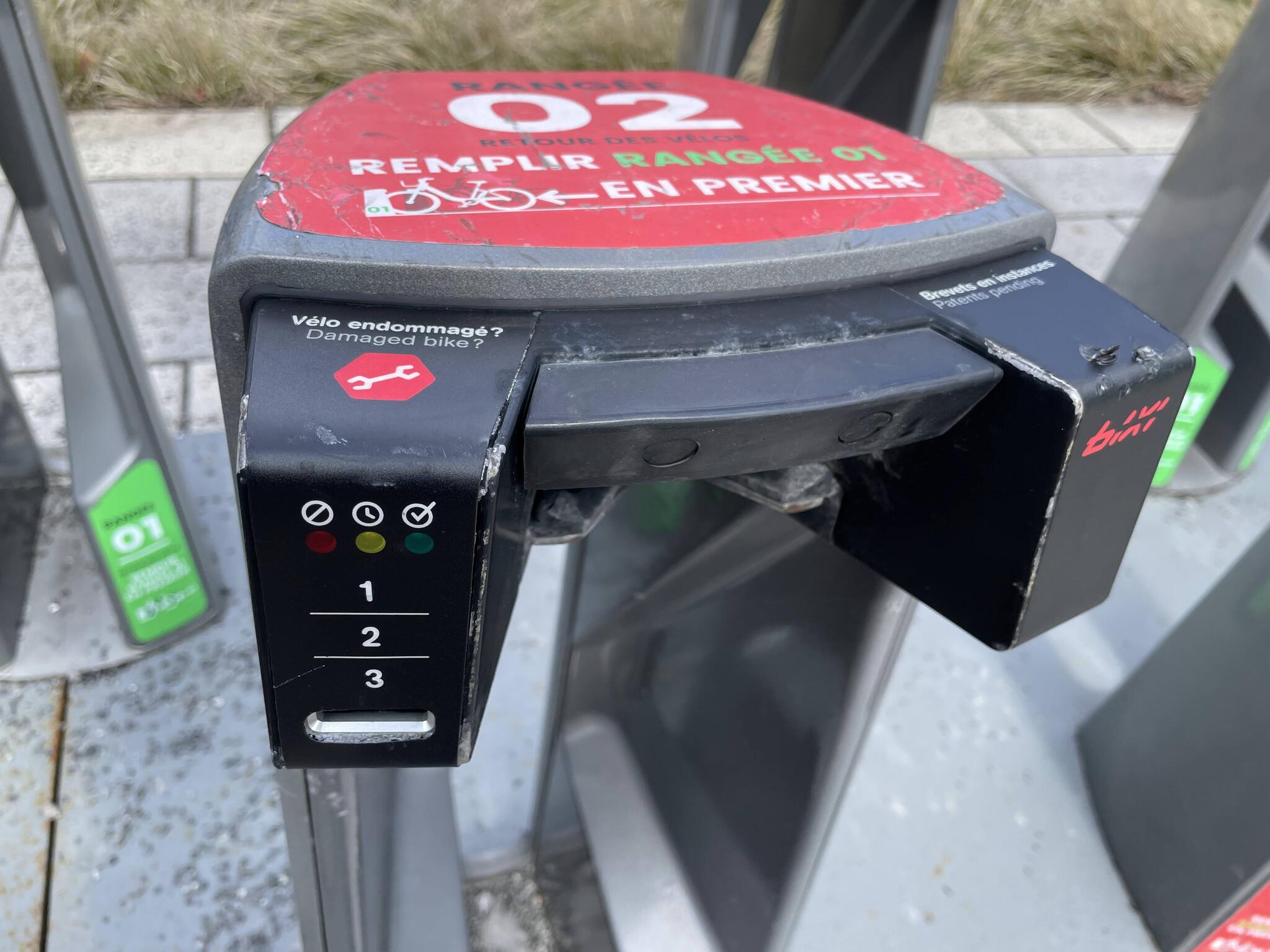
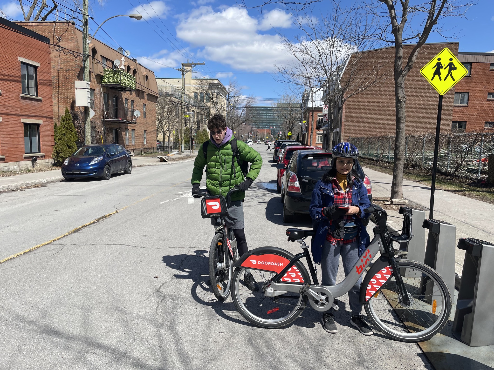
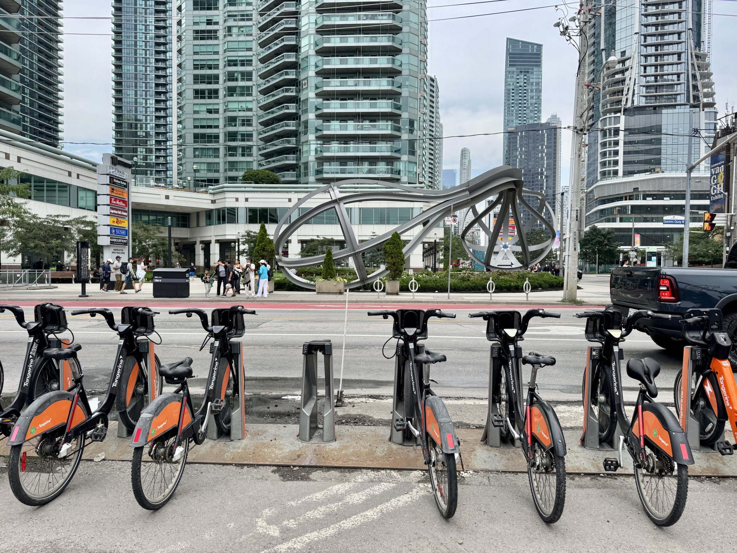
Owen and I had previously set up Bixi accounts. The Bixi bikes are very economical. We were able to buy one-month passes for $20 plus GST. And, unlike Toronto and New York City, the free period is 45 minutes, not 30, before one is charged for extra time. One can reset the clock by docking the bike and taking it out again.
To take out the bike, you will open the app, and scan a QR code on the bike. This generates the code which you type into the stand, which then releases the bike. Here we are ready to go.
The temperature was hovering around freezing. I’m accustomed to riding year round, and have learned how to dress properly to stay warm, but neither Owen nor Mehrunnisa were dressed as warmly as I was. I had gloves and wind mitts; Mehrunnisa had bare hands so I loaned her my wind mitts. Fortunately the sun was strong.
I was focussed on renting the bikes, and forgot to start Strava until we got to Bonaventure Park. Whenever we got close to 45 minutes of riding, we would dock the bikes to reset the clock.
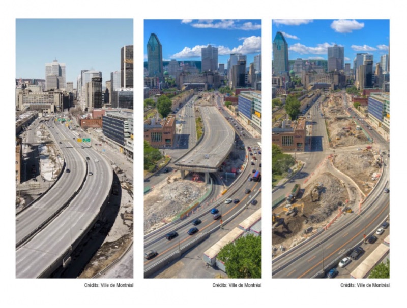
Bonaventure Park was created on the site of the former elevated Bonaventure Expressway. The road is now at grade. There is a playground, public art, exercise, equipment, benches, ping-pong tables, and a bike share station. More than 300 trees and 30,000 shrubs and perennials were planted.
Rochester has also demolished an inner city highway and replaced with a dense urban avenue. I wrote about it here.
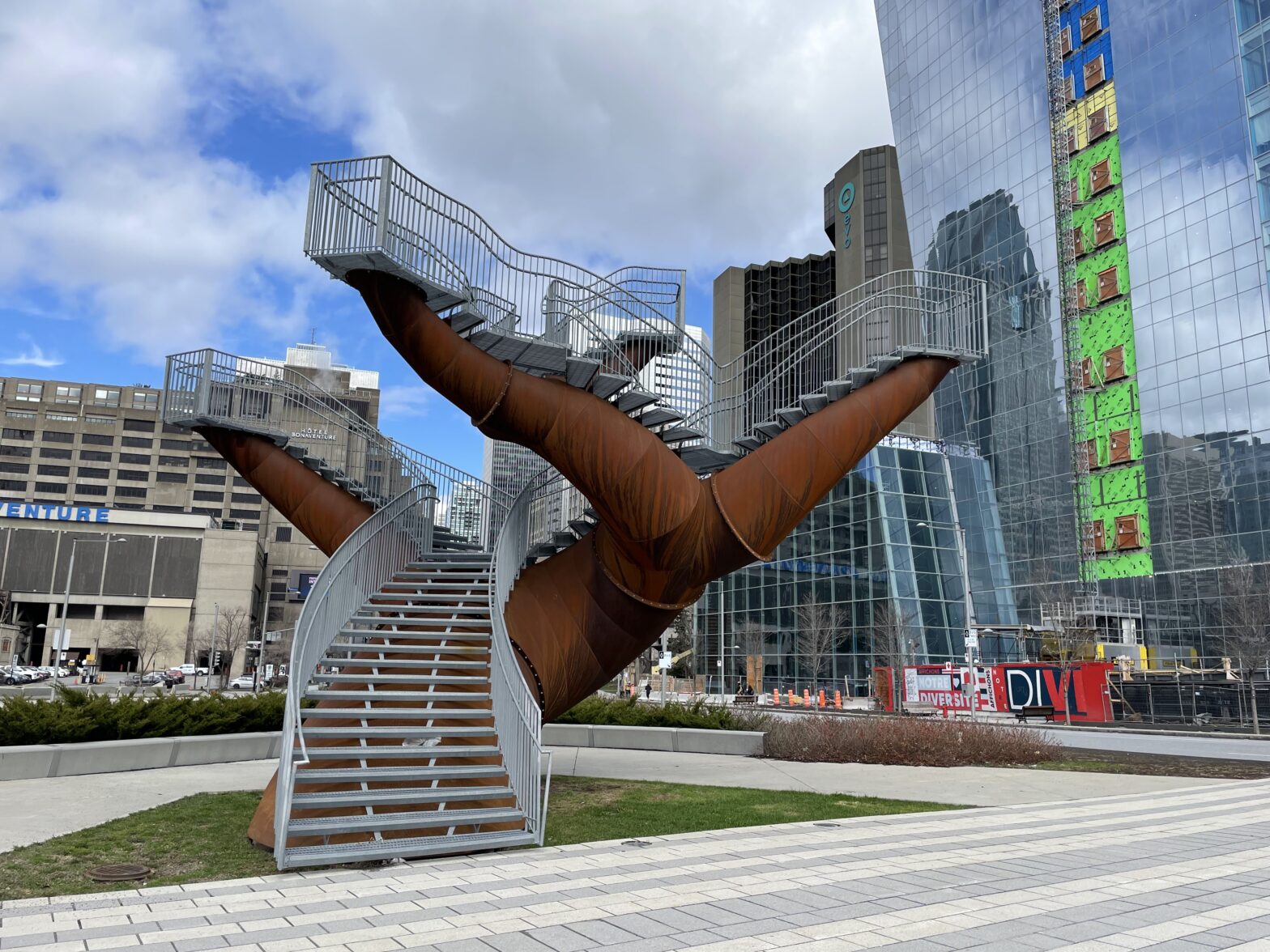
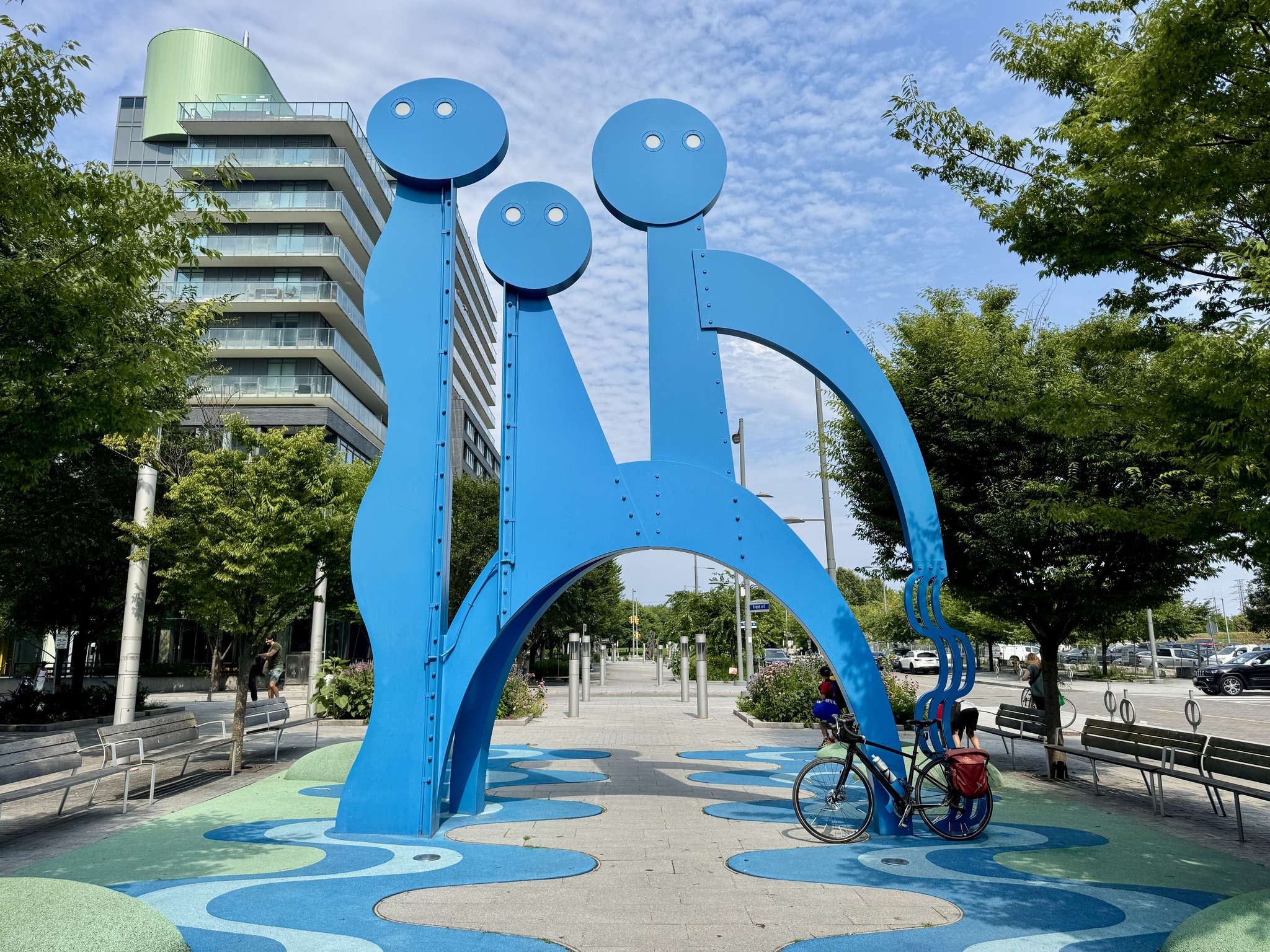
There are two of these sculptures, called Dendrites, by Michel de Broin.
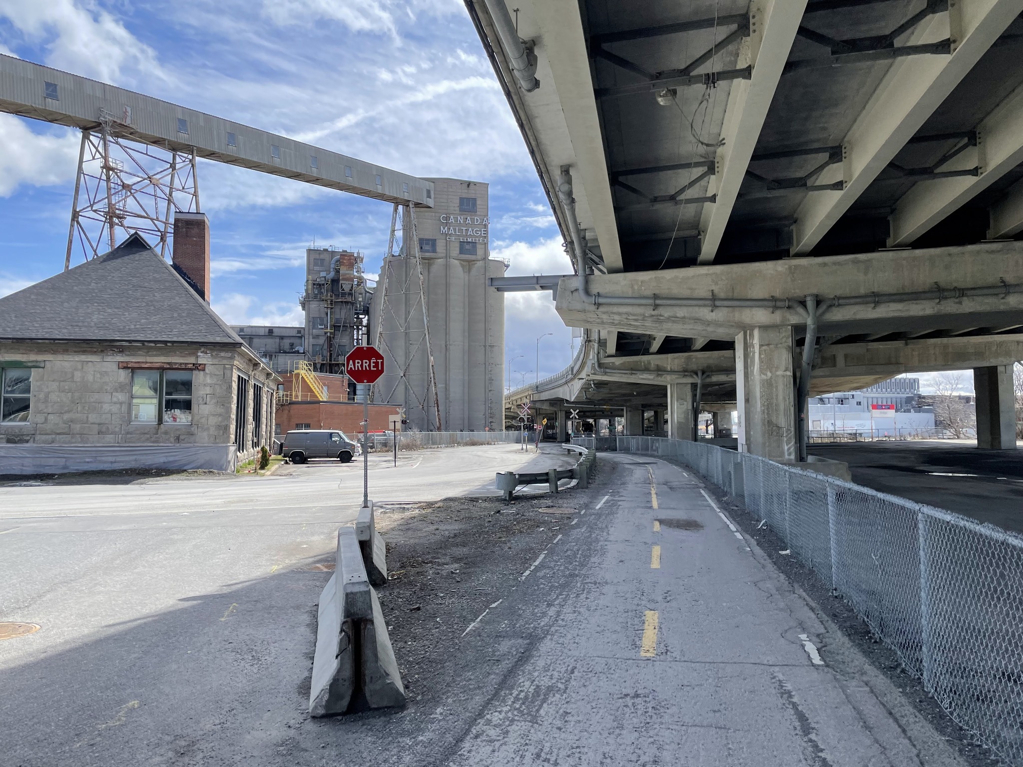
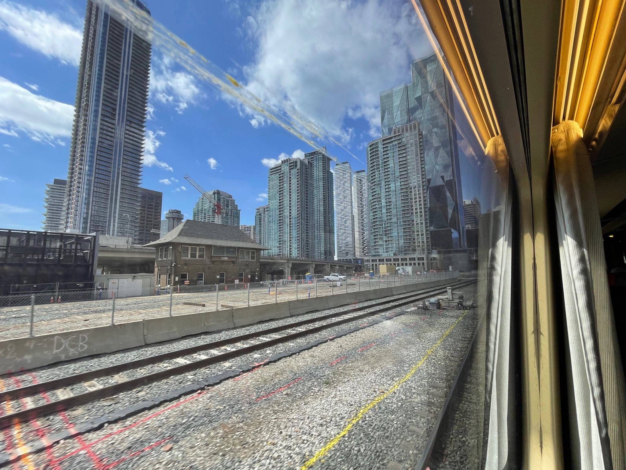
There is still an elevated rail line going into the Central Station. Underneath it as a self storage company.
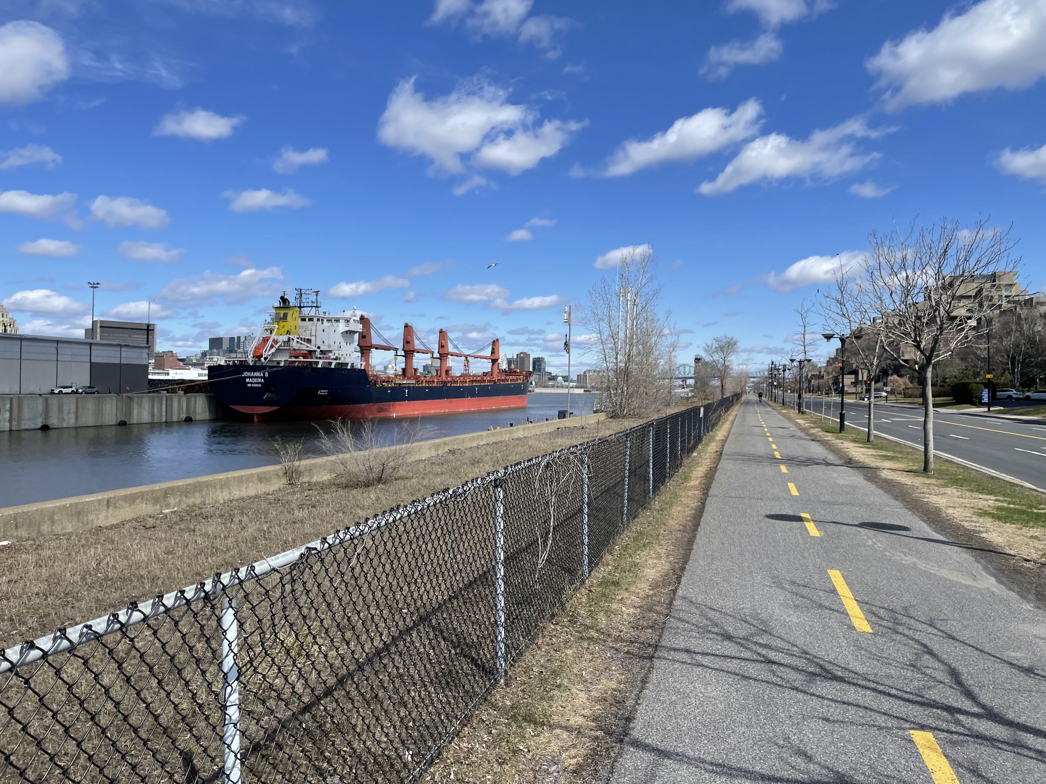
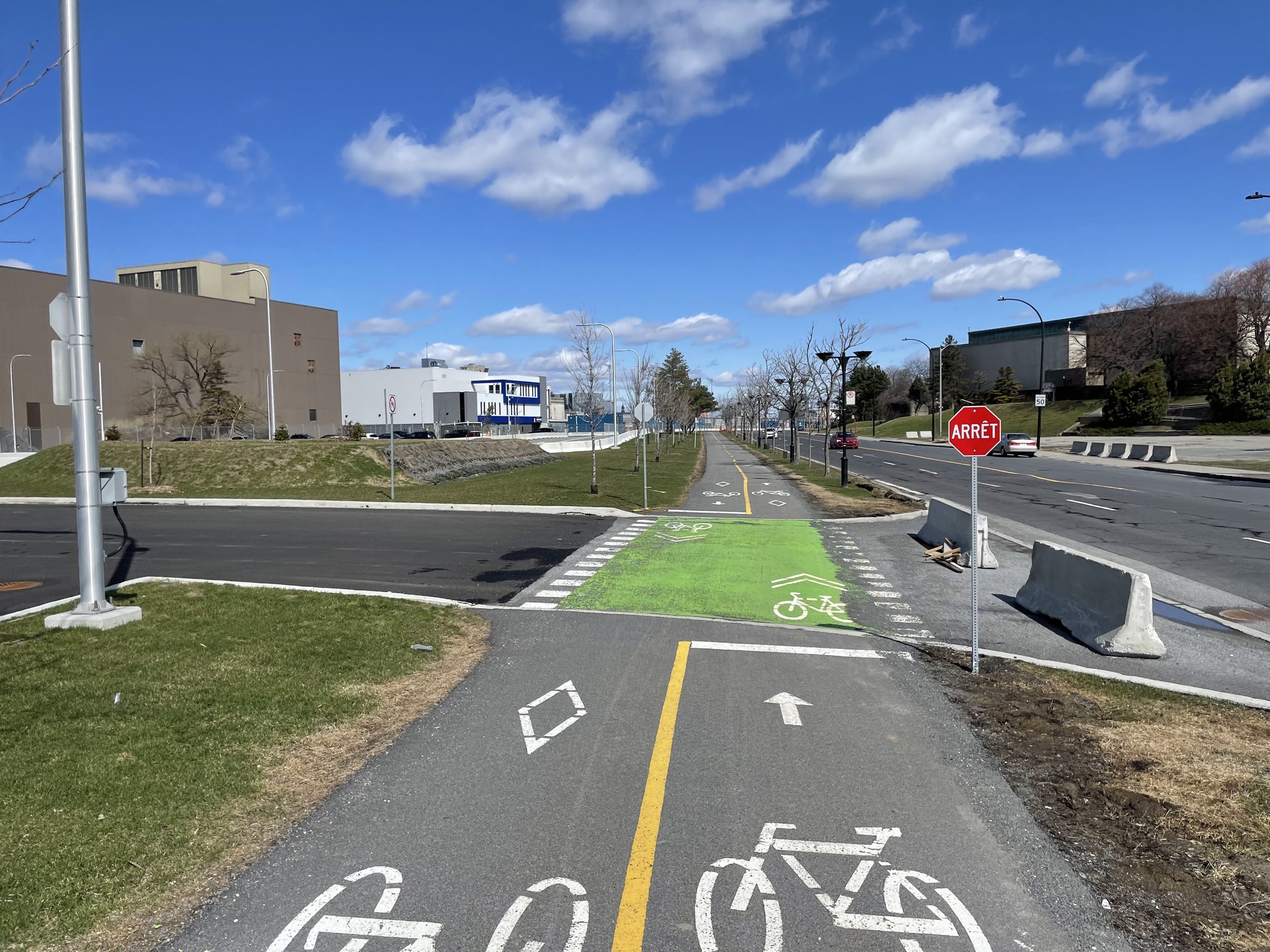
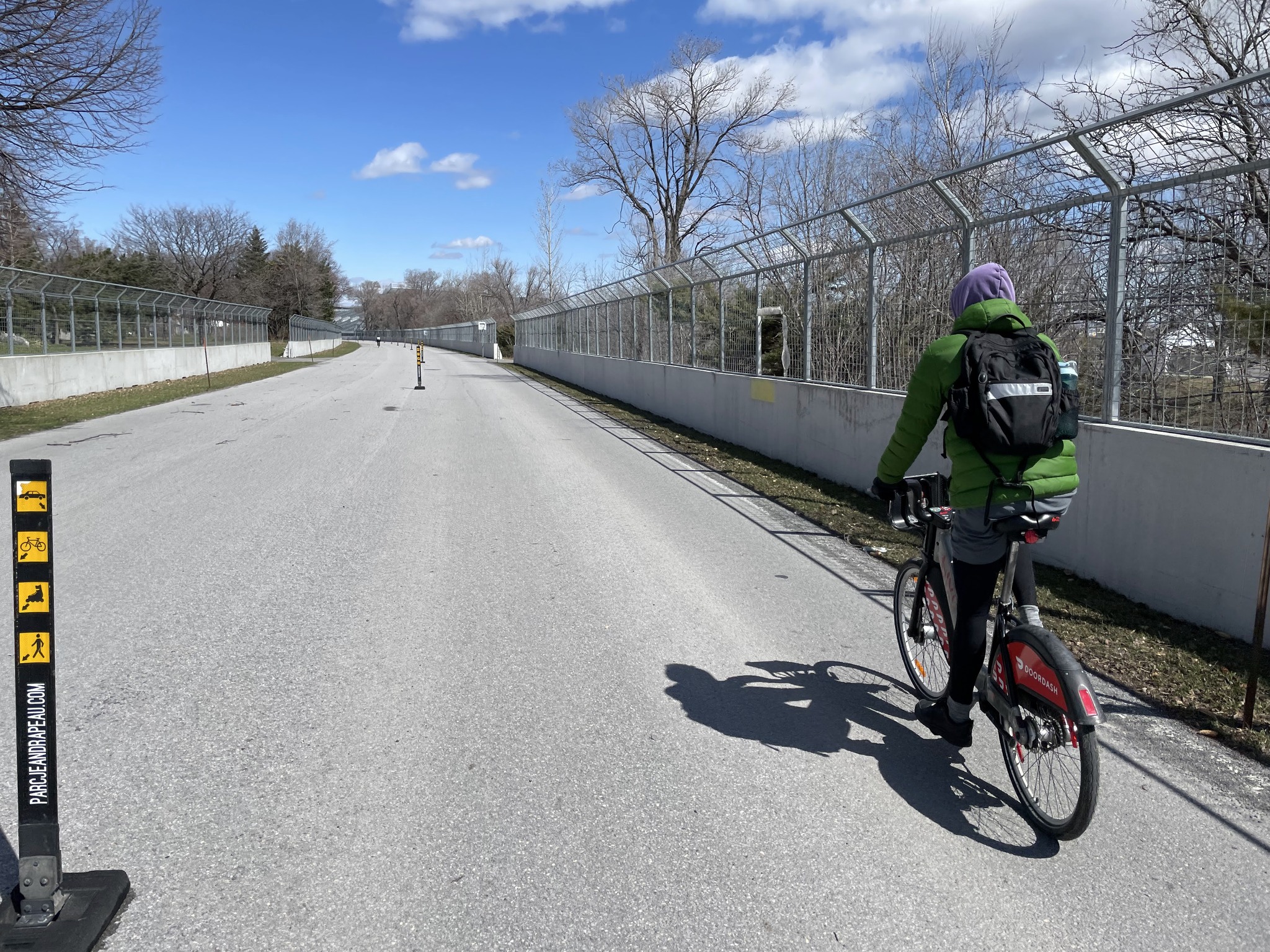
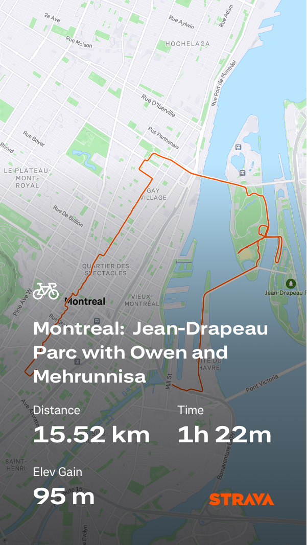
Next we wanted to visit Jean-Drapeau Parc on St Helen’s Island, the site of Expo 67. We had cycling infrastructure the whole way.
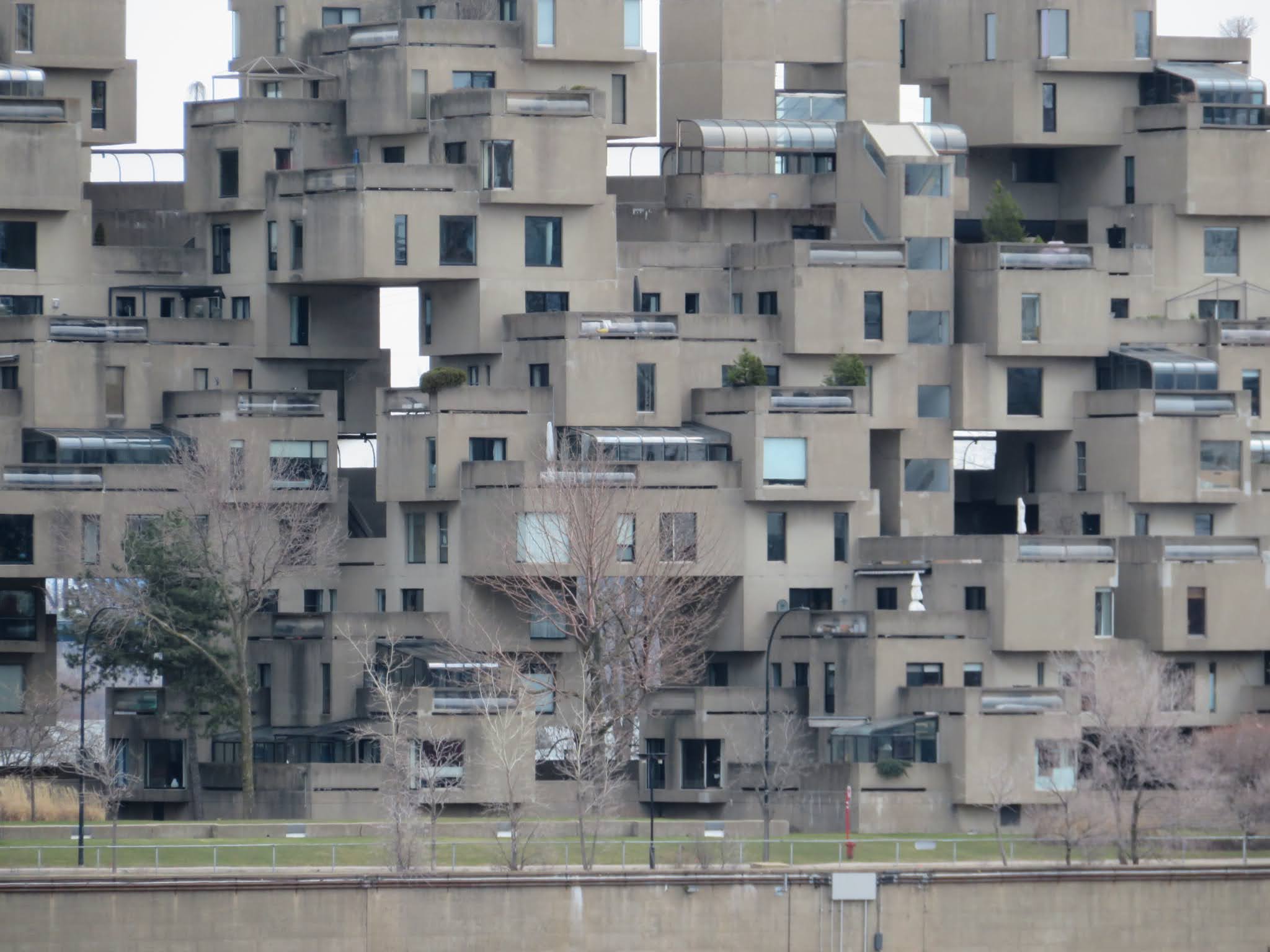
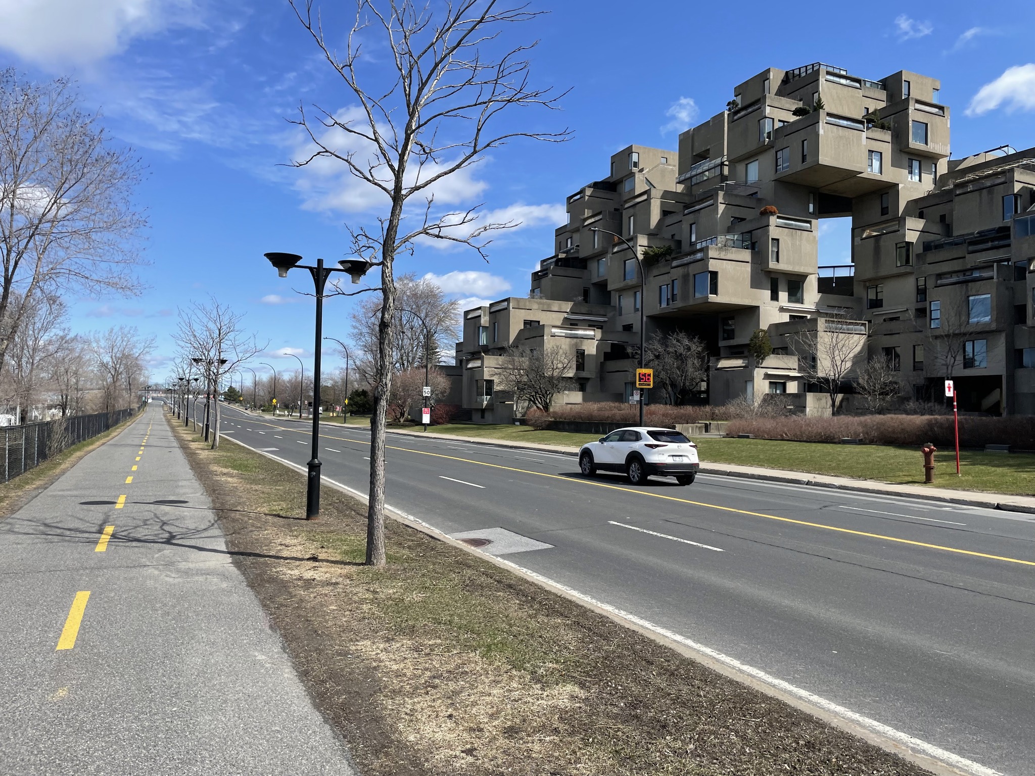
We passed Habitat 67, a famous housing complex, designed by Moshe Safdie for Expo 67. It was an experimental project that aimed to combine the benefits of suburban homes—like private gardens, fresh air, and privacy—with the density and efficiency of urban apartment living. It is made up of 354 prefabricated concrete modules stacked in irregular patterns to form 148 apartments, each with its own terrace. The modular, Lego-like arrangement creates a visually striking, futuristic look and gives every unit unique layouts and views of the St. Lawrence River.
While it was intended as a prototype for affordable, mass-produced housing, its construction costs were high, and it became more of a landmark and architectural icon than a scalable housing model. Today, Habitat 67 is still occupied, protected as a heritage building, and regarded as one of the most influential examples of brutalist and modular architecture in the world.
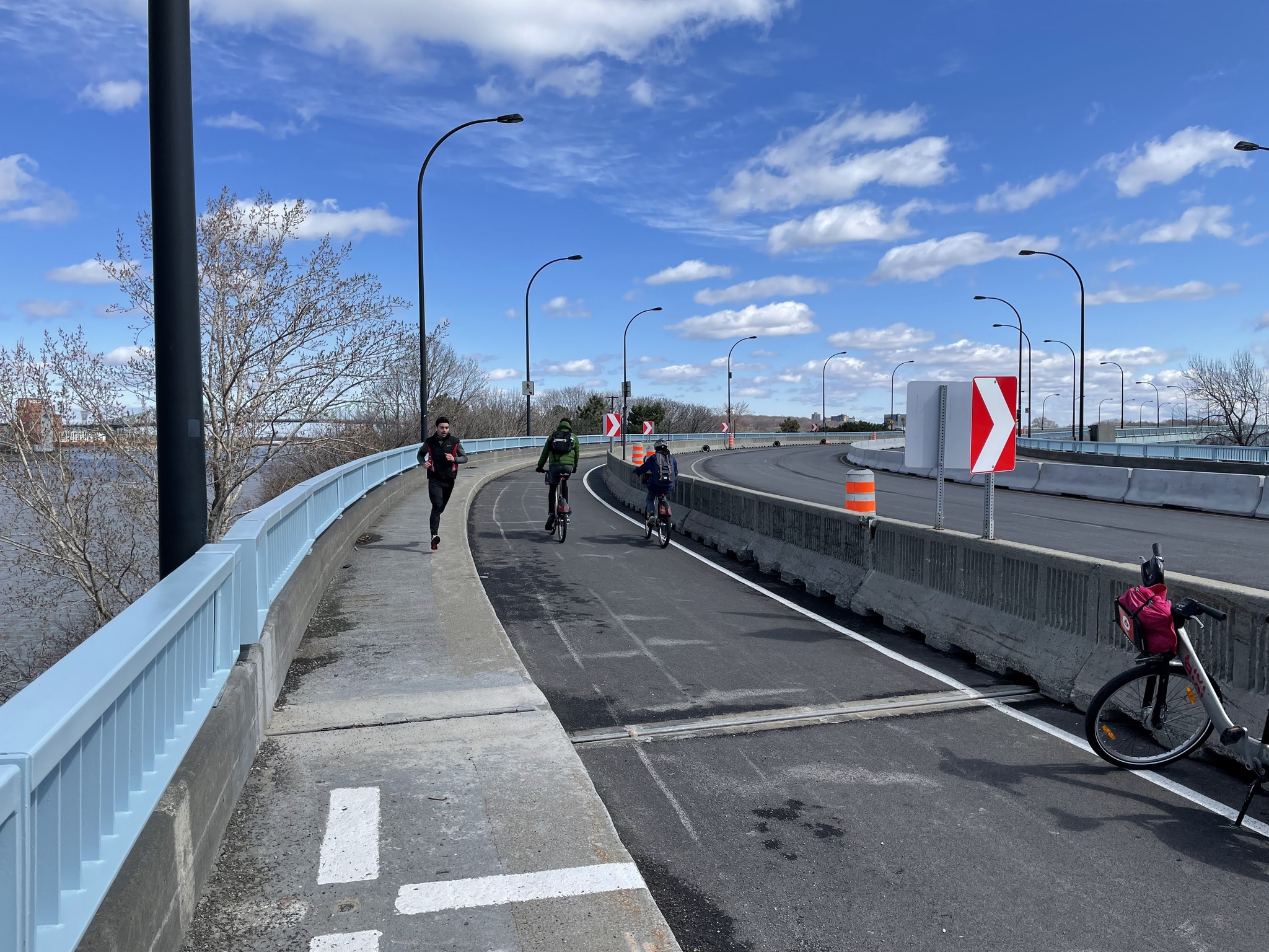
The Concorde Bridge, which accesses the south end of the island, is quite flat and easy to ride across.
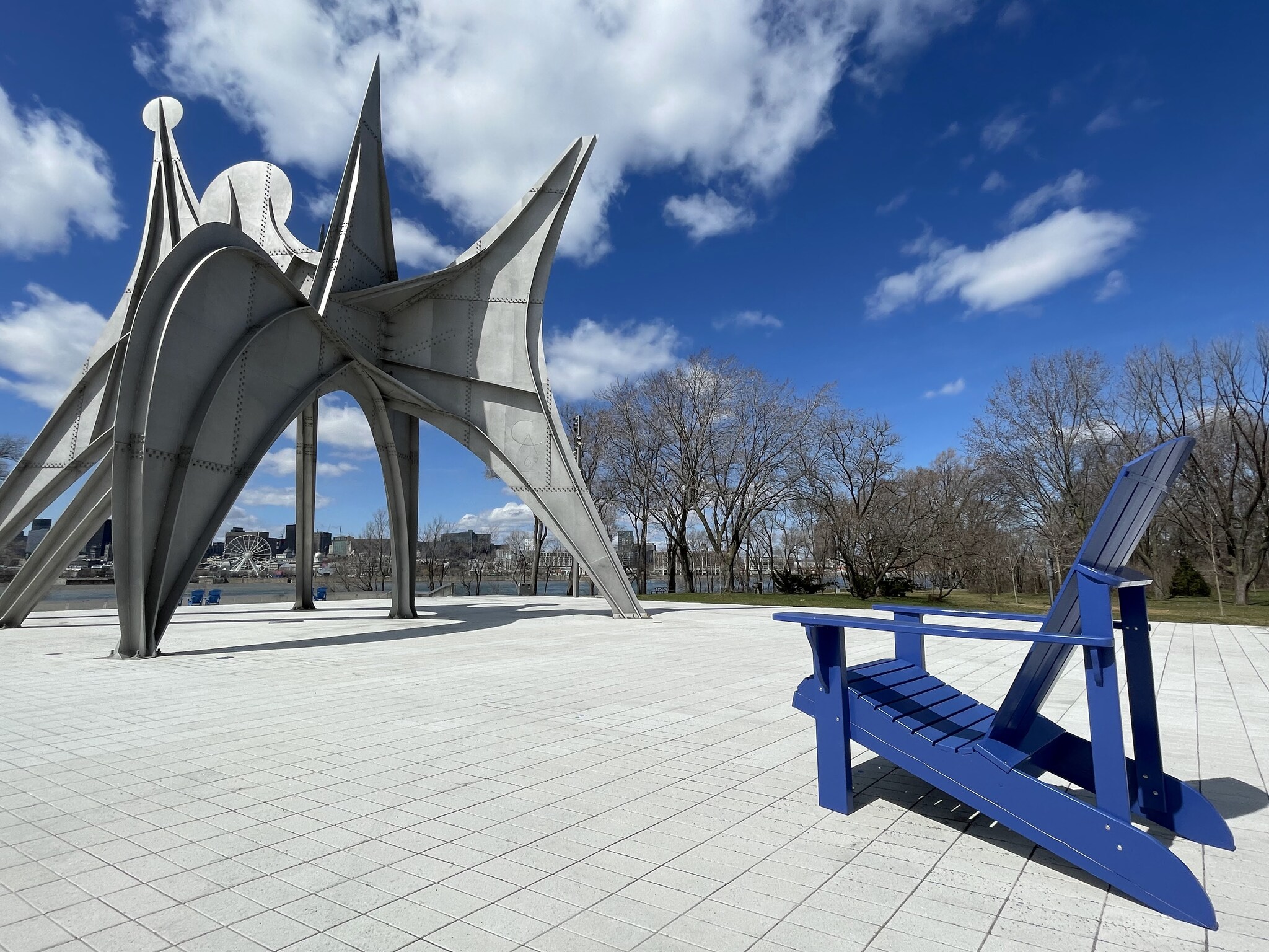
This sculpture is via Alexander Calder, and is entitled Trois Disques.
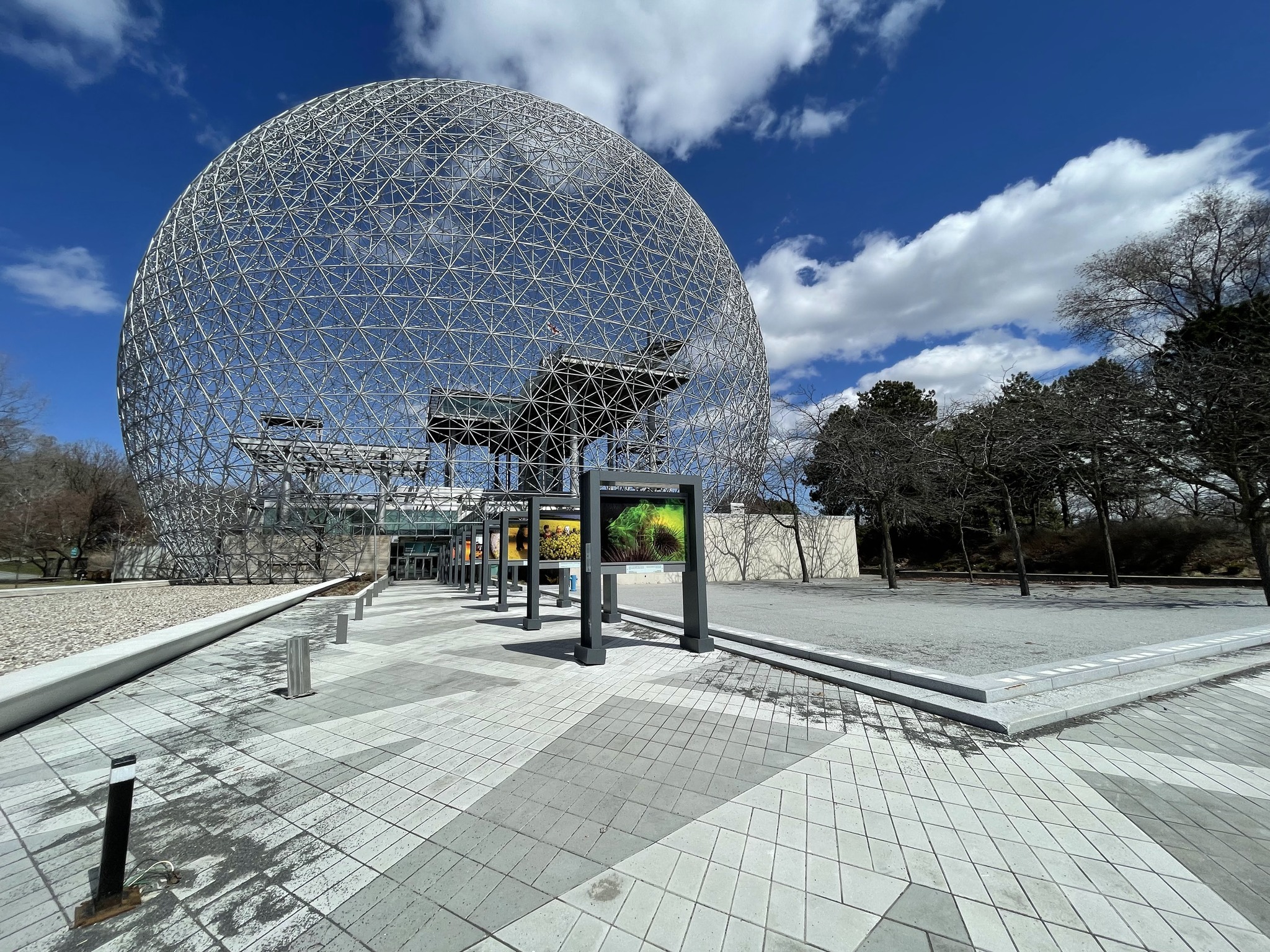
This was the American pavilion at Expo 67 designed by Buckminster Fuller. In 1976, a fire destroyed the acrylic covering, leaving only the steel skeleton. The structure was repurposed and reopened in 1995 as the Montreal Biosphere, an environmental museum, dedicated to ecological and climate issues.
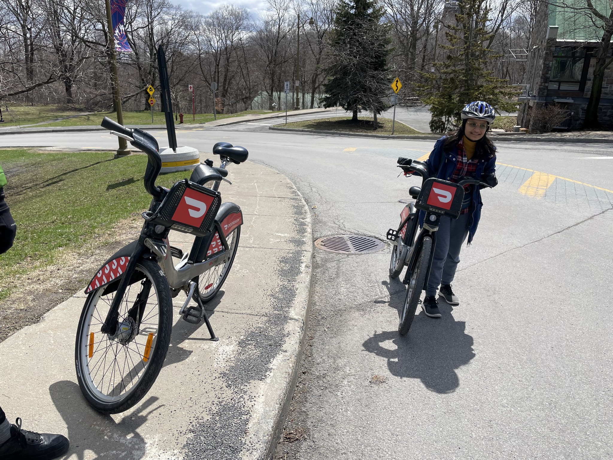
We rode over to Île Notre-Dame, to the Gilles Villaneuve racetrack. It is used for the Canadian F1 and NASCAR races. When not being used for races, it is open for cycling and rollerblading. It’s 4.3 km long. The kids didn’t want to ride the whole thing, so we only rode one small section of it, and then back to the larger island.
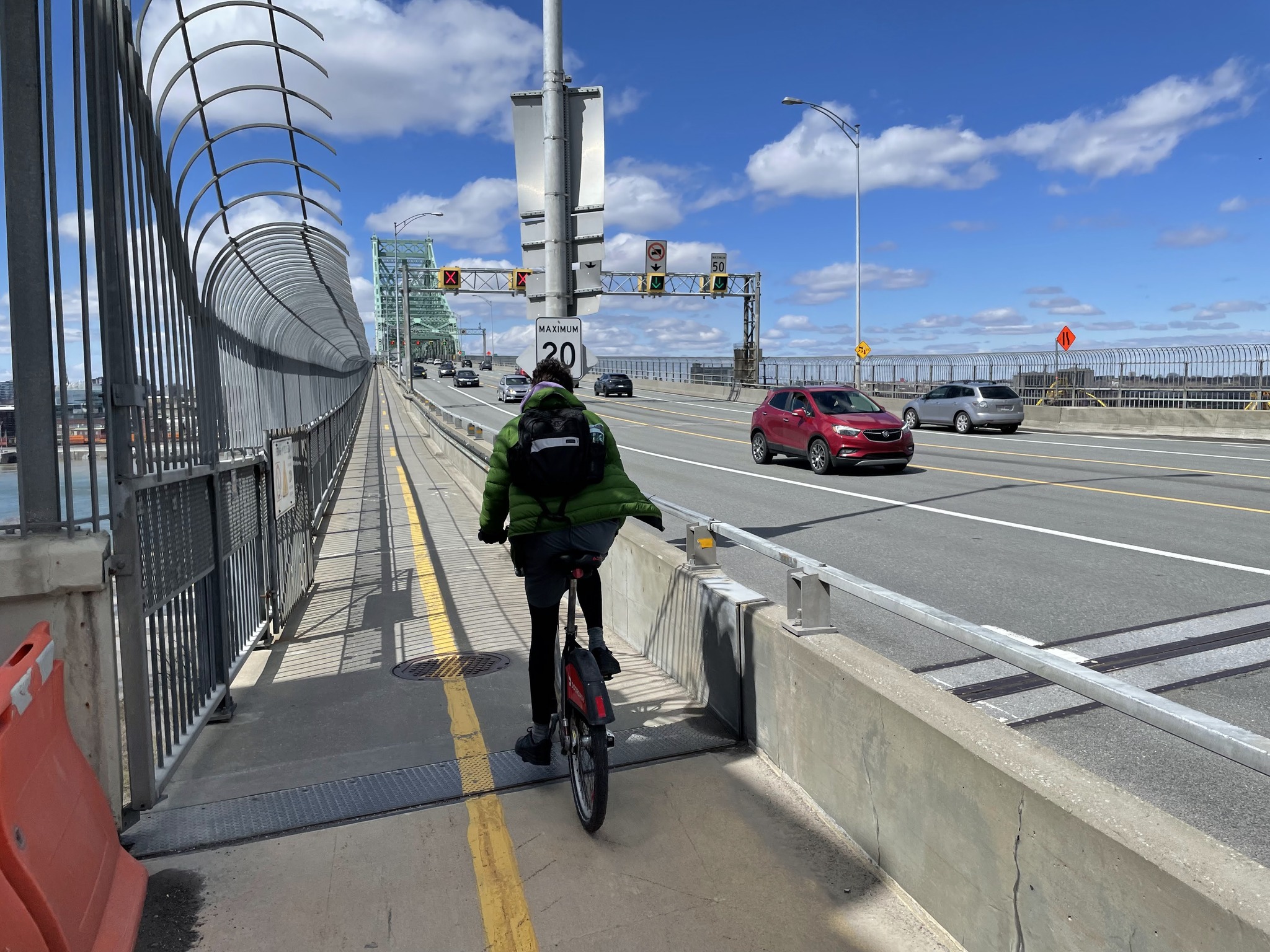
We cycled to the north end, to leave by the Jacque Cartier bridge. The ascent to the bridge was challenging on the three speed, bike share bikes, especially for those not used to riding.
There is a protected bi-directional multi-use path on the south side of the bridge.
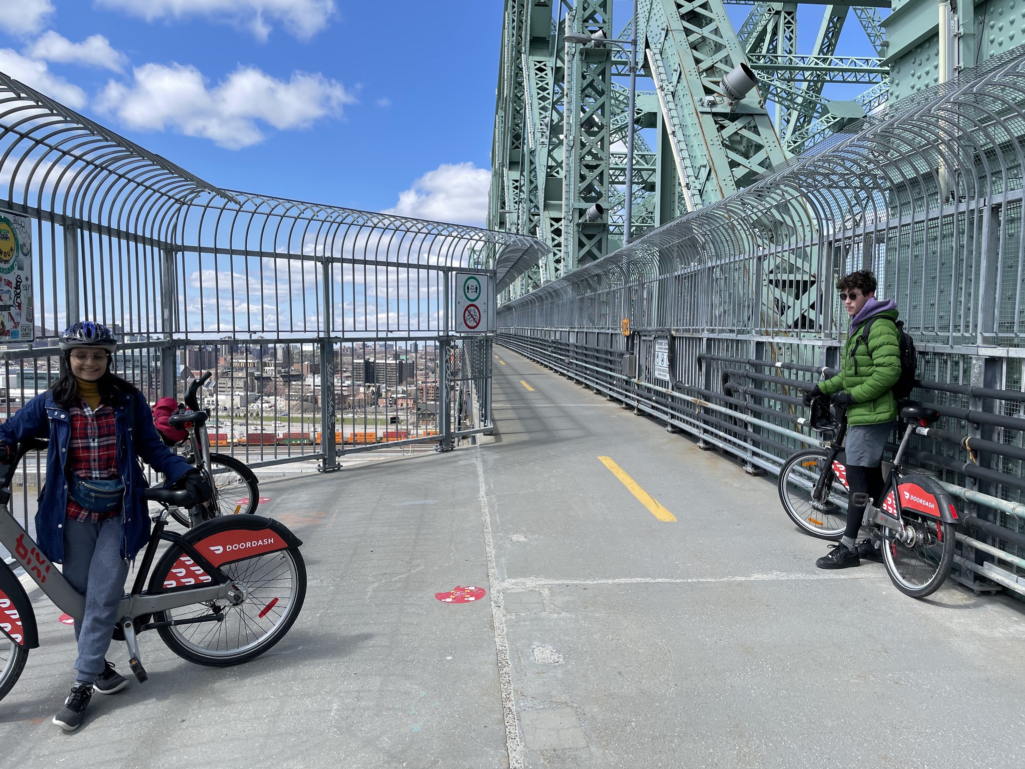
There is a viewing area partway across. The views of Montreal are great.
Here we are docking the bikes briefly to reset the clock.
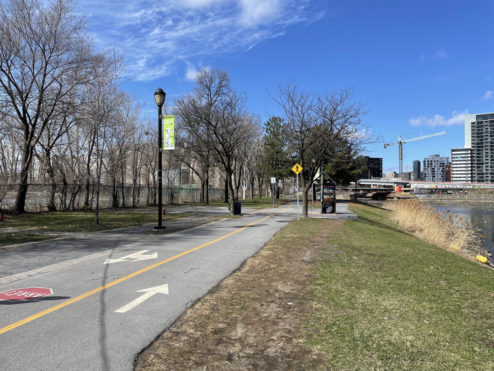
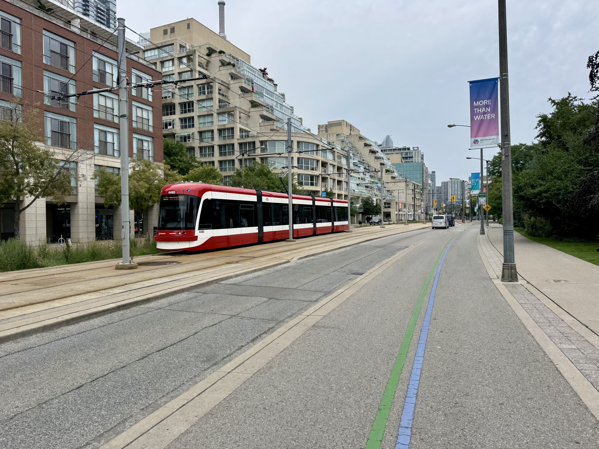
Montreal has many parks, of many sizes, often on former road space.
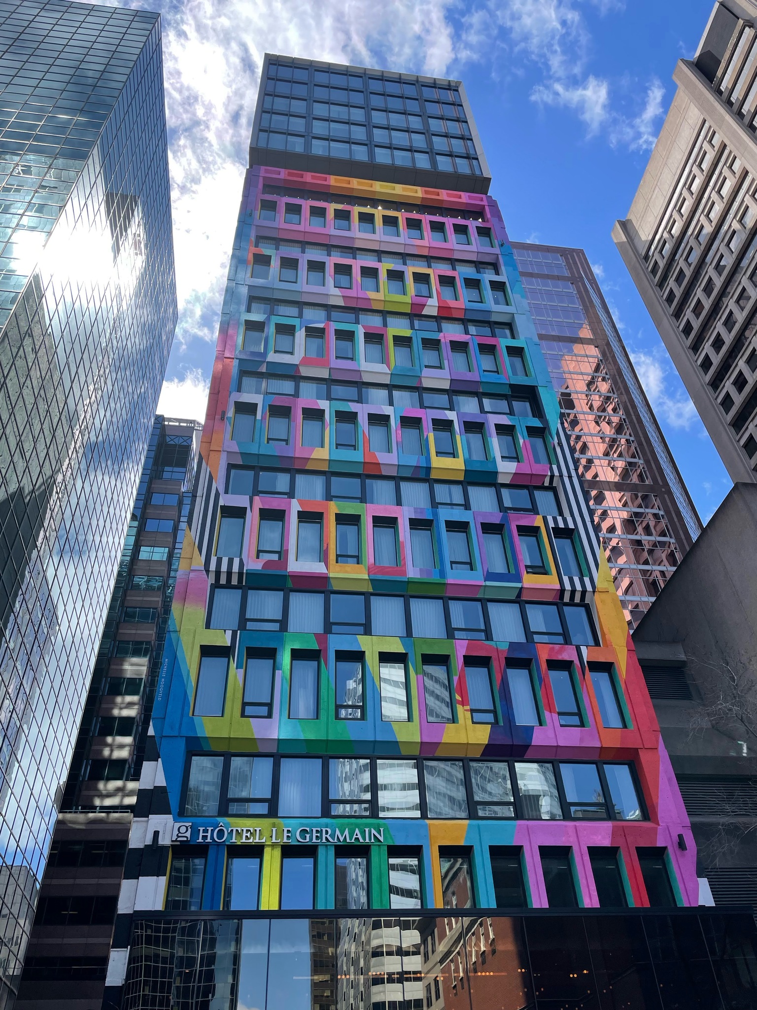
I love the colour on the Hôtel Le Germain.
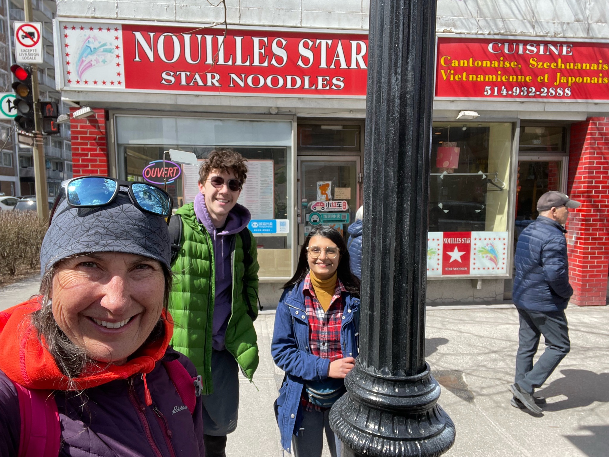
The kids were getting tired and cold, so we rode back to the docking station nearest our apartment. We picked up Chinese food for lunch. After lunch, they just wanted to hang out and visit. They had had enough sightseeing for the day, so I left them there and went out on my own.
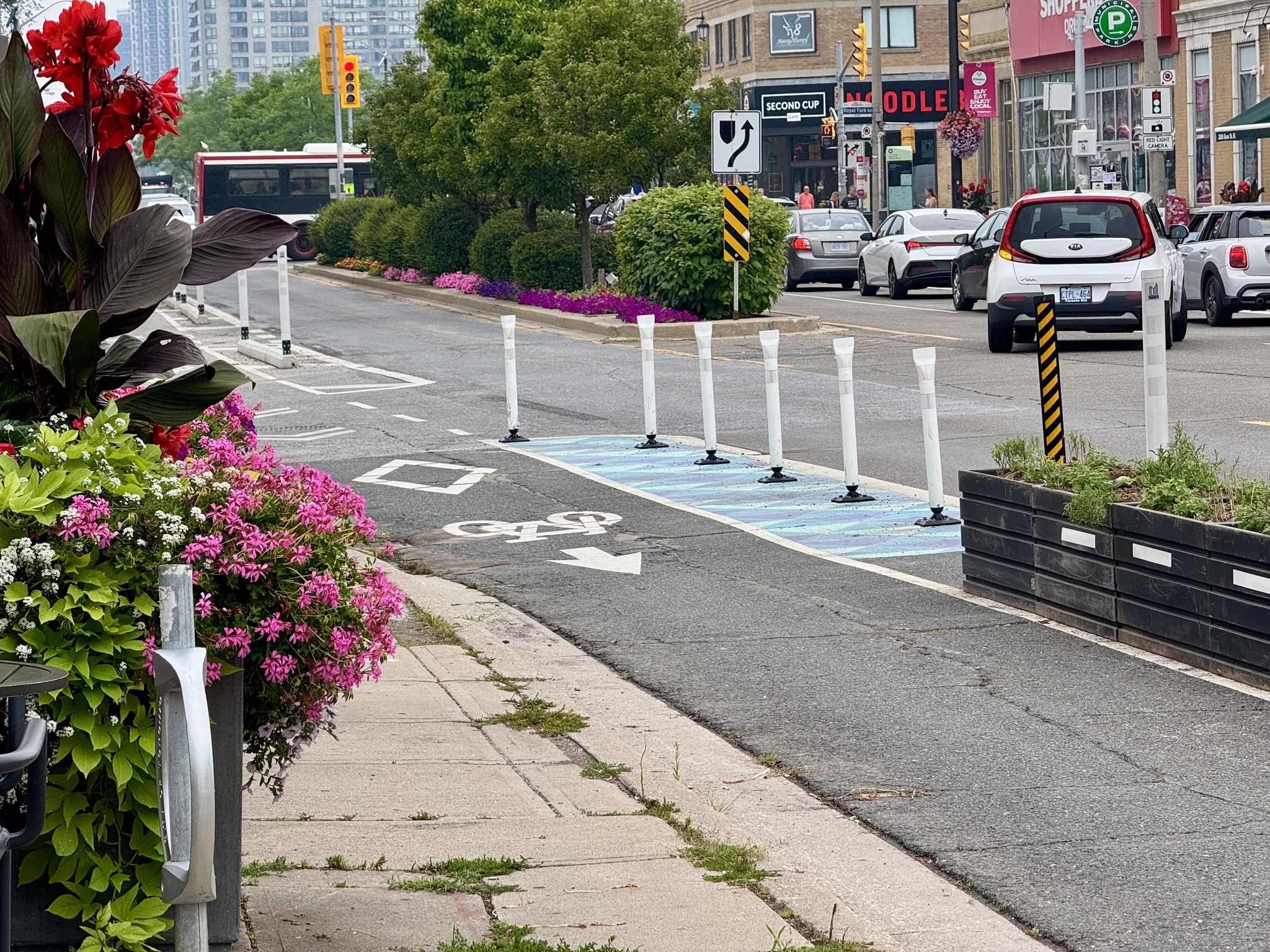
These signs were on the bi-directional cycle track on Rue Jeanne-Mance.
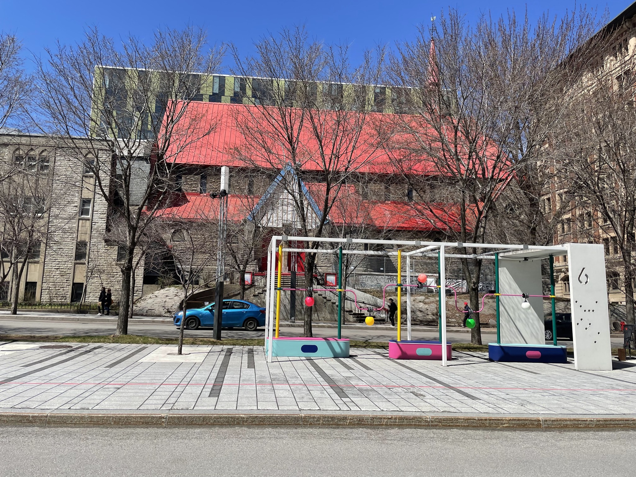
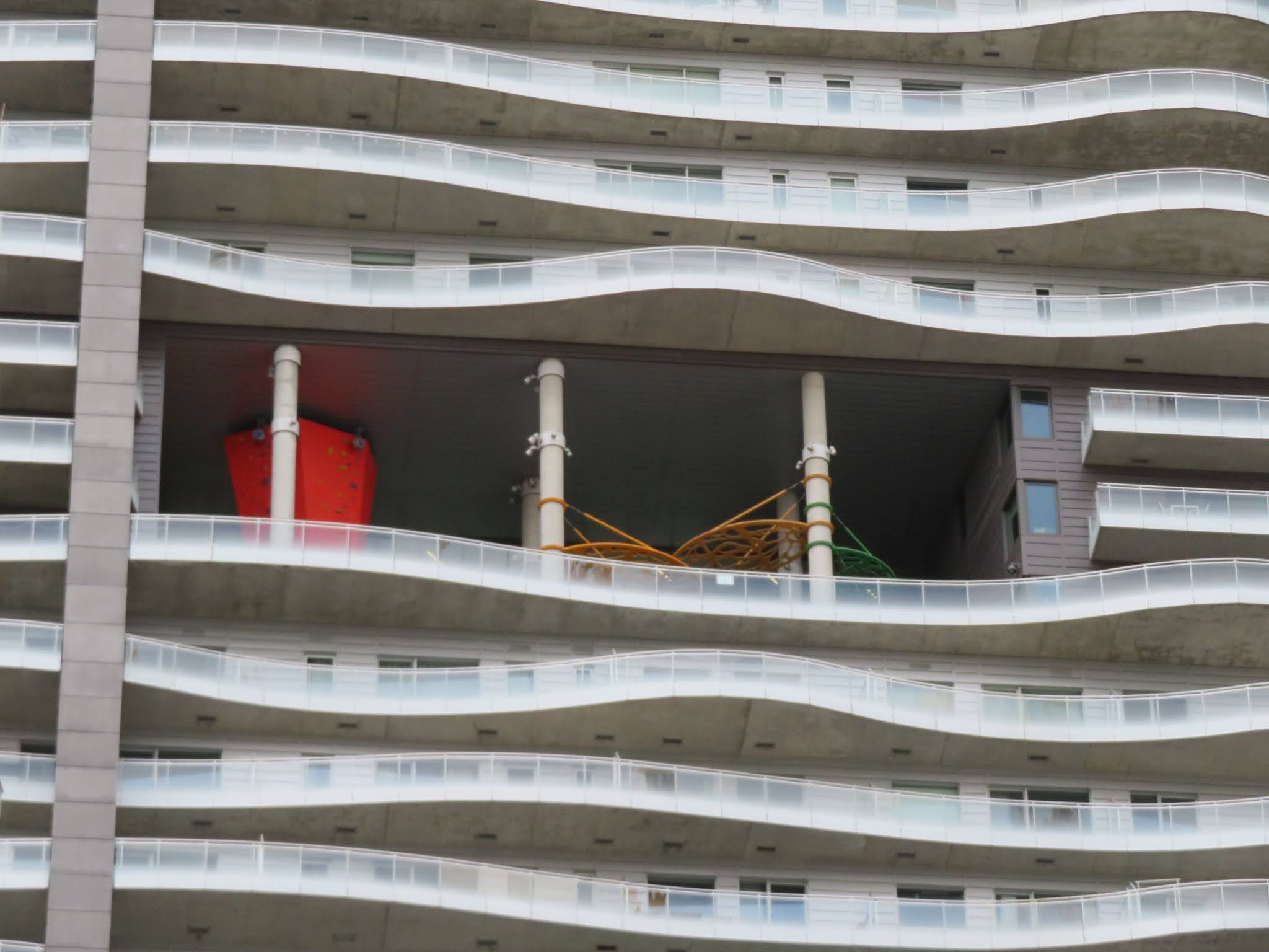
I thought it was very interesting to see a playground partway up this building.
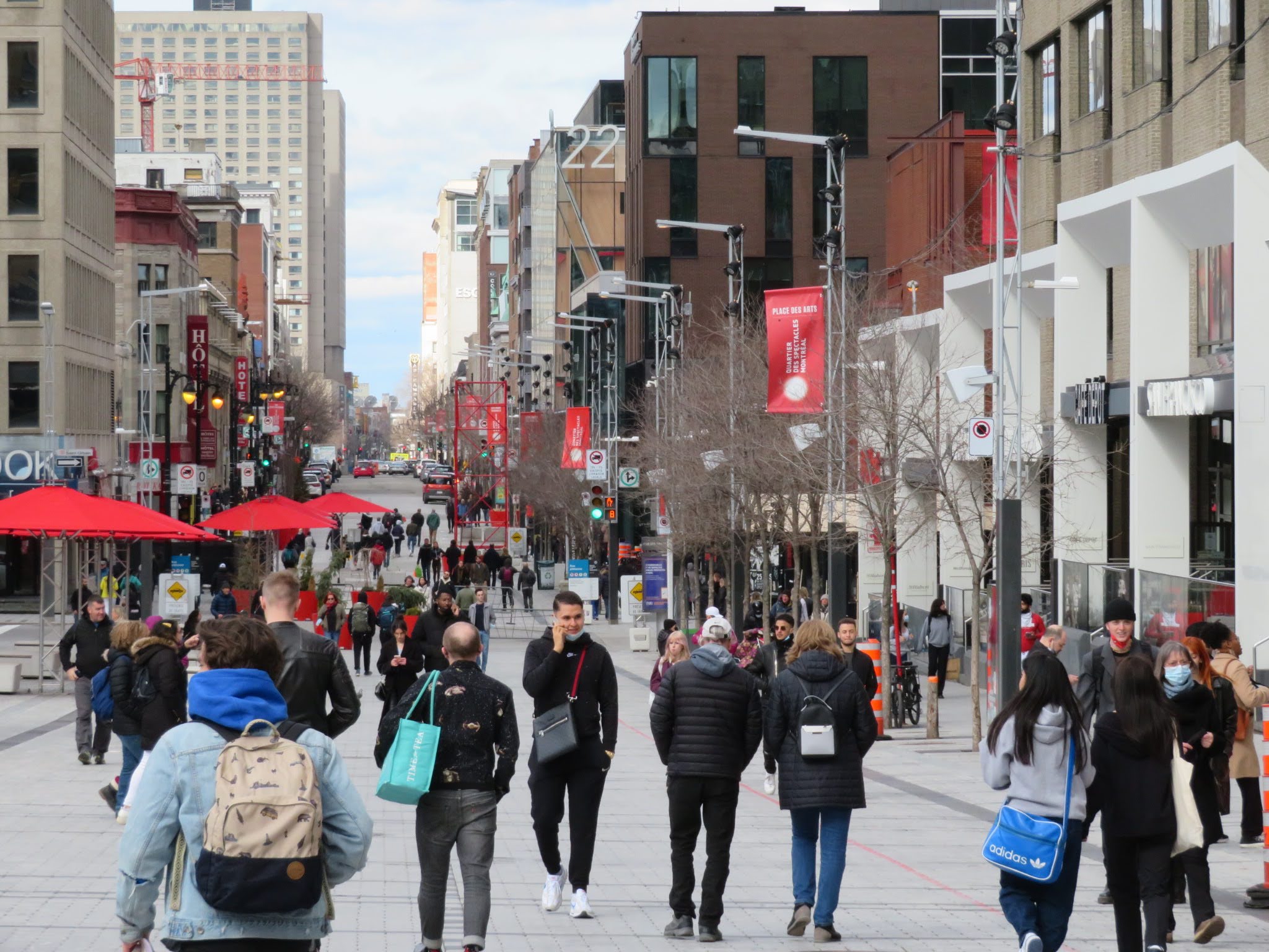
St Catherine Street is closed to cars in this area, but was absolutely packed with people despite the cold temperature.
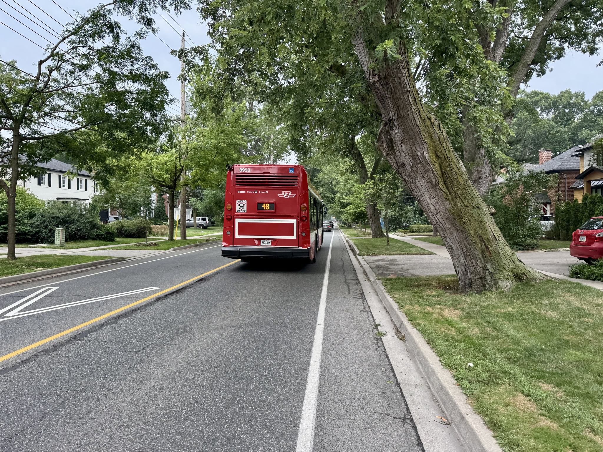
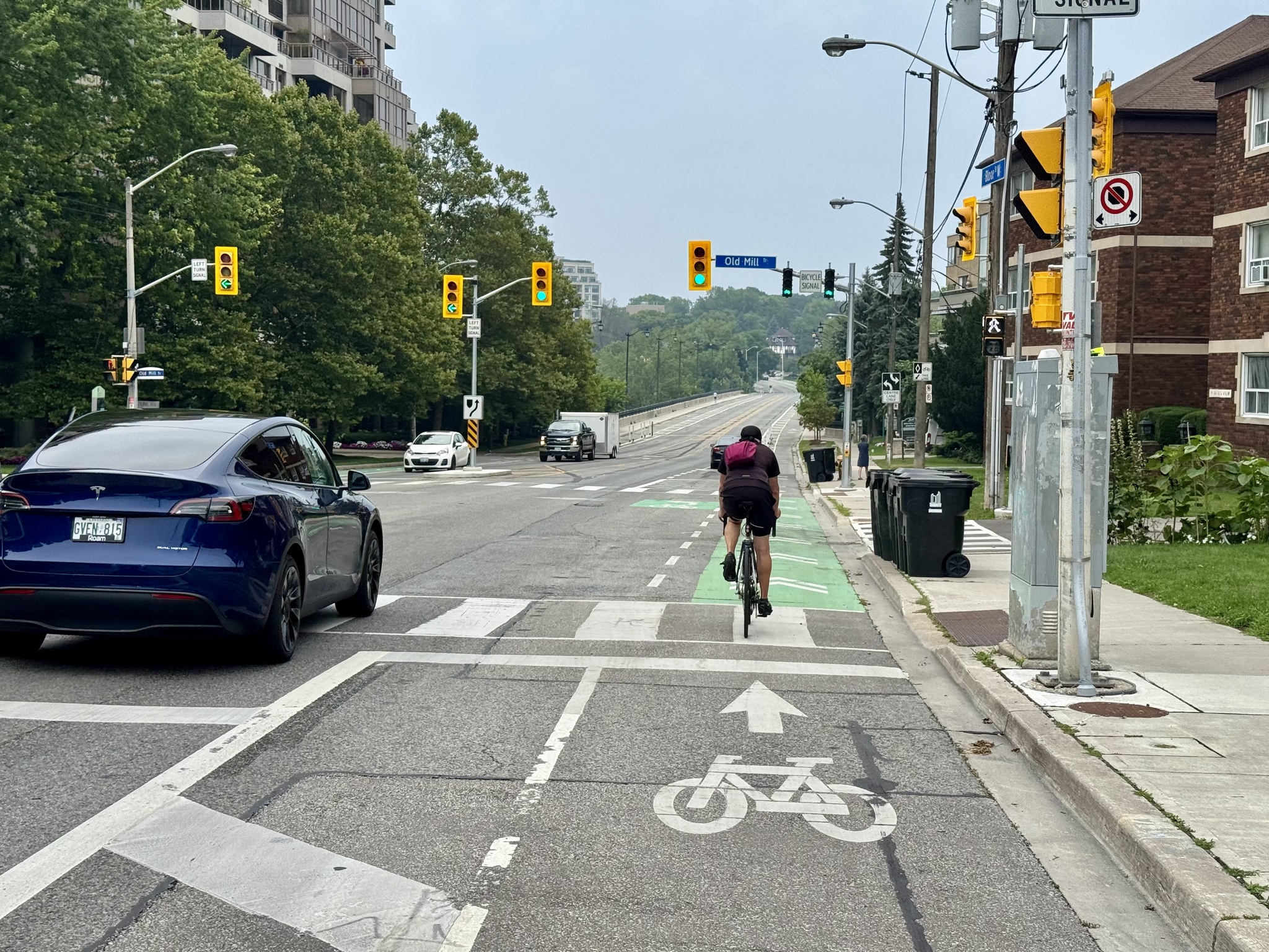
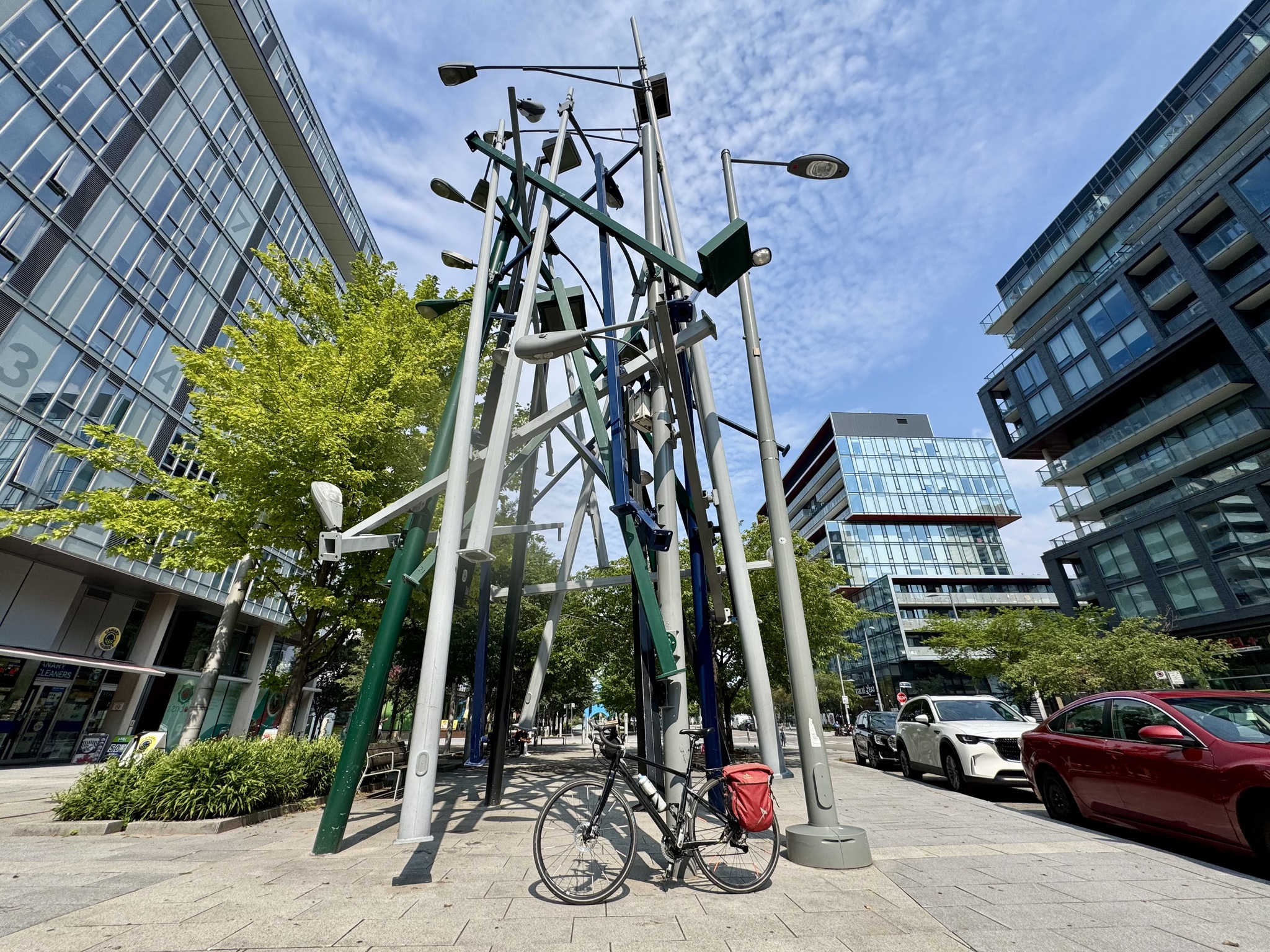
There was remarkably little motor vehicle traffic in the area. This is a bi-directional cycle track. These lights with curvy poles that looked like eyeballs.
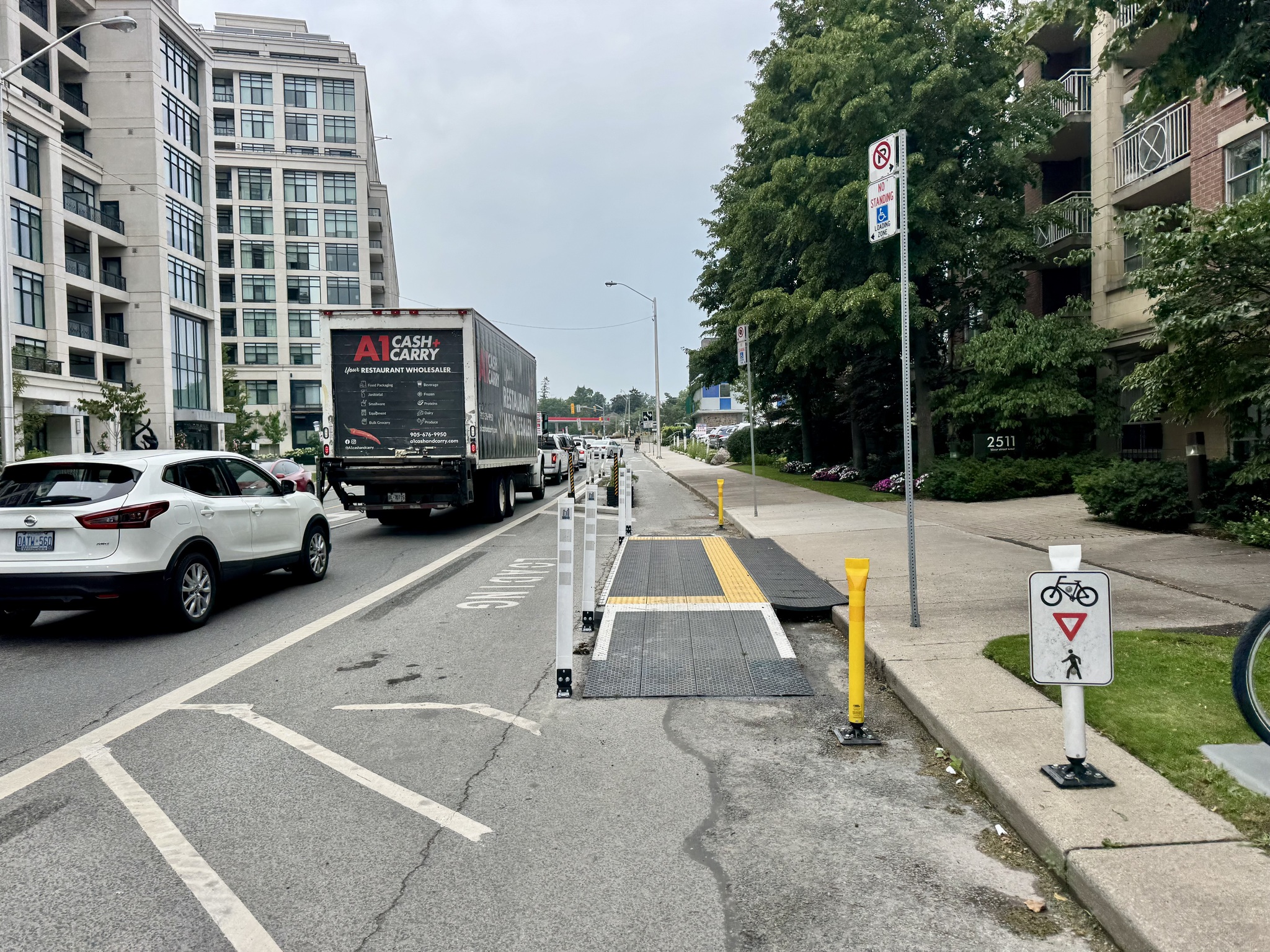
This is a very typical cycle track in Montreal.
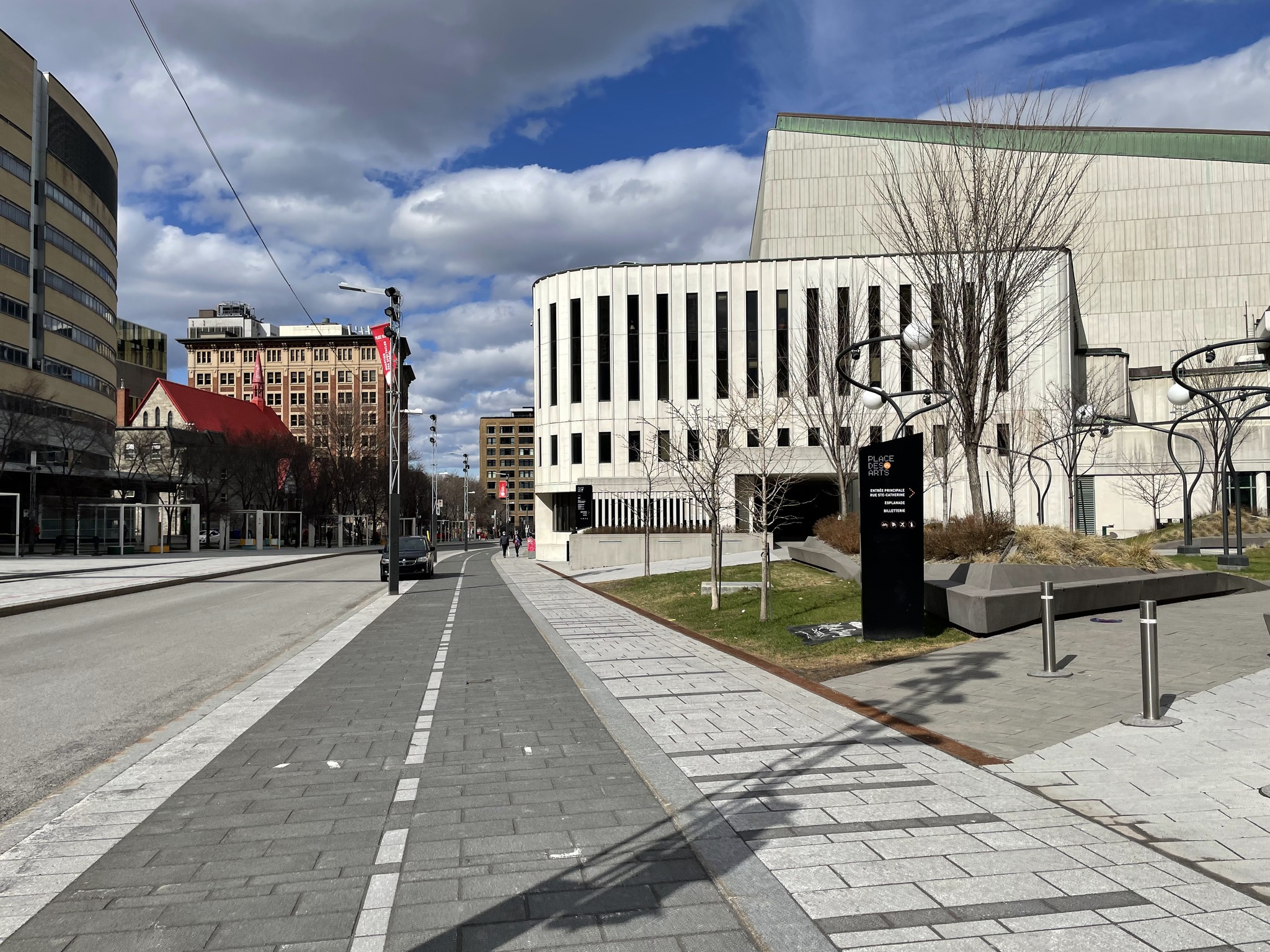
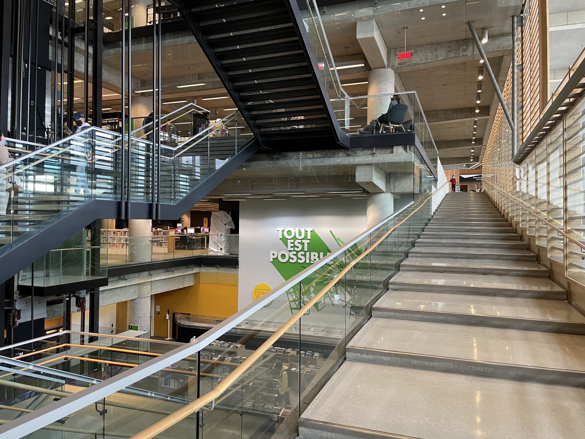
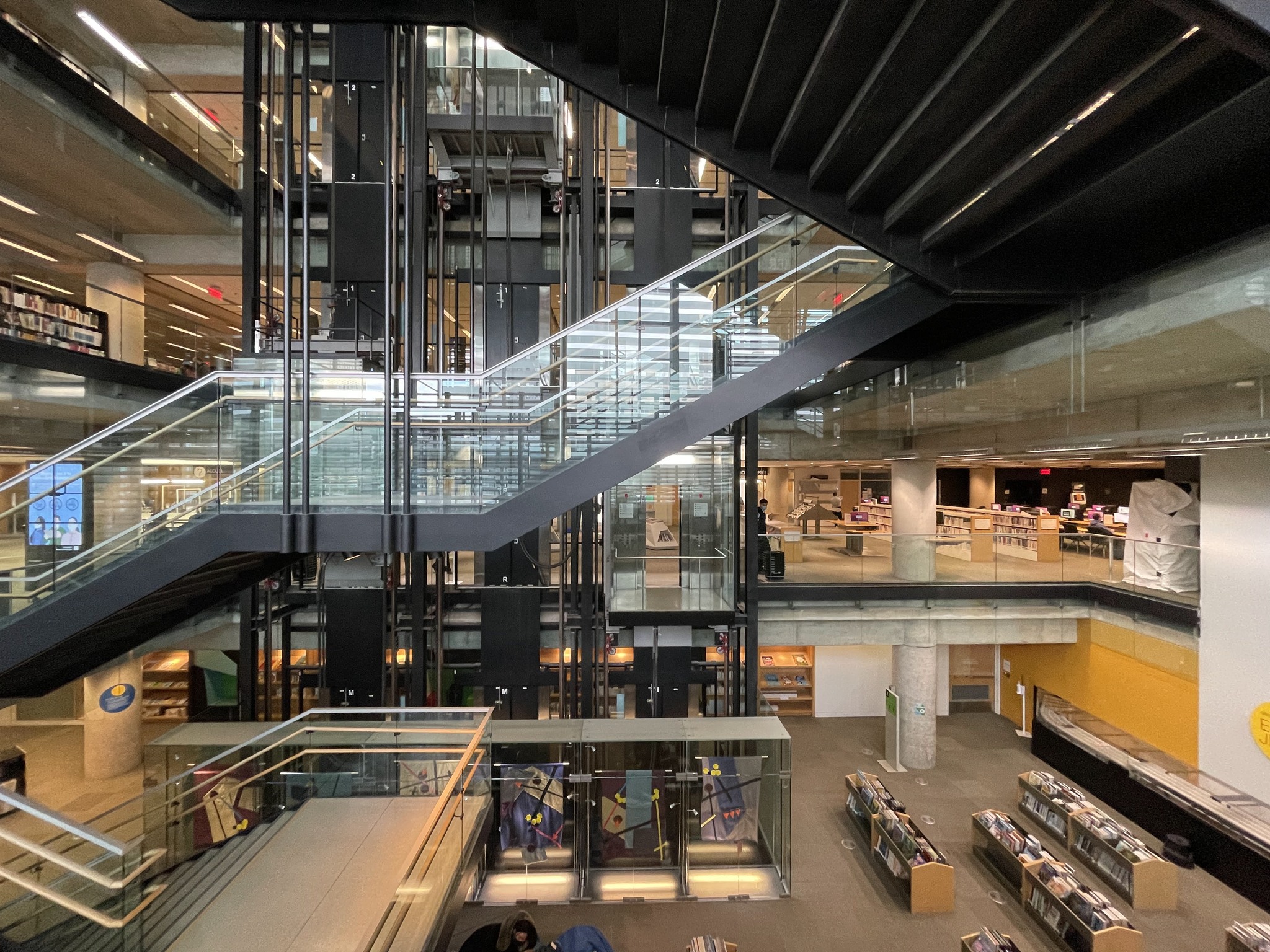
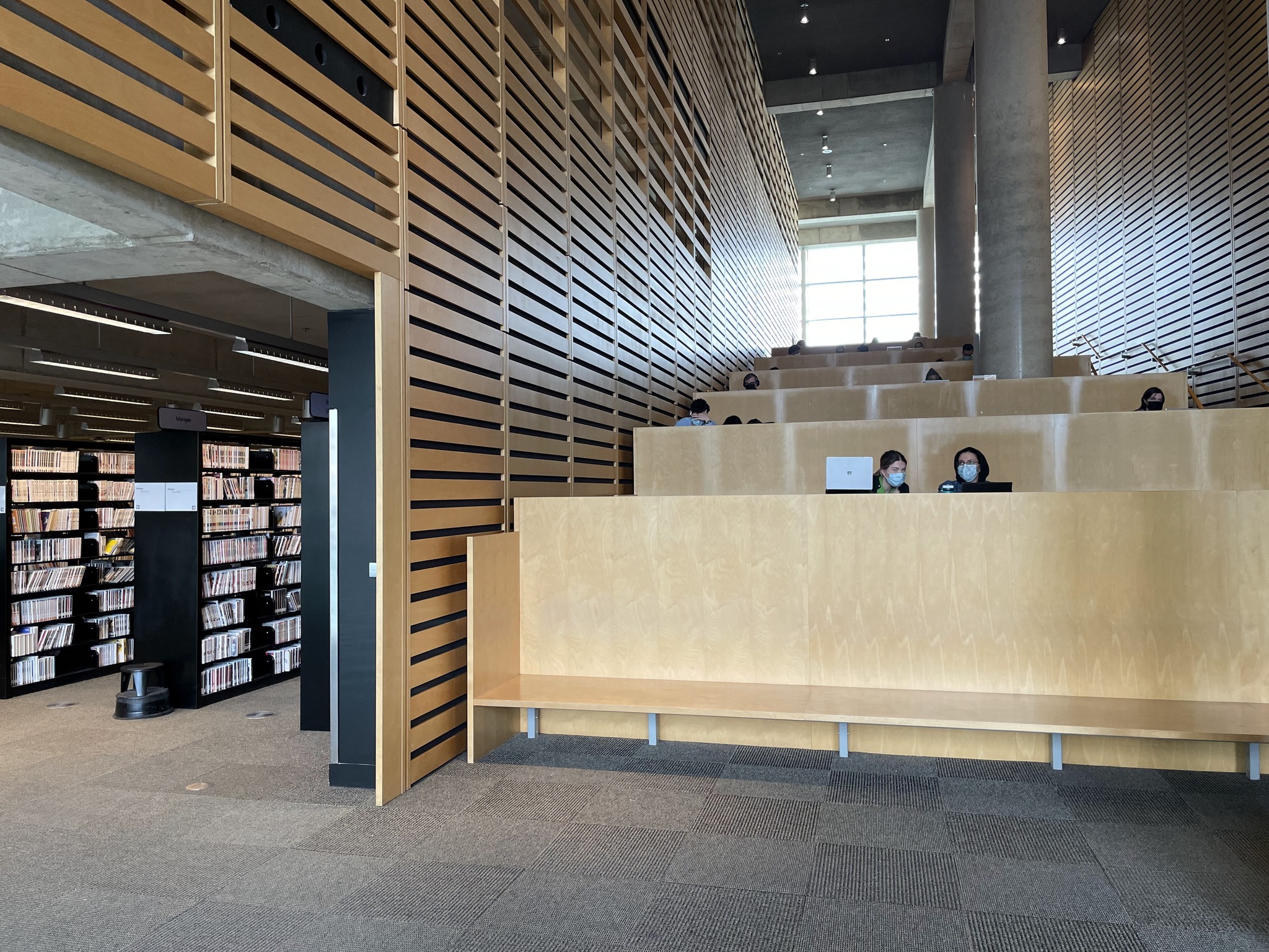
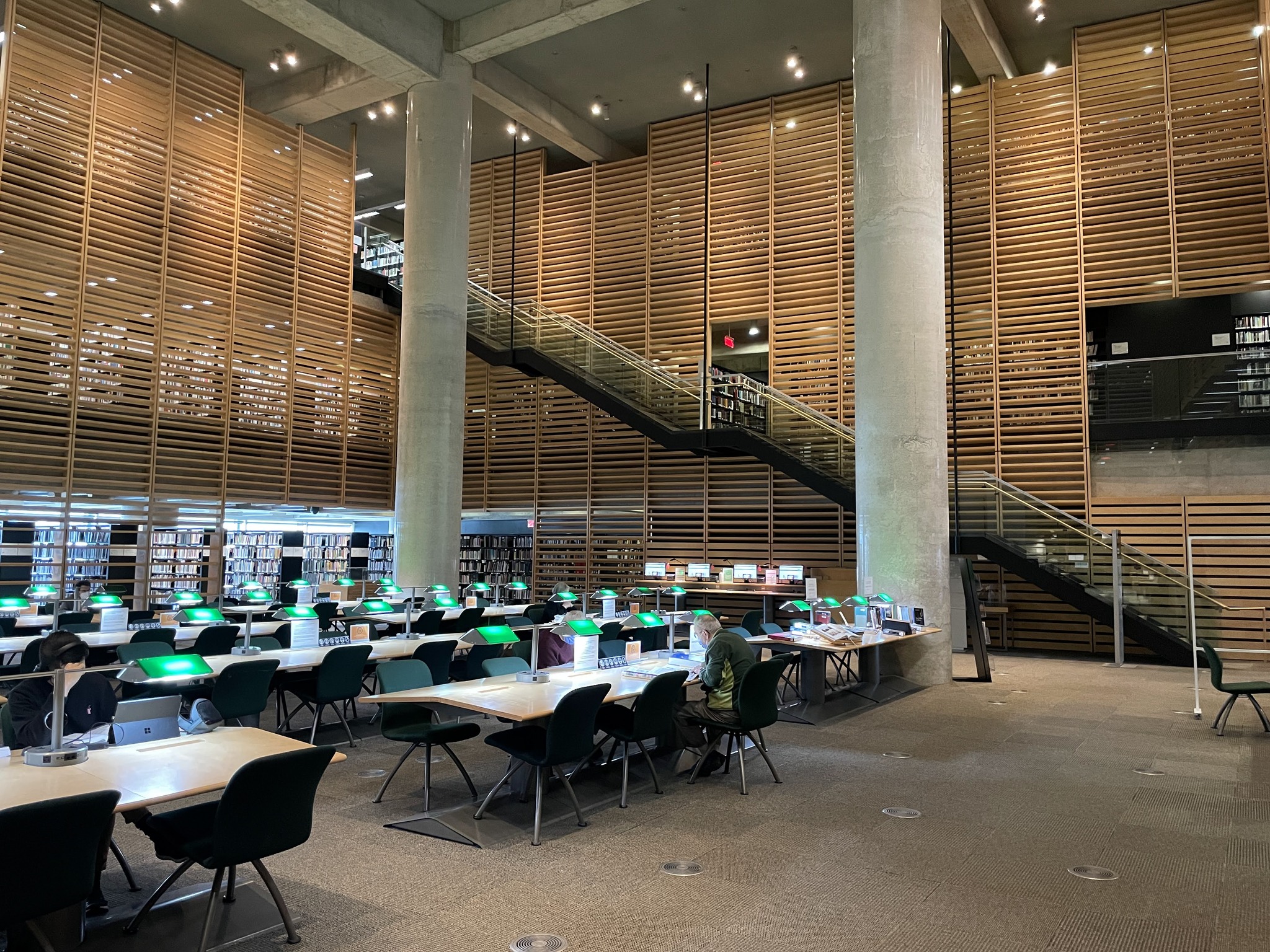
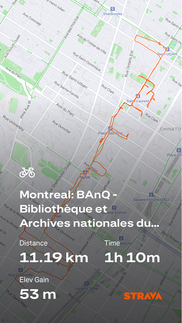
I docked the bike at the National Library, and Archives of Quebec (Bibliothèque et Archives nationales du Québec -BaNQ. It’s a very interesting and open building. The staircases are very inviting.
There are lots of places to sit and work.
This is the reading room. I was required to put my backpack in a free locker before entering the room.
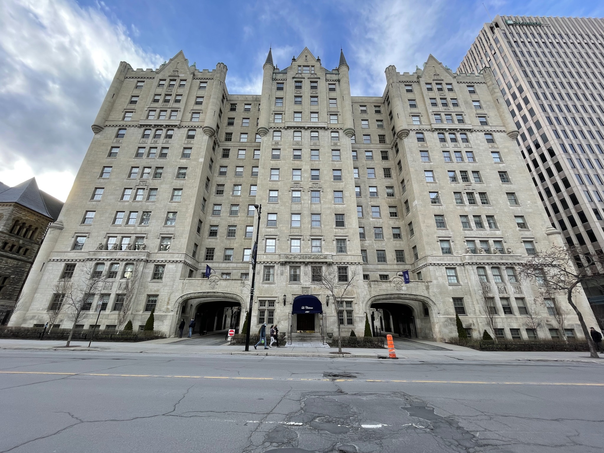
These are Le Château Apartments. They opened in 1925 and were designed to resemble both French chateaux and Scottish fortified houses. Mordecai Richler lived here for not than 20 years. They remind me of apartment building in Manhattan.
The Leonard Cohen mural was very close to where we were staying.
I went back to the apartment to get the kids, and we walked to pick up take out dinner.
There are three trips about which I blogged that I never wrote the final day(s)’ blog posts. There are also a few trips that I didn’t blog about, at all. I’ve decided to cast my mind back, and to write these missing blog posts, inspired by the pictures I took, and my memories of the events on those days. It won’t be as detailed as if I had written them on the day of the events. However, I know that continuing to procrastinate will not make the details any clearer.
One of the trips I didn’t blog about was a trip to Montreal, with my youngest, Owen, from April 15-20, 2022. His high school offered a trip to Montreal, but it was a shorter duration, expensive for what was being offered, and none of his friends were going. So I offered to take him. I love Montreal.
The train tickets cost $416 return for the two of us. The fare level was Economy one way, and Economy – Escape on the way back. The price was the same, the only difference was the ability to change date/time, or get a refund. Even though Owen was 17 at the time of the trip, and his was designated a Youth fare, it cost the same as mine.
It was Good Friday, so there was no train service between Brampton and Toronto. Michael drove us to Bramalea GO to get the bus to Union Station.
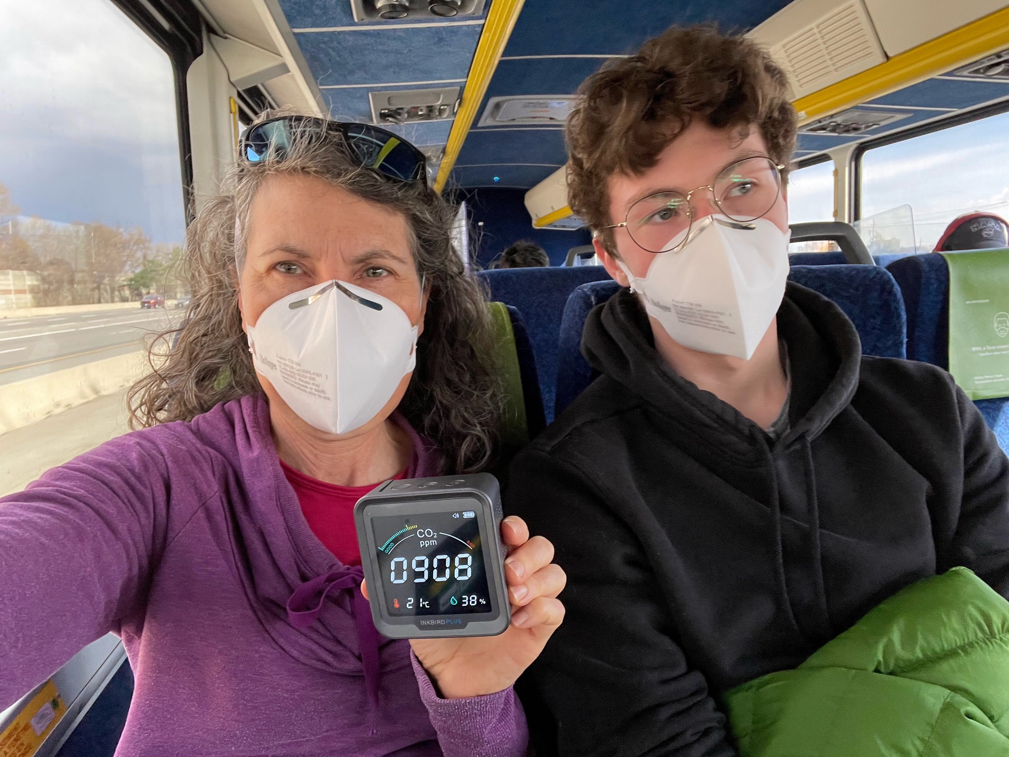
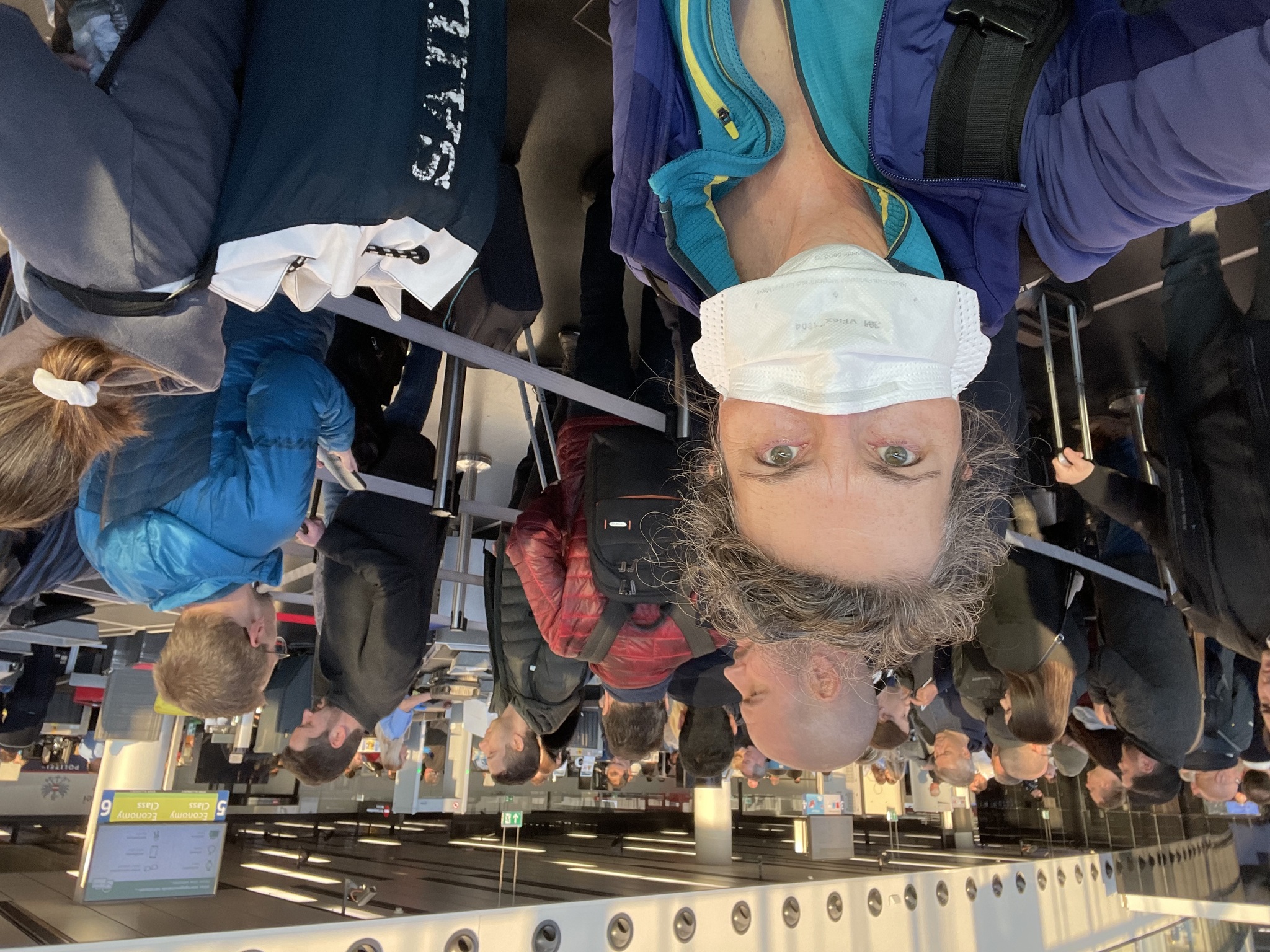
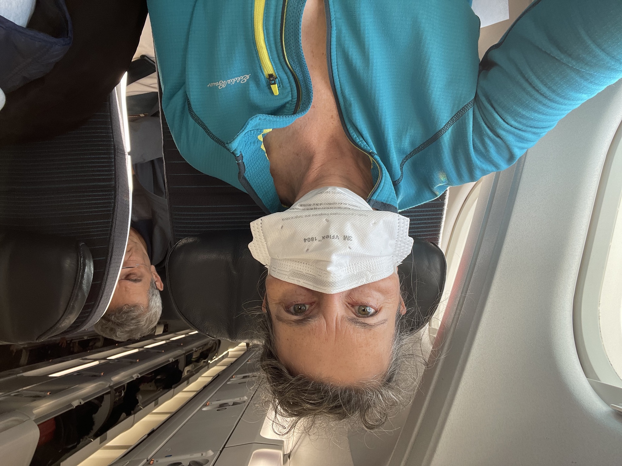
I had recently returned from New York City where the mask mandate had been dropped just before we visited. I was concerned that the threat of catching COVID had not diminished. We were being told to make our own decisions to protect ourselves, with diminishing information from governments. So, I bought a CO2 monitor just 10 days before this trip.
The carbon dioxide level can be used as a proxy to determine good ventilation. Outside air has about 400 ppm of carbon dioxide. Good indoor ventilation can lower the risk of infection because it reduces and degrades aerosols in the air. CO2 above 1000ppm can harm well-being. It can cause headaches, fatigue, and lack of attention. Therefore, good ventilation is desirable even in the absence of disease.
In April 2022, both Ontario and Quebec still had mandatory masking in indoor spaces.
The bus trip to Union Station was quick because it was a statutory holiday.
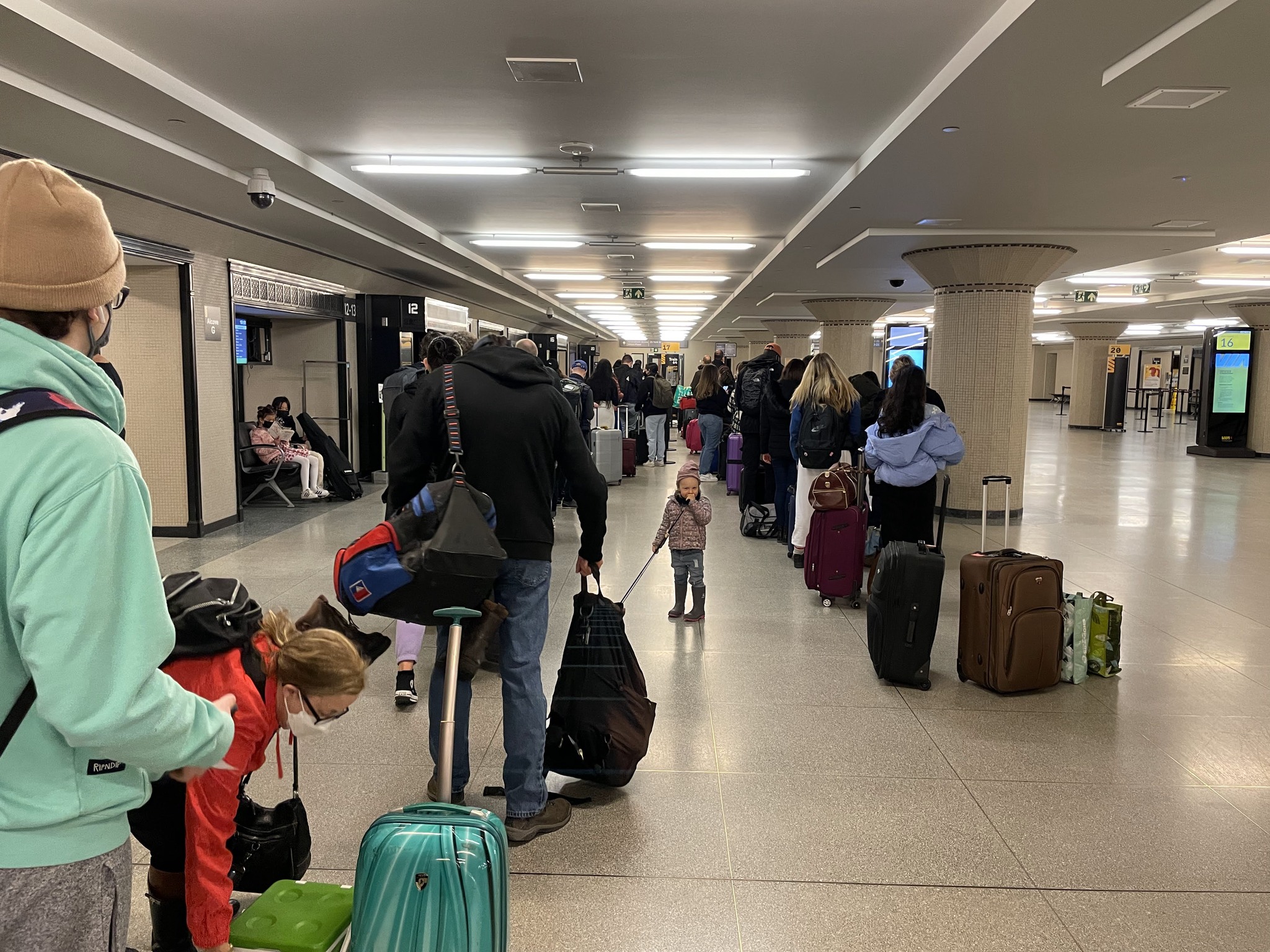
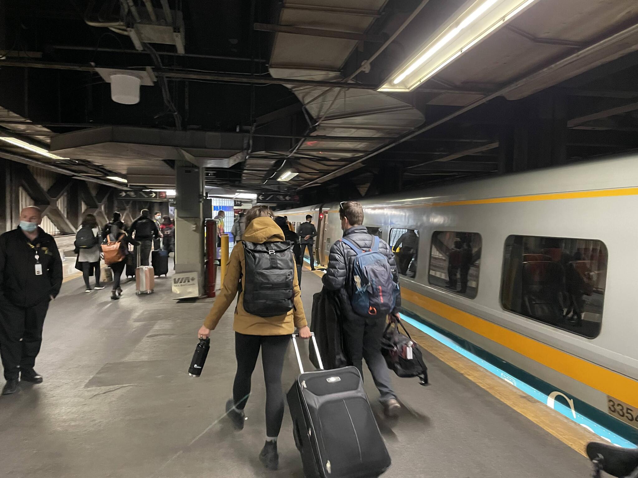
The line to board the train was long, but staff were quite organized.
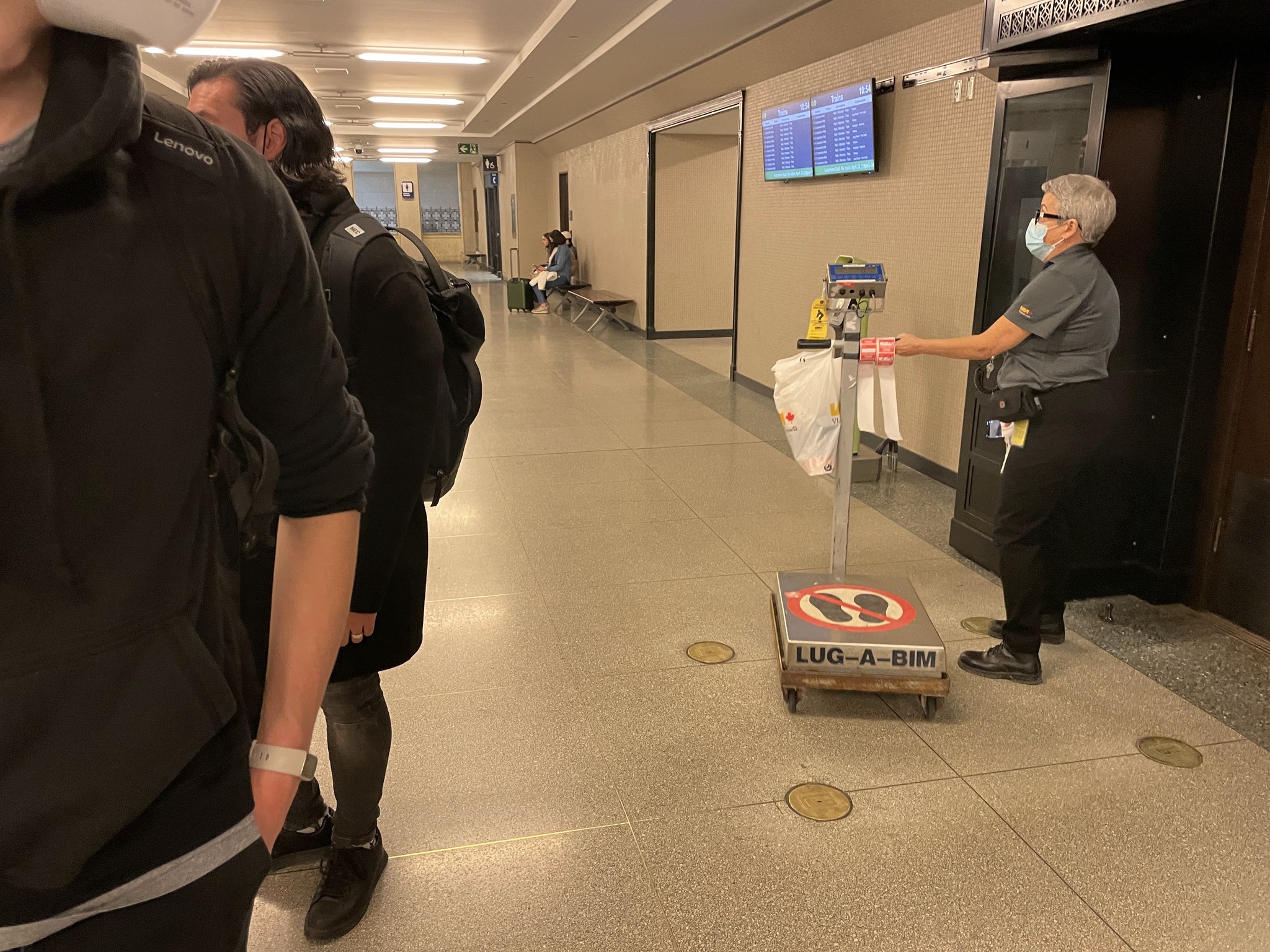
They had portable scales to check the weight of people’s luggage, and put a sticker on the luggage to show it had been checked
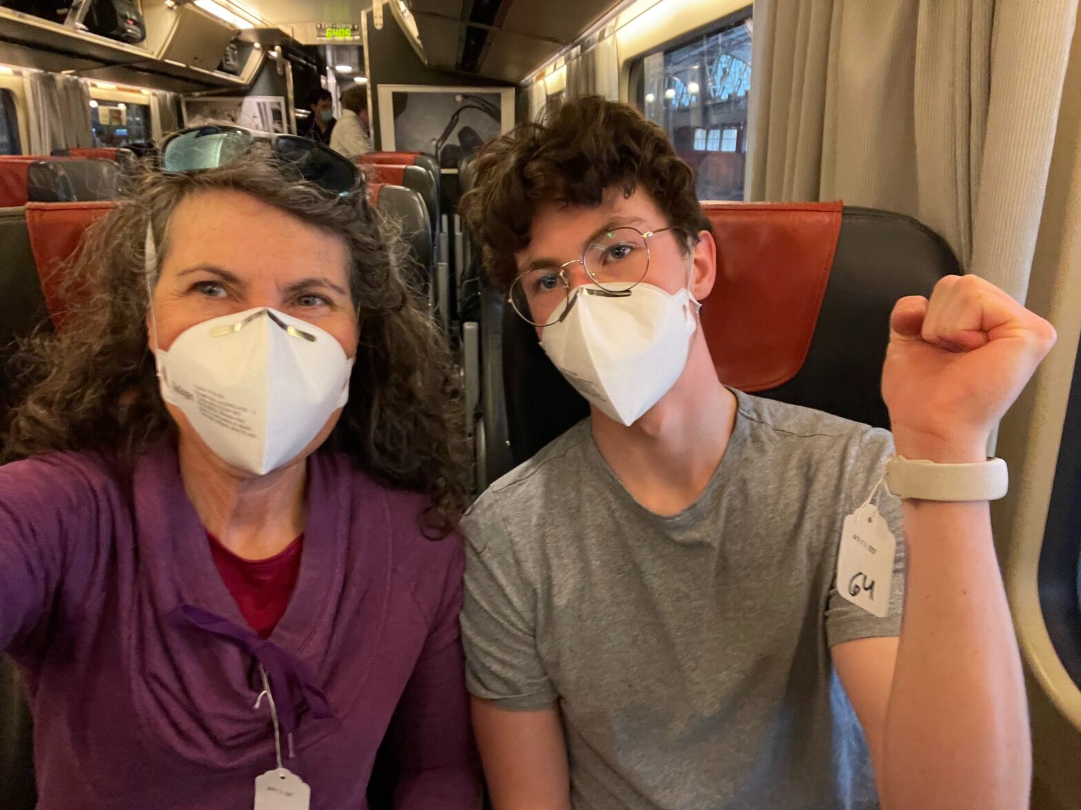
There was a requirement to have a vaccine passport to travel by train, (which was dropped on June 20, 2022). The passports were also checked by staff in the departure hall, and we were tagged to show that we had proven we were vaccinated. Shortly after boarding, and not long after the doors had closed, my CO2 monitor was registering over 1500 ppm, and an alarm on it started going off. In this situation, knowing the air quality wasn’t particularly useful, because I couldn’t take any action. I also couldn’t figure out how to turn off the alarm, so I just had to turn off the monitor.
We were allowed to remove our masks while eating or drinking. I decided to stand in between two coaches to eat, because the air quality was much better there. However, before I finish eating, I was told by a staff member that I wasn’t allowed to stand there.
Showing off our vaccine tags
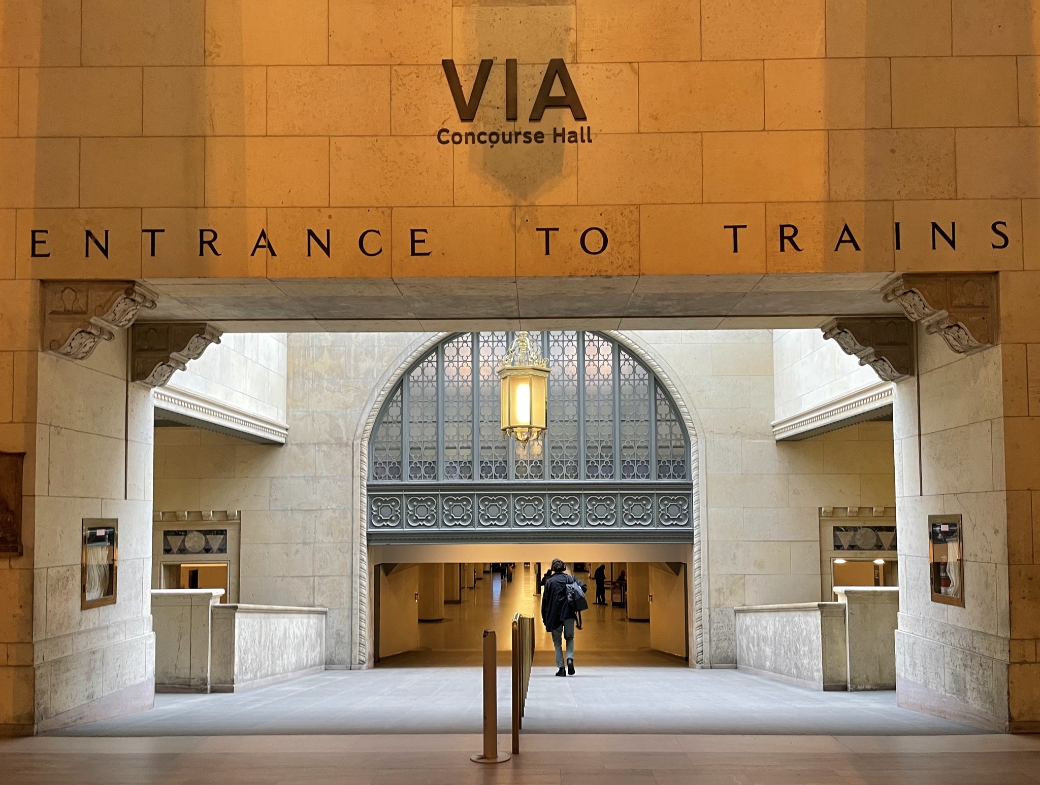
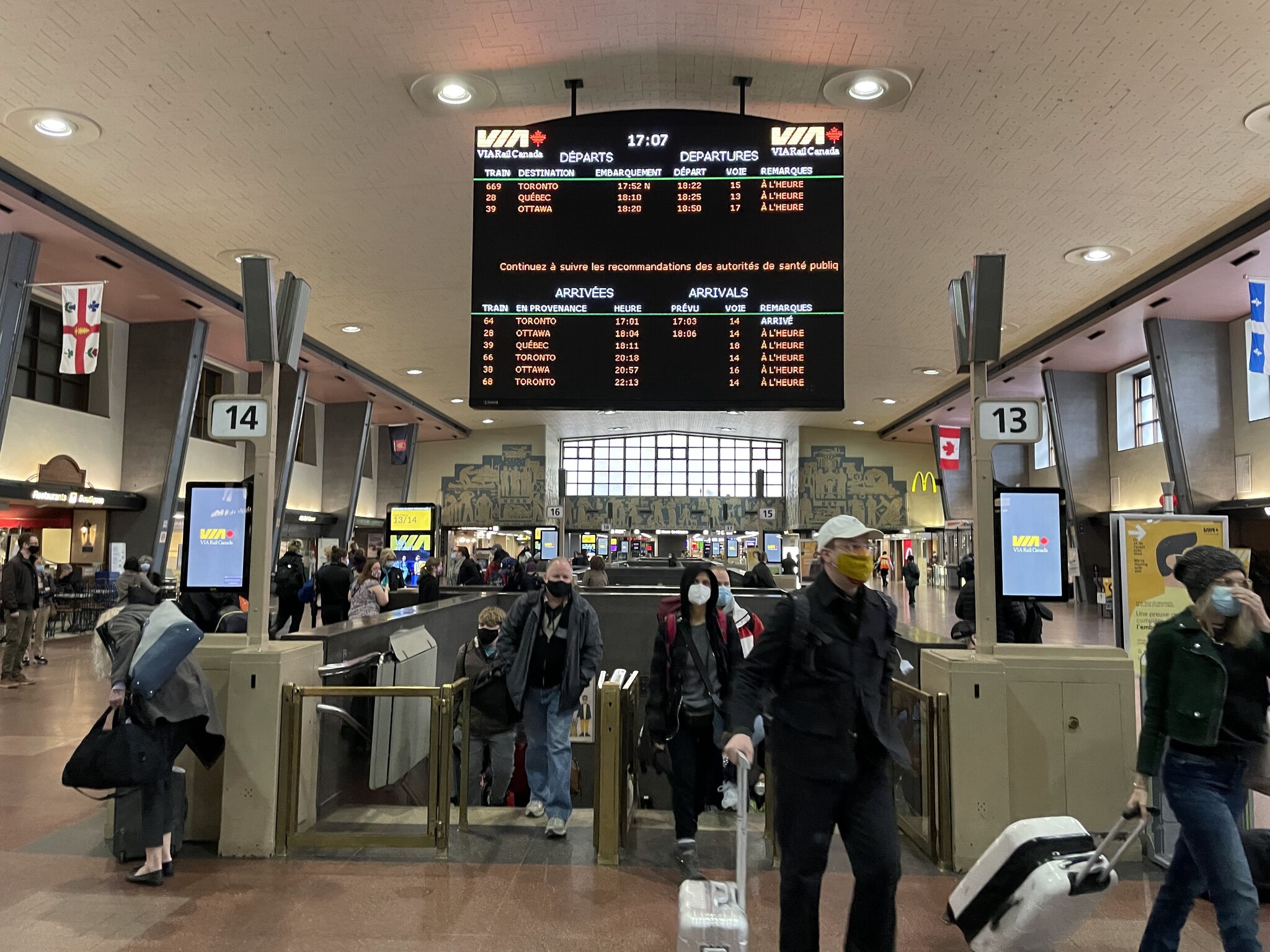
The platform at Montreal’s Central Station (Gare centrale) was dark and uninviting.
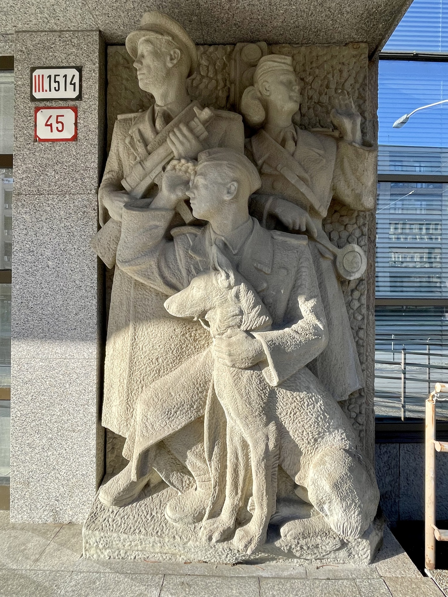
Upstairs was brighter, and more modern than Union Station. The station is adorned with art deco bas-reliefs friezes on its interior and exterior. Construction started in 1926, but was halted in 1930 as a result of the Great Depression. Construction resumed in 1939, and the station opened in 1943. The architecture is considered a mix of art deco and international style.
We were not sure where to emerge from the station. It takes up an entire city block. We had about a 2 km walk to the Airbnb I had booked. When I tried to open Google maps on my phone to get a route to walk to the Airbnb, I couldn’t connect. I had been using Wi-Fi on the train, to preserve the small amount of roaming data I thought I had. When I was in Quebec last year, I had one gigabyte of roaming data, and thought I still had the same. Owen, who is also on my plan, had data and used his phone to navigate us to our accommodation. It transpired that when I had gotten a new phone a few months ago, the new plan did not have any roaming data included in the base. So I had to purchase a plan for the week.
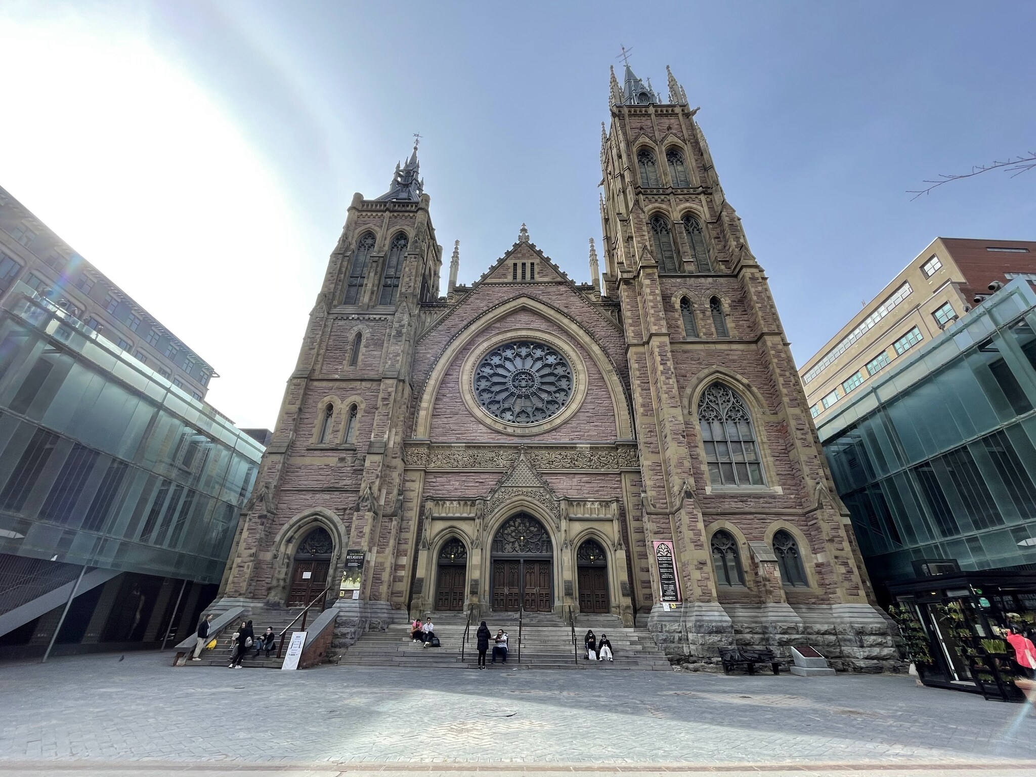
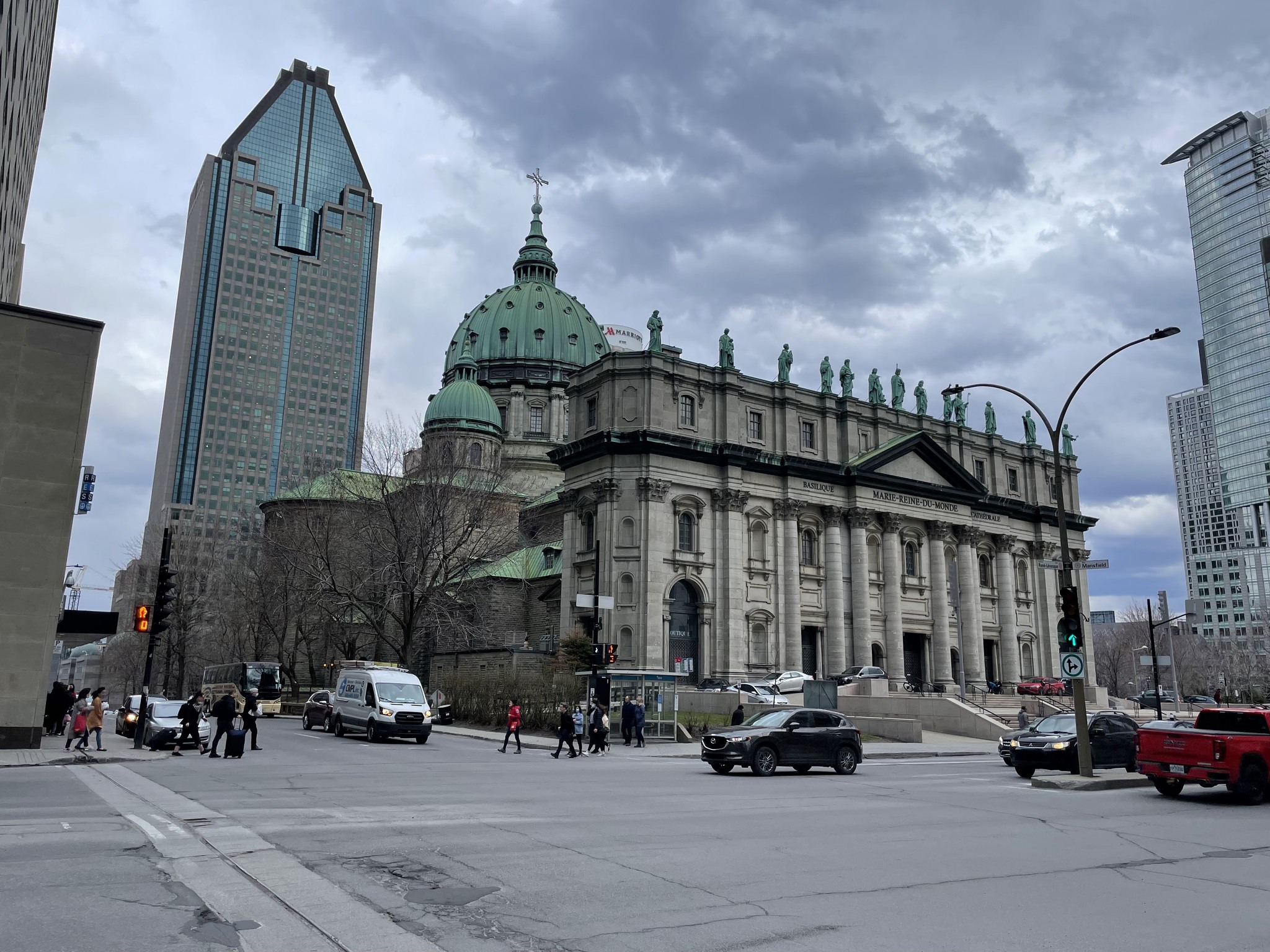
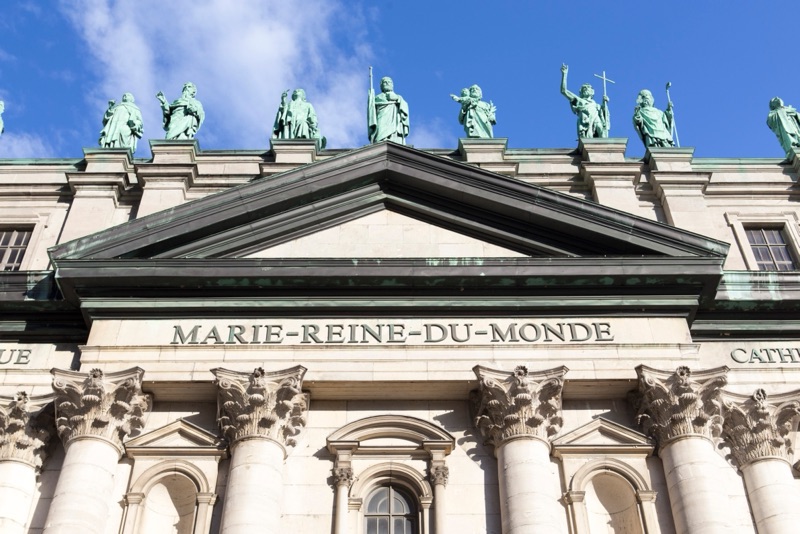
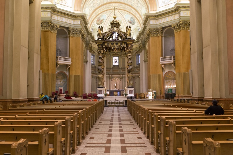
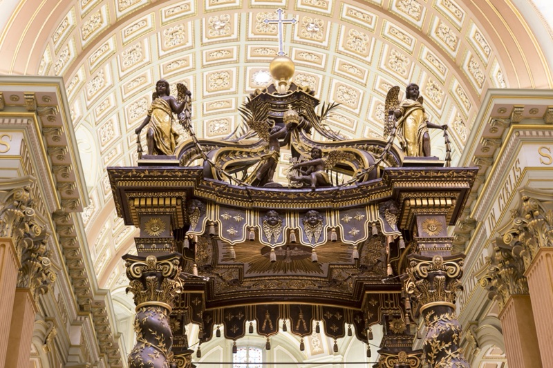
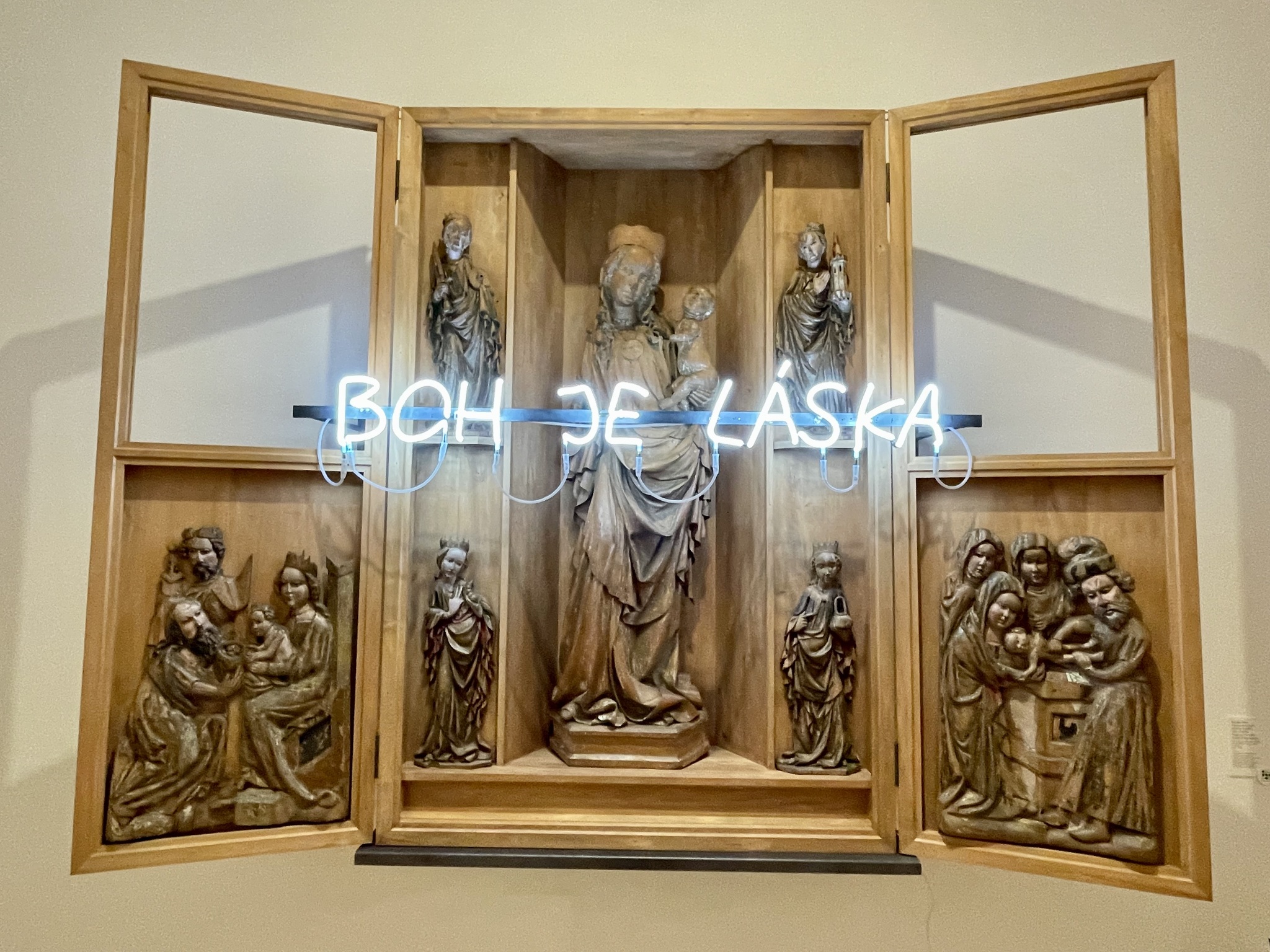
Marie-Reine-du-Monde de Montréal is near the train station. It is a minor basilica, and the seat of the Roman Catholic Archdiocese of Montreal. It opened in 1875. When Michael and I were here in 2016 with our eldest two children, we toured the cathedral.
Here are some images I took in 2016.
We walked through Dorchester Square which was originally built in 1892. Its recent redesign “allowed for the integration of a Victorian-inspired fountain, an urban lighting system, two new footbridges and street furniture, as well as the rehabilitation of sidewalks and pathways making the square more accessible to pedestrians and enhancing the urban environment”. The design received a Public Space architecture award in 2020.
The bridges go over the entry and exit ramps for a parking garage beneath the park, and somewhat camouflage them.
The AirBnB looked much better on the listing, than it did in person. It was an apartment building that seemed to be either Concordia University student rentals or AirBnB. The garbage room on our floor was overflowing. It was a one bedroom apartment with a pullout couch in the living room. Most Airbnbs I have stayed in already have the pullout couch bed made up. Extra bedding is usually in a closet. This pullout couch had no sheets on it. There seemed to be no sheets, blankets, or pillows in the apartment for us to use. I contacted the owner through the app. He told me that it was too late to get sheets today, and they could be brought tomorrow. I told him, either he brought the sheets today, or I’d be asking AirBnB for a refund, and moving to a hotel. One hour later, someone delivered sheets, blankets, and pillows.
The bulb over the stove was burned out. The fan in the bathroom didn’t work because it was so clogged with dust. There was one bare lightbulb over the bathroom sink. The second one was missing. The balcony overlooked garbage bins. I chose this place because it was $725 for five nights. It was by no means cheap.
I had considered staying at the Best Western Plus Montreal, where we stayed last time. However, it would have been about $1000. We wouldn’t have been able to cook our own breakfast. This way, we save money on eating out. In the end, the apartment was adequate, but I would not book that apartment again.
I tried to figure out how to turn off the alarm on the CO2 monitor before going out for dinner, but was unable to do so. I followed the instructions that came with the monitor, but they didn’t work. So when I returned home, I returned the monitor and bought a more expensive, but better quality one.
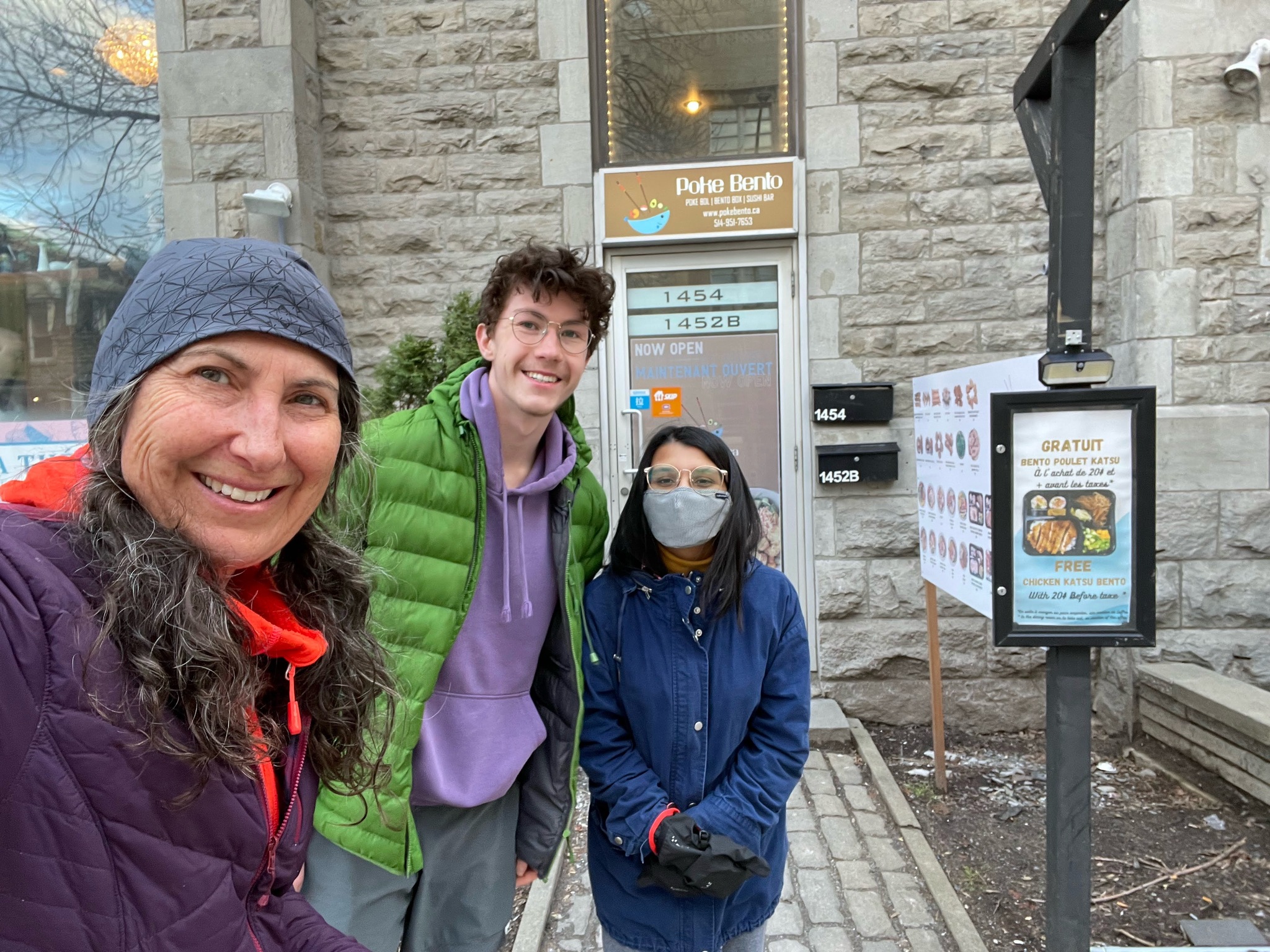
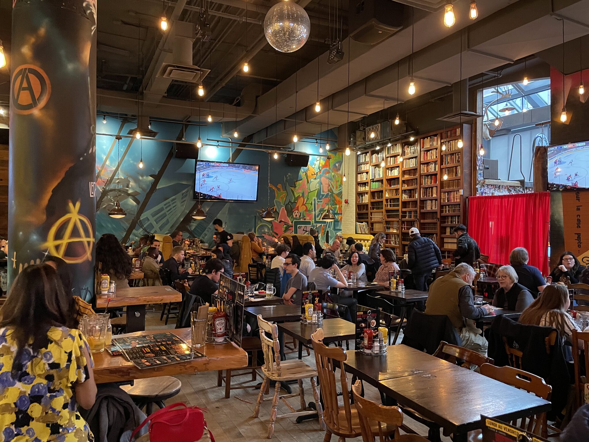
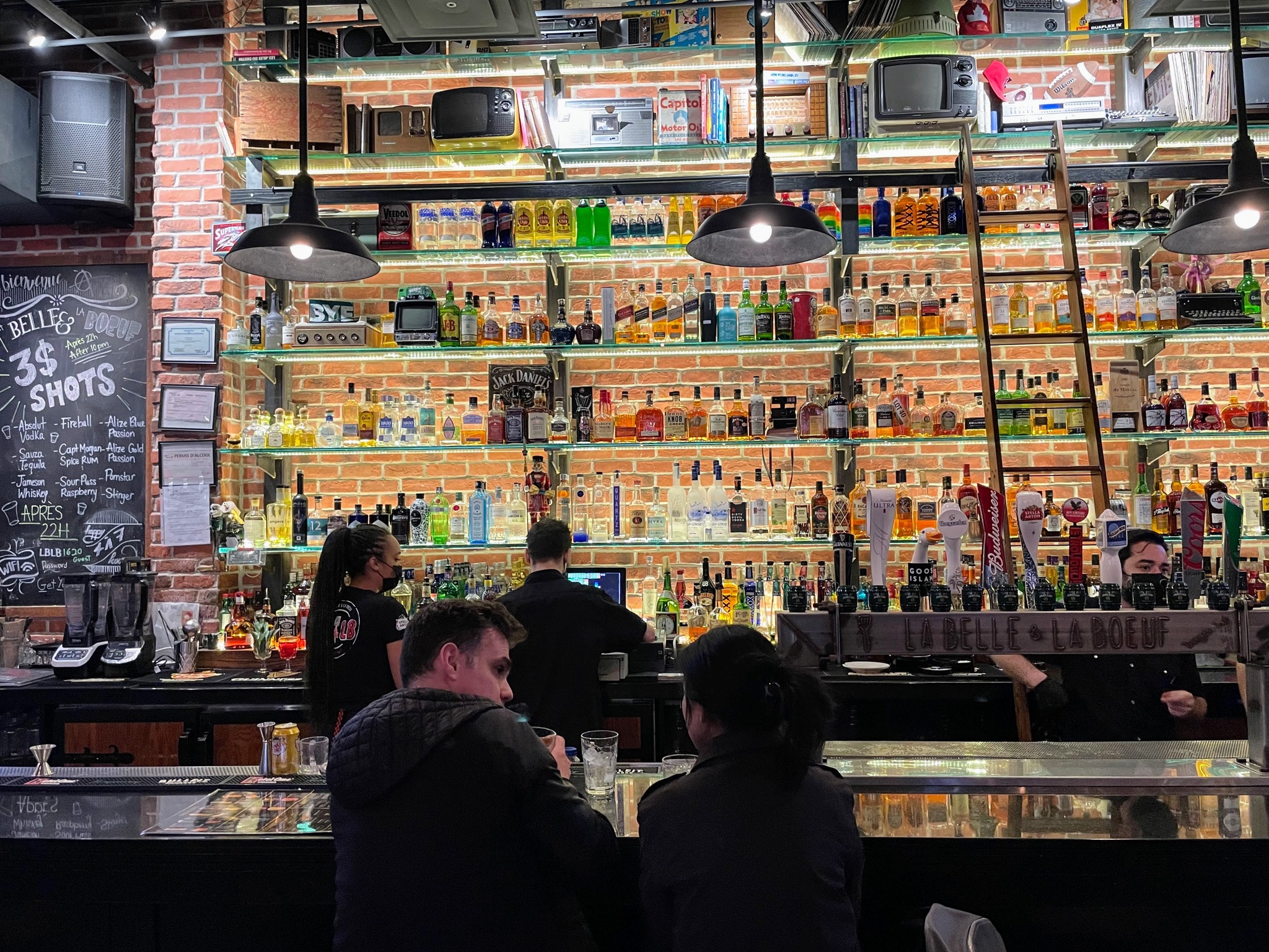
Mehrunnisa is doing graduate studies in Public Health at McGill, and was able to spend some time with us visiting and sightseeing. Even though she has lived here for eight months, her studies kept her so busy that she hasn’t had much time to explore the city. She suggested this restaurant for dinner.
We decided to get takeout and eat in the apartment. Vaccine passports are no longer required to dine-in in Quebec, and restaurants are allowed full capacity, again. However, we decided to opt for a quieter environment for visiting, and a lower risk environment, compared to a crowded indoor space.
There are three trips about which I blogged that I never wrote the final day(s)’ blog posts. There are also a few trips that I didn’t blog about, at all. I’ve decided to cast my mind back, and to write these missing blog posts, inspired by the pictures I took, and my memories of the events on those days. It won’t be as detailed as if I had written them on the day of the events, but continuing to procrastinate will not make the details any clearer. Here is a link to the first 16 days of this trip. The final three days were December 2-4, 2023.
And now for the much anticipated, exciting conclusion to my second trip to Bratislava.
Day 17 – COVID
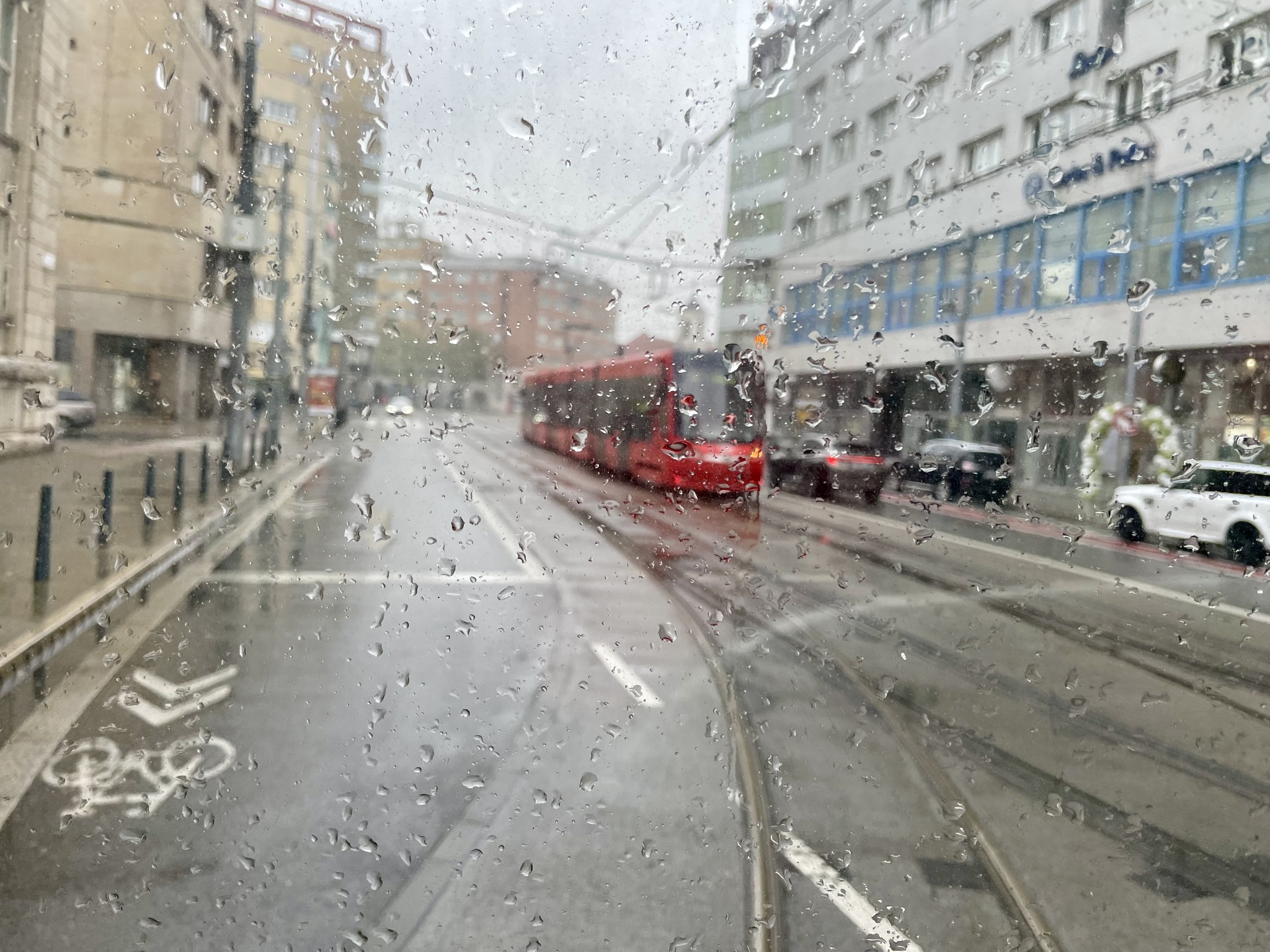
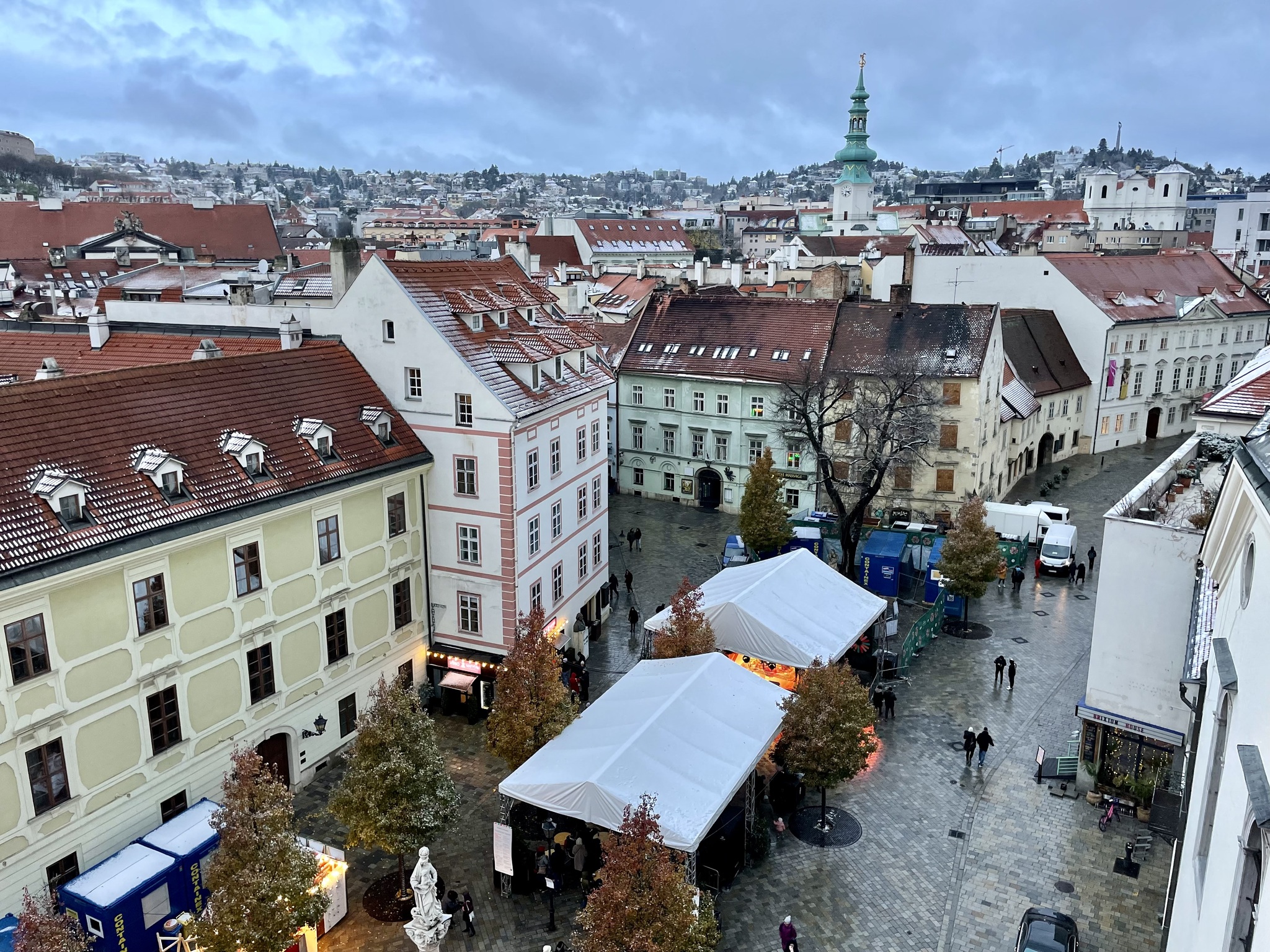
The day dawned grey, and rainy, and I woke with a migraine. The plan for the day was to visit the Slovak National Gallery, and then meet one of Michael’s friends at the Christmas market in the late afternoon. We went downstairs for breakfast just before they closed. I still wasn’t feeling well when we got back to the room, so I snoozed, and Michael read, until I felt improved enough to venture out, midday. It was still raining, so we took the streetcar.
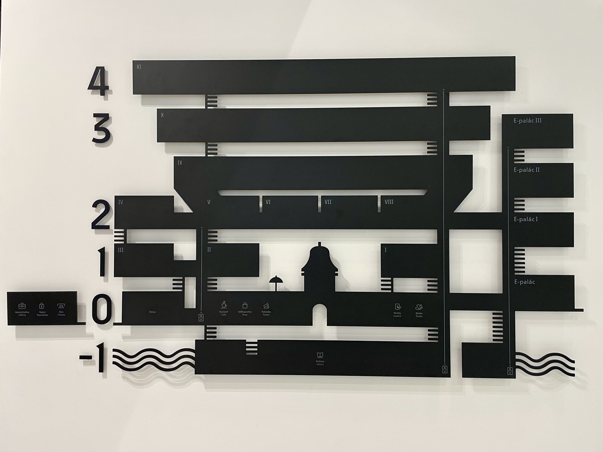
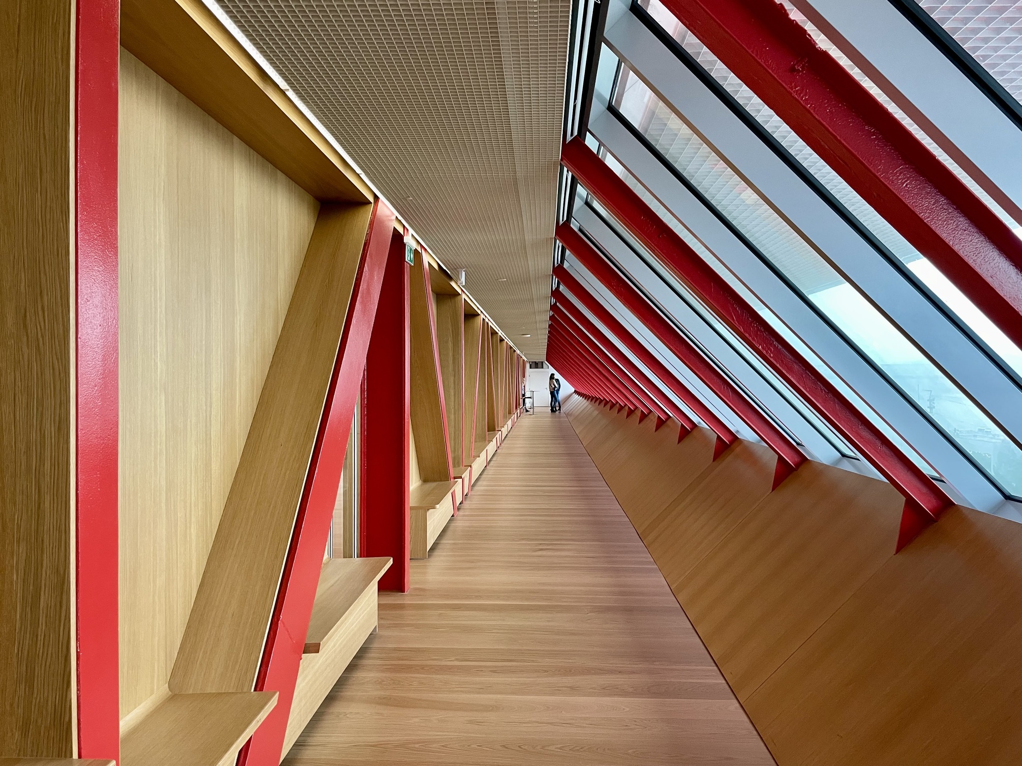
The Slovak National Gallery in Bratislava consists of a complex of buildings. The central building was originally a four-wing baroque residence on the Danube embankment built in 1759-1763. It was later reconstructed and an extension was built from 1969-1977.
This is an artistic representation of the gallery.
The gallery had been allowed to fall into a state of disrepair. In 2001, much of the gallery was closed. It only reopened in December 2022, after seven years of construction. A total of 75 million euros was expended.
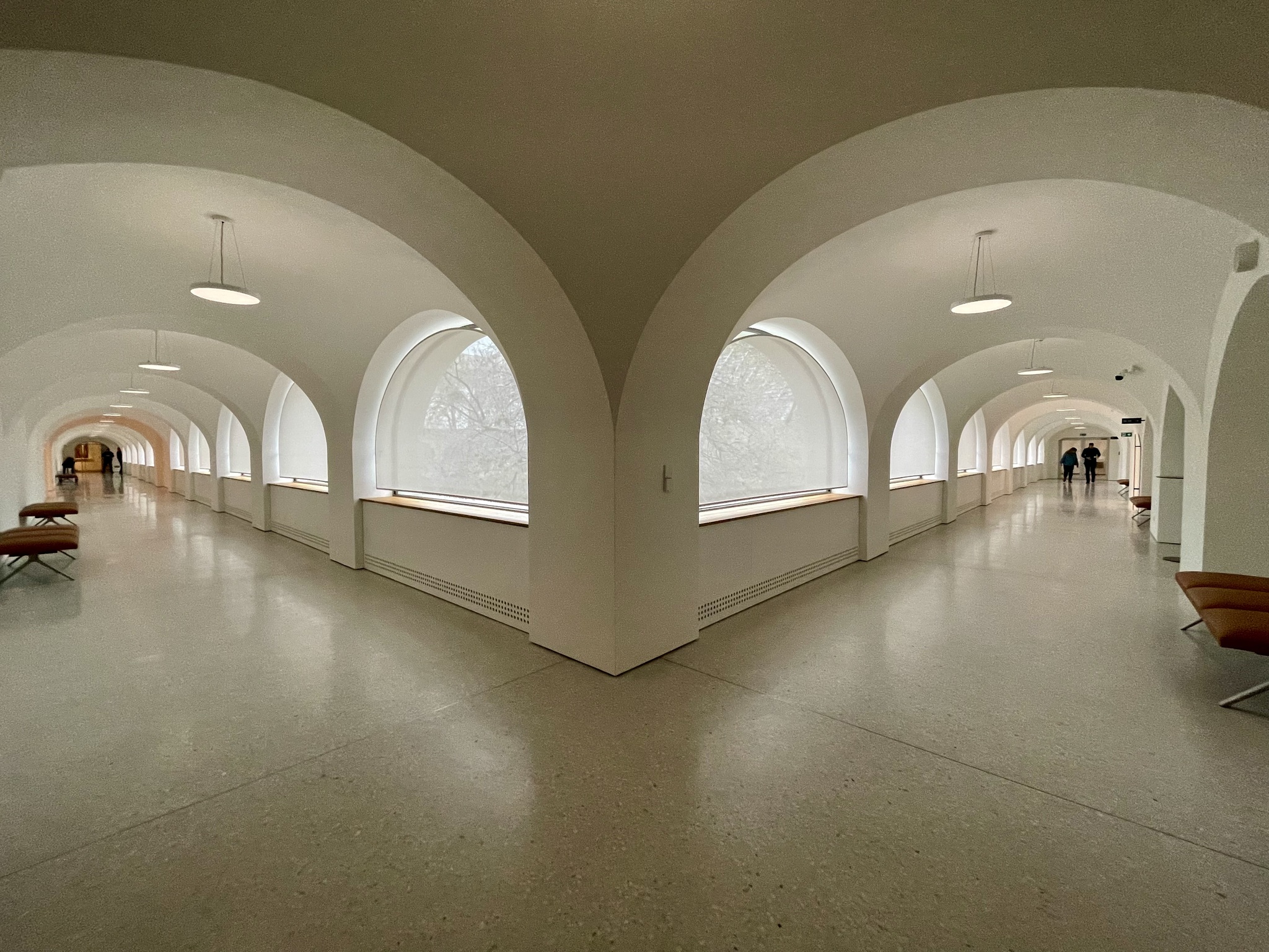
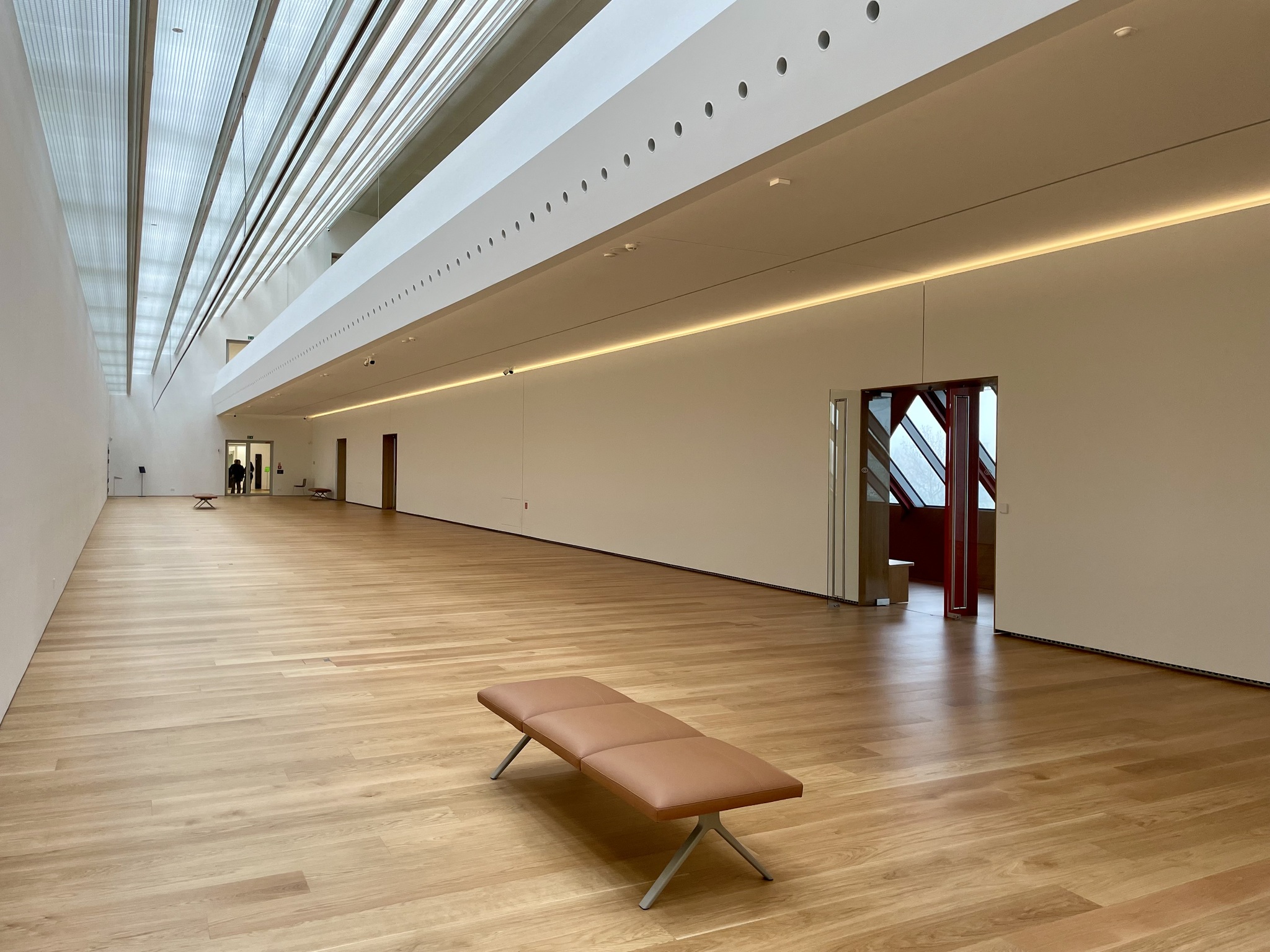
The various levels were accessible with open, inviting staircases. I will generally choose stairs over an elevator or escalator, and normally bound up them, but today, my legs had no energy, and I plodded slowly up.
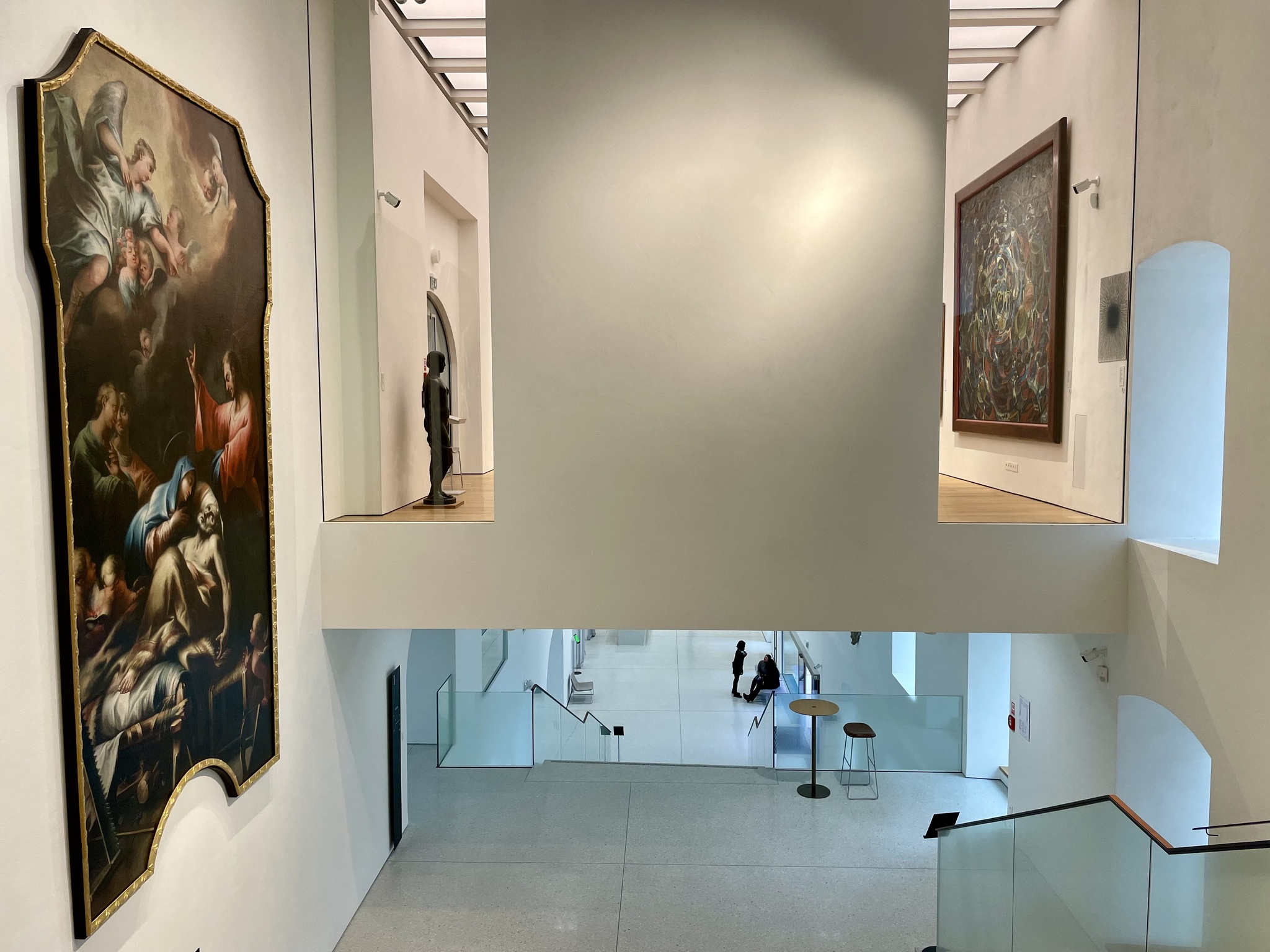
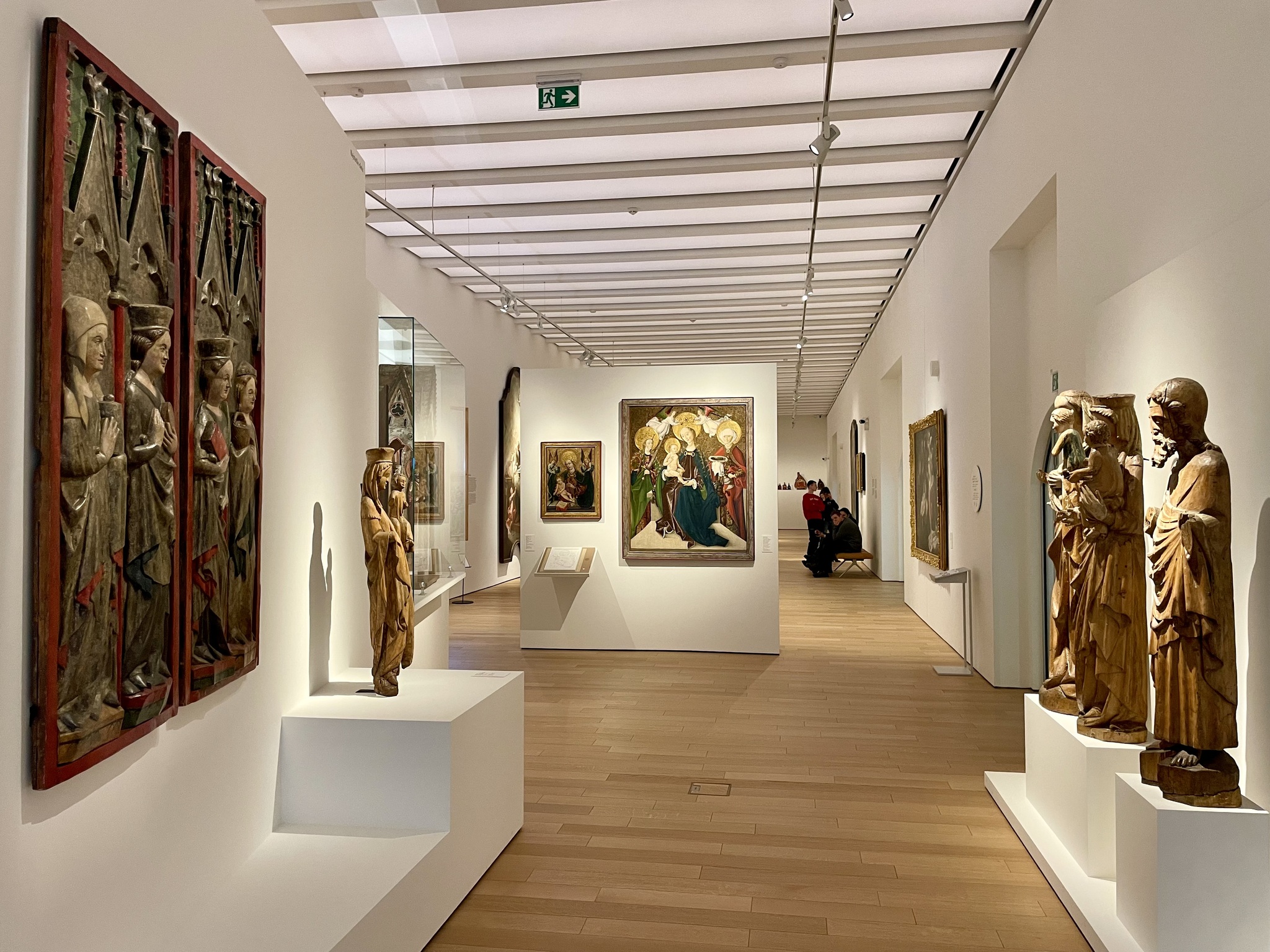
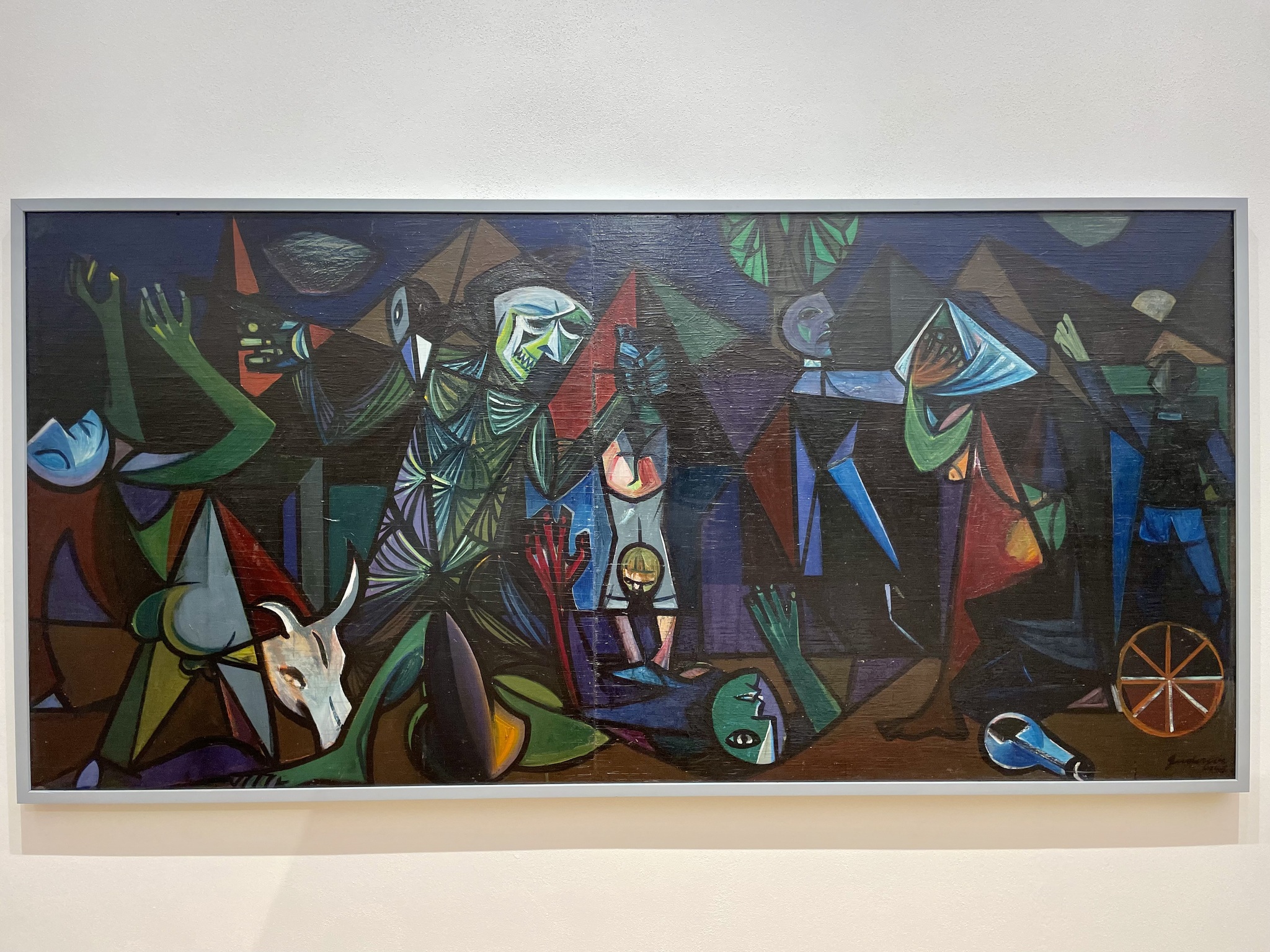
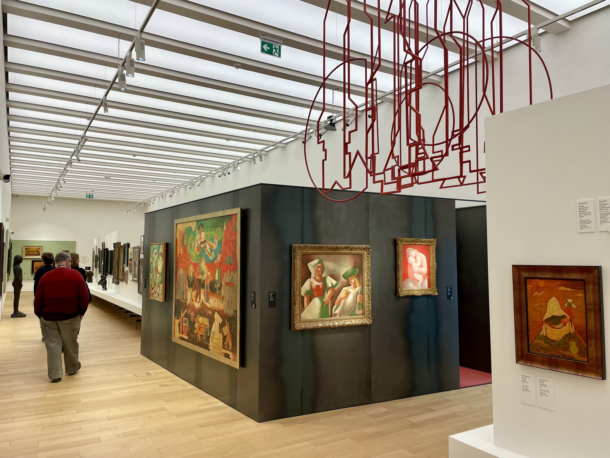
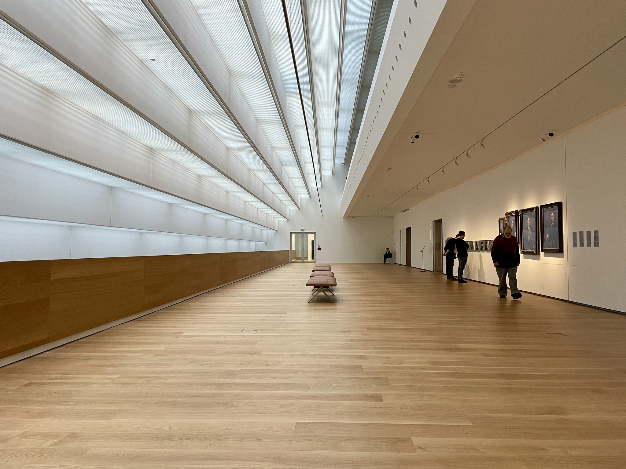
Here are some of the galleries, and art pieces.
Much of the building was rather austere.
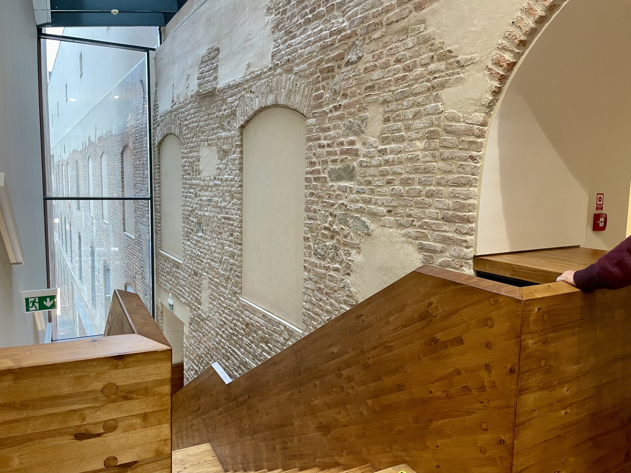
I like the way that the older part of the building is featured where the new part connects with it.
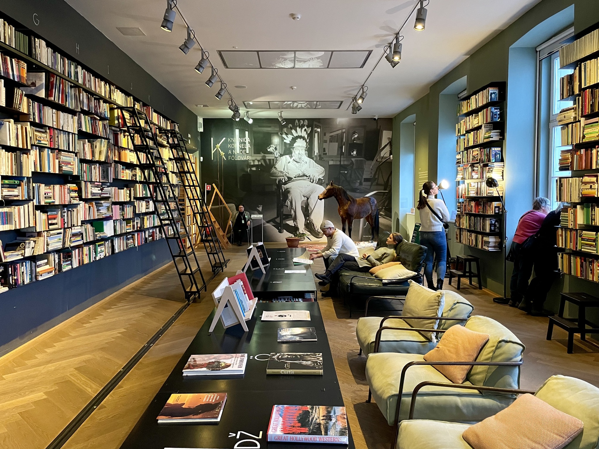
This is The Kornel and Naďa Földvári Library. “The Library presents an extensive collection of books owned by the writer, literary critic and satirist Kornel Földvári and his wife, Naďa. The project’s initiator was the writer and director Peter Krištúfek, who was determined to preserve Kornel’s extensive book collection and capture his inspiring personality and passion for collecting. Make yourself comfortable and choose from over 11 000 books that you can browse in a pleasant environment designed for studying, relaxation and cultural and social events.”
This part of the gallery is known as The Bridge, and was in such disrepair in 2001 that it was closed to the public for 21 years. They must have been between exhibits when we were there because it was mostly empty.
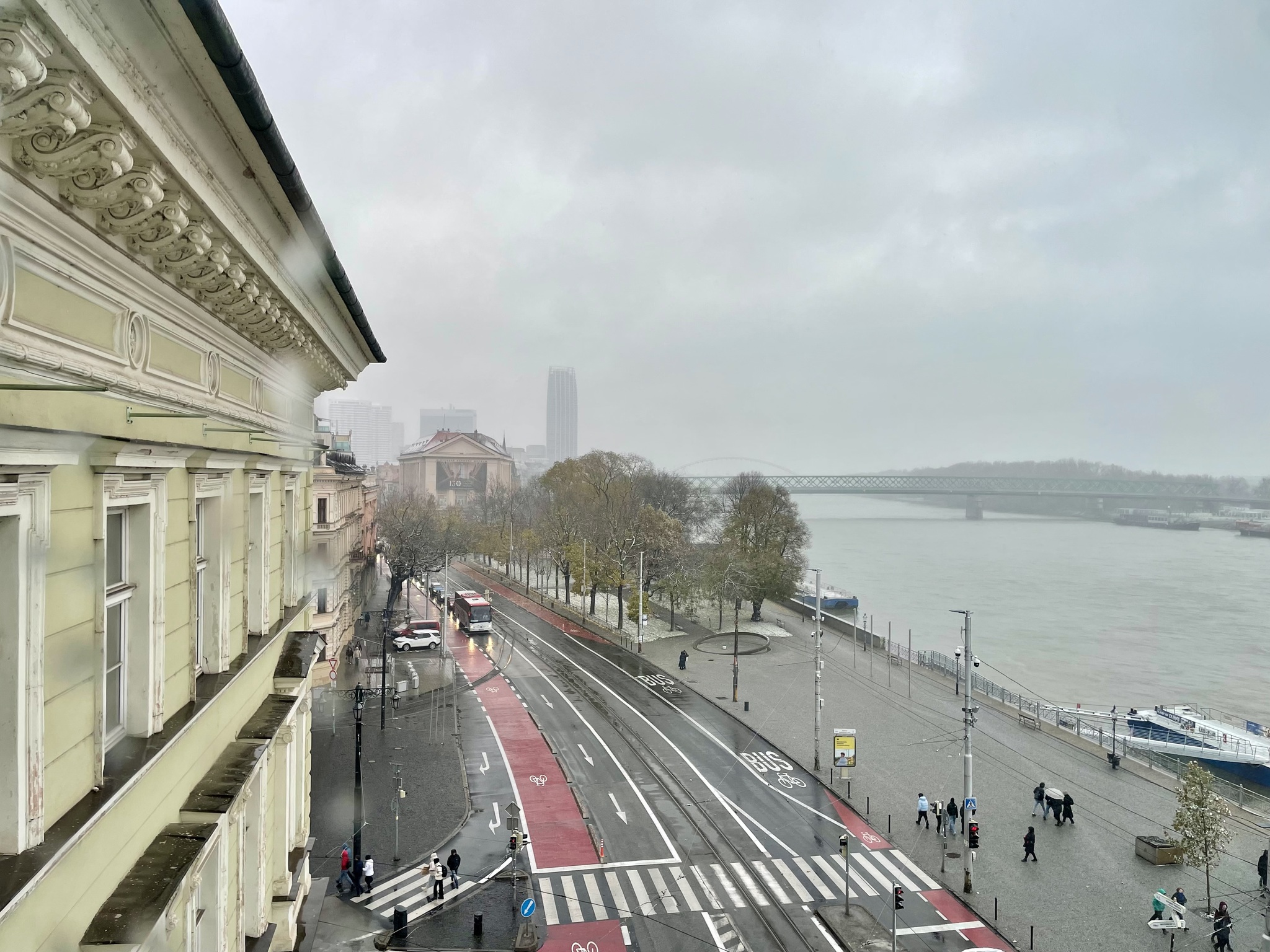
This is the view from the fourth floor where we sat for a while after visiting all the galleries. The gallery faces the Danube. The street was recently put on a road diet to install very wide bike lanes, even though there is a very wide promenade on the riverbank. The streetcar runs down the centre.
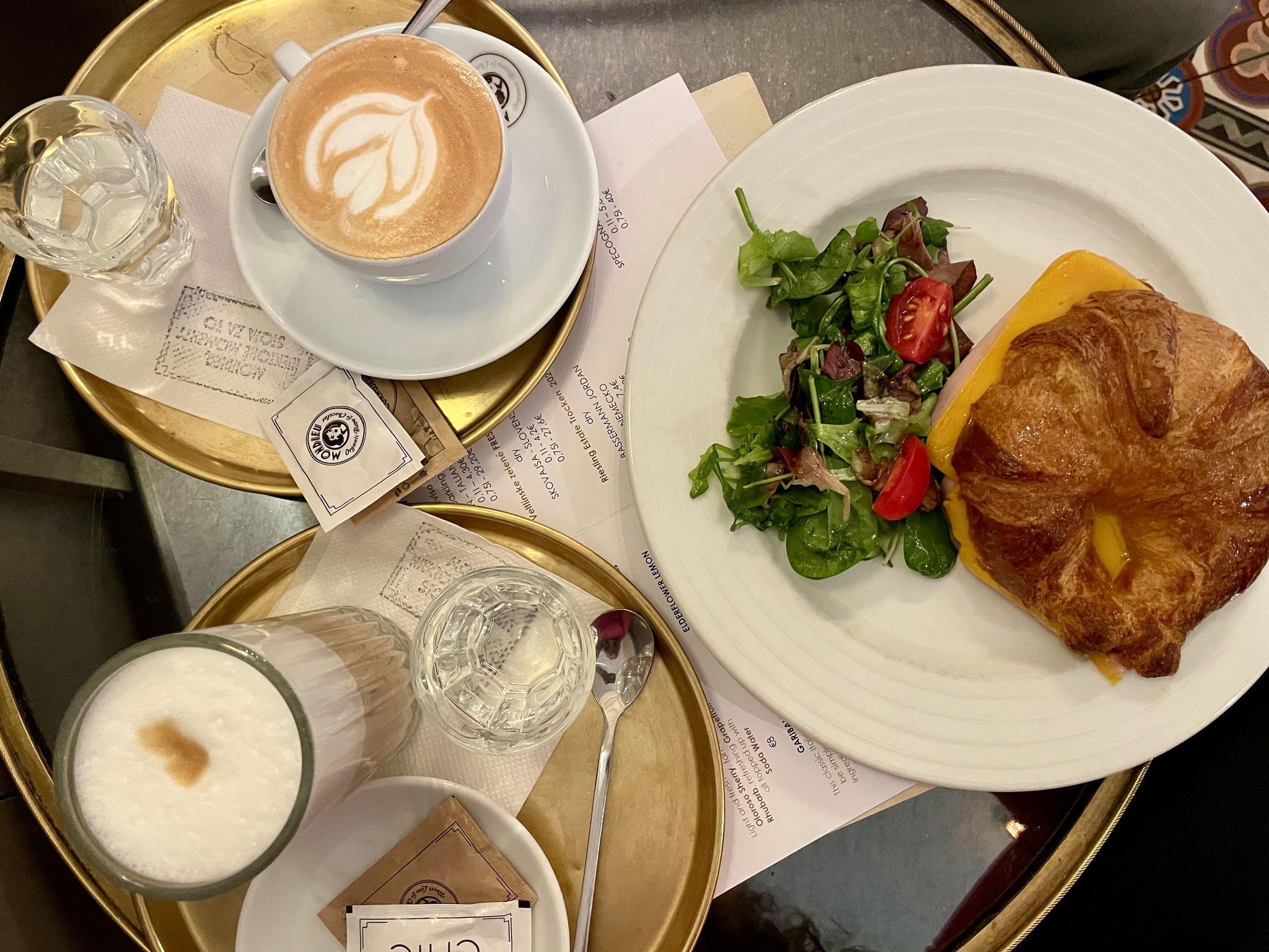
I was still feeling tired, was getting hungry, and was unsure that I could wait to eat dinner at the Christmas market. We decided to try Mondieu Bistro, which is a chain restaurant here. The food was good, but was some of the more expensive food that I have encountered here.
The bistro was absolutely packed, but there was some turnover, and we were able to get a table in a few minutes.
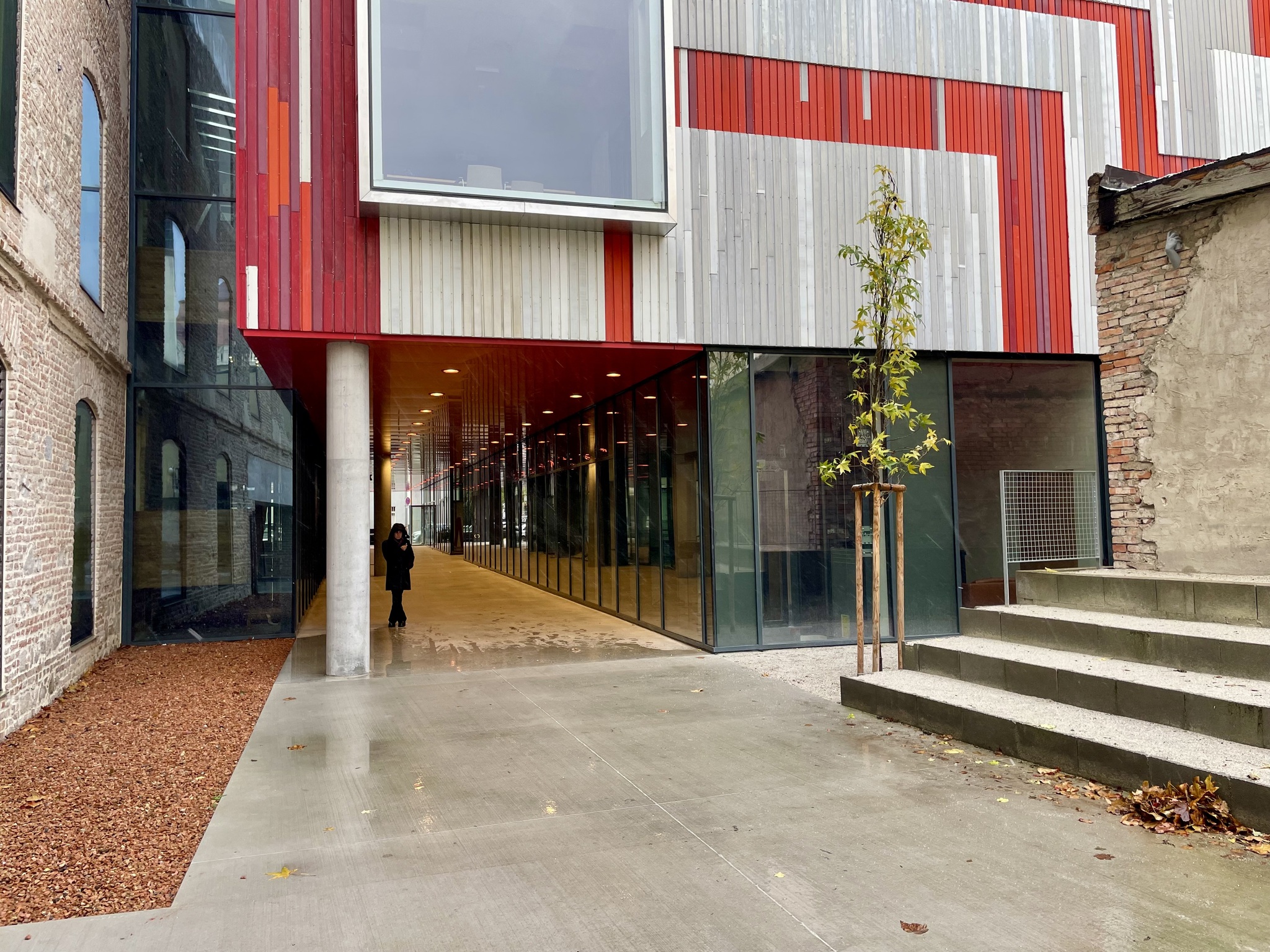
This is one of the new parts of the National Gallery.
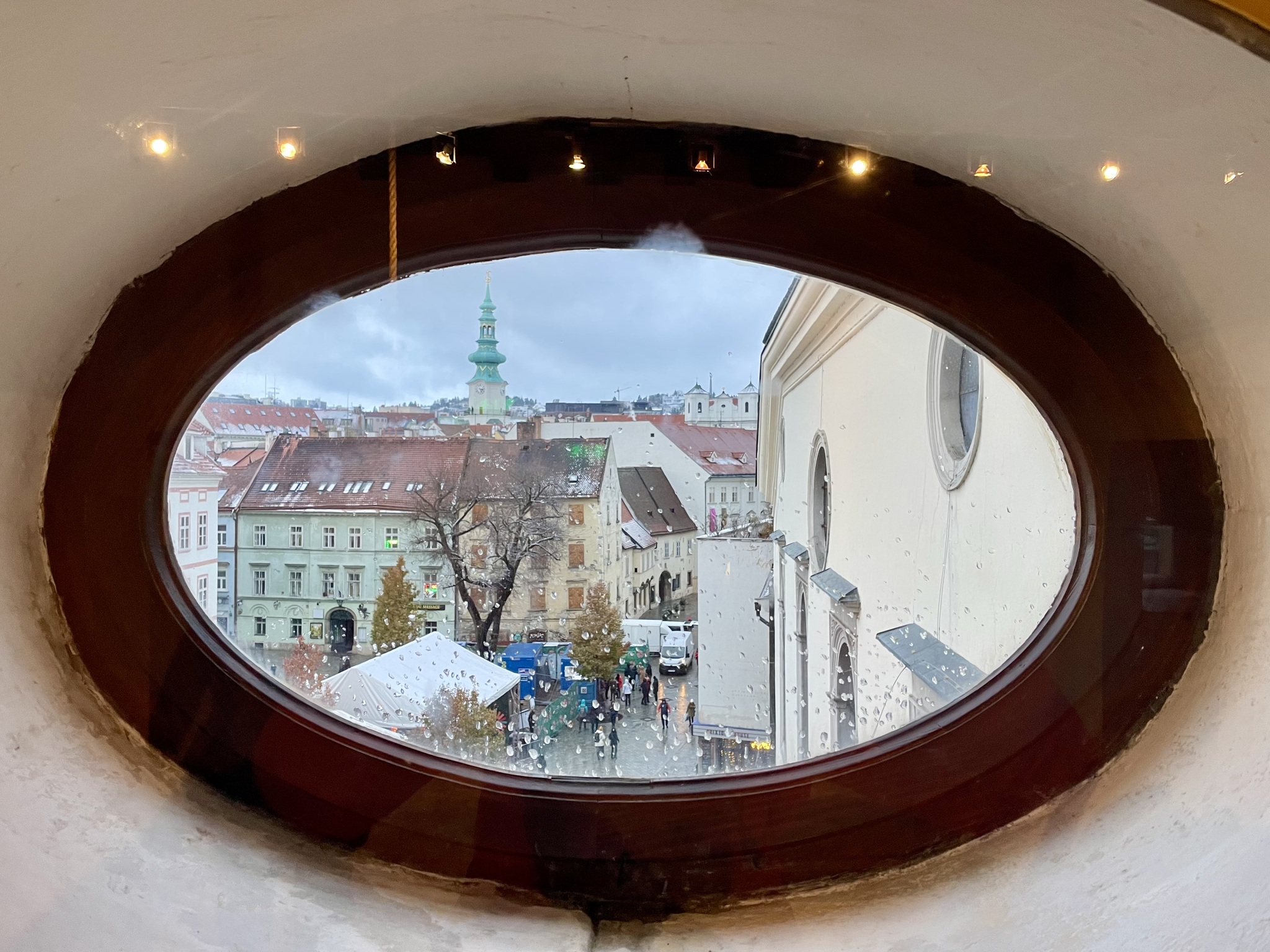
We still had time before the planned meet up with Michael’s friend so we decided to climb up Michalská brána – Michael’s Gate in English. It is among the oldest buildings in Bratislava. It was built about the year 1300, but its present shape is the result of a baroque reconstruction in 1758. Most of the city walls and the other gates have all been demolished. One can go out on a balcony on the sixth floor. This view is to the south and you can see the steeple of St. Martin’s Cathedral.
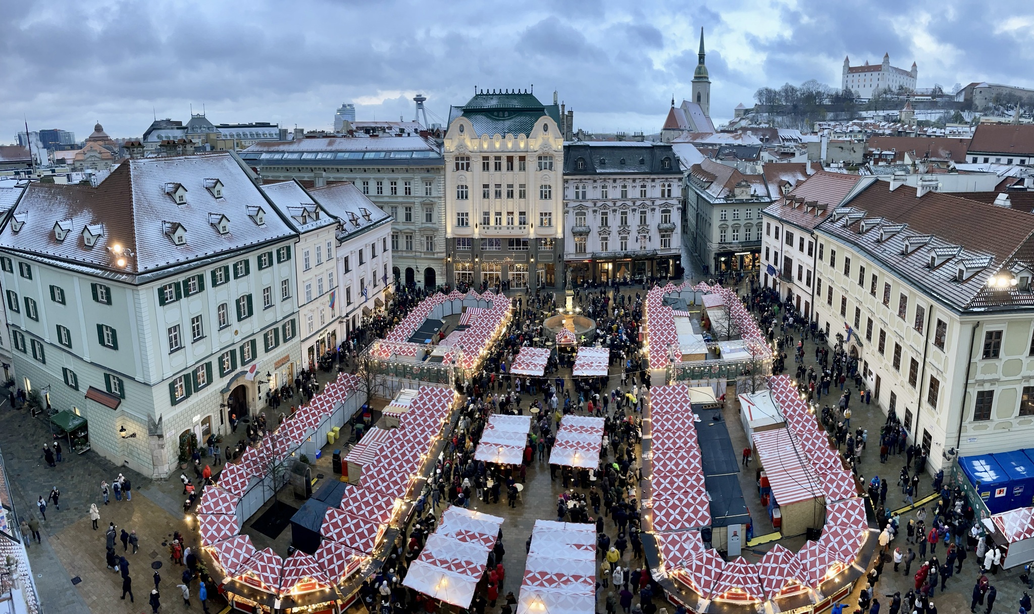
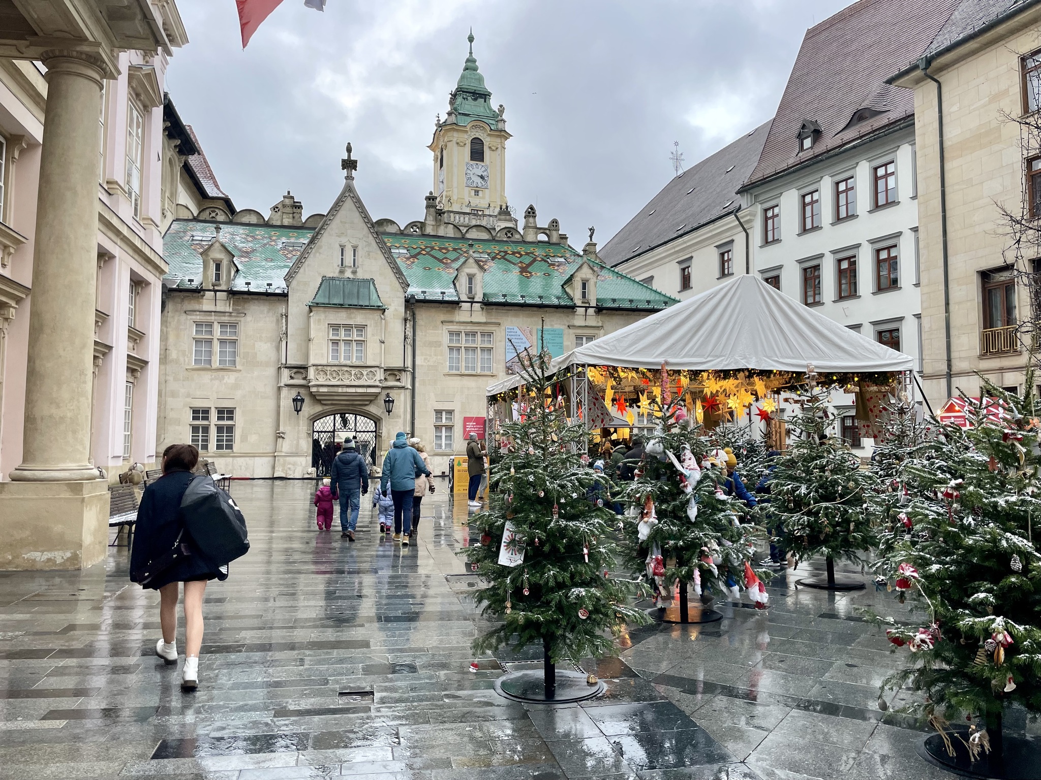
The Christmas market completely fills the main square called Hlavne Namestie.
When we emerged from the tower, the rain had turned to snow, which is somewhat unusual in Bratislava. Despite wearing many layers of warm clothing, I just couldn’t stay warm. We still had about an hour before meeting Michael’s friend. I also felt completely exhausted so I made the difficult decision to go back to the room on my own.
I was beginning to suspect that I had COVID.
The first time I had COVID was 35 weeks earlier in March 2023. I had gone to a quilt show. It was quite crowded, and I knew from my CO2 monitor that the air quality was quite poor, with a carbon dioxide reading of over 2000 ppm. So I wore an N 95 mask the whole time I was inside. This was on a Saturday afternoon. By Monday morning, I had a sore throat, felt exhausted, and had very weak legs climbing the stairs. I took a COVID test and I was positive. My most recent vaccination had been in the fall. I was positive for 11 days and it took about a month after I cleared the virus to recover my energy level. That was just before my first trip to Bratislava.
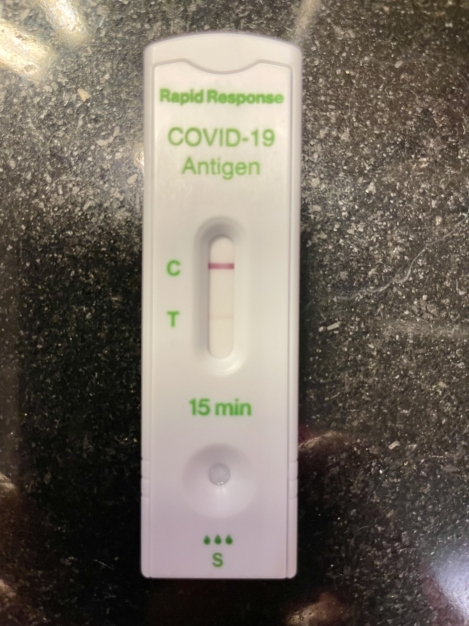
As soon as I got back to the hotel room, I did a COVID test and I was positive. The line was faint, but unmistakable. So it seems, for me, one of the first symptoms is weak legs. I messaged Michael to warn him. My flight home was in two days, but he was staying for another nine, so I suggested he might want to get another room to decrease his chances of catching COVID from me.
I started to think about where I could have picked it up. This was Saturday afternoon. On Thursday night we had dinner in a crowded restaurant. We were seated close to the kitchen and far from the entry door – a position that studies show is riskier than near the entry door and away from the kitchen. The service was slow and we were there for about 90 minutes without wearing masks. There were no other times indoors that fit the timeline or the risk. I was really annoyed at myself because it was just the two of us that evening, and we could’ve chosen to get takeout to eat in the hotel, rather than sitting unmasked in a crowded place.
Michael decided not to spend the money to get another room, since we were together when I’m pretty sure I caught it, and it was likely only matter of time before he tested positive, as well. His first COVID infection was on a trip to Bratislava a year ago.
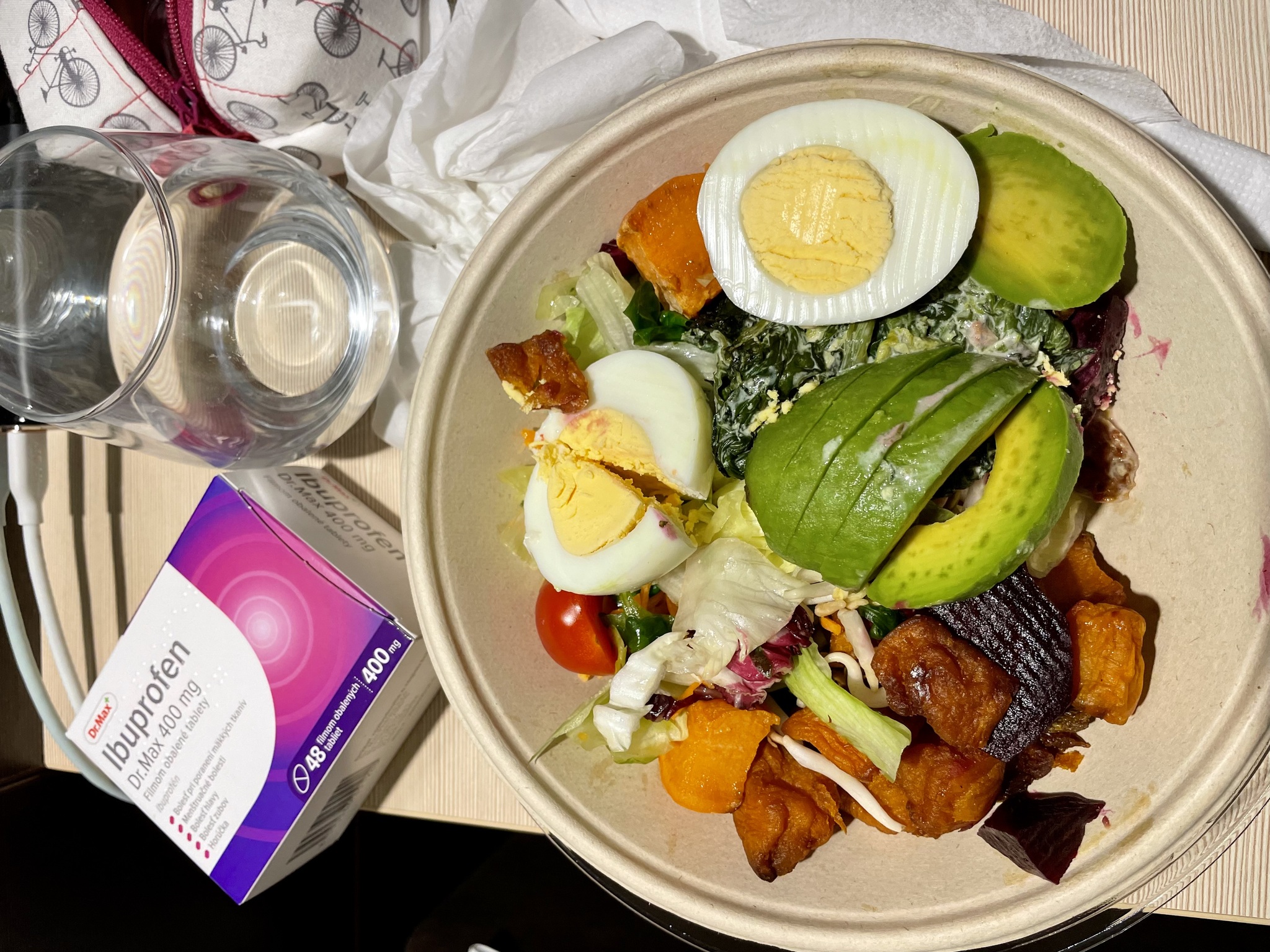
I put on a mask and went to the food court in the mall, which is attached to the hotel, and got takeout for dinner, and ibuprofen for headaches.
Michael tested when he got back to the room and was negative. He was still feeling fine.
Day 18 – Rest and Packing
The day dawned, sunny and dry, but cold. I felt well enough to go to the dining room for breakfast, but masked in the buffet area and sat in an empty area of the dining room while eating. We decided to go for a walk for some fresh air and exercise.
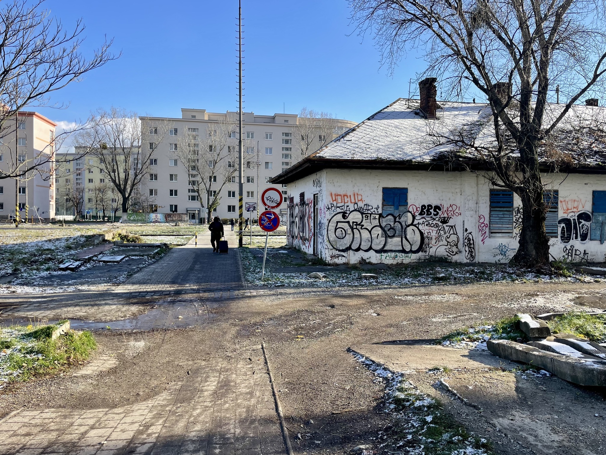
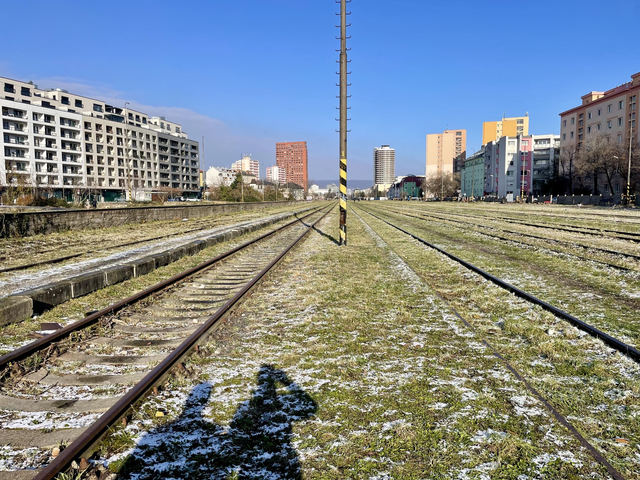
The old railway station and 10 track corridor are between a new neighbourhood, and our hotel. It hasn’t been decided what will happen with this area, but some sort of rail is one of the possibilities.
The new neighbourhood is dense, transit, cycling, and walking oriented. The main floors of the buildings are commercial units, the parking is underground, and the green space is imaginatively designed. Streetcars come every few minutes.
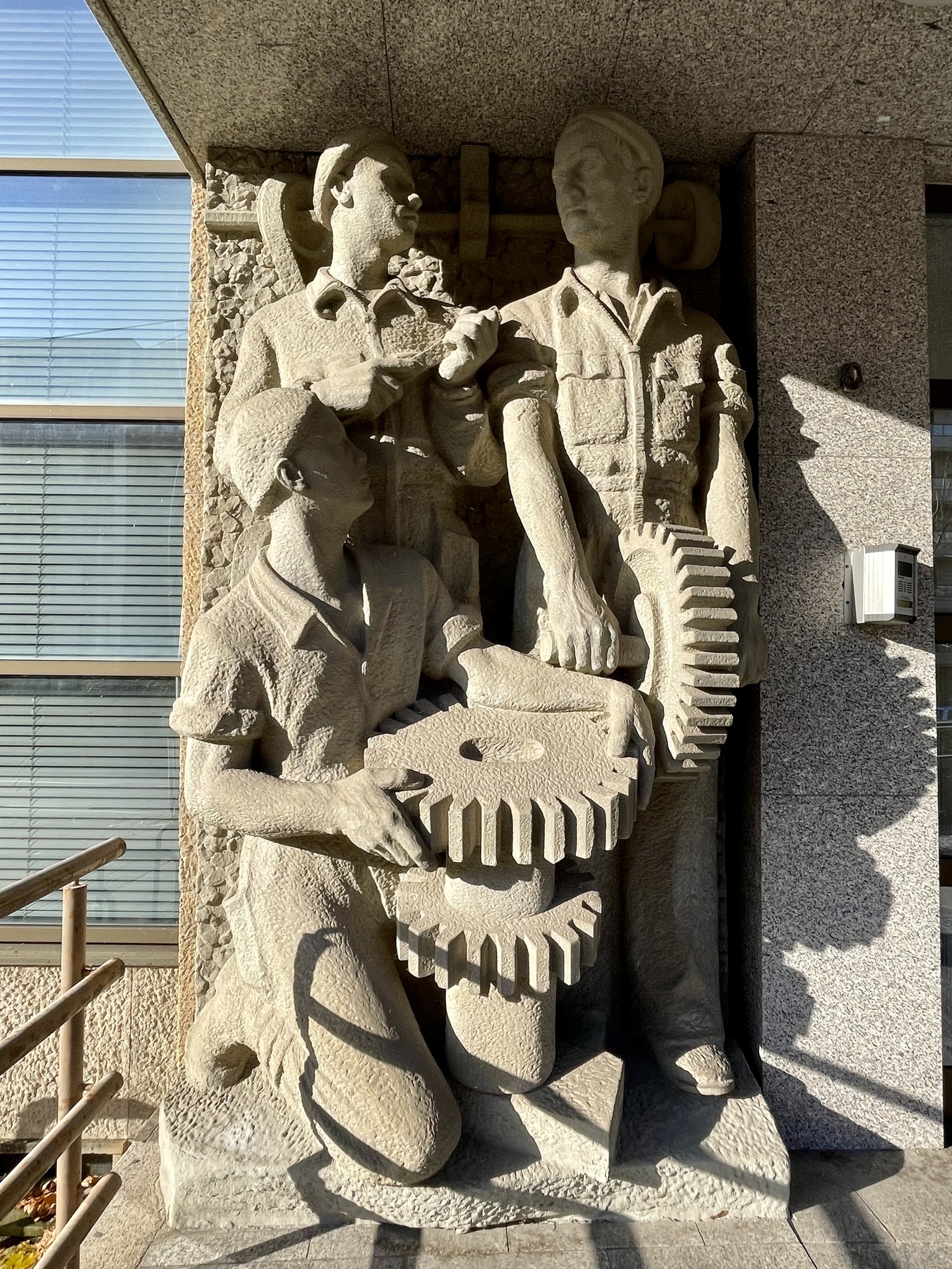
Bratislava was under communist rule from 1948 to 1989 and has many Soviet style buildings and works of art to show for it.
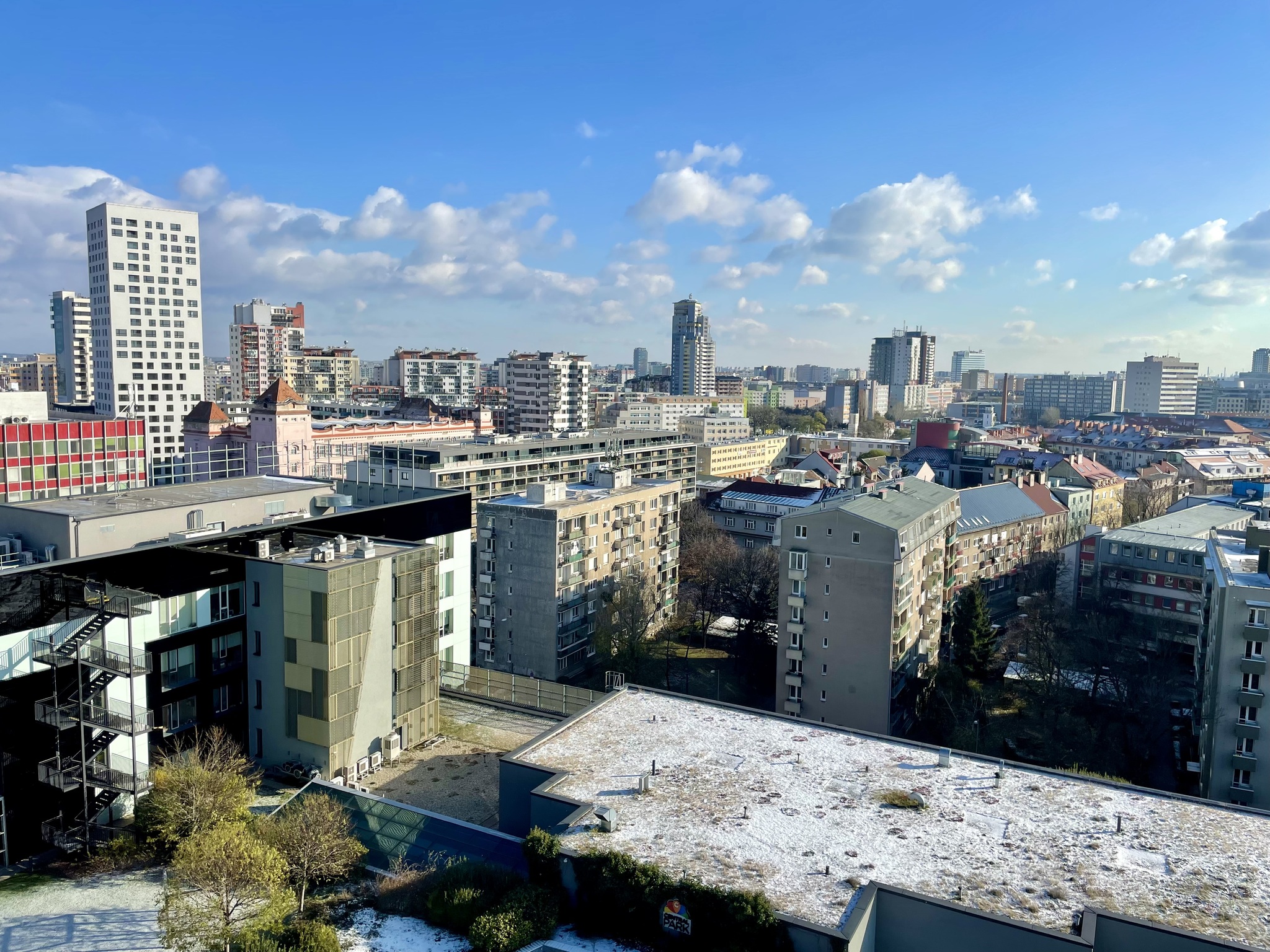
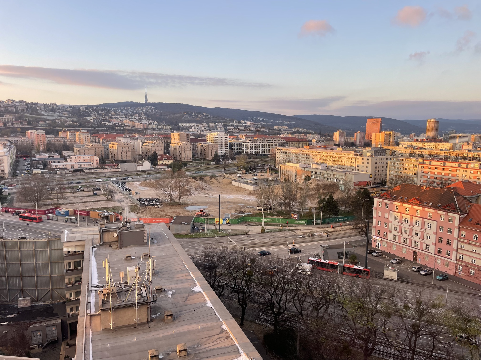
I visited view from the end of the corridor at the hotel a final time.
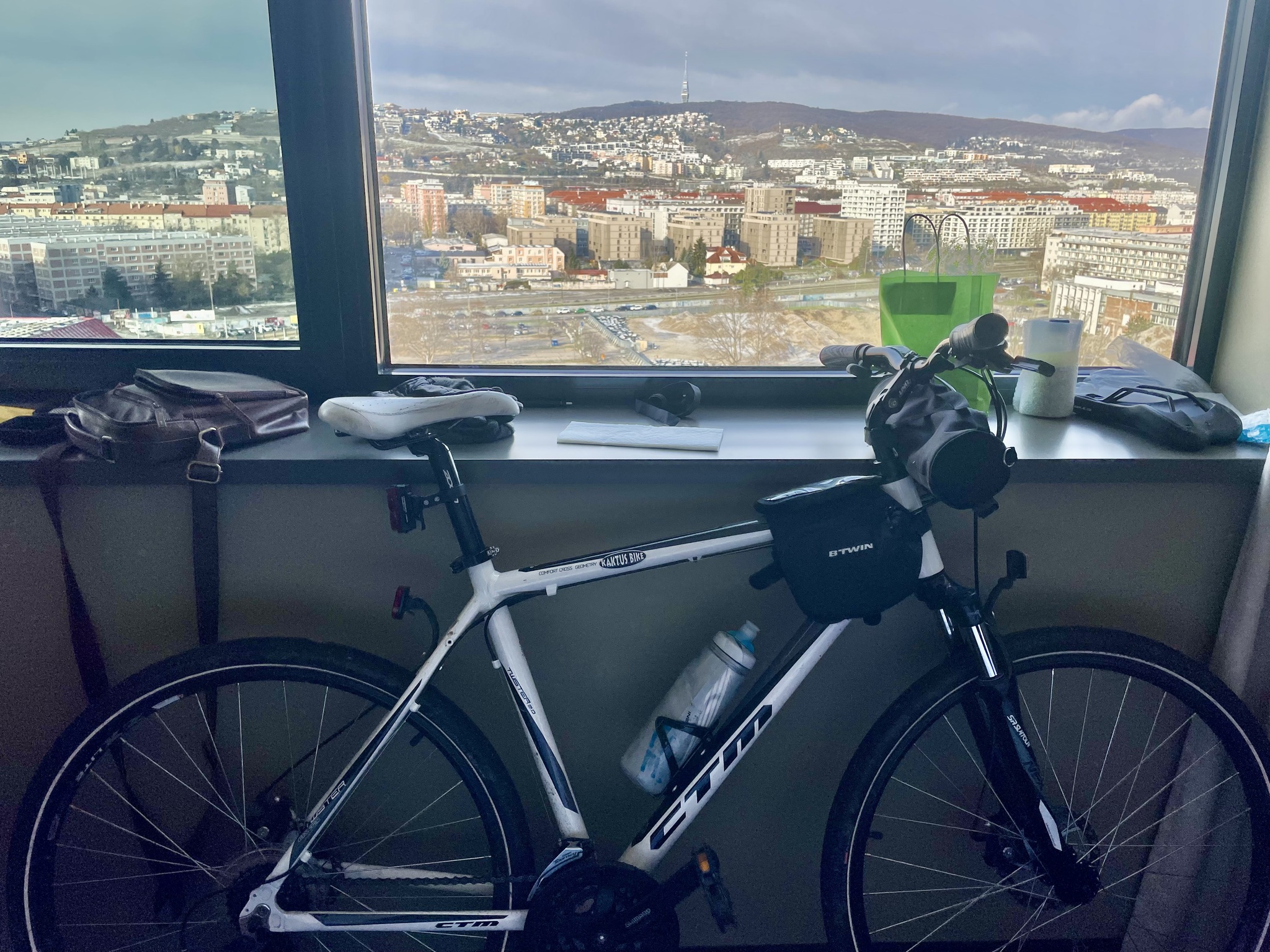
Then I swapped out my bike seat and seat post, and removed my bar bag, and cell phone holder, from the bike I had borrowed from one of Michael’s friends. I packed everything other than what I needed for the next 14 hours until I left for the airport.
The sun sets early here.
We went to the food fair in the attached mall for dinner, and it was empty enough, and the ventilation, good enough, that I took off my mask and ate there
We both took COVID tests when we returned to the room. Mine showed a bright red positive result. Michael’s was still showing as negative. All things considered, I wasn’t feeling nearly as miserable as the first time I had COVID. I had a vaccination just before this trip. While it didn’t prevent an infection, at least so far, it seems to be moderating my symptoms. We went to bed early since I have to be up at 6am for the taxi to the airport in Vienna.
Day 19 – Travel Home
The taxi picked me up at 6:30 AM. The drive to the airport takes about an hour. I masked in the taxi, even though there was no longer any rules that dictate masking, or isolating when infected with COVID, either in Slovakia or Canada.
It was a cold frosty morning. The driver avoided the highways which gave me a more scenic view of the route.
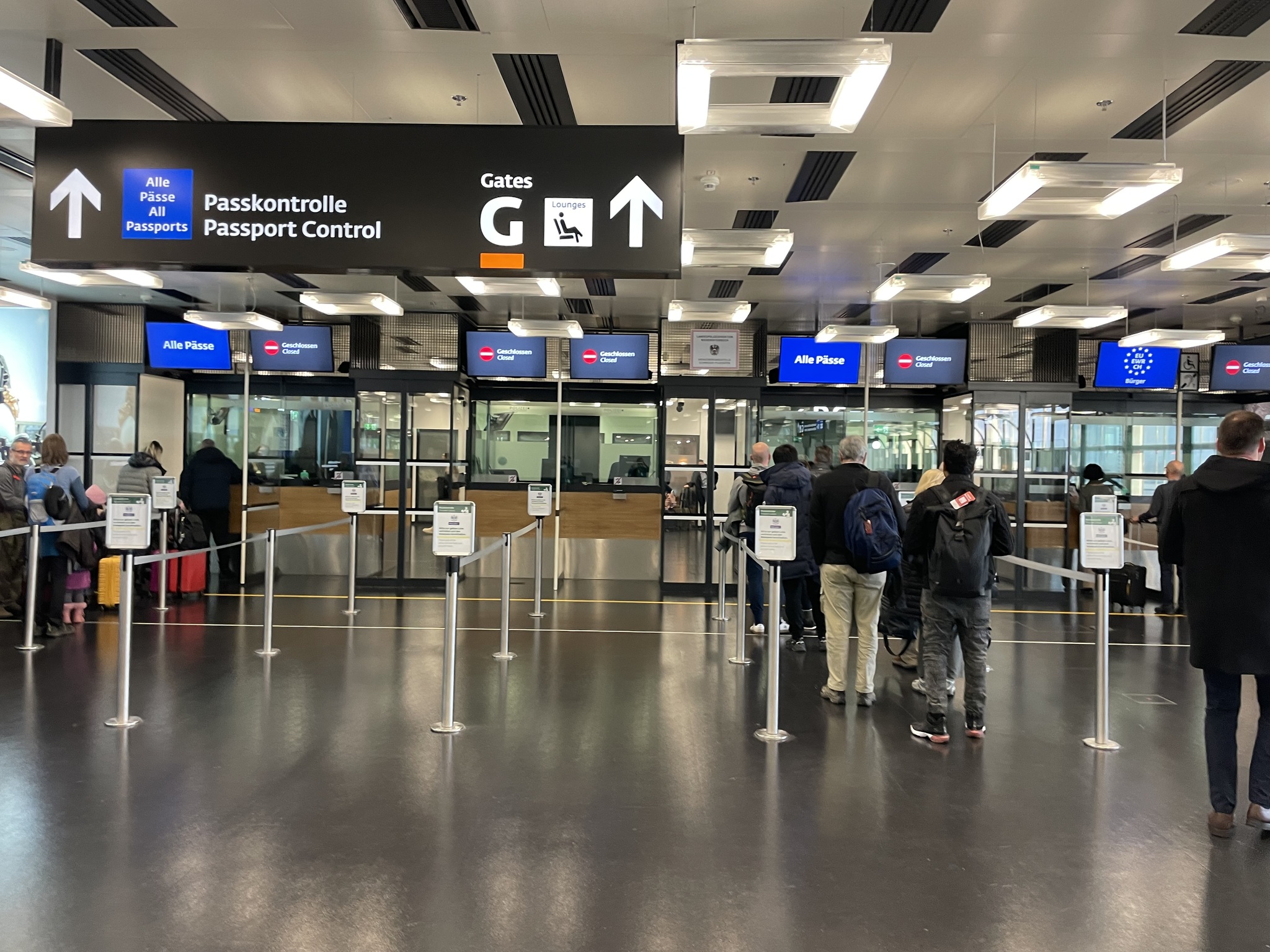
Check in was very fast with only one person in front of me. The line at security looks long, but it moved fairly quickly. Almost no one was masking.
Passports are stamped on the way out here, as well as the way in.
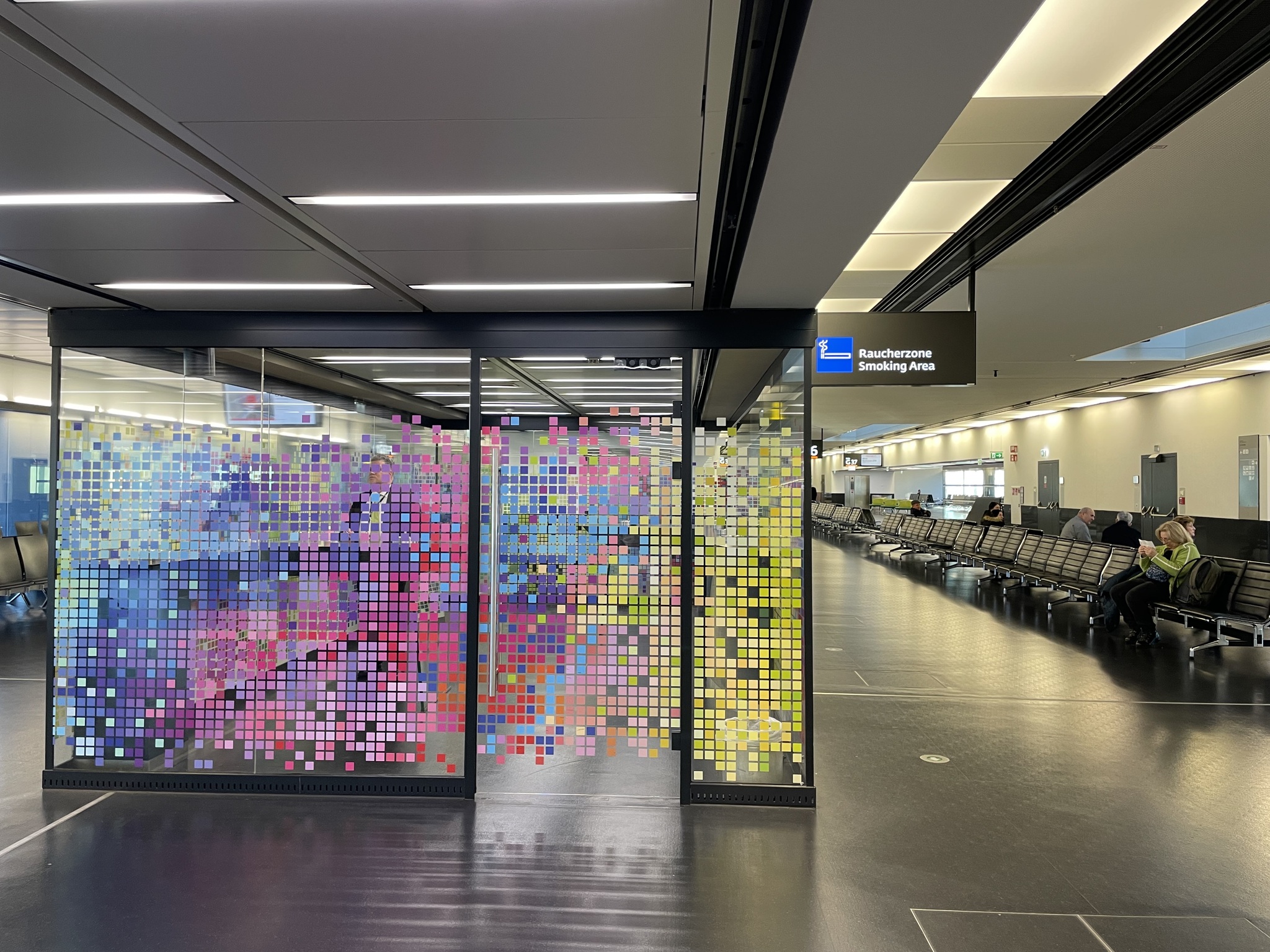
There is a smoking room in the departure area. It only did a partial job of containing the smoke.
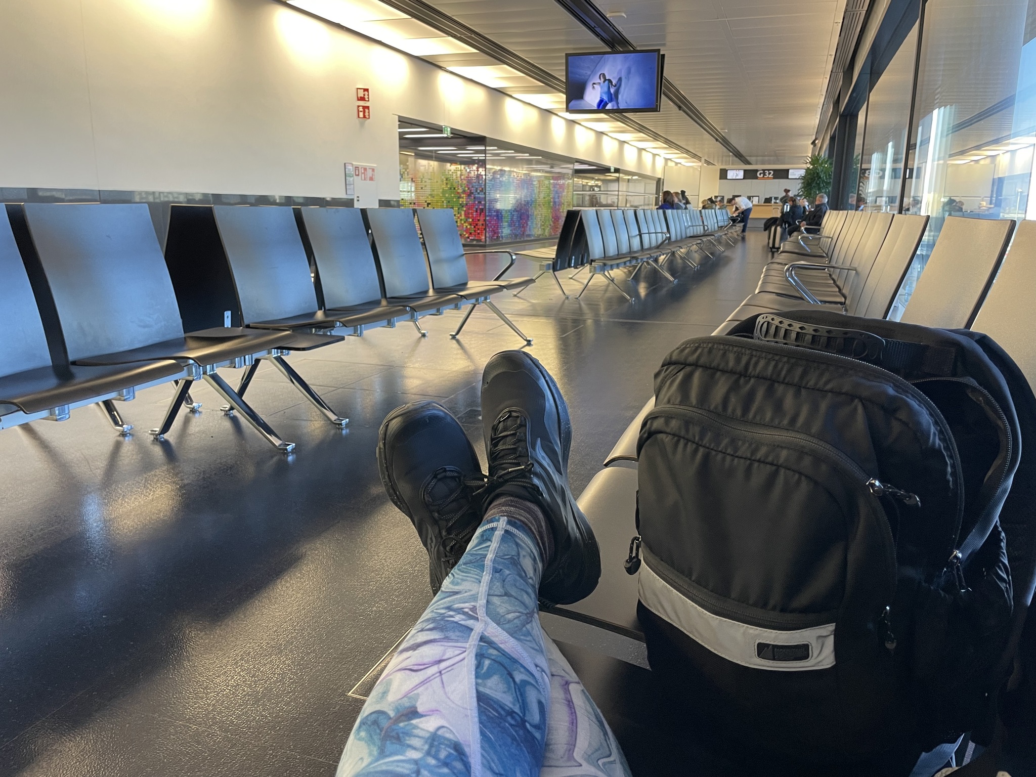
Ventilation was good in the departure area, according to my CO2 monitor, so I found an area away from other people so that I could remove my mask for a while. I was quite tired, so I set an alarm on my phone, and on my watch, and had a little nap.
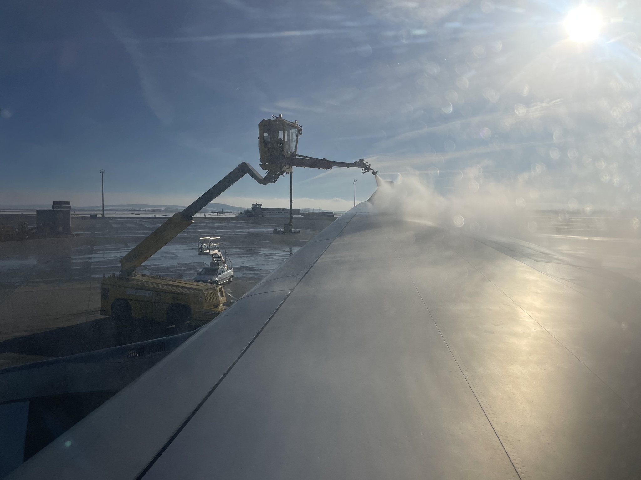
The plane had to be de-iced before we took off. After de-icing it was discovered that there was a problem with the aircraft. We had to taxi back to the terminal, and it was two hours before we were finally able to take off. It made a long flight even longer.
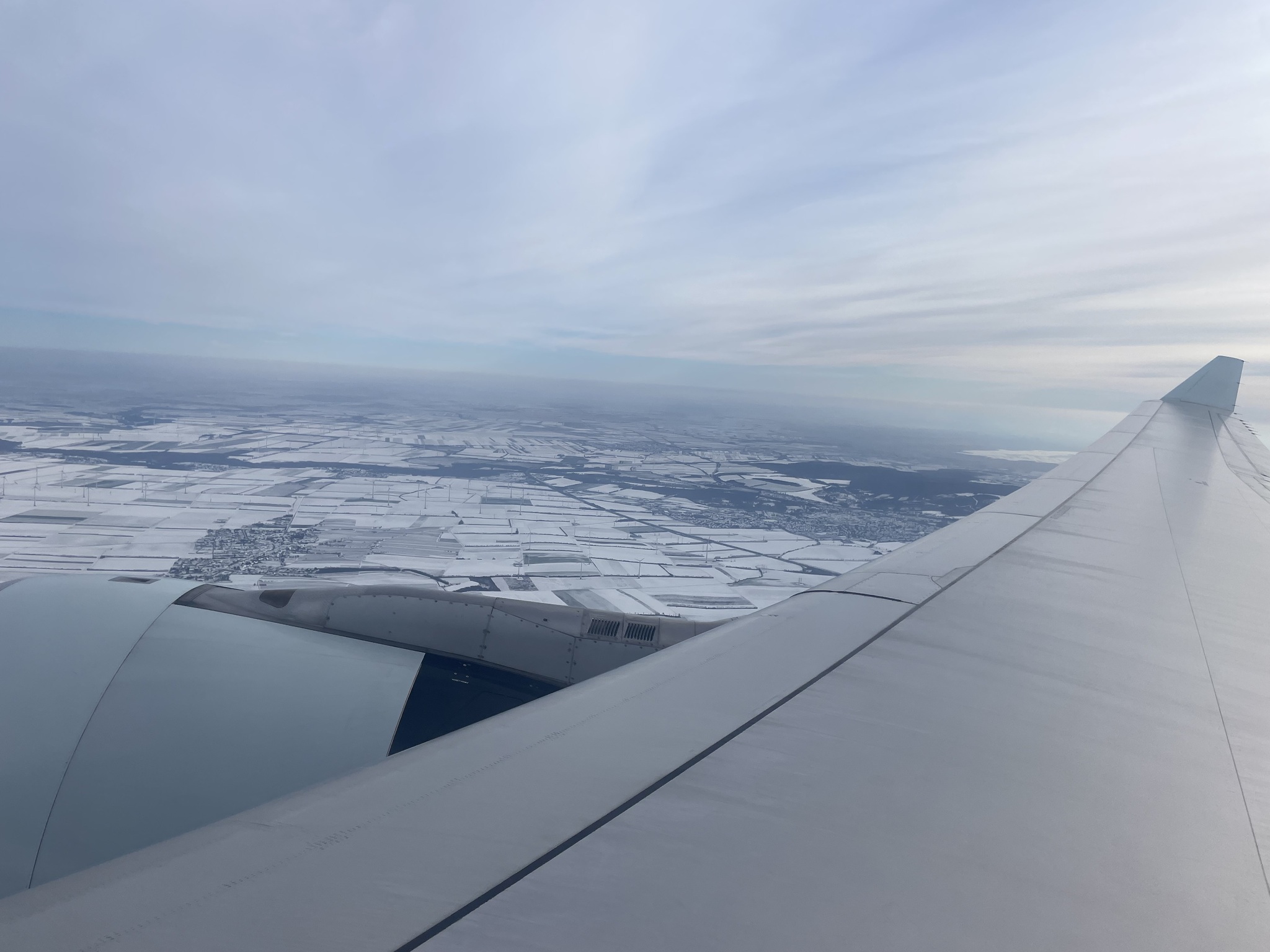
There was a light dusting of snow as far as I could see when we took off from Vienna.
I had to take my mask off to eat three times over the almost 12 hours we were on the plane. I saw only one family of four people on the entire plane that were masking. There was an elderly woman sitting next to me. She wasn’t wearing a mask. I considered whether or not I should tell her that I had COVID before taking off my mask to eat, but I decided that almost 3 years into the pandemic that there was no way someone was ignorant of the risk of flying without a mask, and that she had made her decision not to protect herself, so I said nothing.
My friend Cindy offered to pick me up from the airport, even knowing that I had COVID, but I declined her kind offer and got a taxi home. I warned my two kids that live at home that I was coming home with COVID. I set up my room with a HEPA filter, opened the window for ventilation, and kept the door closed with a quilt across the bottom of the door. I masked whenever I went to the kitchen to get food.
I had a text from Michael, when I landed, that he had now tested positive for COVID, as well.
With this bout of COVID, I was only positive for five days, and didn’t feel nearly as bad during those five days as I did with my first infection. My energy level returned almost right away after the five days so even though the recent vaccination didn’t prevent infection, I feel confident that it reduced the time I was infected and help helped me to recover faster.
We have planned an 11-day trip to Quebec just before Thanksgiving, and will need to ride 500 km in seven days, plus riding for sightseeing in Montreal before and after the seven-day self supported part of the trip. So we are trying to build our endurance, but It’s been hard to be motivated to ride all day long in the heat we’ve been having.
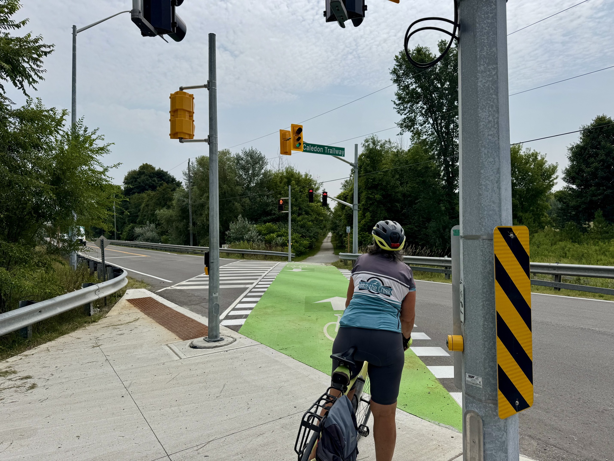
Cindy and I decided to do a long ride despite the heat, and we chose Caledon Trailway because it’s cooler even in the sun, than riding on the road, and about 50% shady.
I live 15 km from the trail; Cindy lives 21 km from the trail. We met at the end of my street at 9 am. It was already hot, but still below the afternoon predicted high of 29°C.
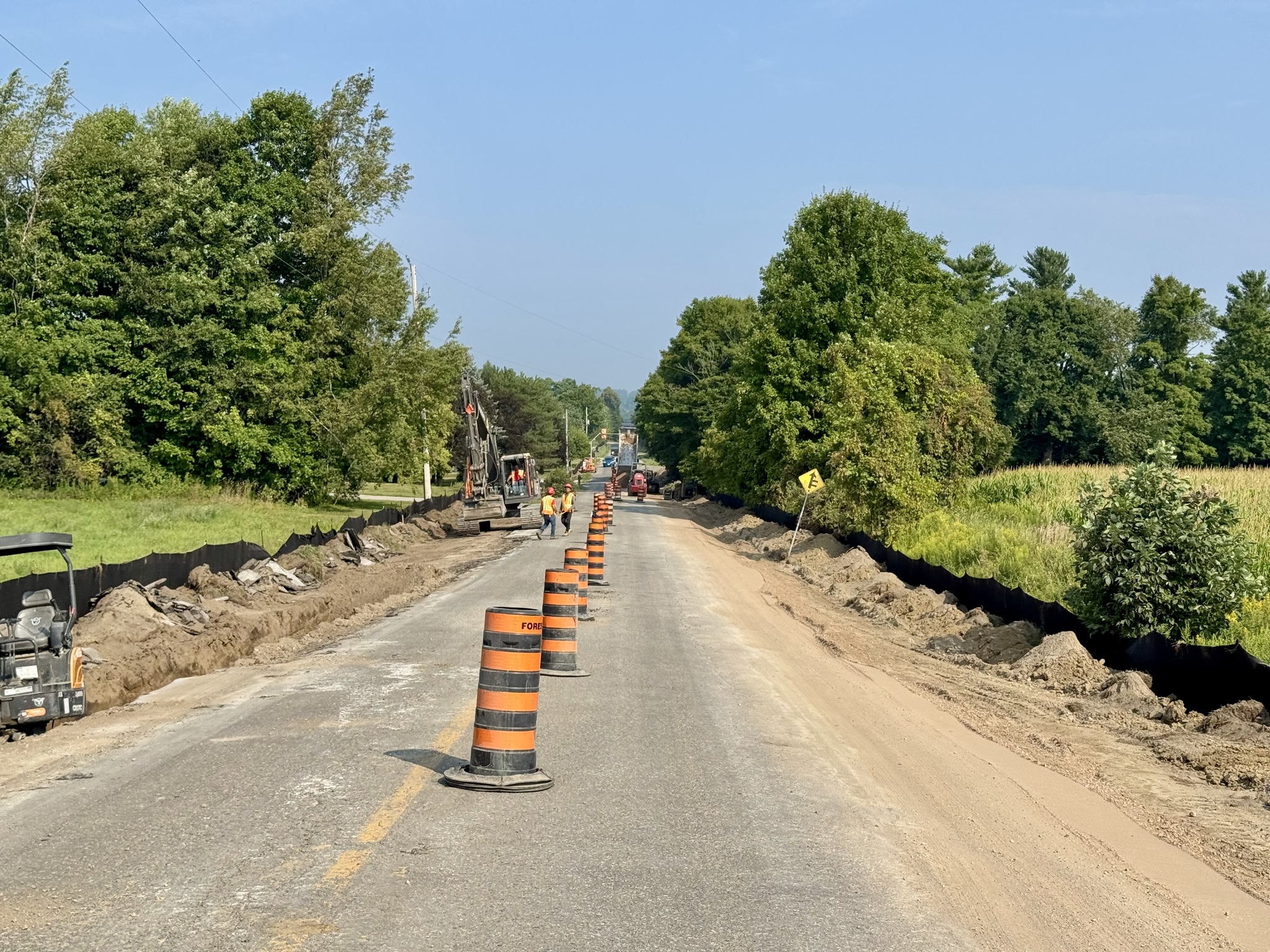
Mountainview Road in Caledon, which starts just south of the trail crossing, is being rebuilt and is one lane with alternating directions at the moment.
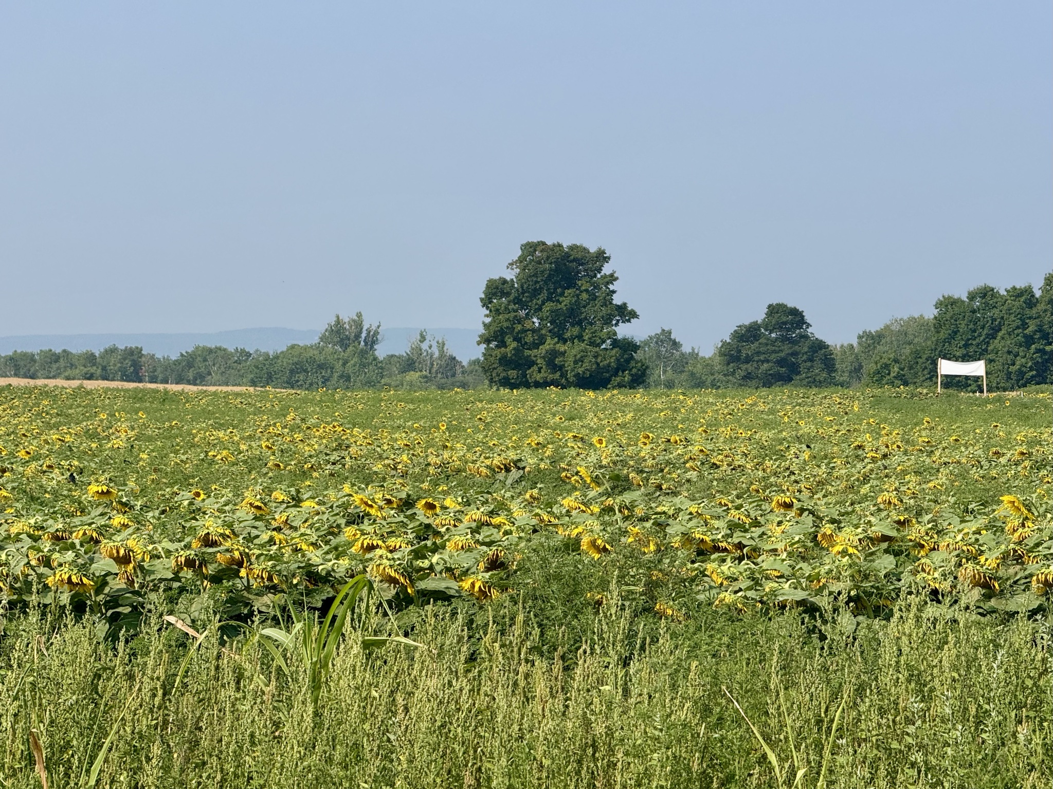
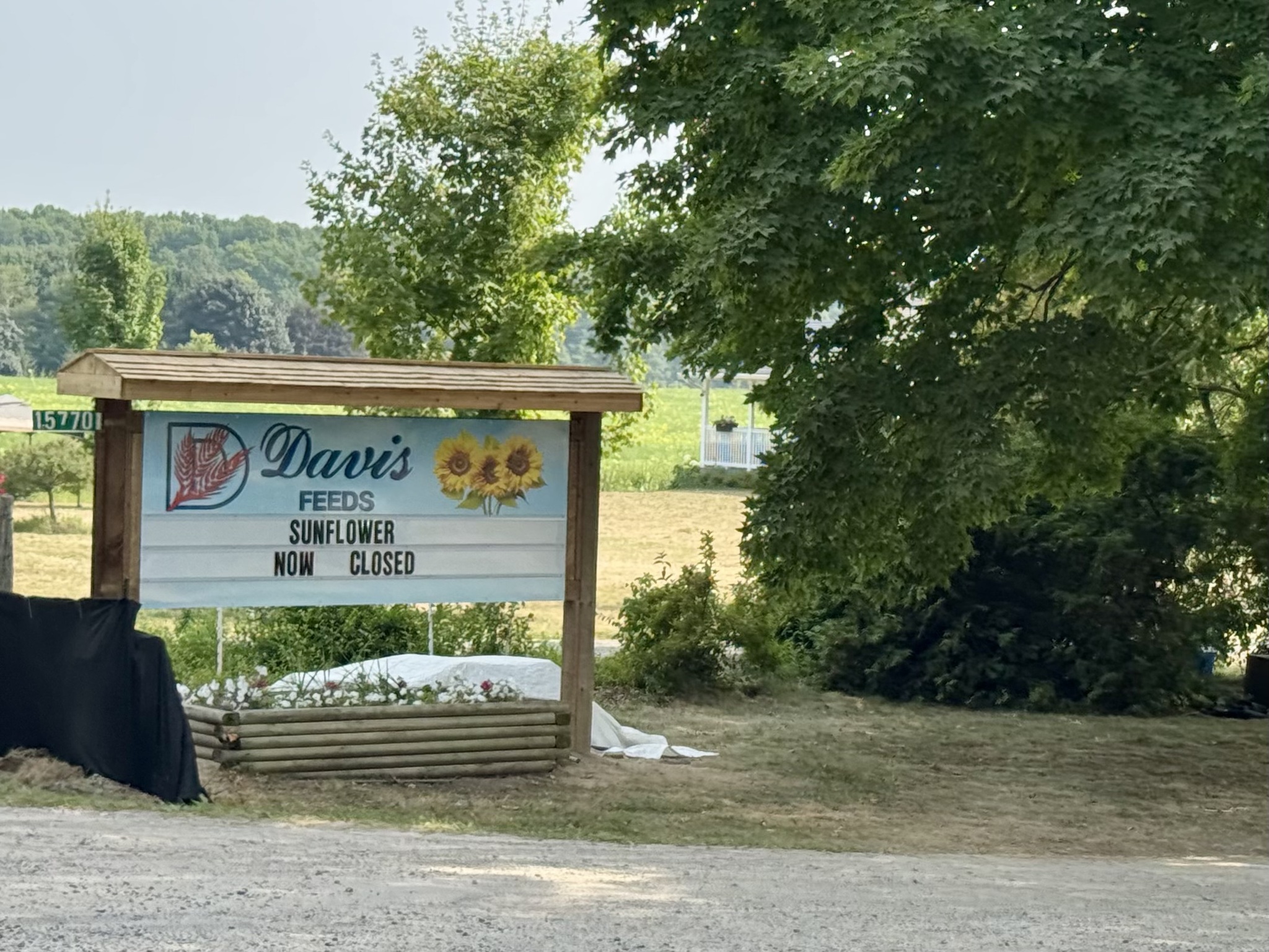
Davis Feeds Farm holds a sunflower festival for two weeks each summer. It is one of the largest sunflower fields in Ontario. You can see in this picture that the sunflowers are past their peak, and the festival is over for now.
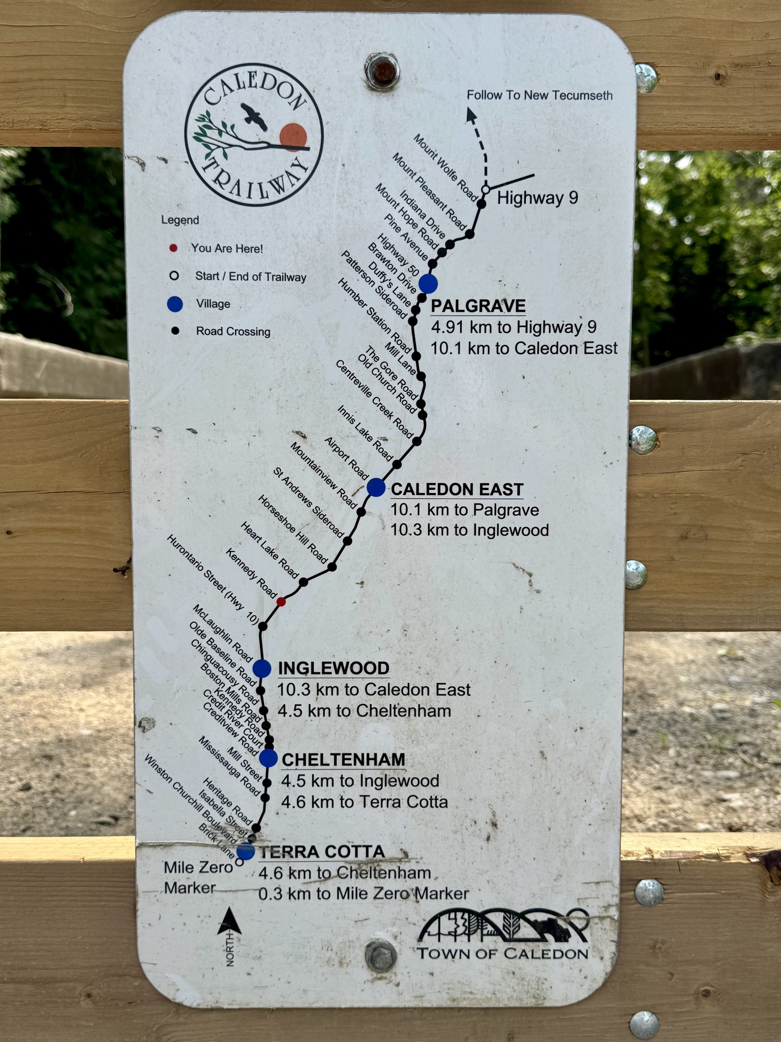
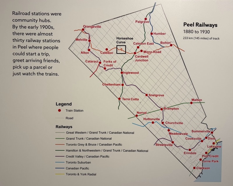
The Caledon Trailway is a rail trail conversion of the former Hamilton and Northwestern/Grand Trunk/CN Railway line that operated from the 1870s until 1960 for passenger rail, with freight traffic ceasing several years later. The tracks were removed in 1986. The town of Caledon purchased the section from Terra Cotta to Palgrave in 1989 and began developing it as a recreational trail. It became the first officially designated portion of the Trans Canada Trail. The full length of the Trailway is part of the Greenbelt Cycling Route, and from Inglewood to Palgrave is part of Trans Canada Trail. Northeast of Palgrave, The Trans Canada Trail continues on the New Tecumseth Trail to Tottenham.
Robert, a blogger I follow, wrote about riding from Barrie to Brampton in two parts here. And I wrote about travelling in the opposite direction, Brampton to Barrie, here.
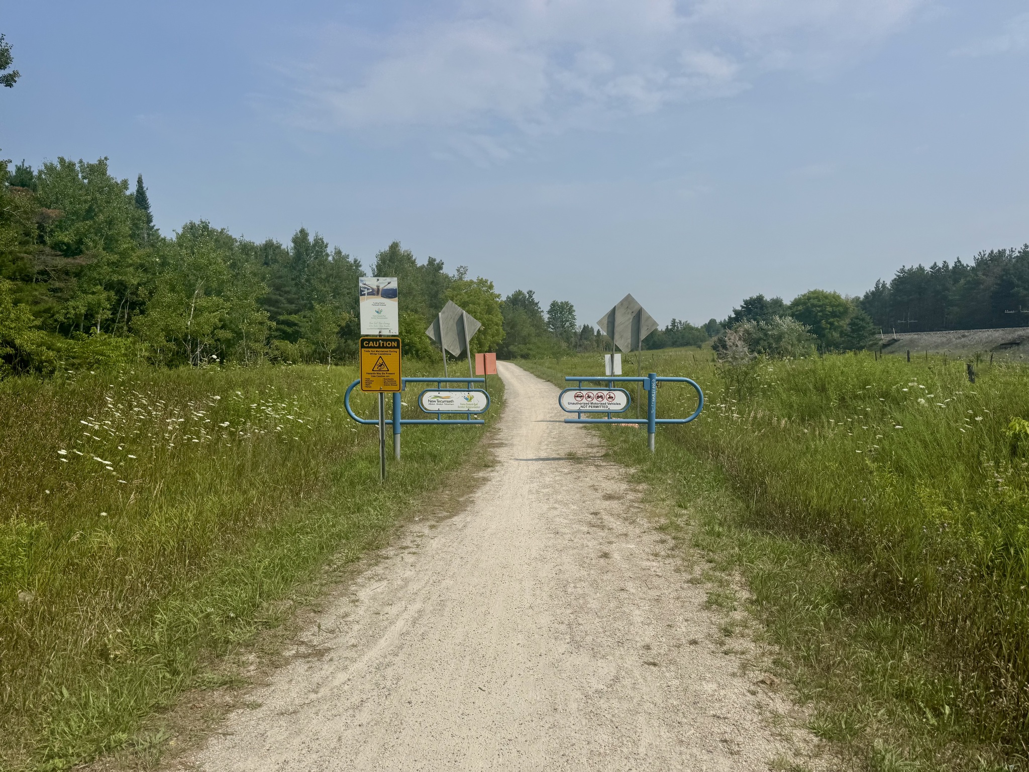
From Highway 9, another 4.5 km on the New Tecumseth Trail, leads to Tottenham.
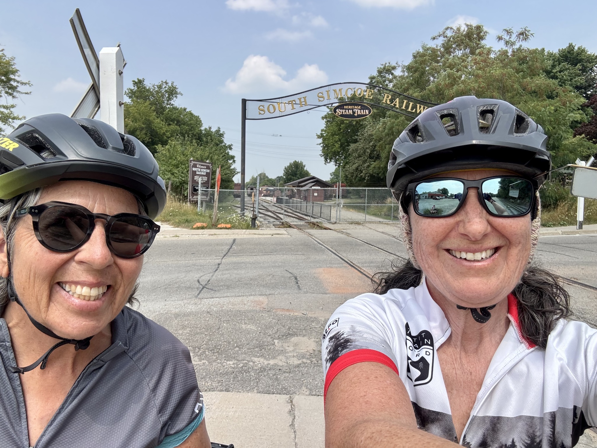
The South Simcoe Railway offers excursions “operated by the South Simcoe Railway Heritage Corporation, a nonprofit historical association, dedicated to the preservation and operation of railway equipment from Canada‘s steam era“. We used to take our children on the ride with the Easter bunny.
The rail trail is discontinuous since steam trains are still operated on the section between Tottenham and Beeton, which means if one wants to ride to Barrie, there is a 9 km section which must be done on the road.
Another 28 km on rail trail takes one from Beeton to just south of Barrie, on the west side of Highway 400 at Gateway Casinos Innisfil.
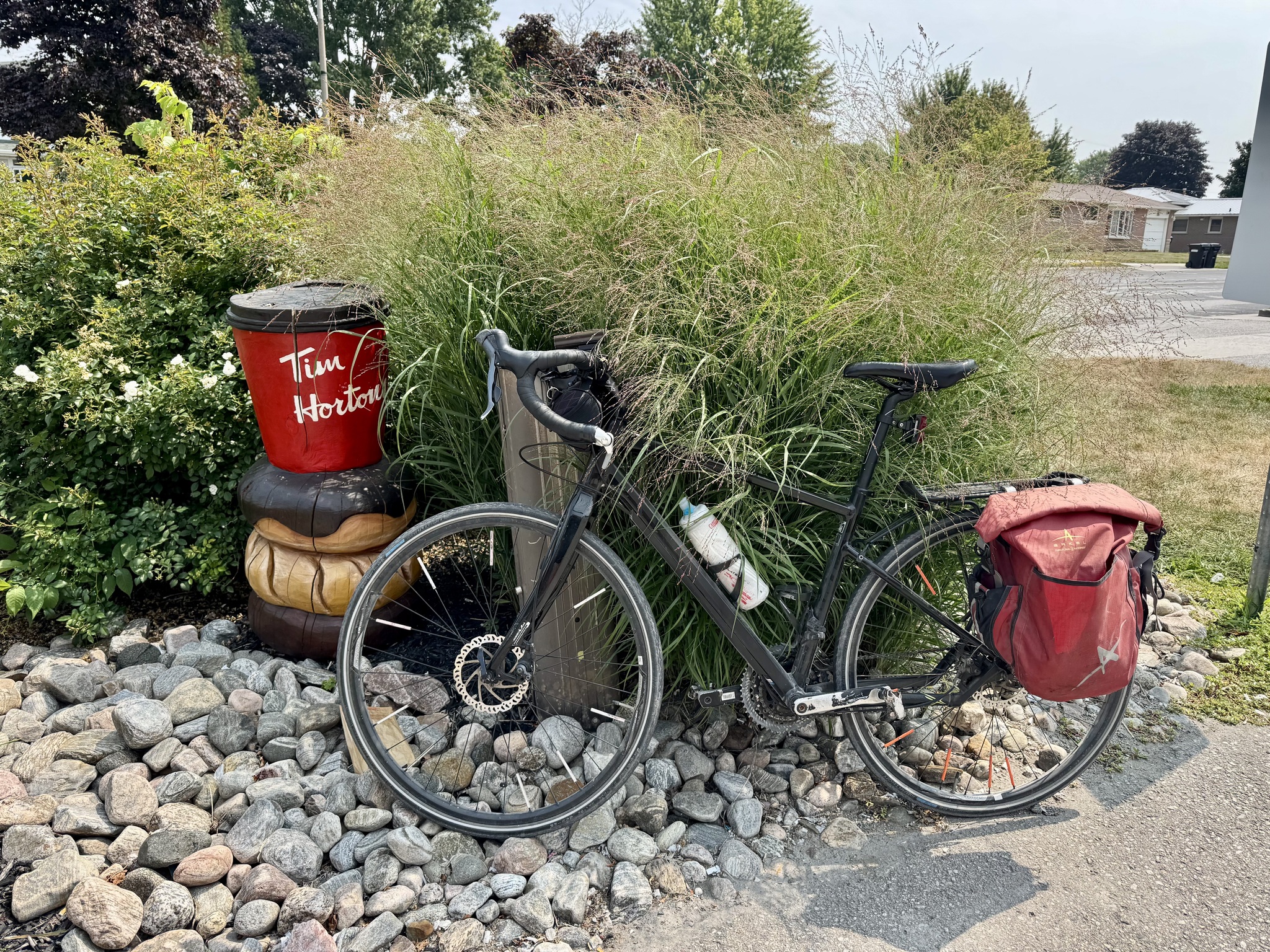
Today, Cindy and I turned around at Tottenham. But first, we stopped at Tim Hortons for iced coffee.
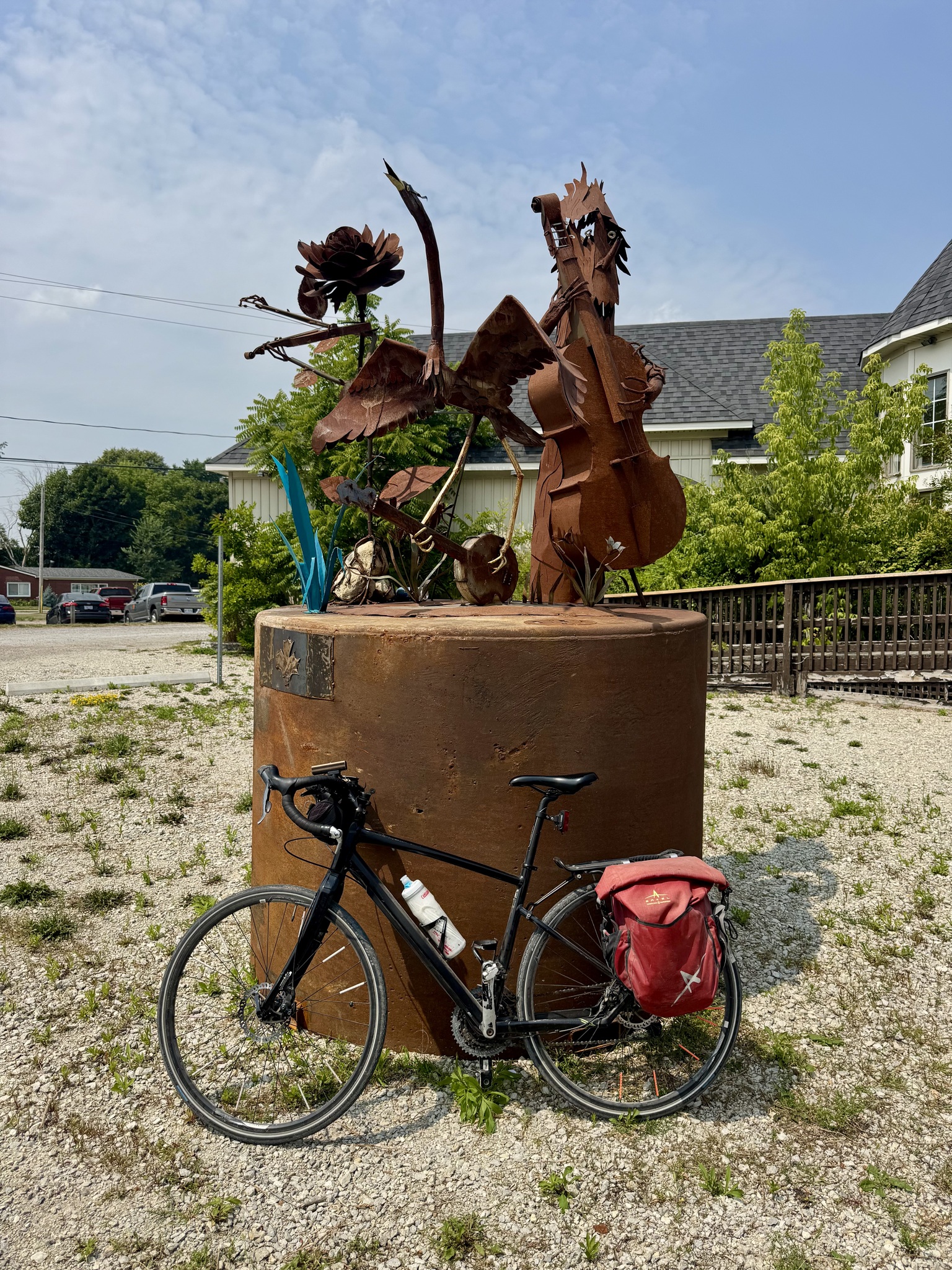
There was a new piece of public art at Mill Street and Queen Street, but I couldn’t find out any information about it.
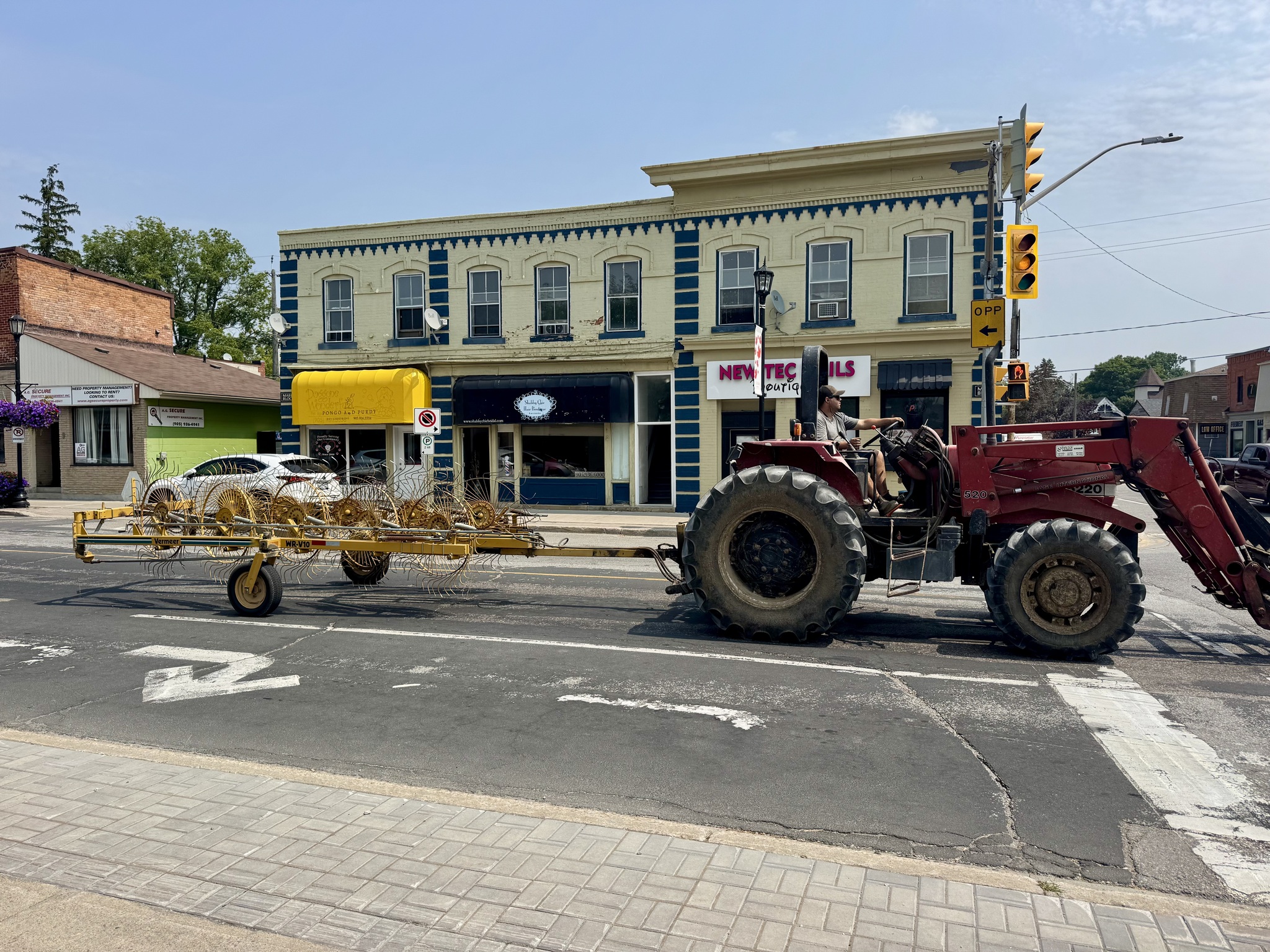
As we were looking at the sculpture, we saw this vehicle drive by.
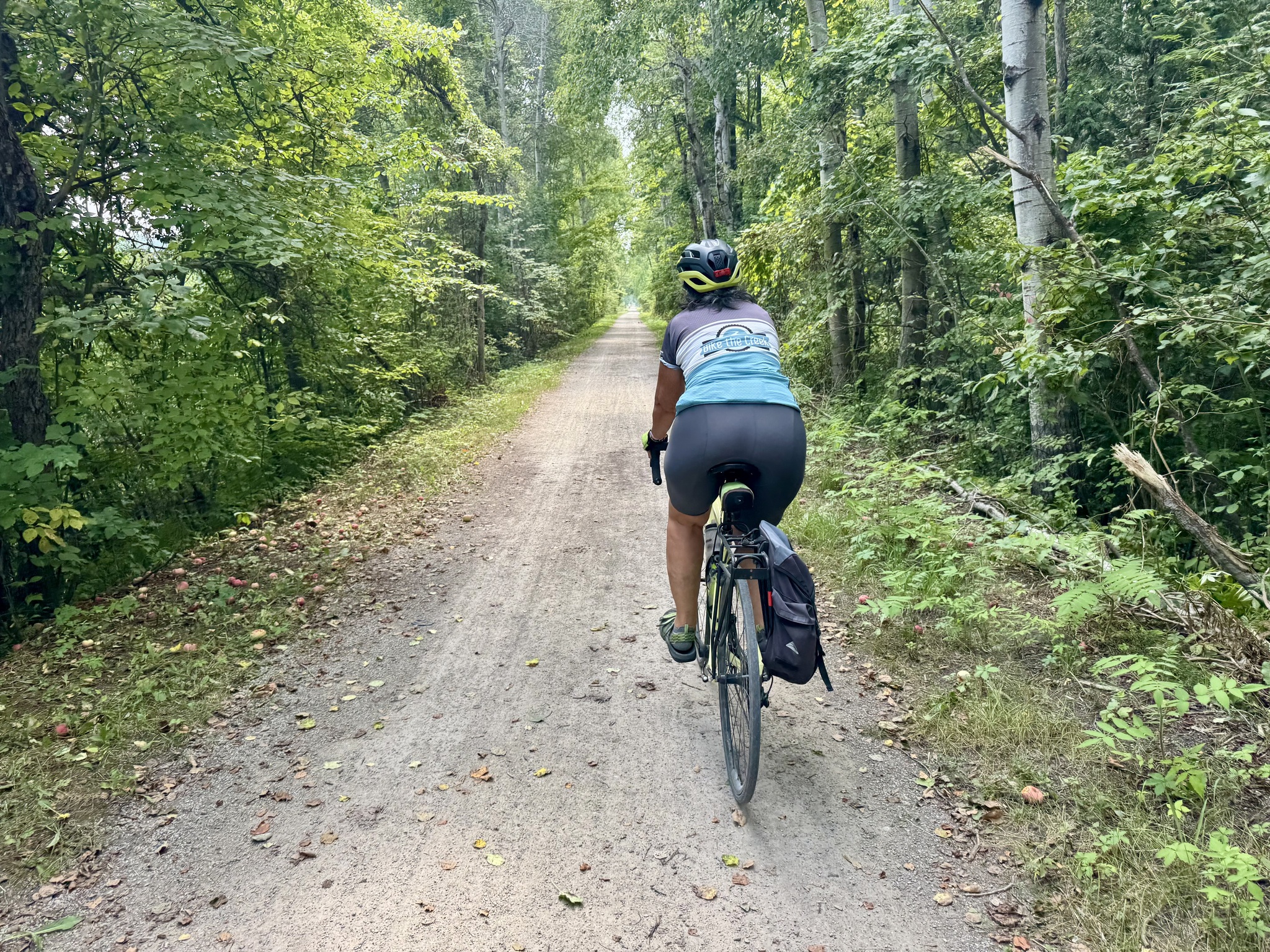
I would estimate that at least 50% of the trail was in shade and definitely kept us more comfortable than being on the road.
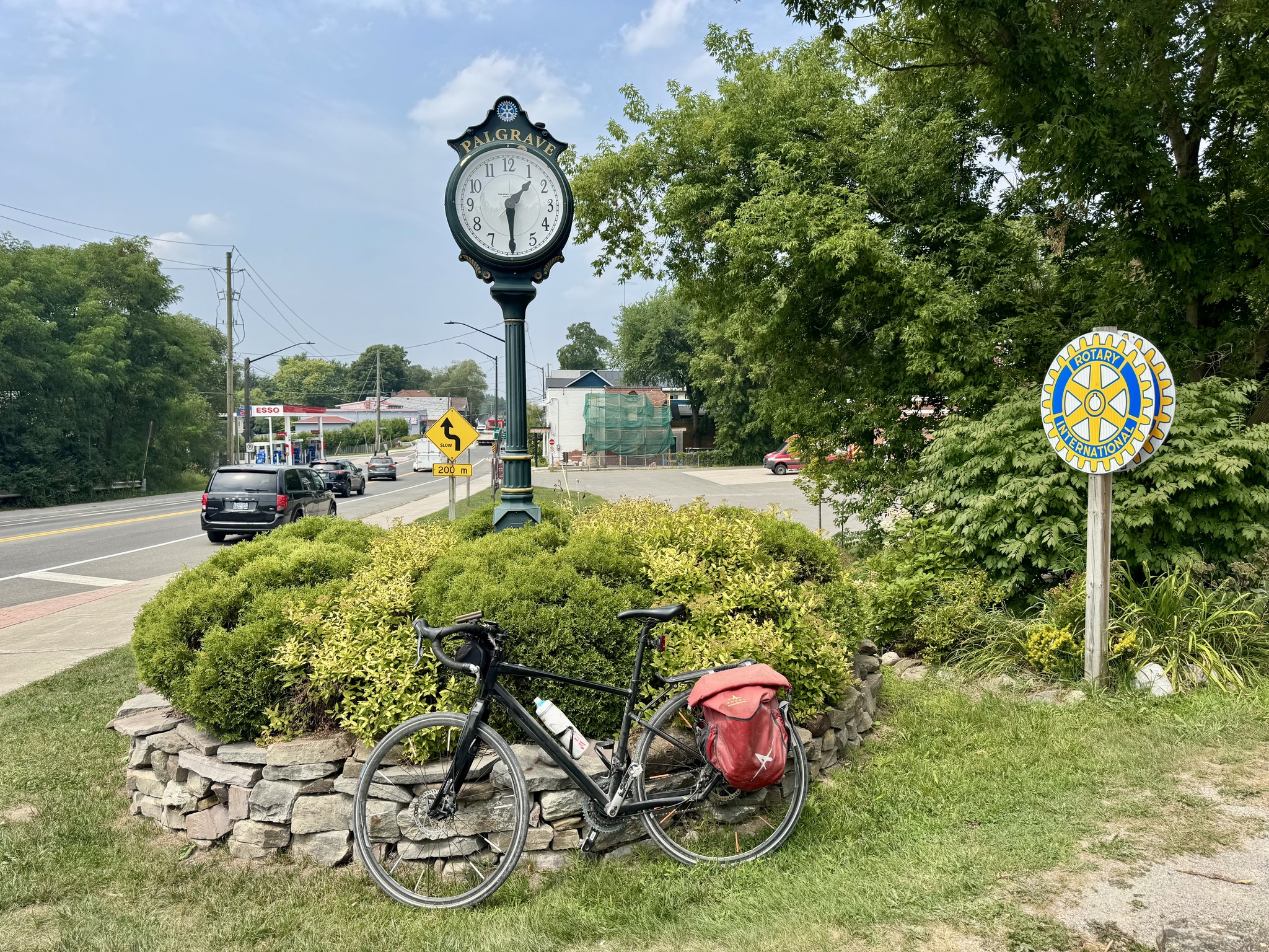
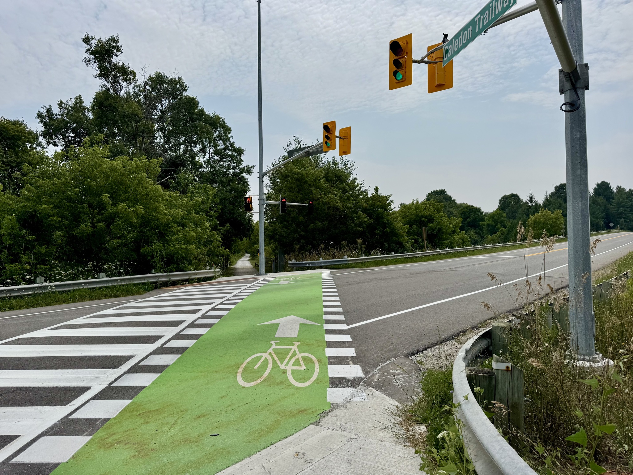
This is in Palgrave. There is a PXO to cross Highway 50 right behind where I was standing to take this picture.
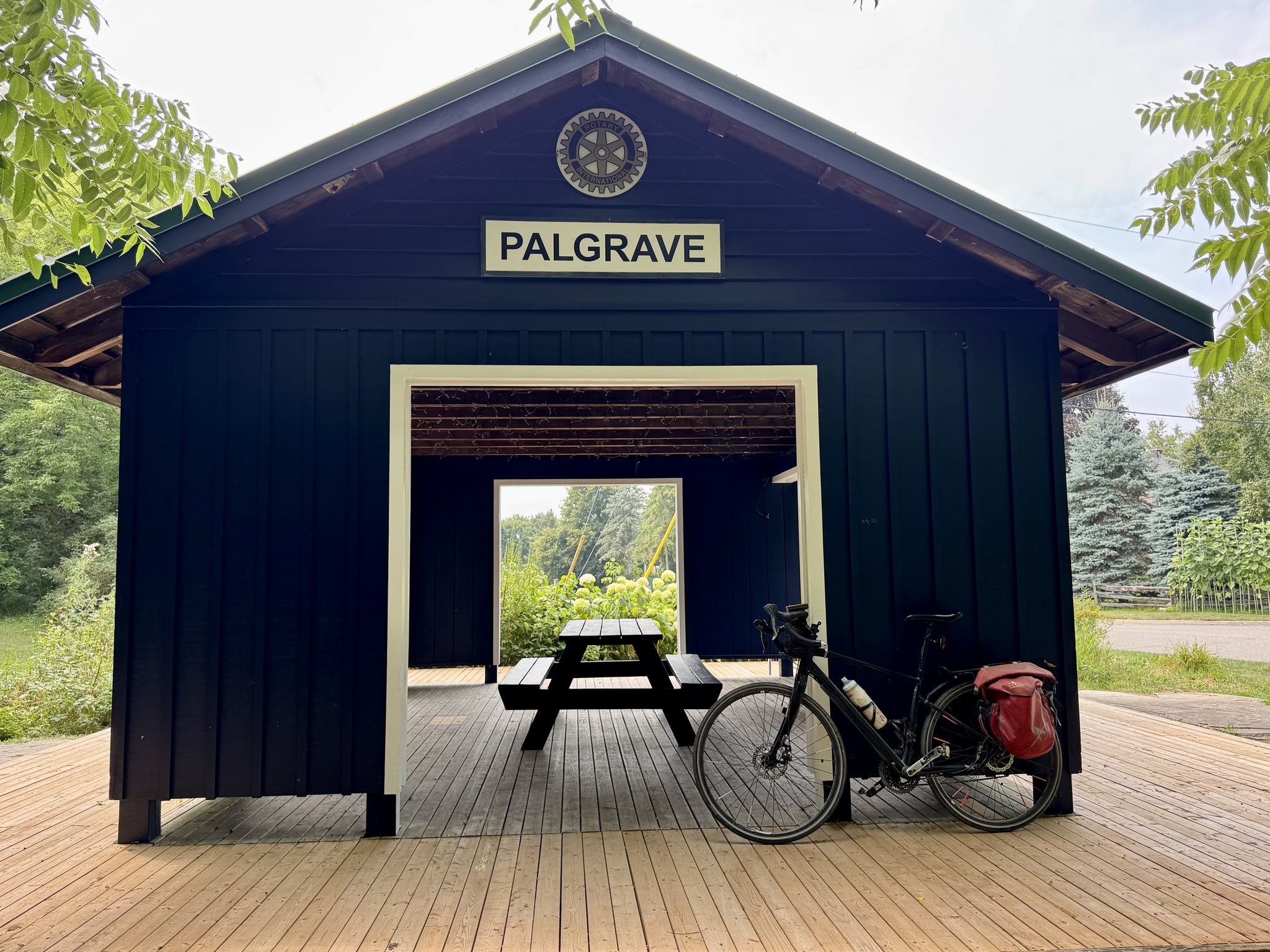
A few hundred metres further on is a very nice rest area open in 1999. The pavilion is based on Palgrave’s Grand Trunk Railway station circa 1900.
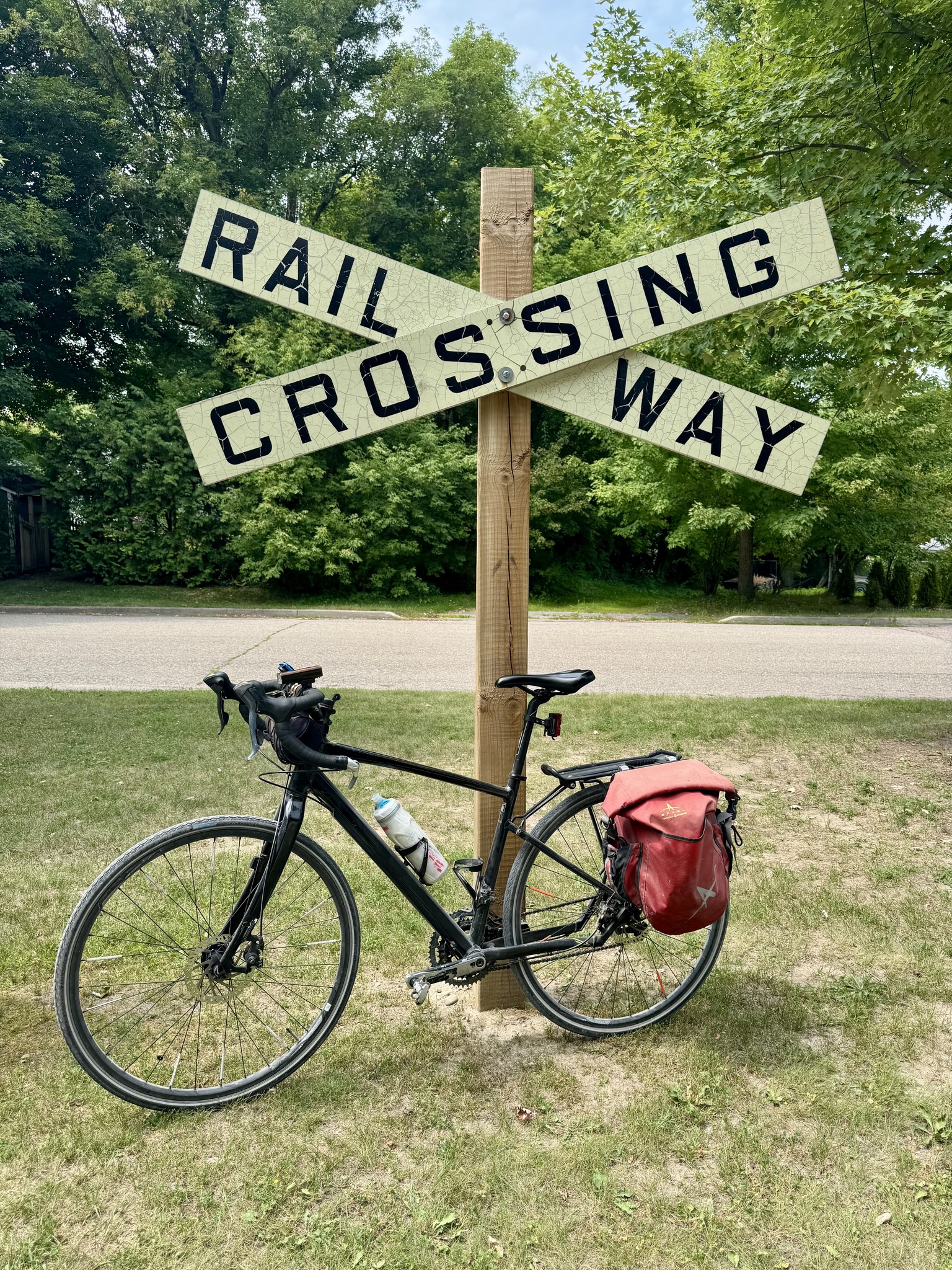
The railway crossing sign is from 1960.
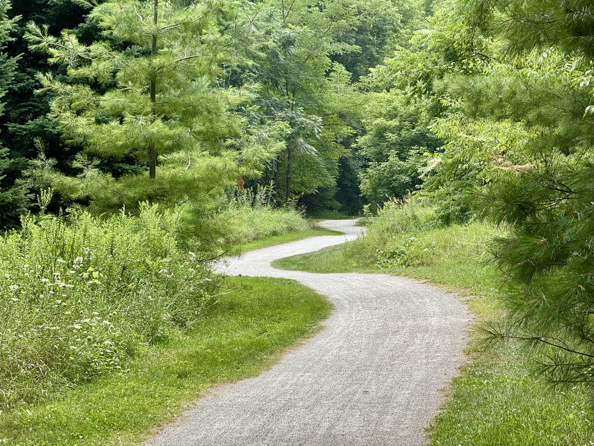
All of the curves, just south of the park made for a pretty picture.
There are now signal controlled crossings at The Gore Road, and Old Church Road, which are most appreciated.
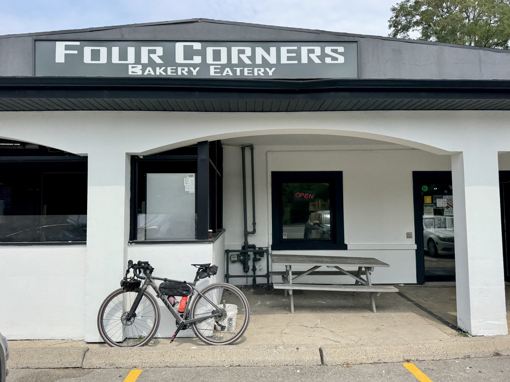
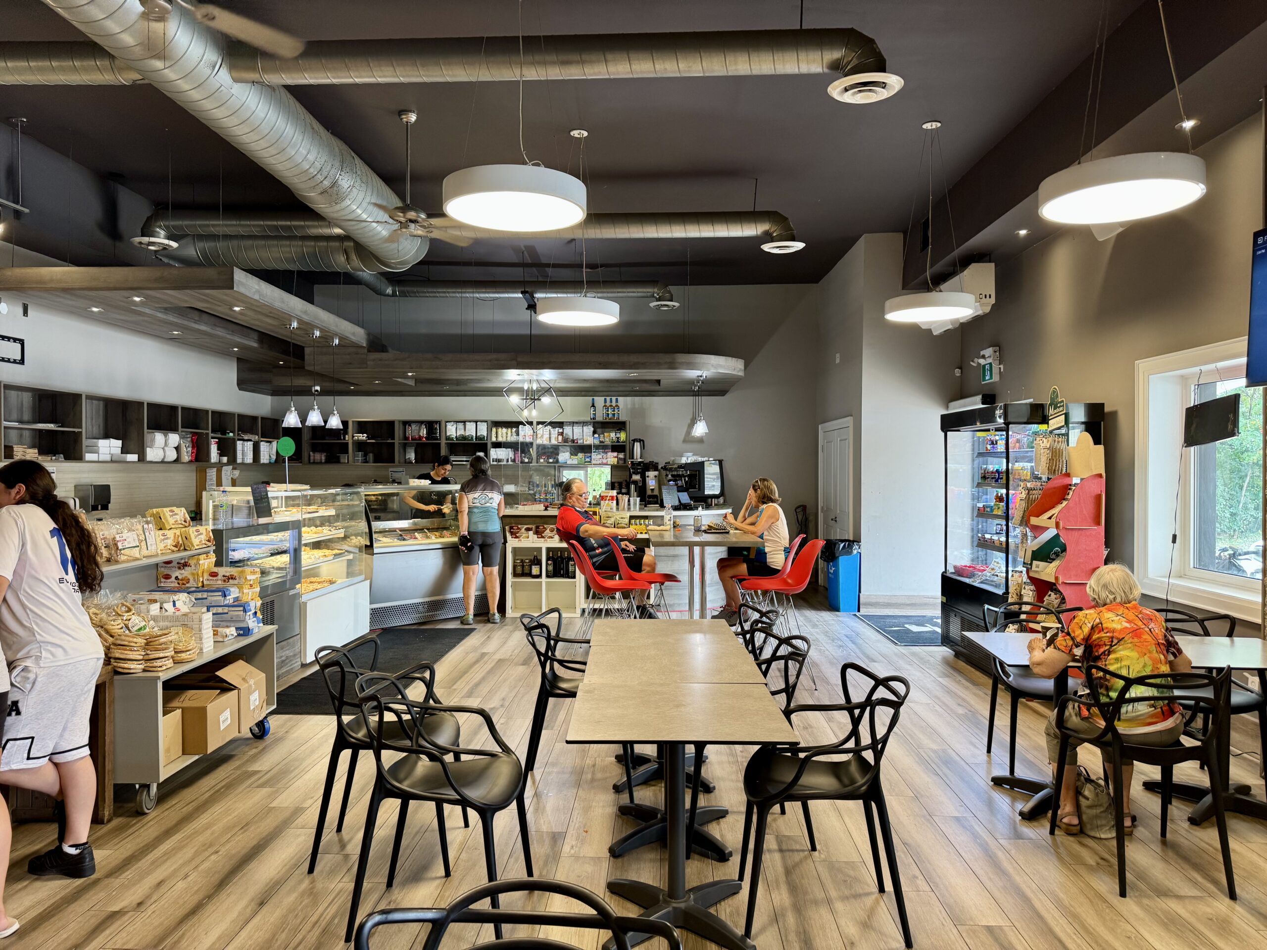
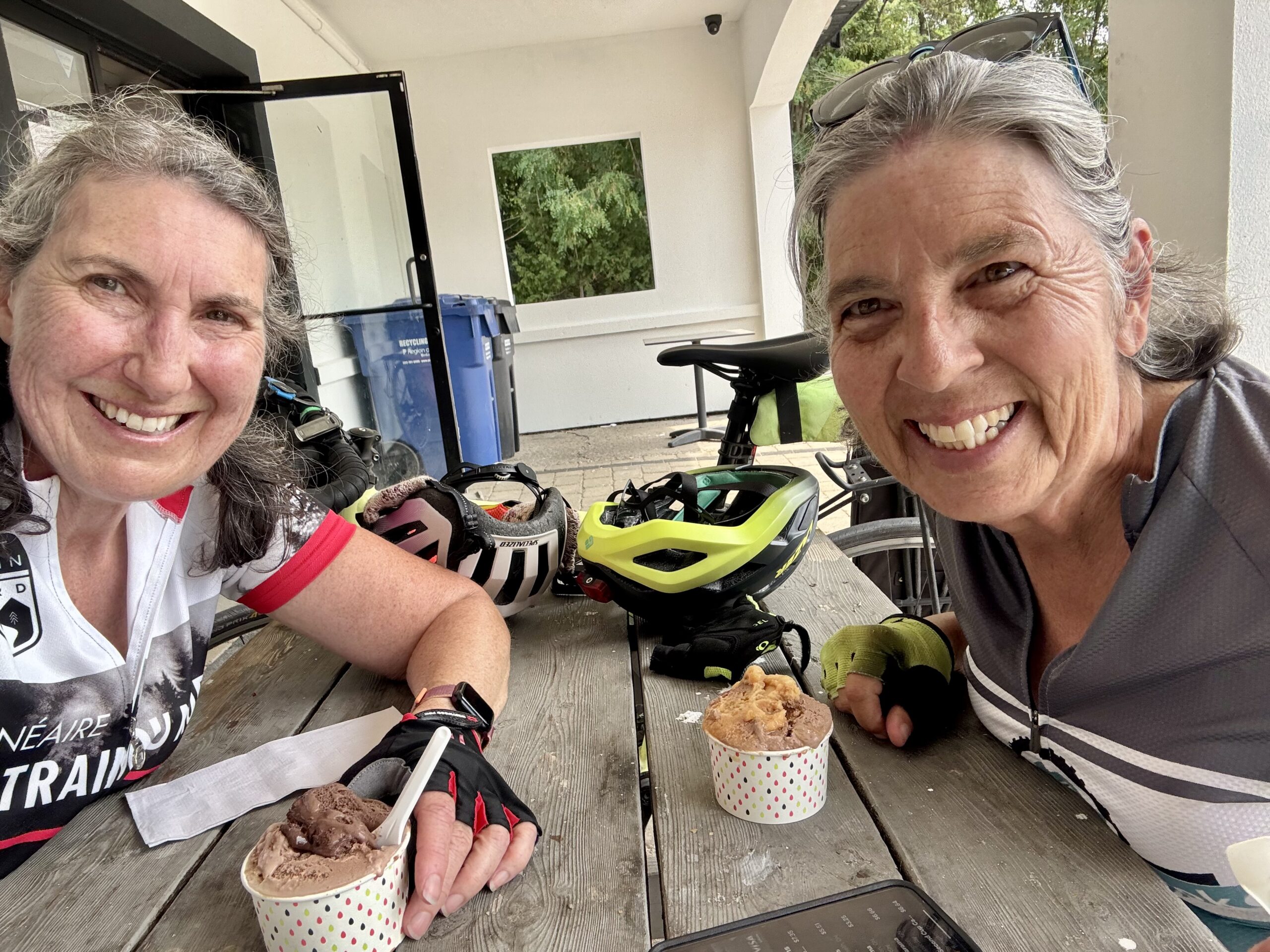
We stopped at Four Corners Bakery and Eatery, in Caledon East, at Airport Road, right next to the trail, for gelato. They have a small selection of groceries, bread, pastries, and a hot table. It’s very convenient.
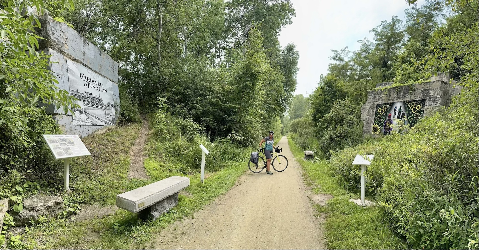
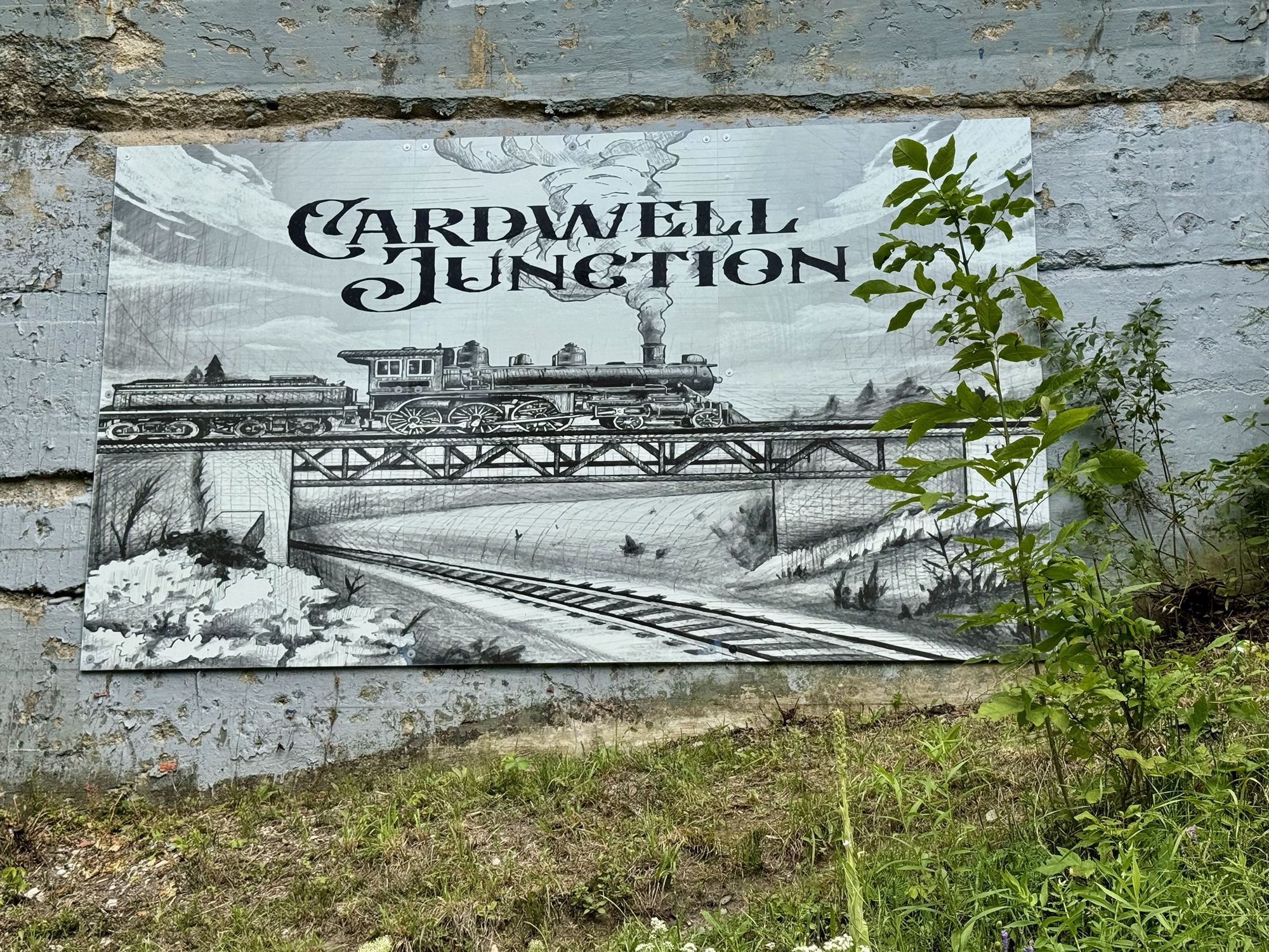
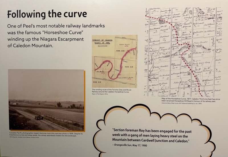
Cardwell Junction is between Mountainview and St. Andrews Roads ( Torbram and Bramalea in Brampton). The concrete abutments that once supported a railroad overpass carrying the Toronto Grey and Bruce Railway (TGB) over the tracks of the Hamilton and Northwestern Railway (HNW), are all that remain of the TGB, built between 1869 and 1872, originating in Toronto, and passing through Bolton, before climbing up the Niagara Escarpment to Caledon Village, and ultimately north to Owen Sound. Around 1890 there were up to eight passenger trains a day through this junction.
These two murals by Blaze Wiradharma were inspired by the history of the area. They were funded by a partnership between the Town of Caledon, which obtained a grant from the Province of Ontario’s Rural Economic Development Fund, and the Caledon Trailway Book Committee.
North of here, a switchback known as the Horseshoe Curve enabled trains to manage the steep gradient of the Niagara Escarpment where the elevation changes by 26 metres in 1.6 kilometres. Cindy and I visited PAMA, the Peel Art Gallery, Museum and Archives, at the end of May and they had a display about railways in Peel. Imagine if we still had this rail connectivity!
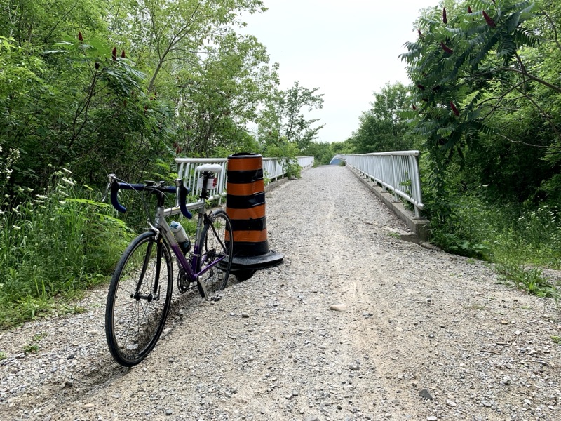
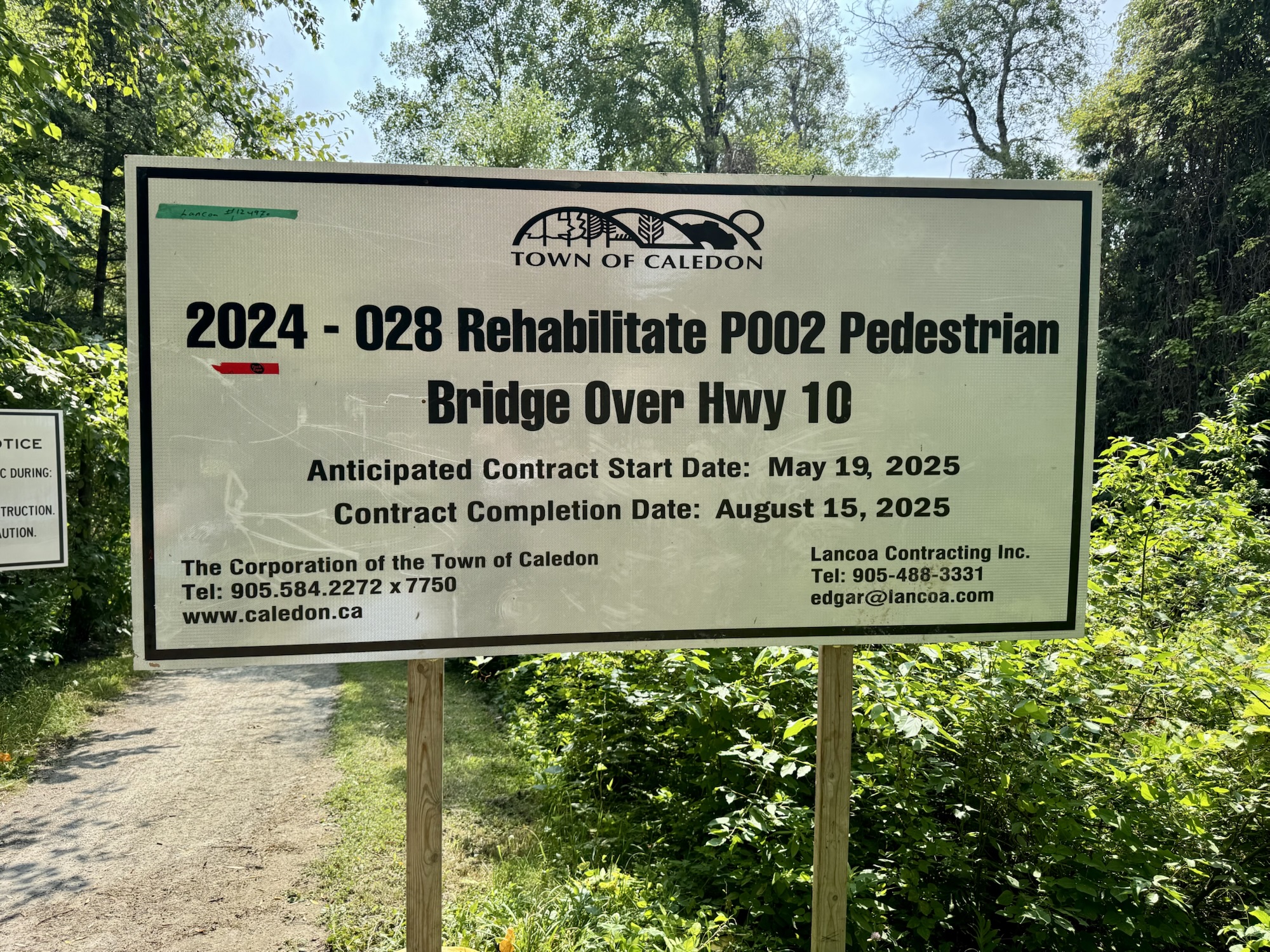
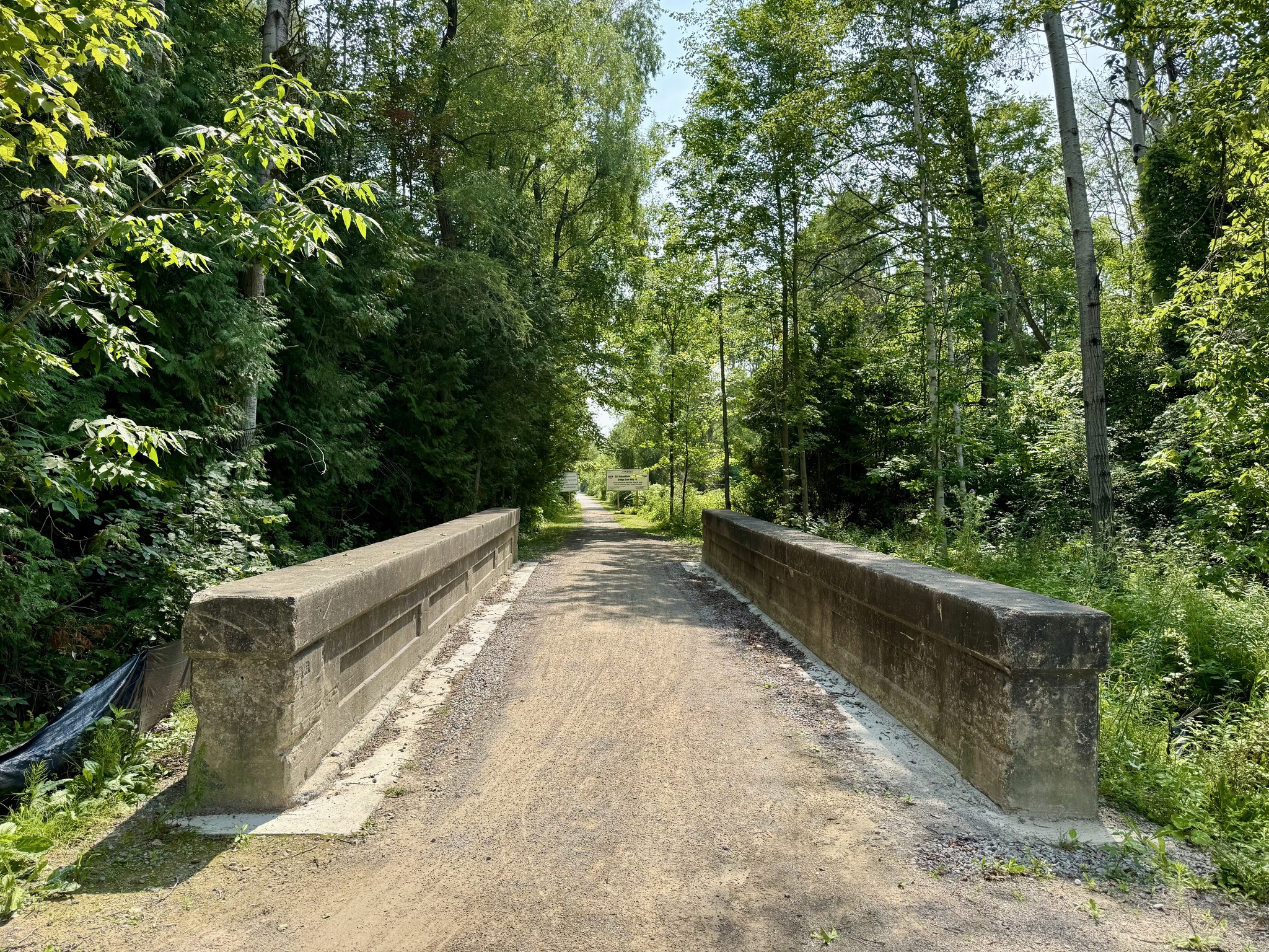
The Active Transportation bridge that carries the trail over Highway 10 is being rehabilitated. We turned around before getting to the bridge, knowing that it was closed, but it should be opening soon, with paving beginning next week and taking one to two weeks. It was always very challenging riding the ascent and decent to this bridge, so I’m looking forward to riding over it when the rehabilitation is done. T
Before picture from 2021
Cindy and I did not remember these walls being here on the west side of Kennedy Road in the past, and they appear to be on a new concrete base. I looked on Streetview, and they are indeed newly in this spot. I can’t recall where they used to be, and do not know why they’ve been moved here.
It was much hotter riding back south from the trail into Brampton, but at least it was relatively downhill, with an air conditioned home at the end. I rode 86km; Cindy got a gran fondo (100km). I’ll try for a gran fondo next week.
For those who would enjoy riding the trail, but don’t want to ride to the trail, there is parking for at least a few cars at most road crossings. Larger parking areas are found at: Gore Road north of Old Church Road, Caledon East (Town facilities lots on Old Church Road), Ken Whillans RMA on Highway 10, east side of McLaughlin Road in Inglewood, and on Winston Churchill Blvd near Terra Cotta.
Seasonal portalets are found in Inglewood and Caledon East. Stone benches are placed in many locations along the Trailway.
The Caledon East Community Complex, just east of Airport Road, has indoor washrooms and an outdoor water fountain and water bottle filling station.
This is quite a long post, and I was thinking about whether I should break it into multiple posts, but I decided to add a table of contents, instead, to make it easy to jump to a specific section. 
The Ride
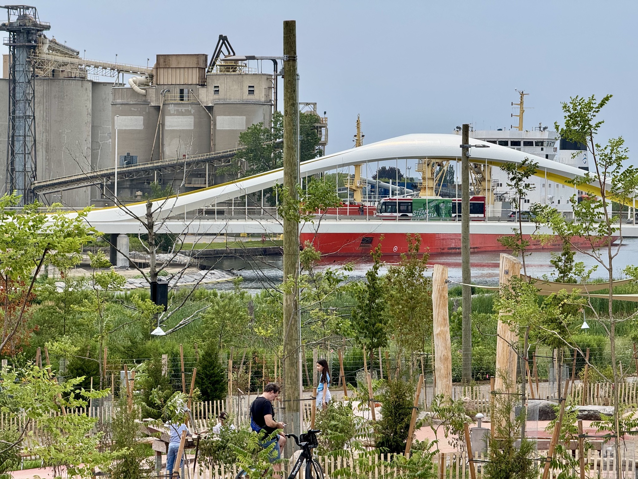
Cindy, Barry and I decided to ride to Biidaasige Park, a new park in the Port Lands of Toronto. The project started in 2017 and is ongoing. It involves flood protection, rerouting of the Don River to create a naturalized mouth and new River Valley, new parks and public spaces, and Villiers Island, renamed Ookwemin Minising, a new island community, which will eventually house more than 15,000 people, with the first people scheduled to move in by 2031. The island is being developed in multiple phases with completion expected between 2040 and 2050.
We met on Torbram Road at 10 AM, getting to Airport Road through an industrial area, and cutting through the airport to get to Renforth and Eglinton, where there is an excellent multi-use path. Mid morning traffic isn’t too bad on Airport Road, and it’s the shortest route from Southeast Brampton.
We turned south on Royal York Road, so I could pick up a few new Squadrathinos tiles. Whenever I’m planning a route into Toronto, I try to ride on different streets, for the experience, and for the tile collecting. Royal York Road had a very narrow bike lane, but felt fairly comfortable to ride with the traffic calmed by having only one lane in each direction, being a bus route, and having large trees overhanging the street.
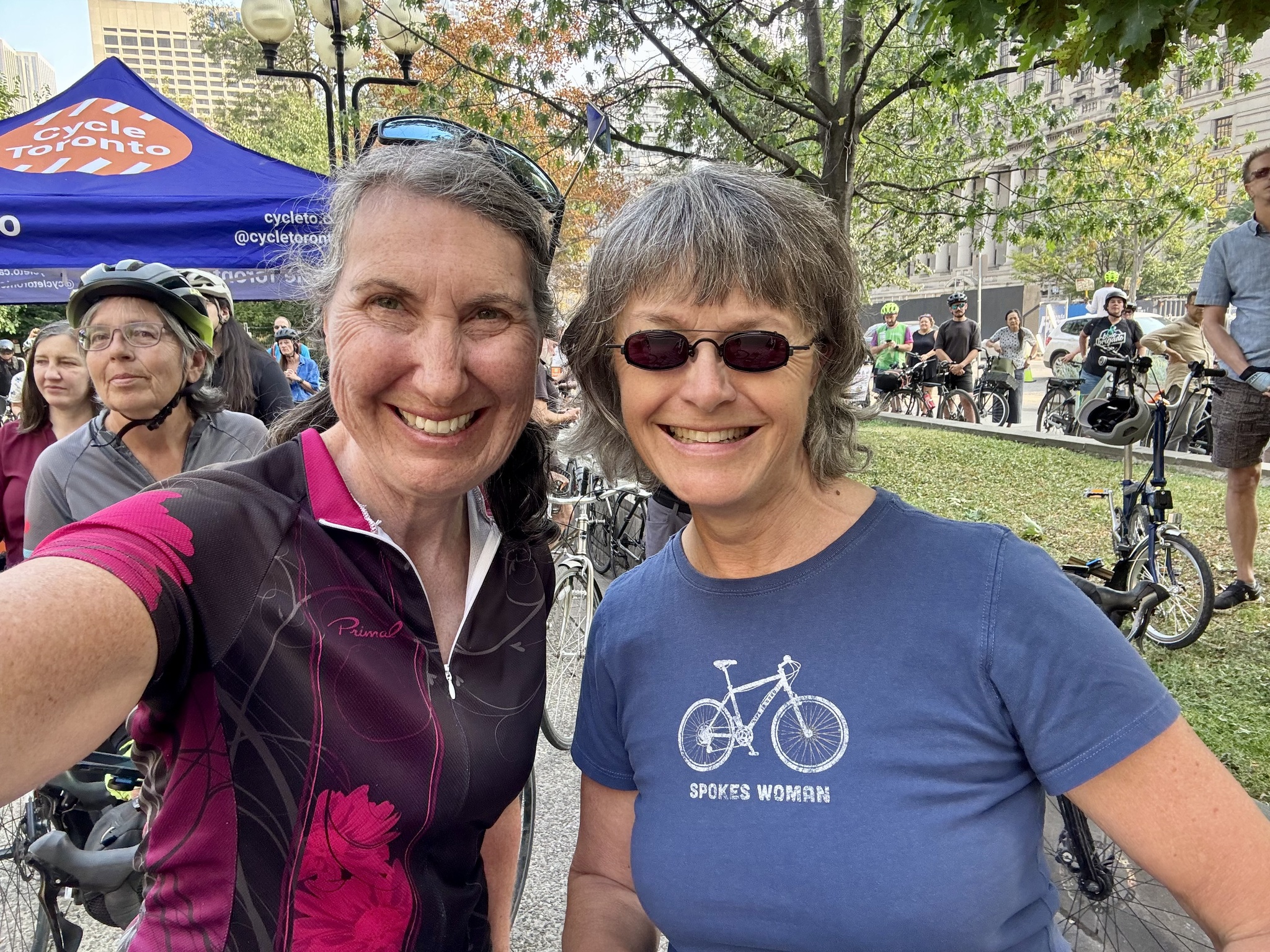
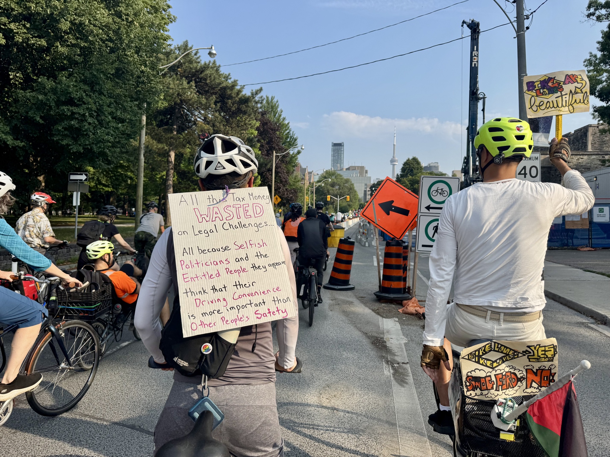
When we got to Bloor we used the protected bike lanes. This is the area where there has been a considerable amount of backlash, and which contributed to the Ford government’s Bill 212. I went to a rally against the bill last October and you can read about it here. Cycle Toronto filed the court case against the legislation.
We had already decided we were going to Toronto today, when we learned that Cycle Toronto had won their case, and planned a celebration rally at the courthouse in the late afternoon, so we decided to attend that, in addition to exploring the park.
Cindy drives on Bloor weekly on her way to her ukulele group, and says traffic has become much better after the protected lanes went in, than it was before. As we cycled along, it seemed that the only delays were due to red lights, and that otherwise traffic was generally moving at a reasonable pace for a dense urban area.
The Ford government, and people who are against bike lanes constantly claim that they aren’t against bike lanes, but that they should be on secondary streets. However, there is no direct alternative to Bloor Street, and many of the things that people want to ride their bikes for are located along Bloor Street. Even if one was willing to use secondary streets, despite adding significant distance, there are some places, like the Humber River showing here, where there is no alternative way to get across, and as you can see in the picture, there’s no traffic, either. I am aware that this picture was taken midday, but it is not possible to build enough roads to accommodate peak traffic volumes.
Toronto has put in metal floating bus stops in this section which is very new. The older sections have the bus floating bus stops built-in out of asphalt.
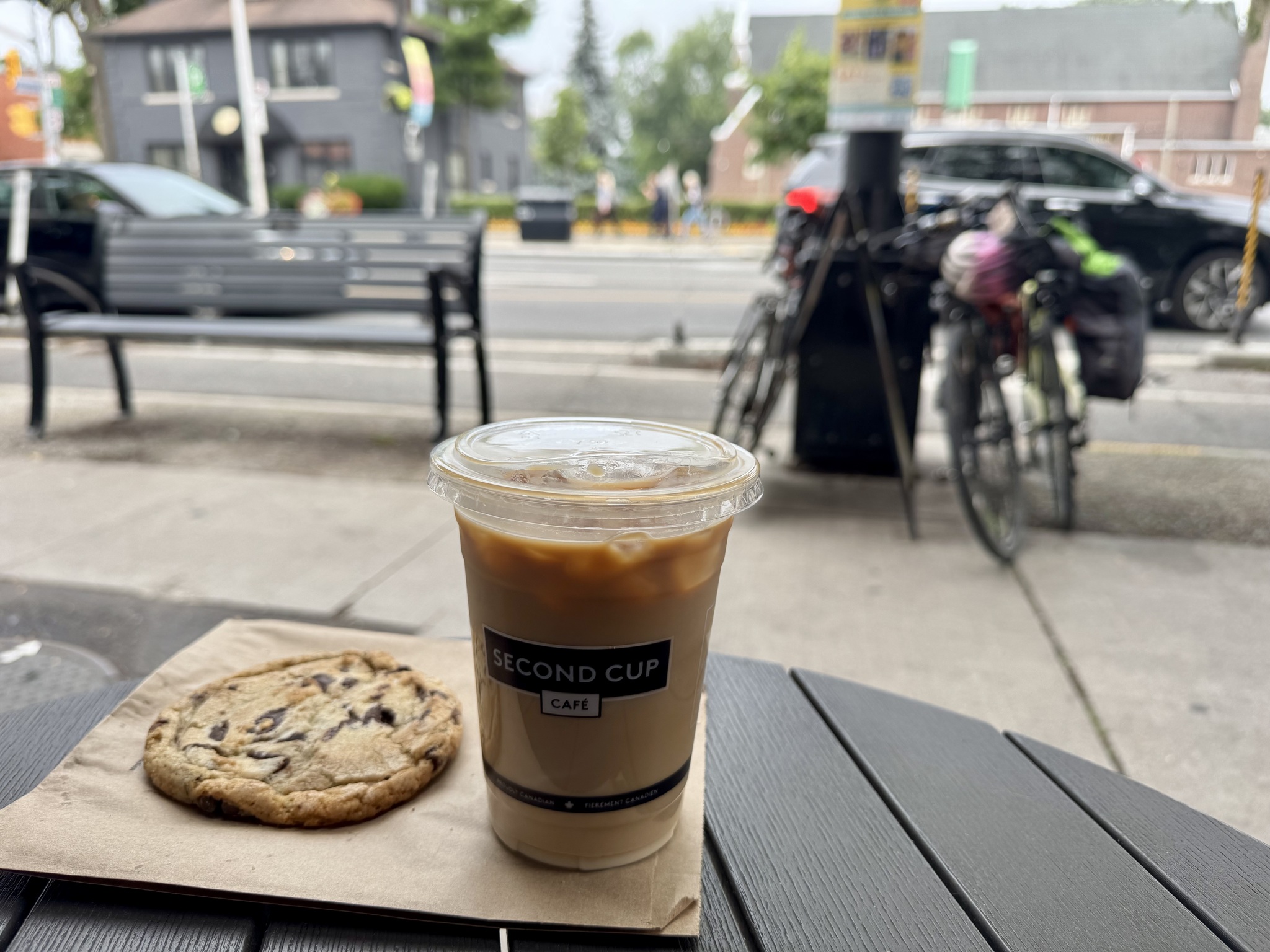
We stopped at Second Cup for a break when I was about 30 km into the ride, and Barry was 50 km into the Ride, having come from Georgetown.
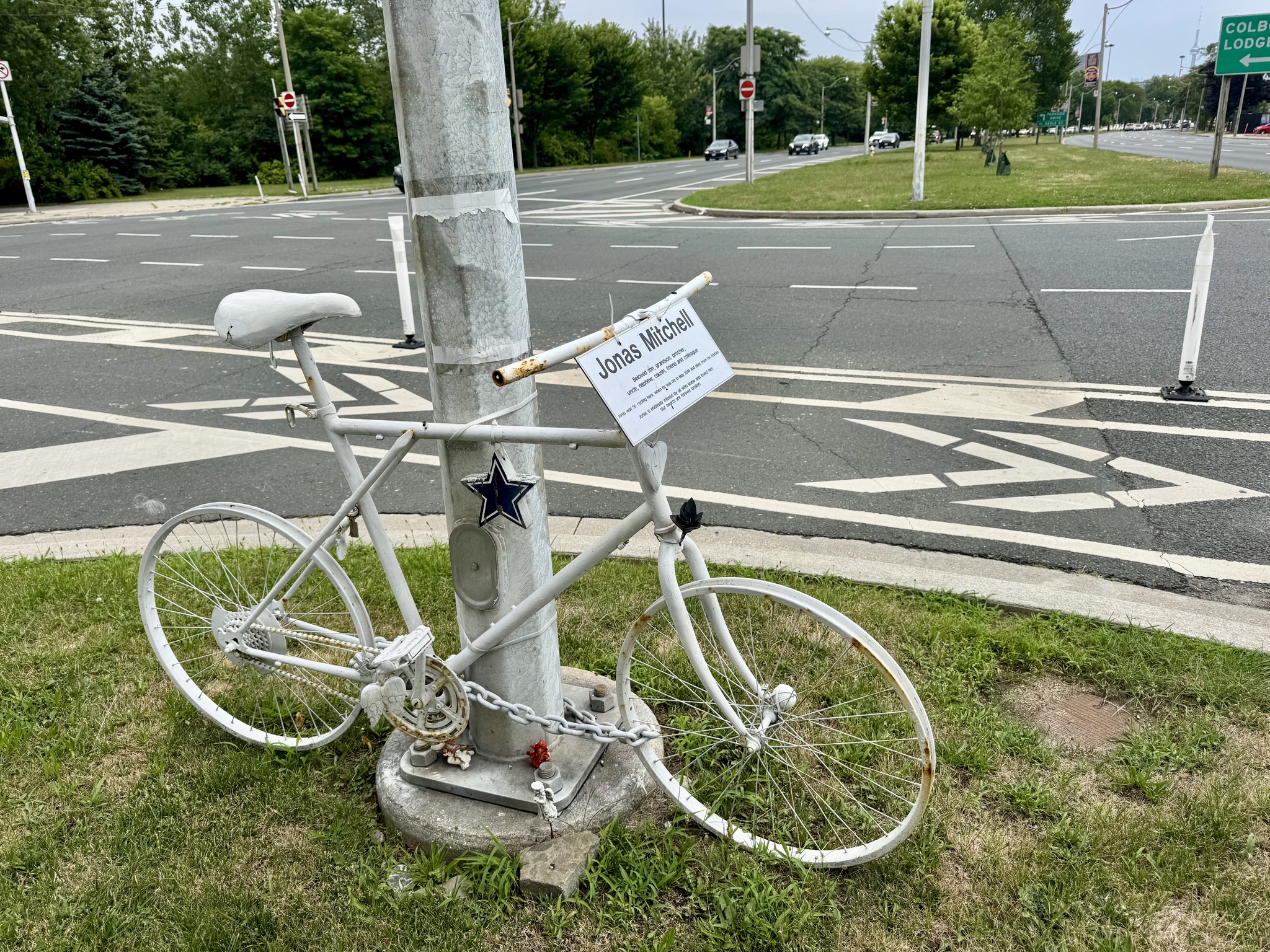
This ghost bike was placed at Lakeshore Boulevard and Colborne Lodge Drive, after Jonas Mitchell, aged 35, was hit and killed by a driver.
We then rode the Waterfront Trail to Cherry Street.
Another travesty of the Ford government is allowing a foreign company to build a spa at Ontario Place, using tax pay money to build the parking lot, and pricing the lease at a giveaway rate.
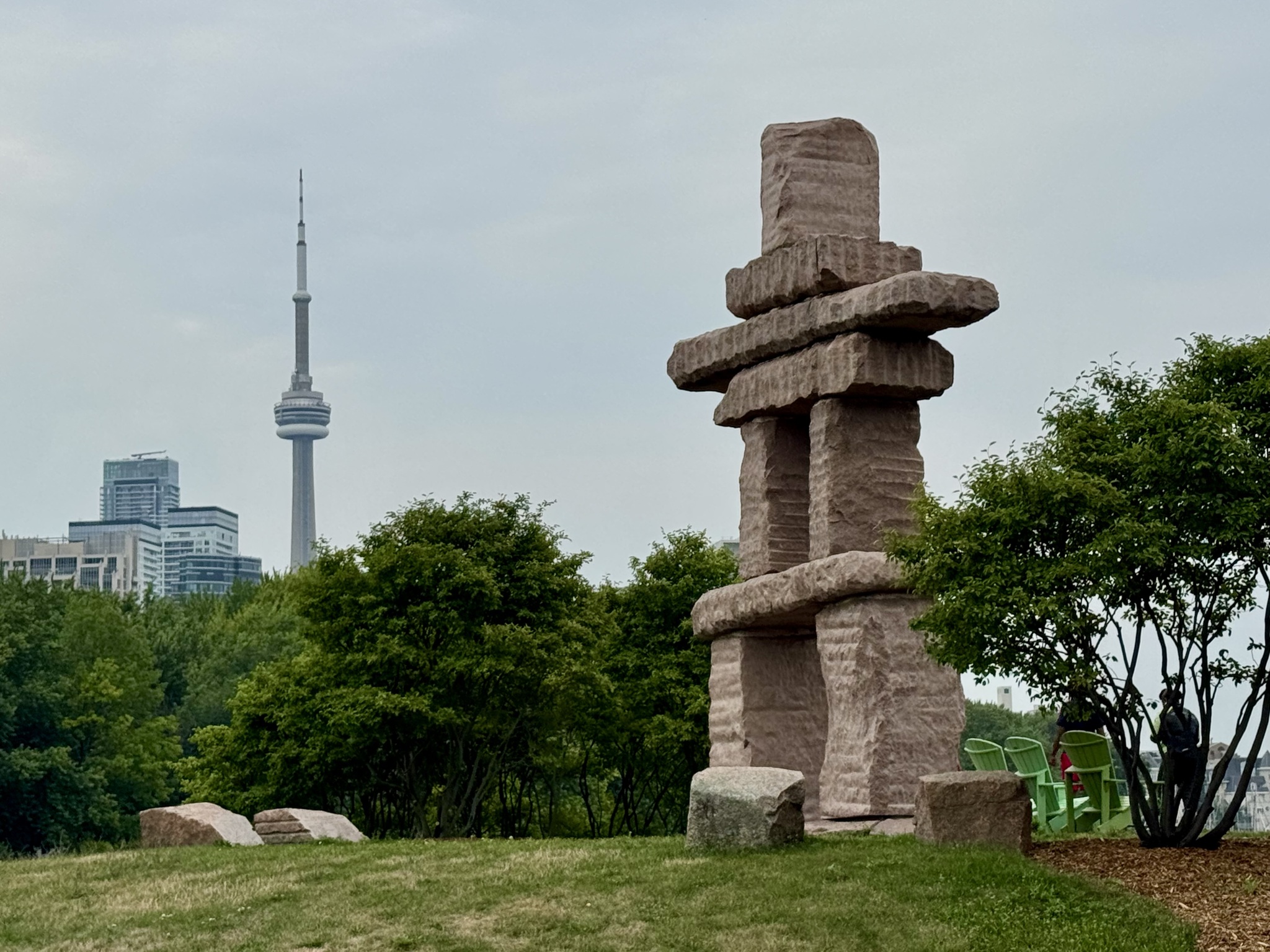
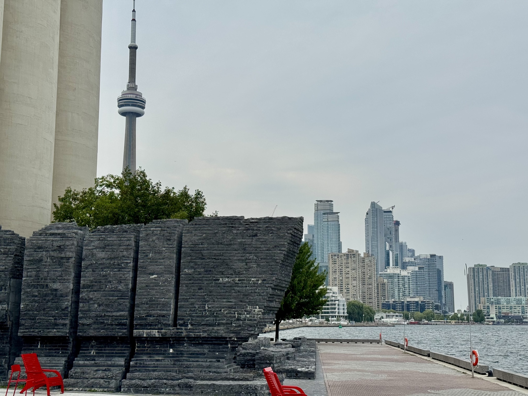
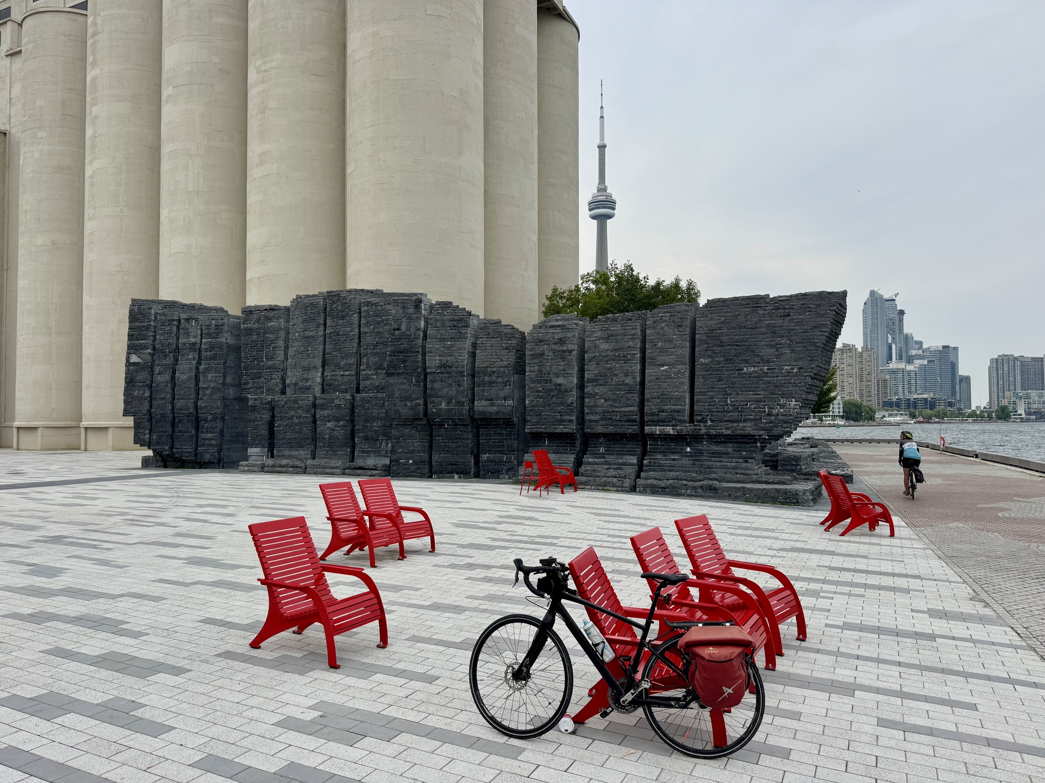
I like the contrast between the inukshuk and the CN Tower in this image.
There’s a cute splash pad and playground by the Billy Bishop airport.
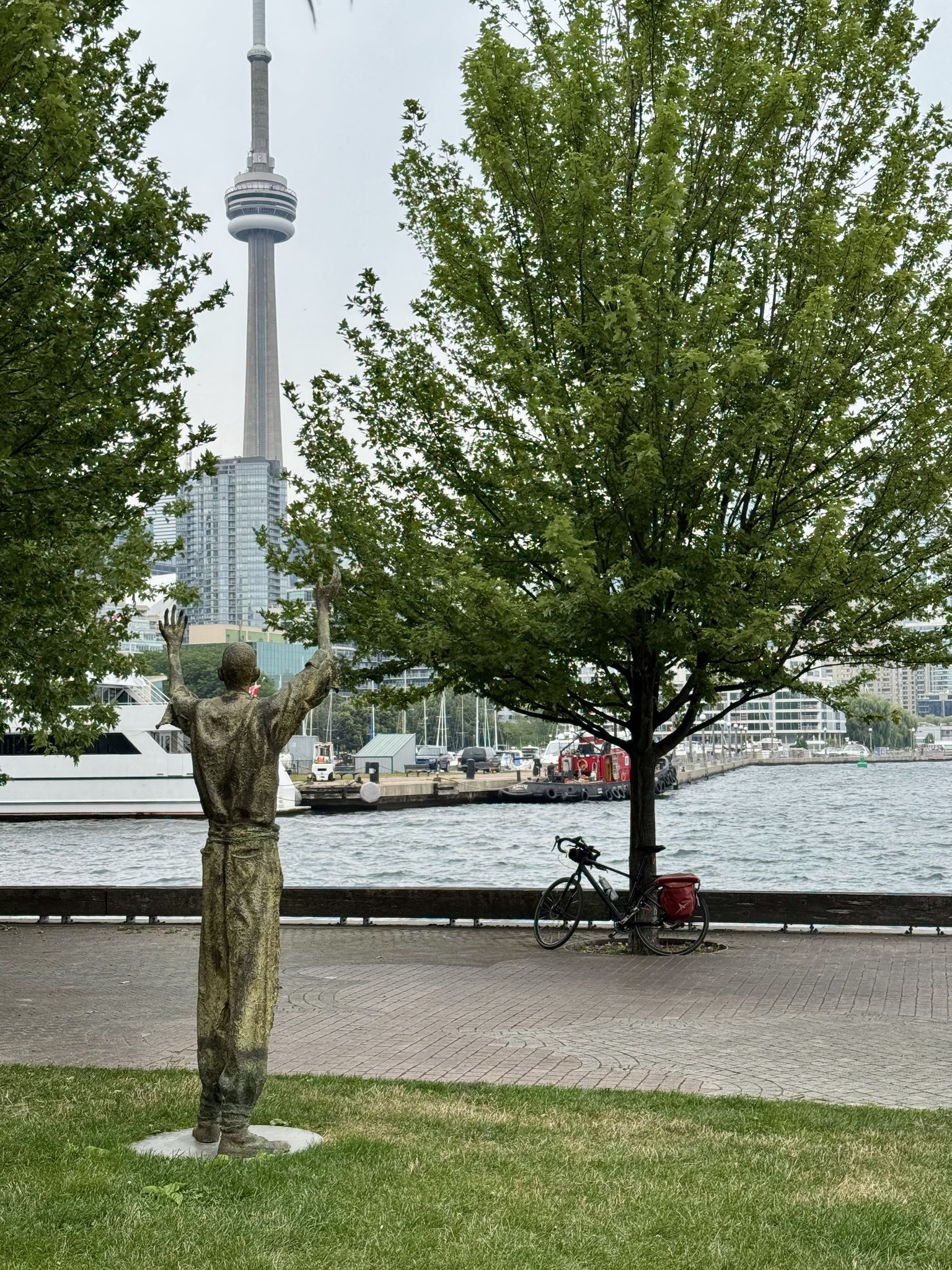
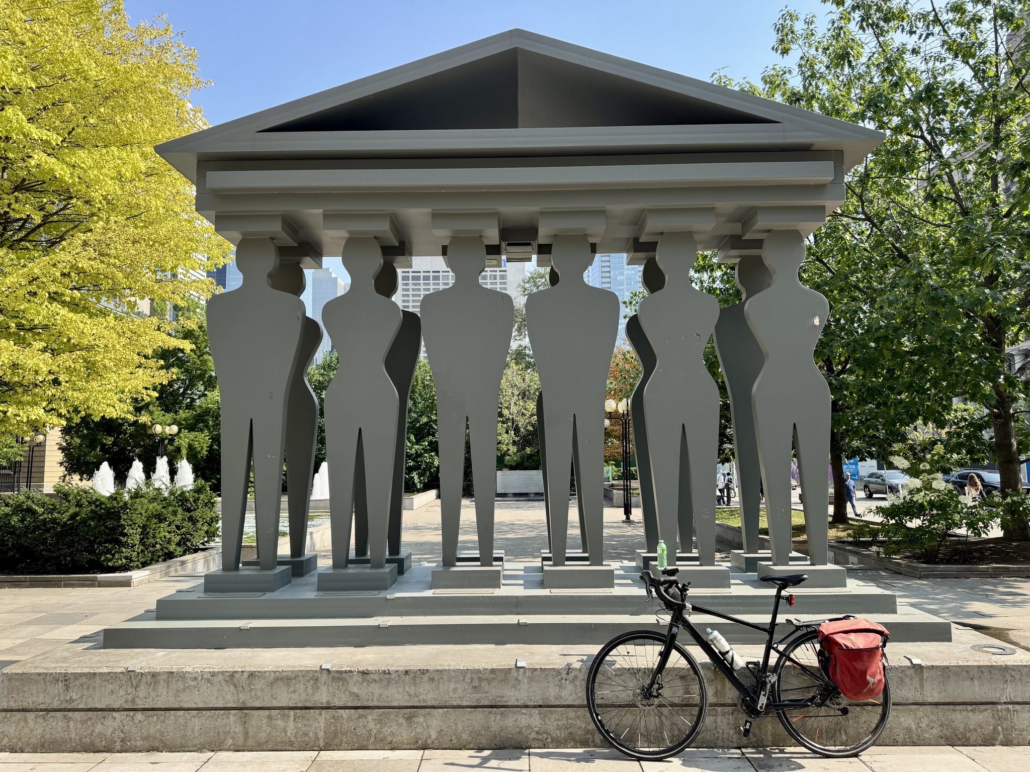
Cindy had not been to Ireland Park before, so we stopped briefly. The park memorializes, the Irish who emigrated to Toronto to escape famine, between 1846 and 1849. In 1847 alone, over 38,000 Irish men women and children landed in Toronto, a city of only 20,000 people. The artist, Rowan Gillespie, created a series of famine sculptures in Dublin, entitled, Departure. There are seven sculptures there, and only five in Toronto, to speak of the loss of life in transit, and upon arrival.
The view from Ireland ParkThe view from Ireland Park
The Waterfront Trail continues along Queen‘s Quay.
At the foot of Yonge Street is a sculpture by Richard Deacon entitled Between the Eyes. It makes me think of a whisk.
Redpath still operates a sugar refinery on Queen‘s Quay, and sugar is regularly delivered by ship. Cranes are used to dig the sugar out of the hold as seen in this video I made a few years ago.
On the next wharf is a park called Sugar Beach, which pays homage to the industry across the channel.
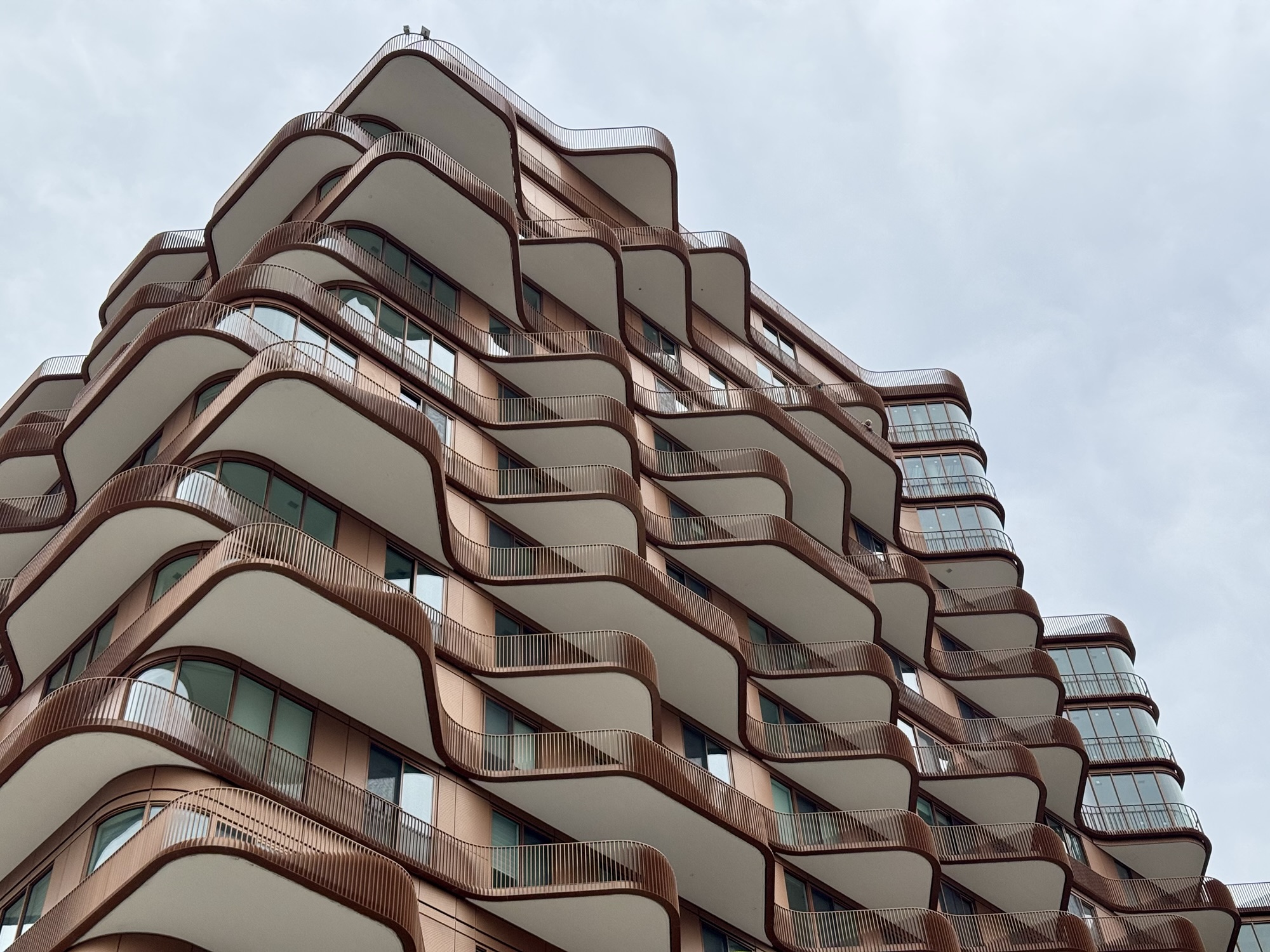
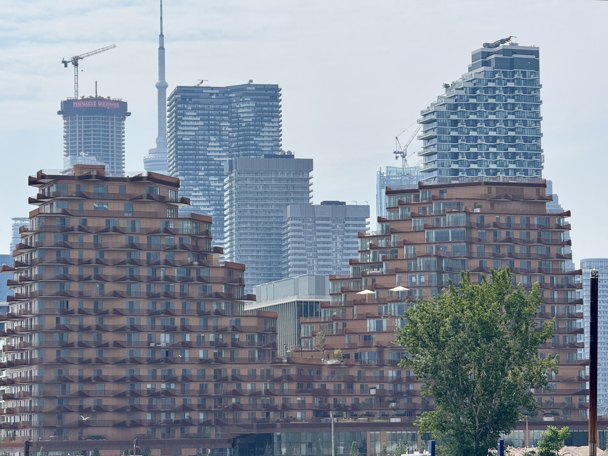
This neighbourhood is known as Bayside, and replaces an industrial port. This particular development is named Aqualuna. It is a “sculptural 16 story residence defined by its cascading terraces that echo the waves of Lake Ontario“.
Biisaasige Park
Before the 20th century, the Port Lands area was primarily marshland. In the early 20th century, Toronto began filling in the marsh to create land for industrial development, including factories, docks, and storage facilities. However, the decline of shipping and the rise of trucking led to the area being under utilized.
Waterfront Toronto is re-naturalizing the mouth of the Don River and developing flood protection. Some roads in the area have been shifted and new ones will be created. Four bridges were required. They were manufactured in Dartmouth, Nova Scotia, and shipped by barge to Toronto. This video shows them arriving in Toronto and being installed.
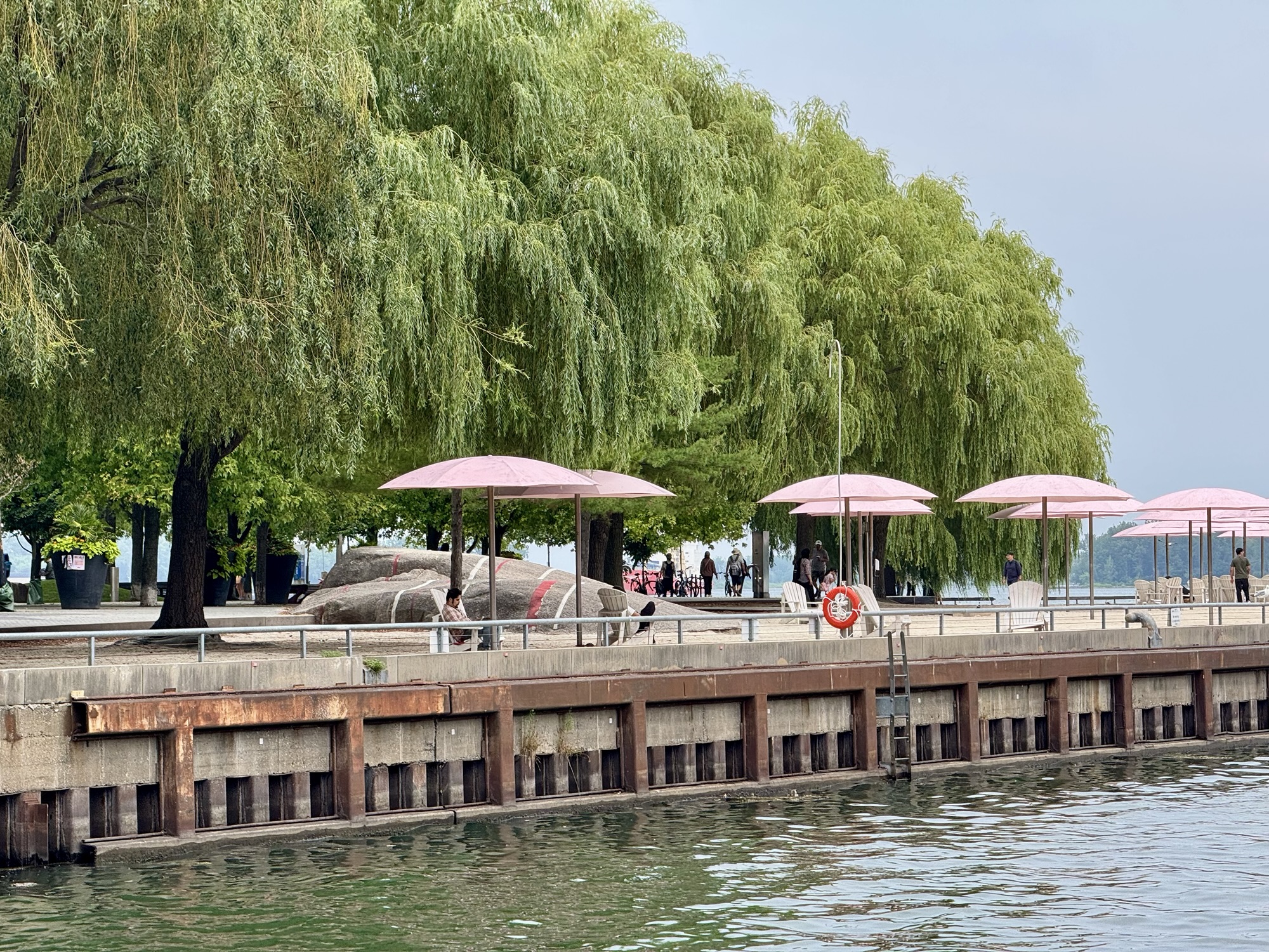
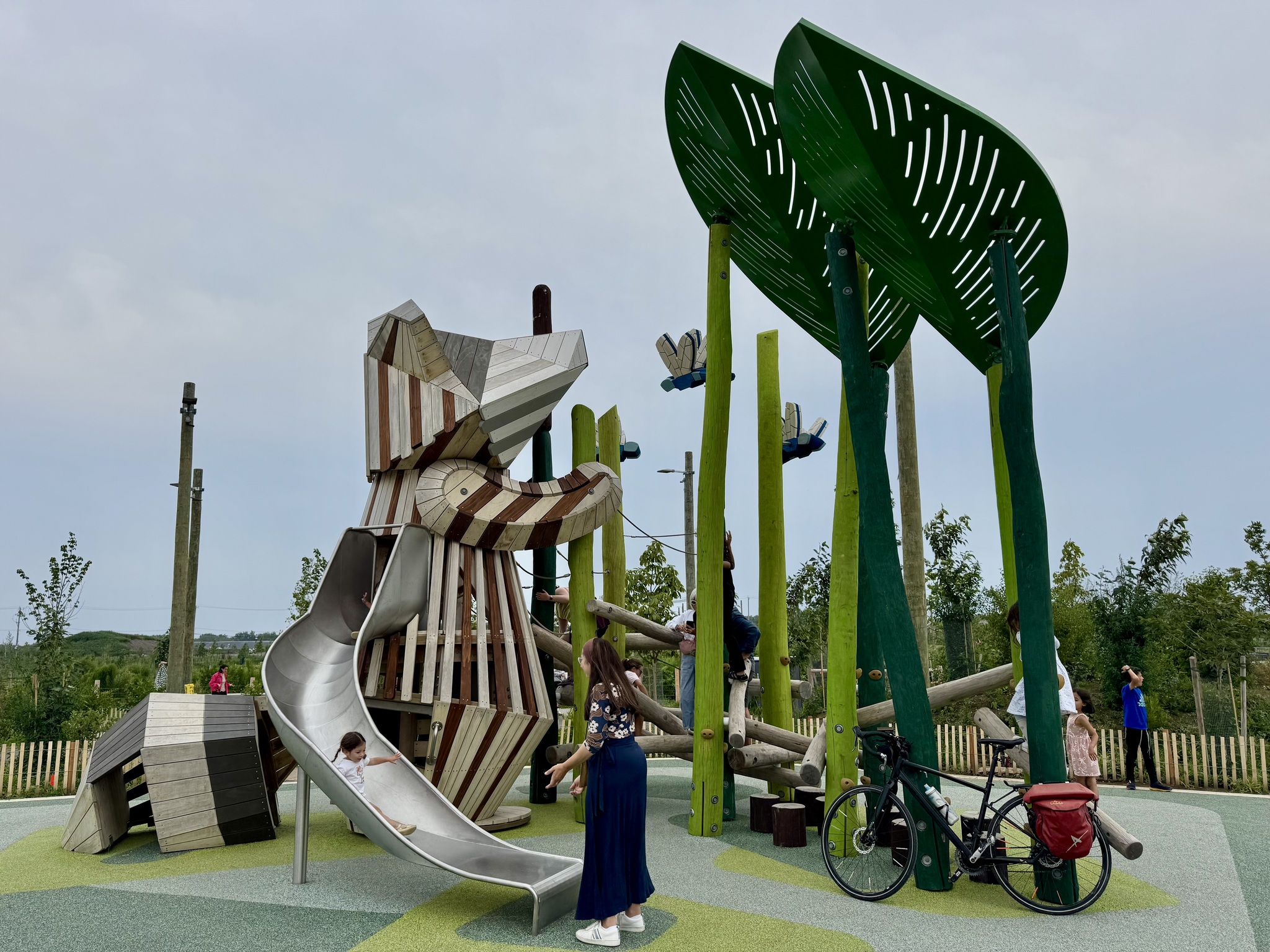
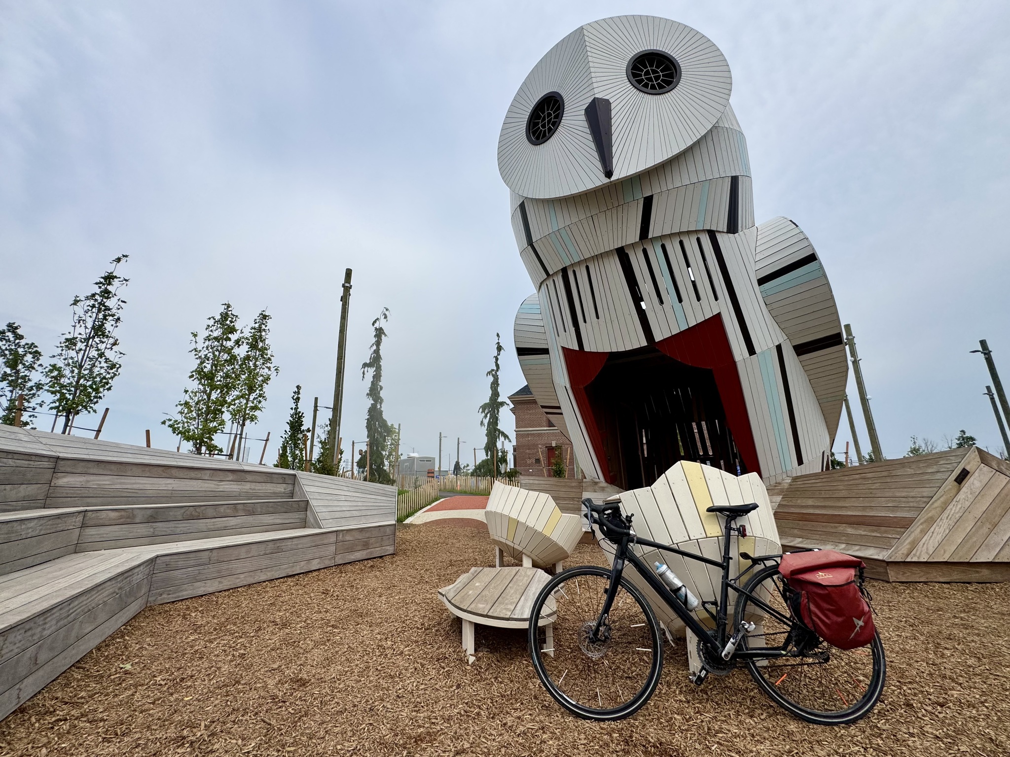
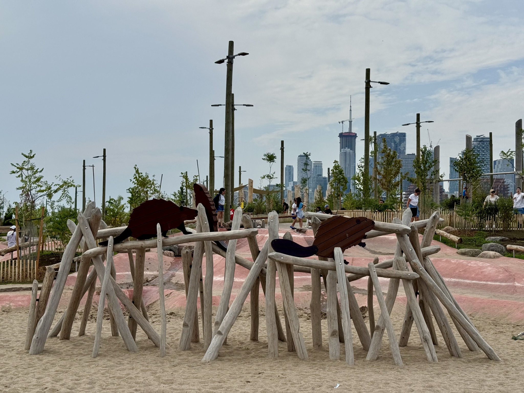
The new park, Biidaasage, named in the Anishinaabemowin language, meaning “sunlight shining toward us”, has a unique playground with a giant raccoon, beaver dam, and an owl which you can climb inside of.
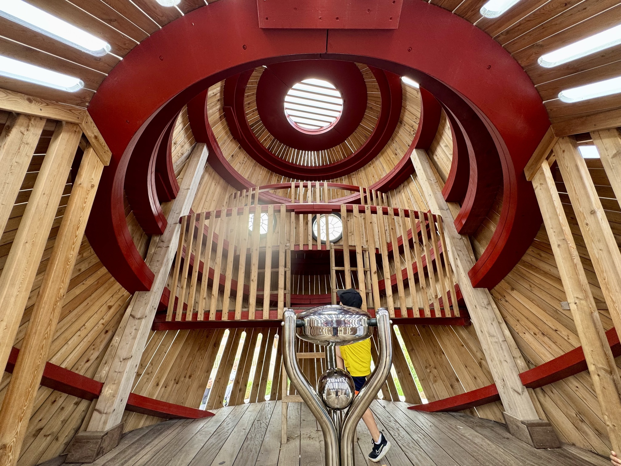
This is the inside of the owl.
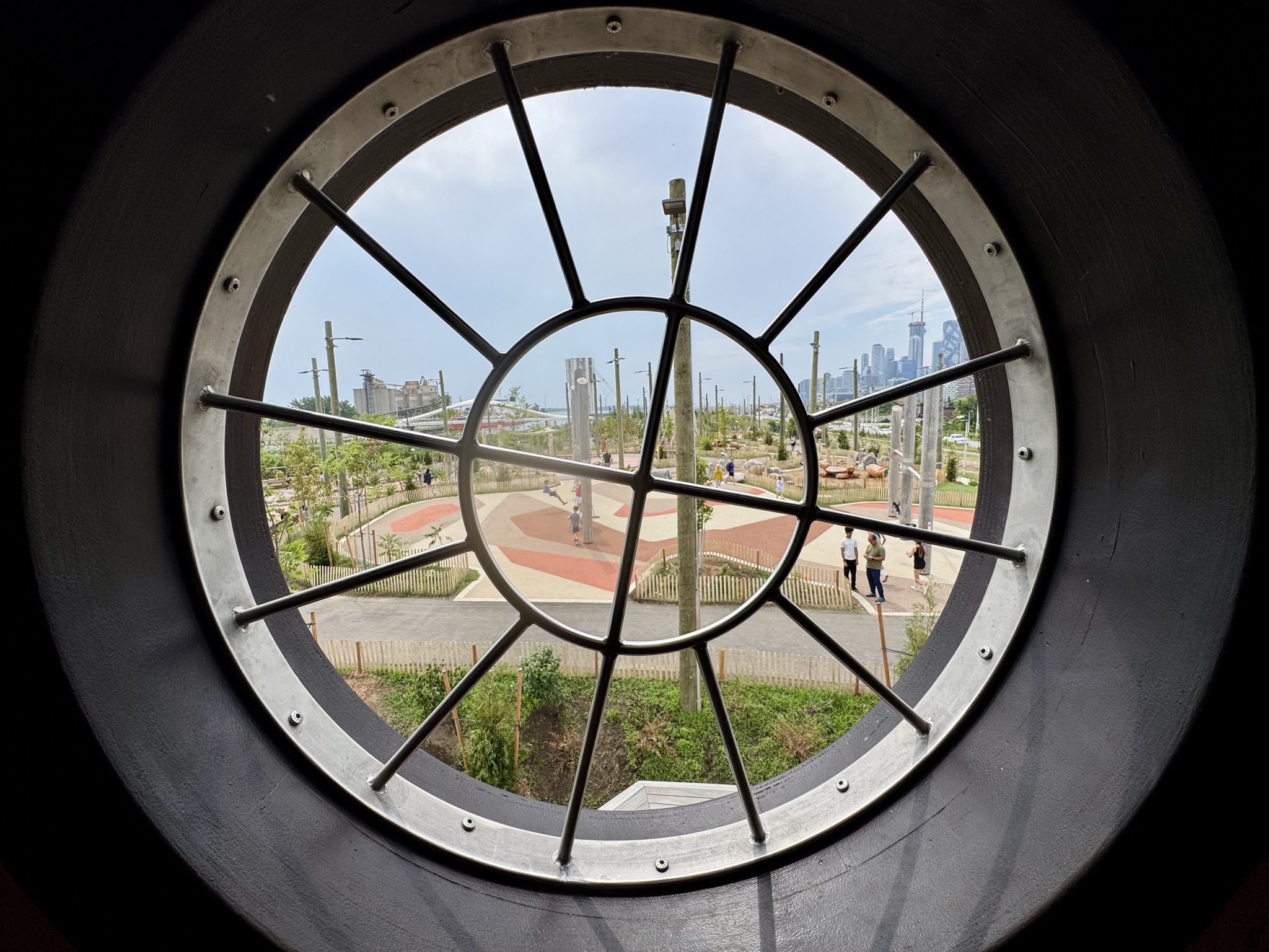
This is one of the owls eyes and the view through it. They have planted a lot of trees, which should cool and shade the area as they grow.
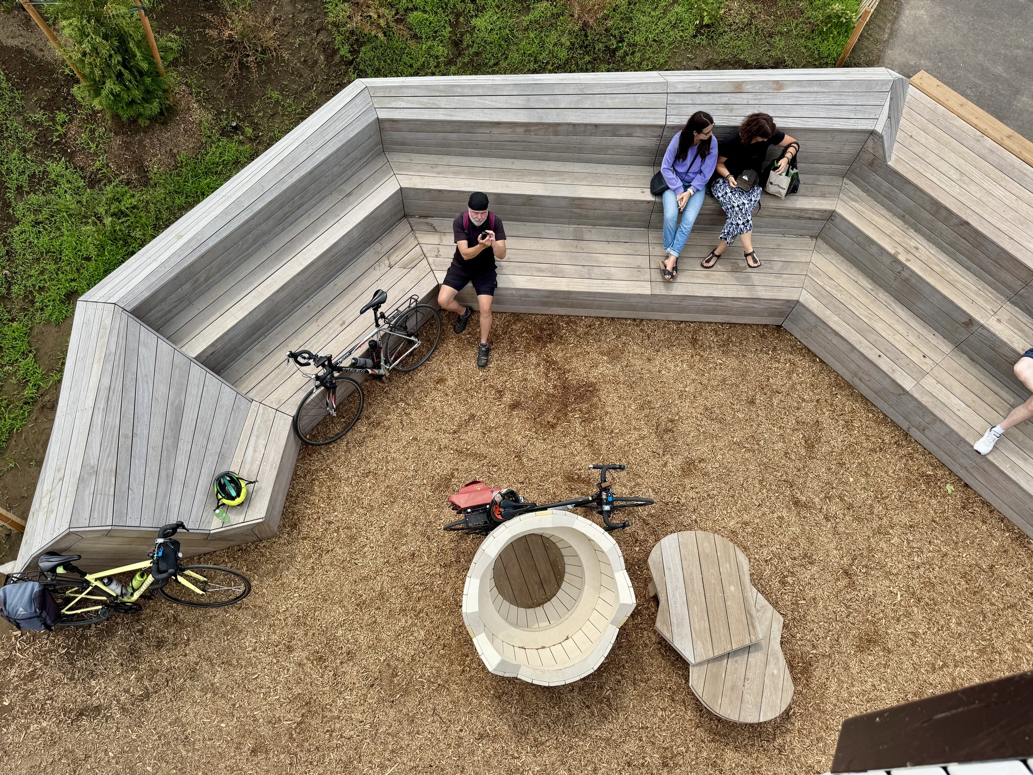
There is plenty of comfortable seating for caregivers. We ate our packed lunches here.
These are the Aqua Luna condos against the skyline.
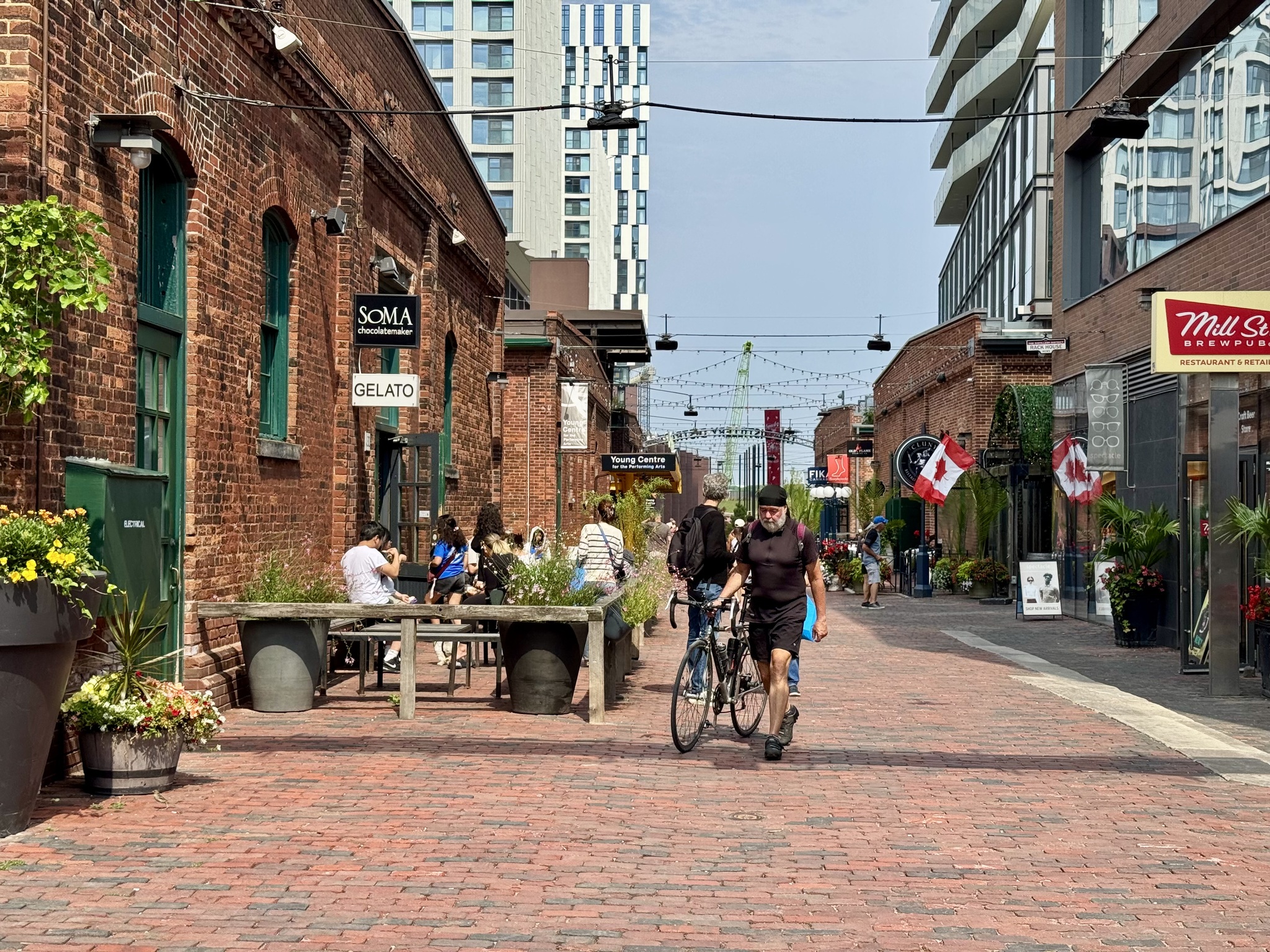
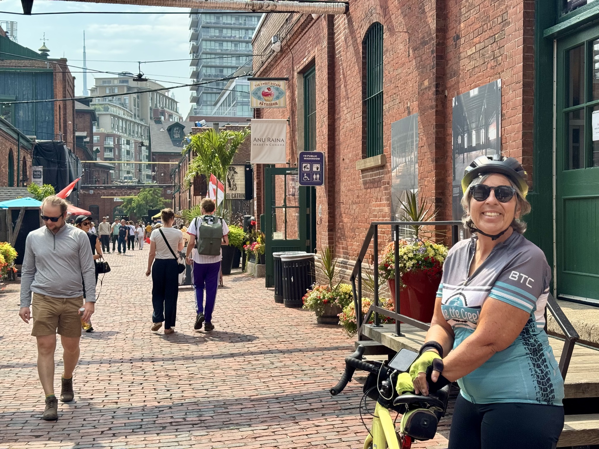
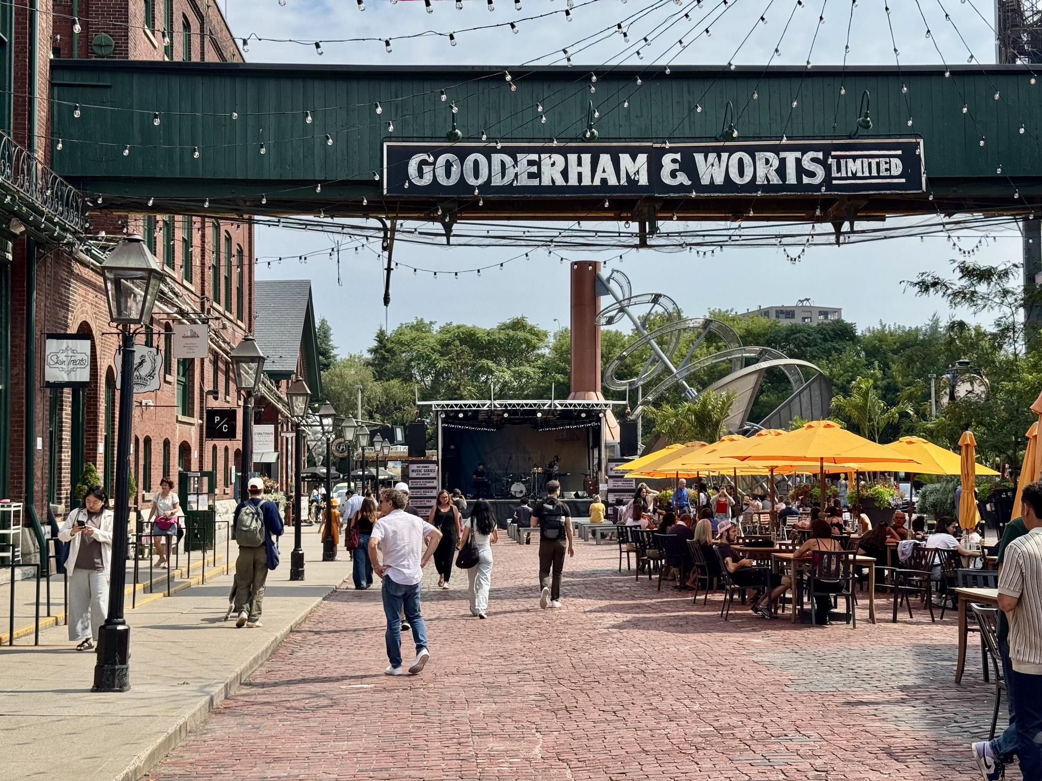
We walked through the distillery district.
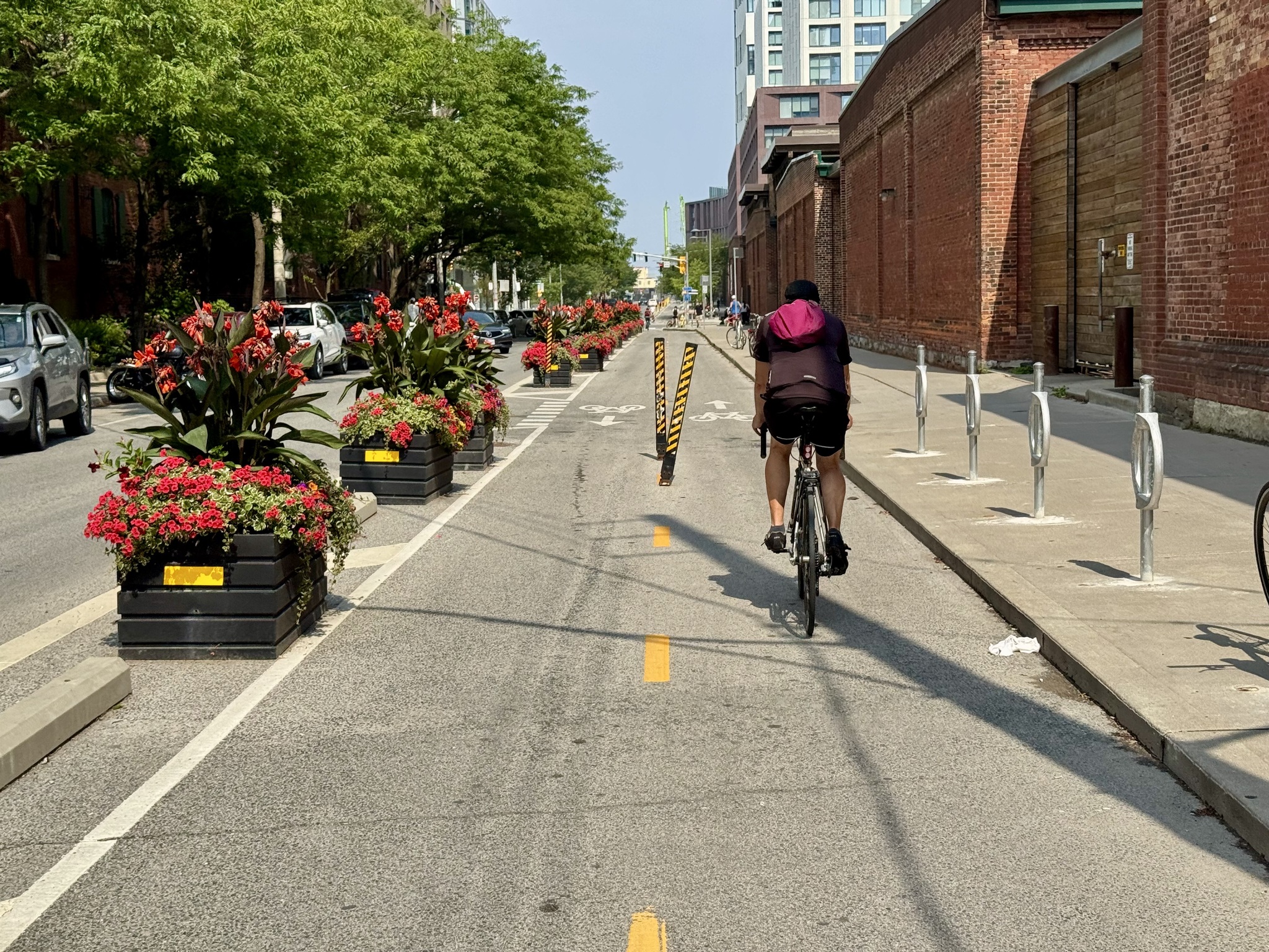
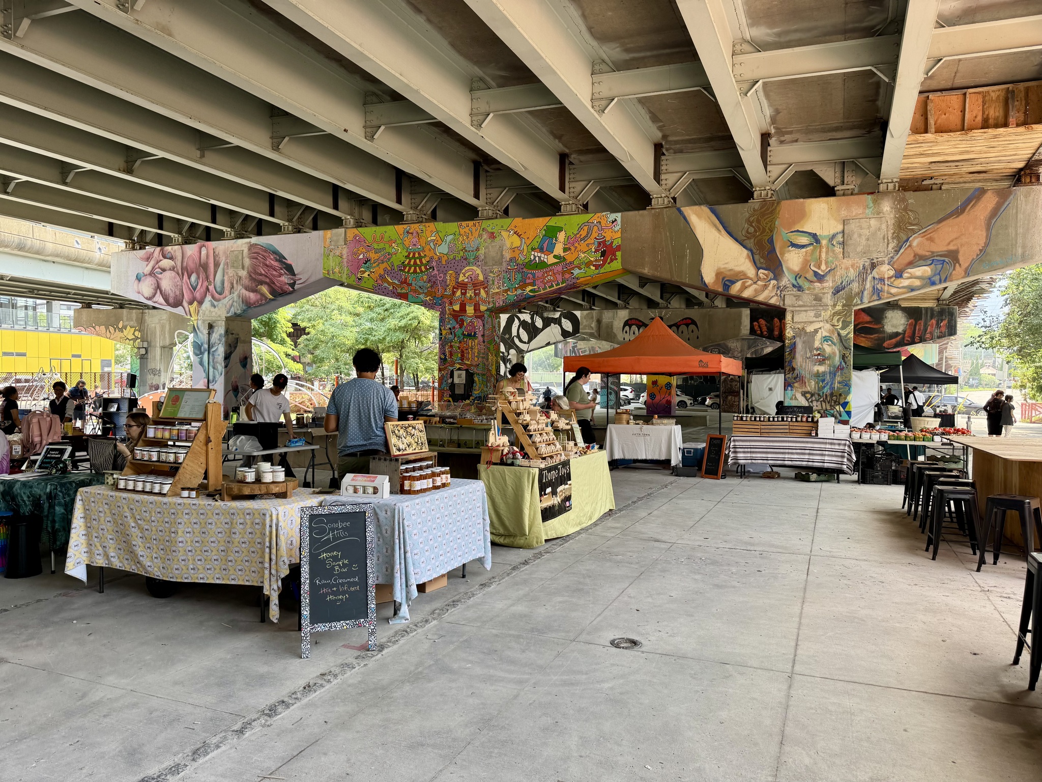
Then we rode along Mill Street to Underpass Park in Corktown. Unfortunately, most of the park, where they have skateboarding and basketball courts, is closed due to construction on the overpass. There was a farmers’ market today on the west side of Lower River St where the park is still accessible.
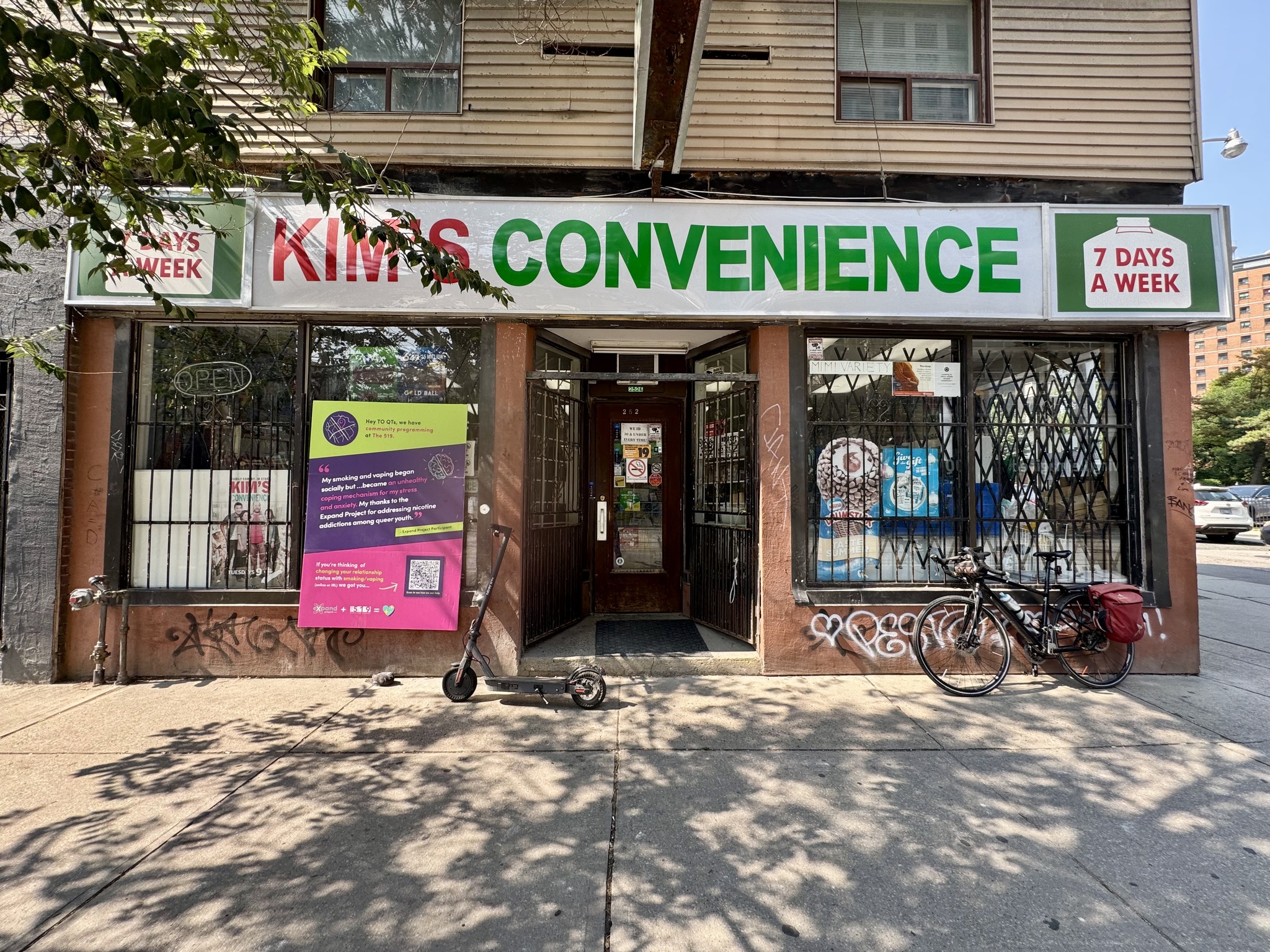
As we rode along Queen Street I spotted Kim’s Convenience store, which was used for the exterior shots of the eponymous TV show, and the owner decided to keep the signs after the show ended.
In the next block, I spotted this ice cream store at the perfect time for a mid afternoon snack. The ice cream is made in the store. Cindy had Biscoff flavoured ice cream and I had Oreo. It was quite good.
The Rally
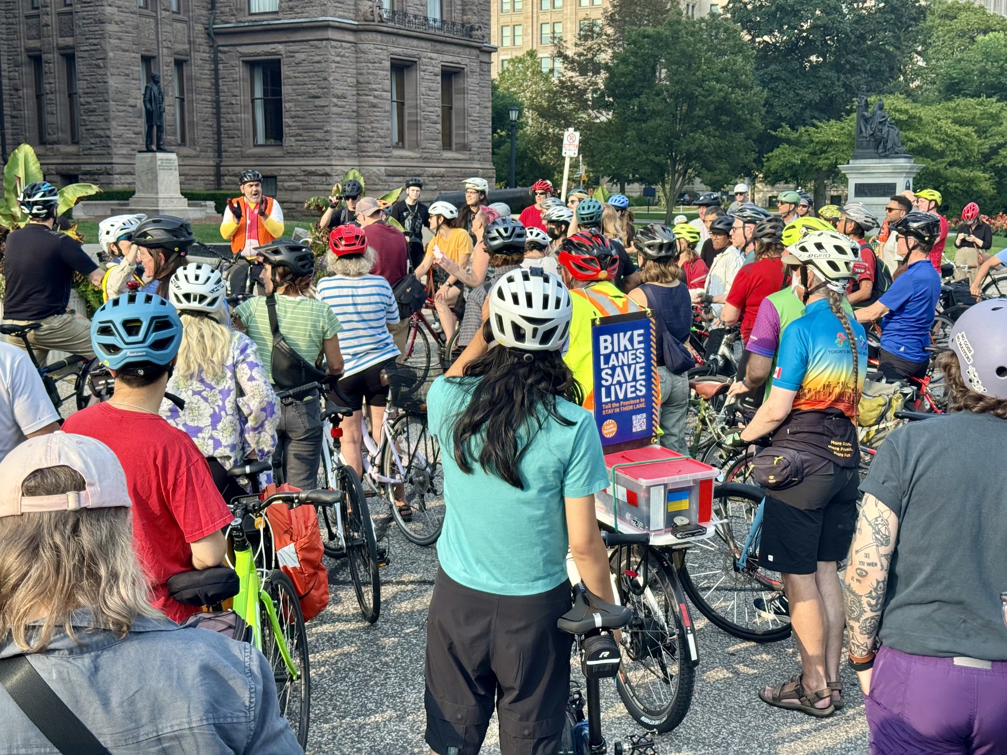
We arrived for the rally about an hour early and found a shady spot to sit down. Shortly thereafter Janet Joy, a Toronto, cycling advocate, who partnered with BikeBrampton in 2018 to do a Book Ride. Janet Rode the Empire Trail and Erie Canalway Trail from New York City to Toronto on a Brompton folding bike last year. I really enjoyed following her adventure because I had cycled the Erie Canalway portion of the ride just weeks earlier. The time flew by chatting with Janet.
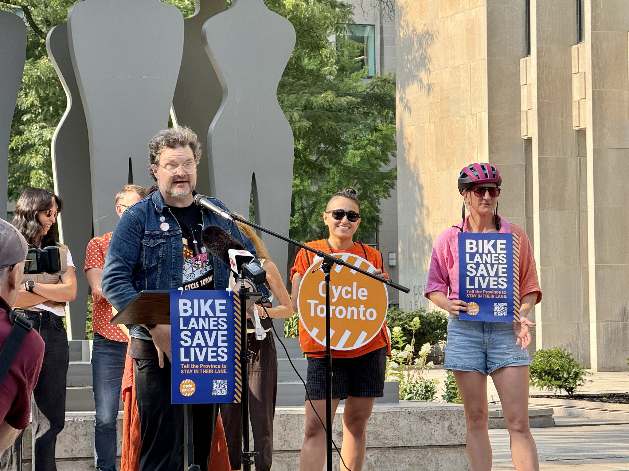
Cycle Toronto decided to take the government to court over the bill which they claimed violated Canadians charter rights under section 7. The judge ruled, “that government decisions that increase risk to people, particularly vulnerable road users like cyclists, are unconstitutional when not made in accordance with the principles of fundamental justice. The ruling affirms that government action cannot knowingly make streets less safe, especially when it won’t achieve the goal of reducing traffic congestion, and that public safety must be a paramount consideration in policymaking“.
At 5:30 Michael Longfield, Executive Director of Cycle Toronto spoke, and then the two lawyers who argued the case spoke as well.
They all urged us to read the judgement for ourselves.
Andrew Lewis, Partner, Paliare Roland LLP, finished his remarks, by saying of his ride this morning, “The ride is definitely better on charter protected bike lanes”.
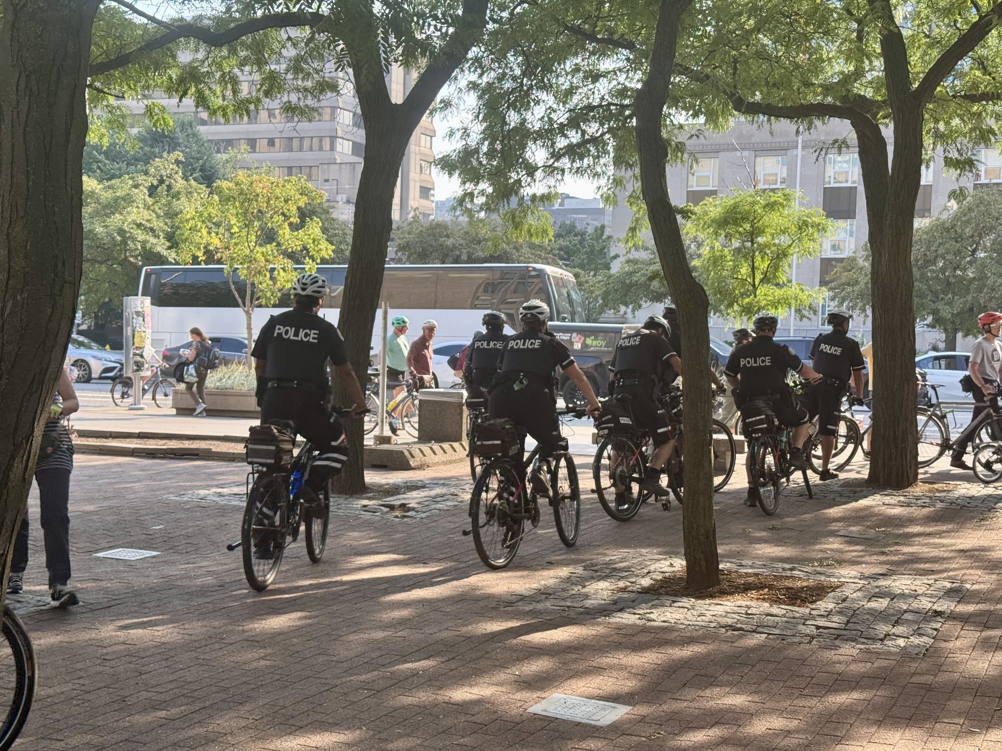
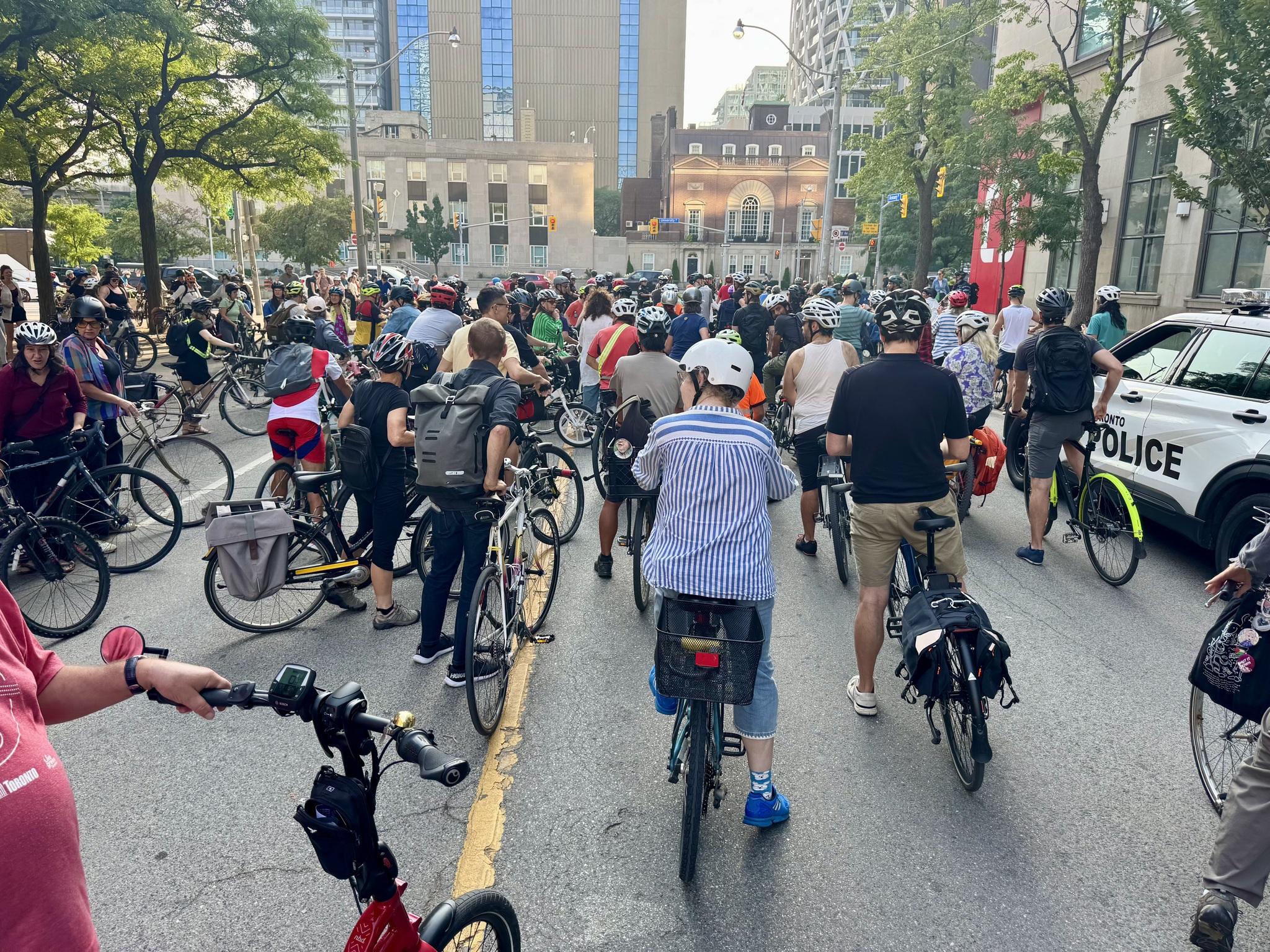
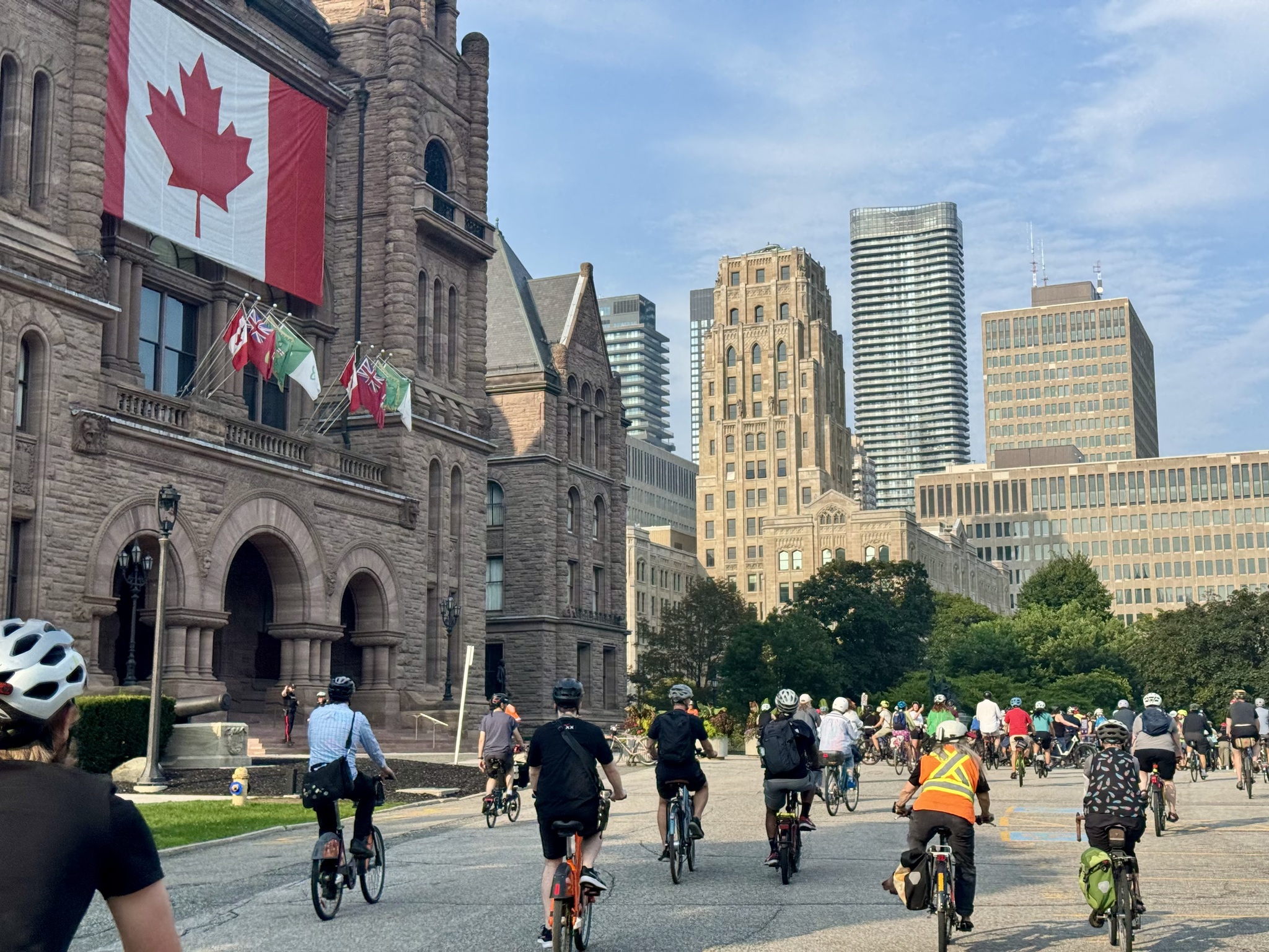
Cycle Toronto organized the ride, and marshals to keep everyone safe, however, the police chose to attend, and stood with the marshals blocking cross traffic on university and Queens Park Circle as we rode.
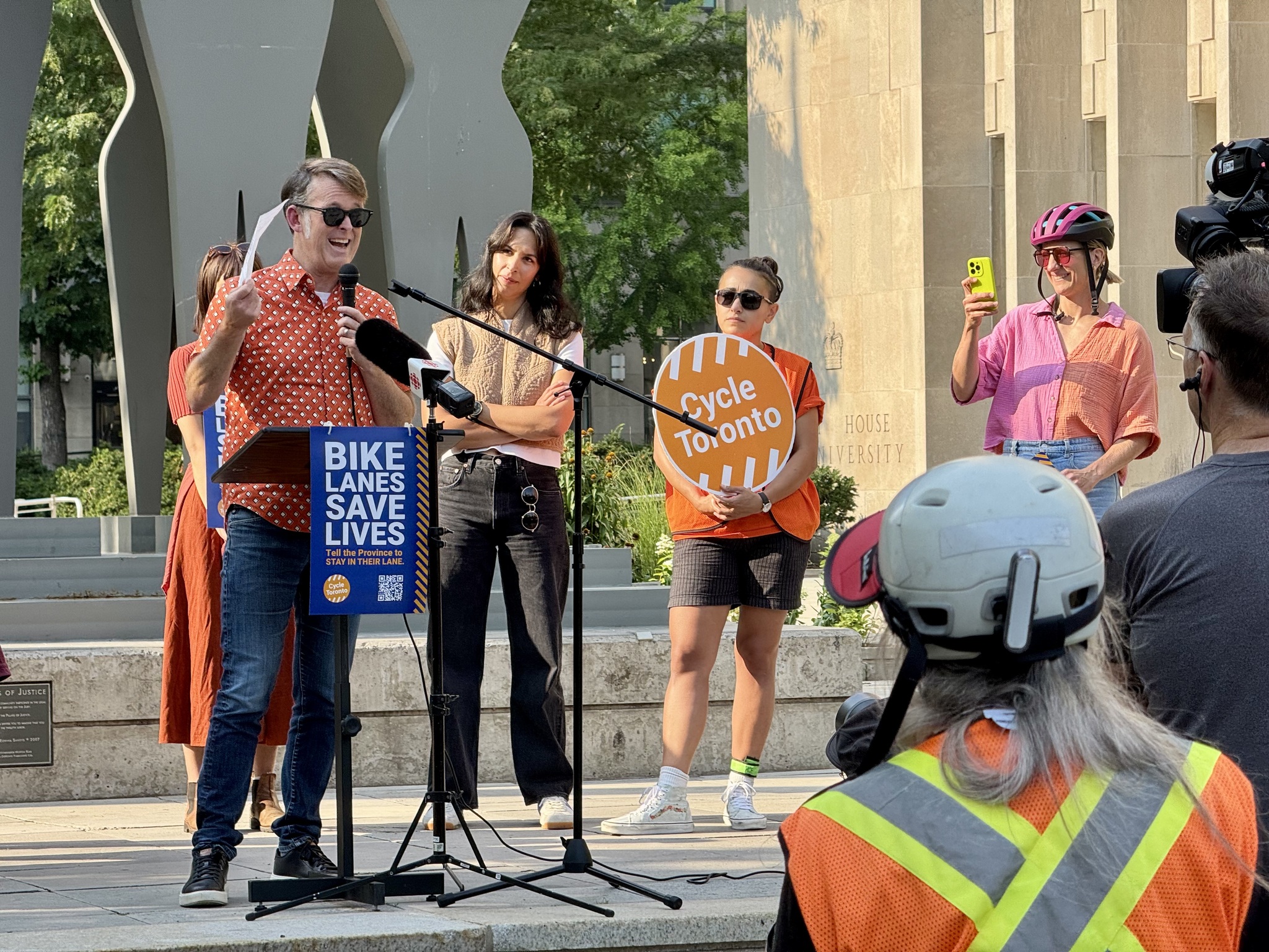
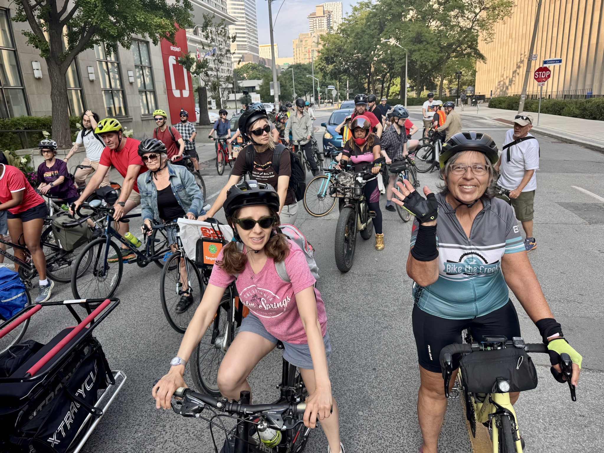
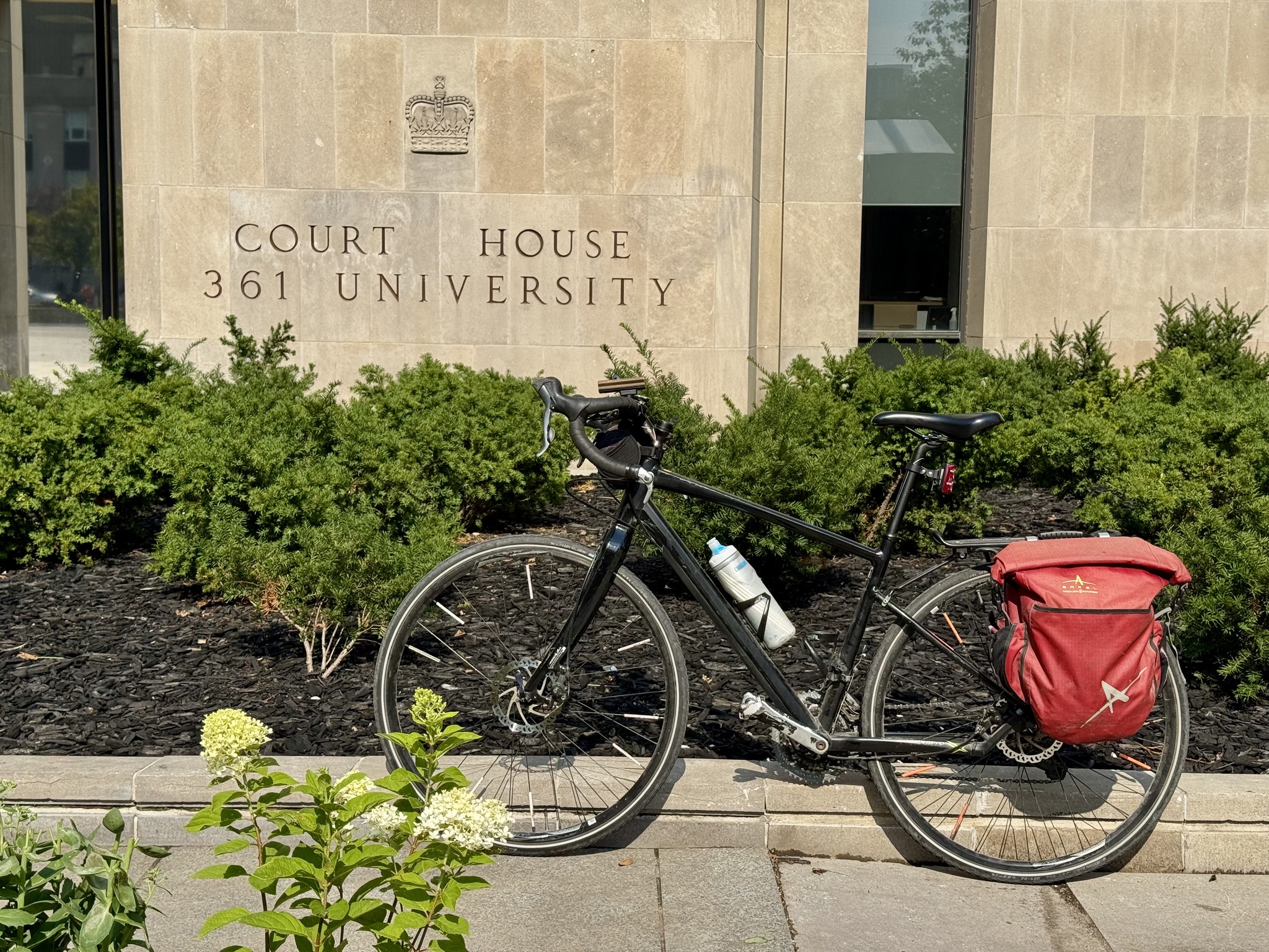
Here we are getting ready to go on Armoury Street.
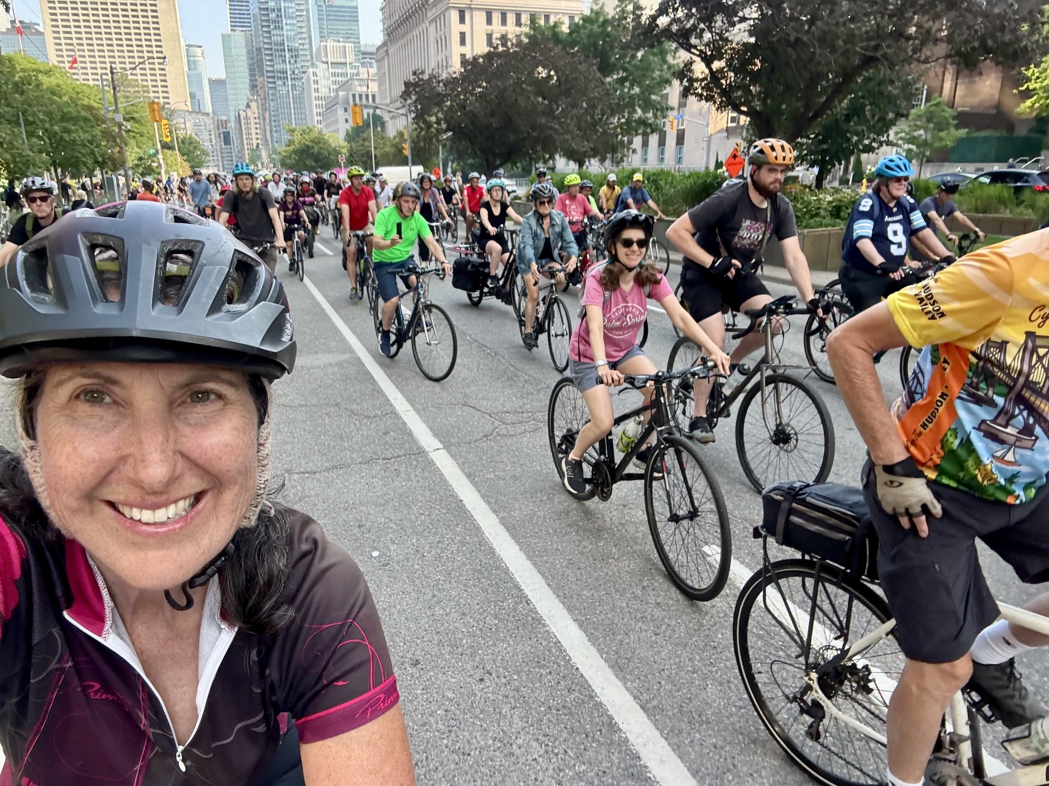
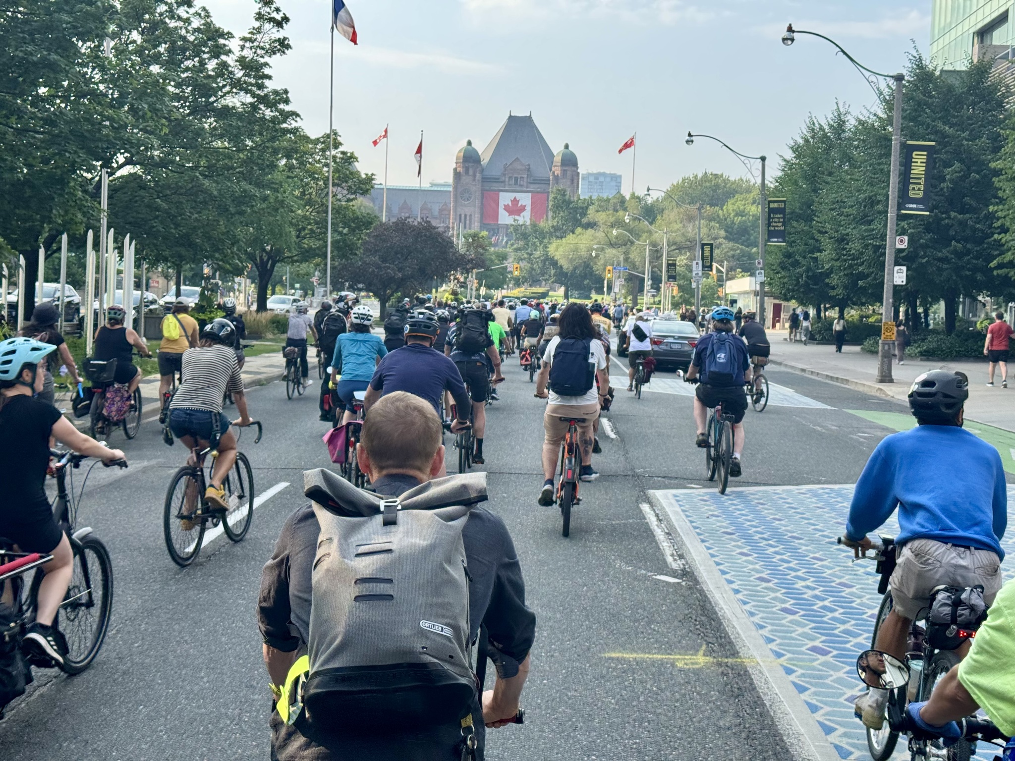
And we are off. I would estimate there were at least 300 cyclists. We filled University Avenue and left the bike lanes available for riders who needed to move faster than the very large group.
Barry made a video of the Charter Challenge Victory Bike Rally. It has a catchy AI generated song, and finishes with the quiet and sweet sound of bike tires on the road, which can be heard because there were no cars around.
We rode south on the University Avenue bike lanes, which will now remain, at least until a government appeal is filed and heard. The lanes in front of the hospital were designed to be wide enough to allow ambulances to use them, since cyclists can get out of the way of emergency vehicles, more easily than drivers.
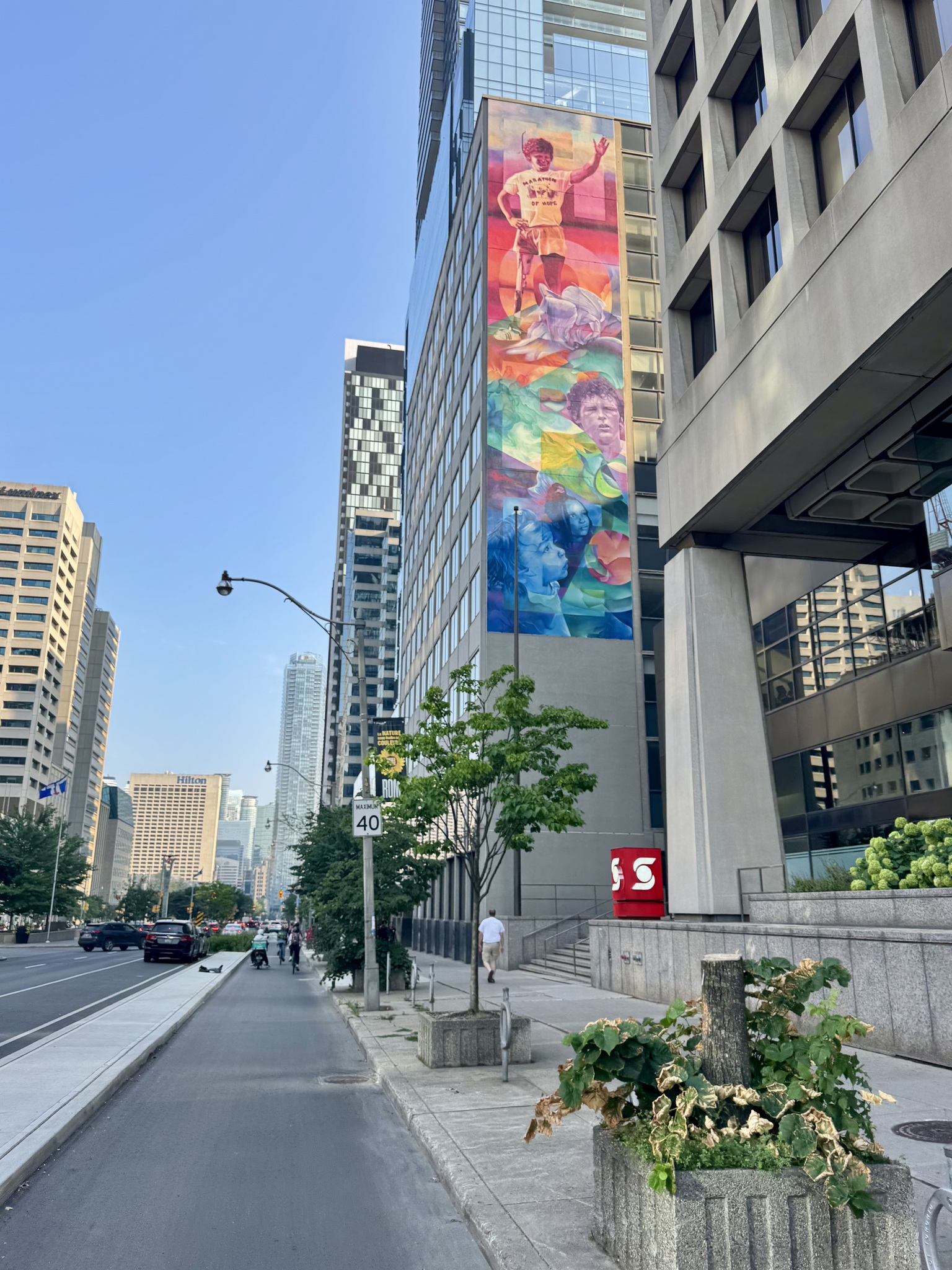
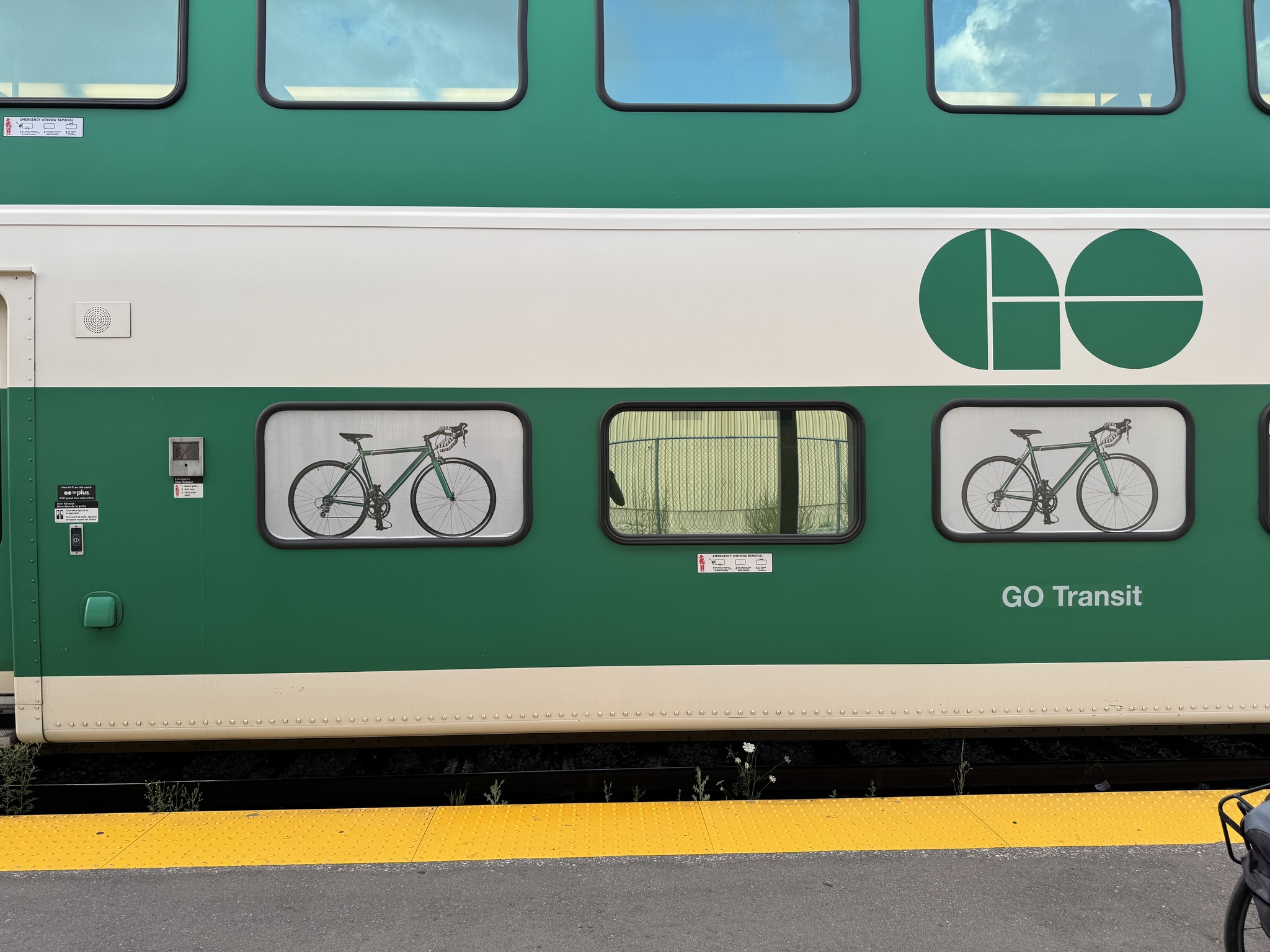
We caught the train out of Union Station just after 7 PM. The platform is announced only 10 minutes before the train leaves. There is no information available on the screens in the station, on the platform, or on the website, to indicate whether or not a train will have a bike coach. After the platform was announced, we carried our bikes up the stairs, and then a considerable distance along the platform, to the first coach. Because there was room on this coach for two bikes, Cindy and I boarded. Barry continued to the next coach.There is not time to comfortably walk the length of the train to discover whether or not there is a bike coach available. I have repeatedly requested that GO provide this information and have been told by the Twitter Kitchener Line account that they will pass the request along. Nothing has changed in the years that bike coaches have been available. I think it would be better for all passengers, not just those with bikes, to provide this information to people travelling with their bikes. I cannot understand GO Transit’s reluctance to provide this information.
When we disembarked at Bramalea GO and walked along the train to the stairs I saw that there was a bike couch in this train set. Had we known, we would not have had to split up for the return ride, and slightly inconvenience other passengers, because even in designated areas, the bikes slightly block the flow of people through the doors and up the stairs.
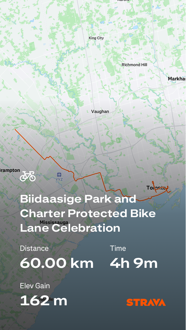
It was a lovely evening to cycle the last 10 km from the station to home which brought my total to 70 km for the day.
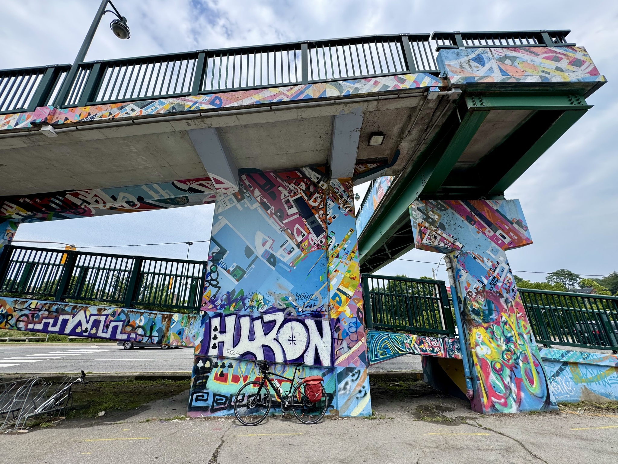
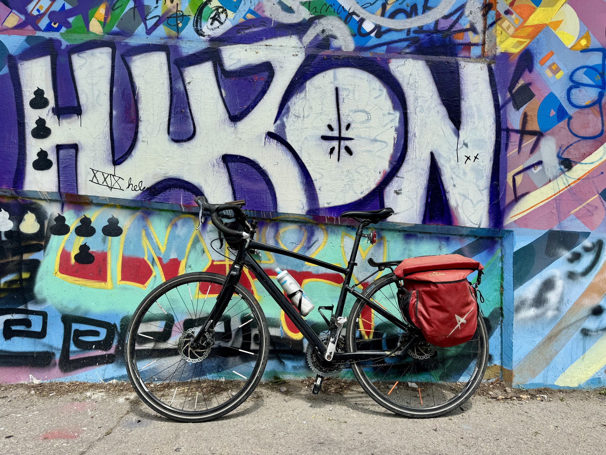
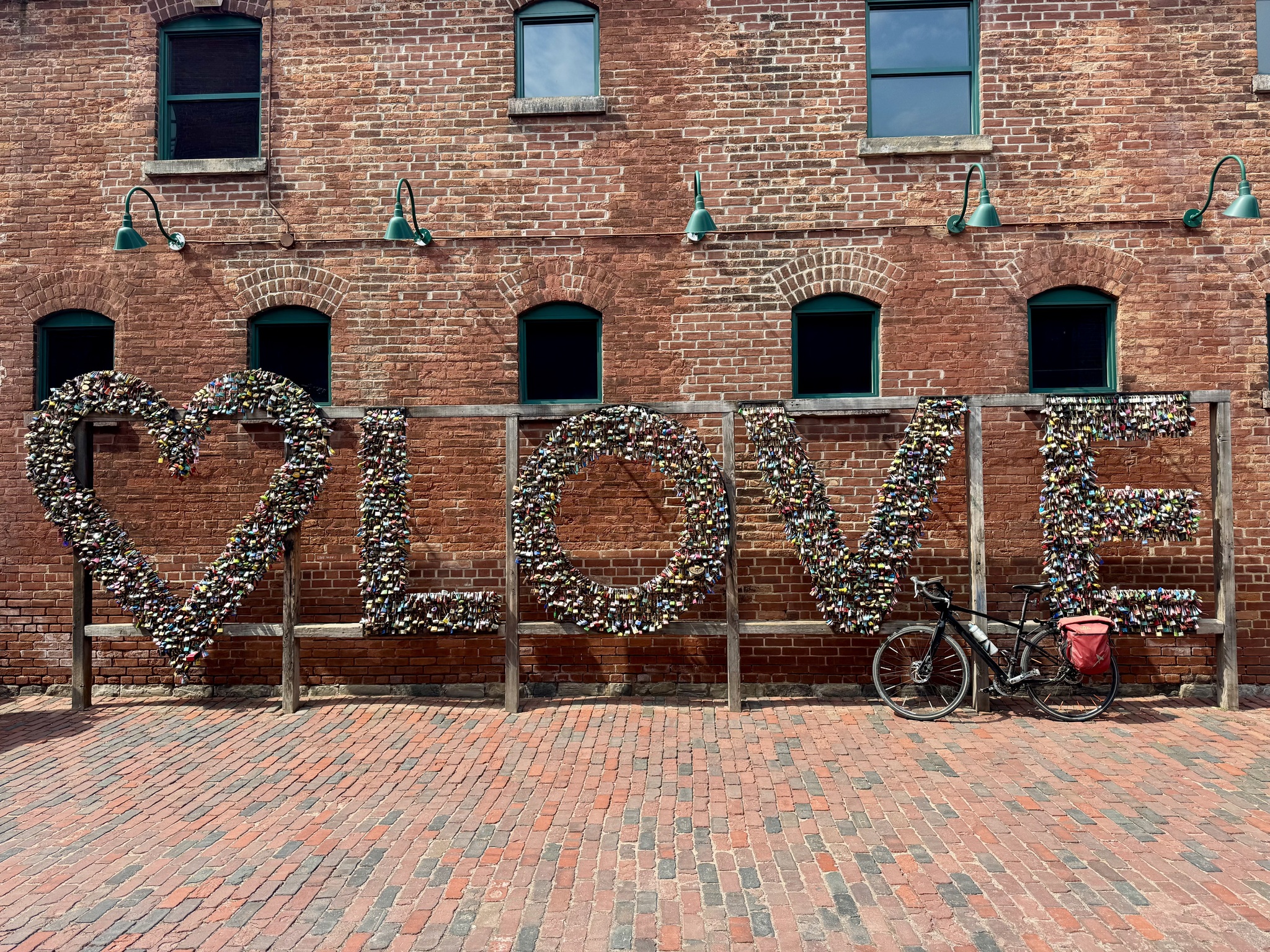
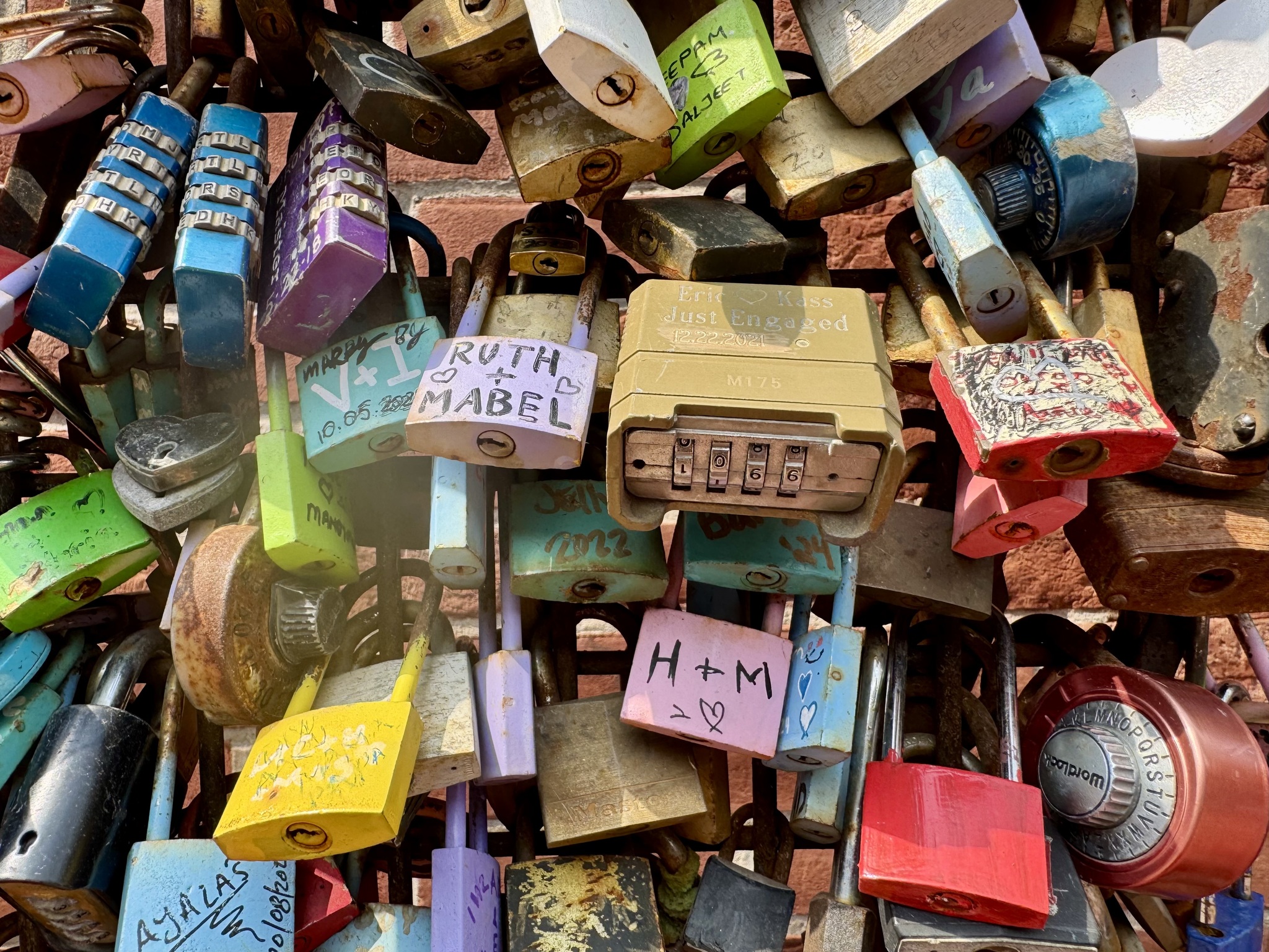
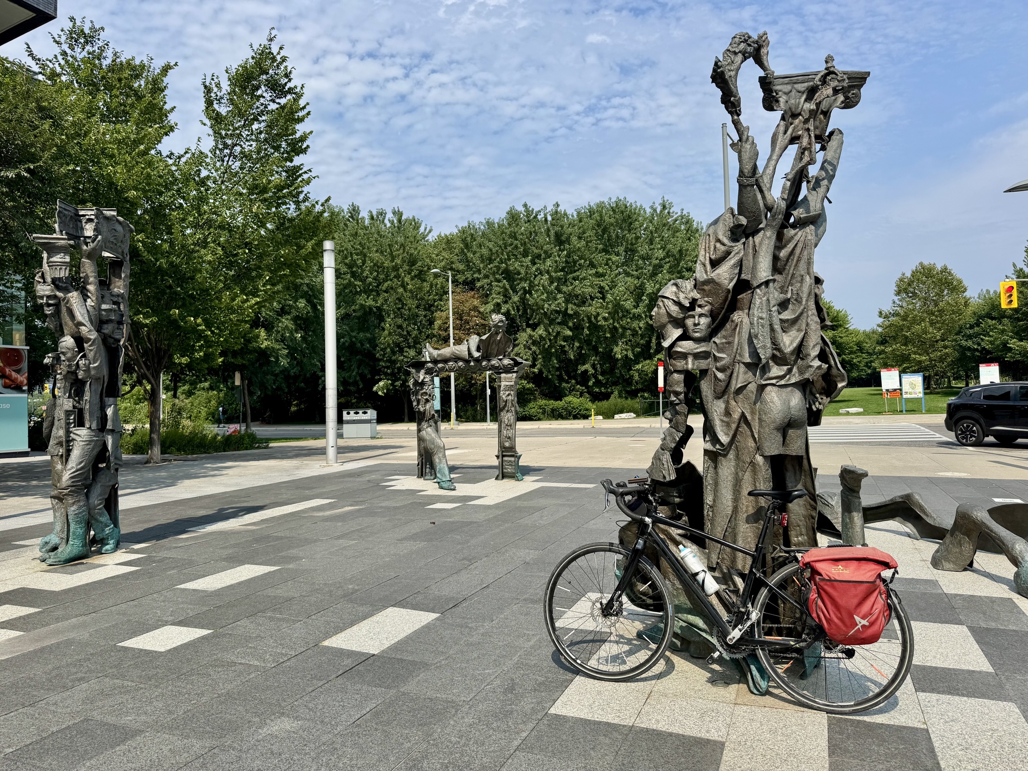
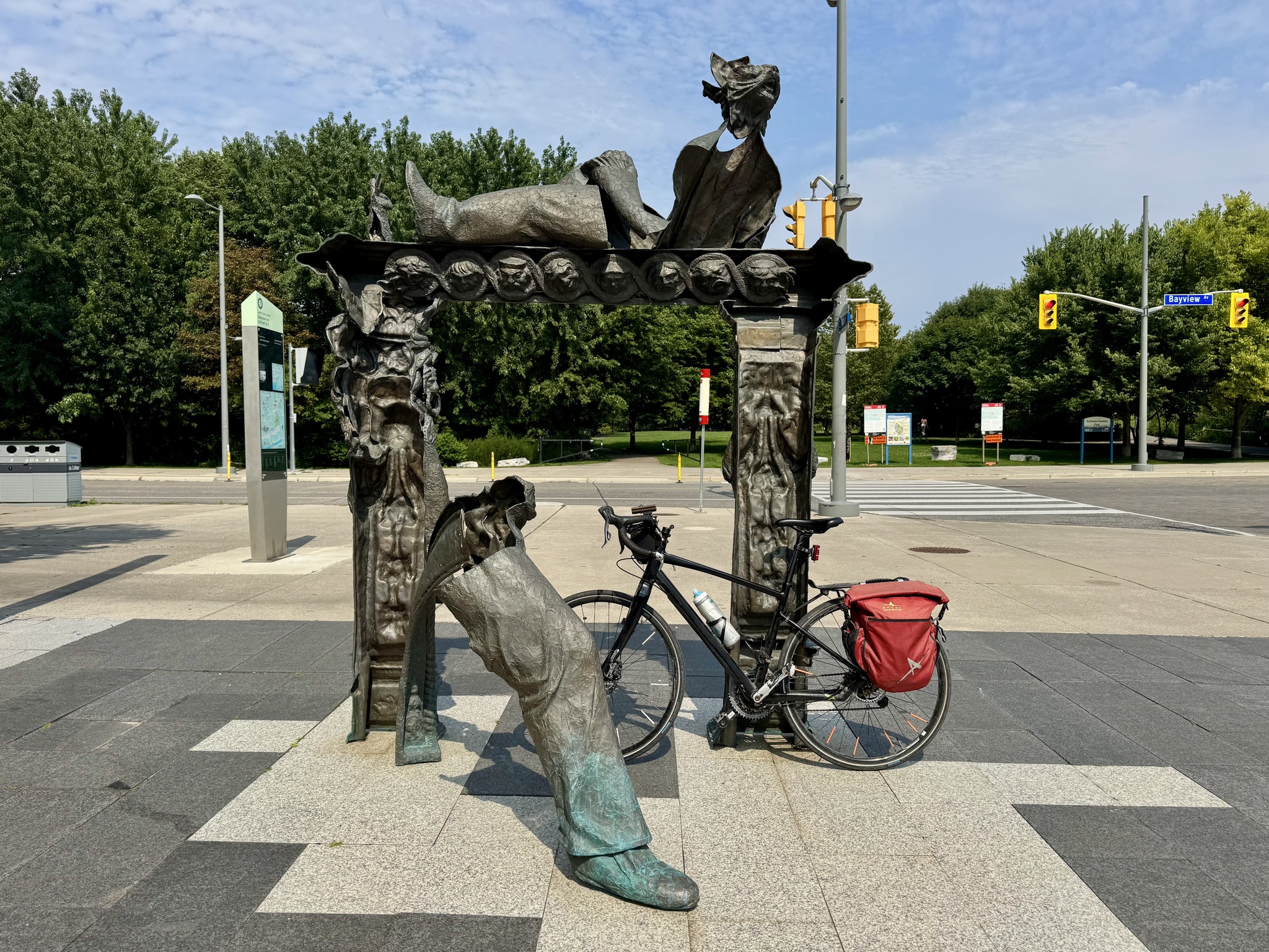
Street Art
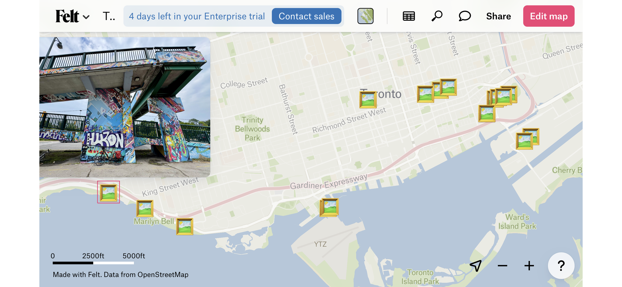
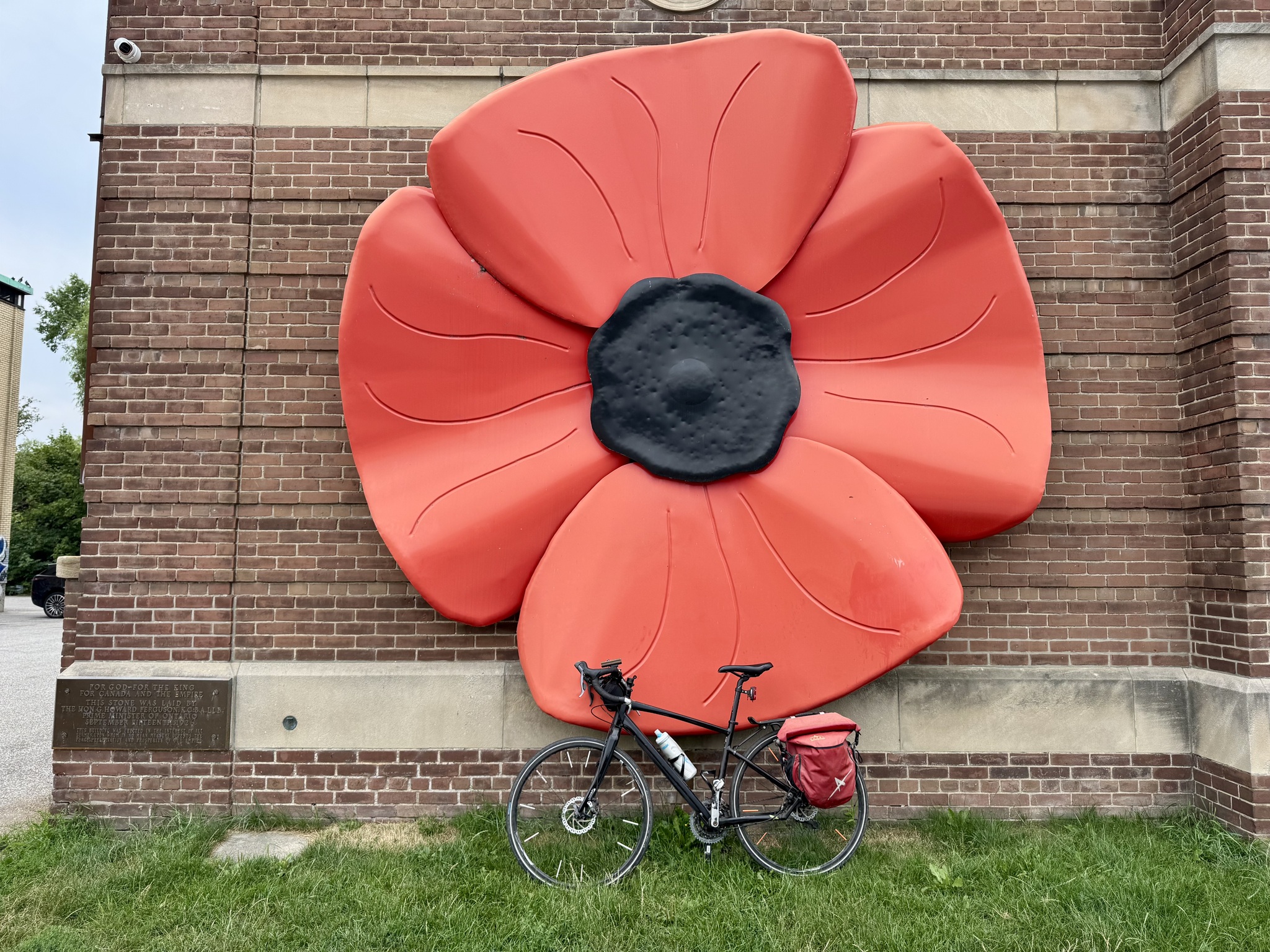
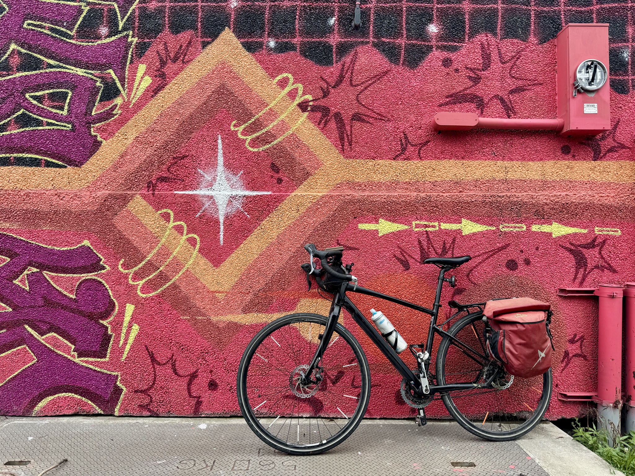
Here is a map, with a link of all the places I took pictures of my bike today. Not all of them are in front of murals, but they do represent places of note where I was today.
This website is a good source for public art in Toronto.
I love street art, and when I have my bike with me, I often take pictures of it with my bike leaned against the art. I share these images primarily on Instagram. For those of you who don’t follow me on Instagram, this is the link to my profile, if you would like to do so. Otherwise, this final post of the week has the best of my street art images from the week.
Or you can scan this QR code.
Edit: Cosmos Soup on Bluesky suggested this post could be made better by including location data for each of these murals. I thought that was a good suggestion and started thinking about the best way to do so. It would take a while to copy the location data from each of these from my camera roll so I started looking into an easier solution. I found a mapping website felt.com that allows one to drop photos among many other types of data to create maps. Their upload button is called “upload anything”. It probably took me longer to create the map. Then it would’ve to manually add the information to the caption of each photo, because I was learning how the website worked, and, because I was doing it on my iPhone and iPad, when the desktop probably would have been more efficient, however, having done it once now I will be able to do it quite quickly in the future. I’m happy to have the suggestion prod me to discover this new tool.
Here’s the link to my map. When you click on a pin the image will display. The image below is just a screen cap. You will need to use the link to interact.
A big storm did arrive last night, and lowered the temperature a bit, but did not clear out the humidity. We left a little later this morning, and kept it local.
On our way to visit New Hope Community Bikes, we passed by Hamilton’s Children’s Museum located in Gage Park. It is undergoing an extensive renovation, and will re-open later this year.
New Hope is a learning hub for building and repairing bikes, offering safe cycling education, providing access to affordable transportation, and fostering a rich and inclusive cycling community. One can also purchase bikes and cycling related items, and pay for repairs. This helps fund charitable work.
Parked outside was what appeared to be a regular bike turned into a long-tail bike with an add-on part.
Inside they had some interesting bikes.
It was a large well organized space.
There are many attractive old high school buildings in the city.
We rode around the Delta neighbourhood on the east side of Gage Park to pick up Squadrathinos and visit Mark’s other daughter and family.
I’ve noticed quite a few small apartment buildings, often mixed in with single family homes. From Historical Hamilton : “It was during the early 1910s that the apartment house made its first appearance in Hamilton as a specialized building type. The Pasadena is significant as one of the early and well-designed examples of a building type that by the 1920s had proliferated throughout the city.”
This nicely renovated home is across the street from the brickyard I posted a picture of on our Escarpment Trail day. We spotted it from the trail. It reads the Hamilton Pressed Brick Co above the front door.
Hamilton Stadium was built for the 2015 Pan Am games, and is currently the home of the Hamilton Tiger-Cats.
The Cannon and Sherman intersection is a bit confusing at first glance as the painted bikes lanes transition to a bidirectional protected cycle track, but the green paint helps considerably.
The 541 Eatery and Exchange is a non-profit pay-it-forward café working to help our neighbours overcome the impacts of isolation, poverty, and injustice by cultivating a community of mutuality in our neighbourhood. We had delicious iced lattes and chocolate chip cookies, and bought some buttons to pay it forward.
This Piper Apache CF-KFX was used to train many pilots at the Toronto Island Airport. It was discovered by Don MacVicar in May 2018 in a farmer’s field, located off of Hwy #6 in Hamilton. Don connected with The Ken Gamble who were happy to donate the plane with the hope to inspire the youth to explore. It was renovated by Mohawk College Aviation students, and sits in the grounds of the Eva Rothwell Centre, which partners with families living in poverty, empowering them to become self-sufficient and fulfill their desired potential. There is also a rail car used as a reading room and study space for children who use the community hub.
We decided to ask Mark to meet us for lunch at Hutch’s, as we wanted to try the fish tacos. We used Victoria Street on the way there which has protected cycle tracks.
The fish tacos were excellent.
Bayfront Park is on the loop we did with Alina on Wednesday and is a good starting place if you are driving your bike to Hamilton at or had a large free parking lot, bathrooms, and provides easy access to the waterfront trail.
It is nice to see the curb protection on Cannon being upgraded with permanent curbs and separate light cycles for bikes and cars.
We picked up a few groceries to replace what we’ve used, then relaxed for the rest of the afternoon to allow rush hour to pass before driving home.
It was wonderful to be able to spend another week exploring Hamilton.
One of our cats came to inspect my suitcase when I arrived home.
Last night, Cindy asked me if I had ever been to Ancaster. I had, on a Greg‘s ride, riding from Dundas up Wilson Street into Ancaster. I remembered it being very challenging, and it was a much cooler day that day, than it was forecast to be, today. I used Google maps to determine it was a 12 km ride, and we decided we could manage it if we set out early. I mapped a route on Ride with GPS up Wilson to Ancaster, then along the Ancaster section of the Radial Trail, which I hadn’t done before, then continuing down the section we did yesterday, for a ride of 26km.
My first thought when I woke up this morning was, why would we ride up the steep sunny road, when we could ride up be much less steep, and shaded, rail trail. So I spent a few minutes reversing the route over breakfast.
When I went upstairs to get dressed, I discovered that Joanie had made herself comfortable in my suitcase.
We left about 9:30, got about a kilometre away, and it was so hot out already, that I reached down to take a drink from my water bottle. At that point, Cindy realized she had forgotten hers, so we had to go back home and get them.
We set off again. Across from City Hall was the Hamilton Central Public school, which was built to accommodate 1000 students, and was the largest graded school in upper Canada at the time of its opening, in 1853. It was extensively remodelled in 1890 by Hamilton architect, James Balfour, who designed Hamilton’s first City Hall. It is now a public library.
Hamilton has a lot of one-way streets, but many of them allow bikes to travel in both directions, either with a bidirectional cycle track, like this one, or with a contra flow lane.
We joined the Chedoke Radial Trail at Dundurn, at the top of the hill leading to the escarpment. It really doesn’t look that bad in this picture, but with the heat, and 5.6% grade, it was challenging.
There is a water fountain, with water bottle filler, and dog bowl, at the trail access, along with stairs that climb to the top of the escarpment. I was so hot that I took off my jersey and wet it with the water bottle filler. As I was putting it back on a dog walker, offered to take a picture of us.
There was some relief on the less steep trail in the shade, but it was still incredibly hot and humid.
Every time I ride over this Bailey bridge, I wonder what the construction looked like. It was erected in 2012 to replace a much smaller one, with a budget of $950,000. Bailey bridges are segmented, prefabricated structures that are easy to erect and dismantle.
This is as far west, as I had been before, and I hadn’t noticed in the past that the trail continued west.
The Bruce Trail runs along the Chedoke Radial Trail , and there are many side trails off this section.
There is a very impressive bridge for walking and cycling, across the 403, although the approach left something to be desired, so we walked our bikes up.
On the Ancaster side, there are stairs, but with a well designed bike trough.
We were very happy to see the welcome to Ancaster sign. After a couple of kilometres on quiet streets the trail started again for another couple of kilometers.
This is the end of the trail at Wilson Street.
These two churches were right across the street from each other on Wilson Street in Ancaster.
We had decided ahead of time on the Trails Café because it was bike themed.
The air conditioning in the café felt amazing, so we sat inside, even though there was a very inviting swing on the porch. I would love to have a bike frame like this.
Just south of the built-up area of Ancaster Wilson Street East has a bike line, protected in spots, I would assume where planners thought drivers might come into the bike lane. It was an exhilarating descent with hardly any pedalling required all the way down to Main Street in Hamilton. There is no way I would have been able to pedal up without stopping in today’s heat, even though I managed to do so last time on an upright bike.
The Hamilton Brantford Rail Trail runs through the Fortinos parking lot. I admire the foresight of planners who didn’t leave a disconnected trail through this plaza.
We were so hot as we passed a splash pad, we got off our bikes and joined the kids.
This is one of the narrowest streets I’ve ever seen with a bike lane. It had a one-way narrow lane for cars, a parking lane, and a bike lane. The driver of the car in the picture nearly doored me as I went past. Fortunately I’m always looking out for that type of thing.
This is the Hamilton Central Public library, and Hamilton farmers’ market. A bridge connects them across York Boulevard to a large parking garage across from Jackson Square, which is attached to the farmers’ market and library.
Cindy fried up some vegetables and beans to put in tortillas for lunch.
It was too hot to to do any more riding, and the Art Gallery of Hamilton is free this summer, so we walked over.
I share this picture for those of you who are fans of the Netflix series The Umbrella Academy. This was the family mansion. CBC wrote an article about all the places in Hamilton that were used for the series.
Gore Park was also featured extensively in the series.
The Art Gallery of Hamilton has an exhibition of Canadian Helen McNicoll, who was born in 1879. It was an impressive collection.
This made me smile.
This is by Lester Coloma, who did the mural we posed in front of on Day 3.
I loved this wall of art even though it was challenging to capture. It could be viewed from three levels.
I remember the Bruegel-Bosch Bus from the last time I visited the Art Gallery of Hamilton. It is “quintessential Kim Adams: a magnificent accumulation of miniature worlds, expressed here as the largest sculpture in the AGH collection”. I enjoyed seeing this whimsical piece again.
There is a good view of City Hall from the gallery.
On the way back, we stopped at Bahn Mi Hue to pick up sandwiches and rolls for dinner.
I learned as I was researching for this blog that route we did today is one promoted on the city’s website. It’s also evaluated by the New Hope Community Bikes, and I must say I agree with much of their assessment, the main point being that this is not an easy ride.
As I write this, at almost 9 PM, it’s still 32° here, but looking stormy, and with a severe thunderstorm watch. I hope it clears out the heat and humidity.