Montreal and Véloroute Gourmande – Day 8

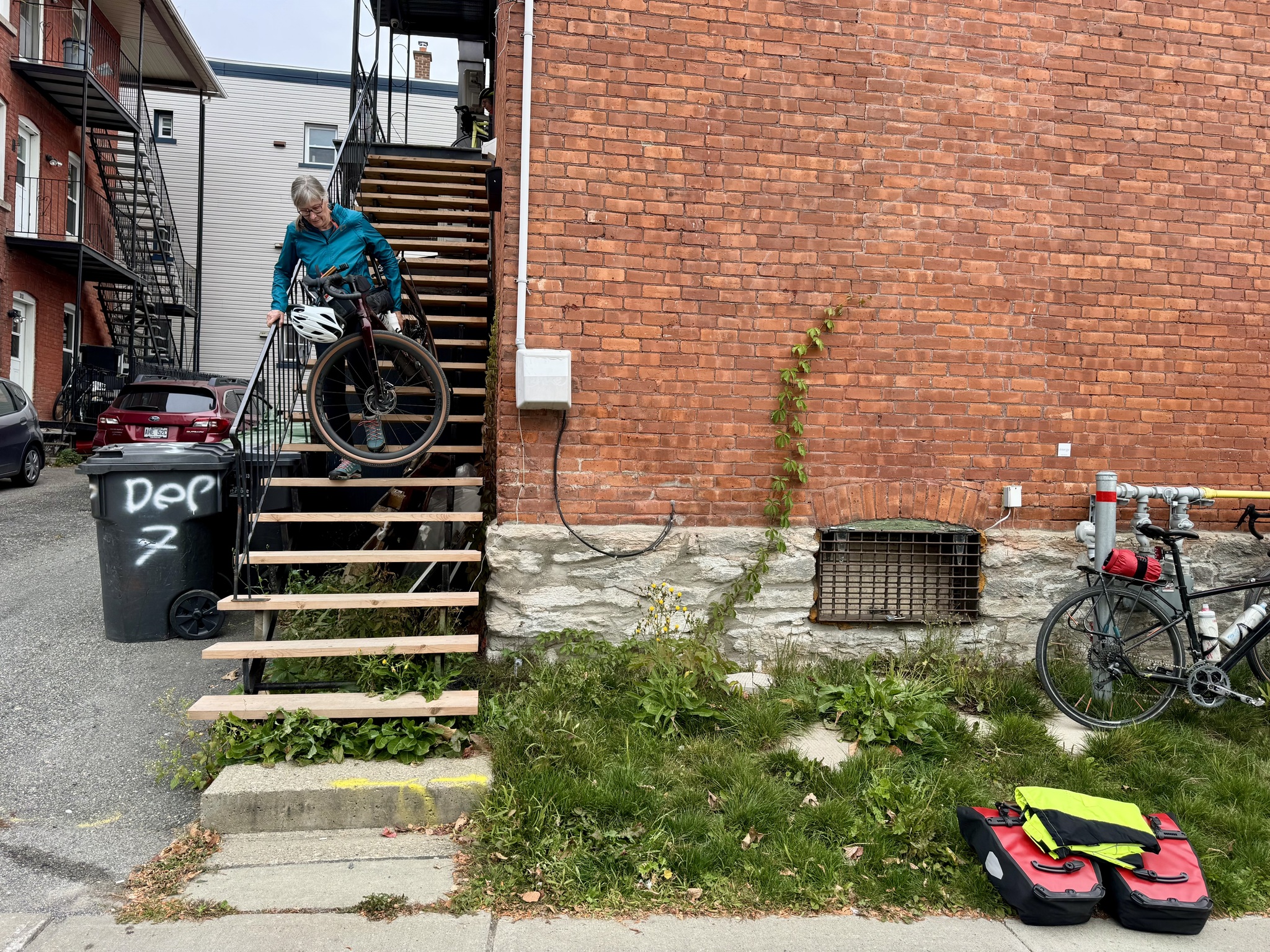
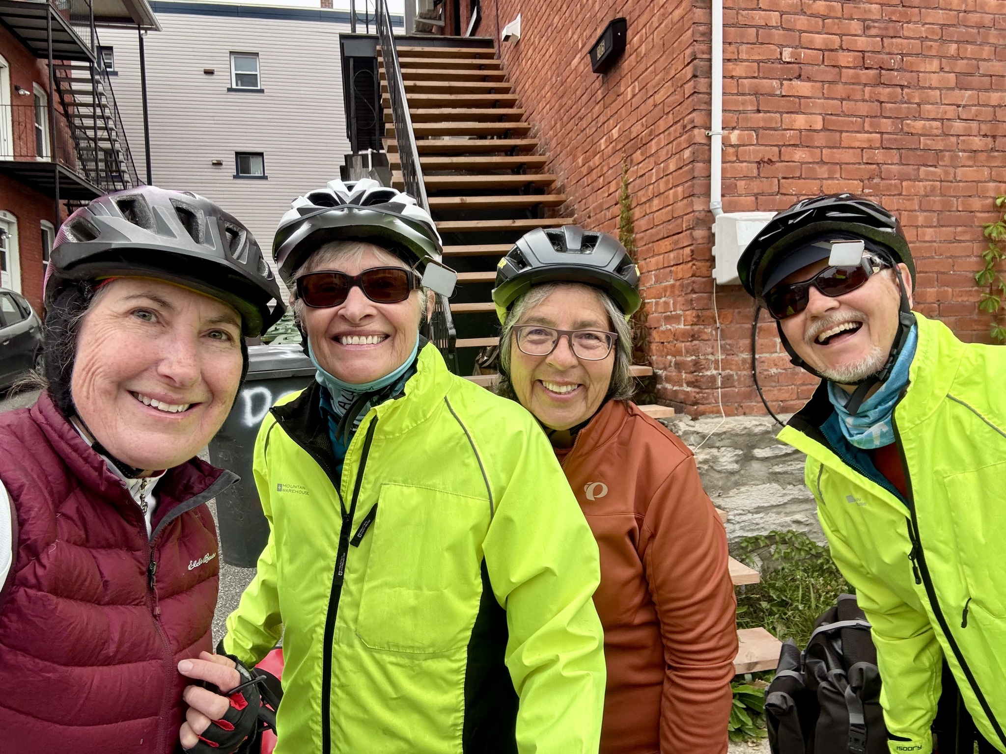
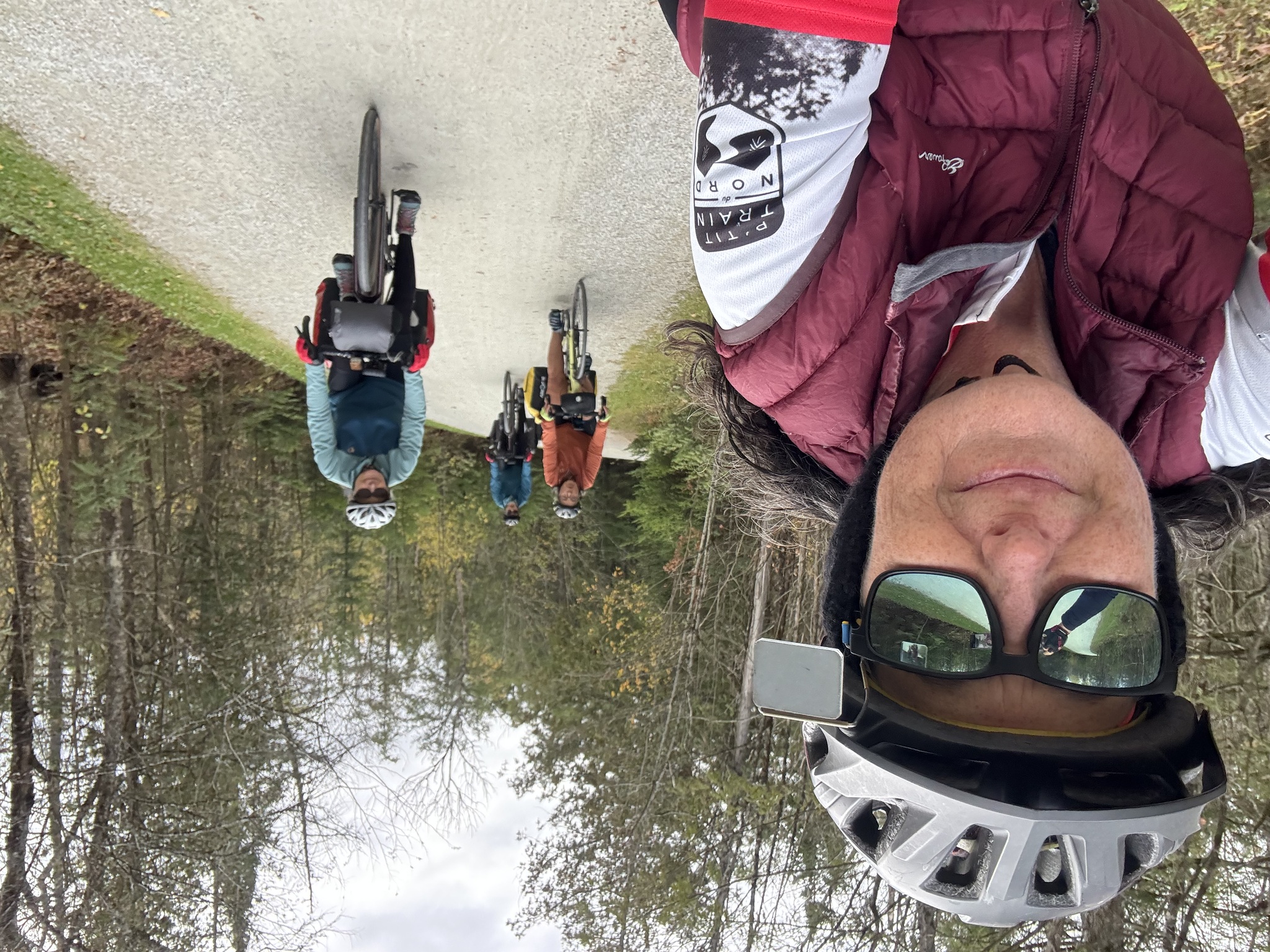
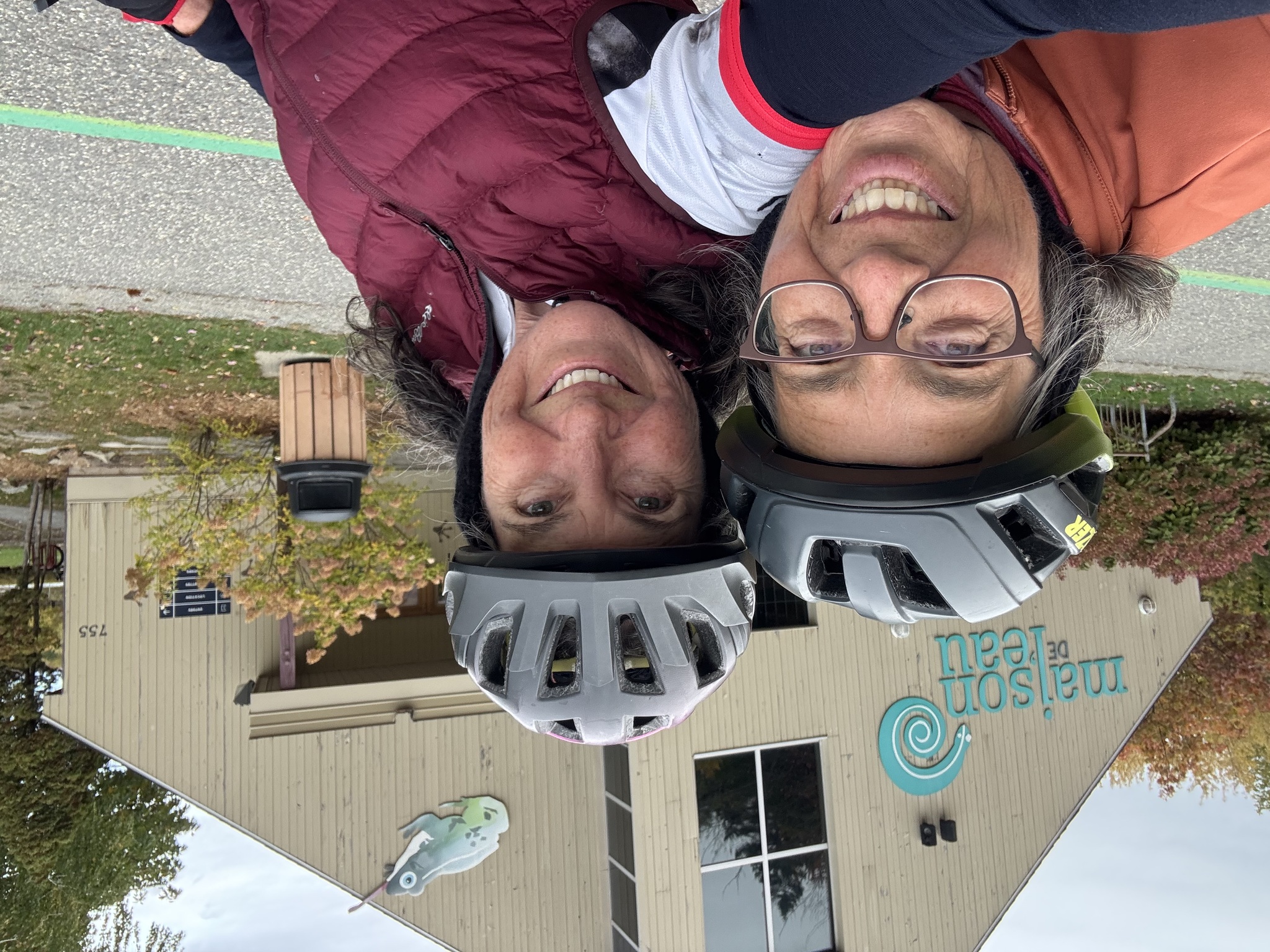
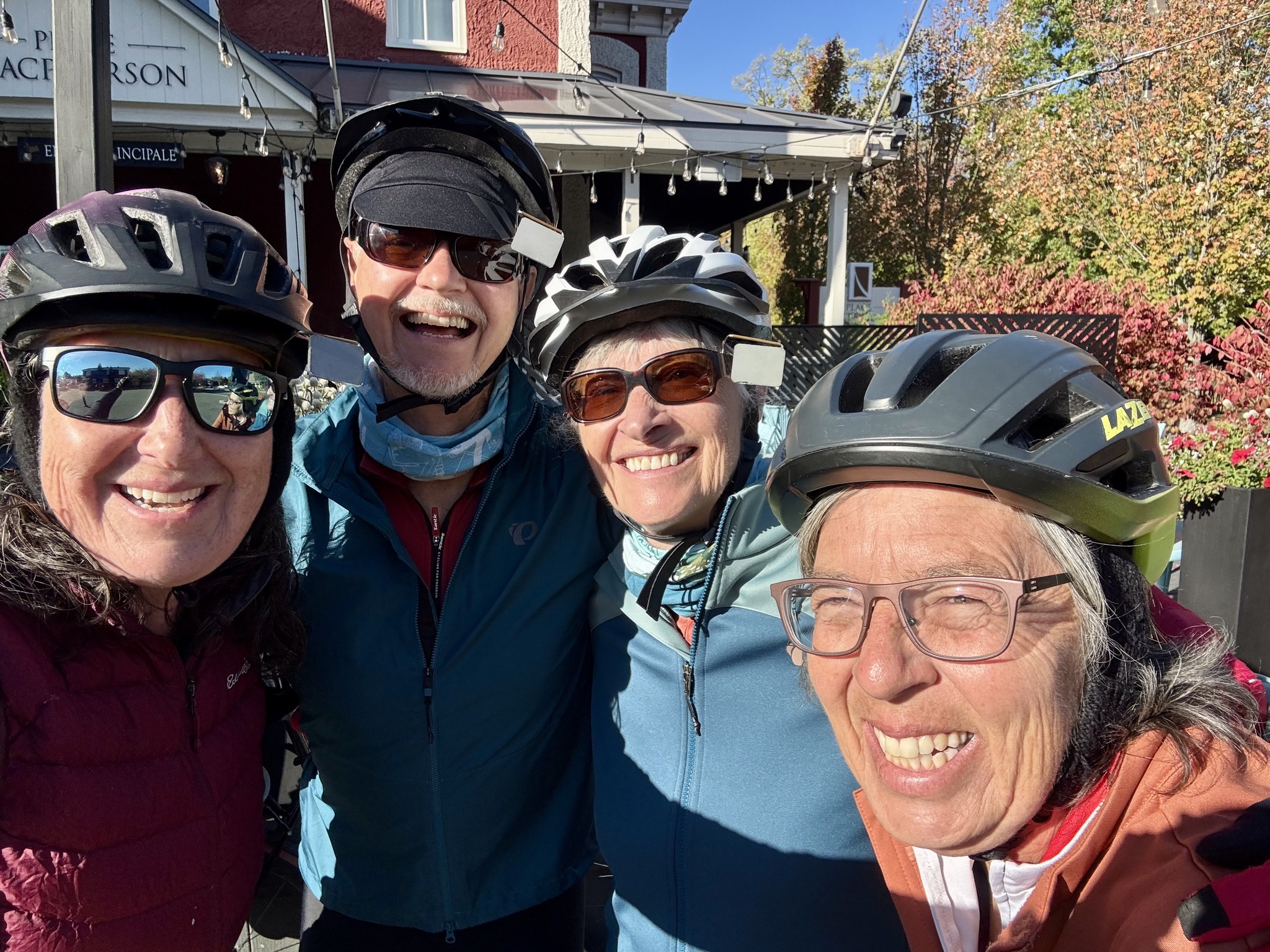
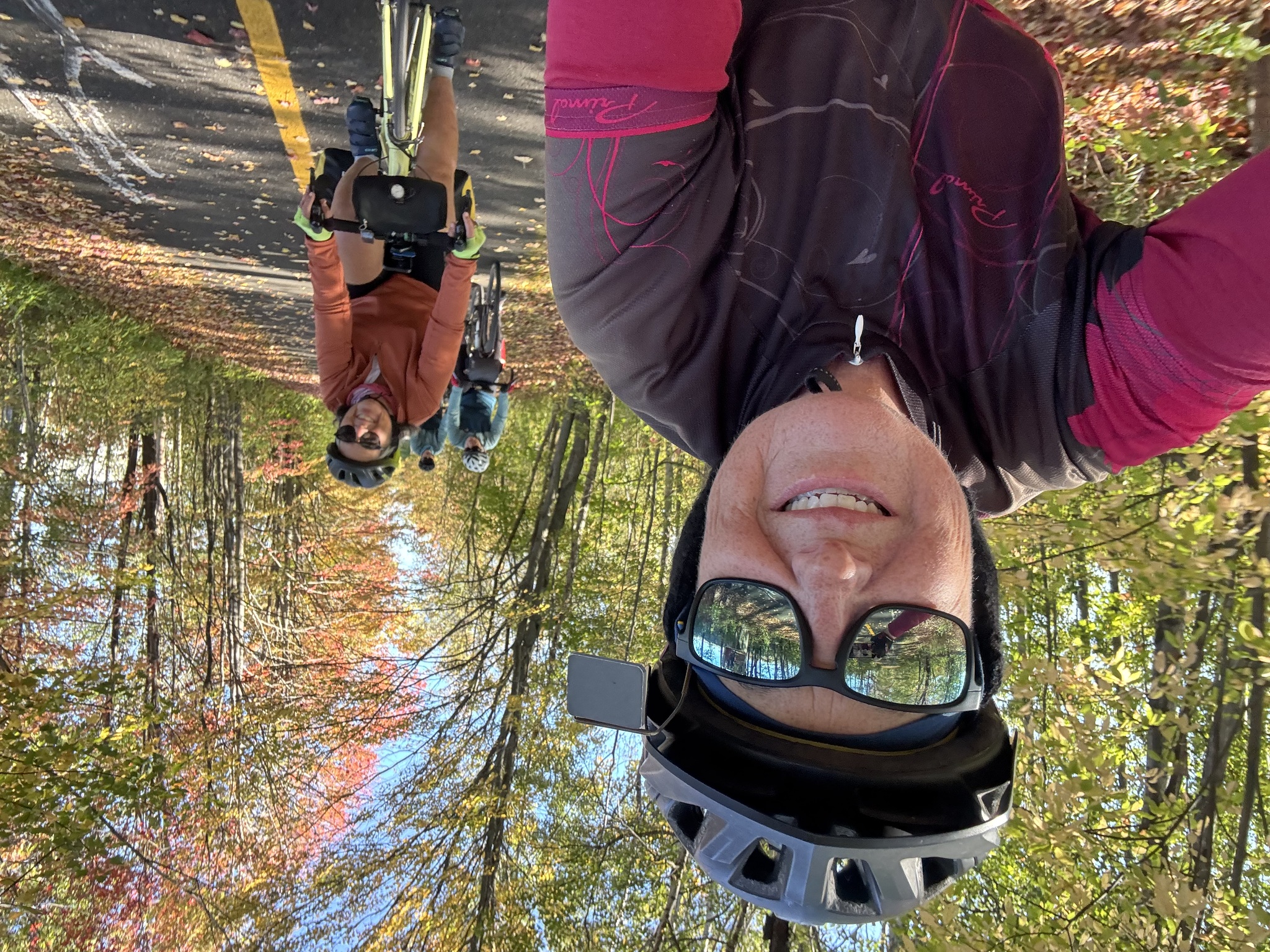
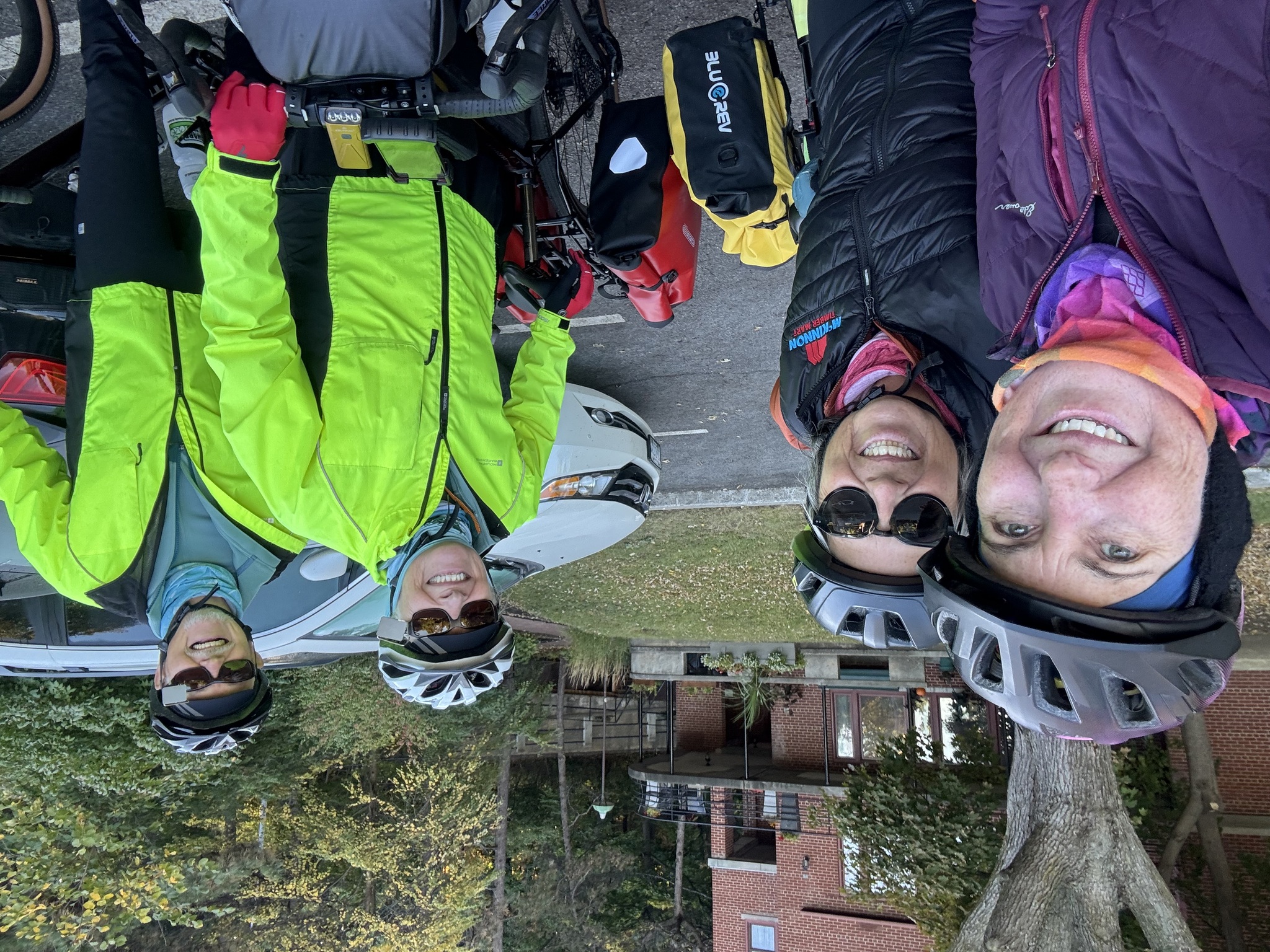
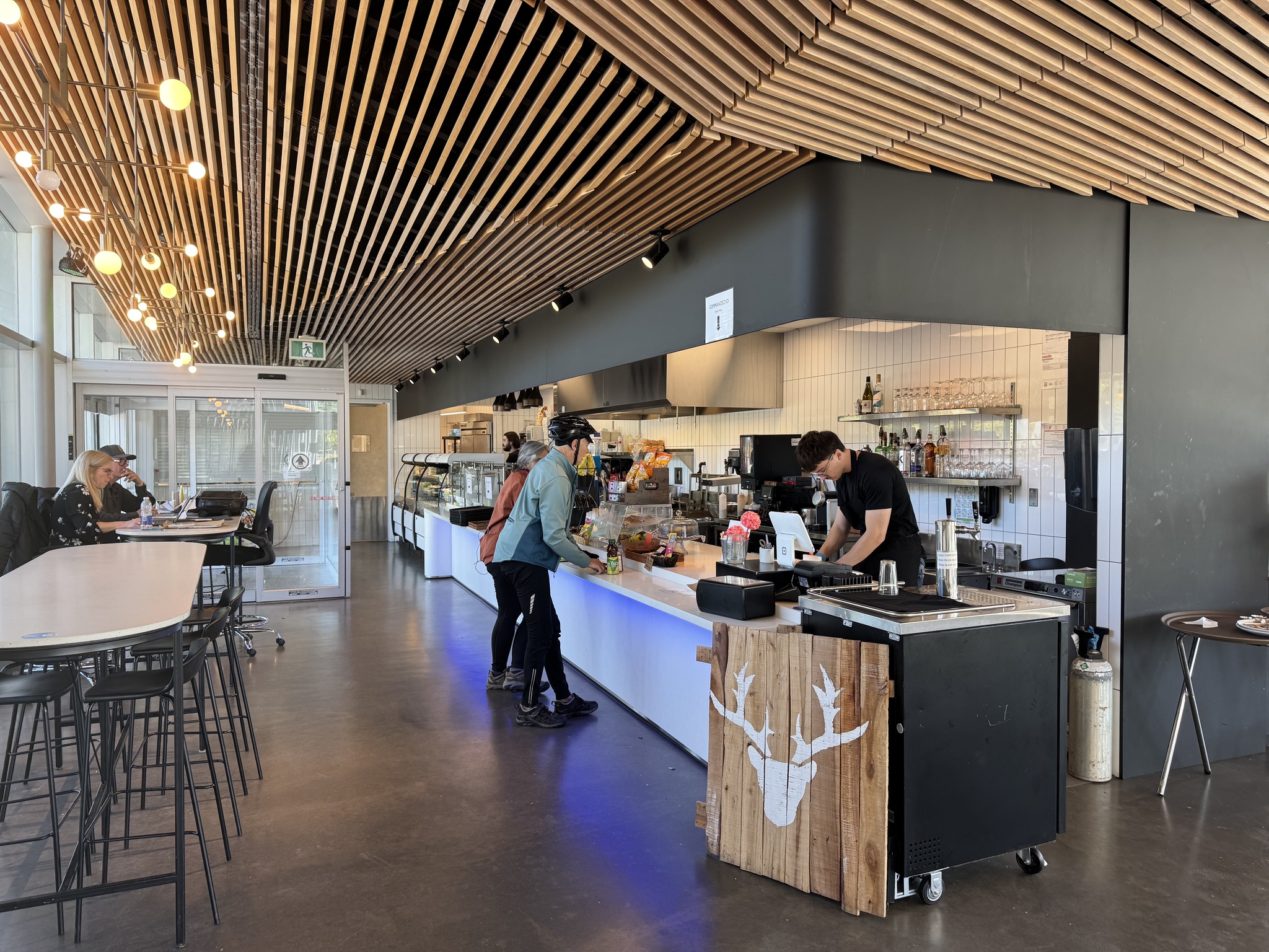
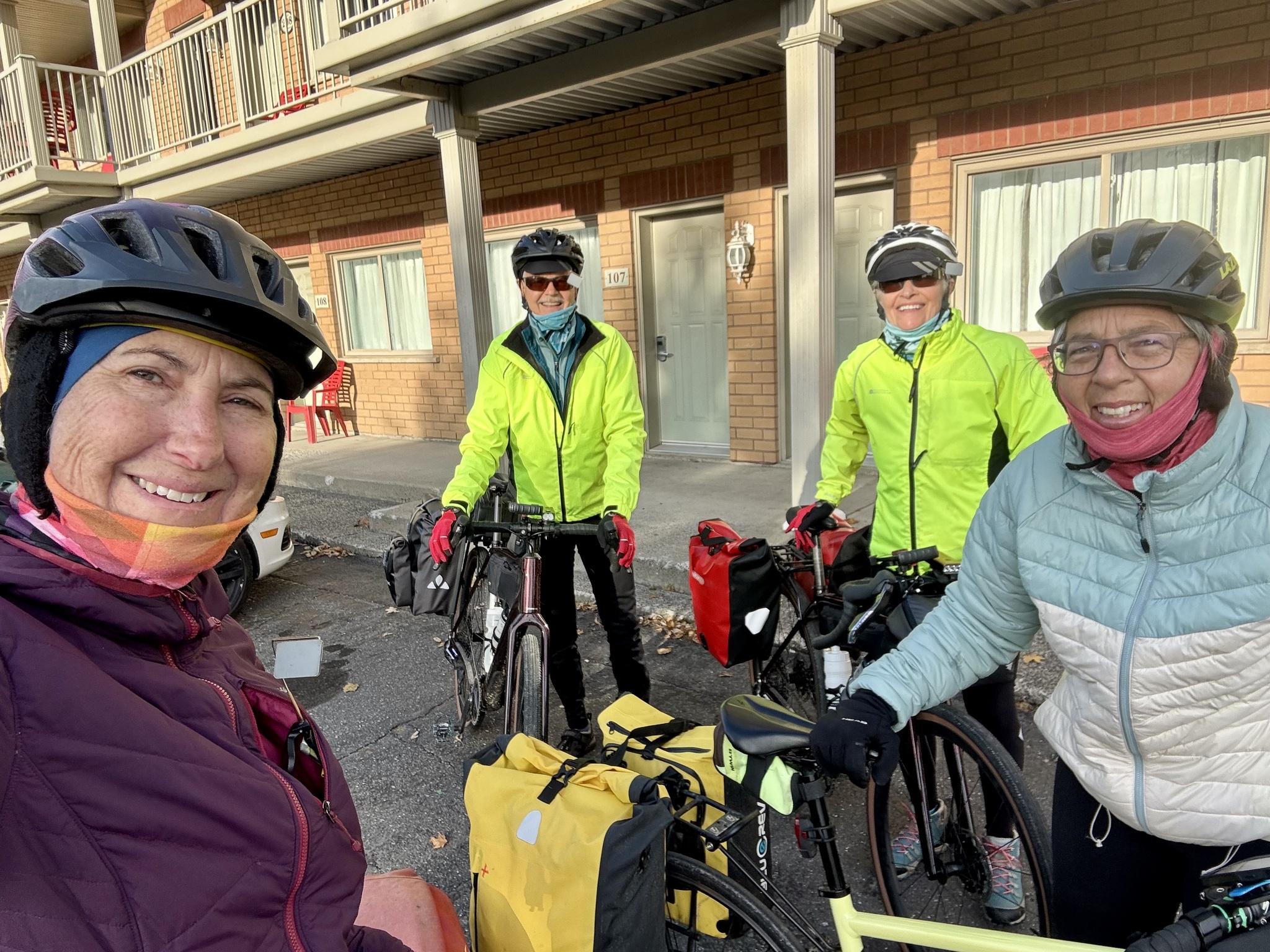
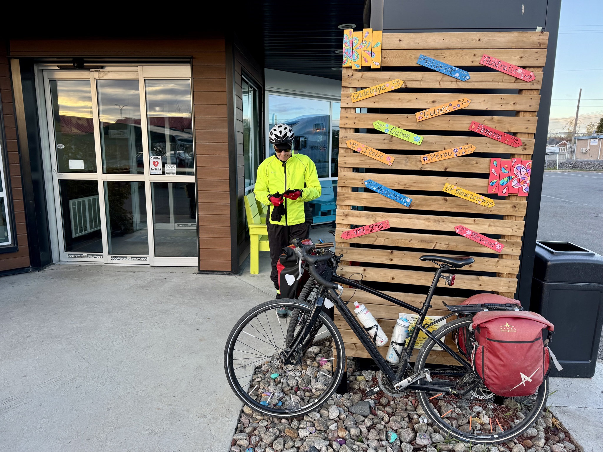
Breakfast was included with our hotel last night. We met at 7:30 in the dining area. We were ready to go just before 9.

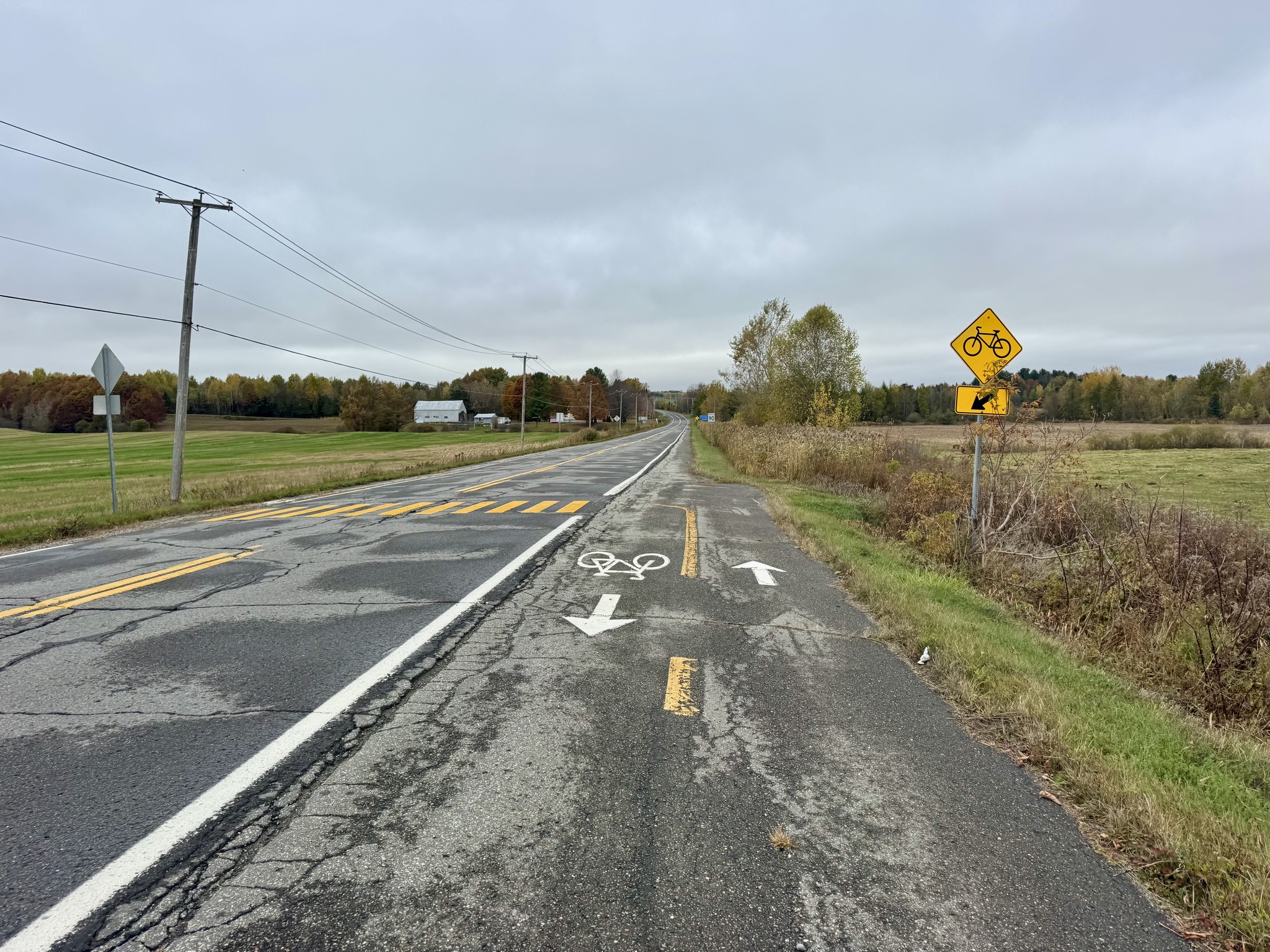
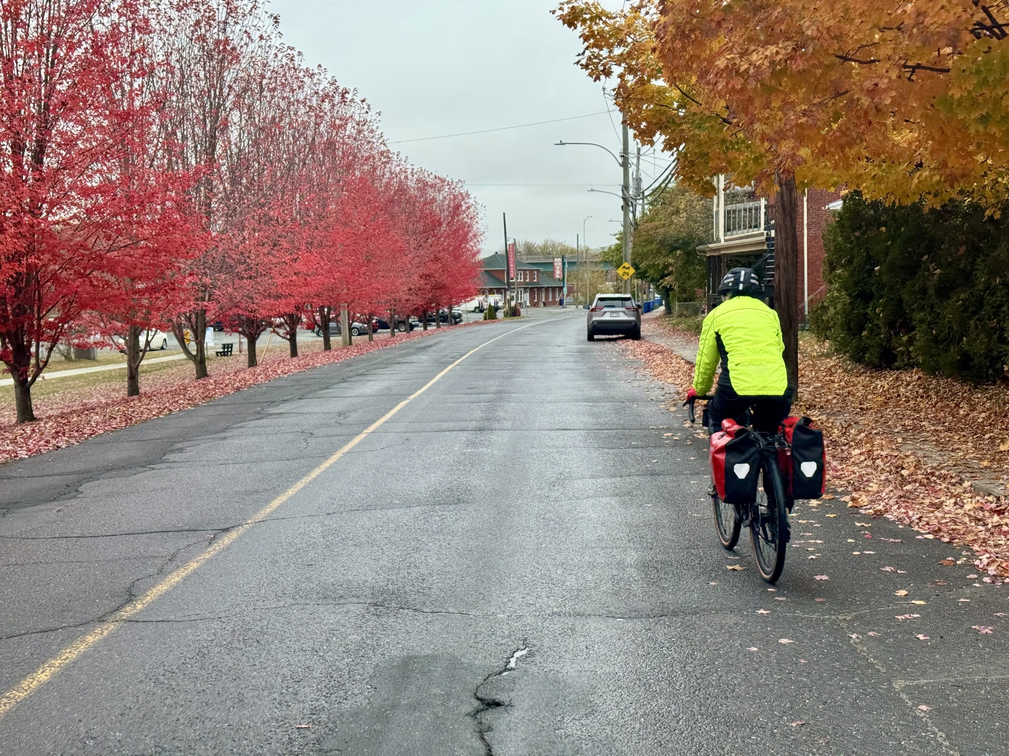
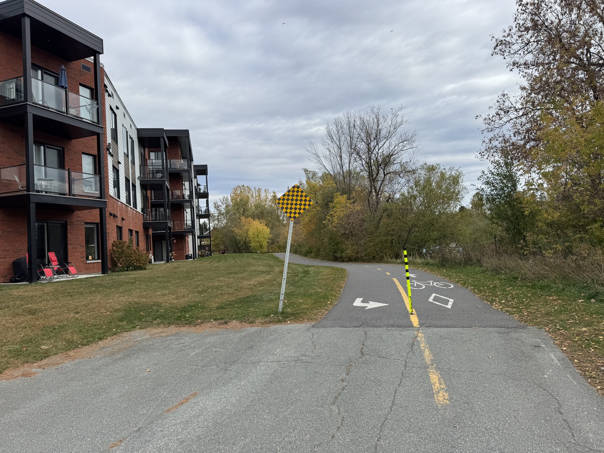
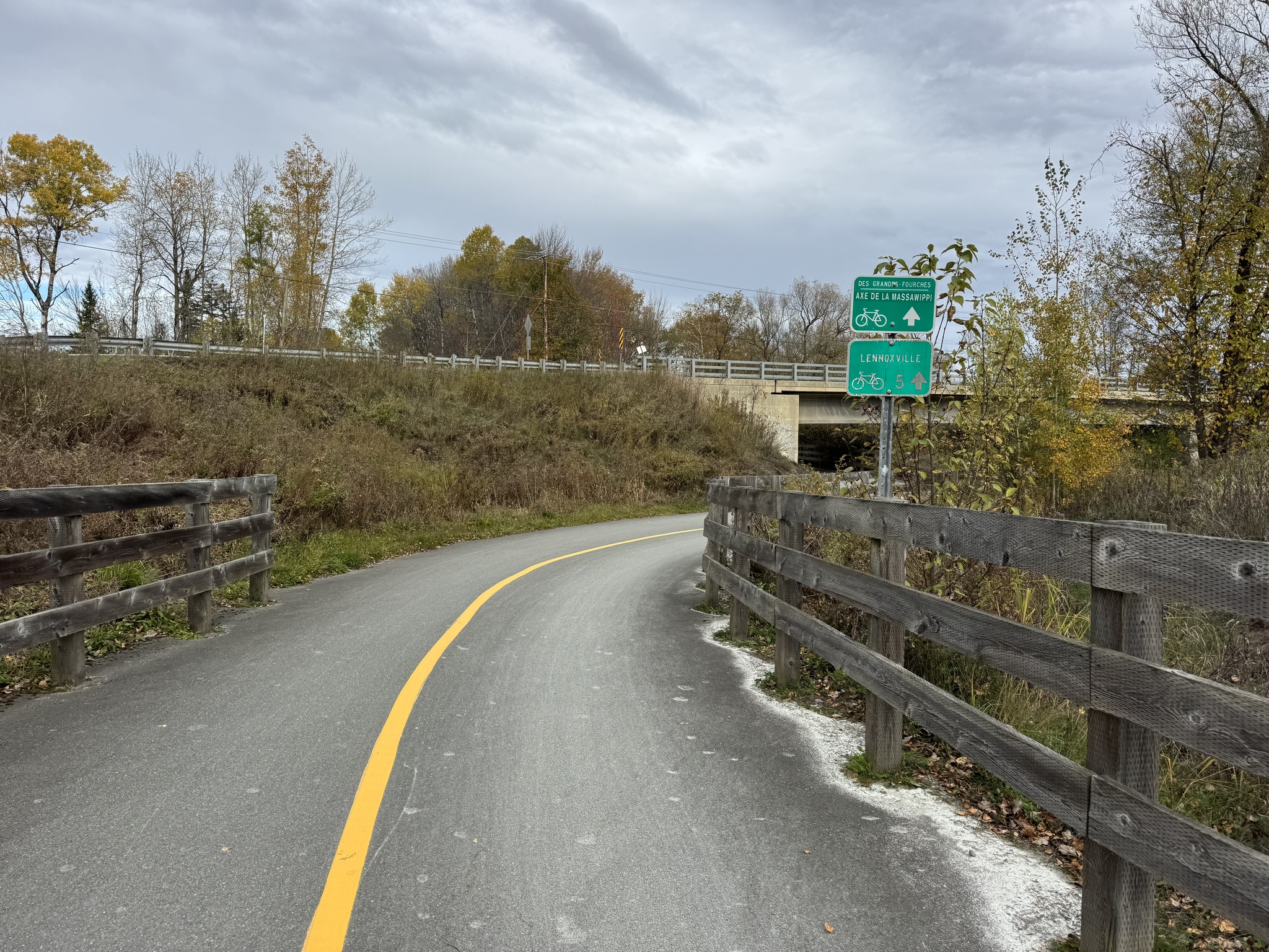
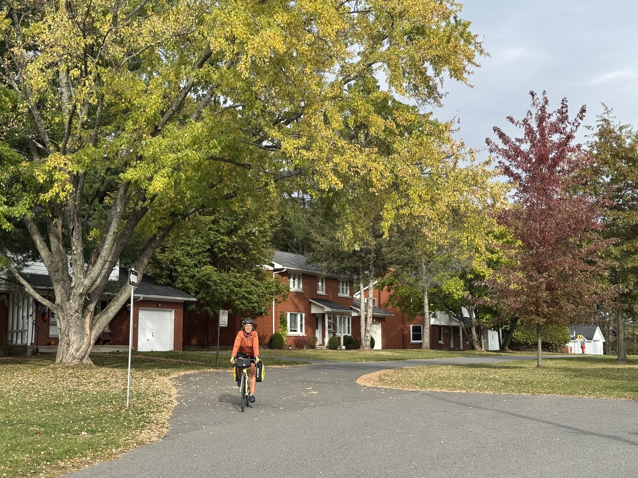
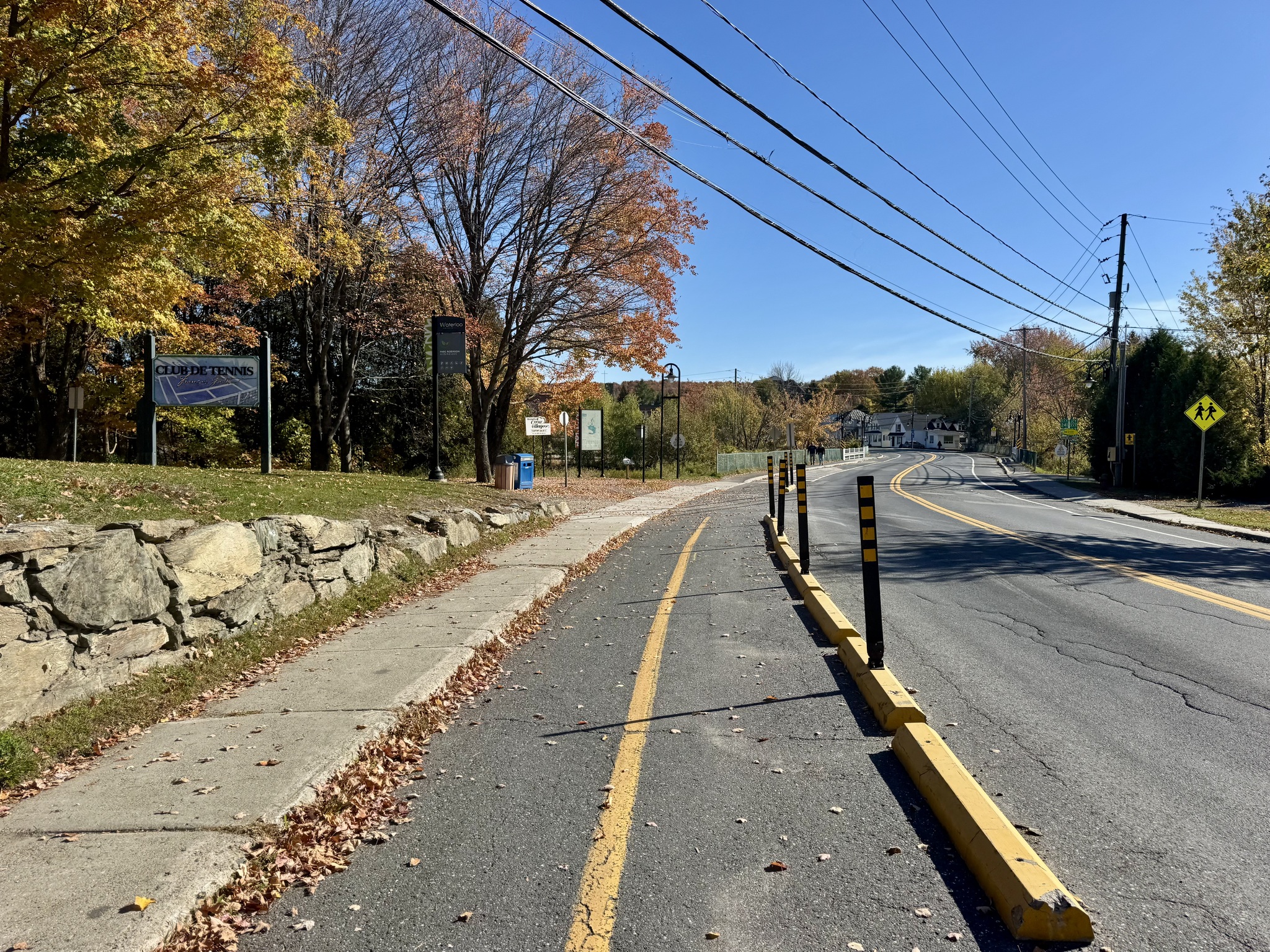
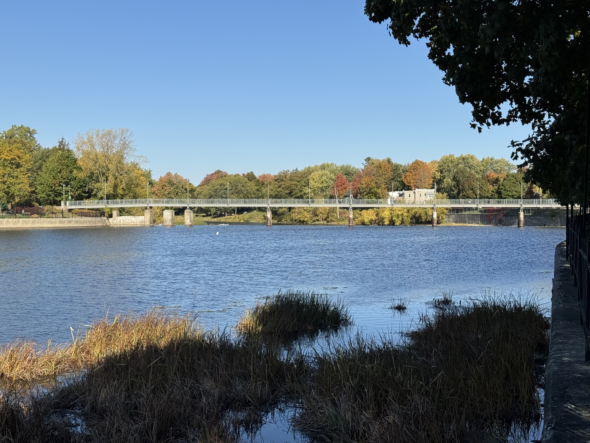
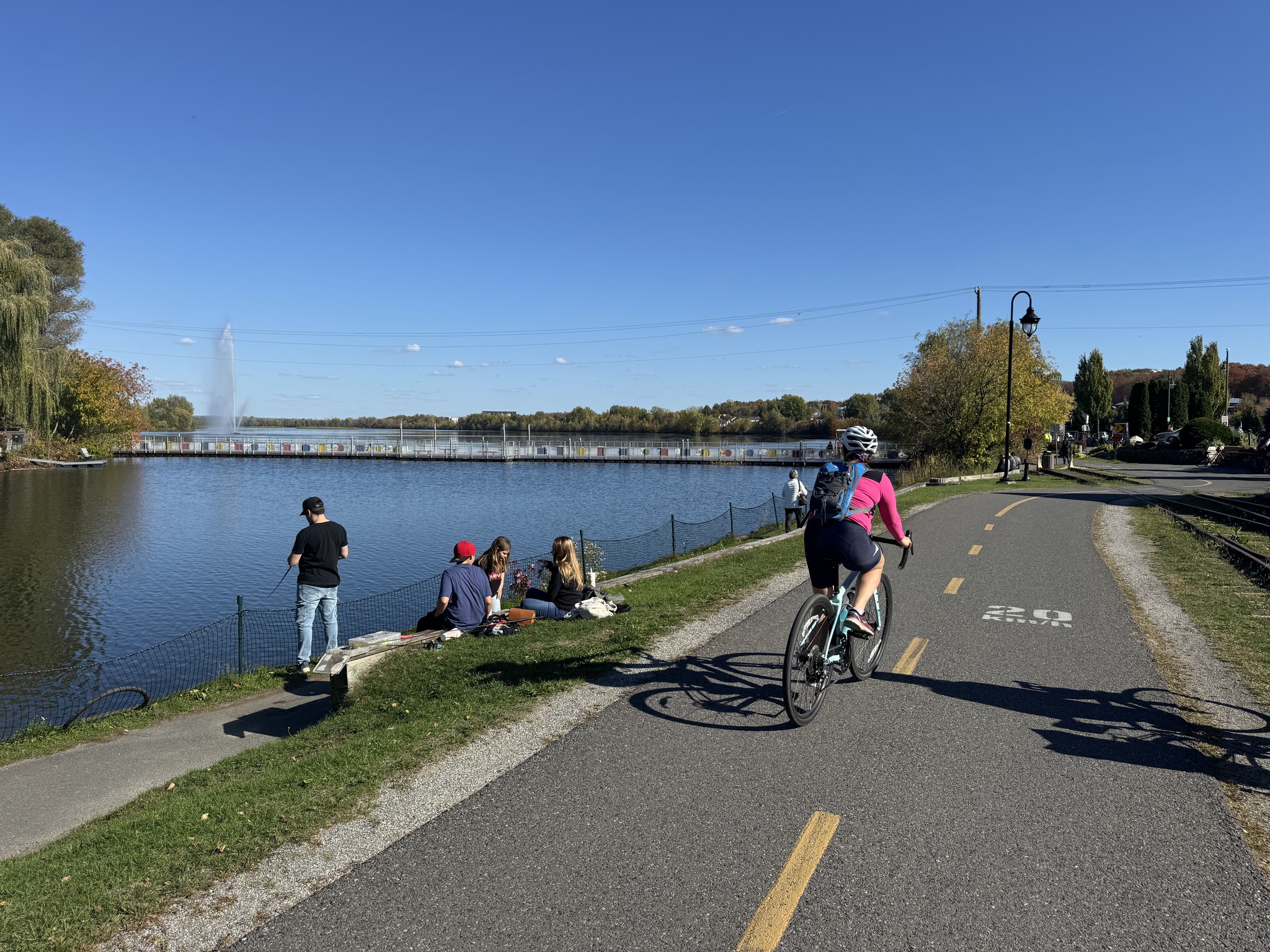
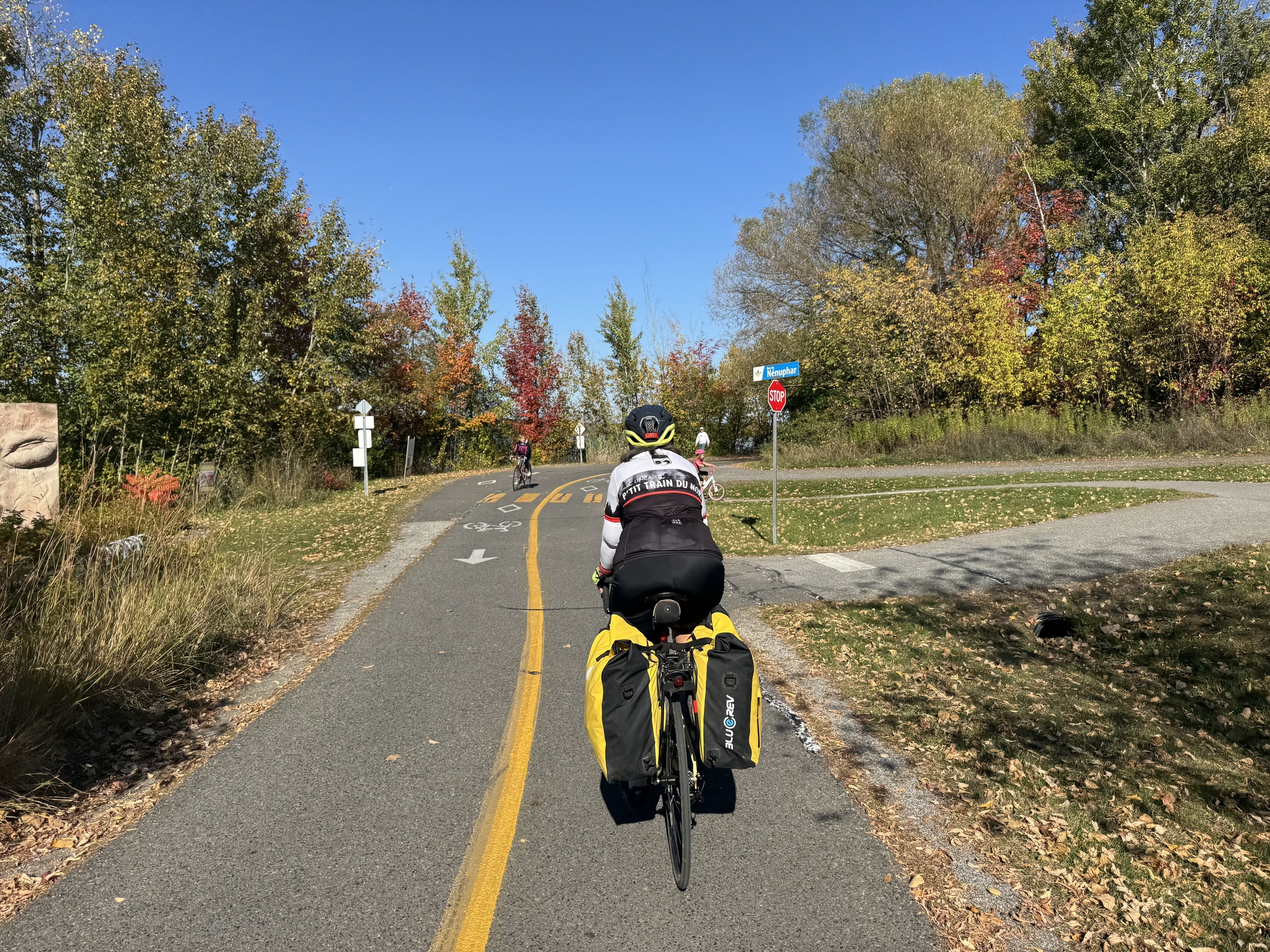
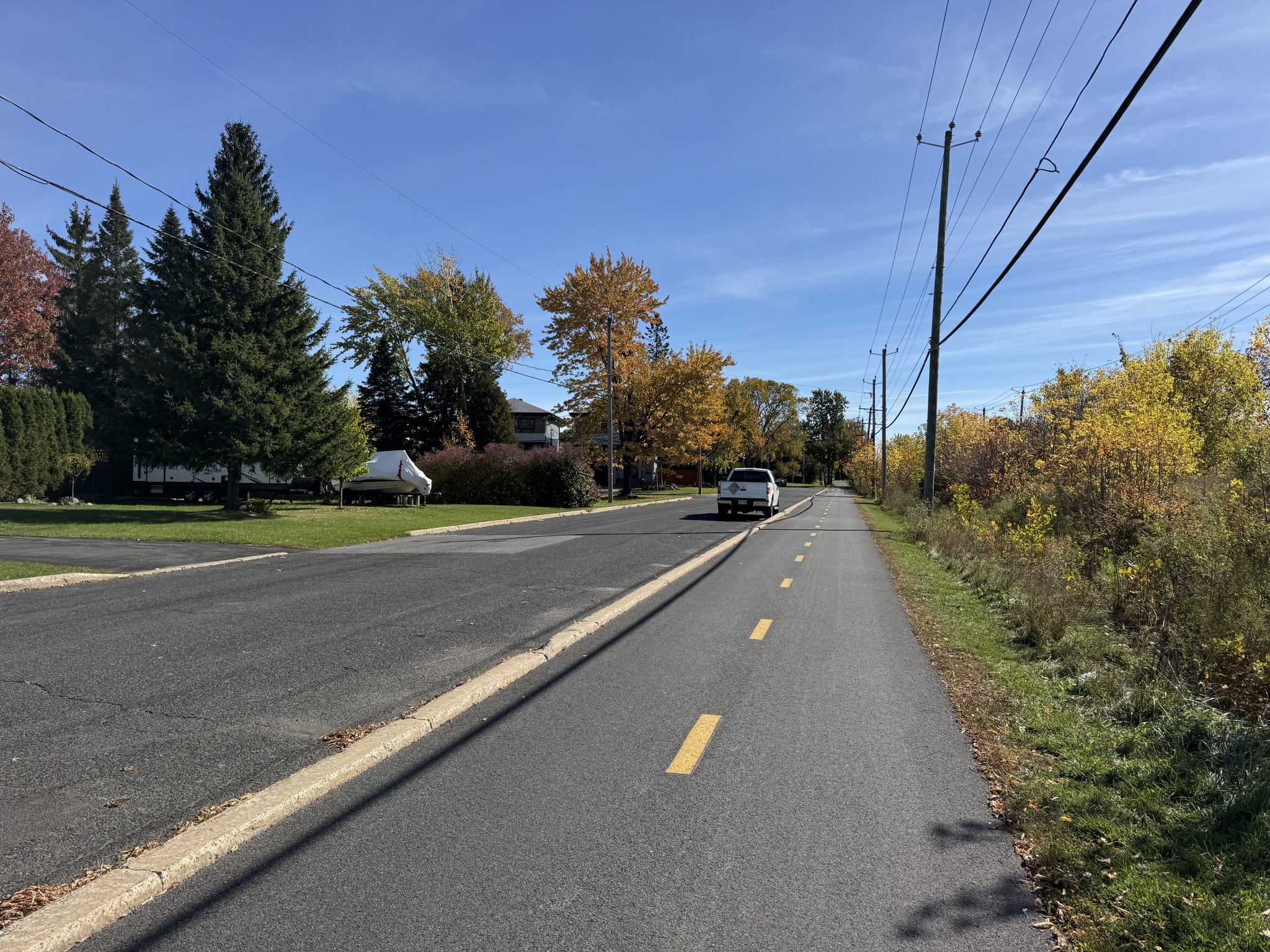
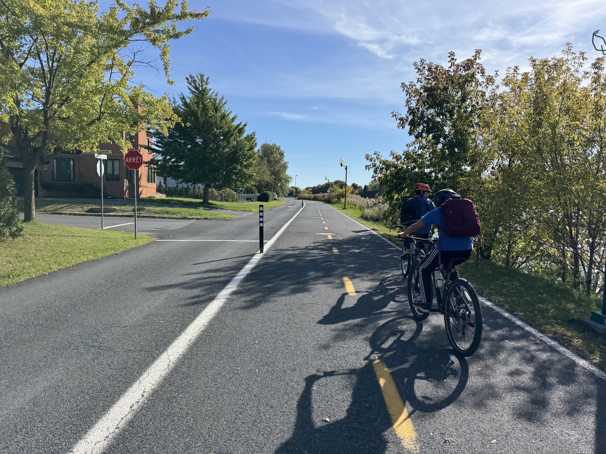
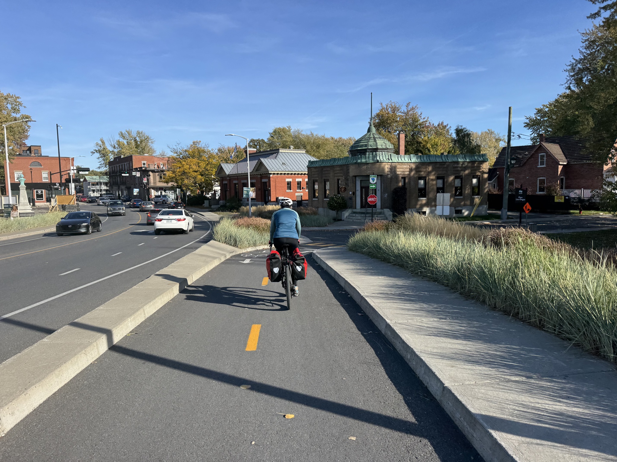
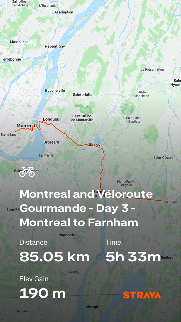
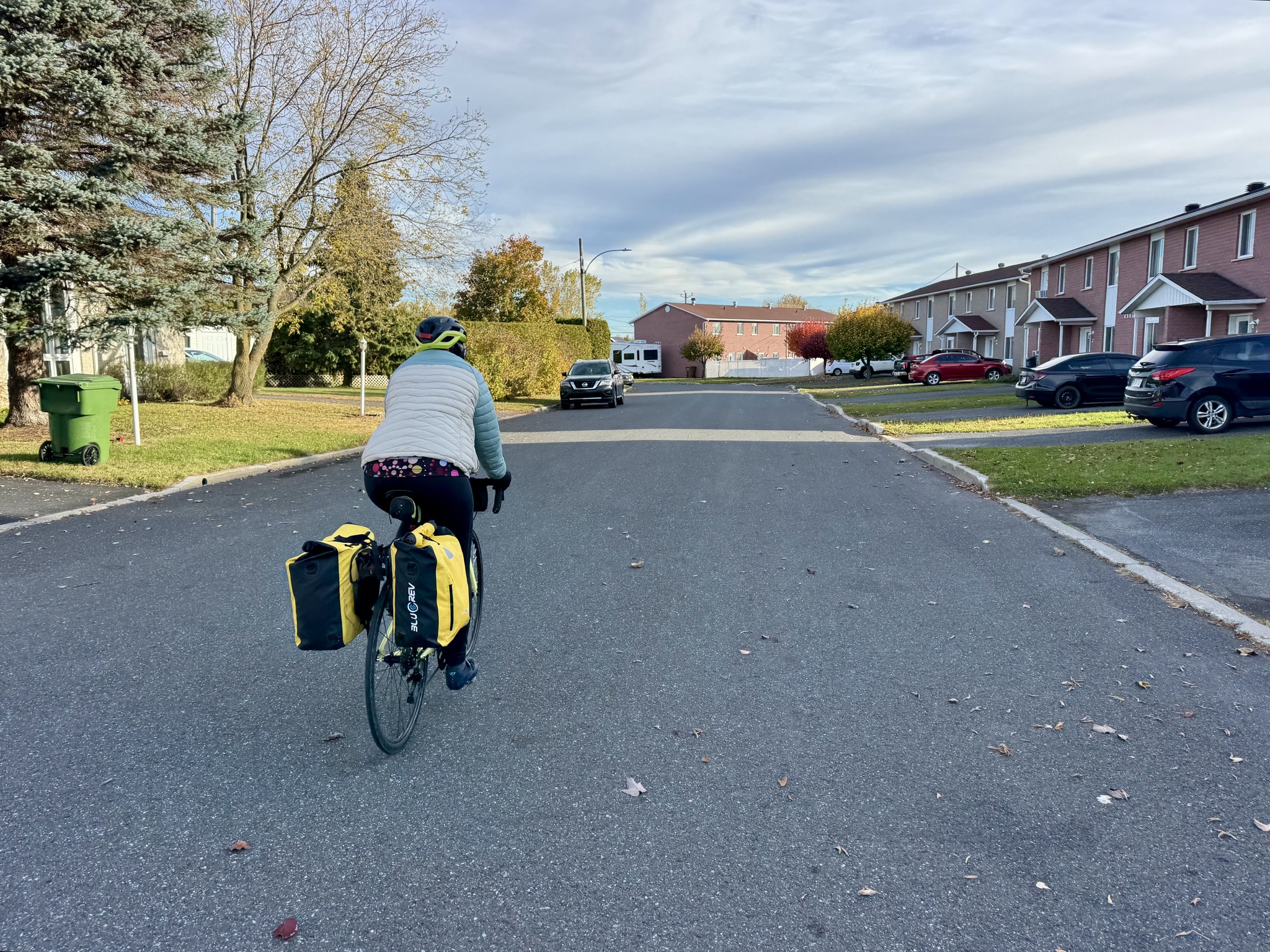
Our hotel was at the intersection of a highway and a busy road. My planned route took us over the highway twice so I looked at the map more closely, and saw a way we could get to Vélo Route 4 on low traffic volume roads without crossing the highway. We spent a lovely 10 km on a road that ran along the Saint François river. 

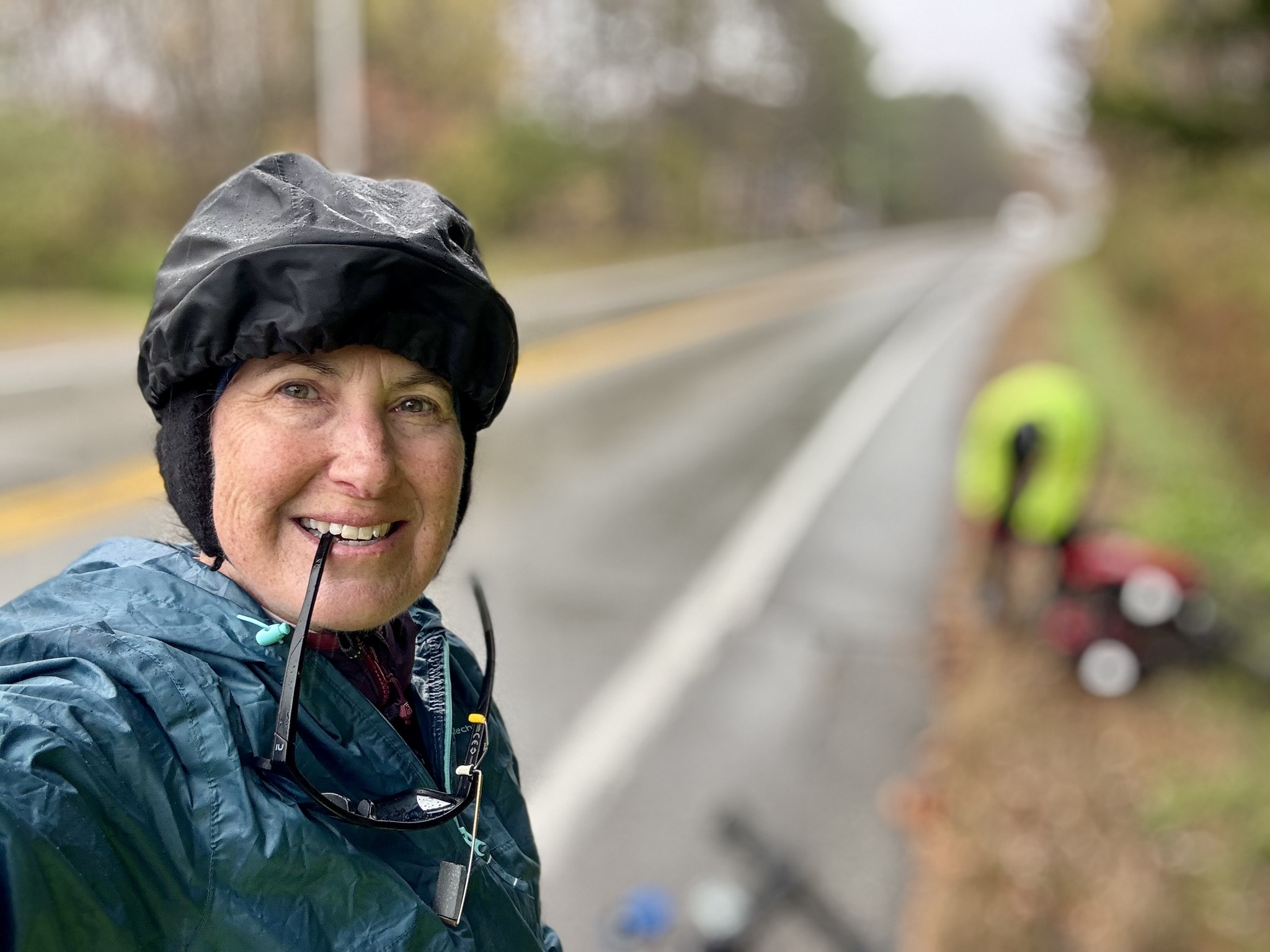
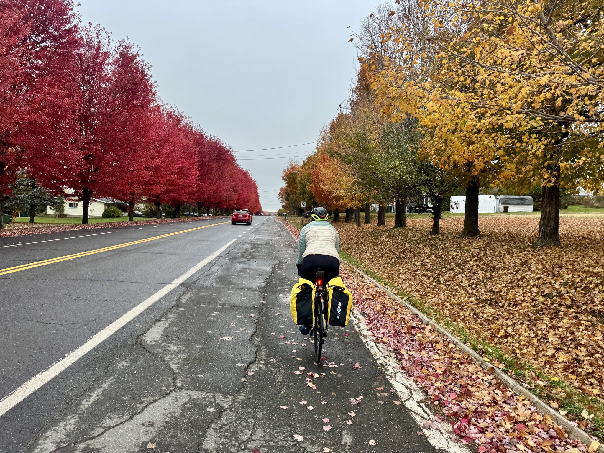
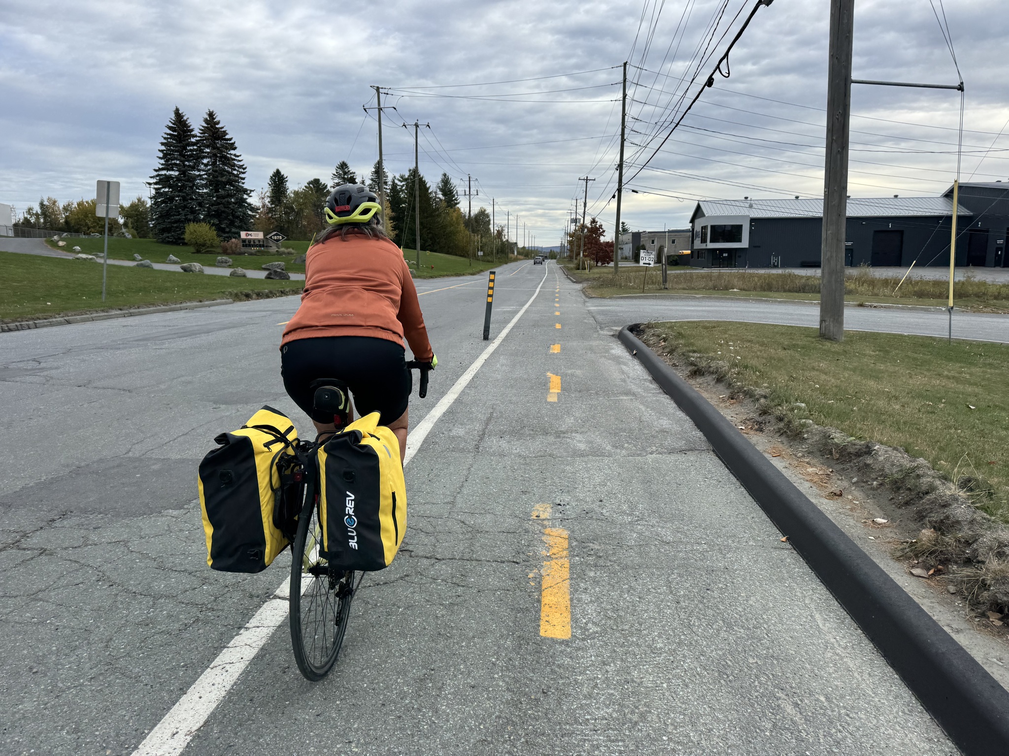
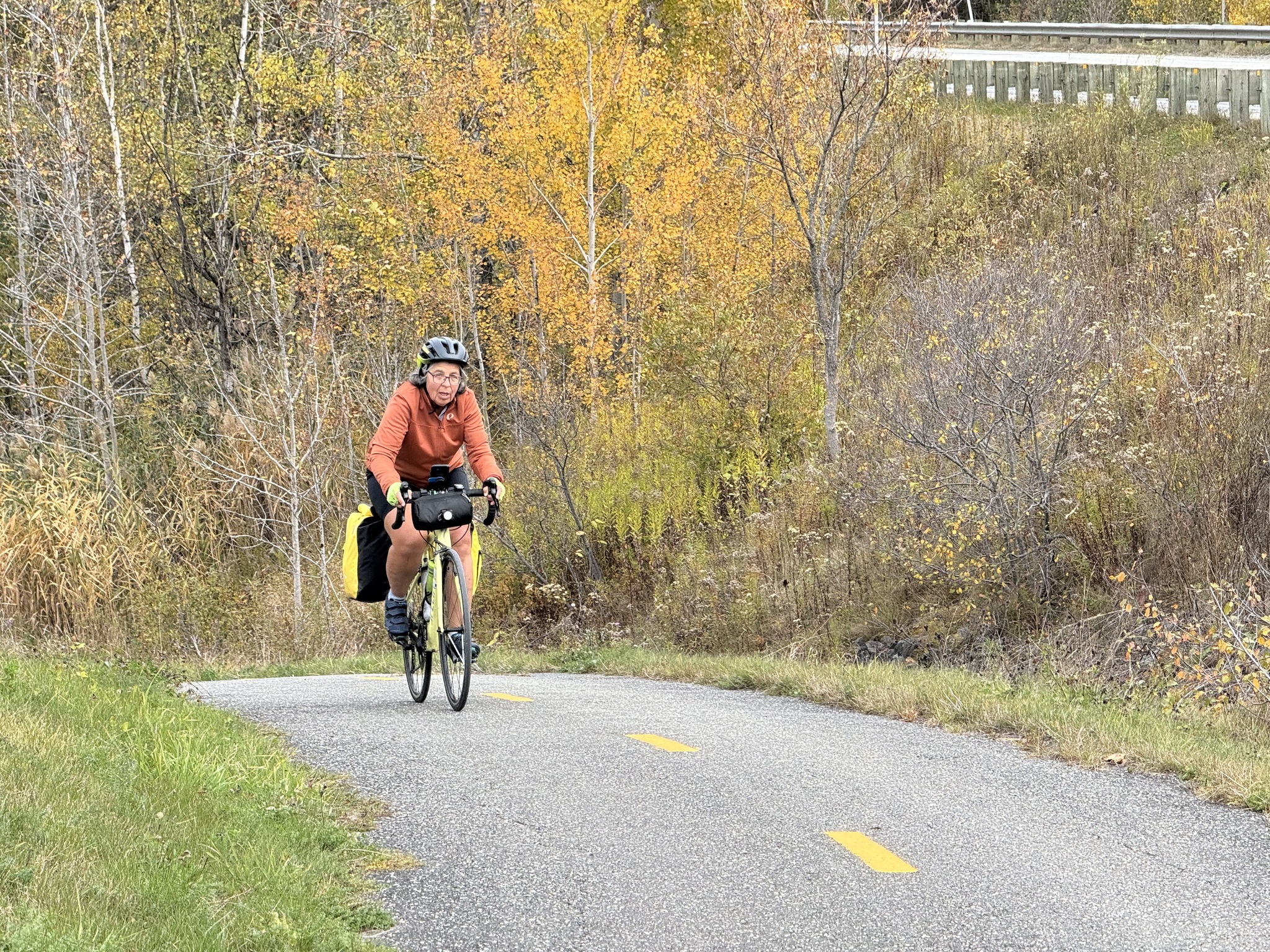
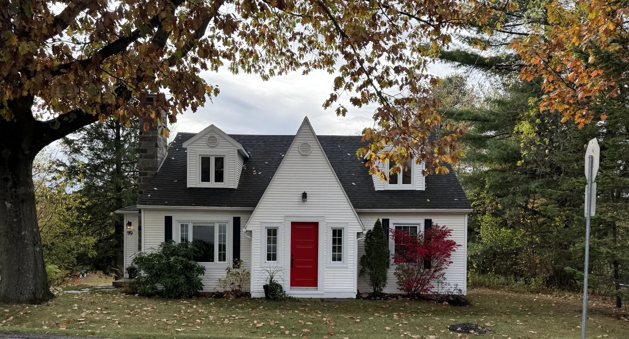
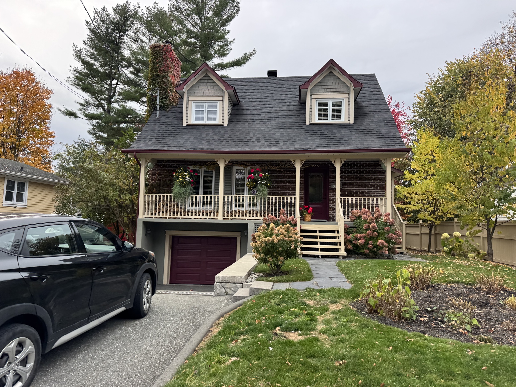
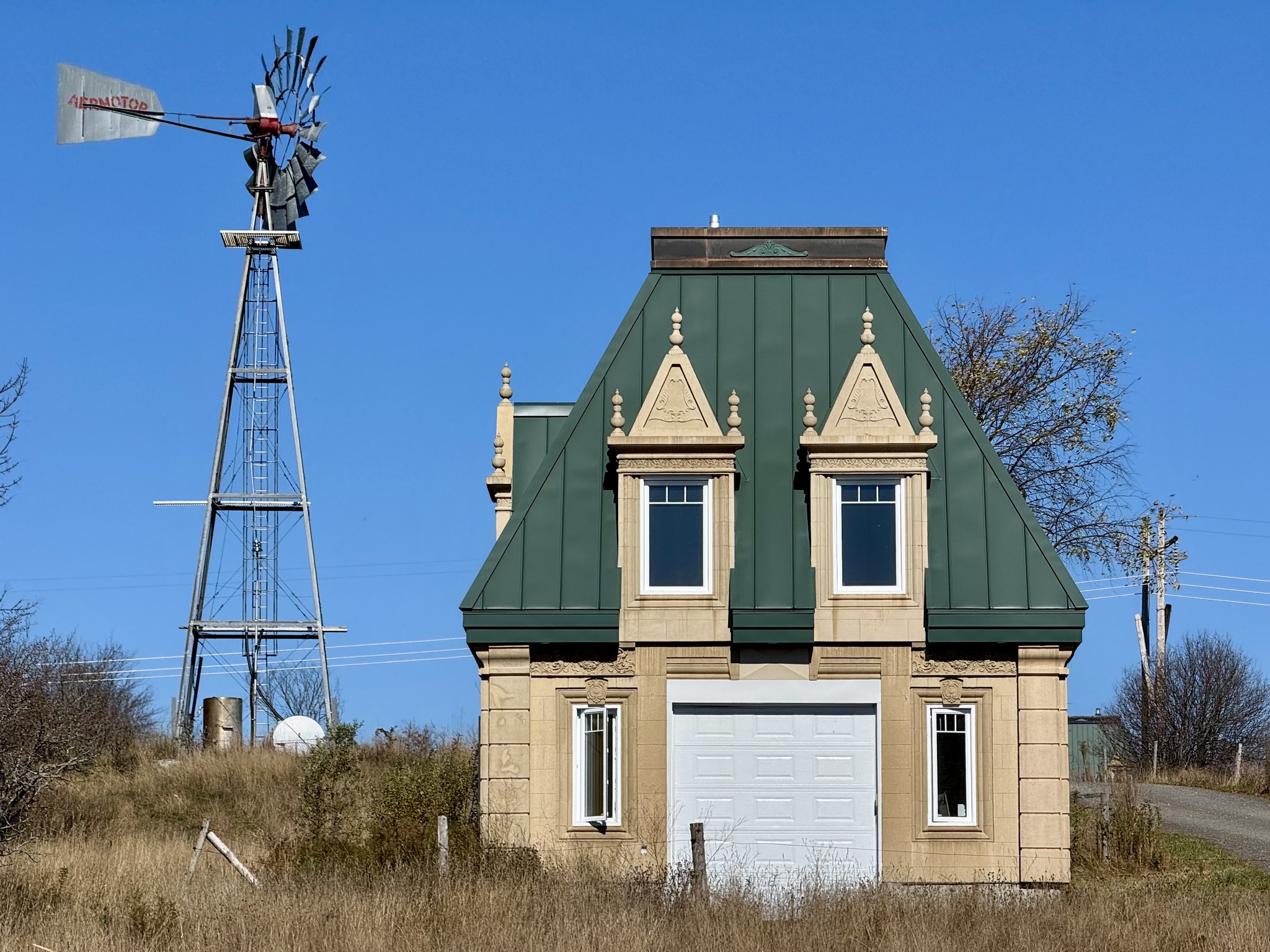
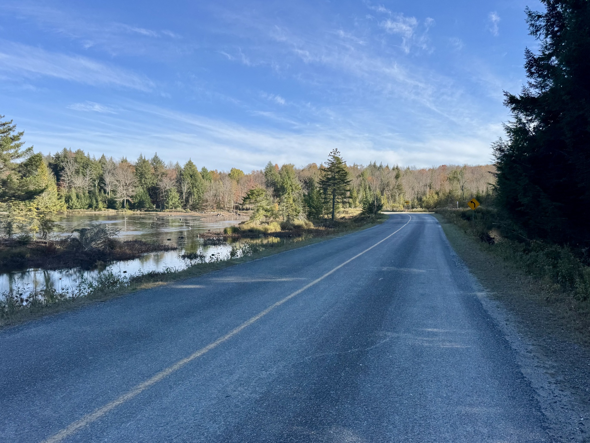
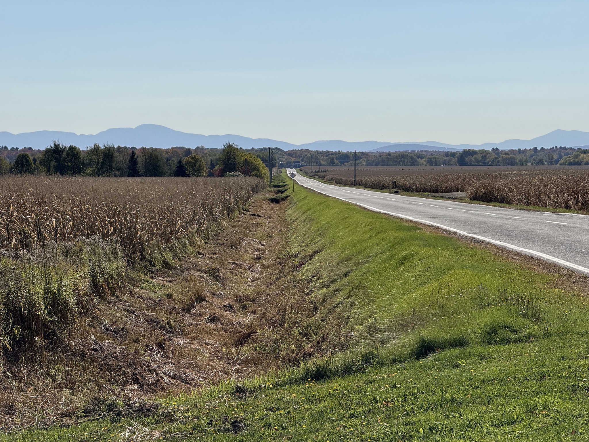
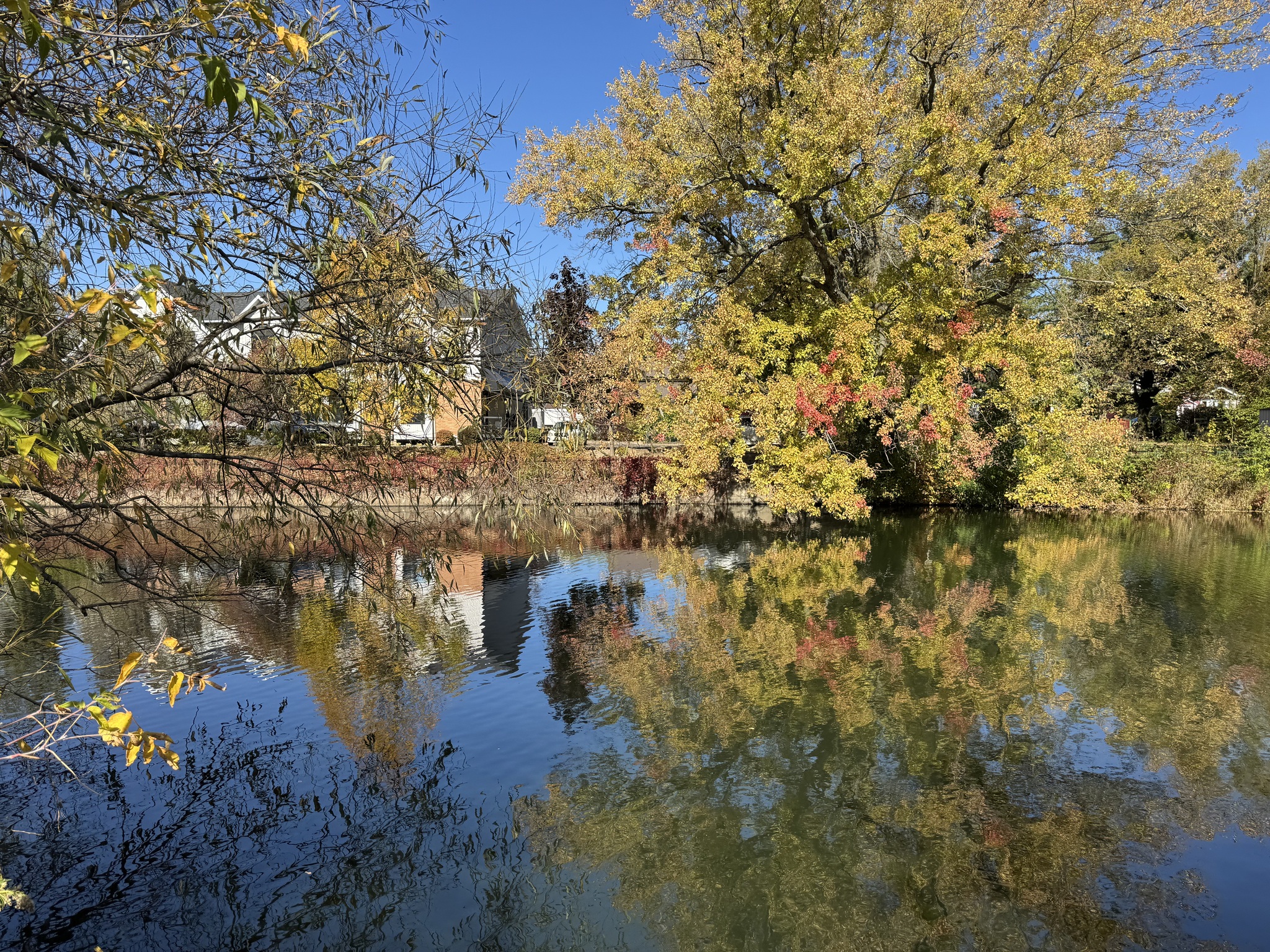
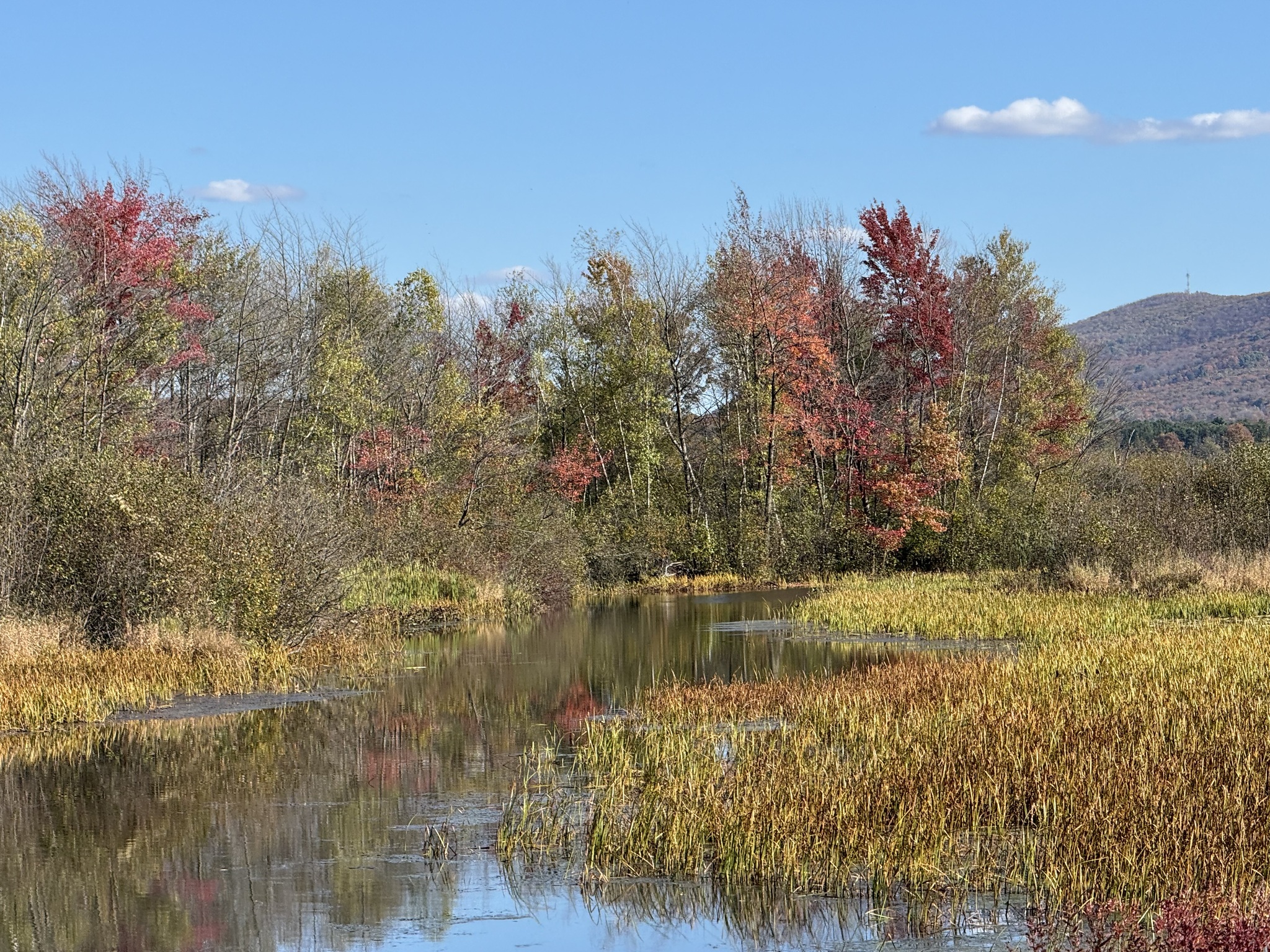
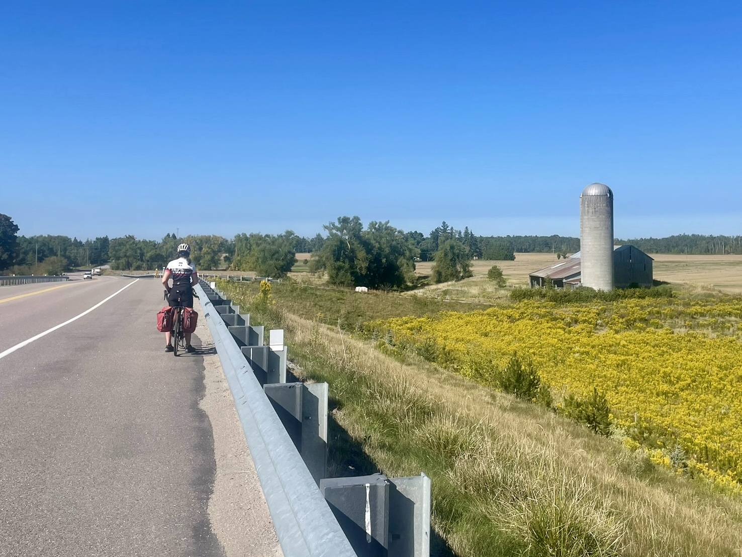
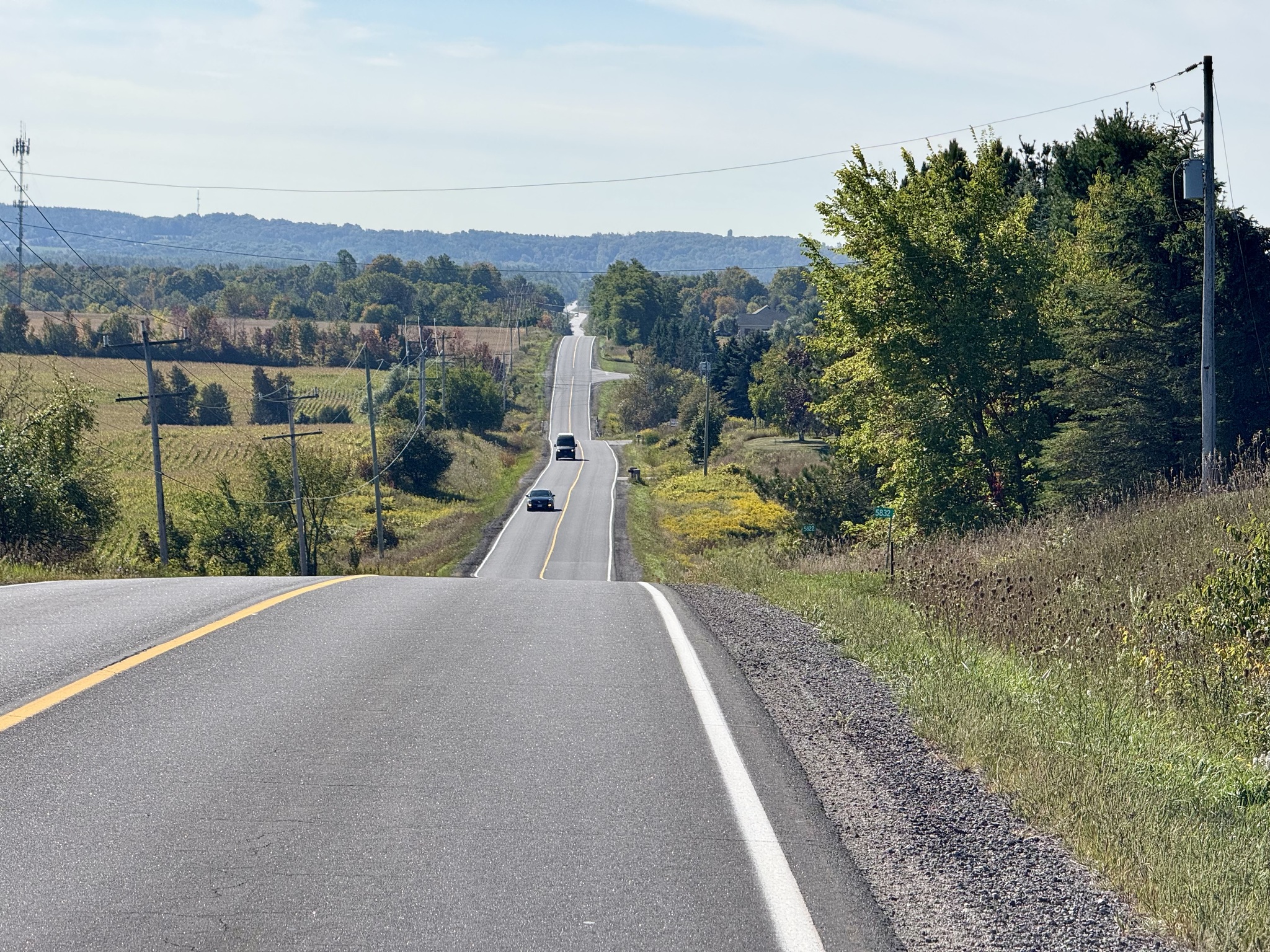
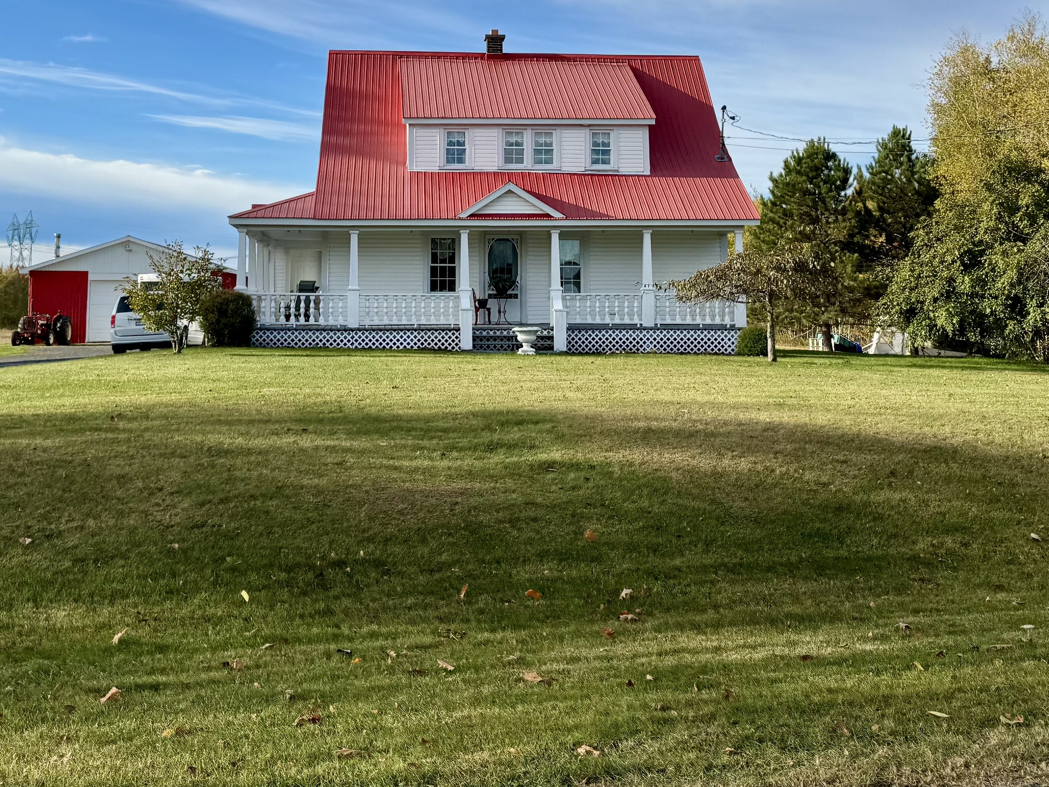
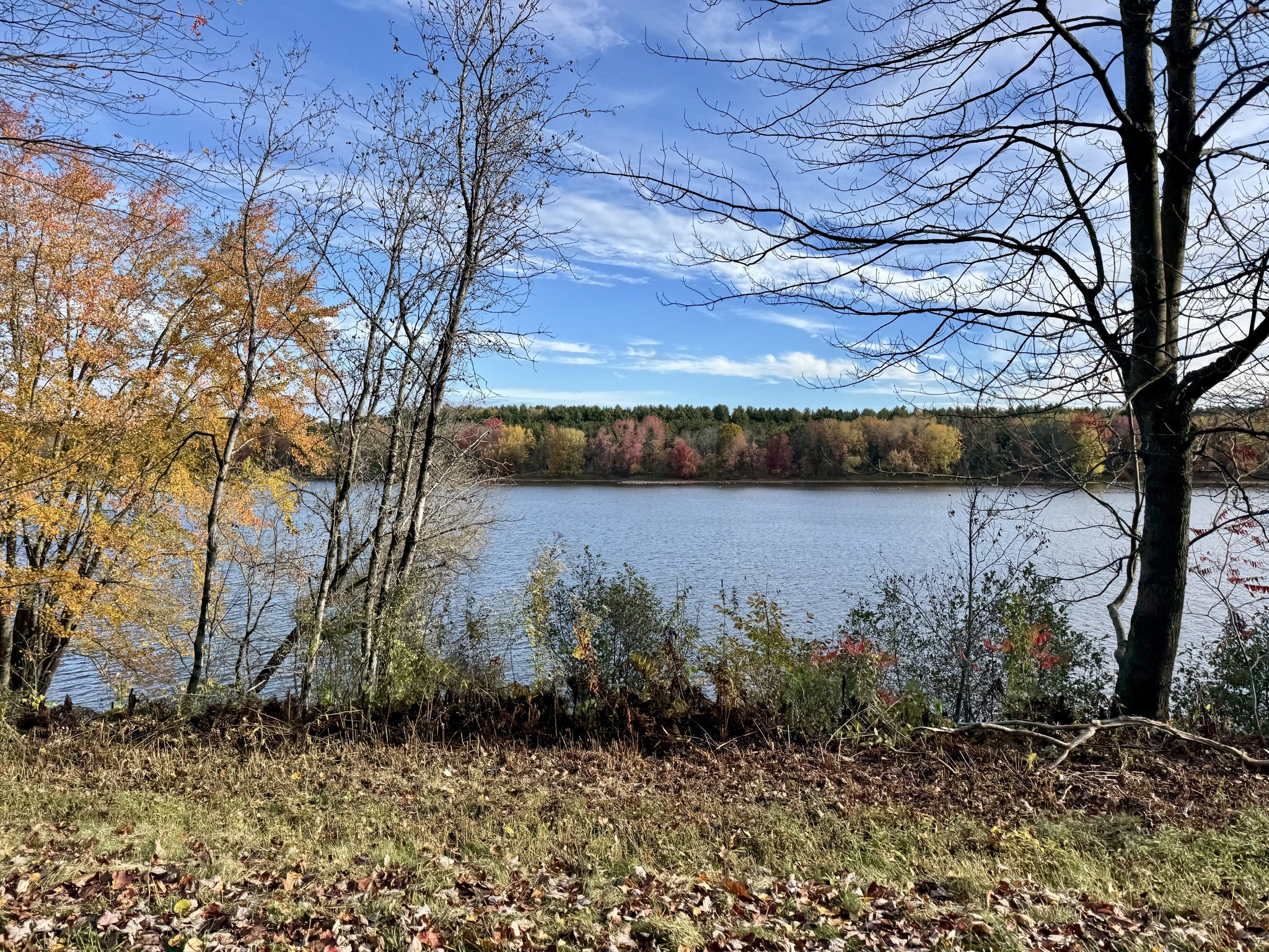
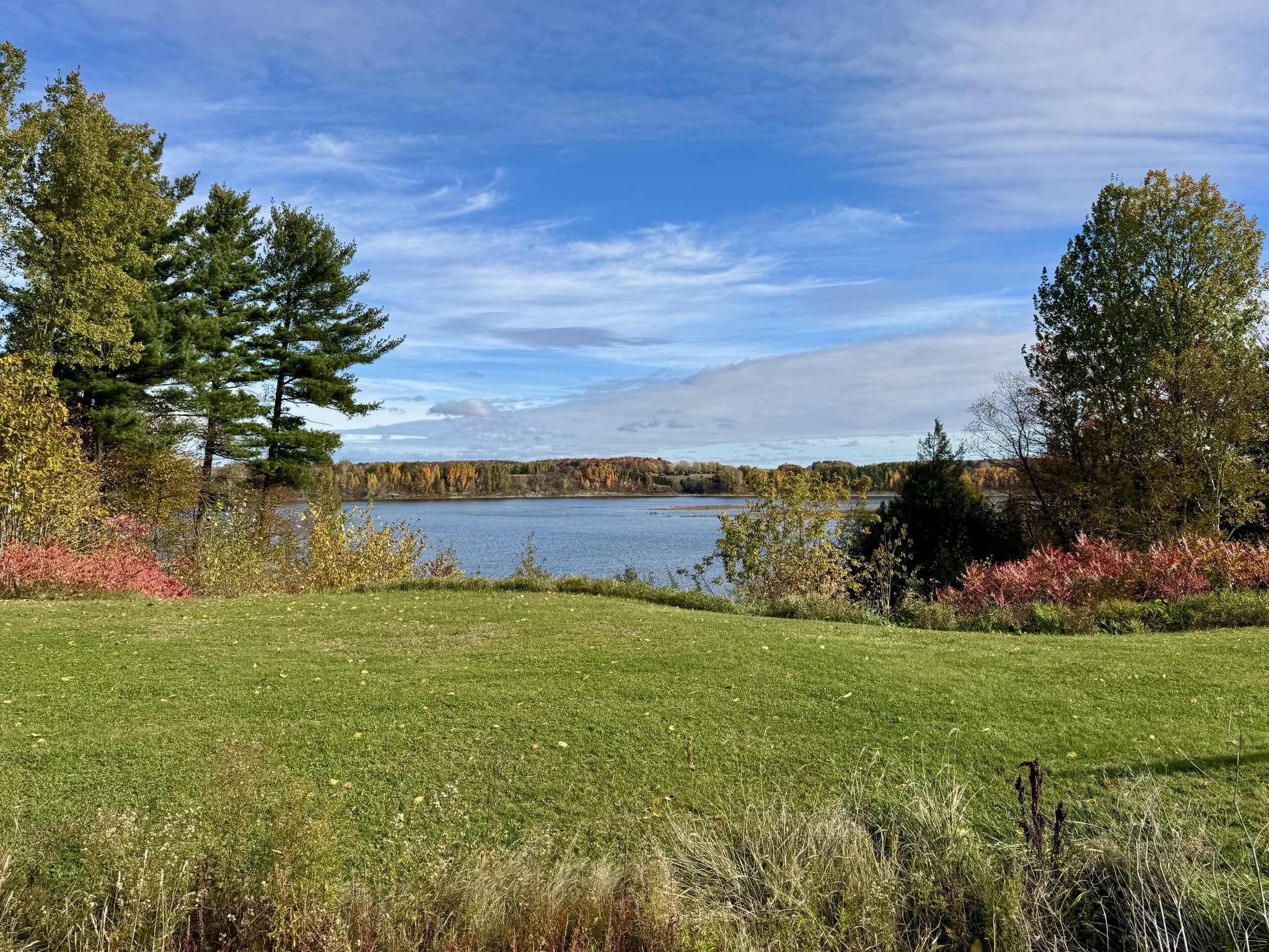
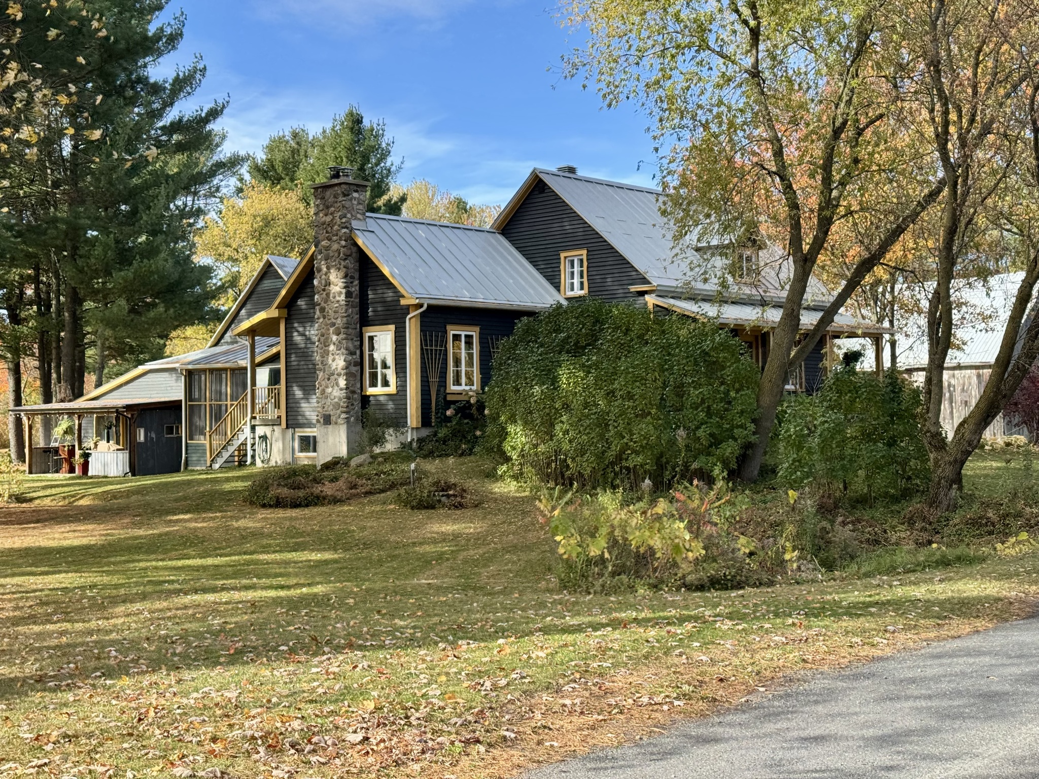
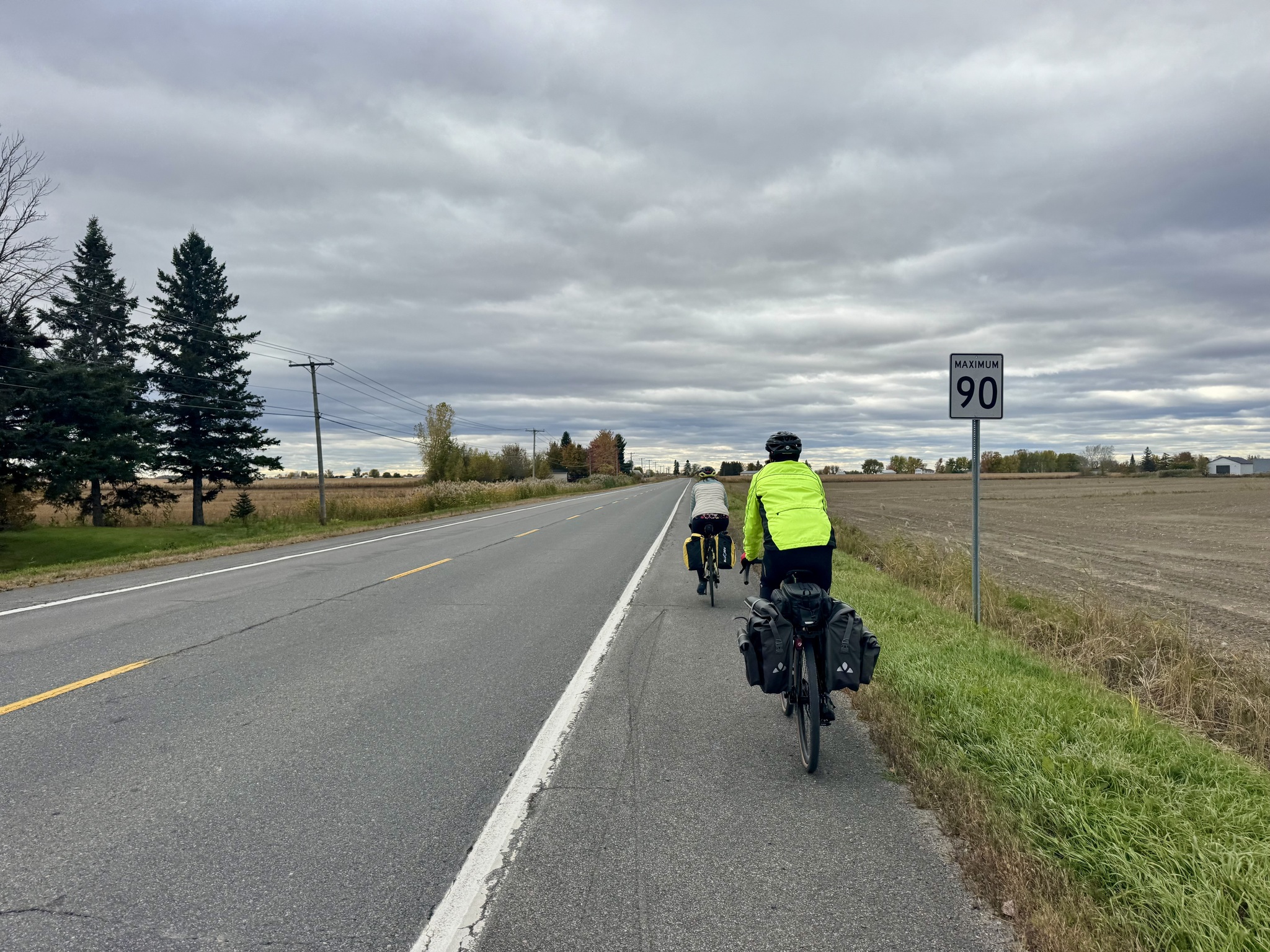
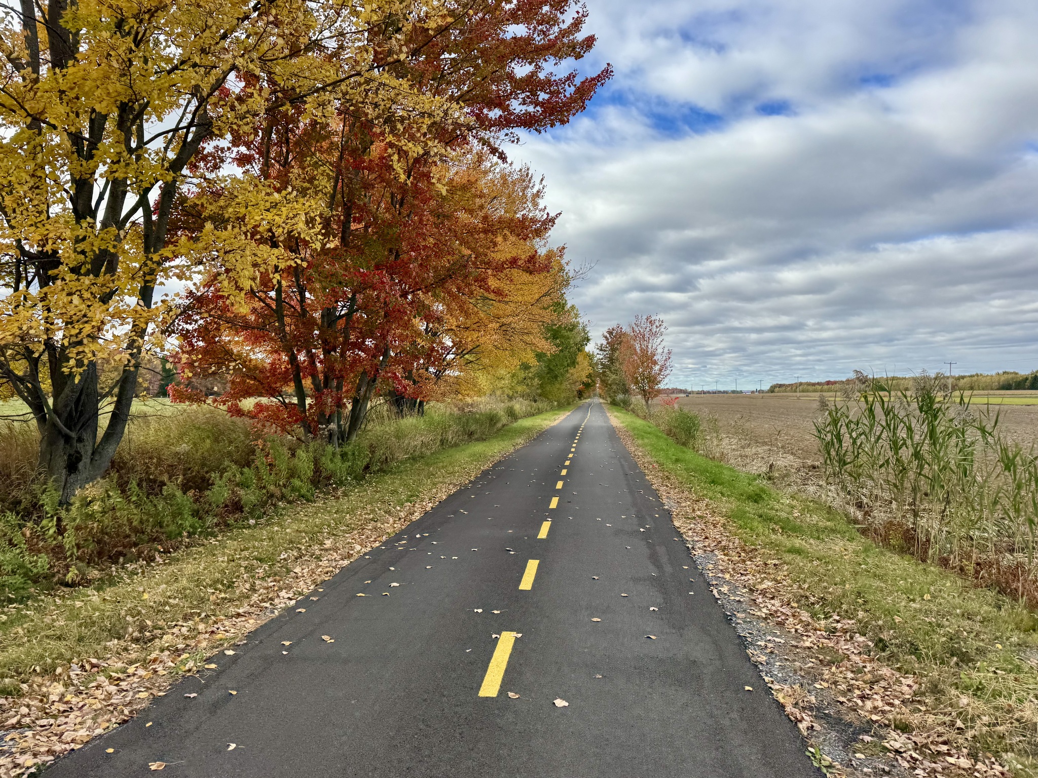
There was a significant headwind today when we were on unsheltered roads. Fortunately it was extremely flat with only two small climbs. We saw some lovely homes and had some glimpses of the river.

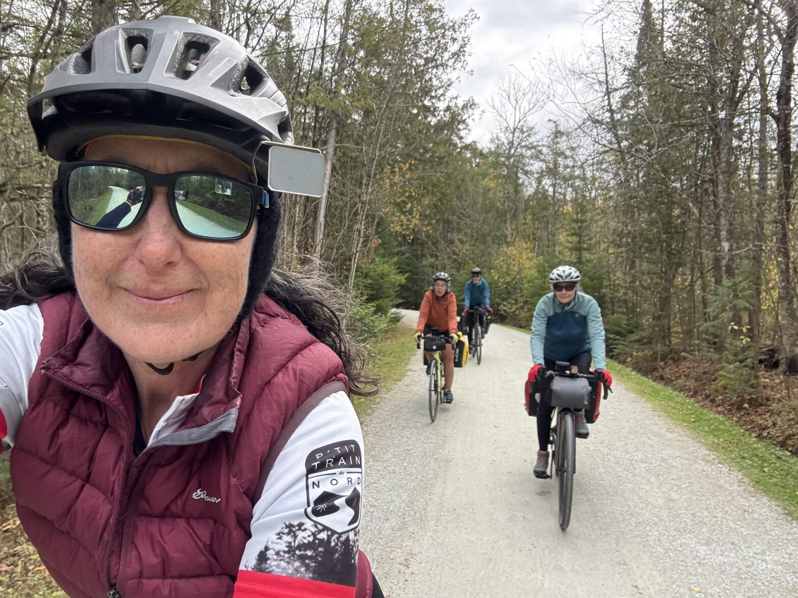
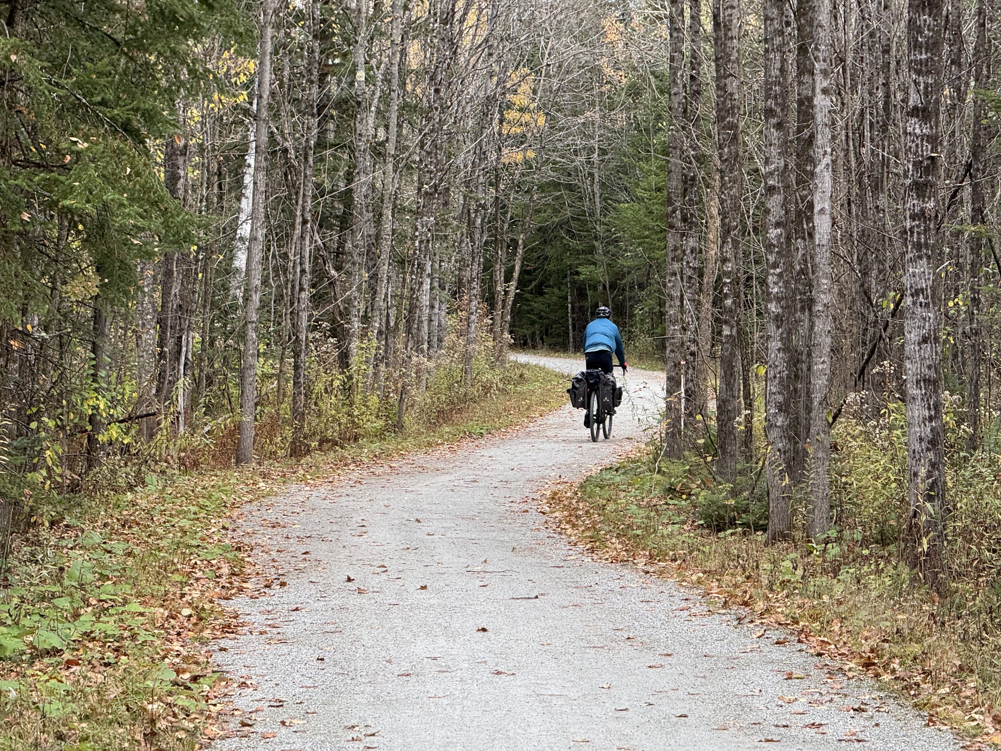
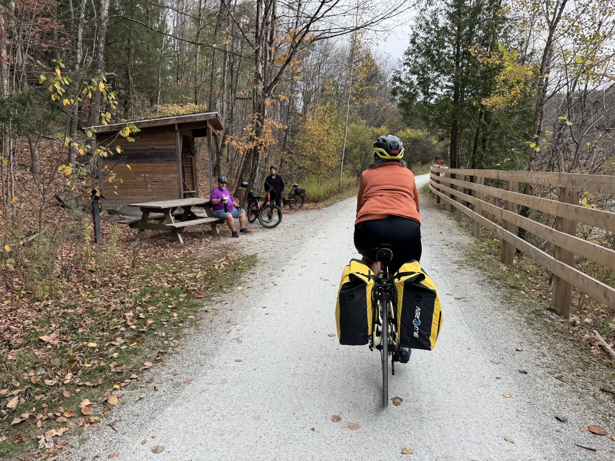
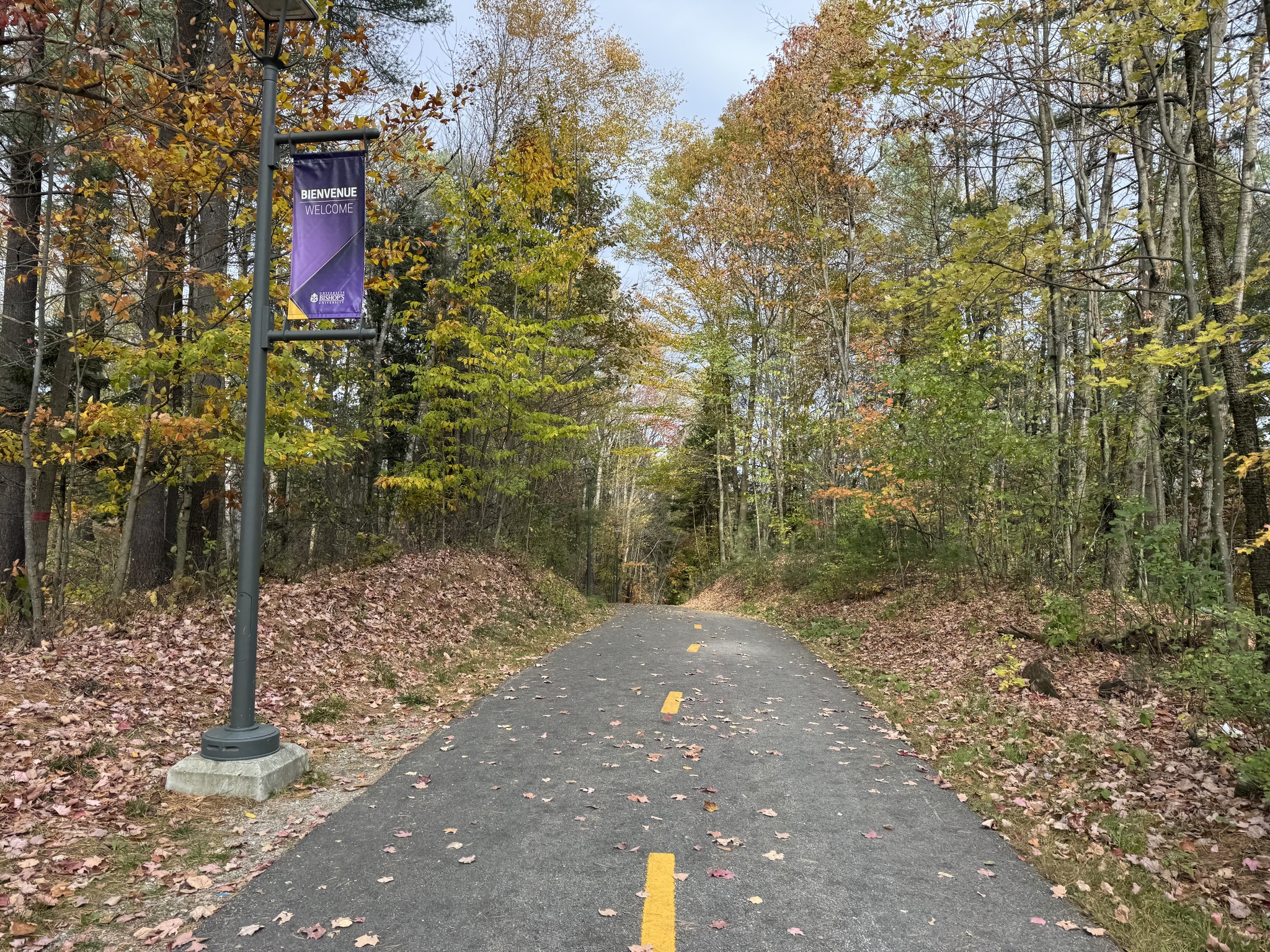
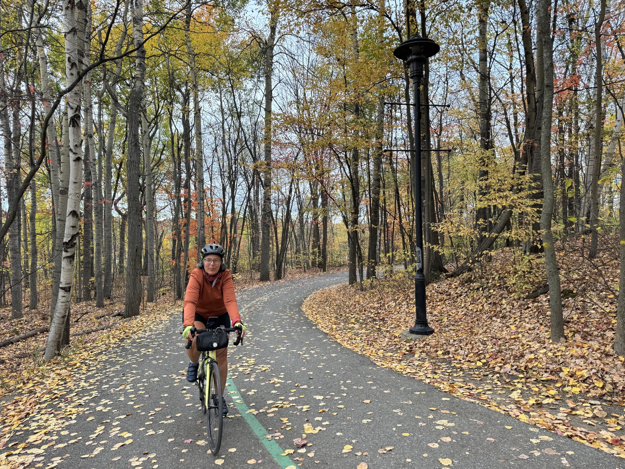
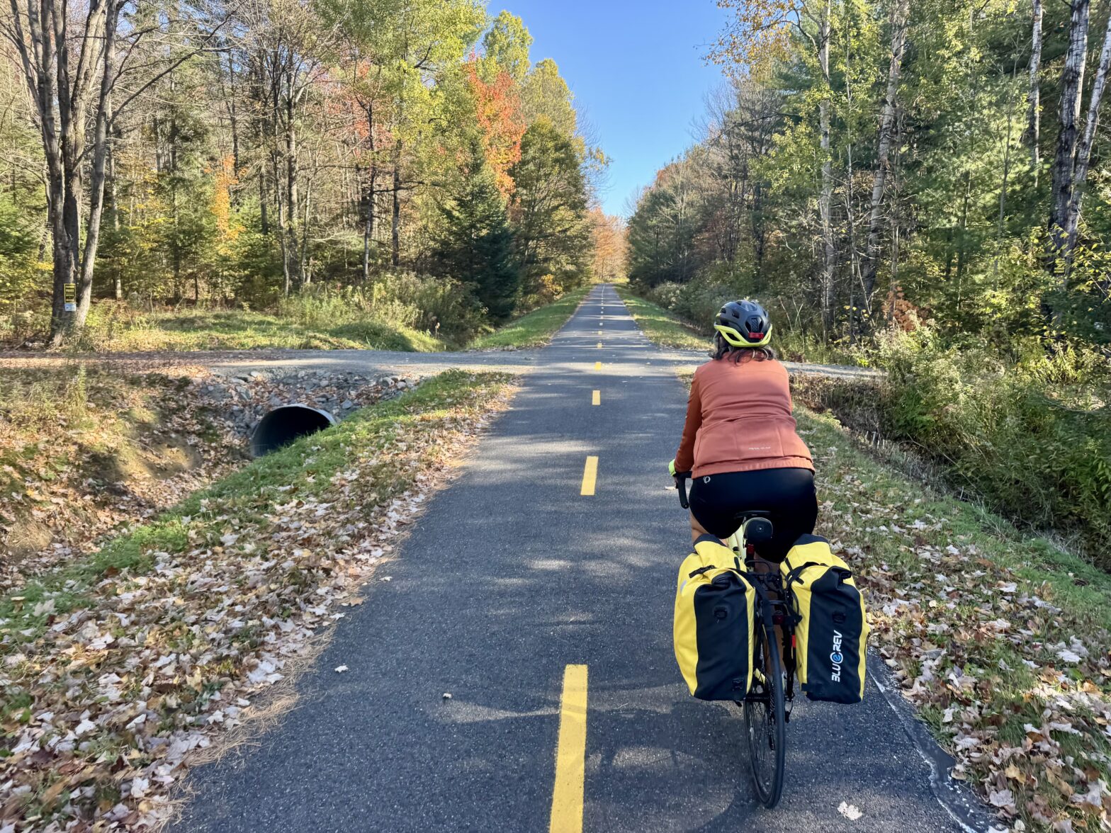
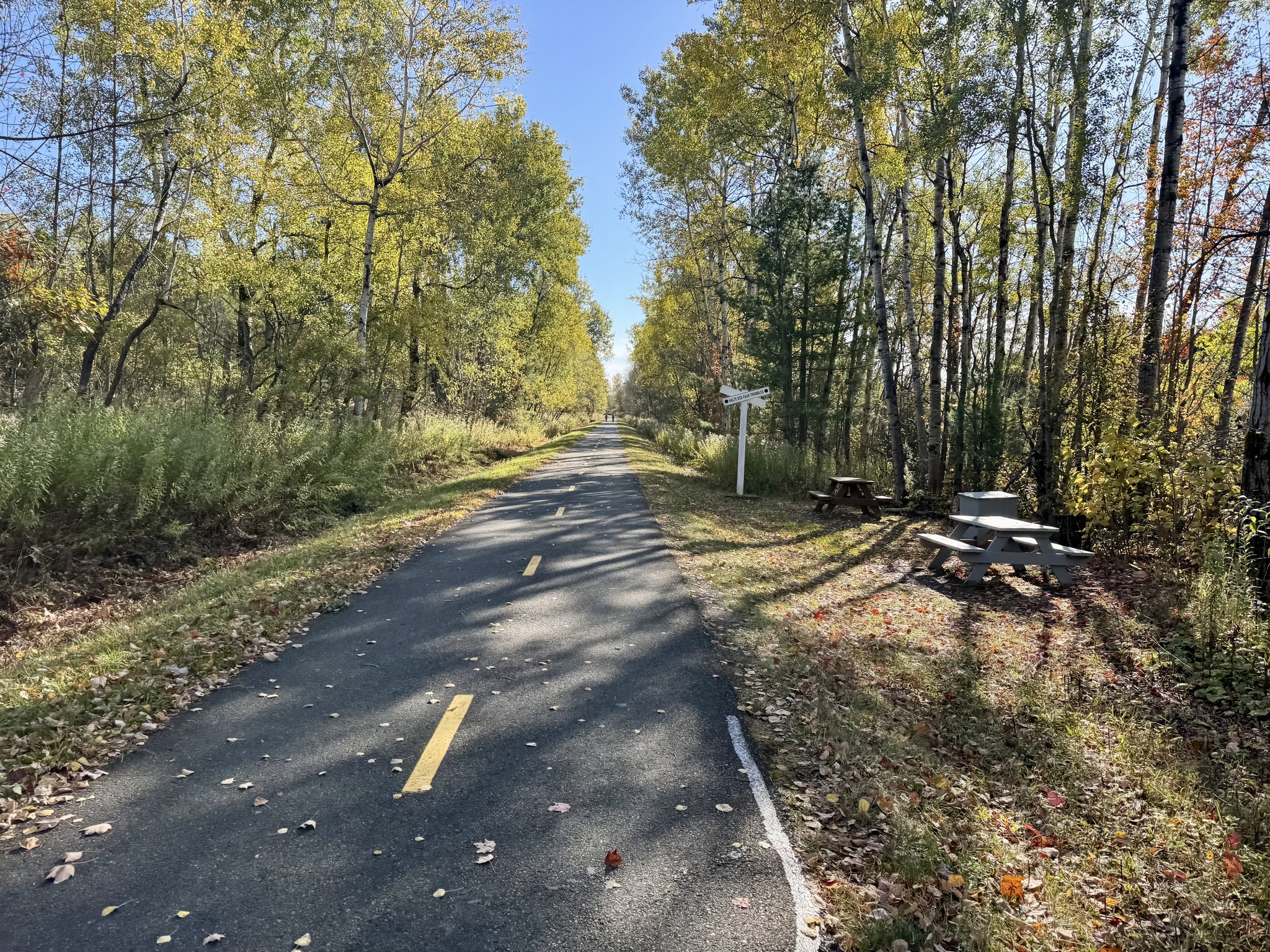
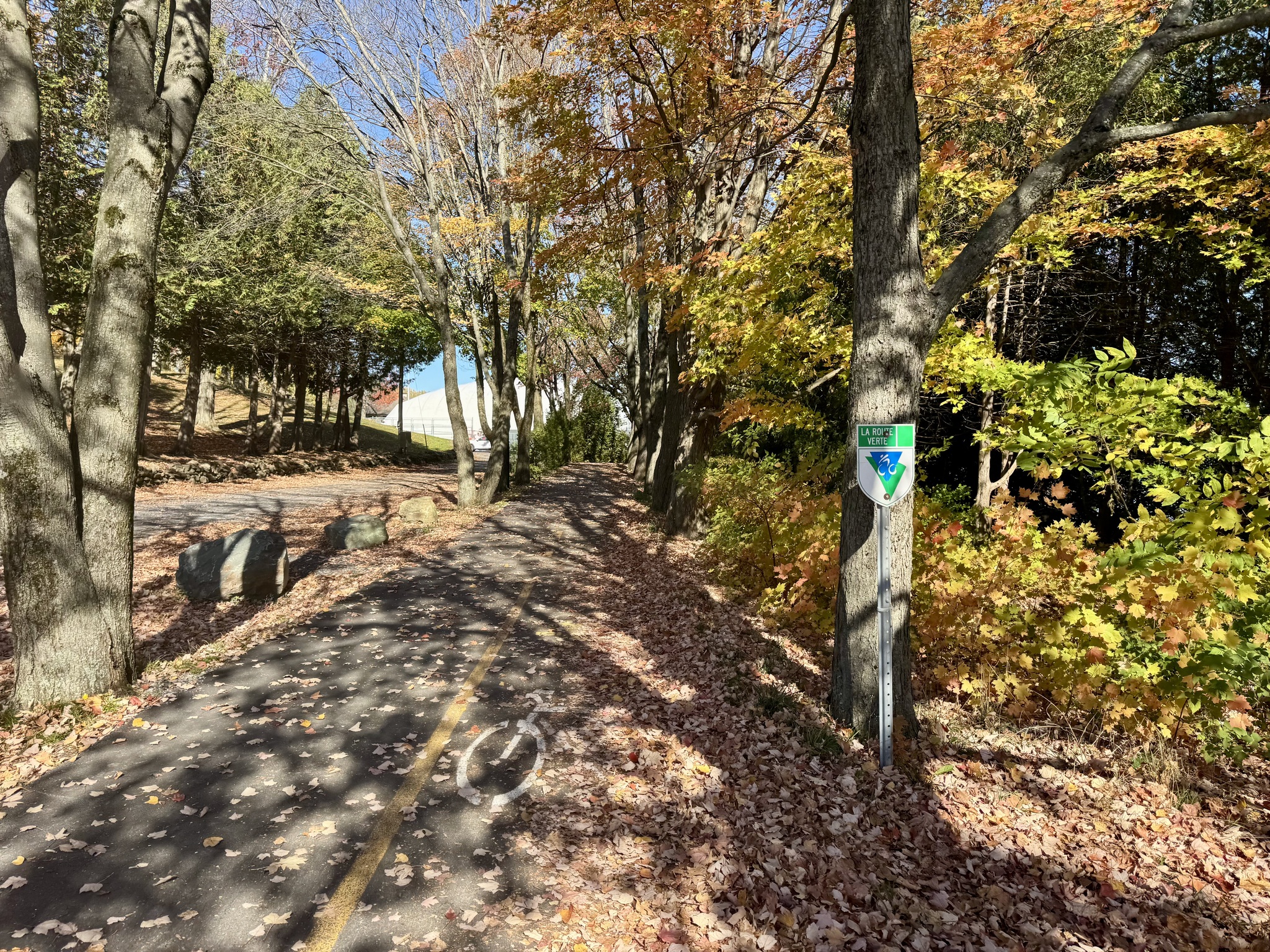
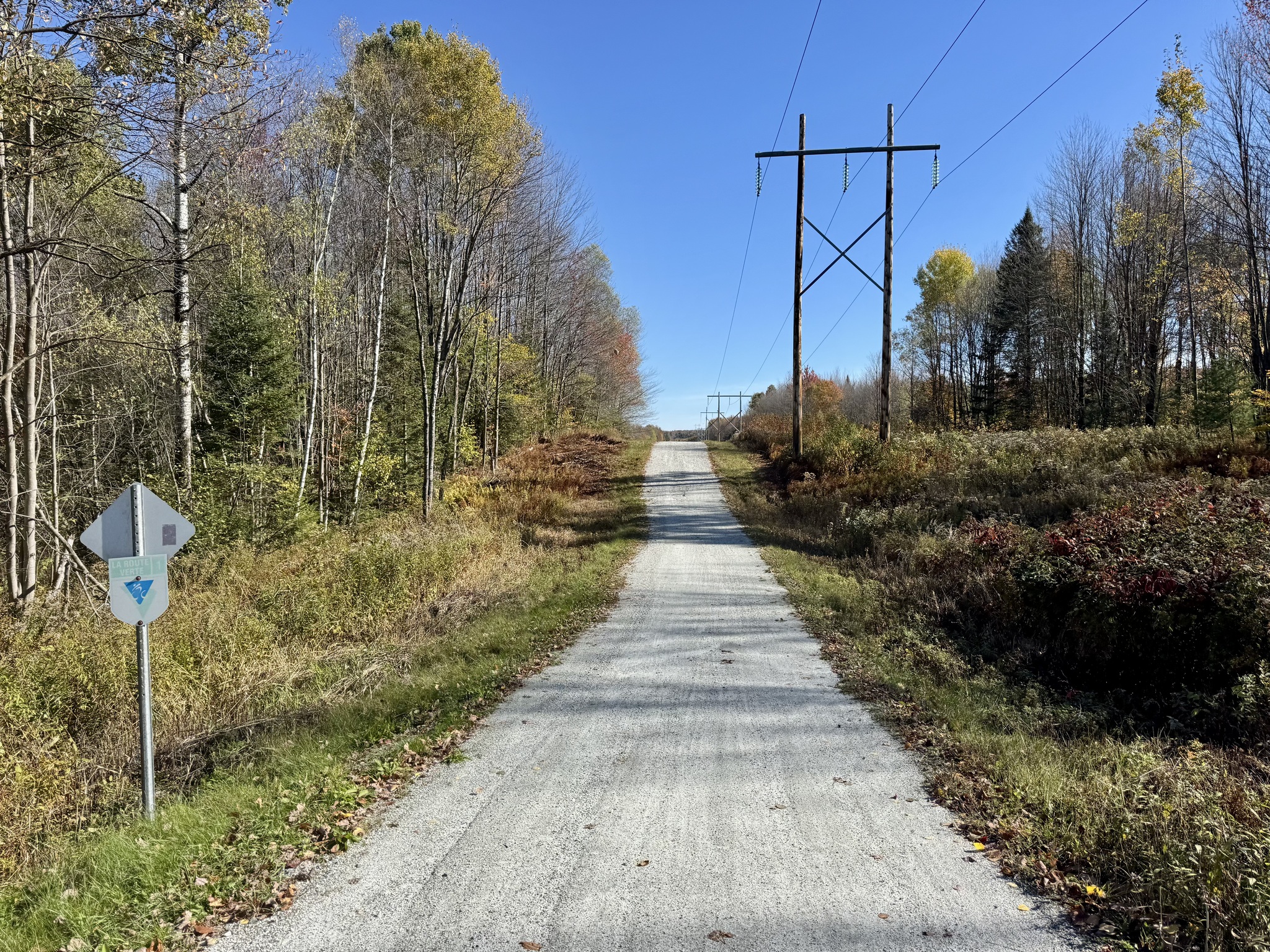
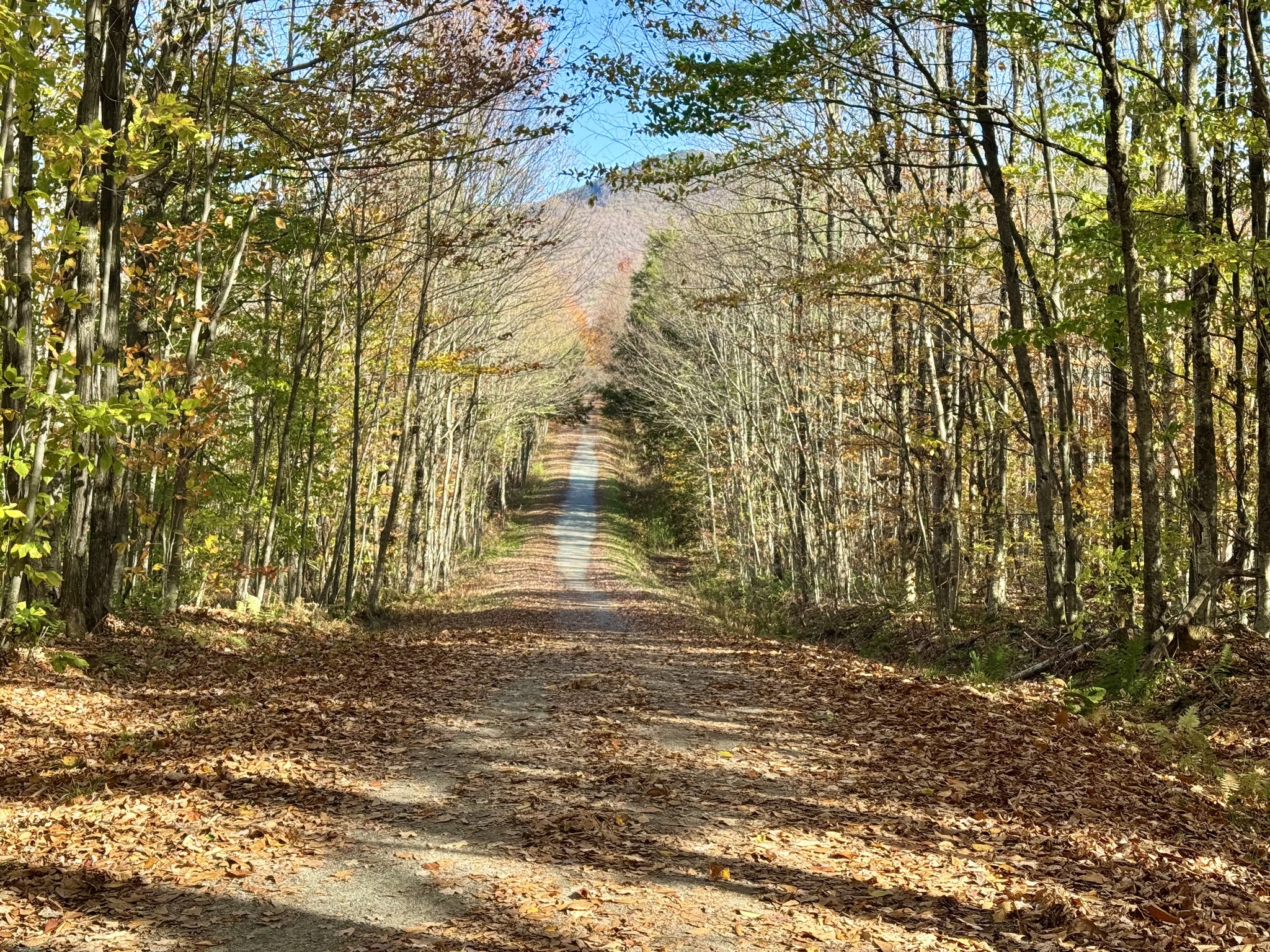
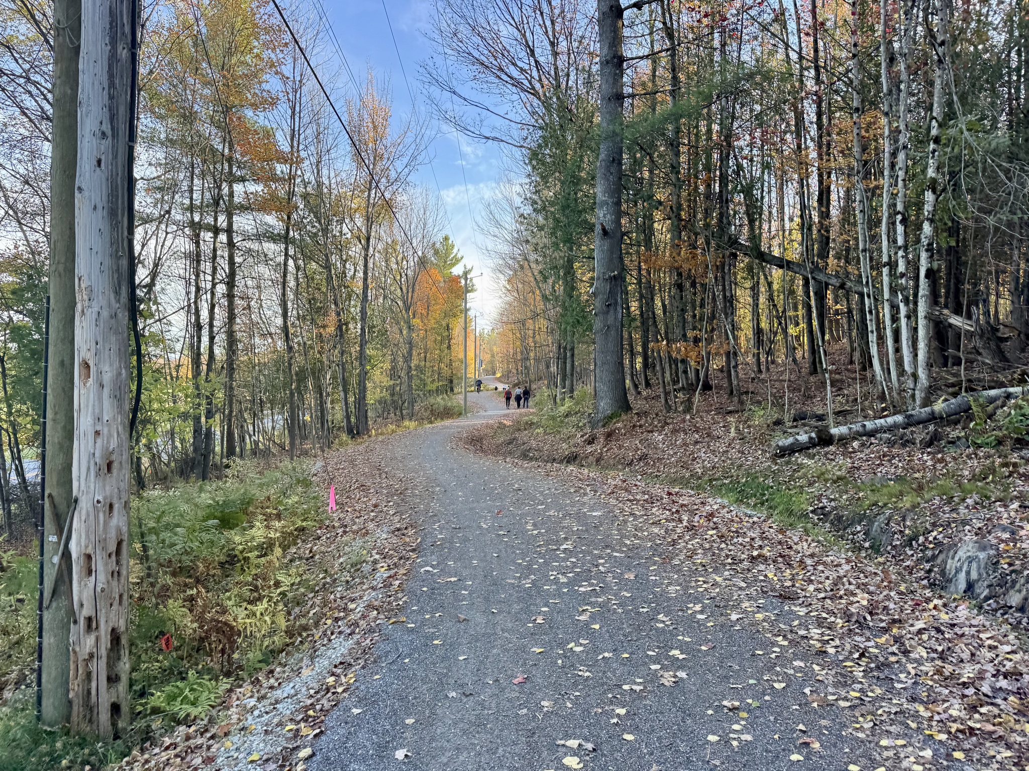
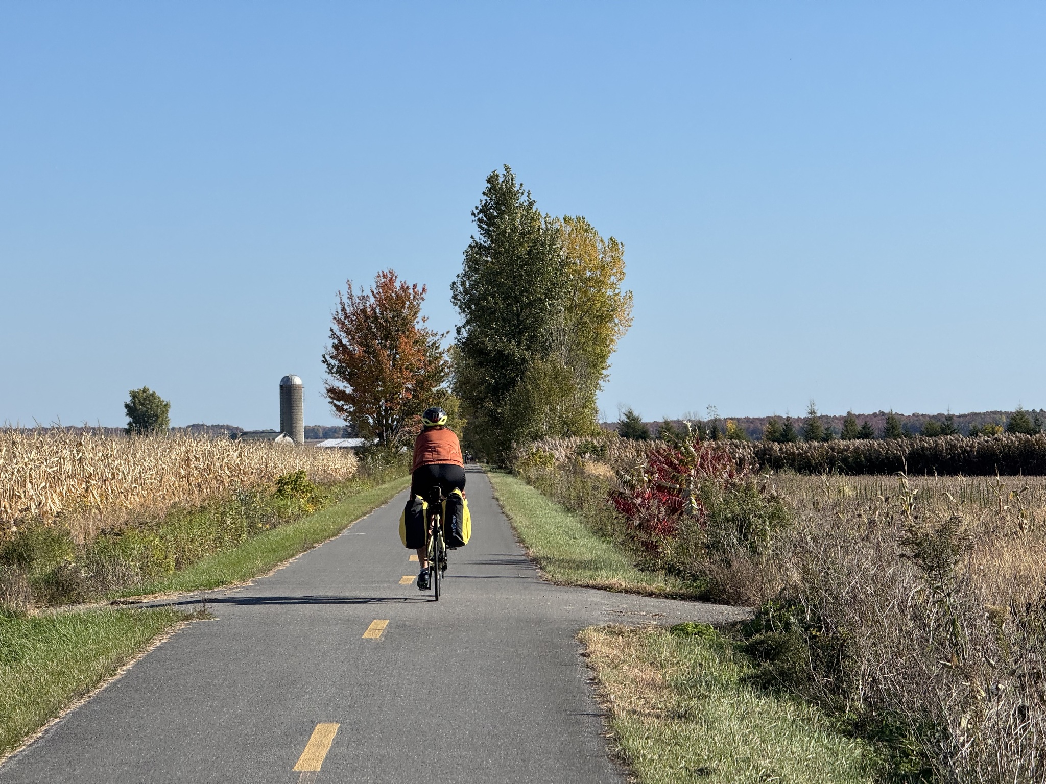
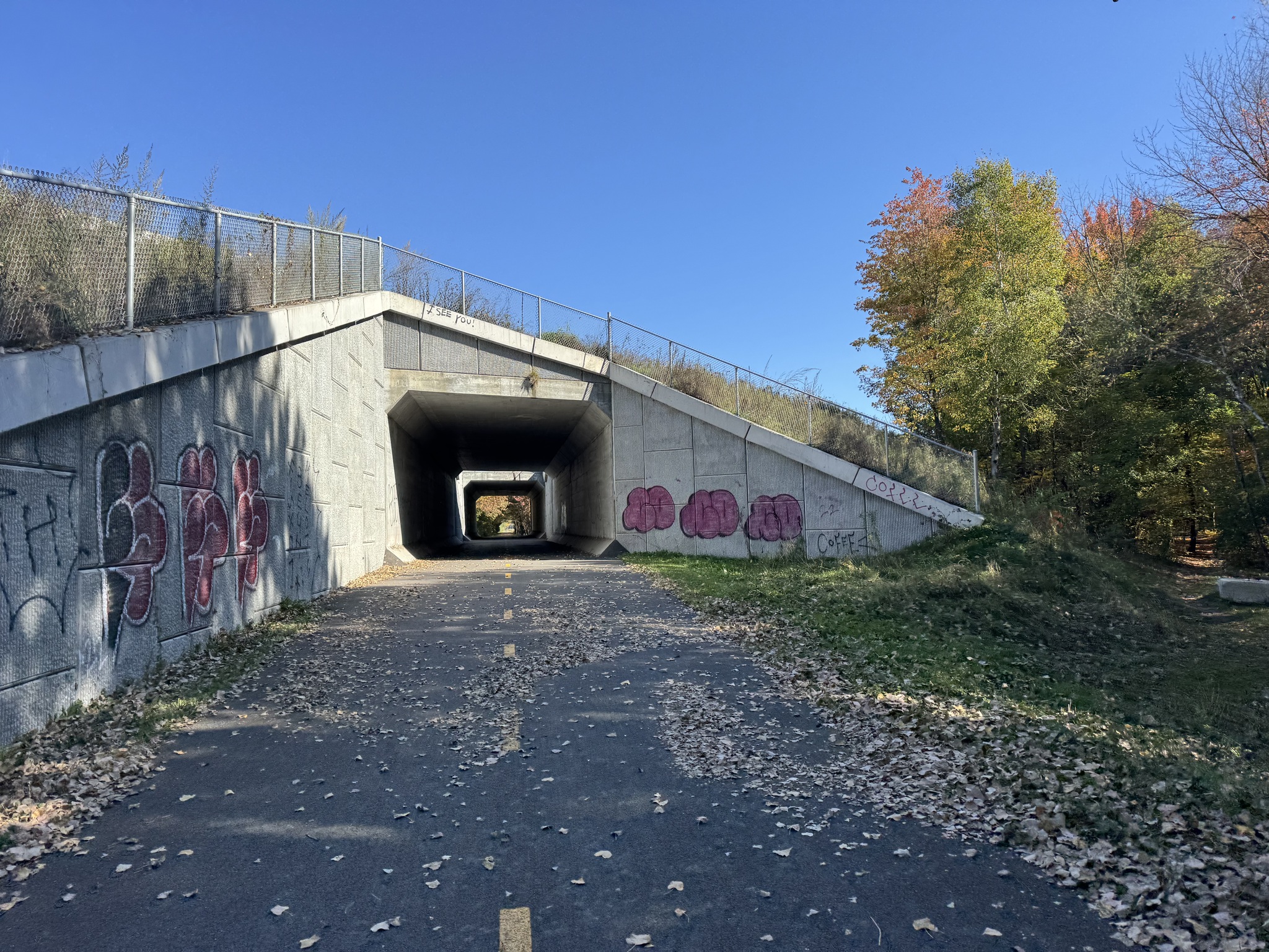
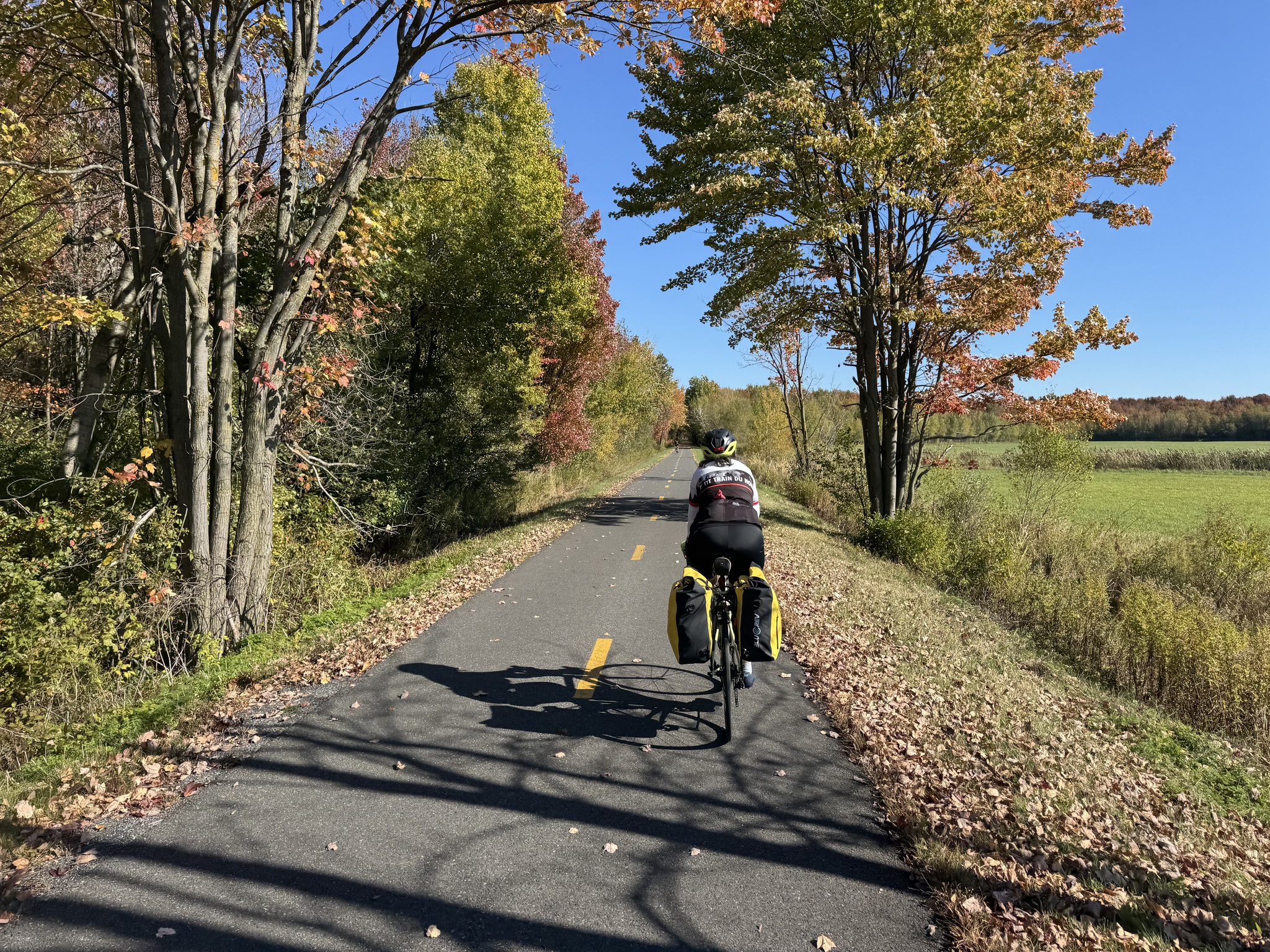
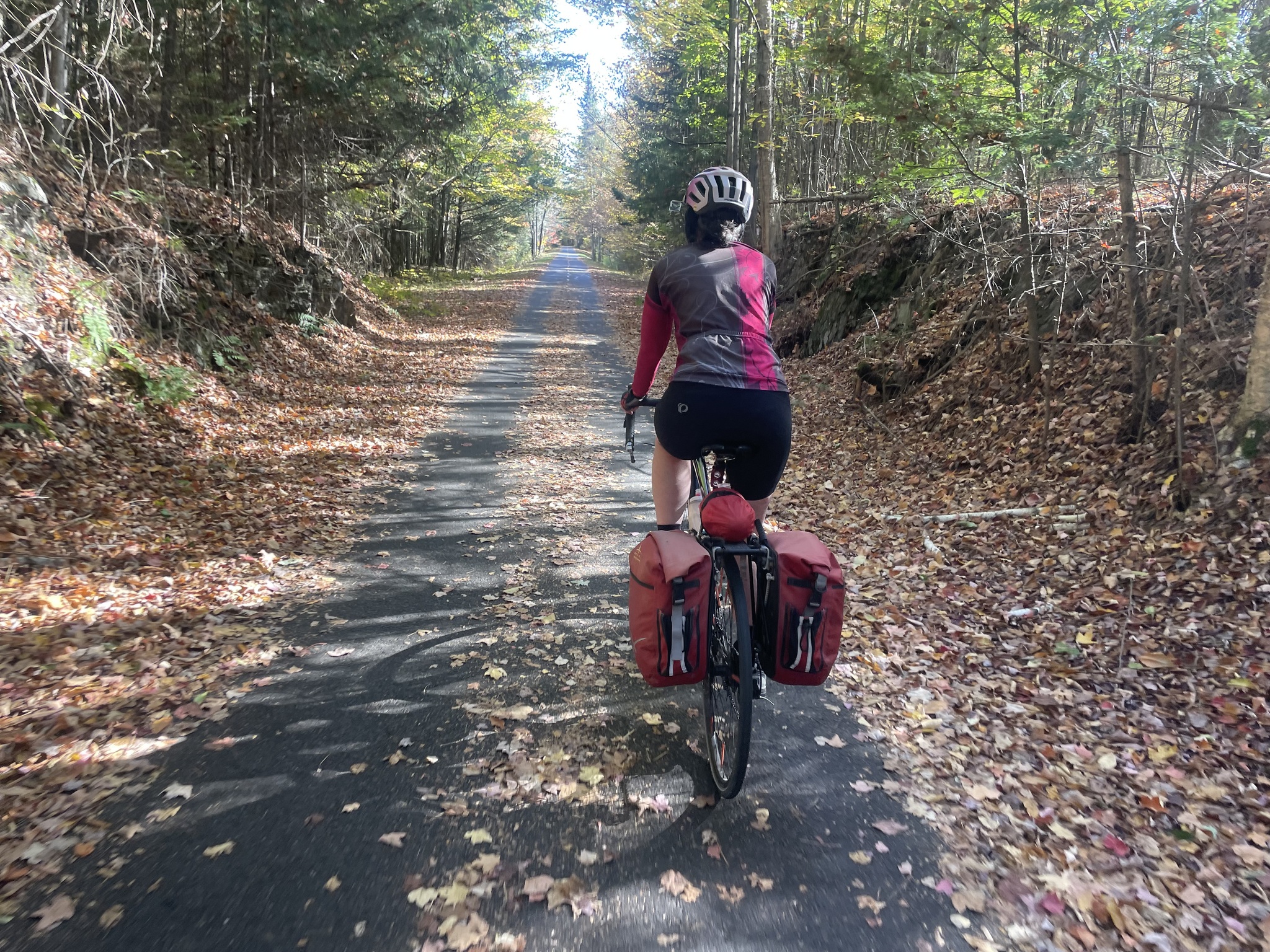
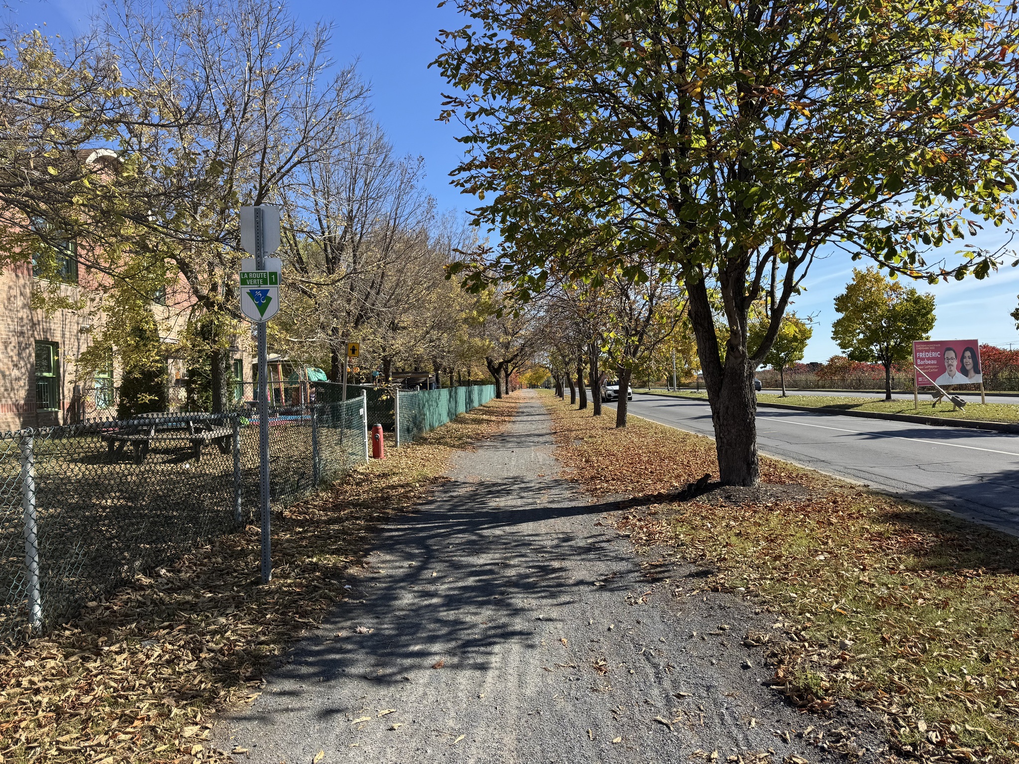
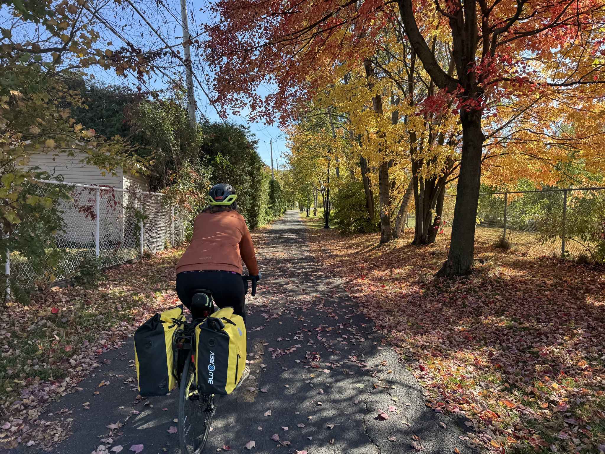
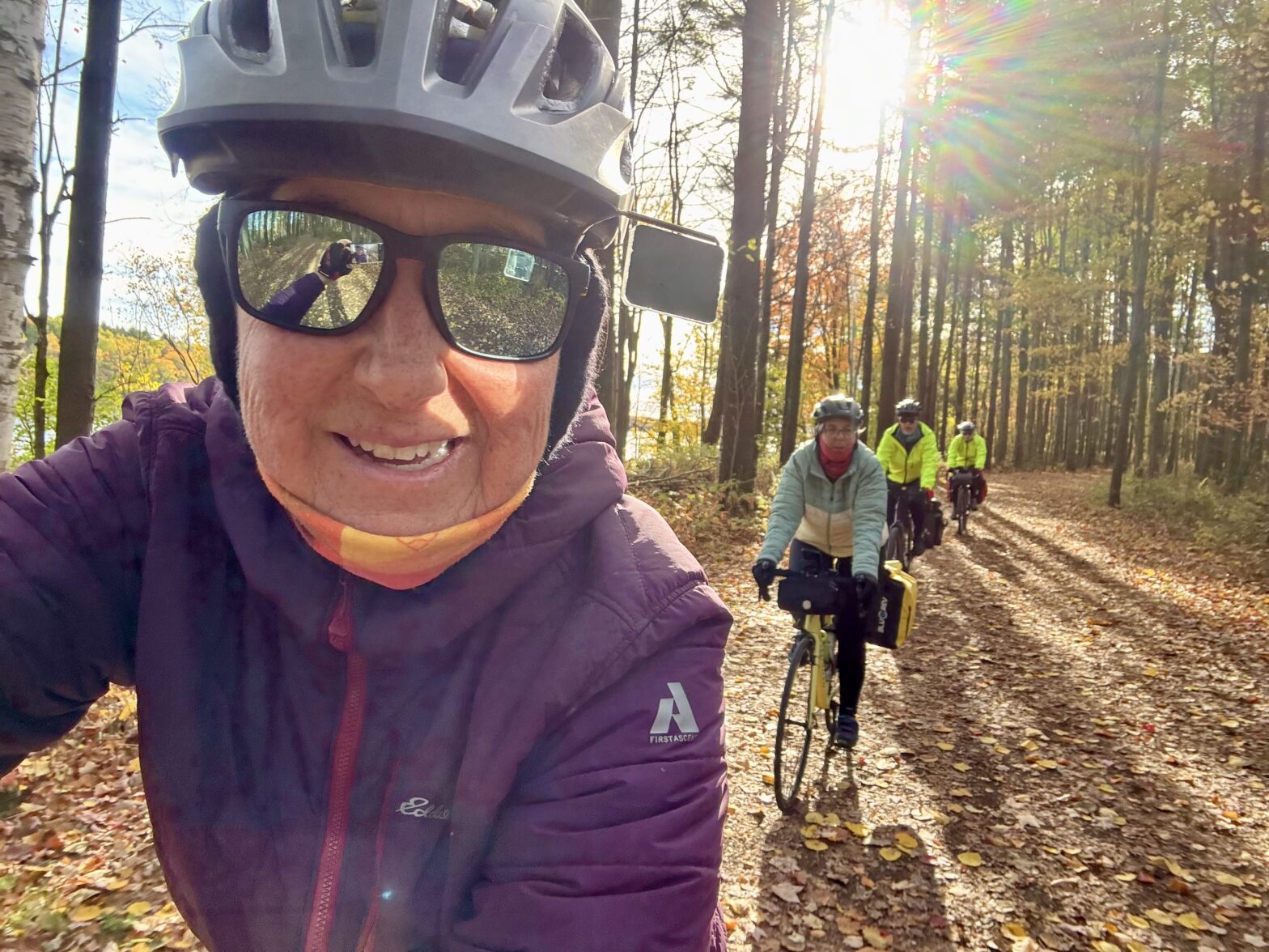
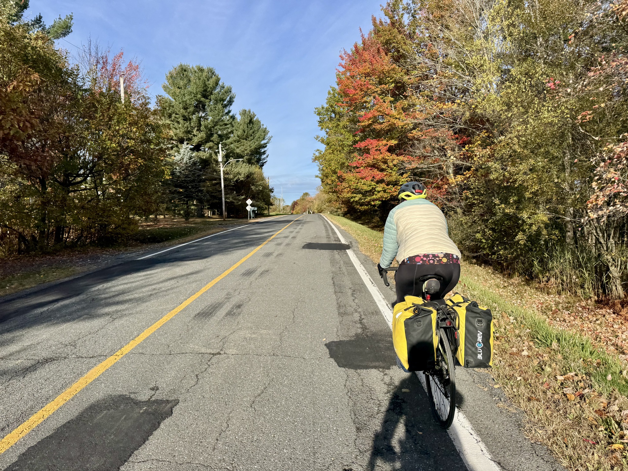
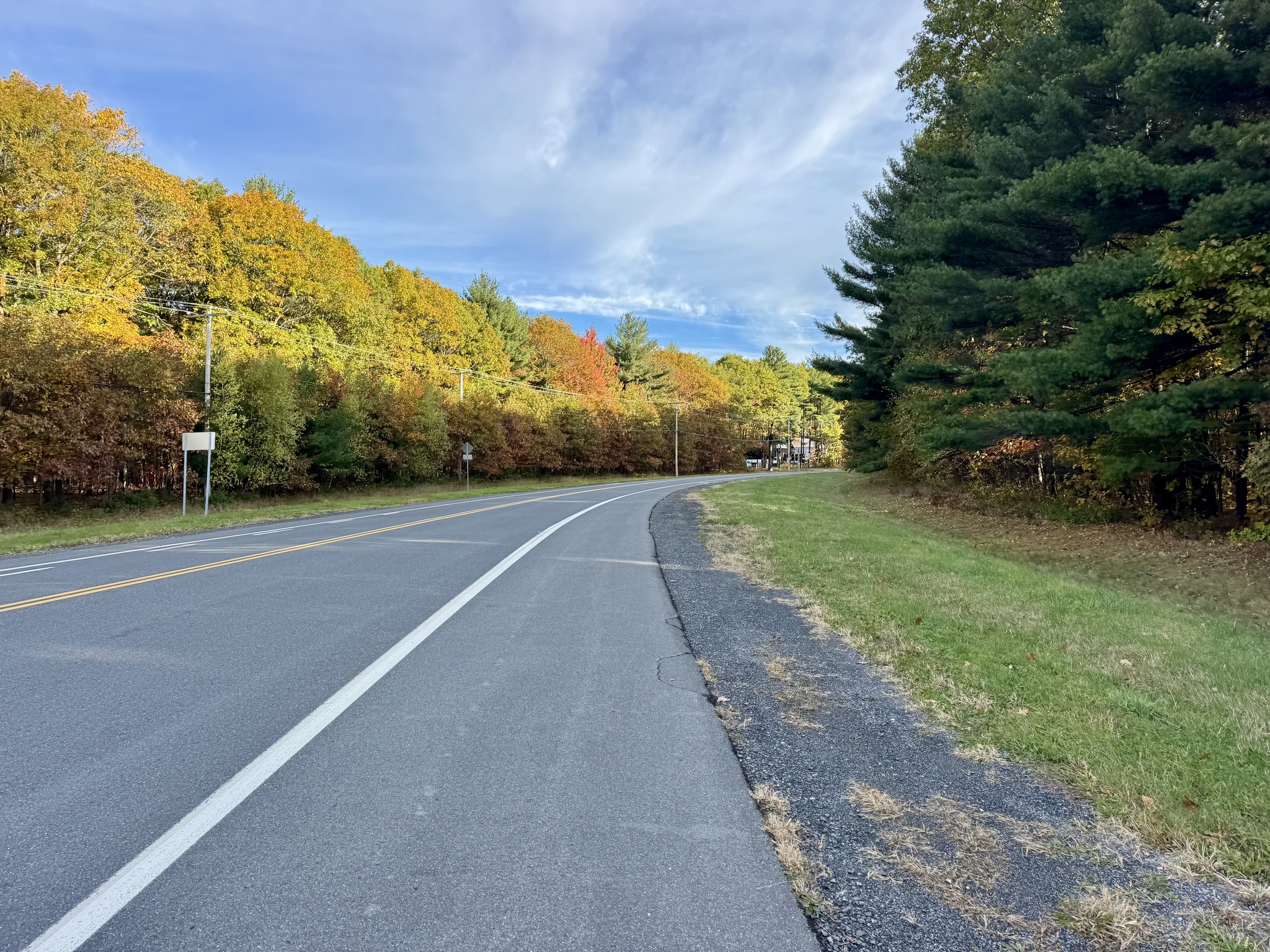
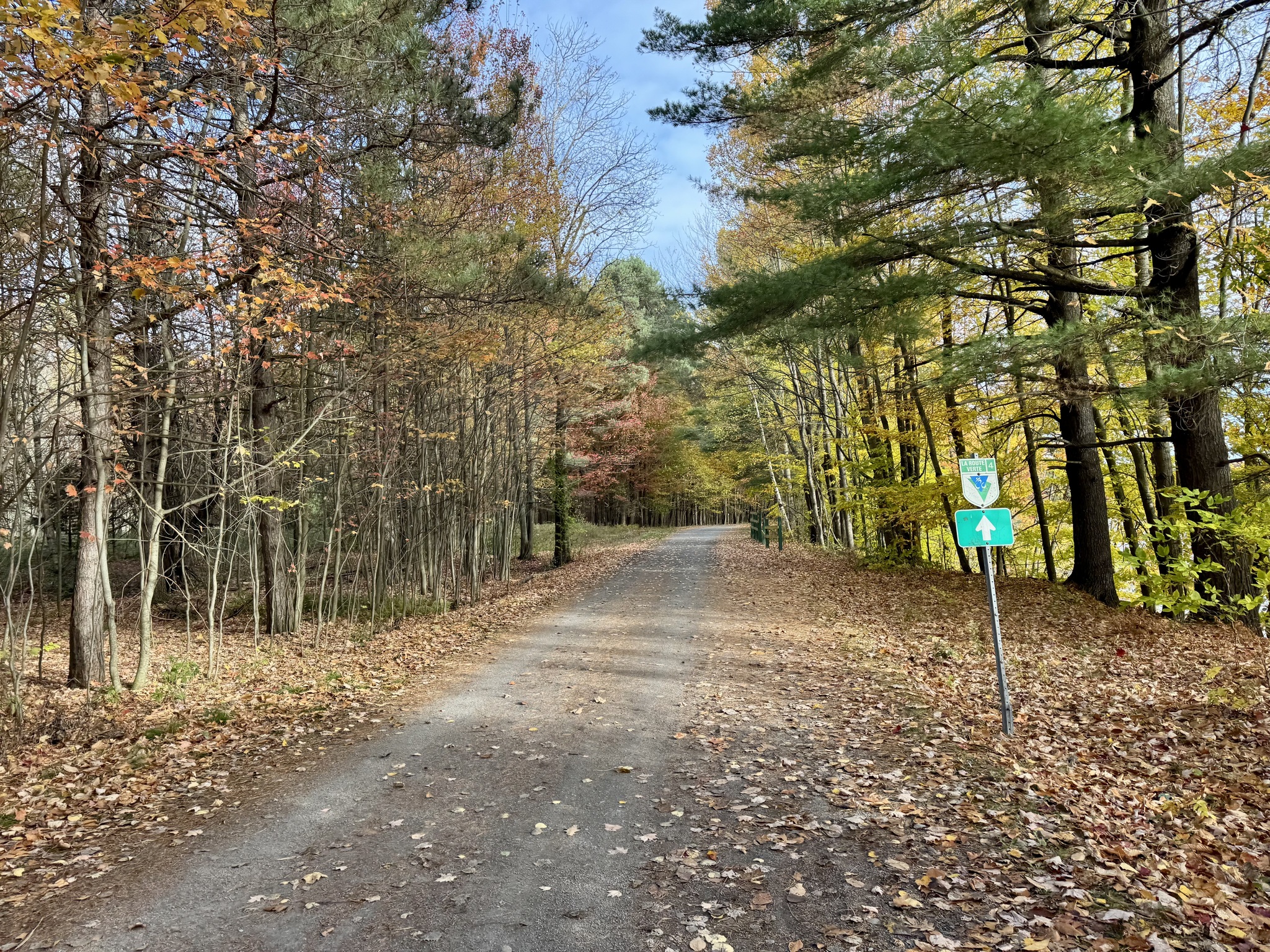
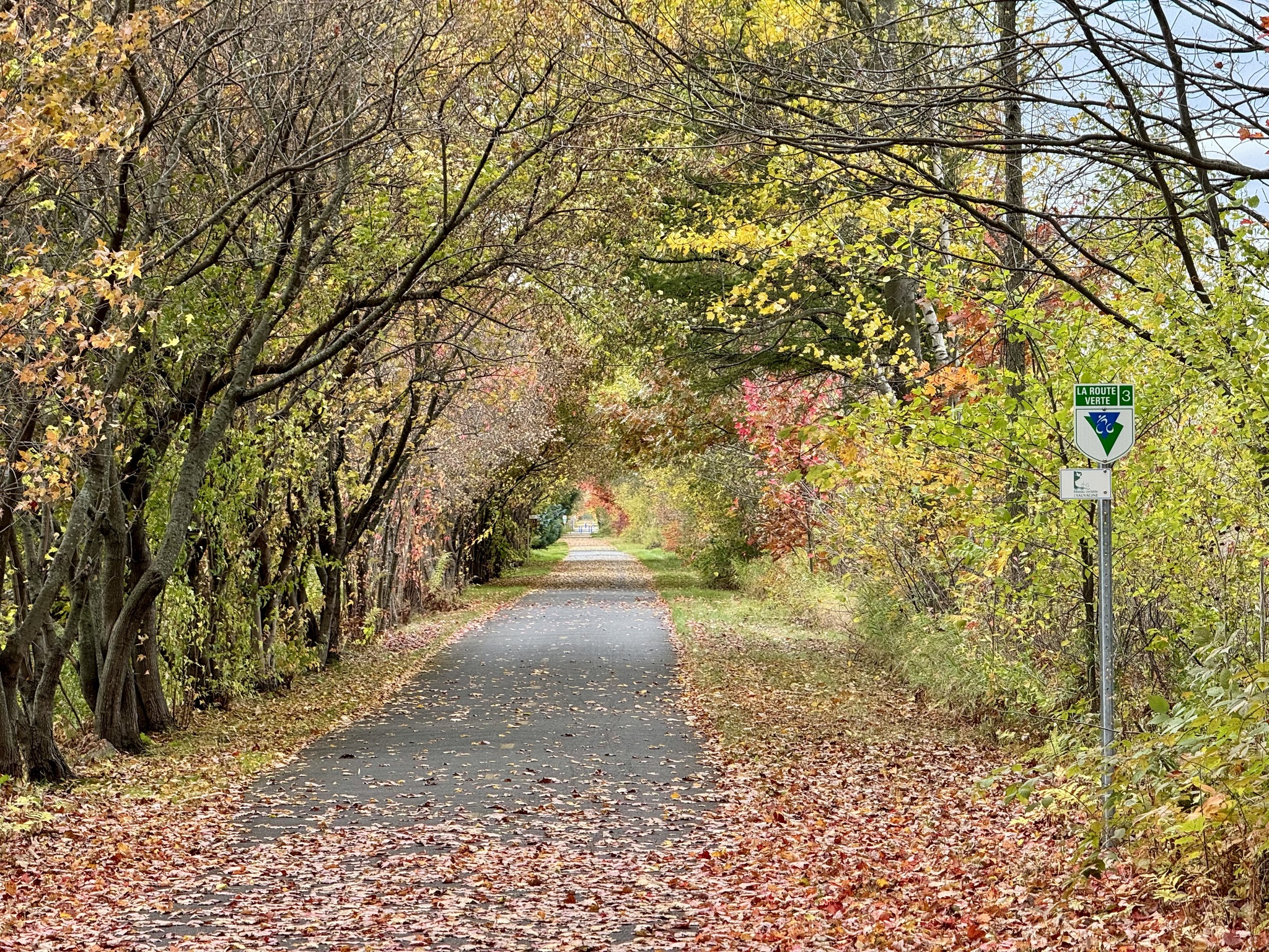
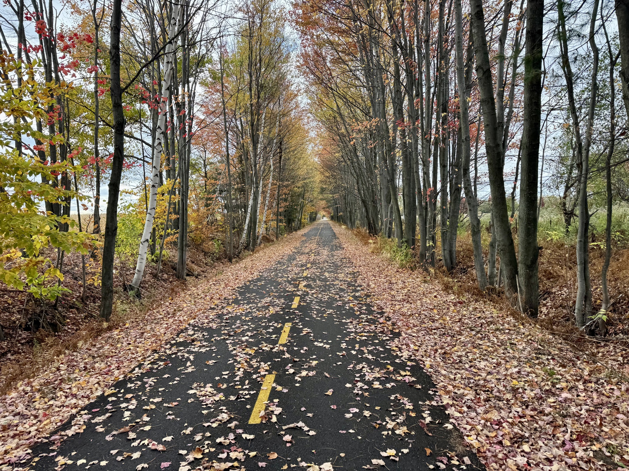
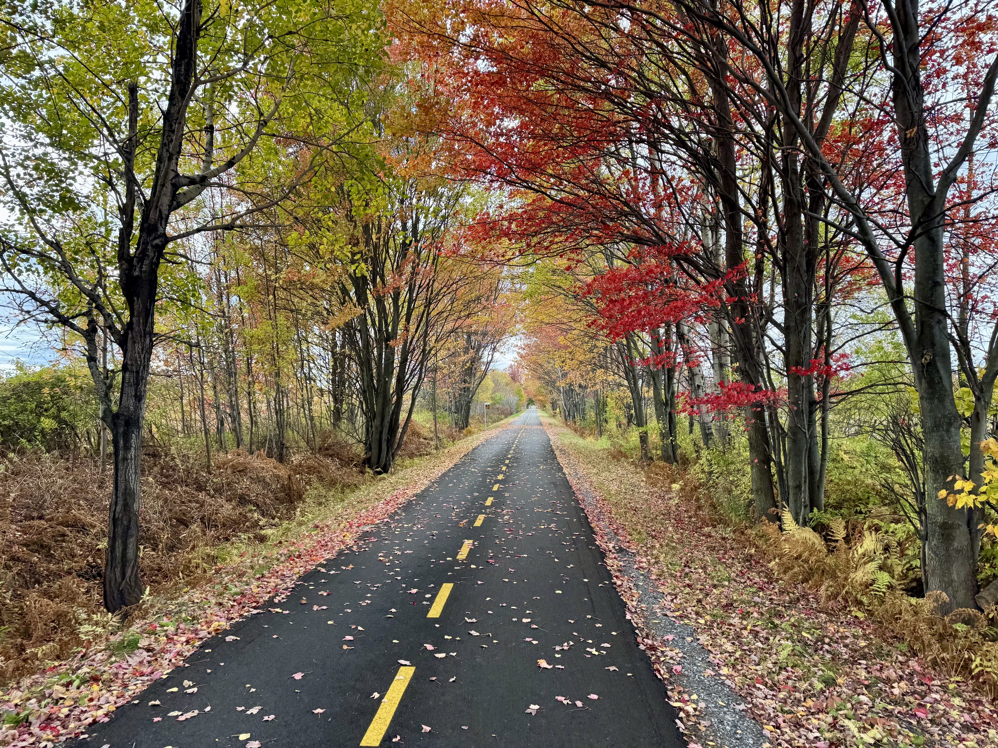
We left the road briefly and rode through this perfect autumn forest. That’s an asphalt path under all those leaves.

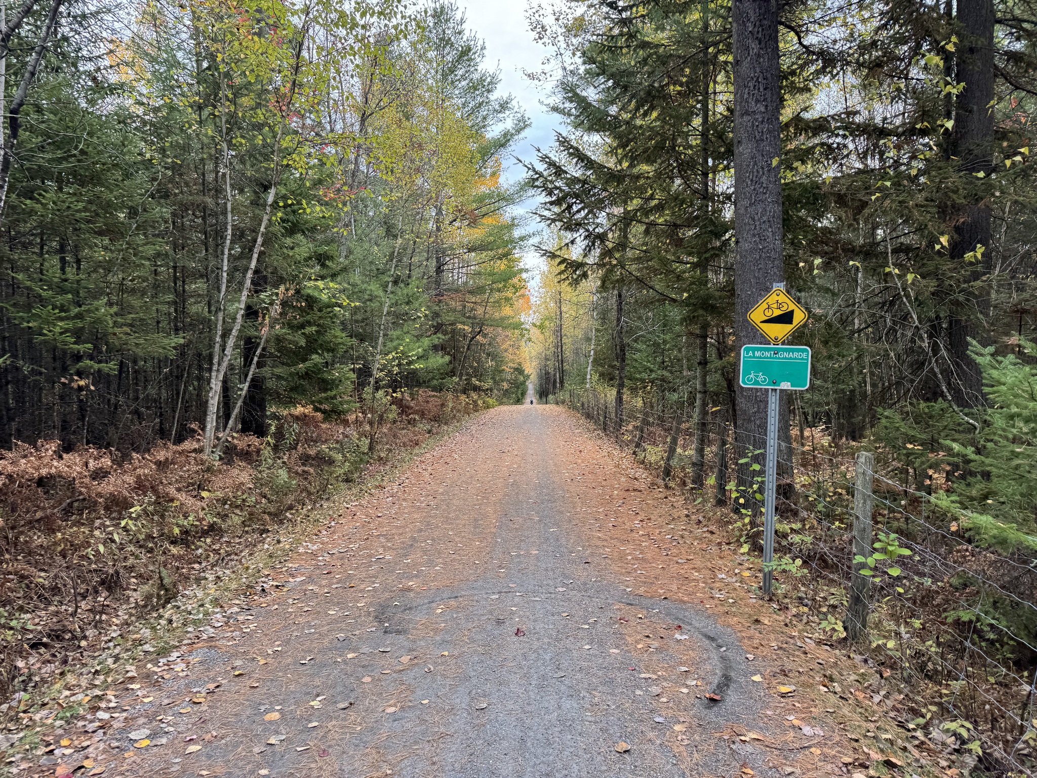
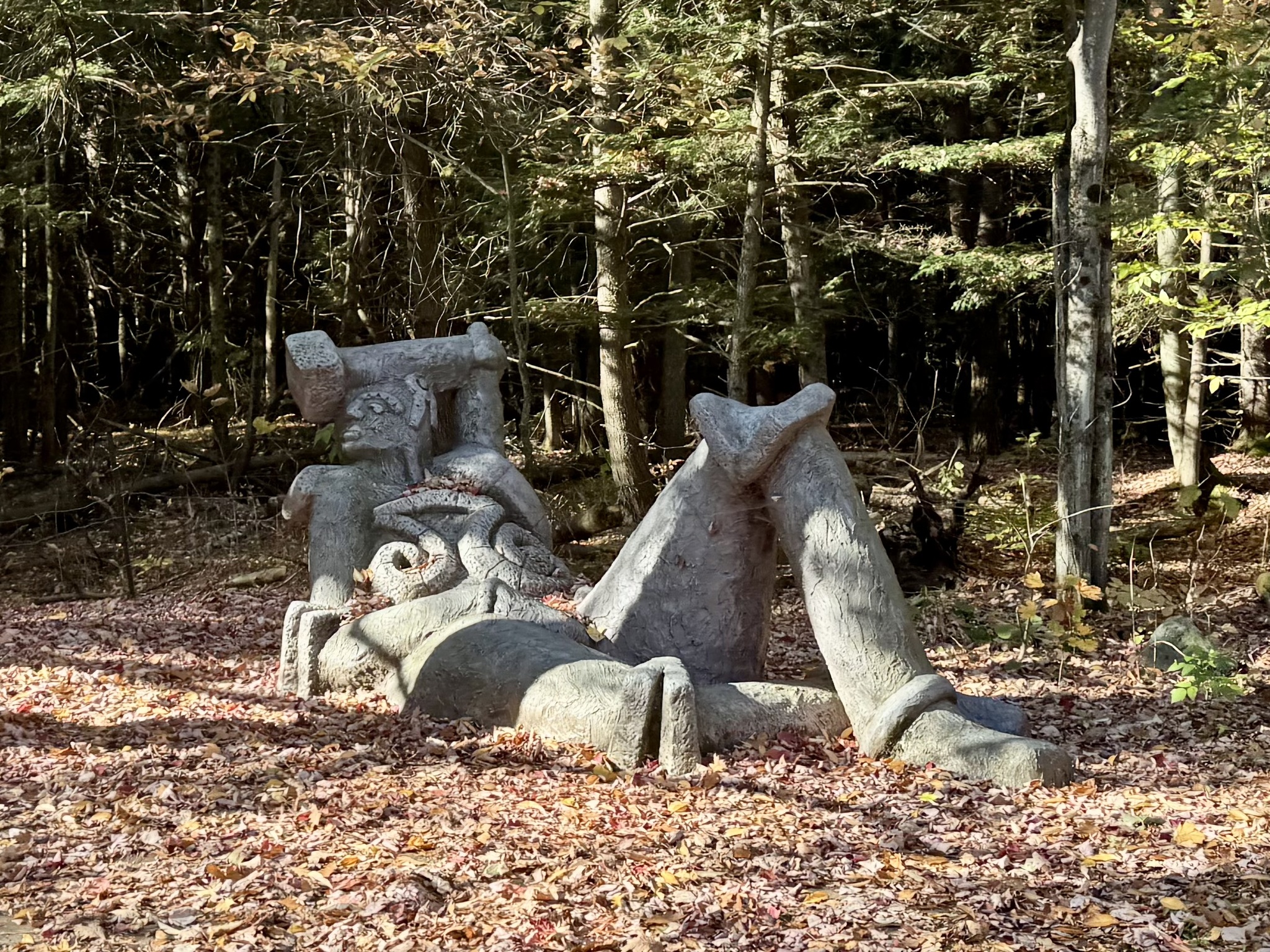
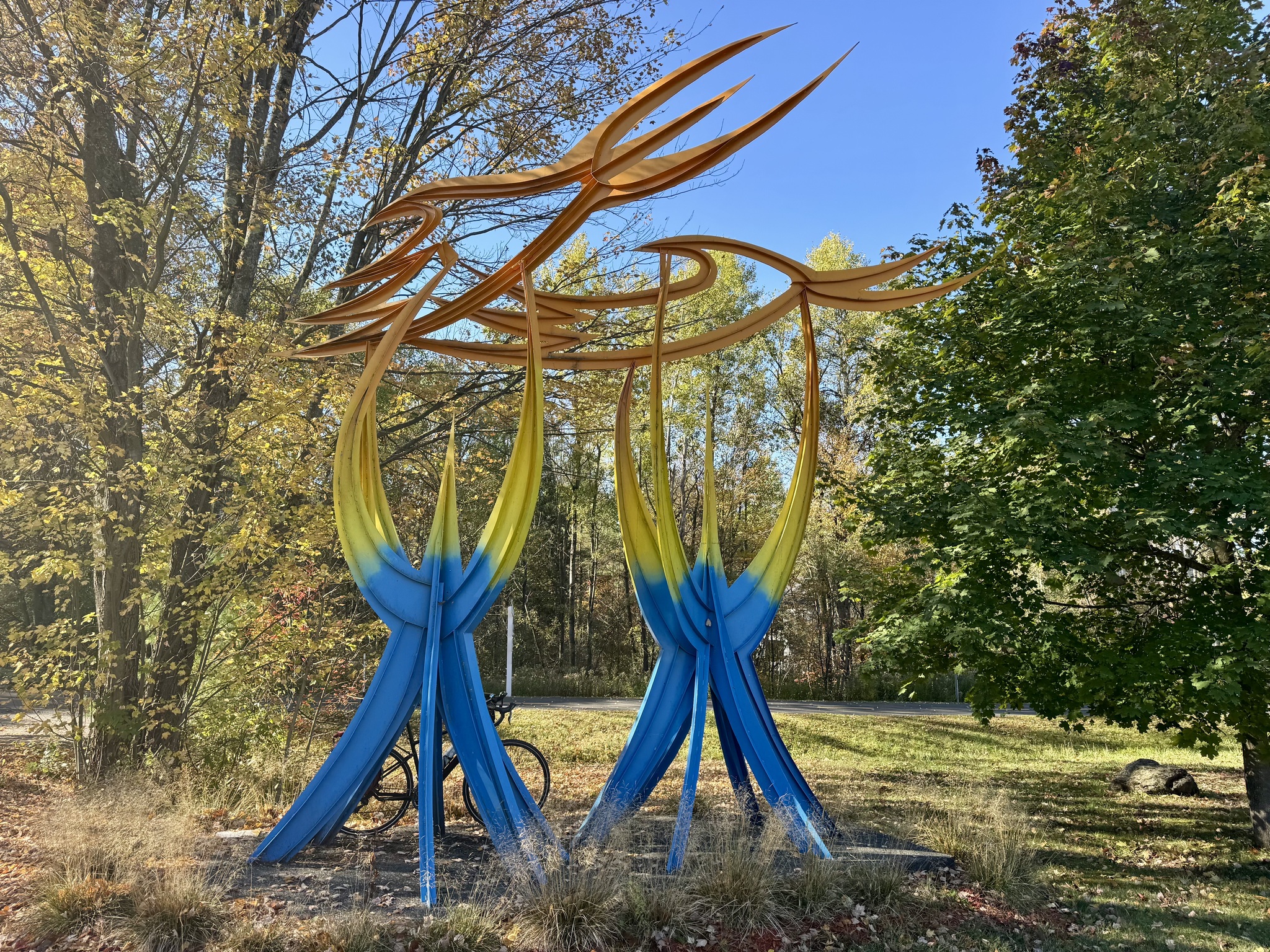
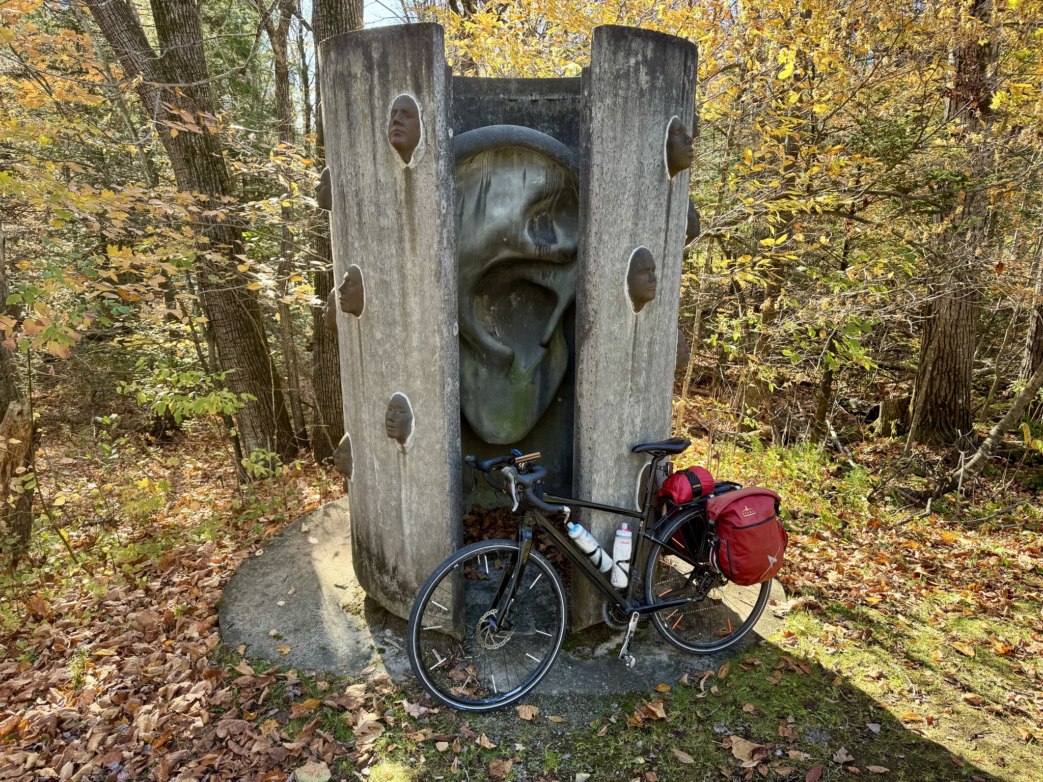
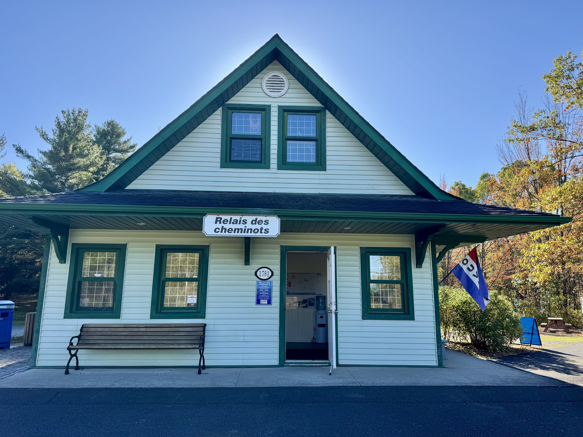
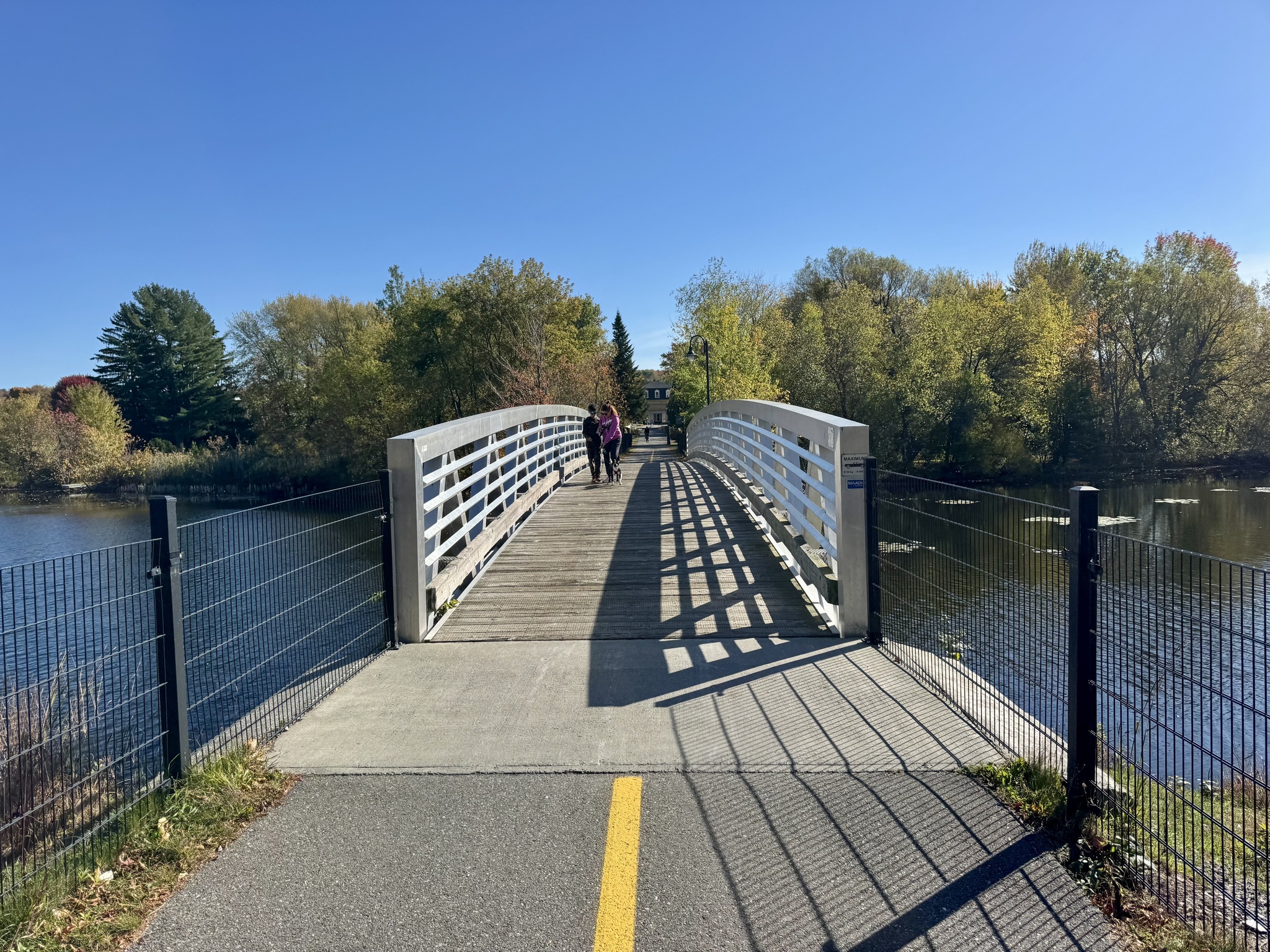
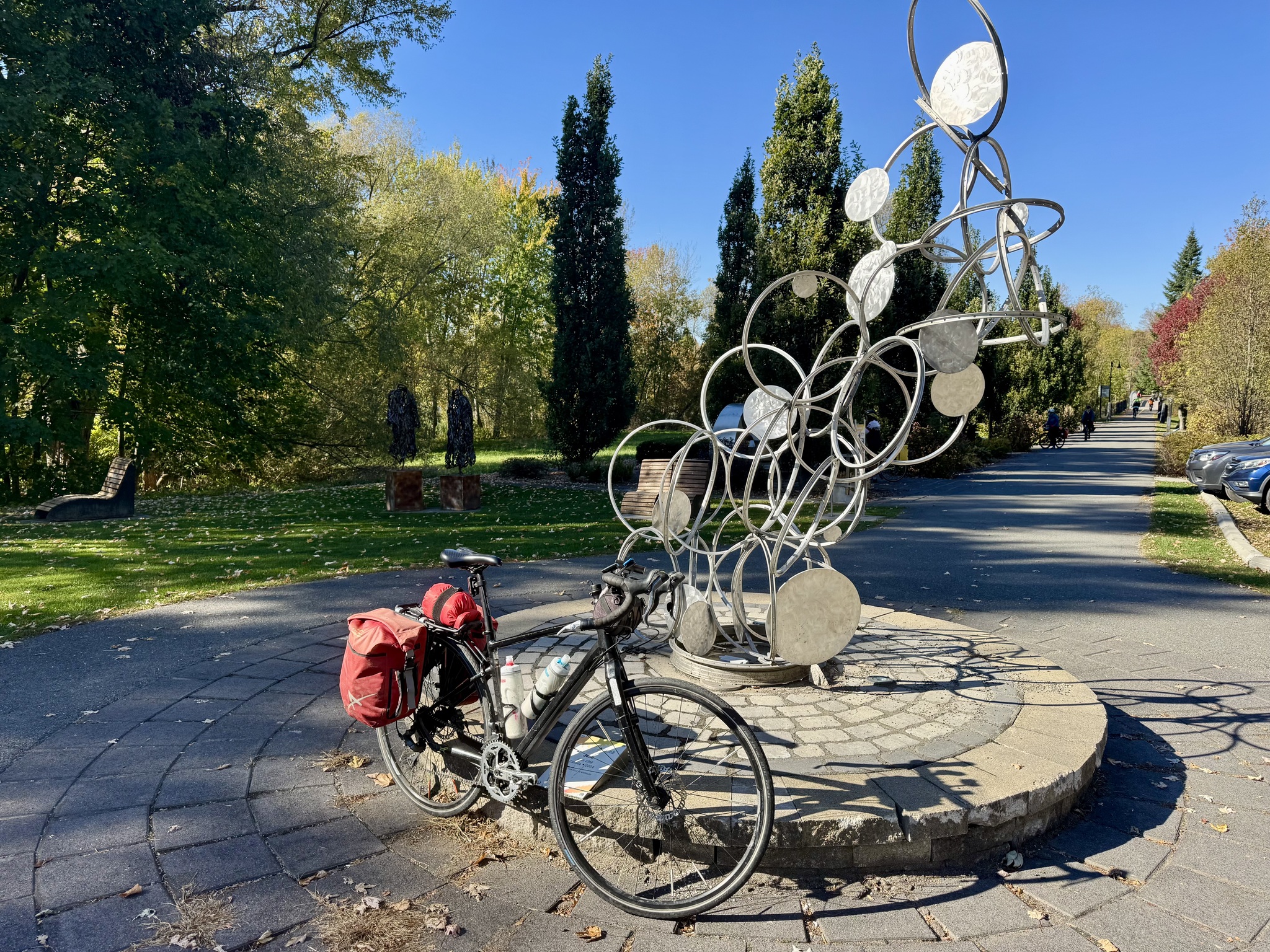
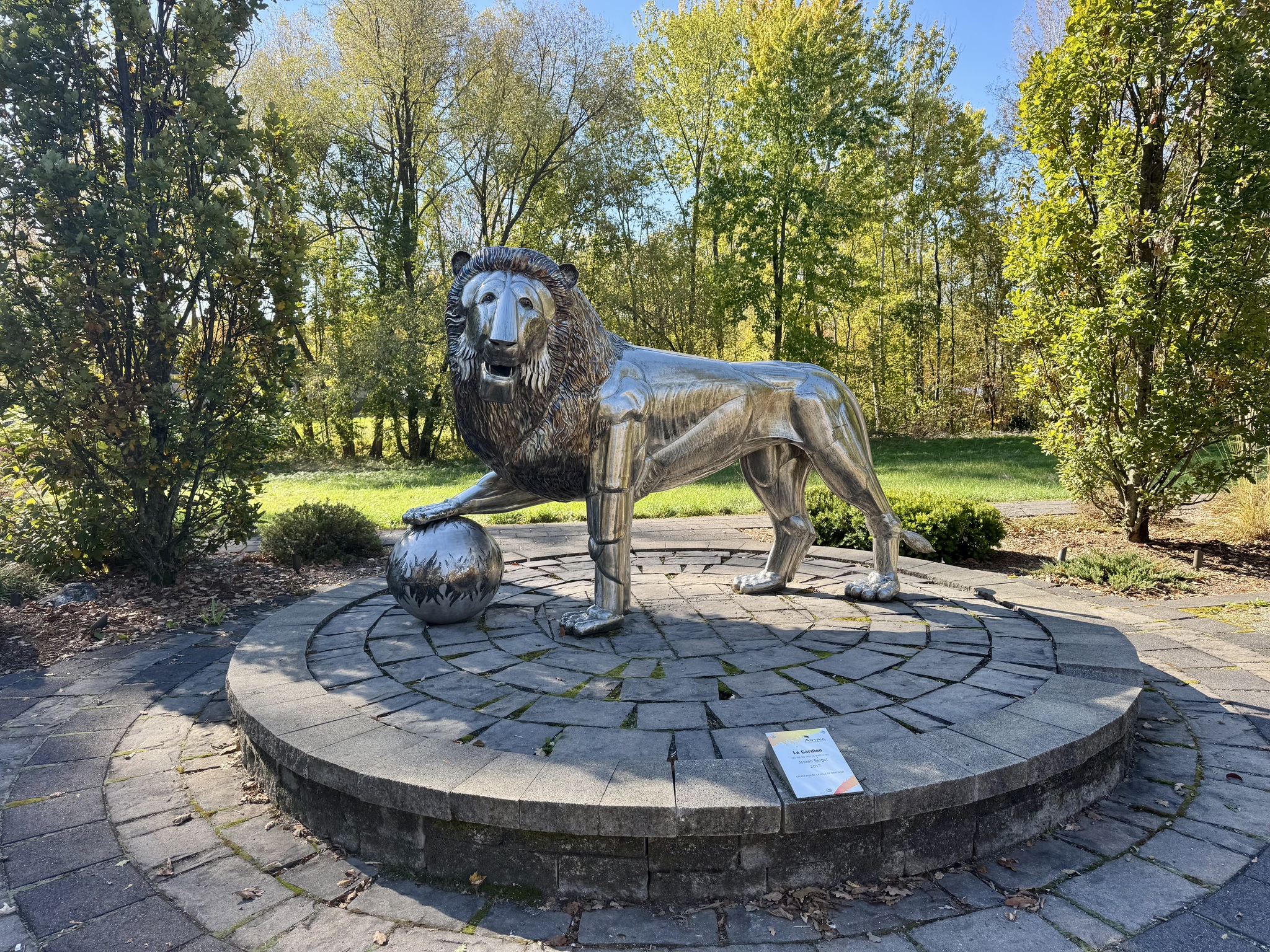
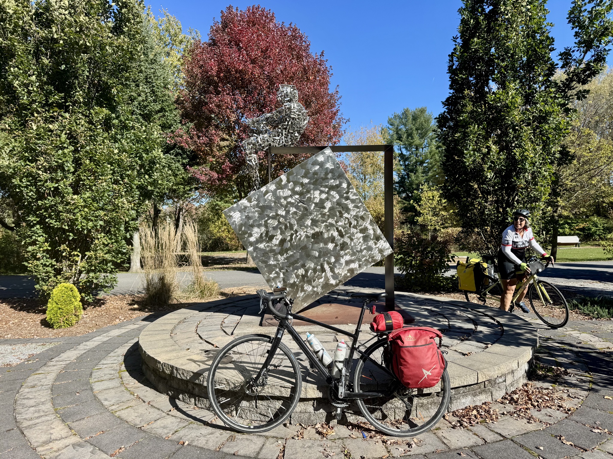
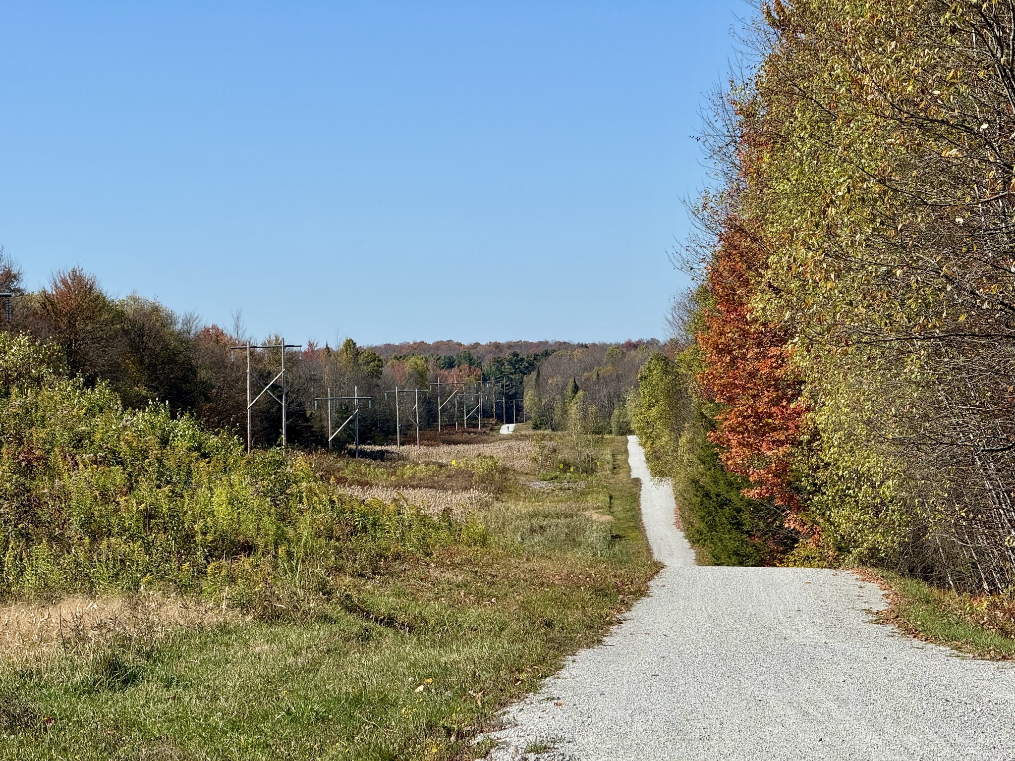
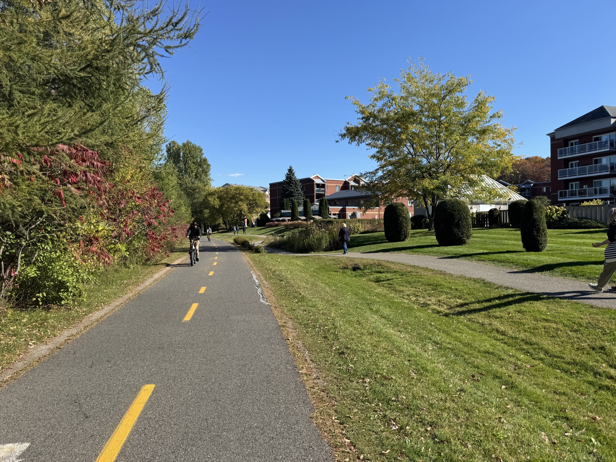
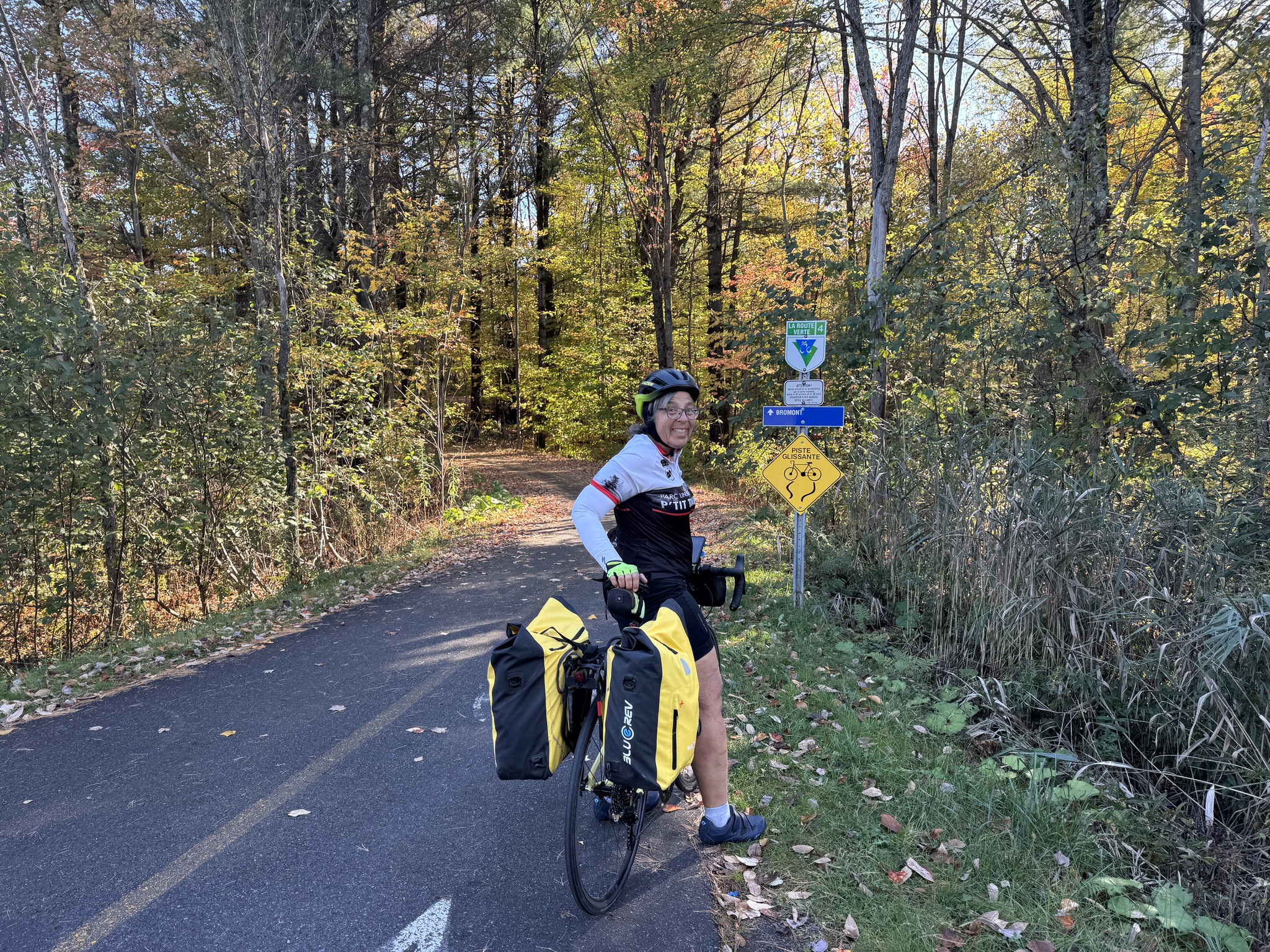
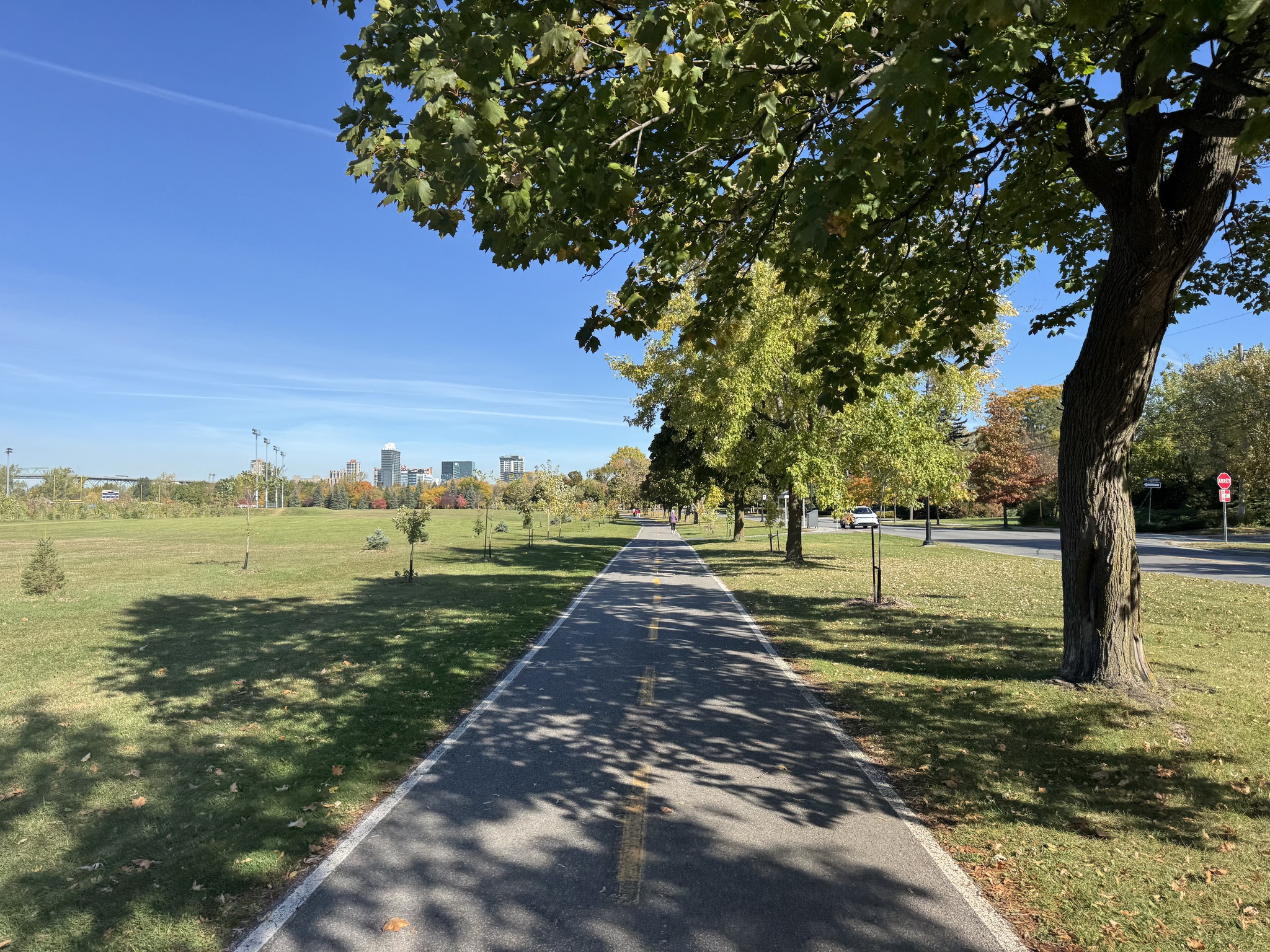
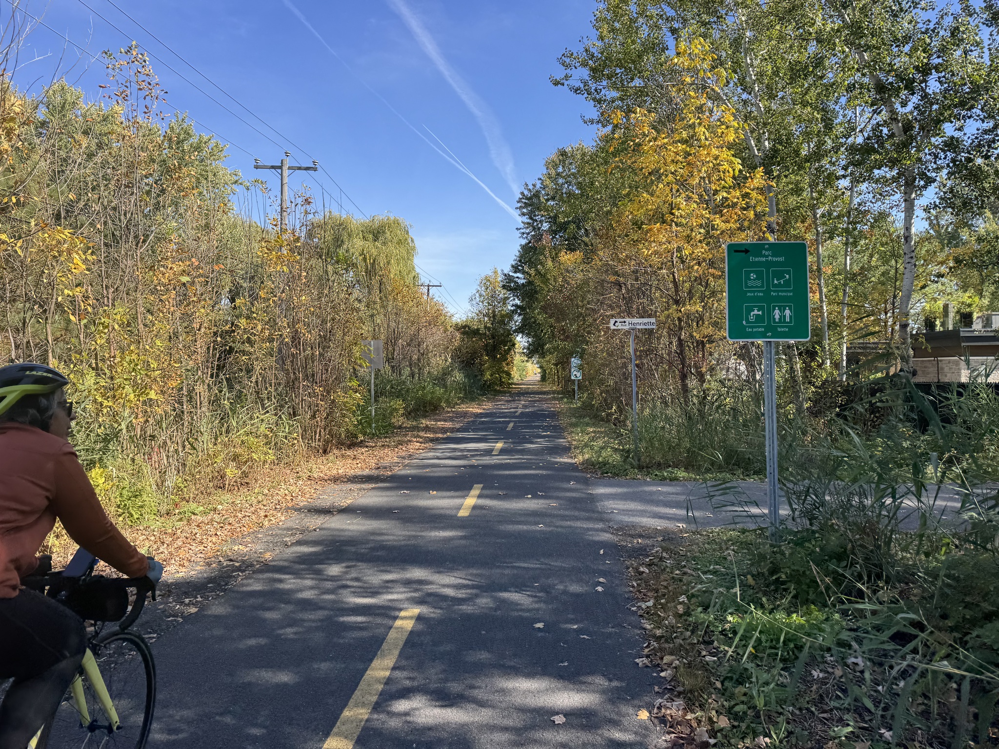
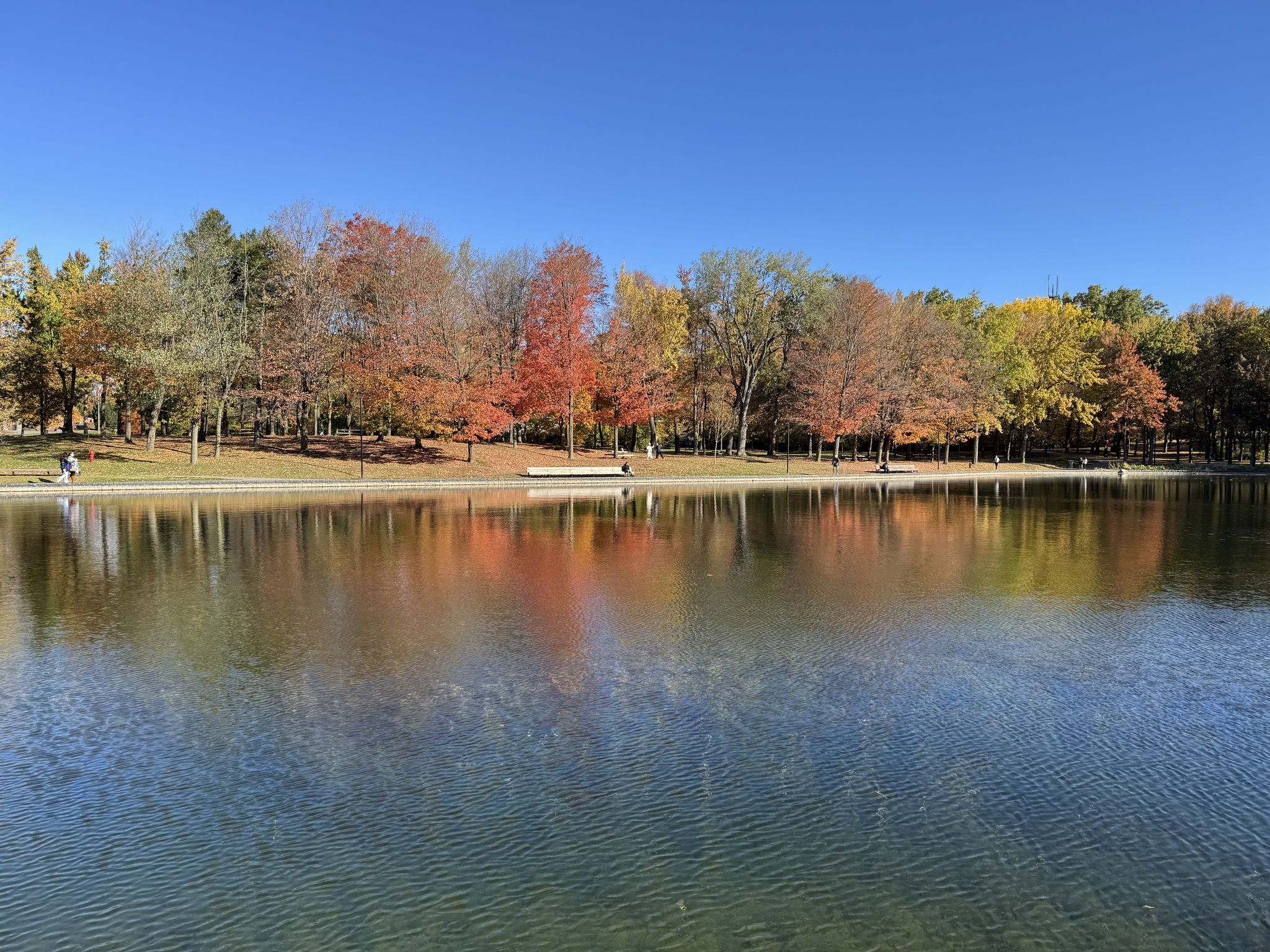
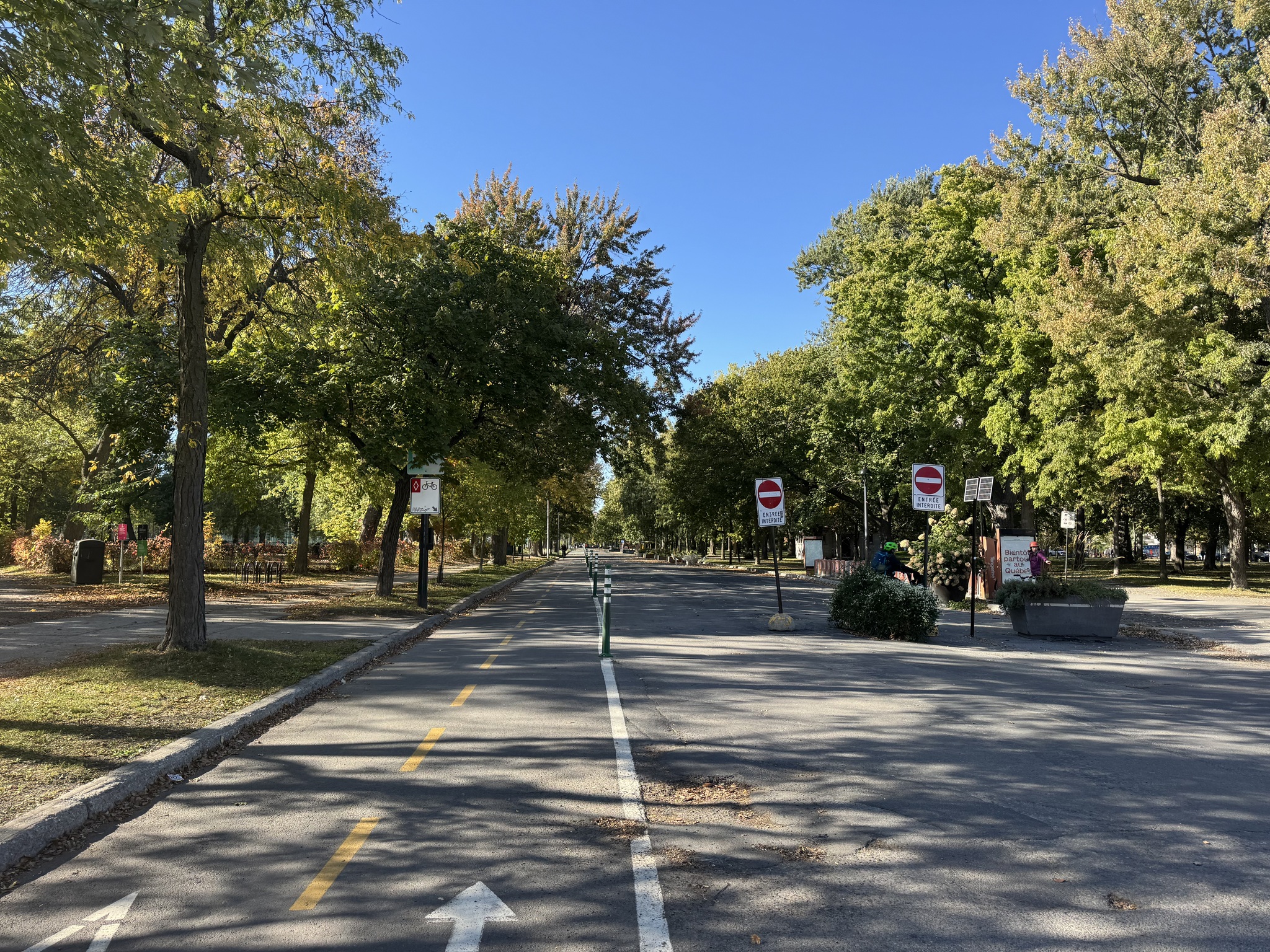
Vélo Route 4 runs through Parc régional de la Forêt-Drummond. It is a beautiful park. We saw very few other people.

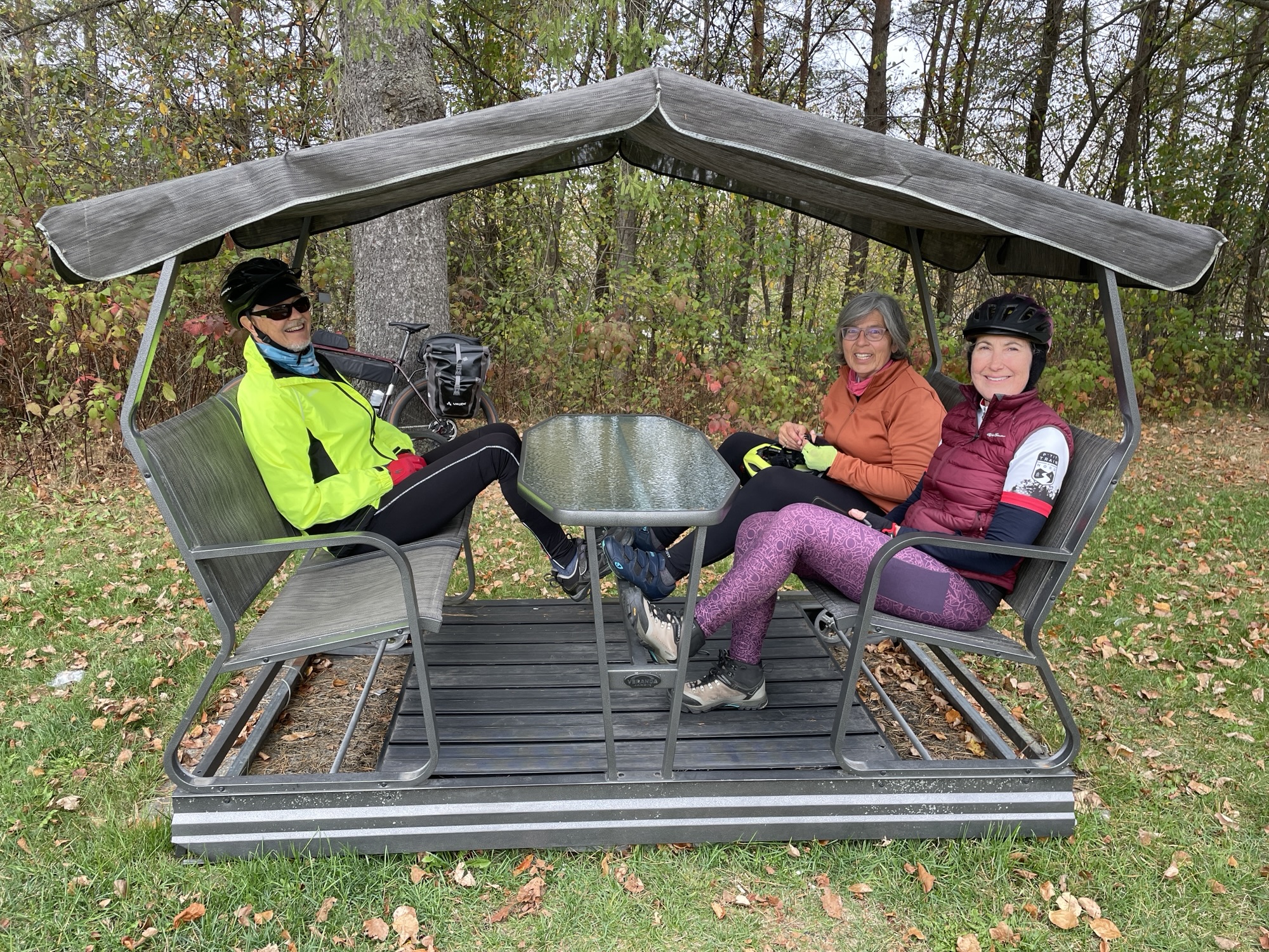
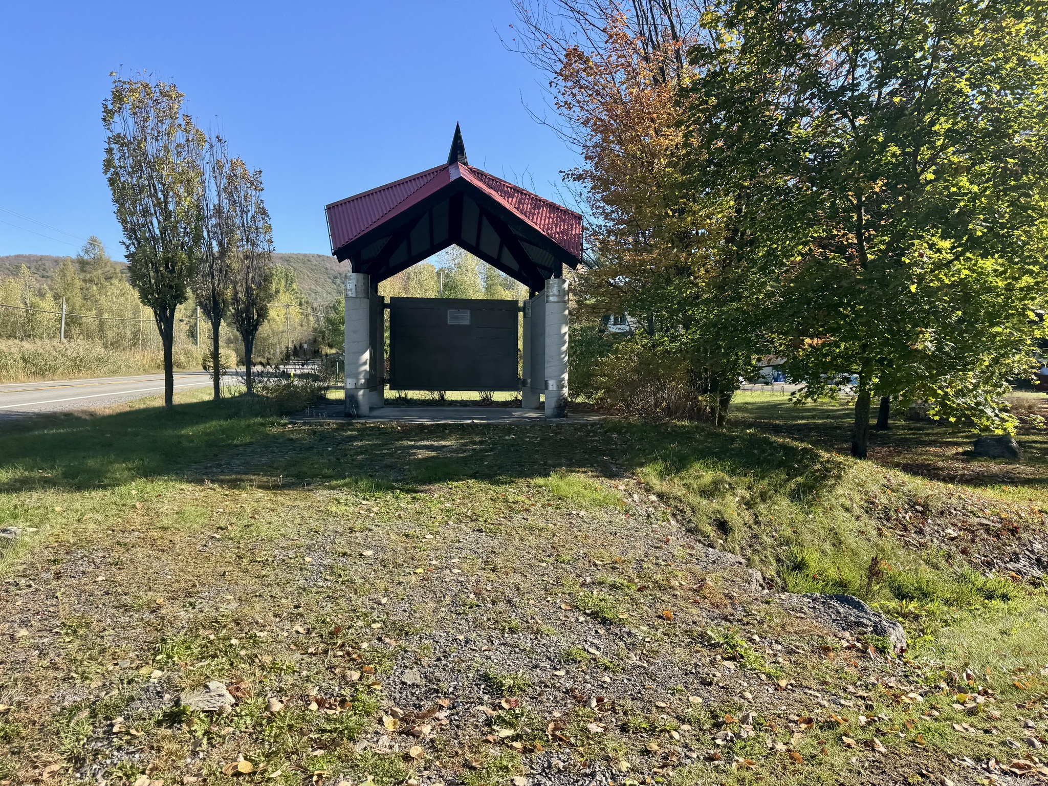
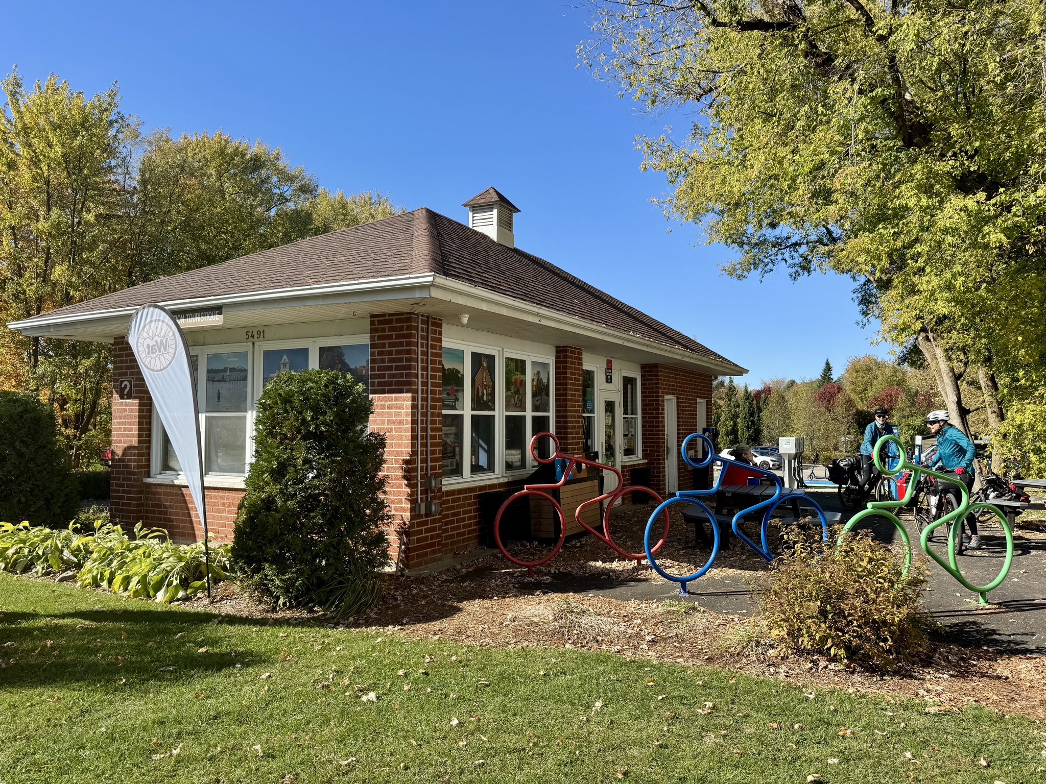
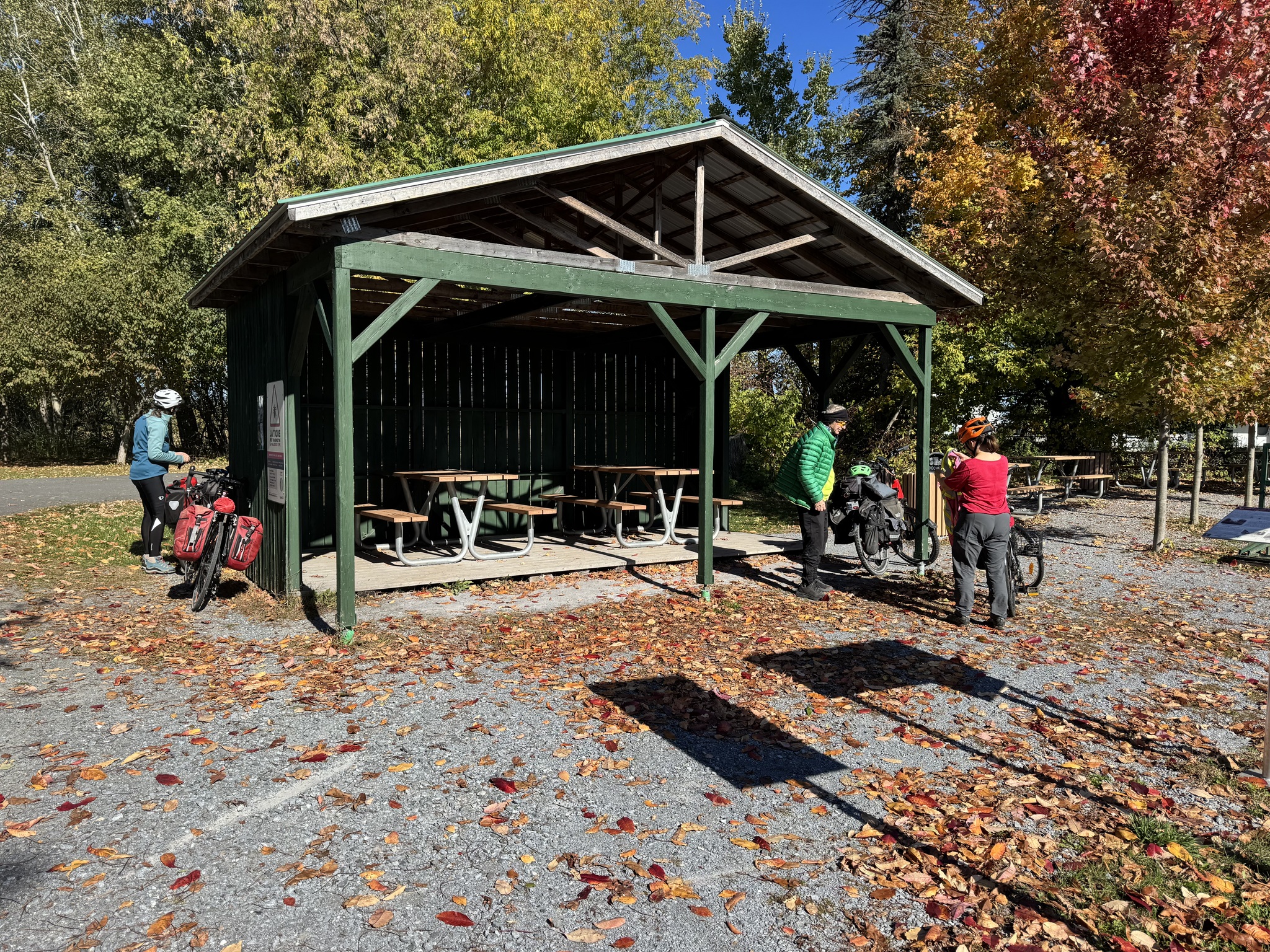
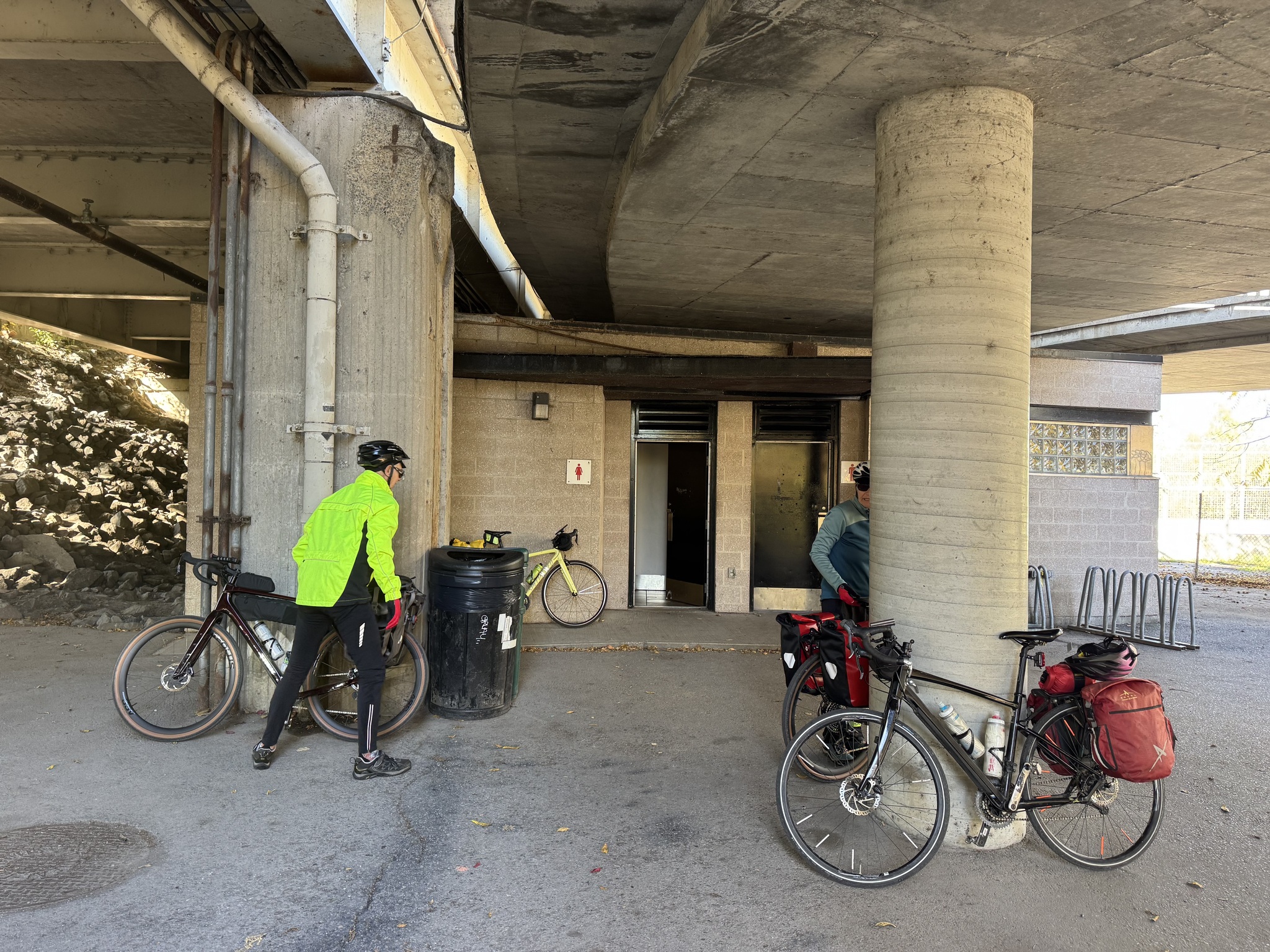
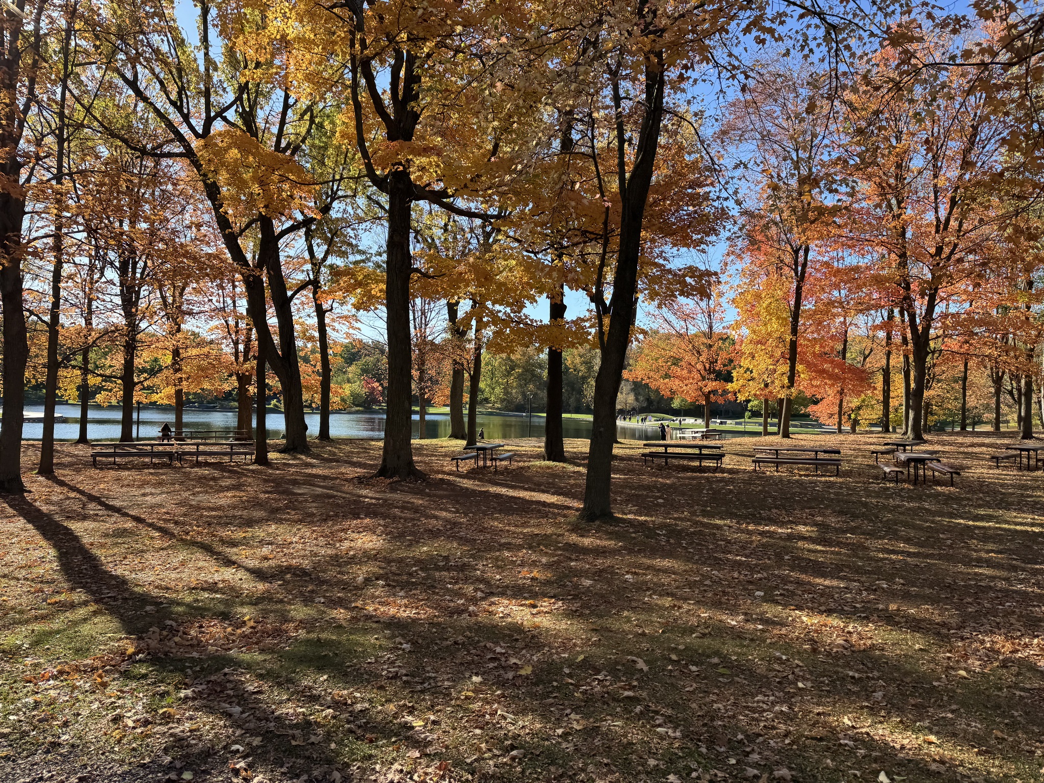
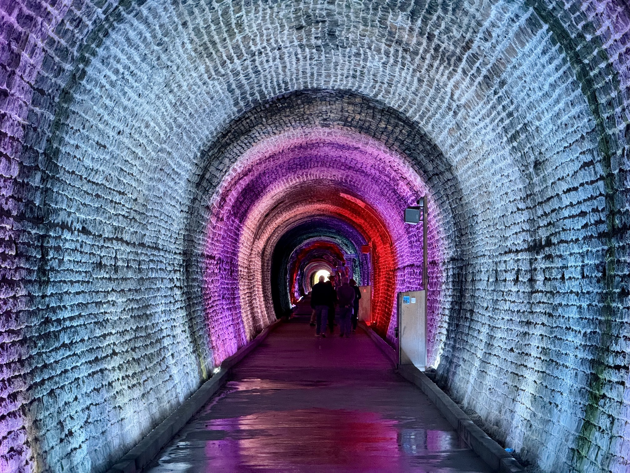
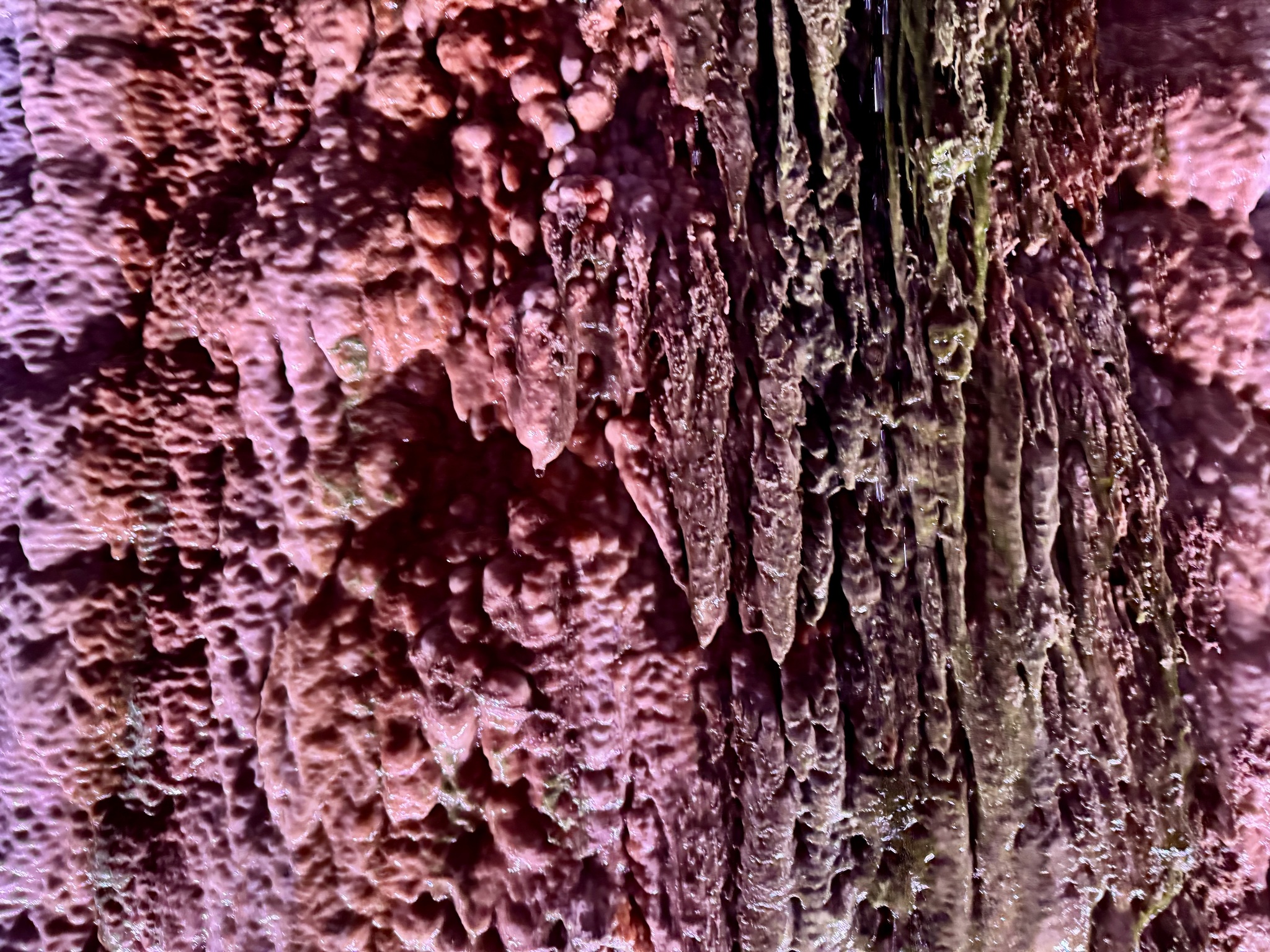
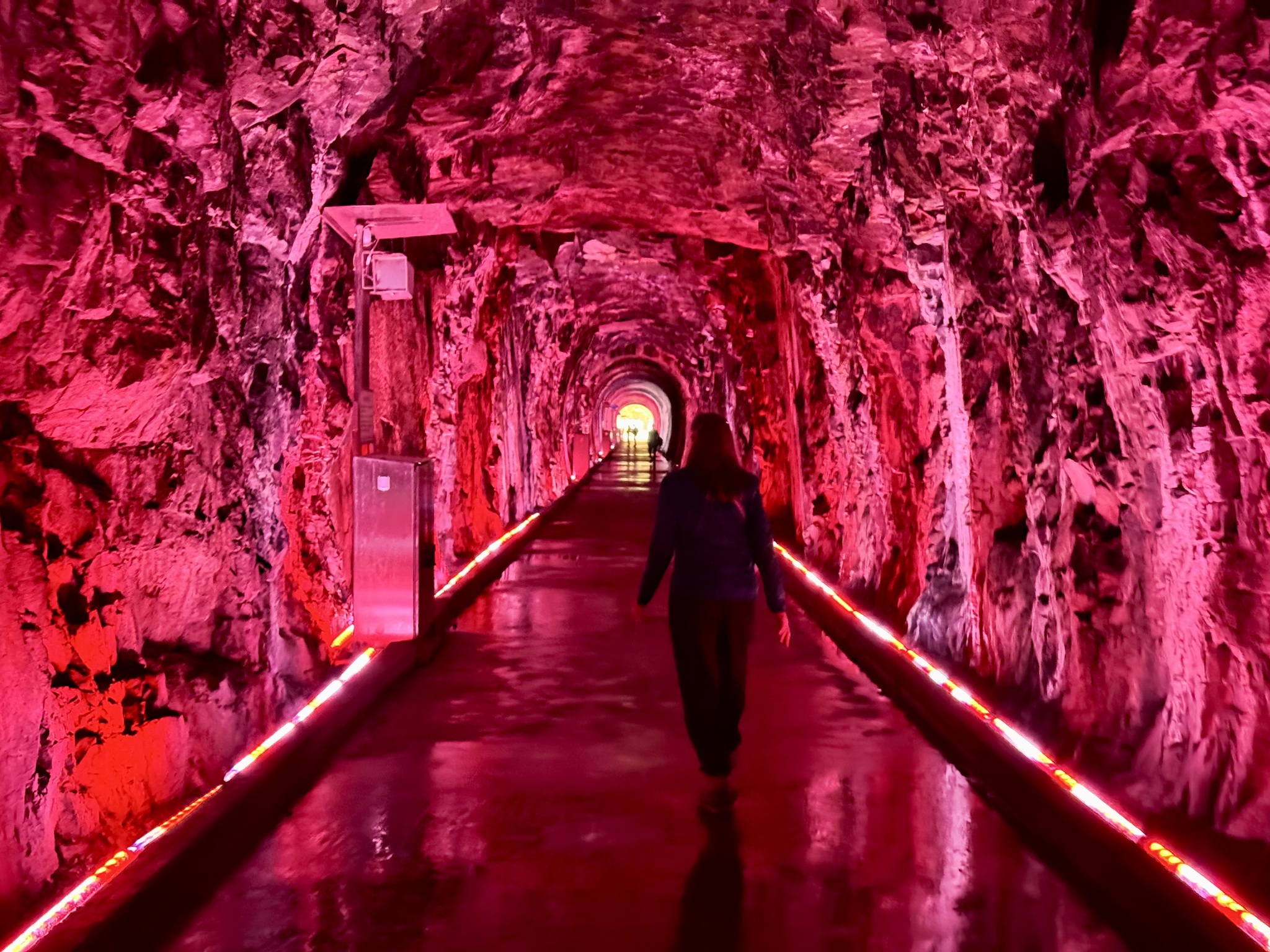
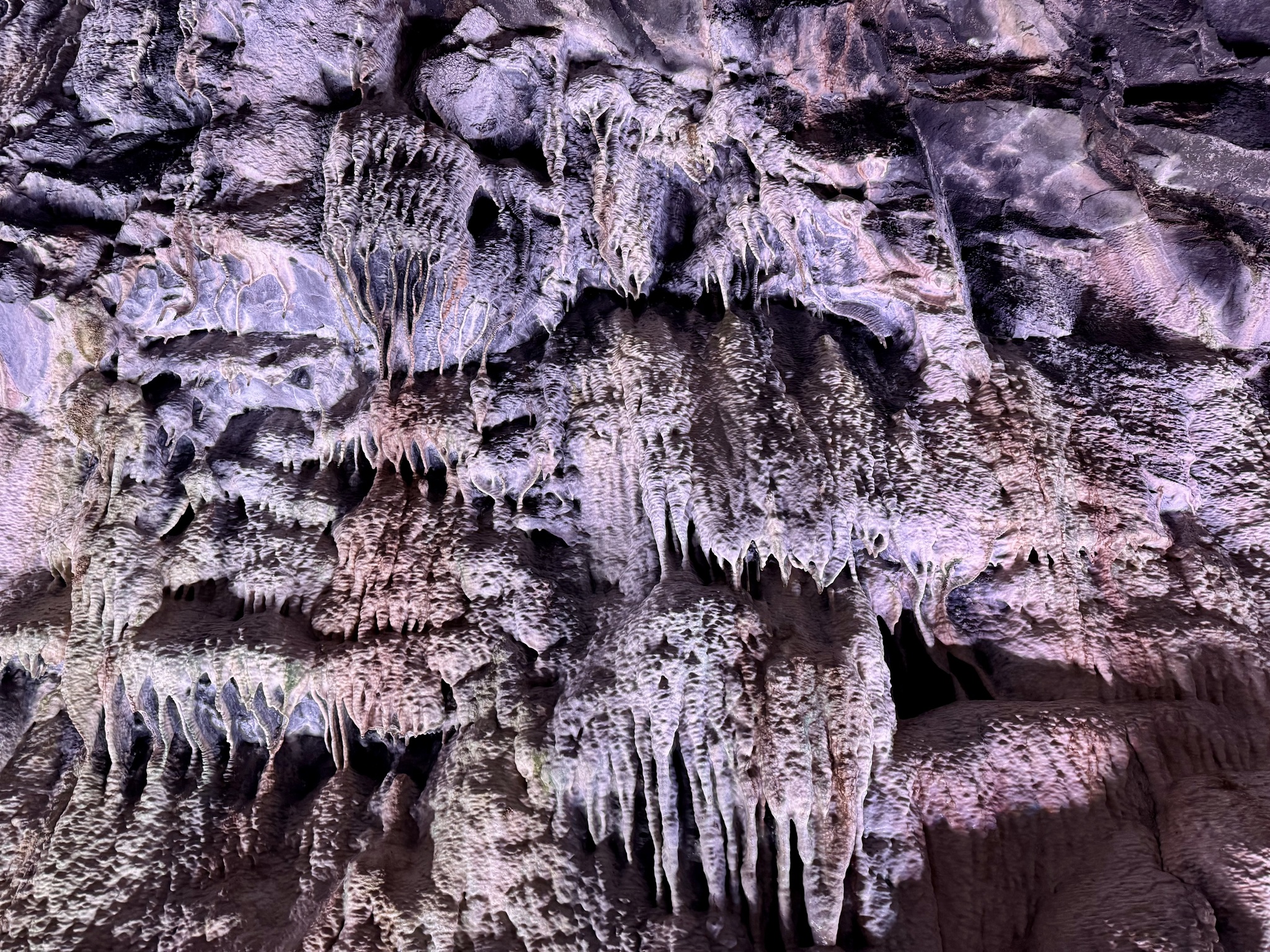
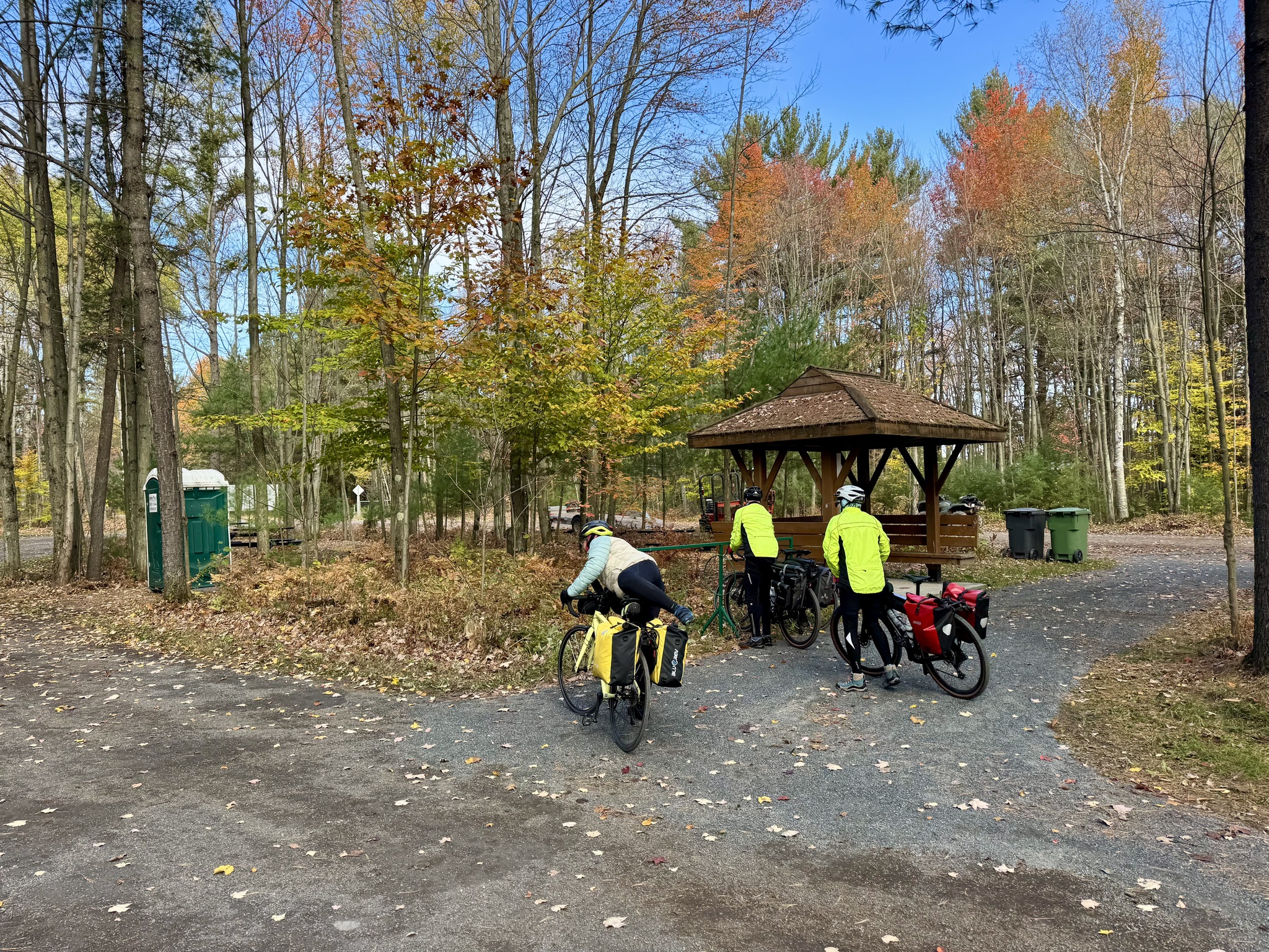
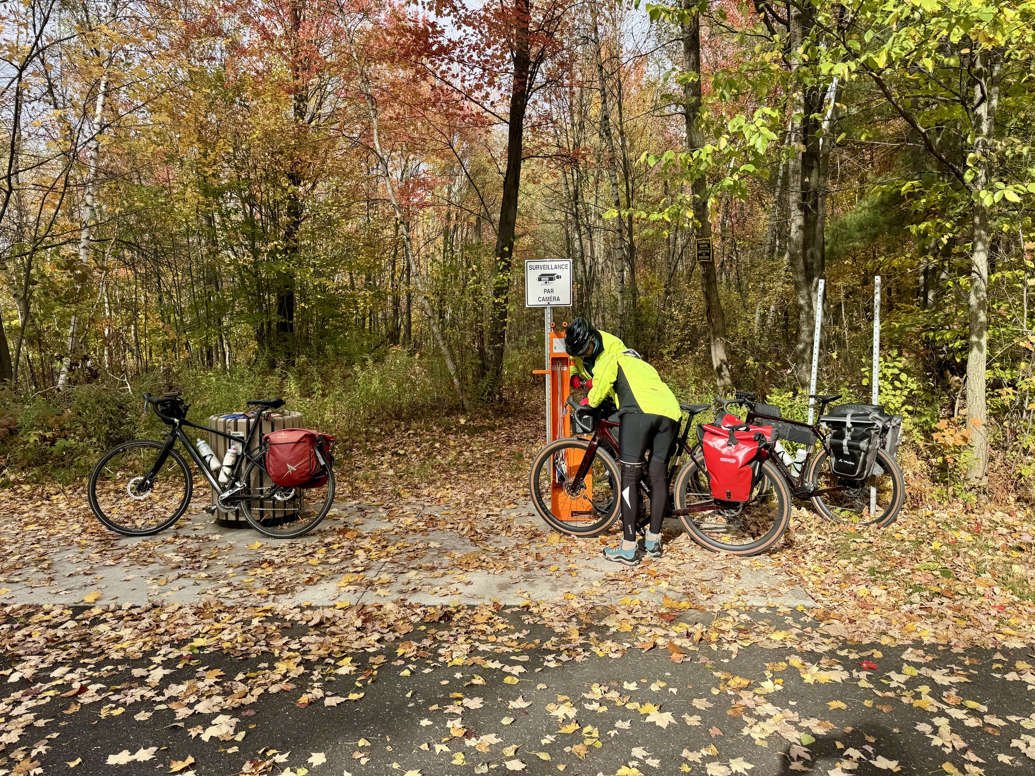
We stopped briefly at this rest area in the park.

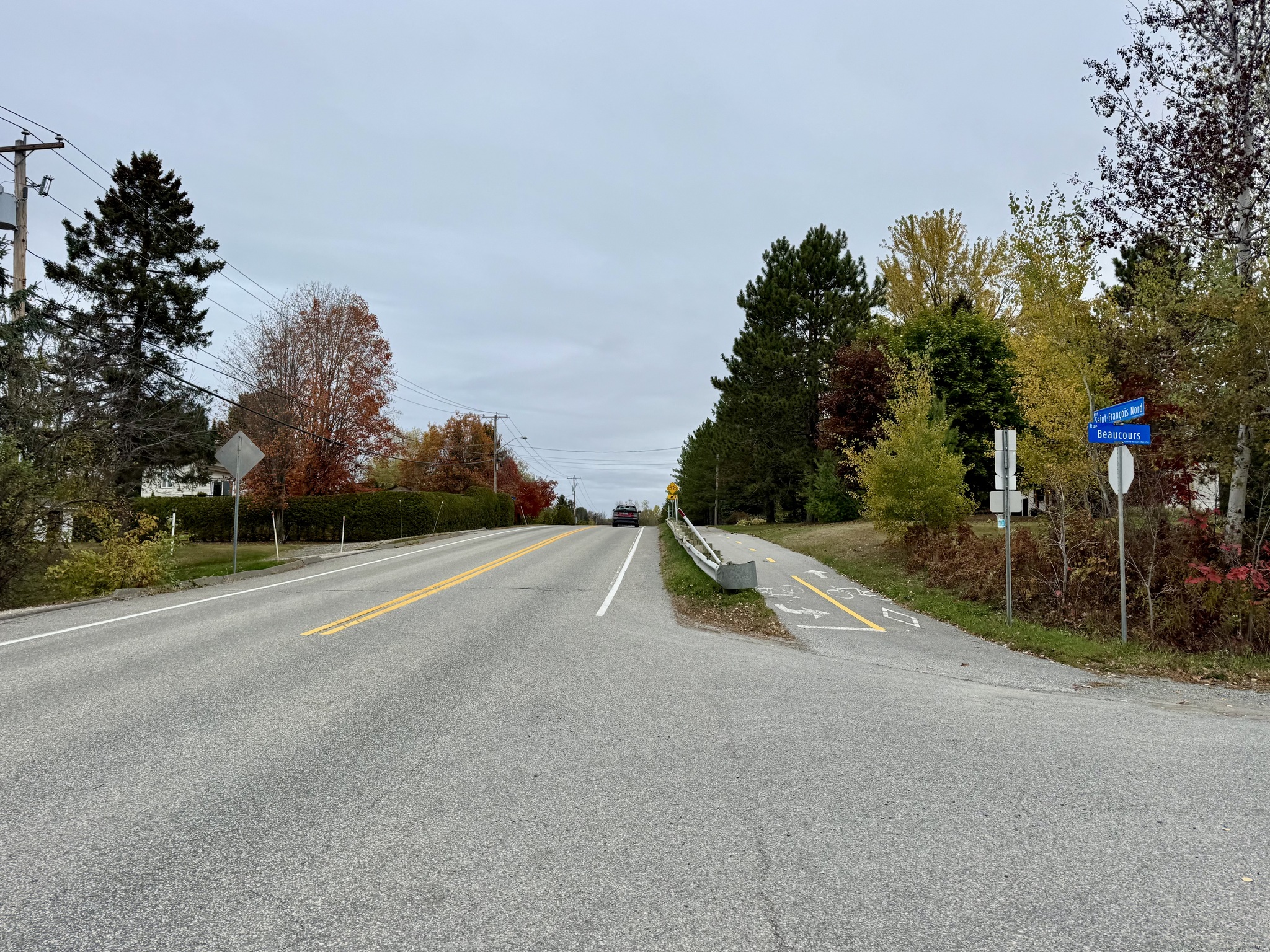
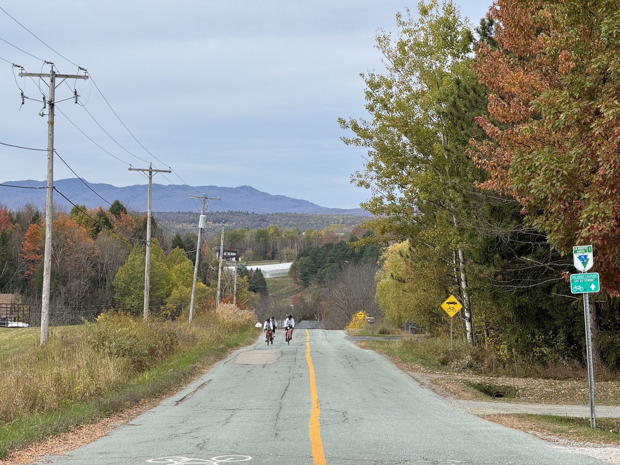
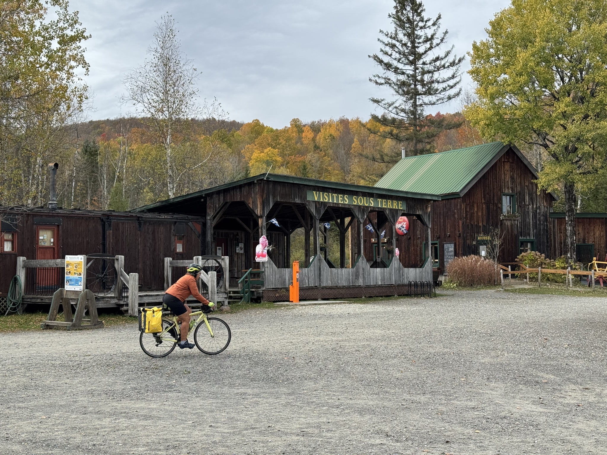
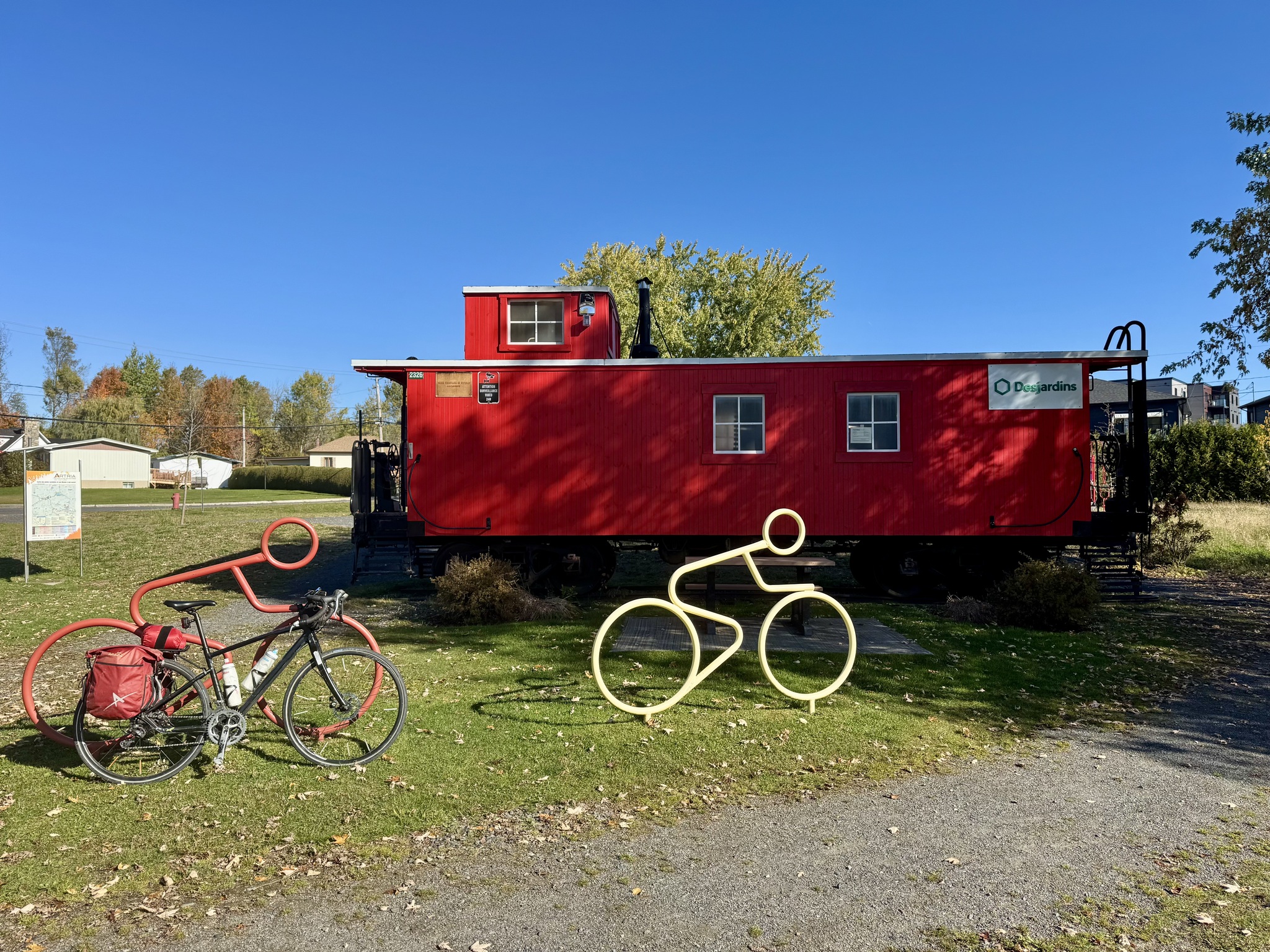
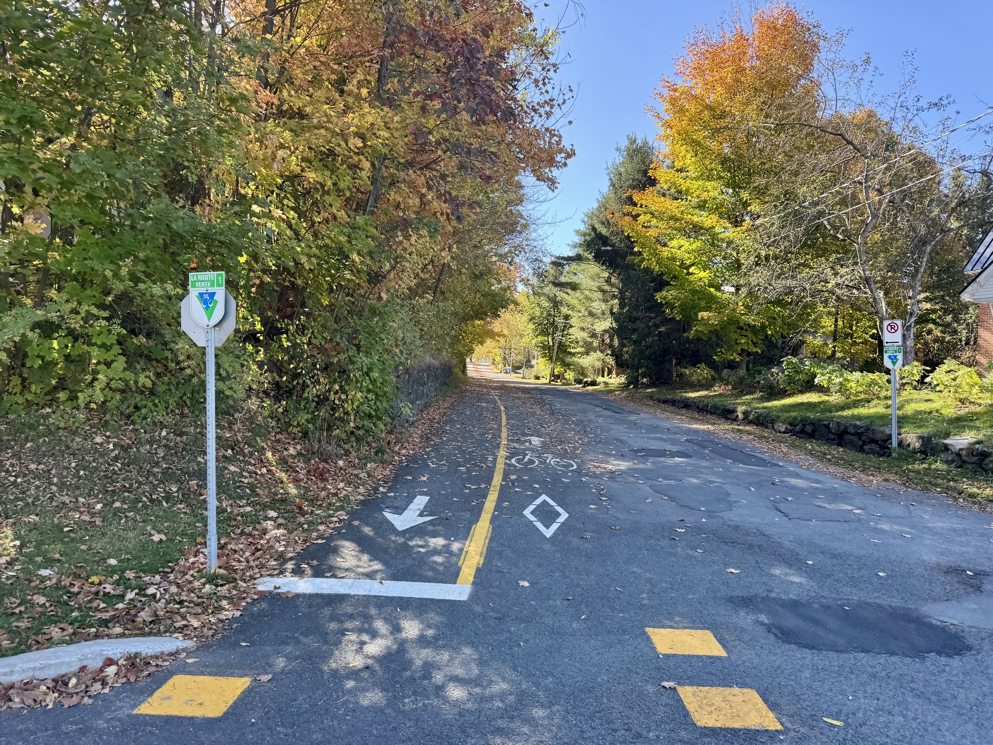
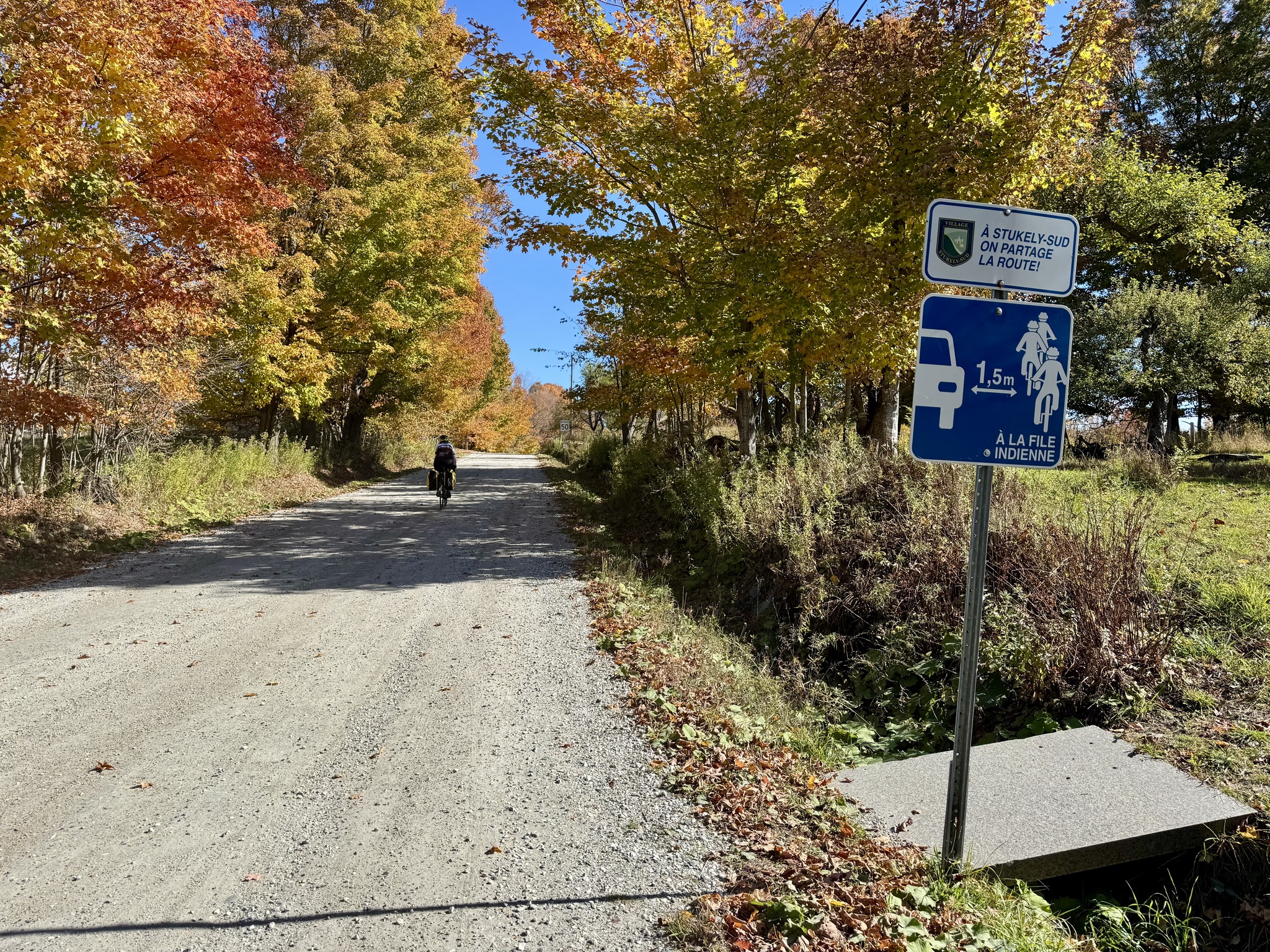
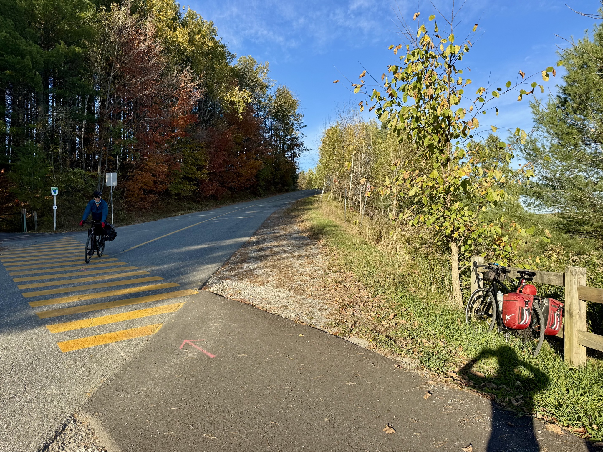
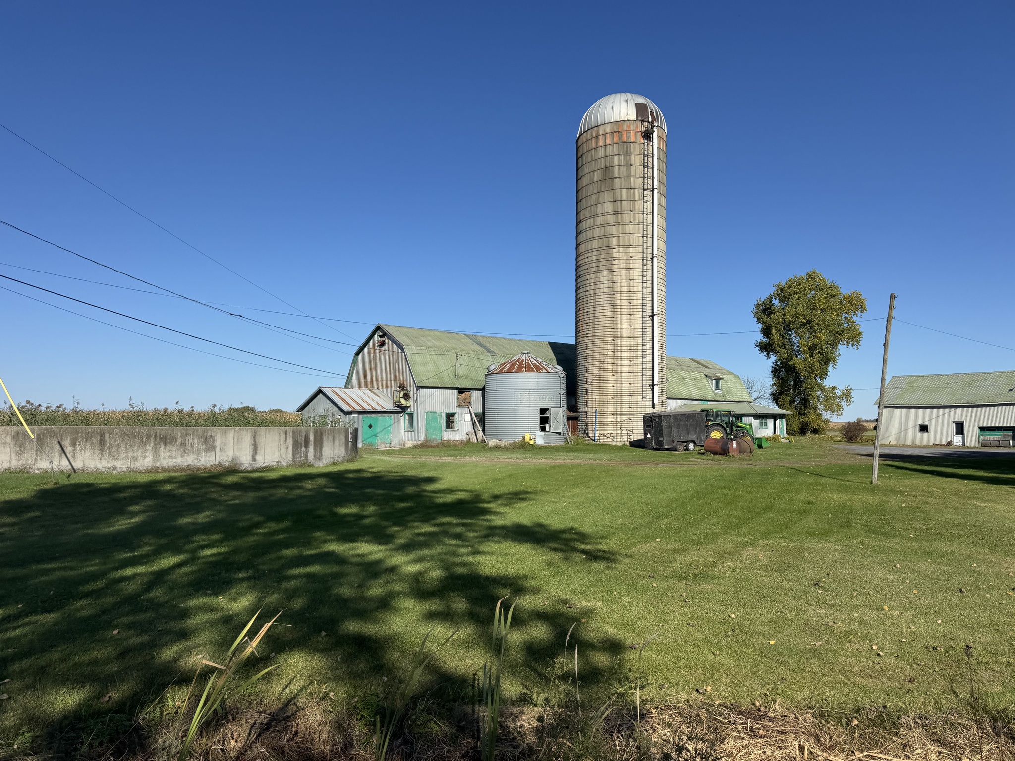
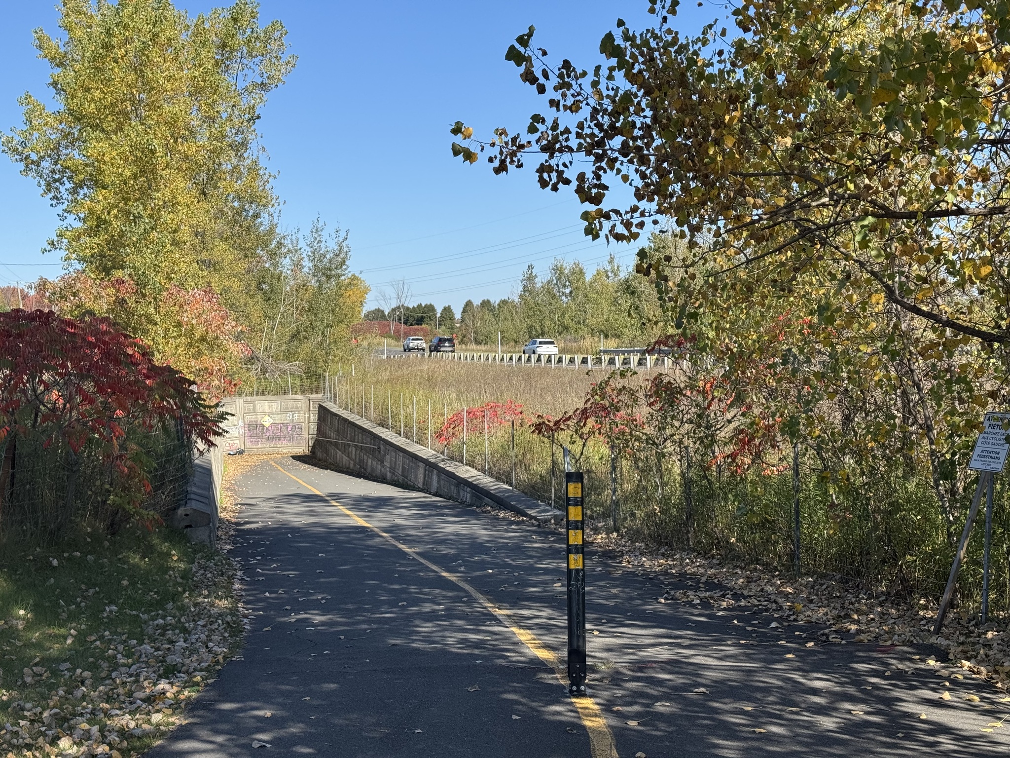
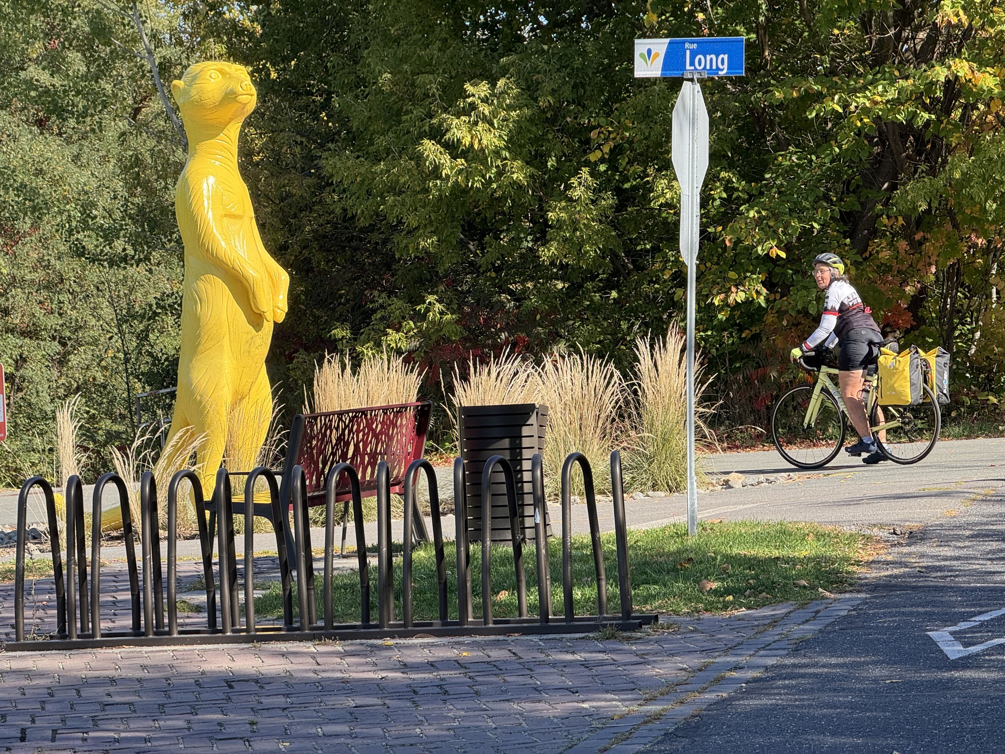
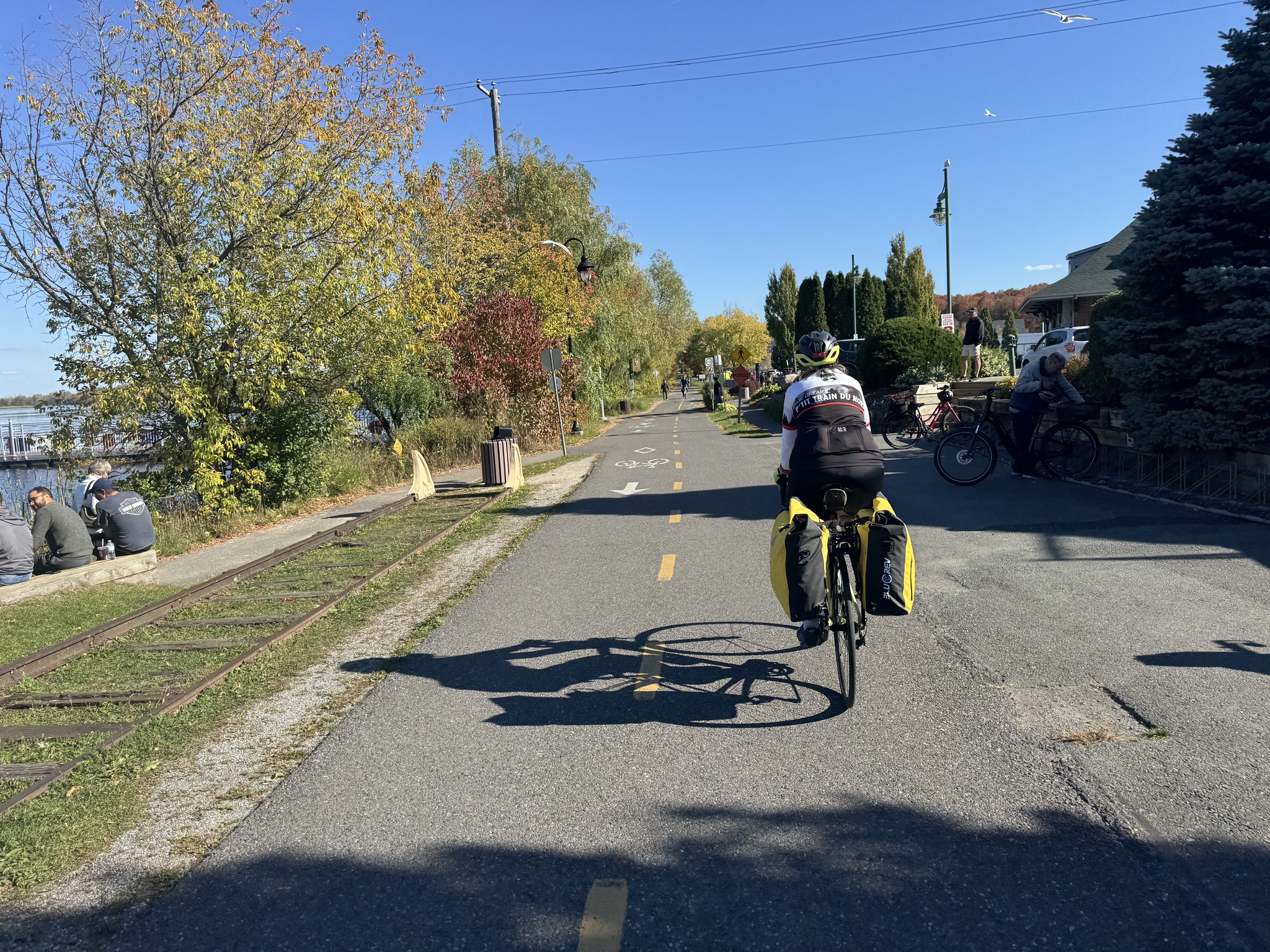
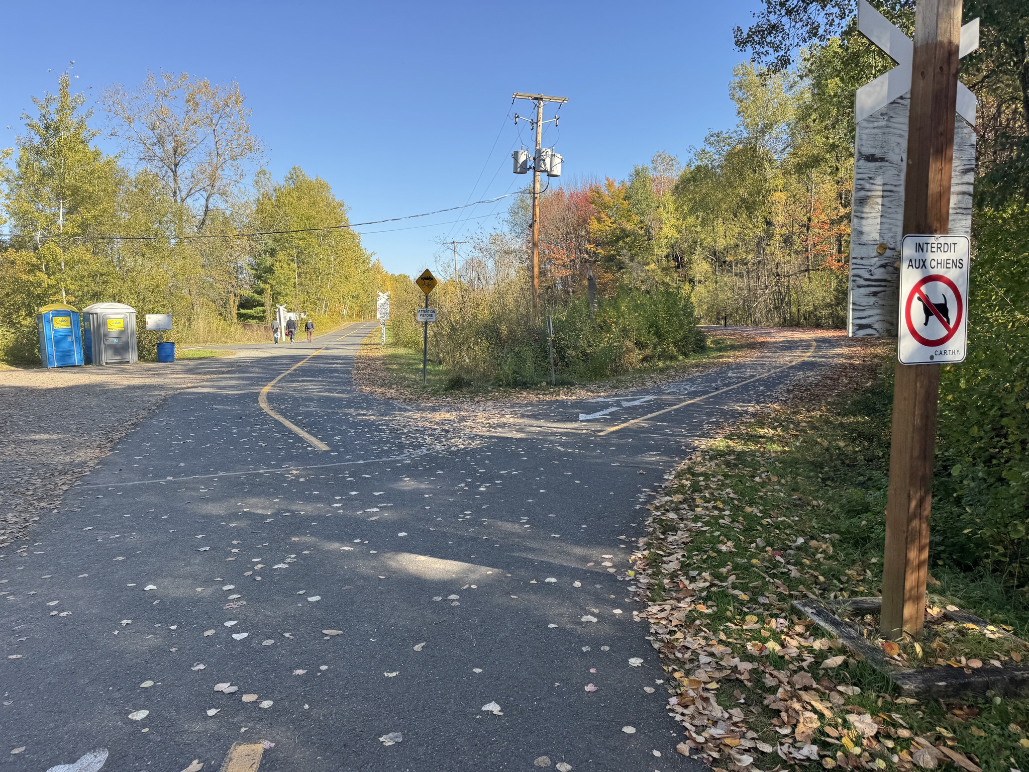
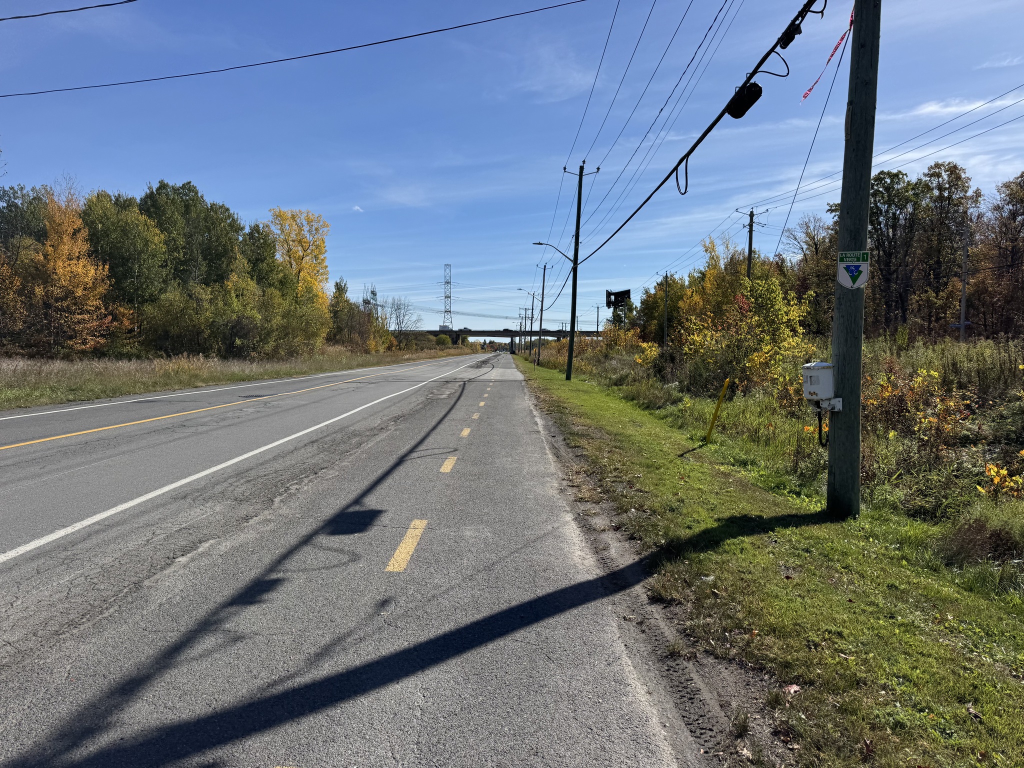
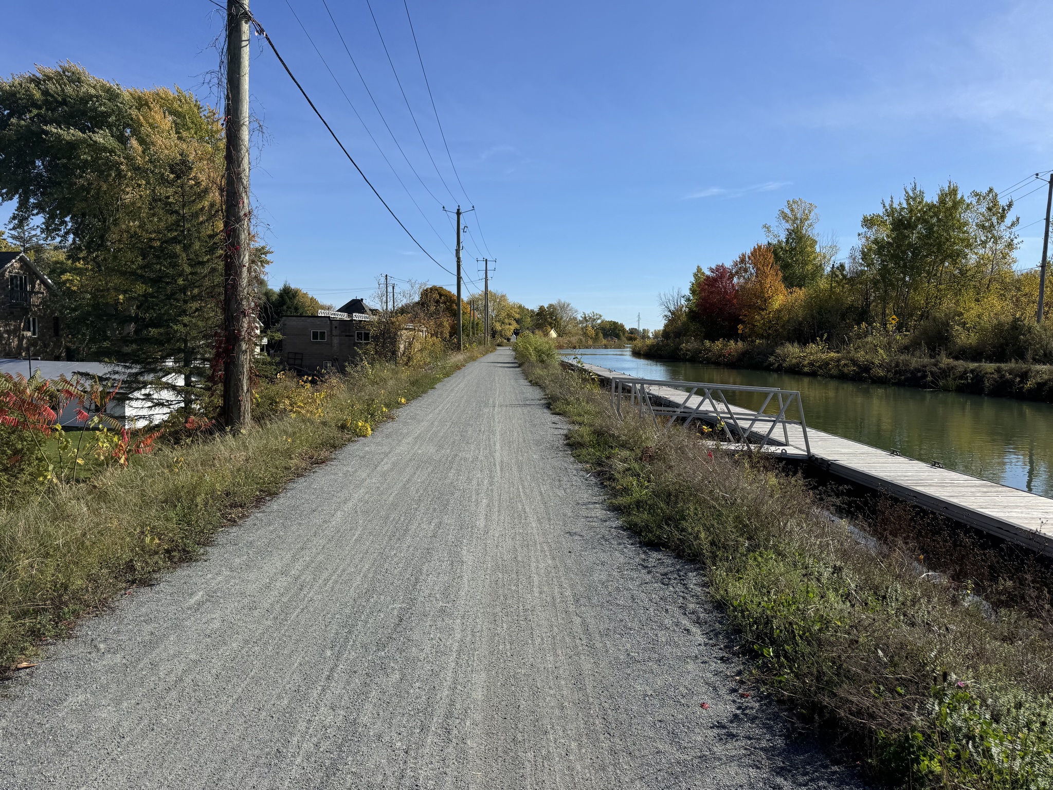
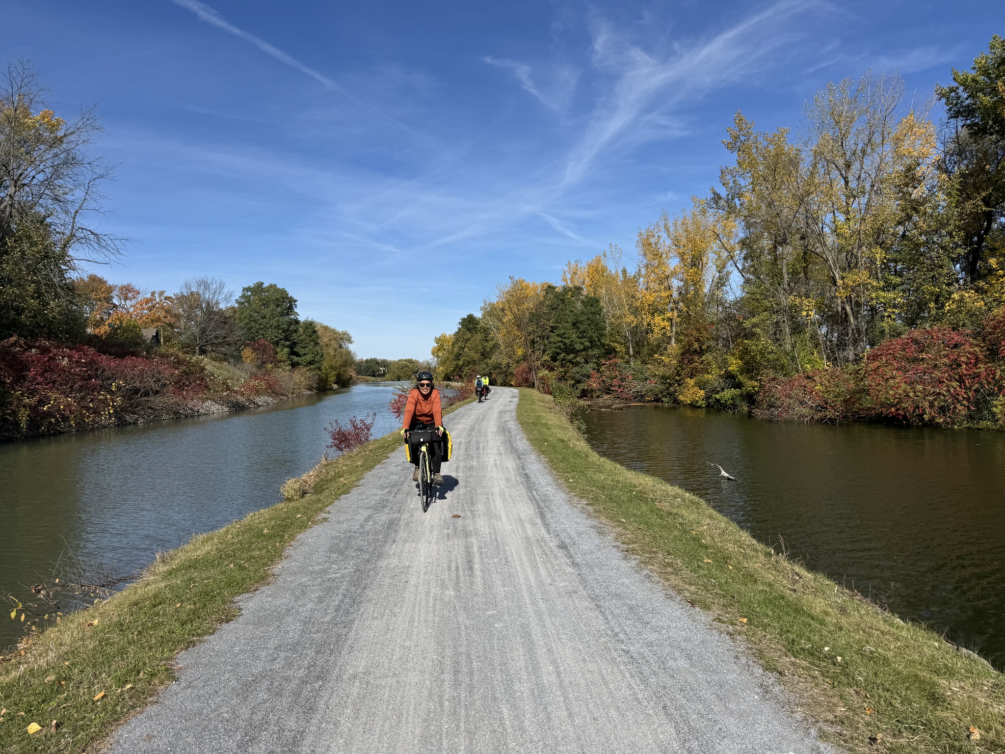
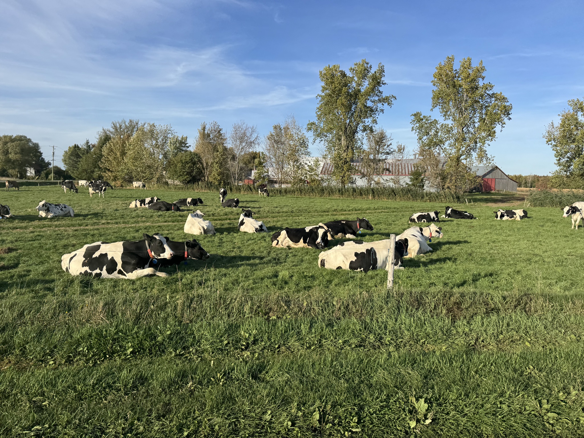
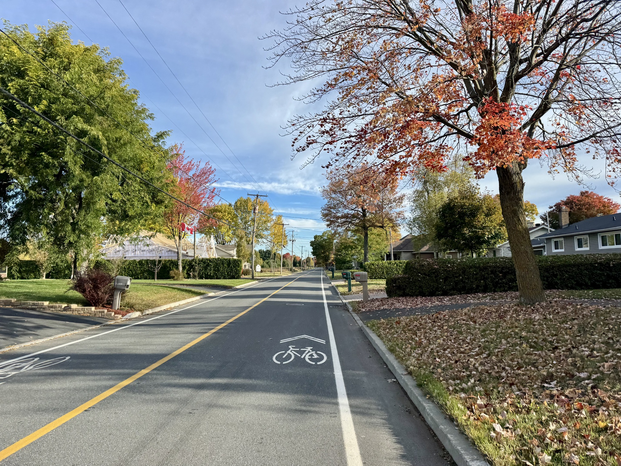
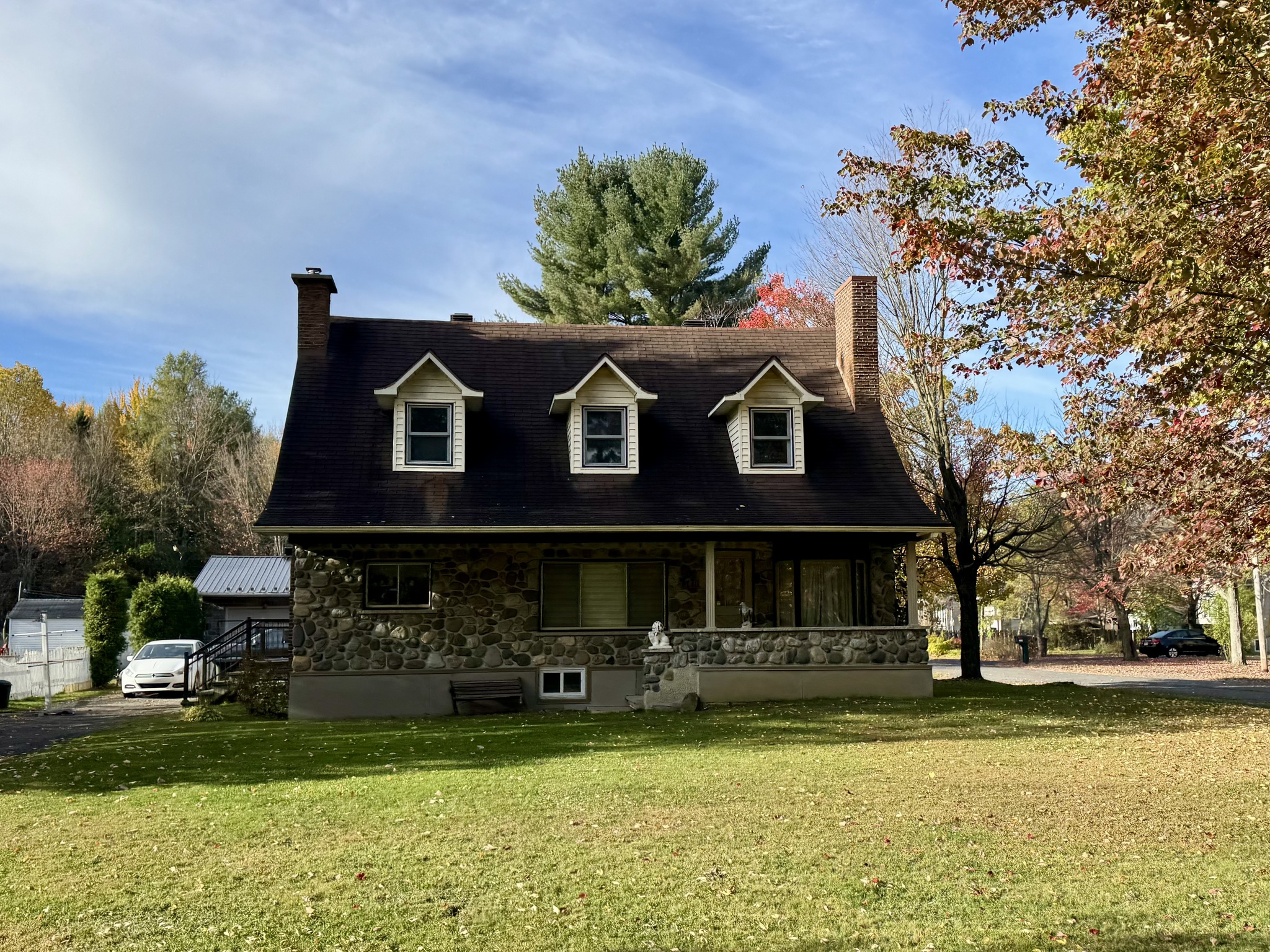
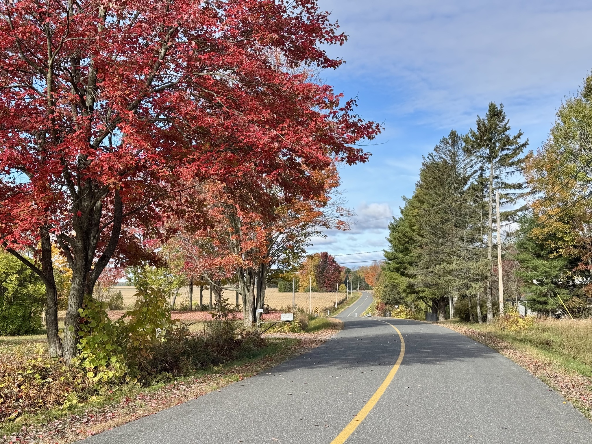
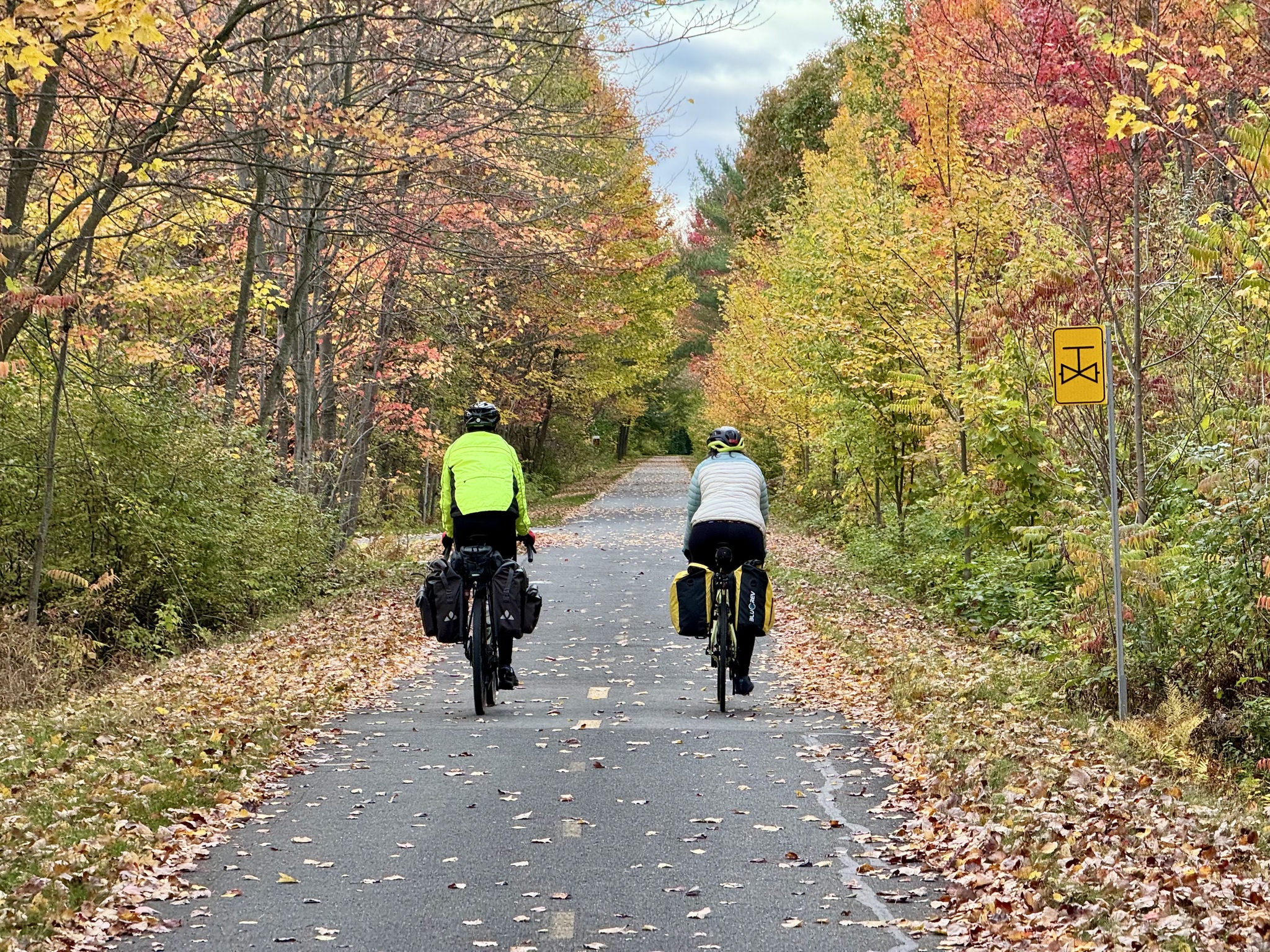
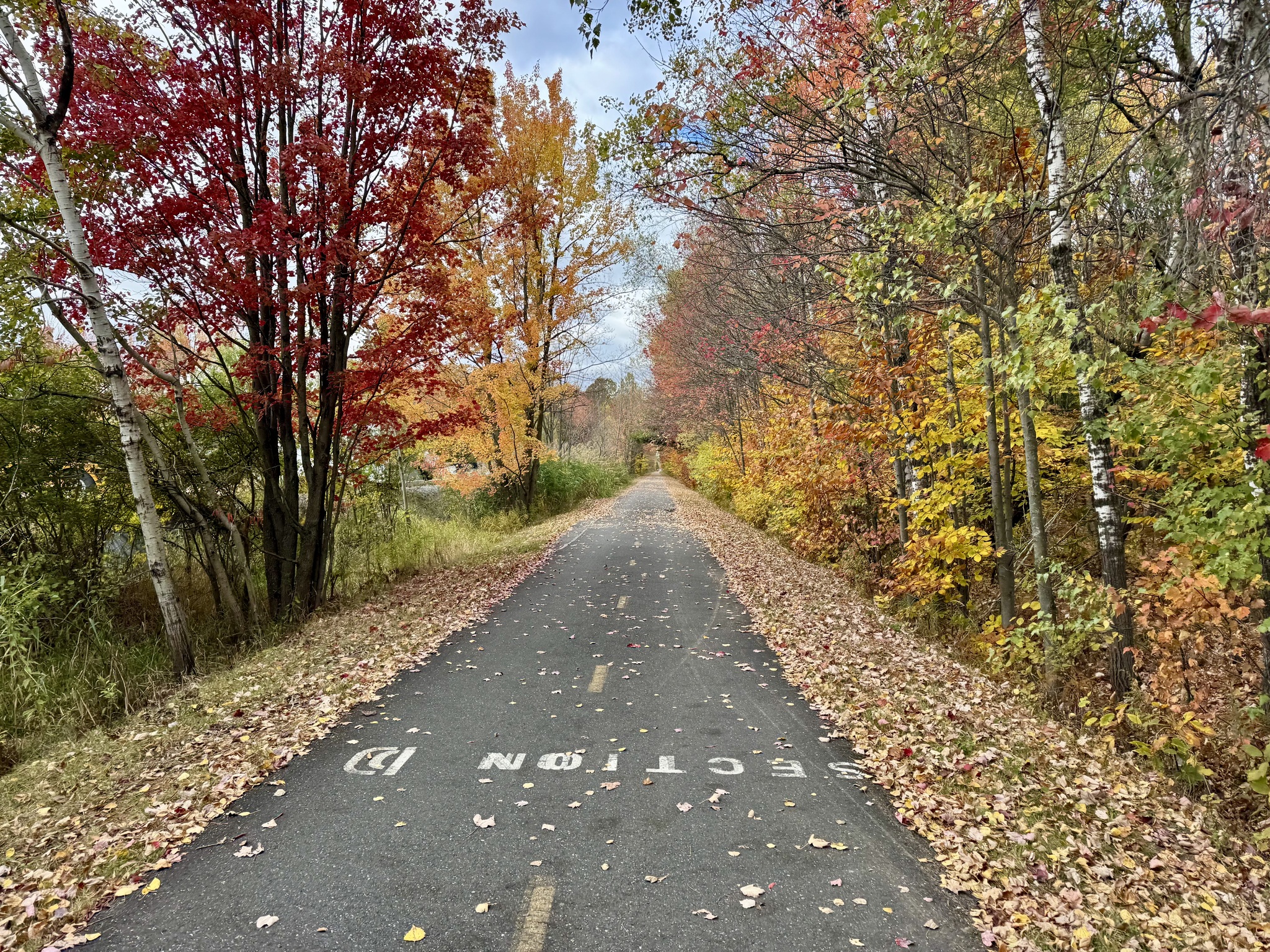
After the park Vélo Route 4 followed a country road with no cars, lovely homes, and beautiful fall foliage.

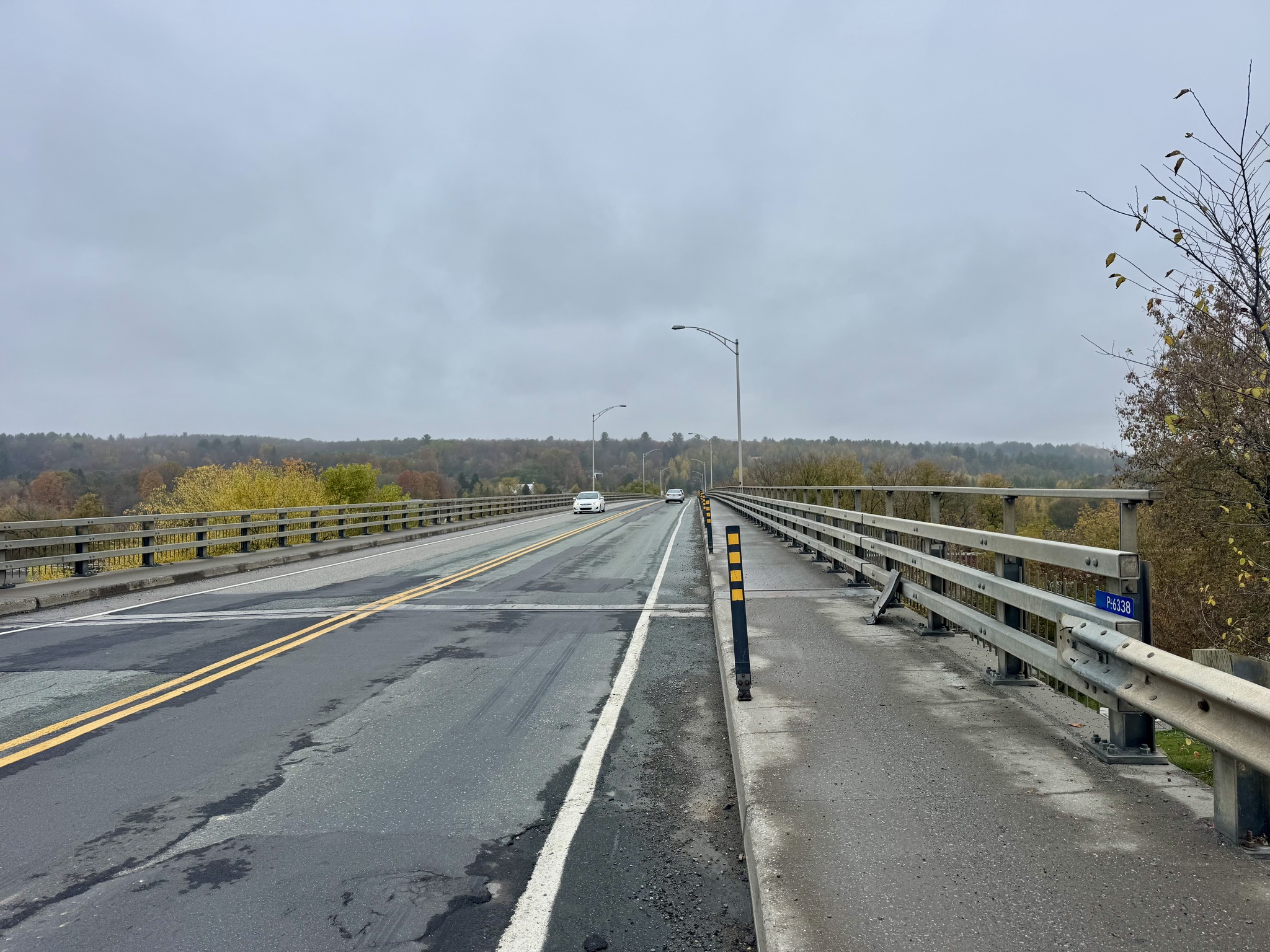
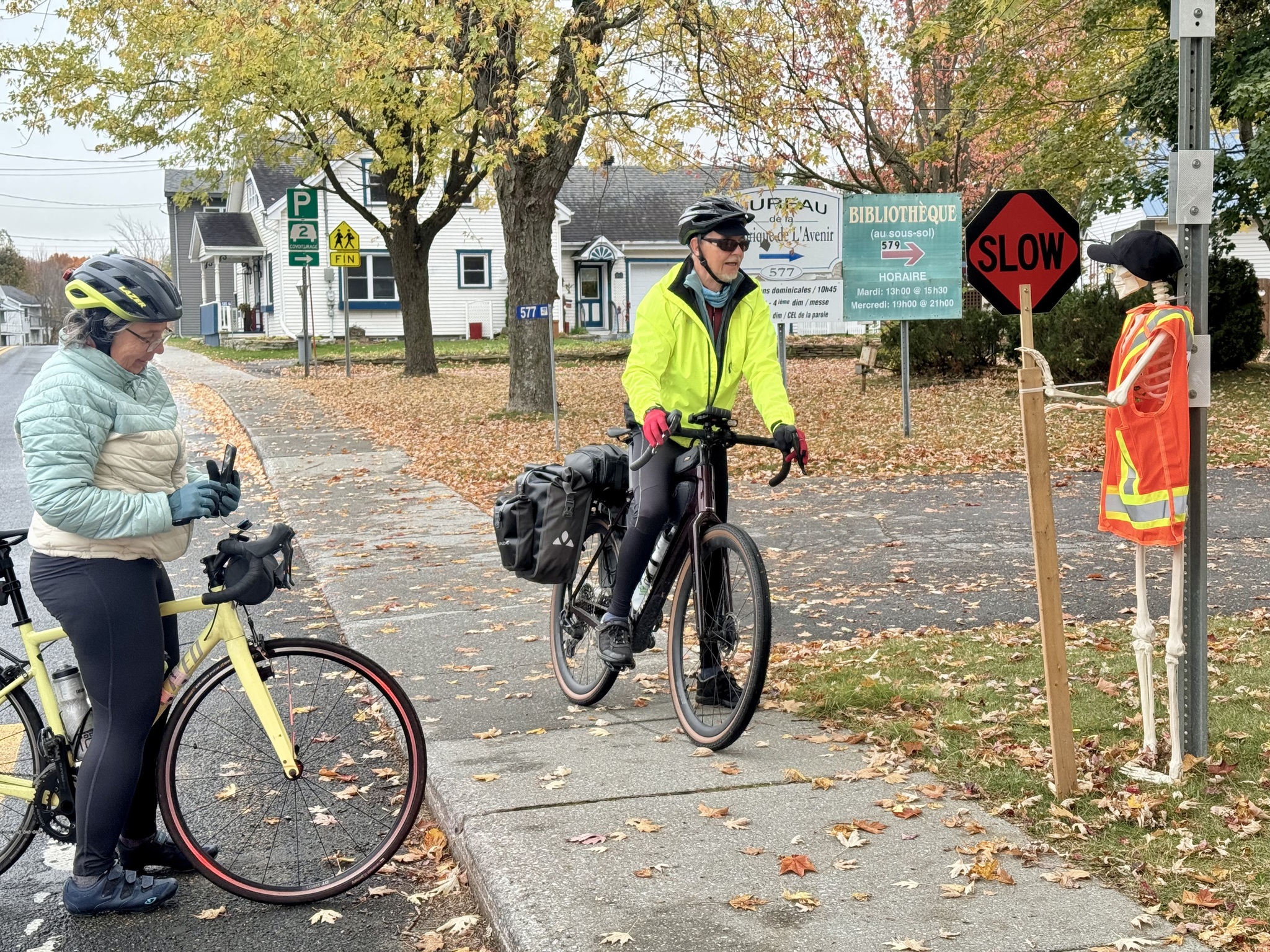
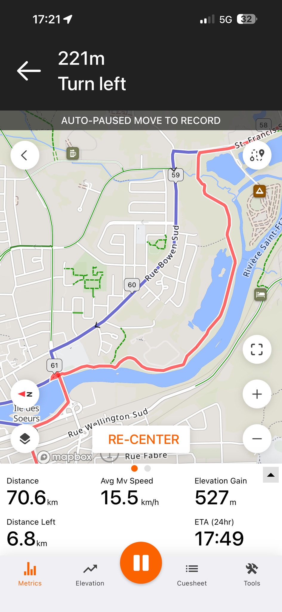
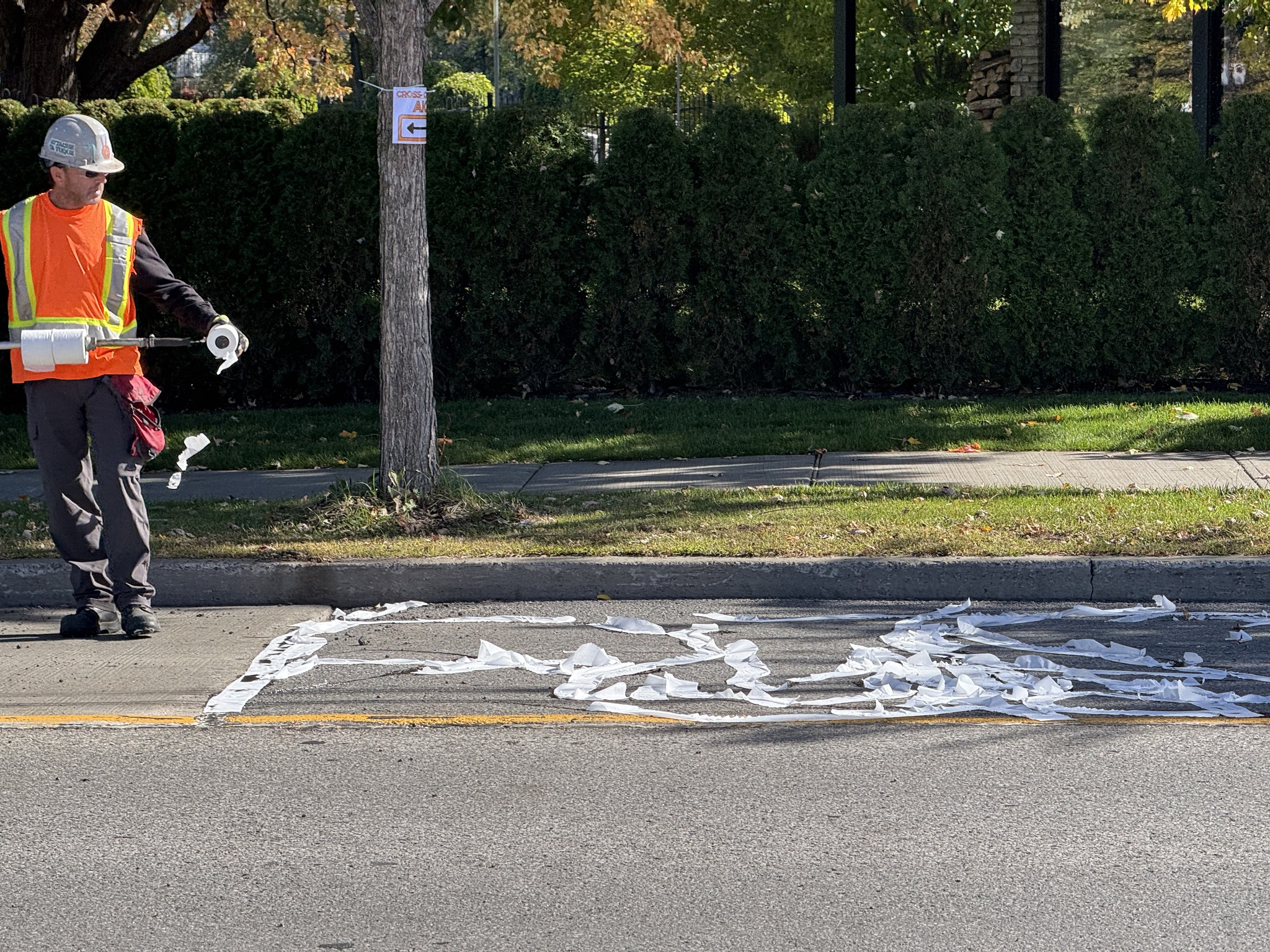
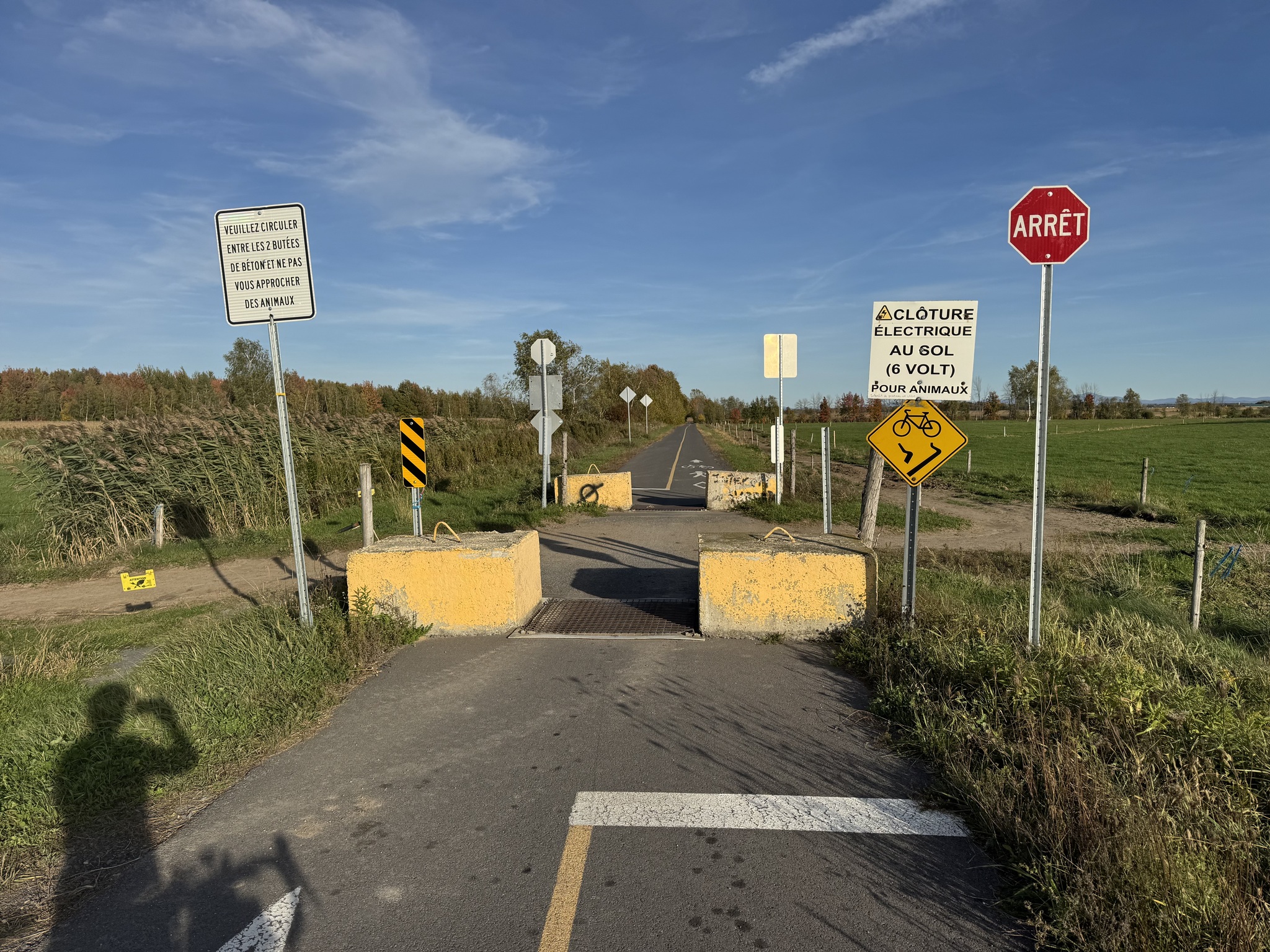
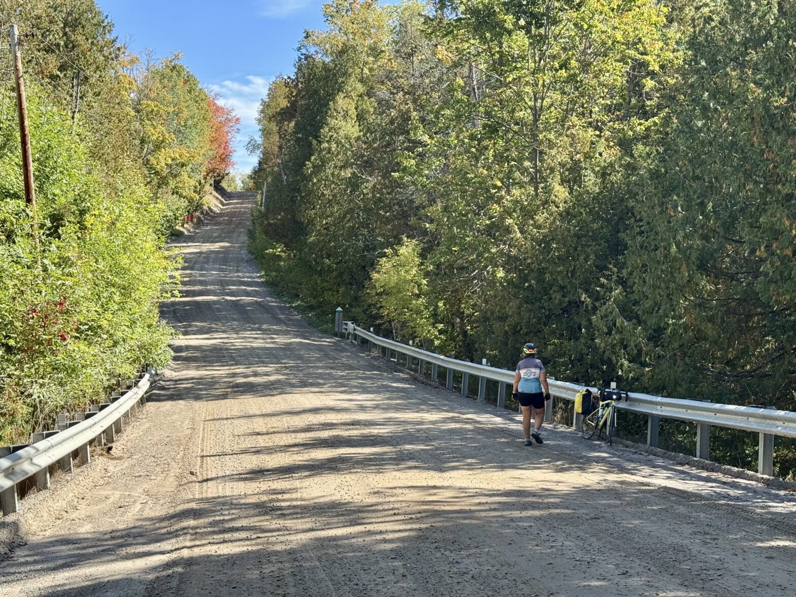
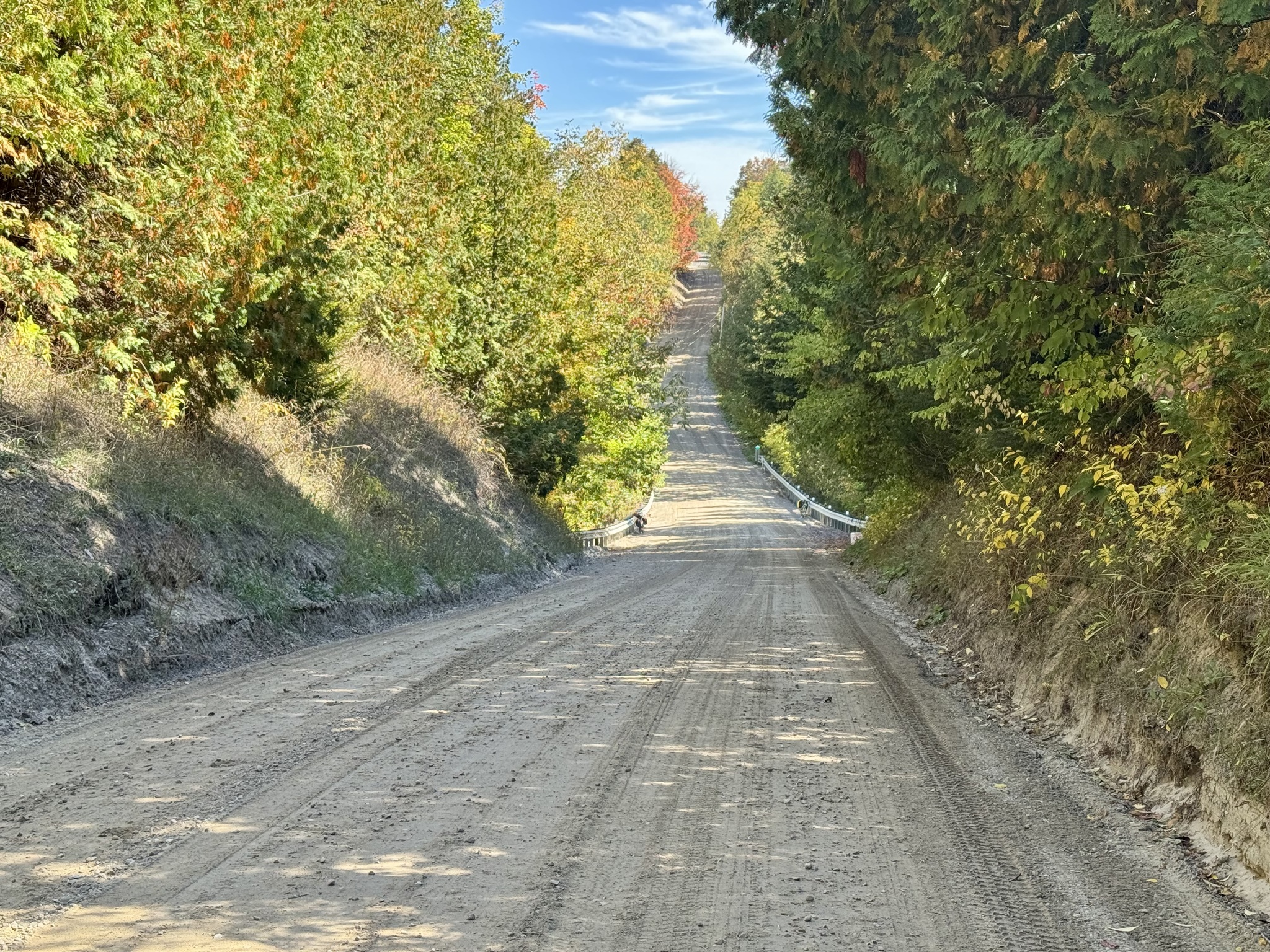
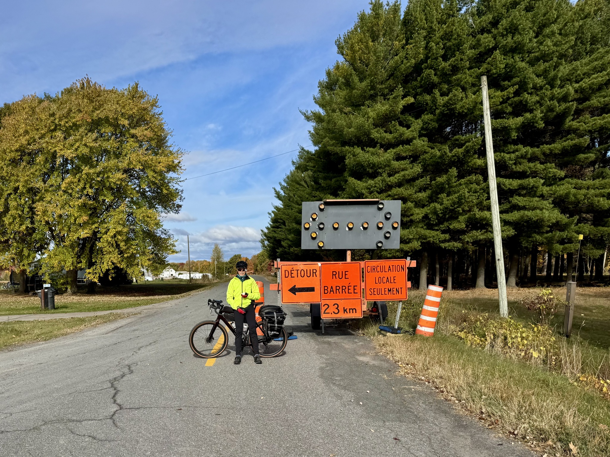
Unfortunately we came upon this road closed sign. We looked at the map and talked for a while and decided to follow the detour since within the 2.3 km there were a couple bridges. We can often sneak around detours on our bikes, but not when a bridge over a river has been removed. So we decided it was safest to follow the detour.

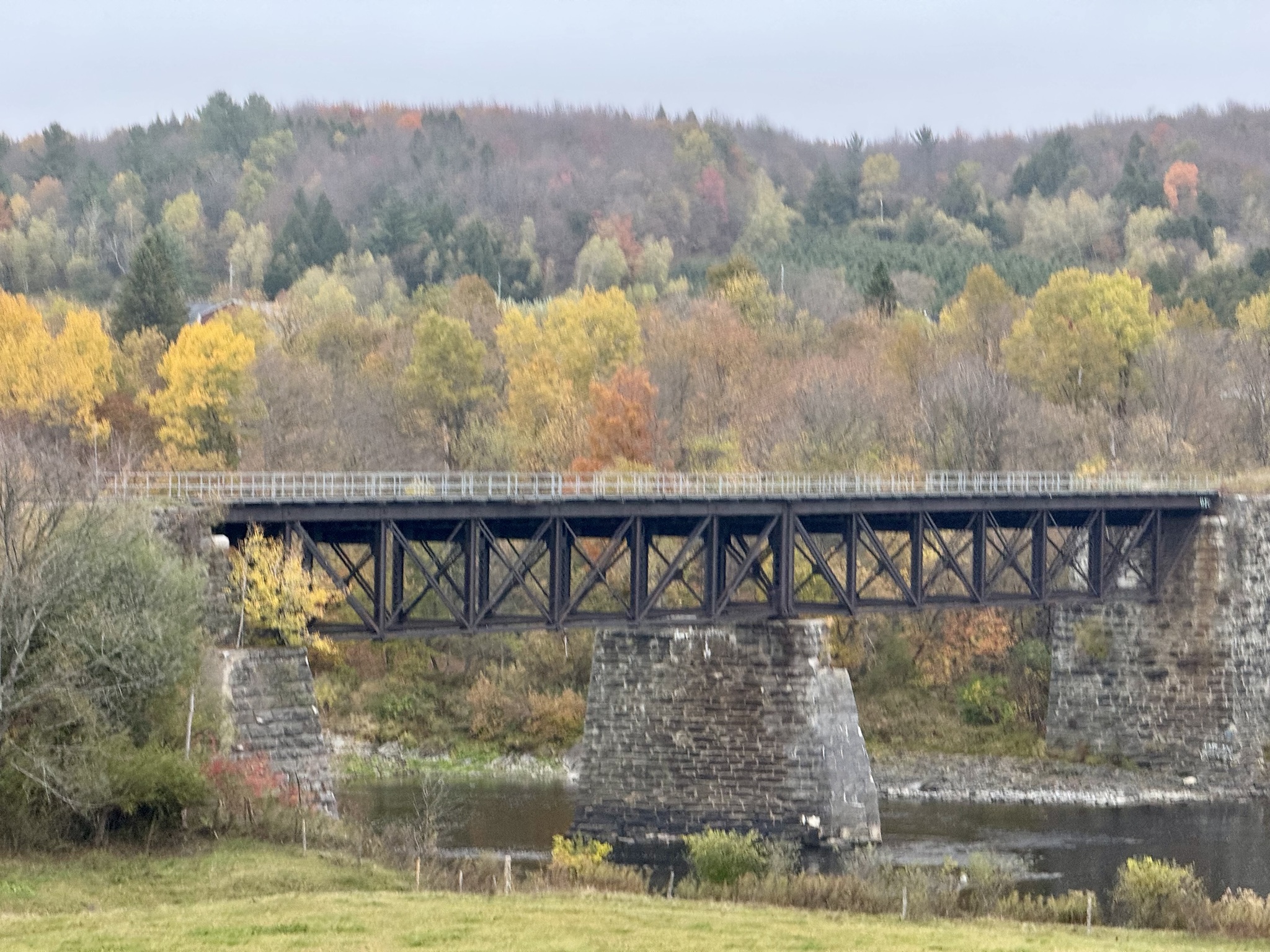
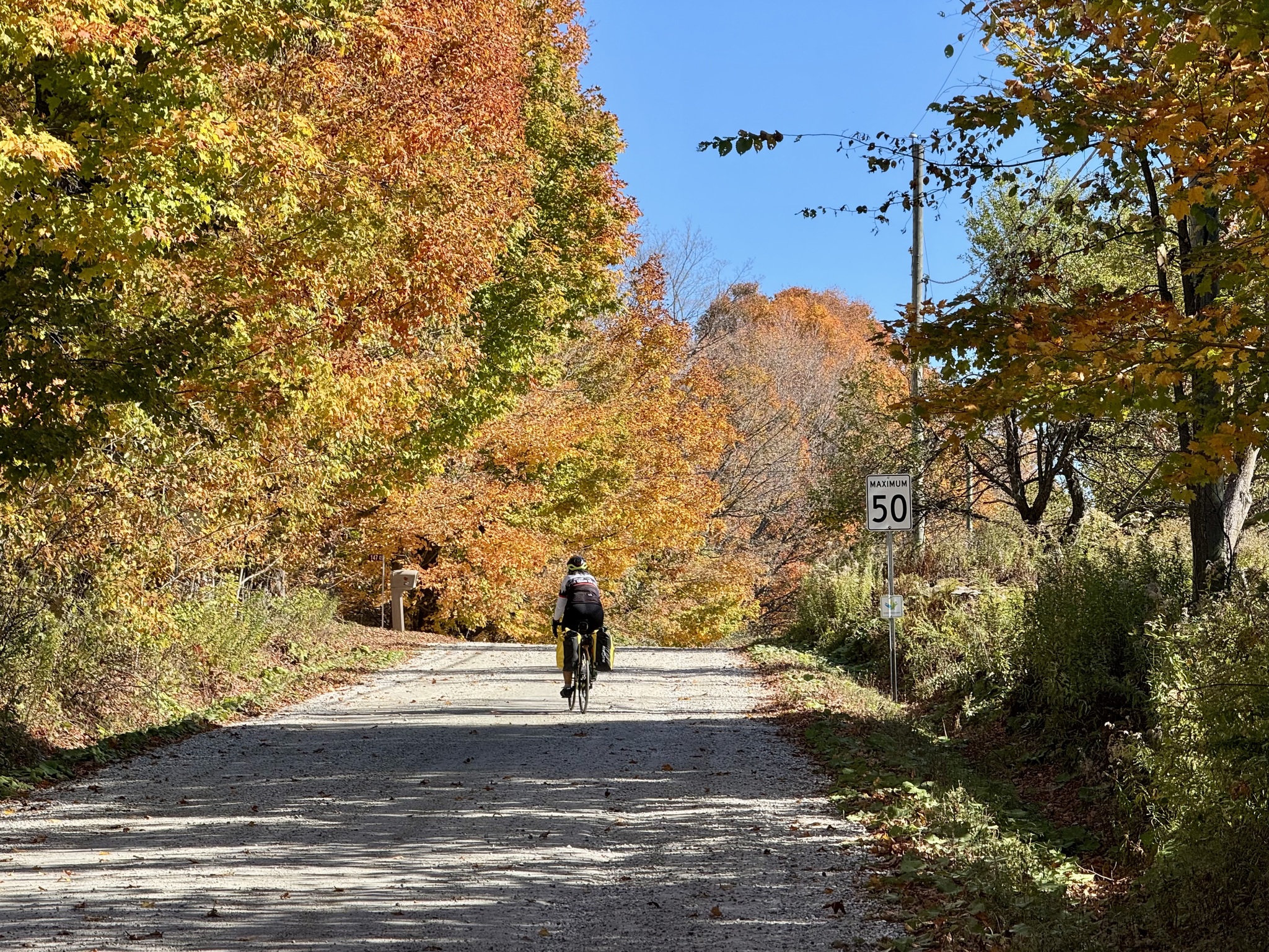
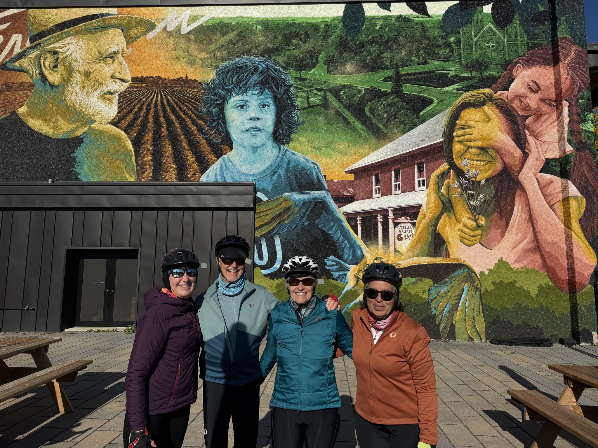
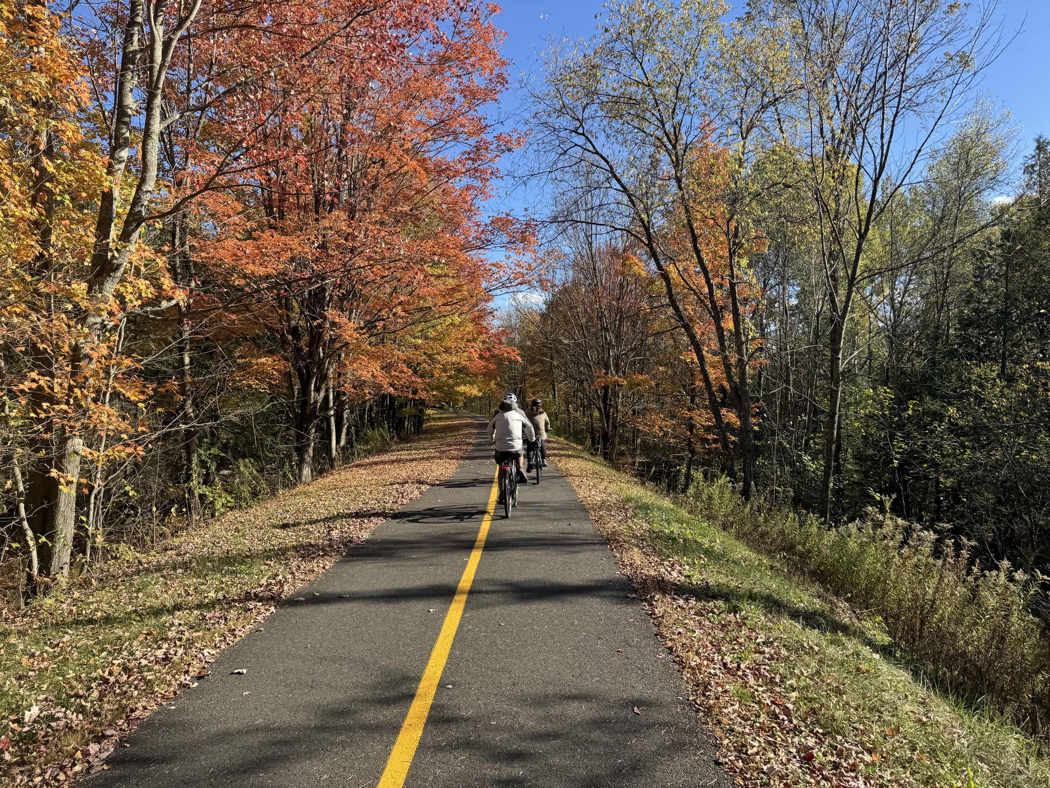
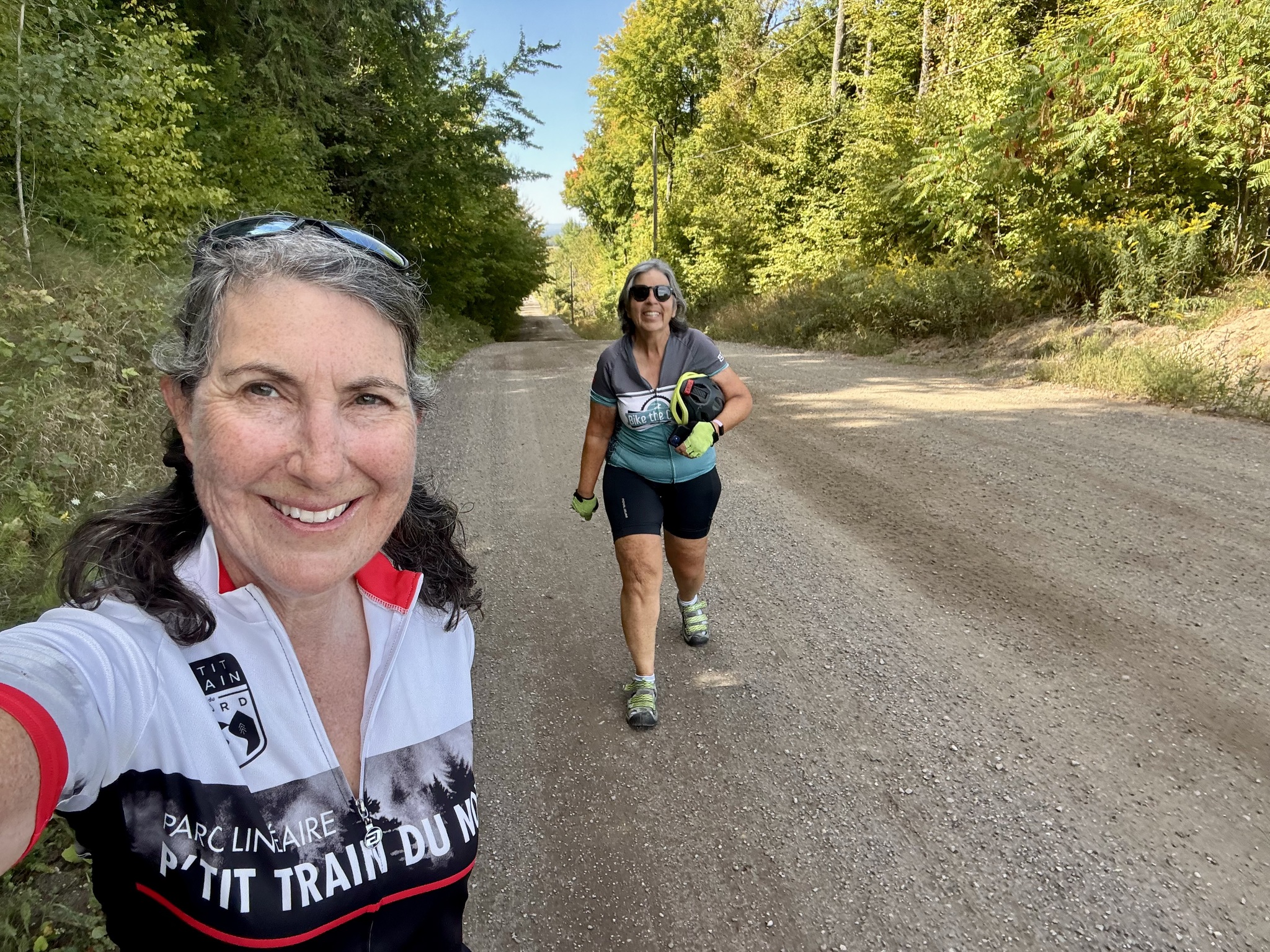
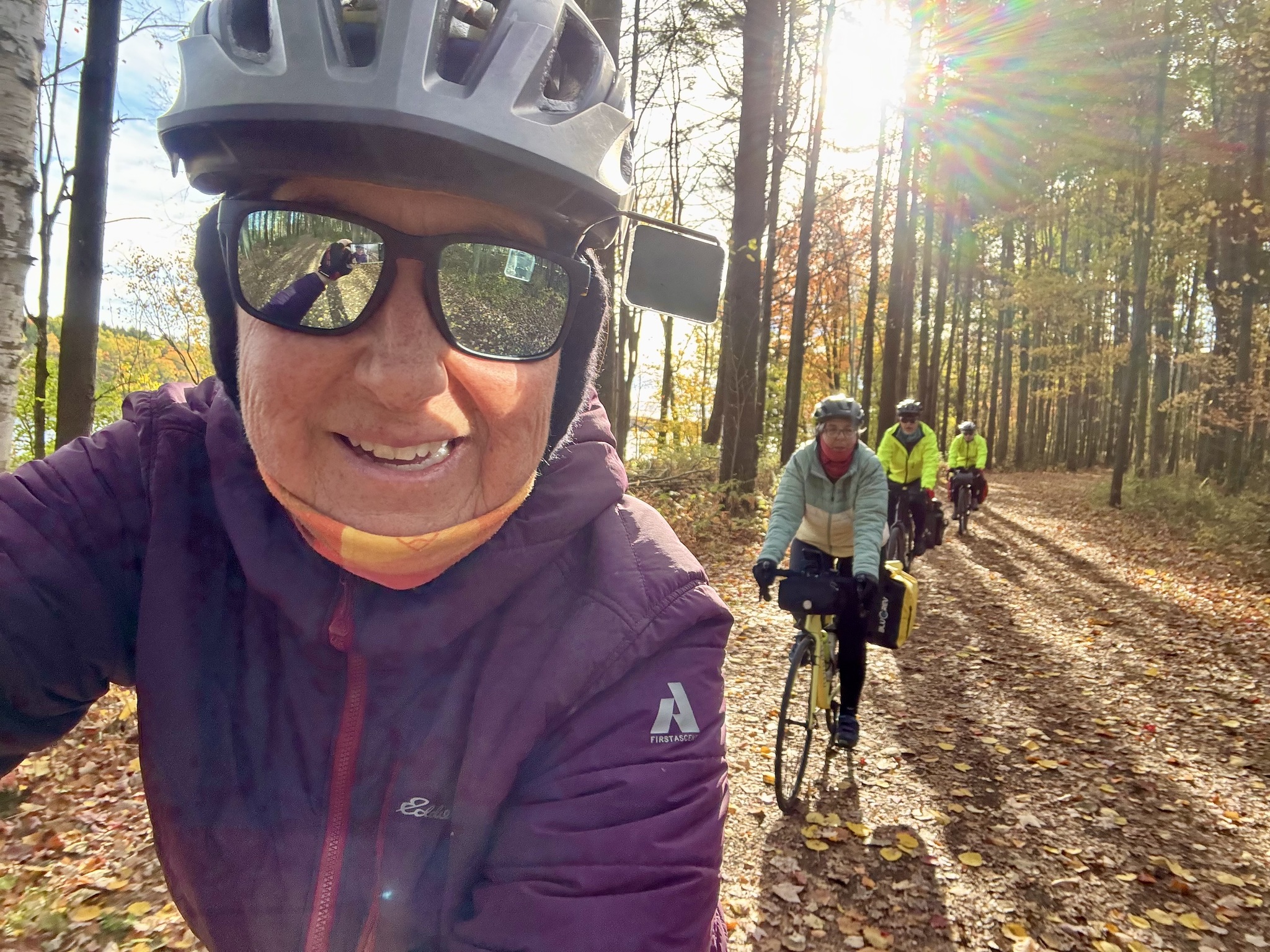
I think we’ve hit peak autumn colour for this area.

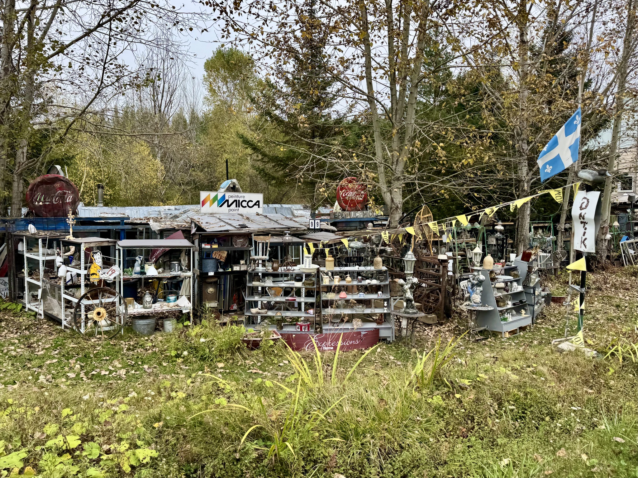
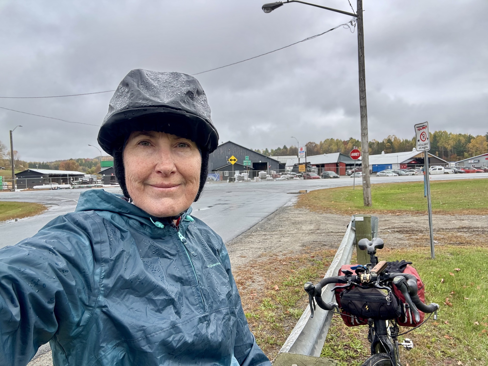
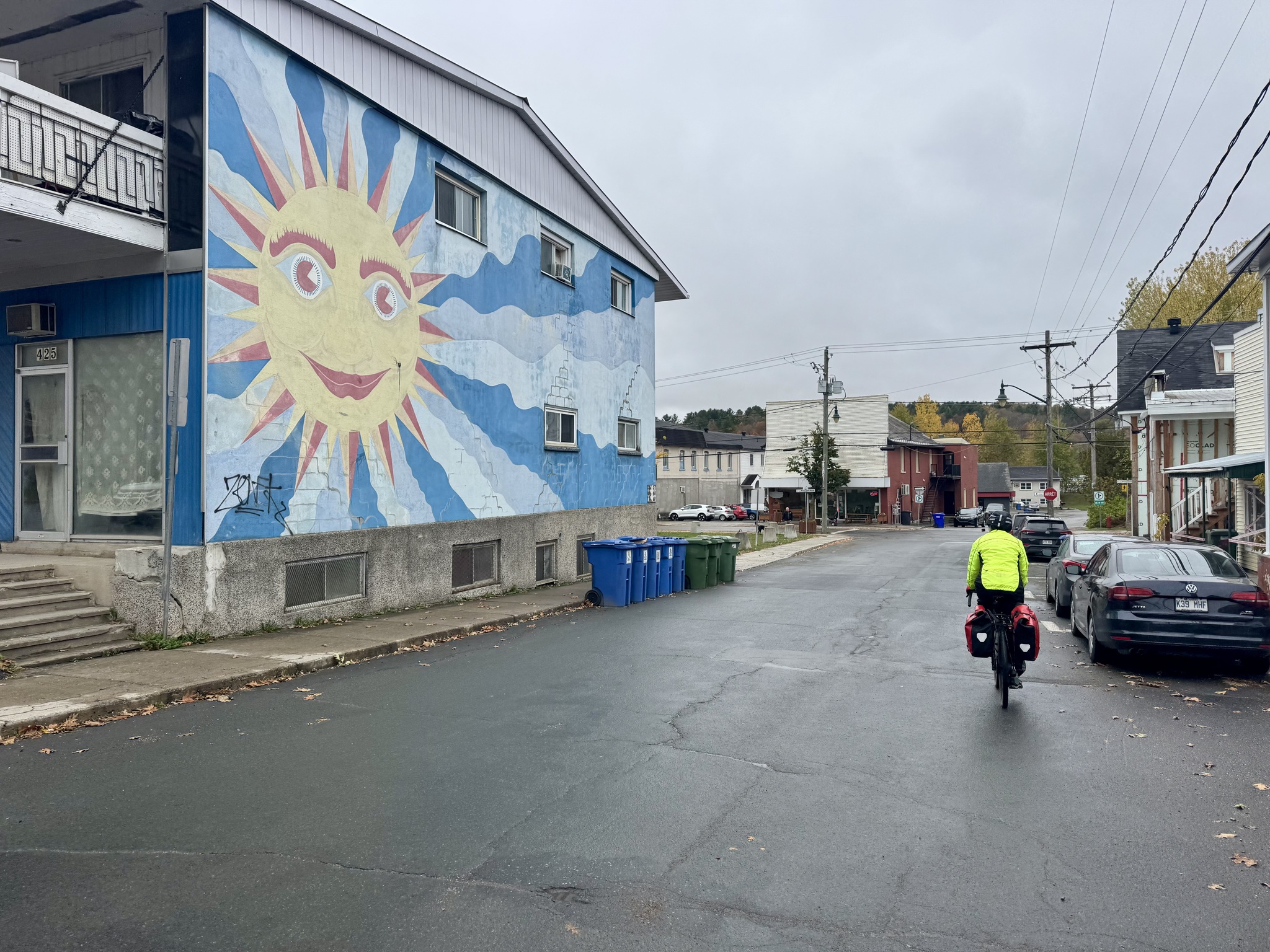
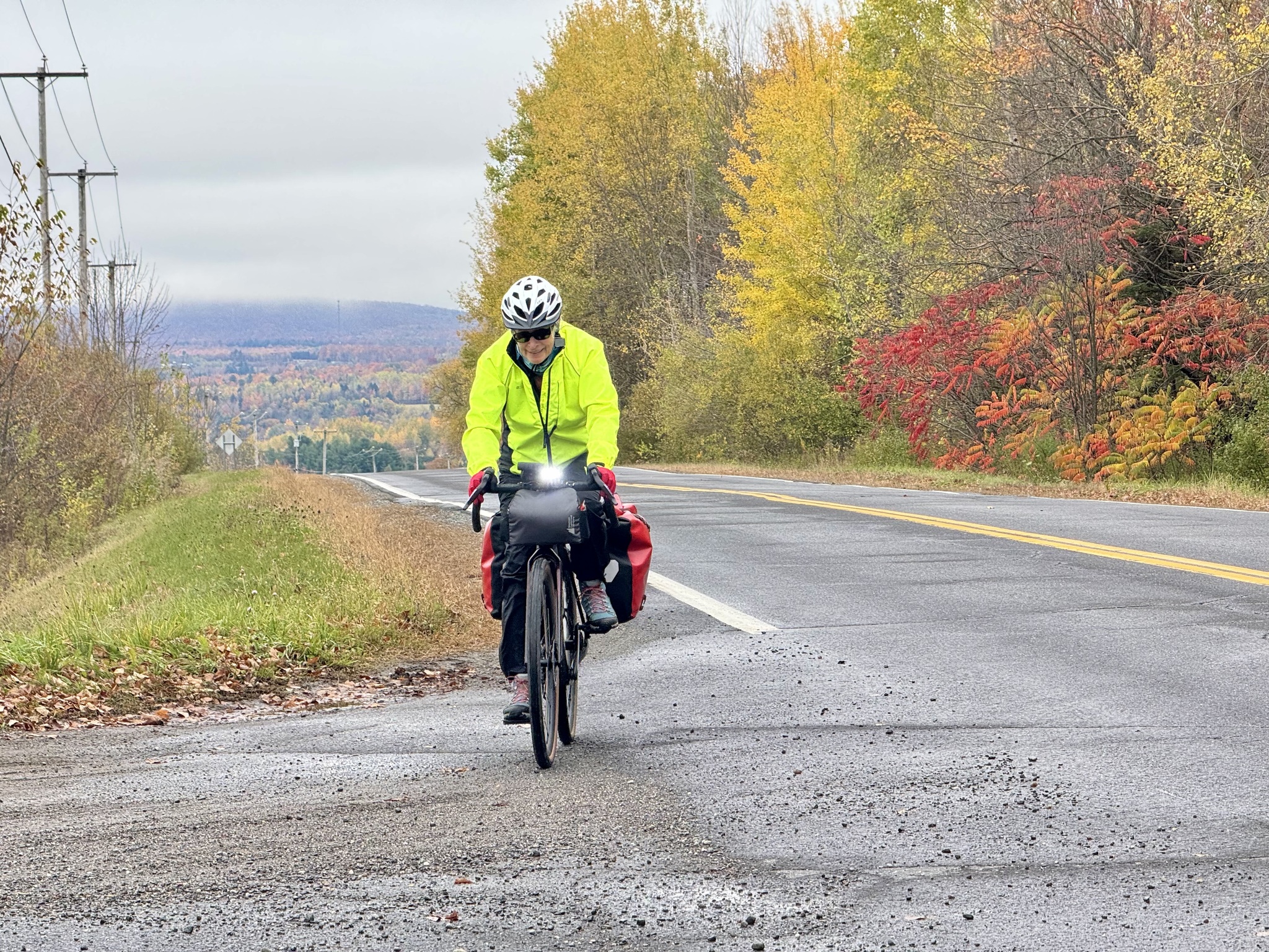
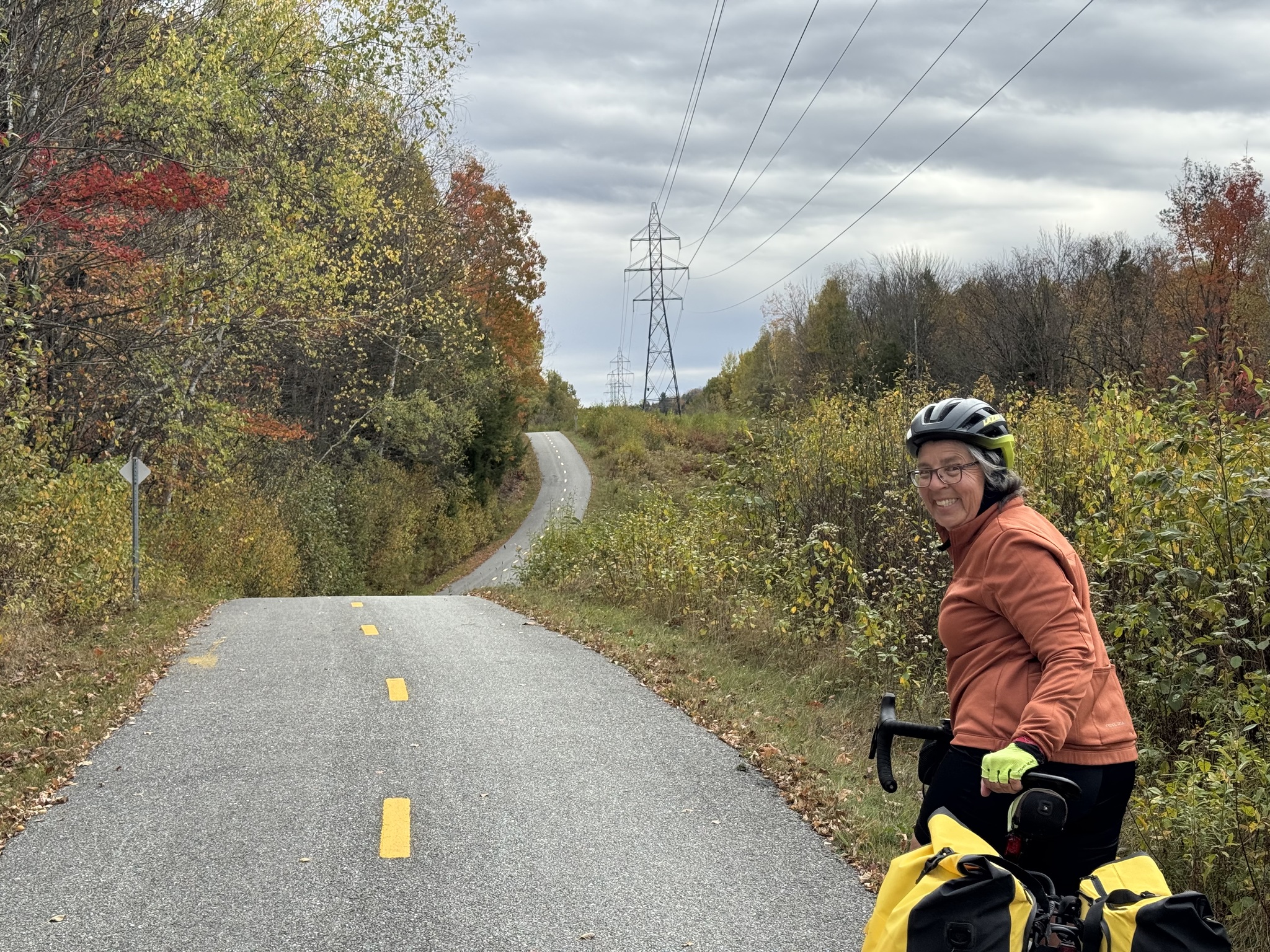
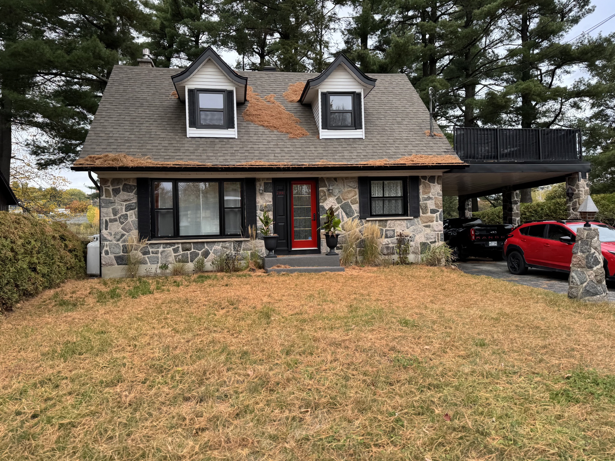
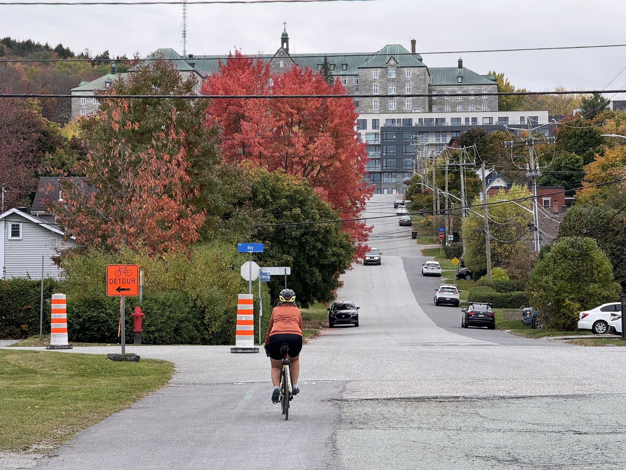
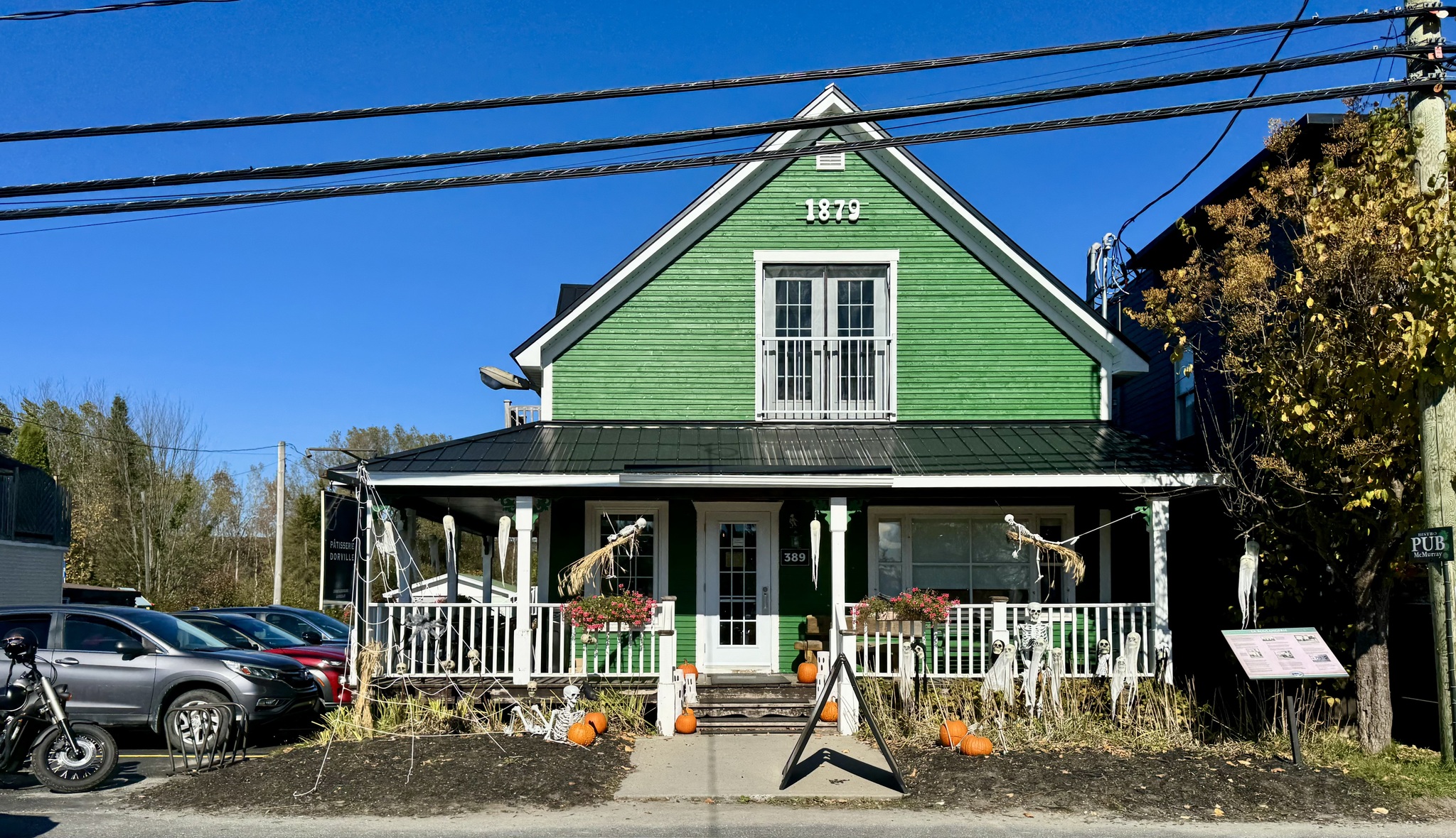
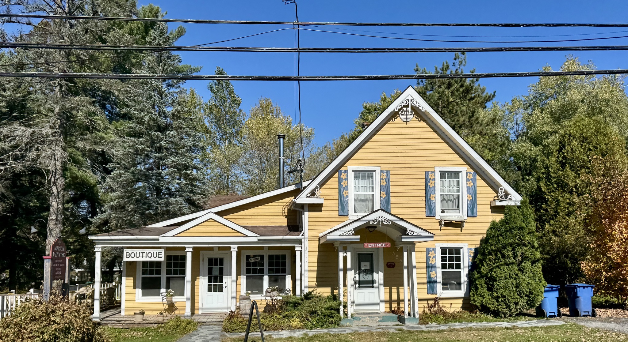
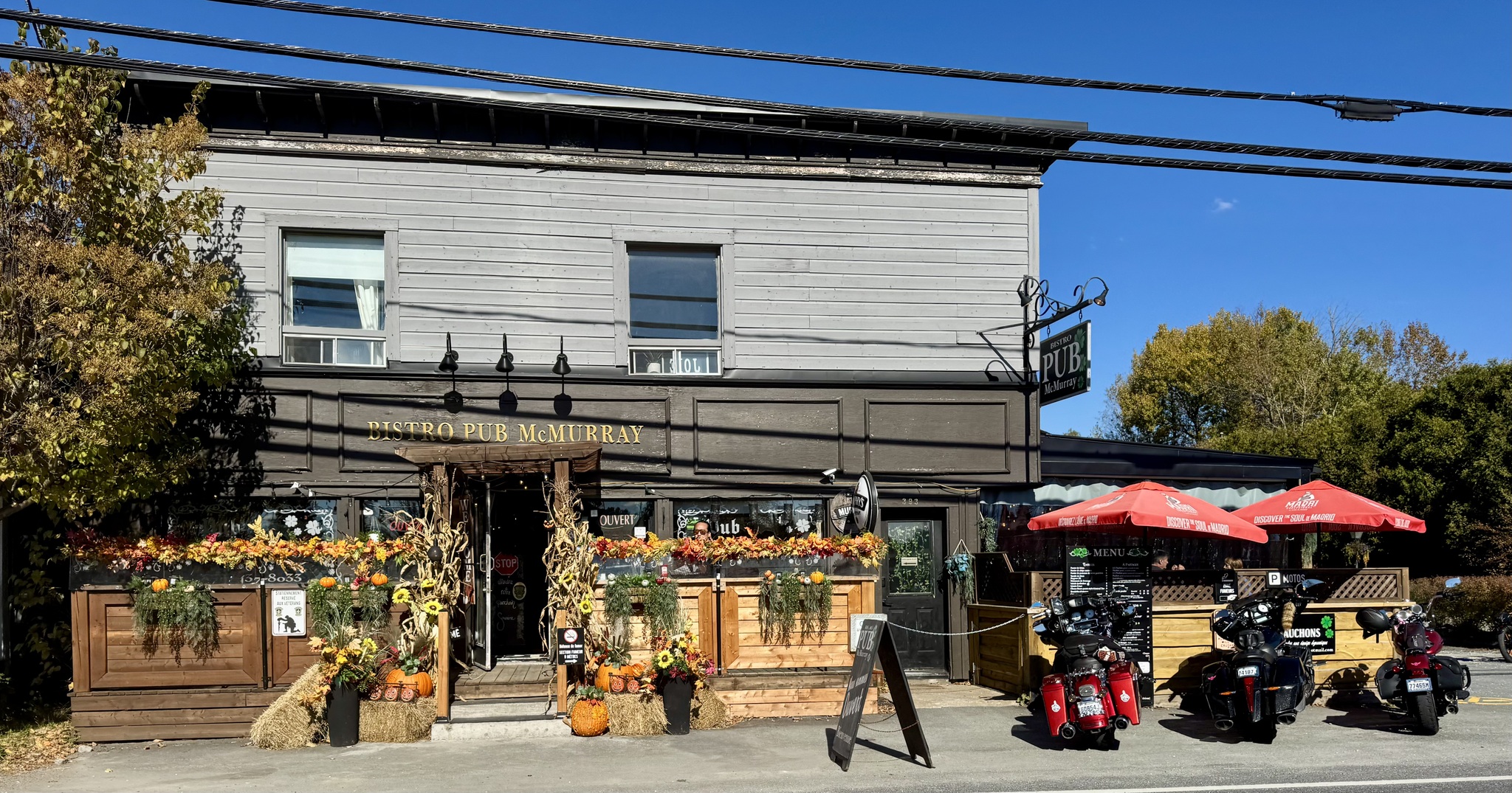
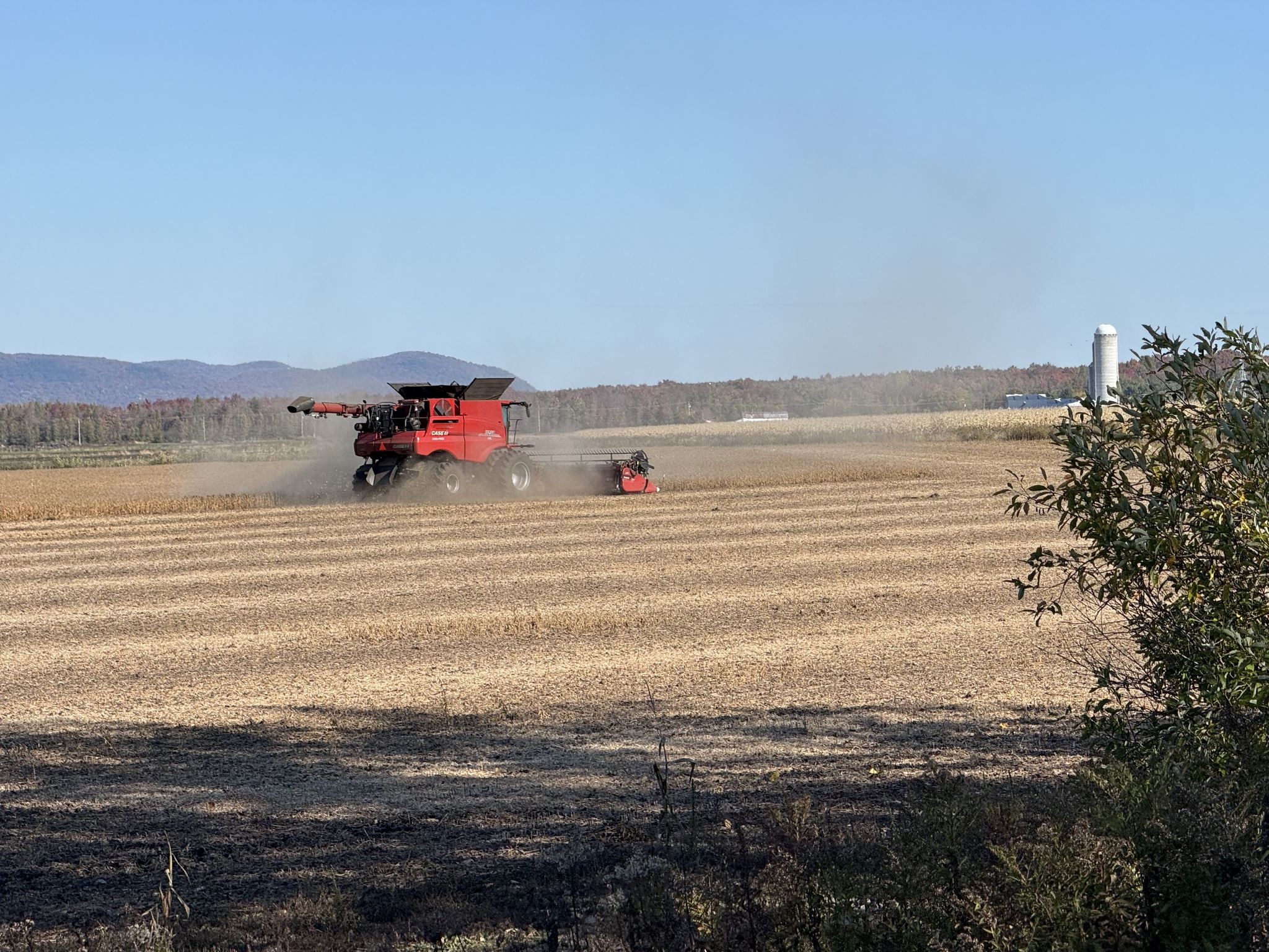
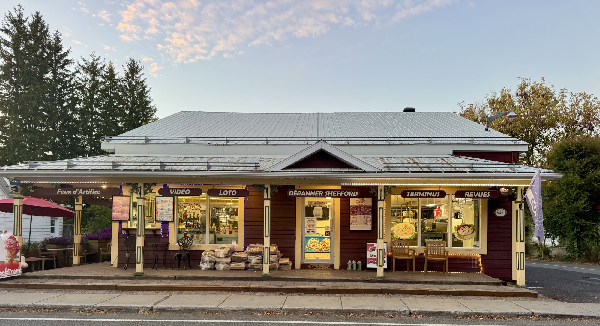
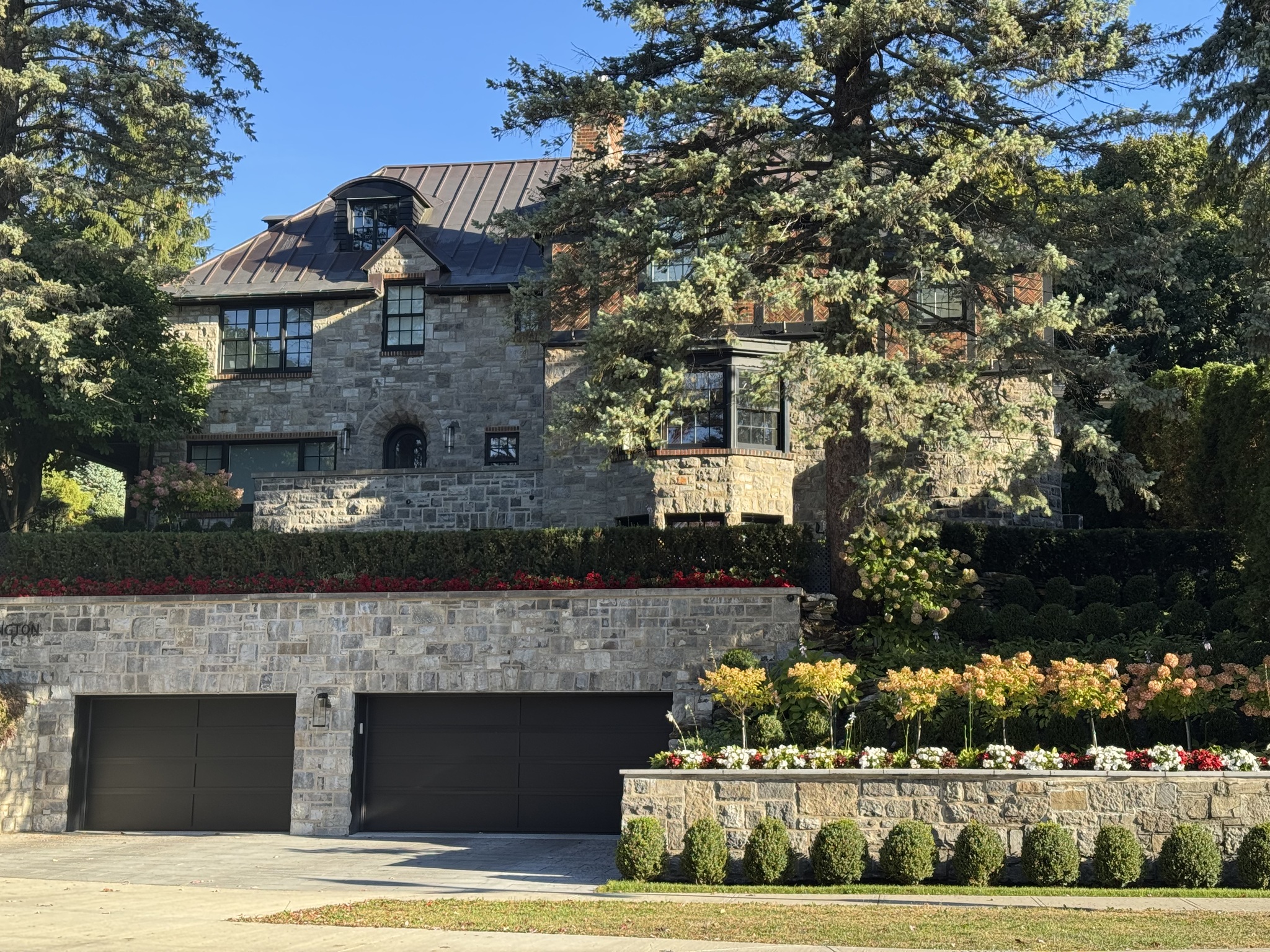
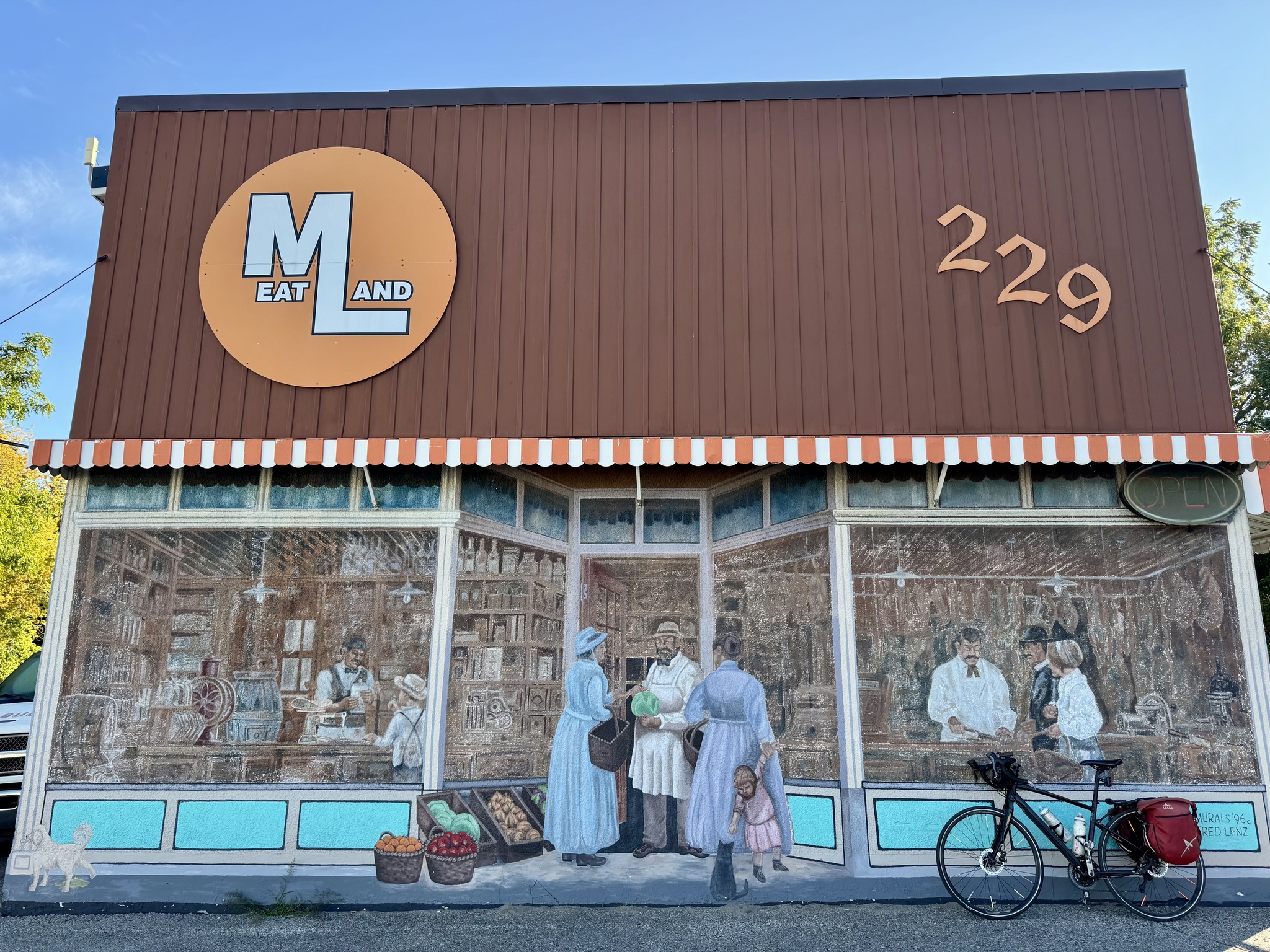
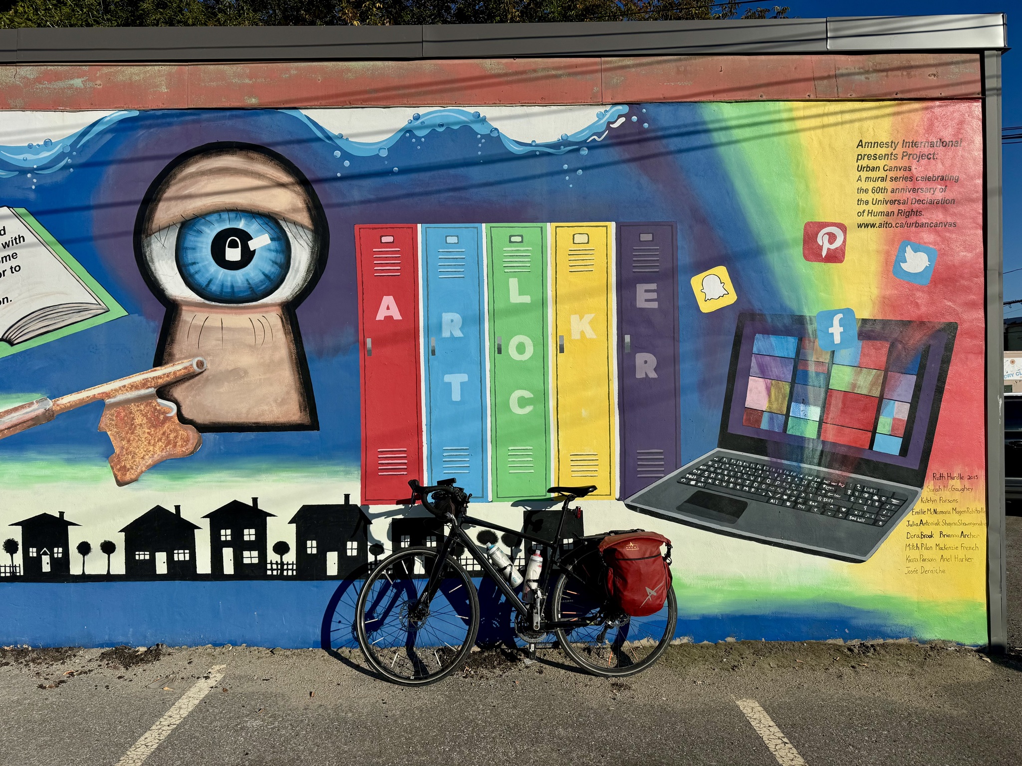
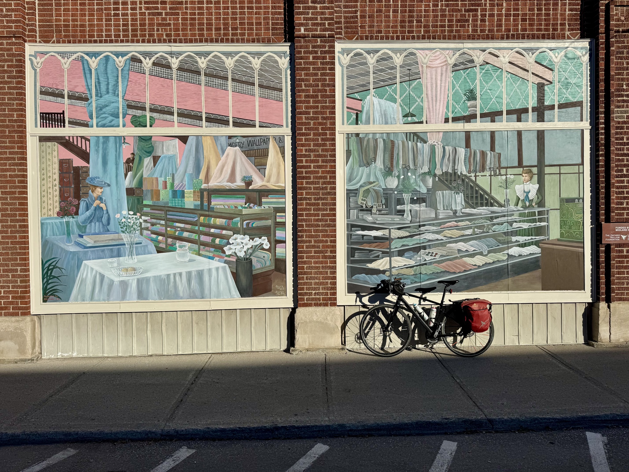
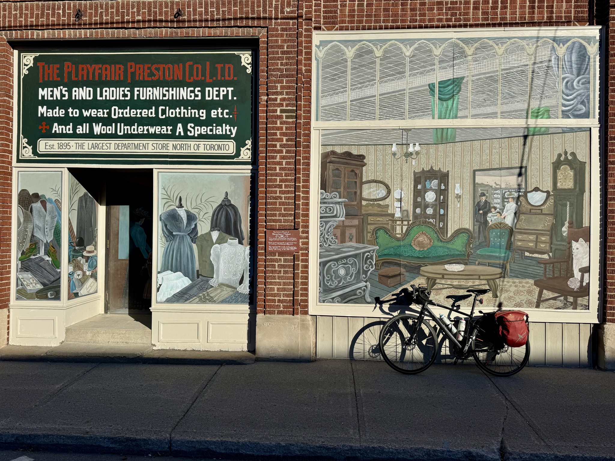
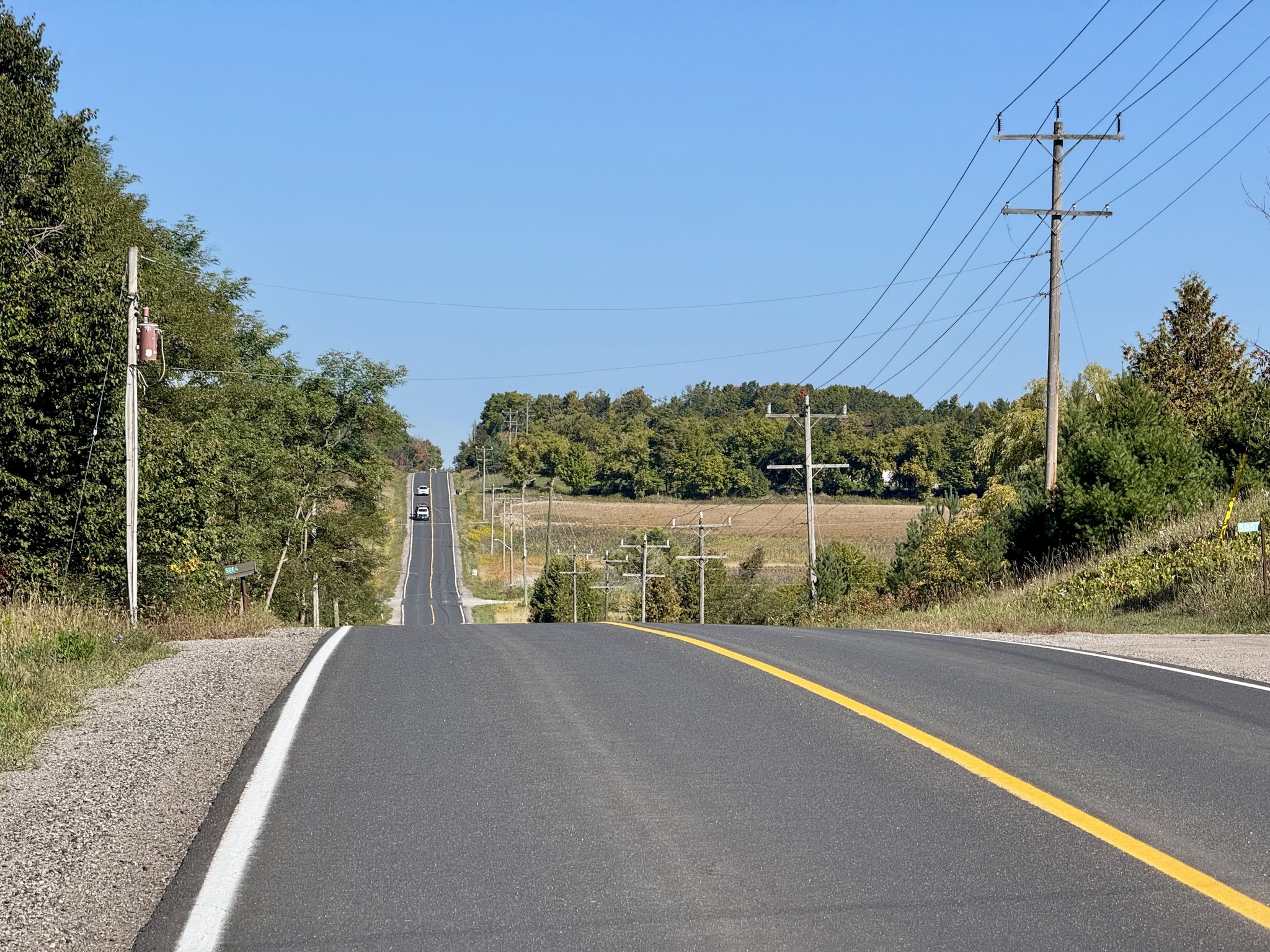
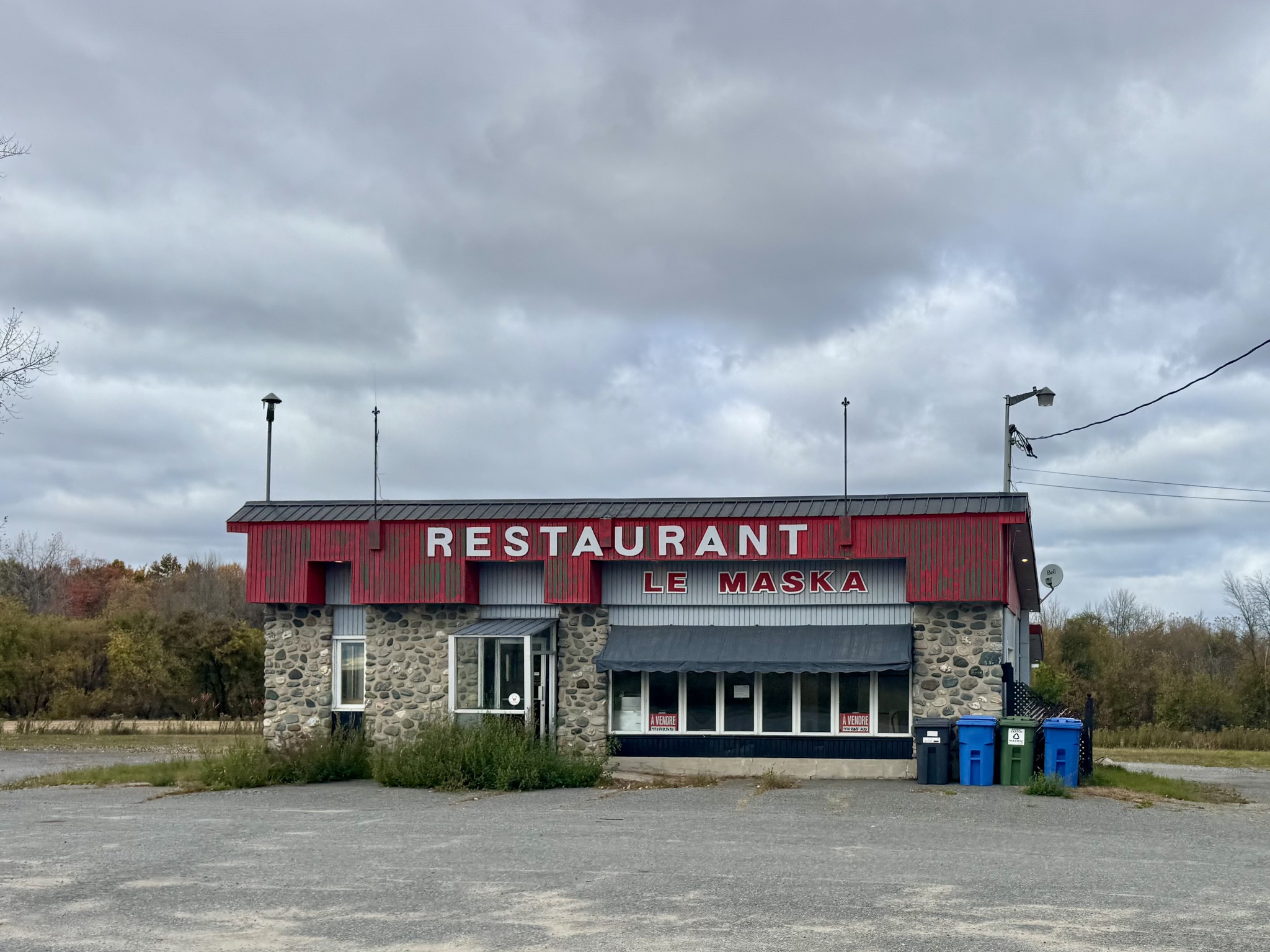
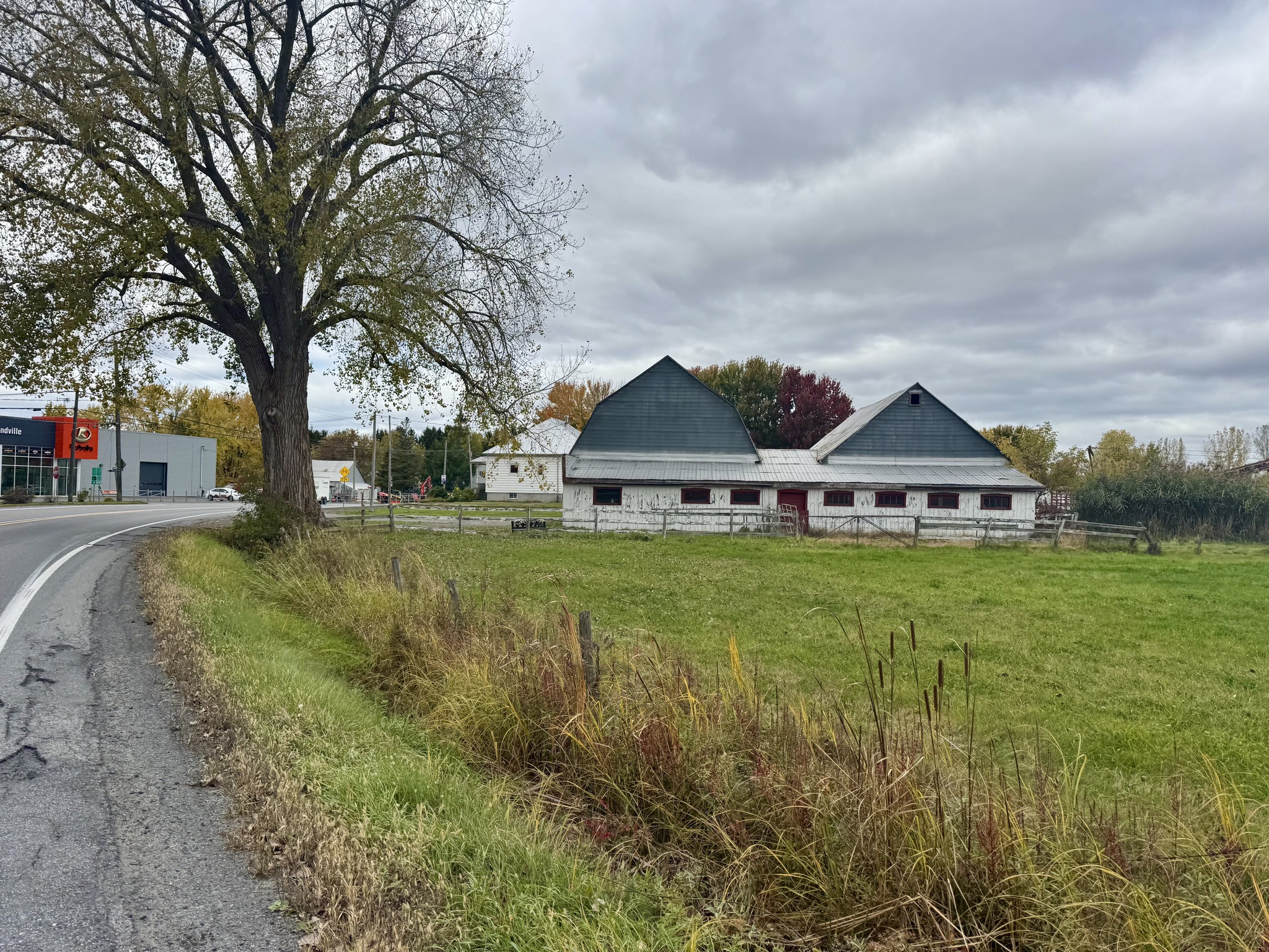
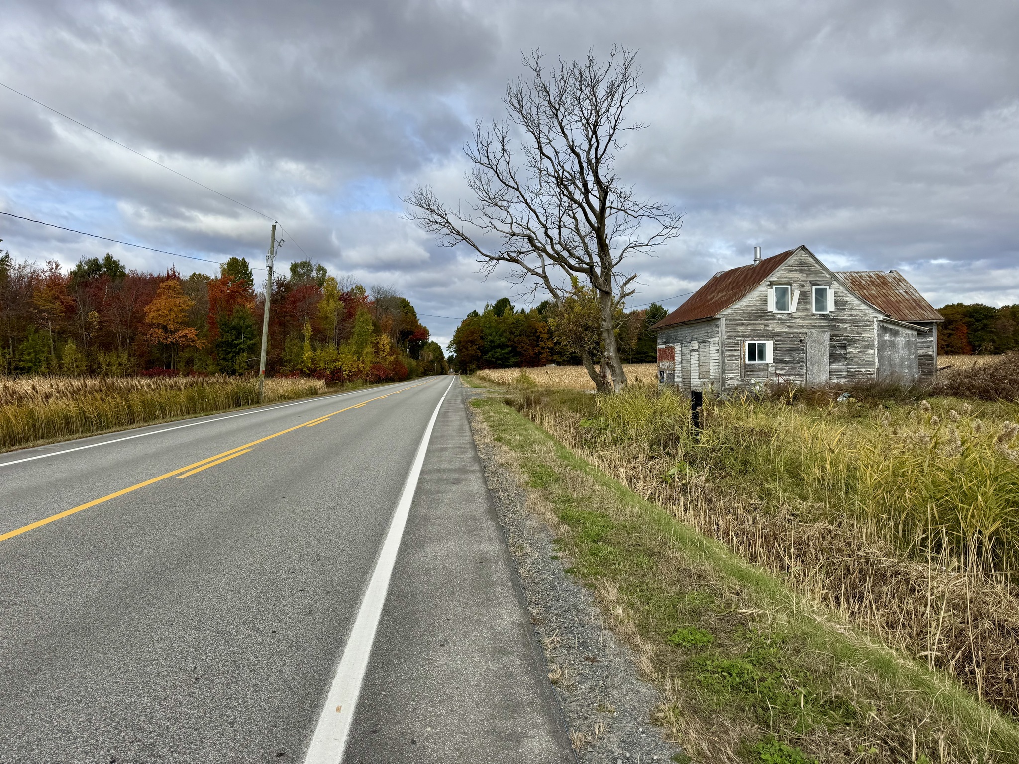
This area seems less prosperous than where we have been for the last few days. We passed several closed restaurants and abandoned homes.

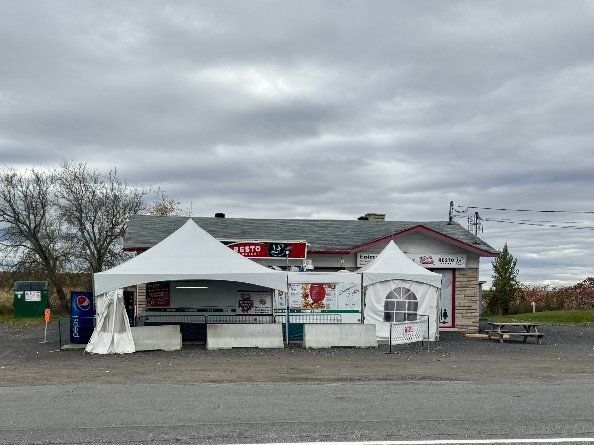
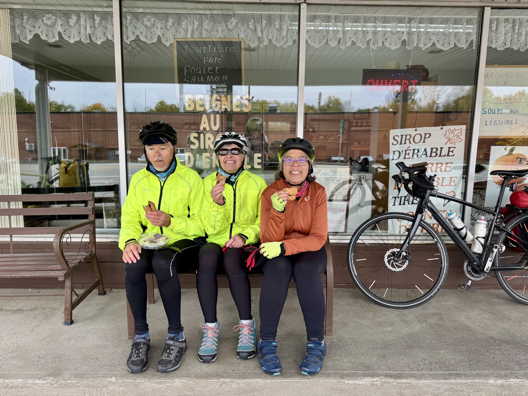
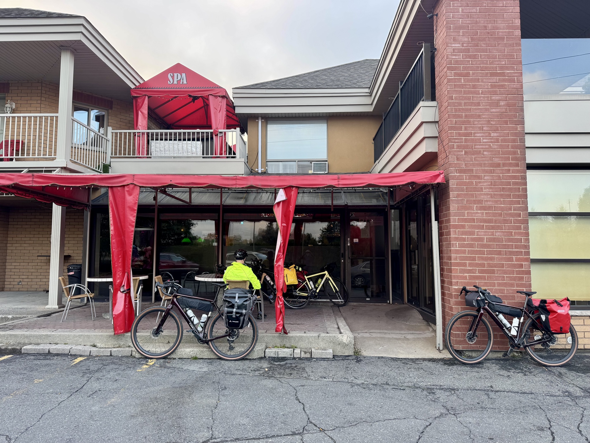
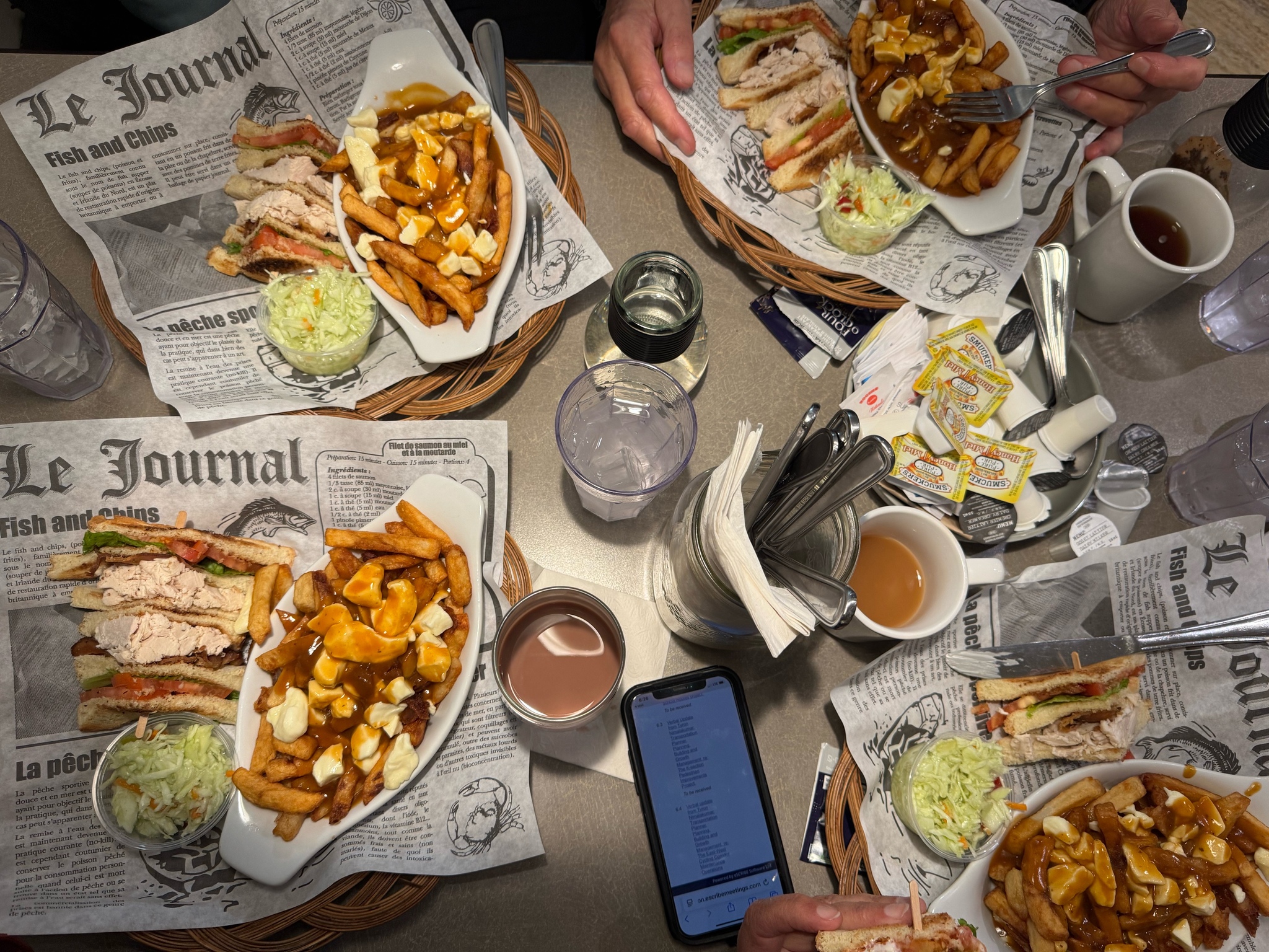
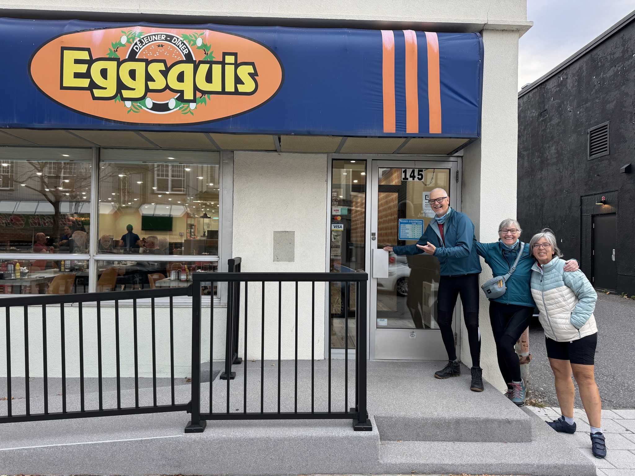
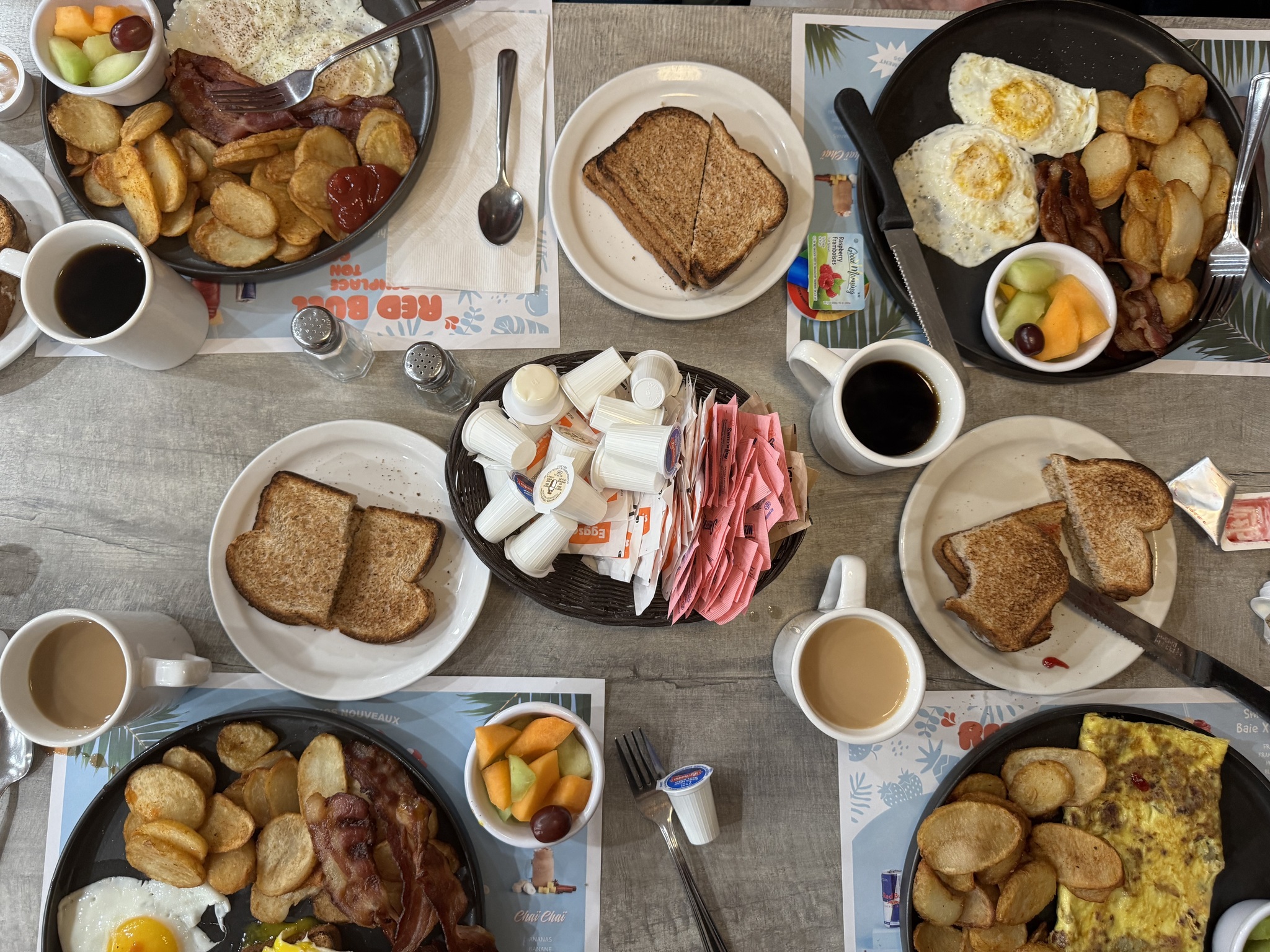
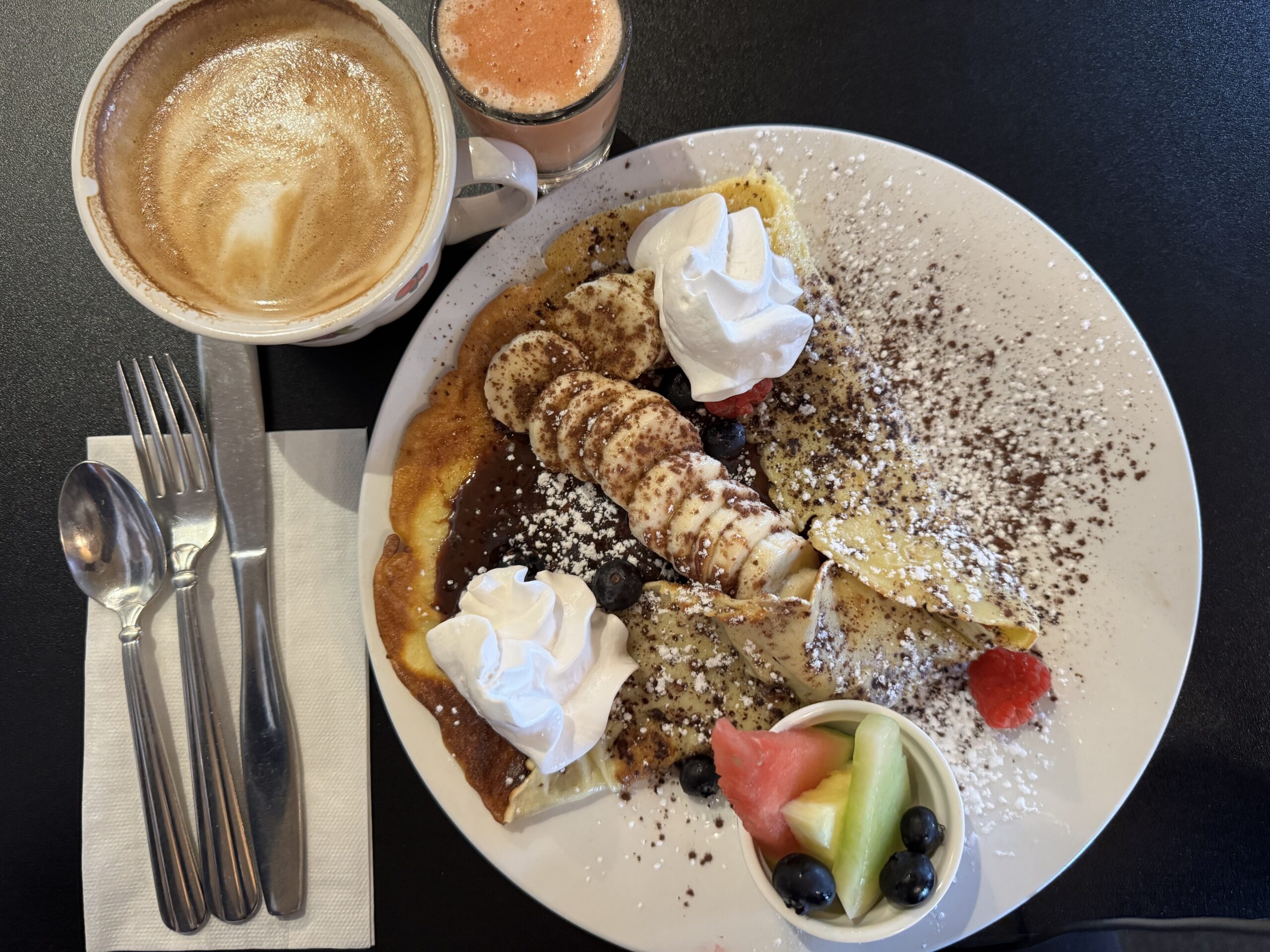
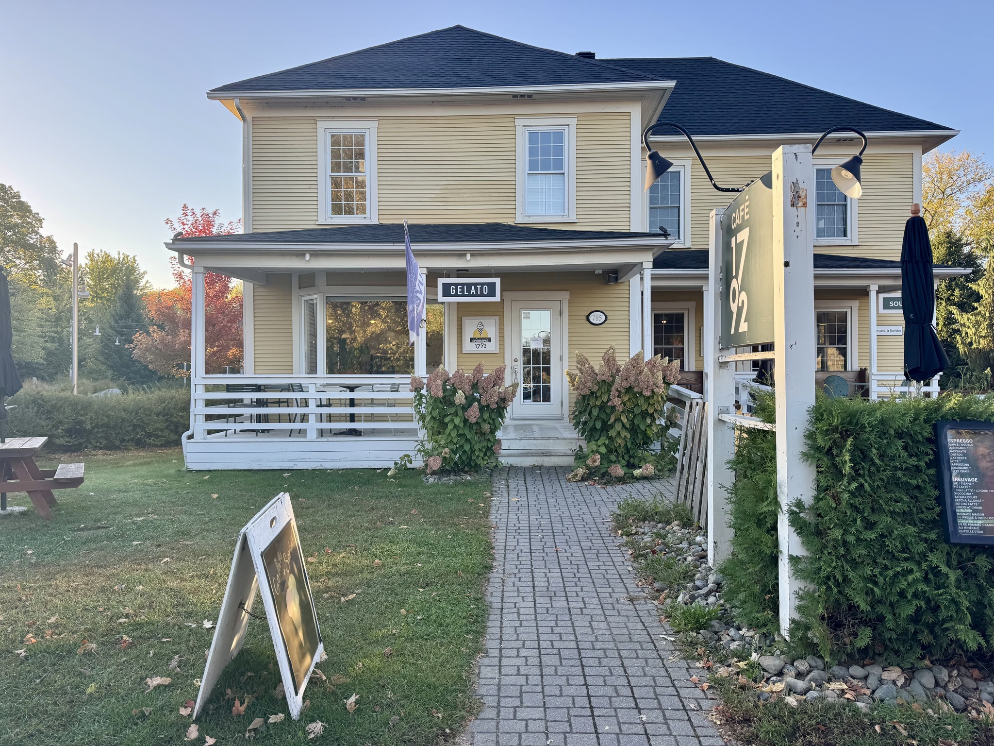
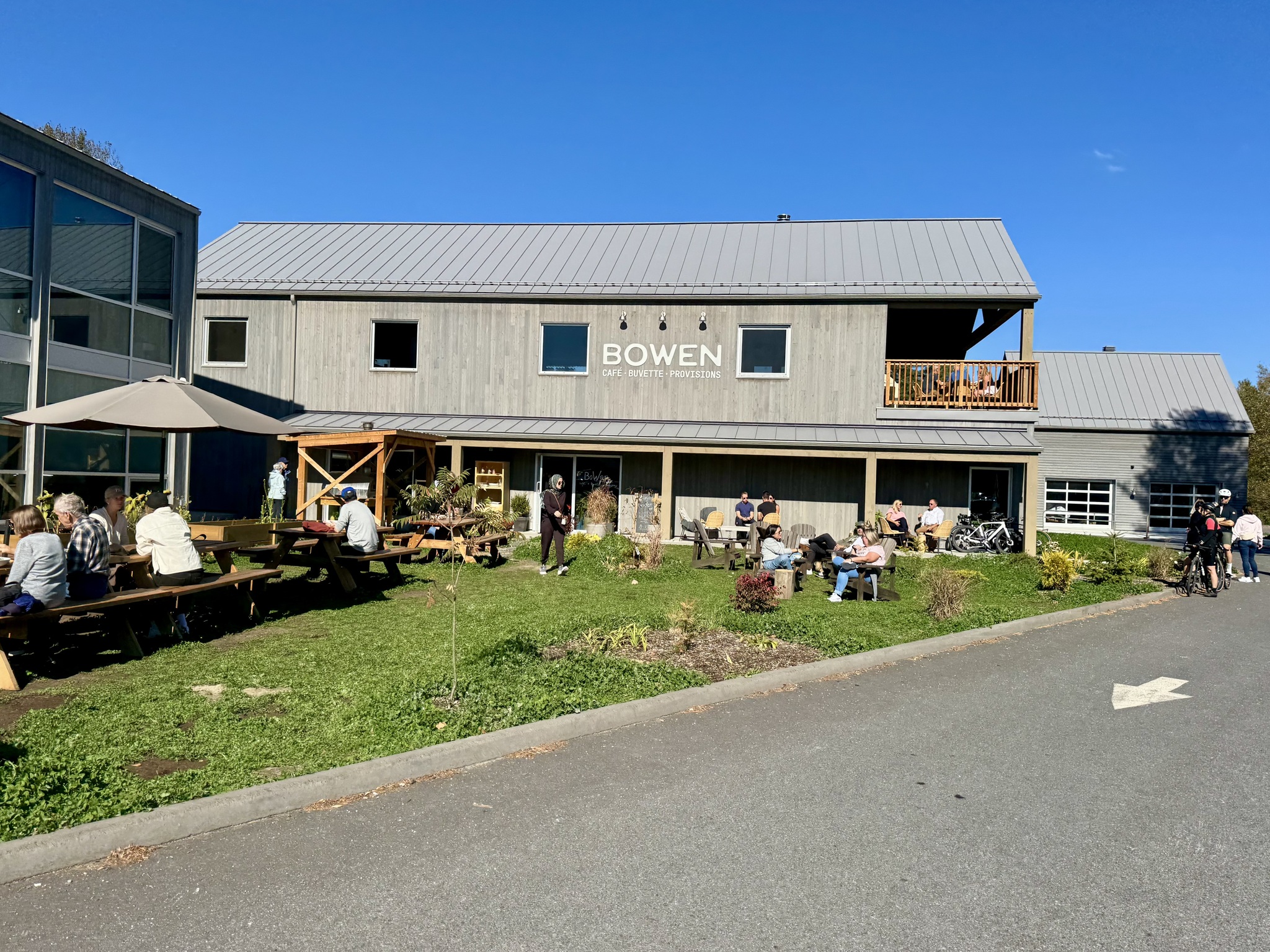
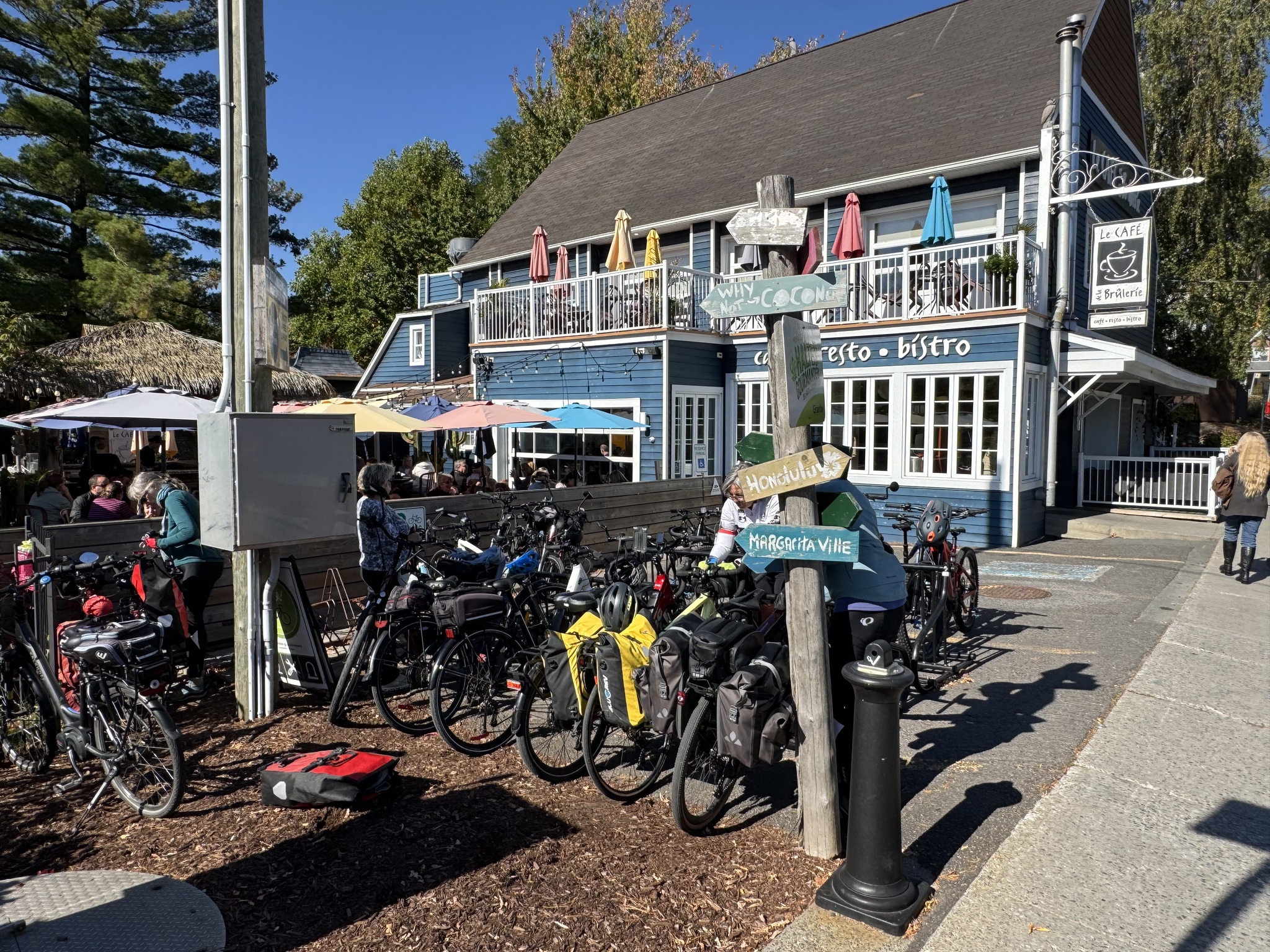
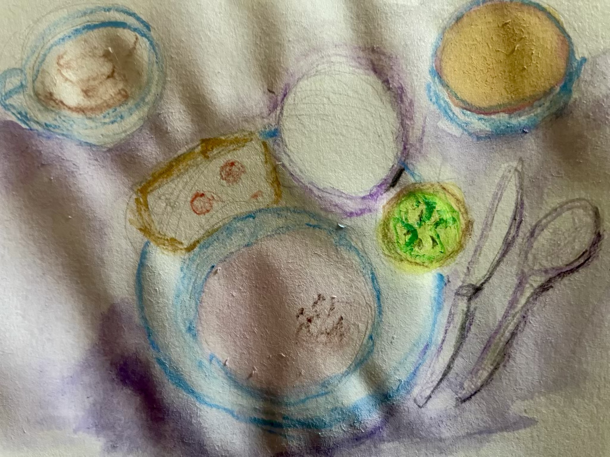
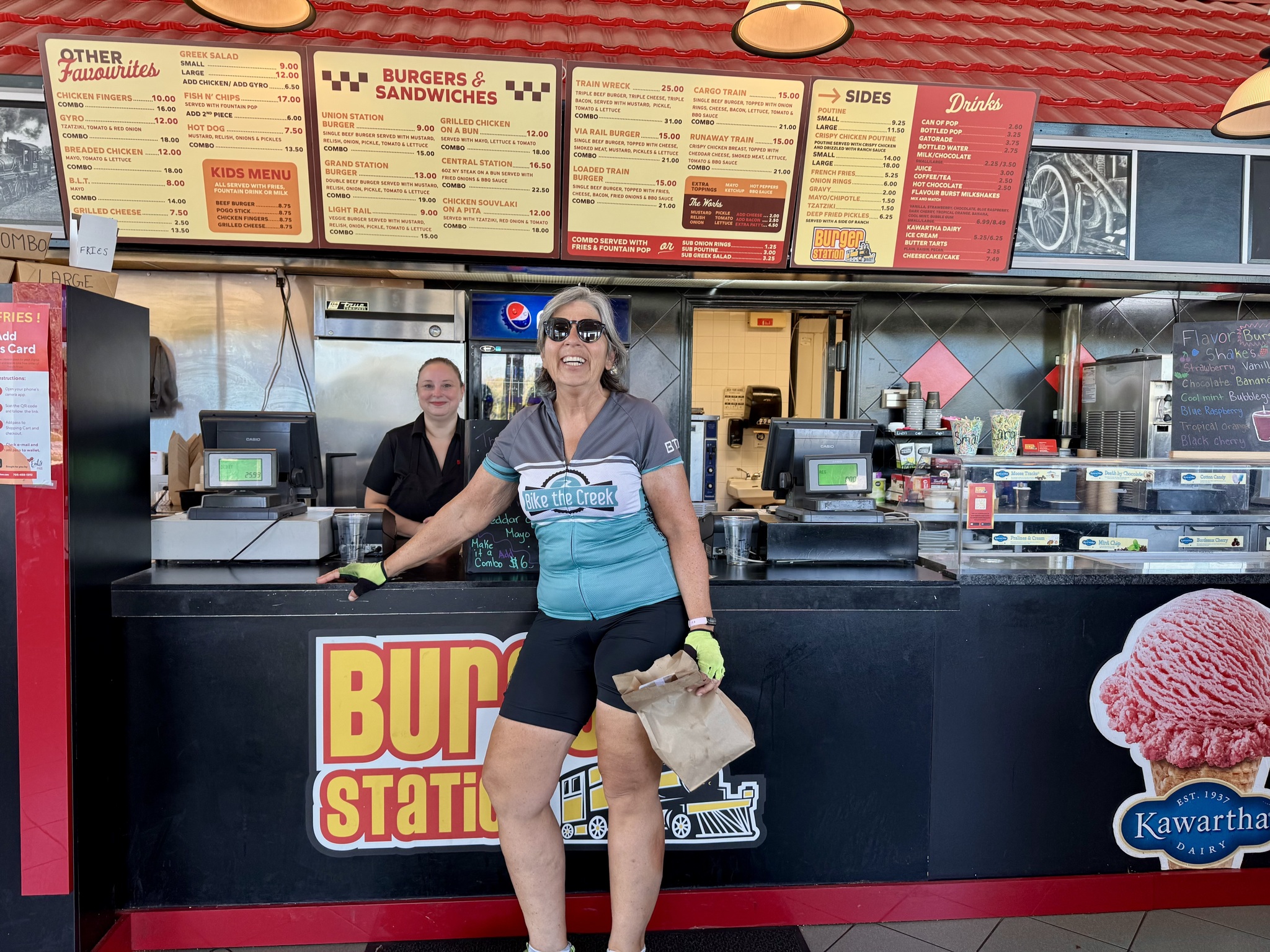
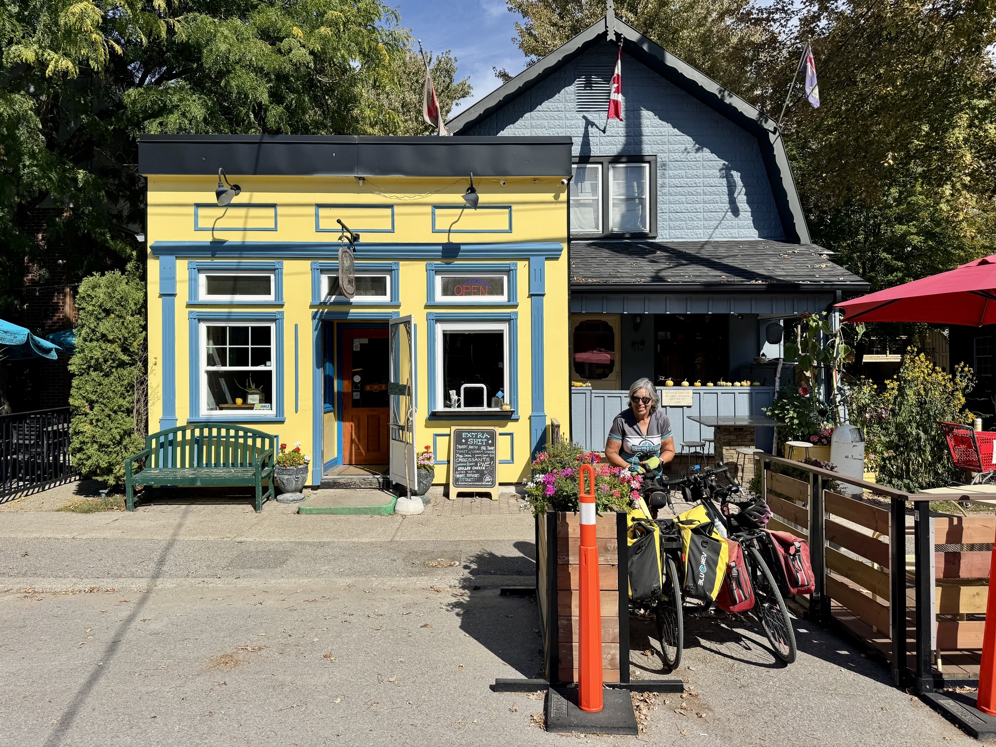
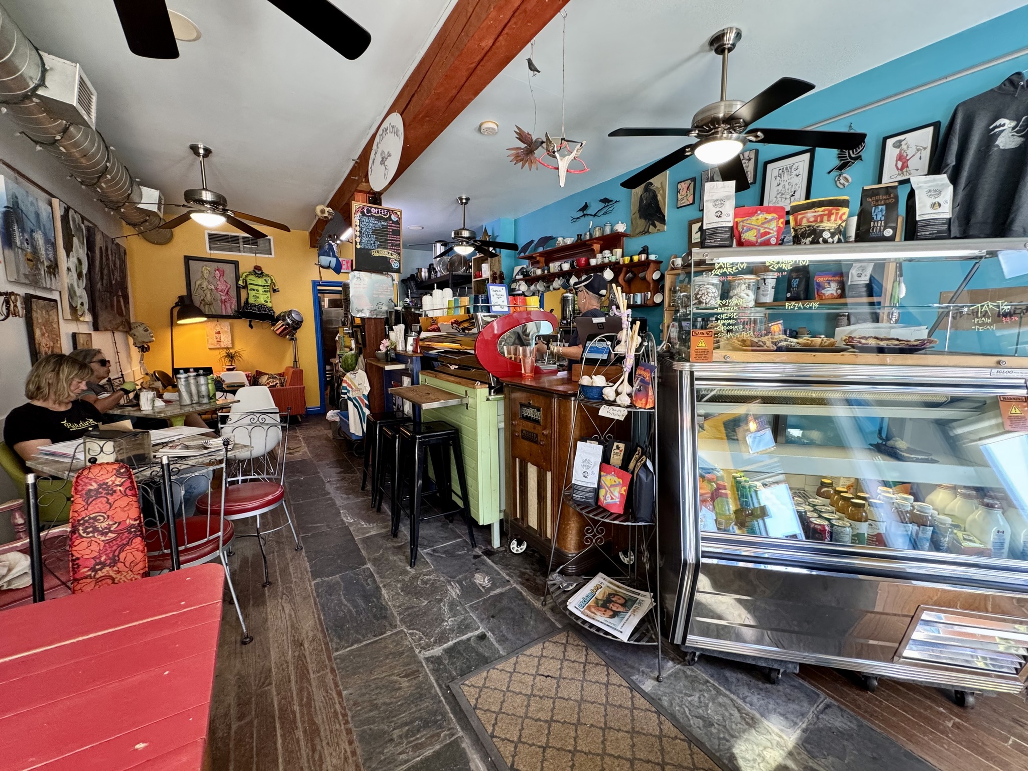
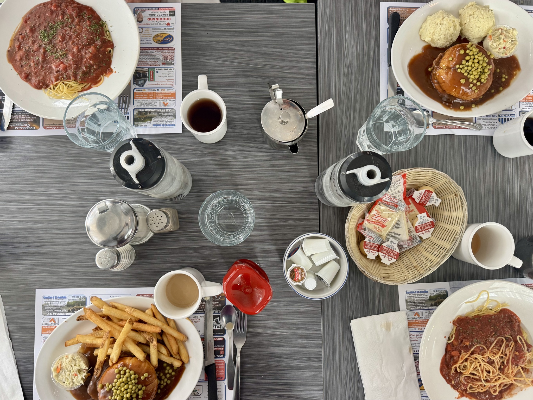
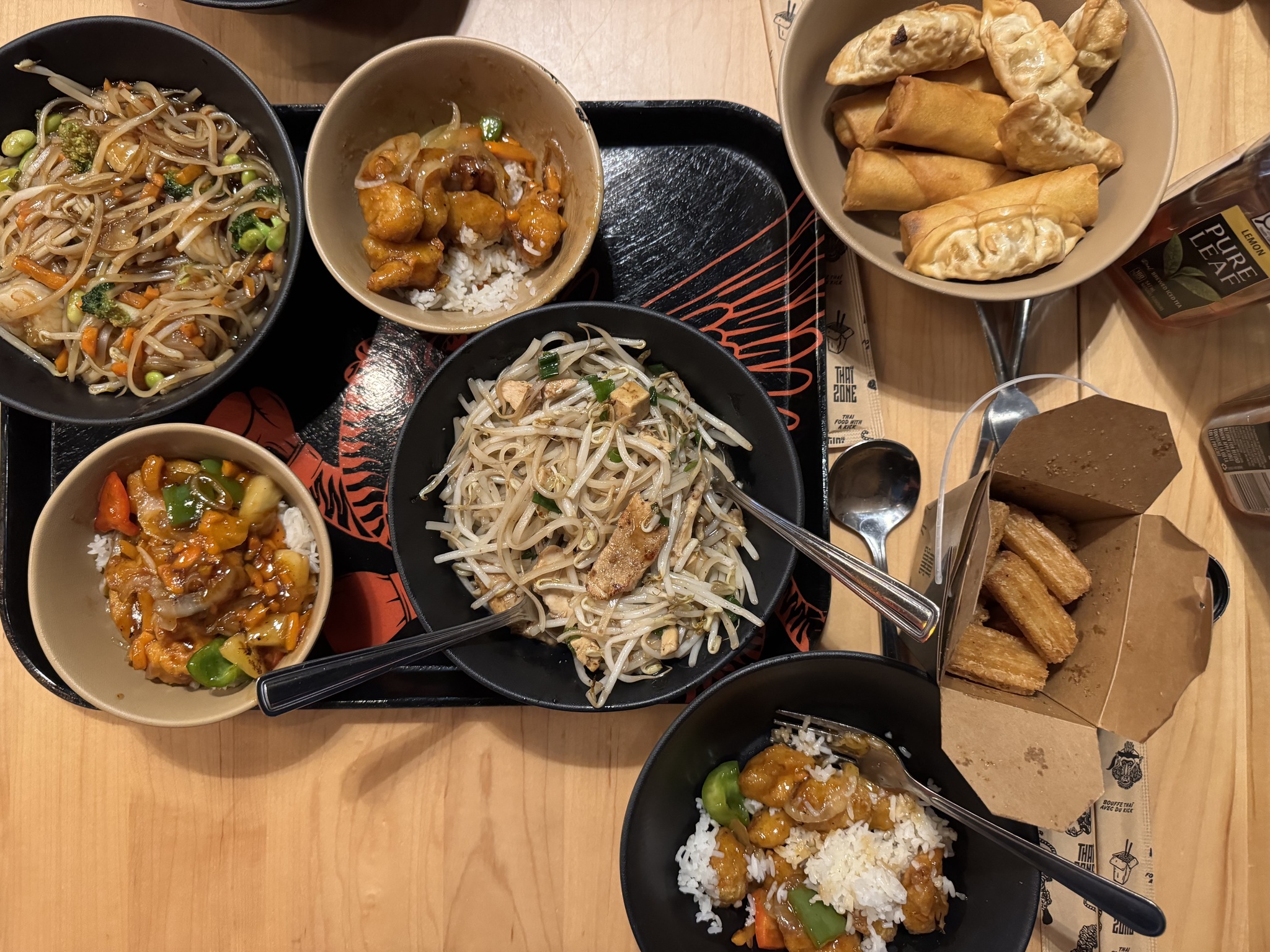
There wasn’t a lot of choice for lunch, but we were pleased with what we chose: Restaurant Comme Chez Soi, in Saint-François-du-Lac. It was one of our more reasonably priced lunches and included soup to begin and pie for dessert.

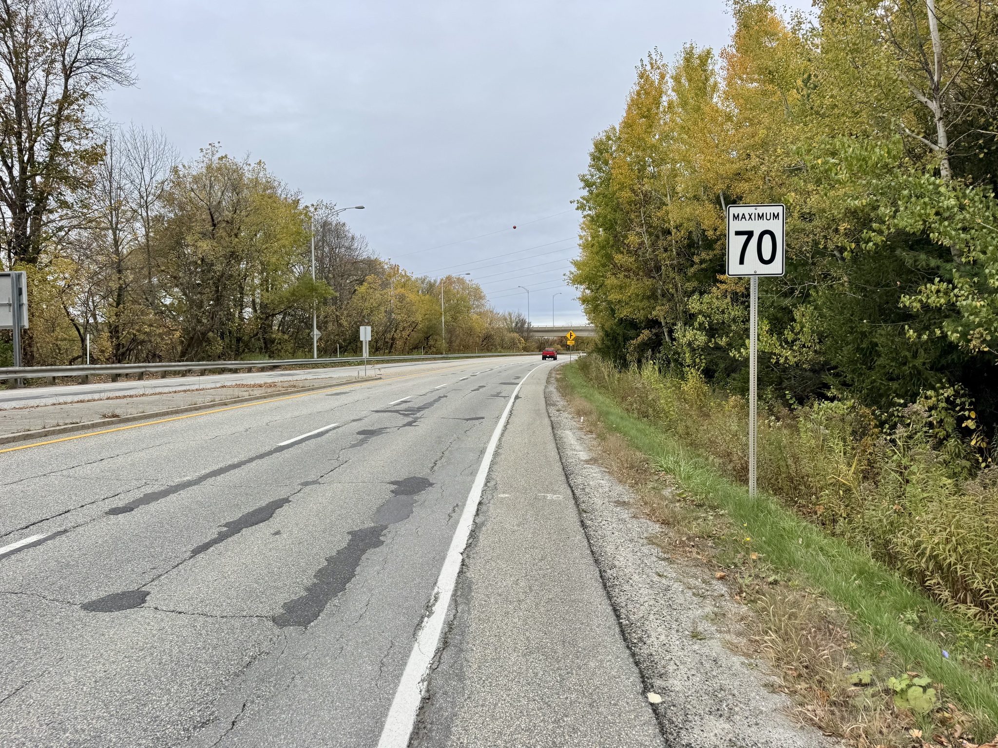
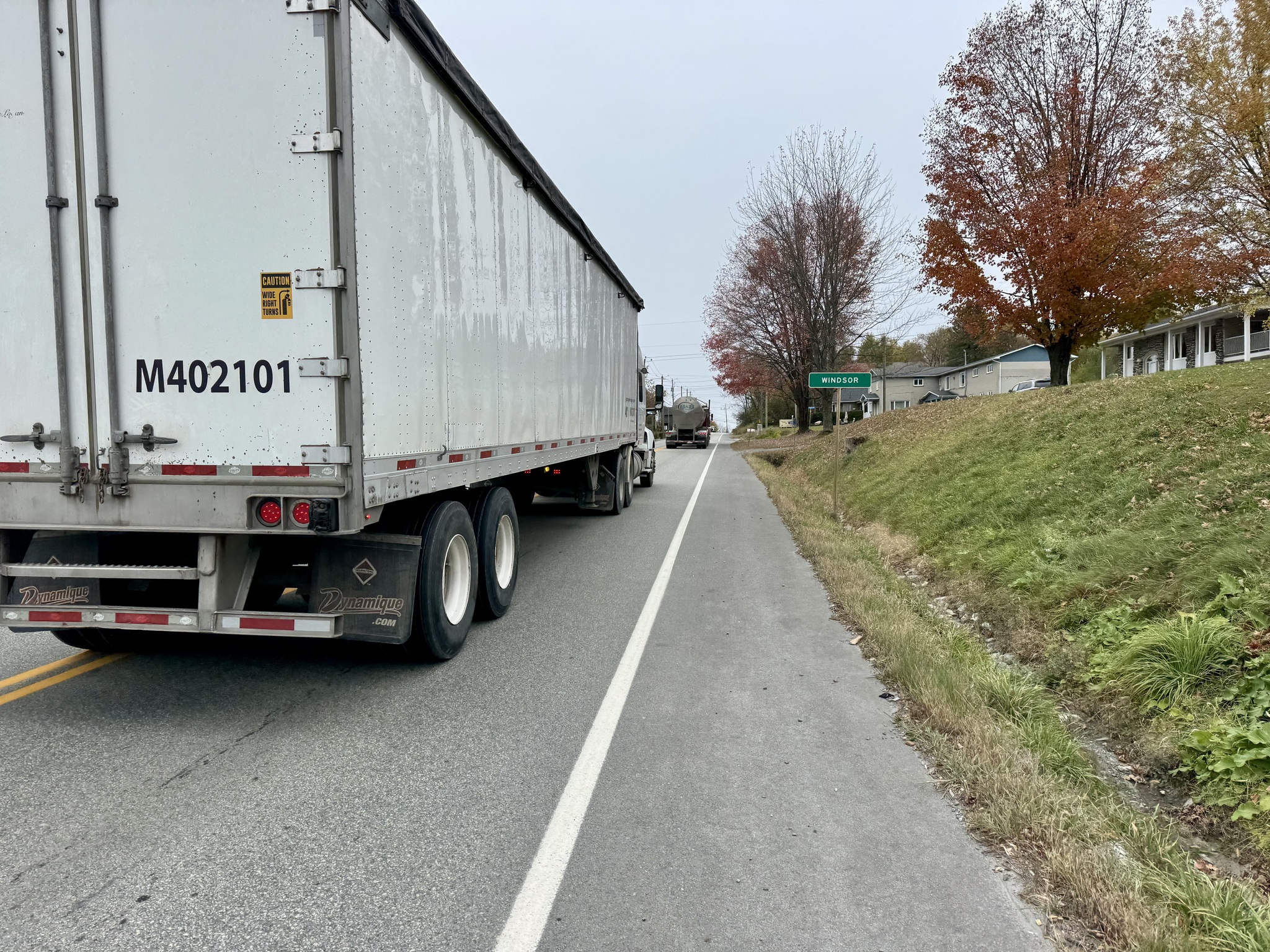
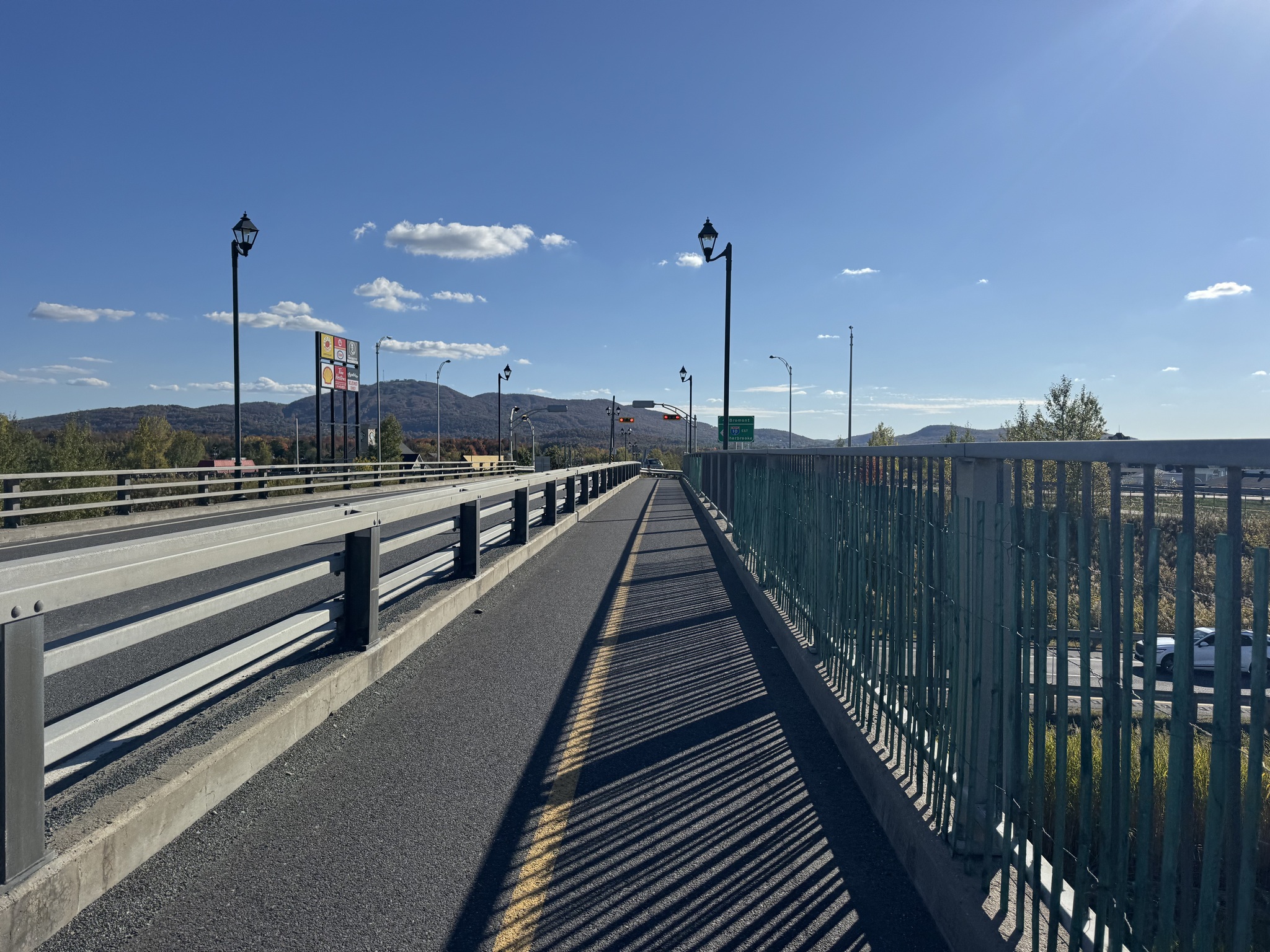
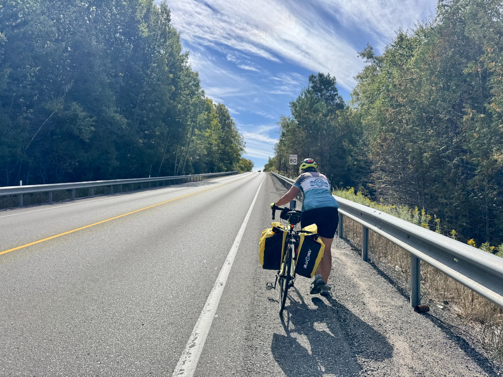
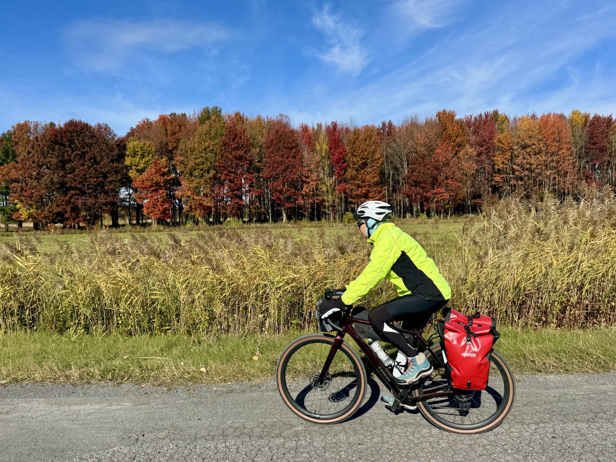
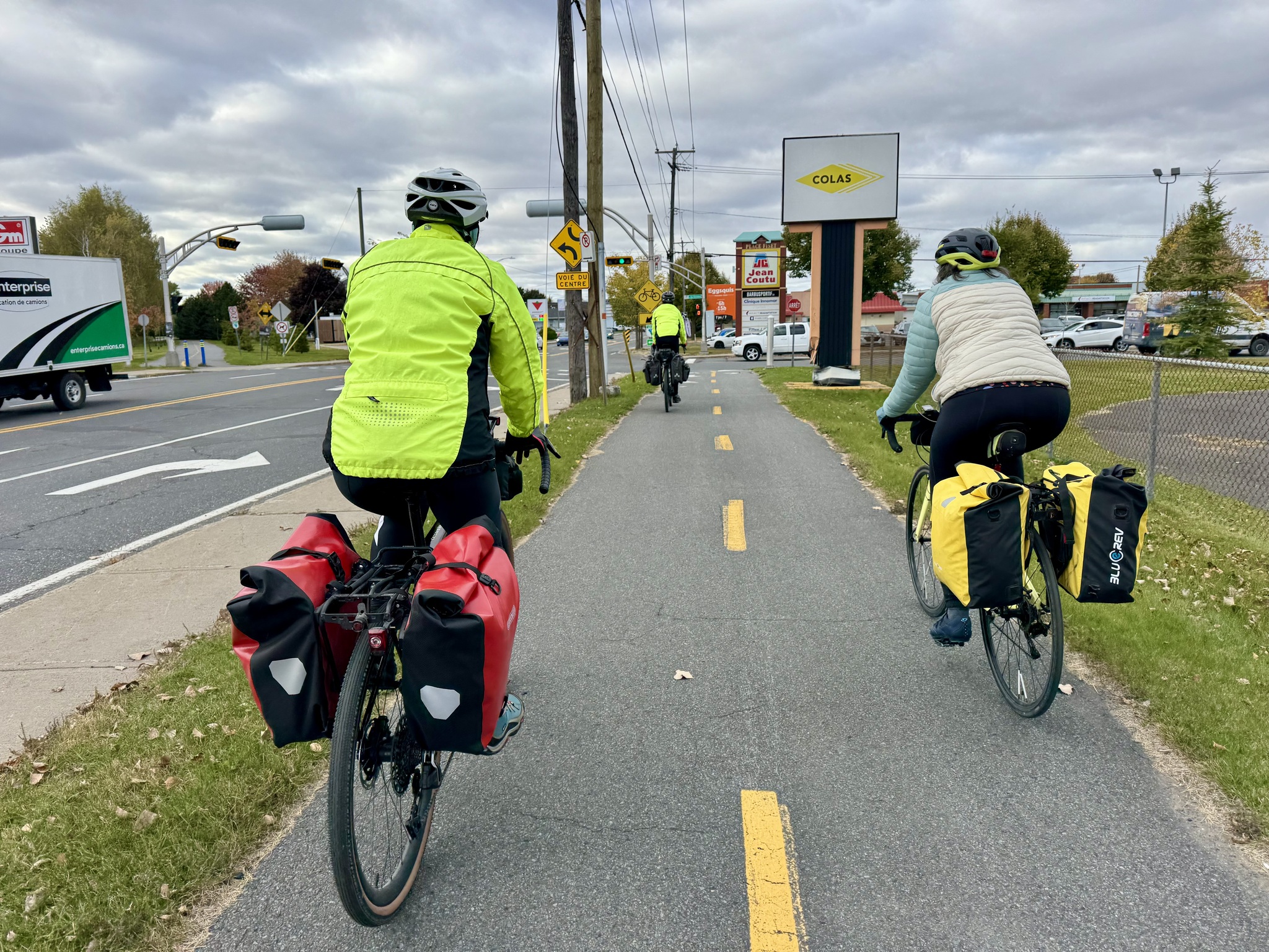
After lunch, we had about 10 km on a busy road, but the traffic wasn’t constant, and most of the drivers gave us the required 1.5 m passing distance.

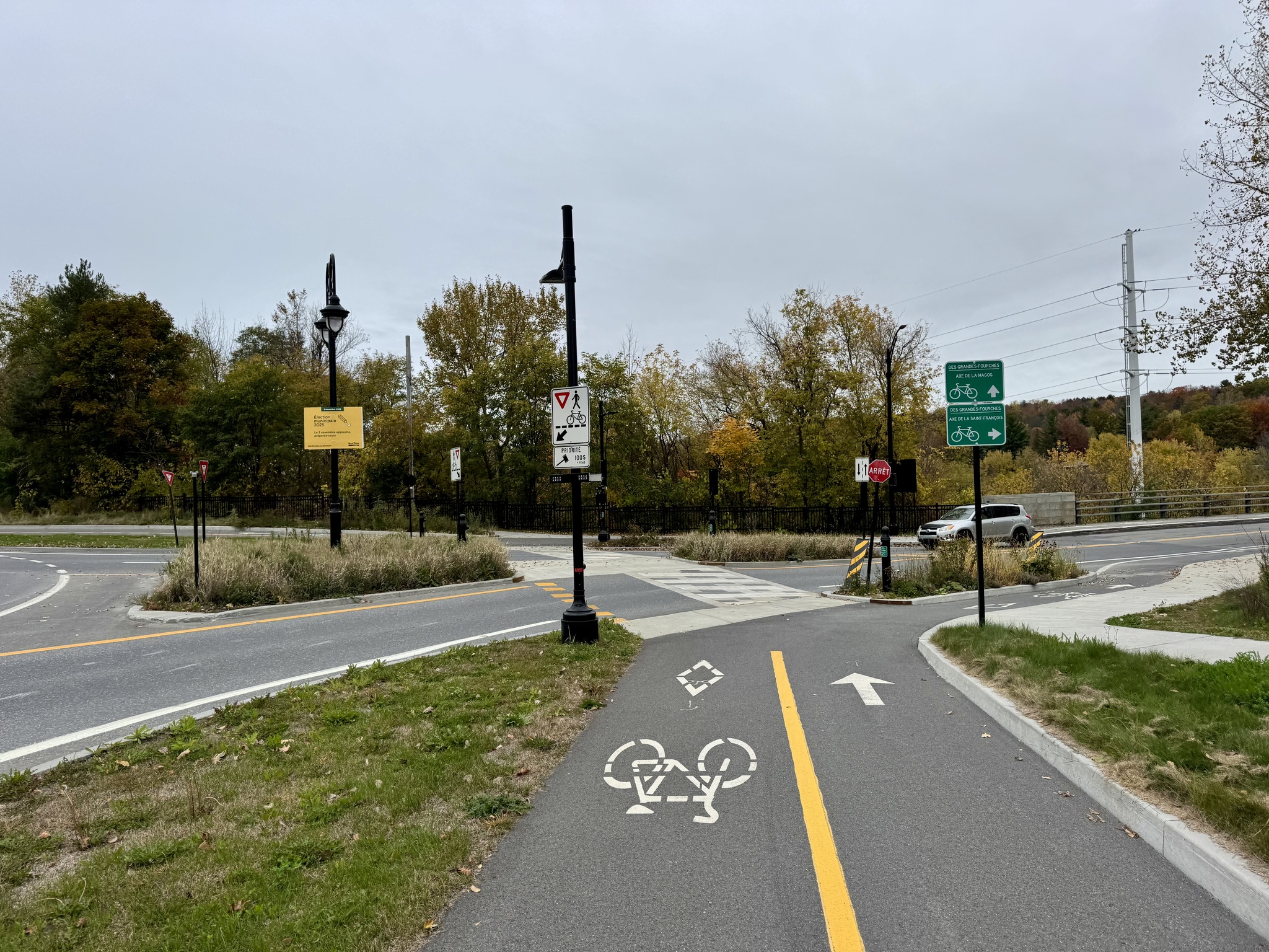
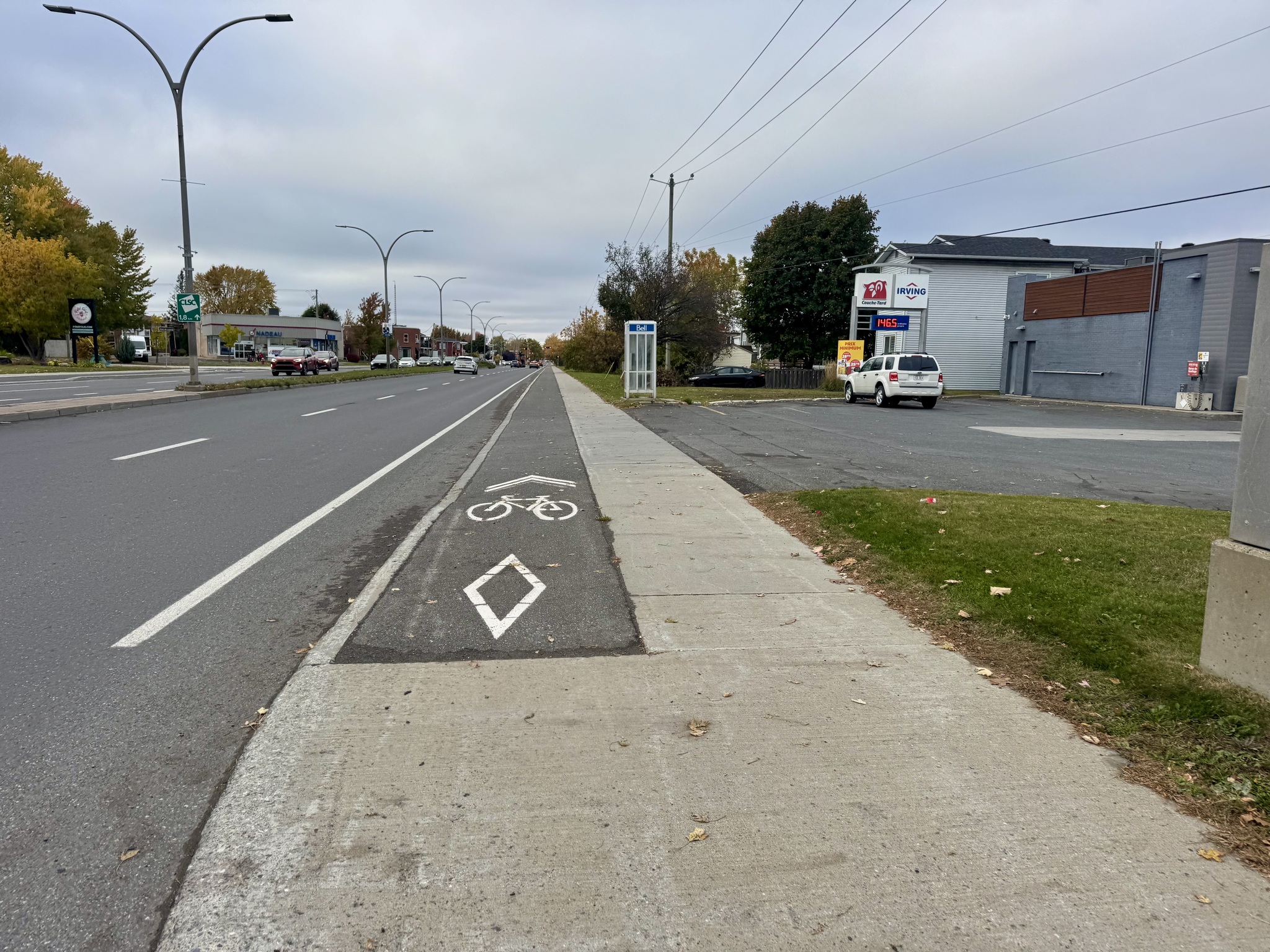
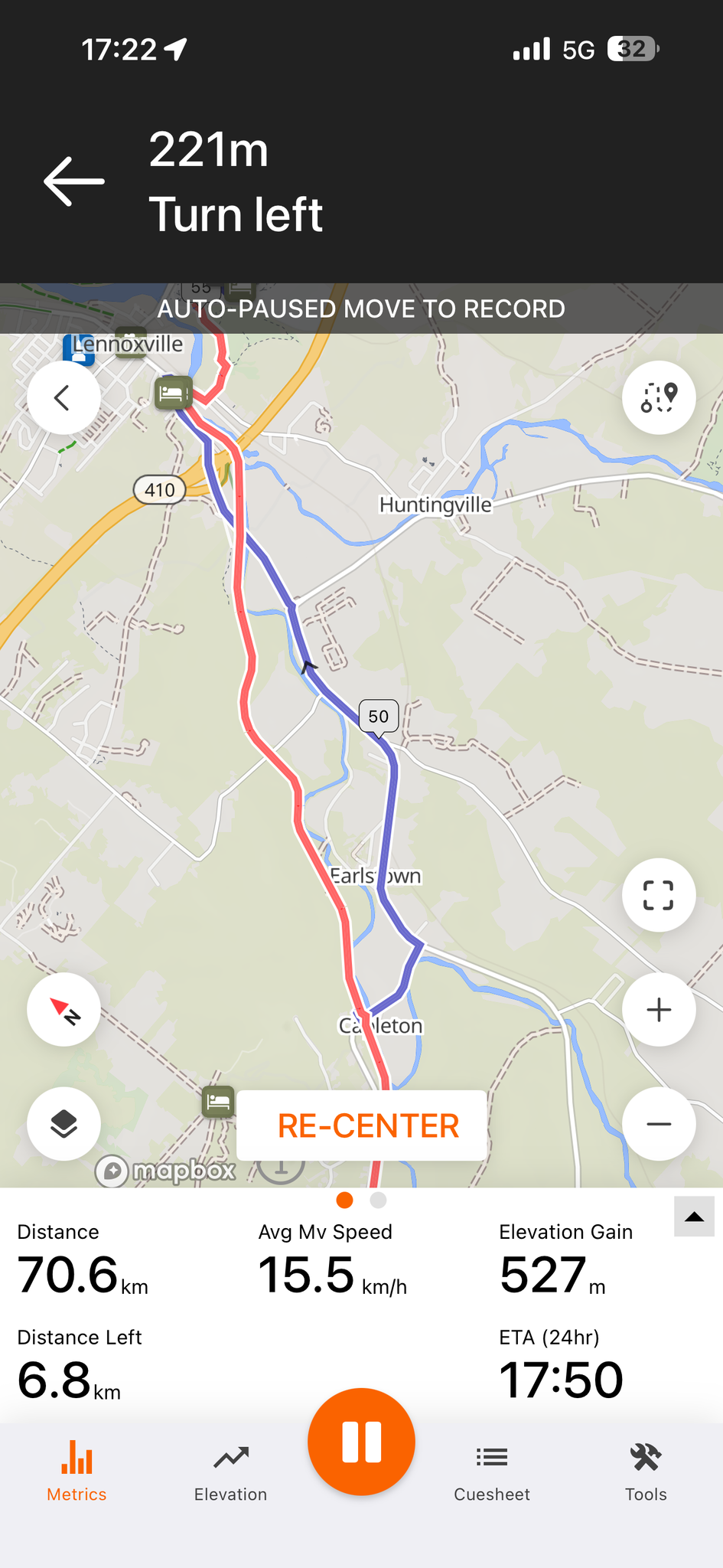
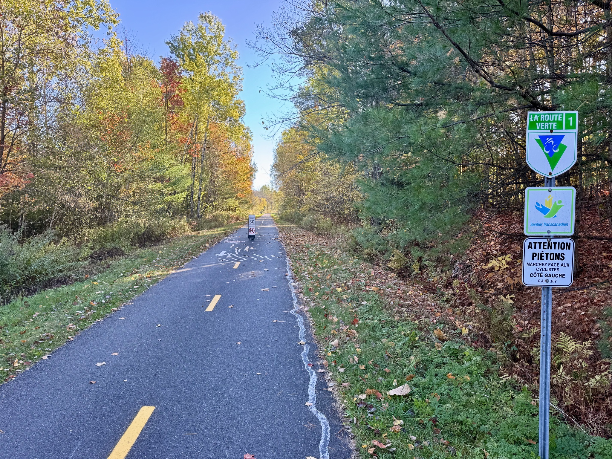
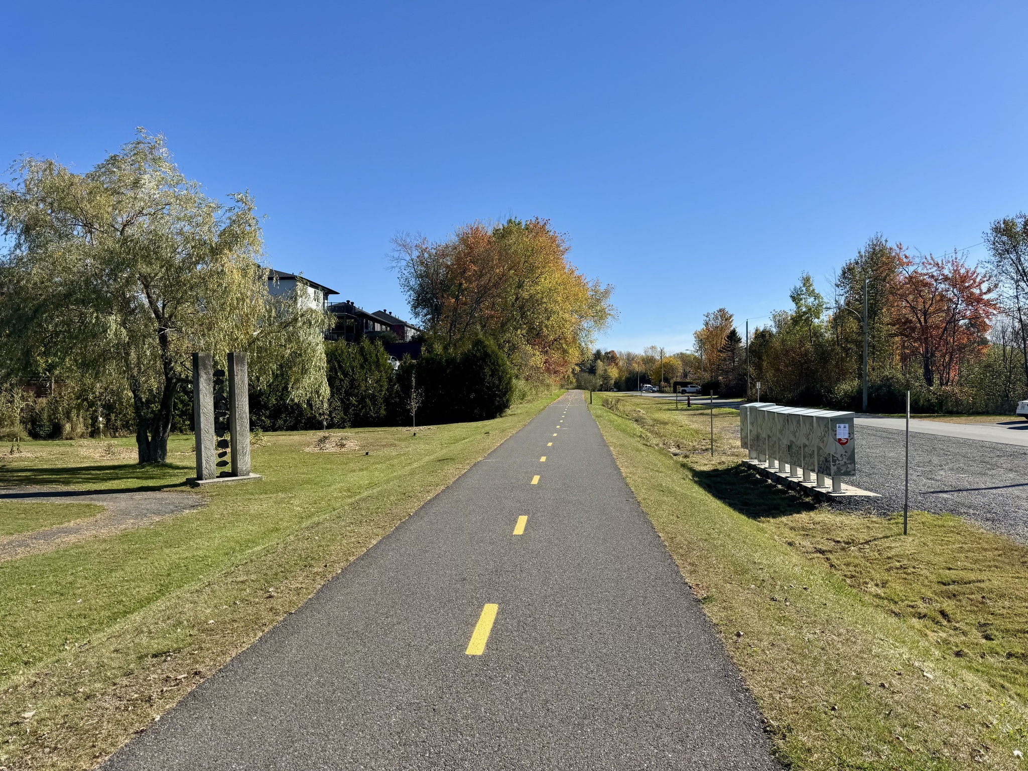
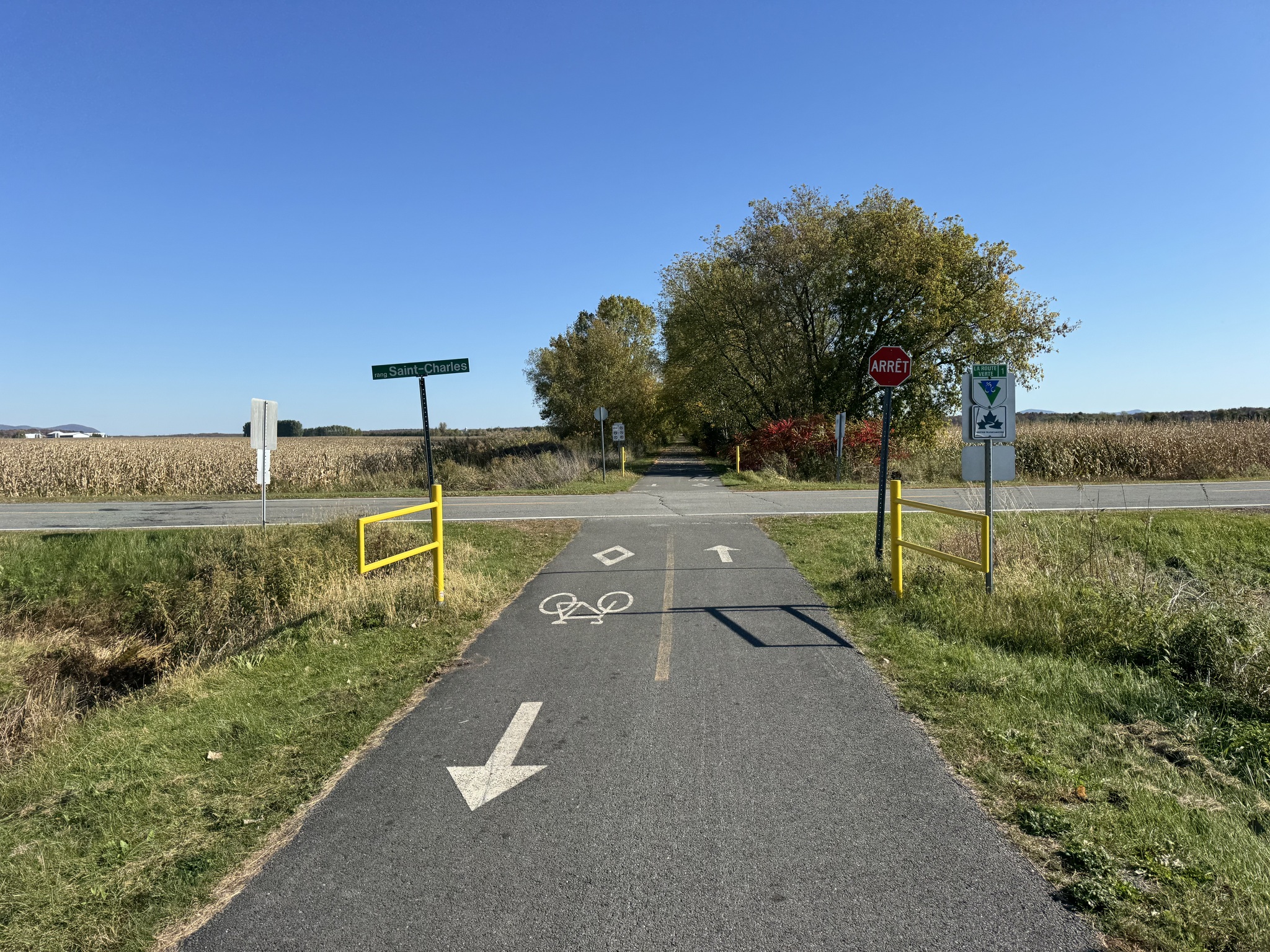
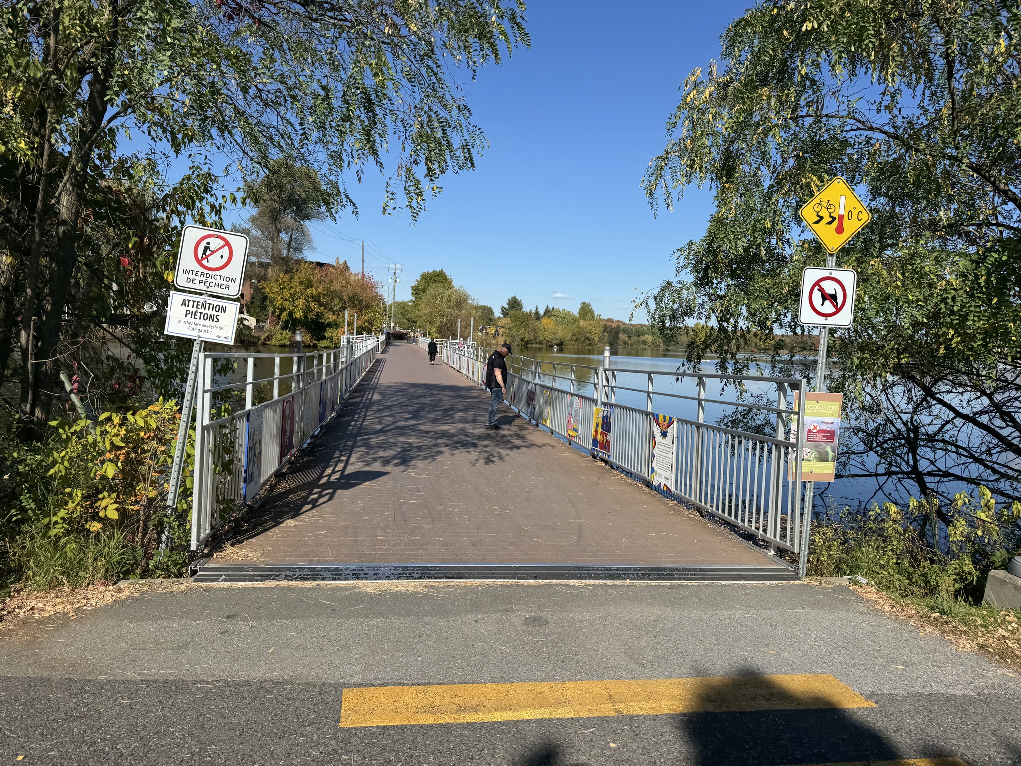
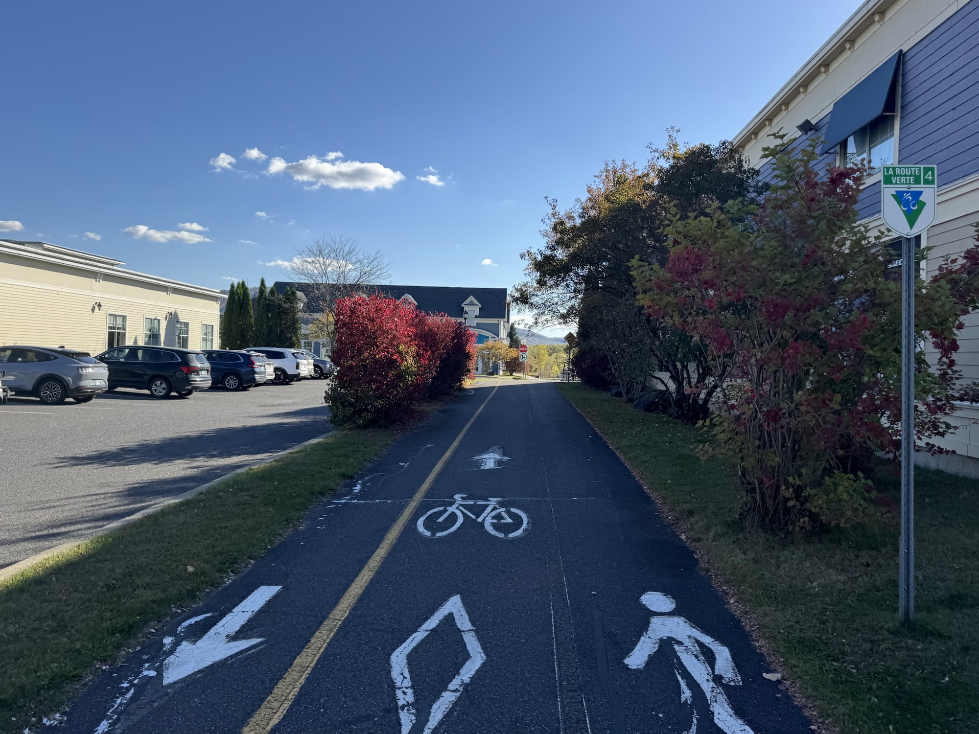
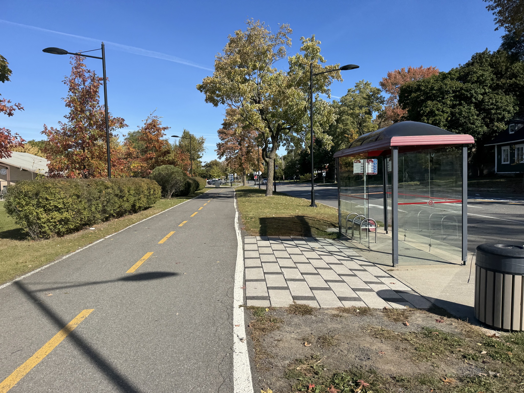
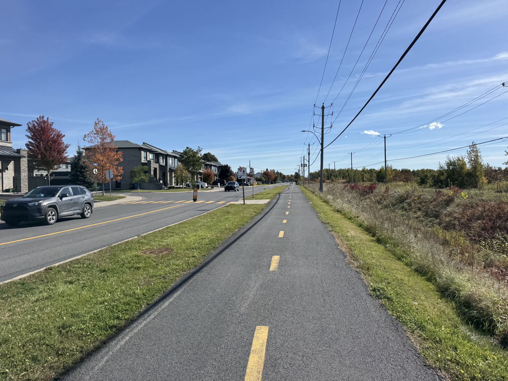
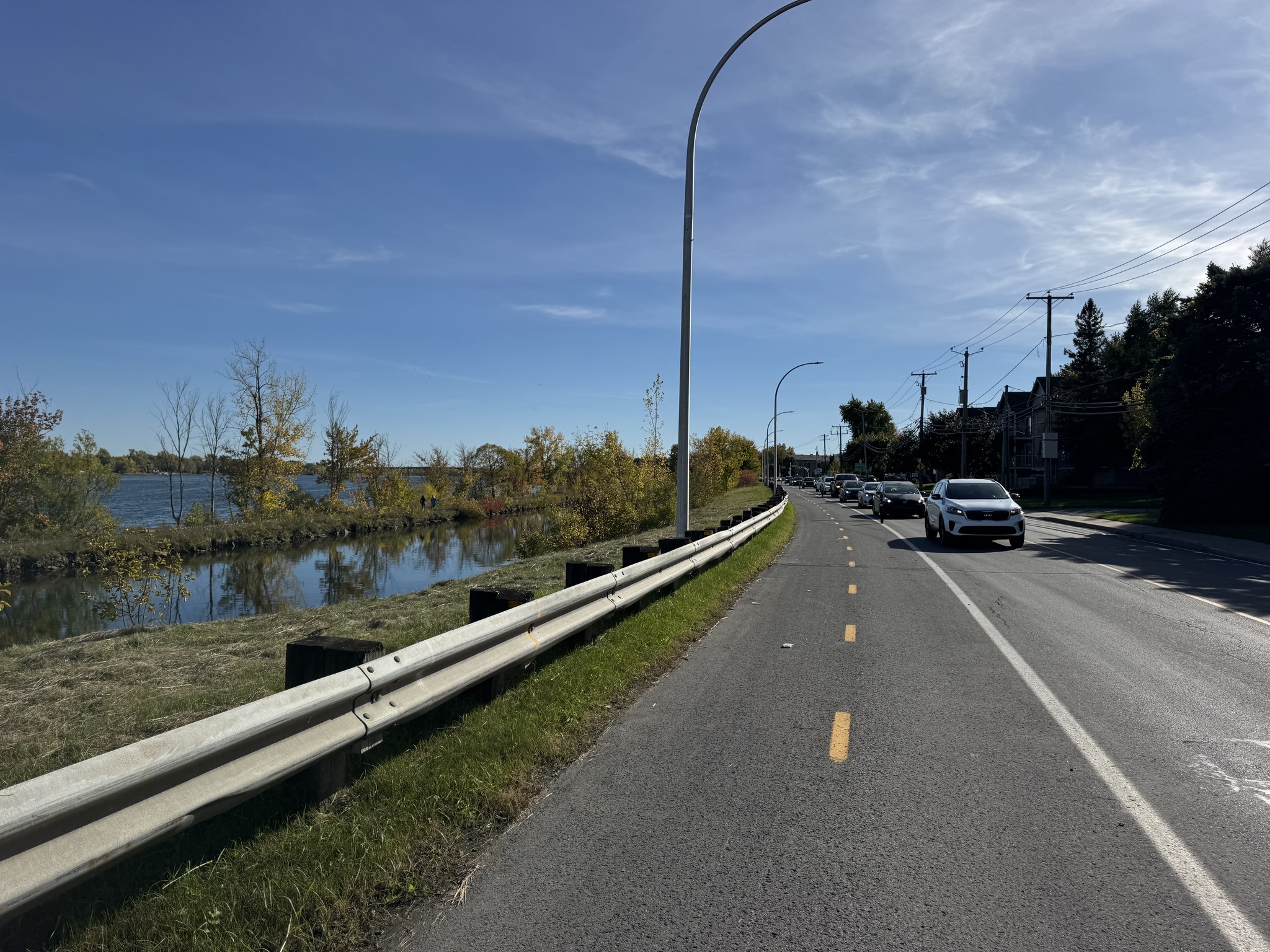
Then we joined  Vélo Route 3 which took us all the way to Sorel-Tracy on the St Lawrence. 

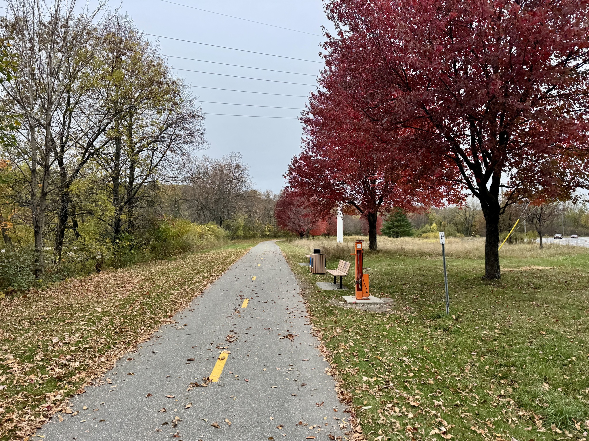
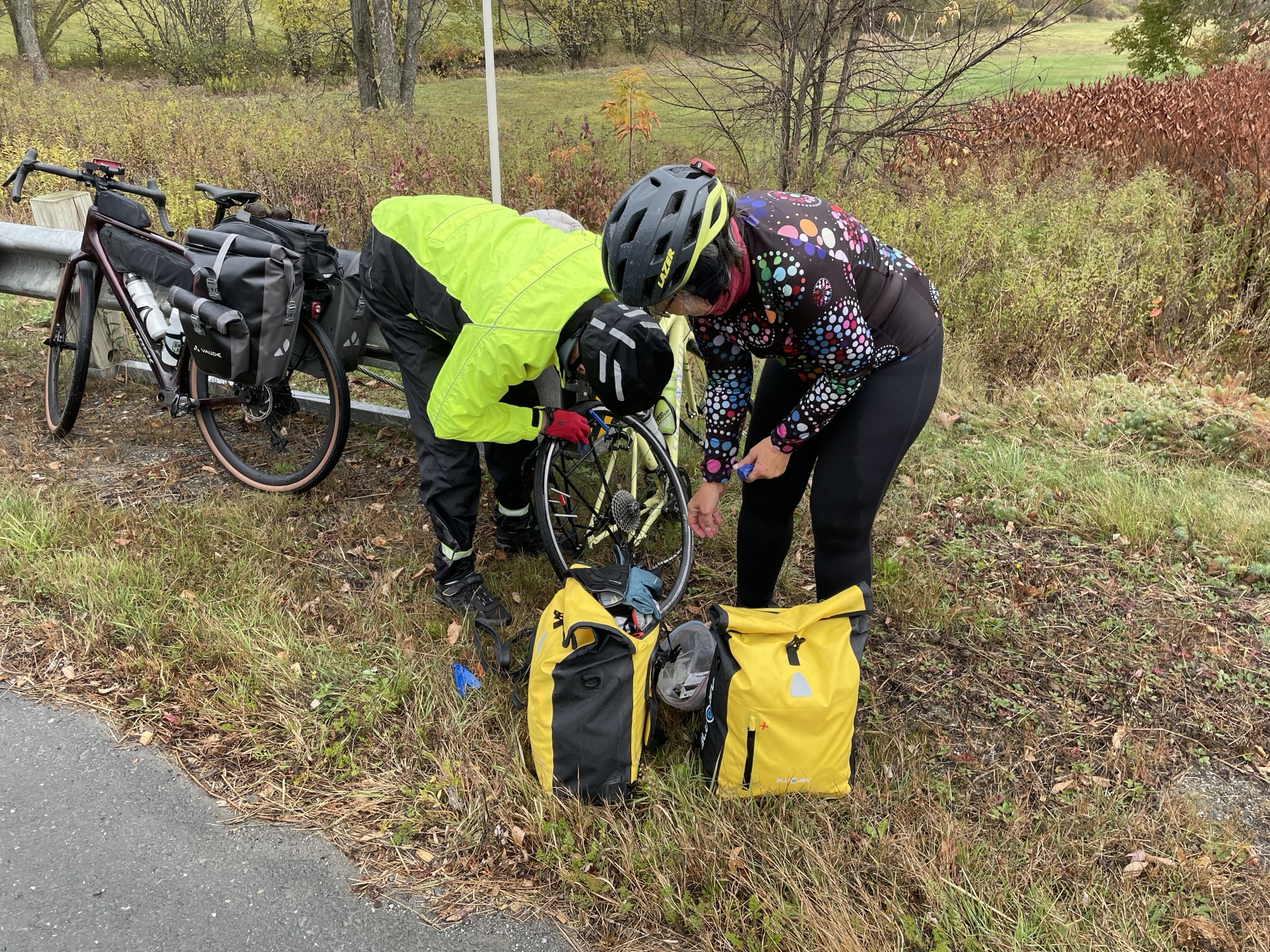
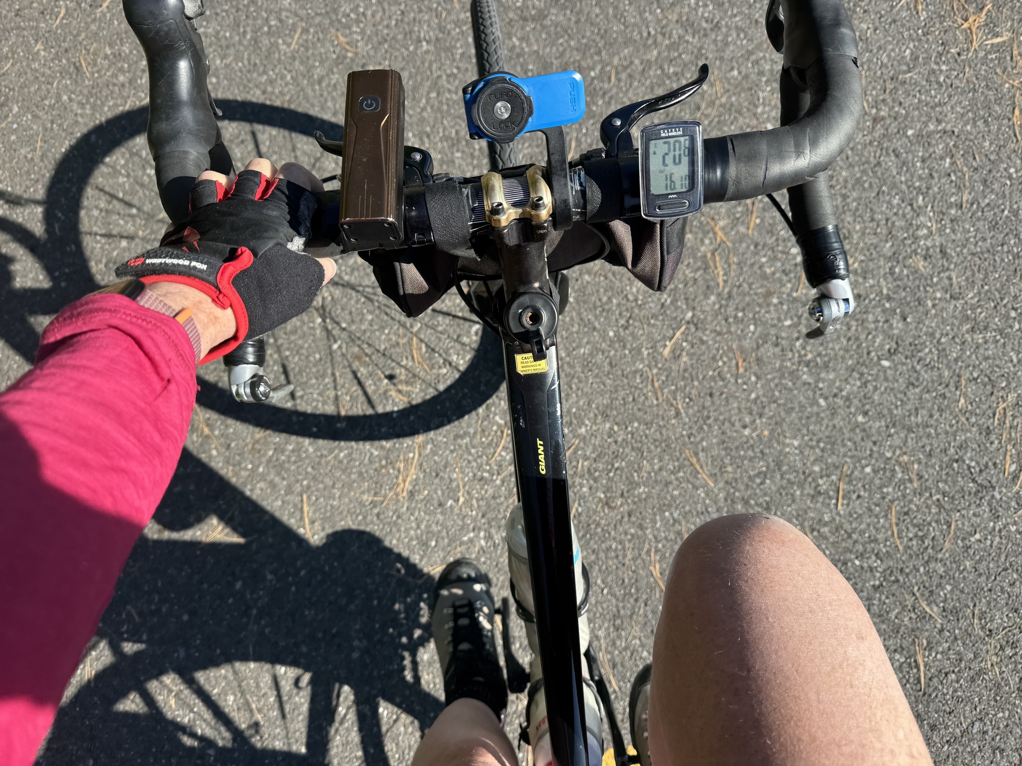
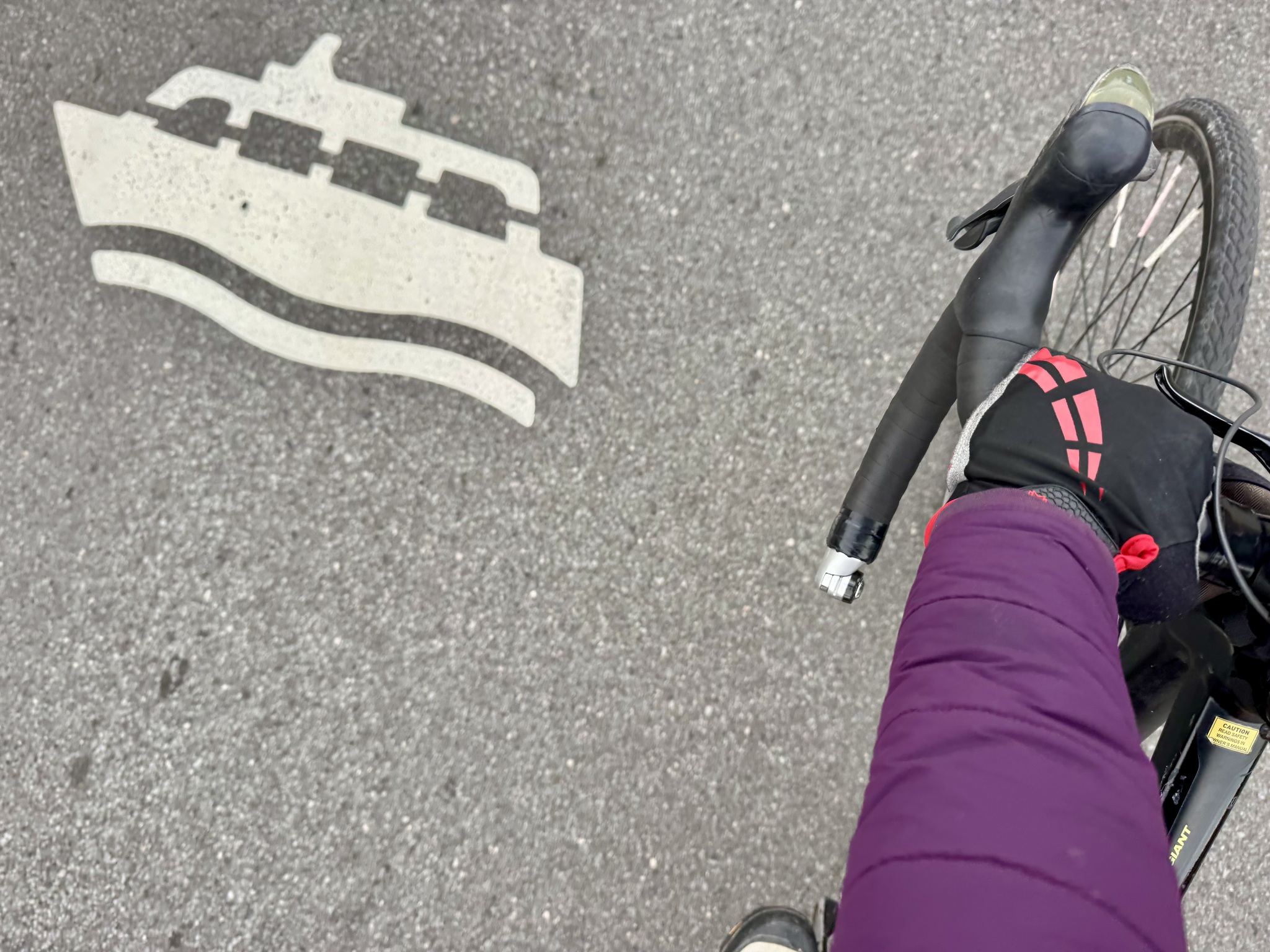
We made use of the pump where we joined the route. 

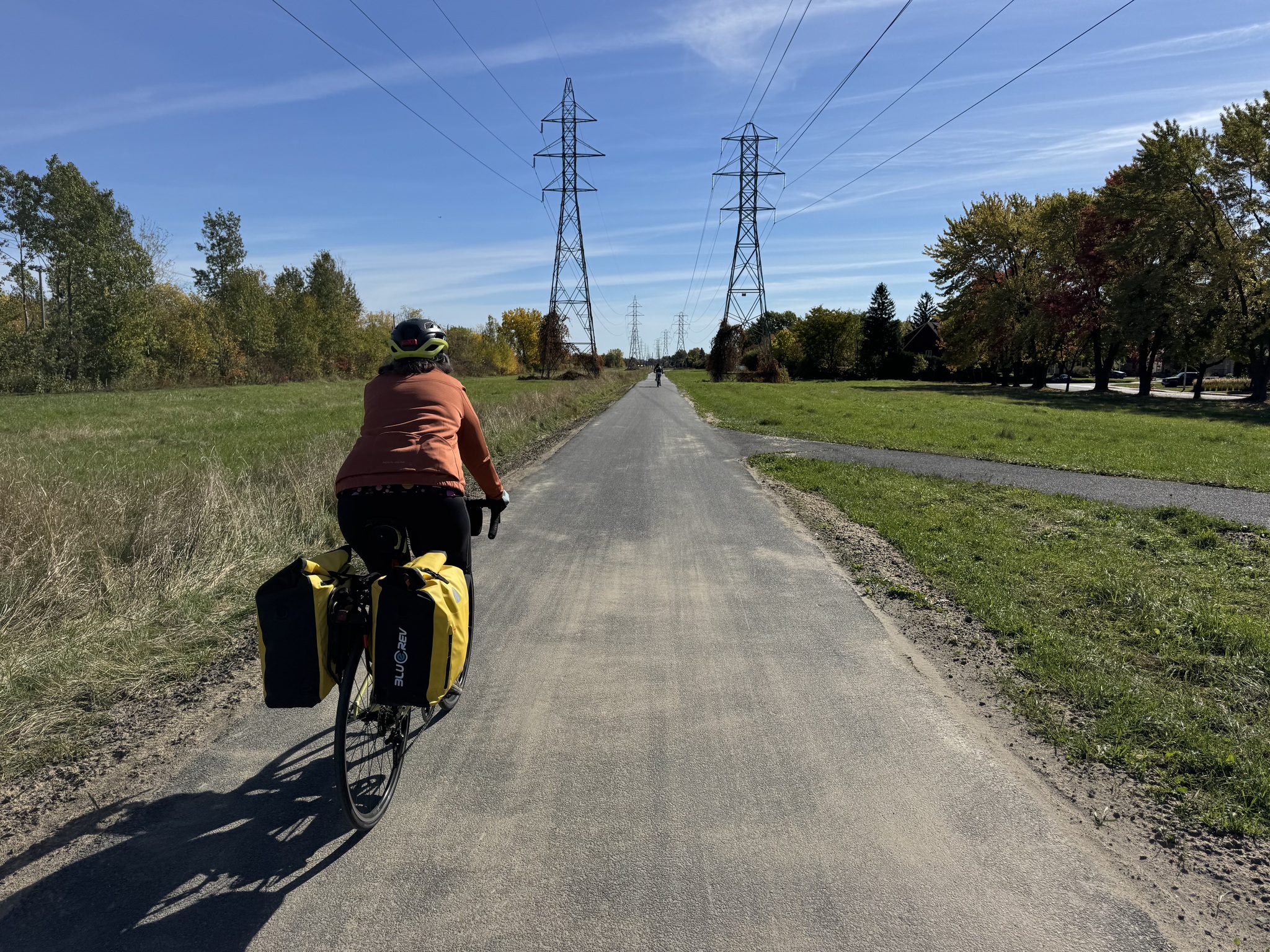
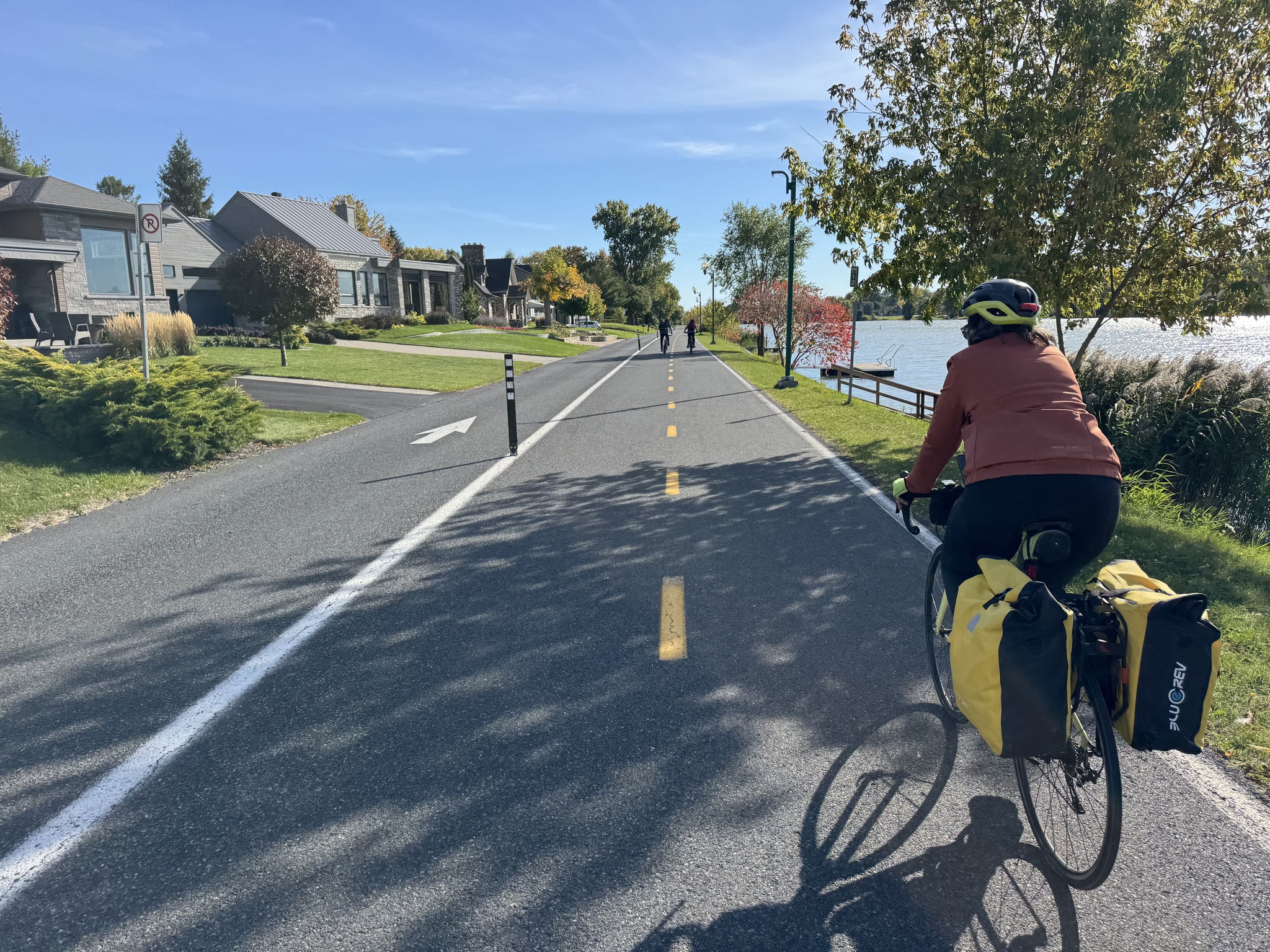
The route is paved the whole way from where we joined to Sorel-Tracy. The fall foliage, wind protection, and high quality infrastructure made the kilometres fly by.

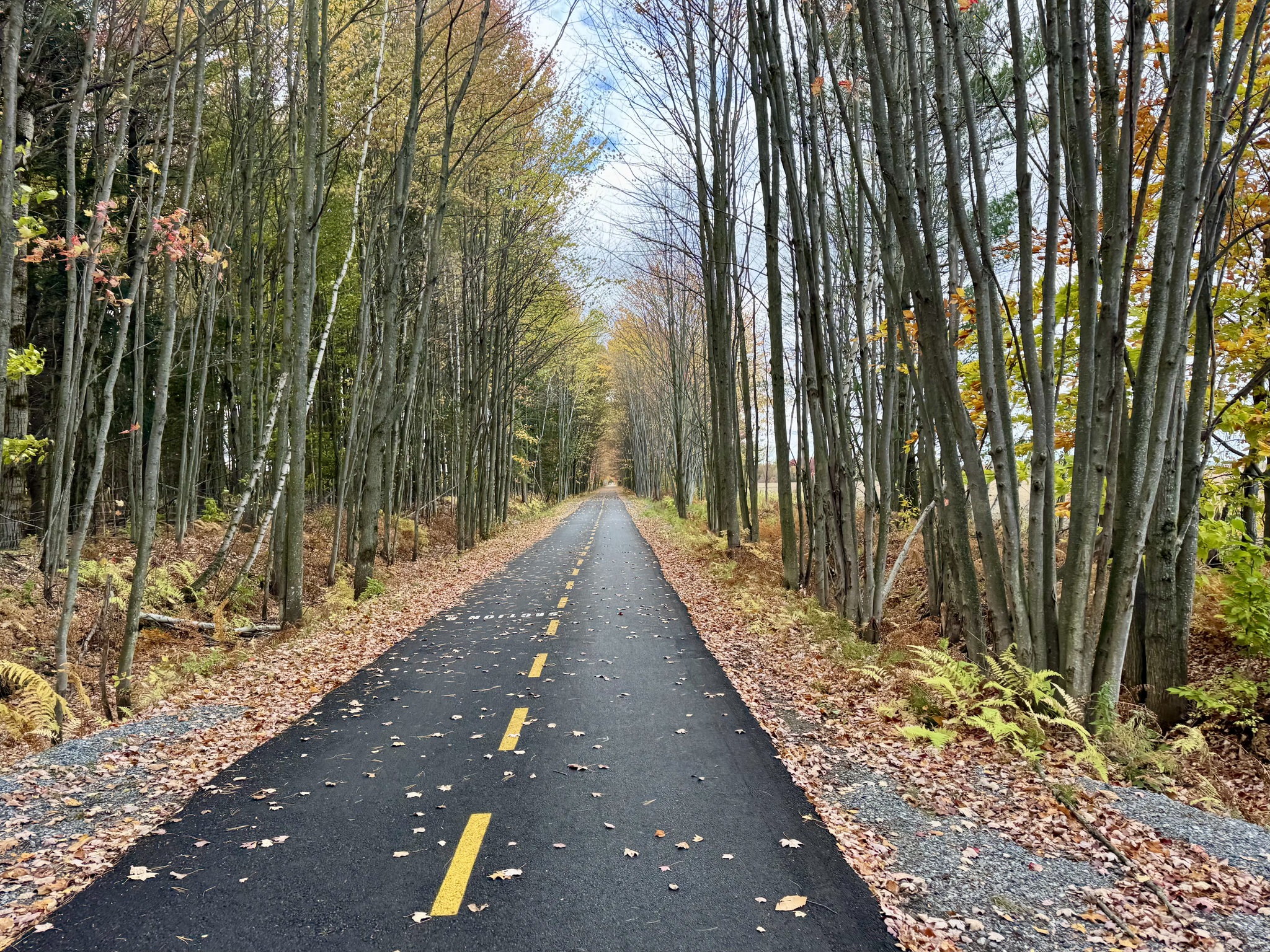
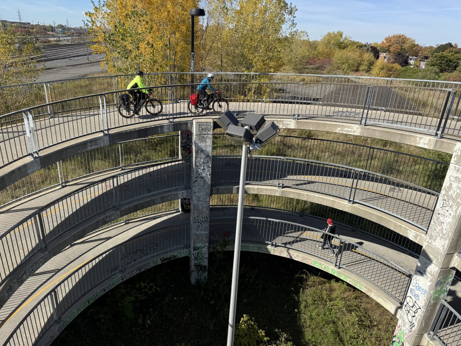
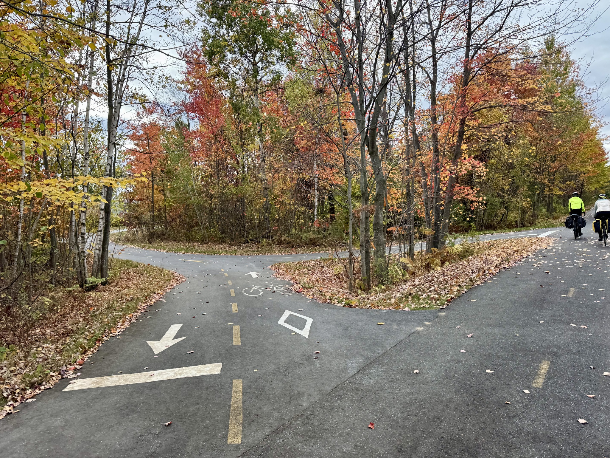
We saw intersecting trails in a couple of spots.

In Sorel-Tracy we passed a parking lots full of St Hubert’s deliver cars with their distinctive chicken comb on the roof.

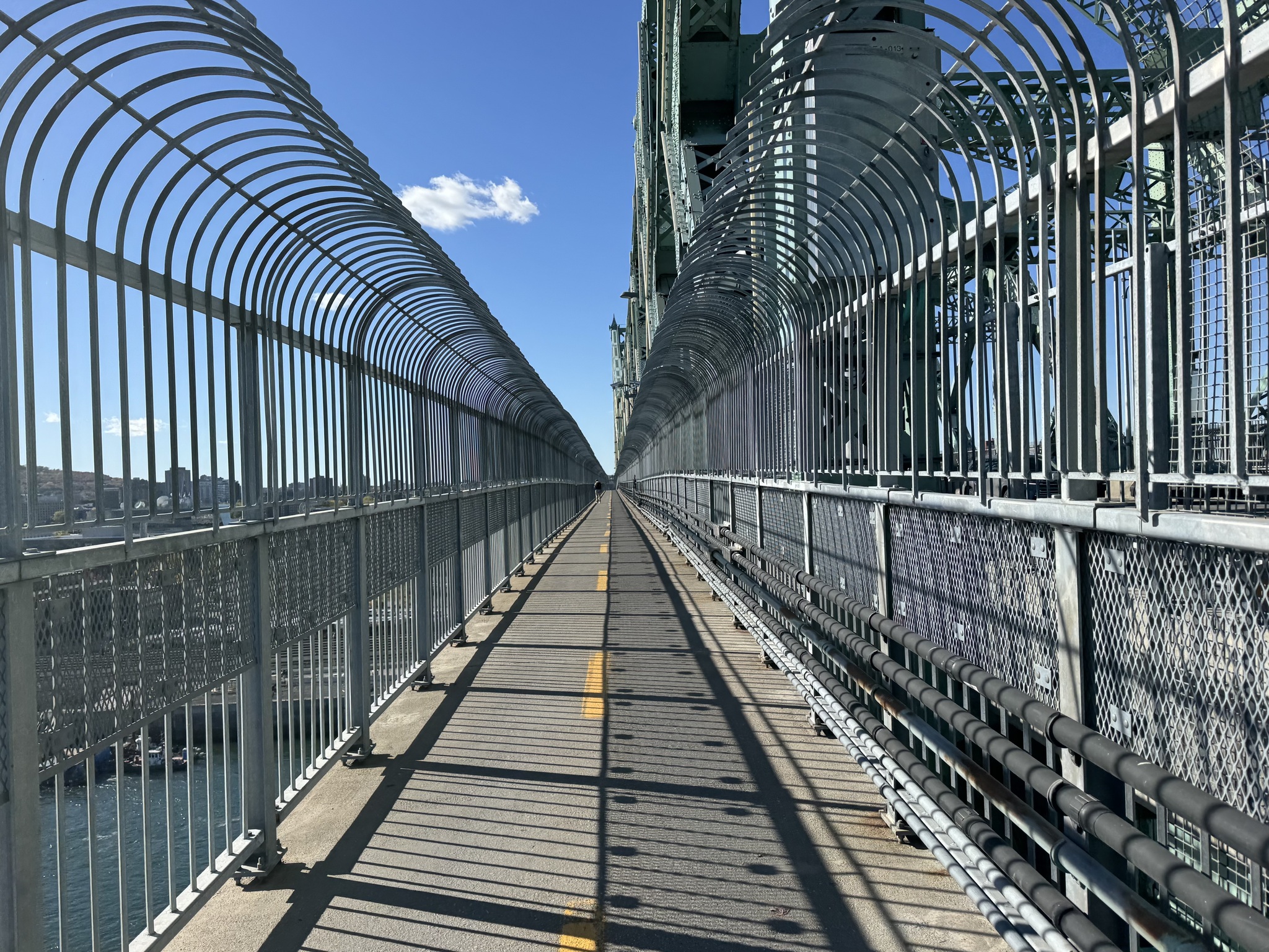
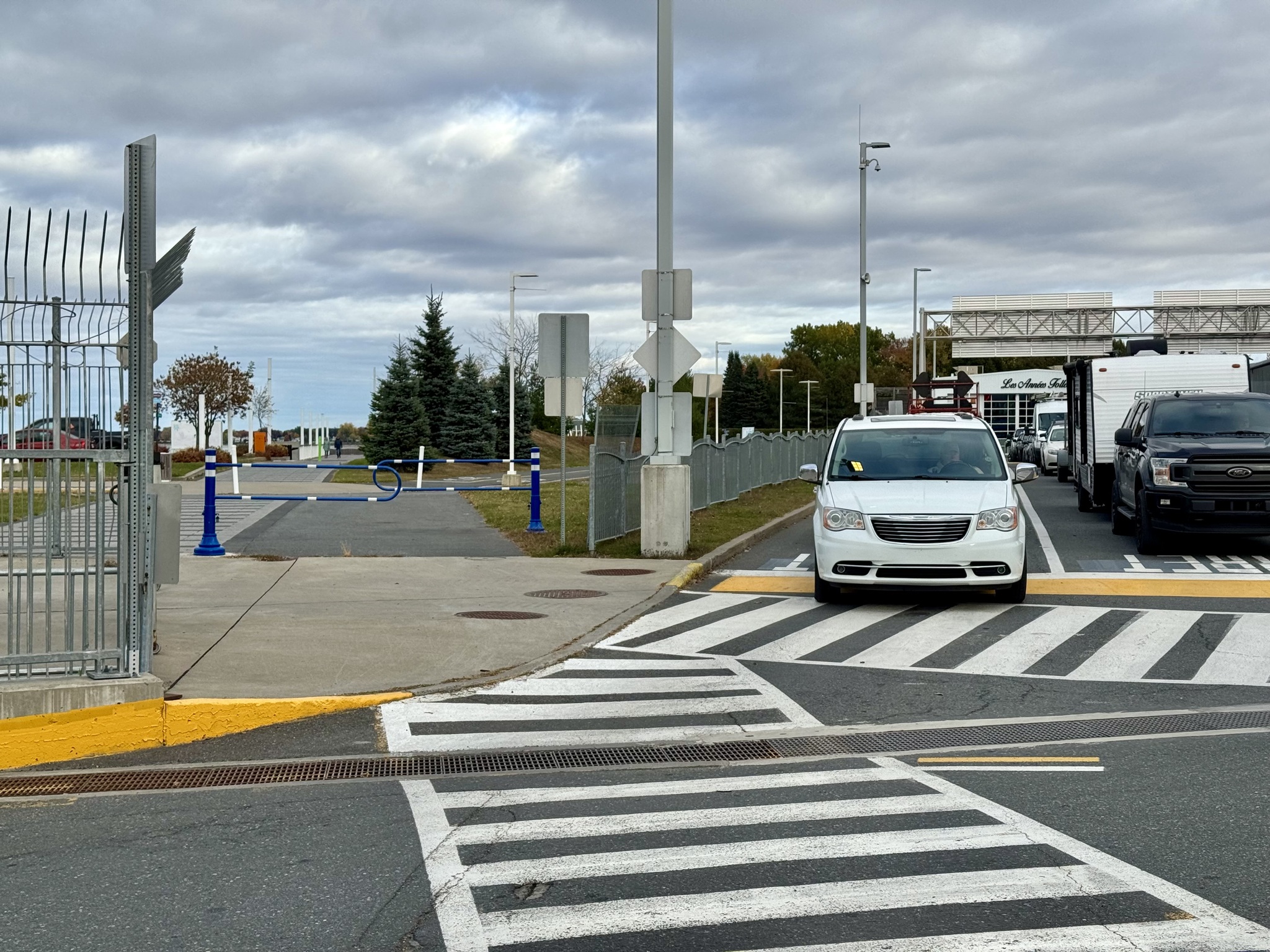
We had cycling infrastructure all the way to the ferry cyclists’ waiting area.

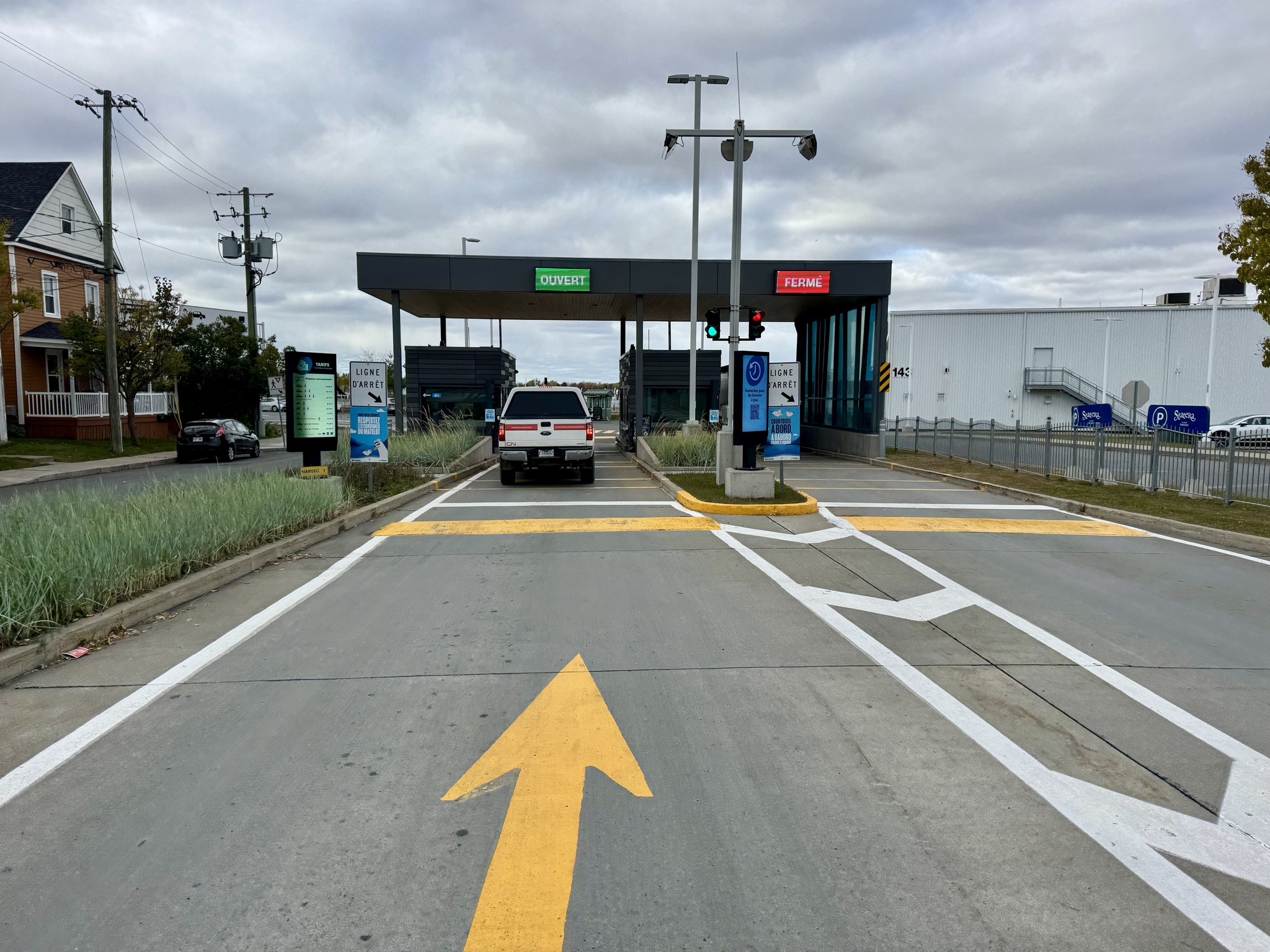
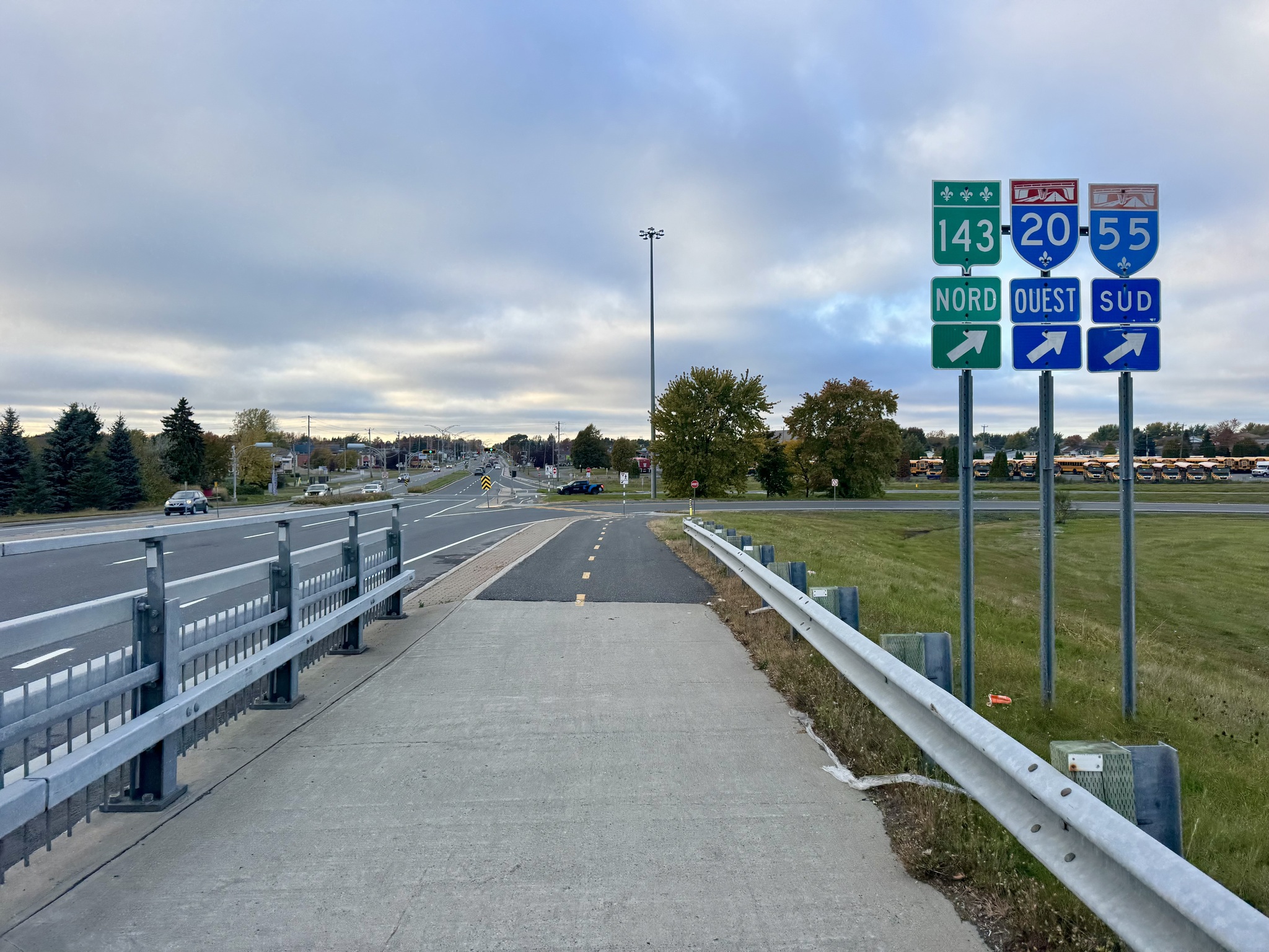
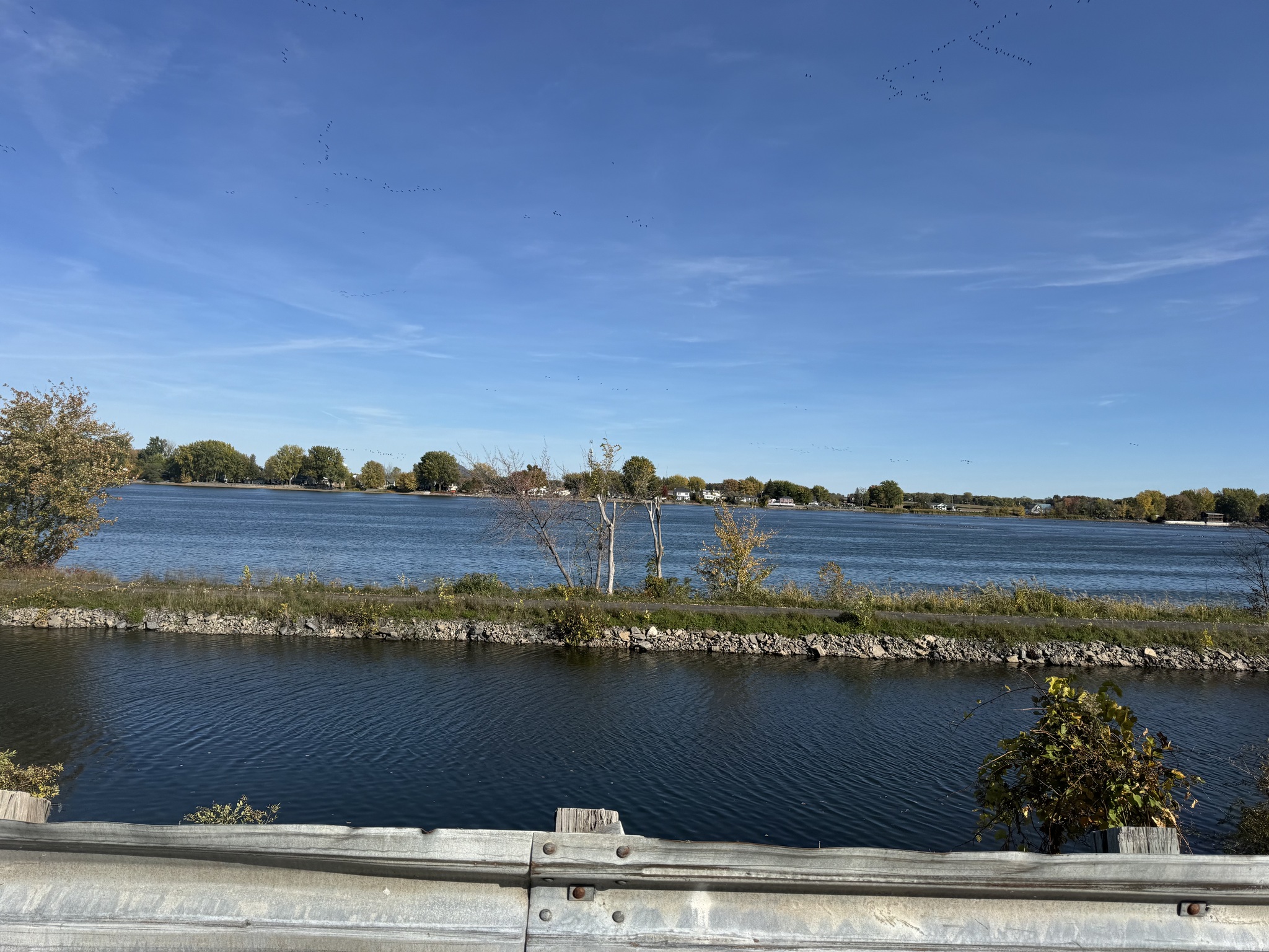
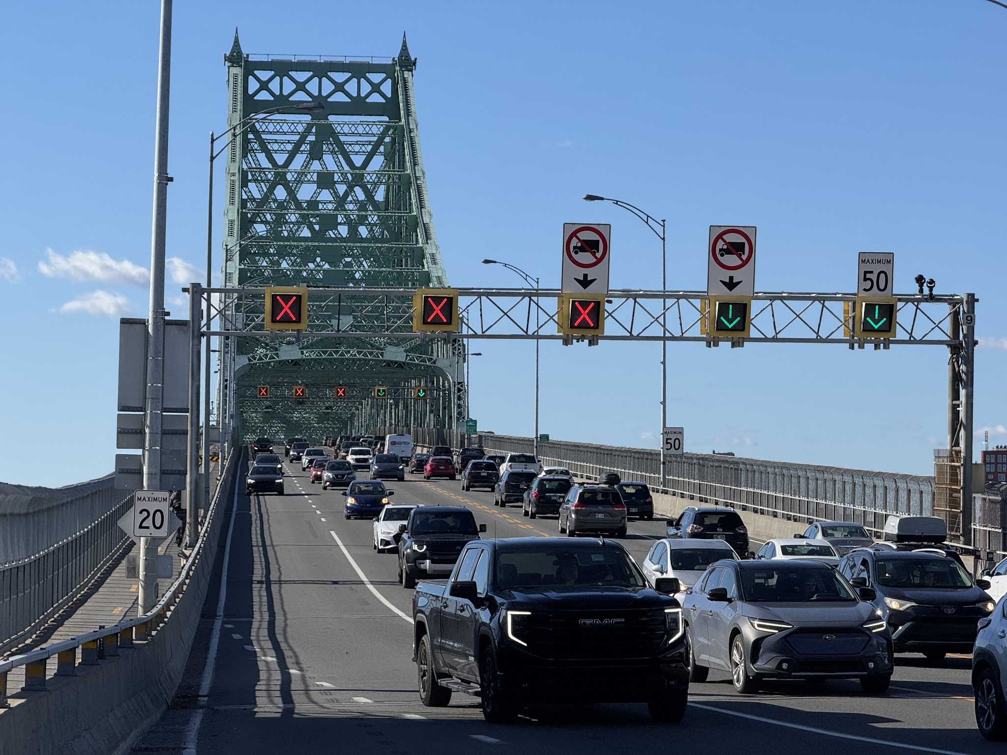
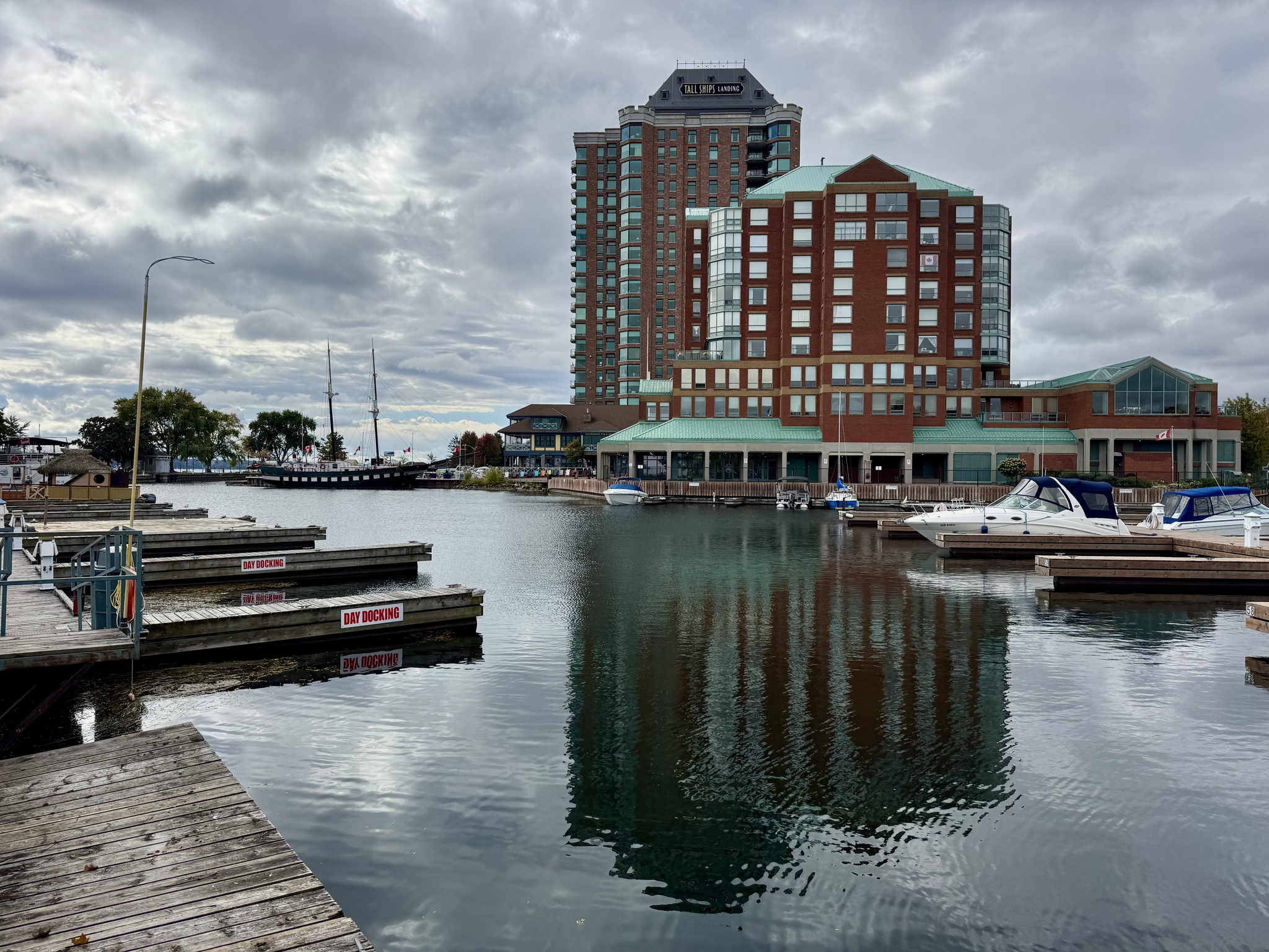
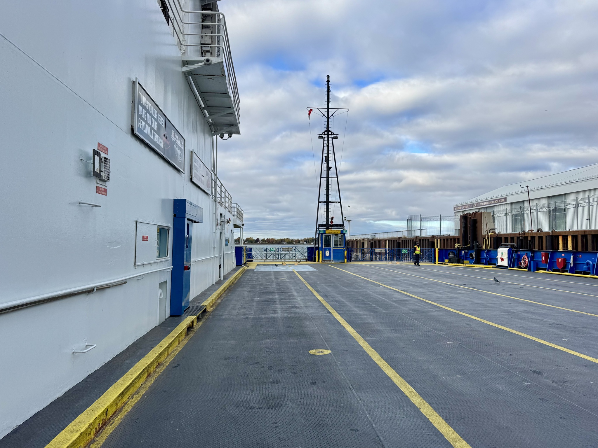
There are no bridge crossing of the St. Lawrence River between Montreal and Trois Rivière, a distance of over 130 km.  There is a ferry Sorel-Tracy to St-Ignace de Loyola which we used since network accommodation is on the north side of the river in Berthierville. 

The ferry runs hourly on the half hour from the southside and hourly on the hour from the north. We arrived 40 minutes early. 

We were getting quite chilly by the time the fairy arrived. The crossing took less time than the disembarking and boarding.

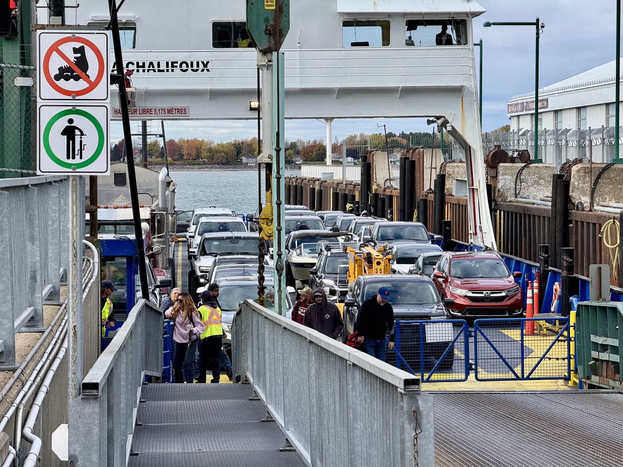
It’s quite a large ferry with only a small number of seats indoors. I would assume most people remain on their cars.

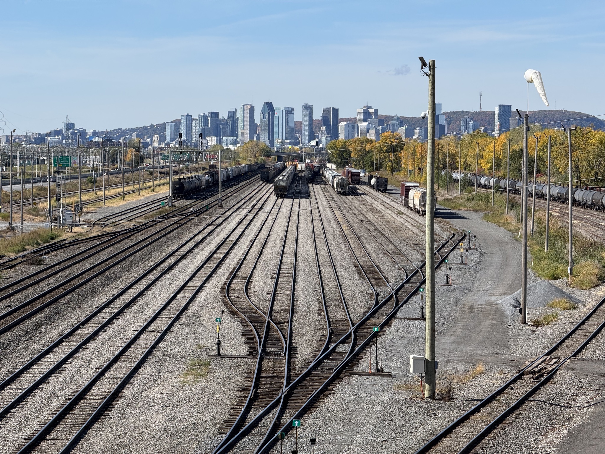
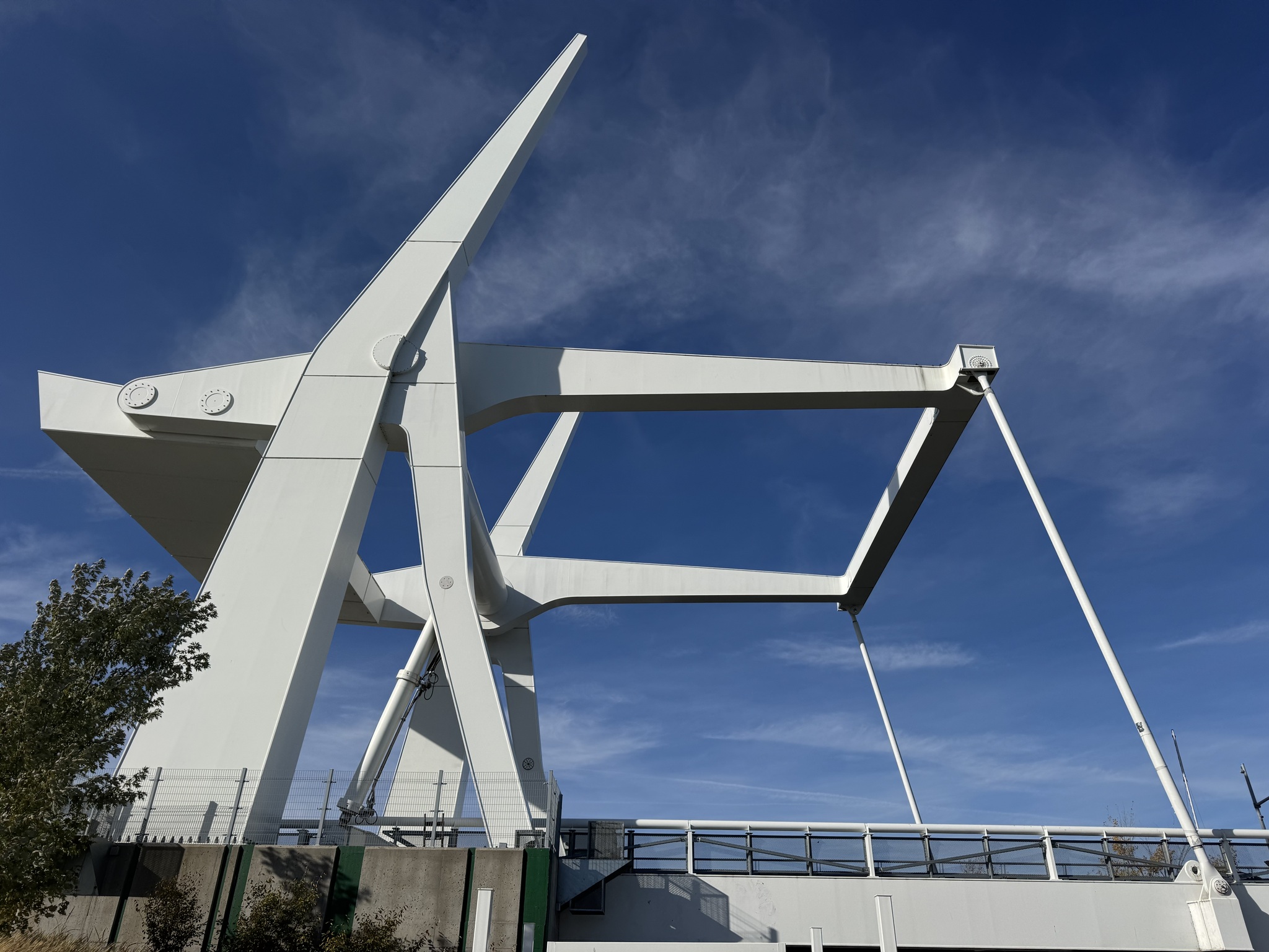
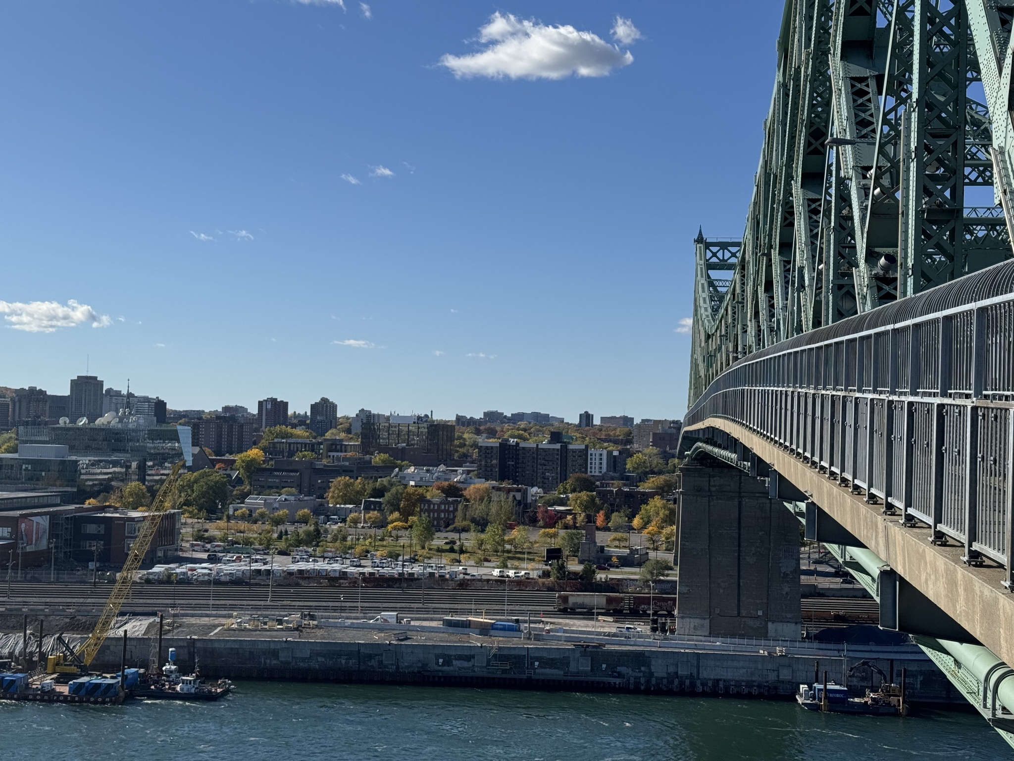
This is a steel forging plant in Sorel-Tracy.

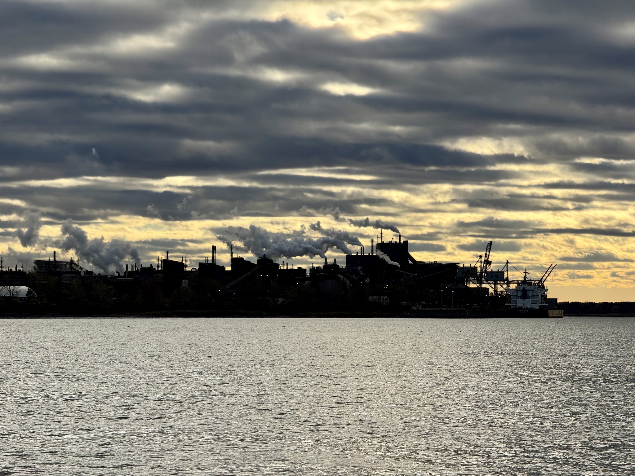
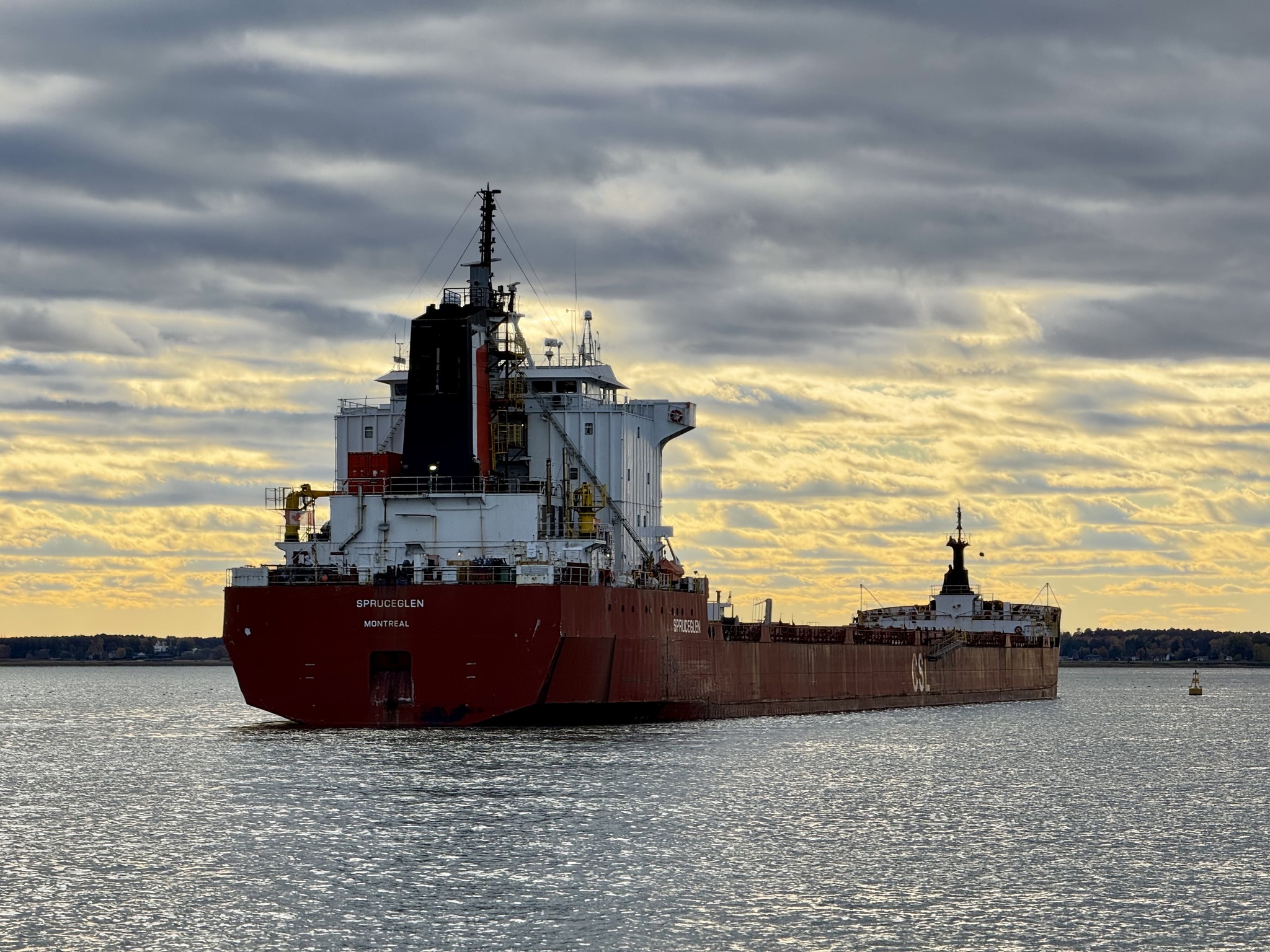
There was a ship anchored near the plant. 

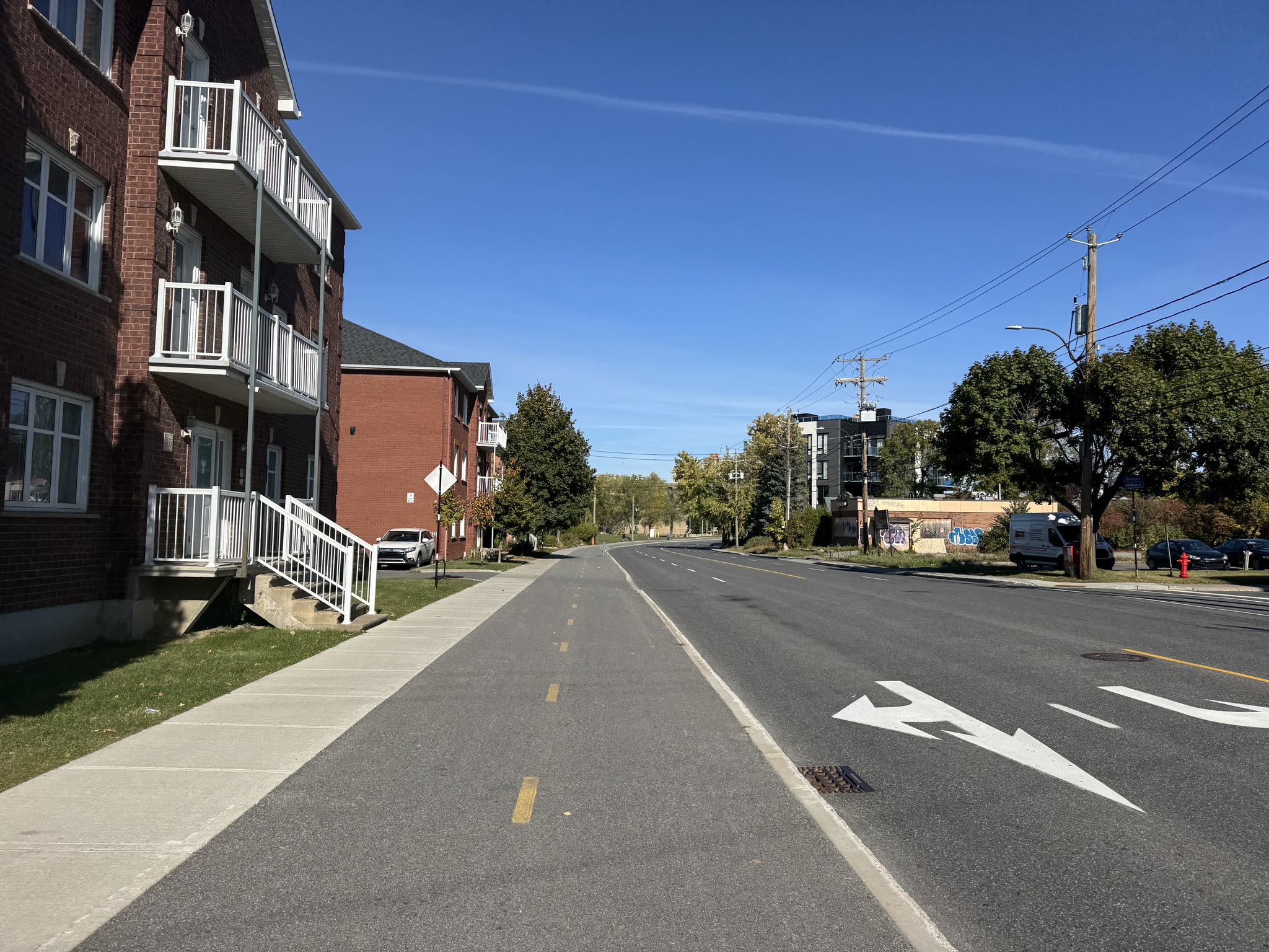
There was no cycling infrastructure on the north side, leaving the ferry. Traffic was heavy and noisy for the 1st km or so. We were the first ones off the ferry, but it didn’t take long for the cars and trucks to pass us. We did have a decent shoulder.

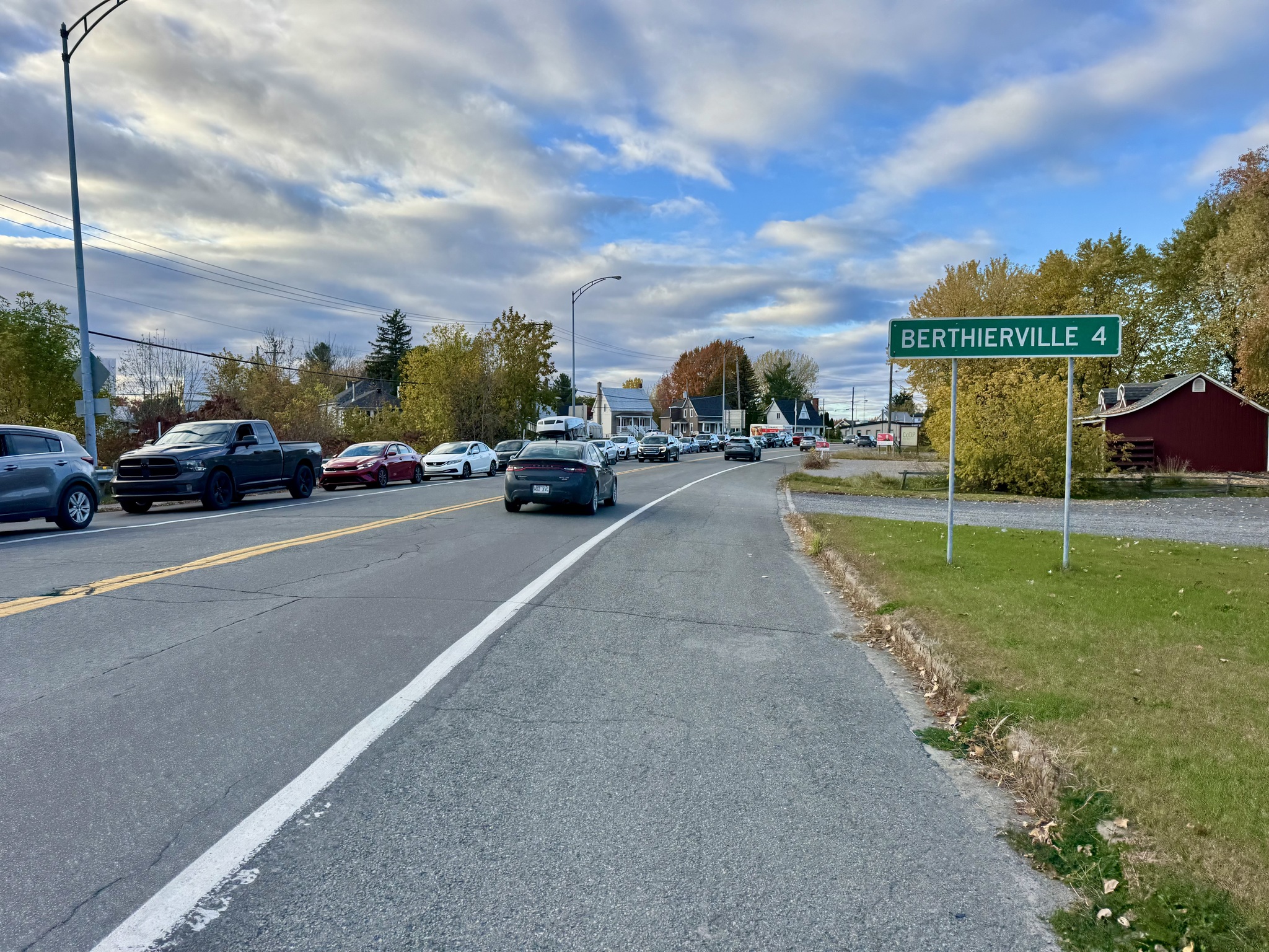
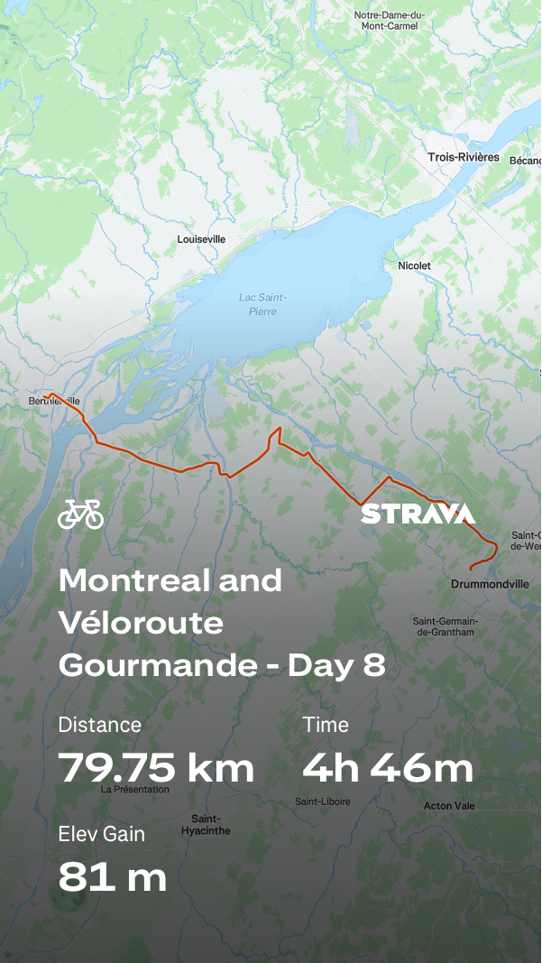
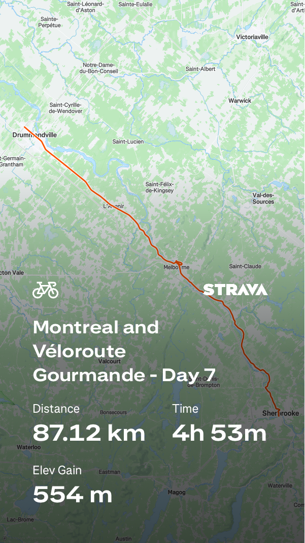
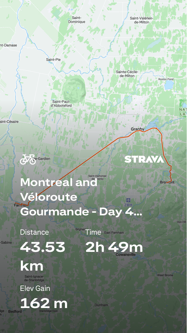
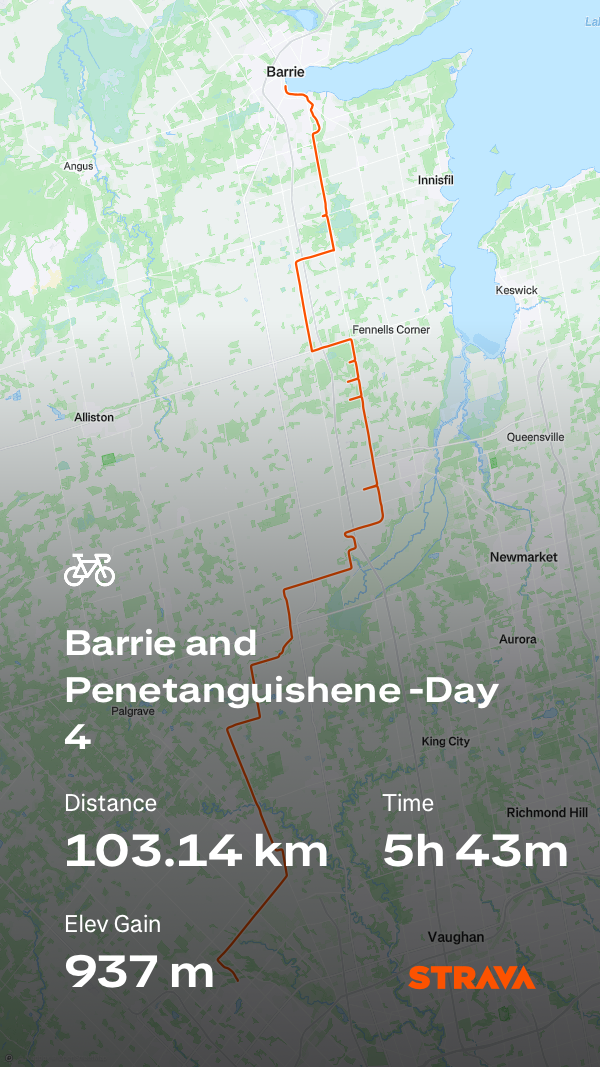
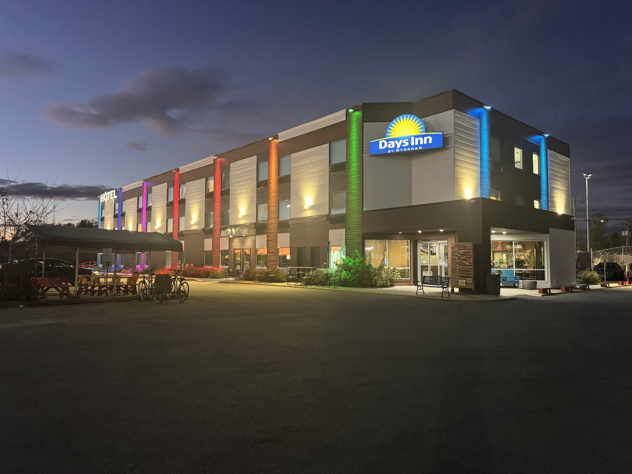
After 80 km we arrived at our hotel, Days Inn, in Berthierville. It is nicely decorated, which, with lots of colourful art. They have bike racks outdoors, and small bike stands that they could provide for the rooms, if we didn’t want to lean our bikes against the wall.

We cleaned up and then walked across the street to a tie restaurant for dinner.

After dinner, we had a drink in the bar in the hotel and then headed to our  rooms. Somehow, the first eight days of this trip have flown by. Tomorrow is the final day of the self supported part of our trip, and then we will have two more days in Montreal before driving home.


Montreal and Véloroute Gourmande – Day 7

We had breakfast in the apartment with the groceries we bought last night. We are riding from Sherbrooke to Drummondville today with the distance of nearly 90 km. Once we were packed up, we carried down panniers and bikes separately.

Our accommodation was right across the street from a school. We saw many people walking and biking to school. There was no traffic jam of cars around the school. The intersection has a scramble phase for pedestrians, which means that the lights were red for vehicles in both directions while pedestrians were allowed to cross in any direction, including the diagonal.  The crossing guard would walk towards the middle of the intersection during the scramble phase.

Here we are ready to go.

Here are a few buildings and a large mural which we saw on our way out of town.

We encountered a roundabout that had pedestrian and cycling infrastructure. Cars are required to yield to pedestrians and cyclists.

We were on a path adjacent to the river for a while.

Velo Route 4 goes to Drummondville, but from Bromont, where we were two days ago. Consequently, most of the day was spent on roads, but they were generally not very busy.

We generally have good shoulders to ride on.

We are encountered several instances of very short bike lanes that went from nowhere to nowhere.

It was overcast all day.

We found a little park with a porta potty and a a four seater glider.

Photo credit: Dayle

This business caught my eye, but we didn’t visit.

Most of the trucks that passed us gave us at least the required 1.5 m. 

Most of the towns that we passed through, have gentle density in the form of four- or six-plexes. there were also so many buildings like these that are rental buildings. I wonder what Quebec’s zoning is like to get so much gentle density. In Ontario it seems to be single family homes or high-rises, and not much purpose built rentals. 

We bought a six pack of large date squares for $3.50. One of our more economical snacks. The proprietor spoke no English.

It had started to spit rain just before we stopped for our snack, but didn’t seem enough to warrant rain gear before we set off. It wasn’t more than a few kilometres before it started raining moderately and it was time to stop and put on the rain gear.

Shortly thereafter, I got too far ahead of the group, and Cindy got a flat tire. David and Dayle stopped in the three of them got it changed.

Photo credit: Dayle

I was more than a kilometre ahead so stayed where I was until they caught up.

We planned to stop in Richmond for lunch, but hadn’t chosen where to stop. We wasted time trying to figure out where to eat, and then trying to find the restaurant. Somehow, we managed to ride a couple of kilometres when the Subway restaurant that we chose had been just a few hundred metres off of our route. I think we are all getting tired. We will choose tomorrow’s lunch spot tonight.

Richmond had an amazing row of red maples.

To continue on our way, we had to cross over the Saint François River. We didn’t have cycling infrastructure before or after, but there was a narrow paved shoulder and a sidewalk on the bridge.

Some areas now seem past their peak for autumn colors.

We had a 4 km long climb that was a pretty steady 3% grade, which was quite tiring. This is Dayle almost at the top.

After that, there was a beautiful descent L’Avenir, and the rest of the ride was fairly level or slightly downhill. There were several more incredibly long beautifully rubbed rose of red maples in L’Avenir.

Outside the church in L’Avenir, someone had set up a skeleton with a safety vest, and slow sign.

The route I had originally planned with the help of Ride with GPS was somewhat meandering to keep us off of route 143, but with the length of the ride, the weather, and the fact that we had to attend the Brampton Active Transportation Advisory Committee meeting at 7 PM, we decided to stay on route for 143 which took us right to our hotel.

It got busier as we got near to Drummondville. It seems like we got every red light. There was a small section of raised cycle track, but mostly we stayed on the road.

This bridge over the Trans Canada Highway had cycling infrastructure and cars were required to yield to bicycles and pedestrians on the ramps.

We arrived at the hotel with just enough time to check in, quickly change, and go out for a dinner which included poutine.

According to ChatGPT:  “Poutine was invented in Drummondville, Quebec, in the late 1950s.

The story most often told is that Fernand Lachance, owner of Le Lutin Qui Rit snack bar in Warwick (near Drummondville), first mixed French fries, cheese curds, and gravy at a customer’s request around 1957. Lachance reportedly said, “Ça va faire une maudite poutine!” (“That’s going to make a damn mess!”) — giving the dish its name.

Later, restaurants in Drummondville, especially Le Roy Jucep, helped popularize and perfect the recipe by adding hot gravy to melt the curds slightly. Le Roy Jucep even claims to be the official birthplace of poutine, and the Quebec government has recognized it as such.

So while the exact origin is debated, Drummondville is widely regarded as the home of poutine.”

Tomorrow will be a road day, as well, with a distance of about 80km.

Montreal and Véloroute Gourmande – Day 6 – Sherbrooke

Our friend George used to do a bike trip in the Eastern Townships with friends every year. When he read in my blog where we are he recommended Eggsquis Diner for breakfast. It was just across the street from our accommodation so we gave it a try.  The portions were large and the food and service good.

We went back to the apartment to pack up. I used the auto-trace function in Ride with GPS on the remaining Véloroute Gourmande routes after I discovered Monday that they had no cues. Unfortunately we still had the issue of the seemingly significant changes to the route since the gps file was created in 2021. Note to self, check date on files created by others and check with them if they are still correct is they are older files.

The distance sign for Sherbrooke right outside our accommodation showed 25 km to Sherbrooke, presumably the shortest road route. Our route for the day was 70km.

Within a kilometre or so we were on the trail. There was less climbing today, but most of it was in the first half so it challenged us. It was about 40% unpaved, but the surface quality was excellent.

This is one of the places where the GPX file differ from the signed route. We had come from the left side of the picture and had to make a left turn back onto the trail.

Here we are climbing again.

And Cindy is still smiling, despite the climb in front of us. Some of the steeper climbs were surfaced with asphalt even when the trail on either side was grit.

This was one of the worst climbs of the day.

Lunch was in North Hatley. It is “famous for its scenic beauty, including views of Lake Massawippi and the surrounding mountains, and its charming, historic architecture. It is also known for its vibrant arts and literary scene, its high-quality tourism facilities like the internationally renowned Manoir Hovey, and its status as one of Quebec’s most beautiful small towns.”

We met a local earlier who recommended Pilsen for lunch. We locked our bikes up and went up to the second floor, where they were serving, to have a look at the menu. It was quite expensive so we decided to try a café in La Chocolatière Auberge, across the street. It was a little less expensive, and the food was very good.

This was one of the many rest stops we saw today.

Cindy was in search of ice cream after lunch, but the store was closed.

The trail was new here and went under the highway. We decided to follow the signs rather than the Ride with GPS route. It put us on a very pleasant, very level trail, and kept us off the roads.

I love it when I see paved, active transportation infrastructure, and gravel roads for cars.

A couple of people who read my blog, who attended Bishops University, recommended that we visit the campus. It is a small English language university located in Lennoxville, a part of Sherbrooke. Fortunately, Route Vert 1 goes right through the campus.

This was also a new section of trail coming into Sherbrooke that we only we knew about by observing the signs, and it differed from the Ride with GPS file. There was trail access to the road via two staircases and a ramp. The active transportation infrastructure here is so impressive. 

Our accommodation was about 6 km from the end of Véloroute Gourmande so we stopped to drop off panniers. David and Dayle decided to stay in the apartment Cindy and I decided to finish the route. There were 24 steps up to the apartment and no elevator.

There was some interesting street art in the underpass near the old train station.

The train station has been repurposed into Marché DelaGare. It has several restaurants, a butcher, and a cheese shop. Outdoors, there are play areas and a summer market.

Sherbrooke is on the Magog River. There is a multi use path along both sides. Cindy and I explored the one on the south side.

These are some of the interesting houses we saw today in Sherbrooke.

We were keeping our eyes out for a sign, indicating that we were at the end of the Véloroute Gourmande , but we didn’t find one. This was the end spot in the file and online maps so we took a picture there.

Part of the trail next to the river was under construction, and as we saw in a few places in Montreal, when the cycling infrastructure was unavailable, space was taken from motor vehicles to create a temporary detour for cyclists.

These are a couple screen captures of how the signed route and the GPX file from the Véloroute Gourmande website differed. The blue line was old route, and the red line was how the route was signed, and what we chose to ride. The signed route seemed relatively new and improved over the old one.

There’s a lot of gentle density in Sherbrooke. We saw many of these types of apartment buildings.

Since food has been so expensive, and we have an apartment today, we decided to get food at the grocery store for breakfast, and picked up subs for dinner from Subway. The plaza had indoor bike parking.

Riding Véloroute Gourmande was an excellent experience which I highly recommend.

Tomorrow, we head north to Drummondville.

Montreal and Véloroute Gourmande – Day 5

Café 1792, where we plan to have breakfast, didn’t open until eight so my intention was to sleep until 730, but I forgot to reset my alarm from seven. After it went off, I couldn’t get back to sleep.  A latte and breakfast burrito gave me energy to start the day.

We had a 3 km ride back to the trail, which was more than half cycling infrastructure.

Almost half of our 66 km ride today was on a gritted surface. All but a couple hundred metres was fairly good quality, except for a couple spots on the slopes where water had eroded the trail a bit. However, we began on asphalt.

If you’ve been reading the past few days of the blog, you know how impressed we are with the cycling infrastructure hearing in Quebec. But it’s not just the cycling infrastructure that makes these rides special. It’s also the culture and the public art. Here’s a few examples of the public art we saw along the trail today.

Véloroute Gourmande is part of the Trans Canada Trail and we have seen a number of the pavilions. 

This building is a replica of the station that was in Bromont. It houses tourism information and staff.

We encountered many places along the trail to rest. 

The cycling infrastructure varies but it is almost always present.

We are seeing more autumn colour and fallen leaves.

Waterloo is on Lake Waterloo and has an active transportation bridge crossing the north end of the lake.

Waterloo has a park with a lot of public art.

There is another tourism office in Waterloo, and bathrooms. 

City Hall was decorated for Halloween.

We passed lots of lovely homes.

This gritted section through a hydro corridor was one of the rougher areas we encountered, but still wasn’t too bad.

Today had the most climbing of all of the days on our trip with over 600 m and just over 60 km.

Quebec has a law requiring drivers to give cyclists 1.5 m when passing in zones of more than 50kph, and 1 m in zones of 50kph, or less. We had 13 km on a gravel road, but the surface was pretty good, and only about half a dozen cars passed us over the entire distance.

This very fancy garage that looks like French château caught my eye. It matched the house in the background.

We left Véloroute Gourmande to ride a couple of kilometres into Eastman for lunch. It is a small town of just over 2000 people, but has many restaurants and seems to be a very popular spot for walking and biking.

We had lunch at Bowen Café. It was very good, and not as expensive as where we had lunch yesterday.

Next to the café were free e-bike charging stations with locks so that you could leave your bike while it was charging.

The next section was not paved and was quite hilly.

It was a relief to ride on a flat asphalt road beside a lake for a couple of kilometers.

Before long, we were back in the woods on a section with a lot of short, sharp up and downs.

I was in the lead with David and Dayle somewhat behind and Cindy, bringing l up the rear. But we got too far apart and Cindy took a wrong turn. It took us about half an hour before we all managed to get back together. This is where I waited, sitting on the fence, here’s David who went after Cindy finding me. Cindy showed up shortly thereafter, and then Dayle. Cindy unnecessarily climbed one steep hill, and David several causing him to accumulate 100 m more of climbing than I did, today.

At this point it was getting late and we were getting tired so we decided to go straight south into Magog instead of following the route which shows as a blue square. 

Screenshot

This was our first sight of Magog.

Magog is Lac Memphrémagagog, and has a beautiful waterfront with separate infrastructure for cyclists, and pedestrians. It was very busy as we rolled into town about 5 PM.

We passed the Lake Memphremagog monster, known as Memphré. It is a “legendary creature said to inhabit Lake Memphremagog on the border of Vermont and Quebec. It is described as a long, serpent-like sea monster or dinosaur and has been the subject of local folklore and over 200 reported sightings since the early 19th century.”

Cindy’s friend Tushita was in Magog today hiking with her boyfriend and another friend. We planned to meet them for dinner. They were waiting for us at our accommodation when we arrived. We quickly changed, then walked a few blocks to dinner. 

The restaurant had a lovely patio and it was warm enough that we were able to sit outside for our dinner.

Montreal and Véloroute Gourmande – Day 4

Since we only had 41 km to Ride today, we decided to meet for breakfast half an hour later than the previous mornings. Unfortunately, I forgot to turn off my earlier alarm. We walked to Tim Hortons for breakfast, and then back to the hotel to pack up. Packing was easier this morning because there were no decisions to make other than what to wear and pack everything else in the panniers.

Here we are at a great mural on the side of a coffee shop in Farnham. Farnham is divided by the Yamaska River. We rode across a road bridge to see the church, and  only then realized we could have used a very long pedestrian and cycling bridge. 

It wasn’t long before I realize I had dressed far too warmly. I stopped to shed my coat.

The skies were blue, and the sun was strong, and the riding and infrastructure were delightful.  All but the first kilometre and last one were on Active Transportation infrastructure. 

We saw many pastoral scenes.

Unlike on Ontario trails, mostly the trails do not have gates at all, and even when they do, they are mostly open.

We spotted the mountains around Bromont, our destination for the night early in the ride. We could see them  yesterday afternoon, as well.

We encountered some toilet paper covered tar snakes on the trail today. Funny how I had never seen that before and now I’ve seen it twice in a matter of days.

There are fairly frequent rest stops along the trail. This one had a porta potty so we stopped and then sat at a sheltered table for a snack.

I also took the opportunity to remove the capris I was wearing over my bike shorts because I was still too warm.

The investment they make to get cyclists under major roads is very impressive.

We started seeing a bit more fall foliage today.

Granby is a city in the Eastern Townships, known for its zoo and for being a hub for outdoor activities like cycling and nature exploration. There were a number of public art pieces inspired by the zoo.

We had lunch in Granby at Le Café de la Brûleríe. It was packed with cyclists and we were not able to get a table outside. The food was good, but it might be the most expensive lunch I’ve ever had at $44 with tax and tip.

The Yamaska river widens into Lac Boivin at Granby. Walking and cycling are so popular that they have separated infrastructure for each. There is a very large walking and cycling bridge across the lake. 

There was interesting public art scattered along the pathways.

There were numerous intersections of  active transportation infrastructure without a road in sight. 

Cindy took a picture of me riding today to try to balance out all the ones I post of her from behind.

As we got closer to Bromont, the colours became significantly more intense.

Our accommodation was approximately 4 km off the trail and I was expecting to have to ride on the road. We have been travelling along. Veloroute 1. Veloroute 4 branched off and took us into Bromont, leaving less than a kilometre to travel on the main street, which was marked with sharrows. 

There was a protected crossing of the highway. And an underpass to avoid crossing over the ramps. Then a lovely ride though woods roughly adjacent to the main road.

There is an outlet mall in Bromont and Vêloroute 4 goes right through it. Clearly businesses here value cyclists. This, and the bustling main street, remind me of Saint-Sauveur, which Cindy and I visited twice when we were riding P’Tit Train du Nord. They are both ski towns with busy main streets and outlook malls. 

Bromont is known for its ski resort and an IBM microelectronics facility.

And this is where we are staying –  in a two bedroom second floor very modern apartment. The building was originally constructed as a hotel in 1889. 

None of us were terribly hungry, owing to our large, expensive lunch. Many of the restaurants in Bromont had no tables available, or required reservations so we ended up getting Chinese food from a hot table in the local depanneur (convenience store). Unsurprisingly, it wasn’t great, but it filled a hole, and wasn’t very expensive.

I’ll end the blog today with a series of pictures of the buildings along the main street here in Bromont.

Montreal and Véloroute Gourmande – Day 3

We were up at 7 AM, again, and met for breakfast just before 7:30. Once we went back to the room, I had to decide what to take with me for the seven day, self supportive part of this trip, and what to leave in the van. I brought my two panniers fully packed, plus a box I have to hold my bike gear. I brought more than I needed so that I had a couple more days of weather reports to decide what to take. It was less difficult than I expected because some of the things in the bike box are things that I will wear, like my cycling boots and helmet. Decisions were made, things were put in the van, and we were ready to go.

The route we were following between Montreal and Sherbrooke is called the Véloroute Gourmande. The map on the Véloroute Gourmande website has a link to the route on Ride with GPS. I started with this map, and broke it up for where we were stopping, and included the route from the trail to our accommodation and back for each day.

We encountered quite a few places along the route where the signage and the GPX file we’re not aligned. It caused us some confusion. In some spots, the signed route was better than the GPX file. When we finished for the day, I checked the file and it hasn’t been updated since 2021. It seems that some infrastructure has been upgraded in the last four years, and signs installed, but no one thought to update the GPX file.

For today, I also had Ride with GPS create a route from our accommodation to the beginning of the Véloroute Gourmande. I didn’t check the elevation profile, and like yesterday, we found ourselves climbing a steep hill up to the Westmount Summit.  After only a kilometre we had to stop and take layers off as it didn’t feel as cold as yesterday morning and the climb warmed us up quickly.

It was a neighbourhood of beautiful homes which we enjoyed seeing making the climb worthwhile.

The descent was exhilarating and seemed to go on for much longer than the climb. I think that was because we were not only descending from Westmount Summit, but continued to descend down to the port of Montreal.

Once we were out of the residential area, we had cycling infrastructure for most of the rest of the day.  This is a typical Montreal bi-directional cycle track.

I think this is the first time I have encountered a raised One Direction cycle track.

When we got to the Lachine Channel we repeated a short part of the route we did yesterday. At the beginning of the Véloroute Gourmande route there public bathrooms, which we used.

The port of Montreal is a busy port.

They are good views to old Montreal on the other side of the St. Lawrence River.

We were on infrastructure separated from motor vehicle traffic most of the day. The type of infrastructure varied depend, depending on where we were. In Saint-Lambert it was a bidirectional multi-use path. The path was built behind the bus stops. And the bus stops did not have advertising in them, preventing people from being able to see bikes passing by.

We passed what looked like a bunch of toilet paper on the road, then shortly thereafter came upon a construction crew that were filling cracks in the road with tar. After the tar was put in this worker rolled toilet paper onto the tar, and cars were allowed to drive over it as soon as he finished.

Many of the streets that we cycled adjacent to where streets that we would’ve been comfortable riding on, but it was wonderful to have separated, infrastructure setback from the road in many cases.

In Longueuil there was a bi-directional cycle track adjacent to a sidewalk.

Under route 134 The supports were colourfully decorated with murals.

We encountered a very short stretch of granular surface, but the quality was pretty good. The route was reasonably well signed, but was missing some signs where we could have used them. 

This excellent spiral ramp took us over rail yards and Route 116.

There was a newly paved path through a hydro corridor.

Here there was a low curb between the bidirectional multi-use path and motor vehicle traffic.

The foliage is still mostly green but there are some lovely areas of color.

This bidirectional multi-use path just had a painted line between it and the road.

Here there was a grassy Boulevard between the path and the road.

In a few places, there were information signs about things off the trail.

In Carignan the gpx routed us to a closed trestle bridge. The signs were not good either. We figured out we had to deviate to a new Active Transportation Bridge in a park to get across the river.

We were surprised, since the route has called Véloroute Gourmande not to encounter any independent restaurants and cafés yet. So we had lunch at Tim’s in Chambly. 

This is a great message.  “The fight against climate change begins here.”

The route used the towpath of the Chambly Canal which was good quality granular surface.

This lock operates by pulling the bridge back on rails.

There is a lovely section where we had water on both sides.

In Sainte-Thérèse this residential street facing the canal had one direction for motor vehicles, and a wider section, which was a bidirectional multi-use path. 

Cyclists did not have to to stop at the T intersections.

As we came into Saint-Jean-sur-Richelieu, the signs showed the route following the causeway, and the Ride with GPS route directed us onto this bi-directional cycle track. We decided to follow the cycle track, but in retrospect would have stayed on the causeway. The traffic was quite noisy, and there was a short section with no cycling infrastructure as we came into downtown.

There was a very interesting lift bridge where we crossed the Richelieu River.

After crossing the river on separated, Active transportation infrastructure the route had us going south to then have to go quite far back north to get under a highway. Dayle suggested we stay on the street to our left in this picture. The street became one way in the wrong direction at the next intersection so we went one to the north and were able to cut off a little bit of distance.

The trail from Saint-Jean-sur-Richelieu, to Granby, via Farnham where we are staying tonight, is called La Montérégiade. It is 48km long and follows an old rail line.

Once back in the country, we encountered this field of cattle with an electric fence between them and the path. A little bit further on was a place where they could cross into another field and little electric mats to stop them from wandering onto the path.

As we came into Farnham we saw people coming down in parachutes. Just after that we encountered. Parachute Montreal.

A couple kilometres later, and after 85km we arrived at our motel.

We settled in and then walked 400 m to a pizza place for dinner.

It was so wonderful to have spent a day in a province that prioritizes active transportation.

Montreal and Véloroute Gourmande – Day 2

We met for breakfast on the second floor at 730. It was self serve – from getting plates from the cupboard, cold things from a fridge, and a small buffet of cold items. After eating we loaded the dishwasher, and went back to the room so I could plan a route and we bundled up for the 3° morning. We dressed in layers as the high was predicted to be 12°.

Here we are ready to go.

Cindy arranged to meet a friend, who works in Gare Windsor, the old train station, midmorning. I saw pictures of Beaver Lake on Mont-Royal last week showing the autumn foliage so we started by riding up to the top. It was challenging, but doable.

There is so much low rise medium density housing in Montreal. These are very typical  housing forms here.

This is Beaver Lake at the top of Mont-Royal. The park was designed by Frederick Law Olmstead. He also designed Central Park in Manhattan, and created a park and Parkway system in Buffalo.

A little more climbing and  we reached the Kondiaronk Belvedere. Designed by Olmsted, and built in 1906, the semicircular plaza has a chalet and overlooks downtown Montreal. It was named for Huron chief Kondiaronk, who forged peace between the French and Indian tribes in 1701. The views are spectacular.

I thought it would be downhill after that but we still had some climbing to do before an awesome descent.

Part way down was another lookout, this time to the east, from which we could see Olympic Stadium.

From this vantage point we could see how high up we had just been. The monument is of Sir George-Étienne Cartier, a Father of Confederation.

Montreal has many bi-directional cycle tracks. It is one of the best cities I have experienced for cycling.

I love the cladding on the Hotel St Germain.

This is The Ring in Place Ville-Marie (PVM).  It is an art installation symbolizing the connection between “Montreal, PVM, Montrealers, and visitors from around the world.”  It was designed by the internationally renowned Quebec creator Claude Cormier and his landscape architecture and urban design firm CCxA. It is 30 metres in  diameter and suspended at the main entrance to  PVM . Cormier also designed the relatively new Love Park in Toronto where there used to be a highway ramp.

The courtyard of Gare Windsor, the old train station, which now houses offices, has a glassed in workspace. It is next to The Bell Centre where the Montreal Canadians play.

After coffee, a visit with Tushita, and a tour of her office, we rode along another bi-directional cycle track to Bonaventure Park.

Bonaventure Park was created on the site of the former elevated Bonaventure Expressway. The road is now at grade. There is a playground, public art, exercise, equipment, benches, ping-pong tables, and a bike share station. More than 300 trees and 30,000 shrubs and perennials were planted.

Image credit: https://www.csla-aapc.ca/awards-atlas/site-development-central-islands-bonaventure-project

There are two of these sculptures, called Dendrites, by Michel de Broin.

This is  “Source” by Jaume Plensa, a 35-foot-high sculpture, weaving characters from eight different alphabets symbolizing cultural diversity and the roots of the city.

Next we wanted to visit Jean-Drapeau Parc on St Helen’s Island, the site of Expo 67. We had cycling infrastructure the whole way. Where it was under  construction, there were well marked detours.

We passed Habitat 67,  a famous housing complex, designed by Moshe Safdie for Expo 67.  It was an experimental project that aimed to combine the benefits of suburban homes—like private gardens, fresh air, and privacy—with the density and efficiency of urban apartment living. It is made up of 354 prefabricated concrete modules stacked in irregular patterns to form 148 apartments, each with its own terrace. The modular, Lego-like arrangement creates a visually striking, futuristic look and gives every unit unique layouts and views of the St. Lawrence River.

There was a cruise ship docked at the cruise terminal in the port of Montreal across from Habitat 67.

We rode across Pont de la Concorde, a relatively flat bridge to Parc Jean-Drapeau, which includes the Expo 67 site, and the Gilles Villeneuve F1 Circuit, which has lovely smooth pavement and is free of cars, most of the time. We rode the circuit.

Then we stopped at the Biosphere, which was the American pavilion at Expo 67 designed by Buckminster Fuller. In 1976, a fire destroyed the acrylic covering, leaving only the steel skeleton. The structure was repurposed and reopened in 1995 as the Montreal Biosphere, an environmental museum, dedicated to ecological and climate issues. The museum is closed for renovation right now.

This sculpture is via Alexander Calder, and is entitled Trois Disques.

This is the view across the river from Trois Disques to Old Montreal. 

We had lunch at a cafe in the park. It was a bit pricey, but the portions were large and the food reasonably good. The patio was sheltered, sunny and and a perfect temperature.

We rode back over the Jacques Cartier bridge, which is quite a climb, but has a separated multi use path, and a viewing spot near the apex.

From there we rode up a fairly steep, but not overly long hill to Le Plateau neighbourhood.  Parc la Fontaine is large and car free. 

We then had a quick stop at Vélo Québec – Maison des cyclistes. There is a coffee shop, pamphlets about cycling and a Vélo Quebec representative who can help plan cycling trips.

We stopped nearby at C&L Cycle. They sell Bassi bikes, which have steel frames, and are made in Canada.

Last night Cindy showed me a picture of this bird eating a french fry, which she saw on a previous trip. So we had to stop and take a picture when we passed it.

Even though it doesn’t look it in this picture, the bi-directional cycle track on Rue Rachel was very busy. Cyclists seemed to come in clumps.

We spotted a great cycling mural just as we approached the intersection where we finished our descent from Mont-Royal this morning. 

This time we rode around Mont-Royal rather than over it, passing thought the University of Montreal. This parking garage was interesting. It appeared to have angle parking with each angled projection from the structure containing one car.

And here we are back at Saint Joseph’s Oratory of Mont- Royal. It was awesome weather for riding and Montreal is such a great city to ride in.

Dinner was late and light, given the large late lunch we had. It was also cheaper.

Montreal and Véloroute Gourmande – Day 1

David and Dayle, Cindy and I are beginning a 12 day bike adventure. We are driving to Montreal and spending a of couple nights, before riding the Véloroute Gourmande, from Montreal to Sherbrooke. From there, we will ride north through Drummondville and back west along the St. Lawrence into Montreal. Then we will have another two days to explore Montreal, before driving home.

  1. Oct 8 Wednesday: Drive to Montreal
  2. Oct 9 Thursday: Explore Montreal
  3. Oct 10 Friday: Bike to Farnham 85km
  4. Oct 11 Saturday: Bike to Bromont-Granby 41km
  5. Oct 12 Sunday: Bike to Magog 66km
  6. Oct 13 Monday: Bike to Sherbrooke 70km
  7. Oct 14 Tuesday: Bike to Drummondville 89km
  8. Oct 15 Wednesday: Bike to Berthiersville 78km
  9. Oct 16 Thursday: Bike to Montreal 84km
  10. Oct 17 Friday: Explore Montreal
  11. 0ct 18 Saturday: Explore Montreal
  12. Oct 19 Sunday: Drive home

David and Dayle have bought new bikes for the trip and I’m excited to see how they work out. Cindy is on her trusty Little Miss Sunshine. I’m on my cross bike that I bought for our Ottawa trip in 2017. It has 44,000 km on it and just about everything has worn out.  I have nicknamed it Theseus, for the Theseus Paradox.

The Theseus Paradox is “a thought experiment that explores the concept of identity over time, asking if an object remains the same after all its original parts have been replaced. The paradox raises questions about whether its identity lies in its physical components, its form, its history, or some combination of these, with no single agreed-upon answer”.  My bike does not even have the original frame, because I crashed and damaged the frame in 2018, and had all the components moved to a new frame.

This year I switched the integrated shifters for bar end shifters, because it was a cheap way to keep it going for another year. Last week I put a new chain on at Different Spokes, Brampton’s Community Bike Hub,  where members can do their own repairs under the guidance of experienced bike mechanics. Yesterday I had a new brake pads installed at Highlands Bikes, a local bike shop. Unfortunately, the pads I needed didn’t ship to the hub in time. Hopefully, I’ll buy a new bike before travelling next year. The remaining original components are the bars, cranks, crank gears, derailleurs, and wheels. 

David and Dayle picked me up at 8:30 AM, and Cindy at 9 AM. We used the 407 to avoid being stuck in traffic on the 401. Fortunately, Dayle has an offer from 407 for free morning rush-hour travel from 7 AM to 9:30 AM.

We stopped in Brockville to visit the Brockville Railway Tunnel. I visited there with my family in 2017, but the others hadn’t experienced it before. We brought our lunches with us and ate on Blockhouse Island overlooking the St. Lawrence River. The Canada US border runs down the centre. We could see the US. 

The Brockville Railway Tunnel is the first railway tunnel in Canada, built between 1854 and 1860 for the Brockville and Ottawa Railway to access the riverfront. It is now a free, seasonal tourist attraction. Visitors can walk through the 530-meter tunnel, which features lighting and sometimes music, and see the remnants of its construction and natural stalactites from groundwater seepage.

The concrete leading to the tunnel was stamped to look like a railroad track.

From one of the information signs in the tunnel we learned: “Ever since the tunnel was built, groundwater has been seeping through its walls and ceiling. Minerals in this water, leeched from the surrounding limestone and sandstone, have been deposited to create the beautiful mineral formations seen throughout the tunnel. These formations are primarily calcite, which is white in colour, and dolomite which is more yellowish. Traces of iron appear orange/red, while nickel and copper are blue/green.”

There are stalactites hanging from the ceiling and walls and flowstone where water is flowing over a surface. The growth of these formations in the tunnel is faster than in most naturally formed caves, but is still only about one millimetre per year.”

“The tunnel was designed to leak. Allowing water to permeate the stone walls prevents the buildup of hydrostatic pressure that could cause the walls to collapse.”

The railway operated until the early 1970s.

These are the views from the south and north ends of the tunnel. The tunnel runs under Brockville City Hall, which was built after the tunnel, and which incorporates the ventilation shafts the tunnel required.

A few years ago, a friend of Cindy’s told us about the accommodation services at Saint Joseph’s Oratory of Mount Royal. The rates are very reasonable and include breakfast and parking. They will allow us to leave our van there for just $5 per day while we are doing our seven day supported self supported trip.

We spotted the dome of the Oratory long before we got there as traffic was heavy due to us arriving at rush hour.

It’s a huge property with many buildings, all with the same address, and we weren’t sure where the accommodation was. We parked and went to the bathroom in an addition to the Oratory that is new since I was here in 2011. We were able to ask for directions and were only a few hundred metres away.

We checked in, and shared a bottle of red wine, which David and Dayle brought with them since they had it open at home, along with some Bits ‘n Bites which Cindy brought. We then walked along Queen Mary Road to find dinner. 

On our return we spotted the moon along side the oratory.

We then walked up the stairs,  but used the outside granite steps, as the middle section of wooden steps is reserved for pilgrims who want to climb on their knees.

We saw that the Oratory was still open so we went in.  I don’t think I’ve ever been in a church with escalators before. The addition is quite modern.

The older part was built between 1924 and 1966. Outside the crypt were displays of “crutches and canes displayed along the walls as a testament to believed healing miracles, a tradition associated with the healing powers attributed to St. Brother André”.

This is the crypt which is the original church, a neoclassical-style building completed in 1917 that serves as the base and foundation for the larger basilica above it. The crypt’s name comes from its low-lying position, embedded in the mountain, and its flattened arches. David and Dayle were getting quite tired so we left exploring the rest of the site for another day.

Barrie and Penetanguishene – Street Art

Here is a map, with a link of all the places I took pictures of my bike this week. Not all of them are in front of murals, but they do represent places of note where I was. When you click on a pin the image will display. The image below is just a screen cap. You will need to use the link to interact.

The Midland Mural Festival is on this weekend.

Barrie and Penetanguishene – Day 4

Cindy offered to guest blog our final day. Readers, you’re in for a treat!

We woke up on day four pretty rested and ready to tackle 654 m of climbing physically if not mentally. We gathered Gail‘s belongings and went to her apartment for a delicious breakfast of cereal, yogurt, fruit, boiled eggs,  bread with some unusual homegrown berries – Josta berries, a hybrid between gooseberries and blackberries – orange juice, and tea.  

We forgot to take a picture so Cindy drew the breakfast spread.

Gail had to go to her mother‘s house so we quickly got ready and met her in the garage so she could open the garage door and give us those two seconds to get out before the gate would come crashing down. 

We headed out of town along a multiuse path that followed the shore. Lisa stopped to take photos of the reflections in the water.

On Huronia Rd we came across a property littered with gastley blue geodesic domes.  Conspiracy theories abound on Reddit. Is it owned by a misunderstood hippie or a creep?  I don’t want to find out.

Next we were stopped by a cute, friendly construction stop sign holder.  He wished us a safe journey as we continued down Huronia -a pretty good road – until we were stopped for real by water main replacement construction.  The detour sent us across the 400 and down a road that Lisa already had tiles on. It made us reconsider our plan to stop in Bradford for lunch.  

Photo credit: Cindy

At 89 we came across Burger Station, where we stopped for a chocolate milk and to pick up BLTs to take for lunch.  We headed east on 89 over the 400 back to  Huronia which had gone through a name change.   I think this is where the REAL Hills began, gentle at first, then transitioning into steep bastards. 

This is also where our side trips out and back to collect tiles became a gravelly, fishtailing, climbing nightmare.  There is no other reason to go down these no exit roads!

After one particularly gruelling side trip, we reached the top of the hill on the main g road and found a shady spot (without a ditch) to sit and eat our BLTs, which were quite tasty.

We really had our ups and downs as we travelled south towards home. We were almost ready to tap out and make the call-but~an  oasis called The Grackle awaited us in Schomburg.  

The Grackle is a busy coffee shop named after a bird.  Apparently grackles are a sign of positivity and hope (11 Common Grackle Spiritual Meanings and Symbolism).  It is a Bicycle Friendly Business.

I had iced coffee and an award winning butter tart to regain my positivity and hope!   You know what Lisa had.  Fuelled up, our outlook improved and up and up we went until our path flattened out.  

Unfortunately now it was rush hour and the Albion-Vaughan road was busy with huge trucks and a minuscule shoulder.  Car traffic was also heavy on Countryside. It seemed like a few drivers deliberately pulled right so that we would have trouble getting by them to beat them through the intersections.  But we have mad skills ya know and we made it to civilization.  Each of us arrived home where our spouses welcomed us back with dinners made by their own loving hands. 

No ride is complete without checking Strava … wait, what? 

954m of climbing!  We are Amazons.