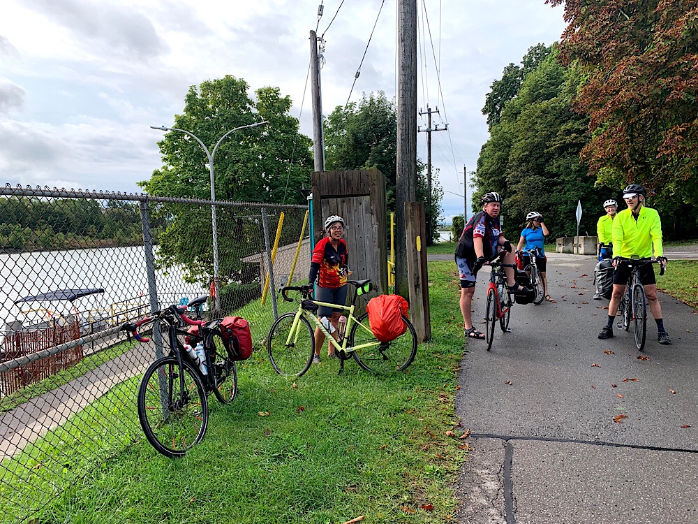
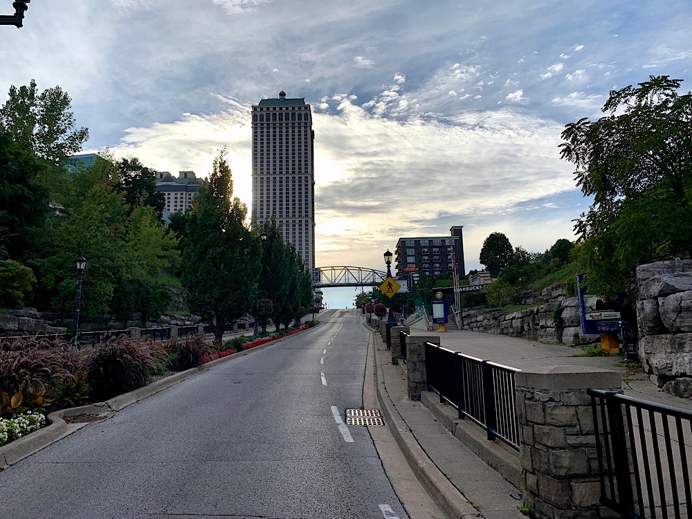
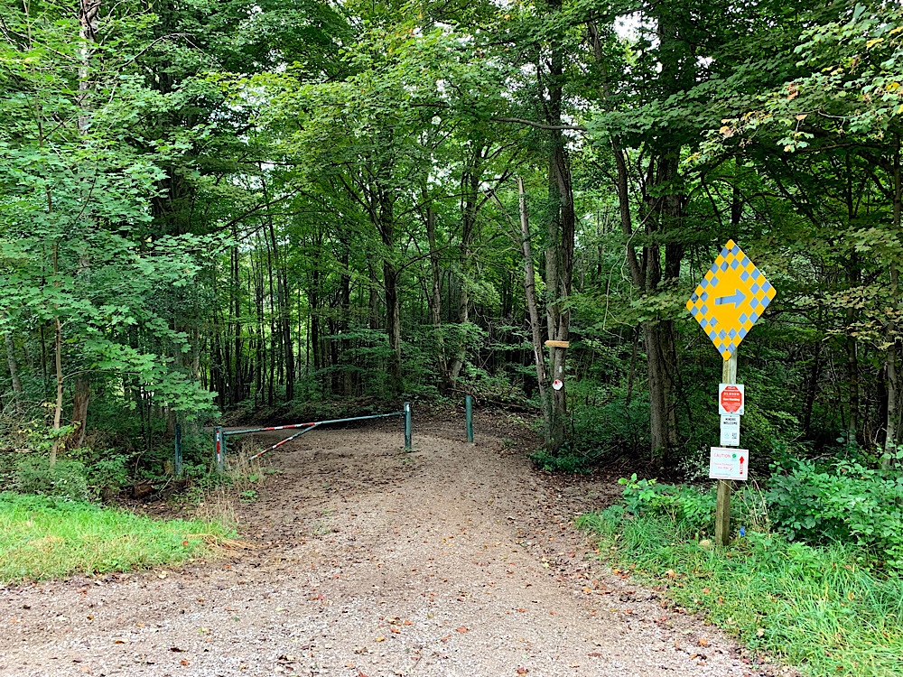
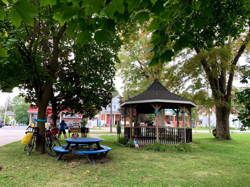
We planned a route, starting in Welland, around wine country to the northwest of Welland. I started with a route that the Brampton Cycling Club created. They have an account on RidewithGPS with all their routes. I planned a route from Welland to the nearest point on the Helen Bick Memorial Niagara ride and then lopped off the northwest section to keep it to a manageable distance for our group. The hotel we were staying at had direct access to the Welland Canal Parkway Trail. However, we were only on it briefly as our ride today was primarily on country roads.
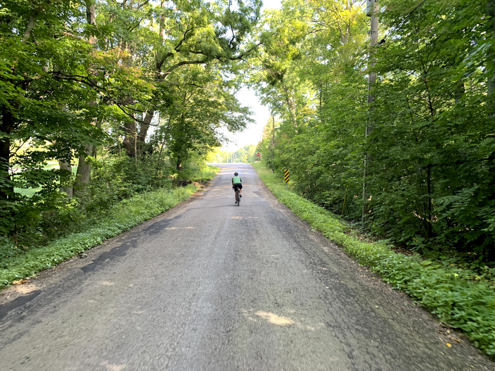
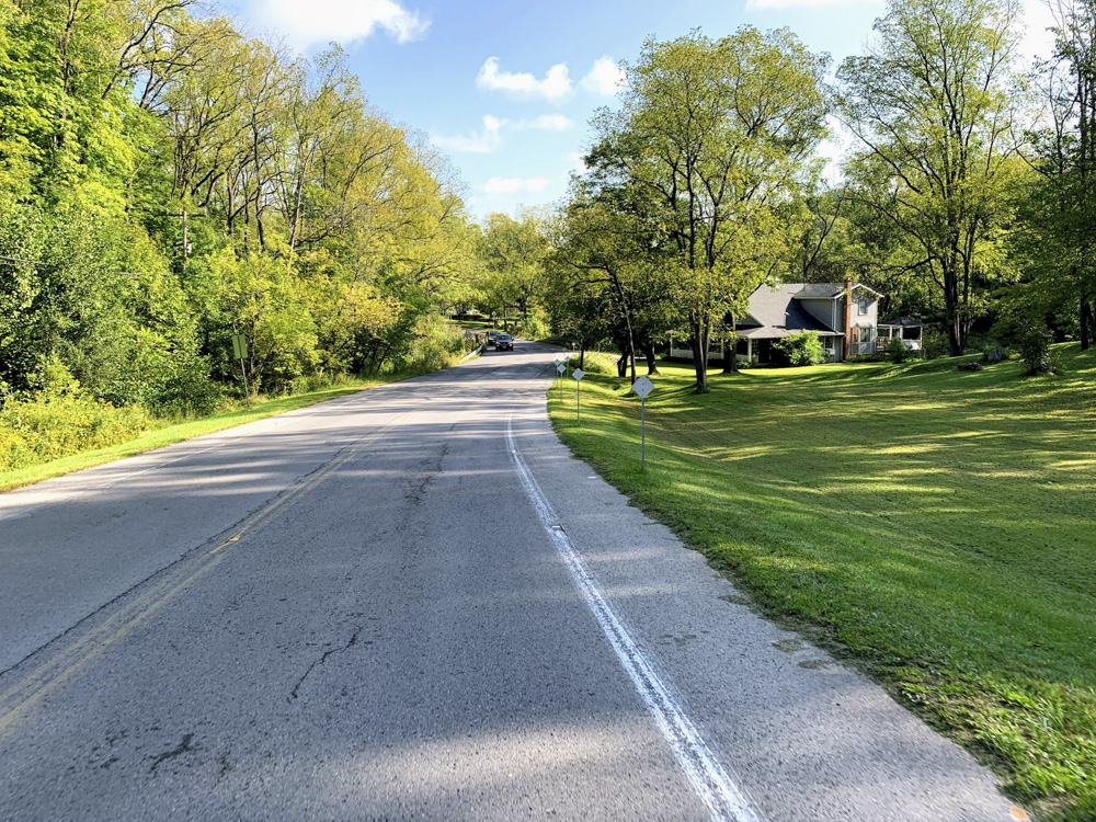
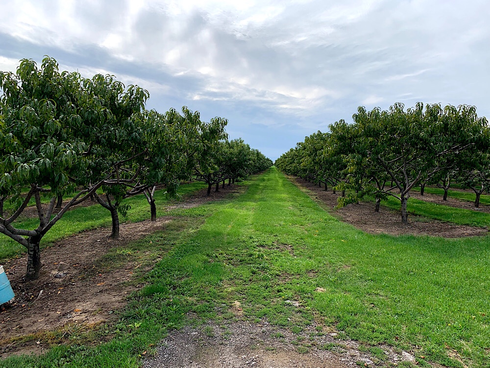
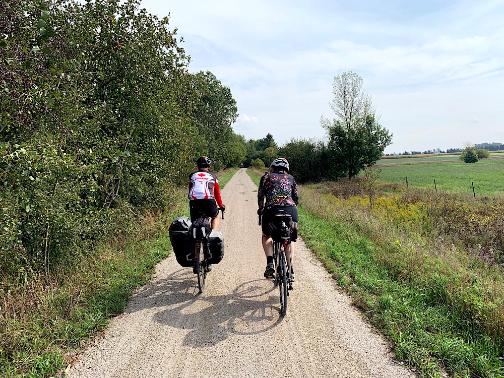
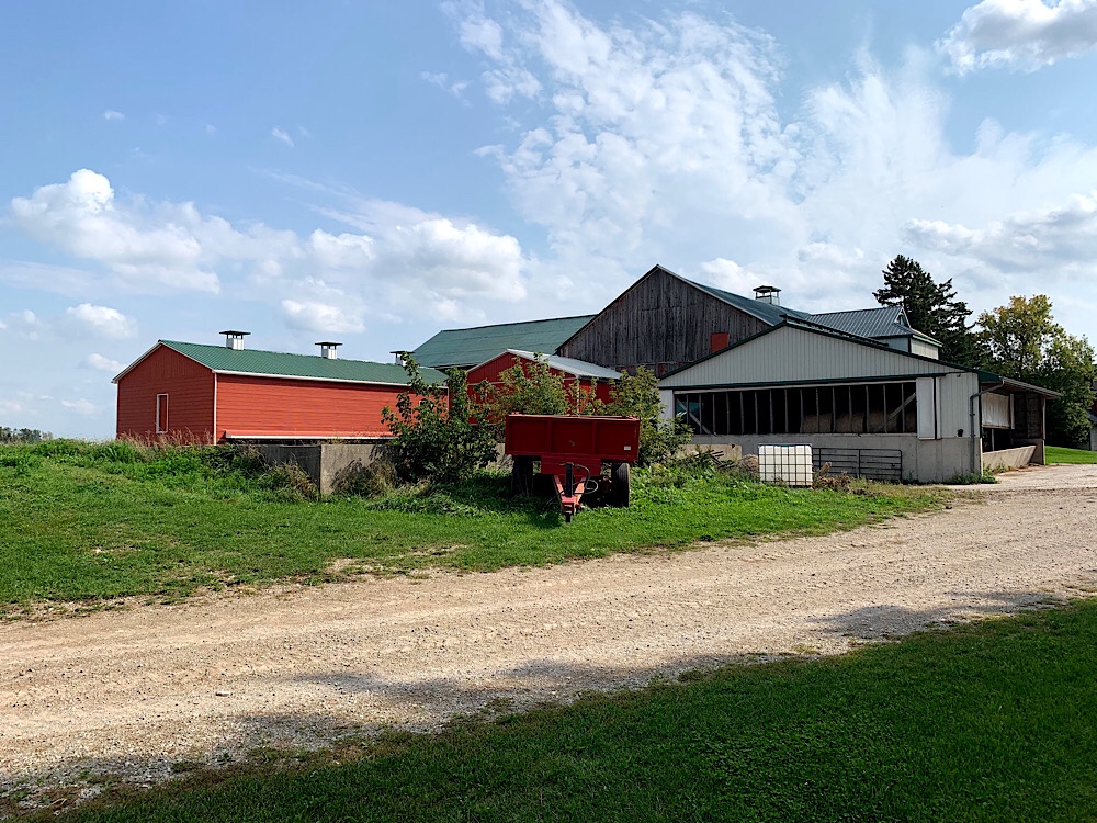
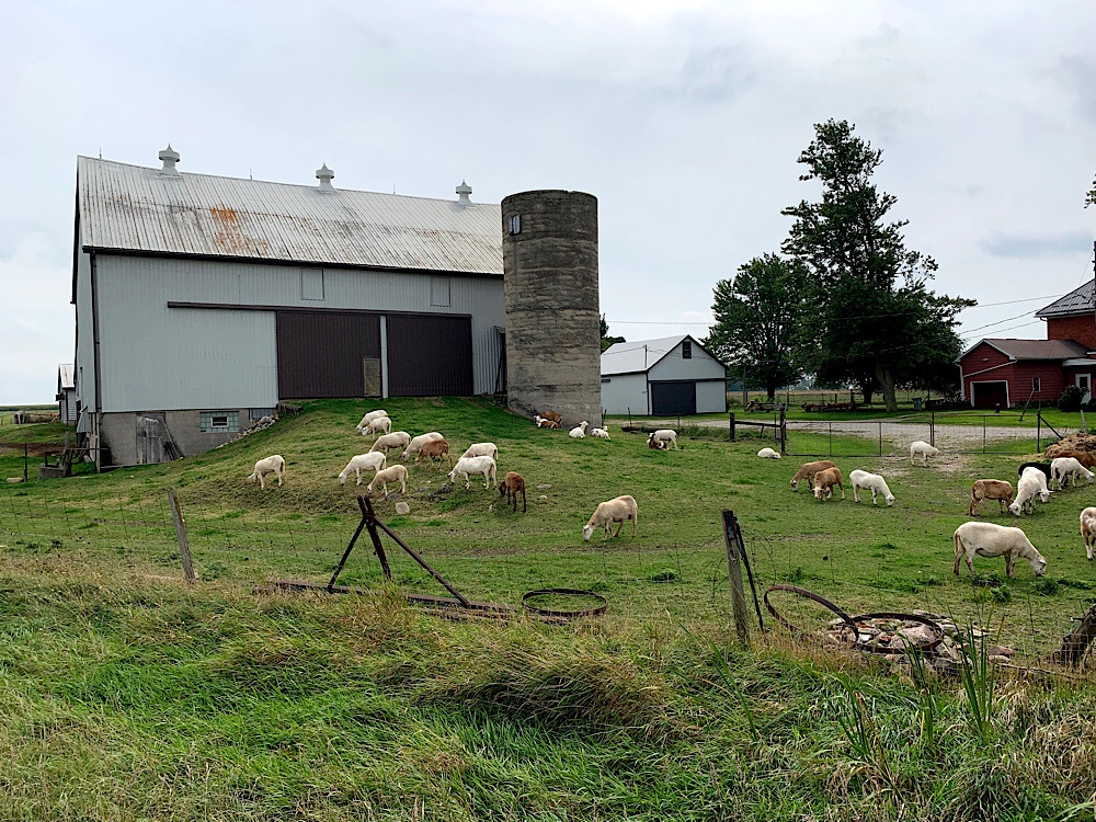
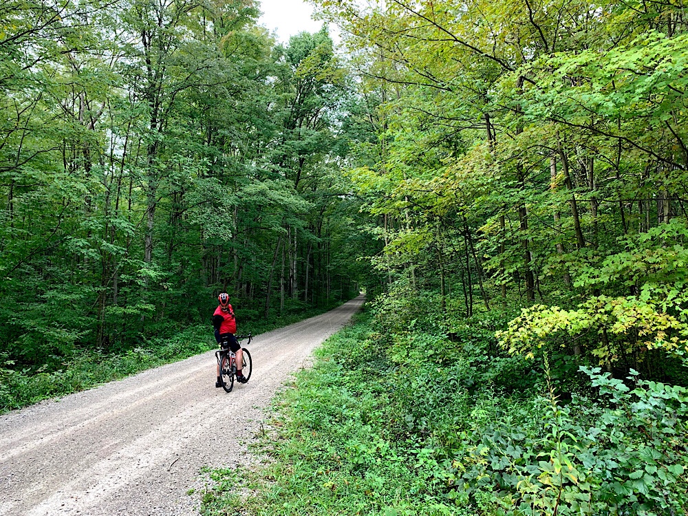
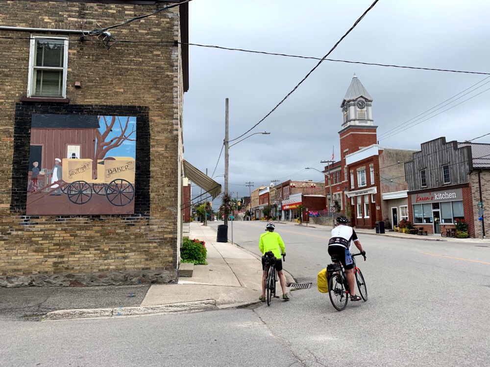
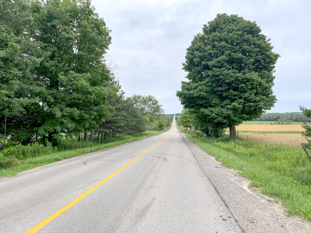
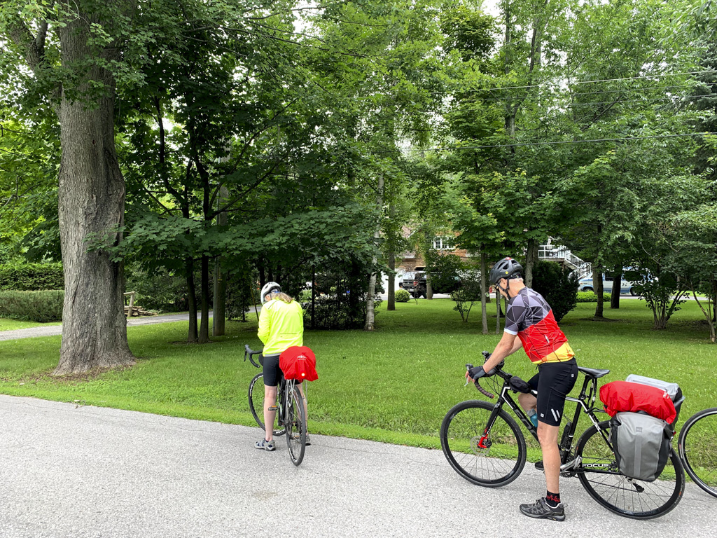
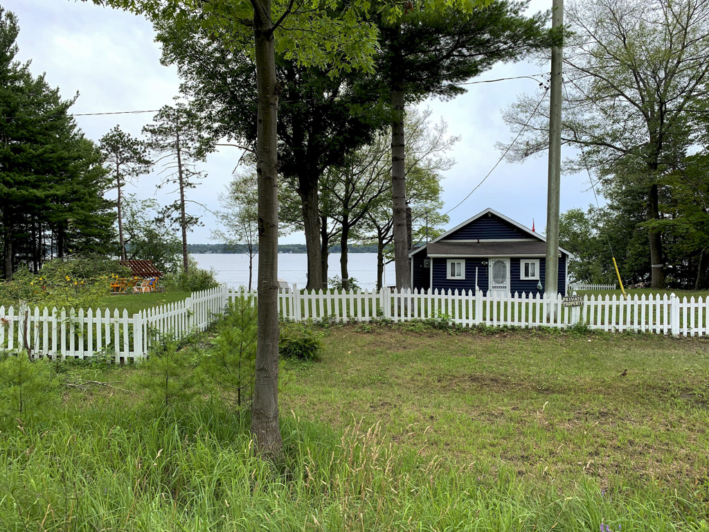
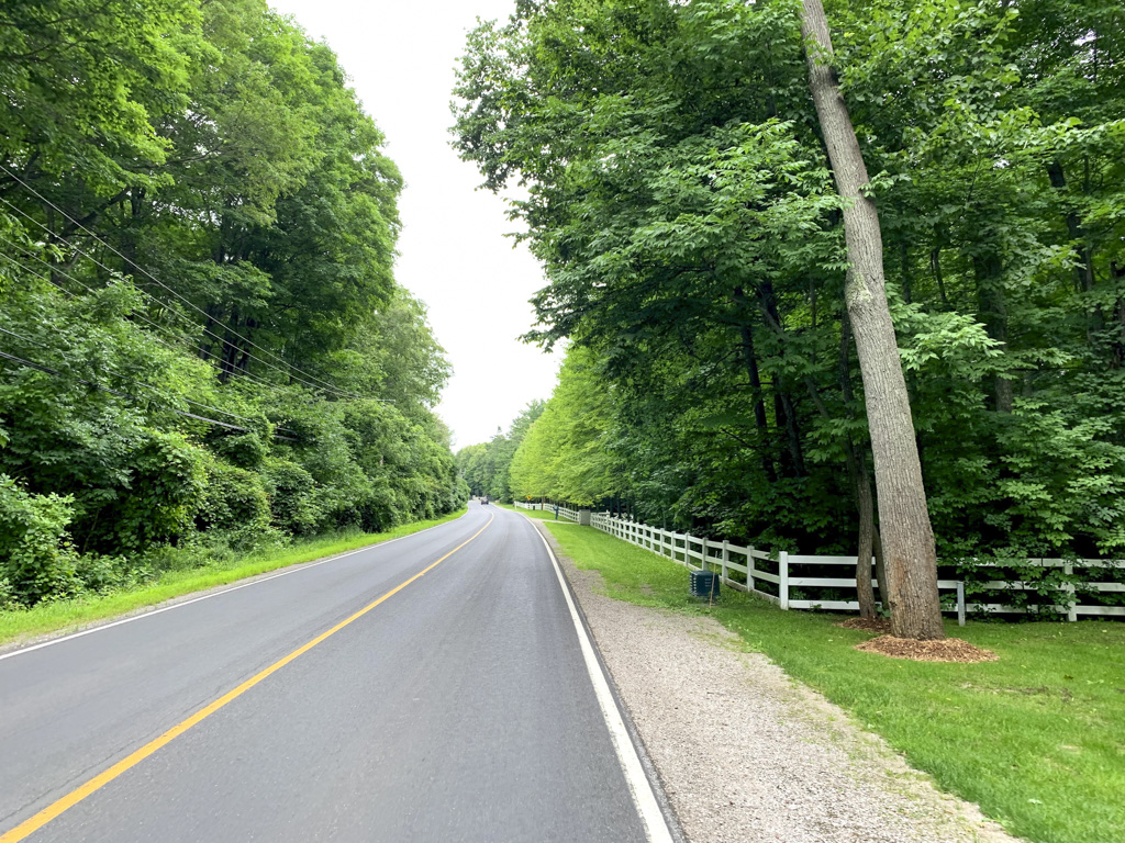
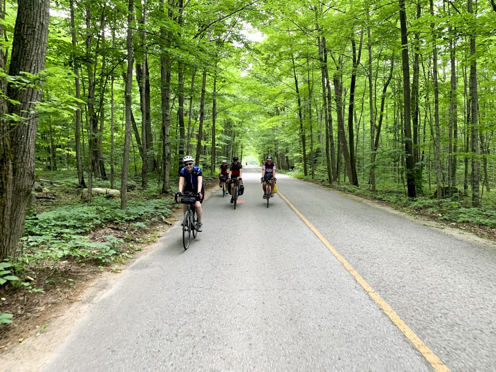
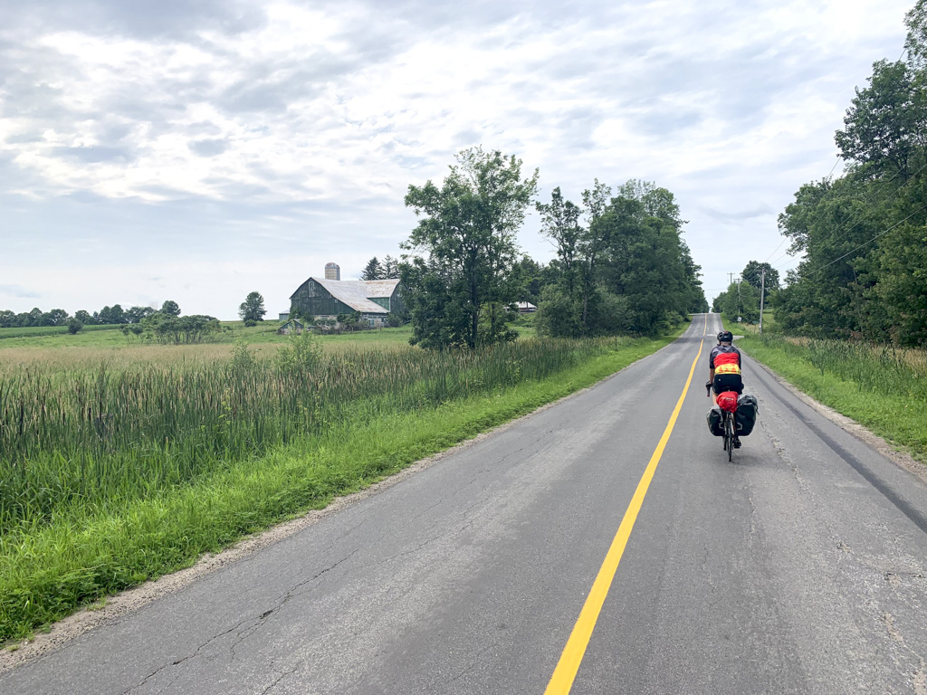
These were the types of pastoral country scenes we passed regularly on the rides, along with quiet country roads with very little motor vehicle traffic, vineyards, and wineries.
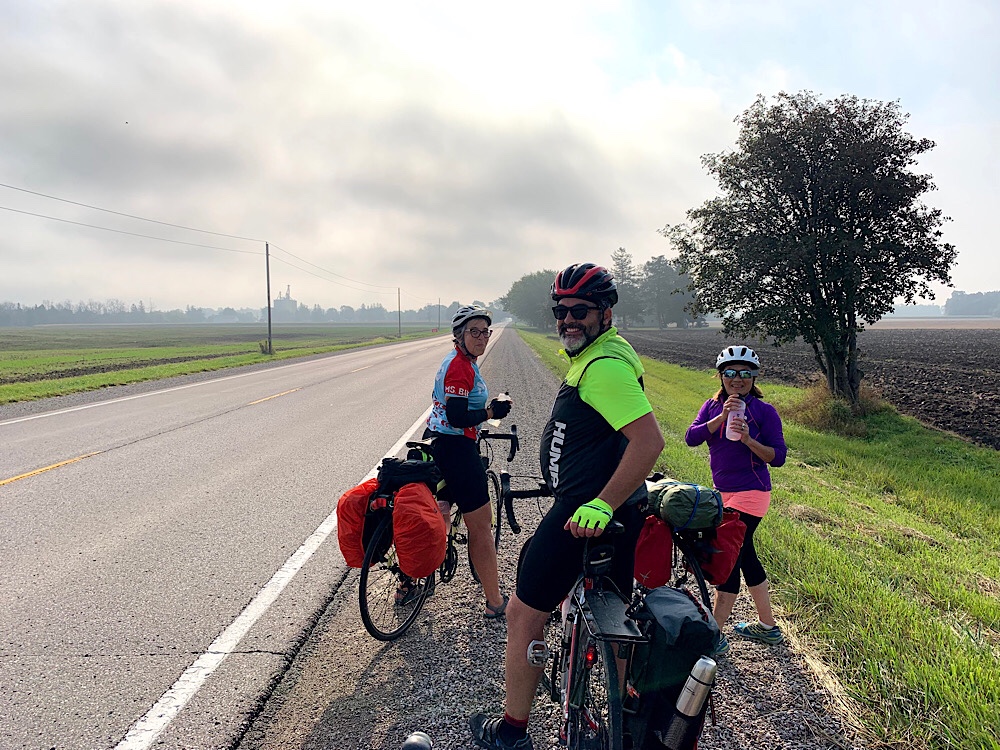
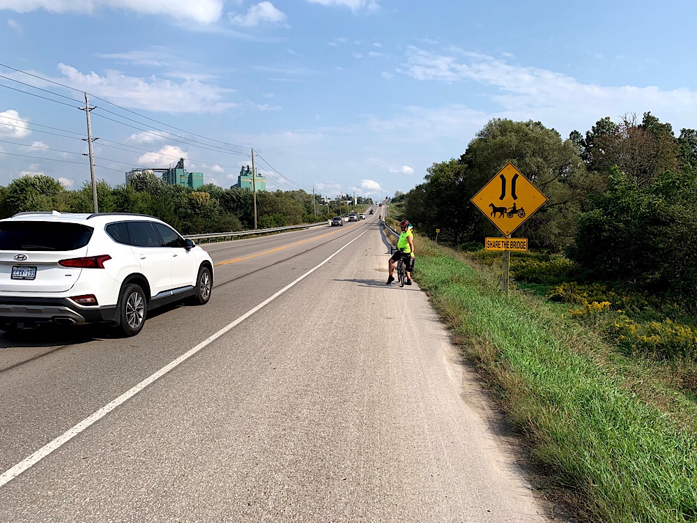
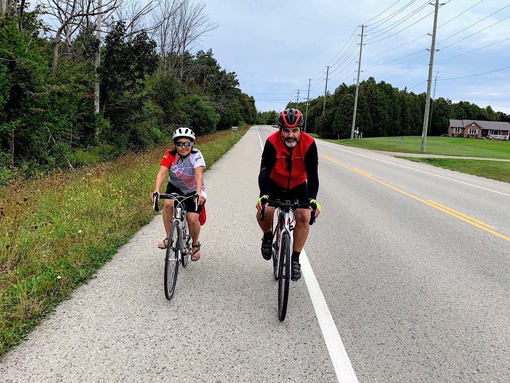
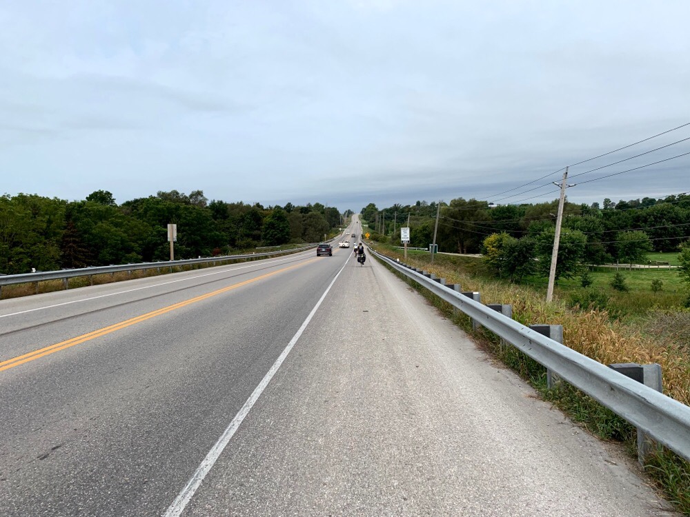
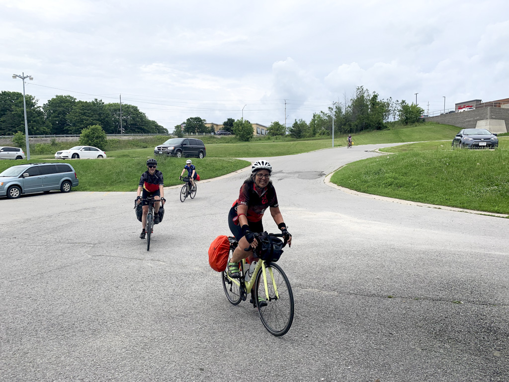
Early in the day, one of the roads leaving Welland was somewhat busy with rush hour traffic, however, mostly we had the roads to ourselves.
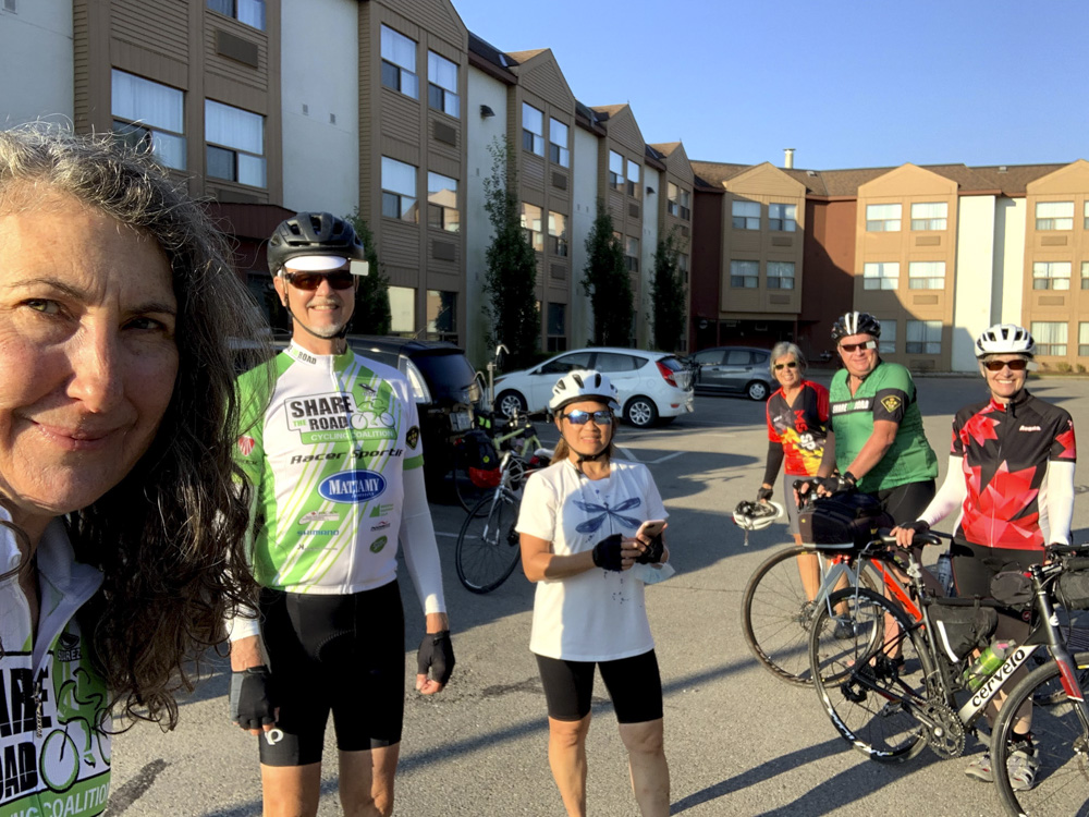
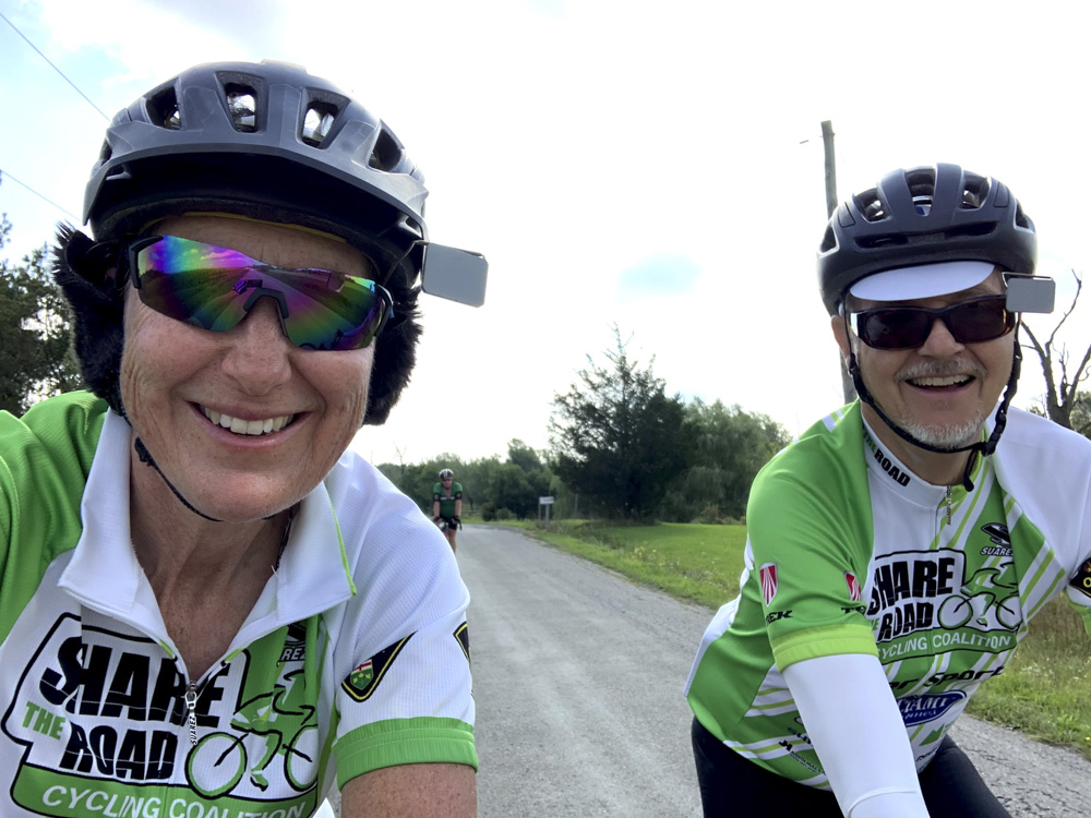
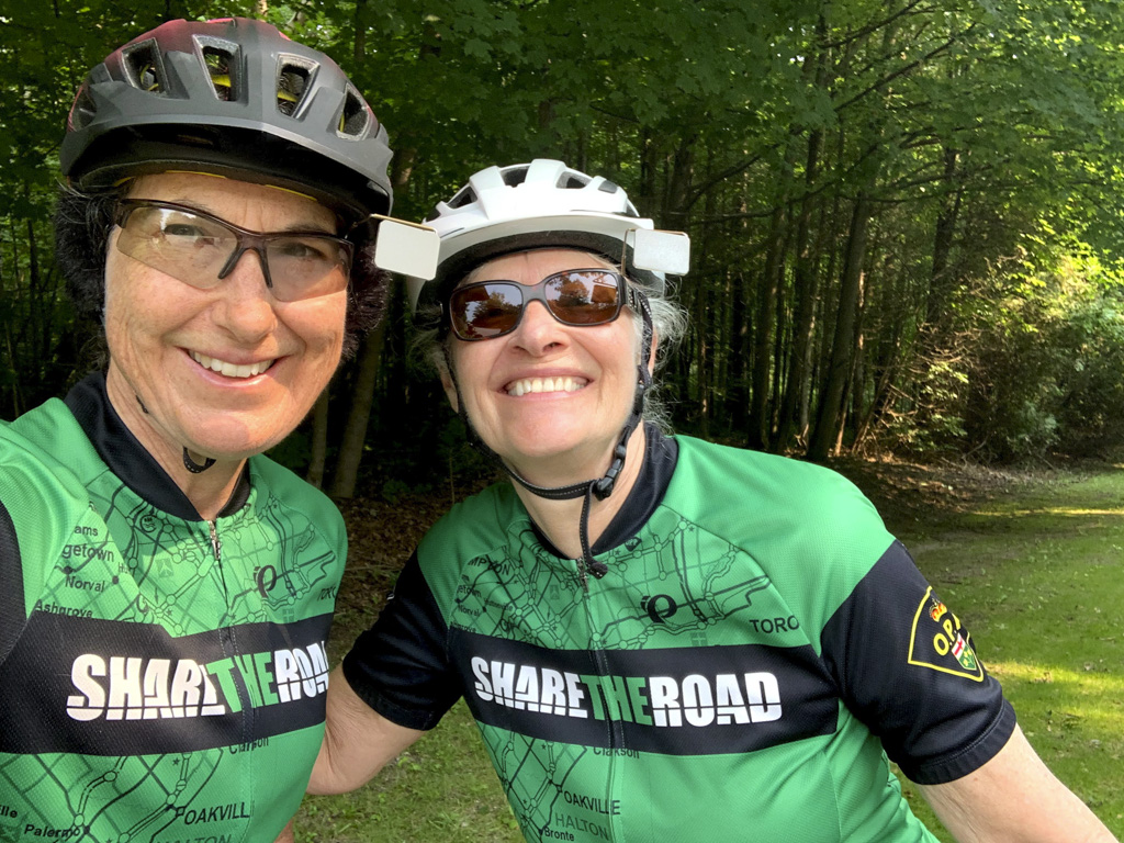
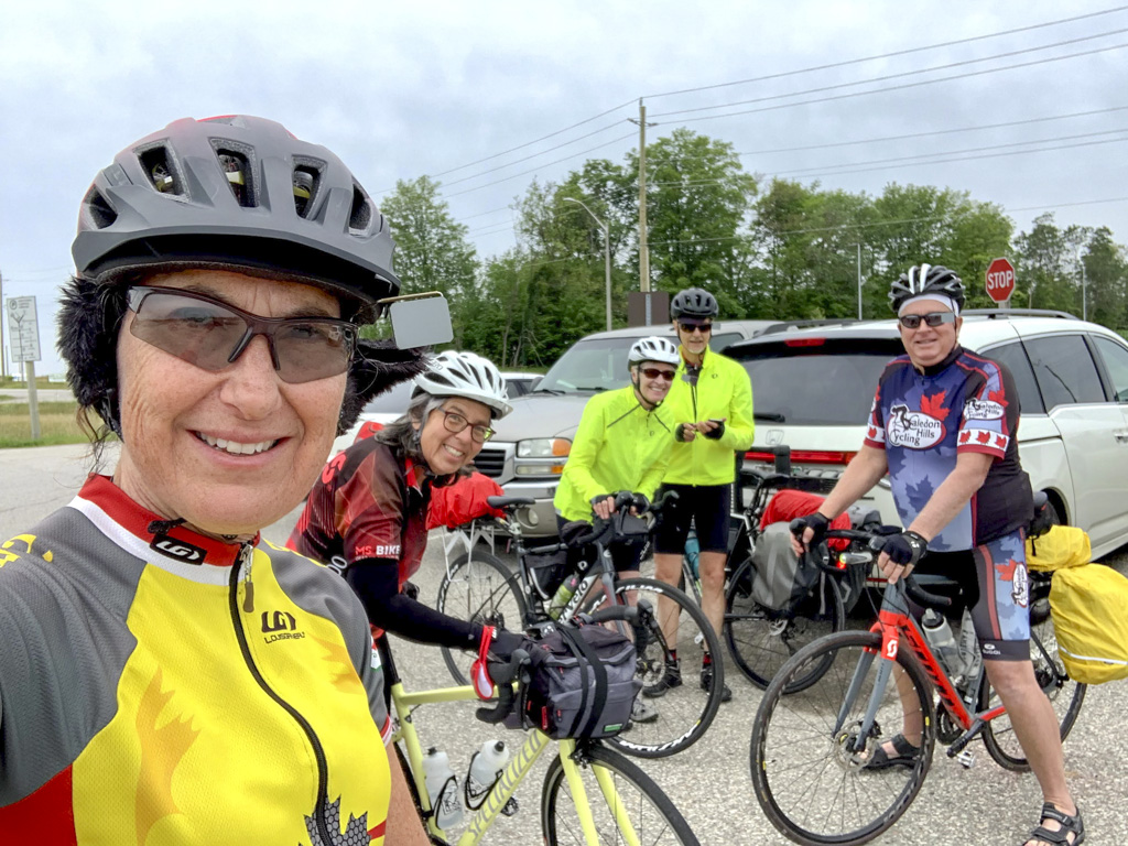
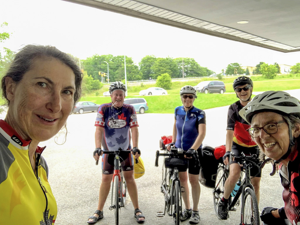
David and I matched today. Many of us have attended Greg’s Ride, a memorial for OPP Sergeant Greg Stobbart who was killed while cycling on Tremaine Road in Milton in 2006. After Greg’s death, his wife Eleanor McMahon founded the Share the Road and the annual ride is a fundraiser.
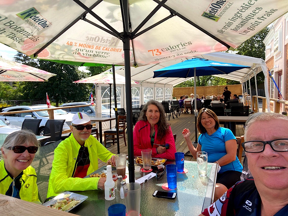
We had an excellent lunch at the Jordan House. The food was very good, and the setting pleasant, except for the frequent sound of motor vehicle traffic. It sits at a busy intersection.
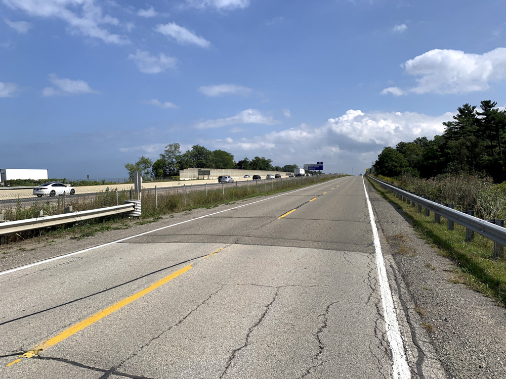
The route took us briefly onto the North Service Road beside the QEW before heading back towards Welland. There were several fun, long steep descents on the first half of the ride, but the climbs going back were even longer, and thus less steep, and not overly challenging compared to if we had done the counterclockwise version of the route.
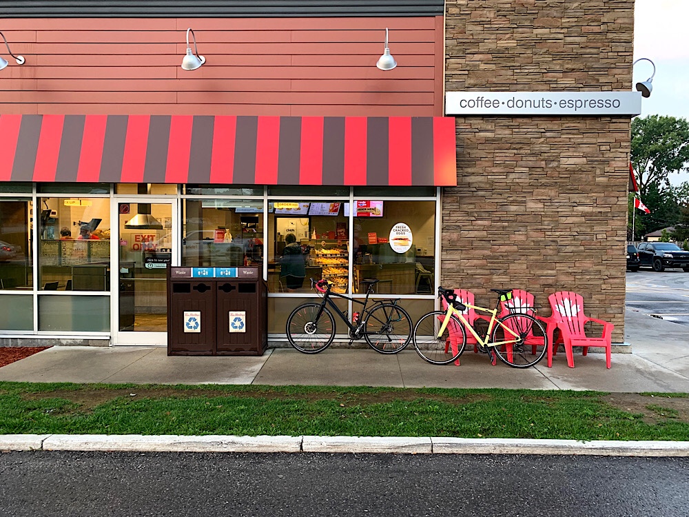
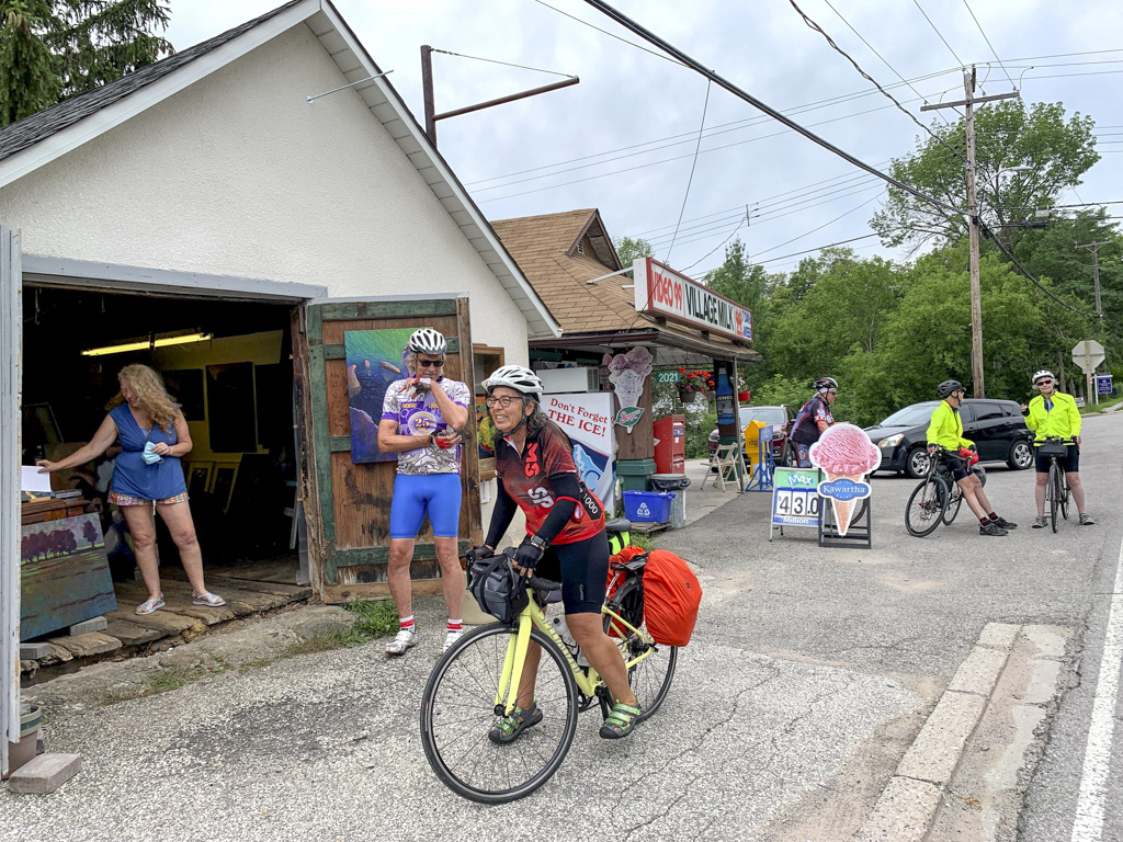
We stopped at Henry of Pelham where there was a sign for a Cafe, but it turned out they didn’t serve coffee! So, we continued on in search of a coffee shop.
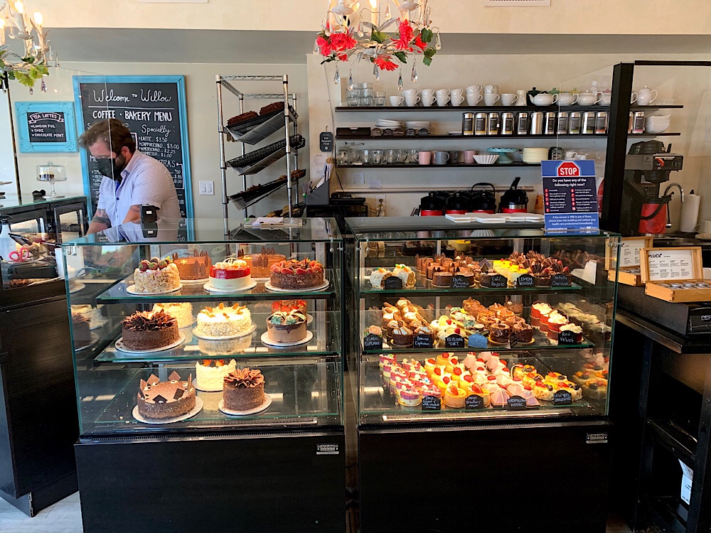
We found the Travel Cafe in Fonthill. We bought drinks and treats and ate on a bench across the road. Just as we were finishing up the owner came out and explained that each day, when they closed, they gave away any remaining baked goods, and gave us a box of mixed berry muffins. So generous and delicious.
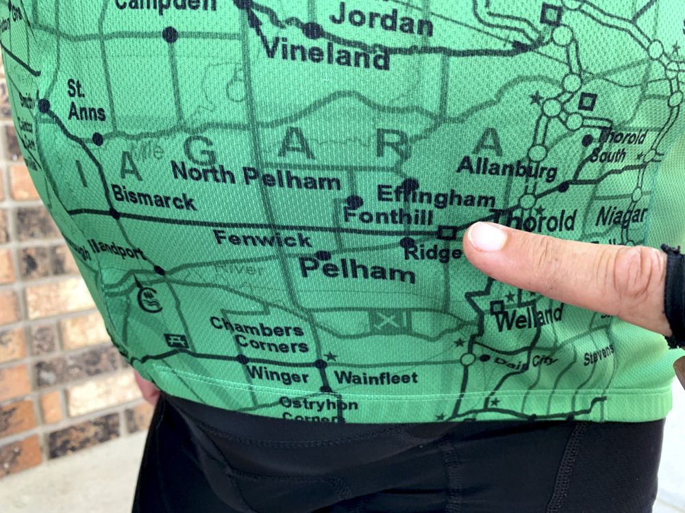
As we were finishing the muffins we realized the Share the Road Jersey, that four of have, and Wayne was wearing, has a map of where we had been riding and where we had stopped for coffee!
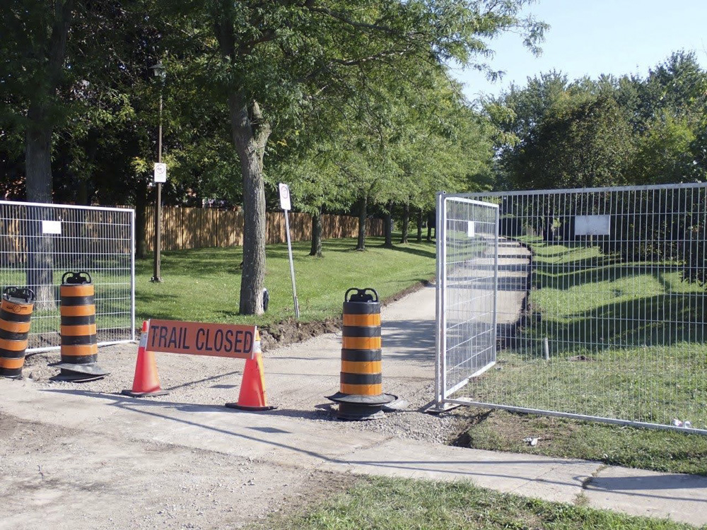
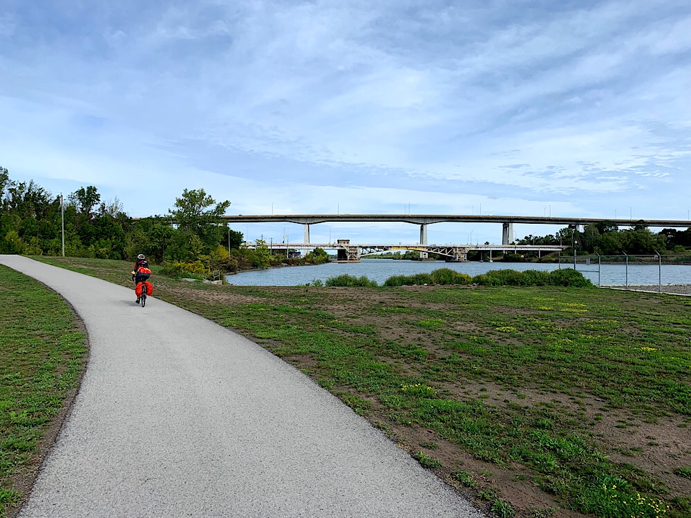
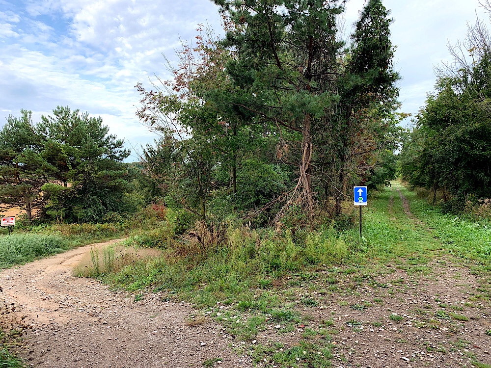
As we returned to Welland, we were going to ride the last few kilometres on the Steve Bauer trail. Steve was born in St. Catharines, was the winner of the first Olympic medal in road cycling for Canada, and remains the only Canadian to have won a stage of the Tour de France. The good news is the trail was being improved. The bad news was that we were unable to use it. So I got opened Google Maps and navigated us back to the hotel via the roads.
Back at the hotel, after about 500km of riding in six days, we are all still smiling. It was Lina’s first cycling trip, and Cindy’s longest. It was a terrific end to a fabulous week.
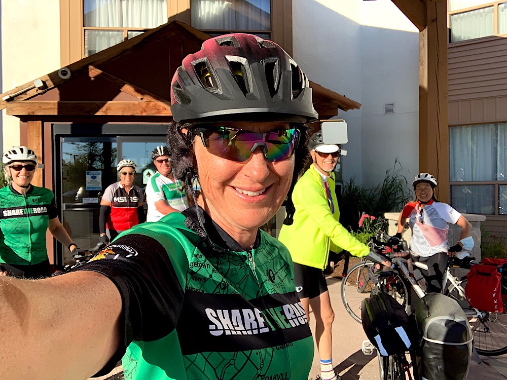
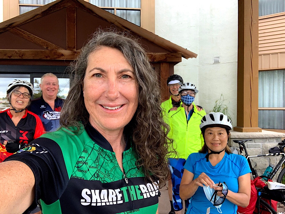
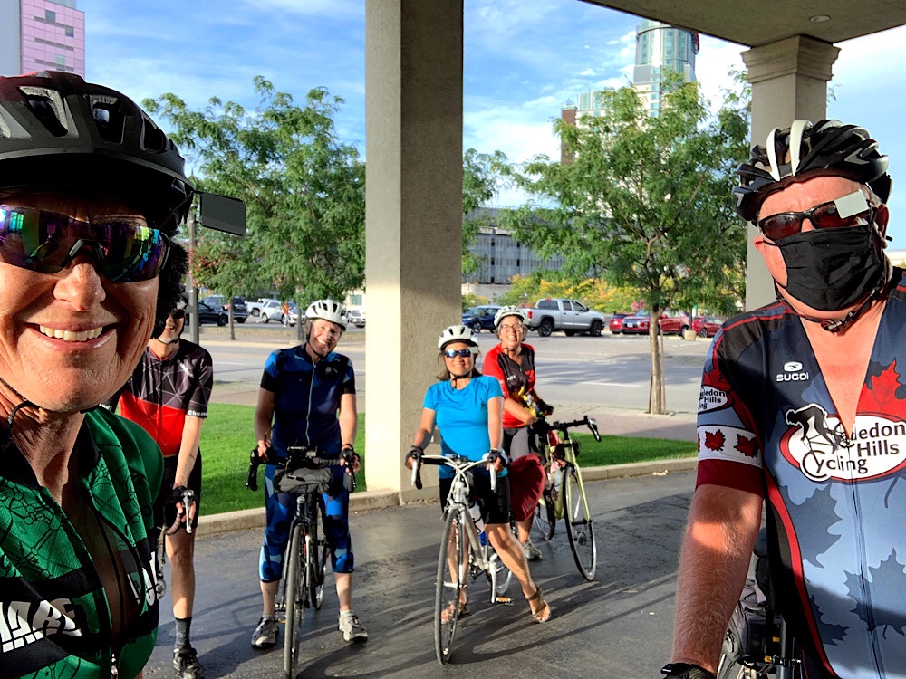
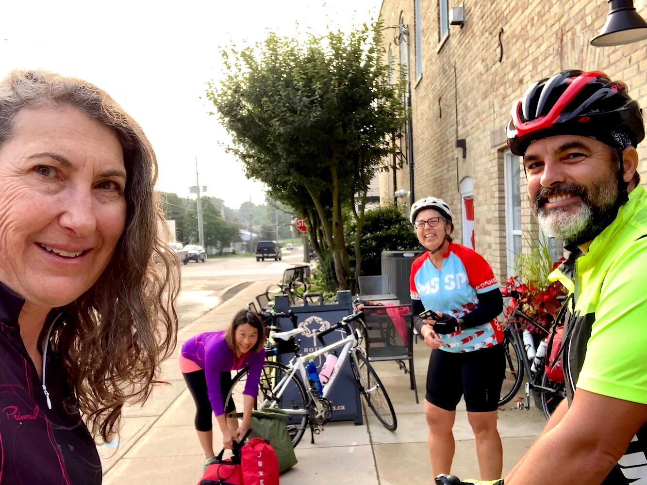
This morning we were all downstairs and ready to ride just before our agreed upon time of 8:30. We seem to be getting the hang of this.
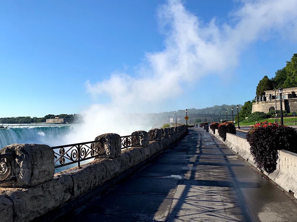
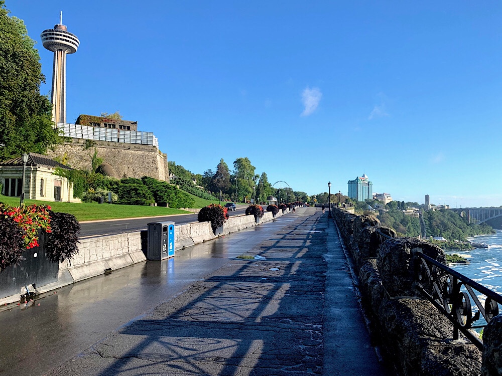
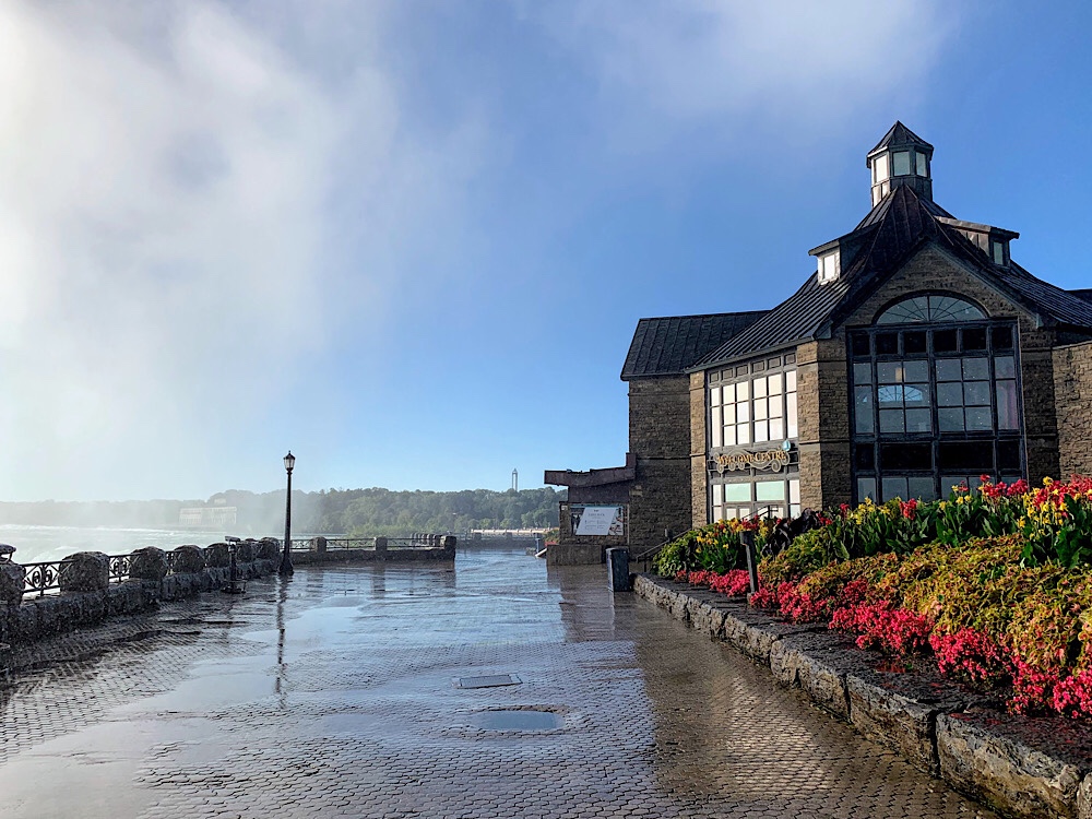
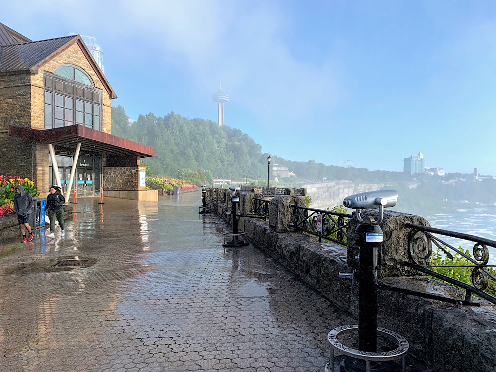
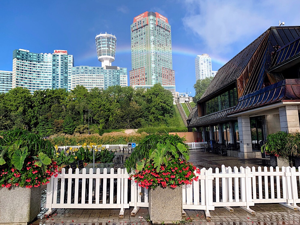
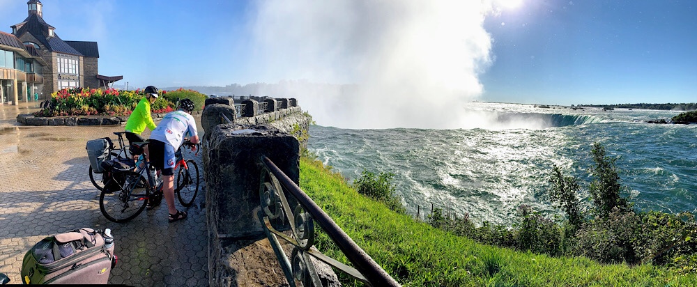
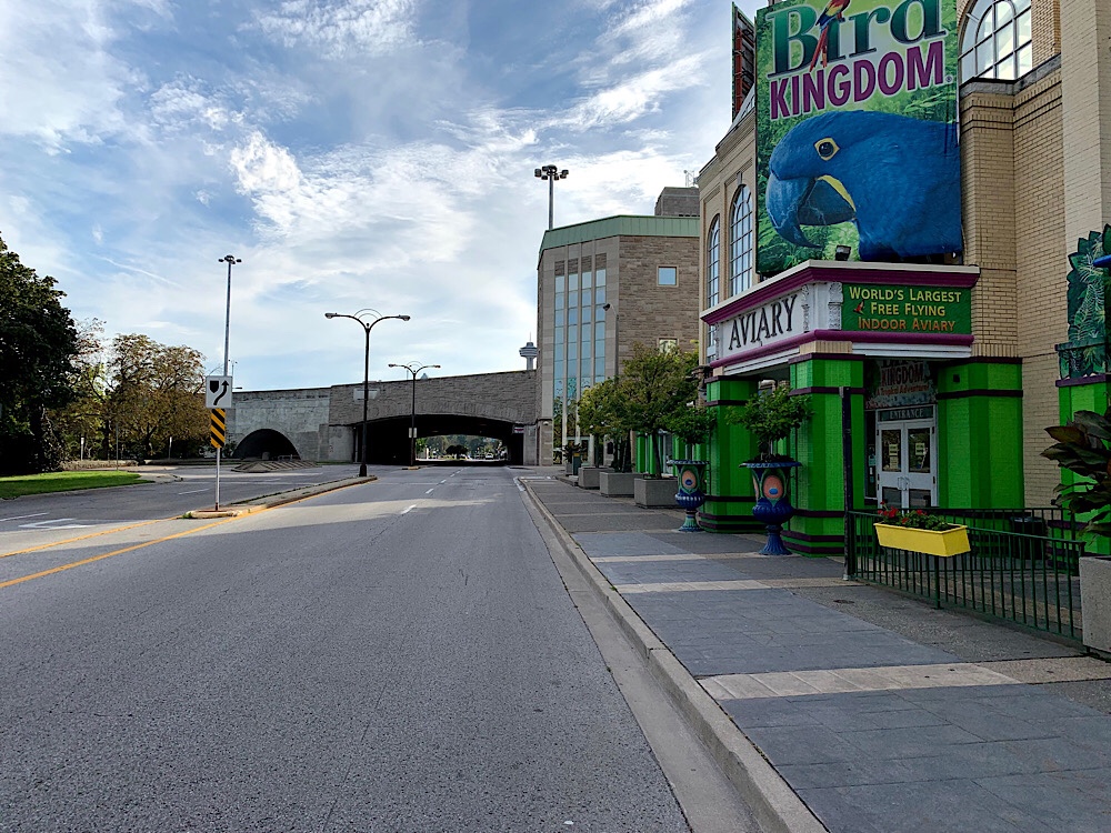
We spent a lot of time at Niagara Falls. The town was strangely deserted as we arrived last night and continued to be even at the falls this morning. It was a beautiful, bright day and not too windy. The mist was very wetting at Table Rock and there were beautiful rainbows all over. Despite a lot of forecast daytime rain, and heavy rains overnight, this was the first time we got really wet this week.
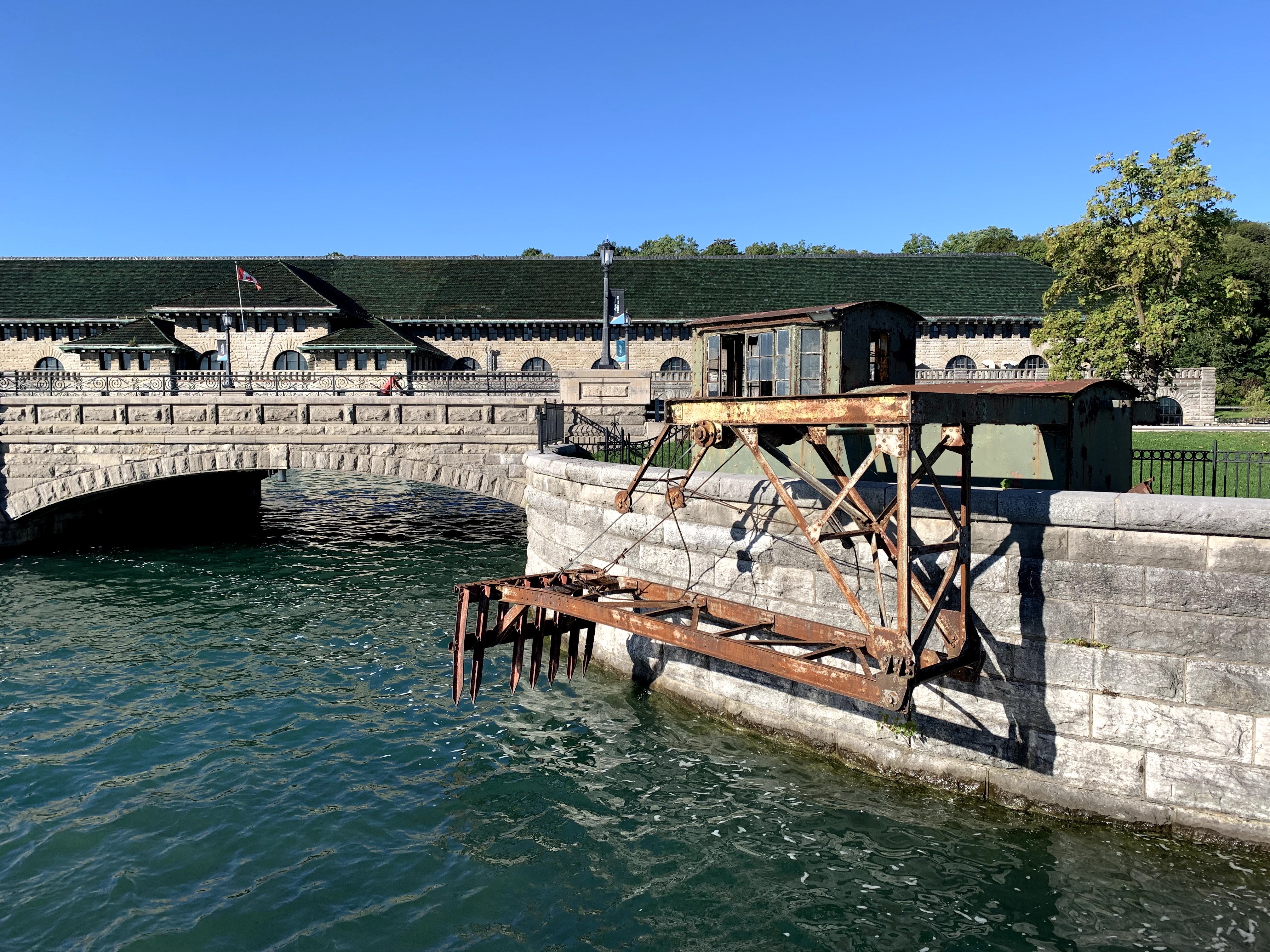
Eventually we continued along past the power plant which opened in 1906 to supply the Toronto market. The palatial powerhouse was designed by Toronto architect E.J. Lennox to compliment the scenic setting. It is an early and unusual application of Beaux-Arts to an industrial site. It operated until 1974.
We used the path, but could just as comfortably use the road which was mostly empty of motor vehicles as were the massive parking lots that line the road.
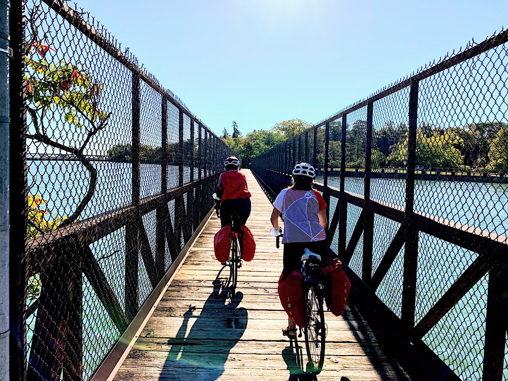
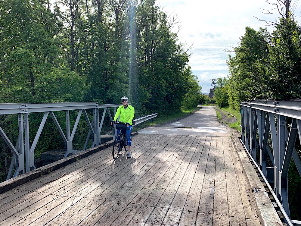
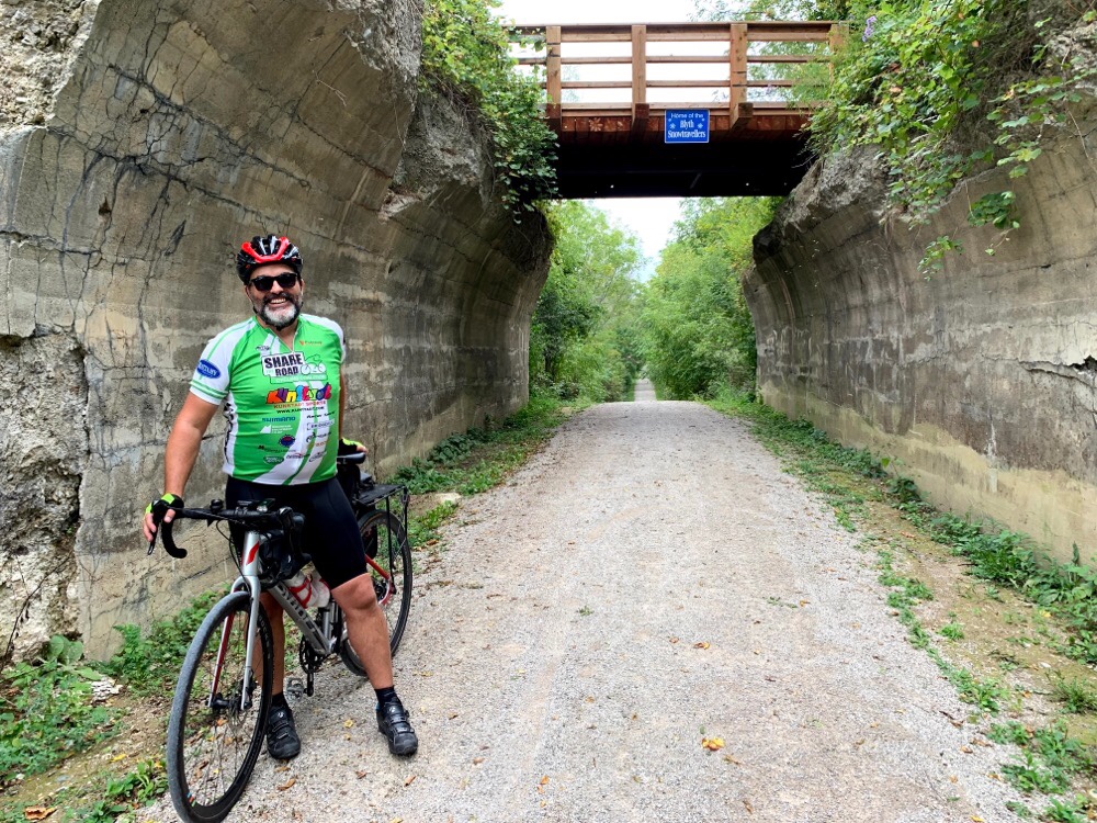
In several places today we cycled across long Active Transportation bridges that meant we did not have to go onto the road over inlets such as the one below.
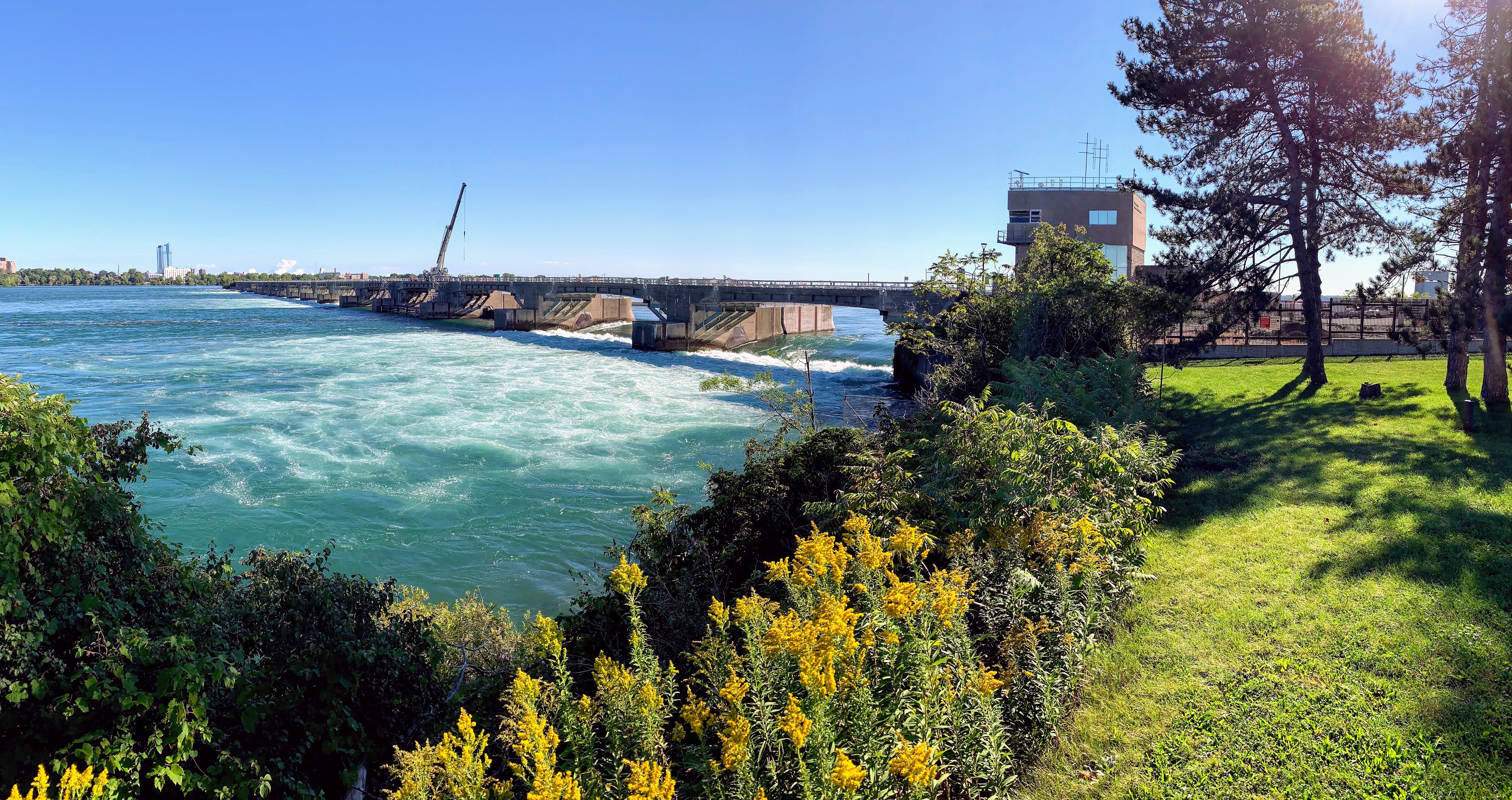
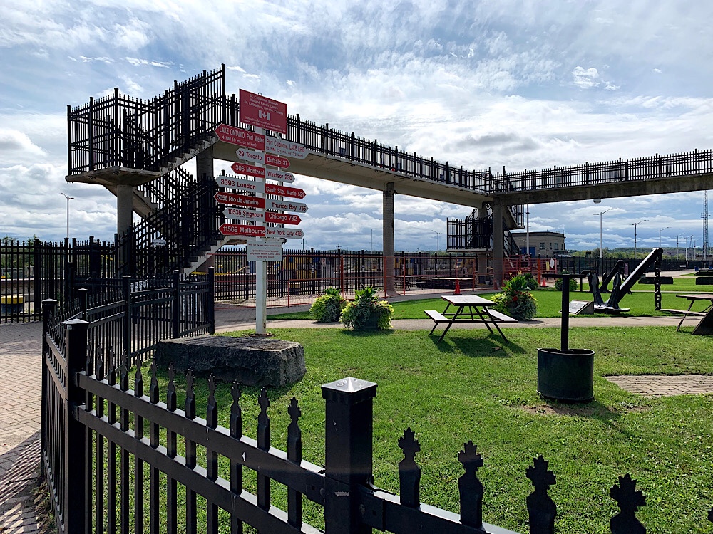
This is the International Control Structure built by the Canadians and Americans in 1954 for two reasons: to divert more water to the American Falls and to divert water from the upper river into intakes for Canadian and American power plants downriver of the falls at Lewiston N.Y. and Queenston, Ontario.
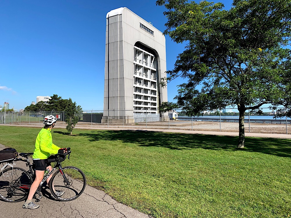
This is one of the intakes of the Niagara Tunnel Project to convey water to the Sir Adam Beck hydro plant which was constructed from 2005-13.
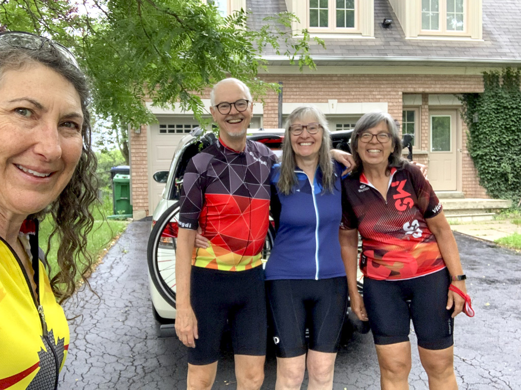
Shortly thereafter we met Bruce, a friend of Cindy’s who was a great local guide, and who had lunch with us and then continued with us back to Ridgeway where he lives.
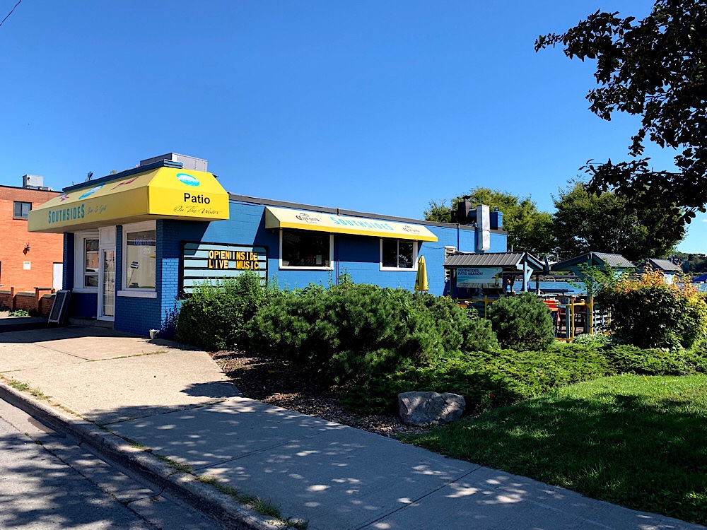
We had lunch at Southsides on the Niagara River in Fort Erie on a patio overlooking the Fort Erie Peace Bridge to the US. The sun was warm and I found myself almost dropping off after finishing my meal while the others chatted.
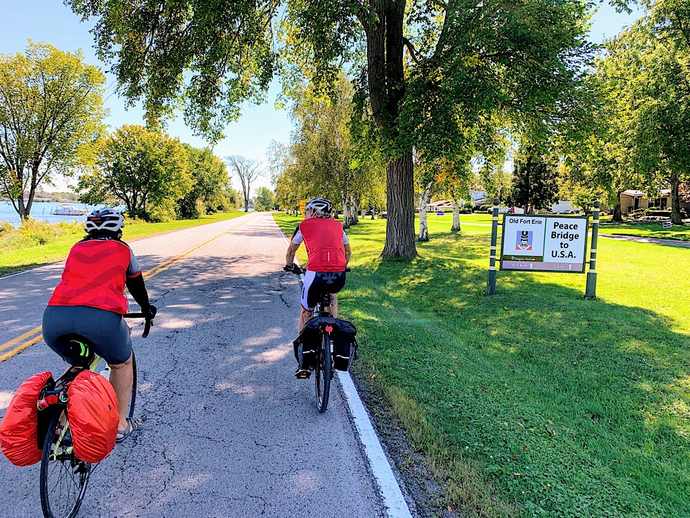
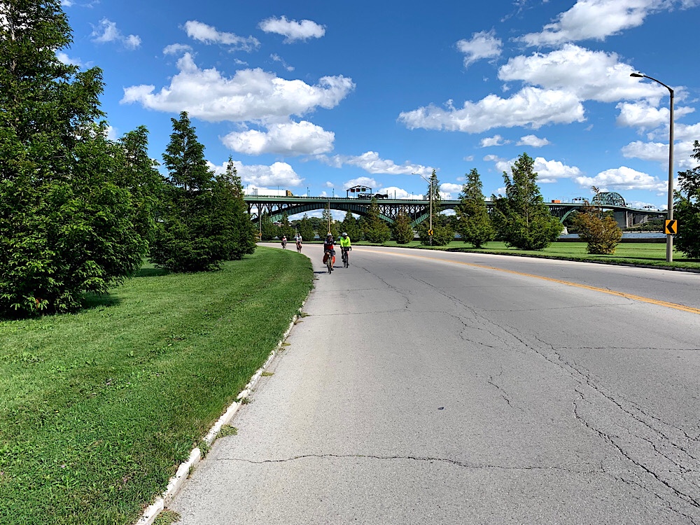
Here we are heading for the Friendship Trail which parallels Lake Erie from Fort Erie to Port Colborne with the Peace Bridge in the background.
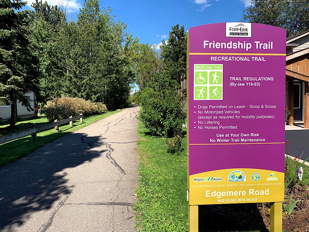
The Friendship Trail was one of the best rail trails I have been on. It was fully paved and wide enough to comfortably ride two abreast.
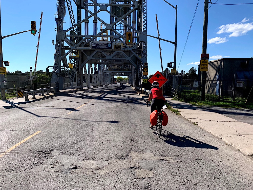
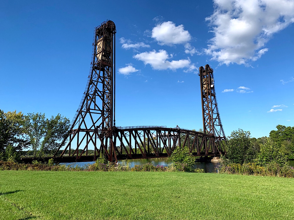
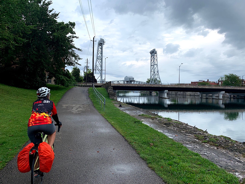
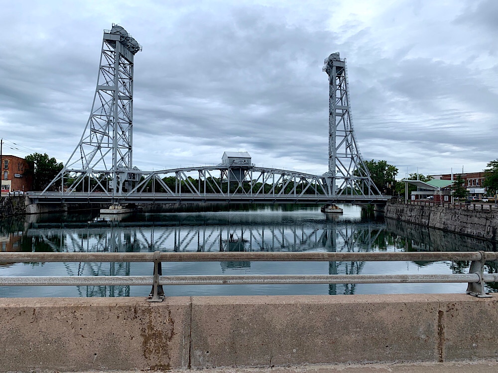
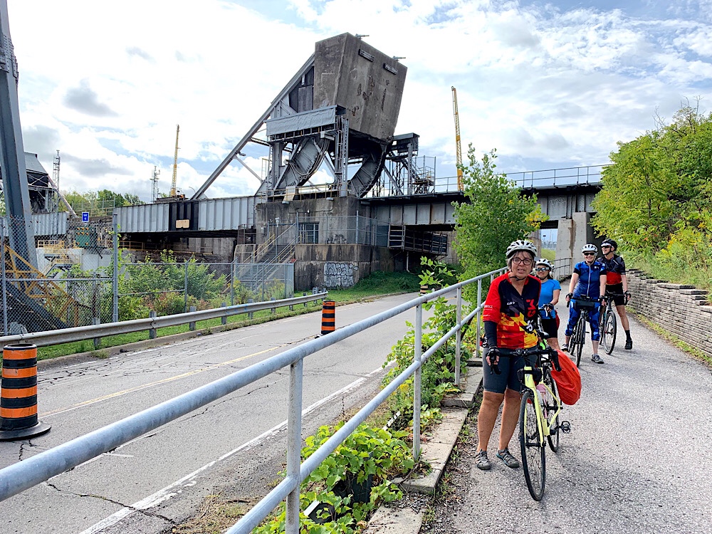
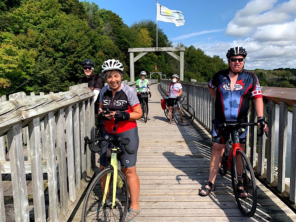
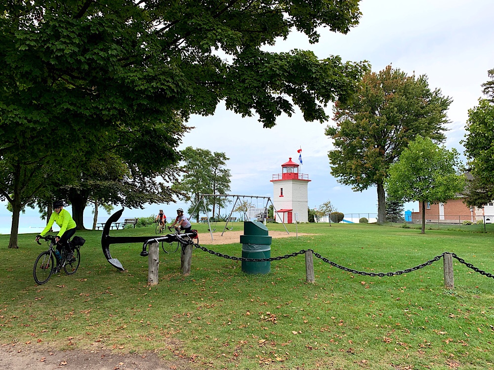
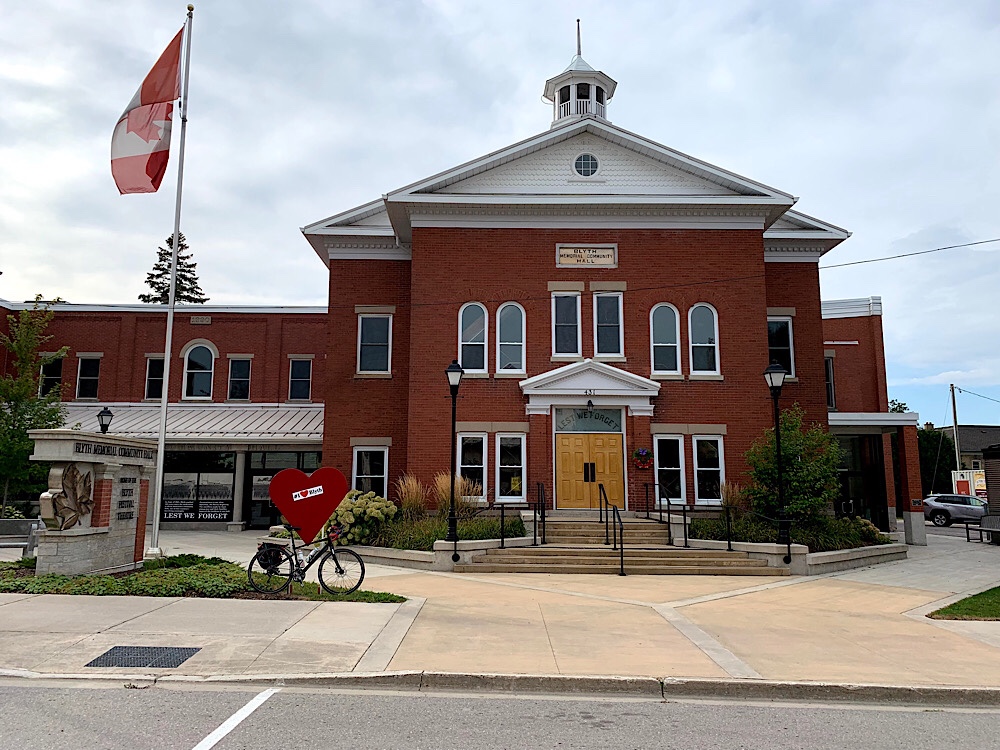
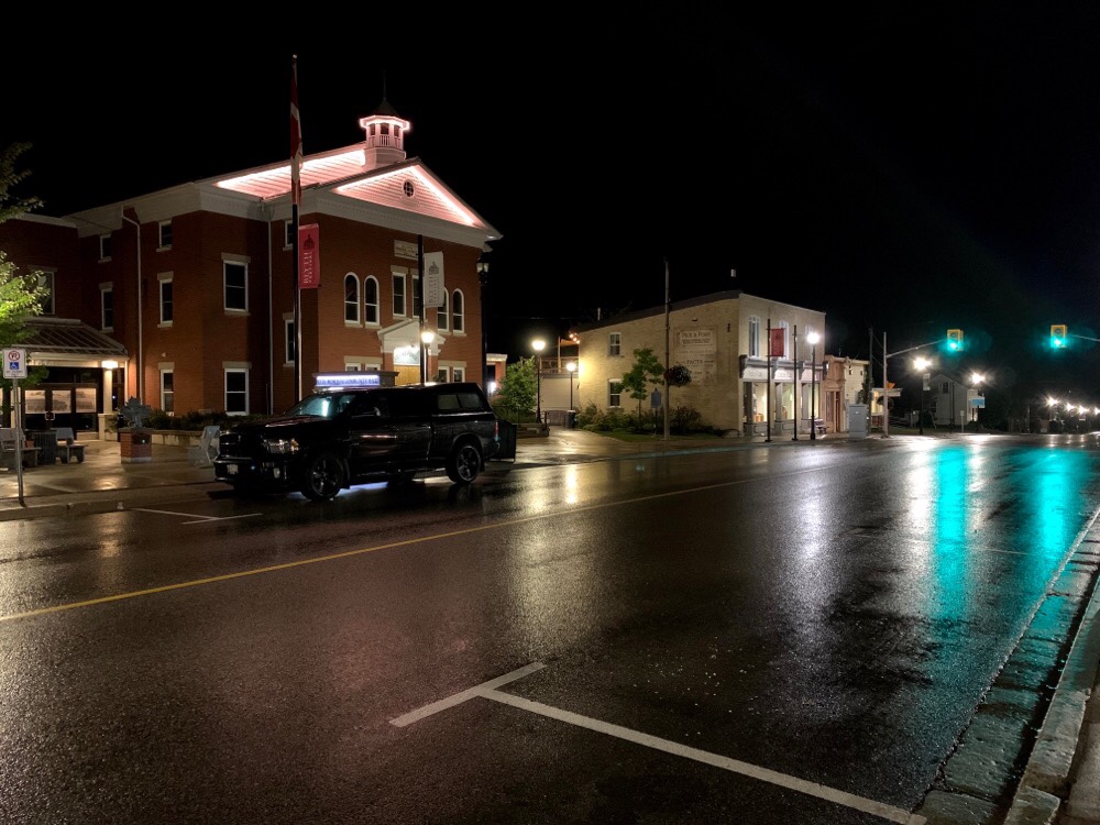
We had to cross this lift bridge in Welland to get to the place Cindy wanted to stop for afternoon refreshments.
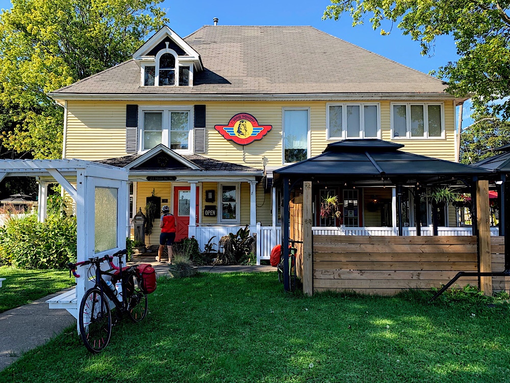
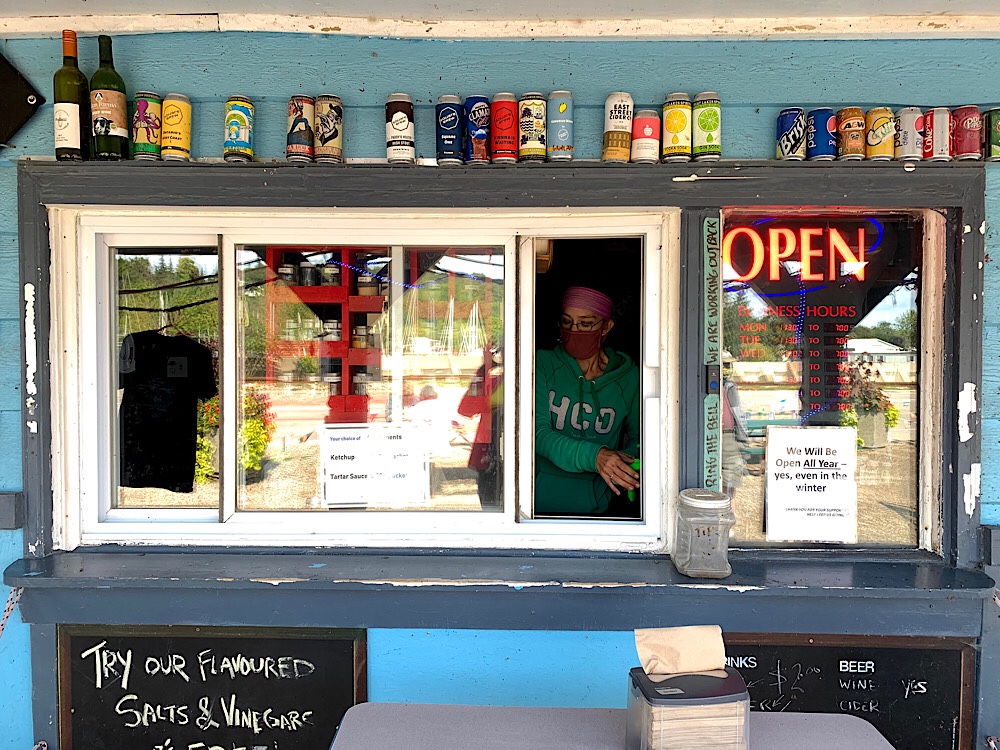
We had coffee and cake/pie at The Flying Squirrel which had a view of Lock 8 in Port Colborne.
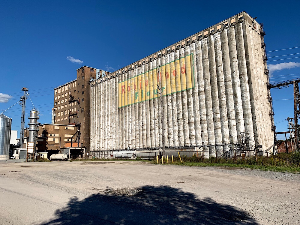
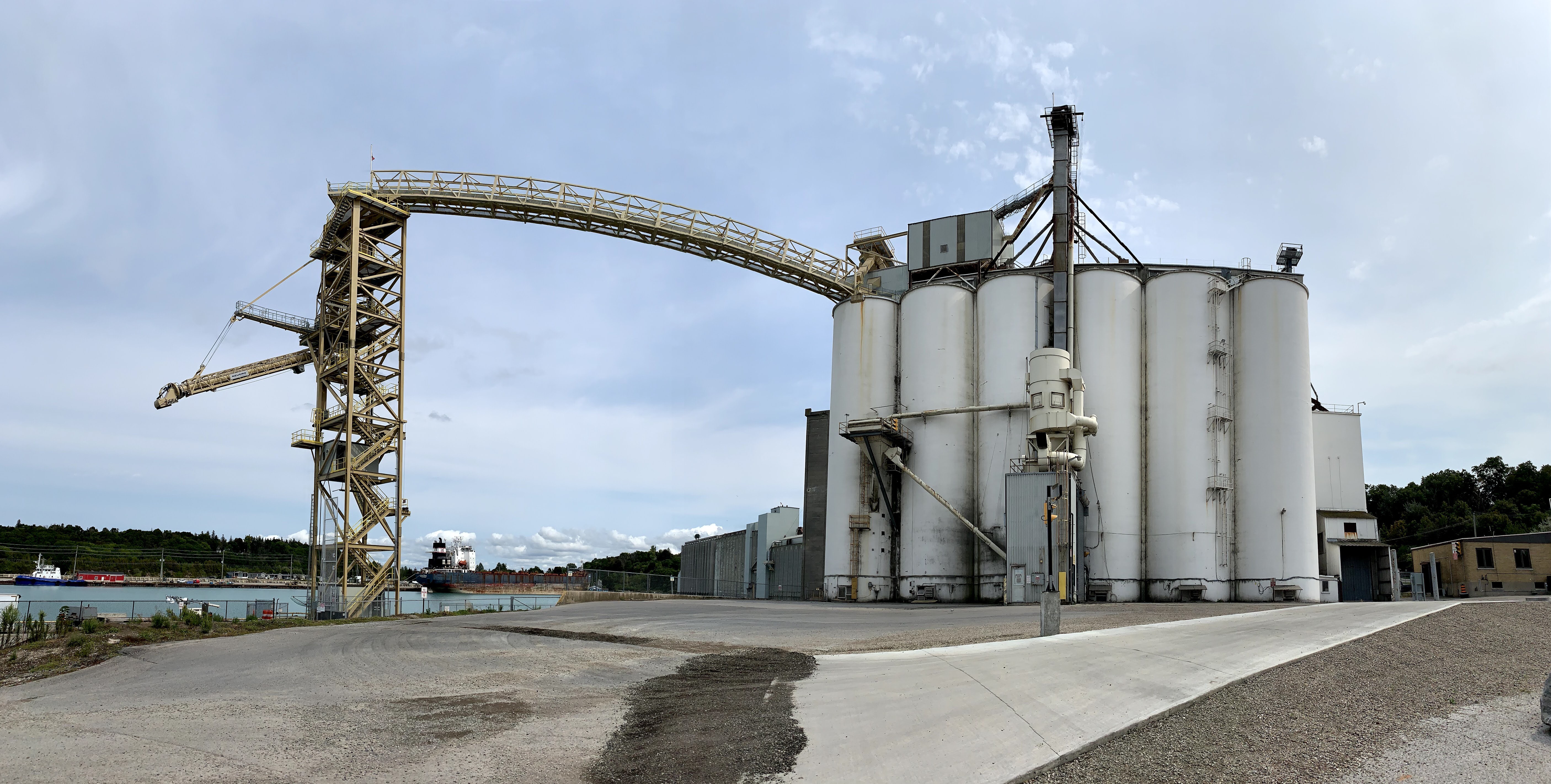
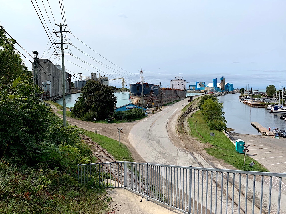
Here is another bridge which the trail crossed just before the Robin Hood Mill which is still operating despite its decrepit look.
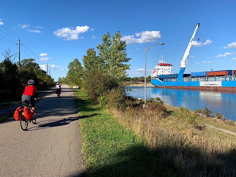
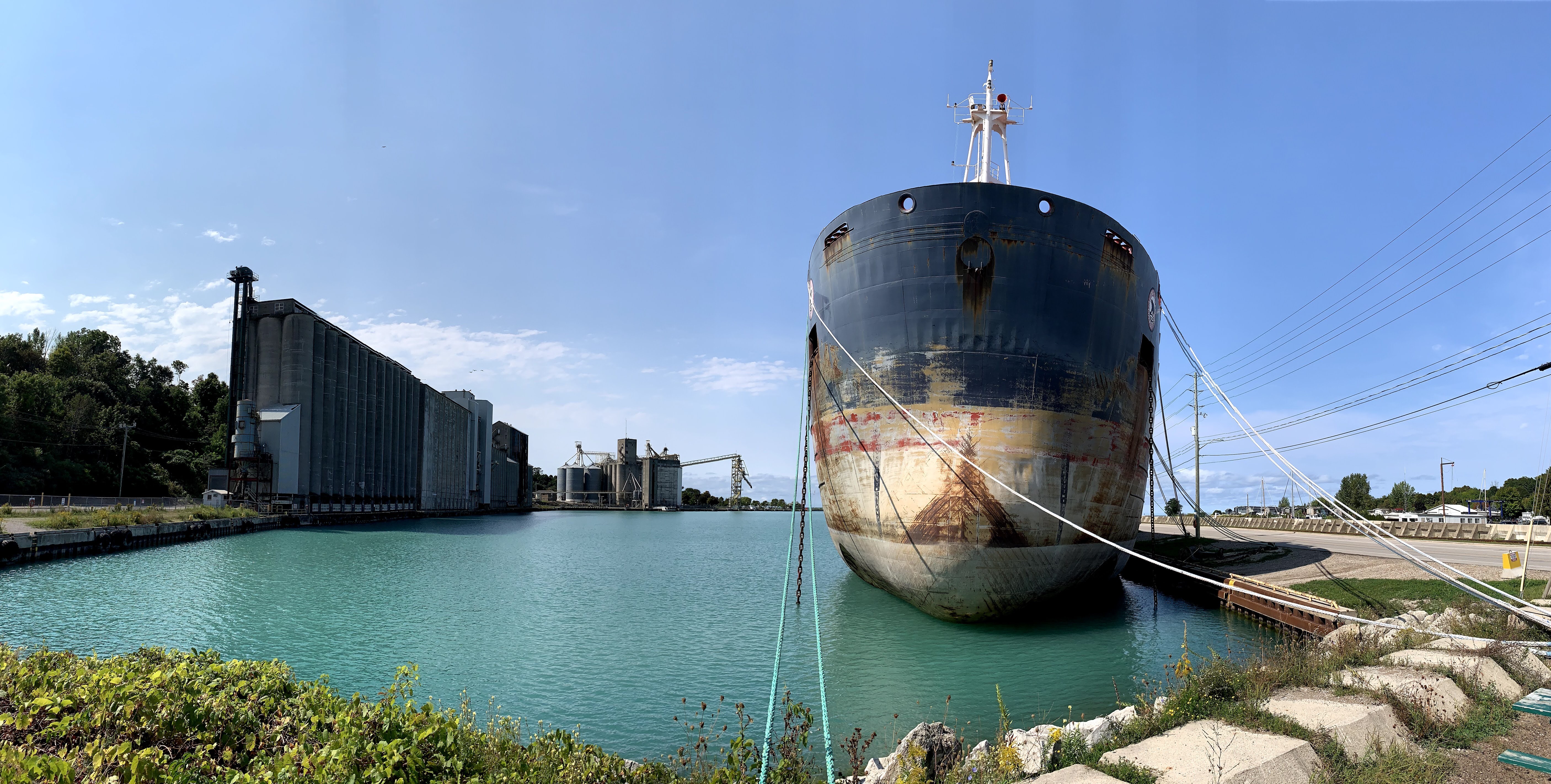
There was a ship docked on the canal next to the trail.
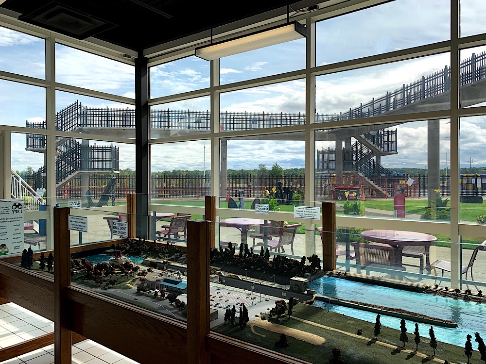
This is an old lift bridge on the old canal. The Welland Canal connect Lake Ontario and Lake Erie and is part of the St. Lawrence and Great Lakes Seaways. It enables ships to ascend and descend the Niagara Escarpment and avoid Niagara Falls. It is the fourth canal connecting these waterways and there are still remnants of the older canals.
Here we are back at the hotel we stayed in on Tuesday. We checked in, cleaned up, and headed out to dinner at Kavern. It started to get quite cool by the time we finished eating and a skunk spraying hastened our departure. It’s hard to believe we have only one day left. I’ve cycled 440km in the last five days.
There was a forecast of rain for the first two hours today, but we didn’t get a drop and with a mix of sun and cloud and high in the low 20s it was a perfect day for cycling. There always seem to be some hiccoughs and today was no exception with missing the departure time, losing and finding a glove, almost leaving without a helmet, loading tomorrow’s route and wondering why the cues weren’t working. Finally, we were off.
We were on the trail in a couple minutes. The ground was damp and sky threatening, but there was no rain.
There are so many interesting bridges along the canal.
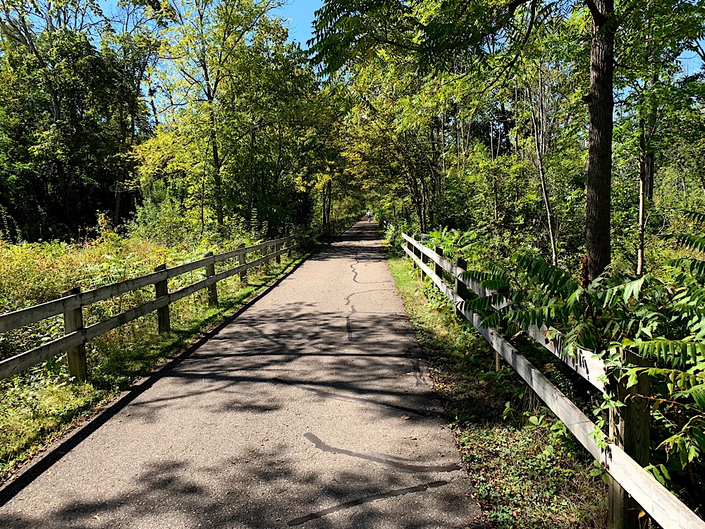
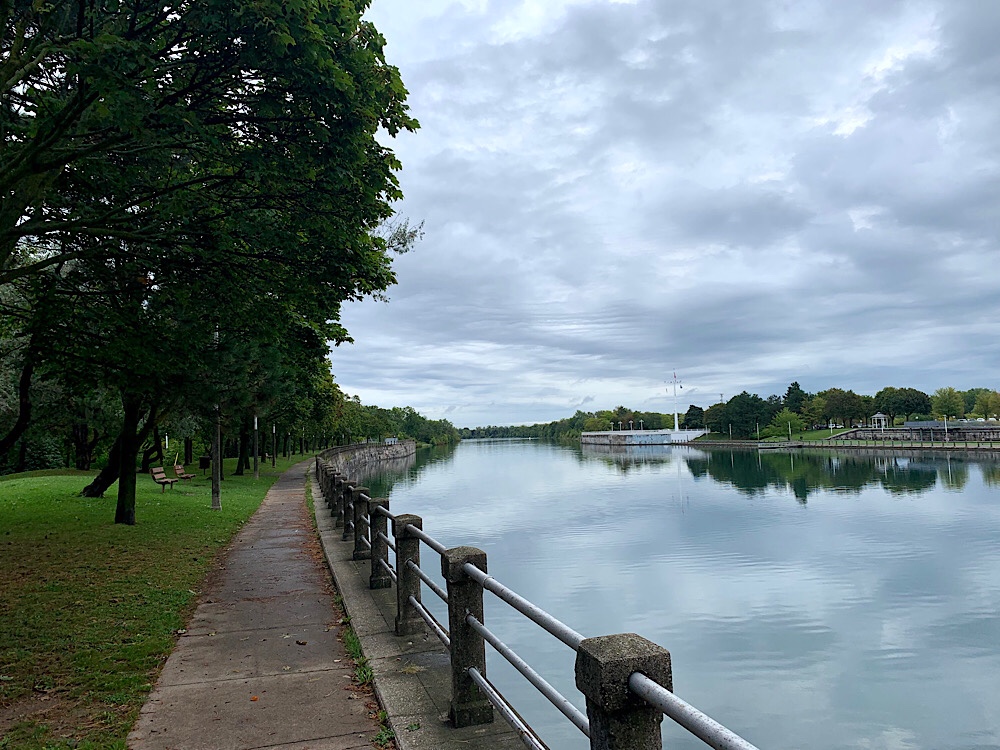
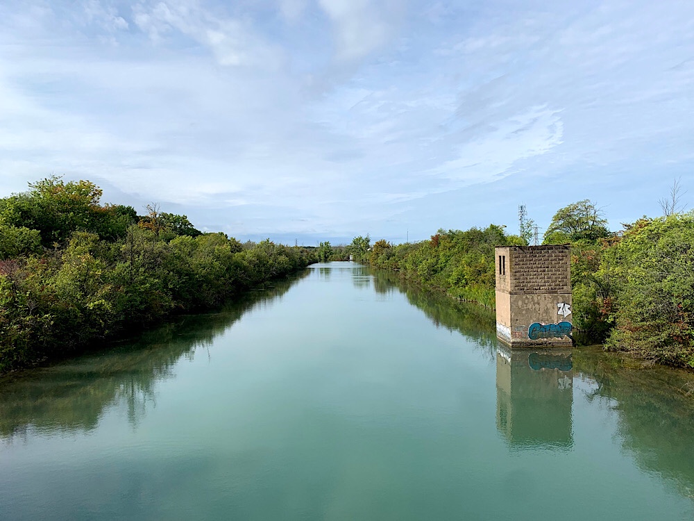
Lots of the path along the canal is next to parkland or even feels like it is out in the country.
Still dry!
This is Port Robertson. It is a small community divided by the canal. Bridge Street in Port Robertson used to be connected by a vertical lift bridge known as Bridge 12, however, it was damaged by a ship which collided with the bridge when it failed to sound the horn in time to lift the bridge. It was deemed too expensive to repair so a free passenger and cyclist ferry was started in 1977. Car drivers must take the long way around. When local government considered cancelling the ferry in 2015 it was determined that it carries 2000 pedestrians and 6000 touring cyclists per year, and the service was continued.
This is one of the many bridges we crossed today and the view to one side.
The is a rail, canal connection.
The Lock 3 Visitors Centre has viewing platforms, a museum, lounge area and bathrooms. Very useful for passing cyclists.
This is Cindy approaching the QEW Skyway bridge.
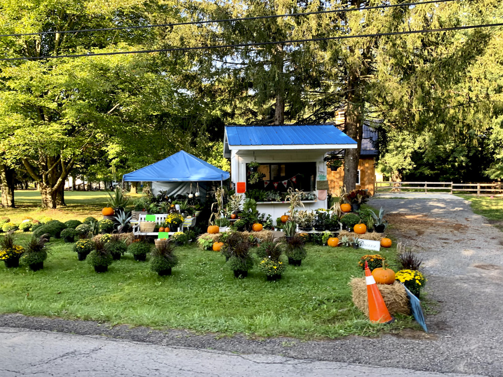
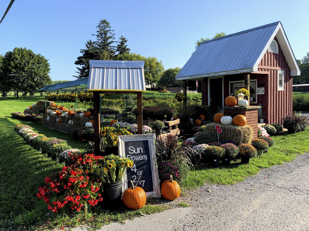
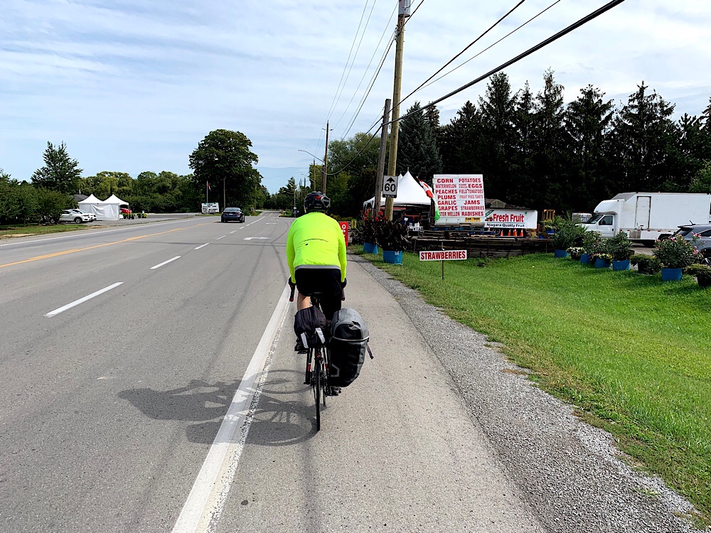
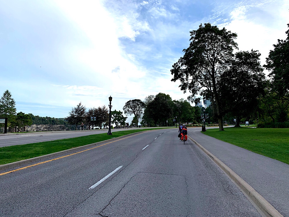
Once we started got to the north end of the locks at Lake Ontario we were very much in the fruit and wine region passing orchards, vineyards, fruit stands and wineries.
Lunch was at the Sandtrap in Niagara-on-the-Lake.
A block later we came across a bakery Dayle had been raving about and stopped for coffee and cookies. We seem to have bottomless capacity for eating on these trips.
Niagara on-the-Lake was as empty as I’ve ever seen it in nice weather.
We had a quick look at Fort George, one of the sites of the War of 1812.
I had been dreading what I believed to be the one significant climb of the day. A 4% grade for 1.3km. I was pleasantly surprised to find it is no longer a challenge for me many years after two prior ascents.
The trail passes over the power plant and has spectacular views of the river and the Queenston Lewiston bridge to the US.
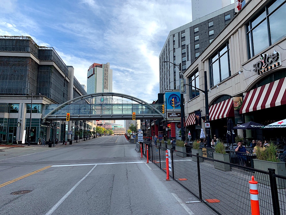
Niagara Falls was extremely deserted, much more so than Niagara-on-the-Lake. I’ve never seen it this empty even in the winter.
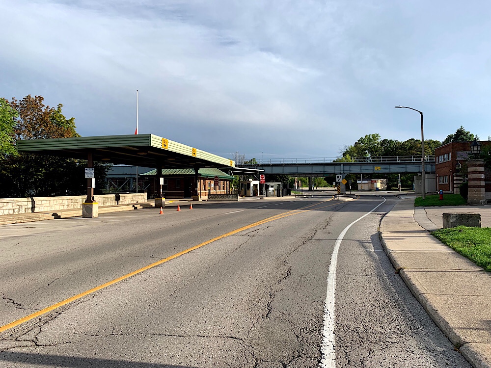
No one was crossing the border at The Rainbow Bridge and the guards were leaning on the gate and waved at us as we passed by.
It turned out that the hardest climb of the day was on Murray St to get up to hotel. I stopped to “check the map” so everyone but Dayle stopped with me. Dayle carried on up without stopped and was Queen of the Mountain in our group today.
It was a wonderful day of riding – 71km, but not tiring. There were lots of interesting sights.
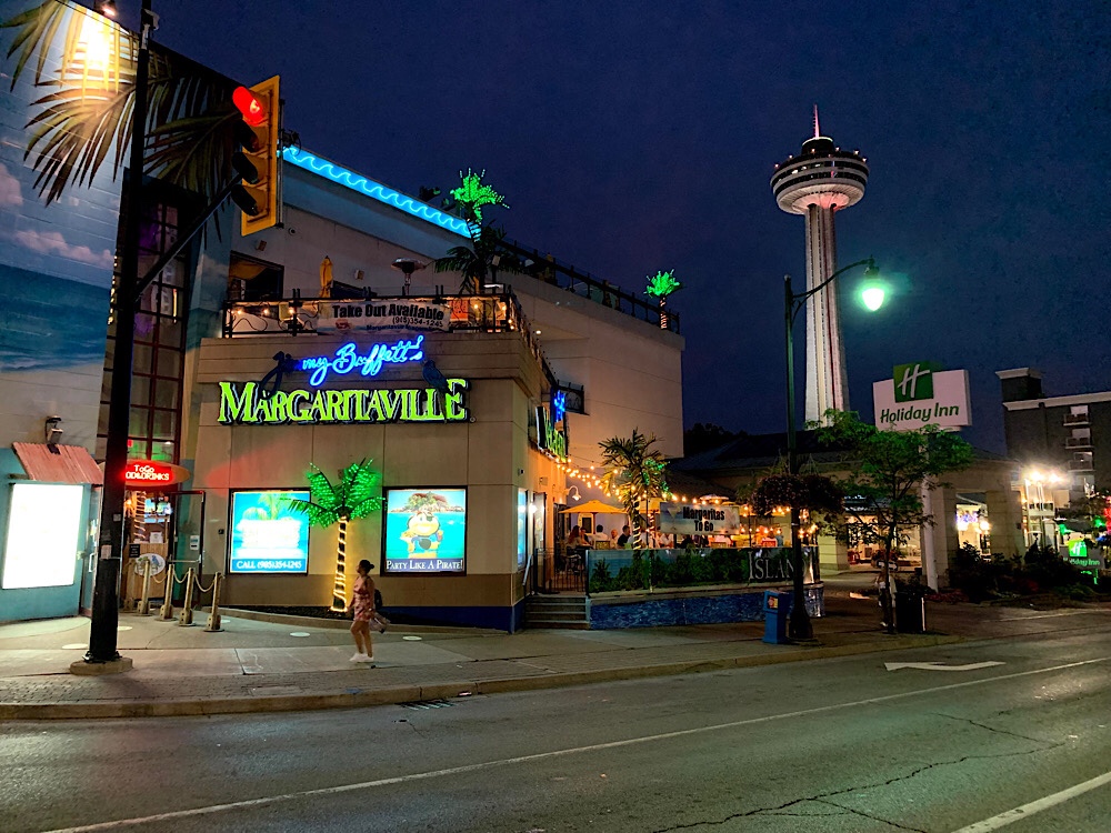
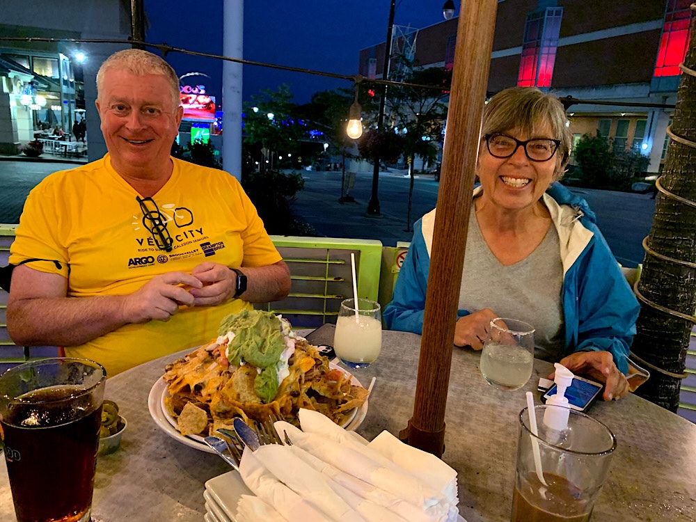
Dinner was at Margaritaville. Jimmy Buffet is one of Wayne’s favourite artists.
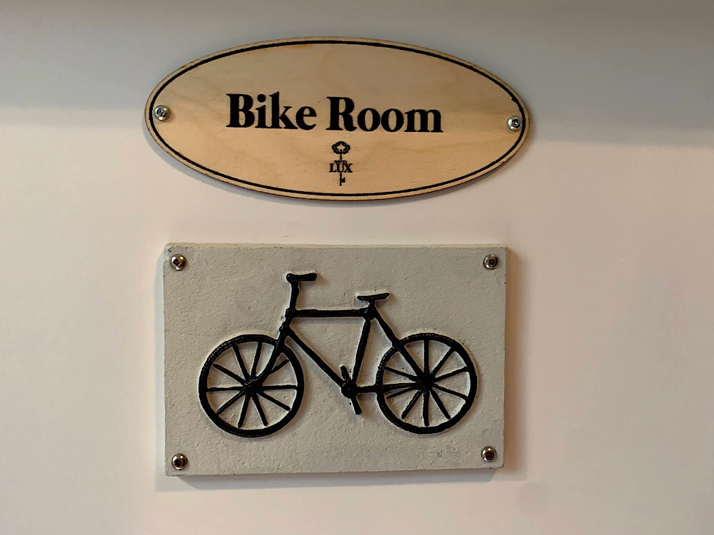
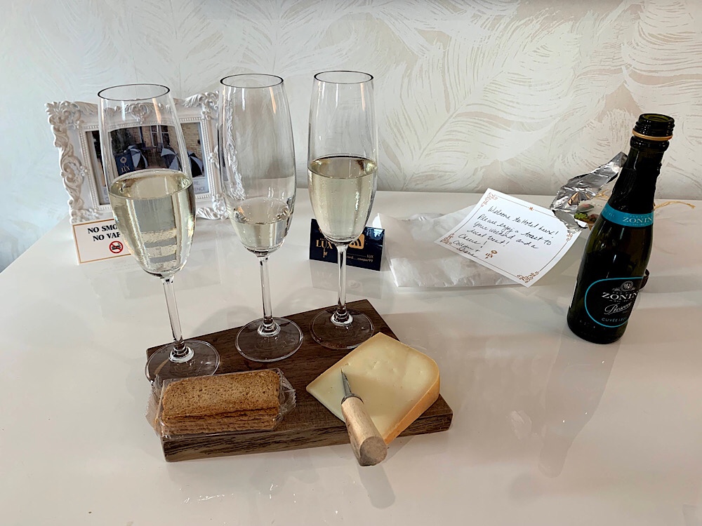
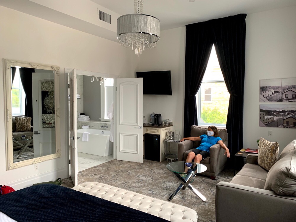
The Hotel Lux in Blyth was a treat. There were only three rooms and we booked them all. We were provided with codes for the front door, bike room, and bedrooms. The rooms were luxurious with Prosecco and cheese, chocolate covered pretzels, Werthers candies, and fresh local cream for our coffee. Having a bike room at the front door made it easier than keeping them in our rooms.
We started our day with the Prosecco and cheese.
Cindy and I rode our bikes to Tim’s to get breakfast.
There was a tornado warning and it was going to be a long day with headwinds, possible rain, and possible tornado. We were fortunate to have little or no rain the past two days with heavy rain overnight while we were sleeping.
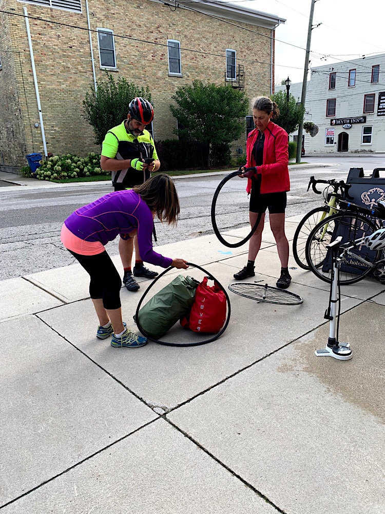
David, Dayle, and Wayne were outside early so decided to get a few minutes head start as Dayle is not as fast as some others in the group. Unfortunately, when I got Lina’s bike out of the bike room, the front tire was flat. Because it was soft yesterday morning after we started riding, we decided to change the tube this morning. That delayed us almost an hour so we took the road that parallels the trail for the first 40km. It was challenging with the headwind so Nelson, Cindy and I took turns leading the pace line of four.
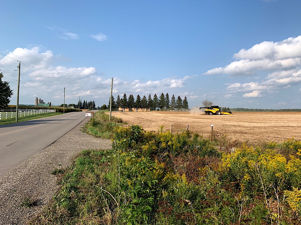
The roads were good. Not very hilly, light traffic, respectful drives. And, we encountered some brand new asphalt which was a joy to ride. The atmosphere was oddly dingy and hazy.
At the 40km mark we got on the trail as the roads would have added quite a bit of distance had we carried on along them. We encountered the rest of the group within a hundred or so metres, at a rest stop set up on the trail, with chairs, and a cooler with drinks and snacks, paid for on the honour system. After a short break we got going again.
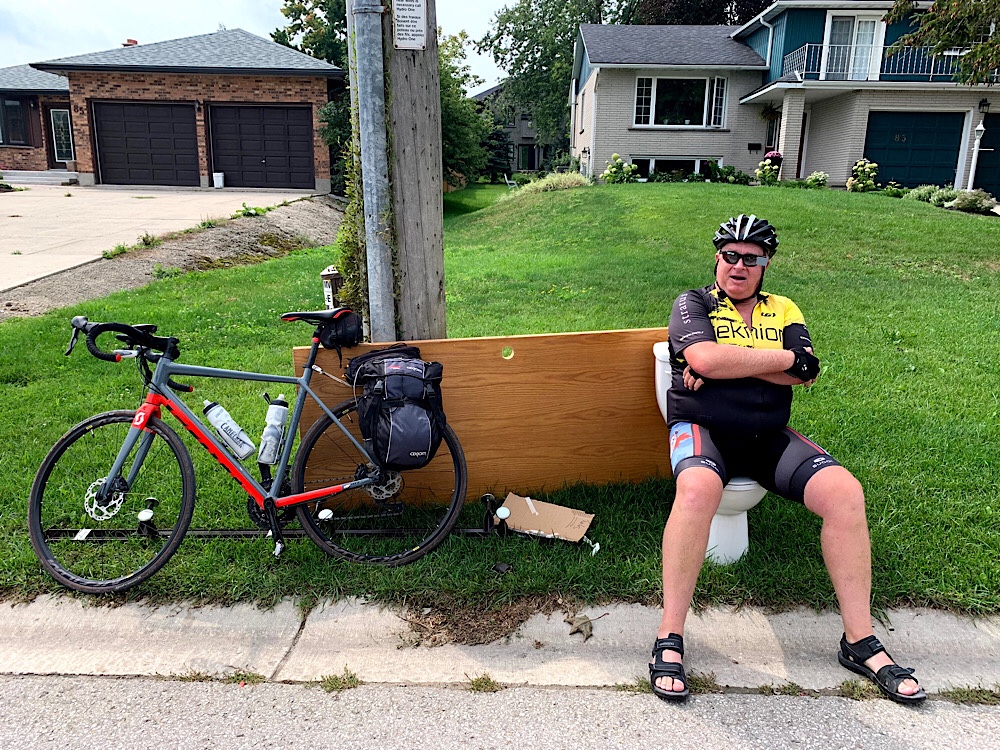
This is the third trip upon which Wayne has spotted a toilet being discarded and requested we stop for a picture.
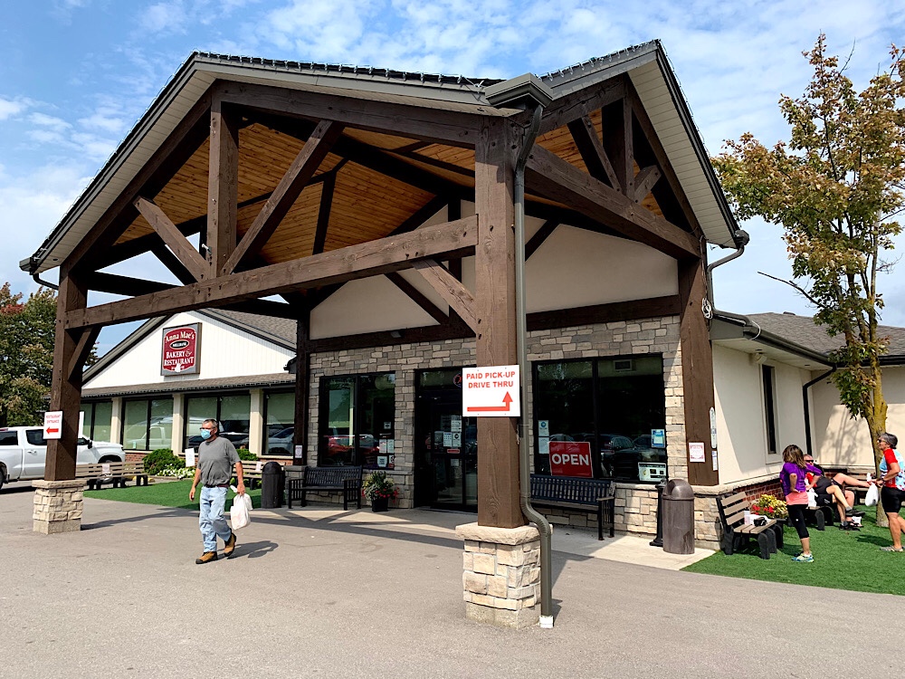
Lunch was in Millbank at Anna Mae’s Bakery And Restaurant. It is a quaint diner serving home style food and baked goods. We were able to order our food, pick it up outside and eat at picnic tables.
Lunch took longer today and we weren’t riding again until after 2:30 with 45km to go.
Lina left us at Linwood where her car was parked. She relaxed for a while before heading for Welland.
We noticed different things returning on the trail. It also had a different look in the sunshine. It was a hot afternoon to ride.
We’ve seen many Mennonite farms and horses and buggies over our three days in the area.
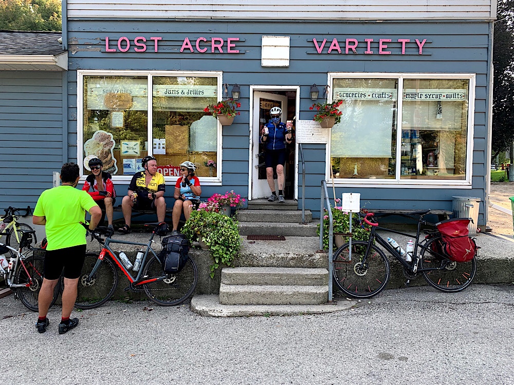
Back in West Montrose the Lost Acres Variety was open so we stopped for cold drinks before crossing over the Kissing Bridge again.
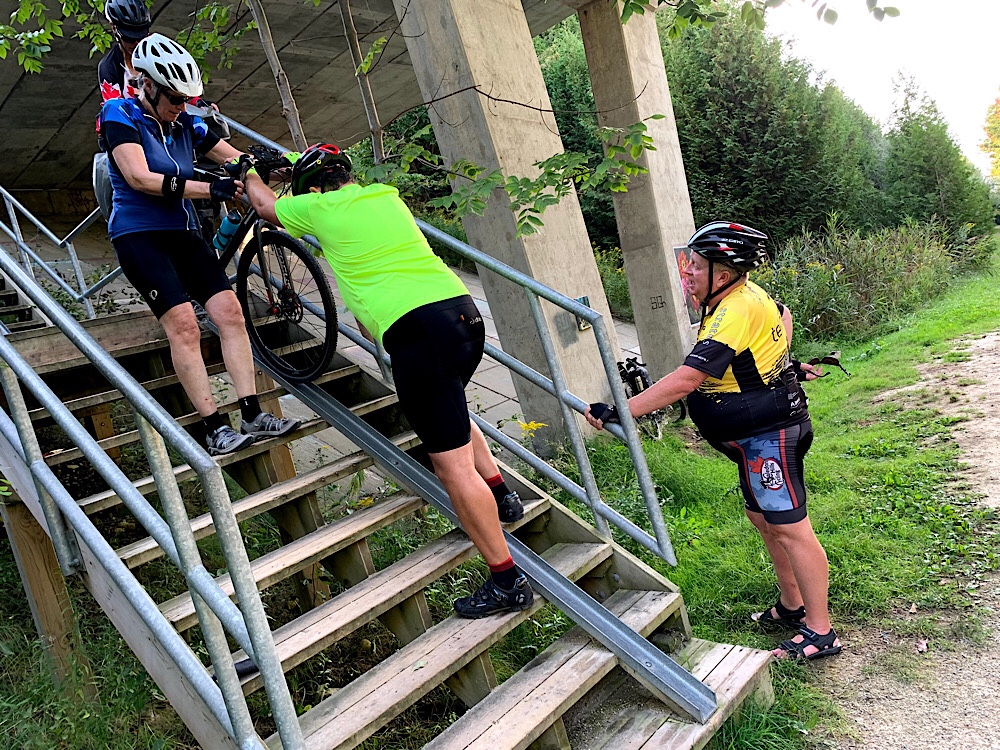
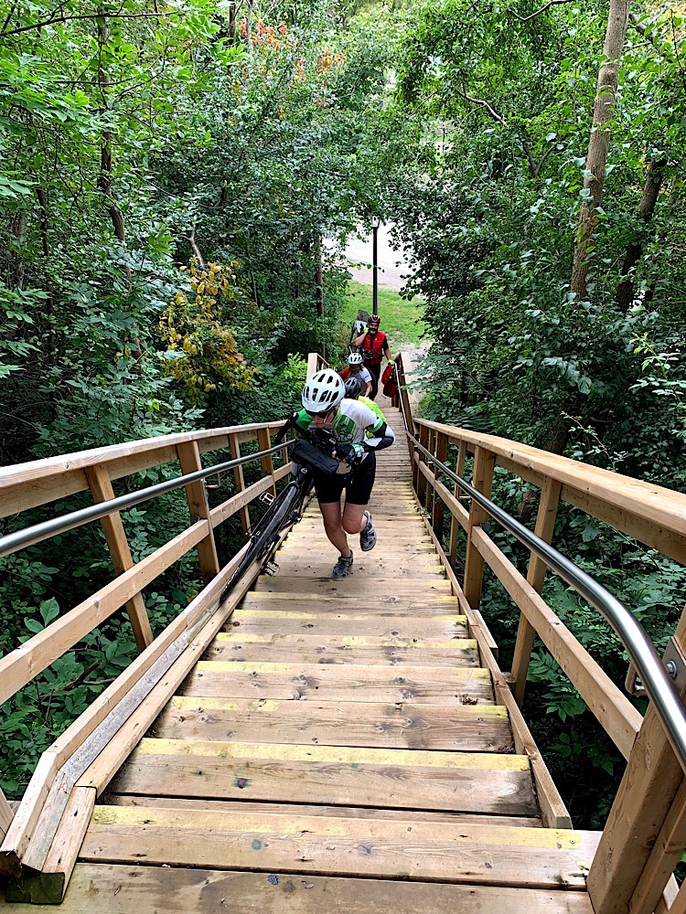
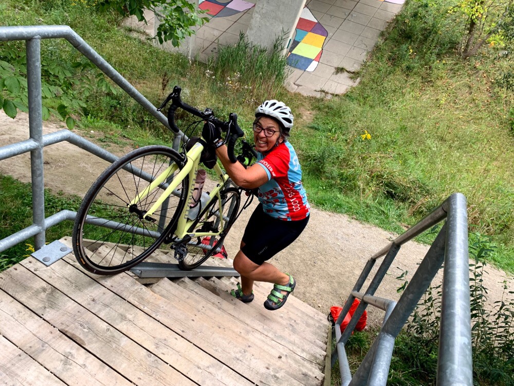
The stairs were actually more difficult wheeling down with panniers. I lost control of my bike just before the first landing when it went back over front. Fortunately I was able to keep ahold of it and control the landing. My computer flew off, but Wayne recovered it from under the stairs for me. The rest of the group helped each other down. I removed my panniers to continue.
106km later we arrived back at the cars. We bid adieu to Nelson, loaded the cars and headed for Welland.
It was a very long day. We grabbed food at a grocery store, checked into the Best Western, put our bikes in the bike storage room, and headed for our rooms. Another great day of biking came to an end.
We started the day with breakfast at Tim’s. Some of us walked, some biked. Some ate there, some back at the hotel. We met, ready to ride at 8:30.
Like yesterday, we had a few road detours, and there were a few short sections where the trail had not been recently groomed.
The lack of a bridge at the Maitland River is the biggest obstacle and creates a 6.5km detour each way. The detour is on gravel roads that are quite hilly. The crossing is on Ball’s Bridge, which was erected in 1885. It is a two-span Pratt design , pin-connected wrought iron bridge. It is apparently an excellent and rare example of such a bridge. It was deemed unable to support modern vehicles in 1989, but was restored, and upgraded and reopened in 2007. There is a similar one over the Conestogo River in Waterloo that was used in filming The Handmaid’s Tale.
As we continued on the other side I misread the route. Nelson headed back onto the trail at this point, but I thought we should keep going. David headed down the hill after him and they made their way back up the very steep rough trail. About a kilometre further on I realized Nelson had been correct, but we carried on and picked up the trail a bit further on. We found out later on that they had only made it about a third of the way down the hill.
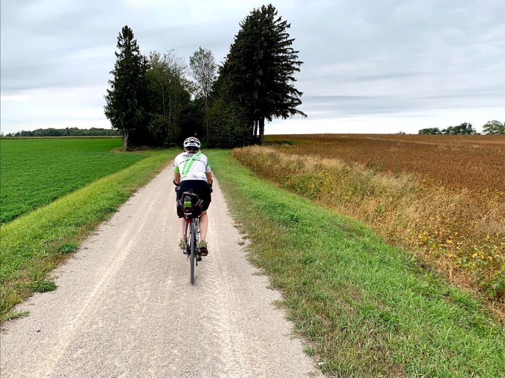
The detour roads had very few motor vehicles and we only met a few other cyclists.
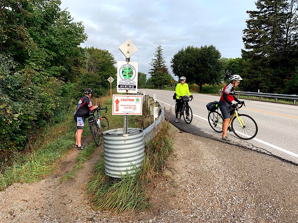
The views as we came into Goderich were incredible, and improved as we arrived at the CPR Bridge built in 1905-1906. The last train crossed it in 1988. Fortunately, the bridge was saved from demolition in 1992 and is now part of the G2G Trail.
Wayne took us to a terrific fish and chip restaurant called Goderich Harbour. The food menu was short, the selection of salts and vinegars was almost overwhelming, and the food was good. There were lots of picnic tables and a great view of the harbour.
After lunch we toured the harbour. Goderich is home to the largest salt mines in the world.
Then Wayne took us on a single track desire line over to the beach. There were more great views of the harbour and industry. I think there is a strange beauty to buildings like this.
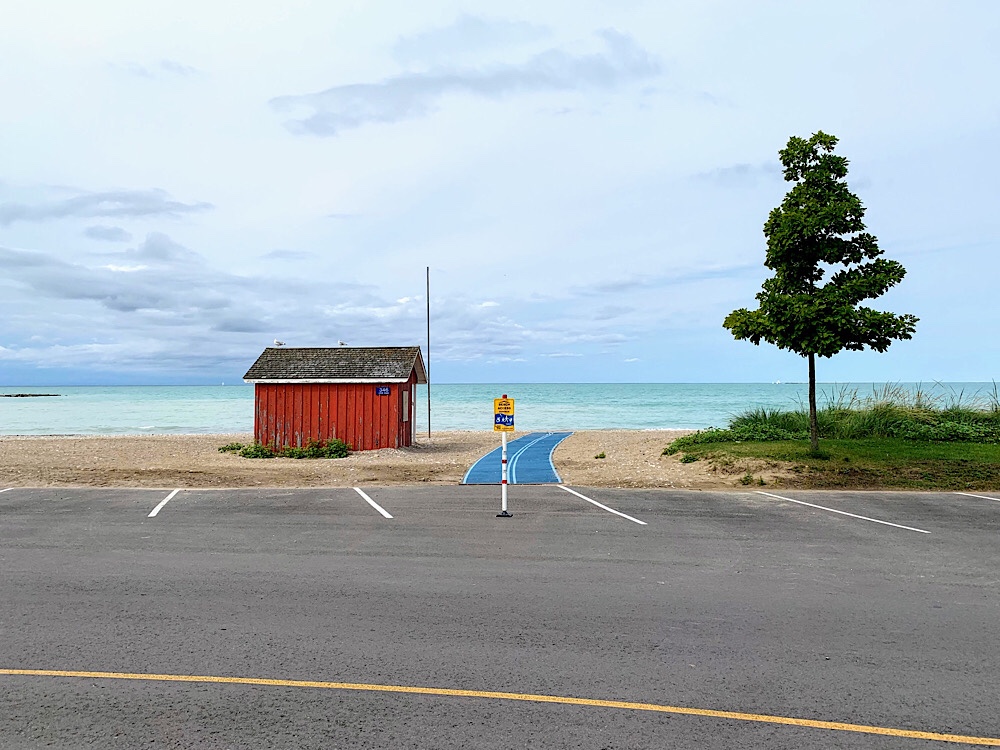
There were a lot of recent improvements made at the beach with parking which was clearly created for summer crowds. It wasn’t crowded today.
We cycled back along the beach and then climbed stairs with a bike trough, not as easy to use as yesterday’s, to the lighthouse. Wayne and Cindy decided to ride the hill. The climbers made it to the top first.
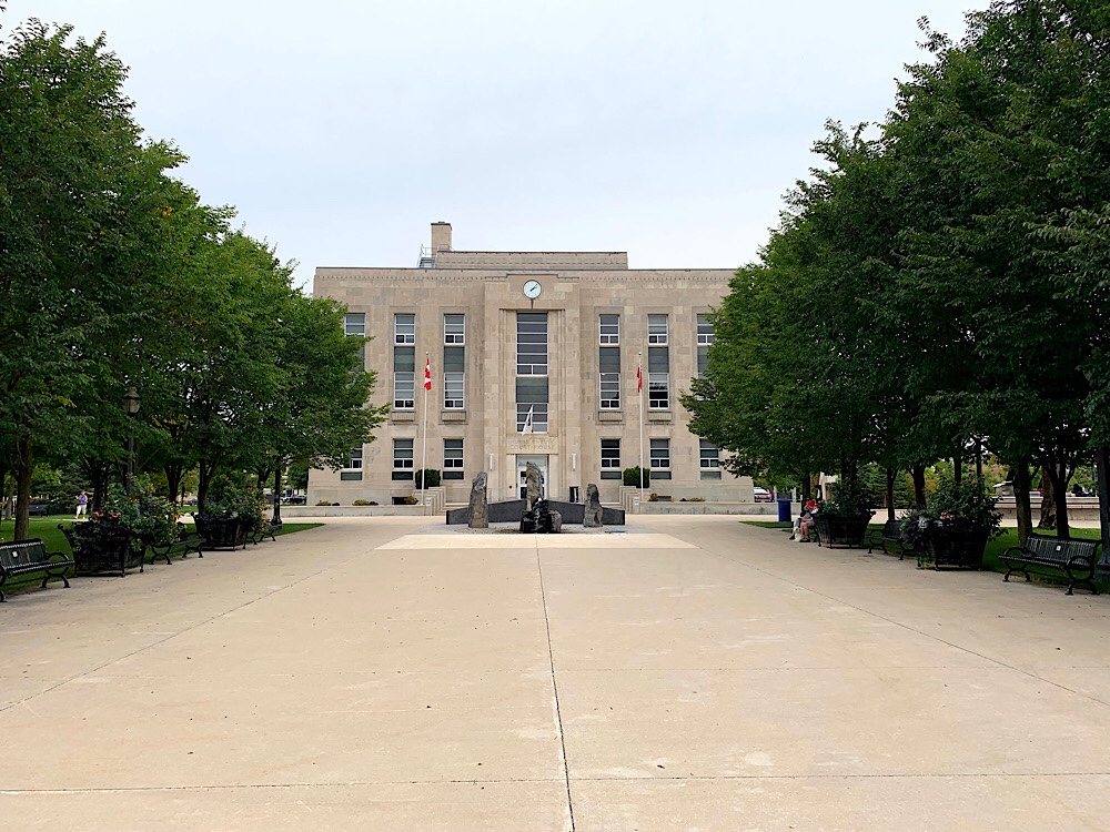
Goderich is also famous for its octagon shaped road around the courthouse with shops all around the outside with angle parking on one side and parallel parking on the other. Other than the fact that it was littered with cars its quite interesting.
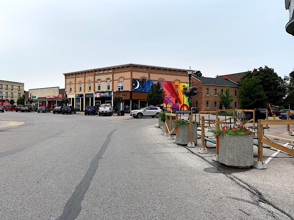
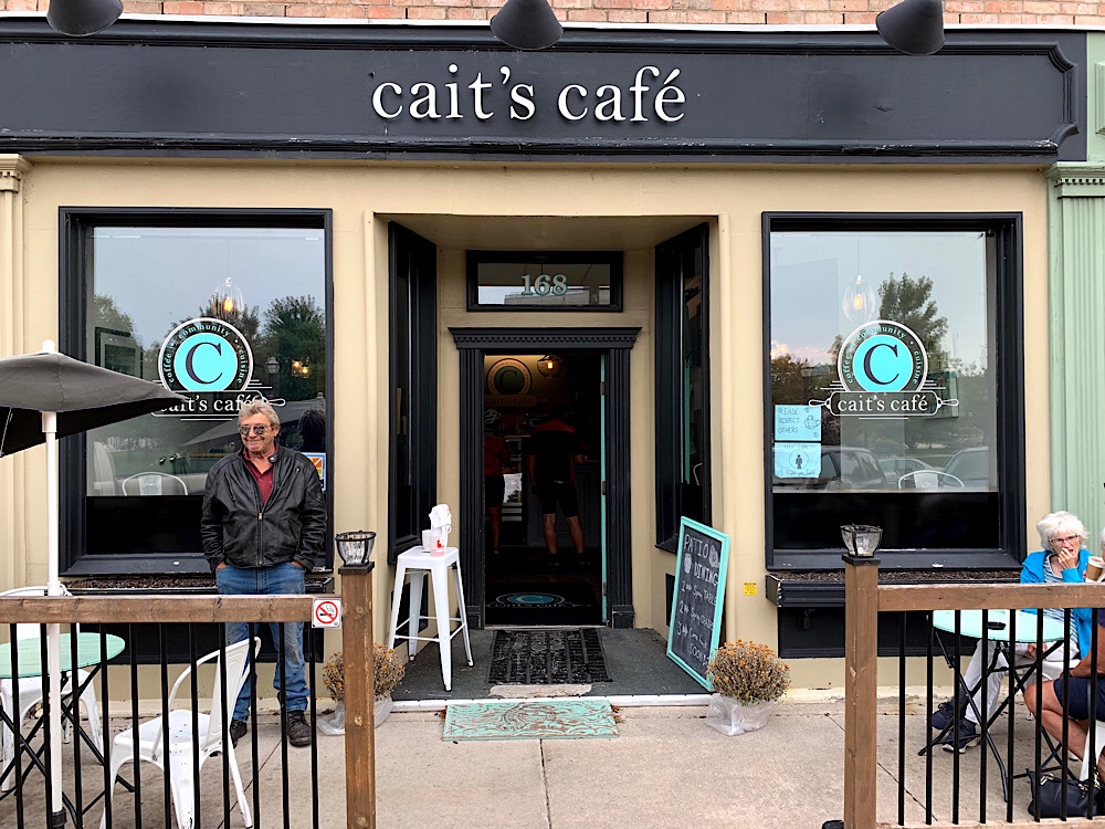
We stopped at a cafe on the octagon for coffee.
As we sat drinking our coffee Wayne checked the radar and there was a storm front coming in. I planned road return and trail return routes for the day and we hadn’t yet decided which to do. We finished up, got on our bikes and ended up deciding to split up. David, Dayle, and Wayne took the trail. The rest of us, the road.
The road route turned out to be quite good. Part of it was on the Waterfront Trail and had shoulders wide enough to ride two abreast. Traffic was light.
Neither group encountered much rain. The road group made it back to Blyth an hour earlier than the trail group. The trail group discovered how big the hill detour was at the Maitland River (3x what Nelson and David went down and up this morning).
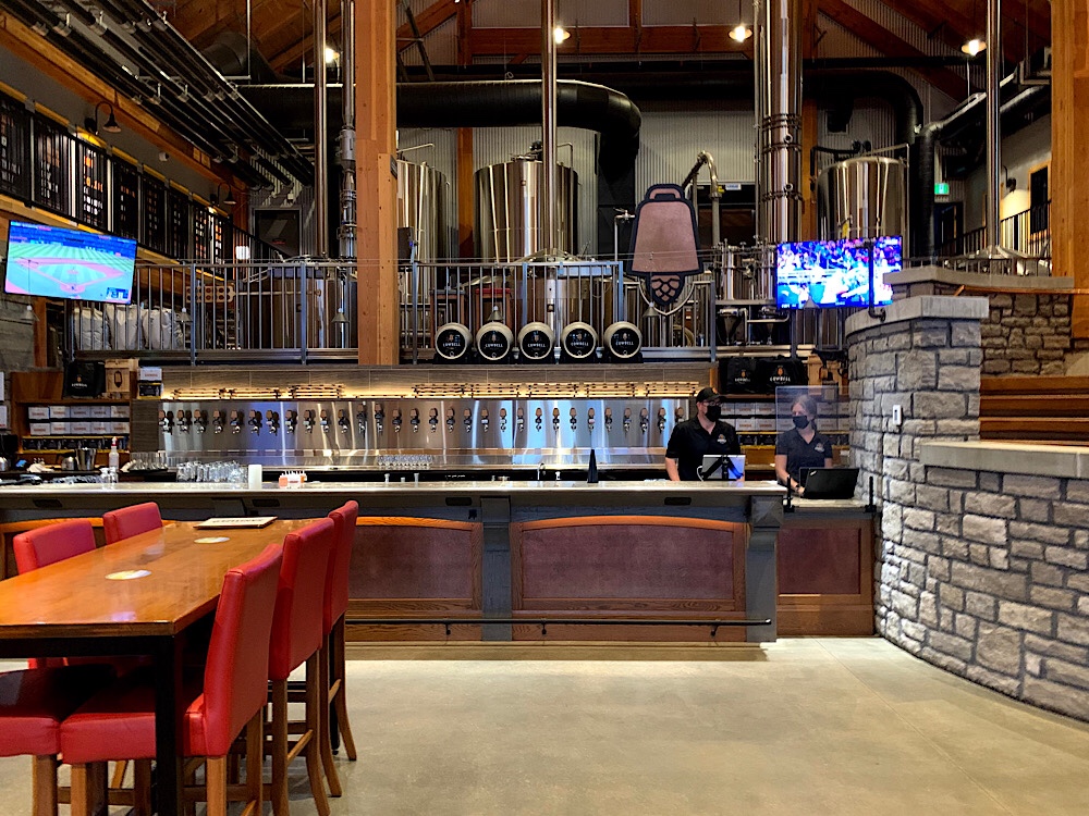
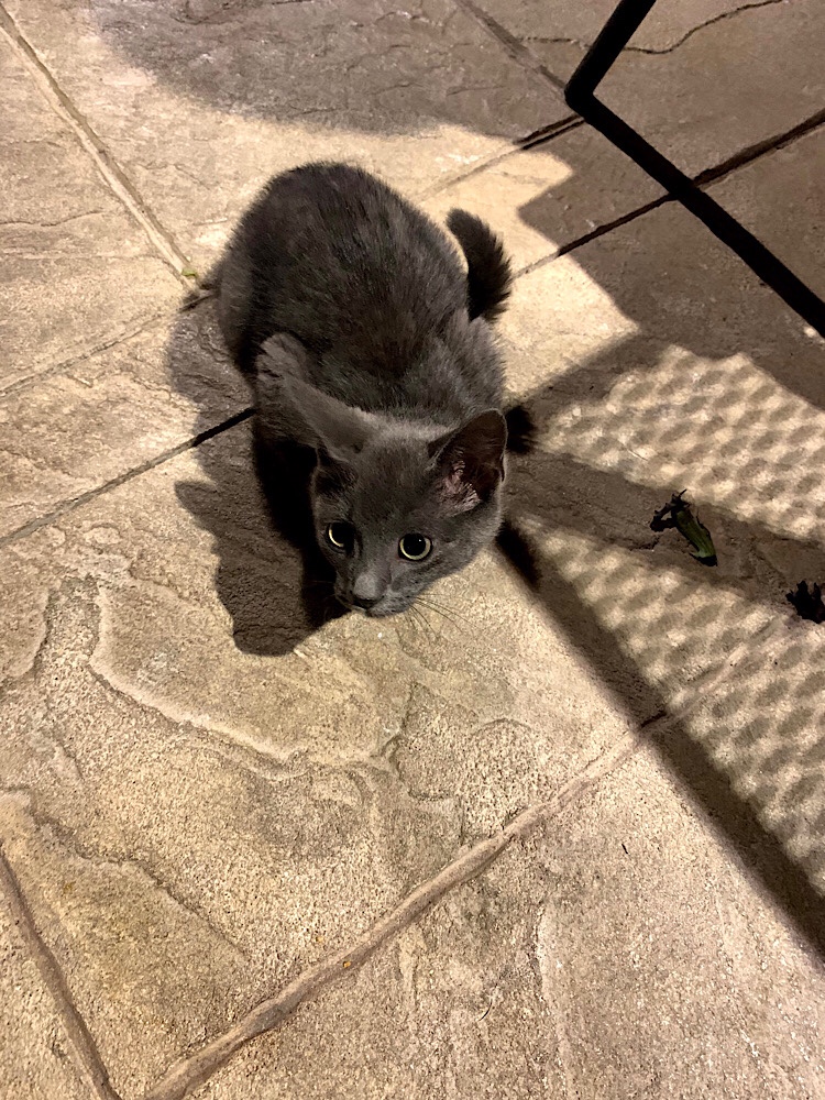
We had dinner at Cowbells, the local brewery. It was excellent. There were farm cats begging at the table. So cute, until Lina got scratched! As rain threatened we hurried back to the hotel and avoided it, ending another great day.
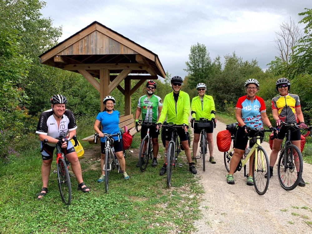
Today we started a six day bike trip made up of two distinct parts. The first three days will be spent on the Guelph to Goderich Rail Trail with seven of us, one of whom, Lina, is doing her first trip by bike. The next three days will be in the Niagara Region with six in the group.
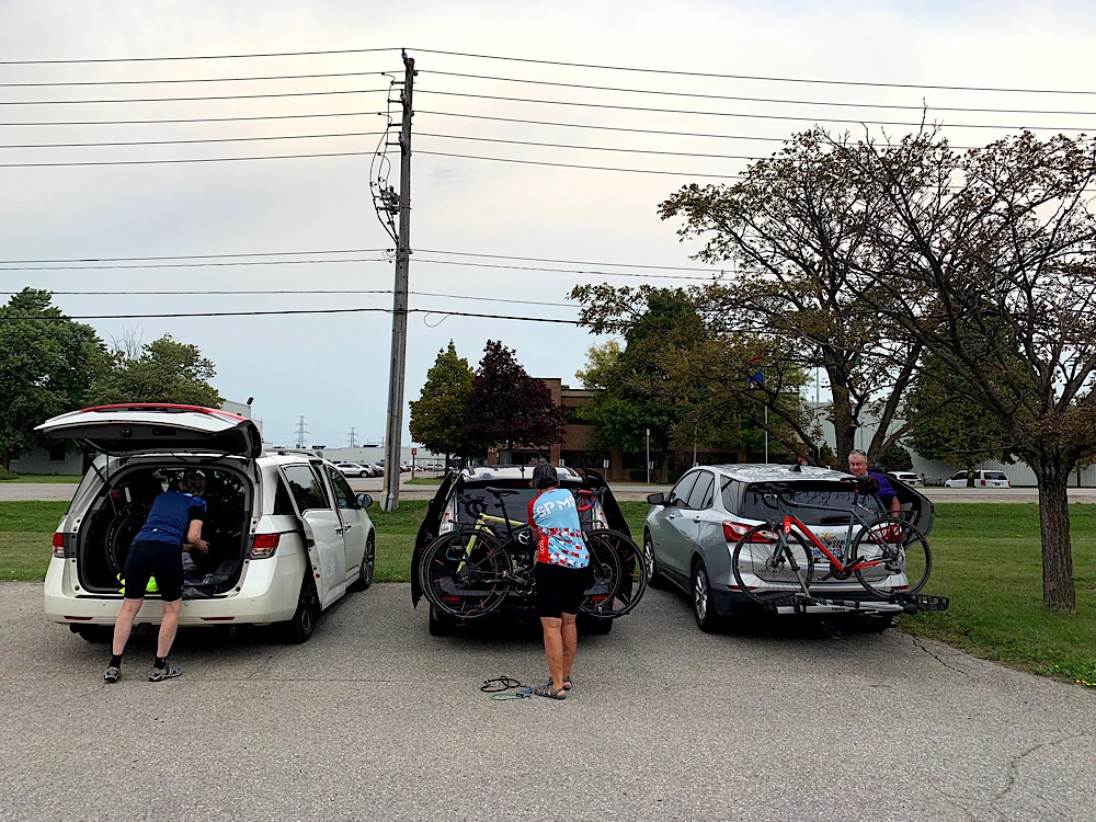
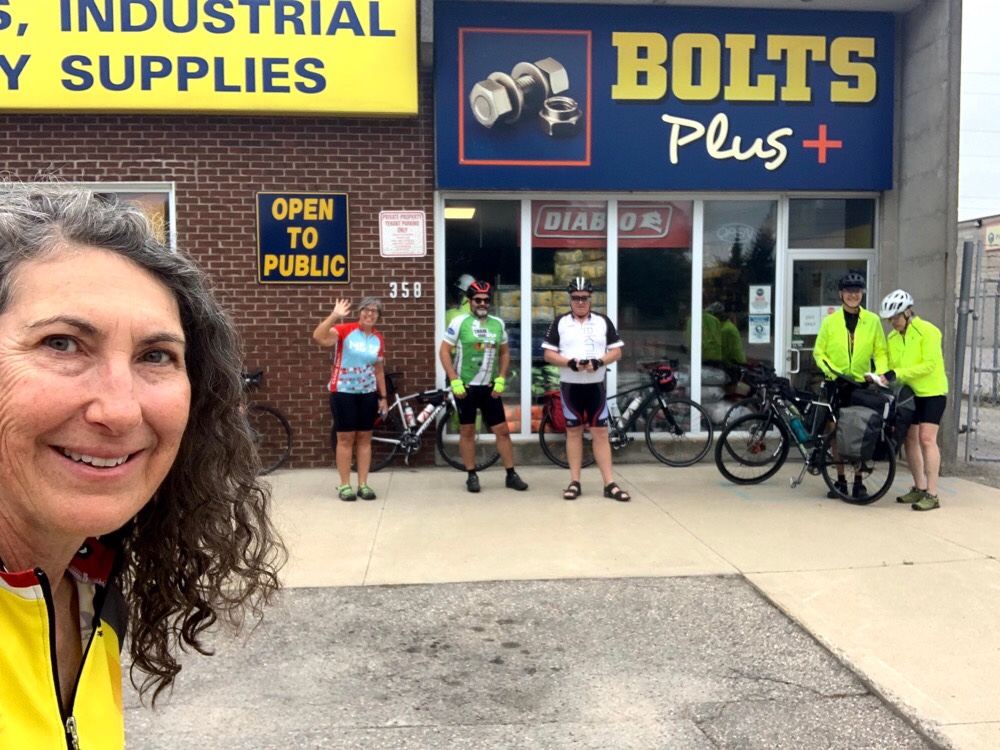
Today five of us drove from Brampton, one from Tottenham, and one biked from his home in Guelph to Bolts Plus where Wayne arranged for us to leave the cars for three days. It is only 3km from the trail on the west side of Guelph.
Traffic was free flowing on the 401 despite the tens of kilometres of construction that has been causing terrible jams when I have visited my son in Kitchener for the past couple months, even on weekend afternoons.
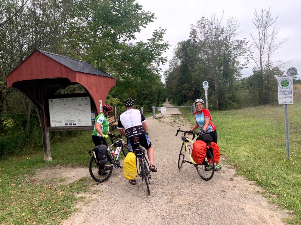
Here we are with bikes loaded with panniers and ready to go. We were off by 8:30. Three kilometres later we were at the trail. Many of the road crossings had these structures with maps and a small covered area.
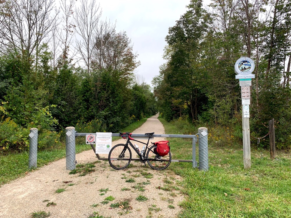
I find many rail trails can be quite tiring to ride because of the surface and I generally compare them to the Caledon Trailway which is one of the best I have experienced. We were pleasantly surprised to find the G2G comparable.
We were meeting Lina in Linwood between 10:30 and 11 where she arranged to leave her car at the local recreation centre as she wanted to shorten Days 1 and 3 to about 60km each.
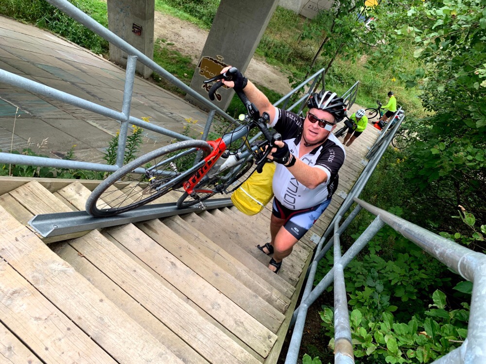
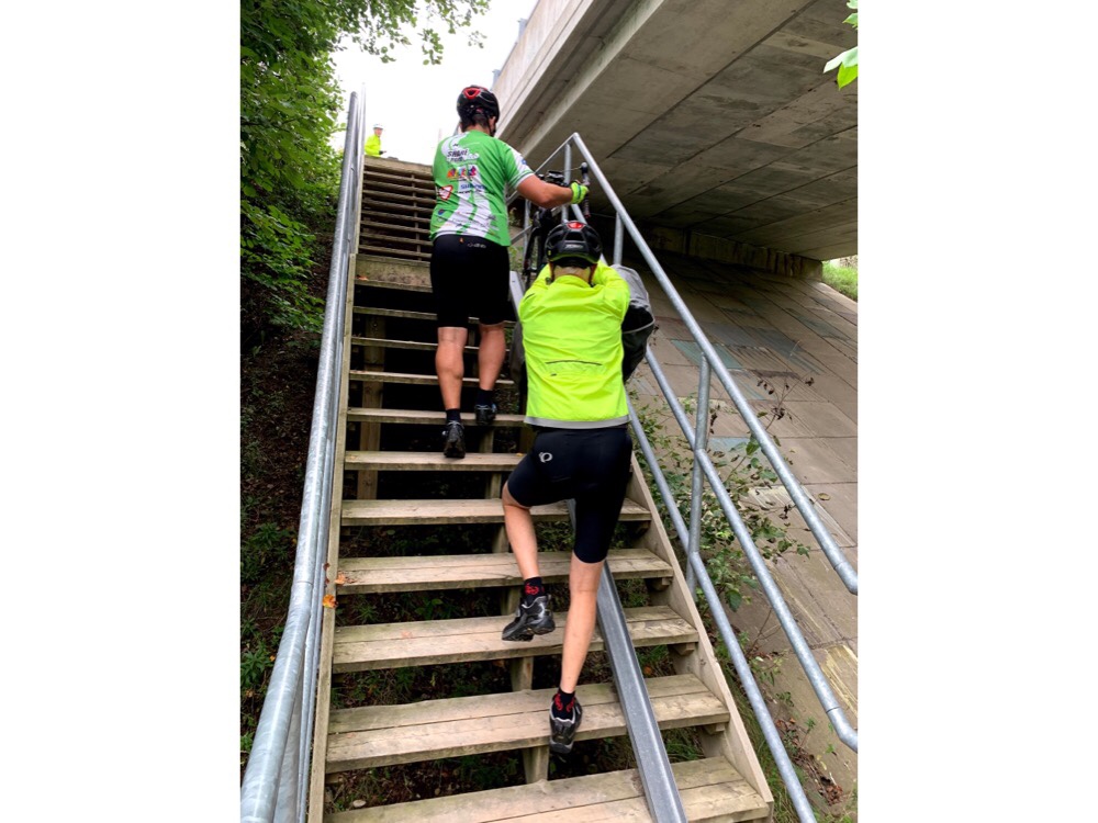
Wayne rode the trail a couple years ago before a massive effort was made by volunteers to improve the trail. From what he describes that he endured it has been a very impressive transformation. There are still some connections over rivers which will be very costly which have yet to be made. Here we are climbing stairs to get over the Grand River on the road.
Some of us made two climbs – one with the bike rolling up the trough, and one with the paniers. David’s bike is very heavily loaded as Dayle cannot carry much on her bike which has a carbon frame. It took two to roll it up loaded with panniers.
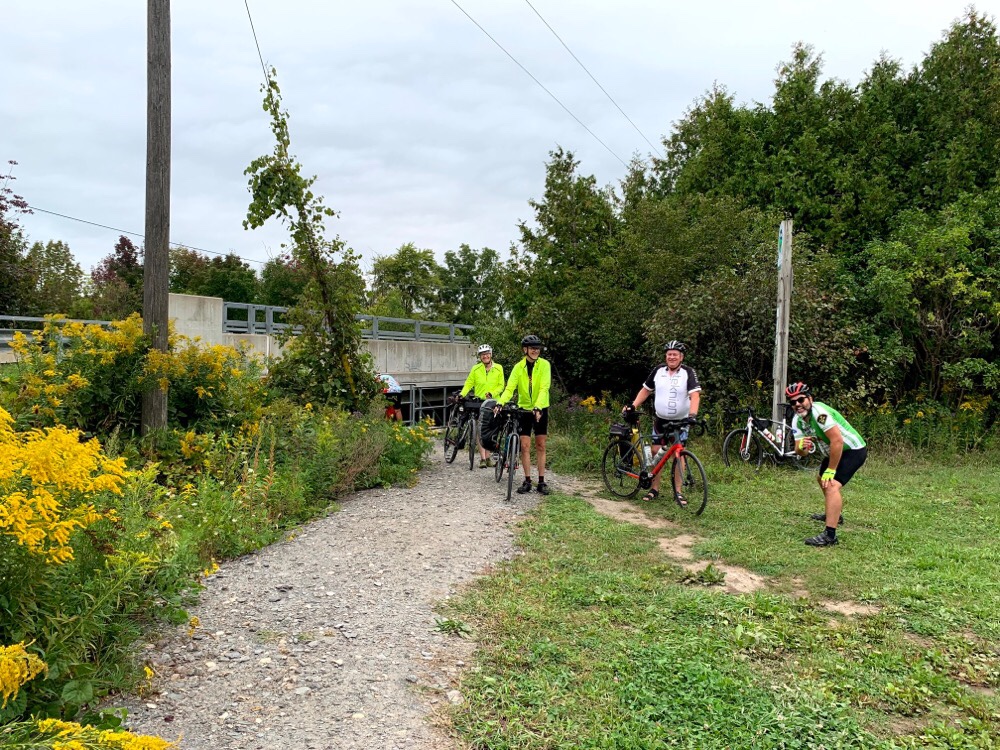
We made it!
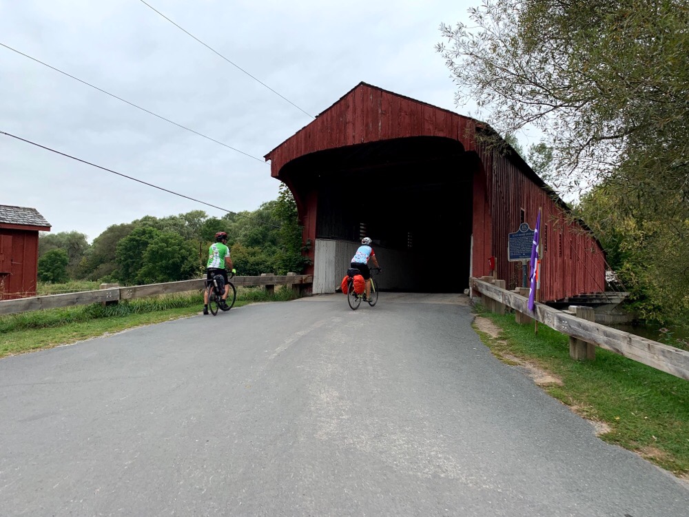
Then we crossed The Grand River on the West Montrose covered bridge, also known as The Kissing Bridge, as is this section of the trail. Covered bridges are often called ‘kissing’ bridges because of a commonly-held superstition that to go quickly through a covered bridge would create a standing wave that would cause the bridge to collapse. Therefore, a law was passed to ensure all horses slowed their gait when crossing the bridge. During these moments of privacy, couples passing through would often steal a kiss or two, thus the term ‘kissing’ bridge.
Another detour to cross the Conestoga River consisted of a short stretch on 86 which is a major road, but it had a good shoulder.
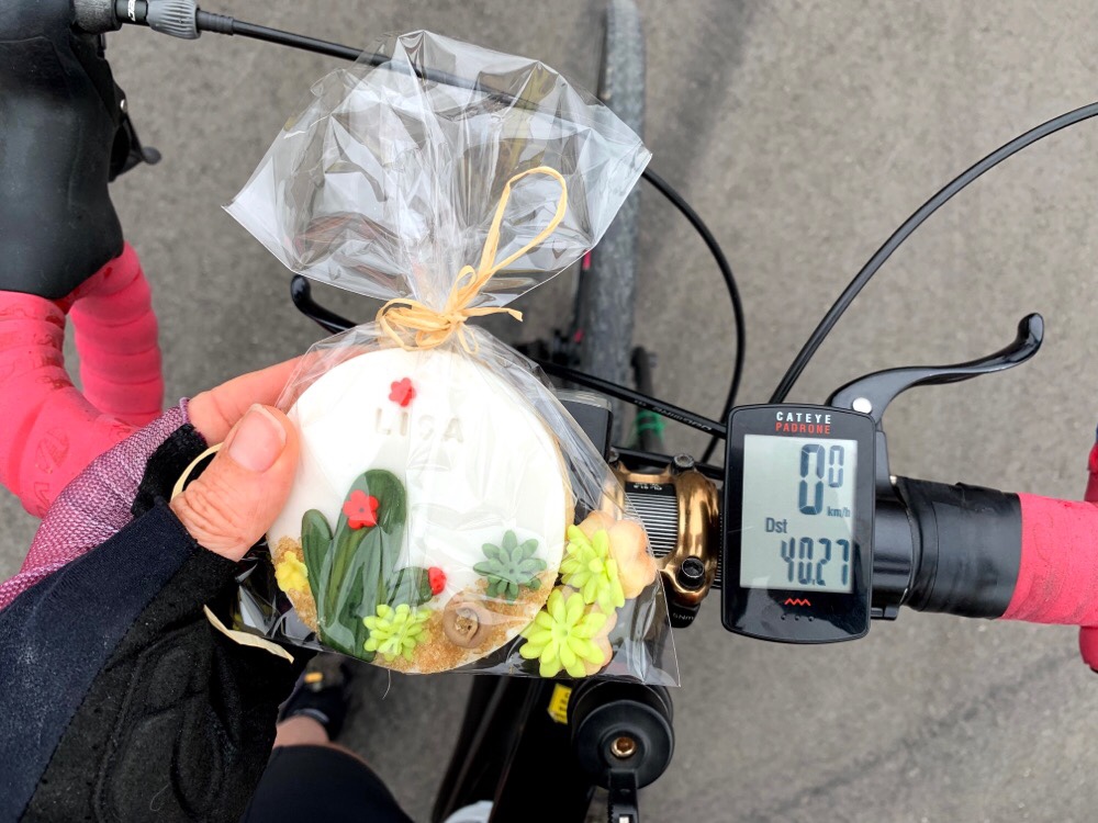
We didn’t arrive at Linwood until about 11:15 and found Lina waiting patiently with custom, inscribed cookies to replenish us after 40km. There were unlocked bathrooms available at the rec centre which was welcome.
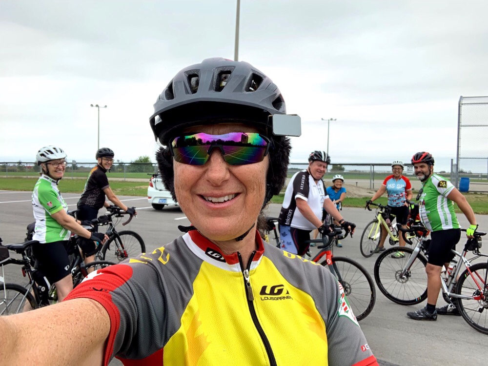
Here’s the enlarged group ready to continue.
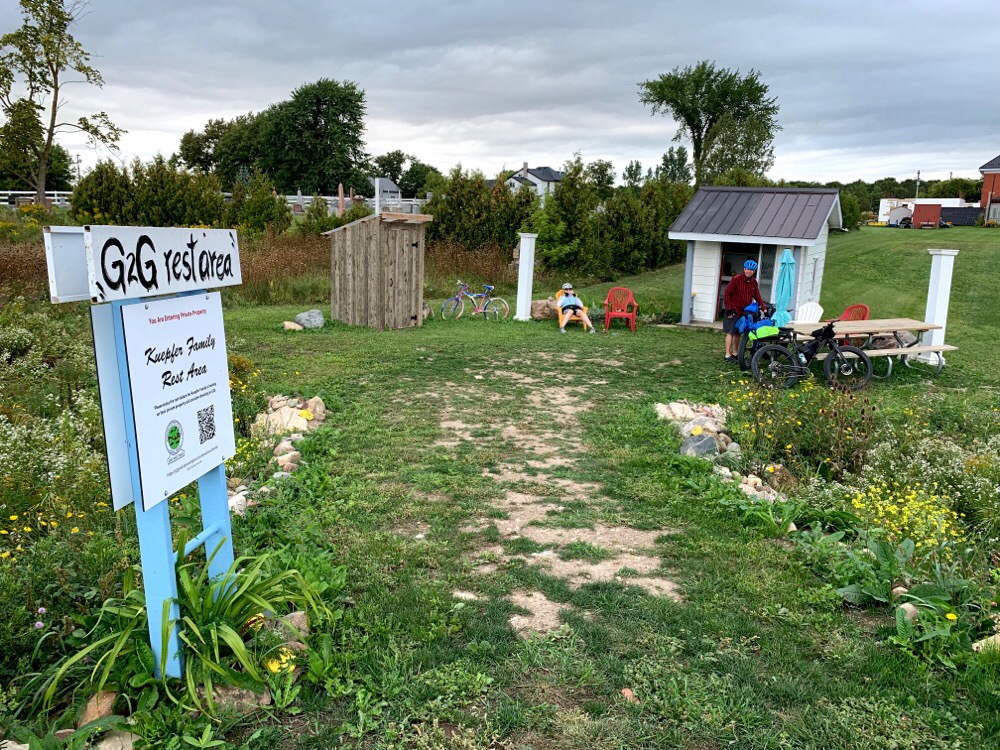
There was a little rest stop a little further on, and apparently a B&B, we learned from a group we met heading there later in the day.
We had lunch at a park in Milverton, across from a small grocery store. A lot of things are closed on Sundays in this area so we brought lunch with us.
We didn’t stay long and we find our average speed is much lower on trails than roads and we still had 46km ahead of us. The trail seems a little less well groomed just west of Milverton, but perhaps we were also tiring.
We met a group of three women heading to the aforementioned B&B who offered to take our picture and did a great job of arranging us beforehand.
We were all getting tired by 80km, but the hotel was at 105 so we had no choice but to carry on.
Two kilometres to go! I’m not sure where the trail crossing above Nelson goes. I’ll have to look into it.
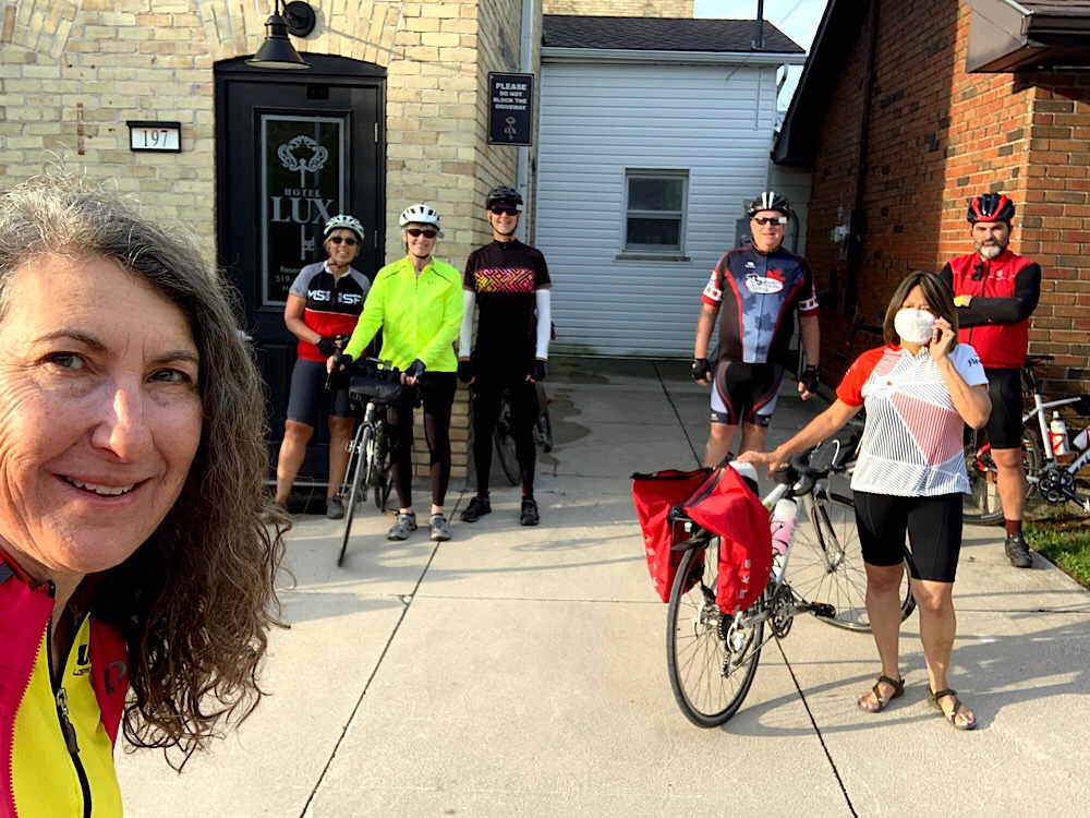
We are staying in the Lux Hotel, which is very luxurious. Dinner was at the Blyth Inn on the diagonally opposite corner. Very convenient.
The day started with breakfast on the patio at the hotel where we ate dinner last night. The portions were generous and I ended up taking some sausages and apple slices with me for snacking. It was our longest distance day of the three (95km), but, it was almost 9:30 by the time we were on the road as the restaurant didn’t open until 8, and there weren’t any alternatives.
Jackson Point’s streets were quiet and tree lined.
There was a mural and a couple ice cream shops on the main street.
Lake Drive out of Jackson Point was the most lovely 12km of the entire circumnavigation, with generally unobstructed views over the lake on our right, as the road was close to the water, with cottages only on the left side. Many cottages had private beaches on the right, across the road from their cottage, but there were no structures to obscure the view. People walked, cycled, and drove respectfully. It was beautiful. And many of the cottages are cottage in name only.
It was interesting how many street names we came across so far from Toronto that we normally associate with Toronto. The picture below is Leslie Street. It had a decent paved shoulder and wasn’t overly busy.
We had been travelling quite fast descending Leslie and had just started to lose momentum when we came across this speed trap.
It wasn’t long before we were in the very flat, very fertile farming area of Holland Marsh. I was surprised how far south we had to travel from the lake through the marsh before we were able to cross the Holland River just north of Holland Landing to begin heading north again.
We stopped in Bradford for lunch. Wayne suggested a Mexican restaurant which he had heard about on the news, whose owner had been attacked by anti-maskers. We agreed as we all felt it was important to support such an establishment. Unfortunately, the restaurant closes on Mondays.
It was very hot. We were very hungry. We tried a couple other places. One had no outdoor seating. Another didn’t open until the evening, although the owner came out to greet us and brought us cold bottled water. Finally, we ended up at Mr Sub and ate at the back of the building, the only place with a little shade, with milk crates for stools.
After leaving Bradford and flat Holland Marsh we had to climb. The 6km segment on Yonge Street was the most stressful of the entire three days – climbing, stiff headwind, very narrow shoulder, heavy traffic. The whole time I was very frustrated because the paving was relatively new, probably done since it became legal for bikes to travel on the shoulder. In many places there was a several centimeter drop from pavement to gravel. We are all confident cyclists, yet it was still stressful. And if one wants to circumnavigate Lake Simcoe by bike, something promoted by the municipality, it is necessary to ride here.
It was such a relief to leave Yonge Street for Line 10. Even though it had no shoulder, a moderate amount of cars for such a road, and a limit of 80, I could feel the stress fall away.
Innisfil is a very big place. We still had quite a ways to go when we passed this sign.
The heat was exhausting so when we got closer to the lake again Dayle suggested stopping when we found a public access point. Literally a few tens of metres later we found one. The refreshing dip kept us much more comfortable most of the rest of the way back to the car.
This was a fascinating example of filterer permeability: an urban planning concept that “filters out” through car traffic on selected streets to create a more attractive environment for walking and cycling.
Many of the local streets around the lake were crescents off the arterial roads. If one wanted to ride on them it would mean a lot longer distance constantly heading towards the water, riding parallel to it for a few hundred meters and then back to the arterial. Rince and repeat. But these two streets were connected by a recently completed active transportation only ramp, which replaced an older staircase, which I spotted on Google Streetview when planning the ride. Even carrying our bikes down a short staircase was worth it to stay on a local street near the water. We were pleasantly surprised to find this new ramp.
I couldn’t resist suggesting a stop for ice cream at Innisfil Beach.
Like many of the waterfront towns we passed over the three days there was lots of parkland and lovely paths near the water.
The beaches were fenced off for crowd control due to covid.
The descent from the 400 car pool lot on Day 1 meant we had a climb at the end. However, the ascent was not steep, and the road was lightly travelled.
We made it and we are still smiling.
I would definitely recommend this trip, with the caveat that one must be confident enough to tolerate 6km on Yonge Street and 8km on Highway 12 into Brechin.
The distances were:
Day 1 – 87 km
Day 2 – 92 km
Day 3 – 95 km
Total – 274 km
July 17, 2024 Update: A friend just did a one day circumnavigation of Lake Simcoe and one made a video blog of the experience. Check it out here.
Day Two started with an unsatisfactory bagged hotel breakfast consisting of a poorly reheated egg and bacon English muffin, a croissant, a juice box, and a banana. Why was it bagged you ask? It is apparently a covid precaution. However, we were still allowed to make our own tea or coffee, but only powdered coffee creamer was available, so I passed in the hope of finding a Tim Horton’s before leaving town.
We wanted to do some sightseeing along the Orillia waterfront and find a Gordon Lightfoot sculpture before leaving town so we were ready to go by 8am. There was a minor chance of thunderstorms after 2pm.
Early last week the forecast for the weekend looked lovely. But on Thursday, the day of the tornado in Barrie, it changed to a high probability of 10-20mm of rain on each of Saturday and Sunday. I considered postponing, but we weren’t sure the hotel dates were moveable, and I hate changing plans based on a forecast, because they seem so unreliable these days. A few hours later, after the tornado had touched down in Barrie, the forecast changed to a favourable one, and in the event we didn’t have a drop of rain while riding on any of the three days. So it reinforced my conviction that it is rarely worth rescheduling a ride.
Before heading out I deflated and re-seated my tire to try to get rid of a bump I had yesterday following the flat tire. I felt it every time the wheel rotated. It was like riding on the sidewalk. We found a repair station on the waterfront and I was able to inflate the tire to a higher pressure than I had been able to do with the mini pump on the road, or in the room. Unfortunately, while I was successful for about the first 20km, the bump came back. I tolerated it for the rest of the trip because I didn’t want to deflate again and have an underinflated tire due to using the mini pump.
It was a nice descent to the waterfront on almost empty early Sunday morning streets. We had a bike lane for a while, but it wasn’t even wide enough to fit the stencilled bike symbol.
Orillia sits between Lake Couchiching and Lake Simcoe. We explored Lake Couchiching Park which had a cycling trail and boardwalk.
There is also a mini steam train run by the Rotary Club. We saw the tracks and station, but not the train.
There was a beautiful shelter with the park and lake’s name on it.
When we reached the north end of the park we turned and headed back south and east, passing The Island Princess, which didn’t operate last year due to the pandemic, and is apparently moving to Midland this year.
The trail along the waterfront was wide and paved with a centre dividing line. It passed through shaded sections where the trees met overhead, playgrounds, beaches, more park benches than I have ever seen lining a path before, and to the Gordon Lightfoot sculpture with a maple leaf with a sculpted scene for each of the songs from his “Gord’s Gold” album.
We made a final stop before heading to Highway 12, the Trans Canada Highway in this area, and the only road that runs between the two lakes. The area is know as “The Narrows”. Cindy’s former colleague lives in an old log cabin with a delightful addition and beautiful property. Since it was early Sunday and no one appeared Cindy decided not to risk disturbing her friend and we moved on.
Wayne was concerned about fast heavy traffic crossing The Narrows, but it turned out not to be a problem as there is a bike lane and traffic was light. It was a bit challenging making a left onto Highway 12 and off again at uncontrolled intersections, but each of us went as we felt comfortable and all was well. We even found a Tim Horton’s just east of the crossing.
We were on Highway 12 for a couple kilometres after Tim’s and then quiet rural roads, before another 8km on Highway 12 coming into Brechin. The shoulder was narrow and repaired with tar snakes – tar filled cracks that get soft in the sun on a hot day. It was hard to completely avoid them and felt like fishtailing in a car on an icy road when our back tires dropped into them. However, the drivers all gave us the legally required one metre passing distance, it was relatively flat, and we had a tailwind, so it wasn’t too bad.
The town of Brechin on Highway 12 in Ramara Township was decorated with these blue bikes all over town.
After leaving Brechin we headed west to the lake and continued on lovely cottage roads. Given that we were circumnavigating the lake we actually saw very little of it. Even when near the lakeshore on cottage roads we only caught glimpses through the cottages. Each town we visited with a waterfront did have parks along the waterfront and that is where we had the most exposure to the water on the first two days.
Where Ramara Road 47 crosses the Talbot River, there is a swing bridge. It is part of the Trent-Severn waterway. We just finished crossing it when a boat came through so we stayed to watch. I was surprised how quickly it rotated.
We had lunch in Beaverton, down at the harbour at Barney’s Restaurant, as recommended by a local when we stopped to discuss where to eat. The food was good, and prices reasonable, although the waitress seemed to lose interest in us when the lunch crowd thinned.
After Beaverton we were along the lake again for a while then headed inland. We passed an incredibly huge field of solar panels seen to the right behind this barn, and on the opposite side of the road.
We headed north back to the waterfront past Sibbald Point Provincial Park and passed a beautiful old Church – St. George’s Anglican, on Hedge Road, where Stephen Leacock is buried. The road was lined with beautiful old hedges.
Shortly thereafter we arrived at our destination, the Ramada at Jackson’s Point. We checked in with some confusion. We had requested ground floor near each other, but were on the second floor with no elevator. David didn’t realize this when accepting the room so just went with it. Wayne and Cindy requested a change. Wayne’s worked out, but Cindy and I ended up in an unmade room and then had to go back and arrange another. The next room was nice, but the cell service and wifi were terrible – not everywhere – but certainly in our room. We made a dinner reservation for the patio at the hotel and then went swimming in the lake. It was refreshing and possibly warmer than the pool at the Quality Inn in Orillia last night.
The meal was good in a pleasant location. Another satisfying day of cycle touring came to a close.
July 17, 2024 Update: A friend just did a one day circumnavigation of Lake Simcoe and one made a video blog of the experience. Check it out here.
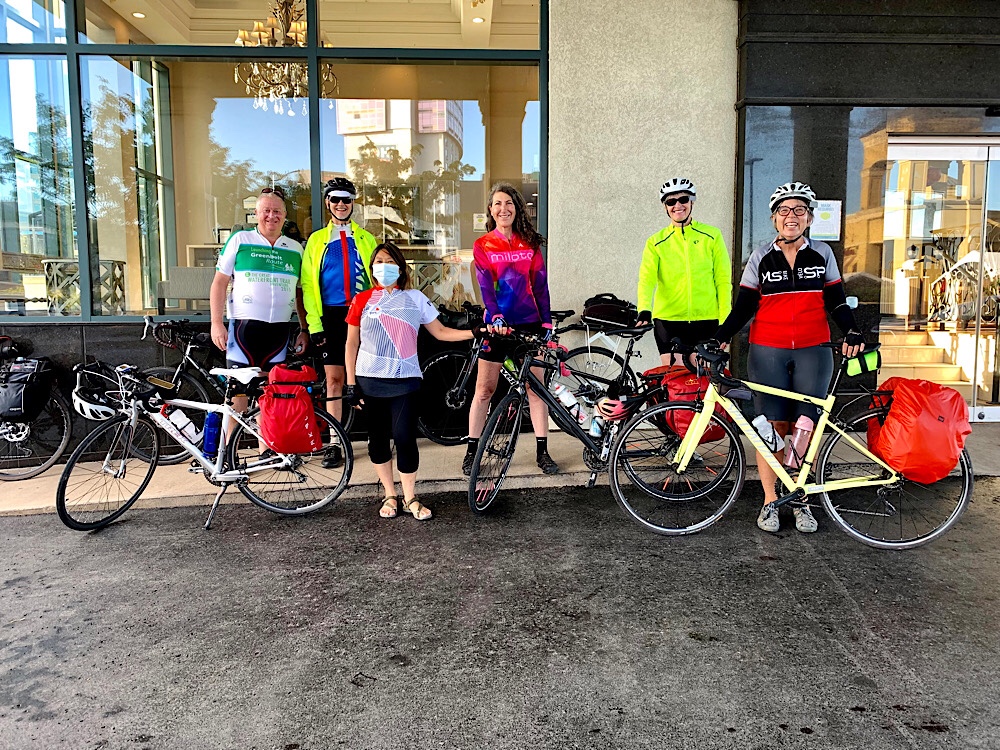
Left: Lisa, David, Dayle and Cindy ready to leave Brampton. Right: the whole gang ready to leave the carpool lot
Inspired by our BikeBrampton friends who completed a one day circumnativation of Lake Simcoe on the solstice, but without their endurance, we planned a three day circumnavigation. The four of us who live in Brampton piled into one vehicle and met Wayne who lives in Simcoe County, at the Innisfil Beach Road and Highway 400 Carpool lot, where one can park a vehicle for up to 120 hours. We were all very grateful to be fully vaccinated against Covid and felt comfortable travelling together.
We left Brampton at 7am to ensure we didn’t run into cottage traffic on the 400. It was a quick drive and we were ready to ride by 830. Innisfil Beach Road is very busy, but we were able to head north from the carpool lot paralleling the 400, to 9th Line which was a relatively low traffic volume road with a downhill ride of about 13km to the lake.
At the beach in Innisfil, and many of the municipal beaches we saw around the lake, they had beach access mats for those who would have difficulty walking or rolling a wheelchair or stroller on the sand.
They also had a cute bike rack. Unfortunately, like many bike racks, it didn’t really work very well except for the two highest slots.
On Monday, prior to the trip, I was riding in Toronto on my cross bike and got a nail in my tire very near the end of the ride. It became hard to ride, but I thought maybe I was just tired, so I continued the last few hundred metres. Tuesday morning when I went out to ride my front tire was completely flat. I didn’t have time to change the tube then, so I rode a different bike. Tuesday evening I found a snakebite flat, repaired it, reassembled it, but it still wouldn’t hold the air. I took it apart again, and found the nail, which caused two holes. I had no patches left. I ordered patches on Amazon and put a new tube in. Wednesday morning after a short trip to the grocery store, the seam blew on the new tube. I put in another new tube Wednesday evening and the seam blew on it as soon as I finished reassembling the tire. I could find no problem in the tire causing the blowouts. At that point I was out of tubes, as well as patches, and I needed my cross bike for the trip for its carrying capacity. The next morning a friend provided me with patches and I repaired an old tube of a different brand from the blown ones. It seemed to hold. That afternoon I also bought new tubes.
Unfortunately, 17km into our trip I had another flat tire. Fortunately, Wayne has eagle eyes and found a very small piece of metal that had caused a slow leak. We repaired the tube using my remaining patches, but damaged the stem pumping it up! Thank goodness I had the new tubes. In went the tube, everything was reassembled, and it held the rest of the trip, but it took me until about half way through day two before I felt confident that my spate of flats had ended.
By then it was getting quite warm, and we had wasted a lot of time, but it’s all part of the adventure. Everyone was patient and helpful.
We continued along the lake to Friday Harbour, a resort near Barrie, and out to Big Bay Point where we enjoyed looking at the cottages generally, and specifically looking for a family cottage in the area that David used to visit decades ago. Dayle also had family with a cottage in the area.
As we rode towards Barrie’s waterfront along Hurst Drive, I started thinking that it look very familiar. I asked Dayle about it and she felt the same. Later I determined that on our four day trip to Meaford in 2019 we stayed in an AirBnB just off Hurst Drive on our first night. The next morning on that trip it was raining, so our exploration of the Barrie waterfront was very brief. We were able to explore it more fully this time.
We ate lunch in Memorial Square which is at the foot of Owen Street, and just north of Meridian Place, where there were many anti-lockdown protests in the spring. There were still a few protesters there who wanted to talk to us, but we gave them short shrift.
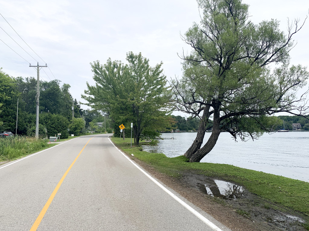
After lunch we continued along the waterfront on a limestone screenings trail, which was reasonably smooth, for a few kilometres, and then onto Shanty Bay Road, which turns into Ridge Road, for 23km. It was absolutely lovely. Good quality pavement, beautiful homes, lots of trees and farms, not much traffic. Cindy had a peek in a small art gallery in Shanty Bay, but couldn’t fit anything in her panniers!
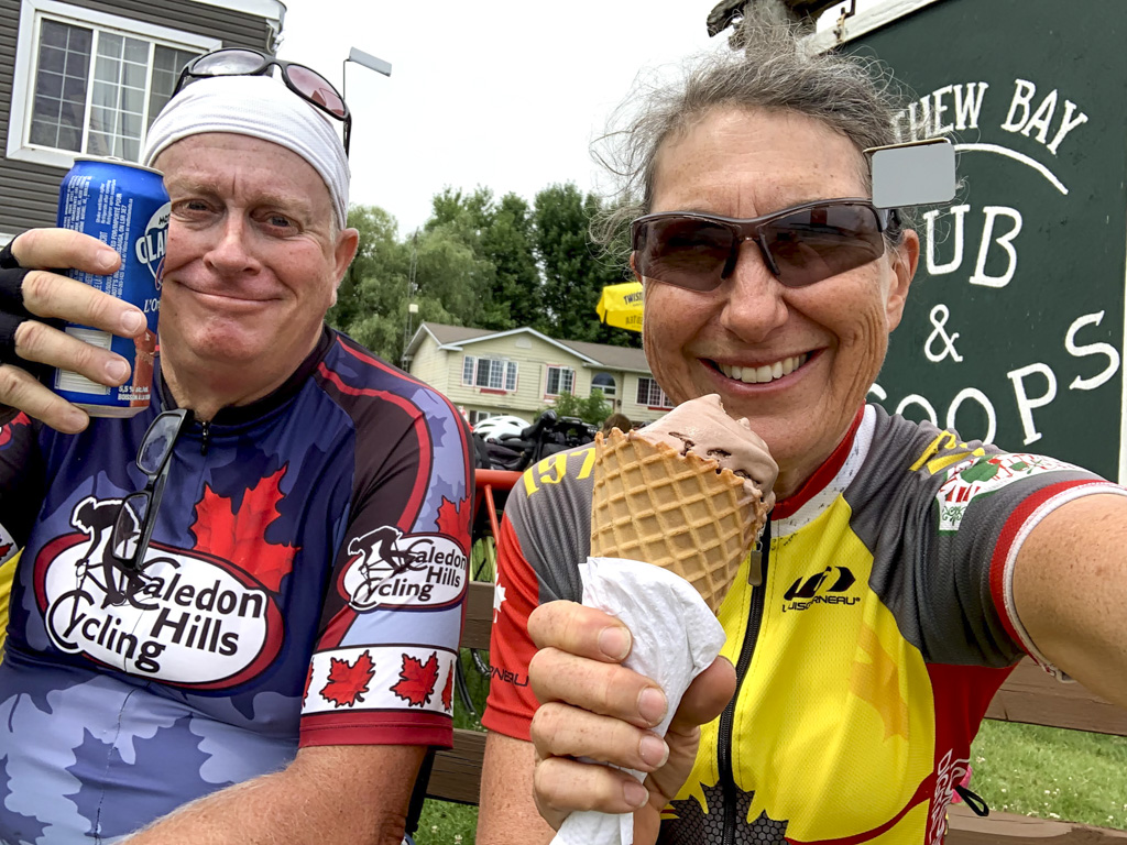
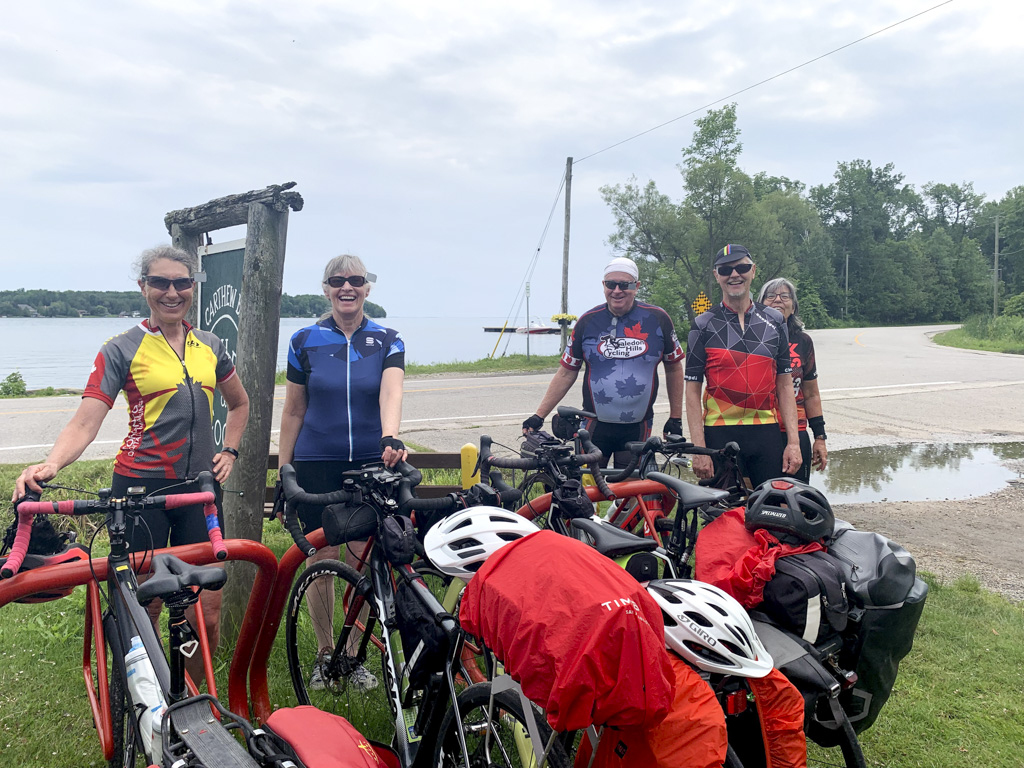
Once we left Barrie there was little in the way of restaurants or coffee shops so I became very excited when I saw the Carthew Bay Pub & Scoops shop. It was a lovely setting and hit the spot perfectly. Wayne had a different idea about what would be refreshing and thanks to new pandemic liquor laws was able to indulge.
The beautiful scenery continued as we left Carthew Bay.
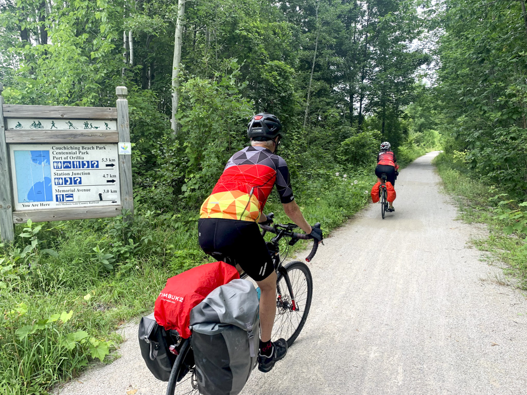
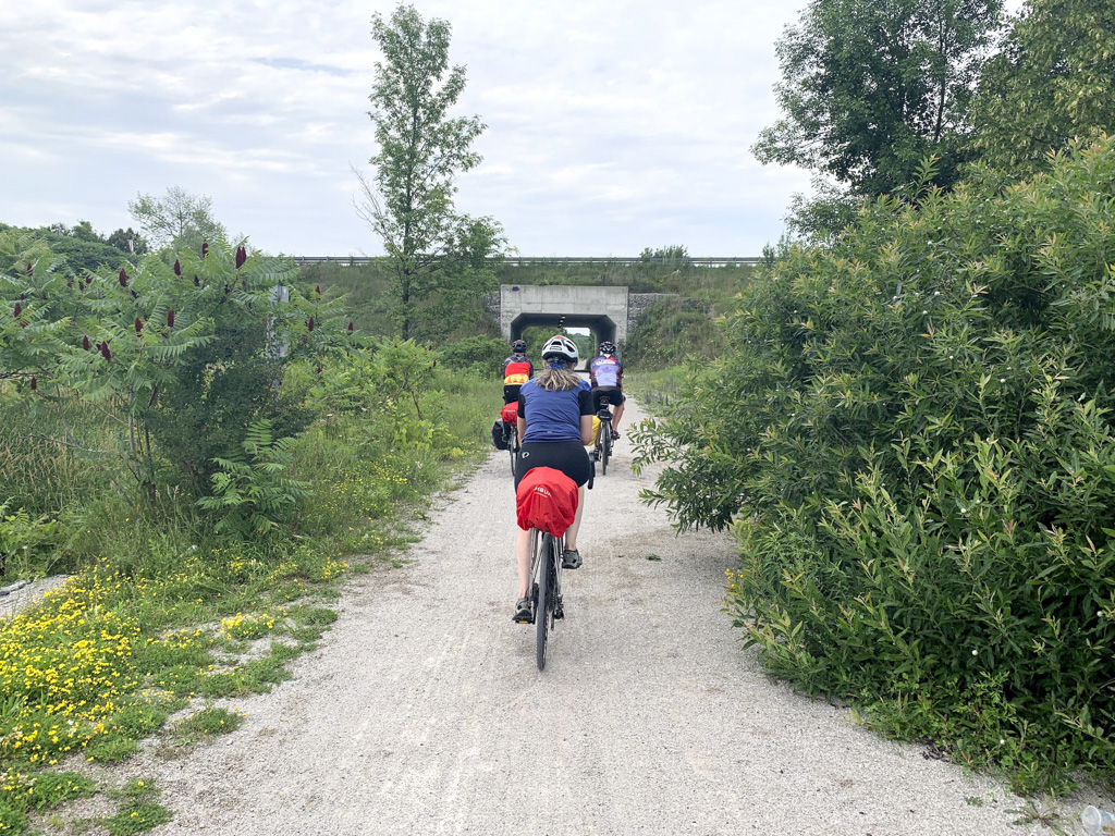
We could have spent much of the afternoon on the Lake Country Oro Medante Rail Trail, but I prefer low volume traffic, paved, rural roads to trails, as they are generally smoother, have less rolling resistance, and more varied scenery. We did get on the trail for the last 3km into Orillia which meant we were able to go under Highway 12 and cut off a few kilometres of Orillia streets. The section we used was of reasonable quality.
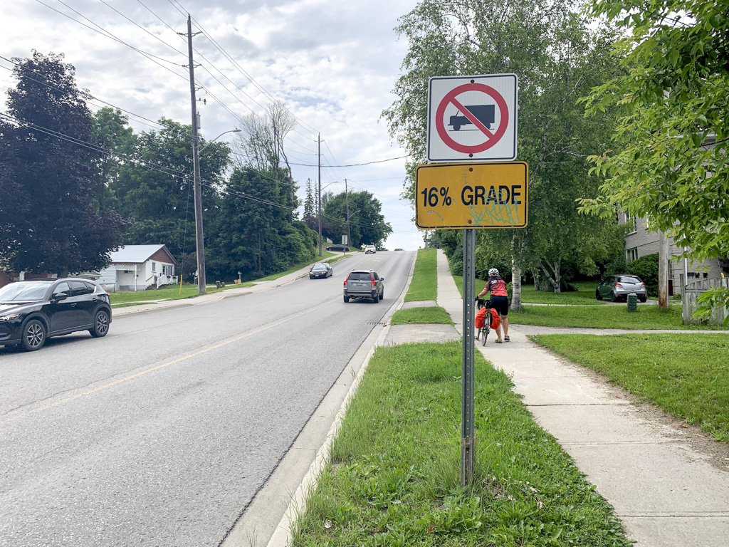
After a brief foray off the trail to the wrong hotel (the Best Western which was perfectly located with trail access to its back parking lot, but not where we booked) we headed up (literally) Westmount Drive North which was a steady climb for almost 2km ending in a hill that was worse than it looked from a distance with a 16% grade! I stopped to take a picture of the sign and rest my legs for a minute before attacking the hill and just barely making it up. It was much worse than it looks in the picture. A left turn and a similar descent and we arrived at our accommodation.
We checked in, had a quick swim, which turned out to be quite chilling, warmed up with a hot shower, and then determined we needed to go back down the hill for dinner. A 5km round trip walk in my cycling shoes, with the cleats crunching on the unswept sidewalks, finished me off for the day, and convinced me to make room for walking shoes on my next trip. We had a good meal, on a patio set up on a parking lot, at Theo’s Eatery. The food and service was great. I really hope that one of the lasting effects of the pandemic is continued outdoor dining.
It was a very enjoyable, stress free route, which I would highly recommend.
July 17, 2024 Update: A friend just did a one day circumnavigation of Lake Simcoe and one made a video blog of the experience. Check it out here.
The weather turned cold and windy on the island today, our day for travelling home. We were so fortunate to have seven great days of cycling. There were two rainstorms, but we managed to miss them both, by consulting radar and heading out at the ideal time.
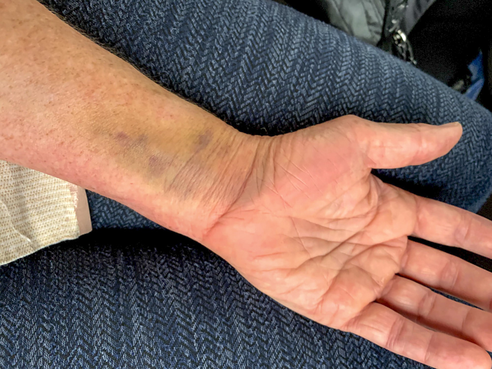
My wrist continues to improve with the bruising diminishing and swelling almost gone.
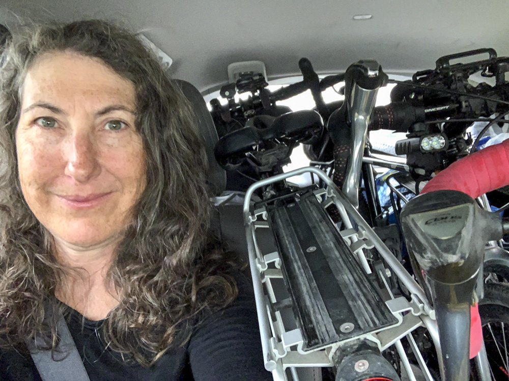
The forecast included rain as well as wind, so we put David, Dayle and my bikes inside the van, and packed the luggage around them. It was quite cozy in the middle row where I was sitting.
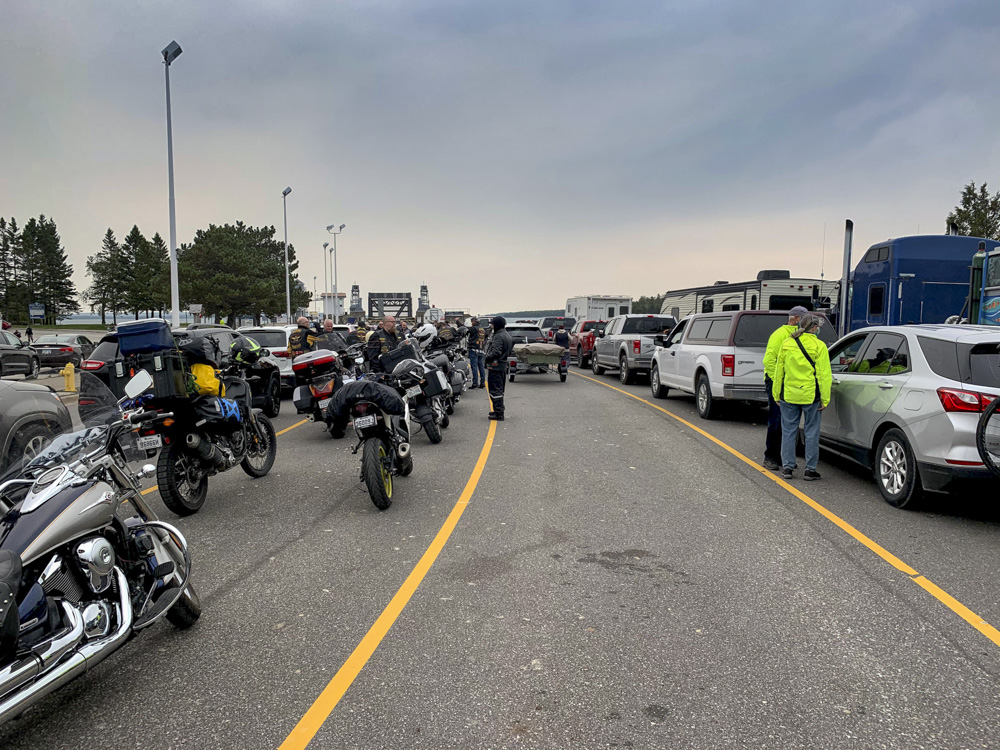
The drive to ferry was uneventful. We were required to verify we had a reservation and prove we had masks, which were required “shore to shore”. It was very well organized. Before boarding we used the bathroom on shore. Social bubbles lined up with two metres between bubbles. Each bubble was required to prove we had a reservation and then when a bathroom became available (either the men’s or women’s) the entire group entered at once.
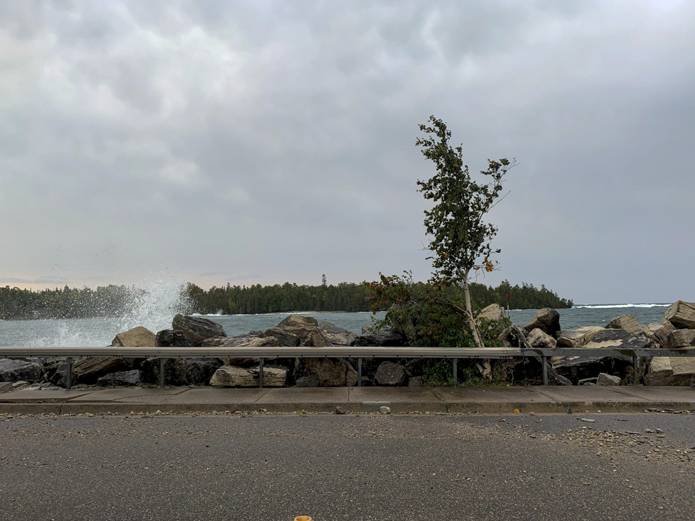
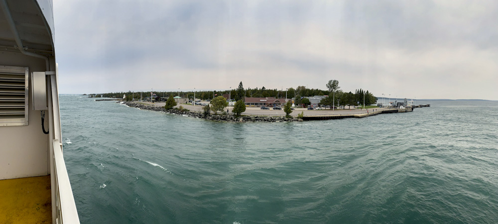
The water was rough in the harbour.
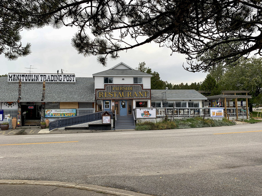
We had about an hour to kill from arrival to loading. The Pierside, where we ate lunch yesterday, is right by the dock. There is also a shop, coffee shop and ice cream store. Many people visited the shop or restaurants while waiting.
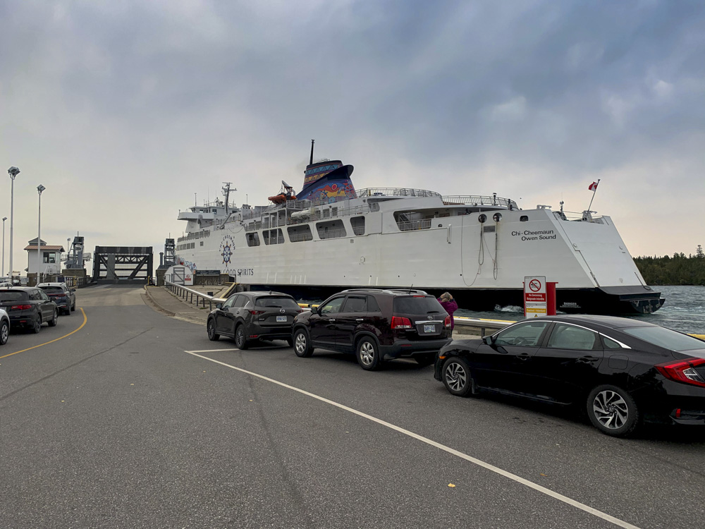
The ferry arrived, unloaded and then it was out turn to load.
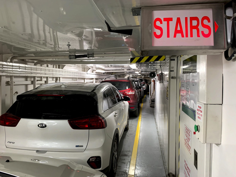
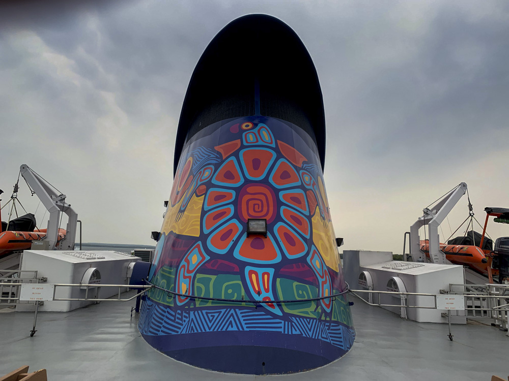
The ferry has a very large open deck with three lanes that can fit transport trucks and recreational vehicles, as well as cars. It also has an upper level for cars, vans and SUVs that is just a hallway full of cars on either side of the boat.
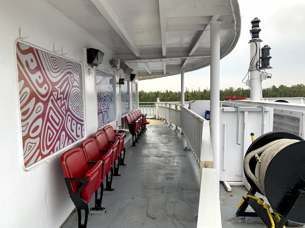
We found places to sit, out of the wind, up on deck. I stayed outside for the whole passage sitting at the stern.
Here we are leaving right on time at 11:10.
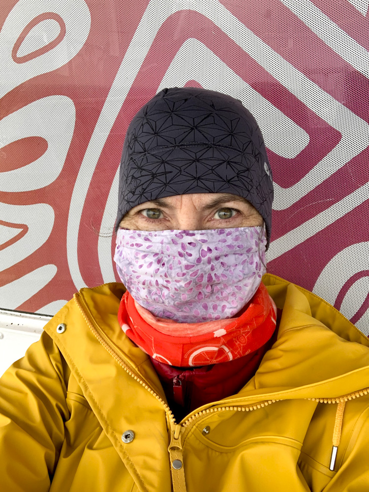
It was quite cool and we had warm and windproof clothes that allowed us to stay outside for the whole passage. Hard to believe I was wearing shorts yesterday.
The trip passed quickly. The whole experience was efficient and felt as safe as it could given the large number of people and the pandemic. I think it’s the most people I have been around since March.
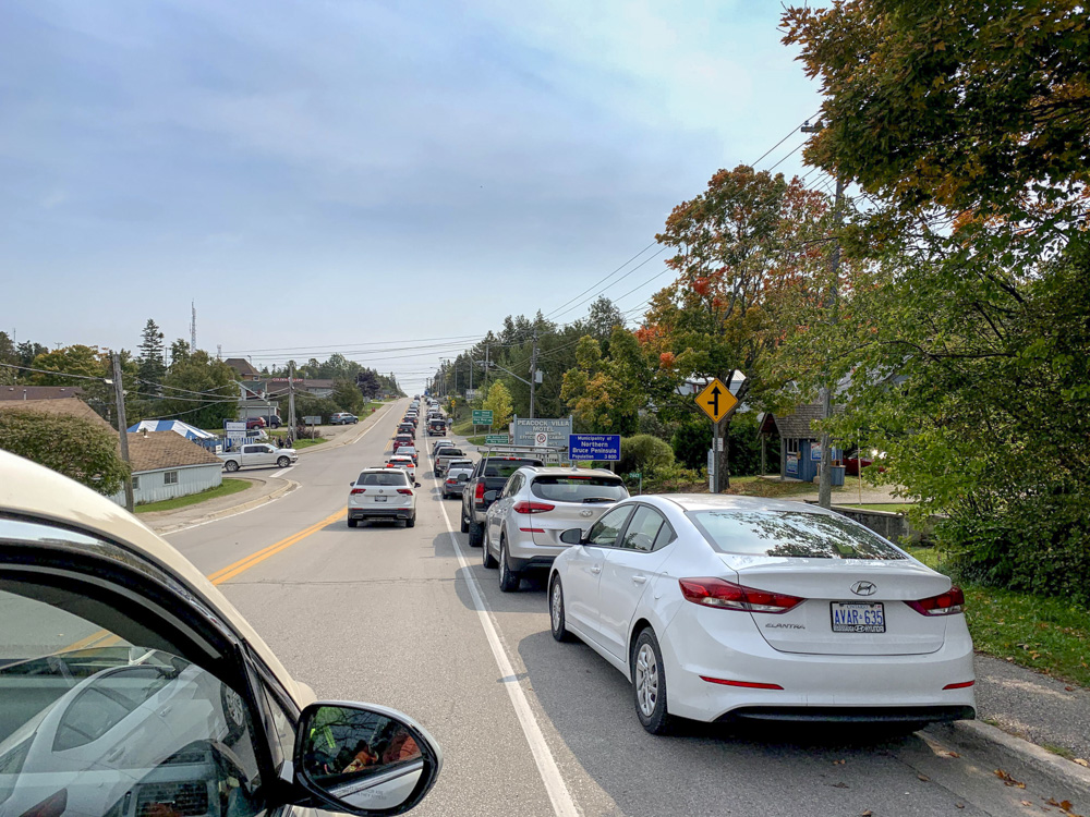
There was a traffic jam getting out of town.
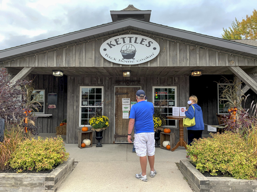
Wayne suggested a restaurant south of Owen Sound that has home cooking and would potentially be less crowded than one in Tobermory. Once again we ate on the patio. The weather was considerably warmer there and the sun had come out. Once again, we missed the rain.
It was a great trip with good weather, good riding, beautiful landscapes and great friends. I look forward to doing it again next June for the Manitoulin Passage Ride.