SWOdyssey – Day 7 – Forest to Sarnia via Kettle Point

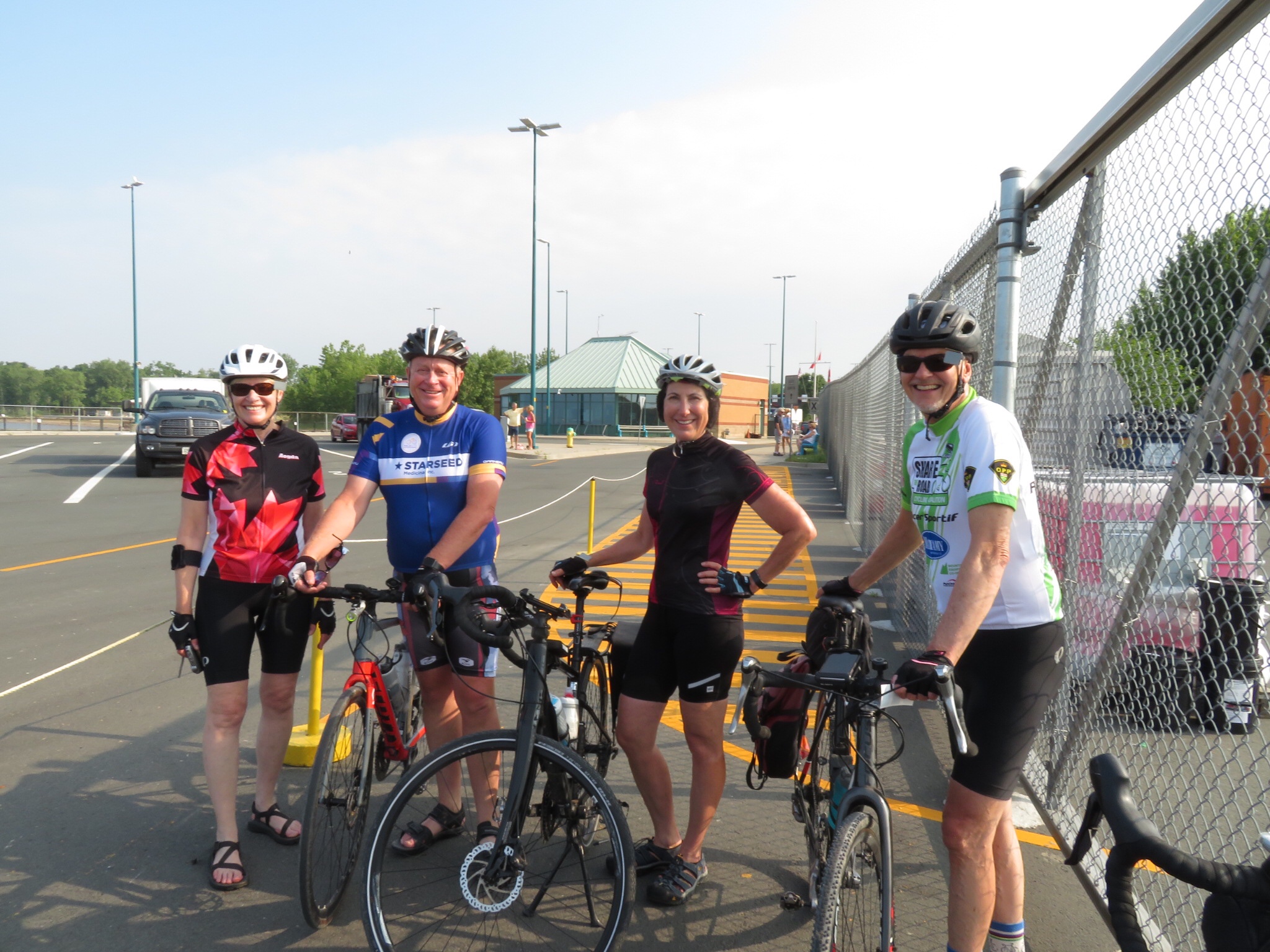
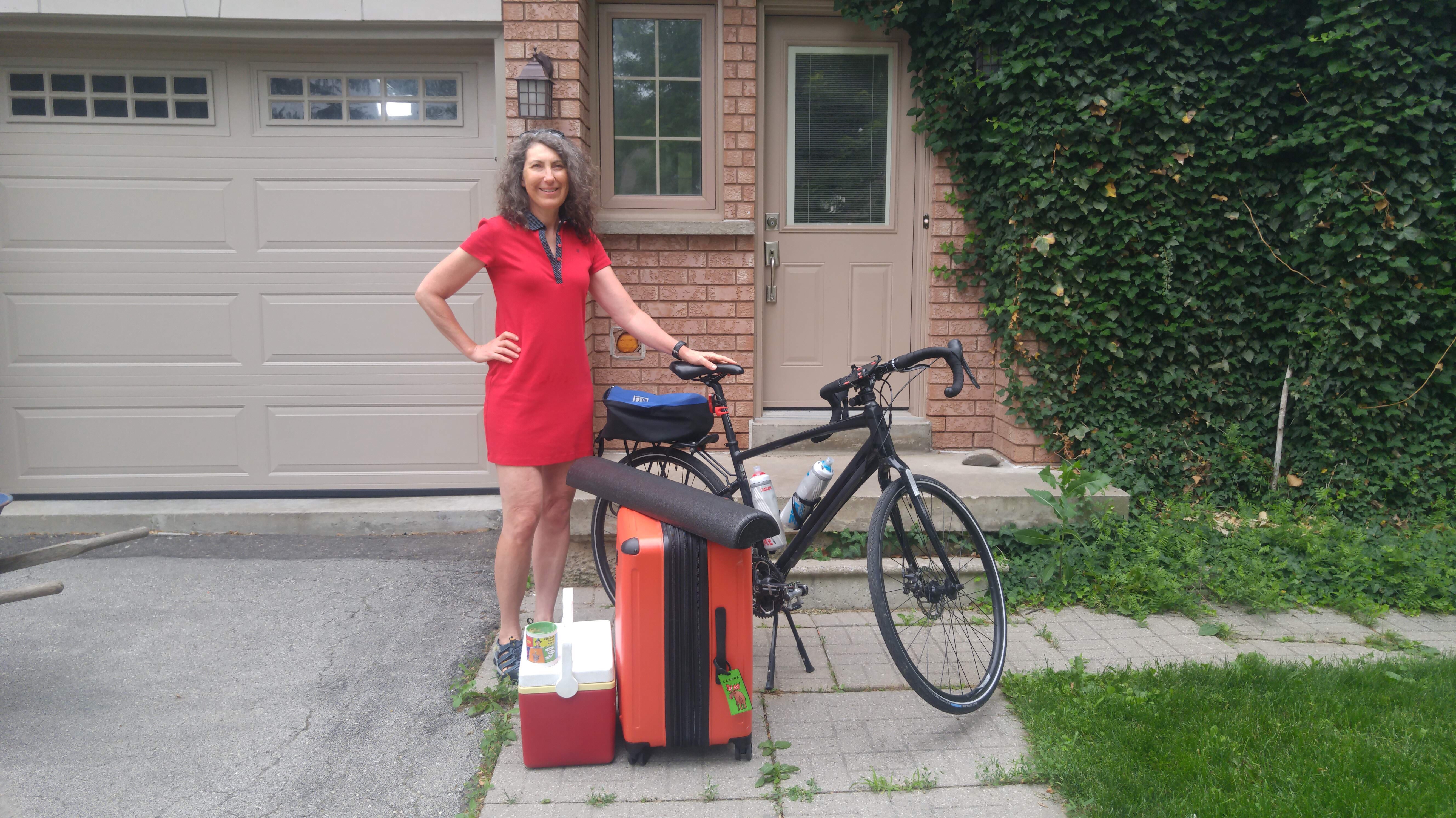
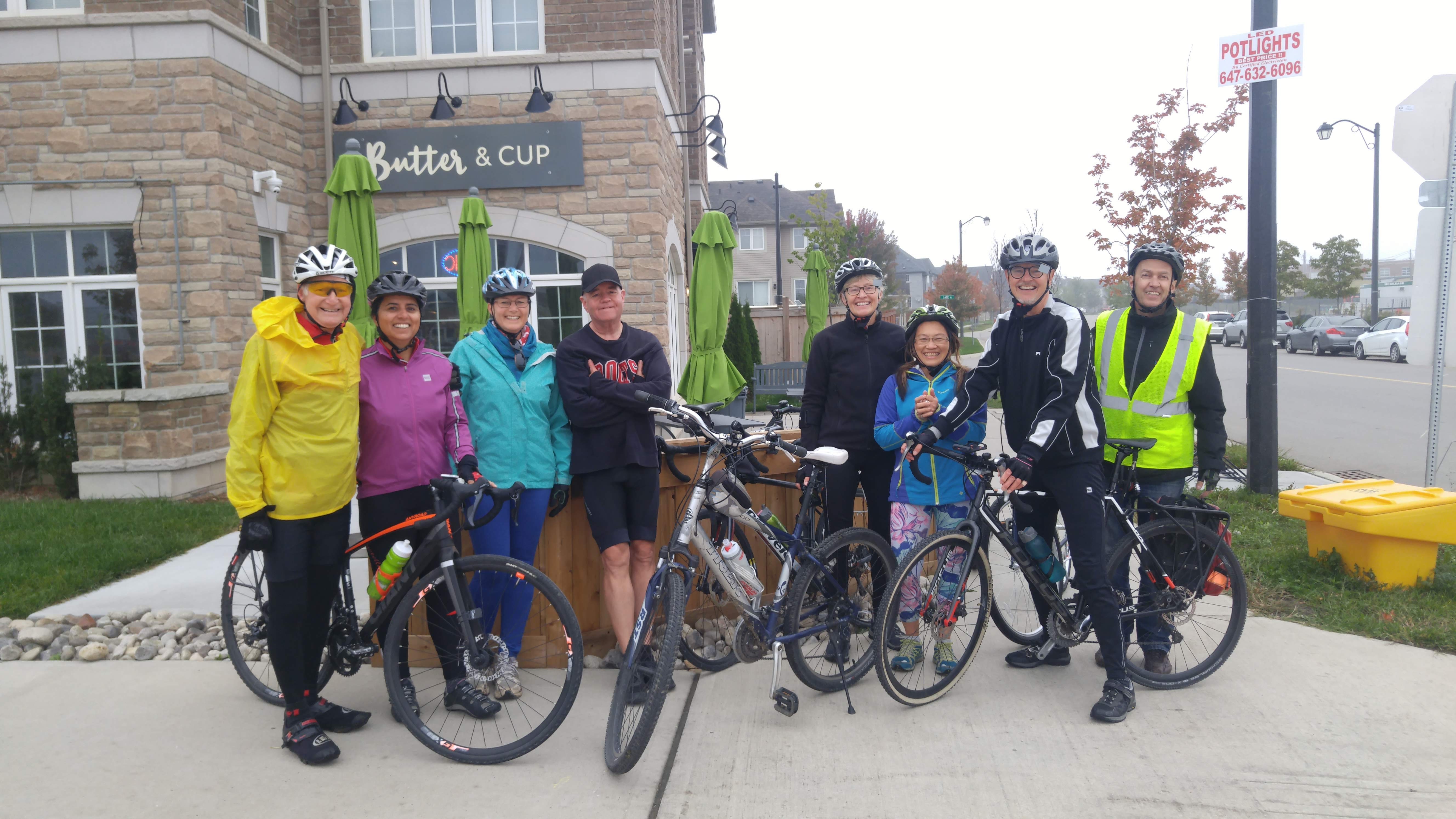
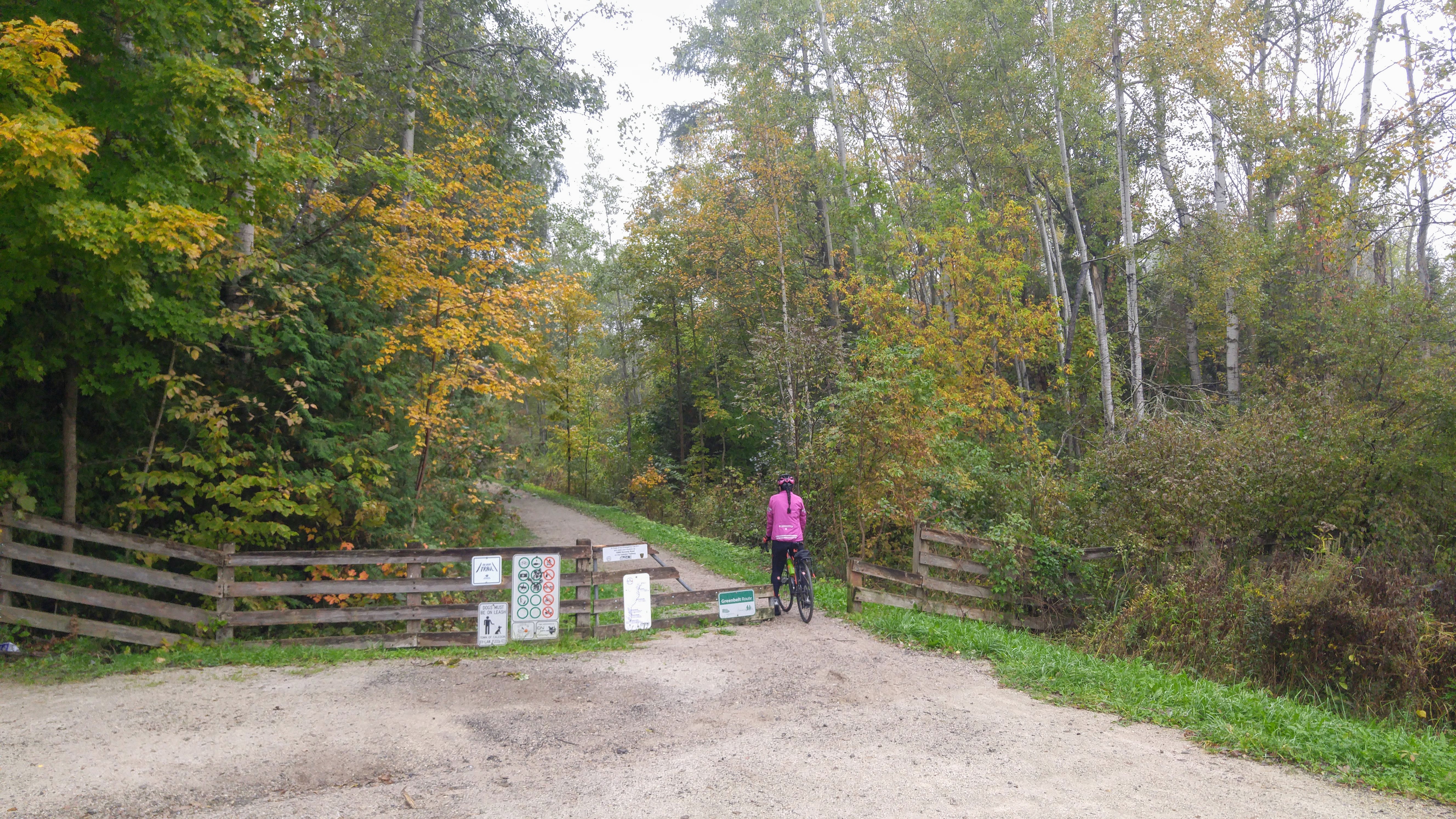
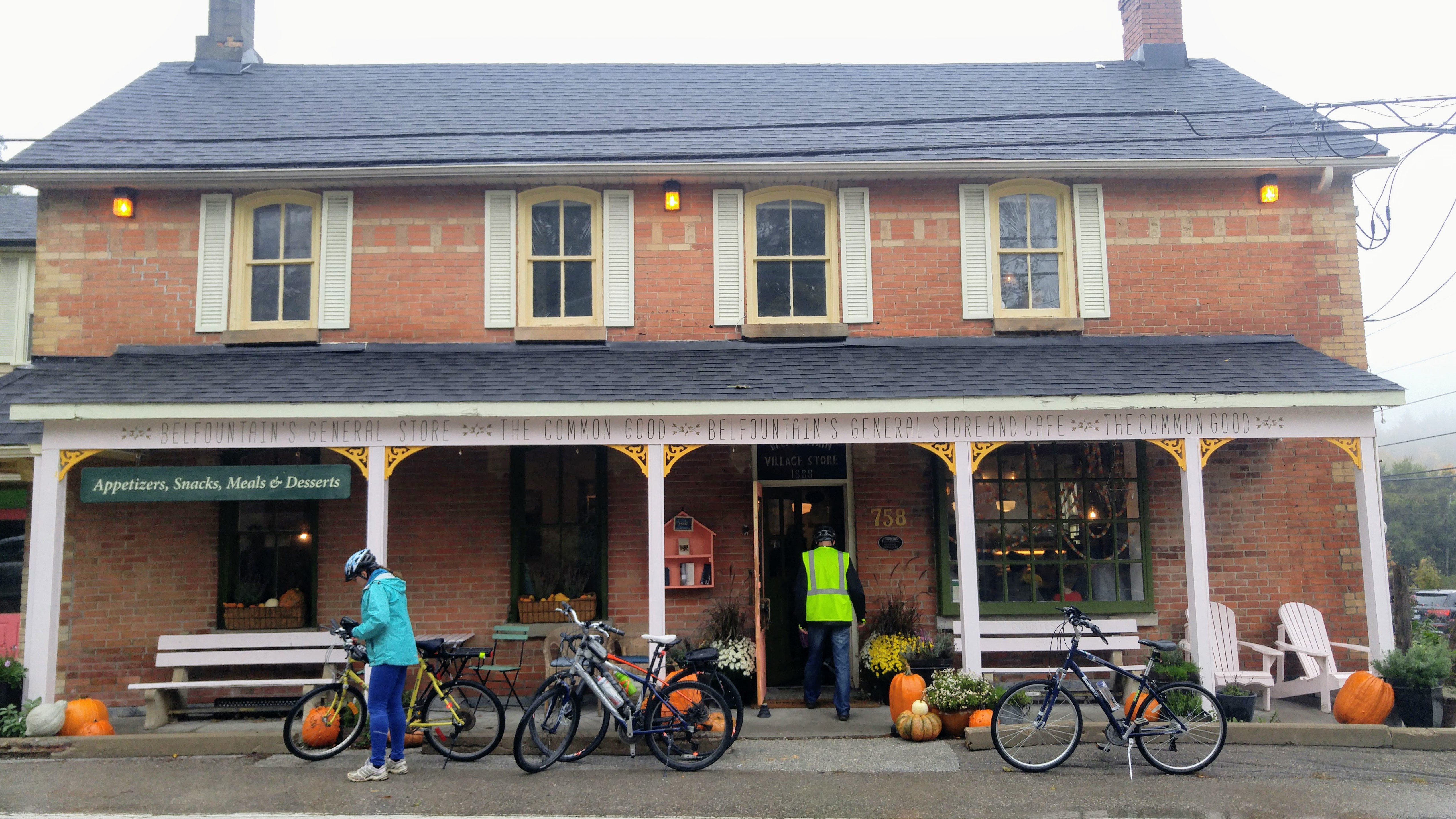
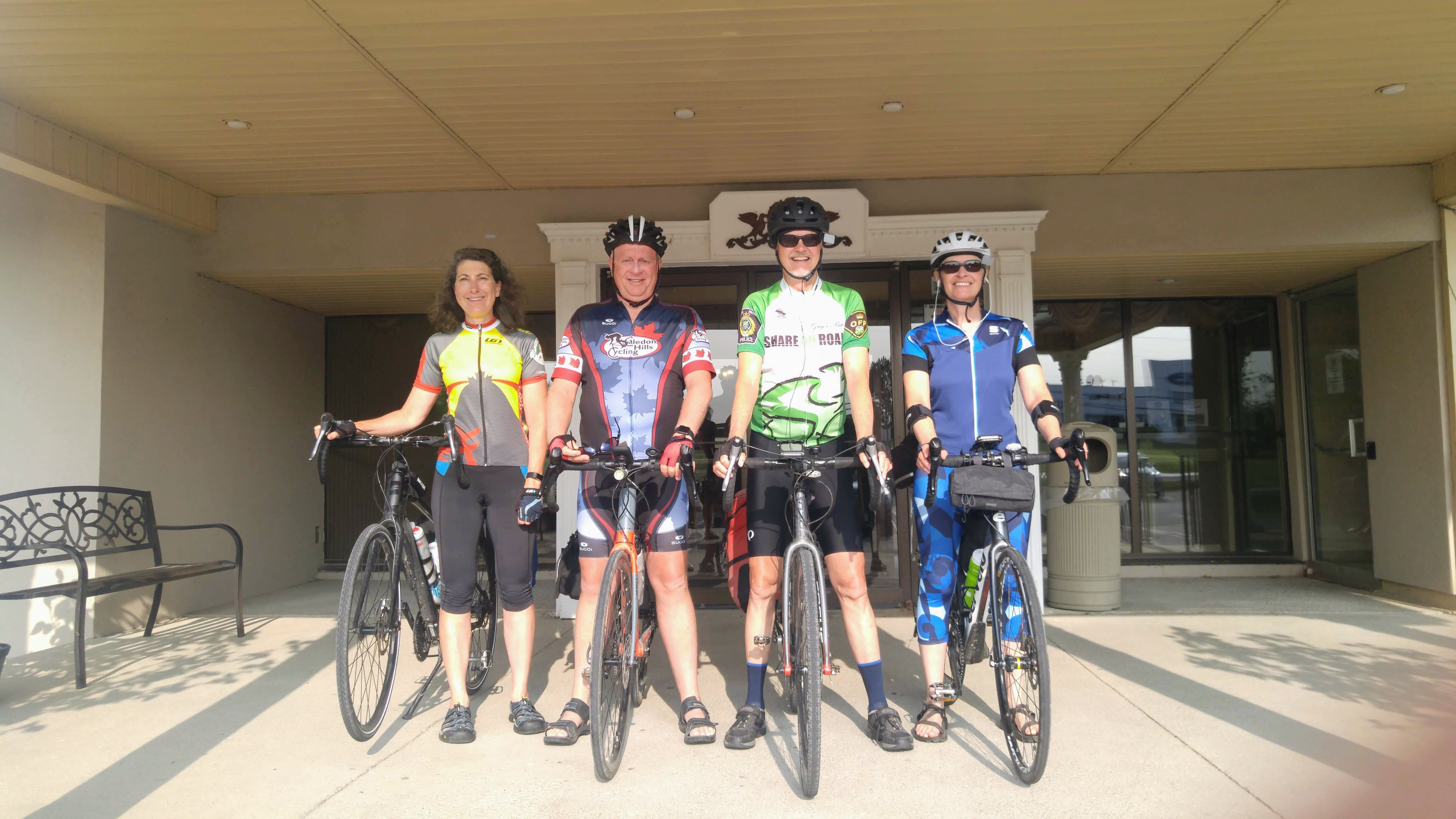
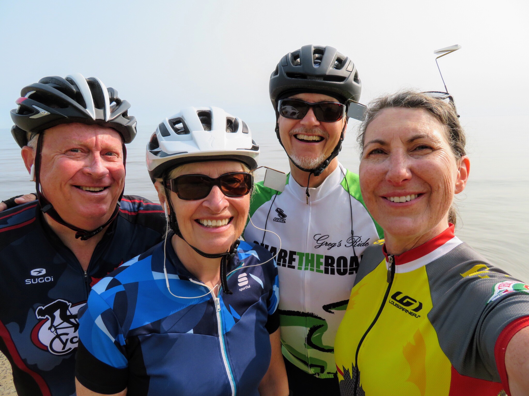
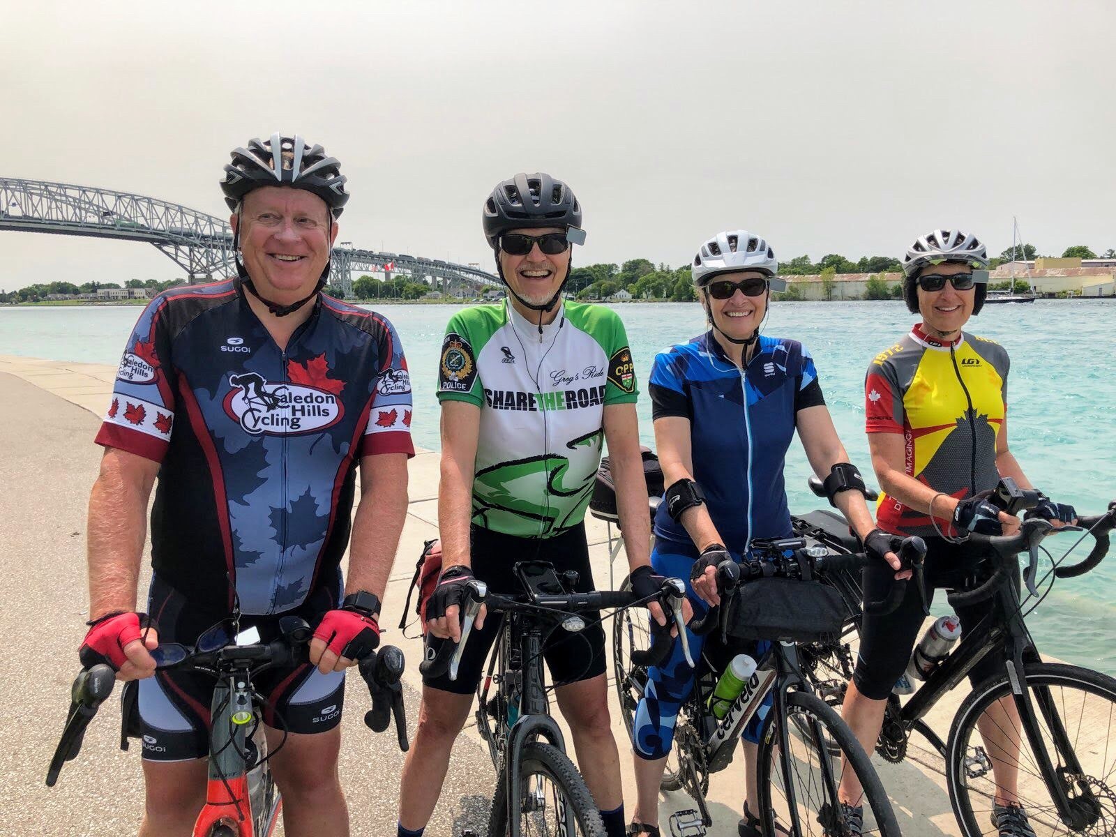
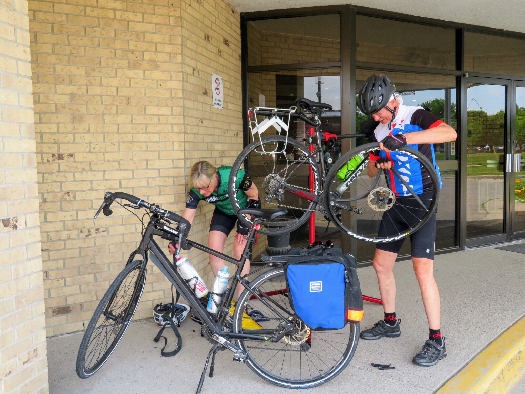
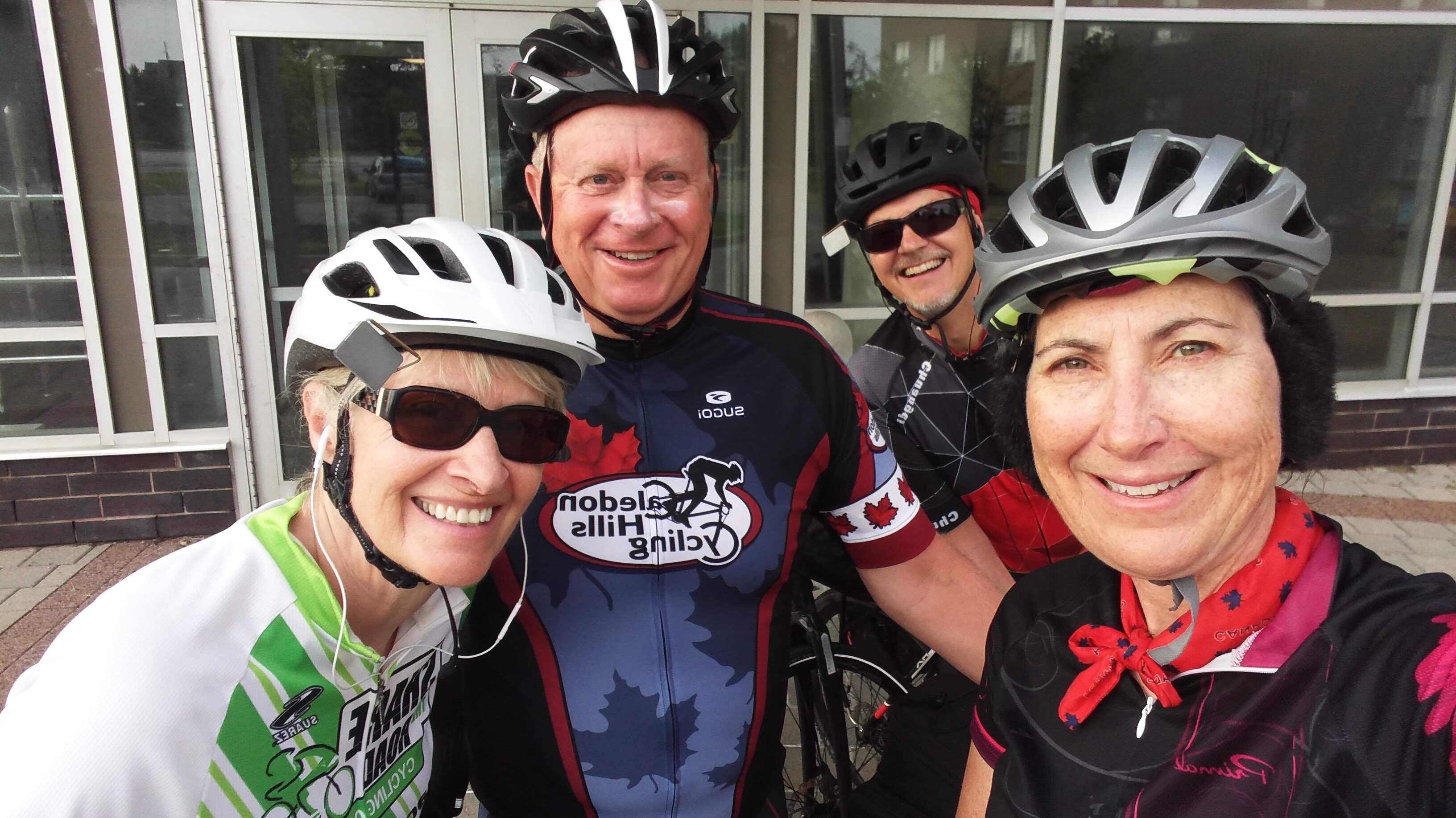
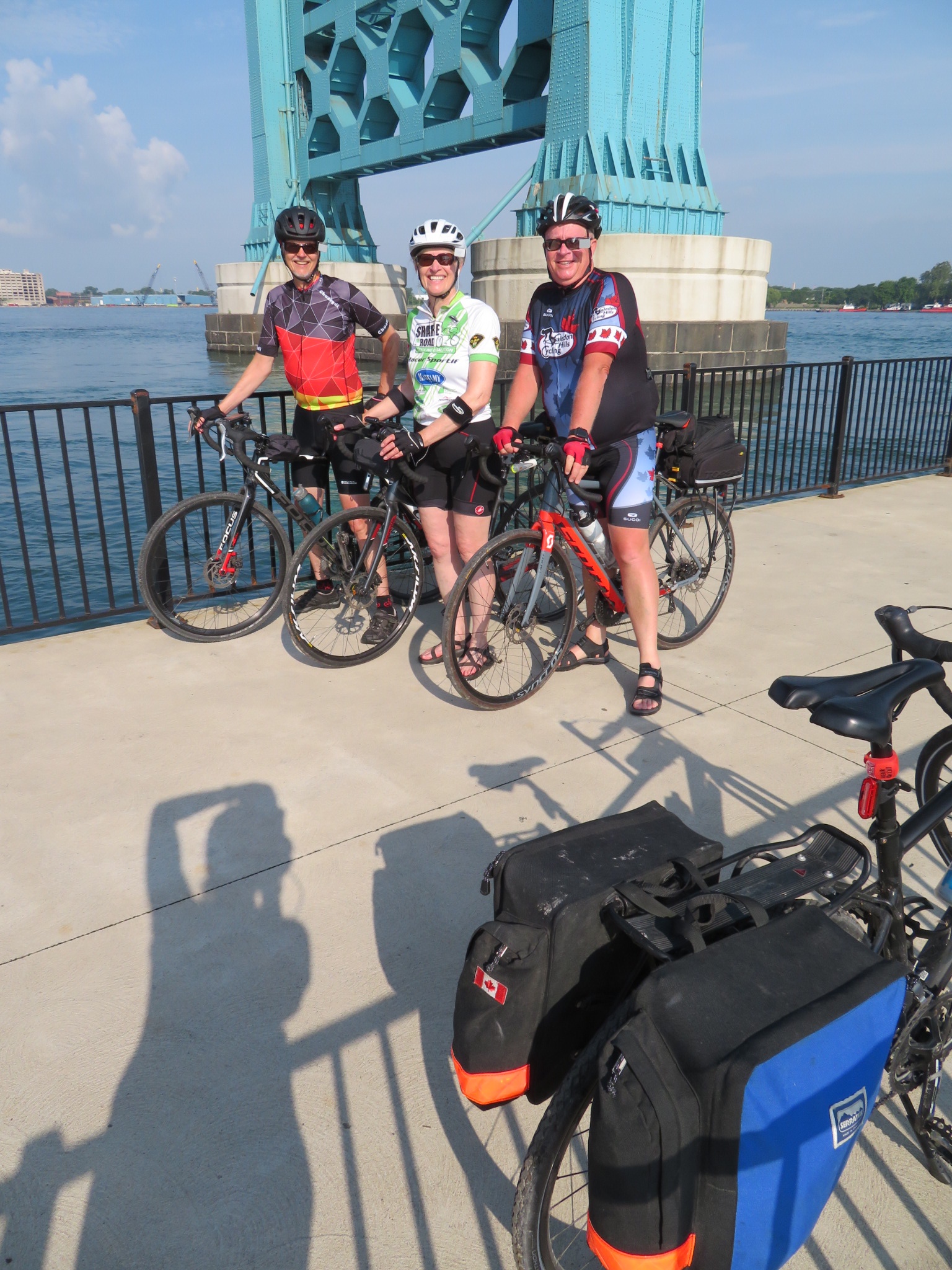
This morning we asked the front desk clerk to come out and take our picture with our bikes, before we set off, rather than doing the usual morning usie.

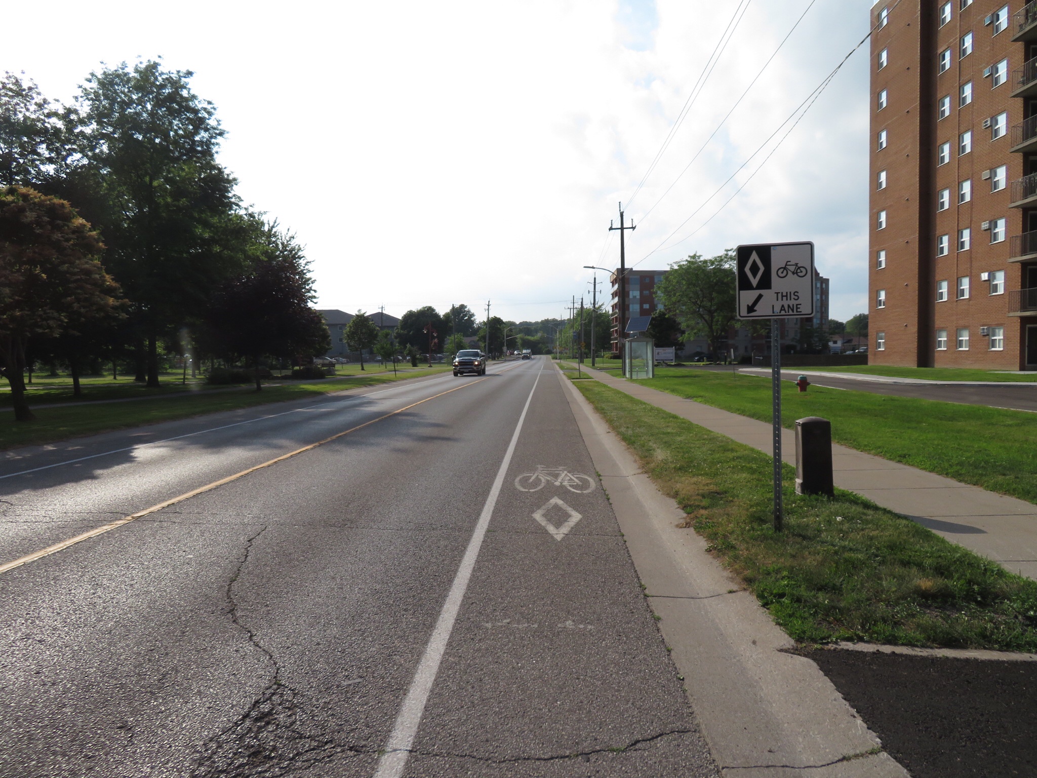
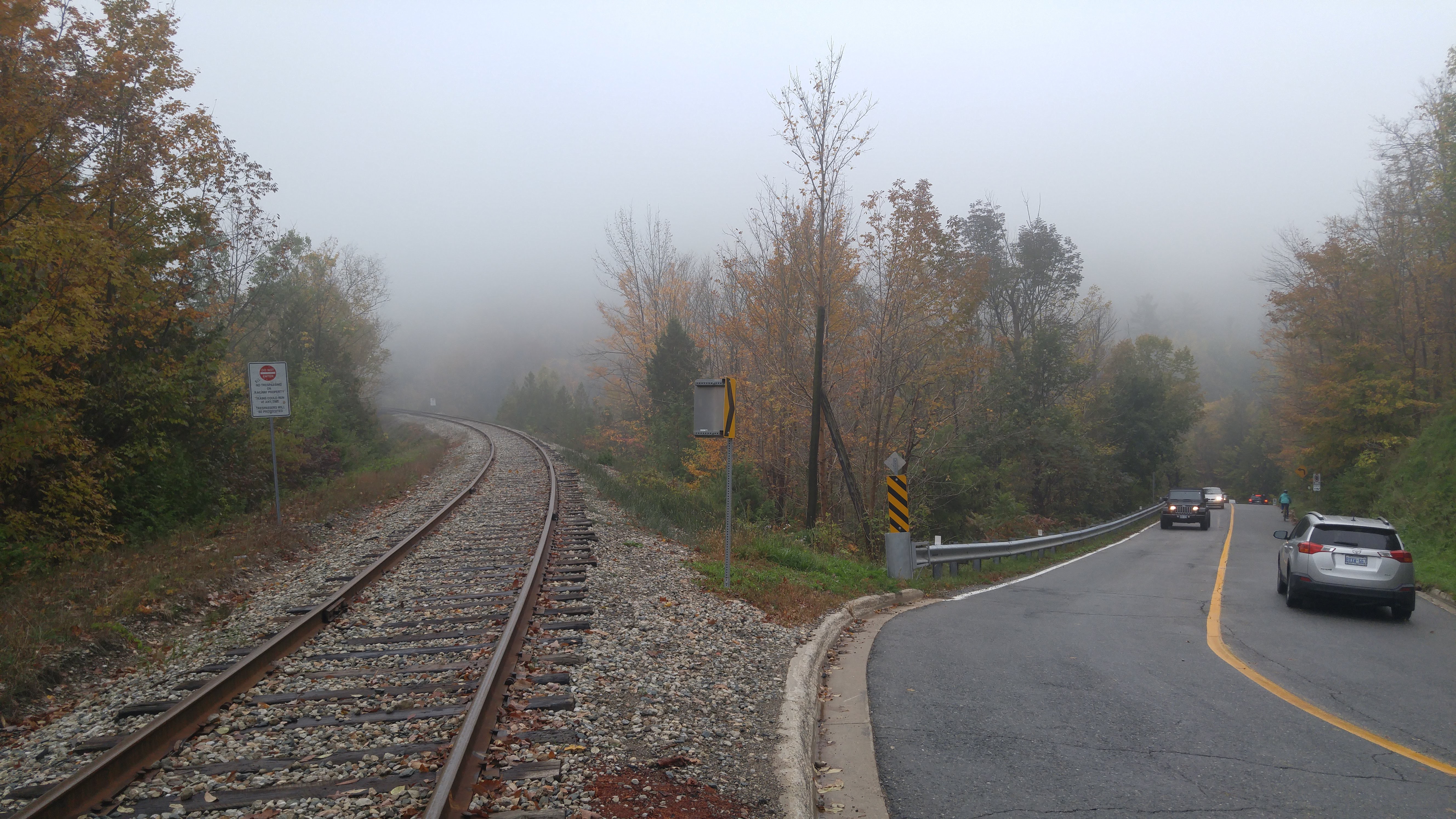
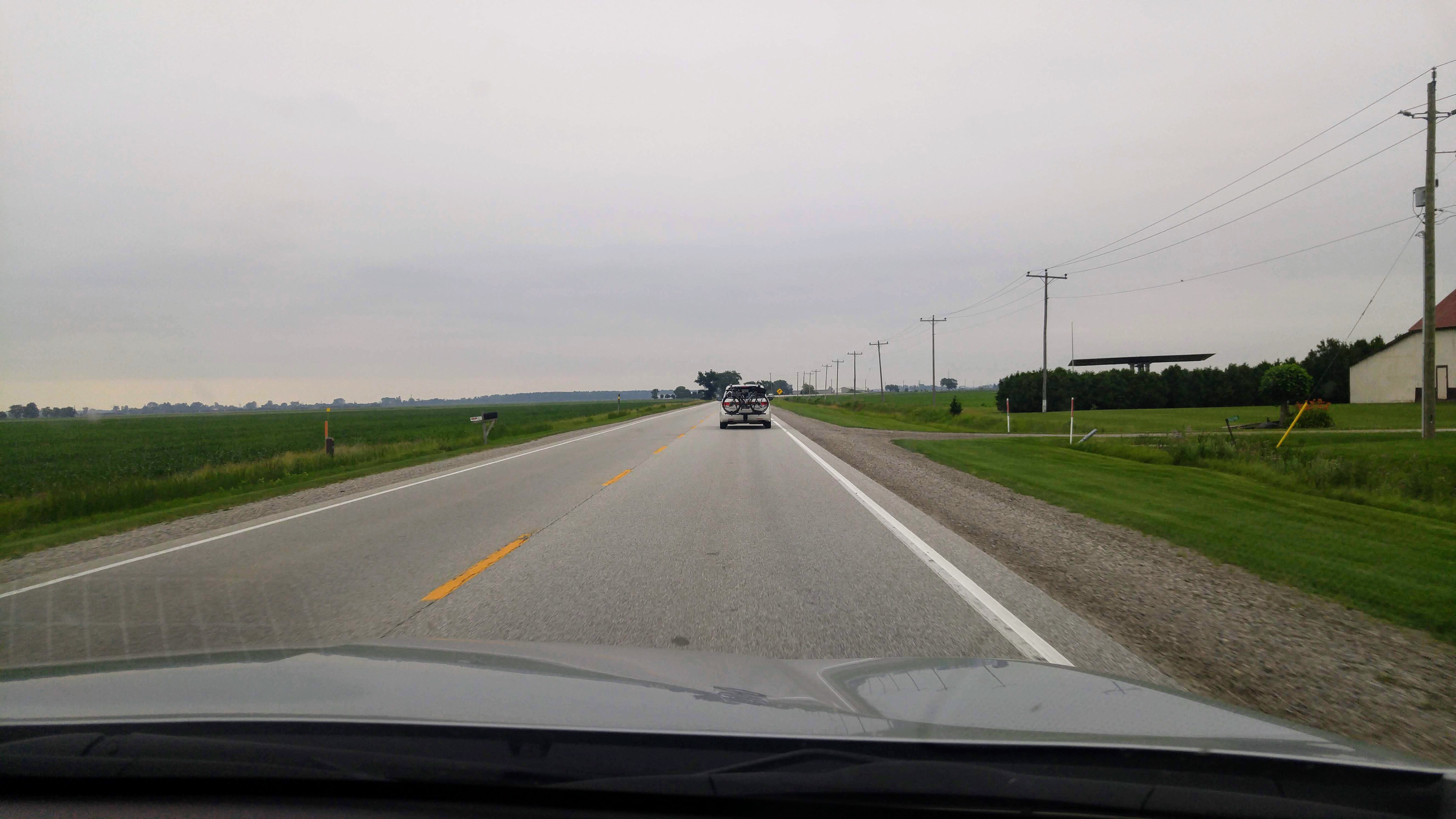
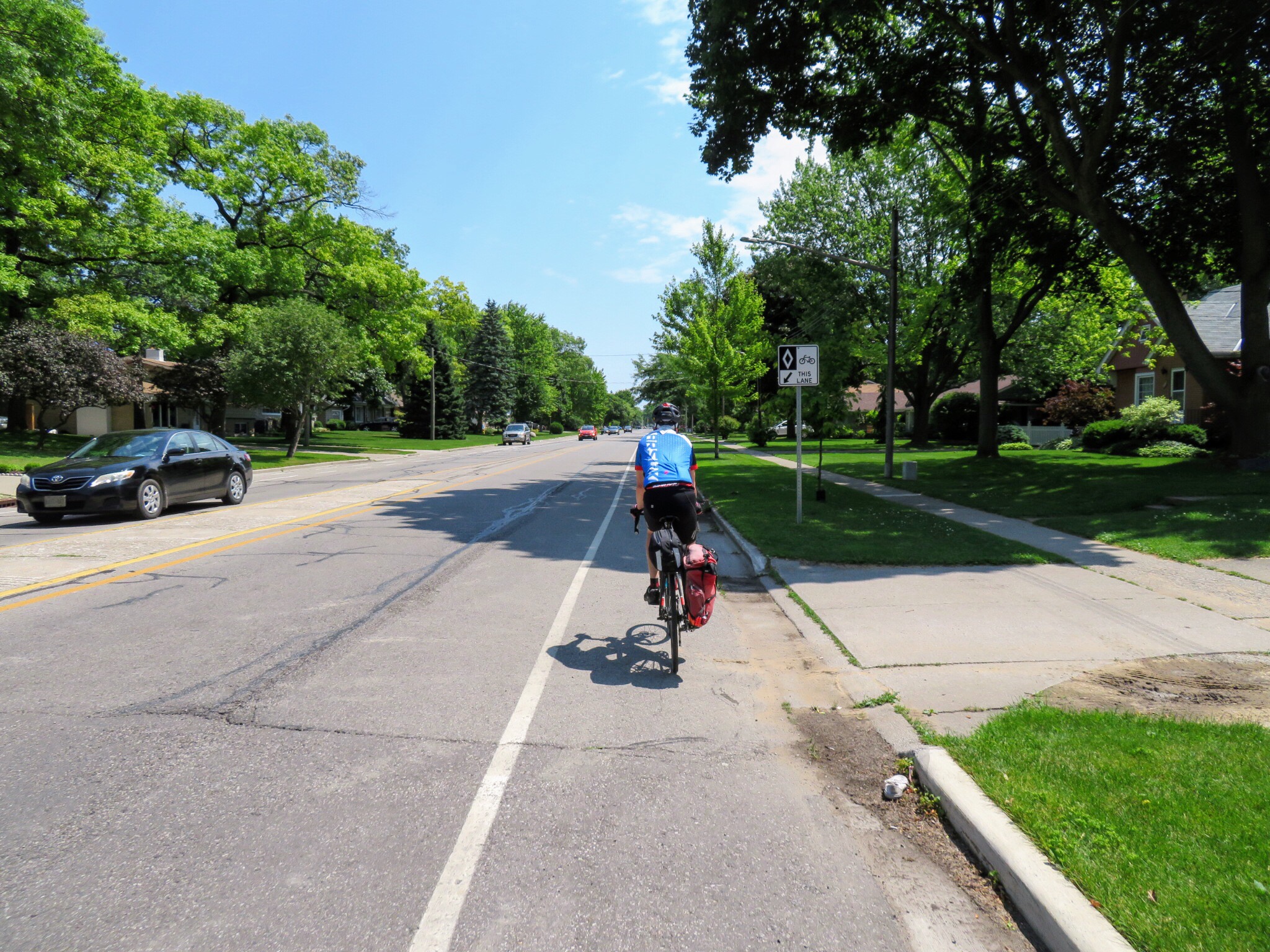
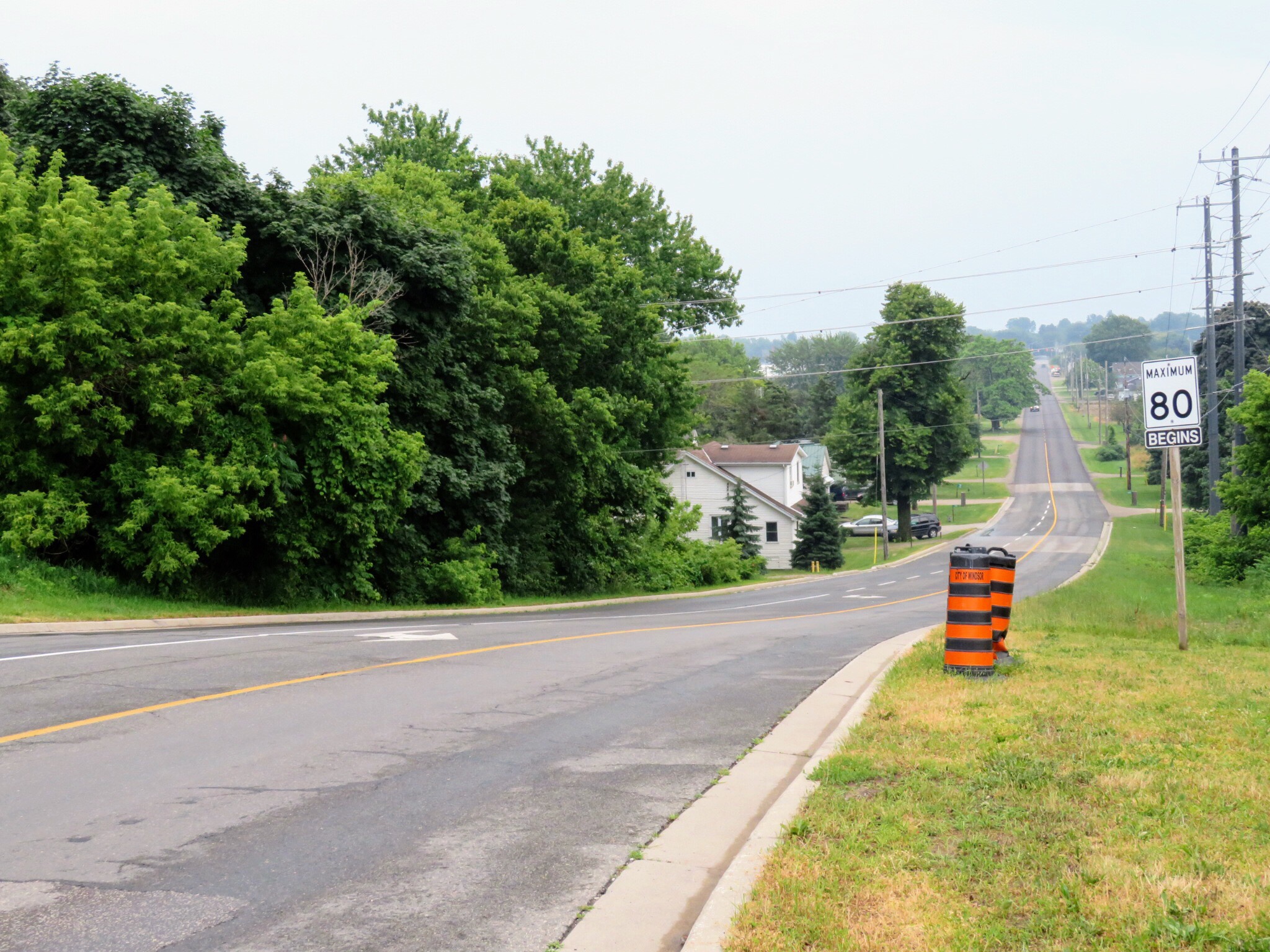
We began by travelling the same route as yesterday on Highway 21 toward Grand Bend, but turned off when we reached the road that led to Kettle Point. Today I took a detailed picture of what the shoulder of Highway 21 looks like coming out of Forest.

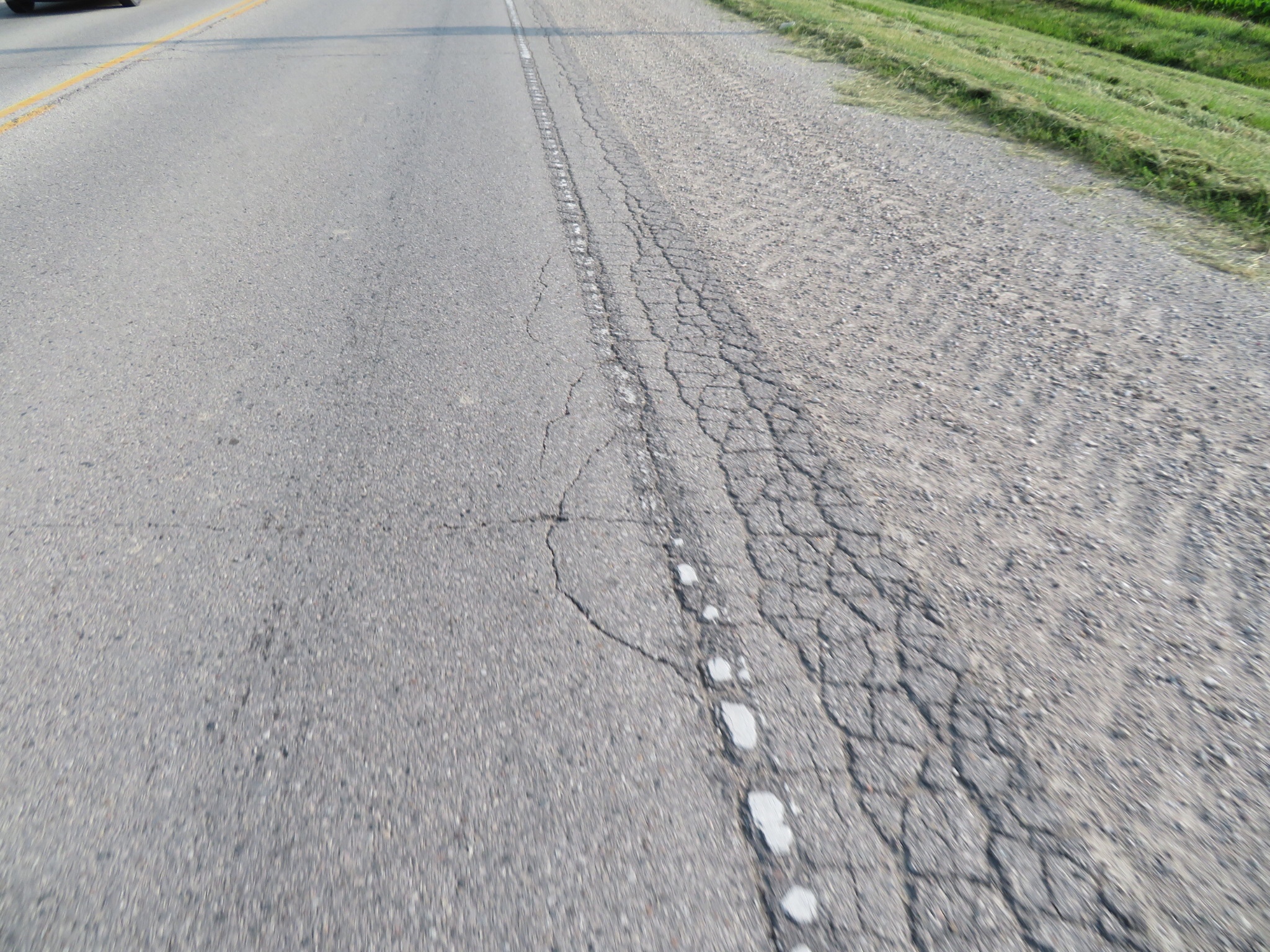
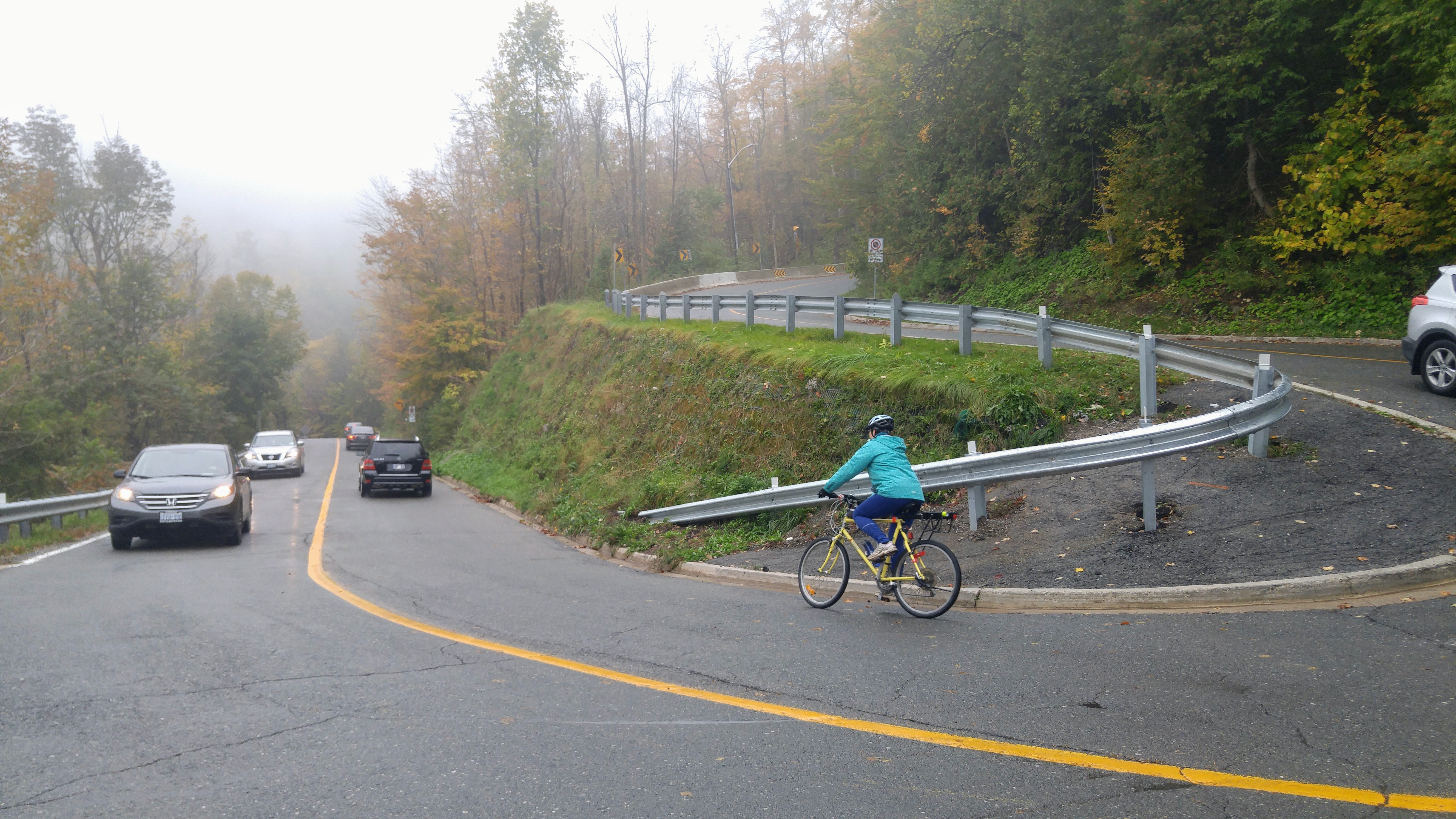
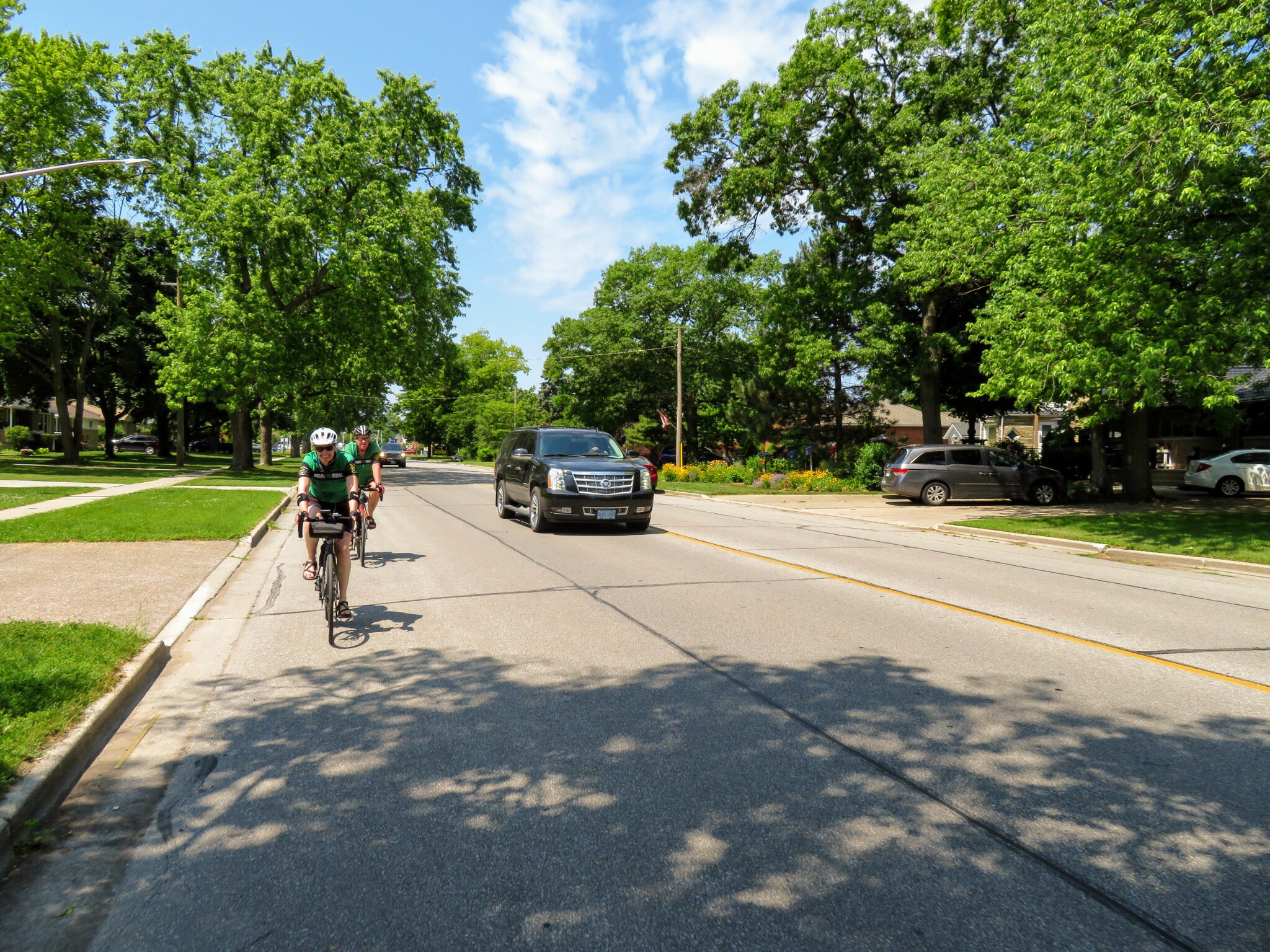
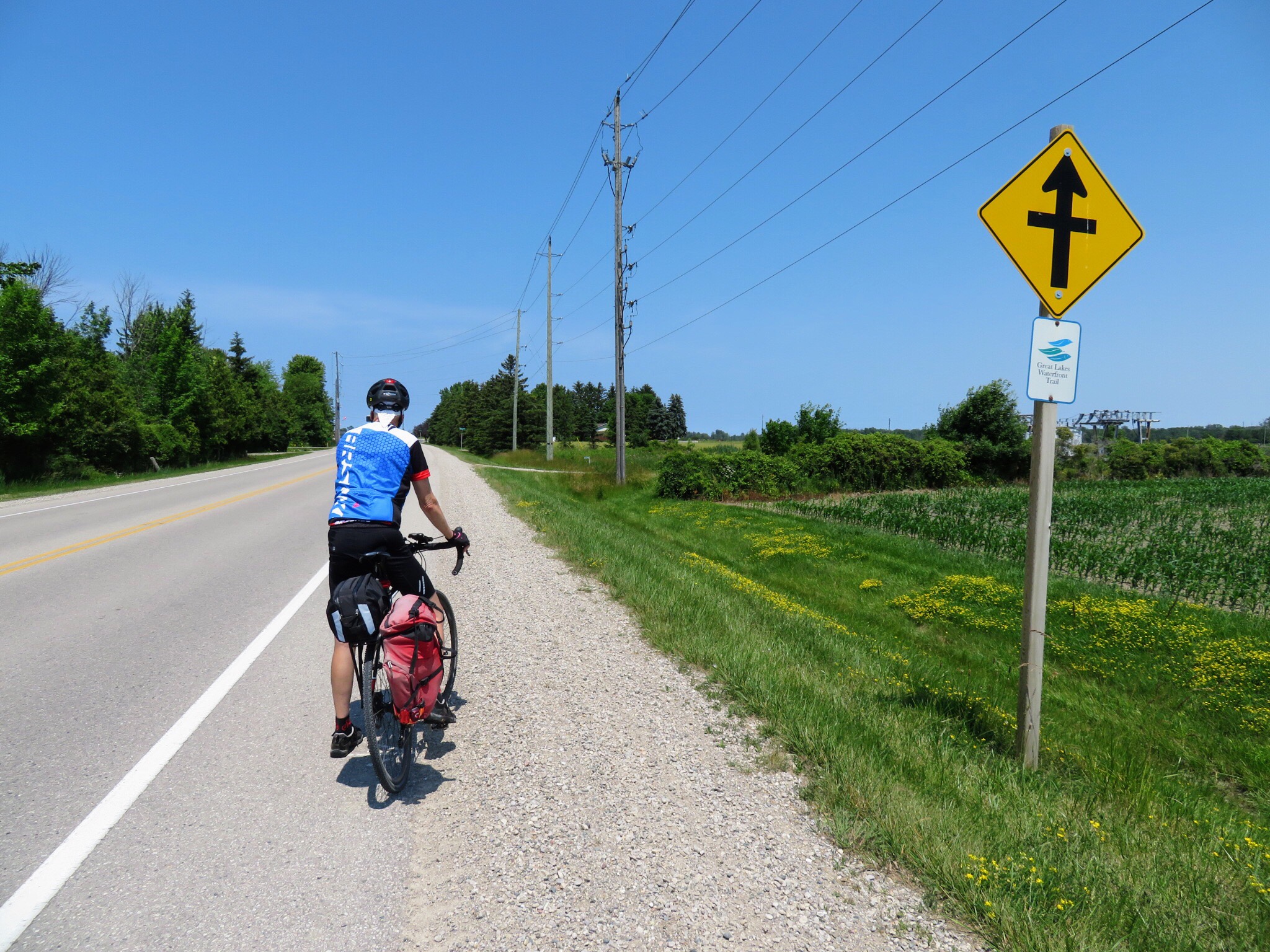
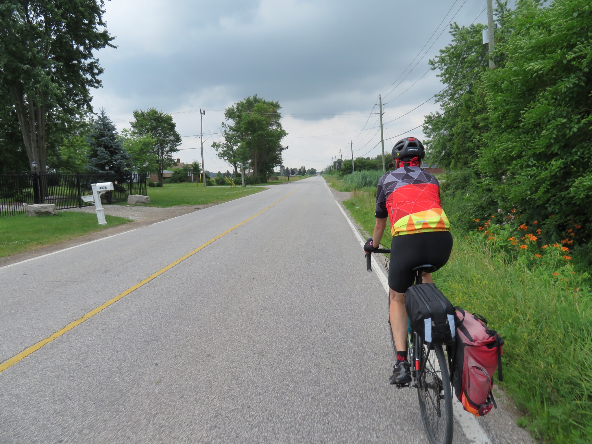
Here is Dayle travelling along Highway 21. I did look at the Waterfront Trail page for this area tonight and the worst sections of Highway 21 are identified as gaps unacceptable for marking as the trail. However the picture above and below are marked sections of the Waterfront Trail.

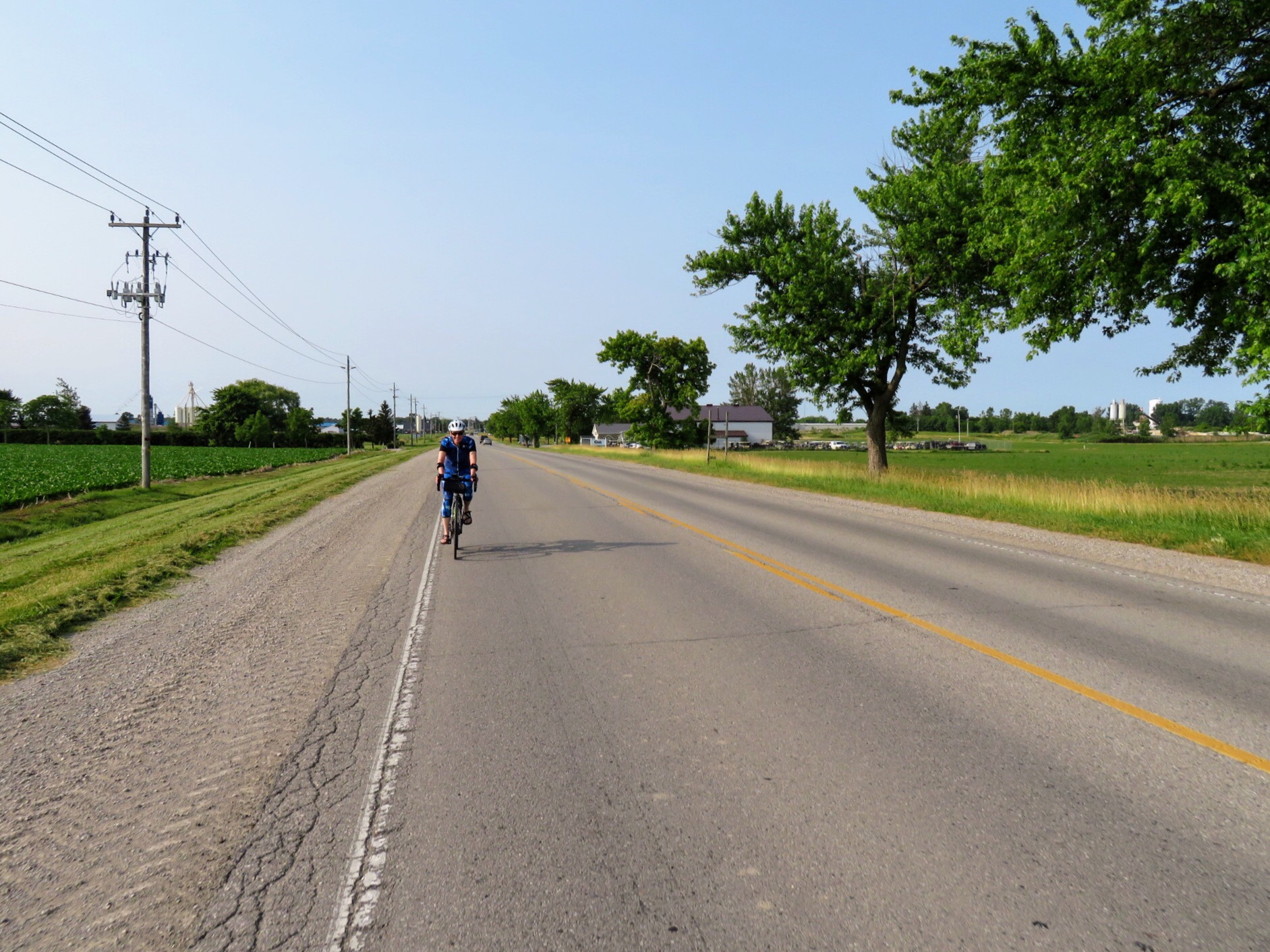
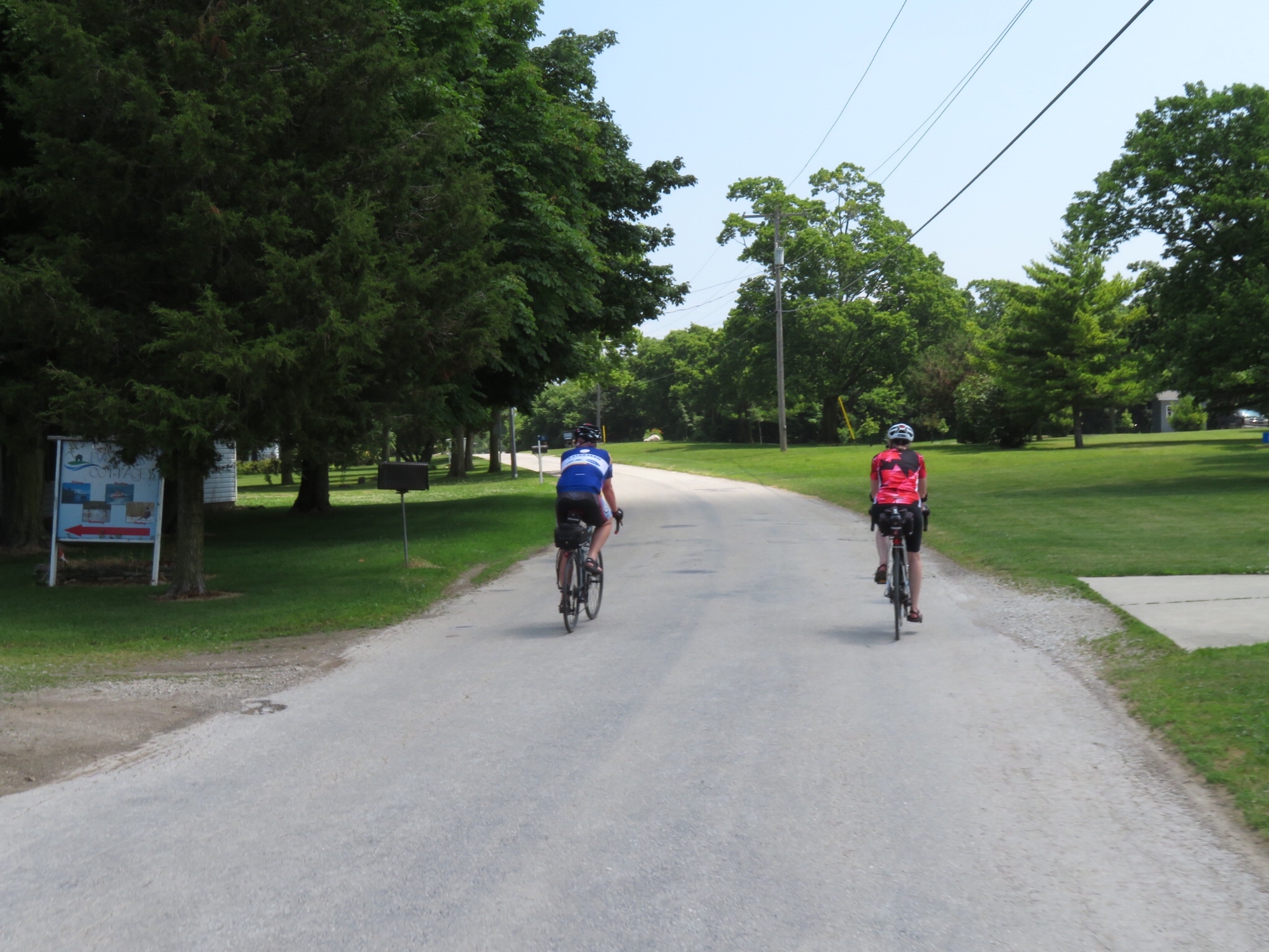
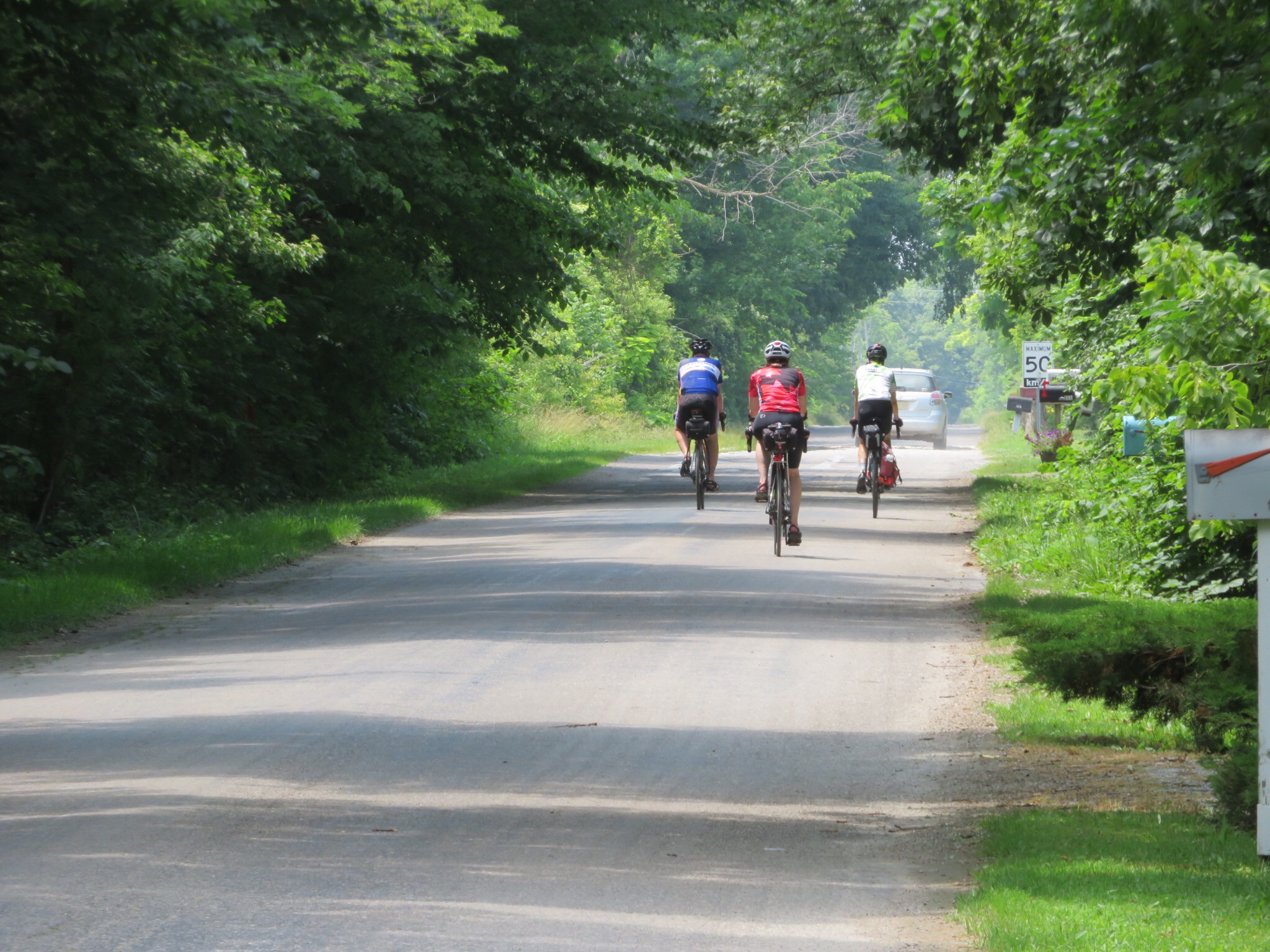
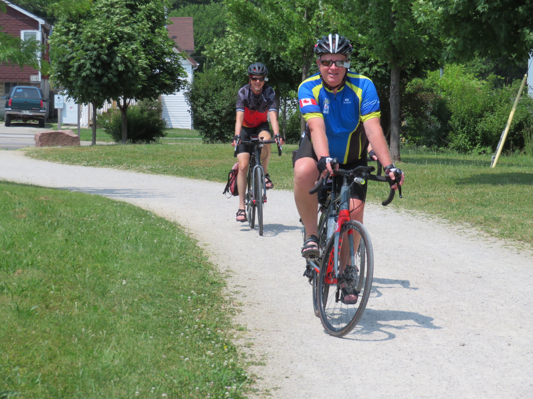
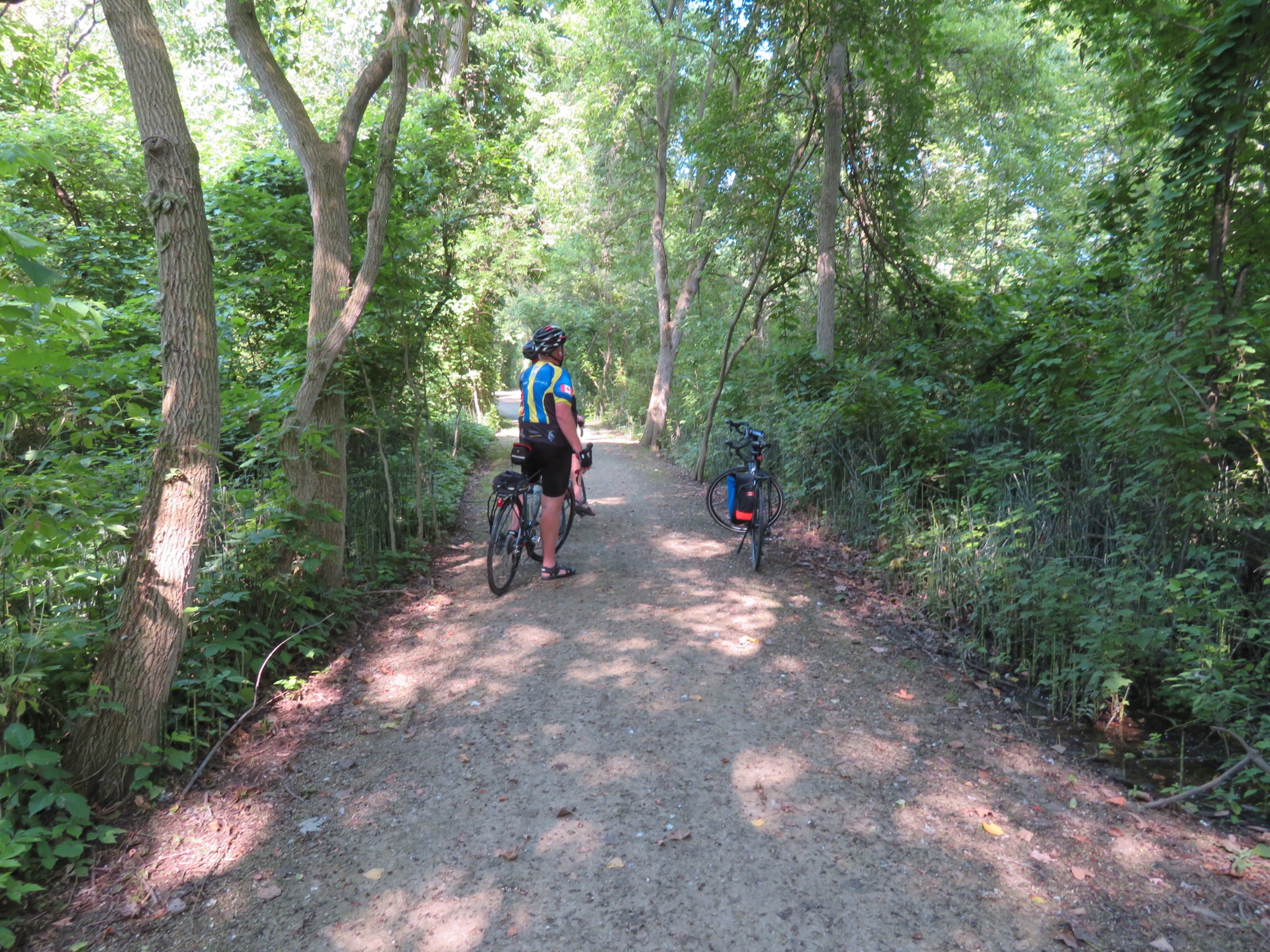
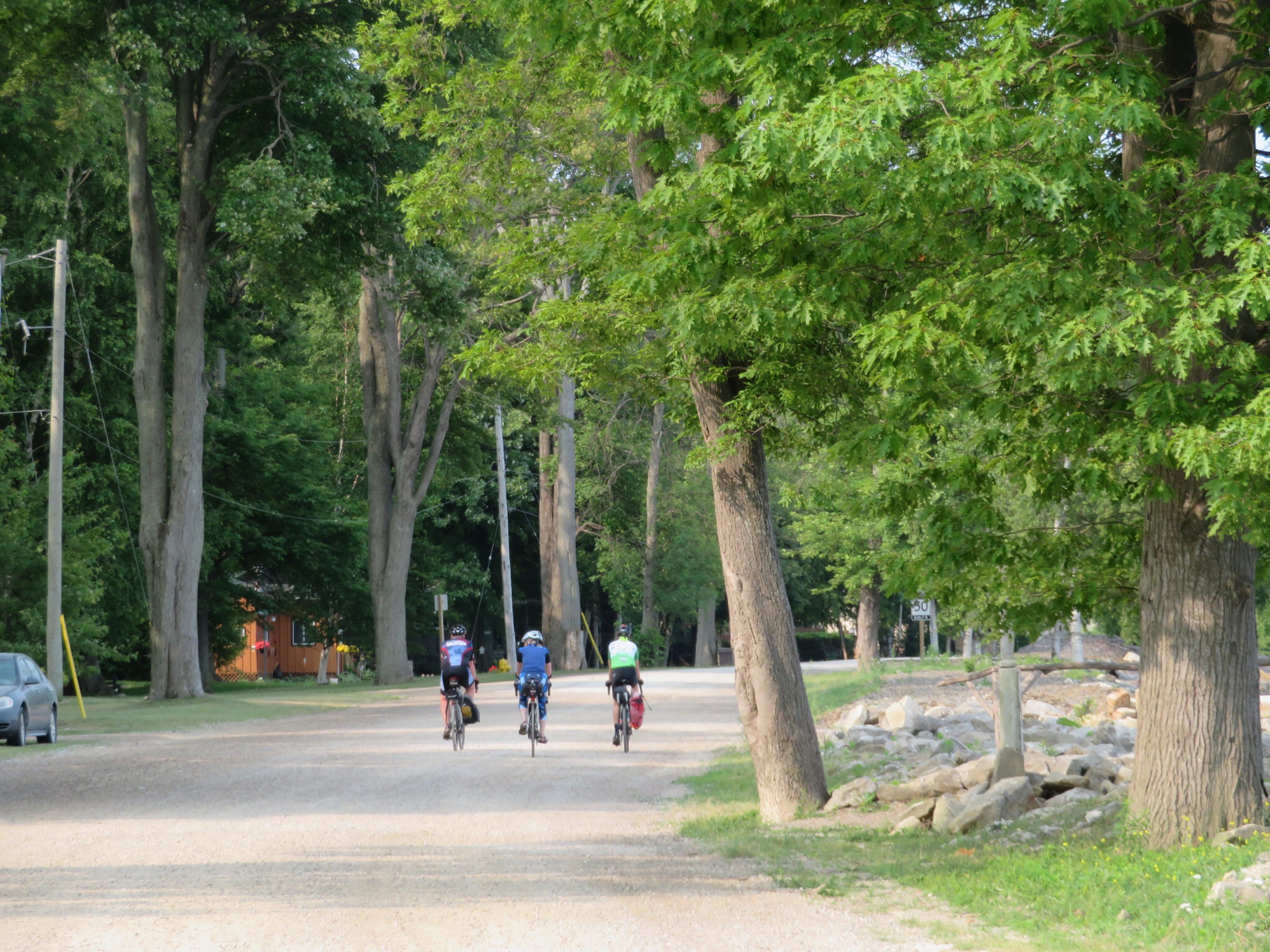
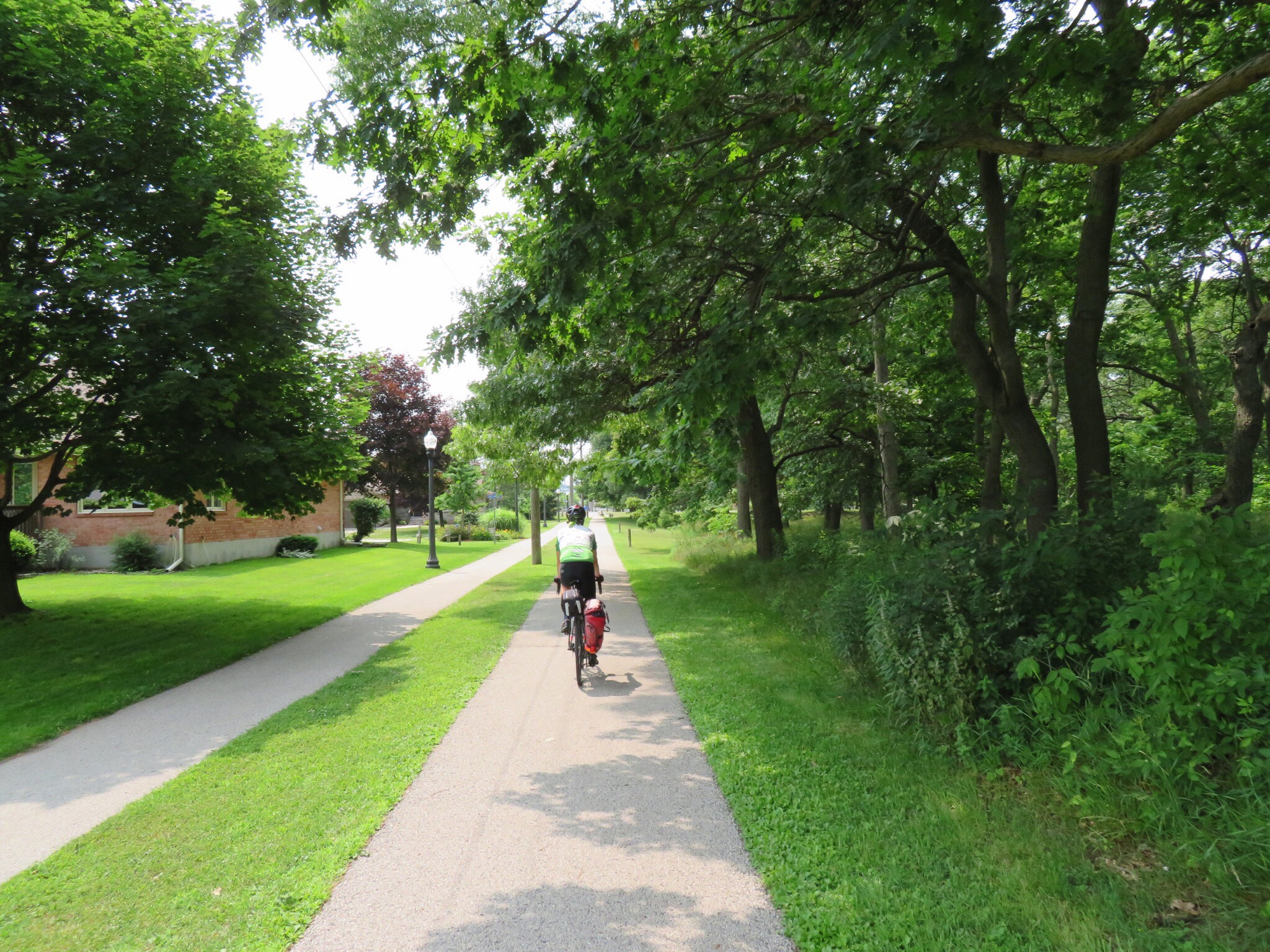
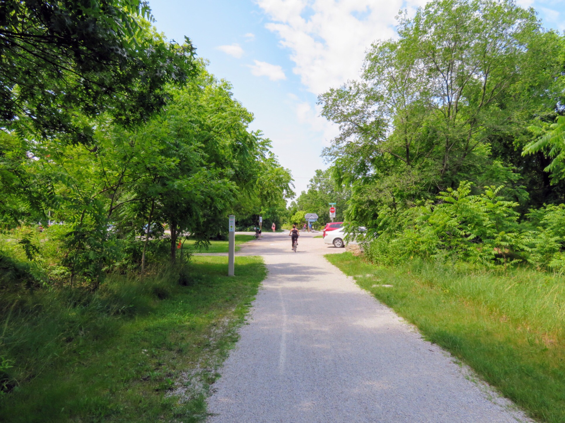
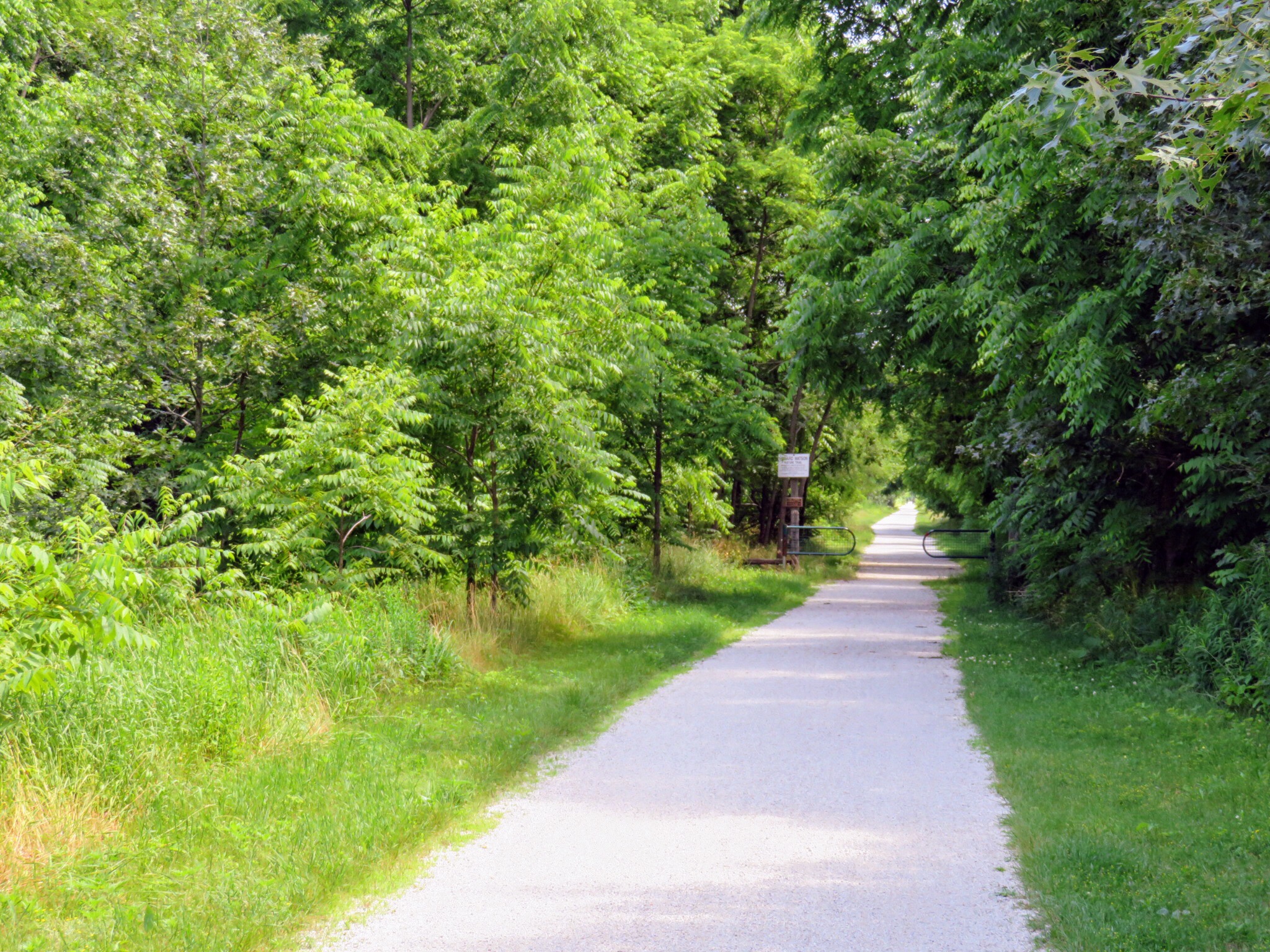
The ride became much more pleasant once we left Highway 21. We have seen quite a few roads like this with a shoulder on only one side. Fortunately we have been travelling on the side with the shoulder, however, I find this configuration quite odd.

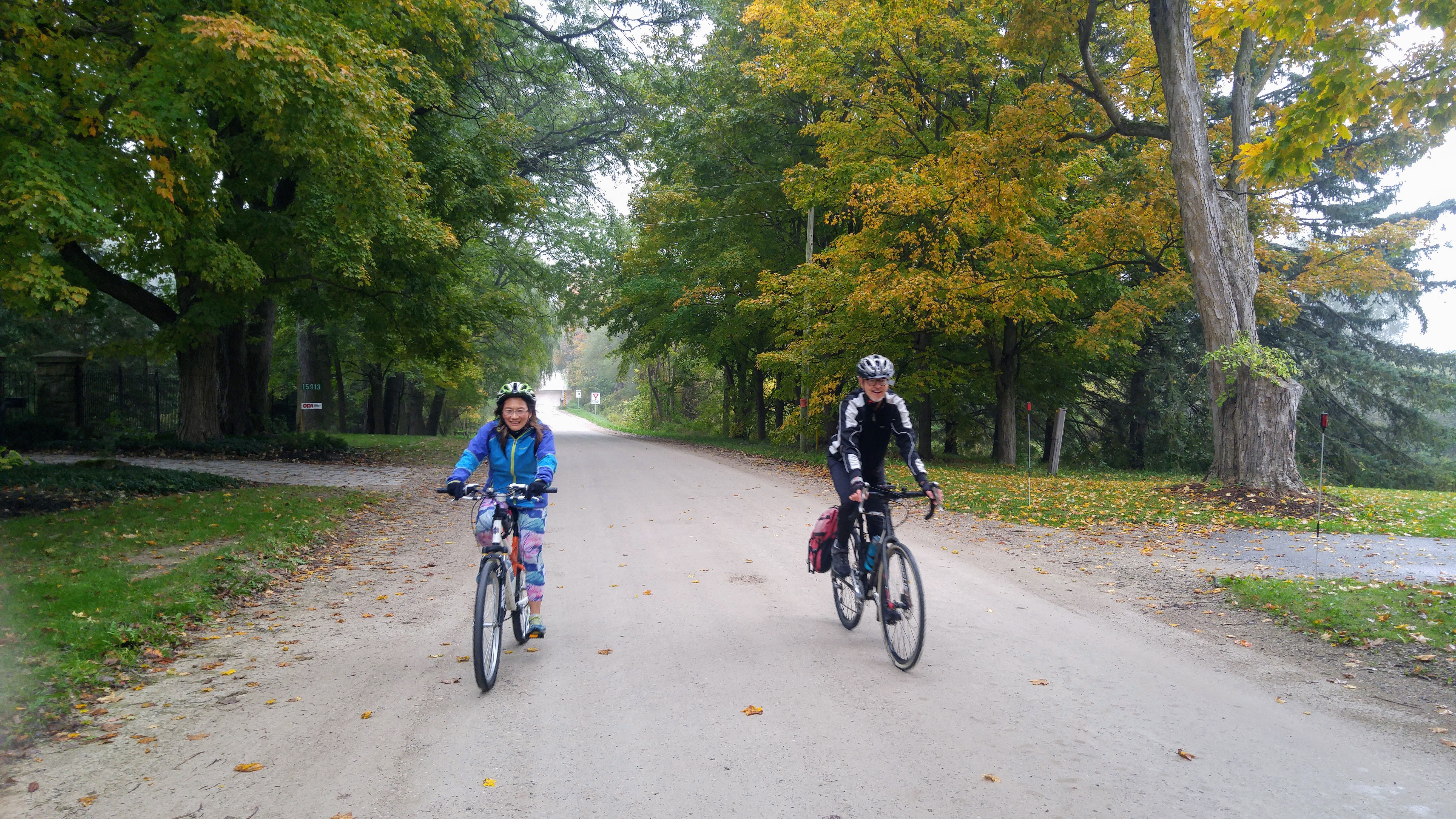
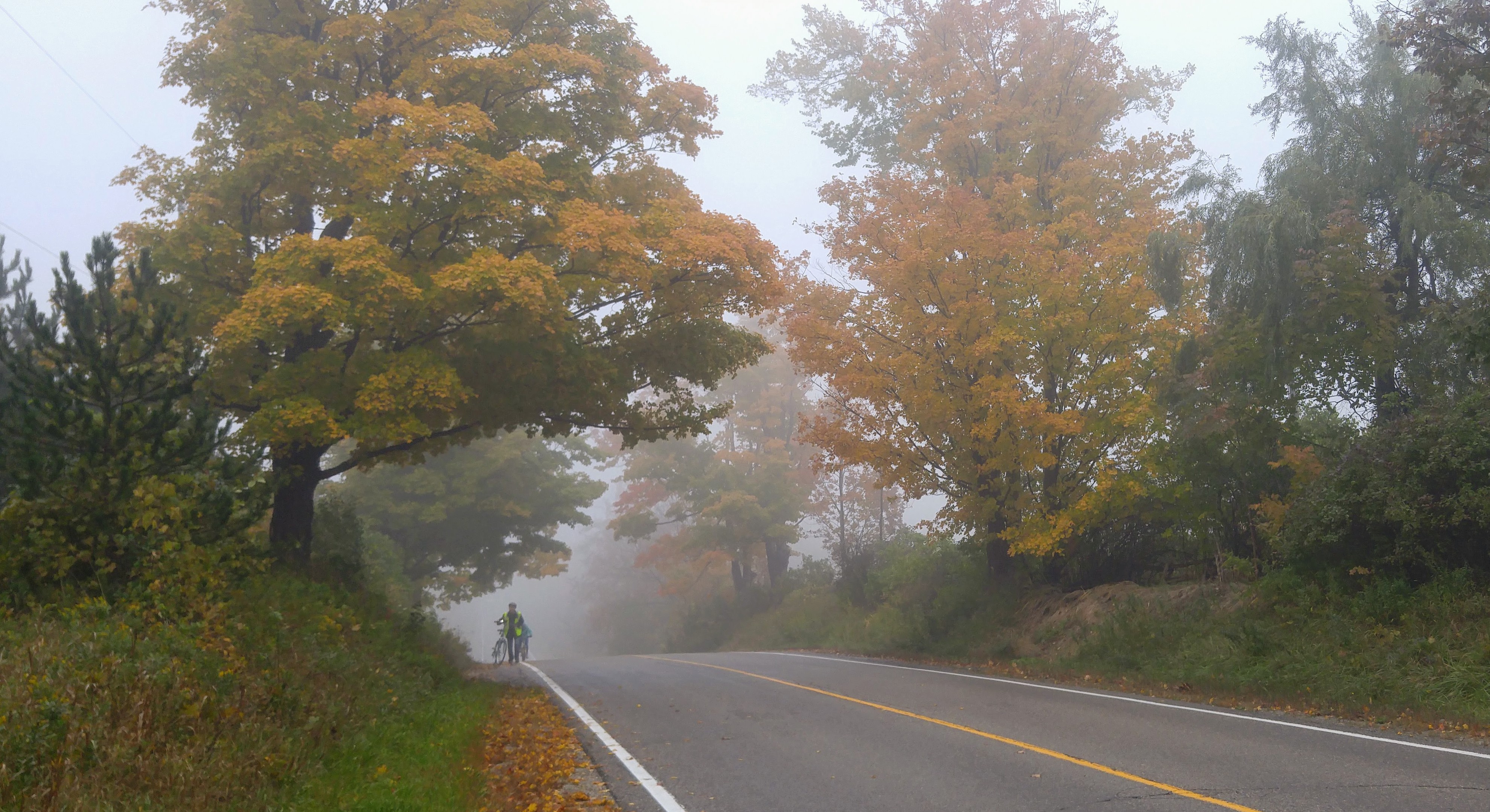
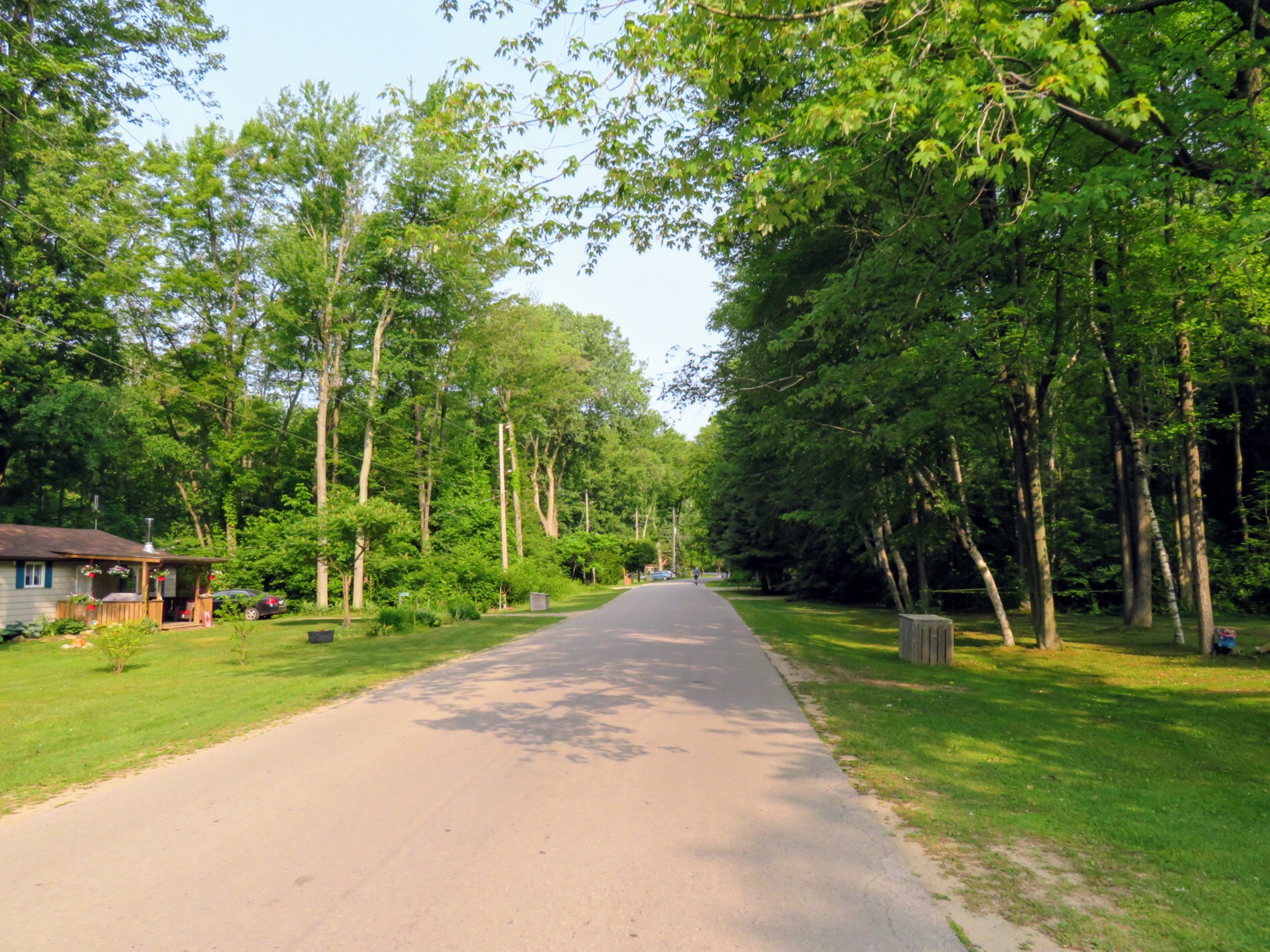
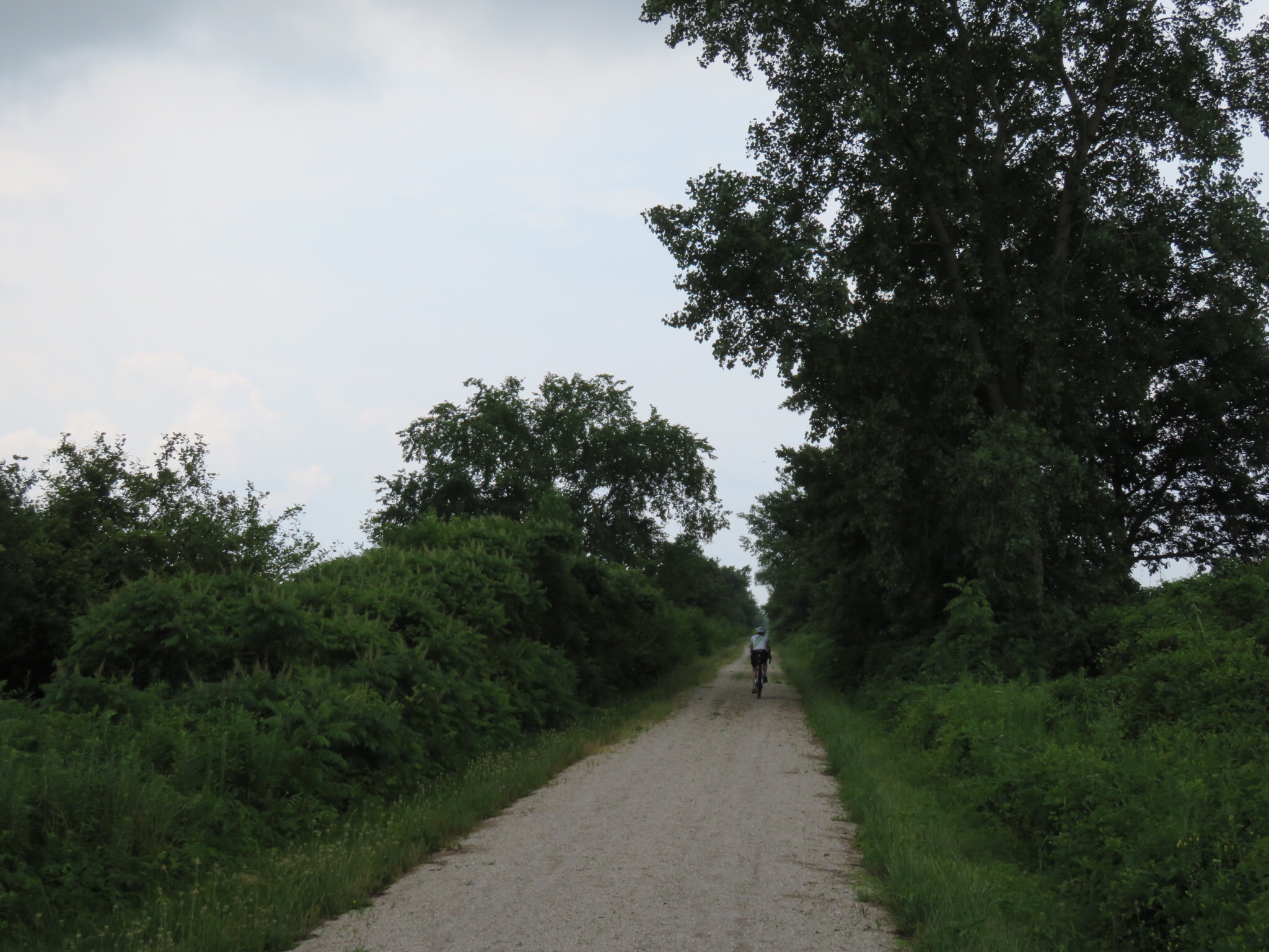
The road soon became even narrower and less travelled. It was shaded by lovey old trees. It was a pleasure to ride.

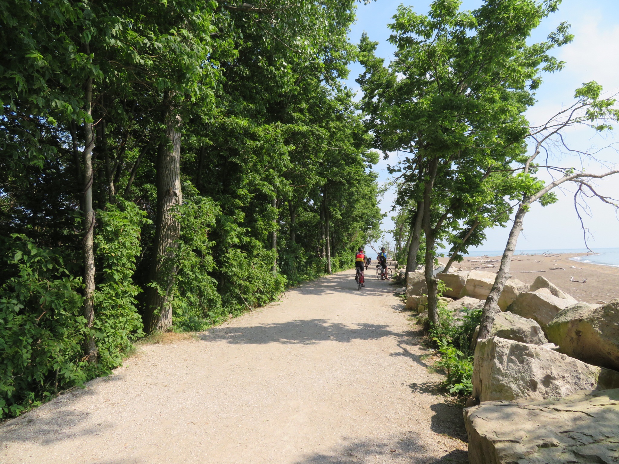
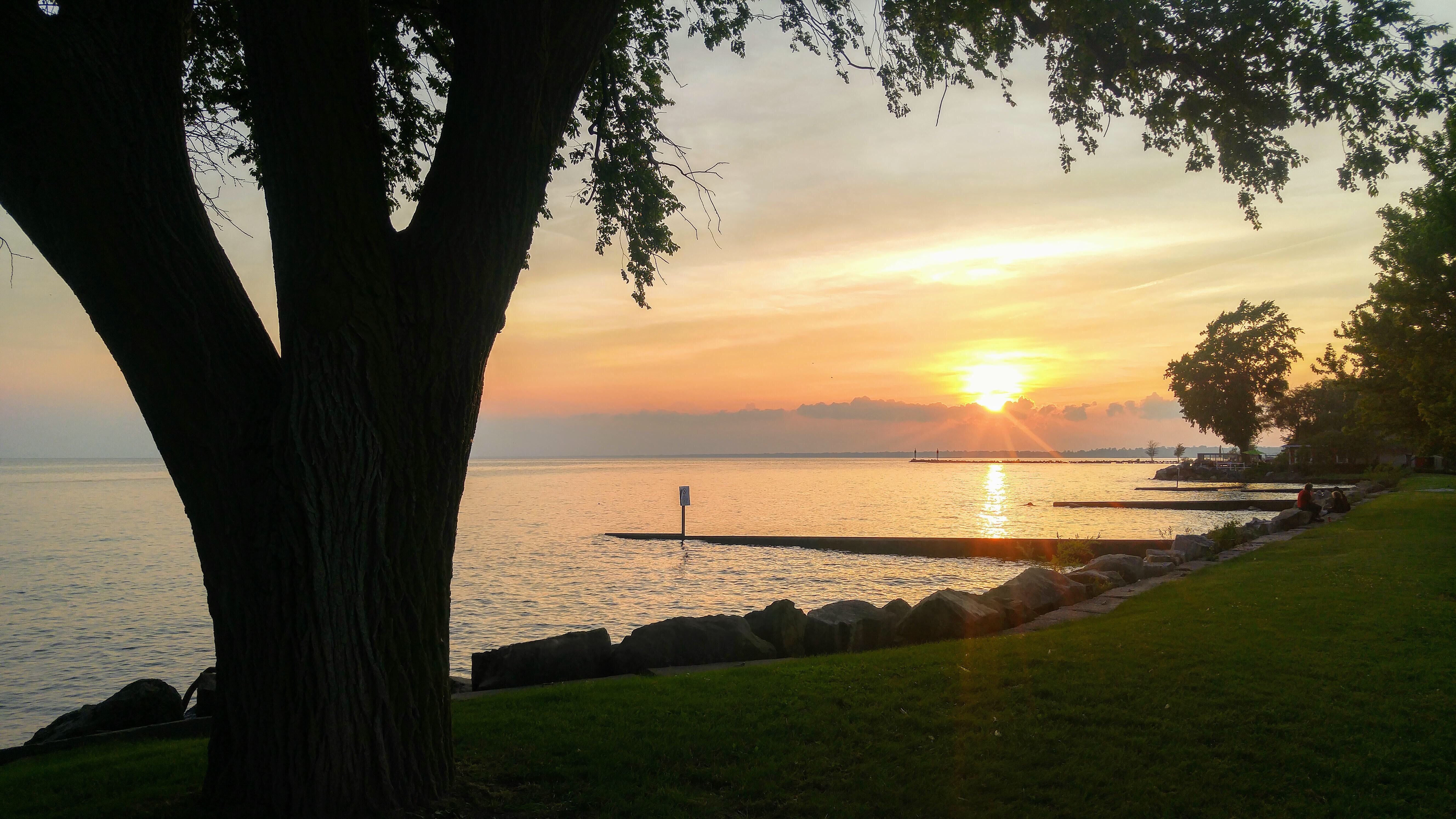
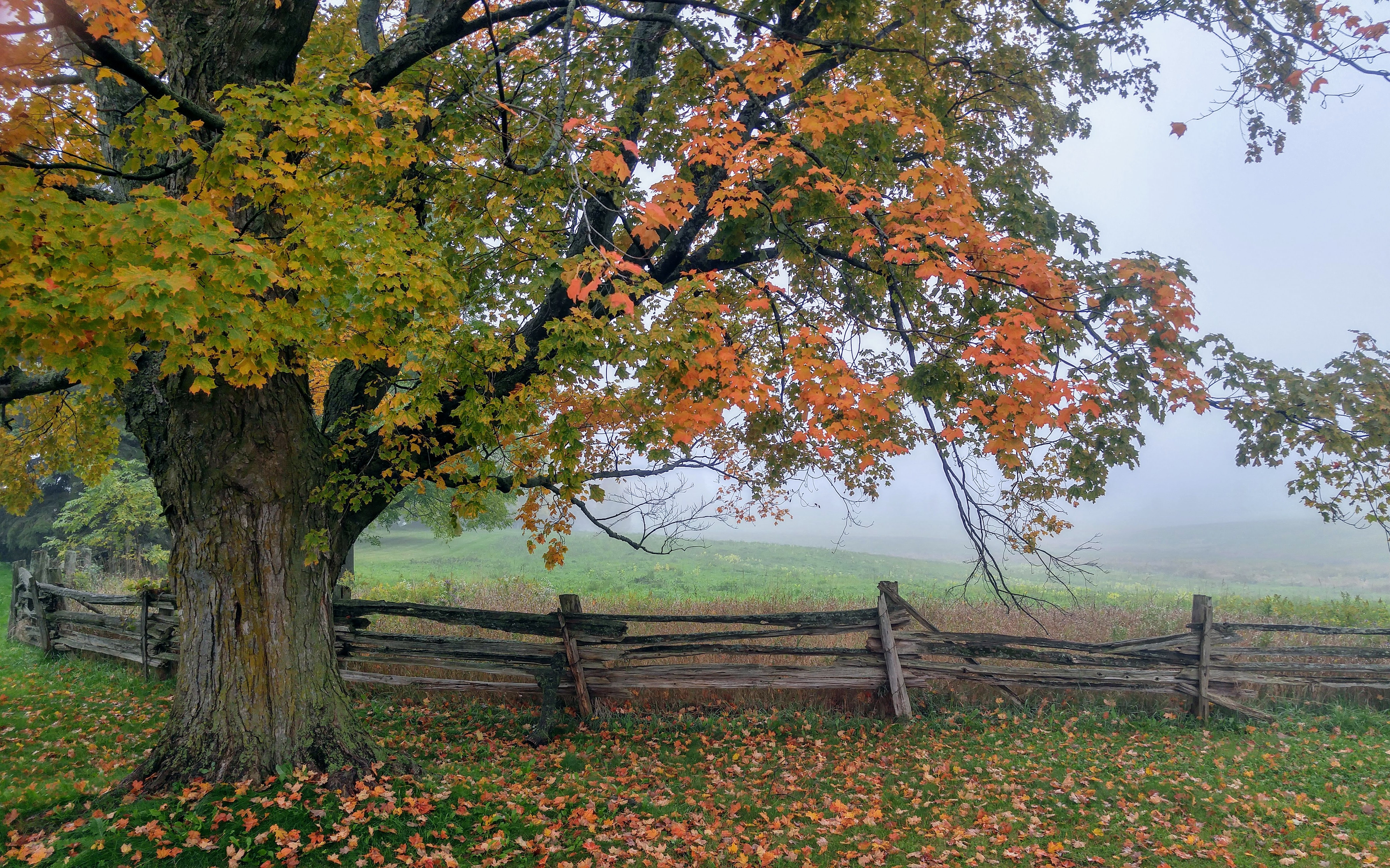
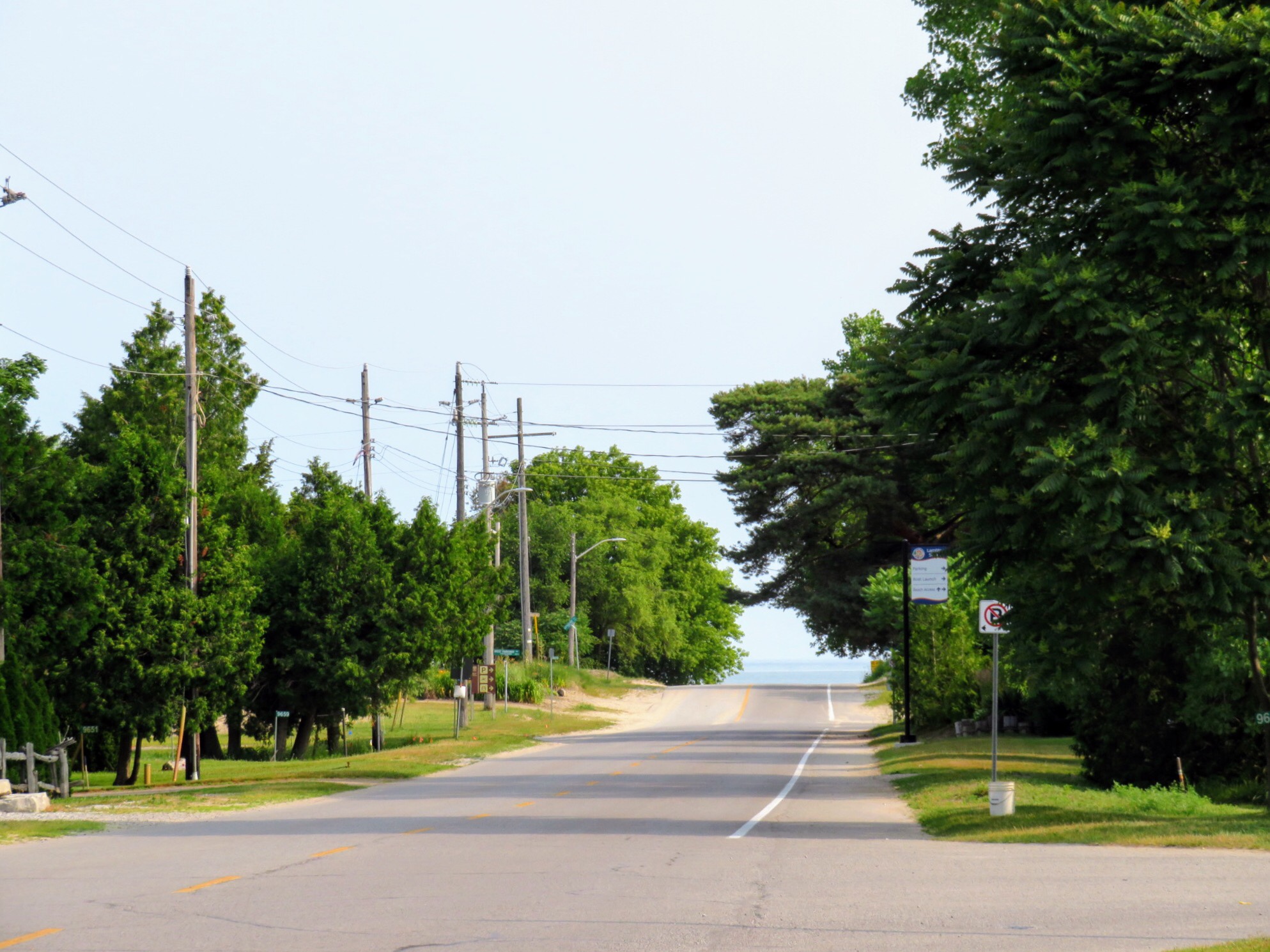
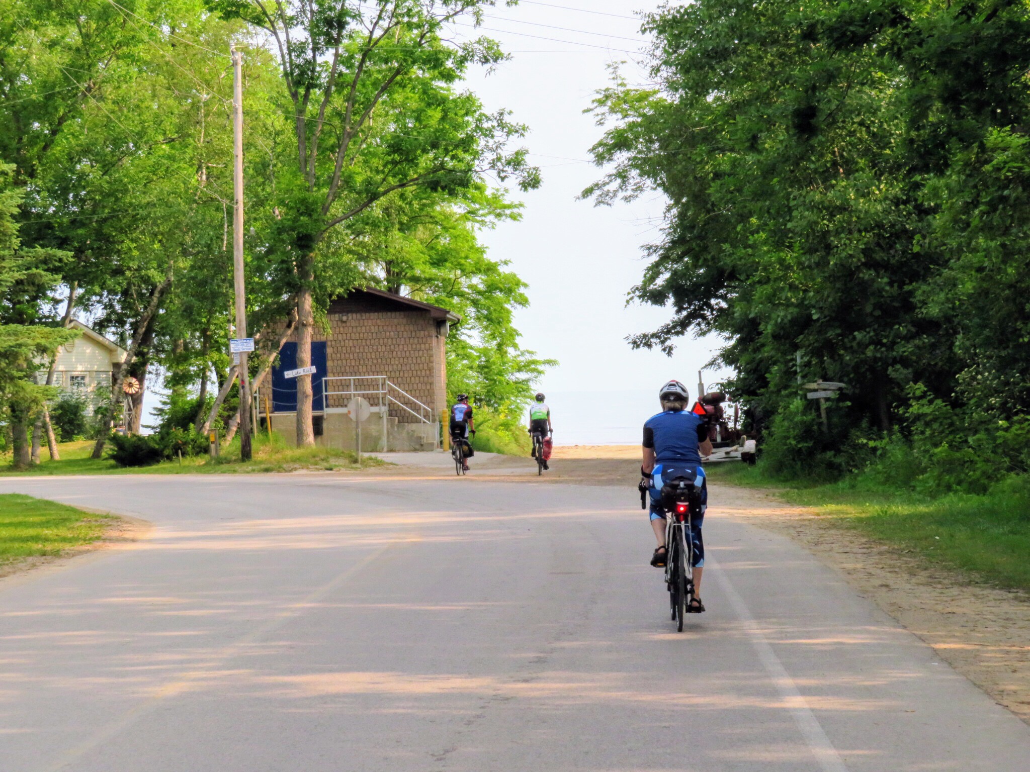
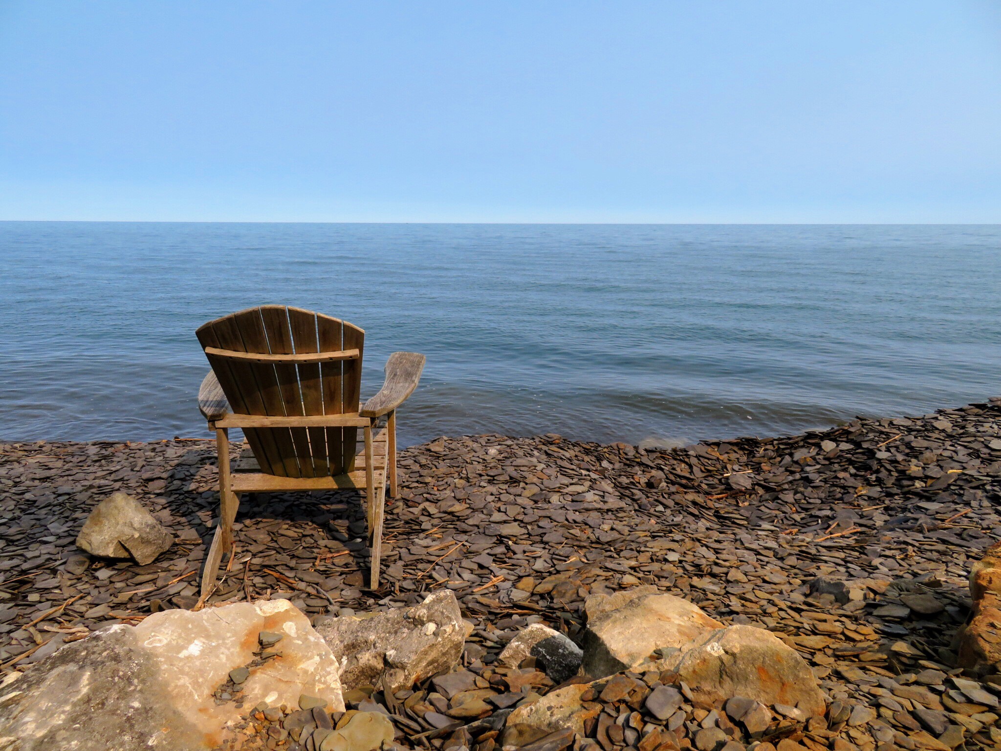
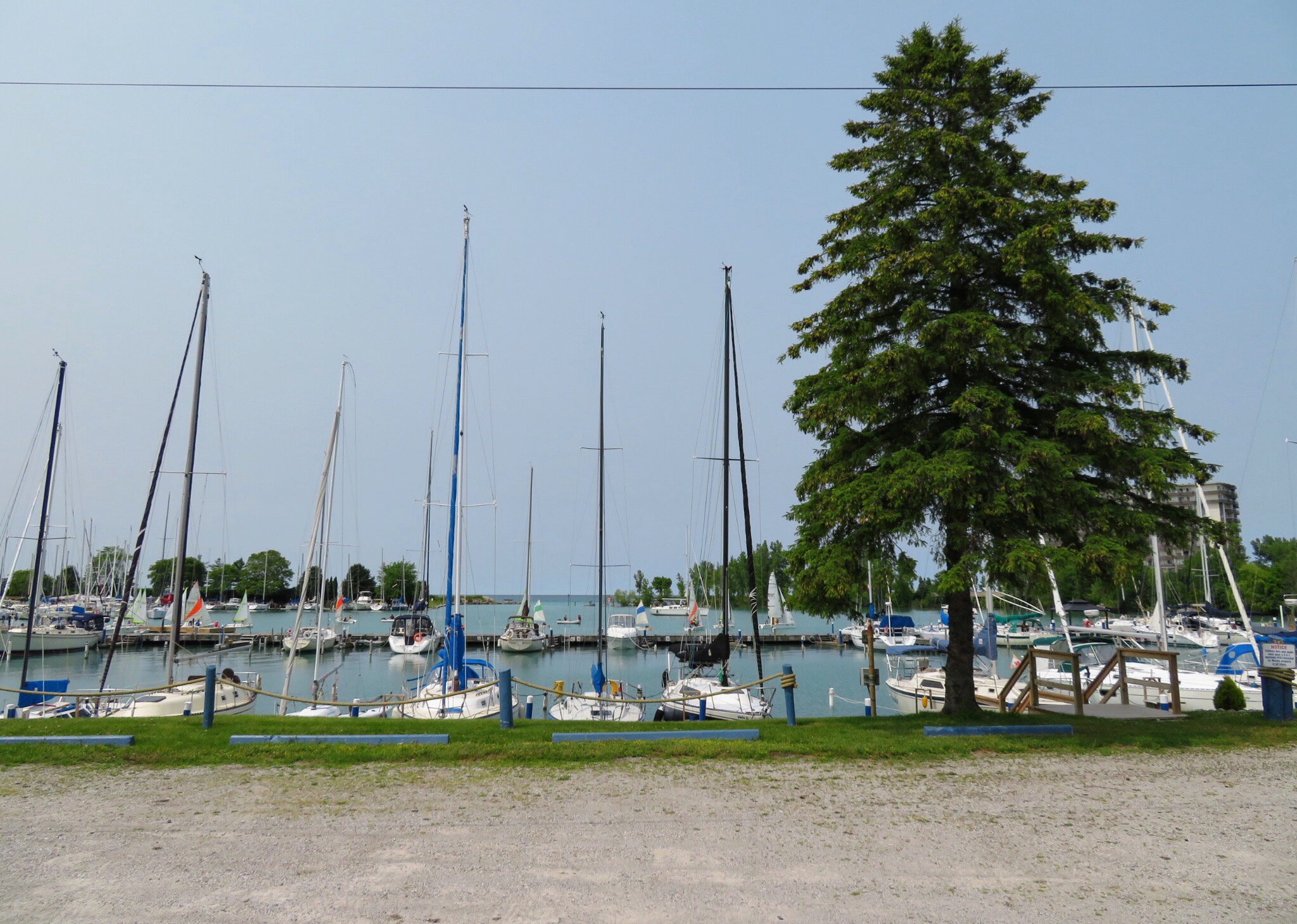
This was our first glimpse of Lake Huron today.

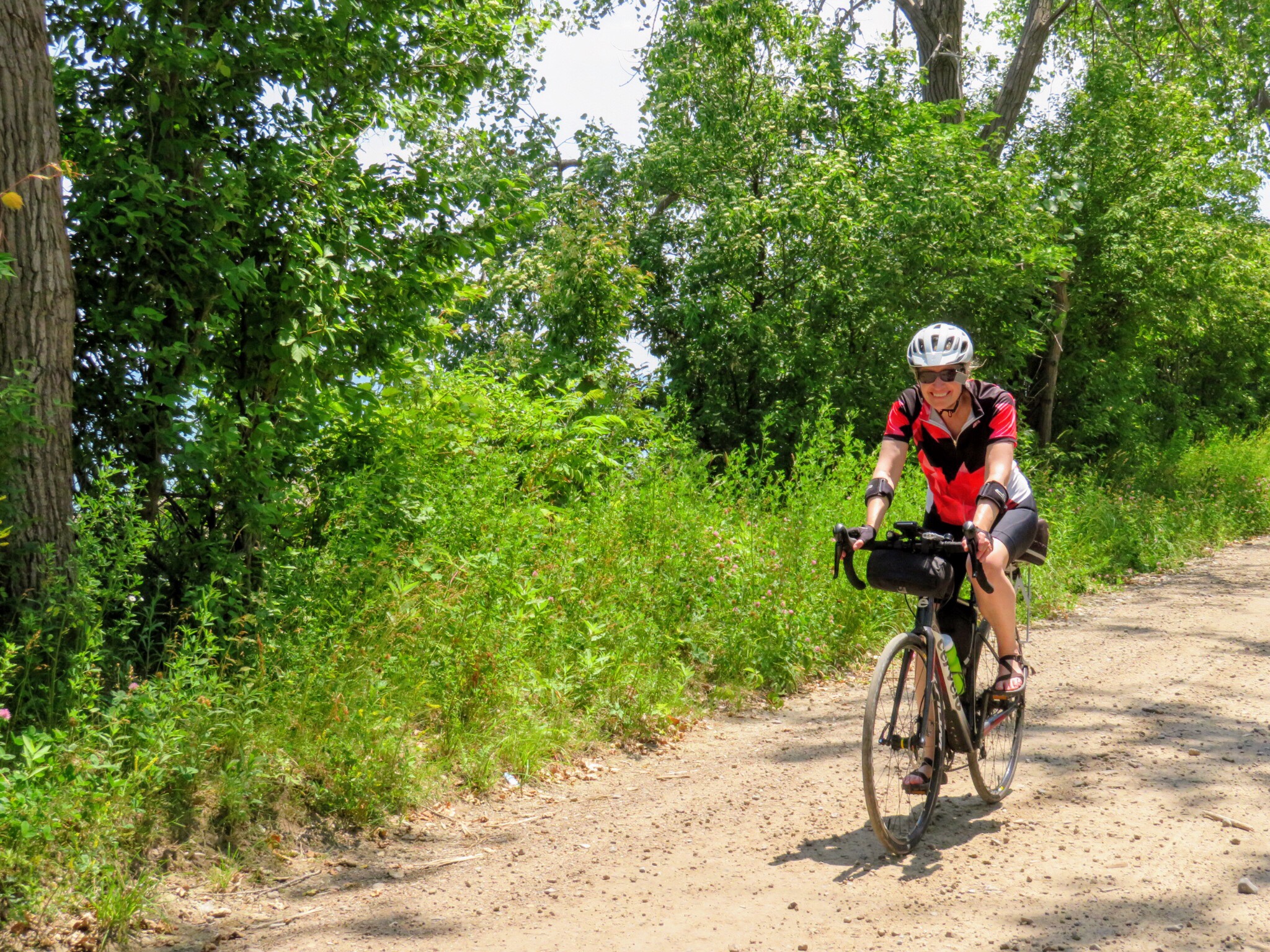
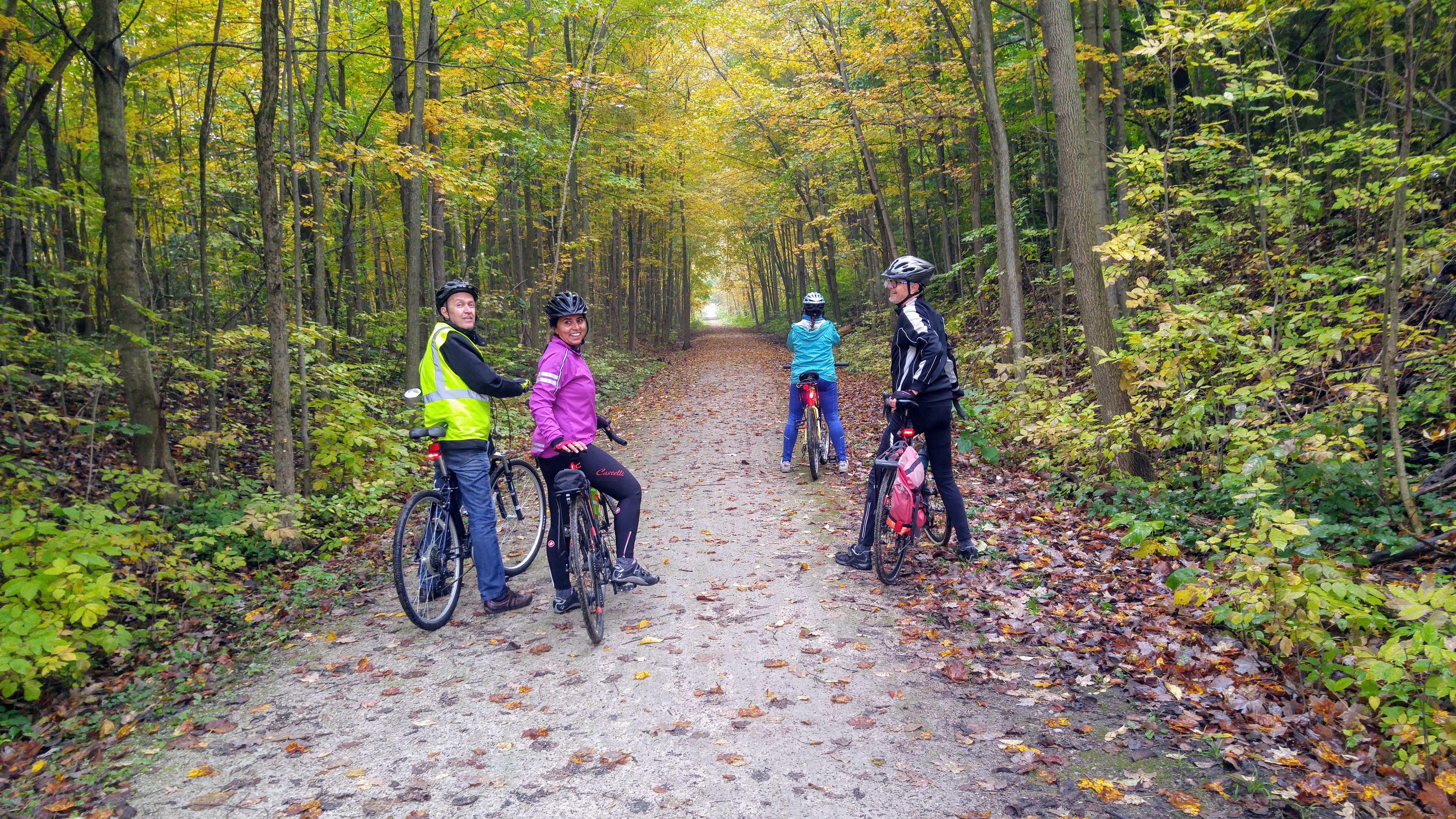
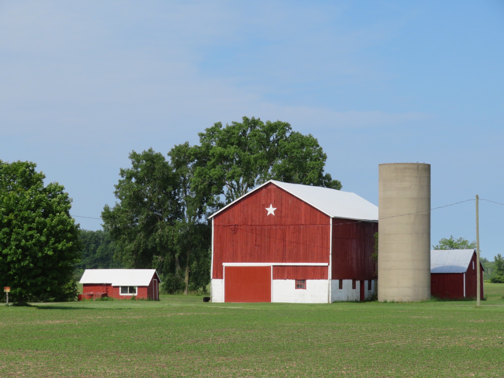
It was so relaxing riding along these quiet, trees, residential roads. The weather was perfect. Warm, but not hot, a cool breeze off the water, and no humidity to speak of.

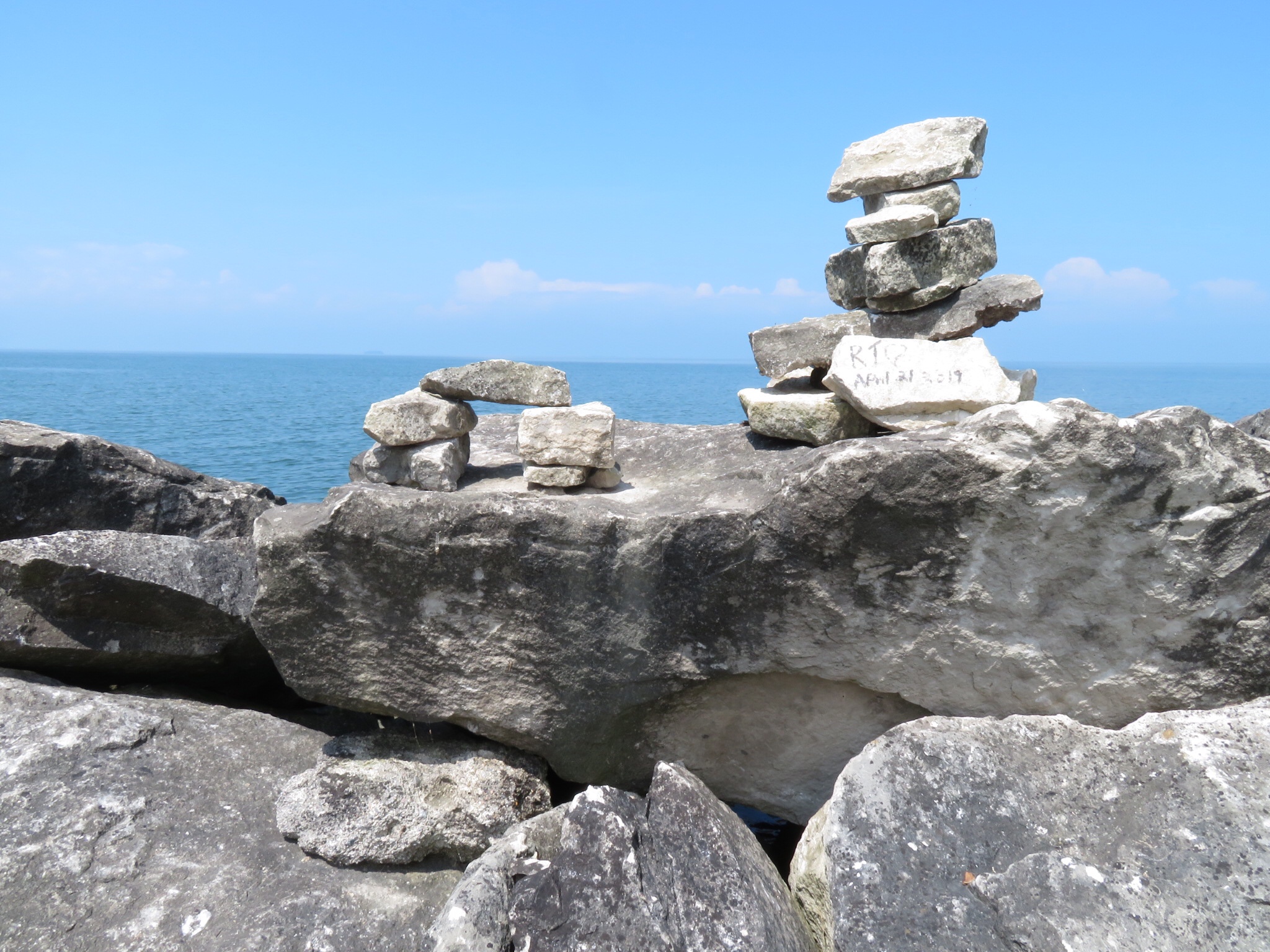
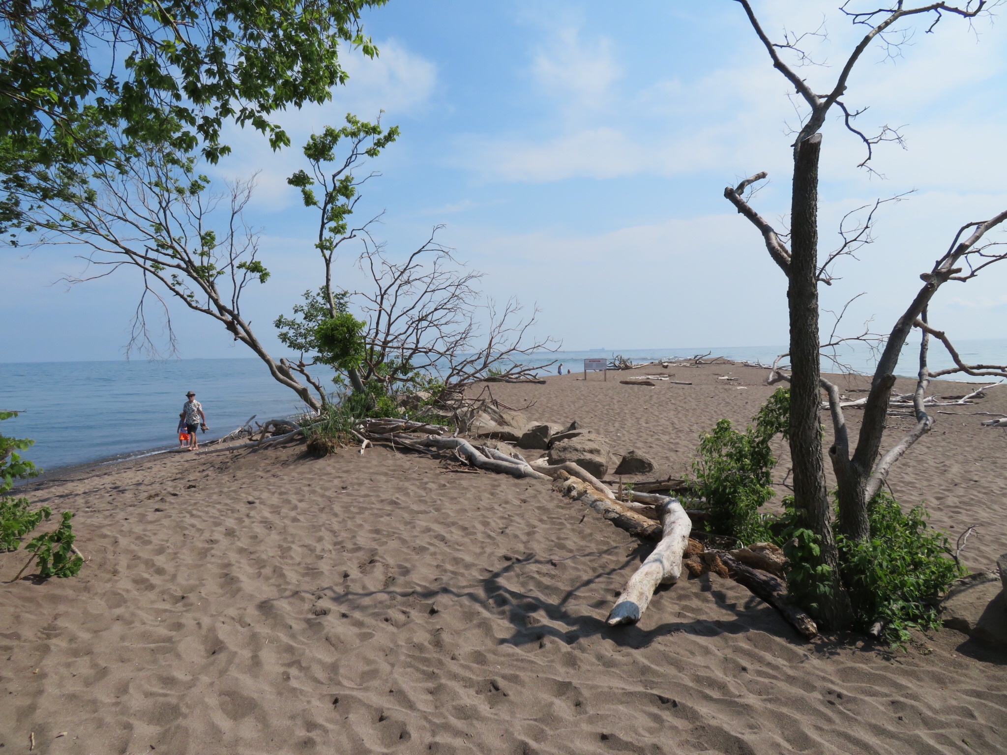
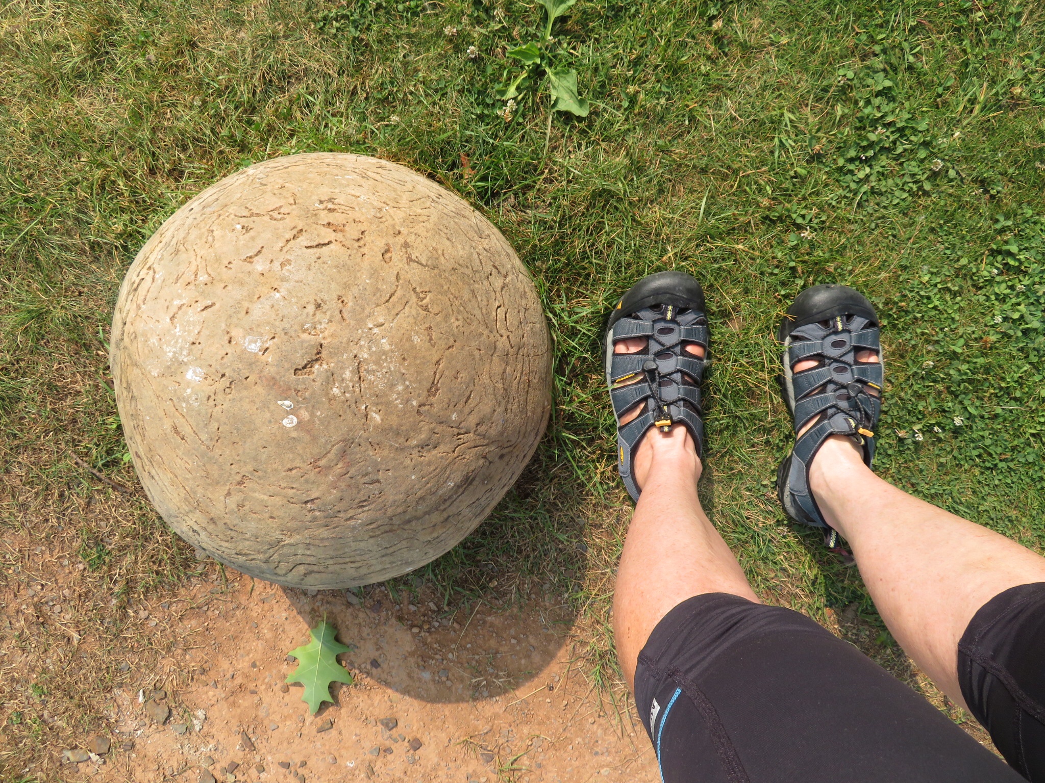
We were expecting to see these concretions in the water. They are called kettles due to their resemblance to the bottom of a cooking kettle. We didn’t see any in the water, only a few in a park. We aren’t sure why – David and Dayle recall seeing them here years ago – but speculate that perhaps the water level is currently too high.

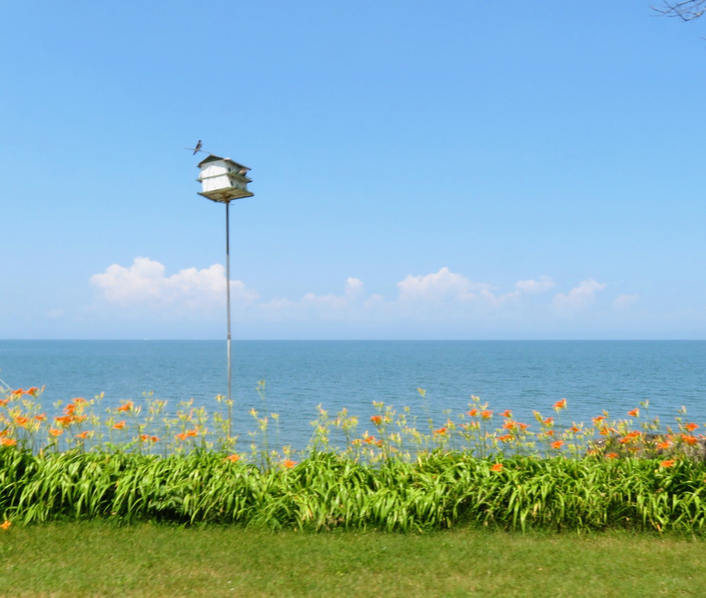
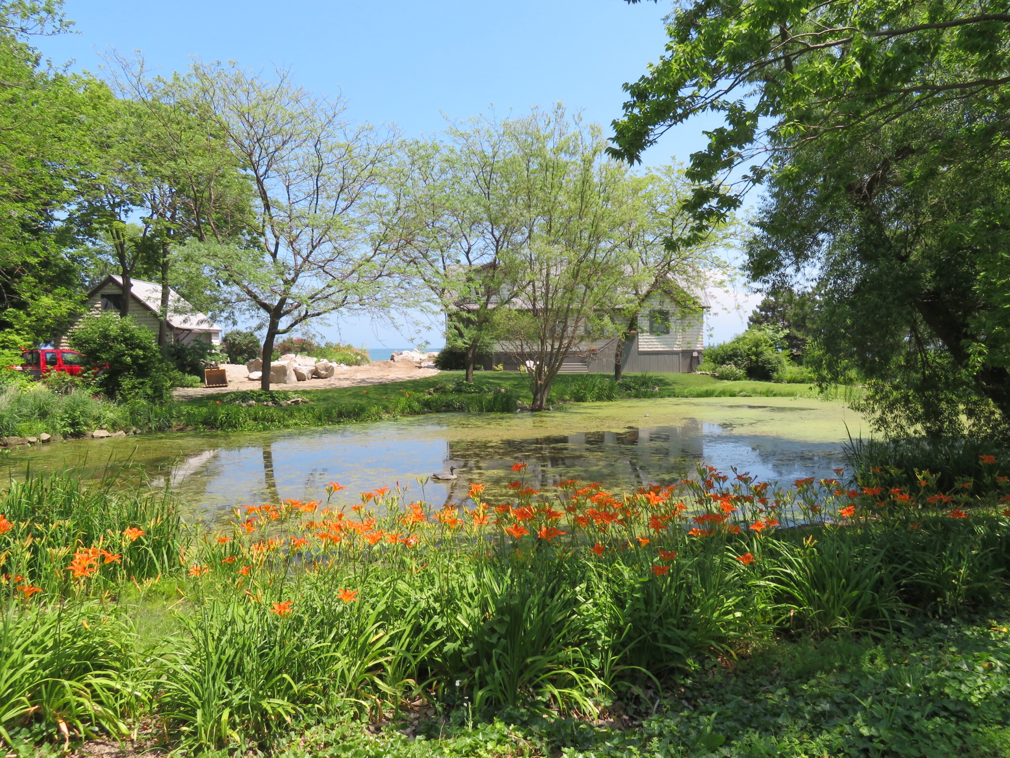
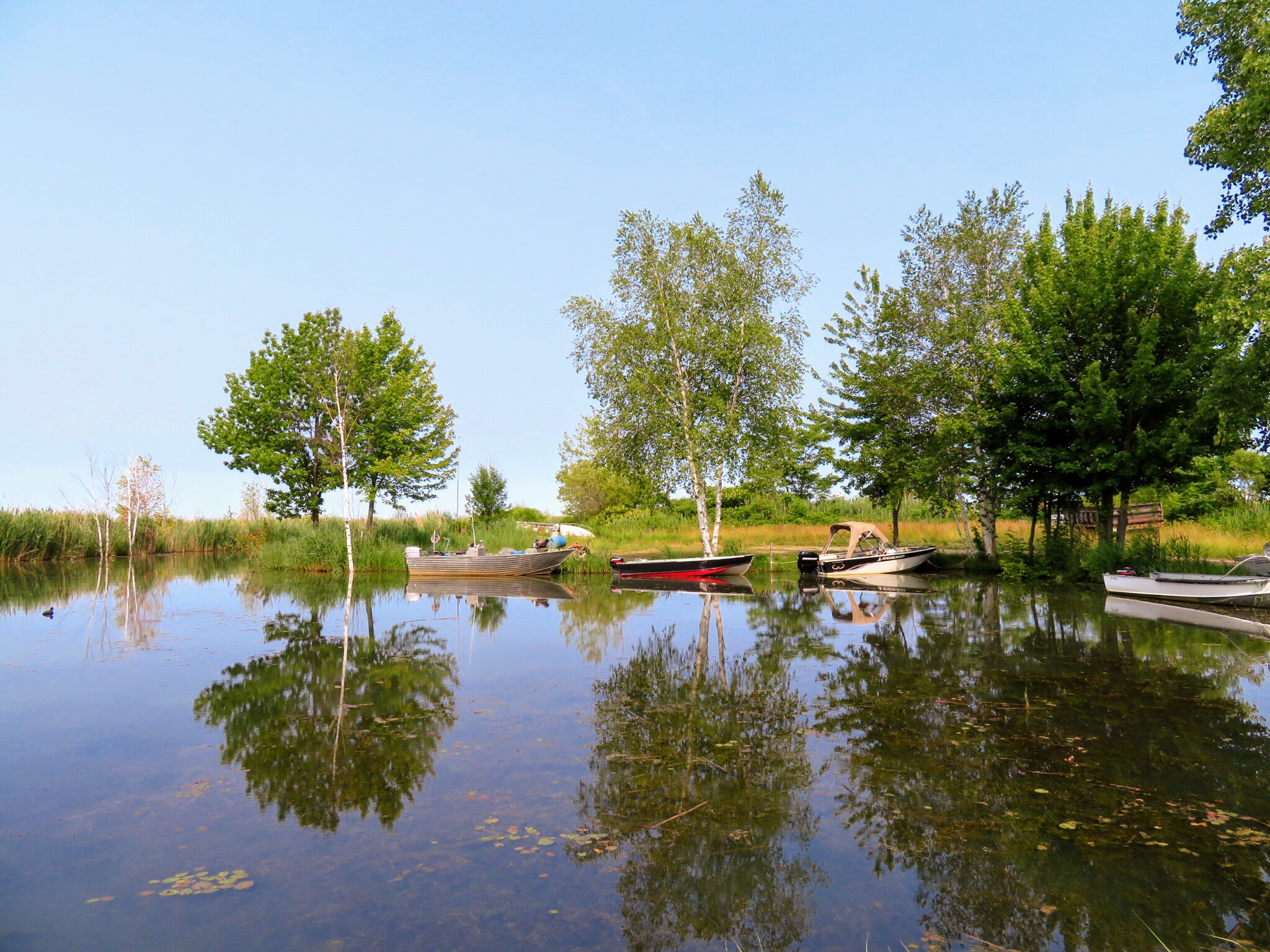
We saw several of these little bays along the shoreline that had beautiful reflections in them.

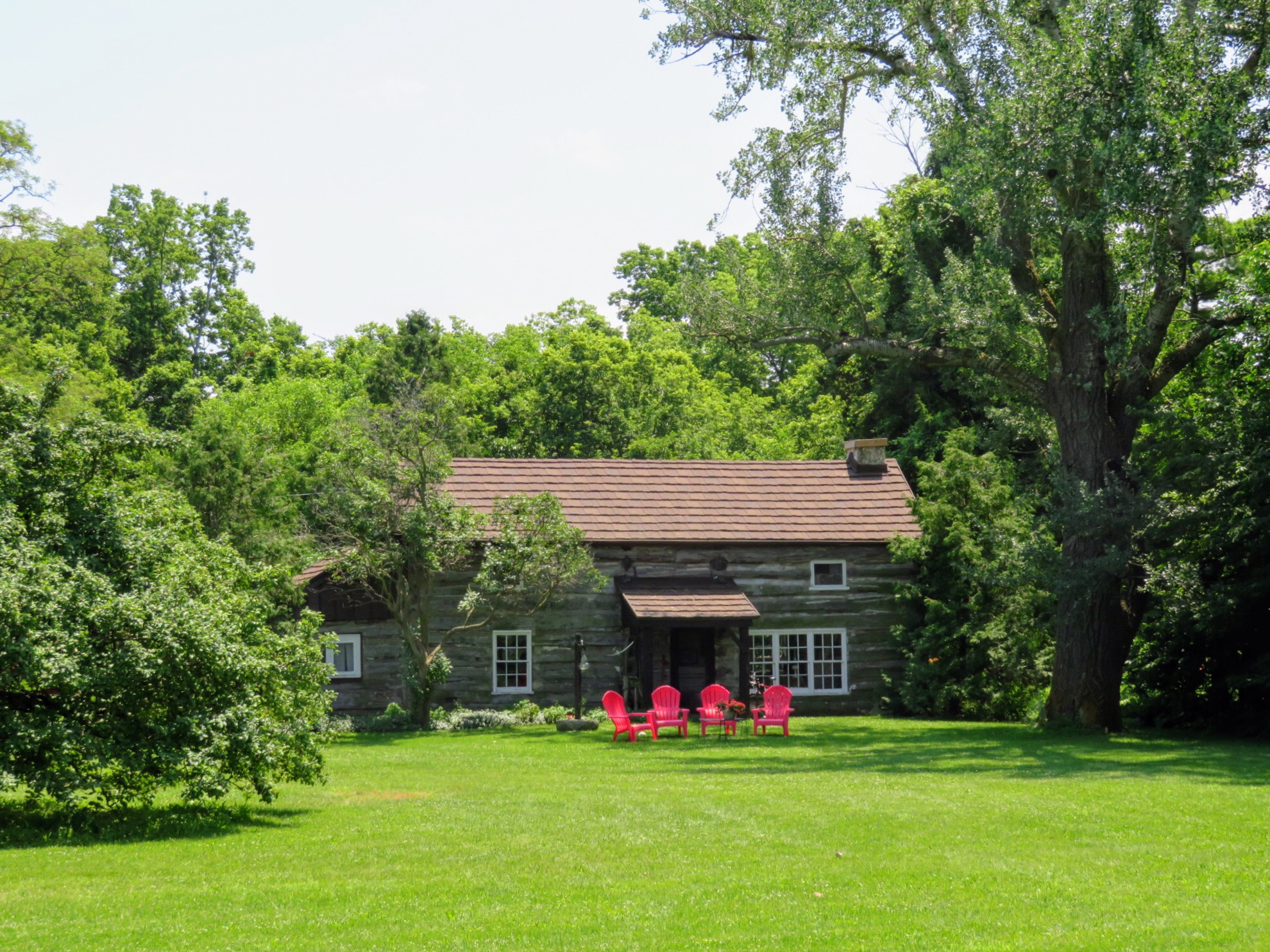
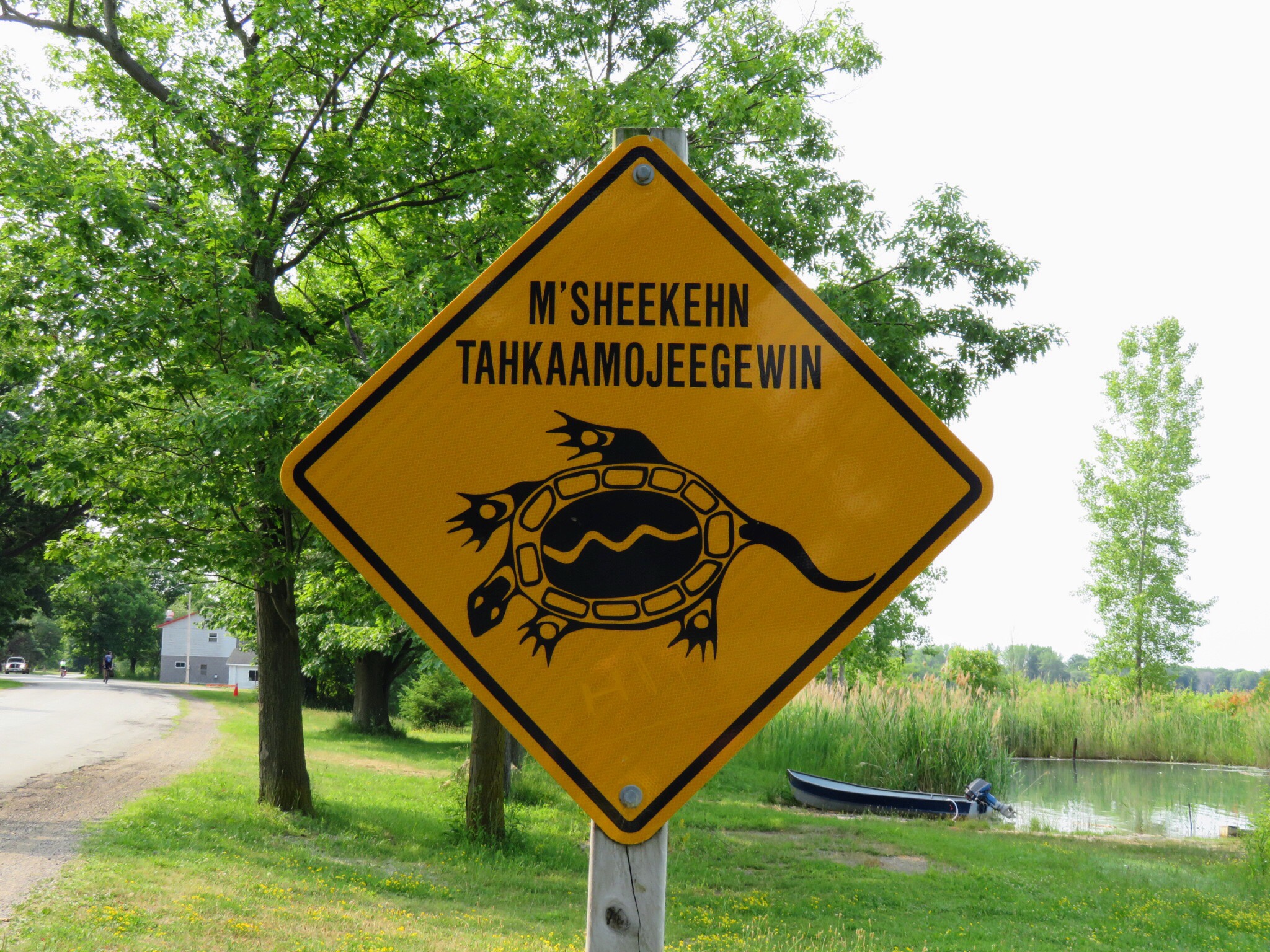
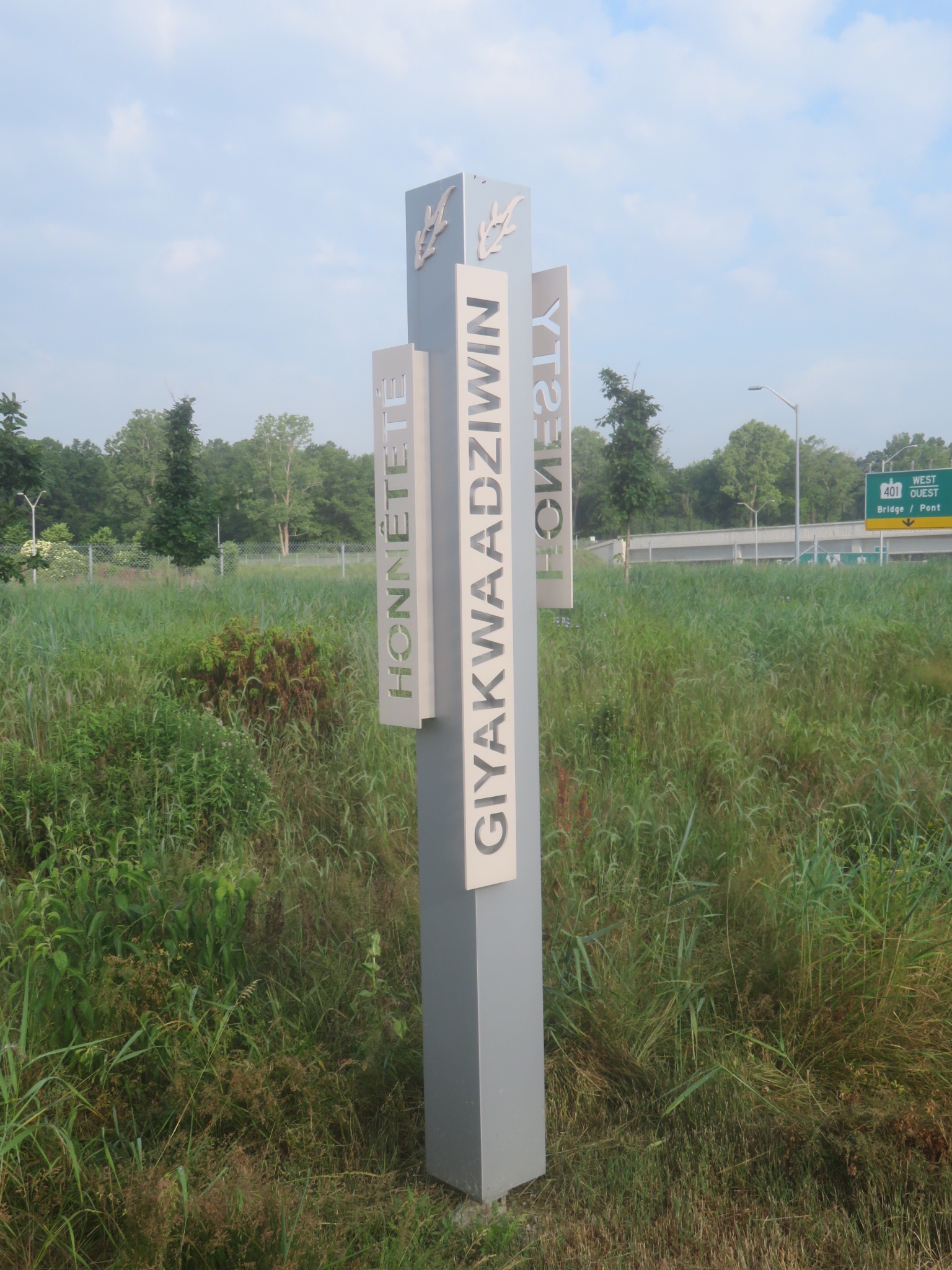
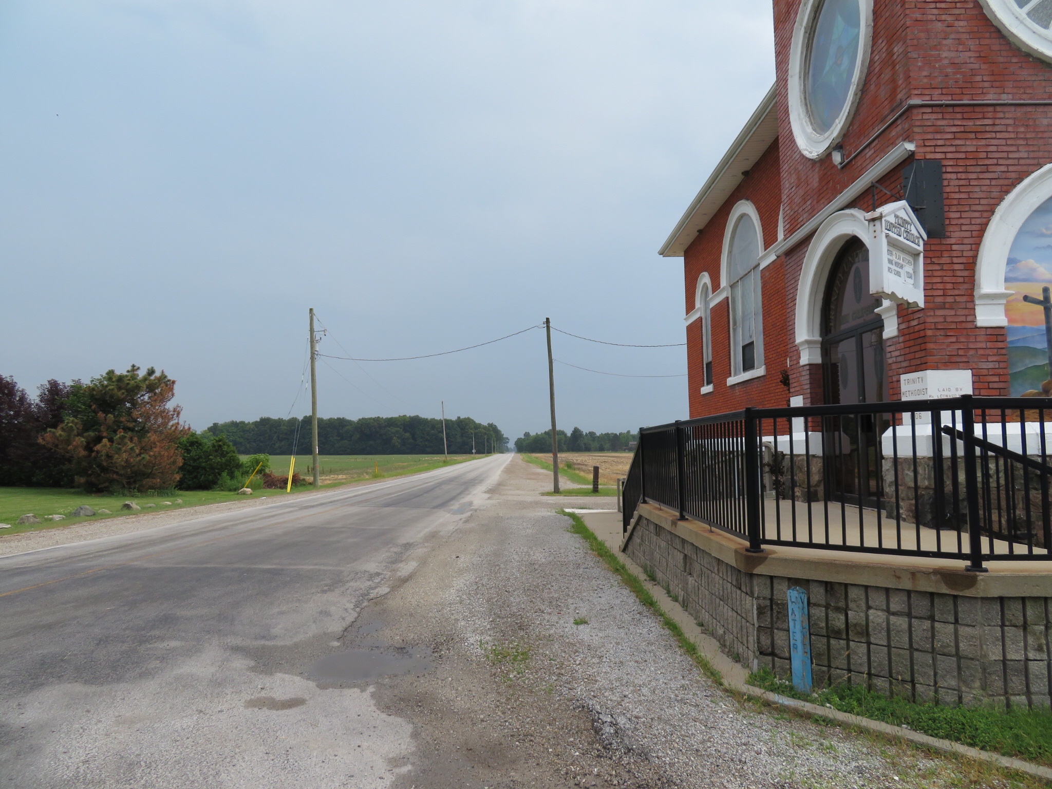
Much of the land in this area belongs to the Chippewas of Kettle and Stony Point First Nation.

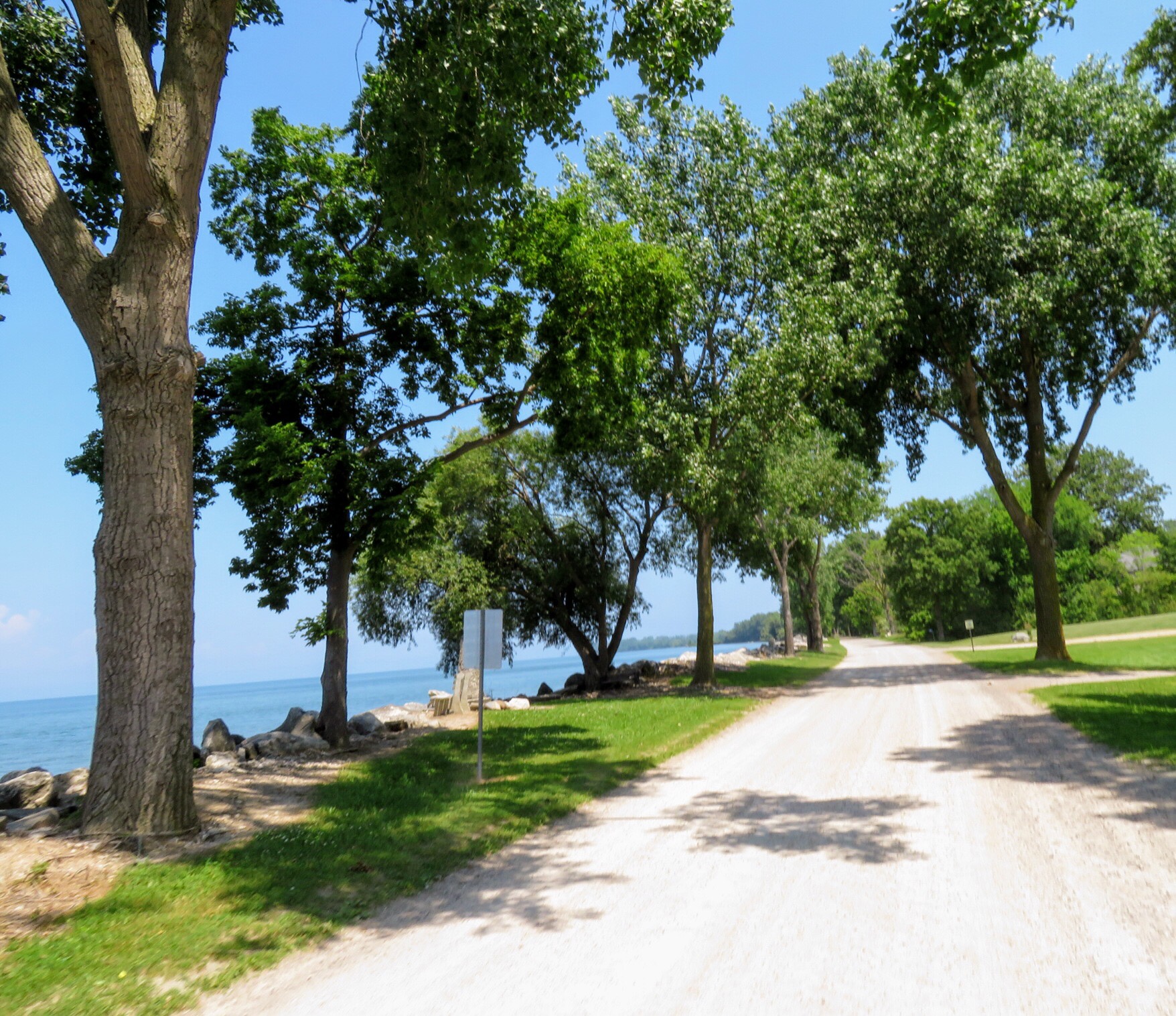
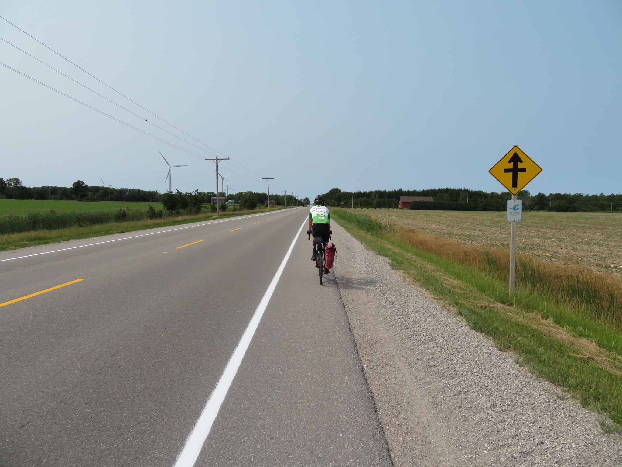
There were nice shoulders here and the road was lightly travelled. This is Lakeshore Road.

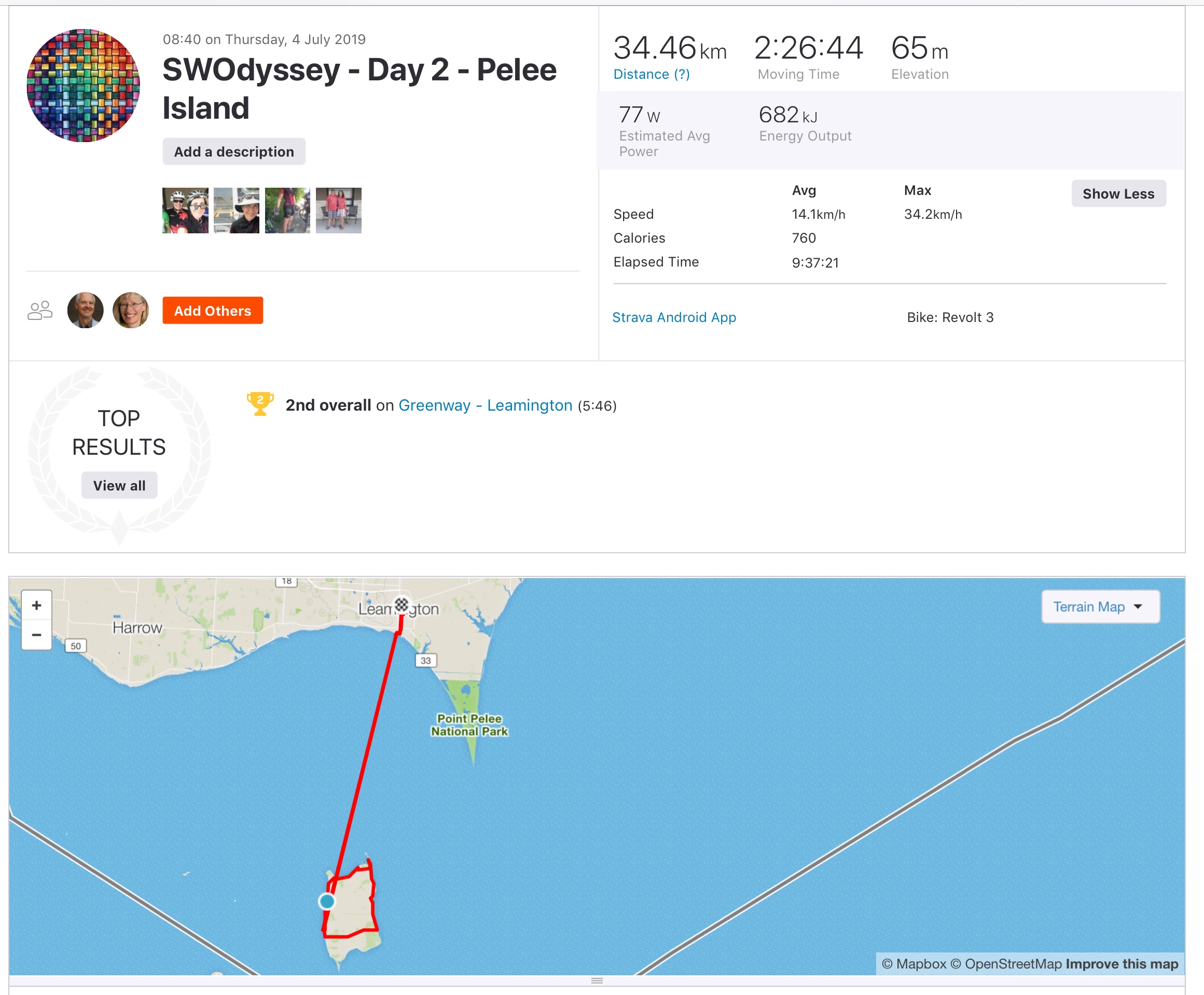
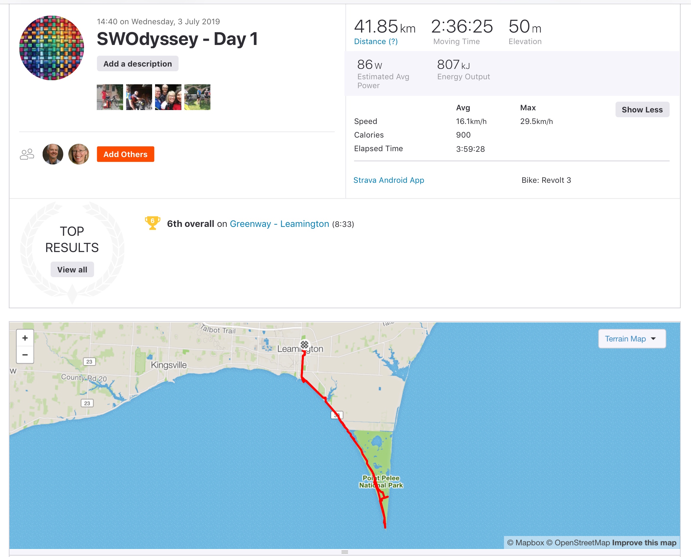
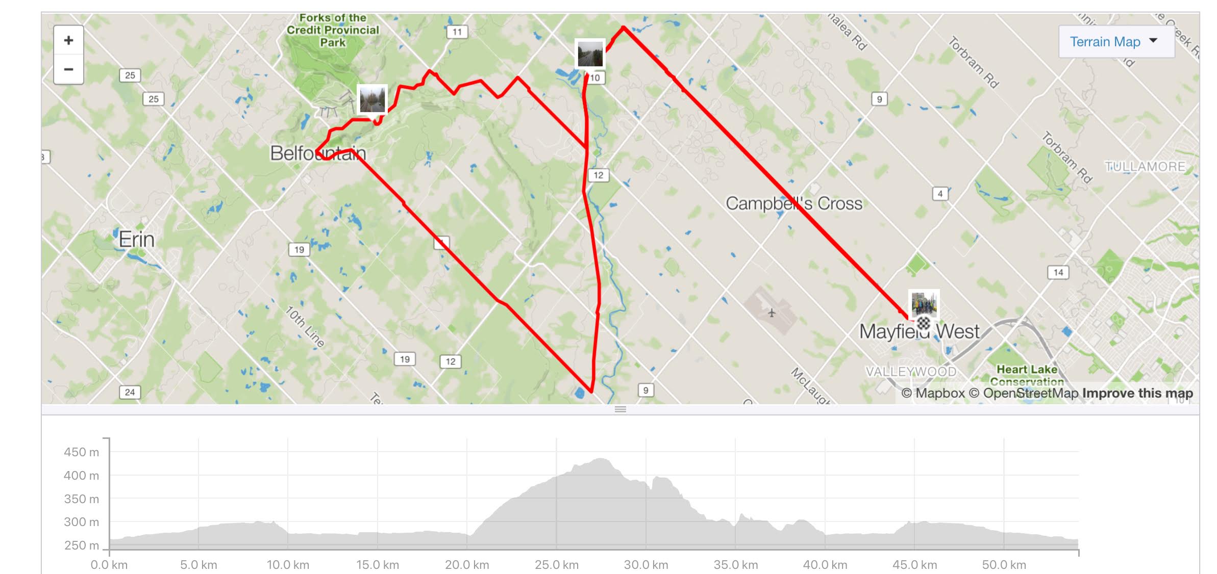
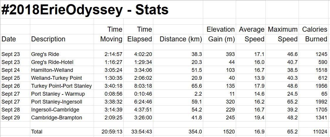
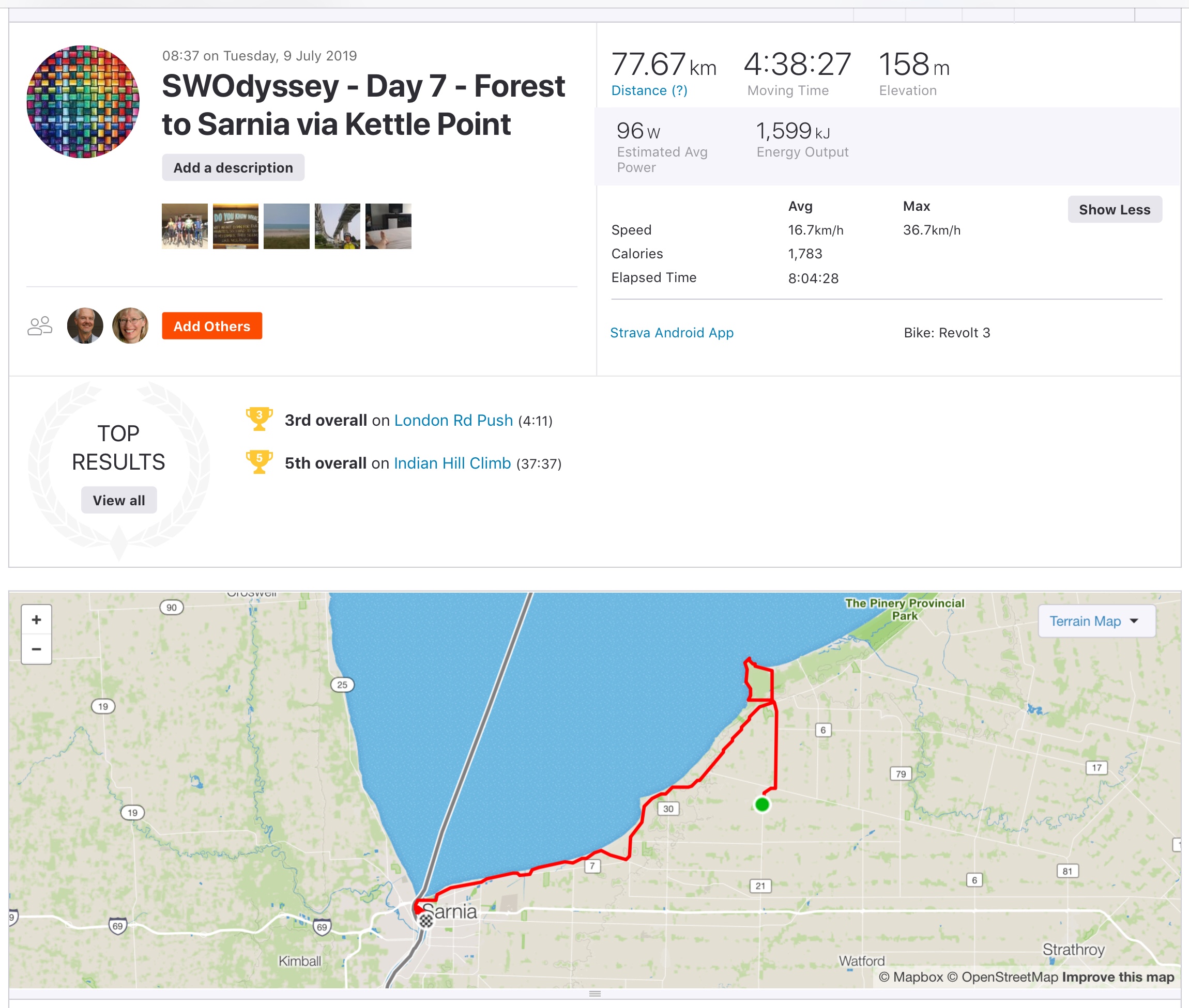
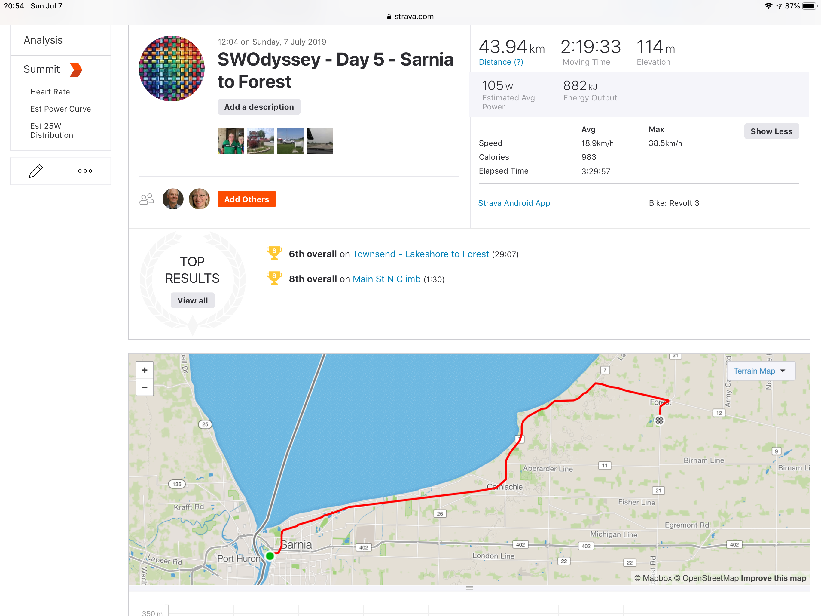
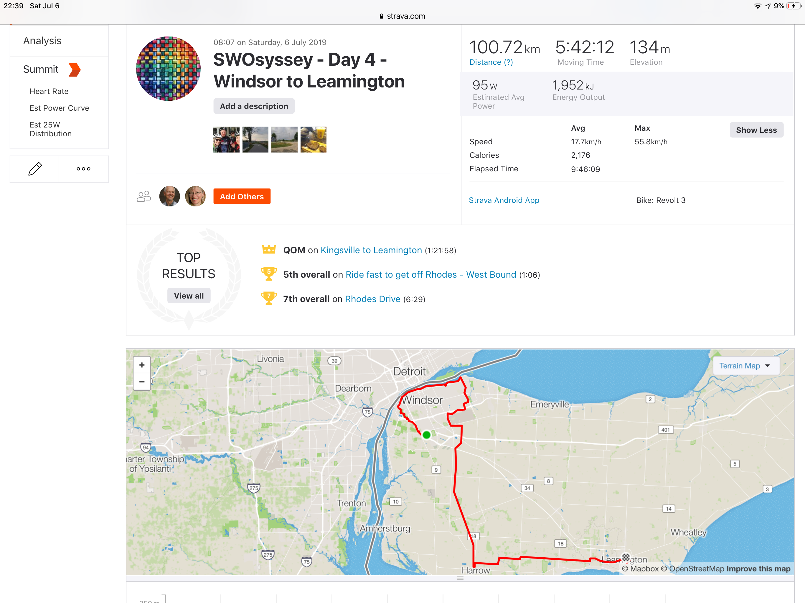
Oh no, a hill! How bad will the climb be on the other side? The hotel manager warned me about the rolling route. Compared to riding in Caledon, the hills have been barely noticeable, even when signed as below. As you can see from my Strava summary below we only had 158 m of climbing over the entire day.

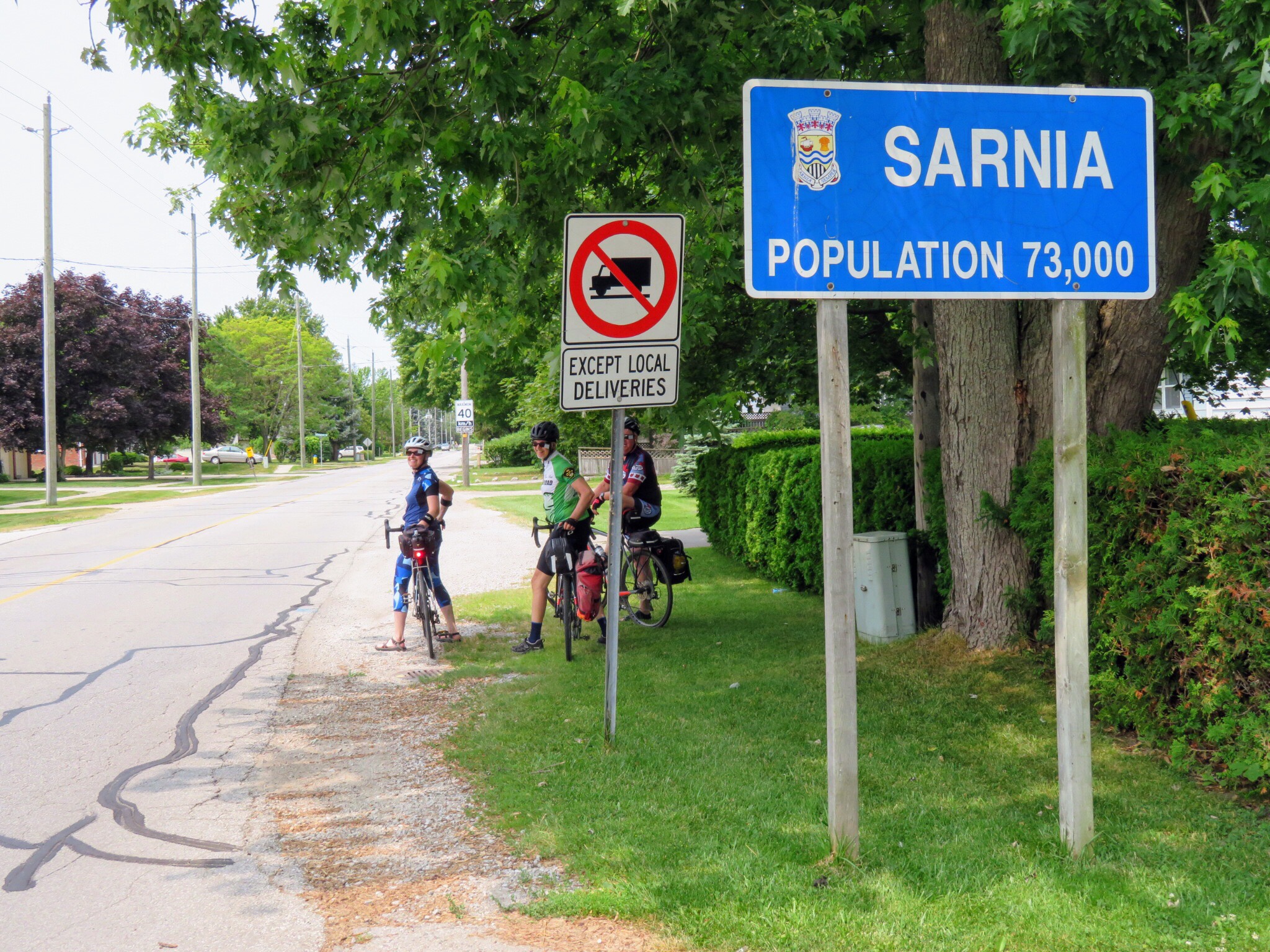
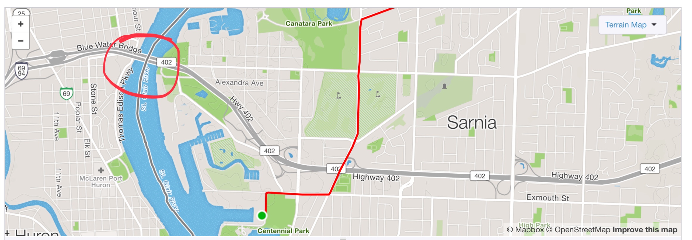
Well, that didn’t seem to take very long, even on the longer route, to get back to Sarnia.

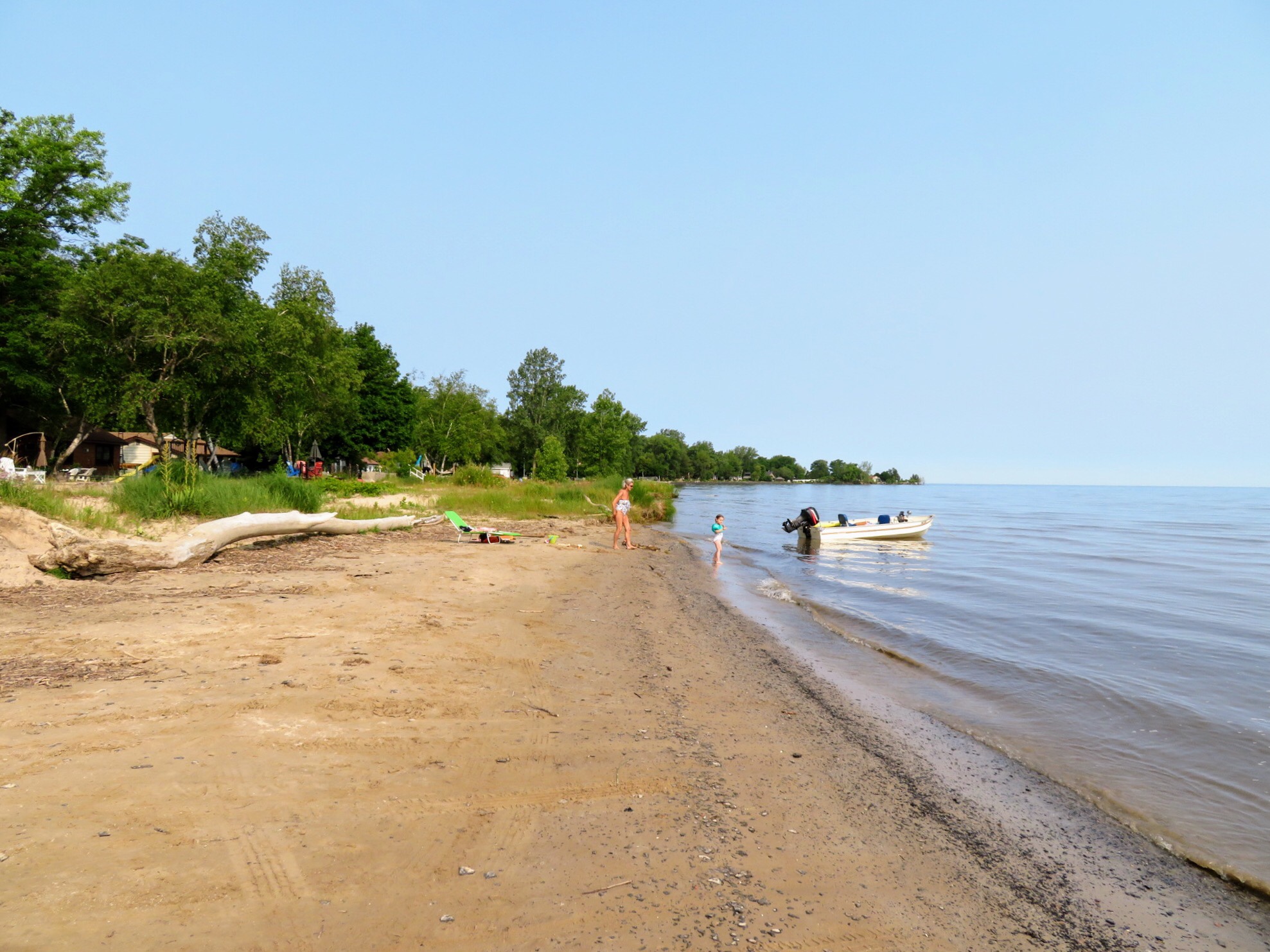
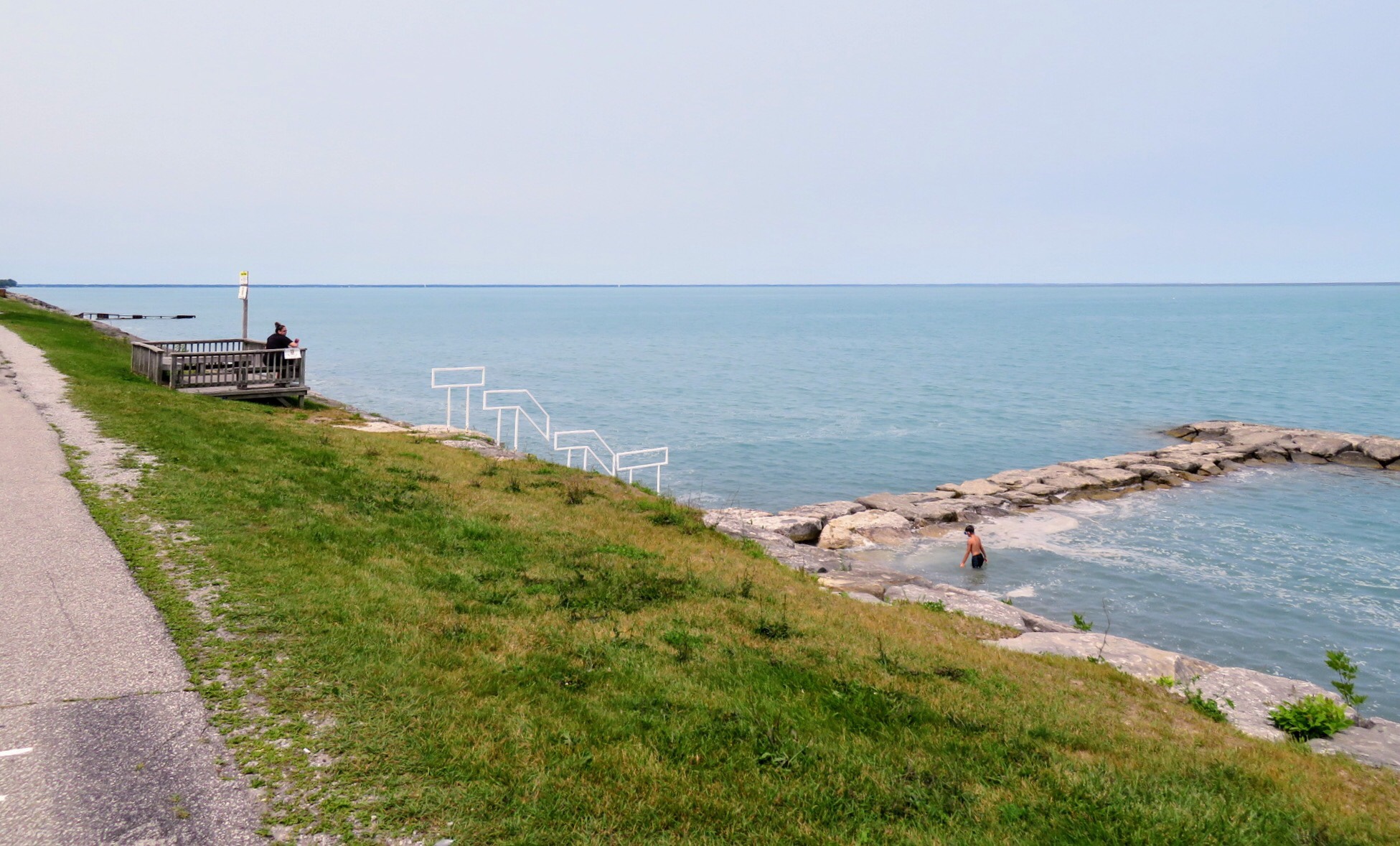
at regular intervals we saw these little platforms with benches, stairs down to the beach and little breakwaters where people swim.

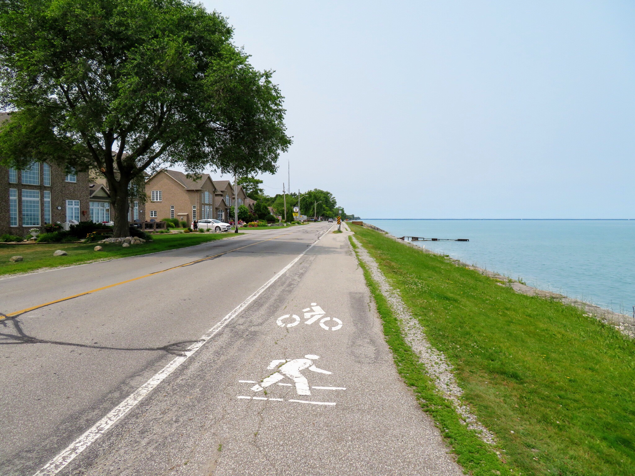
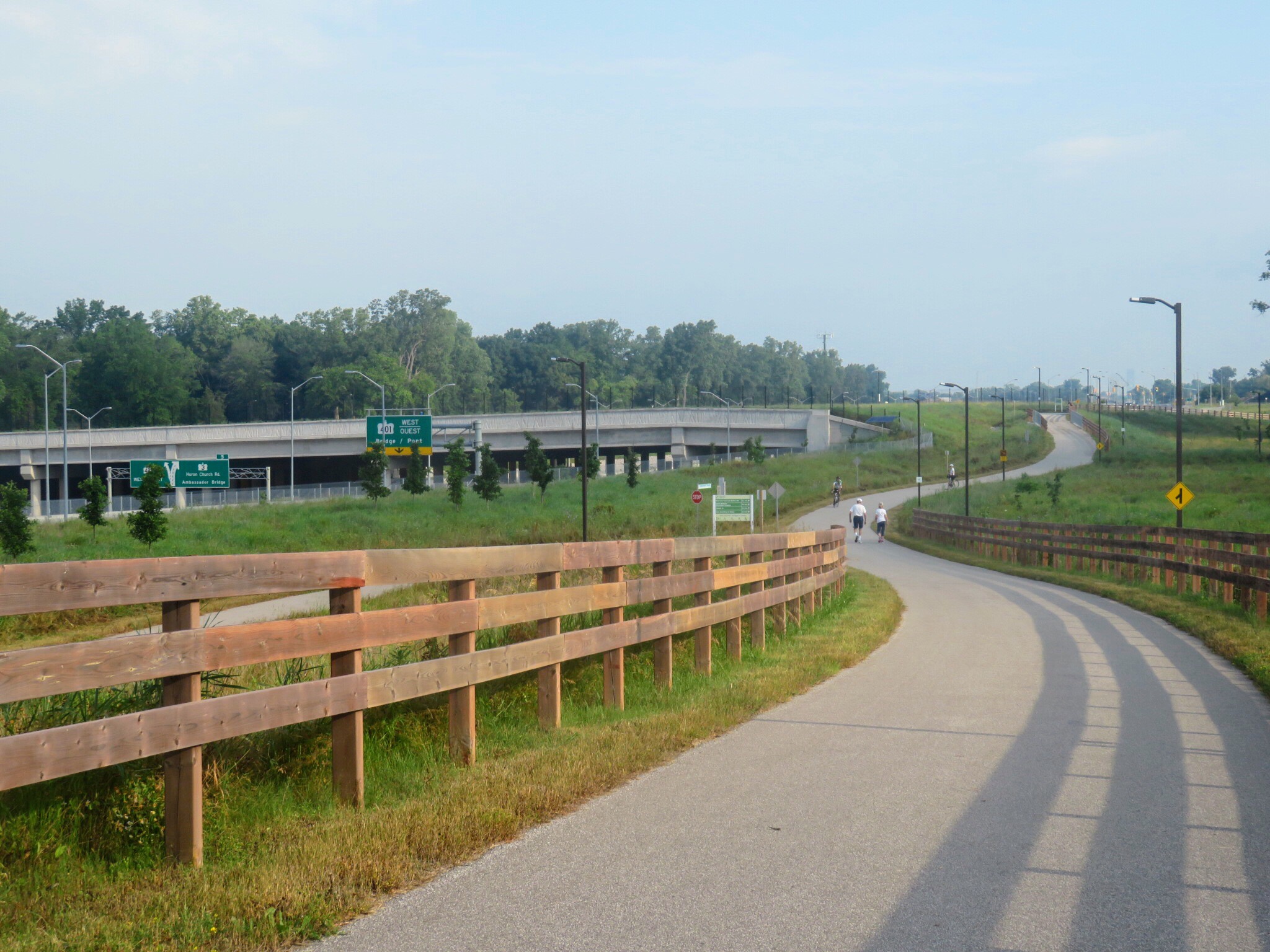
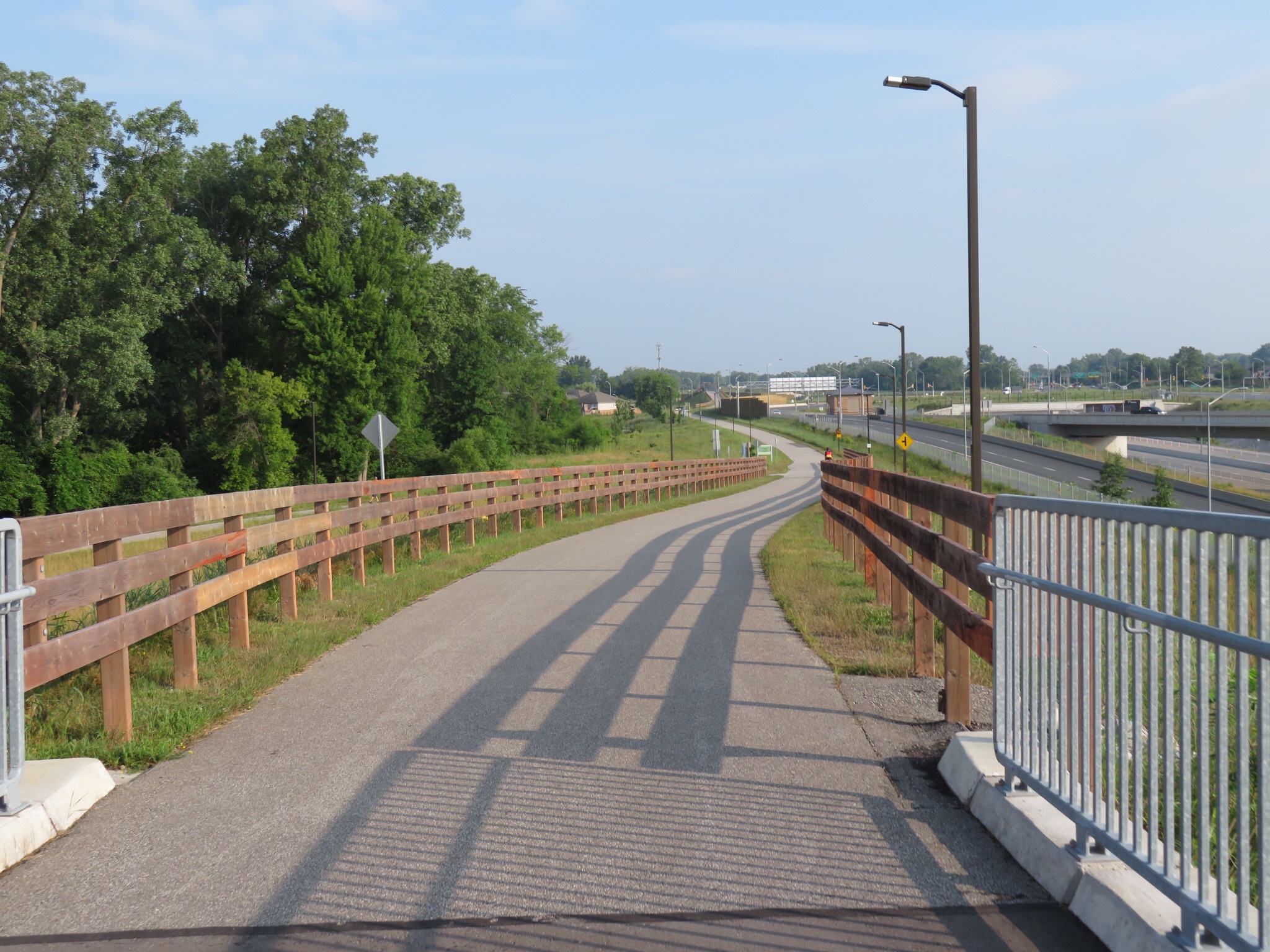
Here is another combination pedestrian and cycling lane which seem to be bi-directional. Further along cars were only allowed to travel in one direction but bikes in both.

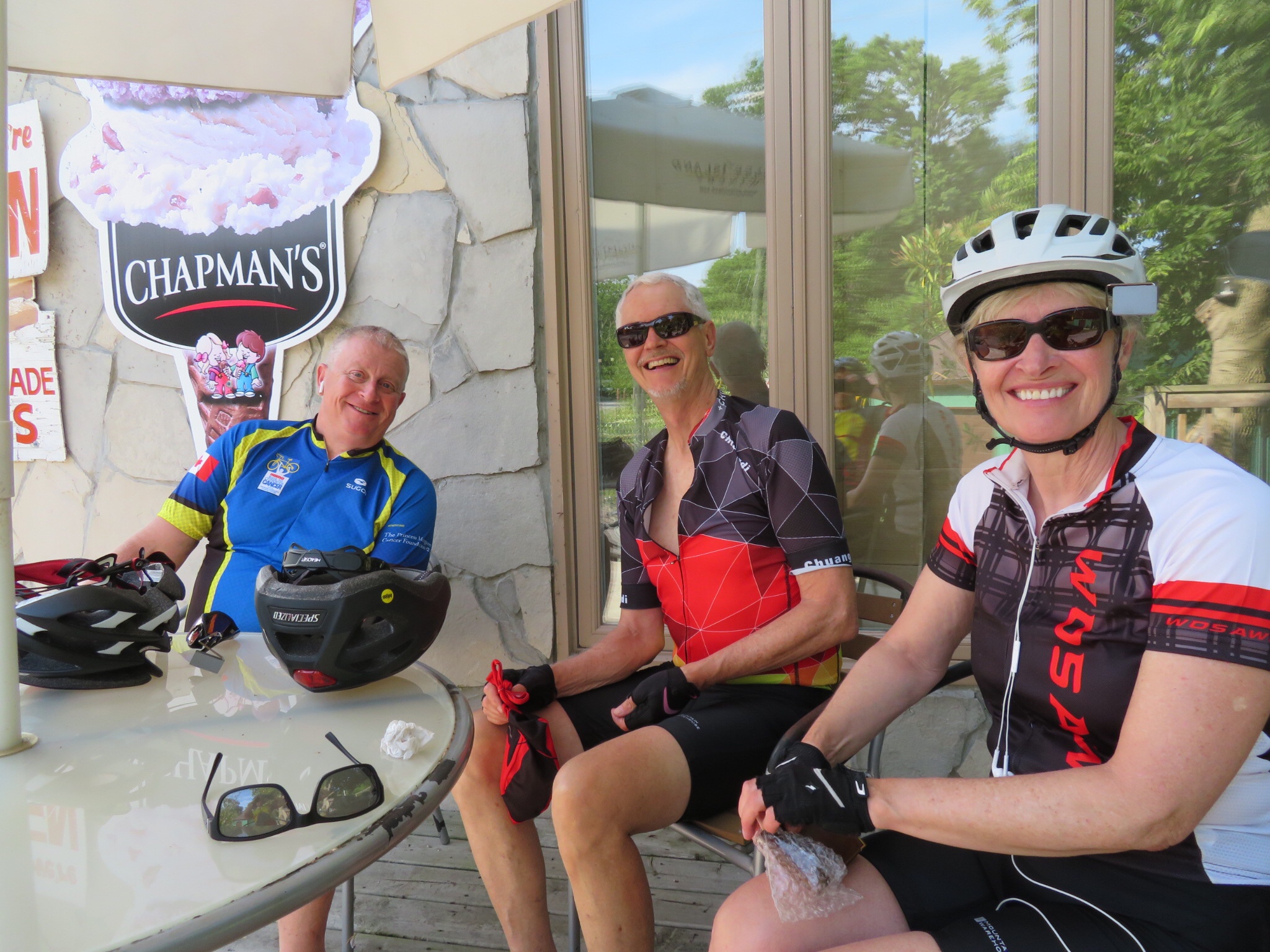
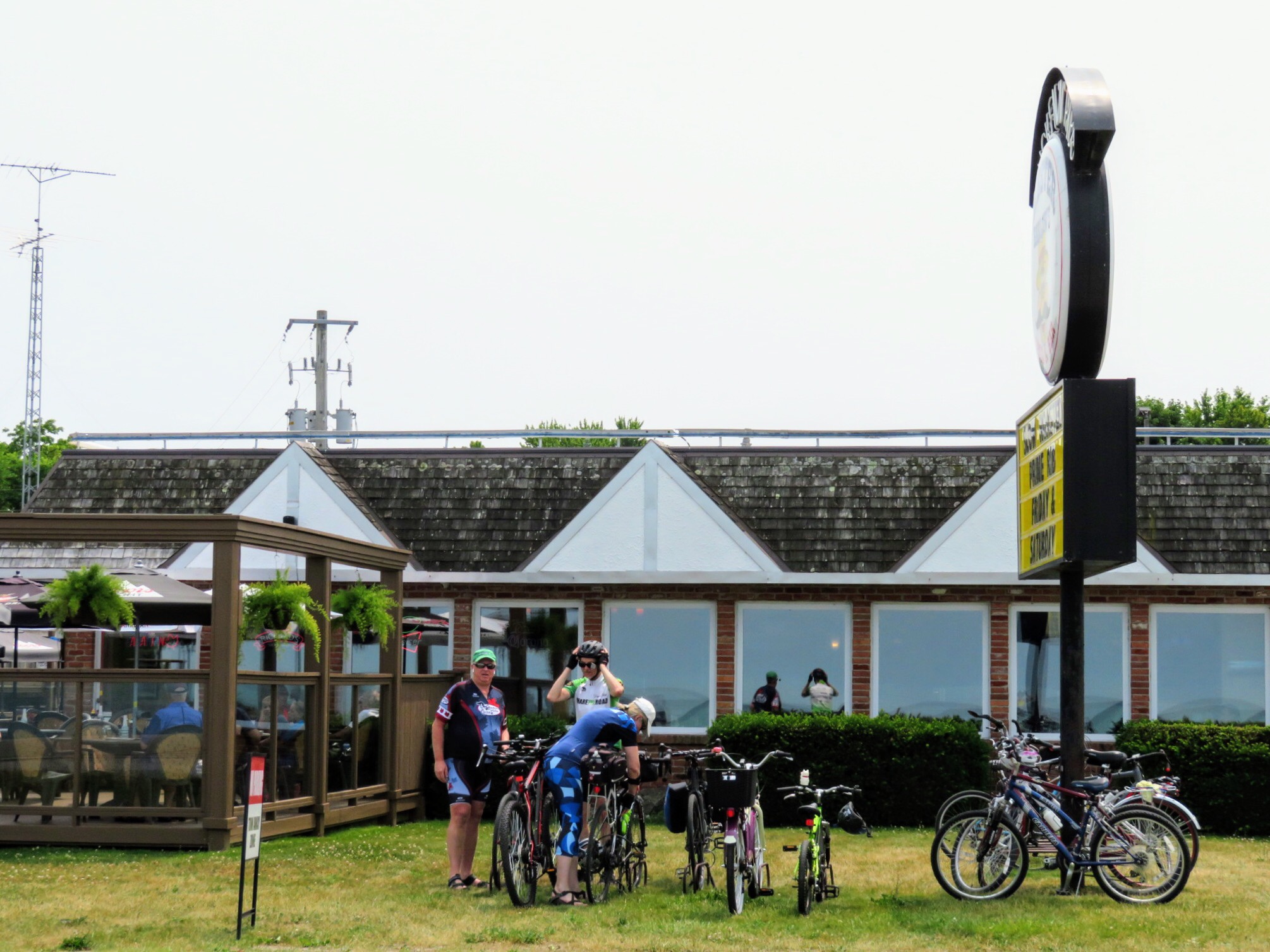
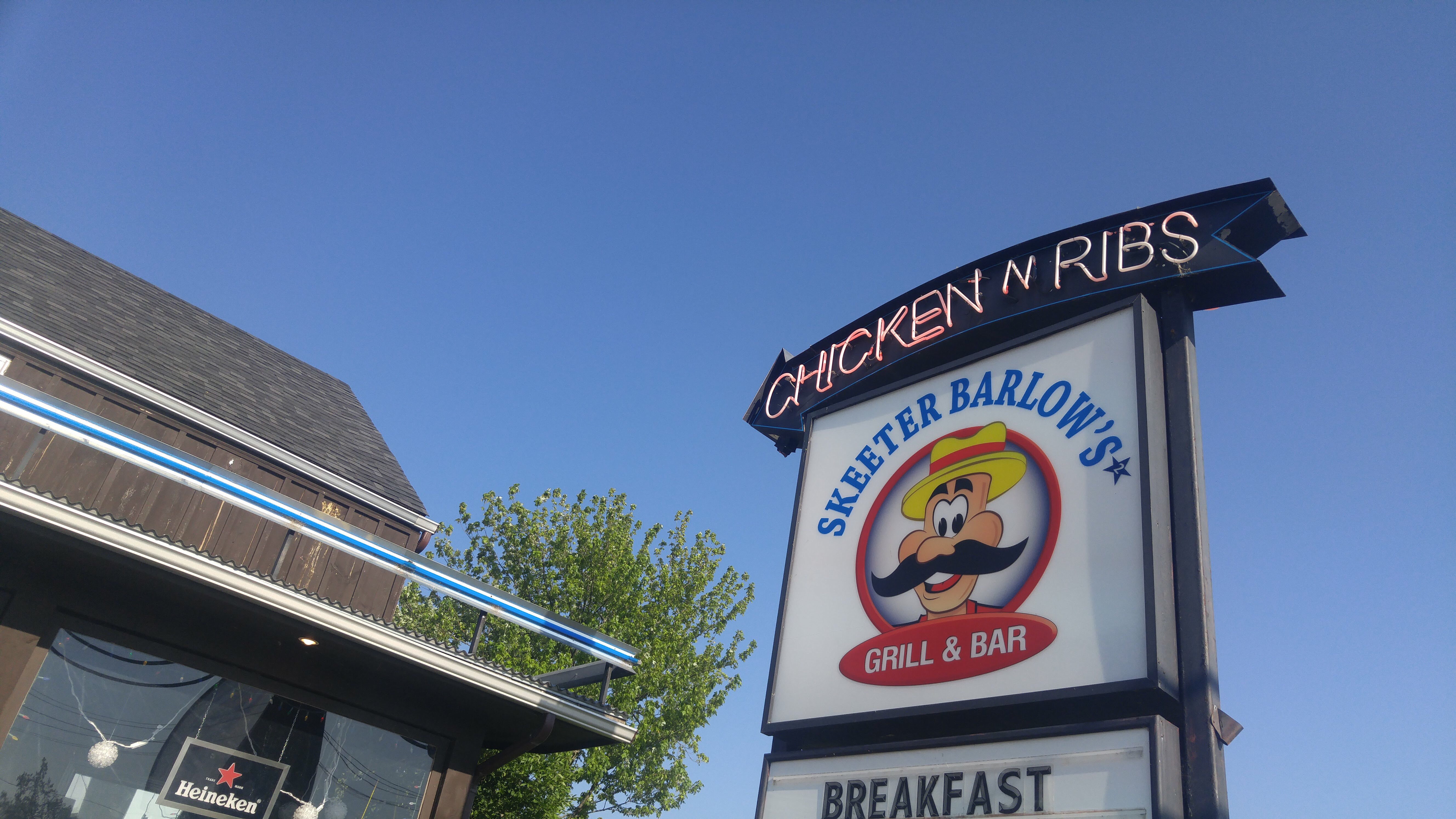
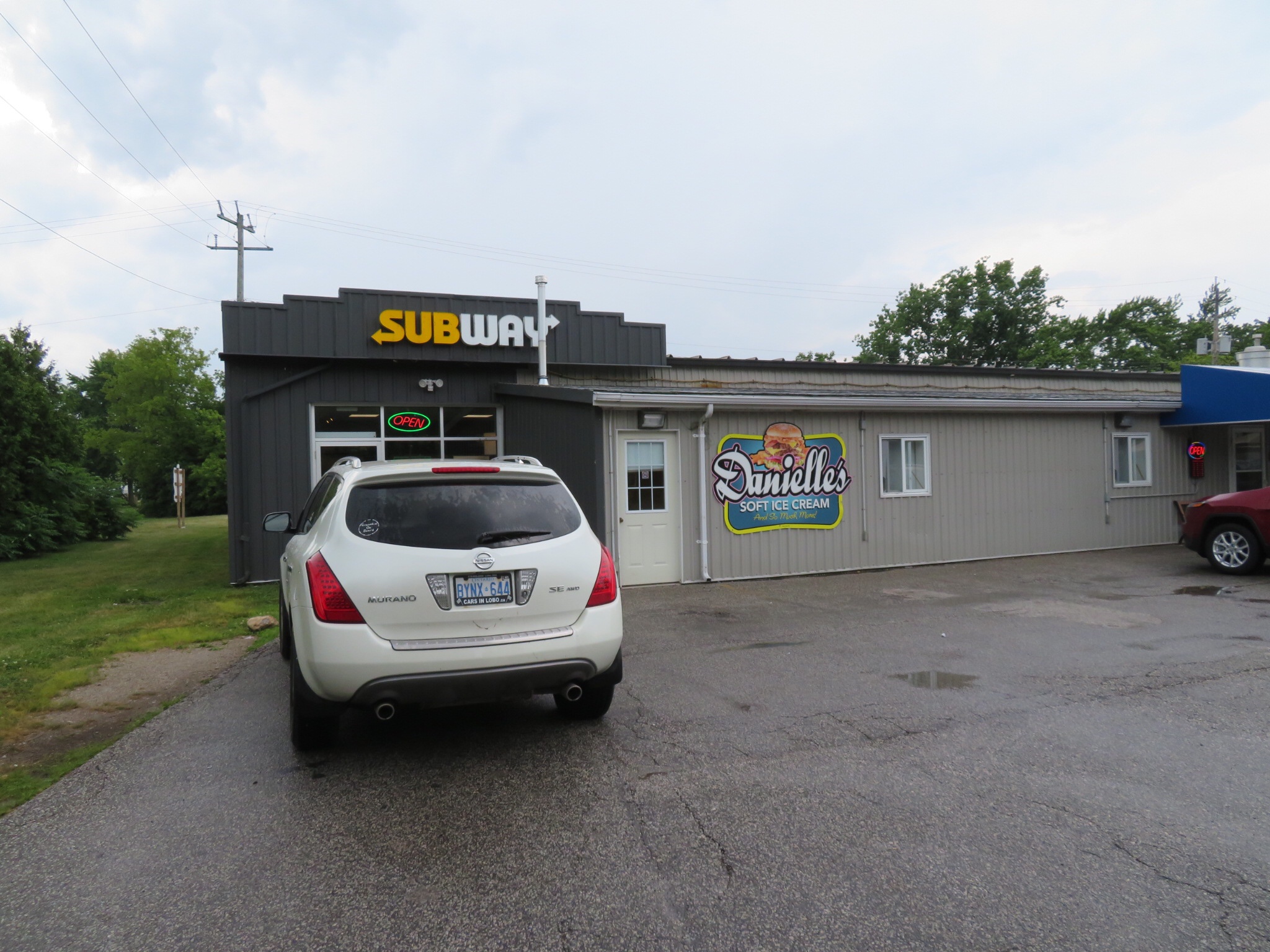
Once in Sarnia we cycled along a quiet street until we found another Skeeter Barlow’s, the same restaurant where we ate dinner the last two nights in Forest. They had a lovely patio overlooking Lake Huron and well used bike racks out front. Many more people arrived at this restaurant by bike than by car during our stay.

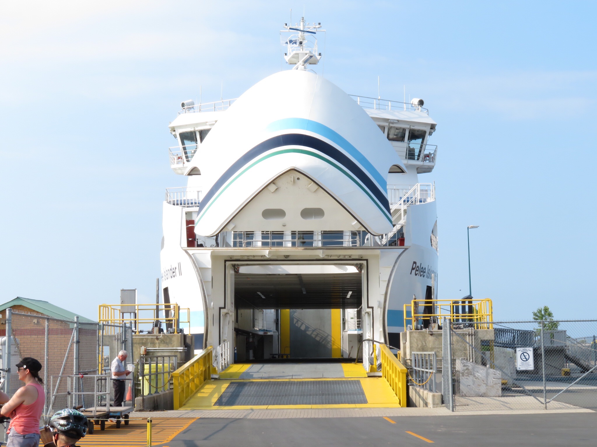
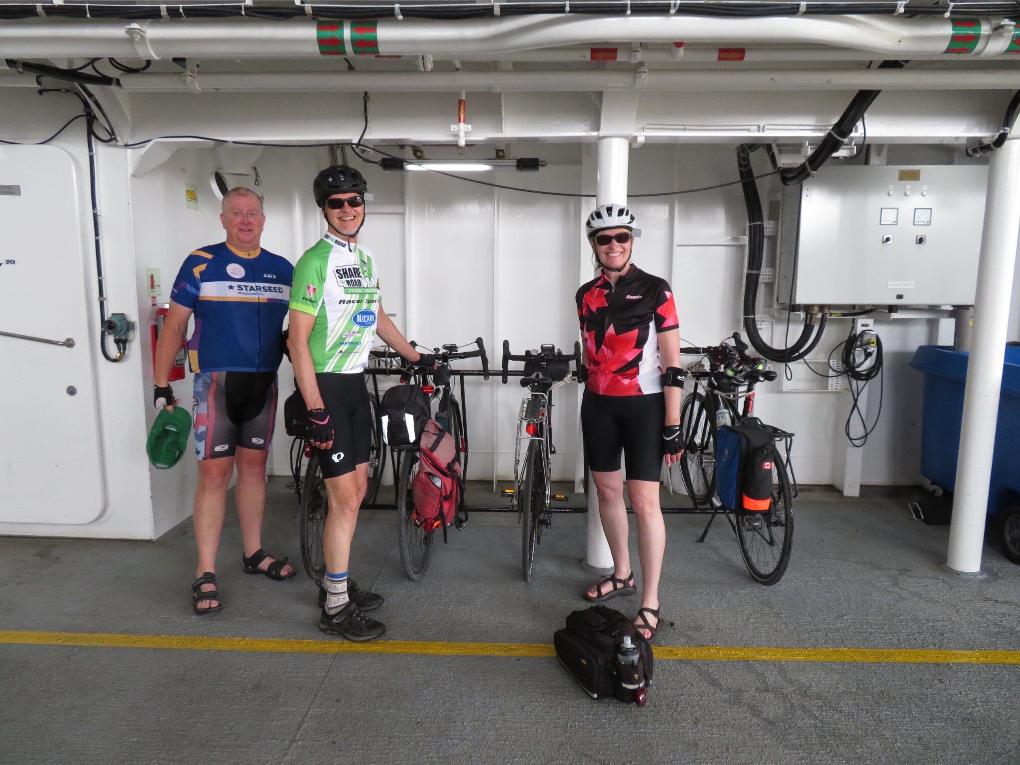
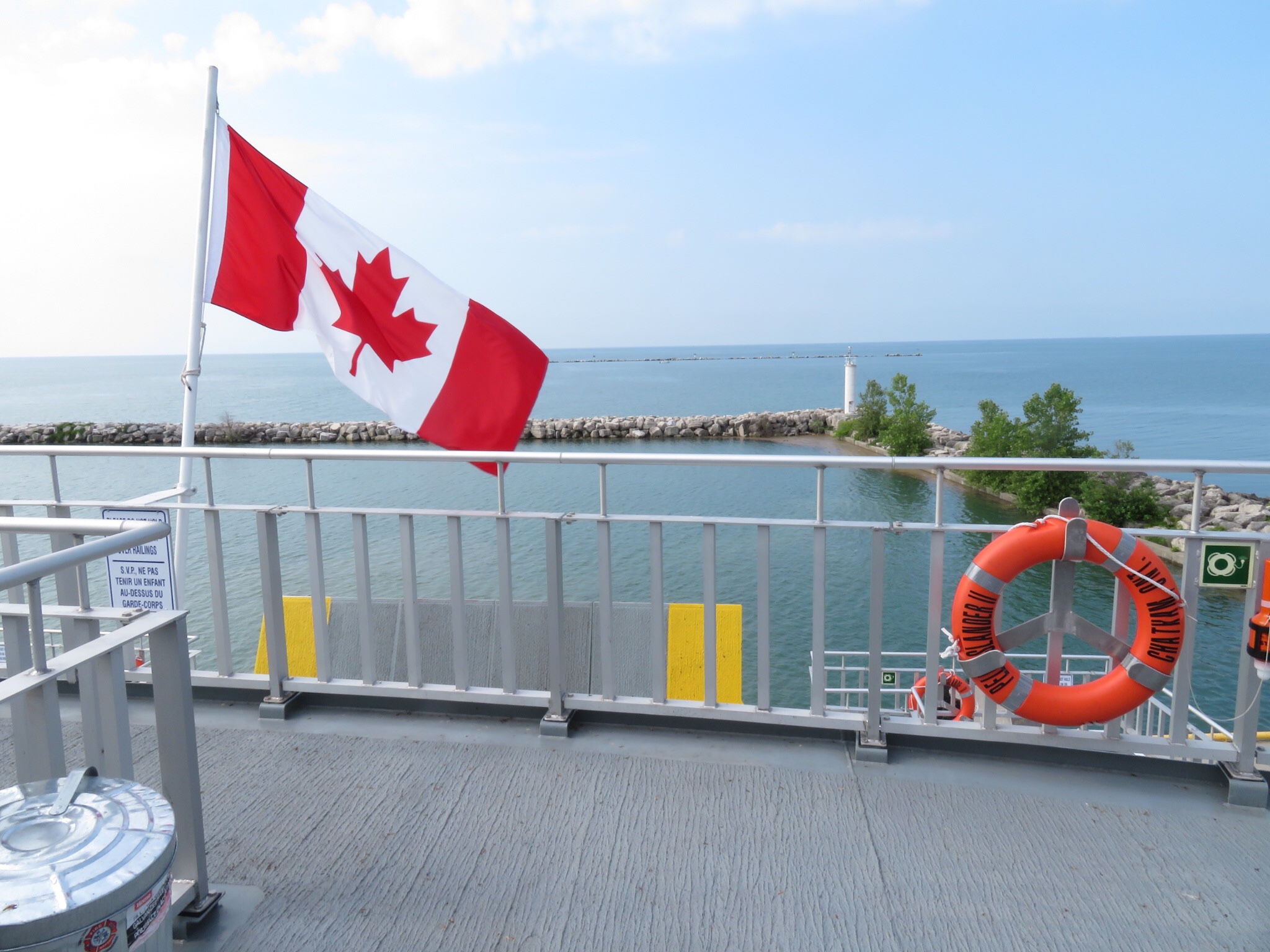
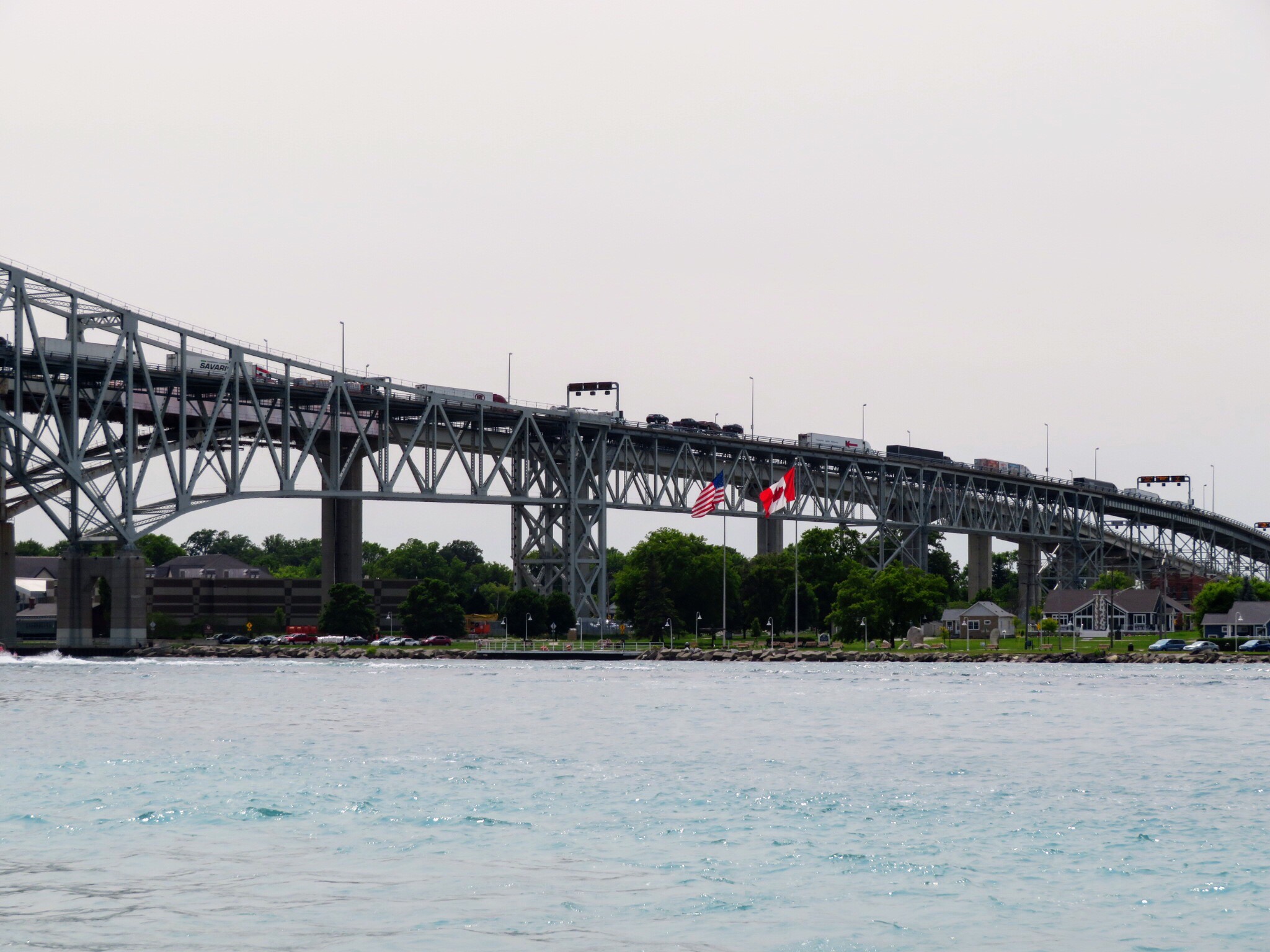
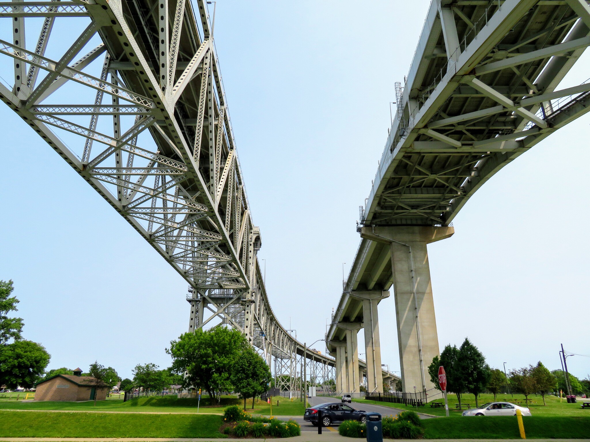
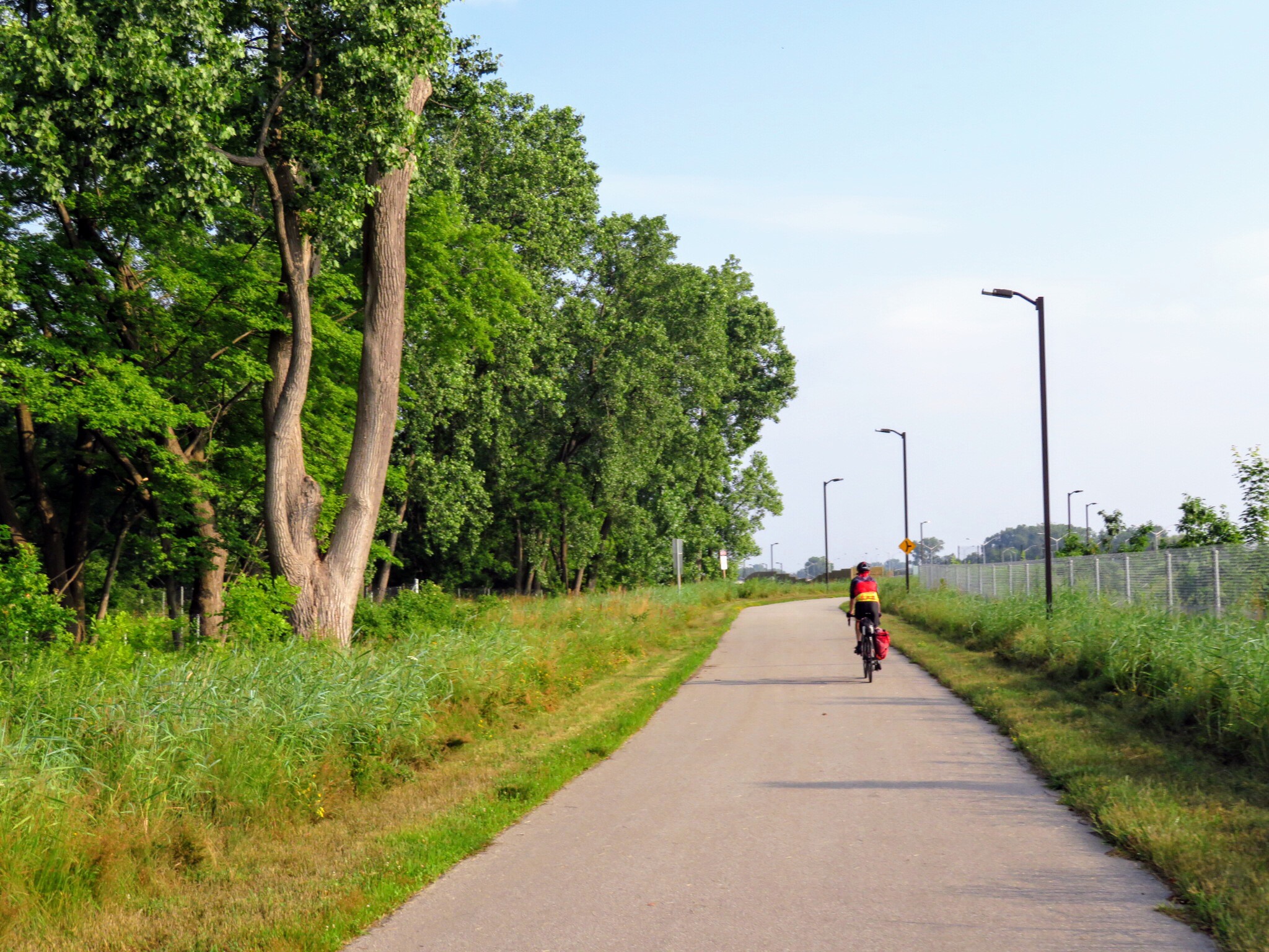
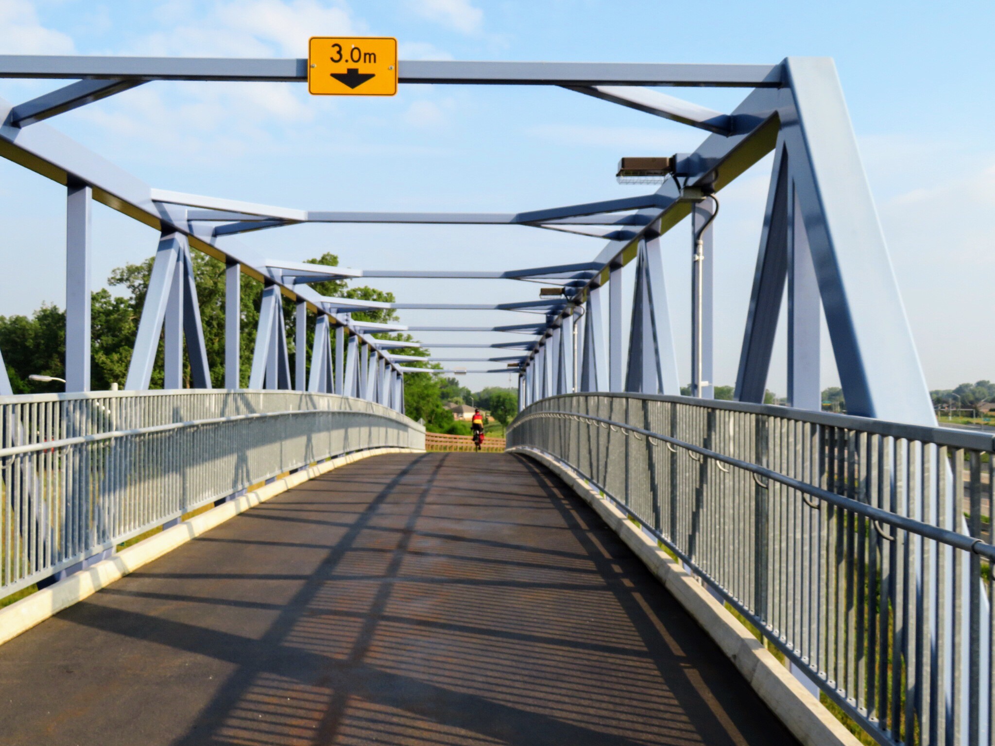
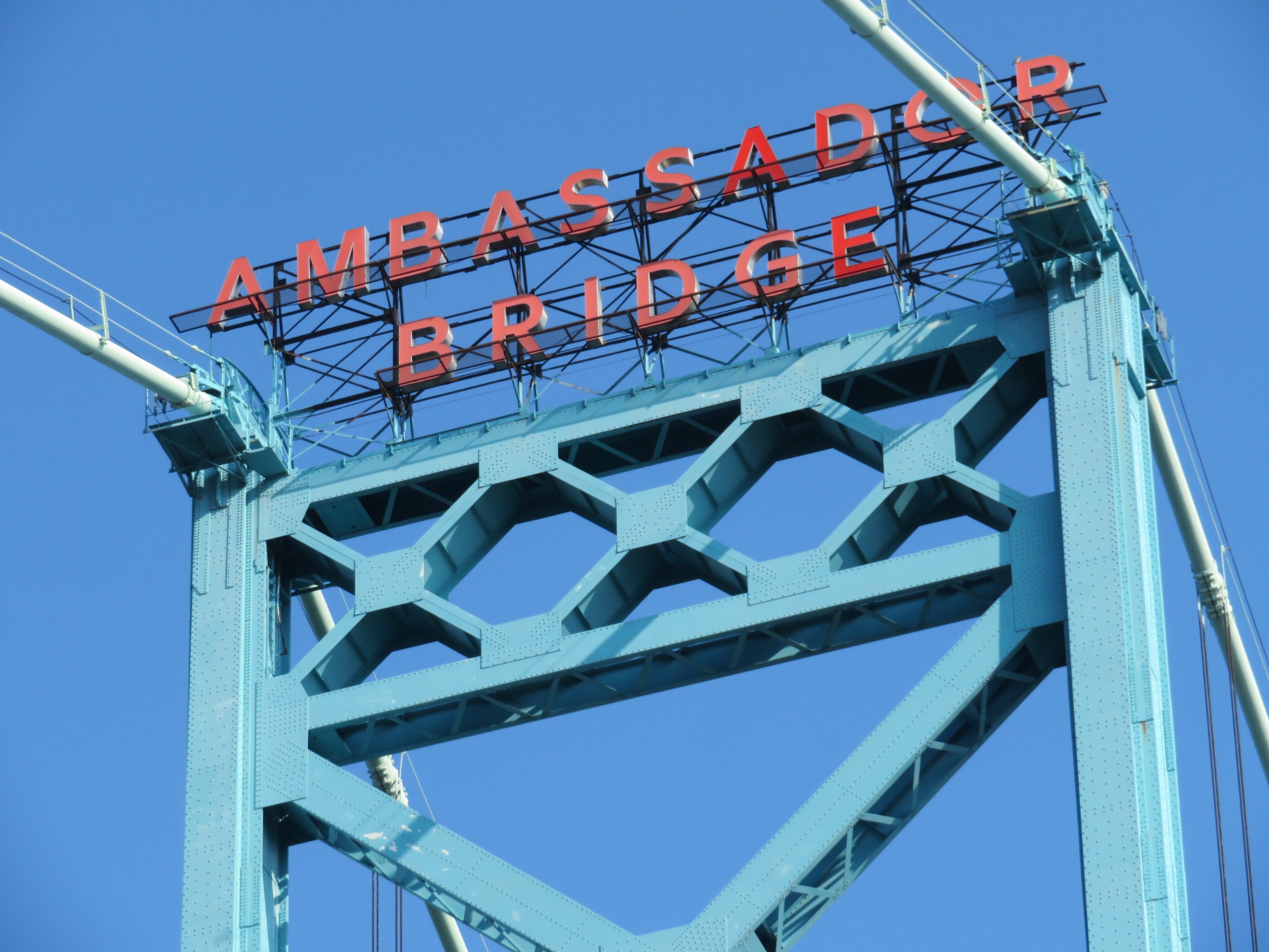
From the restaurant we continued to follow the waterfront trail over to the Bluewater Bridge, which connects Sarnia and Port Huron, Michigan.

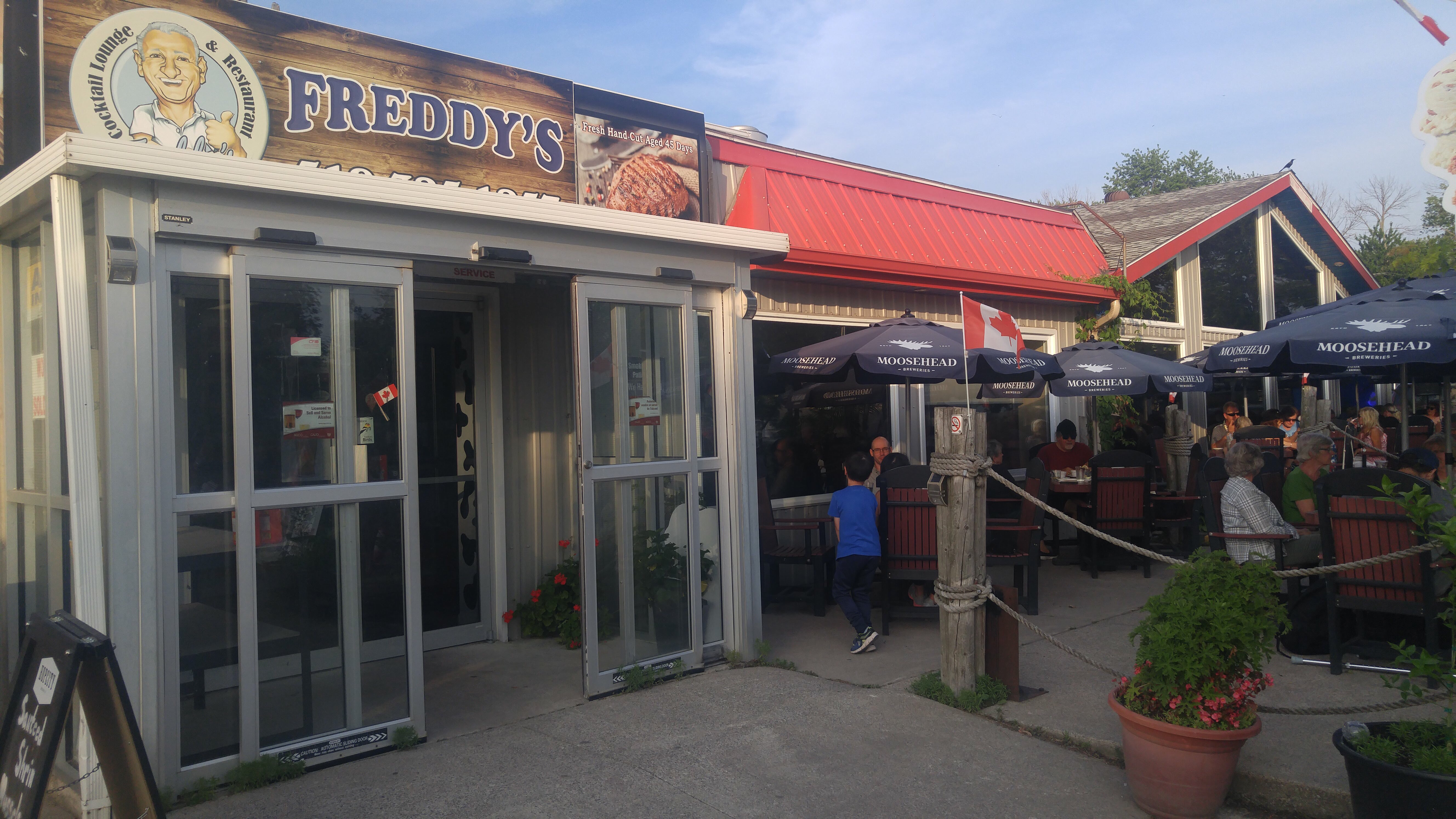
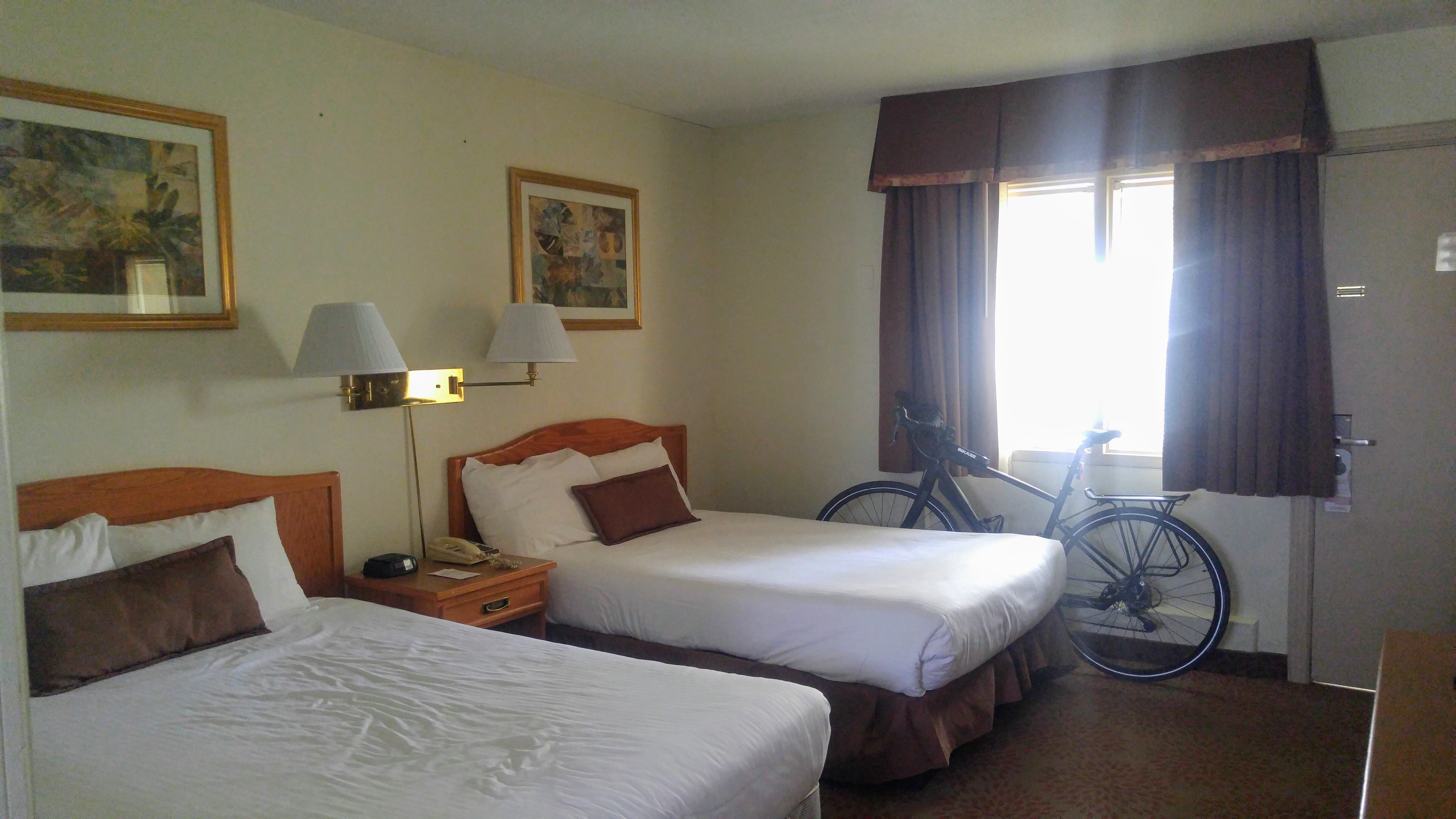
We arrived back at the hotel where we left our cars and brought everything up to the rooms. Dinner was at Waggs steak and seafood restaurant a few blocks away. It was not one of the better dinners I had this week.

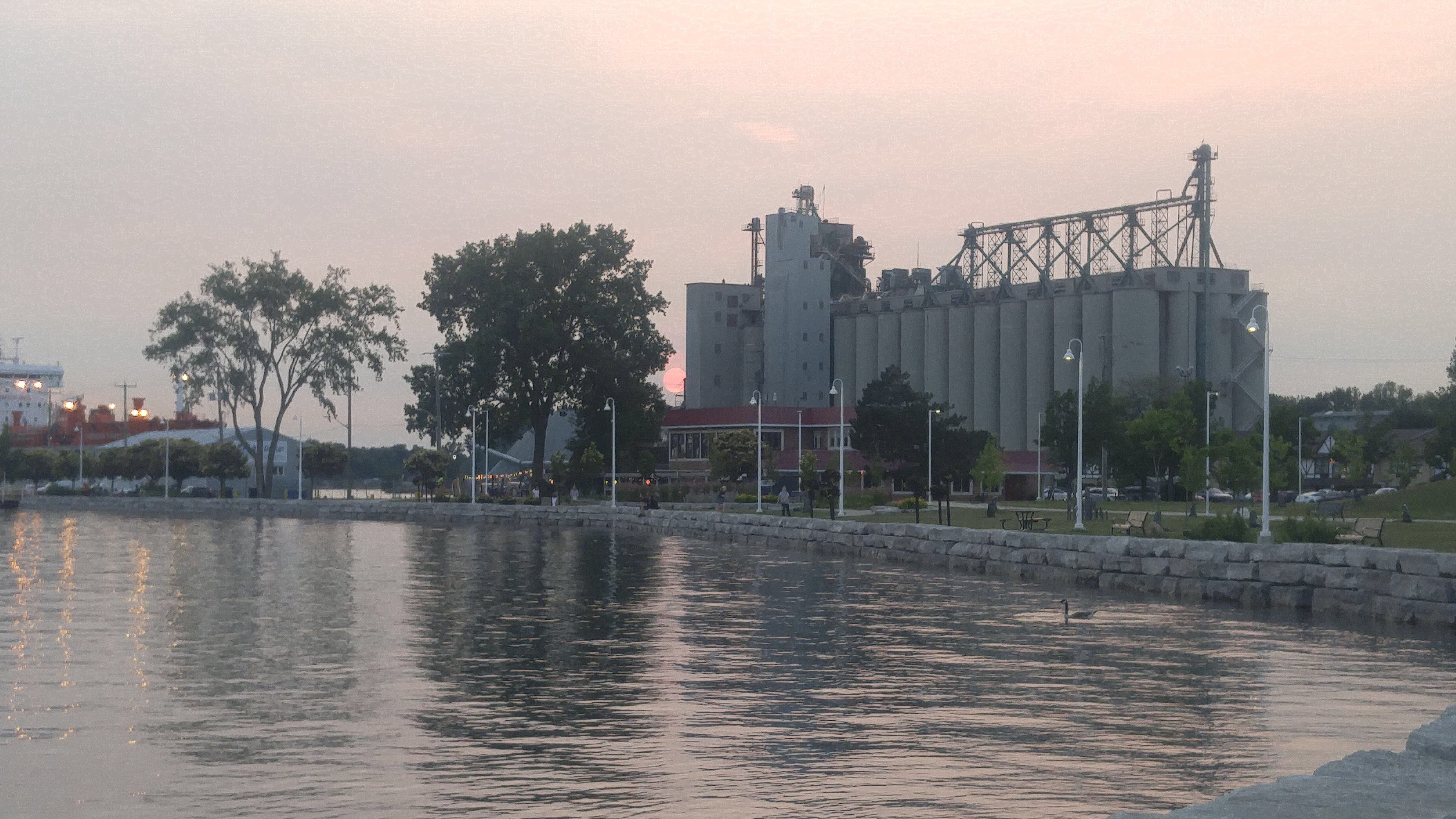
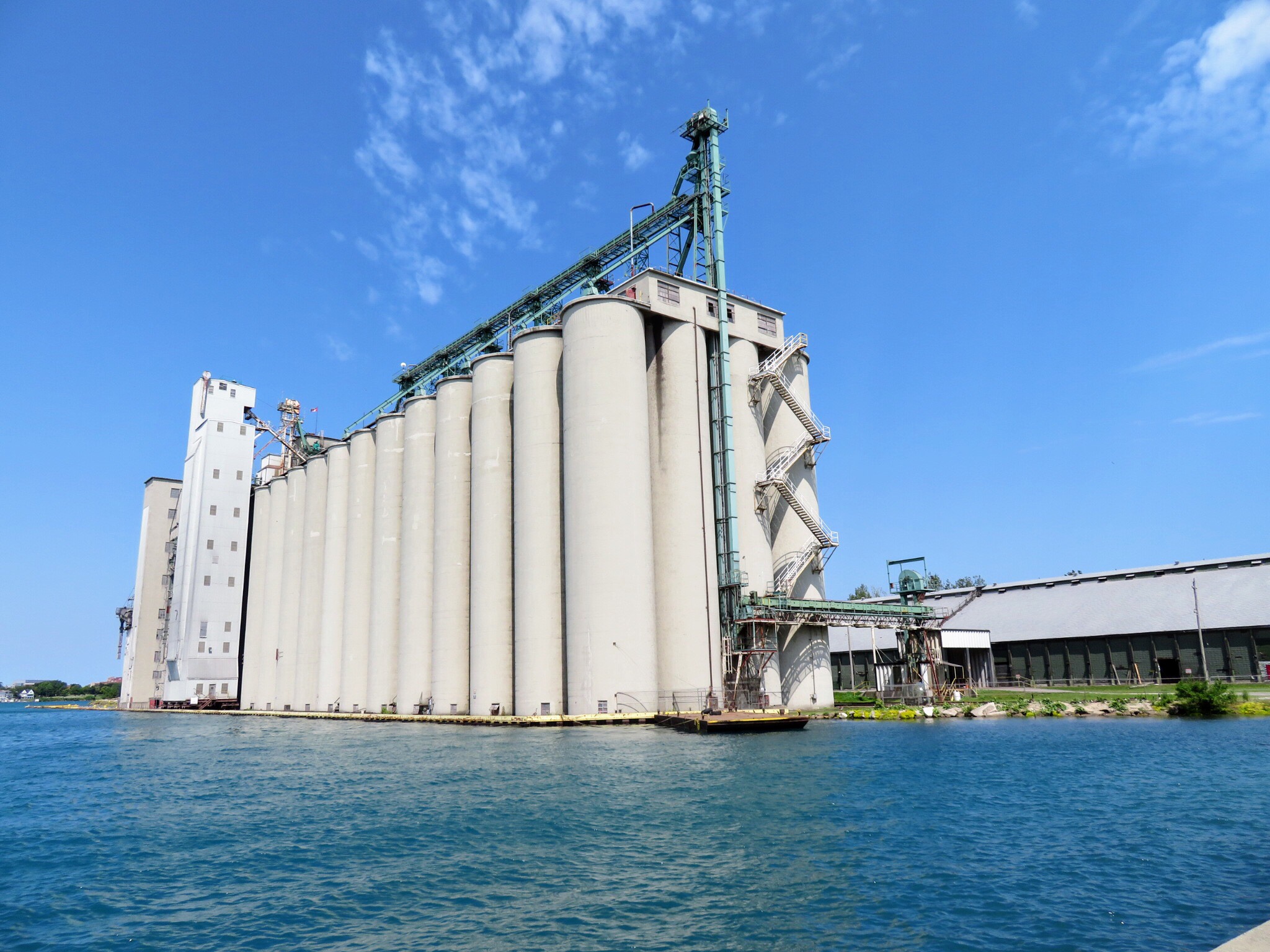
Walking back to the hotel after dinner we saw oil refineries on the St Clair River and the sun setting behind a large complex of silos which dwarfed our hotel on the far right.

I’m sad that the week has ended. I had a lot of shoulder tension and migraines at the beginning of the week, but have been feeling much better toward the end. Tonight my back feels very relaxed and I feel like I could go on riding for many more days. We have already started talking about where we will go next.

Tomorrow there will be no riding – we will be driving back home.

I cycled 458km in seven days making this my second highest one week cycling distance after my Ottawa to Brampton trip of 580km. I also passed the 5000km mark for 2019 which means I will shortly pass my previous record of 5250km for the full year of 2017.

SWOdyssey – Day 6 – Forest to Grand Bend via Port Franks and Back

We met for breakfast in the hotel restaurant at 7:30 and, as so often seems to happen, all four of us of us ordered same thing – eggs, toast, home fries, bacon or sausage, and fruit – all for less than $7. We will eat there tomorrow, as well.

Here we are ready to go at 8:45 AM.

The buildings at the main intersection in Forest are quite interesting. It looks like the roads were laid out before the buildings were built, and the building shape was optimized for the odd shapes of the corner properties that were created by the roads not crossing at right angles.

We spent most of the day on Highway 21 with the exception of two small parallel sections that were less travelled and more pleasant, on our way north. When we returned, the entire journey was on Highway 21. Highway 21 has a speed limit of 80 kph and only a 1 foot wide paved shoulder with an additional gravel shoulder. Traffic was frequent and fast. One truck deliberately punishment passed all four of us and we were somewhat spread out at that point. The waterfront trail does follow parts of this road.

Roger Geller theorized that cyclists could be divided into four categories.

I found it an unpleasant road to travel on, and I fall into category number one: Strong and Fearless. This category makes up 1-7% of the population. Communities that want to promote cycle tourism and more cycling in general need to provide for more than category one.

This was a pleasant road with little traffic that led to Port Franks, an idyllic little community on Lake Huron.

There was an old army base in the area and this sign was posted at regular intervals.

I couldn’t resist capturing David and Dayle on this lovely s-curve.

This road leading out of Port Franks had a nice wide paved shoulder, but only on one side of the road. Fortunately for us, it happened to be the side that we were travelling on.

There were some large grass covered sand dunes near Port Franks.

We turned off Highway 21 again, a few kilometres later, near The Pinery which gave us another break from the fast moving traffic.

8 km out of Grand Bend was the Rotary Nature Trail. It was a delightful, if slightly narrow, trail parallelling Highway 21 with trees on one or both sides, with gentle undulations and a few short, steep hills. I really enjoyed riding it in both directions.

It even had little stop signs!

Even though this was a Monday afternoon, the traffic jam to get into Grand Bend extended a couple kilometers. We were able the fly right past on our bikes.

Unfortunately, the asphalt path turned into a sidewalk for about the last kilometre into town. But, it seems the intention is that bikes use the sidewalk except for over the river. I rarely ever ride on the sidewalk, but with the traffic jam filling the road we made an exception.

Grand Bend is a tourist trap that holds little interest for me. We skipped all the shops and found a good restaurant with a patio overlooking the beach.

We had to flip through most of the pages and the menu to get past the alcohol to the food items.

I’ve been so hungry this week that today I even had dessert after lunch.

There is a beautiful beach with lovely white sand and great views from this building. The beach was packed but very few people were swimming. I went down to the water and put my feet in, but it was quite cool, especially compared to Lake Erie, which was almost too warm to be refreshing.

The restaurant where we had lunch is the one on the right with the blue and yellow umbrellas.

These murals were on the wall of the pharmacy on the way out of town and I couldn’t resist using them as a backdrop for my bike.

Here are a few more views of the Rotary Trail

I saw quite a few more wind turbines here than I did down in the Leamington area.

I stopped at Tim Hortons just before going back to the hotel to get my afternoon and evening snacks.

This was my dinner. Even though I burned 2000 calories riding today I think I might have actually consumed more than I burned!

I’m always happy to explore a new place on my bike, but unless something were done to improve conditions on Highway 21 I could not recommend this route to most people, and would be unlikely to do it again myself.

As usual for this trip, there was very little change in elevation: the route was mostly flat. Fortunately there was little wind today and the temperature was pleasant with little humidity.

SWOddysey – Day 5 – Sarnia to Forest

Once again, David and Dayle kindly delivered breakfast to my room so I could sleep a little longer, and eat while I decided what would go in my pannier bags, and what would go in my suitcase, and get my bike loaded onto the bike rack and belongings in the car. The land remained extremely flat all the way to Sarnia and we encountered only three small hills near Forest on Highway 21. The day was much cooler, much lower humidity with no rain, but it was windy.

As I was riding along into the headwind this image popped into my head so I made it for the blog tonight.

We stopped briefly at Burn’s Cemetery where Dayle’s ancestors are buried. She told us that there had been a split in the family and one of the brothers changed the spelling of his name, thus the two different spellings on the gravestones.

There was a lovely red barn across the street from the cemetery.

When we arrived in Sarnia we stopped at McDonald’s for an early lunch: I ate my second breakfast in the car while Wayne drove. Then we drove to the hotel where we will be staying on Tuesday night, and unpacked our bikes and bags that we were taking with us. The hotel allowed us to leave the cars in the parking lot until we return.

Right next to the hotel I saw this establishment. Perhaps we will eat there on Tuesday night.

Dave decided to add air to his tires and Dayle’s and broke the stem off Dayle’s when he removed the pump. I reconsidered filling mine since thy felt petty firm. So, while he and Dayle replaced Dayle’s tube, I walked over to the waterfront to take a few pictures of the silos and ships.

Here we are ready to set off just before noon.

Shortly after leaving the hotel we crossed the 402. I have circled the bridge crossing to the US. There were cars lined up in both directions as far as we could see waiting to cross the border.

Once again many of the roads that we travelled on in town had bike lanes.

The bike lanes didn’t go all the way to the trail though, but it was still a pleasant street to ride on.

We soon navigated to the Howard Watson nature trail which began with a much better surface than the rail trail we cycled yesterday. However, after a few kilometres it deteriorated, although not to the extent of yesterday’s trail.

Wayne explained to me that the smoothest trails have a mixture of stone dust and limestone screenings, which is what we had on the first section today. Slightly less smooth is limestone screenings without the stone dust, which is what we had on the bulk of the trail today, but it is also cheaper. Wayne has been significantly involved with the Caledon Trailway over the years.

We had second lunch just before leaving the trail, which veered away from our destination, to ride on Highway 21. The speed limit was 70 or 80 km an hour, which means many cars were doing more than that, however, traffic wasn’t overly heavy travelling north, which was our direction of travel, and the shoulders were paved. This is part of the Waterfront Trail and most people I know, myself included , would not consider this a trail, nor would they be comfortable riding here, even on the shoulder.

We turned off Highway 21 onto a road which was signed is 90 kph, and had no shoulders, however, it was lightly travelled, and we were able to ride two abreast with very few passes.

Shortly before we got to our accommodation for the next two nights, we stopped at Tim Hortons for a snack and Wayne walked across to Foodland for some Gatorade. I get mocked for the amount of stuff I bring with me, but I was the one that had room to haul Wayne’s Gatorade six pack back to the hotel.

We have arrived at the Forest Golf Club & Inn.

One bed for me and one bed for my bike! The rooms are adequate, but not nearly as nicely appointed as the motel we stayed at in Leamington. There is an indoor pool, though, with a whirlpool and sauna, so David, Dayle and I took advantage of that this afternoon.

We would have been the youngest people by quite a bit in the golf club restaurant tonight. Wayne looked on TripAdvisor and found this restaurant 130 m walk down the road. We all ordered pickerel and it was delicious.

SWOdyssey – Day 4 -Windsor to Leamington

We agreed to be ready to leave the residence at St. Clair college by 8 o’clock. The Tim Hortons on campus doesn’t open on weekends, but there was fruit and coffee provided in the lobby so we took advantage of that.

We took our morning usie and were off along the Herb Gray Parkway section of the Trans Canada Trail. It was a joy to ride. Wide, smooth, well signed, high quality cycling infrastructure.

I have been impressed by the amount of bike lanes in Leamington and Windsor. This one took us from the trail to the Ambassador bridge and Windsor Waterfront.

This is our first sighting of the Ambassador bridge which connects Windsor to Detroit, which is interestingly north of Windsor.

The Waterfront trail in Windsor was the highlight of the day and well worth visiting. There was an incredible amount of artwork along the trail, beautiful views of the Ambassador bridge and of Detroit on the north side of the river.

Look at what this chicken sculpture is made from. Imagine the size of the bike that that bike chain came from!

Views of Detroit:

After leaving the waterfront trail we went in search of second breakfast and ended up at McDonald’s. At the McDonald’s we annoyed a group of old people by sitting in the section of the restaurant that they consider theirs on a Saturday morning for socializing and playing music!

We left the McDonald’s through an alley and Wayne, for the second year in a row, found and posed on a discarded toilet. This year in the first picture and last year in the second.

We planned today’s ride on my iPad last night and relied on Ride with GPS to do a lot of the routing for us. Unfortunately, for some bizarre reason, Ride with GPS thought it would be OK to route us along an old concession on airport property that hasn’t been accessible to the public, according to a local cyclist we spoke to, for 30 years. The red line is how the route was planned, the green line is how we should have gone, and the blue line is how we ended up going.

We have been expecting thundershowers pretty much every day that we have been here but this is the first day that they actually materialized. David’s red and yellow jersey looked great against the threatening sky in this image.

Here we are at the start of the Chrysler Greenway, which is supposed to take us most of the way back to Leamington. It was singletrack for a while, quite narrow, but hard packed dirt, so fairly smooth, but soon turned into a groomed trail with gravel, rather than stone dust or limestone screenings like on the Caledon rail trail. I found the conditions incredibly jarring and had had enough long before we reached our lunch stop.

After a little more than 20 km, which felt like much more to me, we reached Harrow and stopped for lunch at Subway. Fortunately there was a place for us to park our bikes under cover, because shortly after entering the restaurant the skies opened up and we had a heavy rain. We waited until the worst of it was over and then prepared ourselves to ride in the rain which stopped shortly there after (of course).

After lunch Dayle and I decided to return to Leamington on the roads and David and Wayne continued along the trail. We agreed that last person to return would buy drinks.

This was an interesting church we saw along the way. You can also see in this picture how incredibly flat this area of Ontario is. We have been shocked at how little elevation we have encountered for the distances we have been riding.

There are a lot of green houses in the Leamington area, and a lot of migrant workers from Mexico that work in them and ride bikes to get to around, which is probably why there is so much cycling infrastructure around here.

This is the only hill I have seen in four days.

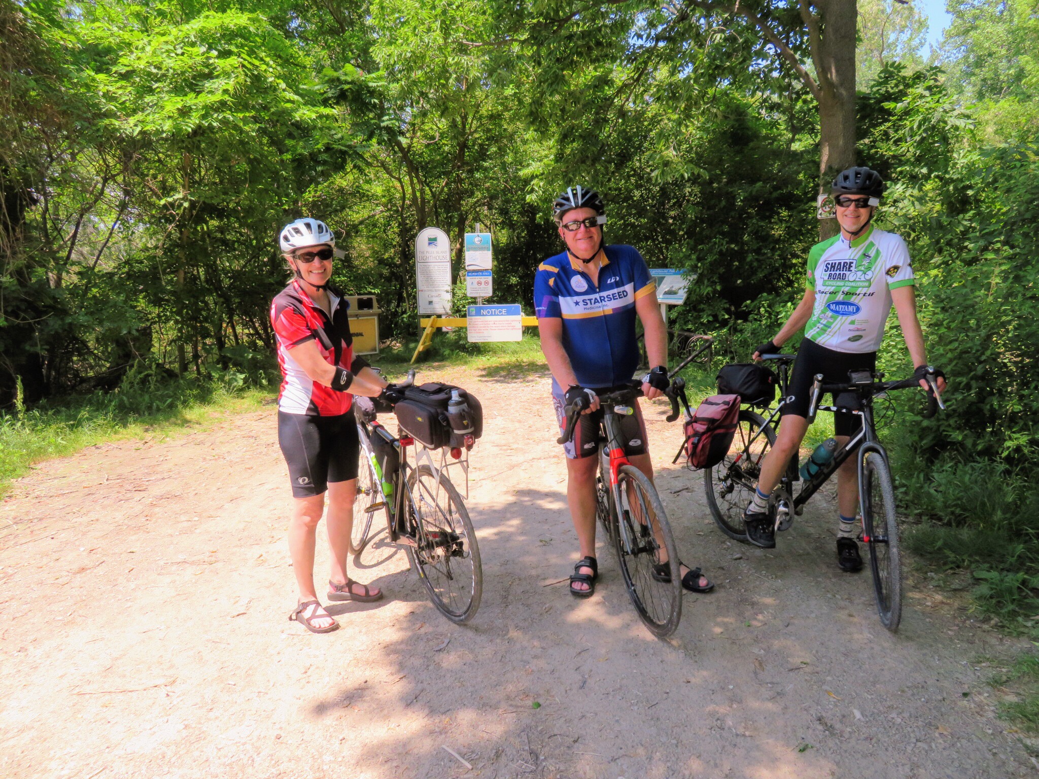
Back in Leamington we found a bike corral on Talbot Street.

I was the last one to return because when we got to the hotel I had 96 km and decided to do 4 km more to get a grand Fondo for the month of July.

We decided to have dinner at a Mexican restaurant which was economical and had delicious food, but somewhat slow service.

Tomorrow we will be driving to Sarnia, leaving the car, and riding to Forest. We are going to have a short day with only about 40km of riding. The place we are staying has a pool and we are looking forward to spending some time there to recuperate for two longer days of riding on Monday and Tuesday.

SWOdyssey – Day 3 – Leamington to Windsor

The day was forecast to be 32 degrees with a humidex of 42 and thunderstorms at 2pm so we decided to get an early start of 730 AM. Once again , David and Dayle kindly picked up breakfast and delivered it to my room. I was able to eat it while I decided what to take in my panniers on my bike, and packed the rest into my suitcase and loaded it into the car, which we left in the parking lot of the Leamington motel to which we will be returning, tomorrow night. As it turned out, the motel owner was away when we were ready to go, so we had to phone him and wait for him to come back, and we finally pulled out at 7:55 AM.

Pumping up our tires.

We headed south toward the lake on the Greenway Trail which is reminiscent of the Caledon Rail Trail; the trail has good signage, and is fairly smooth, with lots of shade.

This is the third time I have cycled with panniers. I think they are a bit heavier than the first two times as I am carrying my iPad so I can blog. I found it a bit challenging at first on the trail, but got used to them over the day.

Thanks so much to Jim for lending them to me for the summer. It’s great to be able to try them out and get a feel for them before deciding what to buy.

Kingsville looked like quite a pretty town and had a restaurant in an old train station at the side of the trail and an excellent bike repair station with a pump with a gauge and could pump both Shraeder and Presta tires. We also passed many wineries.

At the south end of Kingville we turned to follow the lake. It was a picturesque road, but there has been a lot of flooding. New homes were being built, or have been built recently, backing on the lake. I would not consider building so close with floods becoming increasingly common.

We stopped at a fruit stand for some raspberries. They were growing chrysanthemums with drip irrigation.

We also saw several quilt blocks on barns.

We needed the bathroom at Colchester so stopped at Garfield’s. We didn’t really need anything to eat or drink but decided to buy some drinks and toast rather than just sneaking in, using the bathroom and leaving. However our business did not seem to be appreciated so we wished we hadn’t bothered purchasing anything.

There are a crazy amount of mayflies down here and one of the cars in the parking lot was covered.

We also saw one of the craziest bike paths I have ever seen, which was the sidewalk painted green with bike symbols on it. It was also periodically covered with mayflies. Needless to say we stuck to the road.

We saw large wind turbines, but not as many as we saw further east on Erie last year, I think.

About 6 km after we left Colchester, Wayne realized he had lost one of his earbuds and turned around in a, fortunately successful recovery attempt, thus riding 8km further than the rest of us today.

The Detroit River as we approached Amherstburg was quite picturesque.

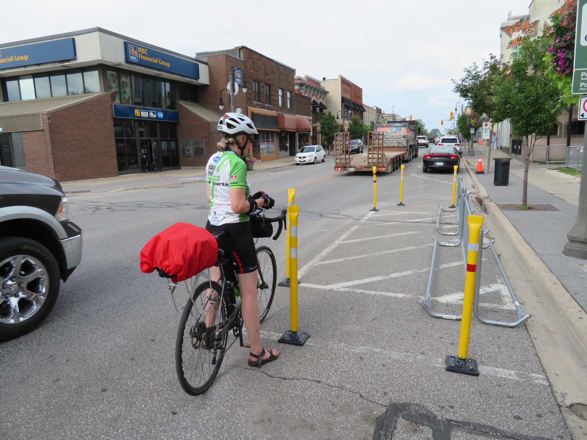
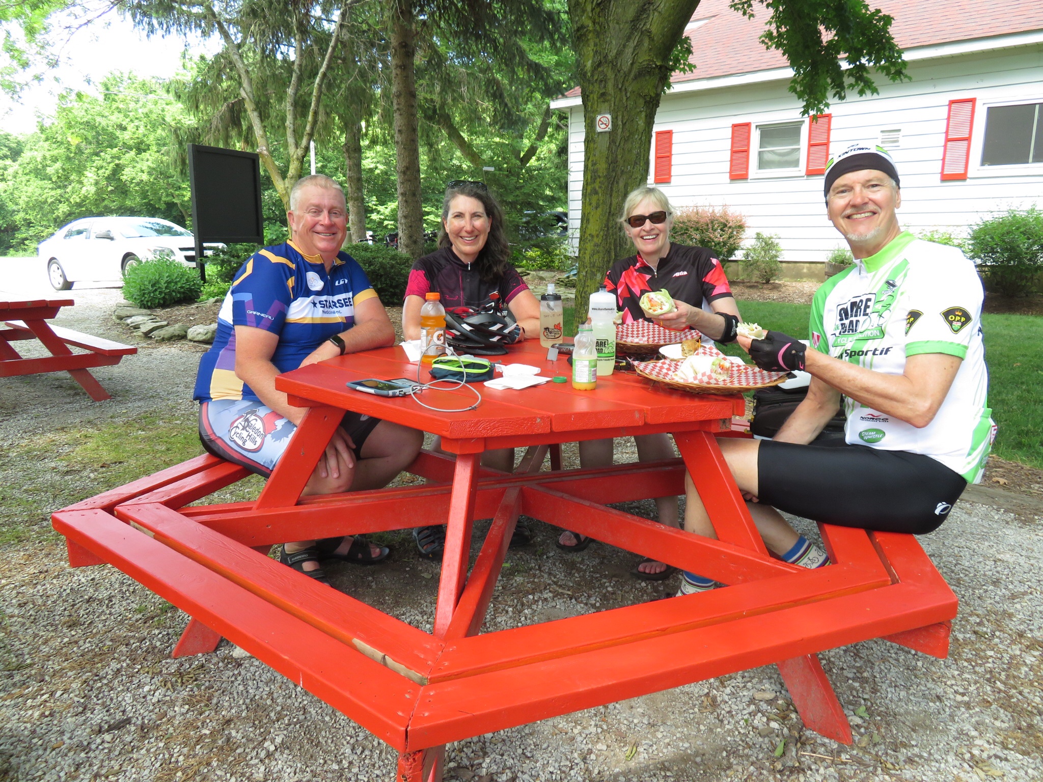
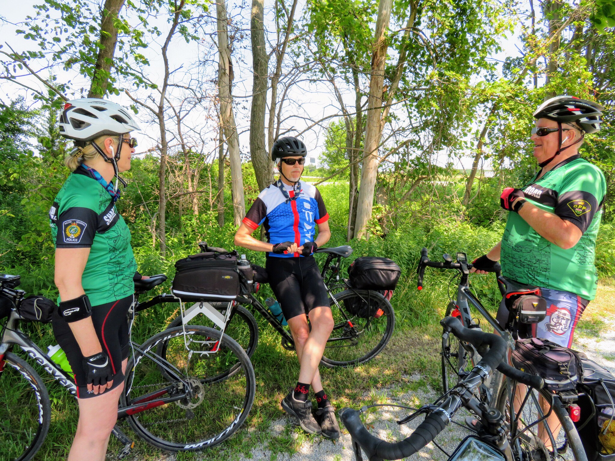
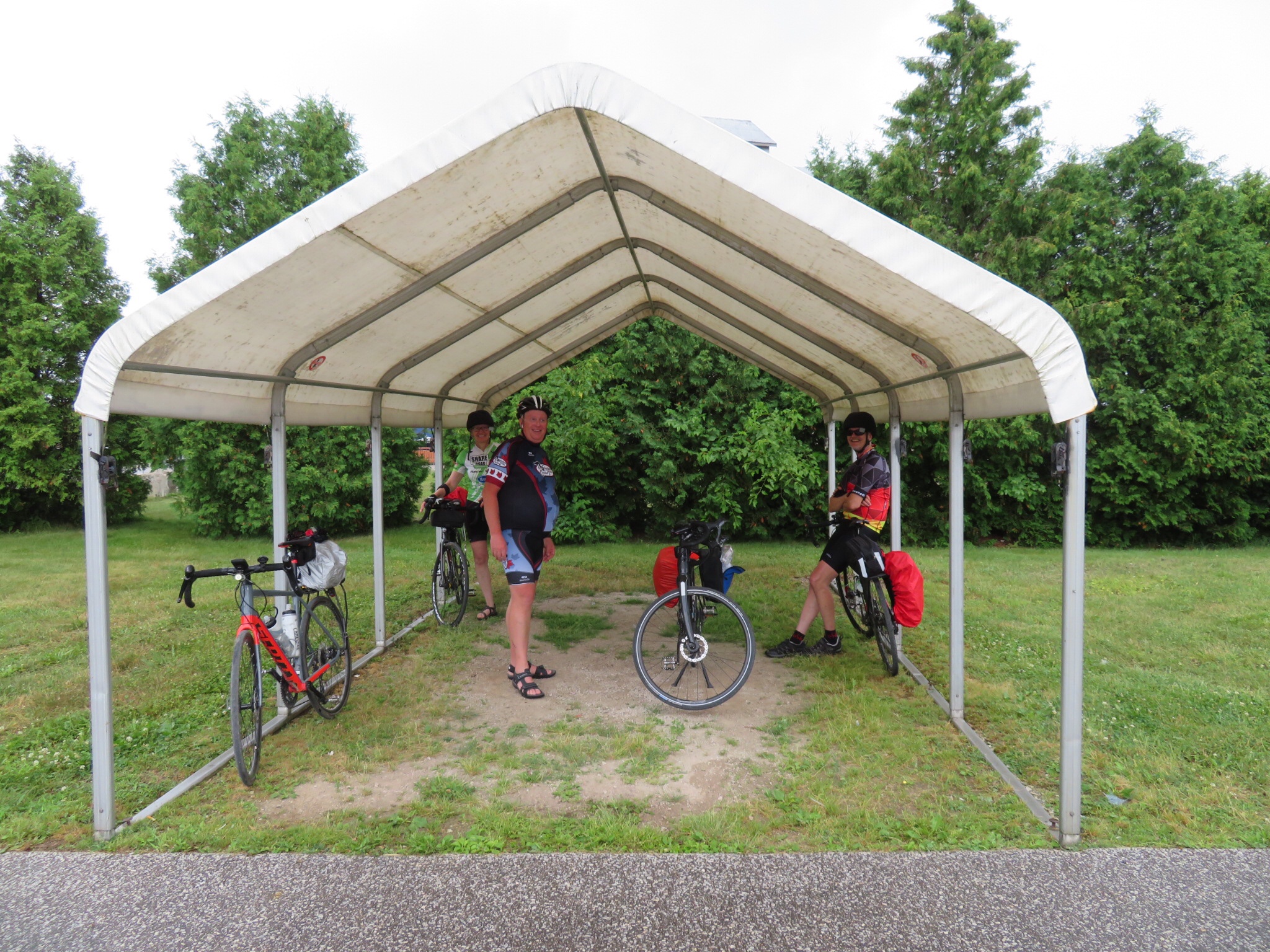
We stopped at Tim’s in Amherstburg for lunch. Dayle provided each of us with a water absorbing beads filled neck tie which helped a bit with the heat today. Every time I took a drink I also dribbled some water in the neck tie.

Leaving Amherstburg, we encountered a lane on one side of the road that was meant for bidirectional bike and pedestrian traffic, separated from the car lanes by a rumble strip. It was challenging crossing the strip when there was debris or blockage in the bidirectional lane and I would not have been riding my bike in it facing traffic had I been going in the opposite direction.

Some interesting sights in/near River Canard:

At the 401 we saw this great piece of cycling infrastructure.

And this artwork in the centre of a roundabout.

Earlier in the day I had seen a sign for a window washer with the tagline “No peeking”, which made me laugh, but I had just taken a picture and started riding again so didn’t want to stop. Just after the roundabout Wayne pointed out the van belonging to the window washer in the driveway of one of the homes and I took a picture of him with his van.

There was a bikelane at St. Clair college that took us right to the dorm where we are staying and another great piece of art in a roundabout.

It was nice to arrive a bit earlier at our destination today. We decided to eat dinner at Eatery 101, a student operated restaurant which gives students the opportunity to cook and serve in support of the program they are studying. The meal was excellent and very economical. It also meant we didn’t have to get on our bikes and get sweaty again riding to a restaurant off campus. Win-win.

SWOdyssey – Day 2 – Pelee Island

David and Dayle are such lovely people that they went out and picked up Tim Horton’s breakfast and brought it back to the motel so I could sleep a little longer. I had mixed berry oatmeal with brown sugar which was absolutely delicious, a bacon and egg English muffin, to pack in my bike bag for later in the day, and a coffee. Unfortunately, I had a bad night with a migraine, which is unusual for me these days, especially after cycling only 40 km, but with some medication it was gone by morning.

Wayne and I did not talk about our breakfast outfits ahead of time.

Ready to go.

We set out for the ferry at 8:45 as it was recommended we arrive an hour before sailing time. It turned out not to be necessary with the boat mostly empty. I ended up eating my bacon and egg muffin sitting in the line waiting to board the ship.

Cyclists and pedestrians were loaded first and bike racks were available in alcoves on the car deck.

The day was already very hot and humid so after taking some pictures from the outside top level I sat inside in the air conditioning, but right up front.

The ferry was mostly empty.

The journey took 90 minutes and we all remembered to stop our Strava and start again!

We decided to circumnavigate the island in a clockwise direction. The roads had more cyclists than cars and there were many lovely sights along the way.

We stopped for a terrific lunch after 6km at The Bakery.

We saw this sign outside the southernmost school in Canada which struck us as amusing.

Some post-lunch, pre-crash sights. Yes, pre-crash, keep reading.

The road changed to gravel. Wayne and I were riding two abreast while he told me a story about the water level being 18 inches higher at Point Pelee now, than the last time he visited. He gestured to indicate 18 inches and hit something, perhaps a pothole, that caused him to veer into me. We both came off our bikes. I hit my head on the right side and had minor issues with my bike – chain off, left hood twisted – that we fixed. We both have some road rash. Wayne’s chest hit his hood and is quite sore, as is his wrist. He also hit his head. His bike had a broken spoke, bars messed up, seat twisted, but still rideable. He went down on the road. Fortunately I was knocked onto the grass and had a softer landing.

We dusted ourselves off, fixed the bikes and carried on. Wayne got the best chain tattoo I have ever seen. Just look at the detail in the bottom line! And that’s after a shower.

Some sights on the way to the lighthouse:

We couldn’t visit the lighthouse as the trail was under water.

Some sights after the lighthouse:

We skipped the winery and headed straight to the 4pm ferry. We didn’t want to wait until 8pm.

The return trip was uneventful. David even managed to nap. Dayle and I dipped our feet in the lake but it was too dirty to consider swimming.

Once back to the motel we cleaned up, then headed out for a good meal at Armando’s Italian restaurant.

Tomorrow we ride to Windsor and stay there overnight. We will leave the cars in Leamington along with the stuff that won’t fit in our panniers.

SWOdyssey – Day 1 – Leamington to Point Pelee

David, Dayle, Wayne and I are spending a week cycling around southwestern Ontario. The day started with Wayne picking me up at 7am.

As I loaded my stuff into his car he showed me the flat rear tire on his bike. New tires, tubes and rim tape, but it keeps losing pressure. We drove to David and Dayle’s, put his bike up on a stand and investigated. It seemed to be a faulty tire so we replaced it and fortunately it held for the day.

An usie (group selfie) and we were off. David and Dayle in their van and Wayne and I in his SUV – Wayne is selling his home and is concerned he might have to make an unplanned return.

Dayle ordered a handlebar bag from MEC, but it didn’t arrive in time so we stopped briefly at MEC in London where she was able to buy one and I used the opportunity to pick up a new phone caddy to replace my broken one.

David and I changed vehicles and we were off stopping for lunch at Tim Hortons just north of Comber, where my mother grew up. We passed the church where my parents were married.

We are staying at Wigles Inn in Leamington. Nice and clean with comfy beds. Rain was forecast so we waited half an hour before setting out, but it did not materialize.

We cycled on bike lanes and pathways out of Leamington and down into Point Pelee National Park.

It was a lovely ride, very flat, little wind in either direction, but as hot and muggy as I have felt this year after our very pleasant June.

We cycled right out to the point ignoring the no cycling sign for the last kilometre. The park was pretty empty, I guess because it’s Wednesday.

We cycled on a trail through the woods part of the way back which was very pleasant and stopped for ice cream when our stomachs started grumbling.

We cleaned up quickly upon returning to the motel and then drove back towards Point Pelee for fresh perch dinner and live music at Freddy’s. Both were very good.

Caught the sun going down, but unfortunately it wasn’t as spectacular sunset as I am sure it can be from this location.

In the morning we have to be at the ferry dock at 9 to sail to Pelee Island. I convinced David to pick up and bring back breakfast from Tim’s since he is a much earlier riser than I am.

Foggy Fall Thanksgiving Ride

I awoke just before 8am and the bedroom was still quite dark.  I peeked outside fearing that I would see rain, but the ground was dry, and the view foggy. Rani had planned a Thanksgiving day ride today, with a choice of meeting spots – Gage Park at 9am or Butter and Cup, in Caledon, at 10am.  The destination was Belfountain – about an 80km round trip for the first group or 50km for the latter.

Lina and I decided to drive to Butter and Cup together. She picked me up at 9:30 and when we pulled up in front of Butter and Cup people were already there fueling with caffeine. Just as we were about to set off, Dayle arrived to announce David was close behind. They had finished their cottage closing early.

20181008_100055

The route was straight north on Kennedy Road to the Caledon Rail Trail, west to Mississauga Road and north into Belfountain. The ride up Kennedy was amazing:  foggy, a small amount of drizzle – but only enough to wet glasses, not clothes – little traffic and a gentle tailwind. It felt like no effort at all for most of us.  It was a long ride for Lina and for Yvon – his longest since he was a teen – so Barry had us slow our exuberant pace a little to keep the group together.  Barry is an excellent sweeper. Ted left us at Old Base Line. Ted is 85 years old and easily rides 100km in a day and many thousands of kilometers a year.

20181008_103504

In what seemed like no time we were at the rail trail. The surface is hard packed with crushed stone and comfortable even for narrow road bike tires.

20181008_103638

There is a great view from the bridge over Highway 10.


Once on the trail it is generally very flat, and any change in elevation is difficult to detect, with a few exceptions.  One spot is the bridge over Highway 10.  Cyclists must take care here as part of the ascent and descent is large gravel, and only the part of the bridge over the road is paved. Another spot is where it crosses Old Base Line. Here the first part of the group awaits the rest of the group crossing Old Base Line.

20181008_10575220181008_105755

Crossing Boston Mills we saw the most amazing hedge.

20181008_110712

We left the trail at Mississauga Road, just opposite old brick kilns. The trail runs south from Highway 10 and we were heading northwest to Belfountain which means we travelled two sides of a triangle, but we were out to ride, see the colours and enjoy the company of our travelling companions, so it was not the distance, but the journey, that was important.

img_7773

If you look at the elevation profile above you can see where we left the trail and started climbing Mississauga Road.  It’s almost 200 metres of climbing.  Lina had to walk some of the hills, and Yvon walked one.  Lina has set a goal of riding up those hills in the future.


20181008_1158231

Lina is still smiling when she catches up to the group at the top of this challenging climb.

20181008_120250

There is definitely still some time before we hit peak fall colours, but there were some very pretty trees, standing out in the foggy landscape.

20181008_120900

While Belfountain was busy, it wasn’t nearly as busy as it would have been on a warm, sunny Thanksgiving Monday. We had lunch at the General Store.  The food was delicious, but expensive.  My sandwich, latte and peanut butter square came to $24! I know businesses like these in small towns often struggle much of the year without tourists, but it still seemed like a lot. They did have bike parking, which I do appreciate.

20181008_121730

The return trip was a delight! My experience is that winds generally become stronger in the afternoon, so I was expecting a headwind to somewhat  temper our return, even though it was mostly downhill.  However, it was barely noticeable.

We flew downhill out of Belfountain, had a small climb just past the conservation area and then wound our way downhill on the Forks of the Credit Road.

20181008_132341

20181008_132332

Shortly after this descent, Dayle got a piece of glass in her tire and had to change her tube.  It was her third flat in as many weeks and she will be getting new tires soon. Lina decided to take the opportunity to do some stretching.

20181008_133658

I couldn’t pass up this amazing scene and wished I had my full frame DSLR with me, but my cell phone was able to capture a pretty good version.

20181008_140933_hdr

Shortly before parting in Inglewood, Rani got an usie on the single lane bridge where McLaren Road crosses the Credit River. Everyone is still smiling.

img_7772

Rani, Yvon and Tracy went south on McLaughlin from Inglewood and the rest of us went back across the rail trail to Kennedy and to Butter and Cup.  Barry announced that we hadn’t sufficiently tired him and he was heading back north to ensure he got 100km in today.  David and Dayle headed to their nearby home and Lina and I loaded the bikes to return the rest of the way home by car.  We rode 54km.

Lina is still smiling, but is glad to be done.

20181008_153515

Happy Thanksgiving.  I can’t think of a better way to have spent it and I am thankful for all my wonderful Bike People.


#2018ErieOdyssey – Stats

ErieOdysseyStats

Here is a summary of all my rides.  My goal was to ride 350km for the week and I just managed that.

I believe that Rani, Wayne and Nelson cycled over 700km each, David over 600km and Dayle over 500km.

It was a fun week.  I feel like I cycled the right amount.  I’ve been tired since I got home, but perhaps less so than last year after my Ottawa to Brampton trip, and I didn’t have as many exhausting days while I was away.

Future goals include:

  • An annual cycling trip
  • Getting my fitness level back up to the point where I can average 100km per day
  • A self-supported cycling trip where I carry everything I need on my bike


#2018ErieOdyssey – Day 7 – Cambridge to Brampton

I moved the van around the back of the hotel, before the others had to unload last night, to a door near our rooms.  So there should have been no more hallway bike riding, but I let the outside door close while my things were still inside, and no one had a key.  So Nelson cycled around the front and back through the hotel to let me in.  There is something about cycling that keeps you young in spirit as well as body.

Wayne took the first shift driving saying good-bye to Nelson, who would be heading north to Guelph 12 km into the trip, before heading out.

received_1848696728559780


David planned a perfect route out of Cambridge. The roads were picturesque and very lightly travelled. The weather couldn’t have been better: blue sky, some puffy white clouds, cool temperature and a tailwind. It seemed like no time at all before we had to separate from Nelson.

dscn4482_1

Even the dirt road we ended up on for a few kilometres was well packed and not too bad as long as we stayed in the tire tracks.

20180929_100002

Steve and George, from the Brampton Cycling Club, had been tracking Rani’s progress on google maps all week. For those who are unaware, there is a feature in the google maps application that allows you to share your location and phone battery level with others.  You share your location by email or text, etc and then the person you have shared with can see your location in real time, and how far they are from your you. This was very useful for us on the trip, to see where the driver of the van was, or where the other group of cyclists were, when we were separated.  It also allowed Steve to meet us west of Acton and ride with us.

20180929_102625

Shortly thereafter we caught up to Wayne and I took over driving.  Then George and Ted also joined us and we all met at Tim’s for a snack in Acton.

20180929_115116

The plan had been to stop at the Tea Room at Terre Blue Lavender Farm, but they were closed.

dscn4501

David, Dayle, Wayne and I stopped at the newly renovated Copper Kettle for lunch. Rani was anxious to get home so continued on with her cycling club escort.

20180929_122740

Dayle drove from Acton to Glen Williams where I had just passed my goal of 350km for the seven day trip, so I drove to David and Dayle’s house from Glen Williams.

We started and finished the day with an usie (group selfie). Michael, my husband, picked my bike and me up in our van. I felt like I could keep cycling for another week.  It was a bittersweet return. I love cycle tourism.  It is something I have wanted to do since my teens, but first tried only last year.  I hope to do trips like this every year from now on. I’ll post a numbers summary and perhaps some final thoughts in one more post after this one.

20180929_143948_hdr

• Moving Time – 2:09:25

• Elapsed Time – 3:26:00

• Distance – 41.8km

• Elevation Gain – 245m

• Average Speed – 19.4 kmh

• Maximum Speed – 48.2 kph

• Calories Burned – 1341