Etobicoke Creek Trail: Kennedy Road to Mid-Way/Dixie

The Etobicoke Creek Trail has recently been expanded from east of Kennedy to Mount Charles Park in Mississauga. The path is prepared for paving which is expected to happen in October 2018. The red line on the map below shows the route. The line between the two downward pointing arrows is the section awaiting paving.

The red line between the outermost arrows is what is missing from Google Maps. I submitted this map (from my Strava recorded ride) to Google last week. When I submitted an update to reflect The Franceschini pedestrian and cycling bridge over the 410, north of Williams Parkway, it took about a month for Google to update their map.

I will share some images showing the current state running from west to east. The path, while currently gravel, is quite passable, with a hybrid bike. There are some sections that would be challenging with a road bike.

Here is the entrance from Kennedy Road, east side, just south of First Gulf Boulevard:

img_20160806_111735

Here is where the paved trail ended (at the left hand drawn arrow on the map above) last year:

img_20160806_112059

Under the 410:

20180729_120120

Looking west at the foot of Westcreek Blvd (dead end by blocks on right of photo):

20180729_115848

Looking east towards the 407:

20180729_1158531

Under the 407:

20180729_115538

A bridge had to be placed over the creek west of Tomken Road:

20180806_115304

Looking east towards Tomken Road:

20180729_115354

Under Tomken Road:

20180729_114933_hdr

Looking west back at Tomken Road:

20180729_114848

Looking northeast (Tomken Road at my back):

20180729_114812

Looking northwest, north of Mount Charles Park on Cardiff Blvd in Mississauga:

20180806_114904

Looking north on paved section of path north of Mount Charles Park:

20180806_114651

Looking north, entrance to trail from parking lot at Mount Charles Park:

20180806_114453

Once you exit the park, head south (left) on Cardiff Boulevard on the road. Cross Derry Road at the light.  If you wish to use an in-boulevard multi use path (MUP) at this point cross to the east side as well as south.  There is a MUP on the east side of Columbus Road.  Columbus Road ends at Mid-Way Boulevard. There is a MUP on the south side of Mid-Way.  Turn east (left) and continue to Dixie Road.  There is a Tim Hortons on the southwest corner.

Cross Dixie Road and now you will be on a beautiful, wide new path around the airport. To learn more about this section read my post Etobicoke Creek Trail: Mid-Way/Dixie to Lake Ontario.

Question: Have Bike Trough Installers Ever seen a 3D Bike?

Today, I went back to the new section of the Etobicoke Creek Trail south of Eglinton to check out how one exits at Eglinton, which could be very useful for a multi-modal trip as the trail at that point is about half way between two Mississauga Transitway stations.

Rather than riding there from my home in northeast Brampton, I took my bike with me on a visit to my Dad’s house which is only a few kilometres along Rathburn Road from a trail entrance.  I had never entered that way before, but I could see on Google maps that there is an entrance.  I wasn’t sure whether it would be a steep hill, though, or stairs.  I was prepared to carry my bike down stairs if necessary and to return to Rathburn via Garnetwood Park on the north side of Burnhamthorpe on the Lori Mitoff Trail.

20180907_143318
Rathburn Road in Mississauga is discontinuous at the ECT

Bike troughs, for anyone reading this who hasn’t encountered one, are small depressions, generally at the side of a staircase, in which one can roll one’s bike instead of carrying it. I rarely see a well designed one.

Once I got into the woods, this is what I saw:

20180907_143409

So, someone looked at this access point and thought, “Cyclists might want to get down here without carrying their bikes”. The City of Mississauga went to some expense to accommodate cyclists on these stairs.  But, if I place my tires in the trough perpendicular to the ground, this happens (see where the pedal is?):

20180907_1435551

Thus, I arrive at the question in my title.  Do bike trough designers/installers imagine a bike exists in only two dimensions?  Why are the troughs usually right against the railing necessitating that the bike be angled away from the railing in order to roll without catching the pedals and handlebars? Depending on how bad the design is versus how heavy one’s bike is, it can be easier to just carry one’s bike. Especially, since every 10 steps there is a landing, and one has to get the bike tires out of the trough, and then back in again.

Here’s a well designed one at one of the locks on the Rideau Canal in Ottawa with the trough offset from the railing:

a12d1bef-6073-4d14-a27f-c785ad2bf66f

If you care to look here’s a bunch more I have encountered in my travels.

It’s not rocket science.  Why is so much bike infrastructure designed and built by people who have clearly never been on a bike?

Rant over for today.

Next blog will be a rant about the missing multi-use path along Eglinton at the Etobicoke Creek trail.


Etobicoke Creek Trail: Mid-Way/Dixie to Lake Ontario

Today I cycled the Etobicoke Creek Trail, from Mid-Way/Dixie to Lake Ontario, with eight fellow cyclists, one of whom I have known since Grade 7, the rest who I have met through cycling advocacy, community rides and cyclists I know introducing me to other cyclists. It was a hot, humid day, but some sections of the trail afforded us lovely shady green tunnels through which to travel.

fullsizeoutput_1

I have created a map of the trail from the north end in Caledon to Lake Ontario in Ride with GPS.  In today’s post I will cover Mid-Way to Lake Ontario. In the future, I will do additional posts for other parts of the trail. Most of the trail is off-road on paved paths with the following exceptions – from north to south:

  • Abbotside Way to Mayfield, 2km long, mix of large and small gravel, wide path
  • a length of about 600m north of Conservation Drive through a heavily wooded area has very fine, hard-packed gravel
  • On-street section through downtown Brampton (Centre St) of 1.1km
  • On-street section through Peel Village of 1.5km
  • Just west of 410 to north of Mount Charles Park of 2km is gravel, but should be paved this month
  • On-street section from Mount Charles Park to Derry on Columbus Road of 600m
  • In-boulevard multi-use path along Cardiff and Mid-Way of 1.6km
  • Under the 401. This section is officially closed until November 2019 when 401 bridge rehab work finishes and should be paved in spring 2020
  • On-street section avoiding Markland Wood Golf Club and valley land with no multi-use path from south of Burnhamthorpe to Sherway Drive (south of Queensway) of about 6km
  • Gravel from Sherway Drive to south of QEW – 500m awaiting paving. Unfortunately, QEW bridge rehabilitation work will start in the near future and last 4-5 years, during which time the trail underneath will be closed (as at the 401 currently)

Wow, that’s quite the list of exceptions. Excluding what I expect to be paved shortly, there is 2.6km of gravel path and there are almost 9.2km of on-road sections.

The path from Mid-way to the 401 is newly paved and very wide.  It runs south along Dixie for a couple hundred metres then turns east, and any airplane noise soon dissipates as you descend into the valley behind a screen of trees separating the path from the runways.

20180729_085440

The path is easy to follow, and fairly flat, but with a climb up to Courtney Park and back down again.  It is rather pastoral.

20180903_130256


Just before the 401 there is a steep decent and the path is closed for 401 bridge rehabilitation. It is possible to continue, but a bit of a hike with climbing, mud and fence dodging. The alternative is to ride along Corvair Drive to Renforth, cross the 401 and come back west along Matheson or Eglinton or though Centennial Park.  This adds about 8km! However, I would not try sneaking under the 401 during the week, only on weekends when there are no workers present.

20180806_10082920180806_10085020180903_09215420180903_092352_hdr20180903_09252420180903_092528

Once south of the 401 the trail is newly paved, wide and smooth. It crosses back and forth over the creek and emerges onto Ponytrail Drive, because the Markland Wood Golf Club owns the land around the creek. From that point to Dundas the roads are marked well as the Etobicoke Creek Trail with the exception of where you emerge from Willowcreek Park between Sunnyhill Drive and Nawbrook Road. Make sure you turn right onto Nawbrook.

There are various ways one could proceed to the next off road section, however I chose the most direct. The section along Dundas and Dixie is not for the faint of heart.  Our group of nine today took a lane on each of those roads, but I realize many cyclists would not be comfortable doing that.  There is a multi-use path along the west side of Dixie, but no traffic light at Venta, where we turned to access Sherway Drive.  One could choose to continue further south on the Dixie multi-use path to Sherway Drive rather than get off sooner and go through the neighbourhood the way we did. There is no way that I could see that would avoid arterial roads.

Once on Venta, we were on quiet, pleasant residential streets,  then over a bowstring bridge build in 1900, into the valley again.

20180903_10073920180903_100745

I believe the trail here was  single track dirt trail until last year. Now it is wide and flat and awaiting paving.


20180903_10084020180903_100959

Work under the QEW will wait until after the bridge rehabilitation is complete.

20180903_101159

The path was paved from here on down to the lake. Marie Curtis is a beautiful park and you can connect to the Waterfront Trail here.

20180903_11140720180903_102538img_6026

We had a snack at Fair Grounds Organic Cafe and Roastery at Lakeshore and Forthieth St, a short ride from the park.  After that the group split up with some riding home quickly on streets and some returning on the Etobicoke Creek Trail.


Beating Fitbit at the Planned Obsolescence Game

About three years ago we bought a Fitbit Aria scale for $170 Canadian plus tax.  We had a scale that we had had for many years, and that still worked, but the allure of a scale that not only measured mass, but also calculated body fat percentage and BMI, and sent it to your Fitbit account wirelessly, was too much to resist for my husband who likes automated appliances.

20180805_173351

I didn’t use it since I didn’t have a Fitbit fitness tracker, but at some point I learned that I could set up an account and use the scale even without the fitness tracker.  Over time, I came to appreciate the additional health information and the ease at which it appeared in my account and the trend graphs available in my account.

Unfortunately, the scale started to malfunction early in its third year, telling us to “Step off” when we were not standing on it and draining the batteries in an alarmingly short time.

I did a little research in the Fitbit help forum and found there were many people with the same problem.  Invariably, the answer from Fitbit Support was that they would exchange the scale for a new one if it was under its one year warranty, or an apologetic direction to purchase a new one if it was out of warranty.

This angered me.  It is an expensive product and should last more than a year.

For a while, when I took out the batteries and left the scale upside down on the counter for a day before replacing them, it would start to work again. However last week this technique failed.

I looked at the Support Forum again and someone had posted that they opened up their scale, and determined that one of the feet had broken, which caused the scale to think someone was standing on it when no one was. Fitbit Support warned that opening the scale would invalidate the warranty, but that isn’t much of a threat when the scale is out of warranty and Support won’t help. Fitbit won’t provide parts. The poster described how he cut a piece of foam to replace the broken foot which got the scale working again. Someone else replied that they had created a file for 3D printing the foot and had shared it on Thingiverse.

The Brampton Public Library has MakerSpace Labs with 3D printers which are available for free to library members.

We took our scale apart and pulled out the foot.  It looked like this.

20180805_162640

The little arms that attach the outer ring to the inner ring were either stressed or broken.

We went to the library and the wonderful librarian staffing the MakerSpace helped us set up the file to print.  We decided to print two, since inevitably another will break.  About 45 minutes later we had them. The original in white, the replacement in red.

20180805_163858

When we got home I took apart a second foot to determine how to put the foot back together and broke a second foot in the process.  How fortunate we had printed two.

20180805_172538

I reassembled both feet, put the back of the scale on, set it on the floor and it wouldn’t turn on! So I opened it up again, checked the assembly, made sure everything was tight and this time, without closing the scale, put it on the floor.  It worked! I closed it up  and it continued to work.  I am very happy to have, at least for now, avoided the planned obsolescence of this product.  It seems ridiculous to me that something that is expected to be stood on, on a daily basis, by people who weigh up to 350 pounds, would have such a damage-prone part that is key to its successful operation.

I am still annoyed at Fitbit, though.  They could choose to sell these little feet.  Even if they charged a large markup and shipping, I am sure it would be worthwhile for people to repair their scales.  However, that isn’t what Fitbit wants.  They now have an Aria 2 that they want people to buy.  They have decided they will lose fewer customers by annoying those that would repair their scale, but can’t get parts than they will gain by having people buy a replacement.

Sorry, not sorry, to disappoint you Fitbit.

#OttawaBramptonOdysseyCycle – OTC Magazine Summary

The following is a summary of our trip written for the Ontario Traffic Council‘s quarterly magazine. Past issues are no longer online so I am sharing the summary here.

Last fall, as members of the Brampton Cycling Advisory Committee and BikeBrampton chatted after a committee meeting, I overheard John Van West and David Laing talking about planning a cycling trip from Ottawa to Brampton for Canada’s 150th birthday. Their inspiration came from Budi Tahir, a Brampton senior who circumnavigated Lake Ontario on his bike in 2013. After months of planning and training, the final group included cyclists David and his wife Dayle Laing, John, Rani Gill, Nelson Cadete and me, Lisa Stokes. John’s friend Jim Anderson drove his van pulling a trailer with our bikes and luggage. Nelson is Brampton’s Project Manager, Active Transportation and the rest of us are cycling advocates who are passionate about cycling.

ccf8eb17-6cdf-4fe6-be8d-bddc7e014d0d-1

The total distance covered was 580km over six days ranging from 82 to 128km per day.

John travelled to Ottawa with Jim and Nelson; the rest of us travelled on VIA Rail. Due to heavy traffic on the 401 and despite an earlier start by Jim, we arrived at the University of Ottawa residence where we were staying, at about the same time.

We checked in, went out for dinner and then explored Ottawa on foot.  At the Parliament buildings there was a Sound and Light show which included a story about the bell tower in the Center Block. We joked that it looked like bike gears and was a good omen.

421E582C-DF42-4865-9A7E-9B9740AB9B34 edit-1

We spent the next two days in Ottawa. David had organized meetings with the Ontario Office of the Minister for Small Business and Tourism, Road Safety Programs, and Ministers Sohi and McKenna’s policy advisors, the purpose of which was to discuss Bill C-312, which was a private member’s bill to provide for the development and implementation of a national strategy on cycling, and other plans for supporting community active transportation initiatives.

51bb0754-71ea-4704-a4ec-ec85d56e2006

We also managed to fit in a tour of the Parliament buildings before a late lunch. Then we headed back to our accommodation to unload our bikes and meet with Heather from BikeOttawa. Heather spent hours telling us about their advocacy wins and challenges and showing us the bike sights. It is easy to be envious of Ottawa’s wonderful cycling infrastructure, so it was very helpful to have a local advocate share the stories behind the infrastructure and their challenges – past, present and future.

1985D49C-6B60-46CF-B8F0-1AFE4B148FB9 edit blog
Bike Counter – Portage Bridge

Our final day in Ottawa was spent on short relaxing rides, stops for shopping for last-minute items for the trip, a very long lunch and a walk to Byward Market. We finished the day with an evening briefing to ensure we were prepared for the next day’s ride. We did this each evening for the rest of the trip.

Each morning began with a group photo.  We then cycled in groups of two or more, with a predetermined lunch stop, where Jim would meet us with the trailer, and a wonderful selection of groceries we used to prepare wraps and omelettes, along with drinks, fruit and other goodies.

1070bc5e-19df-4e12-8cf0-7bb202c86d9e33a449ca-7b21-40ae-9ee0-7d07023f1a39

We encountered many different cycling conditions and types of infrastructure ranging from the worst – Highway 62, leading into Belleville, with gravel shoulders and high speed traffic – to the best –  the Thousands Islands Parkway, a 37 km long bidirectional bike path separated from the road by a large grass boulevard and only interrupted by a few lightly-used intersections. In between those extremes we cycled on multi-use paths, quiet residential roads, quiet secondary highways with little traffic, painted bike lanes, buffered bike lanes, physically separated bike lanes and roads with paved shoulders of varying widths and pavement quality.

ac0b8e10-b1cd-4fae-874a-d573b2e58284e9849368-dada-44d2-bb6a-d75e2f57e60c

Good infrastructure made a huge difference to our comfort level, energy level and ability to socialize while riding.  On the Thousand Islands Parkway we could ride side by side, converse at a normal volume and relax knowing we need not be constantly vigilant for close passes and poor surface quality.  Even though it was the longest day in terms of distance and time spent on the saddle, it was not the most tiring.  However, it wasn’t just the Parkway that made for good cycling that day.  It was also the very low traffic volume country roads we followed from Merrickville to Brockville where we were able to cycle  for long periods with only rare passes by cars, the drivers of which generally gave us a wide berth. Widespread driver education about safe behavior around cyclists could also improve the cycling experience, especially on shared infrastructure. Simply paving the shoulders of all roads would help improve cycling significantly until there is more dedicated cycling infrastructure available.

The final two days were spent largely on the Waterfront Trail.  Advocates from the Durham Region Cycling Coalition met us at the Durham/Northumberland border and accompanied us to Ajax, regaling us with their impressive knowledge of the area and stories of their advocacy. They recommended we follow the Waterfront Trail on our final day, rather than taking a shorter route through central Toronto.  We took their advice and were thankful to have done so. While we did occasionally encounter trouble with wayfaring signs, it was generally a comfortable, picturesque route to travel.

A5746C3B-26FC-491B-BB1A-23C17F7D6375 edit1
Pickering Beach Boardwalk – Nuclear plant in the background

It was a wonderful trip. Great sights. Great people with whom to travel. I made the memories of a lifetime. In my head, I am already planning the next cycling odyssey. It was also a great opportunity for advocates and municipal staff to have a significant shared cycling experience, of good, mediocre and bad infrastructure, and to get to know each other outside of the committee room.  I can’t overestimate the value gained from that for our working relationship in the future.

Ottawa-Brampton Stats

You can read daily blog posts about the trip, including route maps, starting here.

Back to Ottawa – December 3&4

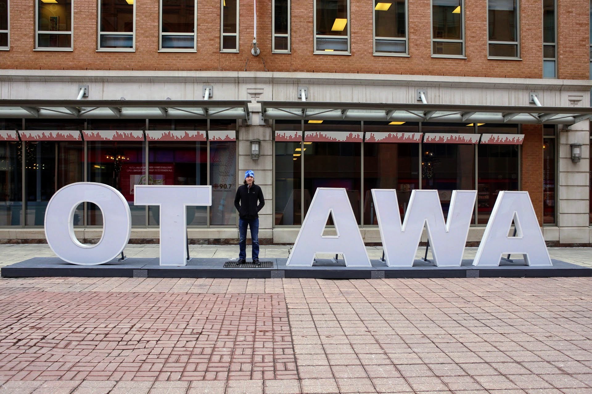
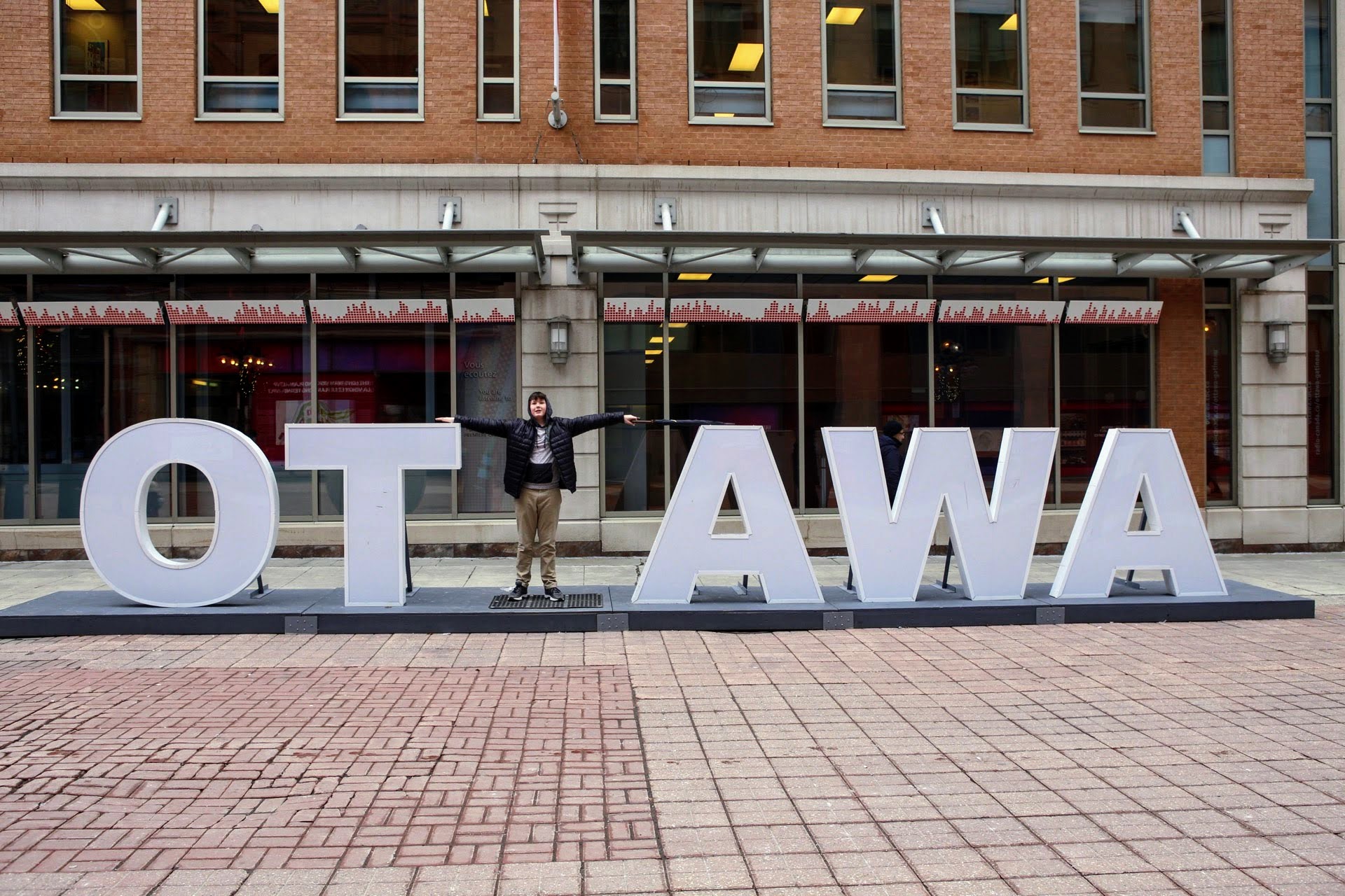
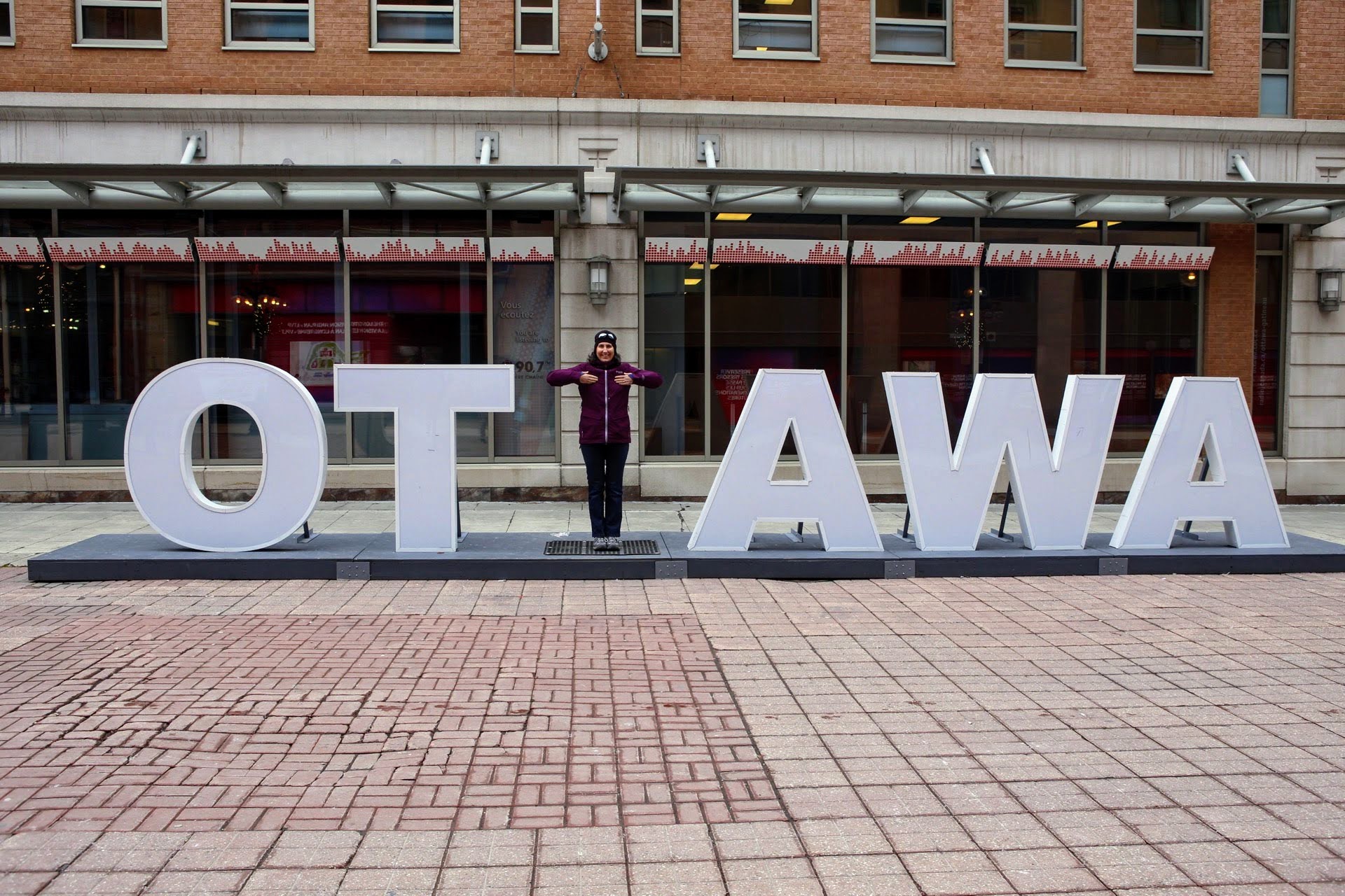
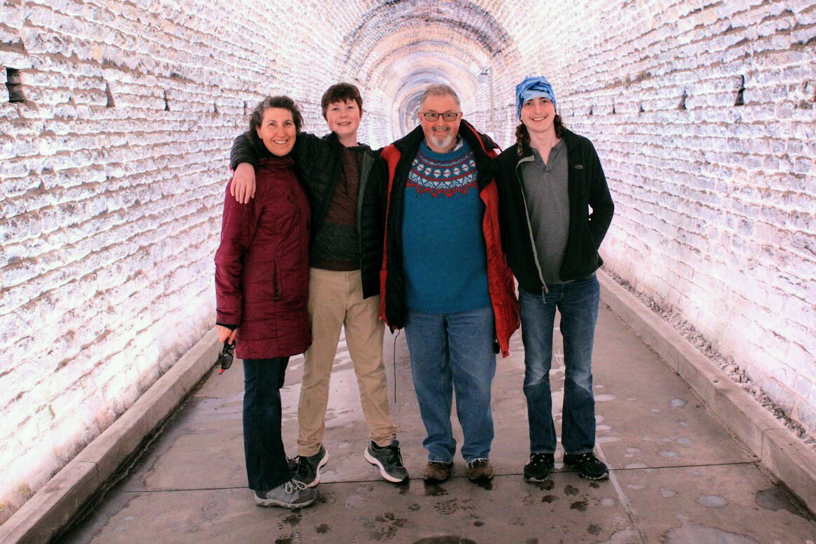
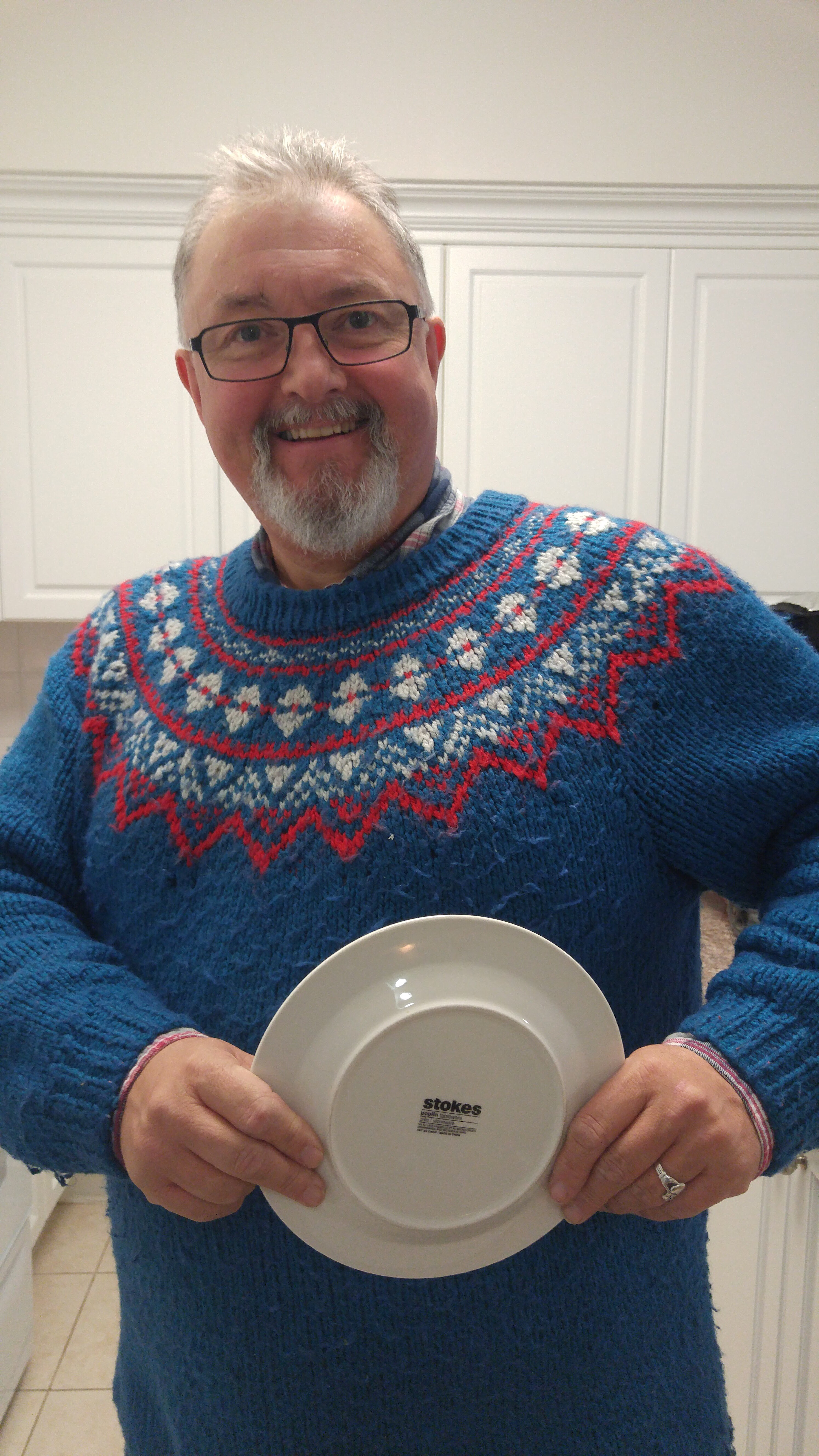
After a relaxing morning with breakfast in the apartment, we walked to Second Cup for coffee. Owen was playing with my camera and took a picture of me.  I don’t get to be the subject very often in my family.

Then we proceeded to the Canadian Museum of Nature –  a pleasant 20 minute walk south on Metcalfe Street.  It wasn’t possible to get lost as Metcalfe leads directly to the museum’s front door, which is exactly one mile south of  Parliament Hill. Our Royal Ontario Museum pass allowed us free entry and we needed only to purchase tickets to the movie and lunch in the excellent museum cafeteria.

IMG_8588  edit blog.jpgIMG_8592  edit blog.jpg

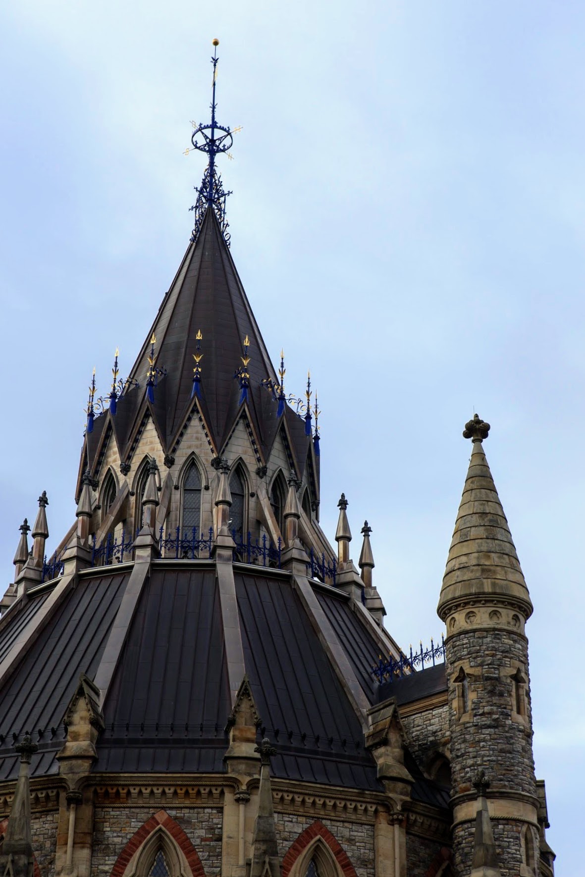
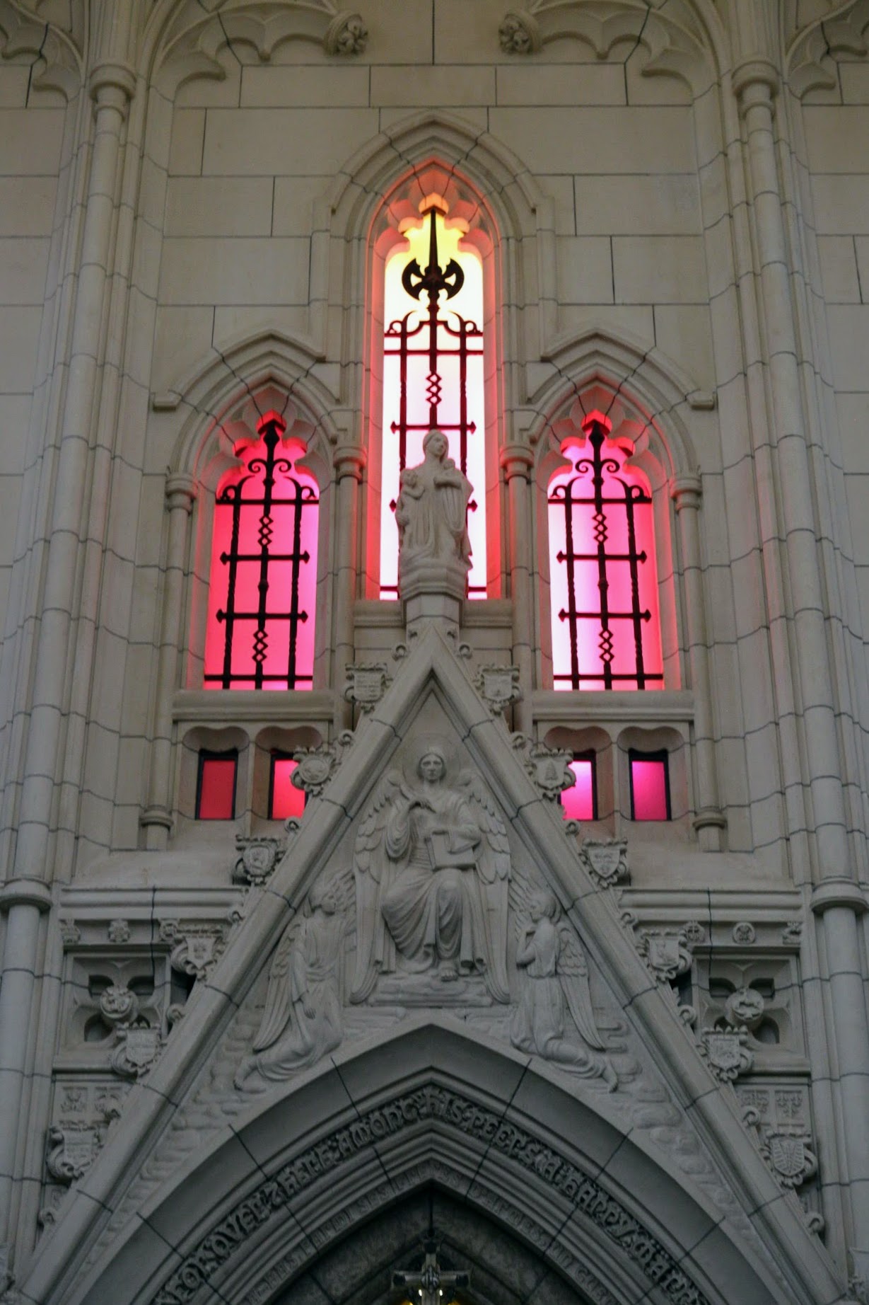
The building is quite striking.  It was built between  1901 and 1910, as a tribute to Queen Victoria whose 64 year reign ended in 1901.  It was called the Victoria Memorial Museum Building when it opened. The architecture was intended to mirror the Centre Block of the original Parliament Buildings. It was the first building in Canada created to house a national museum. In 1915, due to sinking that began during construction, the tower had to be removed. The building has been home to many different museums and served as the emergency headquarters of the Canadian government from 1916-1920, after the Parliament Buildings, other than the library, were destroyed by fire.  The building was extensively renovated from 2004-2010 and a new glass tower was added to pay homage to the original stone one.

We began, as Michael likes to do, on the top floor and worked our way down.  There is a wonderful double, entwined staircase in the glass tower. The lighting wasn’t ideal in the cube during this visit so I processed these images from when we were at the museum with Megan and Alun in August 2016. I didn’t take the time to blog about that trip to Quebec City, Montreal and Ottawa.  I will have to try to do so.

IMG_5943 edit blogIMG_5917 edit blog

This time, there was a giant, jellyfish-like inflatable in the cube.

The movie was Museum Alive 3D, set in the Natural History Museum in London, England with naturalist David Attenborough, who encounters extinct animals that move, interact, and make sound. It was cute.

The fourth floor contained the Arctic Gallery with some fun exhibits. One had images of the arctic projected on large blocks of ice and was quite striking.

Another gallery had wonderful displays of butterflies and insects – alive and preserved.

Funny how older children continue to be attracted to displays aimed at much younger ones.  Here’s Owen on this visit, and Megan and Alun on their visit last year, in the ambulance at the veterinary hospital display.


There were many interactive stations which the boys enjoyed.

I enjoyed the mineral section.  I wish I had had my tripod.  Some of them were quite beautiful.

There was a section with huge dioramas of mammals.

IMG_8530  edit blog.jpg

We took a break for lunch, at which I had a delicious giant salad.

Then we visited the water gallery and fossil gallery.

IMG_8557  edit blog.jpgIMG_8569  edit blog.jpg

Outside they had some woolly mammoth figures.

IMG_8578  edit blog.jpg

On the way back we walked on Elgin where we saw posts covered in thousands of staples from old notices and a bakery trying to entice people away from the coffee shop across the street with this sign.  Mmmm cookies.

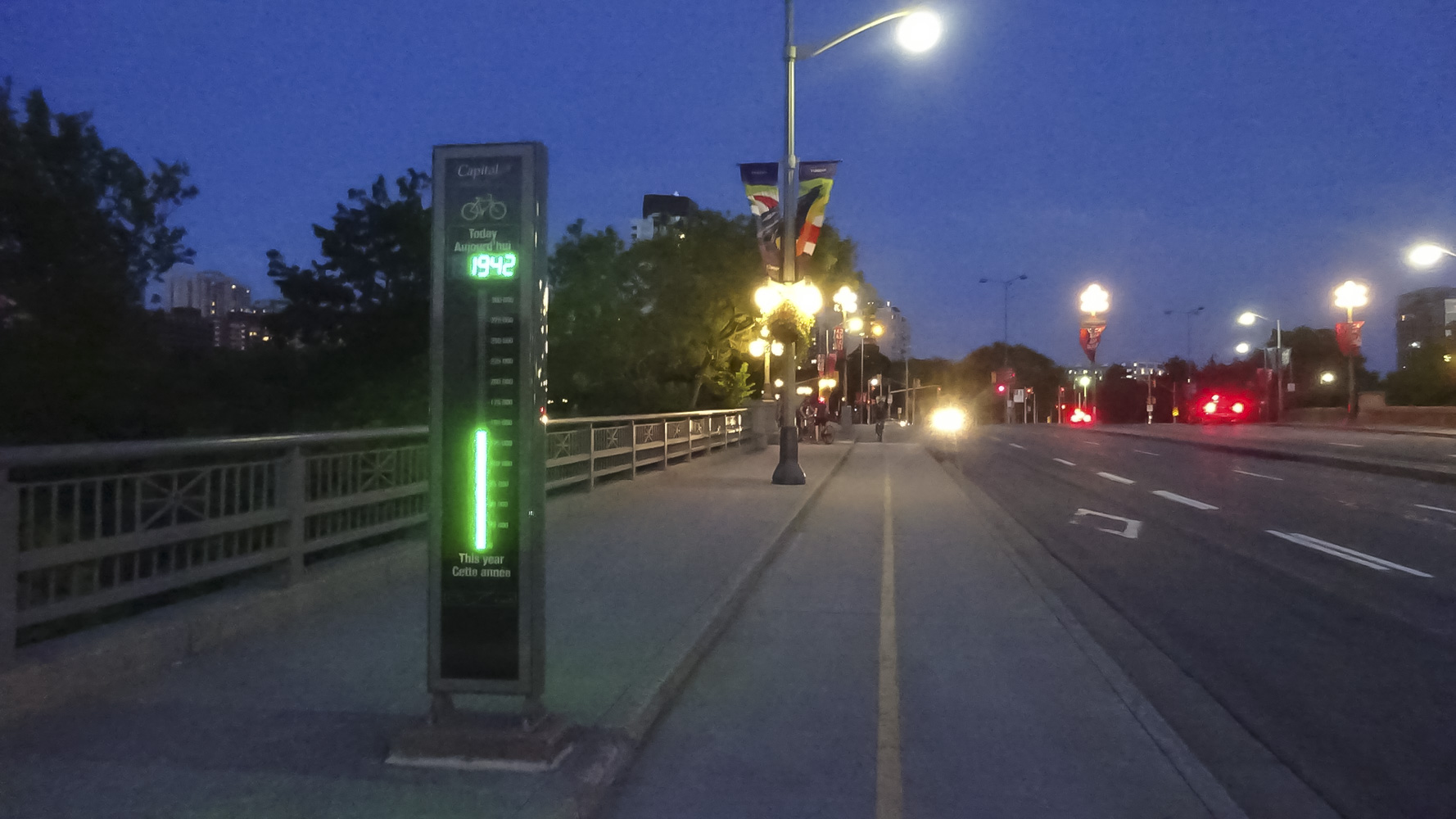
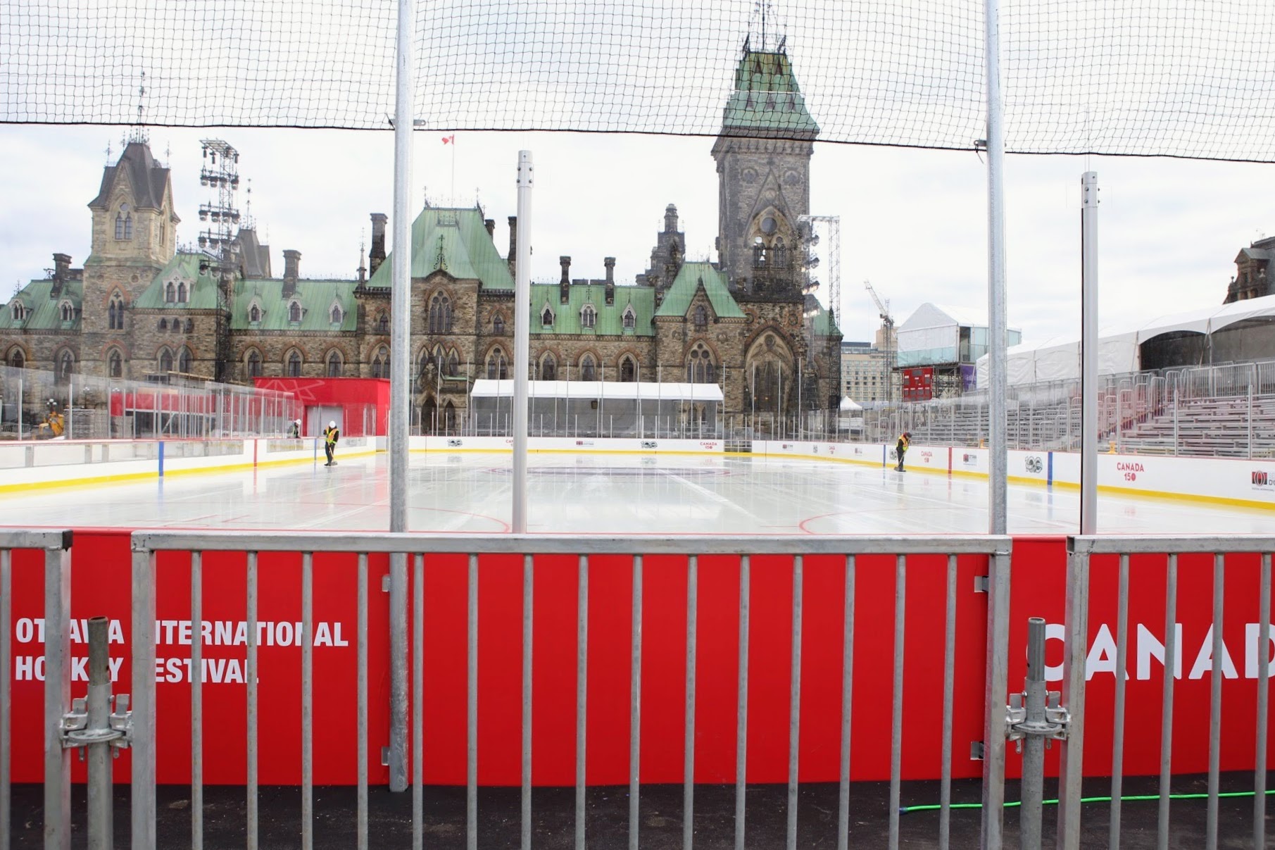
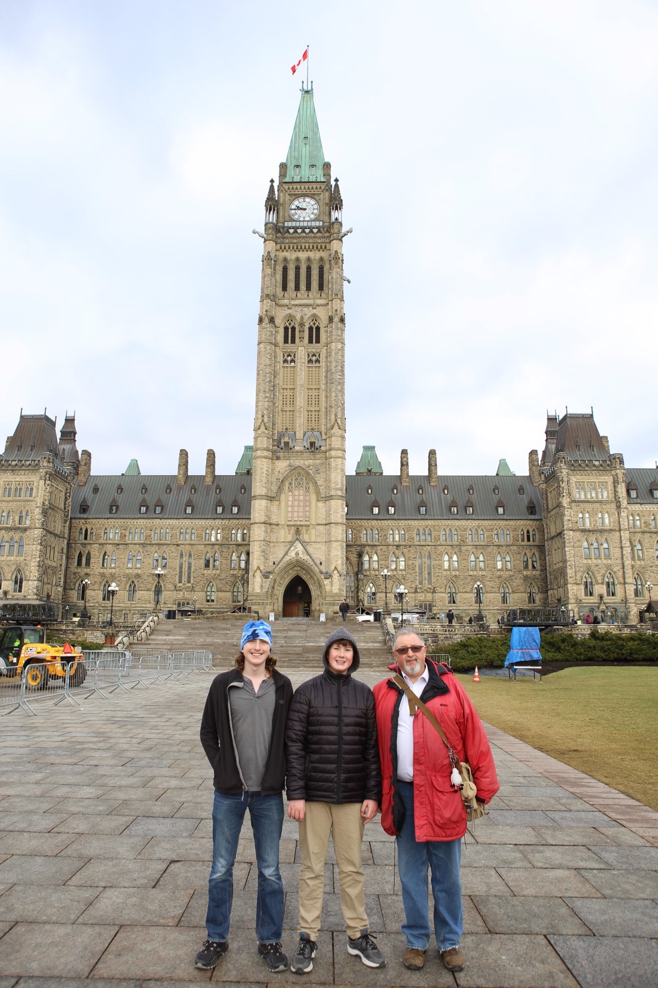
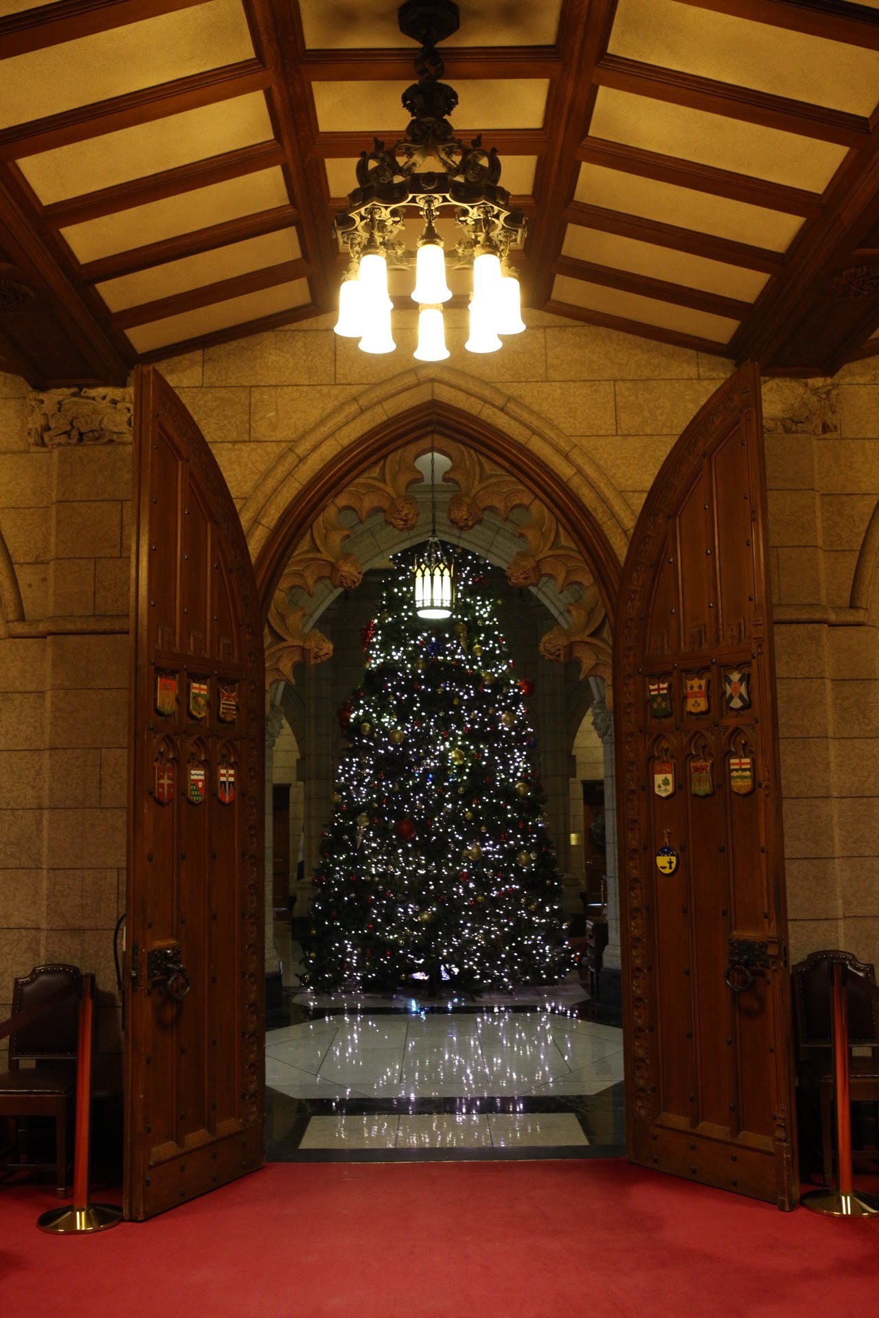
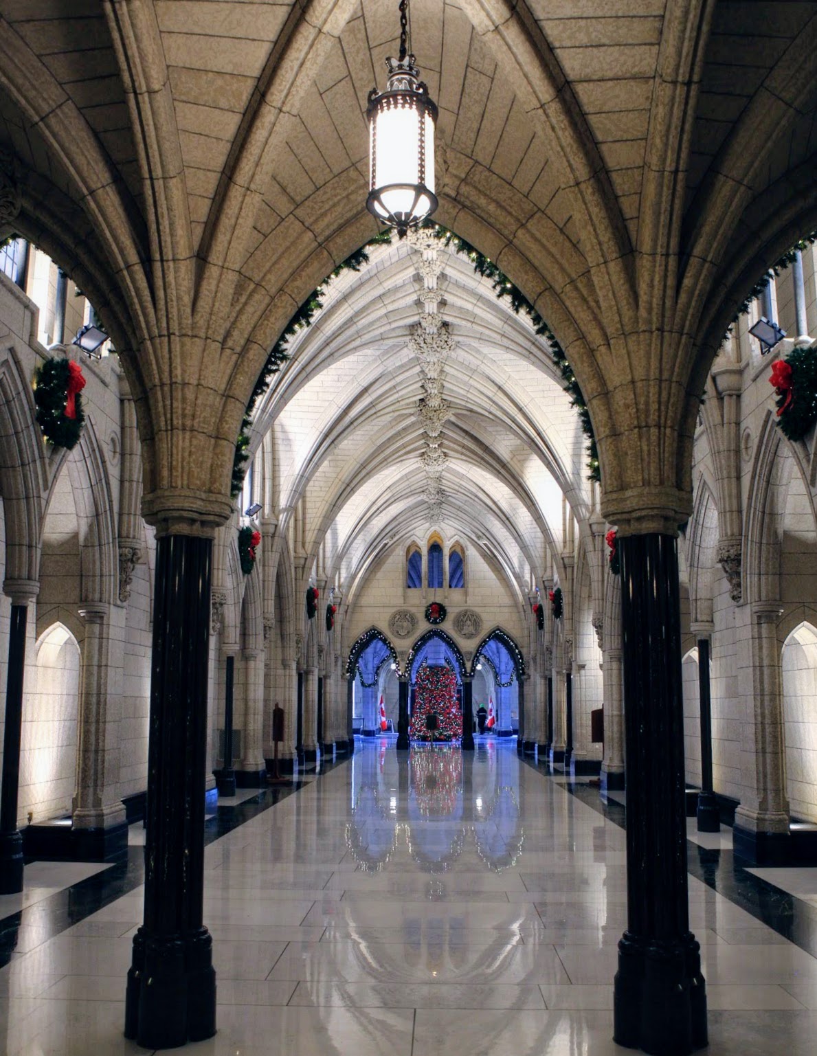
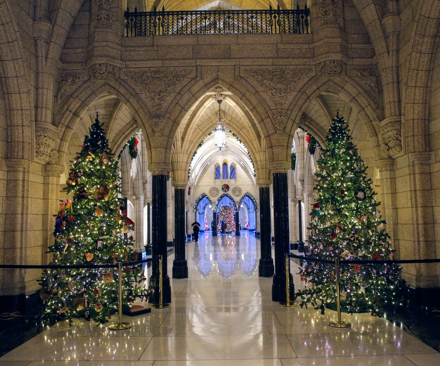
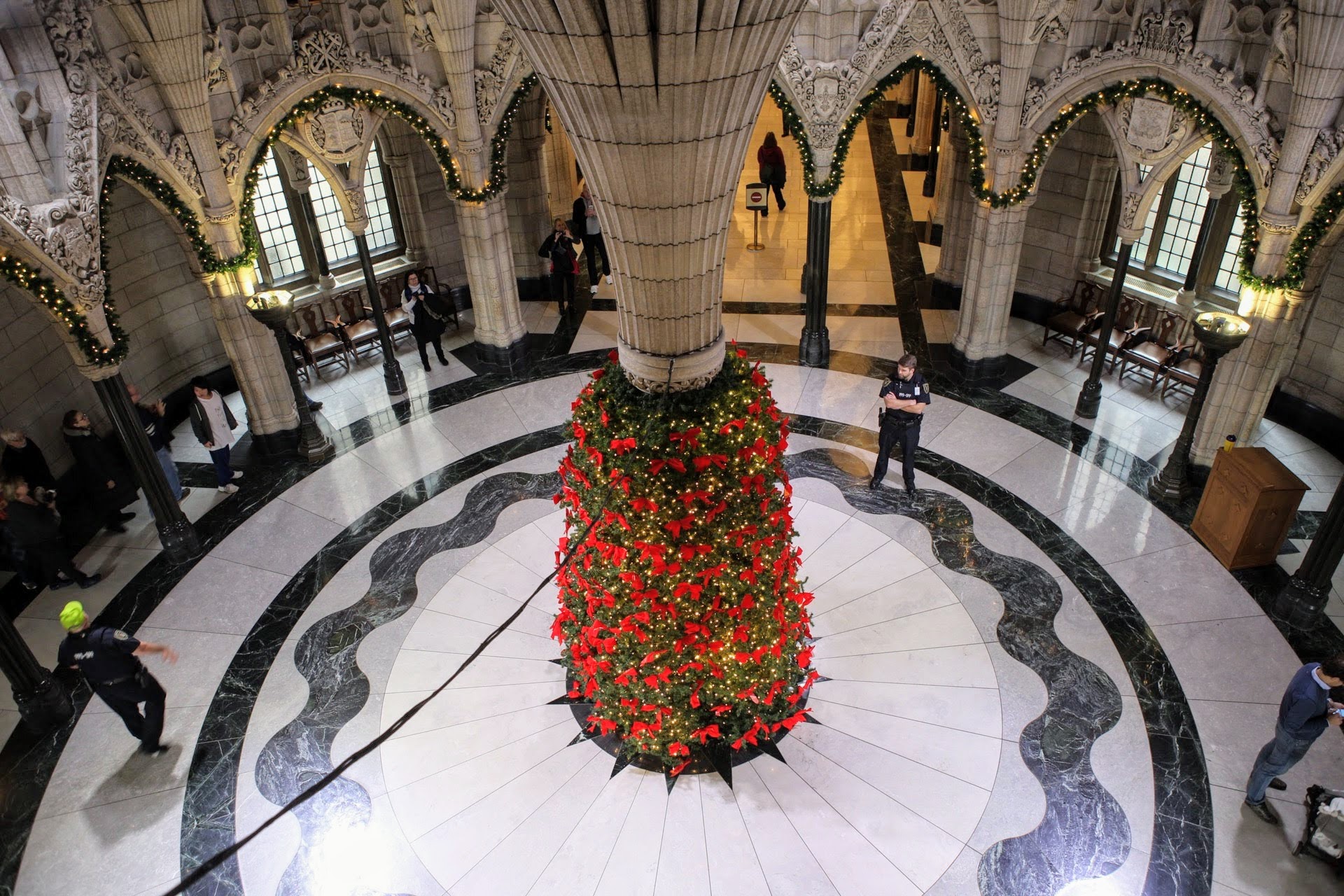
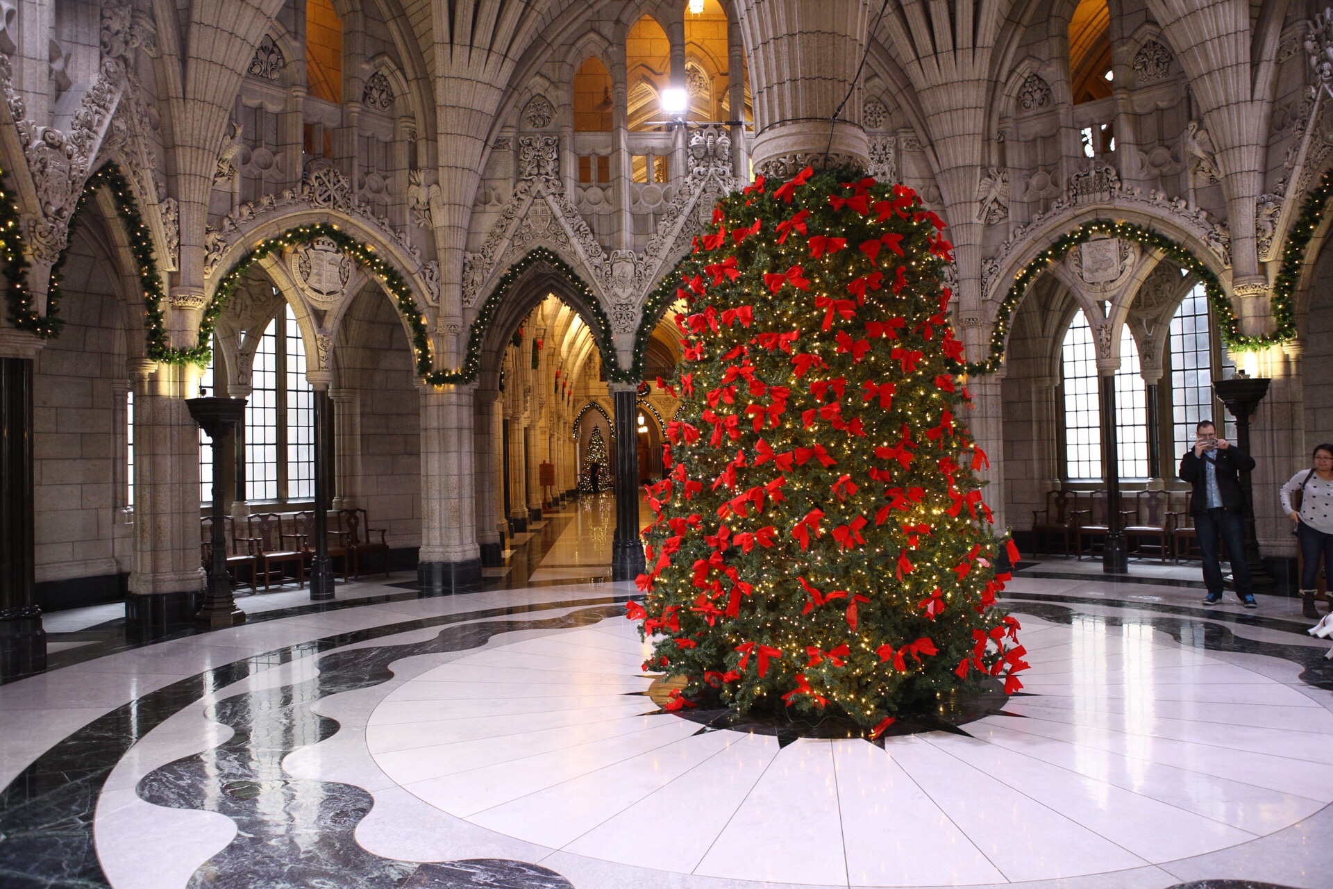
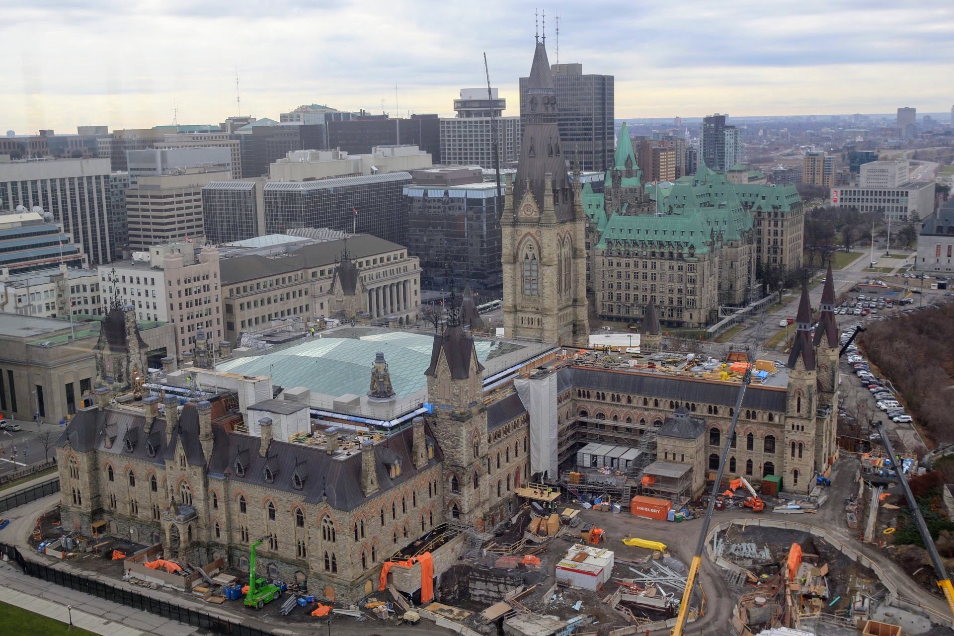
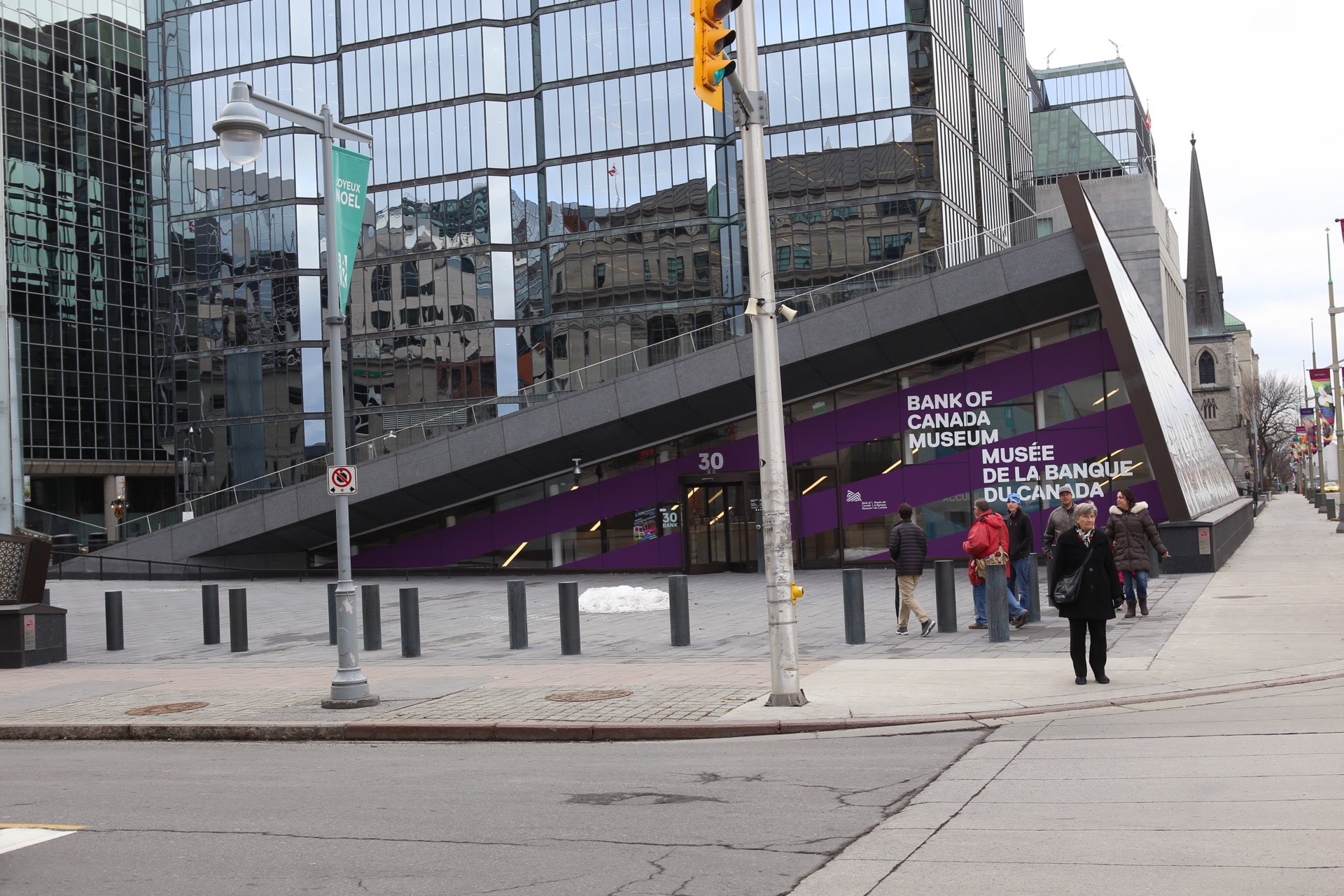
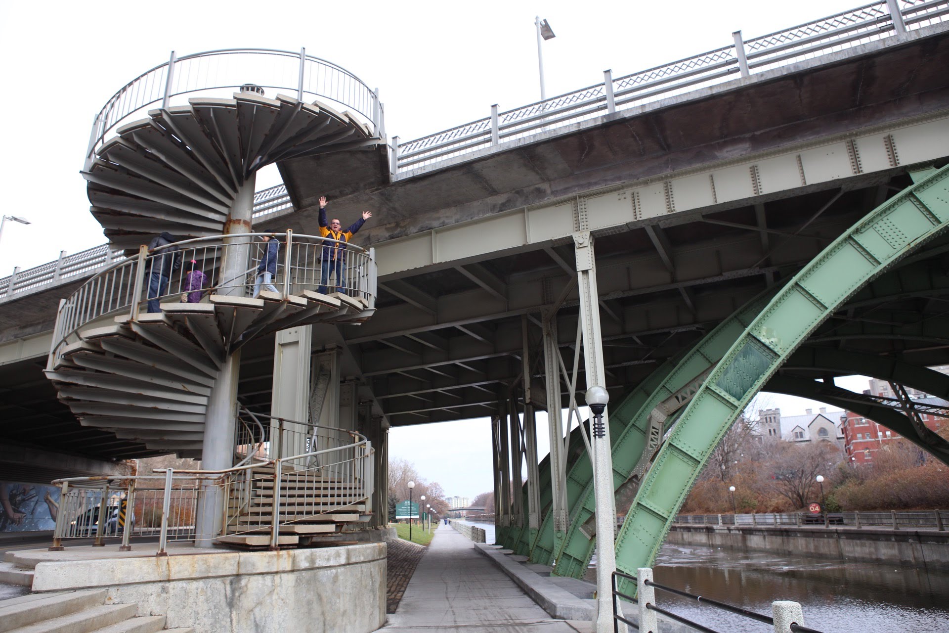
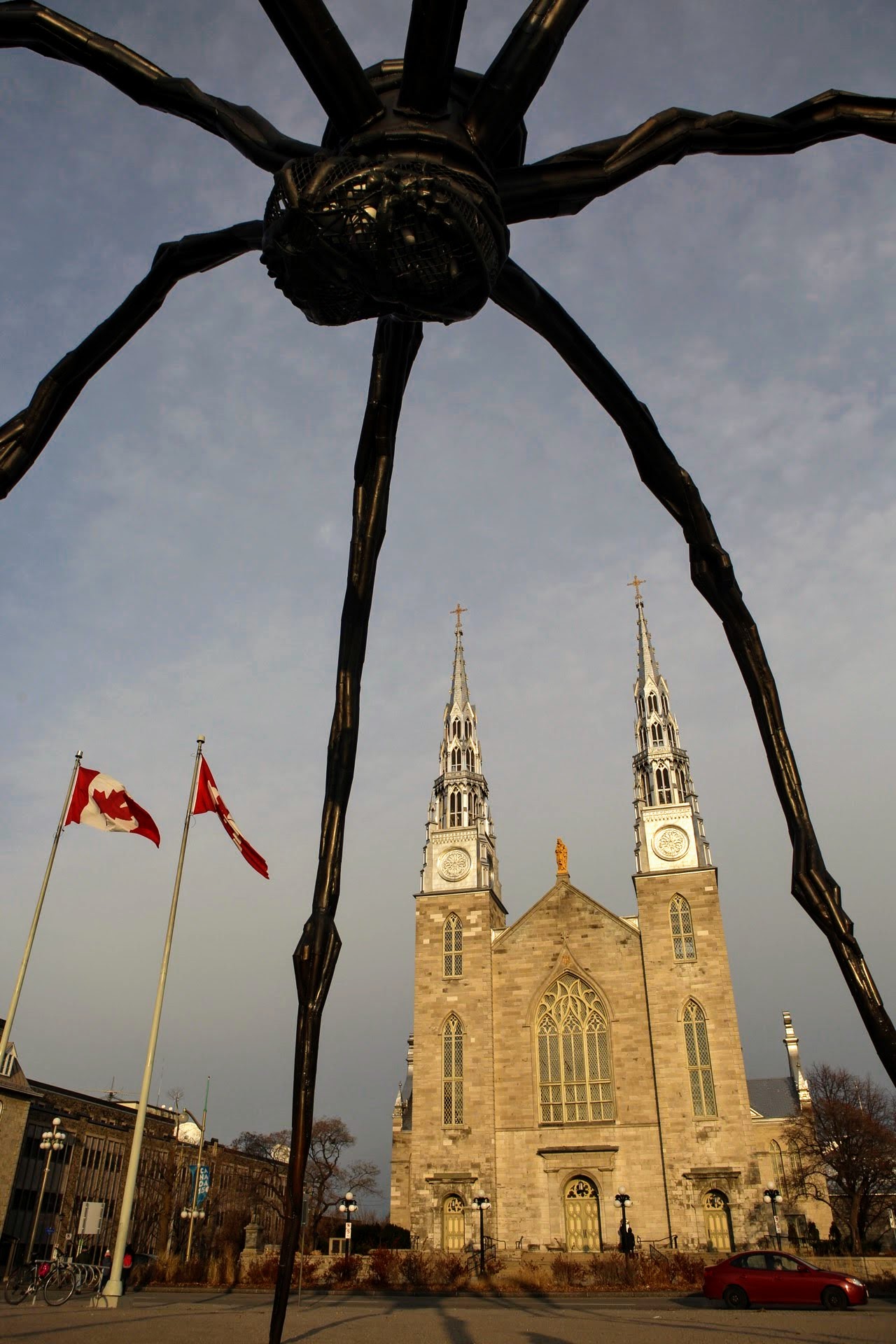
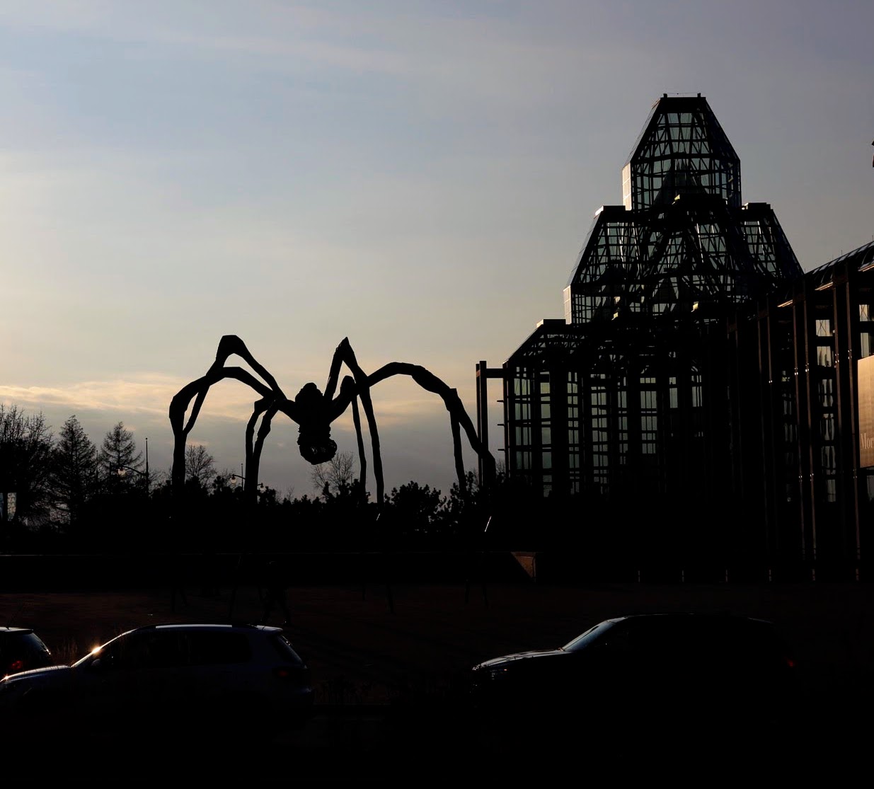
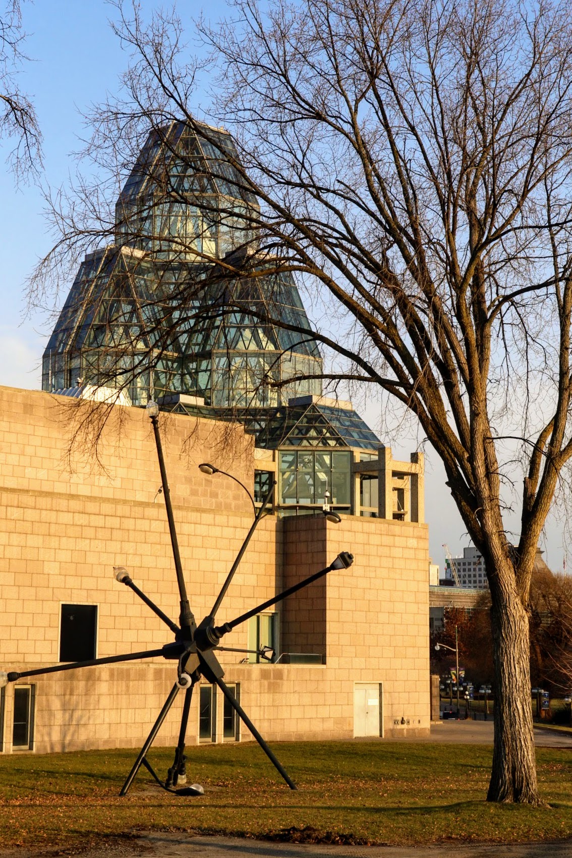
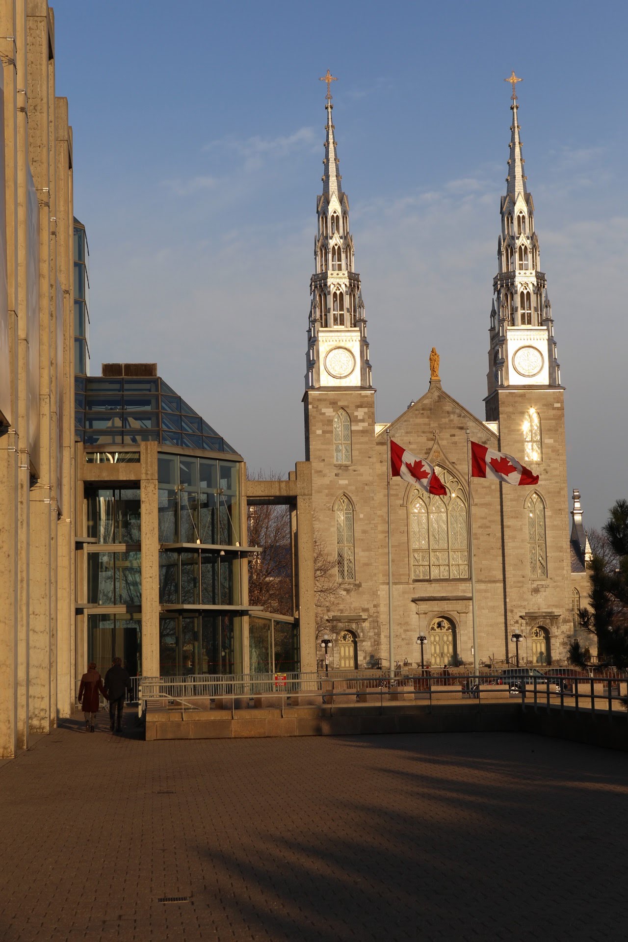
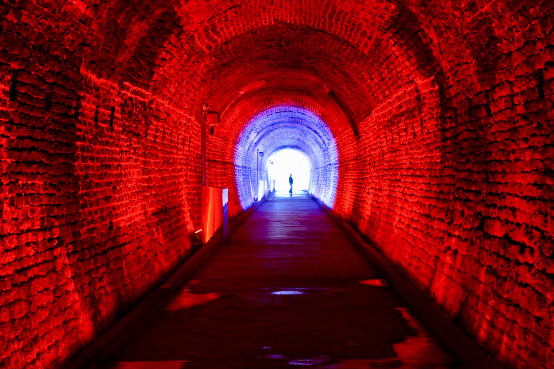
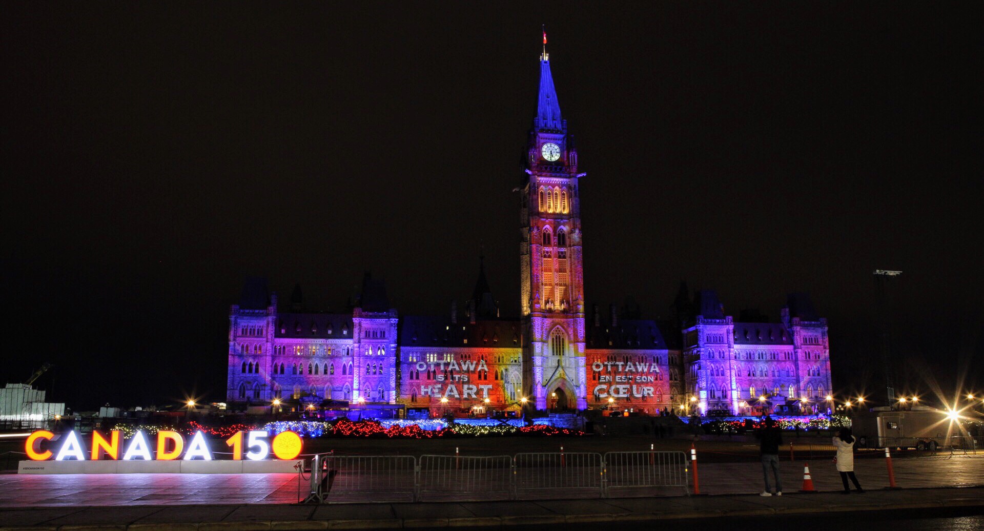
We let the boys go back to the apartment and we continued walking to the National Gallery, passing the National War Memorial and the Chateau Laurier, a closed staircase access to the canal, the American Embassy, looking fortified, Reconciliation: The Peacekeeping Monument and then Byward Market on the way back to the apartment. I wanted to see Stephen Wilkes’ Ottawa, Canada 150, Day to Night, 2017, which was available for viewing in the lobby of the National Gallery – no admission required. It was great to see it printed in large format.  Check out his Day to Night series.  It’s amazing.

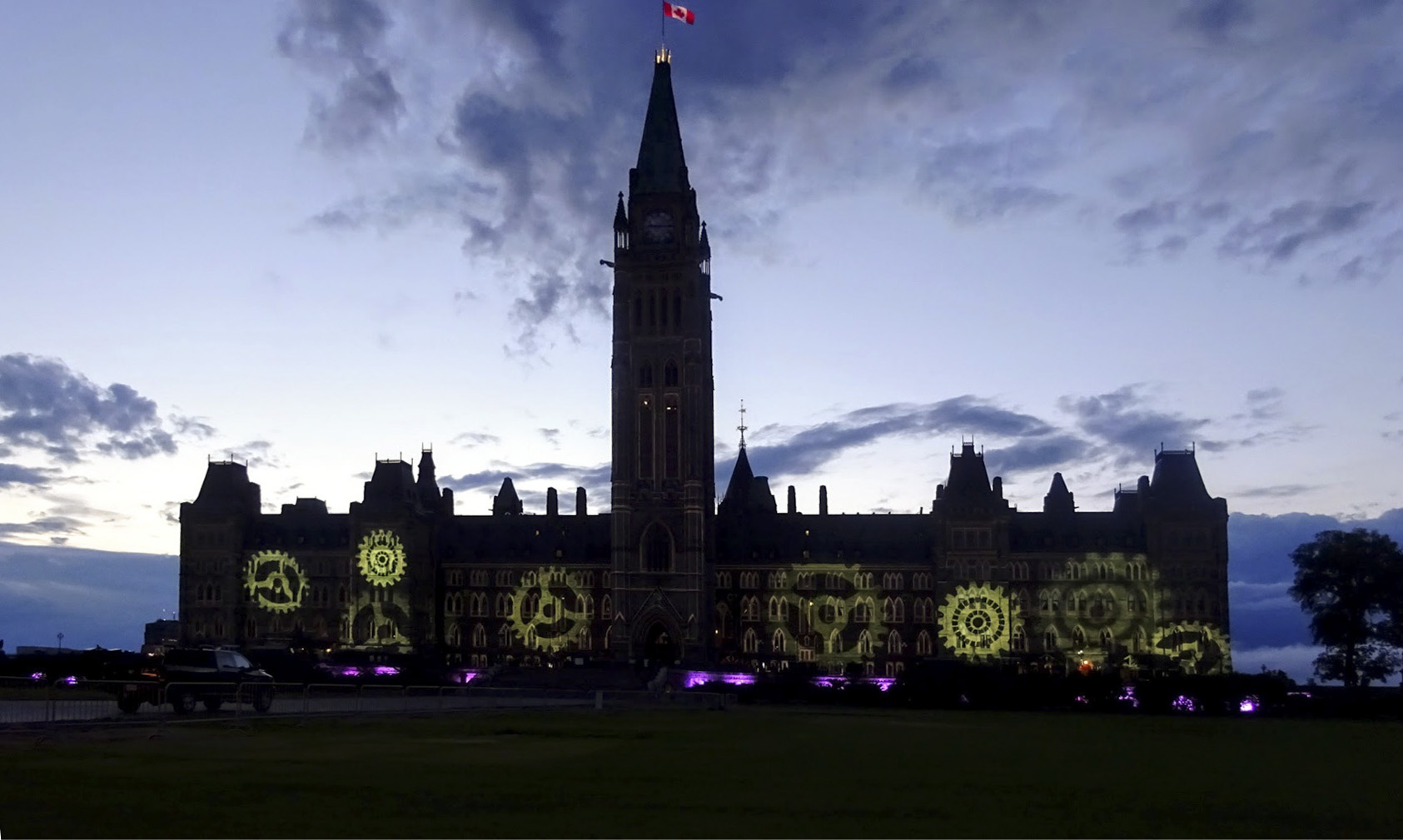
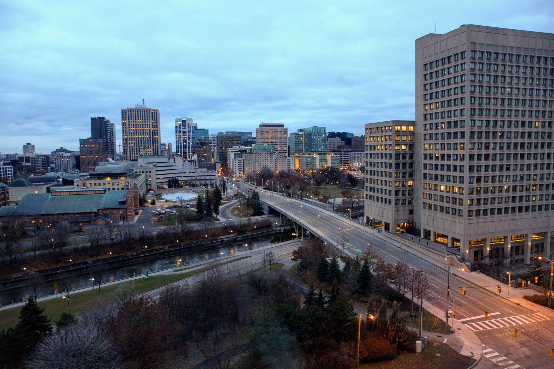
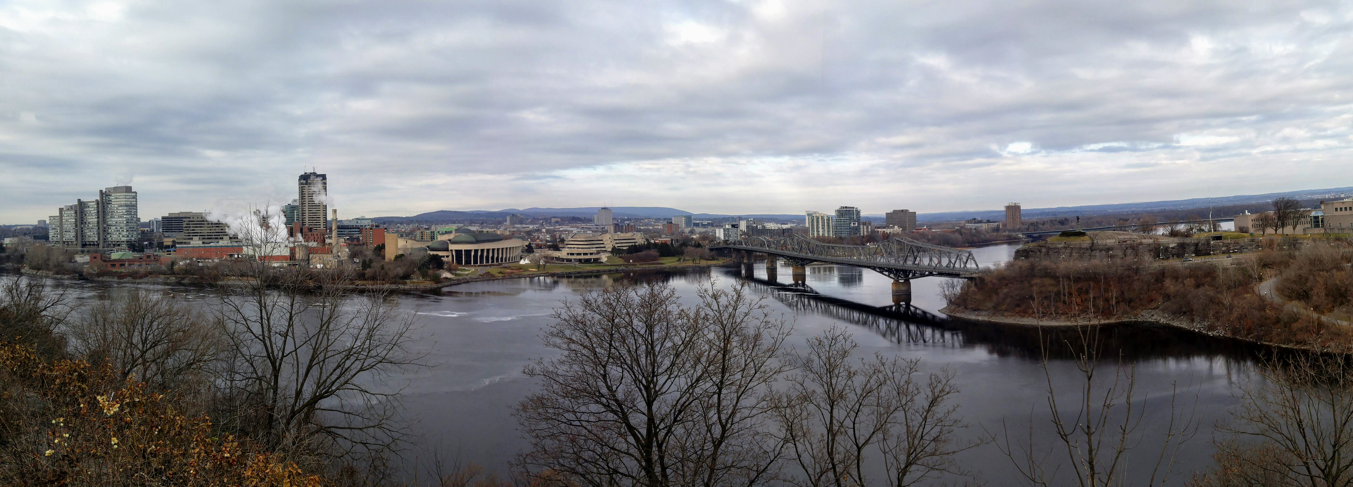
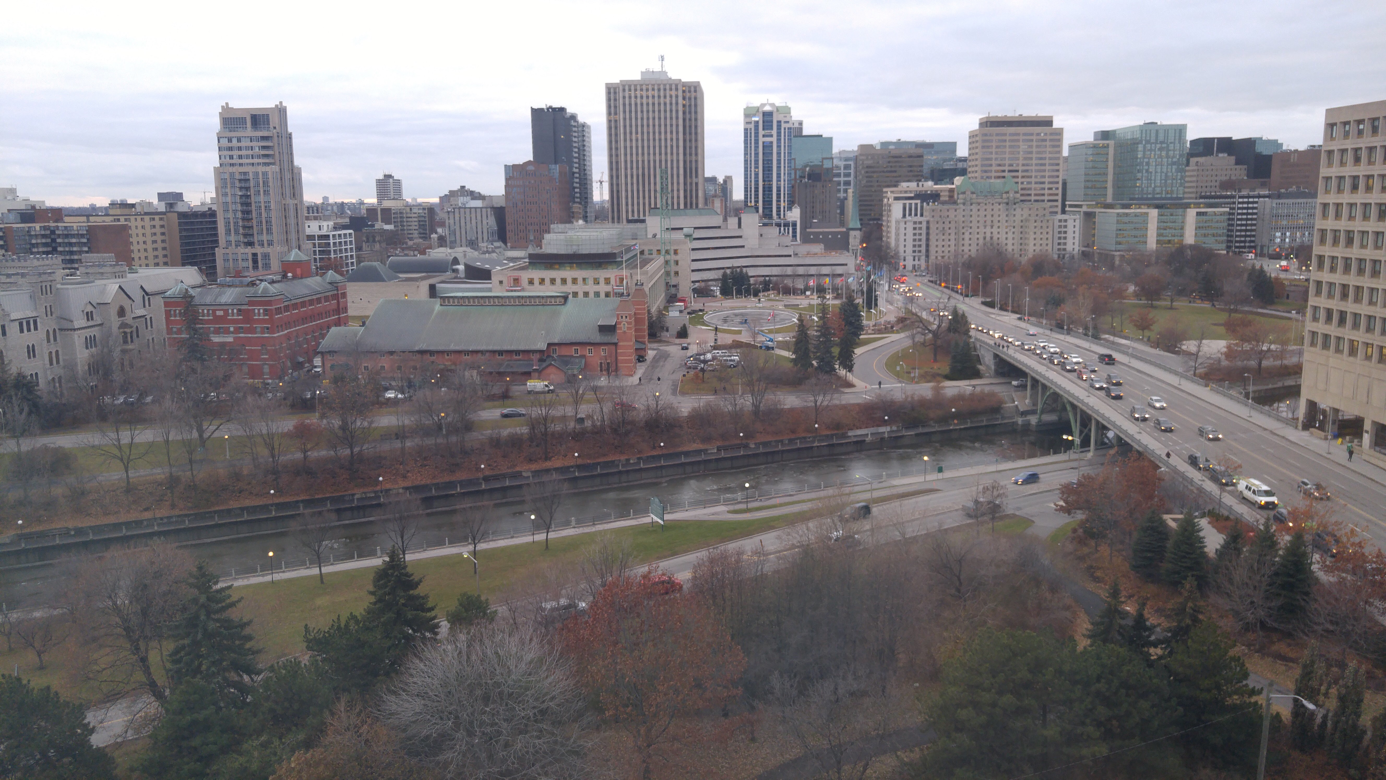
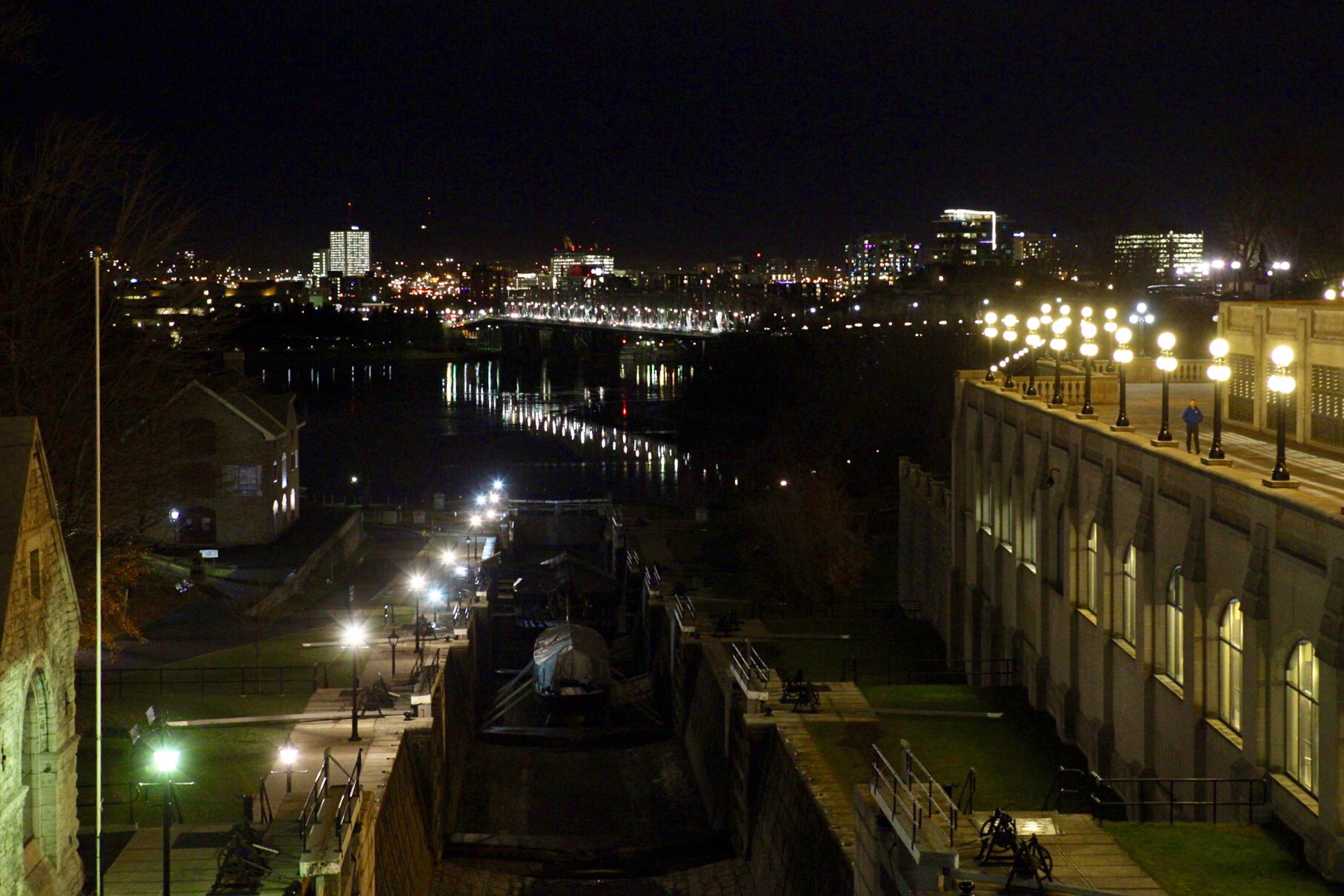
It was blue hour when we got back to the apartment so I set up my tripod and did a long exposure of the view.

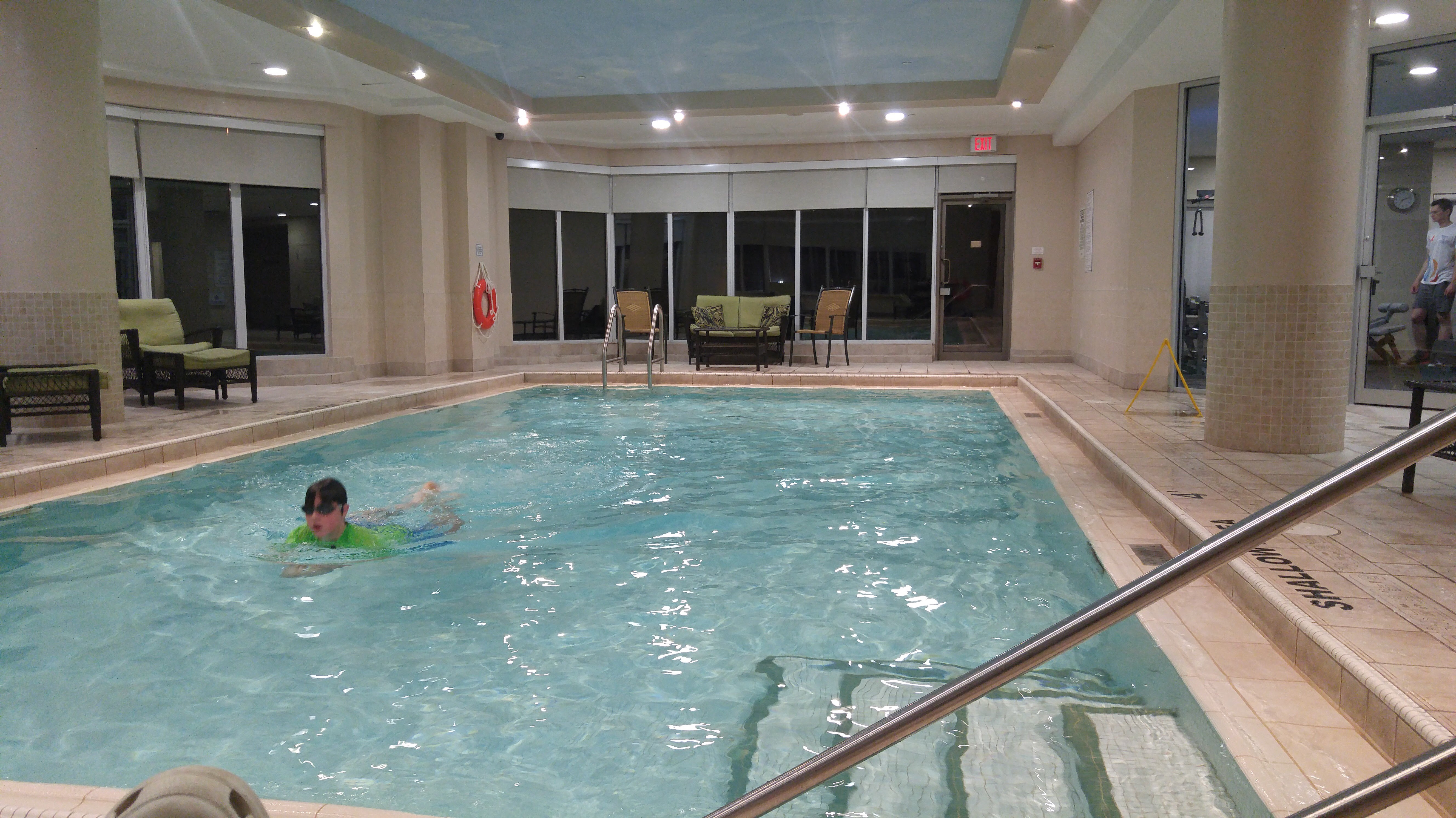
We decided to get Subway for dinner and eat in the room. It was quite cold out but I just ran out the front door of the lobby, around the corner and into the Subway, without a coat.  On our way back into the lobby, someone revealed to me that there is an unmarked door between the two and I needn’t have gone outside. I finished the day supervising Owen in the pool.  Michael and Trystan watched bad commercial television in the room.

IMG_8647 edit blog_1

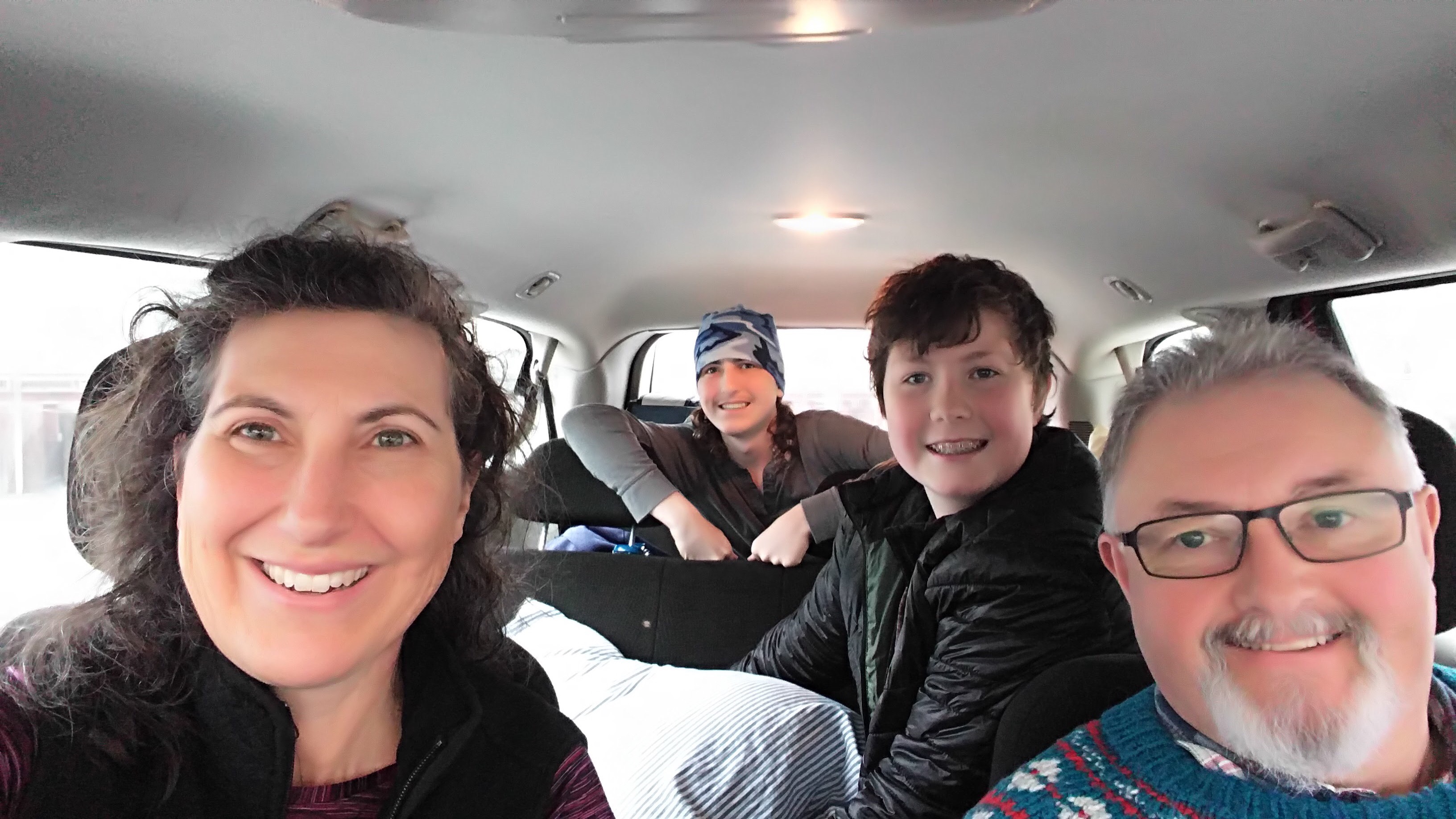
On our final morning, we packed, took our belongings to the can in the underground garage, and tidied the apartment (quick vacuum, wipe the counters/table, start the dishwasher) to avoid a cleaning charge.

We walked to Second Cup for our coffee then returned for the car.  On our way out of Ottawa we stopped at Rideau Hall, the Governor General’s residence, and while 24 Sussex Drive is under renovation, the Prime Minister’s residence in behind Rideau Hall in Rideau Cottage.  As one explores the grounds and approaches Rideau Hall there is no sense of security personnel.   It was only as I walked to the left of Rideau Hall and approached a small sign stating, “No Public Access” that a security guard, not obviously armed, stepped out of a hut and pointed out the sign.  At that point I was within a few metres of Rideau Hall and a few hundred metres of Rideau Cottage.

20171204_111750 edit blog

I like the fact that security is not obvious and overwhelming.

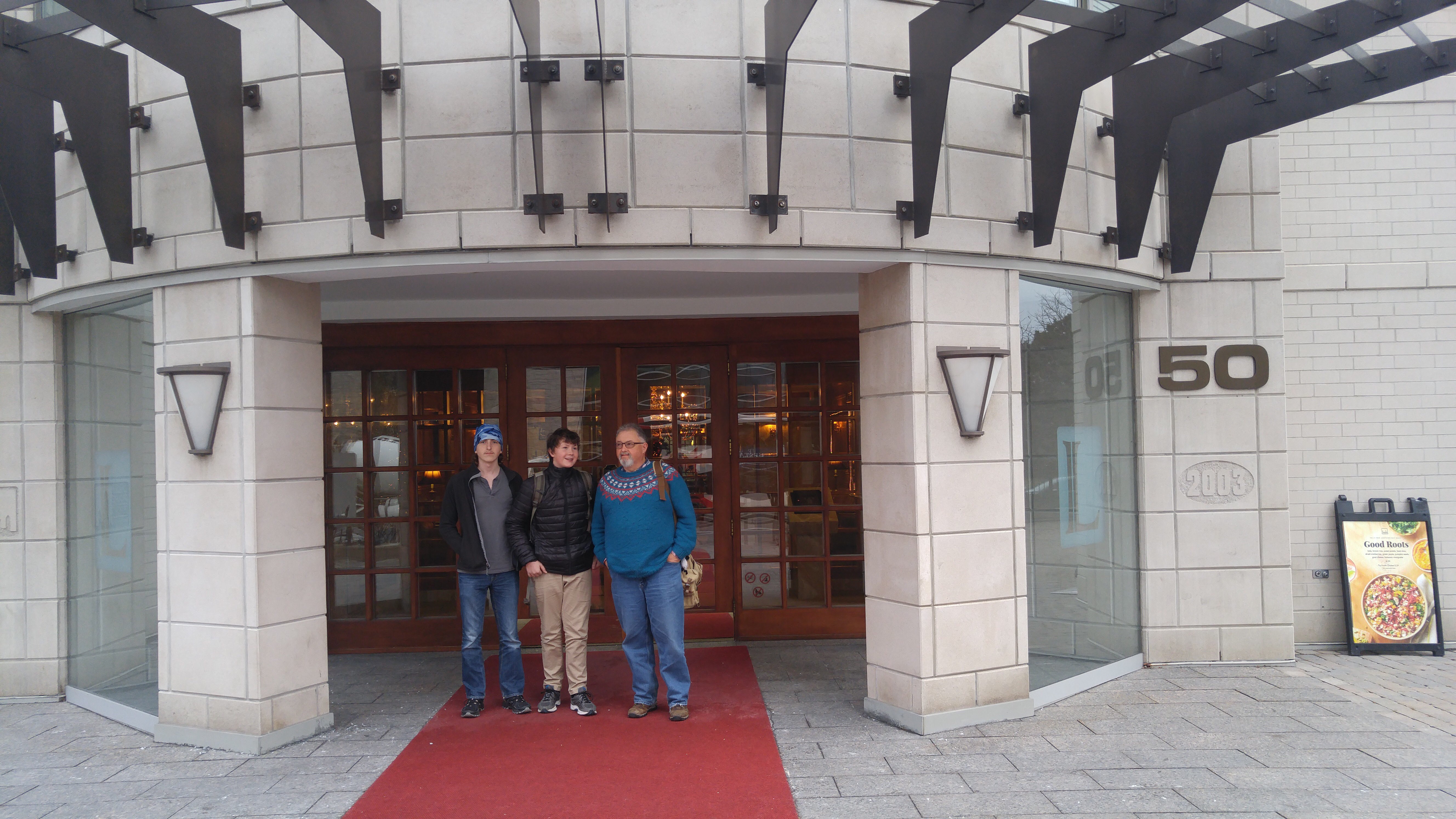
It was a delightful weekend getaway and I would definitely consider using Corporate Stay apartments in future.


Back to Ottawa – December 2

I’ve never lived in an apartment building so the occasional time I am up high I really enjoy the views. Today I watched workers at City Hall begin to lay down layers of ice on the circle at Centre-left with a fire hose like I used to do in Carabram Park.

IMG_5787.jpg


We ate breakfast in the apartment then headed over to the Parliament Visitors Centre. When we were here with Megan and Alun the line stretched down the block for the free tour tickets. Today, we walked right up to the counter and had our choice of times. We chose 1020 and then went for coffee.

We were able to see the partially constructed ice rink on the front lawn, but it doesn’t open while we are here.

IMG_5788.jpg


We took a walk around to the library and views of the Ottawa River, then went through the airport style security before assembling for our tour.

IMG_5789.jpg20171202_095533_Pano.jpgIMG_5790.jpg


We saw the House of Commons (green), Senate (red) and library on the tour.

IMG_5791.jpgIMG_5796.jpgIMG_5795.jpg


The doors to the House of Commons and senate.

IMG_5792.jpgIMG_5797.jpg


Various hallways were nicely decorated for Christmas.

IMG_5793.jpgIMG_5794.jpgIMG_5798.jpgimg_5804


Climbing up the stairs to the Peace Tower elevator affords a nice view of the ceiling of the main entrance to the Centre Block.

IMG_5799.jpg


We took the elevator up to the top of the Peace Tower and saw the Memorial Chapel for soldiers killed in combat. The views from the Tower were good. Unfortunately, it was rather overcast. The Centre Block is going to be closing for renovations that will take 10 years to complete. The West Block is having what was an outdoor courtyard covered with a glass dome to house the House of Commons, seen in the first picture below from the Peace Tower. The Senate will be moving to the old train station across from the Château Laurier. This is scheduled to happen next September, so if you’re thinking of visiting the Centre Block of the Parliament buildings, there are only 10 months left to visit before it will close for 10 years.

IMG_5801.jpg

Here’s the controversial hockey rink being built for the Canada150 Celebrations.

IMG_5802.jpgIMG_5800.jpgIMG_5803.jpg


Next we went to the currency museum. It used to be on Spark Street, quite unassuming and mainly focused on displaying banknotes and coins. It’s now called the Bank of Canada Museum and has a specially built building on Bank Street. At the moment the building seems rather overbuilt for the amount of displays they have, and has less of a focus on notes and coins, which is what interested Michael last time we visited. It was definitely worth the price of admission, though – free!

IMG_5805.jpg


After that we returned to the apartment, via Spark Street, where we found one of those name signs that seems to be becoming ubiquitous, and past City Hall.  We bought lunch downstairs and ate in the apartment. I tried Freshii, which I quite enjoyed. Michael and the kids had Subway.

IMG_5806.jpgIMG_5807.jpgIMG_5808.jpgIMG_5809.jpg

We spent the afternoon walking around exploring.  Near our apartment is a great spiral staircase from the Laurier Avenue W bridge over the Rideau Canal down to the Rideau Canal Eastern Pathway.

IMG_5810.jpg

Byward Market had a AWATTO sign.

IMG_5811.jpg

We went to see Louise Bourgeois’ giant 9.25-metre-tall spider Maman at the National Gallery, and walked around the gallery to discover some of their other outdoor pieces including one called Majestic by Canadian artist Michel de Broin which is an array of revitalized New Orleans streetlamps, uprooted by Hurricane Katrina in 2005.

IMG_5812.jpgIMG_5817.jpgIMG_5820.jpgIMG_5819.jpg

We also visited Notre-Dame Cathedral Basilica where the late afternoon sunlight through the stained glass was making rainbows on the stone columns.

IMG_5818.jpgIMG_5813.jpgIMG_5815.jpgIMG_5814.jpg

After that we walked through Byward Market to find that the wonderful Sash Gelato which we visited twice when we were in Ottawa with Megan and Alun, had closed so we just picked up a few groceries at the Metro and headed back to the apartment.

IMG_5821.jpg

We chose a nearby all you can eat (AYCE) sushi restaurant for dinner, but unfortunately didn’t want to eat all that we had ordered.  We all agreed it was the worst sushi we had ever had, possibly with the exception of an AYCE Sushi restaurant I went to in the small southern Ontario town of St. Thomas. Definitely avoid Sushi Village if you are in the area. It really only would have been worse if it had resulted in food poisoning.

20171202_191723.jpg

After our disappointing dinner, we walked back to the hotel.  Tonight only Owen braved the tepid pool.

Michael and I each had a bath to soothe our sore feet and legs.  We had left the car parked under the apartment and walked everywhere.  Ottawa is such a great city for cycling and walking.  The distances, while longer than I am used to walking at home, are quite manageable. Having said that, I get the sense that Ottawa isn’t quite as Active Transportation (AT) friendly in the winter as the summer.  Many paths and staircases were blocked.  I assume the city doesn’t want to spend the money shovelling snow and ice.  We saw many signs like this.

20171204_104832.jpg

There were far more bikes parked in the garage under our apartment than cars and many empty car parking spots. The picture below shows only one of more than half a dozen bike parking areas.

20171204_094243.jpg20171204_094714.jpg


Back to Ottawa – Transit vs Car

In July, I took the train to Ottawa.  It was my first time on VIA Rail. I enjoyed it immensely. Michael and I drove to David and Dayle’s house to pick them up, then onto Rani’s.  Rani drove us downtown to Union Station and her brother, who lives downtown, drove  the car home for her. We left home at 10:45 and arrived at our residence in Ottawa at 6:20 for a total travel time of 7:35. We could have shaved off about half an hour, but then we might have run the chance of missing the train. It cost me $68 (not including the cost of the car portions of the trip) one way.

When I began planning this family trip I looked into taking the train, but it turned out to be much more costly and time consuming than driving.

We would have had to take Brampton Transit ($22.80, four people, two ways, Presto cards), GO Train (Family Pass 2x$35), Via Rail ($786.48) and Ottawa Transit ($26.80, four people, two ways, Presto cards).

Via Rail for family of 4

The direct costs of taking our car included gas ($110), tolls ($58) and parking for 3 nights ($33).

Using the CAA Driving Costs Calculator ** for my minivan I determined that a fully loaded rate, including insurance, repairs, gas and depreciation is $0.58 per kilometre.

Transit v driving

*Taking the car allowed us to take a side trip to Brockville to see Canada’s first train tunnel which is newly reopened as a cycling and pedestrian attraction and is included in the total trip time of 6.5 hours.

Driving was a no-brainer, even for someone like me that tries to minimize my driving and even though we did not drive the entire time we were in Ottawa. It took less time, gave us more flexibility for sightseeing on travel days, and cost dramatically less money.

I imagine, but did not investigate, that even had we rented a car and paid for insurance, it would have cost less than taking transit.

If one considers only the direct costs of driving it would have been cheaper to drive even if only one person was in the car! And for two people it is essentially a wash between fully costed driving and transit.

Even if we had paid a $0.29 per kilometre toll (the amount paid on the provincial portion of the 407 and 412) for the entire trip (964km*$0.29), it would have only added just over an additional $200 to our driving costs.

Unless the cost of driving is deliberately and dramatically increased, how can we hope to motivate enough people to stop driving to make a difference to congestion and greenhouse gas emissions?


Back to Ottawa – December 1

We decided to take Trystan and Owen to Ottawa for a long weekend. Owen has never been before. Trystan visited on a Grade 7 school trip. Michael and I took Megan and Alun to Ottawa in August 2016. Before that we had not visited Ottawa together for 18 years, although we have each been here on our own – Michael for business and I, with friends, for numerous bike trips, including one this July which saw me pedalling my bike back to Brampton over six days. You can read about that starting here. There are ten posts in all.

We arose at the usual time, leaving the house about 8:20, which meant the 401 was jammed, so we decided to take the 407, including the new, cheaper, provincially owned eastern end, and the 412, also a new provincial toll road which connects the 407 and 401. The charge, at the time of day we were travelling, was $0.42 per kilometre for the private section and $0.29, for the provincial section. It saved us about 45 minutes but cost an astounding $29! Of course, this probably represents a more realistic road use cost than Canadian drivers are accustomed to, but even for someone who understands that, it seems expensive. Perhaps all trips should be tolled. I think that would lead to a lot less driving. The picture below is on the 412 approaching the 401. It was clear sailing the whole time in the tolled roads.20171201_091845-1

Even once we joined the 401 traffic remained light. Michael drove until the Mallorytown OnRoute Service Centre, where we had lunch. When I cycled home from Ottawa, it took me three and a half days, rather than 3.5 hours between Mallorytown and Brampton.20171201_121618(1)-1

After lunch, I took over the driving. Not long after leaving the service station I saw a sign for Brockville and remembered that they have just reopened Canada’s first railway tunnel as a music and coloured-light filled walking and cycling experience so we decided to detour since our check in time was not until 4pm. It was a great experience and I recommend it to anyone passing Brockville. Brockville has an extensive downtown, much bigger and more vibrant than Brampton’s, despite having less than 4% of Brampton’s population. Next time we would eat in Brockville, rather than at the service centre.img_5761-1img_5763-1img_5762-1img_5766-1img_5764-1img_5765-1img_5767-1img_5768-1img_5769-1

We arrived at 50 Laurier E just after 3pm, but they were able to show us to our apartment after a short delay. We had a 2 bedroom, 2 bathroom apartment with kitchen and living room on the edge of the University of Ottawa for about the same price as a hotel room. It’s central and has great views. I would highly recommend it.20171201_151251-1

There is construction right outside our hotel for the tunnel for the Confederation Line LRT to get under the canal.20171201_151409-120171201_151528-120171201_151608-120171201_154023-1

The dishes in the apartment are appropriately named.20171201_155242-1

We got settled in then headed to the Rideau Centre where we found coffee at Nordstrom’s.img_5770-1img_5771-1

We then walked to Parliament, passing over the first lock of the Rideau Canal, where we caught the Sound and Music show. It wasn’t as good as the one we saw with Megan and Alun, but was still worth seeing.img_5773-1

The canal has been lowered in preparation for skating, but isn’t frozen yet.img_5772-1

Apparently, the Stanley Cup is 100 years old. We passed by a giant replica of it on Spark Street, which is still the saddest pedestrianized street I have ever encountered. It wasn’t until I was looking at my picture later on that I realized that the “bench” is a hockey puck.img_5774-1

After a rest in the room we went to Dunn’s Deli on Elgin Street for dinner. Michael buys the Dunn’s Montreal Smoked Meat at Costco and wanted to try the restaurant experience. Apparently, it was much better.20171201_184203-120171201_184136-1

We finished the day with a visit to the pool and sauna. The pool was a bit cold so I just soaked my feet, but Owen, Trystan and Michael all went in for a while.20171203_191221


#OttawaBramptonOdysseyCycle – Stats Summary

I thought it would be fun to summarize the riding days from Ottawa to Brampton.

Ottawa-Brampton Stats

Also, here is the complete list of blogs for the trip:

Prep Day – https://wp.me/p4TEzX-OE

Travel Day – Train Travel Day to Ottawa – https://wp.me/p4TEzX-OK

Ottawa Day 1 – Meeting and Tour Day – Ottawa – https://wp.me/p4TEzX-Pl

Ottawa Day 2 – Retail Therapy, Carbo Loading and Shenanigans – https://wp.me/p4TEzX-PM

Ride Day 1 – Ottawa to Merrickville – https://wp.me/p4TEzX-Q4

Ride Day 2 – Merrickville to Kingston – https://wp.me/p4TEzX-Qz

Ride Day 3 – Kingston to Belleville – A Day of Contrasts – https://wp.me/p4TEzX-R4

Ride Day 4 – Belleville to Port Hope – Headwinds – https://wp.me/p4TEzX-R5

Ride Day 5 – Port Hope to Ajax With an Escort – https://wp.me/p4TEzX-SP

Ride Day 6 – Ajax to Brampton – Final Day – https://wp.me/p4TEzX-Wm