This year I had four cycling goals.
- Ride the 120 km route in the Tour de Mississauga
- Ride 100km each day for two consecutive days
- Ride 3000 km
- Ride further than my friend Kevin
The first three were the same as last year and I achieved numbers 1 and 3. I thought it would be funny to add the fourth goal since Kevin beat me by only 14km last year. On Strava, when you look at your friends profile you see a side by side comparison of your achievements.
I have now achieved the first three goals and will likely achieve the last but can’t say for sure until the end of the year.
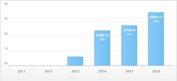
Here is a chart of my annual distances.
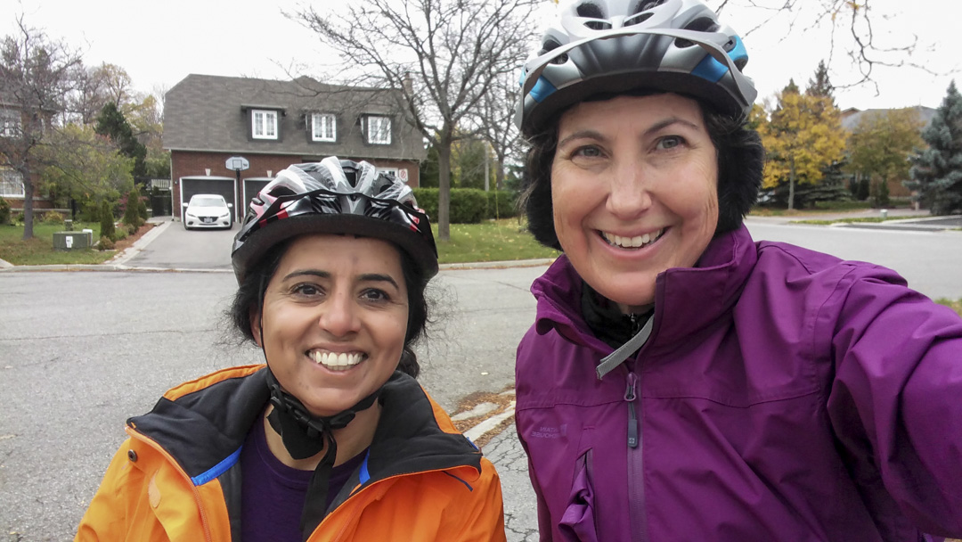
I really didn’t think I was going to achieve the second goal, but I challenged my friend Rani to join me and she was up to the task. I also spread the word of the plan to my BikeBrampton friends (who might, along with me, cycle from Ottawa to Brampton next summer) and five others joined us.
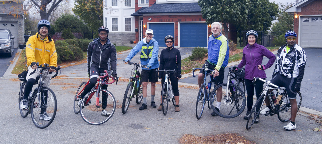
It was a beautiful day for a ride – overcast, but dry, and warm for the last weekend in October.
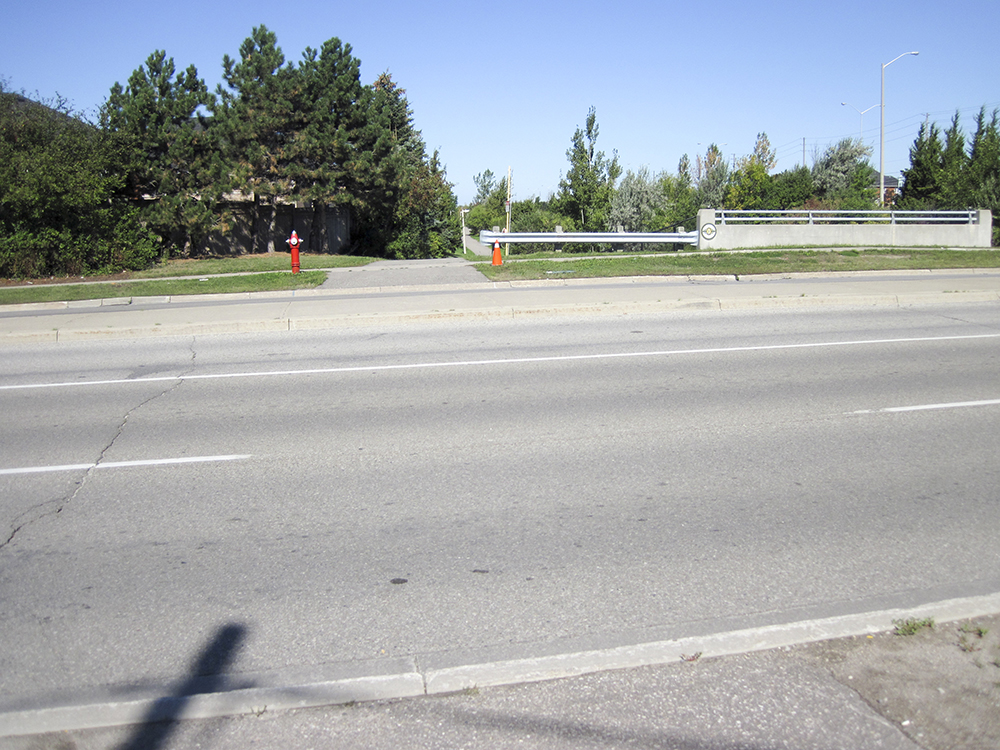
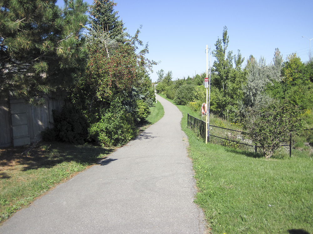
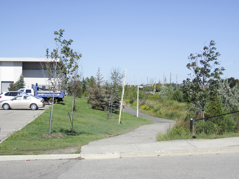
I planned two routes, starting at my house, each 100km. On Saturday, we cycled to Dineen, a coffee shop on Yonge Street in Toronto, recommended by Rani, via the Humber Trail (also know as the PanAm Path after the 2015 Toronto PamAm games) and The Waterfront Trail. On Sunday, the plan was to stick closer to home in Brampton and Caledon in case we couldn’t complete the 100km.
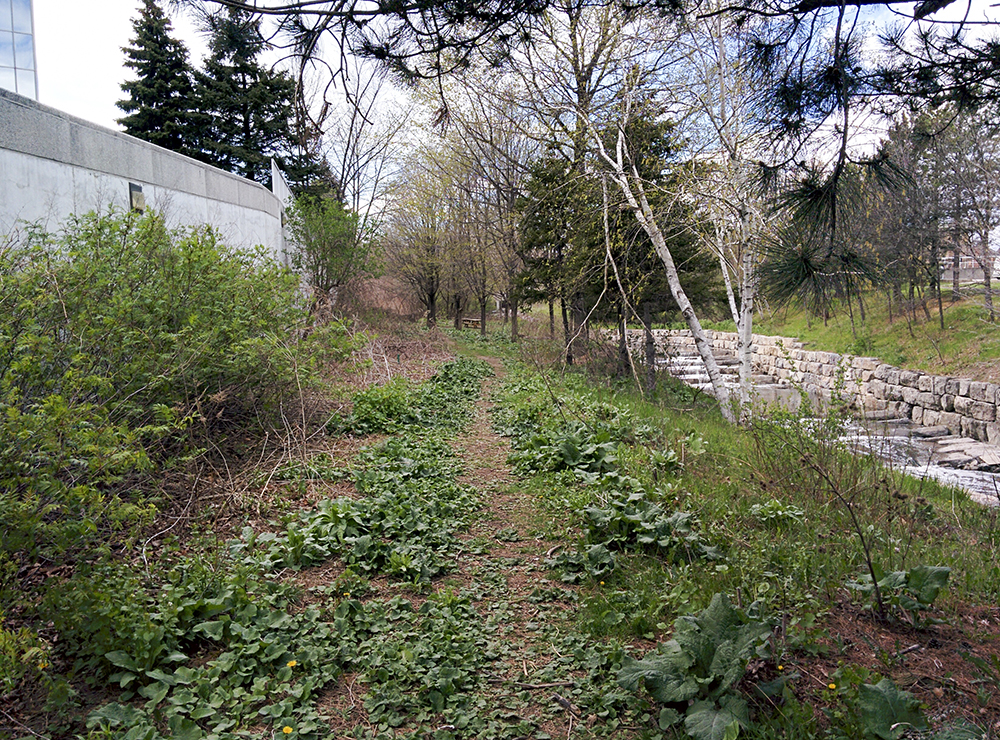
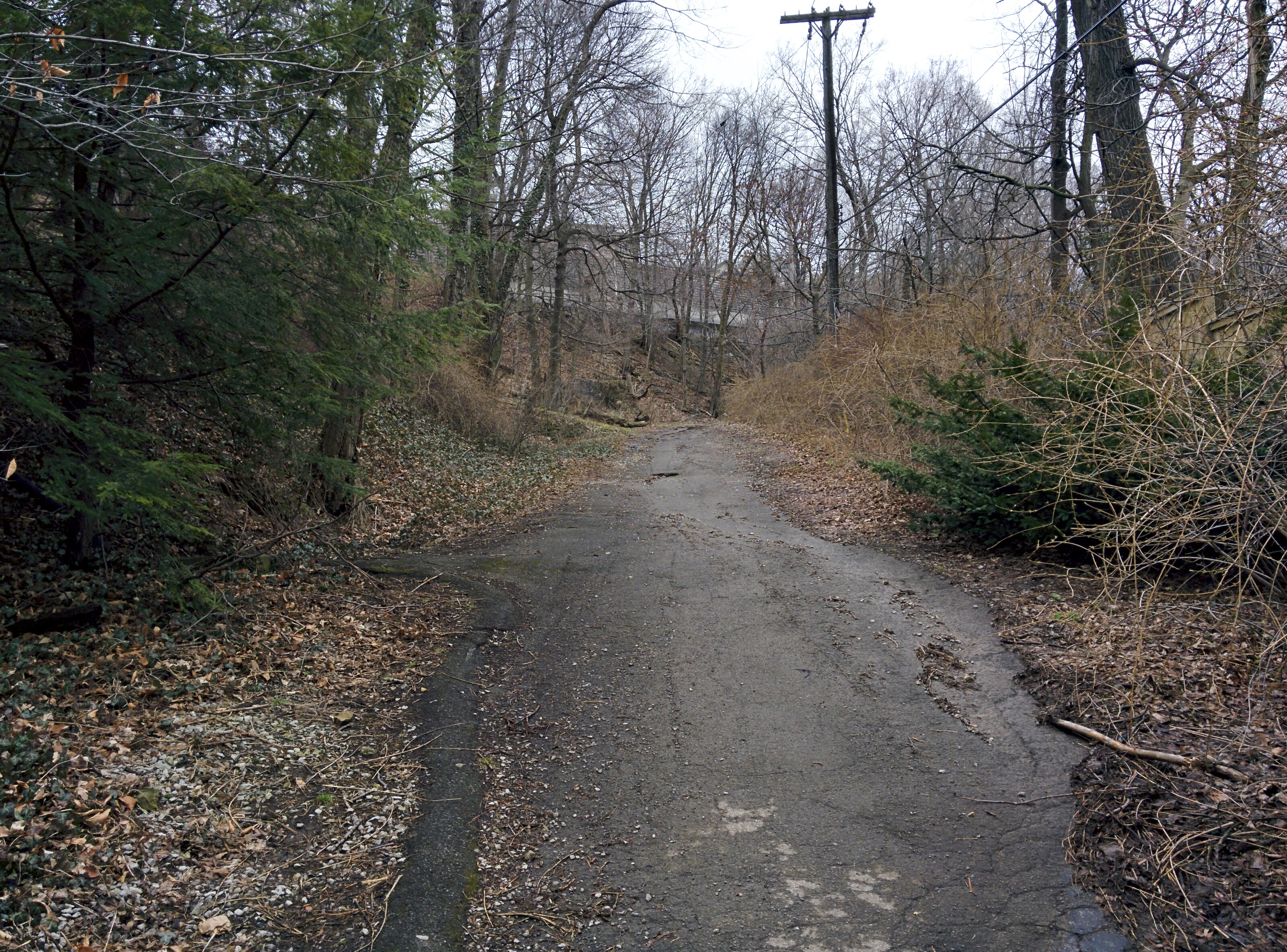
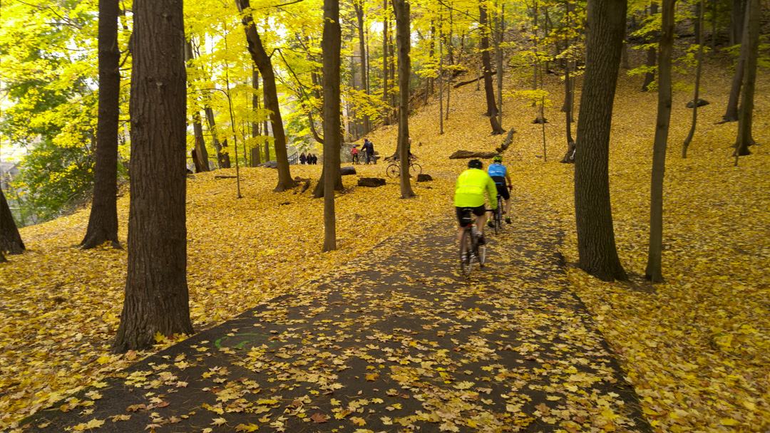
We left half an hour late at 8:30 on Saturday. One section of the Humber Trail, just north of a large train trestle and the Old Mill was in glorious autumn colours.
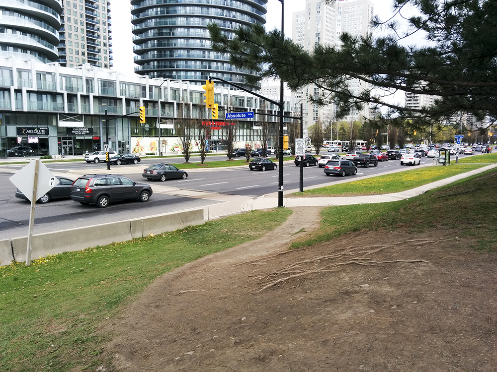
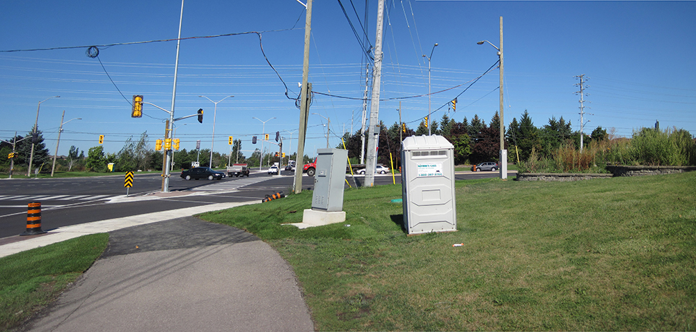
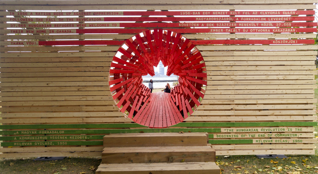
On the Waterfront, we found an unlocked public washroom, having passed two or three that were locked and this nearby public art commemorating the 60th anniversary of the 1956 Hungarian Revolution.
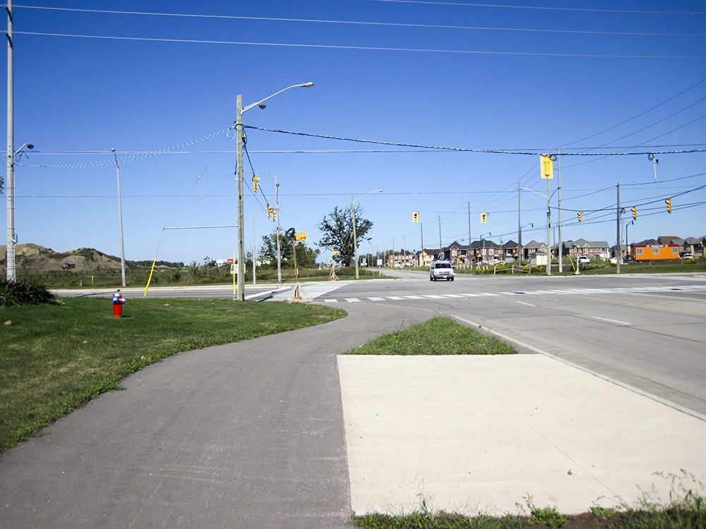
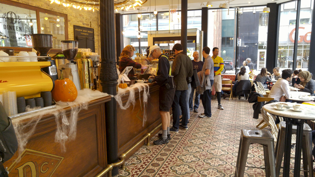
We cycled on on-street cycling infrastructure for a few kilometres after leaving the waterfront and arrived hungry and happy at our destination. We decided we needed more than coffee so grabbed lunch and followed up with the promised amazing cappuccino and cookies. It was warm enough to sit outside for our coffee.
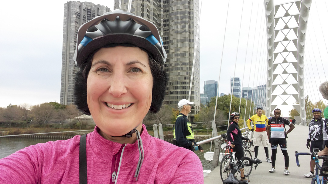
I always enjoy crossing the Humber Bay bridge which is only for non-motorized use.
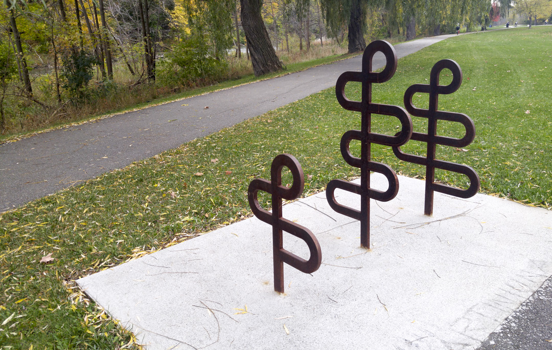
The great bike racks using the PanAm games symbol appeared regularly along the trail.
Nearing the end of the trail we realized we had left David behind. We stopped and waited about 15 minutes, but everyone was getting cold and stiff, so when he didn’t show up we reluctantly cycled on.
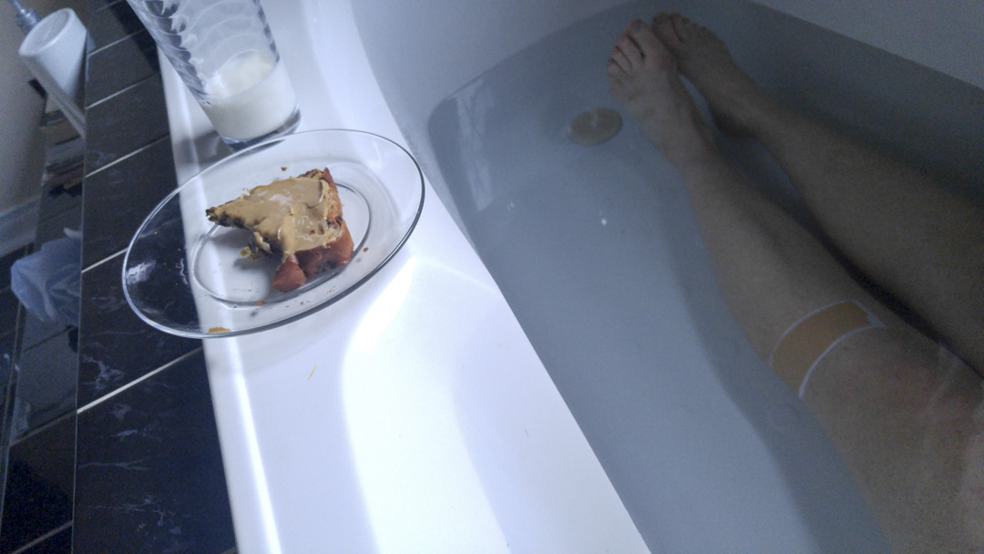
We had a stiff headwind once we left the trail and we were shocked to find David ahead of at Castlemore. Turns out he took a shortcut, but still managed the longest distance of the day since he cycled from home to my house while others drove their cars. People scattered, without committing to a second day riding, other than Rani, and I retired to a cold bath for tired legs with milk and peanut butter raisin toast.
The weather dawned cold and wet on Sunday morning. I really wanted to stay in bed and so did Rani, but we were each to proud and stubborn to call off the ride. Rani drove to my house again and the two of us set off. While it wasn’t raining when we left, it soon was, and the temperature was in the single digits. We met David and Dayle 20 kilometres into the ride. David came out to tell us he wasn’t going to be able to ride a second day, but Dayle joined us for 30km.
We took our first break at Starbucks where Dave joined us. Dave came out to Brampton Critical Mass on Friday night (I usually attend, but decided to save my legs for the rest of the weekend) and heard about the planned rides. Unfortunately, he was given the wrong start time and missed us by over an hour. He was a trooper and still cycled some of the route, but we didn’t see him on Saturday.
When he saw we were at Starbucks, near his house, he jumped on his bike and joined us for 13km before heading home.
Dayle left us at the same place as Dave and Rani and I carried on to Bolton where we had lunch at McDonalds. It stopped raining, but was cold and very windy. We had a section after lunch of 7km north into a headwind of 40-50kph. It was one of the hardest sections I have ever done. Thanks to Rani for taking the lead and letting me draft the whole way. You were amazing.
We arrived home, exhausted, but exhilarated and still smiling. We actually made better time on our second day and had a slightly higher average speed. I was too cold to endure a cold bath, but sat in a hot one for over an hour.
As of this writing on Tuesday night I have pretty much recovered and looked forward to our next group ride to Schomberg on Sunday.
Ride statistics:
- Saturday
- Length: 100.3 km
- Ascents: 218 m
- Riding Time: 5:33:16
- Elapsed Time: 7:40:49
- Average Speed: 18.1 kph
- Top Speed: 59.8 kph
- Sunday
- Length: 101.3 km
- Ascents: 244 m
- Riding Time 5:19:54
- Elapsed Time: 8:07:019
- Average Speed: 19.0 kph
- Top Speed: 55.1 kph