Cindy and I enjoyed the P’Tit Train du Nord and The Laurentians so much last year that we decided to go again. We booked four nights at Lac Morency, where Cindy can use her timeshare credits, and arranged to stop for two nights, en route, in Cornwall, with my cousin Laurie, and her husband Bruce. Laurie has been following my cycling trips blogs since we cycled home from Ottawa in 2017. Shortly after I arrived back home that year a letter arrived from Laurie with a newspaper clipping about cycling in Ottawa and an invitation to use her spare bedroom if I wanted to cycle in their area. It took me five years to take her up on the offer.
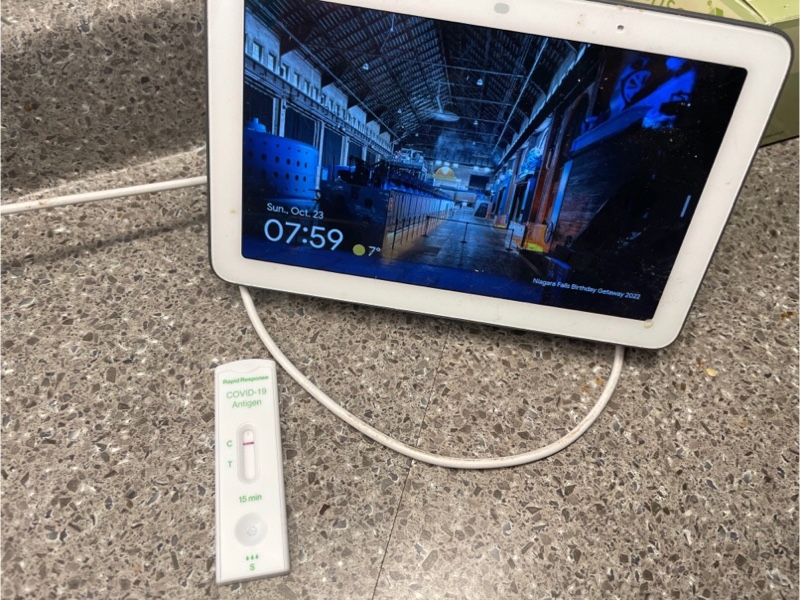
Our day started with a Covid test since we wanted to make sure we didn’t make our hosts sick.
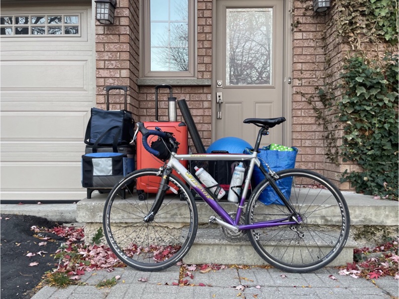
I was able to take my road bike, rather than my cross bike, since we were doing only day trips, and I didn’t need to be able to carry my belongings in panniers. We brought groceries from home, lots of different weather clothing options ranging from summer to winter gear. I also brought my fitness ball and half foam roller for stretching out at the end of the day after the rides.
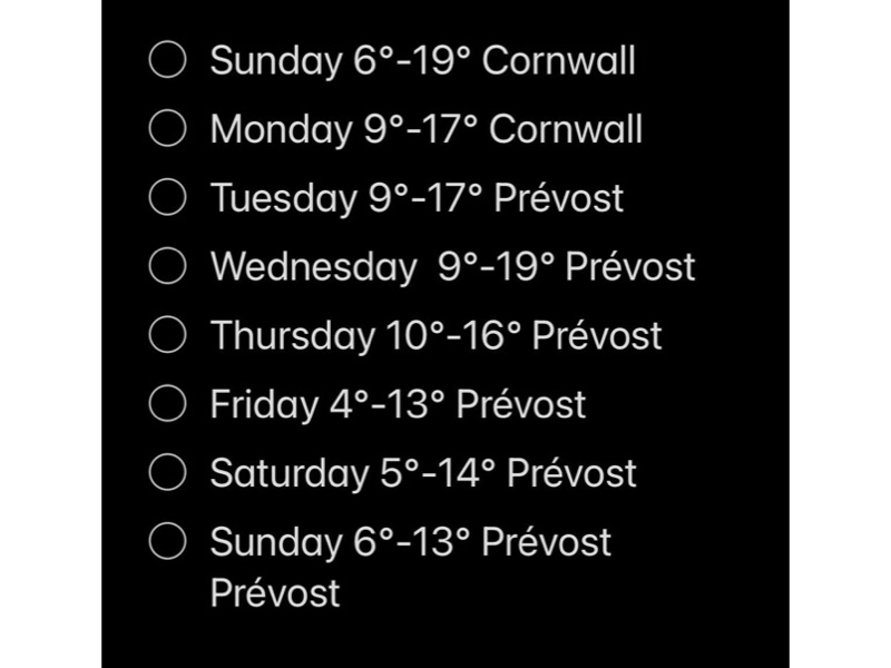
Last year we brought clothing for fall weather and regretted that we had no winter clothing. Even though the long-term forecast for the week was lovely and much warmer than last year we still brought our winter clothing.
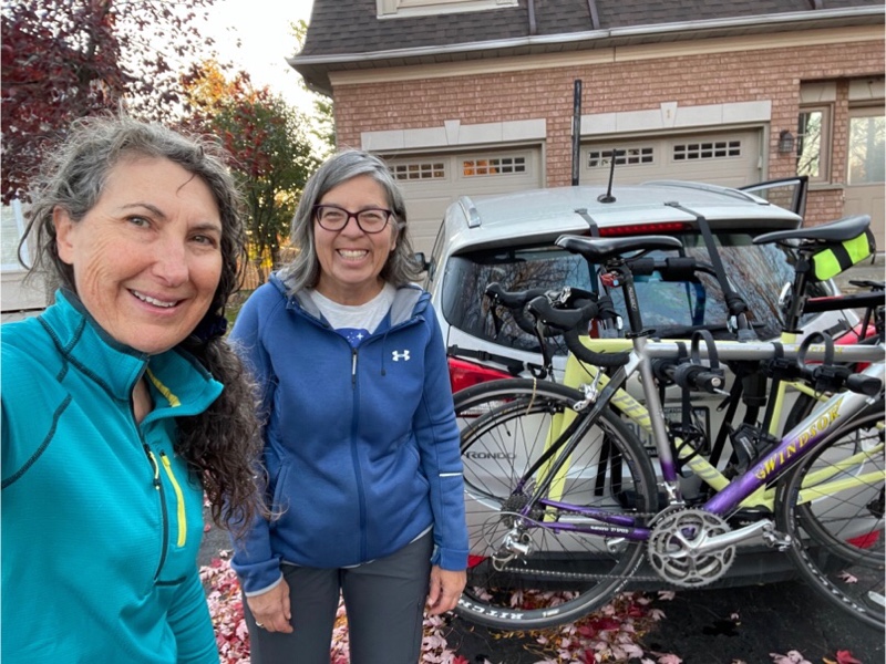
Cindy was driving a different car this year with a clip on bike carrier, rather than one on a hitch like last year. Prior to the trip we did a test drive to Orangeville to ride and see how the carrier worked out. It was easy to use and we had no issues with it other than slightly tightening two straps.
We drove 430km to Upper Canada Village, stopping only for gas, bathrooms, and to change drivers. The plan was to ride a 20km section of the waterfront trail turning around in Long Sault at the Tim Hortons, and riding back to the car, then continuing to drive the final 30km to Cornwall.
The St. Lawrence Seaway is a system of locks, canals, and channels that allow ships to travel from the Atlantic ocean through the Great Lakes, as far inland as Duluth, Minnesota. The Seaway was constructed between 1954 and 1958.
Due to the construction of the Seaway and The Moses-Saunders Powerdam, 10 communities were be permanently submerged. These are known as the Lost Villages. Families and businesses in the affected communities were moved to the new planned communities of Long Sault and Ingleside.
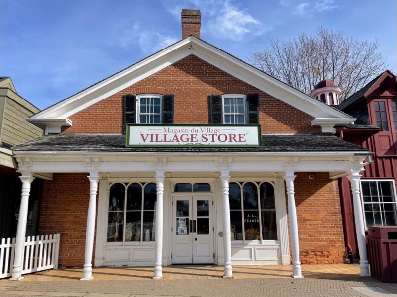
The name in the window of the village store is A. L. Feader. My paternal great grandfather was Myles Feader. So I emailed my dad and asked him if there was a family connection. He vaguely recalls that there might be an Austin Feader. He told me that my great grandfather was born in Iroquois in an old stone house that survived the flooding of the Seaway.
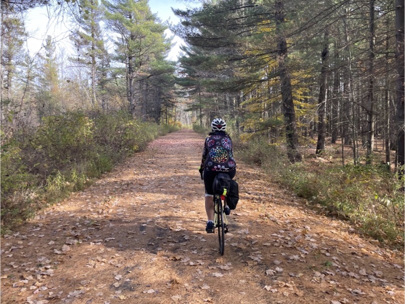
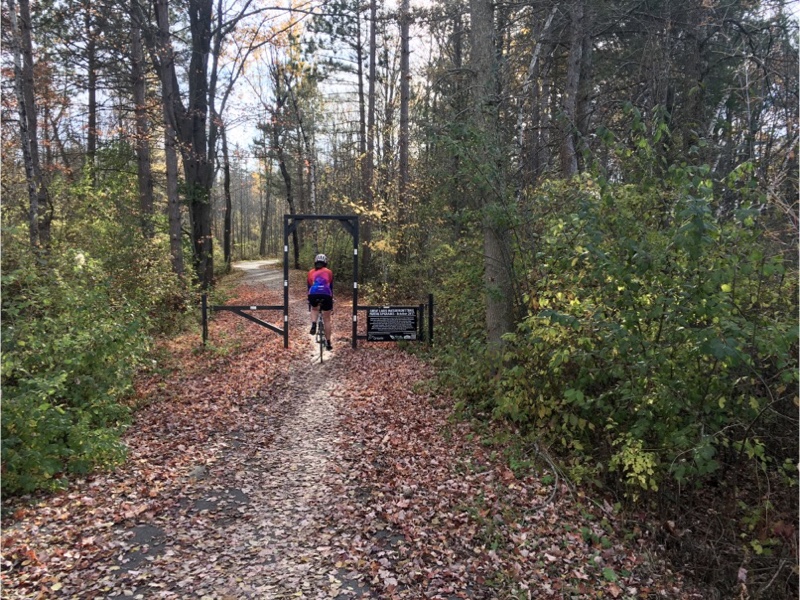
The first part of our ride was along the waterfront and through woods on a paved trail for walking and cycling, and is part of the Waterfront Trail.
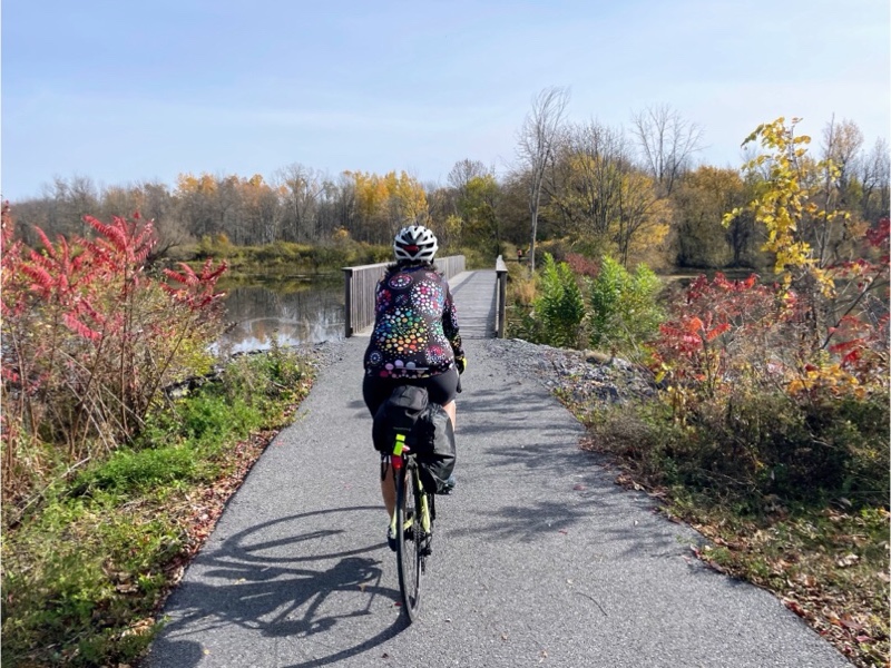
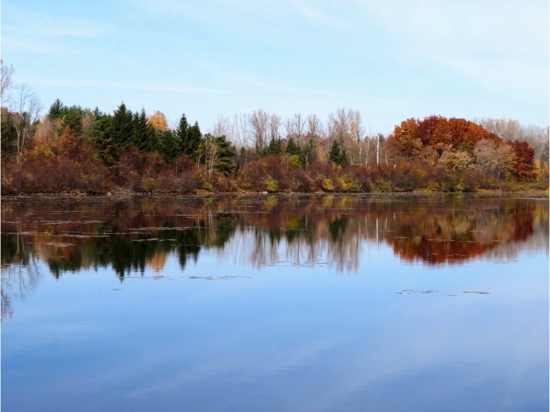
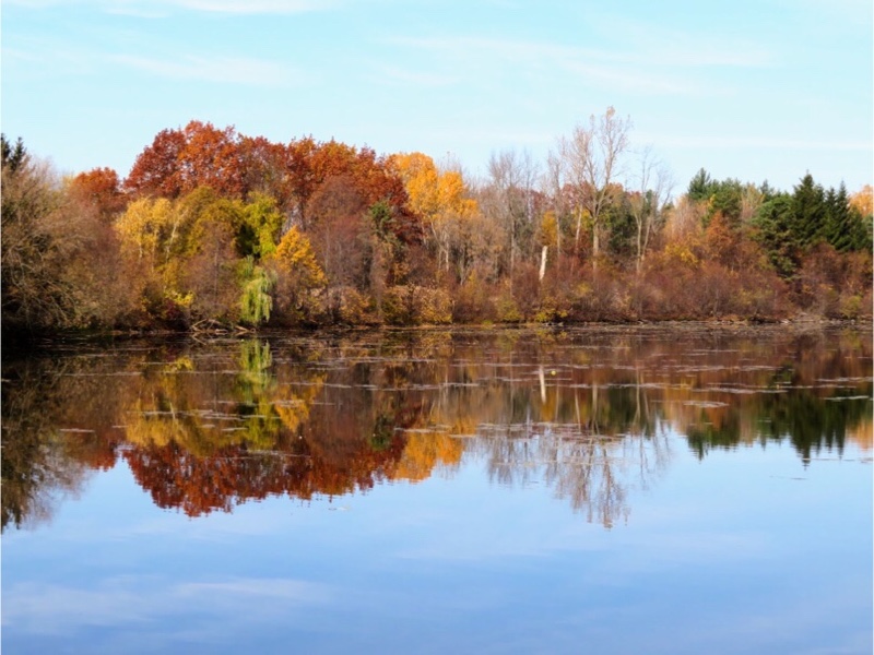
The last of the fall colours were still showing and we saw some beautiful reflections.
In places it was difficult to tell that the trail was paved due to all the needles and leaves on the path.
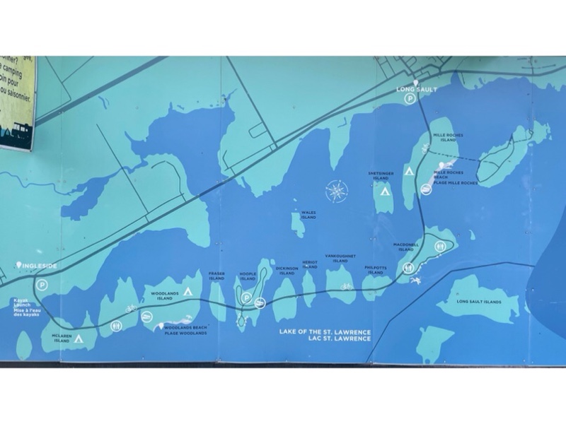
When we reached Ingleside there was an disused gatehouse with a map of the Parkway and islands. Long Sault Parkway is a series of low bridges connecting the high points of the land that remained above water after the flooding. The are at three campgrounds on the islands, but not much else.
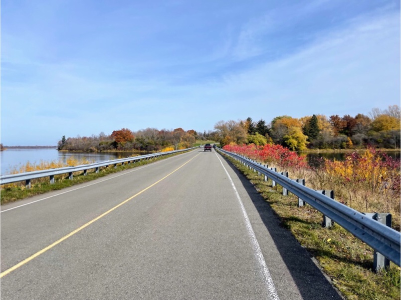
The Waterfront Trail follows Long Sault Parkway which has a 55kph speed limit. There are paved shoulders for cyclists. The cars that passed us seemed to be strictly observing the limit which surprised me, but Cindy pointed out that they were also sightseeing so would logically keep their speed down. Anyone just wanting to just drive from Ingleside to Long Sault would use Highway 2 which is more direct.
I had initially planned our route back along Highway 2, but we decided to go back along the Parkway to see it in the other direction and then drive Highway 2 to Cornwall.
There is a matching gate house at the Long Sault Ended up the parkway.
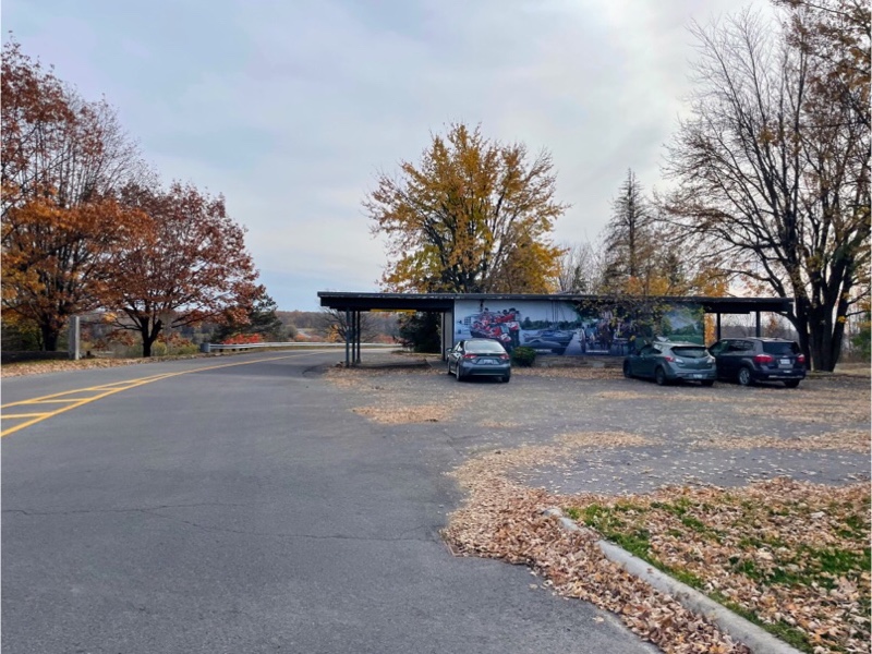
Along the Waterfront Trail there are gates at each roadway crossing.
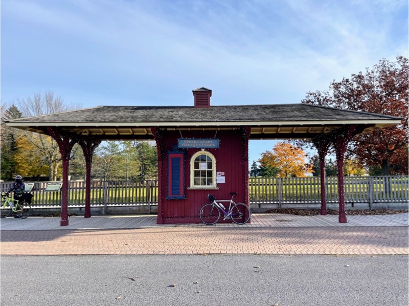
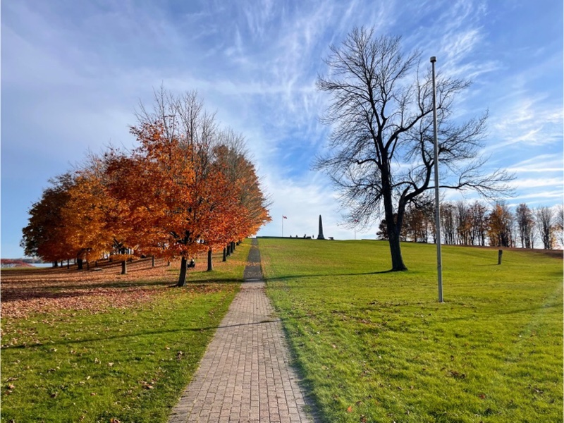
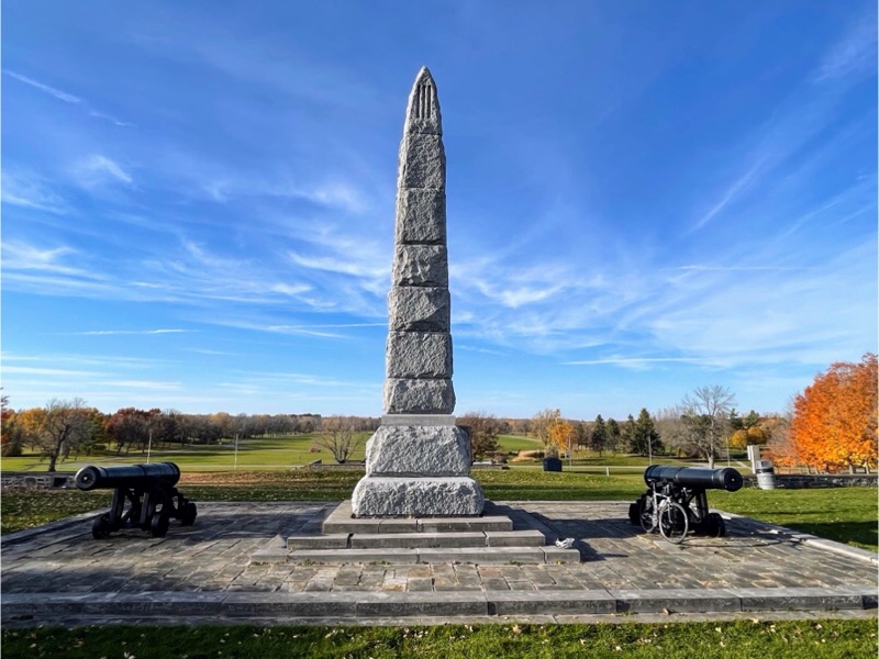
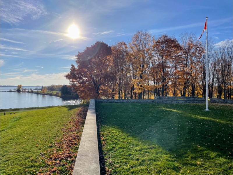
Back at Upper Canada Village we had a look at the little train station and then toured around the war of 1812 memorial.
One of the decisive battles of the war of 1812 was fought here and is known as the Battle of Chrysler‘s Farm. 800 British and Canadian troops engaged an American force of 4000 and after two hours of heavy fighting routed the enemy. The victory ended a major American thrust at Montreal. This reverse, along with the defeat of another invading army at Châteauguay, saved Canada from conquest in 1813.
The St Lawrence River is the dividing line between Canada and the US here and the two countries are less than 2 km apart at this point.
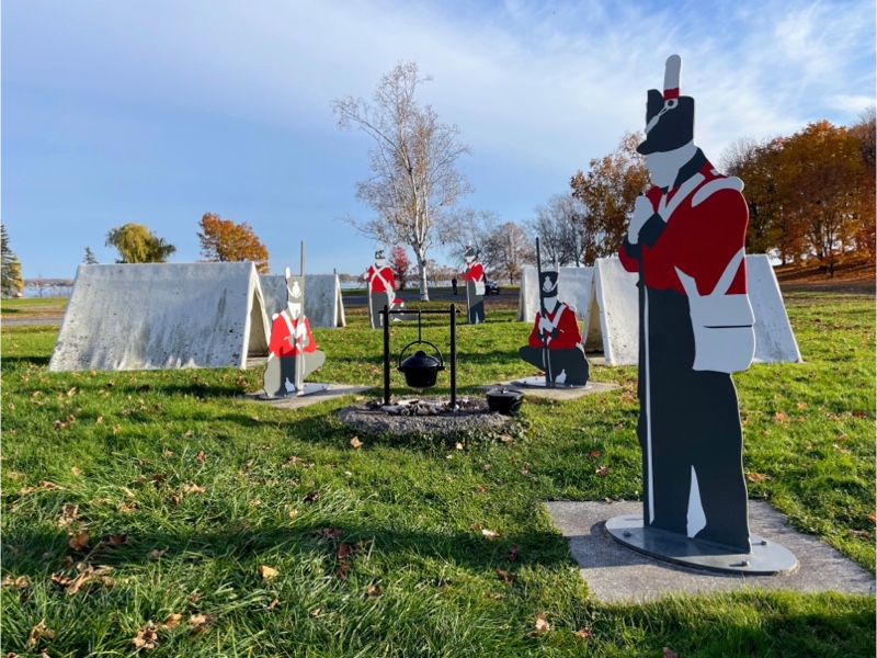
There was a display made of fibreglass showing what the campsite for soldiers would have looked like on Chrysler‘s farm.
We were unable to visit the actual village of buildings at Upper Canada as the site was closed for the season, or so we thought. We later learned that the site opens in the evenings for Pumpkinferno and we booked tickets for the next night as it was highly recommended by Laurie and Bruce.
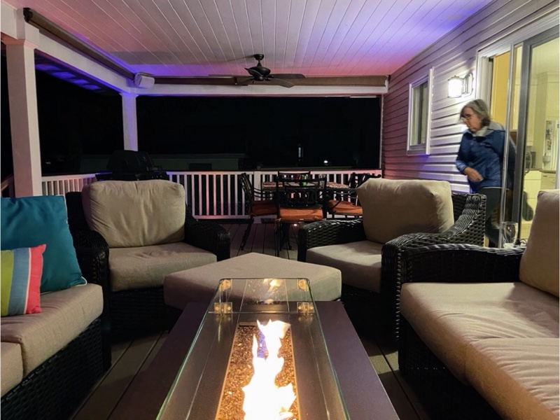
The weather was so beautiful that I wore cycling shorts. And we were able to eat dinner on Laurie and Bruce’s beautiful covered deck and spend the whole evening until bedtime visiting out there. We did get chilled towards the end of the evening, even sitting under Laurie’s beautiful quilts, but it was still lovely to sit out so late in October.
Discover more from Lisa Stokes
Subscribe to get the latest posts sent to your email.
One thought on “Cornwall and Lac Morency – Day 1”