Foggy Fall Thanksgiving Ride

I awoke just before 8am and the bedroom was still quite dark.  I peeked outside fearing that I would see rain, but the ground was dry, and the view foggy. Rani had planned a Thanksgiving day ride today, with a choice of meeting spots – Gage Park at 9am or Butter and Cup, in Caledon, at 10am.  The destination was Belfountain – about an 80km round trip for the first group or 50km for the latter.

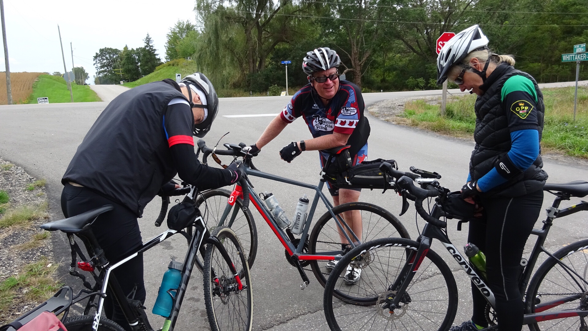
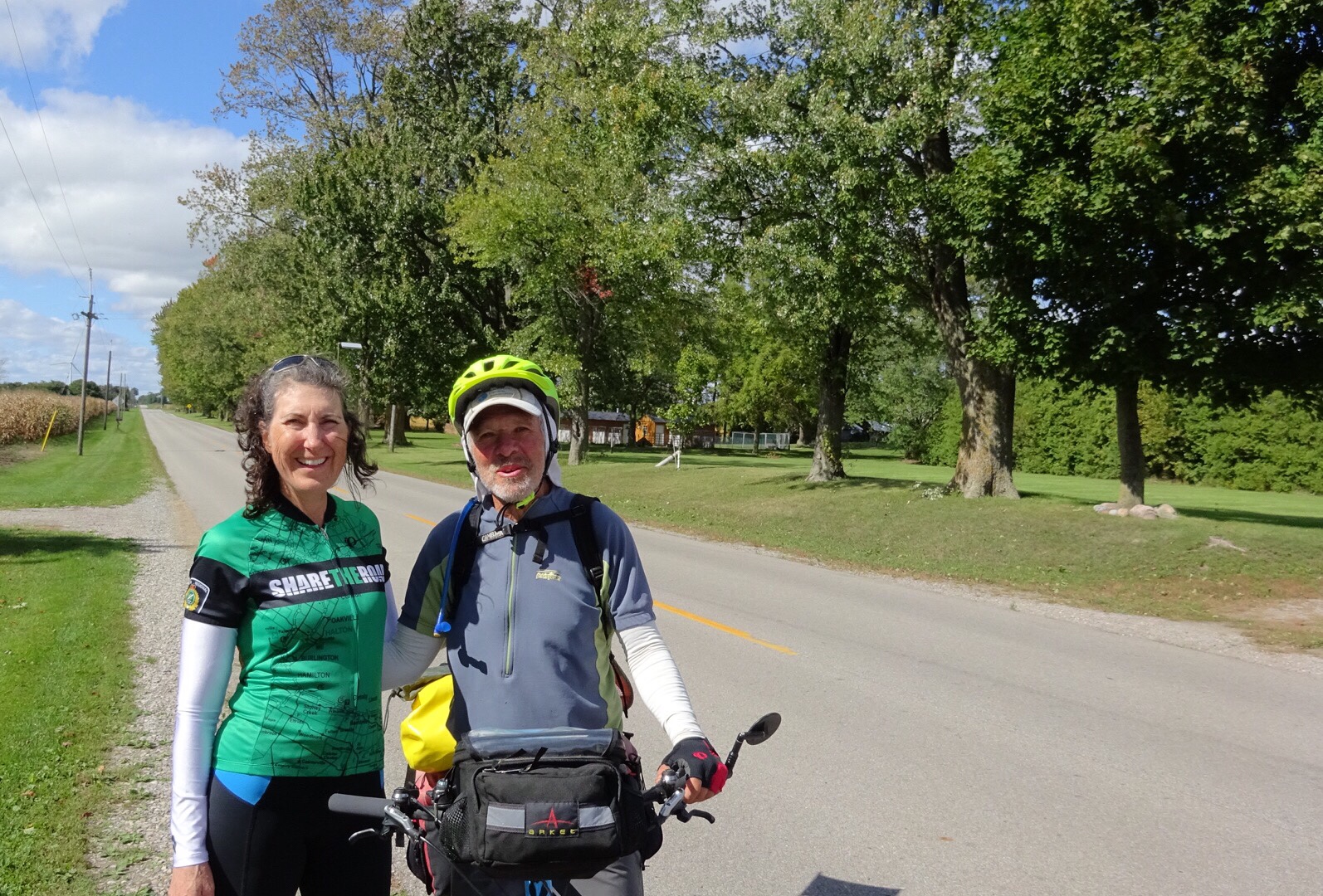
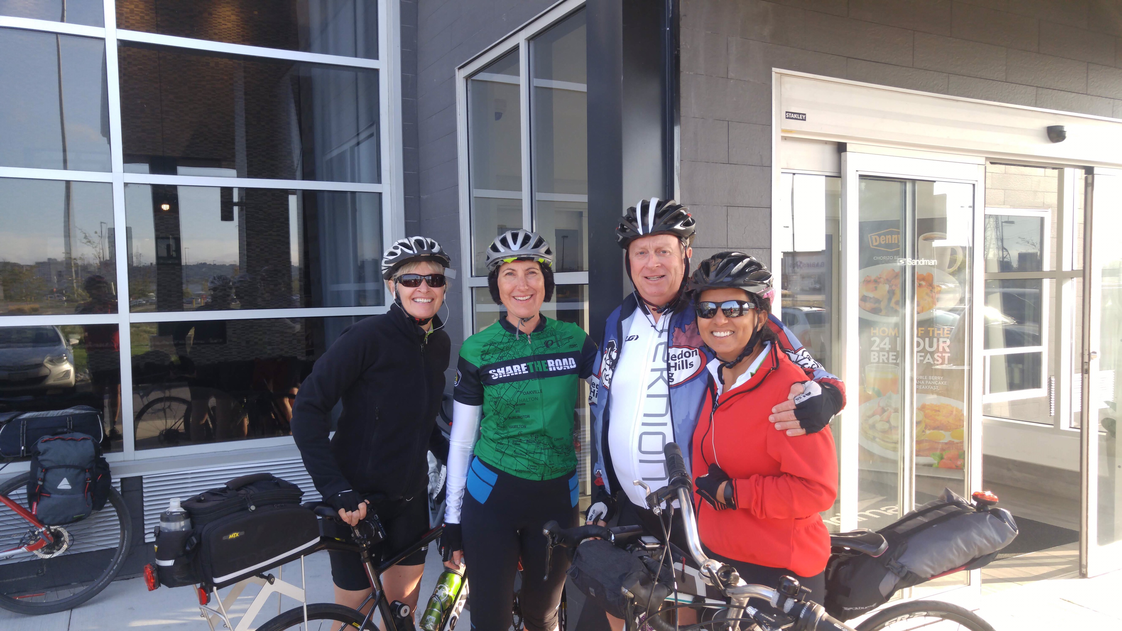
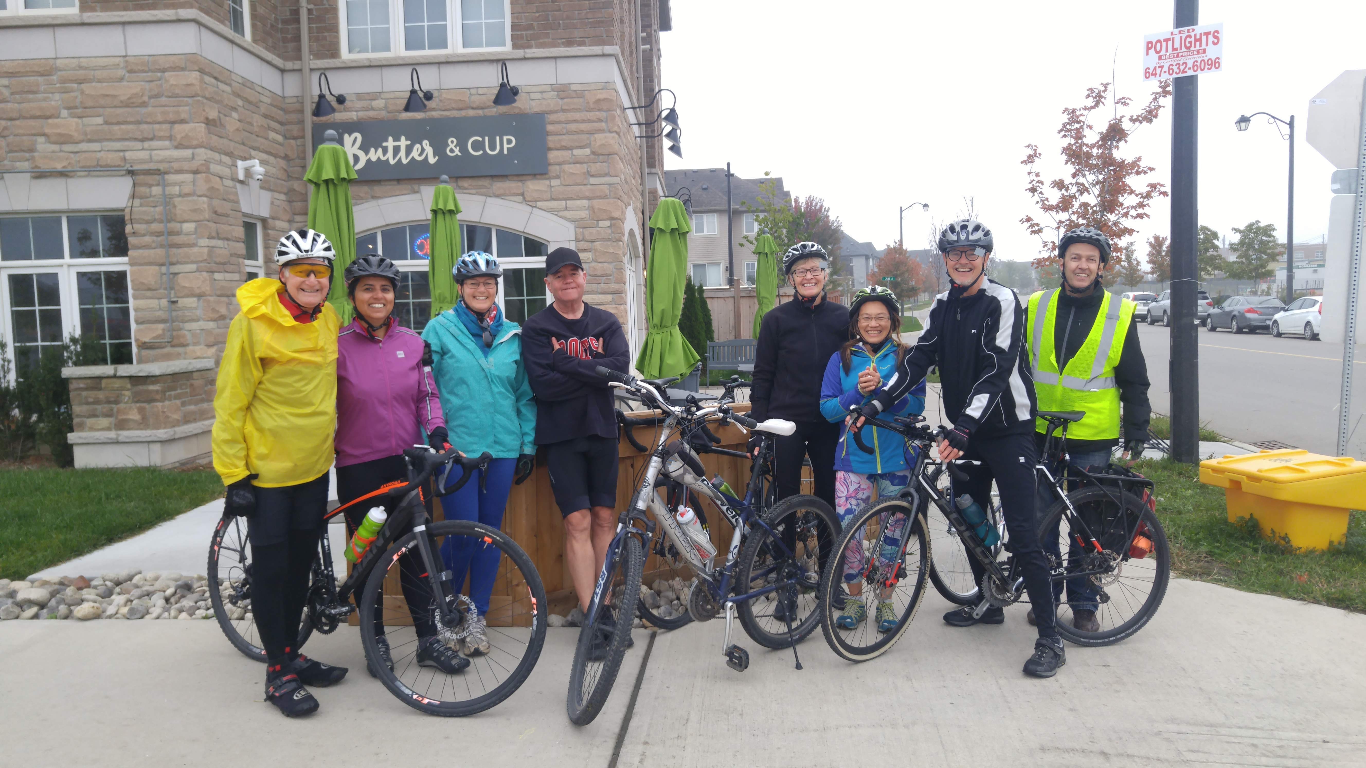
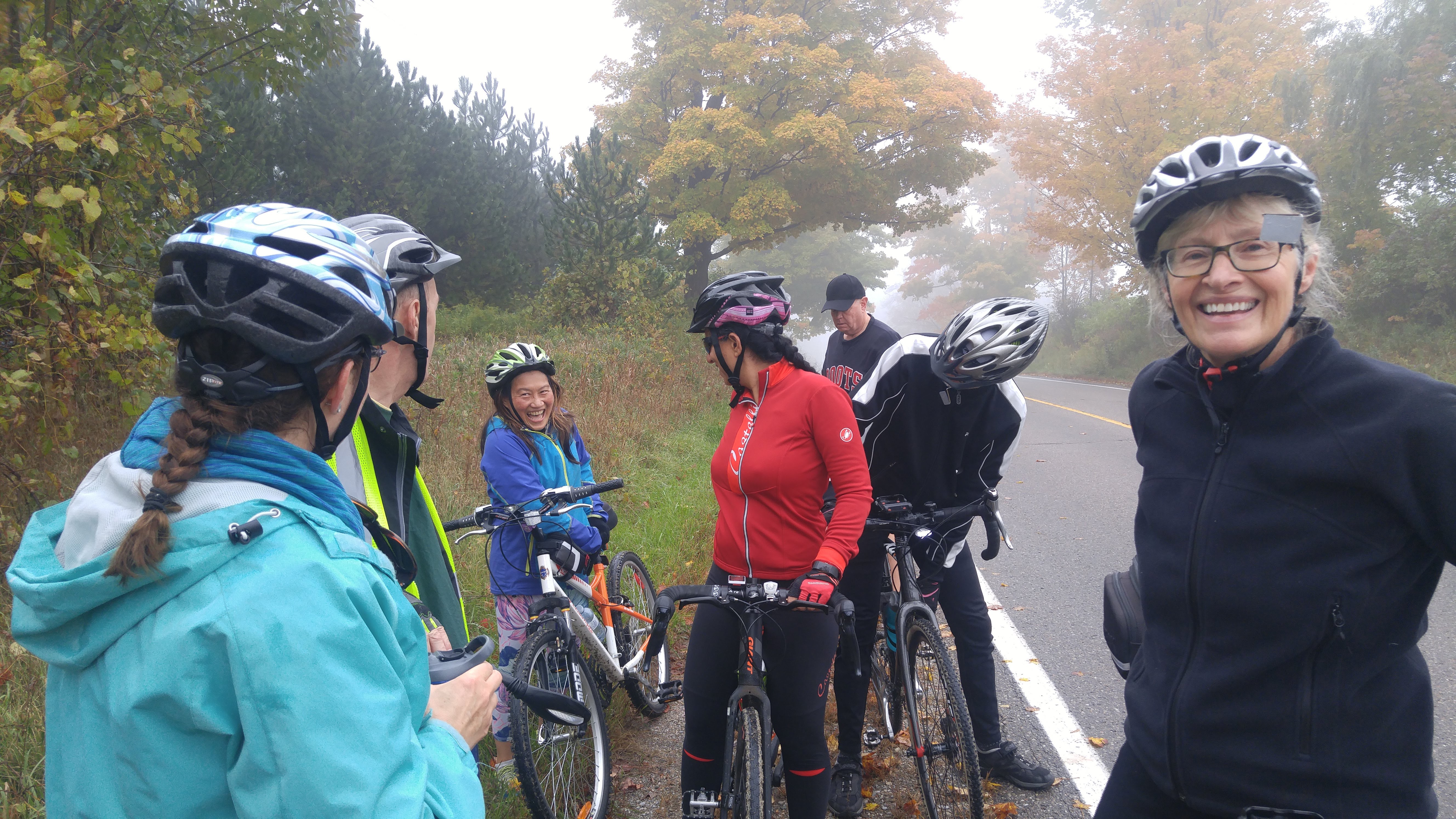
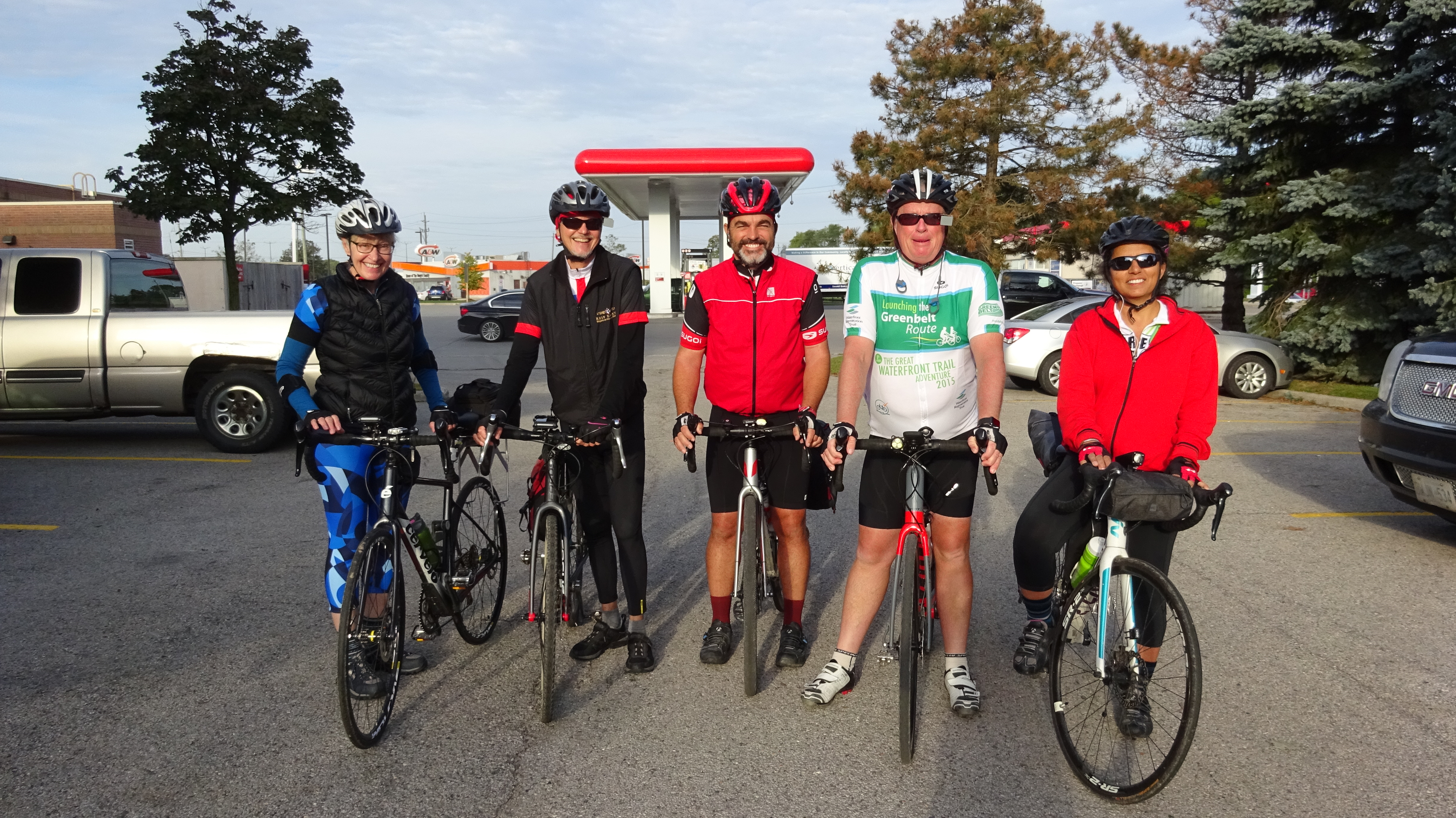
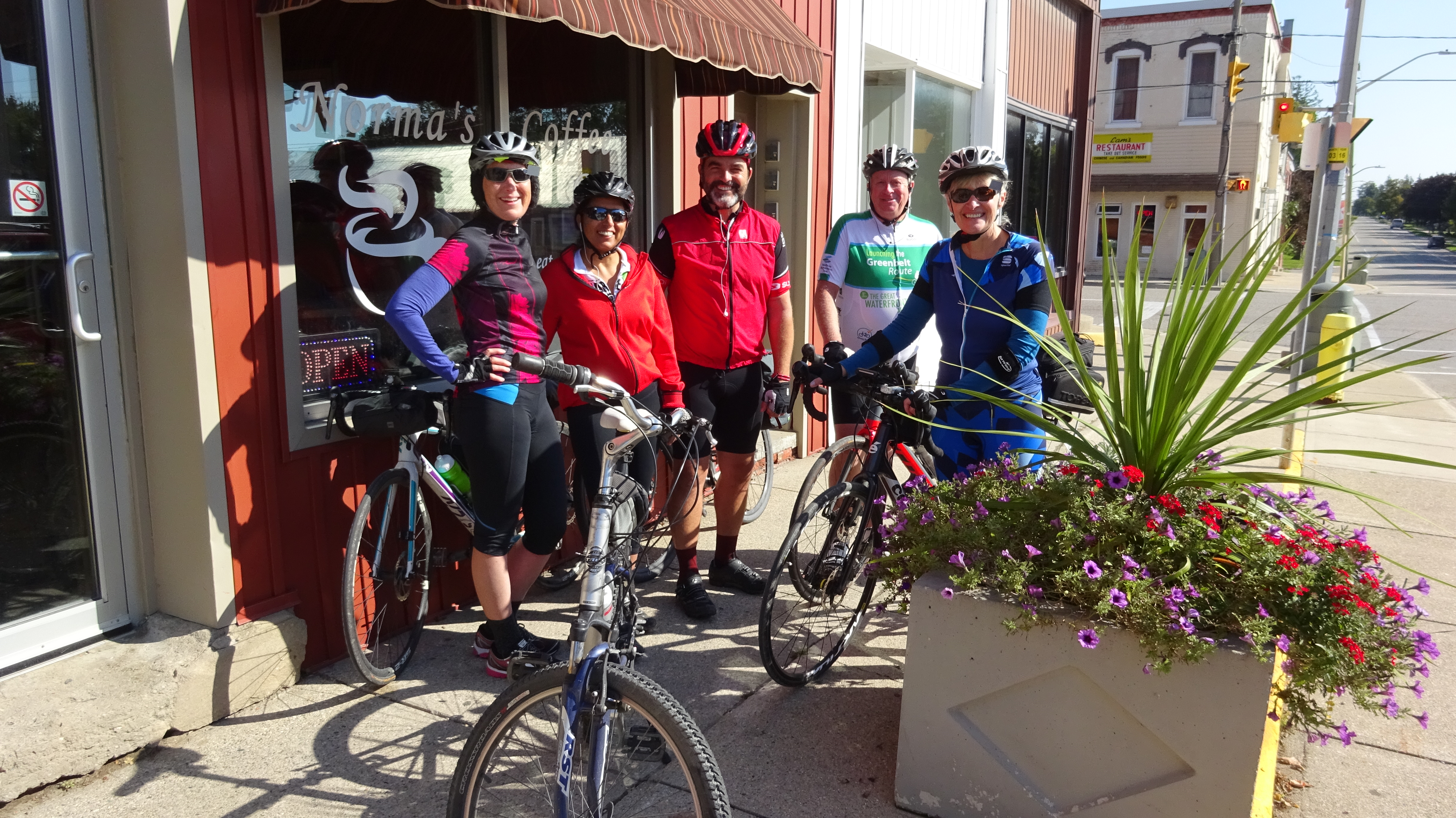
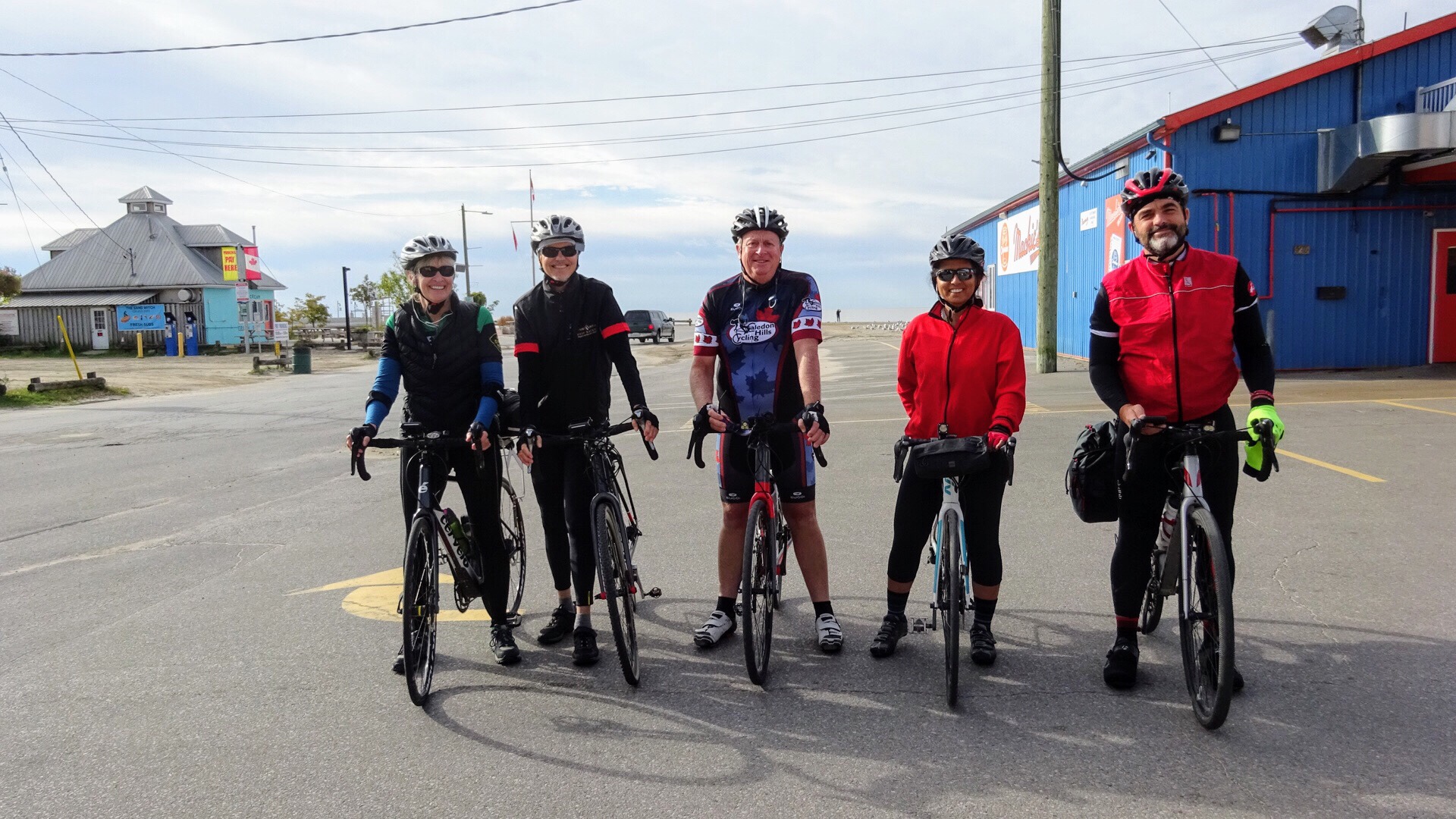
Lina and I decided to drive to Butter and Cup together. She picked me up at 9:30 and when we pulled up in front of Butter and Cup people were already there fueling with caffeine. Just as we were about to set off, Dayle arrived to announce David was close behind. They had finished their cottage closing early.

20181008_100055

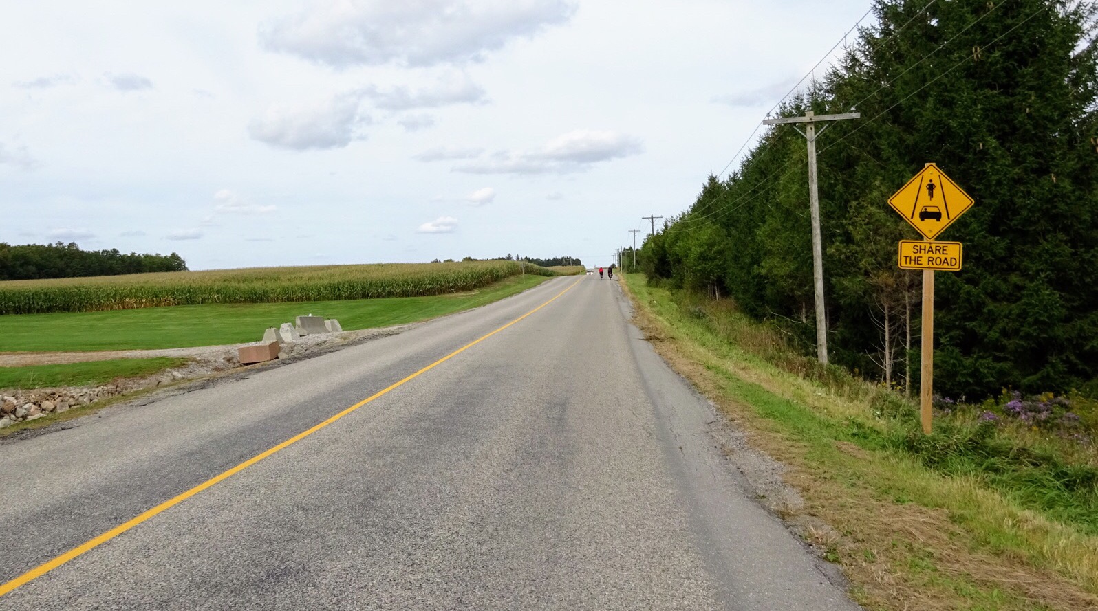
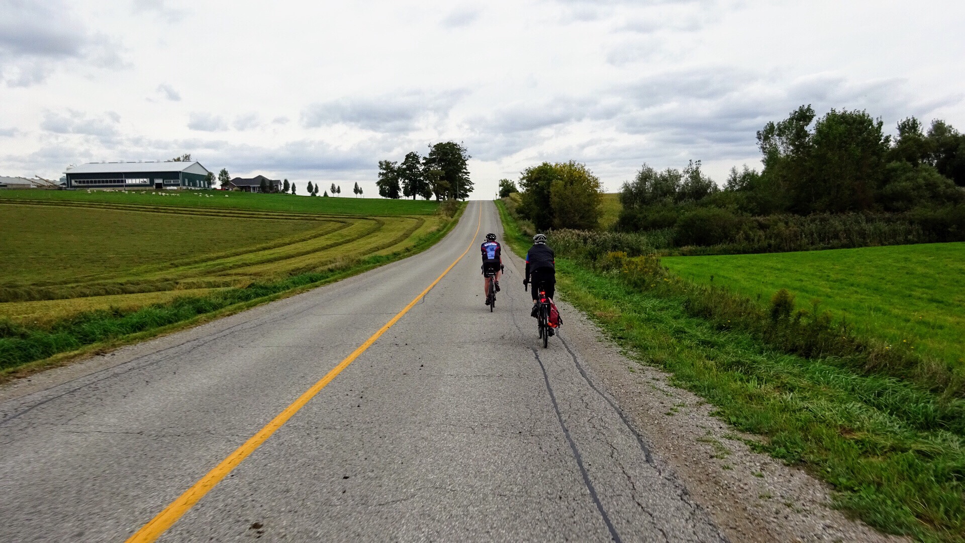
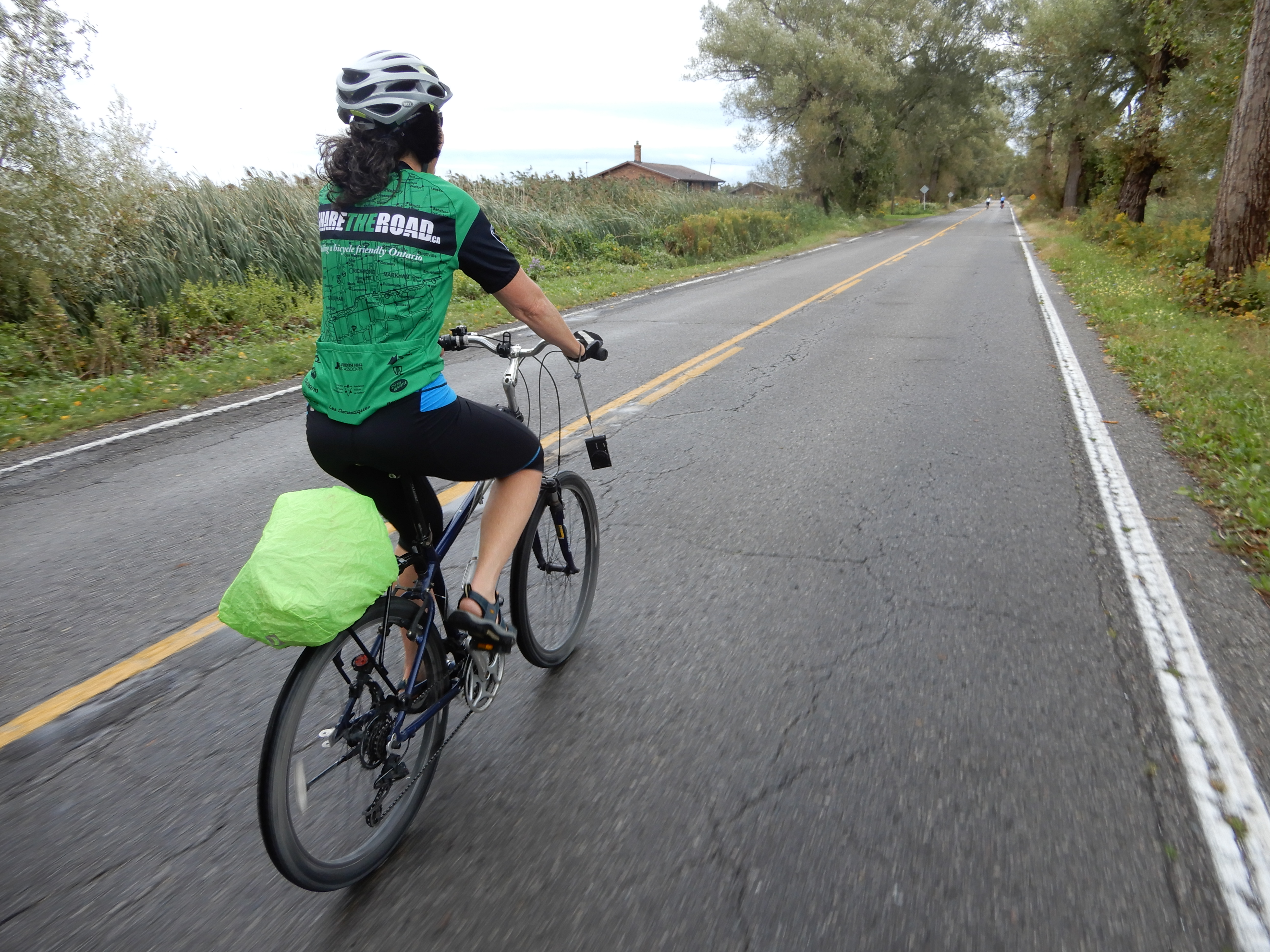
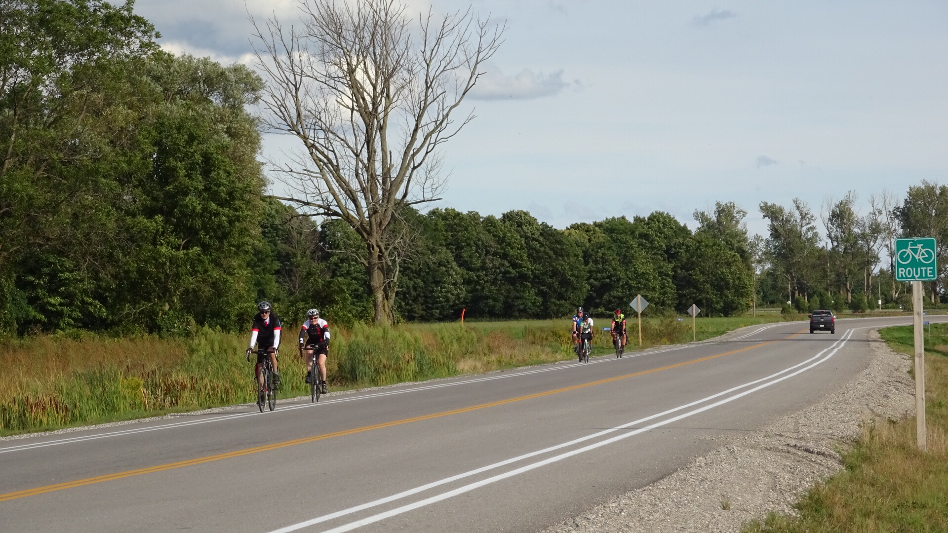
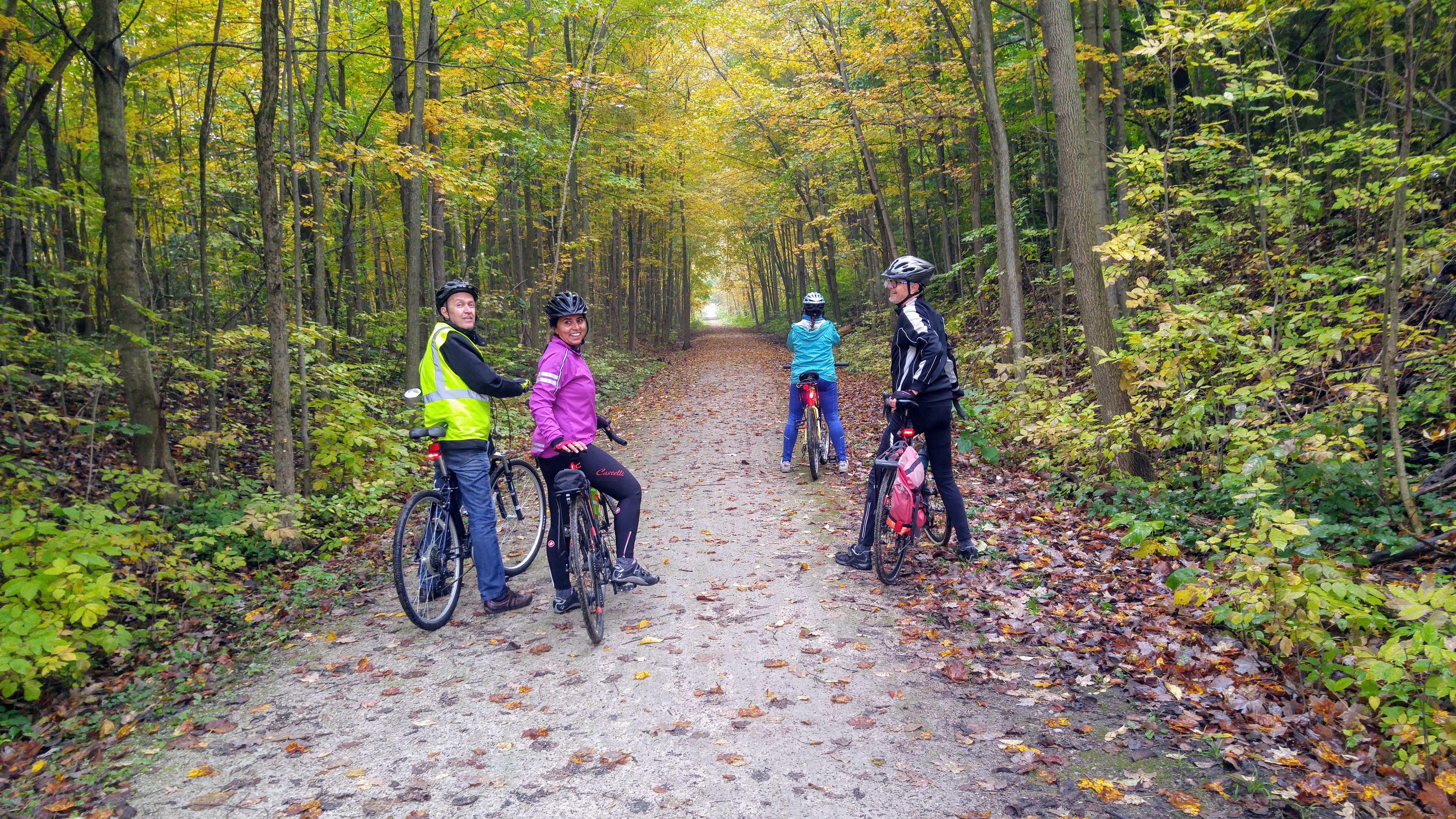
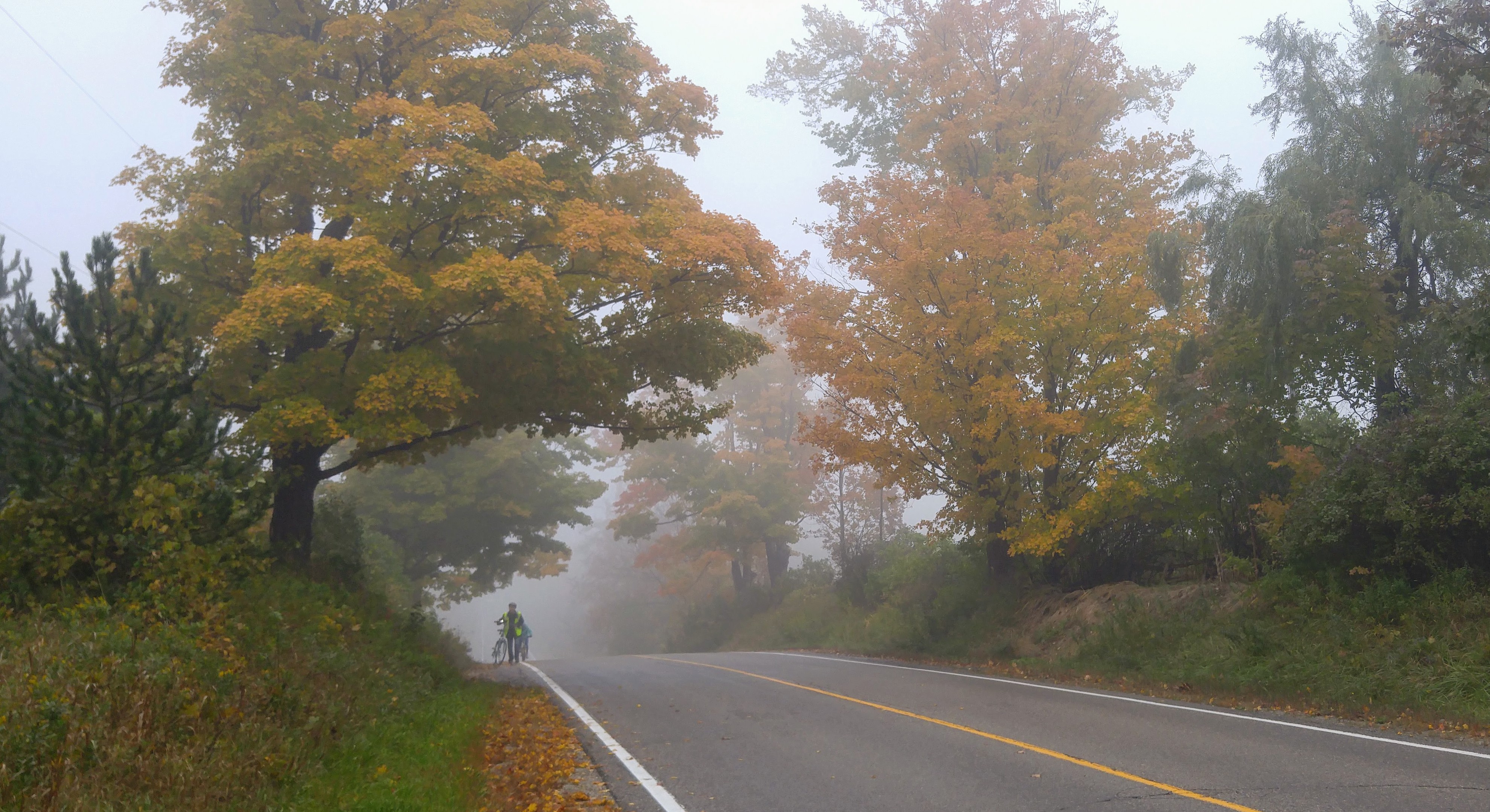
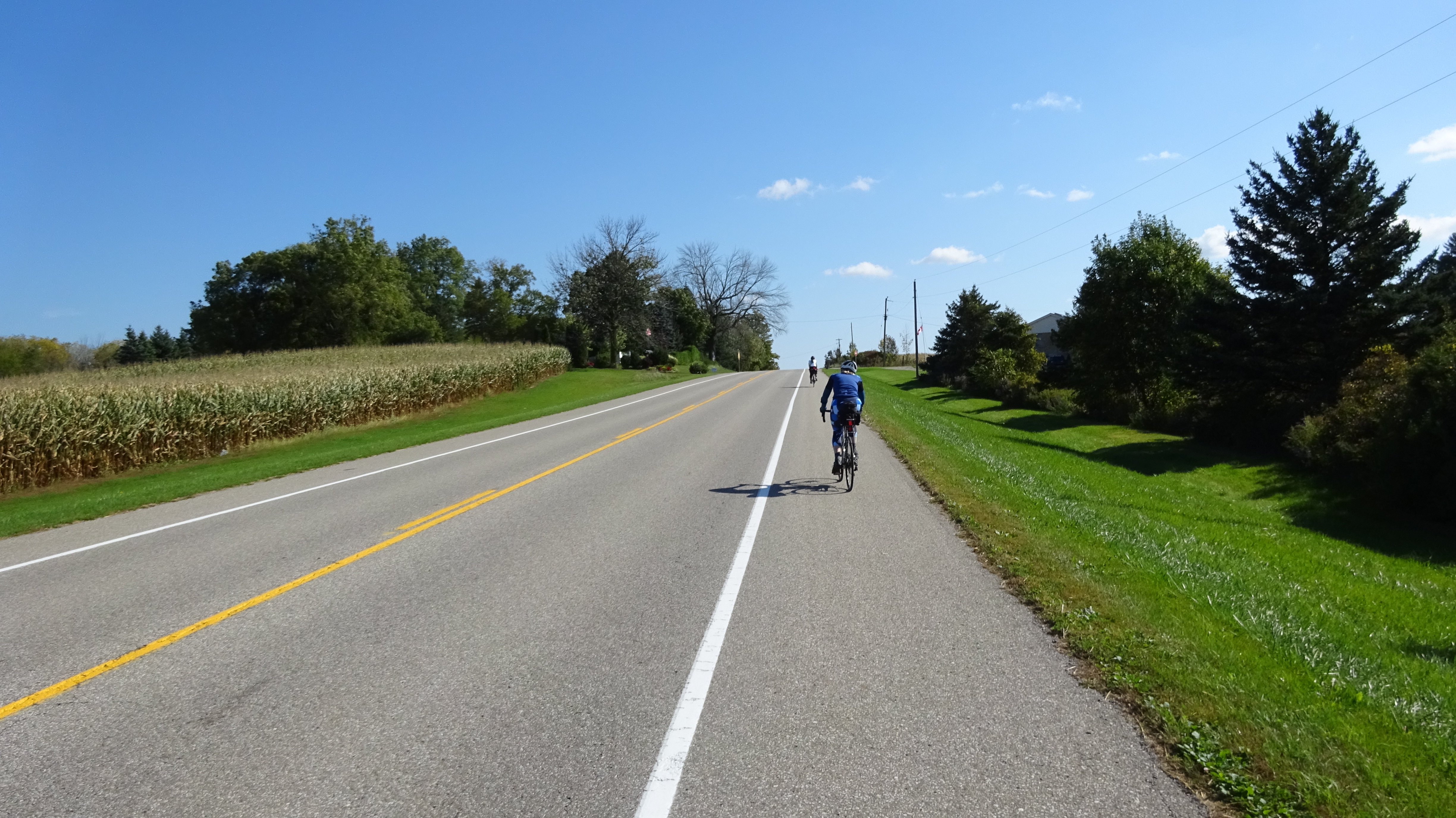
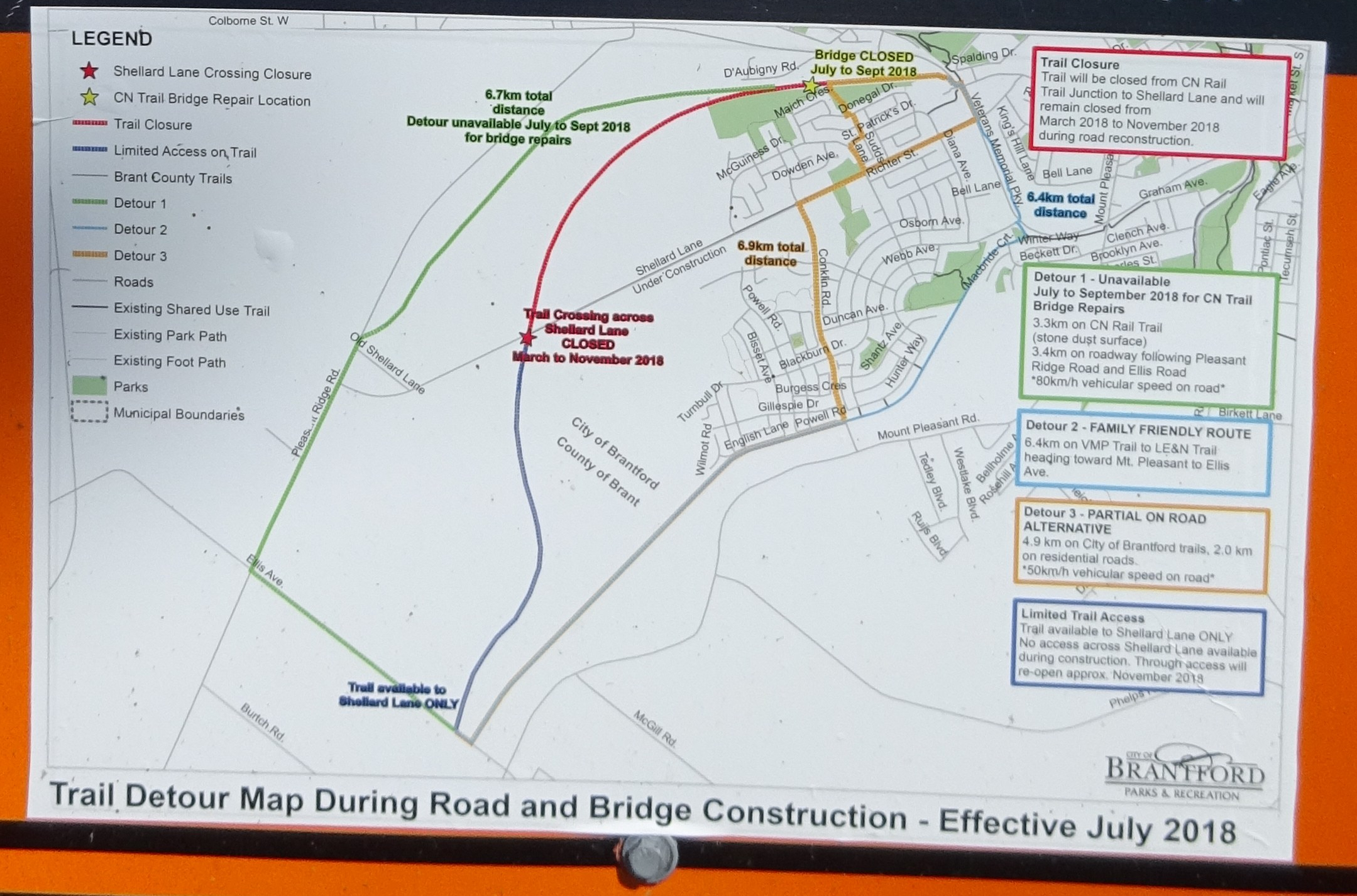
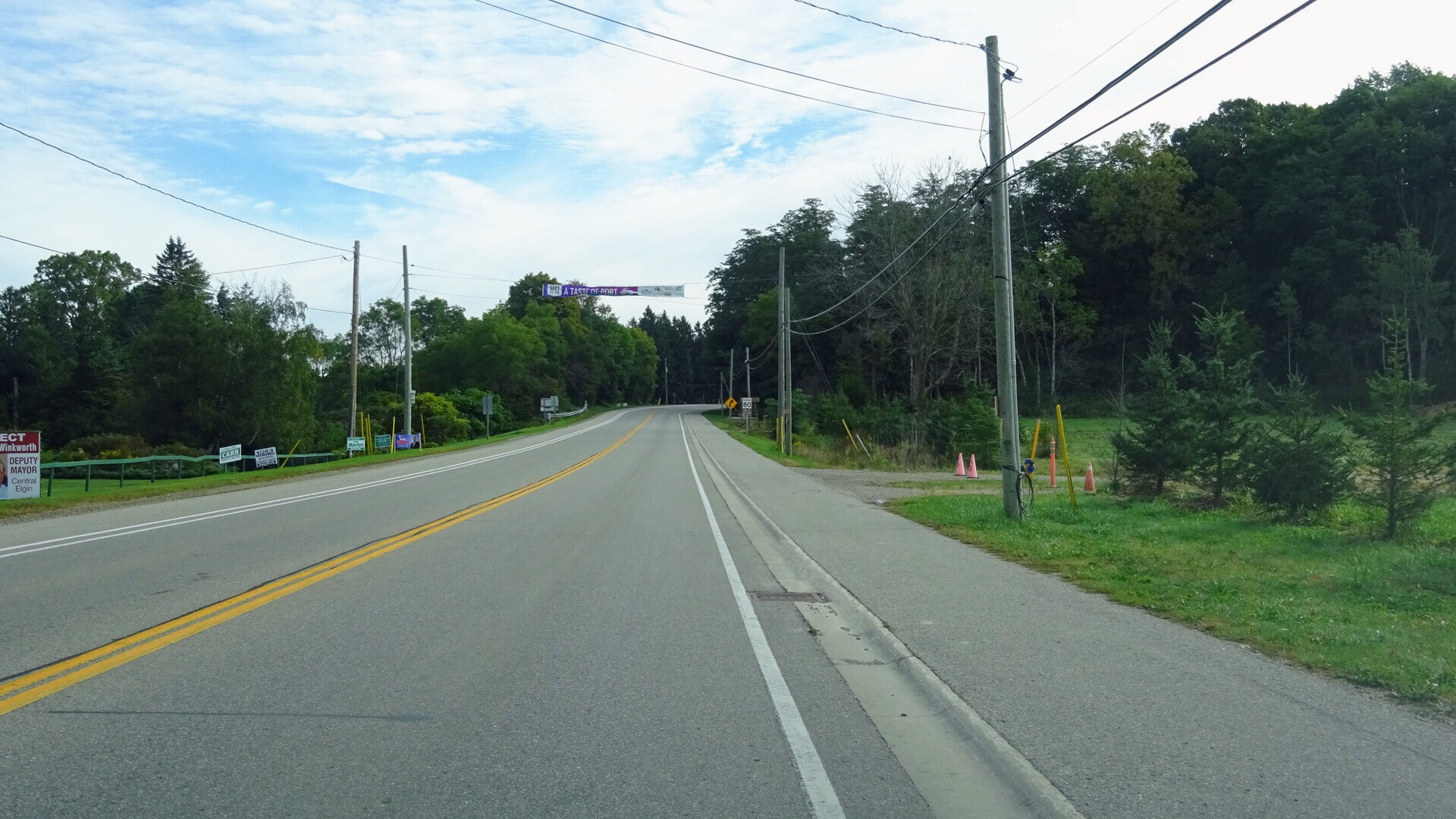
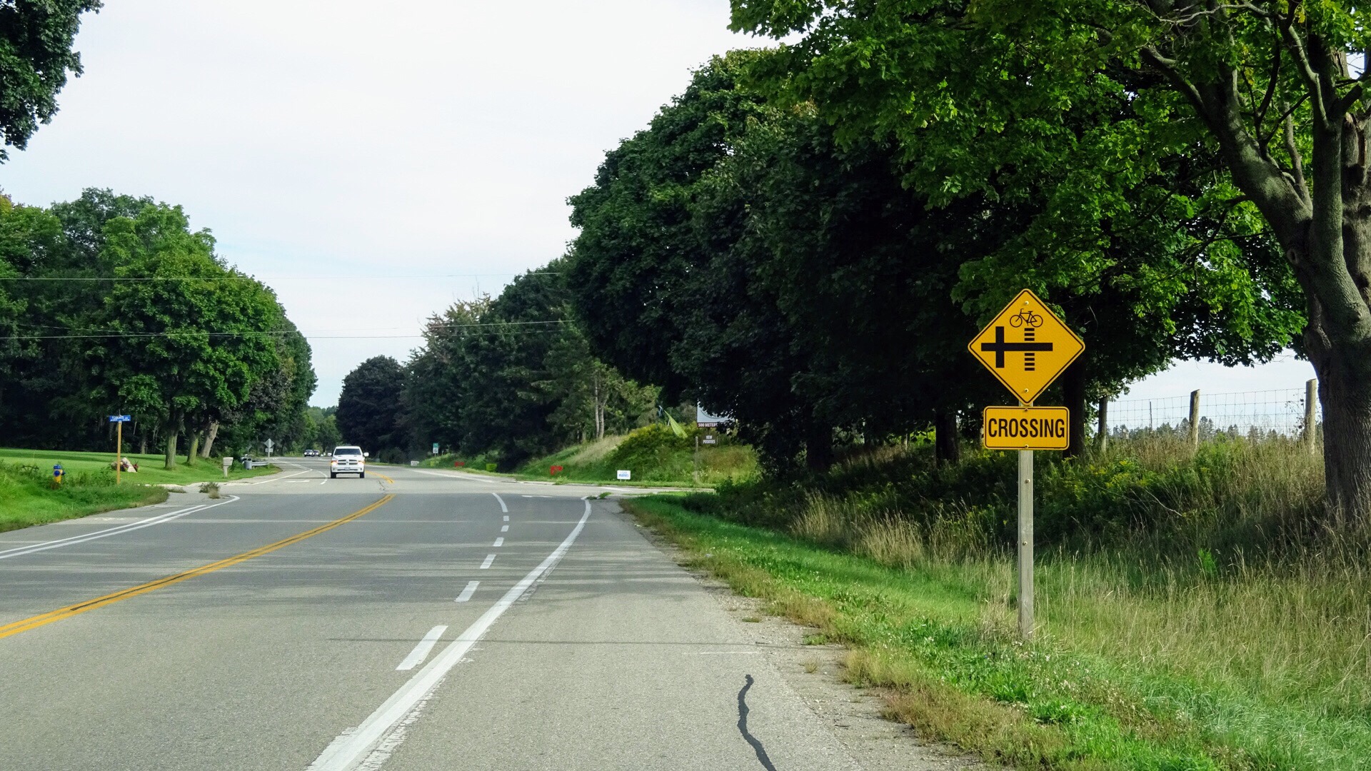
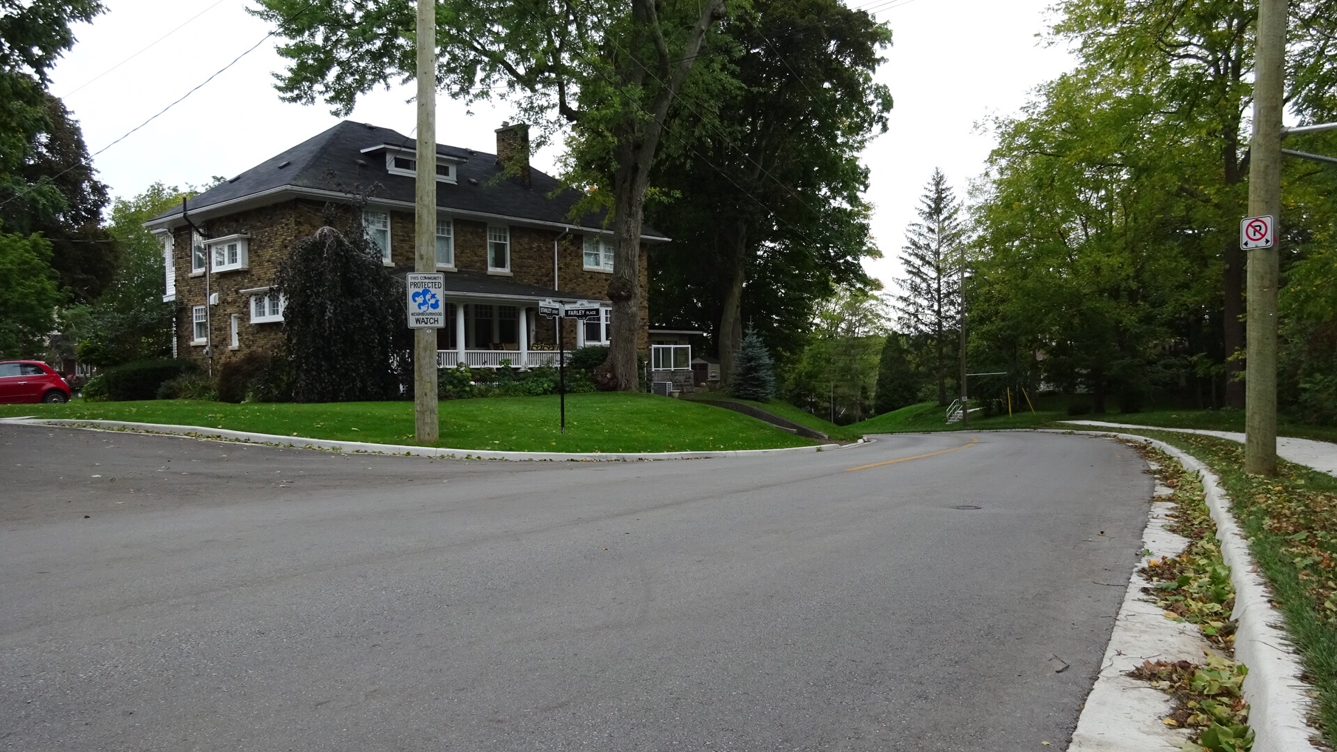
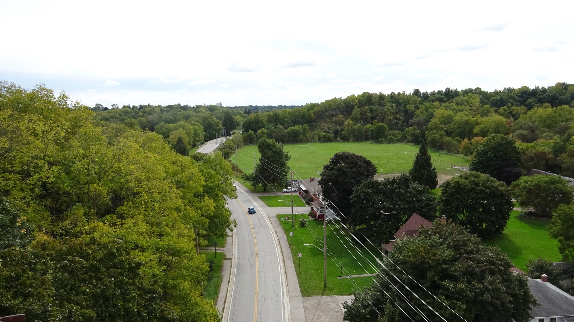
The route was straight north on Kennedy Road to the Caledon Rail Trail, west to Mississauga Road and north into Belfountain. The ride up Kennedy was amazing:  foggy, a small amount of drizzle – but only enough to wet glasses, not clothes – little traffic and a gentle tailwind. It felt like no effort at all for most of us.  It was a long ride for Lina and for Yvon – his longest since he was a teen – so Barry had us slow our exuberant pace a little to keep the group together.  Barry is an excellent sweeper. Ted left us at Old Base Line. Ted is 85 years old and easily rides 100km in a day and many thousands of kilometers a year.

20181008_103504

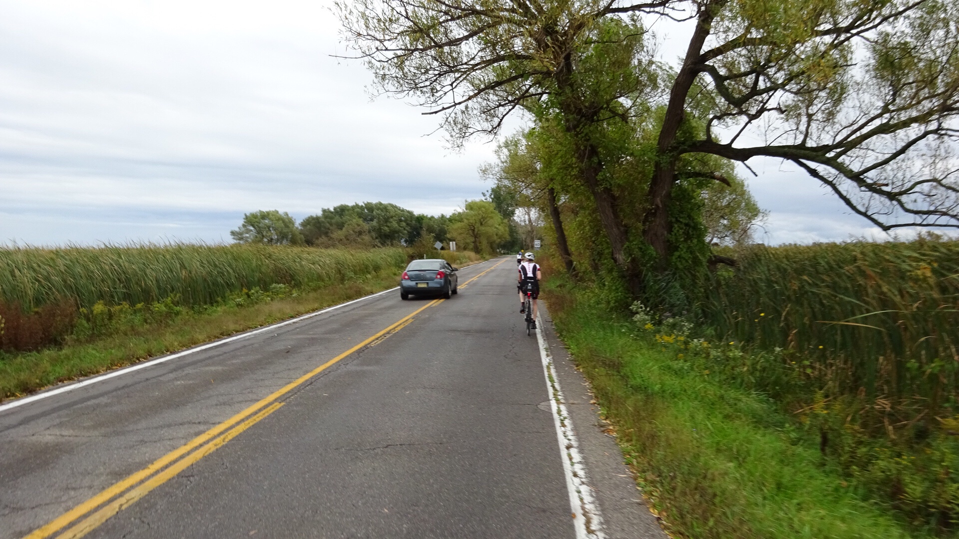
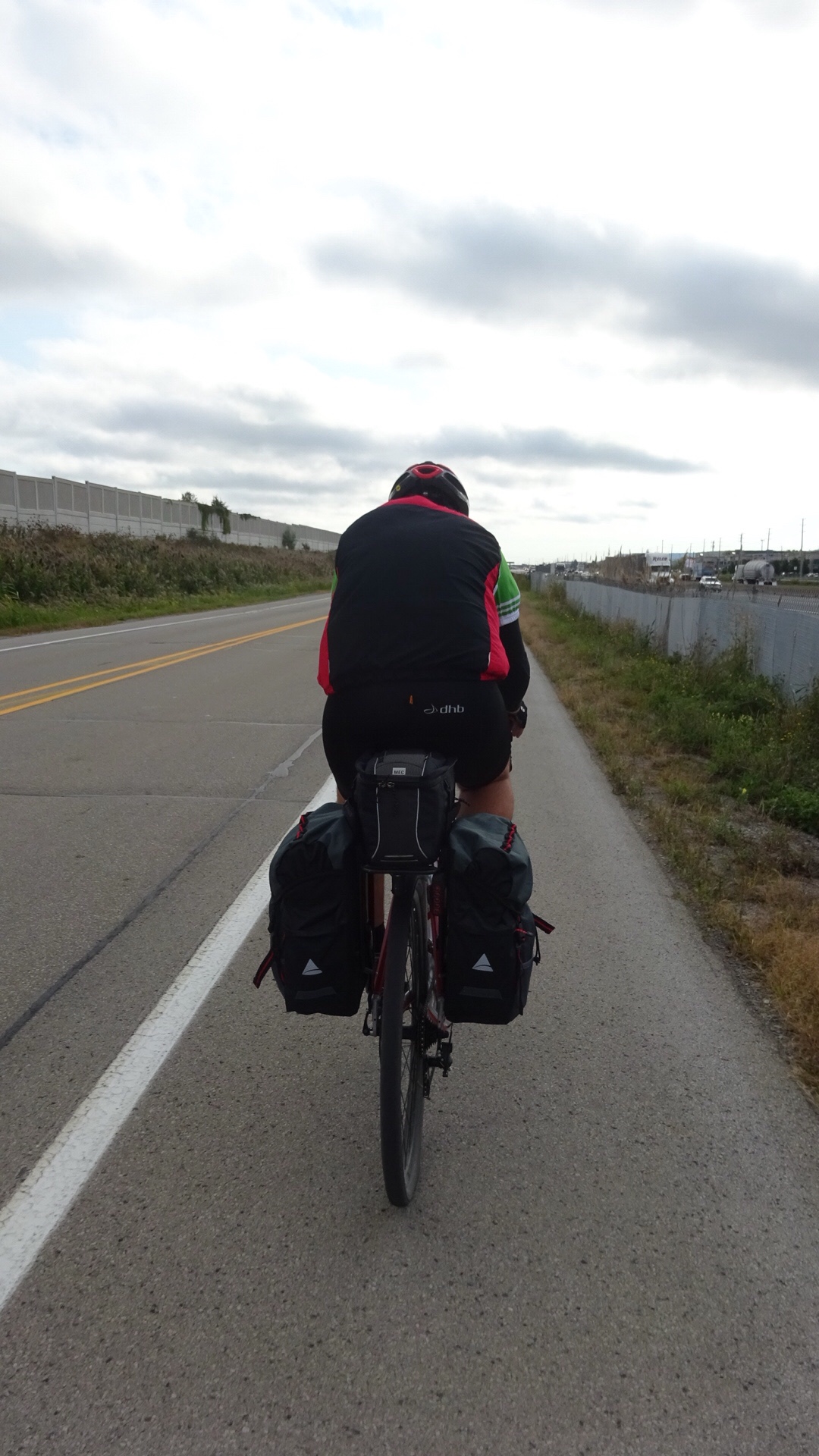
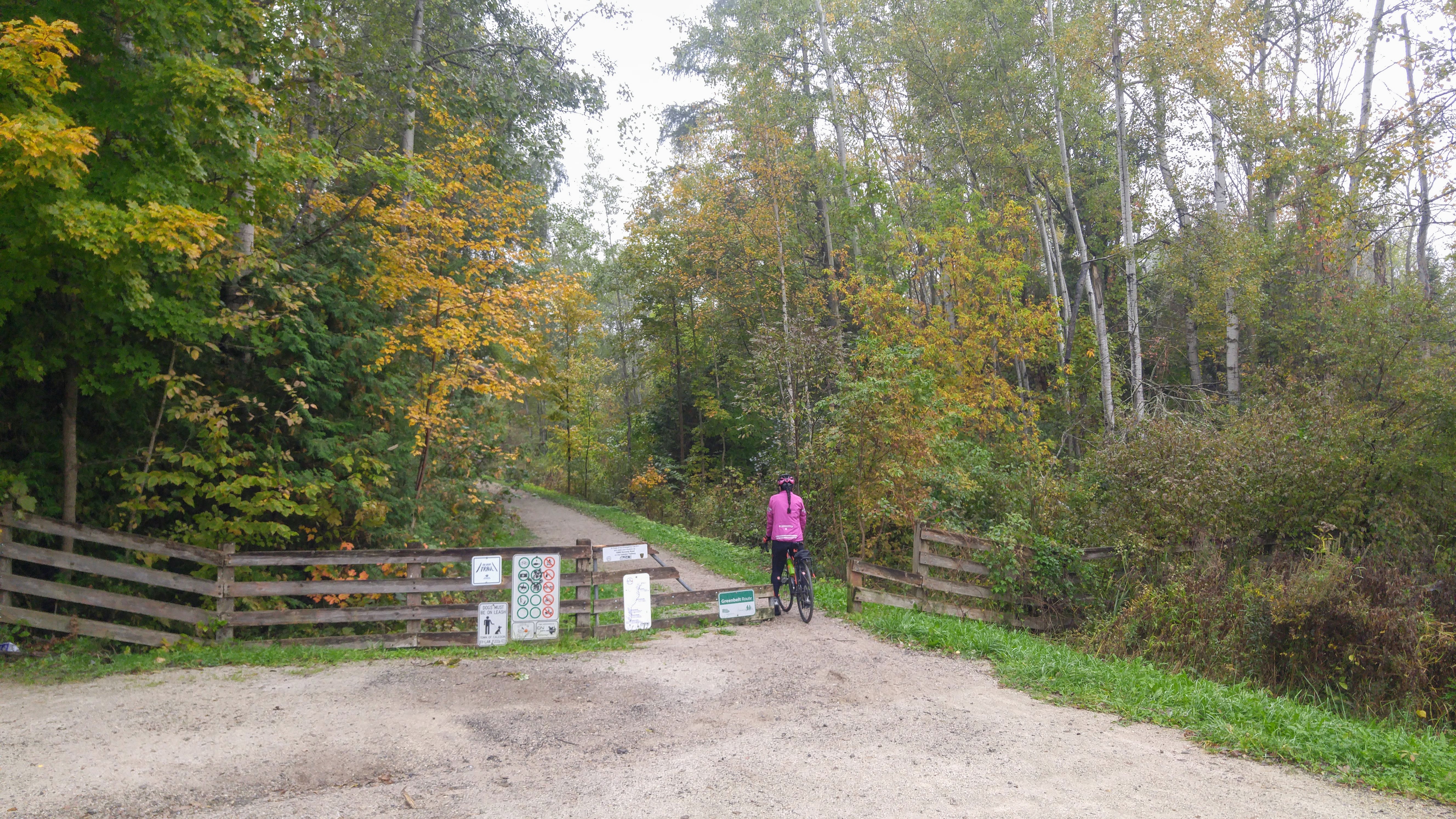
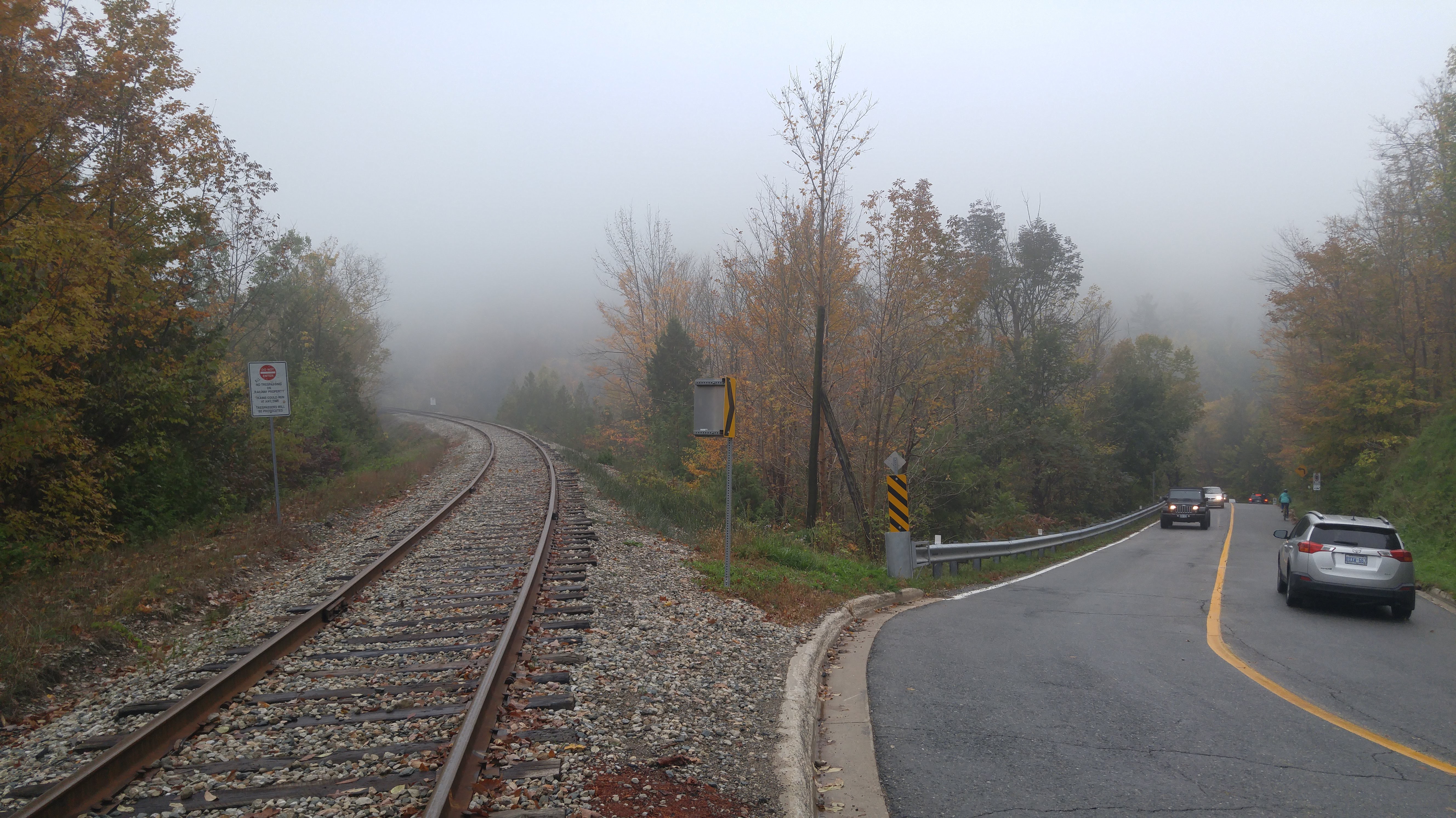
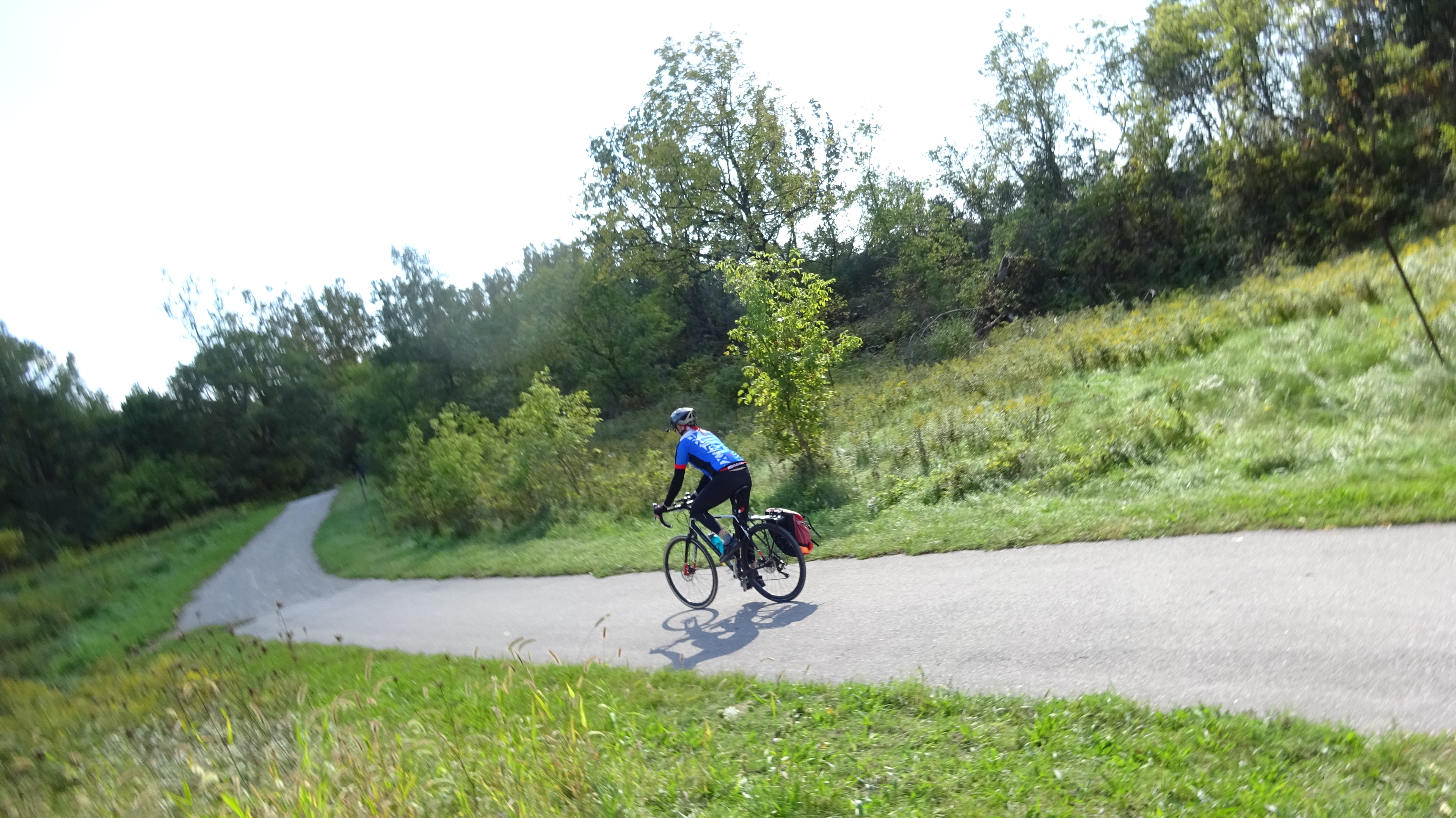
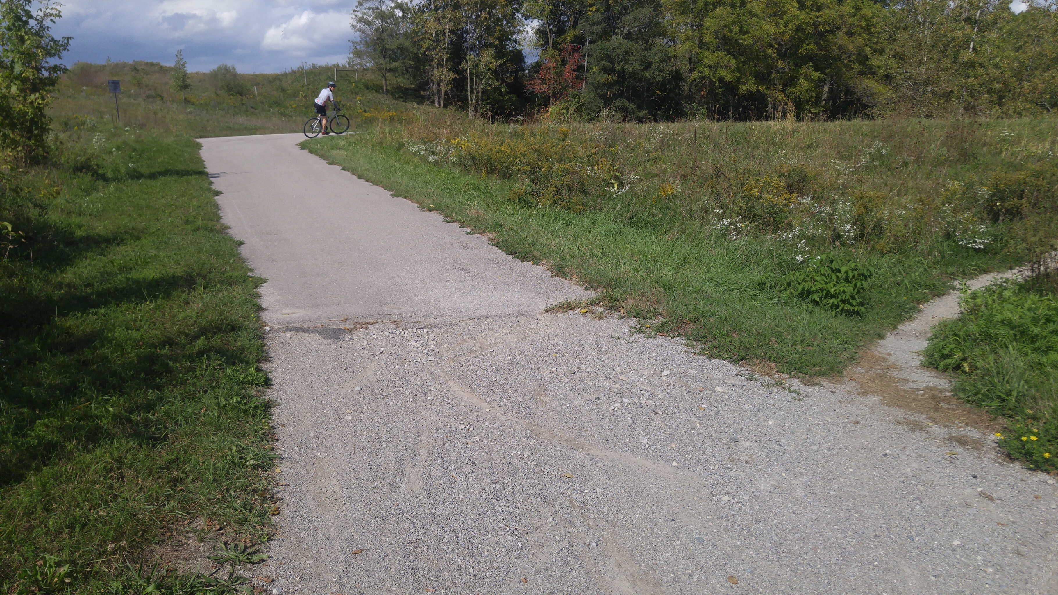
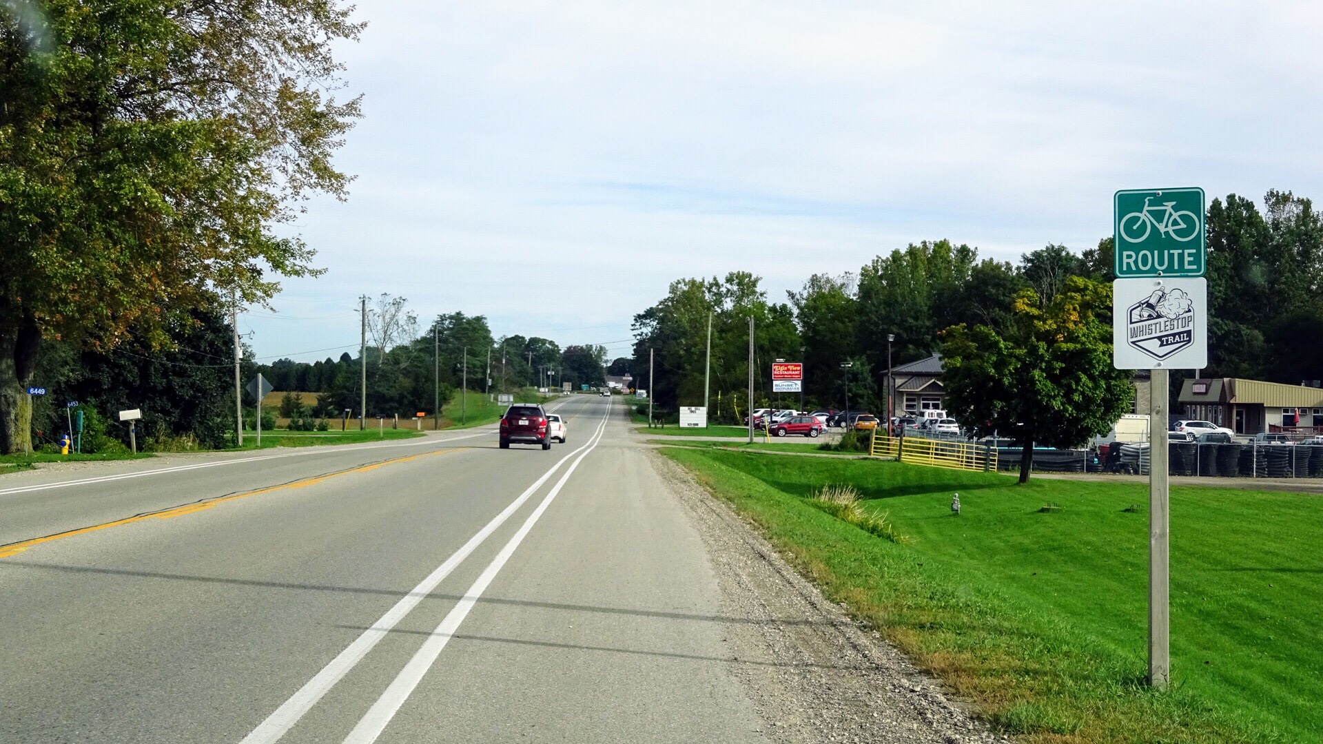
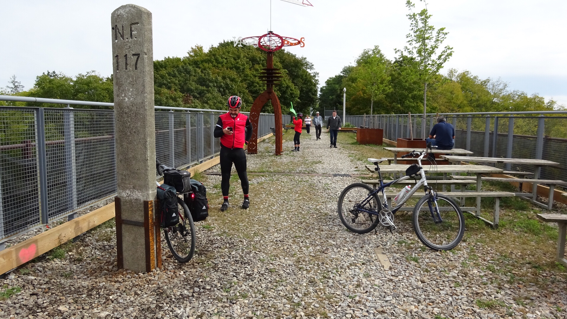
In what seemed like no time we were at the rail trail. The surface is hard packed with crushed stone and comfortable even for narrow road bike tires.

20181008_103638

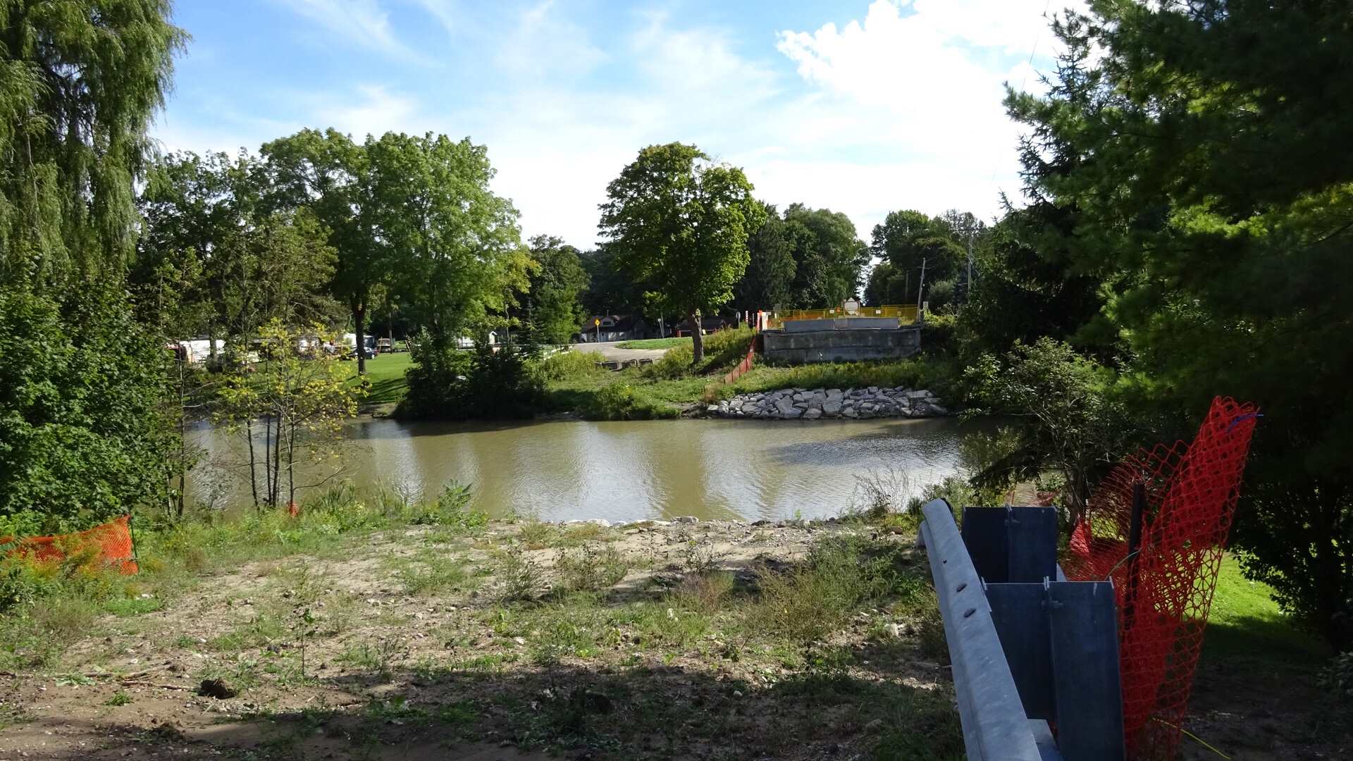
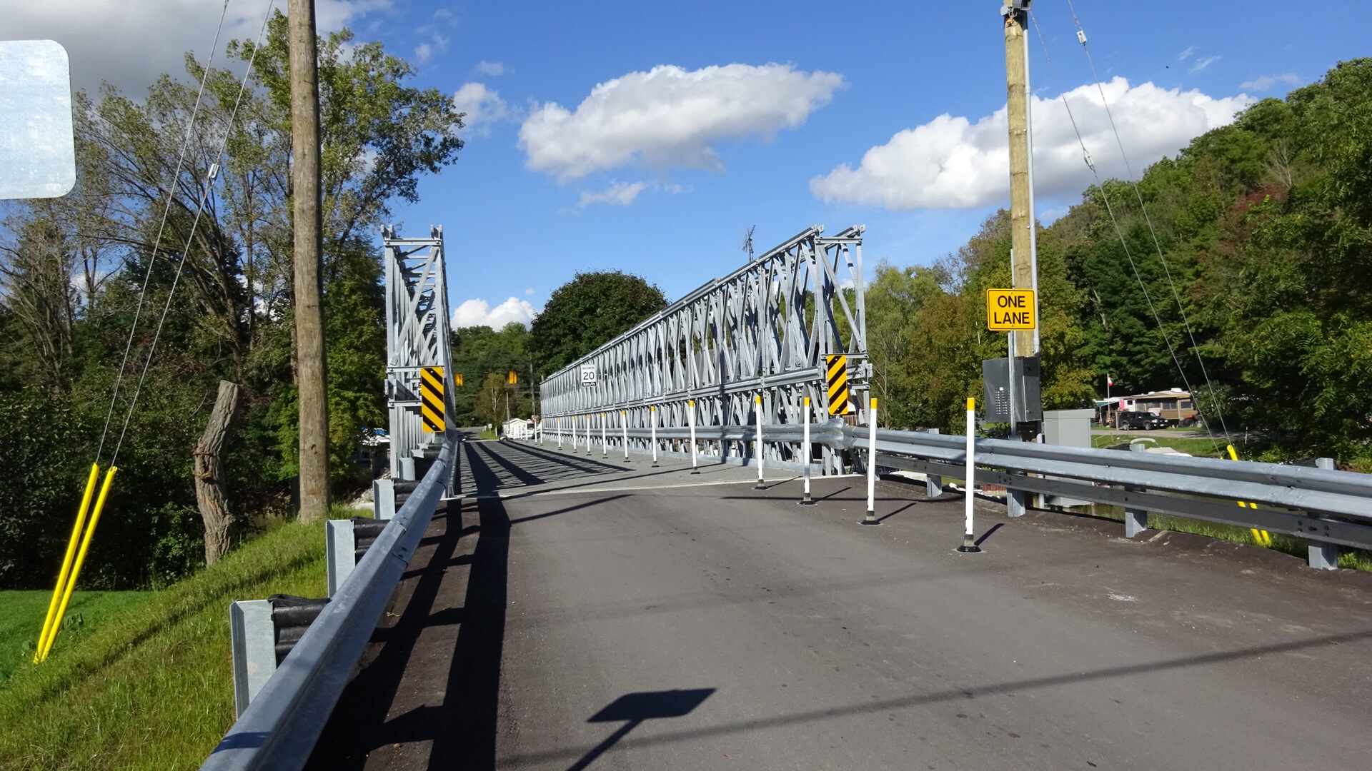
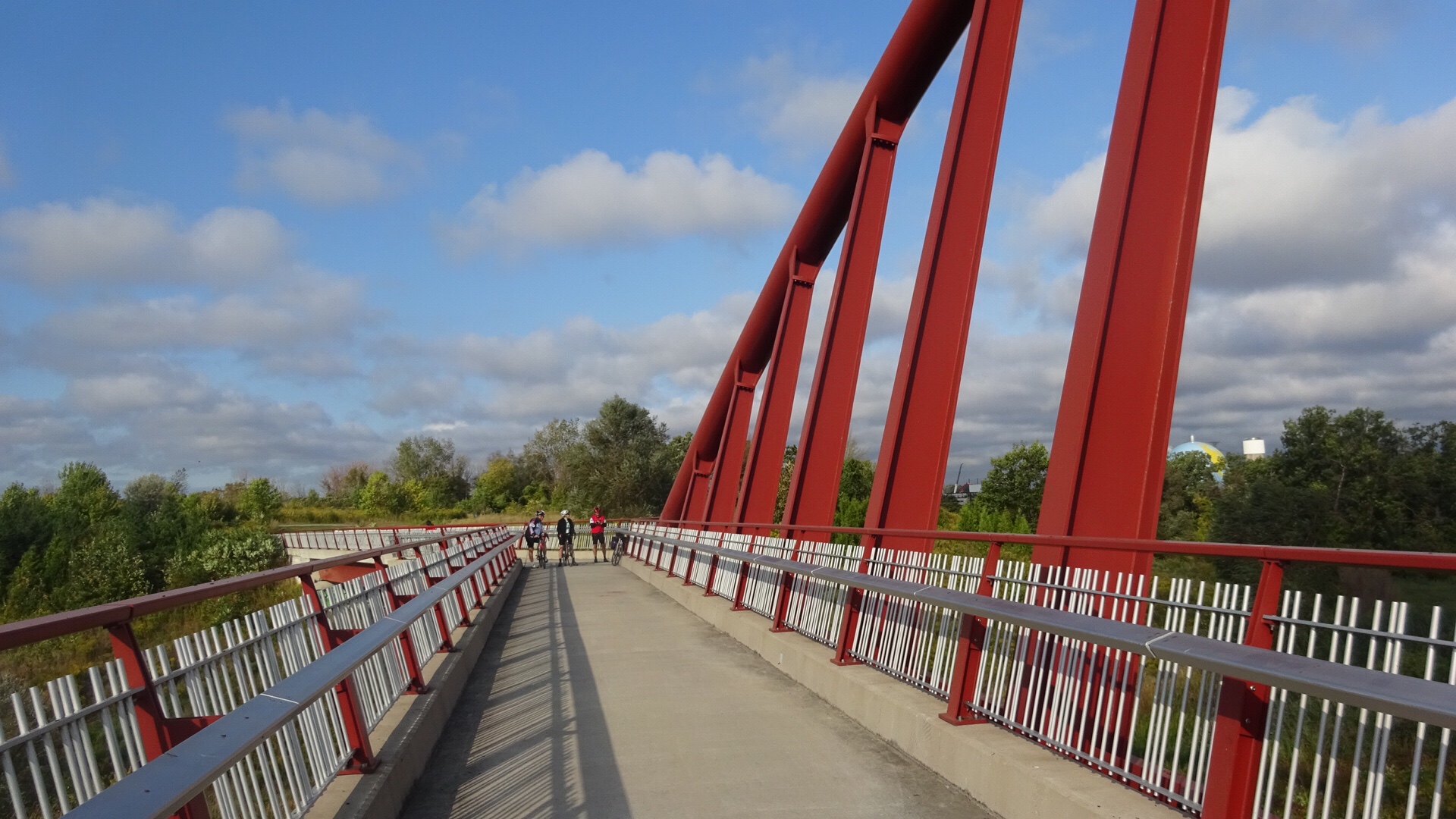
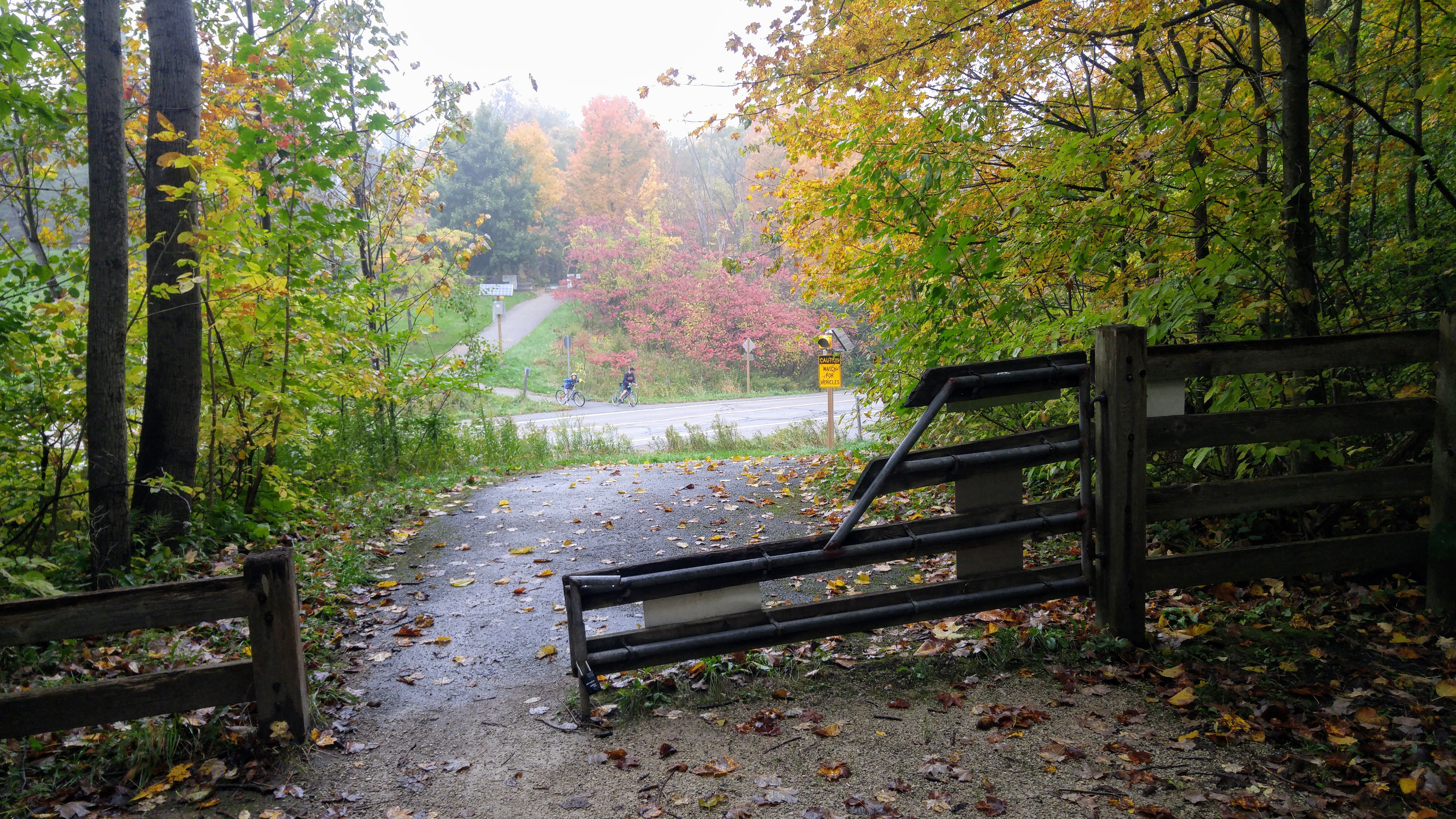
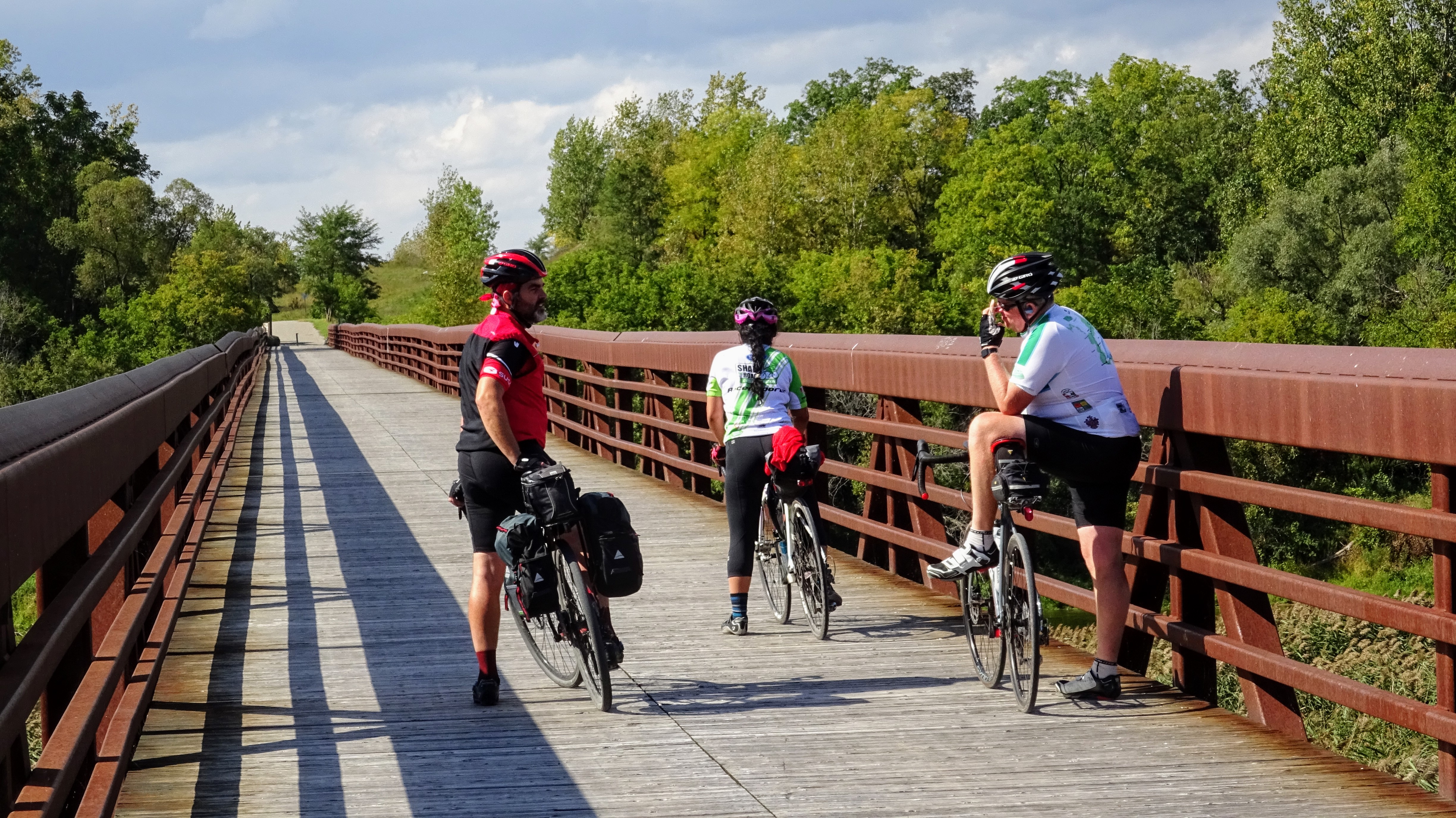
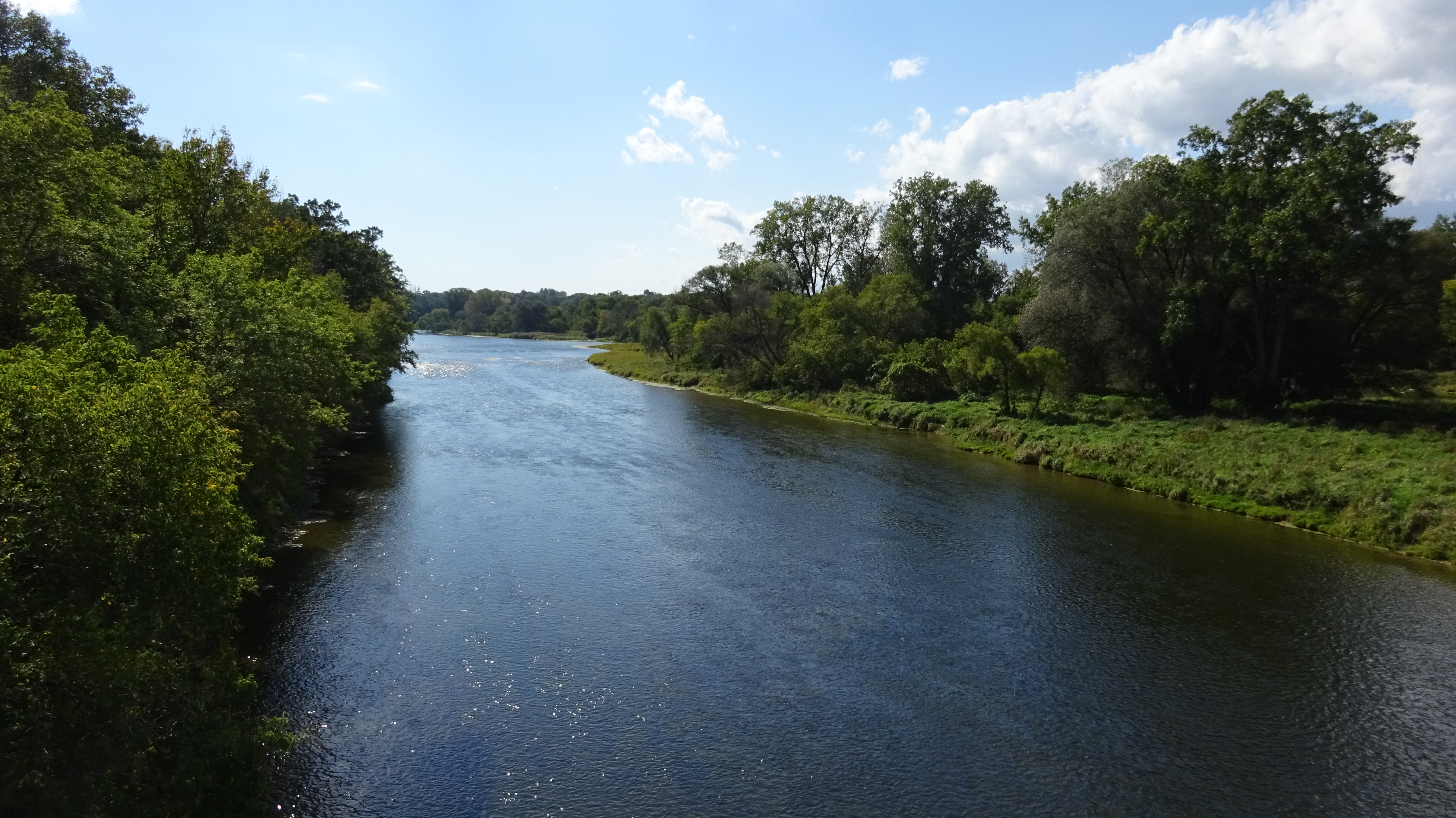
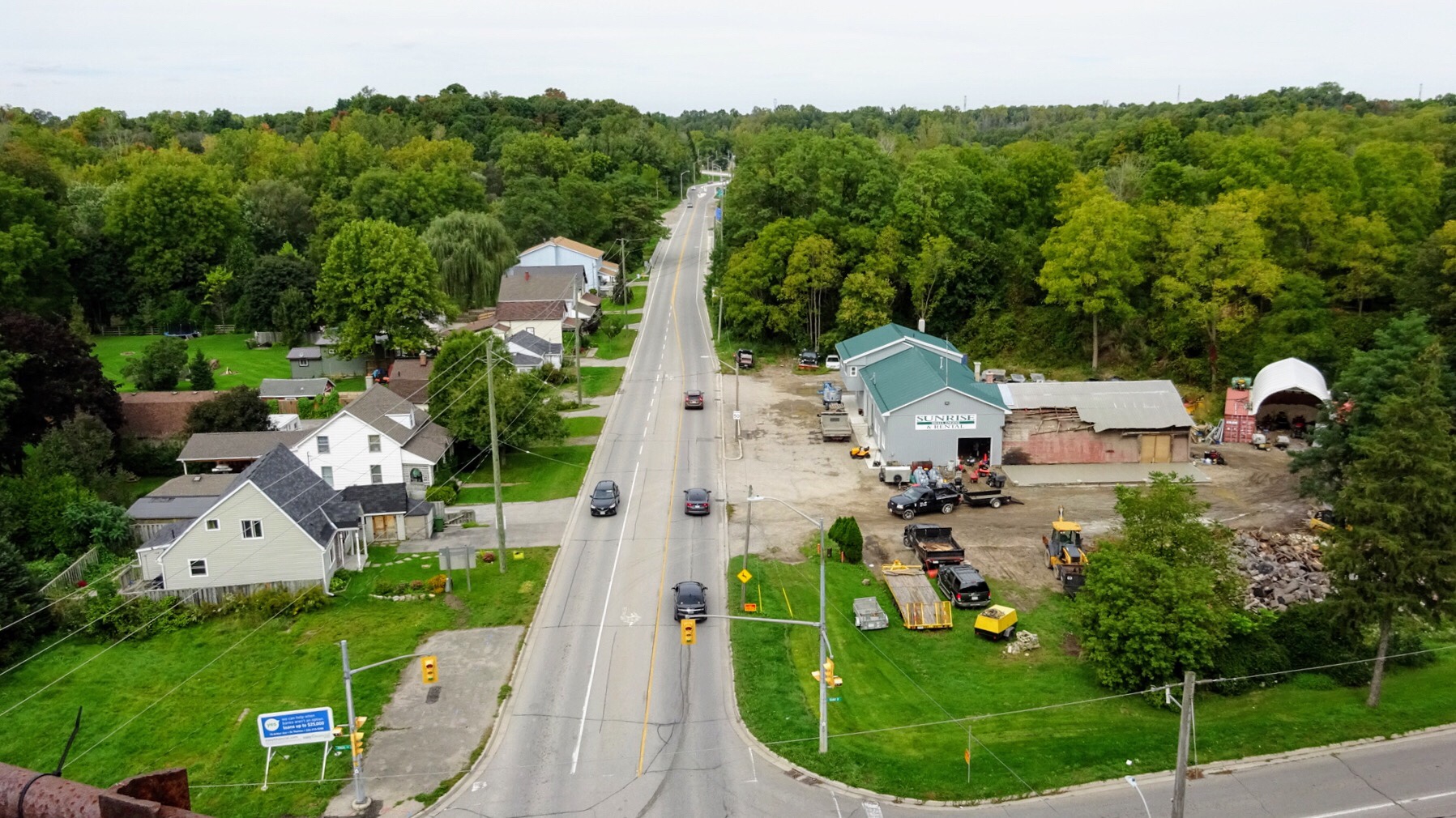
There is a great view from the bridge over Highway 10.


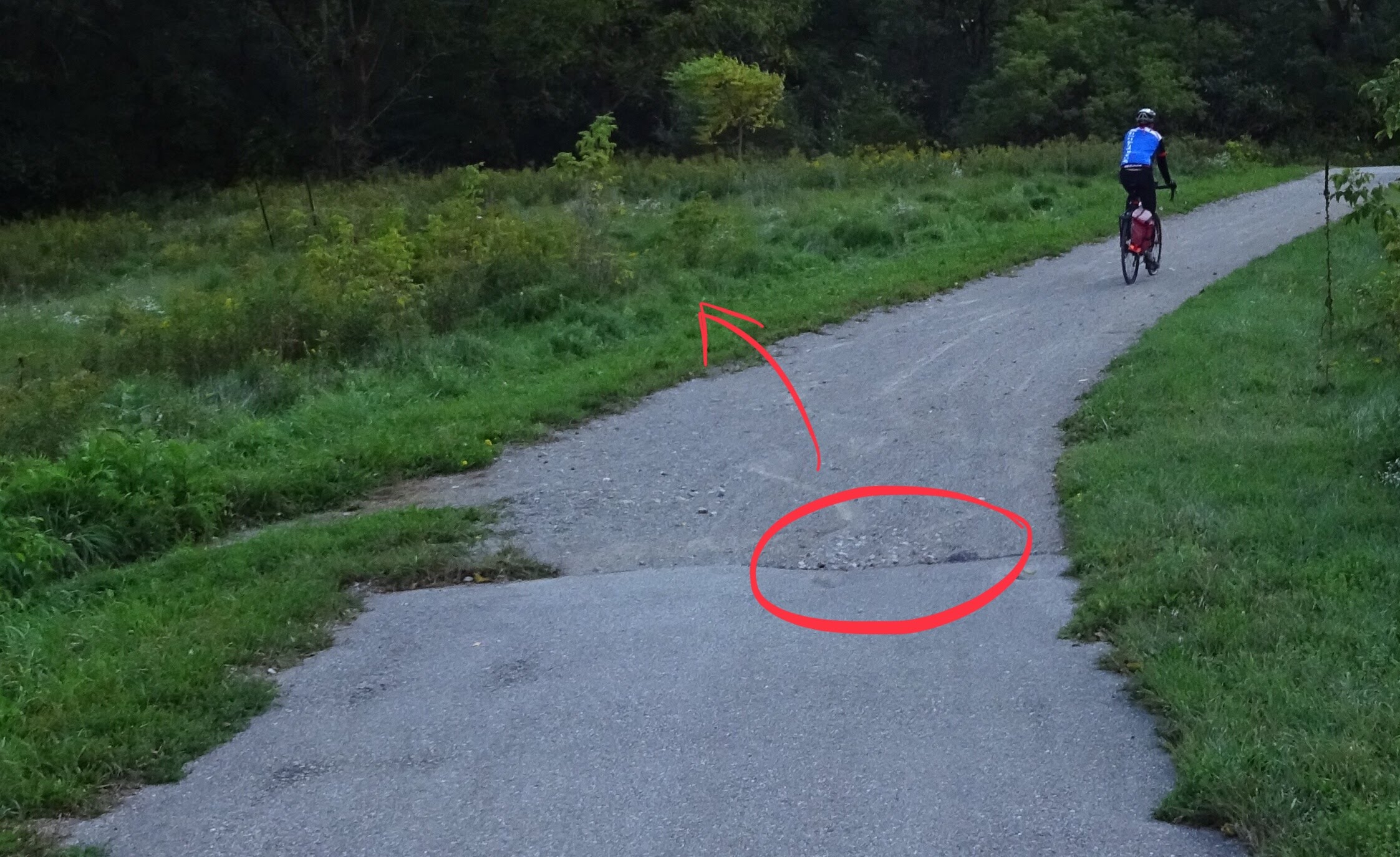
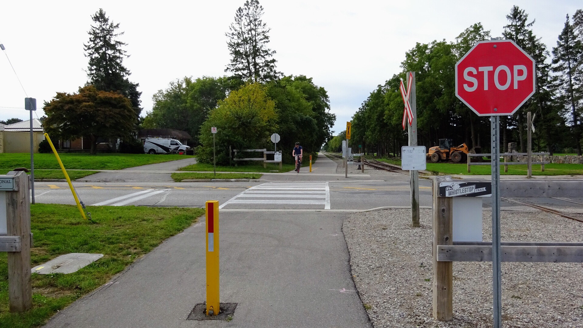
Once on the trail it is generally very flat, and any change in elevation is difficult to detect, with a few exceptions.  One spot is the bridge over Highway 10.  Cyclists must take care here as part of the ascent and descent is large gravel, and only the part of the bridge over the road is paved. Another spot is where it crosses Old Base Line. Here the first part of the group awaits the rest of the group crossing Old Base Line.

20181008_10575220181008_105755

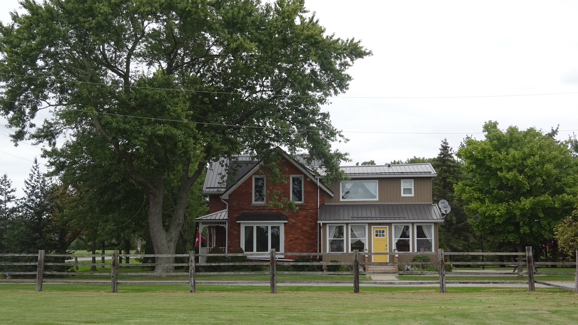
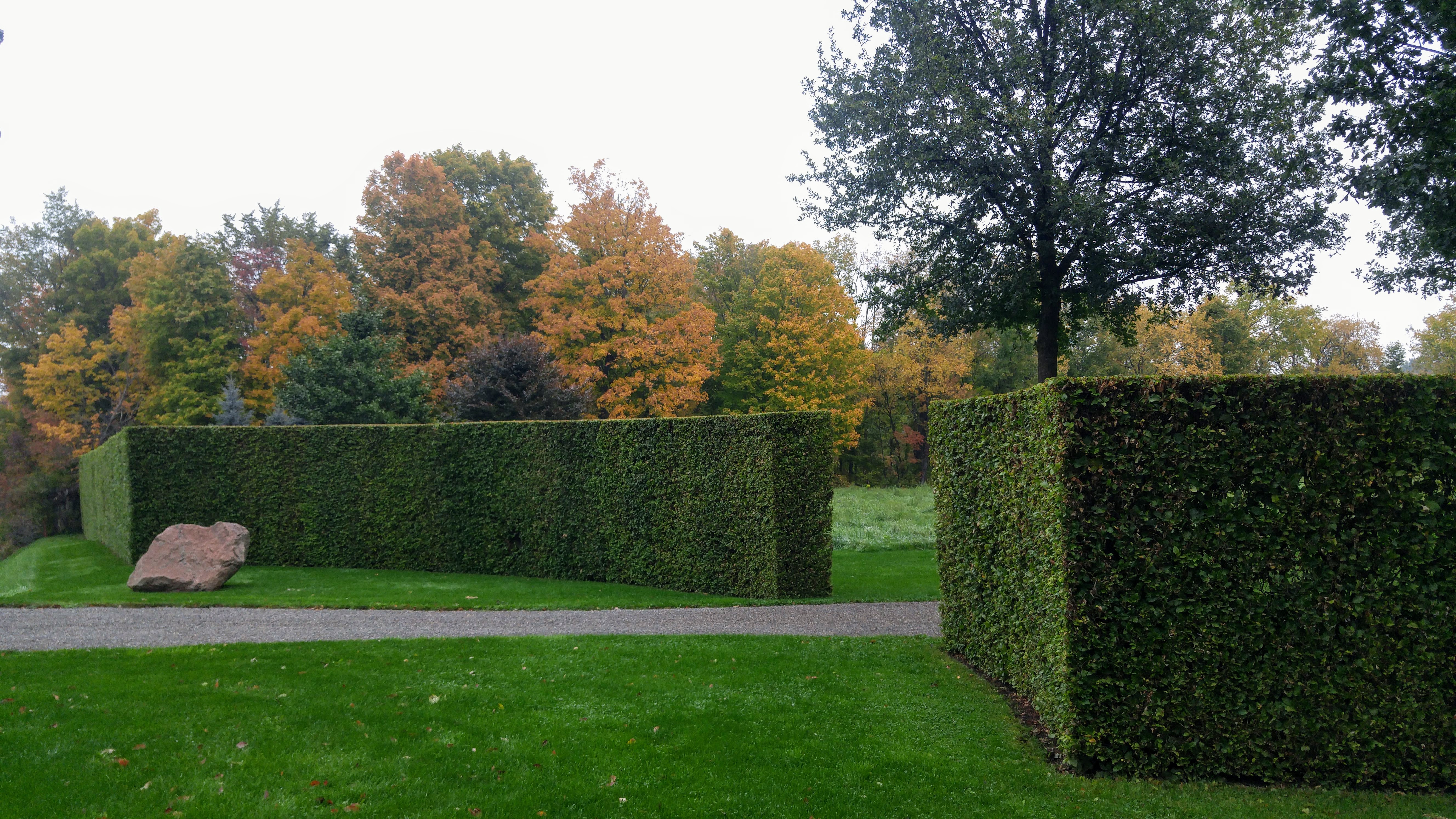
Crossing Boston Mills we saw the most amazing hedge.

20181008_110712

We left the trail at Mississauga Road, just opposite old brick kilns. The trail runs south from Highway 10 and we were heading northwest to Belfountain which means we travelled two sides of a triangle, but we were out to ride, see the colours and enjoy the company of our travelling companions, so it was not the distance, but the journey, that was important.

img_7773

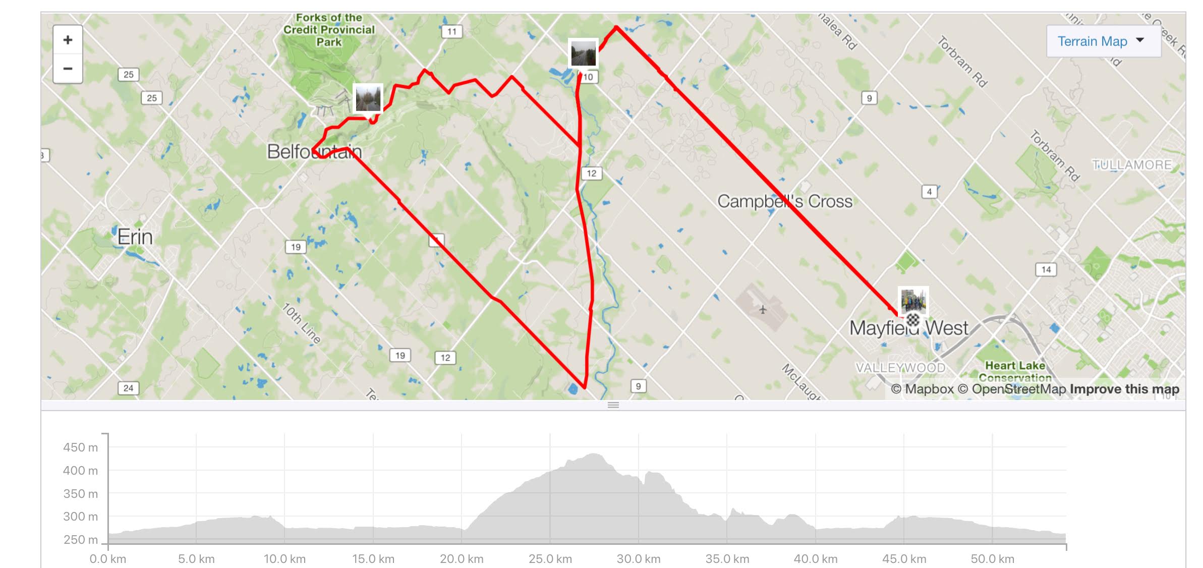
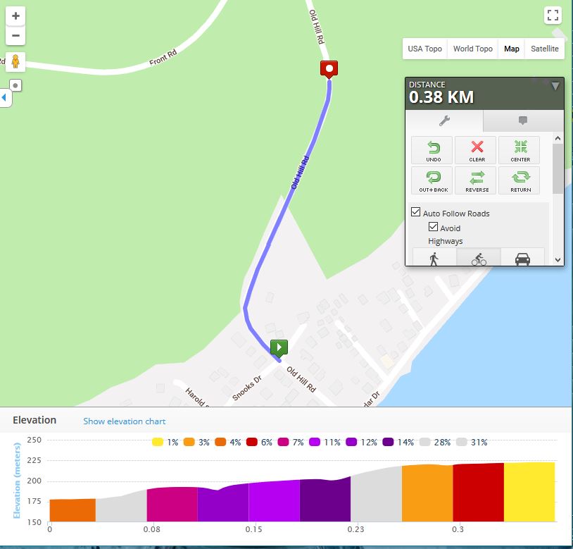
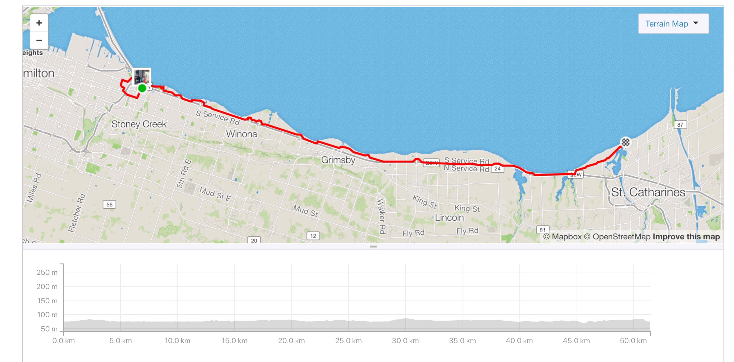
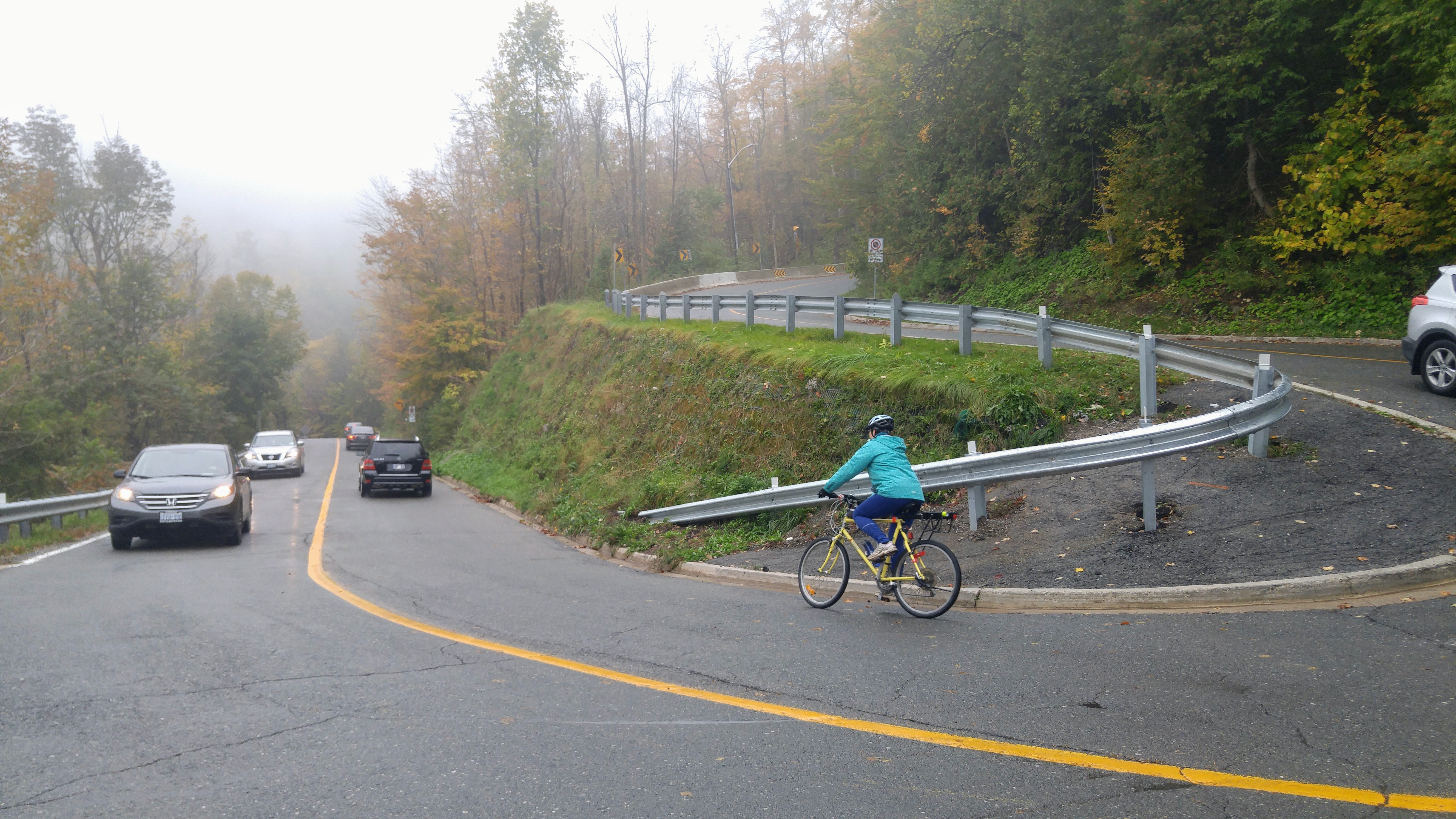
If you look at the elevation profile above you can see where we left the trail and started climbing Mississauga Road.  It’s almost 200 metres of climbing.  Lina had to walk some of the hills, and Yvon walked one.  Lina has set a goal of riding up those hills in the future.


20181008_1158231

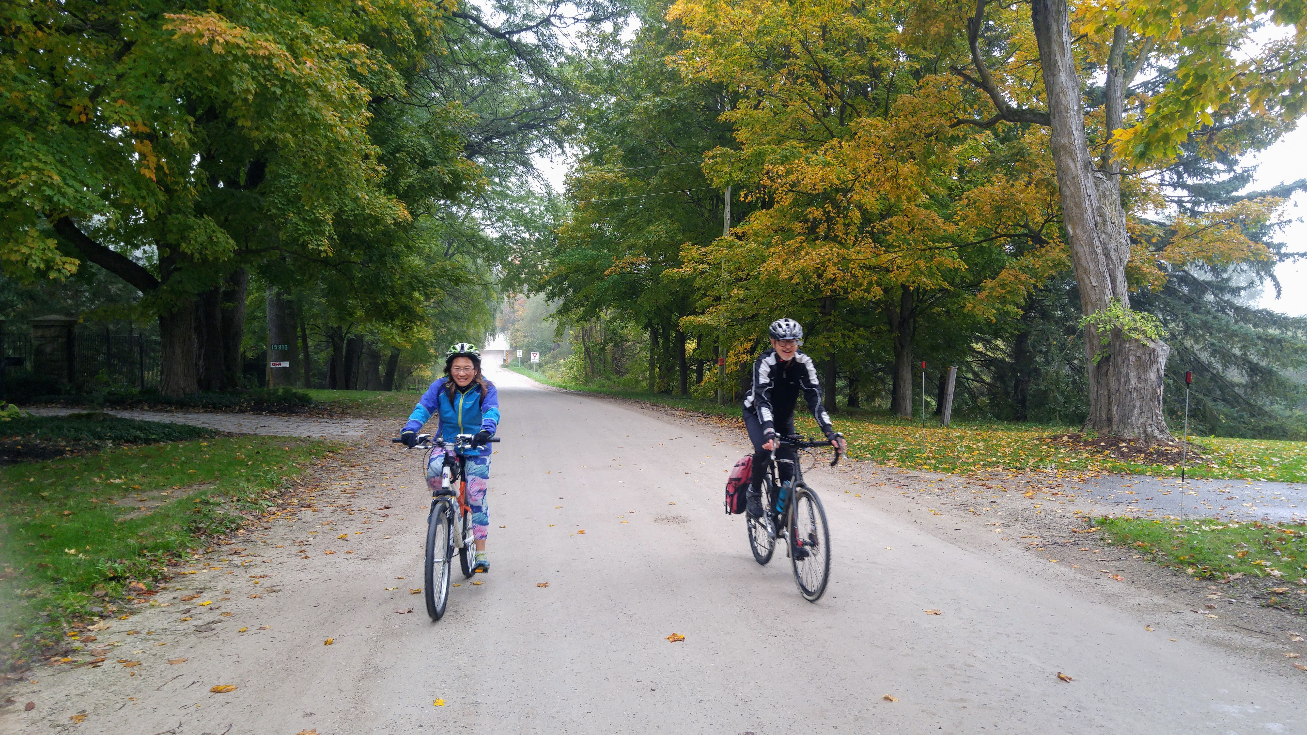
Lina is still smiling when she catches up to the group at the top of this challenging climb.

20181008_120250

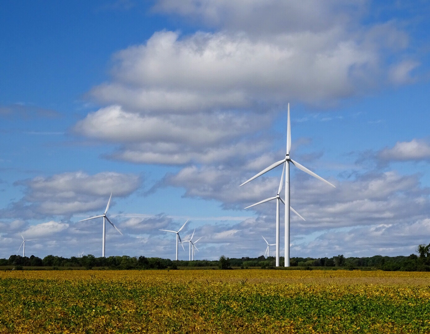
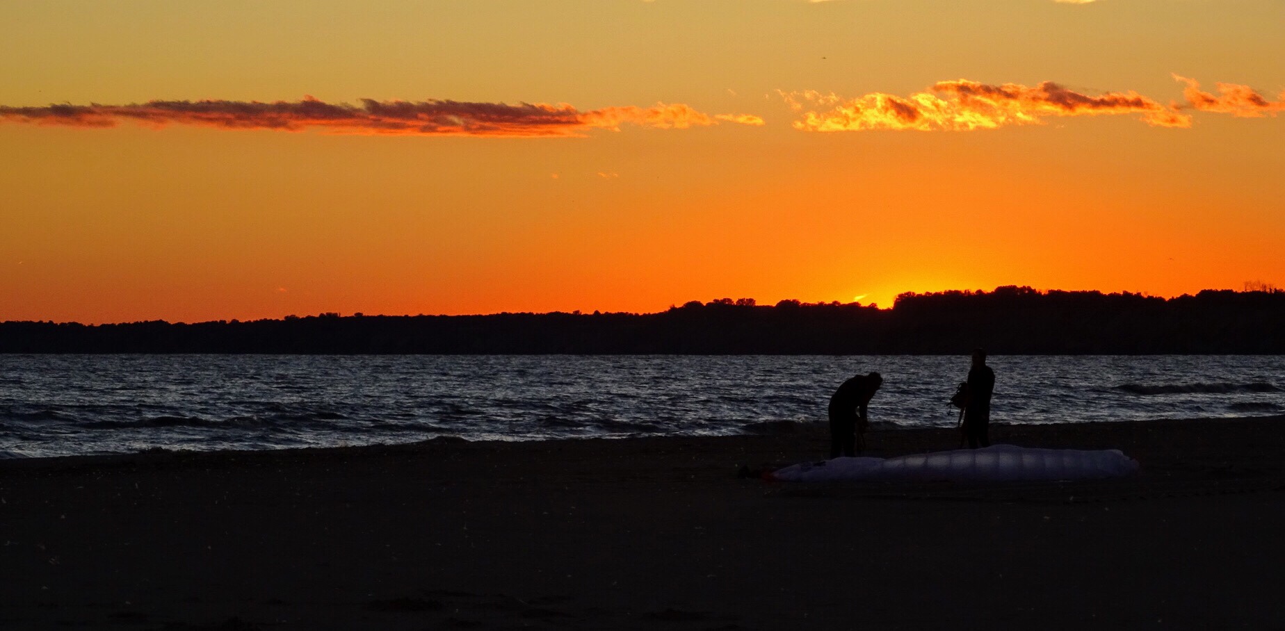
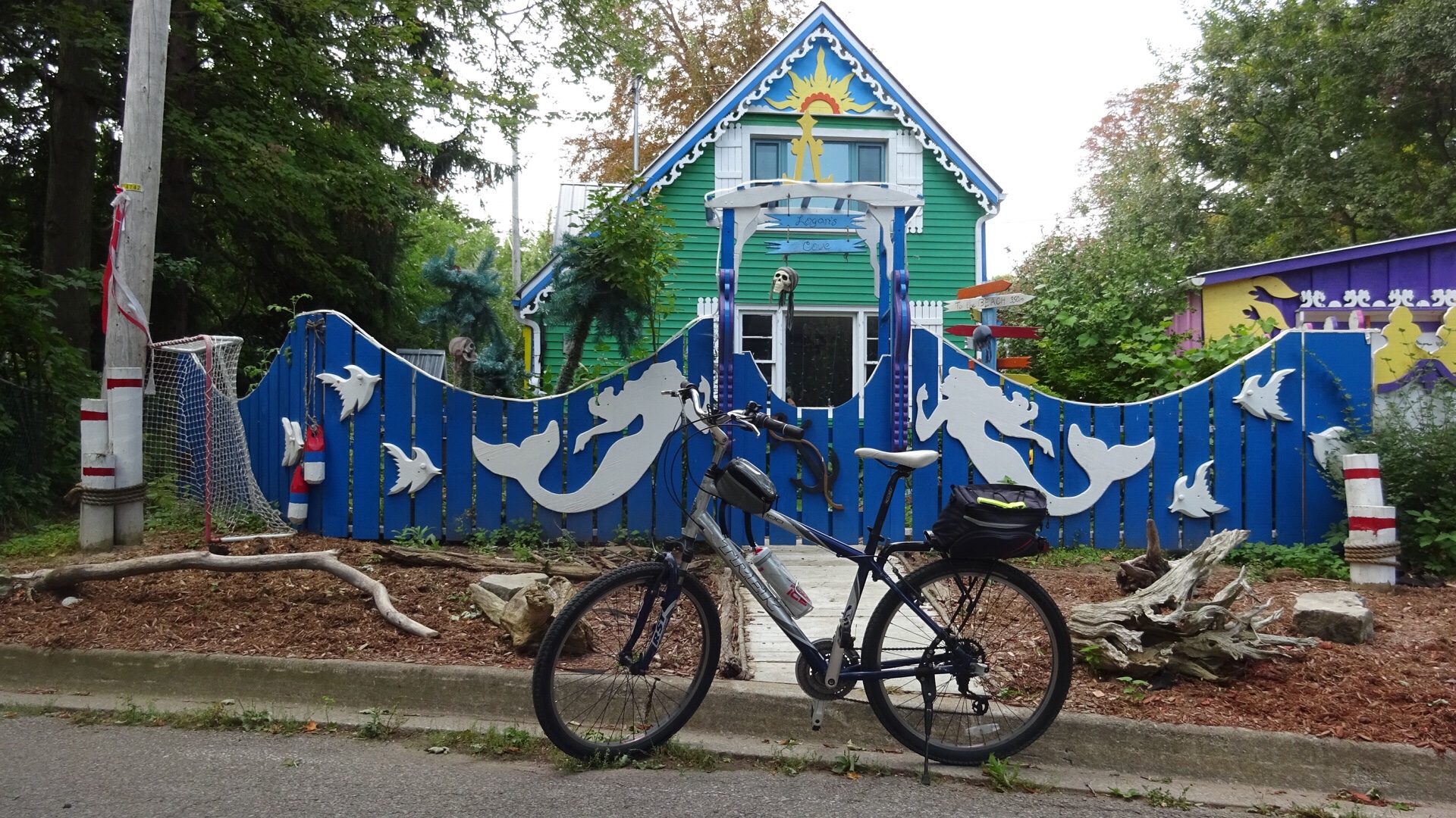
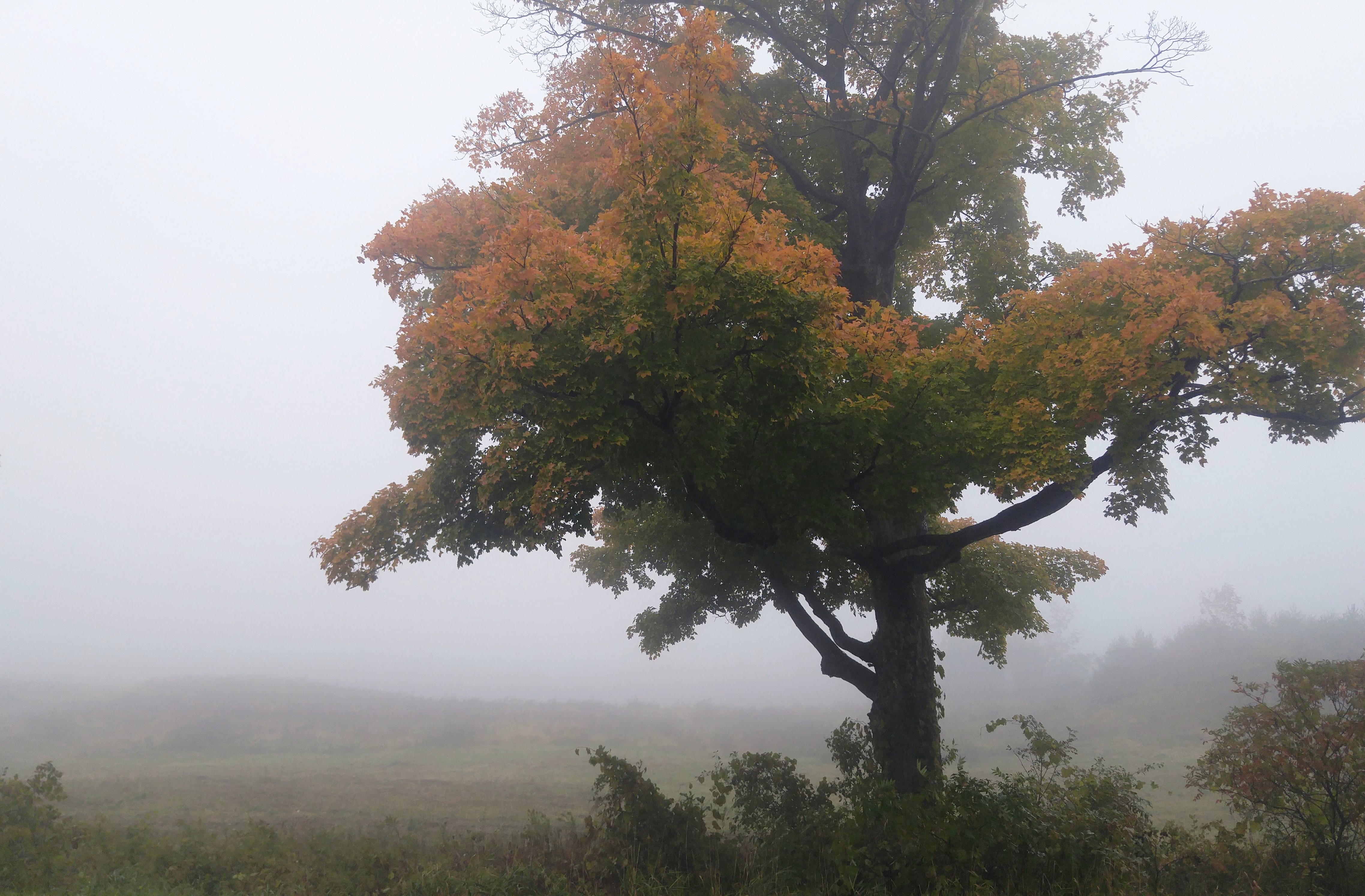
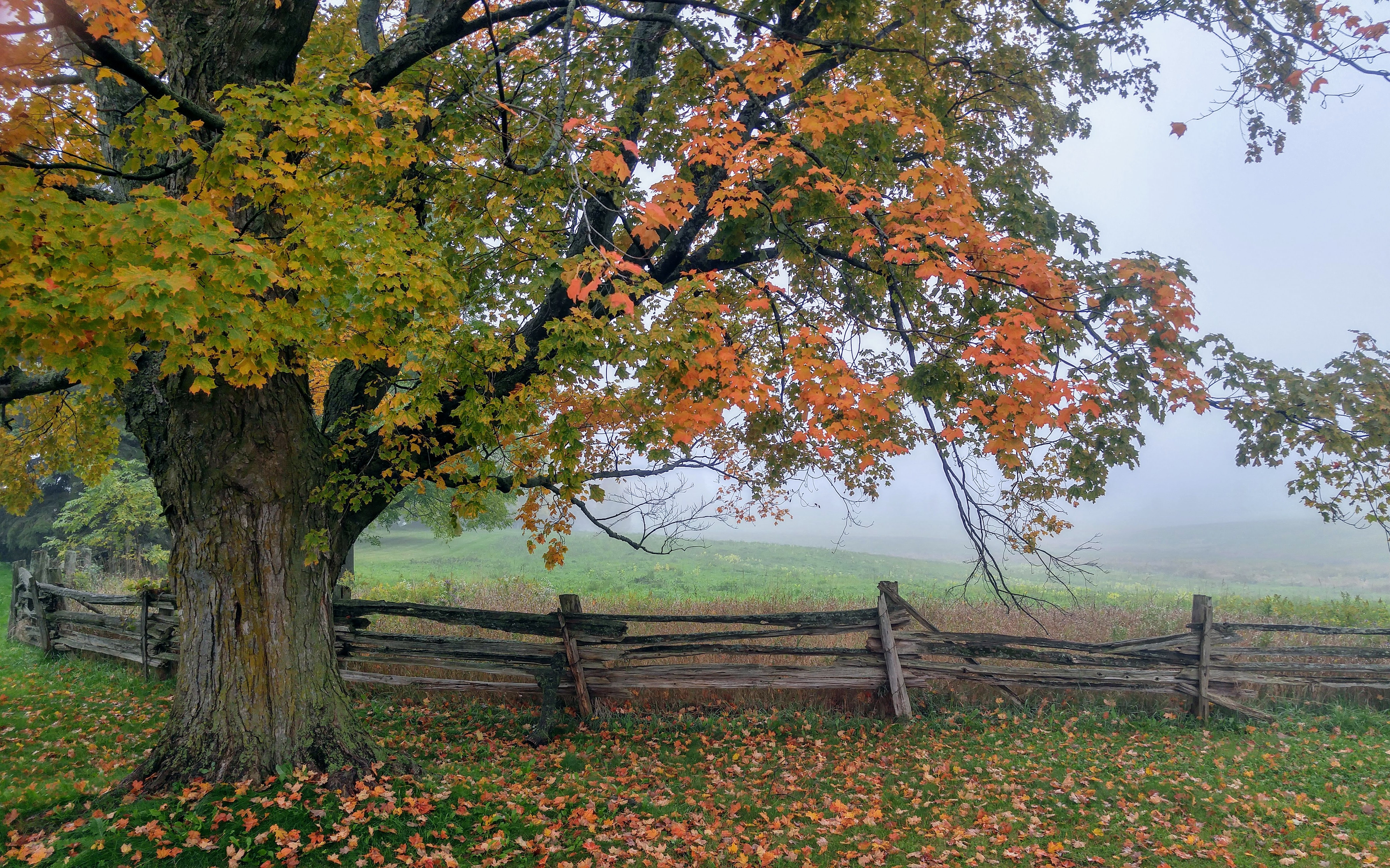
There is definitely still some time before we hit peak fall colours, but there were some very pretty trees, standing out in the foggy landscape.

20181008_120900

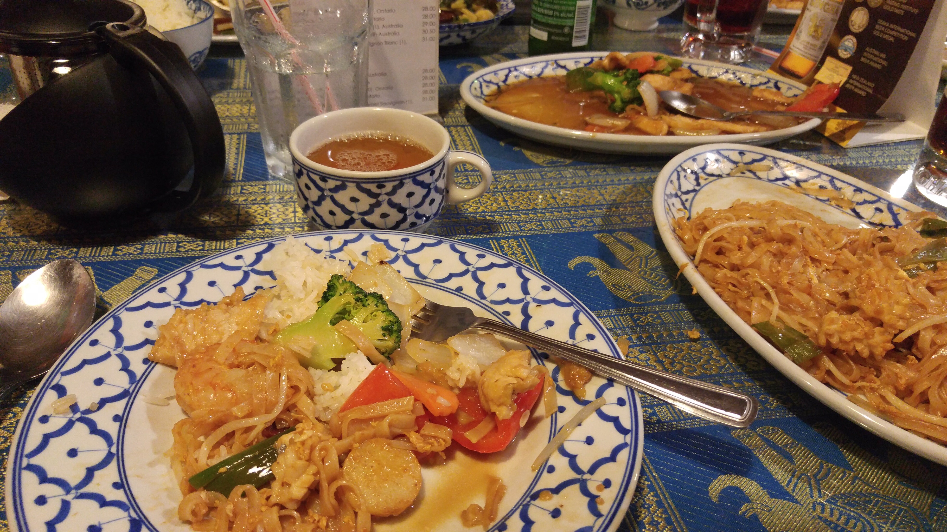
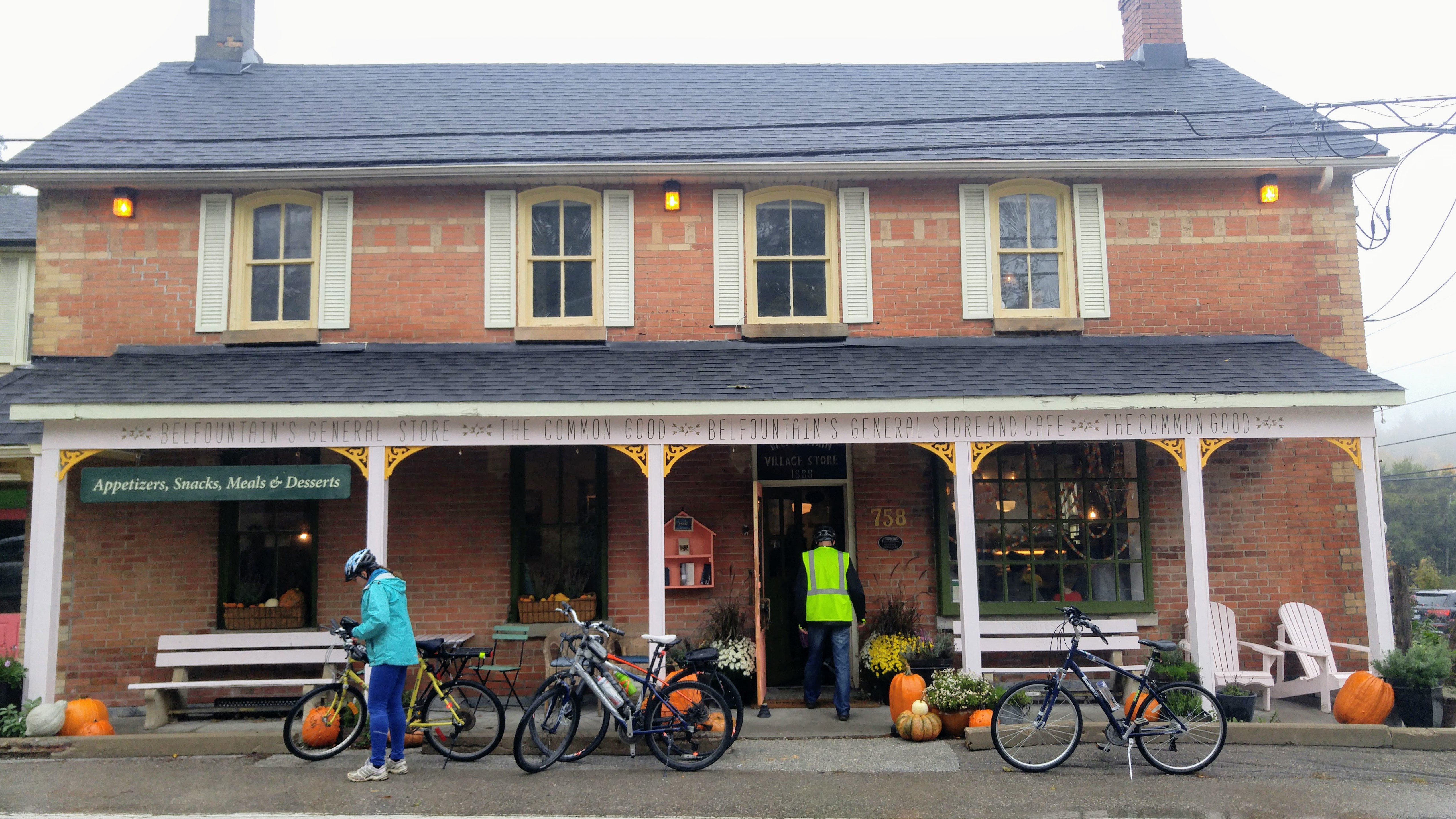
While Belfountain was busy, it wasn’t nearly as busy as it would have been on a warm, sunny Thanksgiving Monday. We had lunch at the General Store.  The food was delicious, but expensive.  My sandwich, latte and peanut butter square came to $24! I know businesses like these in small towns often struggle much of the year without tourists, but it still seemed like a lot. They did have bike parking, which I do appreciate.

20181008_121730

The return trip was a delight! My experience is that winds generally become stronger in the afternoon, so I was expecting a headwind to somewhat  temper our return, even though it was mostly downhill.  However, it was barely noticeable.

We flew downhill out of Belfountain, had a small climb just past the conservation area and then wound our way downhill on the Forks of the Credit Road.

20181008_132341

20181008_132332

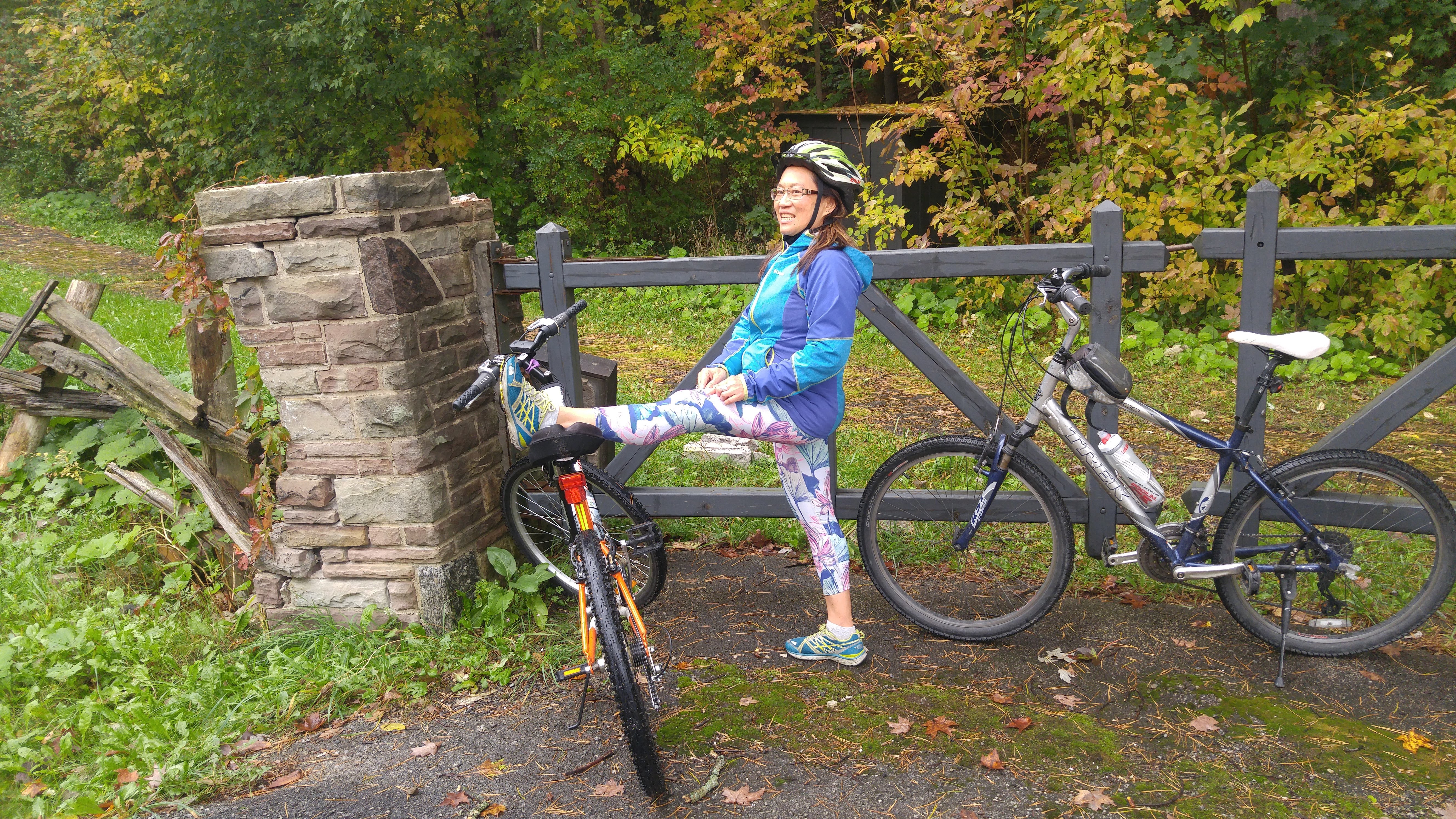
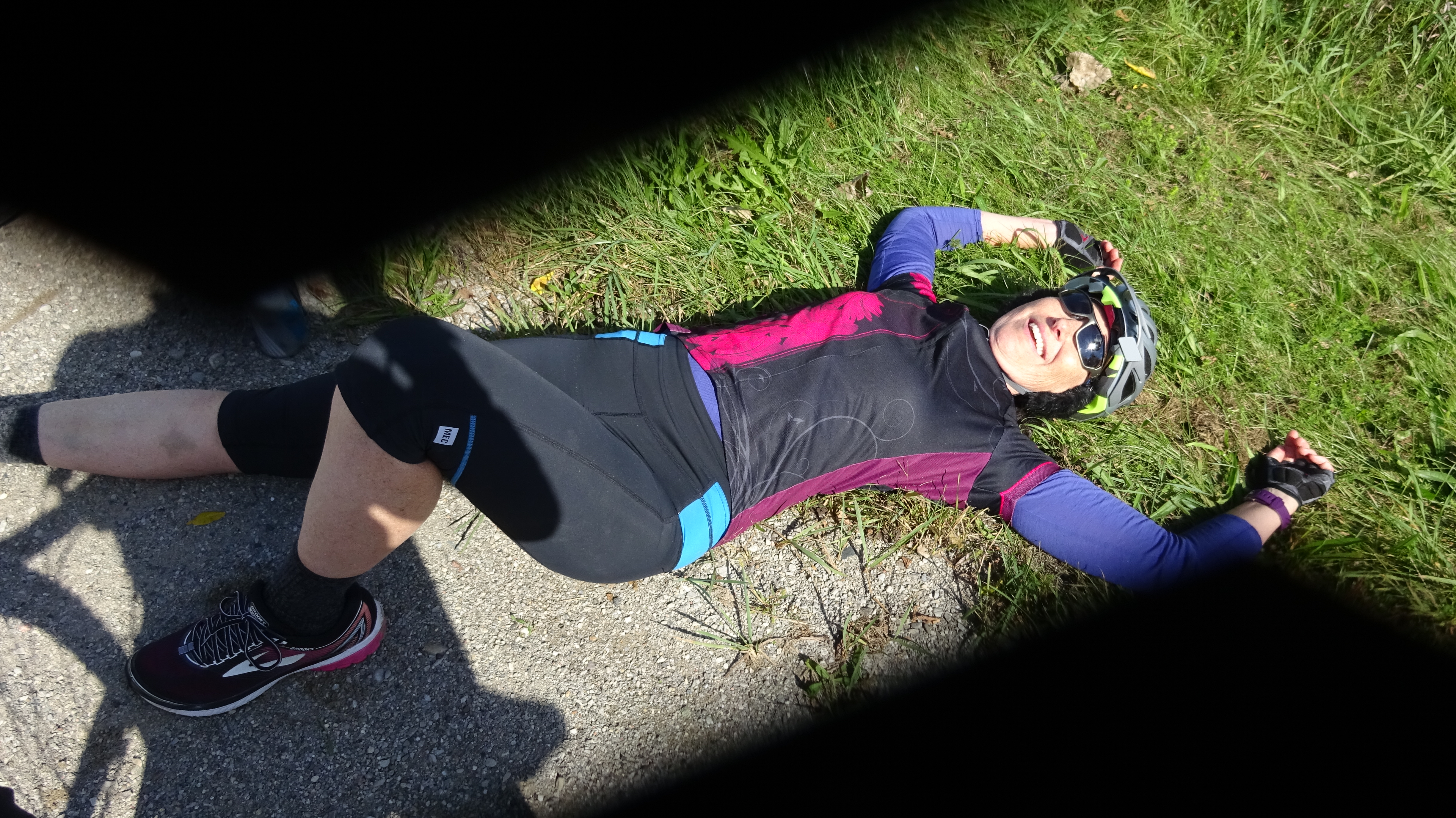
Shortly after this descent, Dayle got a piece of glass in her tire and had to change her tube.  It was her third flat in as many weeks and she will be getting new tires soon. Lina decided to take the opportunity to do some stretching.

20181008_133658

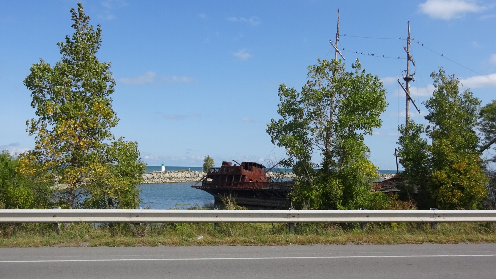
I couldn’t pass up this amazing scene and wished I had my full frame DSLR with me, but my cell phone was able to capture a pretty good version.

20181008_140933_hdr

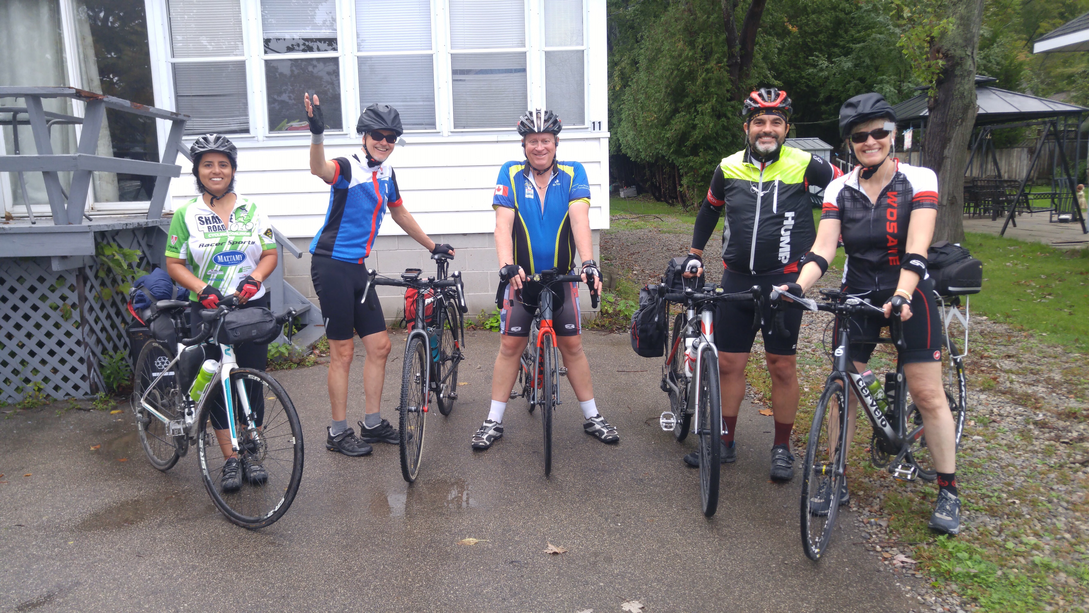
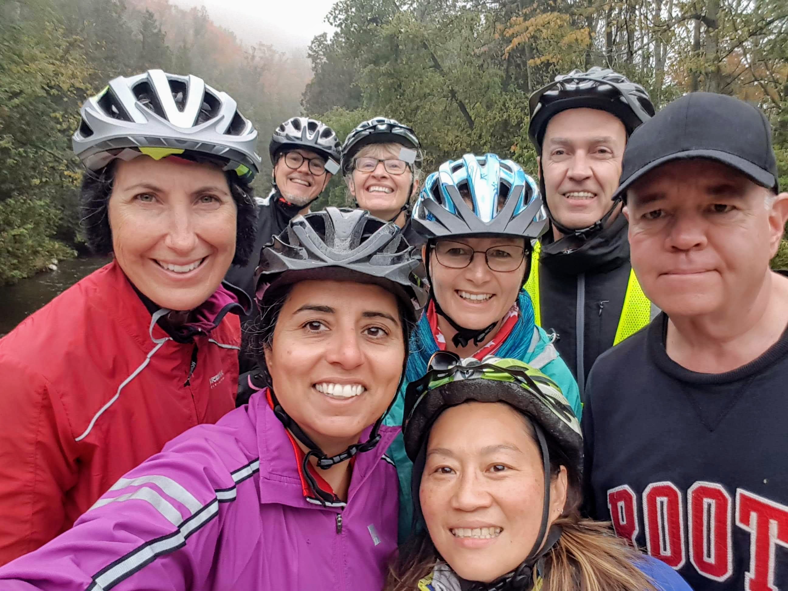
Shortly before parting in Inglewood, Rani got an usie on the single lane bridge where McLaren Road crosses the Credit River. Everyone is still smiling.

img_7772

Rani, Yvon and Tracy went south on McLaughlin from Inglewood and the rest of us went back across the rail trail to Kennedy and to Butter and Cup.  Barry announced that we hadn’t sufficiently tired him and he was heading back north to ensure he got 100km in today.  David and Dayle headed to their nearby home and Lina and I loaded the bikes to return the rest of the way home by car.  We rode 54km.

Lina is still smiling, but is glad to be done.

20181008_153515

Happy Thanksgiving.  I can’t think of a better way to have spent it and I am thankful for all my wonderful Bike People.


#2018ErieOdyssey – Stats

ErieOdysseyStats

Here is a summary of all my rides.  My goal was to ride 350km for the week and I just managed that.

I believe that Rani, Wayne and Nelson cycled over 700km each, David over 600km and Dayle over 500km.

It was a fun week.  I feel like I cycled the right amount.  I’ve been tired since I got home, but perhaps less so than last year after my Ottawa to Brampton trip, and I didn’t have as many exhausting days while I was away.

Future goals include:

  • An annual cycling trip
  • Getting my fitness level back up to the point where I can average 100km per day
  • A self-supported cycling trip where I carry everything I need on my bike


#2018ErieOdyssey – Day 7 – Cambridge to Brampton

I moved the van around the back of the hotel, before the others had to unload last night, to a door near our rooms.  So there should have been no more hallway bike riding, but I let the outside door close while my things were still inside, and no one had a key.  So Nelson cycled around the front and back through the hotel to let me in.  There is something about cycling that keeps you young in spirit as well as body.

Wayne took the first shift driving saying good-bye to Nelson, who would be heading north to Guelph 12 km into the trip, before heading out.

received_1848696728559780


David planned a perfect route out of Cambridge. The roads were picturesque and very lightly travelled. The weather couldn’t have been better: blue sky, some puffy white clouds, cool temperature and a tailwind. It seemed like no time at all before we had to separate from Nelson.

dscn4482_1

Even the dirt road we ended up on for a few kilometres was well packed and not too bad as long as we stayed in the tire tracks.

20180929_100002

Steve and George, from the Brampton Cycling Club, had been tracking Rani’s progress on google maps all week. For those who are unaware, there is a feature in the google maps application that allows you to share your location and phone battery level with others.  You share your location by email or text, etc and then the person you have shared with can see your location in real time, and how far they are from your you. This was very useful for us on the trip, to see where the driver of the van was, or where the other group of cyclists were, when we were separated.  It also allowed Steve to meet us west of Acton and ride with us.

20180929_102625

Shortly thereafter we caught up to Wayne and I took over driving.  Then George and Ted also joined us and we all met at Tim’s for a snack in Acton.

20180929_115116

The plan had been to stop at the Tea Room at Terre Blue Lavender Farm, but they were closed.

dscn4501

David, Dayle, Wayne and I stopped at the newly renovated Copper Kettle for lunch. Rani was anxious to get home so continued on with her cycling club escort.

20180929_122740

Dayle drove from Acton to Glen Williams where I had just passed my goal of 350km for the seven day trip, so I drove to David and Dayle’s house from Glen Williams.

We started and finished the day with an usie (group selfie). Michael, my husband, picked my bike and me up in our van. I felt like I could keep cycling for another week.  It was a bittersweet return. I love cycle tourism.  It is something I have wanted to do since my teens, but first tried only last year.  I hope to do trips like this every year from now on. I’ll post a numbers summary and perhaps some final thoughts in one more post after this one.

20180929_143948_hdr

• Moving Time – 2:09:25

• Elapsed Time – 3:26:00

• Distance – 41.8km

• Elevation Gain – 245m

• Average Speed – 19.4 kmh

• Maximum Speed – 48.2 kph

• Calories Burned – 1341

#2018ErieOdyssey – Day 6 – Ingersoll to Cambridge- Part 2

If you read my blog post the evening of September 28, then you know that I fell off my bike and didn’t feel like writing about the whole day.  I also didn’t have access to my photos since my camera broke in the fall. I am now home, have had three rest days and retrieved the pictures using a card reader.

I finally seem to be getting into the rhythm of travelling by bike the last couple days.  The packing and getting on the road is easier.  I was taking the first shift driving this morning so I took a picture of the group ready to go and we all set off.

dsc04399

I met the group at Norma’s Coffee in Norfolk, where we had a break, and then I started to ride and David drove the van.

dsc04413

Norfolk is a very small town, but they have taken some effort to make the town inviting to cyclists and to encourage local shopping.

The riding was lovely.  We finally had a tailwind.  It was sunny and cool, but not cold. The roads had good surfaces.  There was little traffic and the vehicles we encountered gave us a wide berth.

dsc04423

We encountered a closed bridge but were able to follow a detour and arrived at the TH&B (Toronto, Hamilton and Buffalo Railway) Rail Trail, which is also part of the Trans Canada Trail. Later in the day Dayle saw a TH&B locomotive.

dscn4373_1

This trail was, without a doubt, the best piece of infrastructure on the entire trip.  It had large maps under cover at each cross road, way-finding signs with distances, informational signs about local history, flora and fauna. It was paved and where cracks had developed in the pavement, they had been repaired with tar, just like roads are repaired when they develop cracks.  The only thing I can think of that would improve it would be if they provided winter maintenance – they were signs indicating that they do not.

As we neared Brantford, we came to incredibly detailed trail closure sign, with maps and instructions, indicating alternative routes while a bridge was being constructed. The information included distance, infrastructure type and motor vehicle speed where roads were included.

dsc04485.jpg

The trail ran 15km into Brantford where we took a desire line shortcut to McDonald’s and Tim’s for lunch.  That is where Rani fell.

After lunch we were on the Oak Hill Trail (until the Grand River) and then the S.C. Johnson Trail, once we crossed the Grand River on a very impressive bridge. The Grand is very wide at this point.

dsc04522dsc04521

These trails were primarily crushed stone.  The S.C. Johnson Trail had asphalt on hills. In the next picture you can see David approaching the asphalt/gravel border where I fell.

dsc04523

And here is a crop of a picture I took just before I fell. I circled the gravel that caused the problem; the arrow shows where I landed.  It seems I landed on my left elbow, hip and left. I discovered last night that my hip and thigh are bruised.  My right leg is also bruised – I think the bike landed on it.  My left shoulder was jarred when my elbow hit the ground, but it is all relatively minor.  I think I am lucky the force was spread out over my body and that my head didn’t hit since I already had a concussion this year.

dsc04525

Of course, I had to have a picture taken for the blog before I got up. You can see evidence of the camera damage in the picture – the lens wouldn’t fully open (the black triangles) and by the time we got to Paris, would not open at all.

dsc04528

Dayle offered to come get me in the car, but I was able to cycle the remaining 10km to Paris, although at a somewhat more sedate pace.

dscn4444_1

Once in Paris we treated ourselves to coffee and sweets. I also treated myself Voltarin gel (thanks Dayle) for the inflammation and pain, and I took Tylenol and Ibuprofin. Then I drove half of the remaining 15km and parked to ensure everyone was alright to continue – they were – so I drove the rest of the way to the hotel in Cambridge. The rest of the group said the trail between Paris and south Cambridge was nice, but gravel, and that it was very confusing getting through Cambridge.

Once I arrived at the hotel I had a long hot bath and felt less stiff afterwards.

20180928_183310

The hotel was the Sunbridge in Cambridge.  It was a massive square.  Our rooms were at the back.  I thought it would take me forever to wheel my bike around with my duffle bag on the seat.  Wayne and Nelson were smarter.  They rode their bikes.  The manager was less impressed than I was, though.

20180928_190639

We went out for AYCE (all-you-can-eat) sushi. That’s because the sushi dinner people lost to the Thai dinner people on a coin toss for dinner the previous day.  I don’t think they made any money on six hungry cyclists. I went to bed feeling not too bad, given I have been riding all week and fell on today’s ride.

• Moving Time – 3:4:39

• Elapsed Time – 4:37:51

• Distance – 54.22km

• Elevation Gain – 229m

• Average Speed – 16.7 kmh

• Maximum Speed – 39.2 kph

• Calories Burned – 1705


#2018ErieOdyssey – Day 6 – Ingersoll to Cambridge- Part 1

We had an amazing ride this morning with tailwinds on very lightly traveled, smooth roads, and then onto a rail trail, that was like a cycle super highway – paved and signed and surrounded by trees. It was wonderful.

After lunch in Brantford the rail trail deteriorated, with gravel on most sections, and asphalt on grades. I think the morning had given me a false sense of security and I continued occasionally taking pictures with my point-and-shoot camera while continuing to ride, as I have done for the whole trip.

On one of the downhill grades, it switched from asphalt to stones, even though the descent wasn’t finished. I hit a depression where water had eroded the gravel right where the asphalt and the gravel met and it spun my front wheel 360°, launched my back wheel into the air and threw me off the bike. I landed on my left side. The bike landed on my right leg. It was very jolting, but I didn’t hit my head and I think I’m going to be okay, but I am stiff and bruised and my right knee is starting to feel strained as I write this. I decided to drive for the rest of the day, once we got to our next meeting point with the van in Paris.

It’s hard to see it in this picture, but I was coming off the asphalt, on the right side of the trail (left in the picture) where the slight drop and loose, large gravel is. My bike has 2-inch, well treaded, mountain bike tires, not road bike tires. I have to take some responsibility for losing control, as I did have the camera in my hand. Perhaps, had both hands been firmly on the handlebars I would’ve been able to recover when the rut grabbed my front tire, however it’s possible I still would have crashed.

It makes me so angry that cycling infrastructure just gets crumbs of transportation money that has to be begged for from various levels of government and private donations, so that we get compromised infrastructure because there isn’t enough funds to do better. There’s no way that any municipality would risk the liability of building a road for motor vehicles in such a manner.

There is more bad news.

Because I was holding the camera when I went over, grit from the trail got in between the rings of the lens and the lens won’t go in and out any more. It keeps telling me to power off and I am unable to wirelessly transfer the images to my iPad. So the rest of my post for today will have to wait until I get home to a card reader and computer.

Here’s the funny/not really funny thing about this trip. It has been very accident prone. My crash today numbers only one out of five crashes that members of our group have sustained.

Rani fell twice. Once taking a curb ramp at a too shallow angle in the rain on Day 3. Then again today taking a sharp dirt dip on a desire line from the rail trail to our lunch spot. She is a bruised, but otherwise alright.

Nelson got caught on a fence on a very rough trail just before ending our ride on Day 2 and has a very bruised and cut upper right arm.

And tonight, about 10 metres from our hotel David fell and cut his hands and banged his ribs and wrist. The group accidentally went past The Sunbridge, where we are staying, to the Comfort Inn. Instead of riding back out to the road, they decided to cut across a very narrow strip of grass between the two properties. David hit a bump in the grass and fell.

Tomorrow is our final day and despite our falls, and the rain, and the headwinds, we have all had a wonderful time and feel the trip is ending too soon.

#2018ErieOdyssey – Day 5 – Port Stanley to Ingersoll

What a perfect day. It started cool, crisp, dry and sunny at the beach in Port Stanley. Breakfast was included with our rooms, and was as good as the dinner that we had last night. It did take a while to arrive, which caused us to leave later than we had planned, but with satisfied stomachs which is important when you’re cycling all day. There were crazy number of seagulls on the beach this morning with turkey vultures overlooking them from the lifeguard stand.

I had so much energy that I cycled for a couple kilometres, while the others finished packing, knowing that I was taking the first shift driving. Here is the gang ready to ride. We turned north from Lake Erie today so we had a day of climbing, the worst of which was at the beginning getting out of Port Stanley, so I decided to take the first shift in the car for not only that reason, but also to visit friends in St. Thomas and check out the new Whistlestop Trail.

The Whistlestop Trail runs from Port Stanley to downtown St. Thomas. From Port Stanley to the south end of the St. Thomas, the trail varies between a raised multi use path beside the road and a painted buffered cycling lane with signs warning drivers at all cross streets.

Once in St. Thomas it turns into a multi use path adjacent to the train tracks through a parklike setting with excellent street crossing signage and wayfaring signage.

I drove straight to my friends’ house and caught them for a super quick visit as they were heading out to an appointment. I was also able to use the facilities. Then I cycled the urban sections of the Whistlestop Trail, around the beautiful Courthouse District, Talbot Street, the armoury, the old railway station which has been beautifully restored, but is still largely unoccupied, and the many murals off Talbot Street.

Then, seeing on Google maps that Rani was getting close to our arranged meeting spot, I headed that way. However, a few hundred metres from the spot I came to a very steep hill which I decided not to ride down, just to ride up it again. I messaged that they should come to the top. Rani and Nelson were ahead of the others and said they would wait, but after a while, decided to come up. I messaged David to say I would give Rani and Nelson a tour and then meet them at the elevated park.

On the way to the bridge we visited Jumbo, a famous circus elephant hit and mortally wounded by a freight train in St. Thomas.

A local non-profit has begun rehabilitating the Michigan Central Railway bridge to create Canada’s first elevated park. The first section opened this spring. It is worth a visit. The views are wonderful and will be even better in a few weeks with the fall colours.

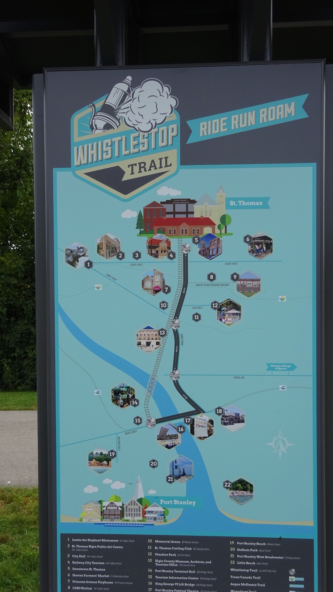
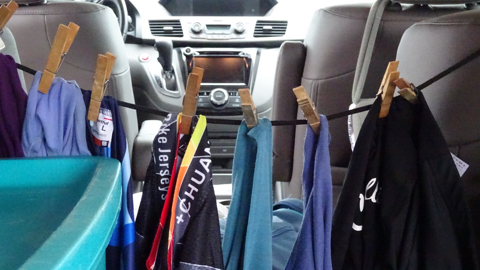
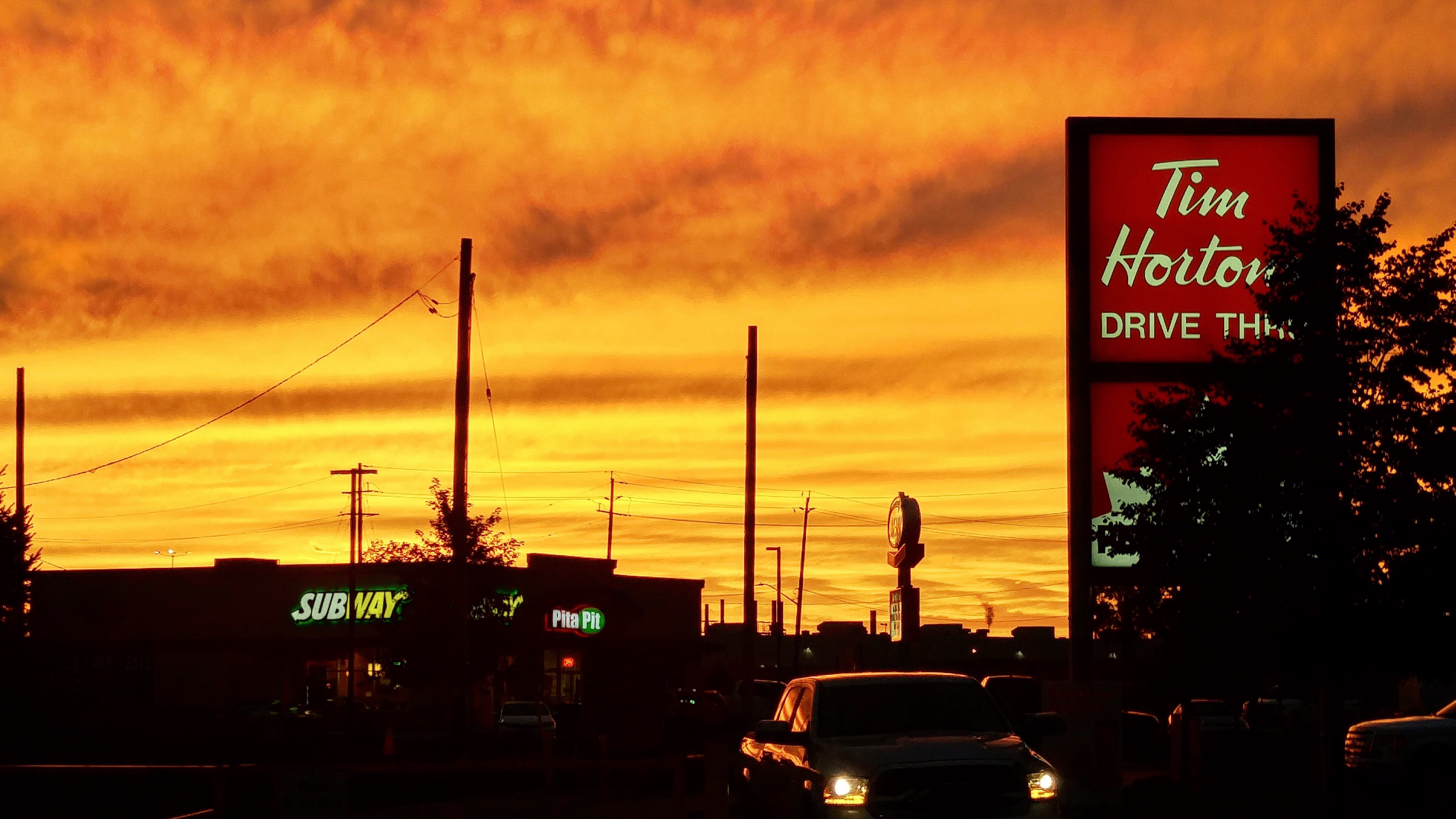
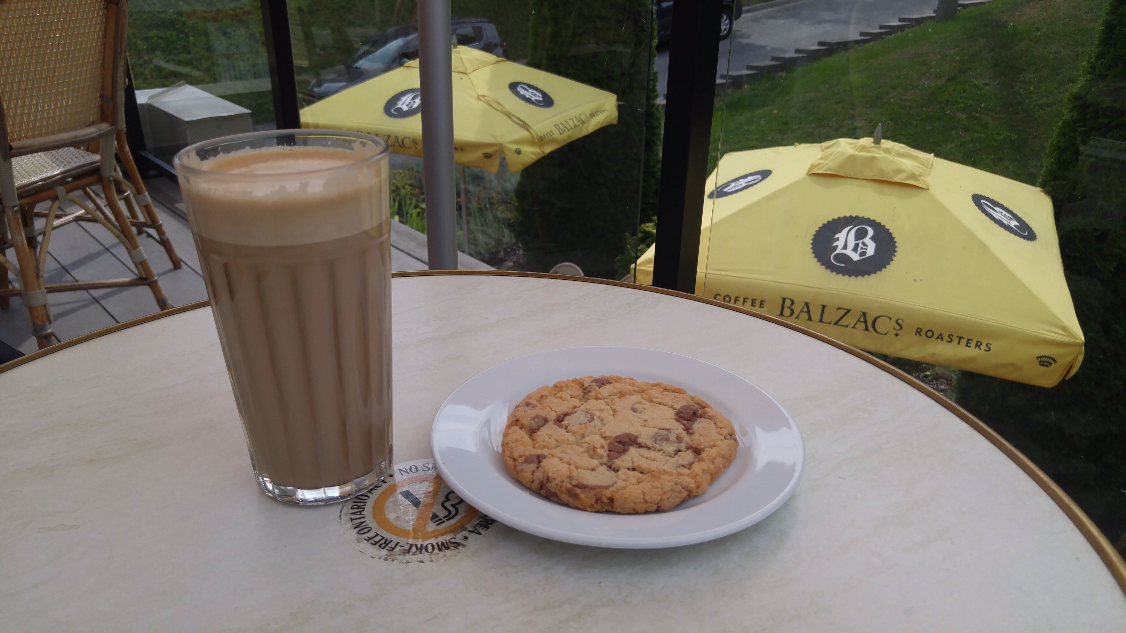
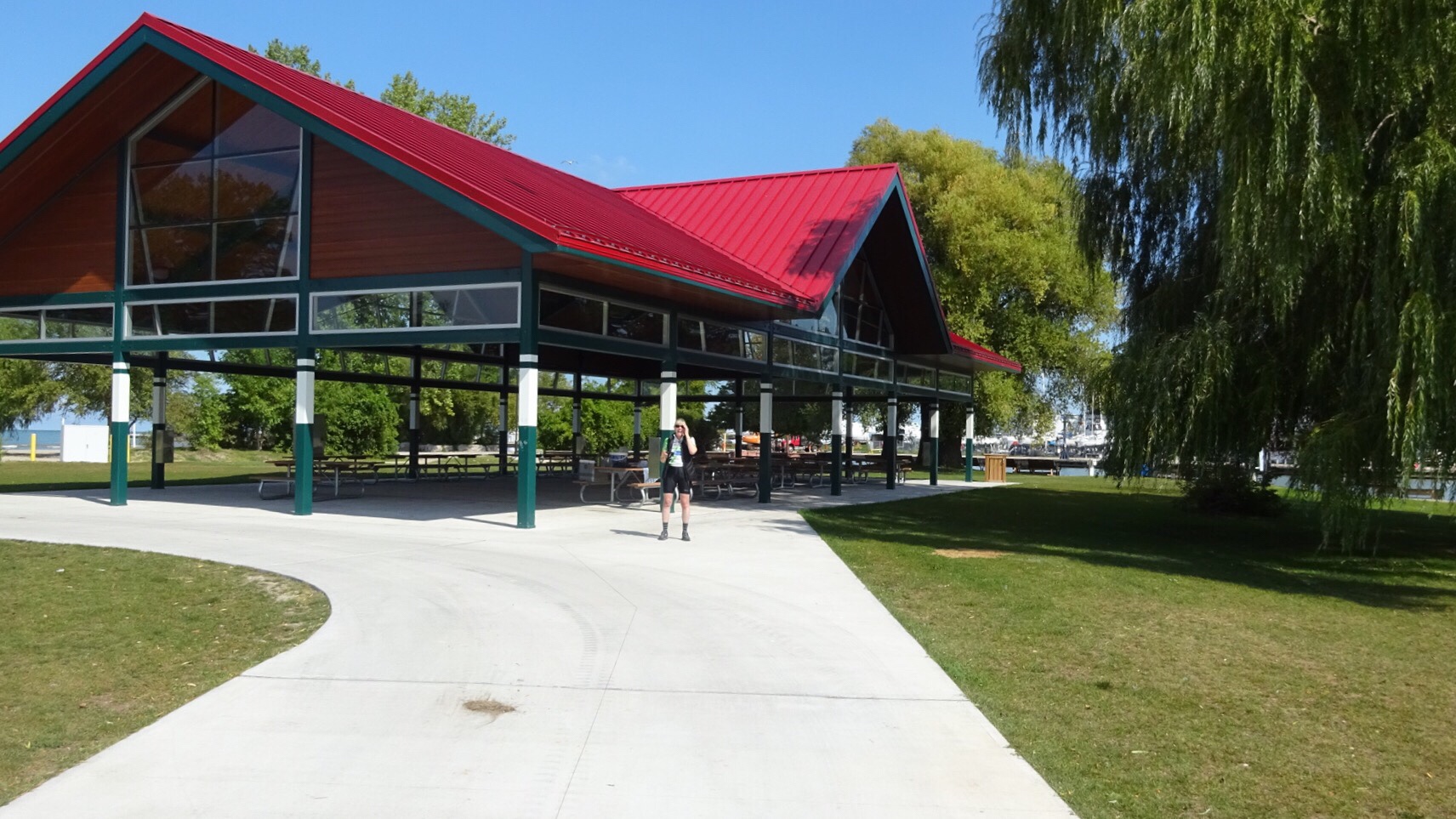
Then it was lunch time. Rani and Nelson hit Tim Hortons and the rest of us had a tailgate lunch in the Jumbo parking lot. I then cycled to Tim’s for coffee and a cookie. They appeared to be out of cookies, but on closer inspective there were two broken ones that had fallen off the tray to the bottom front of the glass case. I asked if the server could reach them and she could so I bought one. She ended up giving me both and they were delicious. I referred to them as my “floor cookies” – not quite, but close. I always have believed in the 5 second rule.

We then carried on with Wayne taking his first turn driving and the rest of us cycling. We agreed to meet in Belmont for another driver switch. The roads were lightly travelled and the winds diminished from yesterday, but unfortunately the western winds we suffered circled around to the southeast and we had headwind when going east, but tailwinds going north, so it was still a dramatic improvement.

I drove the next section meeting at Lake Whittaker Conservation Area, then Dayle took over. We are getting good at these meet ups and switching over. The gang getting ready to go. Unfortunately, Dayle forgot to start her Strava.

I decided while riding the second last leg that I could finish since the last leg was only 6km.

However, when we caught up to Dayle and the car, she was all ready to go and the road had been dug up. I was happy to change my mind and drive the last leg.

I got to the hotel and unloaded my things. I discovered laundry drying . Isn’t this clever?

Rani and Nelson had arrived and gotten our rooms, but then we got a message from Dayle – second flat in two days. They tried to fix it, but it wouldn’t hold, so I went to pick her up.

The hotel had a pool so David, Dayle and I spent a wonderful half hour going from pool to hot tub and back again. So relaxing. There was an amazing sunset when we went out for dinner.

Dinner was Thai in Ingersoll at Mango Salad. It was very good

I’ve had an amazing Day 4 and 5, which more than made up for my disappointing Day 3. I’ve had so much energy and been on a natural high since yesterday morning.

As I write the blog I am hearing constant traffic noise. We are close to the 401, Tim’s and a gas station. I’m glad I brought ear plugs.

Tomorrow we have 115km to go, but 60 of it on a rail trail. I am content and excited, but sorry that we are down to our last two days.

• Moving Time – 3:(8:32

• Elapsed Time – 6:24:46

• Distance – 59km (Plus 2.1 in Port Stanley for 61.1 total)

• Elevation Gain – 320m

• Average Speed – 16.2kmh

• Maximum Speed – 65.2kph (wow, surprising on my upright bike)

• Calories Burned – 1993

  • Cookies eaten – 3 (One more at the hotel, last one in the lobby jar)

#2018ErieOdyssey – Day 4 – Turkey Point to Port Stanley

I had a much better day today and I think the others did, too. The headwinds continue to be strong and persistent but we waited until 9:30 AM to begin as that was when the rain ended and we didn’t have any rain the rest of the day. Just as we were about to start out David realized that he had a flat tire so that delayed our departure a little more.

I decided to do the first driving shift because the hilly terrain for the first 10 kilometres was challenging. And the first hill, within a few hundred metres of our accommodation was, according to Rani, the hardest of the trip so far. For Dayle, making to the top of Old Hill Road was the highlight of the trip as it was the hardest hill she has ever climbed. Here is the grade profile for that section of road according to MapMyRide. I’m glad I was driving.  I doubt I could have cycled up it on my heavy upright bike.

Old HIll Road at Turkey Point

The first stop was Port Rowan – a cute little town close to Long Point Provincial Park.

I parked at Uncle’s Country Coffee, our morning snack spot, and arranged to leave the car there, unloaded my bike and cycled back towards the group. I was feeling much more energetic today and had no sign of a headache. I only got a couple kilometres before meeting them. We cycled back to the restaurant to use the bathroom and then cycled 7.5km down Long Point. That was only a small part of the total distance, but gave us a taste for it. I enjoy busy holiday spots out of season.

We had a tailwind on the way out and fierce headwind on the way back. Being a photographer, I don’t often get in the picture, but Dayle was kind enough to share her pictures with me.  She also uses a point and shoot while cycling (you can see mine dangling from my wrist in this picture) and is accomplished at taking photos while cycling.

dscn4241

We snacked/lunched at Uncle’s and then carried on. Dayle took a shift driving and I asked her to stop and wait 20km later in case I needed a break.

We didn’t see Dayle pass us and arrived at the pre-arranged spot to find she wasn’t there. David is tracking her with google and checked to find that she was 20km away! We told her we would keep riding, but to find us as soon as possible. It turned out she had a strong feeling she had left something behind in the morning so she went back. She didn’t find anything. But that allowed me to meet Billy Gunn and Matthew Cohn.

The headwinds were still strong, but we cycled in a line and it wasn’t raining. In fact the sun came out. We were rarely out of sight of a wind turbine today.

Dayle caught up to us and as she was getting ready to ride and I was stretching, a local resident, Billy Gunn, came over to chat. He offered us fresh pears and after the group left I locked the car and went over to get the pears. David, Dayle and Rani cycled off. Wayne and Nelson were a bit concerned and stopped about 500 metres down the road to ensure all was well. I didn’t feel uncomfortable and Billy was quite the character reminding me of the way Denny Crane from Boston Legal used to exclaim his name. Billy introduced me to his kitten Bull and gave me a large basket of pears.

As he walked me back to the van, a fully laden cyclist approached from the opposite direction to which we were travelling. He stopped and we chatted for quite a while. At that point I think Wayne and Nelson decided I was safe and carried on.

The cyclist is Matthew Cohn. He is from Montana and is travelling to New Jersey for his 50th high school reunion. He expects it to take about 70 days. I asked him if he blogs and he does. Crazy Guy on a Bike hosts thousands of blogs from people doing cycle tourism. It’s an amazing resource and I have followed people there in the past. That is where Matthew’s blog is and I’m going to check it out.

I said goodbye and got on the road. We agreed I would drive 20km to get past a couple steep climbs and then stop and we would switch over again. When I got to Port Bruce there was a sign saying the bridge was closed. I got to the bridge and not only was it closed, it was gone.

The bridge collapsed back in March with a truck on it. I spent a few minutes looking for an alternative route (it was quite out of the way, especially on bikes) and messaged the group to wait at Copenhagen until I came back to meet them. On my way back, almost immediately I realized I had missed a detour sign. So I went that way and found a Bailey bridge that has been placed temporarily until the damaged bridge is replaced. I stopped the car to text the group and received a text at the same time from David saying Wayne thought there was a Bailey Bridge. He was correct.

Once over the bridge I carried on the the meeting stop at Dexter Line and Old Dexter Line. Once I got there I unloaded my bike and got everything ready for a quick turnover. Then I waited. I was able to track Rani and see the groups’ progress. I waited and waited. I think I napped. I snacked. Eventually they showed up. Dayle had had a flat tire. David and Dayle got in the car. Wayne was tired, but determined to continue, so off the four of us went.

We had an uneventful, but still windy ride into Port Stanley arriving just after 6. It was a long day, but much better than yesterday. I had an adrenaline high going all day.

Nelson and I cycled out onto the pier and Port Stanley. It was lovely, but turns out to have been a strategic mistake. Rani claimed the bed and I got a pull out. I told her I might crawl in with her in the night if the pullout is too uncomfortable.

Rani and Nelson did laundry and got shawarma for dinner. The rest of us had perch and pickerel at the Buccaneer restaurant attached to the Port Stanley Beach hotel. It was delicious. I got a sunset picture before before dinner.

• Moving Time – 3:40:18

• Elapsed Time – 8:03:18

• Distance – 65.6km

• Elevation Gain – 134m

• Average Speed – 17.9kmh

• Maximum Speed – 48.6kph

• Calories Burned – 1956

#2018ErieOdyssey – Day 3 – Welland to Turkey Point

It was a tough day today. We thought it would be the rain that was the problem, but it was the winds that were crazy. Constant strong headwinds the whole way, especially once we started following the shore of Lake Erie.

Rani and Nelson headed out by 7:15. It took them a while to work out that it was my lock on Rani’s bike. She had to wake me to get the key. The rest of us left just at 915.

I was able to ride along the canal this morning, for about 15km, to Port Colborne. We passed some interesting sights and it was enjoyable being on the trail. This is a working flour mill despite appearances.

We saw a ship themed skateboard park in Port Colborne.

And the old Captain John’s restaurant abandoned in the harbour.

Unfortunately, I started getting a migraine in Port Colborne. Both Dayle and I decided to take a break at 21k. David started riding and Wayne continued on with him.

Lots of windmills in this area.

We stopped at 45km. It was supposed to be our coffee break but it was after noon so we decided to have lunch. Dayle wanted to ride again, someone needed to drive and my head still hadn’t cleared so I continued in the car.

Just before Nanticoke I came upon Rani and Nelson. They were tired from battling headwinds and gusty side winds, but they didn’t need anything and I continued on. As we talked it started to rain. It was off and on all day.

I love the lines of hydro towers marching toward the generating station.

Solar and wind side by side near Port Dover.

Just as I arrived in Port Dover, expecting to have a coffee and write my blog, I got a text from David saying Dayle was struggling, so I had to turn around and drive back half the way I had just come. Then back to Port Dover to wait for David and Wayne. Rani and Nelson got ahead while I headed back to get Dayle. The accommodation was more modest tonight, about 18km past Port Dover at Turkey Point.

Dinner was amazing at the Sandbox on the Beach. I would highly recommend the Perch dinner and Calamari. They even welcome cyclists.

Tomorrow the weather is looking much the same as are the next few days. At least once we get to Ingersoll it will be a tailwind.

• Moving Time – 1:30:35

• Elapsed Time – 2:06:02

• Distance – 20.93km

• Elevation Gain – 40m

• Average Speed – 13.9 kmh

• Maximum Speed – 40.3 kph

• Calories Burned – 612

#2018ErieOdyssey – Day 2 – Hamilton to Welland – Part 2

After seeing off the rest of the group, I had a great latte and chocolate chip cookie at Balzac’s.

Then I found my way to the canal road and made frequent stops to photograph the sights.

I pulled over in a hurry when I saw the lift bridge closing. It was incredible to see the size of the Algoma Sault up close.

Just before it went into the lock, this one came out.

Look at it in the lock!

The group were just leaving Lock 3 as I arrived.

I had a little time in Welland before heading to our accommodation for night. It is a pleasant little town.

The B&B we stayed in was lovely.

We cleaned up and drove into Welland for dinner at a nice little Italian restaurant, CC’s Dugout. Then we had lots of options for relaxing in the living room and on the porch until bedtime.

• Moving Time – 3:05:24

• Elapsed Time – 3:34:06

• Distance – 51.51km

• Elevation Gain – 103m

• Average Speed – 16.7 kmh

• Maximum Speed – 38.5 kph

• Calories Burned – 1361

#2018ErieOdyssey – Day 2 – Hamilton to Welland – Part 1

We started with breakfast at Denny’s, then got on the road just after 9. It was supposed to be 9, but as we were loading the van I couldn’t find my camera. I searched my duffle bag, and the bags on my bike – no luck. I went back up to the room – no luck. As I came back outside I realized I hadn’t searched my backpack and there it was. Phew. We took a picture and set off. David took the first trip shift driving.

We headed back west with a great tailwind a cycling and pedestrian bridge over the QEW, which took us to the Waterfront Trail. The bridge is “Fireweed Red” – the same colour as the Golden Gate Bridge in San Francisco, Wayne told us.

Unfortunately, we then turned east into a stiff headwind which never let up. For the first part of our ride on the Waterfront Trail we were on a lovely wide path with occasional shelter from the wind by trees.

Mostly we were on the North Service Road listening to the constant noise of QEW traffic on one side with housing, businesses or farms in the other. At least there want a lot of traffic, but I found it a tough slog on my upright bike and was grateful to draft behind the others, but especially Nelson with his wide panniers.

We met David at about 25km into the day and he and Dayle switched off driving.

We carried on into the wind.

We had a lovely break in Grimsby Beach touring the painted houses. A couple collecting their mail came out to tell us about the area and invited us in to chat, but with the wind it was taking us longer than planned so we reluctantly declined.

We passed the ship at Jordan Harbour.

I was so happy to pull into Port Dalhousie for a picnic lunch in a pavilion by the lake. Rani and Nelson found a Tim’s.

Dayle had lunch set up for us.

After lunch I changed out of my cycling clothes and took my turn driving. The rest turned south to cycle along the Welland Canal.

I will continue the post tomorrow to describe my afternoon. Now it’s time for bed. I apologize in advance for any mistakes. I’m too tired to proofread.

• Moving Time – 3:05:24

• Elapsed Time – 3:34:06

• Distance – 51.5km

• Elevation Gain – 102m

• Average Speed – 16.7kmh

• Maximum Speed – 38.5kph

• Calories Burned – 1518