Back to Ottawa – Transit vs Car

In July, I took the train to Ottawa.  It was my first time on VIA Rail. I enjoyed it immensely. Michael and I drove to David and Dayle’s house to pick them up, then onto Rani’s.  Rani drove us downtown to Union Station and her brother, who lives downtown, drove  the car home for her. We left home at 10:45 and arrived at our residence in Ottawa at 6:20 for a total travel time of 7:35. We could have shaved off about half an hour, but then we might have run the chance of missing the train. It cost me $68 (not including the cost of the car portions of the trip) one way.

When I began planning this family trip I looked into taking the train, but it turned out to be much more costly and time consuming than driving.

We would have had to take Brampton Transit ($22.80, four people, two ways, Presto cards), GO Train (Family Pass 2x$35), Via Rail ($786.48) and Ottawa Transit ($26.80, four people, two ways, Presto cards).

Via Rail for family of 4

The direct costs of taking our car included gas ($110), tolls ($58) and parking for 3 nights ($33).

Using the CAA Driving Costs Calculator ** for my minivan I determined that a fully loaded rate, including insurance, repairs, gas and depreciation is $0.58 per kilometre.

Transit v driving

*Taking the car allowed us to take a side trip to Brockville to see Canada’s first train tunnel which is newly reopened as a cycling and pedestrian attraction and is included in the total trip time of 6.5 hours.

Driving was a no-brainer, even for someone like me that tries to minimize my driving and even though we did not drive the entire time we were in Ottawa. It took less time, gave us more flexibility for sightseeing on travel days, and cost dramatically less money.

I imagine, but did not investigate, that even had we rented a car and paid for insurance, it would have cost less than taking transit.

If one considers only the direct costs of driving it would have been cheaper to drive even if only one person was in the car! And for two people it is essentially a wash between fully costed driving and transit.

Even if we had paid a $0.29 per kilometre toll (the amount paid on the provincial portion of the 407 and 412) for the entire trip (964km*$0.29), it would have only added just over an additional $200 to our driving costs.

Unless the cost of driving is deliberately and dramatically increased, how can we hope to motivate enough people to stop driving to make a difference to congestion and greenhouse gas emissions?


Back to Ottawa – December 1

We decided to take Trystan and Owen to Ottawa for a long weekend. Owen has never been before. Trystan visited on a Grade 7 school trip. Michael and I took Megan and Alun to Ottawa in August 2016. Before that we had not visited Ottawa together for 18 years, although we have each been here on our own – Michael for business and I, with friends, for numerous bike trips, including one this July which saw me pedalling my bike back to Brampton over six days. You can read about that starting here. There are ten posts in all.

We arose at the usual time, leaving the house about 8:20, which meant the 401 was jammed, so we decided to take the 407, including the new, cheaper, provincially owned eastern end, and the 412, also a new provincial toll road which connects the 407 and 401. The charge, at the time of day we were travelling, was $0.42 per kilometre for the private section and $0.29, for the provincial section. It saved us about 45 minutes but cost an astounding $29! Of course, this probably represents a more realistic road use cost than Canadian drivers are accustomed to, but even for someone who understands that, it seems expensive. Perhaps all trips should be tolled. I think that would lead to a lot less driving. The picture below is on the 412 approaching the 401. It was clear sailing the whole time in the tolled roads.20171201_091845-1

Even once we joined the 401 traffic remained light. Michael drove until the Mallorytown OnRoute Service Centre, where we had lunch. When I cycled home from Ottawa, it took me three and a half days, rather than 3.5 hours between Mallorytown and Brampton.20171201_121618(1)-1

After lunch, I took over the driving. Not long after leaving the service station I saw a sign for Brockville and remembered that they have just reopened Canada’s first railway tunnel as a music and coloured-light filled walking and cycling experience so we decided to detour since our check in time was not until 4pm. It was a great experience and I recommend it to anyone passing Brockville. Brockville has an extensive downtown, much bigger and more vibrant than Brampton’s, despite having less than 4% of Brampton’s population. Next time we would eat in Brockville, rather than at the service centre.img_5761-1img_5763-1img_5762-1img_5766-1img_5764-1img_5765-1img_5767-1img_5768-1img_5769-1

We arrived at 50 Laurier E just after 3pm, but they were able to show us to our apartment after a short delay. We had a 2 bedroom, 2 bathroom apartment with kitchen and living room on the edge of the University of Ottawa for about the same price as a hotel room. It’s central and has great views. I would highly recommend it.20171201_151251-1

There is construction right outside our hotel for the tunnel for the Confederation Line LRT to get under the canal.20171201_151409-120171201_151528-120171201_151608-120171201_154023-1

The dishes in the apartment are appropriately named.20171201_155242-1

We got settled in then headed to the Rideau Centre where we found coffee at Nordstrom’s.img_5770-1img_5771-1

We then walked to Parliament, passing over the first lock of the Rideau Canal, where we caught the Sound and Music show. It wasn’t as good as the one we saw with Megan and Alun, but was still worth seeing.img_5773-1

The canal has been lowered in preparation for skating, but isn’t frozen yet.img_5772-1

Apparently, the Stanley Cup is 100 years old. We passed by a giant replica of it on Spark Street, which is still the saddest pedestrianized street I have ever encountered. It wasn’t until I was looking at my picture later on that I realized that the “bench” is a hockey puck.img_5774-1

After a rest in the room we went to Dunn’s Deli on Elgin Street for dinner. Michael buys the Dunn’s Montreal Smoked Meat at Costco and wanted to Trystan to try the restaurant experience. Apparently, it was much better.20171201_184203-120171201_184136-1

We finished the day with a visit to the pool and sauna. The pool was a bit cold so I just soaked my feet, but Owen, Trystan and Michael all went in for a while.20171203_191221


#OttawaBramptonOdysseyCycle – Stats Summary

I thought it would be fun to summarize the riding days from Ottawa to Brampton.

Ottawa-Brampton Stats

Also, here is the complete list of blogs for the trip:

Prep Day – https://wp.me/p4TEzX-OE

Travel Day – Train Travel Day to Ottawa – https://wp.me/p4TEzX-OK

Ottawa Day 1 – Meeting and Tour Day – Ottawa – https://wp.me/p4TEzX-Pl

Ottawa Day 2 – Retail Therapy, Carbo Loading and Shenanigans – https://wp.me/p4TEzX-PM

Ride Day 1 – Ottawa to Merrickville – https://wp.me/p4TEzX-Q4

Ride Day 2 – Merrickville to Kingston – https://wp.me/p4TEzX-Qz

Ride Day 3 – Kingston to Belleville – A Day of Contrasts – https://wp.me/p4TEzX-R4

Ride Day 4 – Belleville to Port Hope – Headwinds – https://wp.me/p4TEzX-R5

Ride Day 5 – Port Hope to Ajax With an Escort – https://wp.me/p4TEzX-SP

Ride Day 6 – Ajax to Brampton – Final Day – https://wp.me/p4TEzX-Wm

#OttawaBramptonOdysseyCycle – Ajax to Brampton – Final Day

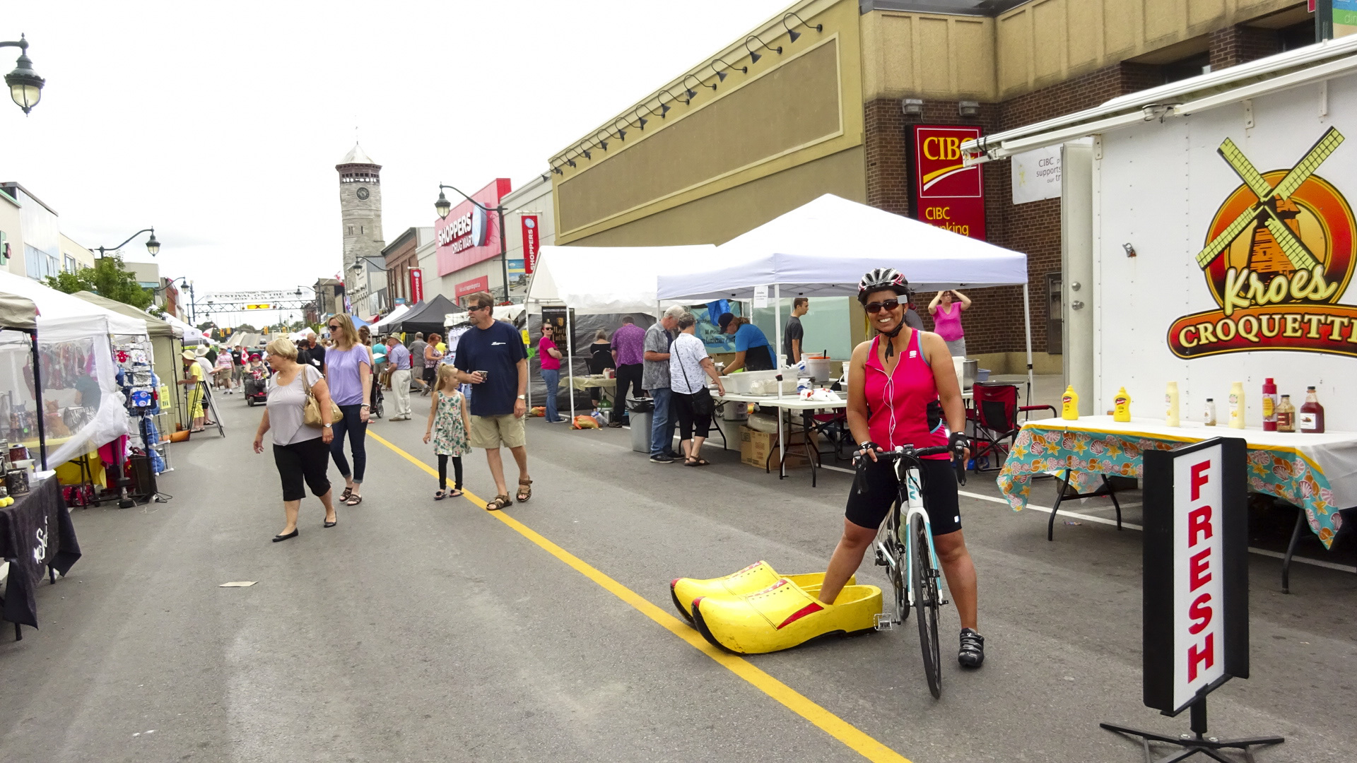
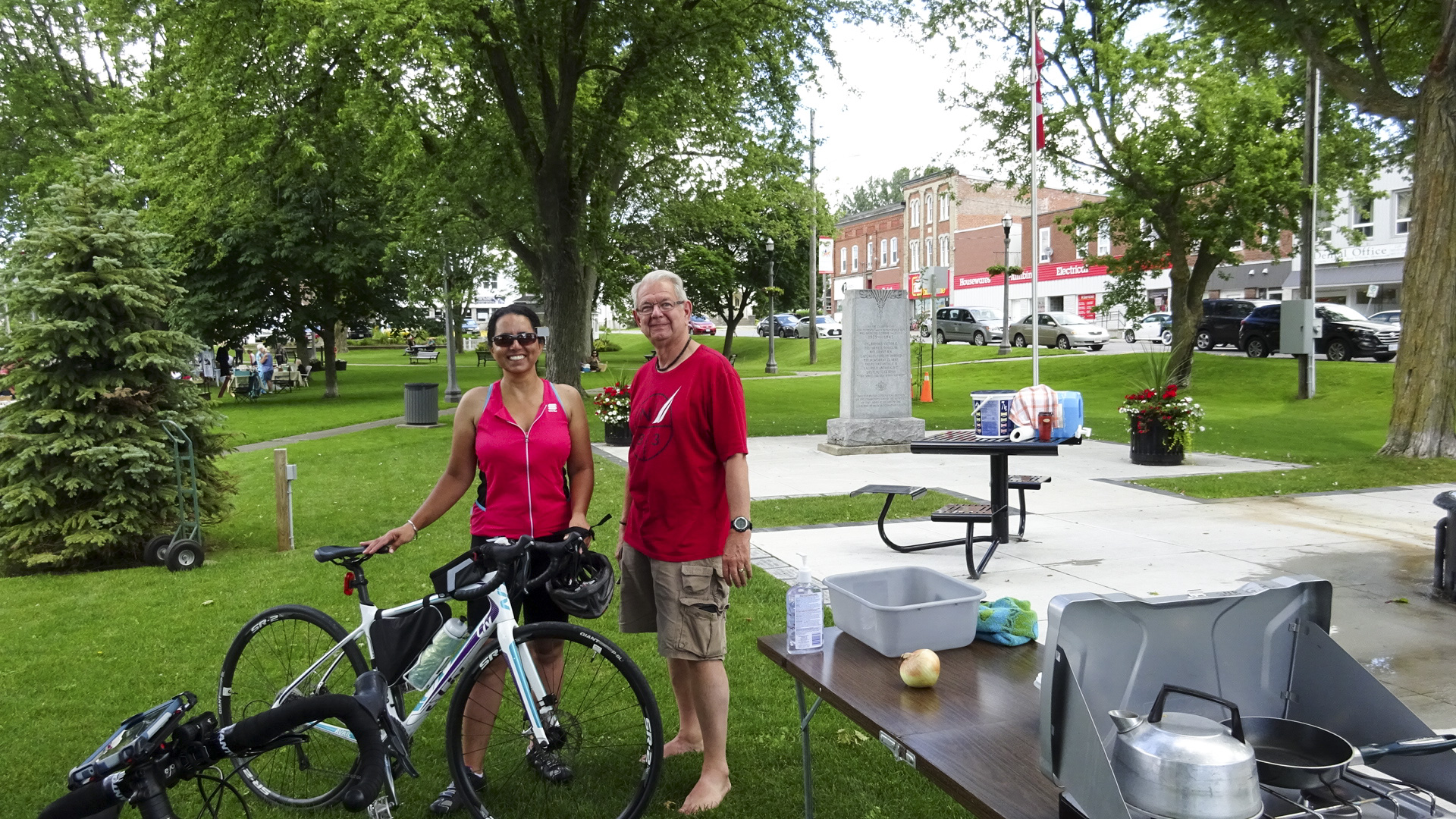
I felt so much more energetic on our final day, after staying in for the evening, than I did on Day 5.  At our final evening briefing we decided to take the advice of our local experts, who provided such a great escort yesterday, and follow the Waterfront Trail to the Don Valley, for a trip length of 94km to my house, and a little longer for David and Dayle to their home, and Rani and Nelson to John’s house, rather than a more direct road route which would have resulted in a trip of 68km.

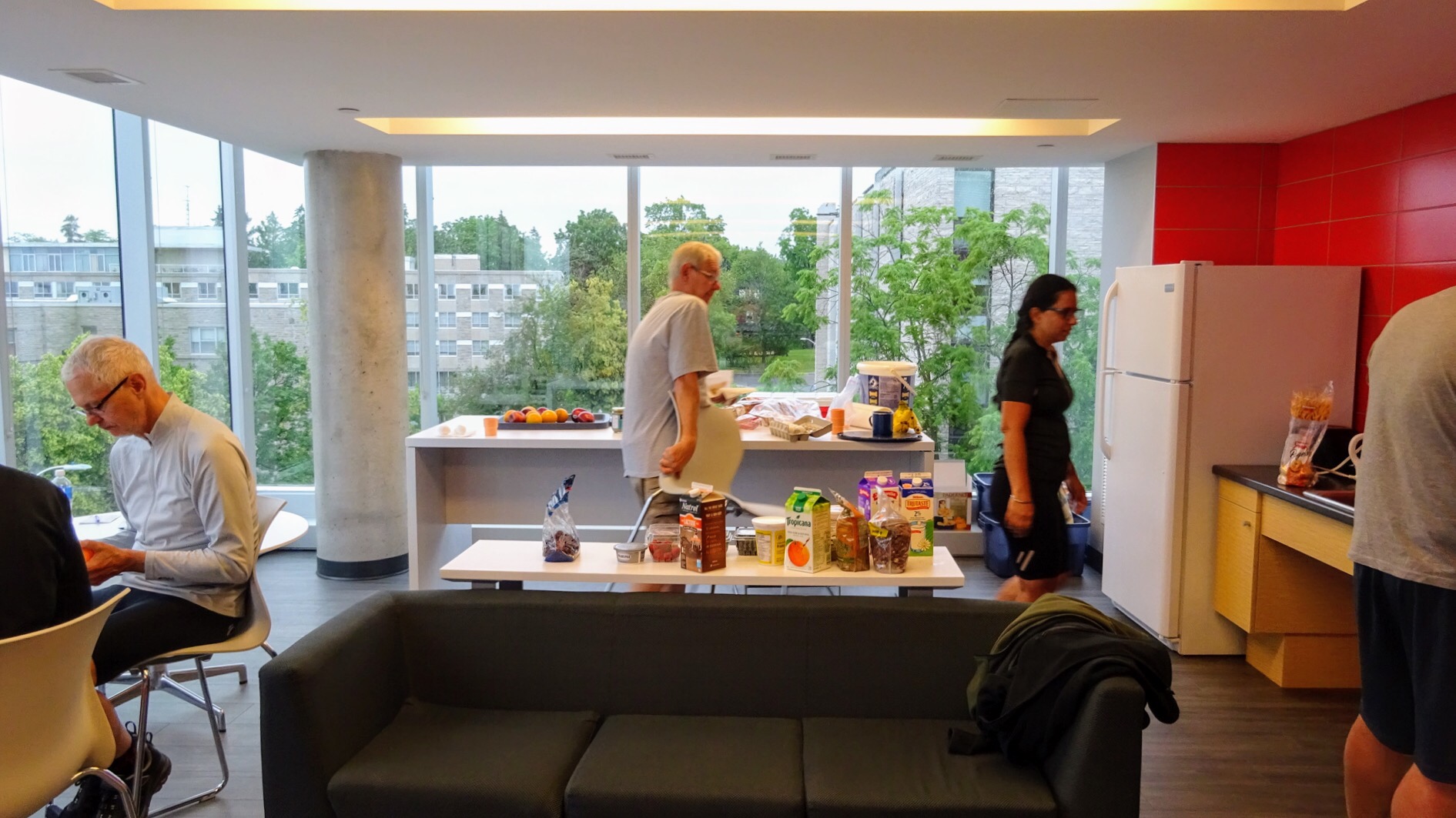
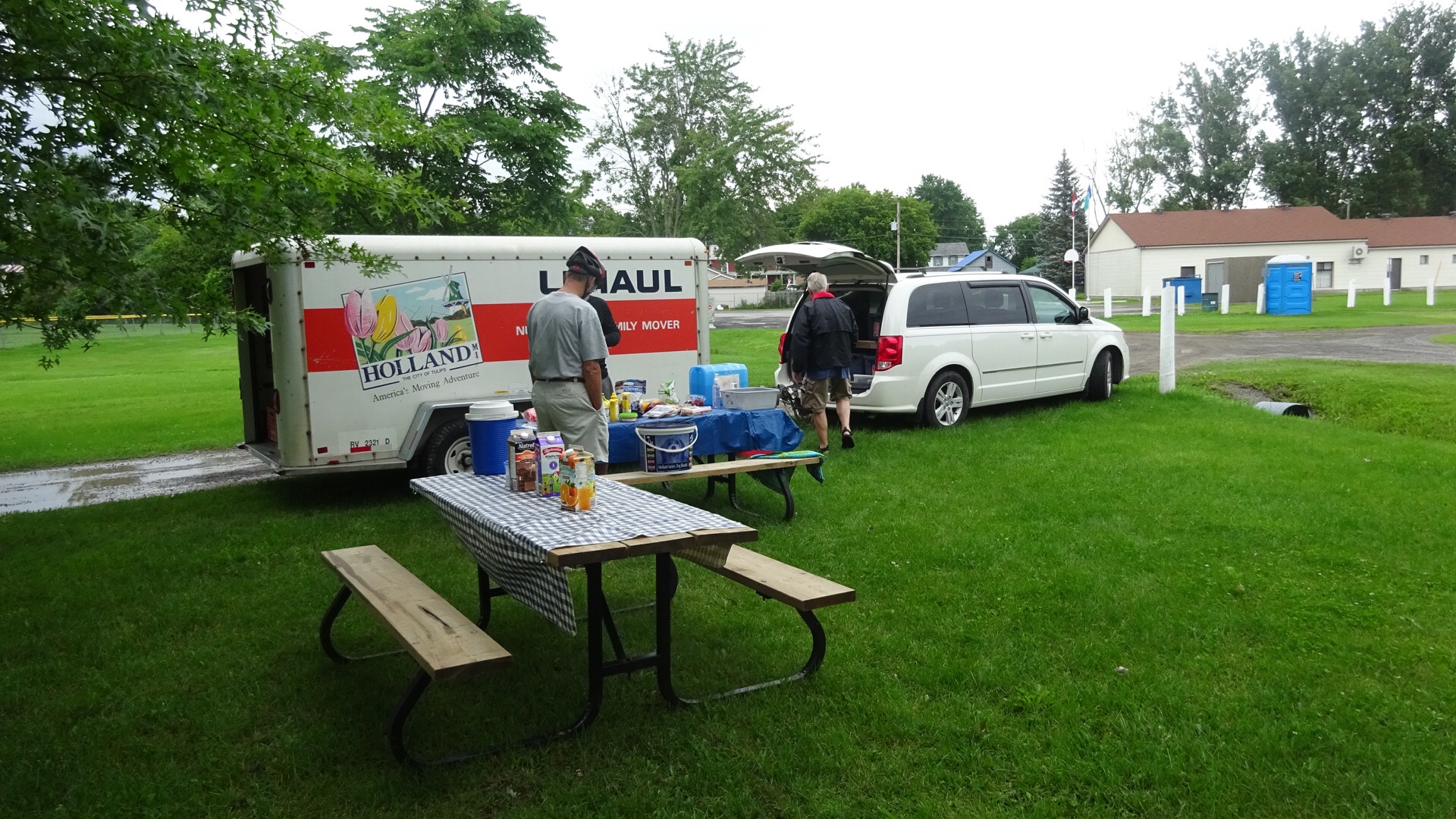
Breakfast was provided in the lobby of the Super 8, where we stayed, but consisted of white bread products, bad coffee and a few other things, making it the worst breakfast of the trip.

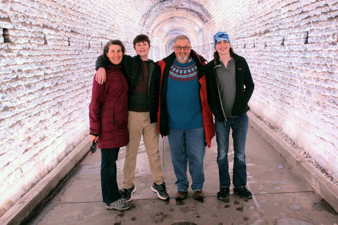
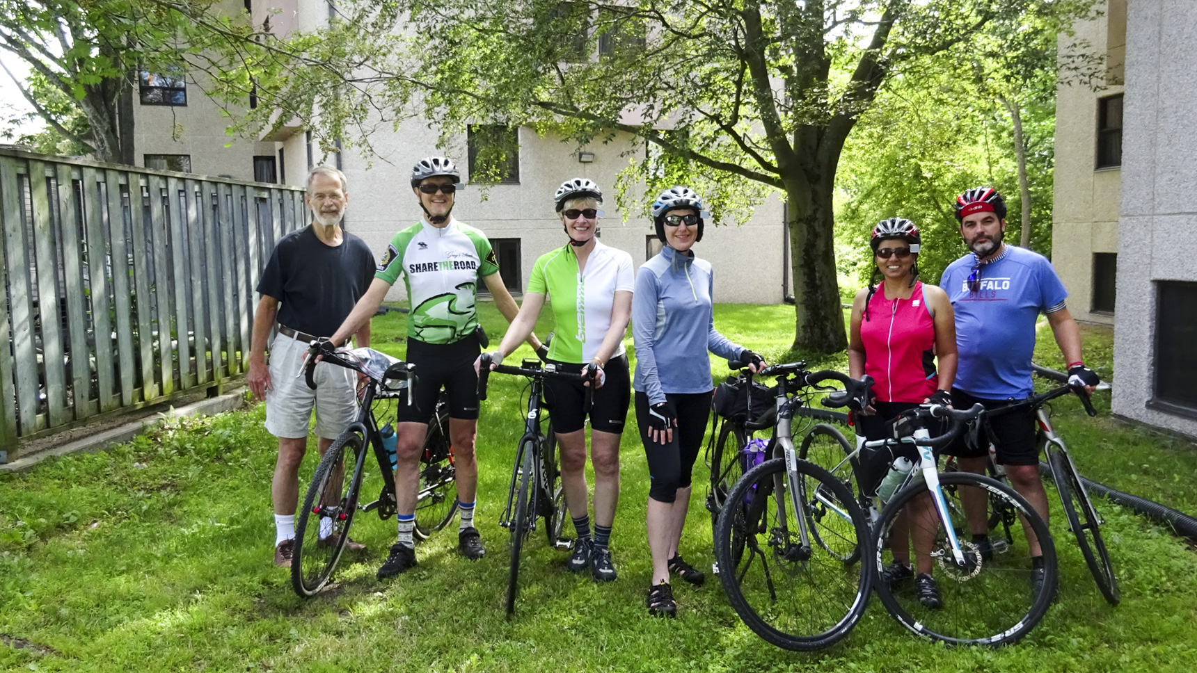
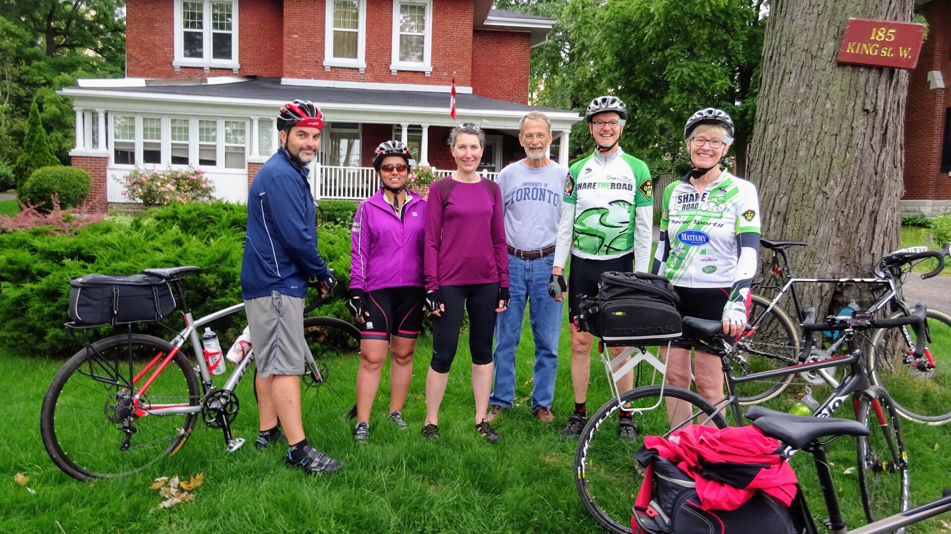
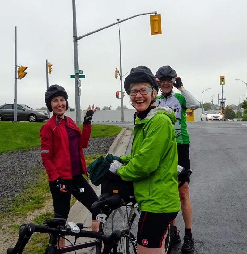
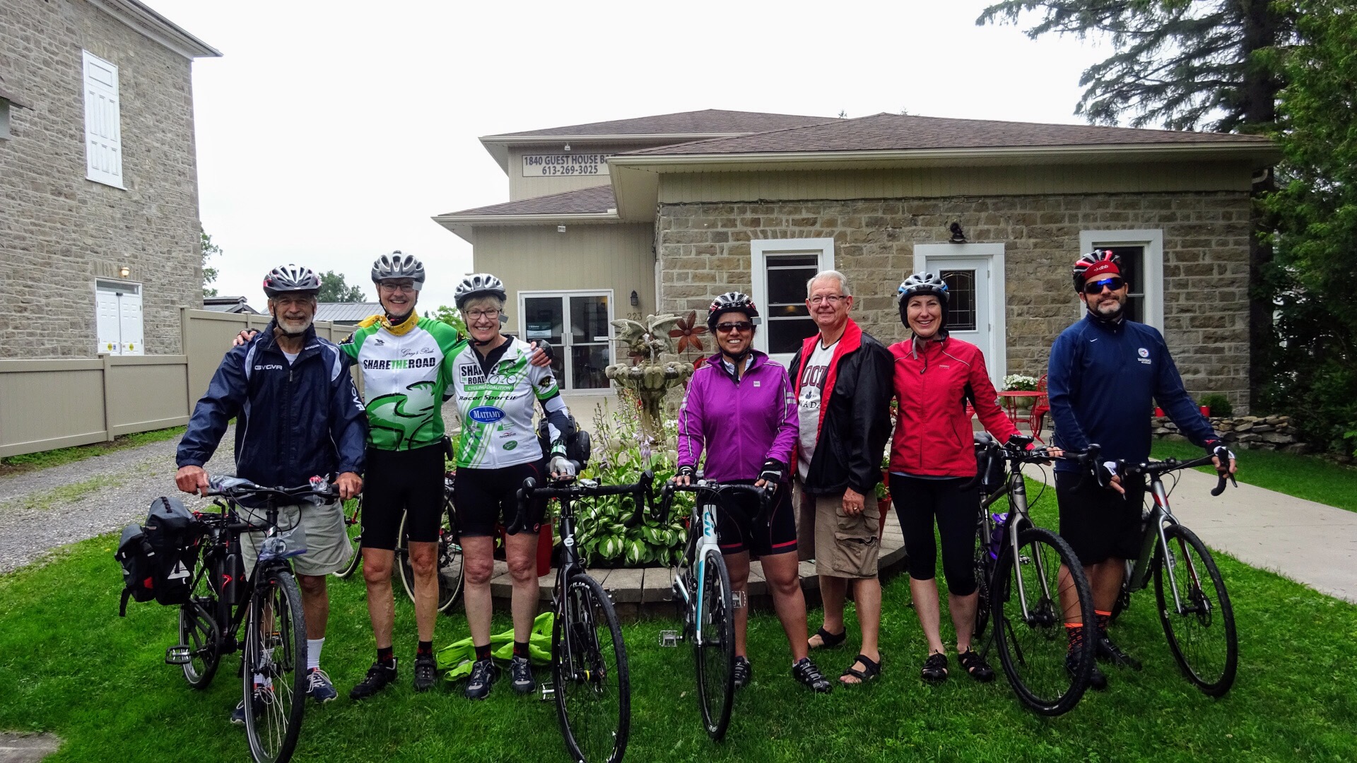
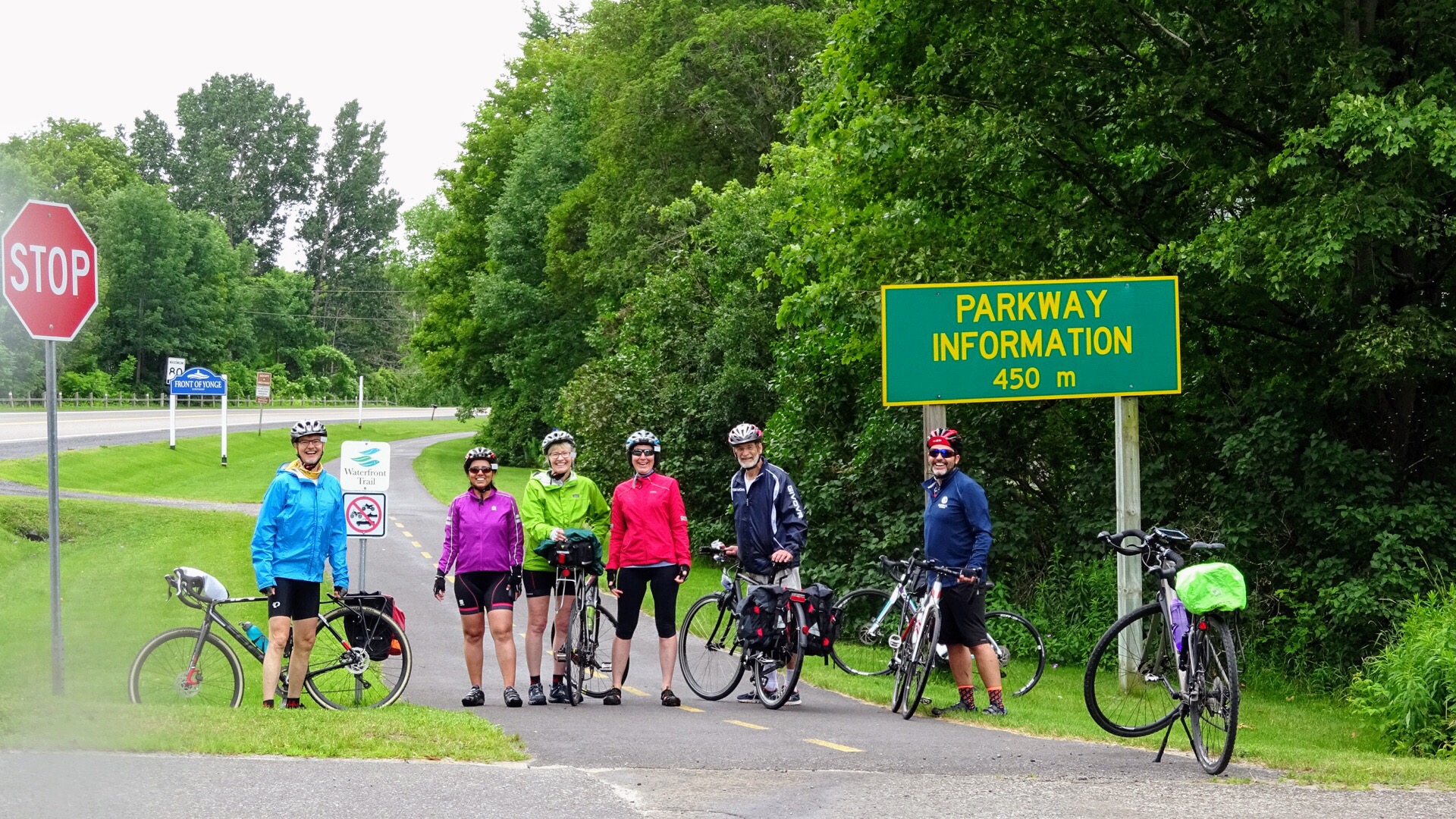
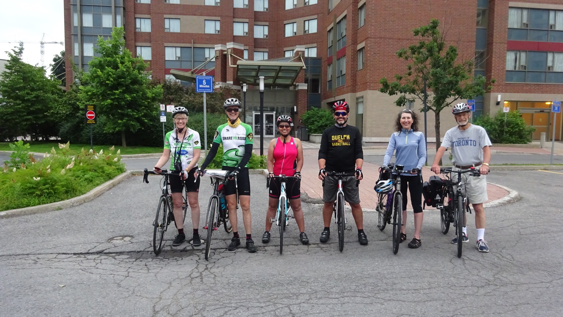
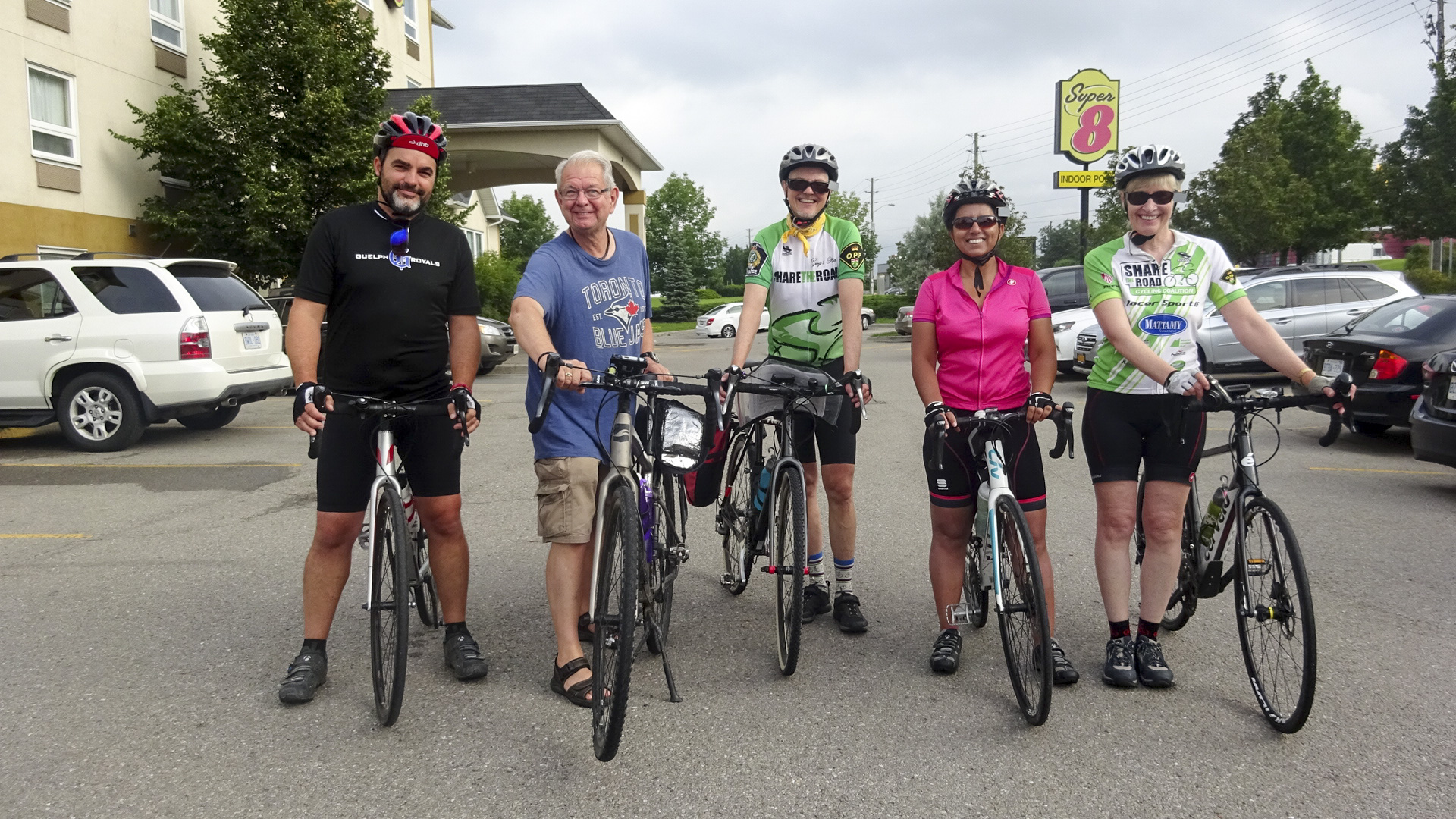
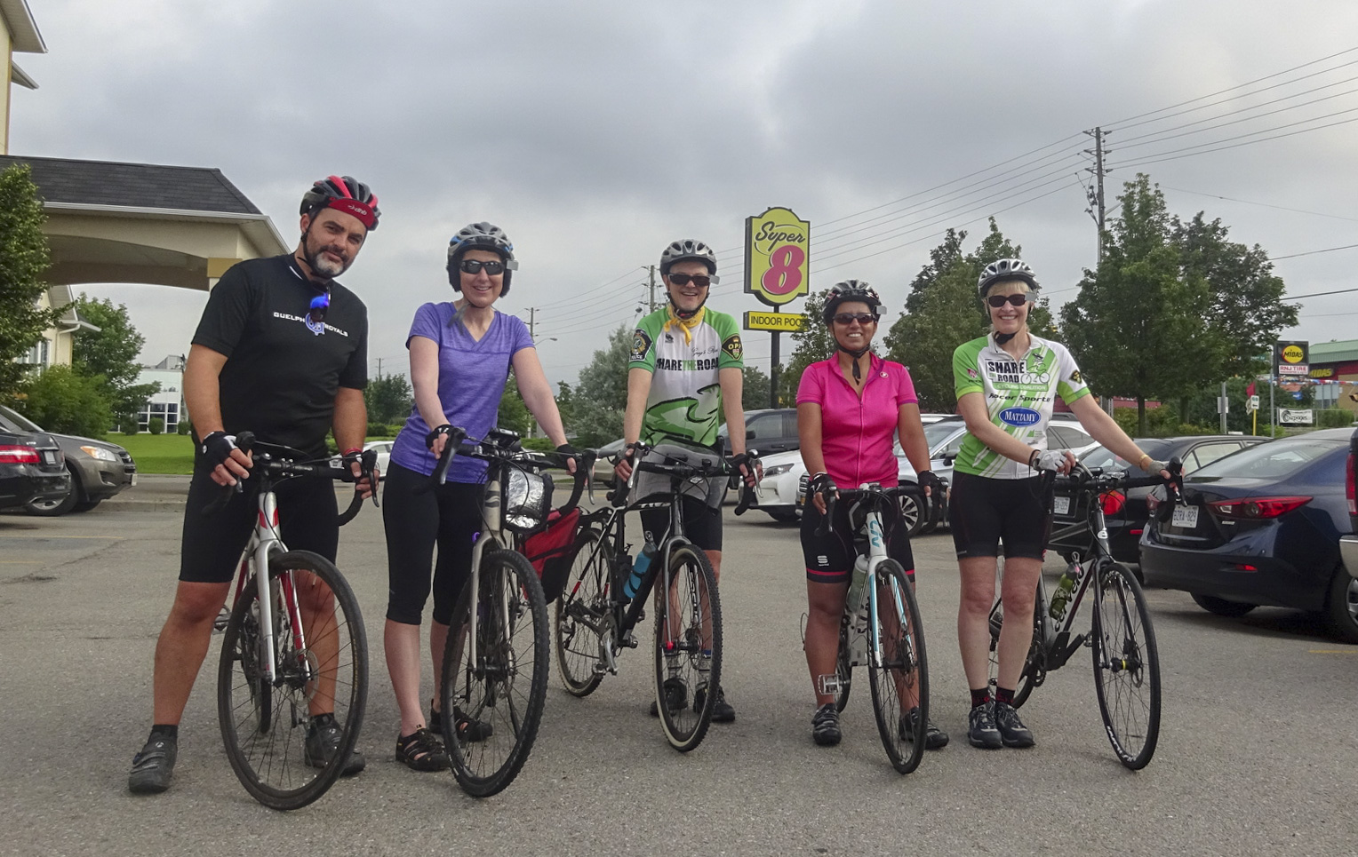
By now you know we started with a group photo. First, one with Jim, as an honourary cyclist, then another with the group who were riding.  We all agreed that it would be difficult for Jim to shadow us through Toronto, so he headed straight to John’s house.  That provided him with time to remove the modifications he made to the trailer and to greet us upon our arrival.

B13B40F8-8BB3-4B42-AE0A-CBCC24679920 edit142A8D030-FF13-4366-AC26-ECDE91C38879 edit1

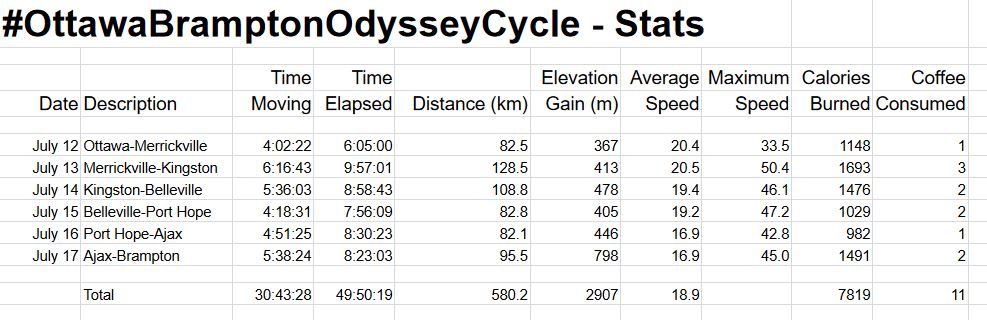
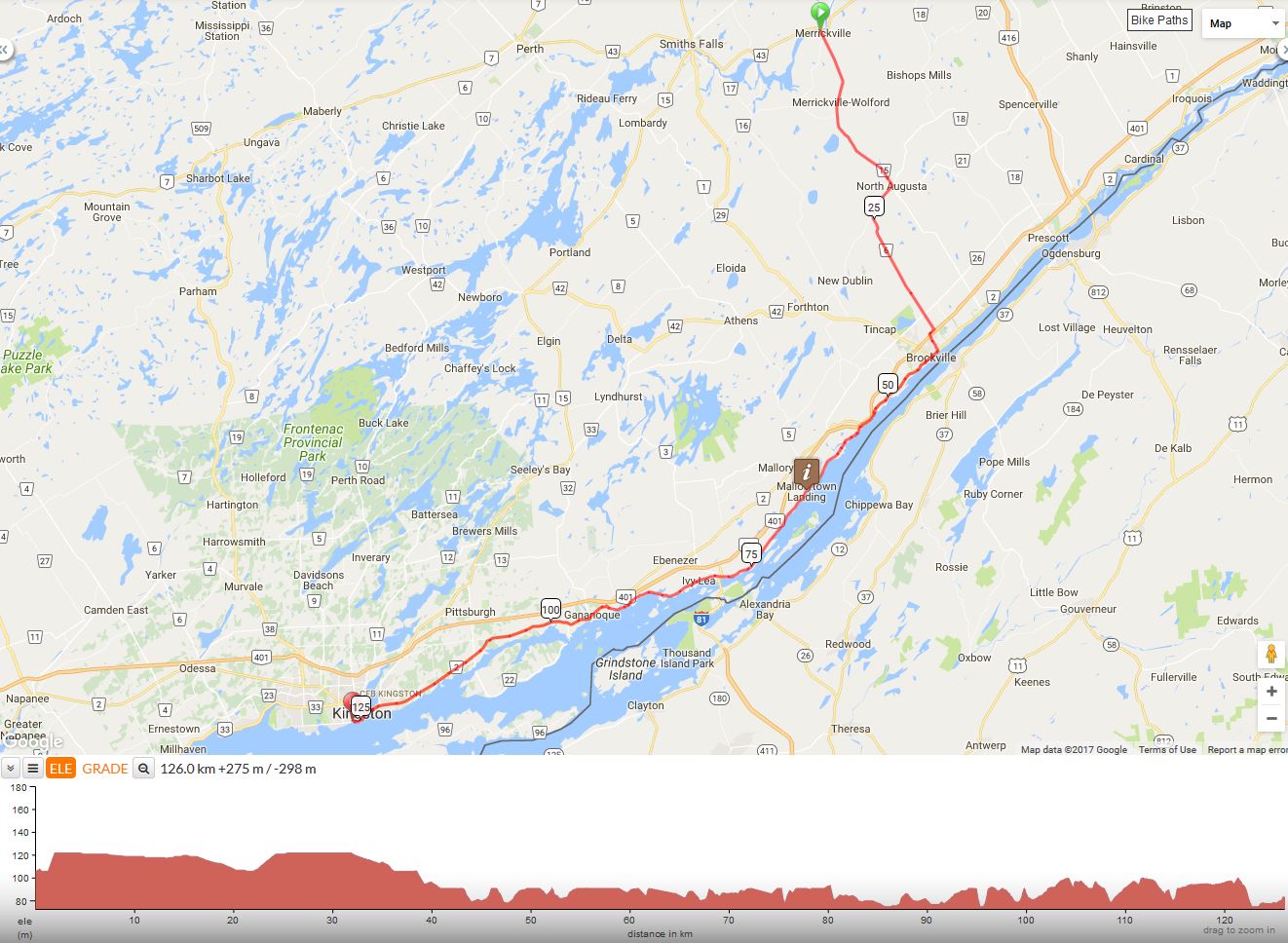
  • Moving Time – 5:38:24
  • Elapsed Time – 8:23:03
  • Distance – 95.5km
  • Elevation Gain – 798m
  • Average Speed – 16.9
  • Maximum Speed – 45.0
  • Calories Burned – 1491

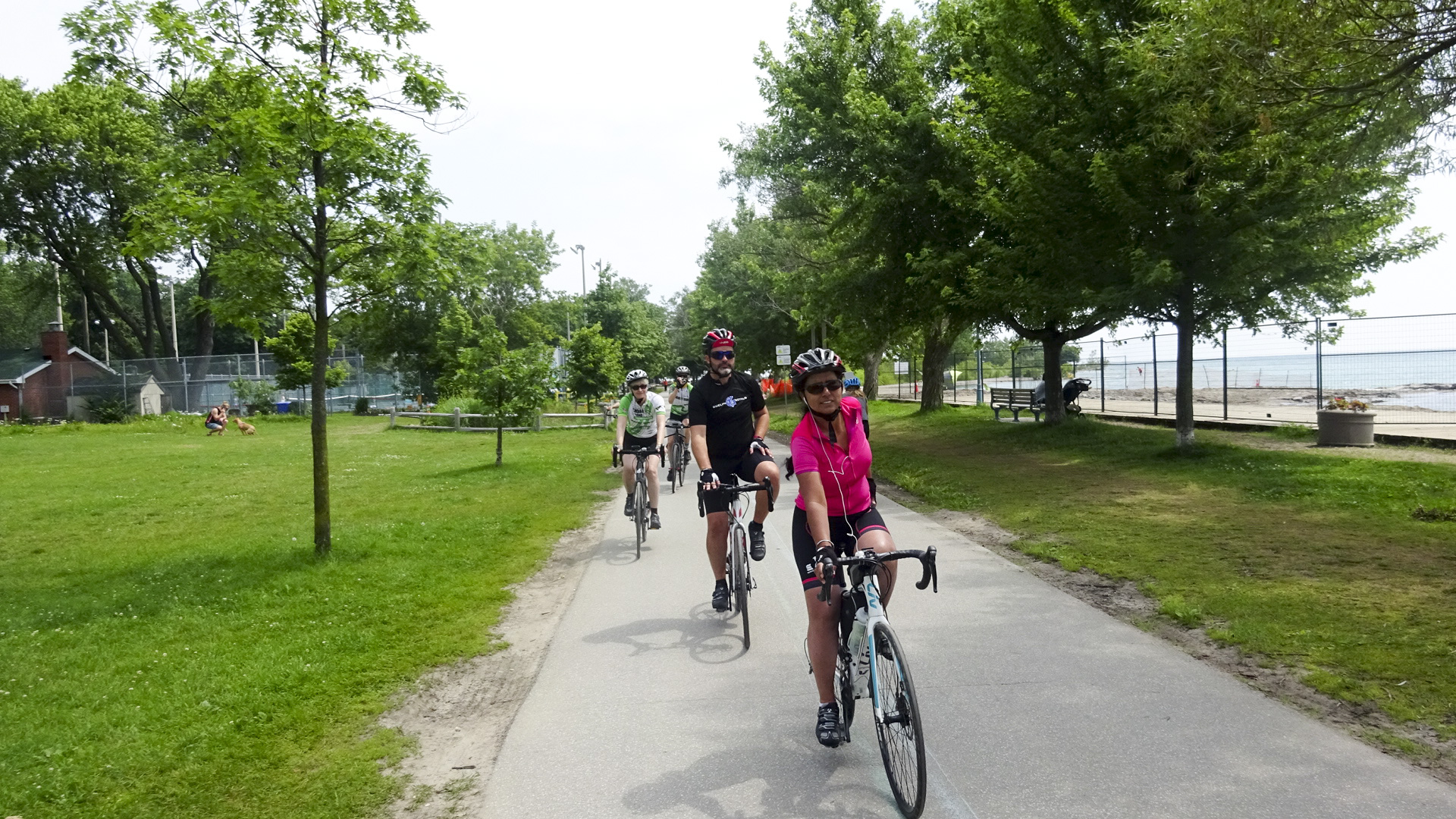
We were all anxious to make good time on our last day, especially upon choosing the longer route, so we were in the parking lot for our picture at 8am.

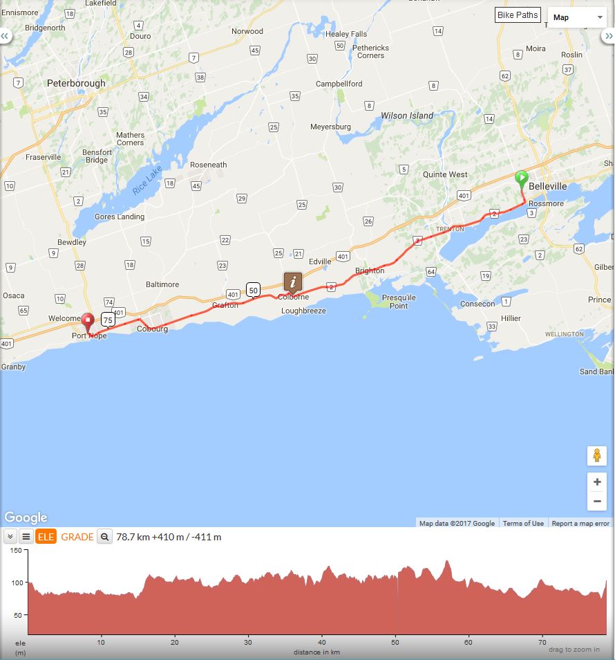
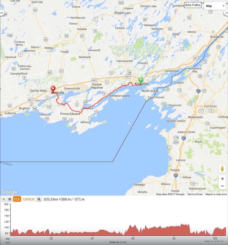
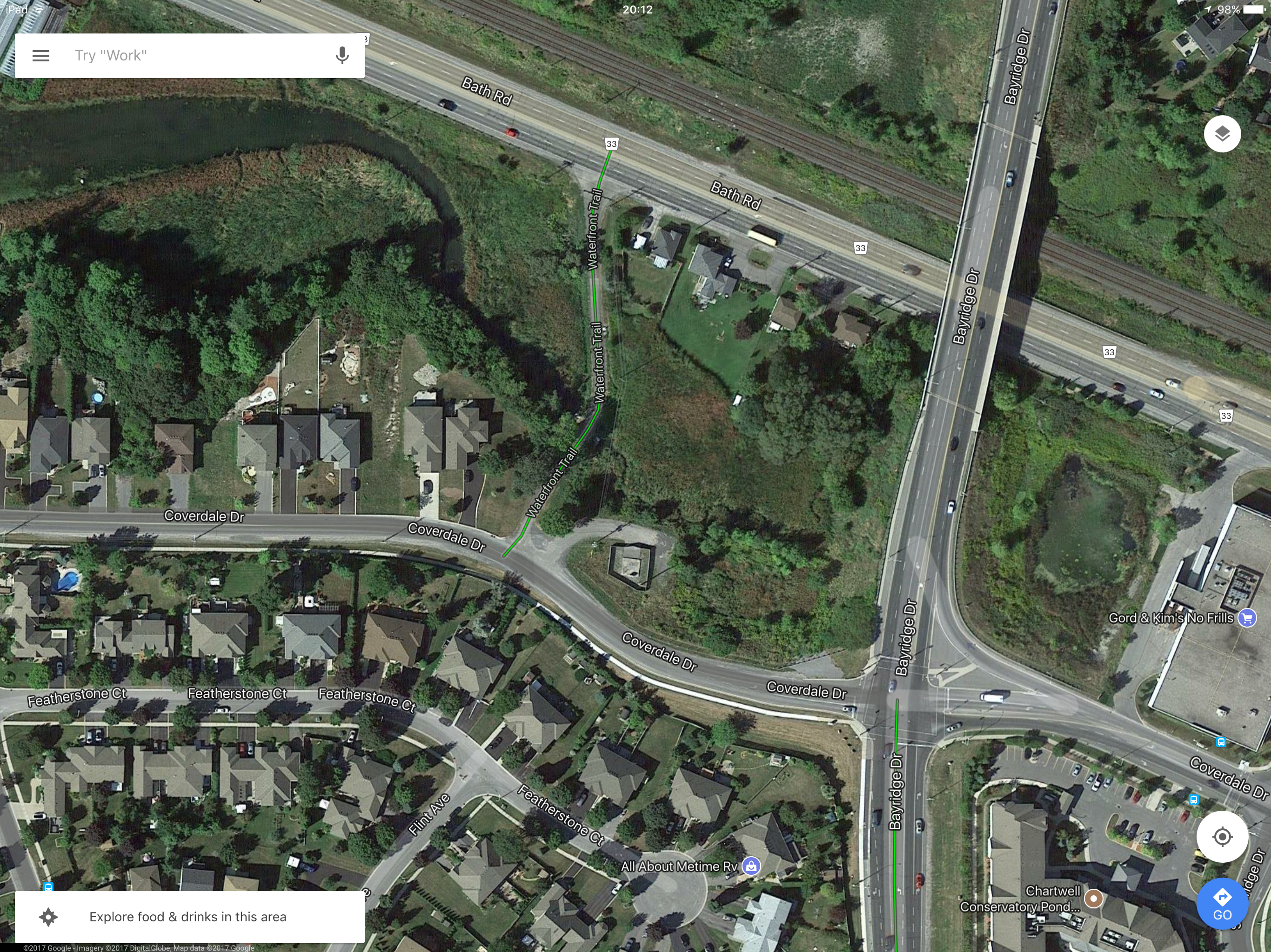
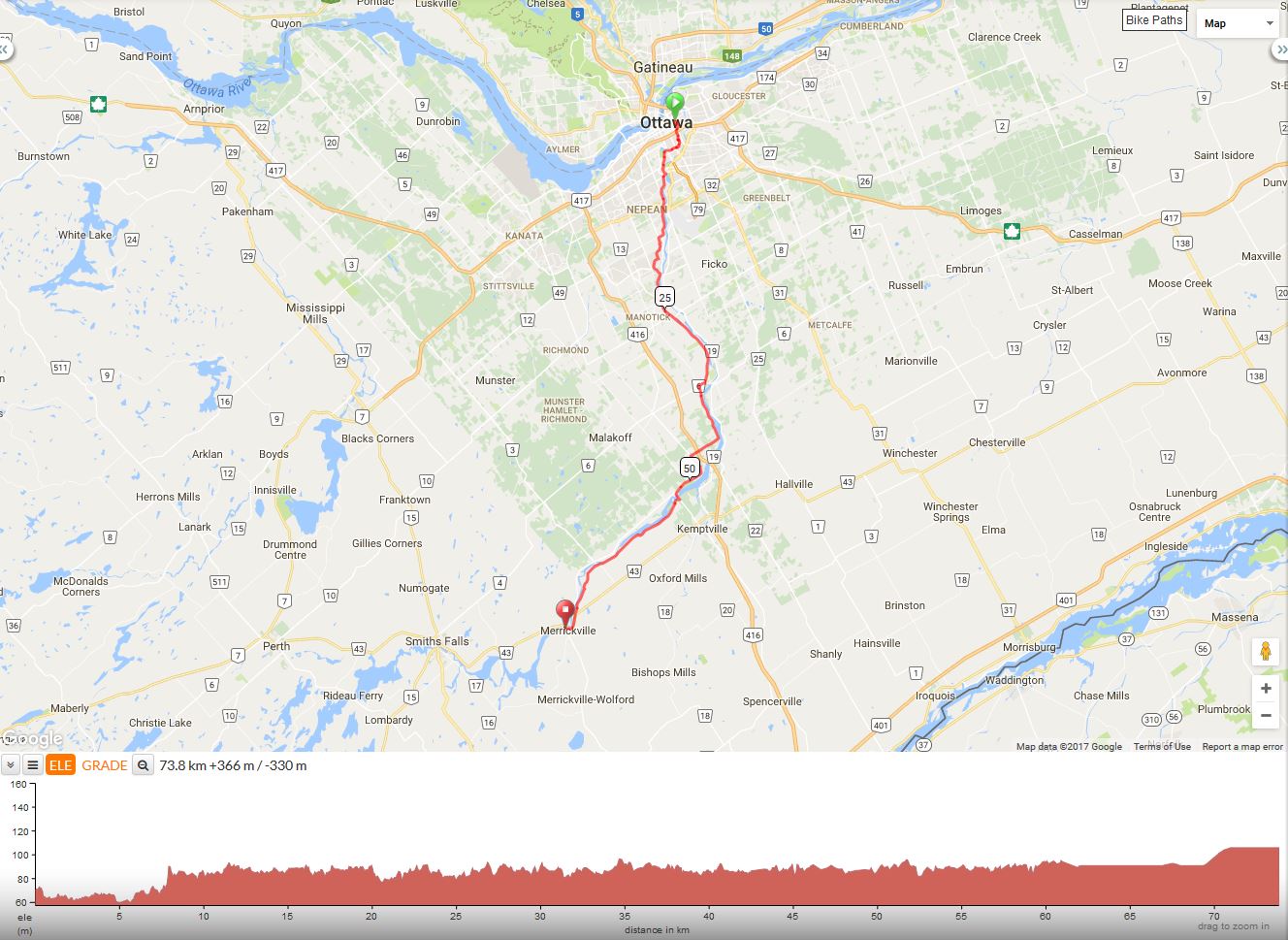
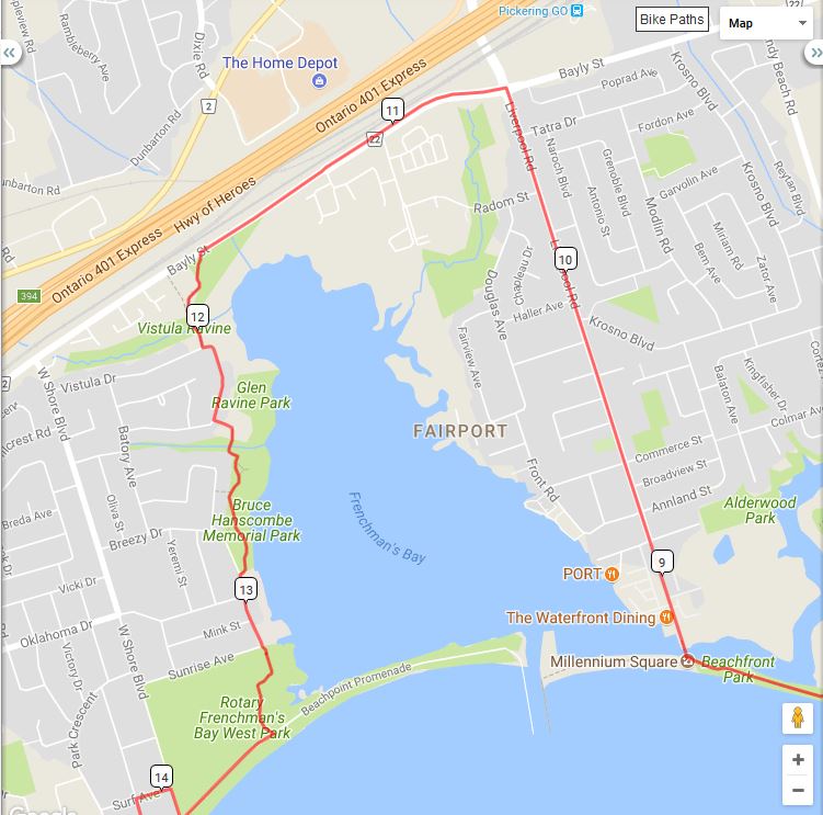
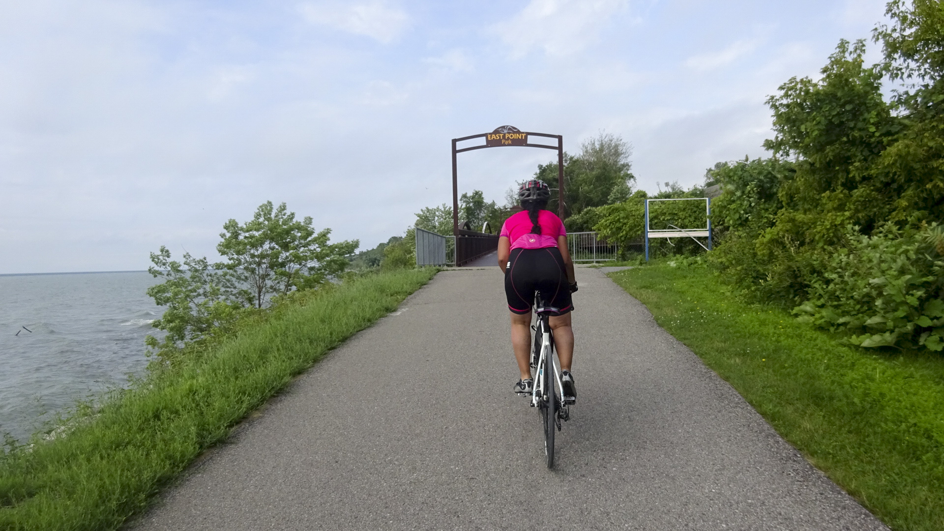
Here is the route we took to the point where we split up in east Brampton.

Day 6 map

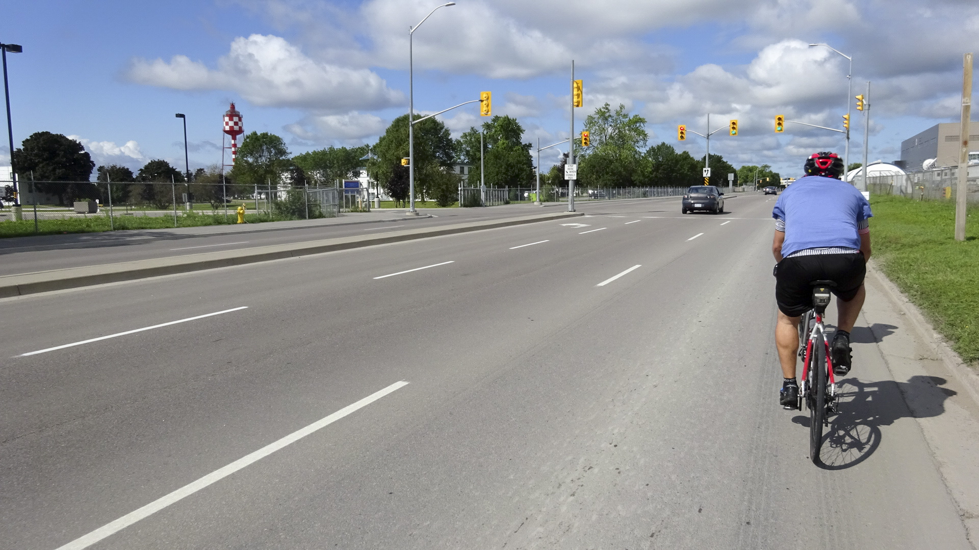
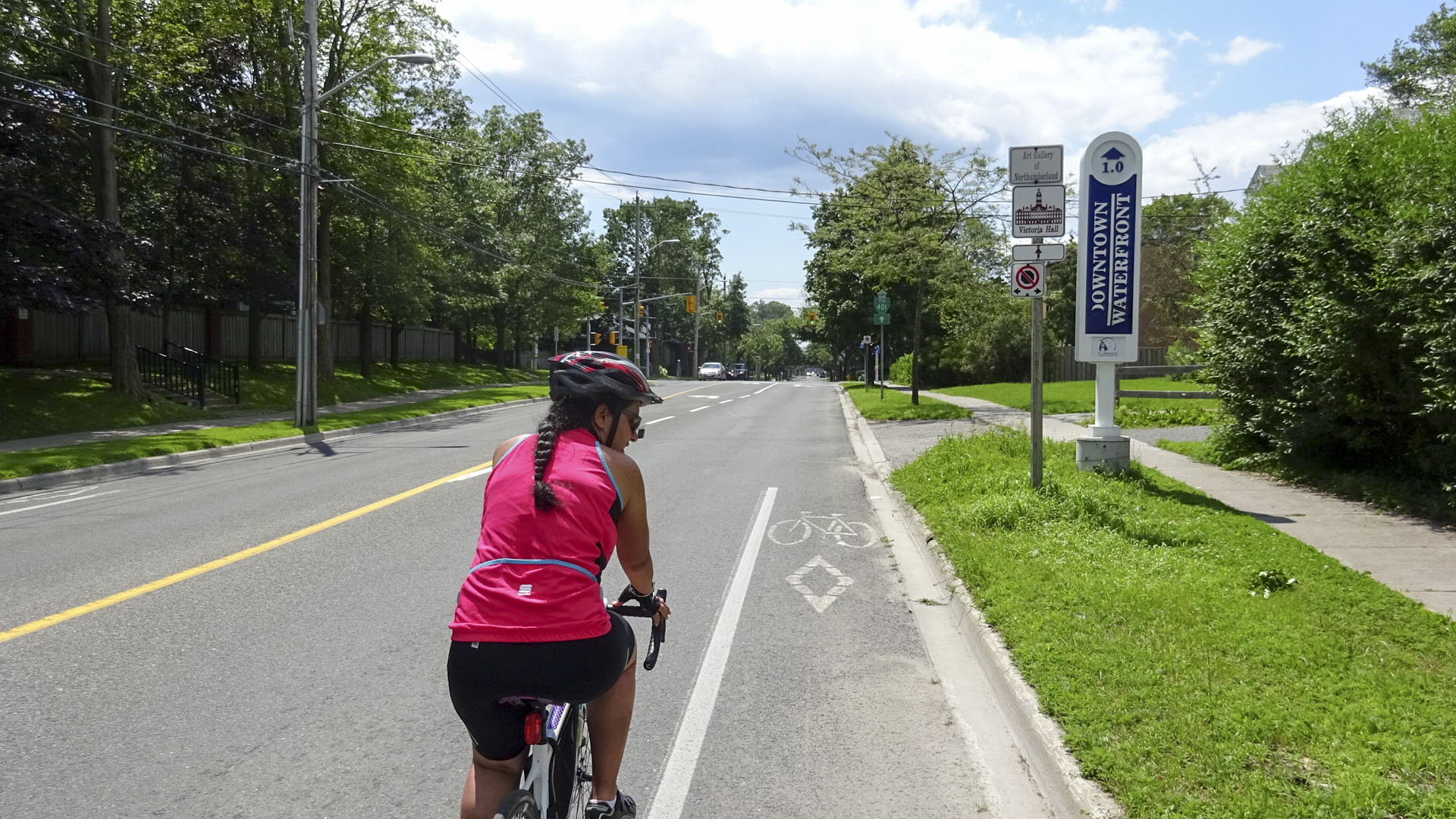
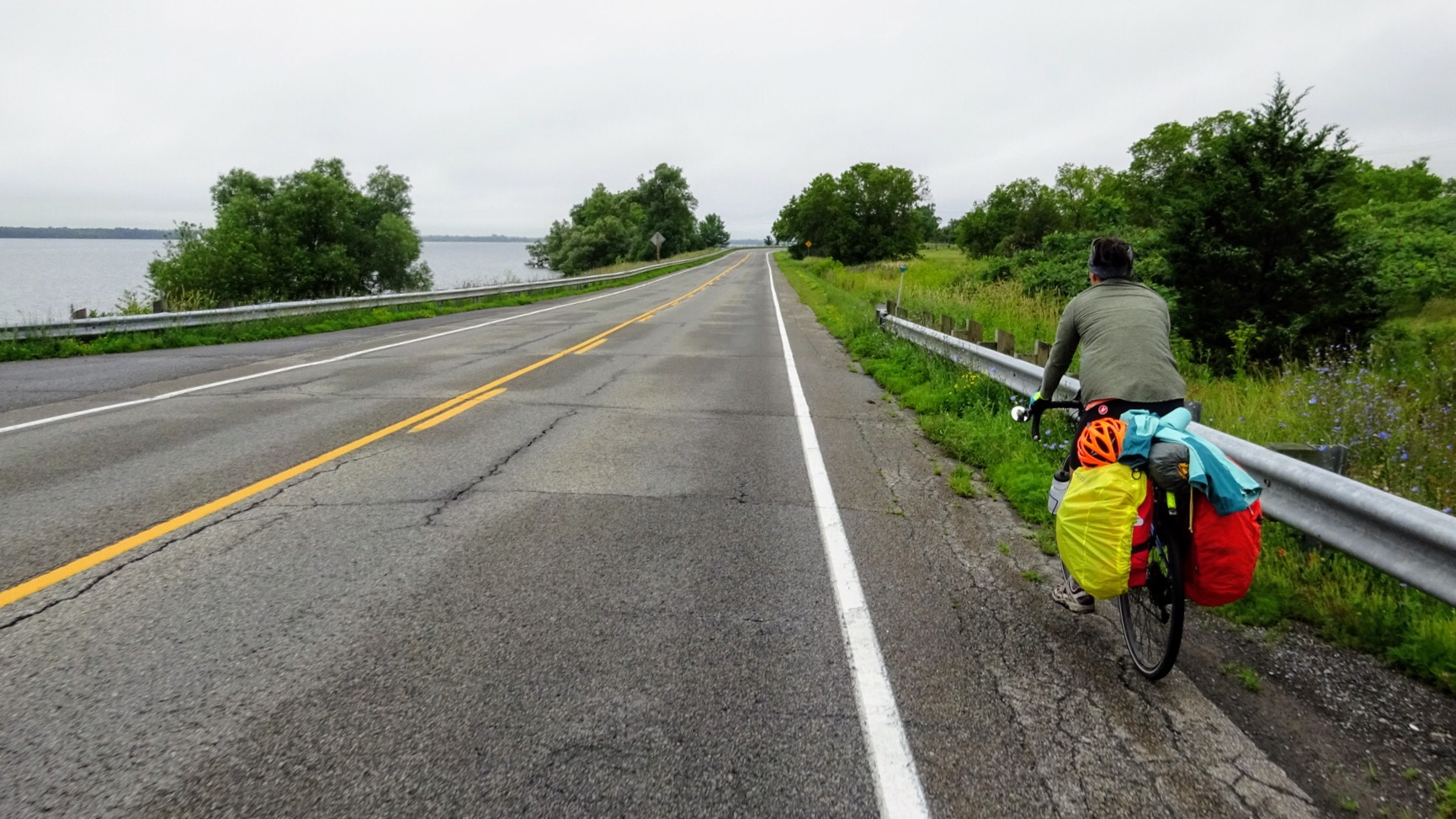
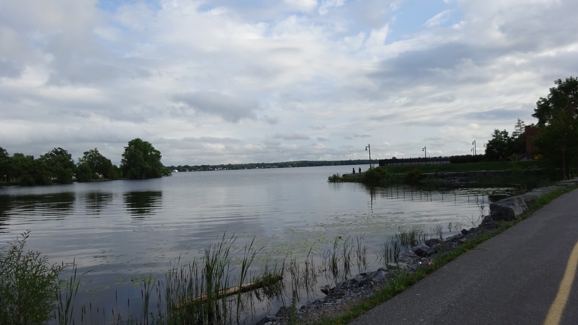
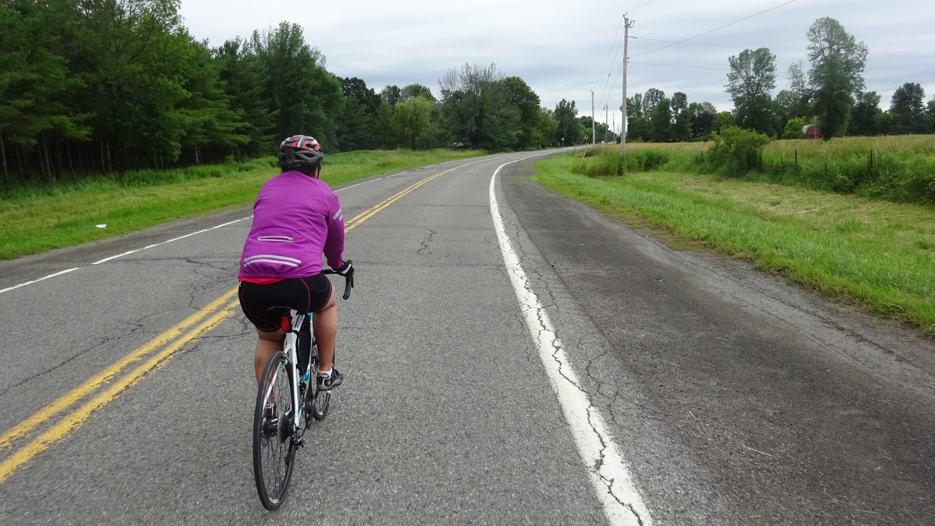
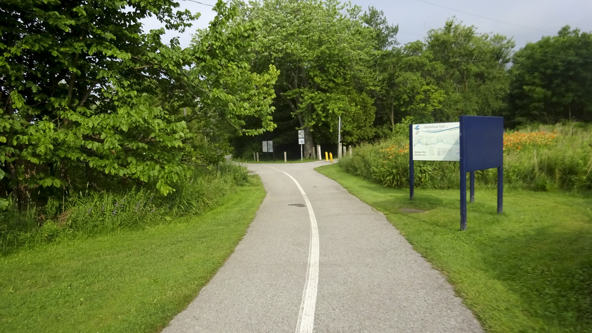
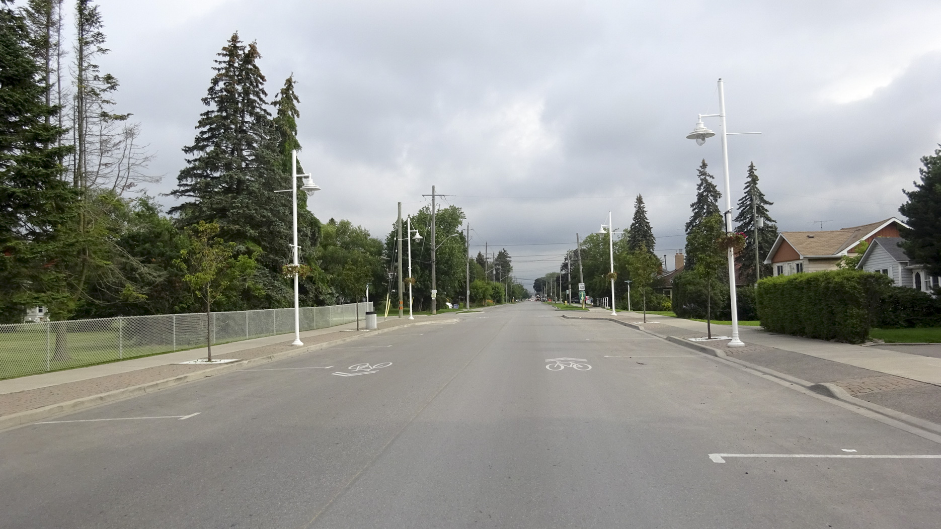
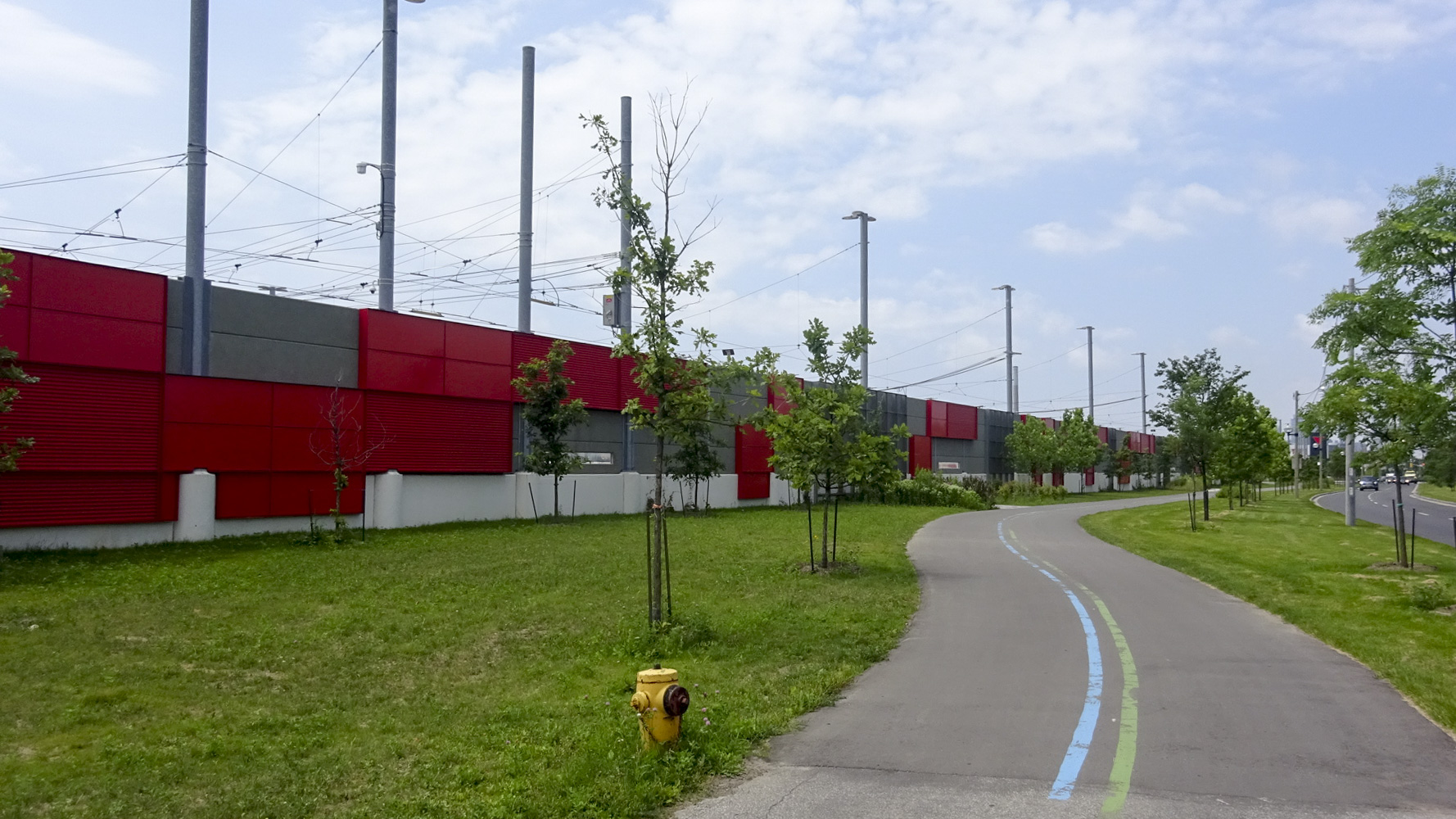
After only a kilometre on Westney Road, which was not very busy despite the time of day, possibly because we were heading away from the GO Station and the 401, we came across the Waterfront Trail.  It was absolutely tranquil and we immediately knew we had made the right route decision.

D8A93954-ABB3-4A6C-8C06-46C66C6691C8 edit17EB5F25A-2509-454B-AD2B-33995F80E320 edit1

The temperature was pleasant, the sky a mix of sun and cloud with interesting lighting.

0CD5EF50-E3D4-4F9D-A689-AC8626A97B6D edit1

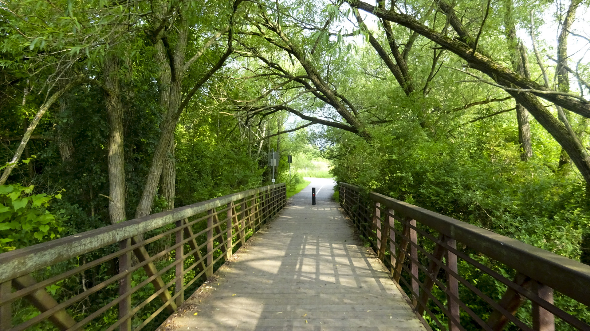
There were places where the trees met overhead making for lovely green tunnels. There were regular wayfaring signs.

1A798B61-707F-4AD0-A709-D9952D1E102D edit1CEF5880C-7554-45E0-8A79-5FEC8302A6C1 edit1

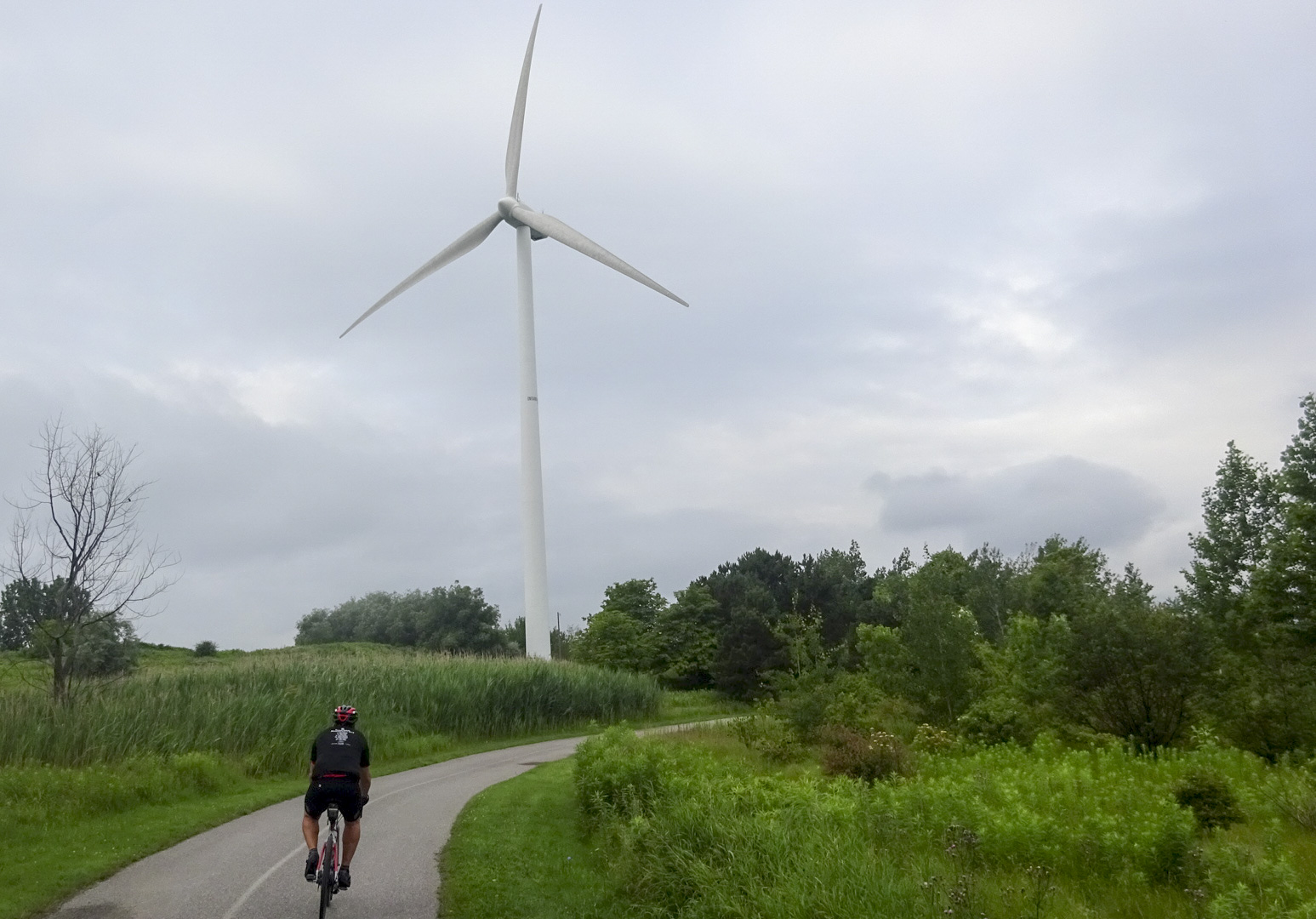
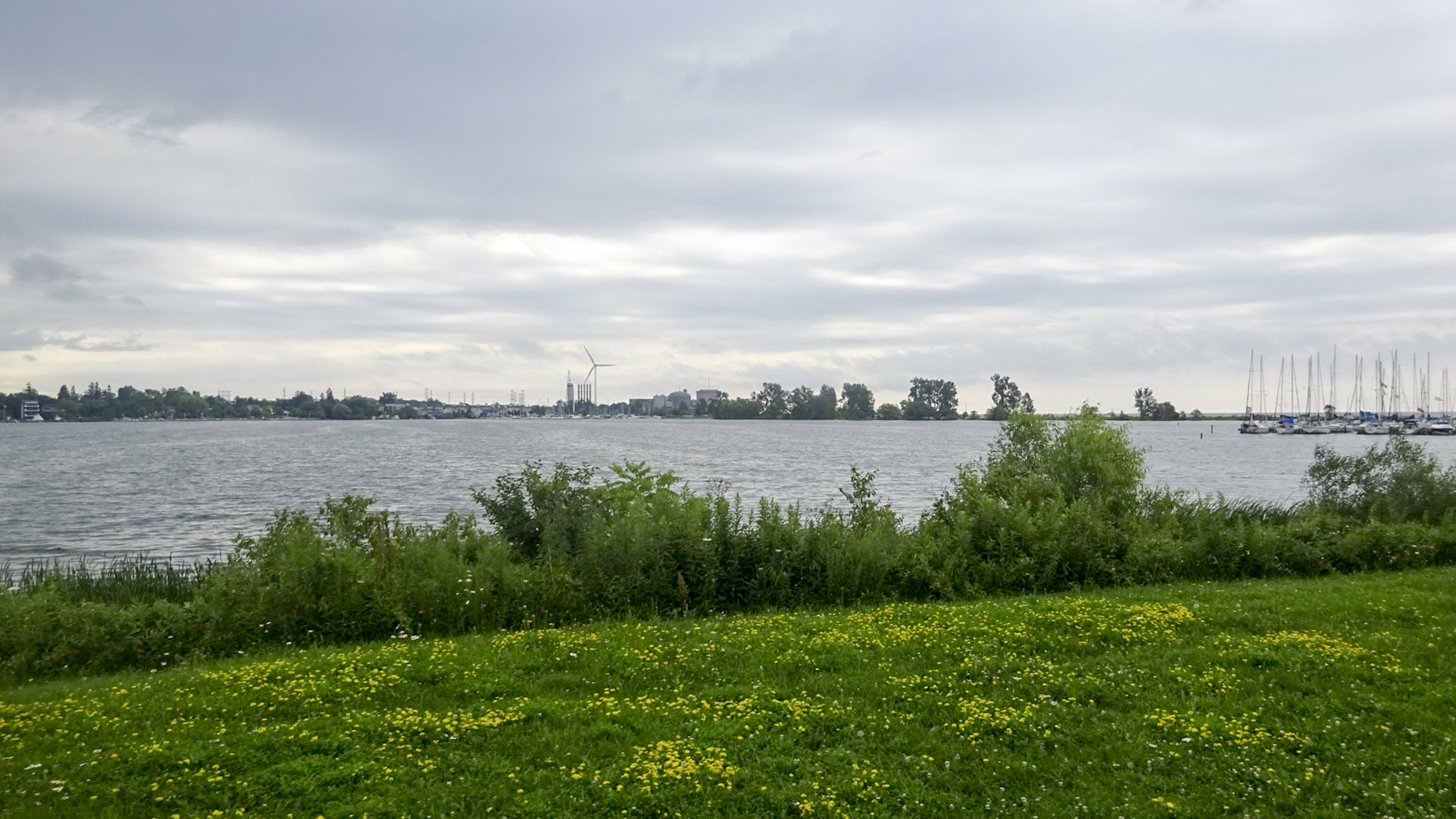
In no time at all we were at the Pickering Nuclear Plant which had a large wind turbine.

B6ACA8F4-6C1C-4687-A07B-13AB227A84D6 edit1

A5746C3B-26FC-491B-BB1A-23C17F7D6375 edit1

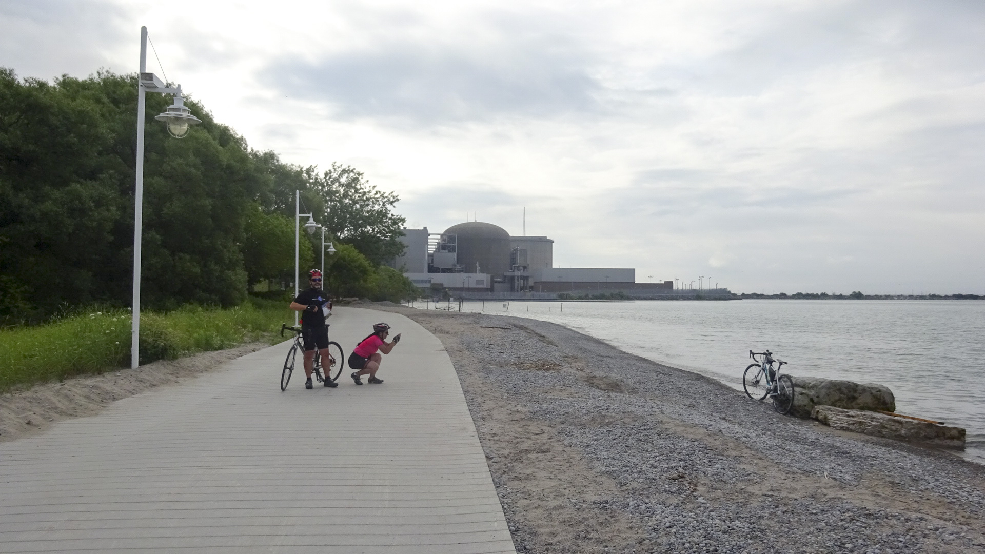
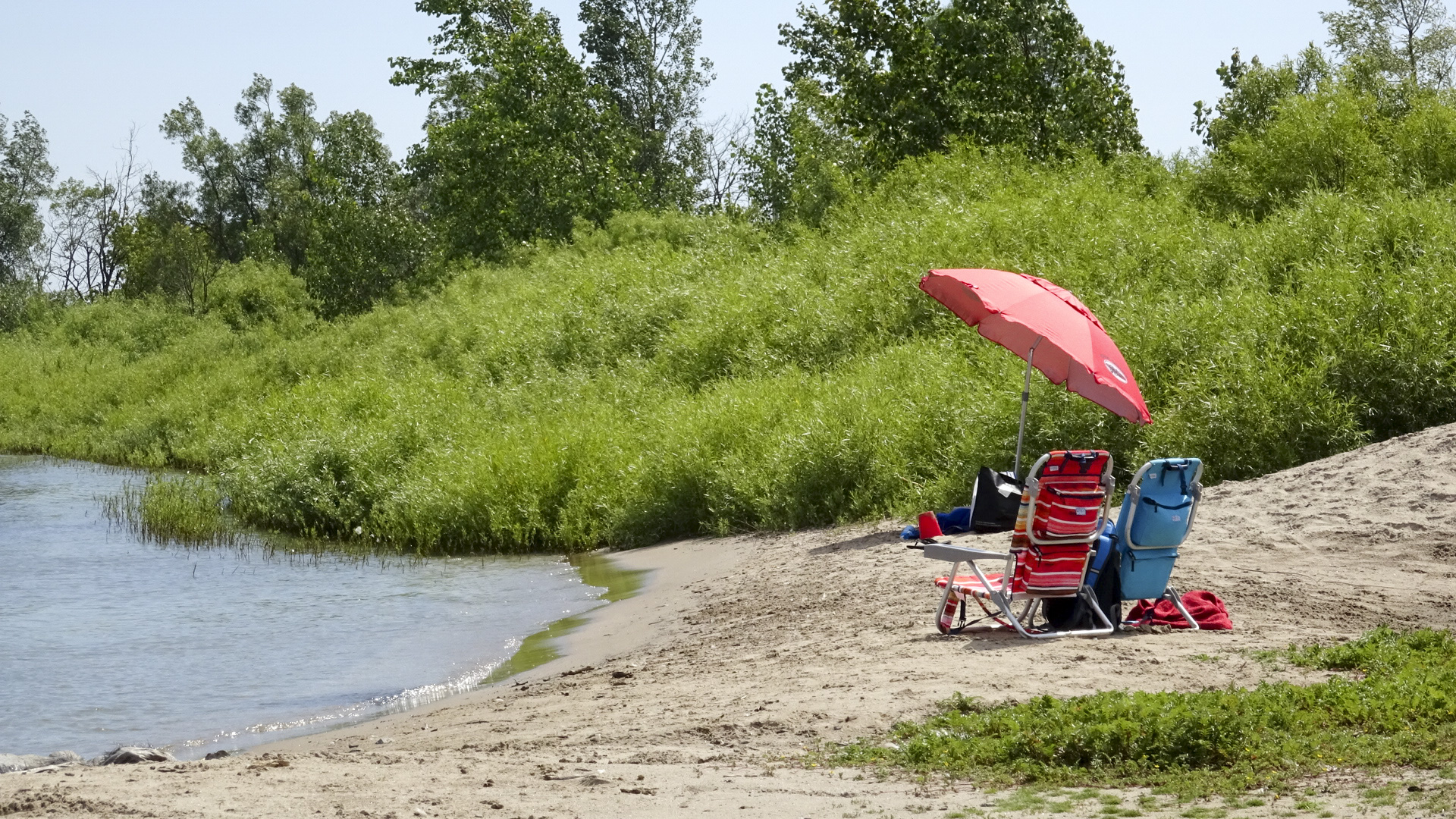
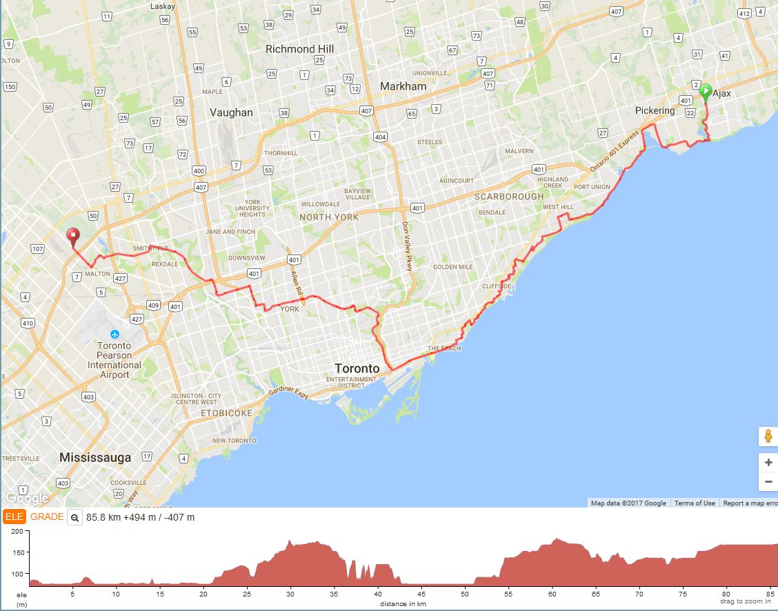
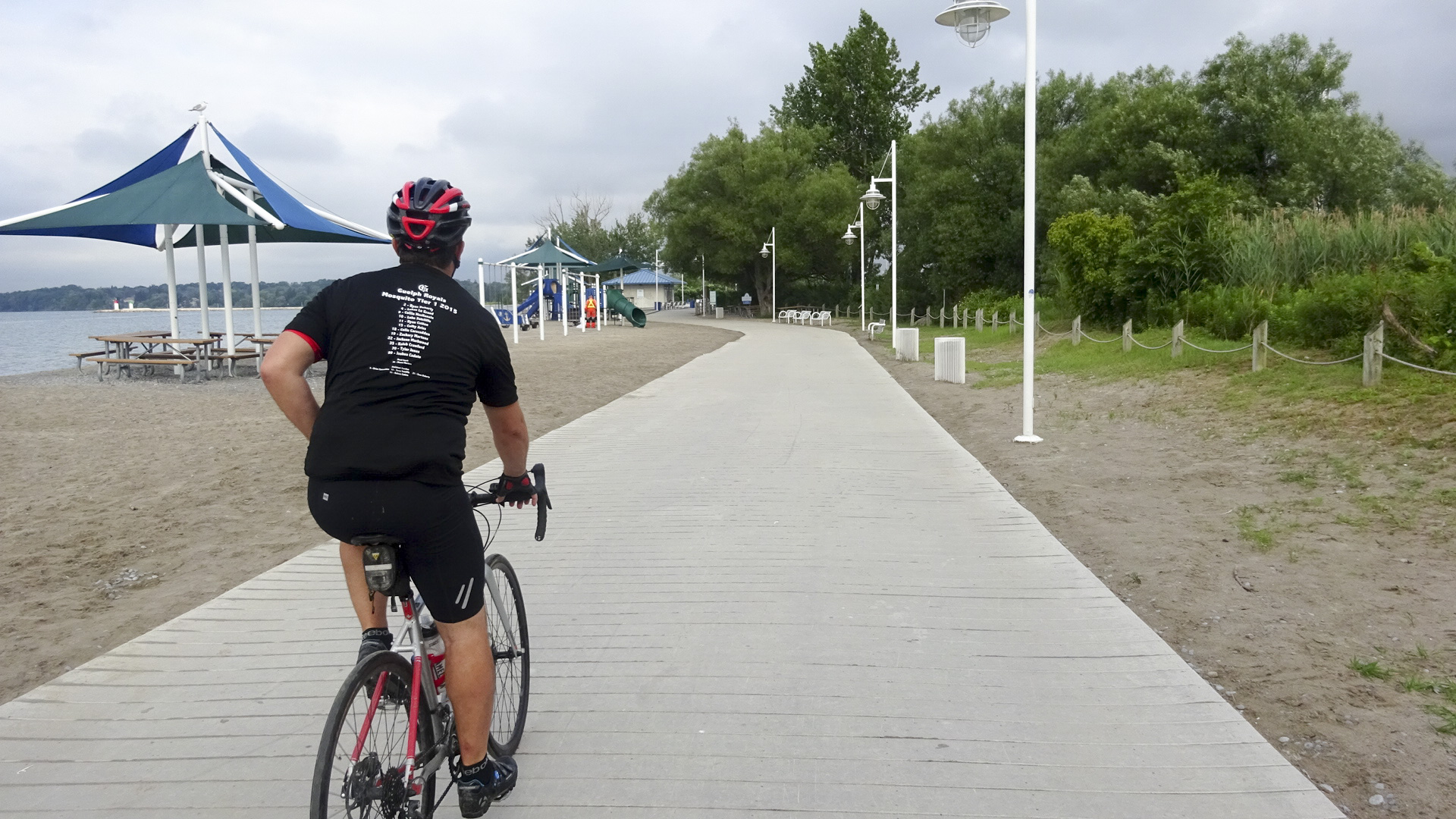
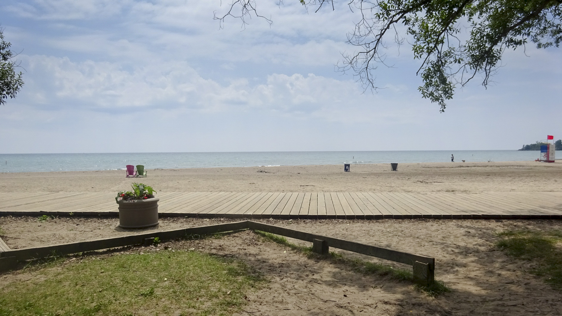
Then we cycled along the boardwalk at Pickering Beach.  We had the place to ourselves.  I imagine it would get very busy later in the day, with the lovely beach, with tables covered by large umbrellas and a playground right at the water’s edge.

177D2050-3B41-4A38-8201-D2F072EB0926 edit16C559557-5C8C-4715-B8C9-A1CCB282F3B3 edit1

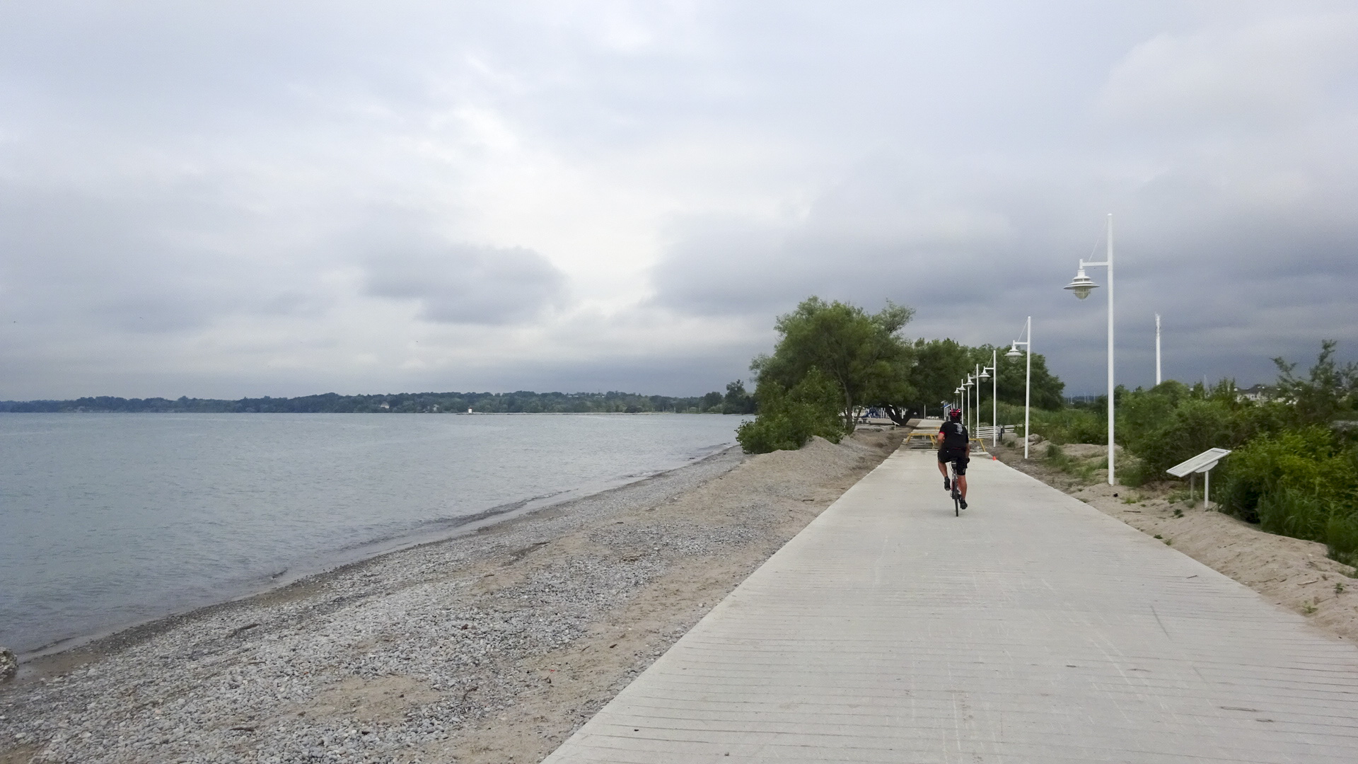
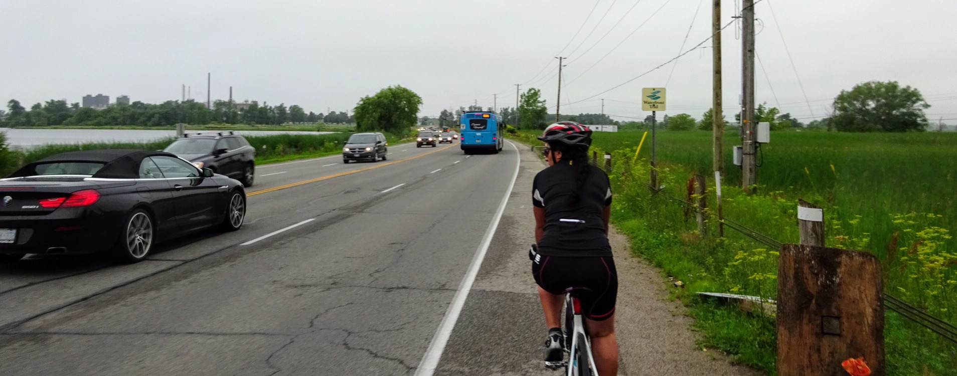
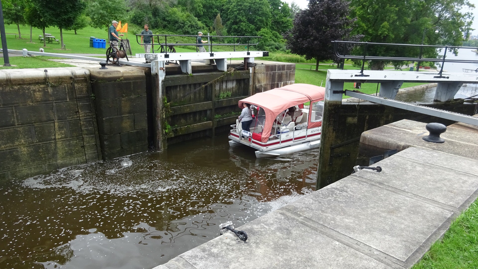
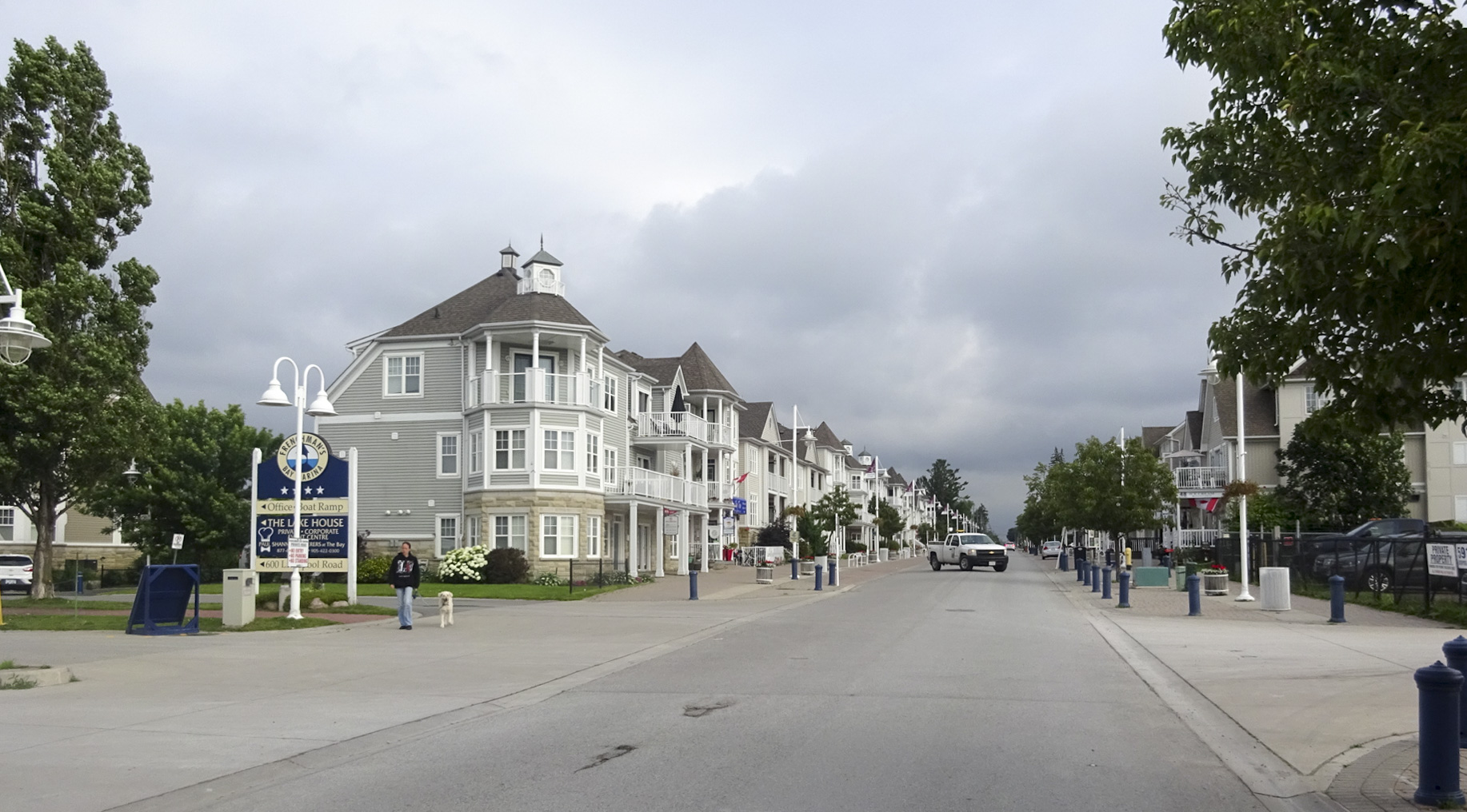
Turning away from the beach we travelled along the very empty Liverpool Road, which is probably much busier on weekends. We had to travel up to Bayly Street, just south of Highway 401 and back down again to get around Frenchman’s Bay, which is missing just the smallest link at the waterfront, which allows boats in and out of the bay.

Frenchman's Bay

BE03C25B-93D3-43A8-B554-0C9CBE91E0F0 edit18A0314FA-04B8-4503-AE6A-77C2C6AB3969 edit1

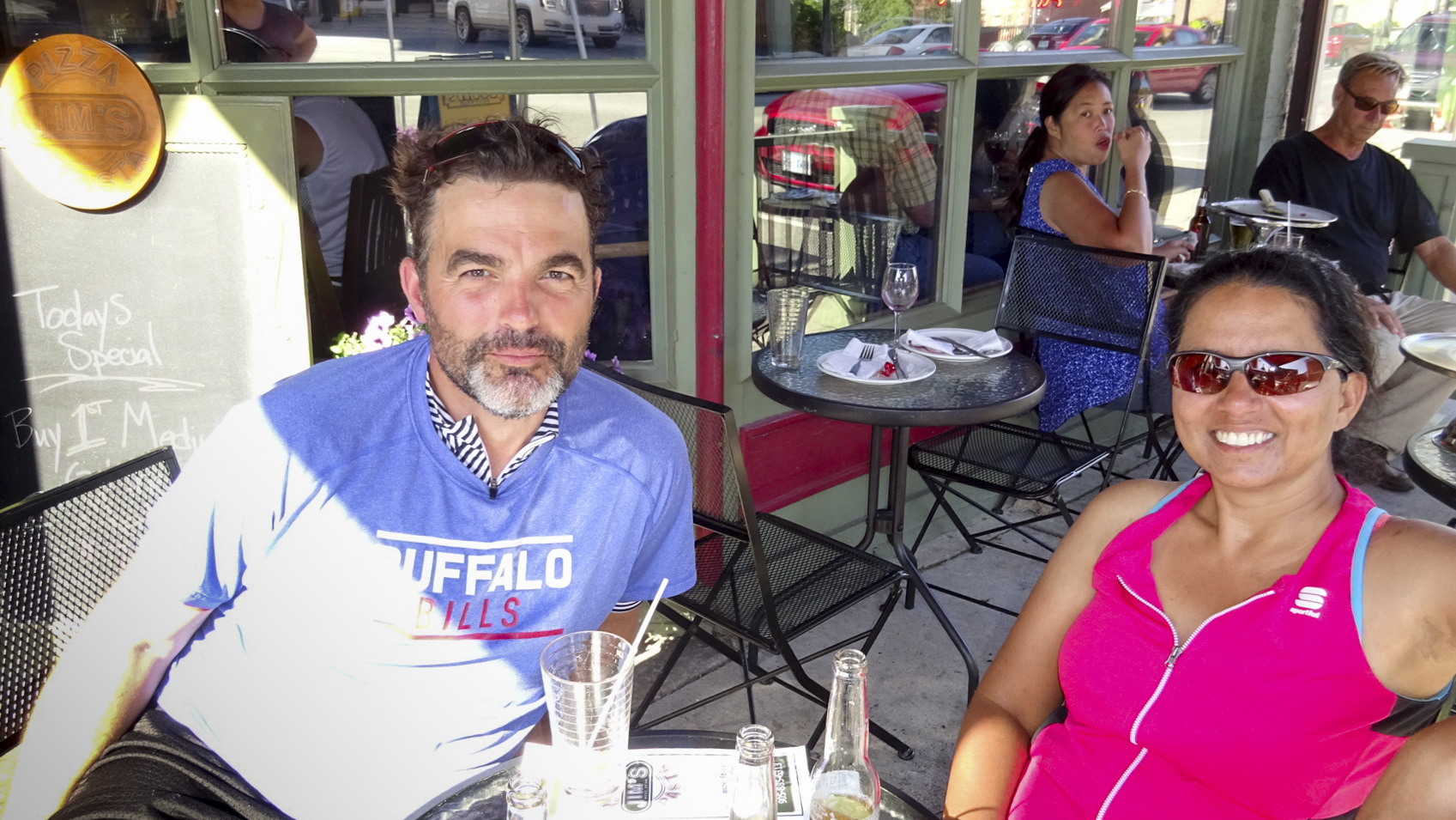
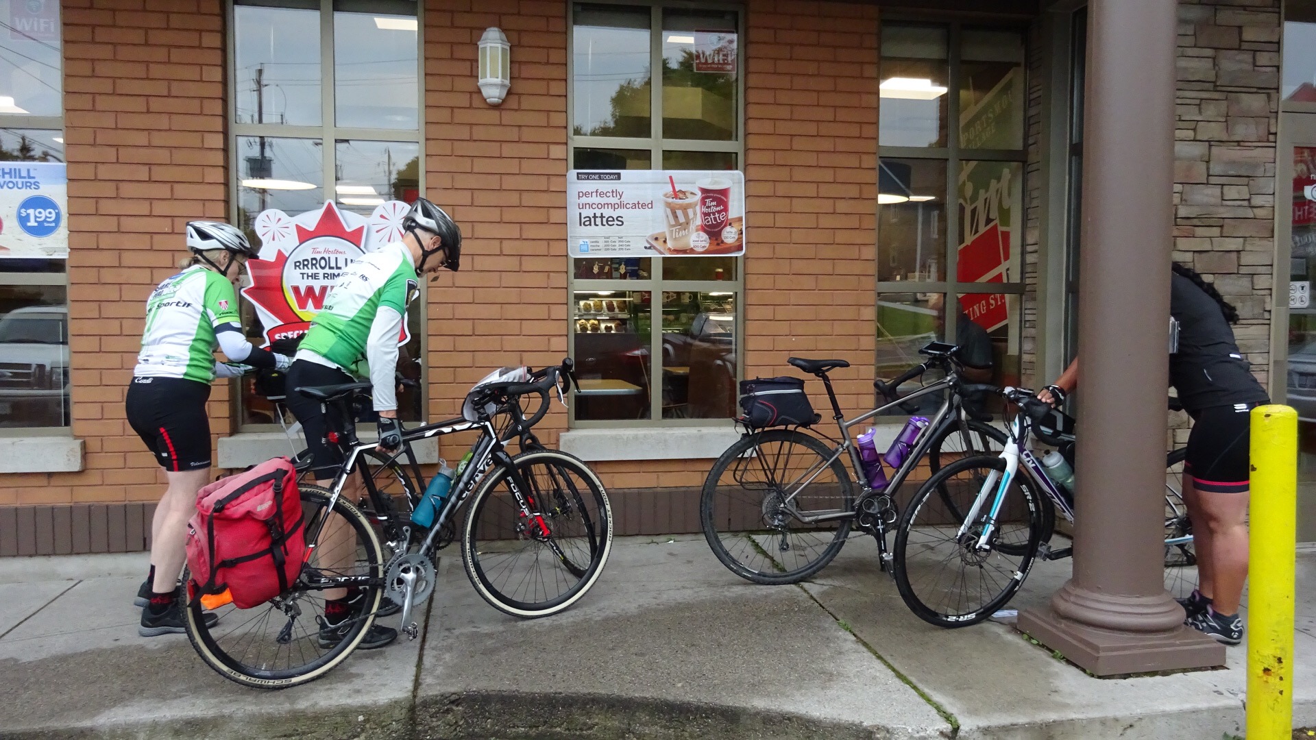
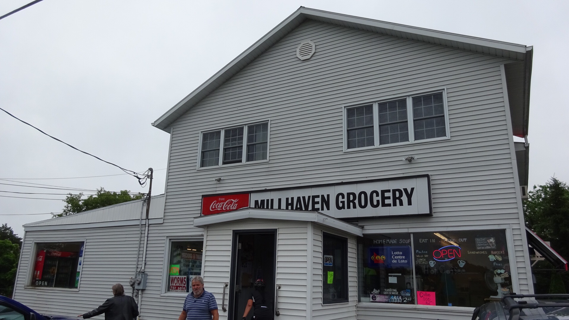
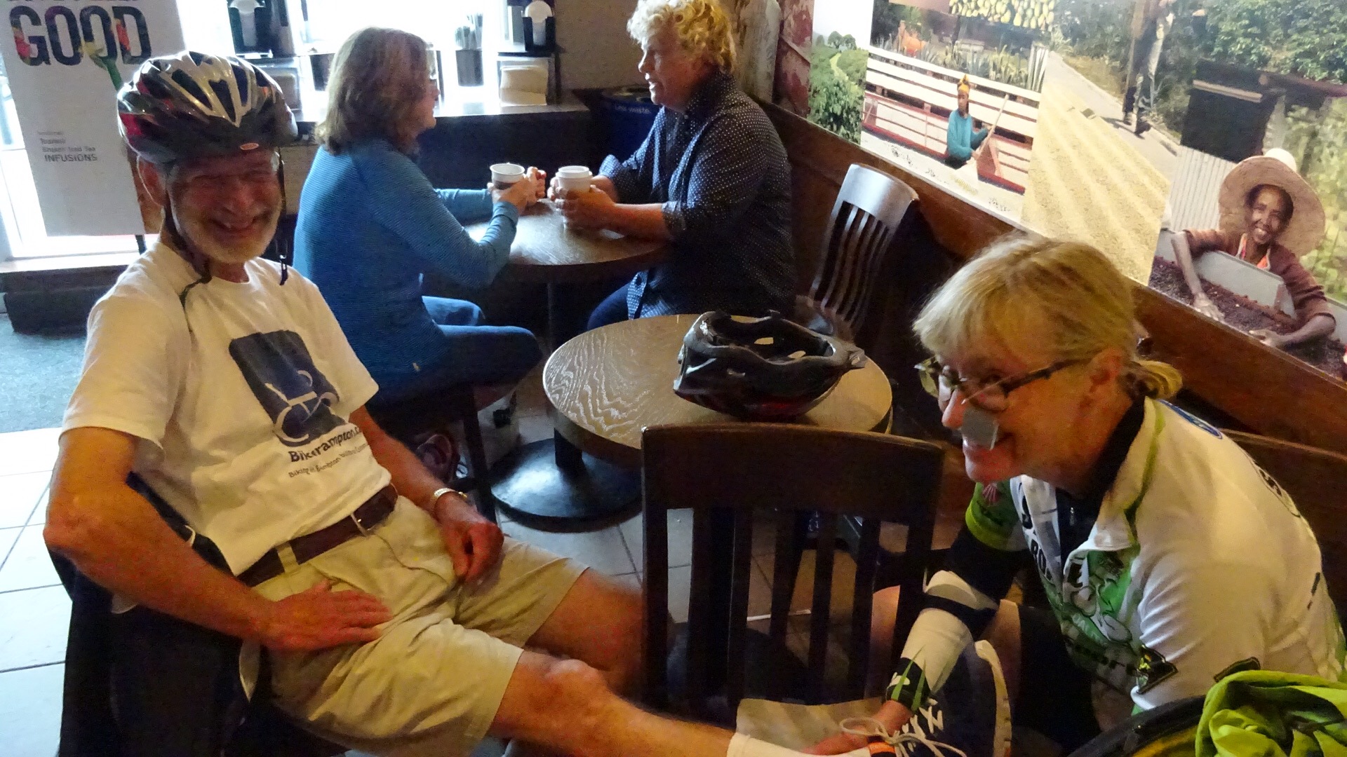
We stopped for our first Tim’s of the day at Liverpool and Bayly. We weren’t long into the ride but were already feeling the effects of not having a breakfast provided by Jim.

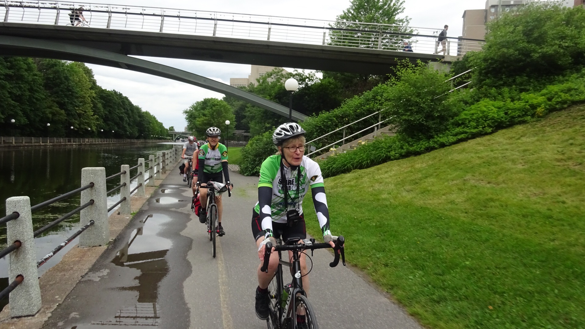
We cycled along Bayly on Day 5 with our Durham advocate escorts and they kept us on the sidewalk/multi-use path.  So here we chose to ride along the barely-there asphalt strip on the south side  since we would be turning left shortly.

5BA590CA-098D-4EE0-AD64-E1D000C116B6 edit1

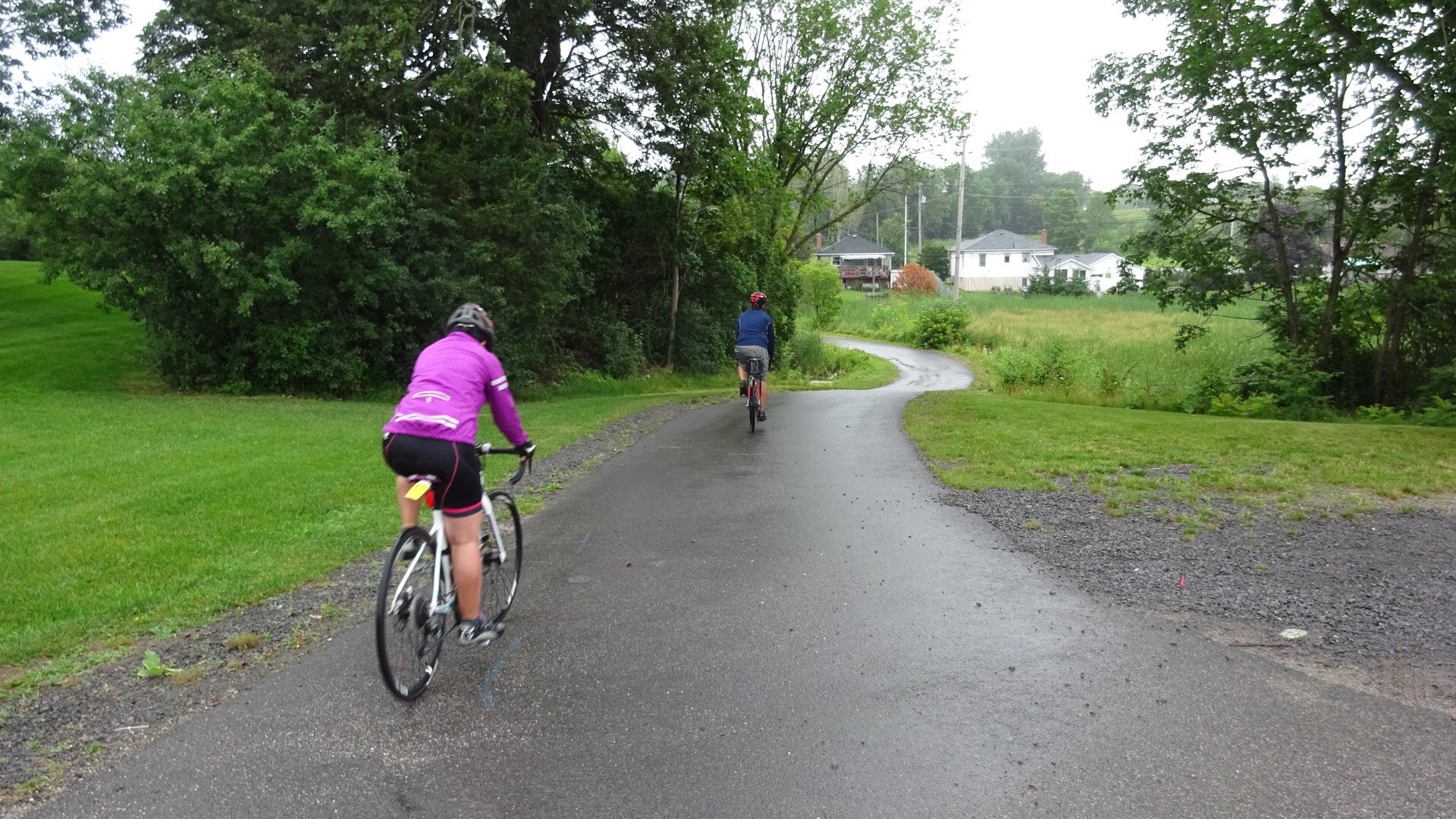
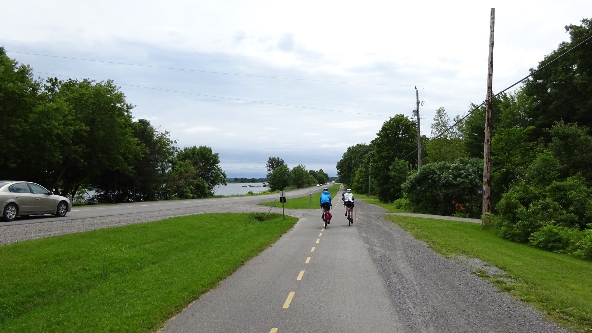
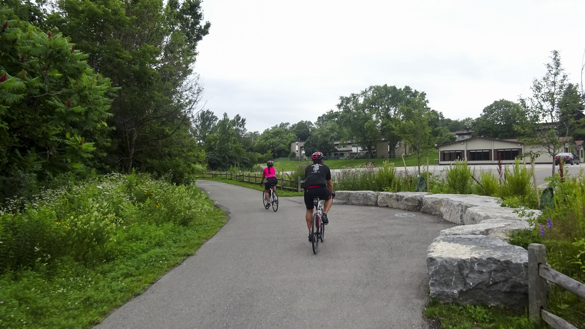
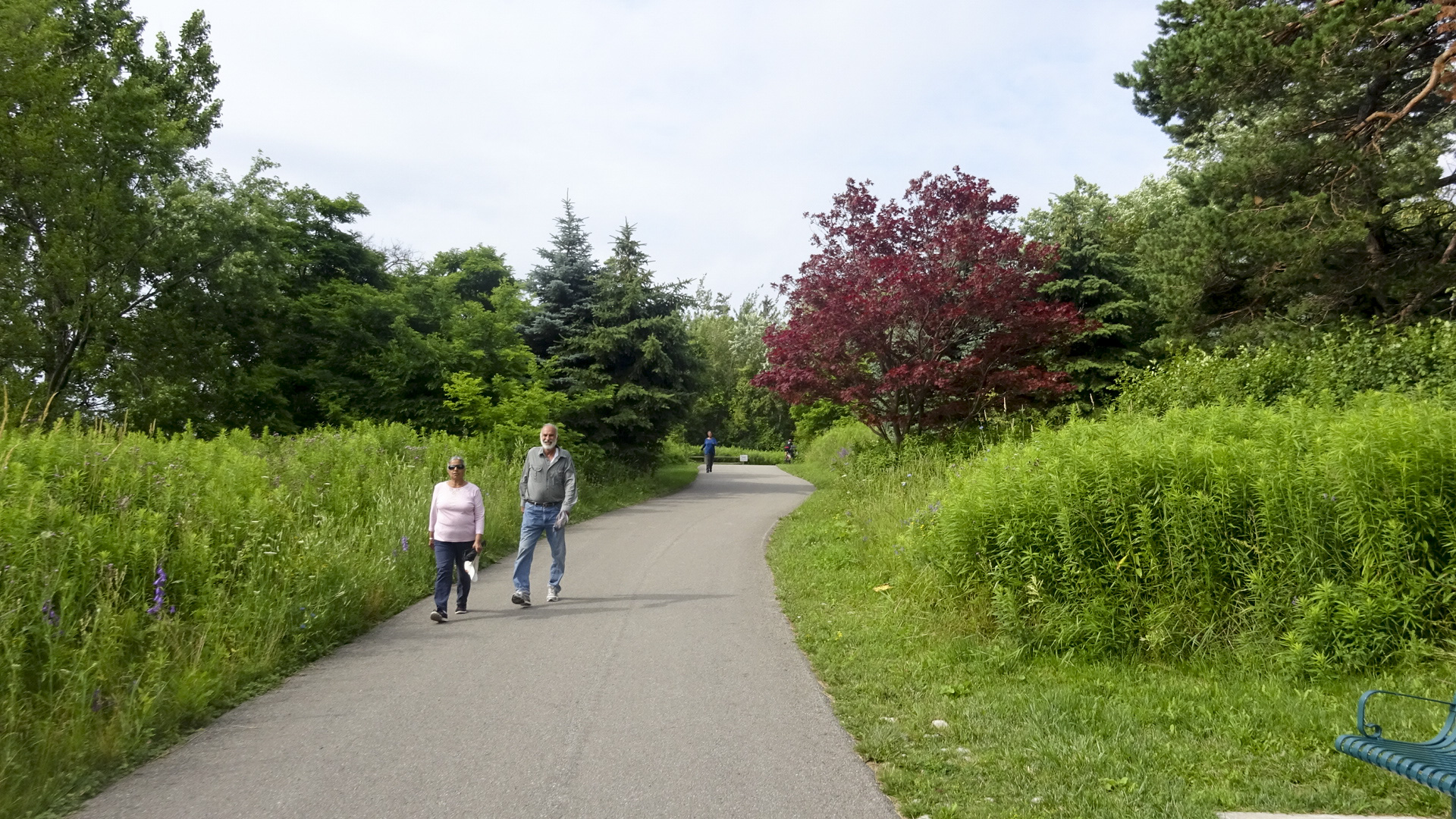
It wasn’t long before we were back on a multi-use path and enjoying lovely parks and waterfront views with only occasional quiet residential streets.

B22CE318-1A93-478C-95B4-3F46B41B6FCC edit1

CDD81BDB-F8C5-416E-94E9-123B609A9FB0 edit1

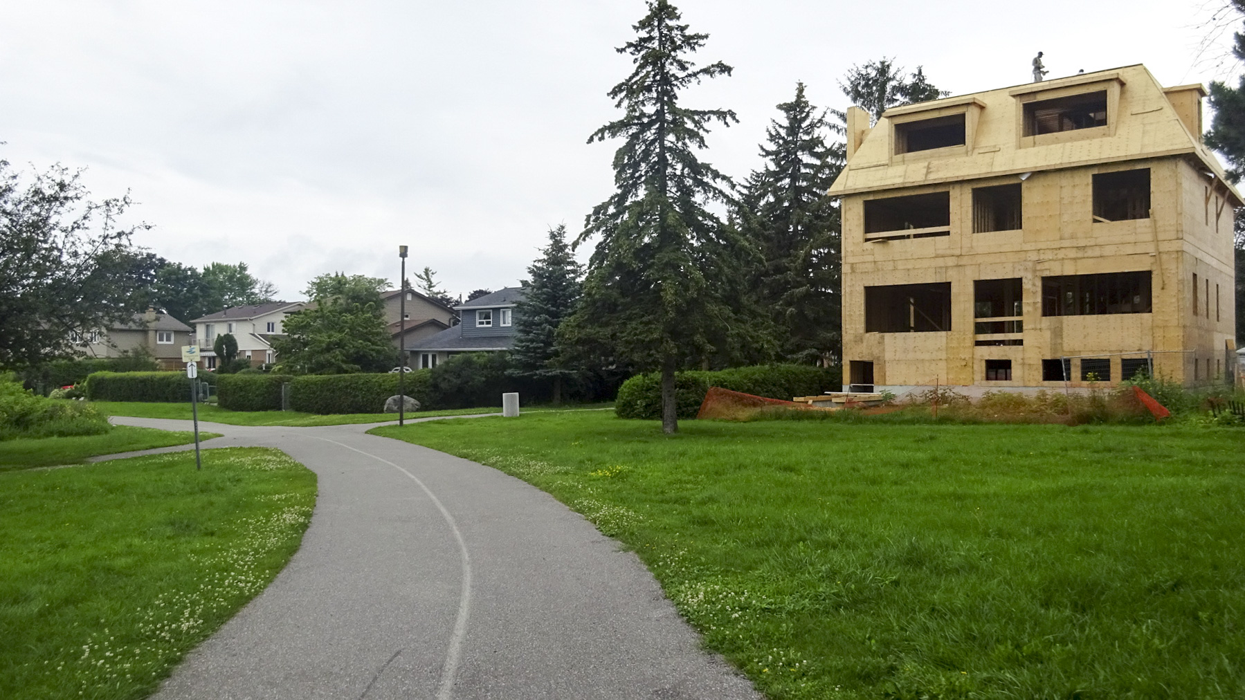
Given the crazy real estate market in Toronto the last few years I was surprised we didn’t see more of these types of scenes.

710BF92E-C16E-4A79-9AA4-931F543453F2 edit1

Looking back at Pickering.

F36D7645-7921-46B2-9398-F6B3C3999FD5 edit1

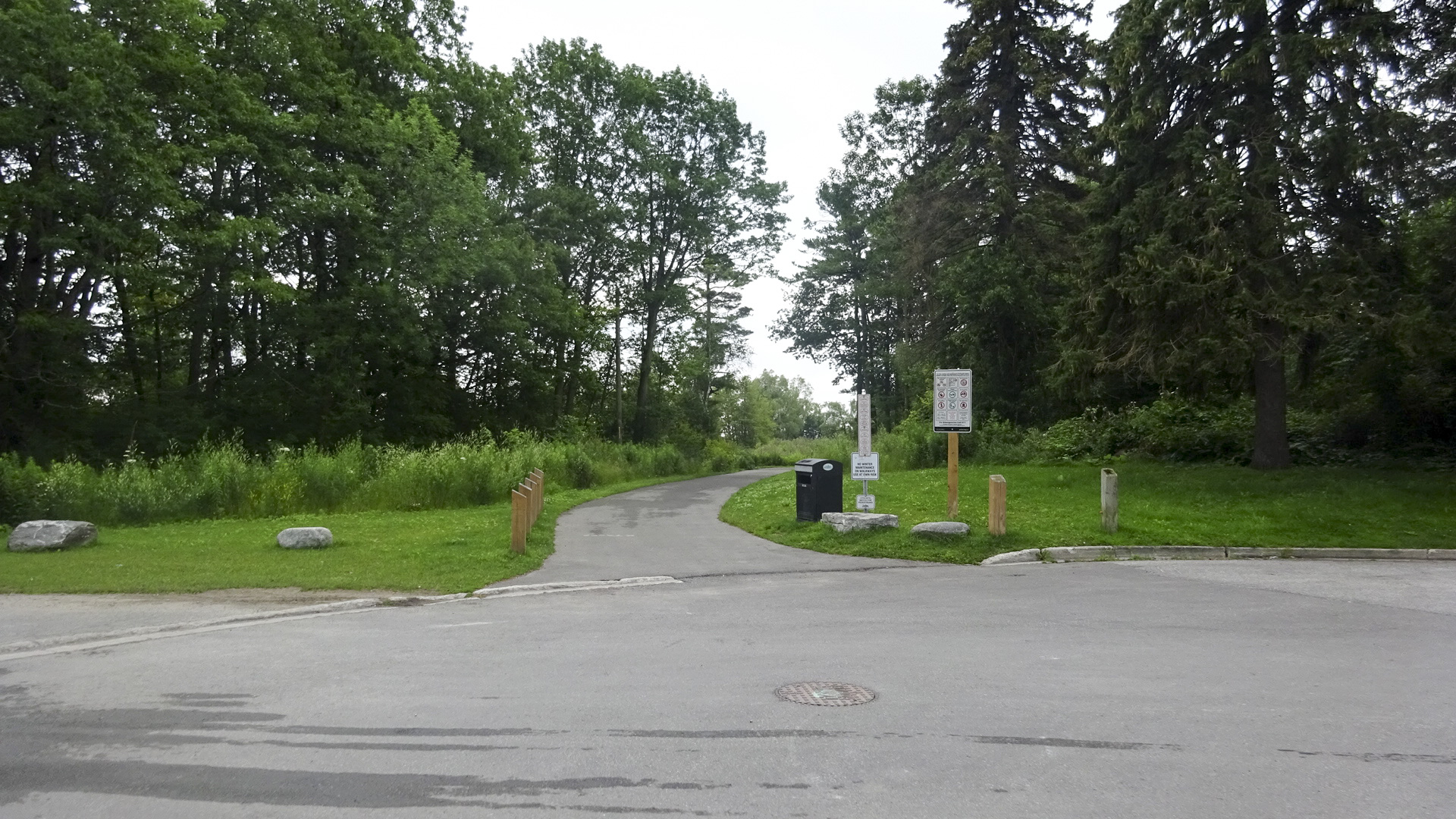
Nice transitions from roads to park trails.

CC022FCE-8AC9-4A7A-A9ED-CF2C8F4FAE91 edit1

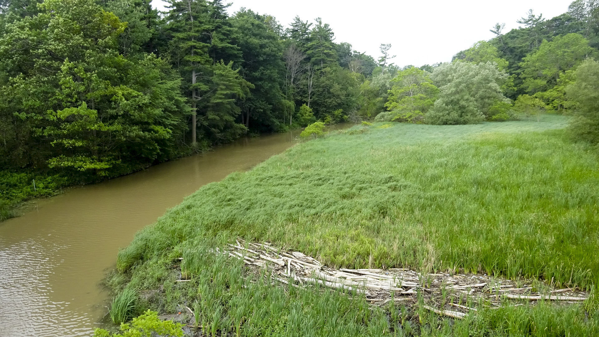
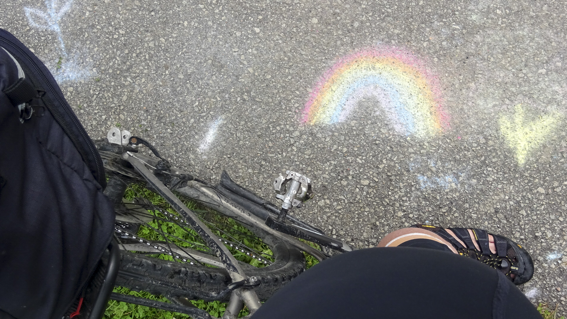
Entering Petticoat Creek Conservation Area we were treated to this verdant scene and shortly encountered the most activity we had seen to that point as we passed a summer camp where the children had been making chalk art.

29161BAA-B995-40CF-B03D-B9188E2E8477 edit10AF9F93B-E353-4C25-A00B-EA657D5FF913 edit1

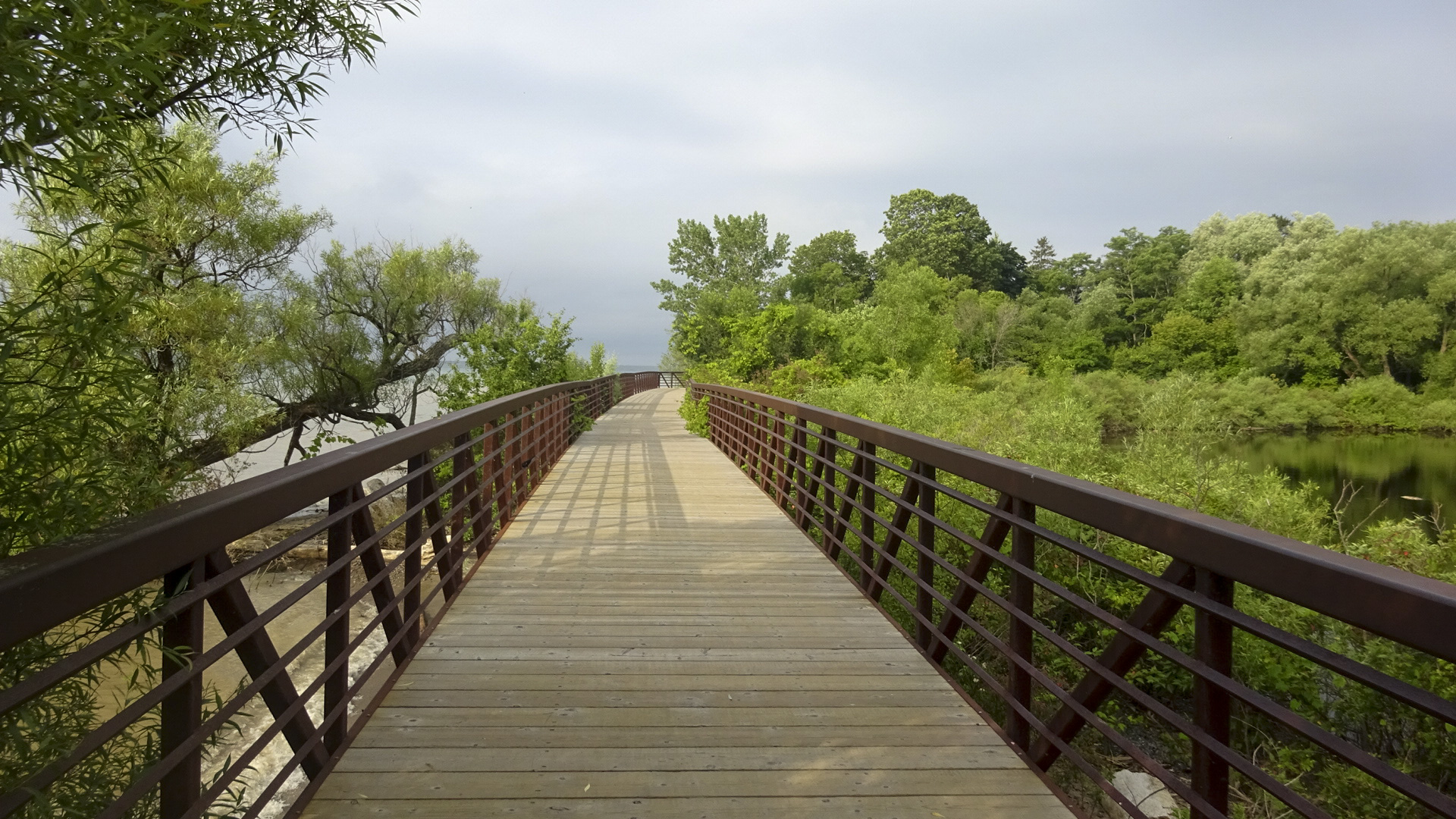
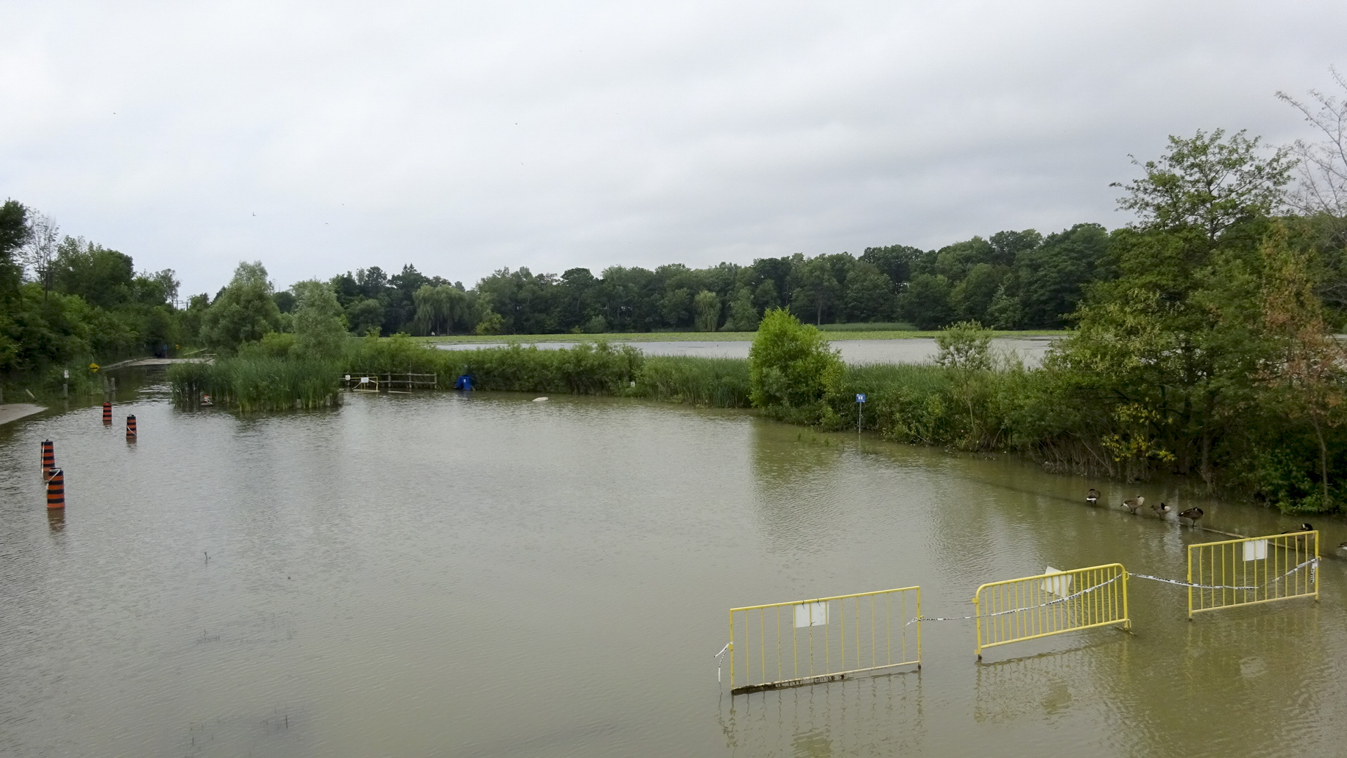
Everywhere we rode, from Ottawa to Brampton, we saw standing water.  Water in ditches, on lawns, in fields and here, covering a parking lot, at Rouge Beach.

9E997ED8-FD0E-4589-A80C-3865F5C6B143 edit108C41243-8ABB-46FB-9965-218EFC731B42 edit1

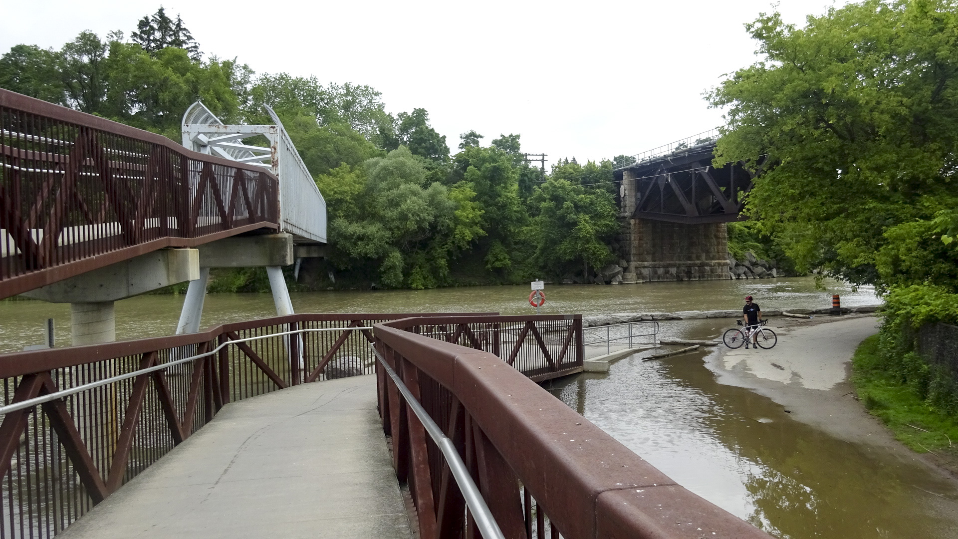
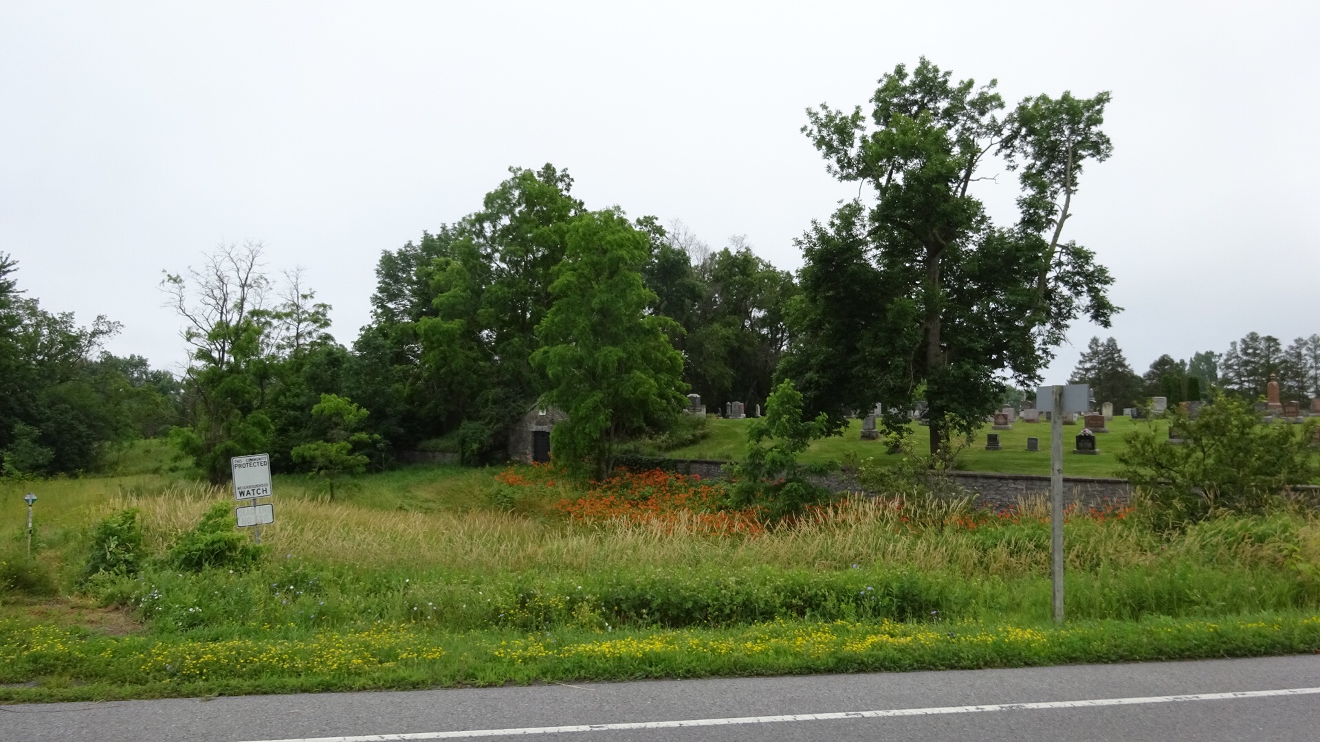
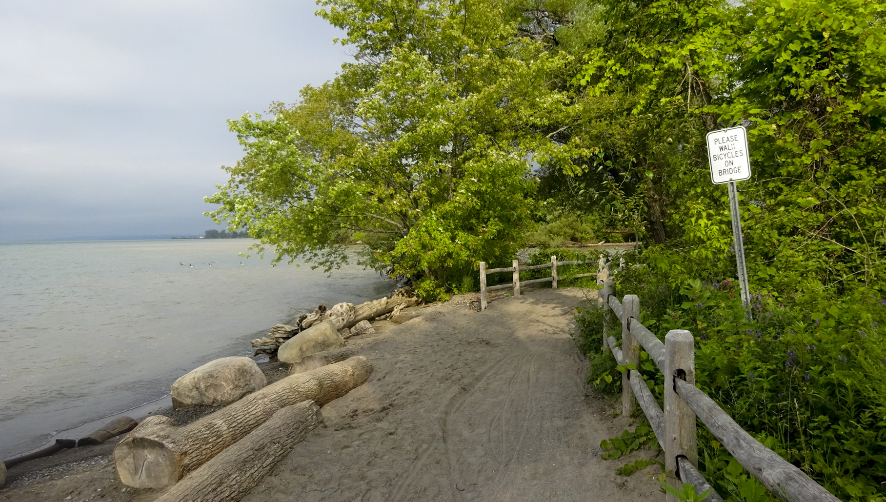
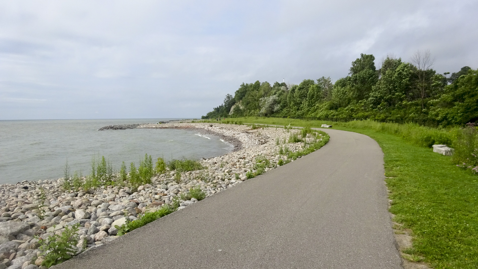
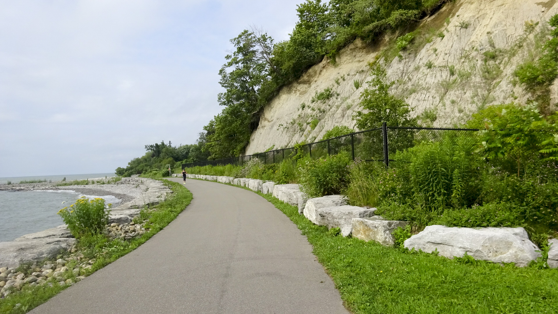
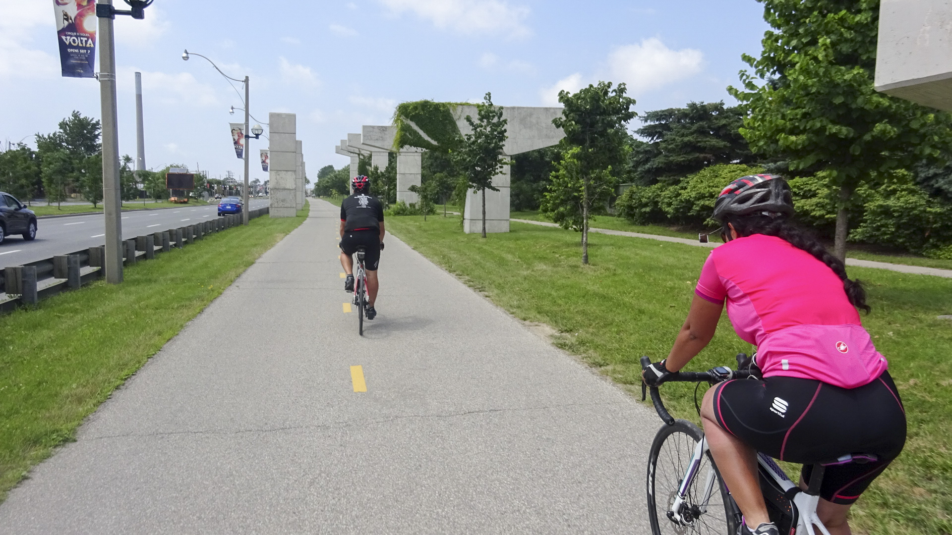
Due to the nature of waterfront with creek and river inlets and cliffs and bluffs, there was quite a lot of significant infrastructure, like the bridge above, to connect the trail. There were lovely sweeping curves and we soon got our first close-up look at the bluffs of Glacial Lake Iroquois.

77F1E335-78CC-470A-AAB5-C7716D46F789 edit19F74F8B7-6904-4130-B741-72A5C76E3E83 edit120A46F32-E777-4D6F-8DA4-76BBFA032C79 edit1EECD03D8-479C-48B9-959B-D92D82ADB050 edit1

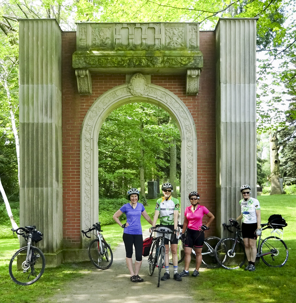
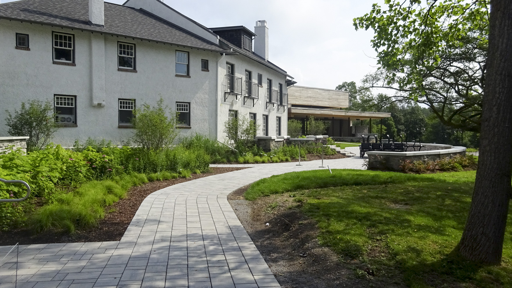
We stopped briefly at the newly renovated Guild Inn.  Rani and Nelson had never been; it had been many years for David and Dayle. They have done a lovely job, removing the ugly hotel addition and adding banquet space.

23F05567-FA1F-4FFC-AD08-0BC49CE01F04 edit1C66A7906-8A97-4F29-8BCD-8833491E7A8C edit1

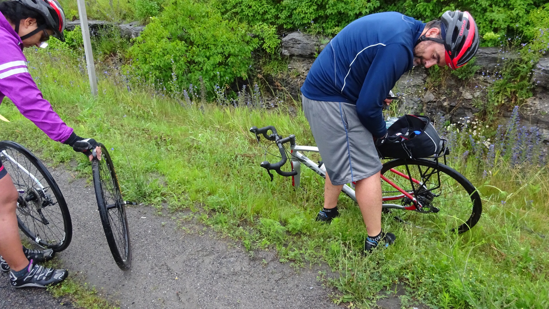
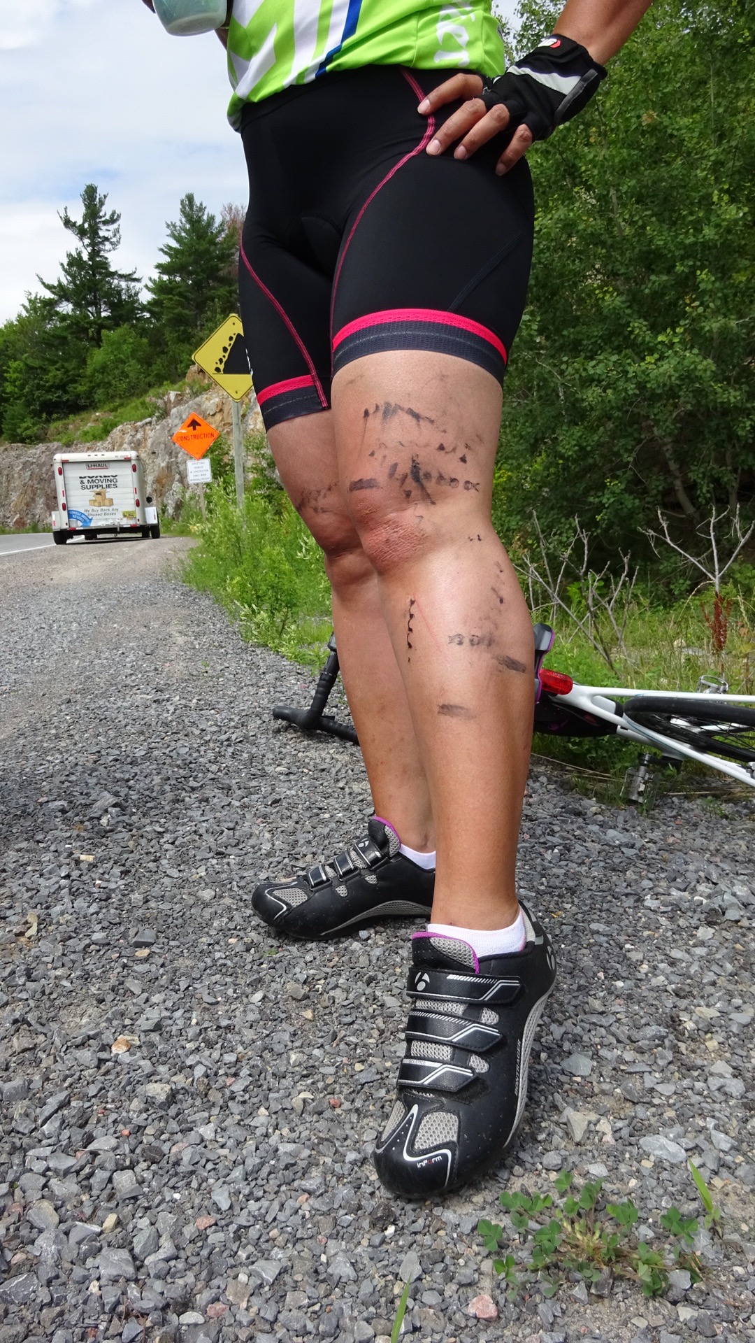
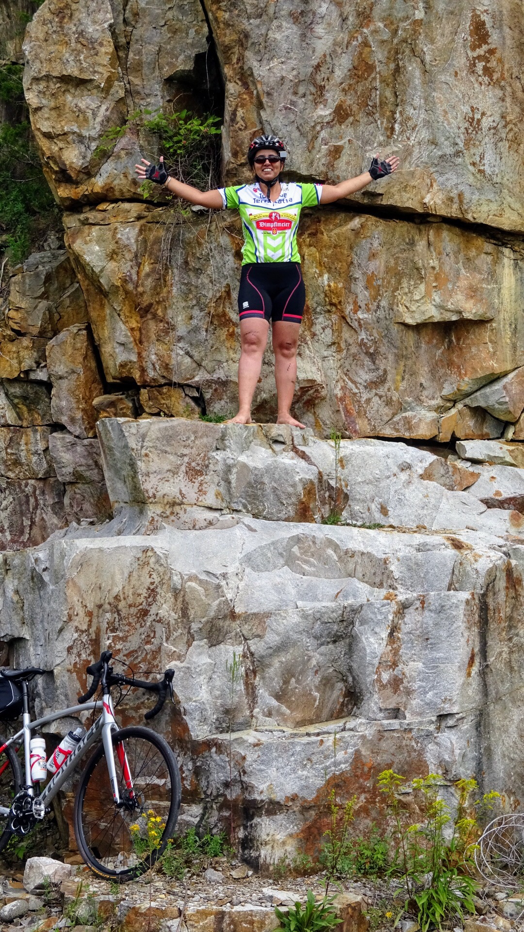
Shortly after leaving The Guild Inn we missed a turn and ended up in Sylvan Park.  Instead of turning around and going back to where we went wrong, we pushed on since I could see trails marked on the map I was following.  We ended up on a hill so steep we had to push our bikes.  I would not recommend the little hike we did. We came out here and got back on track.

F3B15971-23AE-49CF-AF8D-D9B6C708CB23 edit1

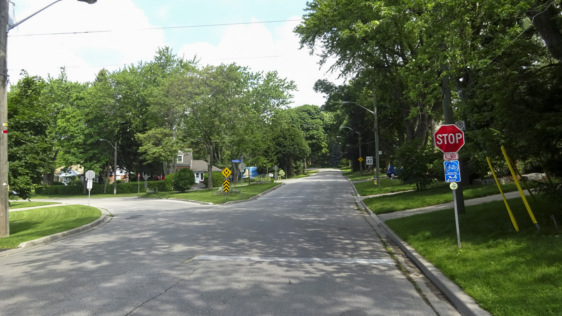
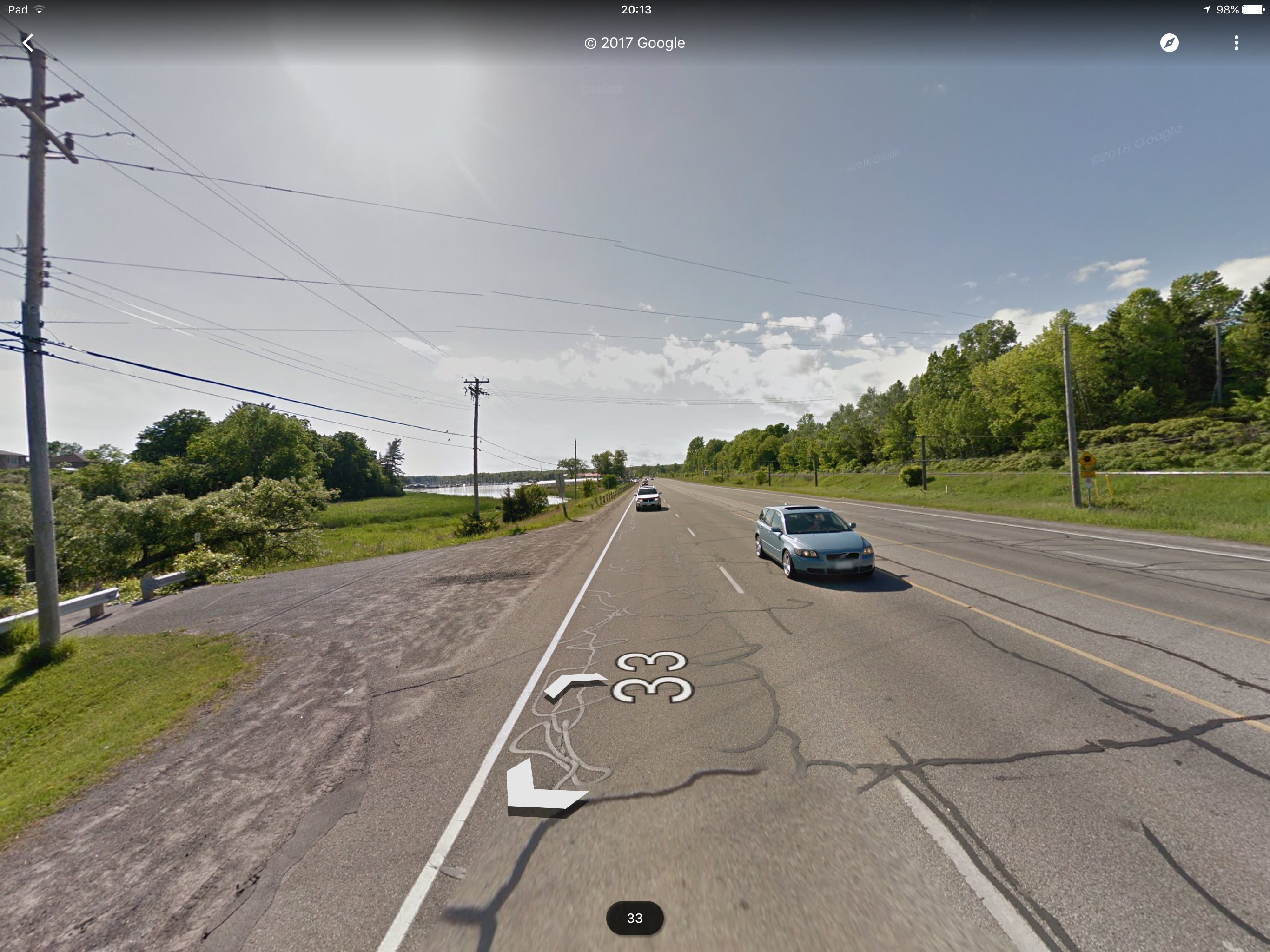
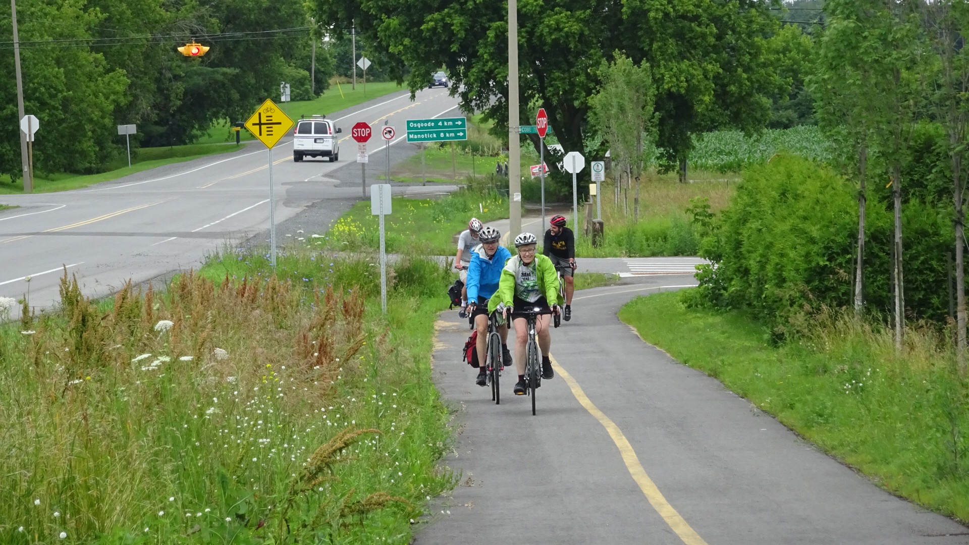
Not too much further on we came to a T-intersection at Brimley.  The route I entered into my phone from the Waterfront Trail maps indicated we should turn left and head through St. Augustine Seminary, however, the trail signs indicated we should turn right and head north to Kingston Road.  It was somewhat confusing.

Brimley looking southBrimley looking west

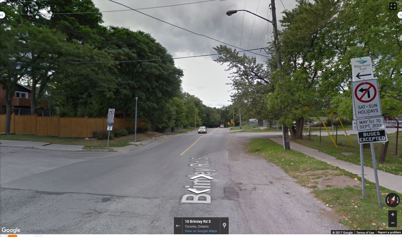
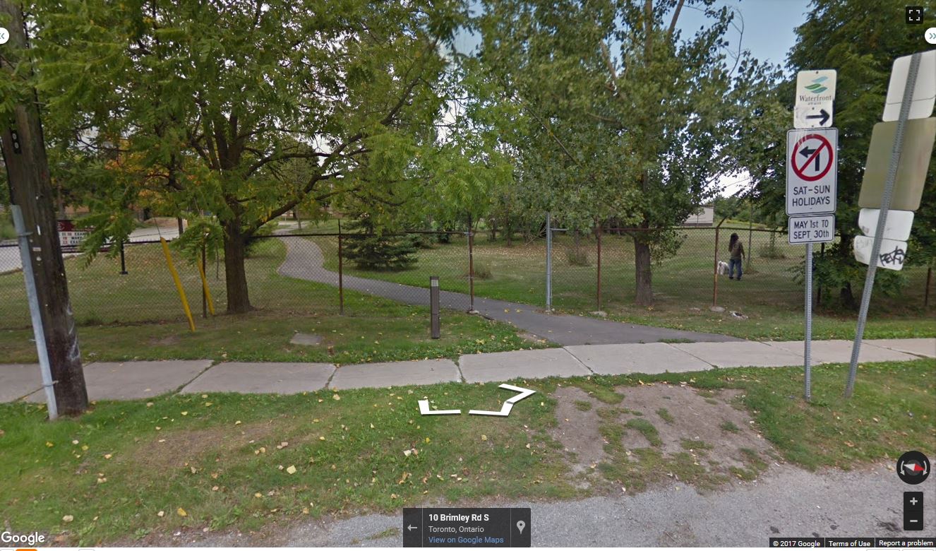
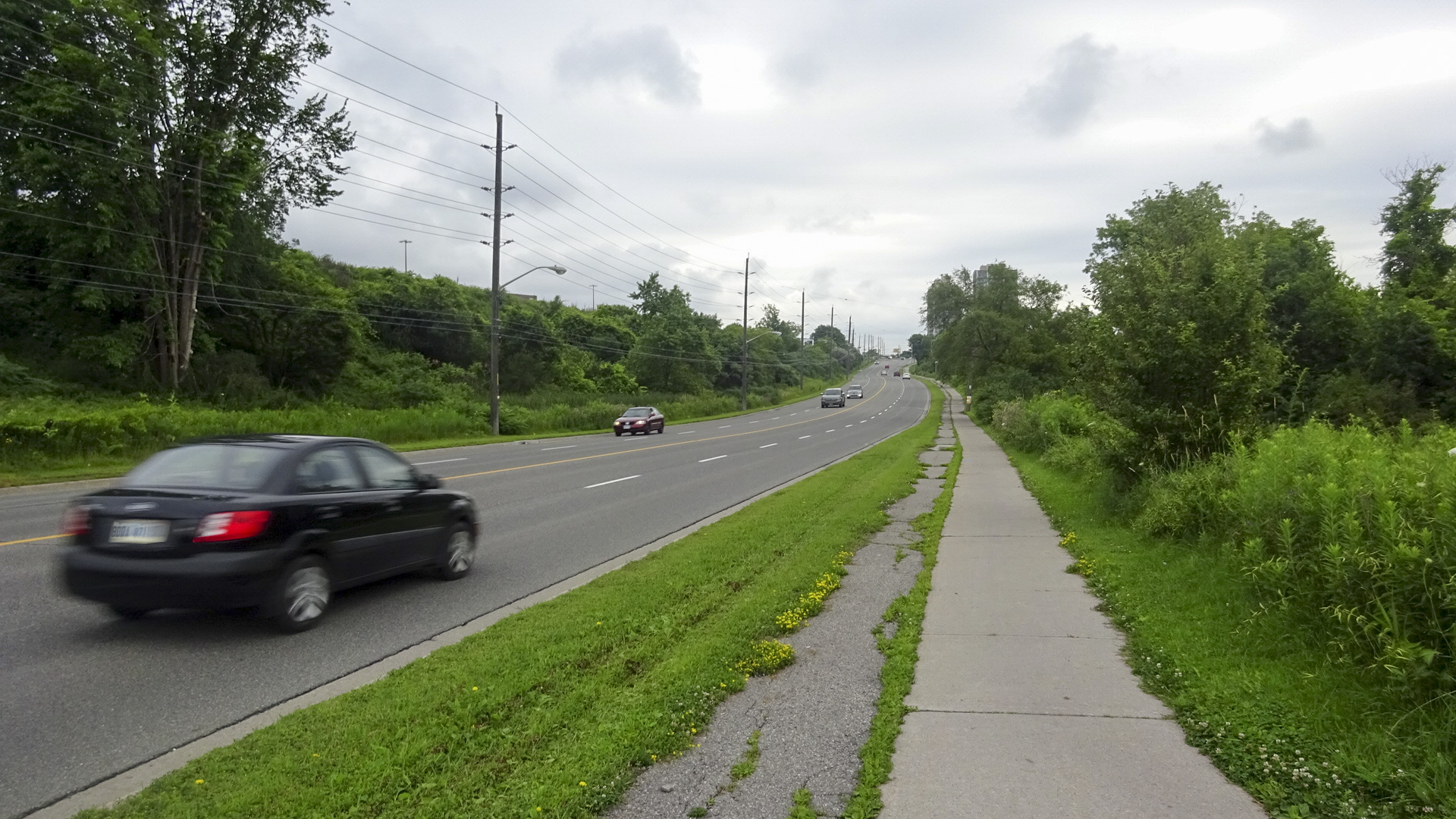
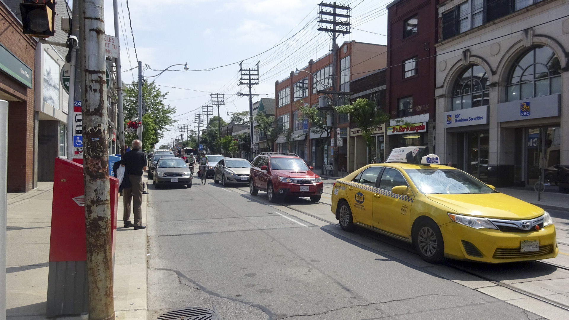
A few kilometres earlier someone going in the opposite direction had yelled at us, “Don’t go through the church”. We didn’t know what he meant, but decided at this point he meant, avoid the St. Augustine trail.  I have since discovered a note on the Waterfront Trail website indicating, “…that the trail that runs behind St. Augustine Seminary is not paved and in the Spring months or wet weather pose challenges for cyclists.”.  The section along Kingston Road was not for the timid, however, one could ride along the sidewalk on the south side as the distance to the turn is short.

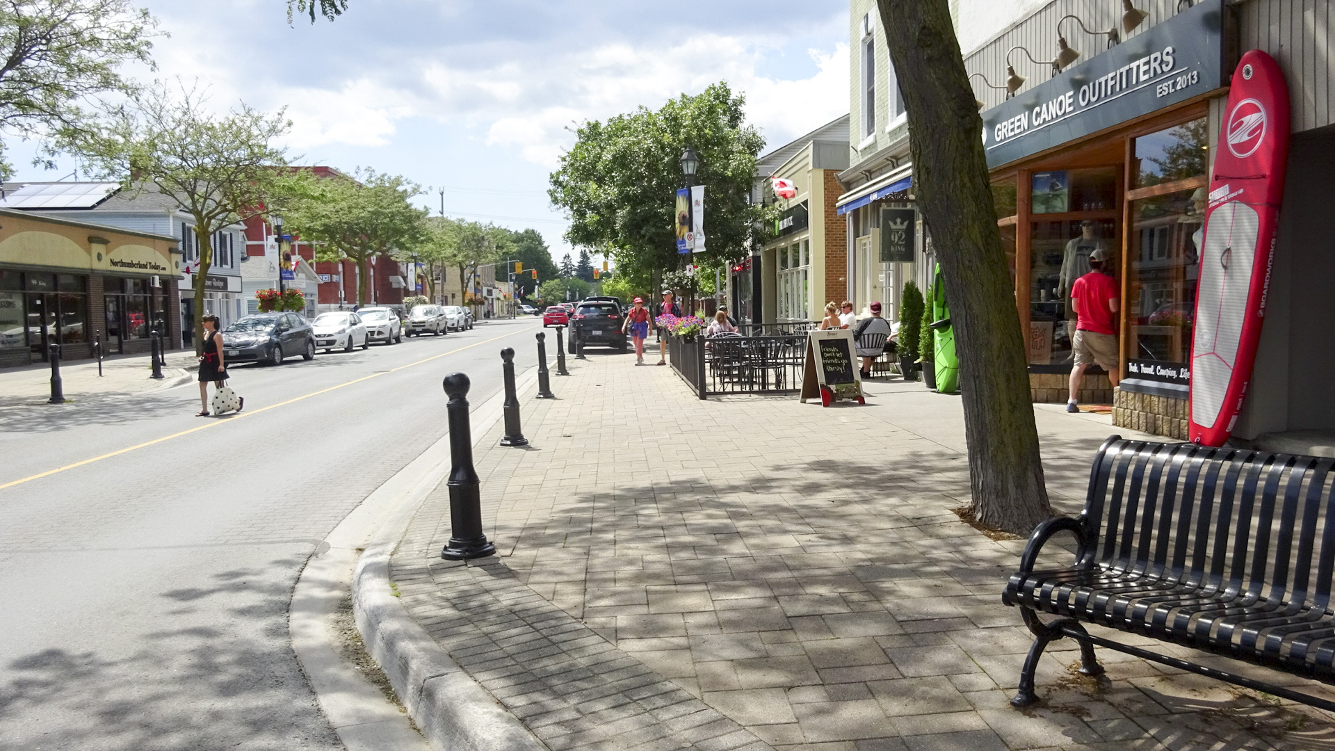
Upon reaching Queen Street, at about 42km of riding, we were hungry and cycled along until we found Tim’s opposite The Beaches Park and Kew Gardens.  It had a patio and we happily recharged. Again, this section is not for the timid,  and meant we missed a little over a kilometre of the Waterfront Trail, but it does provide a lot of restaurant choices. There were many nice looking patios, but we didn’t wish to linger.

871C7CA3-F433-428D-9E09-1450B1EB7C27 edit19CD8614F-80F0-439D-B03A-851D0B235756 edit1293CD1EF-CC55-40AA-BE74-92C14C8CE7E6 edit1

Right across from Tim’s we were able to ride through the park back down to the waterfront.

1FD8437A-3434-47A1-A555-A8E8D07E3DF7 edit18CB0DE10-0F5D-4EE1-B5A7-6D17775EE05F edit1F01A4D26-AD3A-48E3-8A85-59AE1FD66DA1 edit1

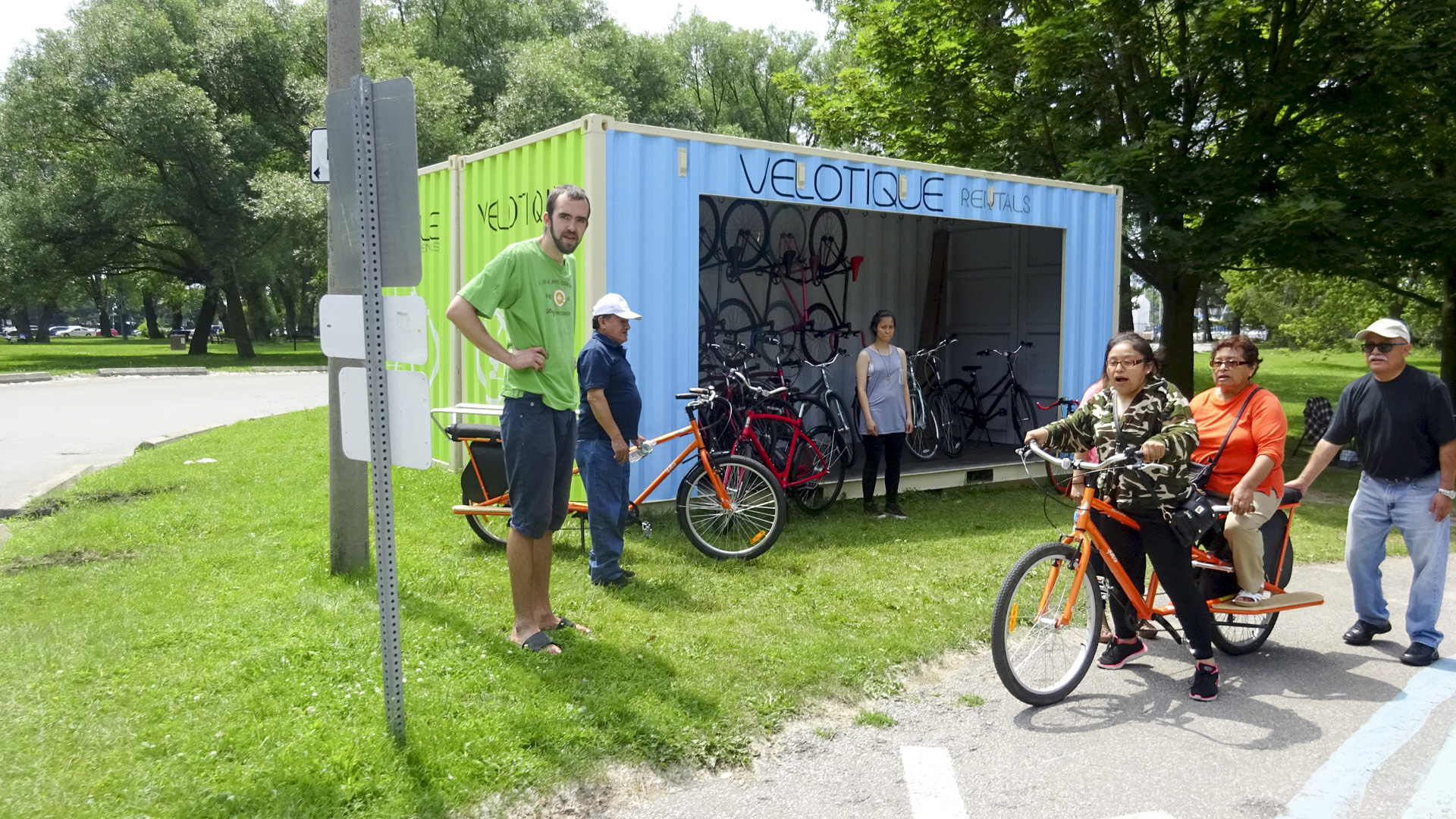
We passed a pop-up bike rental business renting interesting looking bikes at Ashbridges Bay.

A2C28277-88B9-4696-A67D-F6472C5D119C edit1

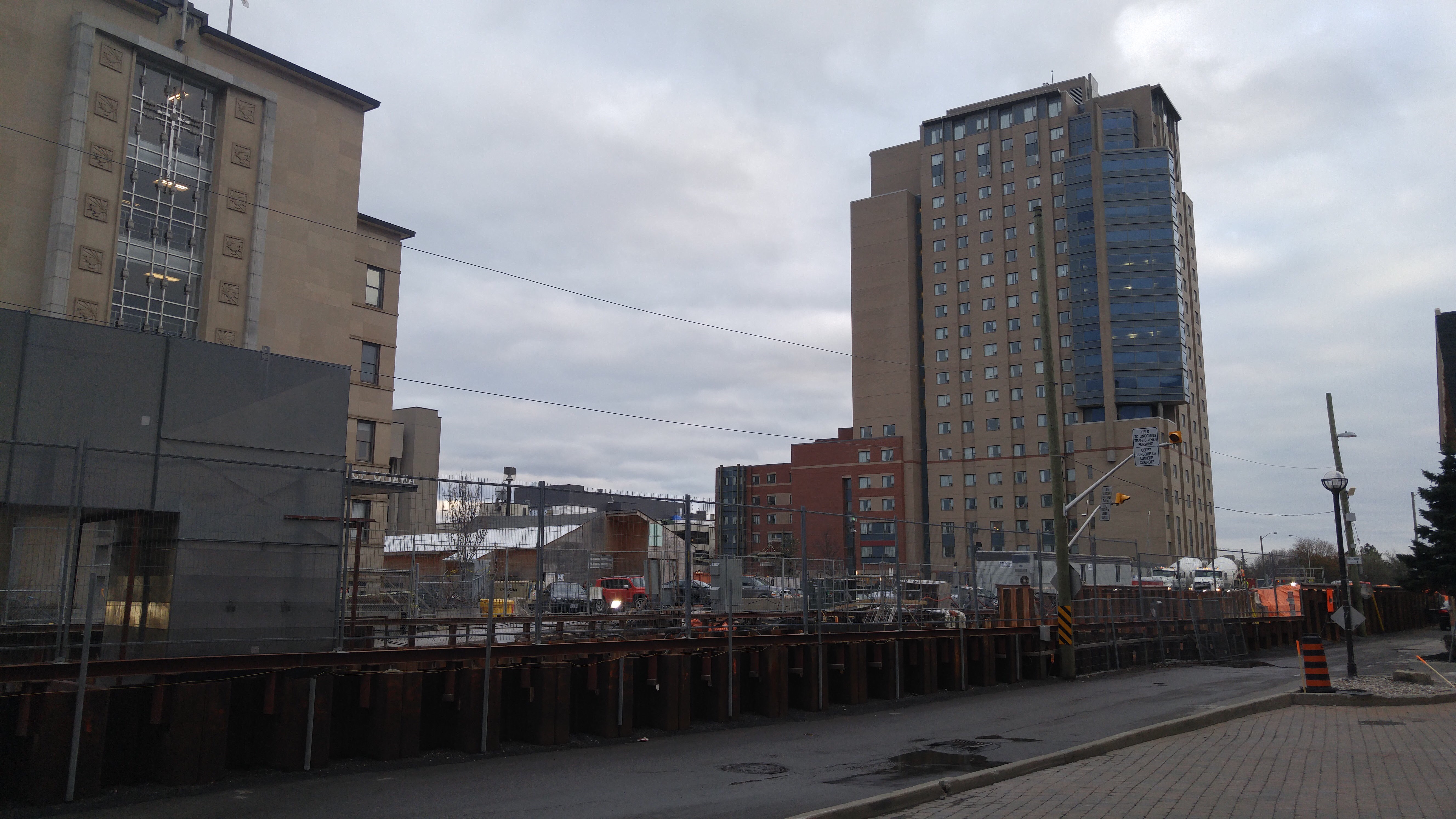
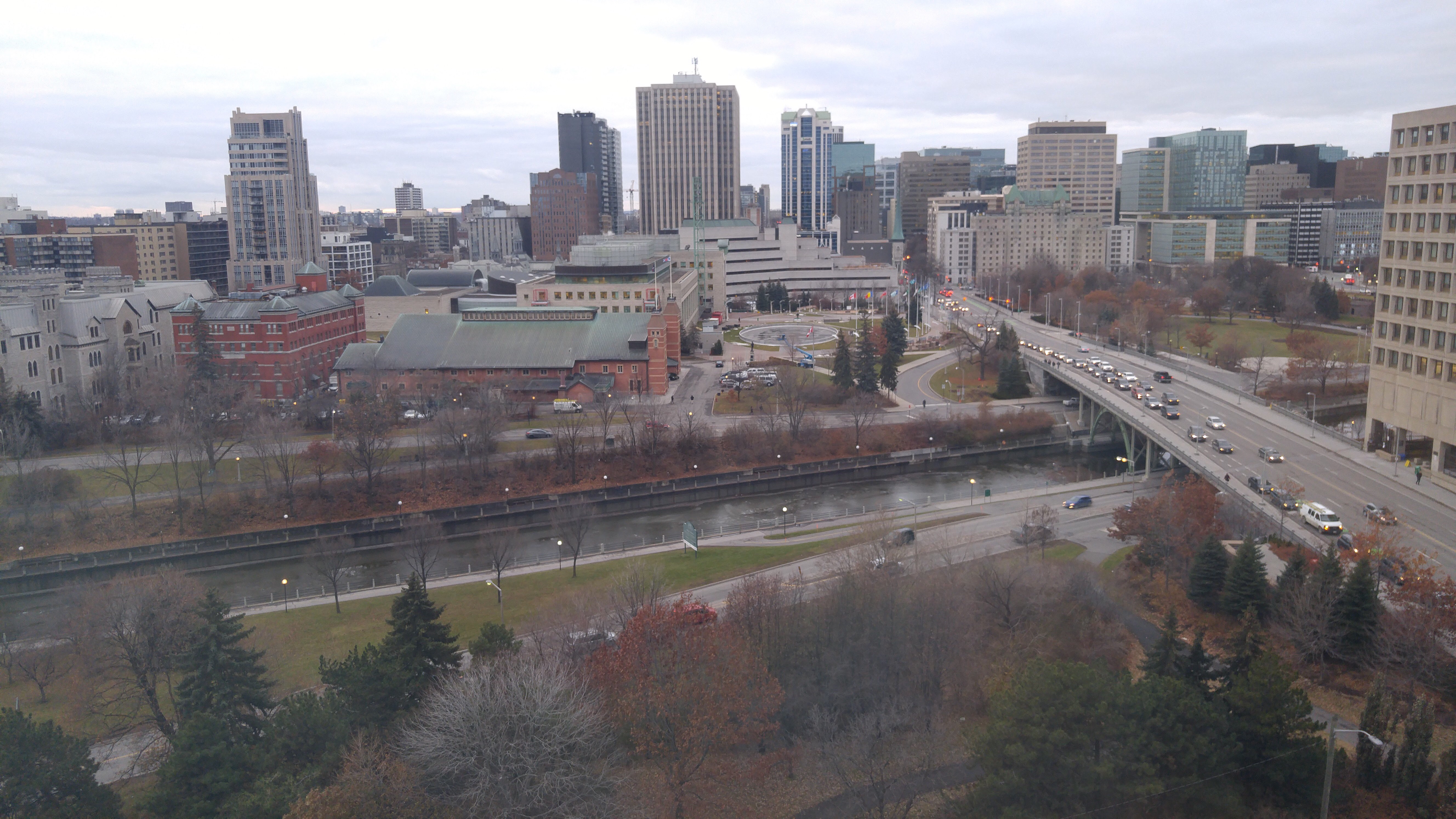
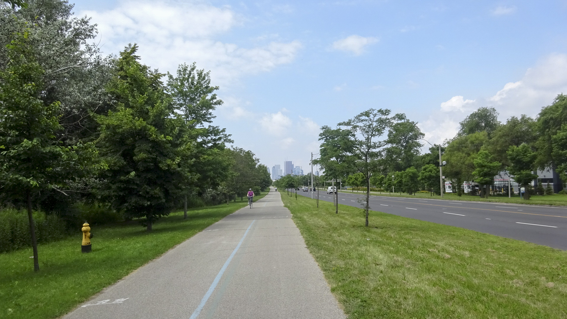
Then we caught our first glimpse of downtown Toronto and passed the Leslie Barns, a streetcar maintenance and storage facility.

A059212B-D028-49B5-A8B3-D203CCA59A85 edit14304979A-A6F3-4002-85CB-6FCA303B6A73 edit1

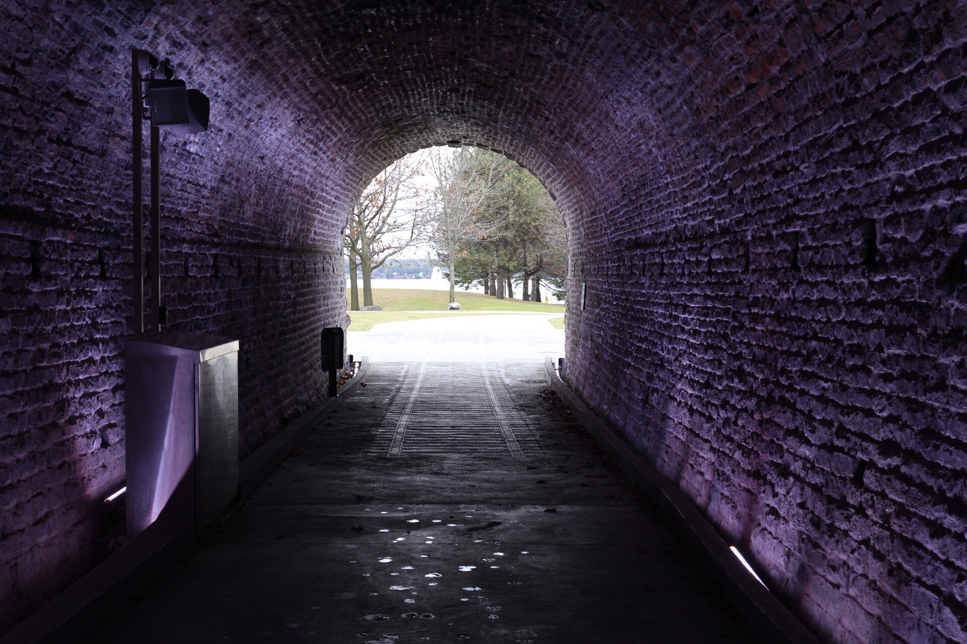
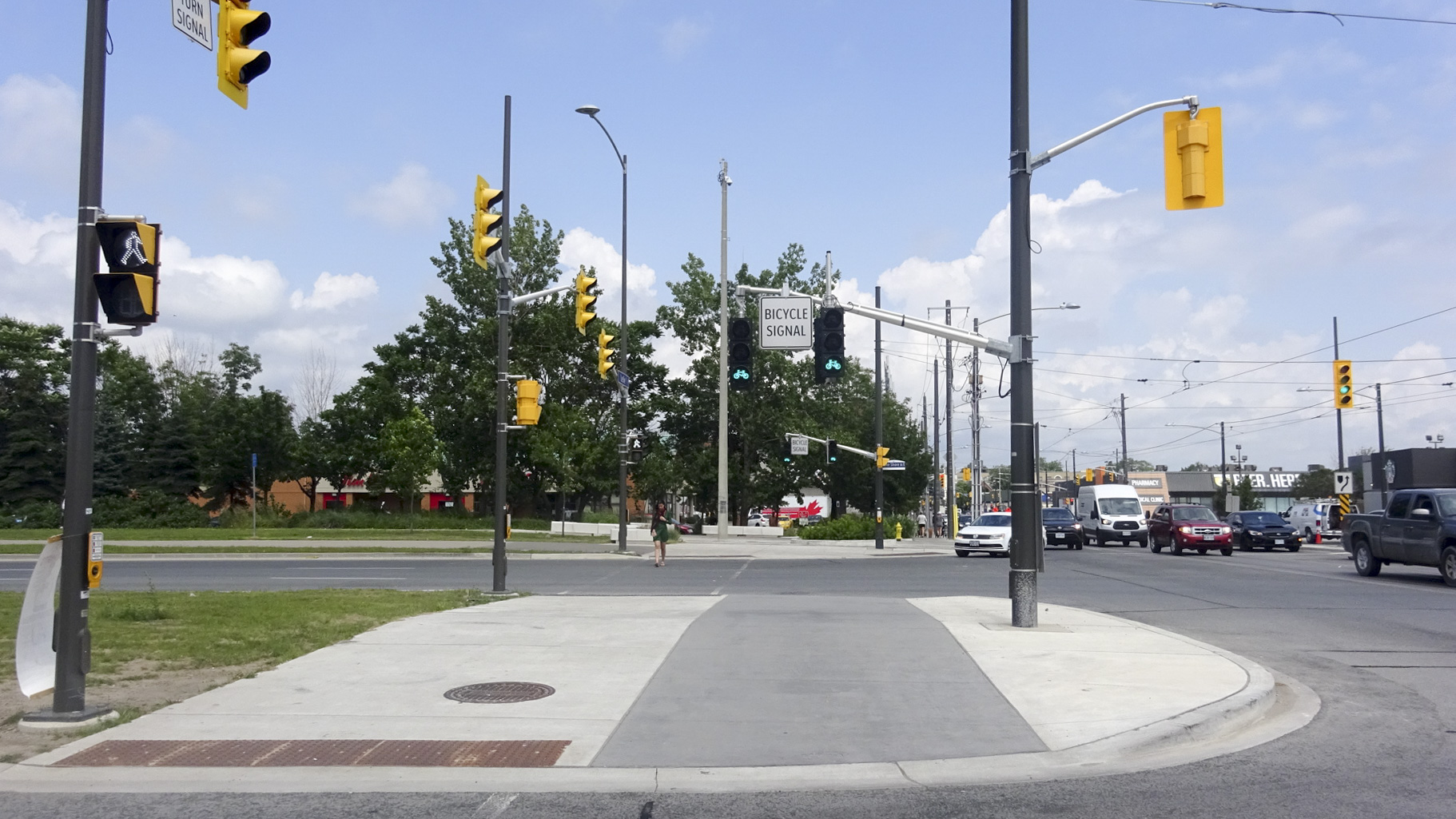
We crossed to the north side of Lakeshore, at Leslie, where they have bike signals and a cross-ride. We then passed through the old support posts for the Gardner Expressway which was torn down in 2001 from the Don Valley Expressway to just east of Leslie. It was torn down because it cost less to do so, than to rehabilitate it.  I remember at the time, many warned of carmageddon, but it didn’t happen.  I wish the current council had taken the same approach to tear down the current eastern portion rather than spend $1B rebuilding it. It is much more pleasant to ride here than it is further west.

0BD206B4-603A-4038-ACFE-0189BFDAE91A edit16057136C-659E-4512-AE2F-9C251F651455 edit1

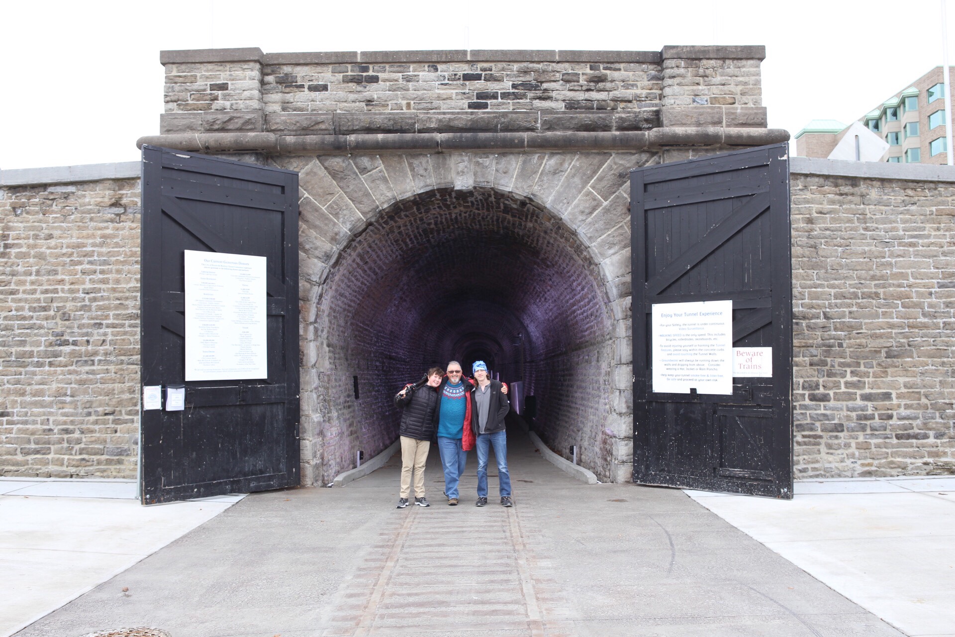
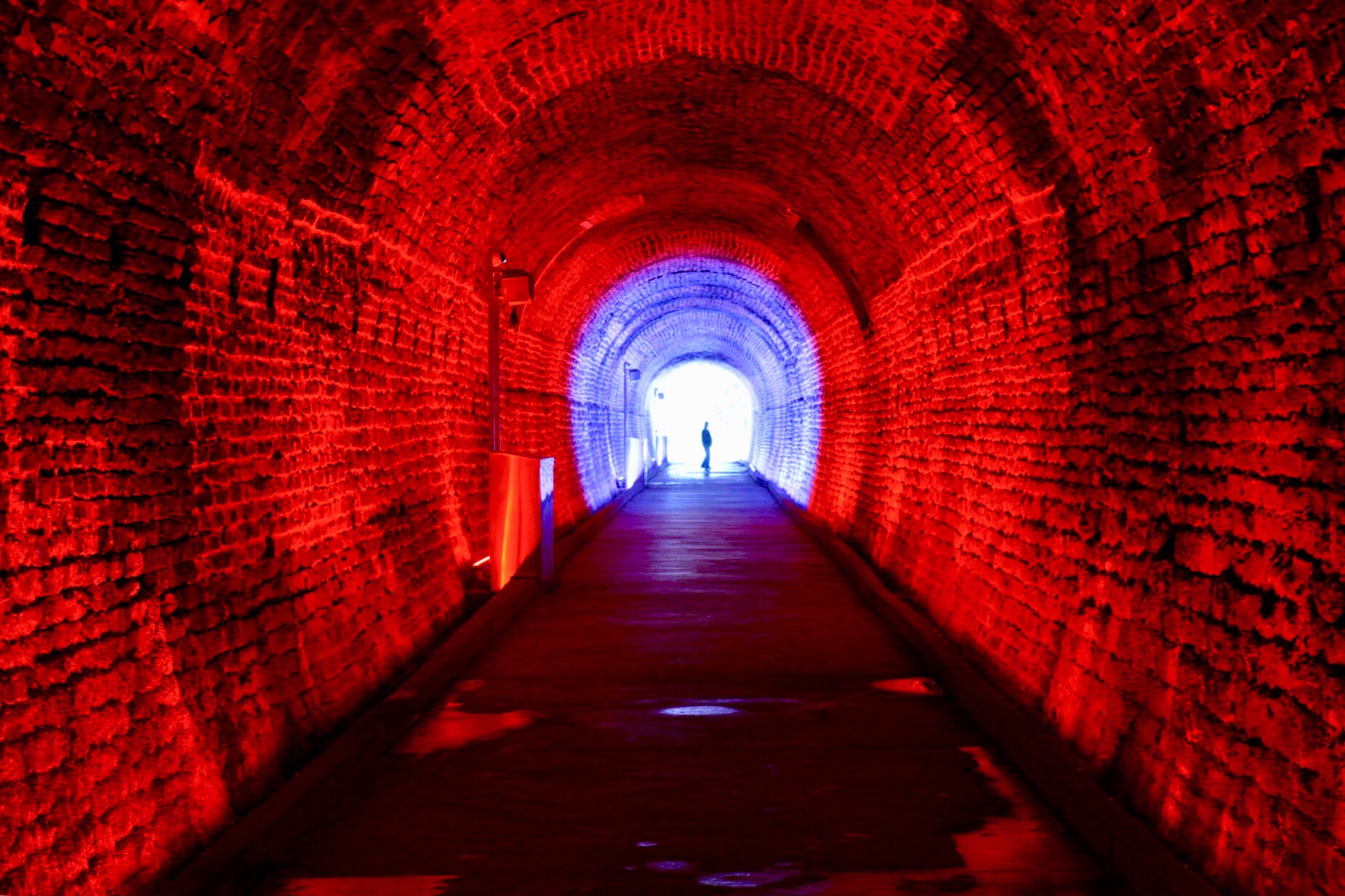
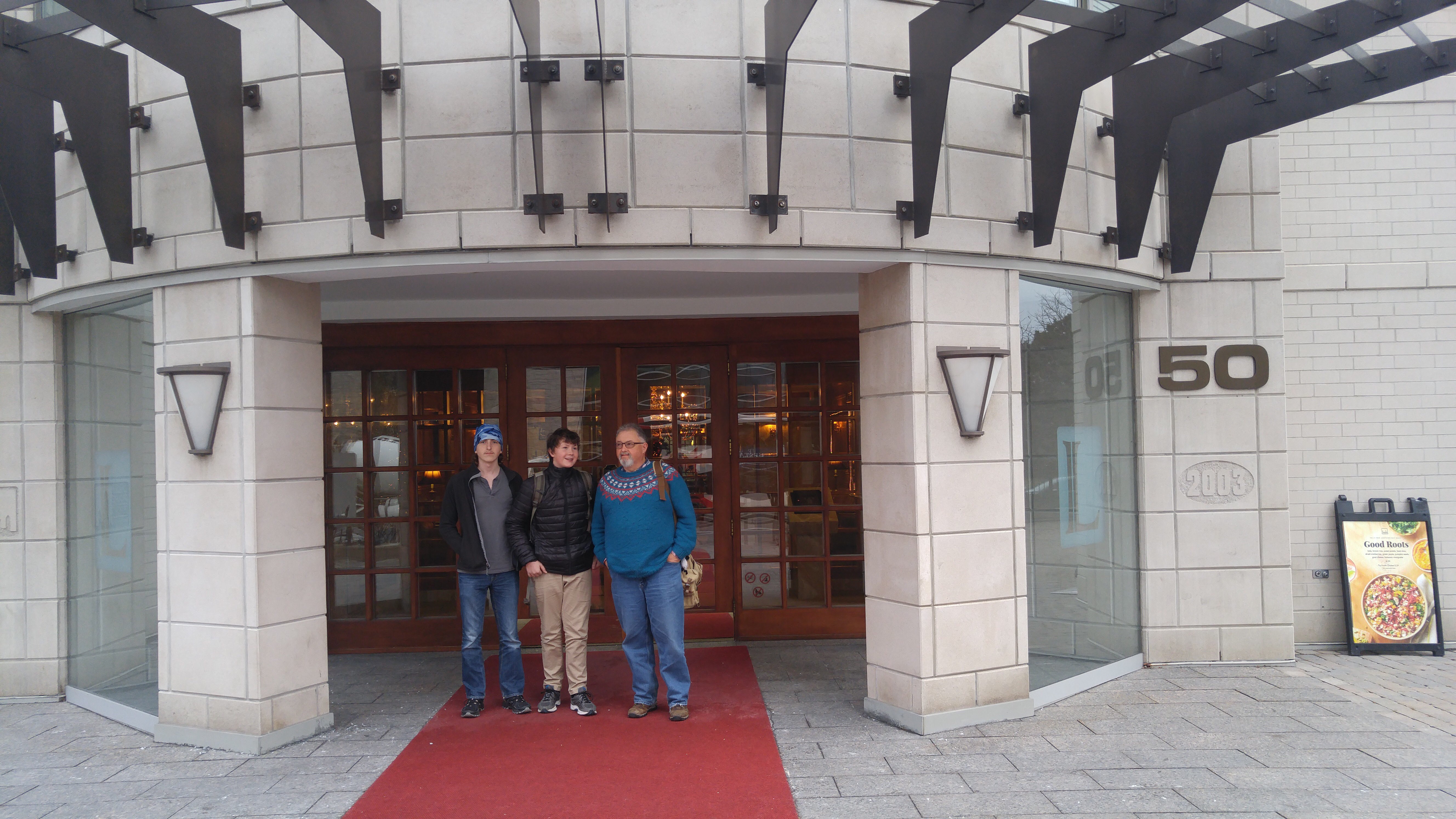
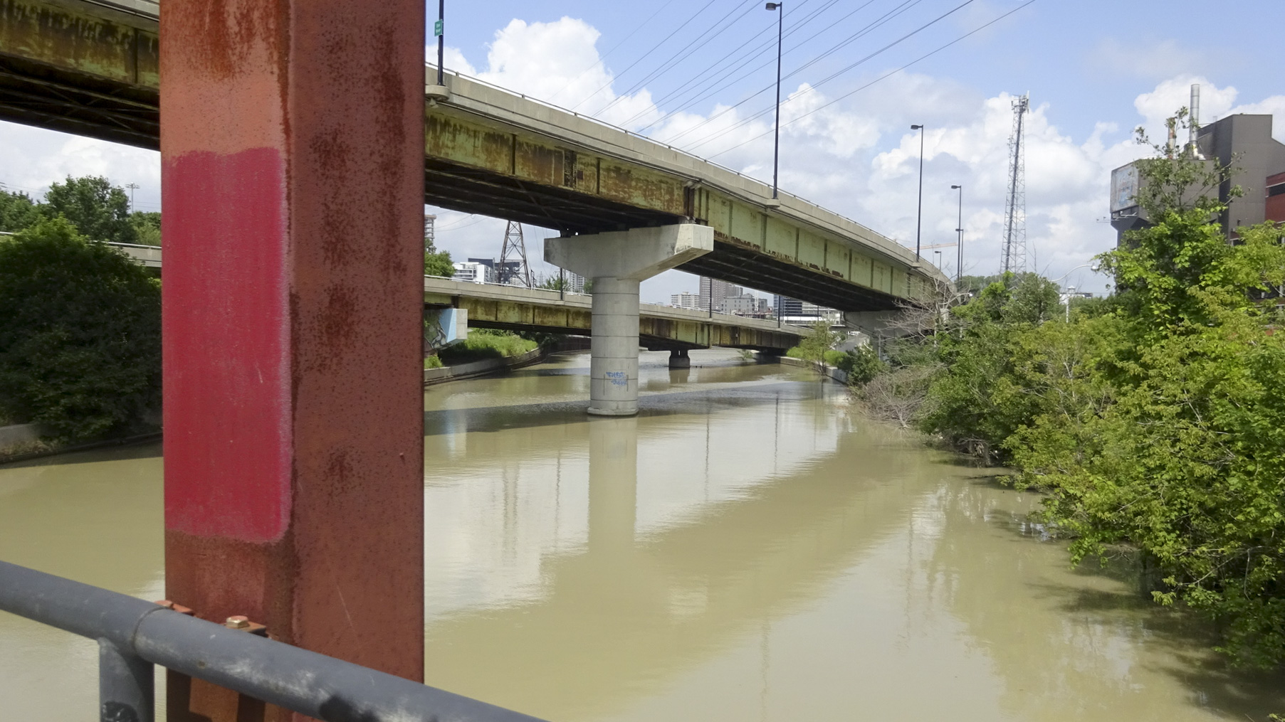
At the Don River we turned north.  On Victoria Day, Rani and I, her nephew and another friend, Peter, cycled to the Brickworks.  It was a pleasant ride, so we were heading towards the Brickworks to finish our ride from Ajax to Brampton along the same route.

F5DAE0BC-3314-44C2-AA40-2D814CCBEDB6 edit1

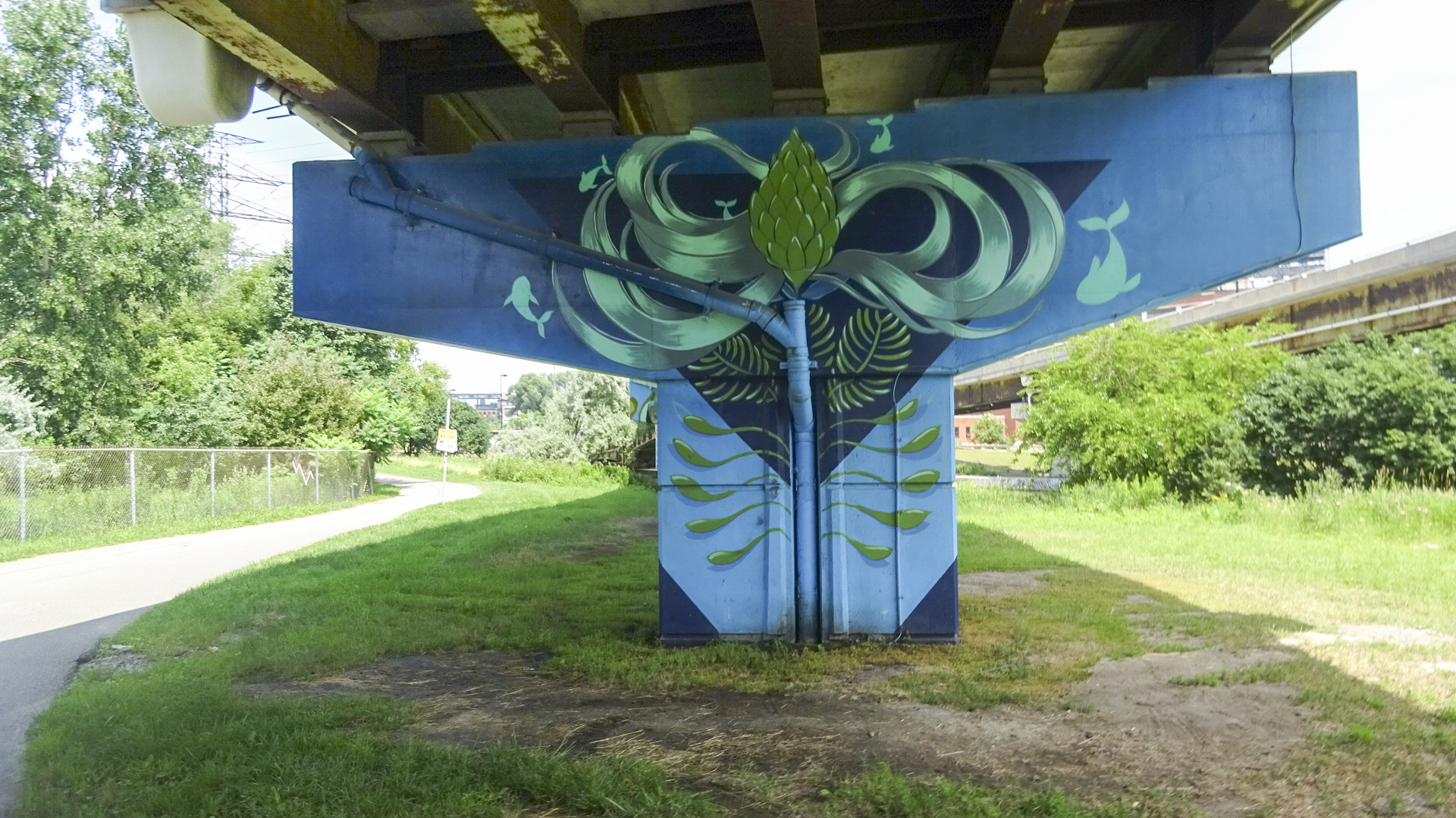
I love the public art which brightens up the highway supports and a retaining wall .

4B8A513D-B280-48D4-A0E8-E71897023C80 edit1667292CE-FF32-4DF8-AB87-619EC3A02B2D edit1

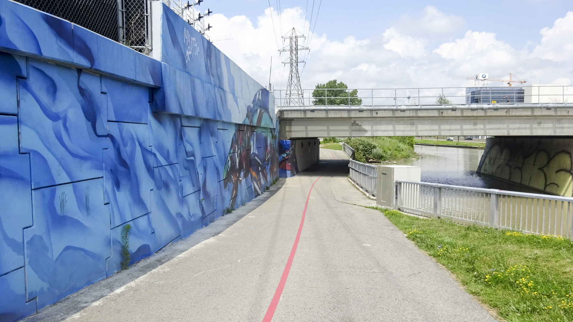
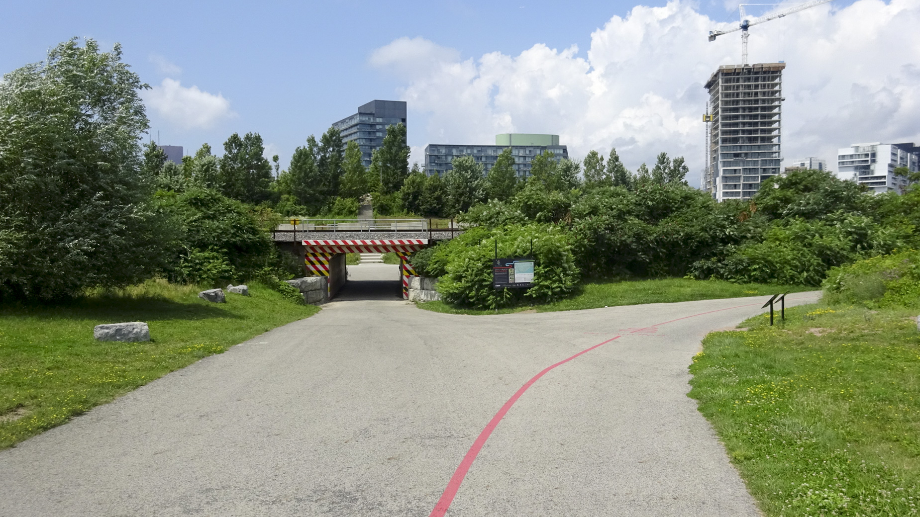
The entrance to Corktown Common.

5DF521FA-69A3-463C-95FD-2E21DC998EC5 edit1

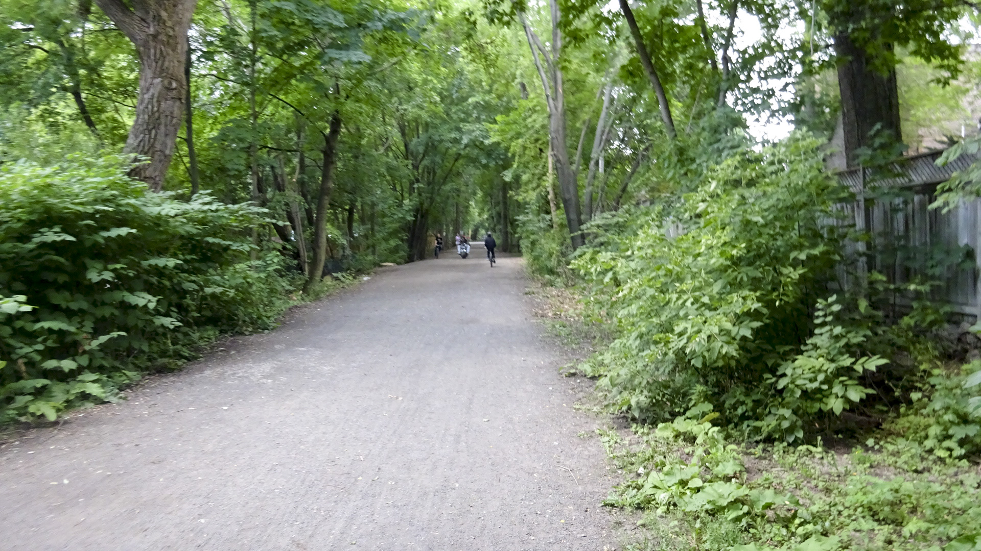
We stayed on the trail until Pottery Road and then cycled up Bayview, a long steep hill.  Shortly thereafter we got on the Kay Gardner Beltline Trail. This is a lovely tree covered trail that was so shaded on a sunny July afternoon that all of my pictures are somewhat fuzzy.  This trail almost didn’t come to be and was one of the first battles in Toronto over bike infrastructure. Rail service ended in the late 1960s. From the wikipedia artile linked above:

“In 1970, CN tried to sell the right-of-way east of the Allen for housing since the land was quite valuable. This would set the stage for one of the first public battles on biking trails.[3] Most home owners adjacent to the line wished to buy the land to extend their backyards complaining of safety issues, vandals, and lovers.[3] Both Metro Toronto parks officials and York Mayor Phil White saw it as an opportunity to build a bike path. Toronto Mayor William Dennison and his executive committee favoured buying portions of the Belt Line to expand roads and existing parks.[3] Dennison told the Toronto Star that he opposed a continuous path along the Belt Line because “people have demonstrated they just won’t use it”, as well as echoing fears of the homeowners.[3]After two years of talk, the land was purchased by the city in 1972 as part of a land swap with CN that included the Metro Toronto Convention Centre on Front Street.[3] One of the supporters of turning the rail bed into a bike path was alderman David Crombie, who was elected as mayor of Toronto soon after.”

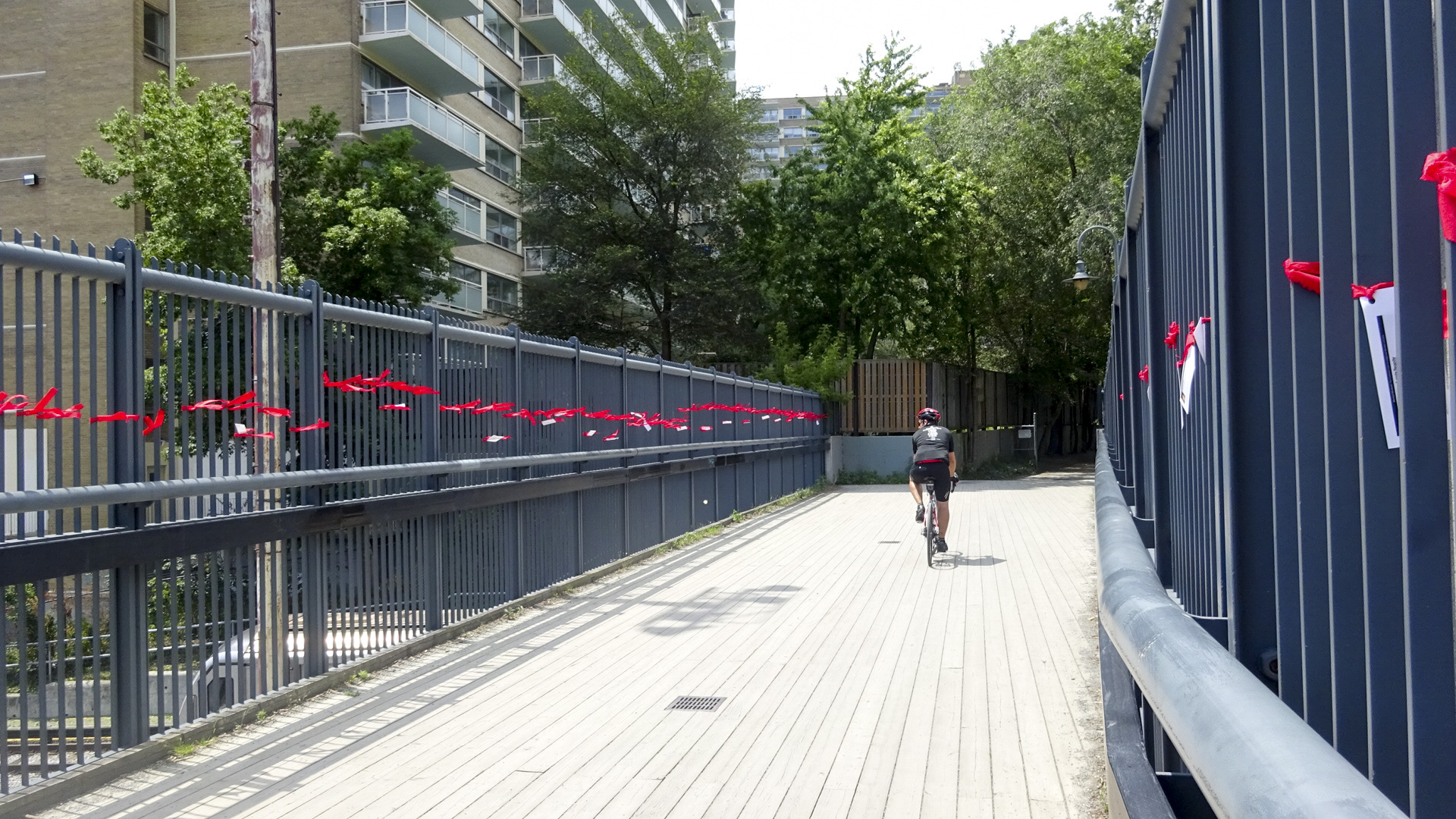
Here’s the best of the pictures I managed to take. The ribbons on the original rail bridge over Yonge Stree are for Missing and Murdered Aboriginal Women.

32107318-1988-450F-A005-E99390444833 edit1C32641C8-B6EA-430E-B81A-F3F690E89E4B edit1

We stayed on the Beltline until The Allen, where it is interrupted. After that we were on streets, some of them fairly busy the rest of the way home.  Somewhere along the way it poured rain on us, but it soon became sunny again and we dried out.

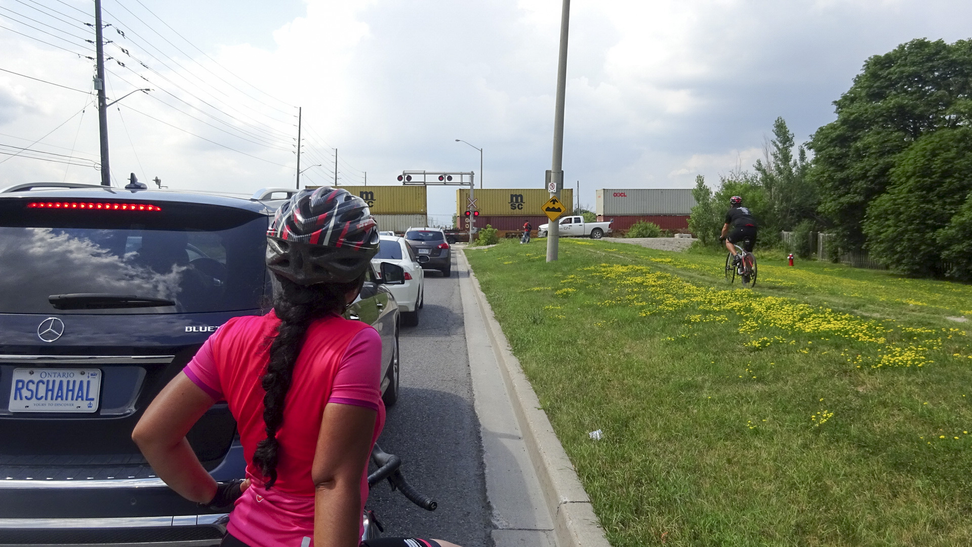
We stopped for a final snack at Islington and Albion, at Tim’s, for the third time that day – a record for our trip.  On Goreway we were caught at the level crossing by a long freight train.

FBC345E3-A4E2-478F-A659-83FFA6AC9E79 edit1

At Intermodal Drive we bid goodbye to Rani and Nelson.  On Sandalwood, I bid goodbye to David and Dayle.

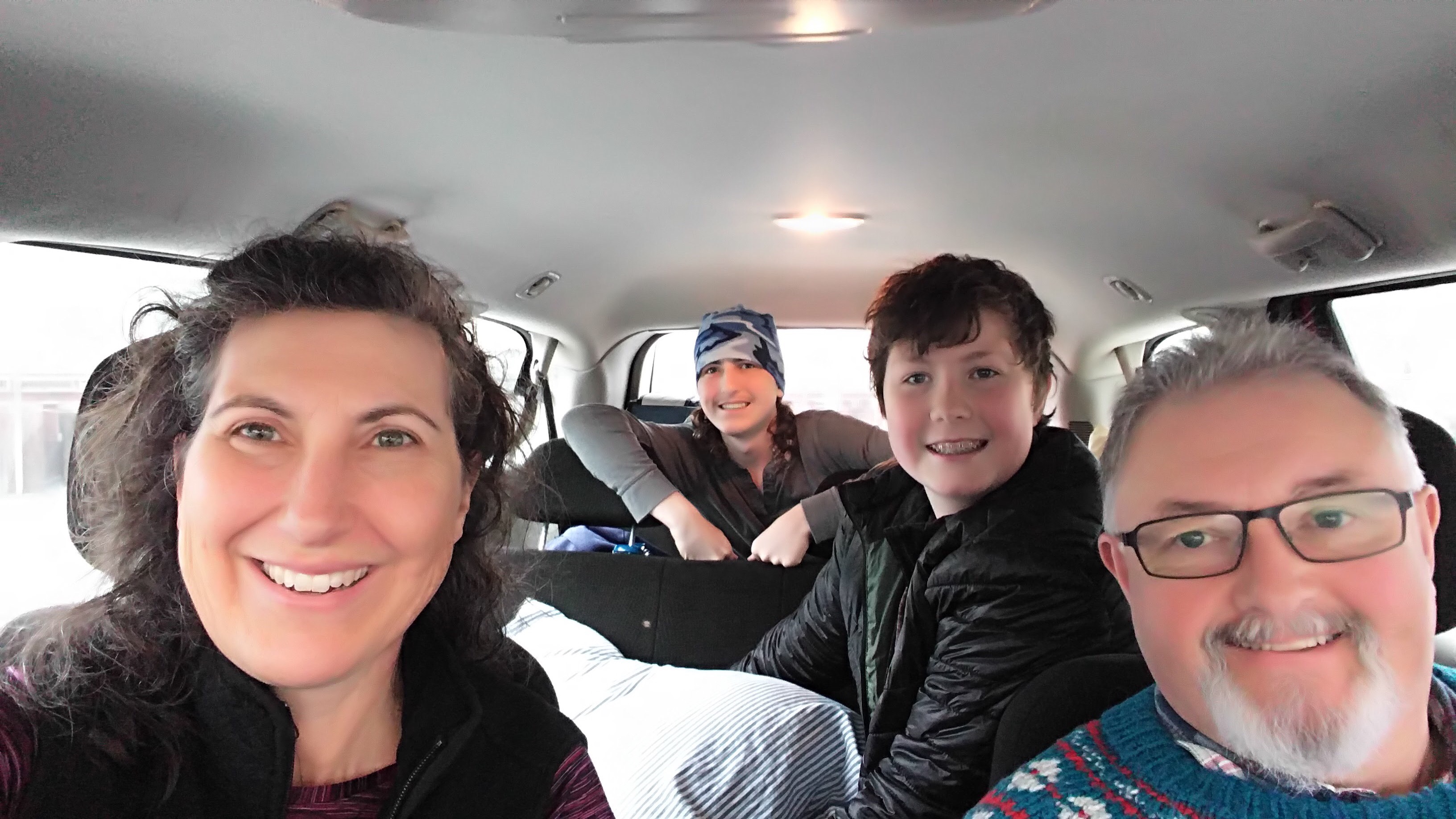
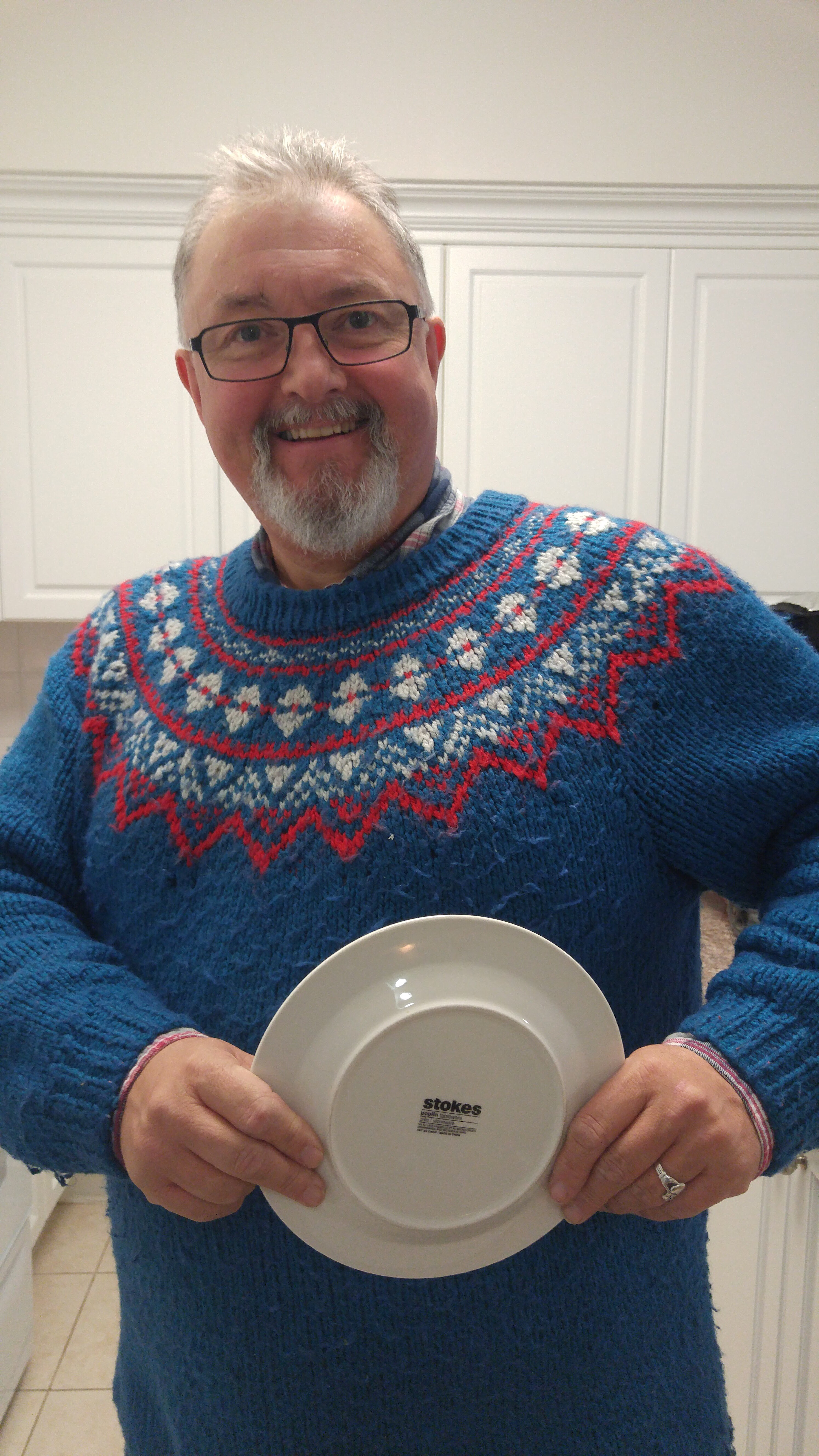
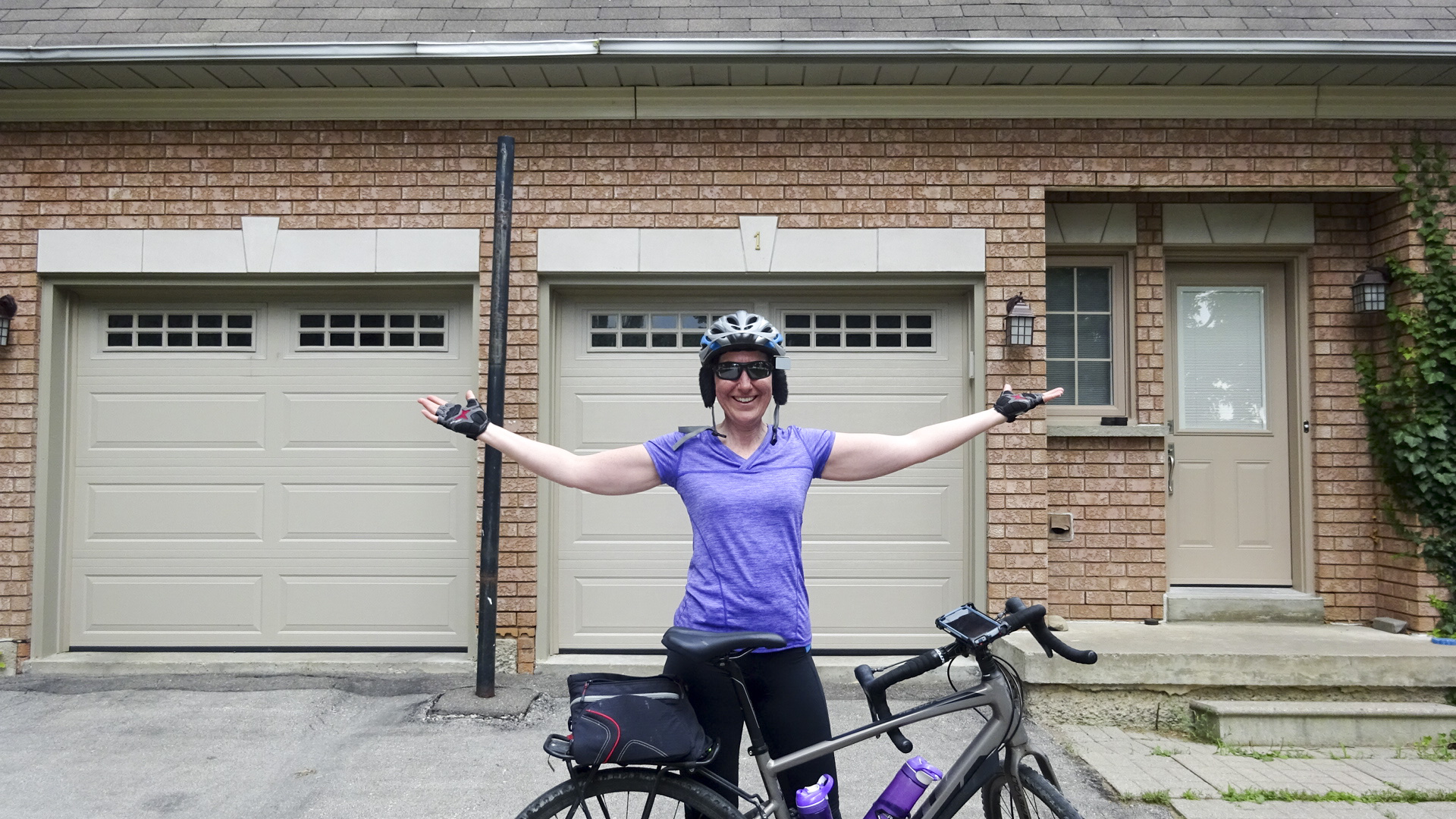
My daughter was home from university for a few days.  I imagined my whole family coming out to greet me as I arrived home after six days of cycling.  In the event, it was a quiet homecoming.  My husband and daughter had gone to an appointment. My 16 year old was at work and my other two sons were in the house wearing noise cancelling headphones blissfully unaware I had arrived home.  I cajoled the thirteen year old to take my picture, then put away my bike, stretched, showered, snacked and waited for the rest of my family to arrive home, having picked up my belongings from John’s house on their way home.

74425117-9AED-467E-AF32-EAFCBE56F8F6 edit1

It was a wonderful trip.  Great sights. Great people with whom to travel.  I made the memories of a lifetime. In my head, I am already planning the next cycling odyssey.

#OttawaBramptonOdysseyCycle – Port Hope to Ajax With an Escort

I am a member of the Brampton Cycling Advisory Committee and was fortunate to be able to attend the 2016 Bike Summit as a representative of the committee.  While I was there I met Joe Arruda, a commuter cyclist promoting active transportation in Oshawa. Joe and I started following each other on twitter.  While we were staying in Ottawa, Joe read one of my blog posts about the trip and contacted me to see if we would like to have an escort through Durham Region. I jumped at the chance.

My friend George Shepperdley, who has done cycle tourism in the past, told me that the third day would be the hardest, then things would get better. I did find Day 3 challenging, and Day 4, easier.  Unfortunately, Day 5 proved very challenging.  I awoke a couple hours after going to bed, very hungry. I ate Kind Bar, but had trouble getting back to sleep.  Breakfast at the B&B wasn’t as good as what we had been making for ourselves and I started the day feeling wrecked.

0E09351A-4682-4CB9-99D1-1C83D24BBC69 edit

The planned route was 126km. Here’s my Strava for the day.

  • Moving Time – 4:51:25
  • Elapsed Time – 8:30:23
  • Distance – 82.1km
  • Elevation Gain – 446m
  • Average Speed – 16.9
  • Maximum Speed – 42.8
  • Calories Burned – 982

Port Hope-Ajax

The B&B was half way up a long hill and the beginning of the ride was challenging, however, it wasn’t long at all before we were on the Waterfront Trail. It was a excellent route, from start to finish.  Quiet country roads that needed no specific cycling infrastructure because they were so empty of motor vehicles, roads with shoulders, and multi-use paths.  With the exception of a few kilometres of gravel road and trails the entire route was excellent.

3002B120-5635-456D-BA78-3A0A03570557 edit

2A9AED9B-1122-456D-AA63-EA041D1D377A edit

Joe told us he would meet us at the Durham Region border, about 12km into our trip.

C5070113-3AB7-4537-A950-DBB8EF5C15DD edit

Jim met us with the trailer and took the picture above.  Just after this point we cycled around the corner, down and up a hill, and met Joe and Jim Boate, another cycling advocate from Durham.

1D391285-31EF-48D0-8D57-E3672D4A3999 edit

I love this sticker on Joe’s cross bar.

85A3150E-9038-42D6-A37A-0D67945D29E6 edit

Joe and Jim were both such a font of local knowledge.  Jim explained to us that radioactive waste was buried all over the area and the government built the highway pictured below as part of a $1B clean-up project that will see two hundred dump trucks a day moving material for the next ten years.

64951ED3-1F02-46BB-B18F-C42C717C5E05 edit

Ontario passed a law requiring motor vehicles to give cyclist 1M when passing and Joe was wearing a shirt to help educate drivers.

3680B3EE-060E-46DF-BB5F-A50D60942529 edit

We had the roads to ourselves most of the morning.

C7D81C88-C3EE-48EE-A3B8-53235EB5E608 edit0BA5B0F5-D8A0-434E-A6EE-A3B5640D2C51 edit

Apparently, this bridge is well used for train spotting.

0E85941E-DF52-48E4-A17A-A63D89A5926B edit

The Algoma Orchards are the biggest apple operation in Canada and sell apples to Costco, Metro, and export to China. The view from the orchard was amazing.  Apparently, when it is clear, the CN Tower is visible from this hill.

25E2A5F4-1A2F-42A5-BE13-2A1AC4B25DCB editE0D6F630-60F0-4189-BB71-CA46AD794ABE edit

The places we encountered were so lovely.  It was hard to believe we were in the GTA.

B6349526-C935-4121-9BC1-86FE4009C3CB edit

We stopped for a bathroom break and to view the lake at a small park just past the orchards.

D152882B-29C8-4CBC-A8EA-0FAC93A0EBC9 editE69D6A83-8D17-4FAA-92D3-A91124EE5174 edit

There were generally curb cuts for road to path transitions, something we are trying to get in Brampton.

84C048E6-FF6F-4412-A793-9AB0272C140A editC991CBBA-F6D6-4891-887F-552DE2A317EF edit

The local advocates are trying to get the entire Waterfront Trail paved, but there are sections where it is still gravel. We shared many similar tales of the slow pace of improving infrastructure for cyclists. Jim told us that there was a steep hill ahead that had only been accessible to daring mountain bikers in the past.  He had advocated for 10 years to have the route moved slightly and the surface improved.  When it finally happened he was honoured by having that hill name after him, the only eponymous infrastructure on the Waterfront Trail.

80C6F952-0D55-4A16-B0F2-E0F4F00B3AE8 edit0DEEC465-F00E-4256-936A-E0F7C4A45BAC edit edit1

After leaving that wooded area, we once again found ourselves on roads that were quite empty of motor vehicles and a multi-use pathway through a hydro corridor.

F65D5372-3AEC-4EDD-A7F0-0A1FB48FD122 edit3F8E89A2-6080-42EC-B22A-D38616A7B777 edit

Jim told us that the the cycling advocates from the various municipalities in Durham have formed a cycling coalition and that one of the things they hope to accomplish is to ensure not only that the infrastructure is built, but that it is maintained.  He told us he would be requesting this path be cleaned.  It would not be considered acceptable for a road to have this debris left on it, however, this is the type of thing that walkers and cyclists often have to put up with.

05185DD7-E0FD-403B-89FA-5BAF9758384E edit

When we reached this point just before lunch, Joe took Rani and Nelson, who have very narrow tires, along a paved road and Jim took the rest of us along the Waterfront Trail.  This area could definitely use some work. This is along the South Service Road and East Beach Road in Bowmanville.

485EA355-816B-4E23-8D7E-F66CBD07DFAF editD0F1D9AF-932A-4EB6-B3A3-FB04D06BA091 edit3746BB48-DE1A-43E8-B4B0-E9EF5BA1D4F8 edit0CD94AD9-A901-4B3A-AC09-9E0FE596DCED edit

Our Jim and John scouted a lovely spot for us to have lunch and Jim was waiting for us when we arrived with our chairs set up and the camp stove out.  The weather started looking threatening so Rani insisted we move to a gazebo.  Good thing she did.  The rain came down heavily, shortly after we moved.

Bruce MacDonald, Chair of Whitby’s Active Transportation Committee, joined us at lunch. Joe knew that I had been unsuccessful in my search for electrolyte tablets the previous day and said he would arrange for someone to bring something along.  As we were preparing lunch, Bruce walked up and said, “Someone asked for medication?”, holding out a baggy of capsules.  I said, “No”. He then explained it was just another way of taking electrolytes.  It was definitely a funny moment being handed a baggy of capsules by someone I had just met.  However, Bruce was prepared and showed me a picture, on his phone, of the bottle they had come from, and I gratefully accepted.

As we left lunch I overheard Bruce telling our Jim to meet us at a Tim’s in Whitby, an hour away.  I thought he meant by bike, but it turned out to be hours before we got there.

E68F71B7-619C-4DE5-96B4-A223F50C8737 edit

Shortly after lunch we had another section of unpaved trail followed by a quiet road from which we could see a traffic jam on the 401.

2673CC7A-7468-4E9D-8CF4-8565CC19F1B6 edit6A4F671F-293B-45A9-8E7C-A4C1E58707C1 edit

A roundabout, more quiet streets, and paths led us to an incineration facility about which Bruce was very knowledgeable.

C25C6D38-9B1F-4DF5-B44F-E1A9F1AC2BFF editA9887121-BB24-4FC7-B2B2-2BF910426C42 editAB0F2015-6256-4D6A-85D3-D4545B7A8E51 editD846F93A-83B0-43EF-925B-BE4D10696A2D edit007B386E-B52C-4A73-8606-E641A3B283BE edit54AC4F18-6486-4B68-A02D-4CD5EF94B727 edit

Next, we cycled through Darlington Provincial Park. With a wave, we cycled right past the guard house, where cars were stopping to pay an entry fee – cyclists can enter free. Once again Joe took Rani and Nelson along a paved road and Bruce took David, Dayle and me along a shortcut which ended on a sunny road just east of the GM property I have often seen from the 401. We waited, and waited and waited for the others.  Then Bruce received a text saying they had stopped for ice cream.  Did we want to ride back and get some?  I said all I wanted was coffee.  Were we almost at Tim’s? Turns out I misunderstood at lunchtime and we were still 20km from Tims.  I wilted.

728E972F-7152-4290-A4C2-3BB18DC63754 edit00FAA50C-92B0-4983-B555-08FC2FF5F87F editBBC7A73F-E2E2-47AD-95A9-0825F21B758B edit

I am entitling this picture, “The ice cream betrayal”!

DSCN2453 edit

At Sandy Shores, Bruce had a flat and Nelson somehow cut his leg.  The mosquitoes were terrible. Fortunately, Bruce was fairly quick.

A2EC320D-2062-4925-9DC4-BB0EE05214D8 edit84F967D2-3D6C-4D6A-82C2-A229E6C9728D editF0FBCF0C-1017-48FF-9196-C82891E2BDF7 edit

Not too much later we came to a waterfront park with a snack stand and I got a bottled Starbucks frappuccino.  It was too sweet, without enough espresso, but it was better than nothing. Jim left us at this point.

CDB61AEA-62F6-432E-ADEA-6E308F53E14C edit

Another lovely section of pathway led us to Intrepid Park, where spies were trained in World War 2 at Camp X. It started raining and threatening a thunderstorm so we picked up the pace.

242FF50E-93FF-4EF2-B463-EB8A5BE31FE8 editCE78B654-FFAD-431E-9F85-B27144AF44C1 edit

C8B9CC35-8373-49AB-BA38-9C0BBD5CA439 edit

We stopped at Tim’s just in time to avoid some heavy rain.  After a quick break, Joe and Bruce took us directly to our hotel.  I was absolutely exhausted and had to decline a group outing to the Portly Piper.  David and Dayle were kind enough to bring back a meal for me to eat at the hotel.

8AAFFC6F-73BF-48B6-A681-0BCB89D3FAD3 edit

Once everyone returned, we met to decide how to get across Toronto.  The options were a 68km route along busy roads or the Waterfront Trail leading to the Don Valley, Brickworks and Beltline, at 96km.  Taking advice from Bruce and Joe that we shouldn’t miss the Waterfront Trail, we decided on the longer route.

Once again, I was unable to upload pictures to blog, so I decided to leave it until I returned home and had an early night.

A very sincere thanks to Jim, Joe and Bruce.  What an incredibly knowledgeable, friendly group.  You turned a great section of the Waterfront Trail into an incredible learning adventure.  I can’t thank you enough and hope to return the favour some time if you are ever in Brampton.

#OttawaBramptonOdysseyCycle – Belleville to Port Hope – Headwinds

This blog post is late since Rani kept me up late talking and when I tried to upload pictures, I found that the internet at Summerville Bed and Breakfast in Port Hope was inadequate. I found the following day of riding grueling and discovered the Ajax Super 8 wifi was also inadequate, putting me two days behind. Our final day of riding brought me home to family, and I caught up, instead of spending time blogging.  I am fortunate to be a stay-at-home mom, so I was able to take today to recover.  Rest assured, I will complete the daily blogs over the next few days and also hope to do a few other blogs as well, since I took over a thousand pictures and have much more to share than time allowed in the evenings between cycling, self-care, socializing and sleeping.

The day started later than previous days as we have become more tired. There was much scheming last night about how coffee would be acquired this morning. Loyalist College is in the middle of nowhere. Jim offered to drive to get Tims if someone came with him. Rani agreed, took our orders at the end of our evening briefing, and provided us with our caffeine fix as we ate breakfast. We packed, took our morning picture, loaded the trailer and were off at 9:30.

FED595BE-6561-4B2B-82D3-AE77BE18741D edit

The planned route was 78.7km.  Here’s a link to my Strava results.

  • Moving Time – 4:18:31
  • Elapsed Time – 7:56:09
  • Distance – 82.8km
  • Elevation Gain – 405m
  • Average Speed – 19.2
  • Maximum Speed – 47.2
  • Calories Burned – 1029

Belleville-Port Hope

The weather forecast told us we would have a headwind all day. We have been fortunate to have tailwinds to this point, but that didn’t make us any more accepting of headwinds. The forecast was correct, and the winds grew throughout the day.

The entire ride today was on Highway 2. Fortunately, as it was Saturday, it wasn’t too busy and there were not a lot of trucks. Sometimes there was a paved shoulder. Sometimes narrow, sometimes wide. Sometimes it disappeared for right turn lanes.  Sometimes the shoulder was gravel. Sometimes there was a curb.

885AFF3D-0A99-49D4-BCE7-E477F0A32502 edit78FA4F12-C56A-4675-B527-376DC9262A91 edit32471016-6823-4CC4-A139-ACEC92744F63 editC761B8CD-55BD-4ED2-AD51-C8CF7121DD76 edit55696890-4C34-48AE-9A86-F31783EAACA2 edit

In Trenton, The farmers market was in full swing and we stopped for a little fun.

A7F3BE28-B807-41D6-9287-BB3956302489 edit8FB16A6E-F768-4C75-B8FA-DC598FD3F1C1 edit

At two points along the route there was a significant length of new asphalt being laid and we were surprised and disappointed that it appeared to exclude paving the shoulder. I can’t recall specifically where the first was (perhaps Cramahe/Brighton). The second was around Wicklow. The repaving project were being funded by all three levels of government.

E9D59CF1-9FA7-4013-9D25-8B6984487182 edit

The new pavement was laid, and not yet painted, however, the shoulders were still gravel.  The sign advertises “Safer and more efficient roads and bridges”.  I sincerely hope that the shoulder is being paved in a second pass.  Otherwise, for whom is it safer? Certainly not cyclists. A paved shoulder makes it much more comfortable for both drivers and cyclists on busy roads. It is so frustrating to see such projects neglect such a simple thing which could improve cycling. Especially when funding is coming from the Province which claims to want to improve cycling and a county – Northumberland – which has a Cycling Master Plan. If anyone reading this can provide me with more information, I would appreciate it.

C7314C6E-2C53-456A-B8BA-A3EE89503BFB edit

Each town along this route had signs announcing, “Cyclists Welcome”.

732D3C78-FEA2-4AFF-BB76-3A2F577D40A5 edit

As we approached Colborne, it looked like someone was standing at the side of the road holding their arm out and Nelson asked, “Is that Jim?”.  Jim has been known to wave us in at lunch ever since some of us missed the lunch spot by 2.5km – a long way on a bike when you are tired and hungry – on our first day of cycling. Turns out it wasn’t Jim.

AE575105-B7D5-446D-8D71-EFA8280AFC3C edit

There is an art gallery in Colborne with a sculpture out front which looks like two wet noodles that made a nice photos with Nelson’s blue shirt and Rani’s pink.

1EFF8441-9D53-4054-B253-A89857507A74 edit

Lunch was in Colborne in a lovely park in the centre of town.

3AF13BA8-0F00-4B04-BF13-1EE6DB10D976 edit60C8DC2B-4AD6-47EF-849E-9DB50CB647E9 edit

We were able to use the bathrooms in the public library where there was a well-attended ukulele lesson being held.

73F2A717-FD20-4152-8860-36FF1D5A7E42 edit

We were feeling pretty tired after lunch and needed breaks at increasingly frequent times. At one point we flopped on the grass in front of a closed Barnum House Museum.

20170715_141203 edit5DA72C18-5A96-49C6-978C-31F460DB5214 edit

Cobourg was lovely and where we had originally planned to stay, but we had been unable to find accommodation.  David and Dayle caught up to us there and we had coffee after an unsuccessful hunt for electrolyte tablets. Dayle suggested, in Ottawa when we were at MEC, that they would be helpful and they have been, but we had run out.

Cobourg had cycling lanes on the outskirts that turned into sharrows as the roadway became tighter.  I had another polar bear sighting that reminded me of the polar bears on the bus top in Ottawa.

C233091F-DA9D-4802-94CC-EA1574EE1BD2 editD0E91967-A506-44FF-B93C-D6E962177F35 editF32FCAEC-D37C-4348-AE74-2D7A59C9AA79 edit

Cobourg had also eliminated some parking along its downtown shopping area which made for nice sidewalks wide enough for cafes.

EAA71F94-F391-4D58-925E-B9DC5DEE1858 edit

After coffee Dayle, David and I headed for the waterfront to see it and dip in our feet. It was lovely and we stayed awhile.

B6F60FE9-9F4C-4379-BFFC-AFBDF0501819 editD0C000CF-148F-4FBD-BAA7-34C8DA3C9A3E edit7C94DDAE-745B-4B0B-AD18-7B31E3F04A89 edit

Rani and Nelson were both tired and forged on ahead to Port Hope in search of a bar patio, which is where we found them when we arrived.

7D4524B9-1324-4B47-8EDF-2A3B0359B893 edit

The headwind for the final section from Cobourg to Port Hope was intense and we drafted closely all the way. The final hill of the day was the main street in Port Hope and we had to ride half way up it to our accommodation. In the morning we would have to finish climbing the hill to leave town.

3F104FE0-569F-47A2-828F-A5DB2AEF7058 editBC3DDC28-DA99-43CC-9D11-9F2F38E0625F edit32CE965A-3656-4D8A-875D-AD6C9848CADC edit

Rani made dinner reservations at the restaurant where they had drinks.  Jim and Nelson stayed at Carlisle’s, in just around the corner from Summerhill where the rest of us booked.

After dinner we had a brief evening briefing and headed to bed happy to have another day of riding under our belts.

#OttawaBramptonOdysseyCycle – Kingston to Belleville – A Day of Contrasts

The day dawned overcast with a light rain. We faced the disappointment of knowing that John would not be able to ride with us today, due to his damaged ankle, and the concern that he might not be able to ride again, during this trip.   It was our third long-distance ride day in a row. None of us have ever cycled these types of distances before, particularly day after day.

We had our breakfast in a lovely common room on the fifth floor of the David C. Smith residence at Queens University. The plan had been to leave at 8 AM, but I asked the group if we could push it to 830 because I just didn’t seem to be able to get myself in gear.


The group agreed, breakfast was eaten and cleaned up, and Rani did a coffee run to the lobby for complimentary coffee. It’s wasn’t very good, but I drank it anyway. The trailer was parked a block away and by the time we packed it up and took our group photo it was 9am.


Part of what slowed us down was deciding on a route to take. The route planned by John and Jim followed Highway 2 to Belleville missing the entire Waterfront Trail. It was 86 km long. David suggested taking a route along the waterfront trail to the Glenora ferry, which completes Highway 33, from the mainland to Prince Edward County. This suggested route was longer at 105 km and hillier. We decided on the longer route but without a lot of enthusiasm.

The planned route was 105.3km. Here are my Strava results.

  • Moving Time – 5:36:03
  • Elapsed Time – 8:38:43
  • Distance – 108.8km
  • Elevation Gain – 478m
  • Average Speed – 19.4
  • Maximum Speed – 46.1
  • Calories Burned – 1476

Kingston-Belleville

At just 1.7 km we came across a Tim Hortons and stopped for coffee for those that had not had it. This was just past Kingston Penitentiary.

The Waterfront Trail leading out of Kingston was quite disappointing and challenging for the first 25 km, particularly after riding the Thousand Islands Parkway yesterday. It’s annoys me that the Waterfront Trail is called a “trail” because with the exception of parts like the Thousand Islands Parkway and the Martin Goodman Trail, it consists primarily of signs on roads and many of those roads are unpleasant to cycle on.


At one point, we turned onto Coverdale Road, to be temporarily confused by the Waterfront Trail (WT) sign being placed after the turn, but when we figured out which way to go, we were very relieved to find a lovely curving pathway 9Picture below) that unfortunately lasted only a few hundred metres before ending at a crazy, busy road with no crossing. (Picture above, just after crossing and starting to ride)


It was also at that point the rain became significant enough to warrant dorky helmet covers for three of us.


Here is the google maps street view of the crossing. The first image shows the setting, the second shows the outlet of the trail onto Highway 33.


We are a very confident group of cyclists who ride for utilitarian purposes as well as recreation, thousands of kilometres a year, some of us CanBike trained, but we found the so-called Waterfront Trail stressful and unpleasant until we reached Bath.

We encountered very busy roads with large, fast motor vehicle traffic, with paved shoulders that appeared and disappeared with regularity, with cracked and crumbling asphalt, that was littered with detritus, including a nail that punctured Nelson’s tire 17.5km into our ride.


Nelson decided to use a new tube and patch later. Unfortunately, something went wrong with the new tube and he had to patch the old one and try to repair a second time.  Here’s what he found in his tire.


At Millhaven, we needed a bathroom, having been on the road for so long at that point, despite having traveled a relatively small distance.


I have been surprised at how few other cyclists we have passed – perhaps 20 or fewer each day. We did see at least five today heavily laden with bags and one incredibly interesting tandem bike/recumbent pulling a trailer, which I unfortunately missed photographing.


Once we reached Bath things improved, but it wasn’t until we were past the road for Napanee that traffic thinned and the road surface improved to the point where the ride became pleasurable. From about 25km west of Kingston until Glenora, it was lovely, as was the road to Picton once we crossed to Prince Edward County.


We discovered, on a temporary sign 20km from Glenora, that the ferry is not carrying trailers now, so John and Jim set up the picnic at the ferry dock. Highway 33 is discontinuous at Glenora and requires a free ferry crossing. With high water levels this year, they have had to weight down the ferries with a large tractor trailer which doesn’t allow other large vehicles to be loaded. (Note: the next 7 images are in reverse order and I can’t figure out how to fix it on my iPad).


The ride from Glenora to Picton was lovely. We stopped at a coffee shop in the Main Street in Picton and then doubled back to continue north to Belleville, leaving the WT.


North of Picton we once again encounter varying road conditions, from quiet and serene tree covered roads to Highway 62 leading to the bridge to Belleville and the 401, which had narrow shoulders and vehicles traveling at probably 100kph (limit was 80).


At least the climb over the large bridge to Belleville had a paved shoulder.


Before going over the bridge, David and Dayle had slowed and told us not to wait. We were following David’s route in RidewithGPS, which I purchased for the month, and which provides me with turn by turn navigation. Unfortunately, it let us down just after the bridge, through a combination roadworks and of me being tired and having trouble interpreting it. It also took us of north of Loyalist college where we are staying versus John and Jim’s route along Highway 2.  David and Dayle ended up arriving first by not getting lost and by following Highway 2, which was a harrowing ride at almost six in the evening.

We arrived second having travelled 4km further than necessary and completely exhausted, although we did see this lovely view which we wouldn’t have done if we hadn’t gotten lost.


It was a day of highs and lows – literally and figuratively.  More hills than other days. Disappointments that didn’t occur on other days. I found about half of the riding today punishing and unpleasant, partially due to tiredness, but mostly due to poor infrastructure. I could not recommend this ride in its entirety, to any but the most intrepid cyclists.

This was my second cycling trip in Prince Edward County. I didn’t understand on my first why it advertises itself as a good cycling destination. In retrospect, I thought that perhaps it’s was my lack of stamina and experience at the time, however, having revisited it, I still see it as overrated as a cycling destination.

We are hoping for a better day tomorrow, although most of the route is along Highway 2, so I am uncertain how it will be. At least it will be shorter at just under 80km.

#OttawaBramptonOdysseyCycle – Merrickville to Kingston

Today was probably the best day of cycling I have ever had. I think all the others on this trip agree. The day started with breakfast at 7 AM on the second floor of the 1840 Guest House in Merrickville. If you out of the French doors to the balcony showed a stiffly blowing flag indicating that we would have a tailwind for much of our ride. Given that this was planned to be the longest day of riding that each one of us had ever had, this was a welcome sight. The weather was overcast and cool at 15°. People fretted about what to wear but mostly agreed they would rather ride in weather like this than hot humid and sunny weather that is more typical of mid July. The weather remained cool and overcast for most of the ride with a negligible amount of rain, but became sunny towards the end of the day.


We retrieved our bikes from the generously proportioned shed, where we sheltered them for the night, and took the obligatory group photo before setting off.

The planned route was 126km. Here’s my Strava for the day.

  • Moving Time – 6:16:43
  • Elapsed Time – 9:57:01
  • Distance – 128.5km
  • Elevation Gain – 413m
  • Average Speed – 20.5
  • Maximum Speed – 50.4
  • Calories Burned – 1693

Merrickville-Kingston

Merrickville was a little lovely little town and we didn’t have much time to explore it but we enjoyed the time while we were there. The roads today had paved shoulders, a smooth surface and courteous drivers who changed lanes to pass, or slowed down to wait to pass, when necessary.


Our first break was North Augusta at 20 km. Jim, man of many great ideas, had put up an orange ribbon at the corner where we were meant to turn. It was a ribbon like this we managed to miss the prior day when we cycled 2.5 km beyond lunch. Today we were keeping a better eye out for them.


Rani and I arrived first and searched for a bathroom, almost in vain, until Rani convinced the lady at the convenience store/post office/LCBO to allow us to use the employee bathroom. When we returned to the corner at the centre of town we discovered Dayle bandaging John’s ankle. It transpired that John missed the last step coming down the stairs first thing this morning and turned his ankle, but told no and by North Augusta it was swollen. Still smiling, John assured us he could continue.


Nelson also managed to sustained an injury today, when riding with his feet clipped to the petals, over gravel behind the general store, in search of a place to relieve himself, fell over. He also assured us he was well enough to continue and required no first aid.


The next stop was at the Starbucks in Brockville at about 40km into the route. I thoroughly enjoyed a cappuccino and chocolate chip cookie. John elevated his foot for a while and Dayle provided some therapy. Jon was still smiling!


On Tuesday, as we returned to the residence in Ottawa after riding, we ran into John who was heading to Beaver Tails in the Byward market to meet Jim. We loaded our bikes into the trailer and walked over with him. Part way through the walk I realized I was still wearing my cycling gloves and I took them off and wrapped them with their Velcro closure around the strap of my purse. The next morning, as we  were setting out for Merrickville,  I realized I only had one glove. Fortunately, Dayle, ever prepared, was able to provide me with a second pair she had brought just in case she needed them. I was on the lookout for somewhere to buy a new pair yesterday but was unsuccessful. Today as we pulled up to the Starbucks Rani spotted a  Sport Chek. We went over, and I found gloves – the same ones that I had lost – for just $25.

  1. Our next stop was lunch. Not long after leaving Brockville we came to the start of the Thousand Islands Parkway cycle path, which is one of the most amazing pieces of cycling infrastructure I have ever used. It runs 37 Km from west of Brockville to get an Gananoque. Of course, we had to have a group picture in front of the sign. We are all laughing in the picture because David and I had each set up our cameras on the utility box on the other side of the road from the sign with self timers and then run to get into the picture. David ended up with a picture of me running. Fortunately my camera managed to capture us back in line where we hoped to be when the shutter opened.


At 62km, Jim was waiting at the side of the road so we couldn’t miss the lunch stop today.


The Government of Canada gave away free national park passes this year to anyone who applied for one. I didn’t have any specific plans to visit one,  but thought I might as well apply. What arrived was one of those little tags that you put over your rearview mirror. So, as I entered the Thousand Islands National Park I hung my sign on my cycling rearview mirror. We didn’t actually need to pass to get in, but since I had one I thought it would be fun to display it.


Lunch  was once again amazing with additional food provided based on requests after lunch yesterday. I requested and Nutella to dip the bananas in And introduce the concept Rani, Jim and David.


Yesterday, at the end of the ride, Rani and I set up my bike maintenance stand and cleaned her chain and oiled both chains. I forgot to give them another wipe this morning to take off the excess oil.


Rani’s legs were even worse than mine, because she decided to haul her bike, and Nelson’s, up on a rock outcropping for Nelson’s series of “bikes against the sights” he sees. Rani just likes to climb things.


Then, we had another case of late afternoon silliness when “someone who shall not be named, but knows how to read municipal moving violation signs”, suggested that we ride the wrong way up a road around a bend marked “no bikes” and race back down in pairs for pictures.


That completed,  we headed off for Gananoque. The sights along the parkway were delightful and included Boldt Castle, the river, only a few other cyclists and a giant duck.


In Gananoque, there was a giant Adirondack chair that we had to stop and take a picture with. We stopped for a quick break at McDonald’s and then we were on our way. Nelson was having some mechanical issues with his bike, and arranged to take it to a bike shop when we got to Kingston, so he and Rani cycled ahead and David, Dayle, John and I stayed together to make sure John had company, felt supported and made it to Kingston.


It’s was so exciting to cross the bridge into Kingston and arrive at Queens. The five of us got cleaned up, ordered Chinese and date at the residence. It was a long but wonderful, satisfying, amazing day. Rani and Nelson arrived back after having a terrific experience at the J&J Bike Shop , having both of the bikes tuned up, and having the mechanic refuse to be paid, when he heard that they were doing cycle tourism.


I’m heading to bed now, very tired, but looking forward to tomorrow. I apologize in advance for any errors in the blog tonight as I just don’t have the energy to properly proofread it.

#OttawaBramptonOdysseyCycle – Ottawa to Merrickville 

The day started with breakfast in John’s and Jim’s room, packing suitcases, getting suitcases into the trailer, bikes down to the parking lot from the rooms, ensuring nothing was left behind and checking out. The original plan was to head out of town at 8 o’clock, however, we decided , only with about 80 km to ride today, that we could take time to visit Tim Hortons for our morning coffee, and visit the eternal flame, in front of the Parliament buildings, for a commemorative picture of the group setting off. Here we are, ready to roll, in front of the residence.

The planned route was 73.8km.  Somehow I managed to ride 82.5km.

  • Moving Time – 4:02:02
  • Elapsed Time – 6:05:00
  • Distance – 82.5m
  • Elevation Gain – 367m
  • Average Speed – 20.4
  • Maximum Speed – 33.5
  • Calories Burned – 1148

Ottawa-Merrickville

The all-important morning coffee.


Goodbye national capital. If you look at the lawn on the left side of the picture, you can see that new sod is being laid, to replace the lawn which was severely damaged by the crowds and the rain on Canada Day.


The car and bike traffic was heavy between the residence and the Parliament buildings, and between the Parliament buildings and Colonel By Drive where we got onto the bike path.

I saw a double decker bus full of polar bears in front of the National Arts Centre on our way to the canal path.


It is so pleasurable riding along the canal on the bike path free of cars. The initial route we were following was the same that we did when we met Heather on Monday night.


We were fortunate to arrive at Hogsback locks at the same time a small boat was going through the double locks and we were able to watch the lock keepers adjust the water level and open the locks and tell us how they worked.


I saw this great pedestrian button extension as we left the canal path at Hogback Falls. I can think of  many places around Brampton where this would be helpful for cyclists. Hint, hint to someone who is reading this blog.

20170712_094231blog
It was at this point that we left the canal path and trouble of the long roads for most of the rest of the trip other than a short bike path through Kars, where we had lunch. We had a large variety of conditions – multi-lane roads without bike infrastructure that were quite noisy, roads with paved shoulders, roads with gravels shoulders, construction, roads with bike lanes, roads with multi-use paths, roads with bike lanes and multi-use paths. And that just took us to lunchtime.


We were stopping in a park in Kars for lunch. We cycled through Kars admiring the multi-use path and the homes and Rani, David, Dayle and I cycled right on through Kars without seeing the park and for another 2.5km without noticing that we had dropped Nelson  and John. Just as it dawned on us that we had missed the lunch spot I got a text from Nelson telling us we had missed the lunch spot, so we turned around and headed back into town. Jim set up a great spread and we ate our fill, stretched, used the facilities and headed off again.


At some point soon after lunch, we encountered a section of road but seem to go on forever, that had a huge crack across the entire width of the road every 3 to 5 m. It was bone jarring. I was thinking if this went on all the way to Merrickville I would not make out. Fortunately once we crossed highway 416 the road surface improved. The cracks don’t look like much in the picture, but was I ever happy to get off that piece of road.


We mostly had a light tailwind today and some of the ride was quite exhilarating as Rani and I regularly travelled 30 km an hour along beautiful, quiet, smooth River Road. We got quite excited when we saw a Merrickville sign and stopped to take pictures of ourselves , which allowed the others to catch up. However, it seemed our excitement was a tad premature and that we had actually stopped at a county road sign, as it was several kilometres more before we pulled into the town of Merrickville.


A little red trike greeted us in front of the bed-and-breakfast where we are staying in Merrickville. It was very satisfying to arrive. Jim arrived before us and already had the van and trailer parked. We unpacked our bags and carried them upstairs after greeting the owners. Then Rani and I got out my bike maintenance rock and did a little bit a chain maintenance before heading upstairs to shower and change and relax on the balcony.

20170712_183849blog
We went to a Greek restaurant for dinner where they were many laughs and stories of the day, told and re-told. Our little group works very well together and so far we have had a magical time.

20170712_184437blog
We went for a short walk after dinner so I could get an ice cream, see a few Merrickville sights, including this cute Canada flag and the Merrickville lock. We then retired back to the bed-and-breakfast and had our meeting for tomorrow’s ride, which we all face with a little trepidation. It will be our longest ride of the trip at 126 km and we will finish in Kingston tomorrow night.

9868D5E6-7F5C-4A73-9D8B-66E8E4D904A7blog20170712_203302blog

#OttawaBramptonOdysseyCycle – Retail Therapy, Carbo Loading and Shenanigans

Once again, we started the day with an excellent breakfast provided by Jim. We ended up eating in his and John’s room on the 17th floor, but I did get a picture of the view from the common room where we ate breakfast yesterday and a picture of the room.


Jim once again graciously sent us off on our bikes and remained behind to clean up after breakfast.  We met downstairs at 10 o’clock, decided to check our tire pressure and found it lacking in some cases. Some of us filled up with the pump that John brought with him and others headed over to the bike pump and repair station near City Hall. Those of us that remained behind caught up and we stopped at Tim Hortons for a morning coffee. Probably at least half an hour later we got back on our bikes and headed towards MEC. The time we spent relaxing over our coffees foreshadowed how we would spend the rest of the day – short relaxing rides, stops for shopping for last-minute items for the trip, a stop at the donut shop, Suzie Q, recommended by Heather from BikeOttawa, a very long lunch and a walk to Byward Market.

It was nice to see a bridge built to accommodate cycling infrastructure on Somerset.


Yesterday, Heather told us about some experimental street markings on Wellington through a very tight section with one narrow lane of traffic in each direction and street parking on both sides.


This marking makes it very clear to drivers that cyclists are meant to take the lane and to stay out of the way of the potentially opening doors of parked cars. We all felt very safe here and the drivers were very courteous. Heather told us that this small experimental area is working well.

I like to see when someone has clearly thought about colourful but inexpensive ways to make streetscapes more interesting. A couple examples that I have seen in Ottawa include wraps around traffic light control boxes and painted untility boxes. It makes for a fun, and inviting streetscape. I thought I had taken a picture of the wrap on the traffic light control boxes but I can’t seem to find it. But here’s one of the utility box I spotted.


Here are David and Rani getting some of the fancy donuts at Suzie Q.


On our way to MEC I kept noticing these odd white sculpture/fire hydrant looking things so when we left Susie Q through little Park that had one, Nelson and I went over to have a look. It appeared to be made out of marble and to be public art and not a functional hydrant. I find these types of things, while not necessarily to my personal taste, make for a more interesting streetscape, which can encourage one to linger and can spark conversation.


On our way to MEC shortly after turning off Bronson onto Wellington  we encountered a huge gate to Chinatown. Of course we had to stop on the way back for pictures.


Nelson was presumably getting a great photo of his bike with the gate in the background.

As we continued, it started to spit a little bit of rain,  but it was still very pleasant to ride and once we got to Sparks Street we stopped at Brixton’s British pub for lunch. We started on the patio but eventually had to grab our food and run inside as the rain began to come down quite heavily. Even once the rain stopped we stayed there long enough to allow John and Jim to join us after their separate adventures today.


Eventually we headed out in three groups. Rani, Nelson and I decided to try to explore the path down by the river behind the Parliament buildings. None of us were really sure where to go and when we found a long, sweeping hill we sped down it to arrive at a beautiful, newly paved switchback complete with paint markings that was fenced off. No one felt like turning around and riding straight back up the 150m descent we had just made.


I’m sure you are all familiar with the phrase “What happens in Vegas stays in Vegas”. Well, we decided, “What happens on the bike trail, stays on the bike trail”. So I’ll just say that someone suggested that perhaps we could squeeze around the end of the fence and carry on because “with the painting complete on the pavement  it must be fine around the corner.”


So with lots of laughter and feeling quite rebellious, we manhandled our bikes around the edge of the fence. We then travelled east to come to another fence which was completely impossible to circumnavigate so we turned around and headed west, past the first fence which we had squeezed by, to find another fence which was also impossible to get by. The Ottawa River flooded earlier this year and washed out the path along this section of the Ottawa River. Heather told us that they will not be making temporary repairs to it and are spending some time planning how to repair it in a way to prevent it from being damaged in future high water situation. Did someone push Nelson into that pothole? Did someone take off their socks and shoes and try to climb the fence? My lips are sealed. In the end, we returned around the edge of the fence we had originally sneaked around and cycled back up the hill to the Parliament buildings.


When we arrived back at the parking lot at the residence, we ran into John, who was on his way to meet Jim, who was waiting at the Beaver Tails stand in the Byward Market. We tagged along and let David and Dayle know where we were heading. They also headed over. Some of us had shawarma for dinner, some of us had Indian food and some of us had Beaver Tails. We cut through the Rideau Centre on the way back so Rani could get some sunscreen at Sephora. She knew exactly what she wanted so Jim and Nelson and I waited outside the store for her. John and David and Dayle headed directly back to the residence. As we left Sephora, Rani noticed a Victoria’s Secret store. We had been talking about needing new sports bras earlier, so we took the opportunity to go shopping. Nelson and Jim abandoned us at that point.

Once we got back to the residence, the seven of us got together for a quick meeting in the common room, to make sure we were all on the same page for setting off on our first long day of riding tomorrow. While we had our meeting we were able to enjoy a little bit of a sunset over downtown Ottawa. It was the perfect end to a fun relaxing day.