New York City – Day 7

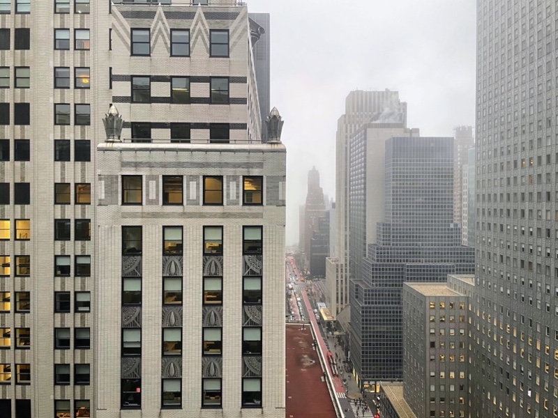
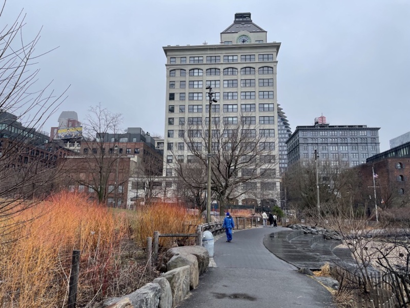
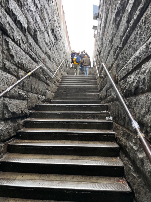
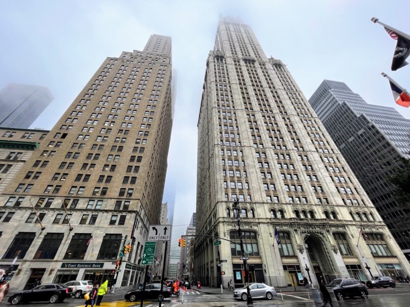
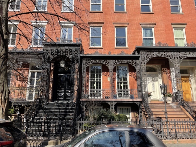
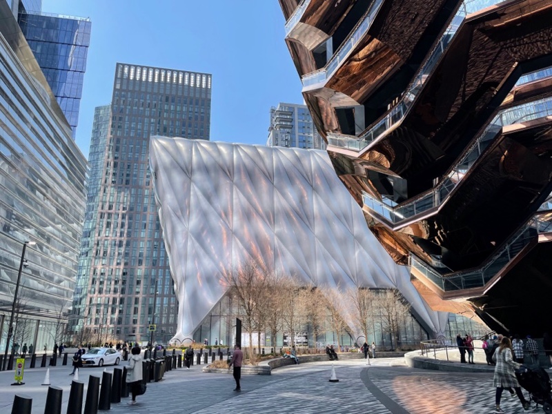
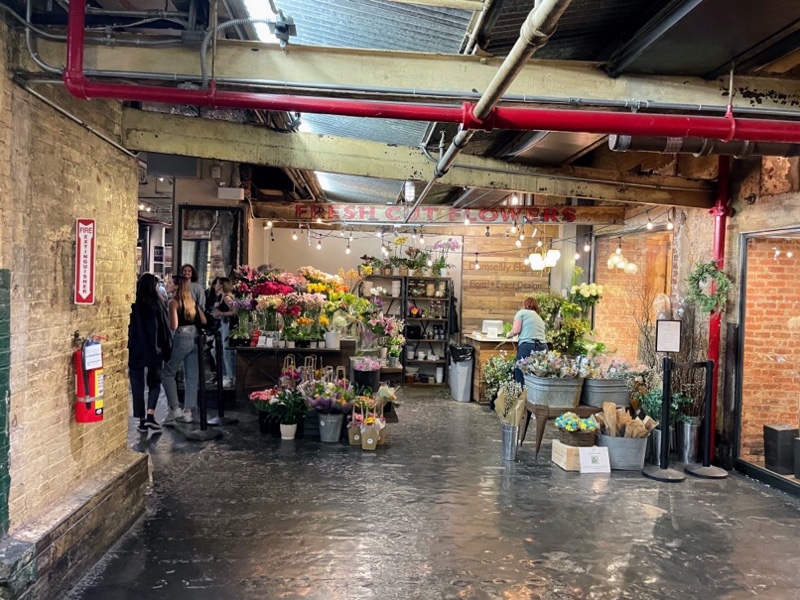
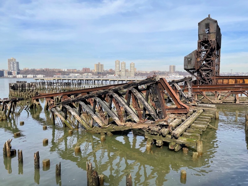
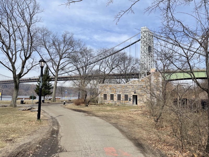
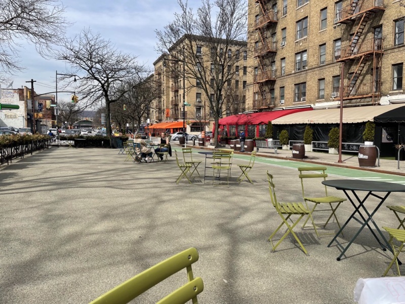
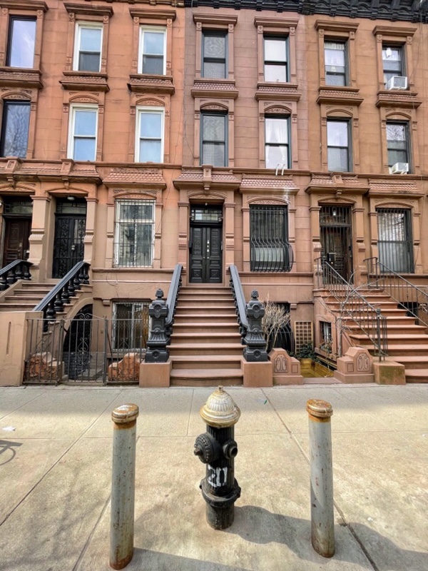
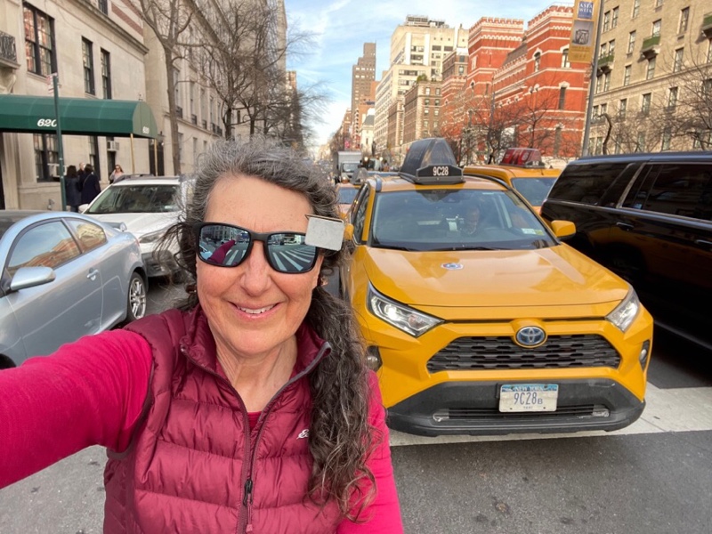
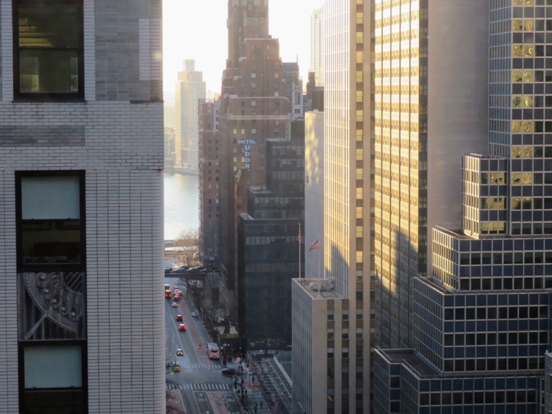
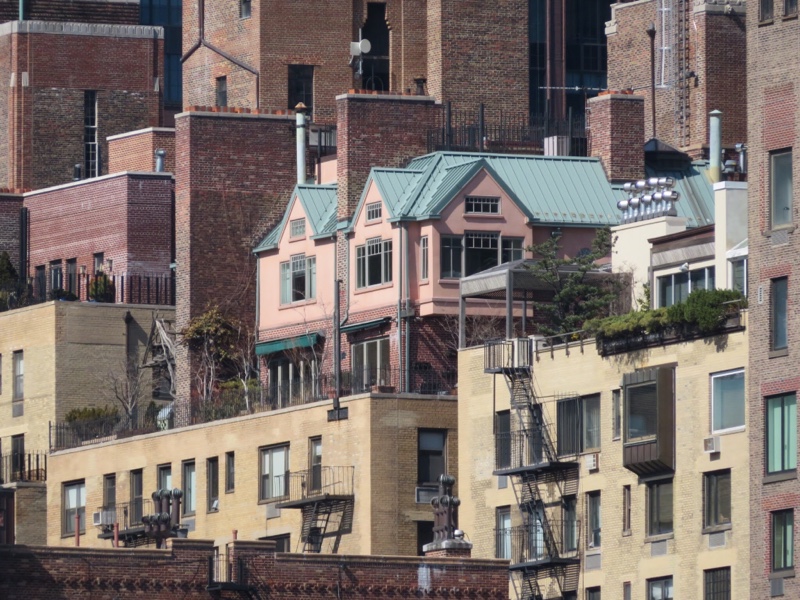
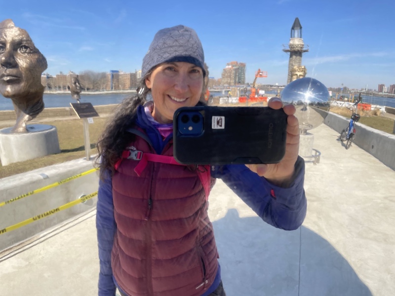
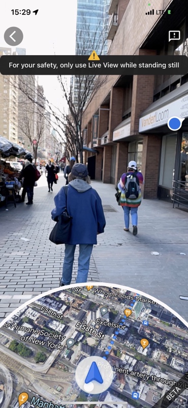
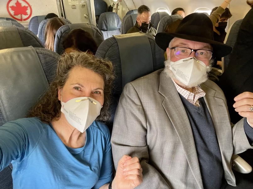
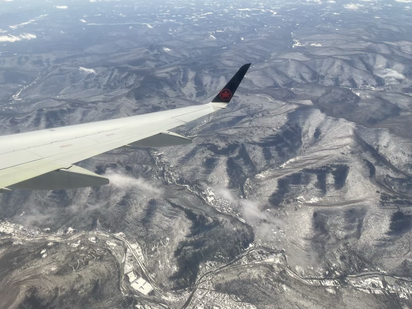
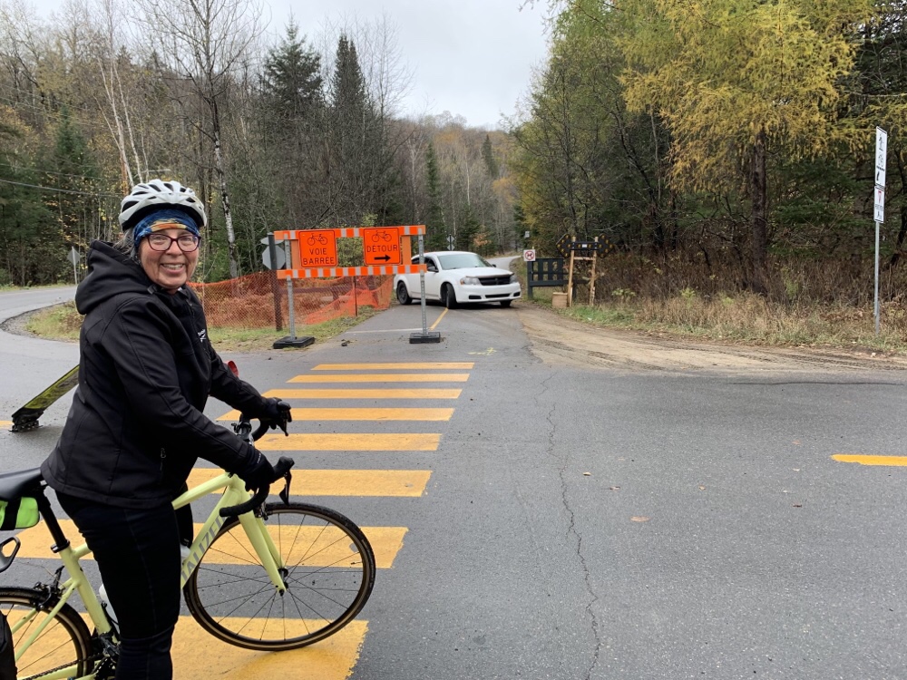
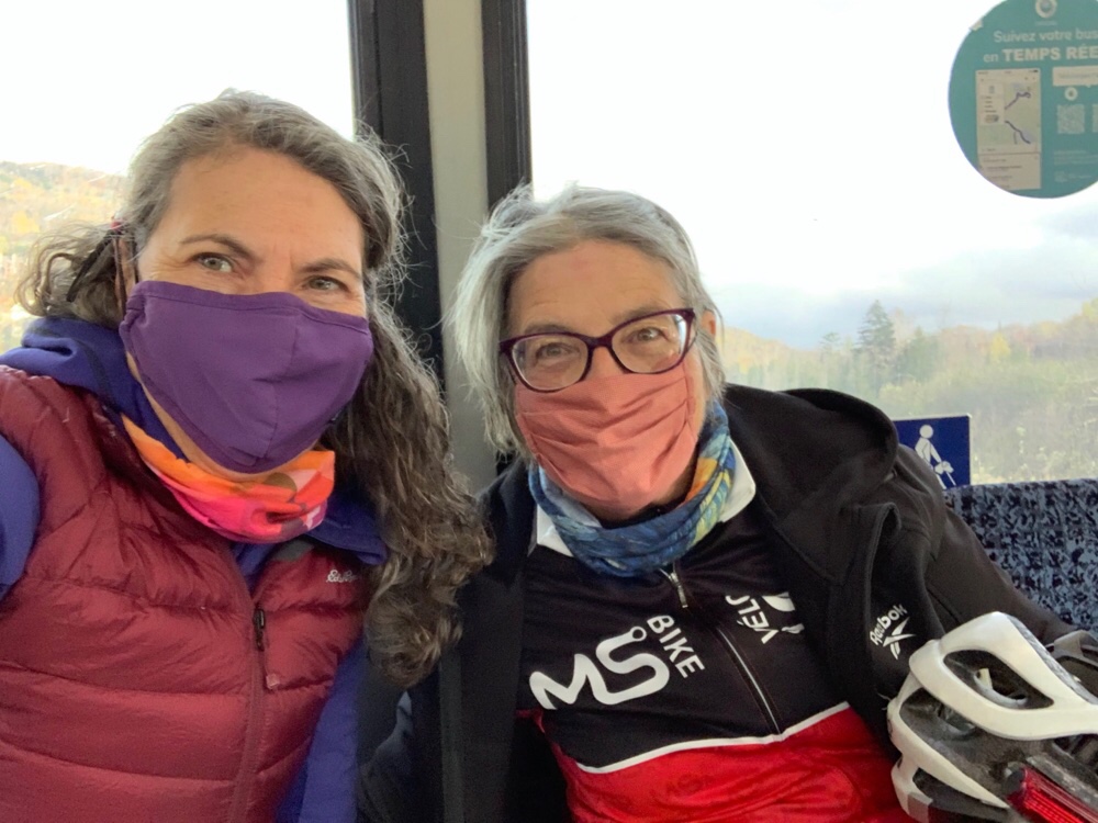
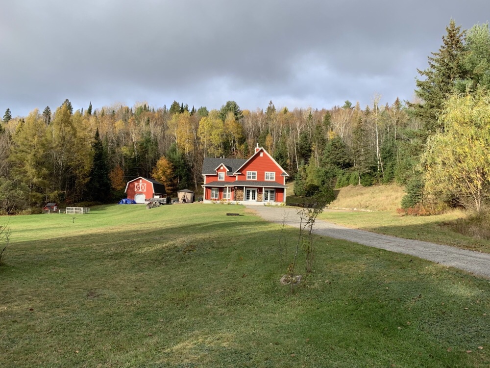
When I opened the curtains this morning I could only see a few blocks due to thick fog. Last night when I went to sleep rain was forecast for the day today, but by the time I finished breakfast the fog was clearing and there was no longer rain in the forecast. We took our raincoats and umbrellas with us, just in case, and headed to St. John the Divine, the largest Gothic cathedral in the world, north of Central Park near Columbia University.

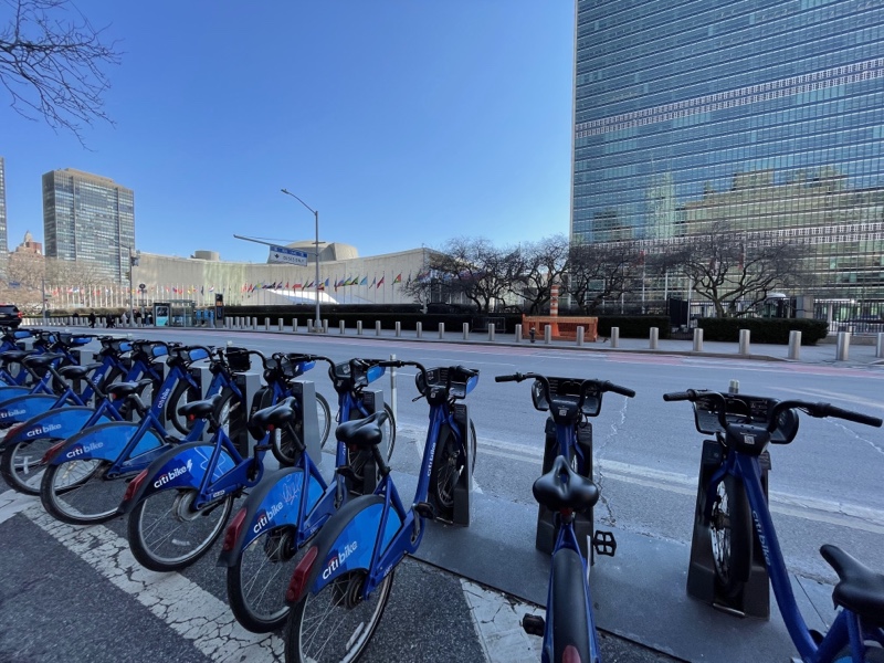
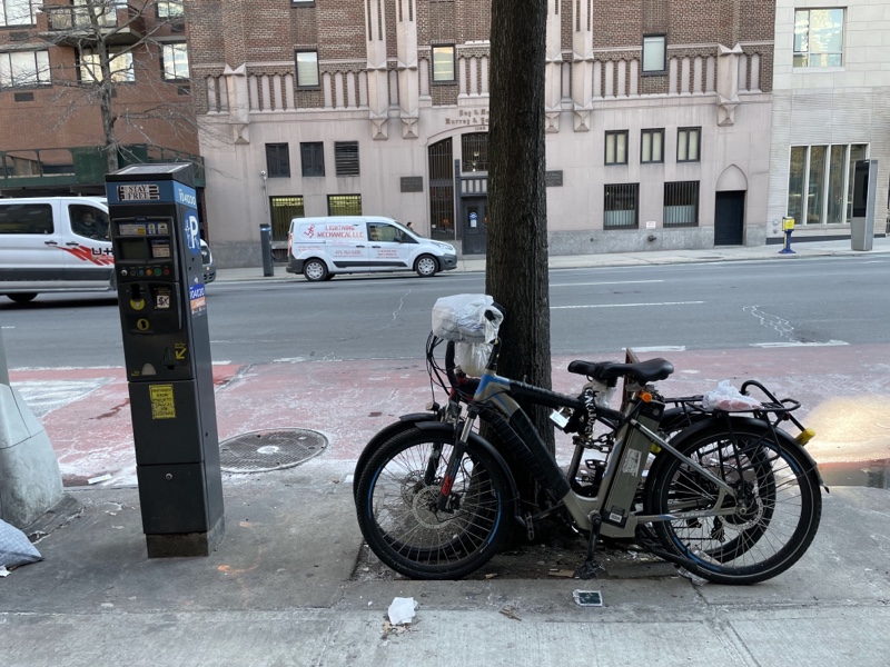
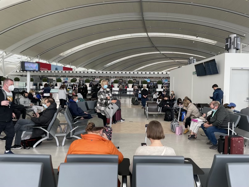
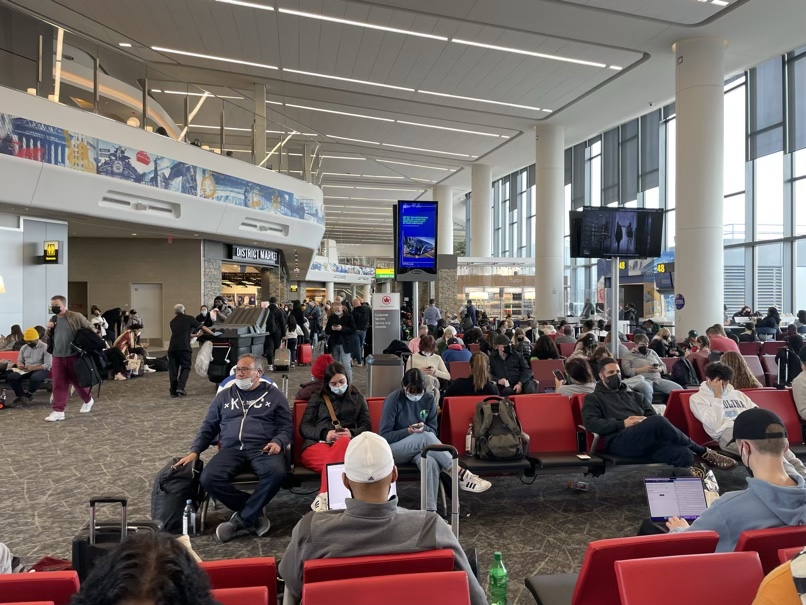
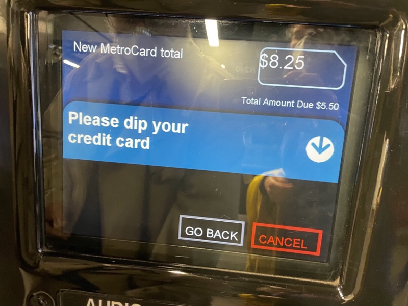
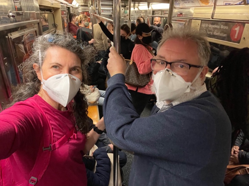
We needed to put additional funds on our Metro cards before we could use the subway. I learned that the act of putting your credit card into the machine and withdrawing it quickly is called dipping. The machine asked us to enter our ZIP Code to complete the credit card transaction. Inciting, we don’t have a ZIP Code.

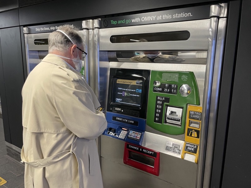
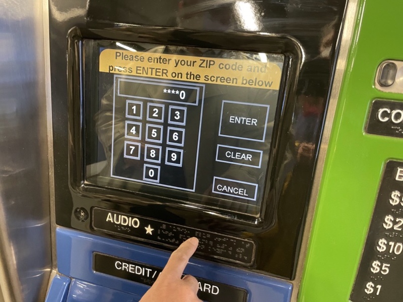
Michael and I encountered this difficulty when we were in Chicago. We flew into Chicago and went straight from the airport terminal to the subway to ride downtown to our hotel. However when we tried to purchase farecards and were asked for our ZIP Code we were stymied. We tried putting in the ZIP Code of the hotel we were staying at, but there must be a check of the ZIP Code against the credit card address and the transaction was denied. In the end a kind transit employee allowed us to go through the gate without paying and told us to purchase the cards another time. The next day we tried again at a subway station in downtown Chicago, and were again denie, but fortunately there was an employee there who told us just enter five zeros instead of a ZIP Code, and it will work. It did.

Fortunately, Michael remembered this, and we were each just entered 00000 as the ZIP Code and the transaction was approved.

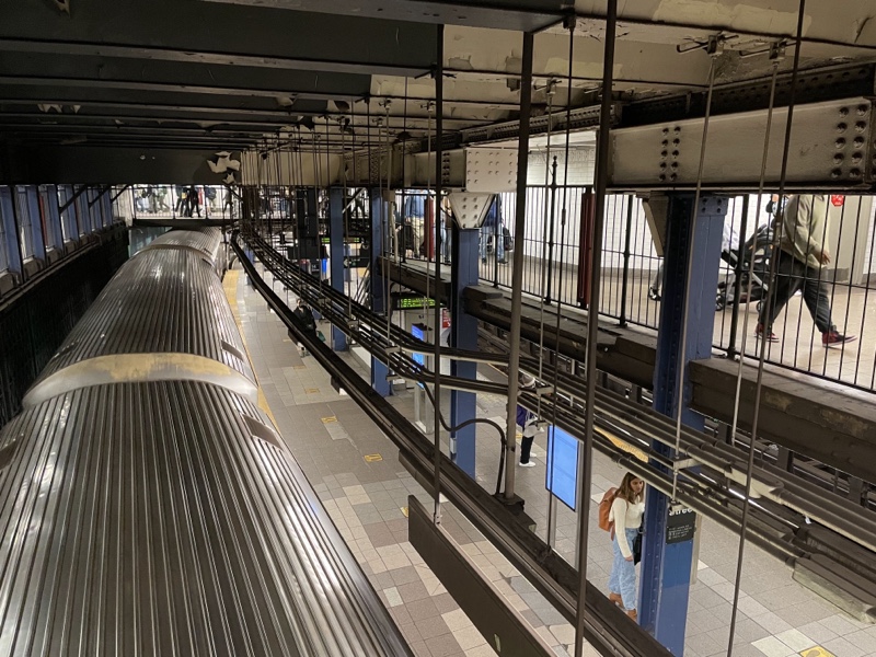
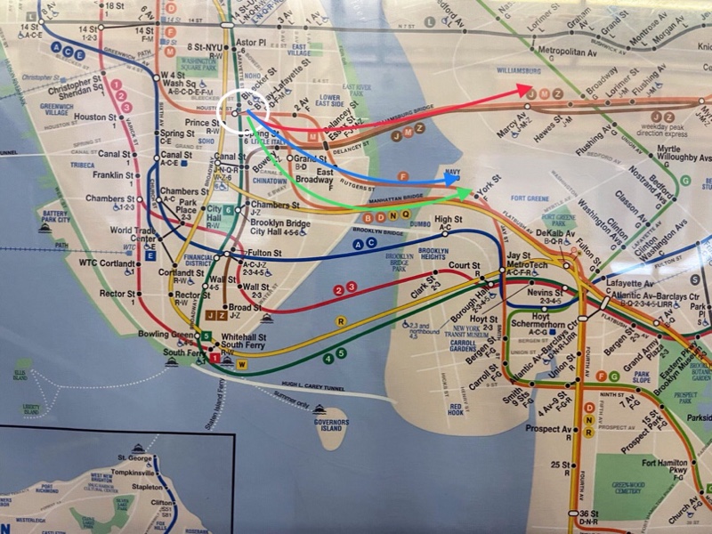
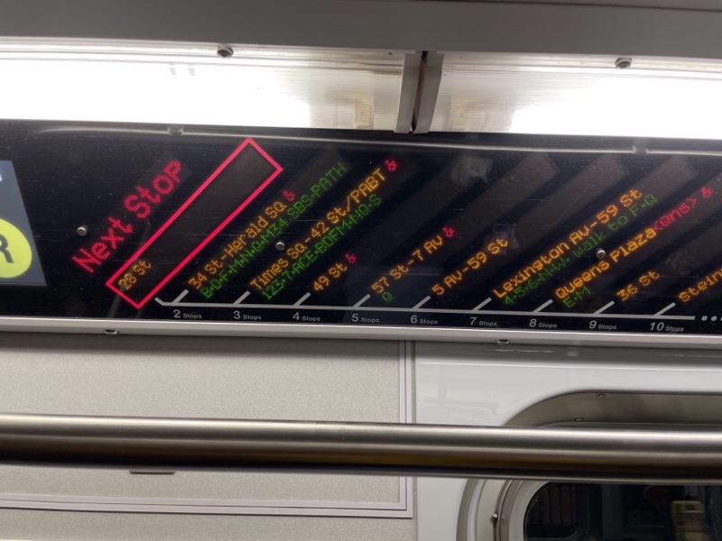
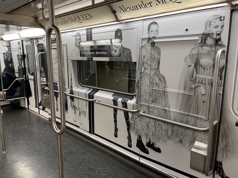
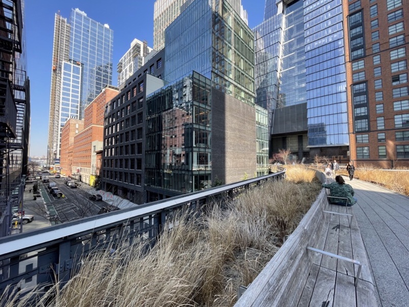
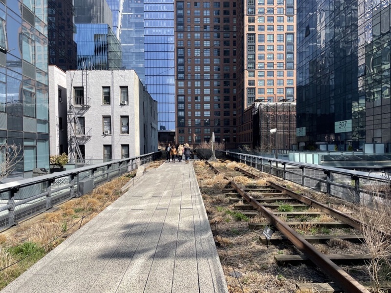
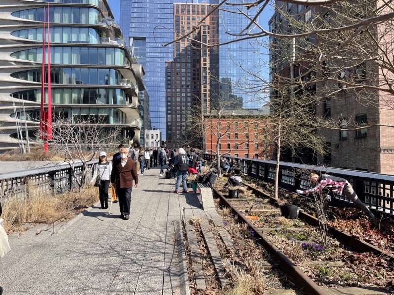
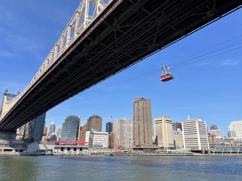
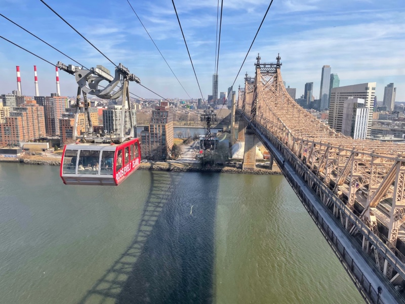
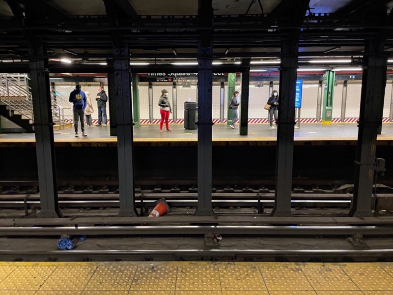
Many of the stations have three sets of tracks so that express trains can skip stations by running down the middle.

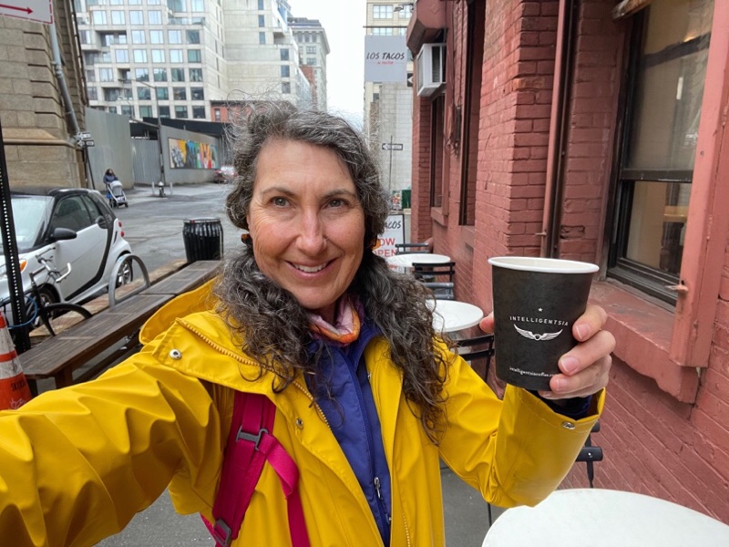
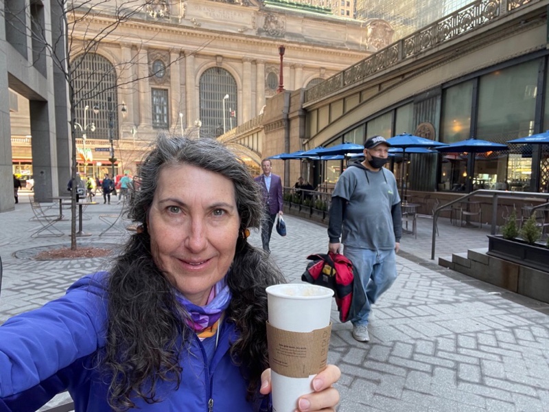
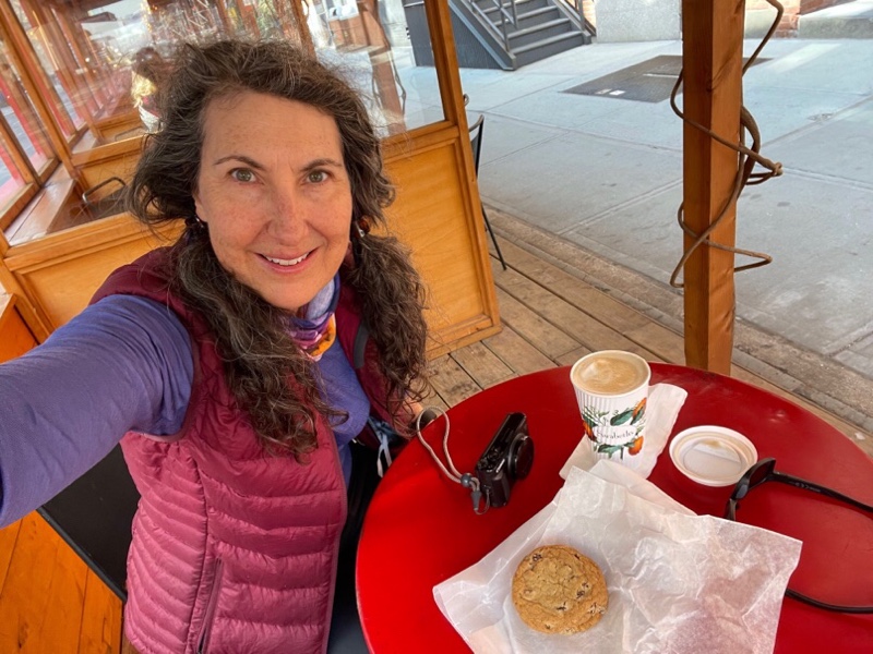
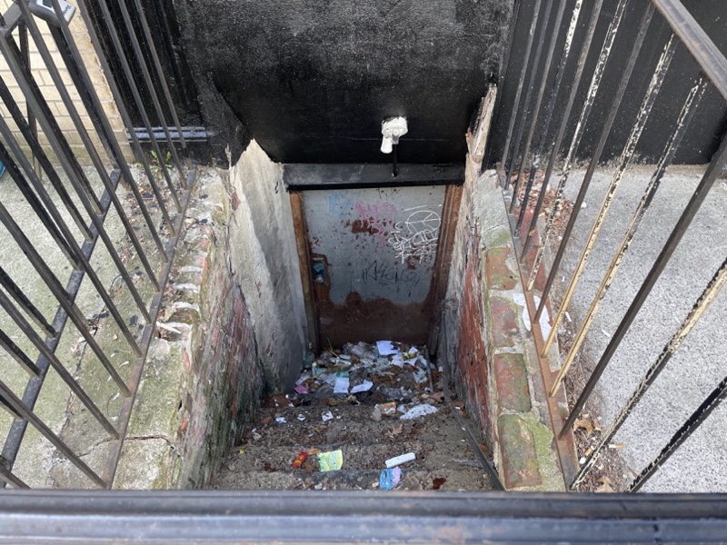
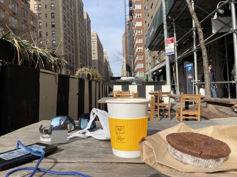
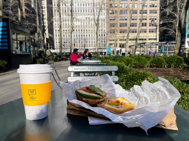
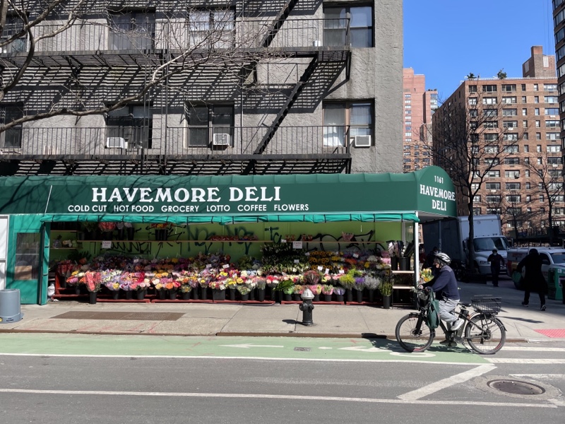
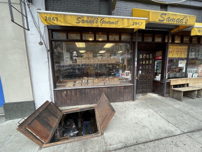
We booked a timed ticket for the Cathedral for 1030 and arrived in time to get a coffee. It’s not uncommon to see doors like this in the sidewalk as you walk through commercial areas. This is the first one that I saw open.

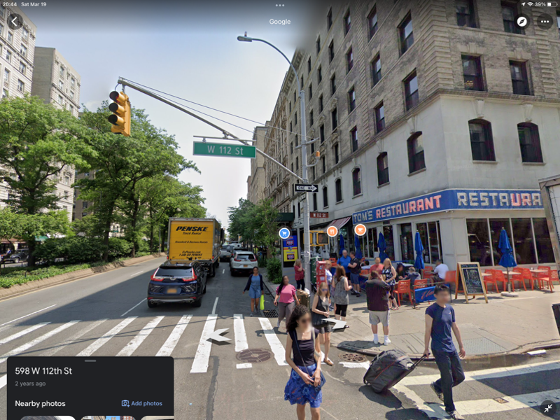
Michael pointed to a very ifamilar looking diner as we cross the street on our way to the cathedral after our coffee, but I couldn’t quite place it. He just told me now that it was the diner used in Seinfeld, and it clicked for me. I’ve taken a screen cap of it from Google to include here. I wish I had realized it this morning and gotten a selfie in front of it.

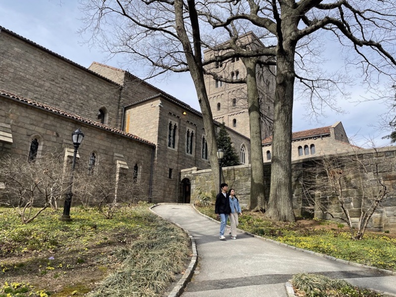
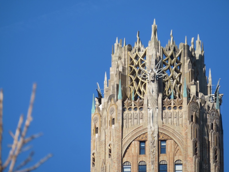
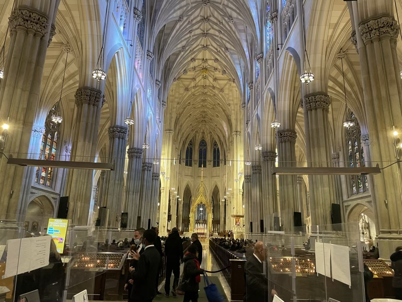
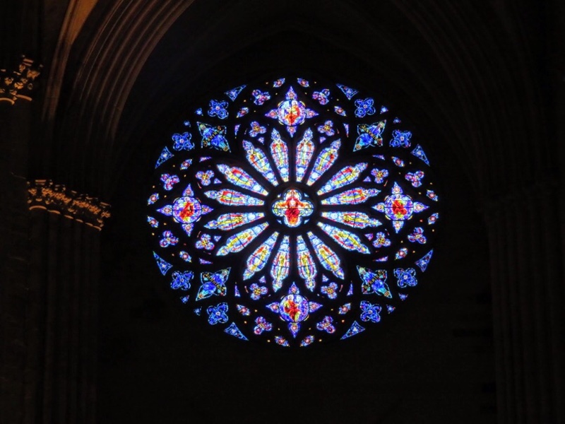
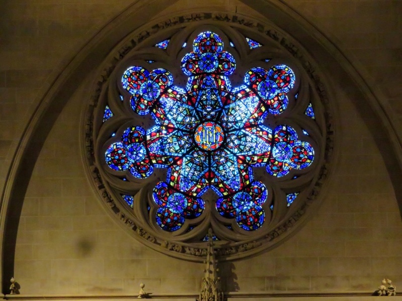
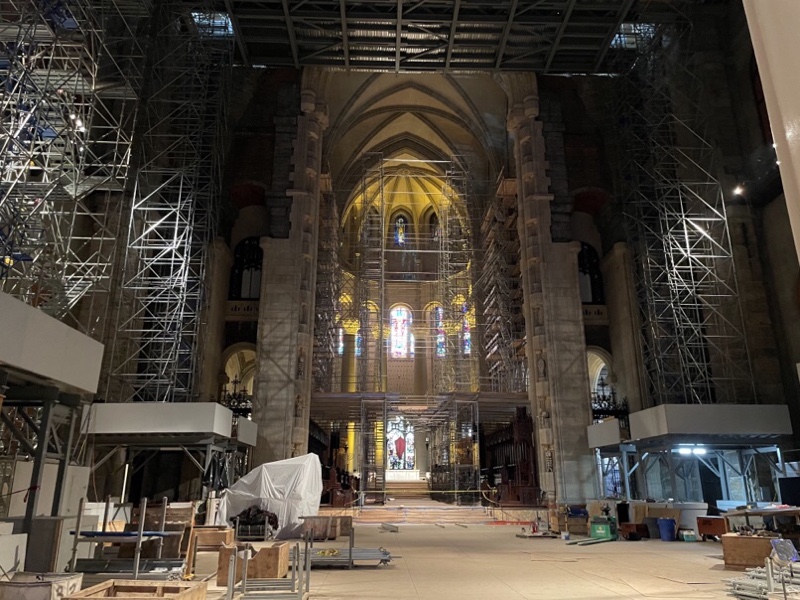
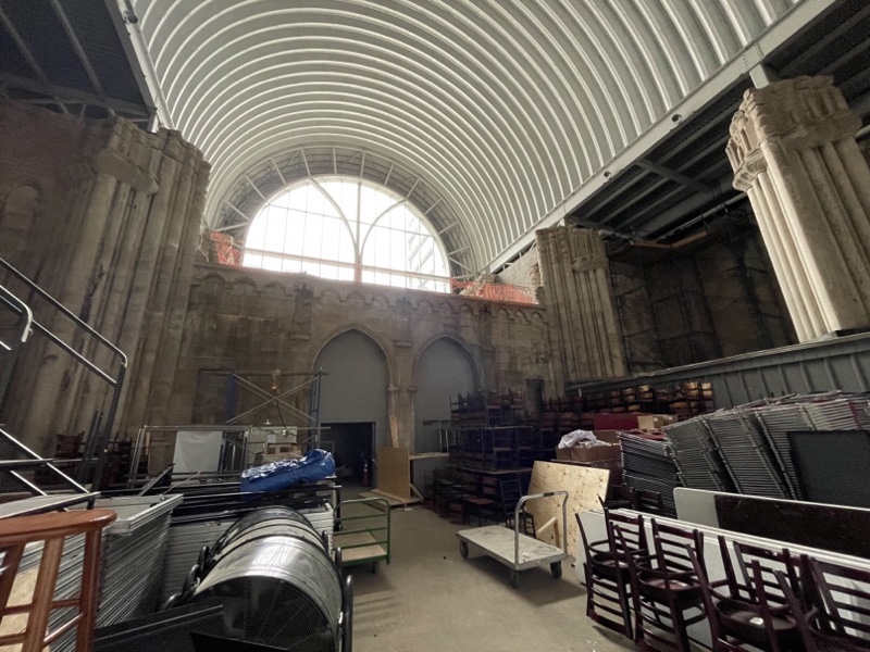
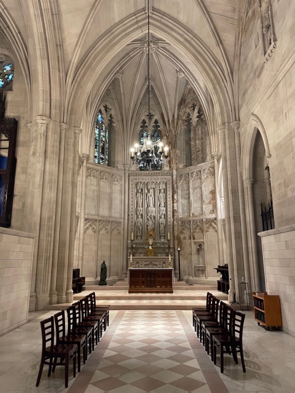
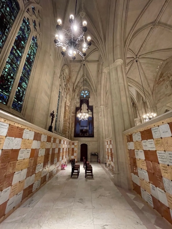
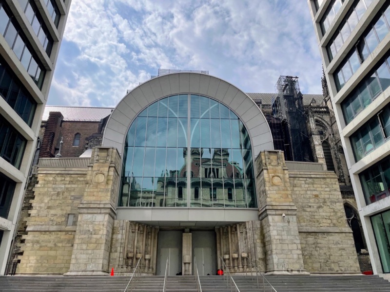
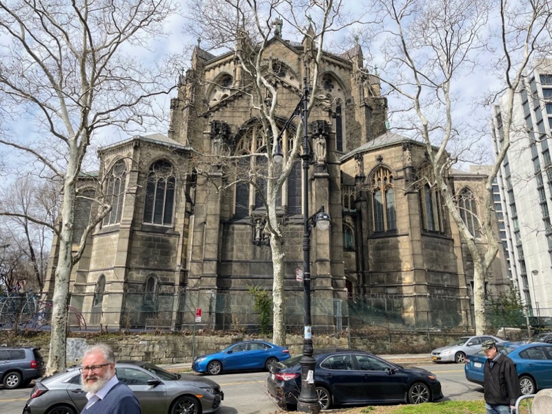
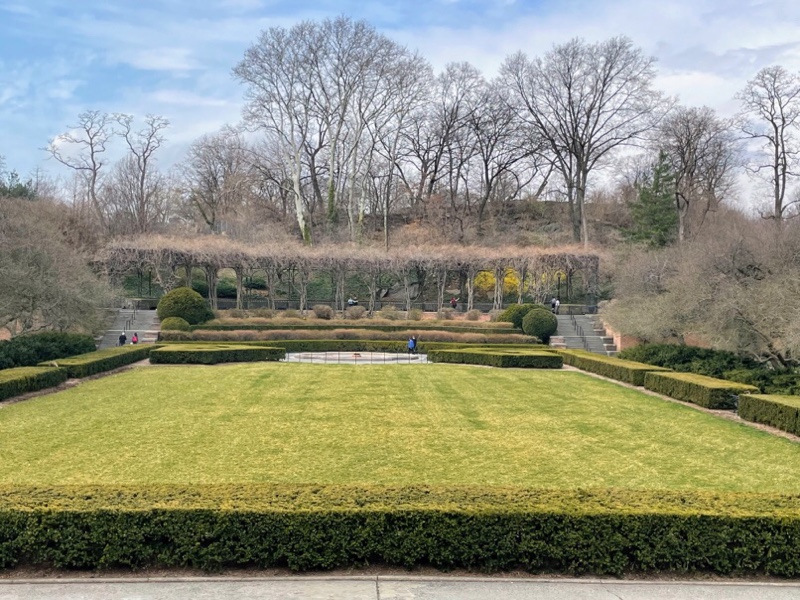
St. John is the largest cathedral in the world, and one of the five largest church buildings in the world. It is still under construction. Construction began in 1892. It will continue to be constructed over many centuries. Currently though their funding is directed to prioritize serving the community and maintaining the architectural integrity of the cathedral as it is currently constructed.

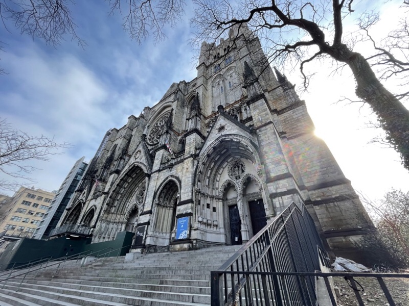
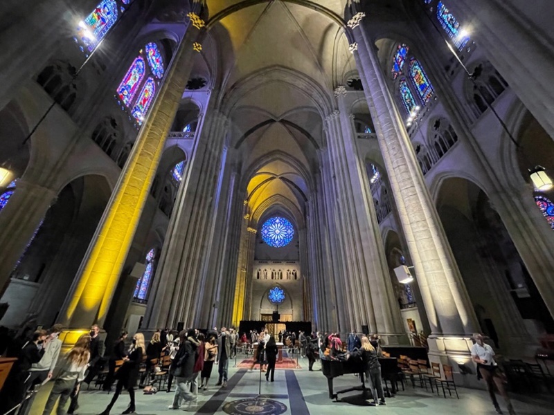
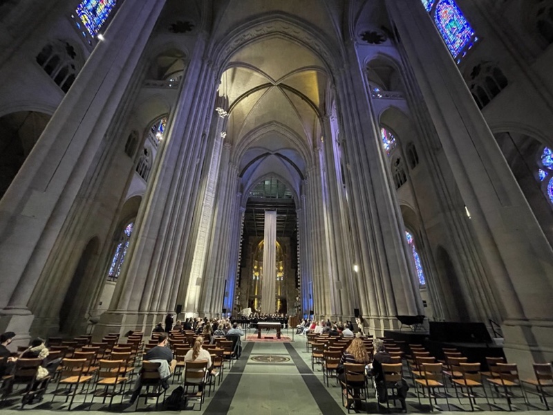
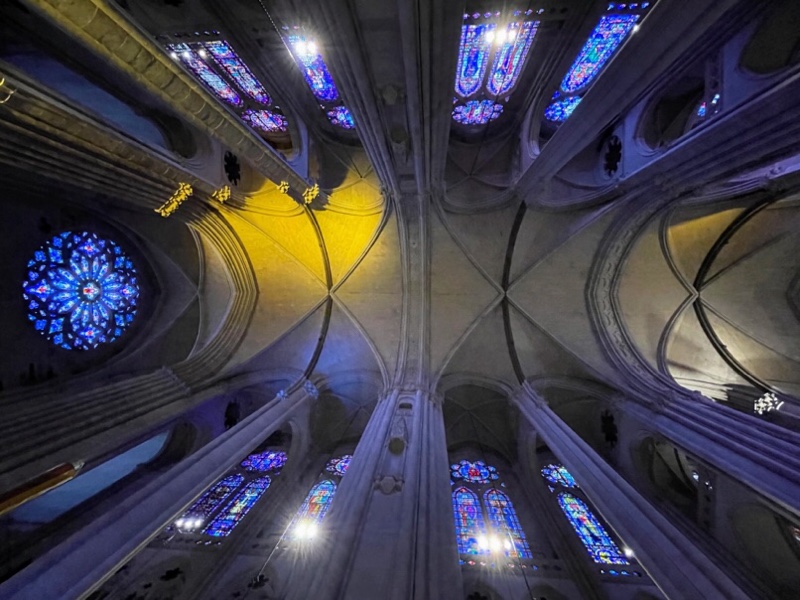
It doesn’t feel as big as some of the European ones we have been in, however, that might be due to the fact that we were unable to access much of it due to the unfinished nature.

Every April there is a blessing of the bikes at the Cathedral to kick off the riding season. Clearly they haven’t met me as I ride year round. I can tell that many people in New York also cycle year around, especially the food delivery cyclists.

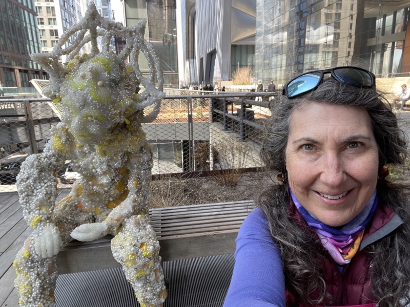
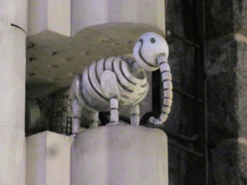
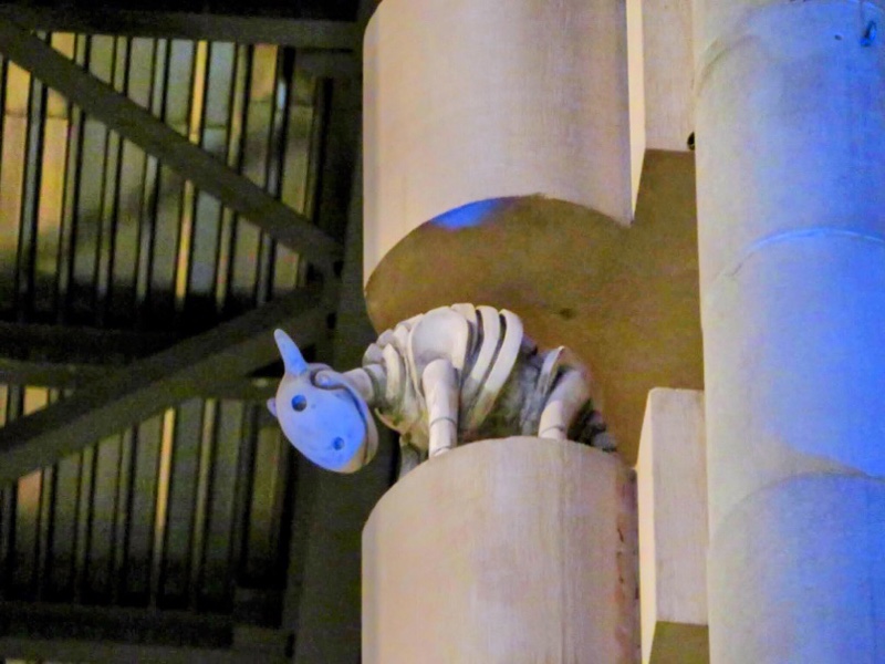
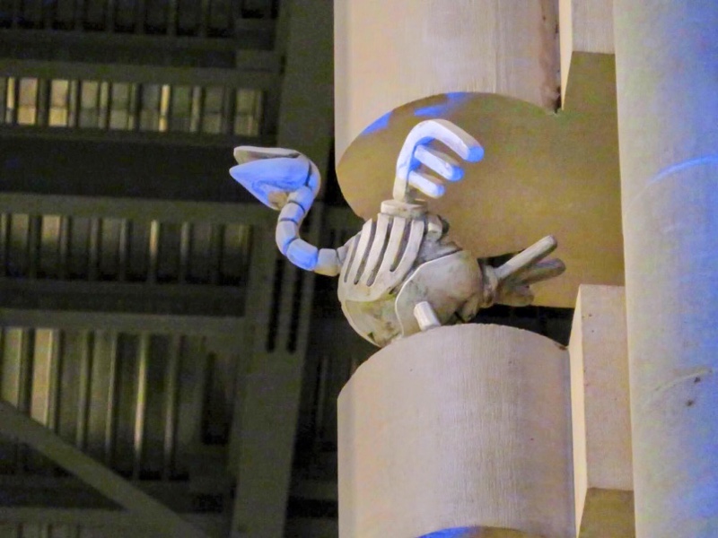
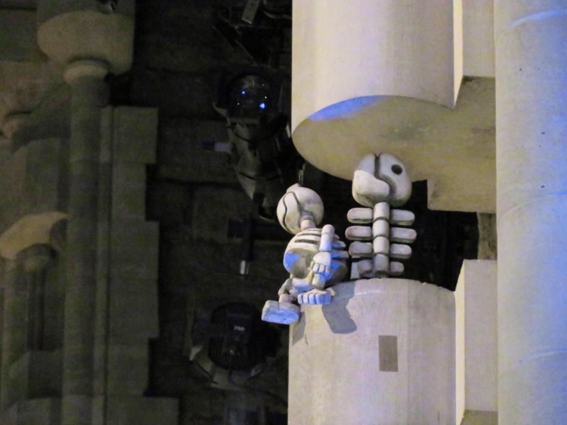
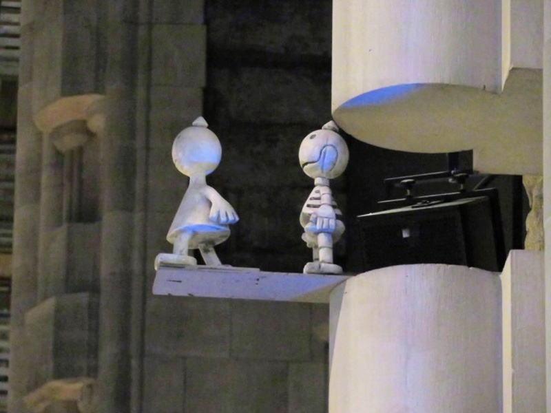
There are a number of cute sculptures by Tom Otterness installed in the unfinished support columns of the cathedral.

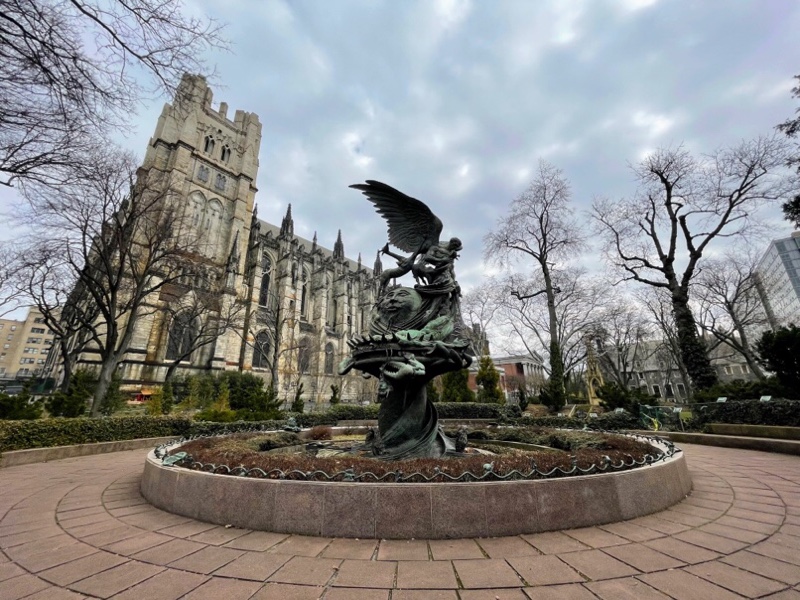
There was a very odd fountain in the church gardens called the Peace Fountain. It is meant to represent the conflict between good and evil.

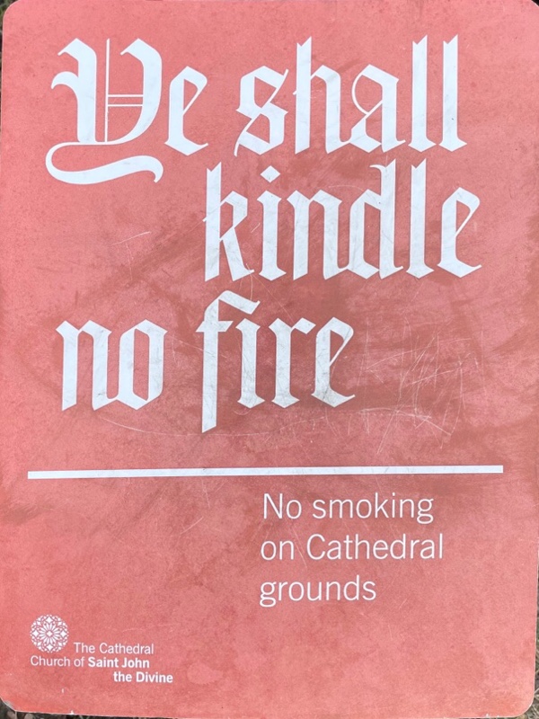
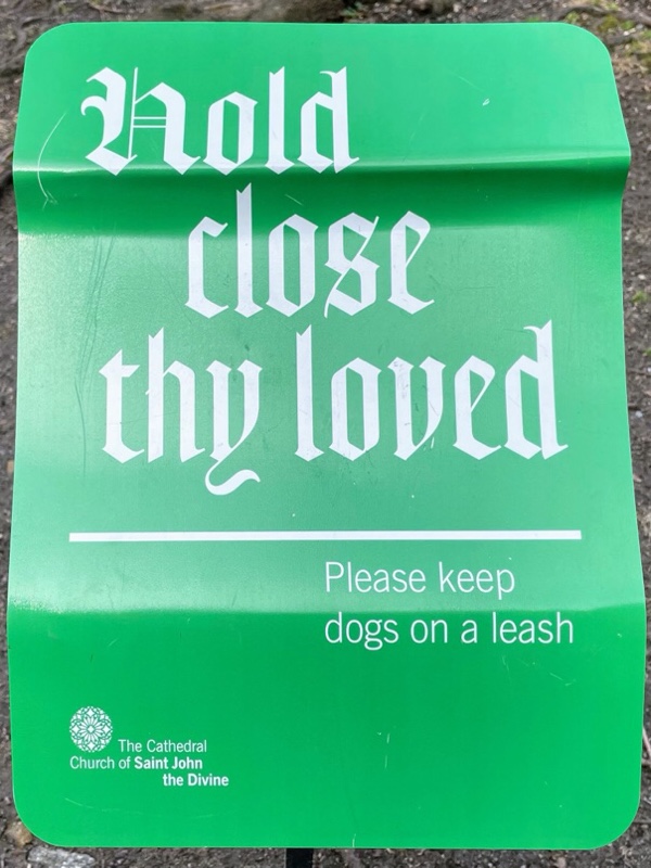
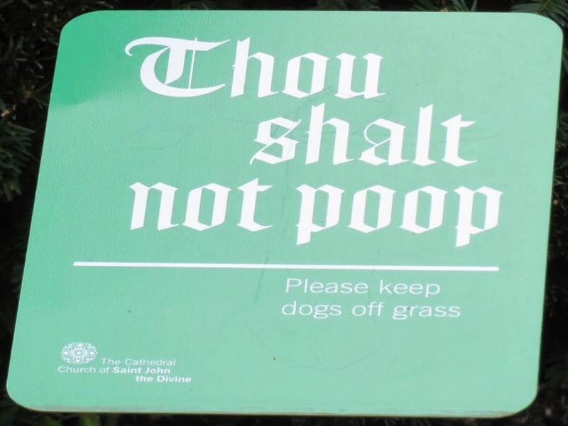
Someone at the Cathedral has a sense of humour and we found these signs on the grounds.

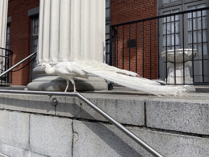
We also spotted this white peacock who apparently resides here.

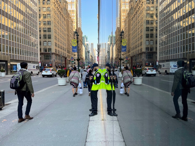
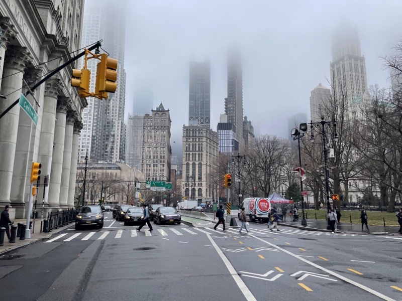
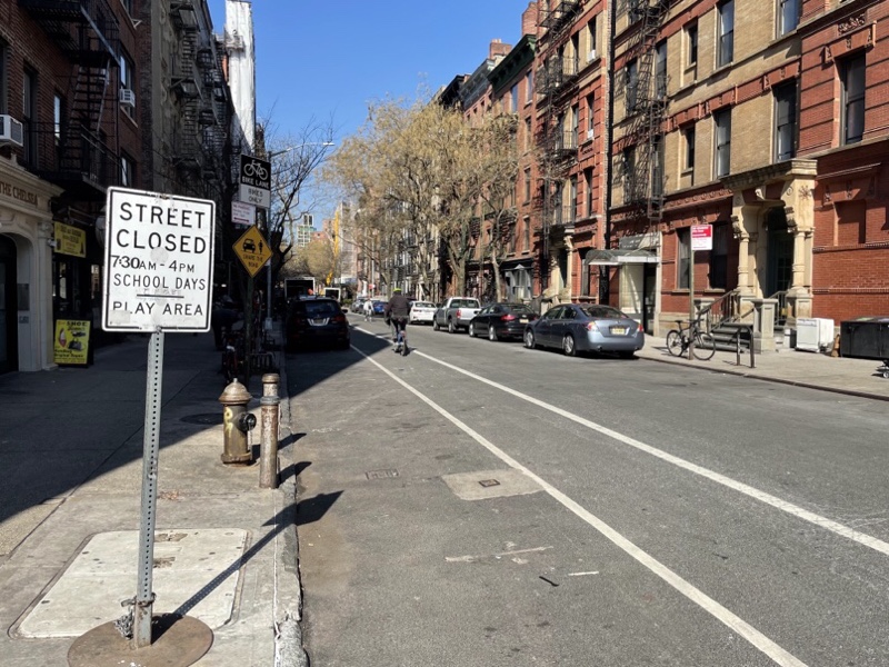
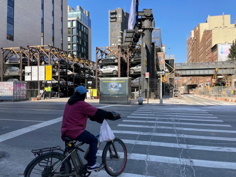
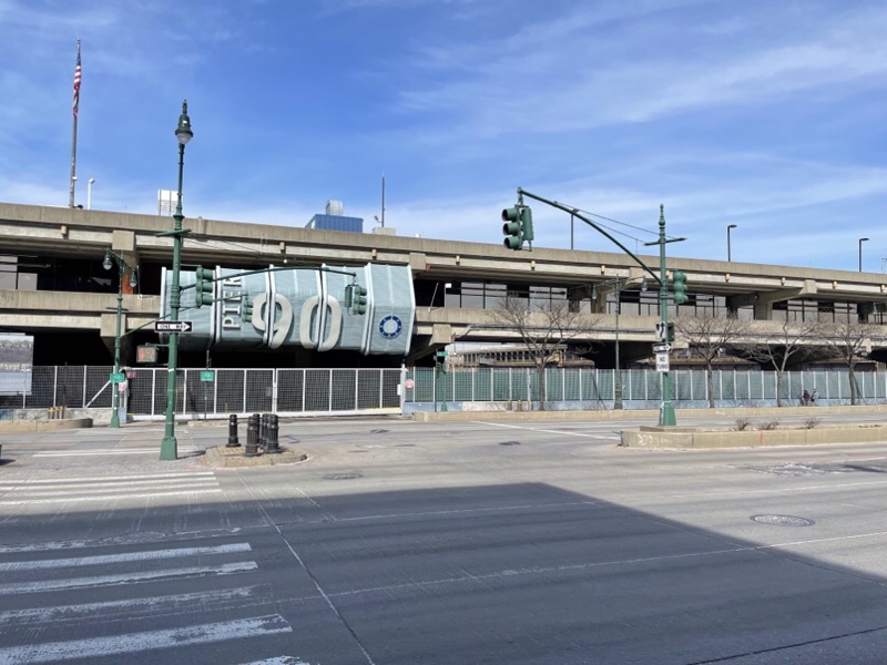
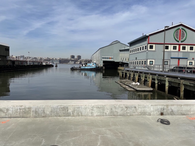
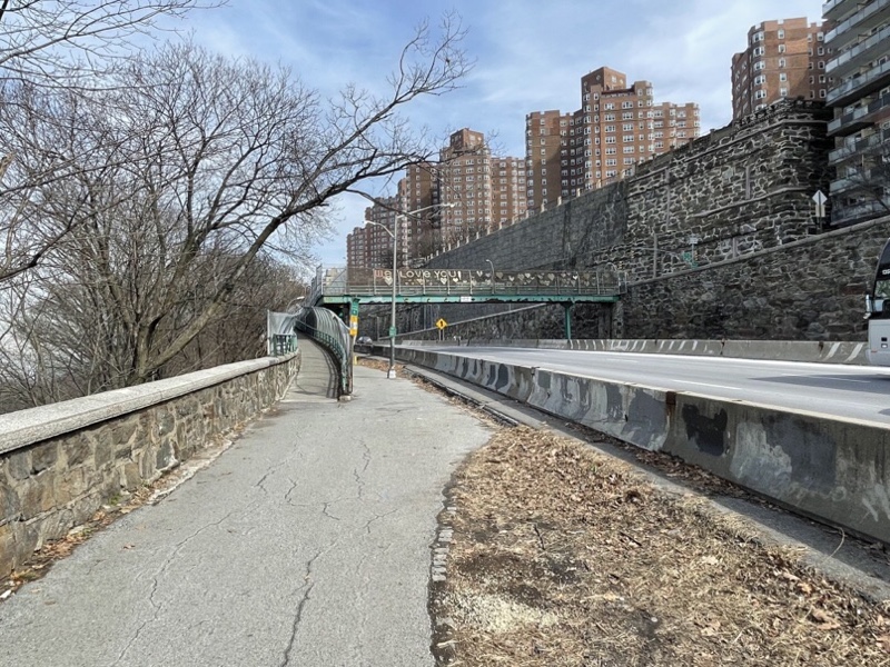
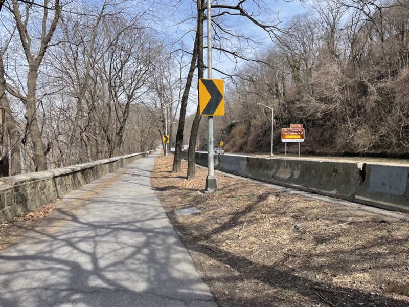
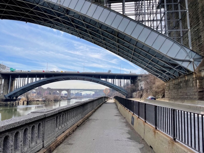
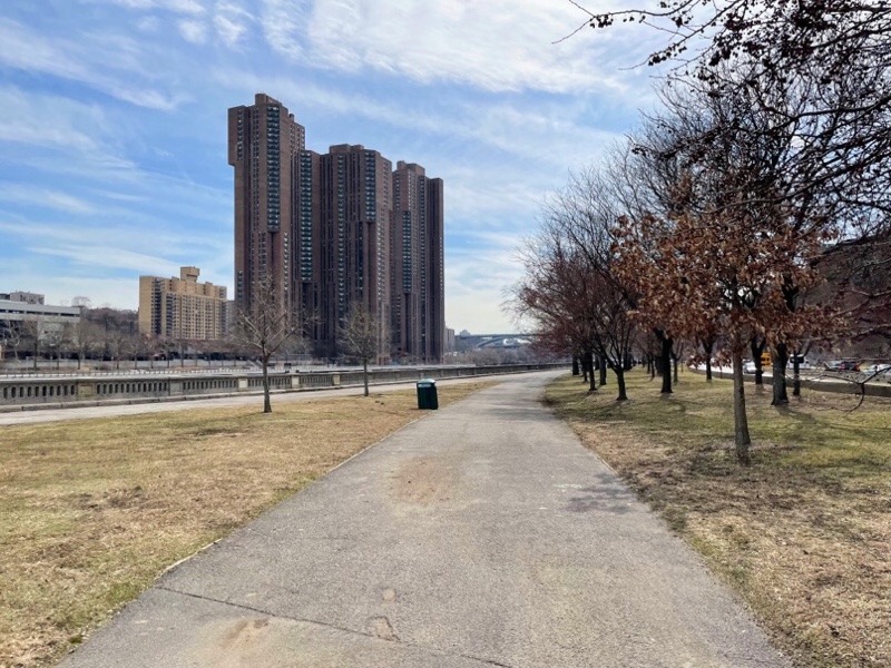
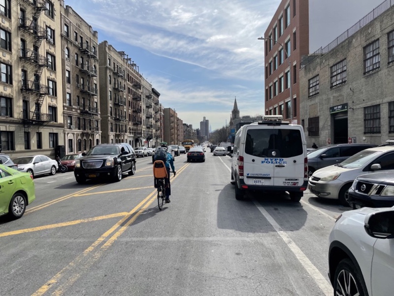
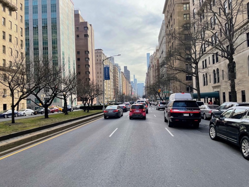
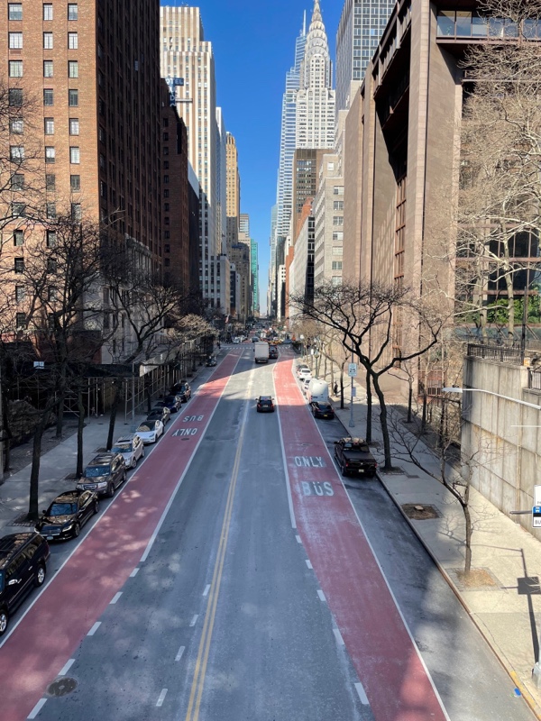
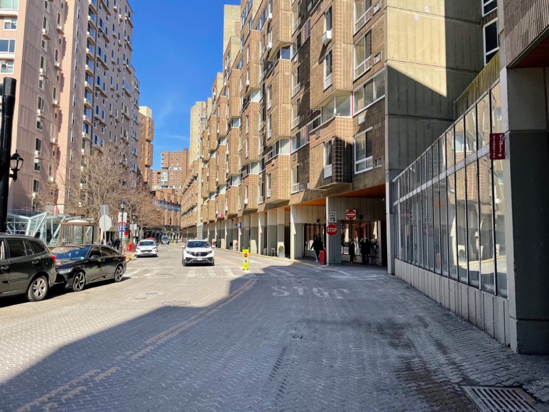
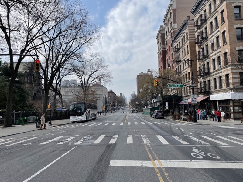
There was very little traffic on the streets in this area of Manhattan.

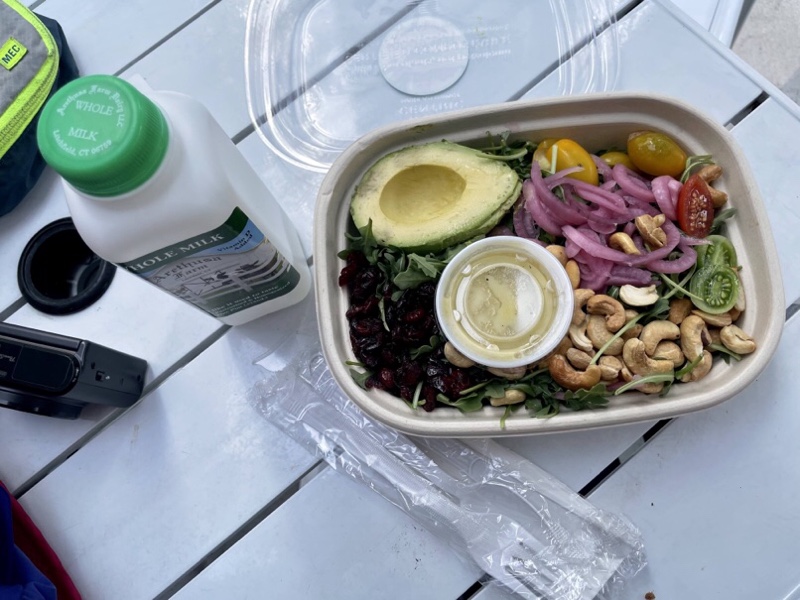
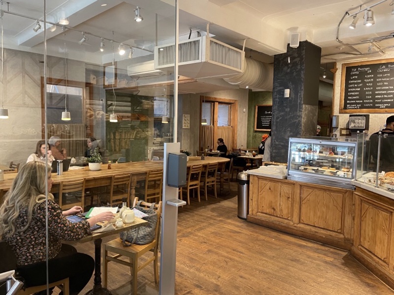
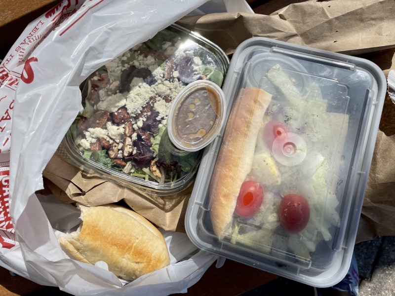
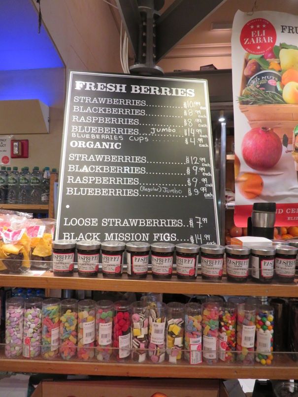
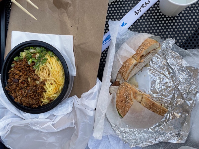
We had lunch at a Jewish deli/Vietnamese noodle fusion restaurant called Wu + Nussbaum. The food was good.

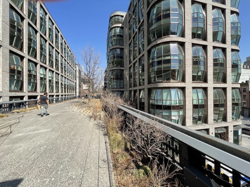
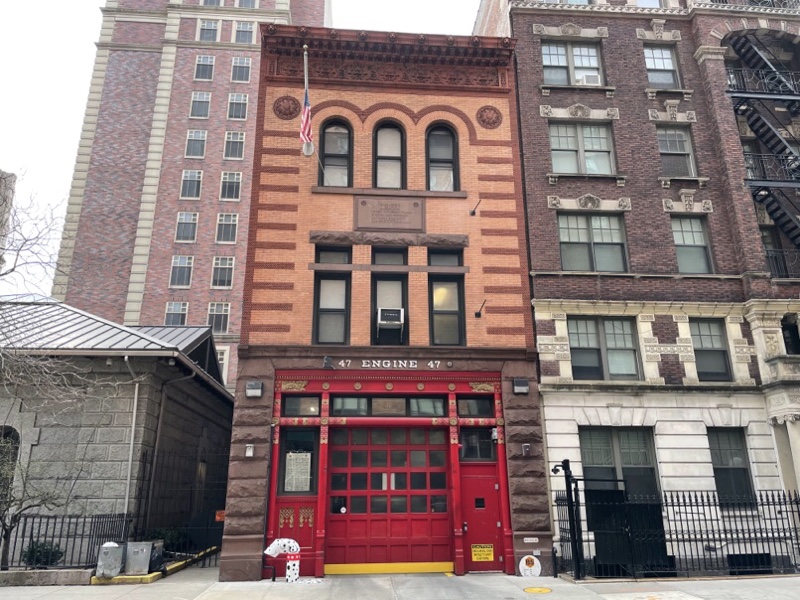
On our walk to a bike share station at the north end of Central Park we passed this lovely fire station, the outside of one of the unfinished bits of the cathedral, which didn’t really match the rest of the cathedral, and the back of the cathedral.

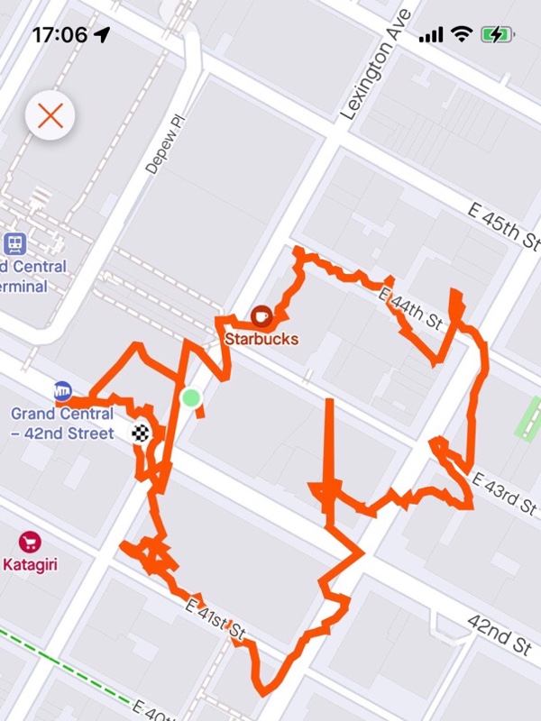
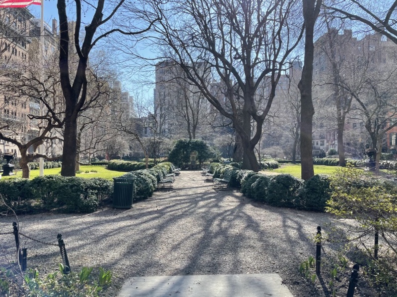
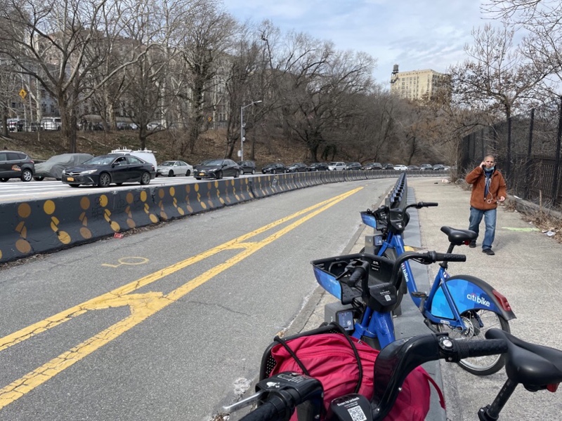
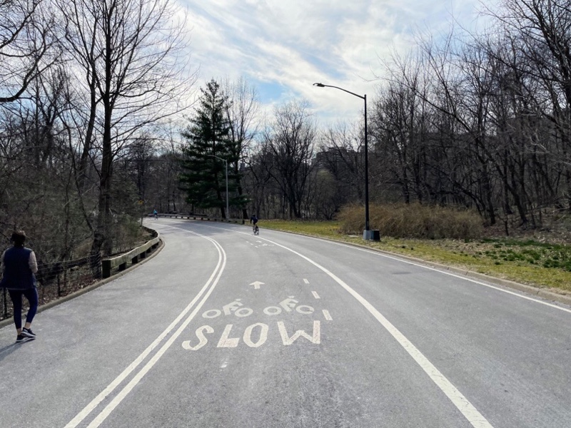
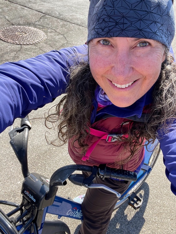
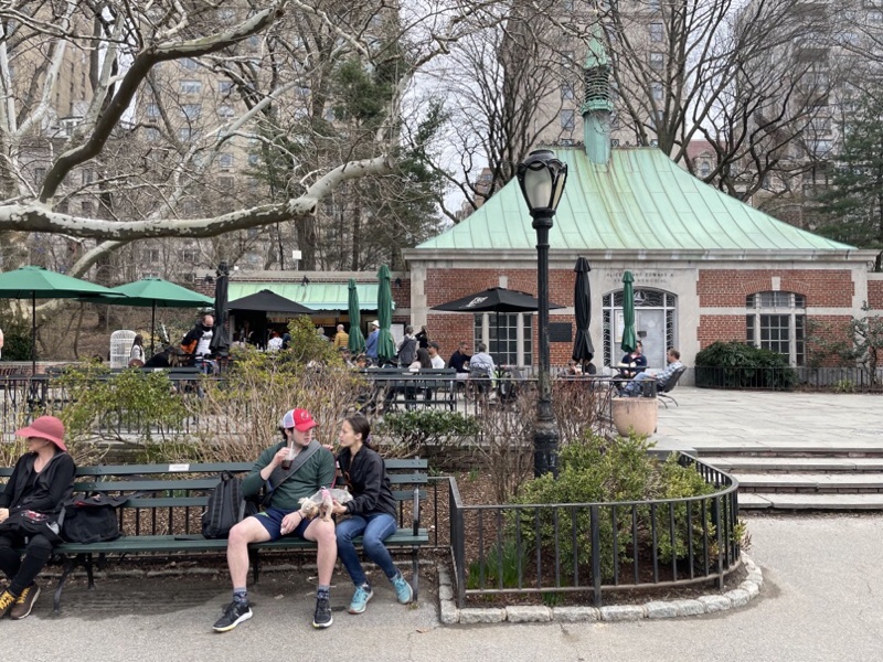
The parks runs from 5th to 8th Avenue, and 59th – 110th Street. It is 4km long by 800m wide. We borrowed bikes and rode around 1/4 of the outside of the park before running out of time. It allowed us to peek into the park.

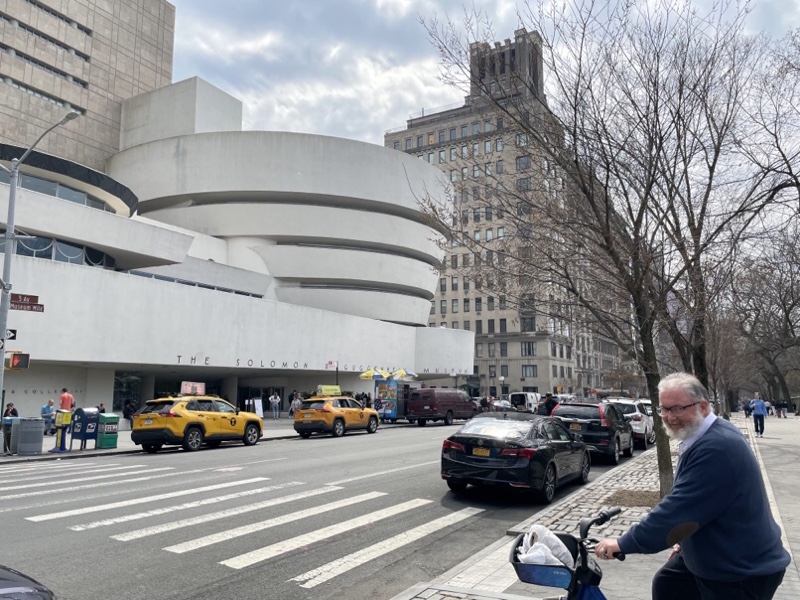
We got to the Guggenheim Museum a little bit faster than walking. It wasn’t a lot faster, though because there was no bike lane here so we rode on the very wide interlock brick sidewalk and had to keep our speed down. We only looked at it from the outside.

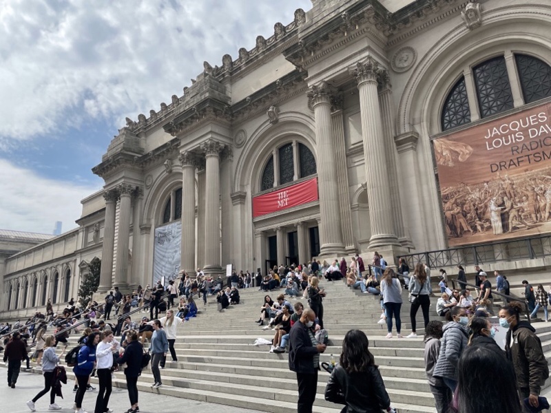
We returned the bikes near the MET. Fortunately we hadn’t planned to go in because it was it was very crowded with a long lineup to get in.

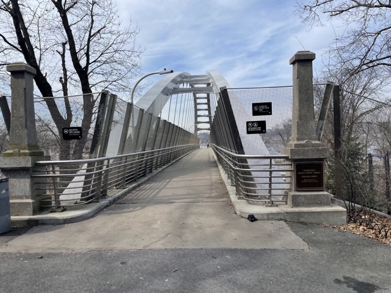
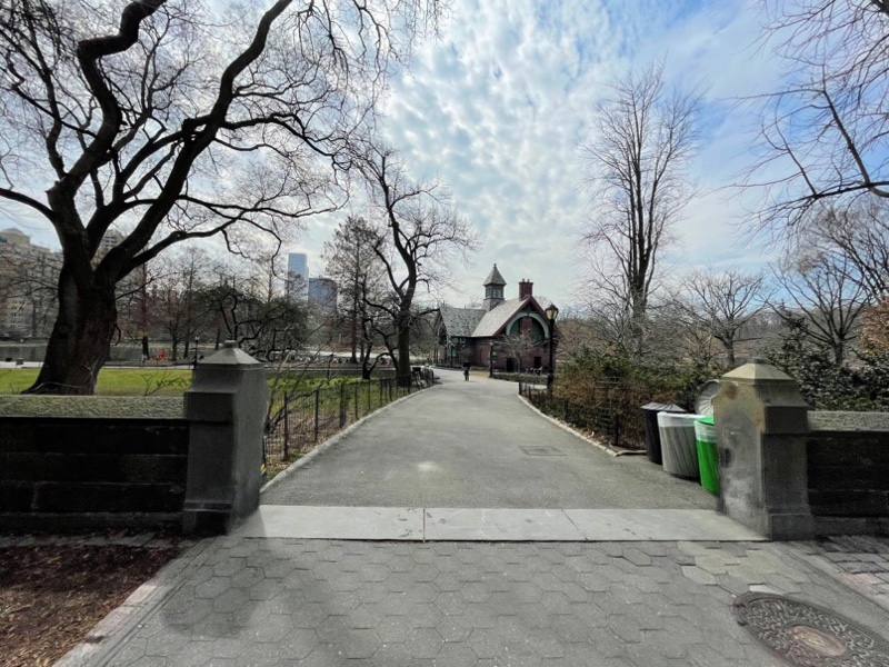
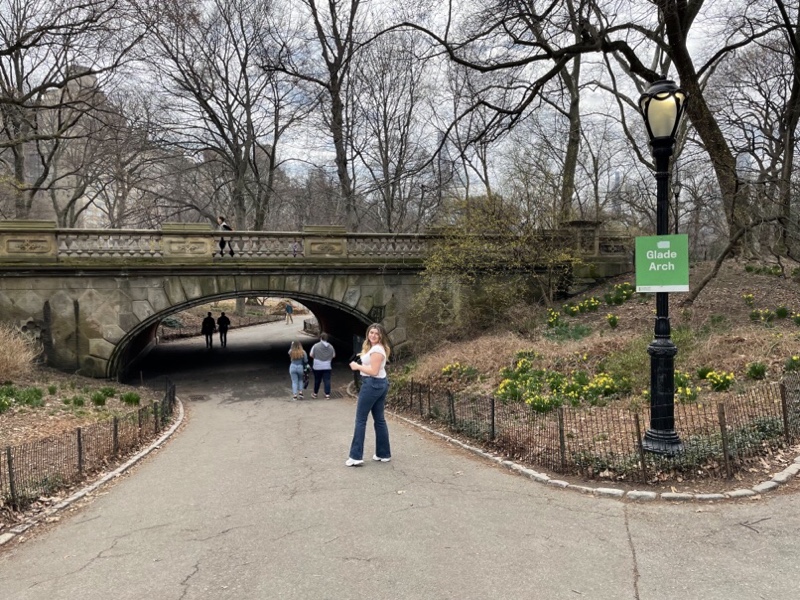
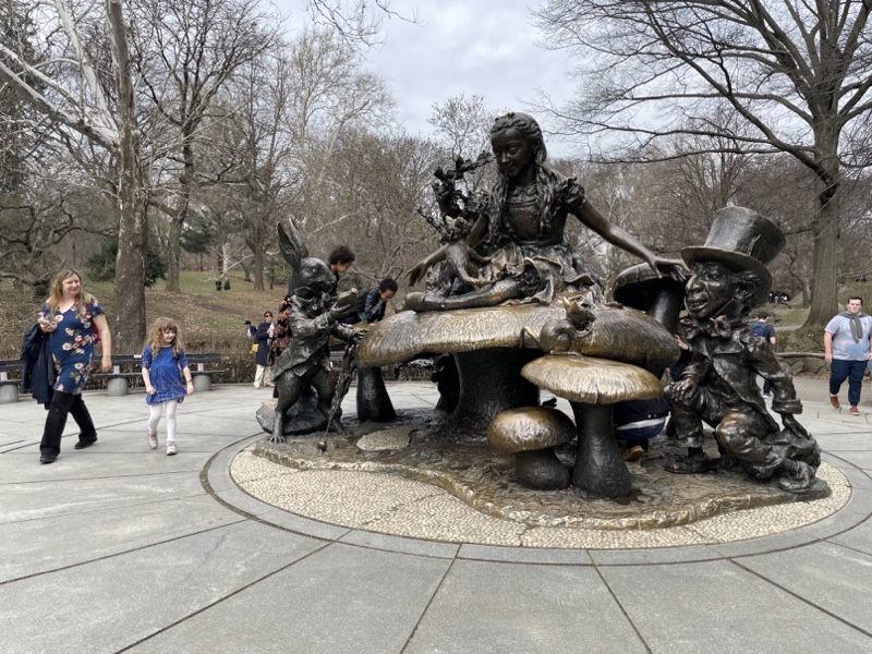
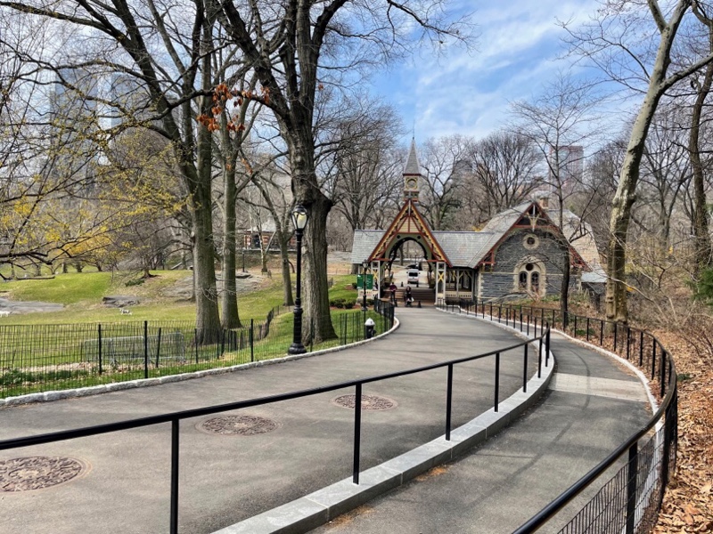
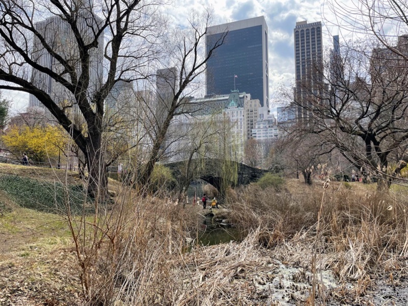
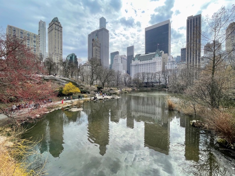
We walked through Central Park heading for the Gapstow Bridge – which has very famous views of the New York skyline reflected in a small lake. On the way we passed under another lovely bridge – there are over 30 bridges in Central Park – and an Alice in wonderland statue and some lovely park buildings.

The Gapstow bridge was a bit obscured by vegetation, but the views from the bridge did not disappoint.

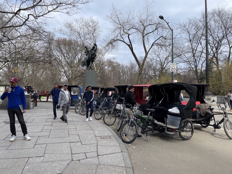
We saw many of these rickshaws in the park along with horse drawn carriages.

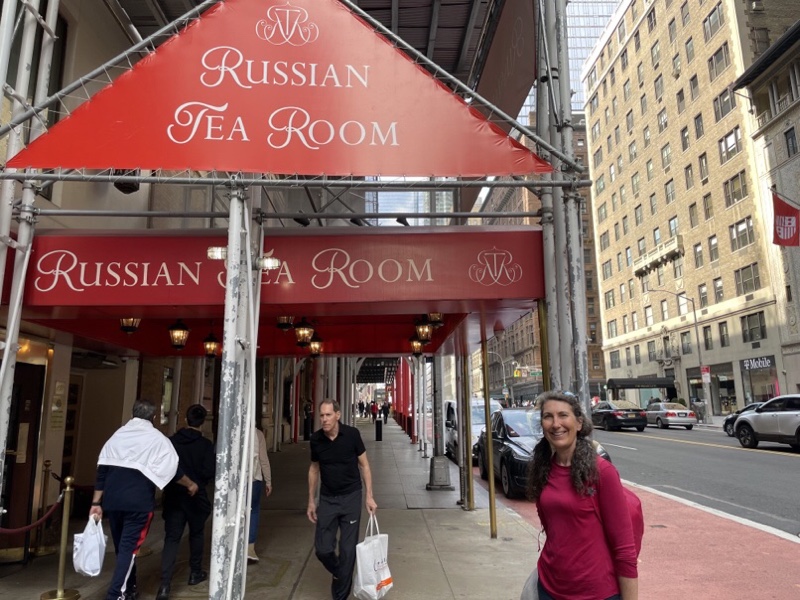
When Patti and I were in New York City in high school we decided to visit the Russian tea room. We were seated in their opulent dining room and when we told the waitress all we wanted to order was a cup of tea we were told that there was a minimum order for the table and that wouldn’t make it and they sent us upstairs to the cheap seats.

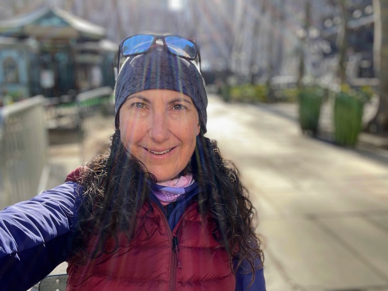
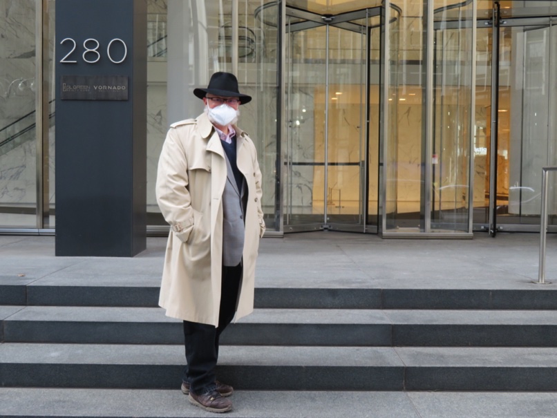
Patti encouraged me to have tea at the Russian tea room while I was here this time. I looked it up on the website and afternoon tea is $80 per person, or $105 if it includes champagne. I decided to just have Michael take a picture of me outside the tea room.

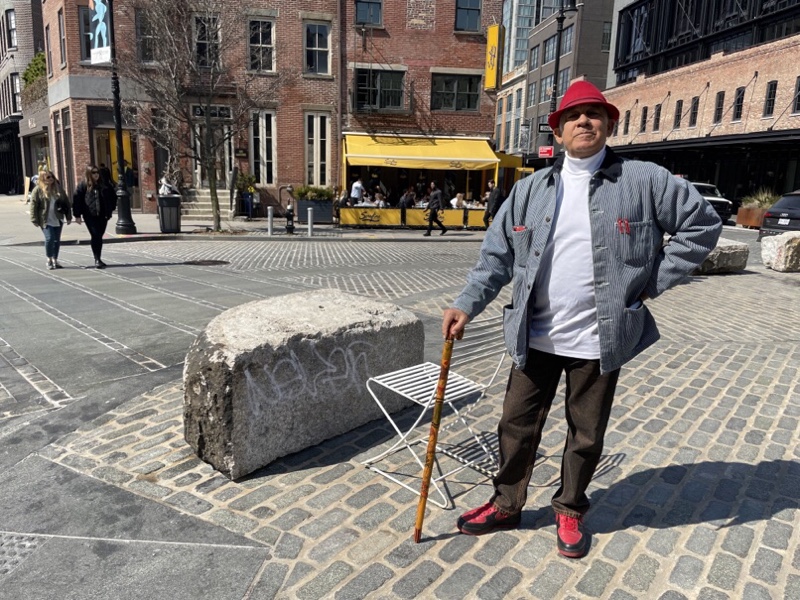
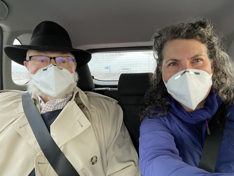
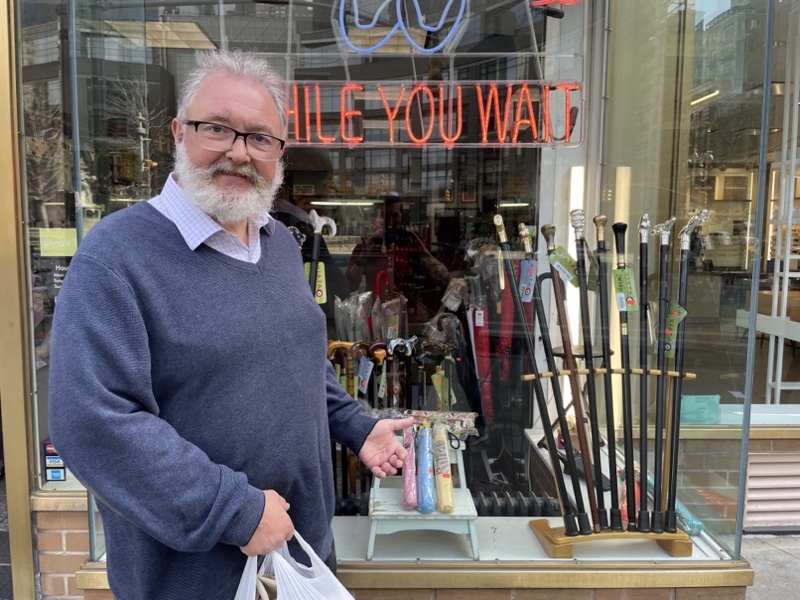
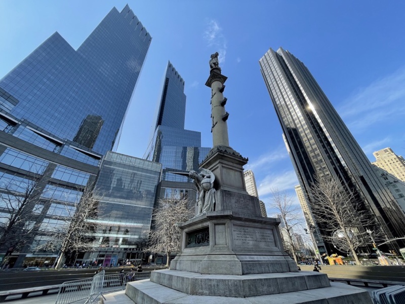
Michael decided a few years ago that he would start wearing business dress on the one or two days a month when he went into work, rather than business casual that had become acceptable over the years. He has acquired a few nice suits, a handsome topcoat, a trench coat, and a number of elegant hats. He looks very handsome dressed for work. As we strolled through Central Park he told me the next thing he was going to need to acquire is a walking stick. Hilariously, as we entered Columbus Circle in search of coffee, we saw a store selling walking sticks. I guess he didn’t see the right one, because he didn’t buy one.

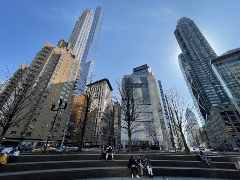
Columbus Circle is a large traffic circle at the Southwest corner of Central Park. Broadway is one of the streets that runs into it. We sat on the corner at Central Park and watched the crowds of people and constant traffic go by.

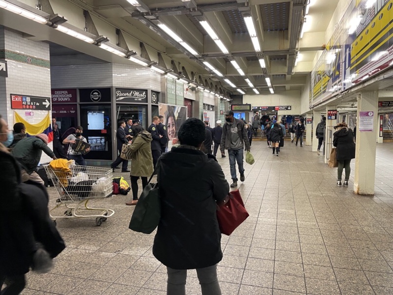
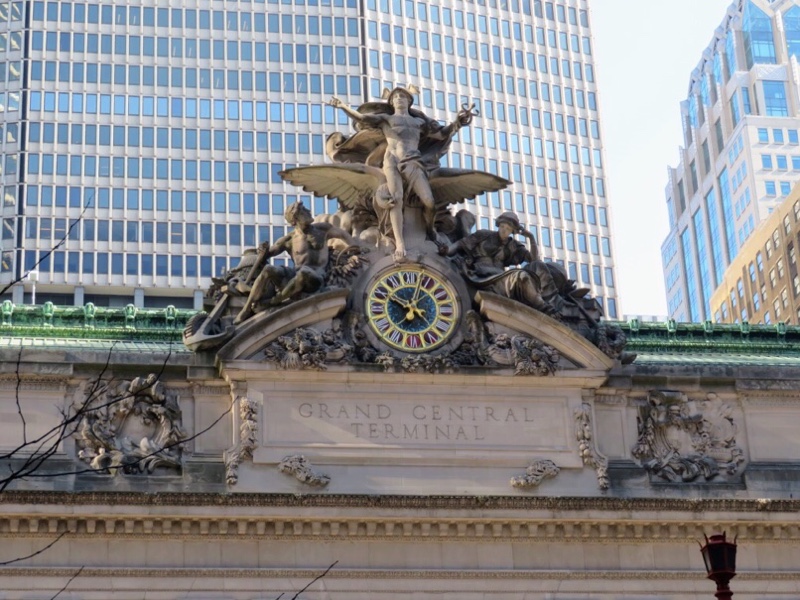
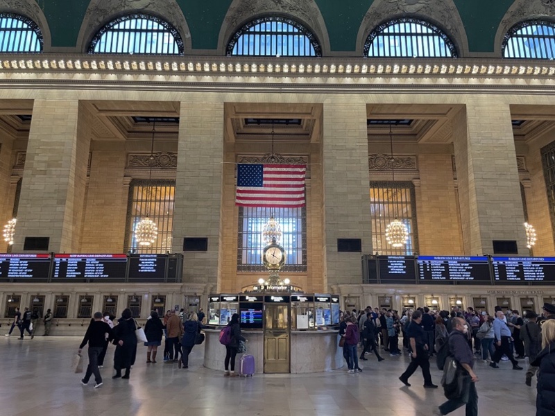
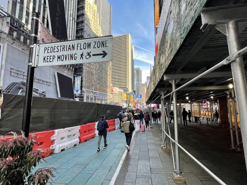
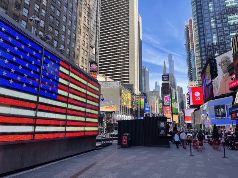
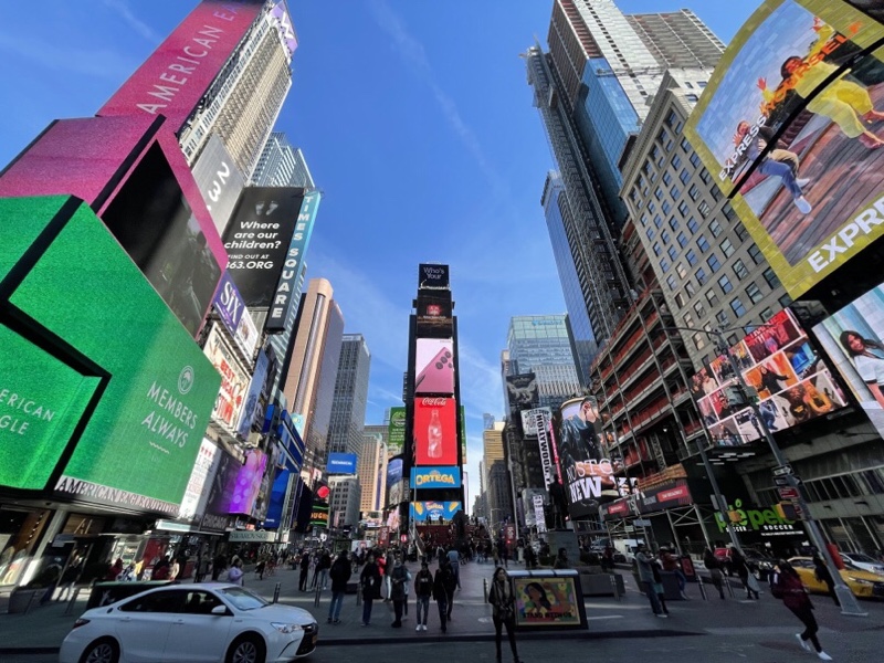
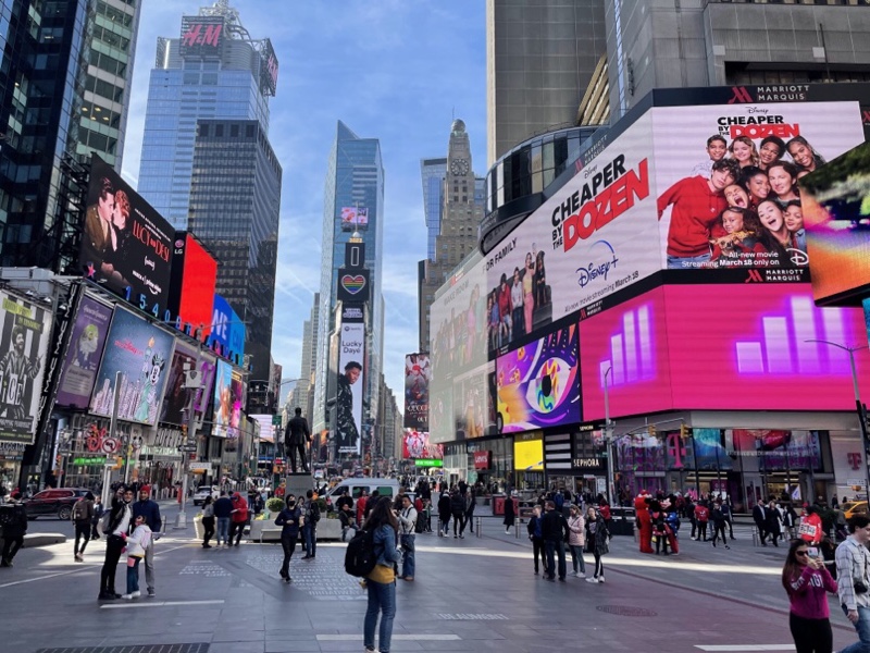
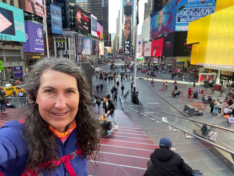
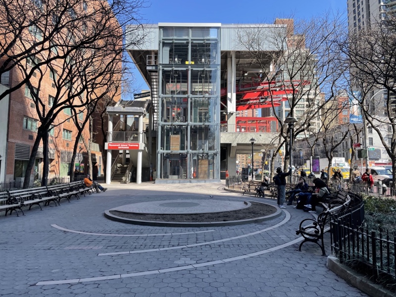
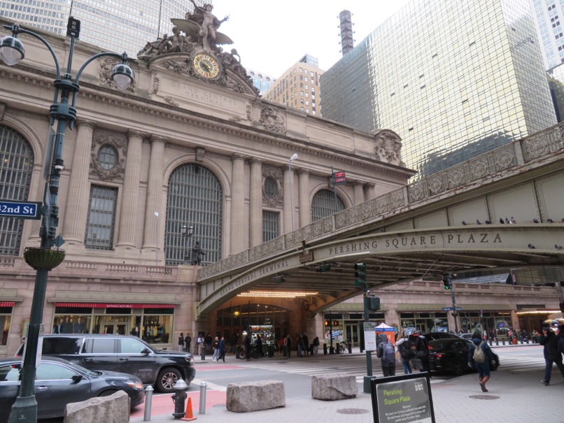
From there we got the subway back to Times Square. It was quite busy. Then from Times Square we followed the signs for the shuttle to Grand Central. As we walked we realized that we had walked underground in the subway station over to the next stop between Times Square and Grand Central which is Bryant Park. It’s an absolutely enormous underground space.

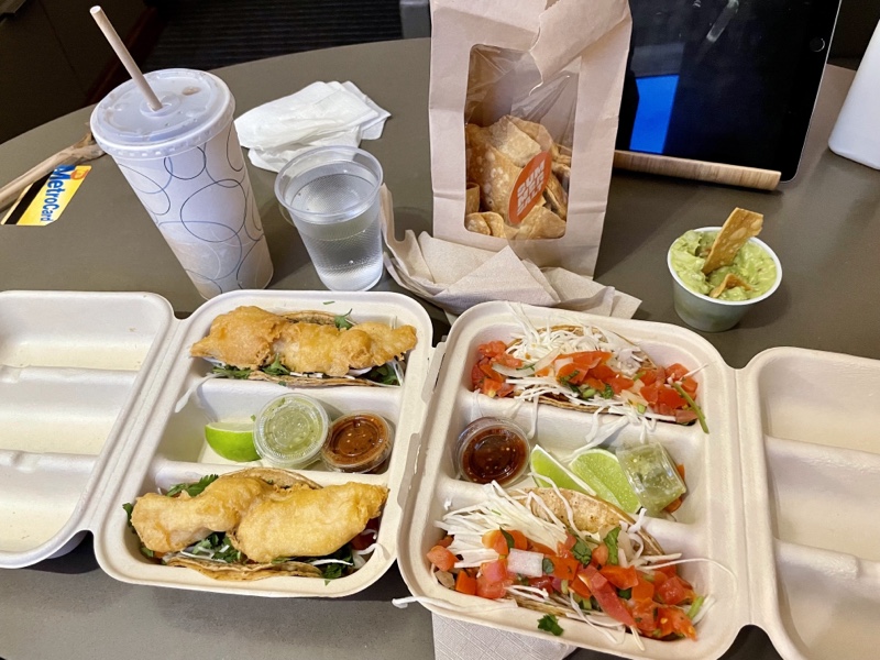
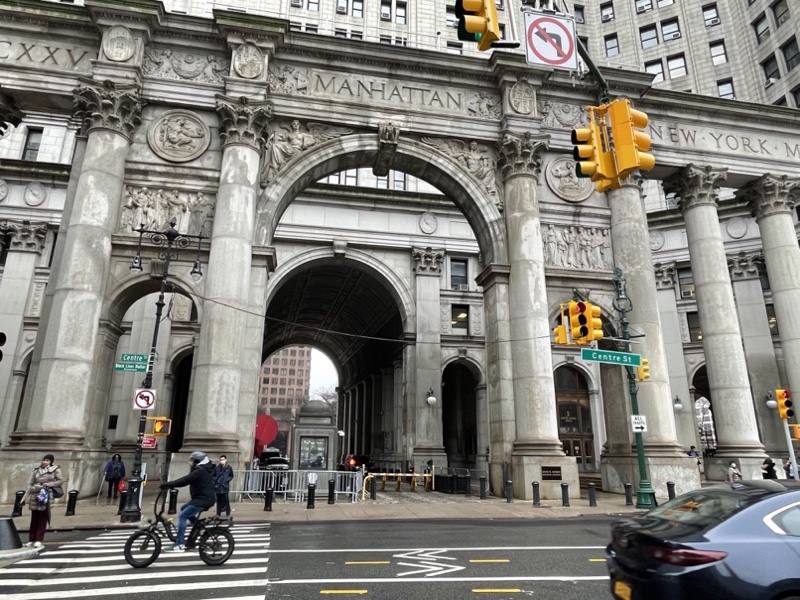
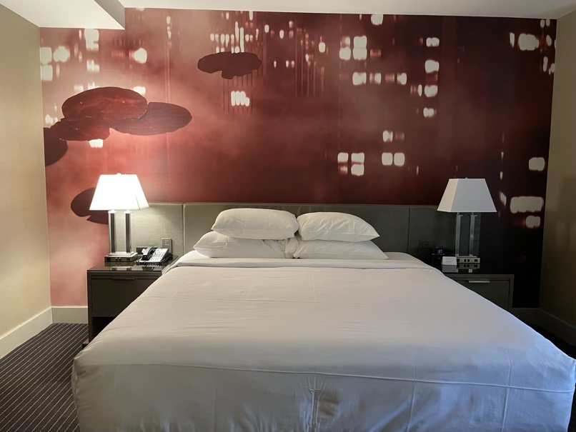
The day was much warmer than we expected and we carried around our extra clothing all day. I was very happy to get back to the hotel and have a shower before we went out to get dinner. We enjoyed our fish tacos so much last night that we went there again. It was another fine day in New York City. The forecast for tomorrow is also excellent and we plan to head back down to the financial district to see the sites that we missed yesterday.

New York City – Day 6

The day dawned bright and sunny with the promise of a warm spring afternoon despite the fact that it’s still winter. I had breakfast in the room, but today Michael took the day off work, so I got to play tour guide with my newfound New York knowledge.

We took the subway to The 34th St. – Hudson Yards subway station. It was just one train and only three stops. We had to go deep down into the Grand Central subway station. The Hudson Yards station is one of New York’s newer stations. It was the 469th station built, and the first new one in over 25 years, when it opened in 2015. It features the system’s longest escalator and first inclined elevator. It took eight years and $2.42 billion to build. This beautiful mosaic covered the ceiling over the escalator.

Just outside the station we found The Big Apple.

We visited The Vessel and then started exploring the High Line.

I was happy to be there again, as I enjoyed it so much the first time, and I saw things that I had missed.

One of the things I had missed was The Edge Observation Deck at Hudson‘s Yards. Michael pointed out the triangular part of the building sticking out as we looked back at Hudson’s Yards. It was hard to make it out so I pulled out the point-and-shoot with the long telephoto and was able to zoom in and see the people on the deck. We had lots to do so didn’t visit, but when I got back to the hotel I looked it up and the cheapest admission is $34US.

I couldn’t resist taking a few more pictures of the High Line’as we strolled along.

And I was able to pose with this creature and get Michael to take my picture. I sat with another creature by this artist and included it in my blog a couple days ago.

I saw this bike storage locker in the Meatpacking District on our way to Chelsea market for lunch and bathrooms.

My lunch was delicious once again. New York brisket. I’ve heard of it many times including on the show The Marvellous Mrs Maisel, I don’t think I’ve ever had it before.

As we were eating lunch we saw this odd car go by. I took a picture and when we got back to the hotel I looked up “Jaguar with Spinny things” and discovered that it’s a Waymo self driving car. The black thing on the top plus four additional ones at each corner of the car were spinning and are apparently LIDAR.

After lunch we walked around The Meatpacking District and then headed for Little Island Park.

It was a beautiful afternoon and still early when we finished there, so we used bike share to borrow two bikes and ride to the financial district on the Hudson River Greenway. Michael found the bike quite comfortable and the ride not overly taxing. We went about 5 km. The cycling facility is impressive. Separated from both cars and pedestrians it was very comfortable to use. It runs the entire length of the island and is the same path that I was riding on when I went to the Cloisters a few days ago. It is part of New York’s at Empire Trail.

The first docking station we arrived at was full so we carried on to find a second which turned out to be directly in front of the National Museum of the American Indian which Michael visited 47 years ago when he came to New York City with his parents.

On our way to have a look around Battery Park we saw this old entrance to Bowling Green subway station.

Battery Park seemed to be a very large park, and my feet were getting quite tired, so then we went in search of a coffee.

Once again we use Google live view to navigate us to our chosen coffee shop and I noticed this fun reflection when we paused to check the directions.

After coffee we took the subway to Union Square. It has a very large subway station with many lines intersecting. There are 36 lines in total.

Union Square is a large park which was very busy with a market today, many people just enjoying the weather, and a large playground.

There are so many different kinds of food you can buy from trucks here on Manhattan. And a few days ago we saw a truck that sold marijuan. Today we saw the Mitzvah Tank. I thought it was funny that he puts on it that he’s available 24/6.

We had initially planned to get back on the subway, but the weather was so nice, and there’s so much to see which can’t be seen in the subway, so we decided to continue walking.

We passed the Harry Potter store which had a line around two sides of the building to get in just before the Flatiron building, which unfortunately is under scaffolding.

The New York Edition, a building with massive clock faces and a gold dome began life as the Metropolitan Life Insurance Company’s headquarters, but is now a luxury boutique hotel. It was built in 1909.

We sat for a while in Madison Square Park. It was another very busy park. Manhattan Island has the highest population density on the planet. Very few people have their own outdoor spaces, but with all the incredible outdoor spaces in the city, I don’t think one would miss having a backyard too much.

This is one of the plazas that was created from road space a few years ago, even though Madison Square Park is right across the road. Both spaces were very well used.

We caught glimpses of the Empire State building after leaving Madison Square Park.

As we were getting close to our hotel I saw this reflection.

We noticed this restaurant Summer Salt.

Shortly before we got back to our hotel. We checked the menu when we got back and it looked good, so after resting for a while, we went back out and got excellent fish tacos and guacamole and chips for dinner.

It was another great day in New York City and was really nice having company today.

New York City – Day 5

I had hoped that the weather forecast would prove to be wrong, but when I opened the curtains this morning I couldn’t see the river. It was overcast and the street was wet. I couldn’t tell from the 31st floor whether or not it was raining.

I spent some time trying to motivate myself to go out, and deciding what to do. I looked at a number of museums, but also looked at the list of things that I wanted to do outdoors, and even though I’m here a generous eight days, I realized that half of them are already in the past.

In the end I decided to go to DUMBO – Downtown Under the Manhattan Bridge Overpass, in Brooklyn across the East River. I decided to take the subway to avoid cycling in the rain, and to have a new experience. I dressed in layers with my yellow rain slicker on top, and my items that I wanted to take with me in my backpack, wrapped in plastic bags in case I got rained on.

I am able to get to the subway from the hotel without going outside. I stopped at a fare machine and was able to determine that the second card Cindy gave me also had funds on it and was able to have them transferred to a card with a new future expiry date.

Google told me to take a train, leave the train and station and walk a block to get to another subway line which doesn’t connect inside, and then transfer to the line that goes across the river to DUMBO.

My plan was to cross the river on the subway using the Manhattan Bridge for the views as represented on this map with the green arrow. But I made a mistake when I transferred and ended up following the red arrow to Williamsburg. The subway also crosses the river on the bridge going on this route so it took me a while to realize I was in the wrong place. Then it took a while to figure out what to do about it. I ended up going back to the station marked DeLancey street and following the blue arrow over to the island which was through a tunnel.

Consequently, a trip which should have been about 30 minutes by subway and would have taken about an hour on bike took an hour and a half. However, I got there in the end, and it’s all part of the adventure. I’ll do better tomorrow when I have Michael along and we use the subway again. I did end up seeing this interesting station which I would not have seen had I not taken the wrong train.

I find it much easier to navigate on the surface. Even when you don’t know the area you can use cues such as where the sun and shadows are and whether or not you can see the water. And in a place like Manhattan, where the streets are numbered, it’s very easy to quickly figure out when you’re going in the wrong direction.

As I emerged from the subway I saw a red flag on a lamp post saying DUMBO and shortly there after the distinctive industrial buildings and glimpses of the bridges and knew I was in the right place.

I’m going to blame the whole situation on the fact that I forgot to get a coffee this morning. I left the room with my mask on and headed straight down to the subway expecting to get a coffee 30 minutes later. Little did I know it would be more than 90 by the time I had one in hand.

DUMBO is a very noisy place with the subway regularly coming over the Manhattan Bridge. There’s also a lot of construction going on in the area.

Many of you will probably recognize this scene which is a very popular one on social media. I asked somebody to take my picture because a selfie just wasn’t working. Michael always thinks when I do this that the person is going to run away with my phone, but I chose someone that looked less fit than I am, and they didn’t try to run, anyway.

The waterfront is beautiful with views of the Manhattan Bridge, Manhattan, and the Brooklyn Bridge.

There are many beautiful and nicely restored industrial buildings.

There is an old carrousel that’s had a glass box built around it to protect it. It is still operable. It’s called Jane’s carousel and was built in 1922.

Empire Stores has been built inside an old industrial building. It’s partly open all the way up to the top with great views of the river and the bridges.

Just as I was finishing up looking at the carrousel it started to rain and was getting quite heavy so, as it was also time for lunch, I headed into Empire Stores to find something to eat.

Unfortunately there wasn’t any outdoor covered area to eat so I did eat indoors, but it wasn’t overly crowded, and I didn’t dawdle. My black Angus cheesesteak was absolutely delicious.

New York’s transportation system offers so many choices. I could have taken the subway back, gone to a bike share to get a bike to ride back, taken a ferry back, or my choice, walk back across the Brooklyn Bridge.

I always seem to spend an enormous amount of time finding food when I travel. It’s compounded when Michael and I are both trying to find food at once because we have different ideas of what we want to eat. I thought this QR code was a good idea. Just hold up your camera to it and will open up a webpage with the local restaurants.

It was a bit convoluted to get there, and quite sketchy in places due to construction, and lacking in signage.

Once I got to the stairs to get onto the bridge it was a 2 km walk to get to the City Hall area on Manhattan. But it was worth it with incredible views. Apparently the bridge can get so busy on nice days that one can only shuffle across, but it was comfortably empty in the misty weather today.

You could see the people in the apartments and their stuff as you walked past this building. It has incredible views, but with the potential lack of privacy on the one side, and the noise from the subway train on the Manhattan bridge on the other, I don’t think I would like to live there.

I’m not sure that it would have been much faster to drive as the cars were often at a standstill underneath the pedestrian area.

There were places that were so broad it felt more like a large pier than a bridge walkway.

There are some beautiful buildings around City Hall including the Woolworth building which was the tallest building in the world from 1913 to 1930. It is still one of the hundred tallest buildings in the US.

After walking around City Hall Park I grabbed a coffee and cookie to have in the park, and then got on the subway to go back uptown.

A lot of the subway stations, including the one under City Hall, are quite rundown.

This was a very useful board on one of the subways and was constantly updated so that the next stop was on the left-hand side and you could see how many stops there were until the one you were travelling to.

I had to transfer at Times Square to the Grand Central shuttle which was a very modern subway car that had no seating.

Michael and I met back at the hotel and then went to Café Hestia to get takeout, again. Our choices weren’t as good tonight, as they were last night, so we will try somewhere different tomorrow.

Despite the mistakes made this morning it was still another wonderful day visiting places familiar to me from social media. It was so wonderful to be able to experience them in person.

New York City – Day 4

I had breakfast in the room again today, and then grabbed my coffee in the hotel market, and took it over to Pershing Square where I could see Grand Central Station while I drank it.

I then walked to the bike share station and borrowed a bike to ride to the High Line. I was still within my 24 hour period that I paid for yesterday, but needed to keep the ride under 30 minutes so as not to incur additional charges.

I use Google maps to give me the directions to follow to get to my destination, but I started down 2nd Avenue it started giving me incorrect directions. GPS works very poorly in the area where we’re staying because the buildings are so tall. Take a look at one of the walks that I recorded on Strava. So I had to turn off the Google directions because they were constant but incorrect. When I rode back later in the day from an area where the buildings weren’t as tall it worked just fine.

There was a nice bike lane on 2nd Avenue with lots of cyclists using it. At the traffic lights for the first eight or 10 blocks there were traffic cops ensuring that the traffic flowed smoothly. When the light was red for me, but there was no cross traffic, and I slowed down the cop waved me to continue on through. I also saw a lot of traffic cops out in the afternoon the last couple days when school was getting out. Traffic moves rather sedately here but doesn’t seem to become overly congested. It’s easy to keep pace or even go faster on a bike.

The bike lane ended, but the street became quite quiet, and I didn’t mind sharing with the small amount of traffic there was.

I passed the familiar name and architecture of Gramercy Park and rode around the block to have a look and take some pictures.

I came across this street that is physically closed off during school hours to motor vehicles. I learned from this website that it is not uncommon here.

At that point I realized I was getting close to 30 minutes so I went to a docking station to find it entirely full. I use the app to find another docking station, which was also full. At this point I had almost run out of time. I thought I recalled that the app had a button where you can get 15 more minutes if the dock is full, but I couldn’t find it. I tried to do a live chat but no one came on to respond right away so I found a third station and docked there. I was charged $4.36, but I received a refund tonight based on the comment I made when I submitted feedback at the end of the ride.

From there I took the bike out again and finished the ride to the High Line. This was my first sight of the High Line, along with another one of those stacked car parking lots.

The High Line was even better than I had imagined. I spent most of the day there. It is accessed by staircases or elevators.

There was street level rail on the west side of Manhattan from the 1840s. But it meant there were 105 street level crossings, and many pedestrian deaths, so in 1929 after decades of debate the a massive infrastructure project to eliminate the street level rail was begun. It became known as the High Line. It opened in 1934 and was elevated 9 m above the street. It was designed to connect directly to the upper floor loading docks of factories and warehouses. It was known as the “lifeline of New York”. But in the 1960s industrial use began to decline on Manhattan’s west side. The southernmost nine blocks of the High Line were demolished. Another five blocks were demolished in the 1990s.

1980 was the last year that a train used it. Over time nature reclaimed it and it was only visible to the few inhabitants of adjacent buildings. In 1980 two locals met at a community planning meeting where plans to demolish the High Line were discussed. They formed a nonprofit group called Friends of the High Line to advocate for its preservation. In 2002 they formed a partnership with the city and the plans to demolish the High Line were reversed. In 2005 the transportation company that owned it donated the remaining section under the federal Rails to Trails program. From 2009 to 2019 the nonprofit group began opening the High Line one section at a time.

The High Line connects the Meatpacking District, Chelsea, and Hudson Yards. Next Spring it will connect to Penn Station to the East, and Hudson River Park to the West sometime in the future.

Volunteers look after the gardens. Bikes are not allowed on the High Line, but I did see these tricycles being used to aid in the gardening.

It’s much quieter up on the High Lines than it is at street level. New York is a very noisy place. There is a constant background hum with the staccato of car horns.

I was excited to visit The Vessel by Heatherwick Studio at Hudson Yards. It is an interactive artwork comprised of 154 interconnecting flights of stairs and almost 2500 individual steps and 80 landings. Unfortunately, four people have committed suicide here and it is currently closed. It was still stunning to see even though I couldn’t climb up.

There were hundreds places to sit in the big open area around it and the subway station entrance, and I had lunch there.

I headed back to the High Line to walk south to the other end.

There is so much to see. The High Line itself has some narrow sections, some wide sections, many places to sit and enjoy the sun. Places to look at the streets below. The High Line has spurred an enormous amount of new development adjacent to the line.

The Whitney Museum is at the south end. When I got there I was ready for a coffee and as I stood on a corner in the Meatpacking District a man in a red hat and shoes approached me and started talking to me. After a couple minutes he asked me if I knew who he was. I said I did not. He said I am the Mayor of the Meatpacking District. Google it. I did and he has quite an interesting story. I asked him for advice on where to get coffee and we parted ways.

I did have my heart set on a cookie and the place he suggested just had pastries so I carried on to the Chelsea market. It’s a fascinating old building and I found coffee and cookies there.

There are a lot of eating areas set up on the streets that are public and the one outside Chelsea market intrigued me. I sat there for a few minutes but then the allure of the Highline caused me to pack up and head back up. I found a place to lounge to finish my coffee and cookies.

Having finished exploring the Highline I headed to Little Island just a couple minutes away on the river. It is 2.4 acre park in the Hudson River with entrances at West 13th and 14th St. It is built on the remains of Pier 54 where in 1912 the survivors of the Titanic arrived to safety.

The remains of the pier were damaged during hurricane Sandy and it has been reimagined as an “immersive experience with nature and art”.

It was a very busy place today and I can see why it would require timed tickets to visit in the warmer months.

I noticed an excellent protected bike lane on my way there so I decided to ride back along the Hudson. Google wanted to send me up through the city almost right away but I stayed on the waterfront until 48th St.

This is the intrepid Sea, Air and Space Museum.

Then I turned and rode east towards where Michael was working to meet him.

I have had several people ask me about the rearview mirror i wear on my glasses when I ride including one driver today.

The first place I tried to dock the bike was closed for some reason and I ended up running overtime by the time I got to the next docking station. When you are not on a pass it cost $3.99 to unlock the bike and as long as you return it within the 30 minutes there are no further charges. But the overage is only charged at $.23 a minute so I didn’t bother complaining this time.

Michael met me at a bench near the dock and we walked back through Union Station.

I’m feeling pretty tired this evening. I’m up to two blisters on my toes. We rested for a while and I had a shower before we went out to pick up dinner and bring it back to the room.

It was another fabulous day. I haven’t yet decided what to do tomorrow as rain is forecast for the day. But it is the St. Patrick’s Day parade which apparently has been happening here since 1762 so I might go and check that out. I did bring an umbrella and my rain slicker. I’ll decide in the morning when I see what the day looks like.

New York City – Day 3

I started the day with breakfast in the room consisting of the raspberries that I bought on the street yesterday, oatmeal from the hotel shop, and tea made with the kettle and tea bags provided by the front desk.

I decided that I would walk down 42nd St. past Bryant Park, to Broadway, explore Times Square, continue walking through Hell’s Kitchen to the Hudson River to ride on the Hudson river Greenway to the Cloisters at the north end of the island.

I passed this wonderful building just before I got to Broadway.

Then I started seeing signs that Times Square was near. It can be such a busy place that they have a sign telling pedestrians to keep moving.

The last time I was in Times Square most of the space was taken up by roadway and parked cars. A few years ago under Michael Bloomsburg the city transformed a lot of the car oriented space into bike lanes, wider sidewalks, and patios.

The Transportation Commissioner Jennette Sadek Kahn, who worked for Bloomberg, knew that there would be a lot of backlash generated by removing space for cars. People tend to try to protect the status quo. Times Square was the first space they tackled. They decided that the key would be to transform the place quickly and cheaply, on a temporary basis, so that people could see what the new space actually looked like and felt like, and didn’t have to imagine it. They started on a Friday evening and used cheap plastic tables and chairs and straw bales to mark out the patios. It was well enough received that they were able to invest more in the space, and when a mayoral candidate a few years later suggested that he would turn the space back over to cars, people protected the new status quo, and he lost the election.

Times Square is an almost overwhelming space. Massive screens constantly changing. Music, Disney characters, crowds, people taking pictures, shopping, eating, drinking, resting, people watching.

After exploring Times Square I continued walking through Hell‘s kitchen. Some of the Marvel movies and shows are set in Hell’s Kitchen, but I didn’t see any superheroes. It did have a very different feel from Times Square with lots of rundown scenes, but also bike lanes, a bike share station, a Porsche dealership, and the cruise ship docks.

Real estate was obviously expensive enough to make it worthwhile to have some of these stacked car parking lots.

Today I decided to purchase a 24 hour bike share pass for $15. It provided me with unlimited included 30 minute rides. As there are extra charges for going over 30 minutes I had to keep an eye on the clock and regularly dock the bike to end the ride, and then immediately take it out again to start the clock over.

The Hudson River Greenway was a completely separated multiuse path that mostly followed the river and was often under 12th Avenue and the Henry Hudson Parkway. The highway was generally high enough that the space underneath was still light and airy, and it would actually be beneficial when it was raining.

I saw a couple things that I was familiar with from peoples’ pictures on social media and had that I had hoped to see.

I had expected to find bike share stations along the Greenway but they were actually located on the other side of the highway and generally required a climb up from the river’s edge over a bridge above the highway each time I needed to dock and then take the bike out again.

I had needed an bathroom since Times Square and the first one I came across on the Greenway was locked, but I finally came to one that was open, but had no bike share station so I took the bike right into the bathroom with me asi was not willing to risk having it stolen and having to pay $1200 to replace it.

Unlike in Toronto, they seem to be able to have heated indoor park bathrooms that stay open year round.

The process of undocking and docking a bike was very simple. I opened the app on my phone pressed the scan button, which opened my camera, scanned the QR code on the top of the stem, and the dock would unlock. When returning it one rolls it into that stand quite hard – it helps to pick up the seat of the bike as you roll it and drop it. As soon as it relocked the bike I would get a notification on my phone that it had been returned. Once when I didn’t push it in hard enough I got a notification that it might not be locked properly.

The third time I docked the bike I was getting quite hungry and hot so I took off a layer and ate some of the pistachios I had with me. At that point I determined it was only about 10 minutes further to the Cloisters.

As I was cycling downhill next to the highway I saw a highway exit sign for the Cloisters on the other side of a jersey barrier. I stopped and pulled out Google maps to see how I would get to the Cloisters, which I could see at that point at the top of the hill, to find out it was a very convoluted route, up a very steep hill.

At the same time I noted a restaurant and a bike station just ahead so I docked the bike and walked over to the restaurant, which unfortunately, turned out to be closed.

I grabbed the bike again, rode a few minutes further on, and found an area – Dyckman – with a lot of restaurants and a bike share station, right next to a subway station. I docked the bike and got lunch.

I decided to walk up to the cloisters which entailed climbing about 150 stairs, rather than riding. It was already mid afternoon so I just walked around the building and didn’t pay the $24 admission to go in.

Just before heading back down I spoke to a cyclist that was resting, who was riding a road bike, and asked for advice about riding back south towards Central Park. I wanted to take a different, less isolated route. I followed his advice and it was a good.

I started riding on Dyckman, the first busy street riding for me in New York City, which had had no bike lane for the first few blocks. Just before I got to the bike lane, as I started up from the light, the car behind me honked long and close passed me. It was the only slightly bad experience I had on the road.

I rode along the Bronx River path, and found a docking station where I could restart my ride at the corner where I needed to turn off the path.

After that I was on the road again. There was a bike lane, but there were a lot of cars parked on it. But the traffic wasn’t moving too quickly, and it wasn’t too heavy, and so I felt comfortable riding and passing the cars in the bike lane.

I passed a classic New York brownstone just before I got to Central Park.

Most of the roads in Central Park are closed to cars. There’s a lane for pedestrians, the centre lane for slow cyclist, and the right side for fast cyclists.

After going about halfway through the park I left to get coffee.

From there the quickest way back to the hotel with straight up Park Avenue. I expect a bike lane, but when I got there found there was none. The road is four lanes in each direction with a Centre Boulevard. The curb lane is used for parking. There were often cars double parked in the second lane from the right, usually a black Lincoln navigator. But traffic was heavy, and cars weren’t moving quickly. The streets cross very regularly. I had to ride about 40 blocks, and was generally moving faster than the cars. They’re often back up at the lights, with no cars crossing from the side streets so I would filter to the front of the cars and jump the red light to stay in front of them. It was fun riding like a boss, or a New York City food delivery cyclist. I felt completely confident and safe and had a blast. I rode right by where Michael is working, but he wasn’t quite ready so I continued on to the docking station close to the hotel, and then walked the rest of the way back. I ride 32km in total. With the docking every 30 minutes, picture taking, and heavy three speed bike, as well as more hills than I expected, it took a long time.

Once Michael returned we decided on Vietnamese for dinner and walked to get it and brought it back to the hotel to eat.

It was another wonderful day and I’m looking forward to using the last few hours of the 24 hour pass to get to the High Line in the morning and then walking that, and visiting New York’s newest park, Little Park, and the Vessel at Hudson Yards.

New York City – Day 2

Michael was extremely quiet getting up and getting ready for work this morning and I didn’t week until he closed the door to leave just before eight. I open to be graded with a beautiful, bright and sunny, busy morning, full of buildings, vehicles honking, and pedestrians hurrying. I noticed the East River and decided that I would go to the UN today.

I got ready and then walked to Bryant Park for breakfast. With no one to talk to this morning and being out of my routine I forgot to put my hearing aids in. I didn’t realize it until I got to Bryant Park. I was thinking the city was rather quiet as I walked there.

Breakfast, from Le Pain Quotidian, was so good – cappuccino and an egg, avocado, and cheddar on a brioche bun. The egg was freshly made, the avocado was cut in front of me.

After reading I wanted to just continue setting enjoying the park and people watching, but I was also wanting to fit in as much sightseeing as I could, so I decided to walk back to the hotel taking a different route, and pick up my hearing aids before walking west on 42nd St. to the UN.

There were so many places for outdoor dining here. Some of them would’ve been here before Cove but many were built in response to needing to be outside more.

There are hundreds, if not thousands, of mobile testing sites in tents on the sidewalks here. It is good that it is so easy to get a Covid test, but perhaps it’s due to the number of people who have chosen to test regularly rather than get vaccinated?

The hotel is 34 stories and we are on the 31st. There a 10 elevators and half of them go from 14 to 34, and the other half of the first 14 floors. So far we haven’t had long to wait for an elevator, they’re pretty fast, and most people are wearing masks, but not all.

One has to be very alert here. There are so many streets to cross, with so much vehicle, pedestrian, and cycling traffic. And so many things to look out, at eye level, into the buildings, up at the skyscrapers, and even down at your feet.

This is the view from a bridge over 42nd Street between First and Second Ave looking back in the direction I had just come. Behind me is the UN.

It was sobering standing in front of the UN, with ribbons for Ukraine on a fence, knowing that they haven’t managed to stop the invasion by Russia.

The grounds were not open to the public but I was able to get a picture of St. George slaying the dragon through the fence, and a picture of the most secure bike parking I’ve ever seen.

There are so many e-bikes here and pogies. And often the pogoes have plastic bags tied around them, I guess to keep them clean when the streets are mucky. Or maybe for a bit of extra windprotection.

I decided to leave my DSLR and interchangeable lenses at home because it is so heavy and bulky. I recently got an iPhone 12 with a regular and wide angle lens, and I’m really happy with the quality of the images. Most of the pictures in the blog are taken with my iPhone. Michael did lend me his super zoom point-and-shoot and it takes wonderful telephoto images. The details on the older buildings here are incredible.

After seeing the UN I walked to the Roosevelt Island Tramway. My friend Cindy gave me an expired farecard from her last trip here, which I was able to transfer onto a new card because of the pandemic. The attendant at the Tramway helped me do that. It’s part of the Metropolitan Transportation Authority, which is North America’s largest transportation network. It serves a population of 15.3 million people across 5000 mi.².

Roosevelt Island is the narrow island in the east river between Manhattan and Queens. it lies below the Queensboro Bridge but cannot be accessed from the bridge. The secular traffic has to access it from Queens. Pedestrians can use the Tramway. It is the oldest urban commuter tramway in the US. There is also a ferry on the east side of the island.

The views from the tram were spectacular.

I found a bench overlooking the east stripper and Manhattan to eat my lunch which turned out to be enough food for lunch and dinner.

In 2011, the City of New York issued a global challenge to academic institutions, inviting them to enter a competition to develop a world class Applied Sciences campus on city-owned land, with a $100-million investment of city funds. The winning pro posal was submitted by a partnership between Cornell University and the Technion-Israel Institute of Technology and is located on Roosevelt Island.

I enjoy taking pictures of architecture, particularly when the reflections can be played with.

South of the campus is parkland and the Franklin D Roosevelt Four Freedoms State Park. There is also the ruins of a smallpox hospital which is odd to visit when we are in the midst of a pandemic.

It is sobering to read these words from a president when Americans cared more about the world than they do today, and when we are so far from achieving these freedoms despite the passage of 79 years.

My feet were starting to get tired. I’m used to riding a bike all day, but not walking. I decided to get a coffee and cookie on campus, and use their Wi-Fi to download the Citi Bike app so I could borrow a bike to use to finish exploring the island.

As I walked towards campus I spotted a small pink building up on top of the skyscrapers. I took a picture across the river to Manhattan, then zoomed in three times to discover a two-story pink house. I’ll have to see if I can discover the story, but I don’t have time right now.

I downloaded the app, entered all my information, finished my coffee and walked back to the bike stand. I opened the app, which my camera to scan a QR code on the bike, which caused the rack to release the bike, and I was off.

There is a subway station in Roosevelt Island. This is me reflected in it as I rode by.

In addition to the park land, and university, there is a lot of rental housing on the island.

There is a lighthouse and another park and some sculptures and reflective spheres at the north end

My bike had this message on it

2 half-hour periods on the bike cost me $6.50. I returned the bike and took a Tramway back to Manhattan.

I discovered that Google maps here has an additional feature for when you’re walking. When you keep it access to your camera it gives you directions like a heads up display. It only works when you were standing still, though. The closer you get to your destination, the bigger the arrows get.

I found a fruit stand with reasonably priced fruits and bought some raspberries.

There are lots of markets with beautiful displays of flowers.

This is in a park near the UN

Where I got back to the hotel I put up my feet and waited for Michael to return from work. we decided on where we would walk to get takeout for dinner, When I got back to the hotel I rested my feet while I waited for Michael to get back from work. When he did we decided where to go to pick up dinner, picked it up and returned to the room to eat it. Afterwards we went down to the hotel market to spend today’s $15 credit which went a lot further without $10 worth of tea. It was a wonderful day exploring and I look forward to repeating it in another area of the city tomorrow.

New York City – Day 1

Last year IBM spun out their Managed Services operations and employees to a new company called Kyndryl. Michael works In Network Servies and was sent to the new company. This week he is visiting the two New York City locations – 280 Park Avenue tomorrow, and 1 Vanderbilt Avenue next Monday. He did the math and the cost was almost the same to go down twice or to stay for the week. So he decided to stay for the week and I am tagging along. I have wanted to come to New York City for years. I was here on two high school trips in Grades 12 and 13, and a business trip in 1991, but haven’t been back since.

It’s my first time on a plane since the pandemic started. Oreo was clearly not happy about all the commotion this morning and knew something, of which he disapproved, was up. I usually take Michael to and from the airport for his trips, but today we got a taxi. Michael is a fretful traveller, and the taxi not showing up is one of his fears, however, the taxi was 10 minutes early.

We had to have a covid test no more than one day prior to flying. A Rapid Antigen Test test is now acceptable, but needs to be administered by a professional or witnessed by a service. We chose to go to our pharmacy. It was quick and painless, and 15 minutes later, and $80 poorer, we knew we were negative.

We were able to scan our own boarding passes, which we received by email, scan our own passports, and check our own baggage – all self service. Yesterday we had to upload to the airline website proof of vaccination, and proof of a negative test. We were told to arrive “at least 3 hours before flight time”. Having done all the work ourselves of getting checked in, we had two hours and 45 minutes to spare. We were directed to a waiting area and told to listen for our flight to be called to proceed to security. We took a walk around the terminal – it wasn’t crowded despite being the beginning of March Break, a walk outside, and then we sat. When our flight was called the security line was long, but we were directed to join more than half way up the line. US Immigration didn’t take very long either. By the time we reached the gate I barely had time to wolf down my salad and we were boarding. That took a while because people had too much cabin baggage. We were 20 minutes or so late leaving, but the flight is only 90 minutes.

Part of the delay was due to a very thorough de-icing spray.

I recognized the intersection of Dixie and Derry, but we were soon above the clouds and there was nothing more to see until we got to the Catskills, Cayuga Lake in the Finger Lakes, and the outskirts of New York City.

It seemed like very little time and we were on the ground and in the terminal. Everyone was masking unless they were eating. By the time we got to the baggage carousel our suitcases were dropping. The line for the taxis was inside and took only a few minutes.

The tunnel to Manhattan seemed very long.

Even on a freezing March afternoon there were a lot of people on bikes. By a wide margin most bikes were e-bikes, then Citibikes bike share, and then a few regular bikes. There are red bus lanes everywhere. The cyclists seem to use then when there is no bike lane. On one street the two rightmost lanes were bus lanes.

We are staying at the Hyatt Grand Central.

Once we unpacked we walked to Michael’s business location for tomorrow morning. It’s very easy to navigate around Manhattan. Avenues run north-south and streets are east-west. Fifth Avenue separates the East and West sides, with street numbers increasing as you head away from Fifth. Broadway cuts through the city on a diagonal.

Right way we started seeing things on our list of places to visit starting with the Chrysler building right out our hotel window, and St. Patrick’s Cathedral.

Anyone who watched 30 Rock would recognize the next two pictures.

Back at Grand Central we had a look at the main concourse, the food hall – crazy expensive, and the food court, busy with many places closed, I guess because it’s Sunday.

Michael felt like noodles so we found a place about 15 minutes walk and picked up dinner to bring back to the hotel. While waiting for the food to be ready we saw this scene more reminiscent of my memories of New York City and the gritty areas you see on TV, than the more touristy areas and business areas we had passed through to this point.

I knew New York City was known for its street food, but was surprised to see this!

Bryant Park is another spot on my list. We walked through it on the way back to the hotel. I think I’ll go back to Le Pain Quotidian for breakfast in the park tomorrow.

Back at Grand Central we spotted this restaurant under the bridge. It’s very close to our hotel. Oatmeal is $15 US!

Dinner was good, and by eating in our room we weren’t sharing air with others. We have a daily $ 15 credit at the market in the hotel. Tea was $5, an ice cream bar $3.50 so we went over the credit by a couple bucks. I went to the front desk and asked if they have kettles. She told me they could bring up a coffee machine that we could use without the cartridge for hot water. No charge. Half an hour later they appeared at the door with that and a kettle and a big bag of tea and coffee. No more five dollar teas in the market. We will use our credit for something else.

It was a good start and I looking forward to thoroughly exploring New York City over the next eight days.

Lac Morency – Day 5 – Montreal

Sadly, our time in Lac Morency came to a close this morning, but at least we had a day of riding in Montreal to anticipate. The drive to Montreal was about an hour. Then the drive home was six hours plus stopping time. We still had groceries remaining, that we brought with us, that allowed us to make a packed dinner, so that we only had to stop for bathroom breaks, and to switch drivers. Here I am ready to go with the big pink suitcase, my wheelie cooler with cold stuff, and another cooler on top with food that didn’t need to be kept cold, my backpack that I use on my road bike which doesn’t have a rack, and my bike. Unfortunately, I realized once I got home, that I had forgotten my foam roller. Too bad it didn’t occur to me when I was taking this picture.

It is a very different kind of trip when staying in one place, with a kitchen, and a car, compared to our self supported tours. It is more economical, allows one to pack more liberally, and the car can provide more range for trips to restaurants, or to start riding. I like both kinds of trips. We have had a mix this year.

Here we are ready to drive.

We decided to keep our riding distance to 30km given the driving time to home, and that we were meeting friends for lunch. We headed for Parc Agrignon, a large, popular park in the west end, where there was free parking and access to the trail along the St. Lawrence for our ride into the city, and from the Lachine Canal for our ride back.

Right away after leaving the park we saw Montreal’s distinctive “plex” architecture with outdoor staircases. Most of the 30km we cycled was on cycling infrastructure. Some of it painted, like below, much of it curb separated downtown, or on wide multi-use paths along the water.

This was out first sight of the St. Lawrence.

The path had separation between cycling directions and pedestrians marked by the small reflective flexible markers. You could ride over them. We also saw them on the highway coming into the city. I would be interested to know how many get ripped up by snowplows.

We had to leave the waterfront for a few kilometres to avoid highways, rail lines, and rail yards.Initially we made the mistake of riding to the east side of this intersection before realizing that there was a bi-directional cycle track on the west side. This one was just buffered with paint. Even in Montreal, where they are much more accustomed to seeing cyclists, one has to be very alert – a driver on her phone came straight across the cycle track without looking and would have hit me had I not taken evasive action. I did realize the irony of the fact that I was holding my phone having just taken a picture, and that I didn’t know whether or not that is illegal in Quebec. In Ontario, the Highway Traffic Act specifically refers to motor vehicles with respect to cell phone usage.

Some of the roads through this industrial area had bike lanes, some did not, however there wasn’t much traffic on a Sunday morning and we are quite comfortable on the roads, regardless.

Here we crossed the Lachine canal to the Old port.

The Old Port is beautiful and one can ride on a bi-directional bike lane on the road or ride more closely to the water on shared pathways.

There is much to see in the Old Port including the cruise ship docks, the science centre, zip lines and aerial park, and the market, Bonsecours. There are also accommodations and lots of restaurants, bars and cafes.

We left the Old Port and headed north into the city with the vast majority of streets on which we cycled having curb separated cycling lanes.

Heading west to the restaurant where we were meeting friends for lunch there were many colourful sights.

We had lunch here, the most crowded place I have been, unmasked, since the pandemic started. One placed an order by going to the counter and then the food was delivered to the table. I ordered for everyone in our group and was the only one asked to produce a vaccine certificate. Six days later, feeling healthy, I assume all is well.

Heading back to the Lachine canal we continued to enjoy Montreal’s cycling infrastructure. I spent four days riding here ten years ago, and a few days walking around five years ago. I remembered the general layout and how much I enjoy this city.

The Lachine canal pathways were very busy. It was a beautifully sunny, still and warm day.

In many places there are bike paths separated from the walking path, on both sides of the canal.

It is busy enough that there were four way stop intersections at places and signs to cyclists to yield to crossing footpaths. I think there were more places to cross that were active transportation only, than there were that also accommodated motorists.

We even encountered a roundabout! There was no excuse to being confused about which way to travel around it.

Coming into the north end of Parc Agrignon we were treated to beautiful fall colours and experienced how extensive the park is.

Here we are with the cycling coming to an end. A six hour drive with a few stops for bathrooms and to change drivers took us back home from another memorable cycling trip. I would highly recommend the P’tit Train du Nord and Montreal. I hope to go back and explore the last 15km of the trail at the south end, and the 110km north of Mont-Tremblant.

Lac Morency – Day 4 – Prévost to Blaineville

It was minus one when we got up so we decided to relax a bit before heading out in the hope that the sun would come out and warm up the day. We headed south from Prévost.

Only the first 3 or 4km were on grit today, with the rest paved. It was cold, but the winds were calm, and it was dry. I wore an extra long sleeved layer and second pair of socks, and gave Cindy, who only had shoes, not boots, my shoe covers.

The trail went through quite a mix of landscapes today – urban, forest, village, farm, alongside roads, and under highways. There was a great collection of street art under the first highway.

The sections of the P’Tit Train du Nord which we explored roughly follow the Riviére du Nord. There was a beautiful set of rapids on our way to Saint-Jérôme. I stood and tried to imagine my line if I were kayaking them, as I used to kayak on the Ottawa River. It is certainly beyond my skill level at this point, and probably always was, at least at this water level.

The pictures below show some of the varied landscapes through which we cycled.

At the north end of Saint-Jérôme we started to see the type of house architecture , with outdoor staircases, for which Montreal is famous.

There is a beautiful church in Saint-Jérôme with a lovely tree-canopied park in front of it.

They have recently created a lovely riverfront park and are working on a second phase.

The old train station has tourist information, but was closed. There was a bike counter for the P’Tit Train du Nord beside the trail here.

We stopped to warm up in the Vert Vert Café. It was lovely and bright and the sun streamed in, warming our cold extremities. However, we didn’t get nearly as cold as yesterday. We enjoyed the apple pastry we purchased to share so much that Cindy bought us a second one.

Saint-Jérôme had some lovely murals including one for the P’Tit Train du Nord.

Saint-Jérôme has a new train station with trains to Montreal. The P’Tit Train du Nord runs alongside it, and zigzags from one of side the tracks to the other several times, but the crossings are well designed and when it runs along the road it is either raised or curb protected. In many places along the P’Tit Train du Nord there are tables and benches and bike racks. It is clear that the designers have thought about how people will use the trail. In villages there are playgrounds and fitness equipment. There seems to be more of an active, outdoor culture here, than in Ontario.

Blainville has a library that has won an architectural award. We loved this piece in front of it.

There was a detour here that was well signed, and easy to follow, in both directions.

Many of the villages have connecting Active Transportation paths with the P’Tit Train du Nord. This park had an homage to the train tracks, shade covered seating, bike racks, and a playground.

Believe it or not there is an asphalt trail under all these leaves.

Back in Saint-Jérôme we see the new intermodal train station, and the entrance to a permanent, covered outdoor market. There was a smaller one of similar design in the south end of Prévost. We also saw one on one of our rides to the north.

We ate lunch at the same café and there was now live music.

And we are done. It has been wonderful exploring the P’Tit Train du Nord. We would definitely come back to do it again and explore north of Mont-Tremblant. Tomorrow we will have a short ride in Montreal, lunch with friends, and then drive home.

We ate very well this trip, both in restaurants, and what we prepared for ourselves at the auberge. It makes it healthier, more economical, and saves time, eating out only one meal and coffee break each day.

Lac Morency – Day 3 – Saint-Agathe-des-Monts to Mont-Tremblant

We decided to get an earlier start today since we had a 35 minute drive to Saint-Agathe-des-Monts, the turnaround point on our ride two days ago. We actually drove away a few minutes before the aspirational leaving time.

It wasnt raining when we left, and the forecast was only 30% chance of rain, however, as we drove north we started to see water on the windshield. Everything was still wet from yesterday’s rain so we were hoping it was just road spray.

Unfortunately, it was spitting as we unloaded the bikes, and neither of us packed rain gear today. We had been too optimistic, but, there was nothing for it, but to continue. We weren’t going to miss another day of riding in this beautiful area.

We had about 3km of paved trail and then it turned to a fine grit again. It is harder to ride on, but still reasonably smooth.

There were lots of beautiful vistas, more than are often found on rail trails.

Much of the trail from Saint-Agathe-des-Monts to Saint-Jovite was within hearing of the highway and sometimes within sight of it. It wasn’t as pretty as the ride from Prévost to Saint-Agathe-des-Monts, but still enjoyable.

We passed some logging and extracting businesses and had to be careful of driveways through this area.

The Saint-Faustin-Lac-Carré station had bathrooms, but nothing else was open in the station house. There was a nice park with some outdoor art, and a café by the trail. We were getting cold and damp, but were not ready for a stop yet given the day’s distance. The trail became asphalt here.

We entered Mont-Tremblant National Park long before getting to Mont-Tremblant, the town, and the ski village.

When we arrived at Saint-Jovite we both had painfully cold hands and feet. We found a cafe, 83 Nord, named for the distance on the P’Tit Train du Nord from Saint-Jerome. We ordered hot chocolate and pain du chocolat. It was delicious. We spend quite awhile getting warm before carrying on. At that point we decided if we didn’t manage to stay warm we would turn around at the end of the paved section 8 km further on.

Most of the road crossings were level with the path but there were a few tunnels along the way.

We ran into a closed section with a marked and somewhat protected detour.

We were very excited to spot Mont-Tremblant. This was the village, not the ski hill and village. We had decided we would stop at that point as we were cold and hungry and the next section seemed to be on the road.

There was an art gallery in the station and the employee was very friendly. He advised us of a forest route to the ski village that is paved, and also told us there is a free bus that can take two bikes on the front that runs from the ski village to Saint-Jovert. With that in mind we decided to continue on.

The path through the woods was hilly and indirect, but beautiful, and intersected with many mountain biking trails.

I think we are getting close!

The man in the information booth was quite useless in helping us decide where to eat. We had to walk our bikes in the village. We found a microbrewery called La Diable where we warmed up again and ate fish and chips. The waitress helped us determine the schedule for the bus and directed us to the bus stop.

One of Cindy’s cycling goals this year was to take a bike/bus trip, so she was able to do that, and we were able to cut out the ride back to Saint-Jovite.

It was only about 20 minutes back to 83 Nord. The sun finally appeared while we were on the bus.

We saw more beautiful scenery. Sometimes one sees different things on the same route, but in the opposite direction.

There were many beautiful homes along the way, as well.

There were some sections completely covered in wet leaves from yesterday’s rain. Most of the colour from the leaves is gone, but there is still plenty of subtle colour.

And, we are back. Cindy declared herself tired, but happy, but then changed it to tired and relieved. It was a wonderful experience, but sometimes it is just as good to be done when the conditions are somewhat adverse.

We had simple dinner of leftover bean salsa, avocado, omelette and hot tea, followed by Bailey’s. The ride was 89km with almost 500m of climbing.