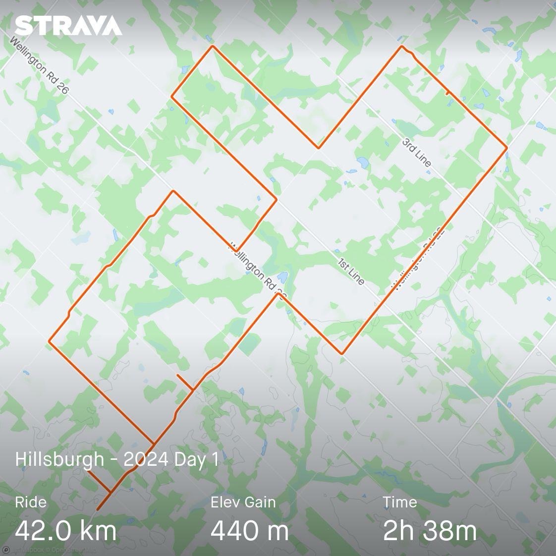
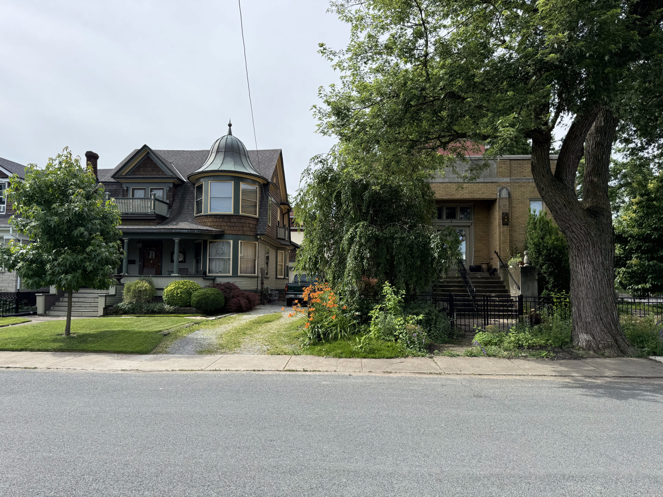
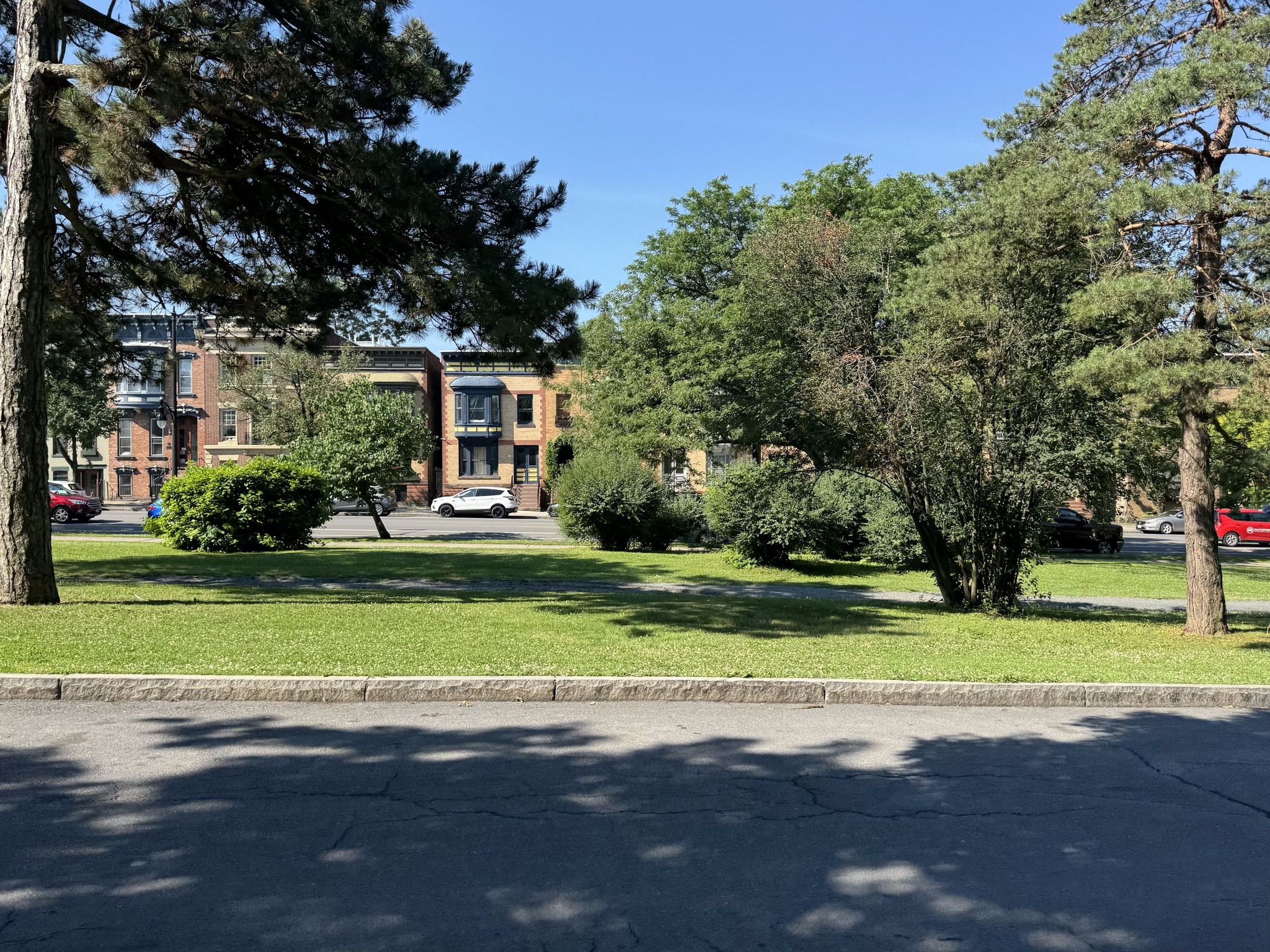
We managed to leave the house about 9:10 this morning, and drove to an area, north of which Cindy and I had cycled last year, when we stayed in Hillsburgh.
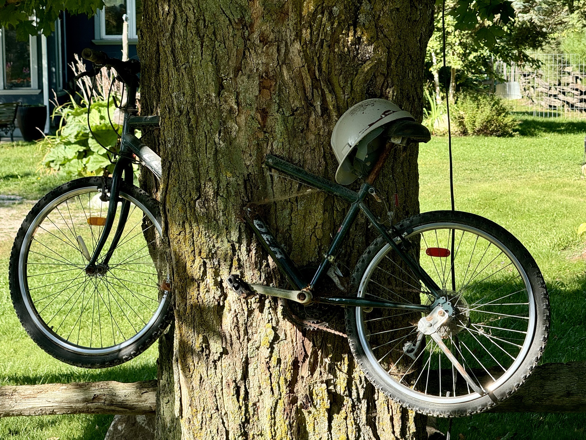
This bike was cut and mounted to make it seem like the tree had engulfed it.
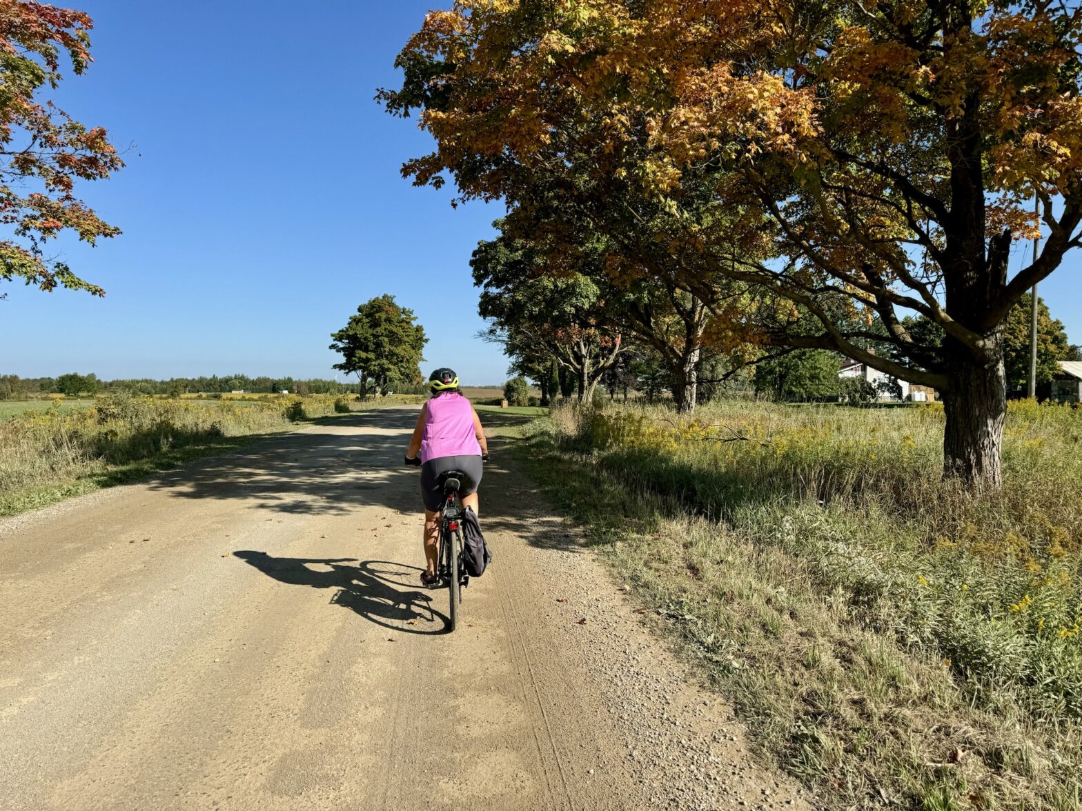
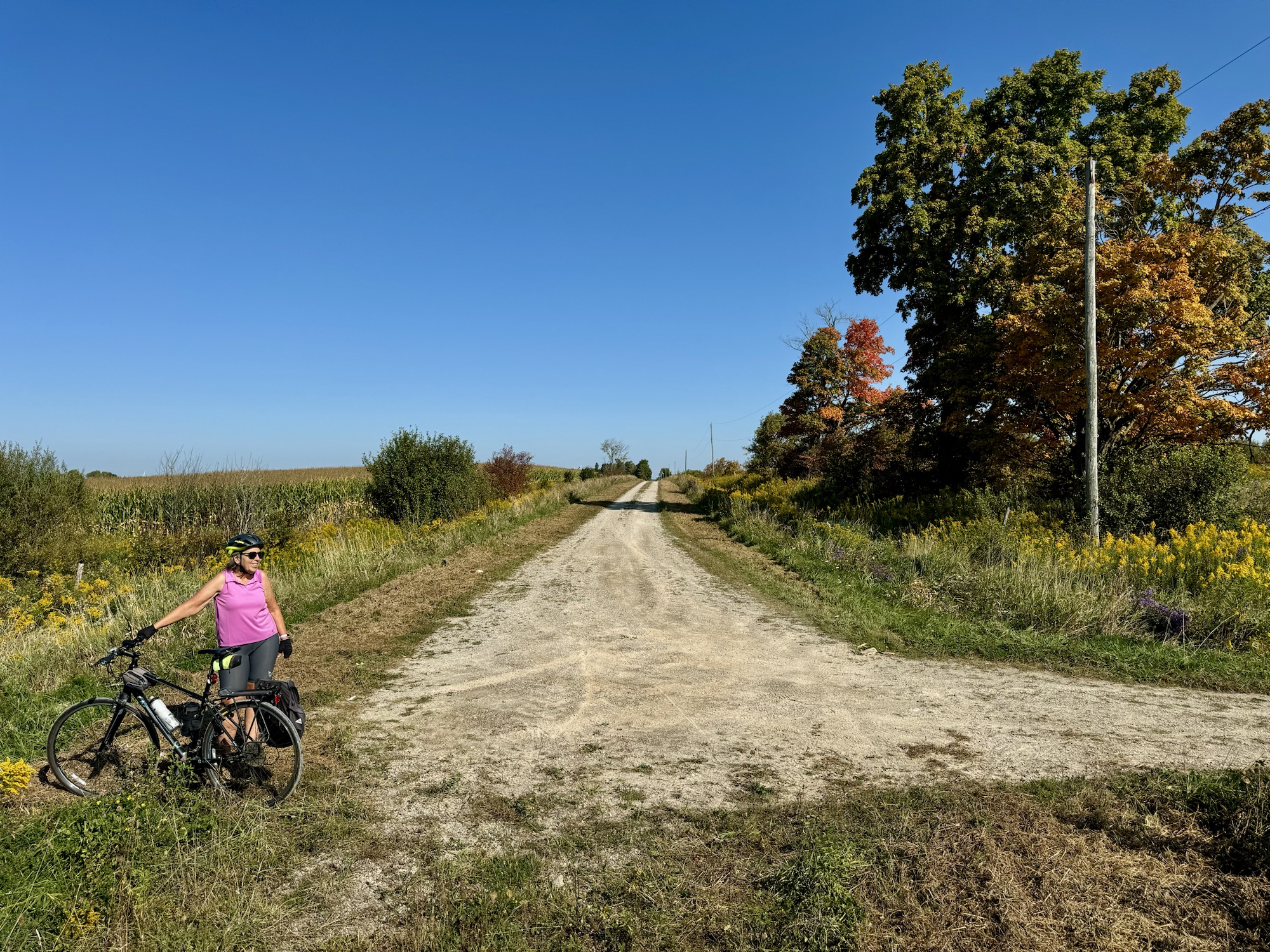
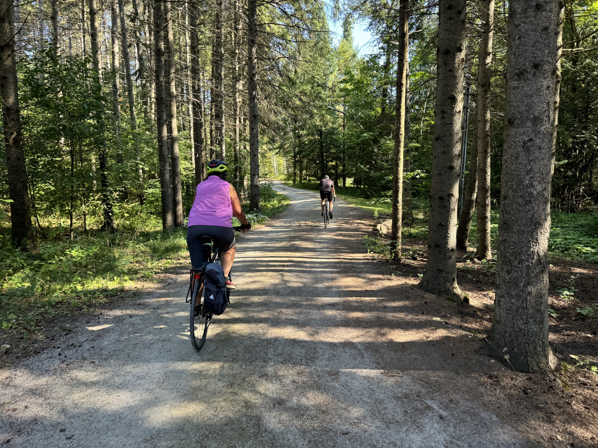
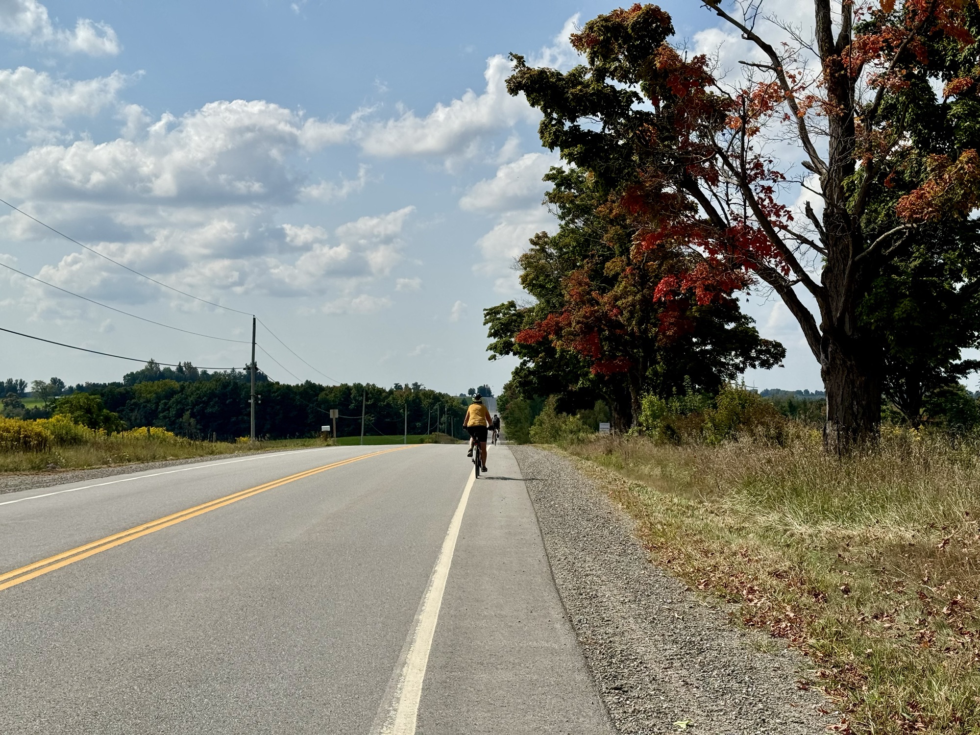
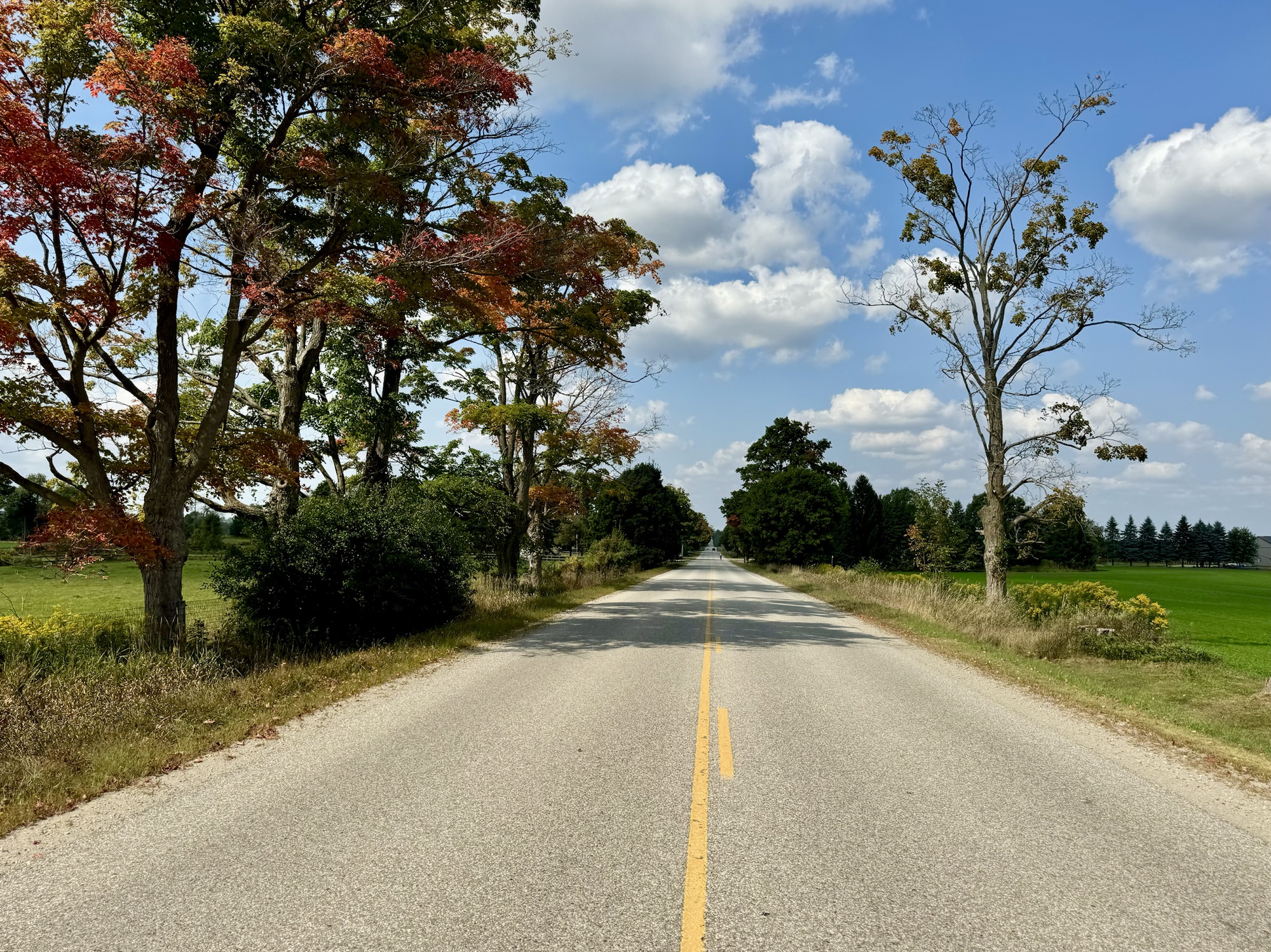
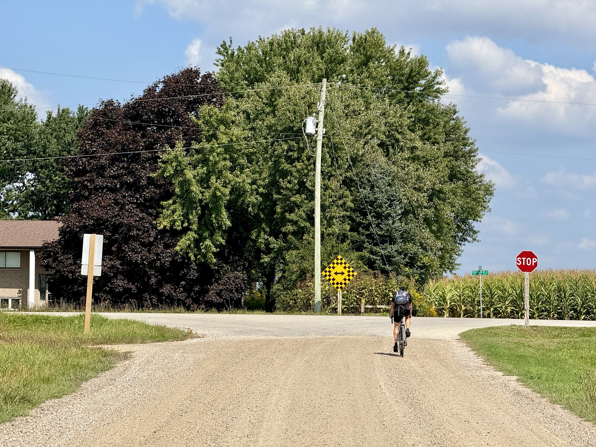
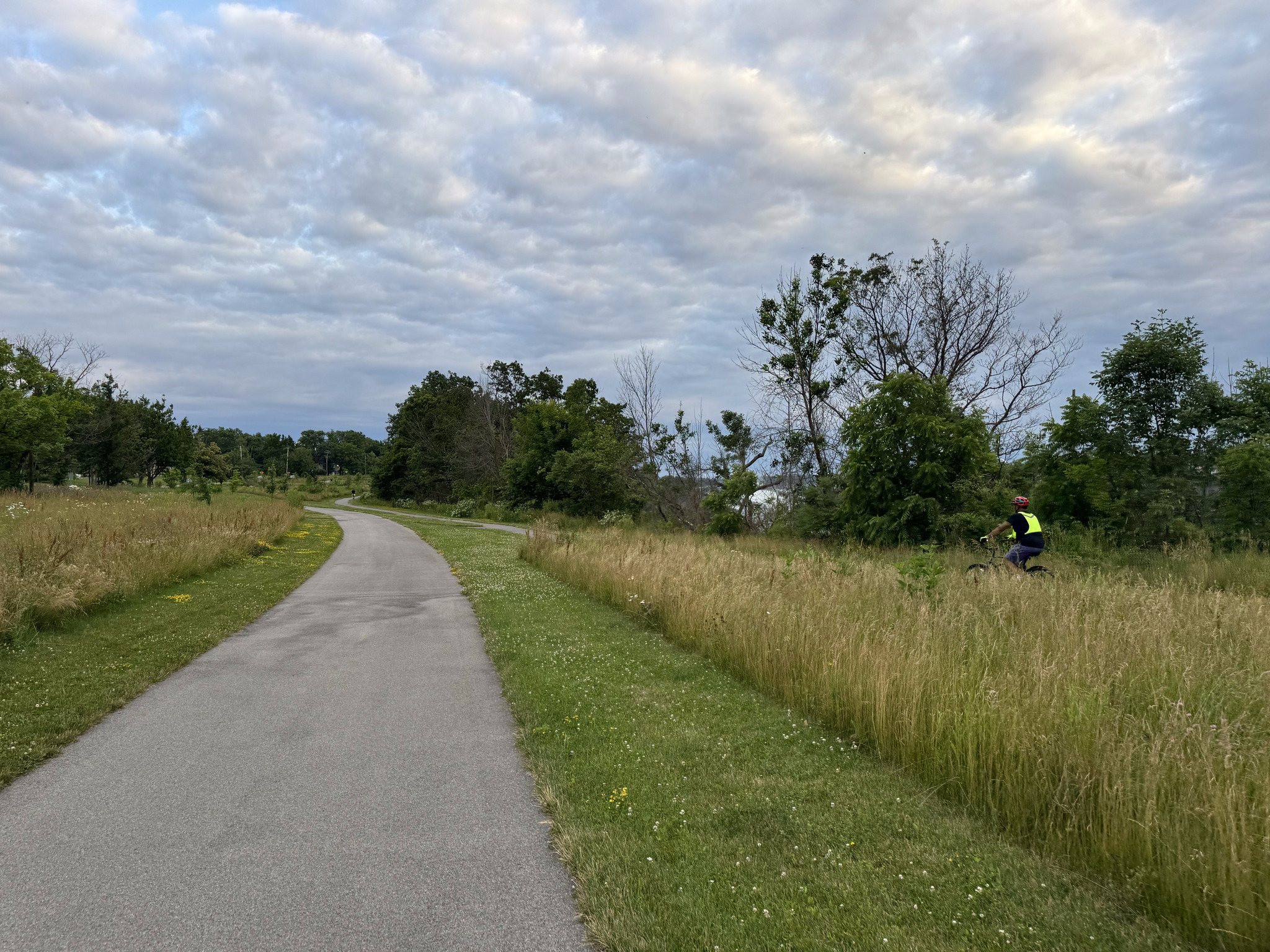
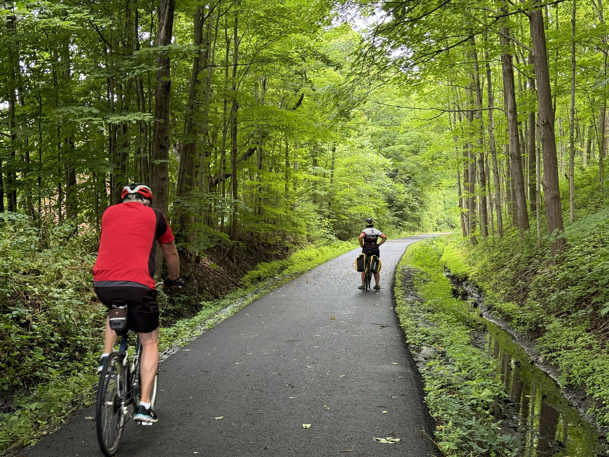
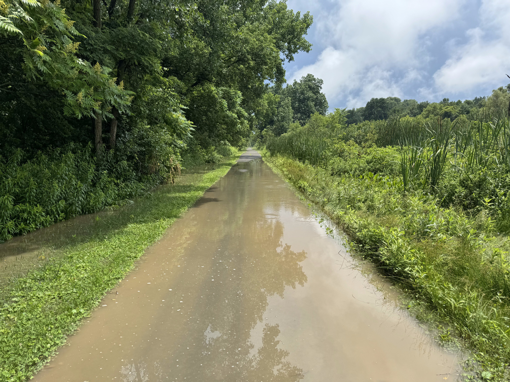
It was another ride with lots of gravel, but mostly we could find a line where the gravel was somewhat pushed to the side.
There’s a lot of golden rod around, which makes for colourful scenes.
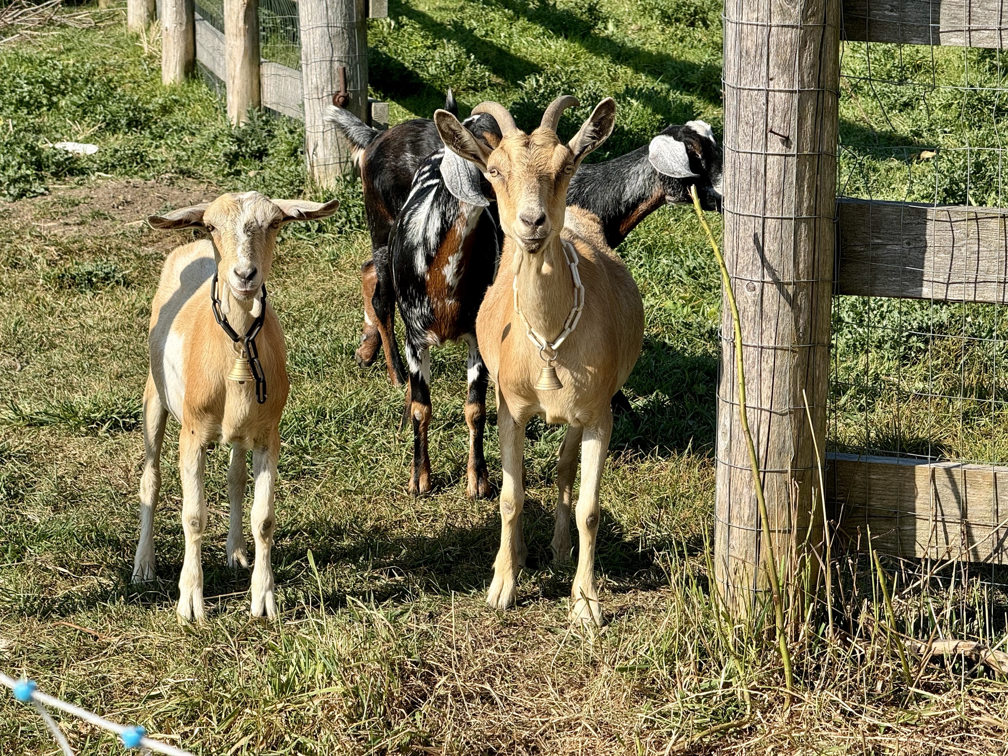
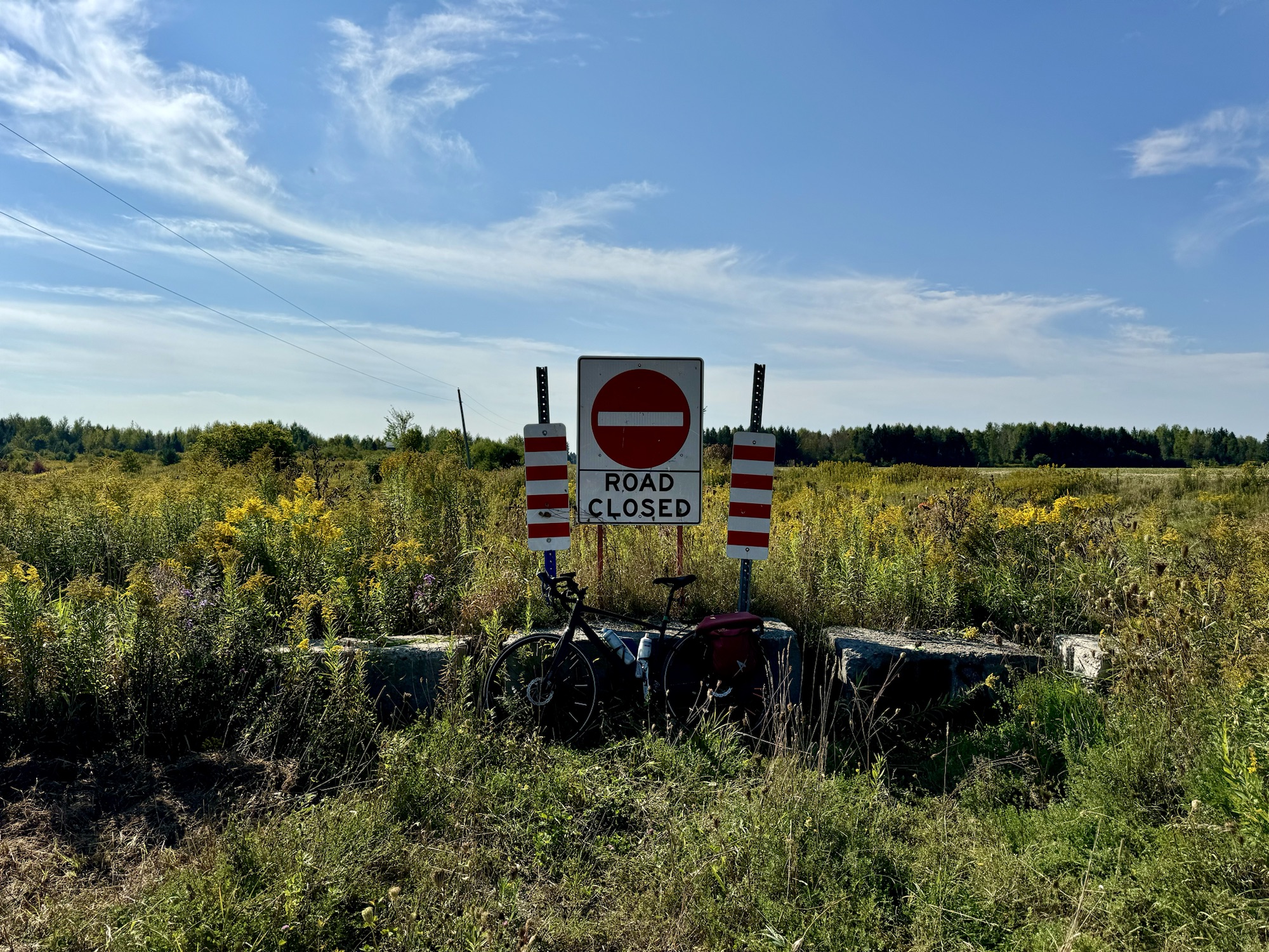
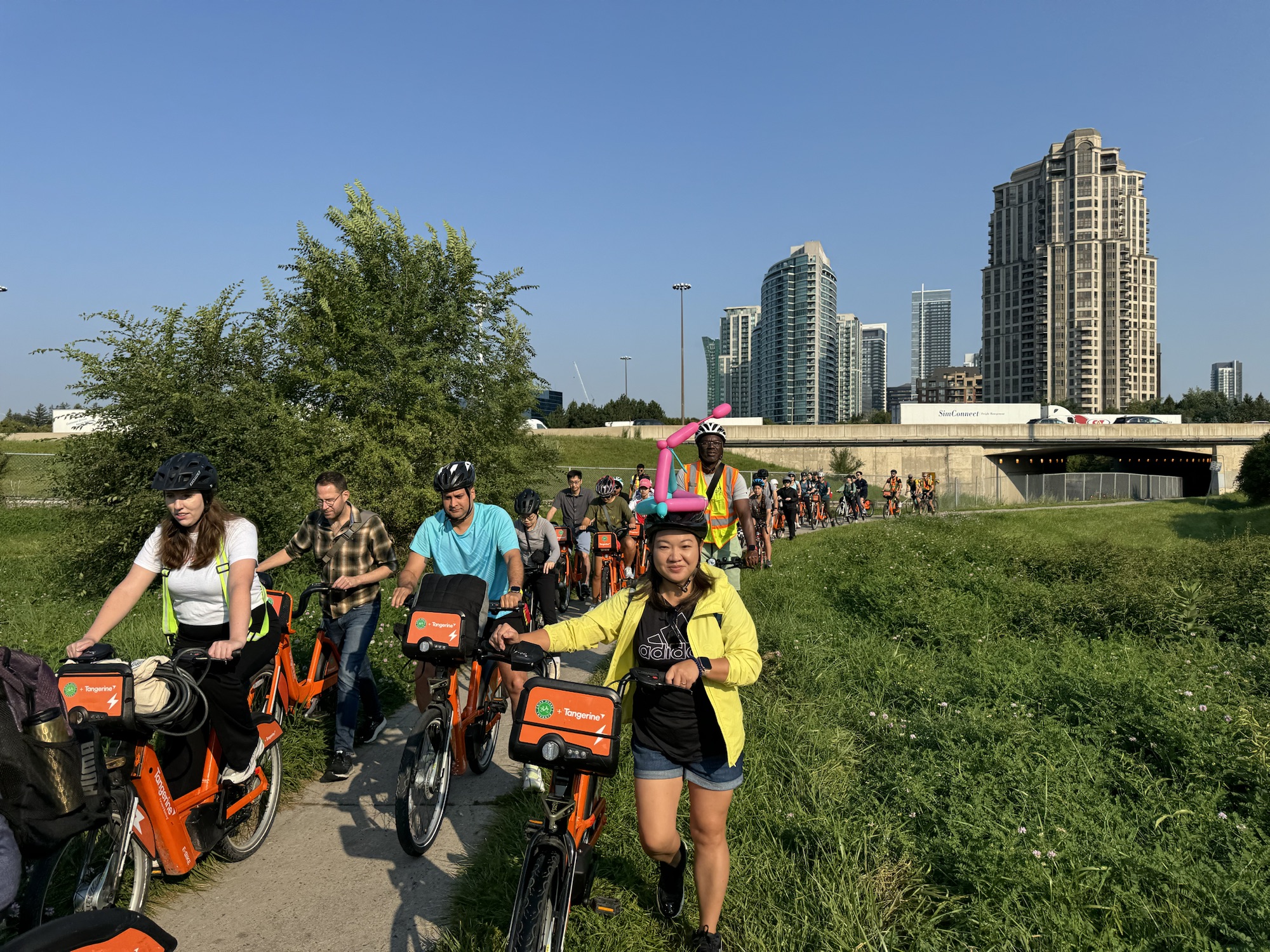
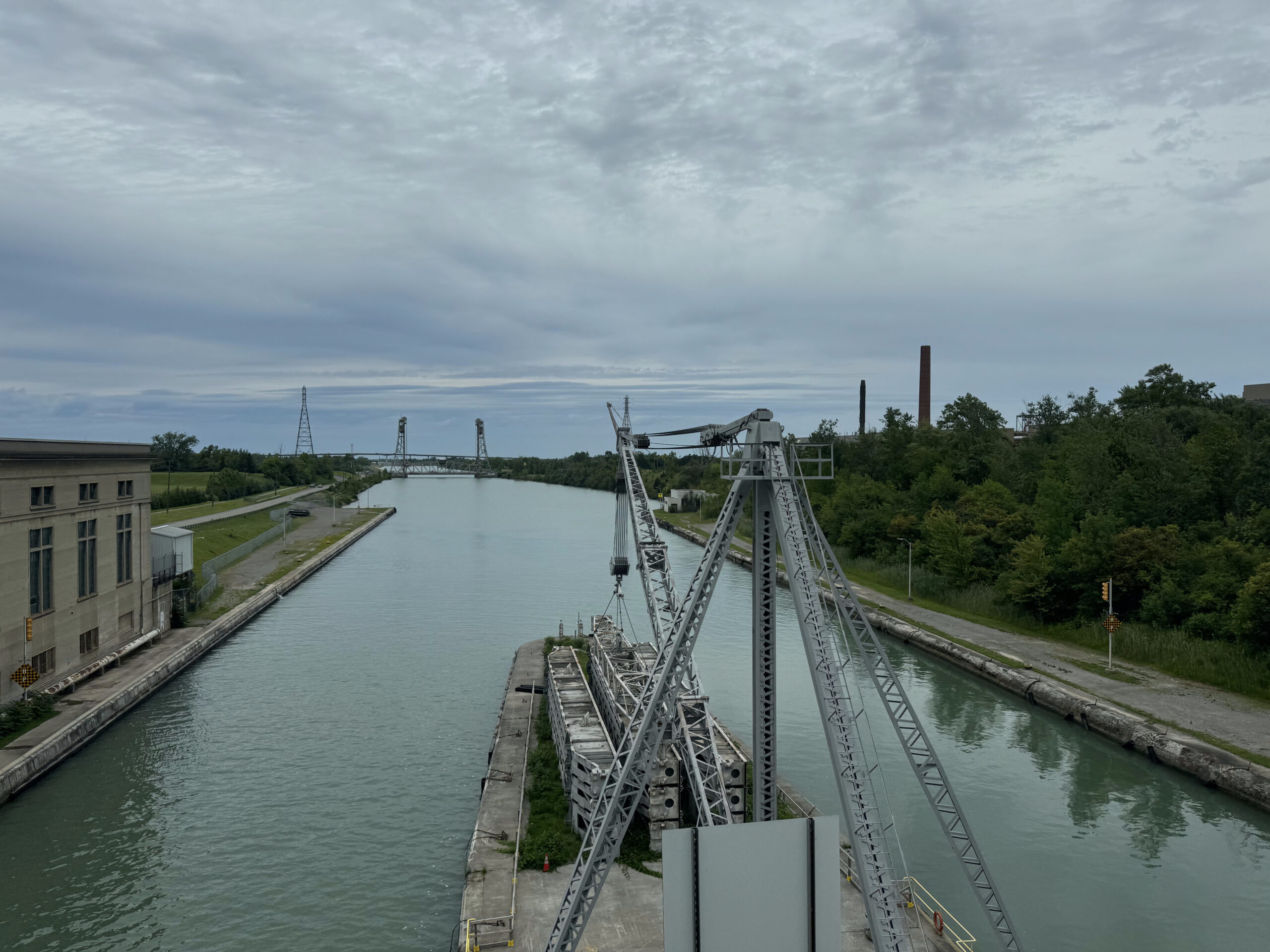
We passed these guys, wearing bells that sounded like bike bells, on a very narrow road that led to bridge abutments with no bridge deck, prior to where we had planned to turn around, so we were unable to collect the tile from this side, and needed to amend our route later on to collect it from the other side.
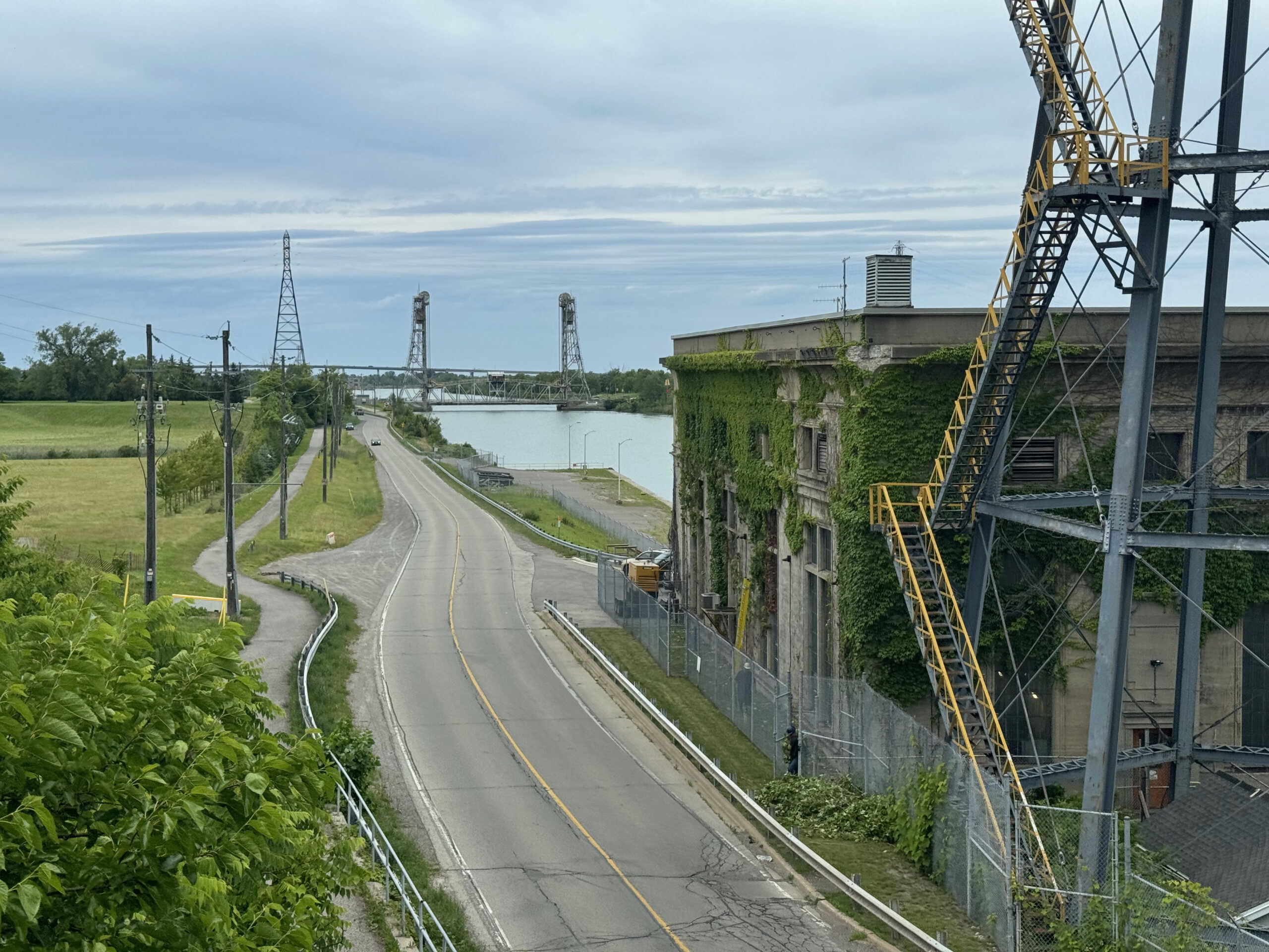
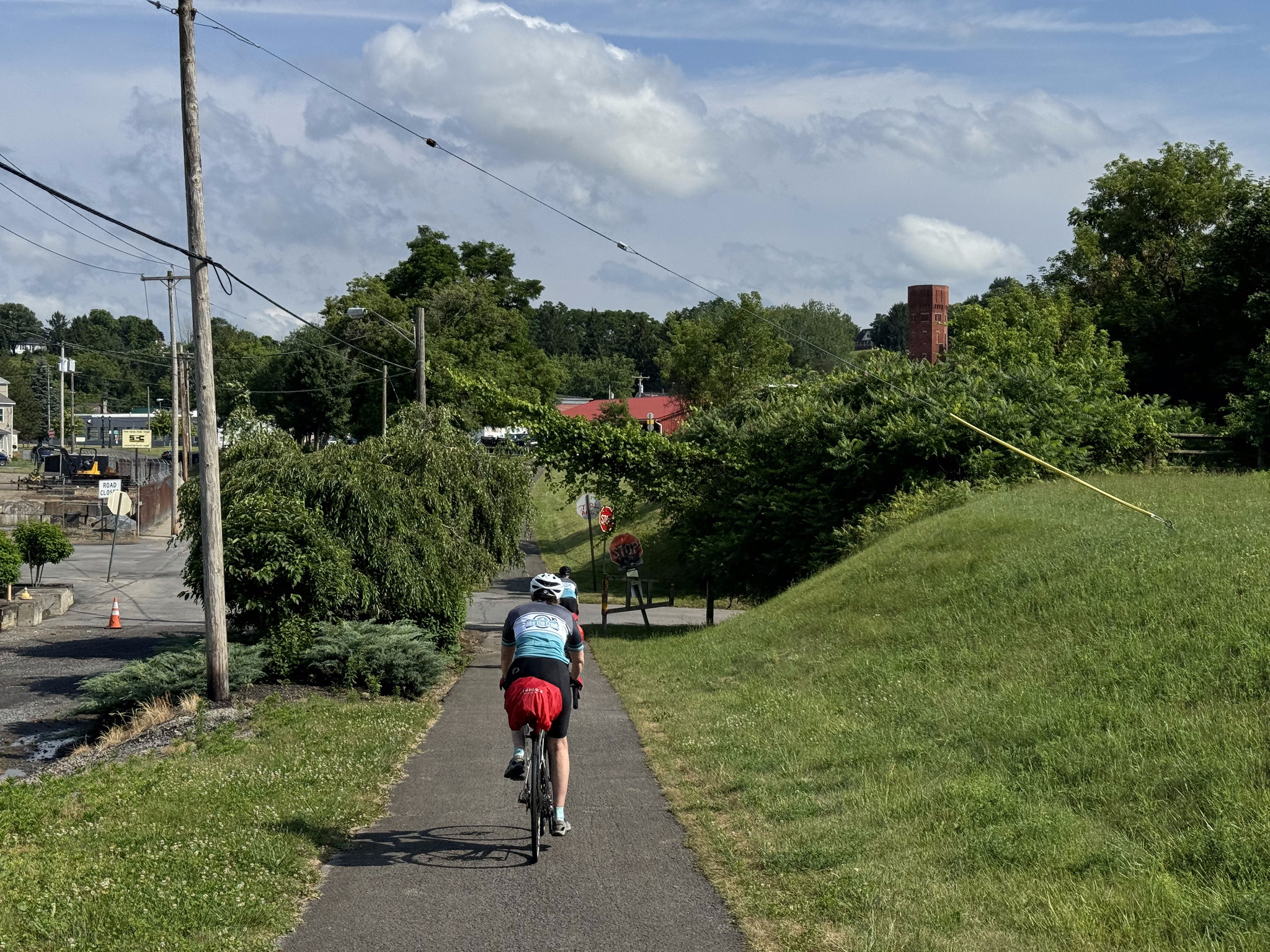
Cindy is ready to head out from the closed bridge. We have encountered quite a few closed bridges in the area.
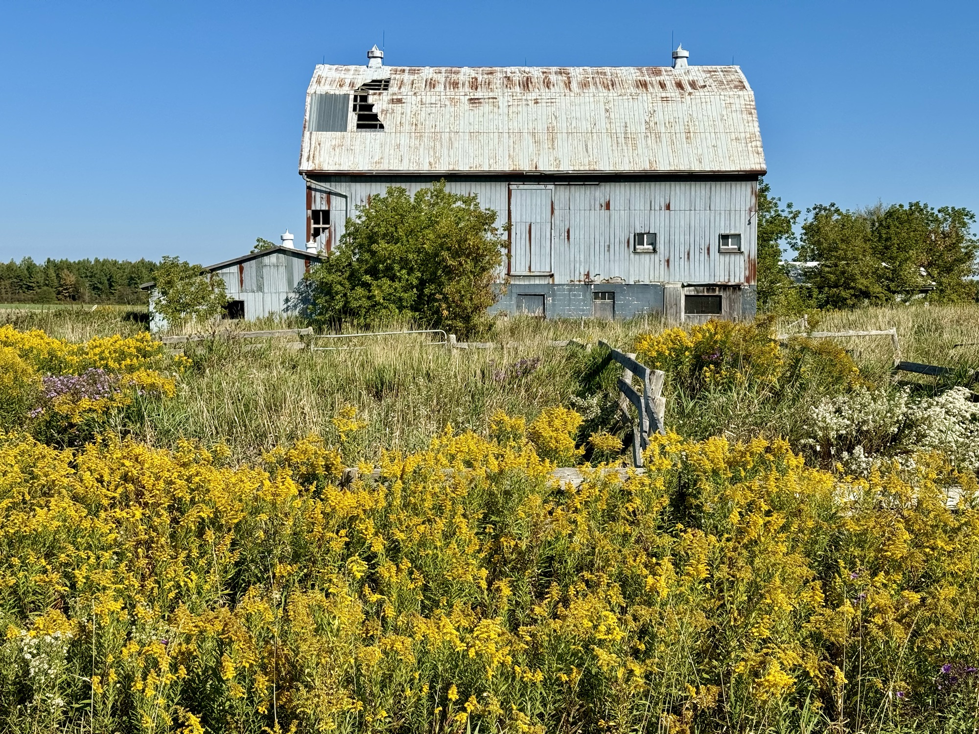
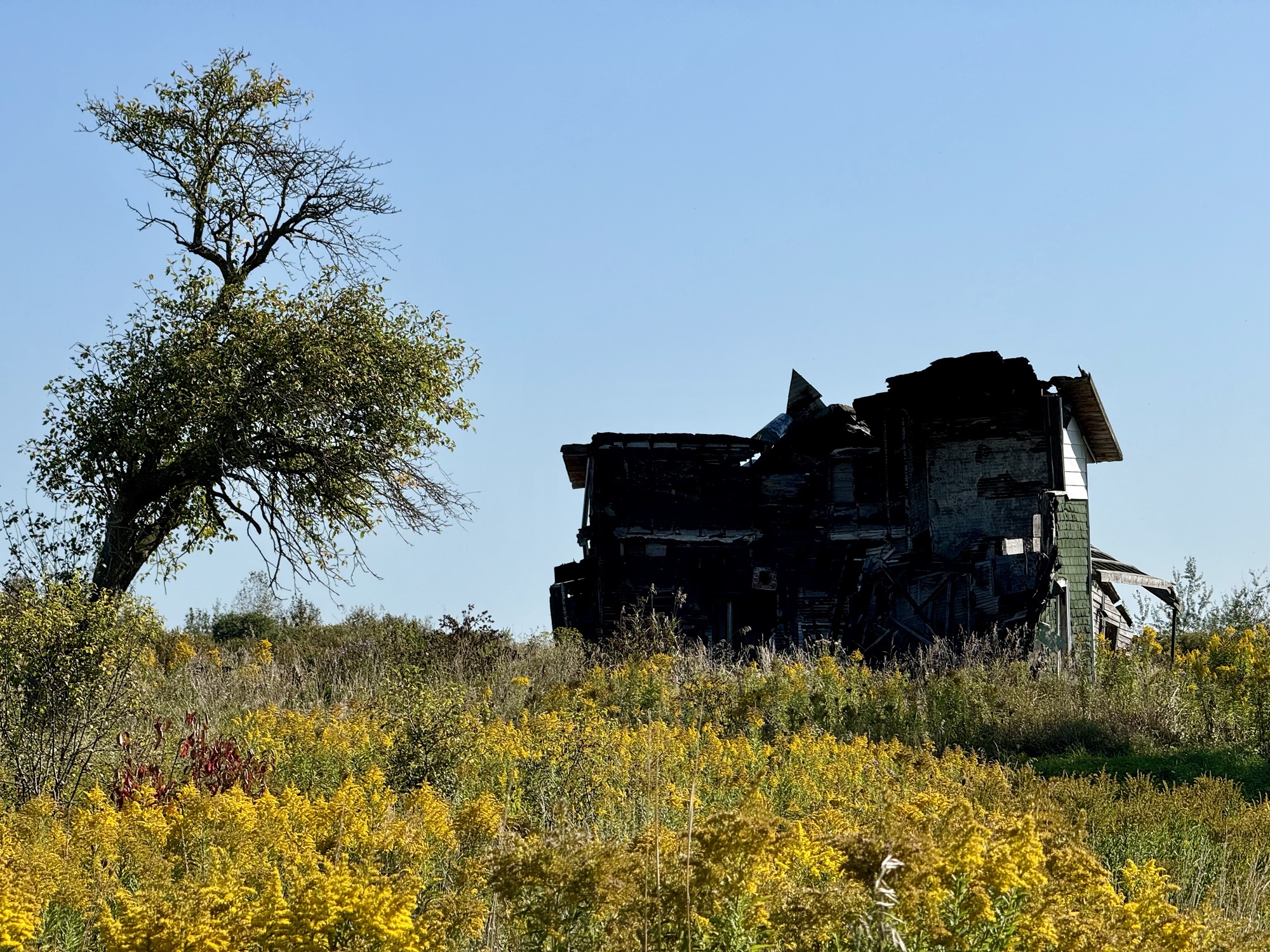
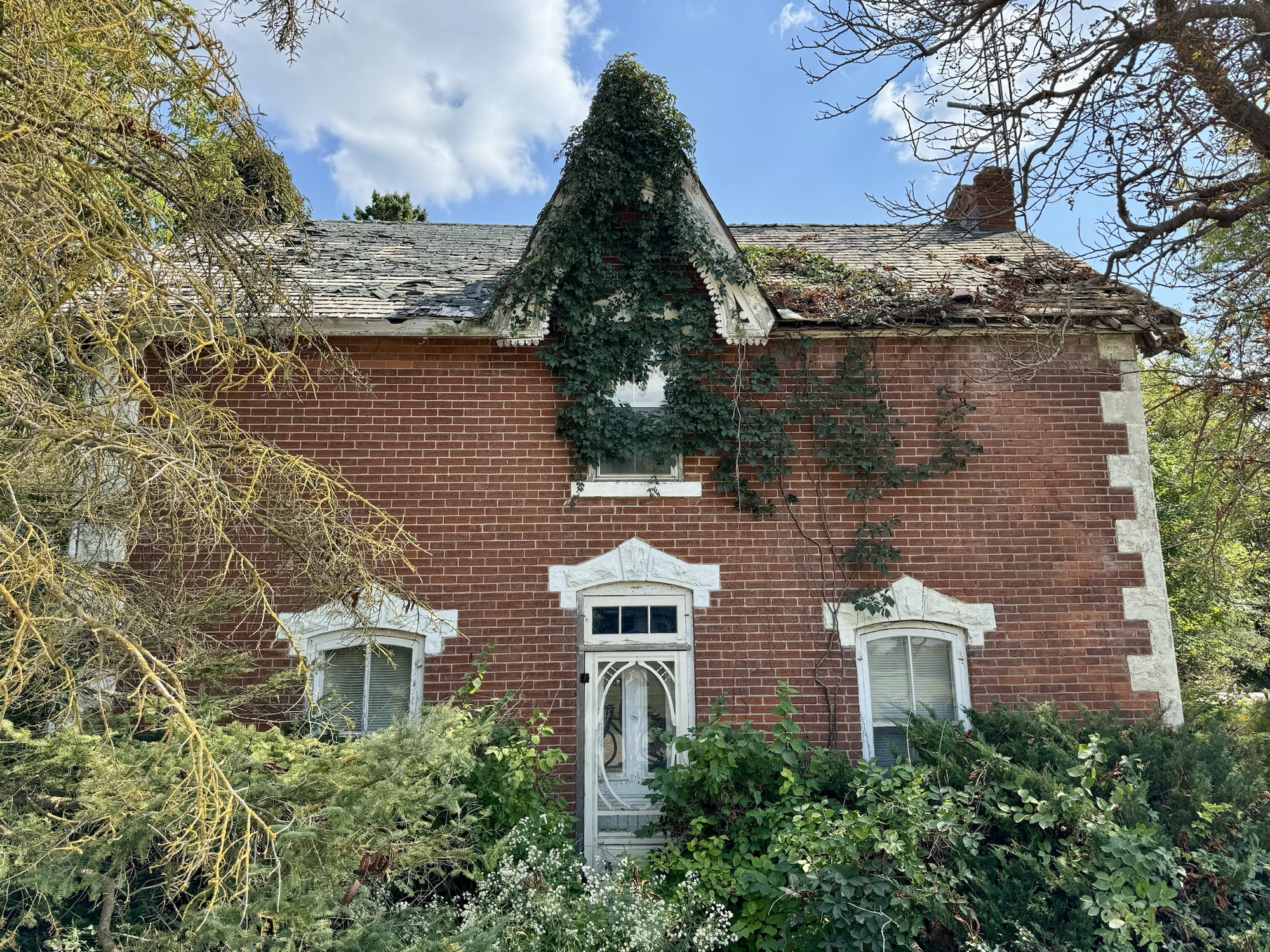
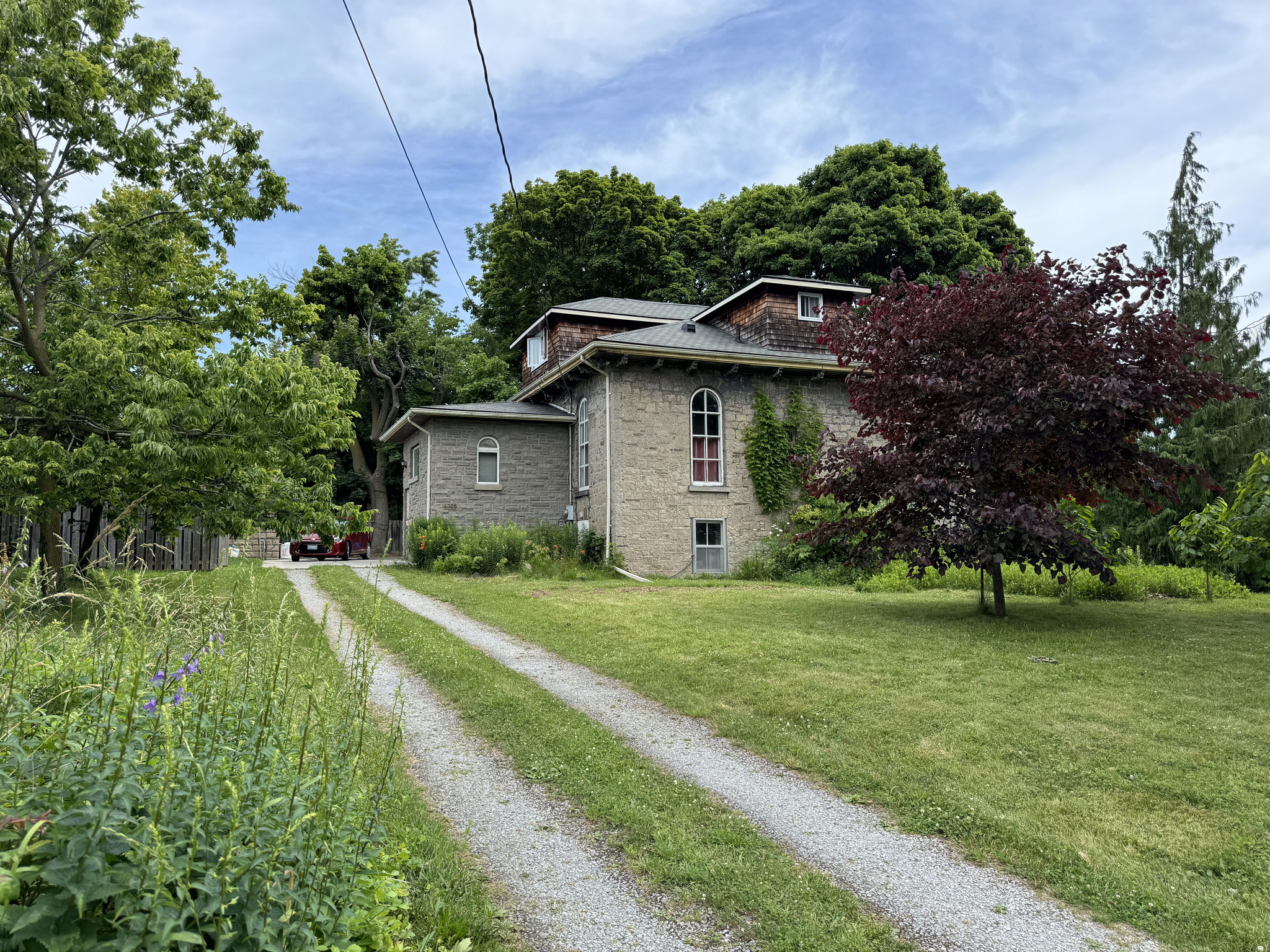
This abandoned house was nearby.
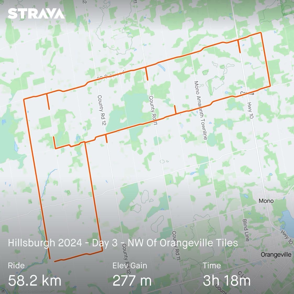
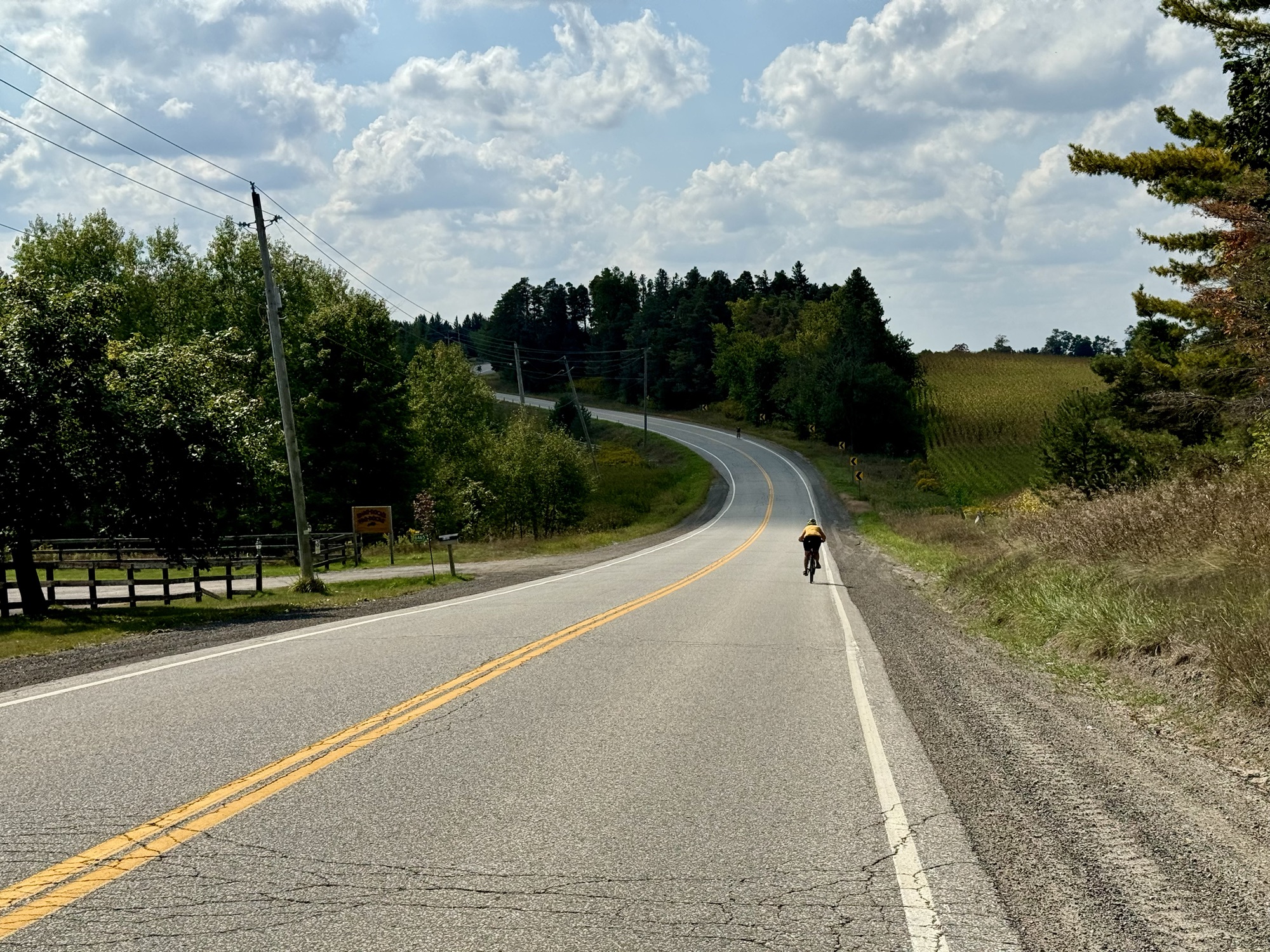
Our ride was 58 km, and with the exception of a kilometre on highway 10, we had very few cars passed us, and were able to travelling kilometres at a time with without encountering any motor vehicles.
Even on the paved road, we rarely encountered cars.
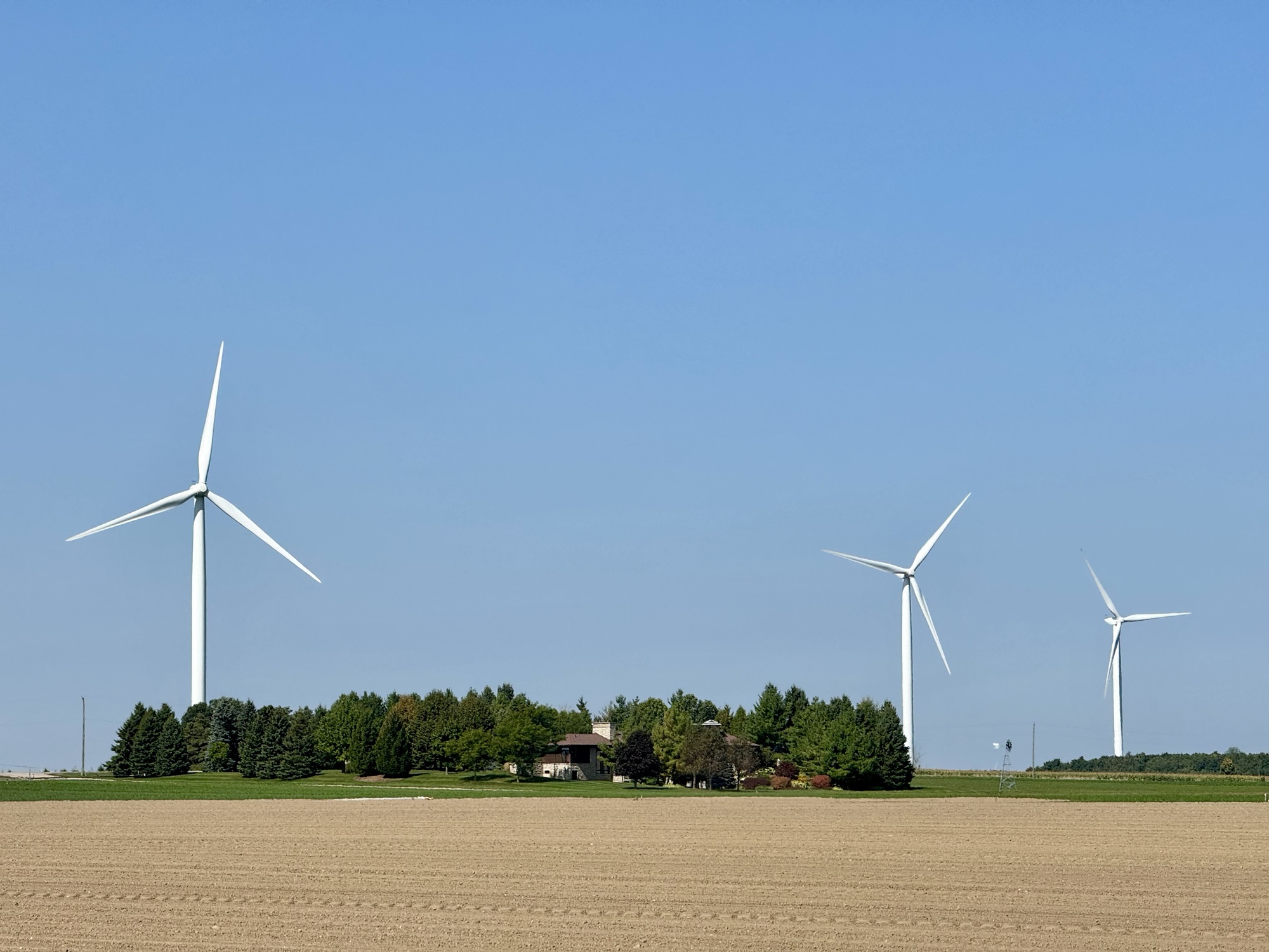
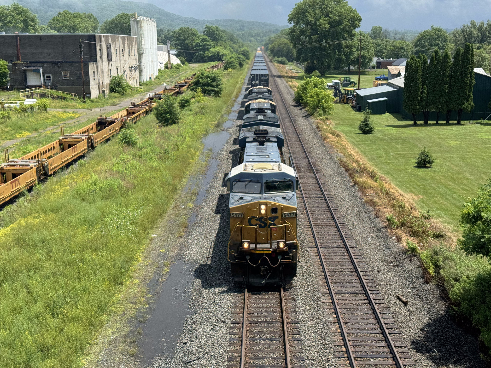
Once you get north of Highway 9 the land is quite flat, and we encountered very few hills on the ride, and quite a few wind turbines.
Cindy and Barry are waiting patiently for me to take a picture of the turbines.
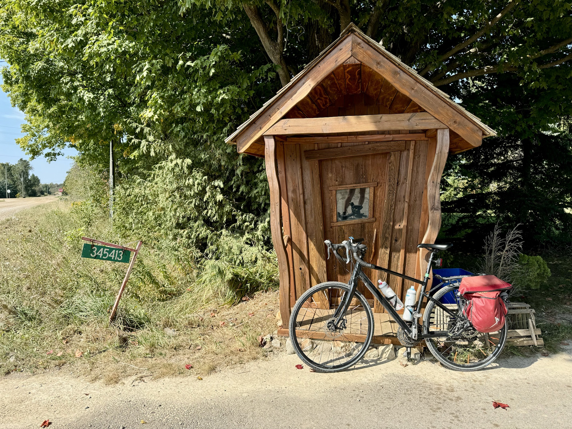
We passed a couple autumn displays. And this crooked little shed outside of woodworking business.
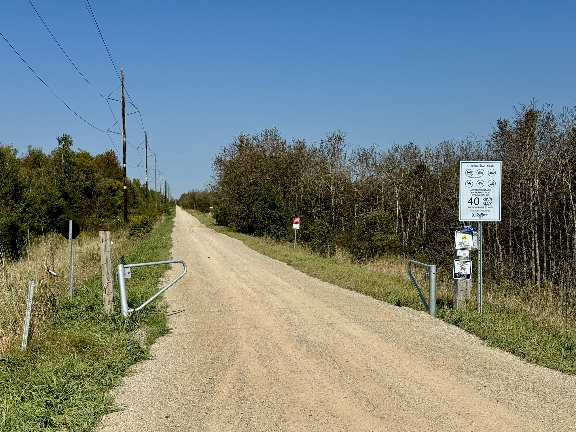
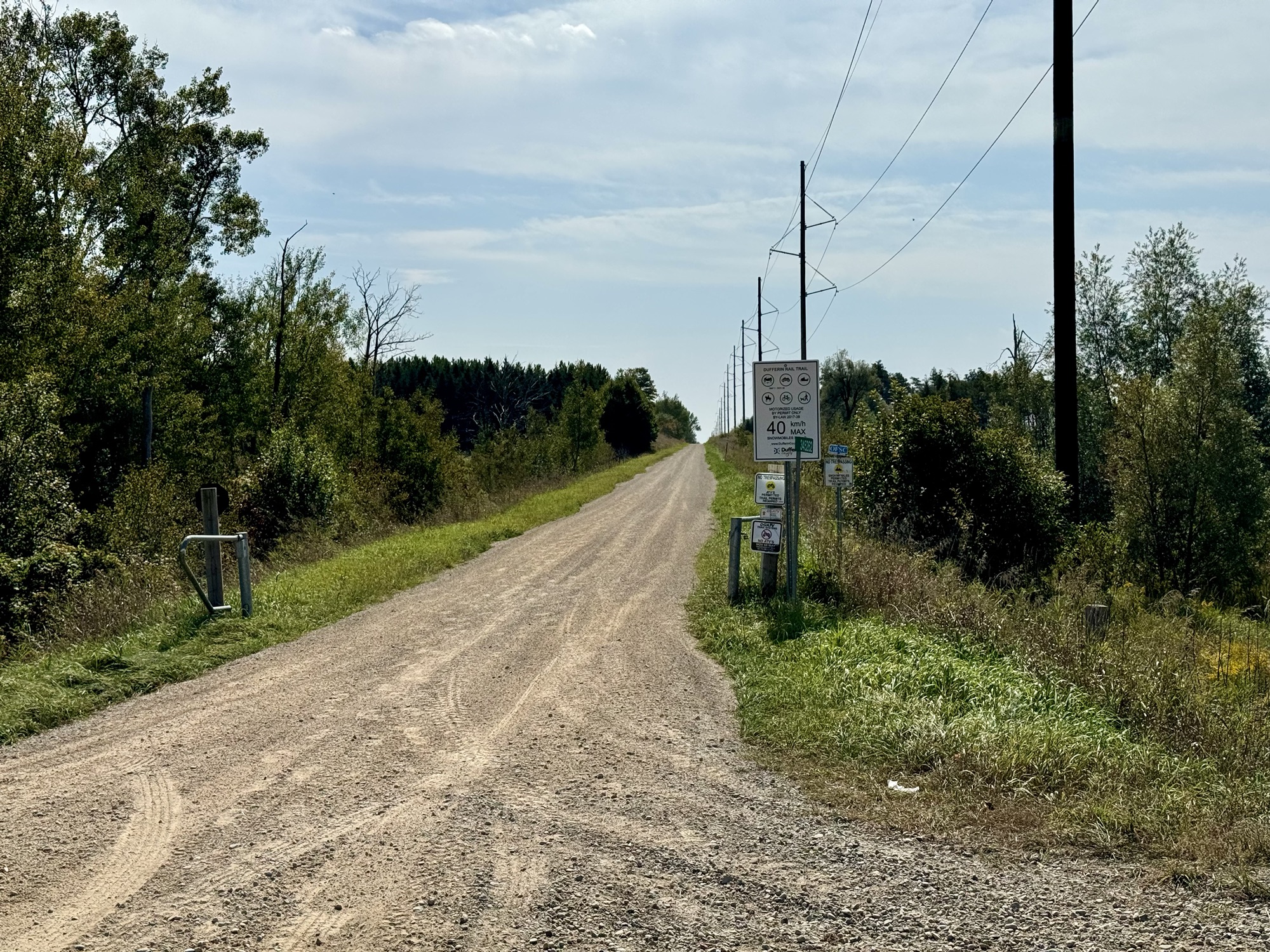
We passed by the Dufferin Gray ATV Trail, which runs from Orangeville to Chatsworth. Last year Cindy and I saw a section closer to Orangeville, which we absolutely would not be willing to ride, but this section looked alright.
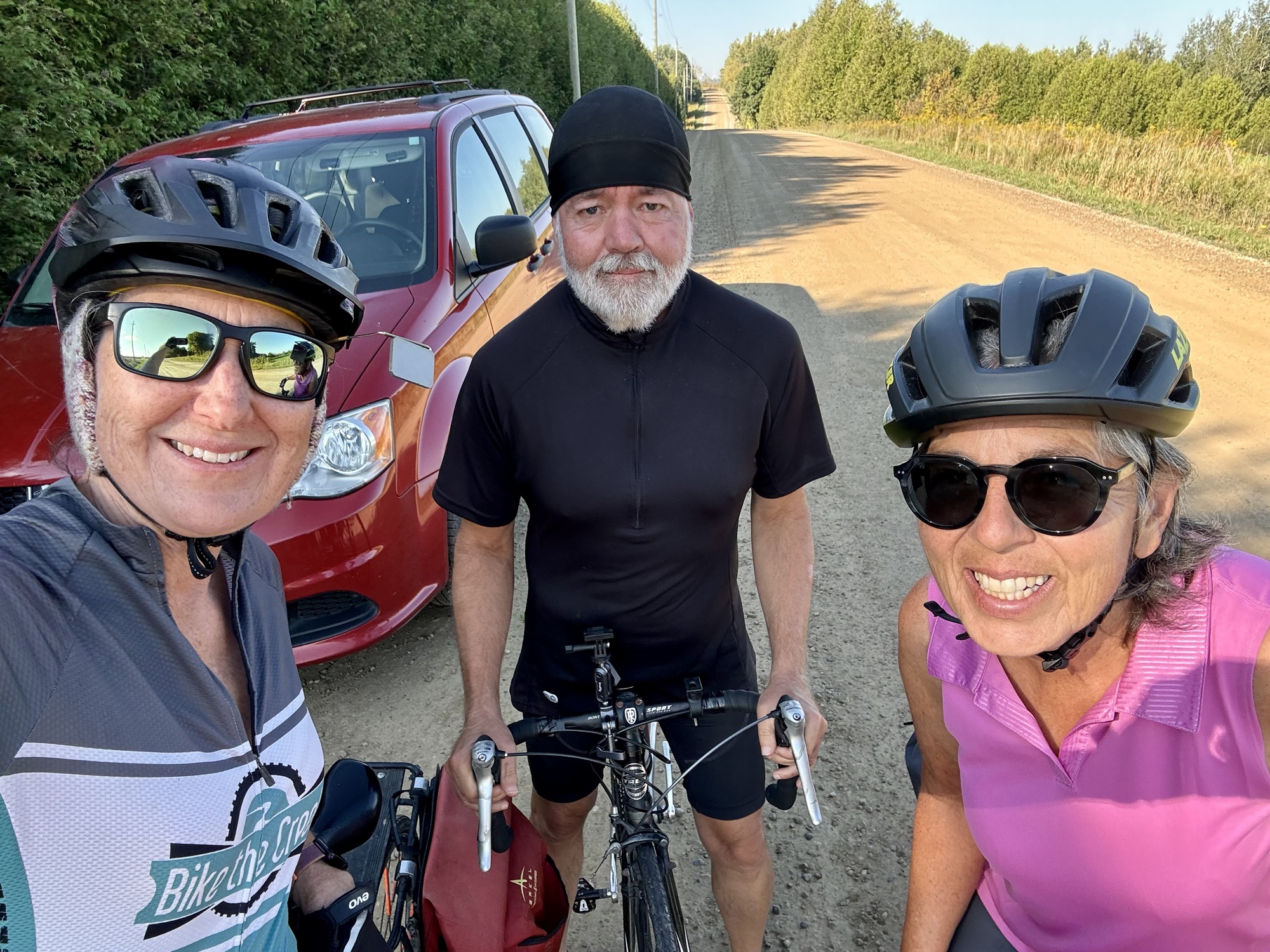
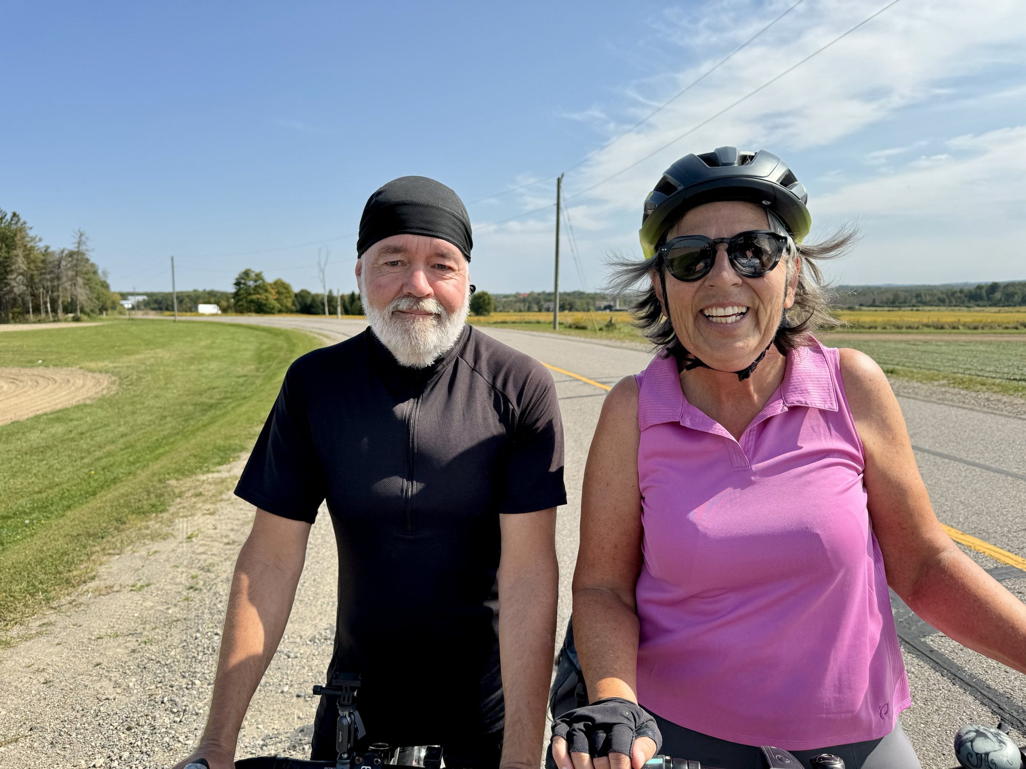
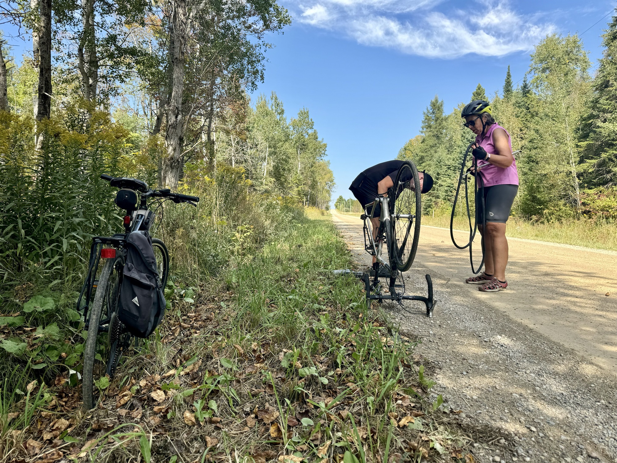
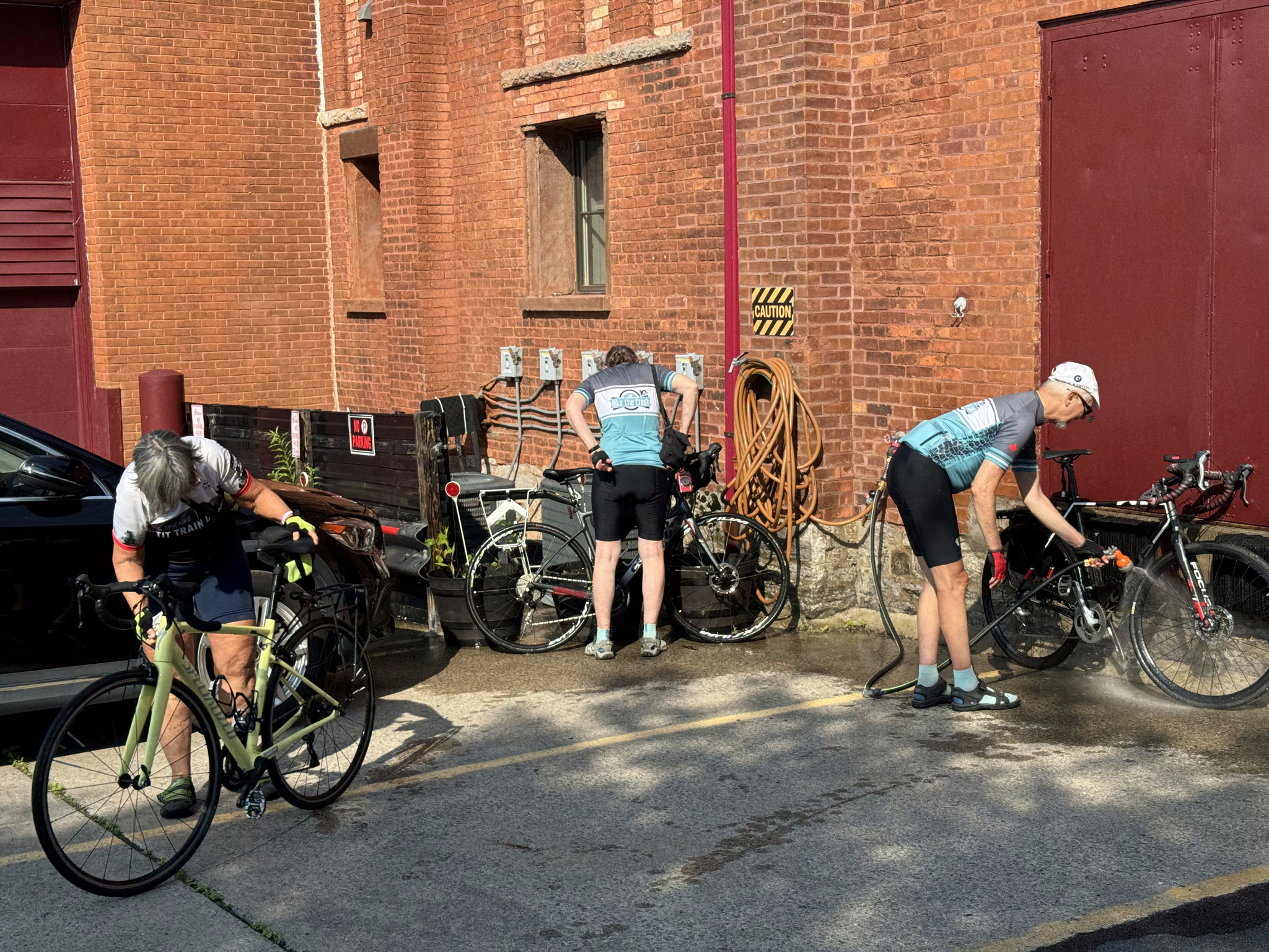
Barry got a slow flat he was able to pump up twice, but which eventually completely flattened, and he had to change the tube.
We had a moment of relief from the gravel on the concrete surface of this bridge.
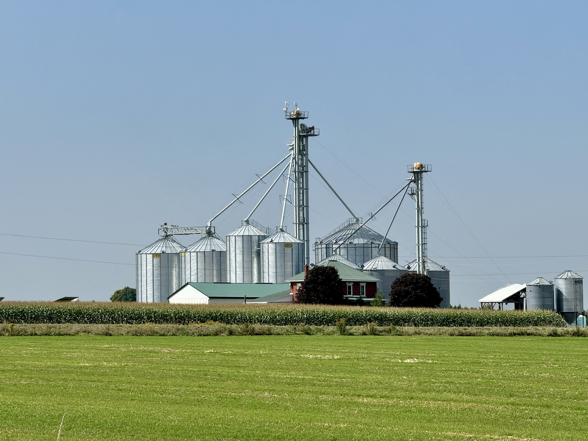
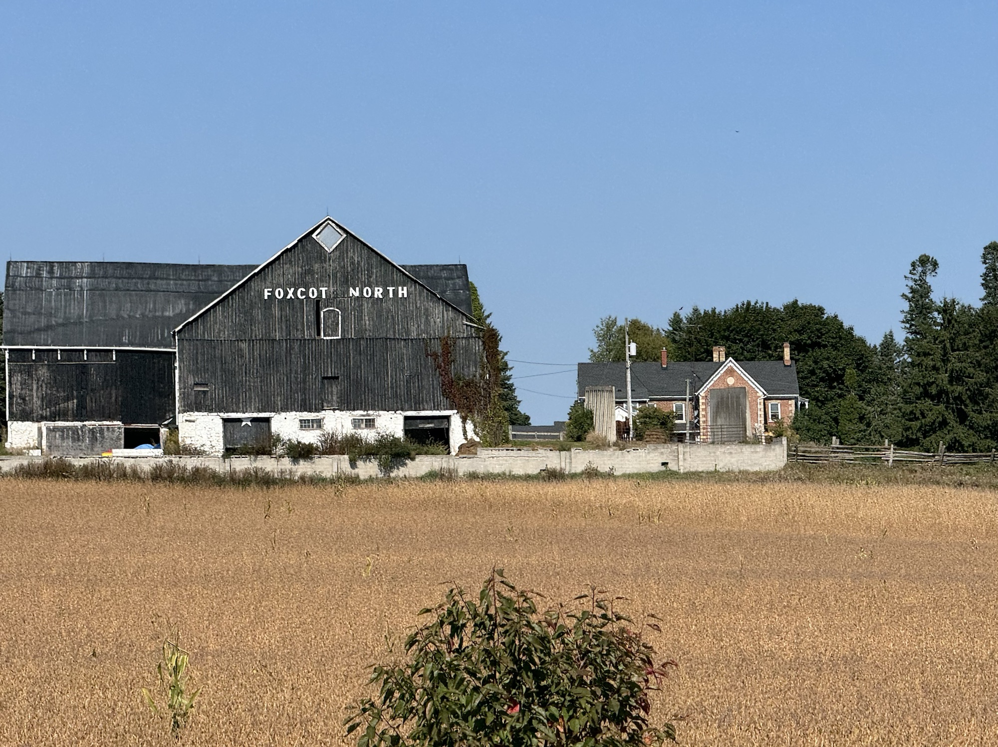
Once again the route was entirely rural with nowhere to stop for food, and the scenery consisting mostly of farms and farm buildings. It’s a pleasant change from suburbia.
We were back at the house for coffee and dinner, finishing up with a relaxing soak in the hot tub.
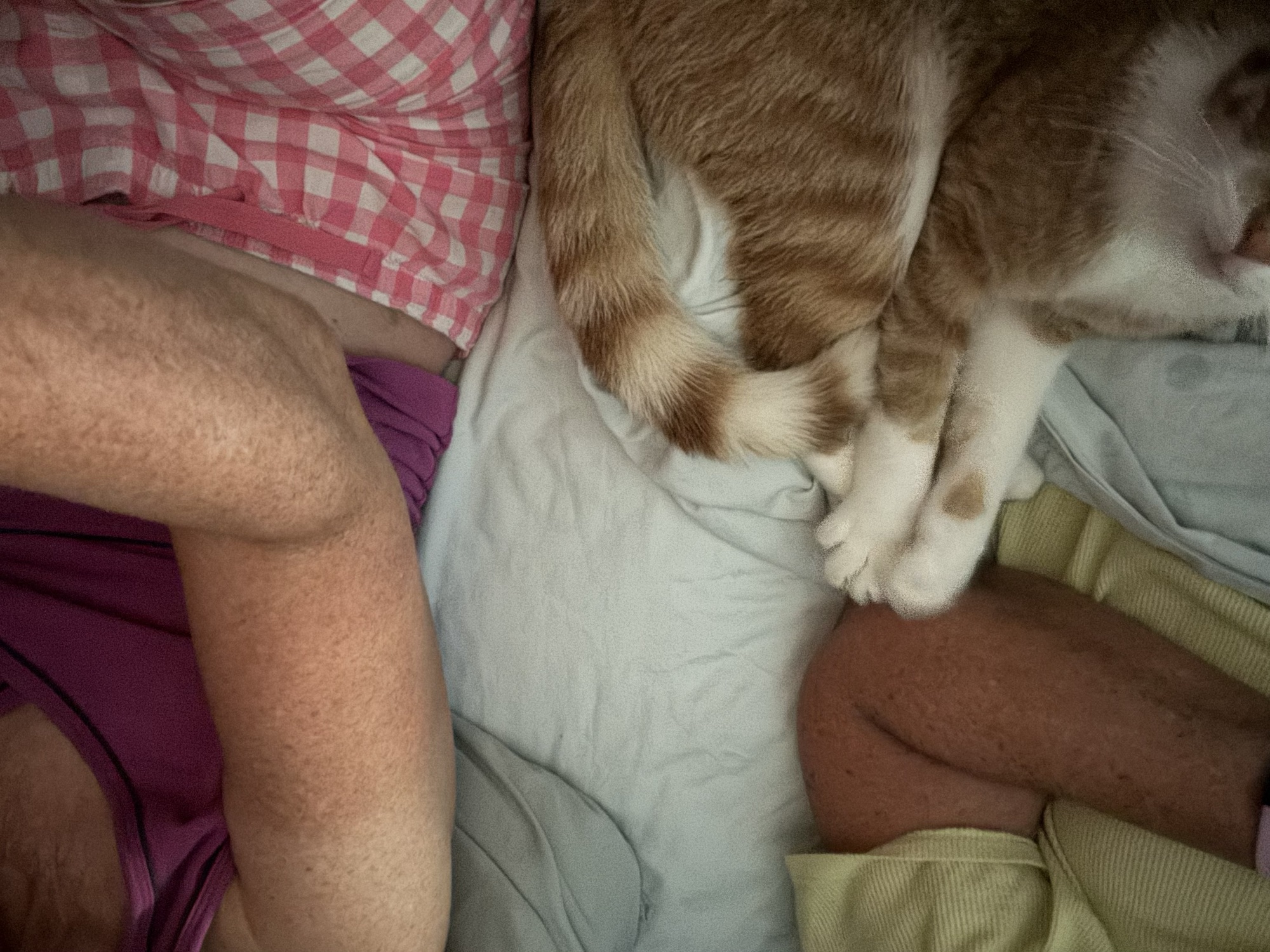
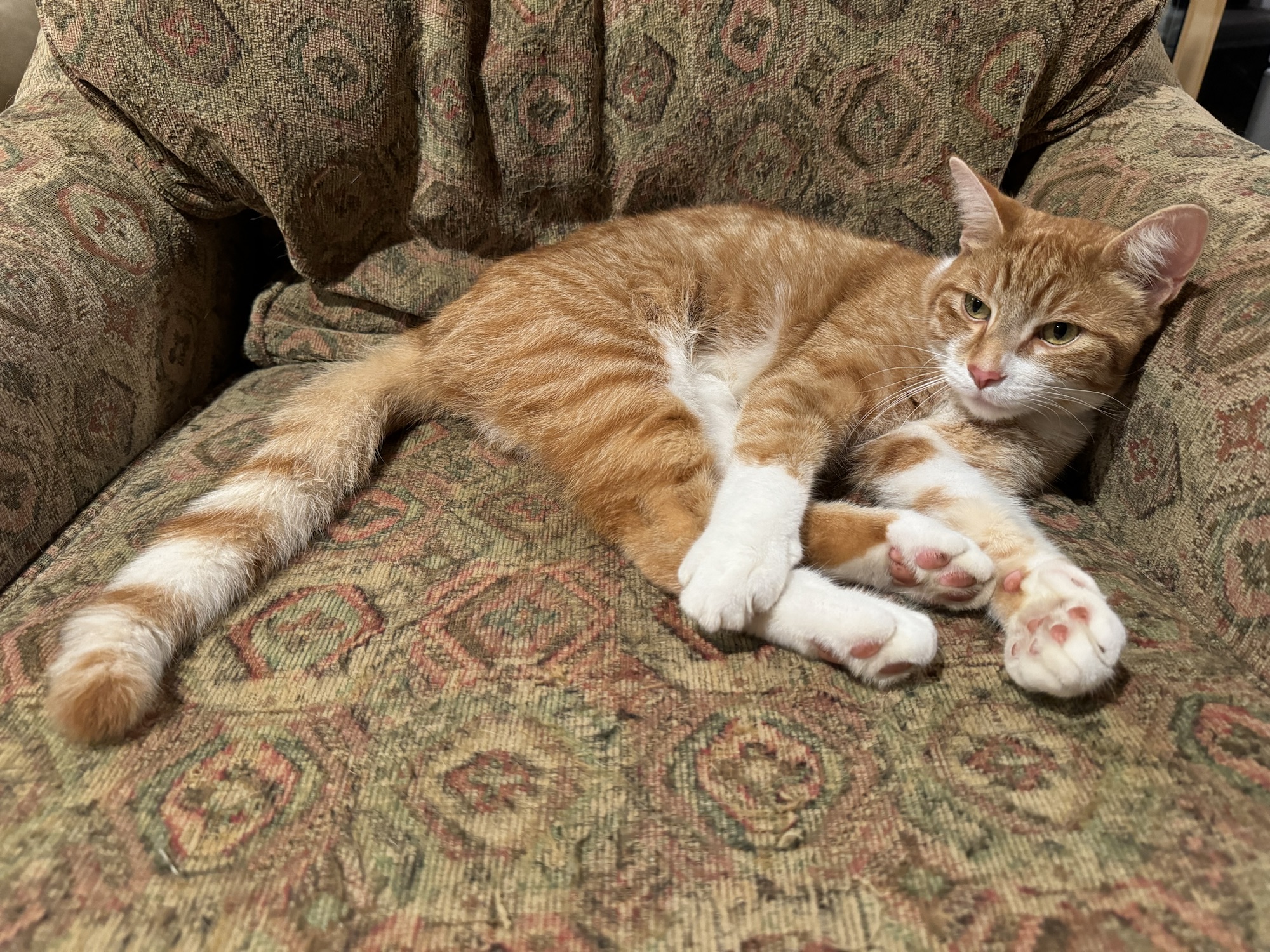
Rusty didn’t come home last night, or all day today, but finally showed up just as we were getting ready for bed, and apparently needed some human company after his long absence.
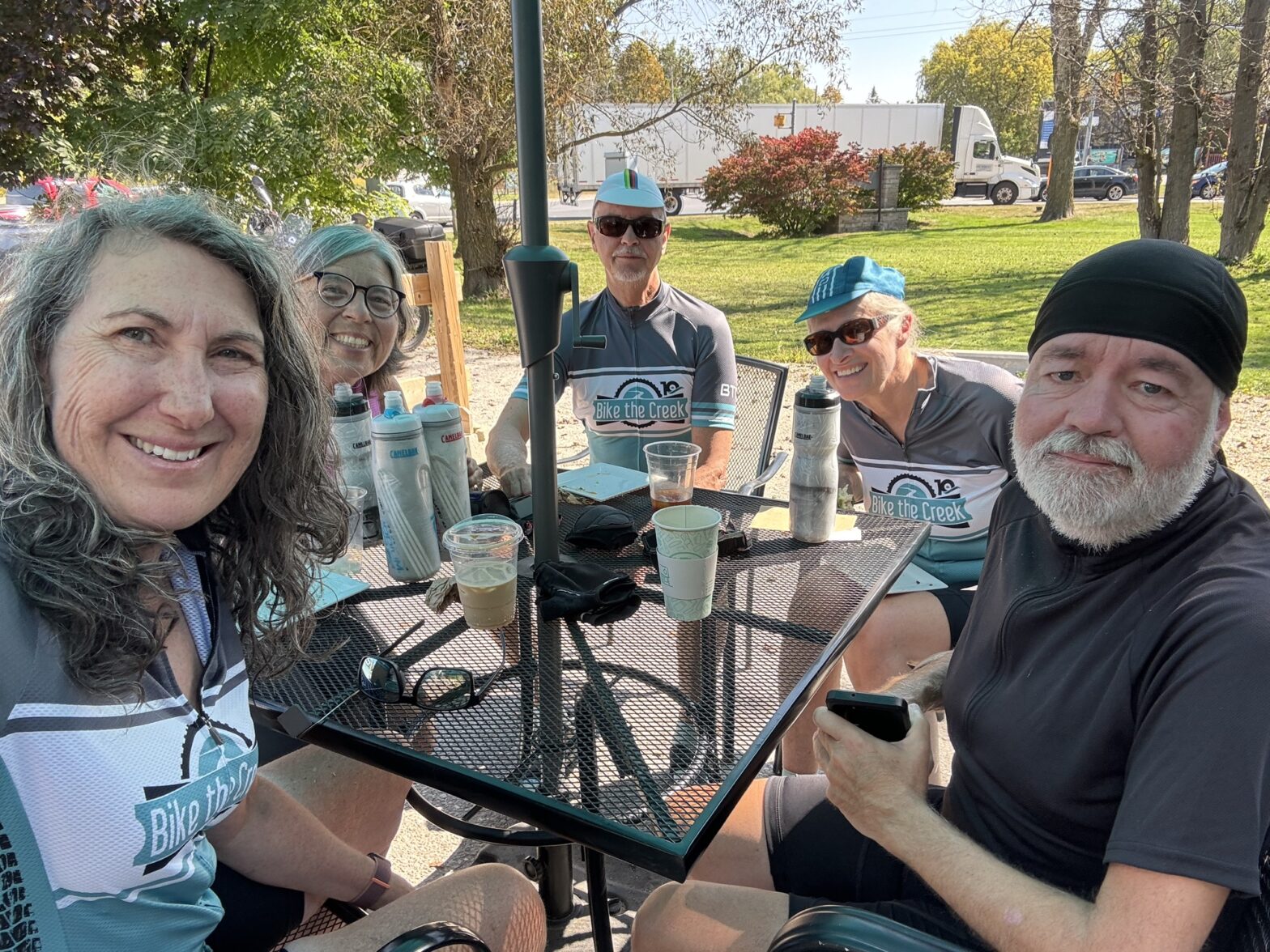
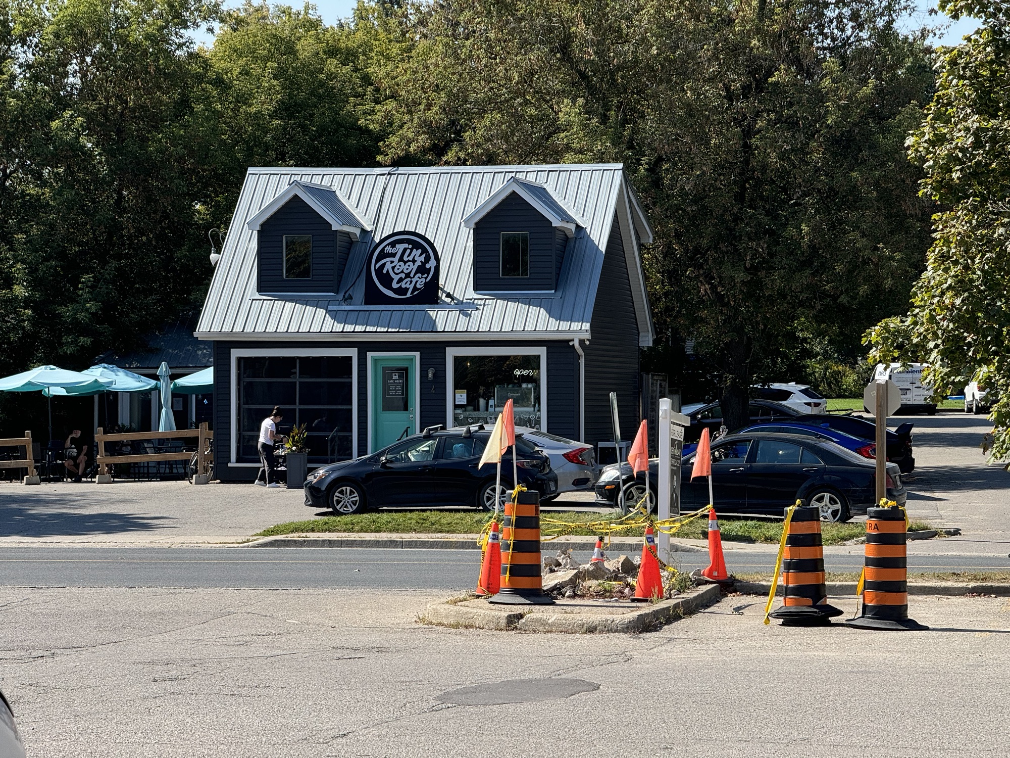
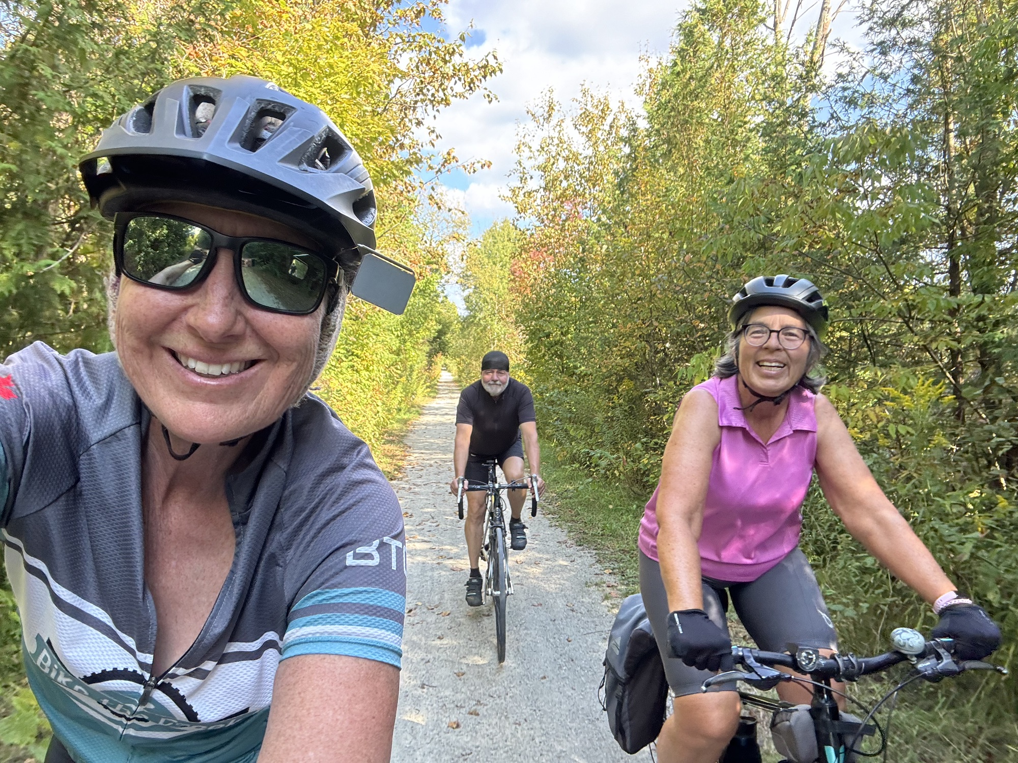
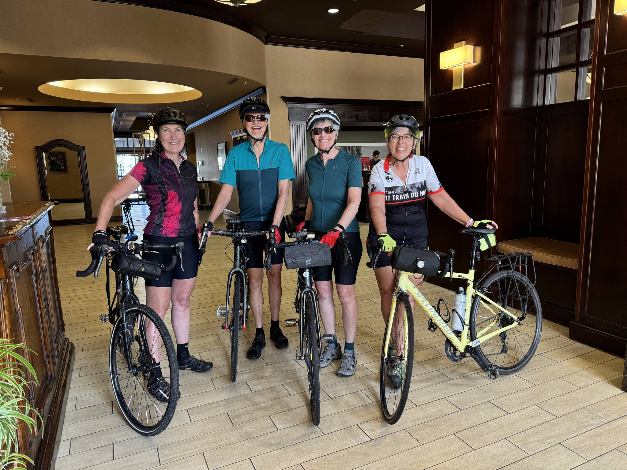
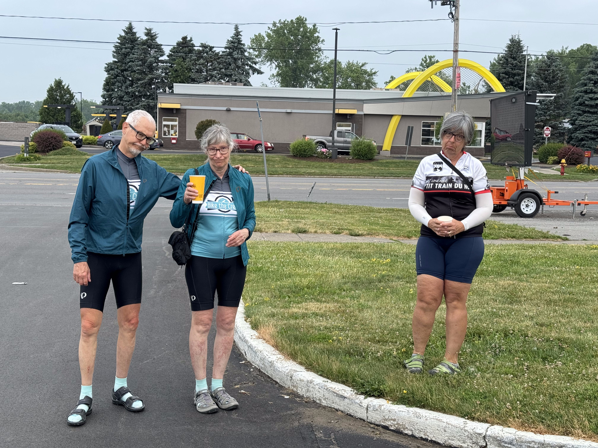
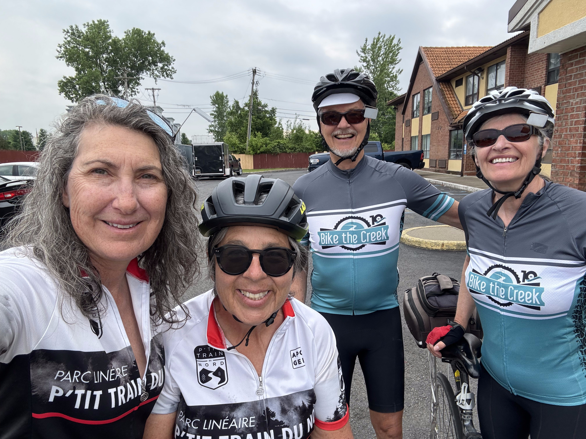
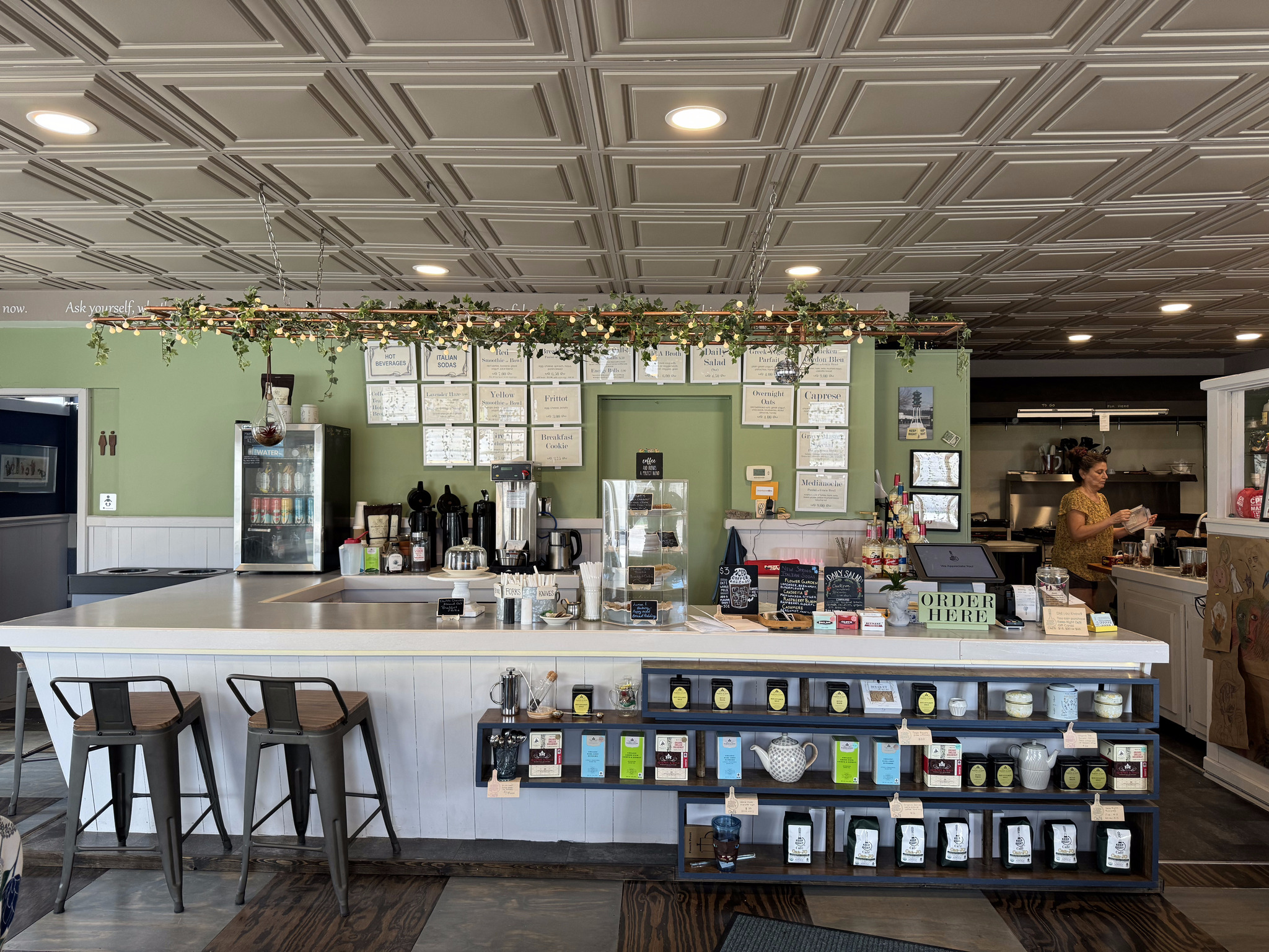
Today we planned to do Barry’s second tile collection route, which again, were new tiles for him, but not for Cindy and me. He planned a coffee break at the Tin Roof Café in Erin, where we arranged for David and Dayle to meet us for lunch and treats, to celebrate Dayle’s 71st birthday.
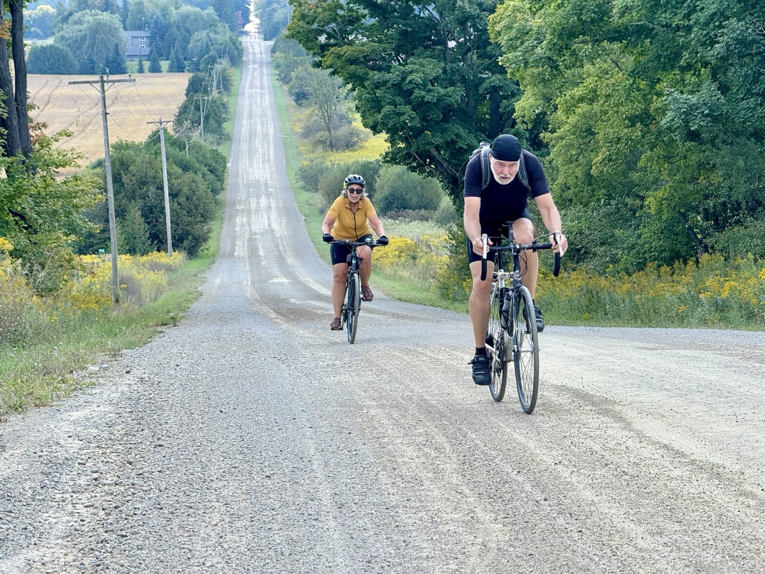
Cindy pointed out that there were two really steep hills on the route that Barry planned into Erin, and that she knew another route, which would avoid those hills, between the house and Hillsburgh. So after the first kilometre, we split off on the easier route, which was new to me, and planned to meet up at the café.
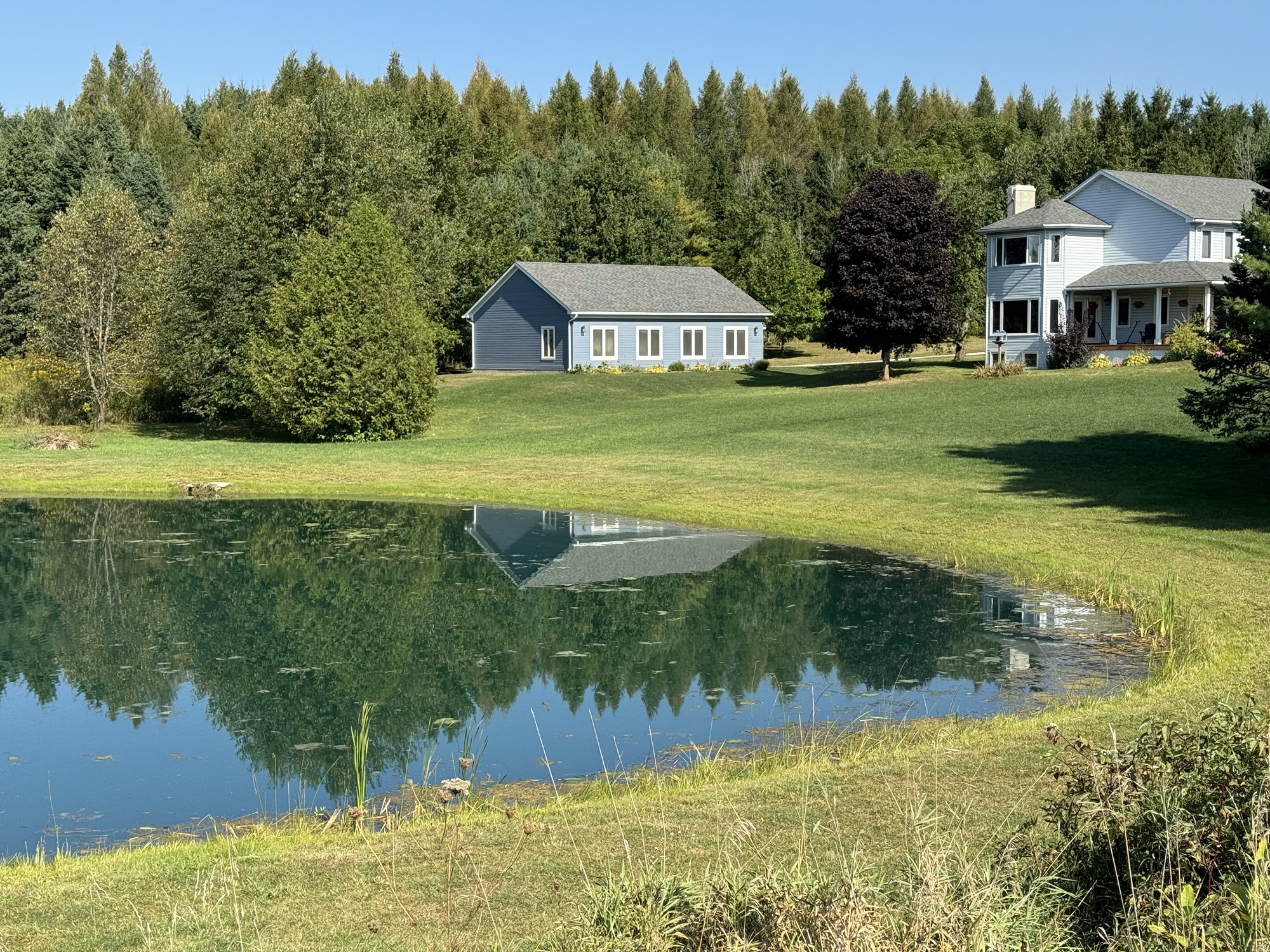
Once again we saw some lovely rural properties.
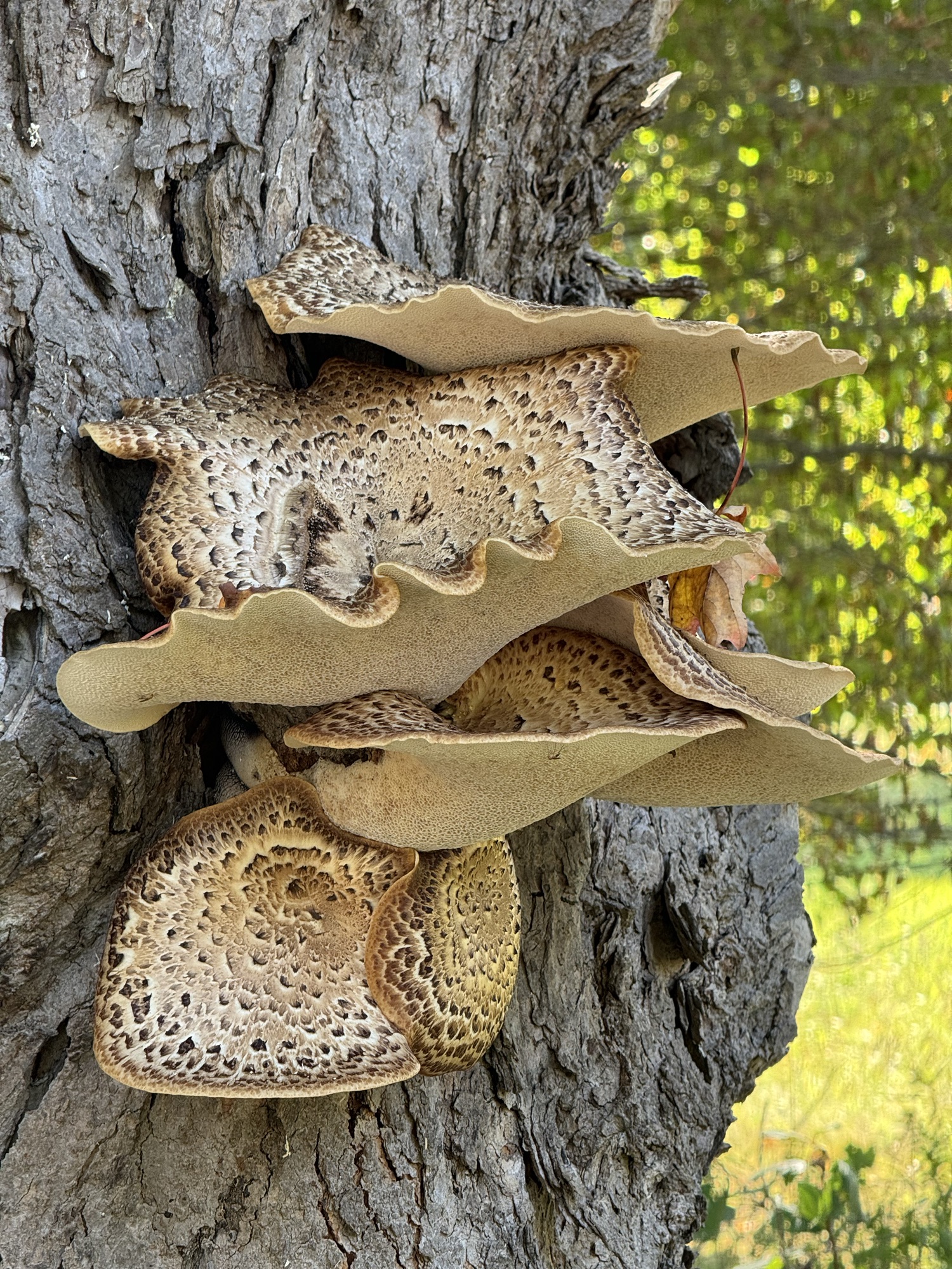
We also saw this amazing fungi.
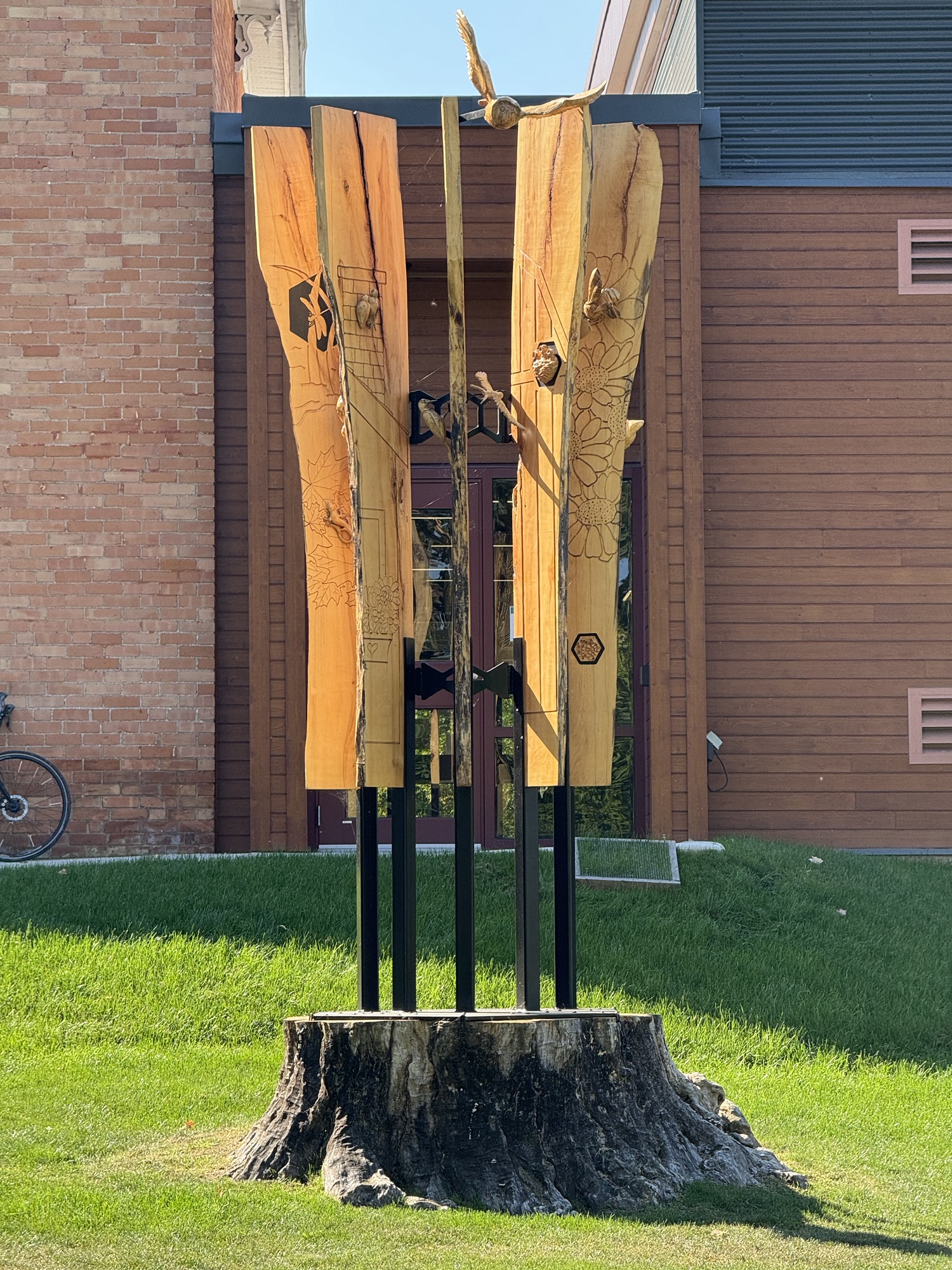
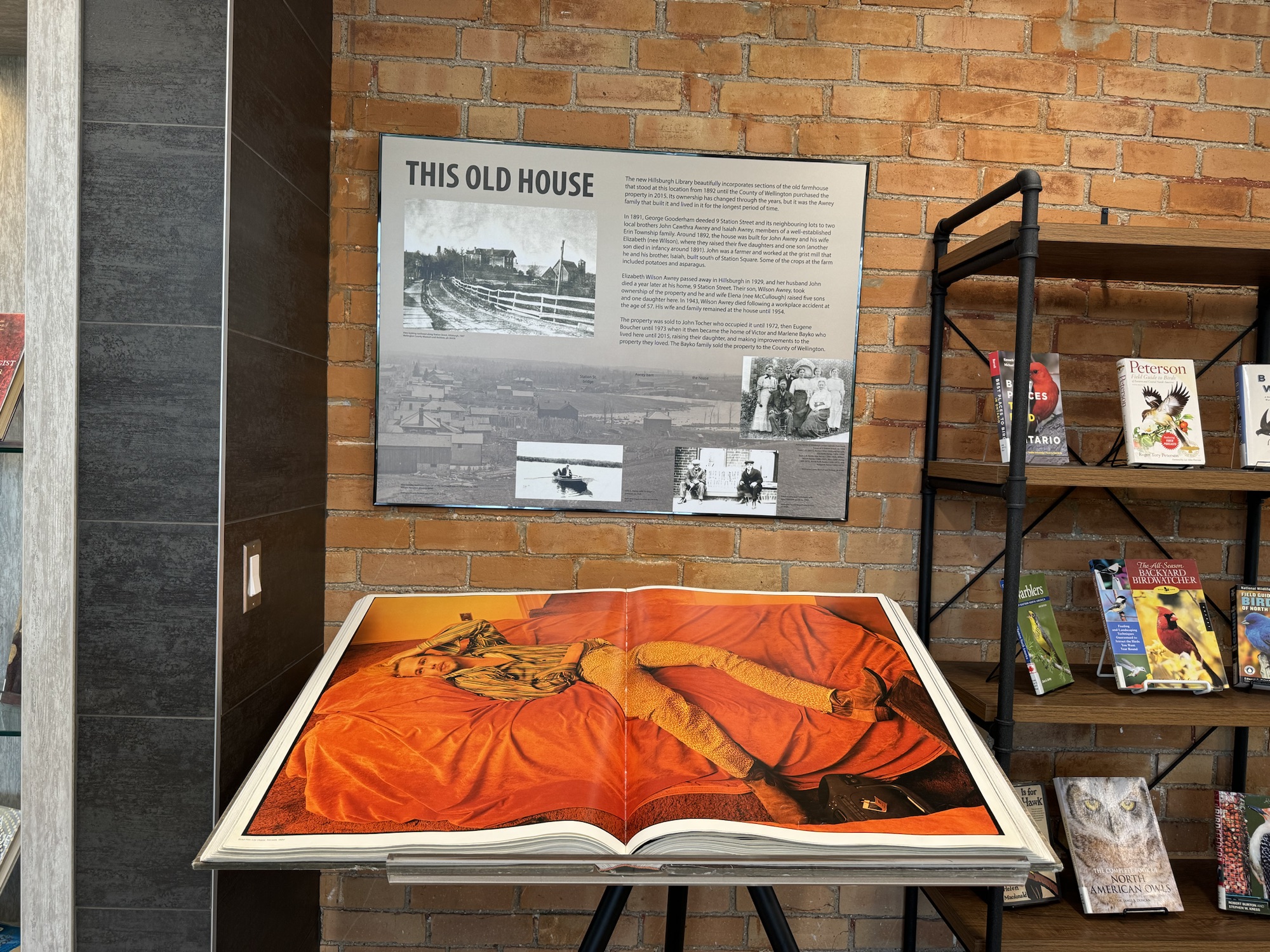
We stopped briefly to see this sculpture Cindy’s sister created for the library in Hillsburgh. The maple fell in a windstorm in 2021, but fortunately didn’t hit the building. “The sculpture is made from 9 foot slabs of the fallen maple tree and mounted on the stump that remained. The sculpture is a book with the pages dedicated to flora and fauna that are carved into the pages and coming out of the book.”
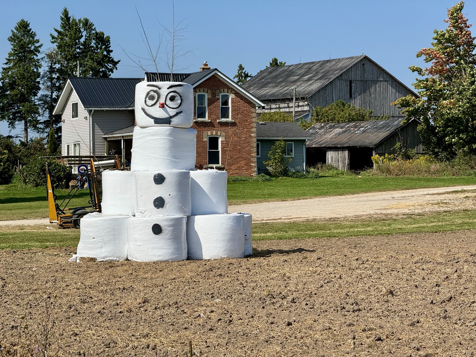
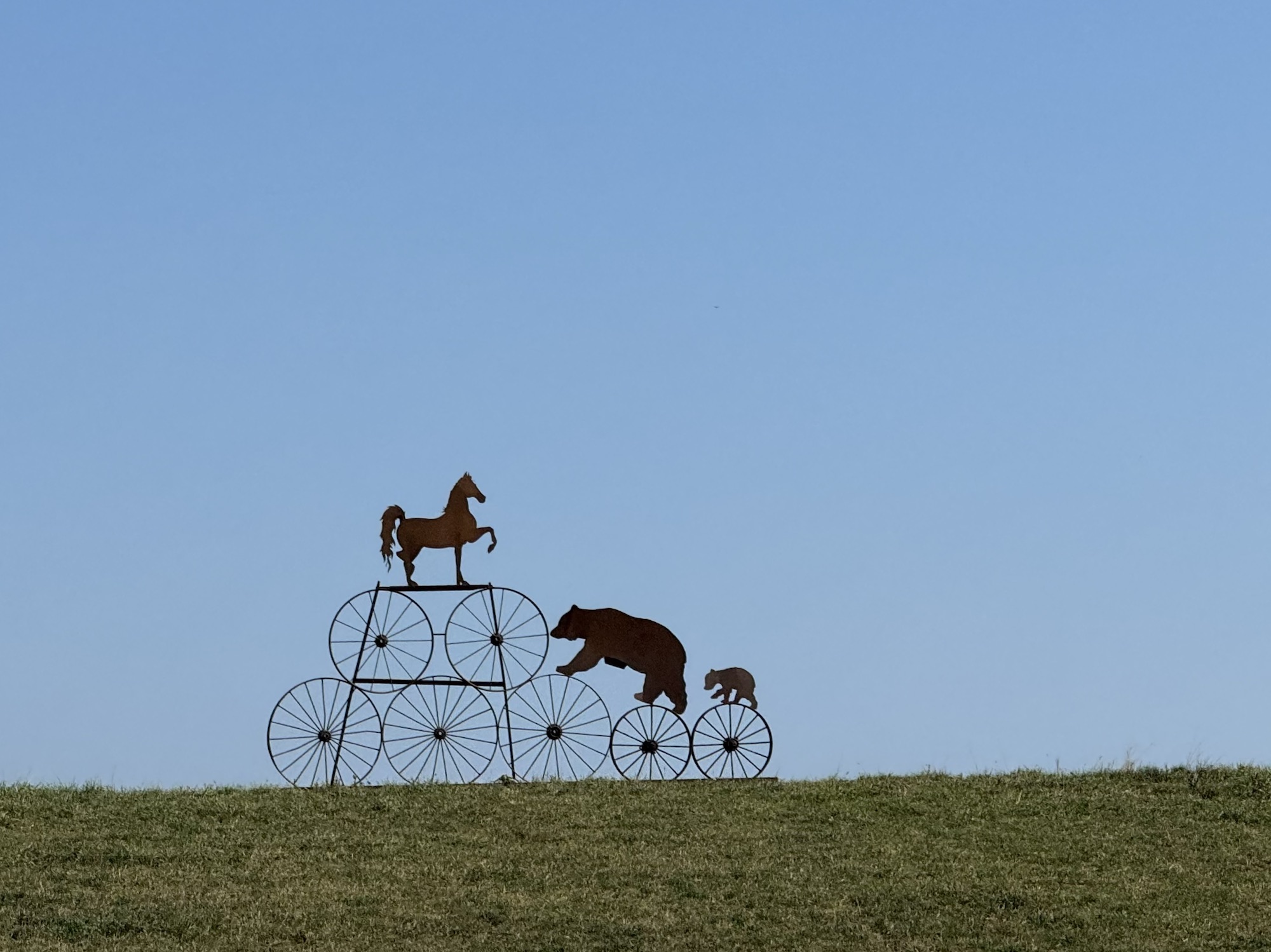
We saw this whimsical sculpture in a field shortly before we got Erin.
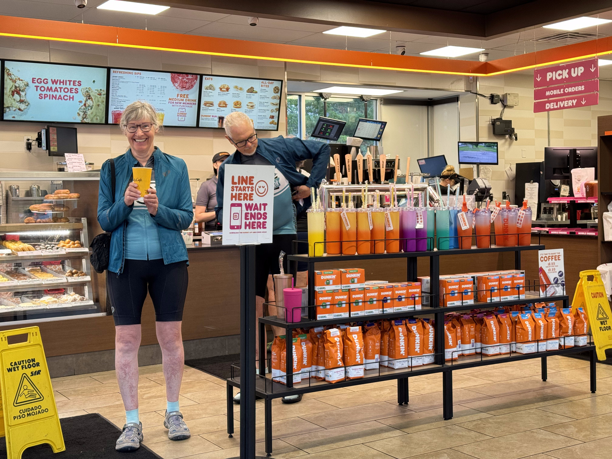
Barry was already waiting at the café when we got to the plaza across the street, where Cindy went into the dollar store to buy a candle for Dayle‘s treat.
David and Dayle soon arrived and we got lunch, coffee, and treats, and sang happy birthday to Dayle, to the delight of all the other people at the café, who applauded when we finished.
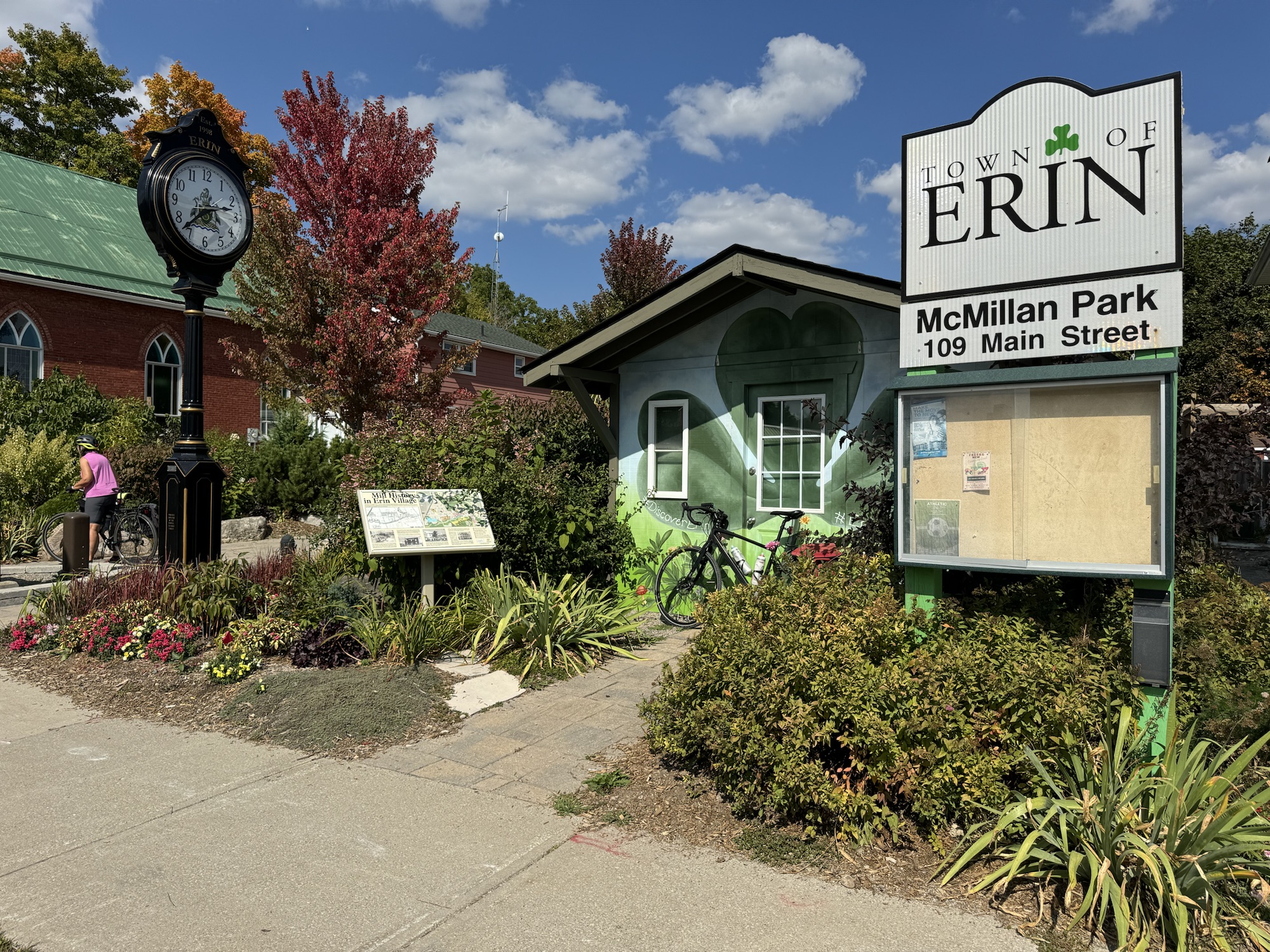
I was feeling tired, so wanted to return via the direct route that we had come by, rather than riding the rest of Barry’s route. He decided to ride most of the way with us, and get the rest of his tiles later. We passed this cute park and building as we were leaving Erin.
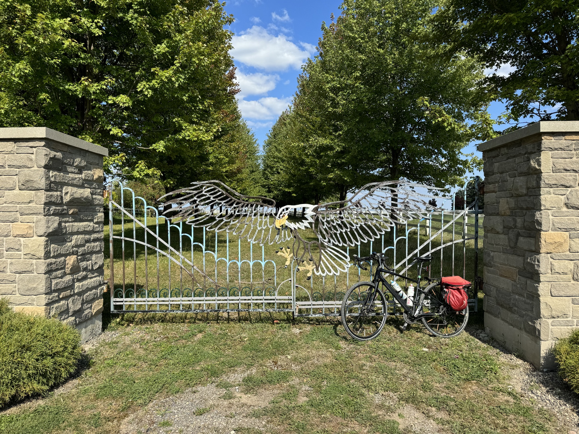
We saw really fancy gate at one farm.
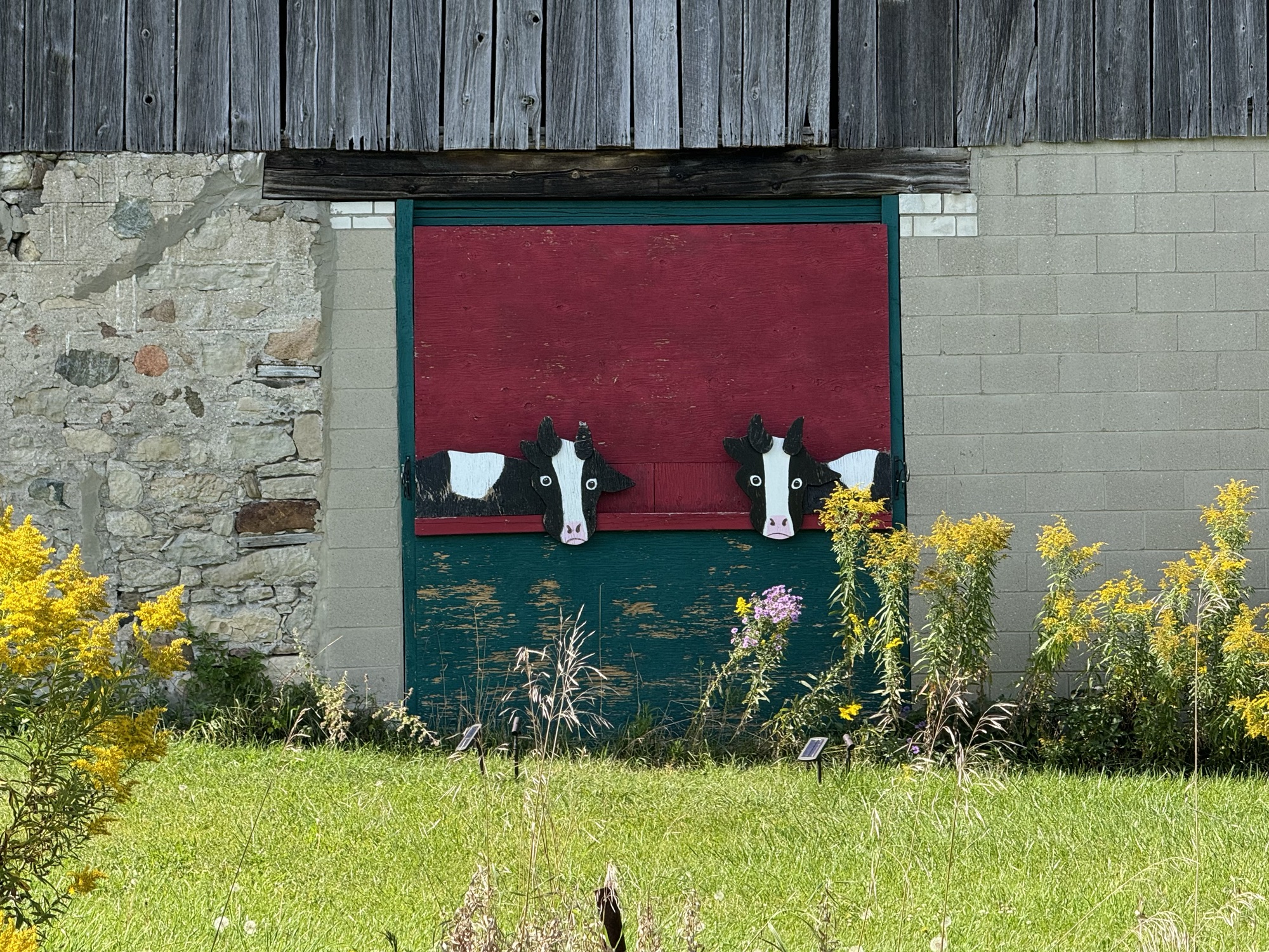
And a whimsical cut out of some cows on a nearby barn.
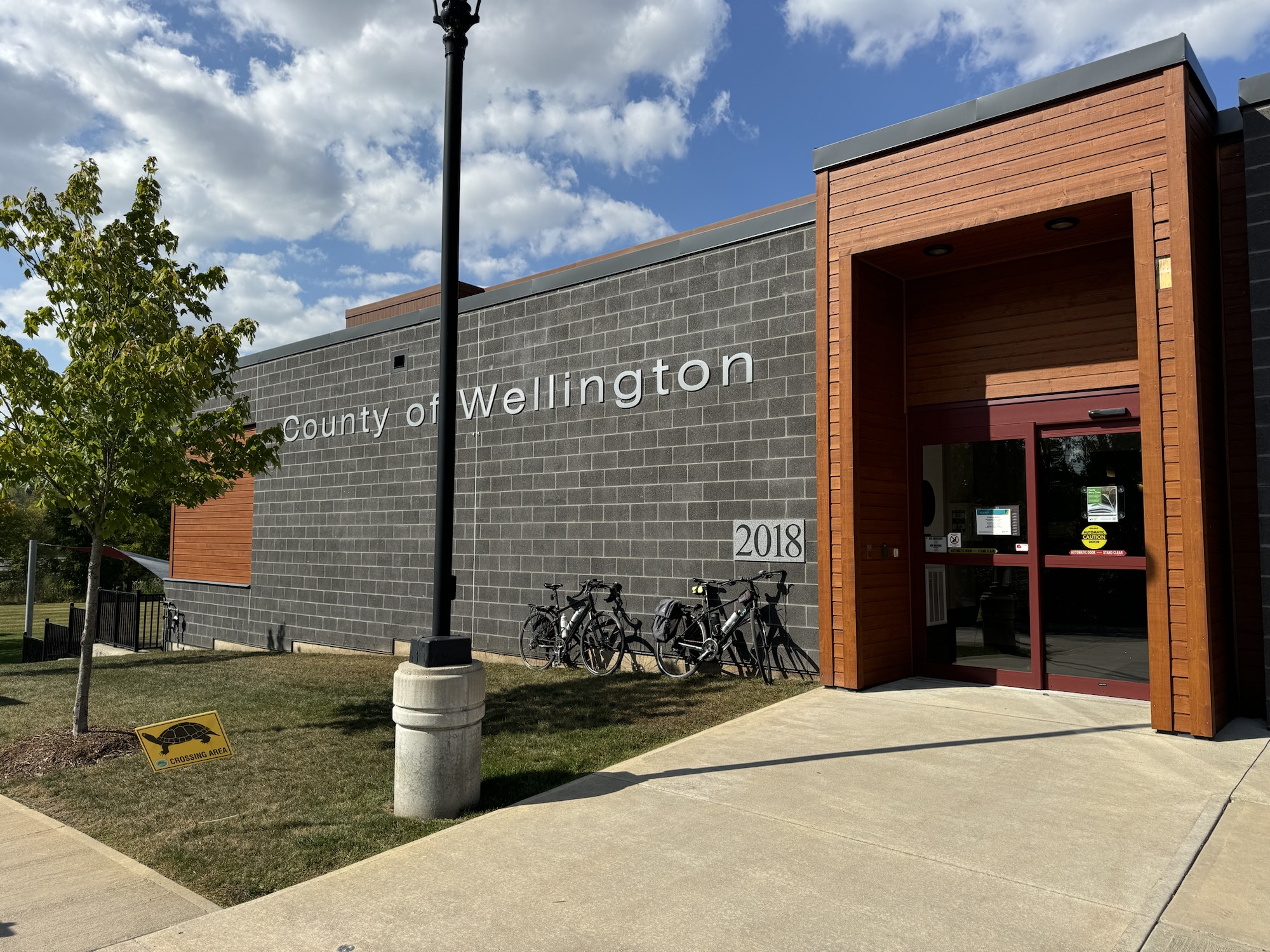
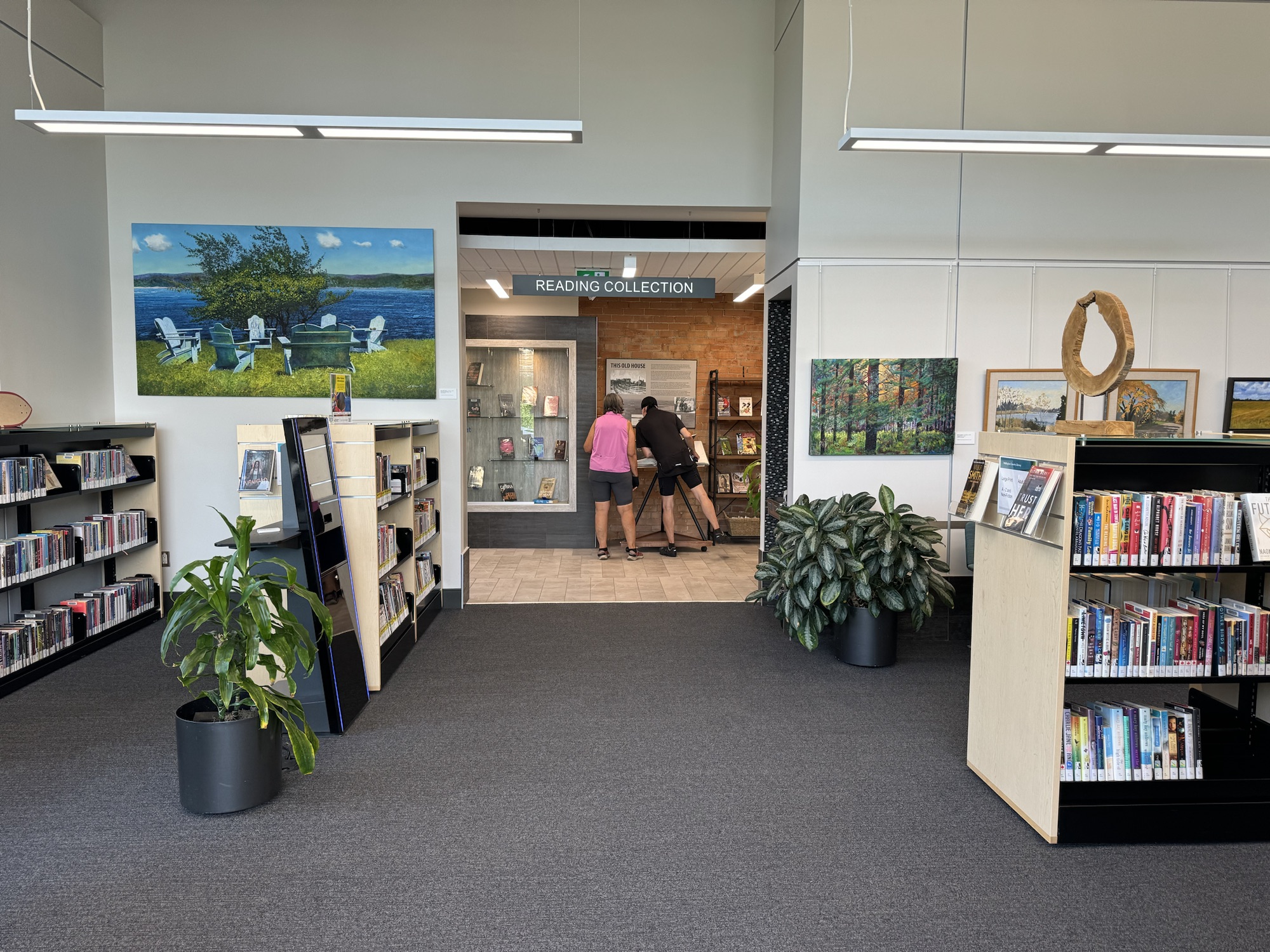
We stopped again at the library, and went in to have a look around. They have a fabulous, and huge, book of Annie Leibovitz’s photography which we spent some time pouring over.
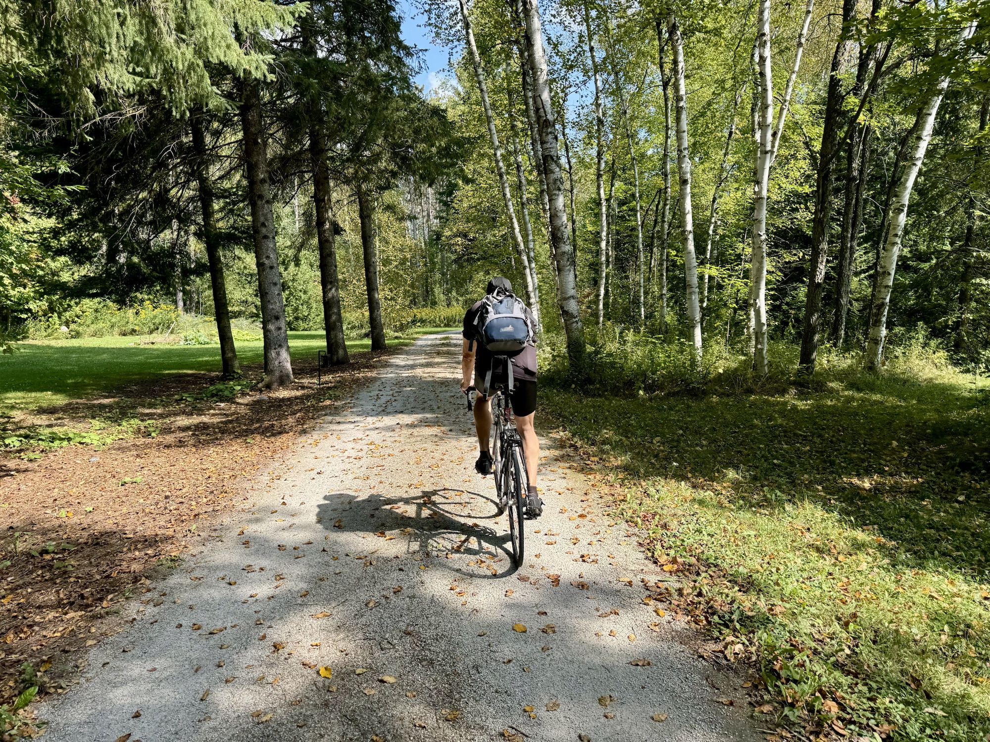
For the last few kilometres we decided to get on the Elora Cataract Rail Trail. When we got to 27th Sideroad Cindy and I headed back to the house, and Barry did a loop to pick up a couple more tiles.
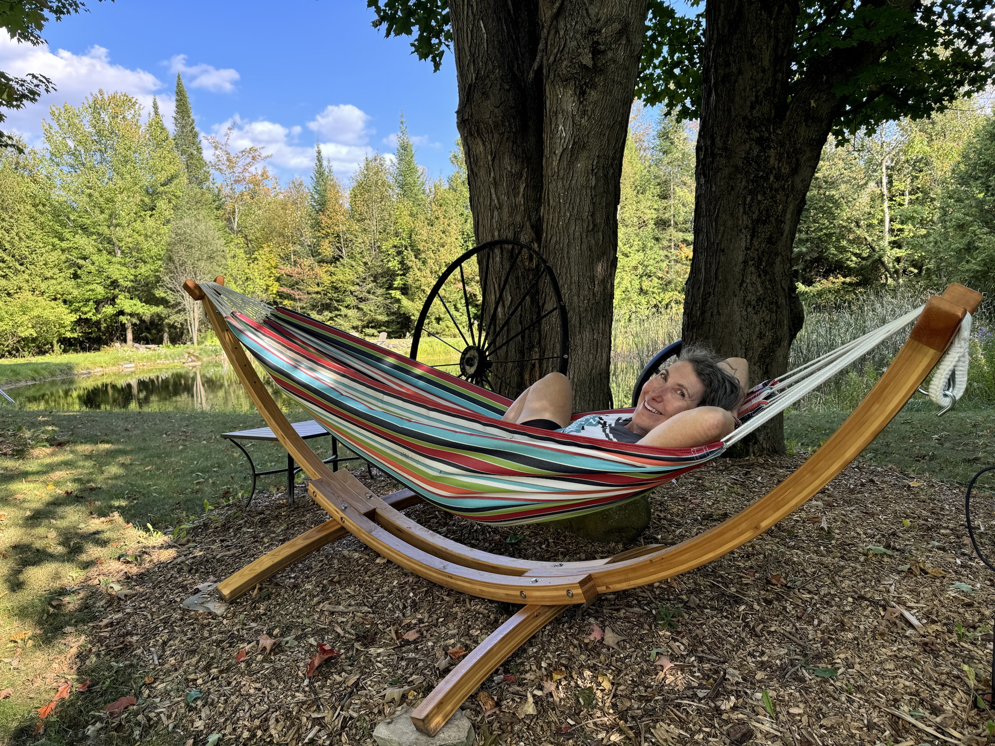
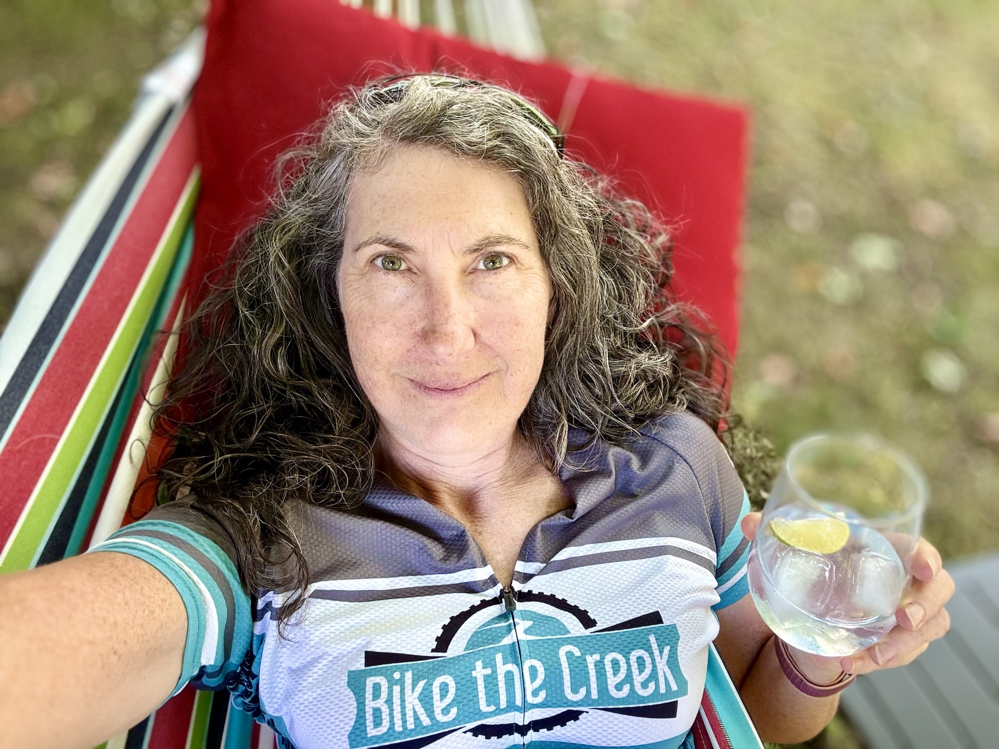
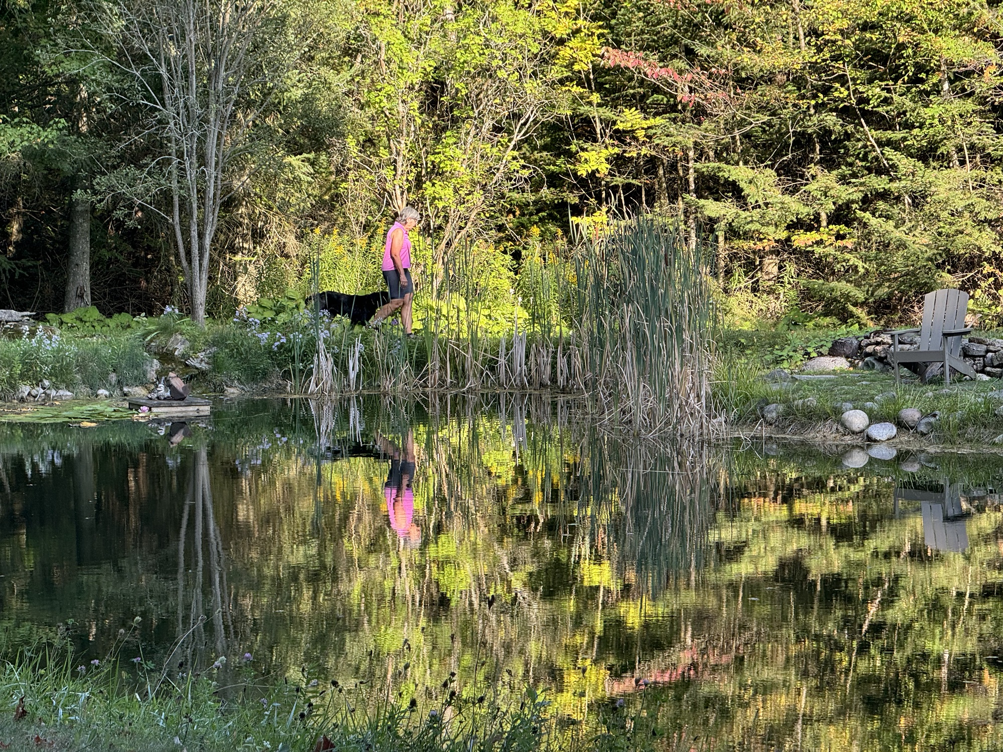
I went straight to the hammock by the pond and Cindy brought me and gin and tonic with lime, and I spent a relaxing hour or more before changing out of my cycling clothing.
Cindy played with Maple and I caught this delightful image of them reflected in the pond.
We had another delicious homemade dinner, and ended the evening in the hot tub. Tomorrow we do one of my tile collection routes.
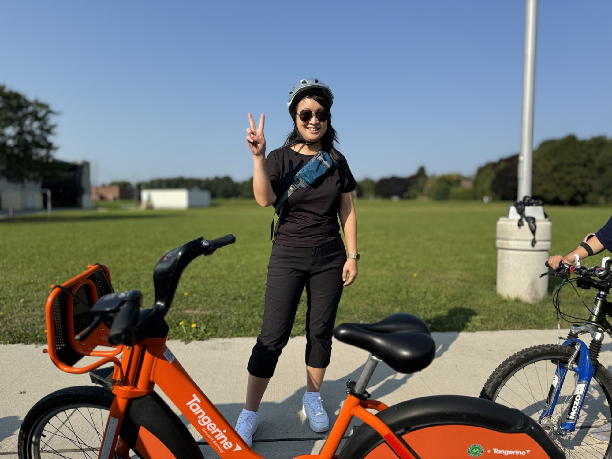
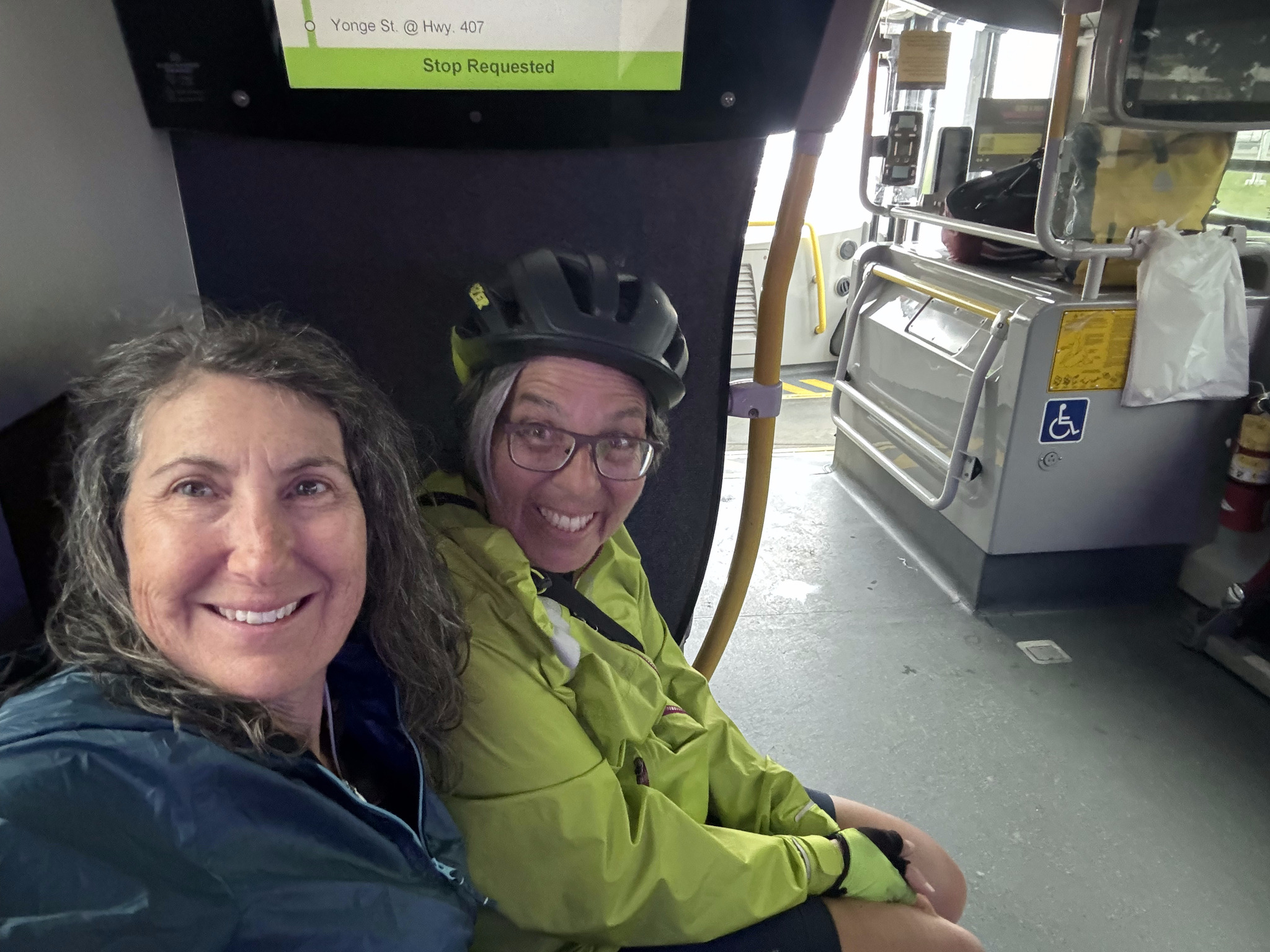
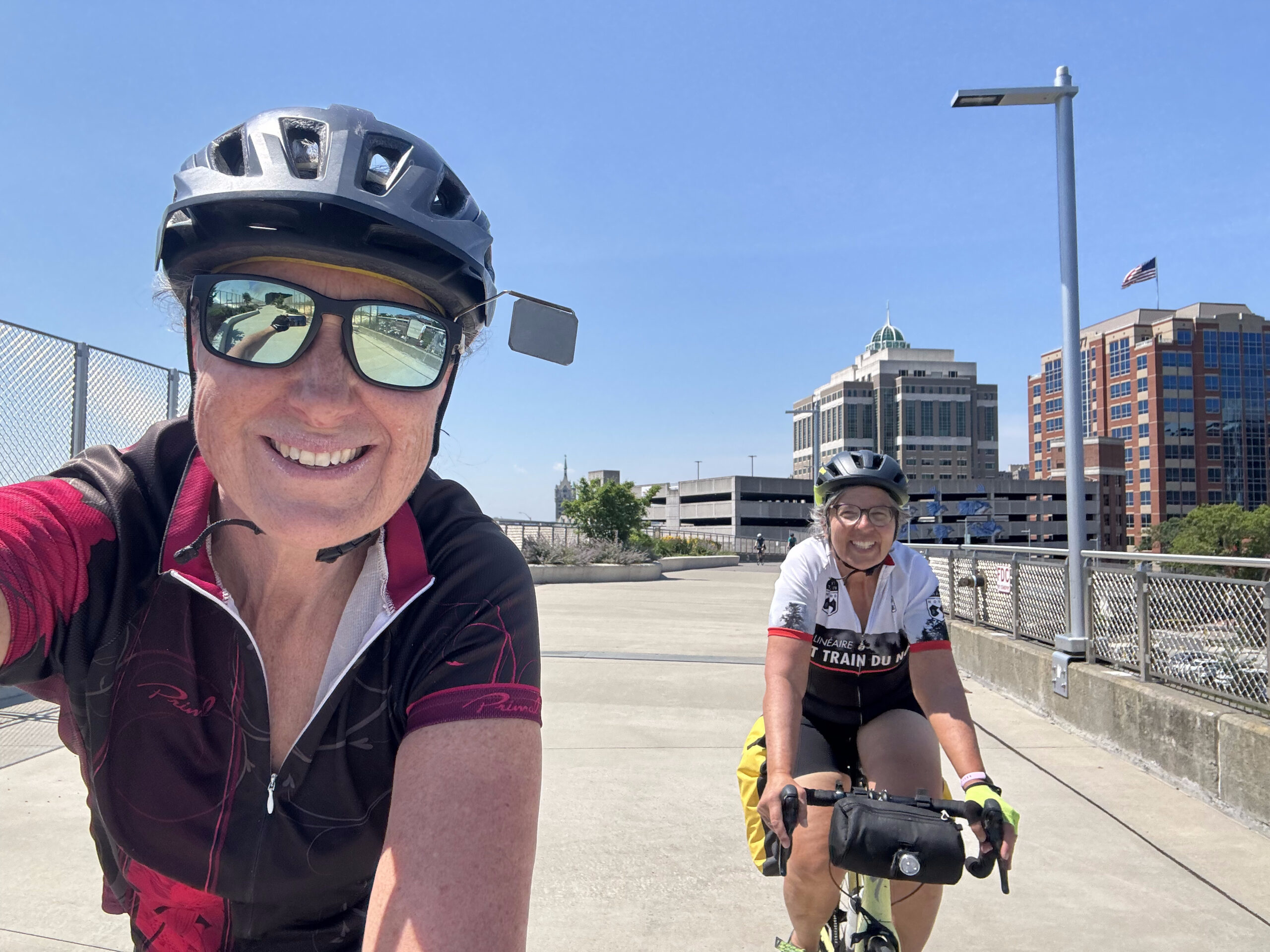
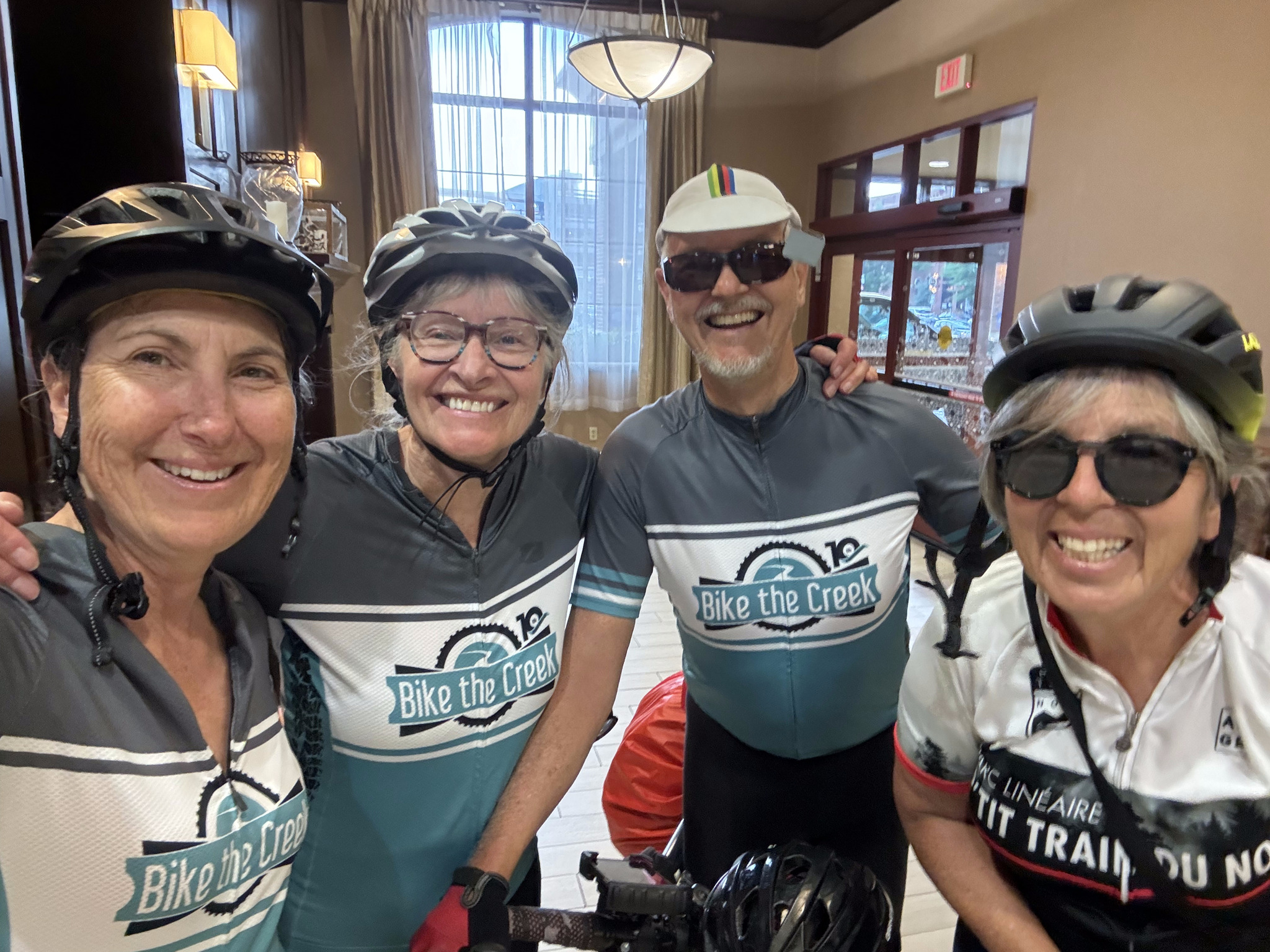
After attending Toronto Councillor Lily Cheng’s Community Ride, I drove us to Hillsburgh, where we are going to be staying for a week to look after Cindy‘s sister’s pets, while they are away. We arrived shortly before dinner, had an enjoyable meal, and enjoyed the hot tub before bed.
It’s Barry first time staying in the area so he planned our first couple of rides to cover places he hadn’t been before.
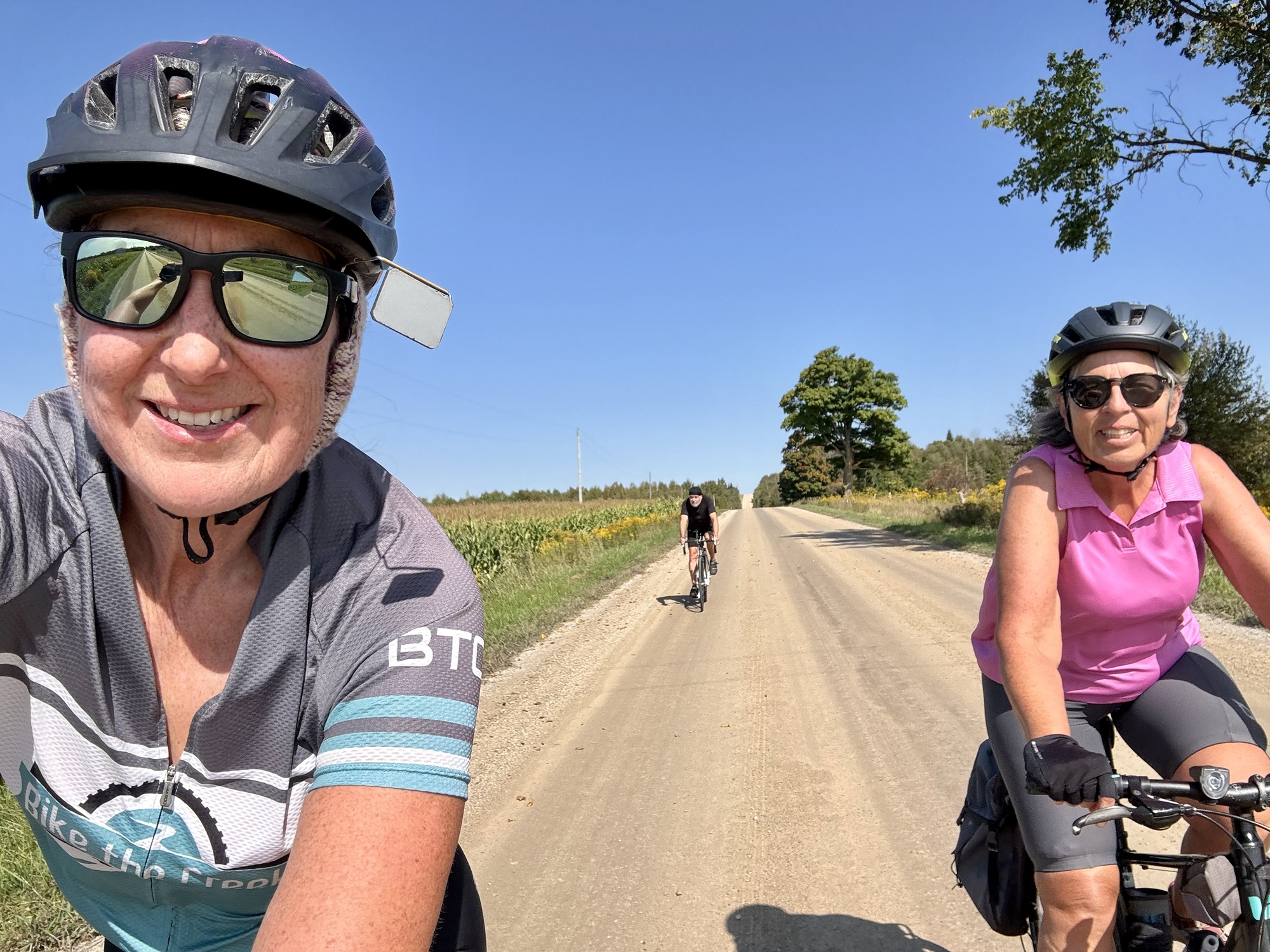
We had a lazy Sunday morning, and set off on our bikes just after noon.
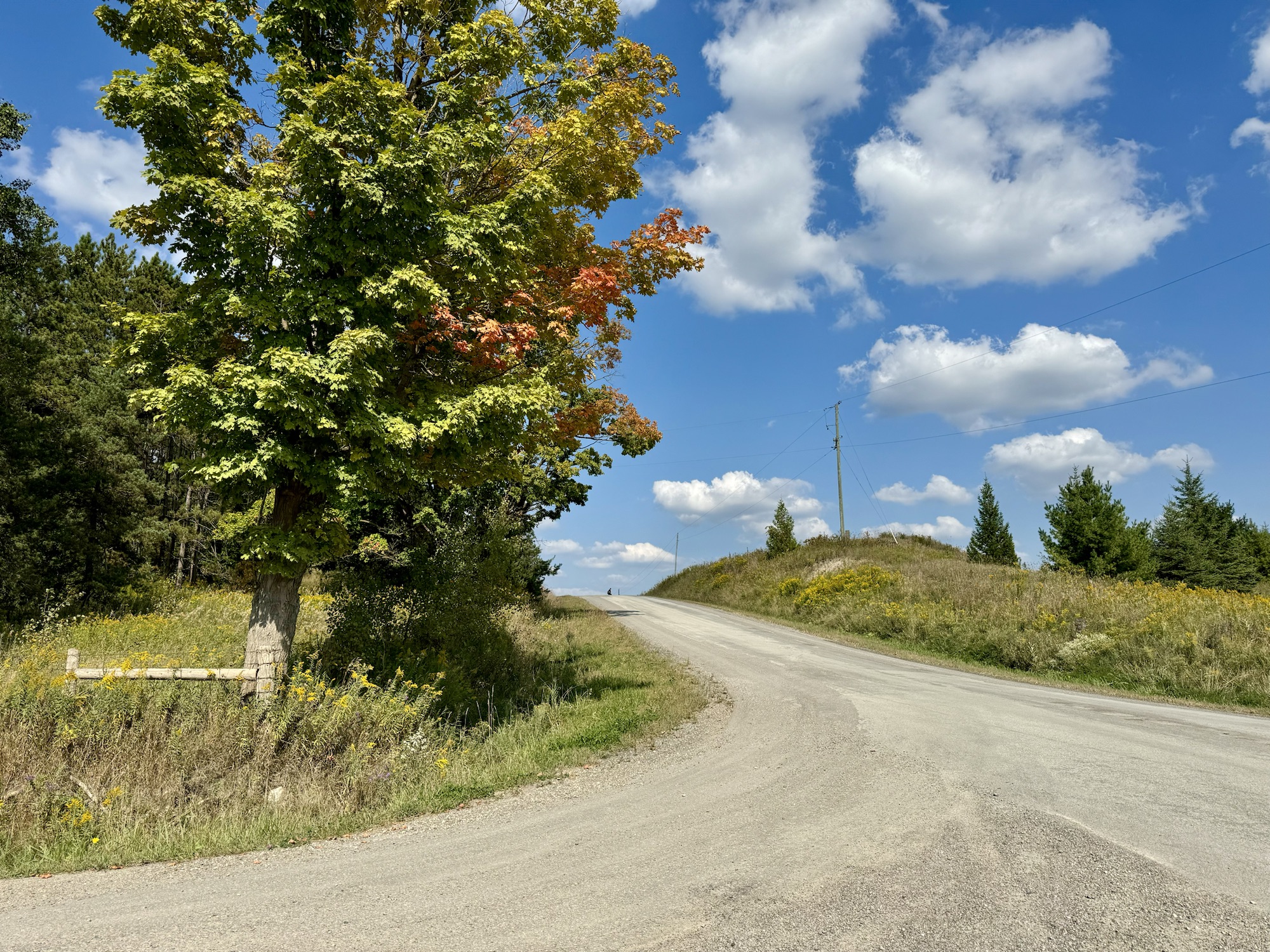
The foliage is mostly green, but there are a few trees that have begun to turn.
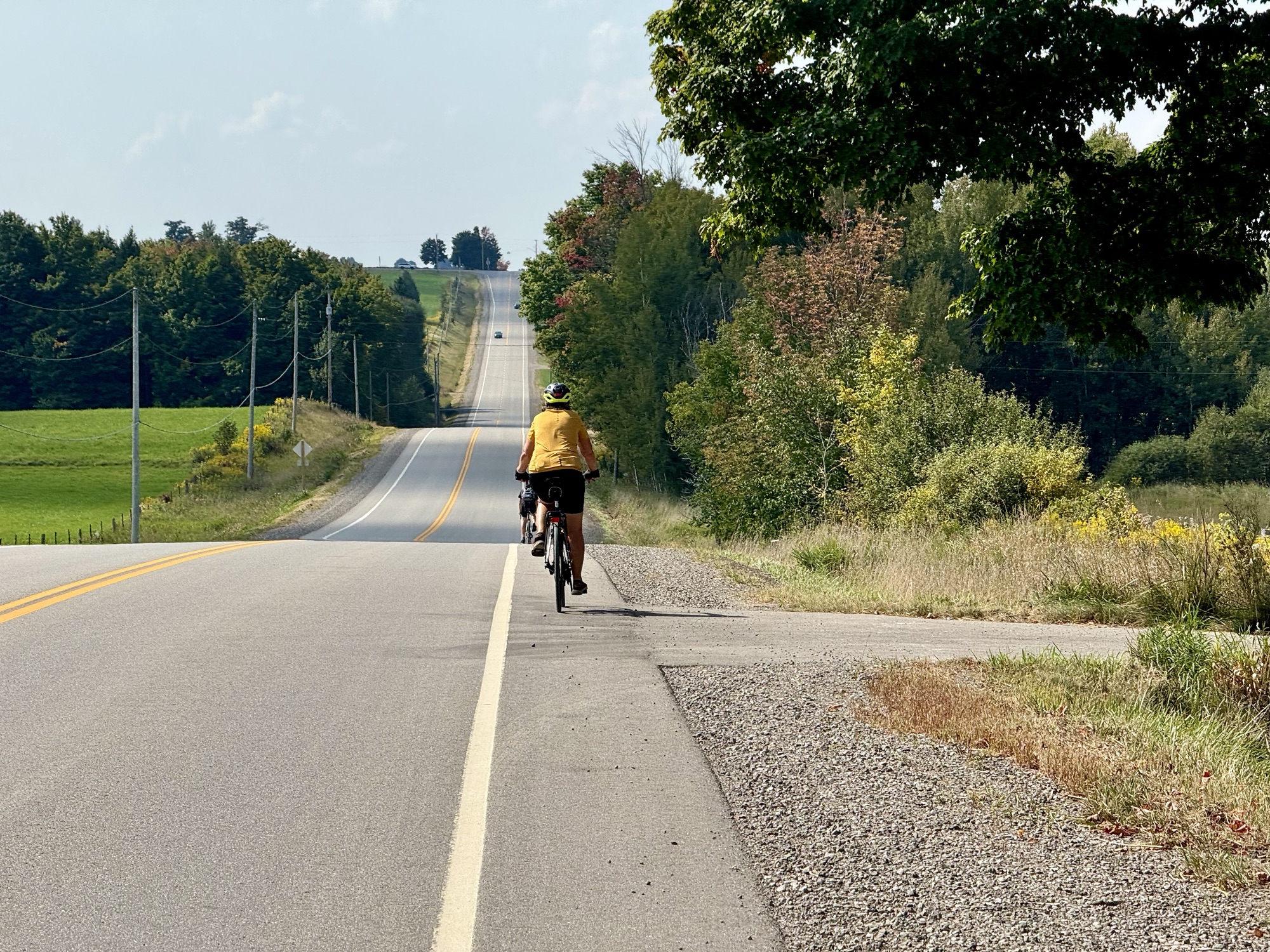
The ride was rolling one.
I’ve written about Statshunters.com before. I use it to create a personal heat map of all the places I have ridden my bike since 2013, when I started recording my rides, and also to see what tiles I have ridden my bike through. The tiles divide the world into a grid of 16,384 by 16,384 squares, each one is about 2 km wide. It’s a fun pursuit to try to visit as many tiles as you can using only human power.
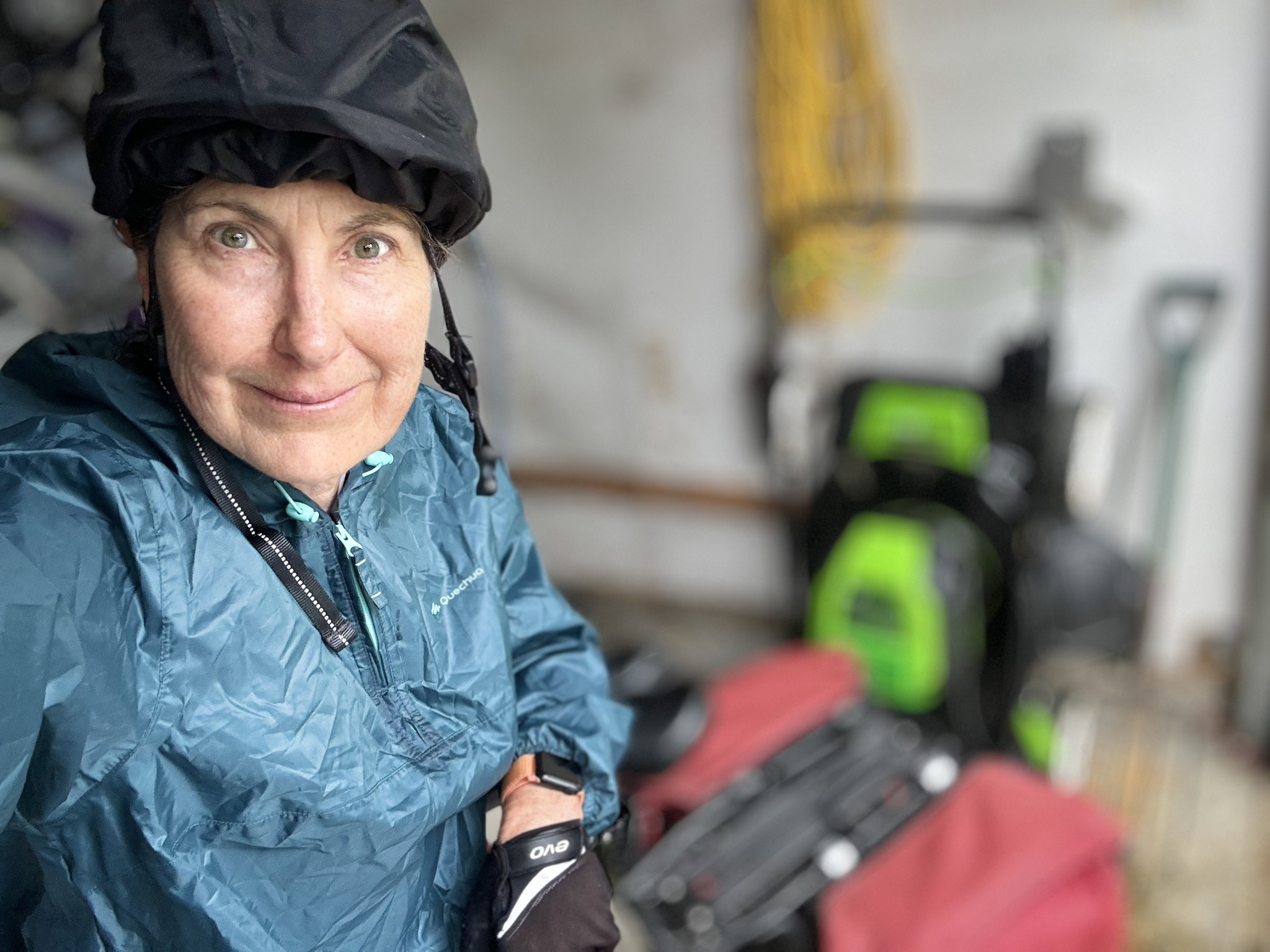
Barry also collect tiles, so this was an opportunity for him to collect some in this area, which is quite a distance from where he lives. Cindy and I already had these tiles because we spent three days riding around this area a year ago. We didn’t have any particular stops planned, as the purpose of the ride was to collect tiles.
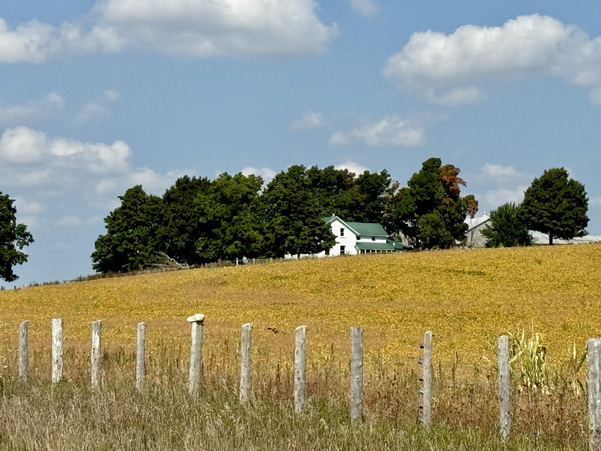
We saw some lovely pastoral scenes.
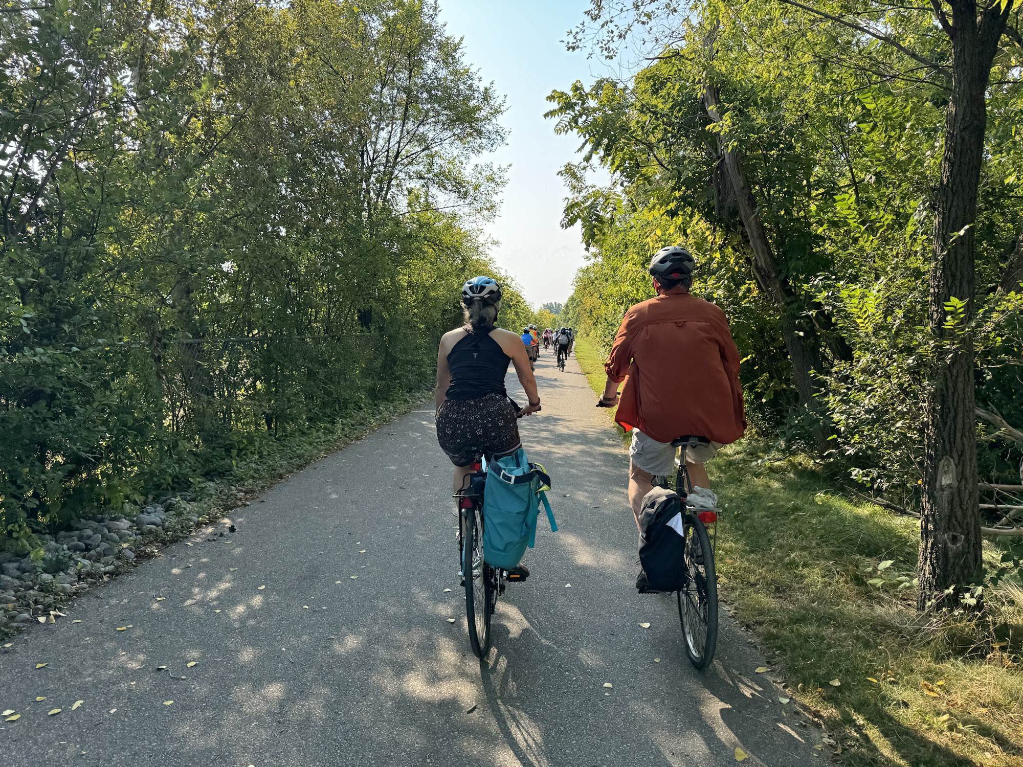
The ride was about half on paved roads, and half on gravel.
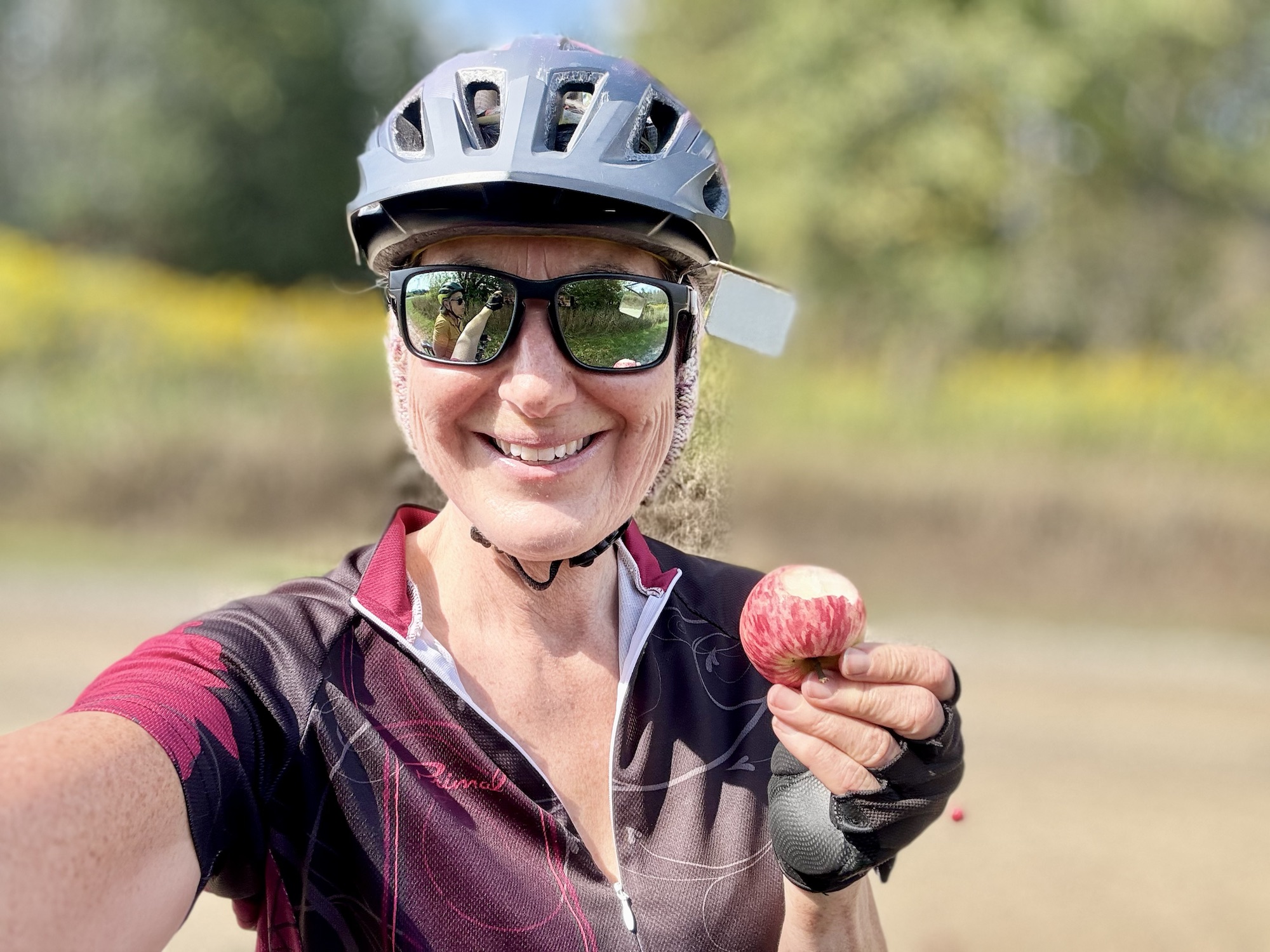
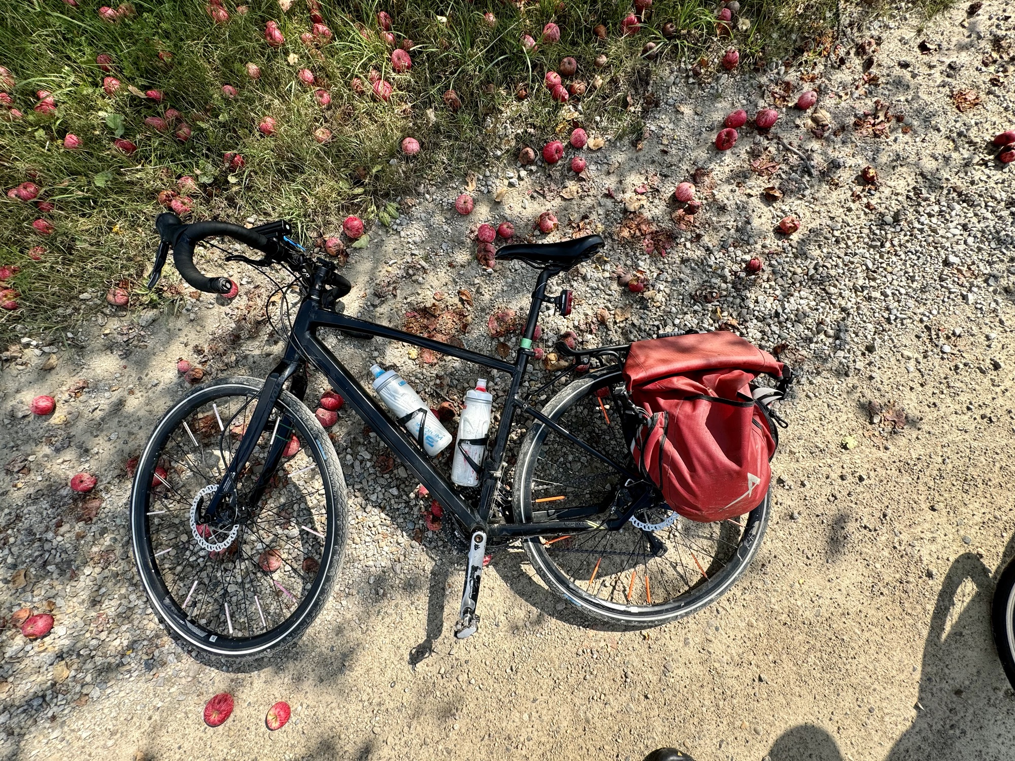
Cindy and I stopped by an apple tree that had dropped a lot of apples. Some of them had rotten spots or worms, but plenty were in good shape. We tried them and they were quite sweet.
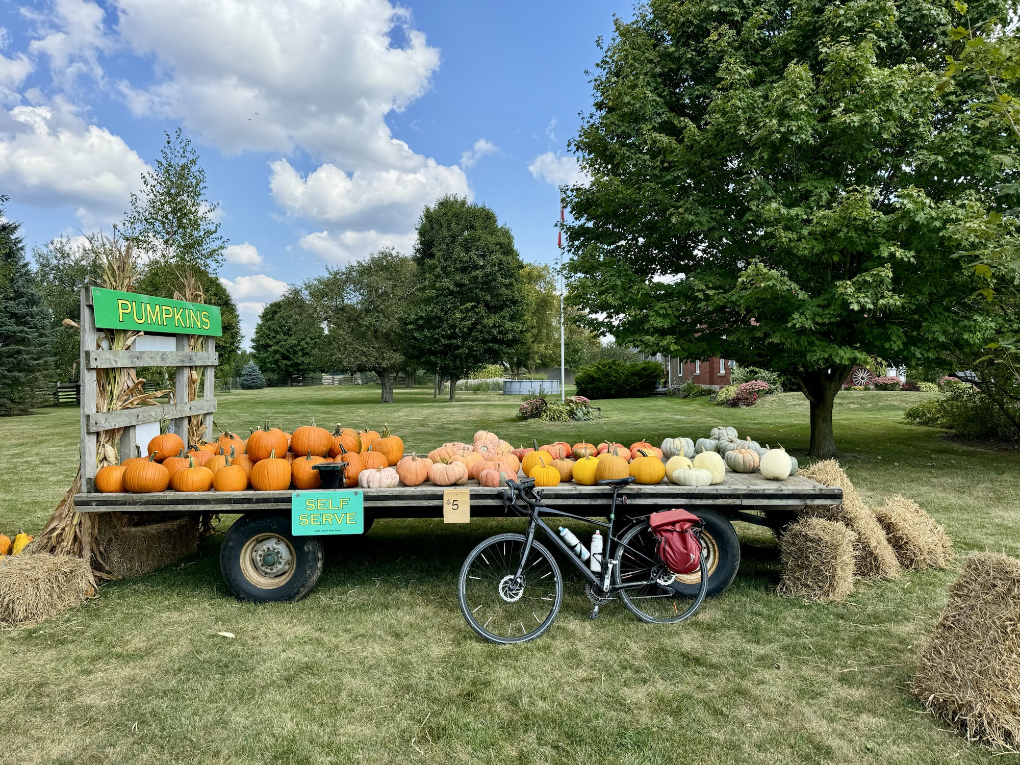
There was a self serve pumpkin store on one of the farms we passed.
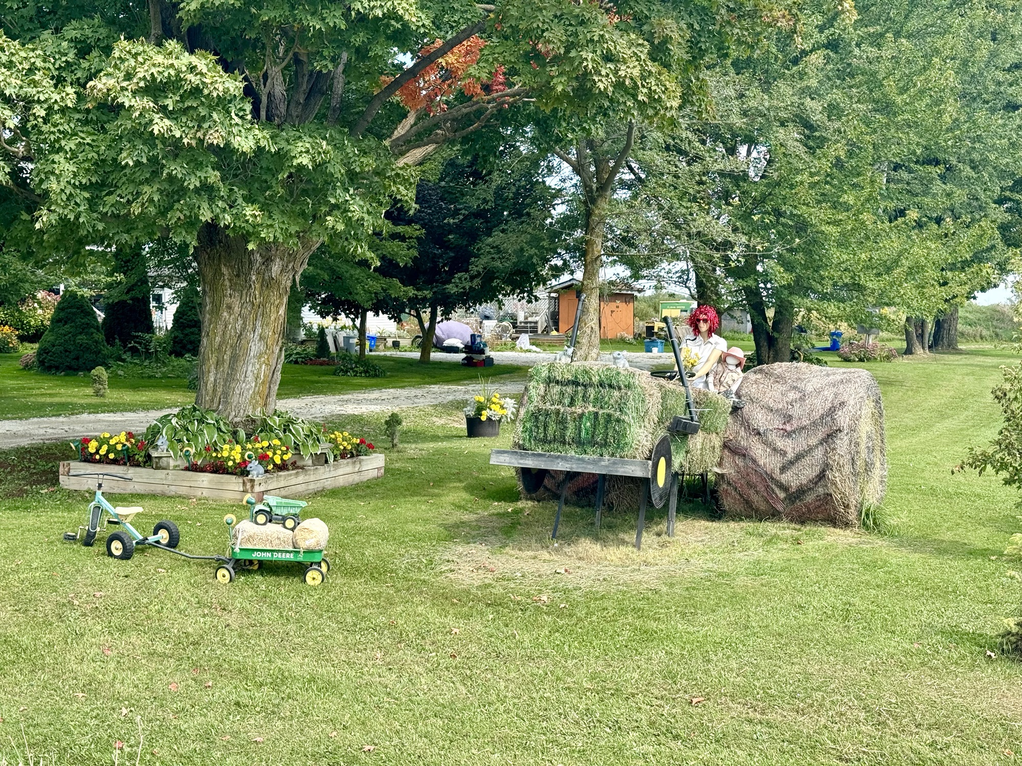
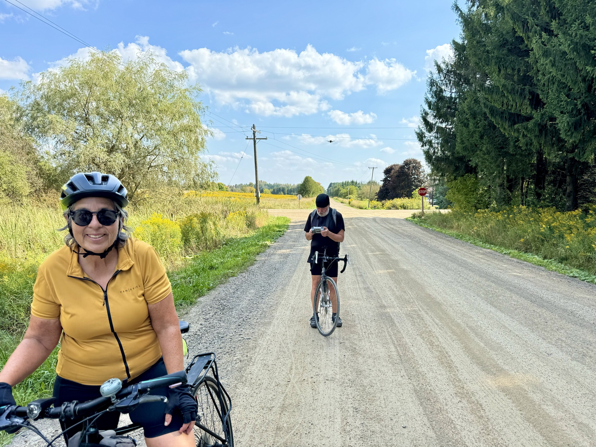
Barry tried to get his drone to follow us while we rode up one of the gravel roads, but for some reason it only hovered in place. It is visible in the picture above his head. Perhaps he’ll get a video on one of our future rides.
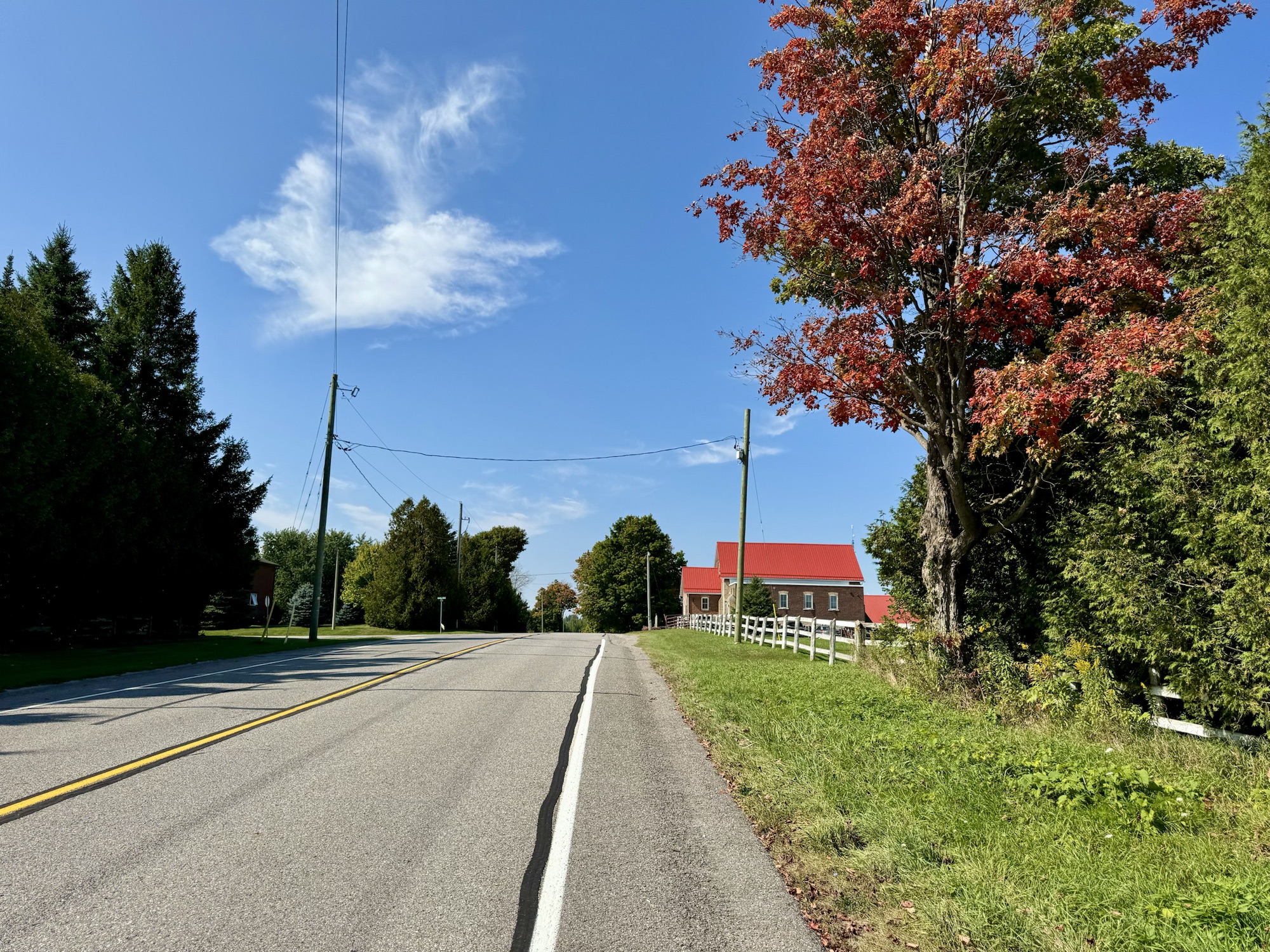
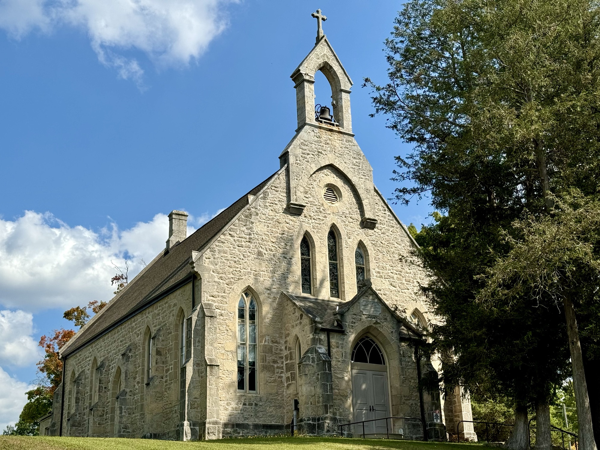
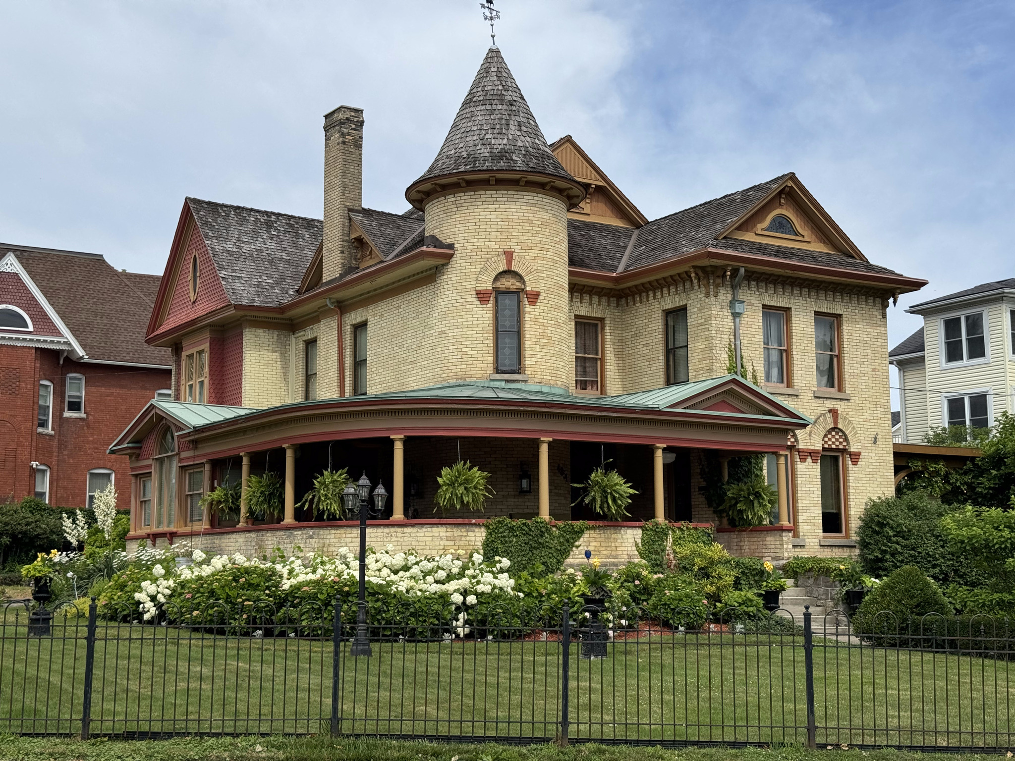
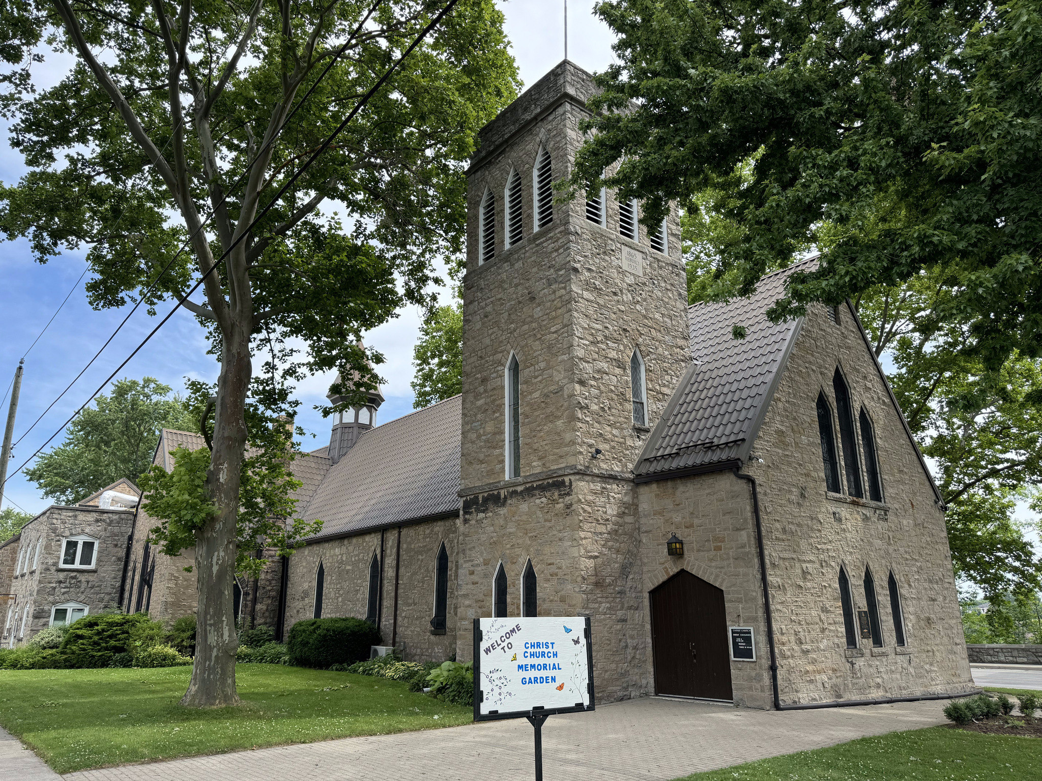
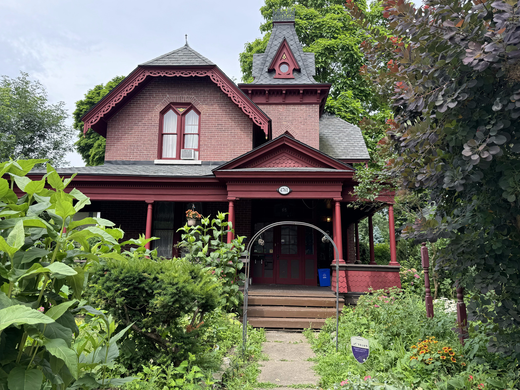
We saw a few country churches and century homes.
Most of the gravel roads were in the latter half of the route including this last one which was so steep, it was difficult not to spin our rear wheels on it, but we all made it.
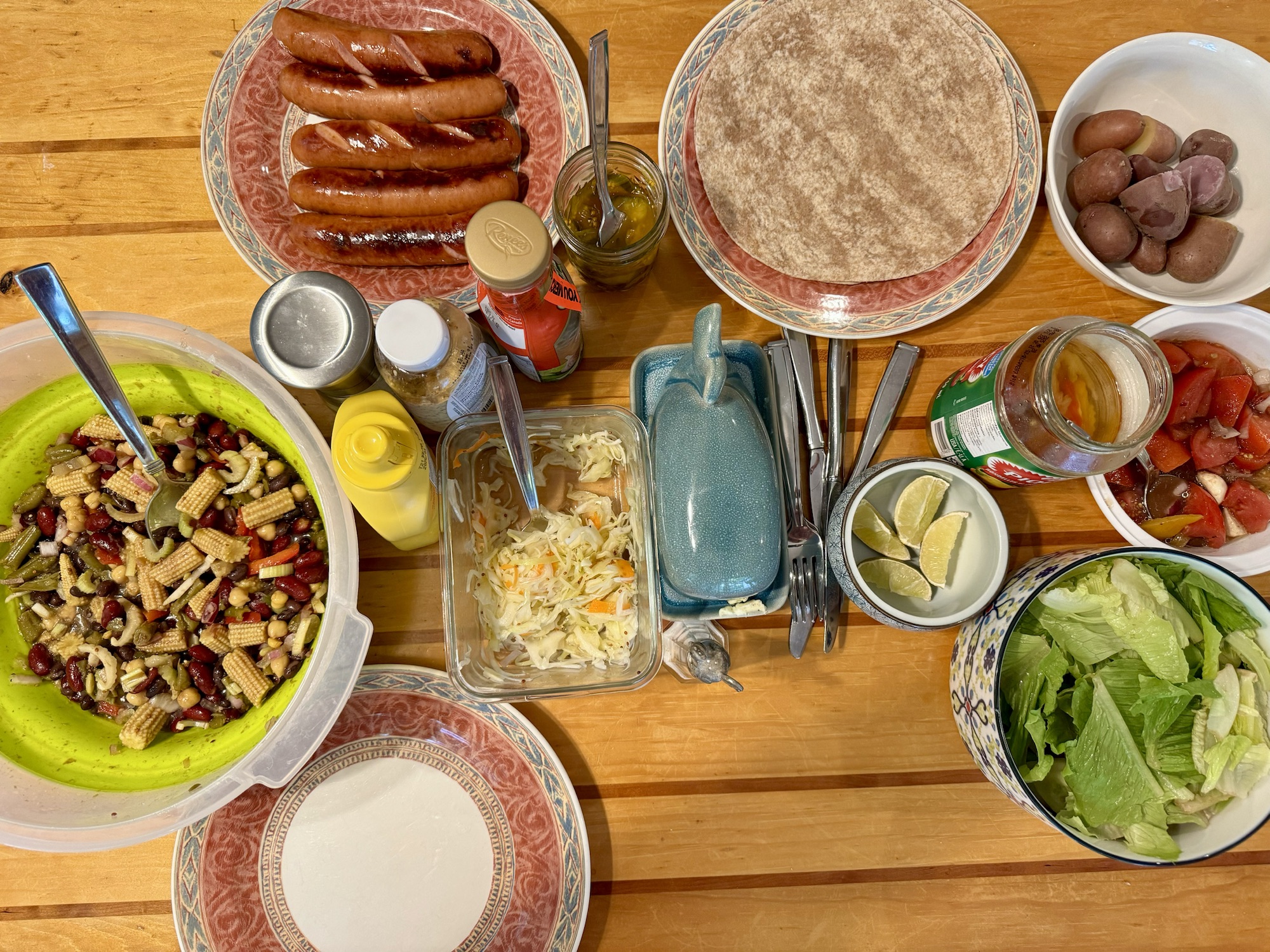
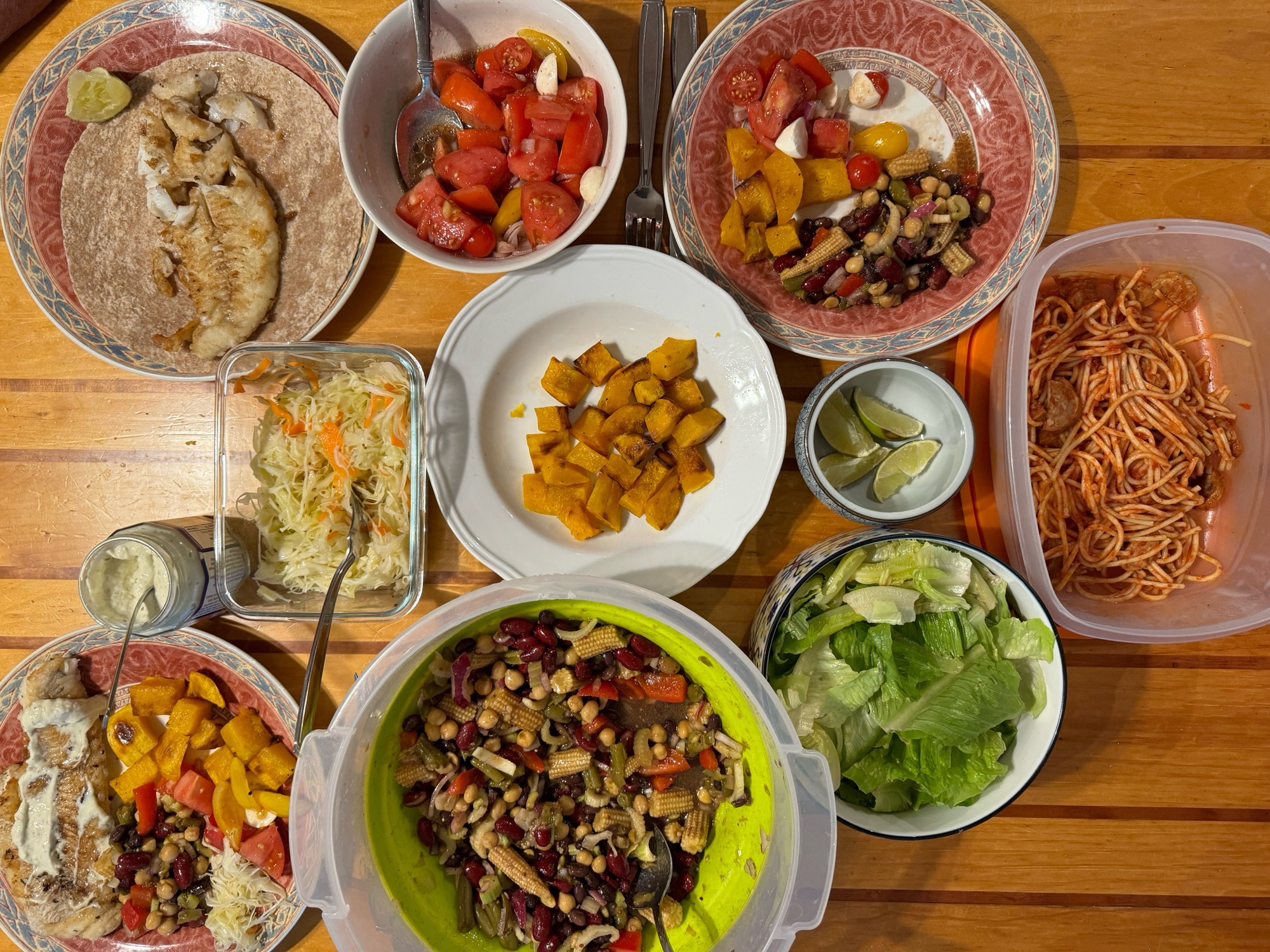
Dinner was stuffed peppers that I picked up at Costco and some salads that we made. I forgot to take a picture.
This is Rusty, one of the cats that we are looking after.
After dinner, we had a soak in the hot tub before bed. It was a relaxing way to end a relaxing day.
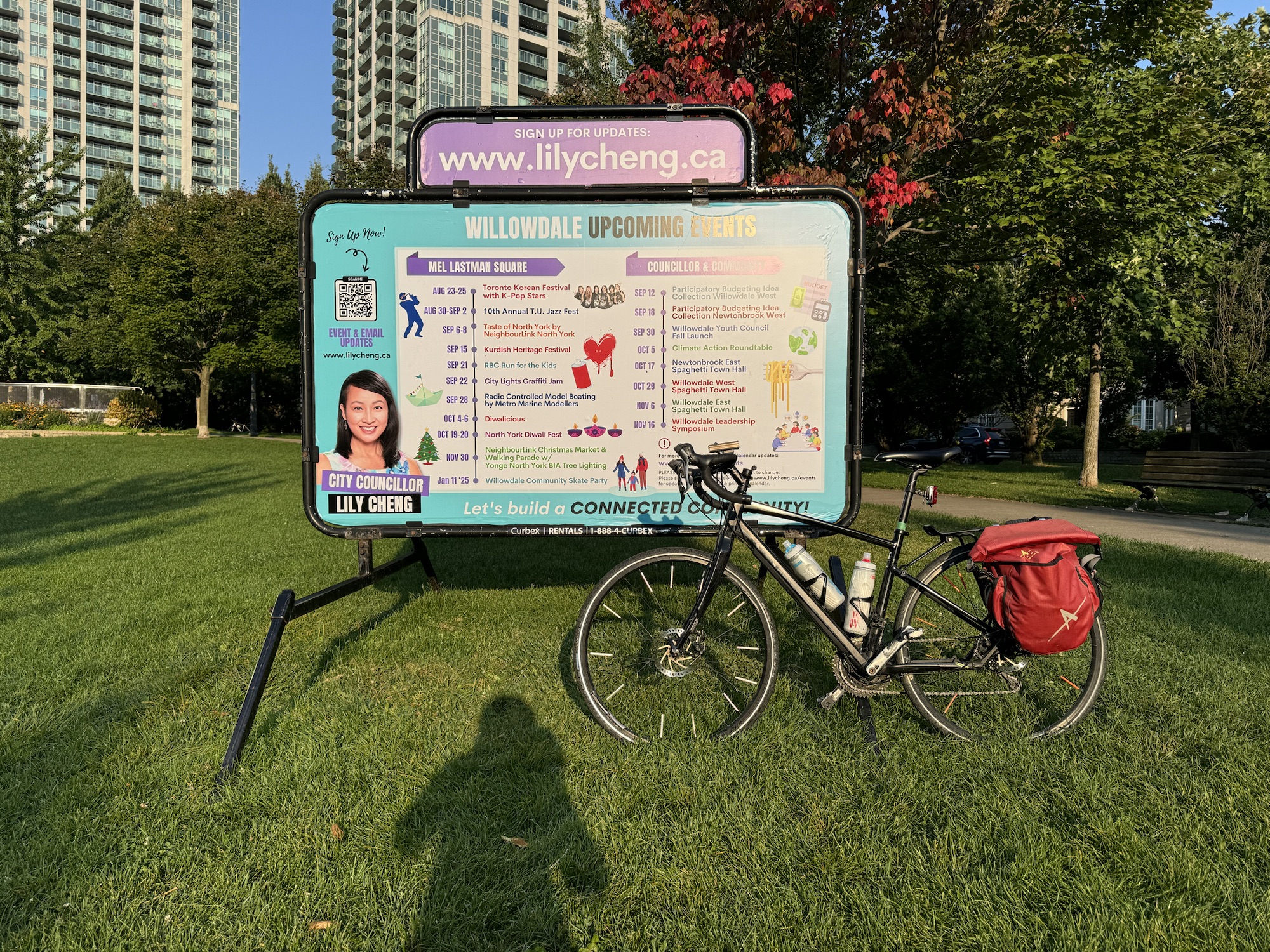
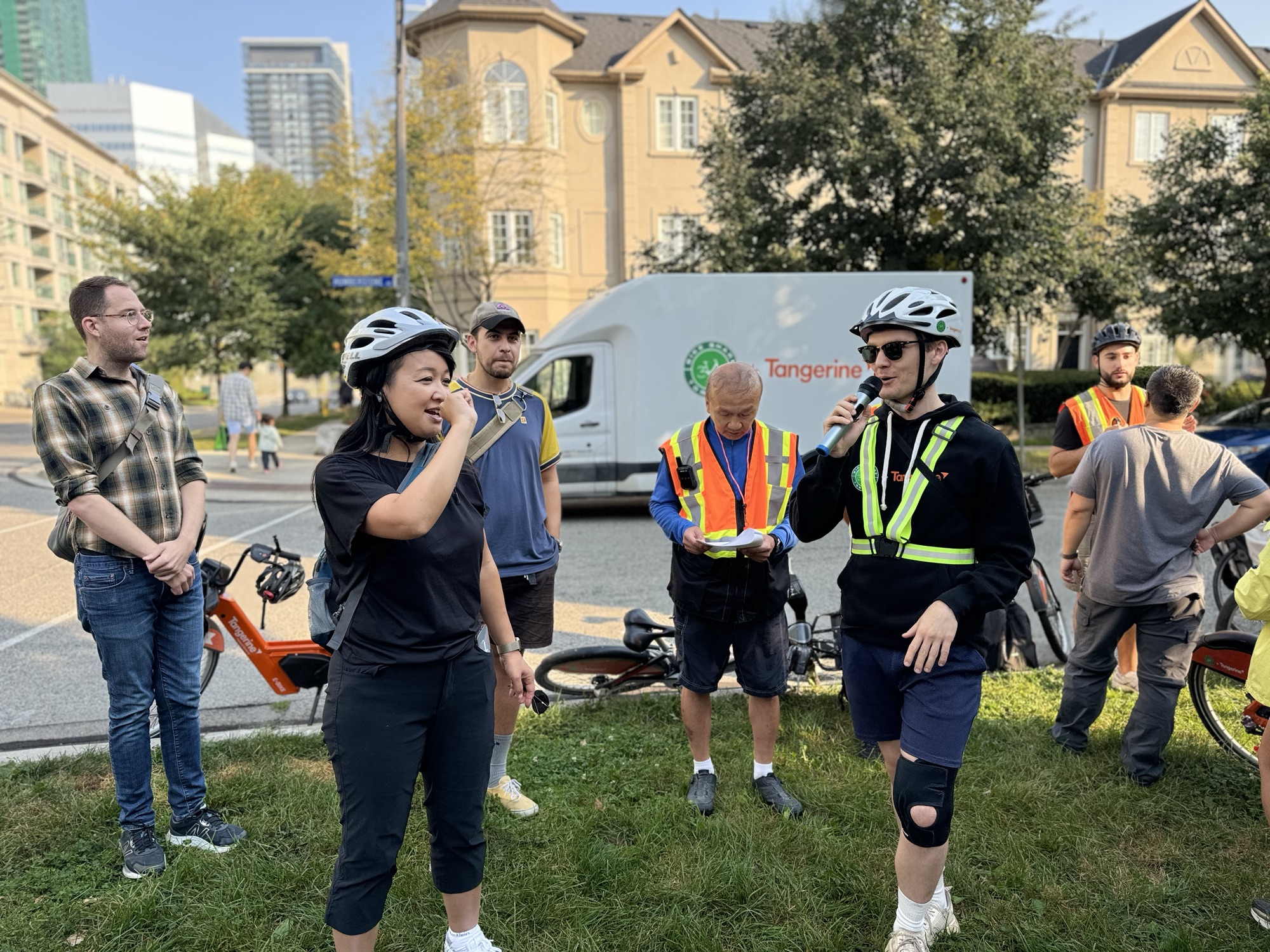
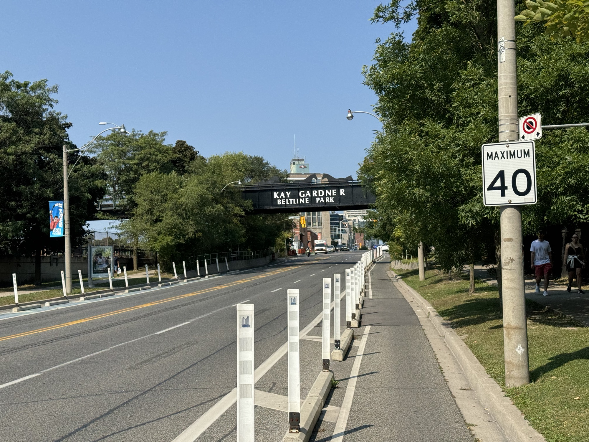
Lily Cheng is the Toronto city Councillor for Willowdale. She has been working with Toronto BikeShare to bring stations to Willowdale. The area is getting nine stations in 2024, and three more in 2025.
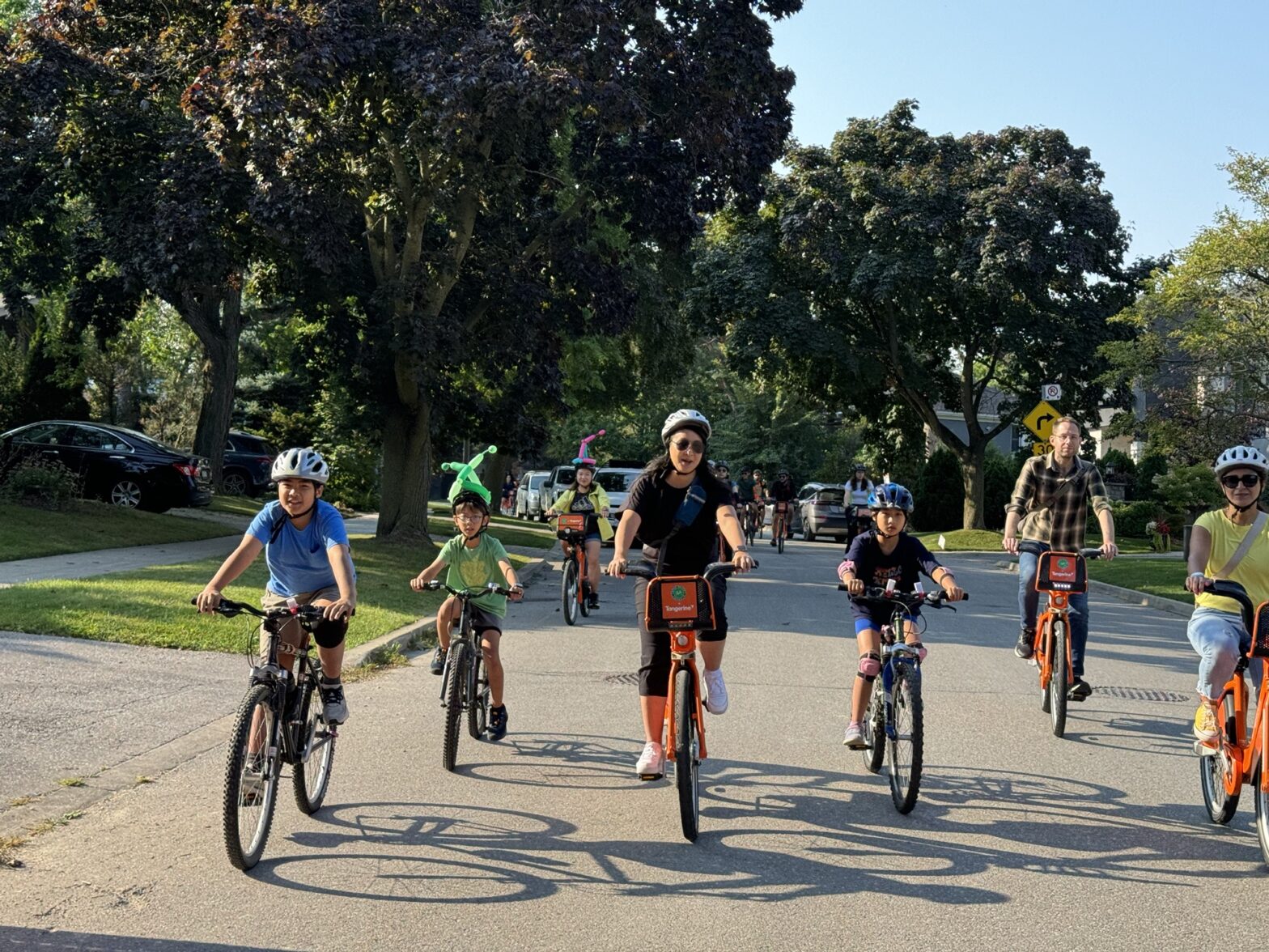
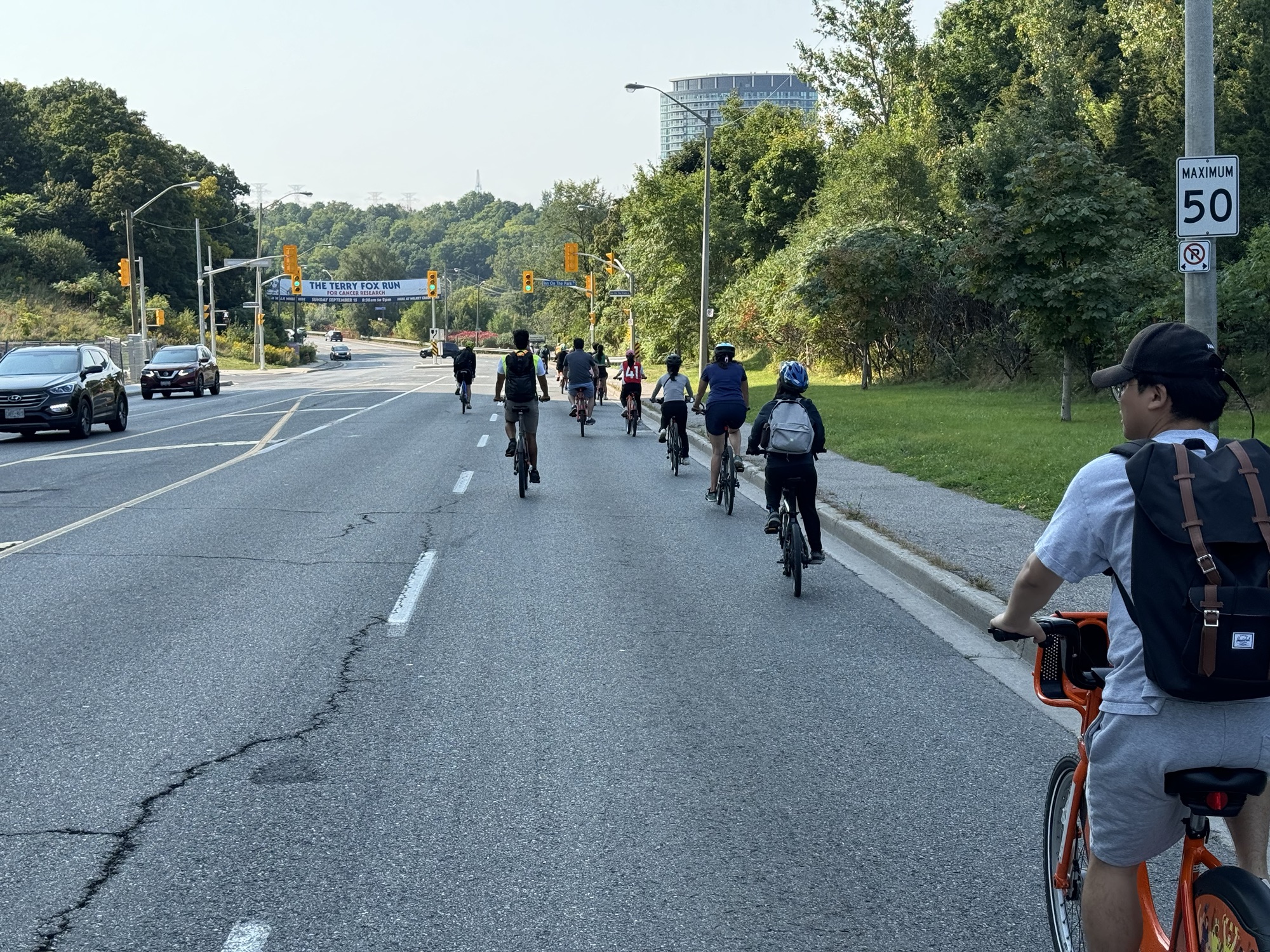
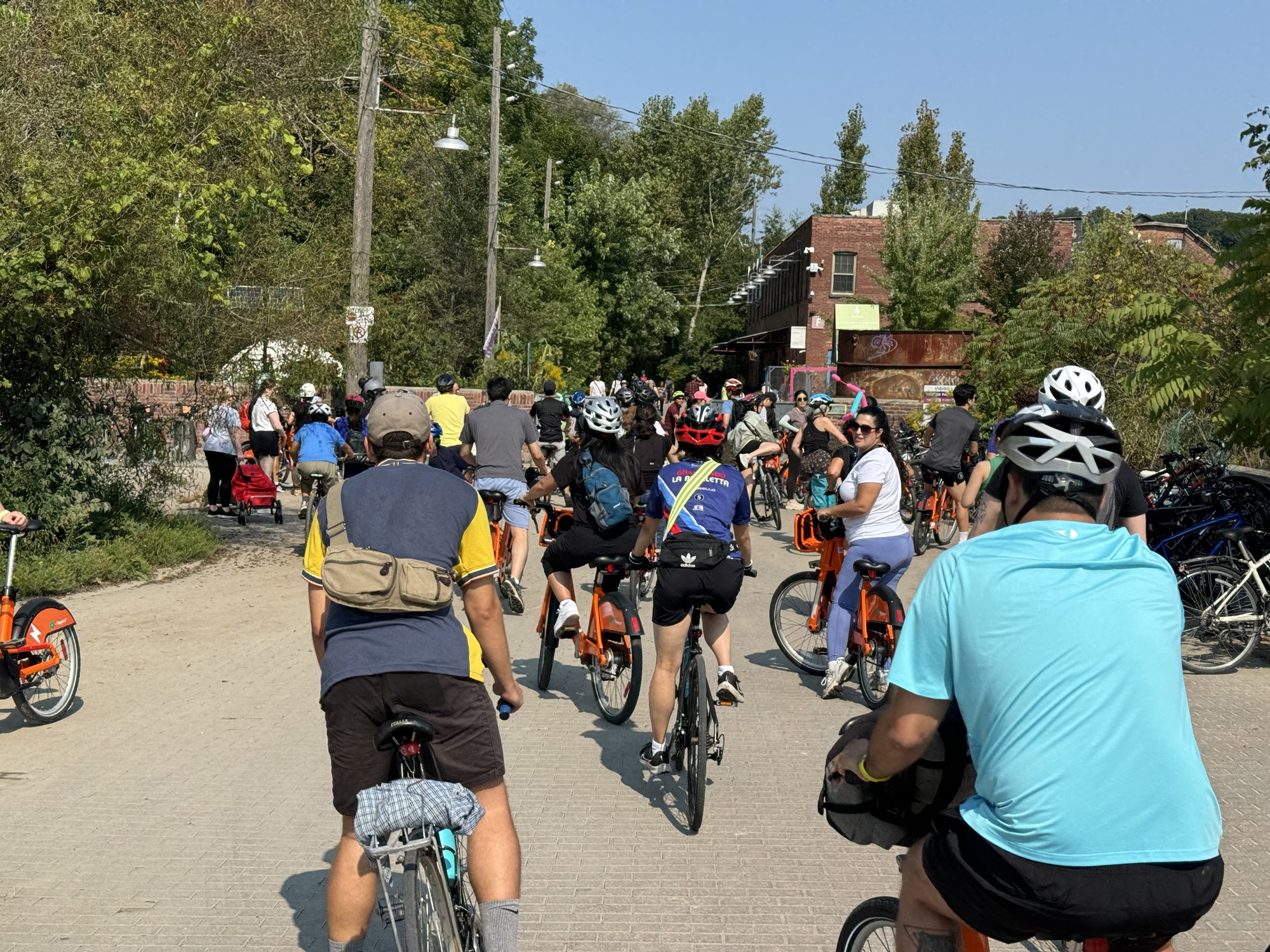
To encourage Willowdale residents to try biking and BikeShare, Councillor Cheng held a Community Ride on September 14, starting at Avondale Park, near Yonge and the 401, with a route that wound its way through quiet Willowdale residential neighbourhoods to the Don Mills Trail, to the Don Trail, with a brief stop at Evergreen Brickworks, finishing at The Esplanade for a ride of 25km.
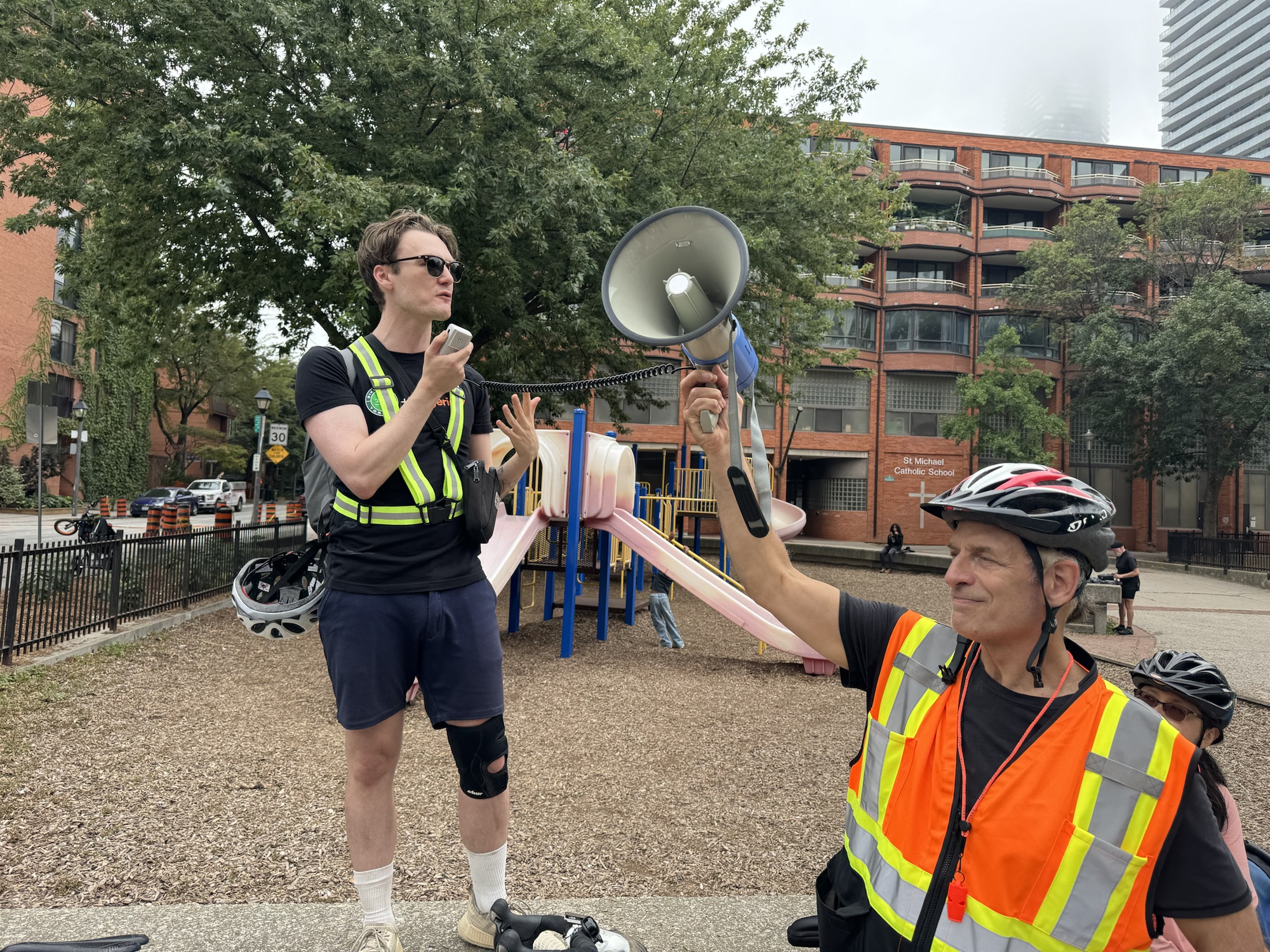
Robert Zaichkowski and Jun Nogami both blog about cycling matters in Toronto, but neither was available to cover Councillor Cheng’s event, so Robert asked if I was available. I always enjoy riding in new places, and meeting other cycling advocates and community members, so I agreed. They were also looking for somebody to do video of the event, so I brought along my fellow Brampton cycling advocate Barry Lavallée.
Barry rode his bike from Georgetown to my house in Brampton, then we loaded the bikes in the car, and drove to Willowdale. It would have made for too early a morning to ride all the way there.
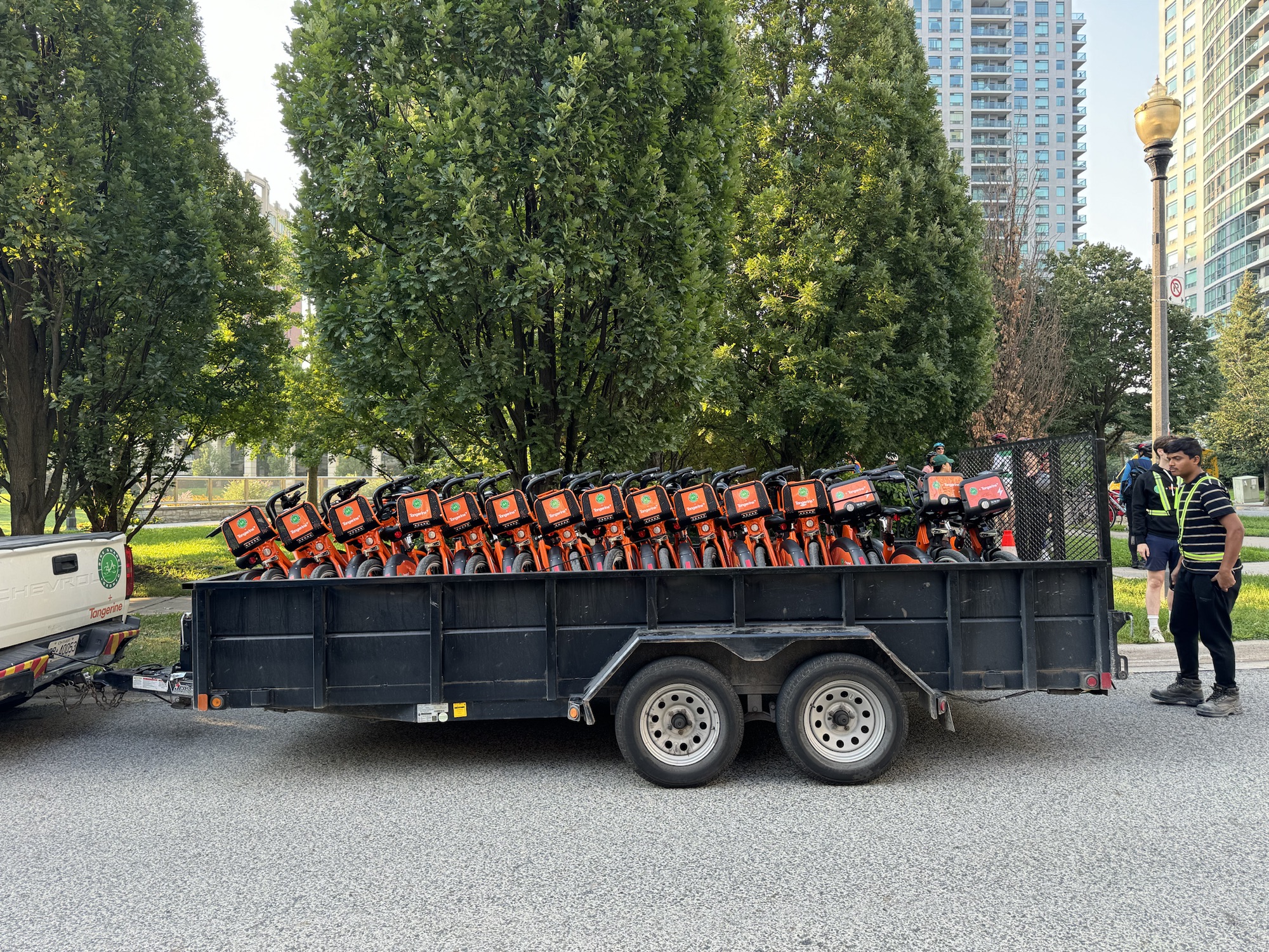
Councillor Cheng‘s office arranged with BikeShare to have 50 bikes brought to the park. I counted about 65 to 70 human participants, more than half of whom used the BikeShare bikes, and one dog.
The group gathered to hear a brief address from Councillor Cheng, and Cai de Ridder from BikeShare.
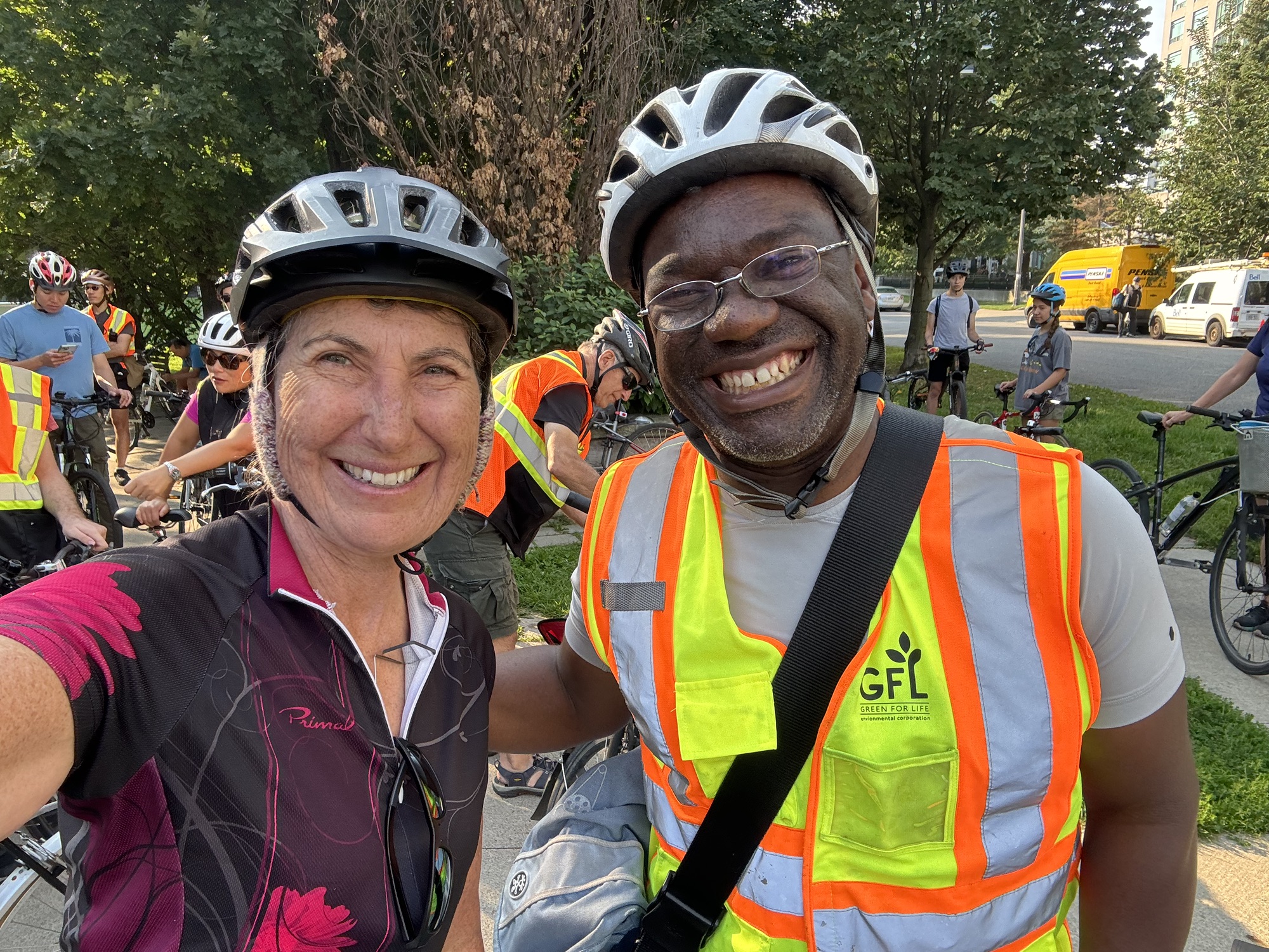
I met Lanrick JR Bennett, Toronto’s first Bicycle Mayor. From the website: “Bicycle Mayors can accelerate the changes we need to see by uniting all citizens to take action. They bring creative diversity with new insights and approaches, from both inside and beyond the world of bicycle planning professionals or the political establishment. They are the human face and voice of cycling in a city. By connecting these changemakers across a global network – creating greater visibility, rapidly sharing ideas, challenges and solutions, – we can create a truly radical shift.”
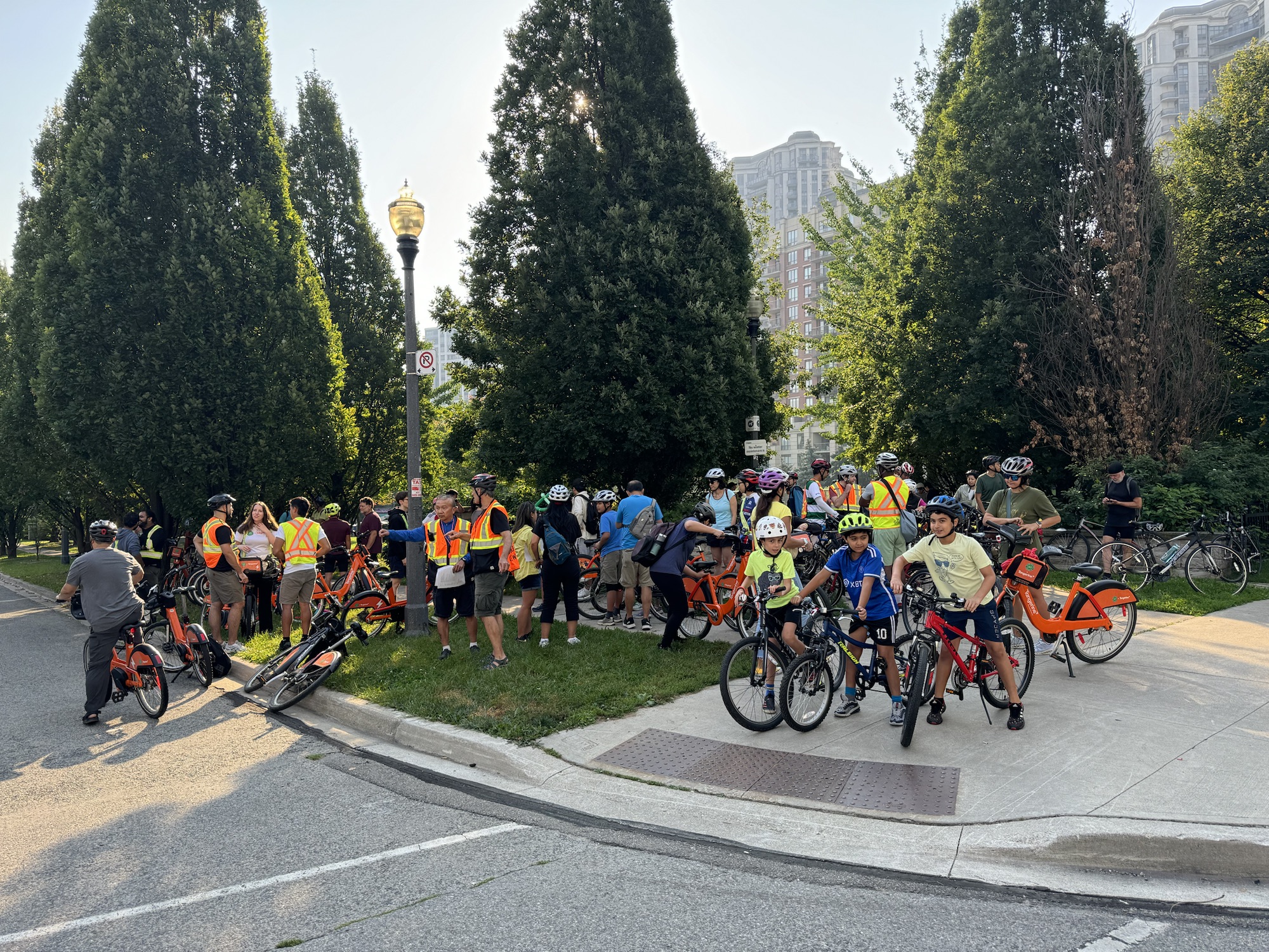
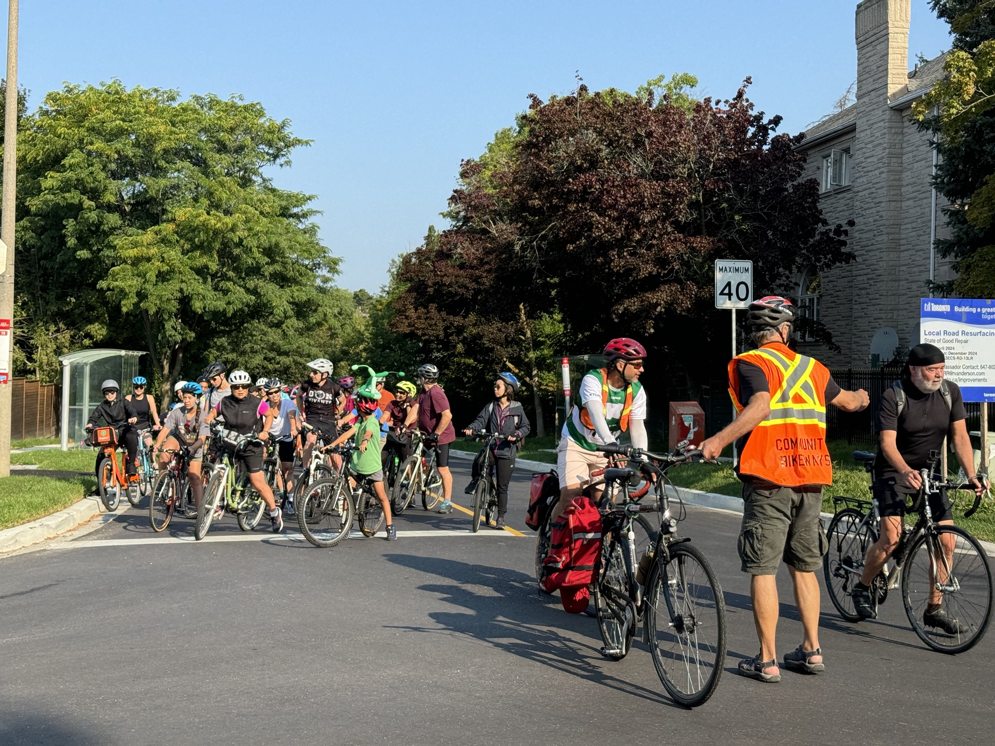
Community Bikeways, is a “volunteer advocacy group that believes municipal transportation priorities must be urgently re-ordered toward better cycling, transit, and walking facilities”. Members of Community Bikeways provided volunteers to lead, marshal, and sweep the event. Here we are ready to go right at 9:30 as scheduled.
It was a very large group to travel all together, but the volunteers did an excellent job keeping the group safe, and ensuring that other traffic wasn’t held up too much.
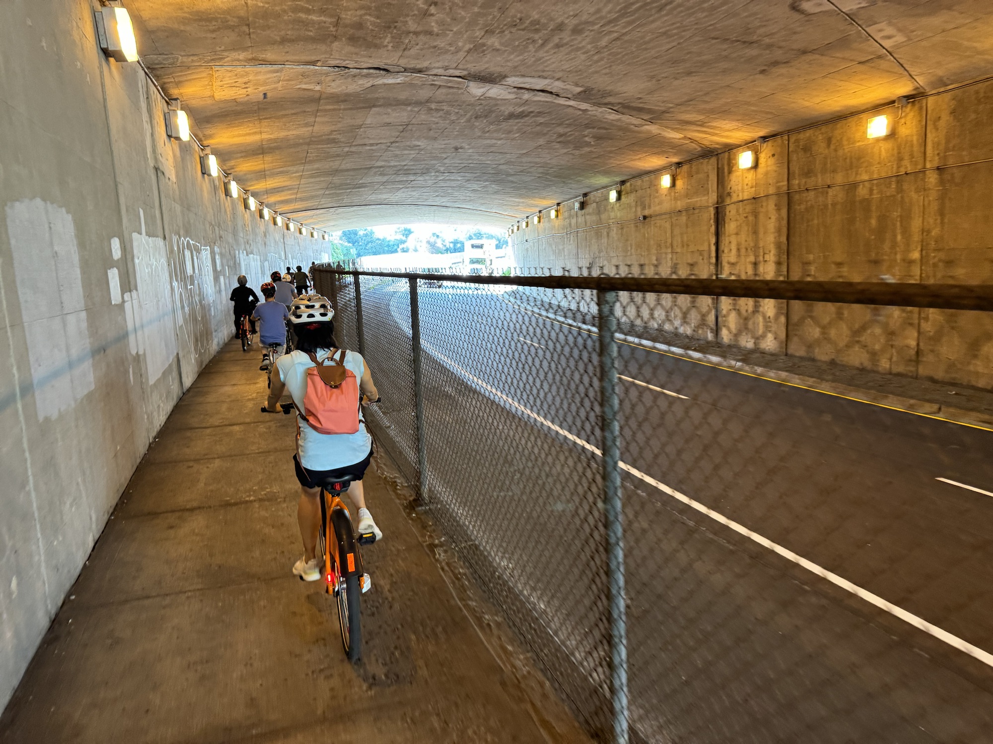
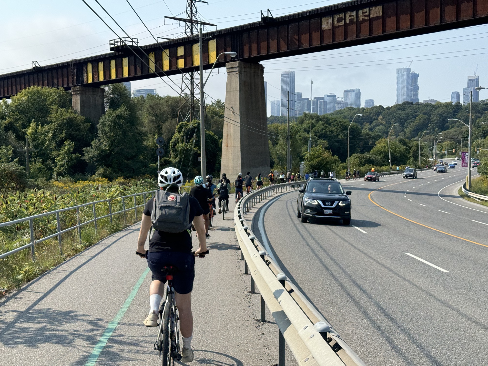
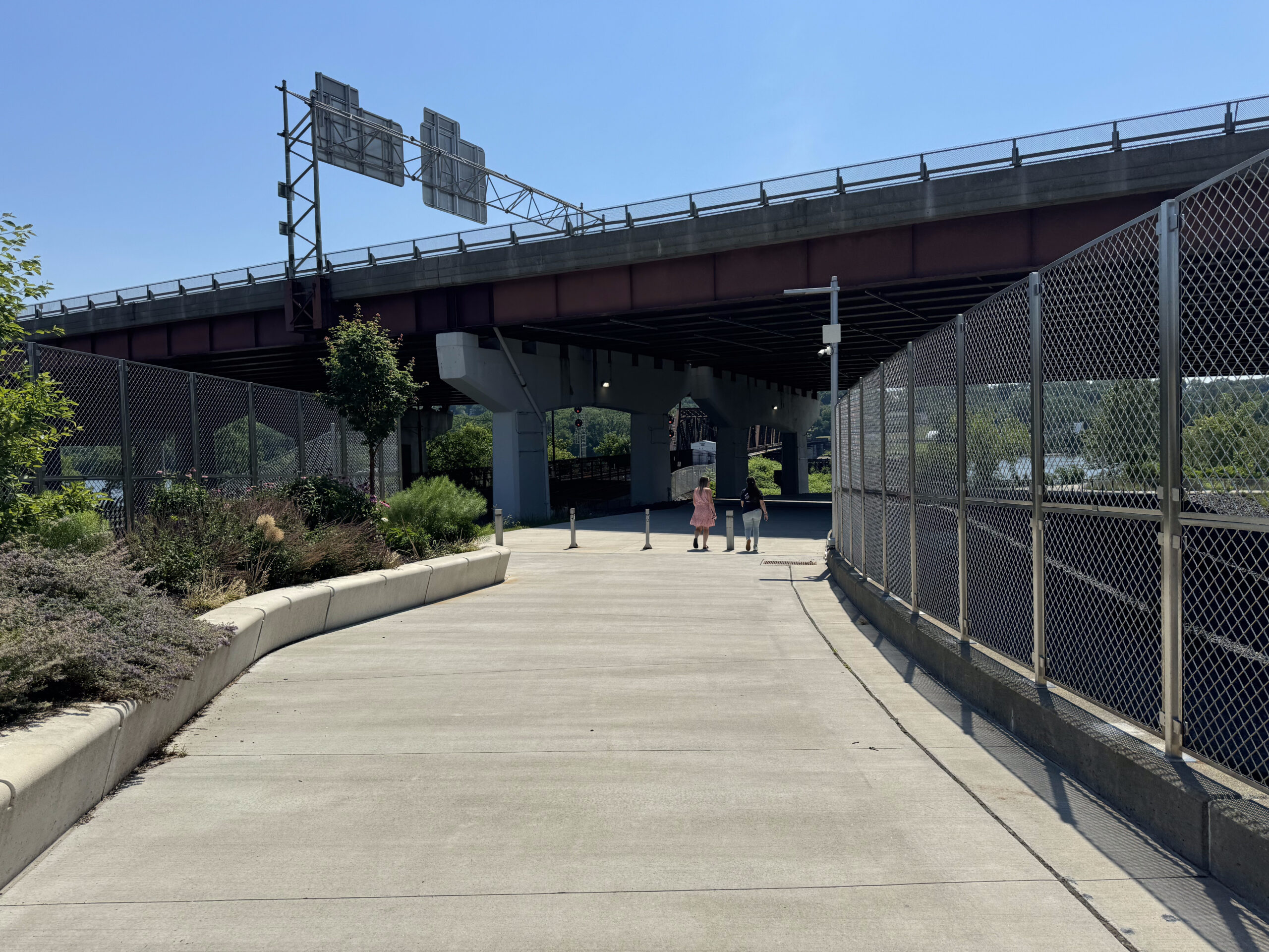
Peter Low was our leader and route planner. He got the group under the 401 In a relatively low risk way. There is no safe Active Transportation crossing of the 401 anywhere near Willowdale. The nearest would be on the Betty Sutherland Trail on the east side of Leslie, but it has been closed for construction on the 401 for a couple years, and will remain so for a while yet.
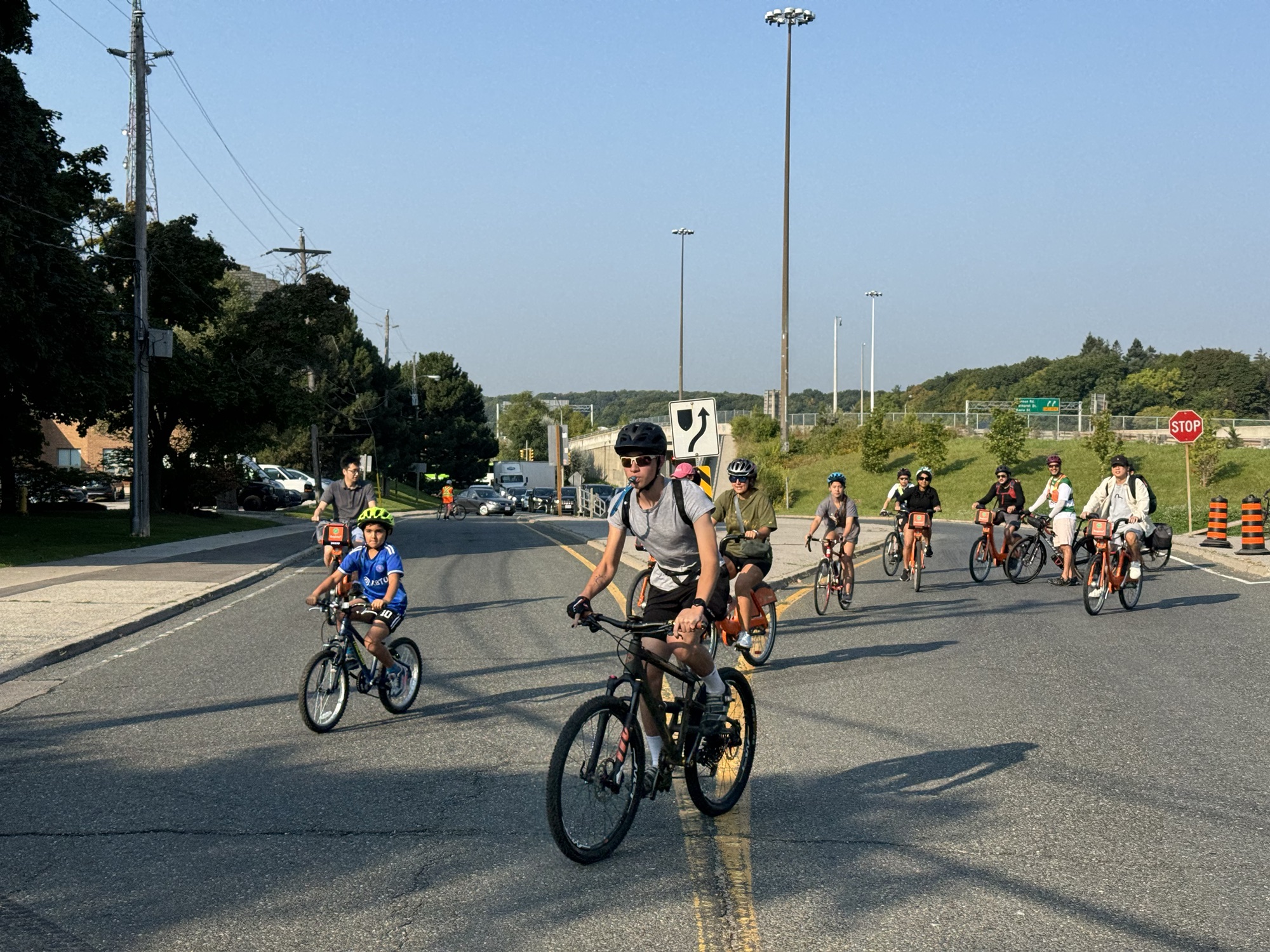
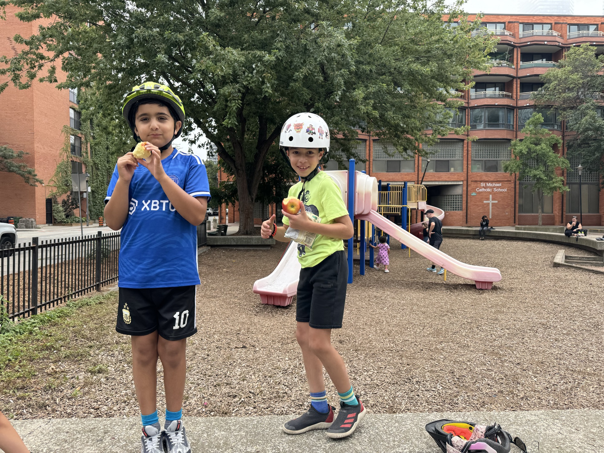
There were several children on the ride ranging from 6-10 years old, who were tremendously energetic, and happy to be along.
The marshals did a great job guiding the group through intersections.
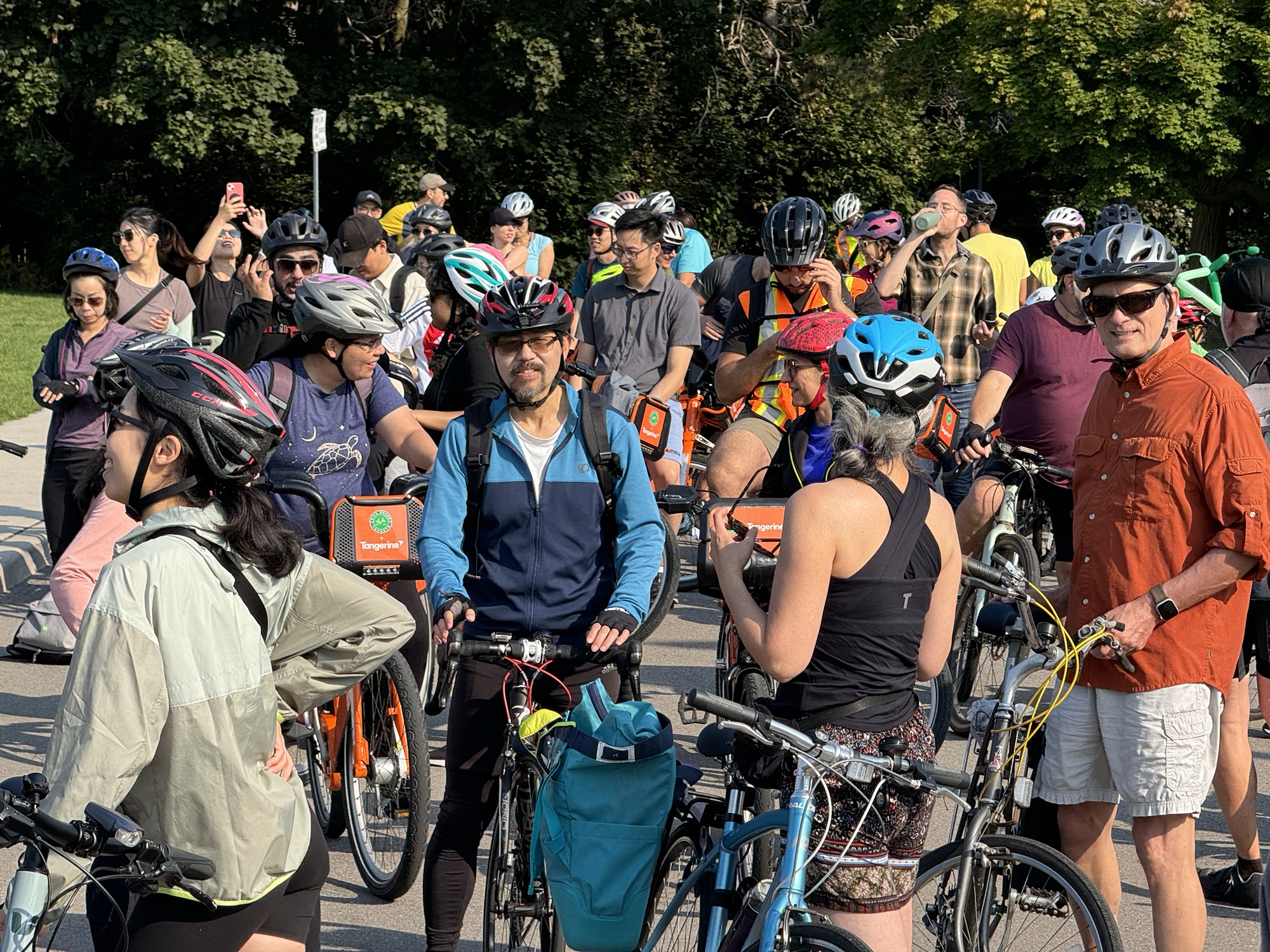
Here we are stopped for a short water break.
Toronto Councillor Cheng, Ward 18, rode one of the BikeShare bikes.
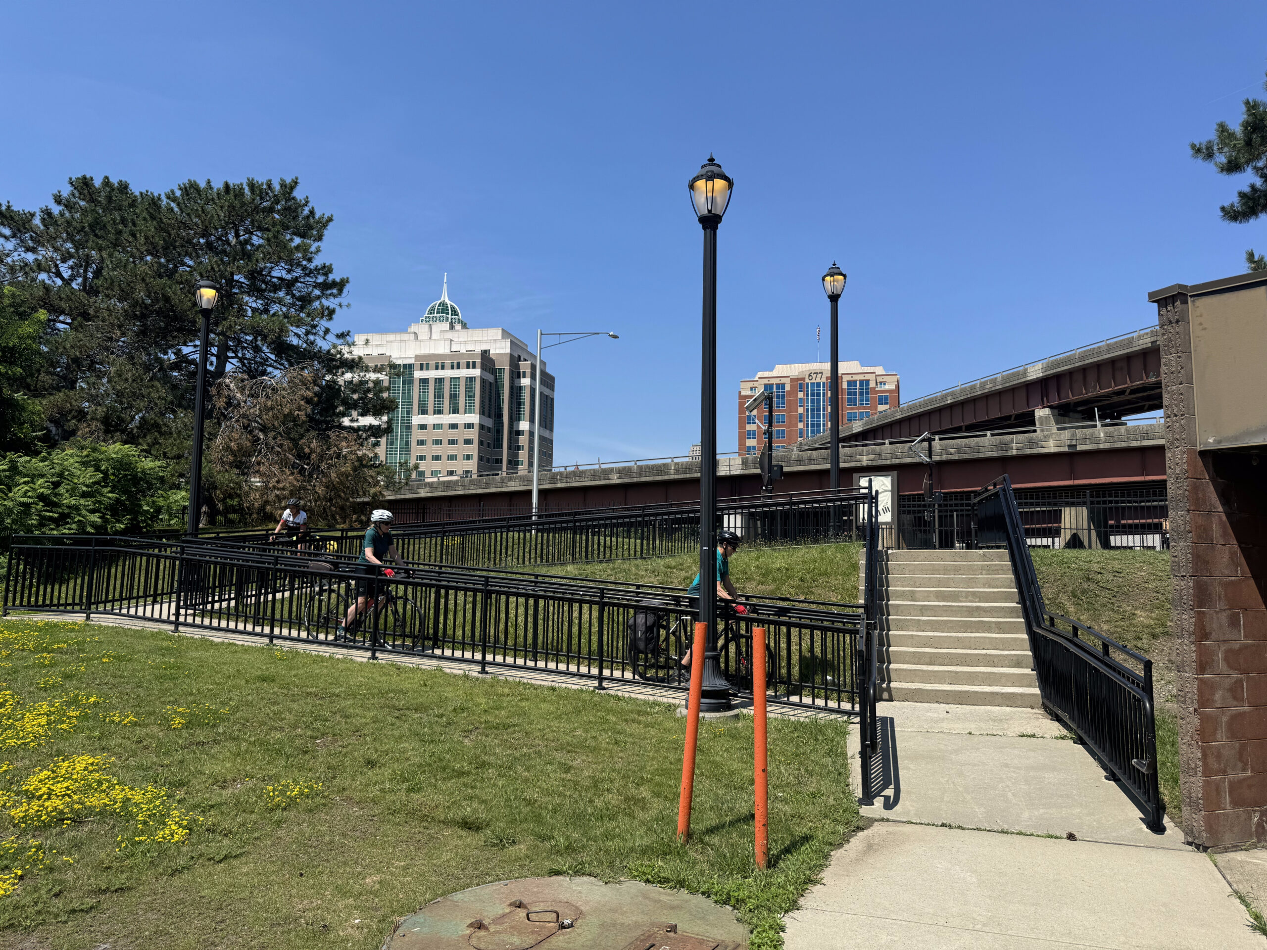
Peter routed us behind a plaza to get to the north end of the Don Mills Trail. Most of the route was flat or downhill.
The route then turned down the side of an office building and out to Leslie, just north of a traffic light, which we used to cross Leslie, before briefly taking the lane on Leslie, a short distance from the driveway into Wilket Creek Park.
We stopped briefly to ensure the group was all together, then continued on the Don Trail across a bow string bridge, and then across Pottery Road, which is a bit tricky due to the crossing location near a blind corner, but it does have a refuge island.
There is a bi-directional cycle track on Bayview approaching the Evergreen Brickworks, which continues to Corktown Common.
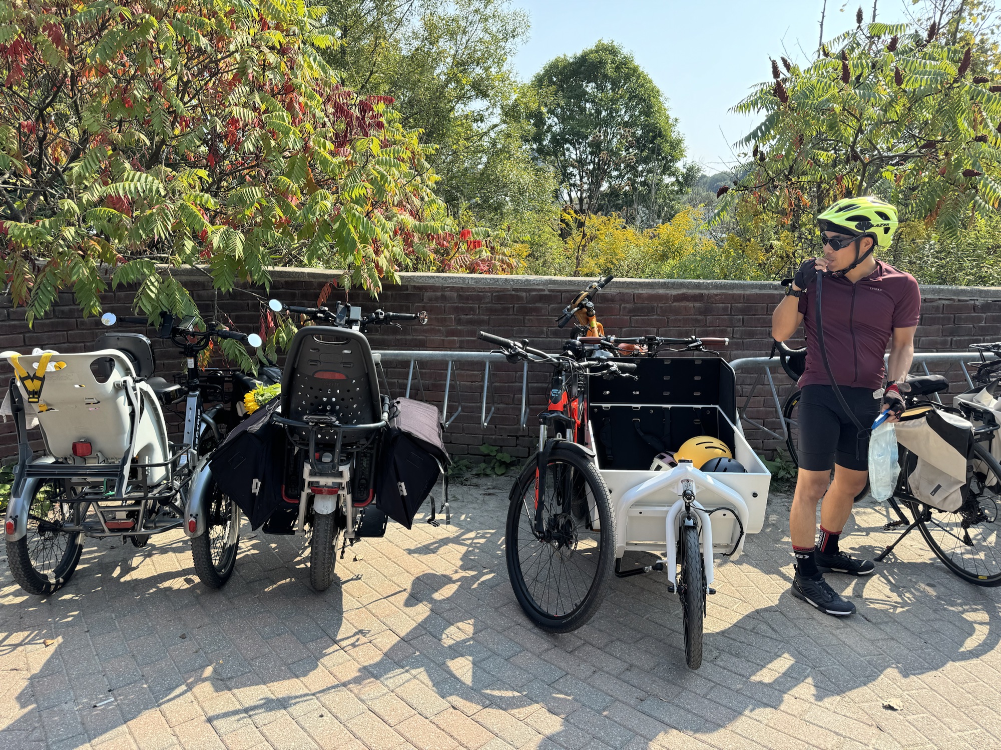
We made a brief stop at the Evergreen Brickworks where there were lots of interesting bikes in the bike racks.
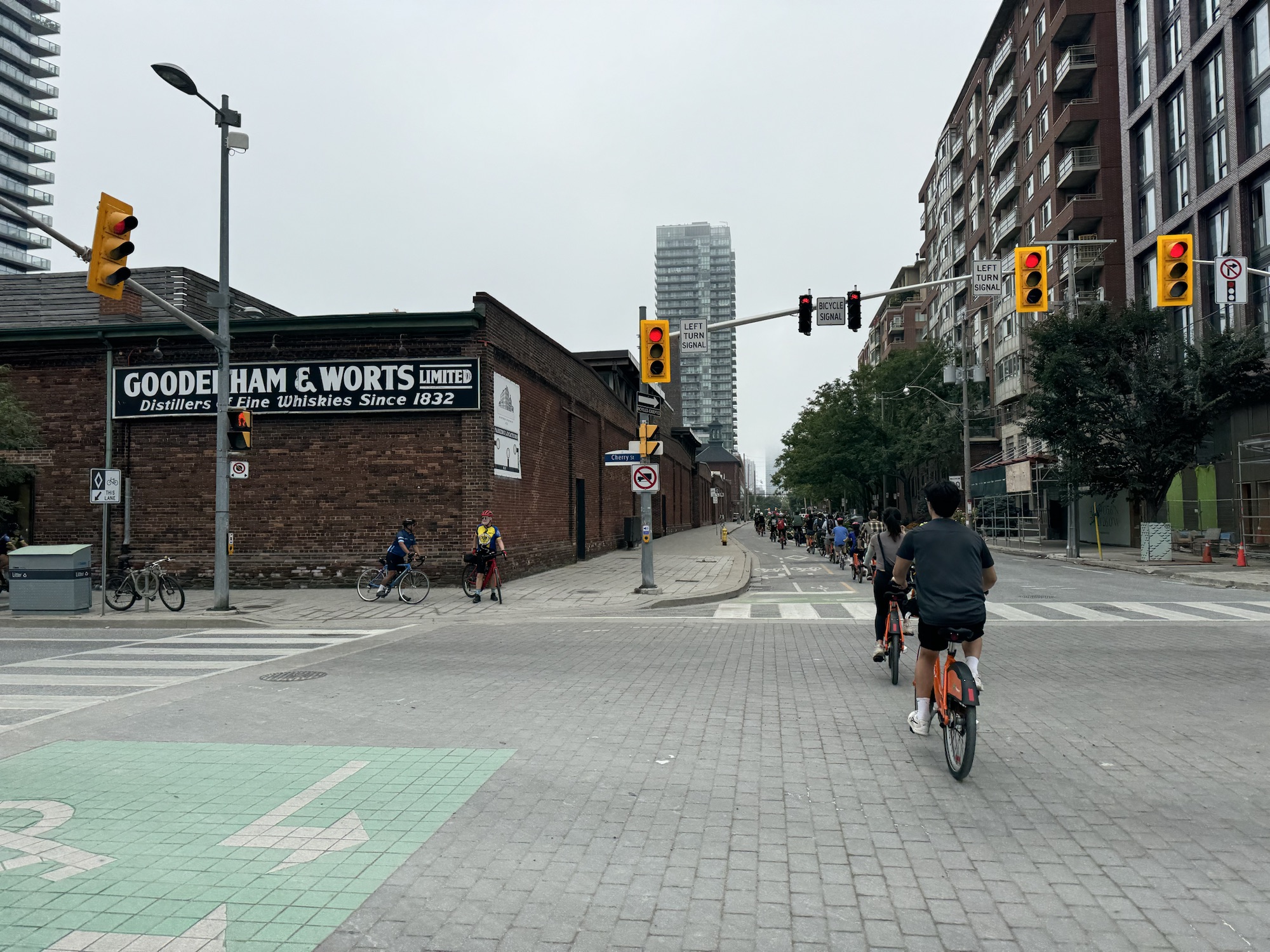
There is also a bi-directional cycle track on Mill Street which passes The Distillery District.
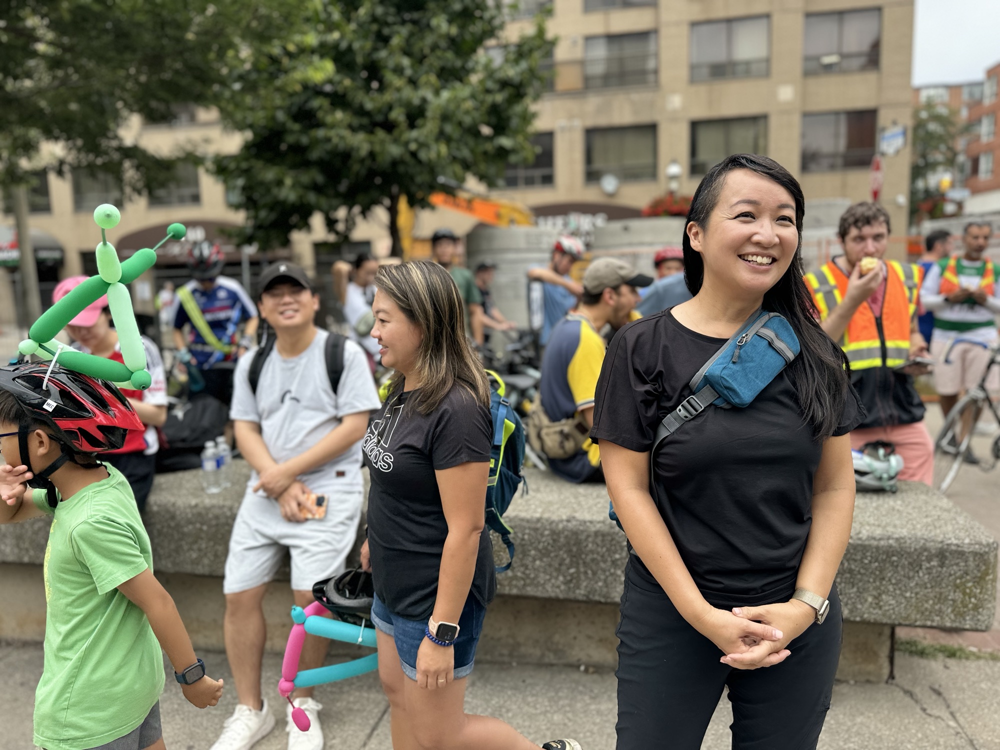
The ride finished in a park on the south side of The Esplanade at George Street. Councillor Cheng and Cai made some brief final remarks.
These impressive children are 7&6 years old proving that, if given the opportunity, children can travel great distances on their own outside of a private motor vehicle. We should encourage them with safe infrastructure, education, and community support.
People who rode bike share bikes were provided with instructions on how to return to Willowdale by Public transit. Peter led a group on their own bikes back up along Don Trail.
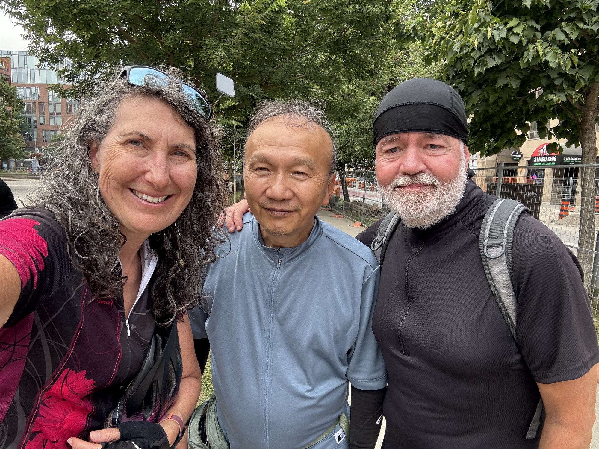
I took a couple pictures of Barry and myself with our intrepid ride leader Peter, and Councillor Cheng, before Barry and I headed back north using streets to cut the distance from 25km to 15km on the return.
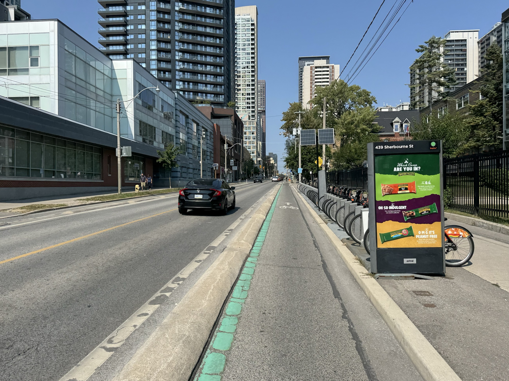
We had a raised unidirectional cycle track on Sherbourne. We were briefly on the Bloor bike lanes, then the Yonge Street bike lanes to just past Davisville.
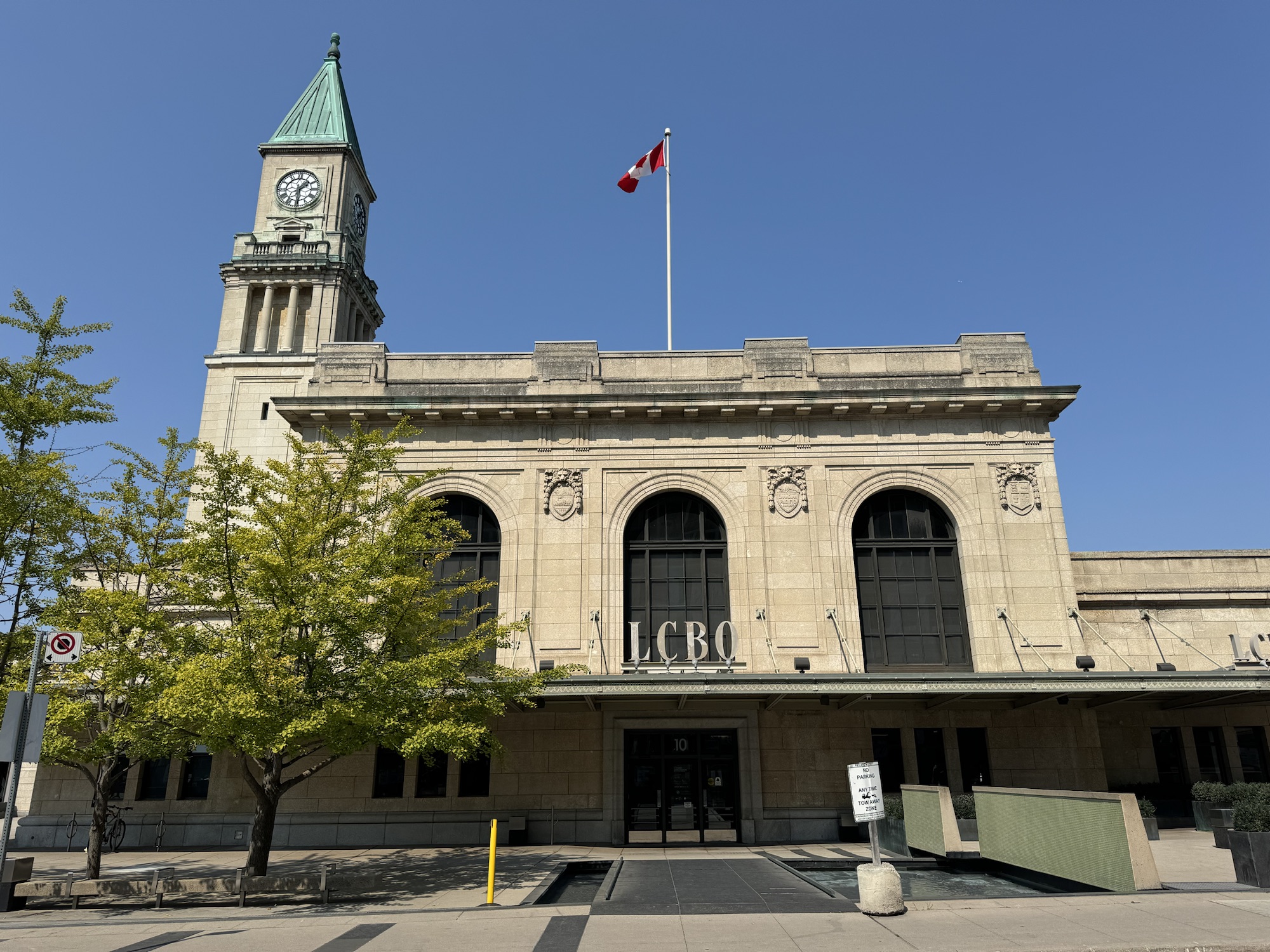
The Summerhill LCBO is in a train station that closed after Union Station opened in 1929.
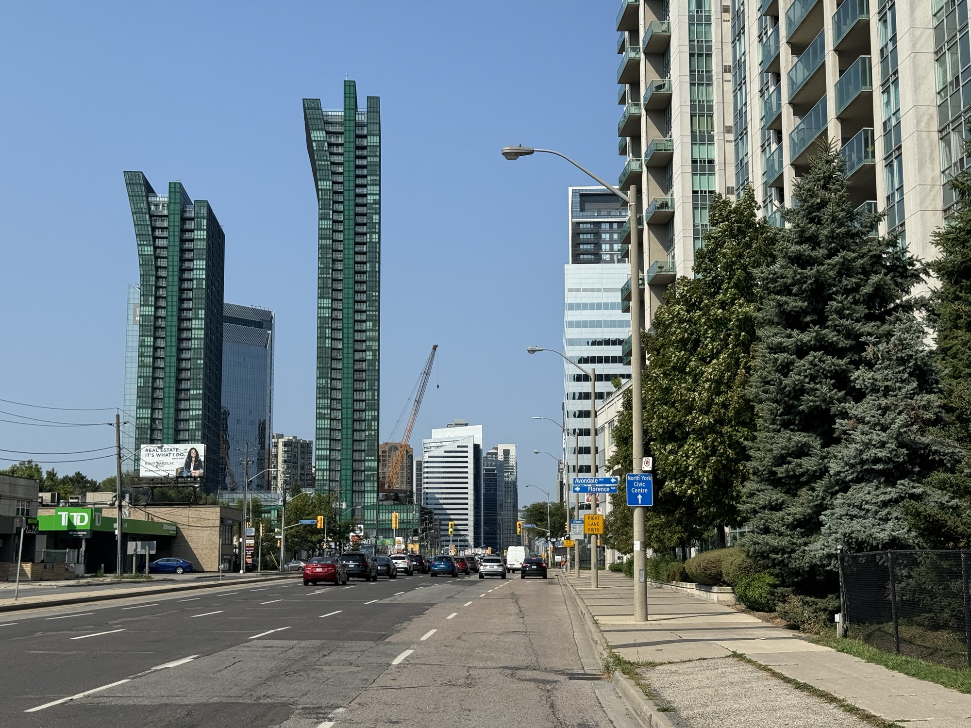
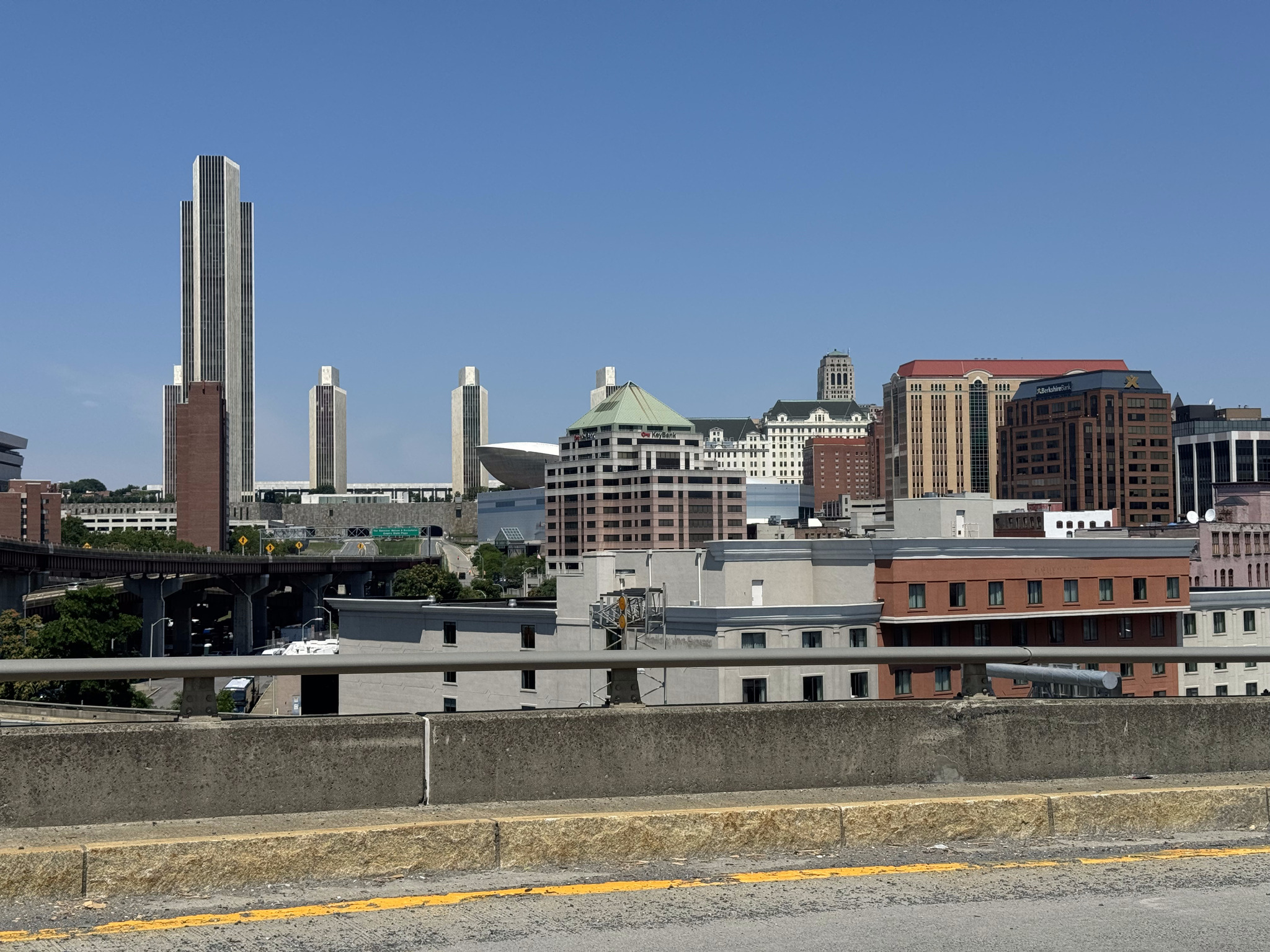
There was no cycling infrastructure for the last 8km or so, but the traffic wasn’t too heavy. The descent into Hoggs Hollow was a blast and the climb out, not too bad. We could see this pair of towers as an end-of-ride landmark from south of Lawrence.
I had fun attending and documenting this event, and met many great people. I am so appreciative of Councillor Cheng devoting her day to this ride and encouraging her constituents. I look forward to returning to Willowdale and seeing the cycling infrastructure bloom.
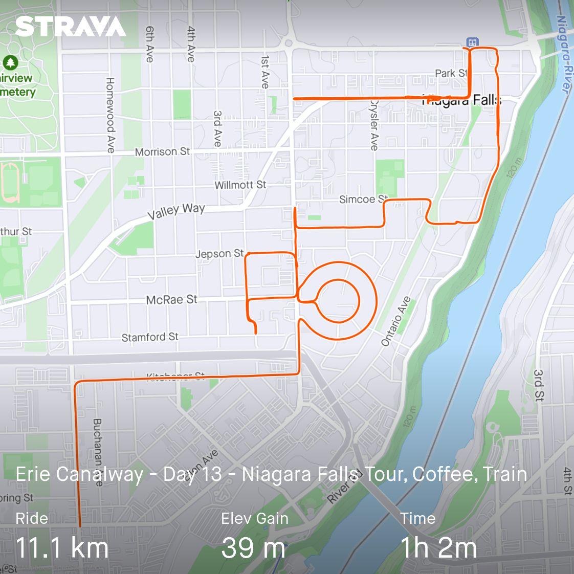
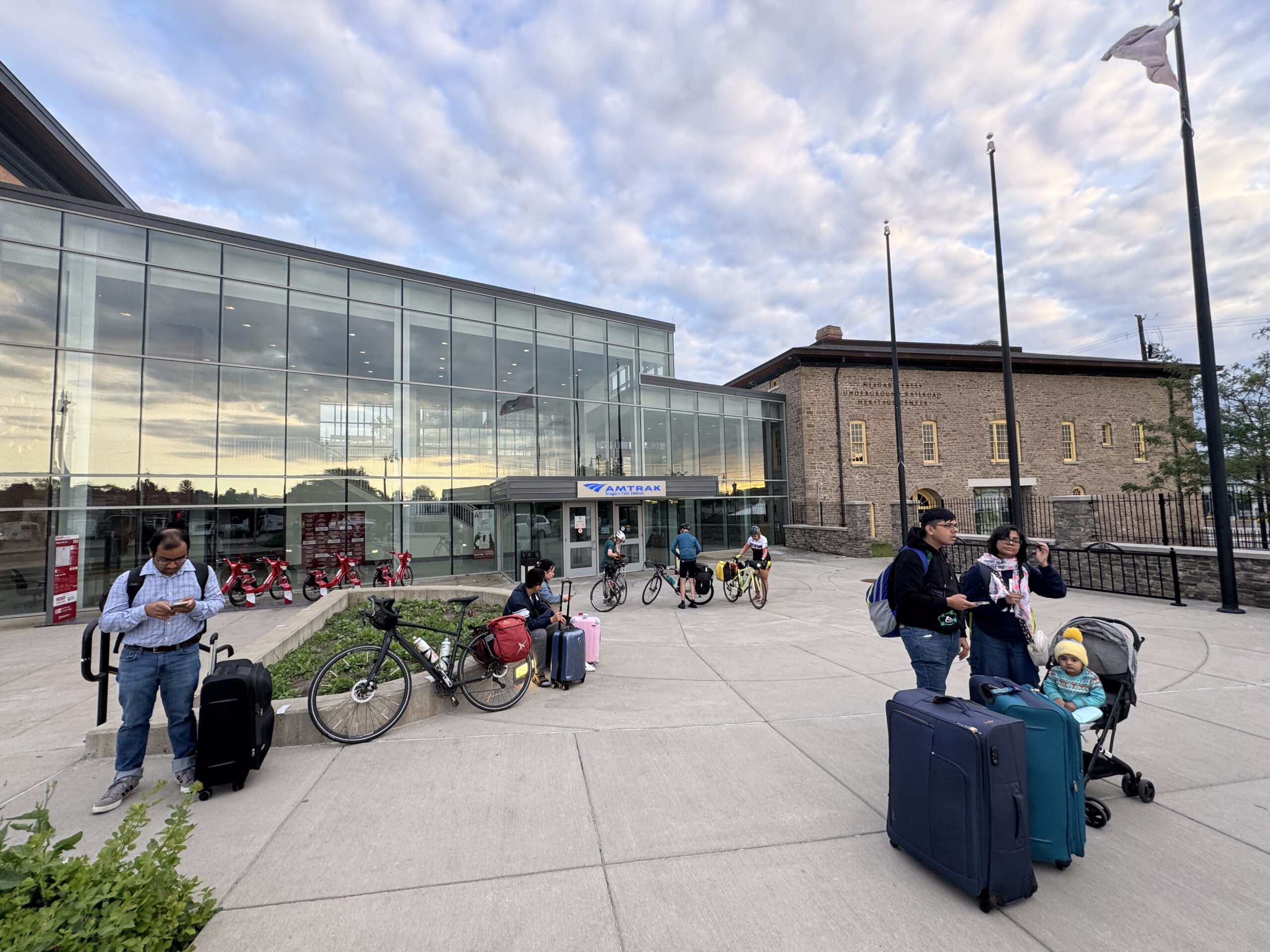
We spent our final night at the same hotel at which we stayed the first night, which had a mediocre, carb heavy breakfast. We ate enough to satisfy our initial morning hunger, and then went back to the rooms to pack up, and for me to plan a route for us to explore Niagara Falls, before taking the GO train back to Port credit just after 1 PM.
As I suspected is case with many people, my explorations of Niagara Falls, have mainly revolved around the falls themselves and related attractions, Clifton Hill, and the Niagara Parkway between Niagara Falls and Niagara on the Lake. When we arrived in Niagara Falls 12 days ago, I realized I had never seen the area around the train station, and we were pleased to find a recreational trail that took us partway to our hotel.
So I did some searches online to discover something I hadn’t seen before, and I found a website and app called GPSMYCITY. They had a walking tour of Niagara Falls. Apparently, it will guide you along the route and provide you with information about what you’re passing along the way. I didn’t want to take the time to download and learn the new app, plus I wanted to integrate the exploration with a route that started at our hotel, took us to a coffee shop for lunch, and then to the train station. So I dropped pins into the route planner on Ride with GPS for each of the featured stops, and then created a route starting at the hotel, and finishing at the train station.
It worked out quite well, and we saw a side of Niagara Falls that we had never seen before. I would definitely consider using this app when I want to do guided walks in the future.
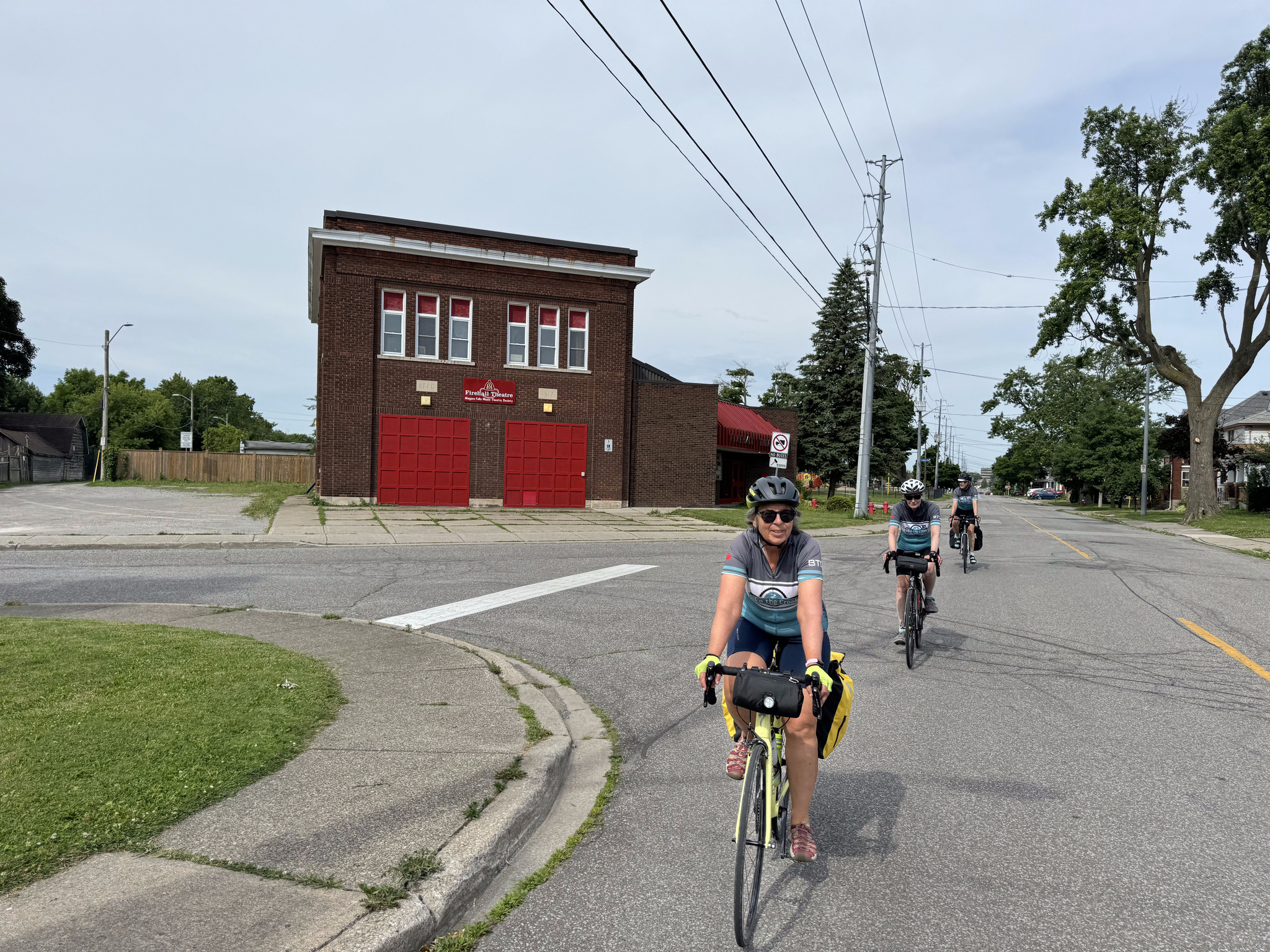
As I was creating the route, I noticed a little neighbourhood that had concentric circle shaped streets, so I also routed us around that, just for fun. On our way there, we passed the Firehall Theatre. The Niagara Falls Music Theatre Society began in 1961 and their initial productions were in a high school auditorium. They moved to the fire hall in 1967 and have renovated it into its present condition as a theatre, which was officially opened in 1980.
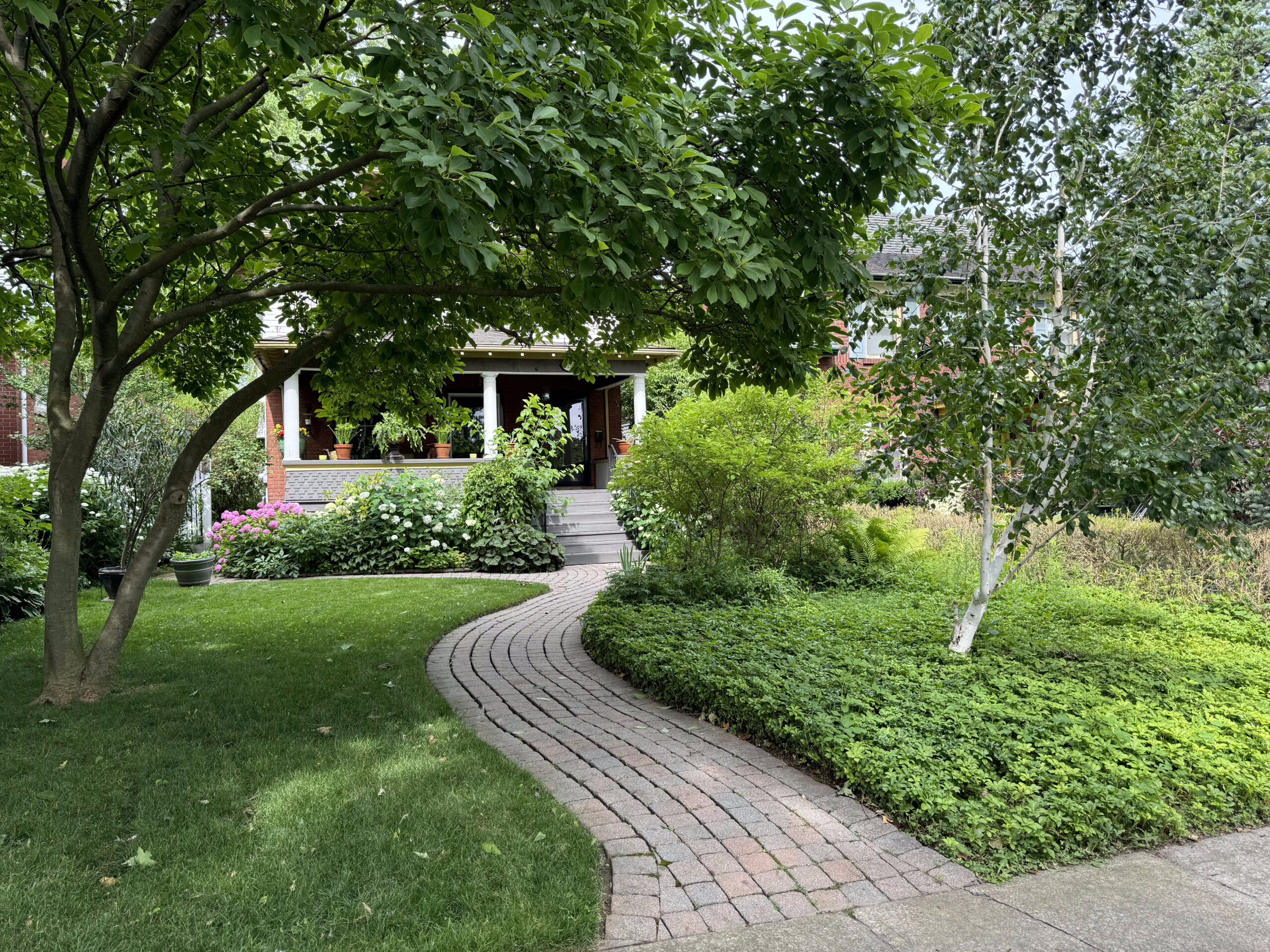
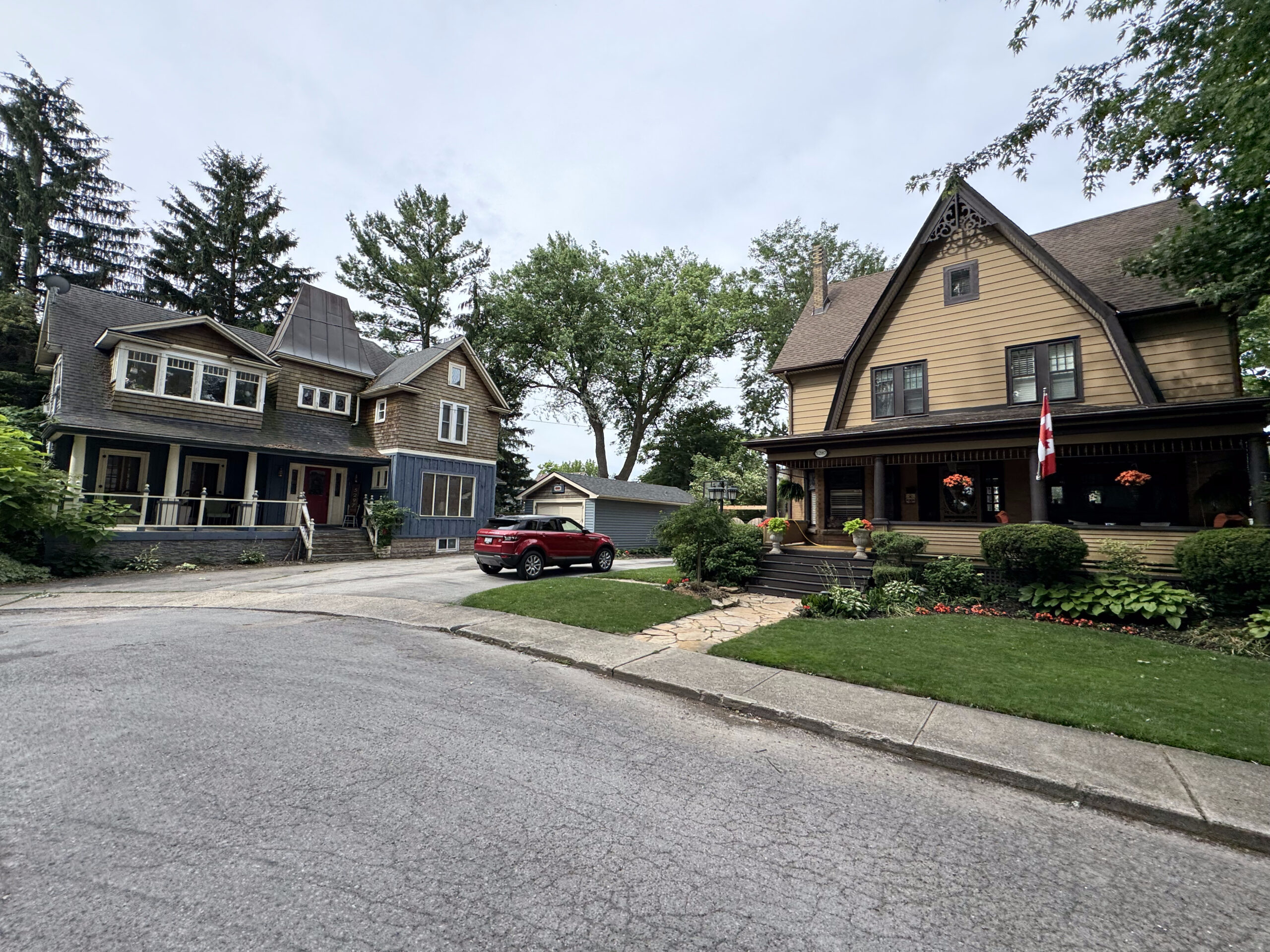
Cindy spotted a nice neighbourhood just off of our route, so we made an ad hoc left turn to tour it.
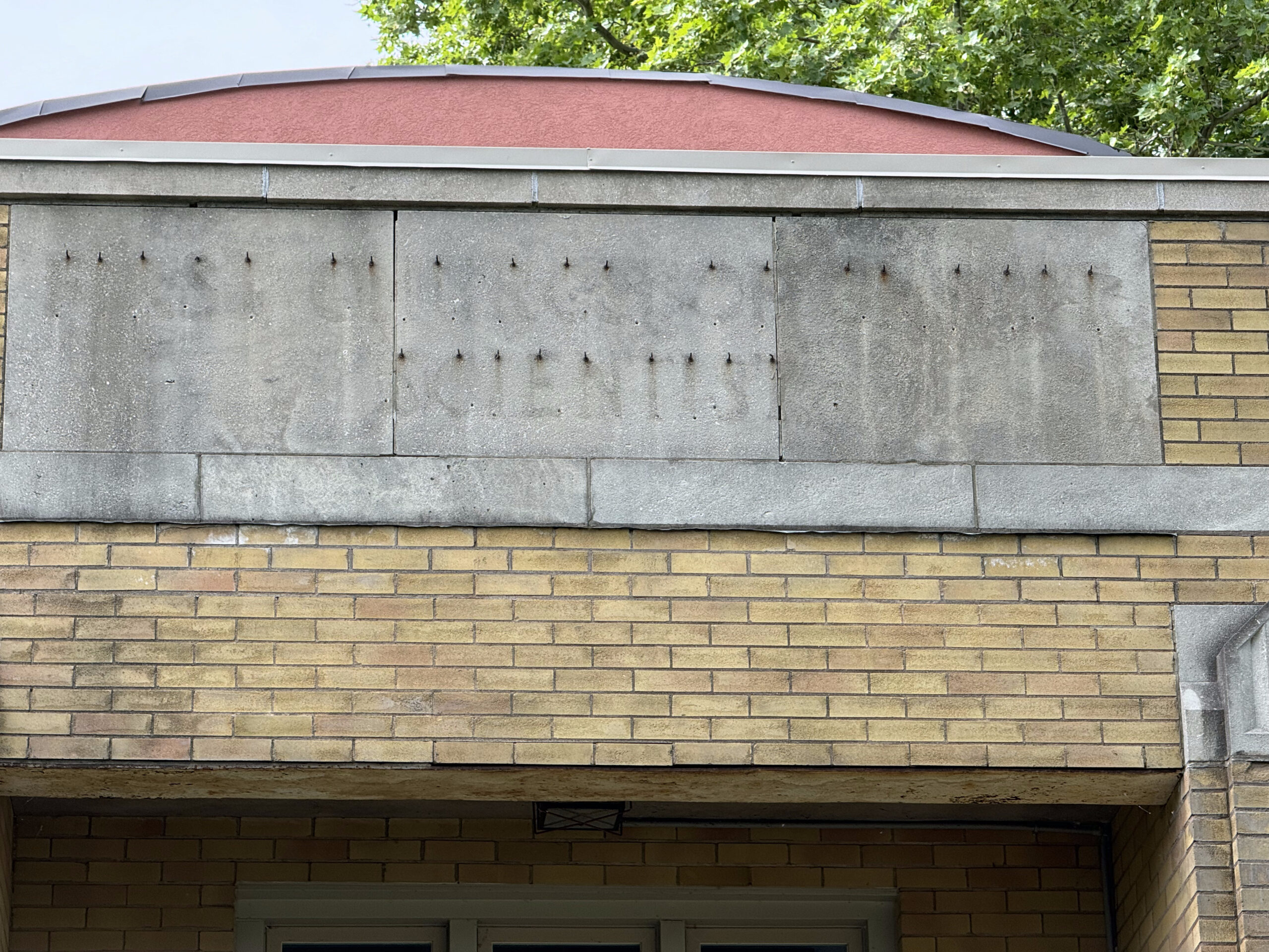
The house on the right was a Christian Scientist Church. The architecture caught my eye, and then the words left behind when the sign was removed. It’s on Niagara Falls list of historic buildings, but there isn’t any information about it.
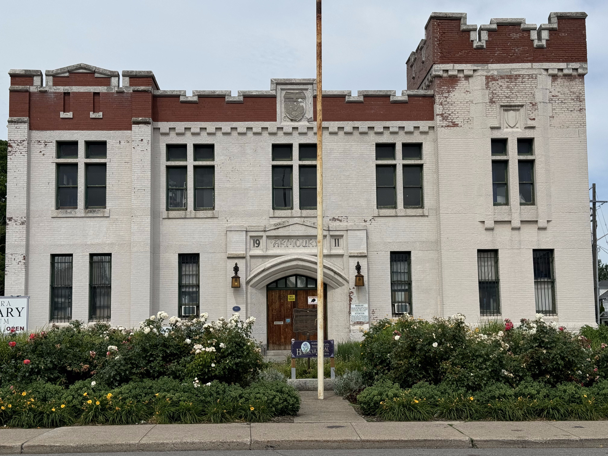
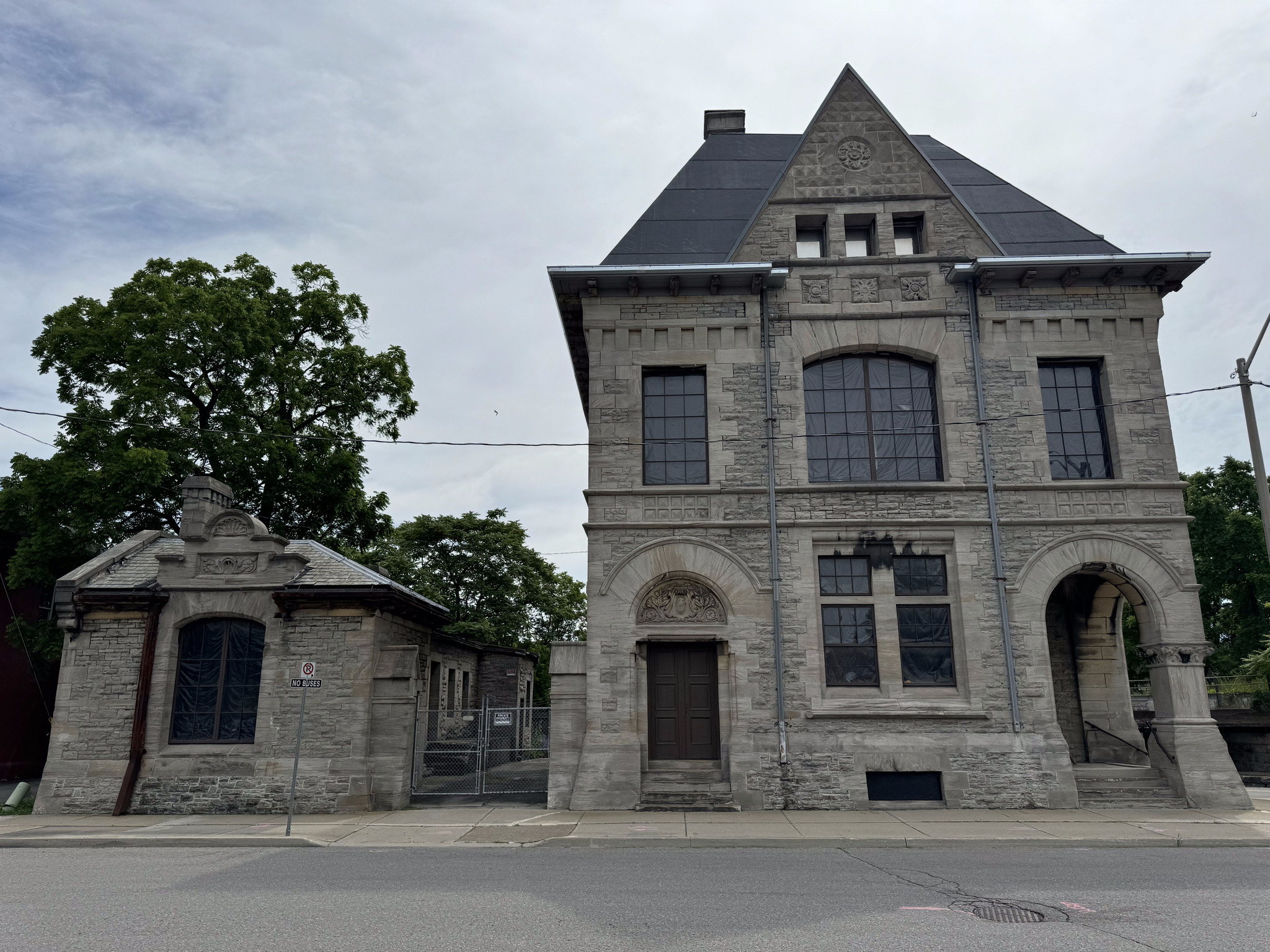
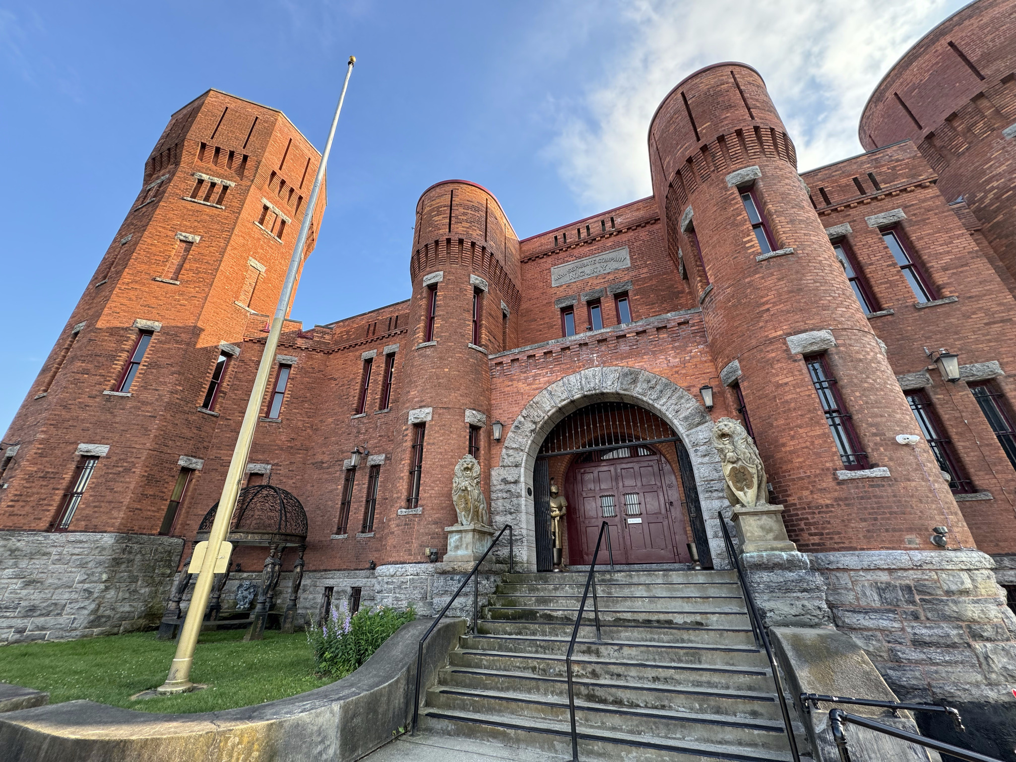
Here’s a link to the walk that I incorporated into our ride, in case you’d like to read more about some of these buildings. Our first stop was the Niagara Falls armoury, which was built in 1911 and is now used as the Niagara military museum.
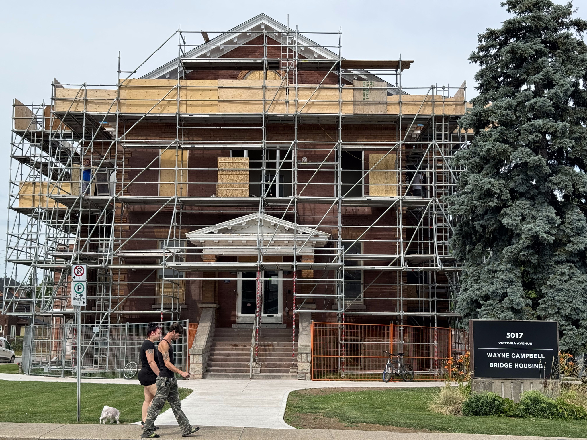
The next building began life has the Niagara Falls Carnegie Library. We found it challenging to find it because it was covered in scaffolding, as it’s being turned into supportive housing. It was built in 1910 in the Beaux-Arts architectural style.
Andrew Carnegie was a Scottish American businessman and philanthropist. A total of 2509 Carnegie libraries were built between 1883 and 1929. There were 125 built in Canada, 111 of which are in Ontario.
The next building was the first Bampfield house. It was constructed in the Regency style by James Bampfield and built in the 1880s.
The Dorian Marchell residence was built in 1886 by prominent businessman, WL Doran, and his one that many people are probably familiar with who have driven between Niagara on the lake and Niagara Falls along the Niagara Parkway. It is an example of the Queen Anne Revival style architecture.
Christchurch was built in 1865, and added onto in 1879, and 1894. It had a ten bell carillon installed in 1912.
Bampfield Hall is an example of Gothic revival style and Second Empire Style. It was built in 1875 for James Bampfield’s wife, Margaret. Today, it operates as a bed-and-breakfast.
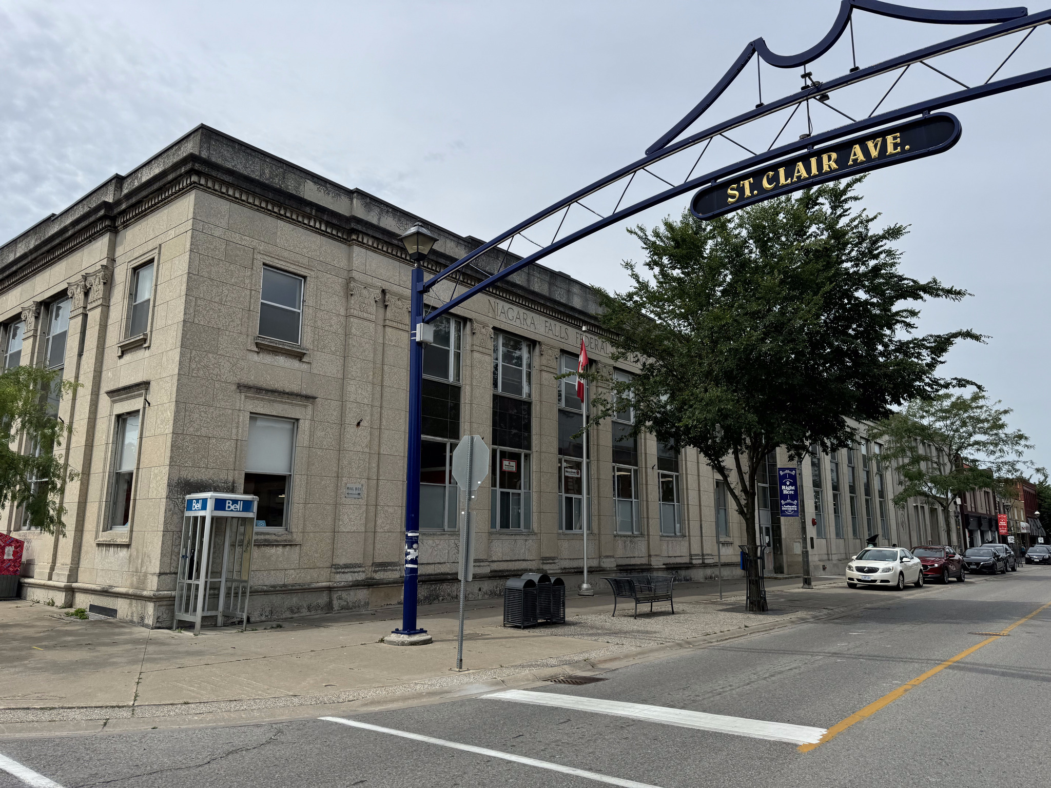
The old post office and customs house is near the train station. It’s a three-story Romanus revival building constructed by Thomas Fuller in 1885. He is the same man that was one of the architects working on the New York State capital building, which we visited in Albany. He also designed the Canadian Parliament buildings.
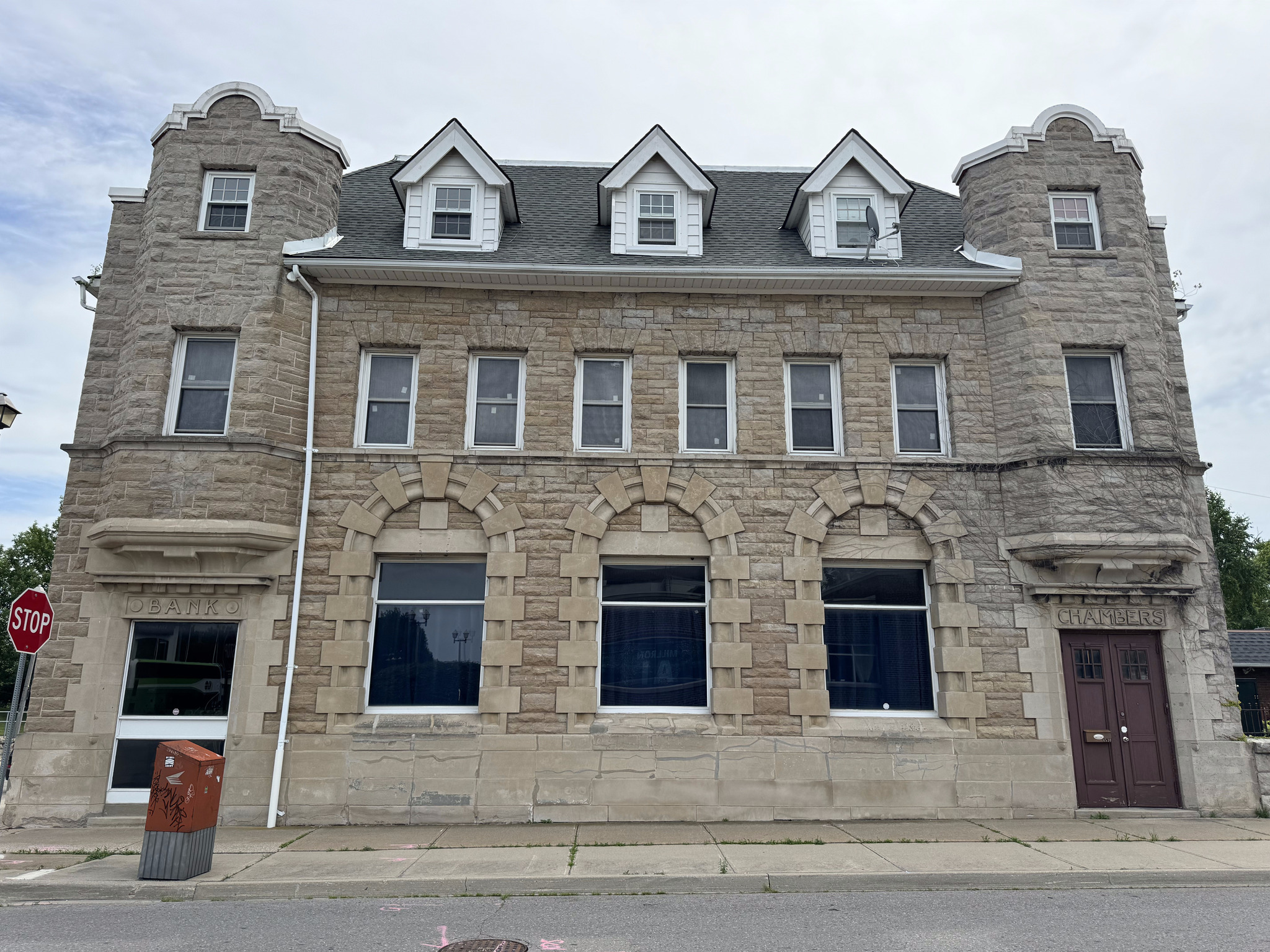
The old imperial bank is made of limestone and constructed in 1906. It is a blend of Roman revival and French renaissance styles.
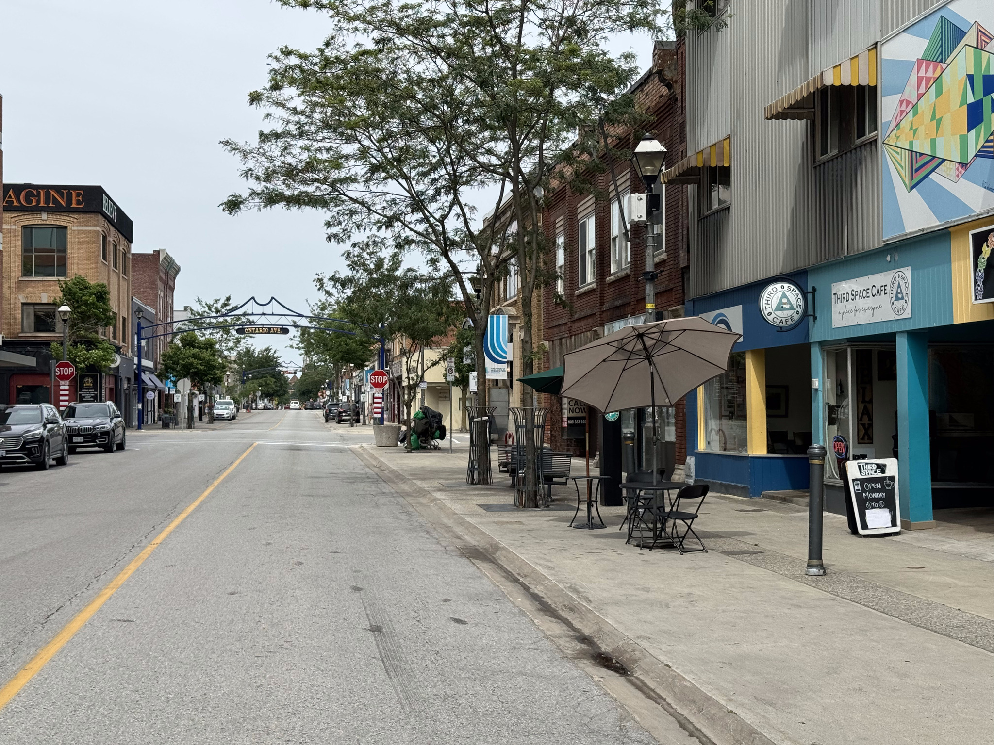
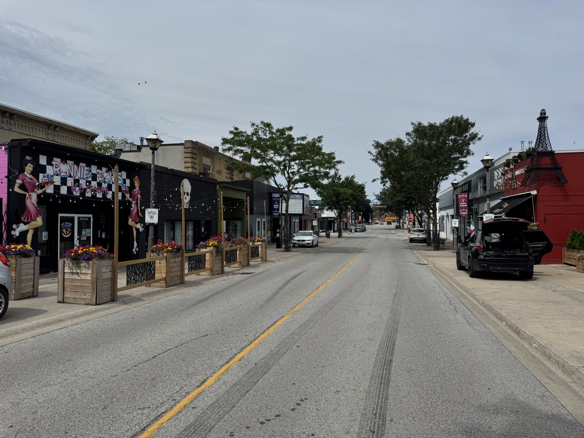
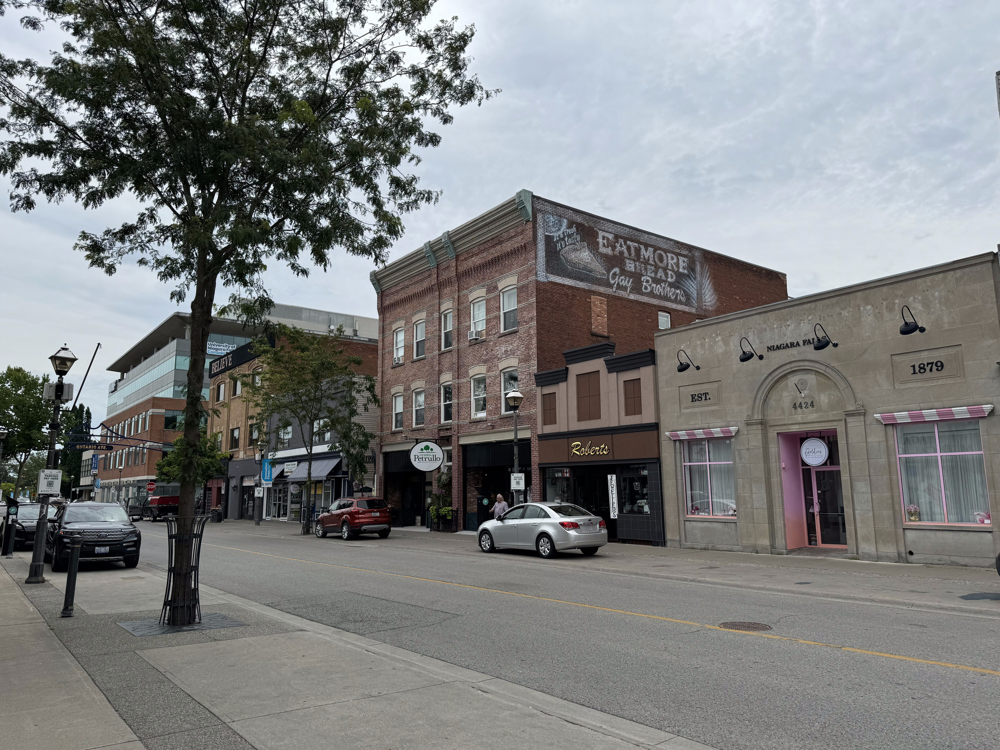
We then travelled the length of Queen Street, a typical Ontario downtown street, with two or three-story buildings, with retail on the main floor, lining the street. I had never been here before and was quite impressed.
They have nice gateways at each of the streets and outing, the cross street names.
There are lots of restaurants along the street.
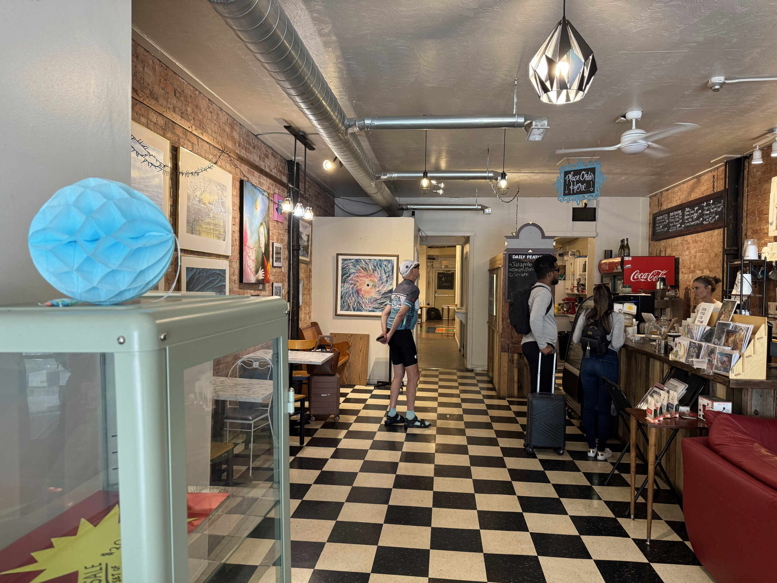
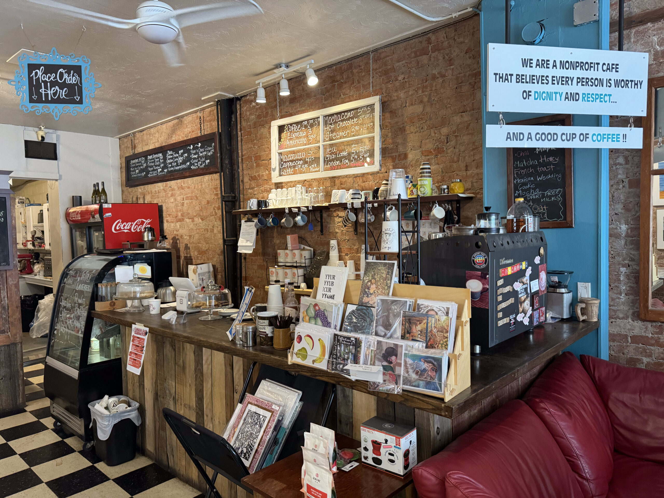
We decided to stop at the Third Space Café. It’s a nonprofit café funded by a local church. It doesn’t open until the public until 9 AM. Prior to that, it feeds people in need and provides them and allows them to use the bathroom.
I would highly recommend the café, not only for their civic oriented activity, but for the friendly staff, interesting space, and excellent food and coffee.
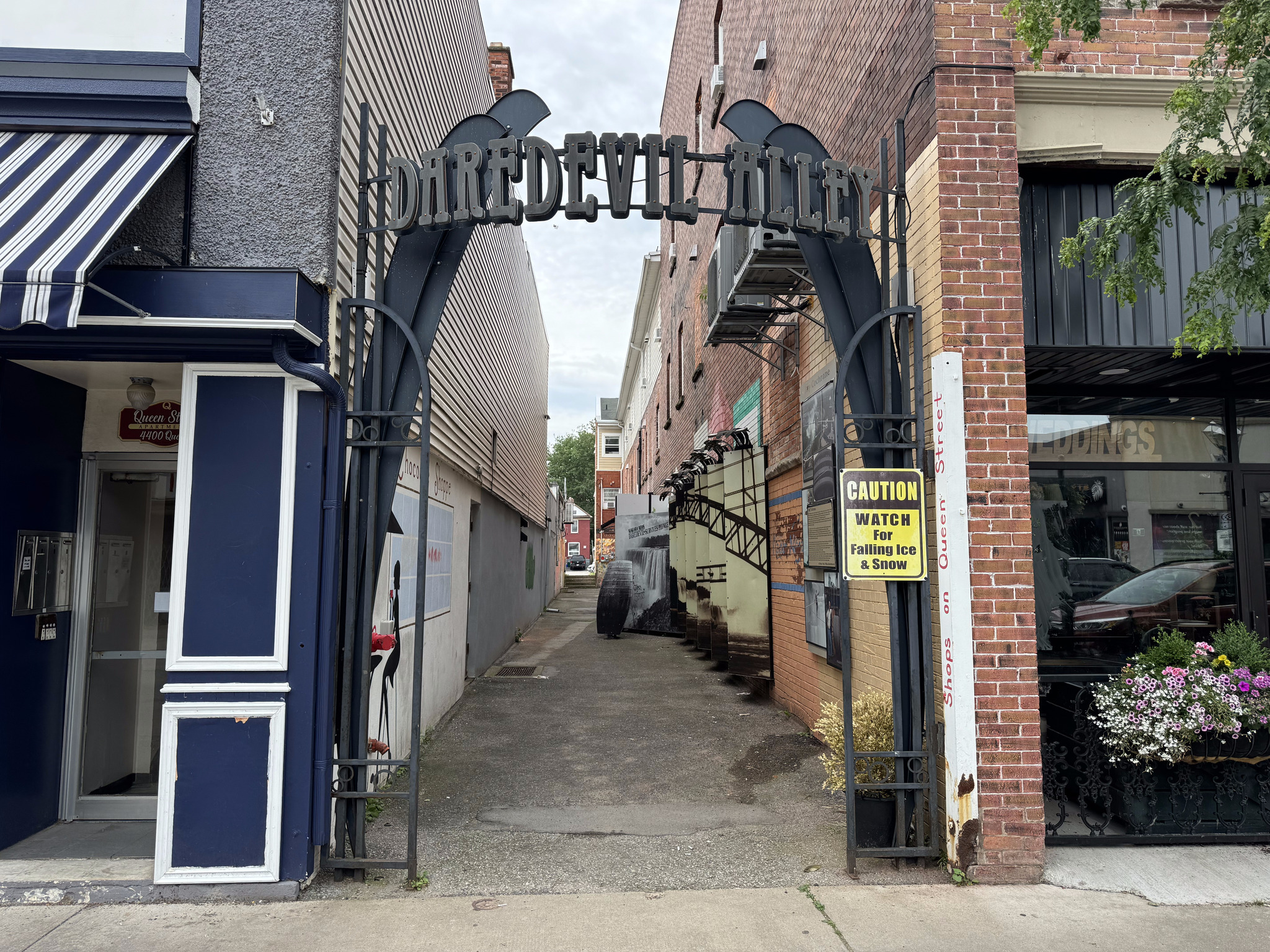
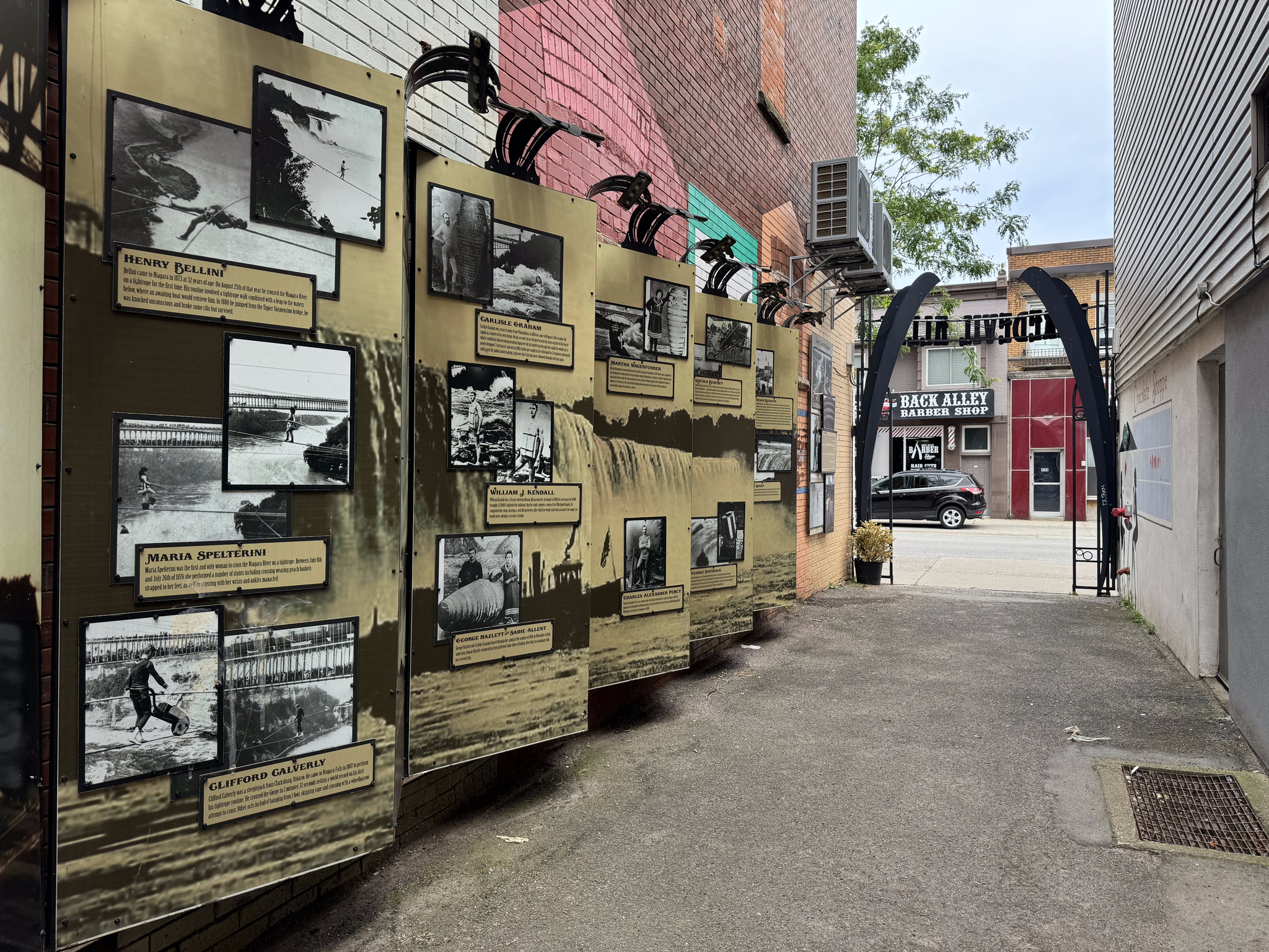
There’s a small alley called the daredevil alley, which has pictures and descriptions of various daredevils traversing the falls or going over the in barrels.
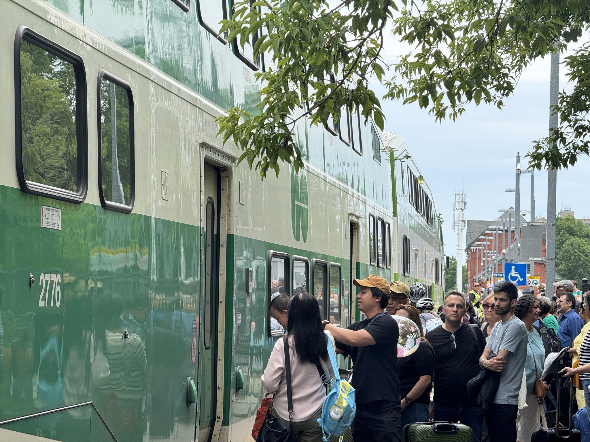
The final historic building on the tour was the Niagara Falls train station, which, I didn’t get a great picture of. It was constructed in 1879 and Gothic revival style. You can see it here in the background as we wait on the platform to board the very popular GO train to Toronto.
Here we are on board.
The train crosses the Welland Canal. I wrote about riding that here and here a few years ago.
I had another short train nap. We disembarked at Park credit and kept a close eye on the weather, which was quite threatening. As we approached Square One, rain started to fall heavily.
We took shelter in a bus stop and Cindy and I decided, since we had already purchased a group pass for the GO Train for the day, to ride over to the transit area at Square One and catch the GO bus to Bramalea GO. We had a choice of three different routes going directly to Bramalea GO. There wasn’t a transit route that would have gotten David and Dayle home faster than they could ride, so they continued riding.
The rain stopped shortly after I started heading north from the station, and it was quite pleasant by the time I arrived home. It was the wettest I had gotten on the entire 13-day trip, and with the use of the go bus during the worst of the rain, it really wasn’t all that bad.
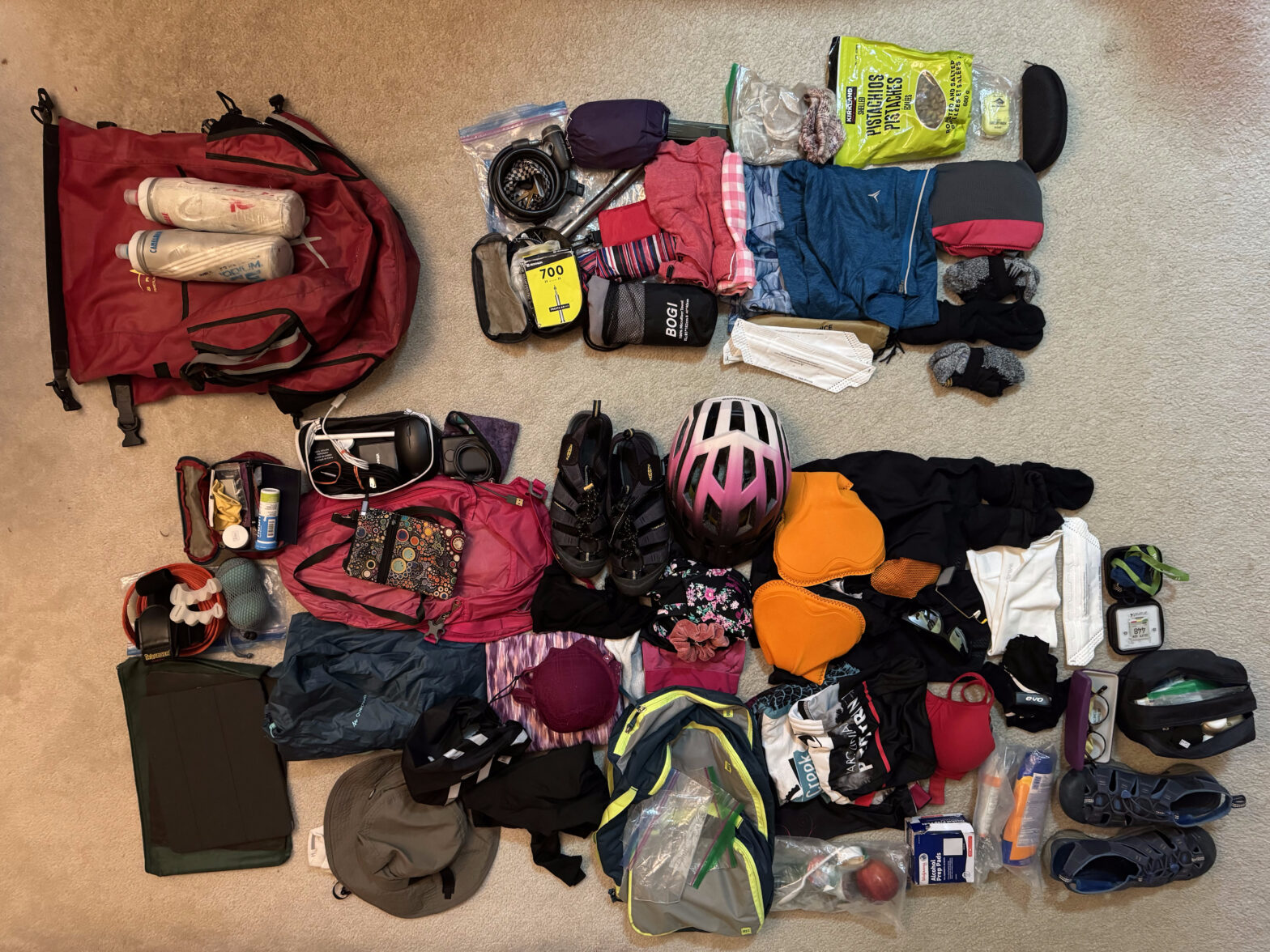
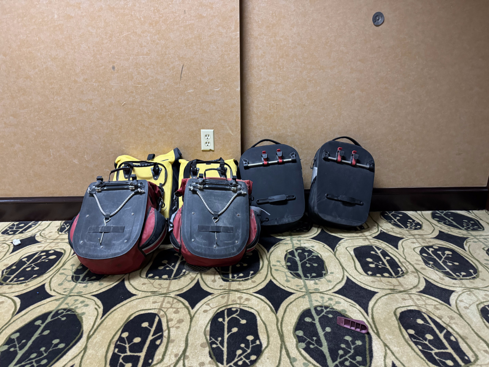
When I unpacked, I separated everything into what I used and what I didn’t, for future reference for a self supported trip. What I didn’t use is at the top right. Some of that I would have to take anyway, for example, the pump and the tire repair kit. Four bikes, 13 days, no flat tires. I think that’s a record for us. But we won’t always be so lucky. I didn’t need three cycling kits. I could’ve just done more handwashing. And, because the weather was so warm I never needed the long sleeve quarter zip top or full length tights. I also decided that the little cups of peanut butter from breakfast made for better on-the-road snacks than the bag of pistachios. And the others always locked my bike up with their locks, so I never used mine.
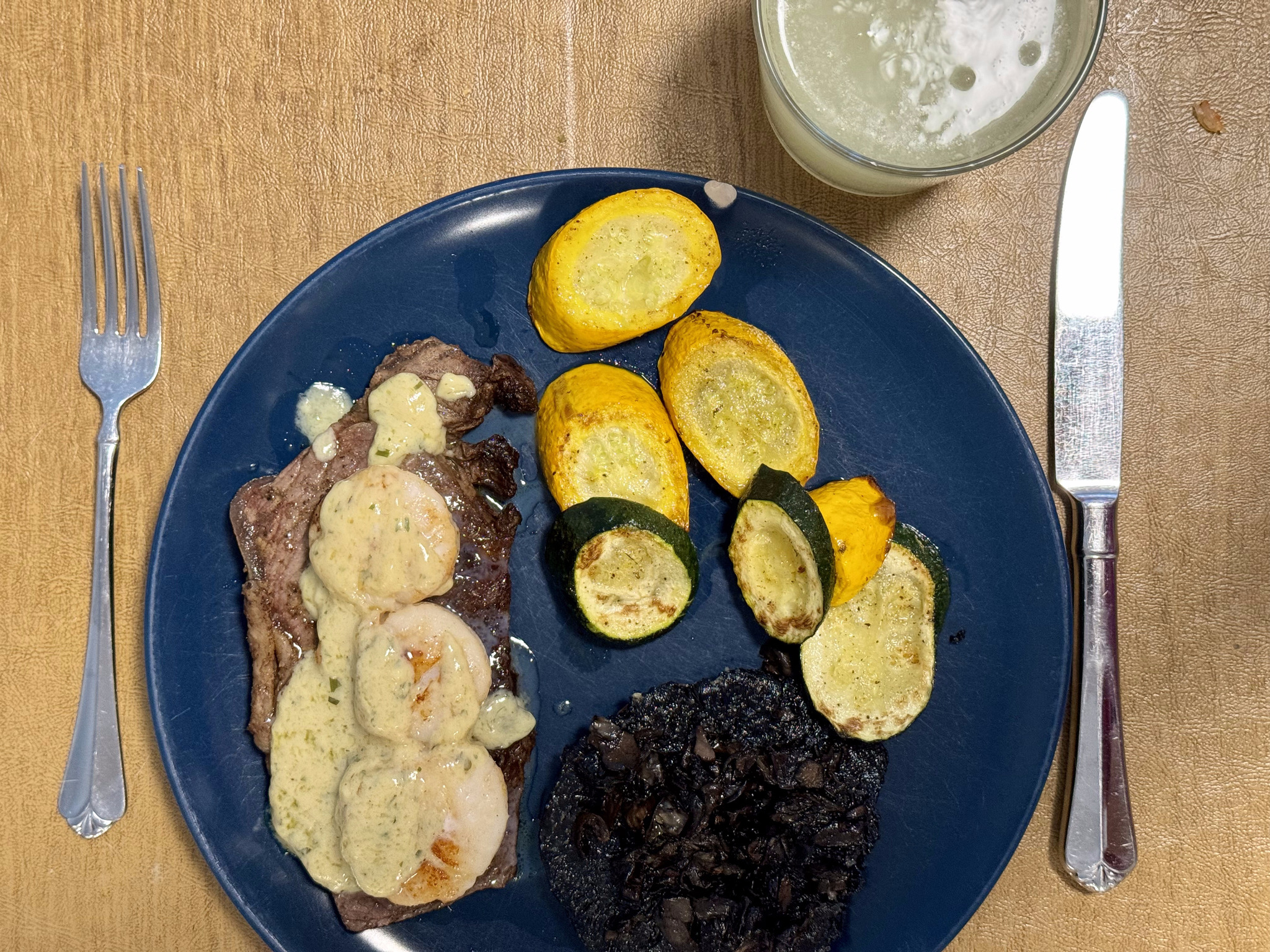
Michael made me one of the best meals of the trip to celebrate my return – sirloin steak with shrimp and hollandaise sauce.
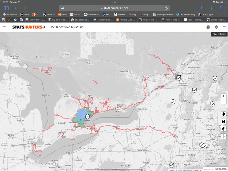
In total, I cycled just a couple kilometres short of 800 km on the trip. I got 365 new Statshunters tiles. Statshunters is a great website that lets you visualize all the places you’ve cycled, walked, etc, and has given me encouragement to ride in many new places. I have over 5000 tiles in total. I have a 29 x 29 max square, and almost 2000 tiles in my cluster. If you use Strava and enjoy digging into the statistics on your rides, I highly encourage you to try this website.
This was our longest, self supported trip, by far, at 13 days. It was a great experience with great people and, while there could definitely be improvements made to the Erie Canalway Trail, I am definitely glad to have had the experience, and would recommend it.
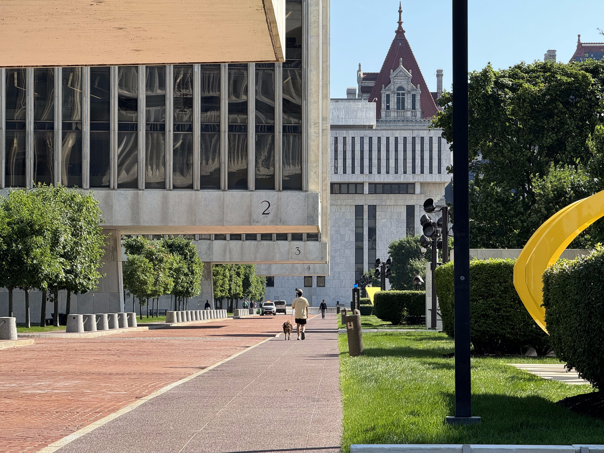
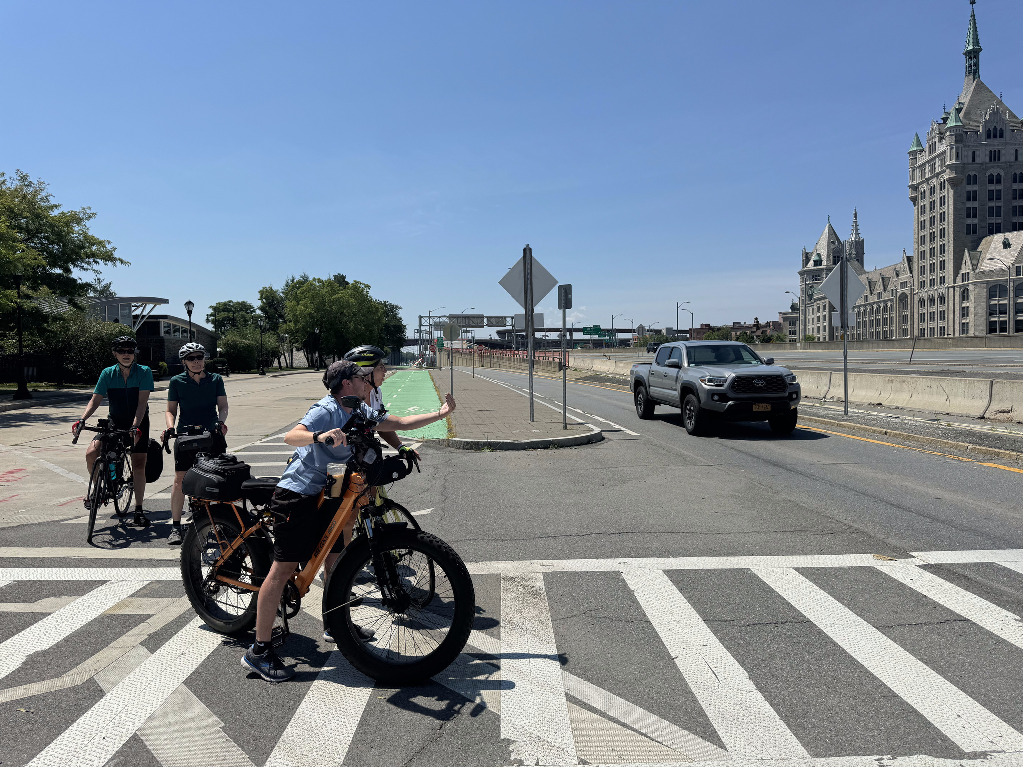
We had breakfast in the hotel then went back to the room to pack everything, and met in the lobby for a short ride around Albany to do some more sightseeing. We left our panniers in a secure room so that we didn’t have extra weight while riding, since the route came back past the hotel, and there wasn’t any extra distance to pick up the panniers. It felt delightful to ride without all that extra weight.
Cindy and I planned a short route that would take us back past the State Capitol Plaza and to George Washington Park and the giant Nipper statue.
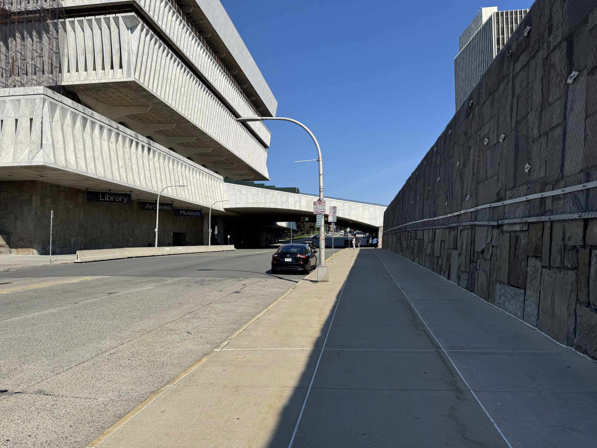
We rode around the outside the wall of the empire State Plaza. You can see the New York State Museum on the left, which is connected by a staircase over the road, to the plaza, and has free admission. We didn’t have time to visit, though.
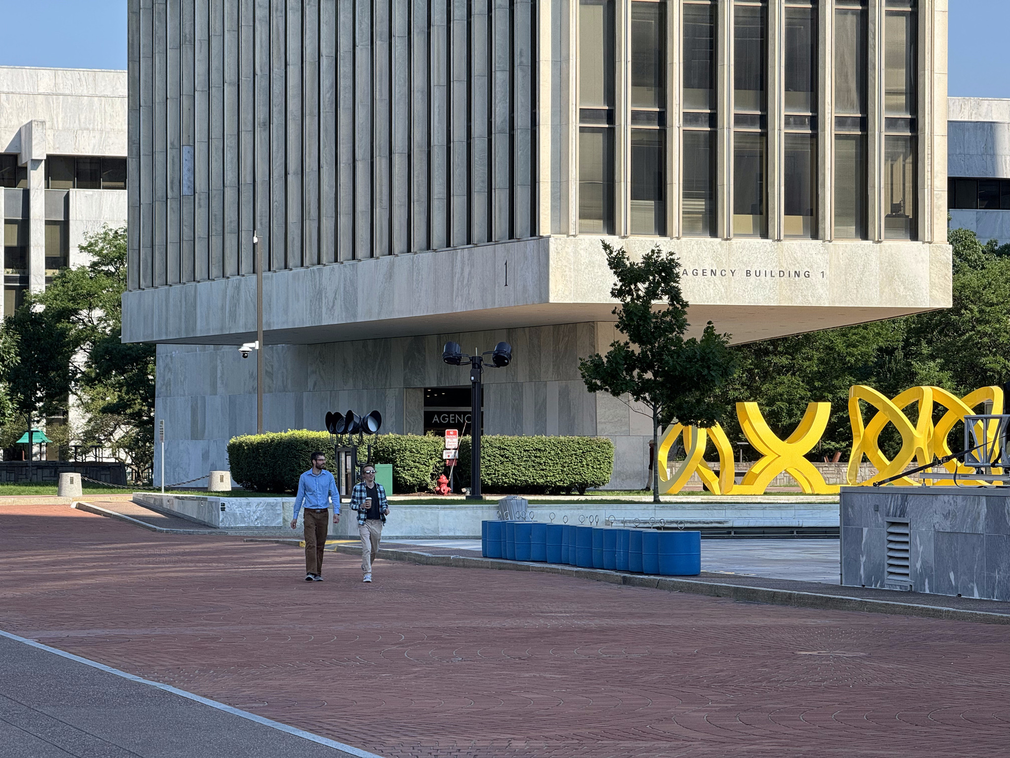
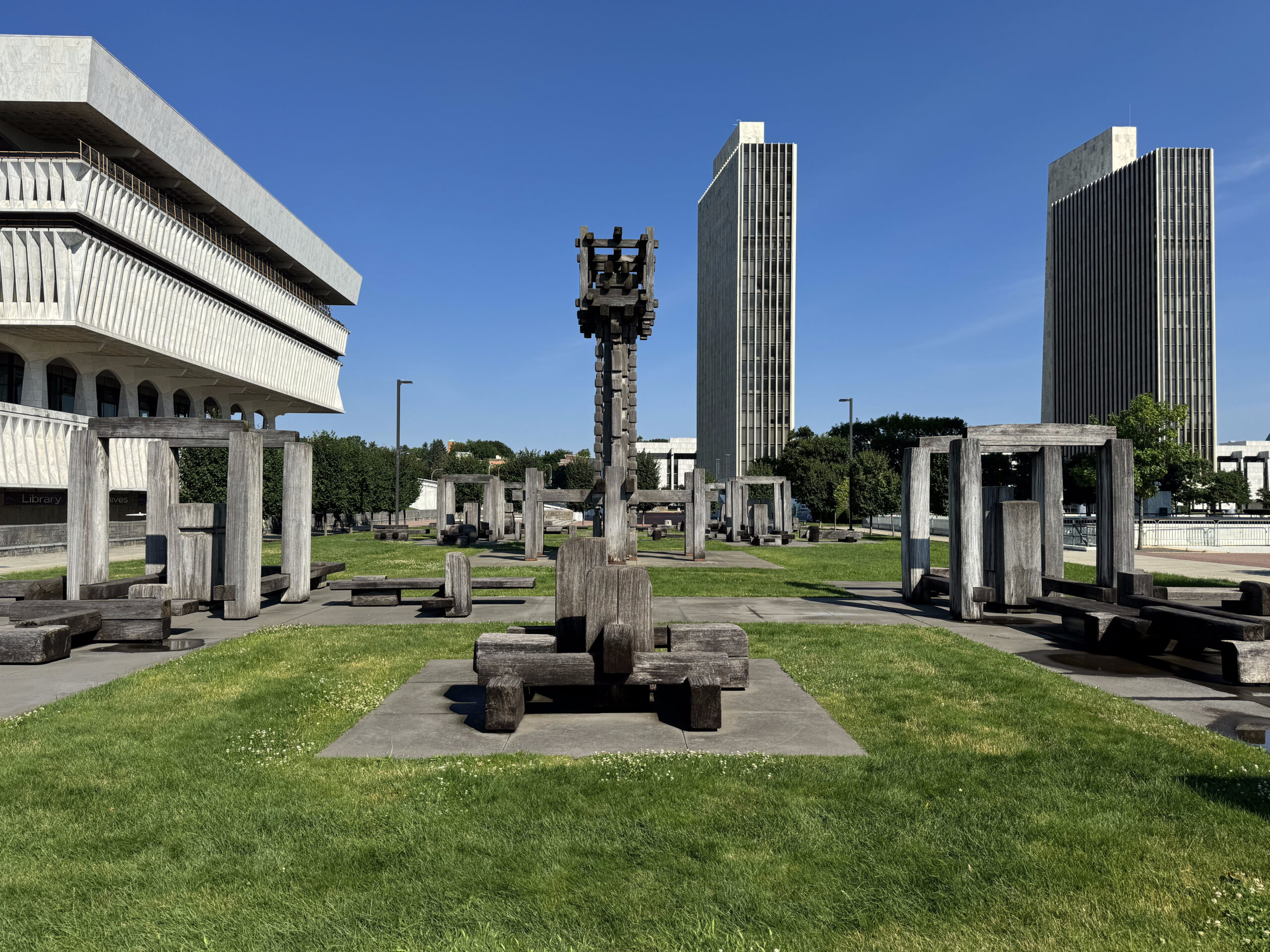
There are four identical buildings called the Agency Buildings and numbered one through four. They sit on a very small base and appear to float above the platform. The yellow sculpture is called Trio by George Sugarman.
In this picture, you can see how much the building overhangs the small platform.
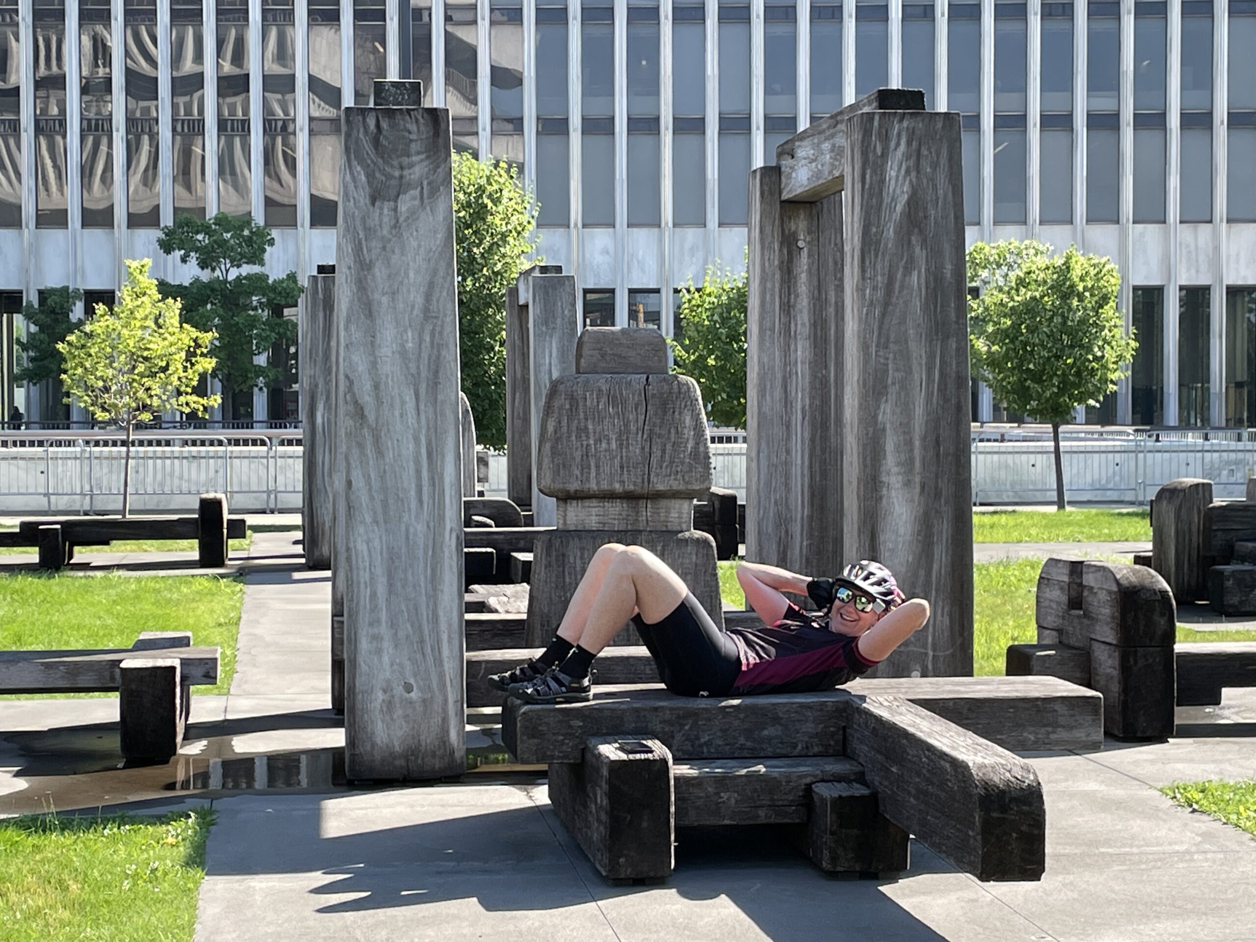
This large sculpture by François Stalhly entitled Labyrinth made me imagine a Flintstones’ gym, and David think of the Lincoln logs building toy.
Photo credit: Dayle
The Empire State Plaza architect, Wallace Harrison, also designed the Rockefeller Centre in Manhattan, the Corning Museum of Glass, the headquarters of the United Nations, and the Metropolitan Opera House at Lincoln Center.
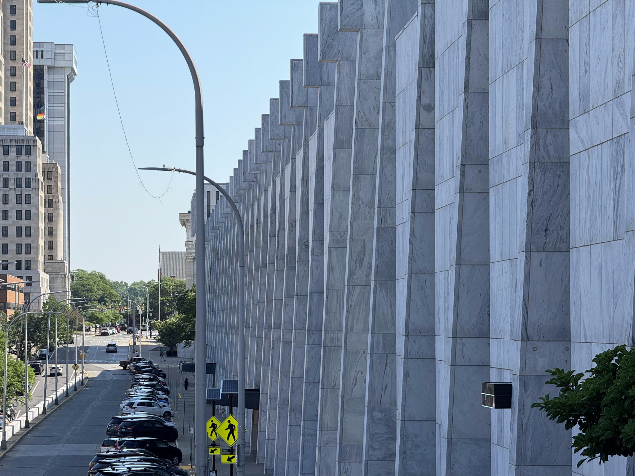
The Swan building, which houses government offices, is over 400 m long.
We then rode over to George Washington Park. It reminded me of the La Fontaine Park in Montreal.
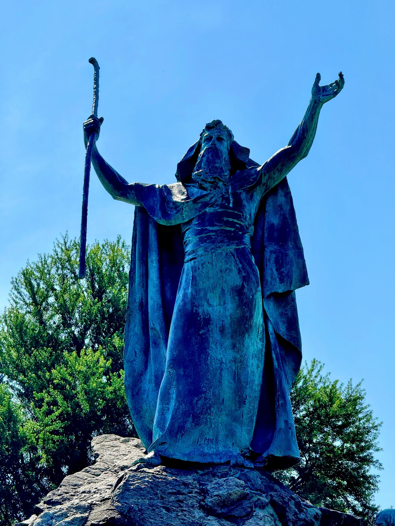
They have a statue of Moses in the middle of a fountain there.
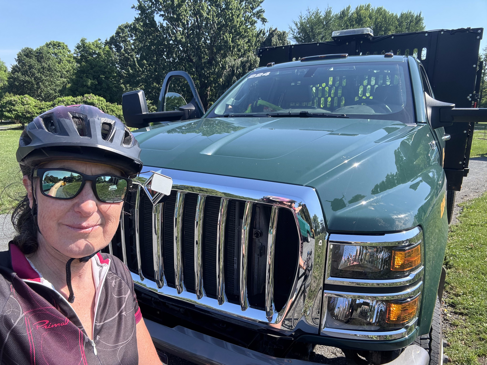
I also encountered this park maintenance vehicle that was lifted to such an extent that the hood almost came to the top of my head. This type of vehicle is deadly when the drivers hit vulnerable road users, such as cyclists and pedestrians.
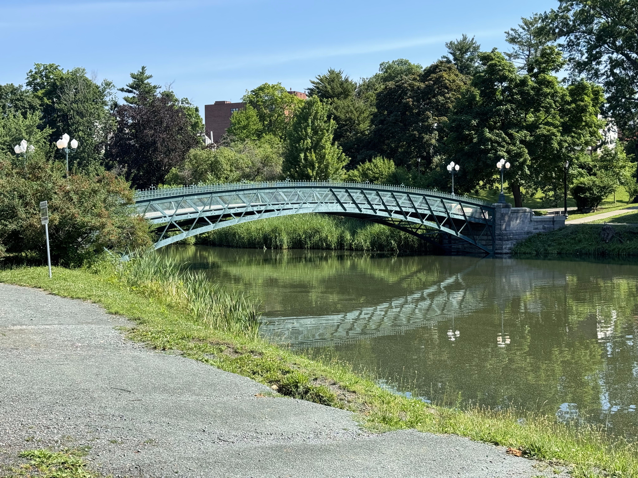
There was a small lake with a lovely bridge spanning it.
The homes surrounding the park were lovely.
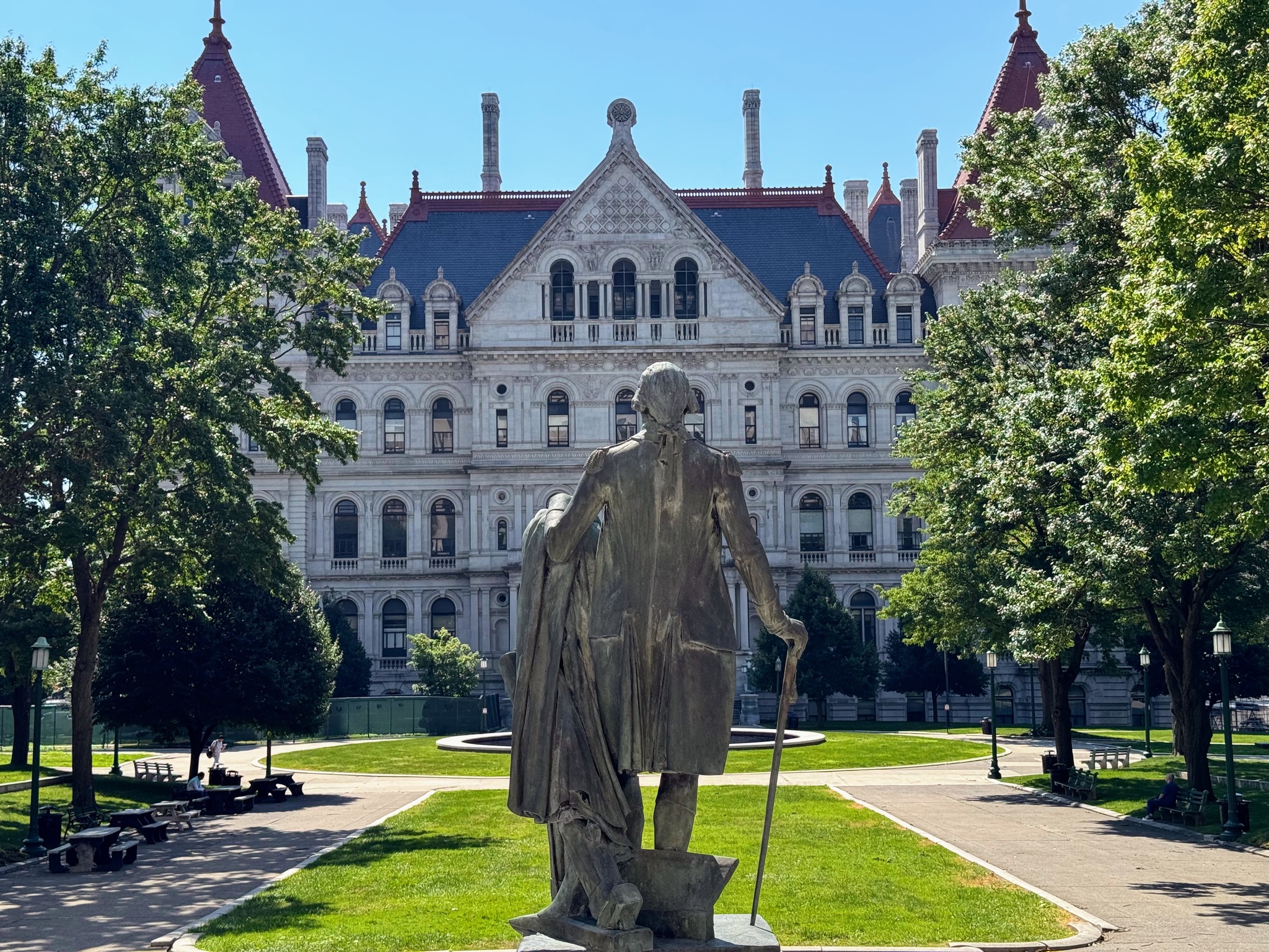
This is a statue of George Washington looking towards the side of the Capitol.
This is the Alfred E Smith building, Albany’s second-tallest building after the Corning tower. It’s built in the art deco style and was completed in 1928. Houses government offices. It had an open observation deck on the 31st floor, but that was closed after the Corning tower observation deck opened.
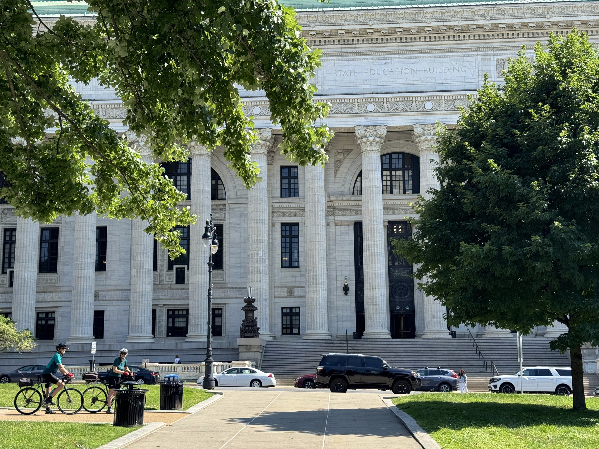
This is the New York State education building.
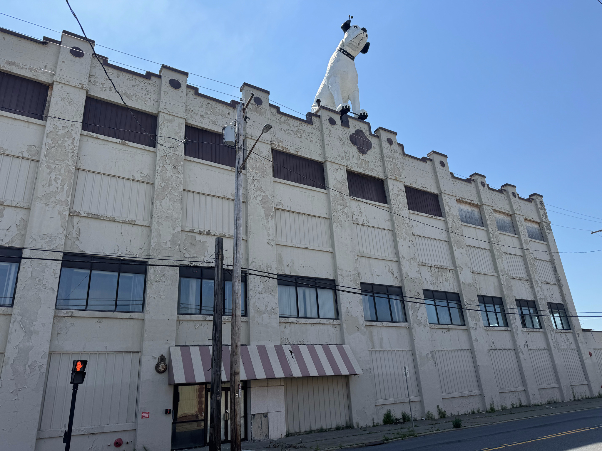
Our route took us right back to the hotel at which point we had planned to pick up our panniers, but we realized that we would be coming right back to the hotel before using the Skyway to cross the highway, so we just relaxed for a few minutes and then rode over to see Nipper.
The building was in quite a dilapidated shape and for lease. The area was a mix of rundown buildings and buildings that had been fixed up.
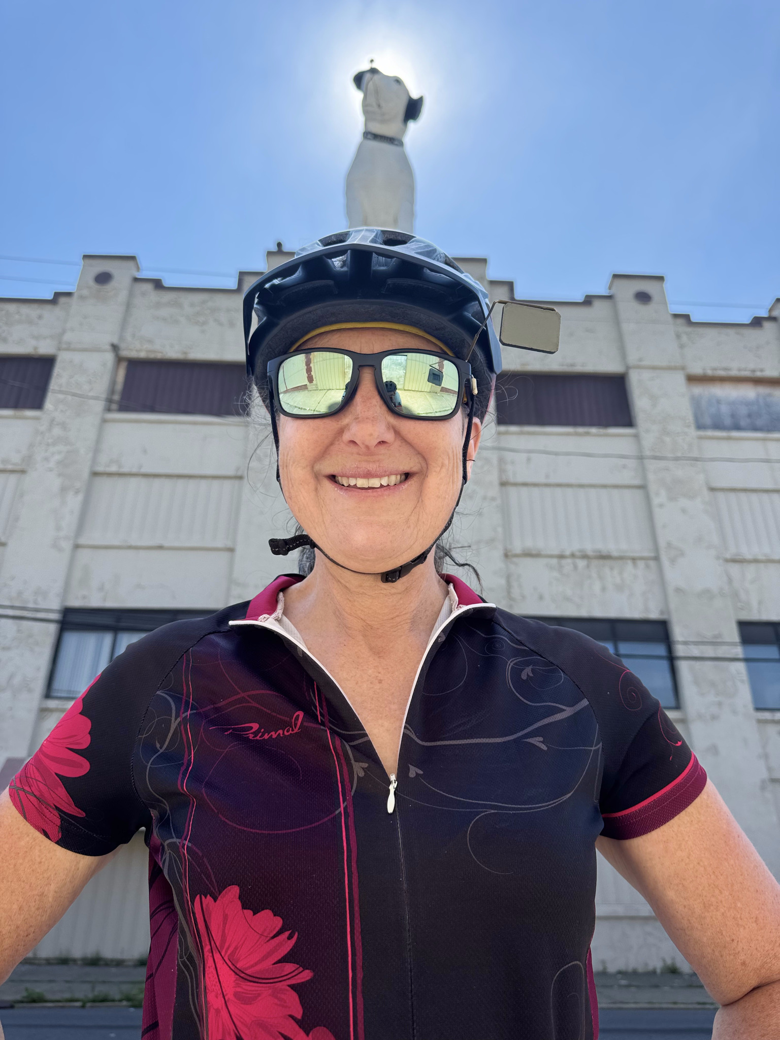
Image credit: Cindy, who specializes in arranging portraits so things are growing out of the subject’s head!
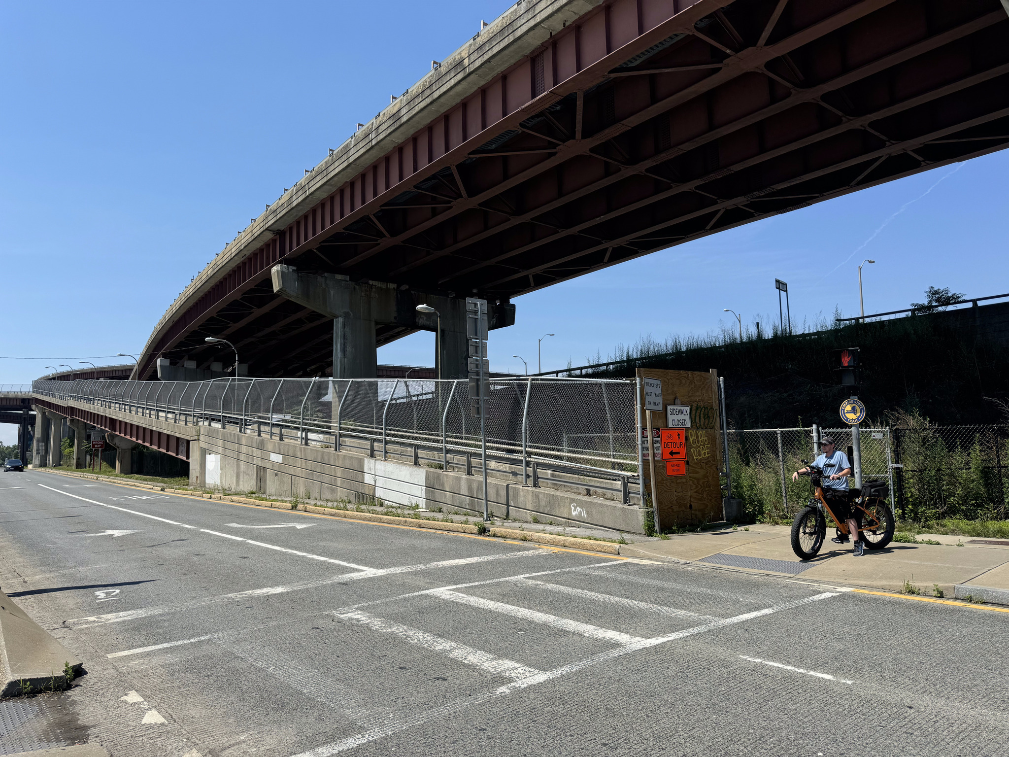
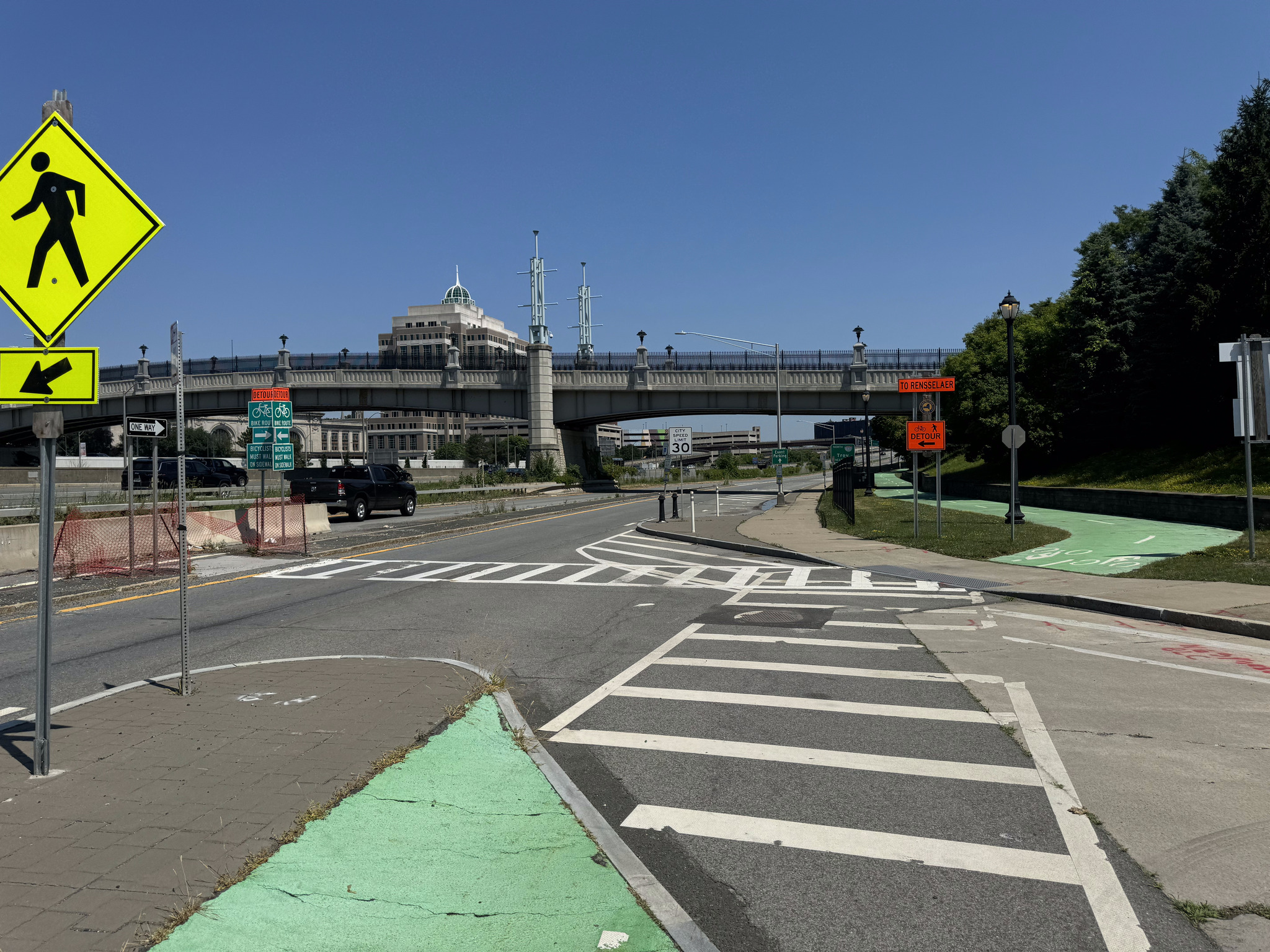
We then returned to the hotel, and picked up our panniers, the rode over the Skyway, across the highway, and down to the river. It would’ve been a more direct route on our way into town two days ago, but we live and learn as we explore. From the Skyway we used this ramp to get down to the waterfront trail, which is the Empire Trail and goes all the way to New York City.
We had expected to ride up the ramp here, but there was a detour sign.
Image credit: Dayle
The cyclist standing there in the picture came over to speak to us and led us to the right spot.
The detour route was well signed.
We had a jersey wall separating us from head on traffic on the bridge. It was a hot and noisy place to be, and we went as quickly as we could.
At the top I took a moment to take a picture of the corning tower, agency buildings, and egg from the ramp.
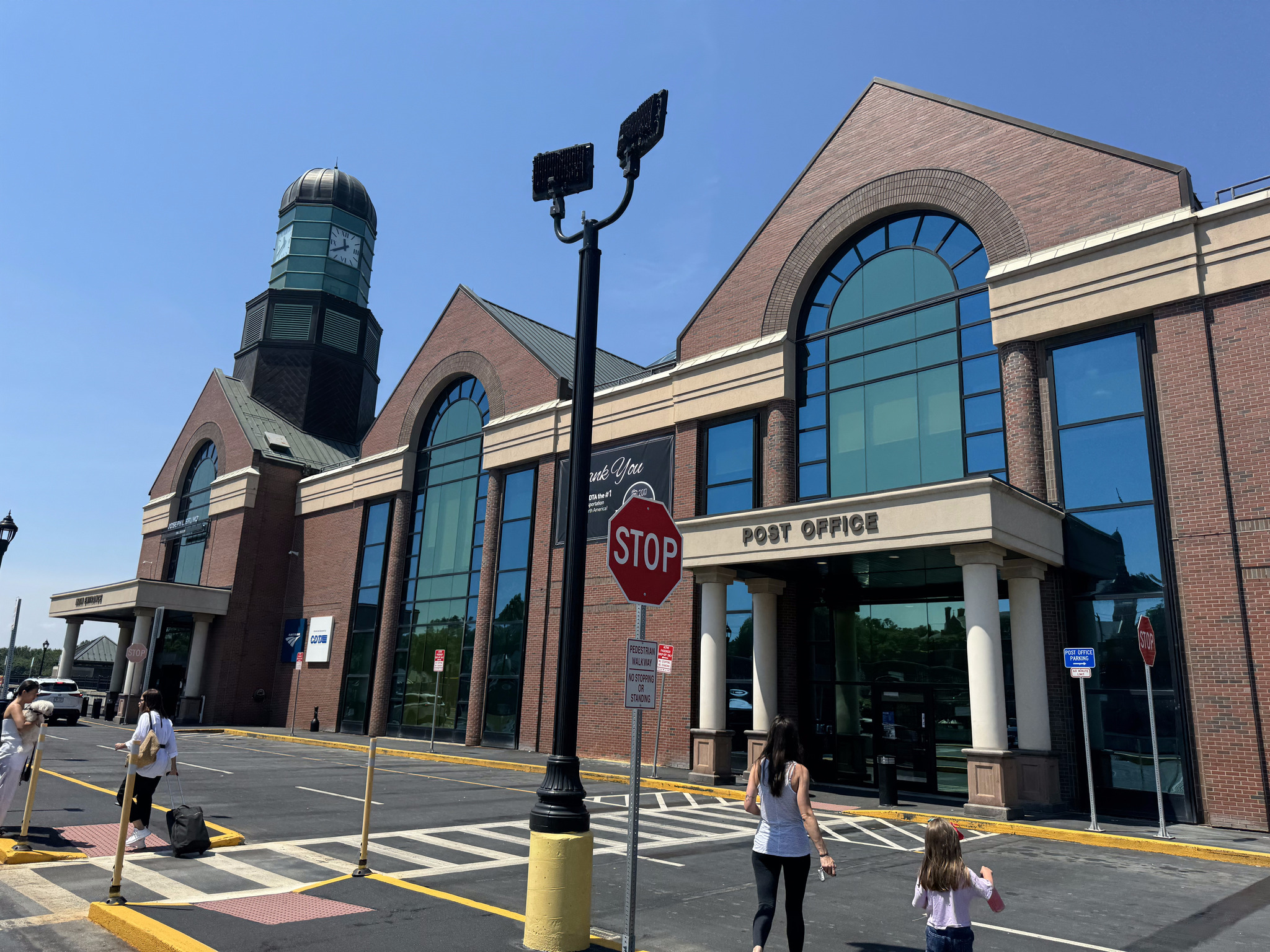
The train station is a modern one.
Shortly, after arriving, there was an announcement that the train was delayed.
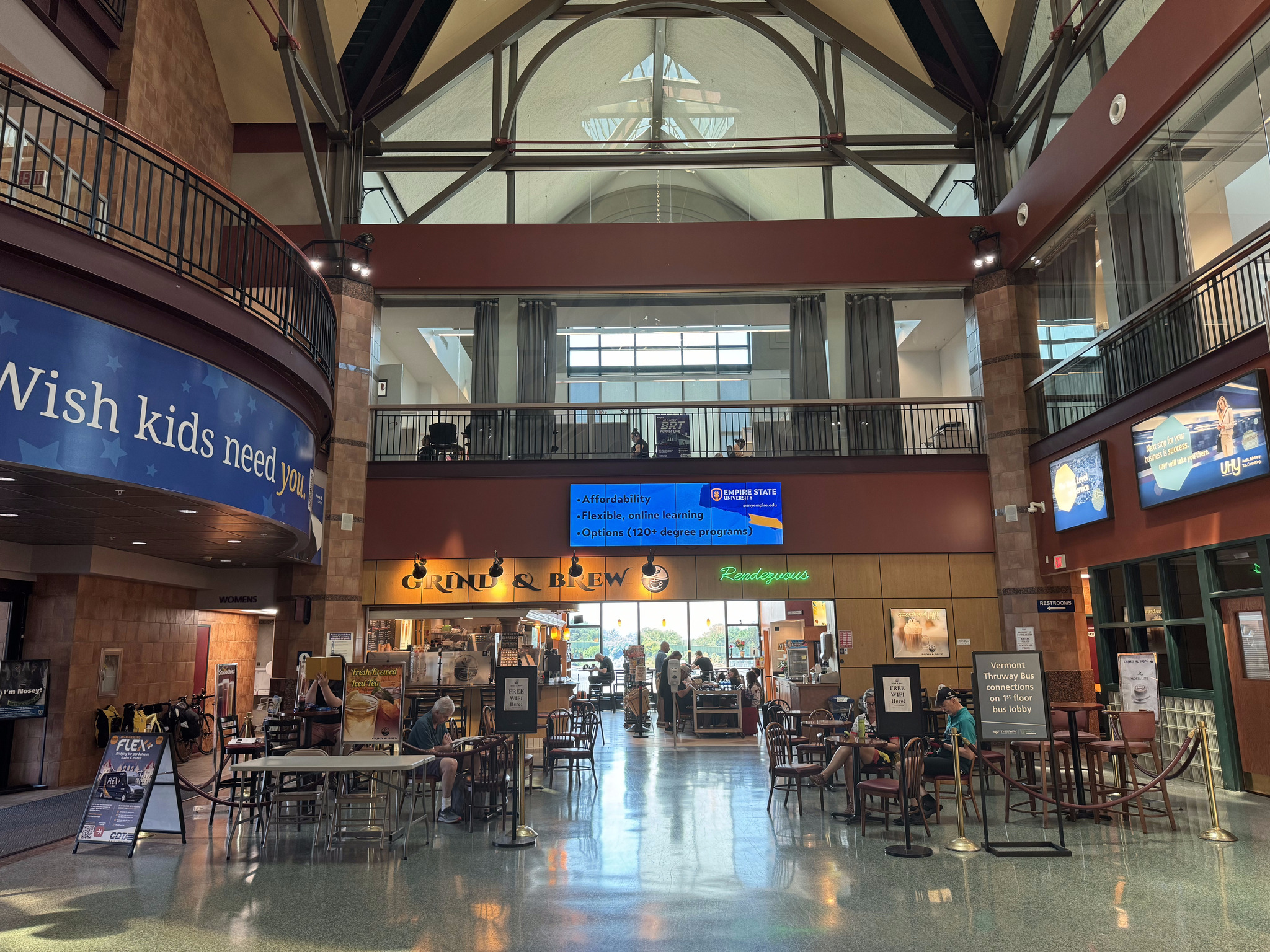
We purchased food in the café and then relax until the train arrived.
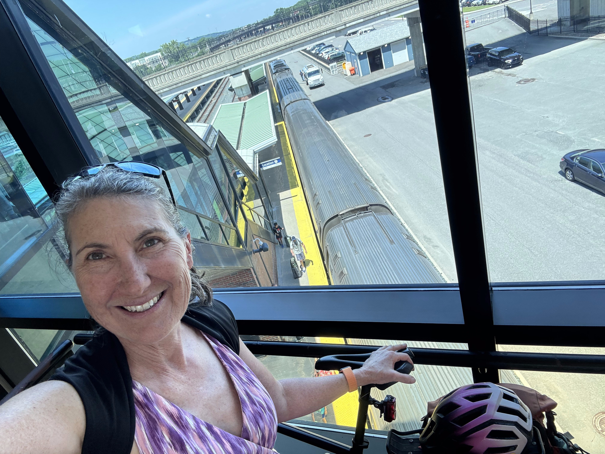
A station employee directed us to an elevator, which took us down to the platform.
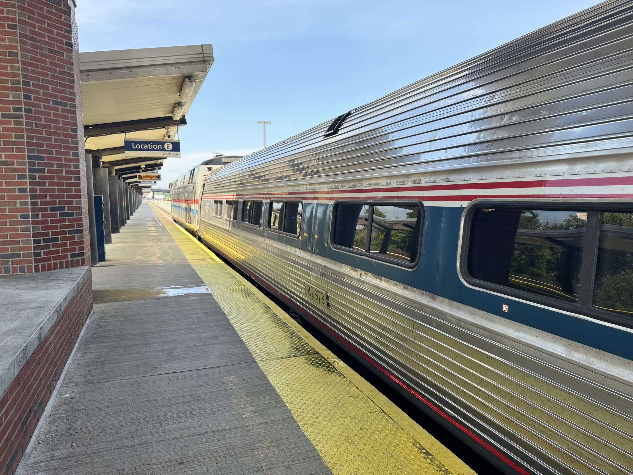
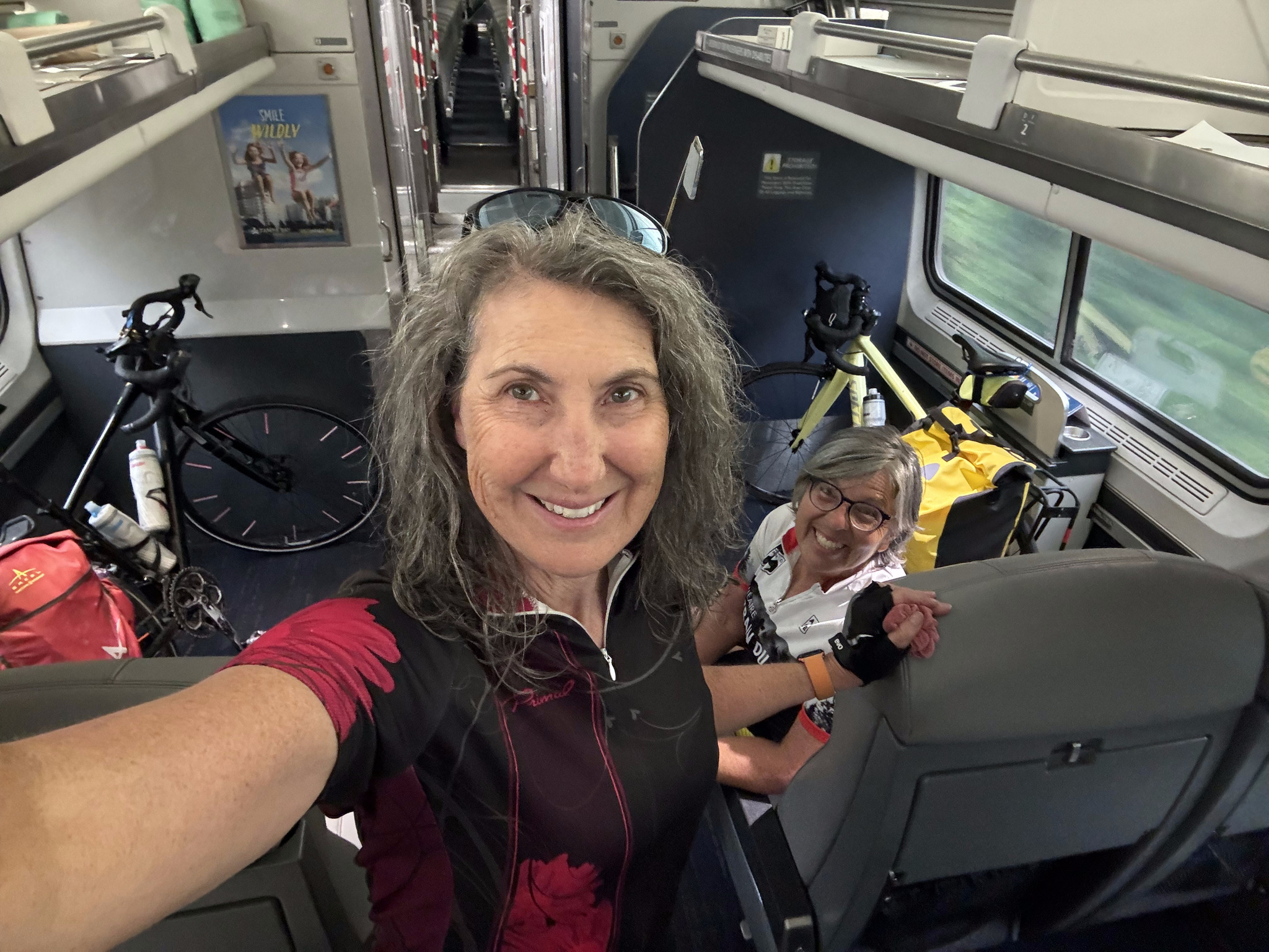
Earlier in the day, I had seen this blog post on taking bikes on Amtrak. We were actually somewhat anxious about being able to get our bikes on board quickly enough and secured. We paid for tickets for ourselves and for our bikes, so we knew there would be room for the bikes. But, the blog post indicated that we should remove the panniers, and the front wheel, on the platform, then lift everything onto the train, and secure it in the cabinet for bikes. I spoke to one of the station employees and found out that we would have only about six minutes to board. They told us we could take the front wheel off once we were on the train, if we didn’t want to do it on the platform.
One of the reasons we were concerned is because the bikes are very heavy with the panniers, and we are used to having to liftthem onto the GO Train. However, it transpired that there was level boarding, both in Albany, where we embarked, and in Niagara Falls, New York, where we disembarked. We also discovered, only moments before boarding, that there was only one bike per train carriage so that we would have to split up.
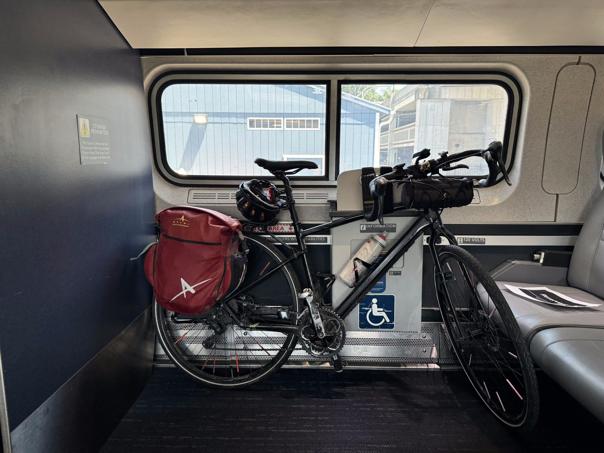
Once we were on the platform and the train pulled in, the conductor got off and directed us to different carriages. He said that the end carriage was closed, but someone could put their bike there. So I went that way, and was happy that I did, because he allowed me to secure the bike, intact, where wheelchairs would normally go.
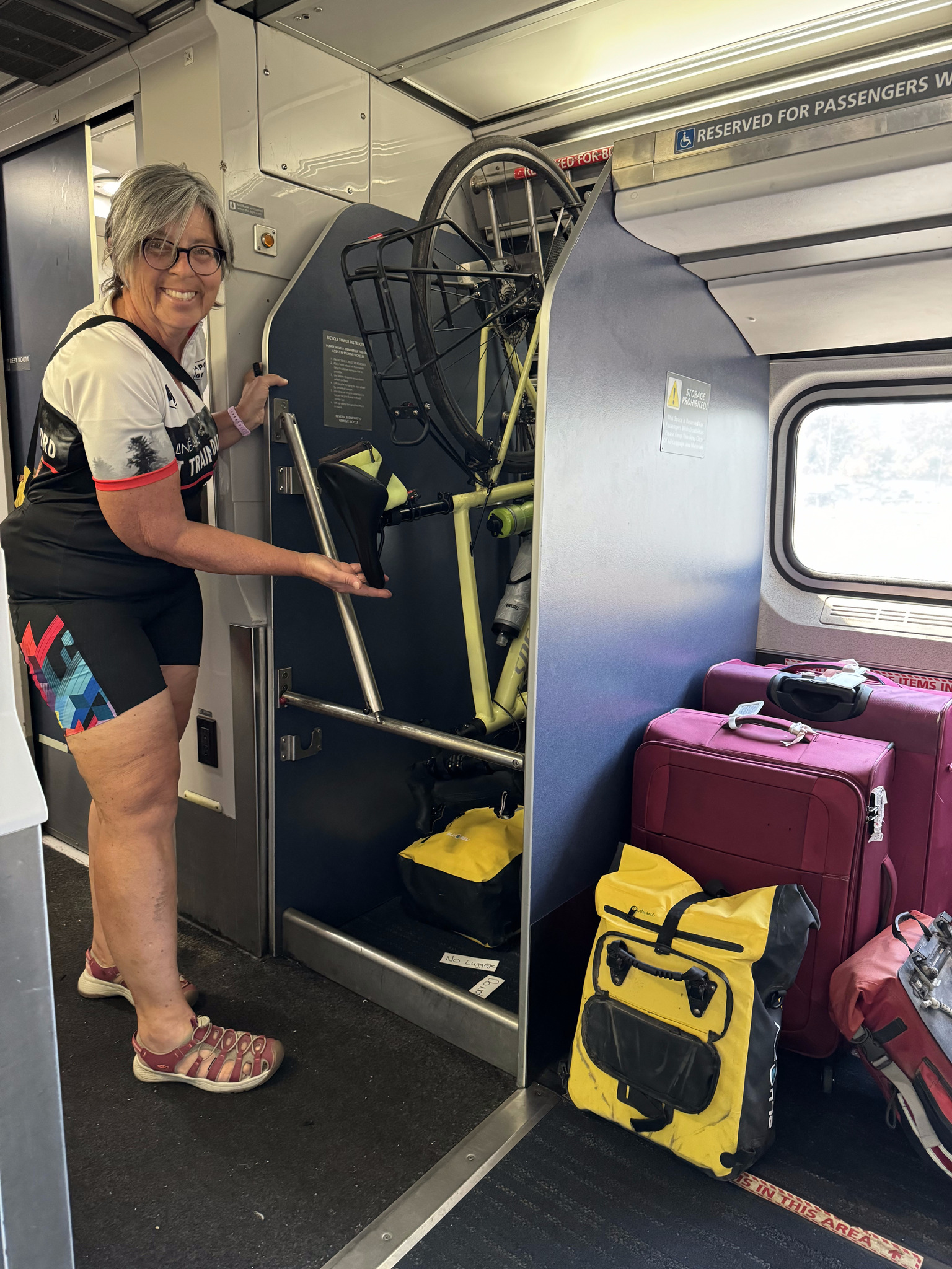
The others had to remove their front wheels and hang their bikes.
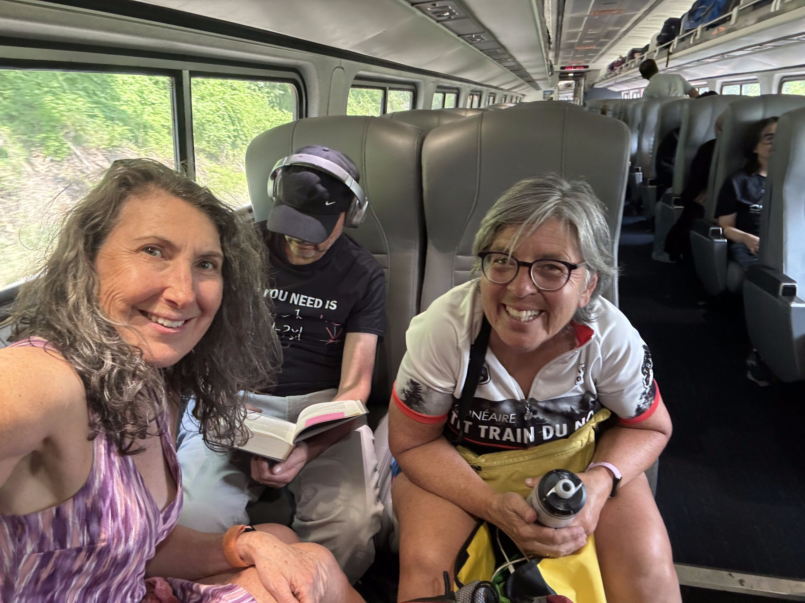
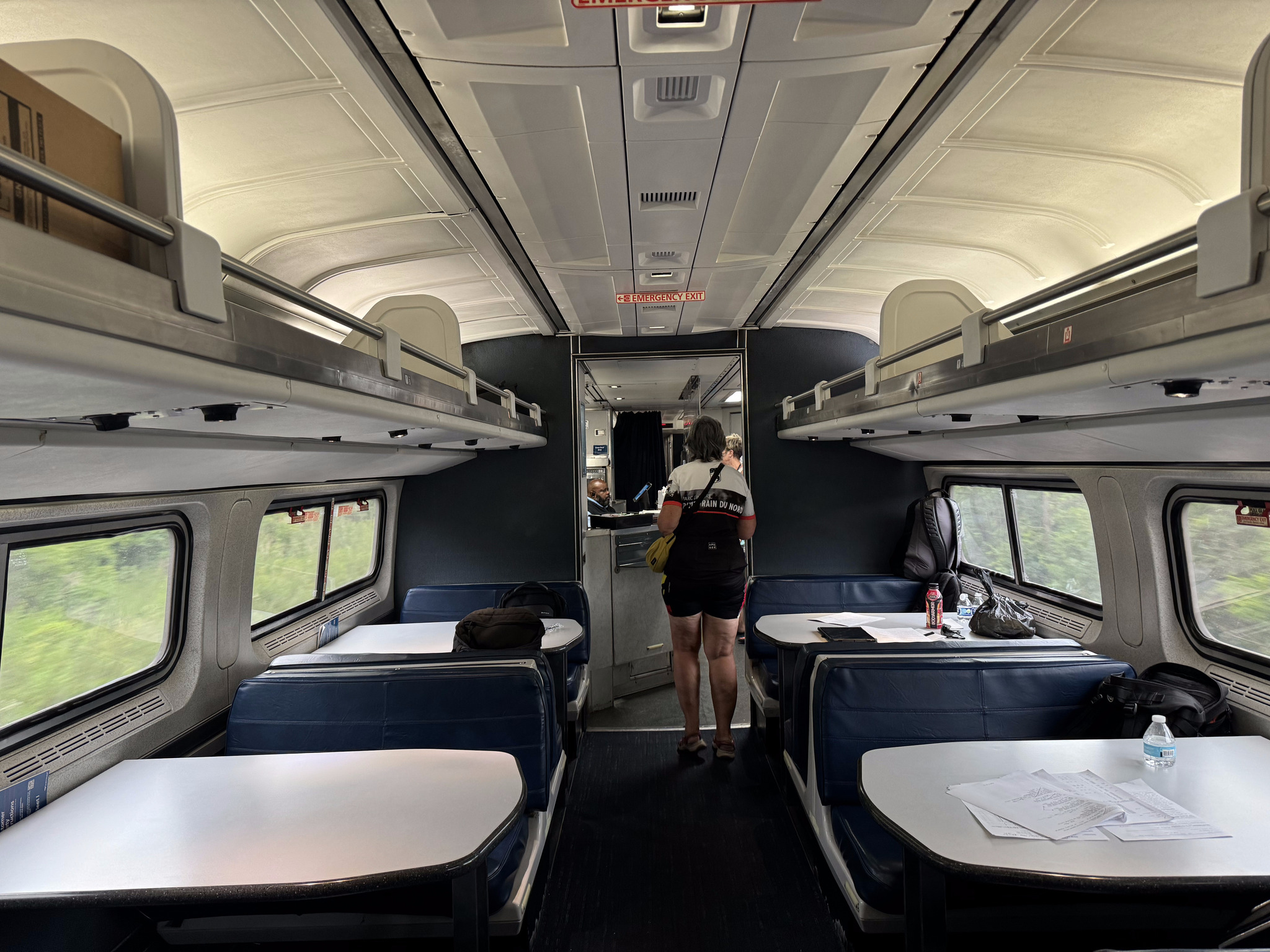
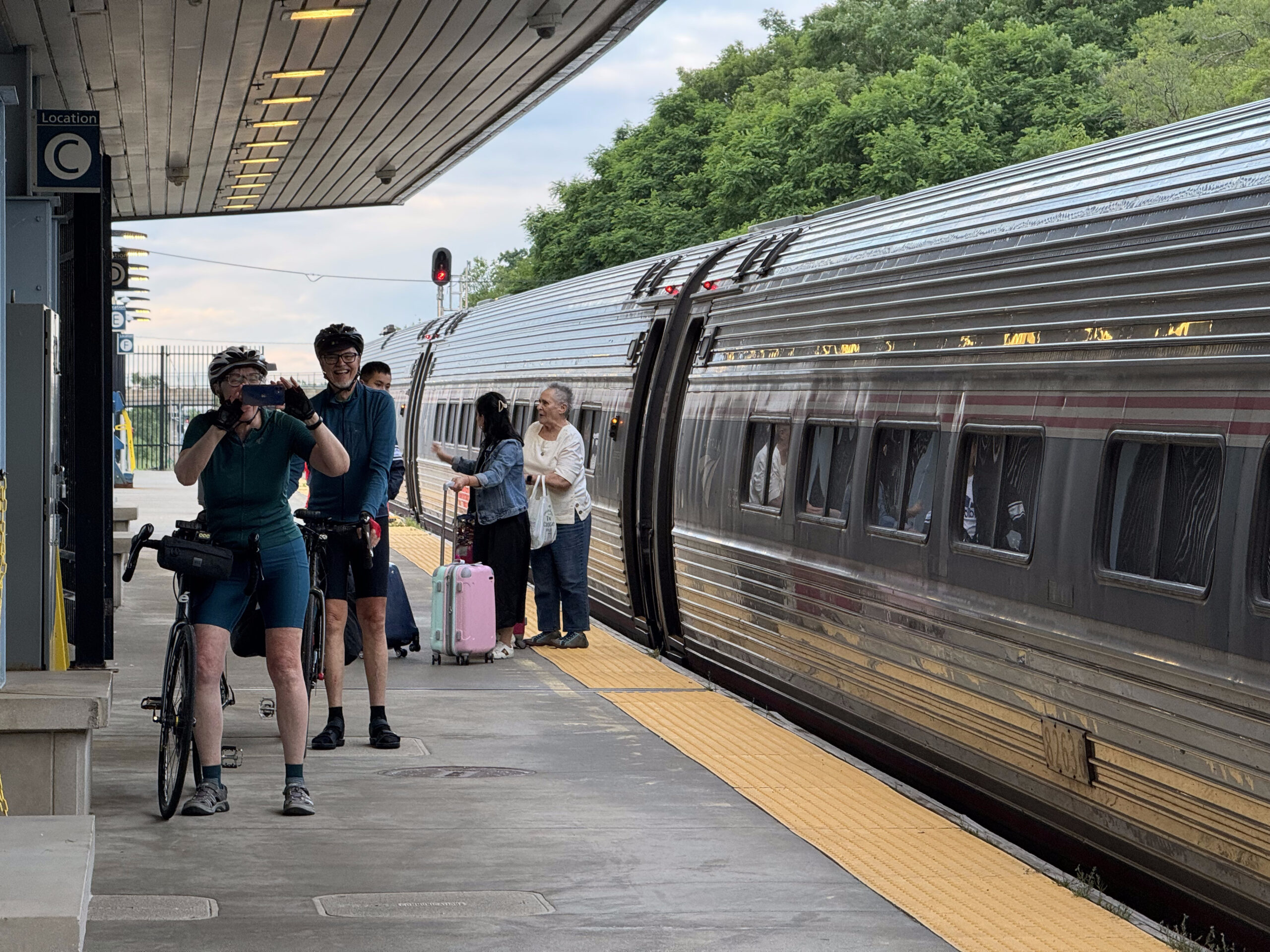
The areas for hanging the bikes were adjacent to handicap seating. The handicap seats near Cindy’s bike were empty, and she asked the conductor if we could sit there, but he said he was expecting someone to board later and use it, so declined. We watched the train looking for a pair of empty seats, or at least two and a set of four. This man was alone in a set of four with all of his stuff spread out over the seats, so we stopped and asked him to move it.
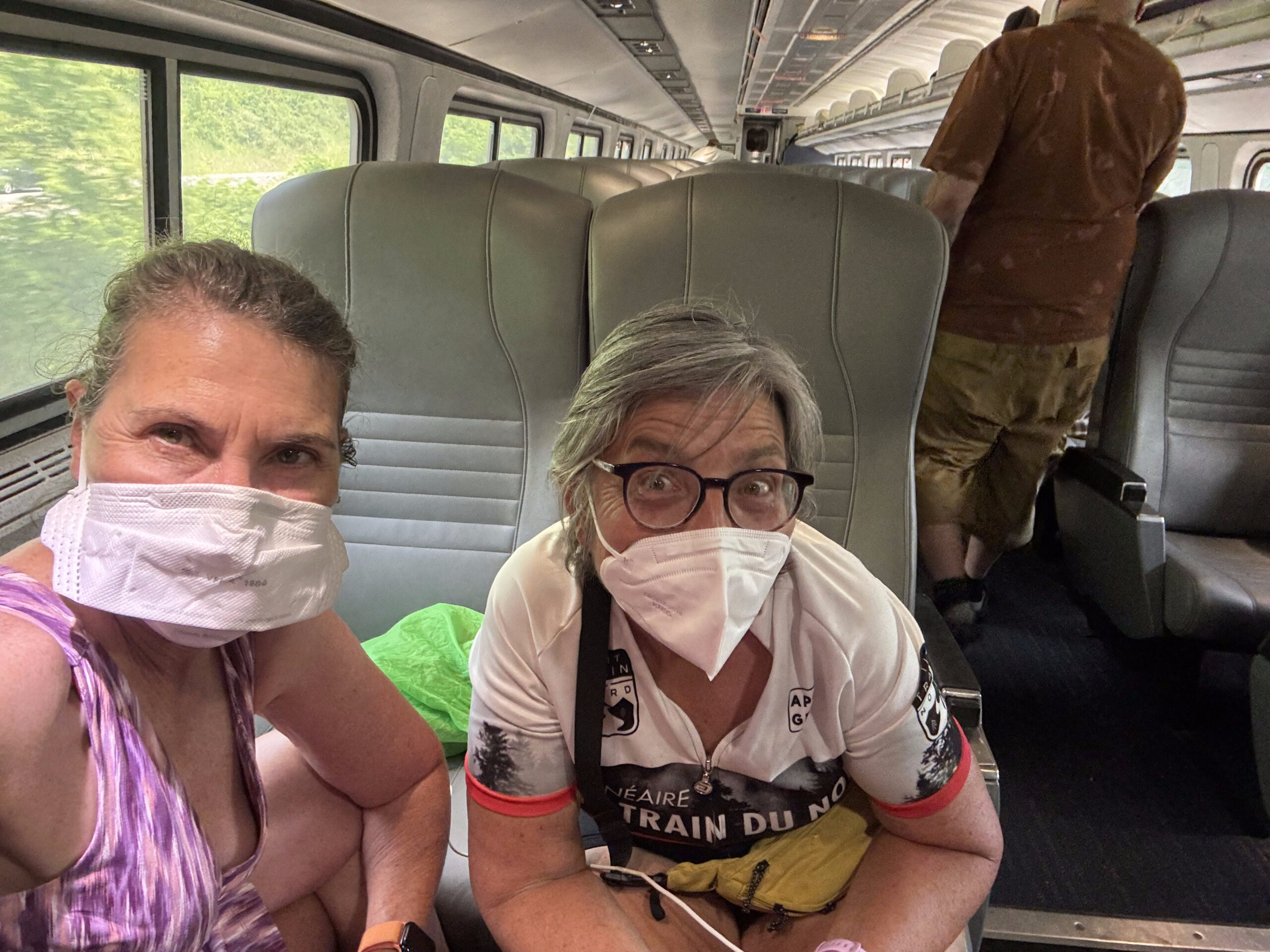
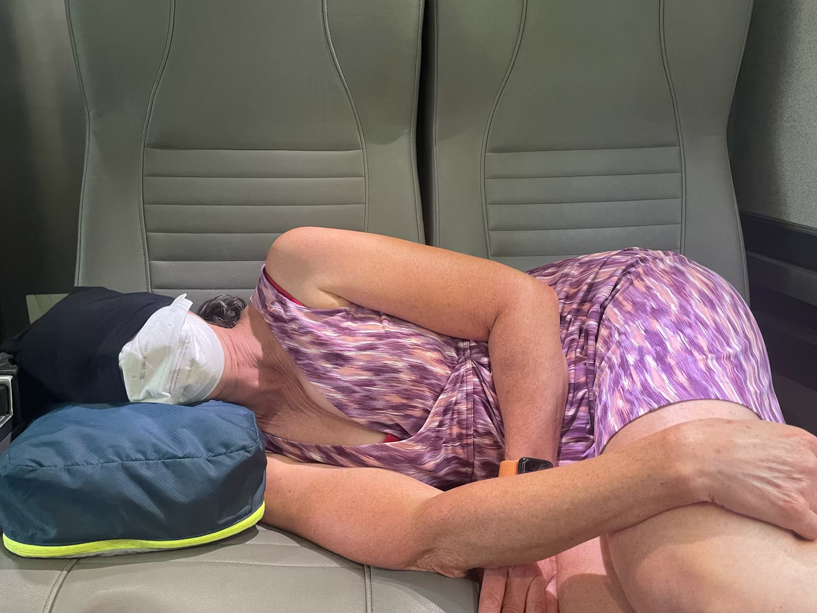
I had my carbon dioxide detector with me, and it indicated that, the carbon dioxide level was over 1300 ppm, which was the level when I caught Covid in a restaurant last November, so we put on our masks. After Amsterdam, the train wasn’t quite as busy, so we found seats in the same carriage as David and Dayle. The non-stop pace of the past 11 days started to catch up with me along with with the hypnotic sounds and movement of the train, so I had a short nap.
The train left late, and became later, as we travelled west, so Cindy and I purchased some food on the train. It wasn’t very good, and the Café Coach attendant was surly and abrupt.
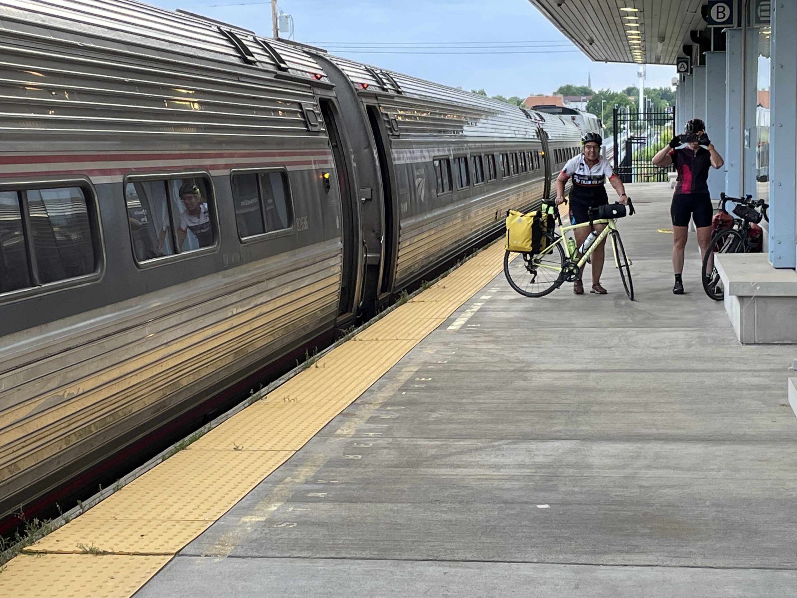
The train was fairly empty by the time we reached the first Buffalo station. The conductor indicated we could assemble our bikes after the second Buffalo station, when he would let me into the closed coach.
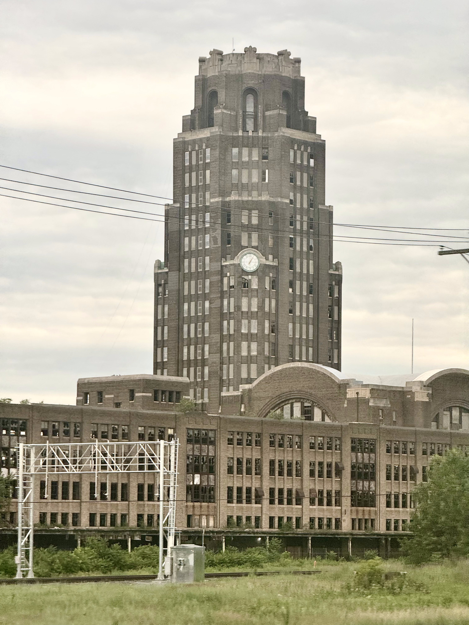
Between the two Buffalo stations, I saw Buffalo Central terminal. It’s an art deco building which was built in 1929, and used as a station until 1979. In the years since then, it has gone through many owners, and is currently owned. By the central terminal restoration corporation, which is working on restoring the property. It is on the National Register of Historic Places.
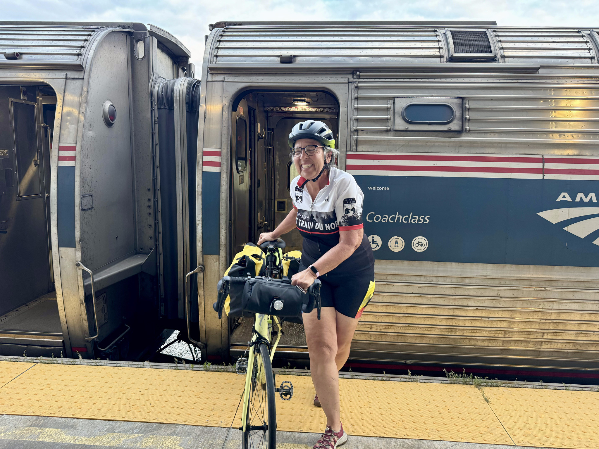
Once I was allowed to go into the closed coach, I was asked to bring my bike into the open coach, because they needed to quickly uncouple the closed one, and leave it at the Niagara Falls station, before returning to New York City. Here Cindy has her bike assembled and we are ready to disembark.
The platform was level in Niagara Falls, as well. I didn’t notice if there was level boarding at the stations in between.
And here are David and Dayle on the platform with Dayle taking our picture as I take theirs. The whole experience ended up being much easier than we thought it would be after reading the blog this morning. When we first started planning this trip, we thought we would go all the way to New York City, but decided that that would take too long. After I returned home, I read this account of Jake Laundau’s train journey from Toronto’s Union Station to New York City. Fortunately, ours was much better.
This is what the Niagara Falls, New York station looks like.
There was a multi-use path all the way from the station almost to the border area.
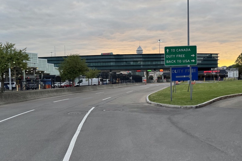
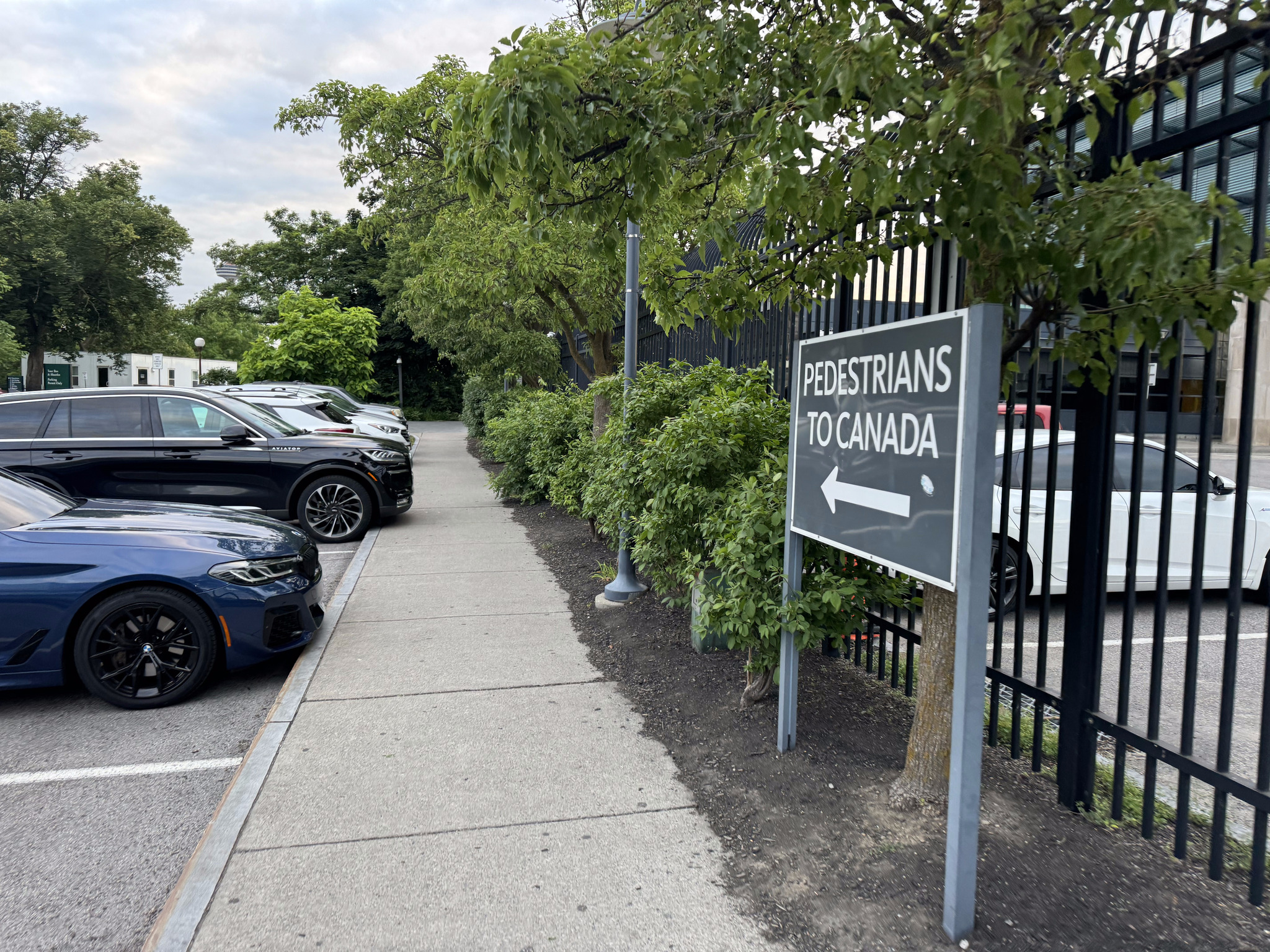
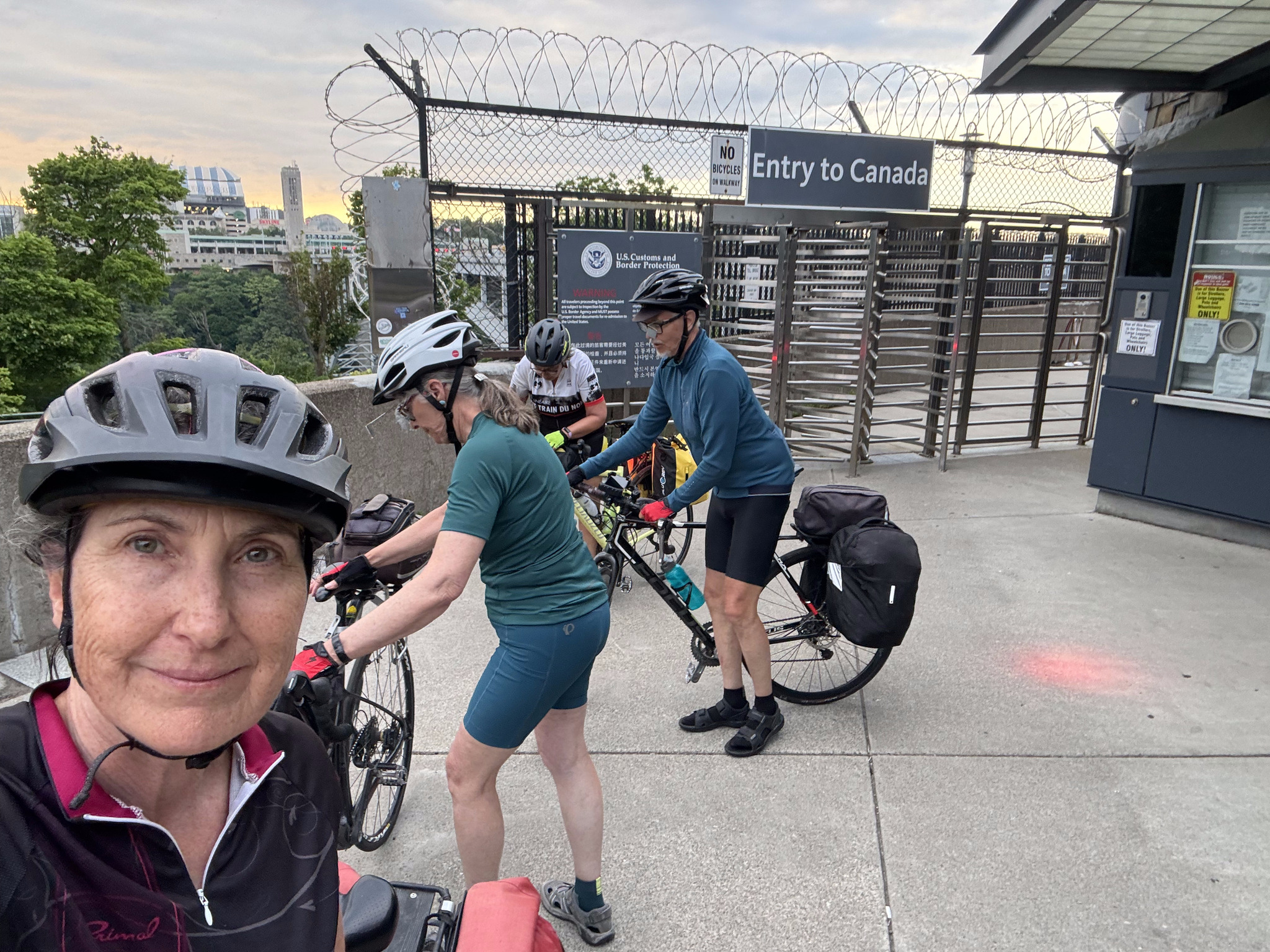
When we crossed to the US on Sunday, we mistakenly crossed with the cars, rather than the pedestrians. So when we saw this sign for crossing back to Canada, we followed it.
But it turns out at the Rainbow Bridge, bikes are meant to cross the border with the cars.
So we rode through the parking lot and followed the sign to Canada. There is a toll to use the Rainbow Bridge- six dollars for cars, but only one dollar for bikes.
Image credit: Dayle
David and Dayle and Cindy all had an easy and welcoming time at Canadian immigration. I am hard of hearing, and made the mistake of leaning slightly towards the booth, but by no means, putting my head inside, and the officer barked at me to stand back, and back himself up against the other side of the booth. I told him I have hearing loss. He did raise his voice to speak to me, after that, but asked about seven or eight questions before deciding to let me back into the country.
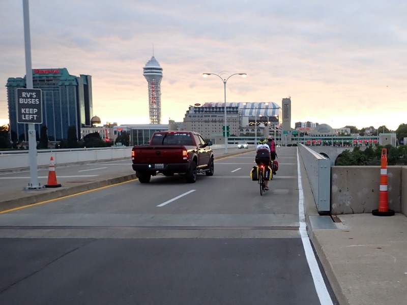
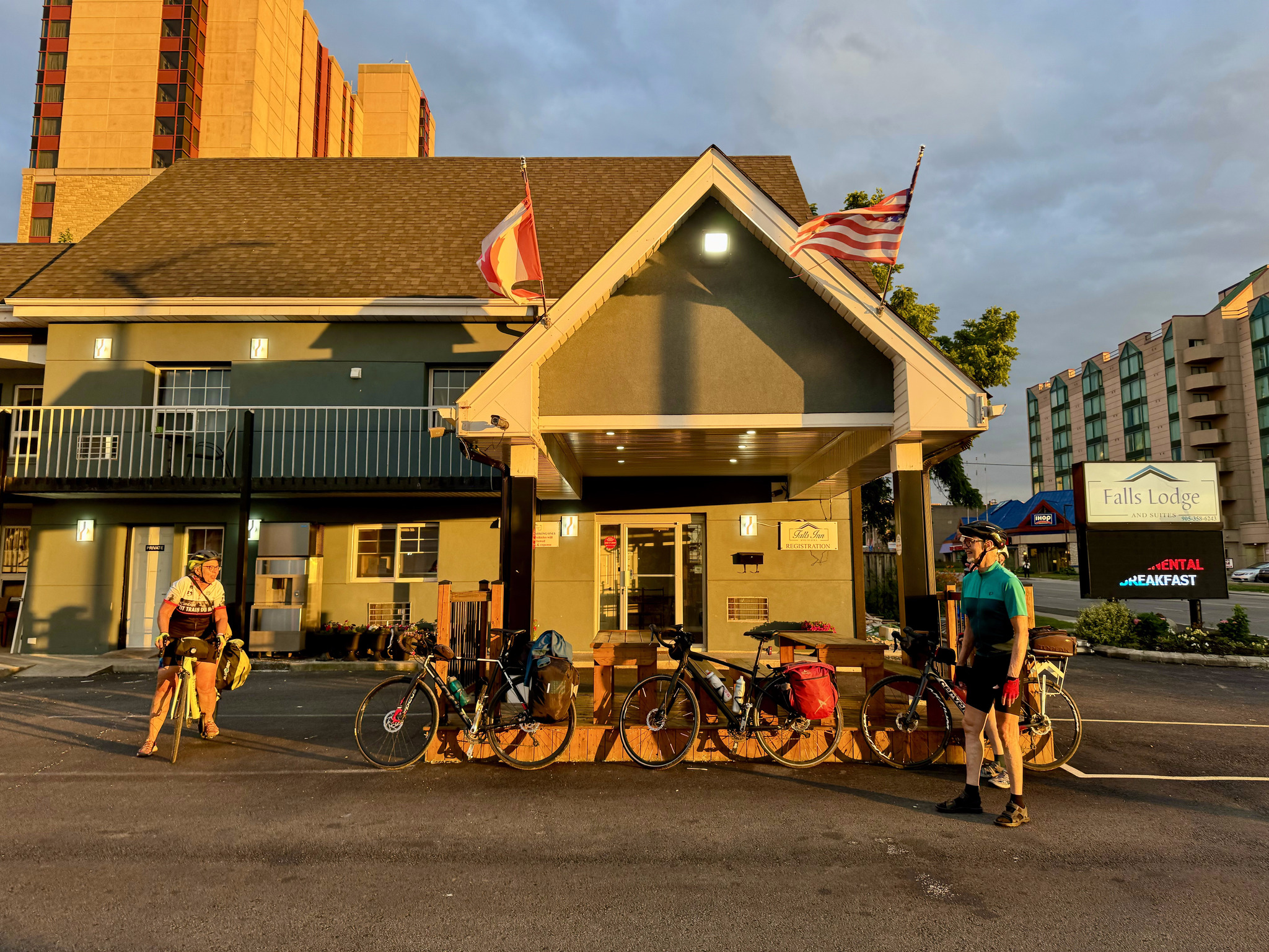
The light was beautiful. We arrived back at the fall Lodge in Niagara Falls. Canada, the same place we stayed on day one.
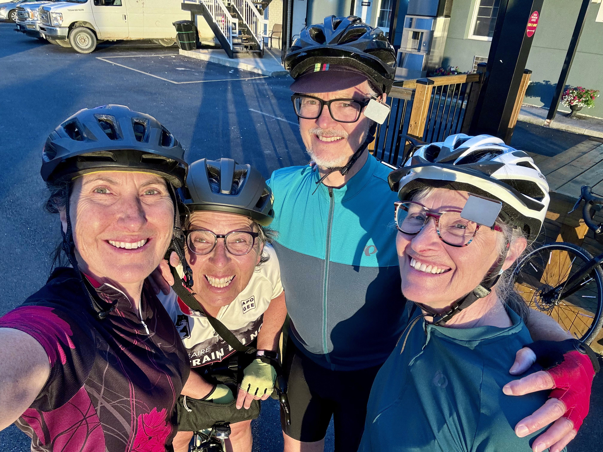
Here we are happy to be back in Canada.
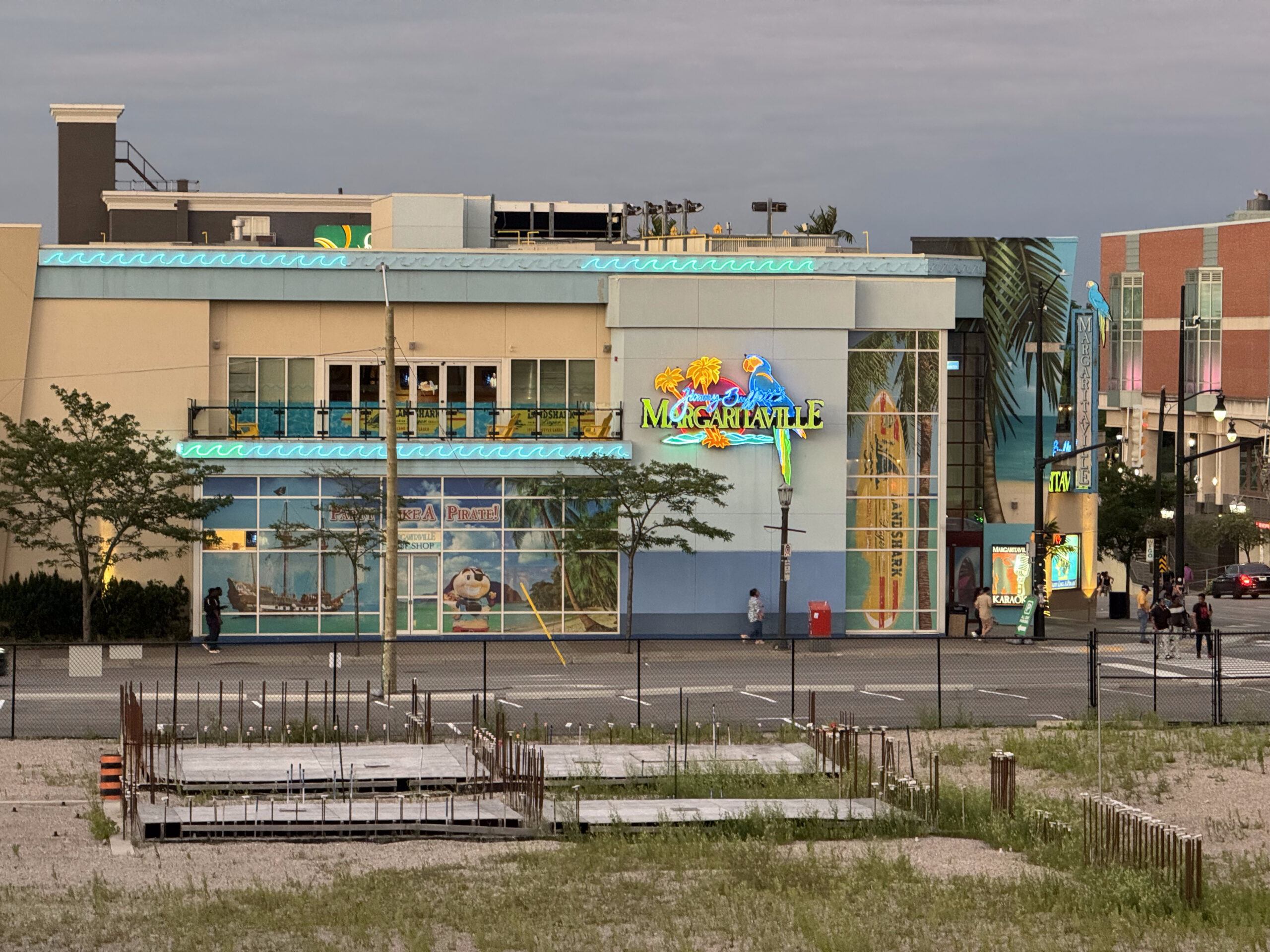
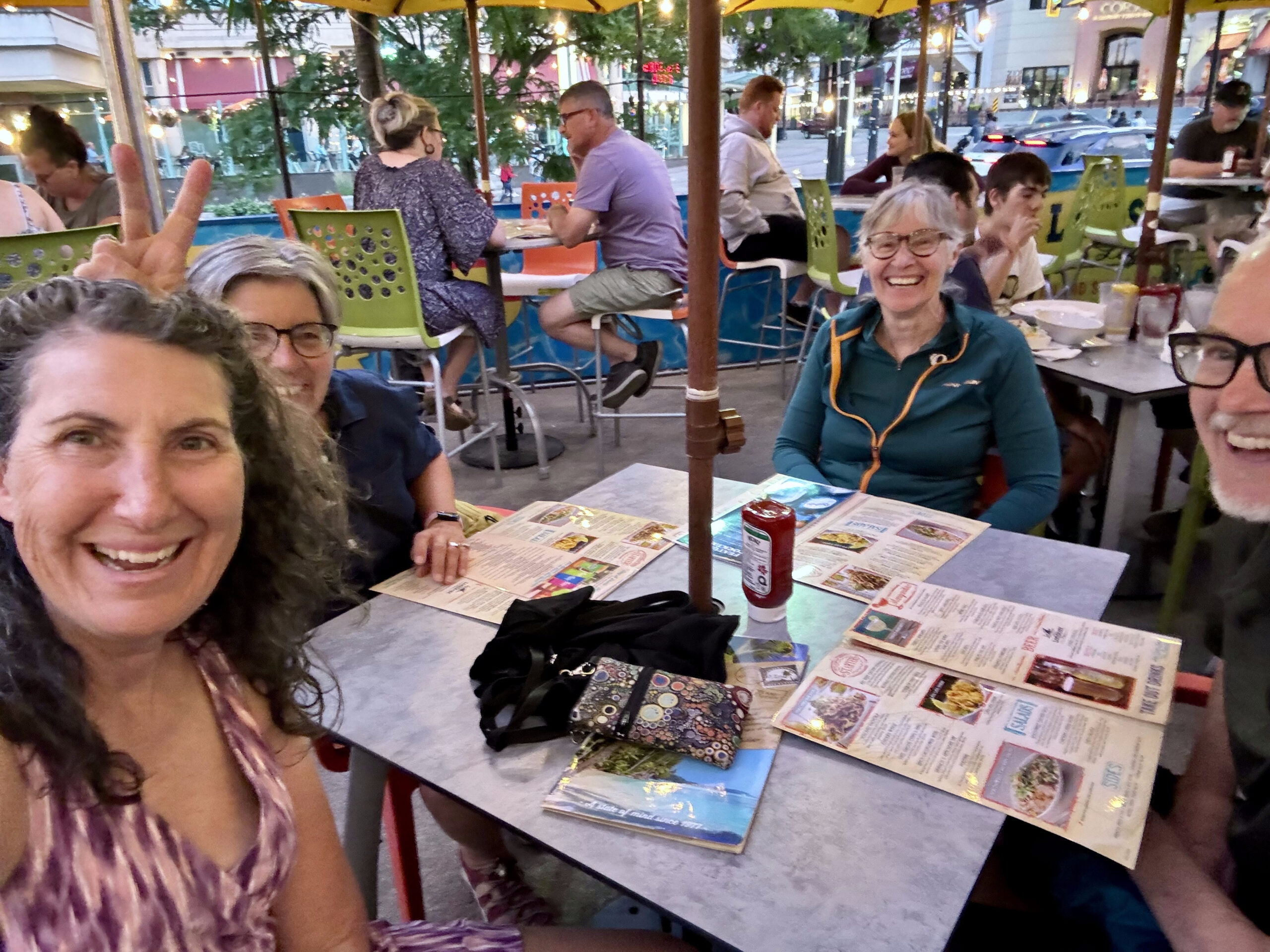
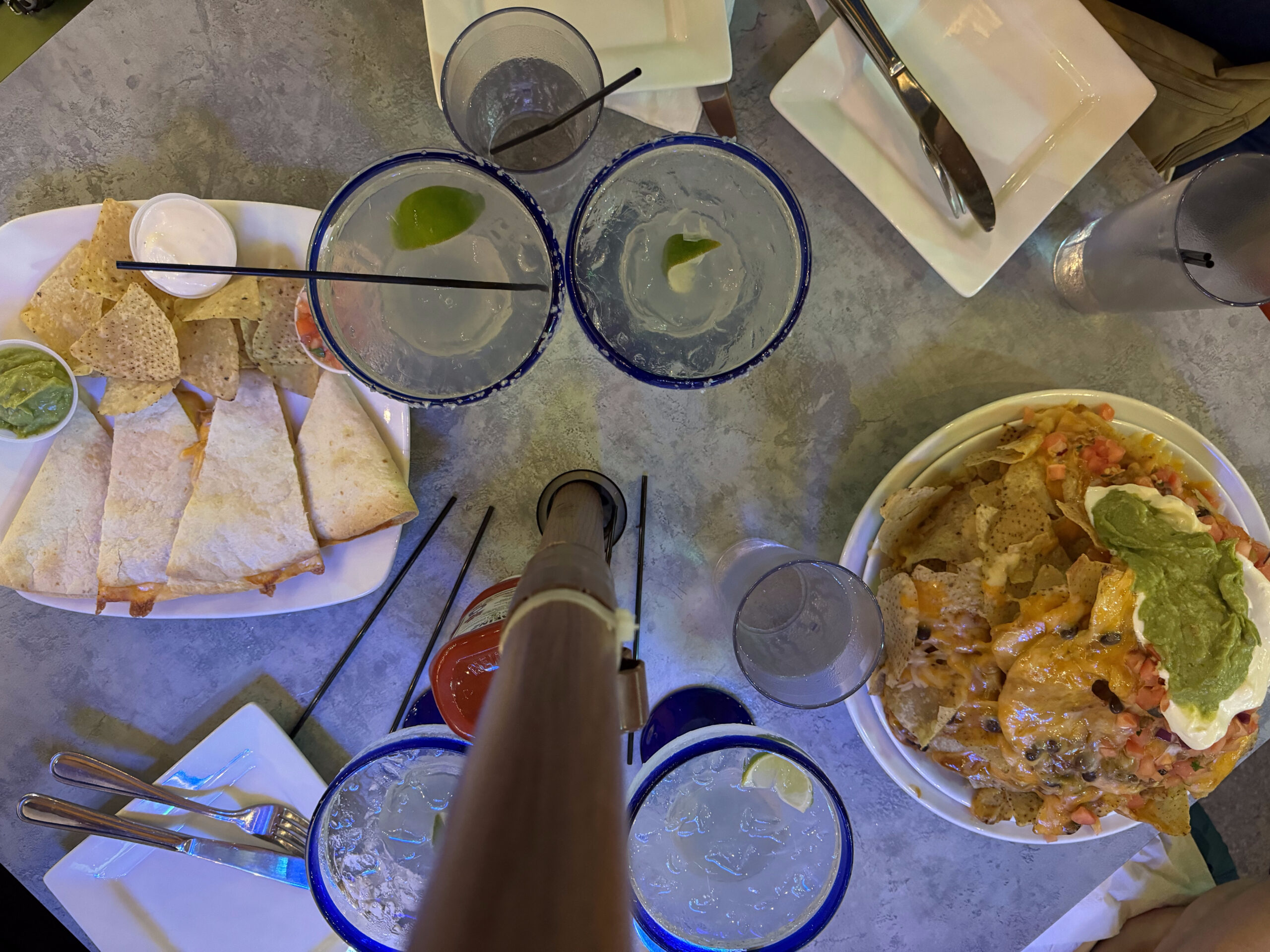
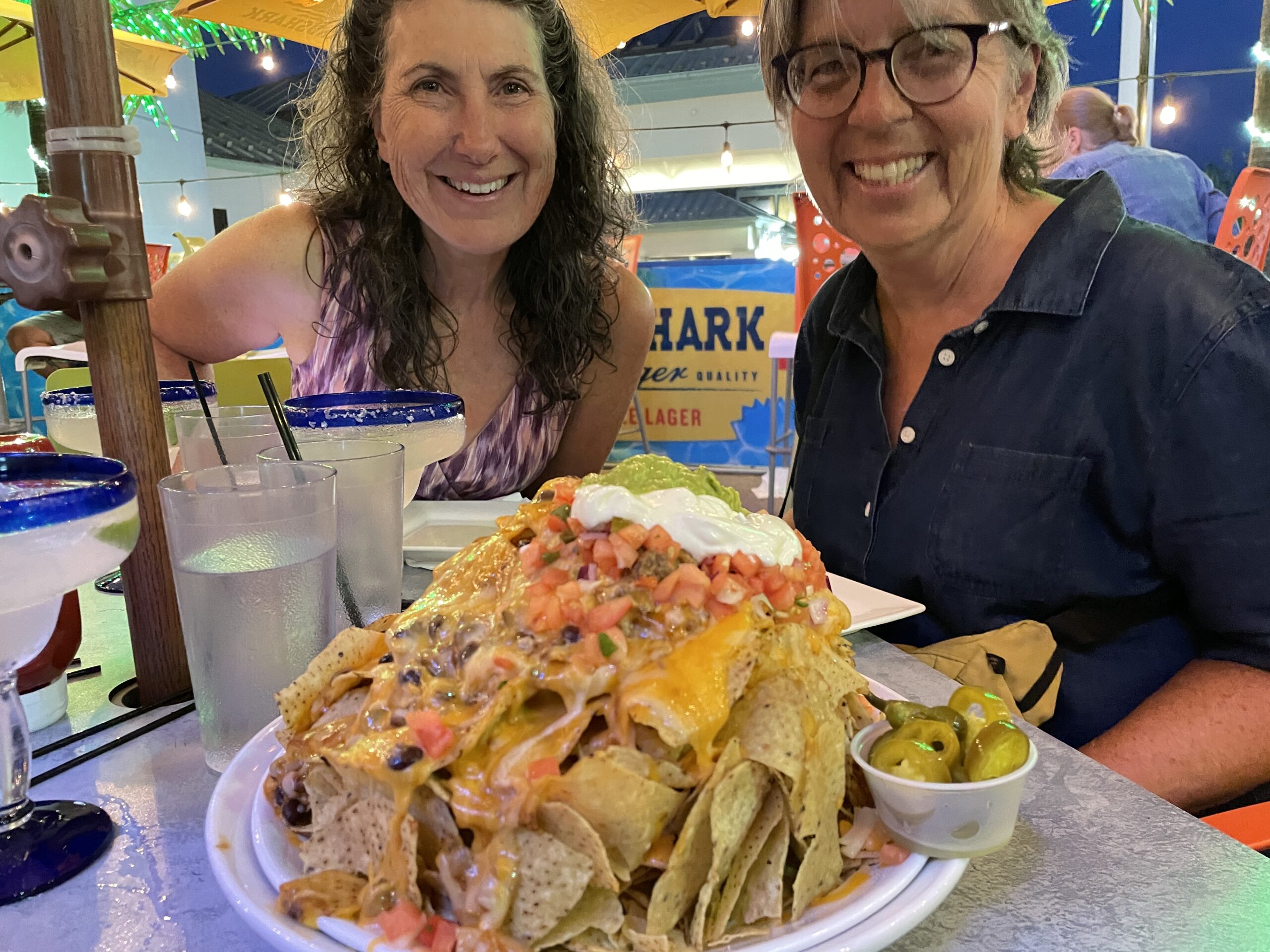
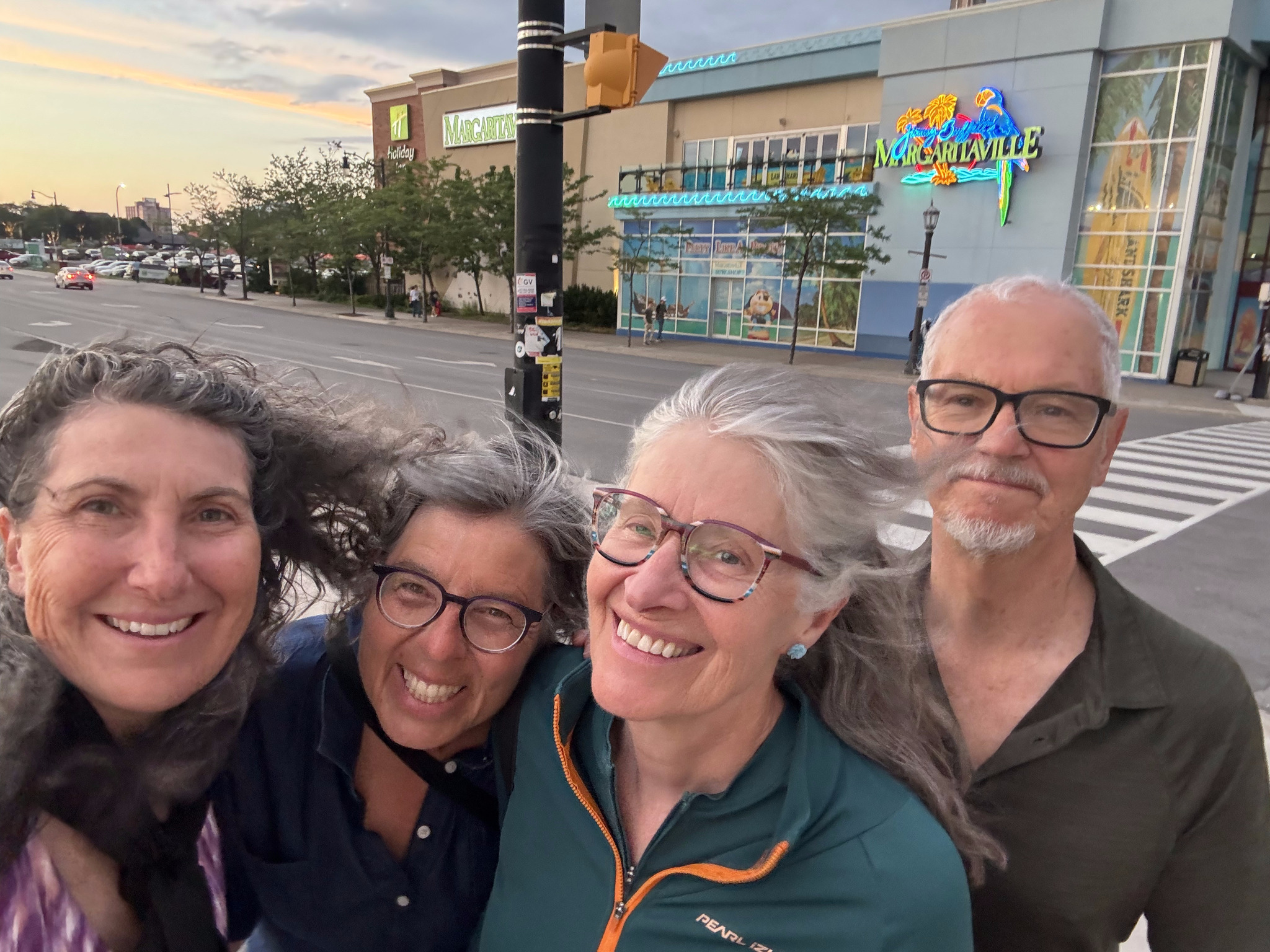
We decided to celebrate our last evening with margaritas and nachos at Margaritaville.
Image credit: Dayle
It was a very windy evening. We briefly considered riding to St Catherine’s to catch the GO Train, rather than doing so in Niagara Falls, but decided we would just do a local tour, to avoid the strong headwinds that were predicted for the morning.
We slept in a little, had a later breakfast at the hotel, which was one of the better hotel breakfasts we have had on this trip, and left for a walking tour just after nine. There was a lot to see packed into just 4 km. Our first stop was a giant Dutch clog.
Albany was founded when the Dutch ship the Half Moon, captained by Englishman Henry Hudson, dropped anchor nearby in 1609. The world was in the midst of a Little Ice Age, and the Dutch staked claim to the beaver who thrived here. They forged alliances with indigenous people and established a trade centre on the bank of the Hudson River. Albany was chartered as a city in 1686, making it the second oldest chartered city in the country. We saw representions of The Half Moon all over the city.
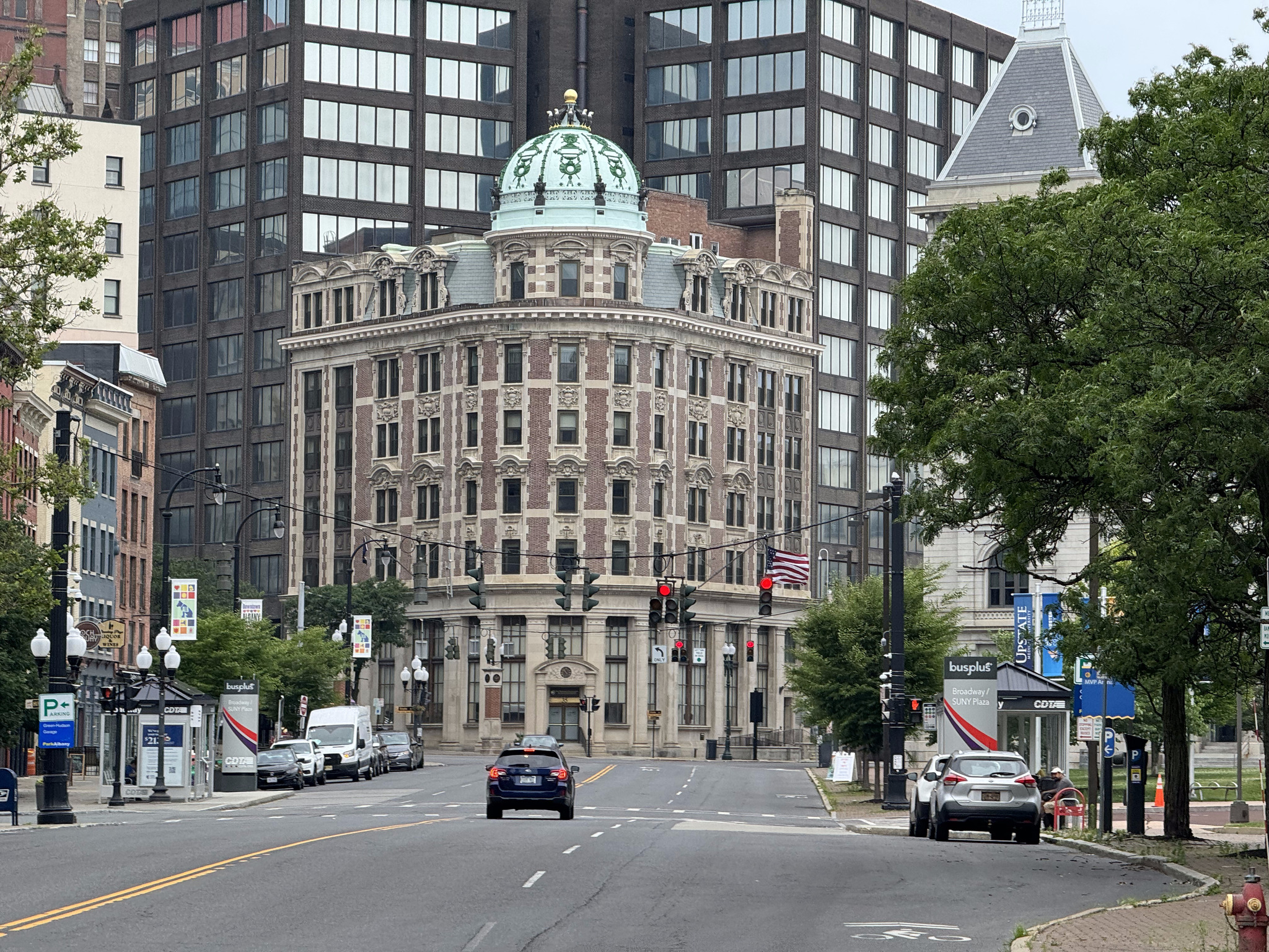
In addition to being a canal city, Albany was also a railway city, and the Delaware and Hudson Railway was headquartered in the building in this picture. It is now the State University of of New York (SUNY) System Administration building.
Albany is the capital of New York State. It’s population has been fairly stable at around 100,000 for several decades, but it did suffer some population loss from its high in the mid 50s, although not nearly as much as Buffalo and Rochester did, likely due to the high number of government jobs because of it being the state capital.
That was our main destination for sightseeing for today, but we stopped at a few things along the way.
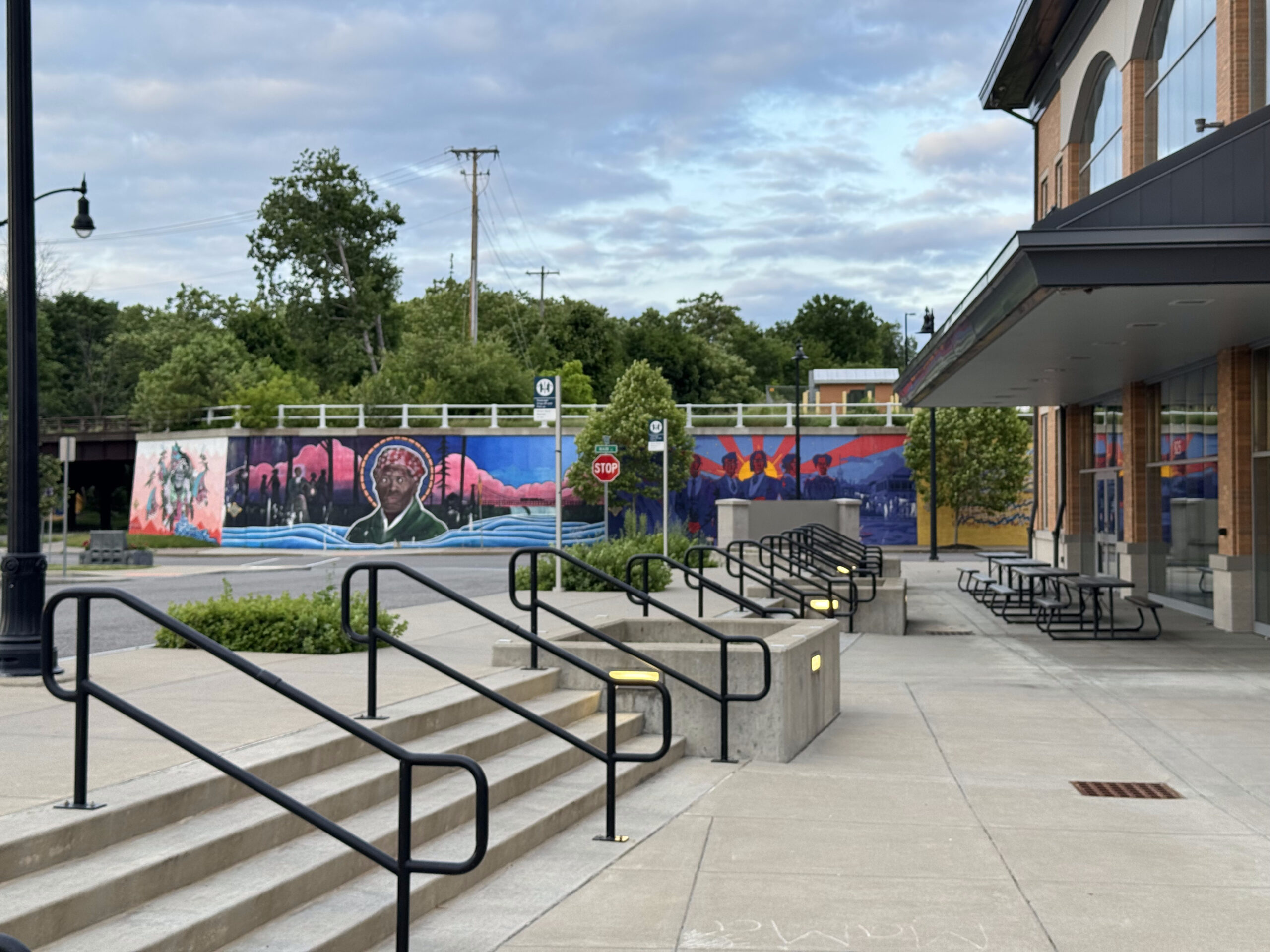
I’ve noticed in my travel over the last few years that many cities have webpages about their public art, which is something I enjoy visiting, so this is a very useful resource. Albany has a page which we were able to use it to locate some public art to look at on our way to the capital district. There are quite a few murals because of the capital walls project, and we saw many of them enlivening the city as we walked around.
William Street was on the way – the downtown Albany Business Improvement District added lights and colours to create a connective corridor. It’s called “Meet Me in the Middle” by local artist, Eugene O’Neill.
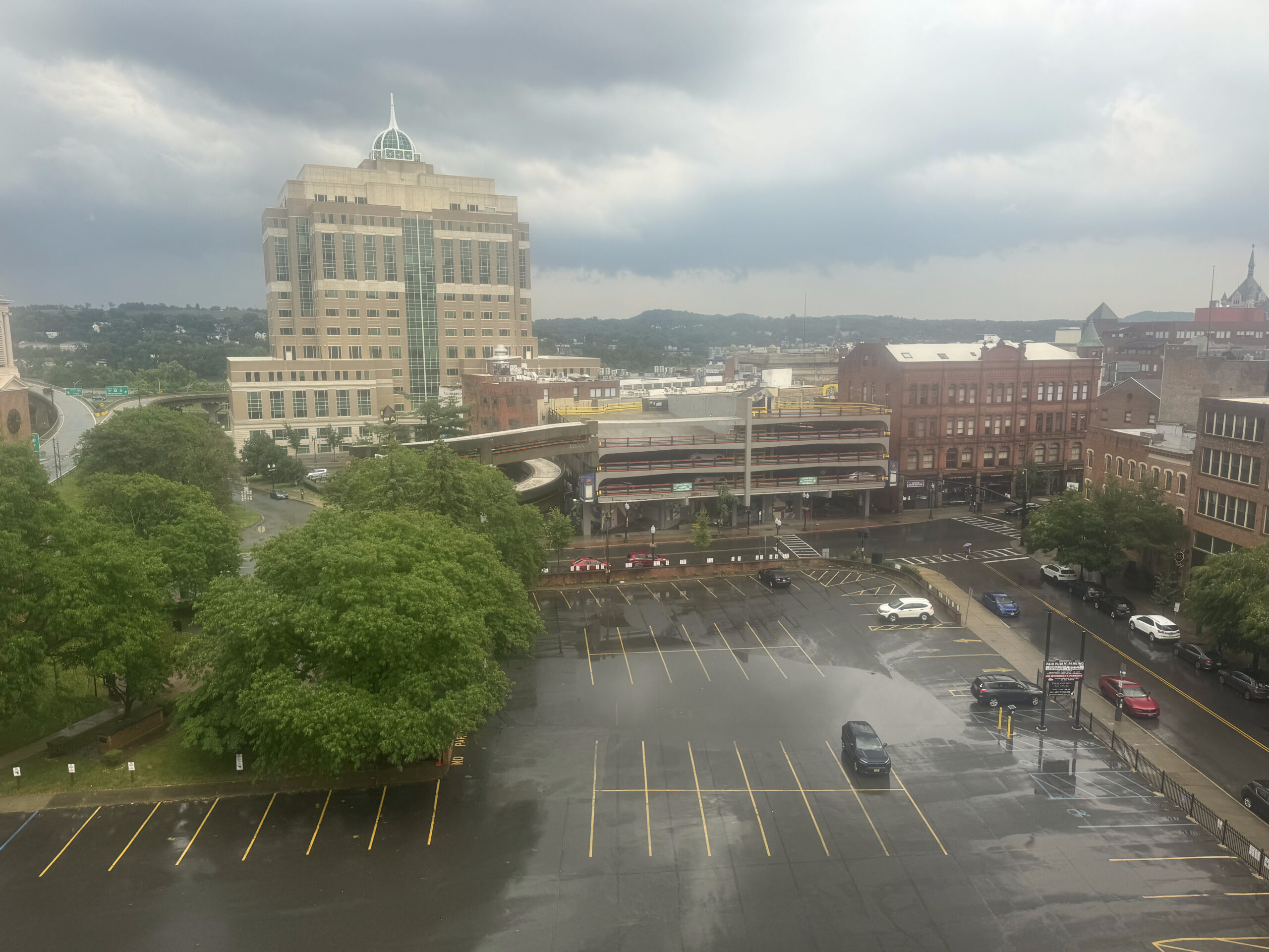
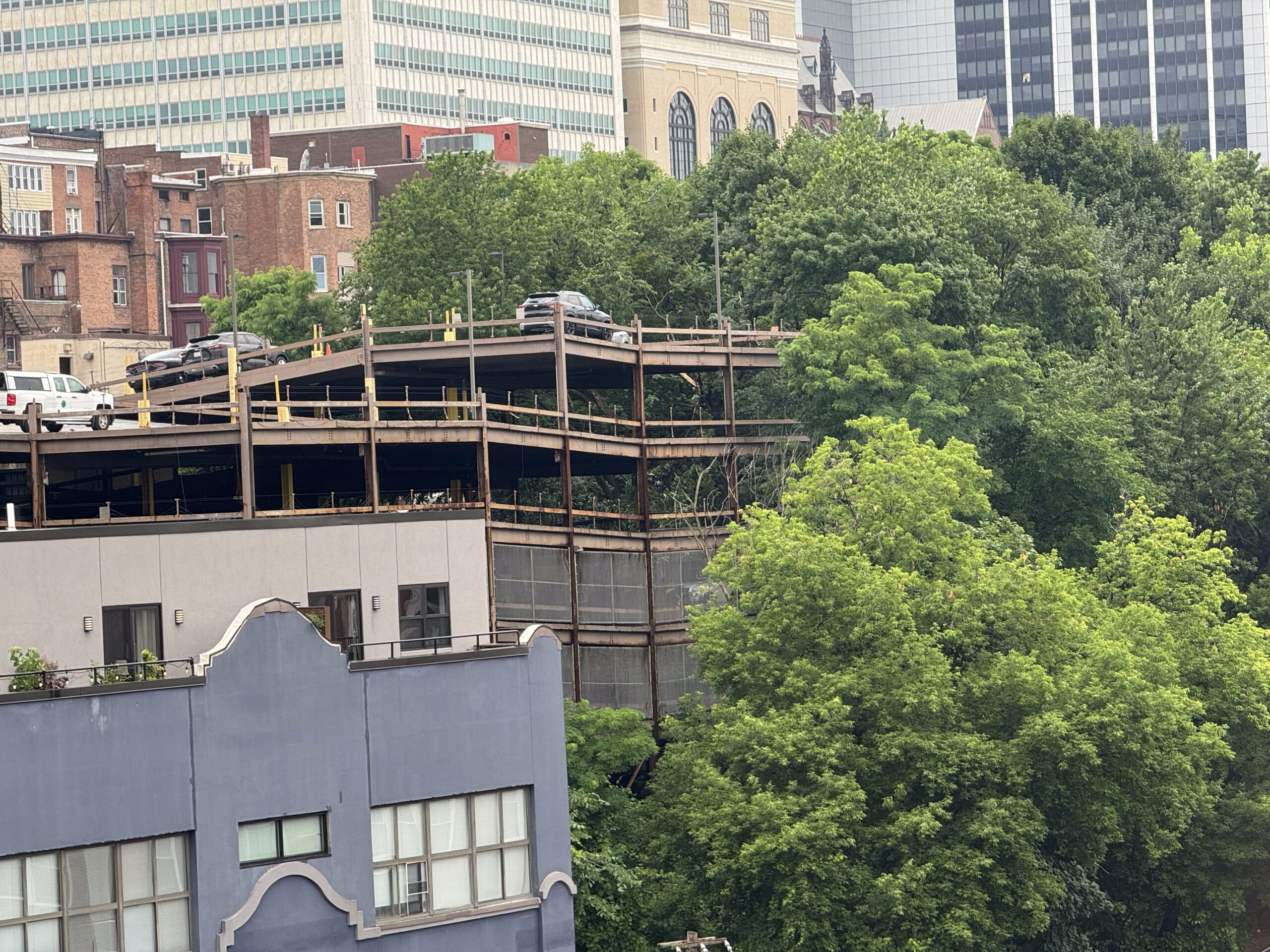
Between William Street and the very impressive capital district was this abandoned property. Like so many rustbelt cities Albany feels very empty and has empty lots and abandoned buildings, with over built roads, and not much traffic. Although, Albany might feel particularly empty right now in the summer with the legislature not operating.
As one approaches the New York State Empire Plaza it has the appearance of a walled or fortified city.
The New York State Empire Plaza concourse connects all the buildings of the state plaza and is known as Albany’s “Underground City” and has food courts, banks, a post office and public art and sculptures.
The art collection located throughout the complex includes 92 large scale, paintings, sculptures, and tapestries. It is called the “most important state collection of modern art in the country”, and “the largest collection of modern American art in any single public site that is not a museum”. We enjoyed looking at the various pieces.
ALLAN D’ARCANGELO American LandscapeLEE BONTECOU UntitledGENE DAVIS Sky Wagon Alvin D. Loving, Jr., New Morning I
I always enjoy getting a bird’s eye view of a city when I visit, and I discovered that Albany has the tallest building in New York State outside of New York City. The Corning Tower is 42 storeys and it is free to visit the observation level. The Hudson River Valley, the Port of Albany, large portions of the city and its government, the foothills of the Adirondacks, the Catskills, and the Berkshires of western Massachusetts are all visible from the tower.
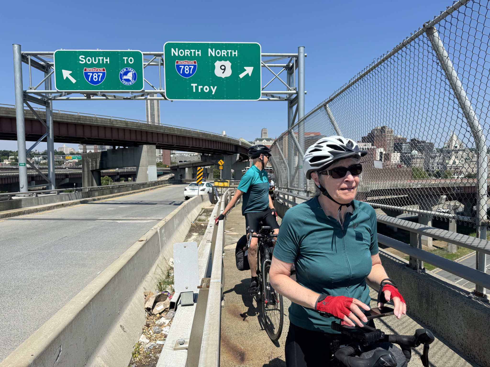
This is the bridge we will have to ride across tomorrow to get to the train station.
This is the Delaware and Hudson Railway building which I mentioned earlier.
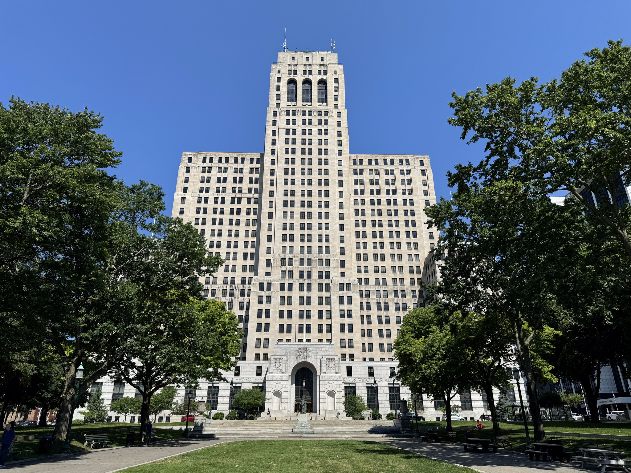
The New York State capital building is part of the Empire State Plaza complex and was completed in 1899 at a cost of US$25 million making it the most expensive government building of its time. There were three teams of architects working on its construction, including Isaac Perry, the architect of Amsterdam castle, and Thomas Fuller, who also designed the Canadian parliament buildings.
Due to the extended construction time of 30 years and the different architects involved, it is a mishmash of styles, including classical/Romanesque, Renaissance classical, and Victorian modified Romanesque.
The building was intended to have a large dome and tower, but they were never completed due to the inability of the lower structure to support the weight. The grand staircase is very impressive and it becomes brighter as one climbs the five storeys towards the skylight.
The Empire State Plaza was the idea of governor Nelson Rockefeller. He was inspired to create the complex after Queen Julianna of the Netherlands visited Albany for a celebration of the area’s Dutch history. The area around the capital building was known as “The Gut“, an area of cheap hotels, flop houses, and dive bars. Rockefeller was embarrassed and conceived the basic design of a complex with the architect Wallace Harris. Rockefeller doodled his ideas on the back of a postcard and Harrison revised them. When I saw pictures of the plaza, I said it reminded me of Brasilia. As I did research for the blog, I found out that Brasilia, Versailles, and Chandigarh were used as inspiration for the plaza.
7000 residents were evicted in order to build the 98 acre site. It was constructed between 1965 and 1976 in the modernist, brutalist and international styles of architecture. The total cost was $1.7 billion, and more than 11,000 state employees work at the complex.
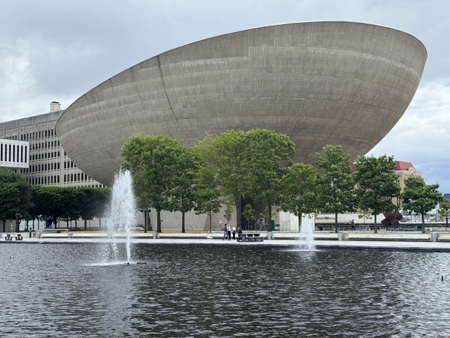
The Plaza consists of various steel and reinforced concrete buildings, all clad in imported stone, except for the egg, which exposes its concrete exterior, and is a performance arts center. The building sits on a six storey stone clad platform.
This is City Hall.
The Albany Home Savings Bank building was built in 1927 in the art deco style and features images of Native Americans and colonial settlers near the roof line.
Nipper was a fox terrier, so named because he loved to nip at peoples ankles. He was found as a stray in Britain. One day, his owner noticed him listening to a phonograph and painted a picture of him. One thing led to another, and he ended up as the RCA company mascot. We encountered a number of small versions of him around the city, and plan to go to look at a giant version tomorrow before we catch the train Niagara Falls.
We walked across the pedestrian bridge to the end of the Erie Canalway Trail for a picture with the sign.
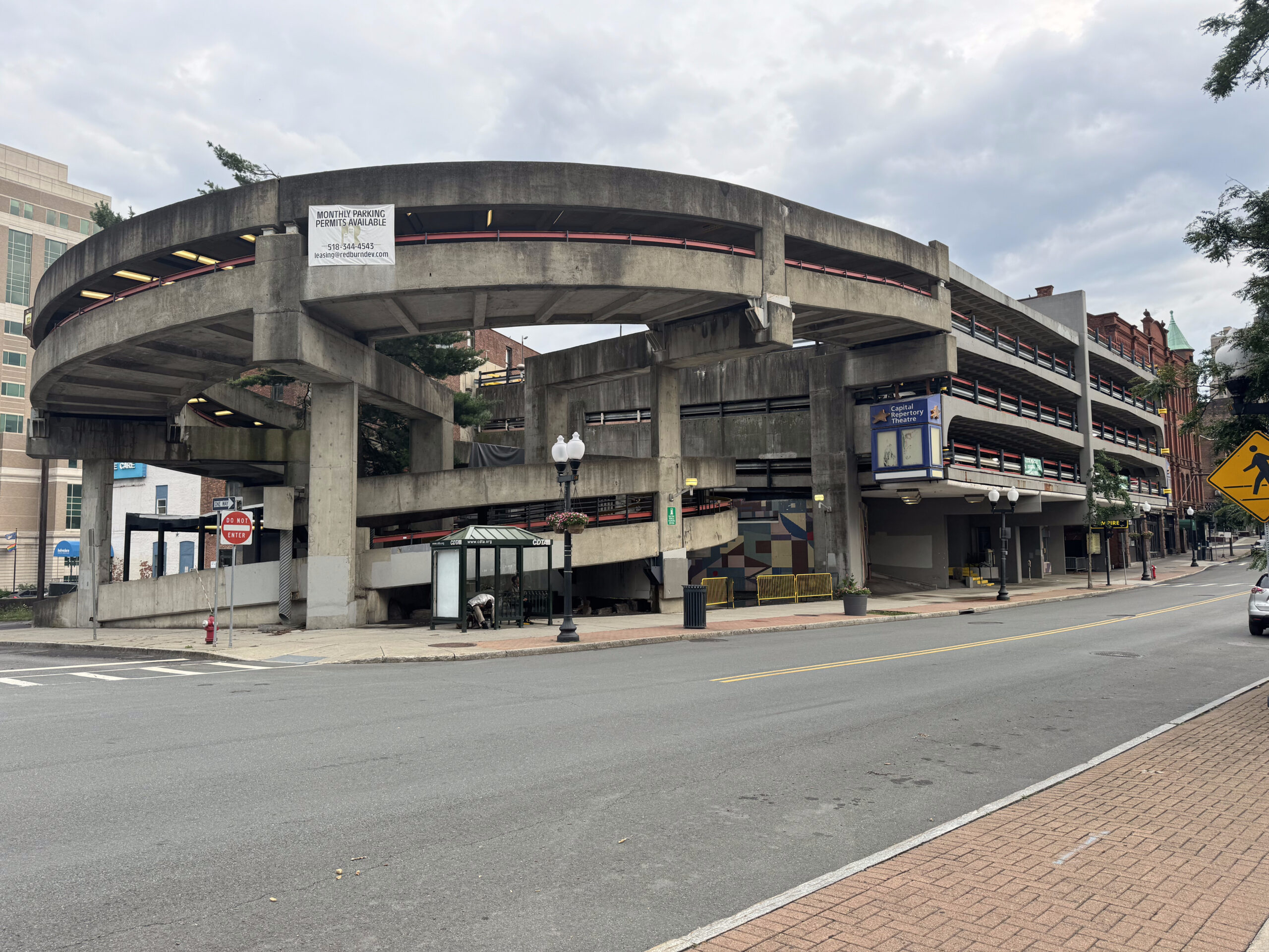
On our way back, we noticed a highway ramp that had a fence along the edge and appeared to have plants on it. I googled it and found out that the Albany Skyway is an elevated park and pedestrian bridge that provides an active transportation crossing of the highway from downtown to the Hudson Riverfront. It is a converted from an underutilized Interstate 787 exit ramp. It opened in 2022. It reminds me of a scaled down version of New York City’s Highline which I visited a couple years ago. There is also an elevated park in St Thomas on an old train trestle.
We decided to eat dinner at the Common Routes Brewing Company, which we spotted from the Skyway, and went back to the room for a rest before dinner.
When we got back to the restaurant at dinner time, we realized that the Google listing for the hours was incorrect, and that it was on closed on Mondays.
So we wandered back over to the area where we had lunch, and found a Thai restaurant. It was good, and one of the less expensive meals that we had during on our trip.
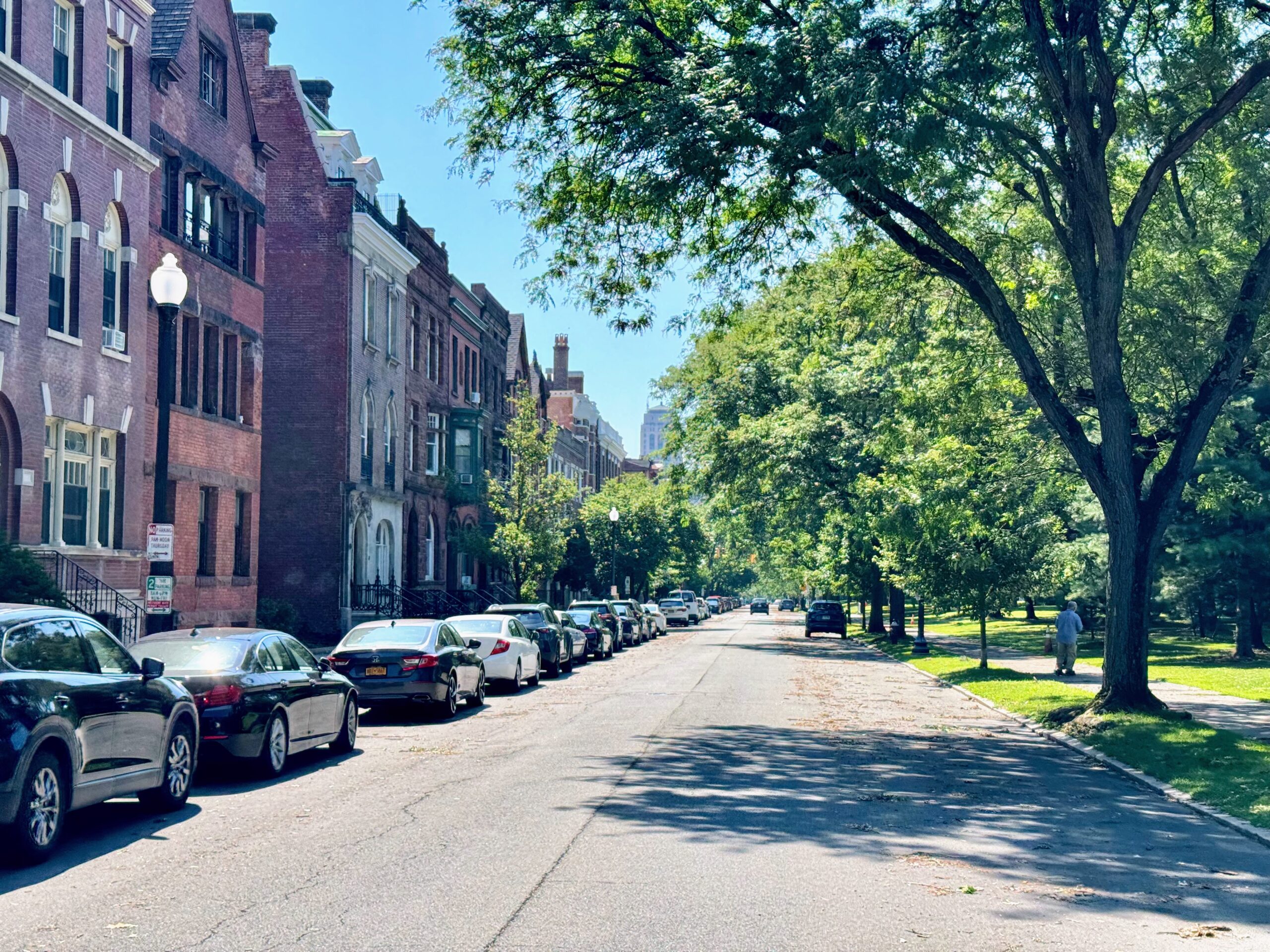
There are some beautiful blocks of old buildings along N. Pearl St.
The Palace Theatre was originally built as a movie theatre and completed in October 1931. It has been renovated and is used as a live entertainment venue, now.
After dinner, we headed over to the cookie store that I peaked into yesterday. They had a cute bike rack out front. Unfortunately, it was a 45 minute wait to get a batch of fresh baked cookies so we headed back to the hotel for bed.
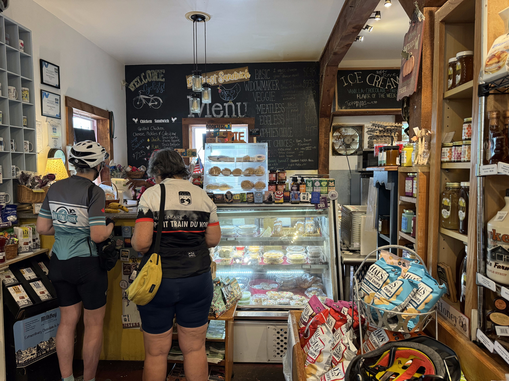
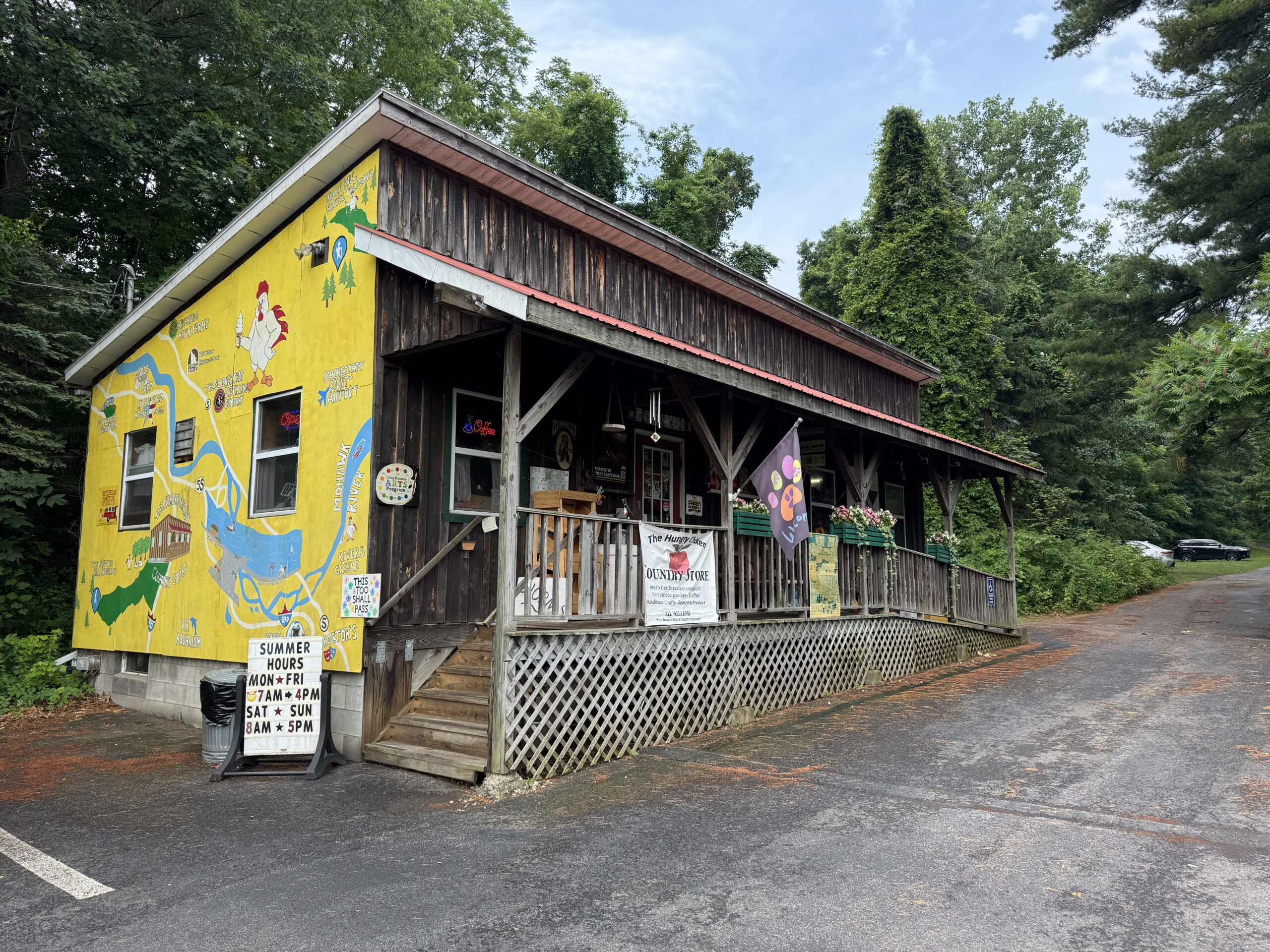
We were thinking we would have breakfast at the restaurant in the Knights’ Inn in Amsterdam, since we couldn’t find anything else on our side of the river, and we didn’t want to take the time to ride across the river and then back, to continue on to Albany, but when we went downstairs to ask the desk clerk for ice, he told us about a restaurant, 12 miles along the trail towards Albany, called the Hungry Chicken Country Store, so we decided to leave without breakfast and stop there. Over the last few days as we searched for places to eat, we observed that restaurants were shown on Google Maps with an orange pin, with either a knife and fork, cocktail glass, or coffee cup on them, so last night we were just looking for orange pins. This one had a blue pin because it was a store, that just happened to serve food, I guess.
I must’ve gotten water where I shouldn’t have, when I was washing my bike last night, because my bar brakes weren’t working, although my brakes on the hoods were. This was fortunate that at least one set was working,because we had a steep descent down the hill from the hotel. By the end of the day, my bar breaks were working a bit better.
We had pavement the entire way today, but the first 3.5 km were almost intolerable. The quality was so poor that we were about to go out onto the nearby road when it improved.
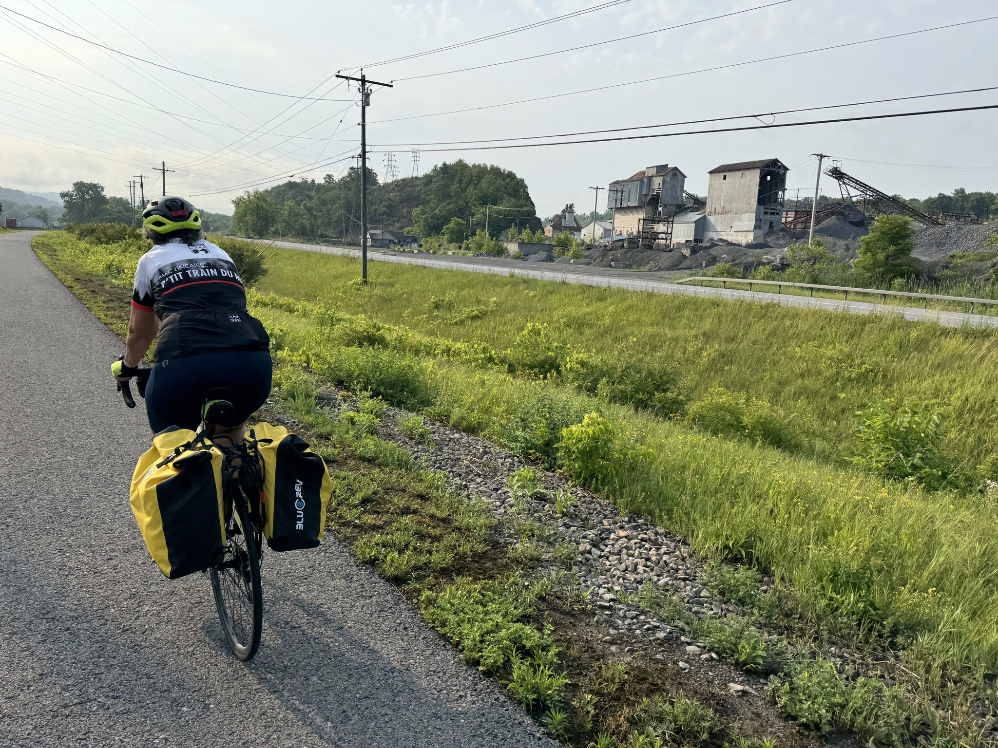
It was incredibly hot and humid all day – possibly not the hottest day we’ve had, but somehow it felt that way, perhaps because we rode 214 km in the last two days, and today is 79. They were quite a few sections with trees on both sides, with some areas completely shaded, but other sections out in the sun, with views that showed we were riding through the rust belt. We kept ourselves cool by wetting our jerseys, whenever we had access to water, or just dribbling water from our water bottles on our jerseys as we rode, and wet our hair, as well. We had to stop and refill our bottles several times, including when we were just 11 km from the hotel, because we were almost out of water. I discovered last night when I went to bed that, it had been so hot in my pannier yesterday that my night guard had deformed!
This section of the Erie Canalway had the most amenities in terms of picnic tables, benches, and wayfinding signs of any day on our trip.
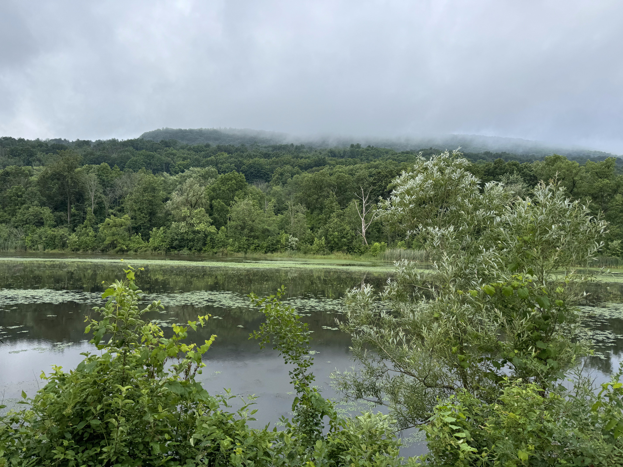
We were never rained on, but there were often threatening clouds.
The breakfast recommendation was an excellent one. Because we hadn’t identified anywhere else to purchase food before Albany, we also bought food to take with us. It was also one of the less expensive places we stopped. There was nowhere inside to eat, but they had picnic tables outside.
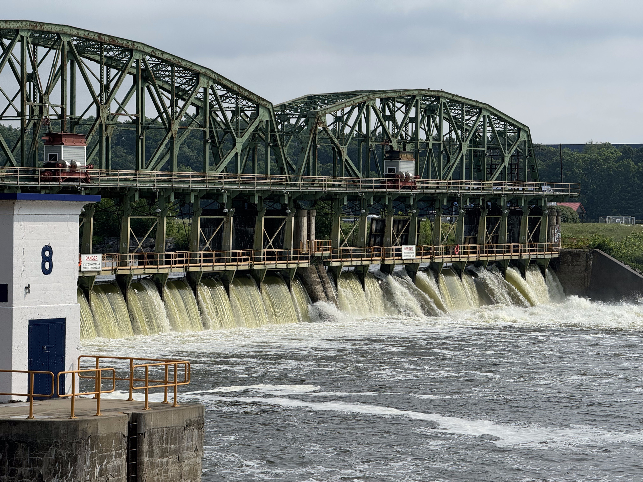
We passed a couple dams along the way.
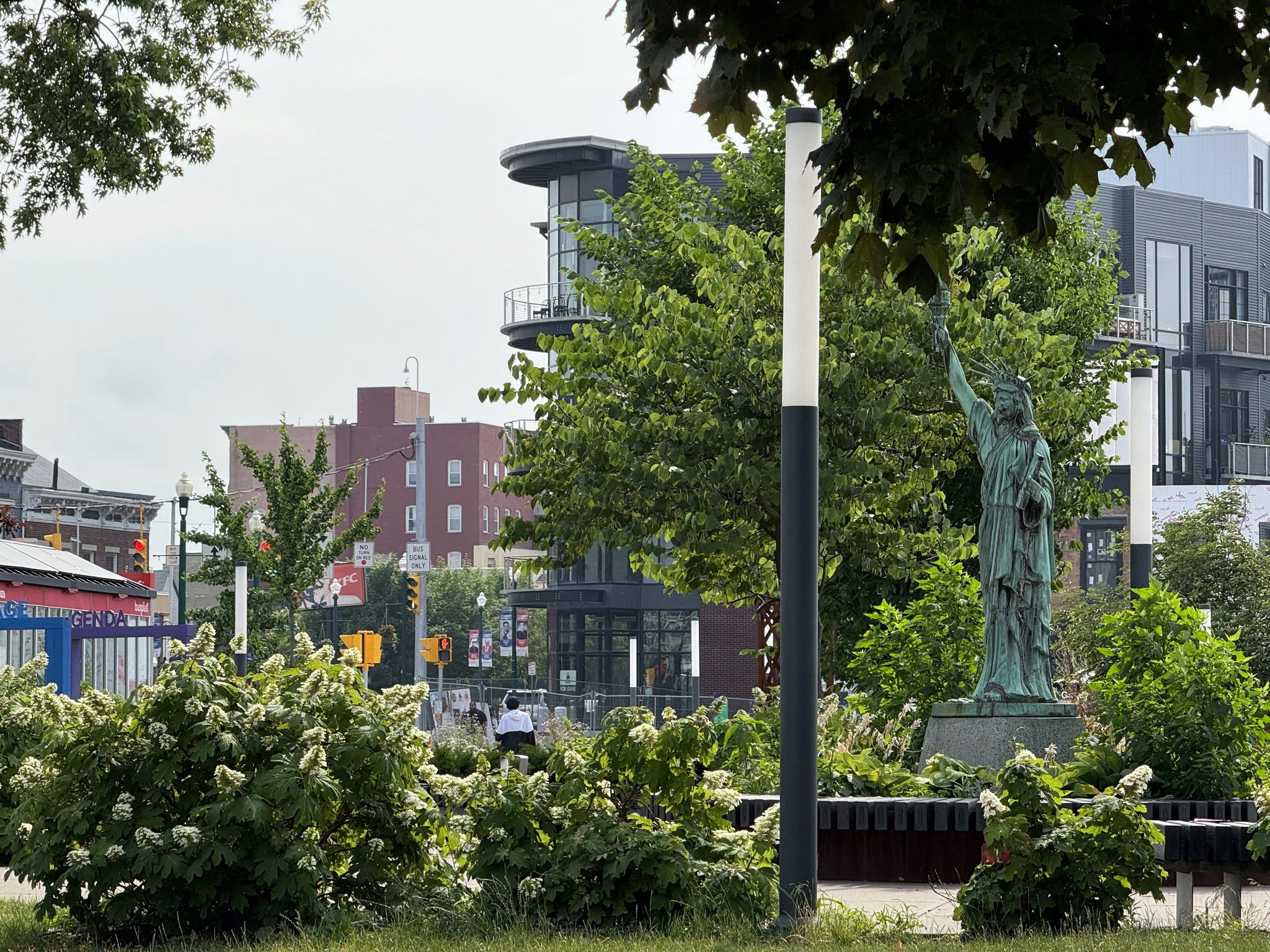
In Schenectady, I saw a mini Statue of Liberty. This is the second one I’ve seen. I was going too fast to catch a picture of the first one and can no longer recall where it was.
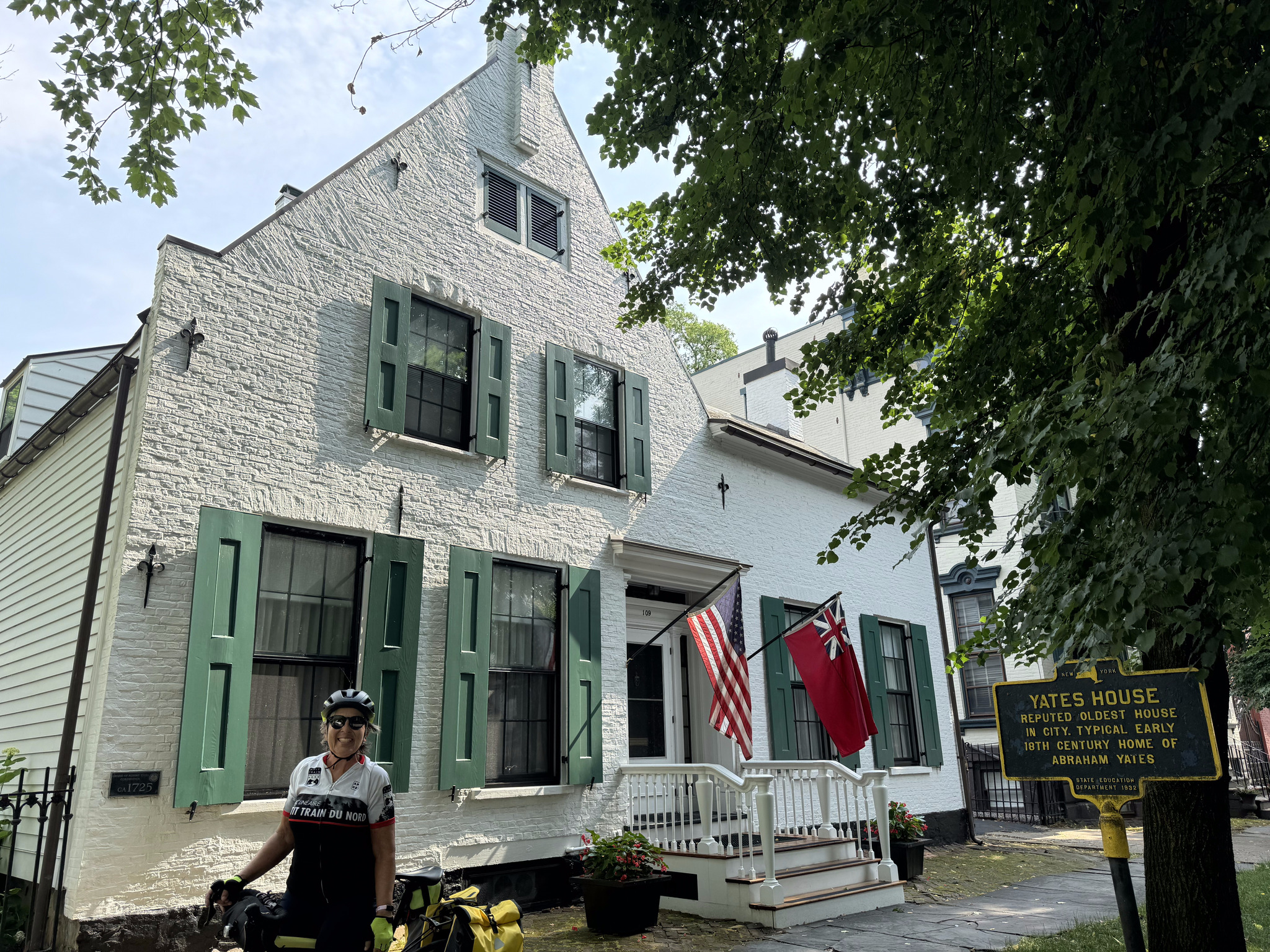
Schenectady has a lot of beautiful old homes, including this one which was built in 1725 which is probably the oldest home in the city.
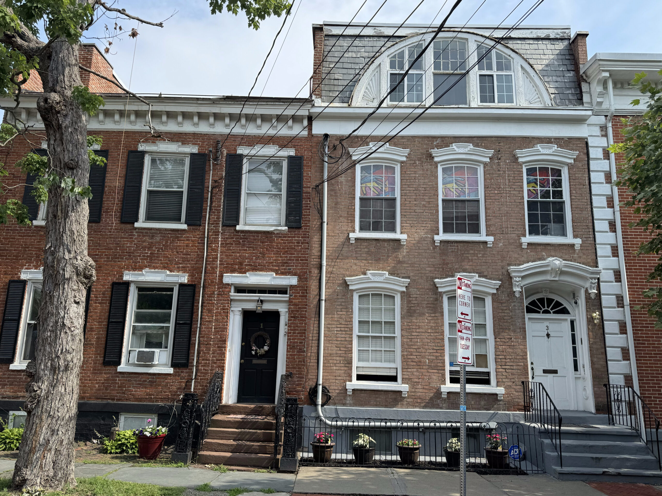
Here are a couple of others in the same neighbourhood.
A little further on there were a lot of wooden homes, some in better shape than others.
Just east of Schenectady was a casino. They had private balconies overlooking the path and the river with slot machines on them. There was a nice little neighbourhood just past the casino.
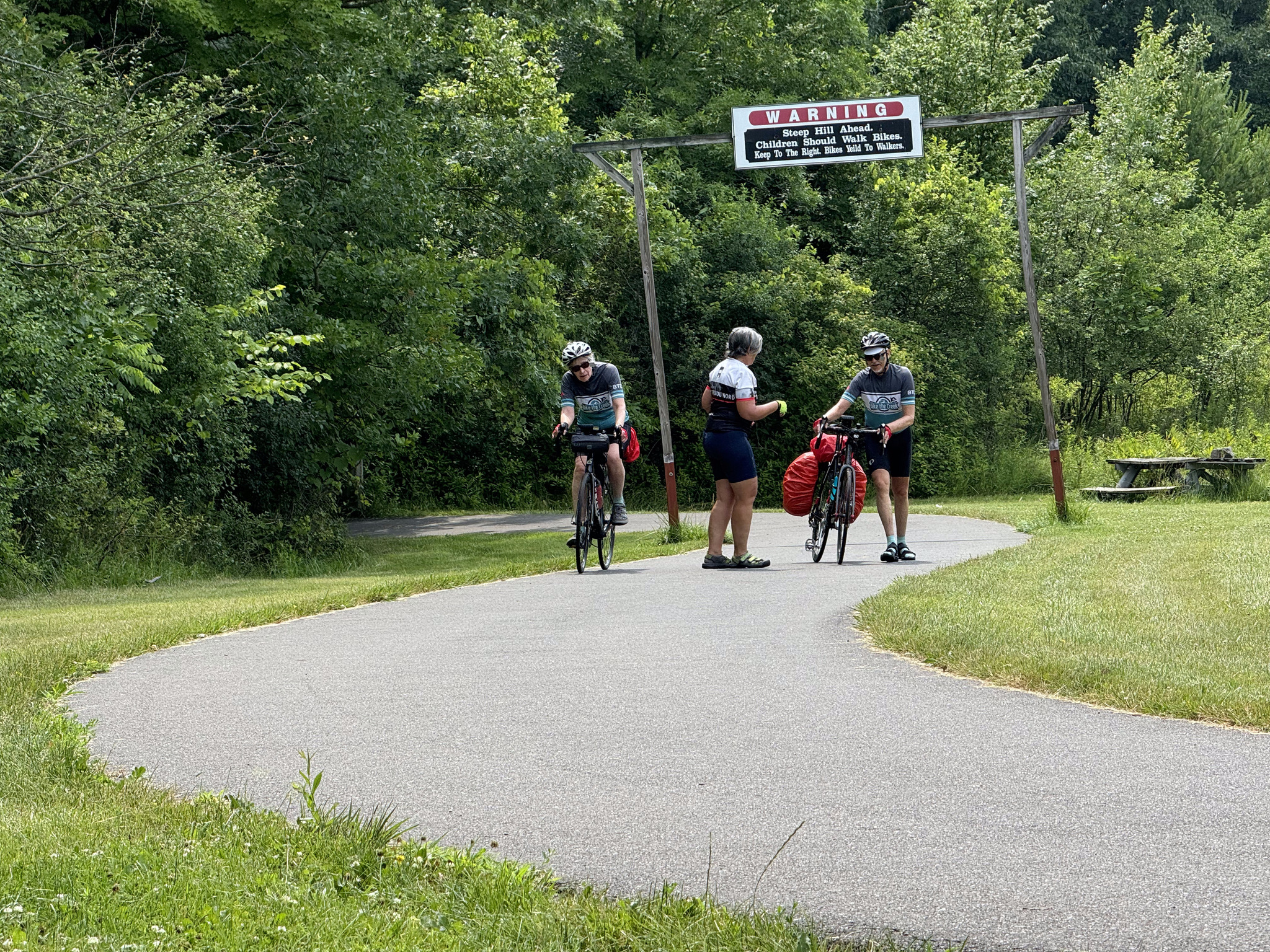
When we were eating breakfast this morning, a couple warned us that there were some hills on our route, including one particularly bad one that they predicted we would not be able to ride up. They were correct. All four of us walked – although Dayle got back on her bike, and rode up the last section. There was a covered seating area where we were able to rest, out of the sun, for a few minutes before continuing.
Despite the fact that we saw a few more tables and benches today, there were still long stretches with nowhere to sit, so we stopped in a shaded area to eat some of what we brought from the breakfast restaurant this morning, standing over or leaning on our bikes.
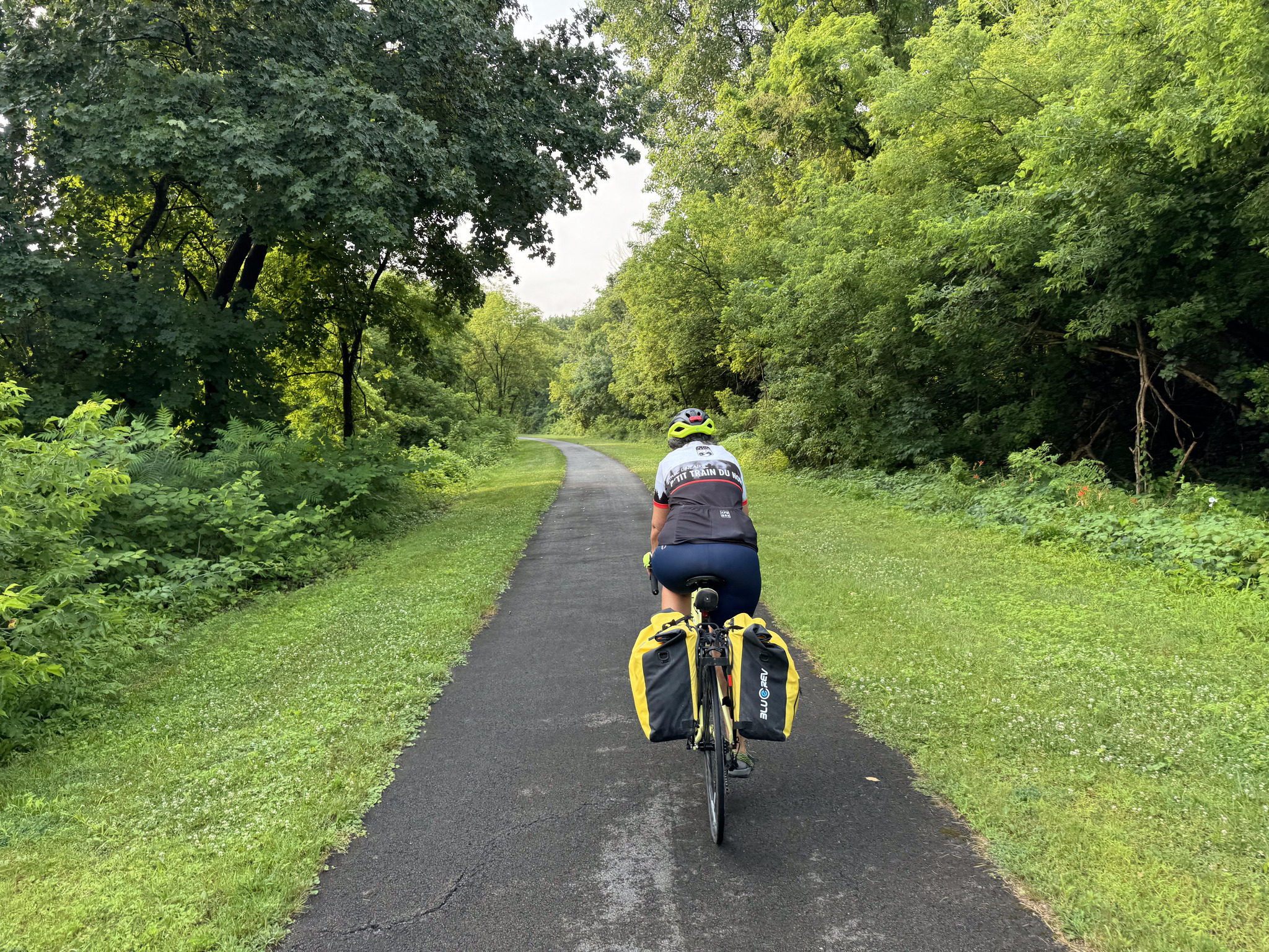
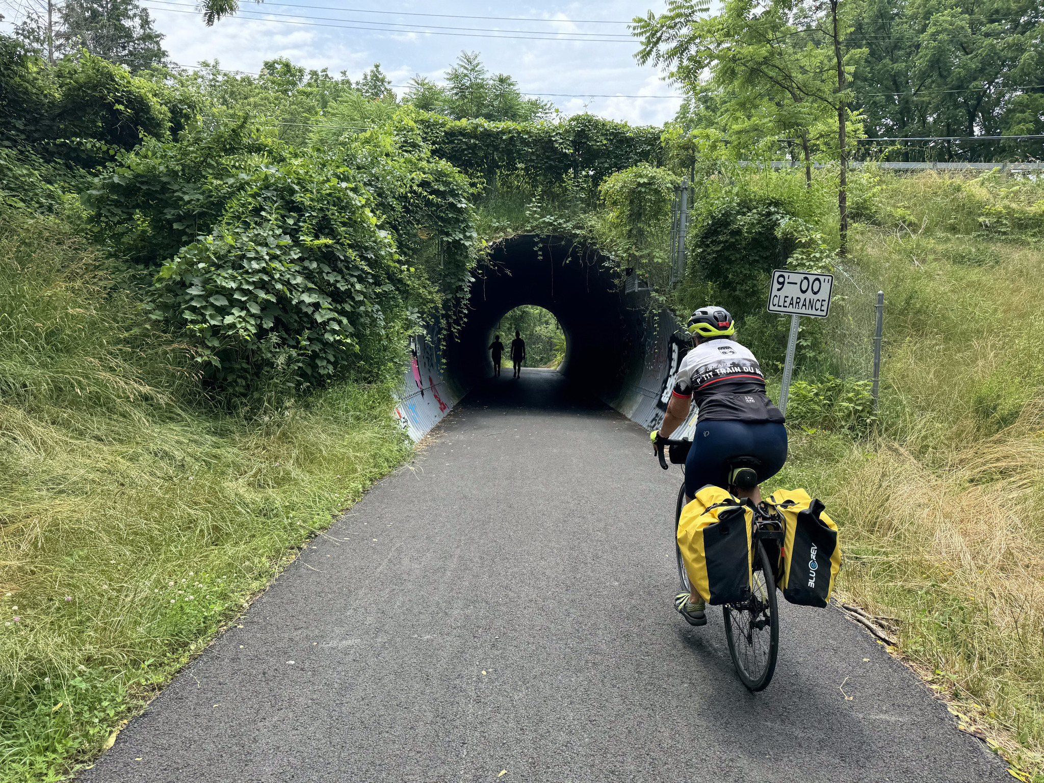
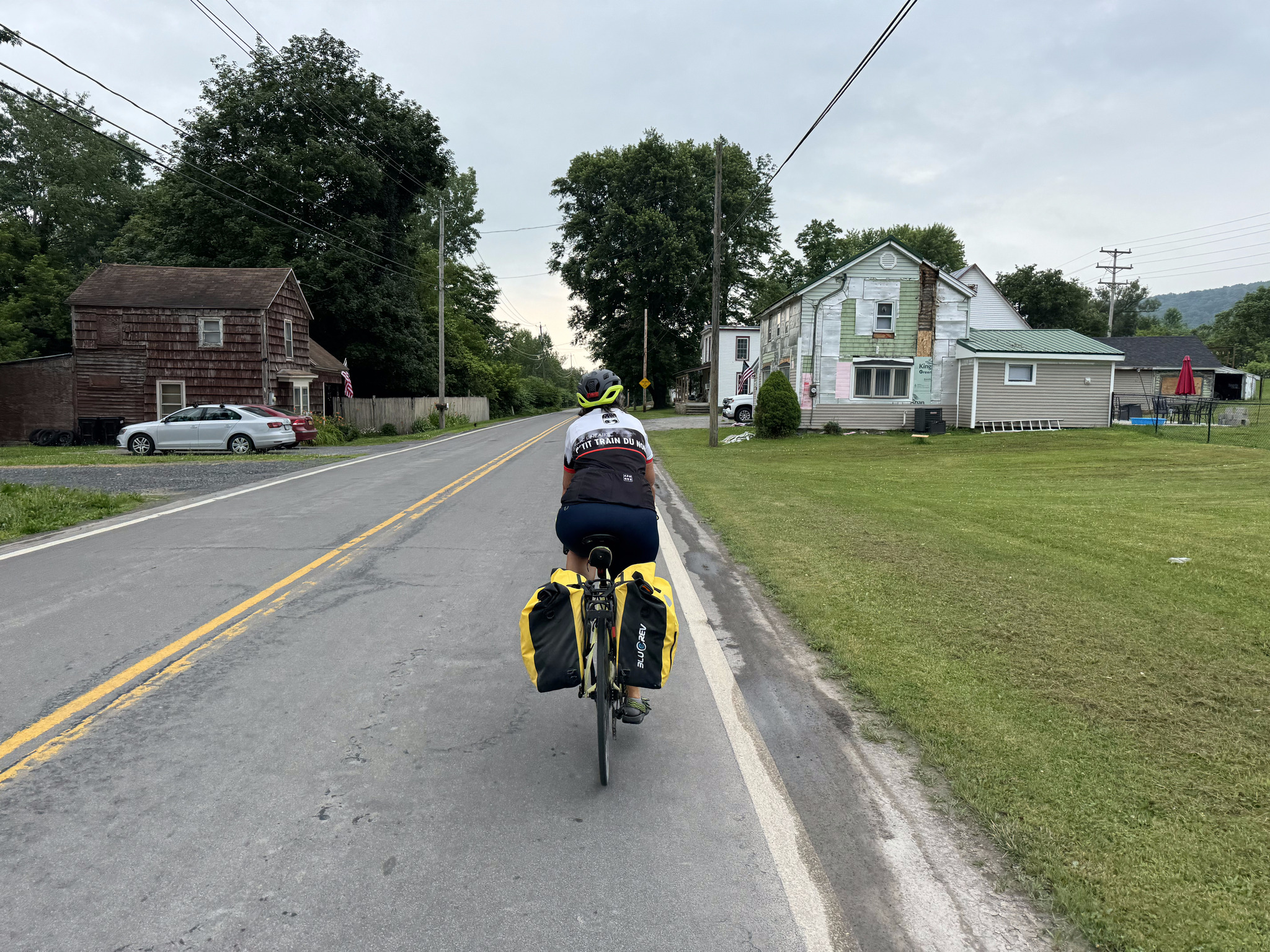
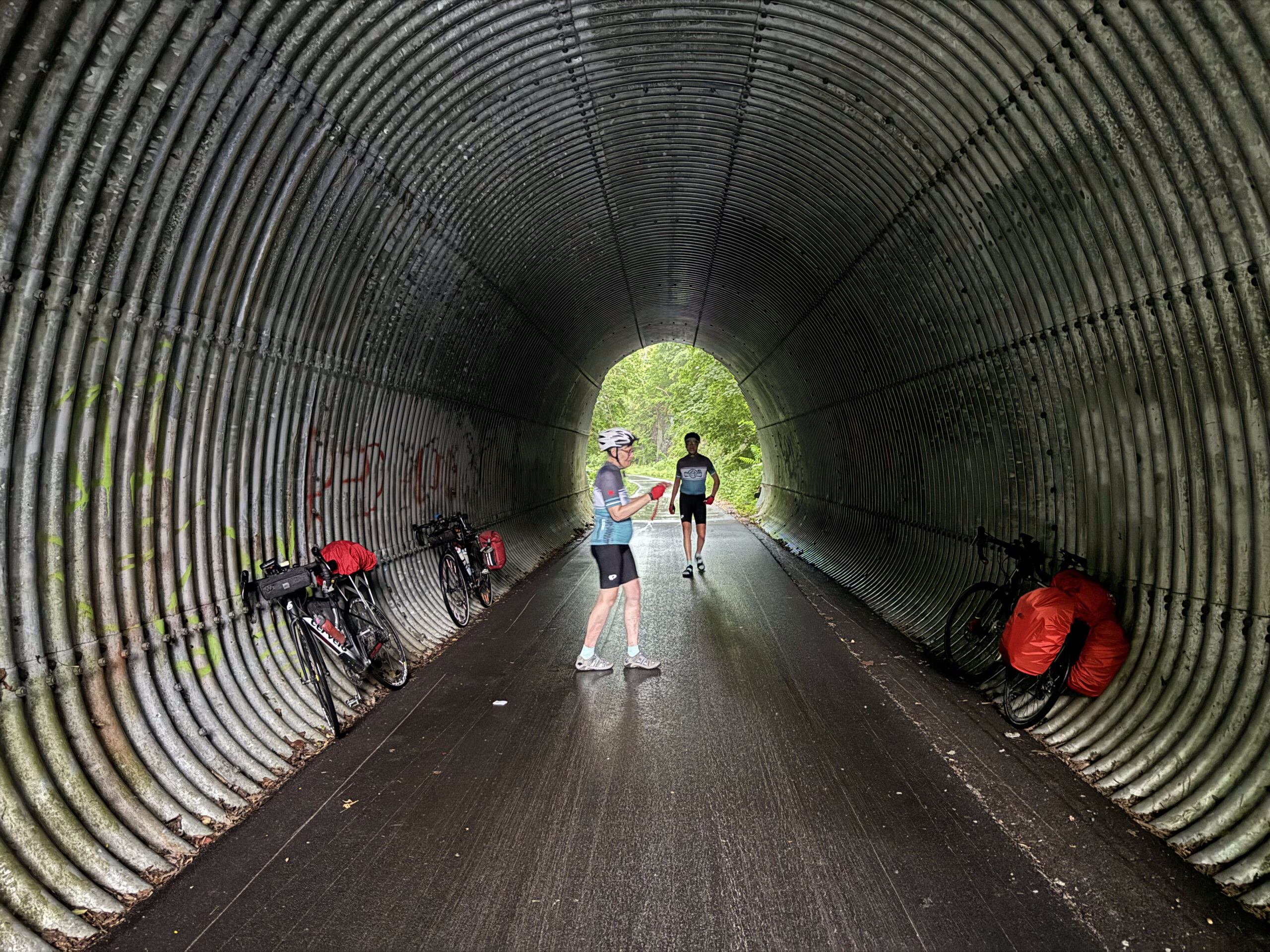
There were several of these tunnels under roads. They reminded me of the P’Tit Train du Nord in Quebec, which had quite a few spots like this.
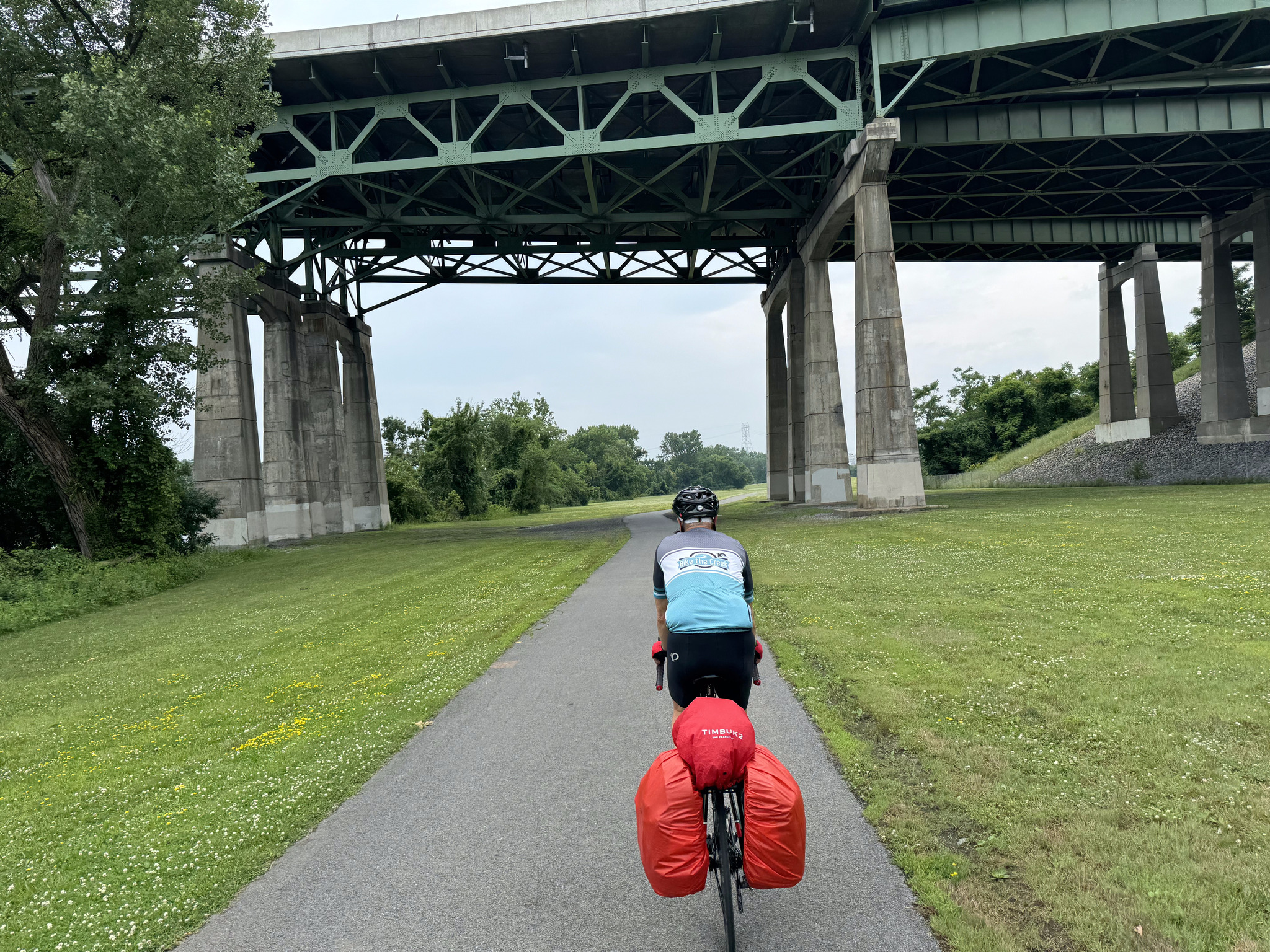
We can always tell when we’re approaching a larger city because we start going under highways.
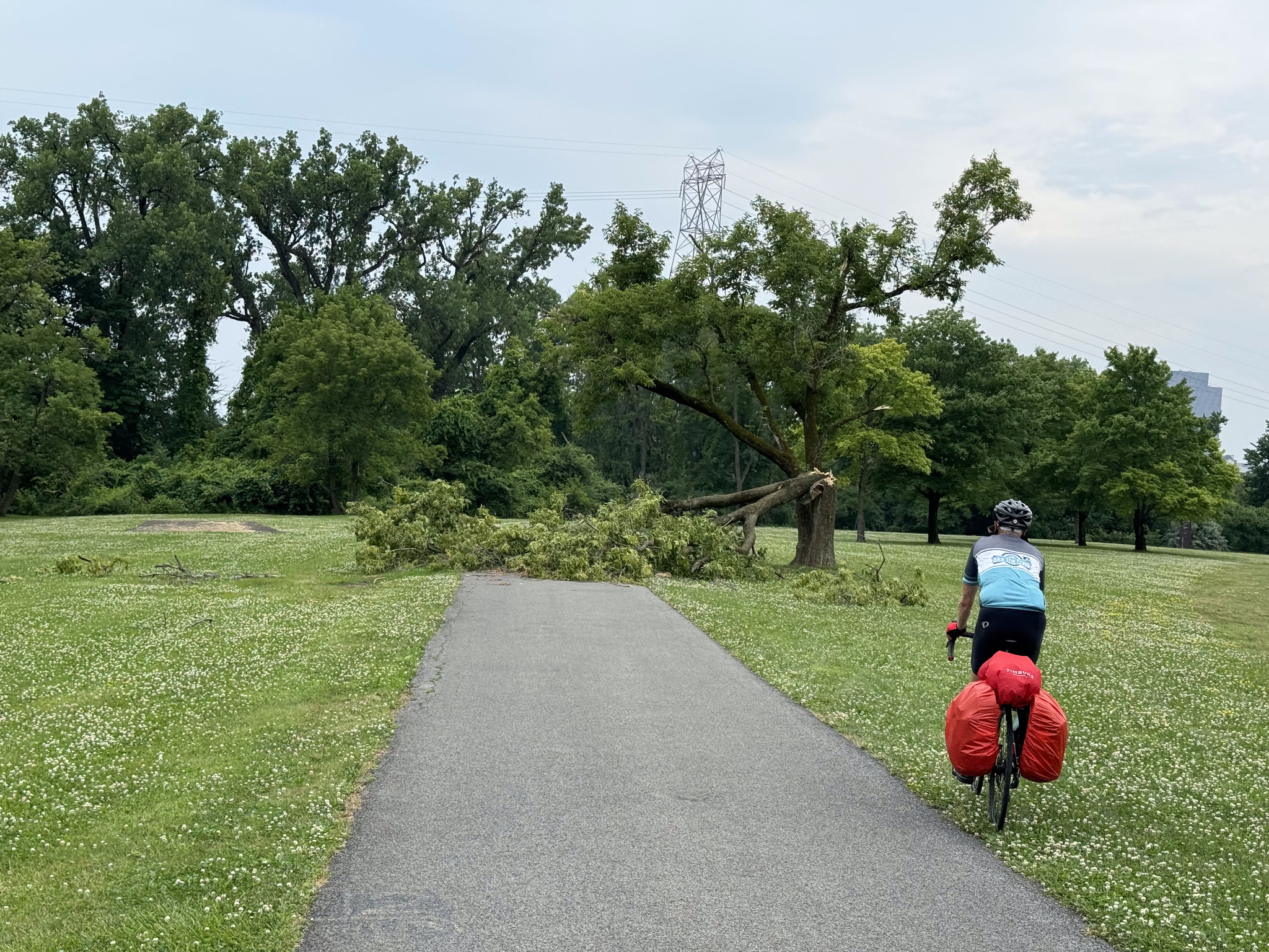
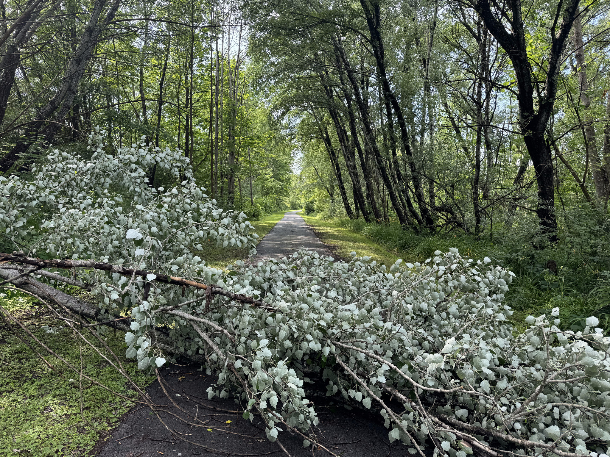
We saw several large trees down, but this was the biggest of them all.
This building belongs to SUNY now, but was originally a railroad road company building.
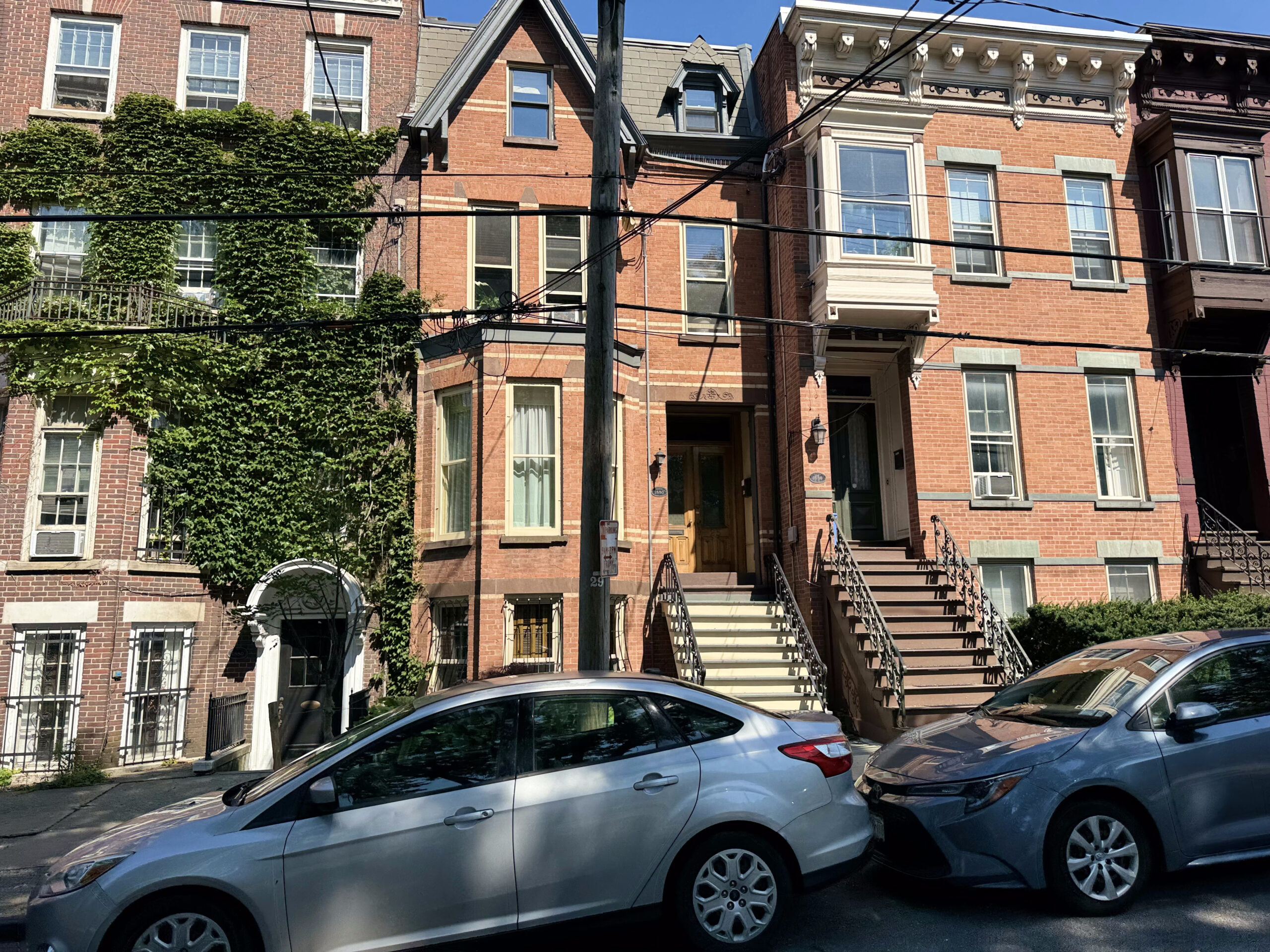
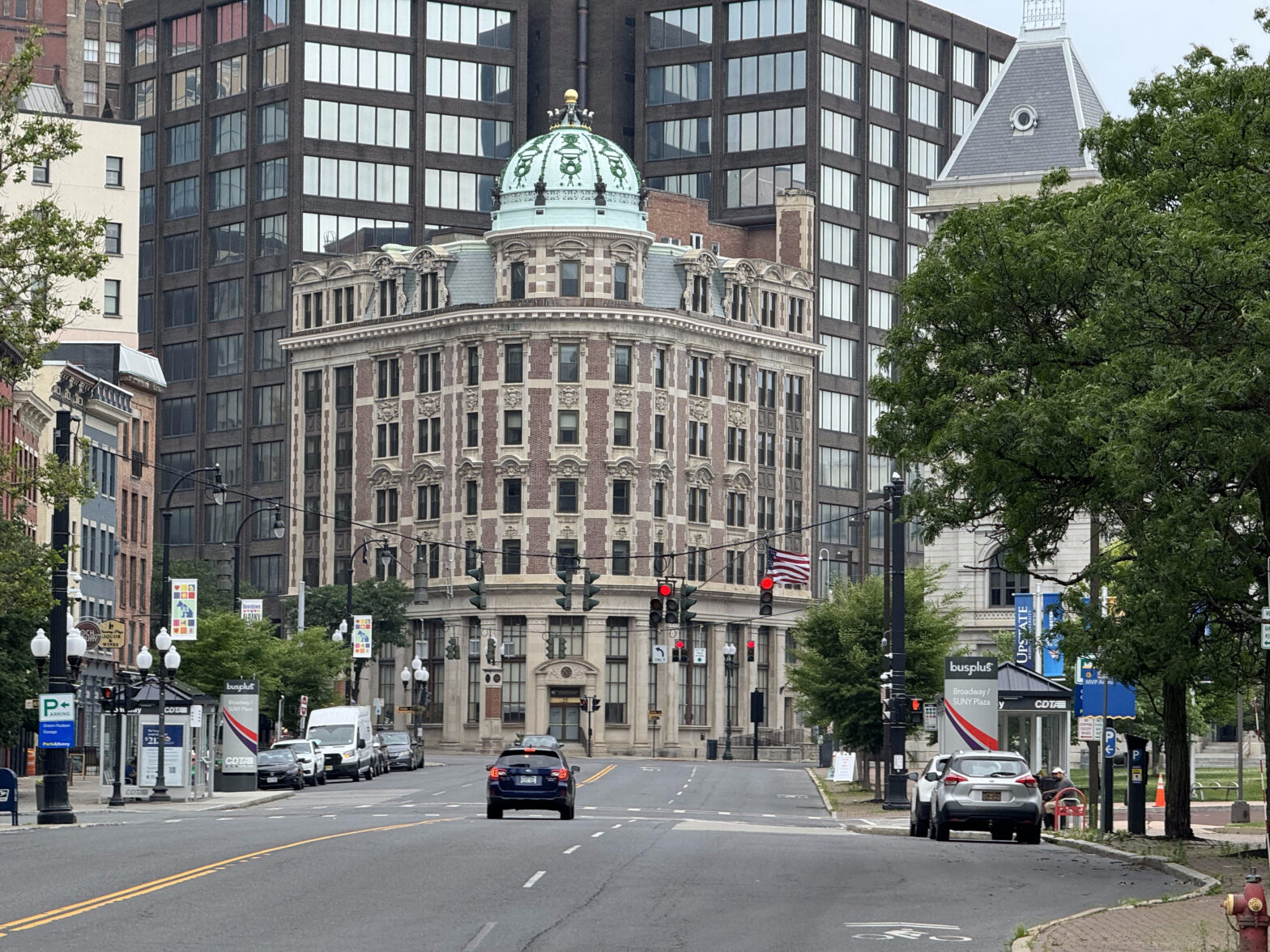
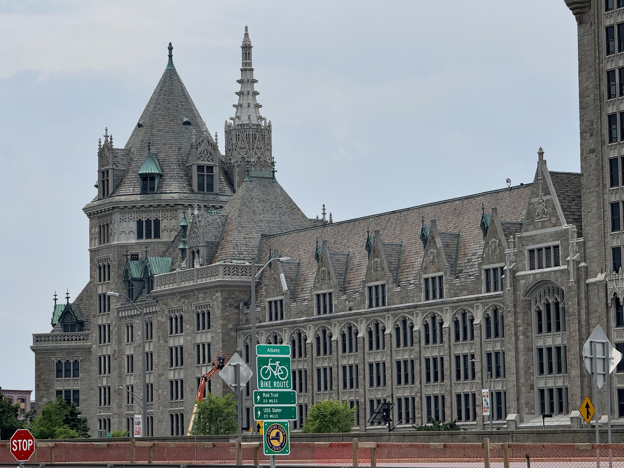
There are a lot of beautiful old buildings in Albany, which is the New York State capital.
Dave and I paused briefly about 1.5km from the hotel, and I said, I’m not sure exactly where the trail ends – because of course we want to get a picture there. I thought I spotted a sign, but didn’t stop in time, and we were too tired to figure it out, so continued to the hotel. I looked it up in the lobby. Apparently, it ended very near where we were standing when I posed the question, so we’ll have to go back there tomorrow while we are doing our sightseeing.
Celebrating 580km of the Erie Canalway done
We weren’t in the hotel long before the skies opened up and it absolutely poured, but it didn’t last too long, and the sun came back out, along with the heat and the humidity.
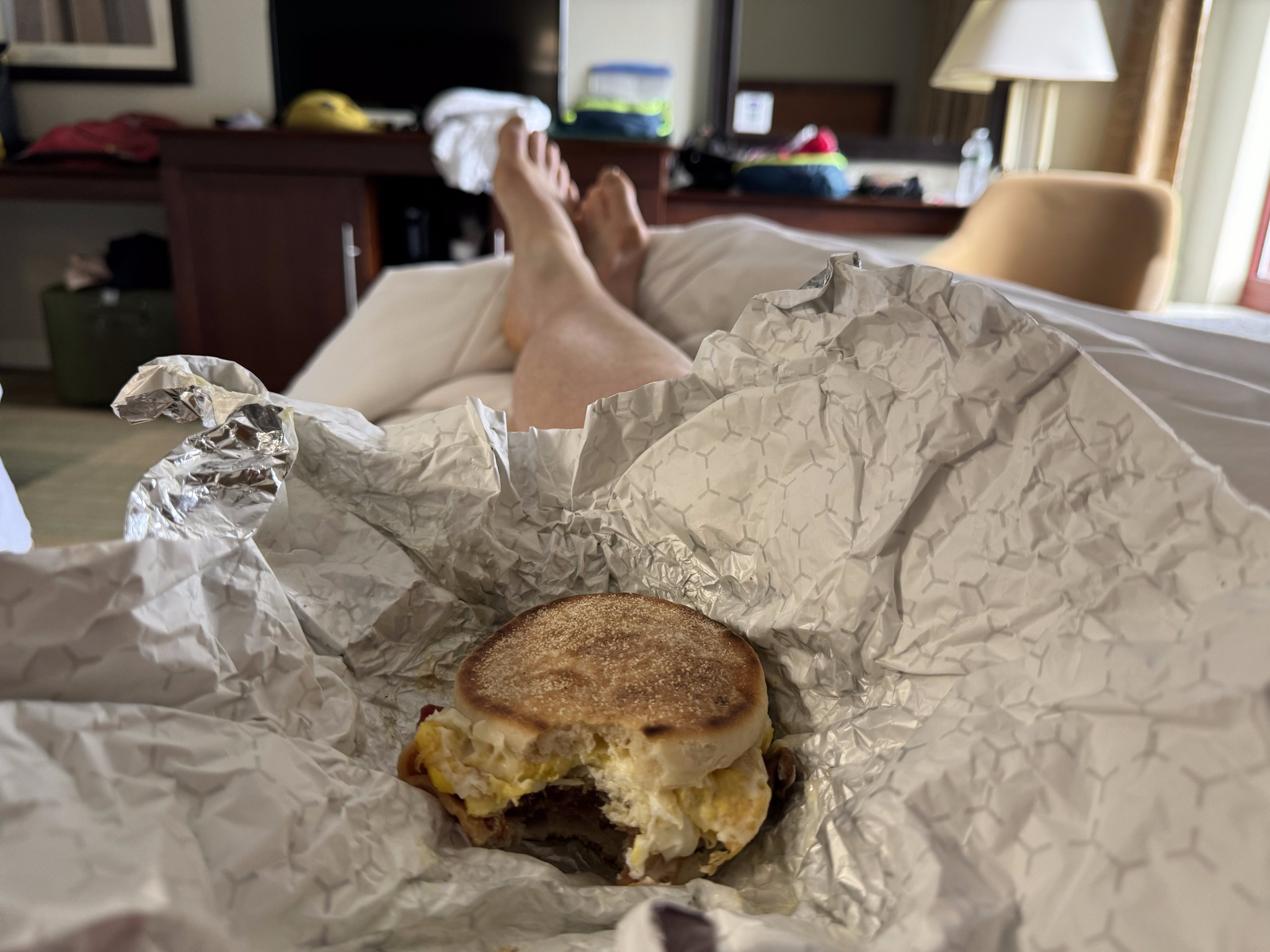
I enjoyed eating my breakfast sandwich in bed and not on the road.
There are interesting looking parking lots prominently visible from the front and the back of our hotel.
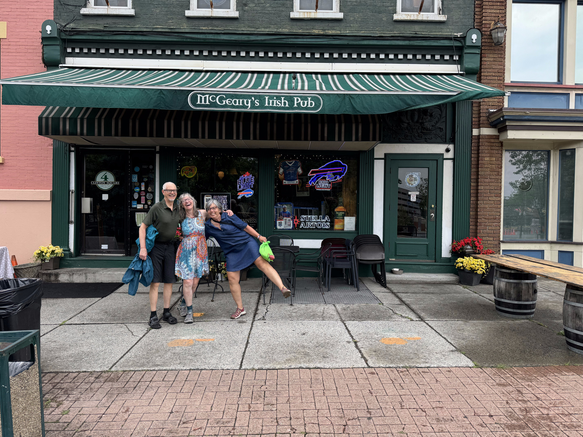
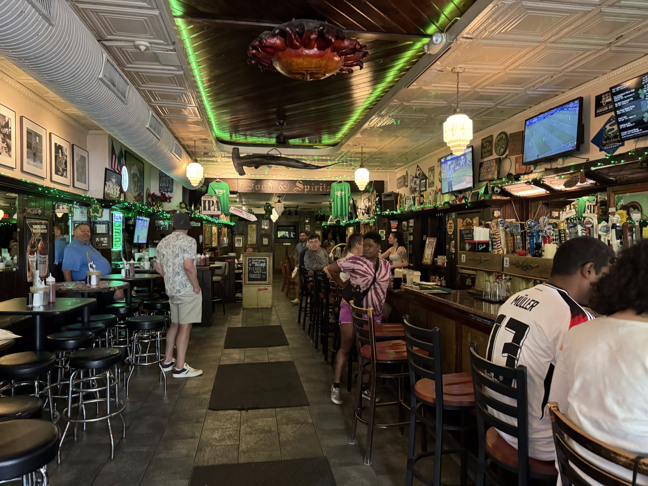
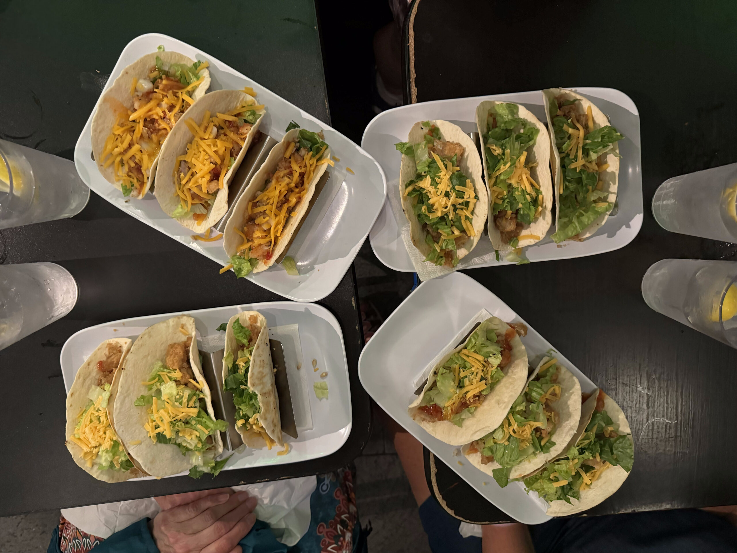
Apparently there isn’t a lot open here on a Sunday, but the desk clerk suggested we go to McGarry‘s Irish pub. We spent a relaxing three hours there having a few drinks, congratulating ourselves on finishing the 580 km of Erie Canalway, and we lingered long enough to get dinner before heading back to the room for an early night.
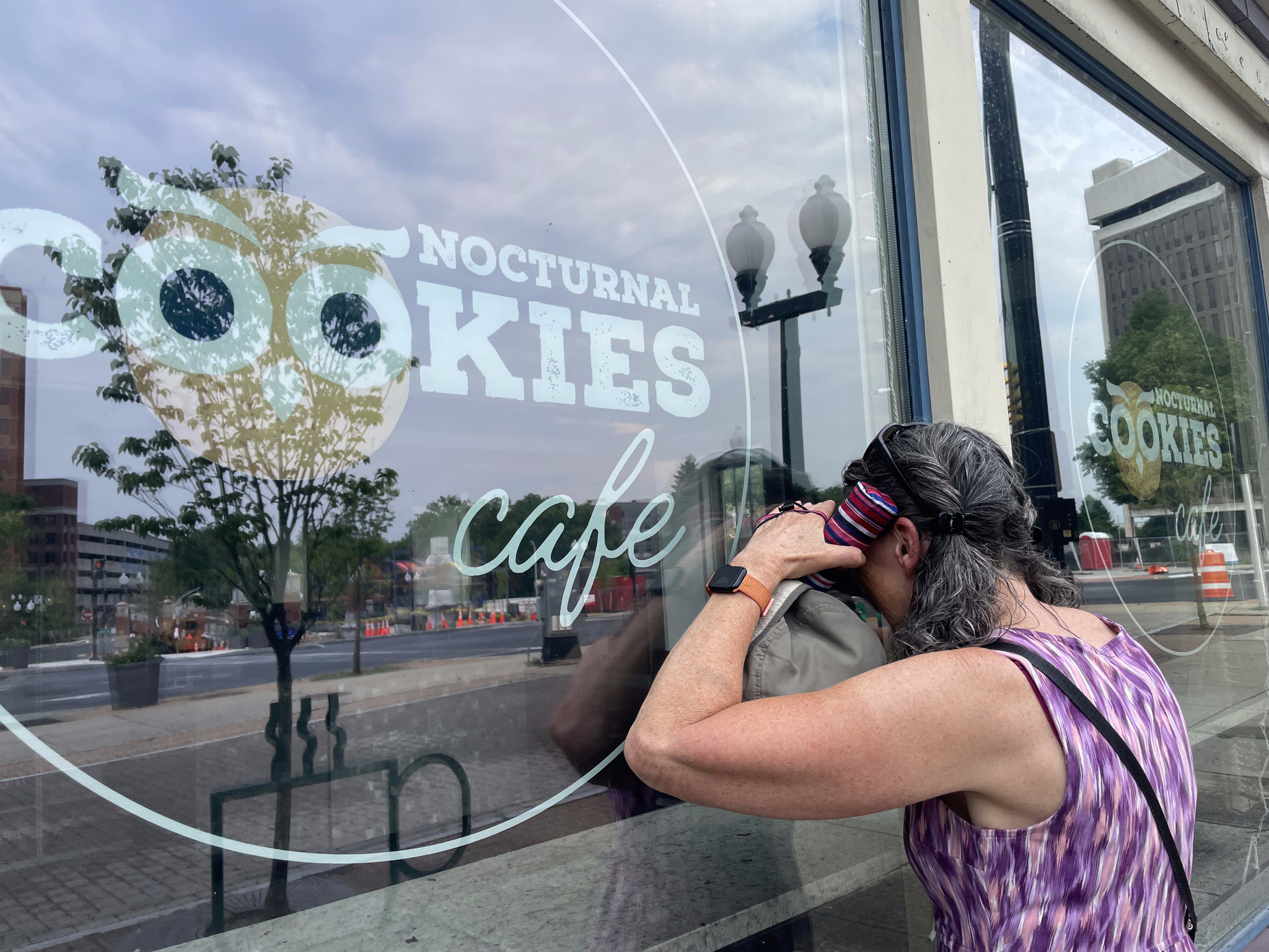
Next-door to the pub was a store called Nocturnal Cookies Cafe, but they weren’t open. We vowed to return tomorrow.
Cindy and I scoured websites to find things that would be of interest to us on a walking tour tomorrow and created a route.
Then I chose my pictures, dictated the blog, and headed to bed.
The day dawned drier than expected. The choices at the so-called breakfast offered at the Days Inn this morning were quite dire, so we decided we would go across the street to McDonald’s. Unfortunately, most of their staff hadn’t shown up for work, so all they could serve us was coffee. The employee that was there felt bad, and gave Dayle a complementary coffee.
We glanced around and noticed there was a Denny’s next to us. Google and its sign showed that it was open, but the staff hadn’t shown up there, either, so they weren’t letting us in. We googled and found a Dunkin’ Donuts about five minutes walk away. The coffee was mediocre, but the breakfast sandwiches were quite good.
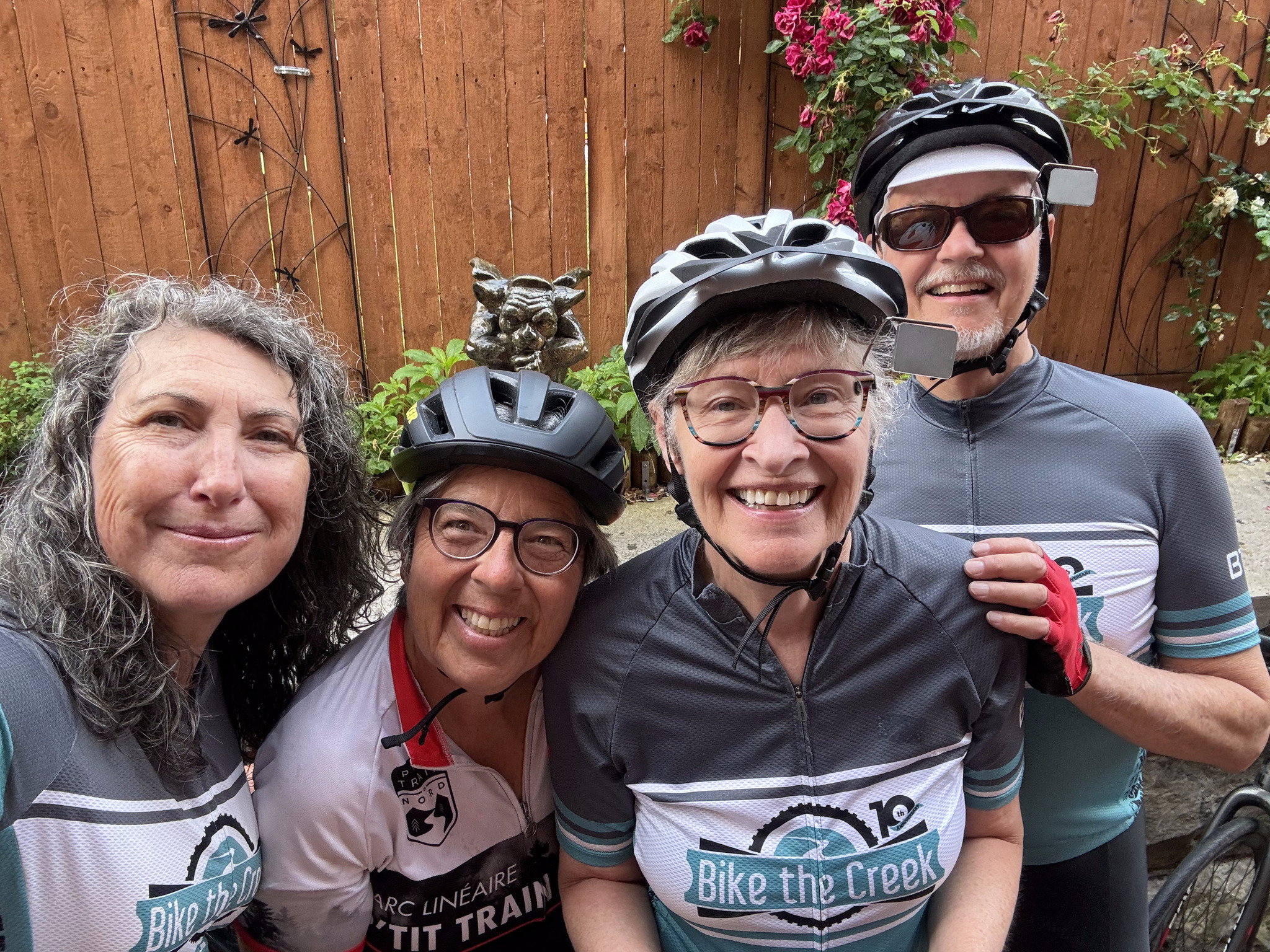
Here we are packed up and ready to go and it’s still dry.
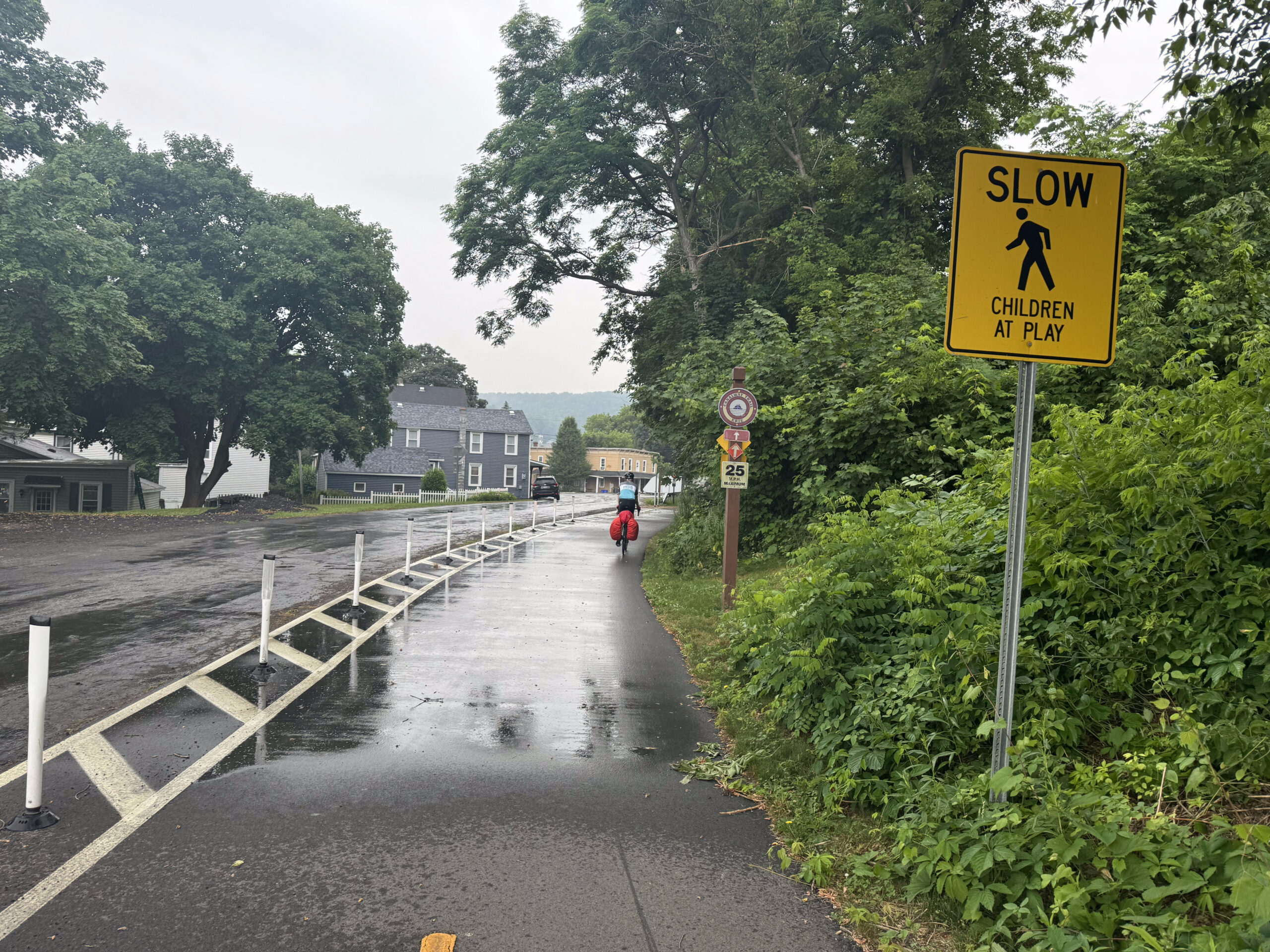
80% of the route today was showing as being paved, which is much more than on any other day this trip. Due to the enormous amount of rain forecast, I created an alternate route on the road, for the sections that showed as gravel, in case they became challenging because of heavy rain.
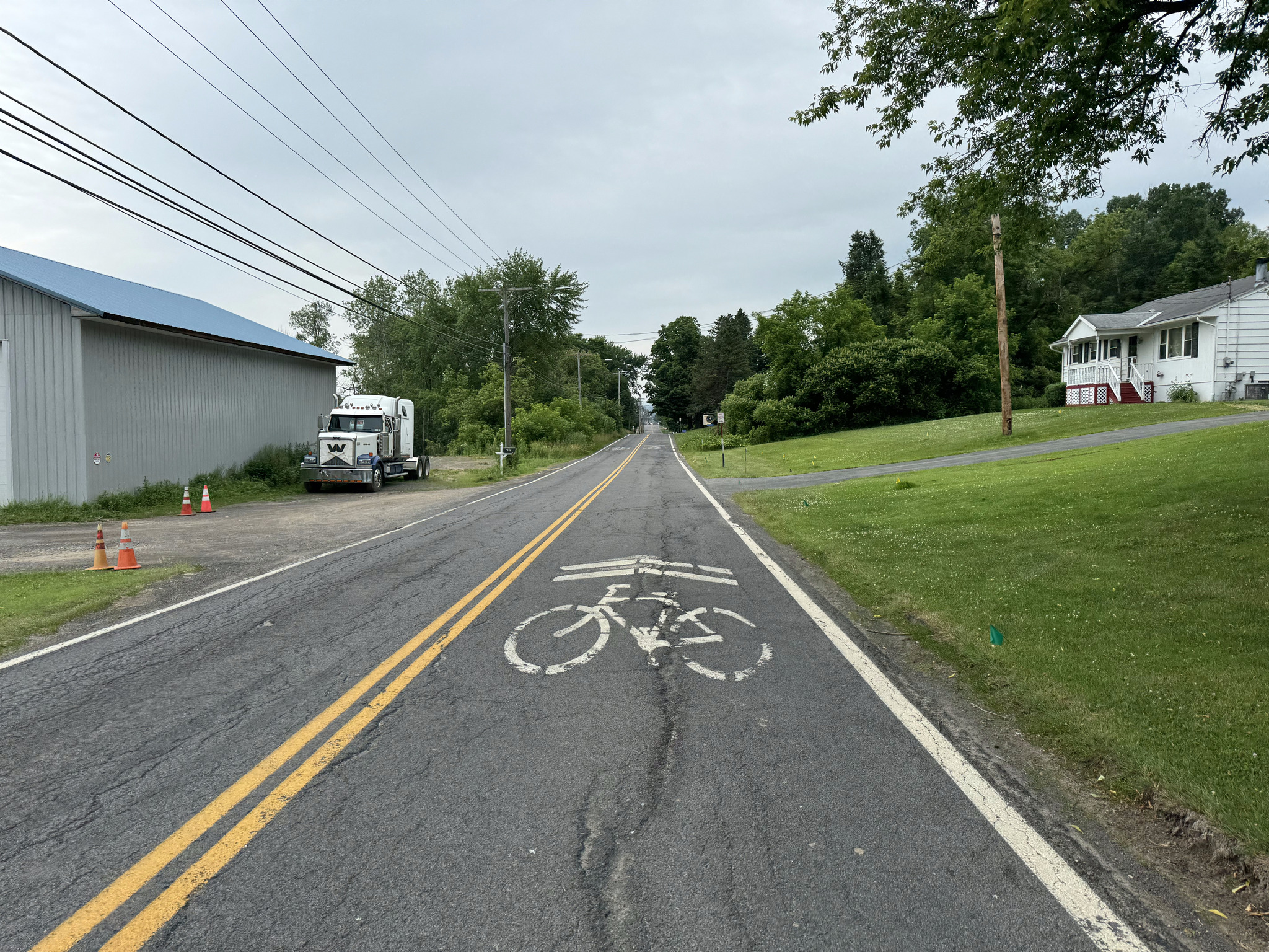
The first 11 km the trail is on a road which was smooth and easy compared to the screenings on the trail, and only 10 cars passed us in the entire time we were riding there. The biggest sharrows I’ve ever seen were painted on the road.
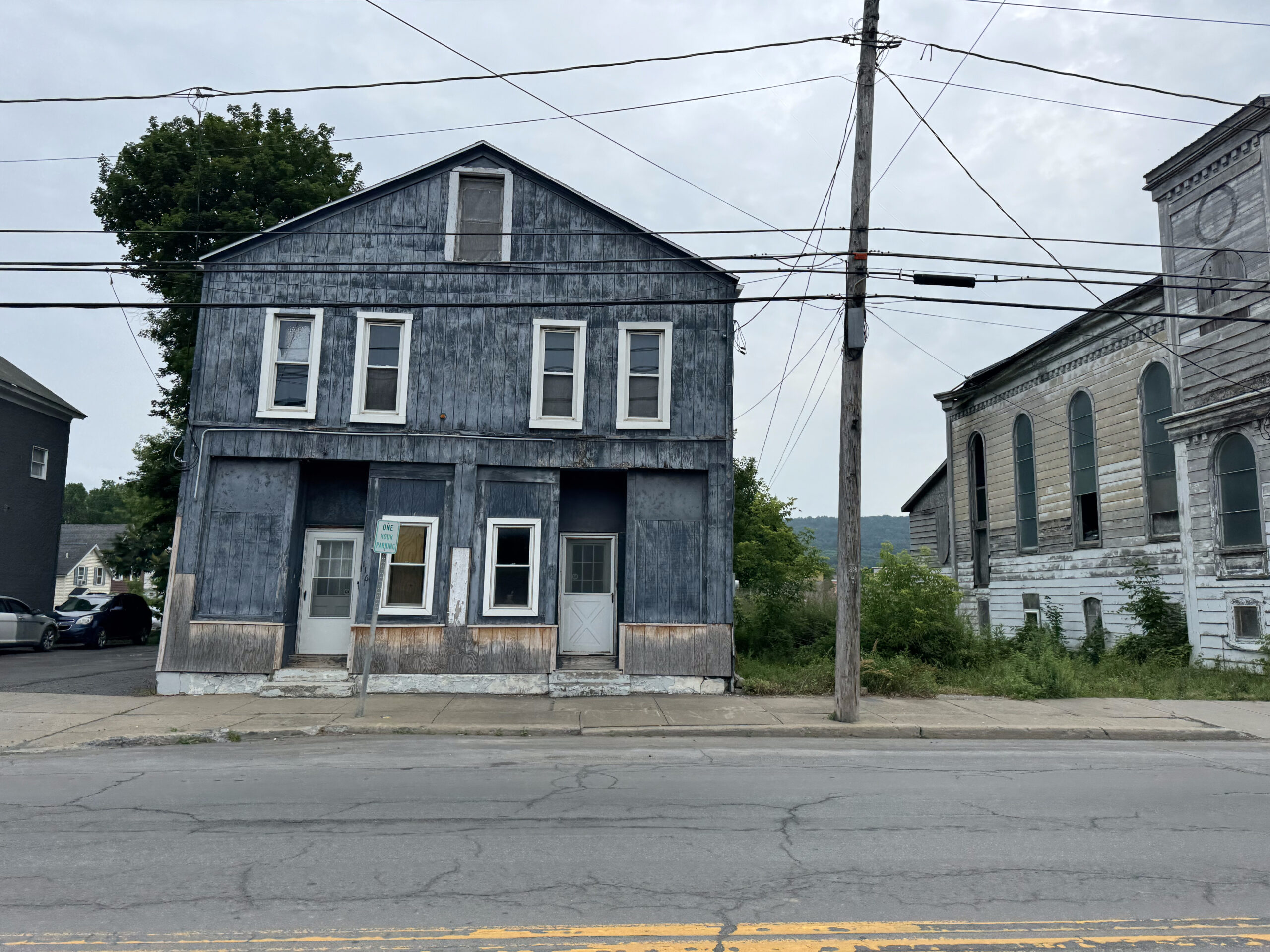
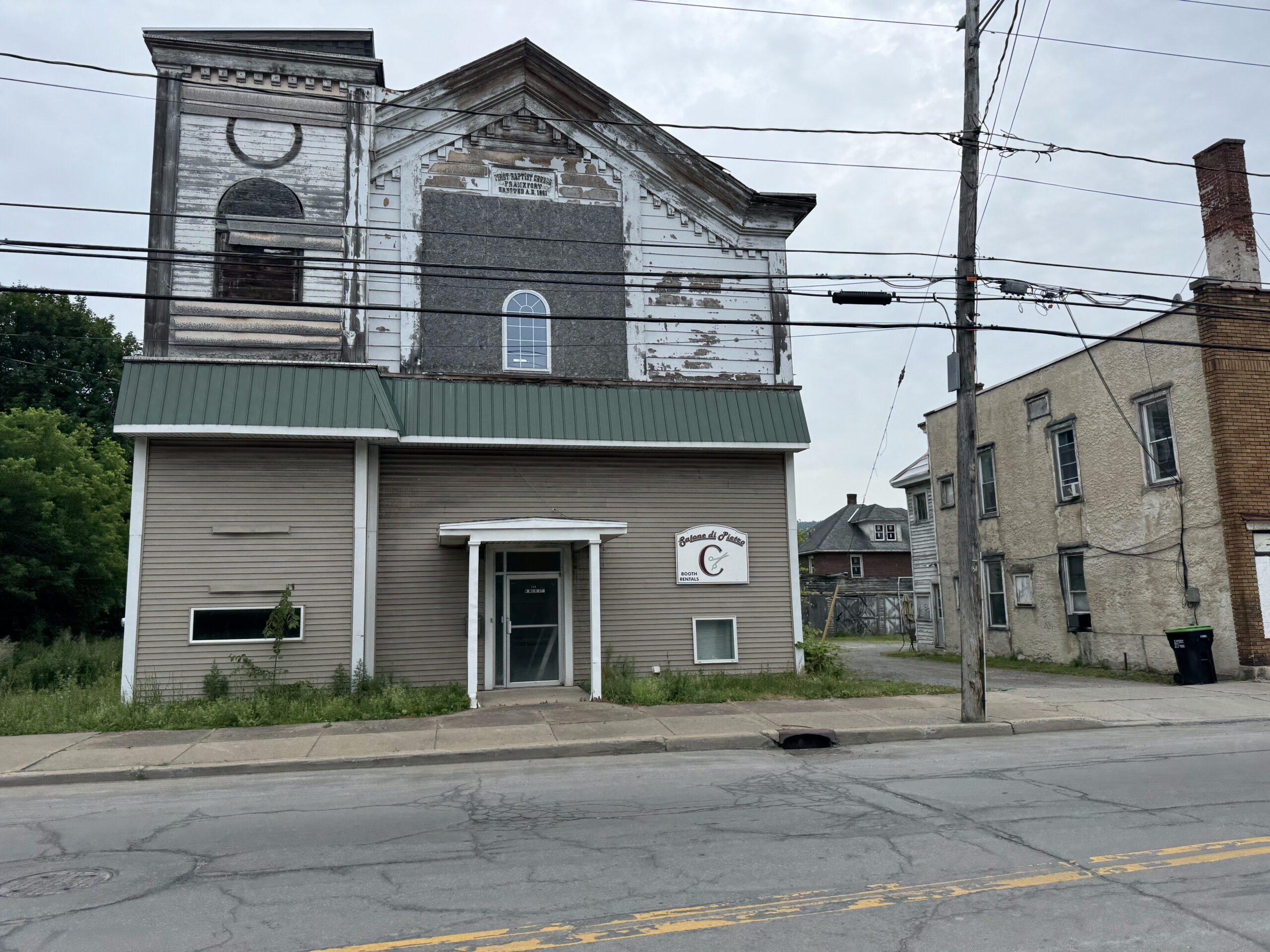
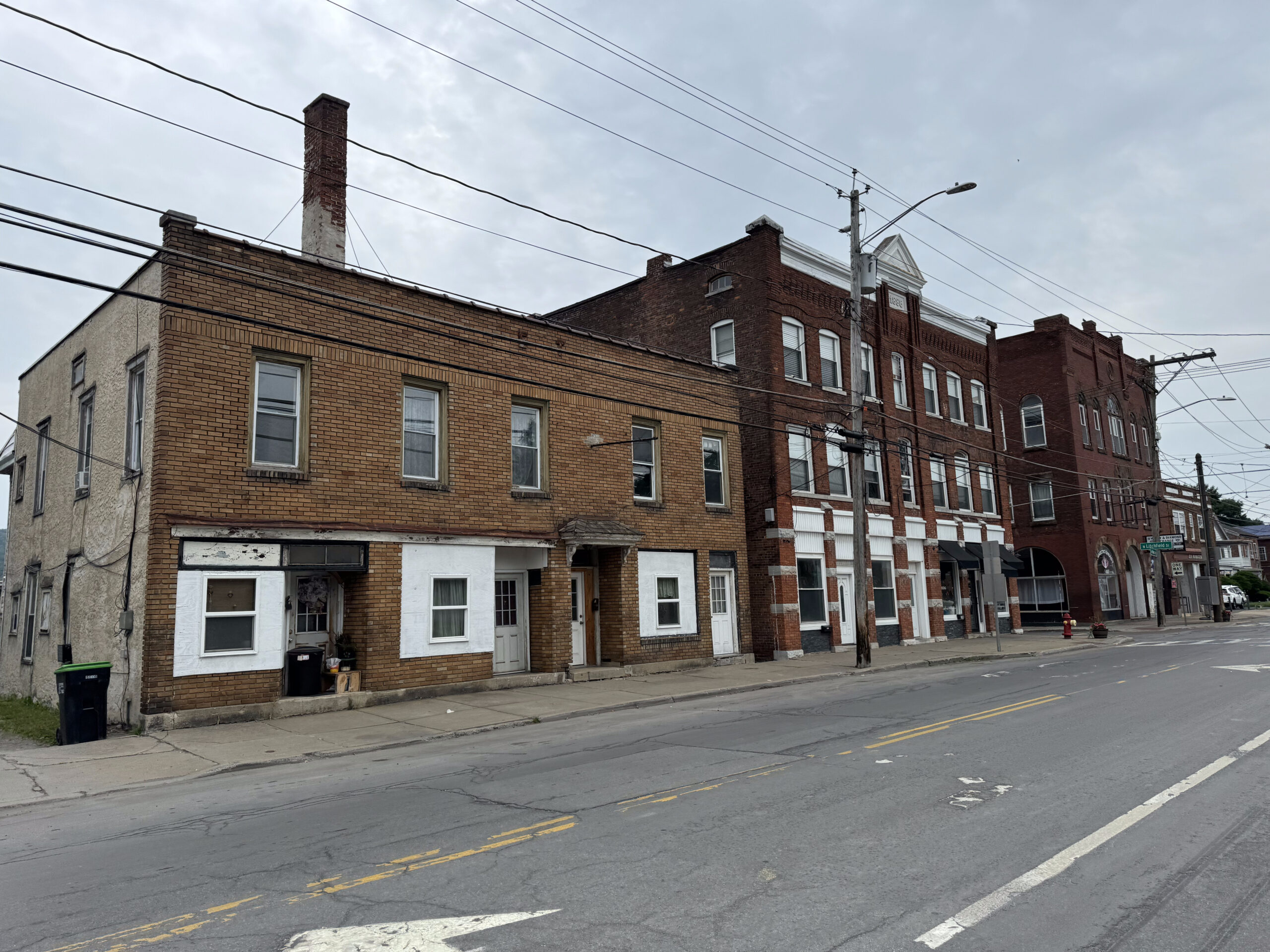
We came to the small town of Frankfurt, which was very rundown. There was a bake shop there, but it was too early in the day to stop.
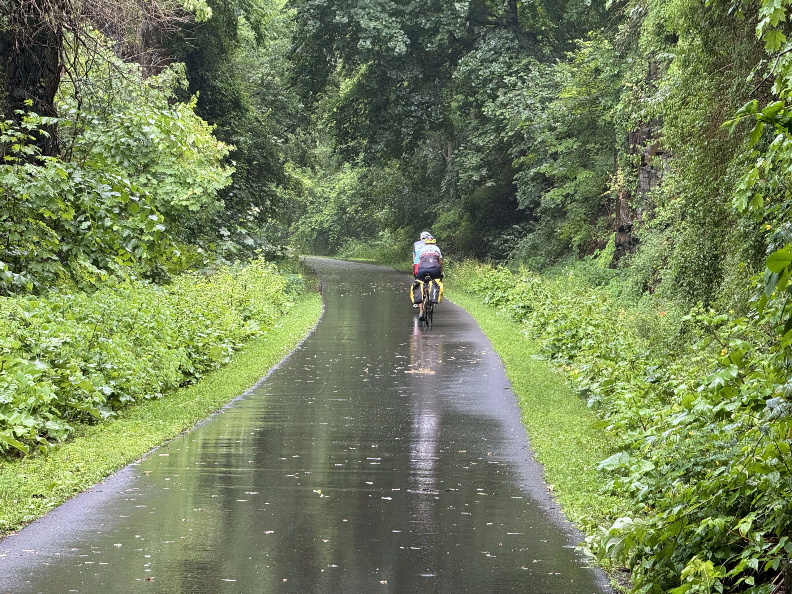
After a couple turns off the road we were riding along the canal. The rain had started, but it was already very warm and very humid, and the rain was quite light, so it wasn’t bothersome at all.
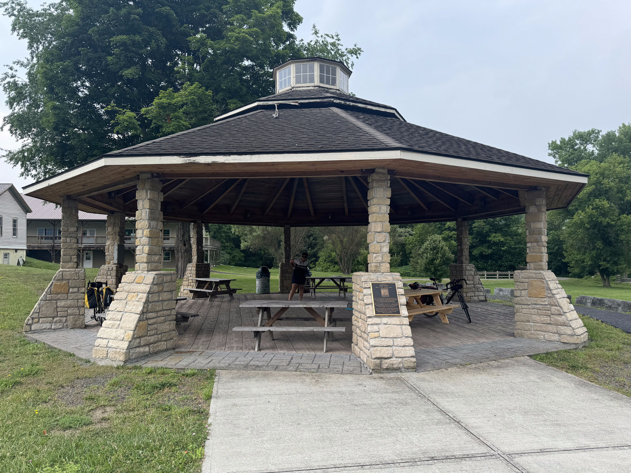
The radar was showing that we were skirting the edge of a very large storm. After riding 25 km we decided to stop for a snack at some picnic tables. I spoke to a local who was just putting his bike on his car and asked him if there was shelter in the next couple miles. He replied that there was a gazebo half a mile down to the trail, and shelter at the next lock. We decided to carry on to the gazebo rather than staying at the unprotected picnic tables.
The gazebo provided good cover and we had a snack there facing this church and graveyard which looked to me like it would be a perfect set for a horror movie. This was one of the best spots we encountered for a picnic. I have found the trail lacking in way-finding signage to local amenities that aren’t visible from the trail, and shelters, benches, and bathrooms along the trail.
The sky was dark and there were a few drops of rain falling, but we were finished our snacks so we continued. We could hear thunder and see an occasional flash of lightning, but there were only a few drops of rain.
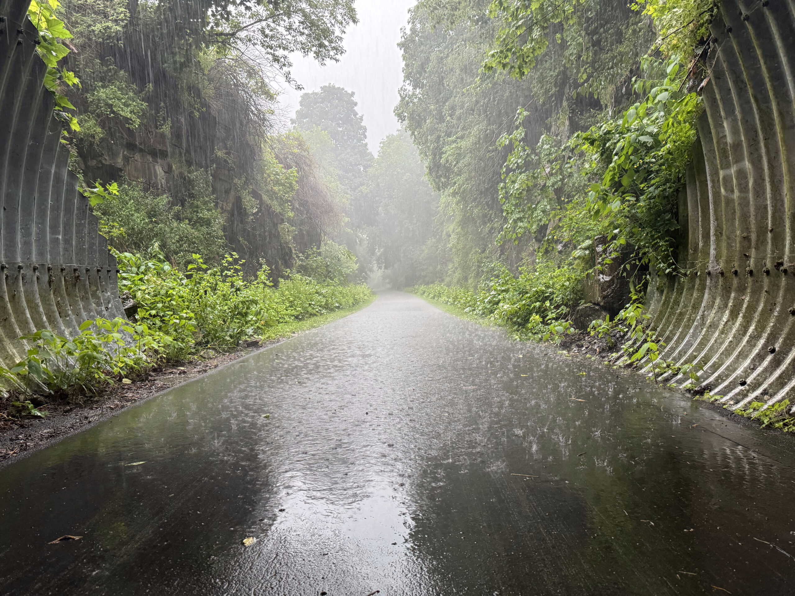
At Little Falls, the rain started to fall more heavily, and the thunder got worse, so when we got to this tunnel under a road we stopped. We were just in time as the sky opened up. We stayed there for half an hour and then continued on our way in light rain, which soon tapered to nothing.
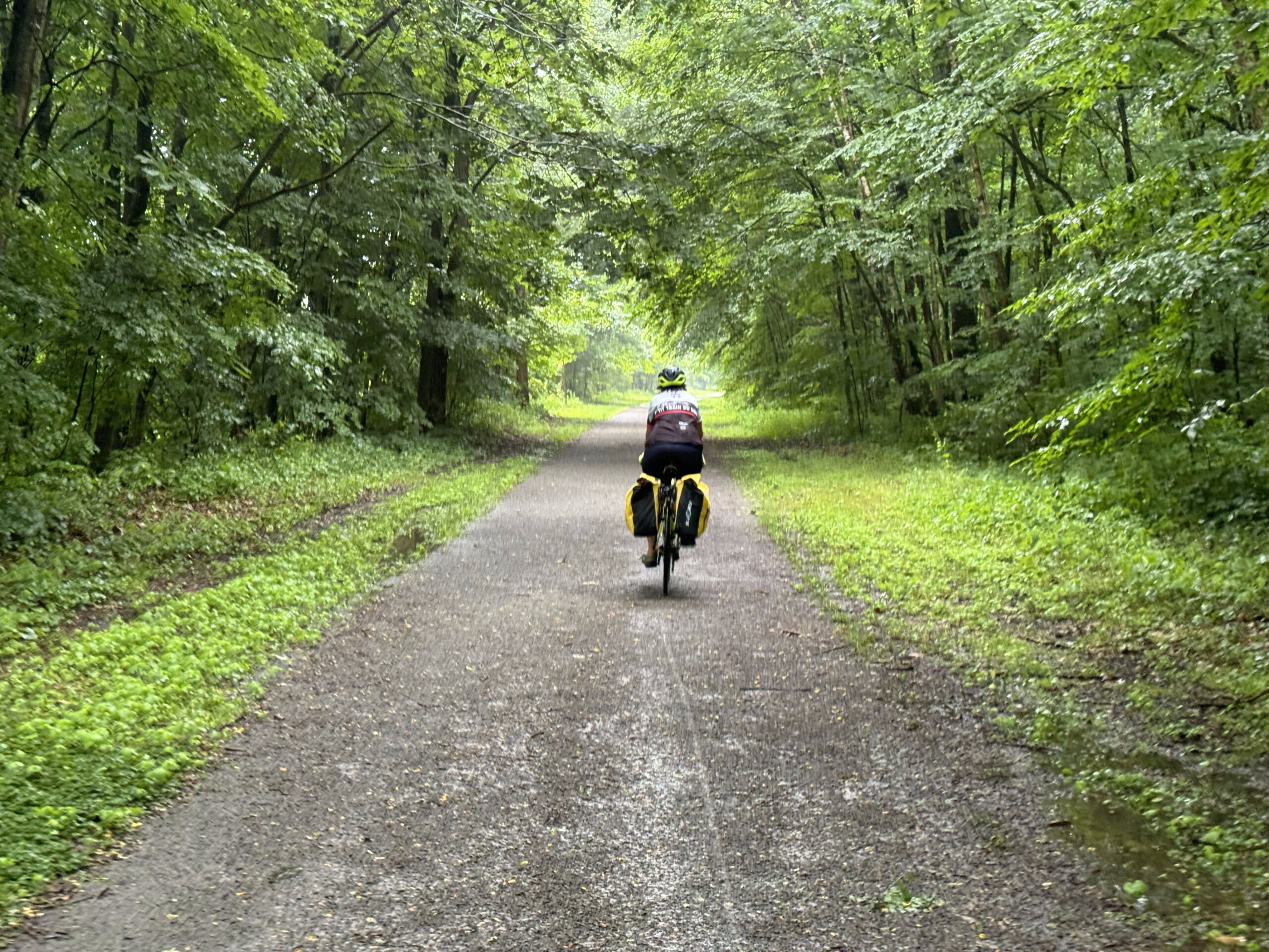
We then hit a 5 km section of the trail with limestone screenings. It was less dusty after the rain, but had a fair number of puddles which slowed us down considerably.
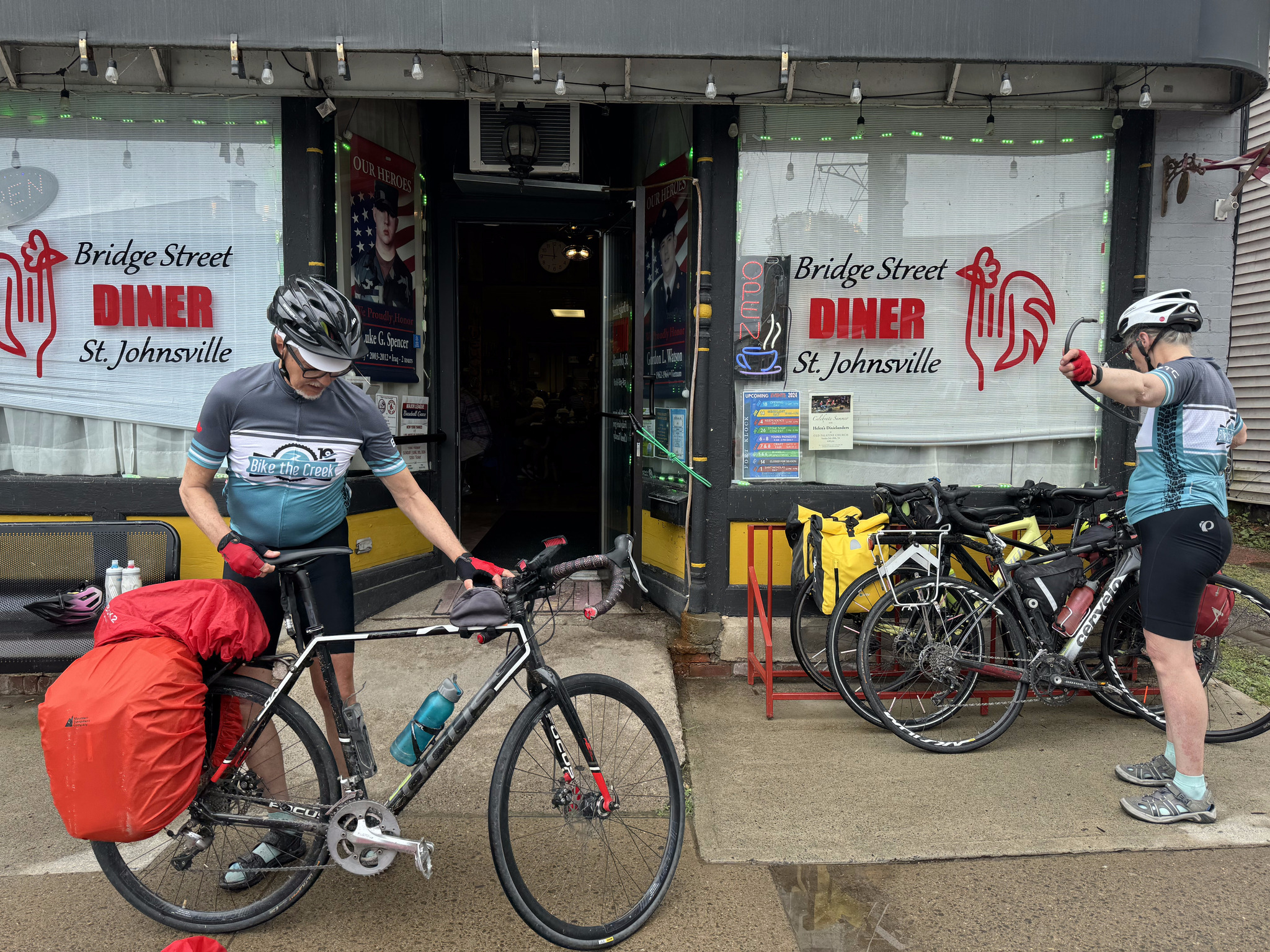
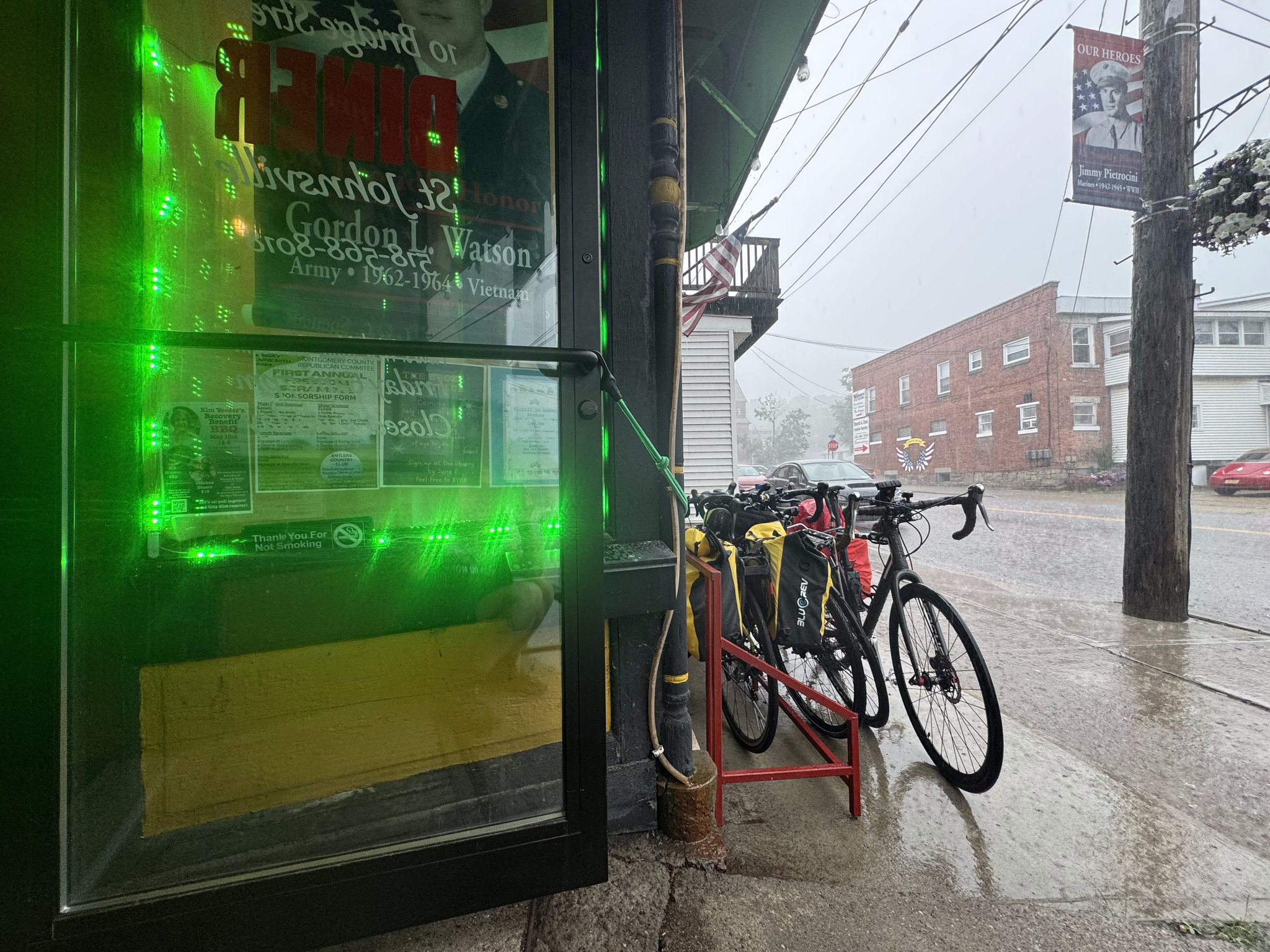
We had planned for lunch at the Bridge Street Diner in St. Johnsville. They had a bike rack outside, but it didn’t work with our bikes so we just put them parallel to the rack and locked them all together. I’m constantly astonished by how bad bike racks are. It makes me wonder if the designer has ever seen a bike.
It was a busy independent restaurant with all day breakfast and the food and service were good. Partway through our meal the rain started again so we lingered until it stopped. At noon, we heard an air raid siren. We heard one a couple of days ago, as well. We asked someone at the next table and they said it just goes off every day at noon- it’s nothing to worry about. I did do a Google search about it and found people suggesting that it was how the local volunteer fire force was notified, and that it was used for severe weather, such as tornadoes.
Just as we were leaving the sun came out and I was able to capture a train going under the bridge as we cycled back to the trail.
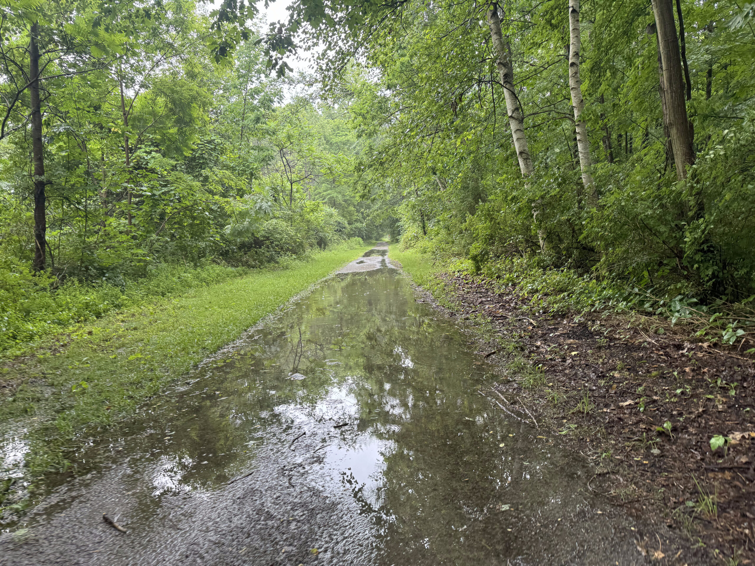
The trail was paved at this point and had lots of big puddles on it, which again slowed us down.
The ground soon dried up, though the humidity in the air did not.
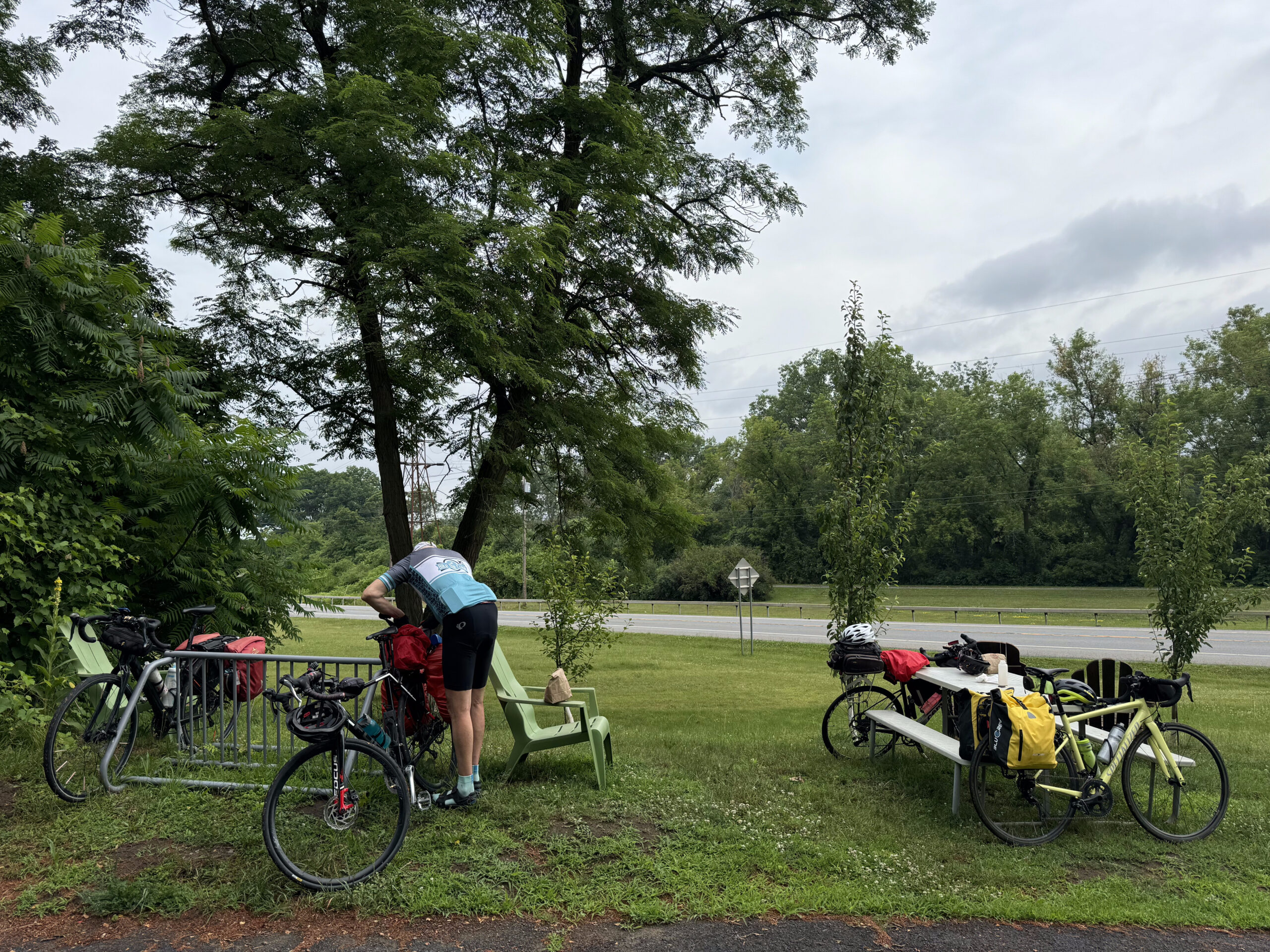
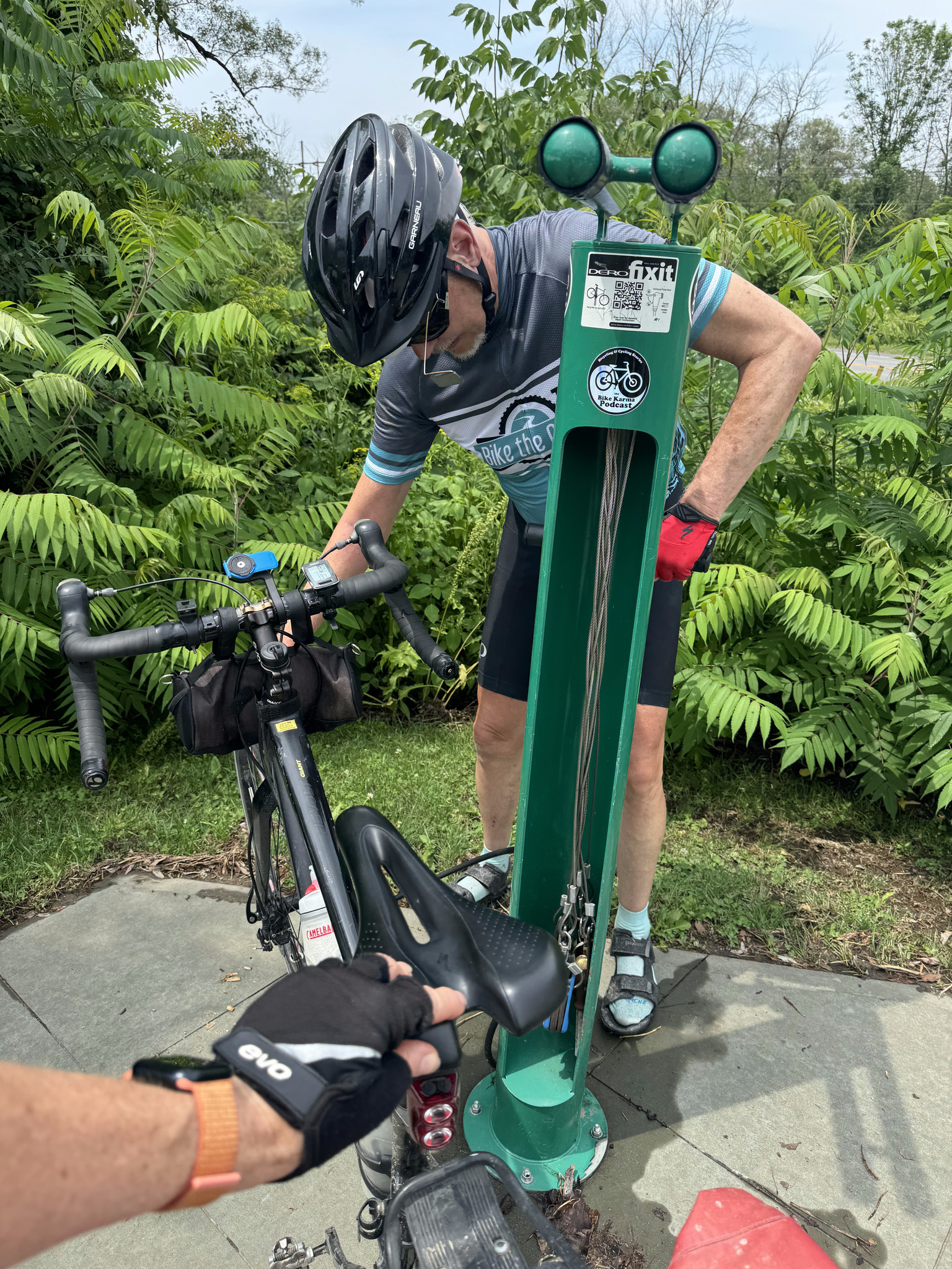
When we came across a bike pump and repair stand, we filled up all our tires. It was the first time for all of us, other than Dayle who filled up back in Buffalo.
We stopped at the Keep Right Cafe in Palatine Bridge. It had a great atmosphere and a friendly owner.
Palatine bridge looked quite rundown by the café, but seems to have a more well kept Main Street, however, we were tired, and hot, and didn’t take time to explore.
After leaving Palatine bridge the next Ride with GPS navigation instruction was 30 km away. We had pavement all the way, and the path was very straight with only a few road crossings.
There was a tree down across the path at one point, but we were able to get around.
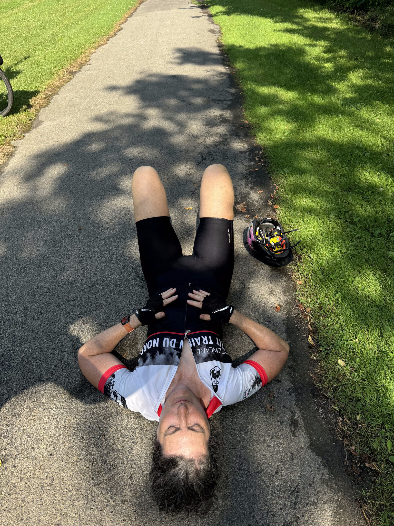
About 5 km before Amsterdam, Cindy and I were ahead of David and Dayle, and I was just so hot and tired that I said, let’s wait for them, and laid down on the path.
About 10 or 15 minutes later they caught up and we stayed together for the last leg to Amsterdam Castle, which we were able to catch a glimpse of from the trail, and which is within a couple hundred metres of the path. We followed the original route all day and didn’t detour, but only 5 km was unpaved. The breakdown between paved and unpaved on Ride with GPS is out of date.
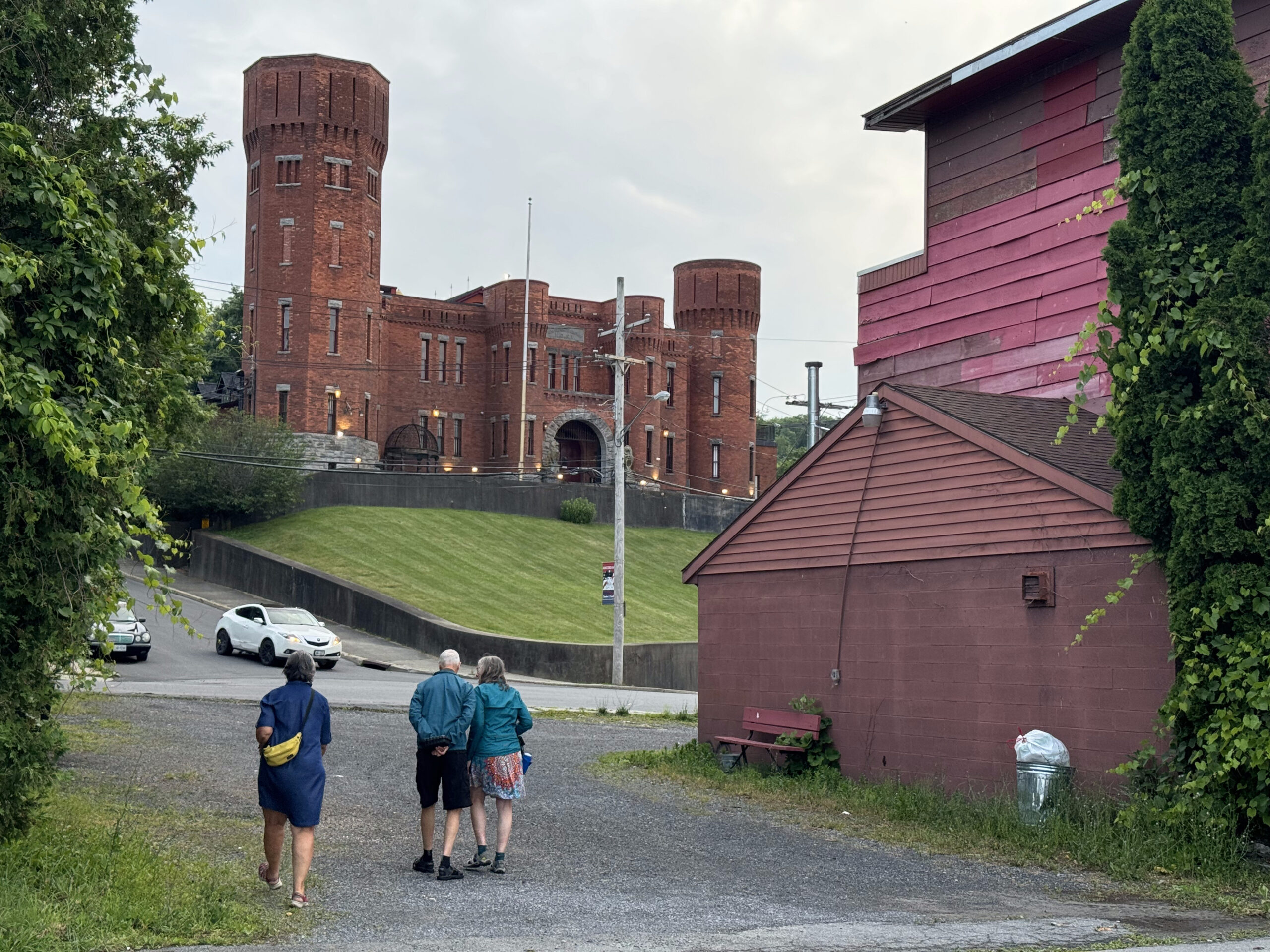
The hotel is on a hill, one of the biggest of our trip, and Cindy and I walked our bikes up, but David and Dayle persevered and made it to the top!
Amsterdam Castle was constructed in 1895, in the castellated late Victorian style as a National Guard armory, by architect and builder Isaac Perry, who also designed the capitol building in Albany. It was extensively, renovated into a private residence, and hotel after being decommissioned in 1994.
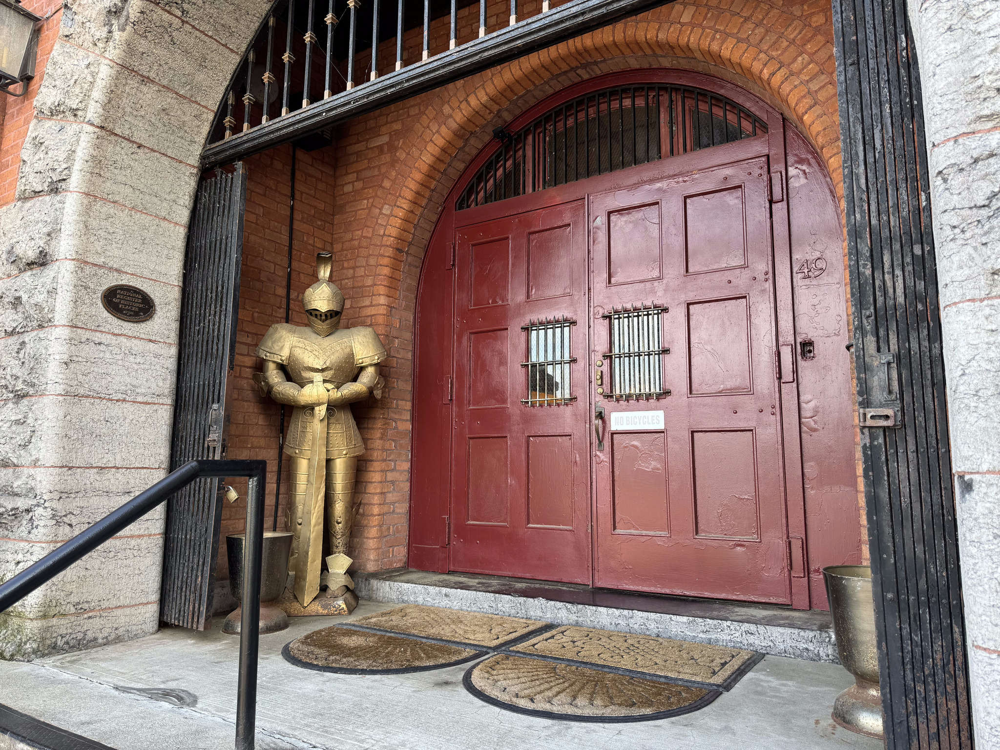
There is a sign on the door reading, no bicycles, so David stayed outside with the bicycles, while we entered and checked in. They told us there was a hose we could use to wash off our bikes, and a locked garage for us to put them in.
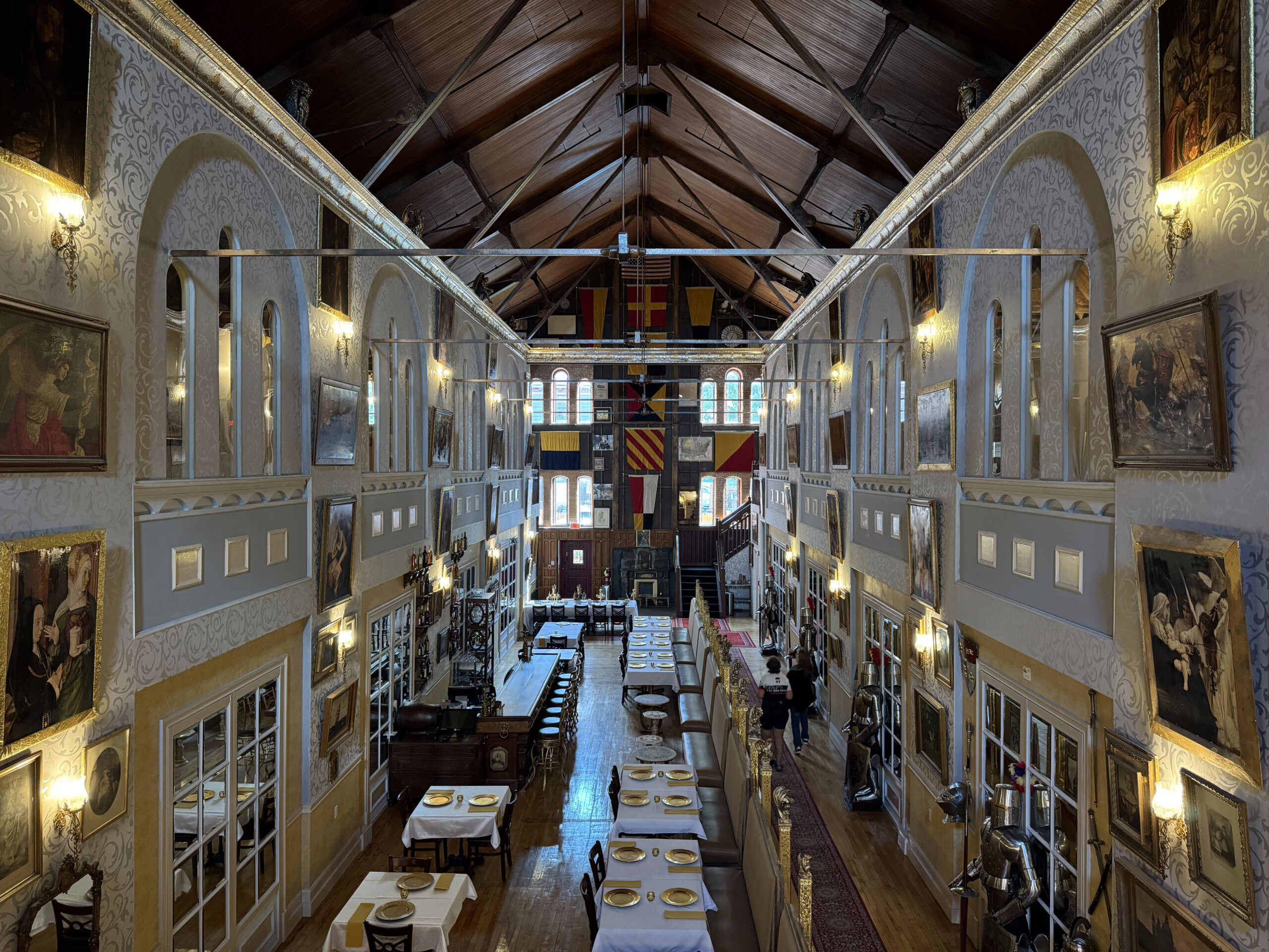
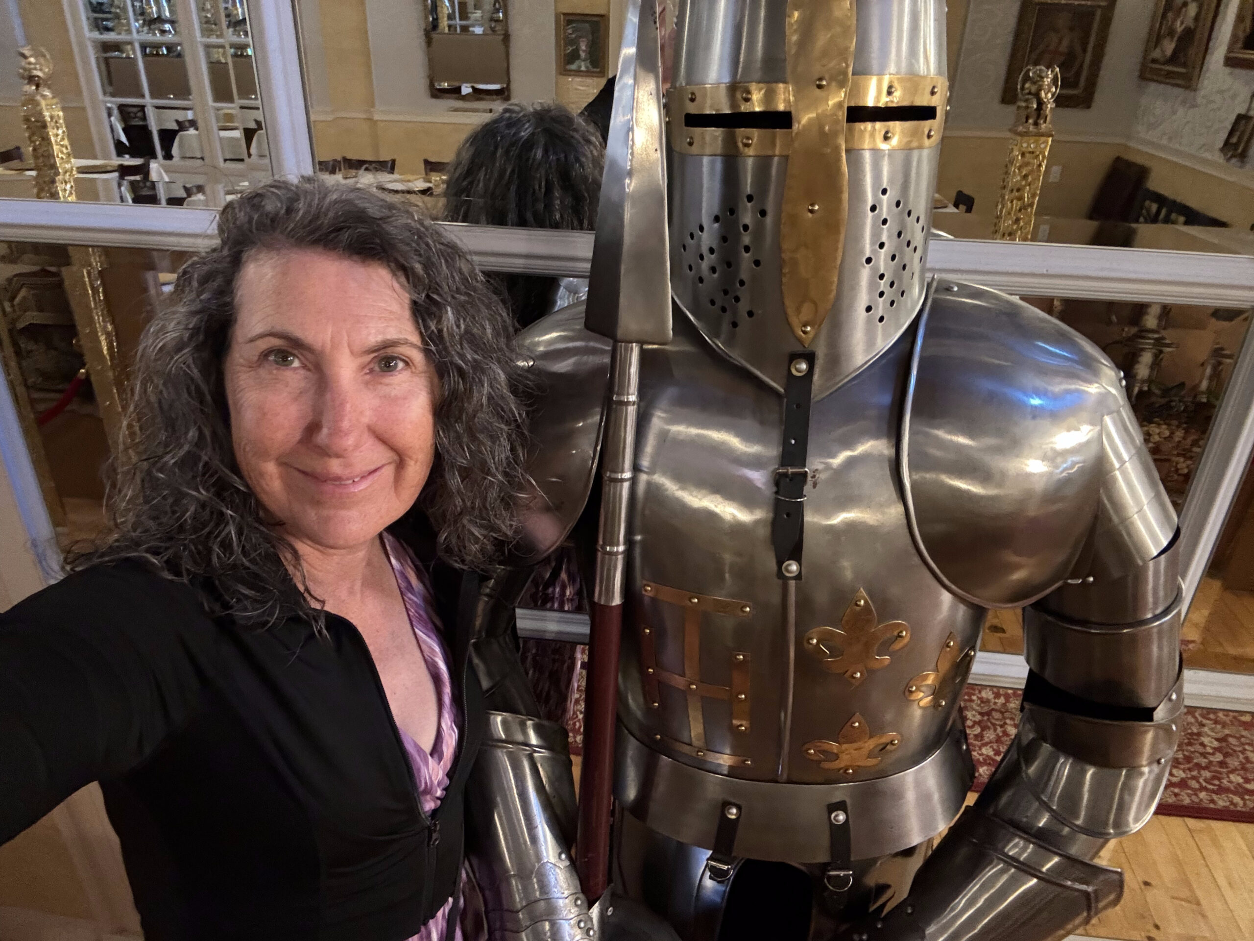
What an incredible place it is inside. We are on the second floor in a nice room just past the view of the great hall.
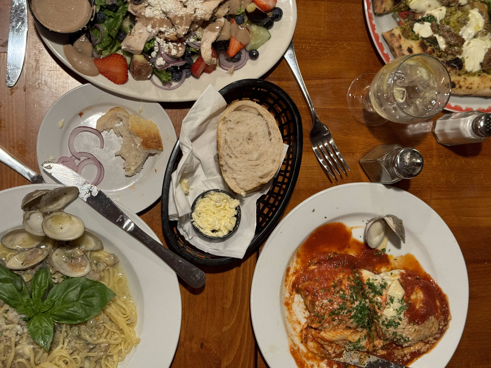
We asked the front desk clerk for a recommendation for dinner, since the hotel doesn’t serve meals, and she sent us to Lorenzo‘s Southside Pasta and Pizza. We would’ve liked to be on the patio, but it was full. Inside was busy and noisy. The food was average, but on the pricey side, with my salad costing $22 US, plus tax and tip. It is very popular, though, and nearby, which was ideal for us.
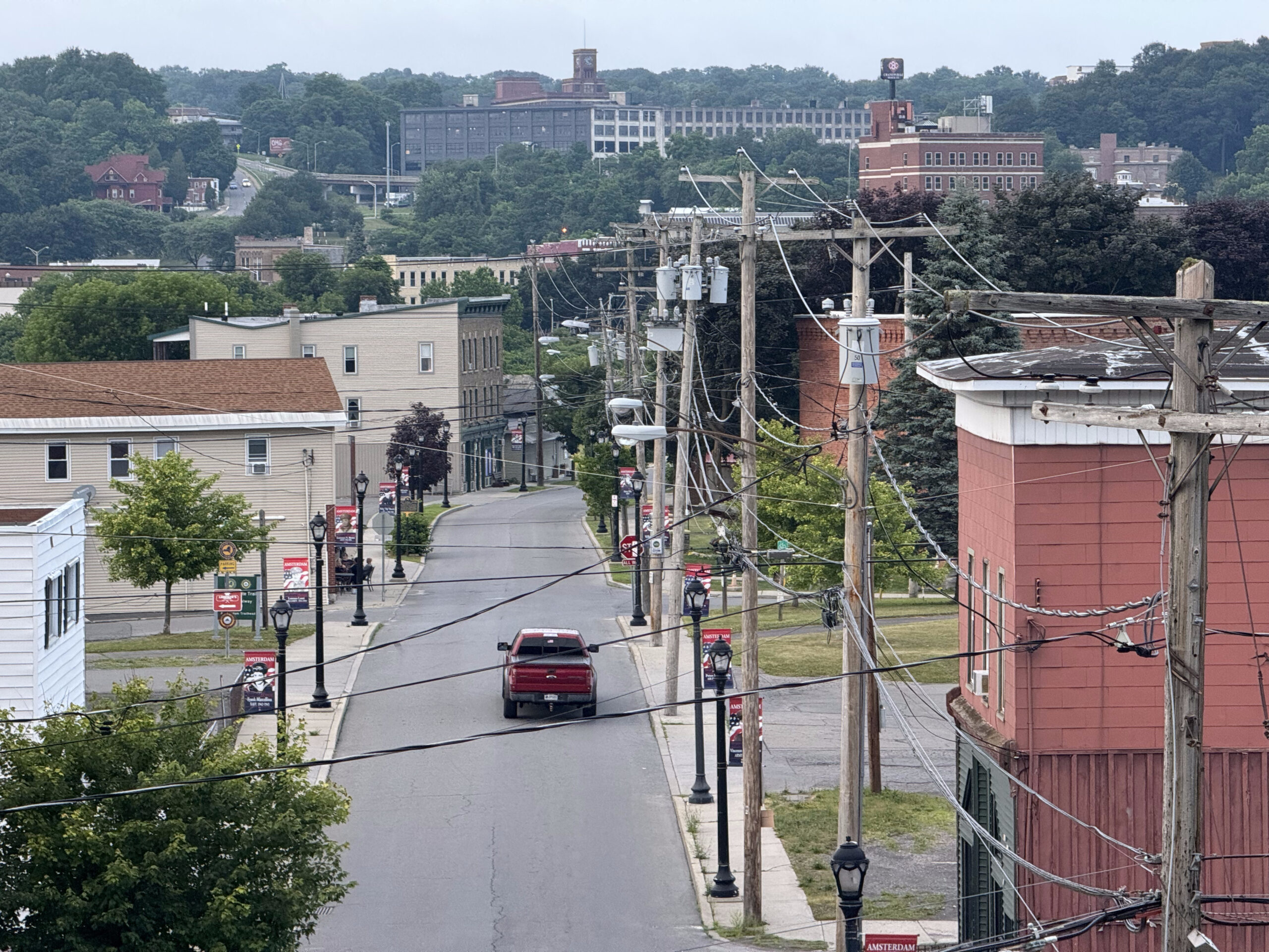
The whole area around the castle is very rundown. The Mohawk River runs through Amsterdam and the bulk of the city seems to be on the other side, but we won’t have time to explore. It’s a beautiful building, but not a nice place to walk around, and quite expensive, so if we were coming here again, we would probably look for places on the other side of the river, even though it would be a longer distance from the trail.
Cindy and I spent a lot of time tonight trying to figure out where to eat breakfast in the morning – there’s not a lot of choice, and none closer than a 12-20 minute walk – and for places to stop for coffee and lunch tomorrow. We didn’t have a lot of success. We’re hoping for more restaurant options in Albany. We will be staying two days in Albany, since it’s the state capital, and then taking the train back to Niagara Falls on the 25th.
More rain forecast for tomorrow. Hopefully our luck with the forecast being wrong, or having shelter when it does pour, will continue. The whole route to Albany is paved. We were all quite tired after completing our second day in a row with more than 100 km, with the awareness that we have 80km to cover tomorrow.
We left the hotel just before 730AM. I can’t say I really liked Syracuse, although I didn’t have a lot of time to explore it. I prefer Rochester and Buffalo.
This was the view as we headed to the trail. It was pretty unappealing, although we did pass the New York Central Station. It was built in the art deco style, opened in 1936, and closed in 1962. It now houses Spectrum, a mass media company.
The trail running through this part of Syracuse is in the boulevard and has excellent crossings.
It then transitions to a smaller road with flexi posts, and then onto the trail that we’ve been used to next to the canal with lots of shade.
We stopped after 25 km in Chittenango. I liked the sign in the ice cream shop next to the coffee shop where we got coffee. We’ve definitely felt like we’ve been melting the last few days.
Just as we were going into the coffee shop I got this notification on my phone. No kidding.
We bought breakfast sandwiches with our coffee and took them with us because there wasn’t a convenient spot to buy something at lunchtime. As we got ready to leave David, Dayle and Cindy did a little routine to loosen up their shoulders.
This section of the trail has markers every mile. We also saw some basic way-finding signage. The odd thing is that I’m not sure what we are 14 and 22 miles from. It’s more than 14 miles back to Syracuse and more than 22 miles to Utica.
We saw this nice mural in Canastota.
We’ve been running into this group, riding the trail, supported by the Pocono Biking. It’s an organized tour with their hotels included, and they don’t need to carry their stuff with them during the day.
By 11 it was getting pretty hot and we stopped here to squirt some water on ourselves and have a bite to eat.
We saw this lovely mural in Durhamville.
We had a fair bit of shade today, again. Thunderstorms and hail were forecast for the afternoon, but never materialized. It seems like there was a storm here recently, though, because we did see a lot of small tree branches down.
We had planned to stop at a convenience store for cold drinks just past this lock, but there was a boat going through the lock which we watched, and we discovered a beautifully shaded picnic table, so we ate our breakfast sandwiches there, and skipped the convenience store since we had a coffee stop planned at about 75 km into the day.
In Rome, they had the outline of the rivers and canals in the pavement in front of this statue which commemorates the Oneida Carrying Place.
We stopped at a café in Rome called superofficial. The woman in front of me was ordering a Matcha super bomb and it looked refreshing. She highly recommended it so we each ordered one, and it was indeed very good.
I would recommend this café. They had cute artwork on the picnic tables outside and humourous elements in the bathroom. It’s been challenging in this heat and humidity to match the left end of the scale. The people were also very friendly.
It was tucked in the corner just passed the Capitol Theatre
.
Fort Stanwix is in Rome, but we didn’t have time to linger. The aerial view which I saw on Wikipedia looks quite interesting. I wish we had had time to explore it.
I think this is the first wayfinding sign I have ever seen on the trail, showing the distance to the next town.
The trail between Rome and Utica was highly disappointing for the first part. There was quite a lengthy, single track piece and then a section with large gravel that was very jarring.
Mostly the canal goes under roads, but occasionally we have to cross the canal on the roads. There’s always a decent shoulder.
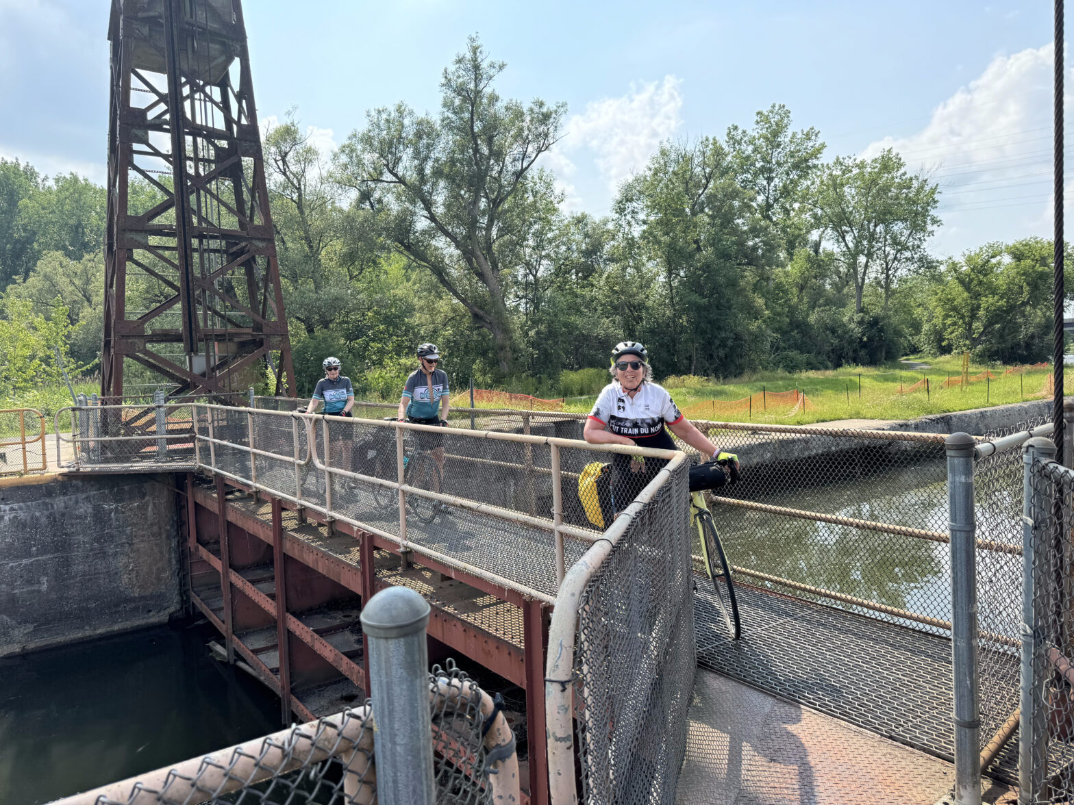
The trail improved again. At the next lock, we saw a cute boat and had to cross the canal on the lock. This is only the second time we have had to do this.
We stayed at the Days Inn, not far off the trail.
Two days ago, we wiped our panniers and bikes down because they were so dusty, but within minutes of hitting the trail again, the effort was for naught.
We thought maybe we might have to resort to McDonald’s for dinner, but the front desk clerk suggested, Babe’s, and it turned out to be an excellent suggestion. We sat on the patio, which was far enough from the road that the traffic noise wasn’t too bad, and there was live blues music. The food was reasonably good.
There was a sunset as we walked back to the hotel. The forecast for the next several days is very rainy. I spent some time creating a route on roads near the Erie Canalway for the unpaved sections in case they become too difficult to ride with the rain. We also spent some time figuring out where our food stops will be tomorrow, because we found that very helpful today.
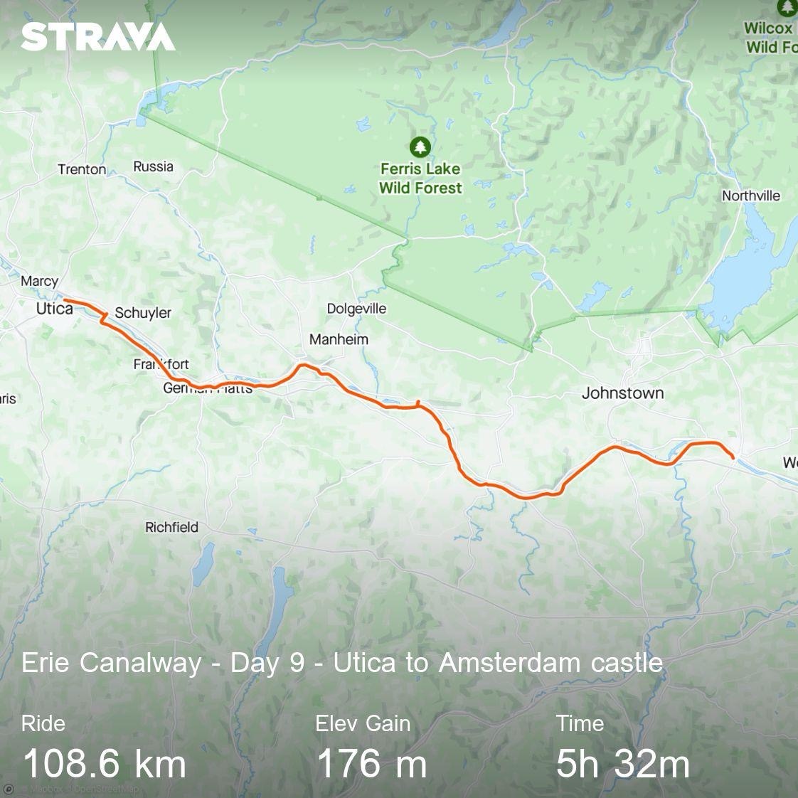
Tomorrow we have just over 100 km to ride to Amsterdam