Whitby 2023 – Day 1

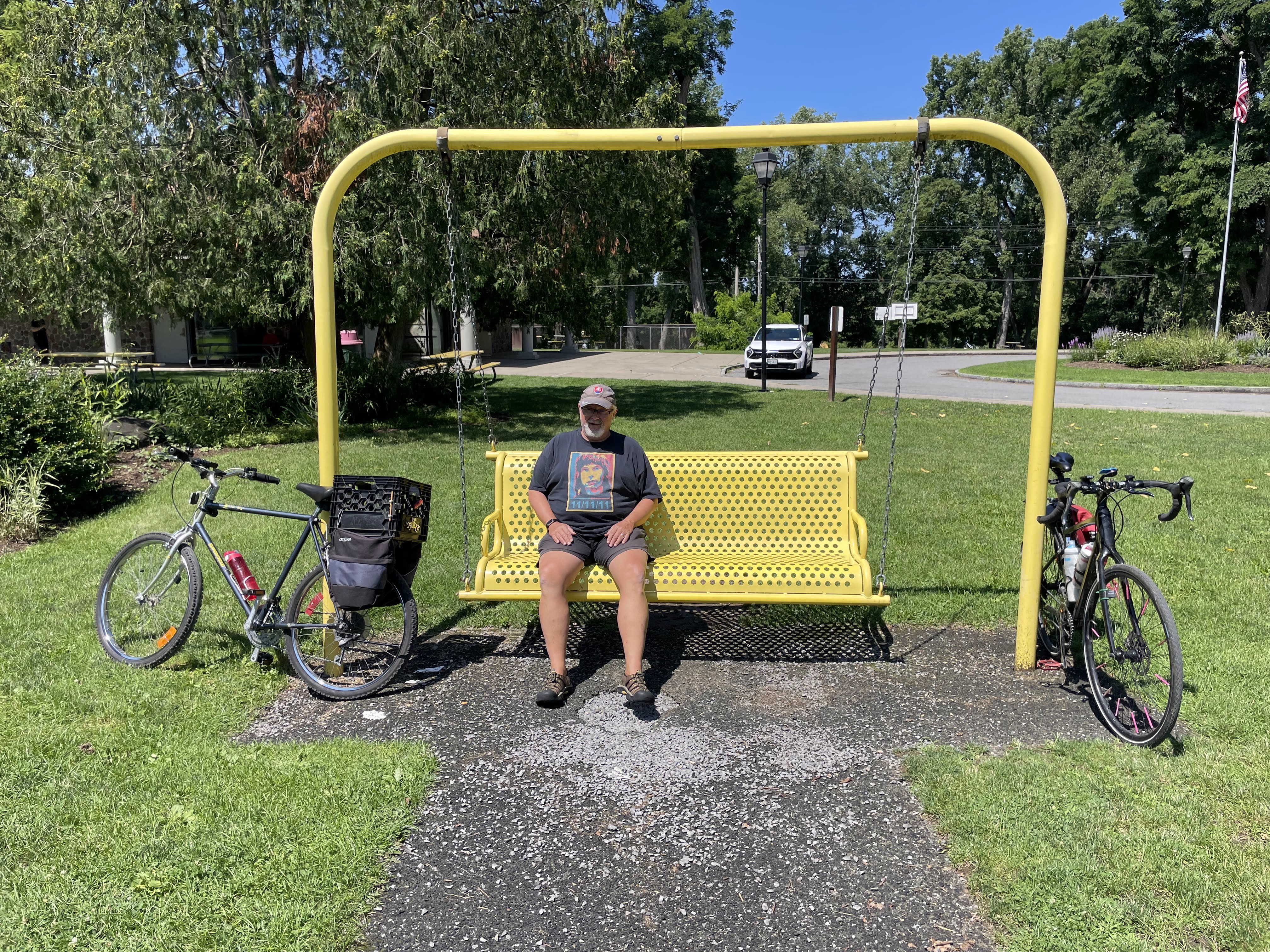
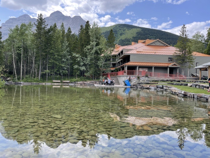
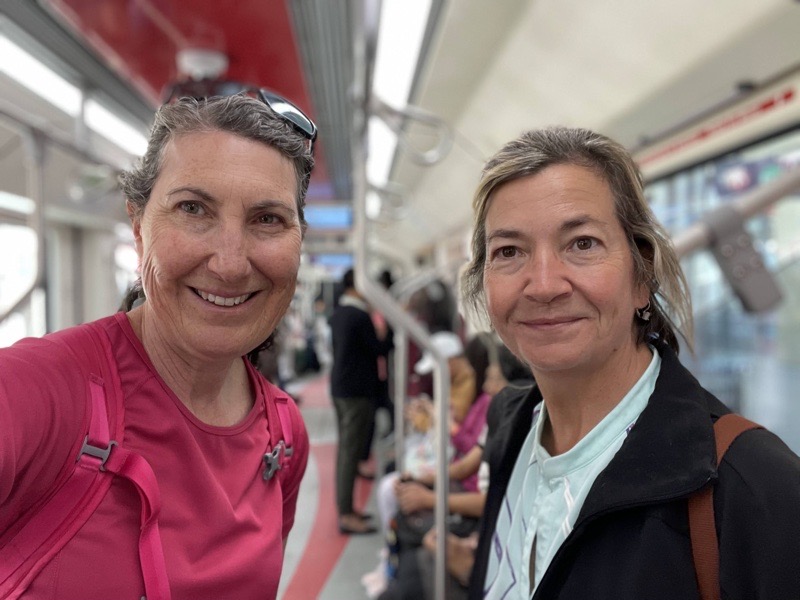
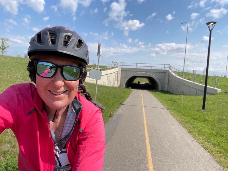
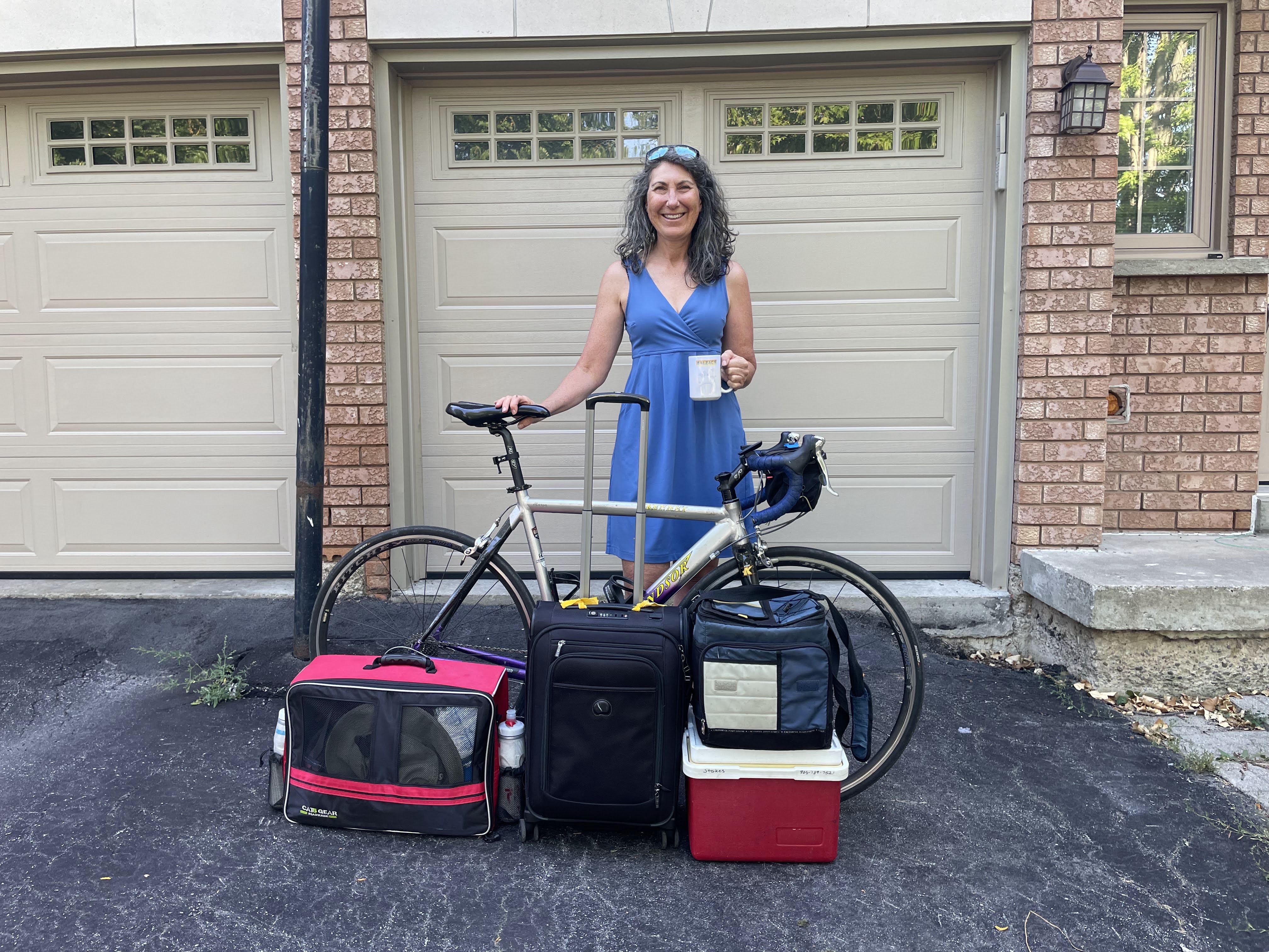
Dayle, Cindy and I set off for an adventure in Whitby today. It’s the second annual Whitby adventure for Cindy and me. I wrote about it last year here. David couldn’t get away today, but will be joining us tomorrow. I have downsized from the giant pink suitcase I took to Ottawa 6 years ago, to a medium one on the last few trips, to a cabin sized one for this trip. Along with my bike, bike box, and coolers of food, though, so it still looks like a lot.

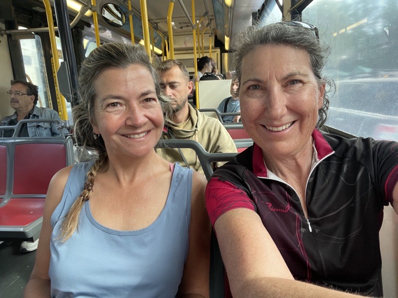
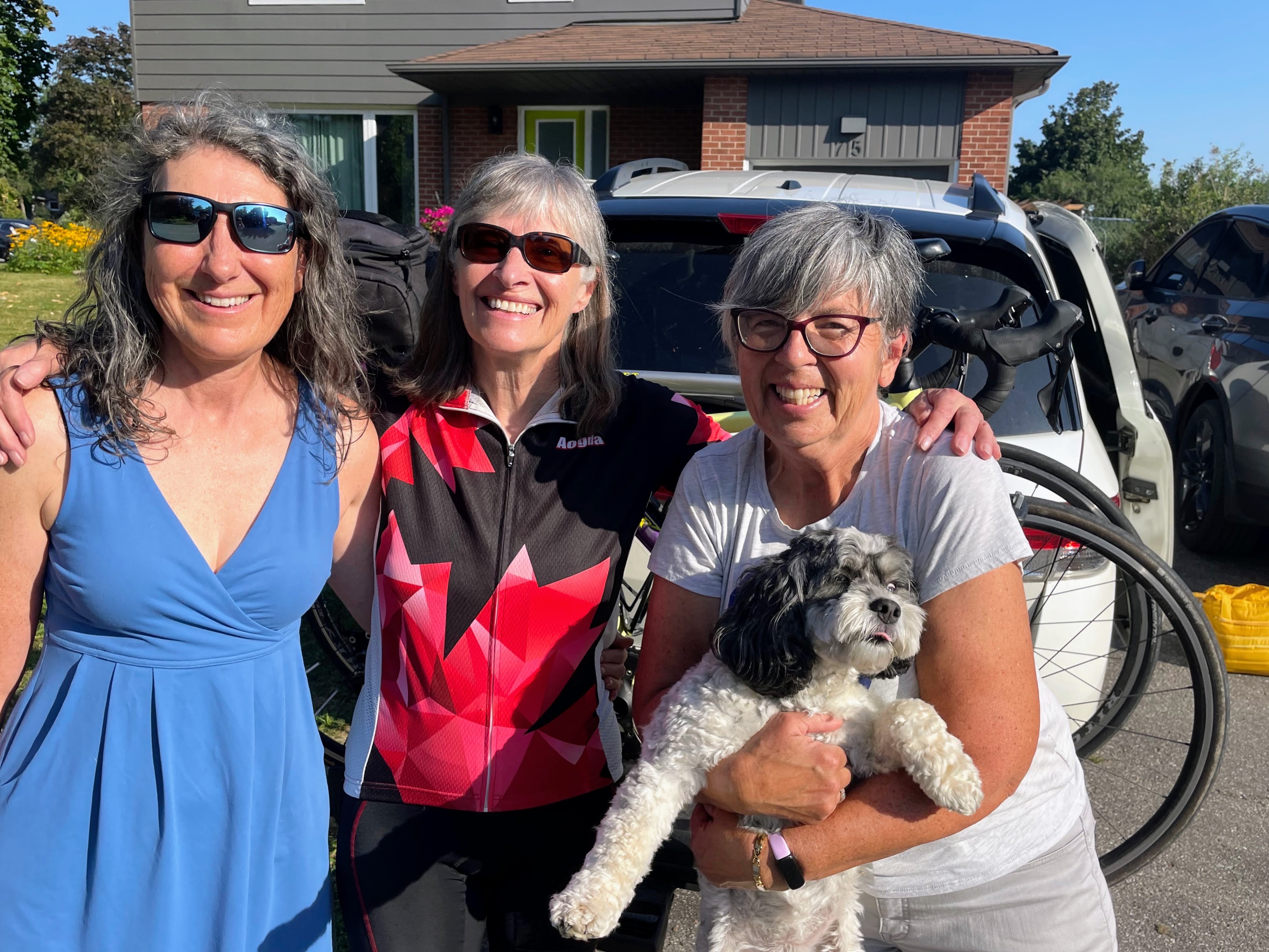
Cindy’s sister is away in England and we will be dog sitting once again. Cindy has had Oakley at her house for the last few days, but today, Dayle drove the four of us to Whitby, so we could look after Oakley here, and ride our bikes somewhere we don’t often get to.

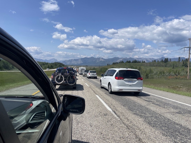
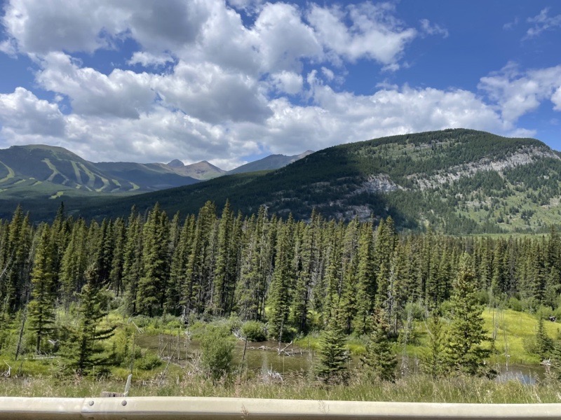
We are in a September heat wave and the forecast high for the day was 31°, feeling like 39°. None of us were particularly looking forward to riding in the heat, so we didn’t worry about heading out from Brampton too early. Dayle picked me up, and then Cindy and Oakley. The 401 was stop and go traffic all the way from the 409 to the 404.

As we slowly travelled behind this Saputo truck, I noticed that they had a bicycle stencilled on the back. I wondered why I looked it up and found that the company started in 1954 in Montreal and a bicycle was used for deliveries in the early years of the company.

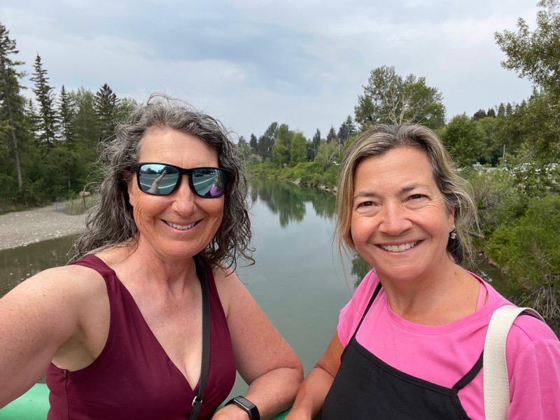
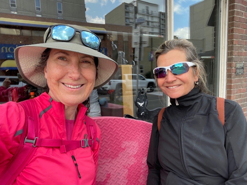
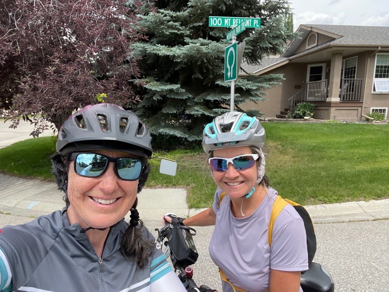
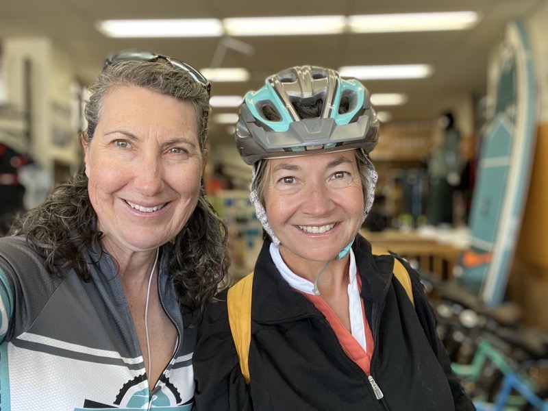
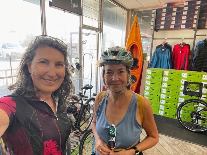
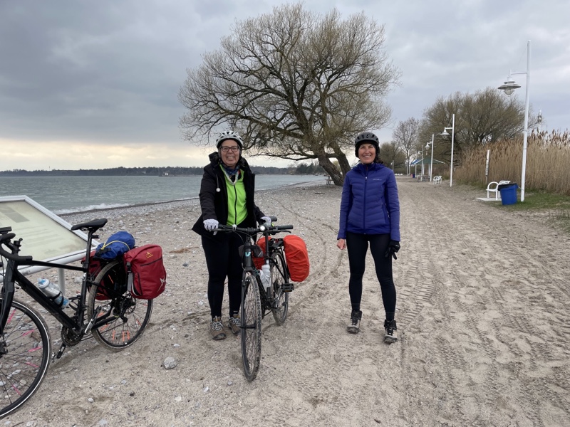
Cindy and I were last here in May in 2022 and we were having an extremely cold spring as you can see from how we are bundled up here on our first day of riding. Today was quite the contrast weather wise.

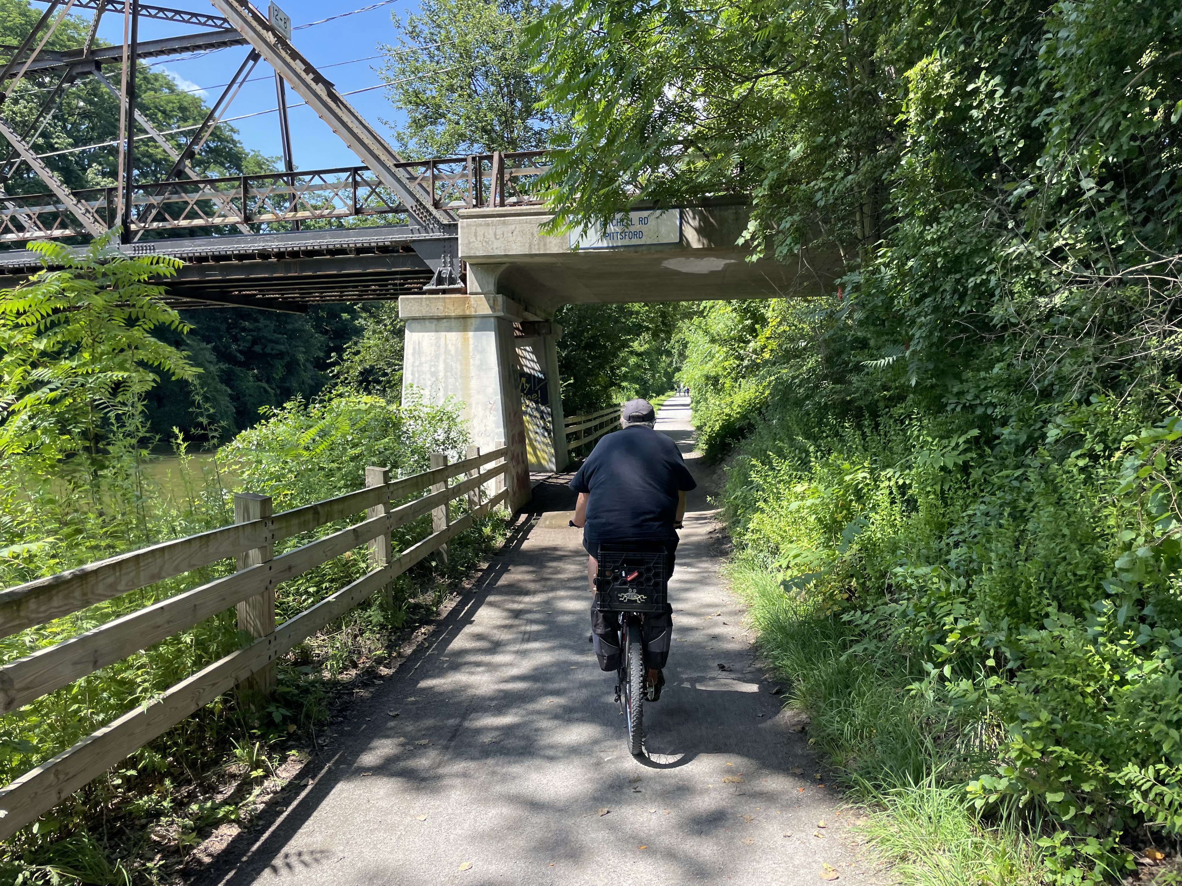
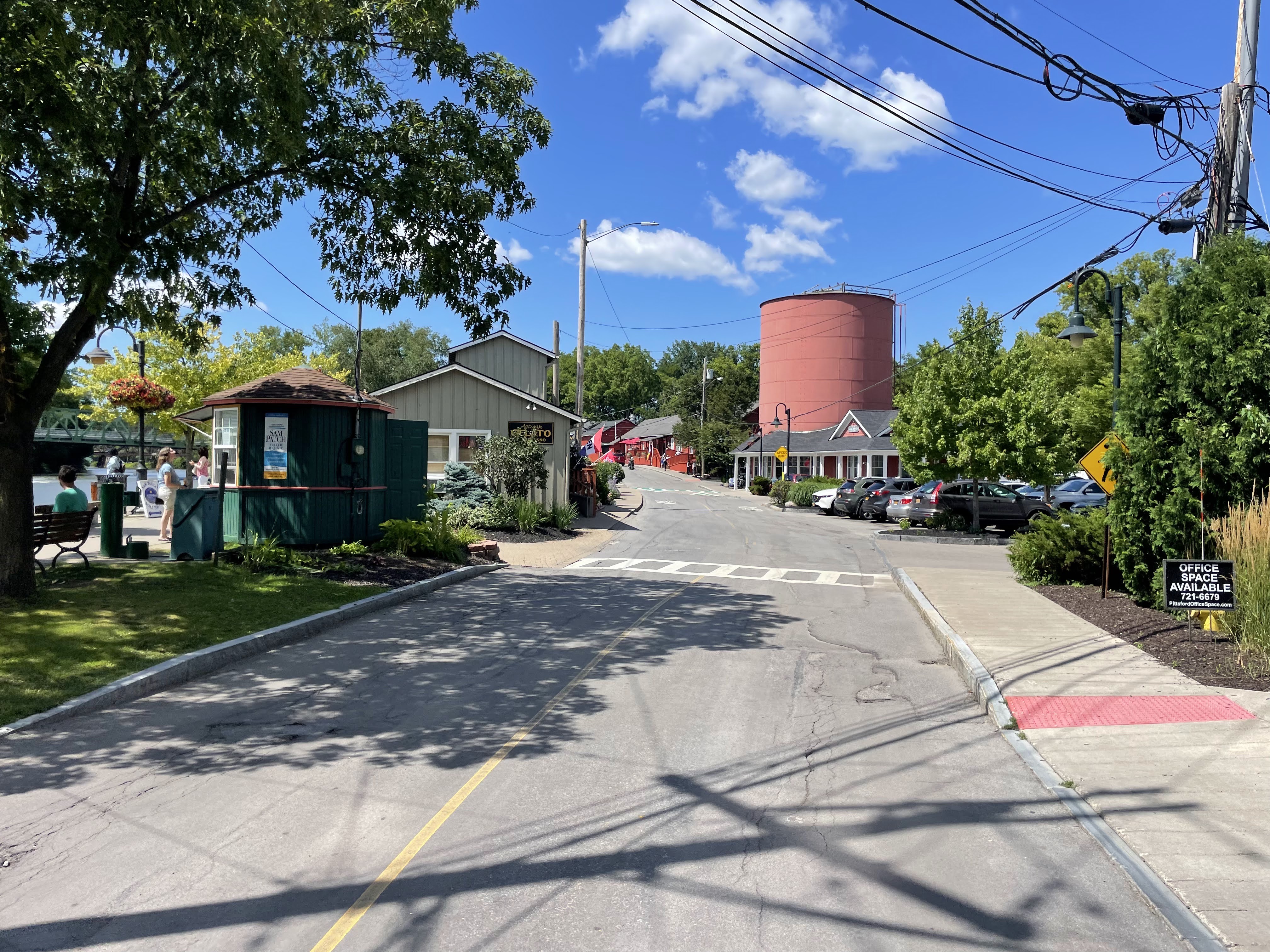
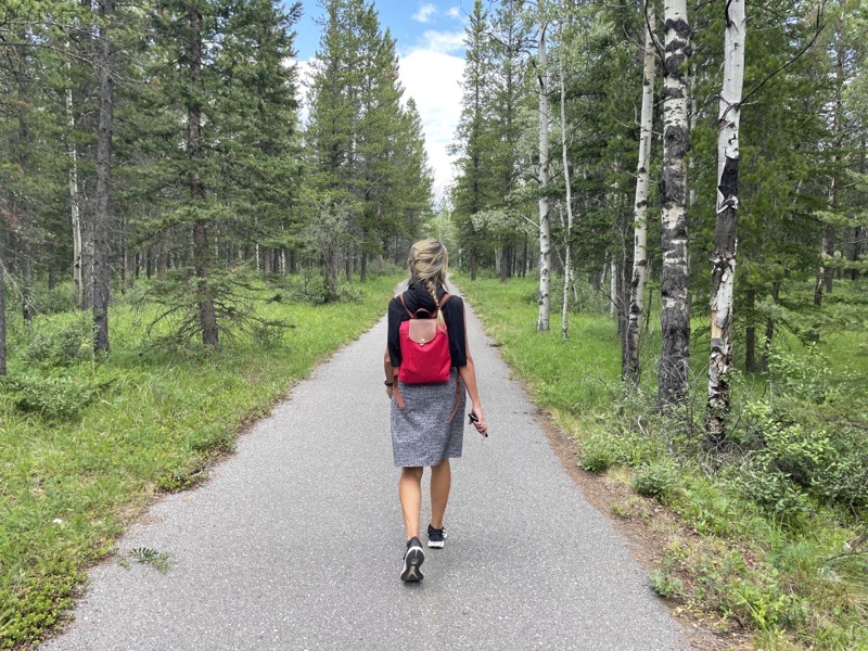
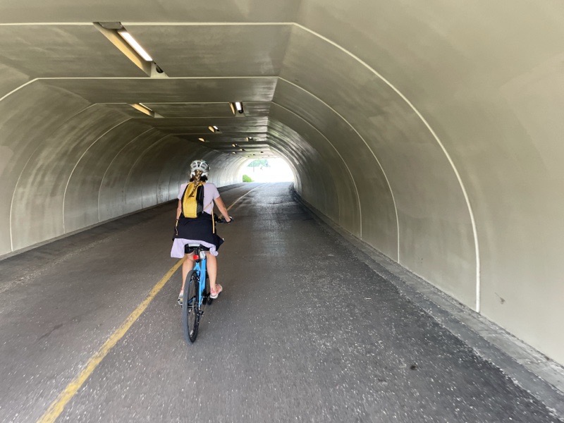
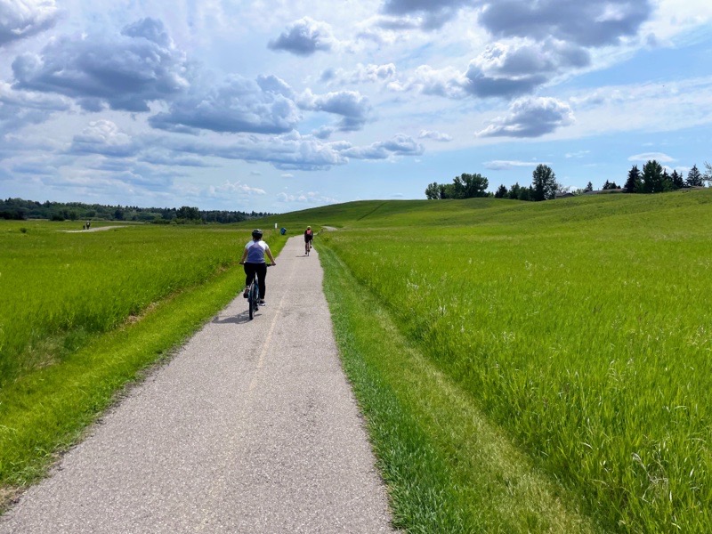
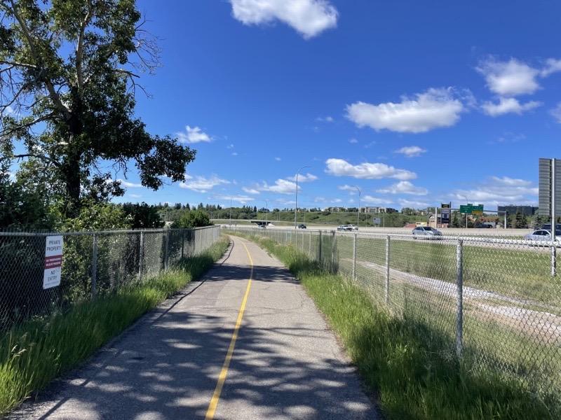
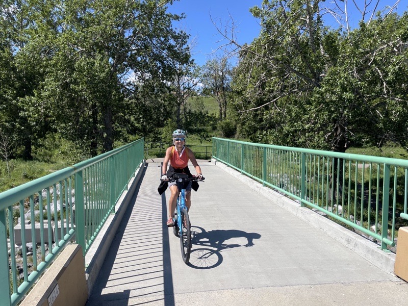
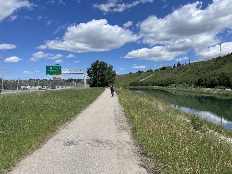
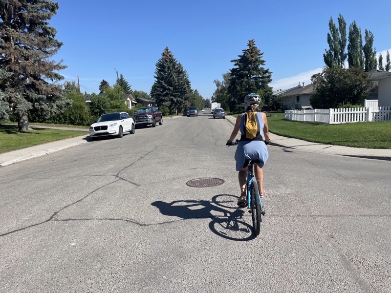
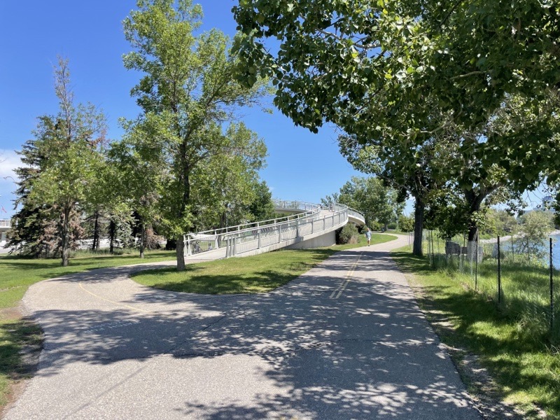
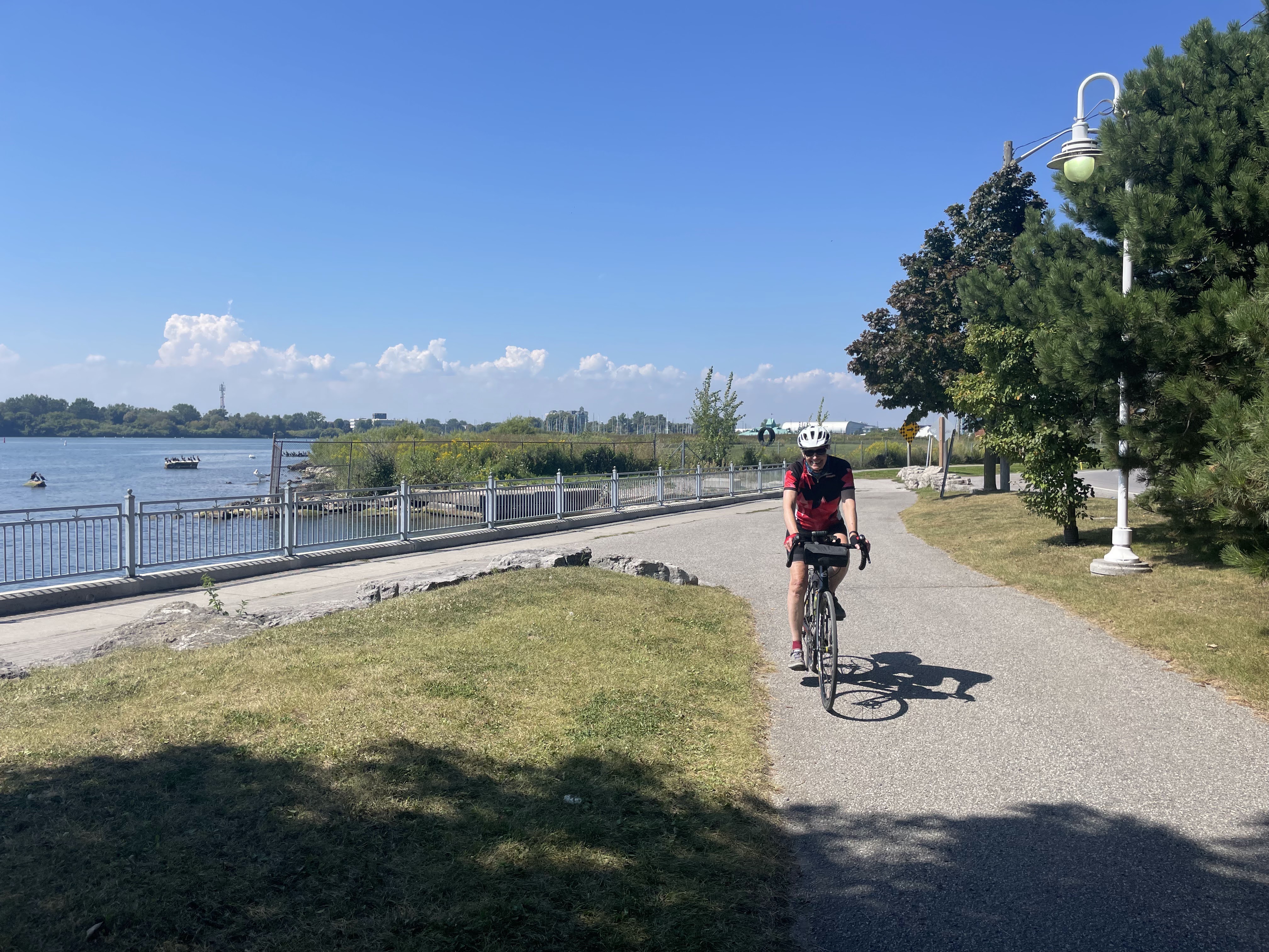
We took our time unpacking, and Cindy took Oakley for a walk. We ate our lunch and then somewhat unenthusiastically headed out into the heat. It is a 5 km ride from here to the waterfront. The winds were relatively calm and it was somewhat downhill, so the heat wasn’t as bad as we were expecting.

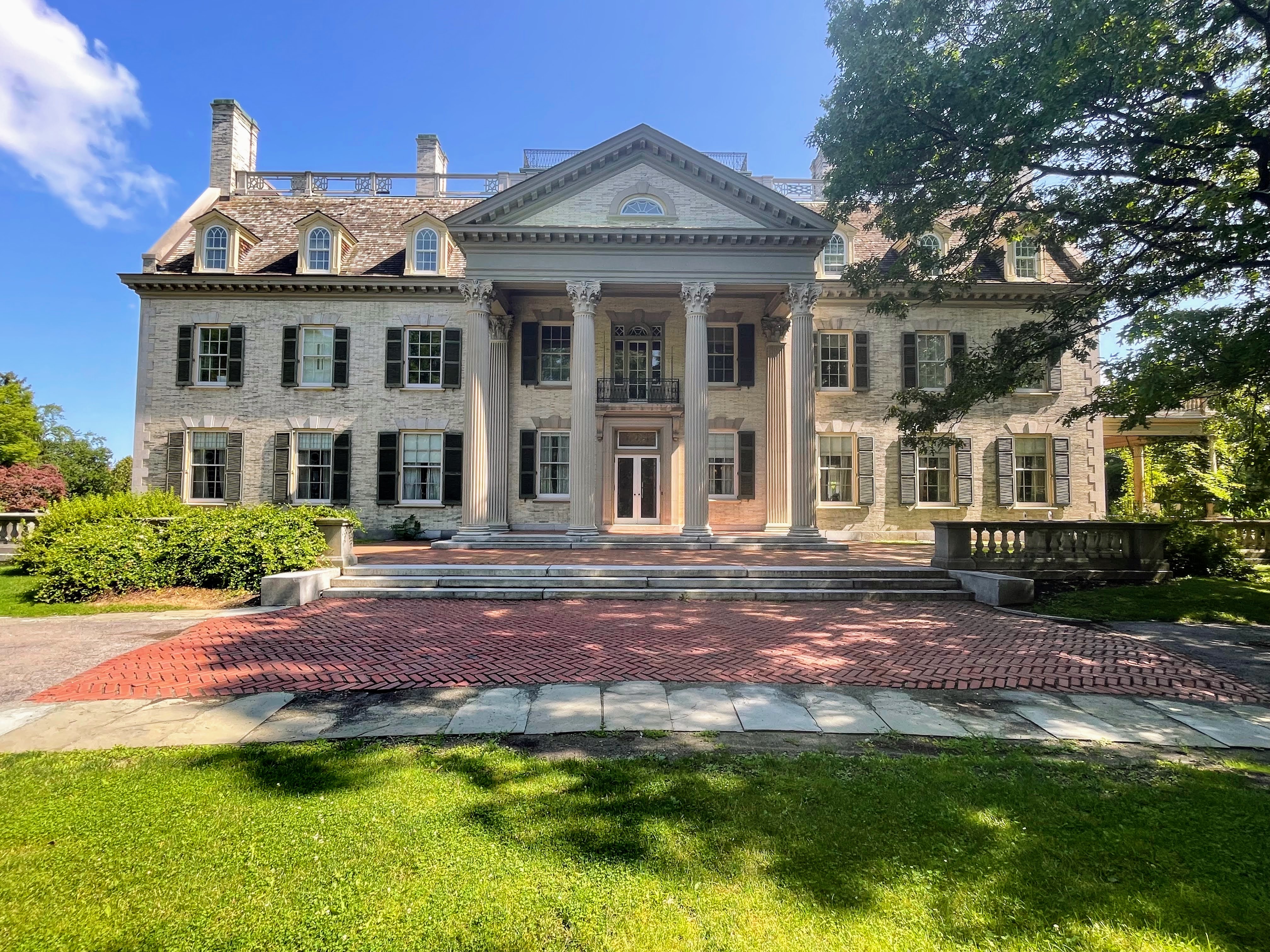
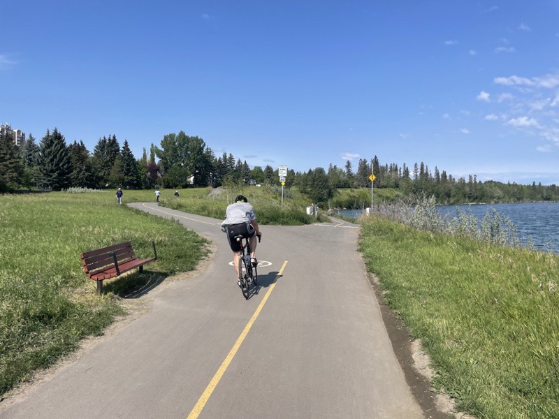
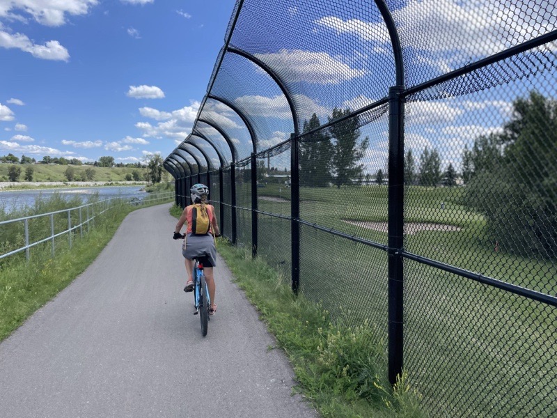
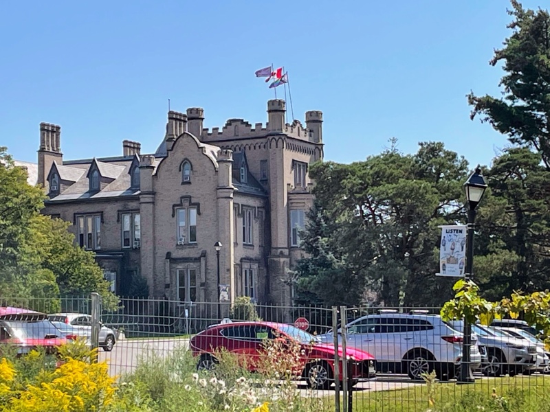
We stopped briefly to show Dayle Trafalgar Castle School which I wrote about last year. It’s a private school for girls with tuition starting at $26,000. As we rode up to it, Dayle realized that her aunt went to the school in the 1930s and promised to share photos with us this evening. We rode to it on a street that didn’t exist last year that is still a building site we couldn’t get close to the school due to a construction fence, so we turned around and continued south to the Waterfront Trail, which we were hoping would provide a more comfortable ride in the heat.

Photo credit: Dayle

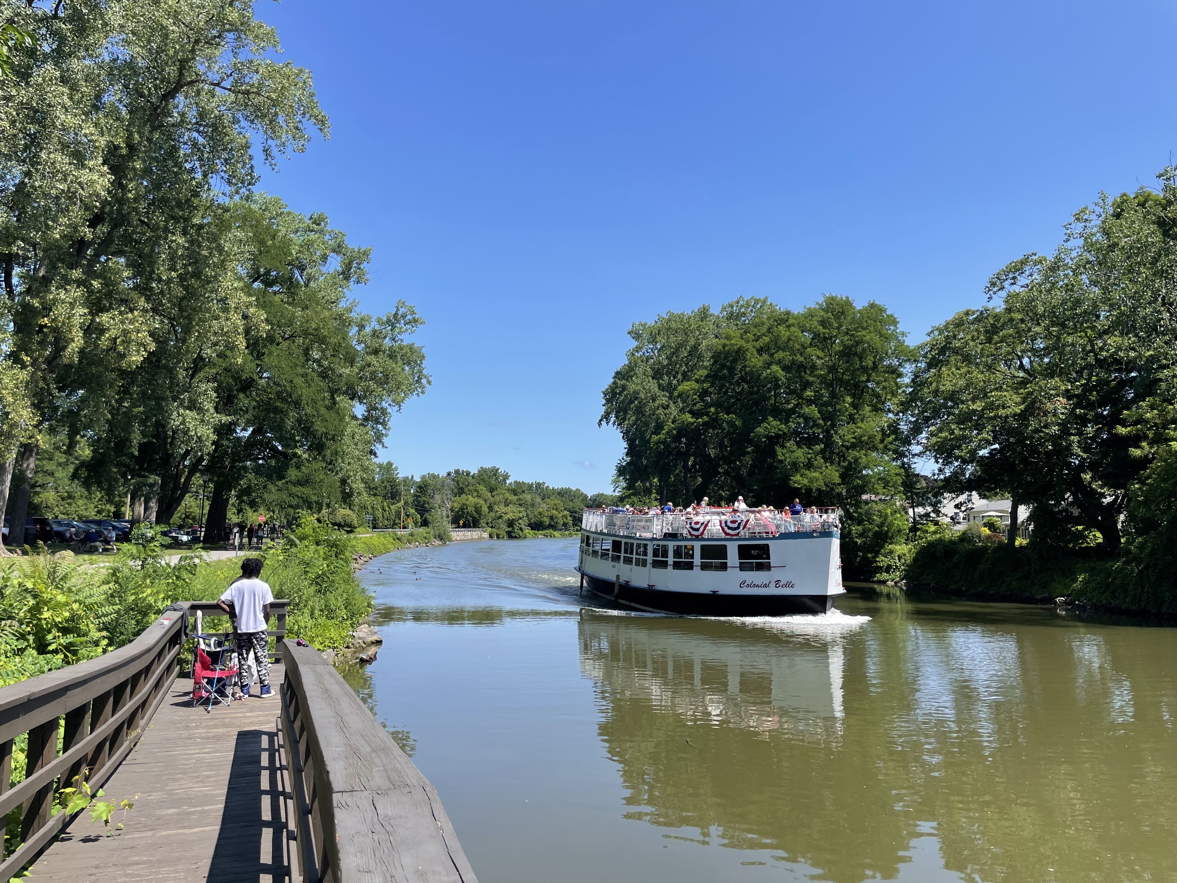
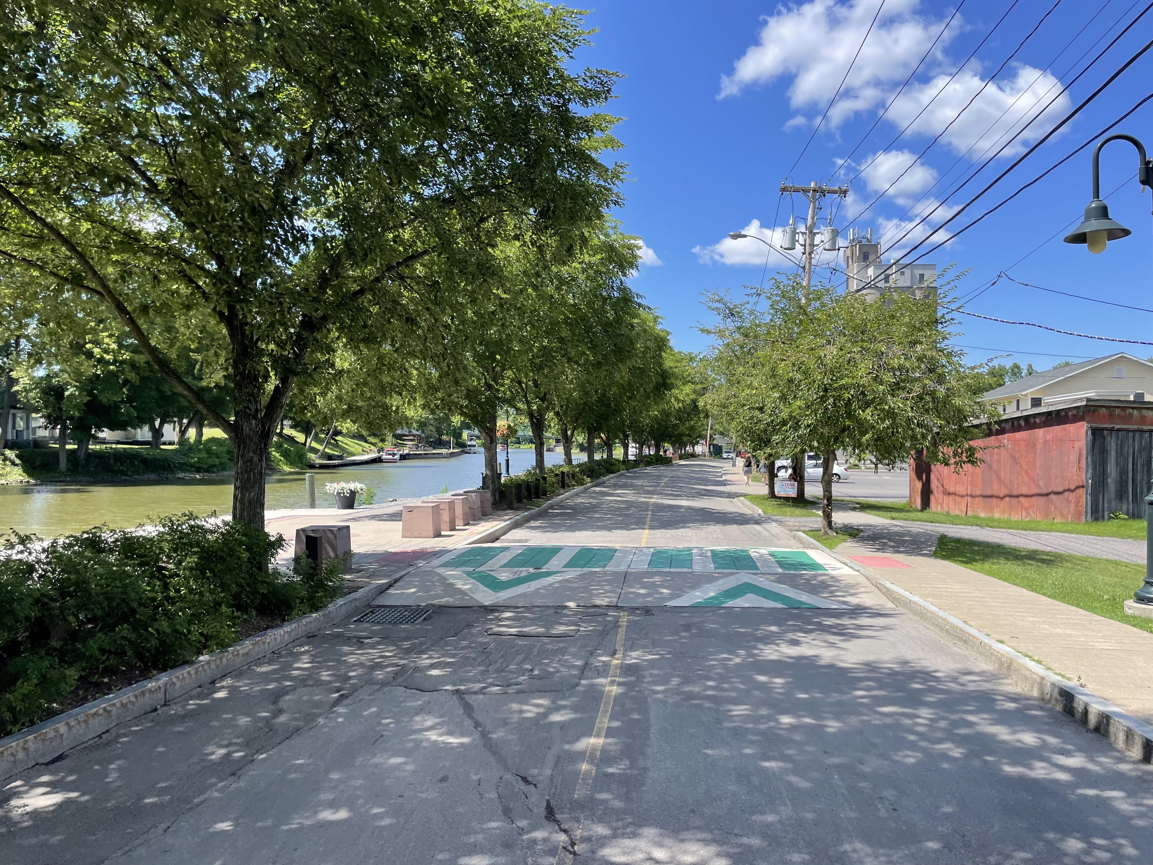
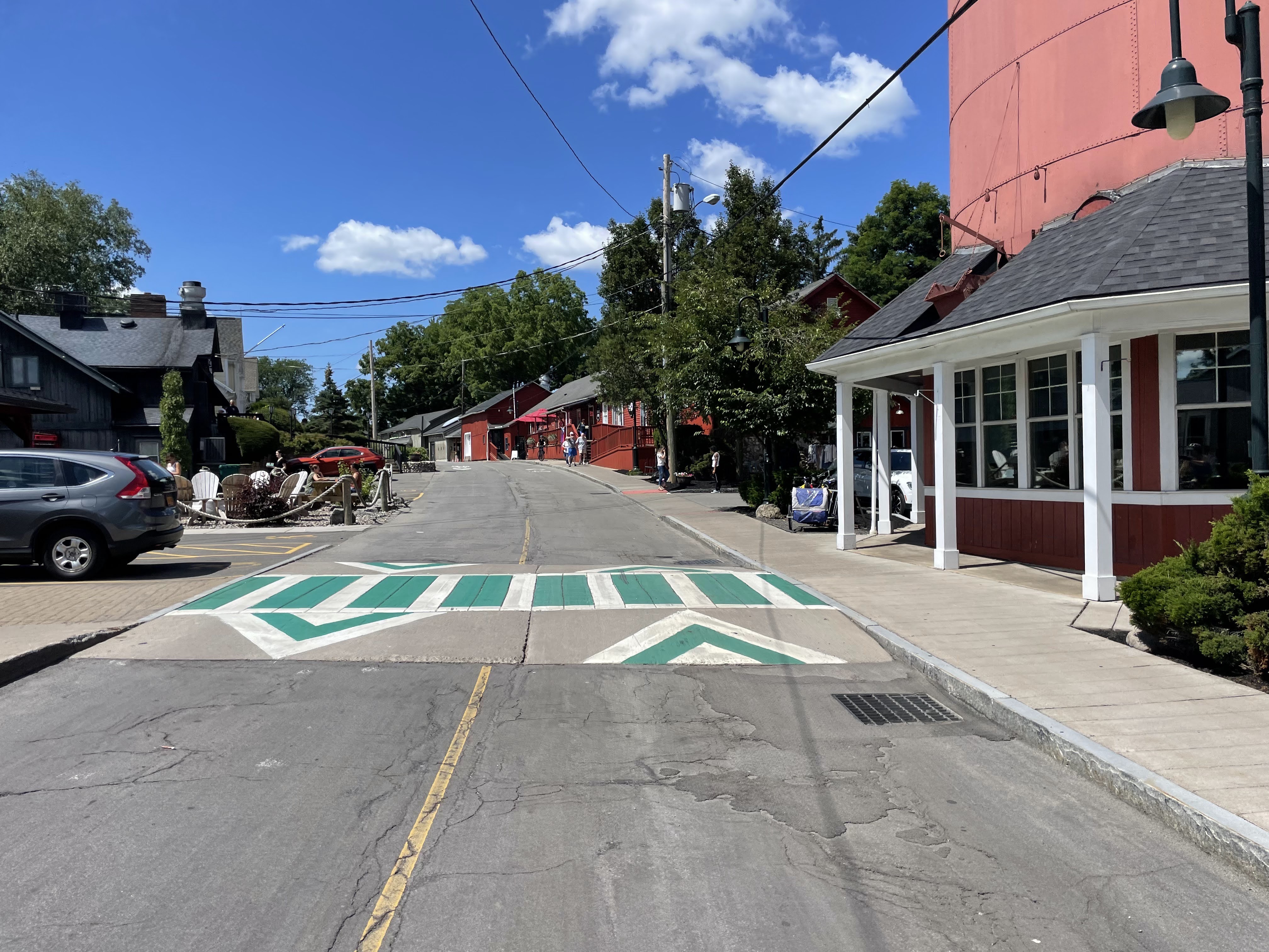
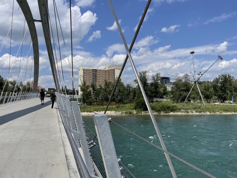
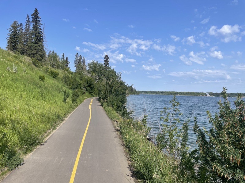
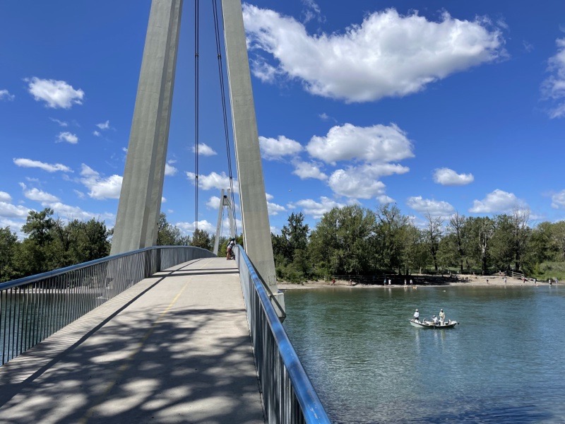
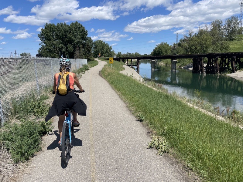
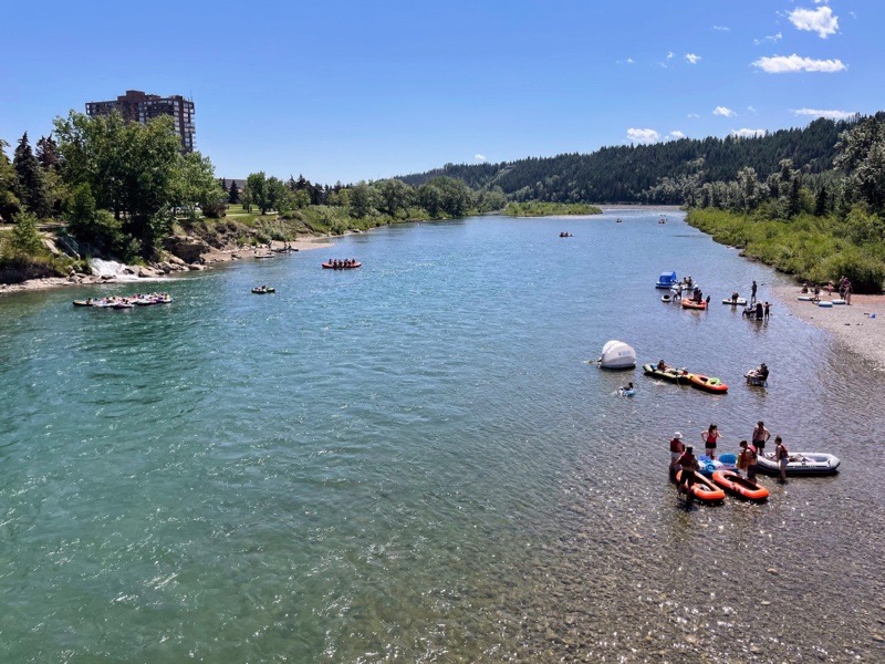
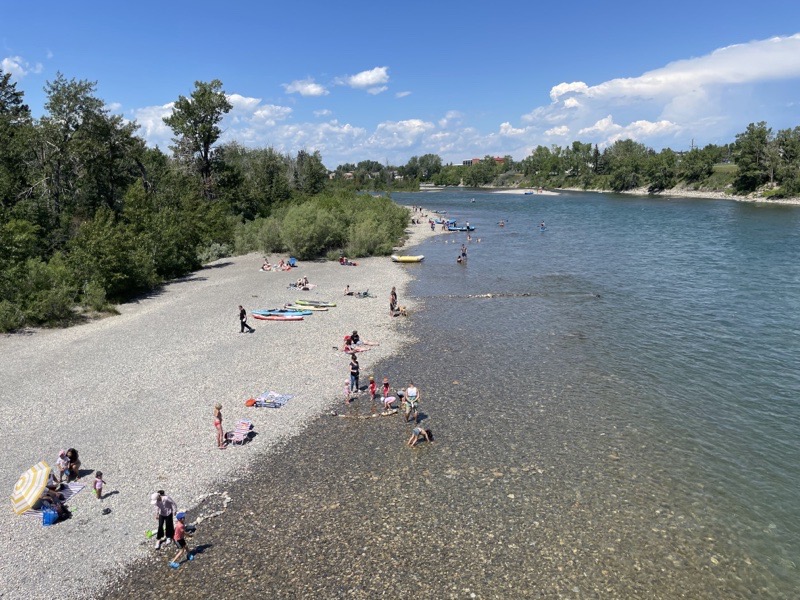
We weren’t disappointed. There was a slight breeze off the water and a fair bit of shade along the trail.

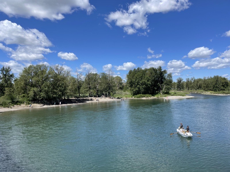
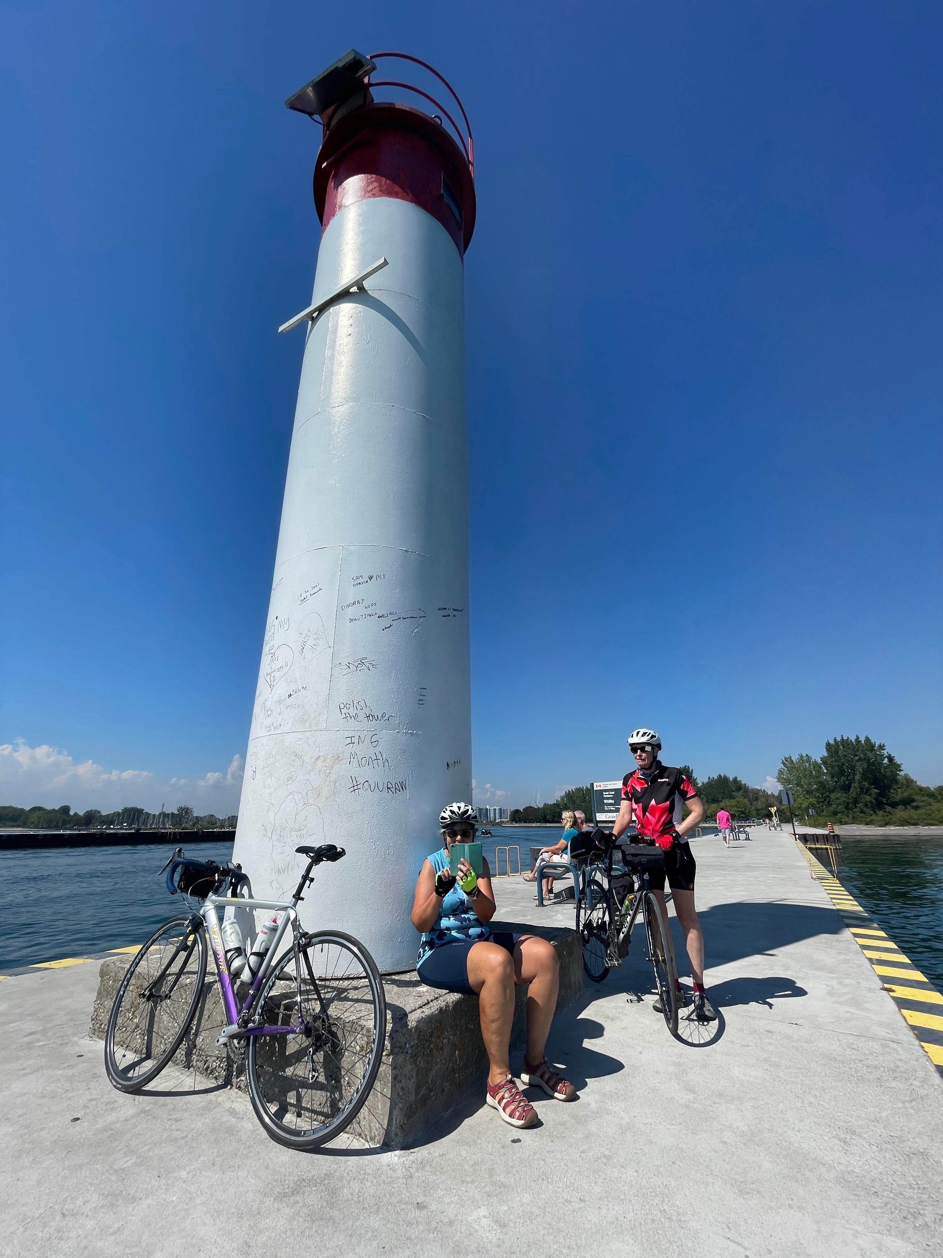
We rode out to the end of a pier with a lighthouse, at Whitby Harbour, and sat chatting for quite a while in the shade, enjoying the breeze.

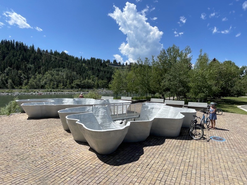
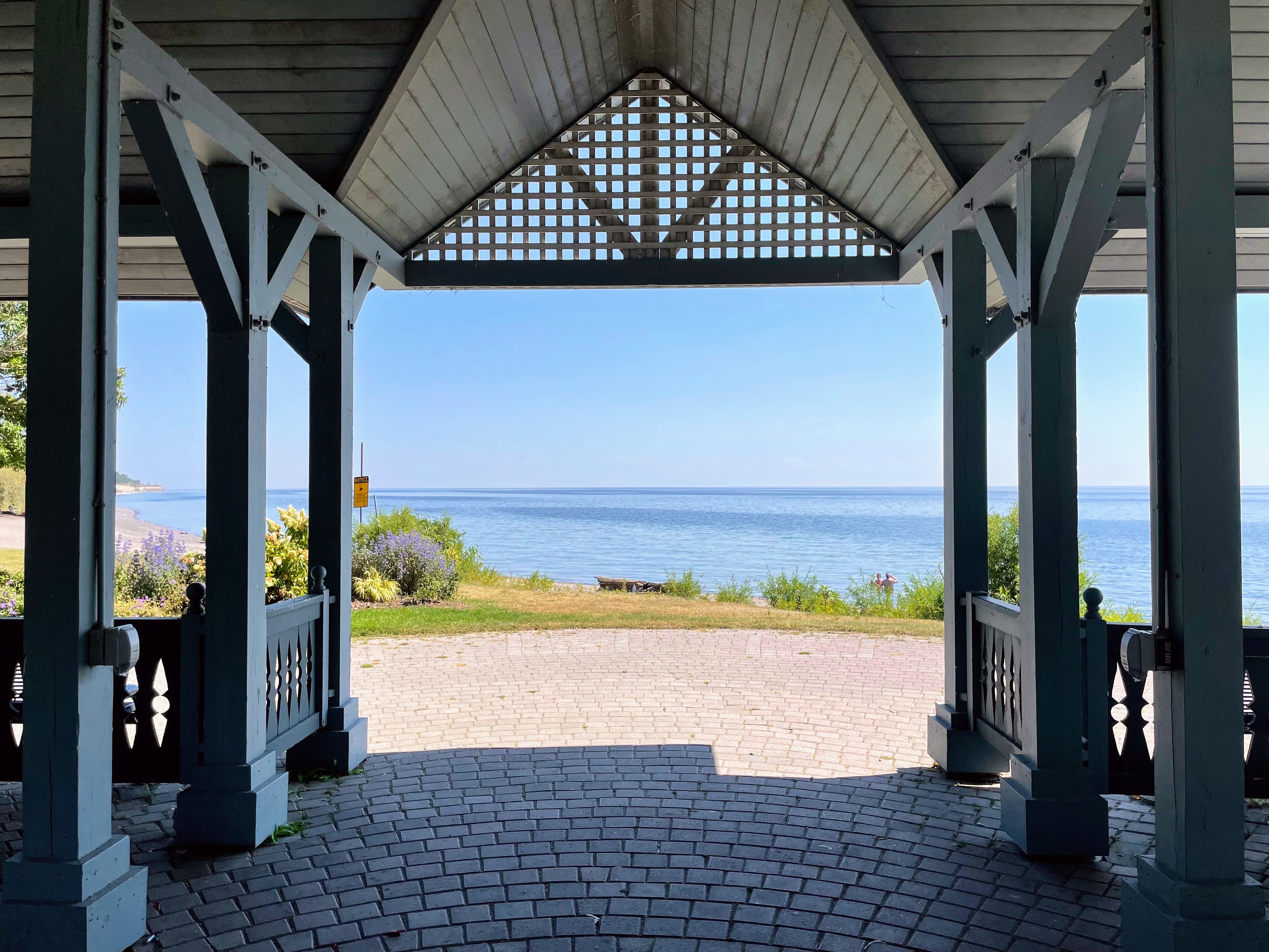
There is a lovely gazebo just east of the pier framing the view.

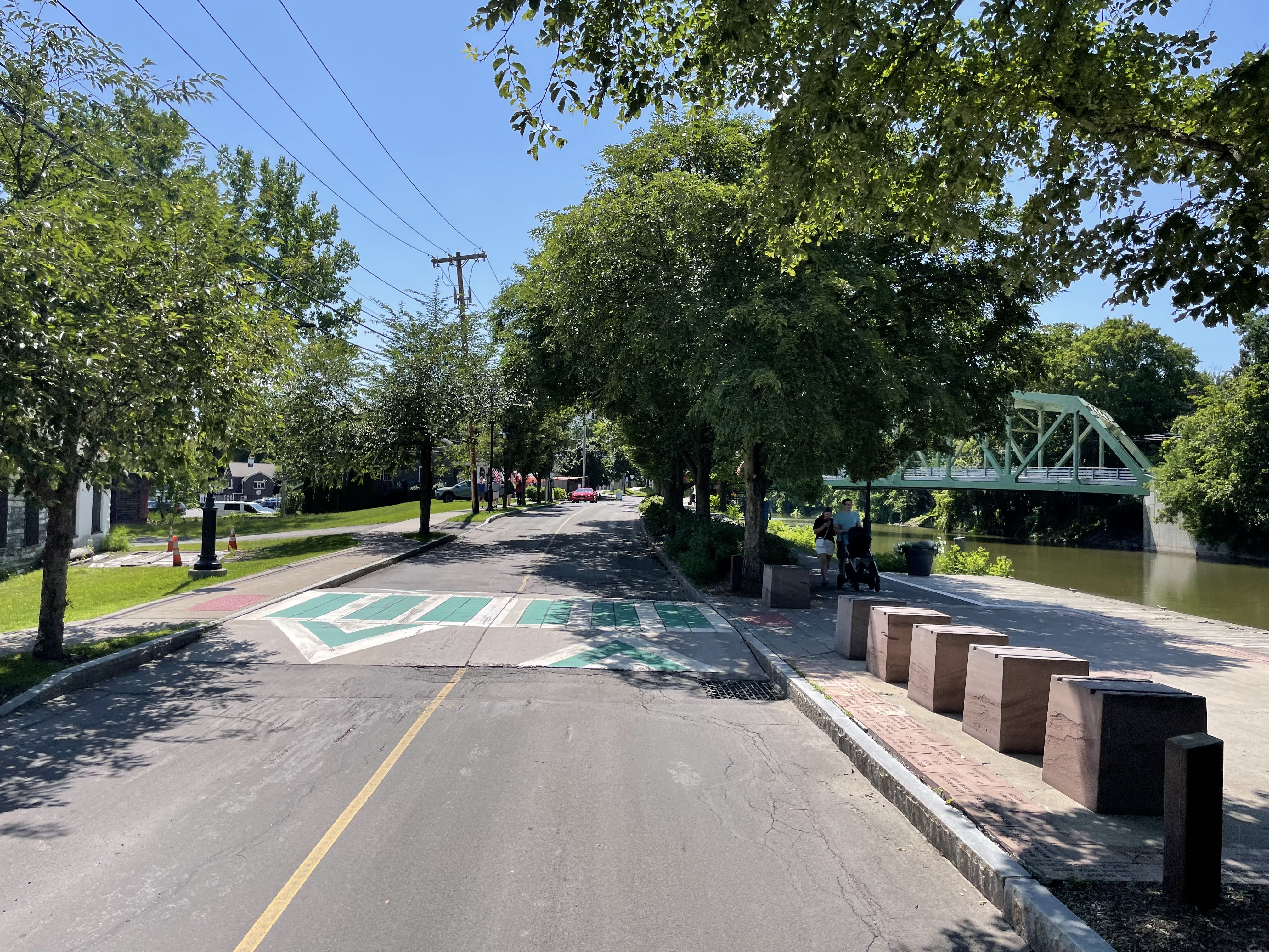
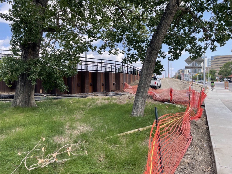
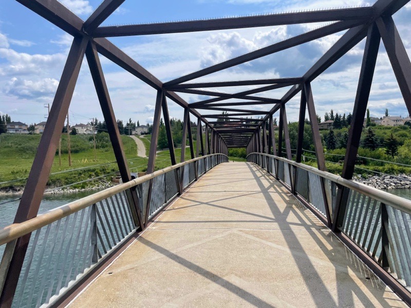
As we continued east, there was construction blocking the Waterfront Trail. I was very impressed to see that a trail detour has been paved just to the north along Water Street connecting the two bits of Waterfront Trail, rather than the usual type of detour which puts cyclists onto the road.

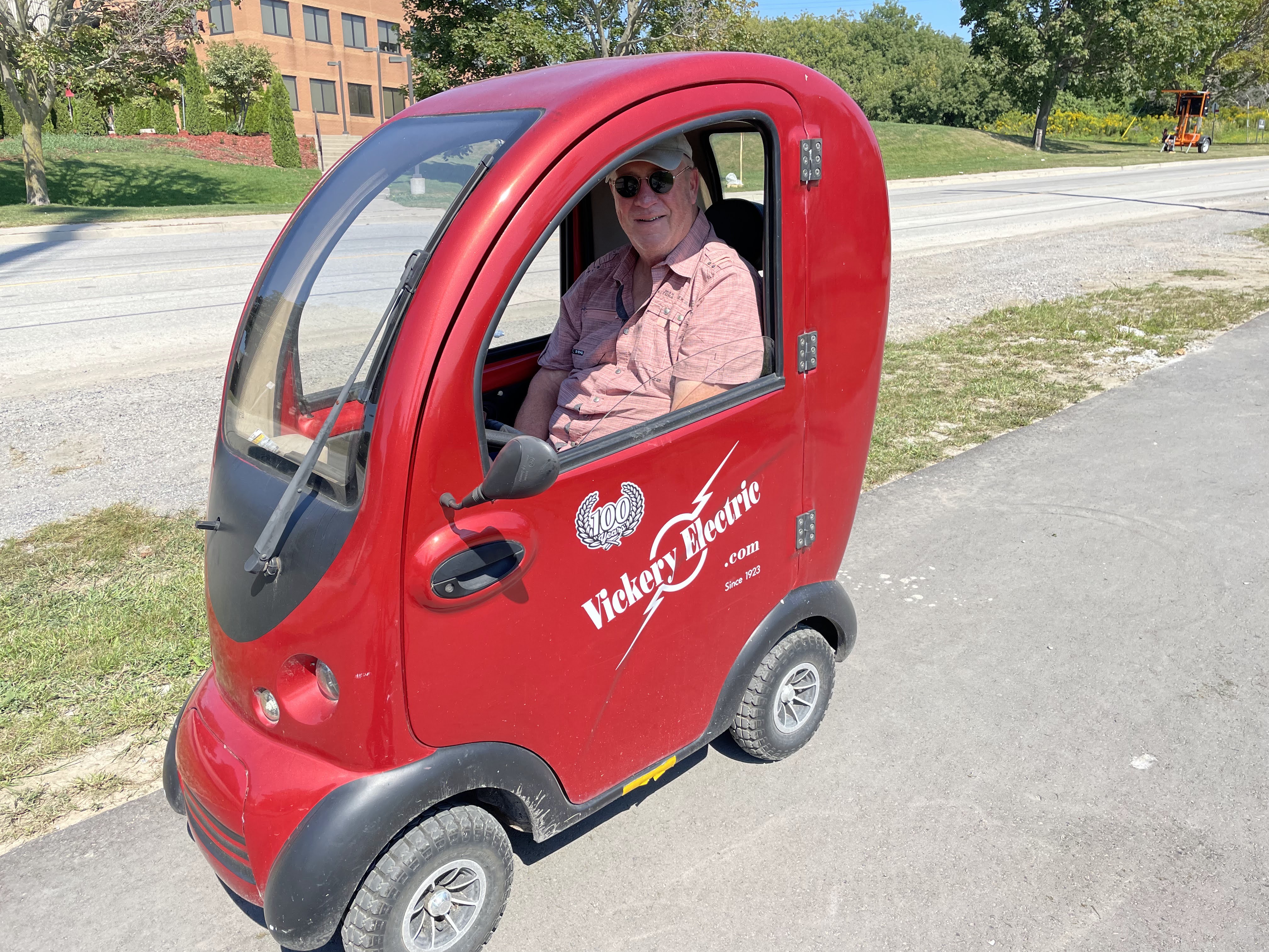
While on this replacement section, we ran into this man who was driving the small electric vehicle to promote a local company called Victory Electric. Dayle stopped to chat with Wesley, and he gave her a gift bag with a company mug. When we got back to the house, I was curious about the vehicle, and used Google lens on my photo to find that it can be purchased from Alibaba according to this blog post.

Photo credit: Dayle

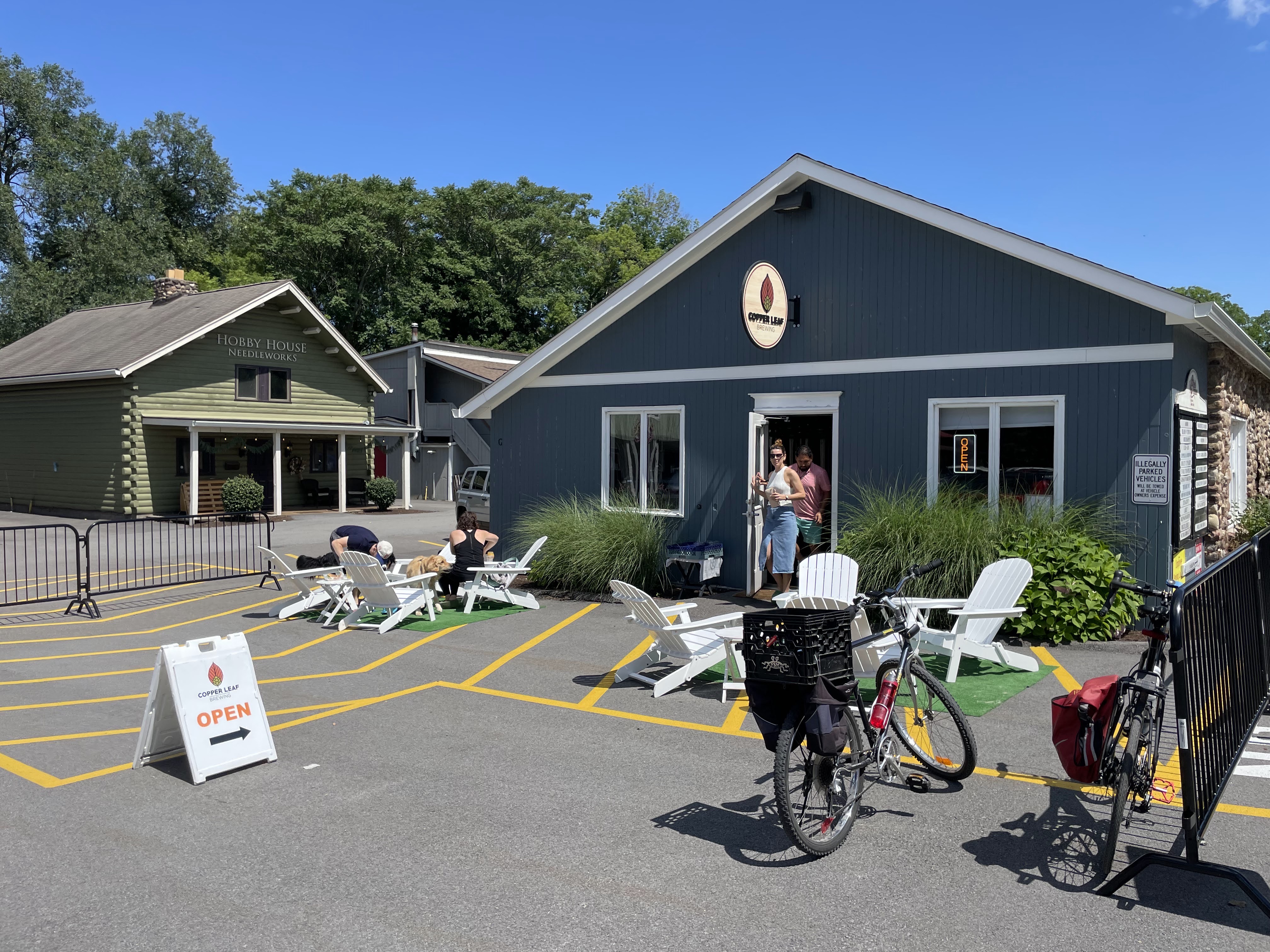
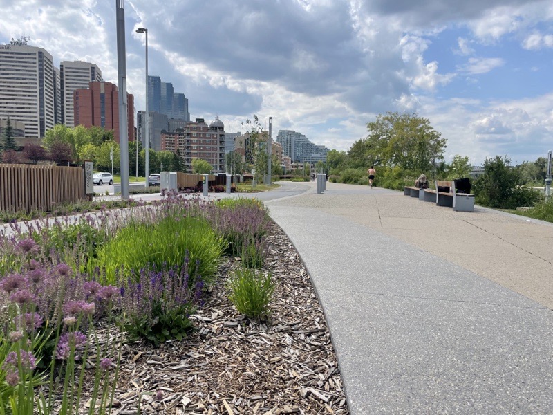
We continued along the Waterfront Trail for a few kilometres and then turned back, hoping to find a coffee or ice cream somewhere.

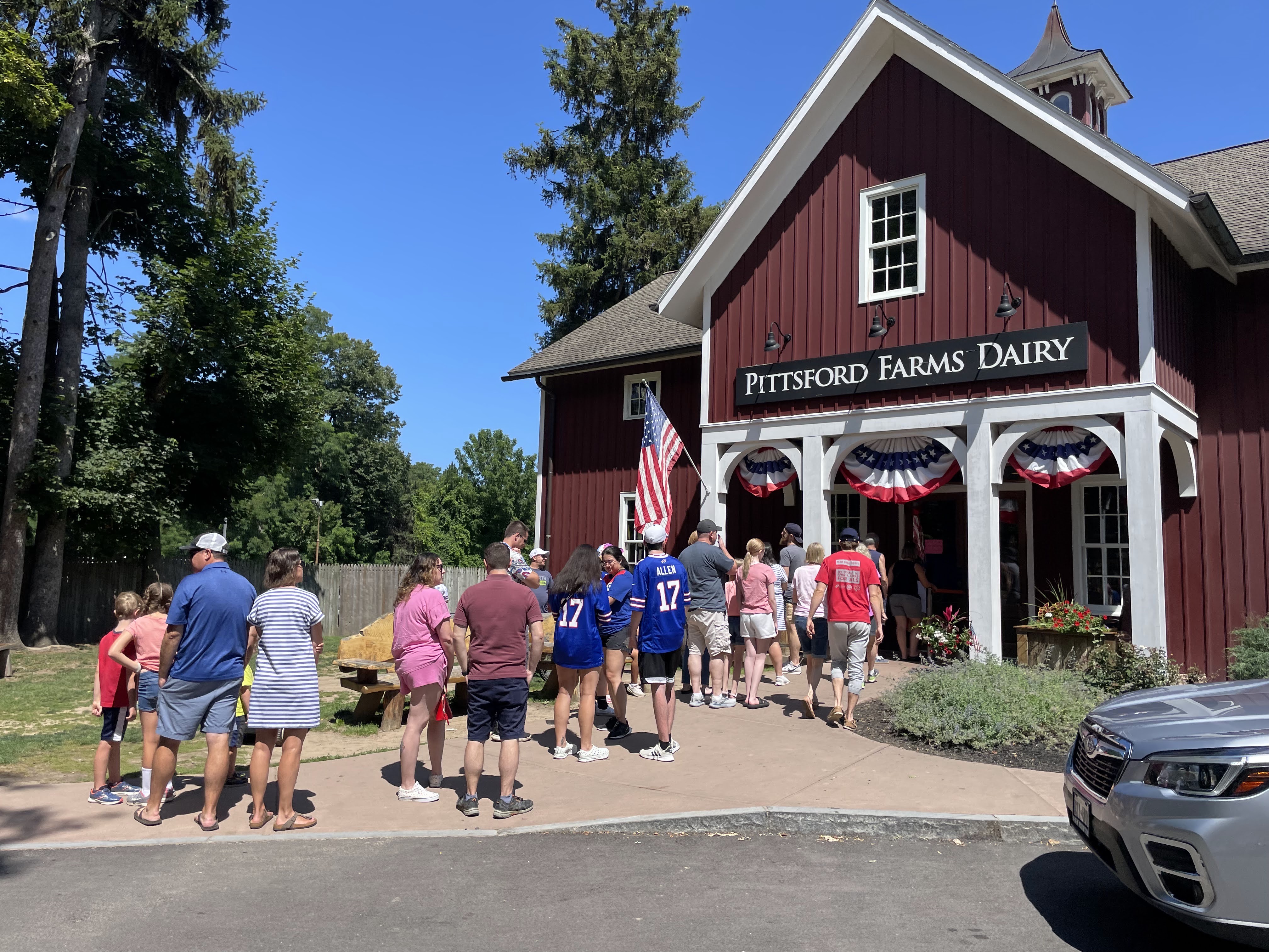
There’s a large building at the marina which we thought might have snacks, but looked like it’s only available for catered events. We sat in the shade on the outdoor patio, anyway, while I used Google Maps to find a coffee shop about 3 km north in downtown Whitby.

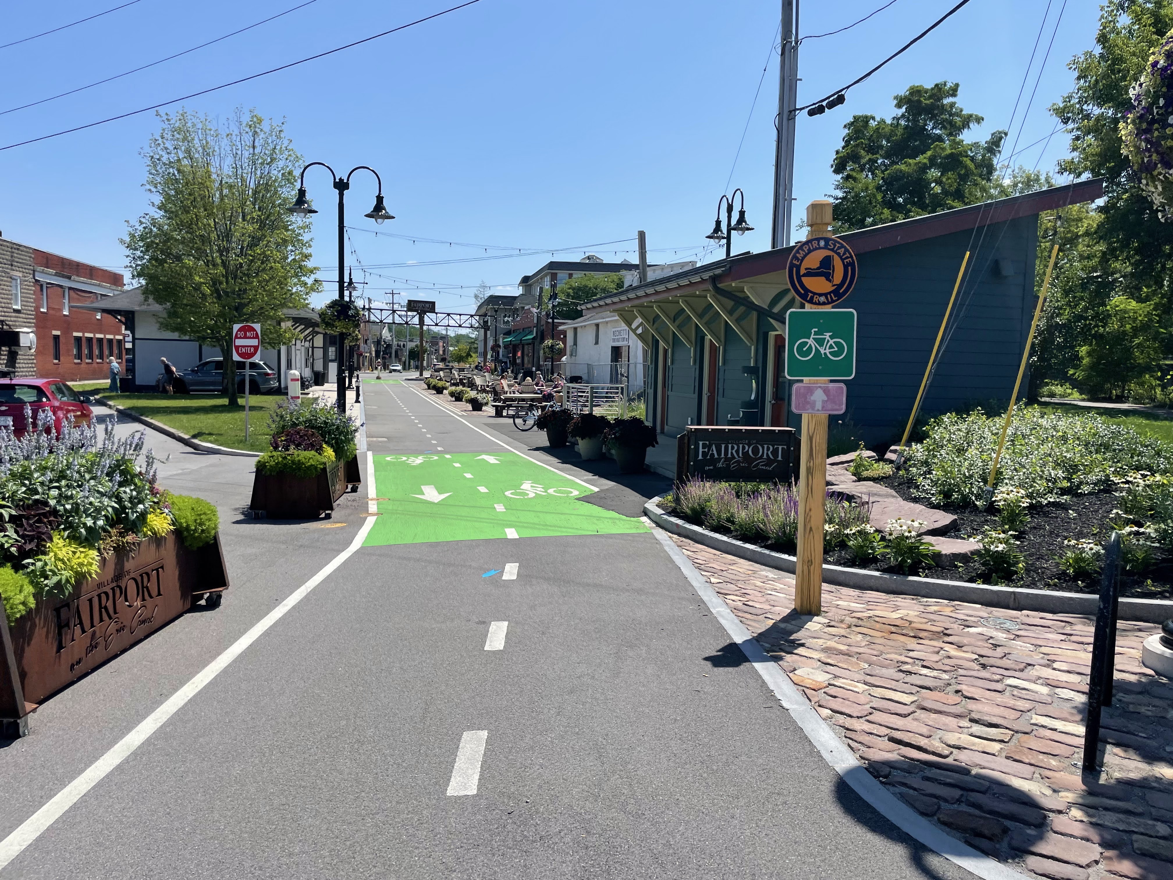
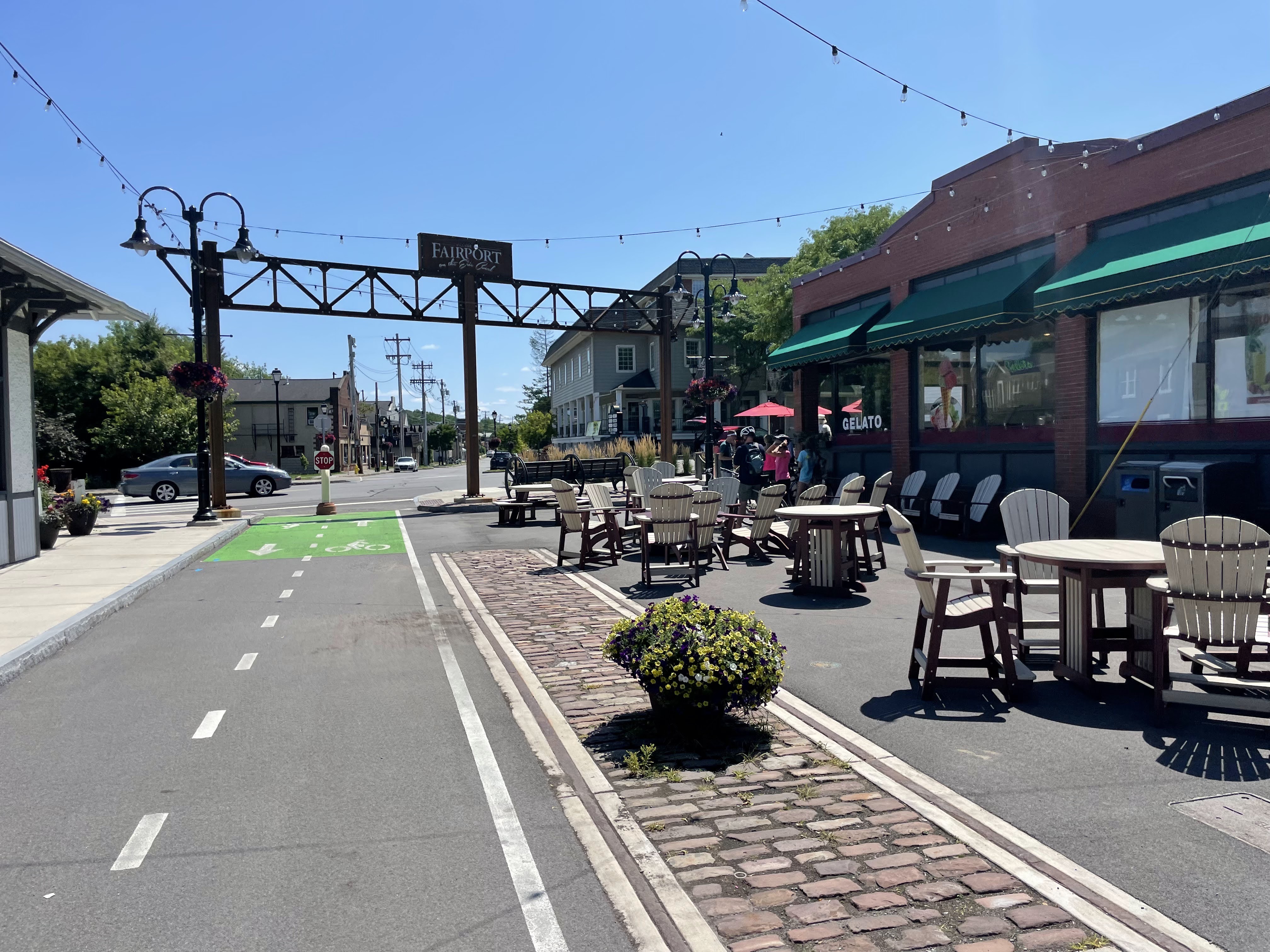
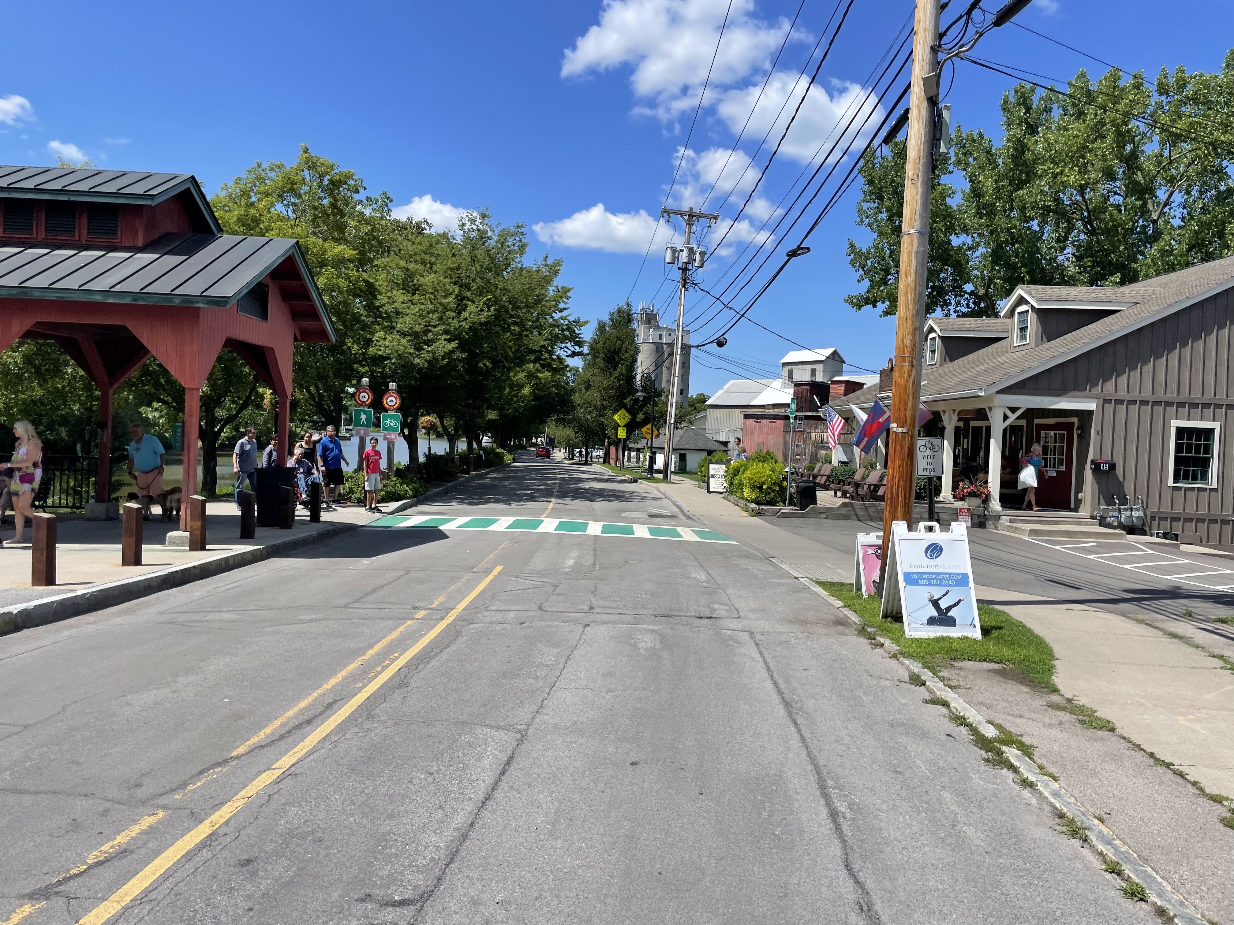
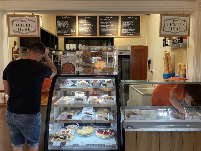
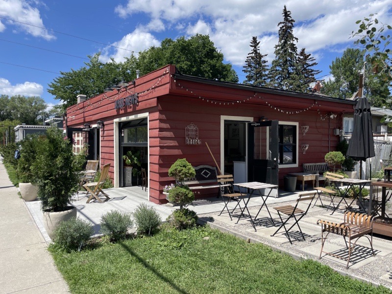
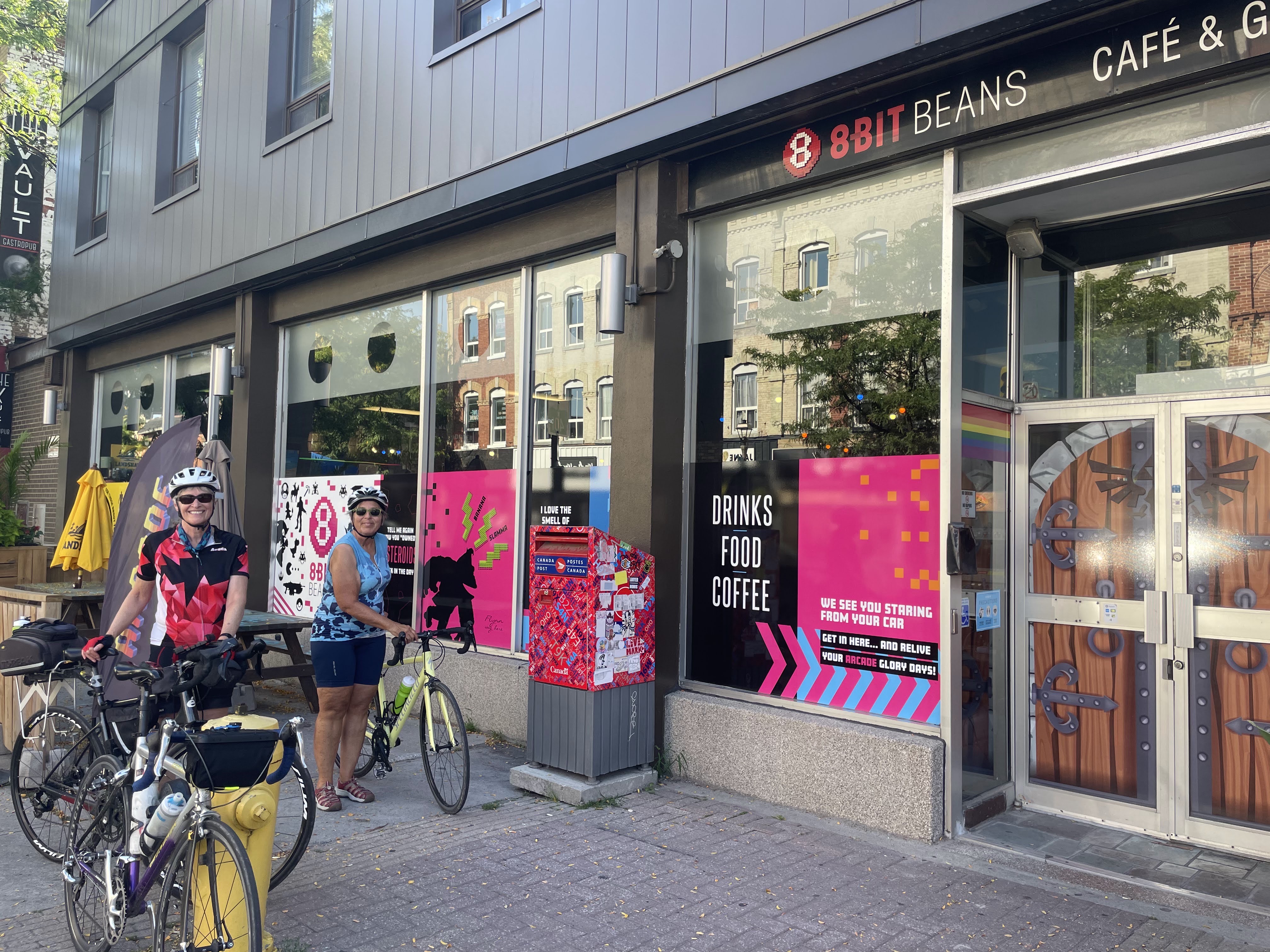
When we arrived at the coffee shop we discovered it was on the sunny side of the street, so I looked at Google Maps again, and found, on the other side of the street and a few shops north, the Eight Bit Beans Café and Gaming Arcade.

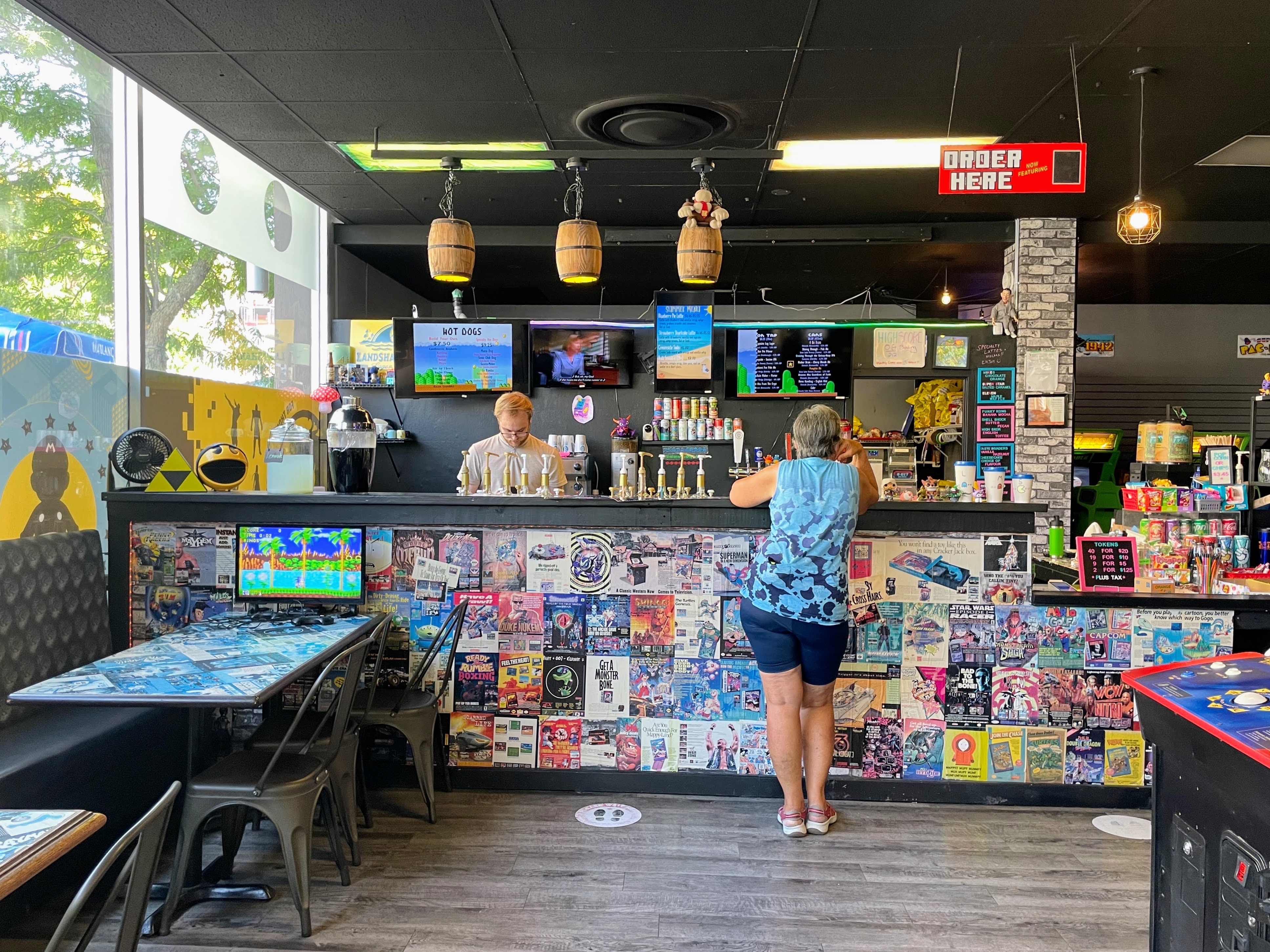
We bought drinks, but didn’t play the games, and sat on the shaded patio outside. It would been a pleasant spot, except for the constant roar of motor vehicle traffic. Brock Road has a highway entrance and exit so it’s quite a busy street. The retail area at Brock and Dundas is a similar size to downtown Brampton‘s, but with much higher quality retail and restaurants than we have in downtown Brampton.

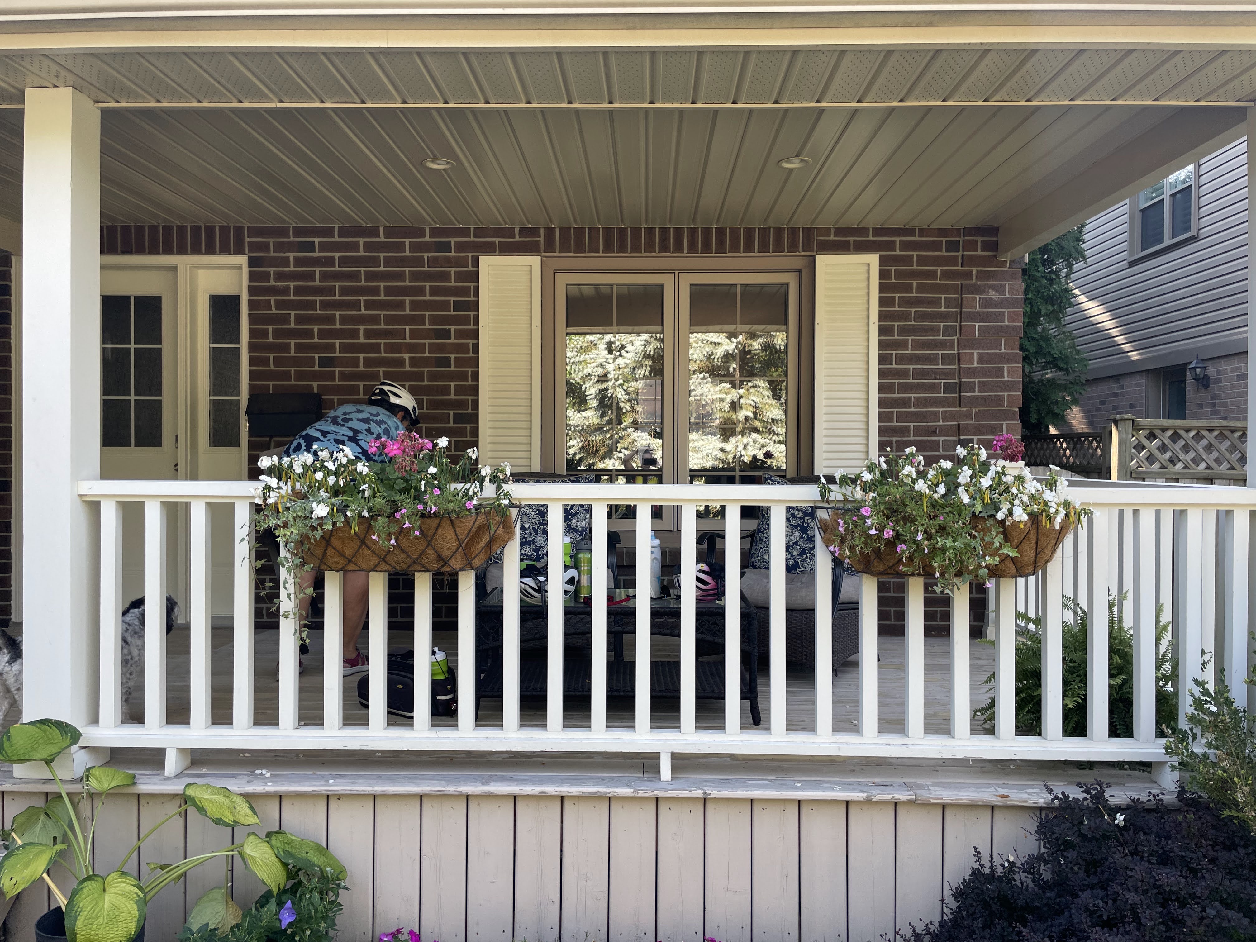
A few kilometres later, for a total of just 20 km for the day, we were back at the house and relaxing on the inviting porch.

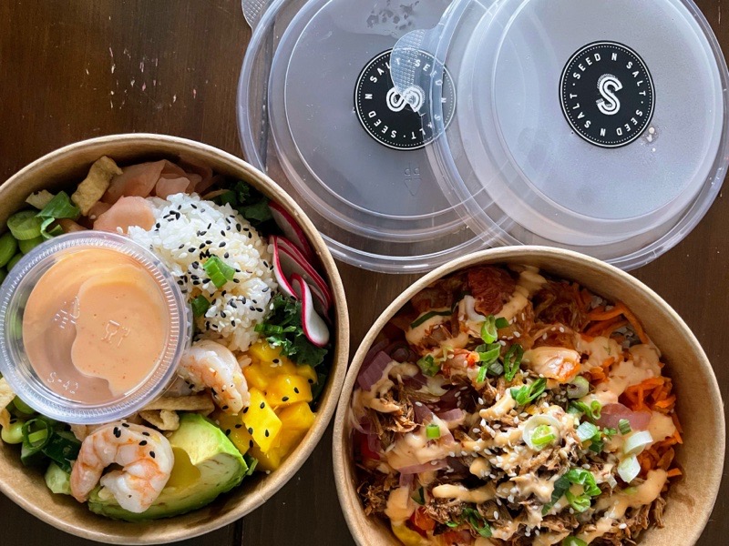
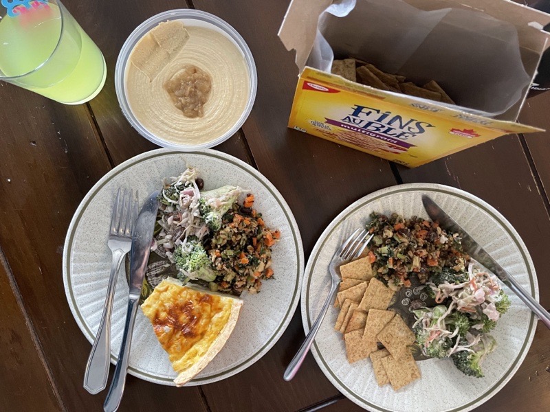
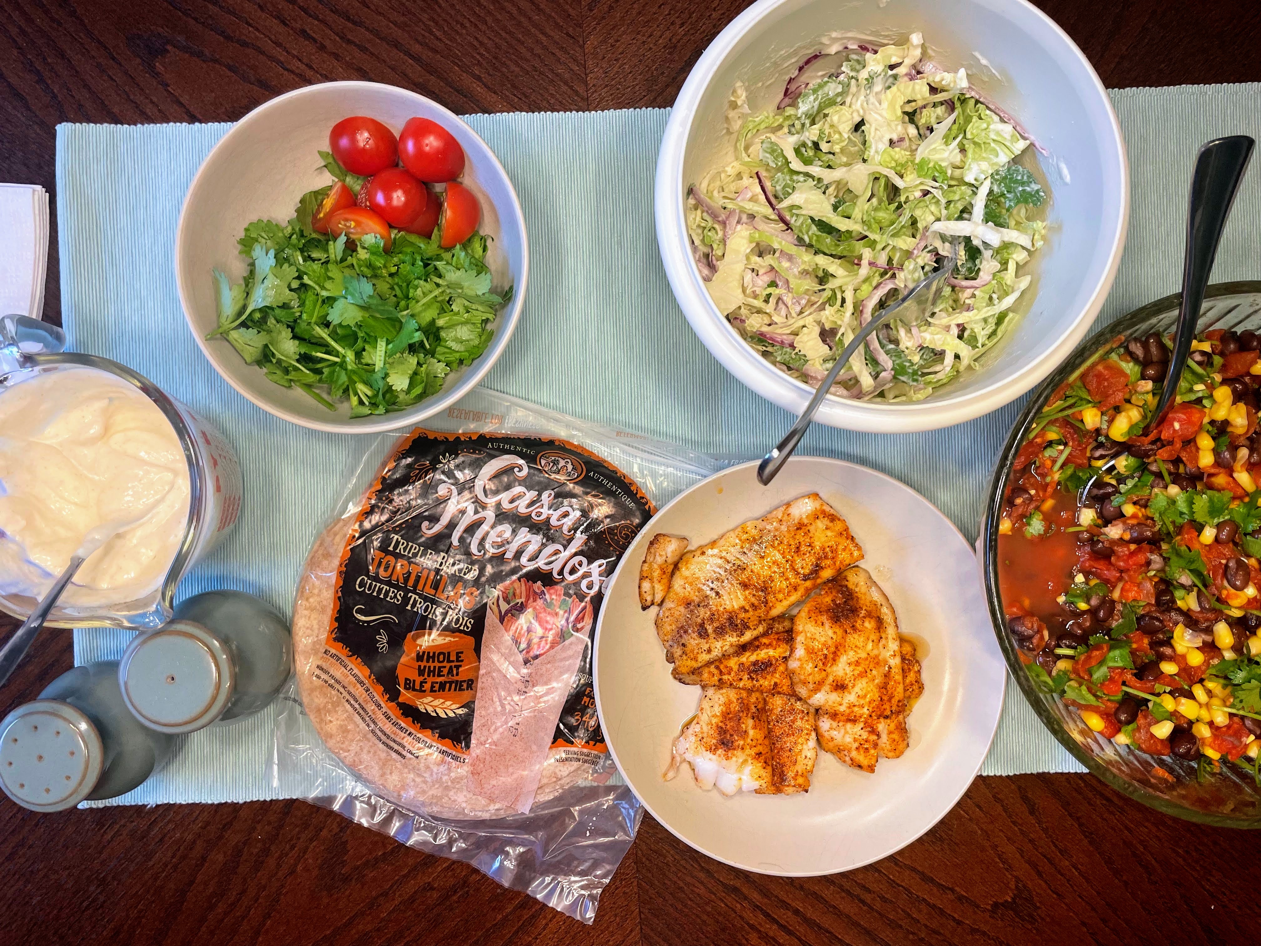
We agreed to each prepare a meal while we were here, and Cindy made us fish tacos tonight. I made a bean salad to accompany the tacos.

Cindy and Dayle took Oakley for a walk while I worked on the blog. We’re looking forward to a slightly cooler, and longer ride, and meeting up with David, tomorrow.

Rochester – Day 4

The day dawned beautifully sunny with a forecast high of 24°. We packed, checked out, and drove to Pittsford New York, a small town, which is part of the greater Rochester area, on the Erie Canal. The Eastman museum was on the way, and we stopped briefly to take a picture in the sun.

The Erie canal was built between 1817 and 1825 and was 580 km long from Albany to Buffalo. It was the longest artificial waterway in North America.

The cycling route along the Erie Canal is 87% off road, as of this writing, and is part of the Empire Trail, which runs North to the Canadian border, and south to New York City. I rode the section of the Empire Trail on Manhattan last year.

There was plentiful parking available near the canal in Pittsford. We unloaded the bikes, rode across the canal, and came to a cute area with restaurants and cafés. We stopped at Artisan Gelato and Espresso, and I ordered a latte and a gelato. Unfortunately, they were both mediocre, and I couldn’t recommend the business. Next time I would try one of several other coffee or ice cream shops in the area.

Our destination for the day was Fairport, another small town on the canal, about 12 km away. The ride would be new for both of us, as Patti and I had a cycled the path from Rochester to Pittsford, but not beyond. The first part of the path along the canal excluded cyclists, but the road was not busy, and had raised crosswalks, which slow down motor vehicles travelling along there with the bikes. A few hundred metres later we crossed Highway 31 and continued along the tow path which was shared between pedestrians and cyclists.

The surface was limestone screenings, but it was in quite good shape, similar to the Caledon Trailway.

We saw several of these canal guard gates, which, in the event of a break in the canal wall, can be lowered to prevent water from long stretches of the canal being released.

As we arrived in Fairport we saw cute swinging benches, and a canal cruise boat which runs between Pittsford and Fairport.

Fairport welcomed cyclists with a paved and well marked cycle track coming into town. There were places to eat right there, but we carried on into town to Donnelly’s pub.

One of the lingering positive aspects of the pandemic seems to be more availability of outdoor dining. The pub was empty indoors, but had a few people outdoors on the patio. After lunch, we retraced our ride out of Fairport.

We had considered going back along the road, which would have picked me up new tiles, but the canal was so pleasant, and one often sees different things while retracing the ride in the opposite direction, that we decided to go back along the canal, even though it was a little longer.

The small town of Bushnell‘s Basin was at about the halfway point between Pittsford and Fairport, and had some seating at the turn into town, but we didn’t explore it as we had a drive ahead of us and had already eaten in Fairport.

We continued along the path, dappled in shade, passing a remnant of a break in the canal. This part of the canal was rebuilt three times to enlarge it, and suffered two devastating collapses.

We stopped at a local brewery to buy some beer to take to dinner at Megan‘s in Hamilton on our way home. A section of the parking lot in front of the store was used for seating and bike parking. Unfortunately, it transpired that she wasn’t feeling well, and we weren’t able to stop.

Pittsford has well marked and raised crosswalks, which slow down drivers and make it safer for pedestrians.

We planned to finish our ride with ice cream at the Pittsford Farms Dairy, but the lineup was so long that we decided to forgo it, and be on our way.

I checked AtlasObscura to see if there was anything we should see in the area and there was an entry for the culvert at Medina. This is the only place where the road goes under the canal. it was on our drive back home so we stopped briefly to have a look.

The border crossing was a bit faster than on the way down, but there was a stop and go lineup that enabled me to take this picture of the international boundary line as Michael drove across it.

Rochester made a great weekend getaway, and I would recommend it to anyone who hasn’t been before, or hasn’t been for a while. And I think we’ll plan a trip back after they complete the removal of the next section of the inner loop.

Rochester – Day 3

It was raining when we woke up, and had been forecast to do so when we went to bed last night, so we planned to visit the Eastman Museum. The rain had stopped by the time we were ready to leave the room, but the roads were still very wet, and heavy rain was predicted for the afternoon, with flash flood warnings, so we drove the 3 km. It was quite a pleasant Route, and we both felt somewhat lazy, and that we were missing out, by driving, rather than riding or walking. However, when we left the museum, it was pouring heavily and we were thankful to be able to drive back to the hotel. The sunny picture of the front of the mansion below was taken on our final day in Rochester, as we drove east to Pittsford, as the rain was so heavy when we left the mansion that I didn’t want to walk around the grounds when we left.

George Eastman was the entrepreneur who founded Kodak. The George Eastman Museum is housed in his Colonial Revival mansion, which he bequeathed to the University of Rochester in 1932, with the desire that it serve as the university president’s residence. However, the 35,000 square-foot mansion was too large for that purpose, and the university donated the mansion and property to a nonprofit which established the world’s first museum of photography on the property, and which opened in 1949. For 40 years, the museum objects were displayed in the mansion, however, in 1989 an addition of 73,000 square feet, more than 70% of which is underground, was constructed and included “climate controlled collection vaults, exhibition galleries, libraries, offices, and photographic conservation and film preservation labs”. The mansion and grounds were then restored to their orignal condition using photographs, and other historical evidence, and more than 85% of the original furnishings on the ground floor were returned to the mansion.

George Eastman was the pioneer of popular photography. He was born in 1854, and moved to Rochester in 1860. Two years later, his father died, leaving him, his mother and two older sisters with few financial resources. George left school at 14 to support the family, working first at an insurance company and then at a bank. When he was 23, a colleague encouraged him to take a camera on his vacation and he became engrossed in photography. However, photographic equipment was heavy and expensive and required special processes to develop the photographs at that time, which led Easton to spend three years experimenting in his mother’s kitchen to invent a new process. With the backing of a local businessman Eastman created easy to use cameras that made photography widely accessible, and developed a flexible film that was critical to launching the motion picture industry.

Eastman was involved in every aspect of his new company, including creating the name about which he wrote “In regard to the word Kodak I can say that it was a purely arbitrary combination of letters, not derived in whole or part from any existing word, arrived at after considerable search for a word that would answer all requirements for a trademark name. The principal of these were that it must be short; incapable of being misspelled so as to destroy its identity: must have a vigorous and distinctive personality; and must meet the requirements of the various foreign trademark laws.”

Eastman, hired a New York City copywriter to write the manual for his first camera, but dissatisfied with the result, he re-wrote the manual himself in a very simple format, rather than in the flowery language of the day, and came up with the slogan: “You push the button, we do the rest”. He also decided not to advertise the camera in photographic journals, but rather advertised in mass-market publications, which was considered a risky, move at the time, but proved to be very successful.

He was very involved in the design of his mansion. Unhappy with the nearly perfect cube that the architect designed for the conservatory, he undertook a renovation which cut the house in half, rolled the back half of the conservatory back by 9 feet on rails, and which cost 50% more than the original cost of building the entire mansion.

The last time I was here we had a tour lead by a docent who was knowledgable and entertaining. The docent has now been replaced by small information boards in each room, and visitors are encouraged to download the Bloomberg Connects app, to listen to recordings about each room. Unfortunately, with an app the back-and-forth that one would get with a docent is missing, and the commentary was rather dry. The benefit was that when I wrote the blog, I was able to refer to information on the app, as well as other sources on the Internet, as well as my memory of the day.

In the late 1920s Eastman was diagnosed with spinal stenosis, a progressive and irreversible disease. In 1932 he ended his own life, leaving a note in which he wrote, “My work is done. Why wait?“

After touring the mansion, we toured the three galleries with exhibits from their large collection. This wall showed 1778 powder dye samples out of the over 3000 held by the museum, which were used to make Technicolour films.

The museum has the original lunar landing camera, which was made by Kodak for the purpose, in its collection.

It also has early digital cameras in its collection, but since Kodak did not produce SLR cameras, it produced equipment that could be used to convert SLR cameras from Canon and Nikon into Digital SLR cameras.

Kodak failed to capitalize on its early leading digital photography of declared bankruptcy in 2013. This had a major impact on the economy in Rochester. The company has emerged from bankruptcy to focus on four business areas: Traditional Print, Digital Print, Advanced Material & Chemicals (including Motion Picture) and Brand licensing of consumer products produced by third parties.

We had a delicious lunch in the restaurant in the museum.

After returning to the hotel, we decided to take a walk to see some of additional local sites given that the rain had stopped. In the same block as our hotel, and across the street from the Metropolitan tower we’re boarded up buildings. Within a few blocks of the hotel, we passed additional large abandoned buildings.

This is Martin Luther King Junior Memorial Park. The mural in this park is dedicated to Martin Luther King Jr. and also includes two other Rochester citizens: Susan B, Anthony and Frederick Douglass. The artist is Shawn Dunwoody.

The focal point of the park is a sunken concrete plaza containing a 2000 seat, amphitheatre and waterfall. A steel scaffold-like frame was built to allow visitors to view the park from a high level. Unfortunately, the platform was closed while we were there.

We walked around the other side of the Museum of Play. The museum has a large carrousel indoors.

We also explored more of the new residential neighborhood.

The parking garage might be the most attractive I have ever seen. The stairs were wide, bright, and obviously located. At least, as many people were using the stairs as the elevators. The outside of the parking garage is decorated with a colourful rainbow of beams.

We then walked down Union Street observing the homes and businesses that had been built on land reclaimed from filling in 1.7 km of the inner loop. There was excellent cycling infrastructure, pretty gardens, mid rise house, and shops on the main level.

When I was here 10 years ago I took this picture standing on a bridge over the inner loop.

Standing there today it was very hard to imagine what it used to look like. I used Google Streetview to look at how the streetscape changed since I was last there. Pay attention to the white parking garage on the right to orient yourself as the scene changes.

We went to TaiChi for dinner where Michael had Ramen and I had a sushi burrito. They were both delicious.

We passed the Eastman School of Music at the University of Rochester on the way back. The school has many famous alumni. The school was established by George Eastman.

St Joseph’s Church was constructed between 1843 and 1846, but was destroyed by fire in 1974. A Park was created on the site in the ruins in 1980. Unfortunately, it wasn’t open while we were there.

This is Rochester’s liberty pole. There was a long-standing American tradition of political protest and celebration at liberty poles. The first one on this spot was built in 1846. The current one was completed in 1965 and is 190 feet tall and made of stainless steel. Previous ones had been destroyed by storms. The fountain in the foreground is a reminder of a time in American history when blacks and whites were required to drink from separate drinking fountains.

Rochester- Day 2

It’s easy to forget that Covid is still circulating and continues to be a potentially deadly and disabling disease. I caught it for the first time at the end of March of this year. I would preferred not to catch it again . One of the things that I do help me evaluate risk is to monitor CO2 levels indoors. Outside air has about 400 ppm of carbon dioxide. Good indoor ventilation can lower the risk of infection because it reduces and degrades aerosols in the air.

Additionally, CO2 above 1000ppm can harm well-being, causing headaches, fatigue, and lack of attention, so good ventilation is desirable even in the absence of disease.

When we entered the hotel room, where presumably no one had been breathing out for some period of time , the level was above 1500. By the morning it was over 3000.

I went to bed with a headache, but it was even worse when I woke up. And, interestingly, my Fitbit which measures my breathing rate, indicated it was almost 50% higher than my personal average.

We ate a breakfast of oatmeal, fruit, and tea in the room, and then prepared to ride our bikes to Sacred Heart Cathedral. On our way out, we stopped at the front desk and explained the situation with the poor ventilation. An easy way to improve ventilation is to open a window, but the window in the room was locked. We asked if we could check the air quality in a different room, and potentially move there, or for the window to be unlocked so we could get fresh air into the room that we were occupying. They agreed to look into it. When we returned, the window was open and the air quality had improved dramatically. We kept the window open the rest of the time we stayed there.

I had planned a route along the Genesee Riverway Trail, and then some local streets. Our bikes were still in the van in the parking garage. We ran into a problem right away coming out off the parking garage ramp. The route indicated we should go left, but there was a centre median and we could only go right. Given that we were on bikes, and not in a car, we should have just lifted our bikes over the median and proceeded to the left, but I turned right, and proceeded to try to make corrections, and kept running into one-way streets in the opposite direction to which we wanted to go. Fortunately, I was able to see the route, and where we were in relation to it, on my phone, because I was using Ride with GPS. We crossed over the river, to the side where the cathedral is, so we proceeded to ride on the road, the rest of the way north, and planned to return on the trail.

Some of the roads had painted bike lanes, but mostly we didn’t have a cycling infrastructure. However, the roads were lightly travelled by motor vehicles, especially by the standards of what are used to in Brampton on a Friday morning. The heat and humidity were already oppressive.

The route quickly transitioned to larger roads and lower density building as we travelled north.

We saw some interesting architecture along the way.

Rochester reminds me of Buffalo, which I visited with Alun in 2015, and with Michael in 2019. Frederick Law Olmsted was involved in urban park landscape architecture in both cities, as well as designing Central Park in New York City, and Mont-Royal in Montreal, among many other projects.

Additionally, Rochester and Buffalo are both cities that peaked at a much higher population level than they currently have, so they feel somewhat empty. Rochester reached 332,000 people in 1950, but has declined to only 210,000 today. Buffalo peaked at 580,000 in 1950 and currently has only 277,000.

Sacred Heart was built between 1925 and 1927. The building was extensively renovated in the early 2000s.

The streets around the cathedral, were lovely to ride on, with medium to large old homes, and trees meeting over the street. It was only a short ride to the Genesee Riverway Trail.

At one point, the signage on the trail, directed bikes on to a local residential road, but we stayed on the trail, which became a rough pathway, but we managed. Shortly after that, I recognized a park that Patti and I had visited when we were here. We crossed the road and descended a steep hill, and were treated to this view of the Genesee Lower Falls.

We then continued down the hill to find our way blocked from this river crossing. Unfortunately, the map layer that I planned the route on was unaware of the closure.

It was a hot sweaty ride back up to the road where there was a detour sign which we had missed on our way down. We were treated to another view of the falls from the bridge over the river.

The detour caused us to pass the Kodak Hawkeye plant, which was a 785,000 square-foot plant sitting on over 12 acres which has been vacant since 2011. The local paper published an article in 2018, indicating that the plant was to be sold and re-developed, but it wasn’t obvious while riding past it that anything has happened yet.

We passed a beautiful mural by KaeLyn Rich.

Then we passed the massive Genesee Brewery complex which included a brewpub, which we took note of as a possible location for dinner.

The heat had only gotten worse as the morning progressed causing me to switch my bike helmet for a sun hat.

We went to Bite Rochester, a café in the old Xerox complex, for lunch.

There were no bike racks outside, but they allowed us to bring our bikes in.

While waiting for the food to be prepared, I wandered around the bridges that connected the café to the office building.

I’ve seen a lot of these bikes in and around the building which I assume are available to residents of the building.

After a few minutes of exploring, I tried to retrace my footsteps, but discovered that one of the sets of doors I had gone through was locked. I had to go back into the main building, down the elevators, and out through the lobby we were in last night, and walk back to the restaurant outside.

Parcel 5 is a park and event space in the area which used to have a local department store on it.

Riding often helps dissipate my headaches, but with the hot, humid air it persisted. So we decided to return to the hotel for a swim. The pool was on the fourth floor with a view of the city. We swam, and then lounged. It almost felt like an afternoon at a resort down south.

On our way to dinner we returned to the Rochester Public library because I wanted to see what it was like inside. Unfortunately, since we had been there yesterday evening, a notice appeared on the door indicating they were closing early. The library isn’t open on weekends so we missed our opportunity.

We walked past Andrews Terrace, which we could see from our hotel, a large, interesting, looking apartment, building with river views, for the elderly, and disabled, which is a rent geared to income building. It was built in 1975 and was intended to draw middle income residents back downtown.

This mural was created in 2012 by the German street artist duo Herakut, as part of their Giant Storybook Project. The characters in the mural can be seen on murals in cities around the world in different scenes.

Our walk to dinner took us across a portion of the inner loop that is slated to be removed.

Dinner was on the balcony at the Genesee Brewpub. It was a pleasant location overlooking the Genesee River High Falls, and the Pont de Rennes bridge, which Patti and I rode our bikes across, but is currently closed for renovations.

There is a viewing platform and newly renovated park from which I caught a train over the falls,

Rochester calls itself both, The Flour City, and The Flower City, for its history of milling flour, and growing flowers.

This is the car centric entrance to our hotel.

We were treated to a lovely sunset with the sun setting, almost directly behind the Kodak building.

Rochester – Day 1

Michael and I decided to do a getaway to Rochester for his birthday. I had been to Rochester twice before, with Patti in 2013 and 2014, but Michael had never been there. I didn’t have particularly strong memories of the city. The ones I had included an impression of a city in decline caused by its large homegrown companies, such as Kodak, Bausch & Lomb, and Xerox, declining or leaving. There were a few painted bike lanes. There were a lot of boarded up buildings downtown. The city was hard to navigate as a pedestrian or cyclist due to the fact that neighbourhoods had been destroyed to build a a highway in a trench. My strongest memories were of the area around the Eastman Museum, a beautiful area of large homes and tree lined streets, and of Pittsford, a small town in greater Rochester on the Erie canal. Those visits were just before I started blogging. One of the reasons I started blogging was to improve my memory of my travels, or failing that, provide me with something to go back to review. The second trip was after I started recording my bike rides. I did have geotagging on my pictures from both trips so I can see where the pictures were taken and how things have changed.

I reviewed my pictures from those trips and searched my email to find out where we stayed. The first year we stayed downtown at the Hyatt, and the second year we stayed at the Best Western in the south part of the city, near the Erie Canal Trailway, for the ride we planned to Pittsford. One of the reasons I was interested in revisiting the city was because I had read about the partial removal of the Inner Loop Expressway. We decided to stay at the Hyatt downtown because of the proximity to the newly revitalized area.

We dropped Alun in Hamilton on the way. Then stopped at the Niagara Falls outlet mall for the first time. We had a quick walk around the mall, which has outdoor corridors, but it started to rain heavily, so we grabbed lunch, used the bathrooms, and continued on our way. It’s a 270 km drive from our home, but there’s always uncertainty about how much time it will take to cross the border. Michael travels on a British passport so he is required to fill out an ESTA (electronic system for travel authorization) every time he goes to the US. When he arrives at the border, he enters the United States under the visa waiver program, which means that he gets sent to secondary to purchase the waiver, which lasts for 90 days. And because I was travelling with him, they took my passport as well, and we both had to go to secondary. Between the lines to get to the booth, and the purchase of the waiver we were at the border for 70 minutes. When I asked why they were taking my passport and making me go into the building with him, the answer was, “to prevent people wandering around in the parking lot and having picnics“. Once he had paid for his waiver, they returned both passports without making any further inquiries to me. After recently travelling in Europe, and crossing international borders with no controls, the whole process seemed onerous.

We arrived at the hotel just after four and checked into our room on the 21st floor, although it was called the 22nd because they didn’t have a 13th floor.

We unpacked and then explored the hotel which had a nice outdoor patio on the fourth floor. Our view was in the opposite direction and more interesting than when Patti and I stayed there.

We explored the neighbourhood by foot. The Xerox campus takes up an entire city block and is a very distinctive building build in the brutalist architectural style. It was built in 1967 and was, at the time, the tallest building made of poured in place exposed aggregate concrete. It is the tallest building in Rochester. Xerox has sold the building and moved all of its employees to Webster, New York. It is now known as Innovation Square. It has been retrofitted with housing,commercial, and college student living space. The auditorium has reopened as a performing arts center.

We looked around the lobby, and the exterior of the complex. I found it all quite appealing, especially where the pyramid of columns were half in and half outside the lobby.

We next made our way to the Strong National Museum of Play. The museum was started by Margaret Woodbury Strong, who was a prolific collector of every day objects, but especially dolls and toys. She bequeath her estate to start the museum,and it opened in 1982 in downtown Rochester. In the 1990s, the museum significantly increased programming for families which led to increased attendance. There have been several expansions over the years including the one in 2018 which included a parking garage with a playful design, and outdoor board game inspired playground. Not having any children with us we didn’t actually go into the museum, but from what we saw it looked like a wonderful place for families.

The inner loop east transformation project filled in a 1.1 km long section of highway creating 6 acres for redevelopment. The Strong was able to expand the museum, and a mixed use rental neighbourhood, with some affordable housing, and complete streets with cycling and pedestrian infrastructure at grade, was created on the reclaimed land.

In the same block as our hotel is The Metropolitan. It was formally known as the Chase tower, and before that Lincoln First Bank. It is the third tallest skyscraper in Rochester with 27 floors and was built in 1973. It is unique for its vertical fins that curve out at the bottom. It was also known for its fast elevators. The upper floors of the building have been converted to apartments, and a new entranceway was completed since I was last there. The fins were originally made with marble panel coverings, but became damaged and were replaced with painted aluminum panels. A lot of former office space has been converted to residential in Rochester.

We decided to have dinner at Native Rodchester. The location was appealing with large doors, open to a patio, and the menu was also interesting.

After dinner, we continued to walk around and explored a newly updated plaza next to the Rochester public library. Unfortunately the library was already closed so we planned to return on Friday.

The Genesee river runs through Rochester and has several large waterfalls within the city. The Erie Canal, which runs from Buffalo to Albany, and connects with some other canal systems, runs through the southern part of Rochester, rerouted there in 1918.

The earlier route of the Erie Canal ran through downtown Rochester. A remnant of it is still visible under the Broad Street bridge (on the left in the image above). It was a stone aqueduct constructed about 1840 which carried the canal over the Genesee River. In 1927 a roadbed was added to accommodate motor vehicle traffic. The disused aqueduct was also used to carry part of the defunct Rochester subway.

The Rochester industrial Rapid Transit Railway was 11 km long and ran from 1927 to 1956. It was constructed in the bed of the old Erie canal which allowed it to be grade separated for its entire length. 3 km of the route through the downtown area were constructed in a cut and covered tunnel that became Broad Street, and were the only underground portion of the subway. The subway was abandoned in 1956 and parts were used for expressway construction, while the rest was abandoned and filled in over the years. A section under Broad Street can still be seen.

There is a plan, called ROC the Riverway, which will remove the vehicle deck of the Broad Street bridge, to open up the former aqueduct and subway bed,to create public space, and enable the completion of the Genesee Riverway Trail through downtown.

This picture shows Broad Street and the aqueduct reflected in the Blue Cross Arena.

The Times Square building, an art deco skyscraper, is the eighth tallest building in Rochester with 14 floors. It was formerly the Genesee Valley Trust Building. The “Wings of Progress“ sculpture (made from aluminum – each wing is 13m high, and weighs 5400kg) on the top of the building is one of the most distinctive features of the Rochester skyline.

There is a mural entitled “Stories of Strength” in honour of domestic violence survivors by Sarah Rutherford, on the side of the building.

These streets are being reconstructed as complete streets with bike lanes and bus lanes.

Quite a few of the buildings in downtown Rochester are connected by bridges over the road. Our hotel is in the background in this image, and the buildings in the block including the Hyatt are connected to a large parking garage, which is also connected to the convention centre by a bridge, and the Hilton.

This is the view from our hotel room. The very large pink building at bottom left is a completely abandoned hotel awaiting redevelopment.

Calgary – Day 8 & 9

We were planning another walking day in Calgary today, but before we got out of the apartment Patti’s son Robert phoned to ask if we wanted to go to Kananaskis for a hike while he golfed with a friend. We accepted.

Here’s this morning’s picture of Cat on my bed, playing with my ball which I use for massaging tight muscles.

It should have been about a one hour drive, but we ended up in a 13 km long, stop and go traffic jam, which turned out to be due to some repair work on one lane of the highway for only 100 m or so. It took two hours, door to door.

At least we had incredible scenery to admire while we were stuck in traffic.

Robert dropped us off at Kananaskis Lodge, then drove to the golf course 8km away. We grabbed some lunch in the café at the lodge, and then started walking towards the golf course.

The forecast high for Calgary was 24° today, but it was only 15° when we set out after lunch. As we walked, it got warmer and I took off my jacket.

The trail was paved the entire way, winding its way downhill for the first couple kilometres through forests with occasional glimpses of the mountains. The scenery was incredible.

In the next couple kilometres we crossed over the river twice. Robert had pointed these bridges out from the car and emphasize that we should turn right and not cross the road at these points.

Then we came into a much more open area between the mountains, where the sun was intensely strong, and it became quite hot.

As we were approaching the golf course, Robert texted and suggested that we go another 4 km to Wedge Pond, but my feet were not happy after all the walking yesterday, and with the 8 km we had done today, so we met Robert at the Kananaskis County Golf Course restaurant for an early dinner.

One of Robert‘s friends who works there joined us for a while, and then they went to hit a few balls at the driving range. We walked over to meet them there. The backdrop to this driving range almost makes me want to take up golf. Then the friend showed us the staff accommodation, which is quite nice. Most of the staff live at the accommodation by the golf course and work there in the summer. Many of them also work at a nearby ski resort in the winter.

After that, we drove back to Calgary and met Sonia, who moved to Calgary from Brampton last year, for a visit and gelato.

After the gelato, Sonia gave us a walking tour of the neighborhood, showing us the library in Memorial Park, taking us by a different route than we had arrived there yesterday, so that it was only at the last minute we realized where we were, and some local public art that we hadn’t seen yet walking around.

Our time was short, but we made the most of it, and it was nice to catch up.

On our final morning, we packed and tidied up. Cat tried to help, or was indicating I should take them with me, but unfortunately, I had to leave him behind.

We took a short walk and I picked up some food for the plane.

Patti‘s son drove us to the airport and while we were stopped at a traffic light I spotted this on the window of a local business. “Thanks Calgary for being a great city to visit.

I was impressed to notice that there was a multi-use path that approached within 800 m of the terminal. So close Calgary! Maybe next time the connection will be complete.

There were no lines for the machines for getting our baggage tags and checking our luggage.

On our way to security we saw this nude cyclists art.

There was no lineup at security and we were walking to the gate less than 15 minutes after we were dropped off.

The flight was uneventful. We were in the third last row so it took although it took a while to deplane, we still had to wait a for our suitcases to appear in the baggage claim hall.

Traffic was backed up for passenger pick up outside the terminal, but Michael had made it to Post 10 and was waiting. We came out at Post 24 and walked as quickly as we could to him while security tried to get him to go around again. Fortunately we arrived before security insisted .We walked up to where he was, and Patti let Ivan, who was still stuck in traffic, know where she was standing. A quick goodbye and off I went, another wonderful trip done.

Calgary – Day 7

Today was a walking exploration of downtown Calgary. We walked somewhere between 13 and 17 km. My Strava said 17 and Patti‘s Apple Watch said 13. She might’ve paused, and I have GPS squiggles adding distance in some of the places where we went inside.

I had identified 10 things that I wanted to see. I put them on Ride with GPS as points of interest, and then created a walk that would take us to them in as efficient manner as possible. As we saw other things that were of interest, along the way, we looked at those, as well.

Memorial park wasn’t on my list, and is a large beautifully landscaped park with a public library in it, and restaurant, that took up an entire block. It reminded me of Bryant Park in New York City, which has the New York public library at one end, and a park at the other end, and also takes up an entire city block.

Next on our list was to have a look at The Bike Shop. They had an excellent selection of bikes, clothing and cycling equipment, but we left empty-handed.

We carried on to MEC and had a look around there, but also escaped without spending any money.

Calgary has done a great job of separating pedestrians, cyclists, cars, and trains at this underpass, and making it inviting with sculptural elements, trees, and colourful lighting in the underpass.

I couldn’t resist taking more pictures of this mural when we turned the corner.

We were heading for Stephen Avenue Walk, a 4 block section of 8 Ave SE that has been pedestrianized.

Calgary has a gallery of public art on their municipal website which has been helpful. Montreal has an excellent one, too. These are good resources if you enjoy public art.

The CORE shopping mall runs adjacent to it. It is a four-story mall and half of the top floor is devoted to public gardens called Devonian Gardens.

After visiting the gardens, we returned to Stephen Avenue Walk.

There was an enormous, loom shuttle, ribbons, and spool art piece outside the mall called Novus Texturea by Gordon Skilling and Jolie Bird. It consists of more than 4 km of straps, 8 km of thread and more than 400 hours to put together.

The crowds were phenomenal for a Tuesday afternoon. There were many restaurants with patios, but also many retailers had displays set up outside. I suspect, but don’t know, that this is related to the upcoming Calgary stampede.

Many of the beautiful old bank buildings have been re-purposed.

There are many beautiful murals downtown.

This piece of public art by Spanish artist Jaume Plensa is called Wonderland.

The nine downtown stations of the LRT are a free fair zone. Just as we approached the Centre Street stop a train was arriving so we rode one stop to City Hall.

This is the old City Hall with a much larger modern extension behind and to the right.

This is Olympic Plaza.

This is Calgary Central library. Construction began in May 2014 with a feat of engineering: the LRT line bisects the site and was encased with concrete foundations, walls and roof panels, and a permanent foundation for the new central library above, was formed. That project took until September 2015 and 99% of the project was completed with the LRT line in full service. The library opened in November 2018.

The wooden archway, framed with western redwood cedar from British Columbia, creates a pedestrian passageway between downtown and the East Village.

This art piece is called Trio, with a third piece on the other side of the library, and was created by Christian Moeller. The piece bobs up and down like a drinking bird.

This is celebration Square.

This area is known as the East Village, and we had planned to have lunch at Sidewalk Citizen, but it closed at two and we were too late.

So we went to lunch at Good Earth nearby.

We sat on the patio and had a view of a public art piece which I had on the walk, called Device to Root Out Evil, by Dennis Oppenheimer. It was rejected by Stanford University as being too controversial, and exhibited at the 1997 Venice Biennale, an international cultural exhibition, before coming to Calgary.

This piece was across the street, but I couldn’t find any information about it.

This piece called Bloom, by Michel de Broin, is on St Patrick’s Island, which is accessible by yet another active transportation bridge. It is made of street lights which “blossom at night softly, lighting the island and watching over it”.

This busy section of the Bow River trail has separated cycling and pedestrian infrastructure.

Calgary was flooded in 2013 in the largest flood since 1897. As much as $6 billion in financial losses and property damage occurred across southern Alberta. Due to that Calgary City Council approved the spending of $150 million for flood mitigation and resilience projects. These walls are meant to protect against the 2013 level flood of the Bow and Elbow Rivers, and to protect Chinatown, East Village, and Eau Claire communities.

We found this piece of public art in the neighbourhood of mid and high-rise buildings in Chinatown.

We had coffee at Café gravity, where they had a grassroot art installation to serve as a memory of all indigenous women and children that have been murdered or gone missing.

I suggested we get the bus back after coffee, but we missed the bus stop and so just kept walking. Because of that, we saw a few things we hadn’t seen yet, including the Harley Hotchkiss gardens, in Courthouse Park, and this mural as we approached the apartment.

One block away from the apartment the bus caught up with us.

My feet and hips were quite tired, so we returned to the apartment to relax until we cooked ourselves dinner.

Tomorrow we plan another day of exploring by foot on our final full day here in Calgary.

Calgary – Day 6

I didn’t take a picture of Cat this morning, so here’s a picture of us waiting for the bus.

Every time I ride the bus I think of the Danish “The Bus” advertisement. The bus we have been taking from the apartment to the bike shop has been very convenient and quick, even if it’s not quite as cool as the one in the ad. It’s worth 90 seconds of your time to click the link.

We got going a little bit earlier, catching the bus that we missed yesterday. It was another cool, but calm, dry, and sunny day. Perfect for cycling.

We had planned to circumnavigate Glenmore reservoir, but the bike shop employee this morning suggested riding down to Fish Creek Provincial Park. That’s south of where we left off yesterday, and would still allow us to ride around part of the reservoir that we haven’t seen yet. So with his help, I quickly created the route on my phone in the Ride with GPS app, and we set out.

We went the other direction around the reservoir one we got to Heritage Park, giving us an opportunity for a picture of this wonderful sign.

The trail near Heritage Park is busy enough that it was separated for cyclists and pedestrians until we got further out.

The views were beautiful.

We left the reservoir and got on the Rotary/Mattamy Greenway. It is a 145 km pathway that encircles the City of Calgary, with over a dozen parks to visit, connecting to spokes of Calgary’s many existing pathways, creating one of the largest pathway networks in the world with over 1000 km of trail. It cost $50 million and construction began in 2006. On this Greenway, we encountered more incredible active transportation infrastructure.

This little piece of public art of a dog holding his waste bag, and pointing to the garbage, was quite cute.

We could see the mountains again today.

Fish Creek Provincial Park was an incredible network of paved main paths, limestone screened side trails and single track, which would take many visits to experience in its entirety. Fortunately Ride with GPS flawlessly led us through.

While we were sitting for a short break, Patti spotted this deer across the pond, which then proceeded to run right past us.

It is a very well used park with excellent infrastructure, including four wavy bridges going back-and-forth across Bow River.

In many places, it felt like we were in the wilderness except for the paved path beneath our wheels.

They were excellent bathroom and picnic structures.

After riding through the trees for a while, we came out in this beautiful meadow, and then spotted our lunch stop in an old ranch house, which was renovated by volunteers. It was a very popular spot with ample bike parking out front.

I was last in Calgary in 1998 visiting friends who had moved there temporarily from Toronto. They lived in McKenzie Lakes, which was less than 2 km off the route we were riding today, so we crossed the Bow on this bridge and rode to their street. I had asked my friend for the address, but she recalled the street name, but not the number. I recalled which side of the street it was on, and that there was a basketball net, but couldn’t narrow it down to the right one, which I learned after the ride. It was a fun little diversion.

The climb from the bridge to the neighbourhood was so steep that it required a double switch back. We managed to ride up without stopping, but had to stop a couple times to avoid collisions on the way down because of other riders coming up.

By the time we left the pathway and were heading back to the bike store, the sky was darkening, and rain was threatening. The forecast didn’t indicate that it was going to rain yet, so we continued on to Heritage Park for coffee and cookies before returning the bikes for the final time. It was a fabulous ride. The staff at Outlaw Sports were excellent, as were their prices, and I would recommend them if you are ever in need of a bike rental in Calgary.

As we stepped off the bus at the apartment, it started to rain again, but it didn’t end up amounting to much.

We rested for a while and then went out and picked up rice bowls for dinner..

Calgary – Day 5

It was 9° when we were leaving this morning, so I had my vest on the bed to take. When I went into the room to put it into my backpack I found Cat making himself at home.

We thought we were in time to get the bus that would get us to Outlaw Sports for their opening, but it came a few minutes early so we had to wait 20 minutes.

Here we are ready to go.

Patti needed to make a minor adjustment to the seat on the medium size bike that she’s using today, but found it to be much better than the small one she has been riding. Her height is right on the edge of the range for the two bikes.

Today we were riding the section of the Bow River, where it turns and runs north south. The closest access point was about 4 km from the store.

The path ran next to a highway for a few kilometres when we joined it which made it a bit noisy, despite the separation, but it soon turned away from the highway towards the river.

We then passed through Sue Higgins Park3, which had the largest offleash area that I have ever seen. It was 1.6 km long. There were many places along the path where you could enter the least free area, and they had little roundabouts to reduce contention between cyclists and people going in and out of the leash free park.

We then climbed on a switchback trail up to the ridge over the river. It gave us a beautiful view of downtown Calgary in the distance.

As we descended, we had a stunning view of the river and the active transportation bridge we would use to cross to the other side before heading back north. Despite the fact that it looks like we are in the wilderness here there was a subdivision right behind me.

A little further north, we came to another bridge and saw several boats with people fishing, and people using the beach. There was a gazebo with a bike stand where we stopped to have a snack before continuing.

It felt like we were in the wilderness but immediately, after leaving the gazebo, it became apparent that we were right next to a subdivision.

The path was blocked by a fallen tree from the storm a couple days ago and a little bit further on there was a cave-in with a diameter of a 40 cm in the path. Fortunately, someone had stuck a dead branch in it, so we were already steering to the other side of the path to avoid the branch when we realize there was a cave-in.

We climbed up another steep hill onto the ridge on the east side of the river to enjoy more spectacular views, and to see downtown Calgary in the distance.

As part of the reconciliation process, Calgary is acknowledging that it has been built on Treaty Seven indigenous lands. We have seen these acknowledgment signs in several places along the path.

We had to cross the Western Headworks canal on the Deerfoot Trail. The word trail here seems to be used to describe highways or busy arterial roads. There were ramps from the path and a protected crossing over the canal on the Deerfoot Trail, and then we were riding along the canal that we avoided a couple days ago.

The employee at Outlaw Sports was correct that it wasn’t as pleasant as the main trails along the Bow River in terms of scenery, and the surface of the path was not as well-maintained. It is a train I wouldn’t mind riding in it’s entirety, but I’m glad I wasn’t doing so on Friday, which was hot and humid.

There was an incredibly low underpass a little further along under the Deerfoot Trail. I’m actually surprised that it was deemed sufficient to be open to the public with simply a warning to watch your head and dismount.

This part of the Canal Pathway is quite noisy, being right next to the busy Road.

And when we reach the point where we turned around at the eastern end of our ride, yesterday, we turned east crossing the Deerfoot Trail, again on a protected crossing, and then started back down the west side of the Bow river. It was such a clear day today, that from the top of the crossing, we could see the mountains on the horizon in the distance.

We used Google maps to locate somewhere to eat for lunch and found that a café called Good News nearby. We had to leave the trail, but had a bike lane, even through an underpass, that took us all the way there.

The food was good, and it had a pleasant patio to sit on.

Where the pathway was adjacent to a golf course, they had a very high fence with the top curving outward to protect path users from errant golf balls.

From there it wasn’t much further to Heritage Road where we had started this morning. It was a long steep climb from the river, and we had seen cyclists walking their bikes up the hill when we went down this morning, but we both made it up without stopping, or walking our bikes. We rode back past the bike store over to Heritage Park to have another barn floor ice cream at Harvey’s Confectionery.

We then returned the bikes to the store and got the bus back to the apartment. It was absolutely perfect for Cycling today. Sunny, no humidity and the temperature in the high teens.

Just as we got off the bus, it started raining. We made it inside and it rained quite heavily for a while. We relaxed for a bit, and then went to the grocery store to buy a few more groceries, and something for dinner.

Tomorrow will probably be our final day of cycling. Then we will spend some time exploring the downtown area on foot.

I’ll leave tonight’s post with a picture from our evening walk,

Calgary- Day 4

I woke before my alarm this morning to this face.

It’s Canada Day so we decided to do a ride along both sides of the Bow River through the City thinking there might be Canada Day events happening along the river.

We took the bus from the apartment to Outlaw Sports to pick up the bikes.

Ready to ride.

There was a multiuse path from the store to 5 St SW, a quiet, residential street, that we followed back north, past the apartment, and into downtown Calgary, where there is an excellent network of separated, cycling infrastructure.

We passed the east west spine of the LRT at 7 Ave SW. There is a fare free zone through the downtown area. We plan to try it in the upcoming days.

Prince’s Island Park is on an island in the Bow River where our ride connected with the river path. There are three active transportation bridges that connect to the island and no motor vehicle access. It reminds me of the Toronto islands, but it’s just parkland with no residential areas.

We had planned to circumnavigate the island, but there were so many pedestrians we decided to leave exploring the island until later in the week.

This is the Peace Bridge, an active transportation bridge just west of the island, designed by Santiago Calatrava, which opened in 2012. He seems to specialize in bridges and has designed over 20 of them around the world. In Toronto he designed the Mimico Creek pedestrian bridge just south of the Waterfront Trail. He also designed the Allan Lampert Galleria in Brookfield Place.

This is the view from Prince’s Island park to the south side of the Bow River.

The infrastructure along the Bow River, through the city, is excellent, with separate infrastructure for cyclists and pedestrians through the busier areas.

We saw this bike rental place on the river, and I checked when I got home and they were charging almost double the daily rate that we’re paying at Outlaw Sports.

It is very impressive how many river crossings there are that have active transportation infrastructure. Or, are for active transportation only.

There were thousands of people using the Bow River today. We saw people in kayaks, canoes, rafts, all manner of inflatables, and on standup paddle boards.

This piece of public art in Parkdale is called Outflow by New York artist Brian Tolle. It functions as part of the storm water system, channeling rain water from the streets, back into the river.

Poppy Plaza Park, commemorates citizens who have served to protect Canada’s freedom and security. It is an expansive two level park with very poignant quotations cut into the Cortland steel walls.

Here’s another picture of the Peace Bridge.

We had lunch at And Some Flower Café. It was a flower shop and Korean food café. Our meal was delicious.

We cycled 12 km on each side of the river and were never out of sight of many people using the river.

I used to whitewater kayak on the Ottawa river, and it would take me five hours to get there. Those were the nearest class three rapids to Brampton. This class three rapid is right within the city limits.

And on the other side of the river, they’ve created class two rapids for people to tube, swim through, and practice white water skills.

This is Fort Calgary, which has the first and oldest building in Calgary built in 1875.

The crowds had intensified, even on the mainland, in the central part of the city to the point where we left the path early because it was getting difficult to ride.

These yahoo signs are scattered around town for the stampede. Apparently yahoo is what cowboys in Calgary say.

We got back to the bike store at 4:30. They closed at five today. Then we bussed back to the apartment for much-needed showers. The high was 29° today and it was somewhat humid. We are under a thunderstorm warning again and the heat wave is supposed to break today. It’s already dropped 7° as I write this.

We ate dinner at home then went out for our evening walk a little later than usual, stopping for a gelato. 17 St SW was heaving with people with overflowing restaurants.

We climbed the stairs again to M’ont Royal to watch the fireworks set off at the Saddledome at 11 PM.