Peterborough and the Kawarthas Cycling Odyssey – Day 4

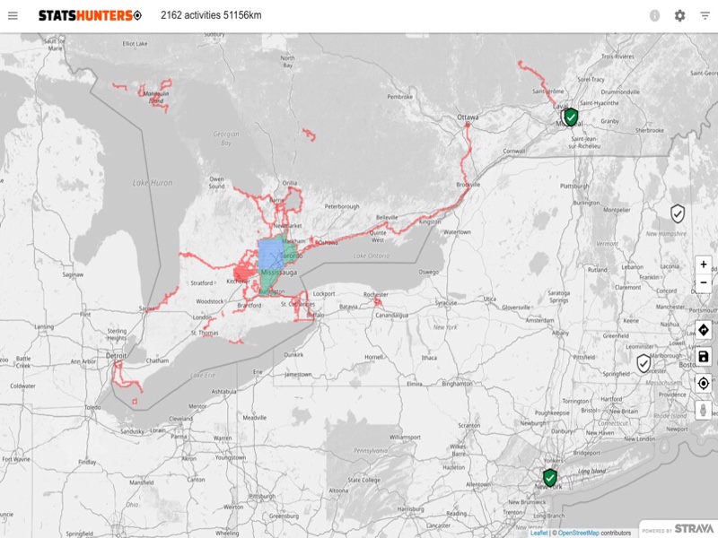
Today we decided to ride Route 2A: The Cottage Country 80. It’s another ride from the Peterborough and Kawarthas website. Last night I downloaded the ride from the website, and did auto tracing so that we would have voice cues. It was only this morning that I realized I should look for a place for us to have lunch. The website shows places to eat and in this case listed restaurants only in Lakefield and Peterborough. I spent a while on Google Maps trying to find something, but was an unable to find anything at or near the half way of 40 km.

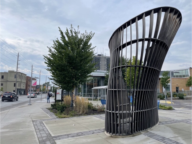
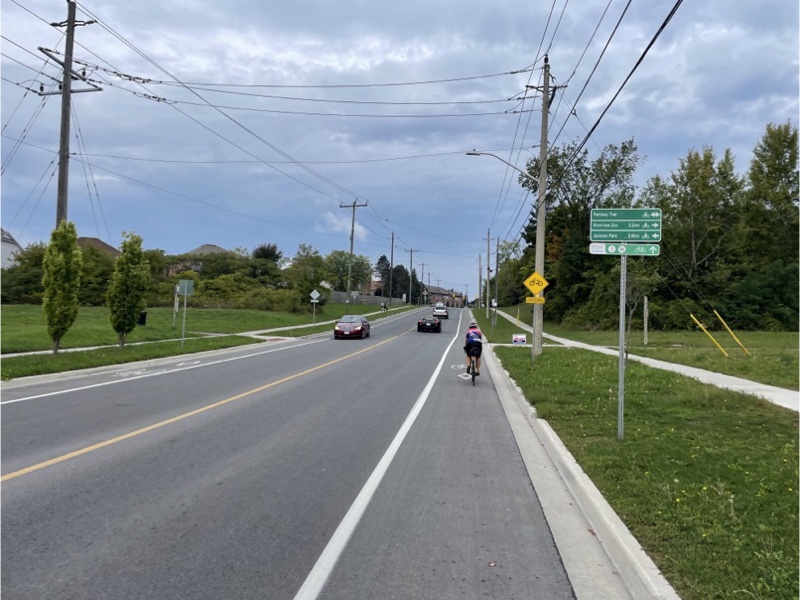
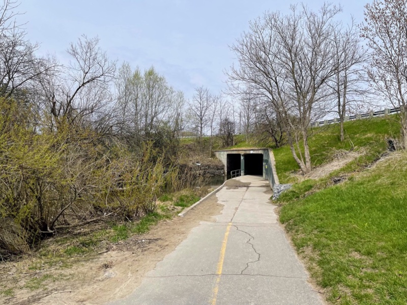
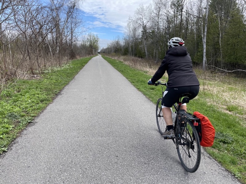
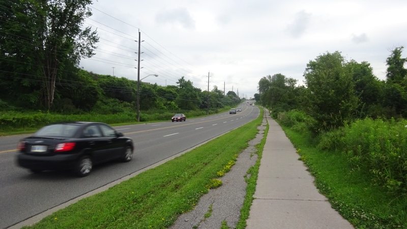
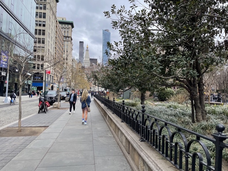
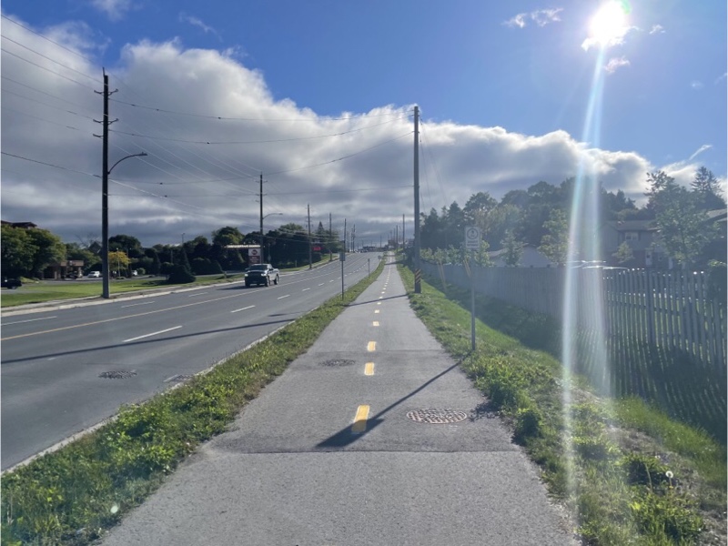
There is a nice multiuse Path along Lansdowne Street.

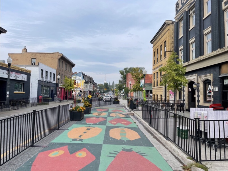
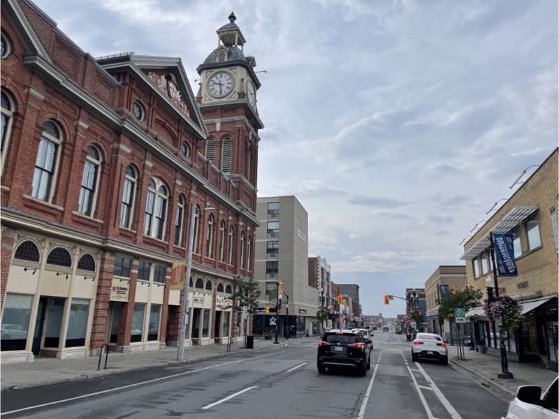
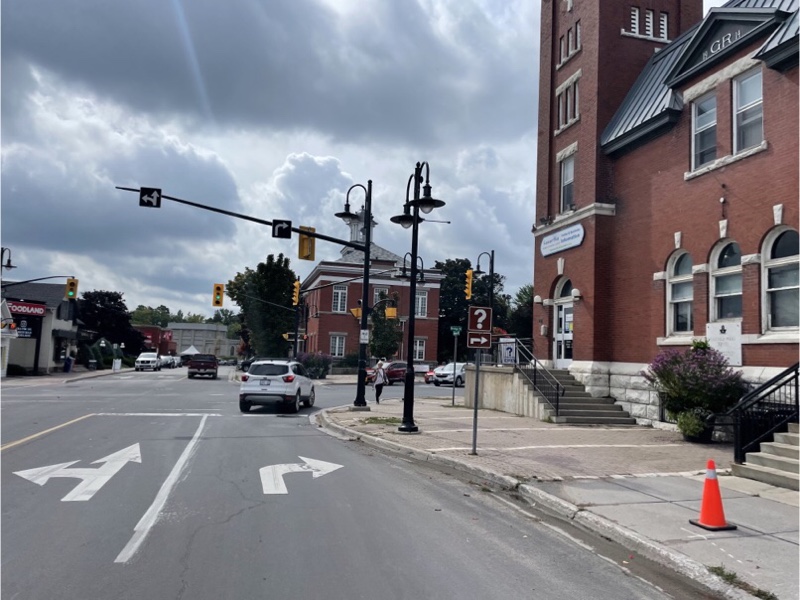
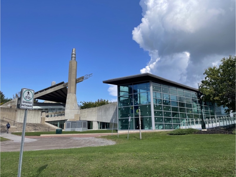
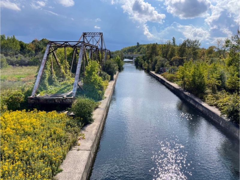
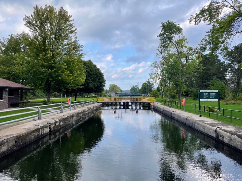
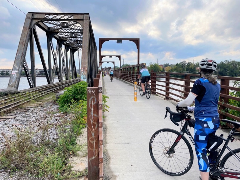
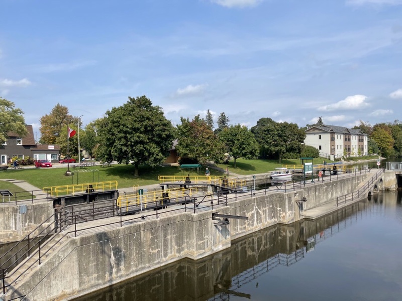
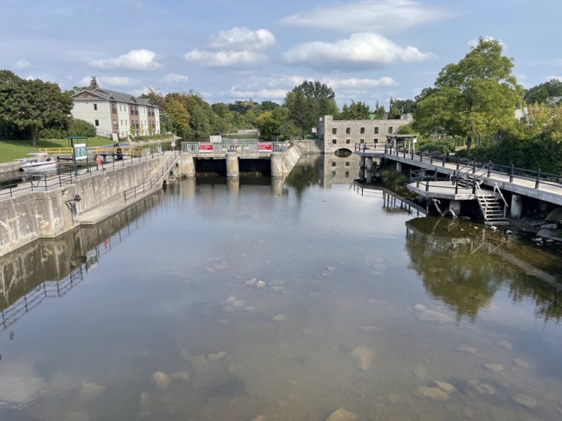
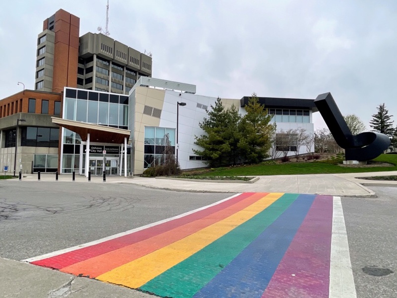
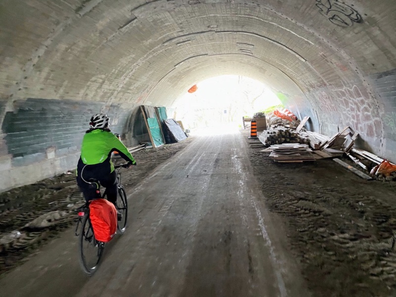
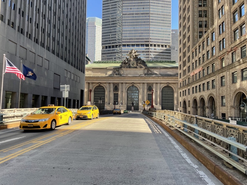
The first 20 km of the ride from Peterborough to Lakefield were the same as we did yesterday. I chose a different route from the house to Trent University, then we followed the same route from there to Lakefield that we used on the way back yesterday. It wasn’t particularly interesting, but at least we saw a different part of the city.

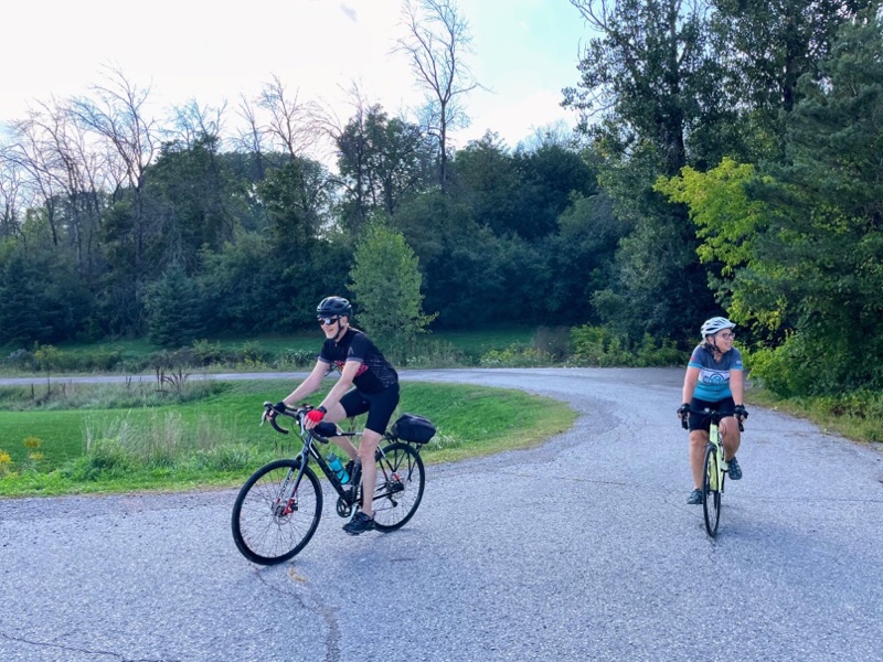
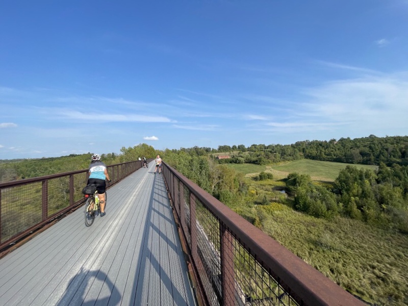
It can be enjoyable, especially along a pleasant route, riding it in both directions, as you see things you missed the first time.

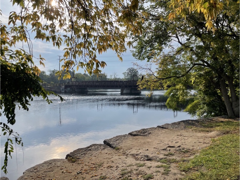
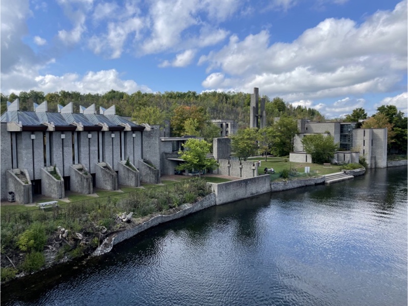
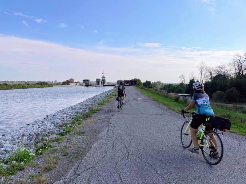
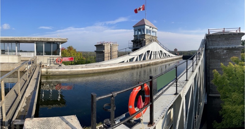
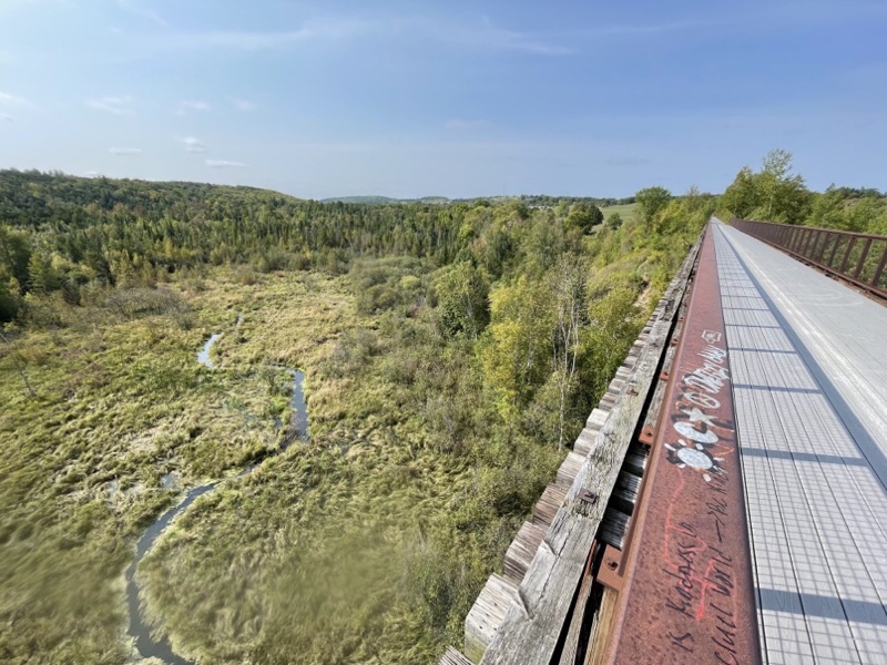
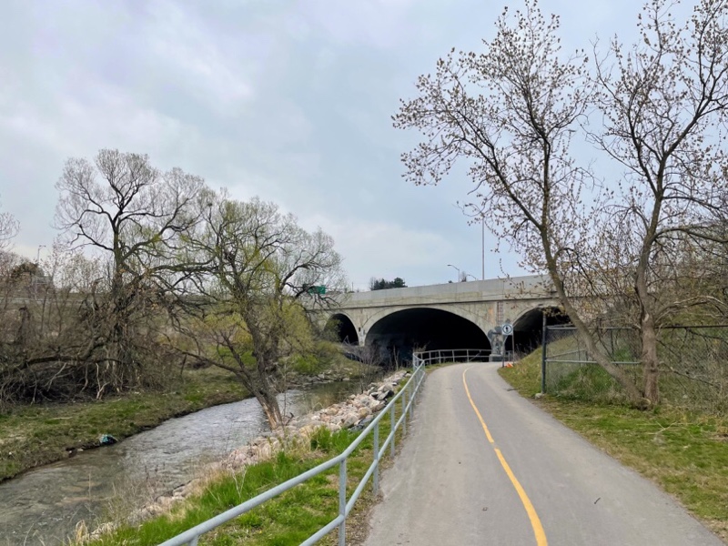
Here we are back on Nassau Mills Road along the canal.

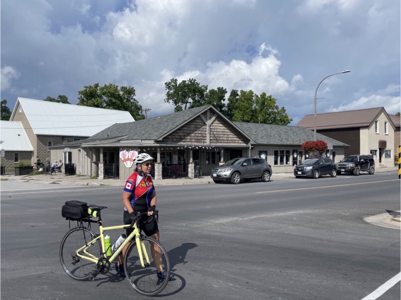
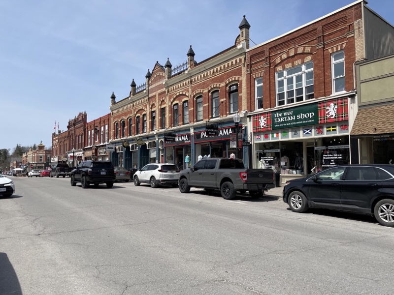
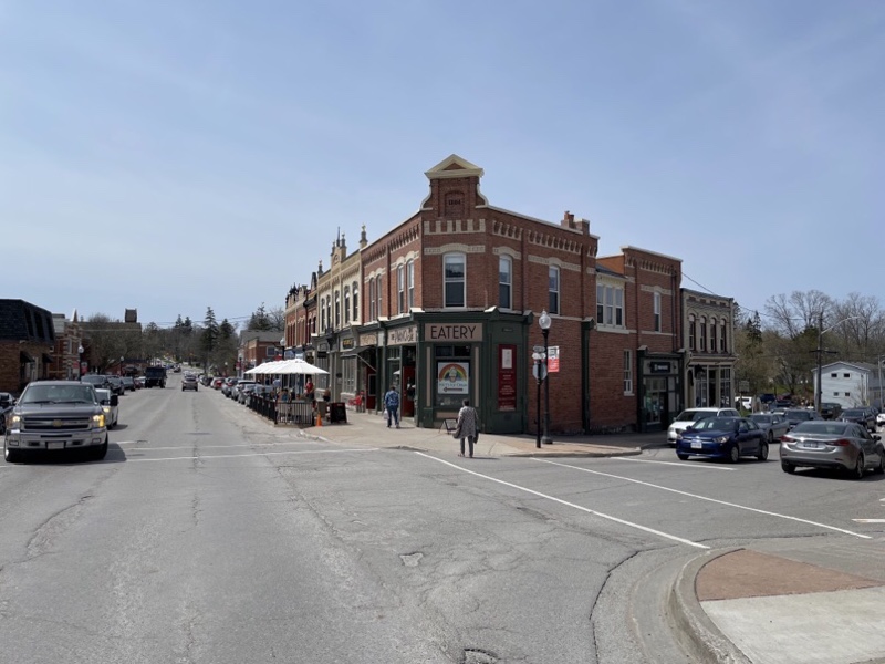
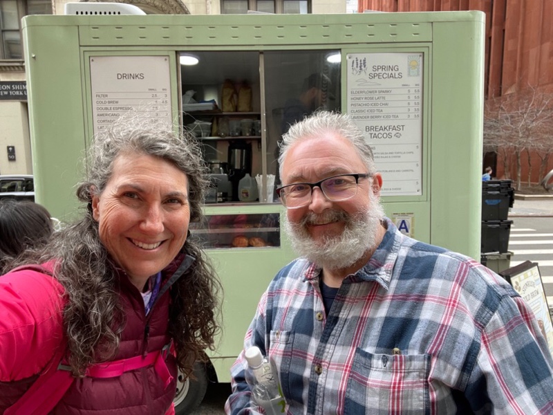
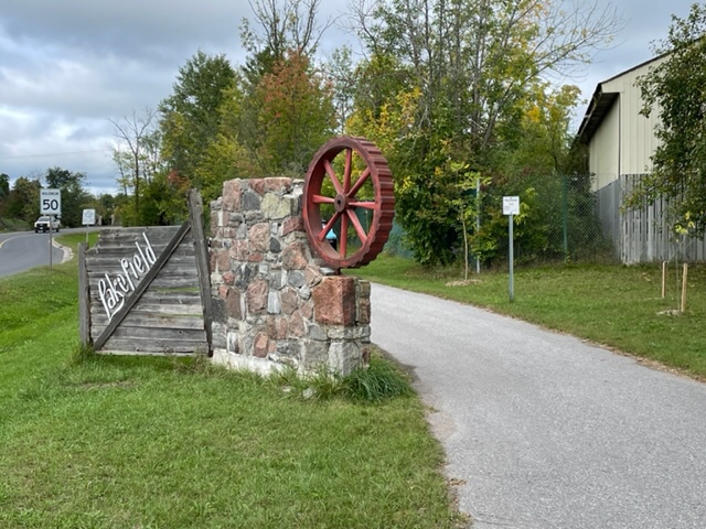
I didn’t take very many pictures today so Dayle kindly provided me with some of hers which were different from mine. Here we are entering Lakefield.

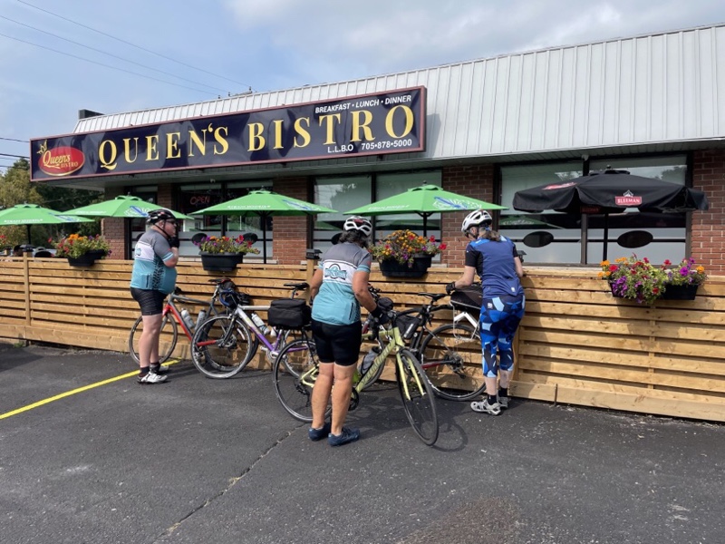
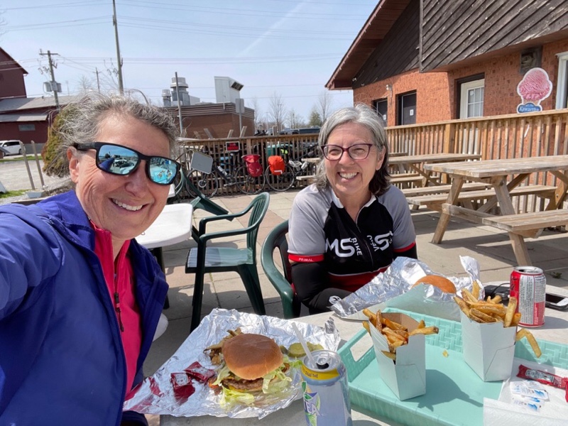
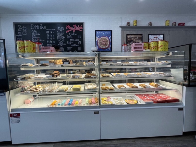
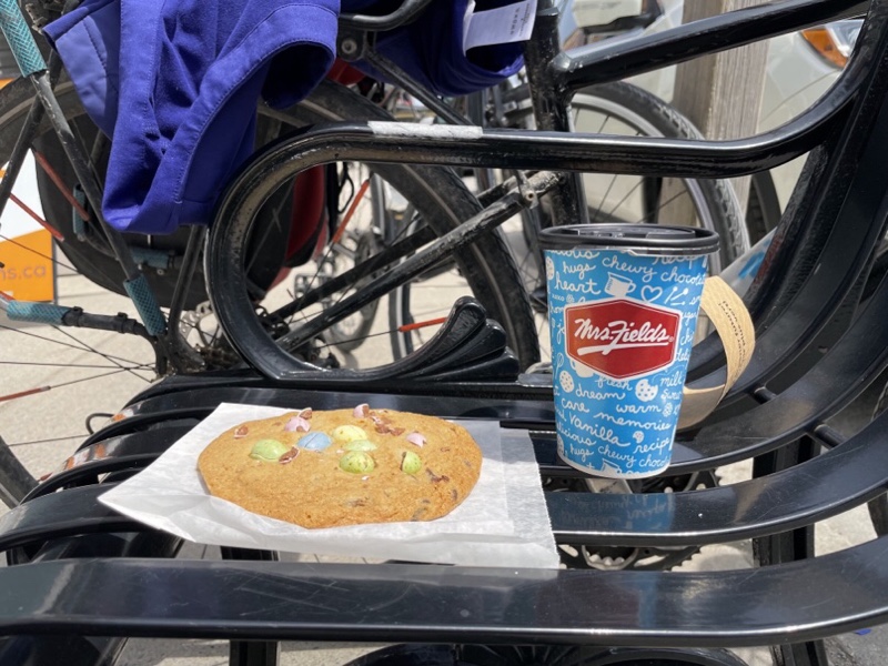
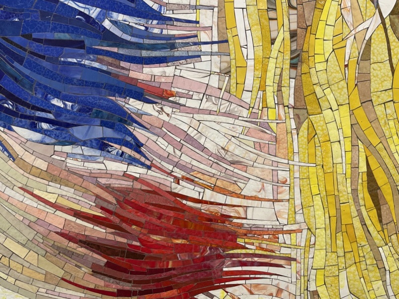
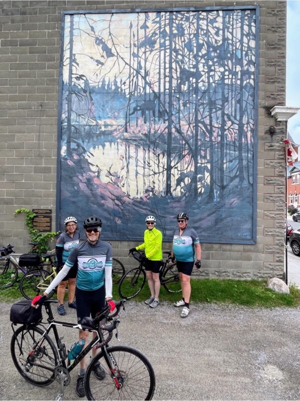
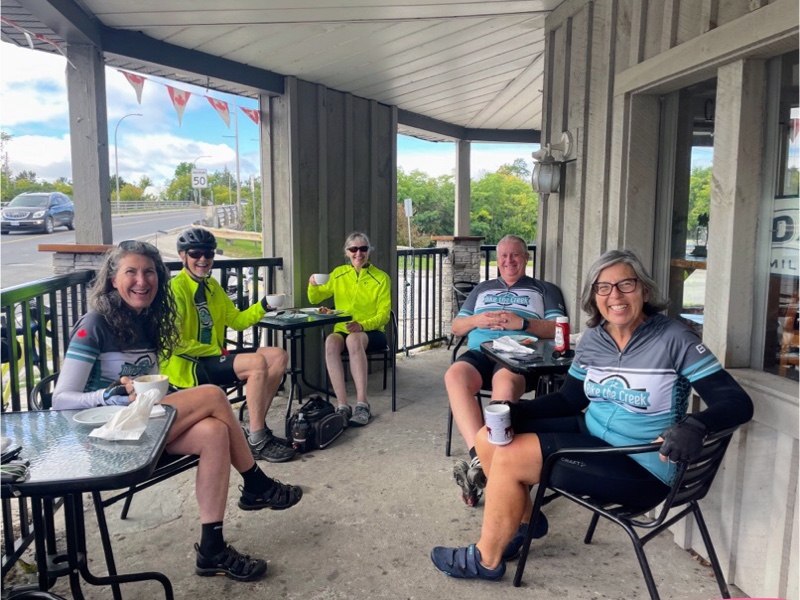
Since we couldn’t find anywhere to eat after Lakefield we decided to stop in Lakefield for a second breakfast / coffee and treat, and brought along protein bars and nuts to tide us over until we got back home for dinner. The first coffee shop we stopped at was still closed, but there was mural reproduction of Group of Seven artist Tom Thompson‘s “Canada from a Canoe” painting which we discovered, before heading to a coffee shop adjacent to the restaurant where we had lunch yesterday.

It was a good choice with friendly owners and good food.

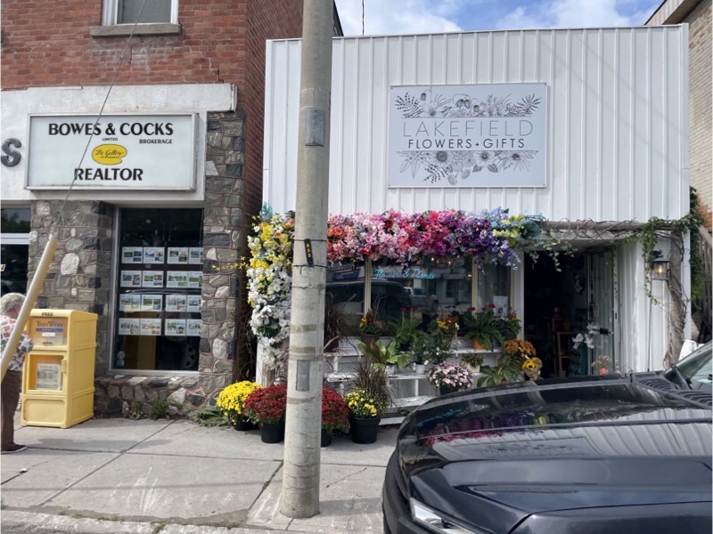
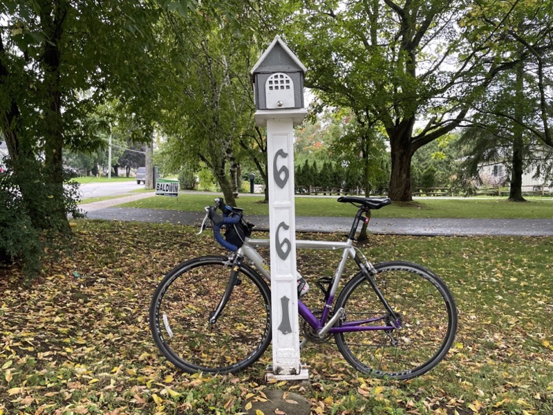
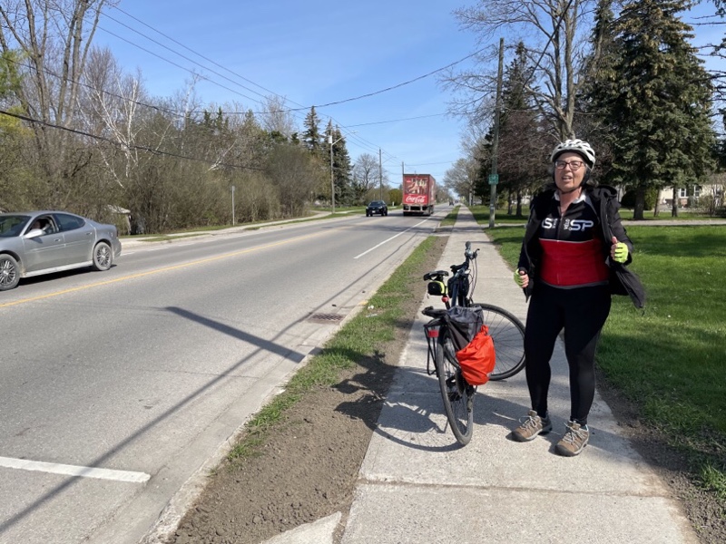
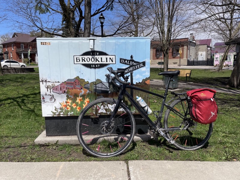
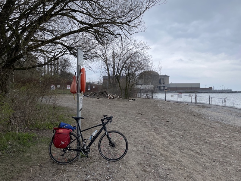
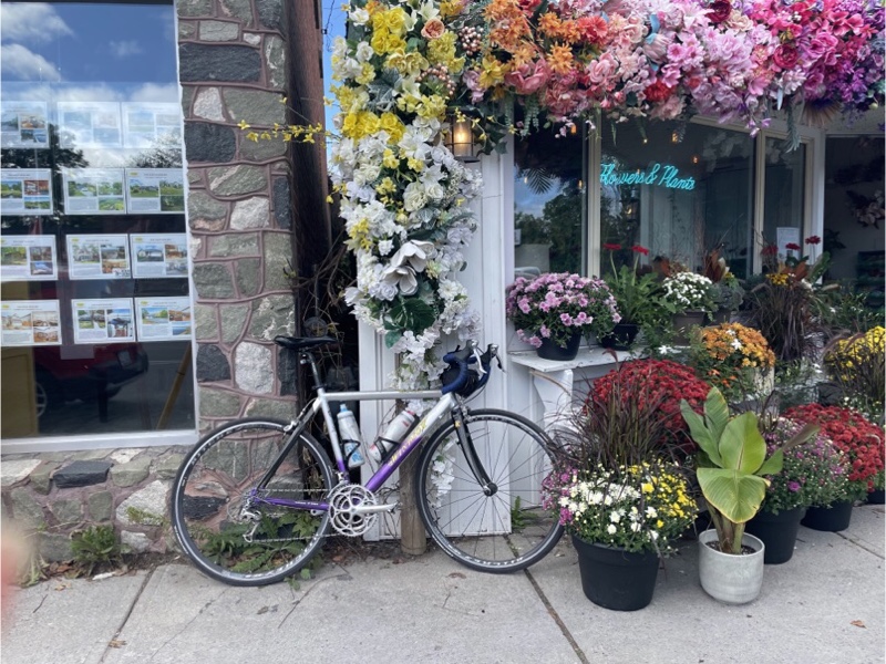
As we departed Lakefield I couldn’t resist taking a picture of my bike in front of the florist. If you like pictures of my bike in front of things I have an instagram account full of them. 😁

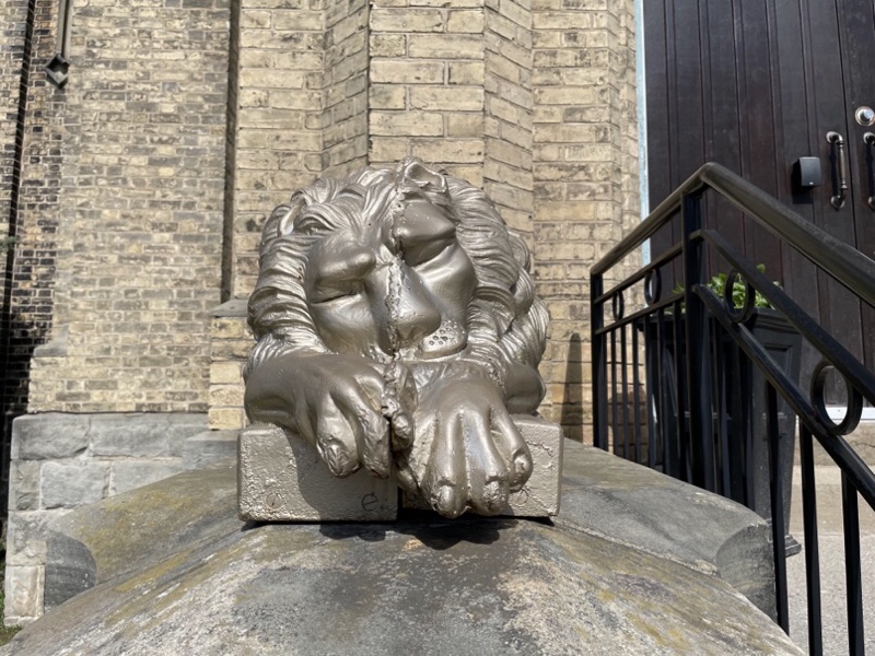
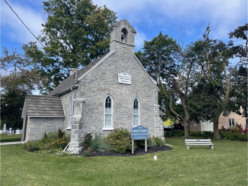
Lakefield has a nice old stone church built in 1853.

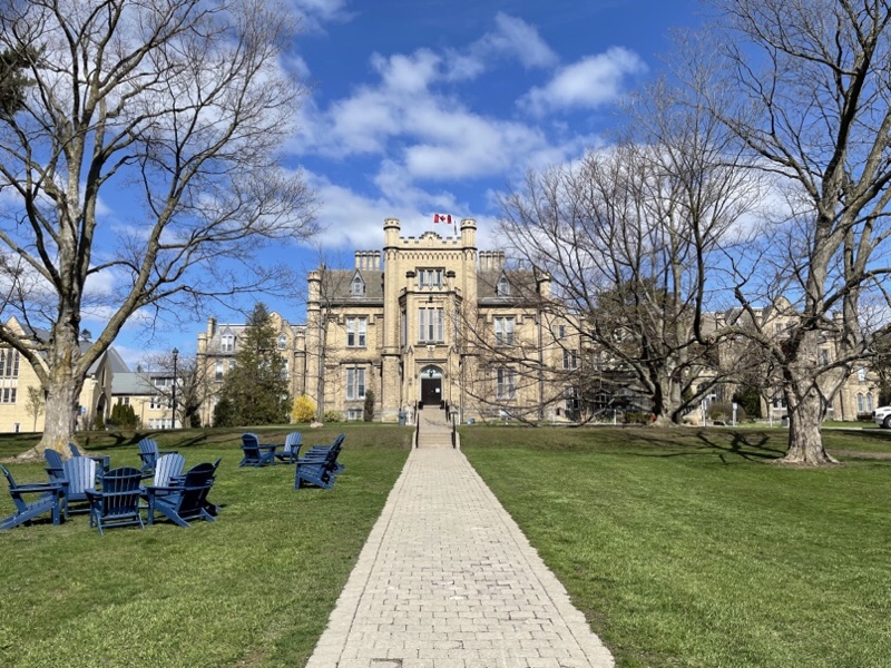
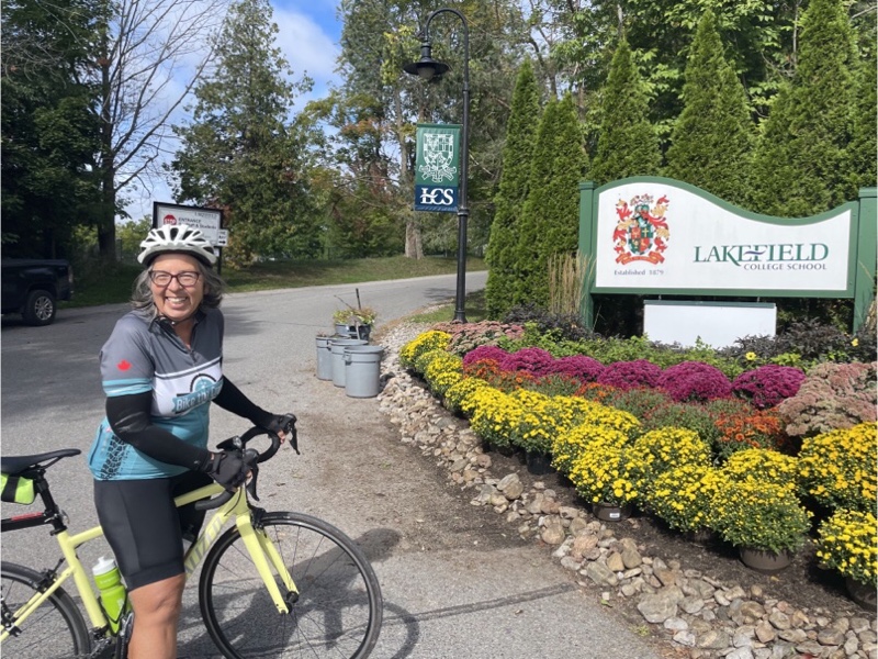
North of the town is Lakefield College school which was attended by Prince Andrew.

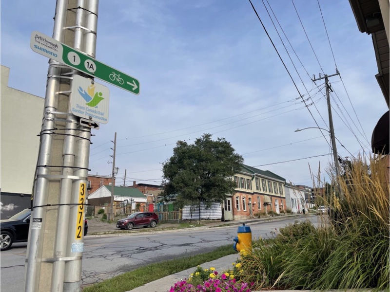
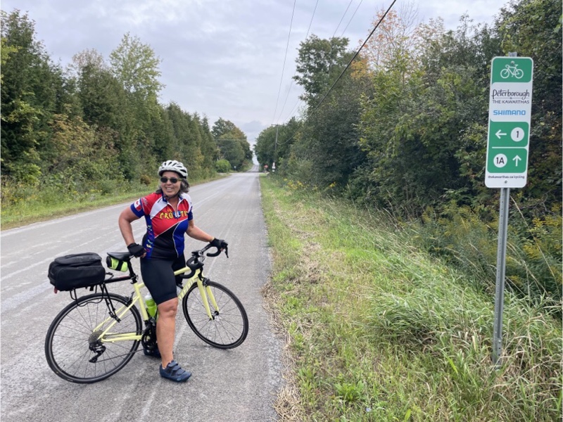
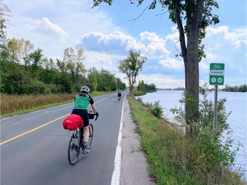
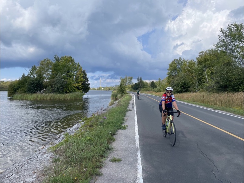
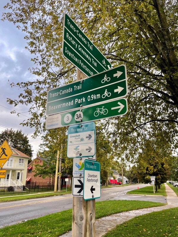
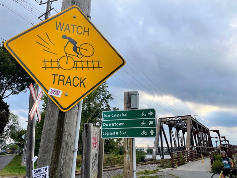
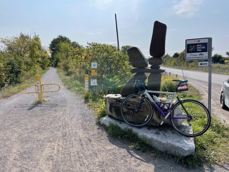
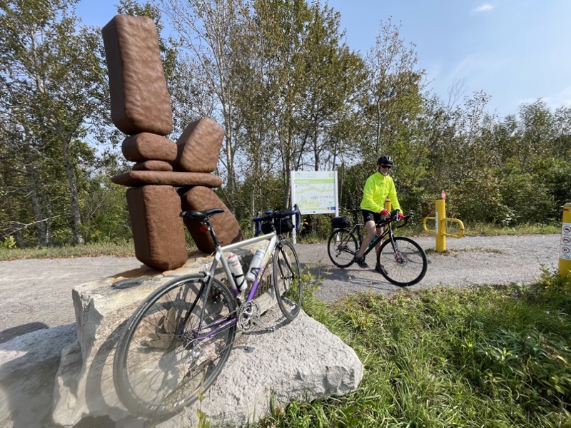
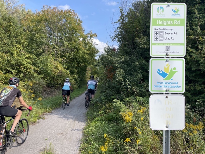
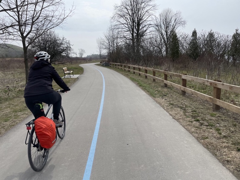
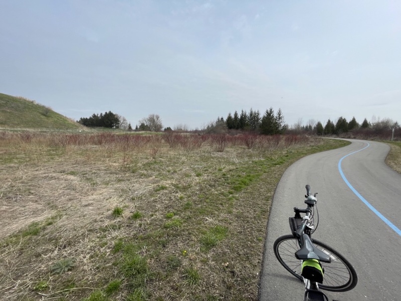
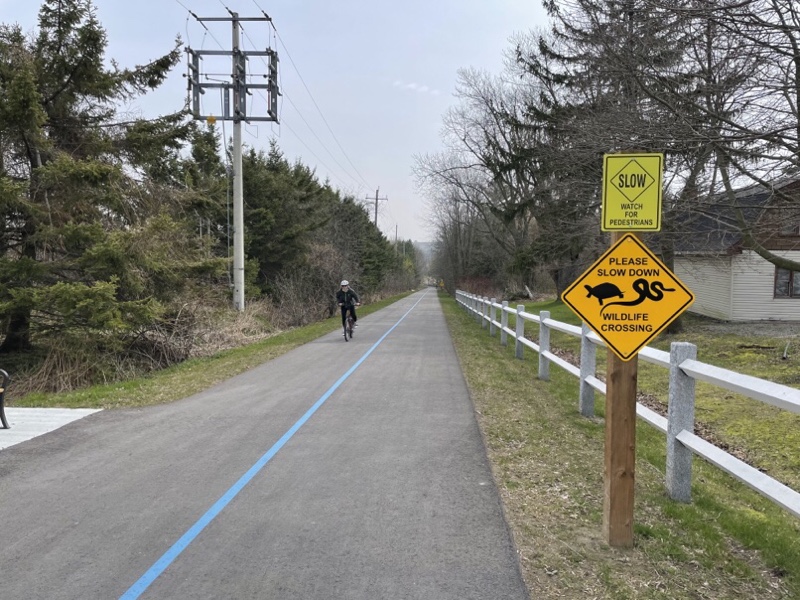
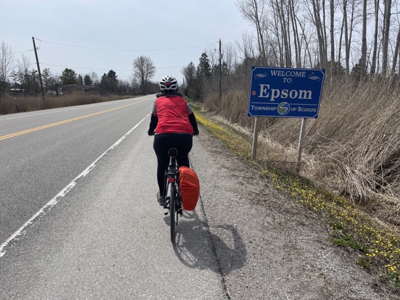
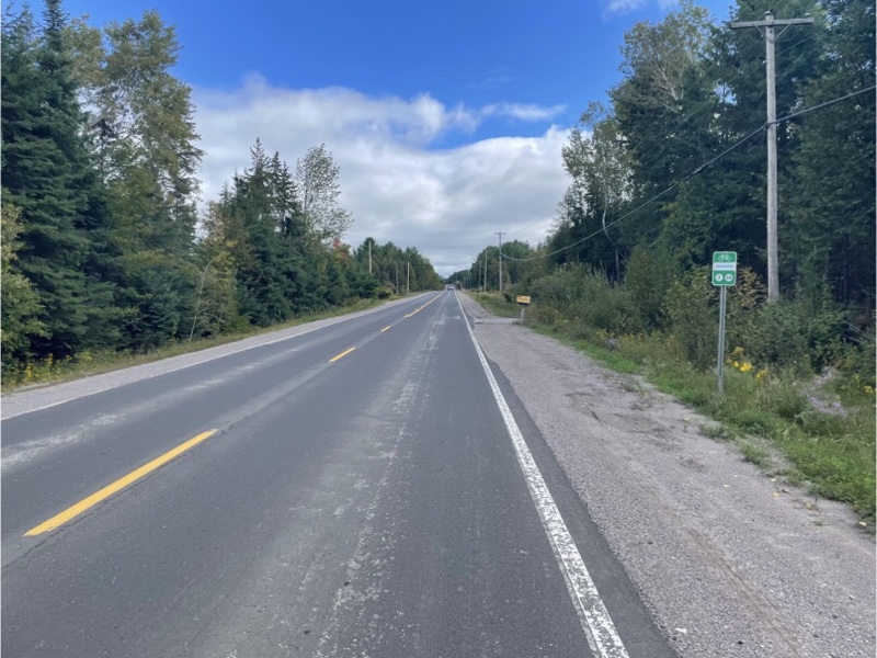
Once again the route was well signed.

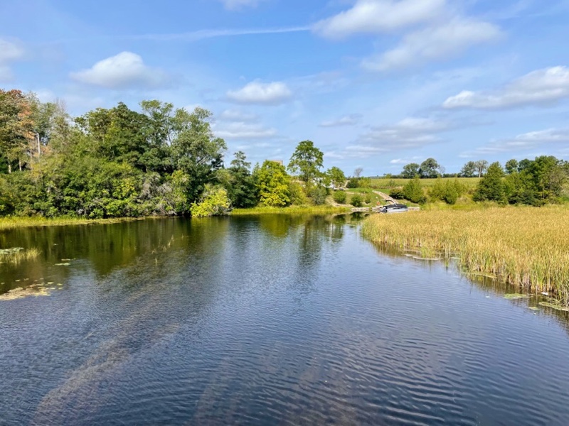
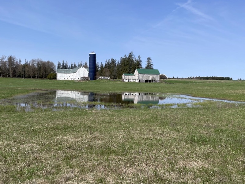
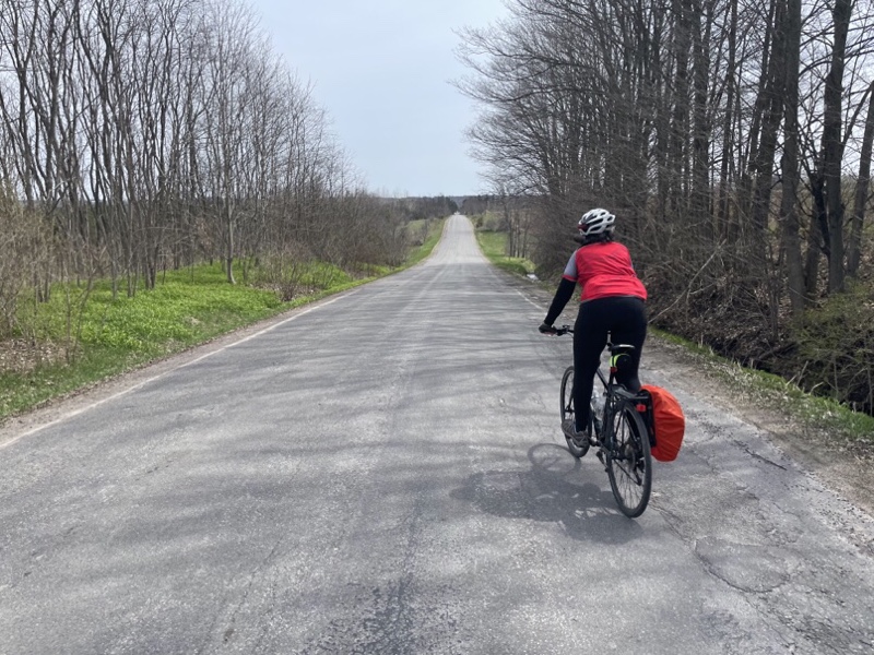
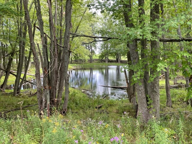
Dayle took this lovely photo of a pond in the trees along one of the rural roads which we traveled. Most of the roads were very lightly travelled by motor vehicles.

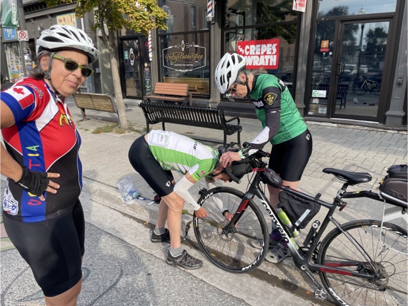
Unfortunately, Dayle got another flat. She texted David, who was a little bit ahead with Cindy and myself, to come back to help. Cindy and I stayed where we were, and had the savoury items we had purchased in Lakefield for our lunch to supplement the bars we had brought with us.

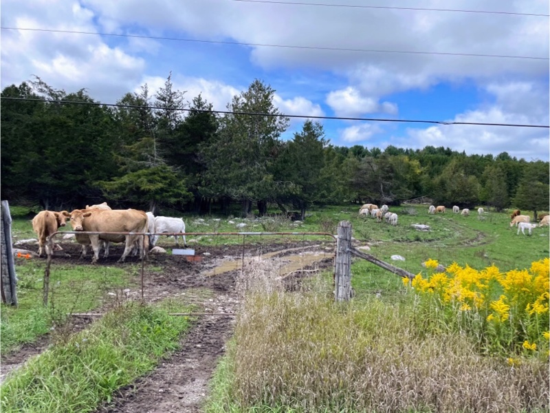
We didn’t see a lot of livestock, but there was a field of cattle, and I did see a few fields with a couple horses in each of them.

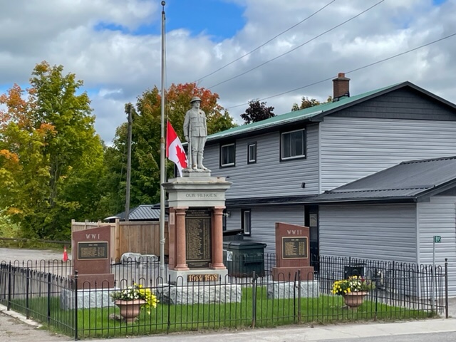
We did find a convenience store at the gas station in Warsaw where Wayne was able to get some cold drinks. It was across the street from this World War I memorial.

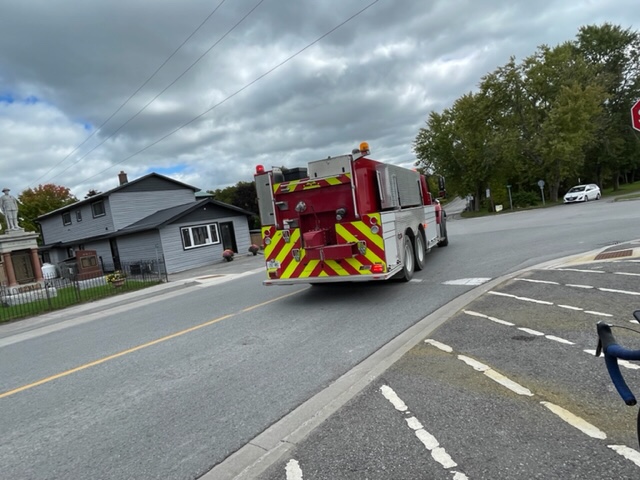
While we were standing there, volunteer firefighters, who can be recognized by the green flashing lights in their private vehicles, converged on the fire station, and shortly thereafter two fire trucks left, sirens blaring.

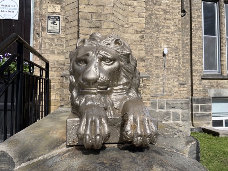
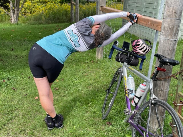
We cycled a block down the road to the Lion’s Park to sit and have a snack, but it was closed. I took the opportunity to do some stretching as my quadratus lumbarum muscles have been tight. Dayle captured it saying I looked like I was practising my ballet moves.

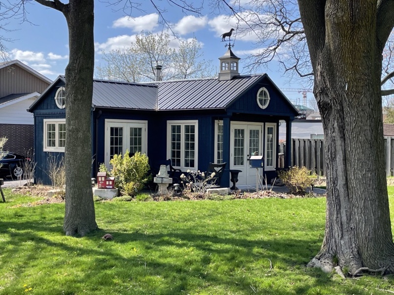
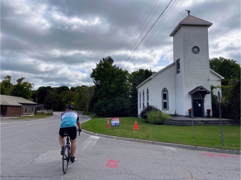
This church has been converted into a house and is for sale. I looked it up when we got back. It’s beautiful inside and is a mere $725,000. A bargain compared to the price of real estate where we live.

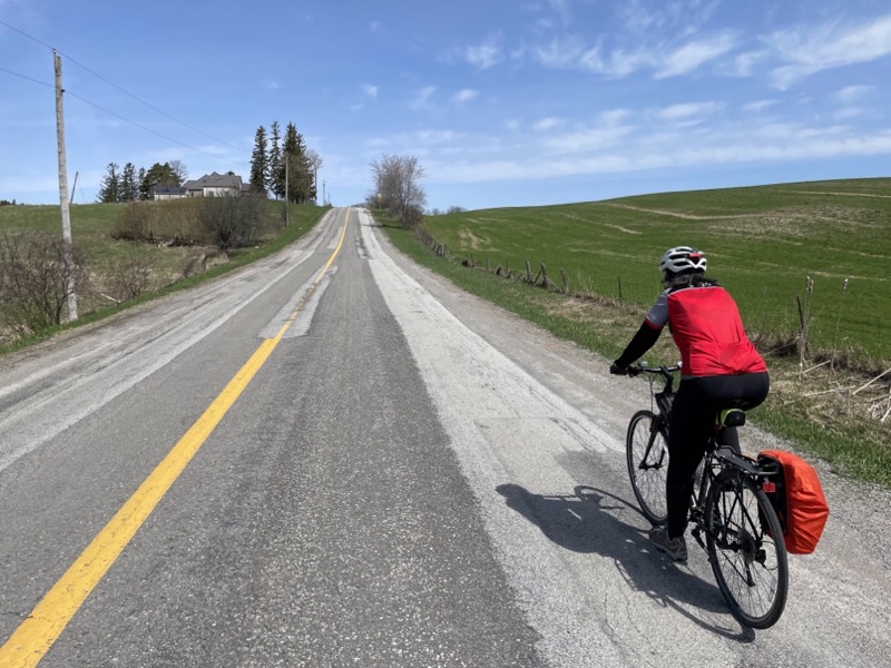
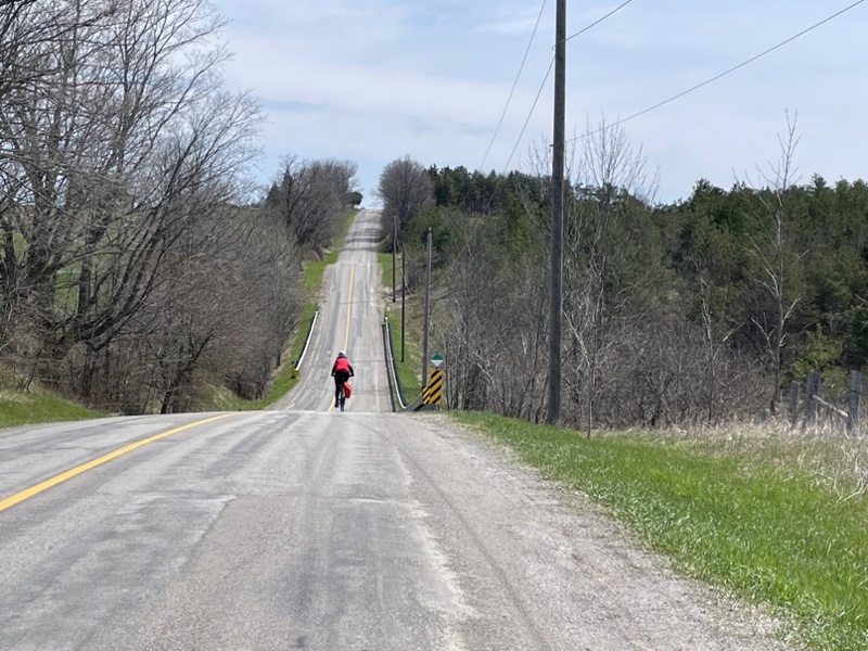
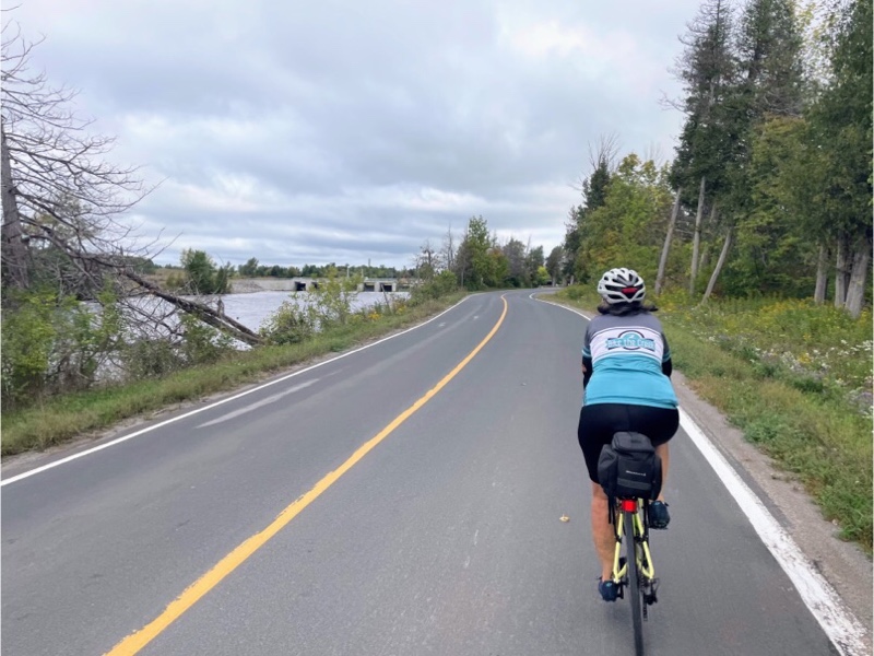
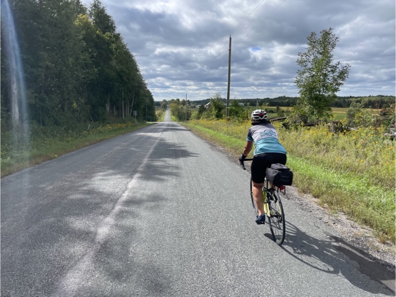
The first half of the ride was generally climbing, but not overly challenging. The second half of the ride was generally descending and there were some lovely descents.

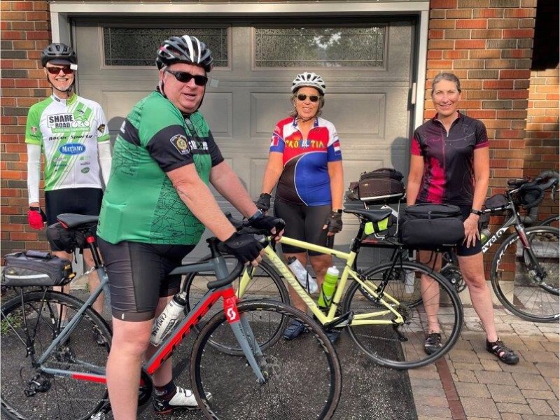
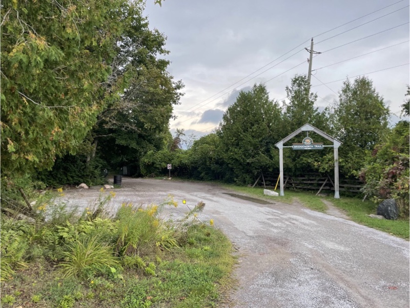
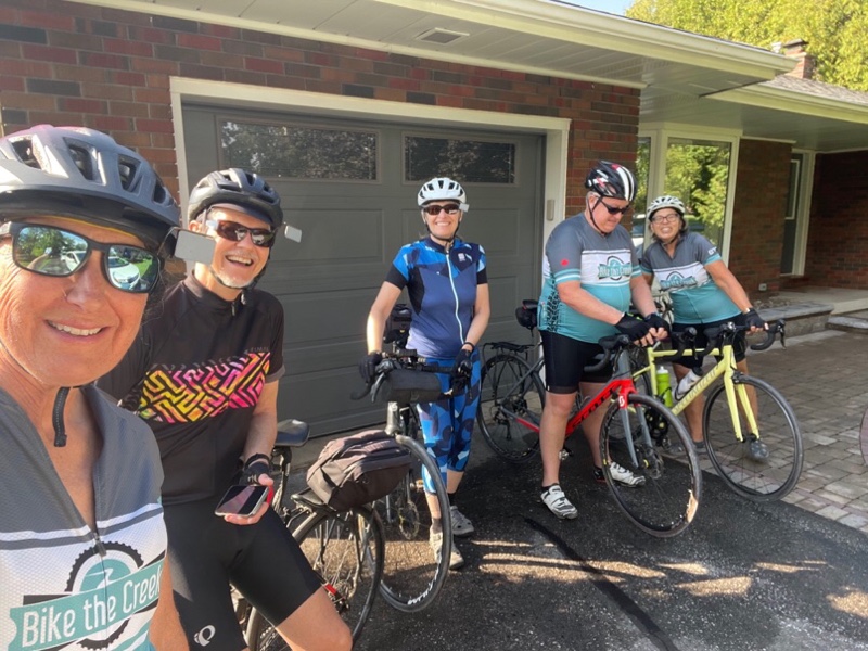
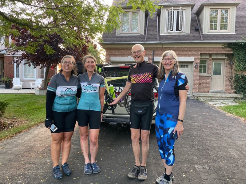
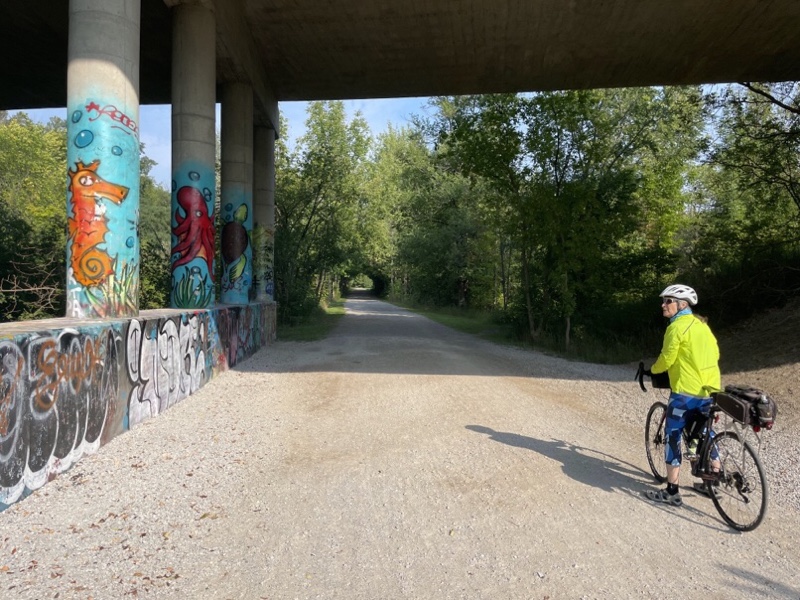
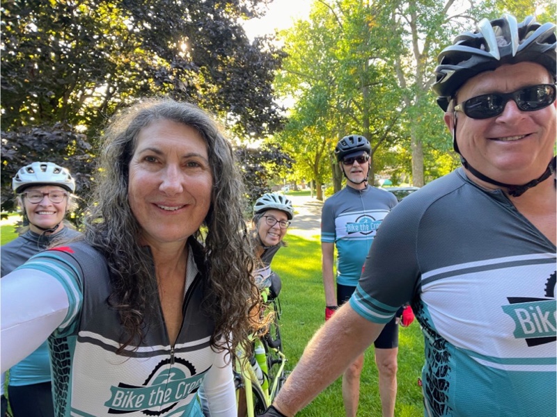
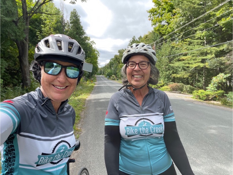
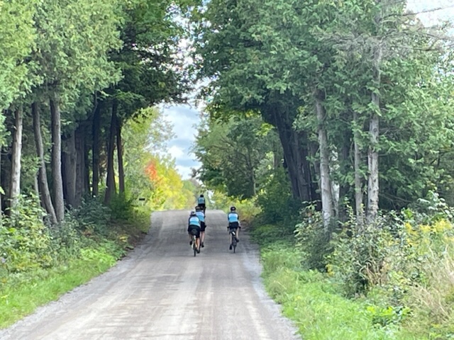
We had to ride about 1.3 km on this dirt road, but it was well packed and smoother than the rail trail we were on the first day. Dayle captured this wonderful picture of the four of us. We are all wearing our Bike the Creek cycling jerseys. Bike the Creek is Brampton‘s signature cycling event and was started by David and Dayle. We all volunteer to make it happen. This year there were over 1300 participants, almost double the number we had in 2019 before taking a two-year pause because of the pandemic.

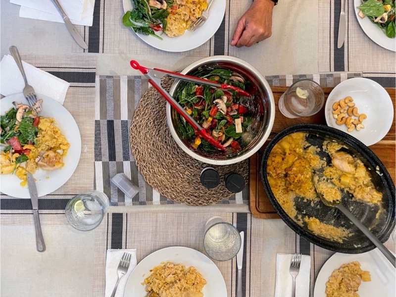
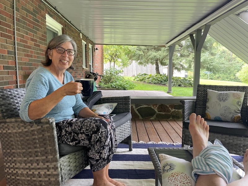
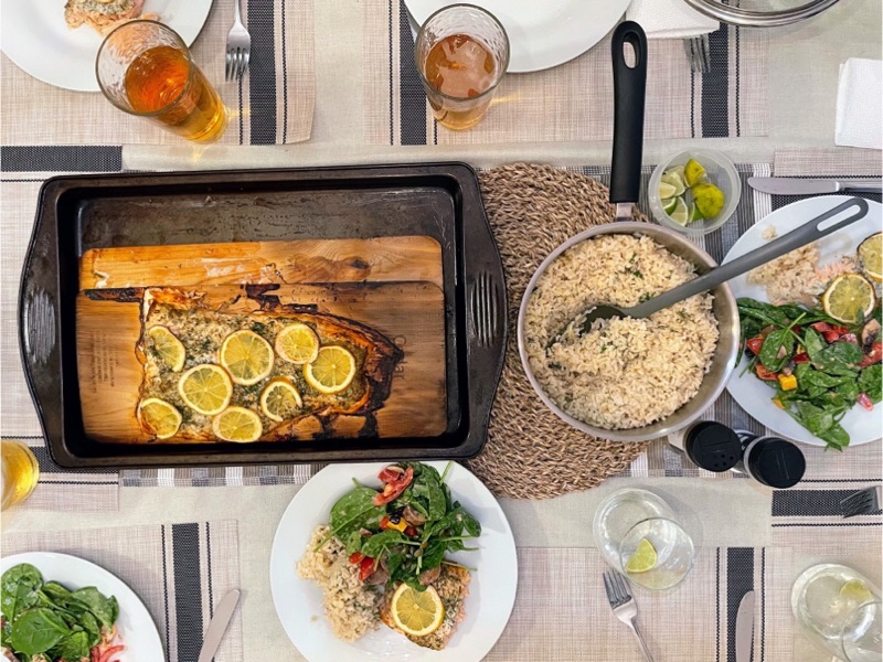
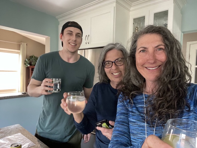
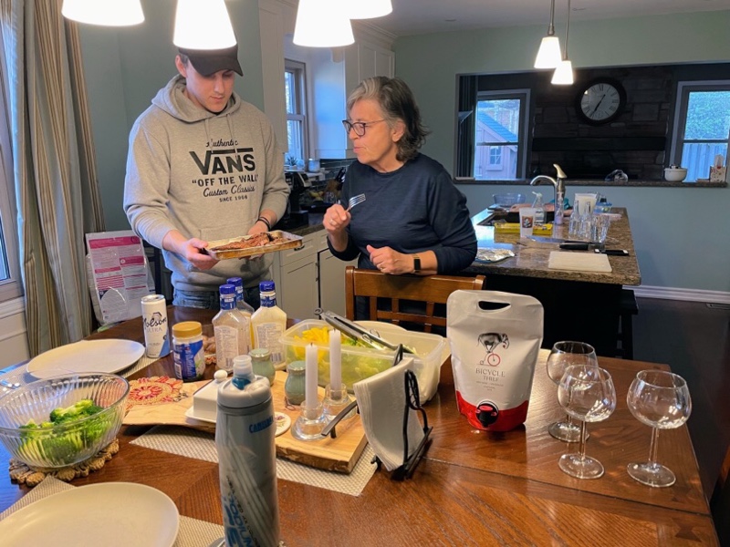
Cindy cooked us a wonderful dinner. We eat so well on these trips. We initially decided to do a trip in September 2020 on which we stayed in one place and explored the area around the cottage where we were staying. This was to keep ourselves safe because of the pandemic, but it has turned out to be a very relaxing and relatively economical way to explore an area.

Peterborough and the Kawarthas Cycling Odyssey – Day 3

When we got up this morning at 7am the sky was very overcast and the ground wet. Shortly it started raining. We ate breakfast and were lingering when the sun came out. We sprang into action, getting into our cycling clothes, choosing a route, and headed out the door.

I loaded the route into Ride with GPS, having downloaded it from the Peterborough and the Kawarthas website I linked to in yesterday‘s blog. Unfortunately, it didn’t have the navigation cues in it. Fortunately, I have a paid version of Ride with GPS which will automatically trace a route and create the cues on the website. I ran back into the house, executed that process on my iPad, downloaded the route, and we were off.

We headed back out along the short route that we did last night. We were following route 1A: Lakes, Rivers and Cafés 45. It was a few kilometres to get to the start of the route.

Peterborough has a lot of picturesque waterfront with the Otonabee River winding through it.

Shortly after we started the route we encountered this signs showing the routes that are on the website and showing the types of signs that we would encounter guiding us as we went.

I was pleasantly surprised at the next turn to see a clearly marked sign.

As we turned onto Hunter Street Dayle‘s front tire got a piece of glass in it and flattened. While the others stopped to fix it I decided that another pair of hands was of no use and did a little tour around the downtown.

Hunter Street has been significantly enhanced by reducing the amount of space for cars and creating space for pedestrians and activities, and painting murals on the road and some of the buildings.

This sculpture called Your Story is a 20 foot tall wooden sculpture installed on the library commons and was designed by architect/artist Patrick Li To evoke a book cover twisting in the wind.

This red brick building is the Market Hall and Clocktower. It was constructed in 1889 and is on the Register of Canada‘s Historic Places. It had a farmers’ market inside and outside the building for decades until the advent of the modern supermarket curtailed business.

It wasn’t long before Dayle was ready to go, but the next turn on our route was for a road that had been completely removed, so we had to navigate around the construction for a few blocks.

The route brought us to a paved tree-lined trail for a while.

Then took us out onto a road with a bike lane until the urban limit.

It wasn’t a busy road, so while we prefer to ride on roads with bike lanes, we were comfortable continuing.

They were quite a few kilometres of climbing as we headed north. The sky got darker and at this corner it started to rain lightly. We stopped briefly to determine whether we should proceed or turn back, being far less than halfway into the route, but decided to proceed. We were all glad we did because the rain only lasted about 15 minutes and the rest of the day the weather was quite delightful.

Even out in the country there were signs at regular intervals guiding us on our route. I was very impressed.

We had considered stopping in Bridgenorth if necessary to avoid the rain but as the rain had stopped we carried on to Lakefield.

We rode up and down the main street of Lakefield looking for a restaurant, having identified a possibility by the trail that we were going on after lunch, but wanted to see what else was available.

We stopped at a Greek restaurant that had a patio but they told us the patio was closed and refused to serve us outdoors so we left.

I saw this pretty flower shop as we cycled back to the first restaurant we saw.

Lakefield had a few nice red brick buildings. The one on the left is the visitor center, and the one in the centre is the library.

We had lunch at a restaurant called Canoe and Paddle. They had a nice patio behind the building. The food was good, but took a while to come, and I was almost nodding off by the time it arrived. Lunch re-energized me and we rode along the canal back south towards Peterborough.

Trent University campus is split in half by the canal with a bridge connecting the two sections. It has a lot of the buildings of the brutalist architectural style. I quite like it. There are also some new modern buildings that fit well with the existing ones. It was quite an interesting campus with the two parts divided by the canal and the bridge connecting them.

It was also quite lively compared to some of the campuses I have been on over the last two years during Covid.

There was a bi-directional cycle track adjacent to the University that was very comfortable to ride that lead us to a bridge over the canal and then the Rotary Greenway which took us back to downtown Peterborough and home.

The Share the Road organization evaluates communities who apply, for how bicycle friendly they are. Brampton is a bronze community. Peterborough is a silver community and the difference is quite dramatic. There are a lot of recreational trails, and on road cycling infrastructure. Some of the streets with on road cycling on infrastructure also have multiuse paths in the boulevard along side to give people options where to ride depending on their comfort level. The wayfinding is excellent.

We returned in time to swim in the Otonabee River behind the house.

The ride was just shy of 60km today, and while I still have a small amount of swelling in my ankle, I only had a few minor twinges of pain. I feel very fortunate that it was worse than it turned out to be.

Peterborough and the Kawarthas Cycling Odyssey – Day 2

A few days ago, the forecast for Peterborough today, was for 10 to 15 mm of rain, but last night it only showed a millimetre of rain in the morning and a millimetre in the afternoon. So we agreed to get up at seven to potentially do a full day of riding. When we got up it was very overcast and the radar was showing heavy rain on the way. We had breakfast, but decided to delay leaving. I decided to take advantage of the rest time to regularly ice my ankle and keep it elevated. It was much less painful to walk on this morning, and I wanted to give it the best chance to continue to heal.

It wasn’t long before it started to rain and thunder. The rain became quite heavy and lasted through to the mid-afternoon.

Cindy found the perfect place to sit, enjoy the outdoors, and the view of the Otonabee River while perfectly protected from the rain.

By mid afternoon we were commenting that this is the first time ever, on one of our bike trips, that we haven’t been able to ride. The rain had tailed off to a mist, and everyone except me headed out for a walk. When they returned the walk the rain had stopped and the road was beginning to dry up. So we decided to take a small ride around the area where we are staying.

We are only about 3 km from the world’s highest hydraulic lift lock. On the way we saw this swing railway bridge.

At the lift lock, which took eight years to build and opened in 1904 , we cycled up an access road, rather than climbing the stairs, because I thought that would be easier on my ankle. I was last here with Megan, Alun, and Trystan, on our way to go rafting on the Ottawa river. I think Megan was about nine and had no interest in getting out of the car to go look at the lift lock.

There were no boats using the lock when we were there today, but when I was last there we did get to see it operating. I’m including a picture of the board which explains how the lock works.

We rode down the hill and continued along the canal to the next lock.

The Peterborough and the Kawarthas website has a page with cycling routes. You can download GPX files to your phone or bike computer to get cues to ride the route. Today we discovered they have also put up permanent signs with the routes numbers. I look forward to trying one out tomorrow and seeing how well signed the route turns out to be.

Just before we came to a rail bridge over the Otonabee River we saw this warning sign for cyclists. It’s important when riding over tracks, or other small bumps to have your wheel as perpendicular as possible, but no less than a 30° angle, to the track.

The rail bridge had a cycling and pedestrian bridge attached to the side of it.

We looped around this wide part of the river and saw this fountain from several angles.

After only 10 km we arrive back at the home where we’re staying.

Wayne is making us barbecued salmon on a cedar planks for dinner. So far we are eating very well.

Peterborough and the Kawarthas Cycling Odyssey -Day 1

David, Dayle, Cindy, Wayne and I have set off on an adventure to Peterborough and the Kawarthas. We found a house on Vrbo, backing on the Otonobee River, to rent for six nights. We find it a low stress way to do a cycling trip and explore an area in detail without having to haul all our stuff on our bikes with us. It also allows us to adjust our destination each day depending on our energy level and the weather.

Also, I hate travelling light, and driving to the start of the trip, and staying in one place, allows me to take more with me. I did get down to a medium suitcase, which includes my pillows which I always prefer to pillows in other places, a cooler full of food, and a bike gear bag. I’m really happy with the bike gear bag which Wayne recommended. It’s divided, has lots of little pockets, and mesh to air things out when you put them back in at the end of the day after riding.

Cindy dropped her stuff at my house last night and rode her bike up this morning. David and Dayle picked us up there. They can fit two bikes in the van and two bikes on the rack and pack our luggage around the bikes.

We had an uneventful drive and arrived at a parking lot near a trail access for the Peterborough to Lindsay section of a rail trail that runs from Uxbridge in the west, to east of Peterborough. We had originally planned to ride the Uxbridge to Lindsay section today, but couldn’t find a good place to park the car east of Uxbridge. From what I could see on Google Streetview, the trail surface looked a bit rough on that section, anyway.

Wayne drove separately as he started in Tottenham.

Here we are ready to ride.

The first road we passed under had some interesting street art.

We are very fortunate in Brampton to be so close to the Caledon Trailway which is one of the best rail trails I have ever been on in terms of how well kept the surfaces are. I’ve been on worst ones than the one today, but it certainly wasn’t up to the quality of the Caledon Trailway – 75 km felt more like 100.

The trees were close to the trail without a lot of vistas, but 12 km into the ride we came to Doube’s trestle which was quite spectacular, and will be even more so the trees start to change color. Trains crossed this area starting in 1883. The original bridge was a wooden trestle that was later rebuilt. Passenger services ceased in 1962 on this line, and freight services in 1978.

There were a couple of bridges that we rode under that don’t appear to go anywhere, anymore and seem to be in quite a state of disrepair.

This rail trail is part of the Trans Canada Trail. When I saw this inukshuk I learned my bike against it to take a picture, but then realized that it would be better from the other side, not in shadow. Unfortunately I didn’t realize, as I stepped back to take a picture, that I was stepping down into a ditch with long foliage, at least half a metre deep. I didn’t fall, but landed very hard, and sprained my ankle. It wasn’t too troublesome on the bike, but when I got off when we got back to the car I could barely put my weight on it. Over the evening with elevation and icing it’s gotten better, then worse again when I stop elevating and icing. I’m hoping it will be better in the morning. There isn’t much swelling or bruising, at this point, at least.

We passed over another smaller bridge with some pretty views.

In some places the trail was less than ideal with grass down the middle, and loose lime stone screenings.

This is the Trent Severn Canal coming into Lindsay where somebody has encouraged people to create a rock snake along the edge of the trail.

We had lunch at The Queen’s Bistro just a block off the trail.

Then we did a quick tour of Lindsay’s Main Street. They have a pretty town hall and have recently redone their main street with crosswalks and wider sidewalks. It always amazes me how much better preserved, and thriving many small Ontario downtowns are, compared to Brampton’s.

We stopped briefly at the Lindsay lock and saw the lock keepers manually opening the lock for a small boat to pass through.

The locks connect Lake Scugog and the Kawarthas. The lock in Lindsay was first built in 1844.

At many of the roads they had signs showing the name of the road, the crossing ahead, the crossing behind, and the distances.

The house we are staying in is immaculate. David and Dayle, Cindy, and Wayne, kindly carried my stuff in and let me sit down and elevate my foot.

Wayne picked up food from a local restaurant called Marty Moos. The ribs were excellent.

It might rain tomorrow, but the forecast is nowhere near as bad as it was a couple days ago. We’ll decide what to do in the morning based on the weather and, for me, based on how my ankle feels.

Whitby Getaway – Day 2

We got up and took the dog for a walk this morning at 7:30. It’s always funny walking someone else’s dog and encountering the other dog walkers who recognize the dog but not the people with her.

We returned to the house for breakfast and checked the weather forecast to find that the day looked pleasant until about 2pm at which point rain was forecast. We dressed In layers to be warm enough when starting out, but have the ability to easily make adjustments as we warmed up. We also packed rain gear.

Over breakfast I planned the route. We decided to ride the Waterfront Trail East to Oshawa, and then to a loop around Oshawa which was shared by Durham region to promote cycle tourism in the area. I used Ride with GPS to create a route from where we’re staying, south to the Waterfront Trail, and to connect to the Oshawa loop. Ride with GPS is a great tool for planning rides and navigating them , as it provides turn by turn directions when you purchase a basic account.

We left at 9:30 and had to cross the 401, but the traffic wasn’t too bad. We often try to plan our highway crossings for roads that have no on and off ramps, but that wasn’t convenient this morning.

Whitby has a pleasant waterfront which is connected by the Waterfront Trail to the east and west.

Like yesterday there were many areas where we felt quite far removed from civilization and given the time of year we didn’t encounter a lot of other people using the trail.

We encountered some nice new paved sections. It’s hard to tell in this picture, but this was quite a hill to climb and you can see that the woman is standing on her pedals as she reaches the top.

Oshawa is building a new park named for Ed Broadbent.

Oshawa has two nice trail systems showcased on the route. We went north on the Harmony Creek Trail. We left the trail briefly for lunch at Coffee Culture adjacent to the trail.

The trails went through tunnels under the roads so it was a seamless experience.

We deviated slightly from the route to visit Parkwood. Parkwood was built starting in 1916 for Sam McLaughlin of the McLaughlin Motor Car Company, which was the first major automobile manufacturer in Canada. It became part of General Motors in 1918 and McLaughlin became president of the Canadian company and a vice president of the American corporation. He was a philanthropist who provided funds to build the McLaughlin planetarium and buildings at Queens University. The home was left to the Oshawa General Hospital upon his death.

The gardens were impressive even with the fountains off and pools emptied and plants just starting to bloom.

We then headed south to the Oshawa Valley Botanical Gardens.

A local high school class made these mushrooms and donated them to the gardens.

The route was unexpectedly routed through a parking lot, prominently marked as private which belonged to a car wash, but we continued anyway.

We continued south along the Joseph Kolodzie/ Oshawa Creek Bike Path and detoured slightly to look at Oshawa City Hall, the McLaughlin public library, and McLaughlin Gallery.

They had a piece of art by Douglas Coupland on the outside of the gallery. Coupland is a Canadian novelist, designer, and visual artist. His first novel, Generation X: Tales for an Accelerated Culture, popularized the terms Generation X and Mcjob.

This path went under the 401, which is always welcome, compared to riding over highways with or without ramps. Hopefully it will be cleaned up when construction finishes.

Shortly after getting south of the 401, it started to rain. right on schedule. We stopped and put on our rain gear and rode the last 20 km back home in the rain.

Our Slickers were covered in dirt as neither one of us have fenders on our bikes, but we left them on the porch to dry out and were able to brush it off once it dried.

We got in and made hot tea and snacked on nuts and raisins. I was so hungry. I don’t think I ate enough yesterday. We move straight from that to making and eating dinner, and ice cream for dessert.

There’s quite a bit of rain forecast overnight, but it’s supposed to clear by mid morning tomorrow, and the rest of the week is forecast to be quite pleasant.

Whitby Getaway- Day 4

I awoke before my alarm this morning and the sun was shining in the window. Cindy already had the coffee ready and we enjoyed a cup before taking Oakley for a walk. Oakley seems to know all the dogs in the neighborhood, and there seem to be a lot. One particular dog visits and comes right up to the house every day for a treat that is kept in the mailbox.

A cycling advocate that I know from Durham warned me that there might be a “Freedom” Protest at the corner of Garden Street and Rossland. I checked and it wasn’t on our route for the morning but was on a return route for the afternoon.

The morning started at 4°, but felt very warm as we walked Oakley. By the time we left it was 12° with a forecast high of 14°. Again we dressed in layers. We left all the rain gear at home which lightened our load.

We hadn’t gotten very far before we had to pull over and start removing layers as it was already quite warm in the strong sunshine.

We headed east and north and it wasn’t long before we were seeing beautiful pastoral scenes.

The route took us on very lightly travelled country roads.

Yesterday‘s weather forecast was for winds from the north east in the morning and the south in the afternoon, which would have meant headwinds in both directions, but fortunately, by the time we headed out, the winds were already from the south and we had a tail wind helping us up some of the hills.

As we were heading away from Lake Ontario there were a lot of hills to climb. Near Port Perry the land went gradually down towards Lake Scugog.

Port Perry is a busy little town of just under 10,000 residents, with a fairly large, well preserved Main Street, with lots of stores, restaurants, and coffee shops. There was even a bike store there.

The oldest grain elevator in Canada is on the shores of Lake Scugog in Port Perry, and was built in 1874.

We rode along the main street and then over to the marina where we found a small restaurant at which we could place our orders while outside and eat on a patio. It was ideal.

They also had some nice colourful chairs set up to view the marina.

After lunch we cycled back up the main street.

We decided to get coffee and cookies before leaving town because we knew the rest of the route would be mostly rural with no further opportunity for food.

This library building opened in 1935 and was used until the early 1980s when an expansion was needed. However due to flooding of the adjacent Bowling Green the library could not be expanded. Today it houses a financial services business, and a new library was built elsewhere in Port Perry.

The busier roads that we travelled on today had generous shoulders which allowed us to ride side-by-side when traffic was light.

Because of the rolling hills and the crosswinds as we headed west, we were very happy to turn south despite the headwind, to head back into Whitby,. It was mostly downhill but there were a lot of rolling hills that meant we still had a fair bit of climbing even though overall we were travelling downhill towards Lake Ontario. The app I use for planning and navigation, Ride with GPS, has an elevation profile, but it’s not always accurate. We thought we were done climbing at this point but the reality on the road was different from the route profile. It was also quite amusing each time the app mixed up metres and kilometres when telling us the distance to the next turn. There seems to be a bug in the latest update. I haven’t encountered this before.

We found a masked tin man and couldn’t resist stopping to take pictures.

This was another interesting scene which gave us an excuse to stop and catch our breath after a long climb.

We knew we were nearly back home when we cross the 407.

Unfortunately the next road we had to cross was Highway 7 with no traffic light in sight in either direction. It was a few minutes of waiting until there was a long enough clearance of traffic in both directions for us to cross safely.

When we arrived at Garden and Rossland there was no sign of the protest we had been warned about. I’m not sure if it didn’t materialize or it had just finished before we got there.

We rode 71 km today with over 700 m of climbing which is a fair bit on such a distance.

We finish the day with G&Ts with Cindy’s nephew, and ordered ribs, wings, fries, and onion rings for dinner. I was so full when I finished I’m not sure if I’ll have room for ice cream tonight.

Tomorrow we head home using a combination of riding and GO train.

Whitby Getaway – Day 3

It rained heavily overnight, and was still raining quite a bit when we got up to walk the dog at 7:30, so we delayed over coffee, until the rain tapered off.

We took our time getting ready and having breakfast, to give the roads time to mostly dry up before leaving. We dried our chains off last night, but didn’t oil them, and had some rust this morning, so oiled them before we left.

The plan was to do a shorter day today and explore Brooklin, a Heritage Conservation District in north Whitby.

We travelled on a lovely trail through the Heber Down Conservation Area.

I record all my rides on an app called Strava. It records your precise route and statistics for the ride.

Early in the pandemic I discovered a website called Statshunters. When you authorize the website to use your Strava history it creates a map of all the places you have been.

The tiles divide the world into a grid of 16,384 by 16,384 squares, each one is about 2 km wide. It’s a fun pursuit to try to visit as many tiles as you can using only human power. Statshunters shows you all the tiles you have visited (red if not in your square or cluster), and also the largest square of tiles you have (in blue) and the largest cluster of tiles (green). A tile is in the cluster if you have all the tiles that connect to it.

When I first started looking at my map I had a 9 x 9 square which by carefully planning my rides I have expanded to 24 x 24. My max cluster is 1172 tiles. And I have visited 3320 tiles all together.

The tiles I had in this area date back to my Ottawa to Brampton ride in 2017. The next two screen caps show my map of this area last week and today.

Often when I plan a tile ride I am planning to pick up tiles more than paying attention to what roads or trails I am going on, so sometimes even though I planned the ride, as I ride it I encounter surprises, and generally they’re good. I didn’t realize we were going on this lovely path until we got there.

It has inspired me to ride in places I haven’t been before and to see new things.

Tomorrow we will be doing a large loop around Whitby which left 13 tiles in the centre which I haven’t been through. Tomorrow’s ride will be a longer one so today we decided to do a short one and pick up the centre tiles.

The conservation area had a nice rest area, bike repair stand, and bike rack just before we exited.

There was a stiff direct headwind which made going tough. This is Cindy crossing the 407. Most of the rural roads we were on today had fairly decent shoulders.

When we got to Brooklyn we briefly stopped at the library and recreation centre where they had some cute pennyfarthing bike racks. We made use of the bathrooms and then headed a few kilometres north of Brooklyn into the wind, before turning back and enjoying a wonderful free wheeling ride back down.

The reason we went north of Brooklin was to pick up tiles. Today I got 13 new tiles and traversed 15. Yesterday nine of the tiles out of 20 were new to me, and on Monday five of the tiles out of 24 were new.

We had lunch at the Brooklyn pub which had a nice sunny sheltered patio. We split a wrap, fries, and salad because the portions were large. We saw a few older homes in Brooklyn, but mostly it seems to be new subdivision spurred by the nearby Highway 407.

When we got back into the main part of Whitby we stopped at Panera bread for an “everything but the kitchen sink” cookie and coffee.

Then we explored downtown Whitby. They have a very nice library on Dundas Street.

There is a sculpture out front of Sir William Stevenson, whose nickname was Intrepid. Whitby was home to Camp X, a top-secret World War II spy training school. Stevenson was a Sopwith Camel Flying Ace credited with shooting down 12 enemy aircraft in World War I. He also escaped a prisoner of war camp in 1918. He went on to become an inventor and wealthy businessman. He enhanced a facsimile device that revolutionized the newspaper industry by enabling the wireless transmission of photographs. He was also involved in radio and aircraft manufacturing, steel for auto manufacturing, construction and cement. Winston Churchill requested that Stevenson run the British security coordination from North America.

The objectives of camp acts included training students in sabotage, subversion, deception, intelligence gathering, lock picking, explosives handling, radio communications, and coding/decoding, recruitment methods for the resistance movement, the art of silent killing, and unarmed combat. Over 500 agents were recruited, trained, and sent from Camp X in Whitby to be assigned to various covert missions.

The former site of camp X is now known as Intrepid Park. We unknowingly rode through it yesterday. I recalled as we read about The Man Called Intrepid that we saw a sign about Camp X when we rode past the site in 2017 on the way home from Ottawa.

We then went looking for a building where Cindy’s husband acted in a film, Saving Dinah. It was the built in 1854 and was a trial court and a meeting place for County Council.

We then rode over to the Trafalgar Castle school, a private school for girls. Tuition starts at $26,000, and boarding fees are another $64,000. The school was built in 1859.

After leaving the school we passed this cute tiny home in someone’s backyard. I’m not sure if someone actually lives in it because dwelling in accessory structures is not permitted in Whitby, but it looks too nice to just be a shed.

The weather was lovely and warm when we returned so we finished our ride with gin and tonic on the porch.

Unfortunately the robin who has made a nest on the light behind us wasn’t thrilled with our use of the porch.

We had steak for dinner with Cindy‘s nephew and Cindy just twisted my arm into having a bowl of ice cream for dessert since I had brewed coffees rather than lattes today and needed the calcium.

One of the great things about riding a bike a lot is not needing to worry too much about what I eat.

Take note the name of the wine on the bag left for us by Cindy’s sister.

Whitby Getaway – Day 1

Cindy and I tried to put together a trip along the Waterfront Trail from Brampton to Cornwall that would have been a mix of staying with a friend of Cindy’s, a cousin of mine, and some hotels. But it was too long a return trip and we couldn’t find a reasonable way to transport our bikes ones way. Via Rail doesn’t carry bikes right now in the Windsor – Quebec City corridor, and won’t until they have replaced their rolling stock.

Greyhound is gone. Megabus won’t transport bikes. A one way car rental started at $400 for the day, and shipping the bikes was hundreds of dollars each and required them to be dismantled.

Then Cindy found out that her sister, who lives in Whitby, was going south for a week. I joked that we could “explore the crap out of Whitby” and get lots of new Statshunter tiles. Cindy liked the idea, so we went with it.

We rode our bikes to Bramalea GO, and took the train to Guildwood, with a transfer at Union.

There’s some great graffiti on the way into Union but I didn’t get up fast enough to capture the best of it.

Each GO train has space for bikes at each end of the car, but only during non peak periods.

It was spitting a bit as we emerged from the station, but we had only a 5 minute ride to Guildwood park where we found a covered patio to eat our lunches. The rain stopped and we explored the grounds situated on the Scarborough Bluffs. It is a sculpture sanctuary, has preserved architectural fragments from demolished buildings, and beautiful gardens. The grounds also contain the oldest building in Scarborough, built in the 1790s.

I asked Ride with GPS to plan a route for us and I didn’t check it over. There were a couple questionable sections, but it’s all part of the adventure. We followed this desire line and had to dismount a couple times to skirt around wet mud for fear that we might get stuck and tip over with our heavily weighted bikes with panniers.

The path improved considerably after less than a kilometre, although it was washed out at one point near the lake,

Rouge Hill GO station has direct access to the Waterfront Trail and a bike share station so would make a nice trip out of Toronto and ride back in.

I really don’t know what someone is thinking when they decide to drop a bunch in Jersey walls in the middle of the path to try to force cyclists to walk their bikes. None of the bridges before or after had this set up. We just carefully negotiated our way out around the blocks and continued riding. Had we seen any pedestrians we would have given them the right away, as we did on bridges before and after this, as was signed.

It was nice to see this upgrade along Bayly Street where the waterfront trail jogs north to get around Frenchman’s Bay in Pickering. The second picture is from my trip in 2017 on the way home from Ottawa in the same location.

There’s a cute community at Pickering Beach. At this point we realized that we hadn’t had a coffee yet, but it was getting rather late in the afternoon, and the coffee shop at the beach had closed for the day. We decided not to ride up to the Tim Hortons on Bayly Street.

Weirdly, the boardwalk has disappeared from Pickering beach since I was there in 2017, as you can see in the second picture, but it was a long way to go back up to the Waterfront Trail so we pushed our bikes across the beach, which was hard going with the bike tires weighted so heavily with the panniers.

That’s the nuclear plant ahead and we are almost to the paved path. Whew!

There were lots of bridges to get across inlets and marshes along this section of the waterfront Trail. There were also clouds of midges from Petticoat Creek Conservation Area to where we left the Waterfront in Whitby. They got in our mouths and noses, and hitched a ride on our clothing. I was surprised to see so many this time of year.

This section of the trail through Ajax was twinned, with slower moving people expected to be on the right, and faster moving on the left. It must get pretty busy in the summer, but both paths were fairly empty today.

And here we are at our destination, extra hungry because it’s dinner time and we missed our coffee and cookie this afternoon.

Cindy’s sister left lots of food in the fridge for us and told us to help ourselves. It was a very comfortable end to another fun day of exploring on the bike.

New York City – Day 9

Park Avenue at 40th Street rises up to the second level of Grand Central Station. It then curves around to the east and then emerges at 46th Street, through the Helmsley building, coming down a ramp within the building. Southbound the road curves around the west side of the buildings. It’s a scene familiar to me from many movies, and one I had planned to walk up to and photograph when I arrived.

On the first morning I was here I walked over to scout the ramp on the way to Bryant Park, and realized that access was prohibited to pedestrians. Traffic also seemed heavy and there was a no space to walk beside the cars. When I went back to the hotel for my forgotten hearing aids, I spoke to the doorman about how to get up to the second level, and was told that the Hyatt entrance was permanently closed, and that there wasn’t another way for pedestrians to get up there. So I abandoned the idea, but kept thinking about it all week.

Last night I realized that there wasn’t a sign prohibiting bicycles, which are vehicles. So this morning I decided to take another look at it. The bike share station near the base of the ramp. I found these interesting brass inserts in the sidewalk on my way there.

When I got there I found that the traffic wasn’t too heavy, so I rode my bike up.

The ramps weren’t too steep so even on the three speed heavy Citi Bike it didn’t take a lot of effort. I was able to get some great views, and close-ups of the statue of Cornelius Vanderbilt – the man who built Grand Central Station the last reminding building of his buildings.

I took a picture of myself outside the closed entrance to the Hyatt. The road runs down the side of Grand Central Station, the side of the MetLife building, and then through the Helmsley building.

Once back down at ground level I did a U-turn and rode back through on the other side.

I messaged Michael that I was looking at the building that he’s been working in this week thinking maybe he could come and look out the window, but he didn’t get my message right away, and couldn’t have come to that window anyway as it is where the executives have their offices.

Once back at ground level I rode in the bus lane up 42nd St. I’ve observed that cyclists use the bus lanes when there are no bike lanes. I’m not sure whether this is legal or not, but decided to ride as the natives do.

My next stop was the New York public library. I had intended to visit the branch in Bryant Park. The nearest bike stand was kitty corner and as I parked the bike I realized that there was another branch right in front of me.

I went in to have a look around the main floor and as I was leaving I saw this cutaway of the library. It showed a rooftop terrace. I asked the security guard if it was open and was directed to the elevator which took me to the seventh floor.

It was an amazing space with views over the public library and Bryant Park.

When I finished there I walked across the street to the Bryant Park branch.

The architecture is the Beaux Arts style and the building opened in 1911.

It had a gift shop where I found a Ruth Bader Ginsberg book bag and swag section.

The interior is absolutely lovely.

There is a small section of Bryant Park at the front of the library with tables and chairs. The building on the left with the green roof is where I had just been out on the rooftop terrace.

From there I headed to Central Park to ride the full loop which is almost 10 km long. On the way I passed radio city music Hall.

I rode around Columbus Circle a couple times to take pictures and at first didn’t realize that the bike lane was on the inside, but traffic was light enough that there was no problem crossing to the inside to ride a full circle and then back to the outside to enter Central Park.

The warmth of the last week has caused the cherry blossoms to pop.

There were many people out enjoying the lovely spring weather.

I was concerned trolled, by a woman about my age, riding her own bike in Central Park. She told me to be careful taking pictures while I was riding and then asked me where my helmet was. I told her not to worry, I had my mirror and was aware of what was going on around me, and that my helmet was back in Canada. It was a silly question. Helmets are neither required by law for adults here, nor generally worn, especially on the Citibikes. I do generally wear a helmet at home on my drop bar bikes, but it just didn’t feel necessary on the slower heavier Citibikes with their upright geometry. The cars are also generally moving quite slowly here compared to Brampton and even when there isn’t a bike lane, one can use the bus lane, or often just the curb lane, because the roads have so many lanes here there doesn’t seem to be a lot of contention between bikes and cars.

When I finished the loop I docked the bike and grabbed some lunch to eat in the centre of Columbus Circle which had lots of curved stone bench seating.

When I finished eating I had 45 minutes left before the check in time for my flight tomorrow, so I borrowed the bike again and rode down Central Park West past incredibly beautiful apartment buildings including the Dakota where John Lennon lived and was murdered out front.

I docked the bike and went back to Columbus Circle to check in for my flight and then got a coffee at a cart to drink in the circle.

I decided to ride back to the hotel straight down Broadway through Times Square.

When I got back to the dock near our hotel I messaged Michael to find out when he would be done work, but he didn’t see my message for a few minutes, and it was only 3 o’clock and so beautiful out that I decided to ride to Stuyvesant town. It is much more attractive at ground level than it appears in the aerial image in the linked article.

It is a large post World War II private residential development on the east side of Manhattan. It consists of 110 red brick apartment buildings and contains 11,250 apartments. It was very well-kept with the internal pathways for walking and biking only. There are underground garages for cars accessible from the main roads.

These apartments are aimed at middle class families. A two bedroom apartment rents for about $3200. About 500 apartments are set aside for low income families and cost about 1200 a month to rent.

On my way back I saw this cute public art in front of a Children’s Hospital.

These residential buildings are connected by a bridge halfway up.

I rode along 1st Avenue until I got 42nd Street, passing the UN which I visited on my second day here.

42nd Street doesn’t have a bike lane, but does have bus lanes and I rode up in the bus line just before 4pm. It amazes me how empty the streets are here at most times of day.

We went out to a place called Urbanspace to pick up dinner. It was an upscale food fair. There were picnic tables on the street outside, and the temperature was so pleasant, that we decided to eat there rather than take the food back to the room.

This was my view as we finished dinner.

We discovered what at least some of the honking around here is. Taxis pull up in front of this very large hotel and stop to let out their passengers, often in the bus lane when the curb lane is full, and the buses honk their horns angrily. I guess the same thing happens in front of Grand Central Station, and it’s probably repeated many times throughout the day. This is where we are staying.

Normally when I’m visiting a city I like to go out at twilight to take pictures, but I haven’t done that yet here this trip. Most evenings we’ve been out to pick up food before twilight, and by the time we finished eating it in the room it was full dark. So tonight it was twilight as we were finishing and we walked around a little bit to take a few pictures.

The centre building is the Chrysler Building which our room window faces.

This is the Helmsley building. The two open arches on the second floor open to the roadway I was riding on my bike this morning.

These are other views of the Chrysler building.

This is Grand Central Station and Park Avenue rising over Pershing Square and 42nd Street.

What a perfect way to end an amazing week in New York City.

New York City – Day 8

There is a constant cacophony of car horns around Grand Central Station and our hotel. However, this morning it had fallen silent. We opened the curtains to a bright sunny day and an empty 42nd St. We could see traffic cones and runners on the street. I wondered if it was an Open Streets or ciclovia day. I googled street closures and the date, and found an NYPD website with a huge list of streets closed for the return of the New York half marathon after two years of it being cancelled for the pandemic. 25,000 people were expected to run.

We went downstairs to head to Bryant Park for breakfast. We walked along 42nd St. watching the runners and it dawned on us that we were not going to be able to get across the street to Bryant Park. When we got close we asked a police officer who sent us through the subway station at 6th Avenue. There were no signs in the subway station, nor anyone to open the gate so as a crowd of people gathered, one person jumped over the turnstile and opened the gate from the inside to allow everyone to walk through. Probably no one in the crowd was planning on getting on the train. We all just wanted to get to the other side of the street. When we went back in employees were allowing people through the gate. After wandering around aimlessly for a while we found our way up to the park side.

We had breakfast at Pain Quotidian . It was delicious. The skating rink and Winter Village are almost completely dismantled now.

After finishing we headed back down into the subway to get back to the other side of 42nd St. There were signs to Times Square so we just walked all the way to there underground. This is called the 42nd St. connector. The two subway stations are connected by walkways as well as by train.

We saw these beautiful mosaics as we walked through the tunnel between the two stations. The artist is Nick Cave and the piece is called Each One, Every One, Equal All.

We emerged at Times Square to see even more runners going through the area which normally has rather restricted motor vehicle access with the plazas and bike lanes carved out of old road space, but had no vehicle access at all today.

When we finished looking at Times Square we went down into the subway to head to the world trade center. There were a lot of runners already finished waiting for the train. The first prize was $20,000.

The World Trade Center subway station is a modern clean one compared to some of the others in the system.

We visited 9/11 Memorial Park which has two huge fountains where the two towers used to stand.

The names of the victims are inscribed around the edges.

The streets around the park are closed off to motor vehicle traffic and some of them are heavily fortified as if another attack, from the ground, is expected.

The Koenig Sphere, a 25 foot bronze sculpture stood in the area before 9/11, and was recovered from the rubble at Ground Zero, and installed at the World Trade Center in Liberty Park in 2017 in memory of those who died on 9/11. The damage that the sculpture incurred was left when it was reinstalled.

There is also a 9/11 Memorial Museum on the site.

After that we visited the Oculus Transportation Hub. It is home to 12 subway lines, the World Trade Center PATH station, and dozens of retailers. It has access points across the entire 16 acre World Trade Center campus.

It was designed by Santiago Calatrava who designed the Peace Bridge in Calgary, the Galleria at Brookfield Place, and the Mimico Creek pedestrian bridge in Toronto.

The shape of the structure from the outside is meant to symbolize a hand releasing a dove. It’s orientation aligns with the sun’s angles on each September 11 from 8:46 AM, when the first plane struck, until 10:28 AM, when the second tower collapsed. Its central skylight fits this alignment and washes the oculus floor with a beam of light.

A mural has been painted on the metal structure that houses the Oculus’s cooling and operating equipment.

As we continued exploring the area and looking for lunch we passed St. Paul’s Chapel which was built in 1790, and undamaged when the twin towers fell, even though it is right across the street from where they were.

We found lunch at the Shake Shack in the Fulton Center. It has numerous subway lines running through it and a voluminous open area in the center. The wait to order and pick up the food was long, but once we finally got to City Hall Park to eat, we very much enjoyed our burgers and fries.

From there we decided to walk to Washington Square Park. On the walk we passed through TriBeCa (triangle below canal), which seemed to have a lot of people engaging in the sale of counterfeit purses, belts, watches, and sunglasses.

It was quite obvious as we got north of Canal and entered Soho (South of Houston), which seem to be a very popular shopping destination.

The line to get into Prada stretched around two sides of the building!

We spotted another weed truck just as we passed from Soho to Greenwich Village. New York University and Washington Park are in Greenwich Village.

We found coffee and sat in Washington Square Park to enjoy it. It was astonishingly busy with the smell of marijuana wafting in the air as we sat and walked around.

I’ve noticed that even the street musicians here have gone high tech for their donations. They’ll have a QR code that takes you straight to their Venmo account to make a small payment to them, or like this guy, he has it written on a sign.

From there we walked to Union Square Park, which is where we started walking yesterday. At that point we got on the subway and headed back to the hotel.

After a rest and figuring out where to pick up dinner we headed out to Pokiworks for another delicious meal.

I can’t believe I’ve been here eight days and have only one more day to explore. I think I’ll do that on the bike tomorrow. I’ll also have to get a Covid test, which hopefully will be negative, and assuming that it is, check in tomorrow afternoon to fly home on Tuesday