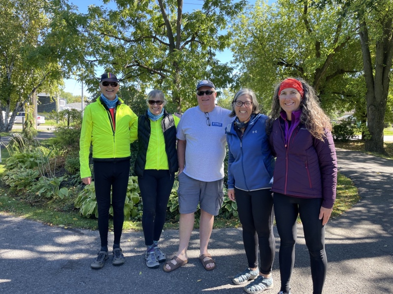
Cornwall and Lac Morency -Day 6
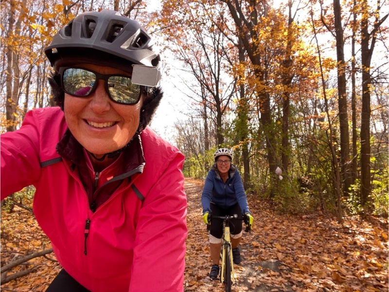
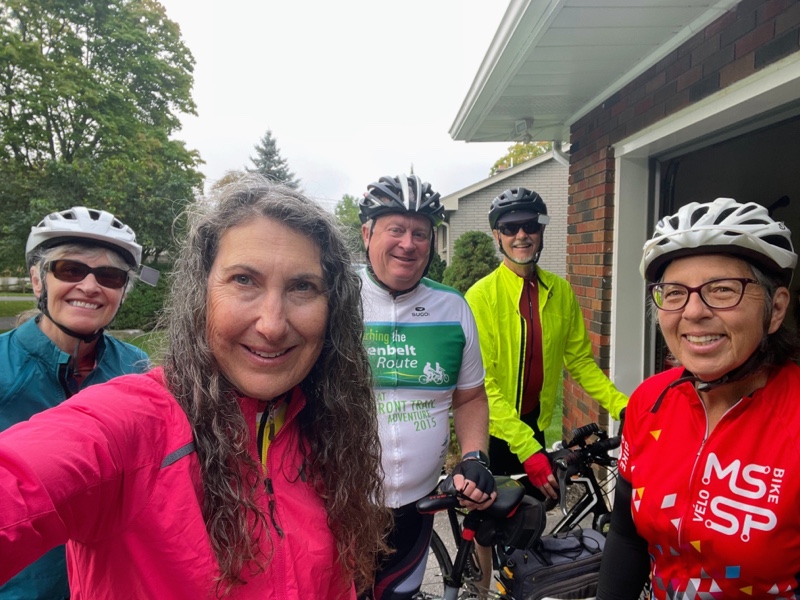
The day dawned with bright sunshine, but cold and ranged from -3° to a high of 7°. We didn’t rush to leave hoping that by the time we started riding in Prévost it would have warmed up a bit. I offered Cindy the opportunity to ride from the resort to Prévost today, as I did yesterday, but she declined as after two long days on the bike she was feeling a bit tired and we were planning another 50-ish kilometres today.
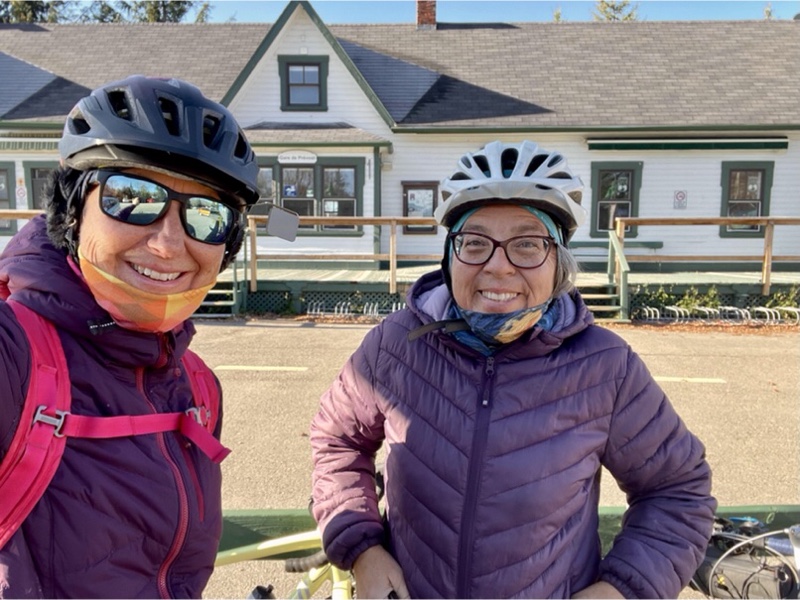
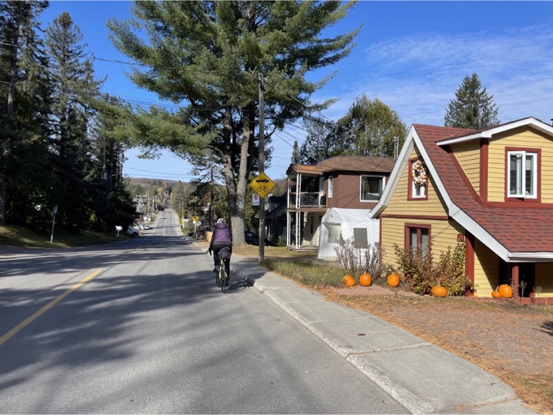
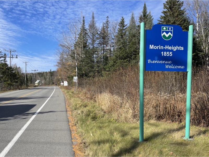
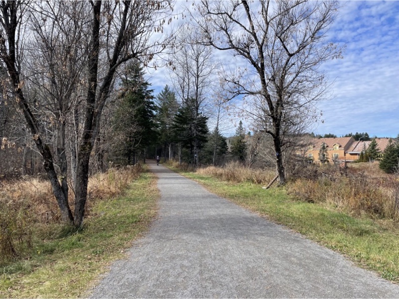
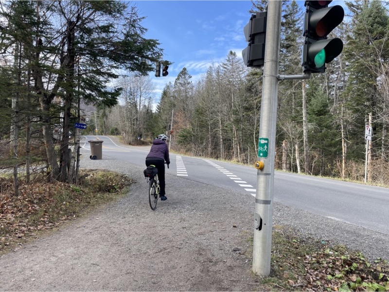
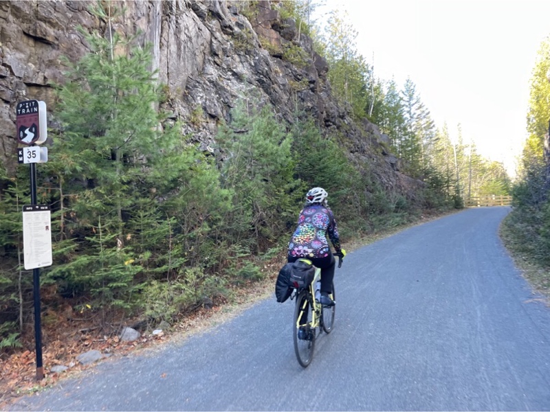
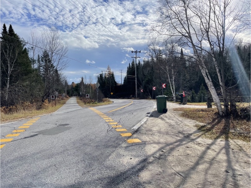
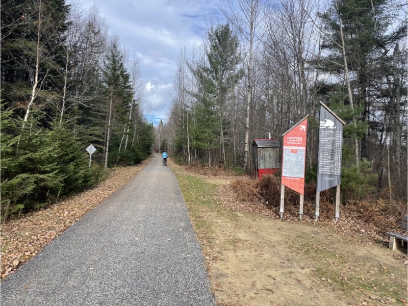
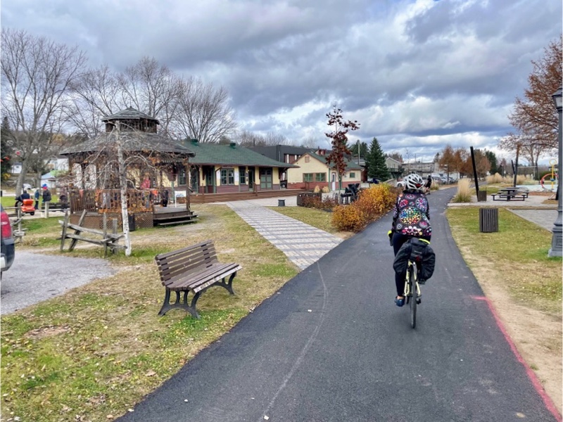
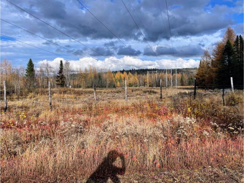
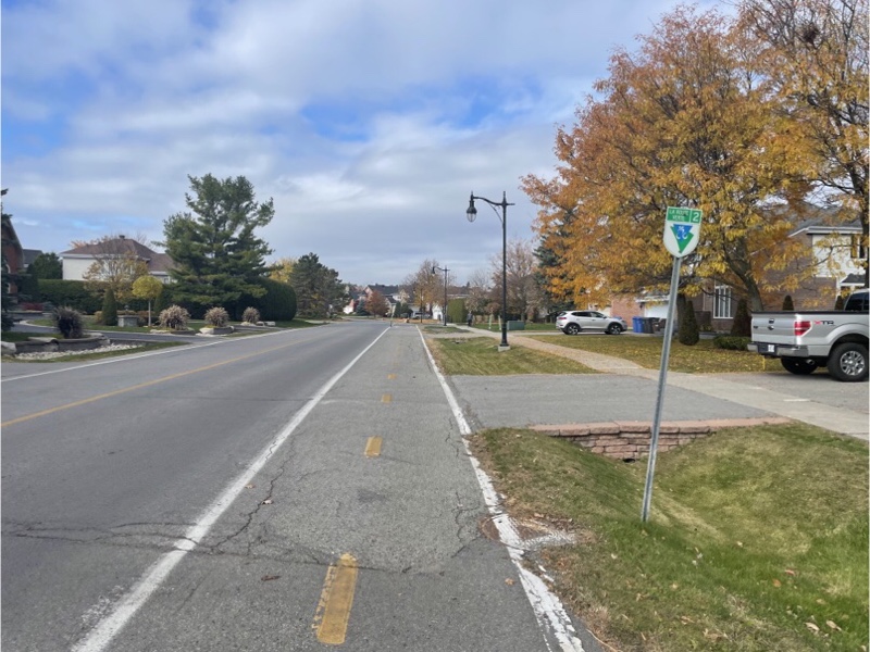
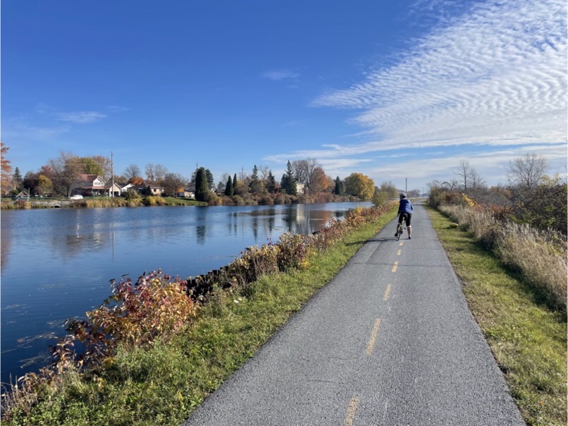
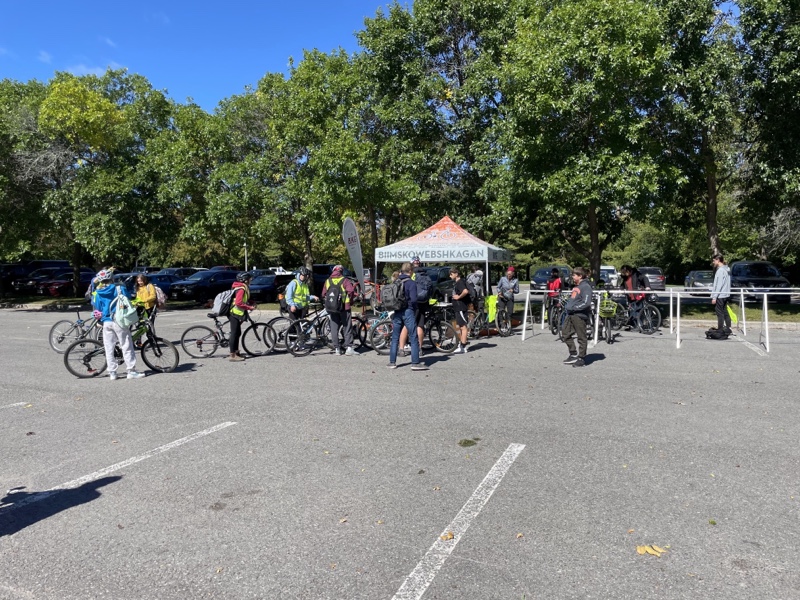
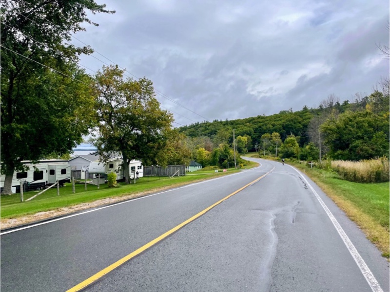
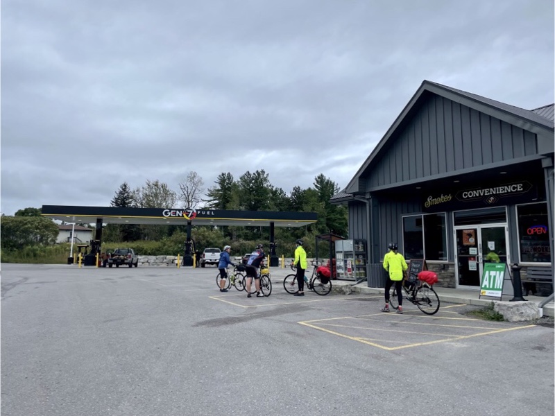
We decided to try a trail more recently established than the P’Tit Train du Nord called the Corridor Aérobique, a 58. 5 km trail from Morin-Heights to Amherst that runs roughly perpendicular to the P’Tit Train du Nord, and currently requires a ride of about 10 km on roads to get in between the two trails. The municipality is in the process of putting cycling infrastructure on the roads to connect the two trails, and has designated a route, Vélocité Trajet Cyclable, but I only found this out later after I planned a route between Prévost and Saint-Sauveur that began the same as yesterday‘s ride, but leaving the trail before Piedmont station with a small distance on Highway 117.
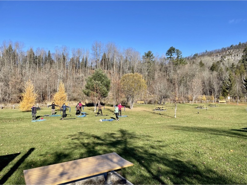
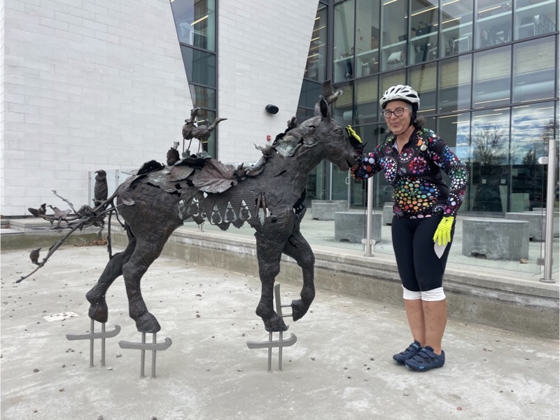
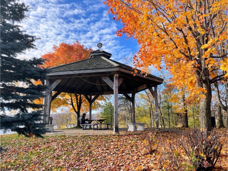
In the park where we saw the photographic exhibit yesterday we saw an outdoor exercise class today.
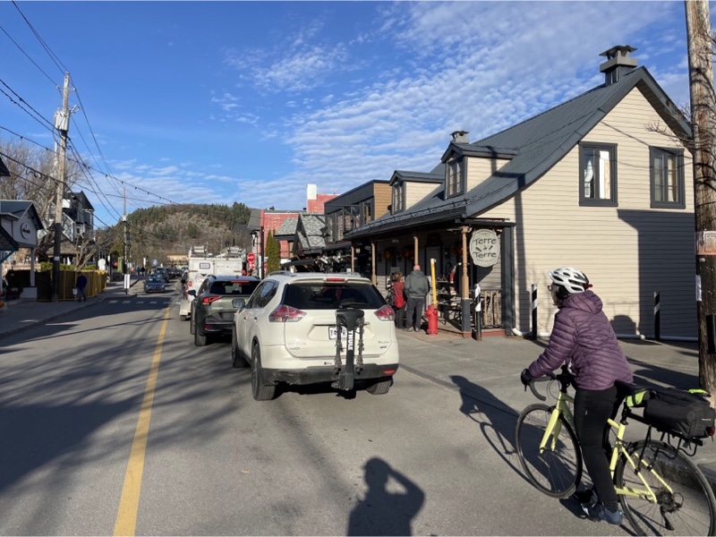
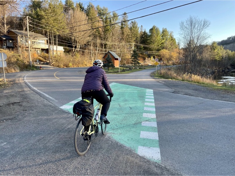
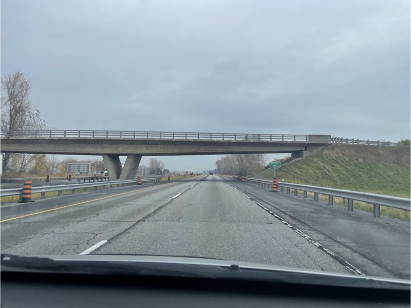
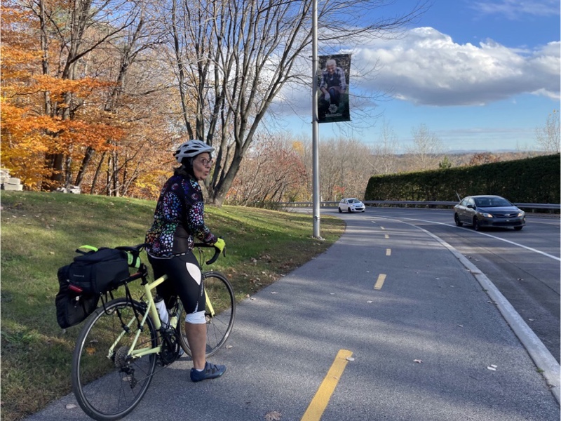
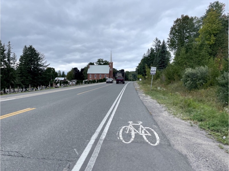
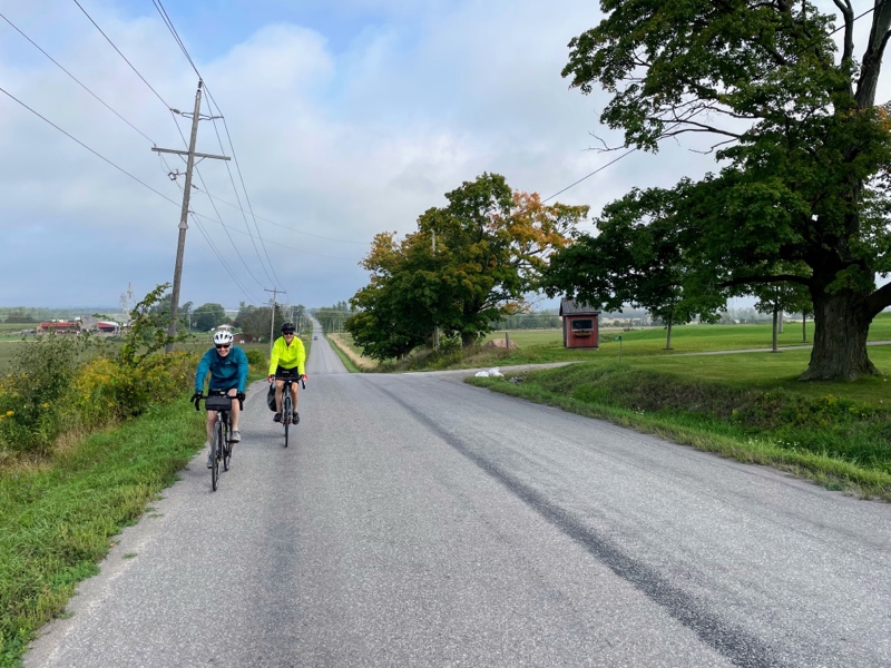
There was a 9% grade climb into Saint-Sauveur which we managed but we pulled over to catch our breath at the top. Saint-Sauveur is a pretty town with a ski resort, lots of shops, restaurants, coffee shops, and outlet shopping. We visited it last year on the one day on which we were unable to ride because of rain.
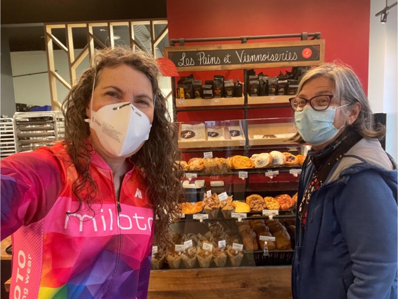
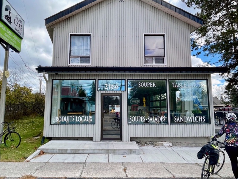
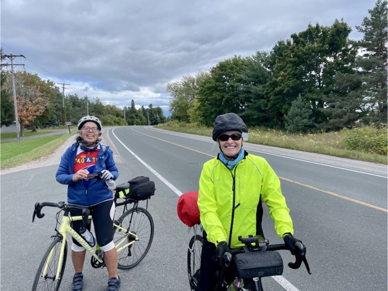
We spotted a lovely looking coffee shop with sunny outdoor tables so we decided to stop, even though we had only gone 8 km at that point.
As we sat and had coffee Cindy speculated that we could have avoided the highway by continuing along the trail to Piedmont station. I looked at the map and it turned out she was correct, however coming the way did significantly shortened the 9% climb.
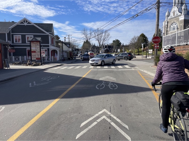
Saint-Sauveur did not have cycling lanes on the main street and it was incredibly congested. The cars were slowing us downeven when we could filter.
Once we got off the main street we were able to move faster. And there were a lot of descents.
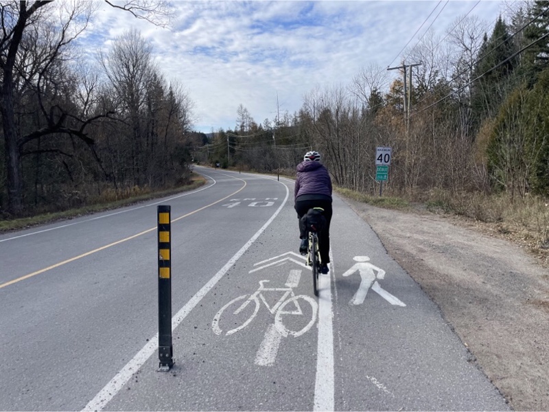
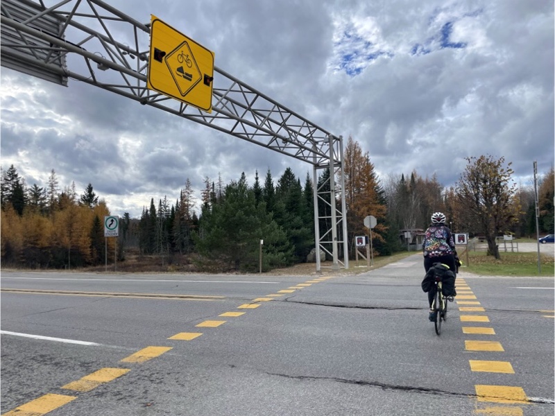
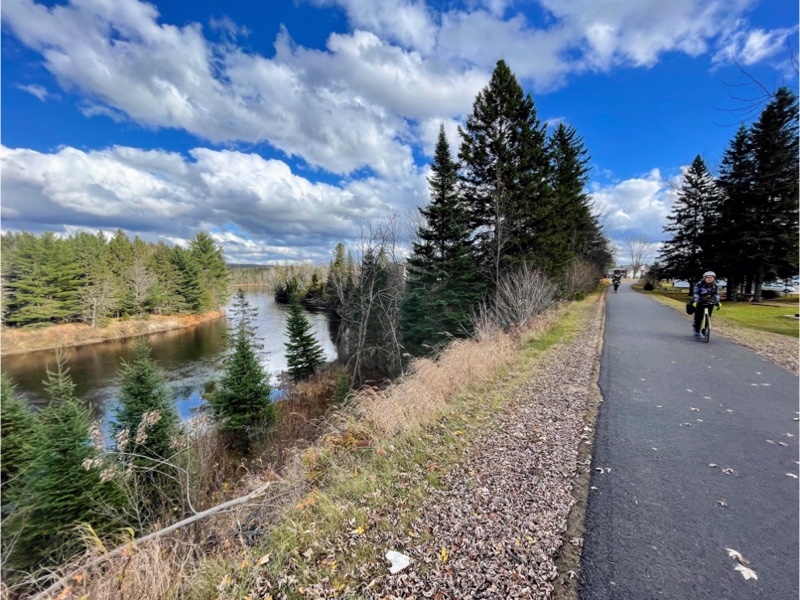
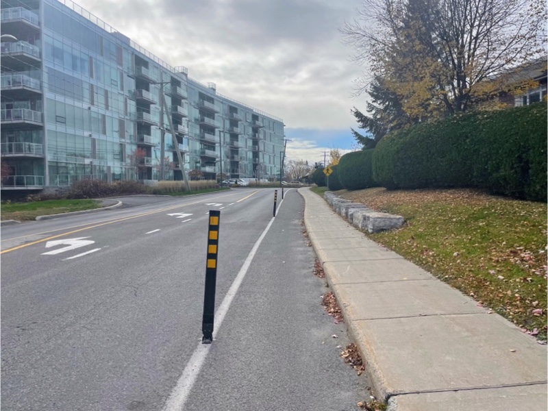
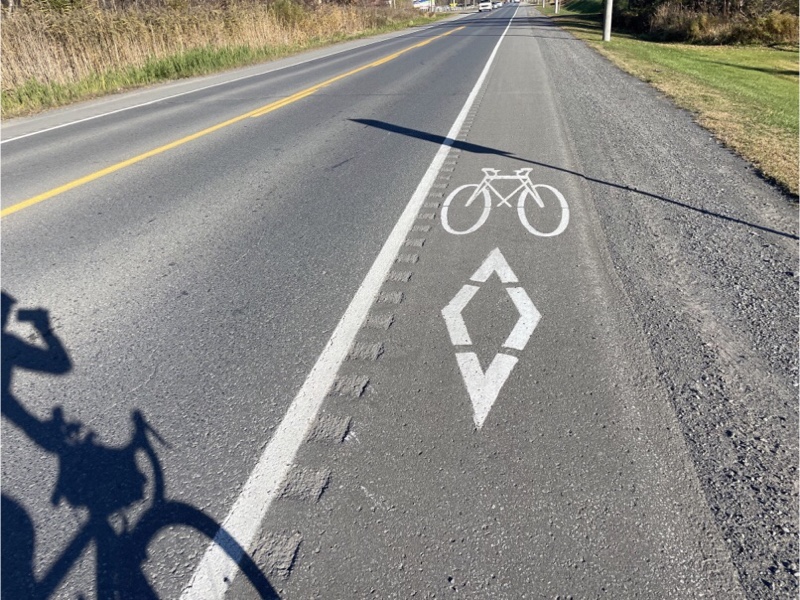
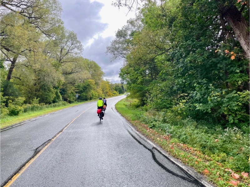
We were now on the Vélocité Trajet Cyclable and encountered paved shoulders, and protected bike lanes.
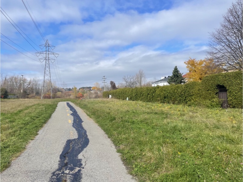
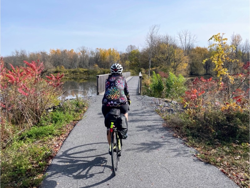
After another great descent we got to the eastern end of the Corridor Aérobique. Every time we went down a hill we were thinking about what the return trip would be like.
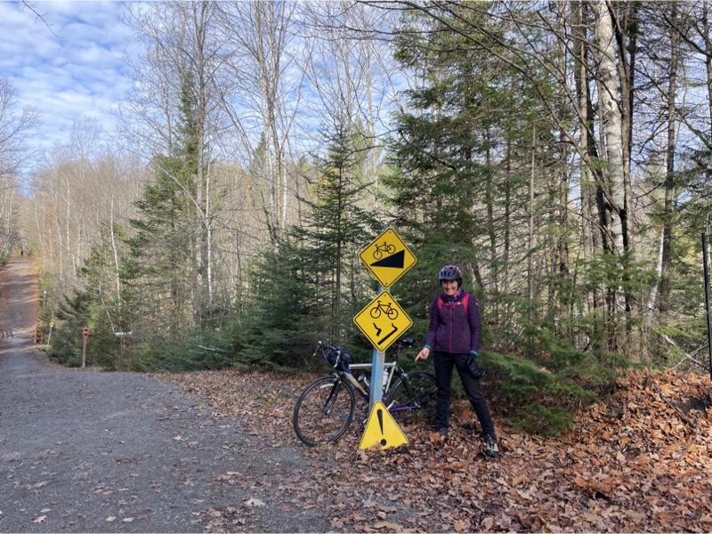
We knew from the Corridor Aérobique website that hybrid bikes or fat bikes were recommended for this trail, but we decided to give it a try with our road bikes.
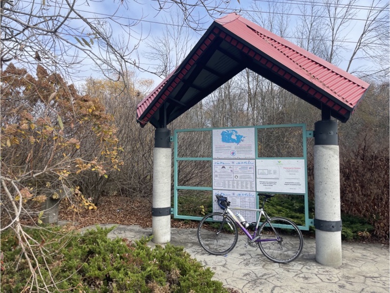
You can see a map here.
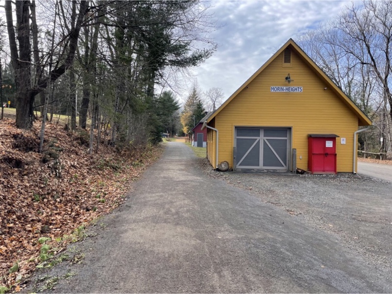
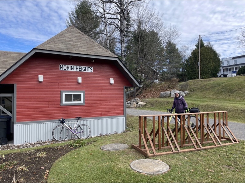
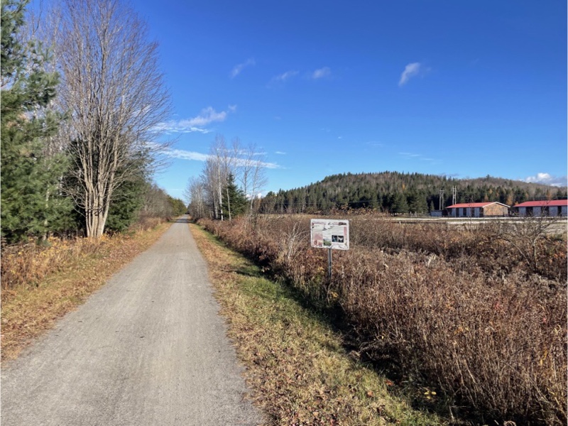
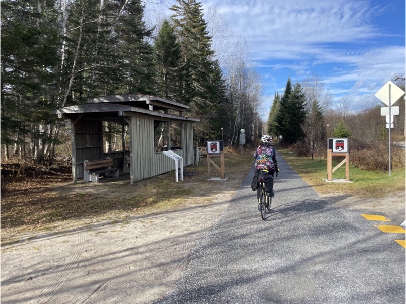
Here we have arrived at the Morin-Heights station. There were no amenities, other than a bike rack, here.
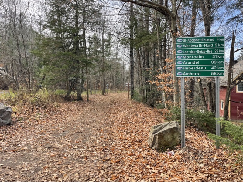
At this point we had cycled 20 km and didn’t know what we might encounter along the trail in terms of places to eat, so given our two longer prior days we decided to ride to Saint-Adolphe-d’Howard and if we encountered nothing but trail, to turn around, and come back to explore the trail in it’s entirety next year.
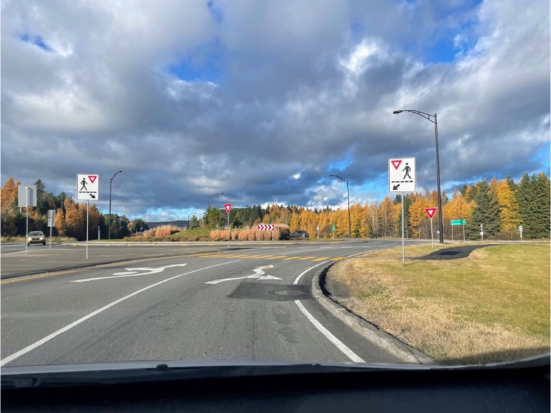
This was the only controlled road crossing we encountered on the rail trails in the area.
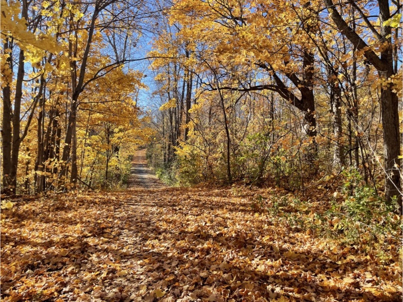
We never encountered any hills this steep on the P’Tit Train du Nord, and the surface wasn’t as good, as we expected. It’s difficult to tell in this picture but it was steep enough that walked some of the descent and all of the ascent.
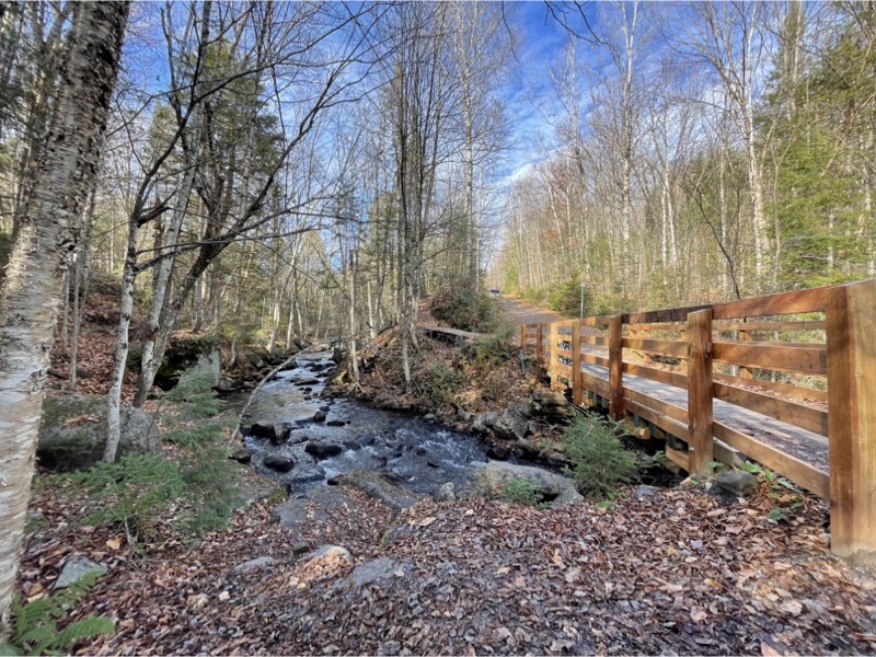
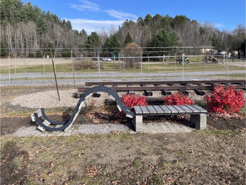
At the bottom of the dip there was a bench to enjoy this lovely view.
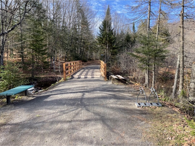
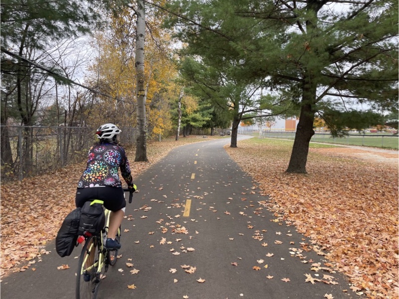
There were many hiking and skiing trails that lead away from the main trail. They were often benches along the trail with bike racks.
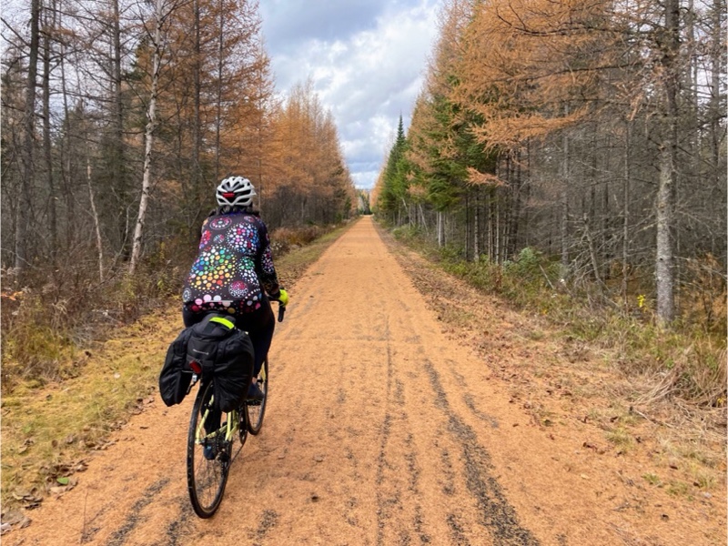
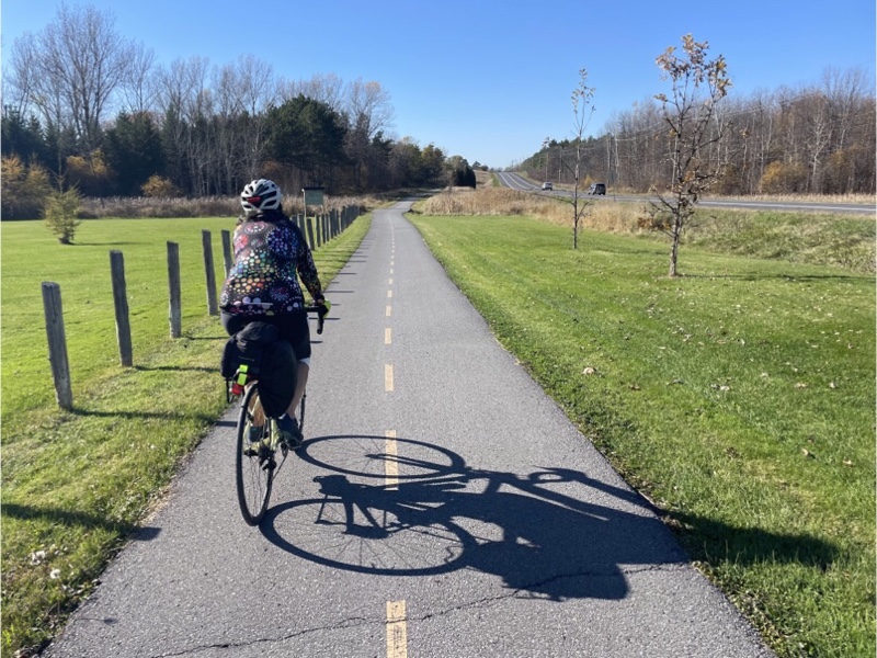
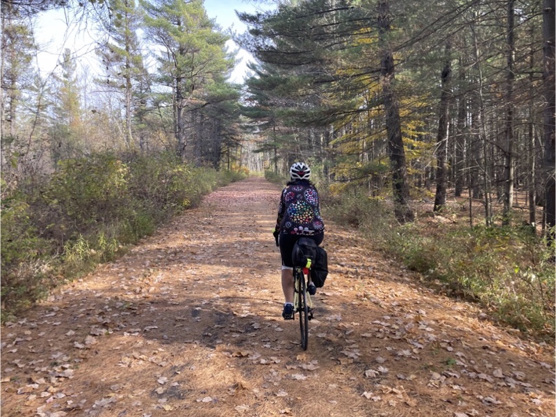
The had an average grade of 4%. We climbed all the way to Saint-Adolphe-d’Howard and encountered no amenities so we turned around there and rode back downhill to the Vélocité Trajet Cyclable.
The climbs on the way back were not as challenging as we had both feared. I guess we are getting better at hills.
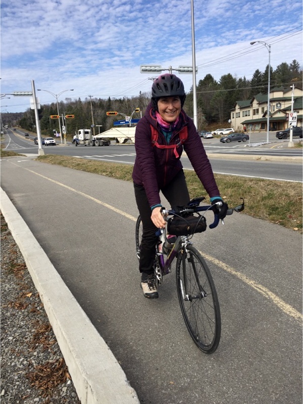
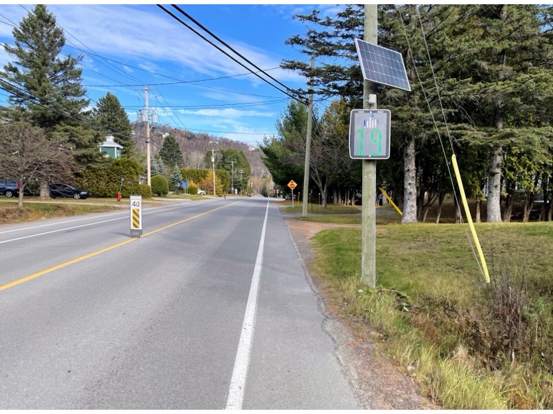
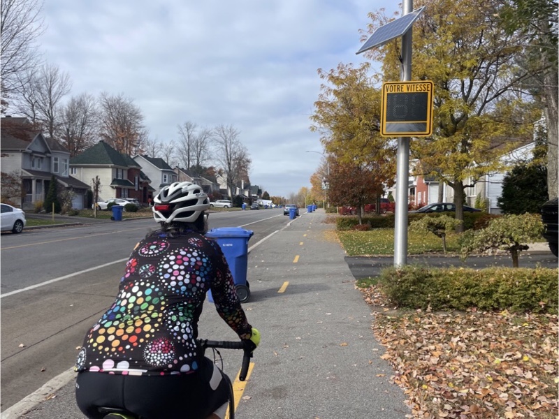
I was almost able to catch the thumbs up on the speed sign here on our way back.
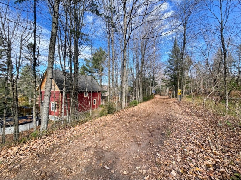
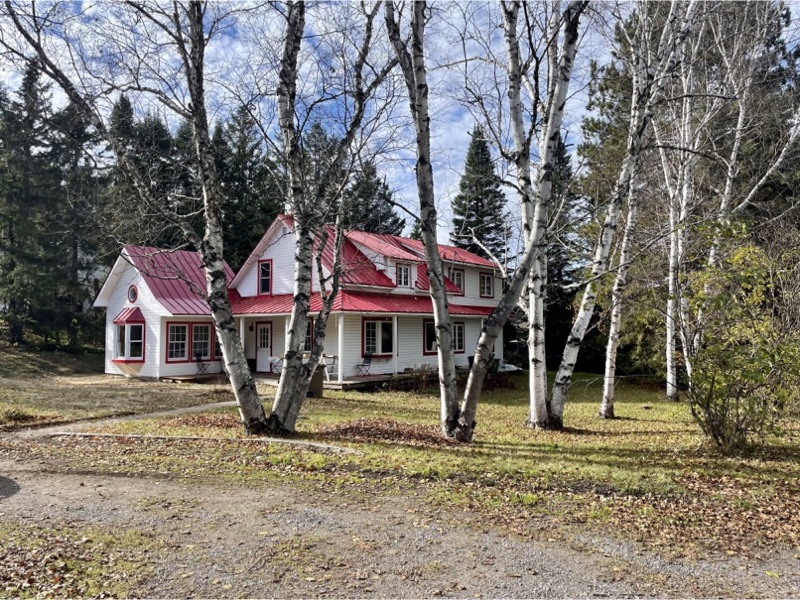
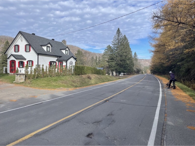
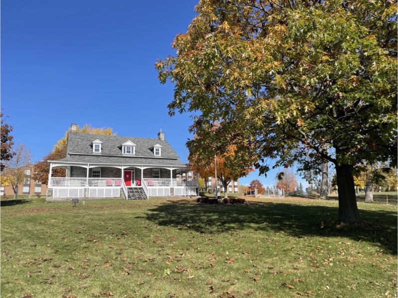
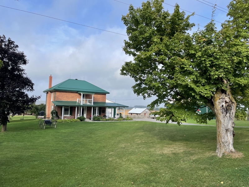
Red is often used as an accent colour or for roofing in this area and we saw many lovely homes.
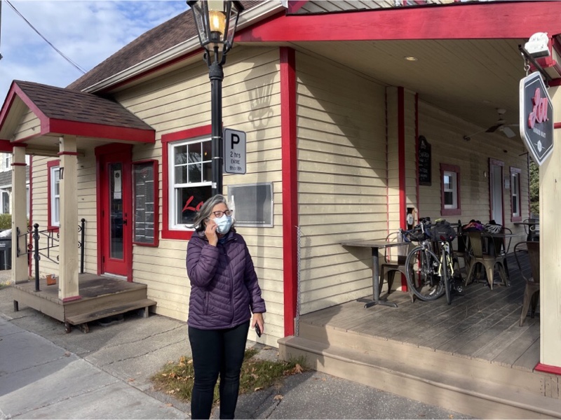
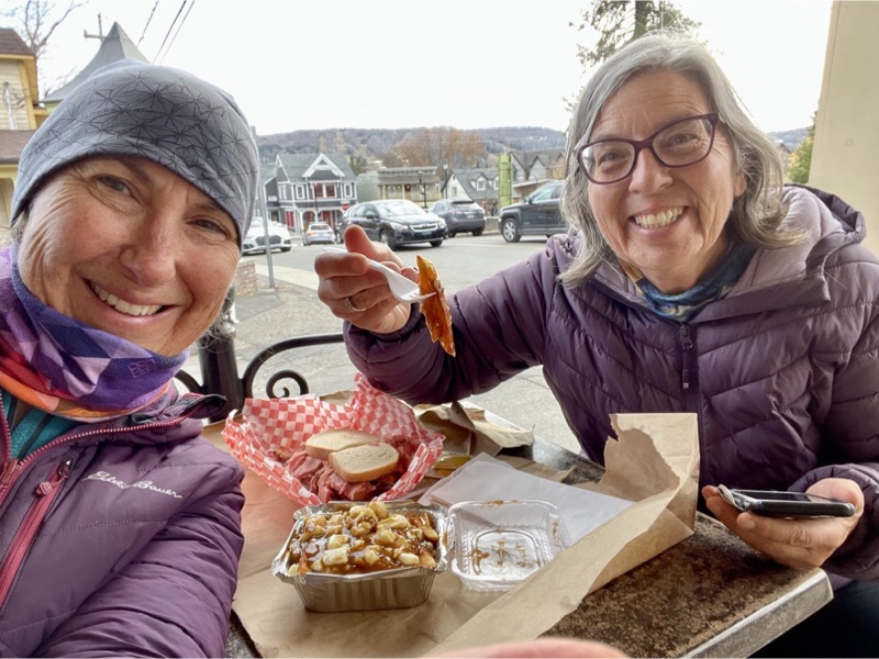
Back in Saint-Sauveur it was time for lunch so we stopped at the first place we saw that had outdoor seating, Lou’s smoked meat. Next door was a chocolate shop, also with the patio, where we decided we would get a hot drink and treat after lunch.
We split a jumbo smoked meat sandwich and a small poutine. It was definitely the right decision to split as we were both so full by the time we finished the delicious meal that we didn’t go onto the chocolate shop afterwards.
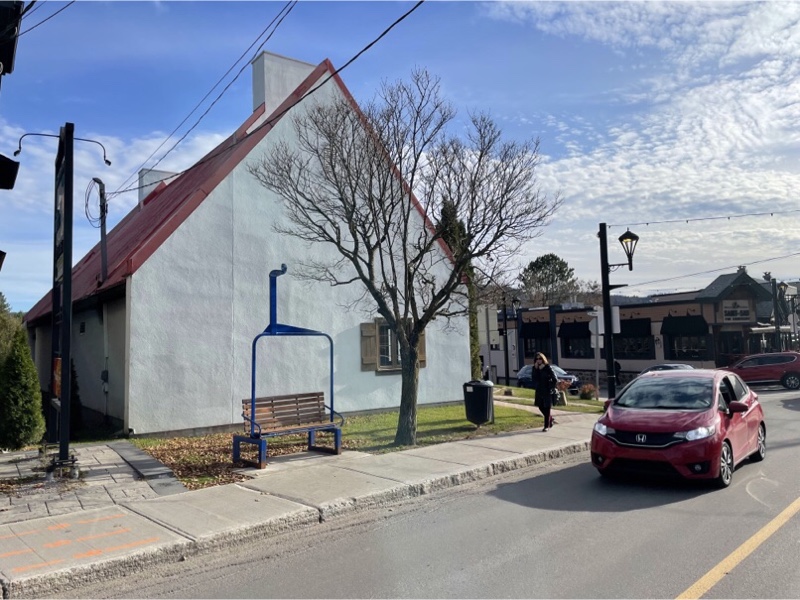
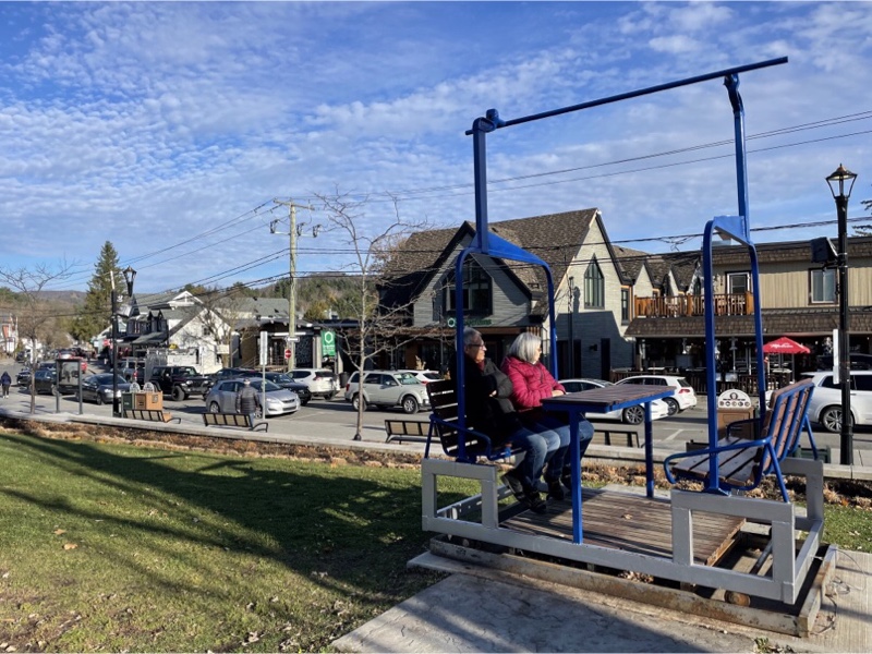
The town has benches that look like ski lift seats as an homage to its roots as a ski village.
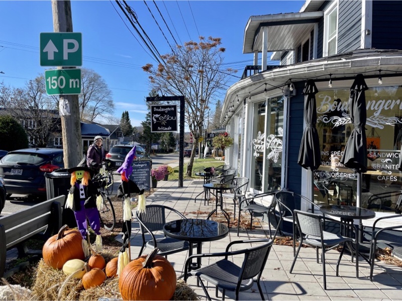
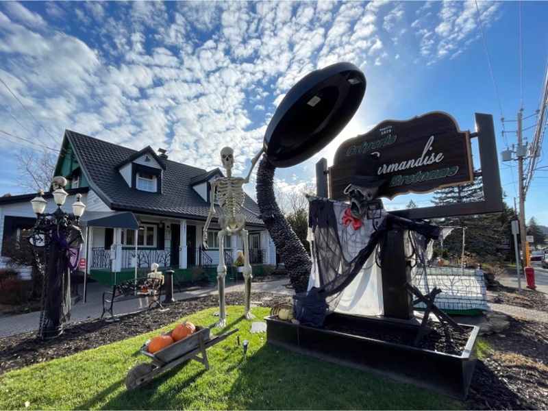
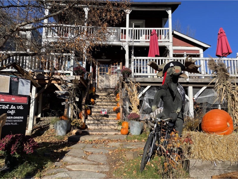
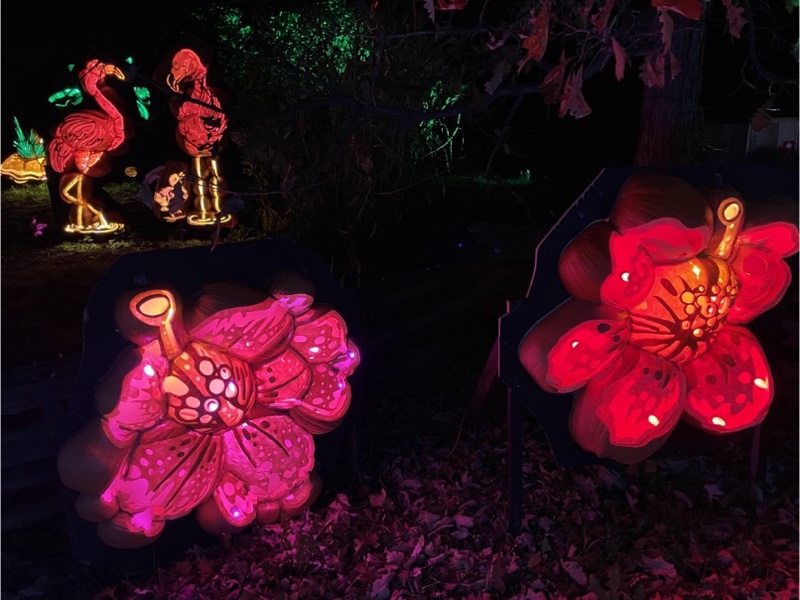
There were a lot of Halloween decorations in this area but this was one of the best displays we saw. Perhaps we will try crepes for lunch next year.
The traffic jam getting out of town was absolutely crazy. We filtered where we could.
In Parc Georges-Filion, beside the Saint-Sauveur church there were more ski lift benches.
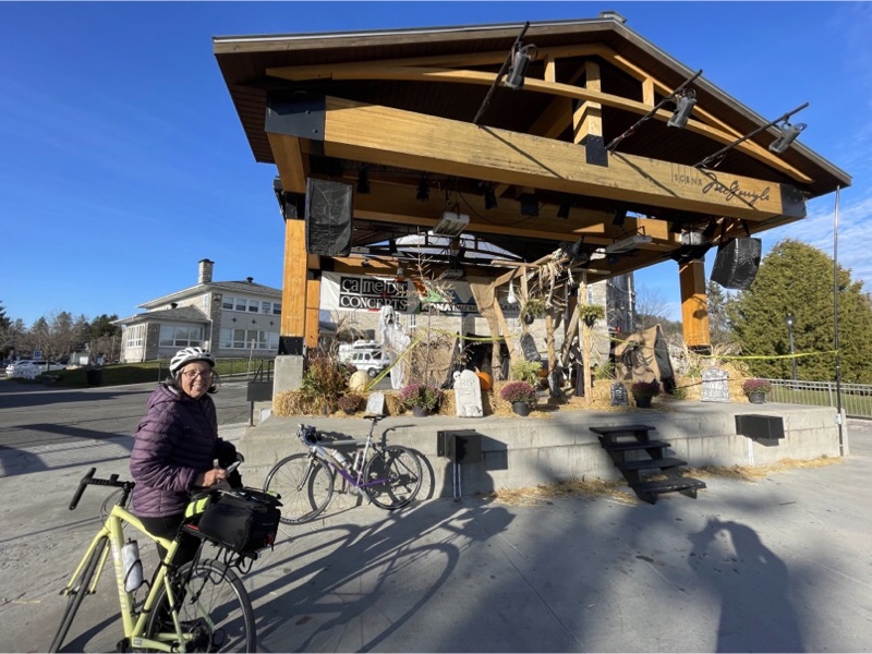
There was also a stage named for Kate and Anna McGerrigle who are from Saint-Sauveur.
After leaving the park the traffic jam was so long, and so close to the curb, that we dismounted and walked our bikes on the sidewalk faster than the cars were moving.
We followed the road out of town down the hill to the Piedmont station and the P’Tit Train du Nord trail, as Cindy had suggested in the morning that we could. It was nice to avoid the highway on the way back, and a very fun descent, however we weren’t unhappy about our morning route which had allowed us to avoid the longer 9% grade climb.
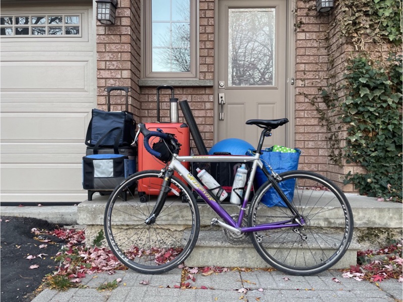
We finished the day with another simple, but filling meal, hardly believing that we had just finished our final full day at Lac Morency. But we still have two more days ahead as we are breaking up our trip home with a stop overnight again in Cornwall.
Cornwall and Lac Morency – Day 5
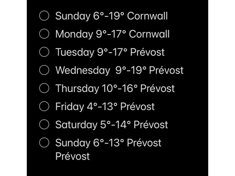
The weather dawned sunny, but much colder than the days we had experienced so far, closer to seasonal norms, but still warmer than we encountered last year. The temperature ranged from 4° to 8° rather than the long-term forecast which had led us to expect 10° to 16° today and much cooler after today. The long-term forecast has been fairly accurate with the exception that the weather cooled down one day sooner than forecast.
We had yet this year, or last year, to ride our bikes the 8 km from the resort into Prévost to start riding on the P’Tit Train du Nord. I looked at the elevation profile last night, and have been studying it as we drove to and from the resort. I determined that it would be a fairly easy, and quite fun ride into town as, with the exception of the hill out of the resort, and a couple others climbing up out of dips, it was mostly downhill with some nice curves. However I was unsure that I wanted to ride back at the end of the day.
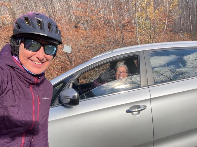
We decided after our gran fondo yesterday that we would take a shorter, more restful day today. Cindy didn’t really want to ride into town so I asked if it would be alright if I did and we met in town. For me this was the best outcome as it meant I would get a ride back uphill to the resort at the end of the day. Cindy agreed.
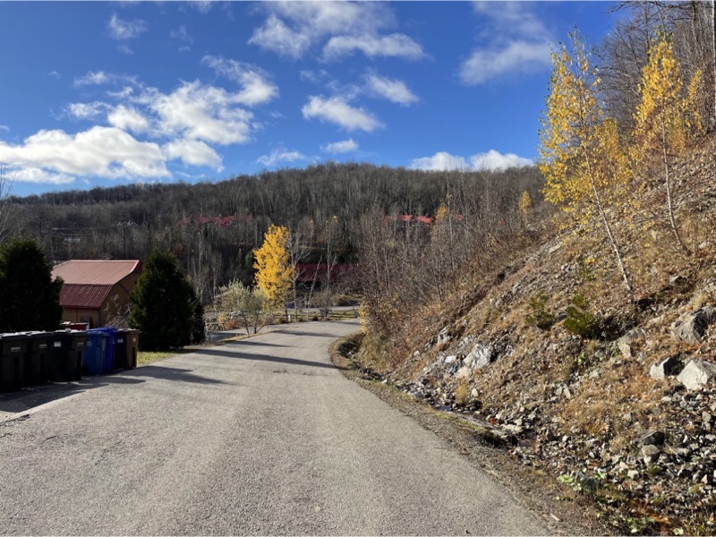
We left a little later to allow the sun to come out strongly and the day to warm up a bit. My ride started with a descent from our unit within the resort before a climb up to the road. With the exception of the last 150 m or so up to the road it wasn’t an overly challenging climb. I did pull over at the top briefly to catch my breath.
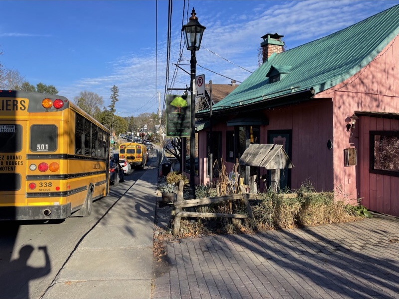
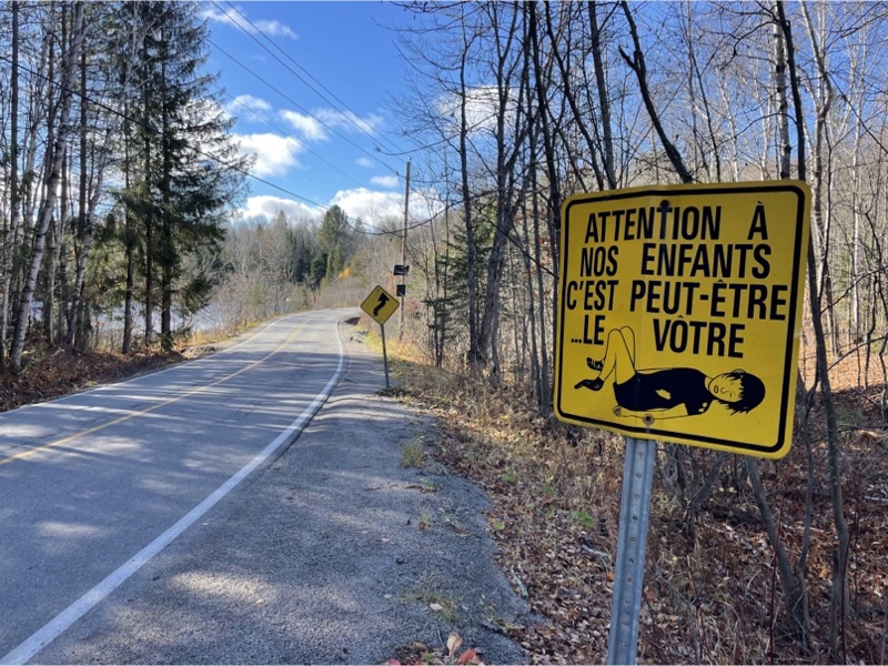
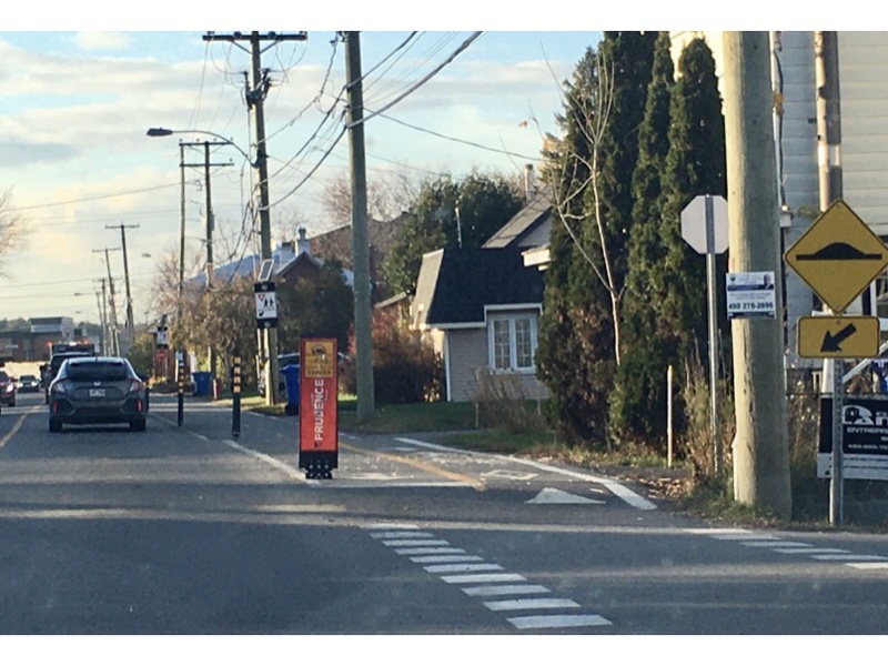
I had spotted this sign a few times from the car and pulled over to take a picture. I found it a rather peculiar drawing, but a poignant, and often ignored, message. So many parents who drive their children to school do so because they feel it would be too dangerous for them to walk or bike, not realizing, or ignoring the fact that they are creating the danger to children outside the car by driving their children to school.
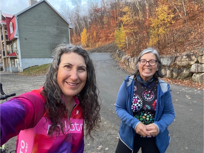
Cindy was just finishing up unloading and getting ready to ride, by the time I arrived at the station. It was a super fun ride and got me a few extra tiles.
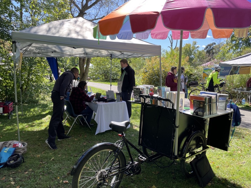
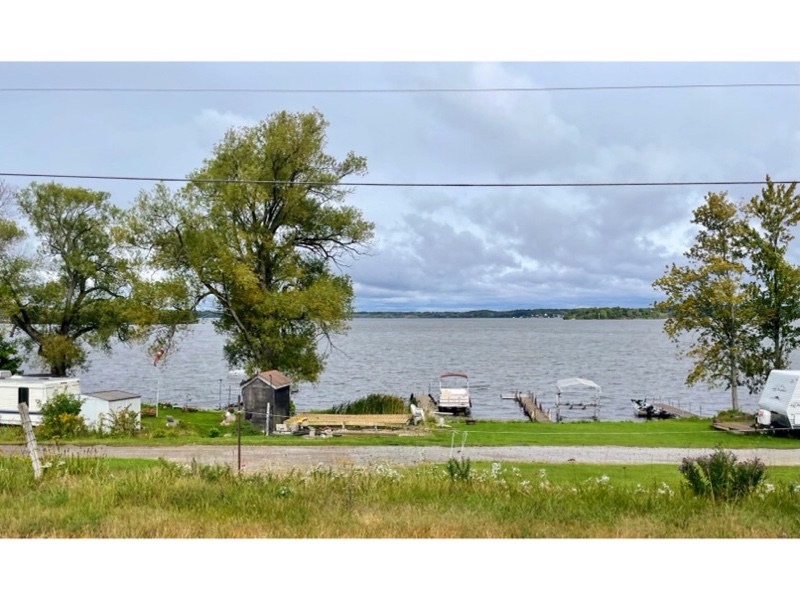
Our destination was Sainte-Adèle, a lovely station with a bike shop and coffee shop, which is 11 km north of Prévost. We decided to explore some trails that lead away from the main trail on the way there, as last year we hadn’t done a lot of exploring off the main trail.
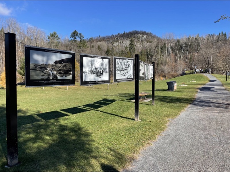
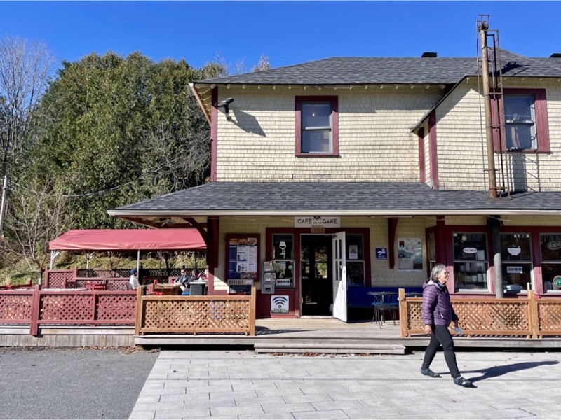
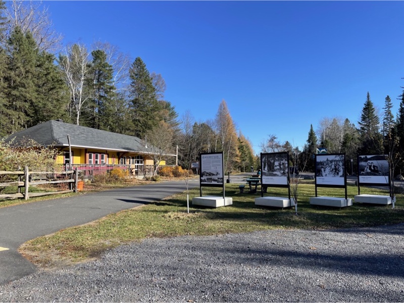
We explored Piedmont where they had an outdoor photographic display of the history of the area. One of the trains that used to run in this area was used for getting skiers to the hills.
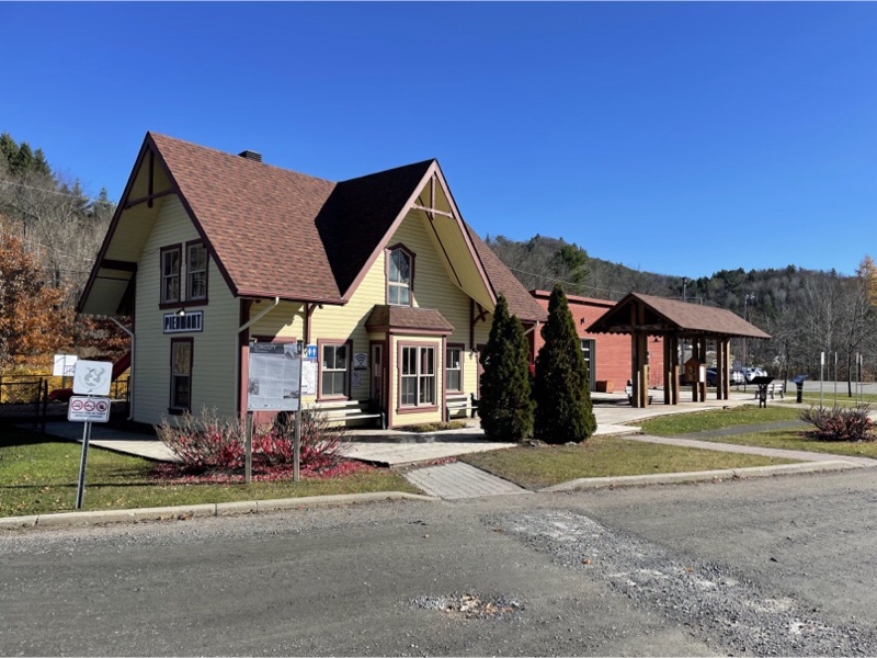
After re-joining the main trail we passed Piedmont Station, which, we learned from the exhibit, had been demolished, but a replica was rebuilt when the rail trail was established, and is used as a community centre.
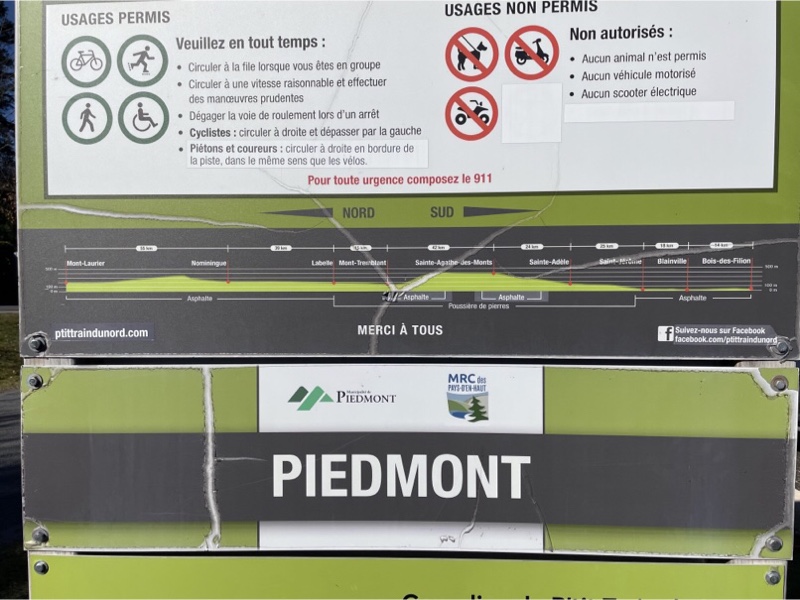
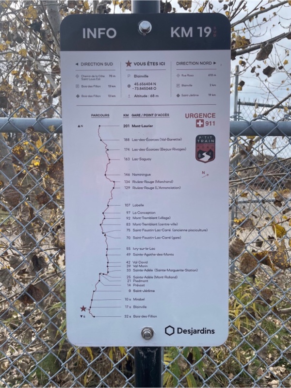
There were many information signs along the trails and one that was particularly useful showed the distances between stations and the elevation profile and whether or not the trail was paved.
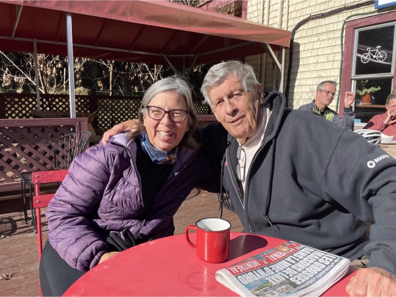
The sun was strong and the temperature pleasant by the time we arrived at Sainte-Adèle. We decided to have lunch and coffee.
Just as we were about to leave we saw a man walking towards us with a coffee and newspaper. He asked if he could join us, and told us he had been born in and lived his whole life in Sainte-Adèle. His name was Werner and we had a very interesting conversation.
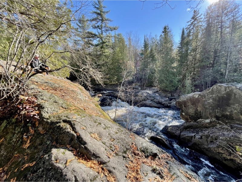
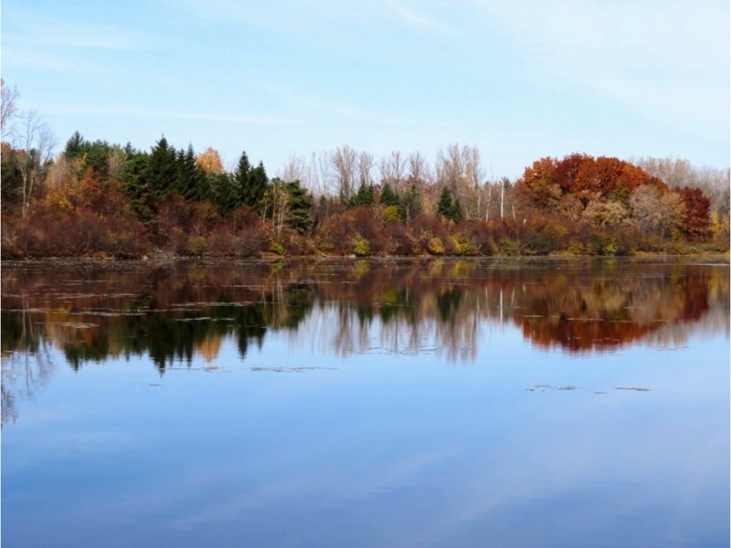
The weather was very pleasant and we weren’t tired, so we decided to continue north to explore some other areas off the trail. We discovered this waterfall, and hiking and skiing trails and a cabin for warming during the ski skiing season, just off the trail north of Sainte-Adèle.
The next 10 km to Val-Morin were ascending, but at a consistent incline that one finds on rail trails, which was more challenging than most of the rail trails I have experienced in Ontario, but well within our limits.
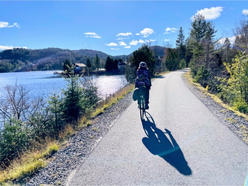
The trail went across a picturesque causeway at Lac Raymond.
There is a small Mexican restaurant in the station at Val-Morin, but the owners were on vacation, and it was closed. It was also closed last year when we passed it.
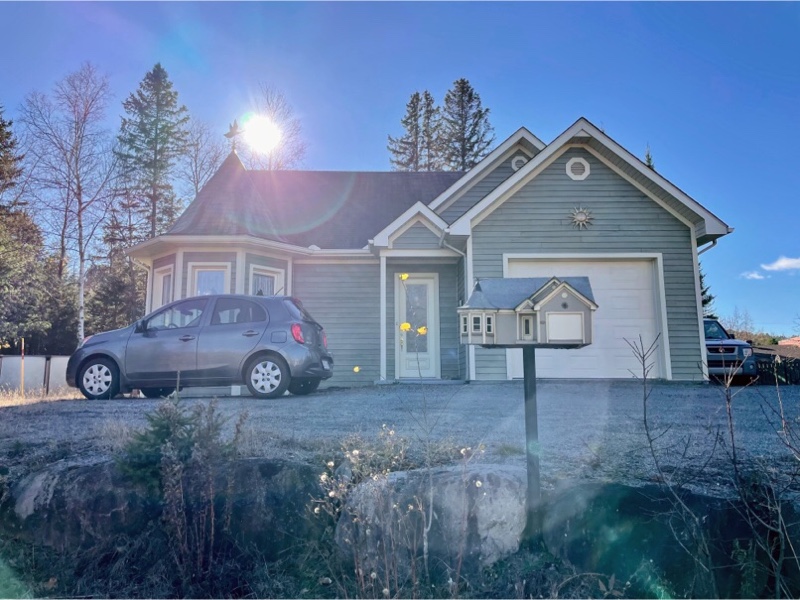
We decided to leave the trail and ride on the roads to Val-David. We didn’t encounter anything of consequence Val-Morin, but saw this cute house with a matching mailbox along the way.
Even though many of the places we pass through are quite small villages it’s not unusual to see denser housing forms and most villages have protected bike lines.
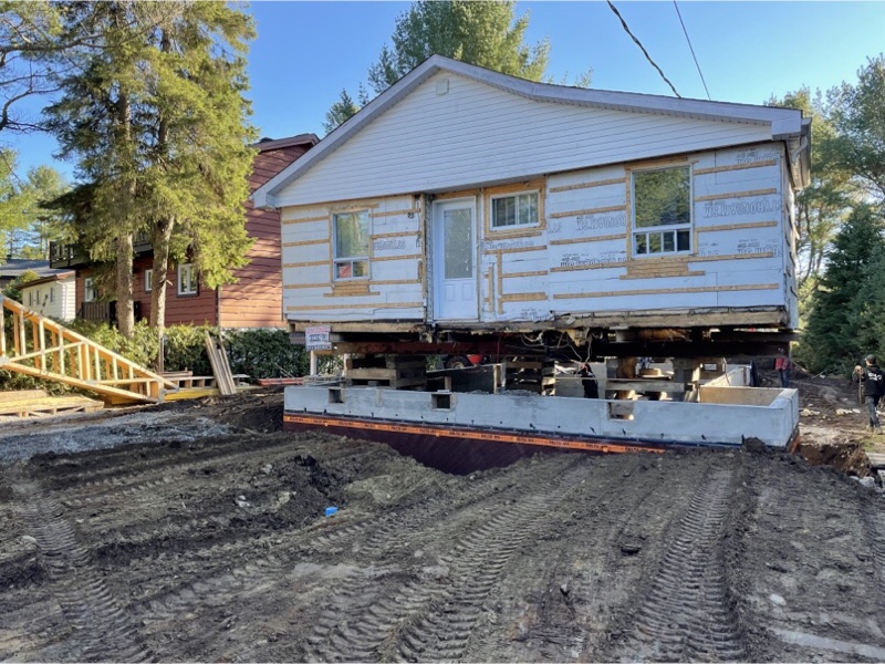
We saw several houses being raised to have a basement put under them.
The first two cafés we considered were closed during the week.
This is the station in Val-David, which is a very busy place with lots of activity along the trail, but also lots of motor vehicle traffic on its main streets. The main street here did not have a bike lane.
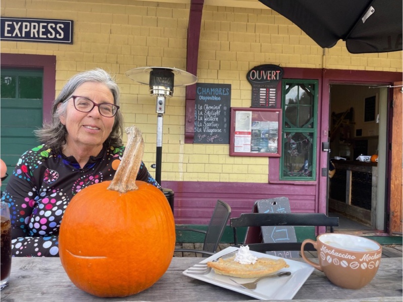
Because the first couple cafés we stopped at were closed we decided to go to one that we enjoyed last year which had sheltered outdoor seating.

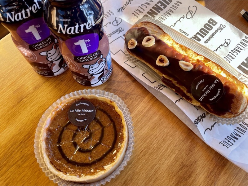
The pumpkin pie and hazelnut eclair were awesome.
There were so many information signs along the entire length of the trail that there were many we did not stop to read. At the north end of Lac Raymond was another one of the cute benches, like we saw in Labelle yesterday, and the crossing sign was used for way finding.
As we rode north we removed our layers of clothing, but on the way back south, by about 4 PM we were putting them back on.
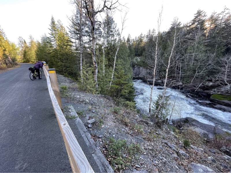
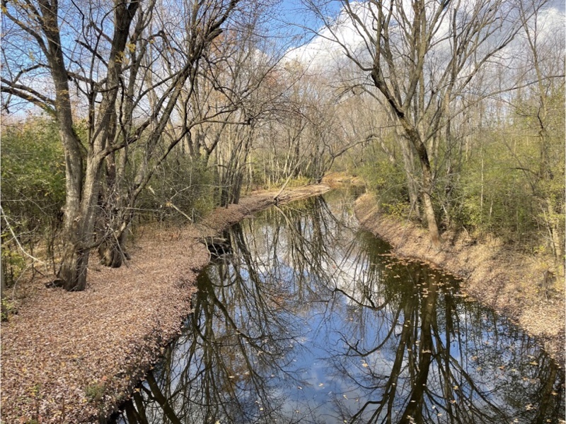
The trail follows several rivers. This is the Rivière du Nord and there was a good view of the rapids here.
This was a typical road crossing. At this particular one the drivers had a stop sign, but usually the crossings are at uncontrolled intersections and still lack gates for trail users which we appreciate as we are used to having to squeeze through gates at most rail trail crossings in Ontario.
Our “rest” day turned out to be 64 km for Cindy and eight more than that for me, with my ride into Prévost in the morning. I was happy not to have to ride back from Prévost to the resort.
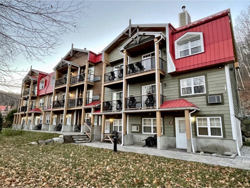
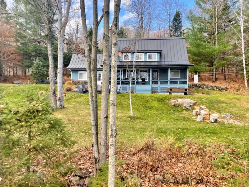
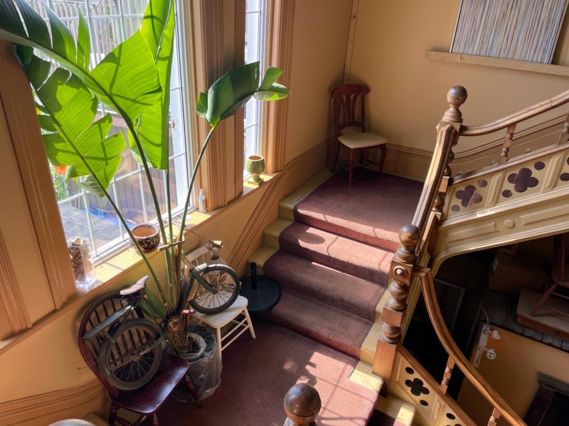
This is what the unit that we were staying in looked like from the back. We were on the middle level.
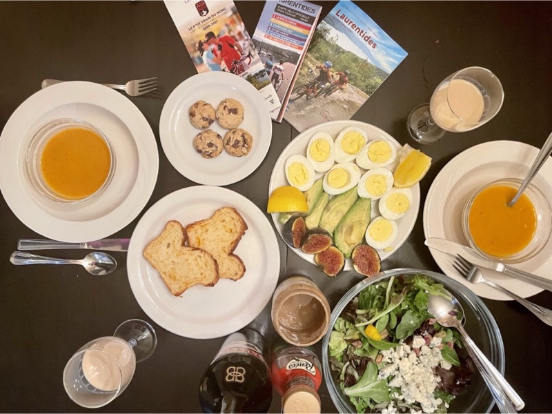
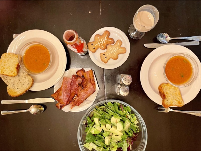
We had another simple dinner of soup and salad, bacon and cheese bread. Cindy bought us some Halloween cookies from the bakery in Val-David for dessert.
Cornwall and Lac Morency – Day 4
Last night when we checked the weather we found we had one more day of warm temperatures, and then rain and temperatures closer to seasonal norms for the rest of our stay. On our 2021 visit we had gotten to kilometre marker 92 on the P’Tit Train du Nord which is Mont-Tremblant Village. The trail ends at Mont-Laurier at kilometre marker 201. We wanted to explore more of the trail we hadn’t seen, but short late-October days, and the distance involved driving, as well as cycling, meant we were limited in what we could manage. We were considering driving north and getting a hotel on Saturday night so that we could do the north end of the trail, but yesterday, before we finished riding, Laurie texted to say that Cindy had forgotten her camera in the backseat of Laurie’s car. She invited us to stay over in Cornwall again on our way back home, to go to their community theatre group’s one act play, and pick up the camera. We enjoyed our visit so much that we decided to accept the invitation.
So today, on the last warm day we were going to have, we got up early and drove to La Conception-Station, 6 km north of Mont-Tremblant, where there was a parking lot for the P’Tit Train du Nord. The only other amenities were a porta potty, and wayfinding signage. Cindy had a goal of doing at least one Gran Fondo, a 100 km ride, this year, and hadn’t done so yet, so that was the goal for the day. Riding north to Nominingue and back would give us almost 100 km, and continuing south from La Conception-Station into Mont-Tremblant, where we left off last year and back 109km. We decided that we would decide on the few kilometres when we got back to the parking lot depending on how tired we felt and what time it was.
We drove out of the parking lot of the resort at 8 am.
We stopped at Les Moulins La Fayette, a bakery in Prévost, for coffee and baked goods to go. We also picked up a couple loaves of bread for our meals later in the week.
It was overcast as we drove north on Route 117.
In some places it is a limited access highway, and in others we encountered roundabouts.
We were the only car in the parking lot and often had the trail to ourselves for kilometres at a time.
The first 10 kilometres of the trail were surfaced with limestone screenings, but it’s still very smooth.
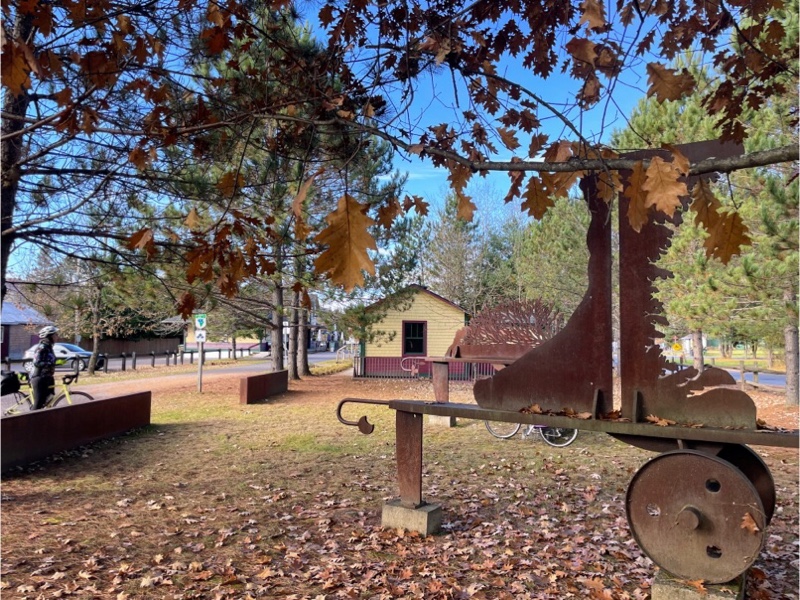
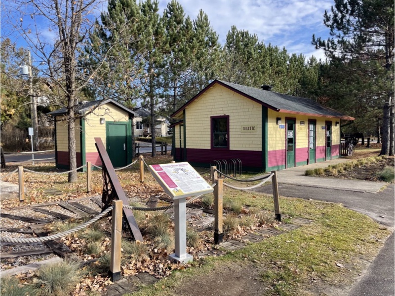
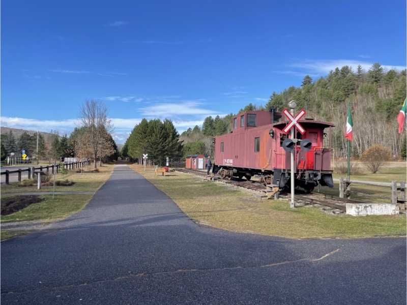
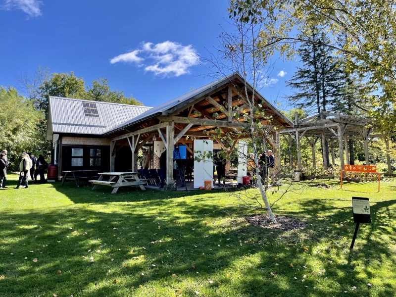
The next village was Labelle. There was a Station there that had a wonderful set of amenities.
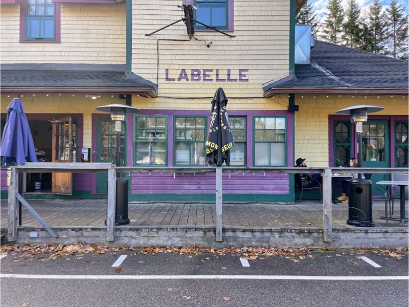
There was artwork, creative benches, picnic tables, tables and chairs on the station patio, wayfinding signage, an old caboose, a playground, bathrooms, a water bottle filling station, bike repair stand, sheds that looked like they could be used for a market, restaurant and bar, and museum.
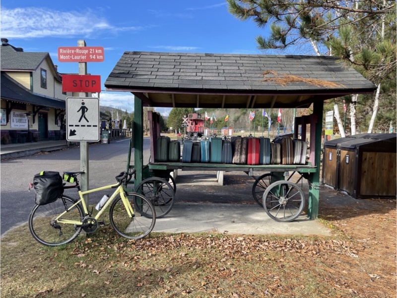
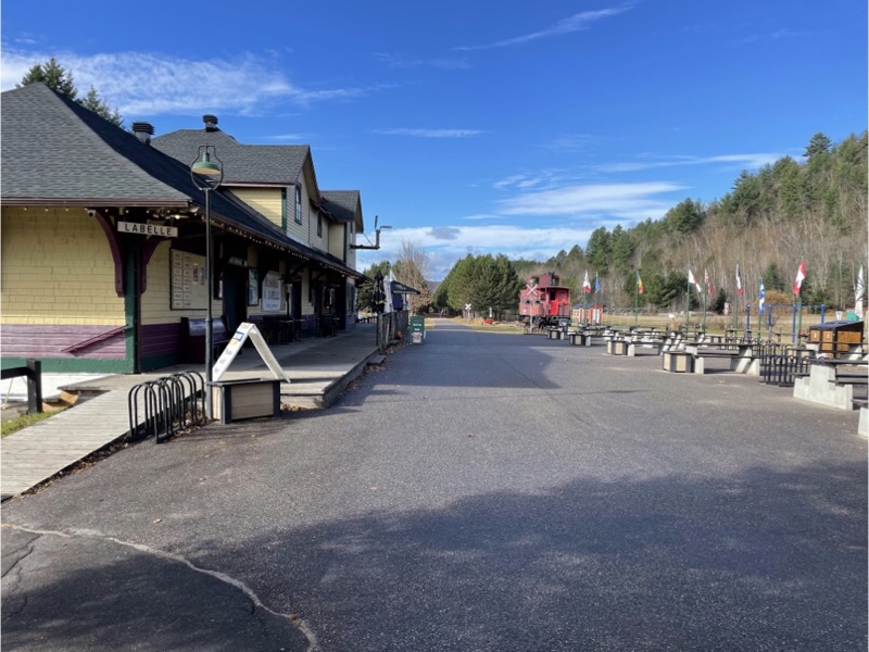
We would have liked to have stopped at the restaurant, but being only 10 km into a 100 km plus ride meant we needed to move on after taking some pictures. The restaurant sign said it closed at 3 PM so it was unlikely we would make it back before they closed.
From Labelle all the way to Mont-Laurier the trail is paved. Even though the section with limestone screenings is very good, it was even better to be on pavement.
At many of the crossings along the section of the trail we saw covered sitting areas that looks like a caboose.
We encountered no narrowing of the trail with gates at the crossings as one does in Ontario. And the roads were well marked for ensuring drivers knew that they were approaching a crossing, unlike in Ontario.
At Macaza we could see an old covered road bridge from the trail, but did not have the time to leave the trail to explore it. There are about 80 covered bridges left in Quebec from the 1200 that existed in the early 1900s.
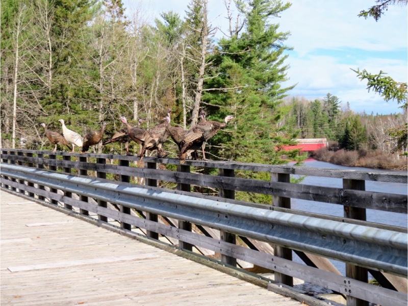
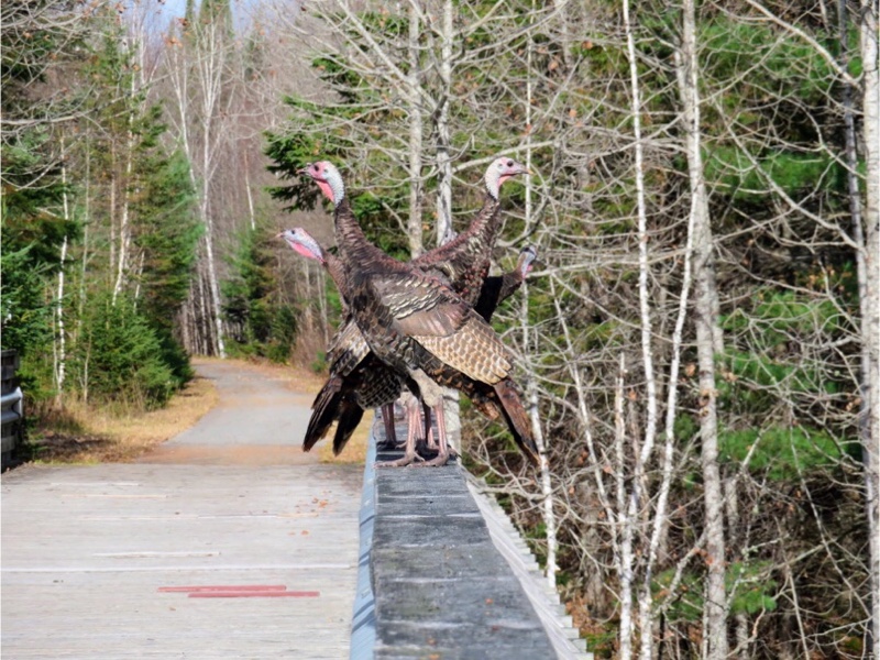
As we arrived at the trail bridge a group of wild turkeys were walking across it. One by one they fluttered up onto the handrail as we watched.
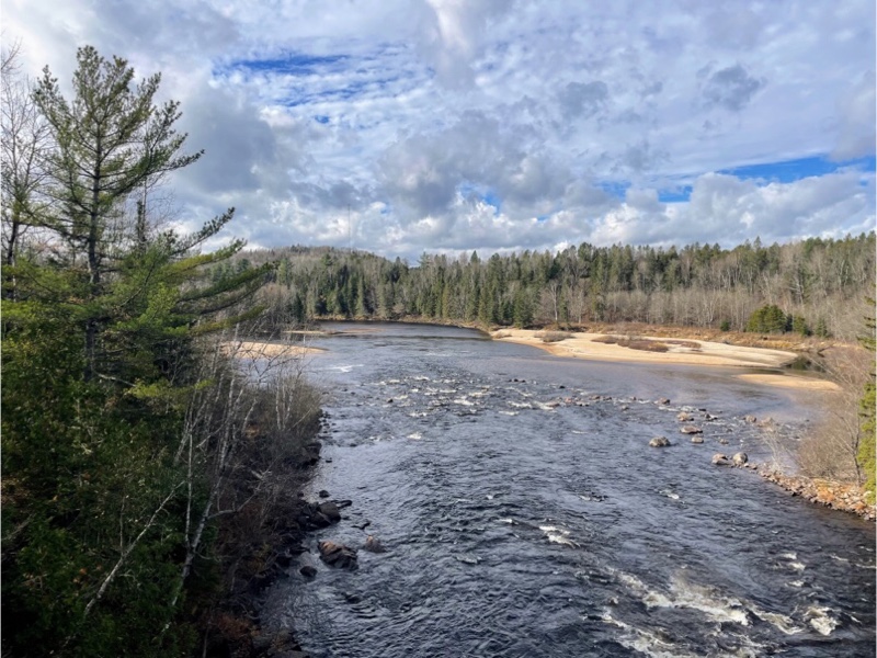
Despite the fact that most of the autumn colours were finished the views were still beautiful.
Parts of the P’Tit Train du Nord are used for snowmobiling in the winter. This sign shows the snowmobile routes and distances.
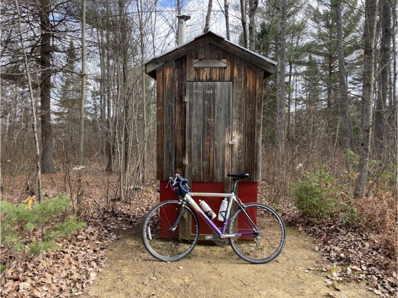
Along this section of the trail were old outhouses with a hole dug in the ground as opposed to the porta potty‘s that we tend to encounter these days. Despite that, it was clean and odour free, which Cindy suggested might be because of the time of year.
At this latitude when the trails were covered in vegetation it was with the needles of larch trees which are deciduous evergreens. They drop all of their needles at once every fall.
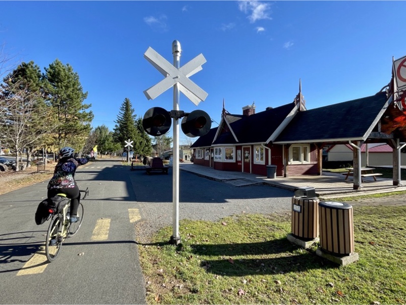
The trail runs through the small community of Rivière-Rouge and was the only place where we encountered a crossing guard. There were a lot of young people using the trail as it was lunchtime and it seemed to be how they got around town.
There is a station in Rivière- Rouge, separate buildings with bathrooms, playground and splash pad, seating areas, and decorative walkways that look like train tracks. I’m not sure what is in the station as it was locked up, as were the bathrooms, with a sign posted on the door that they were closed for the winter to prevent vandalism.
Route 117 is the main highway here and is designated as the Trans Canada Highway. It would be similar to Highway 27 running to Barrie. Even at this road there were no gates for people using the trail, only a stop sign. There was a large gantry with warning lights on it, in addition to the paint on the road, for drivers.
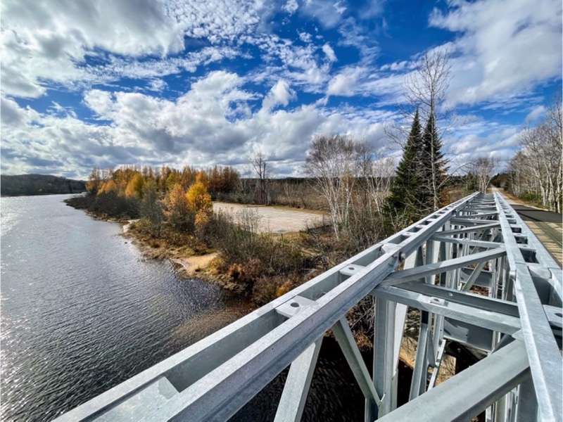
At Lac Nominingue the trail went over a long Bailey Bridge. This is a type of portable, pre-fabricated, truss bridge developed by the British for military use in the Second World War. It’s not unusual to see them along trails. There is at least one on the Caledon Trailway and one on the Chedoke Radial trail in Hamilton.
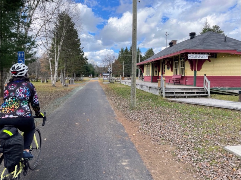
A few more kilometres and we arrived at Nominingue. The station house here was closed so I’m not sure what was inside. So were the bathrooms, but there was seating, picnic tables and sheds for local artisans.
Because I knew we would not want to linger I chose a restaurant close to the trail. Unfortunately I didn’t check the opening hours and it was closed on Wednesdays. There was an employee at the restaurant who came out and told us that we would be able to get food at the grocery store a few hundred metres further down the road.
The P’Tit Train du Nord Trail officially closes for walking and cycling on November 1. Between then and when it snows they do trail maintenance. Once it has snowed, sections are opened up for cross country skiing or snowmobiling. It seemed that a number of the amenities closed early.
After grabbing lunch at the grocery store we headed back south down the trail having cycled 49 km to that point.
I spotted this beautiful view at the north end of Rivière-Rouge which I had missed on the way north.
On the way north through Rivière-Rouge we thought there was a café at the station because there were so many people there. But on our way back we realized there was not, and that we would indeed be later than 3 PM getting back to Labelle. So we had a quick snack of food we had brought with us and then carried on.
The temperature was still beautiful and the sun strong, but clouds were beginning to gather.
As we rode into Labelle station there seemed to be a lot of activity and we were very excited to find that despite the fact that it was almost 4 PM the café was still open. I had a latte, Cindy had a Coke, and we shared a pumpkin sugar pie. It was sweet, but delicious. And just what we needed to give us the energy to get the last 10 km back to the parking lot.
As we cycled south of Labelle, now back on lime stone screenings, I could tell that Cindy was starting to get tired. I was, as well, but I had done five gran fondo’s before the trip to prepare.
I asked Cindy if she wanted to stop at the parking lot or continue to Mont-Tremblant. She said she definitely wanted her gran fondo so would ride just a little further than the parking lot and then go back to the car. I asked if she would mind if I rode on to Mont-Tremblant to see the last 5 km section that we hadn’t done yet. She agreed that she would be fine waiting for me. I suggested that if she drove the car to meet me she would have less time to wait and then I wouldn’t have to ride back benefitting us both. I looked at the elevation profile and told her there was one hill left that she would have to ride if she continued to Mont-Tremblant. She hoped to turn around before that and still get her gran fondo.
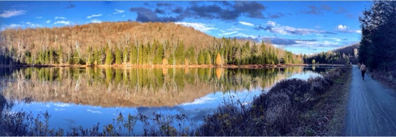
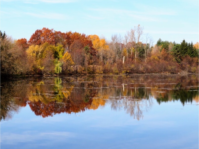
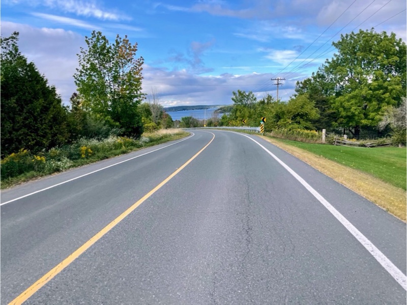
As it turned out we were at the top of that hill when she had the distance she needed to turn around and get her gran fondo. Given that she was already up the hill, and perhaps because the Coke and sugar pumpkin pie were kicking in she decided to continue on. We were both so grateful that she did when we were able to share this beautiful view of Lac du Sommet. The light and the reflections were just perfect.
The trail continued around Lac Mercier with beautiful views of the water and ski chalets.
And in what seemed like almost no time at all we reached Mont-Tremblant station. We were all smiles to be at the turnaround point.
This is us at the same point last year. It was a much colder and wetter day last year and we suffered from the cold so much that we vowed to take all our winter clothing this year, and didn’t end up needing it.
As we turned around and headed for La Conception-Station The sky darkened and it began to rain. The rain grew heavier as we loaded the bikes onto the car and jumped in as quickly as we could.
Since Cindy had driven in the morning I offered to drive home, but she replied that she had enough energy left to do so. Within a few minutes of beginning the drive the rain was coming down torrentially. I told her I was thankful she had decided to drive as I dislike driving in the rain, at night, on unfamiliar roads, in an unfamiliar car. She said she was having the same thought that it was best she had decided to do so.
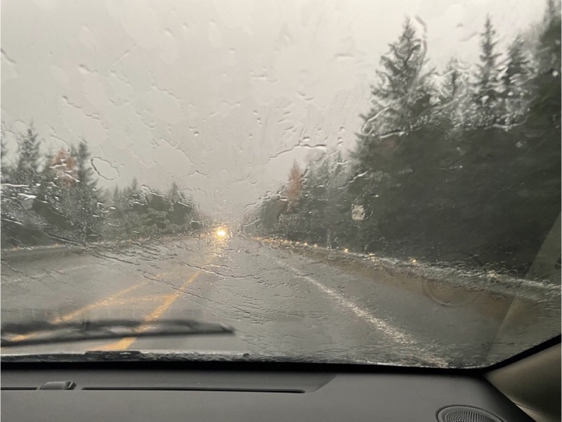
The rain continued for so long that as we came in to Prévost there was so much standing water on the road that Cindy had to significantly slow her speed and water was spraying up high from the tires. We stopped at the Metro hoping to pick up a roast chicken for dinner, but all of the prepared food counters had closed for the evening. We picked up a few other groceries, running from and to the car to avoid getting too wet.
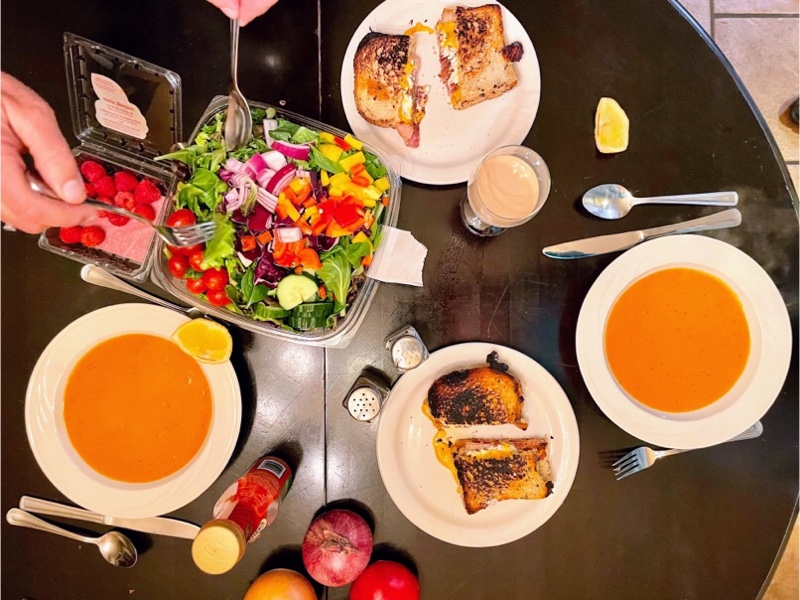
We unloaded as quickly as we could and then got into dry clothing. Dinner was homemade soup that Cindy brought from home, grilled cheese and bacon on the cheese bread we bought at the bakery in the morning, and a salad. It was delicious.
Cornwall and Lac Morency – Day 3
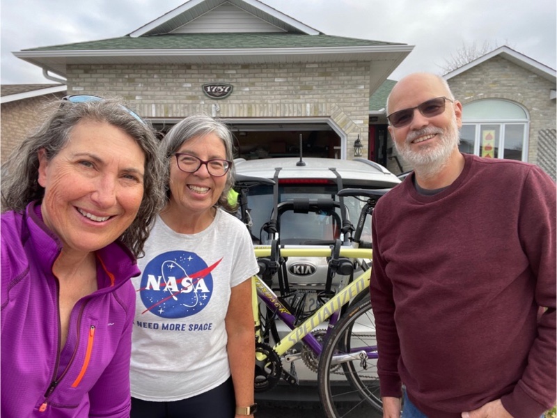
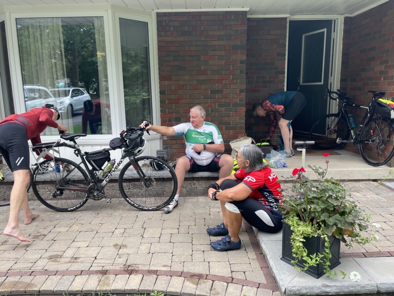
After a hearty breakfast of oatmeal and eggs on toast, with lots of coffee, we packed up the car and set off for Bois-des-Filion. Laurie had to rush out for a physiotherapy appointment, but Bruce was on hand to see us off.
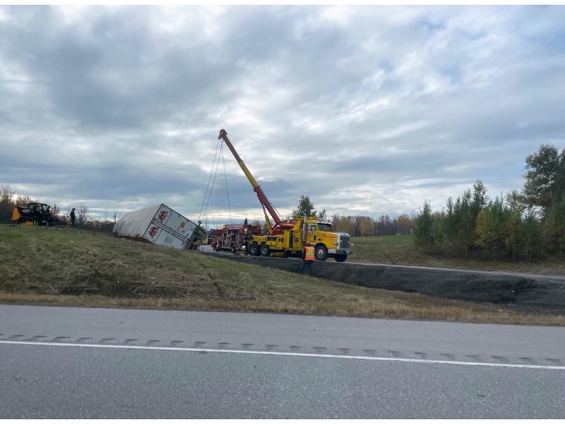
The first 401 offramp after we left Cornwall was the site of an overturned tractor trailer being righted.
Here we are crossing into Quebec which would be noticeable even without signage as the bridges over the highway look subtly different.
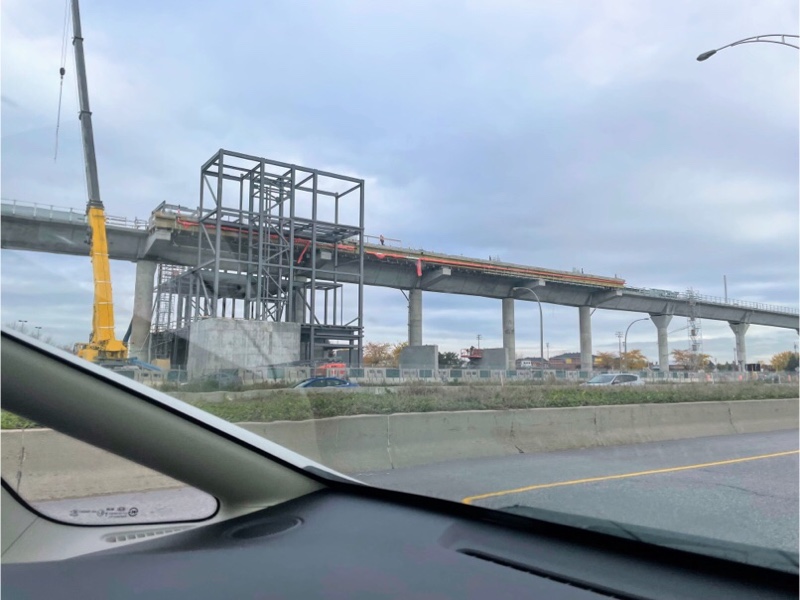
As we crossed the island of Montreal we were able to see the progress made on the Montreal REM which is under construction and set to open next year. It is a Regional Transit network of 67 km. Last year we saw a giant elevated guideway building machine when we drove by the section. This year the guideway was completely built and they were working on stations.
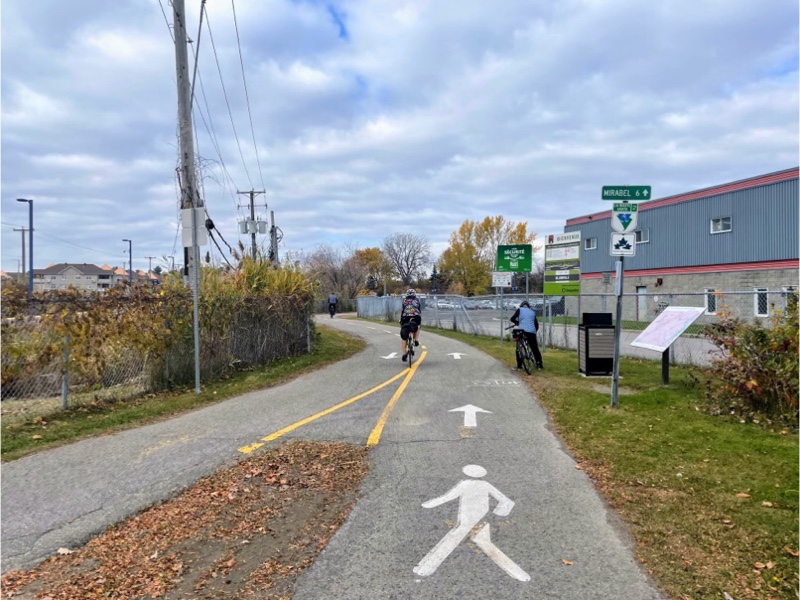
We were heading for Bois-des-Filion because that is the south end of the P’Tit Train du Nord. Last year we got as far south as a Blainville. The plan was to ride the section that we hadn’t seen yet.
I was surprised that the south end of the trail didn’t seem to be as well marked as other sections and there were not road signs directing us to the beginning. We parked in a public parking lot by a church. We went in search of a payment station, but discovered that parking was free, as it was in all the places we visited on the trip.
We had a few blocks of riding with traffic, and I suspected that was because we were not actually on the trail. It wasn’t long before we came upon a flexi post separated cycle lane and then started seeing signs for the trail.
In town the bike lane was unidirectional along the main road going westbound only, and then bi-directional cycling on one side of a residential road taking us to a hydro corridor.
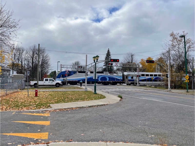
The Trans Canada Train runs along the P’Tit Train du Nord and we found a familiar looking pavilion.
There was a small parking lot adjacent to the trail here with some beautiful fall colour on the trees and on the ground.
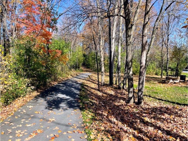
As in Cornwall some of the sections of the trail were completely leaf covered.
This section of the trail was bi-directional on one side. Unfortunately, as it was garbage day, there were wheelie bins on the trail. If I was in charge here I would make people put them in the parking lane on the road, as you can see someone has ahead of Cindy in the picture. Fortunately, the rail wasn’t very busy and when we returned along the route it wasn’t a problem to ride on the wrong side to avoid the bins.
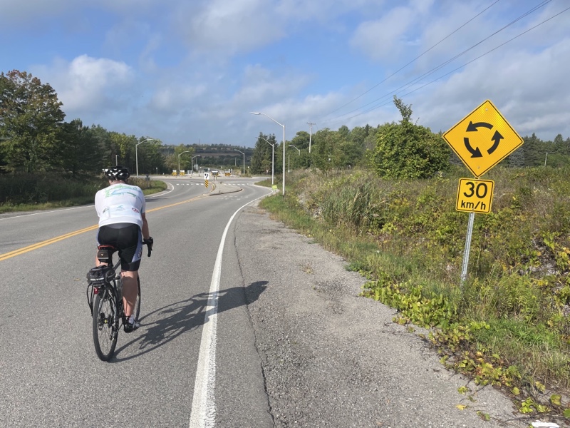
We encountered these speed signs in several places. When the speed of the vehicle is below the posted limit, one gets a thumbs up. Unfortunately I didn’t manage capture a picture of it.
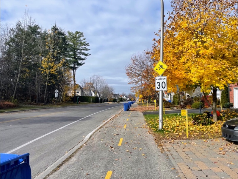
The speed limit in these subdivisions was 30 kp/h. This is a very important limit in places where motor vehicles and pedestrians and cyclist interact. It gives the drivers time to stop to avoid a collision if necessary, and when a collision happens there is a 90% chance that a pedestrian or cyclist will survive at 30kp/h speed. At 50 km/h, the default speed in most cities, only five out of 10 will survive. At 65 km/h only one out of 10 will survive.
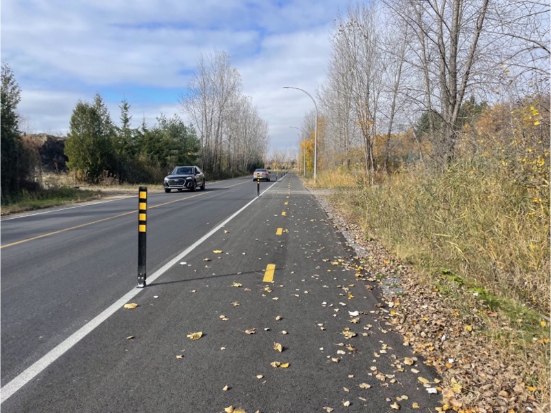
Between the subdivision, and where the trail begins running adjacent to an commuter rail line, was a newly paved and separated section which was very pleasant to ride on.
This was our first sighting of the P’Tit Train du Nord signage we were familiar with from last year. The sign indicates that we are 19 km south of St-Jerome which is Kilometre 0. North of there all of the rail has been removed.

This is the point at which we turned around when we came from the north last year.
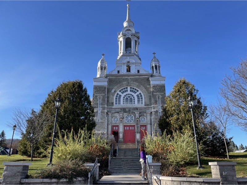
We decided to continue north to try to have a look at the photo exposition in City Hall, which was closed last year for Covid. It turns out it’s also closed on Tuesdays. So we have yet to see it.
This train runs along side the P’Tit Train du Nord from Bois-des-Filion to St Jerome.
The section of the trail was under construction last year.

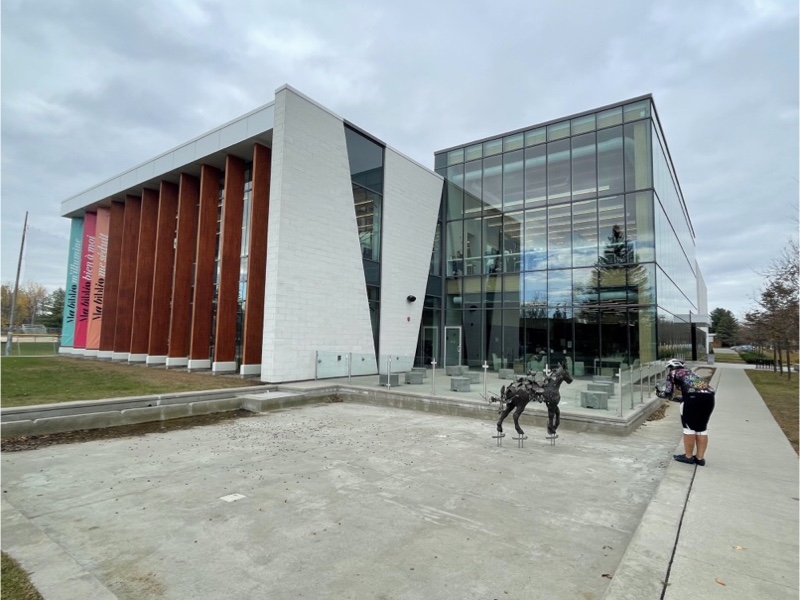
We visited the library and this cute sculpture again.
Before we set off I chose a restaurant for lunch, as last year we had trouble finding somewhere to eat in Blainville. They still had outdoor furniture set up and we chose to sit in the shade, rather than the sun, since it was such a warm day. We had a good meal.
This picture shows a permeable filter, which is a street which only allows cyclists and pedestrians to continue straight and forces motor vehicles to turn.
This hill was challenging to climb but made for a beautiful descent.
When we reached the section of the trail in Bois-des-Filion which was on the road, but only had a bike lane on the westbound side, we were directed onto this lovely boardwalk.
As we were almost back to the car and lost our bike lane just before crossing Highway 335 we realize thought the trail went south and under the highway, but since it was getting later than we had planned to ride we headed straight back to the car. So we still have perhaps 1 km of the P’Tit Train du Nord that we have yet to ride at the south end.
The drive to Lac Morency was longer than we expected as we ended up in stop and go traffic due to congestion in the villages with school pick up, even though lots of children seemed to be walking along sections like this, or riding on school buses.
When we arrived Cindy negotiated an upgrade from the studio unit with kitchenette that she had booked to a one bedroom with living room, dining room, and full kitchen. It was more spacious than where we stayed last year, and all on one level, which was nice not to have to go up and downstairs to the bathroom from the living room sofa bed. Last year the sofa bed was extremely uncomfortable. I mentioned that at check in and they offered a mattress topper. I accepted and it turned out to be quite comfortable.
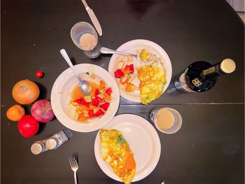
We brought groceries with us from home and were able to make omelettes, and a pepper and kohlrabi salad with produce from Cindy‘s garden. It was delicious.
Cornwall and Lac Morency – Day 2
Our route for the day was to ride along the Waterfront Trail, west to Long Sault where we left off yesterday, then return to Cornwall to see the waterfront park, and a local conservation area as recommended Laurie. She also reviewed the route and made some improvements to it based on her excellent local knowledge. It was another beautiful day living up to the long-term forecast from last week.
We set off with Ride with GPS providing voice navigation cues. The planned route crossed itself, and sometimes Ride with GPS gets mixed up and provides an incorrect next cue when this happens. We had only gone a few kilometres when I heard the “boing, boing” noise that indicates we were off course. We had just passed a split in the multiuse path that we were on. So we turned around and headed on the other path which made Ride with GPS happy. However, it left me feeling things were not quite right, even though I am not familiar with Cornwall. After several kilometres I realized that we had been sent along the latter part of our route to explore in Cornwall, rather than the former part heading out to Long Sault. No matter. We carried on given that it was already late morning, and there would be better food options in Cornwall than in Long Sault.
The trail through the hydro corridor to the Power Dam was lovely. We had it all to ourselves and it was downhill all the way.
At the south end there was visitors center, but it wasn’t open.
It did have a good views of the dam, which is a joint project between Canada and the US. The Canadian half is a 16 unit hydroelectric station and has an available capacity of 1045 MW. It is one of two large generating stations housed in the 1 km long Moses-Saunders Power Dam.
I noticed that the hydro towers nearest the dam were painted red and white, and when I looked it up I learned that towers above 200 feet off the ground are required to be painted that way to be more obvious to passing aircraft under FAA rules. I didn’t find a reference about a Canadian rule but assume that we follow the same.
We had water on both sides of us as we cycled. The Cornwall Canal bypassing the dam to our left and the St. Lawrence River to our right.
Cofferdams are temporary steel structures submerged in water and filled with rock to withstand water pressure and are used to expose the riverbed for construction. The one that was used to construct the Moses-Saunders Power Dam was blown up on July 1, 1958 with 27 tons of explosives. The dam was 183 m long and 4 km upstream from the Power Dam. It raised the river to the appropriate operating level for the dam and submerged 10 Canadian communities.
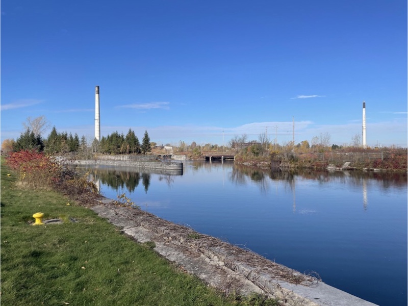
The remains of an old paper mill were on the canal further east. It was the third paper mill on this site and closed in 2005 due to changes in world markets which made it unprofitable.
The Seaway International Bridge crosses from Cornwall to Cornwall Island. Cornwall Island is divided between Canada, the US, and the Mohawks of Akwesasne. There is a second span from the island to the US. Originally there was a high-level bridge which had been built to accommodate the creation of an all Canadian seaway which never came to fruition, so when the bridge was replaced in 2014 it was replaced with a lower structure.
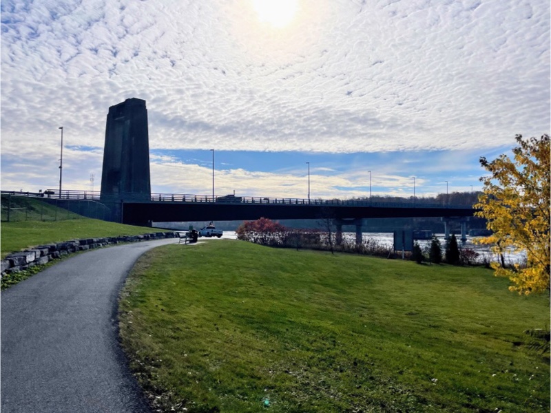
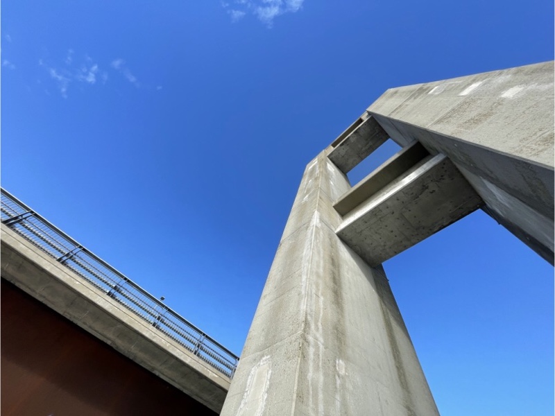
One of the abutments from the old bridge has been left standing next to the new.
Lamoureux park was beautiful, still showing fall colours, on the river, with the Waterfront Trail running through it.
One of the features of a Bicycle Friendly Community is good wayfinding signage.
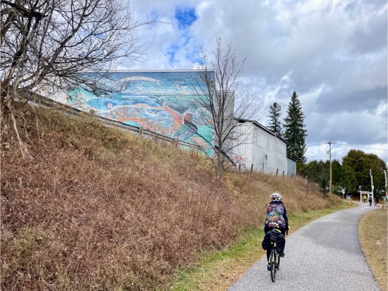
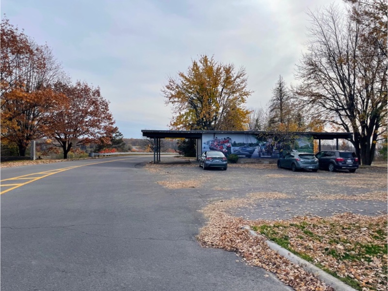
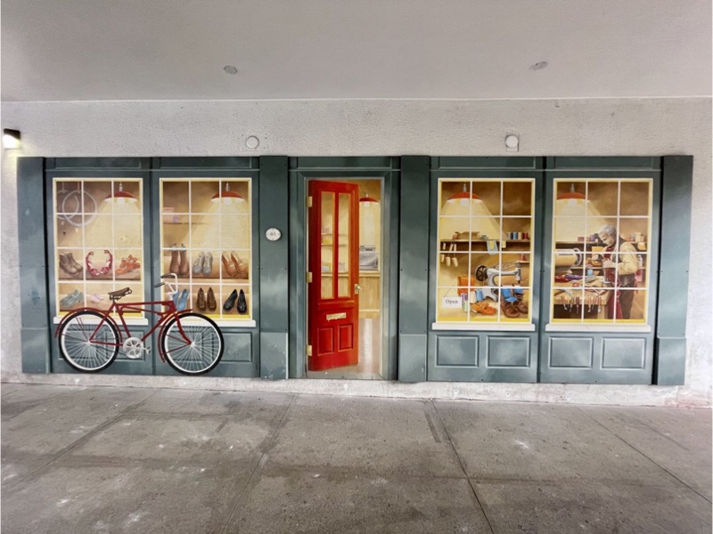
Adjacent to the park was a museum with a mural on a retaining wall.

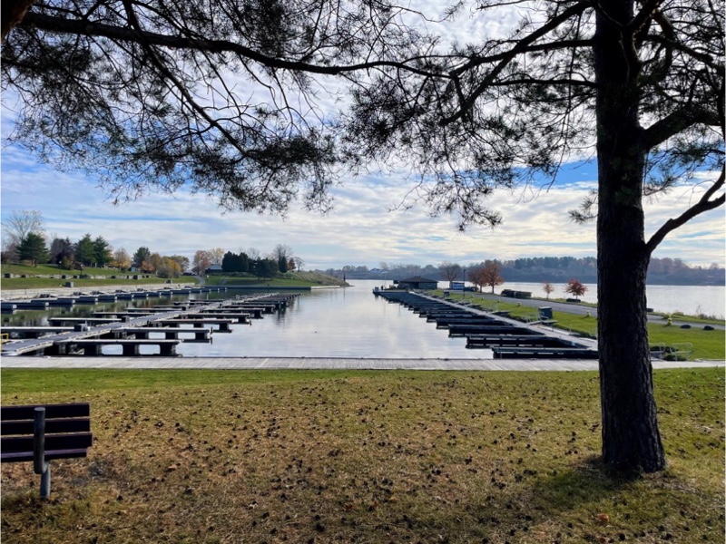
There is also a marina.
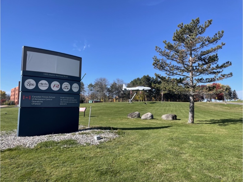
The Waterfront Trail continued through downtown Cornwall and passed the Canadian Forces School of the Aerospace Control Operations on the east side. This is where air traffic controllers are trained.
The Old Stone House was built in 1850 and is used for functions at the NAV Centre.
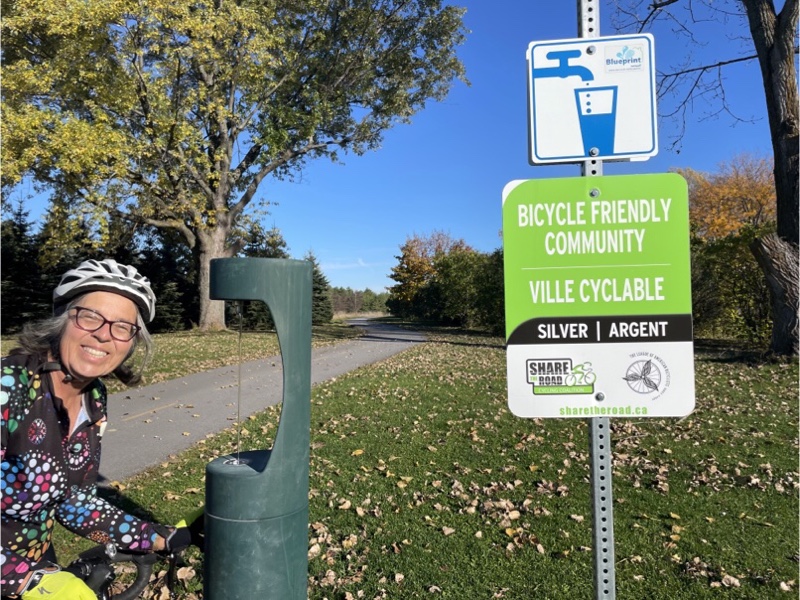
We left the Waterfront Trail to ride through Gray’s Creek conservation area which had a paved path through the area. It connected with a multi use path through the city to the west, and then a bike lane that ran the length of Second Avenue. At this point I was beginning to think that Cornwall, with a population of less than 50,000, was a Silver Level Bicycle Friendly Community. I made a mental note to look it up when we got home. brampton is Bronze. The difference is quite noticeable.

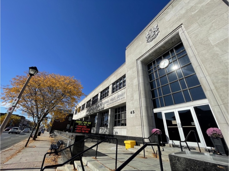
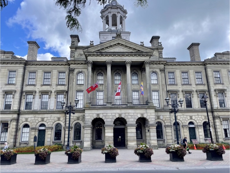
When the post office building became available the city purchased it to use as a Library. Apparently it is quite nice on the inside. It certainly looks nice from the outside.
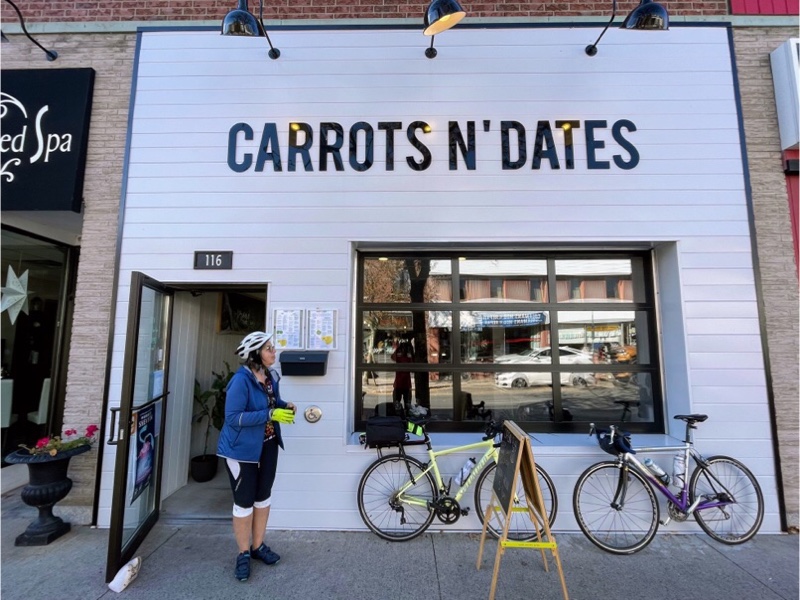
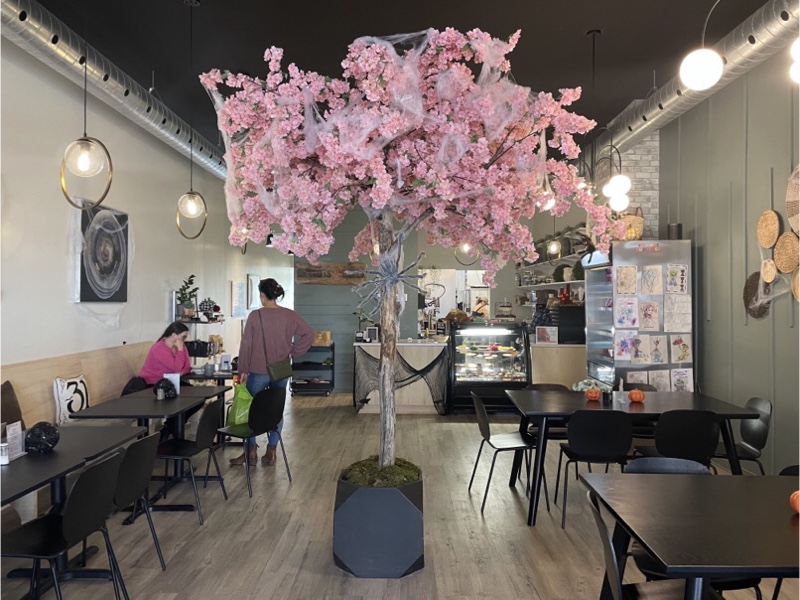
We stopped at Carrots n’ Dates, recommended by Laurie, for lunch. The food was good, but the menu was a bit odd. They didn’t serve anything made from cows. Apparently goats were fair game though, as I had a grilled goat cheese sandwich. I considered having a BLT, but I prefer my bacon to come from pigs, rather than coconut. The decor was pretty, and they had a protected patio area in which we were able to eat.
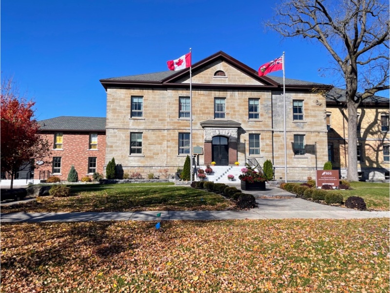
The United counties of Stormont, Dundas and Glengarry is a regional municipality, the municipal building of which is located in Cornwall, but the counties exclude Cornwall. Their tagline is, “This is the place where Ontario began”. The first documented European settlement was established in 1784 by United Empire Loyalists. My grandmother was proud of being descended from United Empire Loyalists – American loyalists who resettled in British North America during or after the American revolution.
After lunch we headed west along the Waterfront Trail toward Long Sault.
Along the way we passed Ault Park, named after the family that donated the land. The park was originally on Sheek Island, but was flooded with the opening of the St. Lawrence Seaway, and relocated to its current location. The Lost Villages Historical Society operates a museum incorporating a number of buildings moved from the villages. Other buildings from the villages were moved to Upper Canada Village.
At our last Brampton Cycling Advisory Committee meeting we discussed the bike repair stands that Brampton will be installing in various locations. I believe it was this brand and style that was chosen.
Once again we stopped at Tim’s for a coffee and snack and then turned around. The Waterfront Trail from Cornwall to Long Sault was paved, and separated from the road, and beautifully covered with fallen leaves in some areas.
As we rode back into Cornwall we saw this sign which showed, as I suspected, that Cornwall is a Silver Level Bicycle Friendly Community. It’s great to find water filling water bottle filling stations, especially ones that are still operable at this time of year.
In Cornwall some of the bike lanes were separated from motor vehicle traffic with a rumble strip.
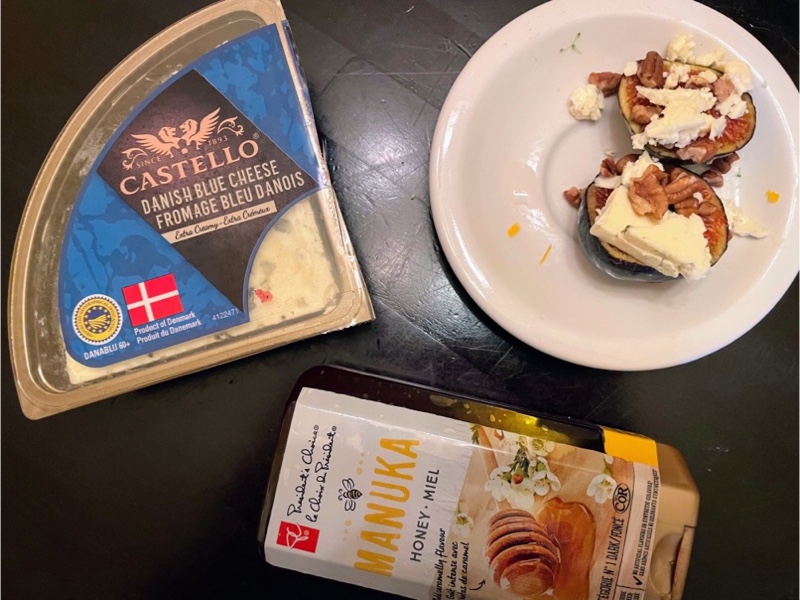
The weather remained nice enough for us to have another meal outdoors.

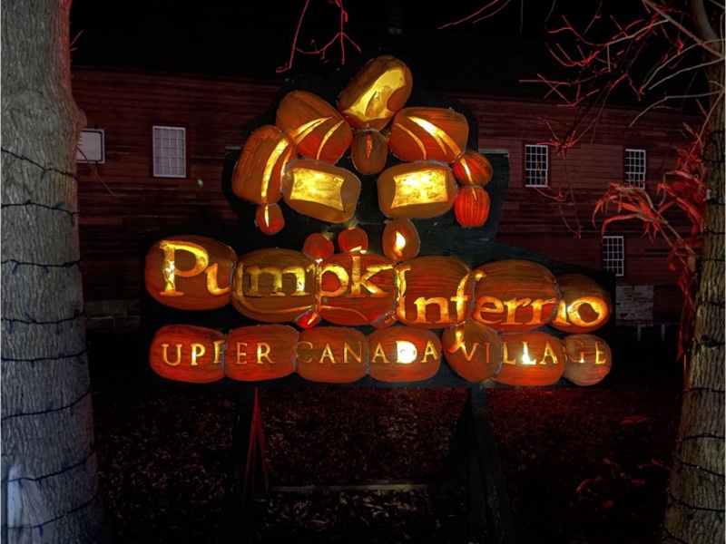
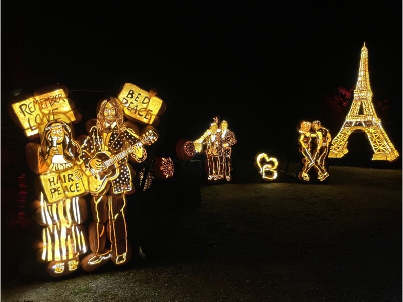
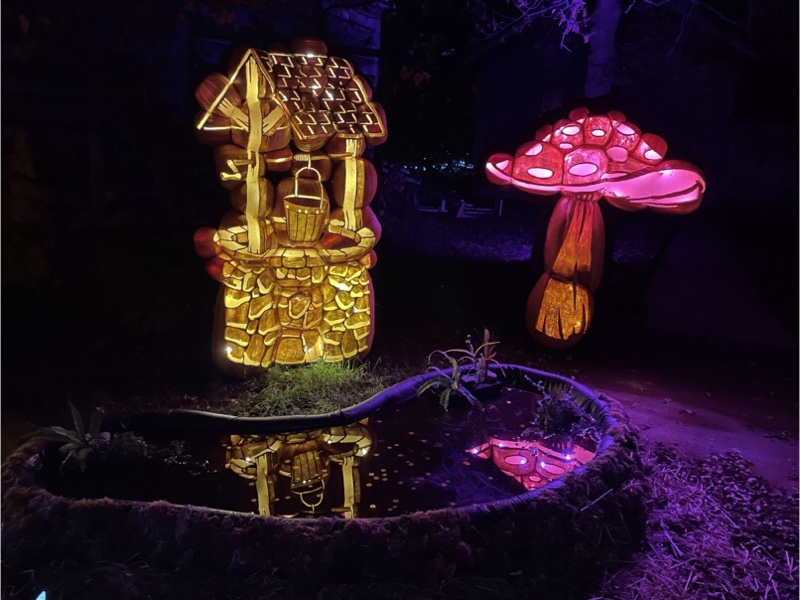
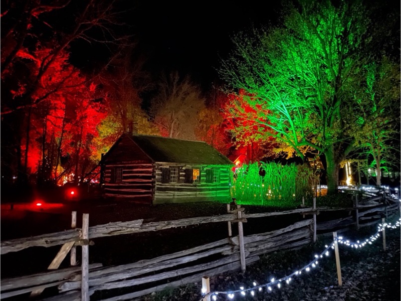
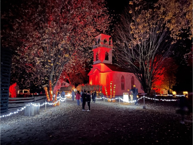
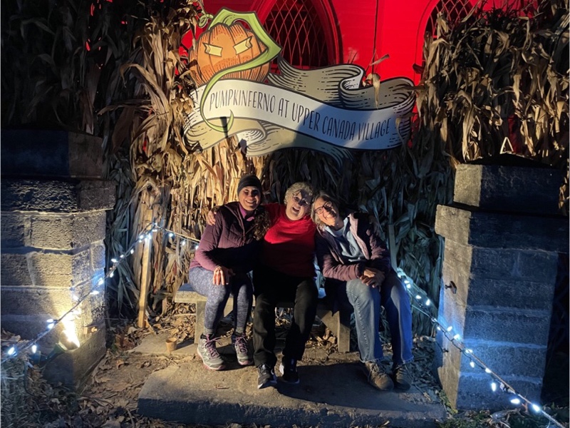
After dinner Laurie, Cindy, and I drove to Upper Canada Village for Pumpkinferno. The tickets had a timed entry and there were a reasonable number of people there – sold out, but not overcrowded. The displays were creative and colourful. There was no access to the buildings other than the hotel, which was providing a meal if people wanted to purchase one.
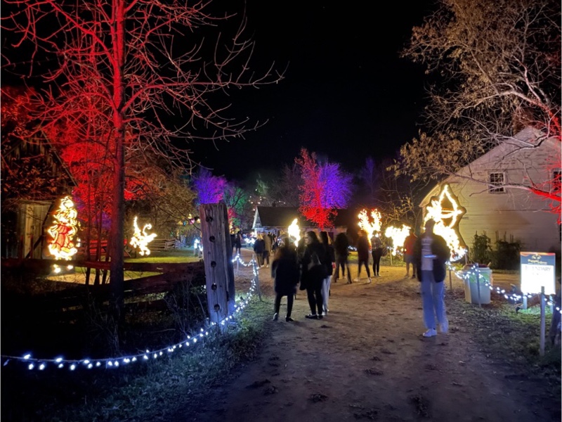
The temperature had only fallen to 15° by the time we finished exploring. It really couldn’t have been more pleasant for a late October night. It was a fun way to end a great day exploring another Ontario city by bike.

Cornwall and Lac Morency – Day 1
Cindy and I enjoyed the P’Tit Train du Nord and The Laurentians so much last year that we decided to go again. We booked four nights at Lac Morency, where Cindy can use her timeshare credits, and arranged to stop for two nights, en route, in Cornwall, with my cousin Laurie, and her husband Bruce. Laurie has been following my cycling trips blogs since we cycled home from Ottawa in 2017. Shortly after I arrived back home that year a letter arrived from Laurie with a newspaper clipping about cycling in Ottawa and an invitation to use her spare bedroom if I wanted to cycle in their area. It took me five years to take her up on the offer.
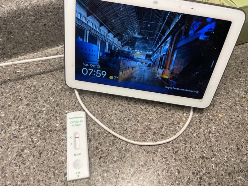
Our day started with a Covid test since we wanted to make sure we didn’t make our hosts sick.
I was able to take my road bike, rather than my cross bike, since we were doing only day trips, and I didn’t need to be able to carry my belongings in panniers. We brought groceries from home, lots of different weather clothing options ranging from summer to winter gear. I also brought my fitness ball and half foam roller for stretching out at the end of the day after the rides.
Last year we brought clothing for fall weather and regretted that we had no winter clothing. Even though the long-term forecast for the week was lovely and much warmer than last year we still brought our winter clothing.
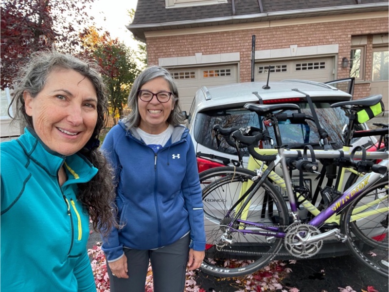
Cindy was driving a different car this year with a clip on bike carrier, rather than one on a hitch like last year. Prior to the trip we did a test drive to Orangeville to ride and see how the carrier worked out. It was easy to use and we had no issues with it other than slightly tightening two straps.
We drove 430km to Upper Canada Village, stopping only for gas, bathrooms, and to change drivers. The plan was to ride a 20km section of the waterfront trail turning around in Long Sault at the Tim Hortons, and riding back to the car, then continuing to drive the final 30km to Cornwall.
The St. Lawrence Seaway is a system of locks, canals, and channels that allow ships to travel from the Atlantic ocean through the Great Lakes, as far inland as Duluth, Minnesota. The Seaway was constructed between 1954 and 1958.
Due to the construction of the Seaway and The Moses-Saunders Powerdam, 10 communities were be permanently submerged. These are known as the Lost Villages. Families and businesses in the affected communities were moved to the new planned communities of Long Sault and Ingleside.
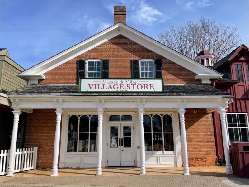
The name in the window of the village store is A. L. Feader. My paternal great grandfather was Myles Feader. So I emailed my dad and asked him if there was a family connection. He vaguely recalls that there might be an Austin Feader. He told me that my great grandfather was born in Iroquois in an old stone house that survived the flooding of the Seaway.
The first part of our ride was along the waterfront and through woods on a paved trail for walking and cycling, and is part of the Waterfront Trail.
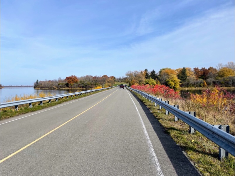
The last of the fall colours were still showing and we saw some beautiful reflections.
In places it was difficult to tell that the trail was paved due to all the needles and leaves on the path.
When we reached Ingleside there was an disused gatehouse with a map of the Parkway and islands. Long Sault Parkway is a series of low bridges connecting the high points of the land that remained above water after the flooding. The are at three campgrounds on the islands, but not much else.
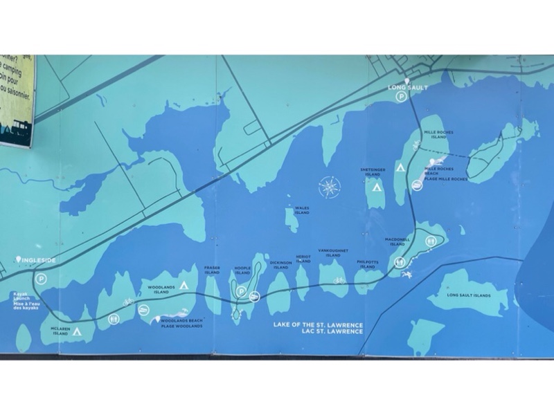
The Waterfront Trail follows Long Sault Parkway which has a 55kph speed limit. There are paved shoulders for cyclists. The cars that passed us seemed to be strictly observing the limit which surprised me, but Cindy pointed out that they were also sightseeing so would logically keep their speed down. Anyone just wanting to just drive from Ingleside to Long Sault would use Highway 2 which is more direct.
I had initially planned our route back along Highway 2, but we decided to go back along the Parkway to see it in the other direction and then drive Highway 2 to Cornwall.
There is a matching gate house at the Long Sault Ended up the parkway.
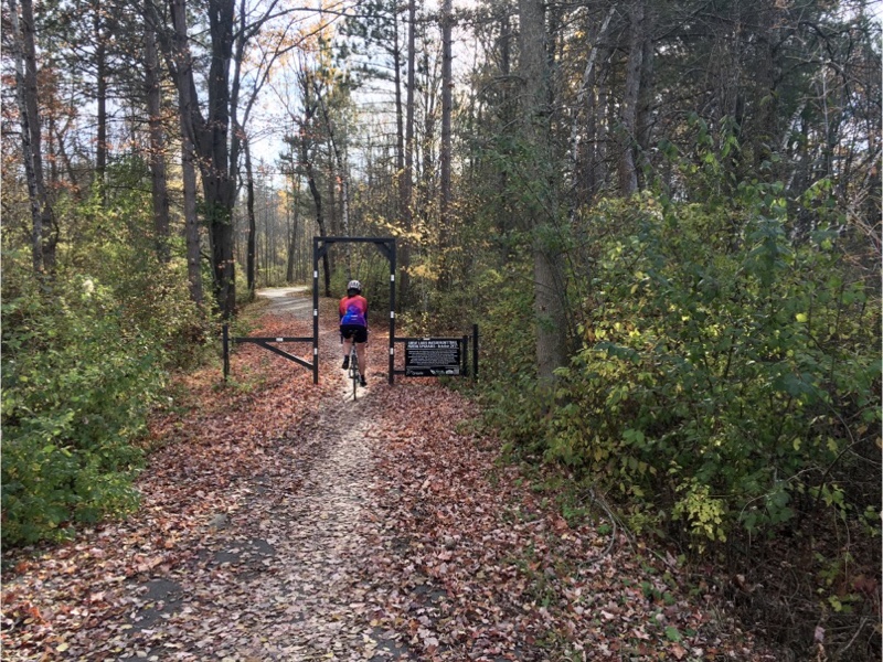
Along the Waterfront Trail there are gates at each roadway crossing.
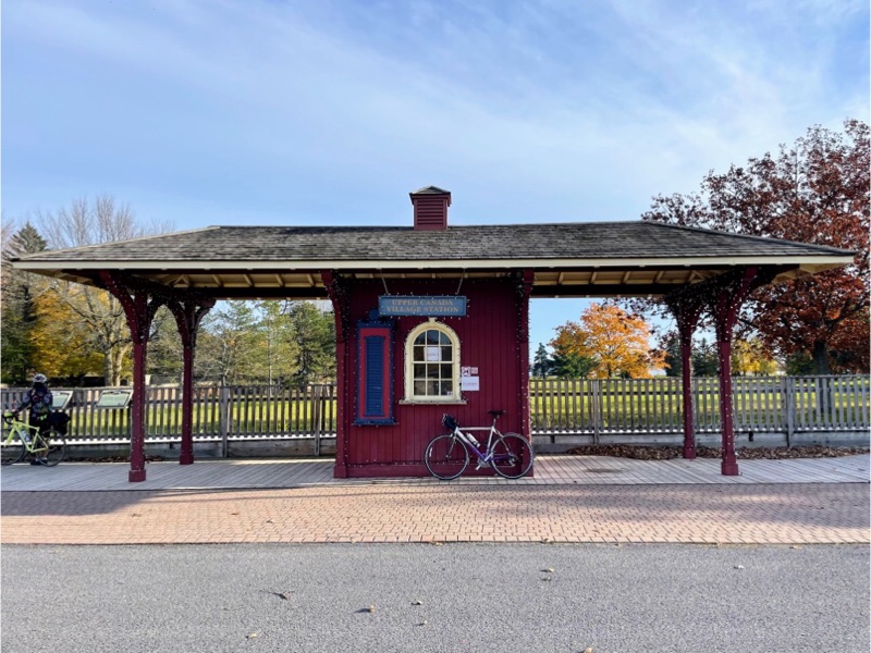
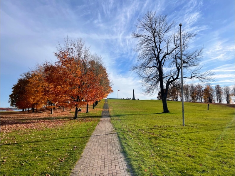
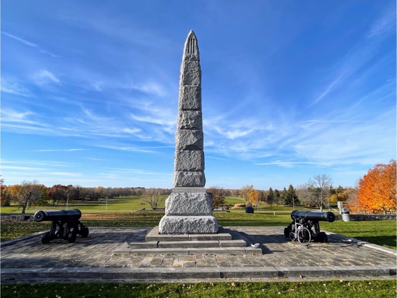
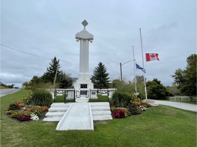
Back at Upper Canada Village we had a look at the little train station and then toured around the war of 1812 memorial.
One of the decisive battles of the war of 1812 was fought here and is known as the Battle of Chrysler‘s Farm. 800 British and Canadian troops engaged an American force of 4000 and after two hours of heavy fighting routed the enemy. The victory ended a major American thrust at Montreal. This reverse, along with the defeat of another invading army at Châteauguay, saved Canada from conquest in 1813.
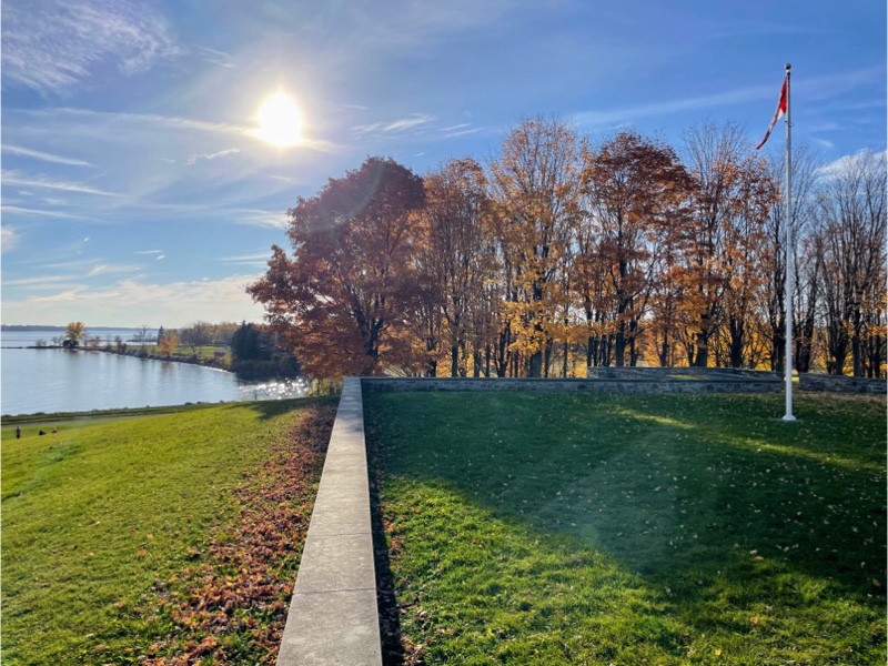
The St Lawrence River is the dividing line between Canada and the US here and the two countries are less than 2 km apart at this point.
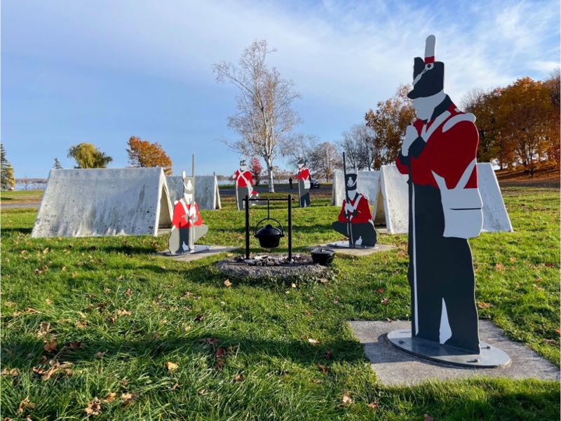
There was a display made of fibreglass showing what the campsite for soldiers would have looked like on Chrysler‘s farm.
We were unable to visit the actual village of buildings at Upper Canada as the site was closed for the season, or so we thought. We later learned that the site opens in the evenings for Pumpkinferno and we booked tickets for the next night as it was highly recommended by Laurie and Bruce.
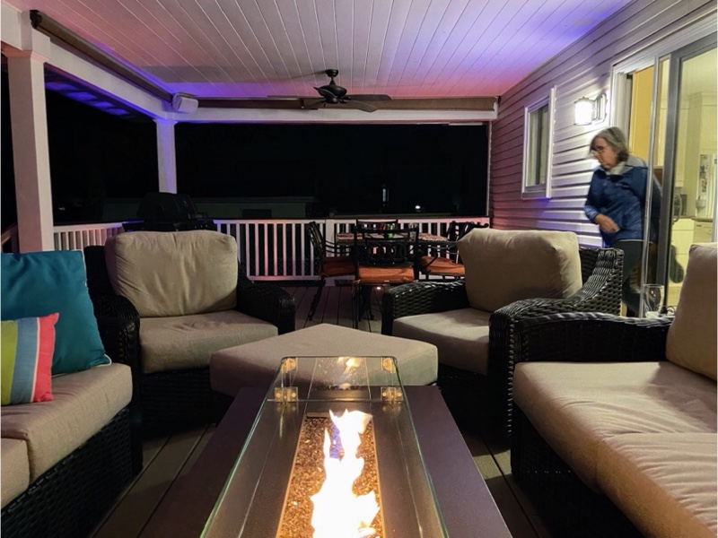
The weather was so beautiful that I wore cycling shorts. And we were able to eat dinner on Laurie and Bruce’s beautiful covered deck and spend the whole evening until bedtime visiting out there. We did get chilled towards the end of the evening, even sitting u der Laurie’s beautiful quilts, but it was still lovely to sit out so late in October.
Peterborough and the Kawarthas Cycling Odyssey – Day 7
Our final day seemed to arrive so quickly even though, at the beginning the week it seemed like we had so much time stretching ahead of us. It was so cold today, 3° Celsius, that Wayne had to put on sleeves! The rest of us lawyered up for warmth.
We had breakfast, packed our bags and coolers, and loaded everything into the cars. We arranged with the owners to leave the cars in the driveway while we did a local tour of Peterborough. We also planned to visit a coffee shop owned by someone Dayle knows.
I use a website called Statshunters to create a personal heat map of all the places I have ridden my bike since 2013, when I started recording my rides, and also to see what tiles I have ridden my bike through.
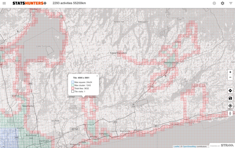
The world has been divided into a grid of 16,384 x 16,384 squares each about a mile square. The goal is to use human power to get each of the tiles. I discovered this website at the beginning of the pandemic and used it as inspiration to ride places where I haven’t been before. There are three measurements. Max square which is the largest square you can create with connected tiles. When I first looked 2 1/2 years ago my max square was 9 x 9 in Brampton. I have expanded it to 24 x 24.
The second measurement is max cluster. When one of your activity crosses a square it is counted as a tile. If you cross the connected left, right, top, and bottom tiles of a tile it is counted as a cluster tile. The max cluster is based on all the connected cluster tiles. Finally total tiles are simply all the tiles you have crossed. My goal this year is to get my total tiles to 4000.
All of the tiles surrounding Peterborough, and the non-waterfront tiles around Coburg were acquired on this trip. For the final day I planned a 25 km route to pick up tiles we hadn’t crossed in Peterborough, on recreational trails and roads that we hadn’t been on yet.
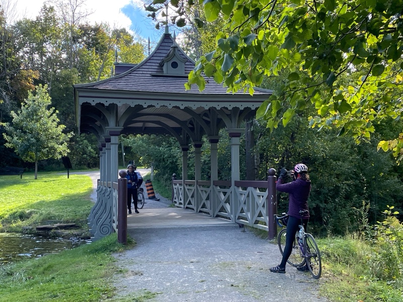
One of the places we cycled through was Jackson Park. There is a lovely pagoda bridge in the park which was originally constructed in 1895 and restored in 1989 by carpentry students from Fleming College.
We are all cycling advocates in Brampton and Caledon and so are particularly interested in the infrastructure and wayfinding signage we find in the communities we visit on these trips.
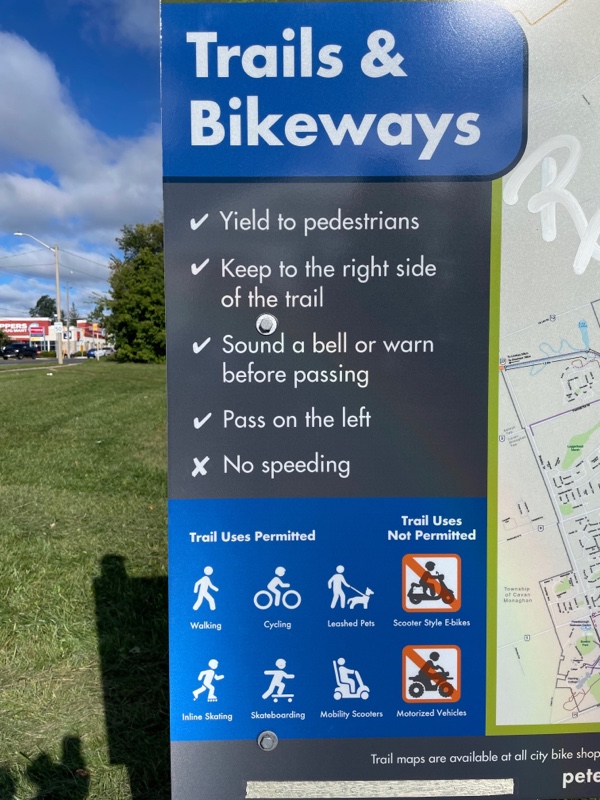
You know you’re a cycling nerd when you see a sign like this and stop to admire it and discuss it. We liked the fact that the sign clearly laid out that pedal bikes and mobility scooters are permitted on the path, but not scooter style E bikes or motorized vehicles which should not be used in spaces shared with pedestrians.
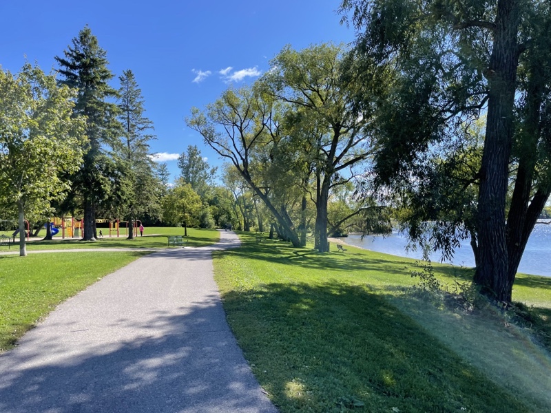
Peterborough has a lot of lovely trails in parks that connect to make nice loops.

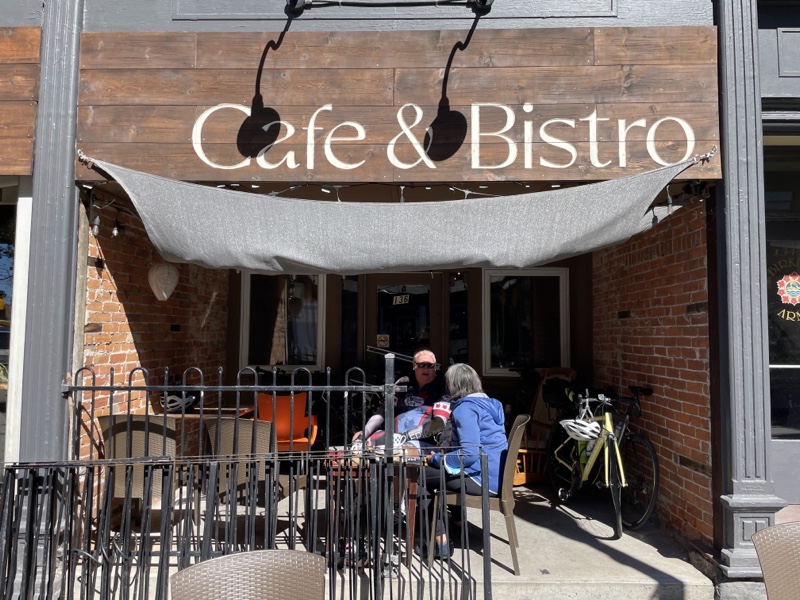
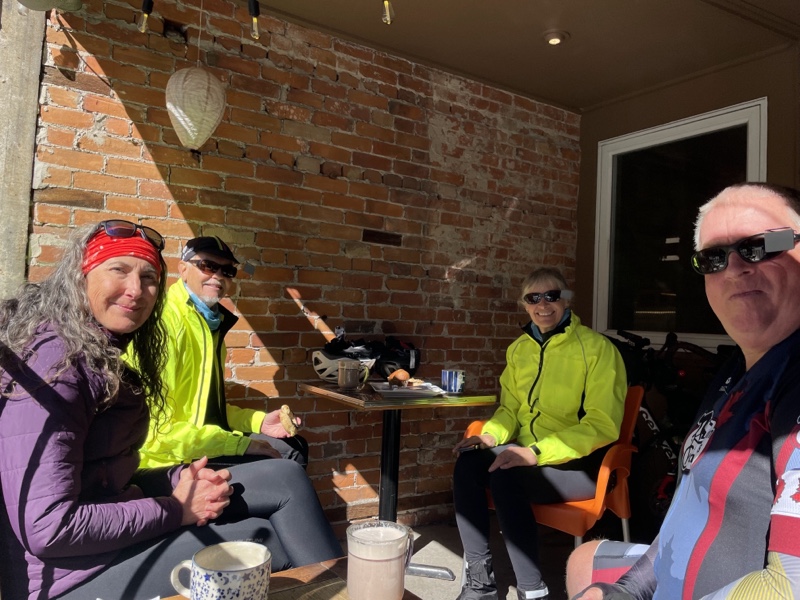
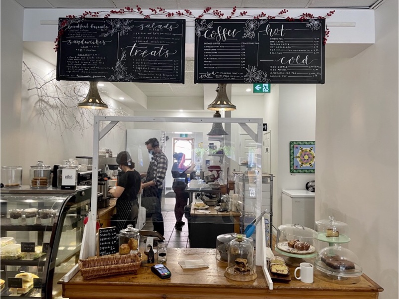
After about 20 km we stopped at the café Dayle suggested, but it was busy indoors, and had no outdoor seating, let alone seating in the sun, which we needed on this cold morning. Cindy spotted the Dreams Café around the corner, in the sun, that had outdoor seating, so we went there. It had a perfect outdoor covered patio which was protected from the wind yet still sunny. The food was delicious.
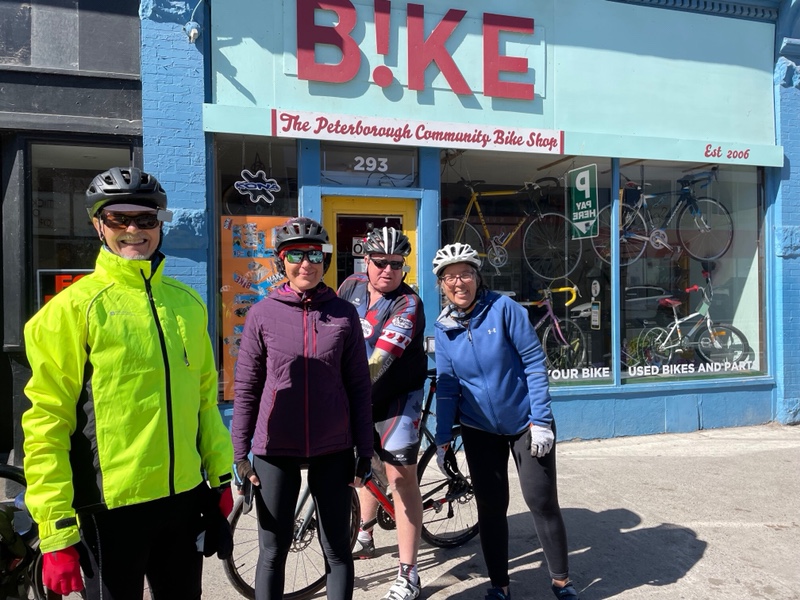
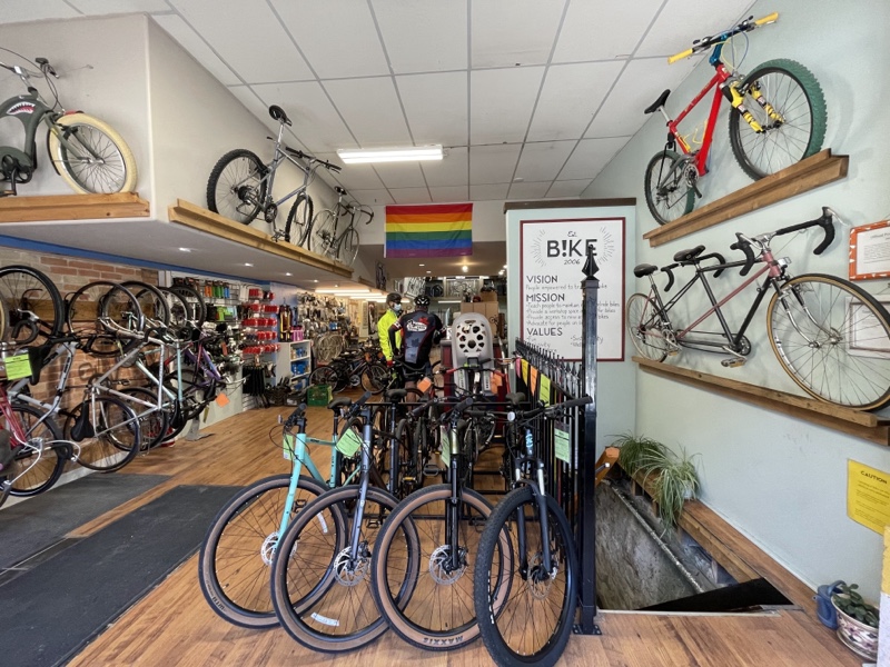
Next we visited B!ke, Peterborough’s community bike shop. It was open in 2006 and is a nonprofit, charitable, member-based cycling education and support organization. It is inspirational for those of us involved in recently opening Different Spokes, a community bike hub in downtown Brampton.
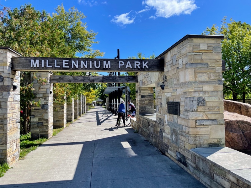
With full bellies and warm toes we rode to Millennium Park which has a trail along the Otonabee River waterfront.
We encountered Peterborough‘s inaugural Environmental and Climate Action Expo. It was interesting to see such an event set up on a Friday and well attended. We visited many of the booths including one by B!ke Peterborough. Some of their staff were just arriving back from leading a youth bike ride along the canal.
The Peterborough library has a bookmobile bike.
Peterborough has an environmental park with a permanent building and shelter where there were plants for sale and a large gathering for the expo.
A few kilometres later we arrived back at the house and the end of our trip. This was my eleventh cycling trip, the ninth with David and Dayle, seventh with Wayne, fifth with Cindy. I am so grateful for the wonderful friendships and adventures that I have benefitted from. The personal return of getting involved in volunteering and cycling advocacy in Brampton has been incredibly rewarding.
Peterborough and the Kawarthas Cycling Odyssey Day 6
We decided to try a ride in Northumberland County today which was shared on their cycling website. We knew it was going to be a cold day, but weren’t expecting rain. Unfortunately, the rain which was forecast but didn’t happen yesterday, happened today.
We drove half an hour to the beginning of the ride on the south side of Rice Lake. It was raining when we left the house, and rained off and on as we drove. We found a place to park and sat in the car for about half an hour until the radar showed that the rain had passed us. Fortunately, after that, we were only subjected to a few sprinkles now and then.
I put my rain cover on my helmet which makes it look crazy dorky. I didn’t end up needing it for the rain, but I was actually happy to have the helmet vents covered which kept my head warmer.
I was dressed in a merino wool base layer, long sleeve cycling jersey, down filled vest, and light windbreaker. David and Dayle, and Cindy were dressed similarly. Wayne runs hot and was happy as a clam in a short sleeved jersey and cycling shorts.
The roads were wet and throwing up a bit of spray for the first few kilometers, but the sun occasionally peaked out, and the wind dried things up eventually.
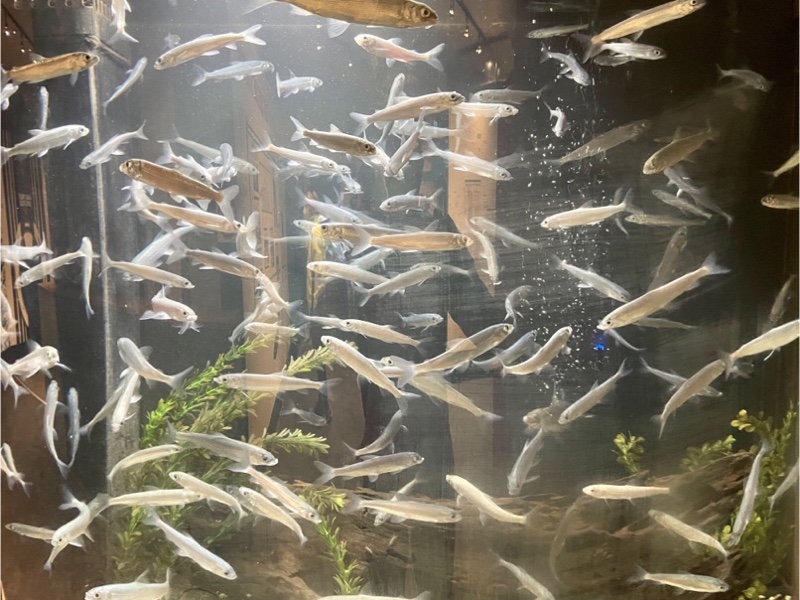
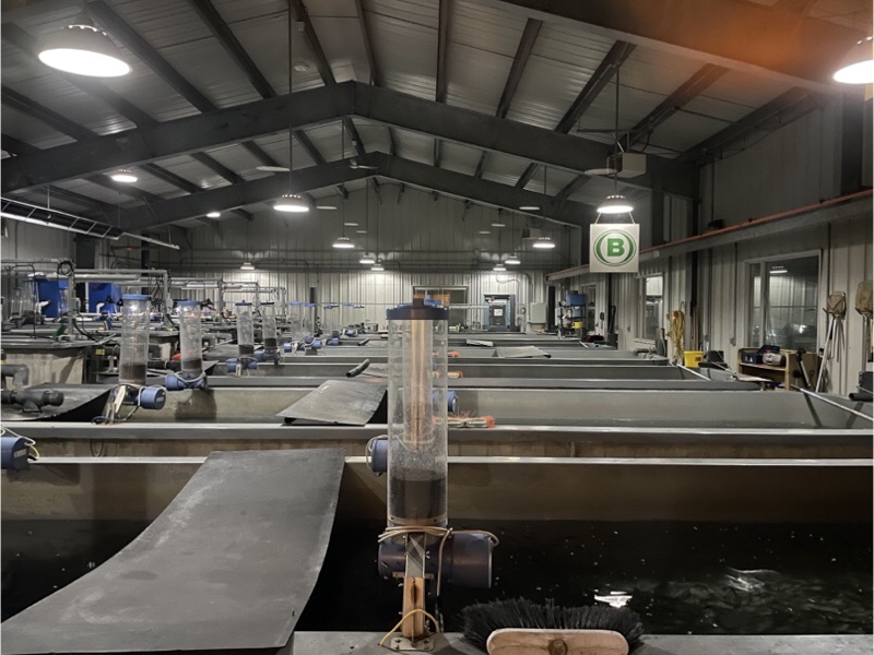
We visited the Harwood Fish Culture Station. Fish culture is the production of fish in a controlled environment. At Harwood they practice intensive fish culture which involves rearing fish at concentrations greater than would be found in the natural environment.

Harwood was chosen because of the numerous artesian springs that can produce the large volume of quality water that is required for intensive fish culture. The building is located where the water can flow by gravity into the fish tanks and not require any mechanical or electrical equipment that could break down. Fish are then transported by water truck or helicopter and released into the natural environment.
Today’s route climbed for the first third, descended to Lake Ontario, and then climbed back up to Rice Lake.
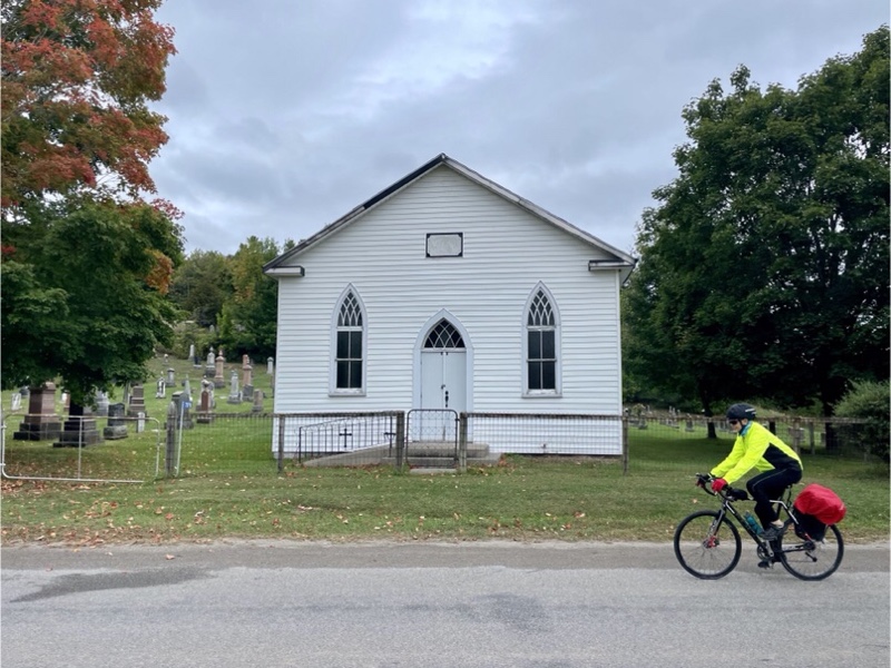
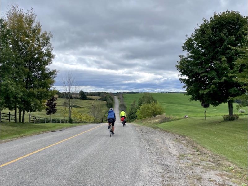
It was a beautiful, pastoral ride. There were very few motor vehicles.
We passed through the Alderville First Nation, where there was a brand new gas station, convenience store, and food truck. Gas is a little cheaper here because they don’t have to pay all the fuel taxes.
We saw this interesting art deco World War One memorial in Alderville.
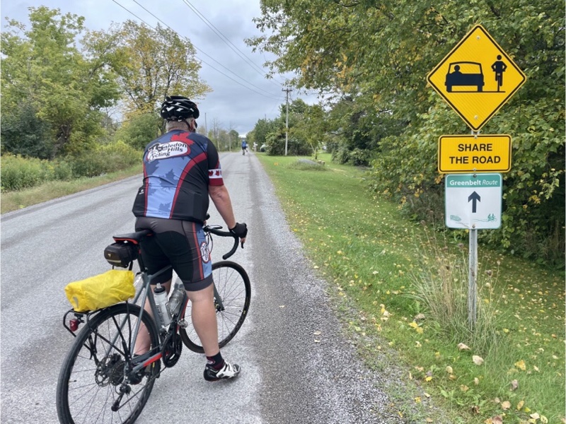
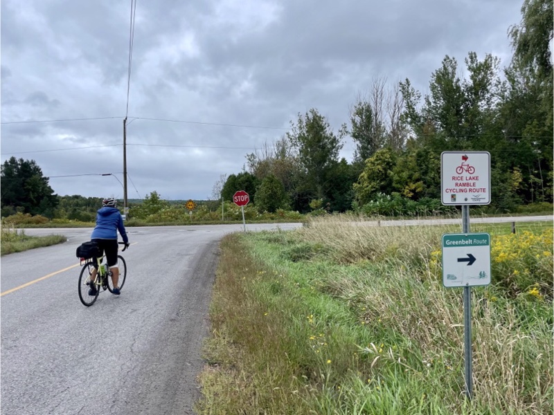
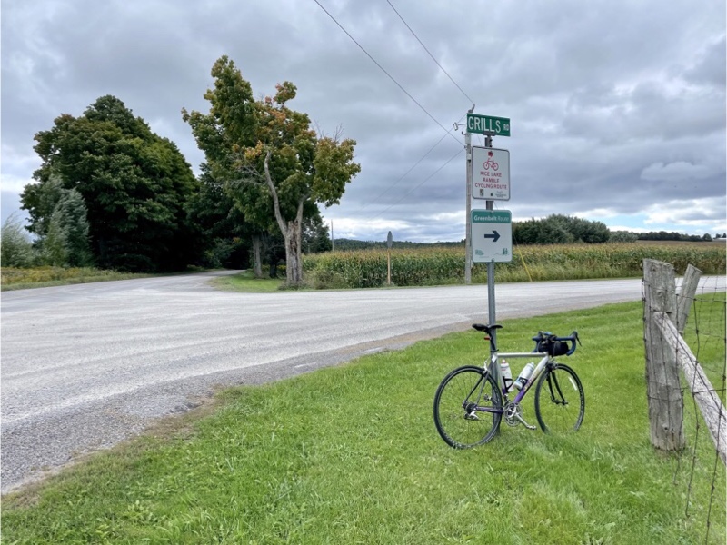
Just south of Alderville is the start of the Greenbelt route. It’s a marked cycling route that stretches from Alderville for 475 km to Niagara Falls.
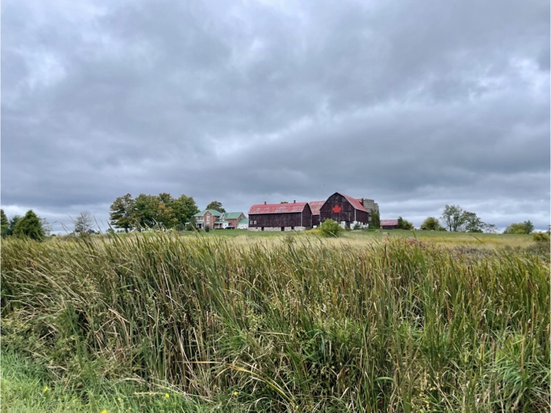
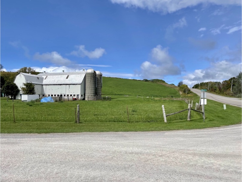
I couldn’t pass up the opportunity to photograph this beautiful farmhouse and barn.
The route we were following was called the Rice Lake Ramble Cycling Route and incorporated part of the Greenbelt route.
After a lot of climbing we love to see views like this.

The bottom of the hill, where we had to turn the corner was the Country Road Café, but this time of year it is only open on the weekends. Can you believe we’ve come to the Kawarthas and haven’t had ice cream yet this week?

The ride today had a lot of rolling hills. We like to get up a lot of speed going down and use momentum to get part of the way up the next hill.
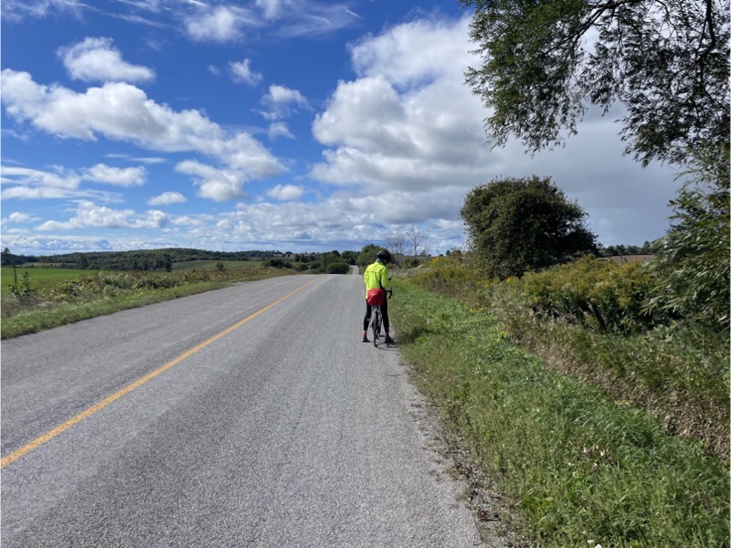
I stopped to take this picture of David and Cindy after I got to the top of a hill, as they descended.
They were so focussed on building up momentum for the next hill that they missed this sign indicating a right turn. I was behind them, rather than my usual position out front, and yelled at them to make the turn, but I think the wind was blowing my voice back behind me and they didn’t hear a thing. They descended quite far before Cindy heard her phone ringing, and picked up to hear me telling them to come back.
Meanwhile, Wayne and Dayle caught up to me at the corner, and thought David and Cindy had already turned and continued on thinking I was waiting to point them in the right direction. I yelled at them to stop. Wayne heard, but Dayle did not. Wayne and I waited for a while and then I decided, when David and Cindy still had not reappeared, that I should go after Dayle to prevent her becoming worried at some point.
I finally caught up with Dayle.
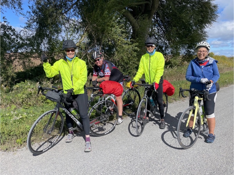
The rest of the gang finally caught up with us.
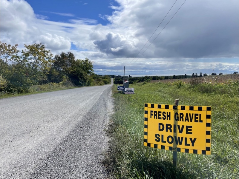
This road, although gravel, was very smooth and we were able to descend quite quickly.
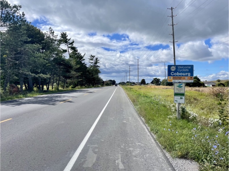
We could see Lake Ontario long before we got to it. You cans see it in the distance in the above picture. Lunch was late in the ride today at 57 out of 75 kilometres, so we were very happy when we saw this Welcome to Cobourg sign.
Last night we identified three possible restaurants in Cobourg with patios. The first one we came upon had closed their patio due to cold weather and were unwilling to serve us outside so we carried on.
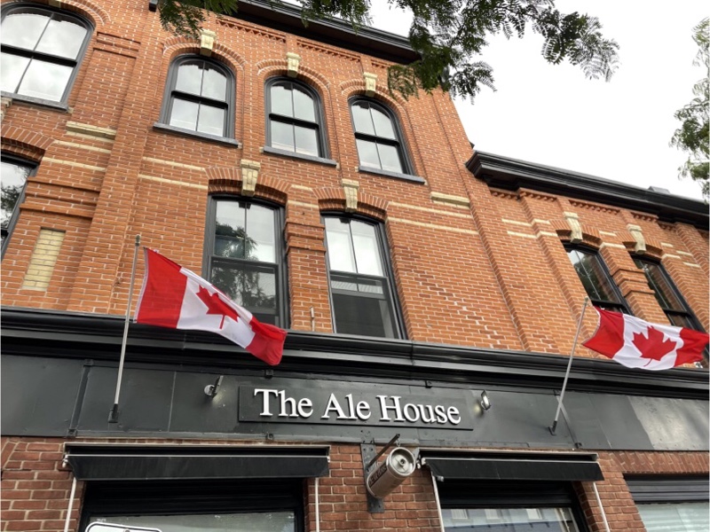
The second one, The Ale House, was willing to serve us outside so he got our business.
Cobourg has a very pretty main street. David and Dayle and I were here briefly on our first cycling trip from Ottawa to Brampton. It was so hot when we were last here that we went to the beach and put our feet in the lake for a while.
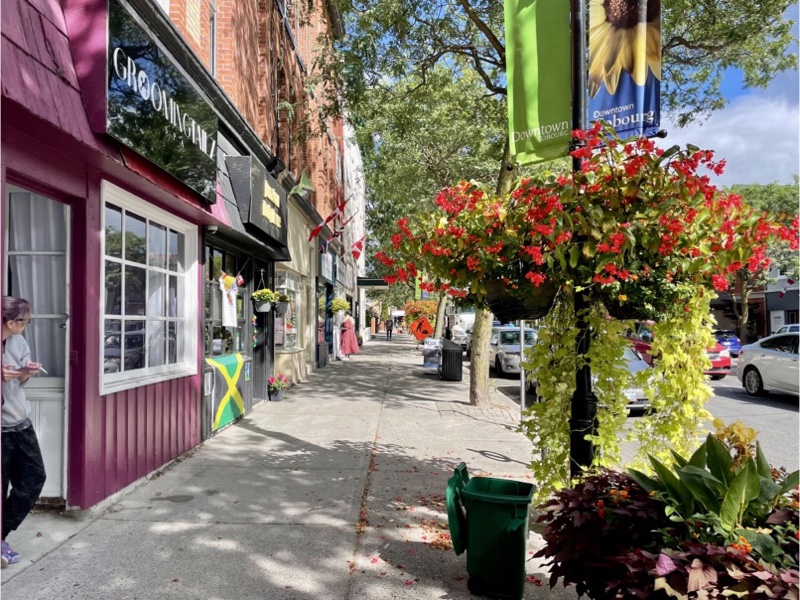
The buildings are well preserved and there are interesting shops, and plenty of restaurants and cafés.
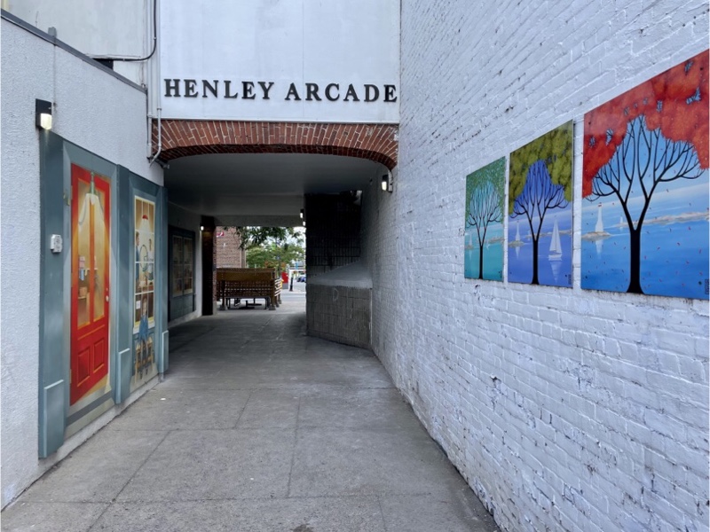
I found this little alley called the Henley Arcade which had some interesting murals in it.
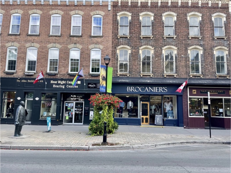
City Hall is very impressive.
I walked around right after ordering my lunch to save time, as I knew we wouldn’t want to linger with a 20 km left to go, all uphill and with a stiff headwind.
I grabbed a latte and a cookie and arrived back at the restaurant just before our food was served. The food was good, but it was windy and overcast, and we didn’t linger.
As we were going through this construction zone Wayne asked the flag man if he would stop the traffic behind us until we crested the hill which he kindly agreed to do.
In addition to the roads being lightly travelled by motor vehicles today there were excellent paved shoulders on many of them.
Dayle and Cindy are still smiling at the end of our 12 km long climb out of Cobourg.
Thanks, but no thanks. The paved shoulder here where the bike symbol is was so rough that we stuck to the narrow pavement between the line and the bike symbol.

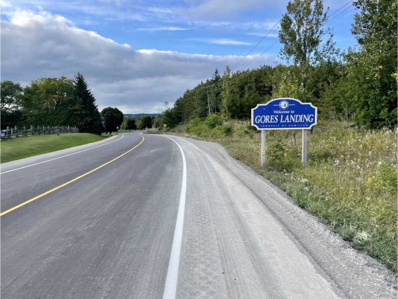
We were very happy to see this Gore Landing sign and the beautiful descent to Rice Lake to finish our ride.
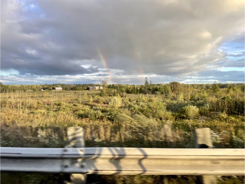
On our drive back to Peterborough we saw a double rainbow from the car.
Dinner was a “use up all the leftovers in the fridge” affair, but still was very tasty.
Cindy and Wayne went out to get us ice cream for dessert, while David and Dayle cleaned the kitchen, and I wrote this blog.
Tomorrow we are going to pack up the cars to return home, and do a local city ride as we have mostly explored outside of Peterborough.
It’s hard to believe the trip is coming to a close. When we began we had so much time stretching out ahead of us, and now it seems, all of a sudden, it’s gone.
Peterborough and the Kawarthas Cycling Odyssey – Day 5
Weather forecasts, even short term ones, are becoming increasingly unreliable. Last night, the forecast was showing a strong threat of thunderstorms, and the possibility of tornadoes developing by mid afternoon, so we chose the 65 km Hills, Views and Pastries route 3A to ride today, and planned to leave no later than 9am, to hopefully be back before inclement weather.
Dave spent some time patching the tubes that he took out of Dayle‘s tires the past two days so, that if there was another flat today, he would have a tube ready to go. He also put some oil on chains and pumped up tires. It would be very challenging to do these types of trips if no one knew how to do basic maintenance on the bikes. We all do, but we all often help each other out, as well.
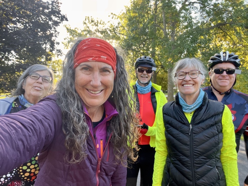
Here we are ready to go.
Not long into the ride we saw a house with two bikes decorated with baskets and flowers.
The day started cool, but humid, and with the forecast high of 22, it was hard to know how to dress and there were a few stops for taking jackets off, taking sleeves off, putting jackets back on, taking jackets back off.
The weather was quite changeable and at times got quite dark and made us think that it might start to rain.
But then it would brighten up, and warm up, and cause another change of clothing.
We saw more farm houses today than on our other days of riding. It was quite a pretty area.
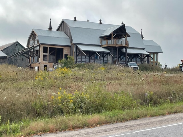
We saw this very interesting building. I guess it was an old barn being converted into a luxury home or event centre? At the right hand side there is an addition, two storeys, with lots of glass.
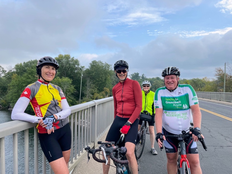
This was a stop on a bridge over river to adjust clothing.
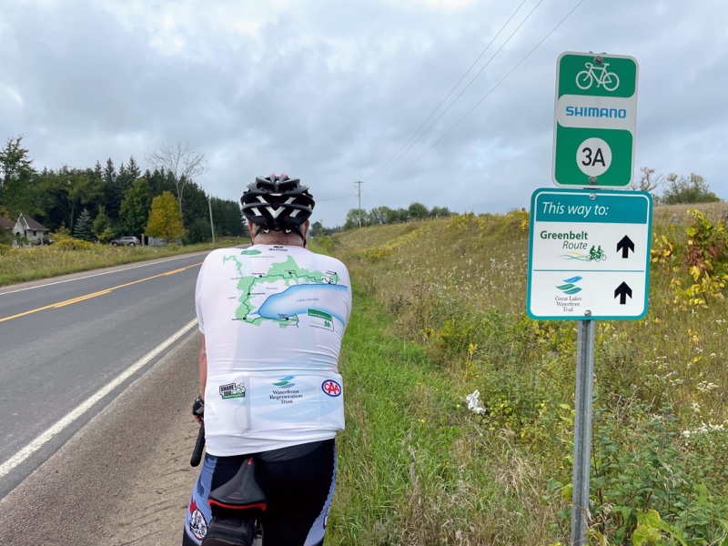
It’s interesting to see these signs for the Greenbelt Route and Waterfront Trail, both of which go through the area in which we live. Wayne is wearing a Greenbelt Route jersey from an organized ride he did on the route a few years ago.
I was chased by an agressive looking and sounding dog today when I was out in front of the rest of the group. He came running and barking down a long farm driveway. I was concerned, but kept pedalling, and moved to the far side of the road as we met at the road end of the driveway. Fortunately, by the time he got to me he was too tired out, being old and fat, to do more than bark. Another dog who ran at me with him just watched. He continued barking at the rest of the group, but was literally all bark and no bite.
Once again the first half of the route was more climbing than descending, but there was this lovely descent to a roundabout. I quite like roundabouts on my bike, but it does take a fairly high level of confidence to use them.
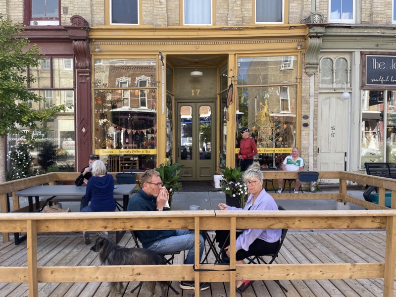
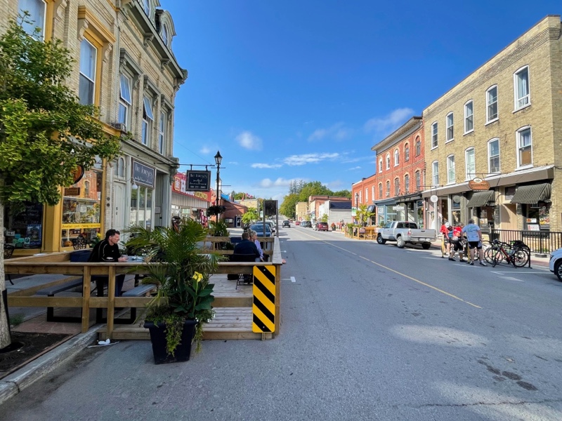
We arrived in Millbrook, a pretty little town with a lovely Main street, and a highly recommended café called Pastry Peddler.
There was a bike rack in a parking space across the road from the café.
I thought we would just have coffee and pastry and continue to get back before the rain, but Dayle checked the forecast and now the rain was not forecast until 5 PM. The lunch menu looked good so we decided to have lunch.
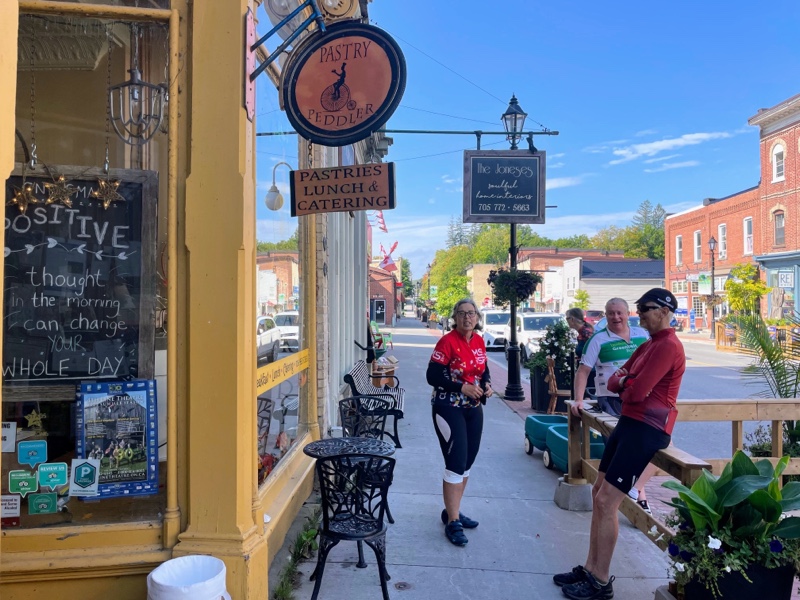
The inside was decorated with bikes and bike paraphernalia with a lounge area on the second floor.
Even in the bathrooms there were bike themed things.
I took off out of town after lunch – I am generally leading as the navigator – and didn’t realize there was a mural until I looked back and could just see the very top of it where the cloud is. Fortunately Dayle stopped and took a picture and shared it with me.
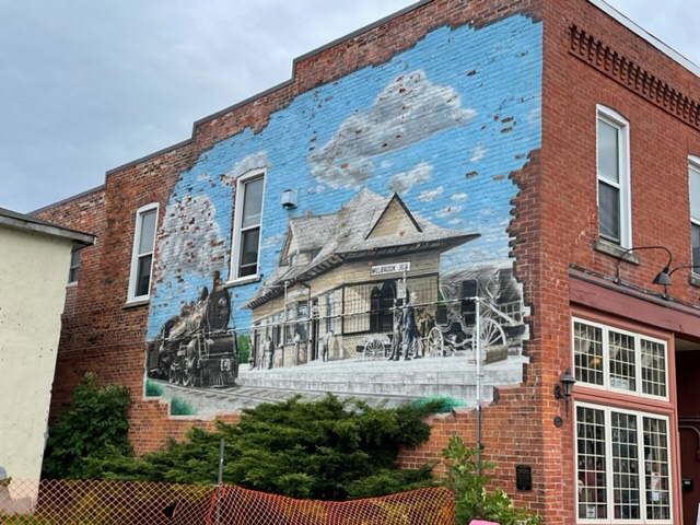
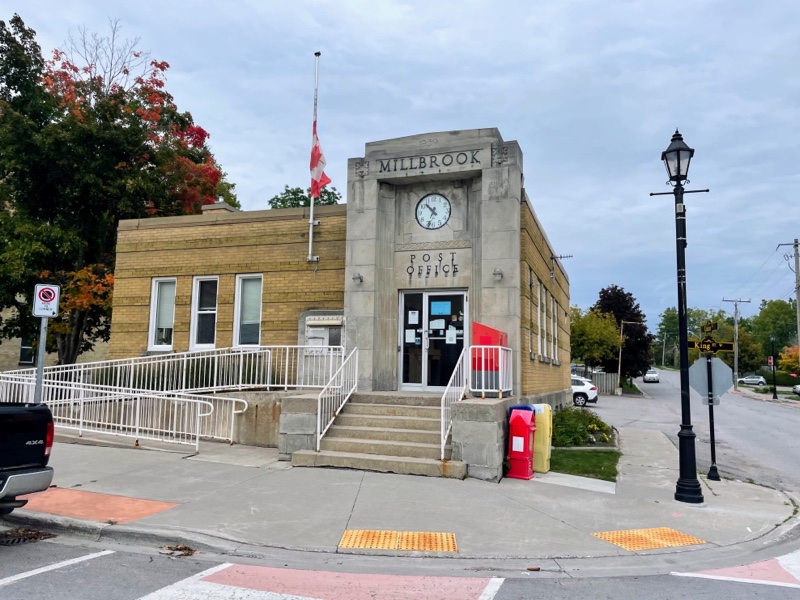
Millbrook has a nicely preserved art deco post office from 1939.
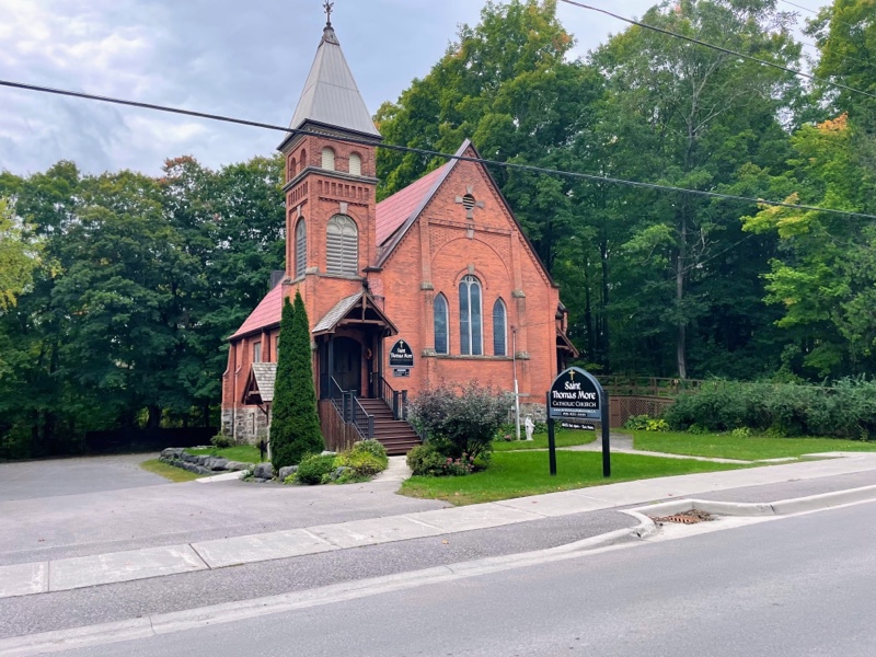
It also had a couple nice churches as well as other well preserved buildings.
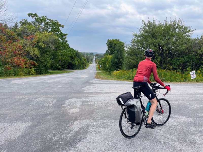
It was a big climb out of Millbrook on a full stomach, followed by a beautiful descent. We had to turn the corner partway down the hill, but after a small climb the descent continued.
After another long climb and about 20 km from home the sky was darkening and we felt a few raindrops. Dayle checked the forecast again and discovered that once again there was now high probability of storms at 2 PM. So David, Cindy, and I raced on ahead, as we are a bit faster and sometimes have to slow or wait for the others to catch up. We decided if we got back and it started raining we could take the car to rescue the others if the weather was dangerous.
In the event, it was sunny when we got home, and Dayle and Wayne arrived not too long after we did. As of writing this at 4:30 it’s still sunny out. The others have been swimming in the river behind the house.
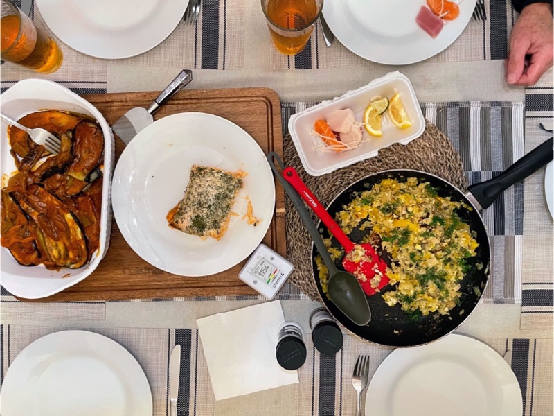
We used all the chicken thighs and salmon we had purchased for the last three night’s dinners so tonight we ordered sushi for dinner.
Tomorrow we are going to do a ride in Northumberland from Rice Lake to Cobourg, revisiting a short section of the Waterfront Trail on the trip from Ottawa that David and Dayle and I did in 2017.